

- Coordinates
- 45.3997° N, 85.8284° WGoogle Maps: Beaver Island archipelagoDownload KML
- Eras
- Indigenous eraStrang era
- Concepts
- environmentgeologysoilsforeststreesvegetationplantswetlandshydrologyanimalsfishwildlifebirdsconservationcartographytoponymyIndigenous eraStrang eramaritime
- Media
- Pre-settlement vegetation of the Beaver Island archipelago, circa 1800 · Soils, wetlands, and terrain of the Beaver Island archipelago
Summary
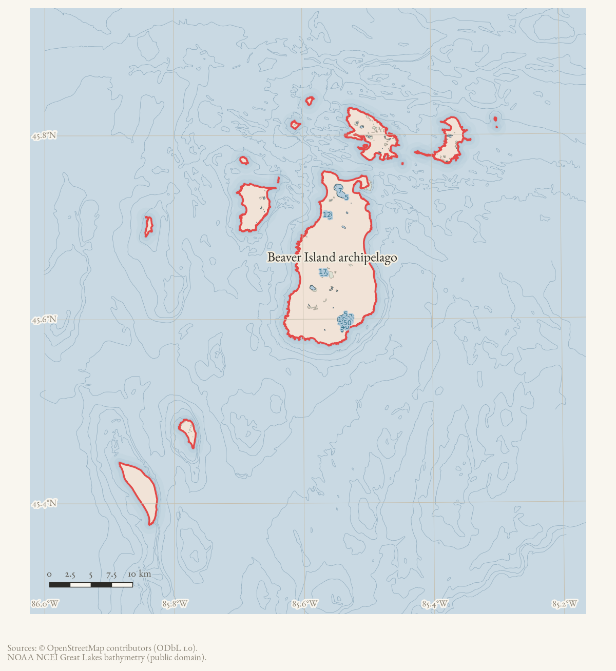
The Beaver Island archipelago is a cultural-historical island system in northern Lake Michigan: the immediate Beaver Island group in Charlevoix County together with North Fox Island and South Fox Island in Leelanau County. That broader scope is not invented here. The 2023 Beaver Island Master Plan explicitly includes both Fox islands, an 1855 Michigan act grouped the Beaver and Fox islands in Manitou County, and GNIS carries the official feature name “Beaver Archipelago” with its reference point in the South Fox quadrangle.
The 2026-08-01 OSM snapshot contains 17 island/islet polygons in this expanded frame, totaling 217.13 km² in EPSG:3078. The immediate Beaver group accounts for 199.62 km²; the Fox pair adds 17.51 km². Administrative datasets must still keep the county boundary explicit: St. James and Peaine township records cover the Charlevoix group, not the Fox islands.
History
The immediate group’s earliest recorded political unit treated it as a single whole: in 1847 the Michigan legislature “erected [the Beaver Islands] into the township of Peaine,” per a contemporary account of the Mackinac–Mormon controversy.1 Under James Jesse Strang’s settlement (1847–1856; kingdom from 1850) the group was further subdivided into named districts recorded by a settler’s daughter, Elizabeth Whitney Williams — Galilee at the head of the island, Troy in the center, Enoch at the lower end, and the harbor town itself renamed Saint James “in honor of the King.”2 The later, present-day division into the Township of Saint James and the Township of Peaine is attested in GNIS. Those two townships together hold the whole of the archipelago’s inhabited land, per the townships’ combined population record. The exact date and legislative act that split them from the single 1847 township of Peaine has not been traced in sources read (see Open questions).
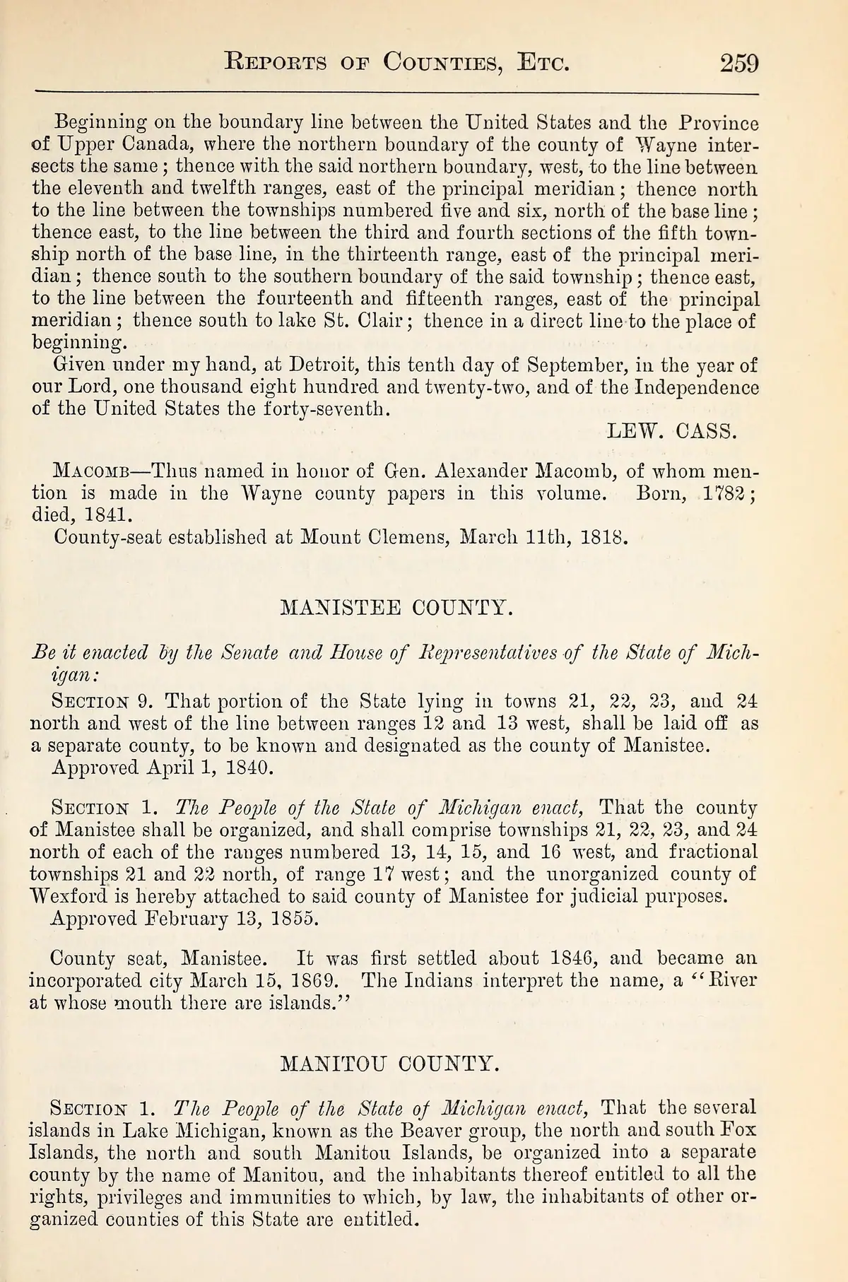
The Fox islands were not outside that history. Strang’s 1854 gazetteer called South Fox Patmos, described farms and a Mormon settlement there, and called North Fox Paros, where the Mormons were “just commencing a settlement.” In 1855 the act organizing Manitou County named “the Islands known as the Beaver group, and the North and South Fox Islands” together. Strang’s Northern Islander also records routine vessel traffic, passengers, freight, fishing, winter ice and rescue travel between Saint James and the Foxes. That is settlement and network history, not a distant navigational reference.
The connection also faced the mainland. A 1898 Benzie County history says that people it calls “Indians, hunters, trappers, fishermen” regularly reached Frankfort from Leelanau County and the Manitou, Fox, and Beaver islands, selling baskets, other self-made wares, and seasonal berries. It is source-bounded regional testimony: not a dated trip log, not a complete economic account, and not proof that every named island supplied every item. It does independently place the Foxes and the Beaver group in the same small-craft market circuit. Michigan Historical Collections, volume 28, 1898
The archipelago’s Indigenous history predates and continues throughout all of the
above: Odawa (Ottawa) and Ojibwe communities were resident when Strang’s settlers
arrived, and the very name of Peaine township derives from an Odawa chief who
confronted Strang directly (see Township of Peaine). Continuous
Anishinaabe presence in the group is not a closed historical period; see the
era-indigenous concept note in the ontology.
Geography
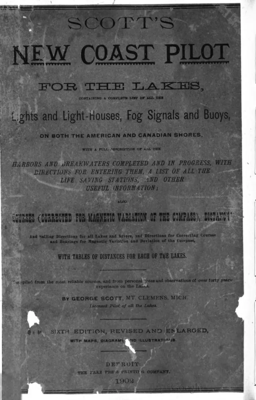
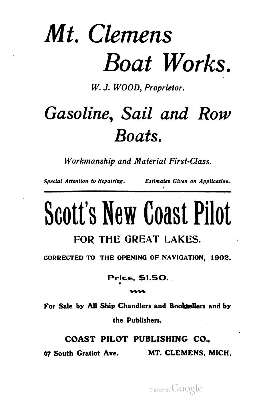
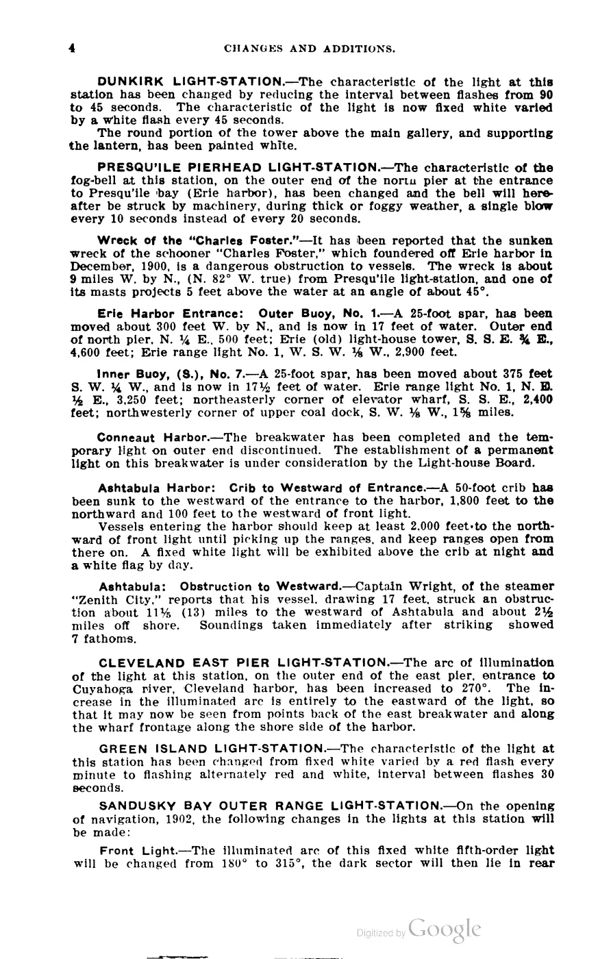
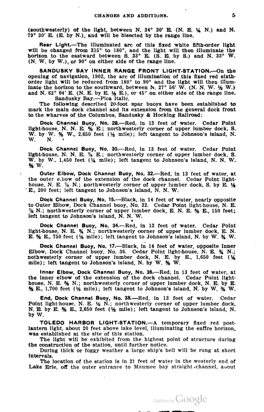
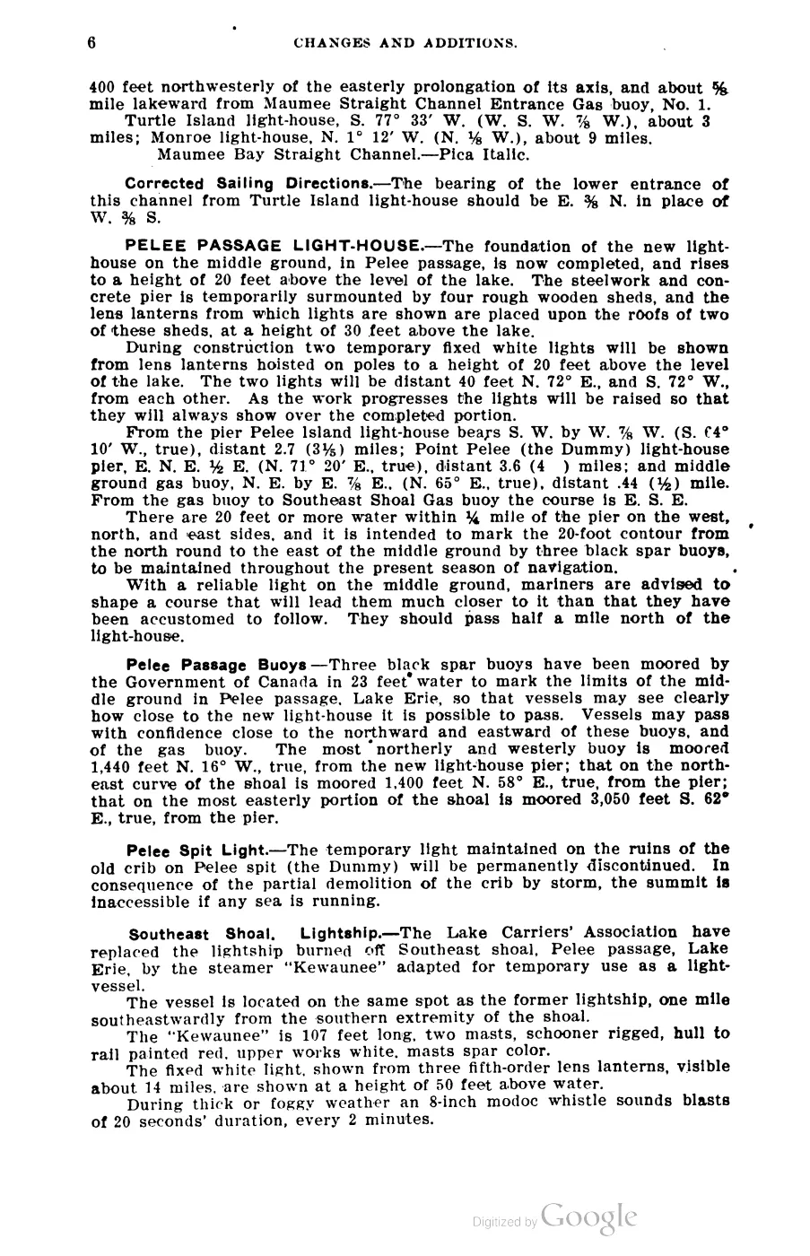
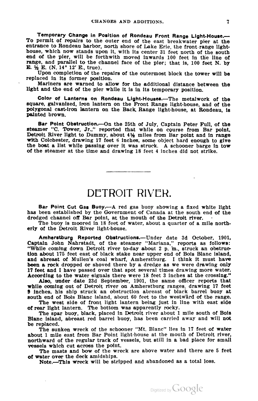
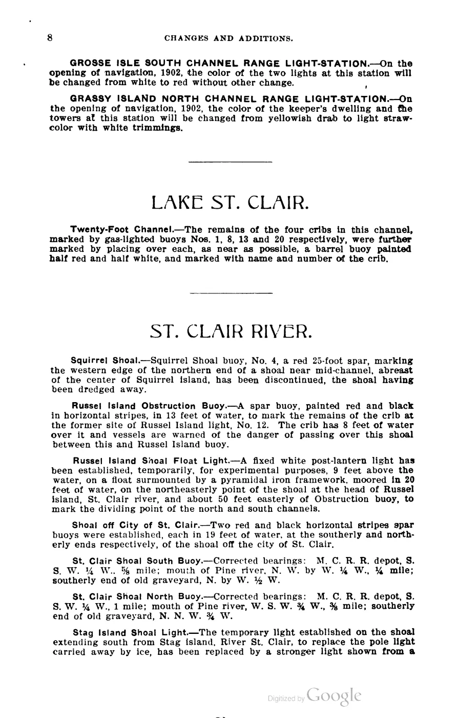
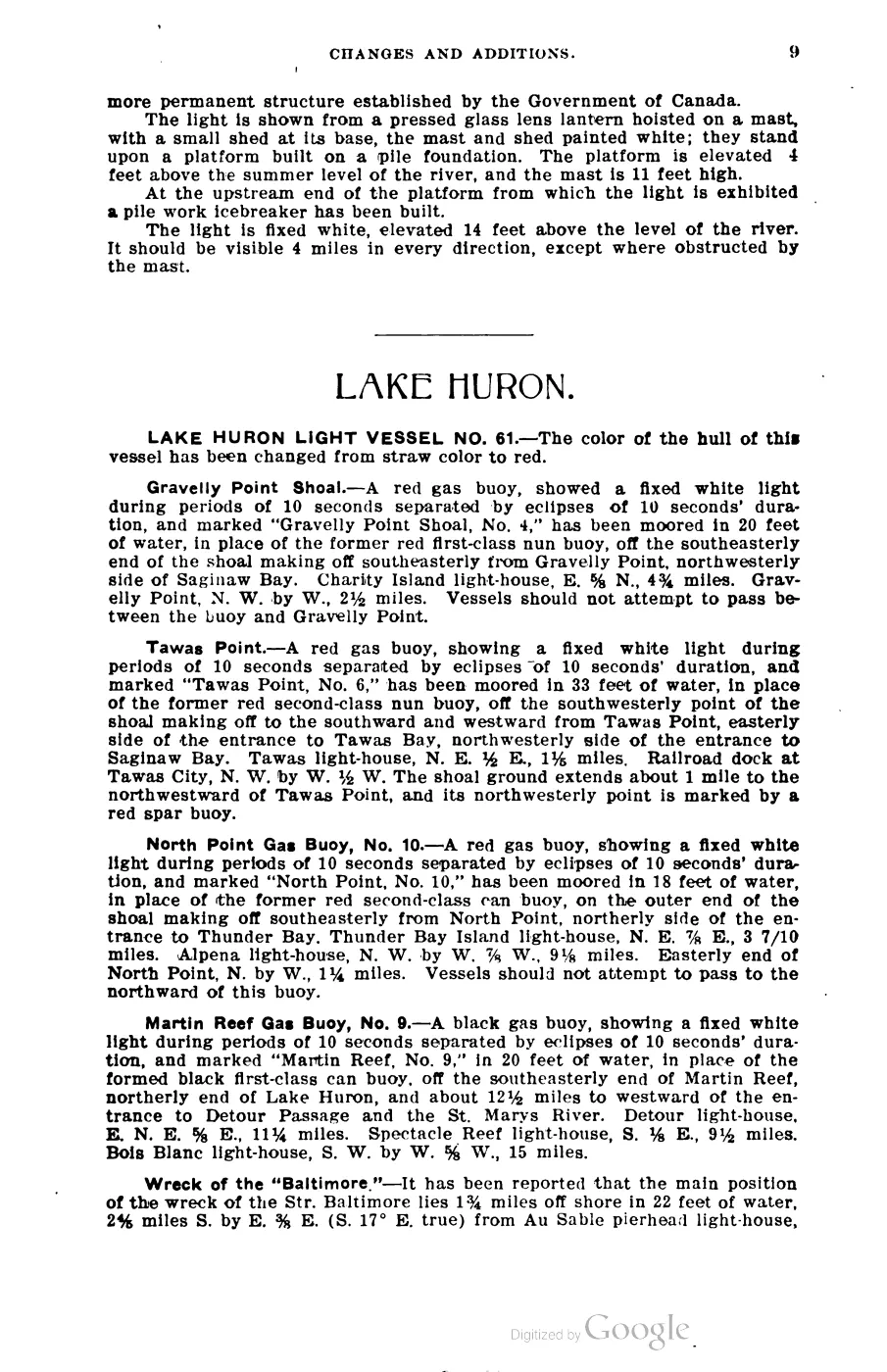
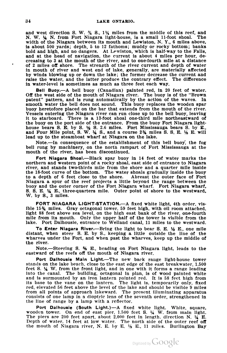
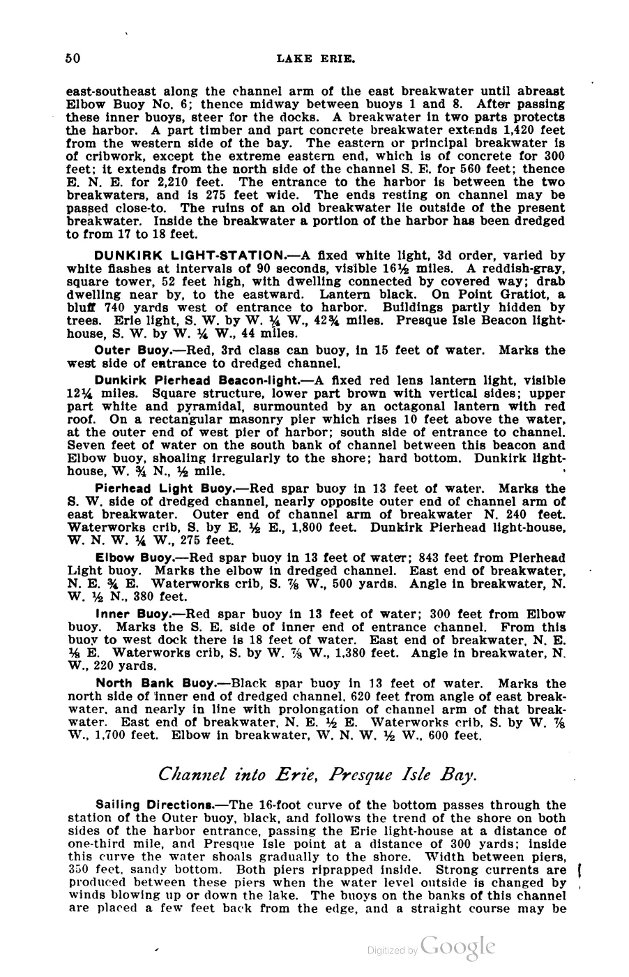
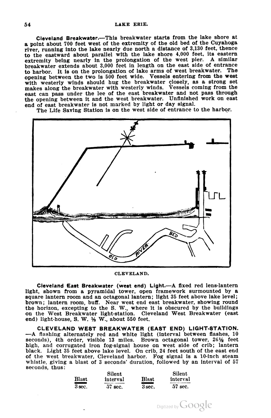
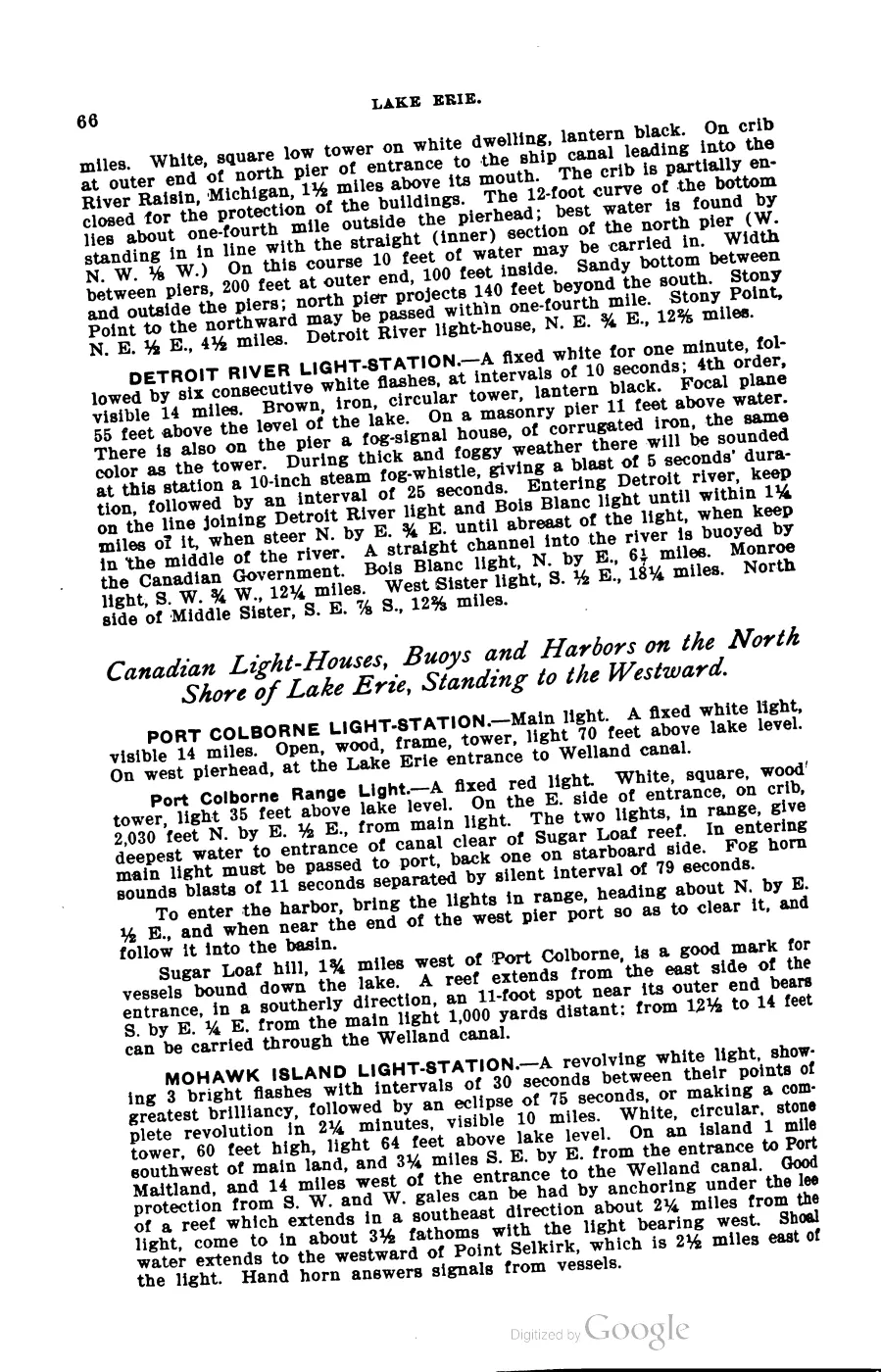
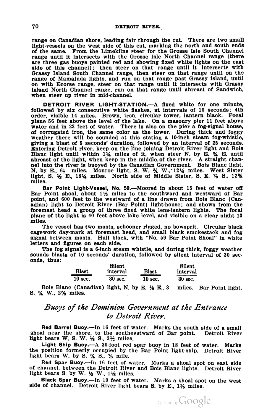
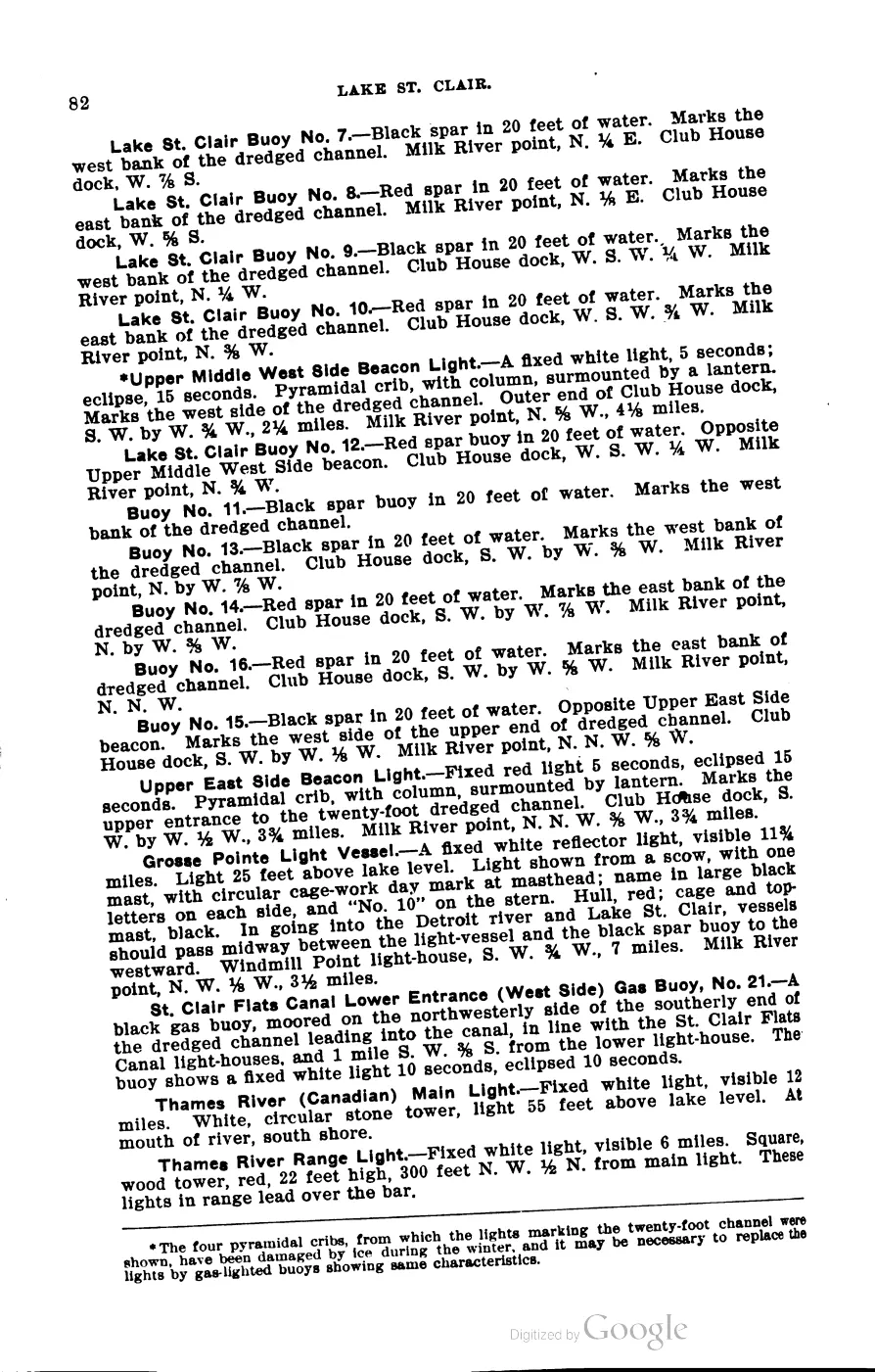
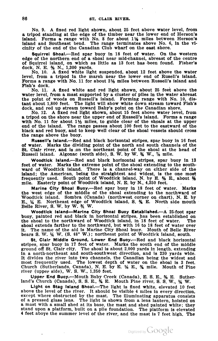
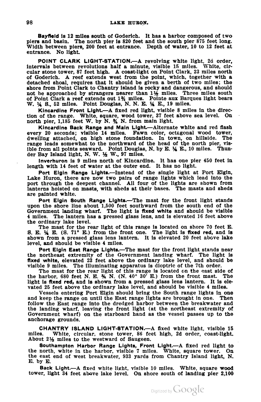
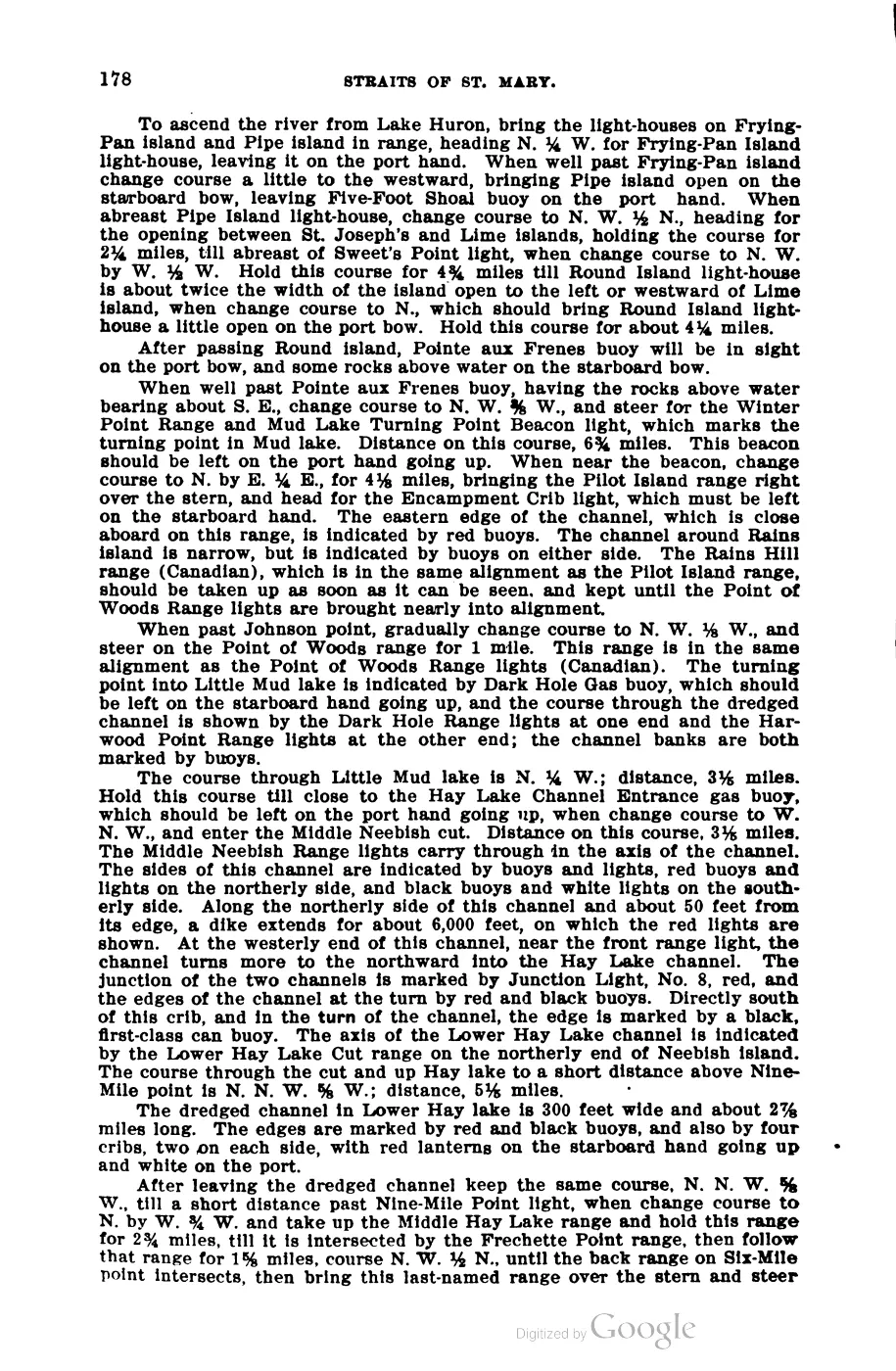
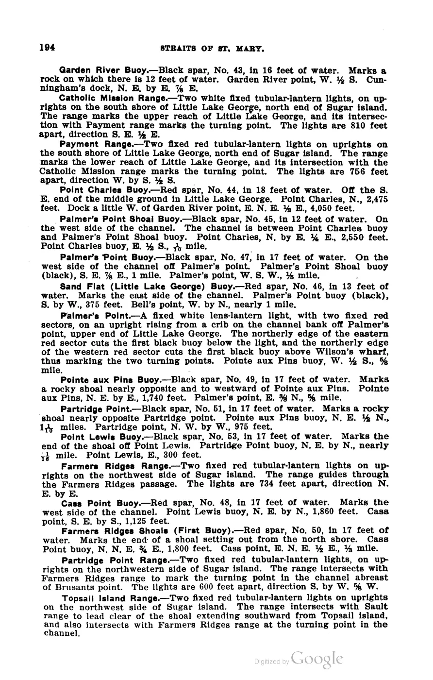
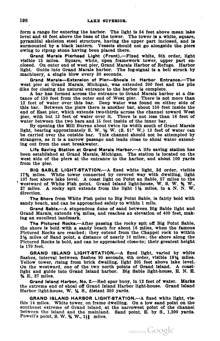
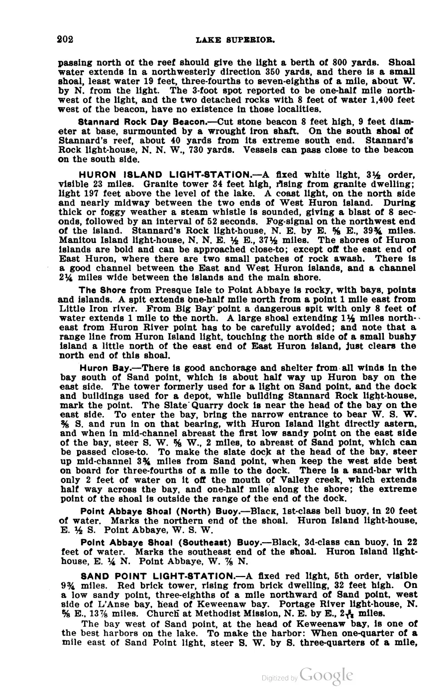
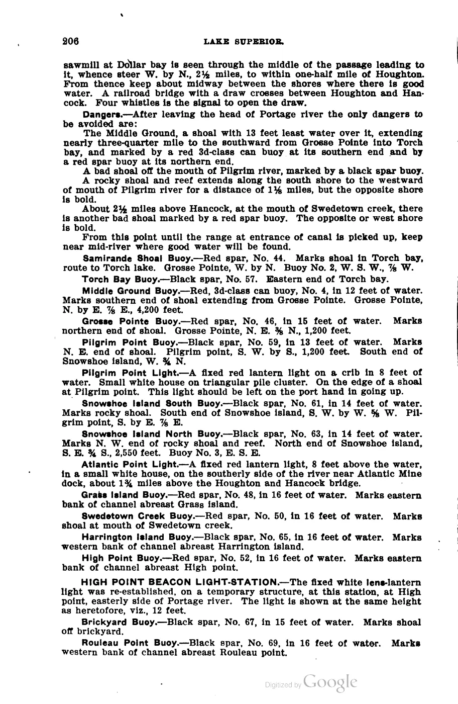
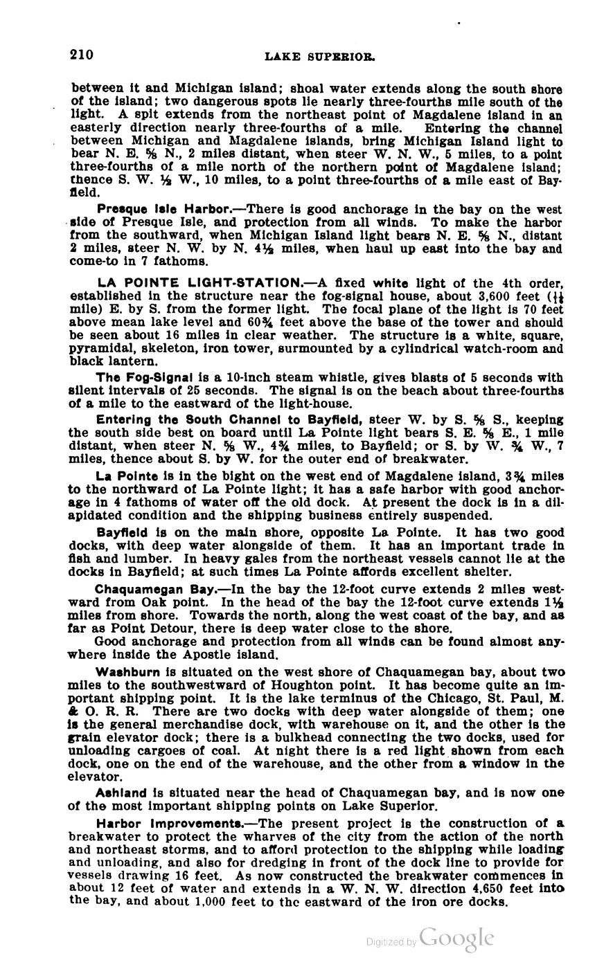
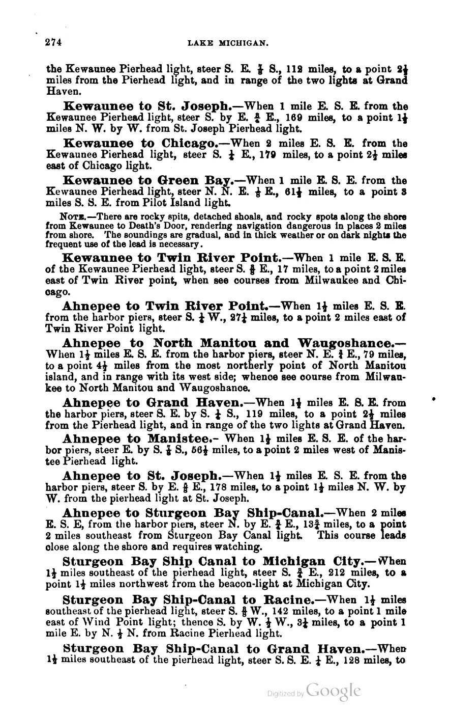
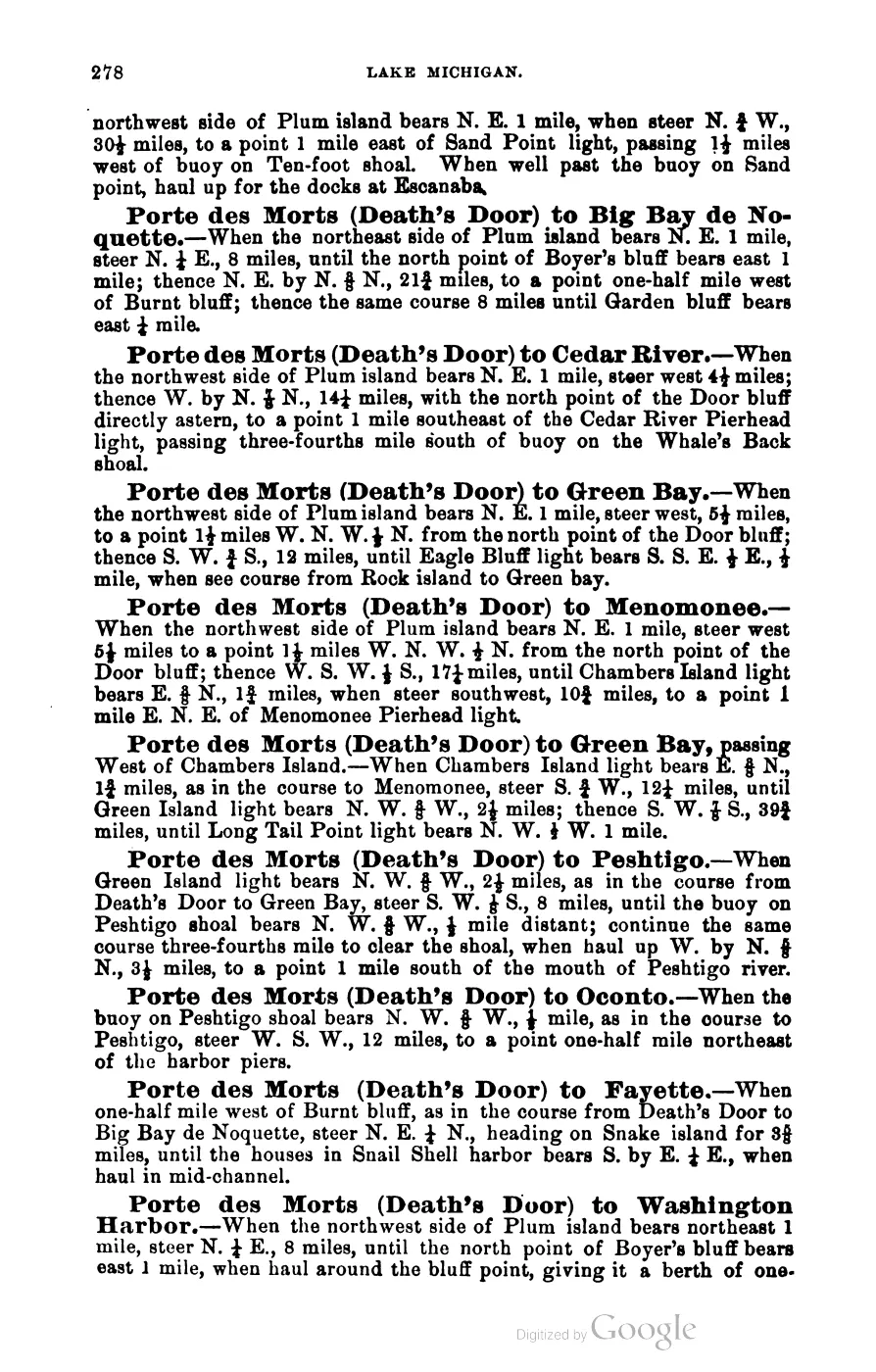
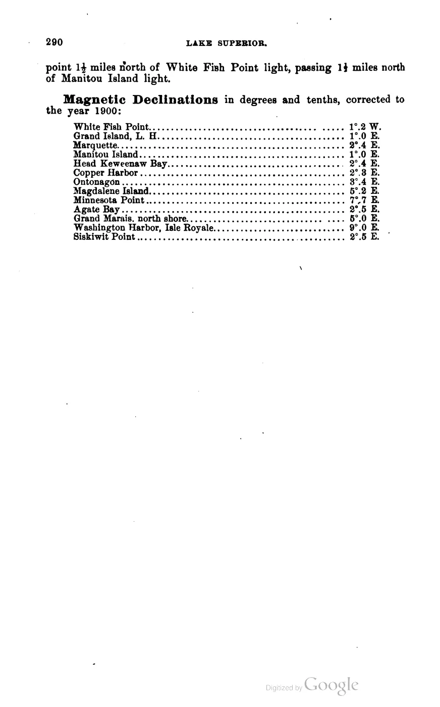
The archipelago crosses Charlevoix and Leelanau Counties. Scott’s 1902 Coast Pilot gives a bearing of “W. N. W., 31 miles” from the Little Traverse (Harbor Springs) light-house to the Beaver Island light-house, a usable proxy for the group’s distance from the nearest mainland light-station of the period.
The 17 OSM-enumerated island/islet polygons, by area (EPSG:3078, km², descending):
| Island | Area (km²) | GNIS feature_id | OSM id |
|---|---|---|---|
| Beaver Island | 150.96 | 1625037 | relation/2202949 |
| Garden Island | 20.31 | 626637 | relation/2203859 |
| High Island | 15.06 | 628229 | relation/6063928 |
| South Fox Island (Patmos in Strang-era sources) | 14.04 | 1623085 | way/157474017 |
| Hog Island | 10.41 | 628388 | relation/2203895 |
| North Fox Island (Paros in Strang-era sources) | 3.47 | 633577 | way/157474118 |
| Gull Island | 1.09 | 627511 | way/157474680 |
| Whiskey Island | 0.52 | 1616291 | relation/6063930 |
| Trout Island | 0.50 | 1615110 | way/157476170 |
| Ojibwa Island (formerly Squaw Island) | 0.44 | 638673 | way/3941174 |
| Little Island | 0.11 | 630646 | way/157554842 |
| Grape Island | 0.09 | 627164 | relation/2203894 |
| Hat Island | 0.06 | — | way/996358195 |
| Horseshoe Island | 0.04 | 628605 | relation/2203896 |
| an unnamed islet | 0.02 | — | way/3851739 |
| Pismire Island | 0.01 | — | way/996369030 |
| Shoe Island | 0.00 | — | way/996362207 |
| Total | 217.13 |
(Areas as recorded for each article, sourced to OpenStreetMap island/islet
polygons; the unnamed islet’s article id, place/unnamed-islet-osm-3851739, is a
placeholder derived from its OpenStreetMap way number rather than a real
toponym — see Open questions.)
Ecological scope and connectivity
The archipelago is an ecological comparison frame, not one uniform habitat. The seven-island connectivity matrix covers Beaver, Garden, High, Hog, Whiskey, North Fox, and South Fox with separate measures for historical GLO ecology, tree and woody evidence, plants, MNFI natural-community occurrences, animals and birds, aquatic/fisheries evidence, invasive/stewardship records, DNR stands, tree canopy, land cover, SSURGO soils, and physical geology. Its comparison table records 1,634 tree/woody evidence rows and 1,410 plant rows for Beaver, while the other islands have smaller and differently sourced records; these are evidence counts, not tree counts, abundance estimates, or rankings.
The current comparison row is:
| Island | Historical GLO rows | Tree/woody rows | Plant rows | MNFI occurrences | Animal/bird records | Aquatic/fisheries rows | Invasive/stewardship rows | NWI features | EGLE hydric km² | 2023 mean canopy | SSURGO map units |
|---|---|---|---|---|---|---|---|---|---|---|---|
| Beaver Island | 21 | 1,634 | 1,410 | 17 | 48 | 5 | 51 | 318 | 64.536 | 65.50% | 33 |
| Garden Island | 8 | 88 | 256 | 12 | 11 | 7 | 12 | 52 | 4.037 | 59.97% | 7 |
| High Island | 3 | 51 | 229 | 8 | 21 | 5 | 8 | 22 | 6.523 | 70.56% | 13 |
| Hog Island | 4 | 48 | 155 | 6 | 10 | 2 | 7 | 58 | 1.832 | 60.82% | 6 |
| Whiskey Island | 2 | 4 | 3 | 0 | 4 | 2 | 0 | — | — | 39.99% | 2 |
| North Fox Island | 4 | 22 | 61 | 0 | 5 | 2 | 2 | — | — | 69.77% | 12 |
| South Fox Island | 1 | 4 | 82 | 0 | 13 | 0 | 4 | — | — | 64.43% | 13 |
These counts describe different evidence units. A tree or plant row is a source match, an MNFI value is a named occurrence, a wildlife value is a source-linked record, canopy is a masked remote-sensing summary, and an SSURGO value is a regional map-unit intersection. None is a count of organisms or a ranking of ecological quality.
The soil, wetland, and geology layers extend context across all seven rows. Held NWI and EGLE hydric-soil summaries cover Beaver, Garden, High, and Hog; the named-place crosswalk adds exact-contained aquatic and wetland anchors but does not assign point features by proximity. SSURGO intersections include mapped sands, loams, beaches, dunes, bluffs, gravelly sandy loams, and wetland-associated units, while the physical-geology layer contributes regional aquifer, SGMC lithology, bedrock, fault, and glacial-lobe classes. Those classes describe the map frame, not exposed bedrock, parcel soil, or a soil polygon containing an individual occurrence. The zero MNFI values for Whiskey and the Fox rows reflect the 2017 occurrence layer’s scope; the plant rows now incorporate the separate EGLE mapped-dune entries and Whiskey’s broad management cover-type baseline, while preserving their different evidentiary resolution.
The layers connect at different scales. MNFI occurrence records provide named soil/hydrology, forest, wetland, plant, tree, and wildlife observations on Beaver, Garden, High, and Hog. The SSURGO, aquifer, SGMC, canopy, and annual land-cover layers extend mapped context to the seven-island frame, but they do not identify a species or prove that a regional map unit describes a particular site. The DNR public-forest inventory returned 424 stands for Beaver and zero for the other six comparison frames; those zeroes describe query coverage, not forest absence.
The smaller-island GLO records add a historical and source-bounded layer: the 1845–1849 crosswalk preserves page observations of sand, gravel, cobble, thin soil, wet ground, fire, tree names, shore form, and fishery use, while the 1942 crosswalk preserves dated Shoe and Pismire vegetation and duck/gull use. The outer-island and wildlife indexes add Fox, Whiskey, Grape, Horseshoe, and other legacy bird records. Together these layers keep the Fox Islands inside the cultural and ecological archipelago definition without implying that every island has the same survey coverage or present habitat.
The aquatic and stewardship layers add two further source asymmetries. Aquatic rows include wetland-fauna signals, page-bounded GLO fishery use, and federal fish-management context; they are not a common fish-population measure. Invasive/stewardship rows combine the dated Beaver invasive list, GEI and MNFI survey evidence, mapped-dune disturbance signals, and planning or case-study records. They connect invasive plants to dunes, wetlands, forests, soil/hydrology, rare-species safeguards, and birds without asserting a current island-wide distribution or treatment success. South Fox has no aquatic row in that bundle, while Whiskey has no exact-island invasive/stewardship row; those are source-coverage results, not ecological absence.
Names
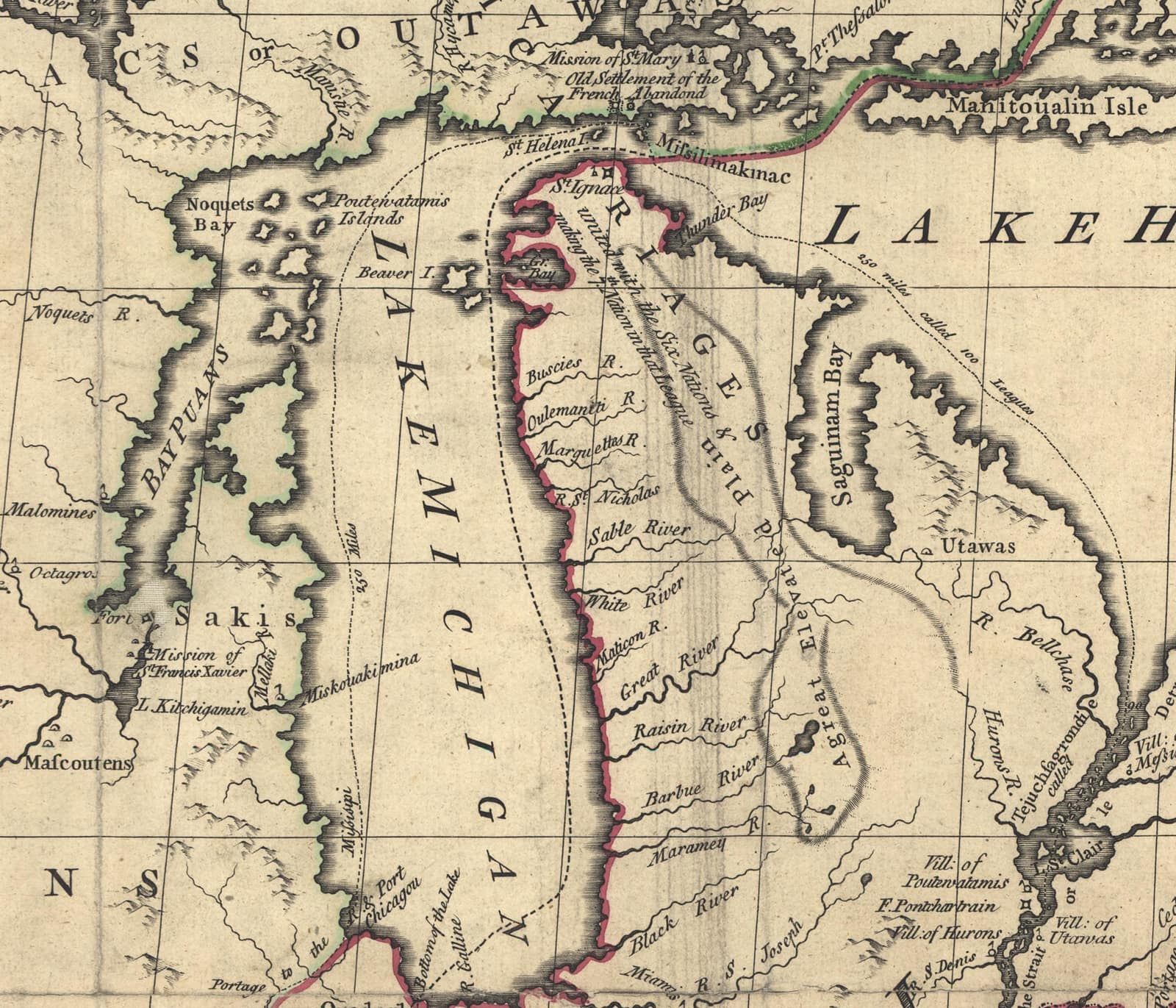
Nineteenth- and early-20th-century sources use overlapping terms rather than one fixed taxonomy. “The Beaver Island group” or “Beaver group” often means the immediate cluster; the 1855 Manitou County act then names that group and the Fox islands in one administrative unit. The broader “Beaver Archipelago” is an official GNIS name and the scope used by the 2023 Master Plan. This article accordingly treats the immediate Beaver Island group as a nested geographic scope within the culturally connected whole archipelago.
An 1833 map (Society for the Diffusion of Useful Knowledge, North America Sheet V) labels the main island alone “Great Beaver Island,” per its GNIS variant-name record — evidence that even the singular usage has drifted. “Beaver Island” now denotes the main island, while this article holds the group-level facts and cross-county relationships.
Significance
Every other place, event and person in this archive connected to the
archipelago’s smaller islands is recorded as located_in this entity, which is
the parent record the individual island articles hang from. Omitting the Foxes would
sever Strang-era settlement and transport links, the shared Manitou County legal
history, later fishing and lighthouse networks, and the modern local planning
definition. County-specific property and census work remains narrower by design,
but the historical parent entity does not.
Open questions
- GNIS feature 1625040 represents “Beaver Archipelago,” but GNIS point geometry is a reference location, not a polygon boundary. The archipelago’s mapped extent here remains an explicit research frame, not an official surveyed outline.
- The exact date and legislative act by which the Township of Saint James was separated from the 1847 Township of Peaine has not been traced in sources held.
- Whether 17 is a complete, authoritative count of islands and islets in the broad frame (as opposed to an artifact of the specific OpenStreetMap query used to compile the island polygons) is not independently verified against a USGS topographic enumeration.
- The unnamed islet,
place/unnamed-islet-osm-3851739(OSM way 3851739, an unnamed 0.02 km² beach islet), carries a placeholder title because OpenStreetMap records nonamefor it; it is a real feature, but its article id and title should eventually be replaced with a proper toponym if one is found.
See also
Footnotes
Maps for this place
These Atlas plates provide regional context. They do not establish a precise boundary, current ownership, access right, operating status, or field condition.
- EnvironmentSoils, wetlands, and terrain
- GeologyLandforms and generalized geology
- HydrologyWater systems and wetlands
- AccessMapped infrastructure and protected-area context
The dated record
From the sources
Read the document
393 pages, rendered from the held scan.

Jump to a page — 393 in all







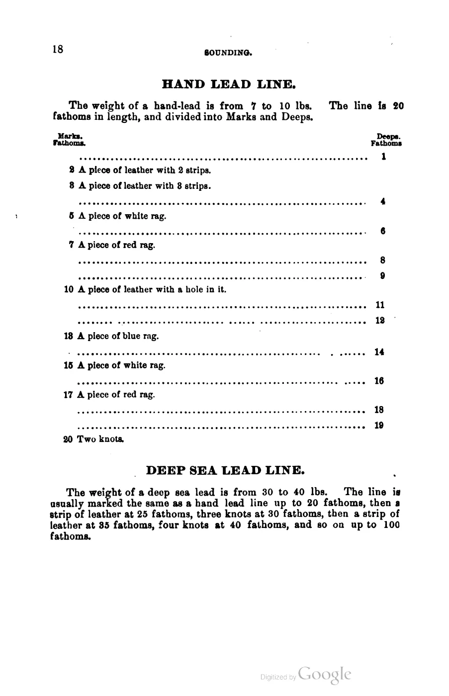
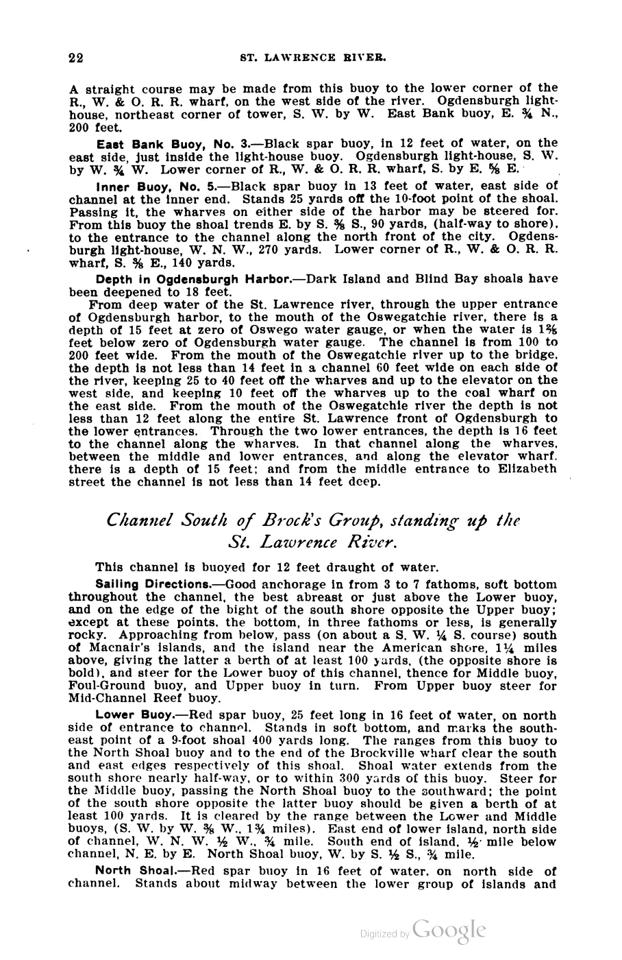
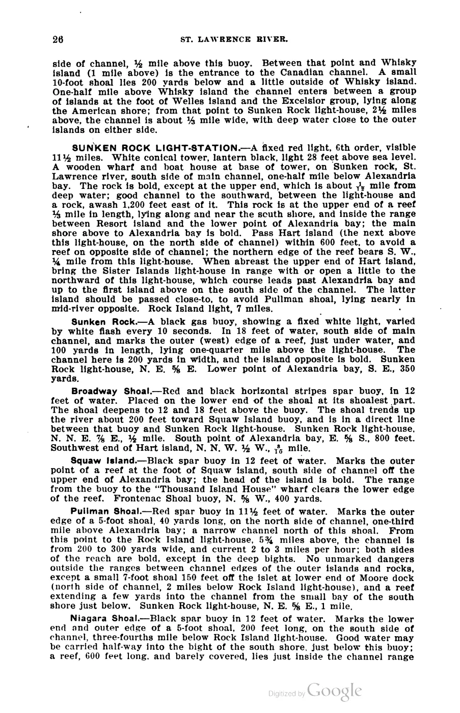
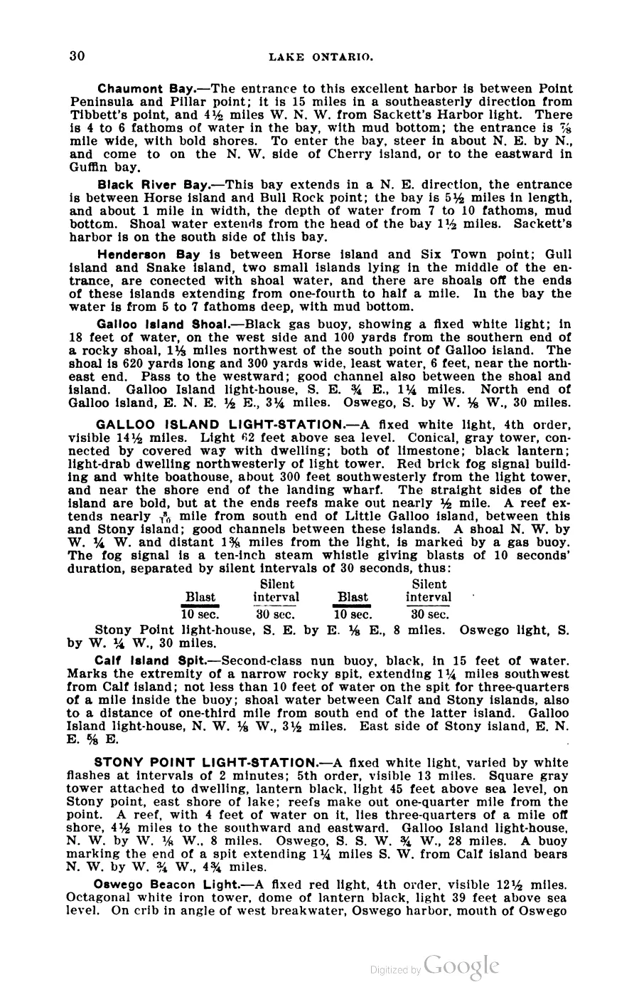
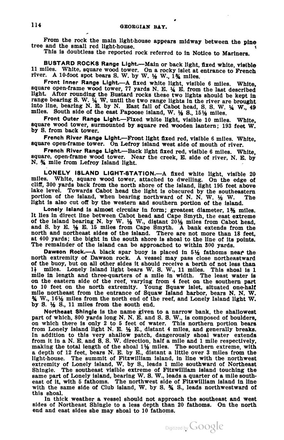
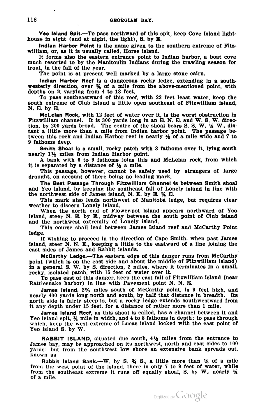
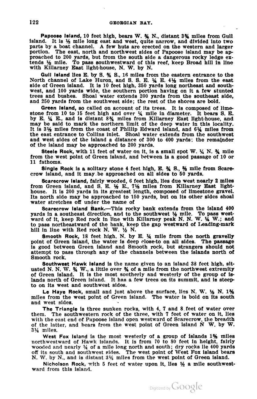
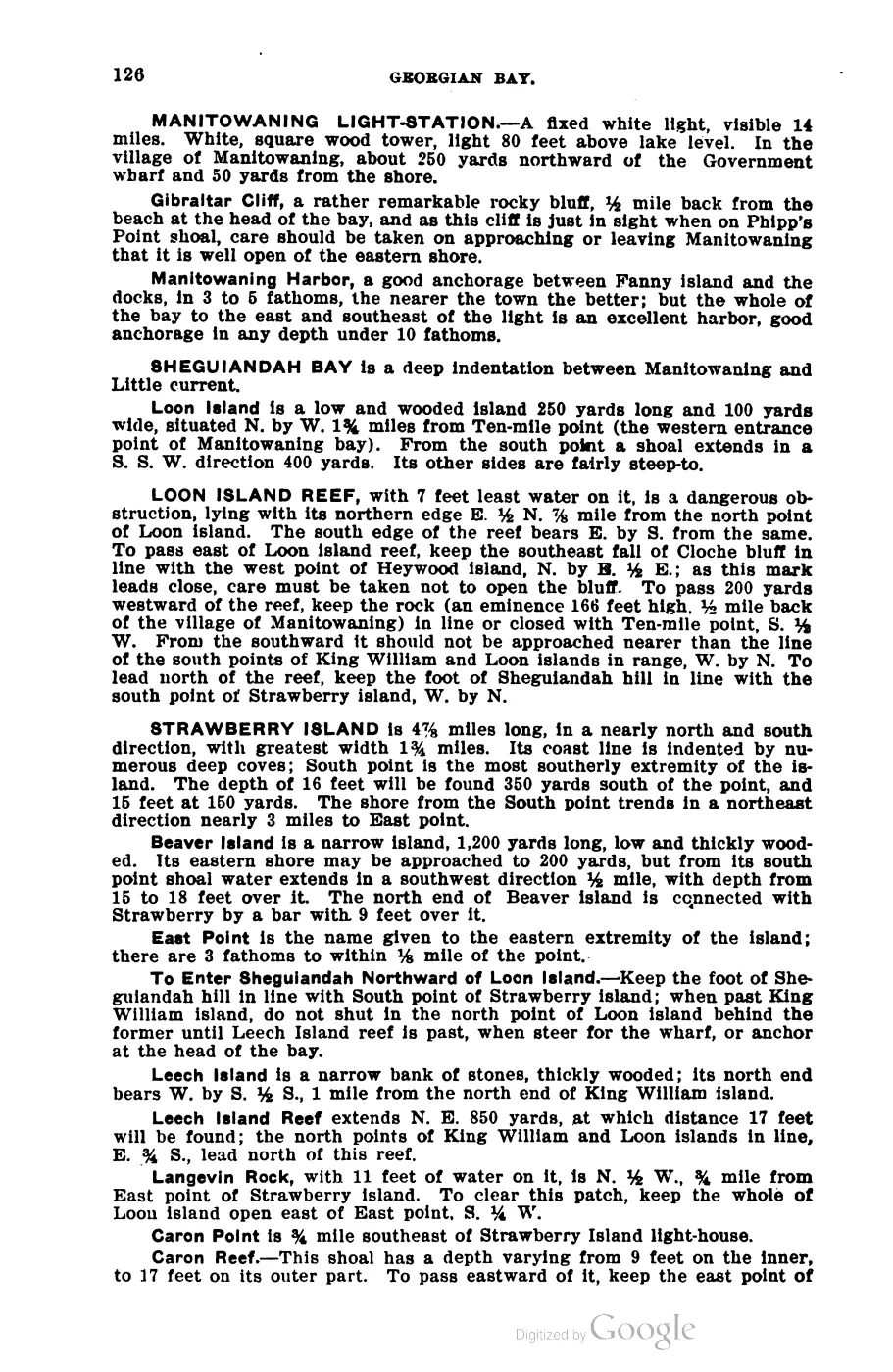
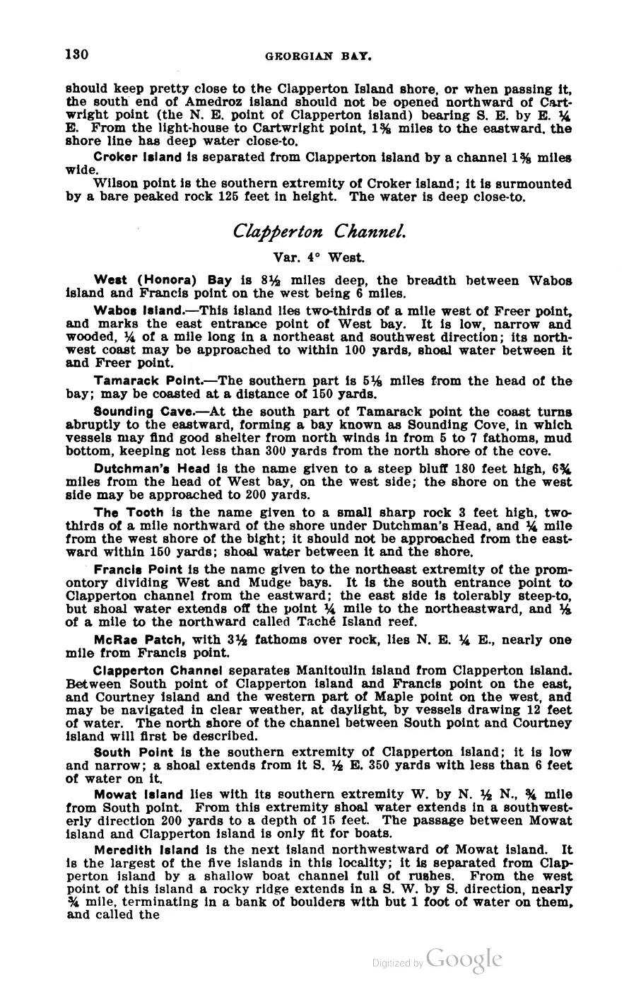
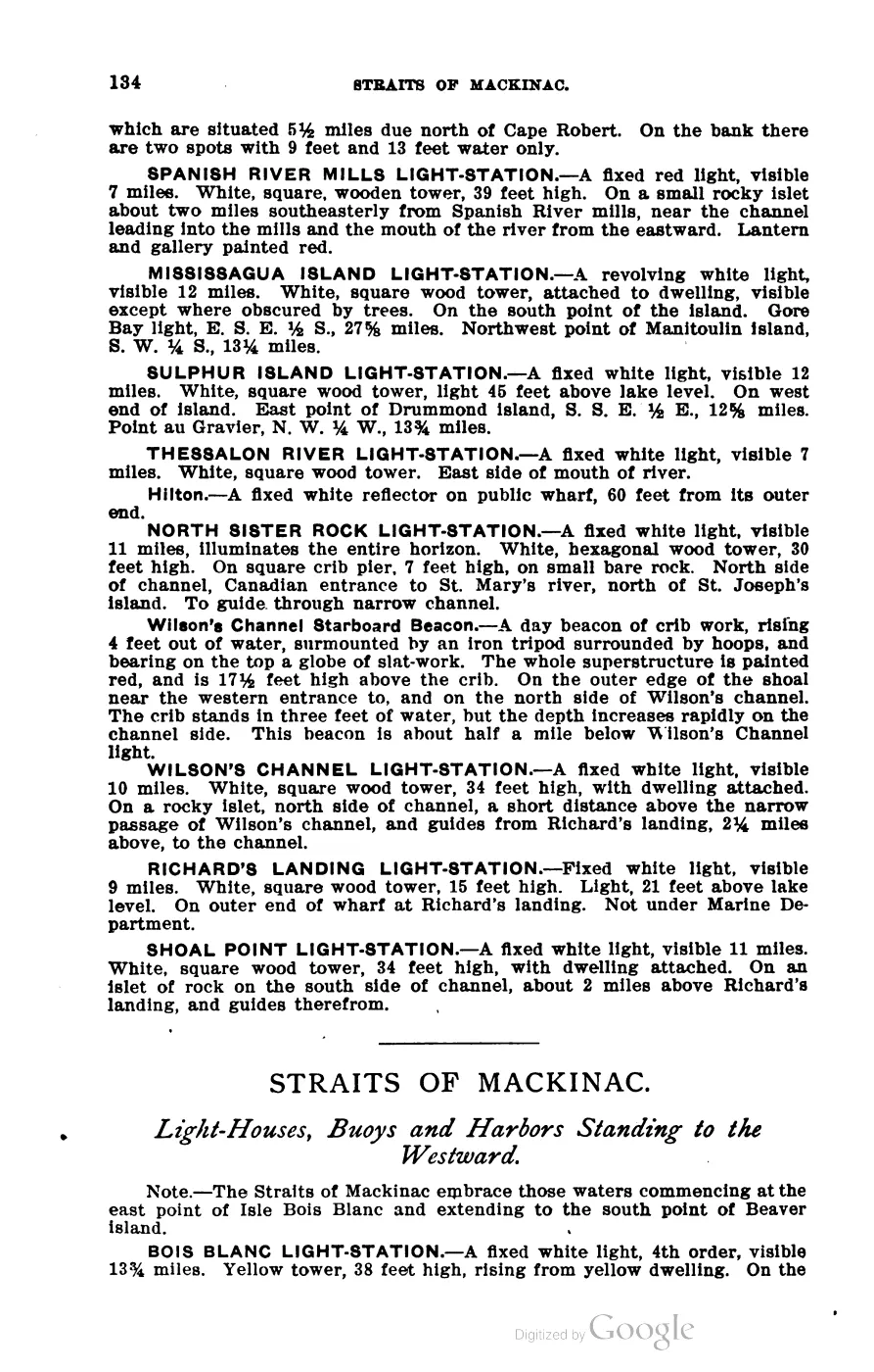
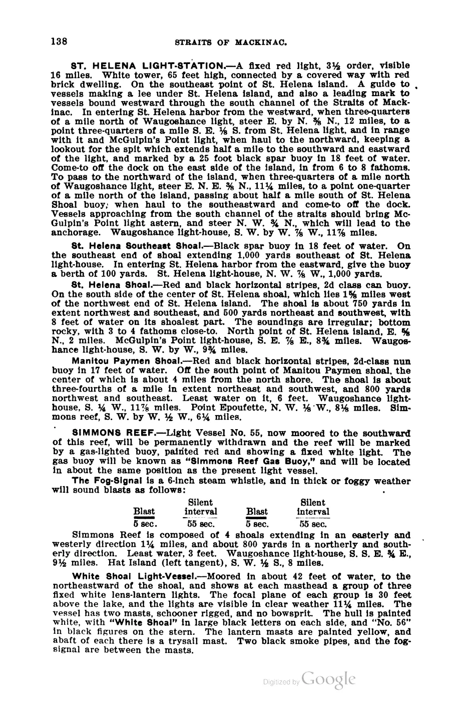
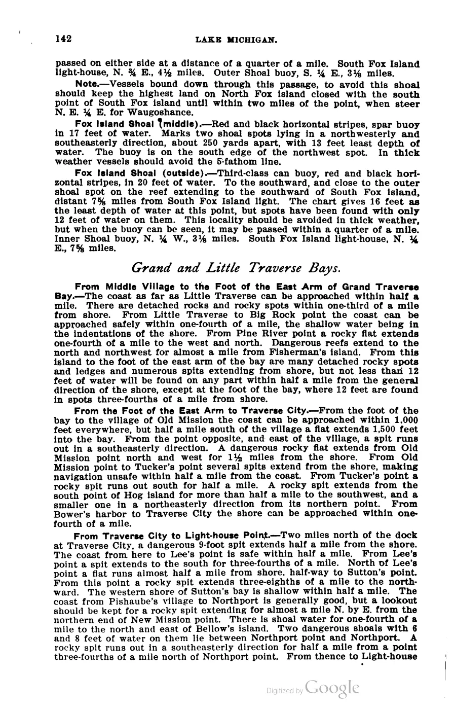
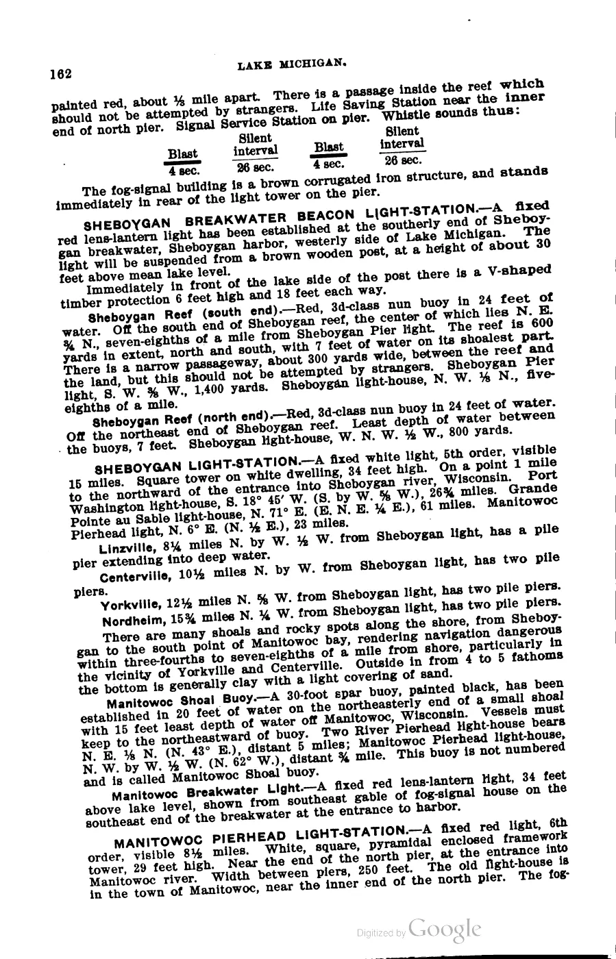
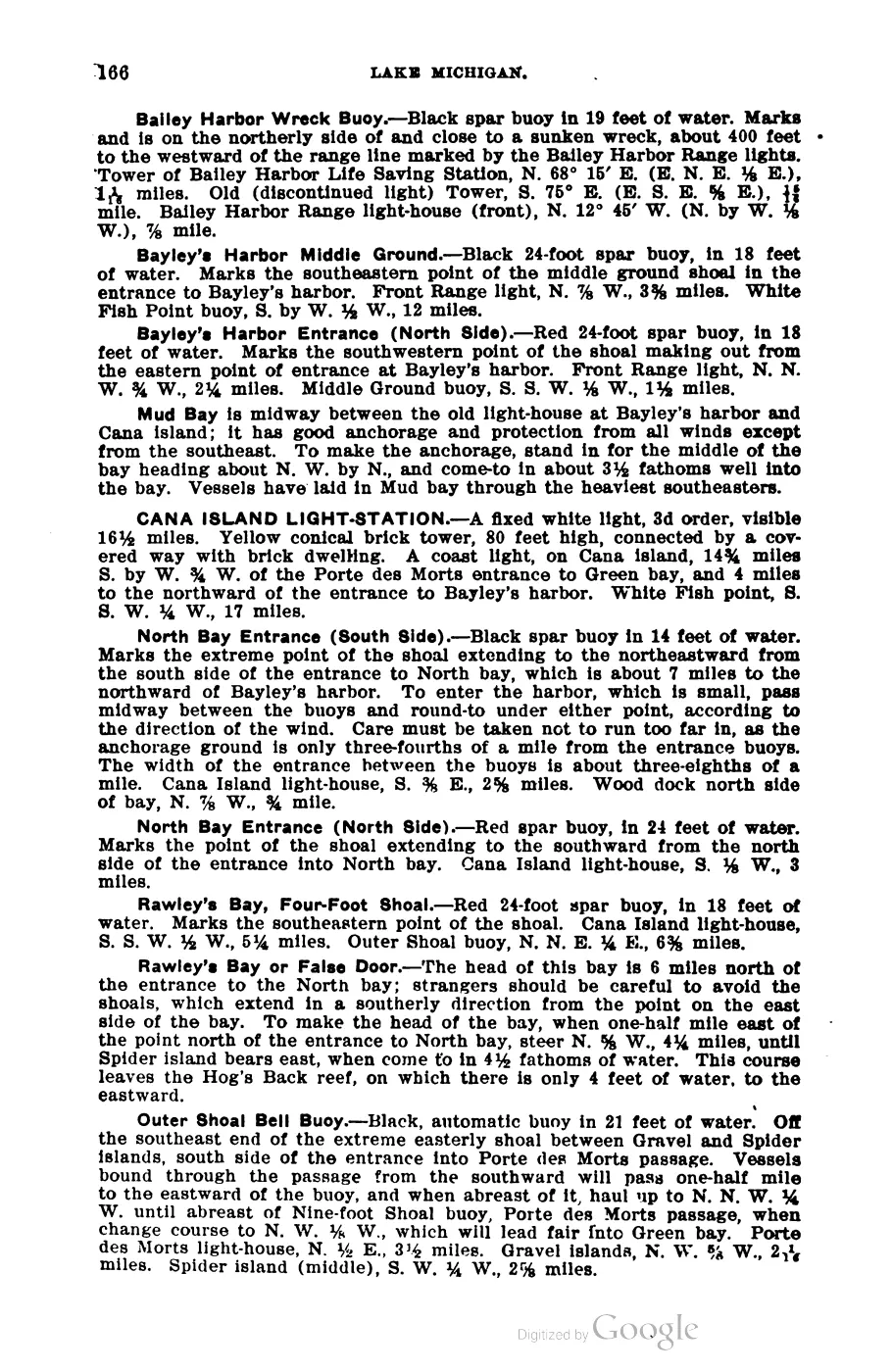
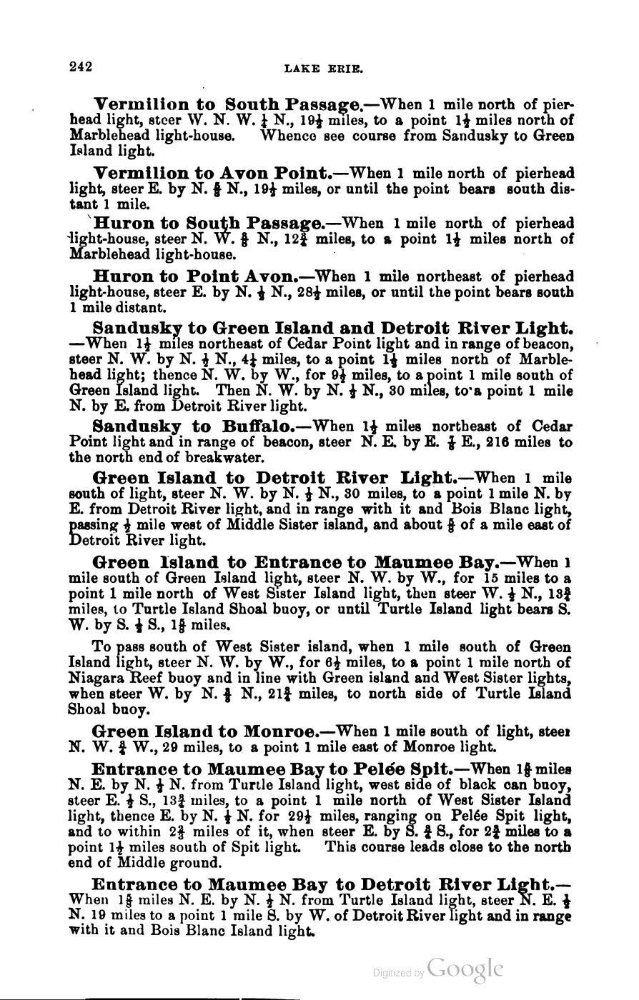
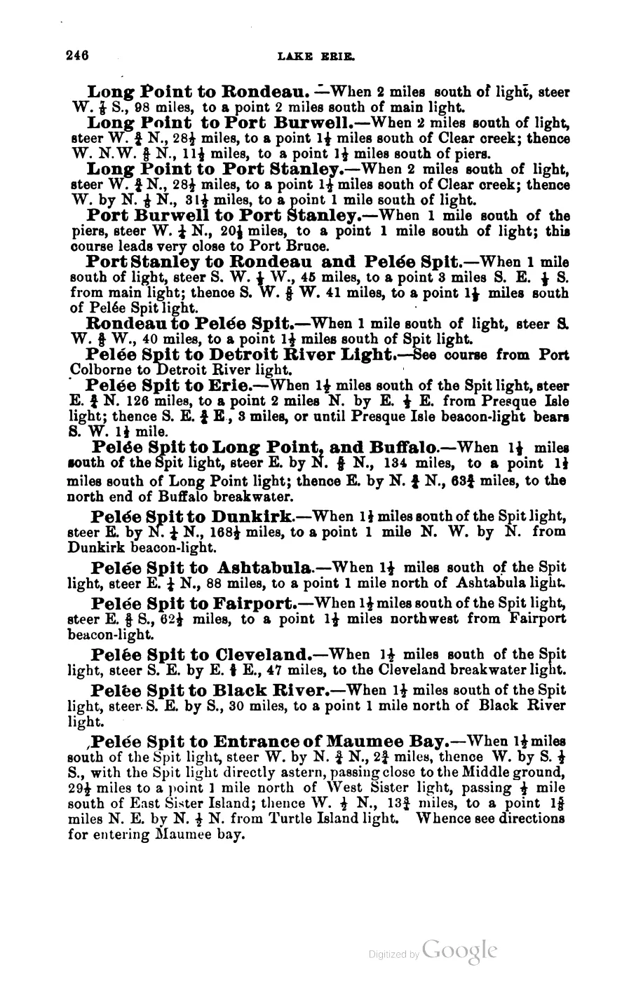
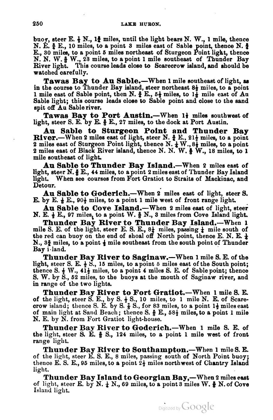
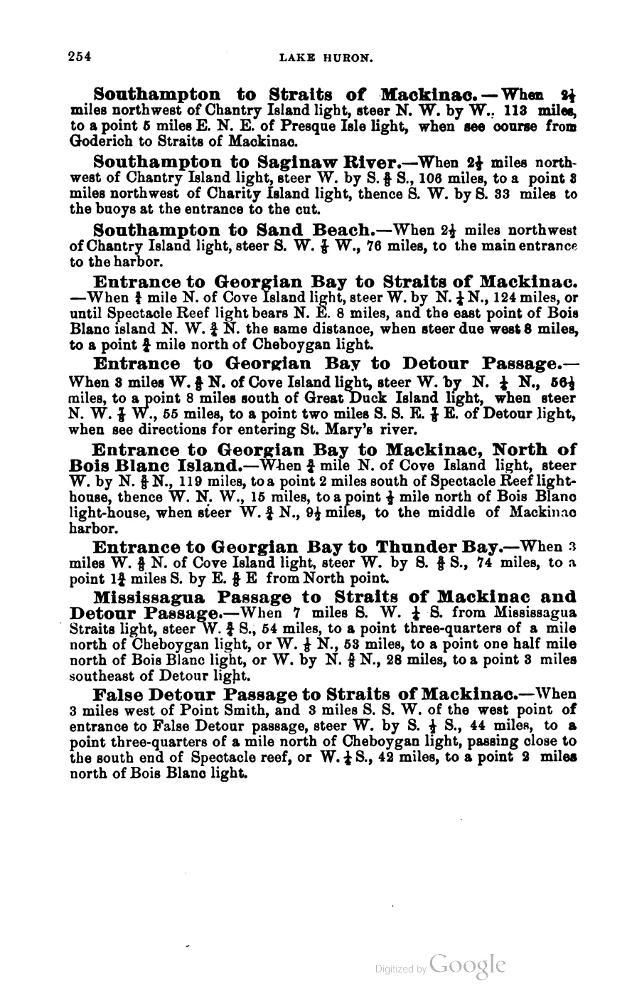
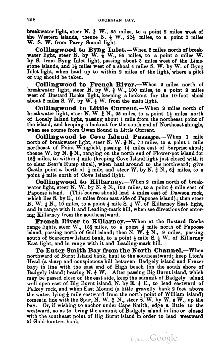
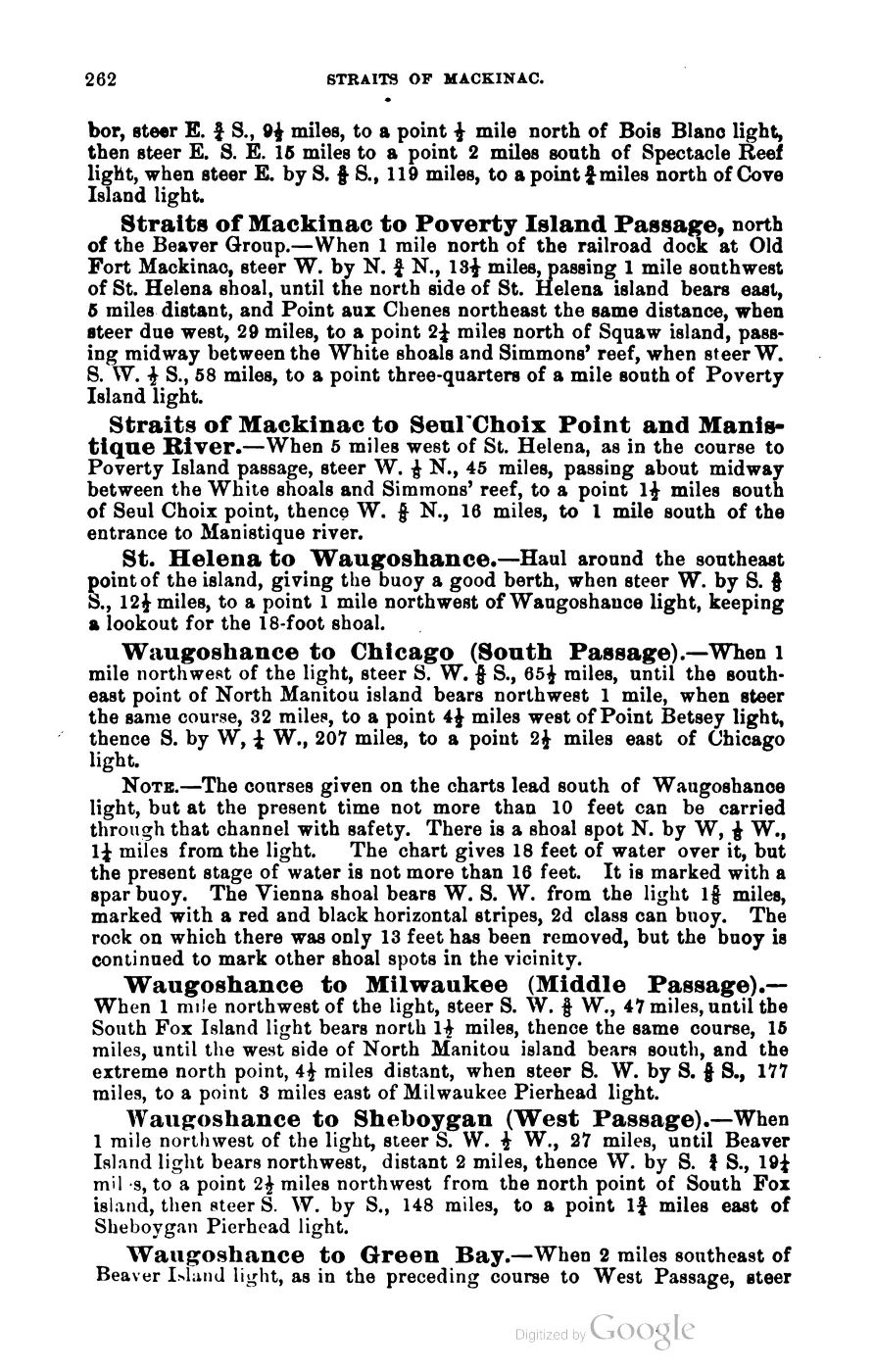
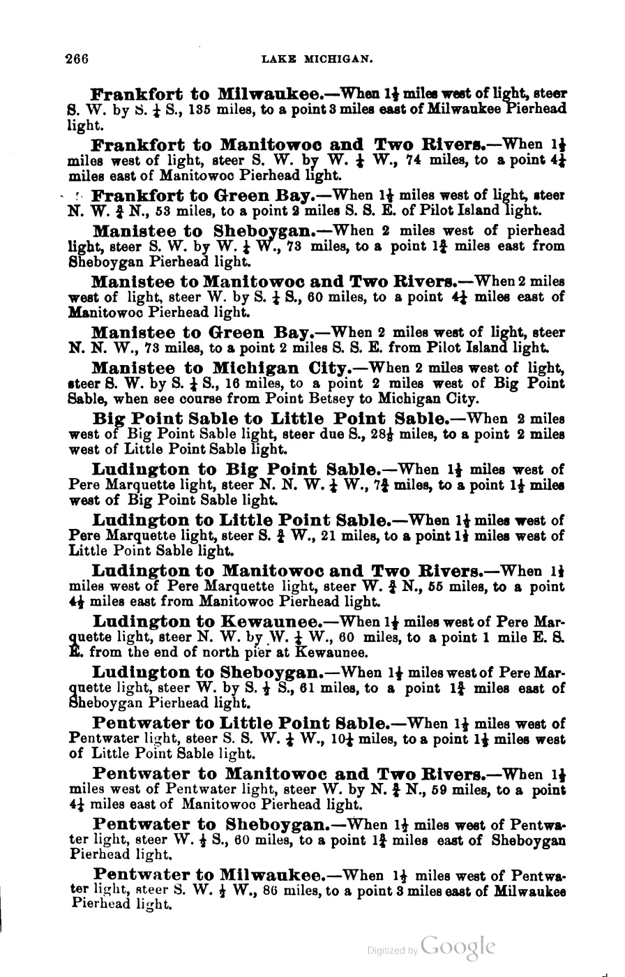
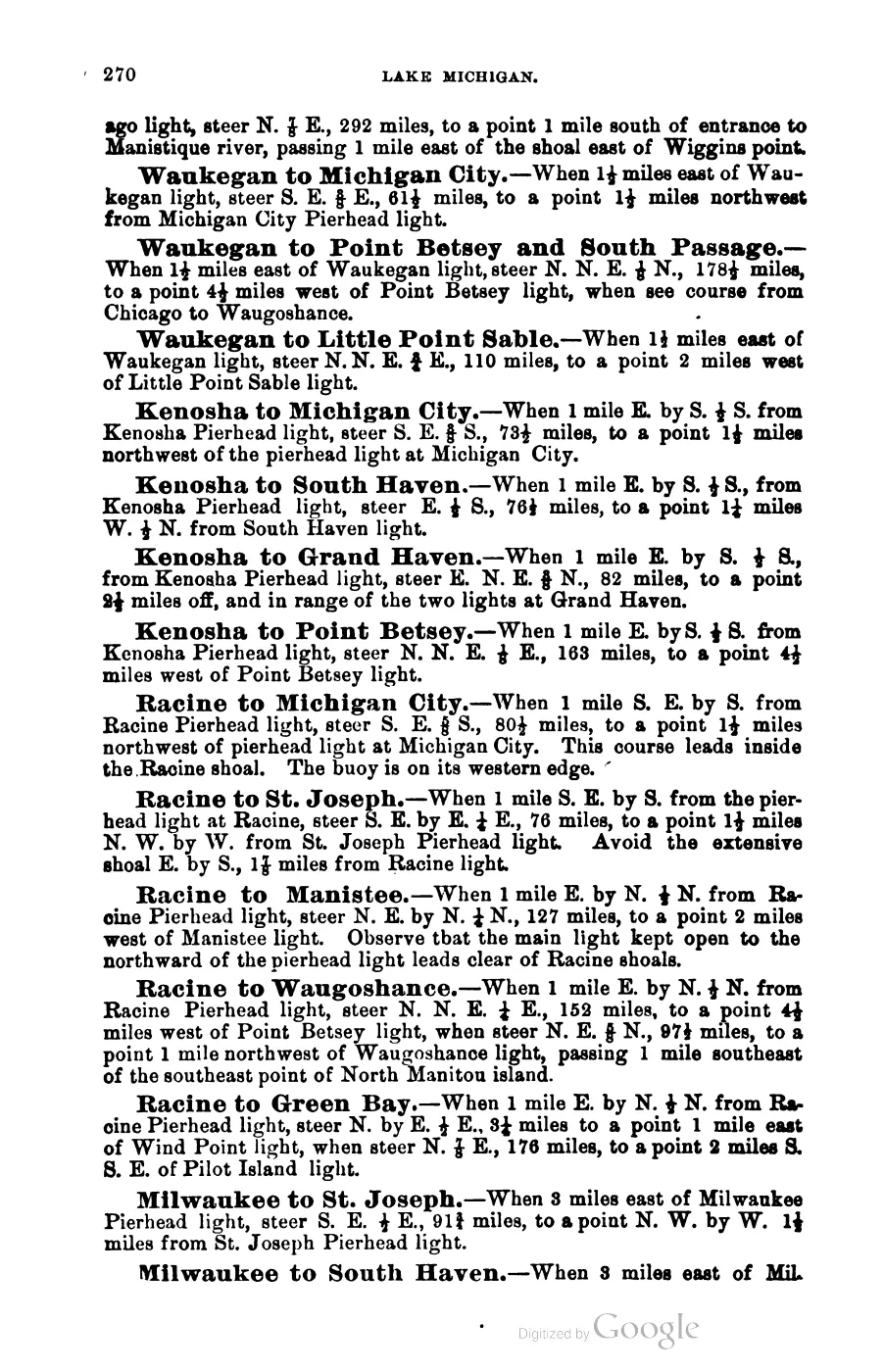
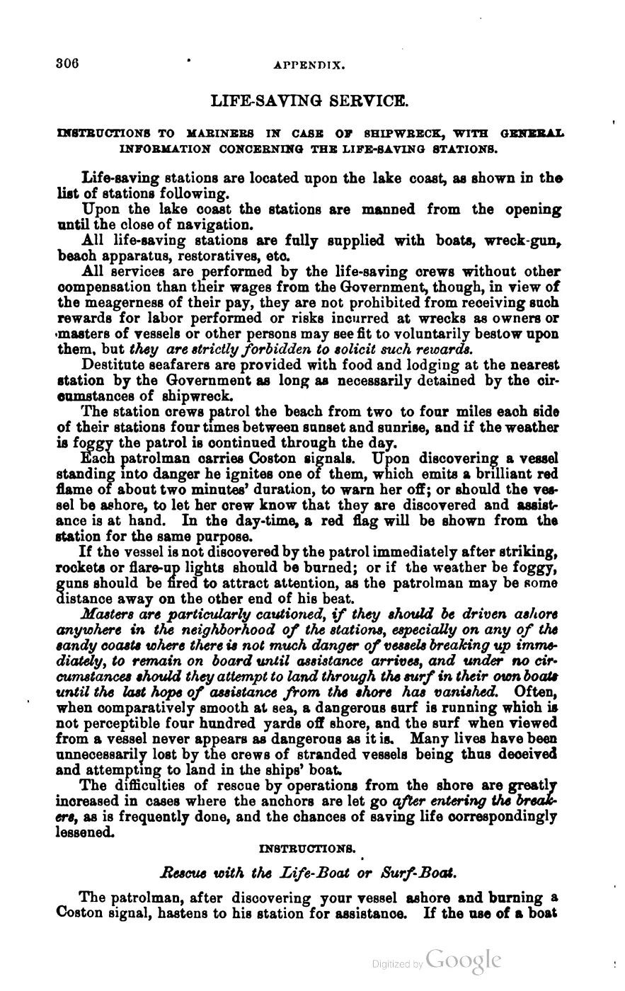
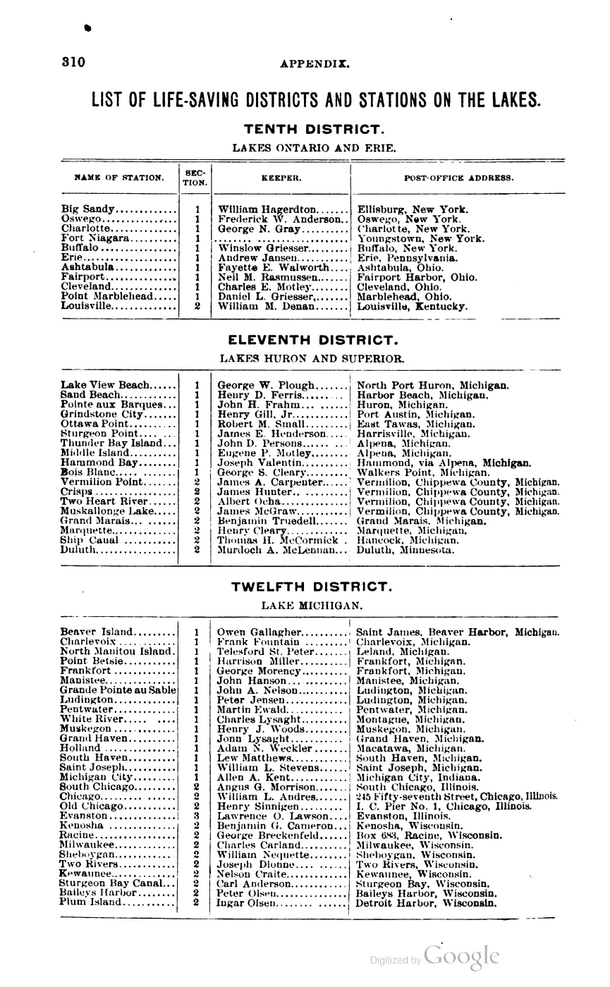
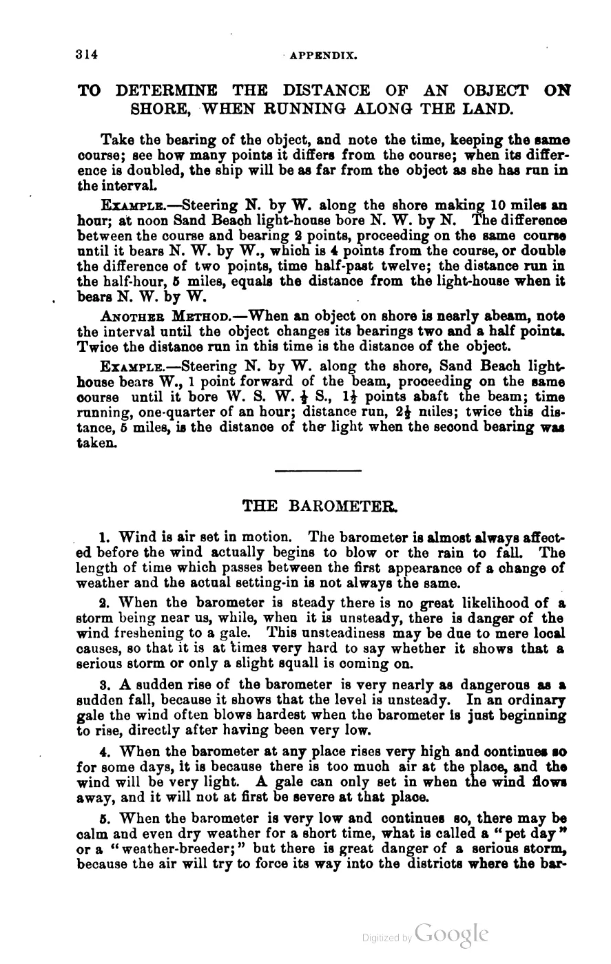
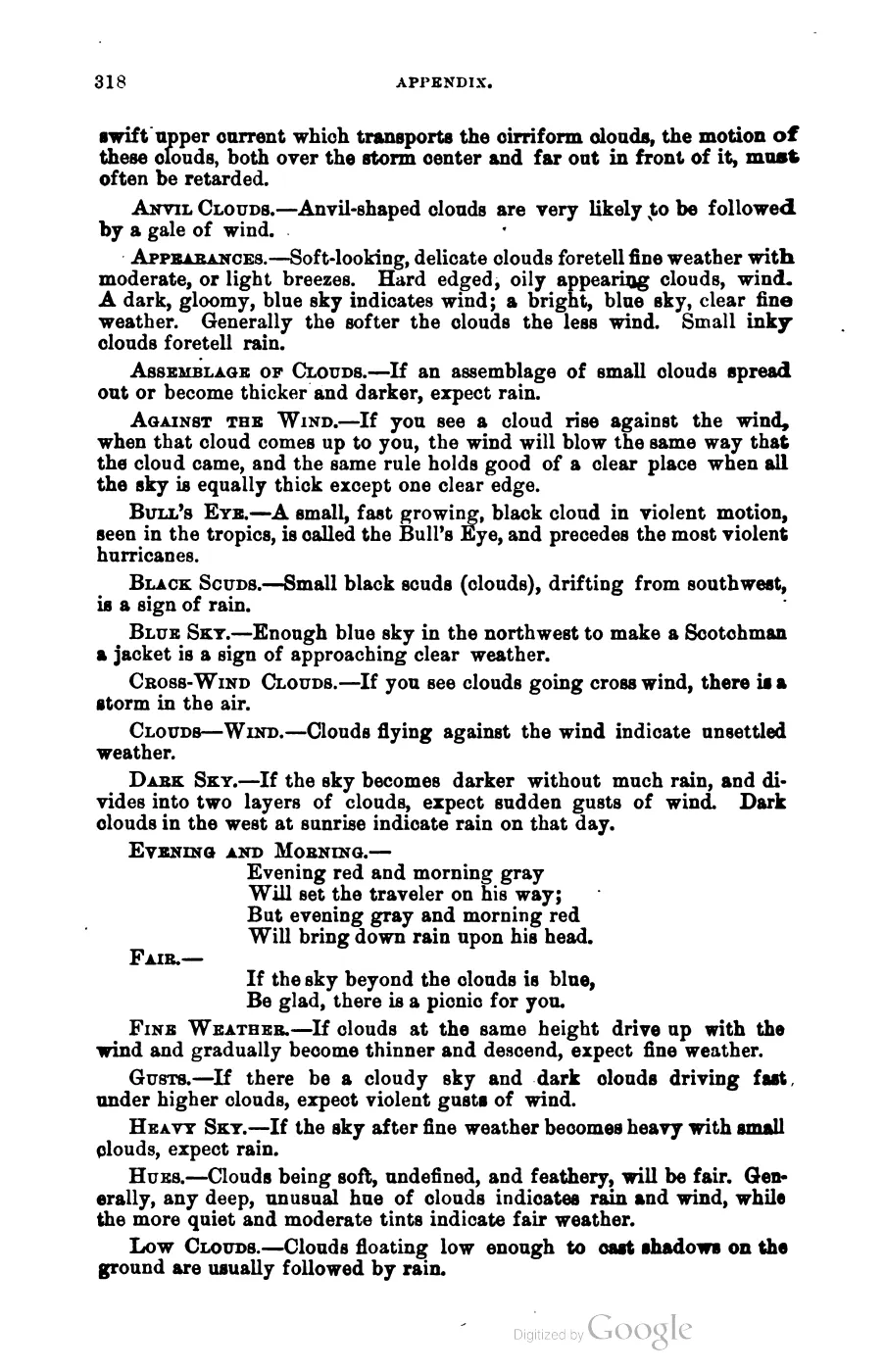
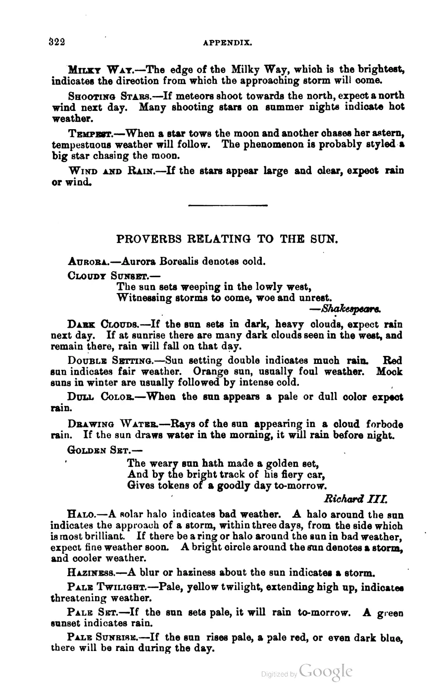
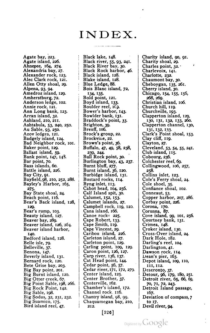
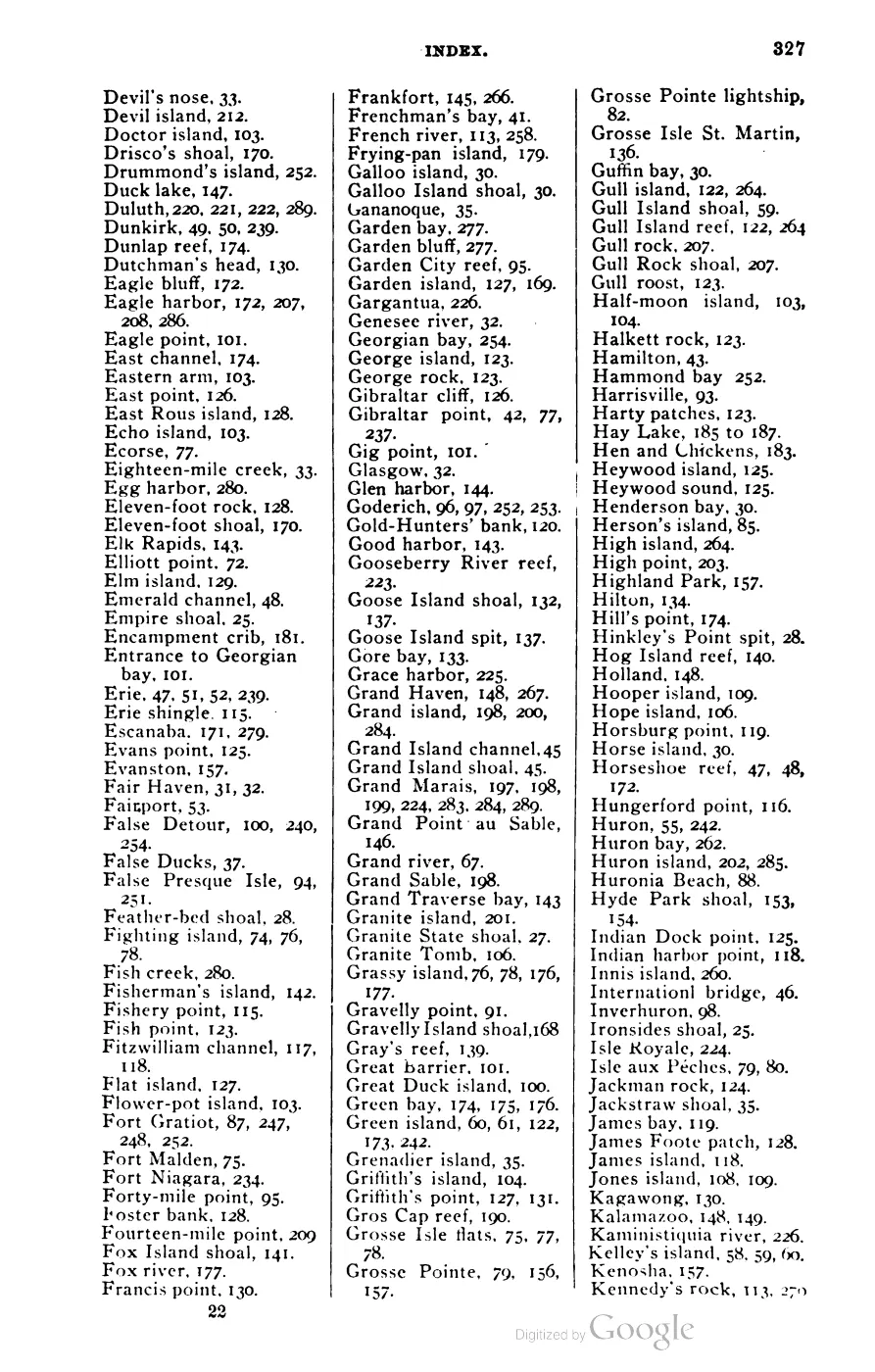
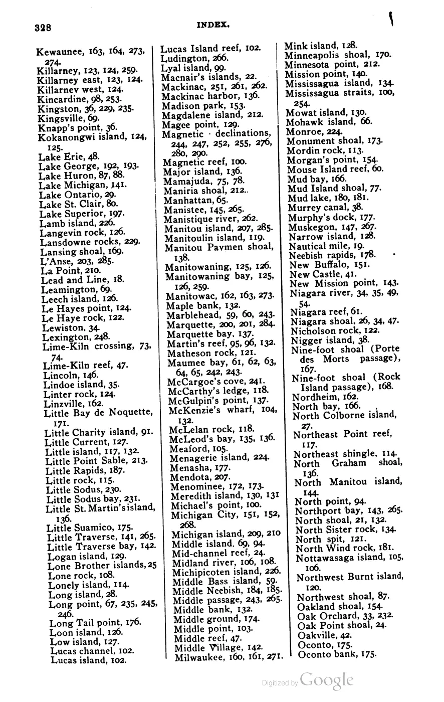
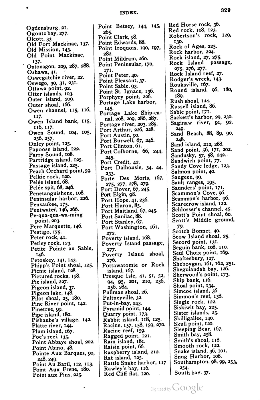
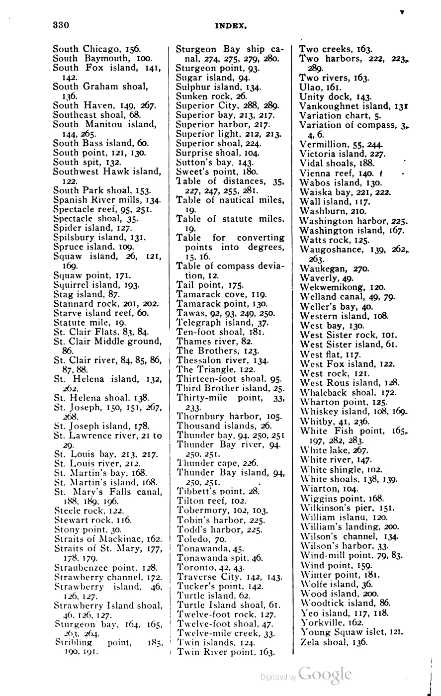





135 of 393 pages linked here — every page to 32, then every 4th, then the last 16. With JavaScript, every page.
Sources
- 17 island/islet polygons inside the expanded cultural AOI bbox (-85.91,45.35,-85.28,45.86), including North and South Fox; combined land area 217.13 km² computed in EPSG:3078 (Michigan GeoRef).osm · islands
- GNIS feature 1625040 is officially named 'Beaver Archipelago'; its reference point is in the South Fox Island quadrangle. GNIS also records North Fox (633577) and South Fox (1623085) in Leelanau County.federal · gnis · gnis_names
- Feature 1625037 (Beaver Island): variant name 'Great Beaver Island', Society for the Diffusion of Useful Knowledge, North America Sheet V (1833) — an early cartographic name for the main island, not the group.federal · gnis · gnis_variant_names
- 'In 1847 the Beaver Islands were erected into the township of Peaine' — the archipelago as a whole was the unit of civil organization before it was later divided.
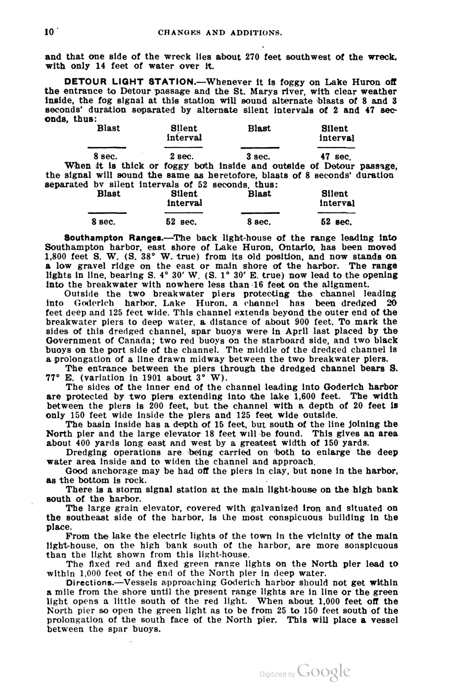
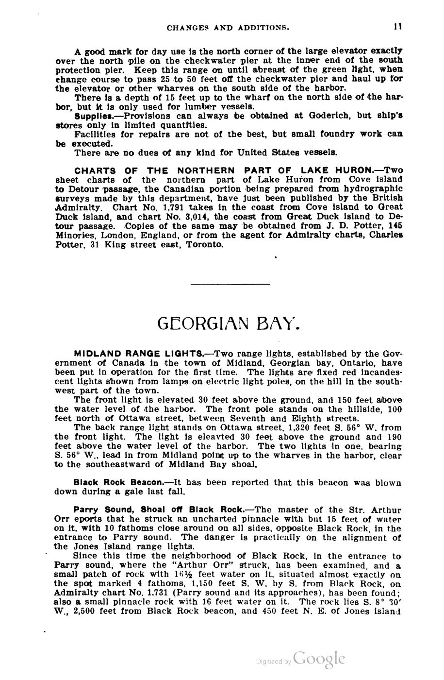
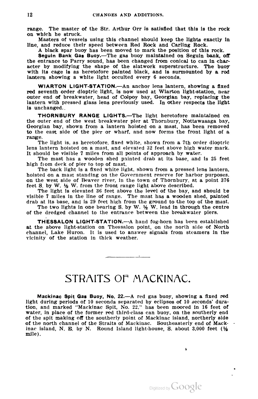
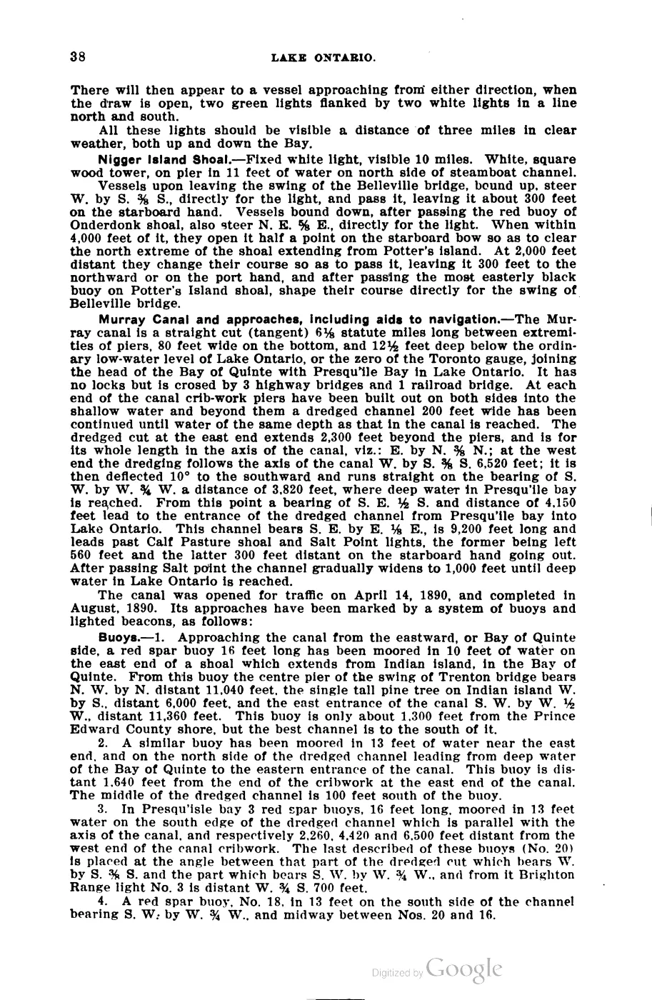
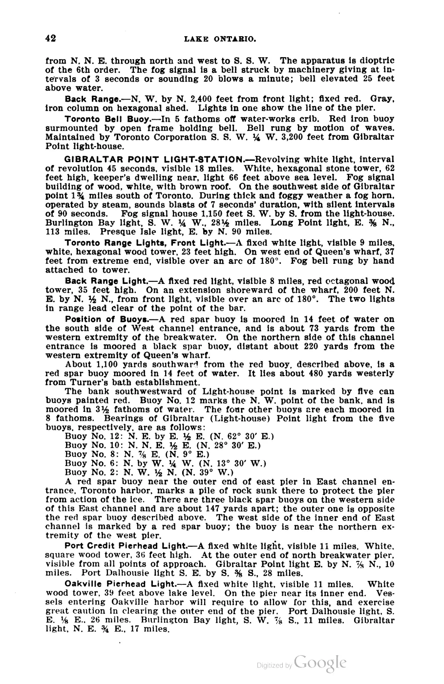
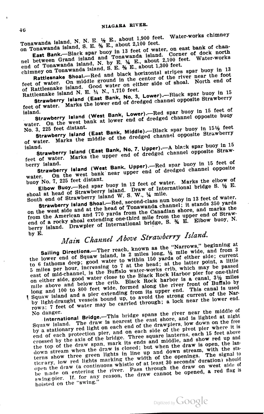
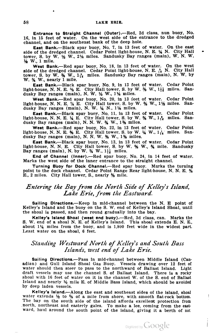
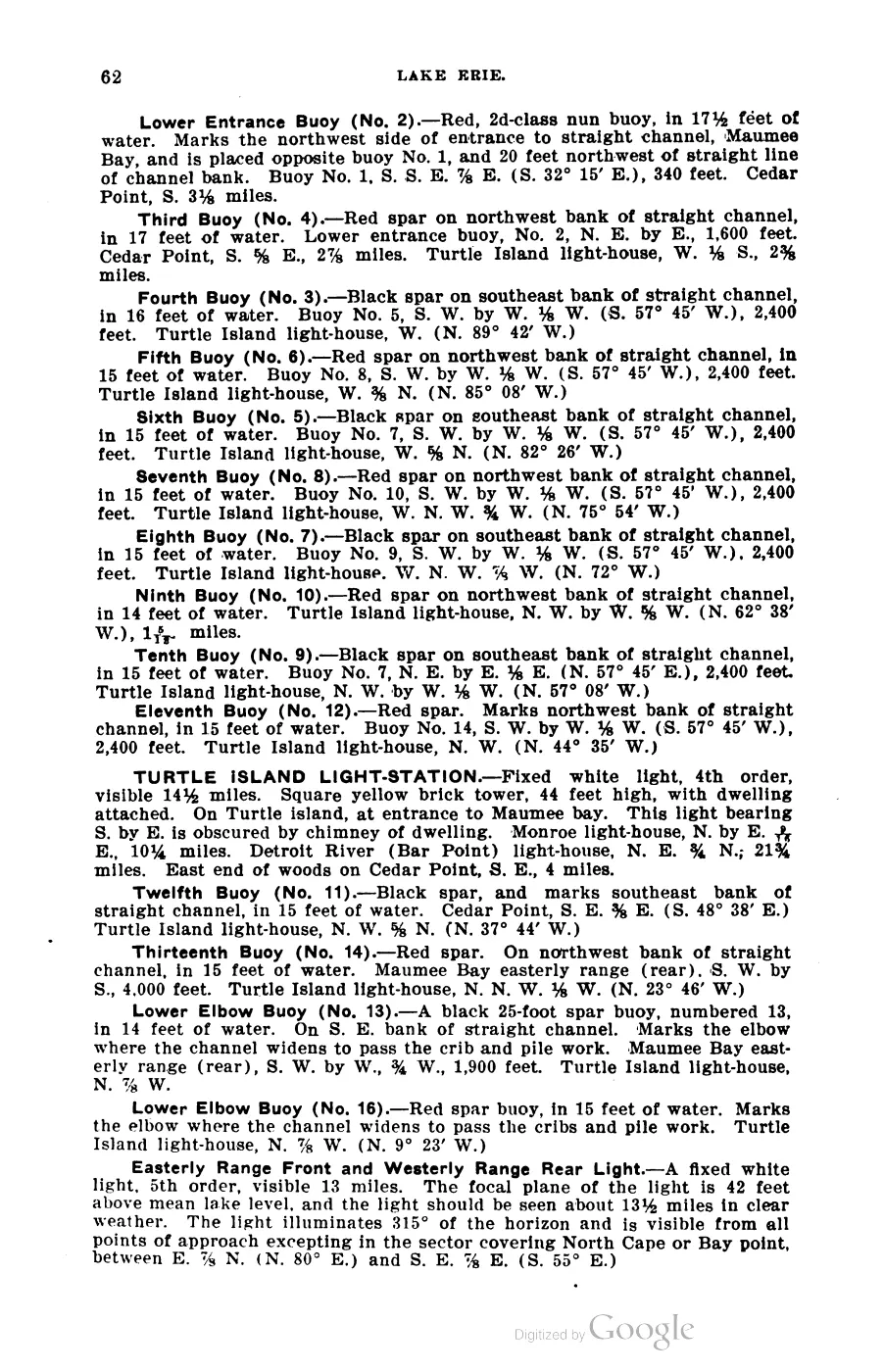
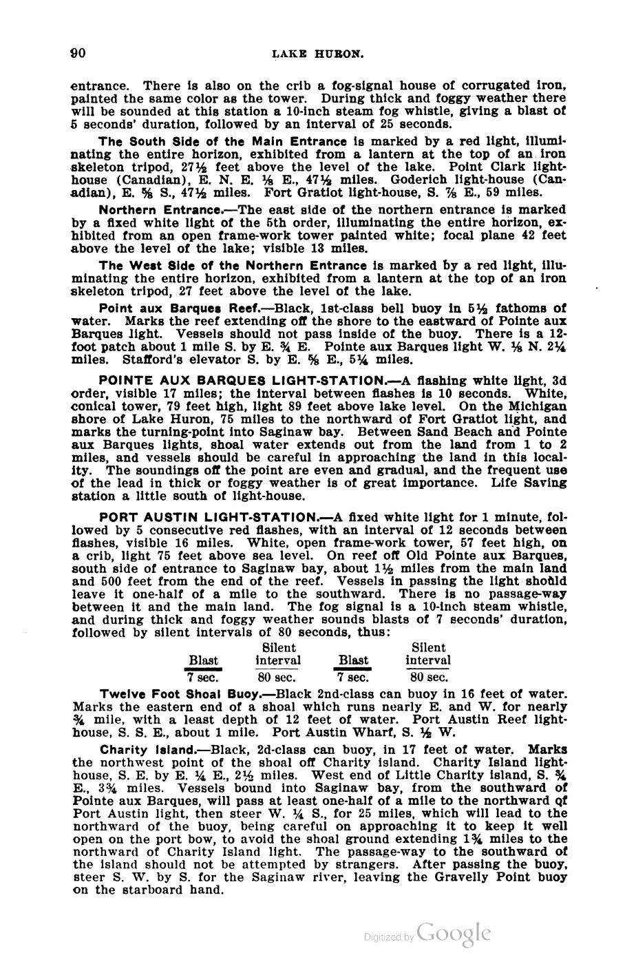
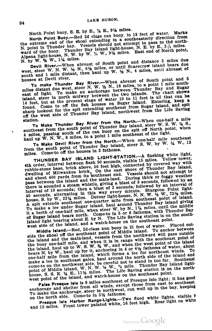
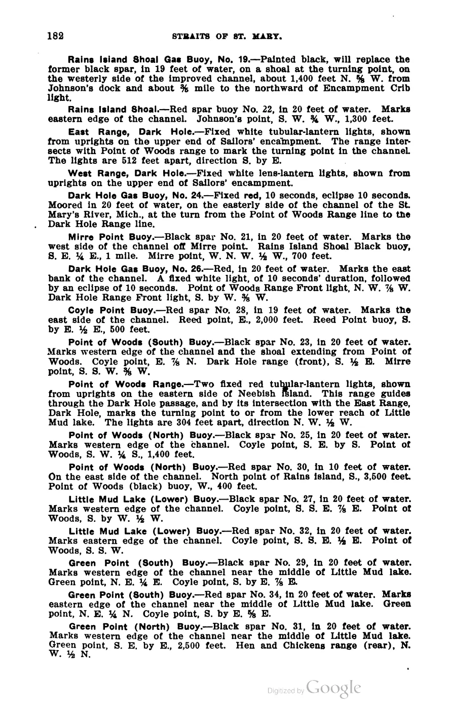
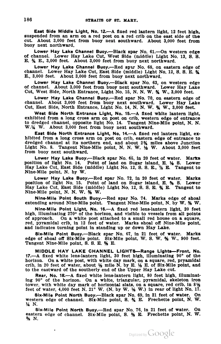
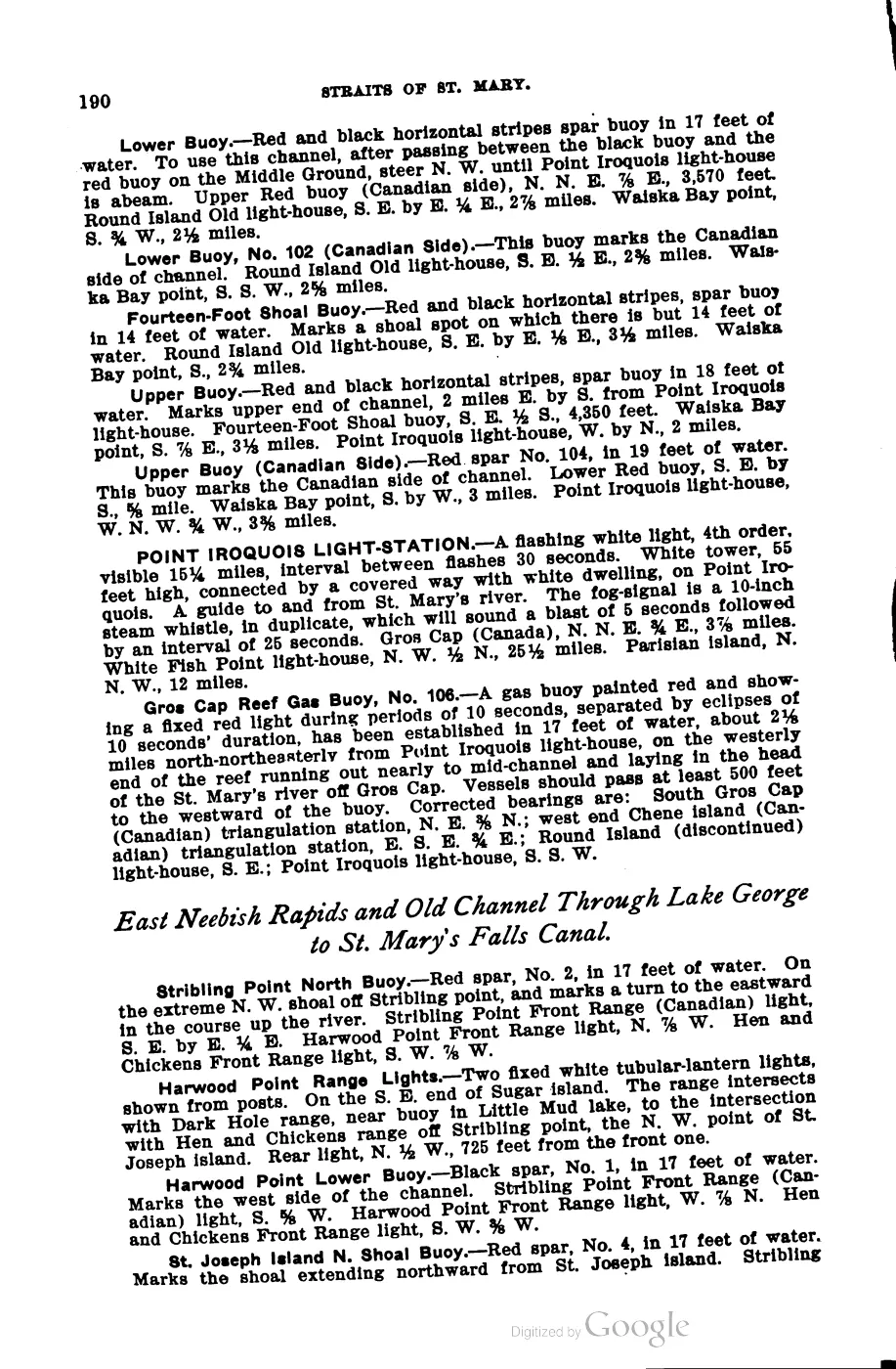
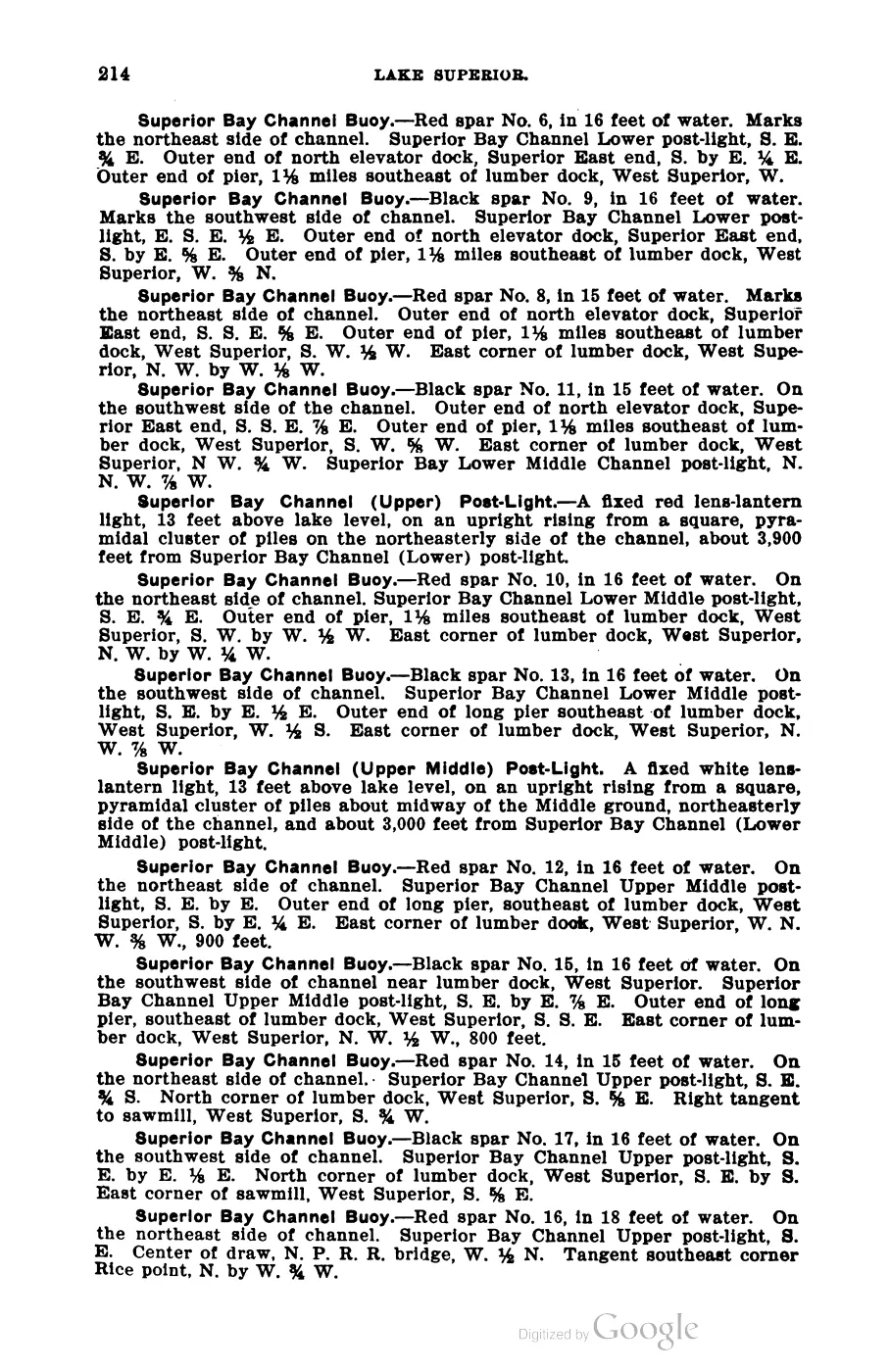
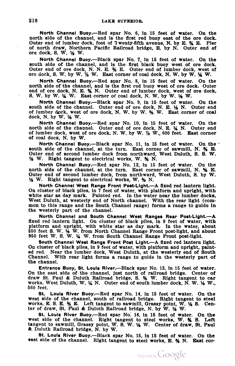
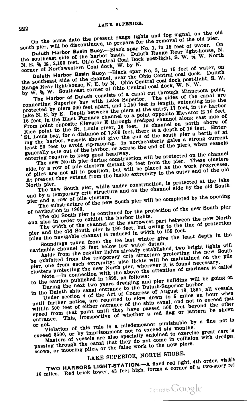
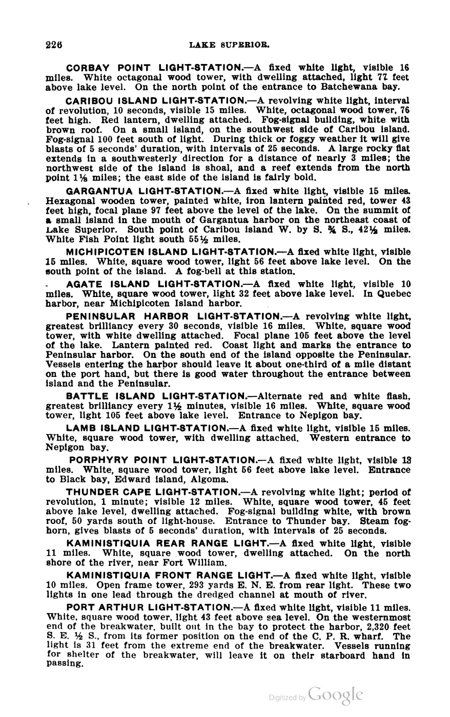
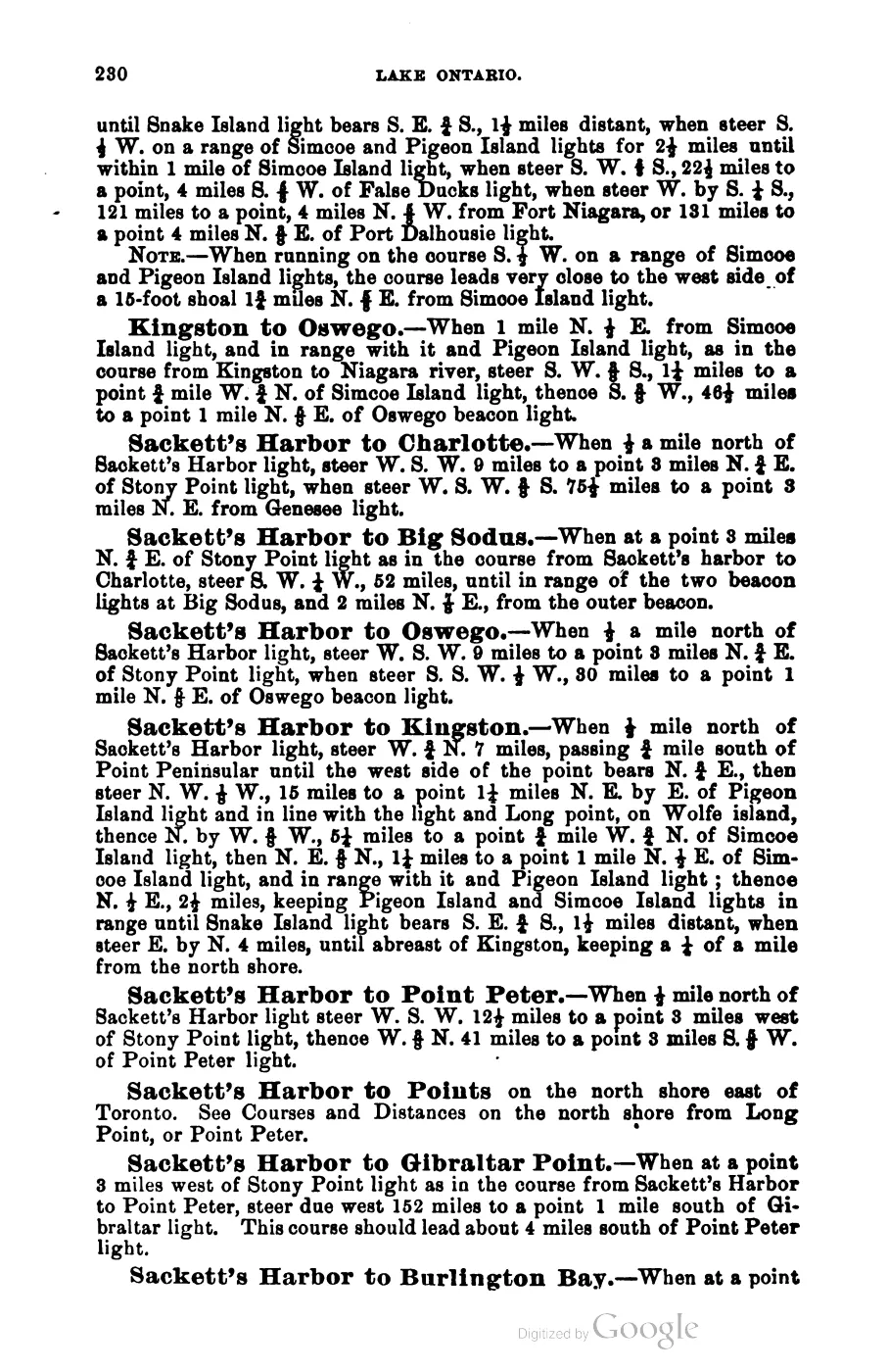
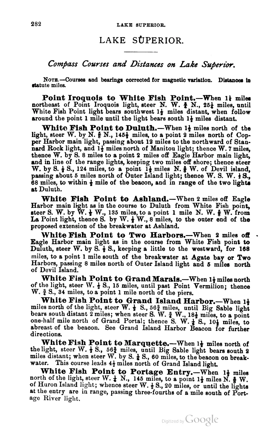
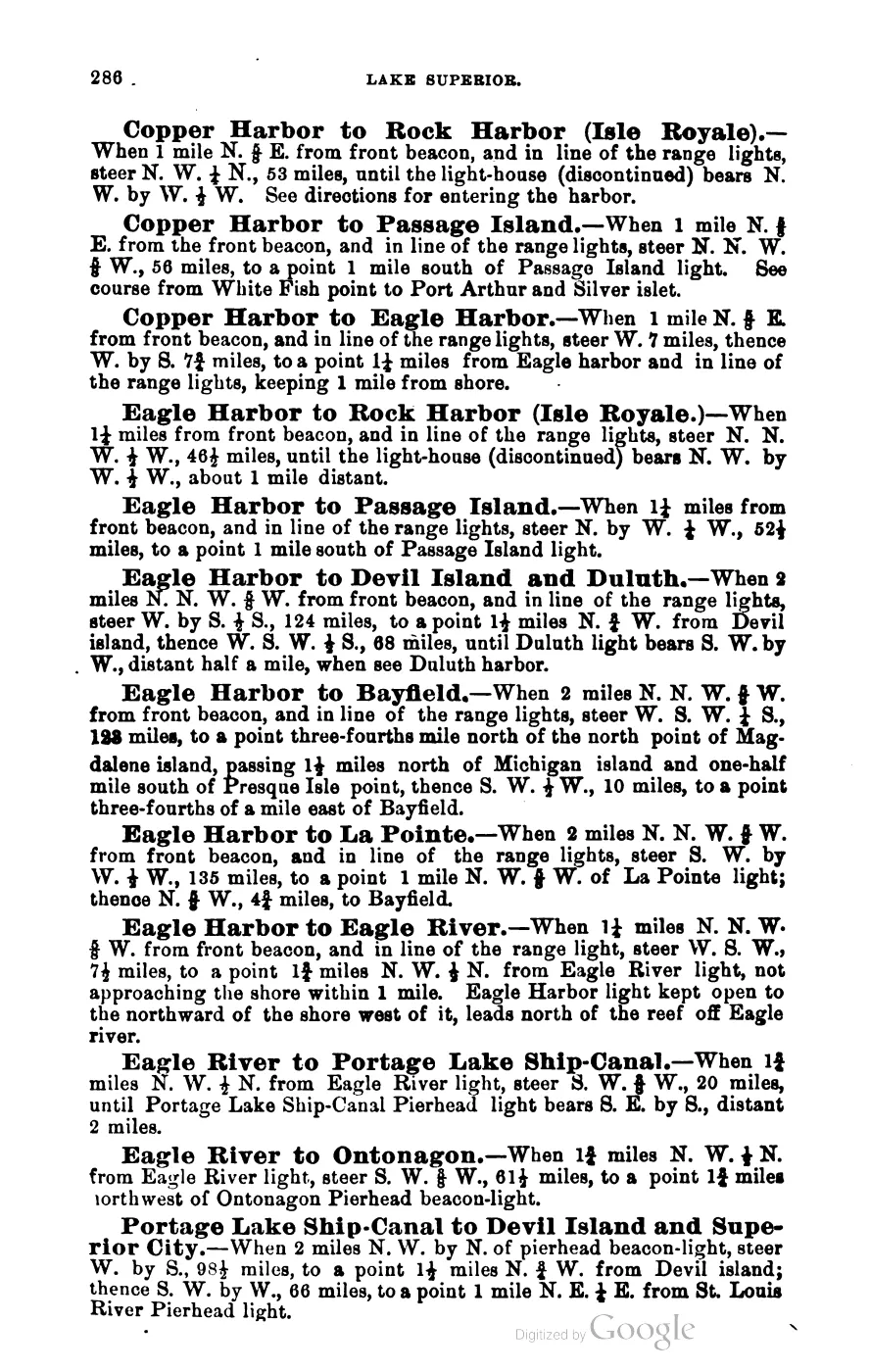
- George Scott, Scott's New Coast Pilot for the Lakes (6th ed., Detroit, 1902), pp. 169, 264, 220 (PDF pagination of the scan differs; page numbers here are the pilot's own printed numbers).Nautical usage of 'the Beaver Island group' / 'the Beaver group' for the archipelago as a set of sailing hazards and anchorages, e.g. 'Squaw [Ojibwa] island, the most northerly of the Beaver Island group' and 'Gull island is the most westerly island of the Beaver group.' No public copy of this file is known; the archive holds one and can provide it on request.local_documents · 1902_scott-new-coast-pilot-for-the-lakes-6ed
- View from 'Mount Pisgah' (the dune above the harbor) enumerating the group by eye: High Island, Trout Island, Squaw Island ('which now has a fine light-house erected upon it'), Rabbit Island, Garden Island, and Hog Island 'off nine miles to the east.' Also records the beaver-dam etymology for the group's name.
- Defines 'Beaver Island and the Archipelago' as a multi-island cultural-resource scope and explicitly says that most islands are in Charlevoix County except North and South Fox in Leelanau County; gives separate North Fox and South Fox descriptions.
- The act places 'the Islands known as the Beaver group, and the North and South Fox Islands' together in Manitou County, then organizes the Foxes as a township within that county.
- Page images checked. The edited reprint groups the Beaver, Fox, and Manitou islands in Manitou County, directs the first election canvass to St. James, and preserves the distinction between the act’s county-seat mechanism and the compiler’s statement that St. James was the seat of justice.
- Project-generated seven-island ecology connectivity matrix (2026).Described in this archive: Seven-island ecology connectivity matrix, 2026.Compares Beaver, Garden, High, Hog, Whiskey, North Fox, and South Fox across historical GLO, tree, plant, MNFI occurrence, animal/bird, aquatic/fisheries, invasive/stewardship, canopy, land-cover, soil, and geology evidence while preserving source-specific units and limits. No public copy of this file is known; the archive holds one and can provide it on request.research · island_farming · crosswalks · archipelago_ecology_connectivity_matrix_2026
- Project-generated soil, substrate, hydrology, and landform evidence crosswalk (2026).Described in this archive: Soil, substrate, hydrology, and landform evidence crosswalk.Connects GLO, MNFI, SSURGO, physical-geology, and mapped-dune evidence without treating regional map context as a field observation or inferred habitat polygon. No public copy of this file is known; the archive holds one and can provide it on request.research · island_farming · indices · soil_landform_evidence_crosswalk
- Project-generated archipelago physical-geology and hydrogeology context crosswalk (2026).Described in this archive: Archipelago physical geology and hydrogeologic context crosswalk, 2026.Provides island-level aquifer, glacial, bedrock, fault, and SGMC context for the seven named-island comparison frame; it is not a parcel or surface-exposure geology map. No public copy of this file is known; the archive holds one and can provide it on request.geology · crosswalks · archipelago_physical_geology_context
- Project-generated tree and woody vegetation evidence index for the Beaver archipelago (2026).Described in this archive: Tree and woody vegetation evidence index for the Beaver archipelago, 2026.Keeps GLO tree names, MNFI occurrence terms, guide entries, and DNR stand comments source-separated; evidence matches are not individual-tree or abundance counts. No public copy of this file is known; the archive holds one and can provide it on request.research · island_farming · indices · tree_woody_vegetation_evidence_index
- Project-generated Beaver Island Archipelago wildlife and bird species evidence index (2017–2024).Described in this archive: Beaver Island Archipelago wildlife and bird species evidence index, 2017–2024.Connects management-plan, MNFI, USGS, GBIF, and direct study records while preserving island scope, survey dates, and non-inventory limitations. No public copy of this file is known; the archive holds one and can provide it on request.research · wildlife · indices · archipelago_wildlife_bird_evidence_2017_2024
- Project-generated outer-island and legacy ecology evidence index (2026).Described in this archive: Outer-island and legacy ecology evidence index.Adds source-separated outer-island and legacy records, including Fox, Whiskey, and selected small-island context; it does not turn missing records into ecological absence. No public copy of this file is known; the archive holds one and can provide it on request.research · wildlife · indices · outer_island_ecology_evidence_index
- Described in this archive: Visually verified GLO survey observations of archipelago soils, terrain, and trees, 1845–1849.Preserves page-bounded historical observations of soil, substrate, wet ground, tree names, fire, shore form, and fishery use across the archipelago. The holder's public portal is searchable but does not link this record directly; the archive holds a copy of the file and can provide it on request.research · land_cover · crosswalks · glo_ecology_crosswalk_1845_1849
- Described in this archive: Visually verified GLO modern island ecology observations, 1942.Preserves the dated Shoe and Pismire vegetation, substrate, and duck/gull use records without inferring modern habitat polygons. The holder's public portal is searchable but does not link this record directly; the archive holds a copy of the file and can provide it on request.research · land_cover · crosswalks · glo_modern_ecology_1942
Added 28 July 2026 · revised 3 August 2026. Recent changes
Cite this article
Beaver Island Archive, “Beaver Island archipelago”, https://beaverislandarchive.org/places/beaver-island-archipelago/, accessed [date], citing OpenStreetMap contributors, island polygons via Overpass API, retrieved 2026-08-01 (ODbL 1.0). (and 16 further sources listed on the page).
Last revised 2026-08-03. Fill in [date] with the date you read it — this page is static and cannot know that.
BibTeX for “Beaver Island archipelago”RIS for “Beaver Island archipelago”