

- Built
- by 1902
- Coordinates
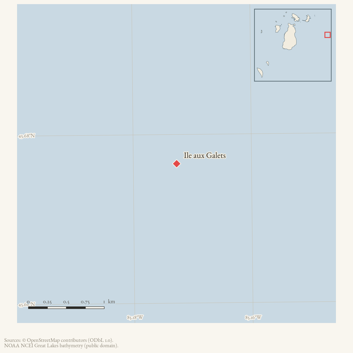
- 45.6764° N, 85.1722° WGoogle Maps: Skilligallee Light StationDownload KML
- Eras
- Irish eraModern era
- Concepts
- maritimelighthousesshippingheritage
- Within
- Ile aux Galets · Beaver Island archipelago
Summary
Skilligallee Light Station, on Skilligallee Rock at Iles aux Galets, was a navigation station in the passage between Beaver Island and the mainland. In 1902, Scott described its fixed-white light, white-brick tower and dwelling, and steam-whistle fog signal. The National Archives inventory identifies three later logbook runs ending in July 1942.
Evidence and limits
The current record separates the historic light station from the nearby Dahlia Shoals management feature. The cited sources do not establish construction date, title, the later fate of the buildings or light, a complete keeper list, or current aid-to-navigation status. The point geometry is the coordinate printed for Ile aux Galets Light in the held 2 August 2026 Coast Pilot revision; it is a light-feature anchor, not an island or station-property boundary. The December 1932 notice is explicitly seasonal and cannot be read as a permanent closure.
See also
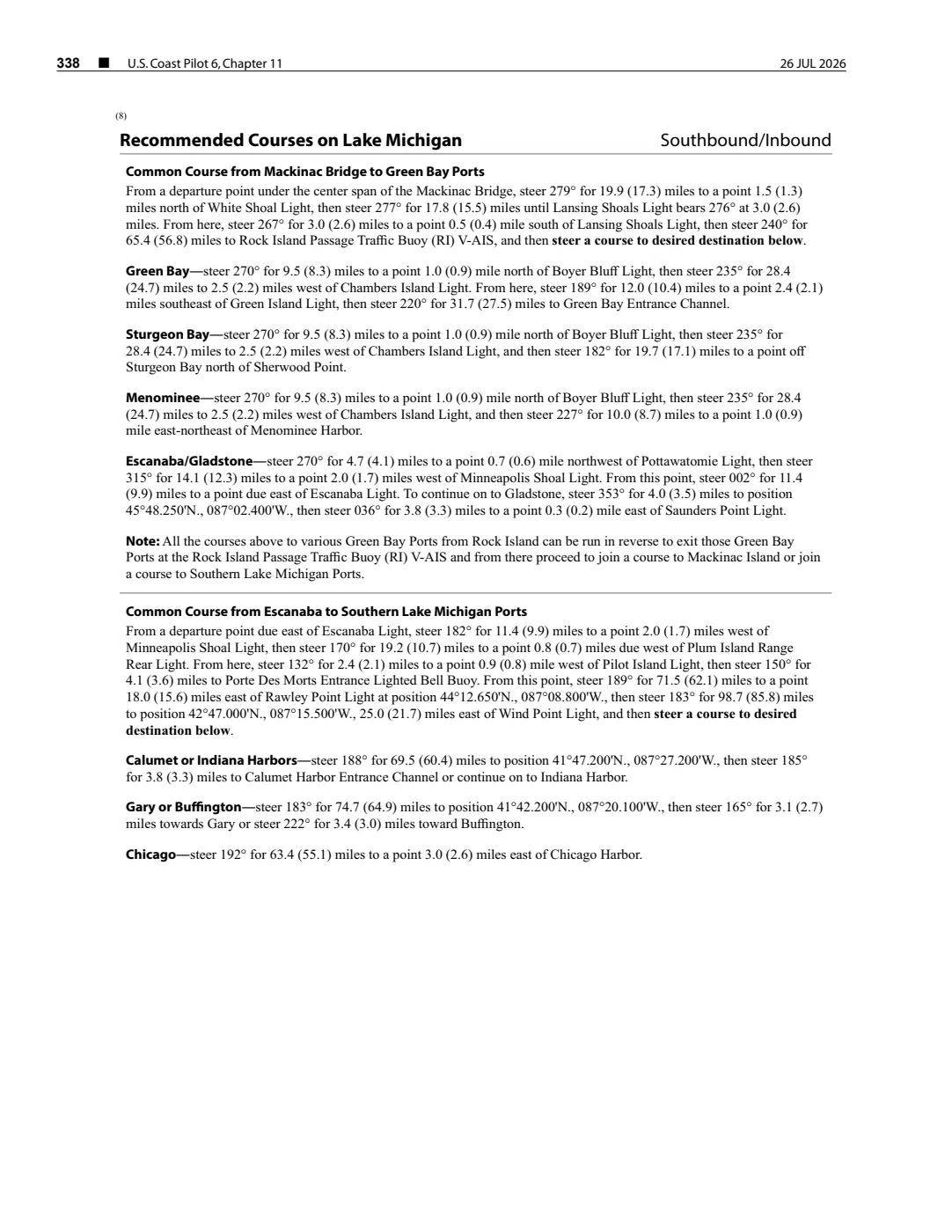
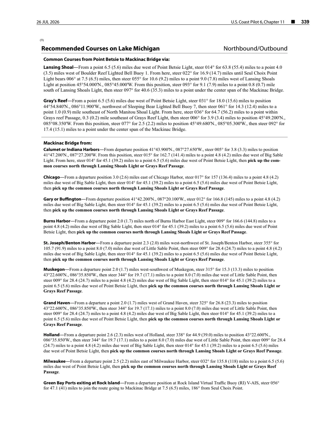
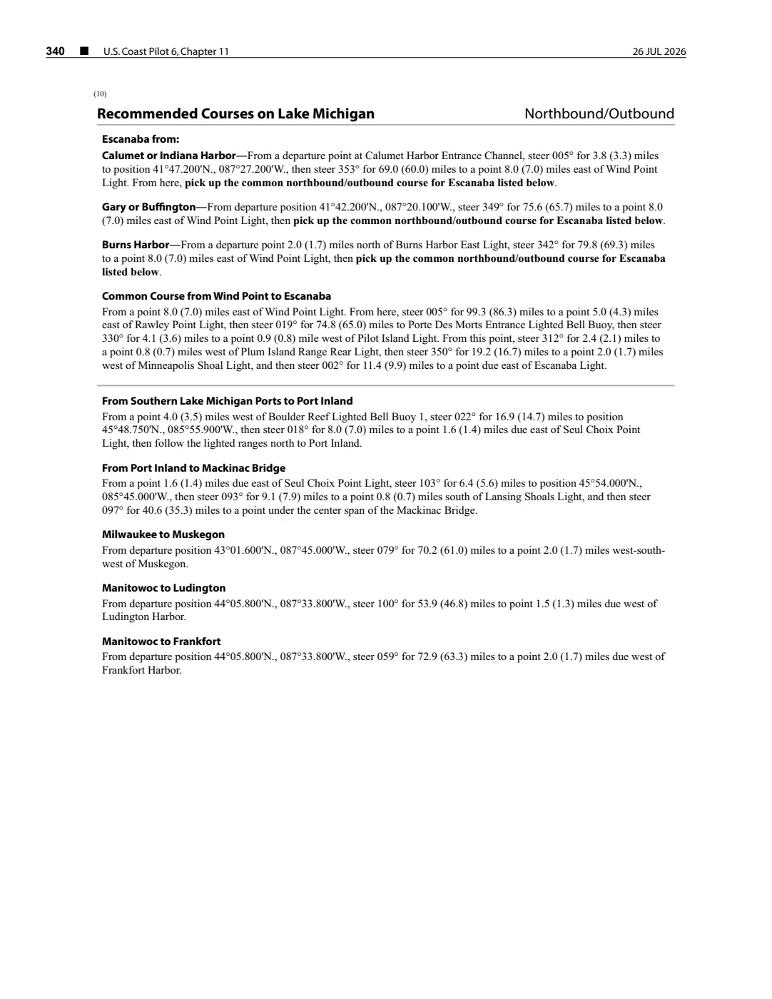
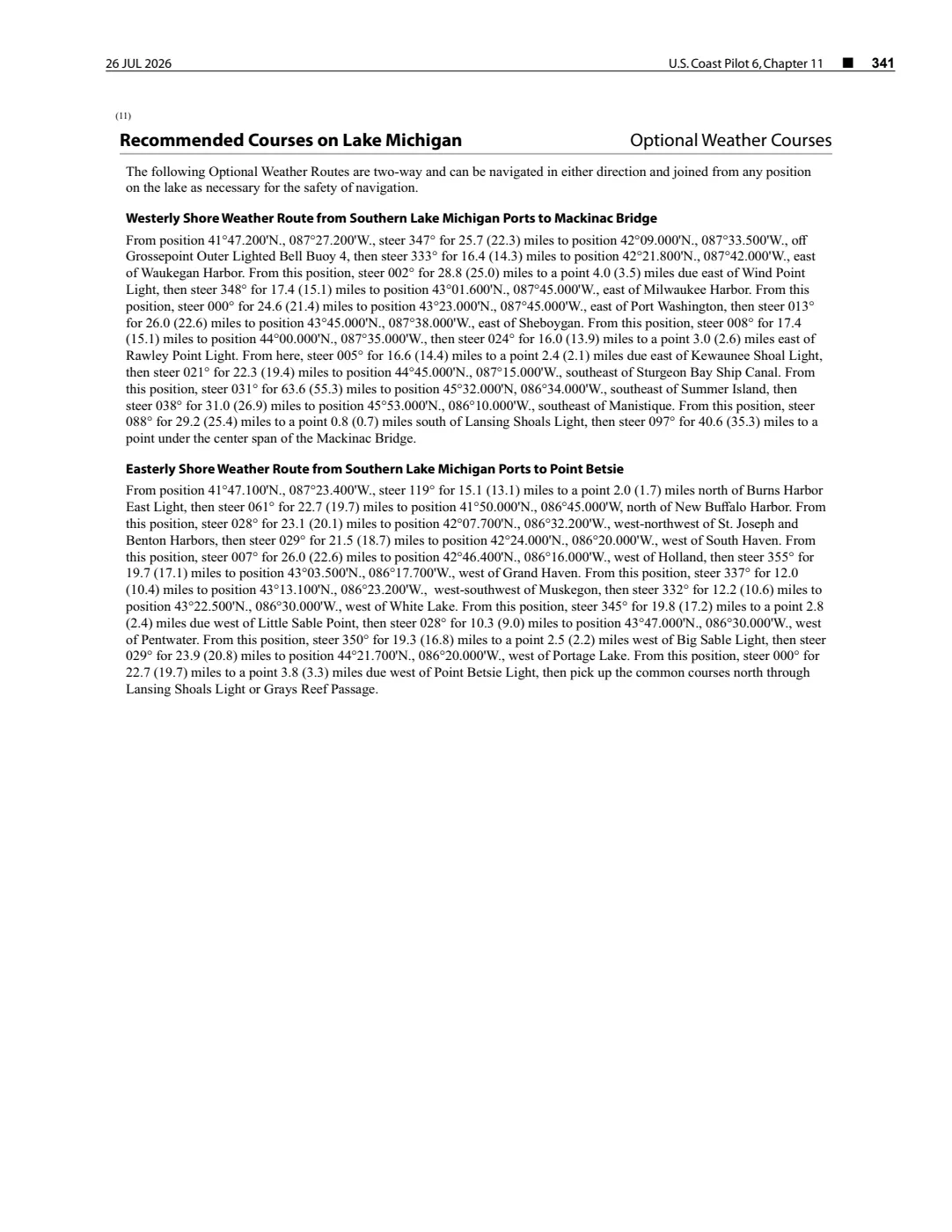
Read the document
393 pages, rendered from the held scan.

Jump to a page — 393 in all







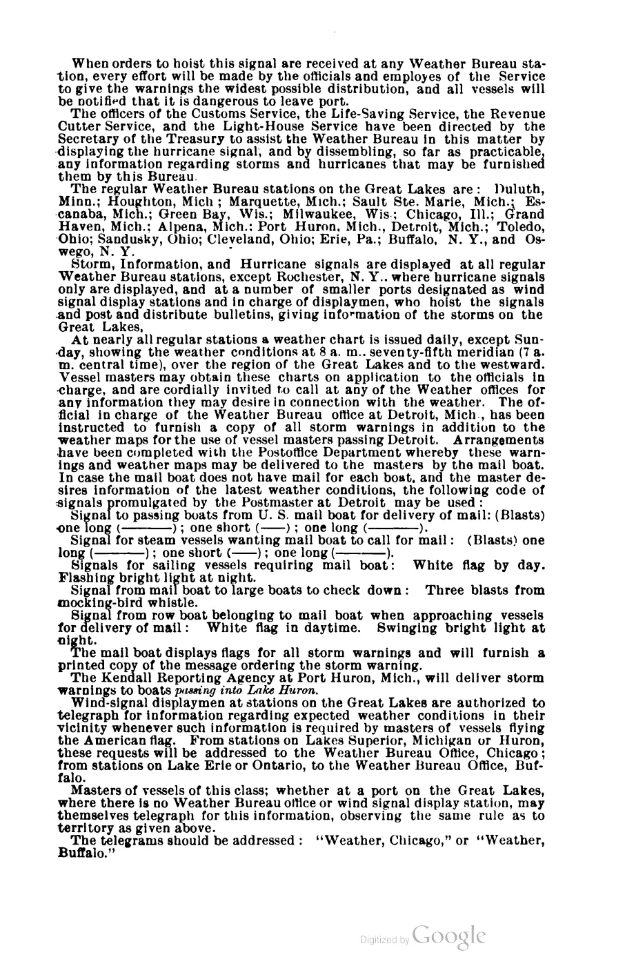
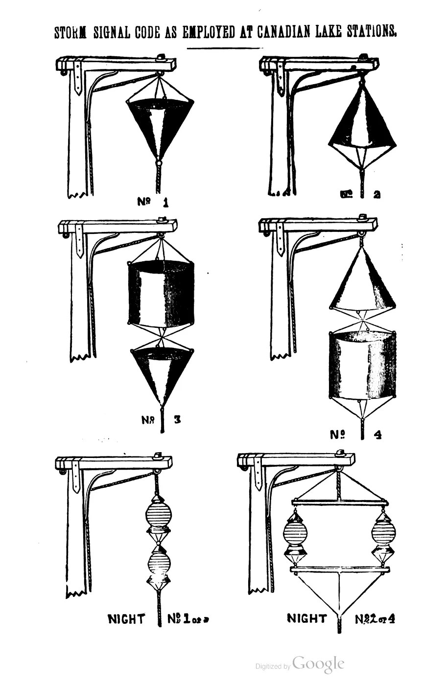
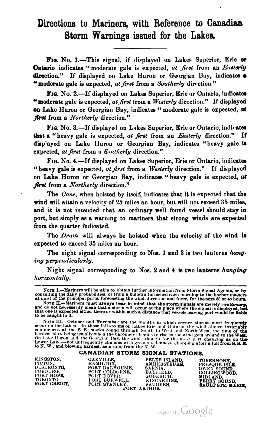

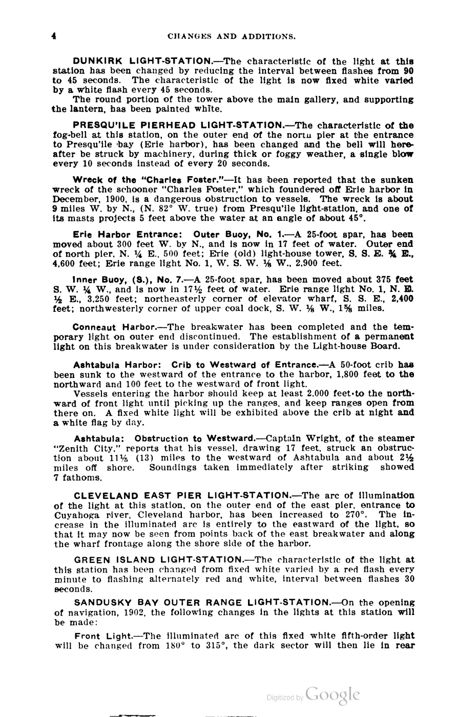
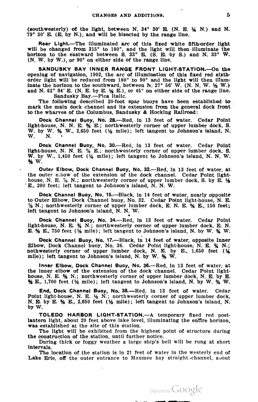
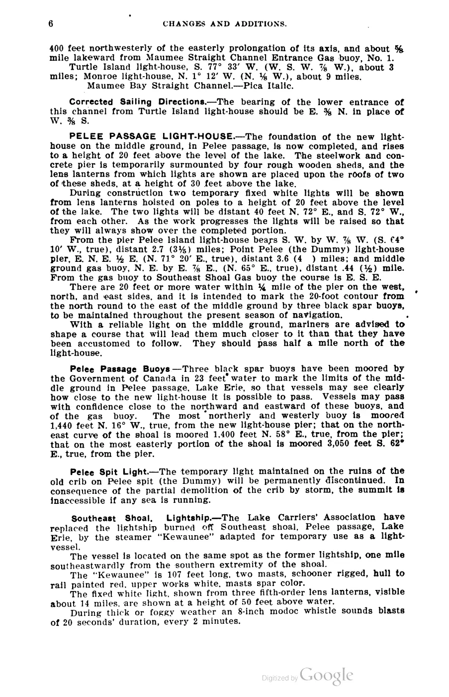
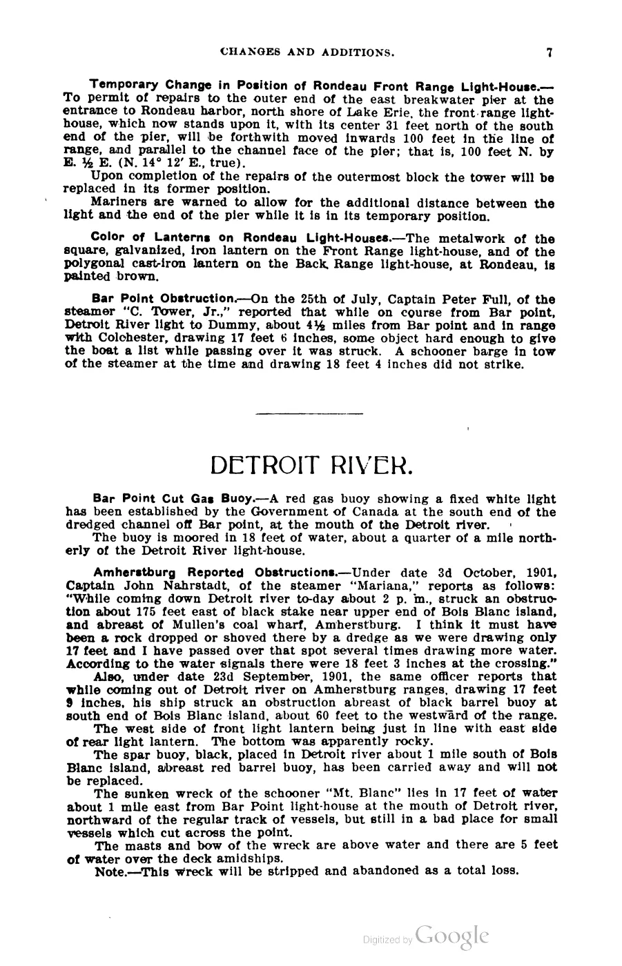
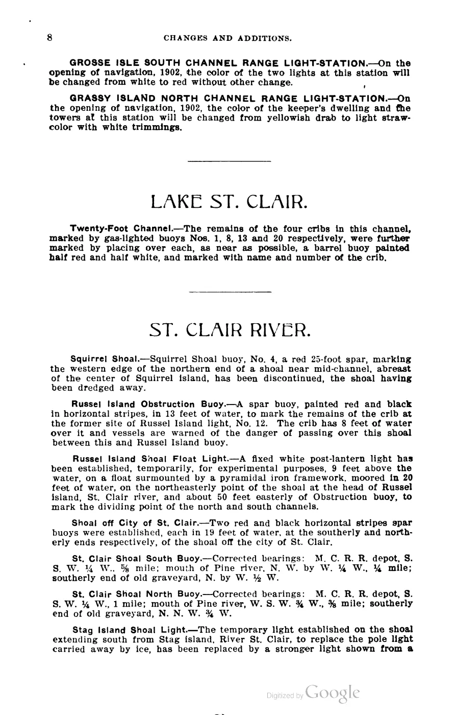
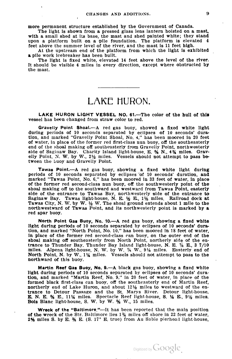
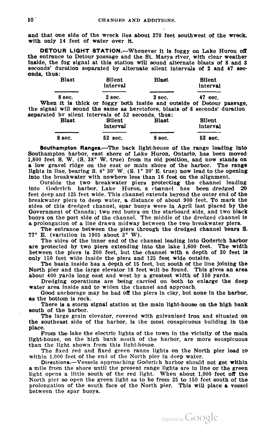
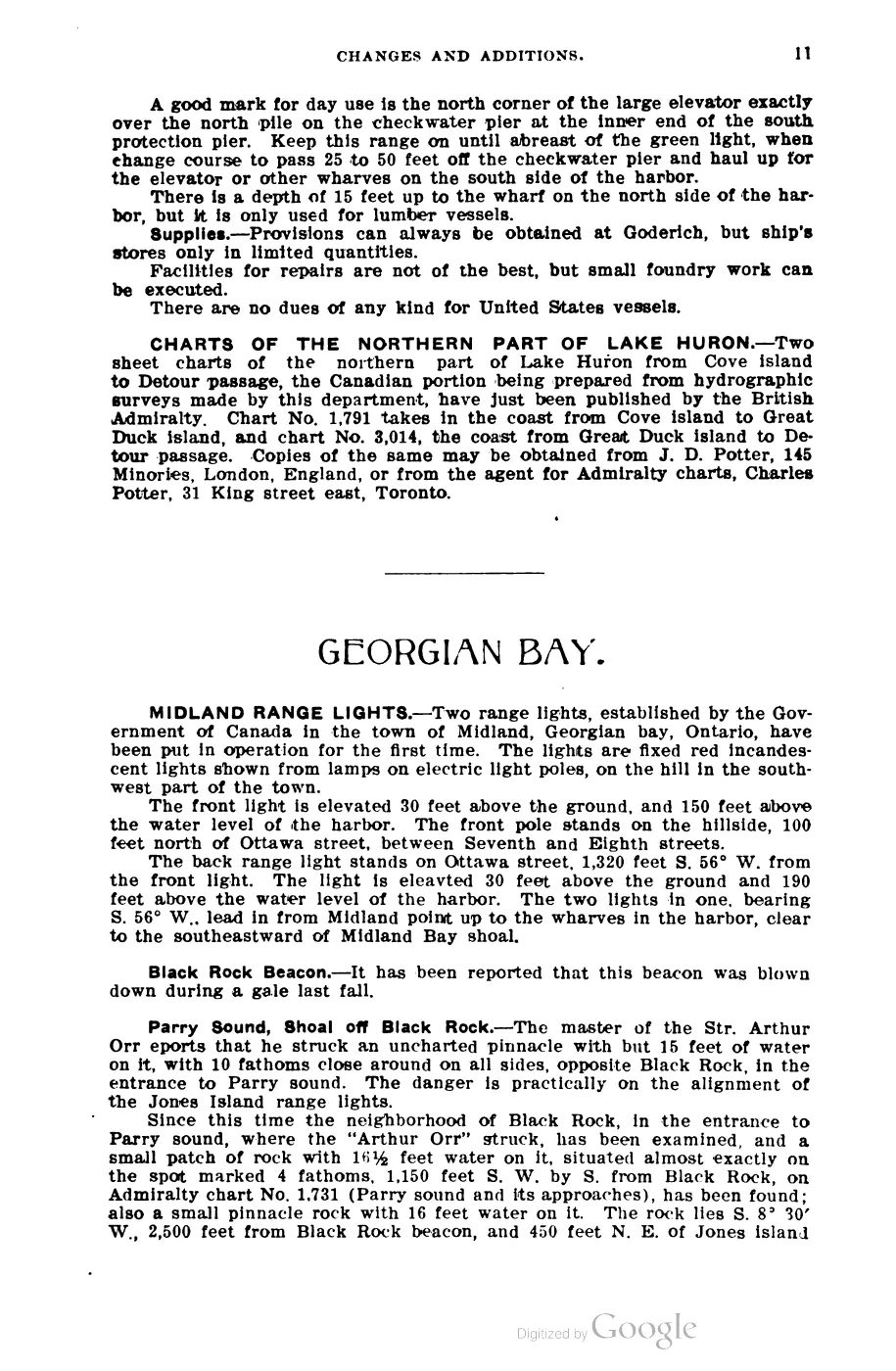

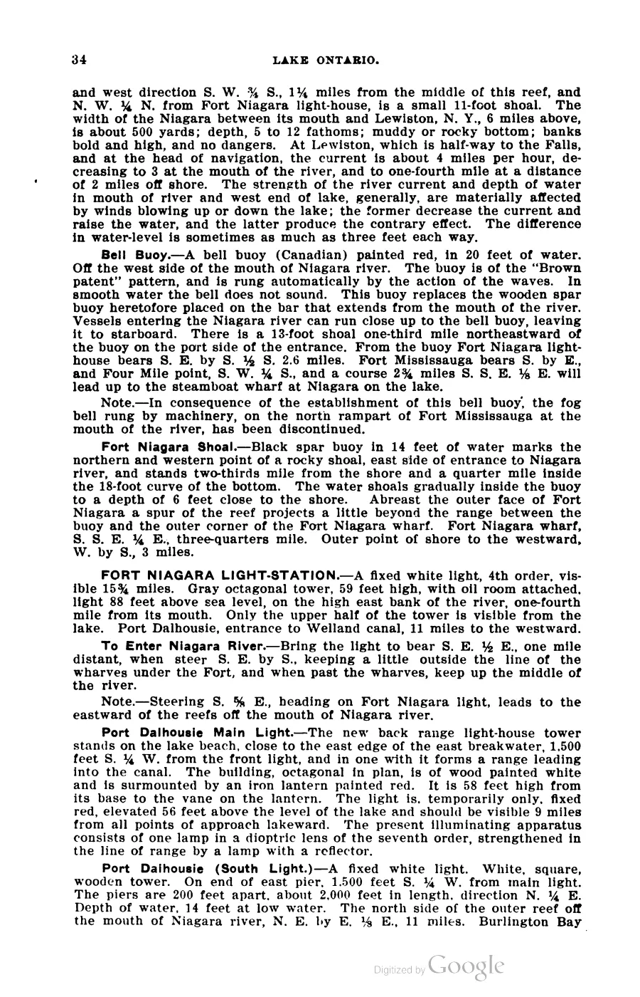
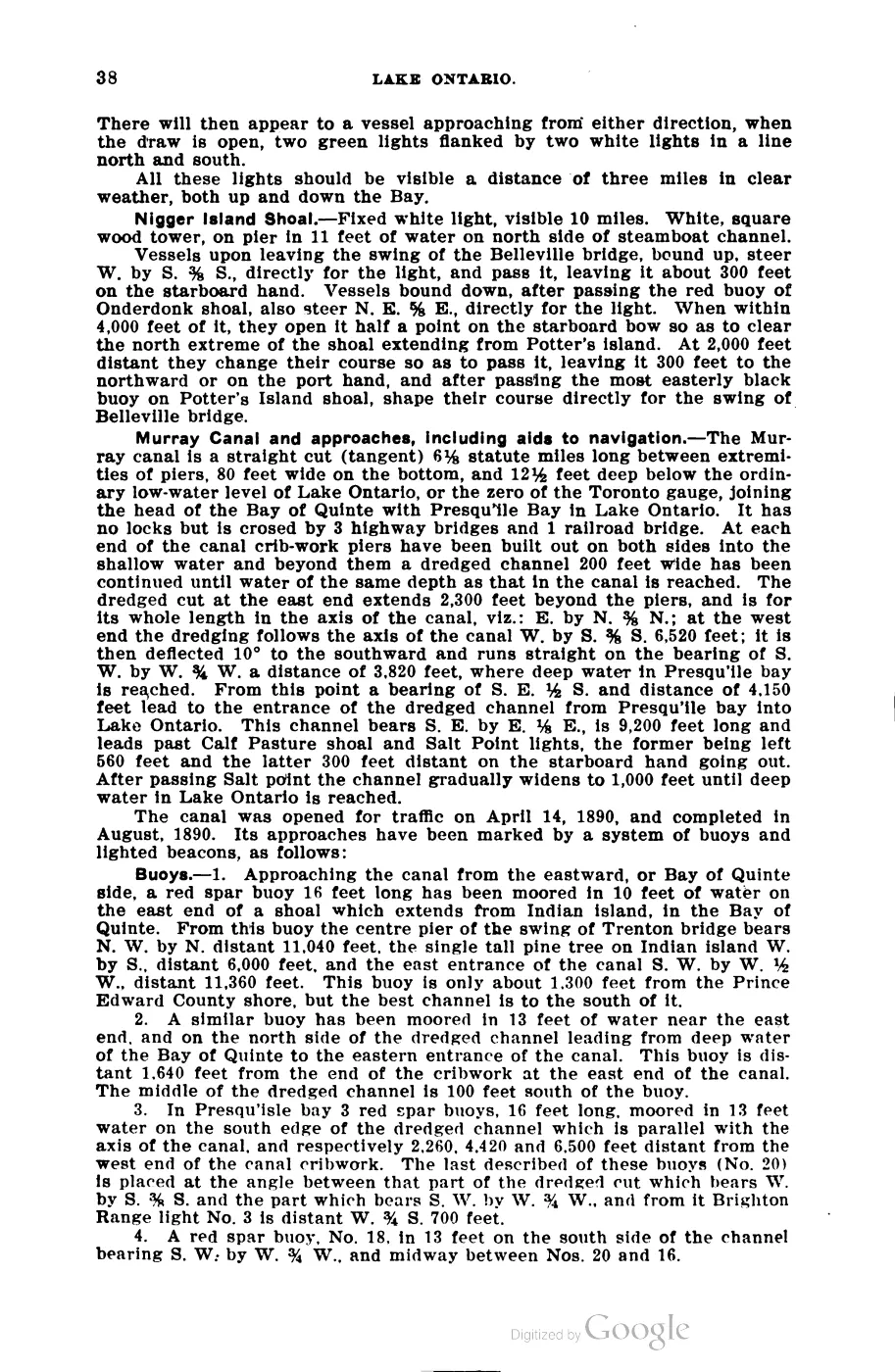
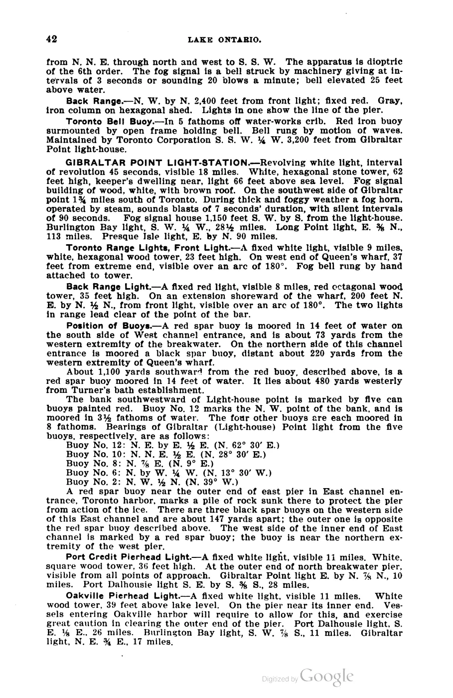
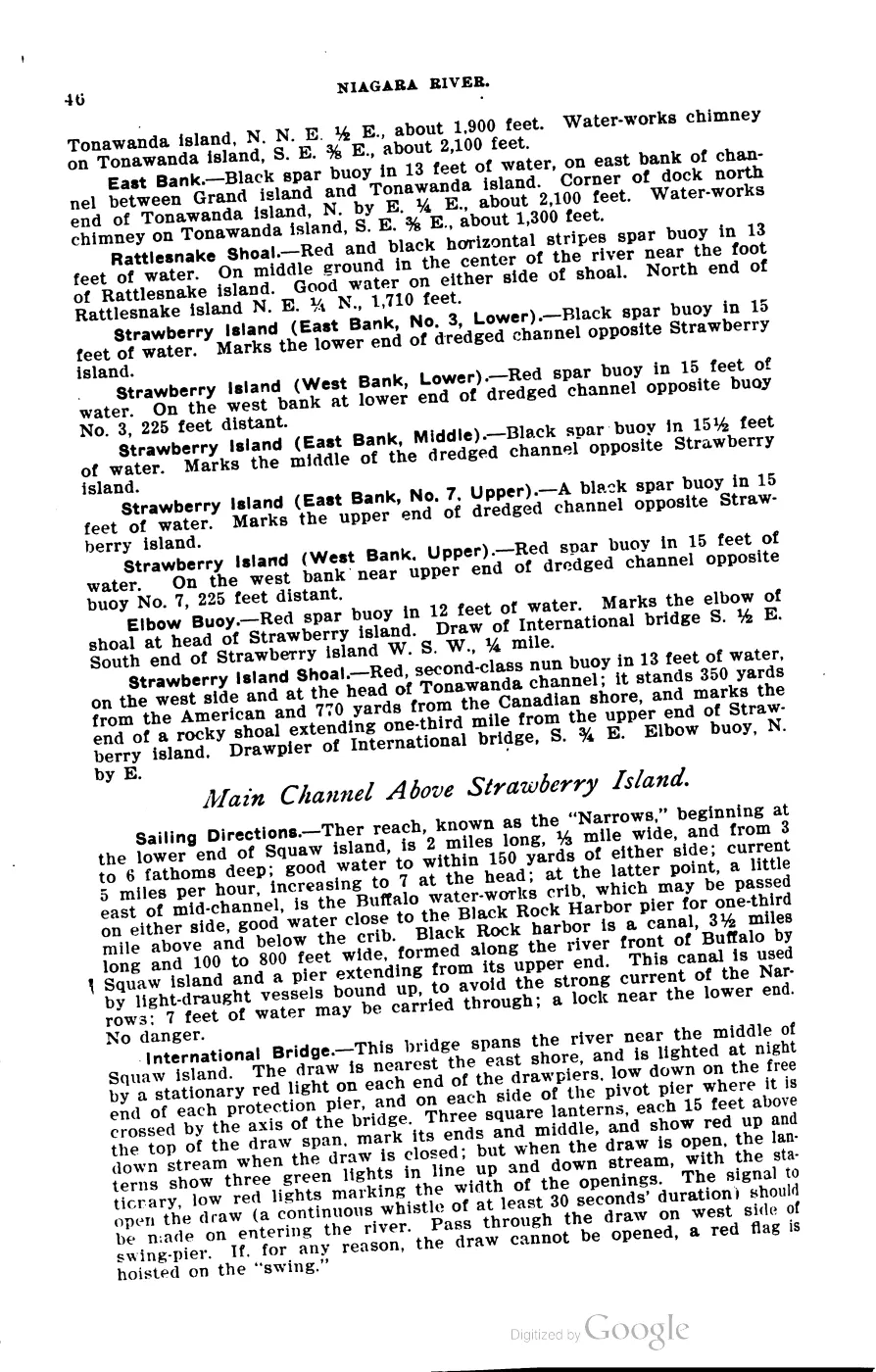
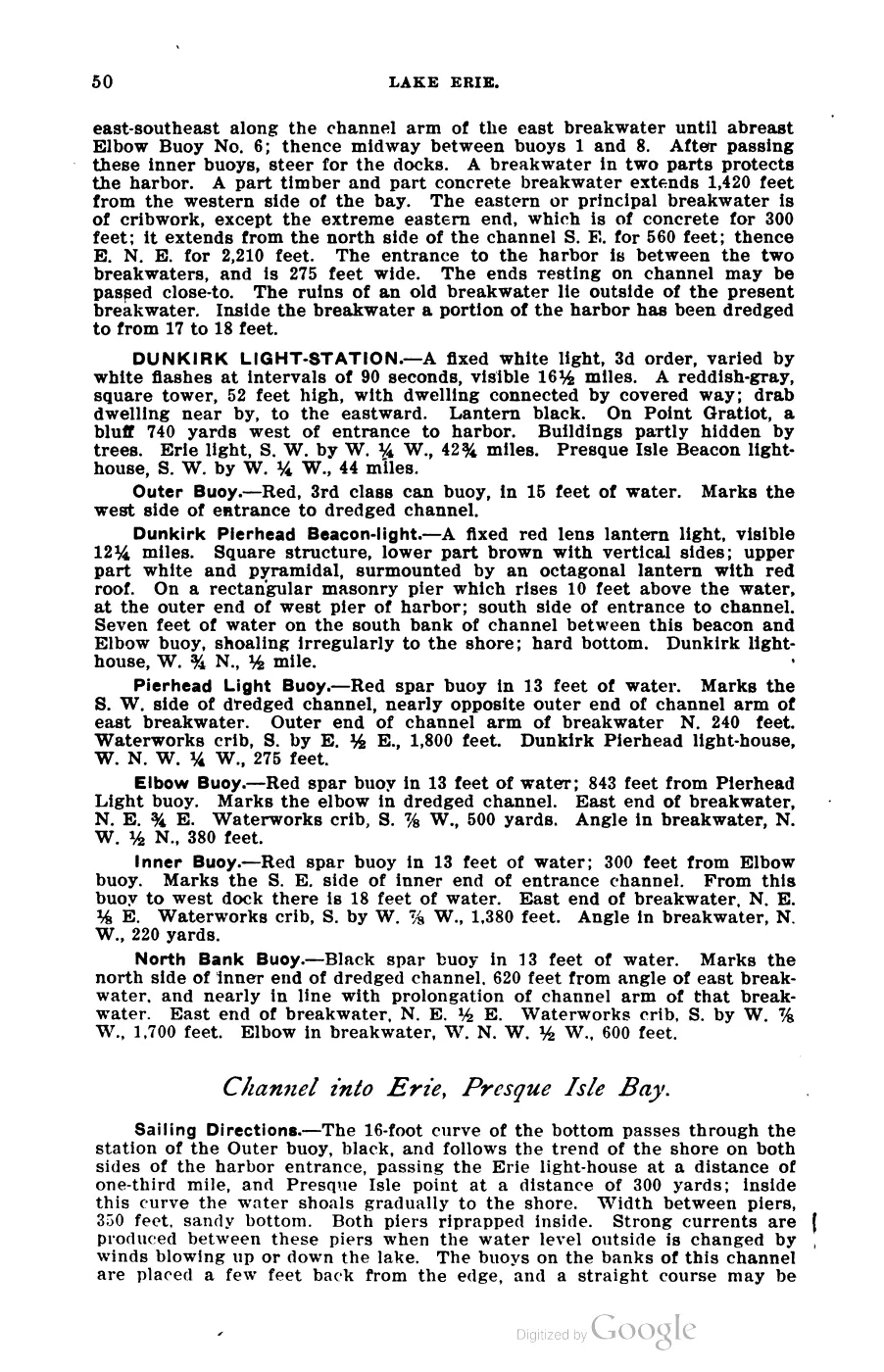
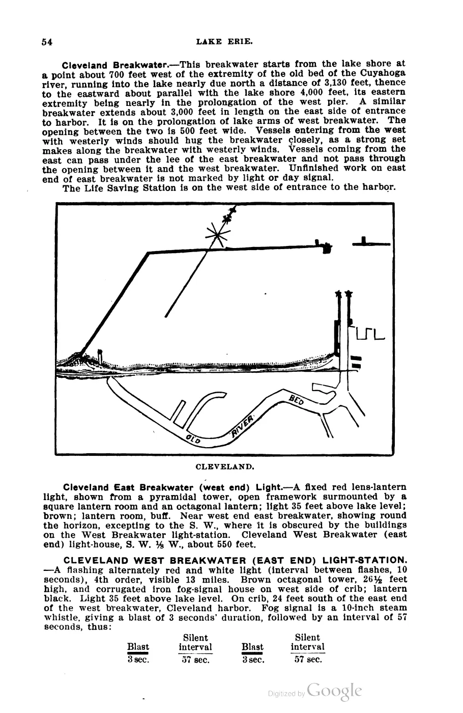
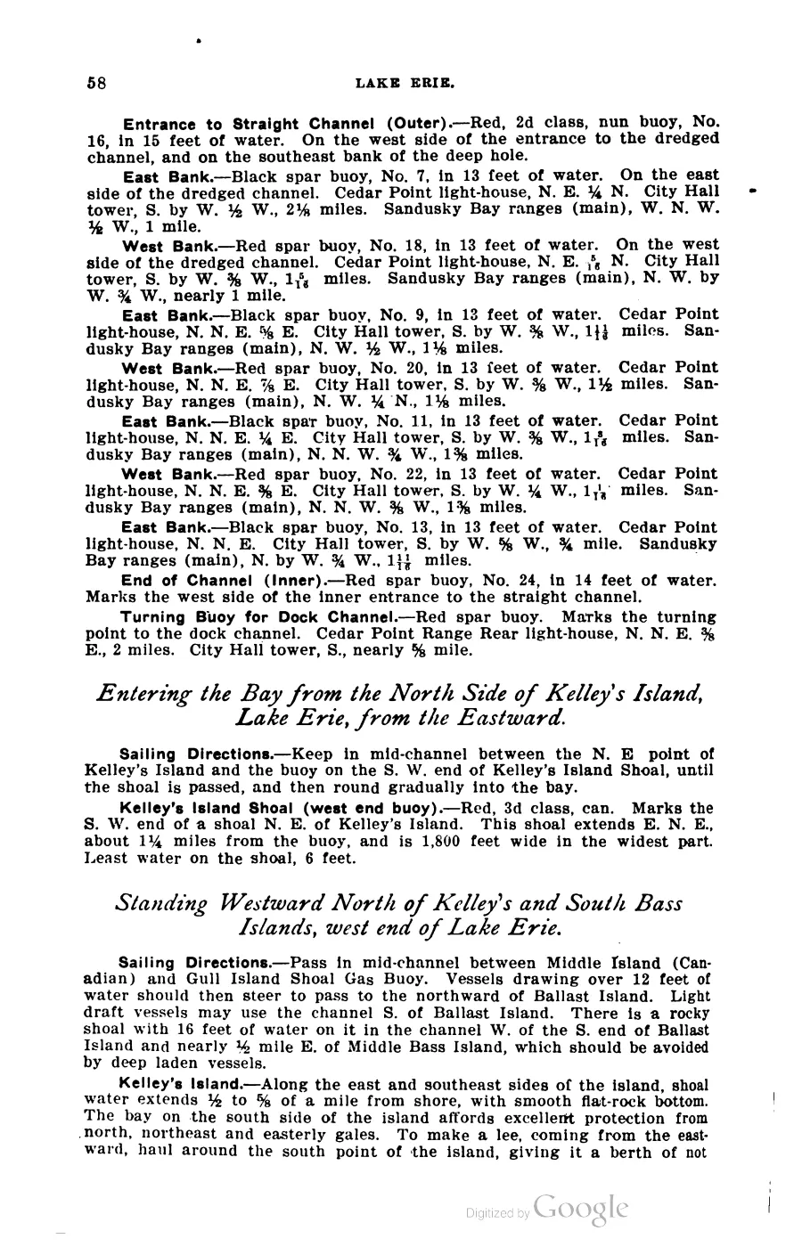
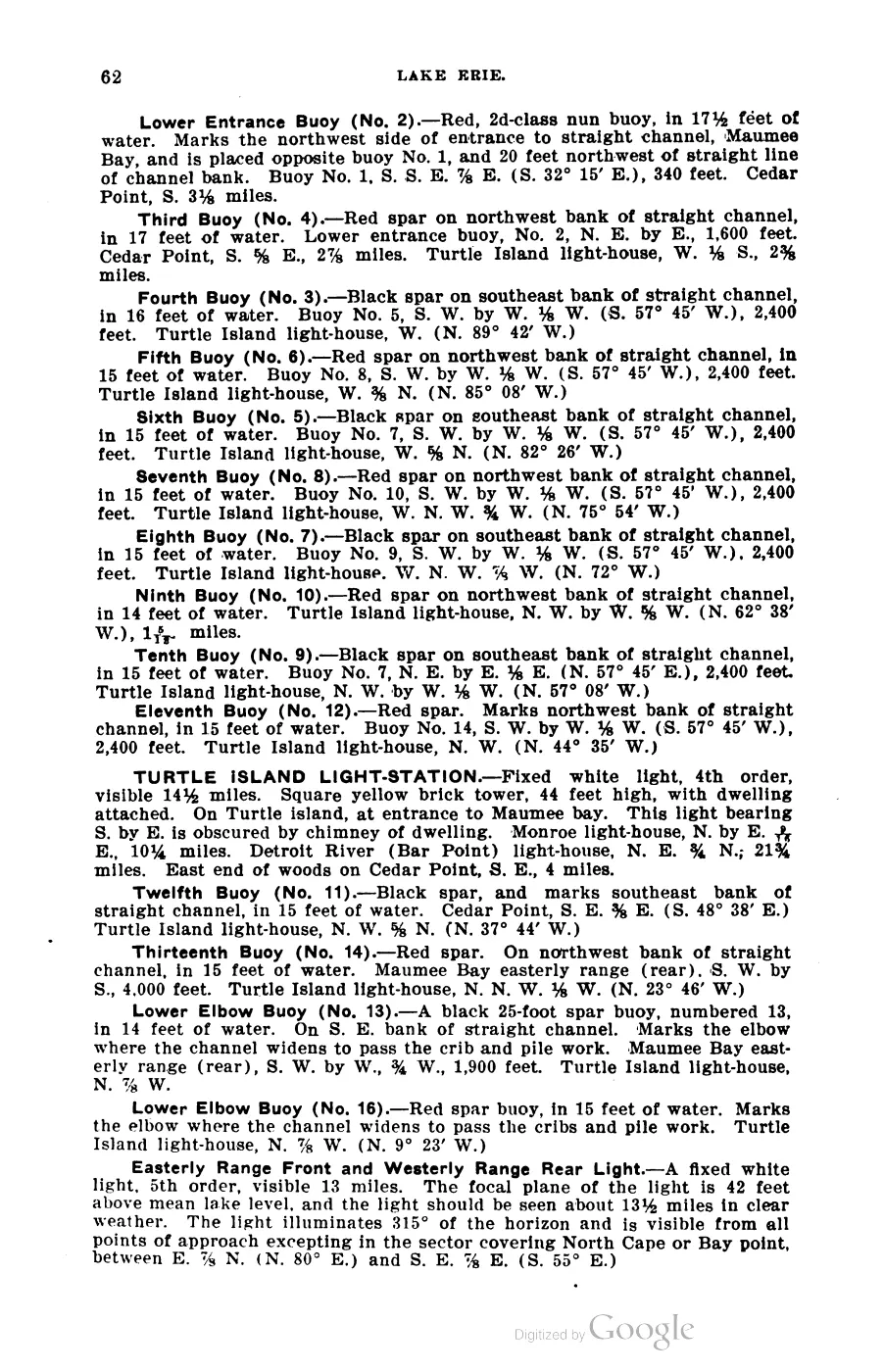
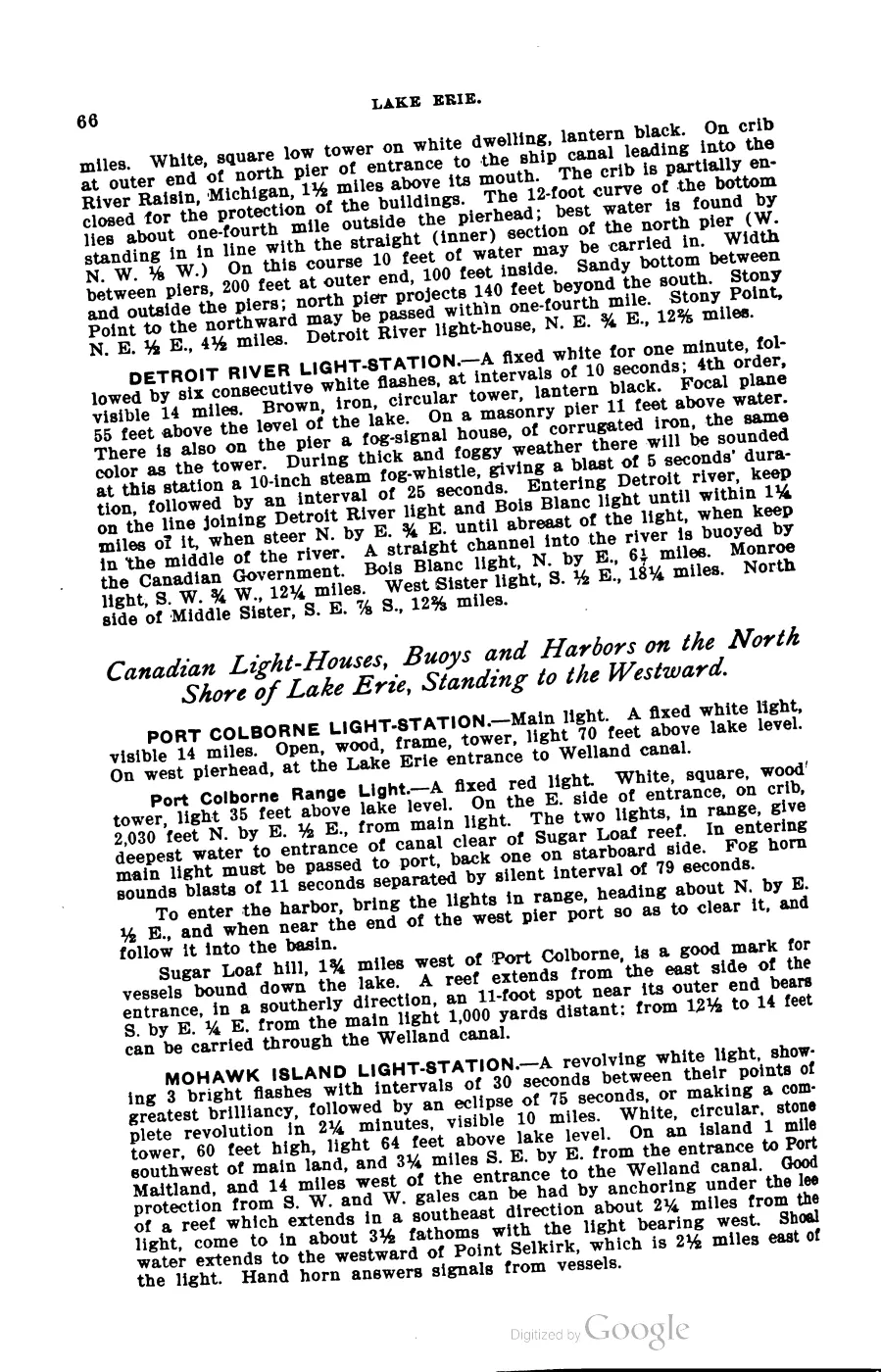
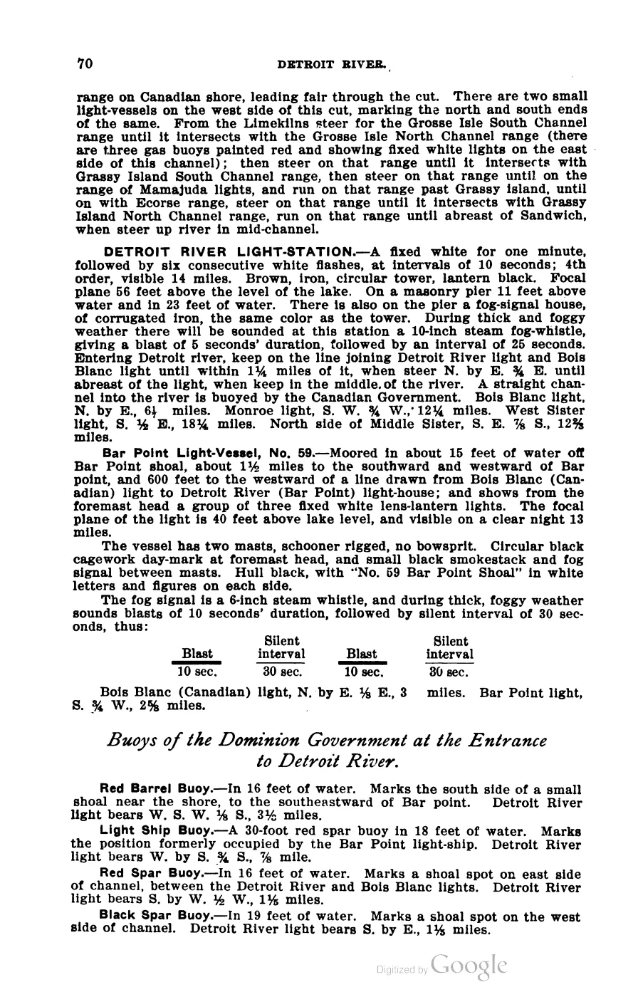
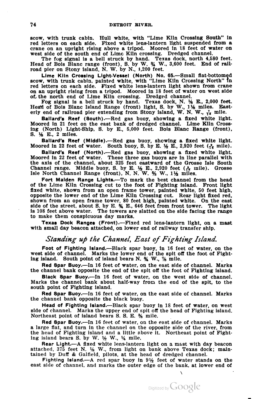
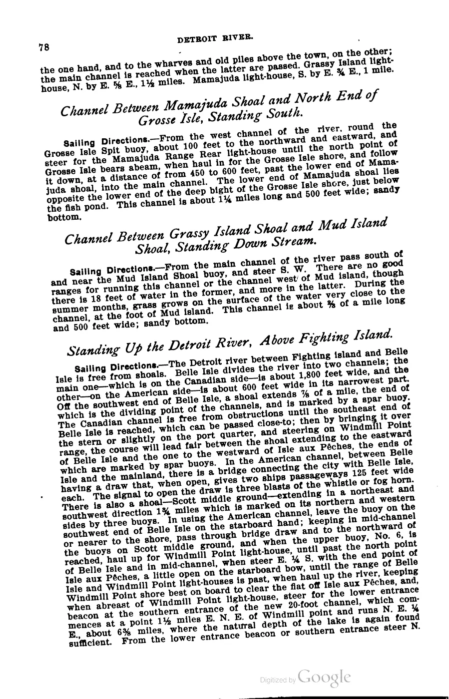
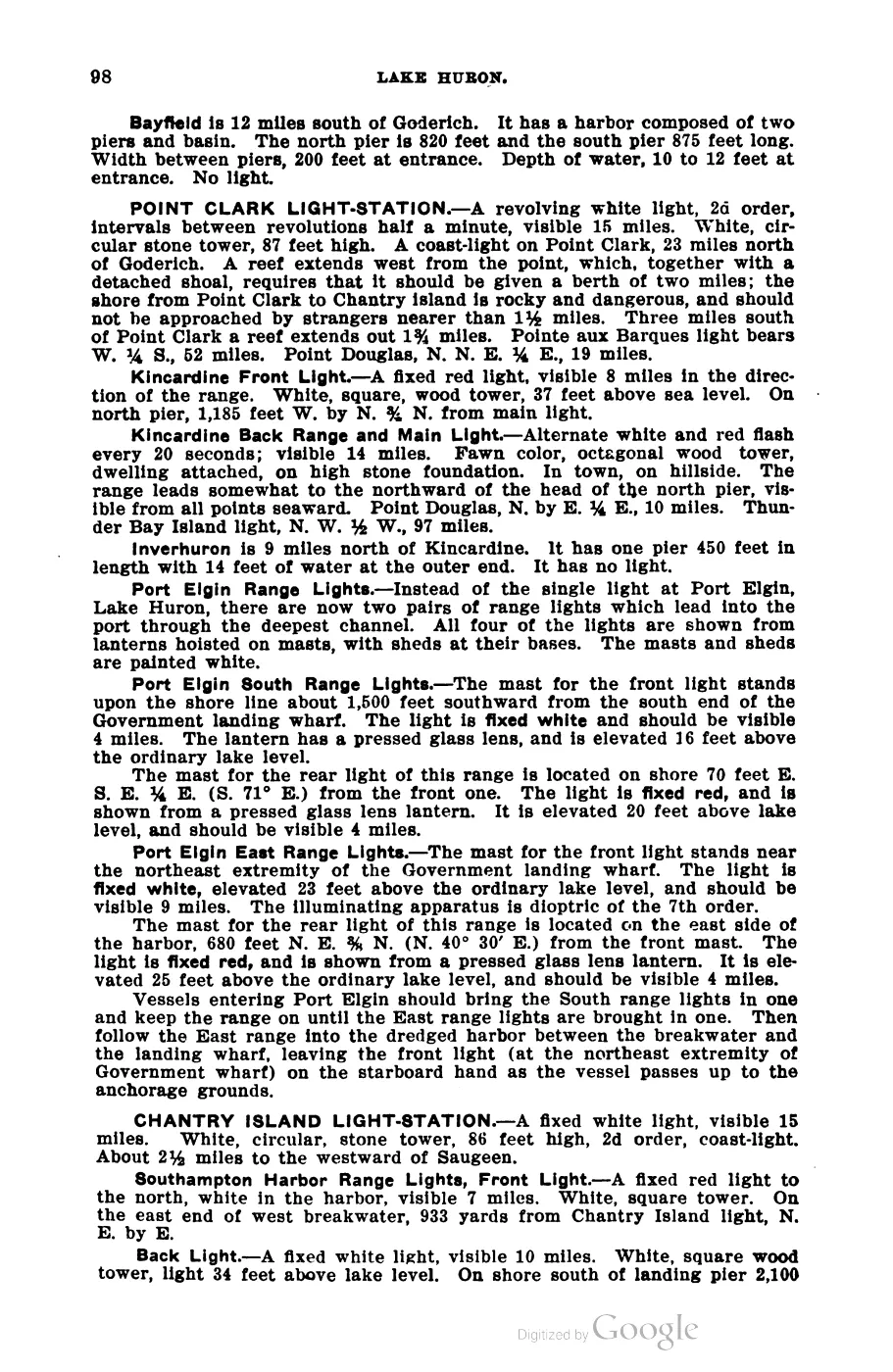
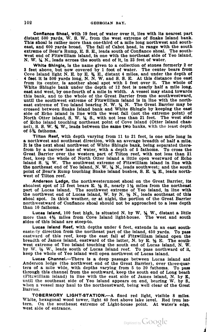
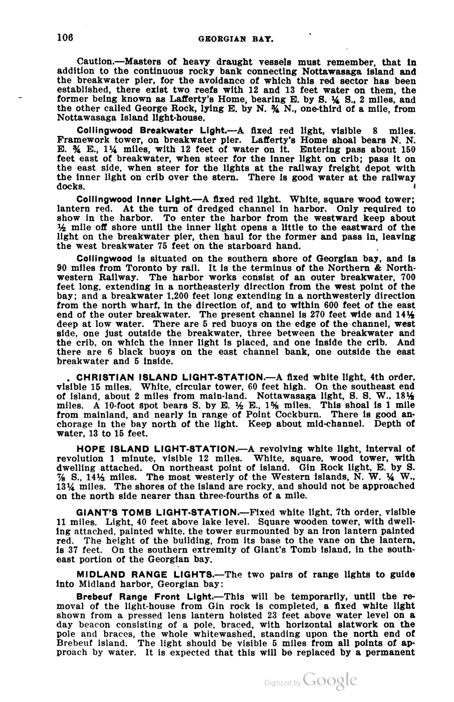
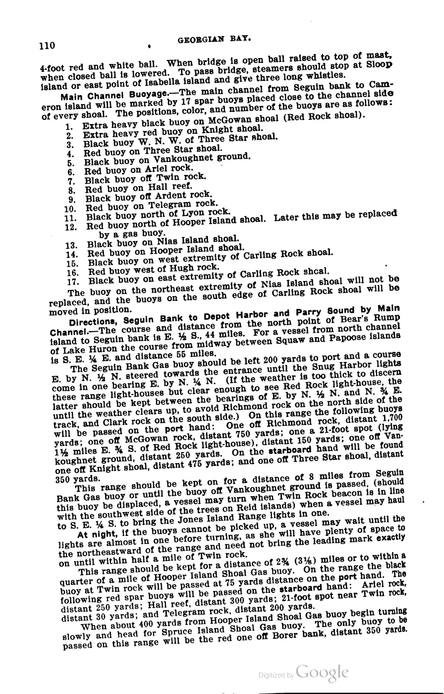
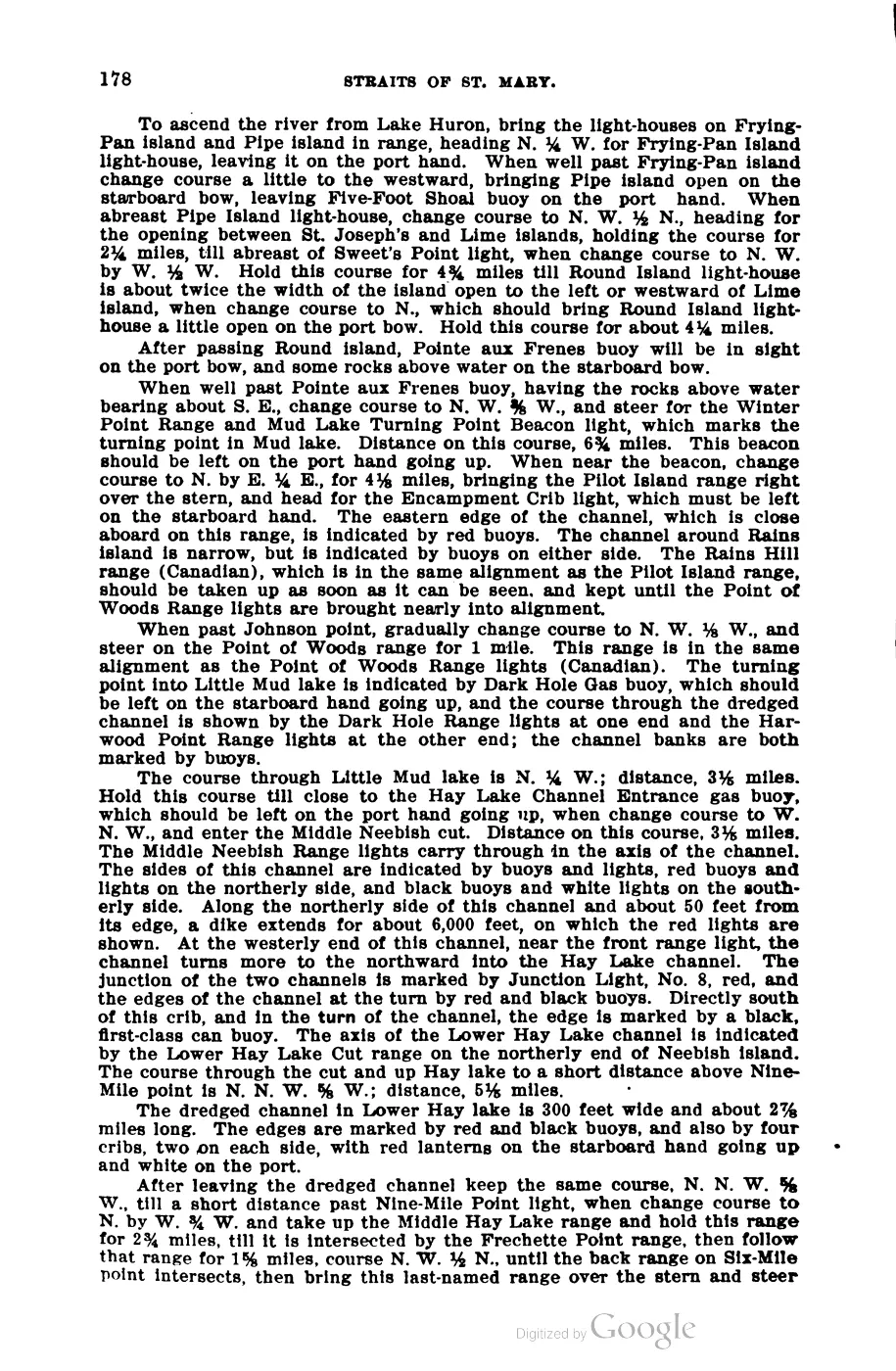
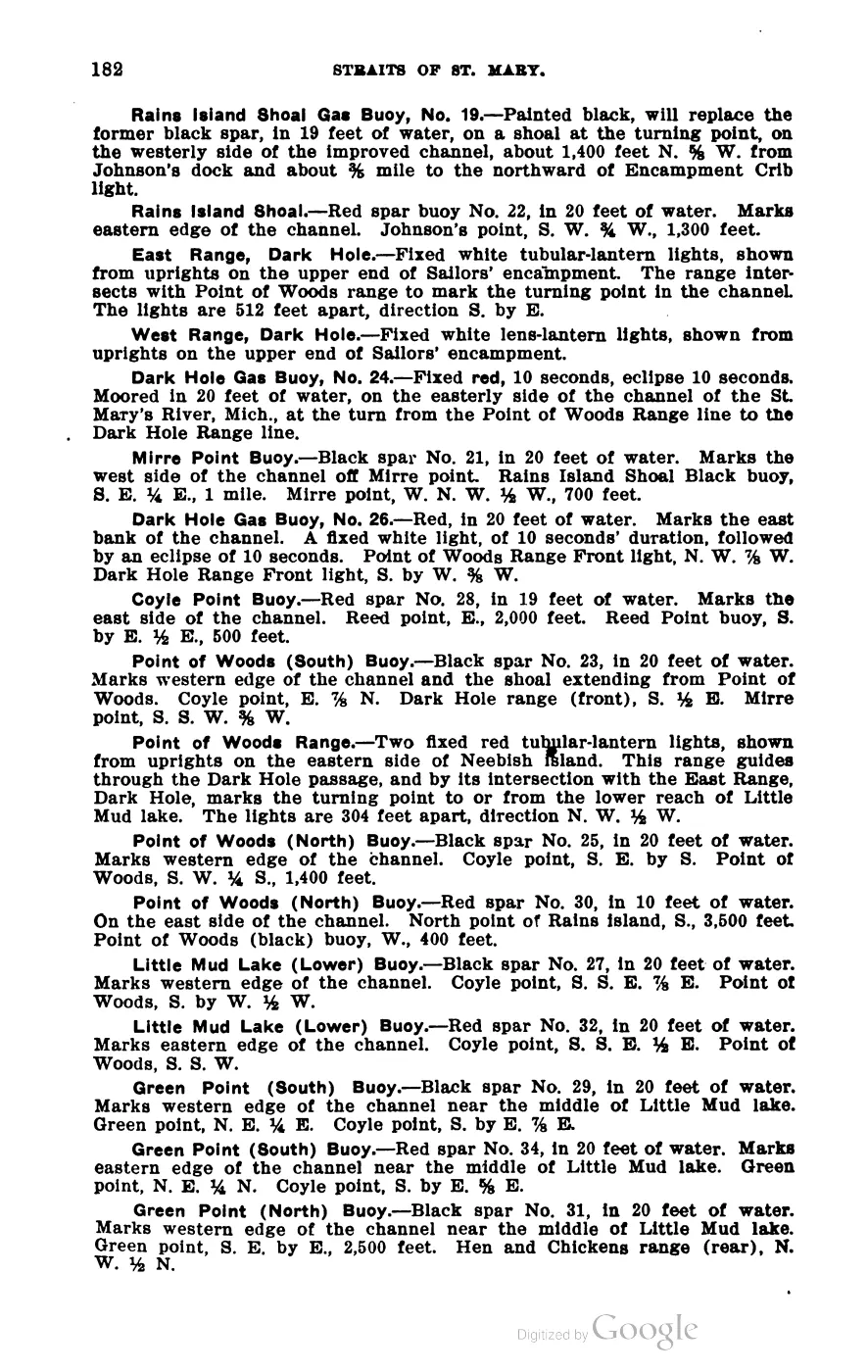
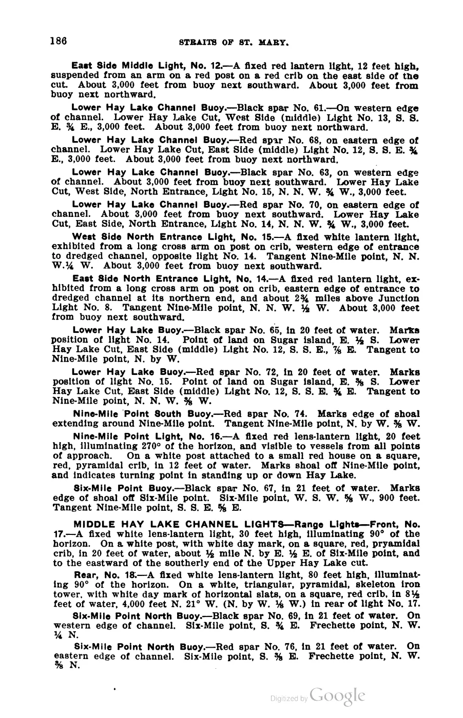
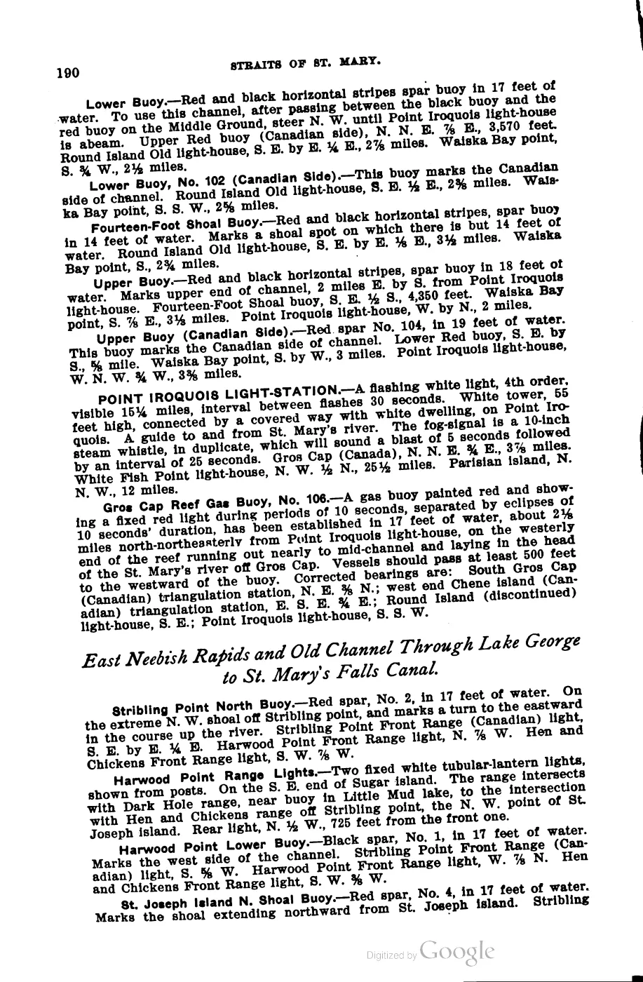
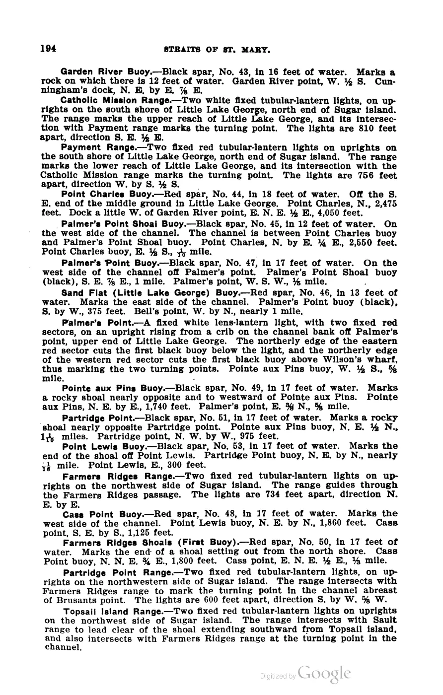
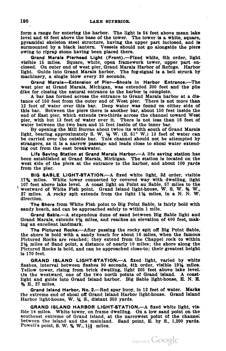
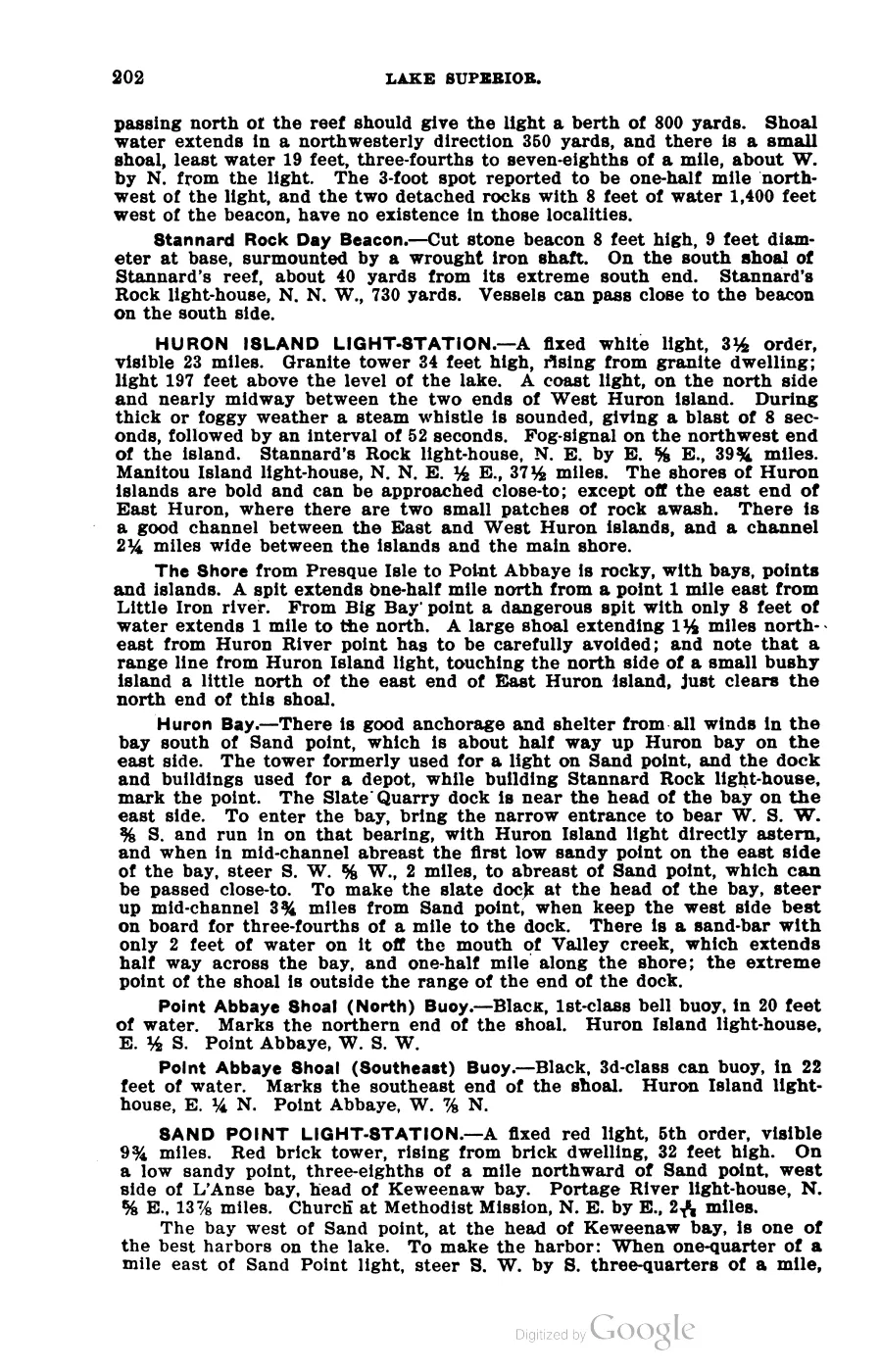
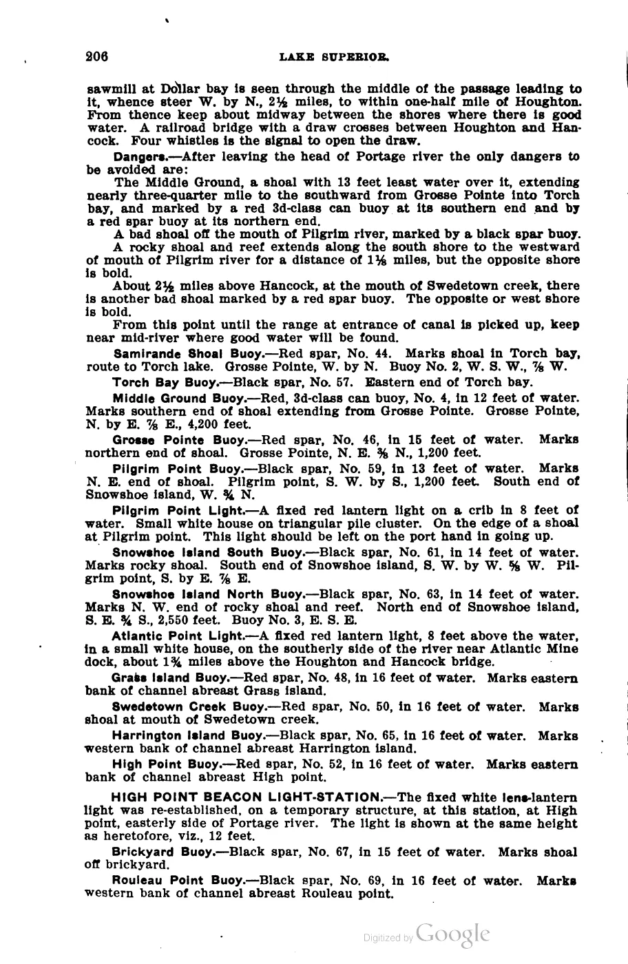
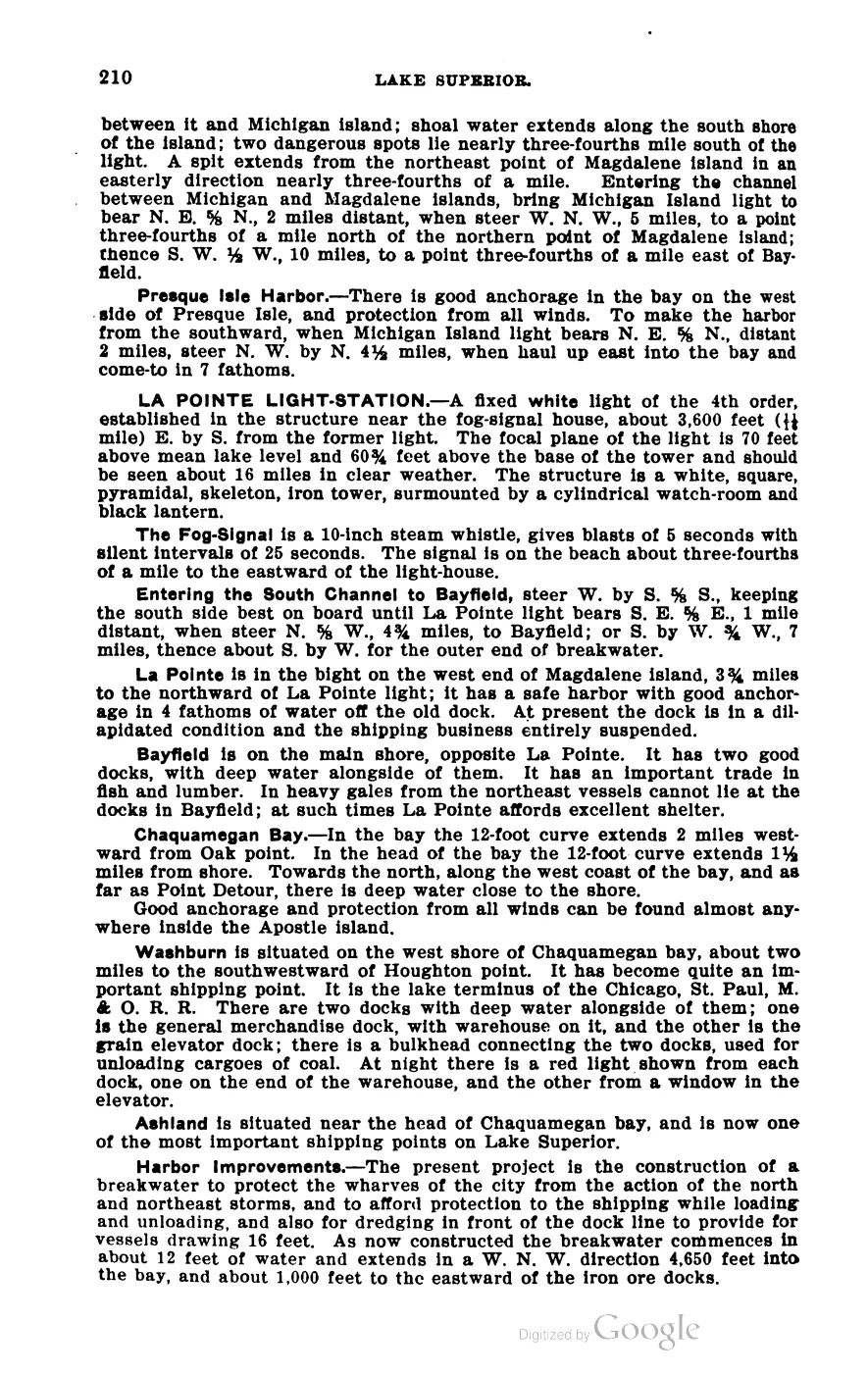
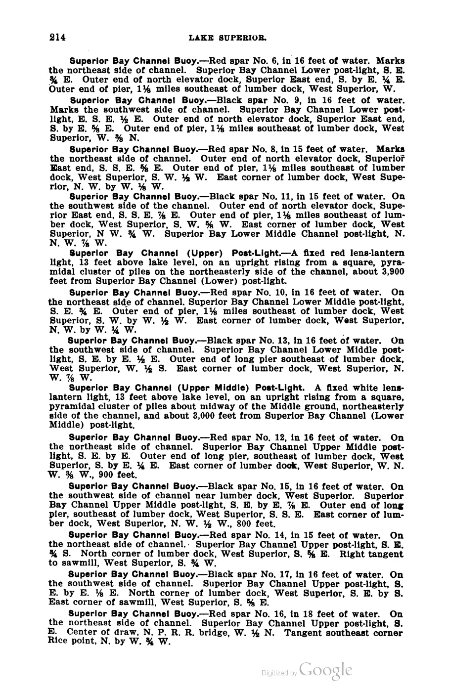
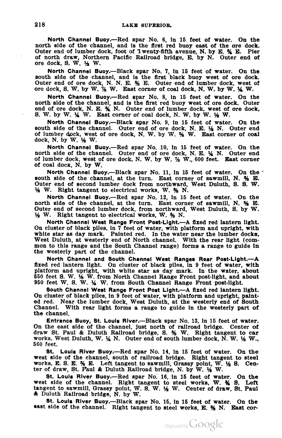
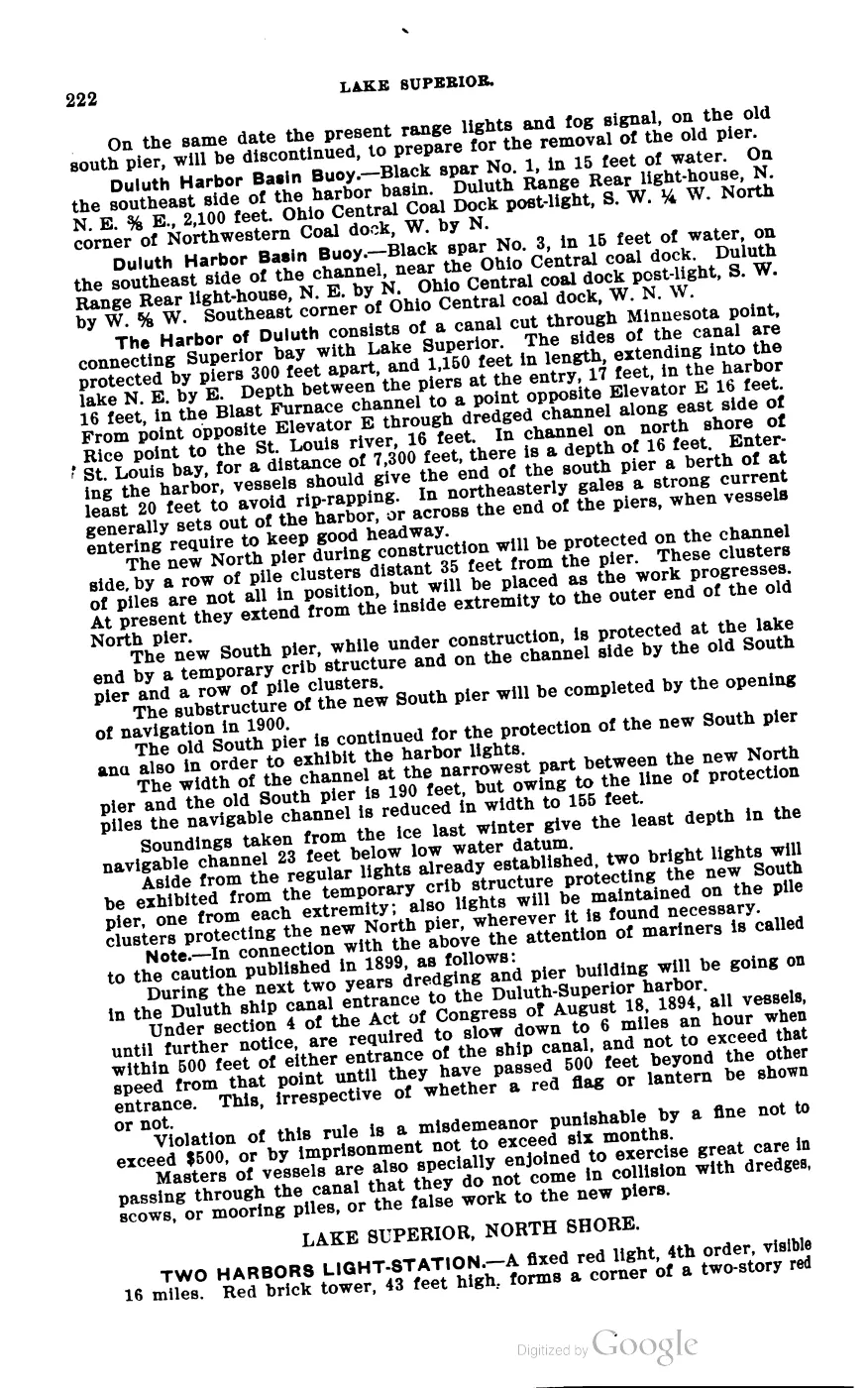
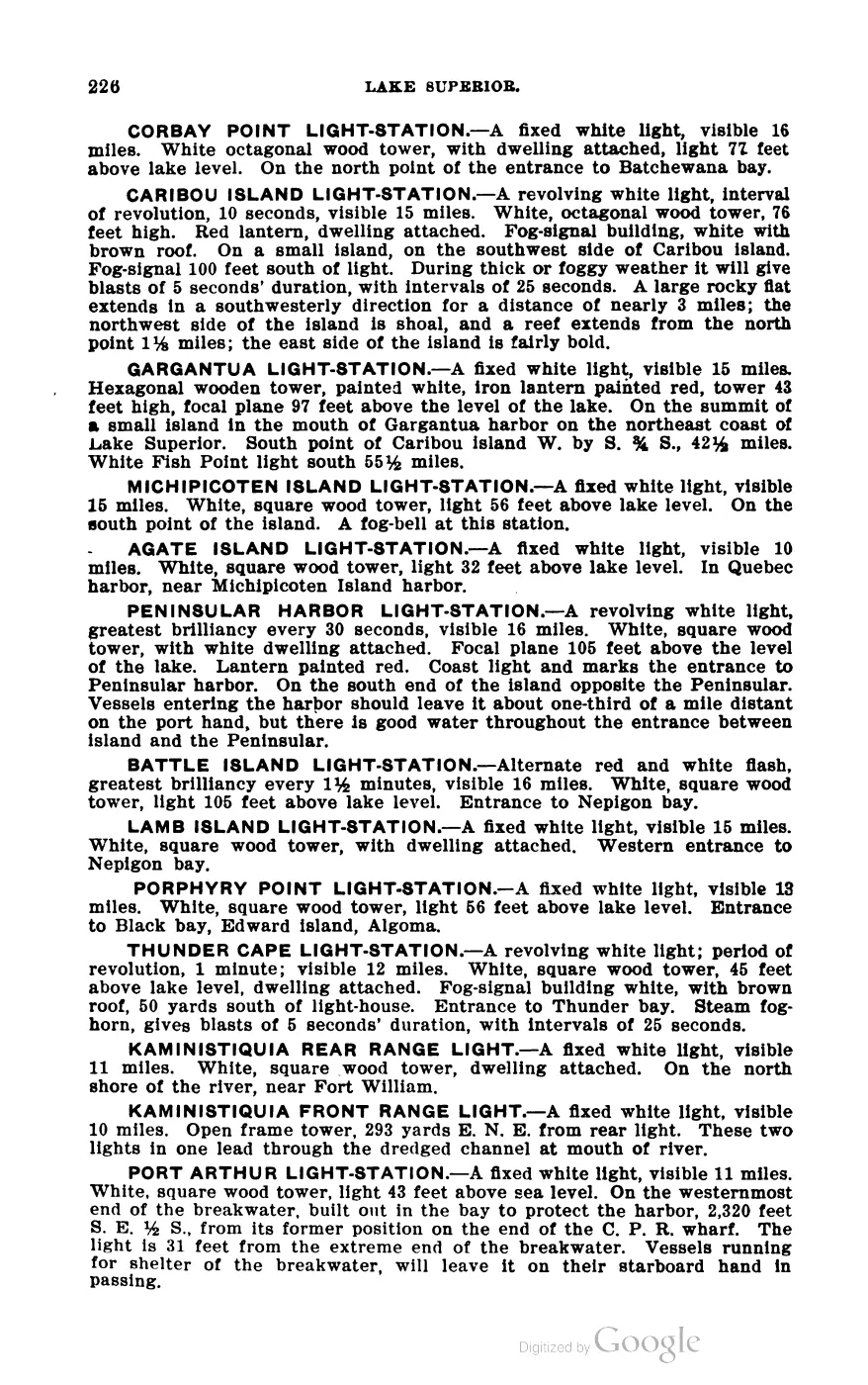
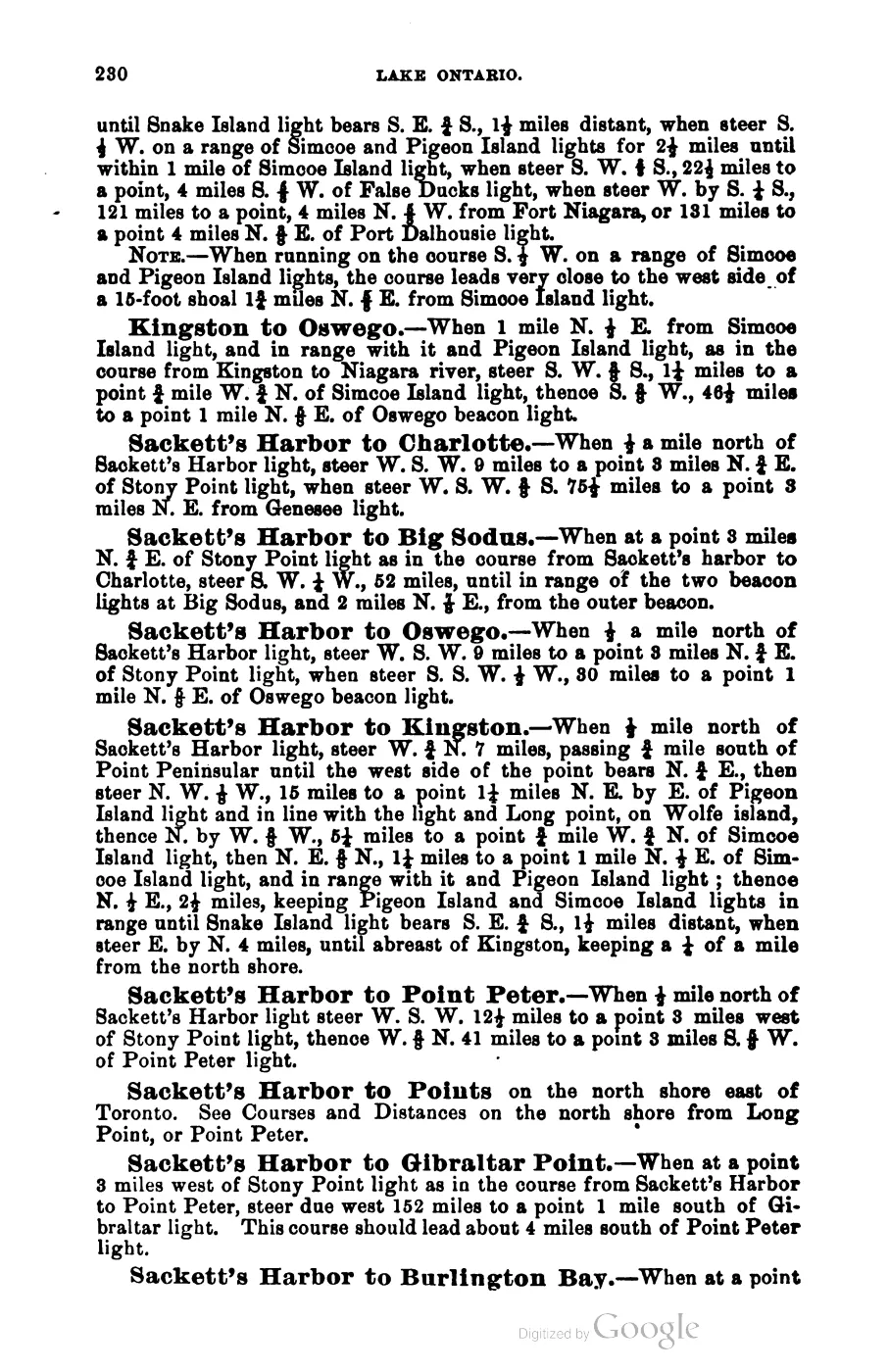
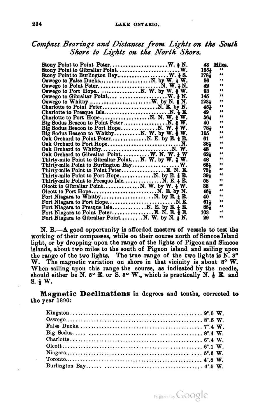
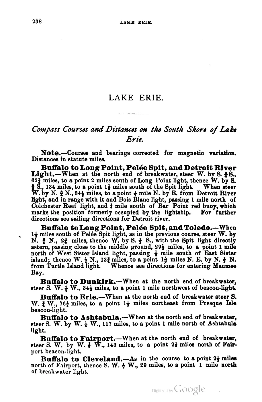
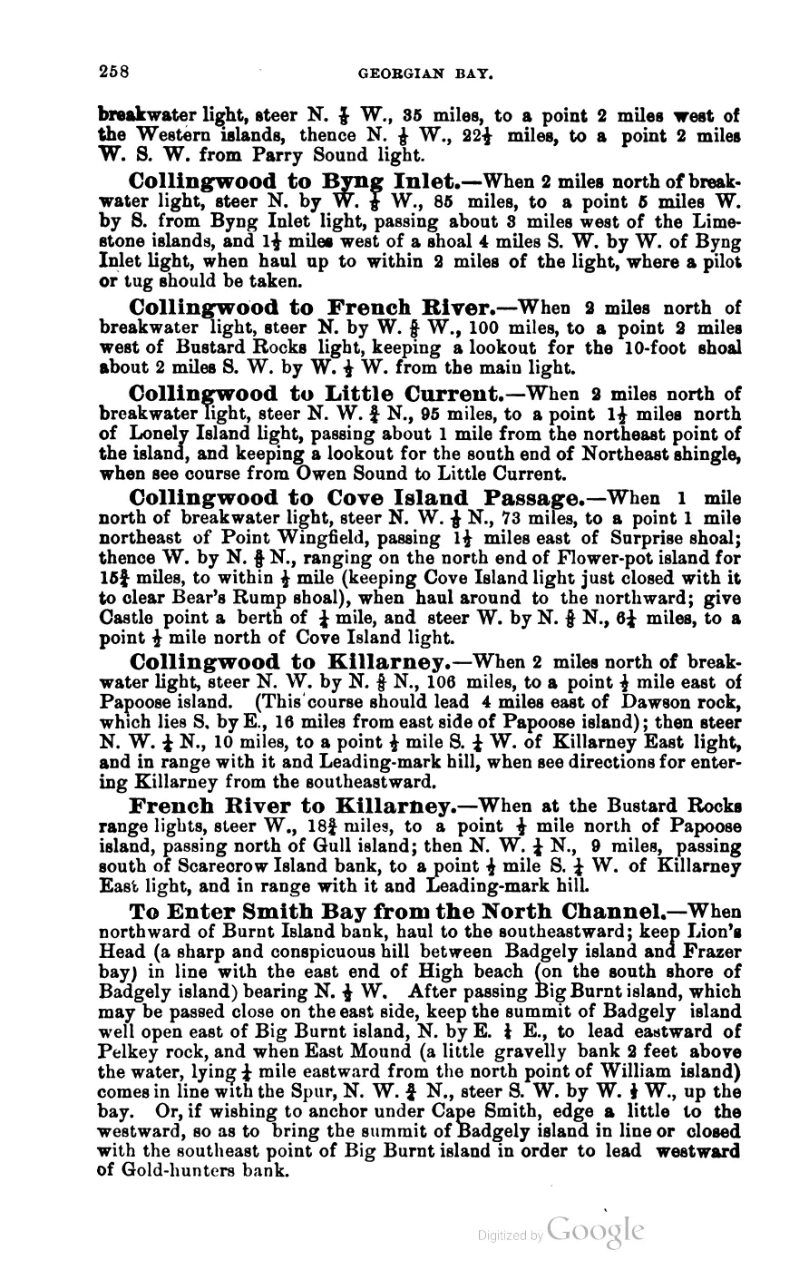
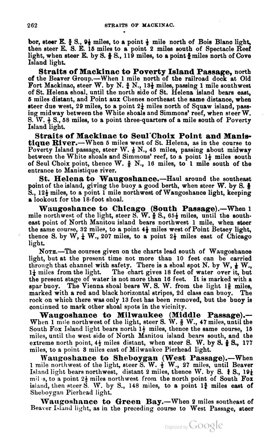
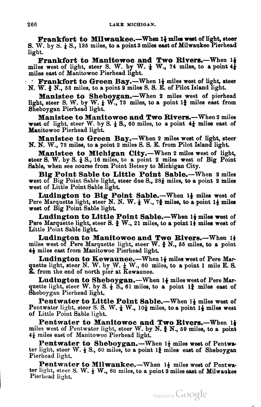
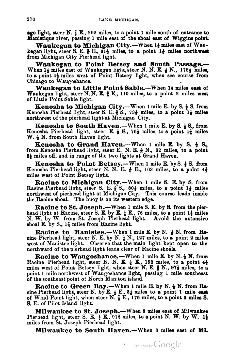
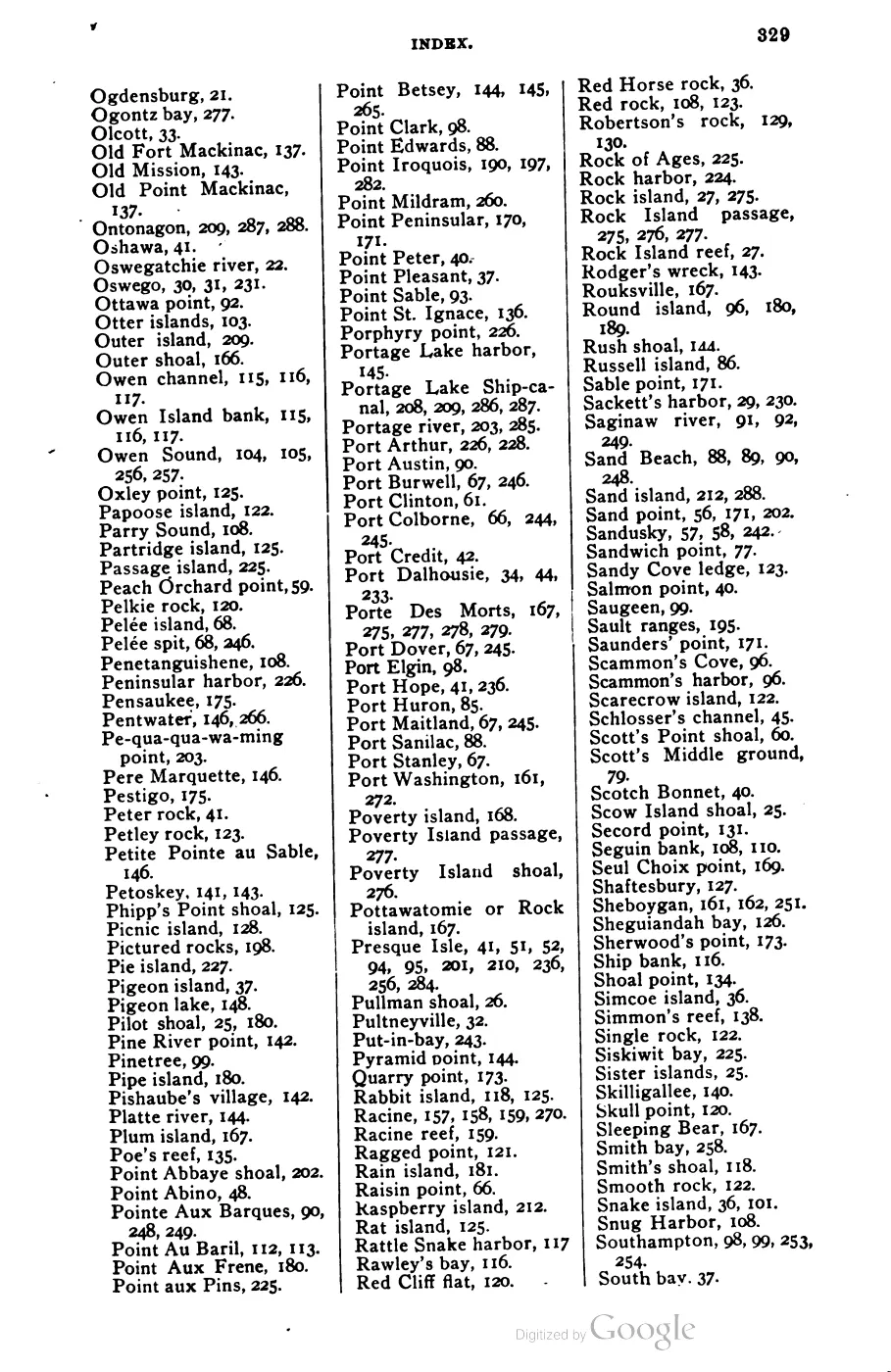
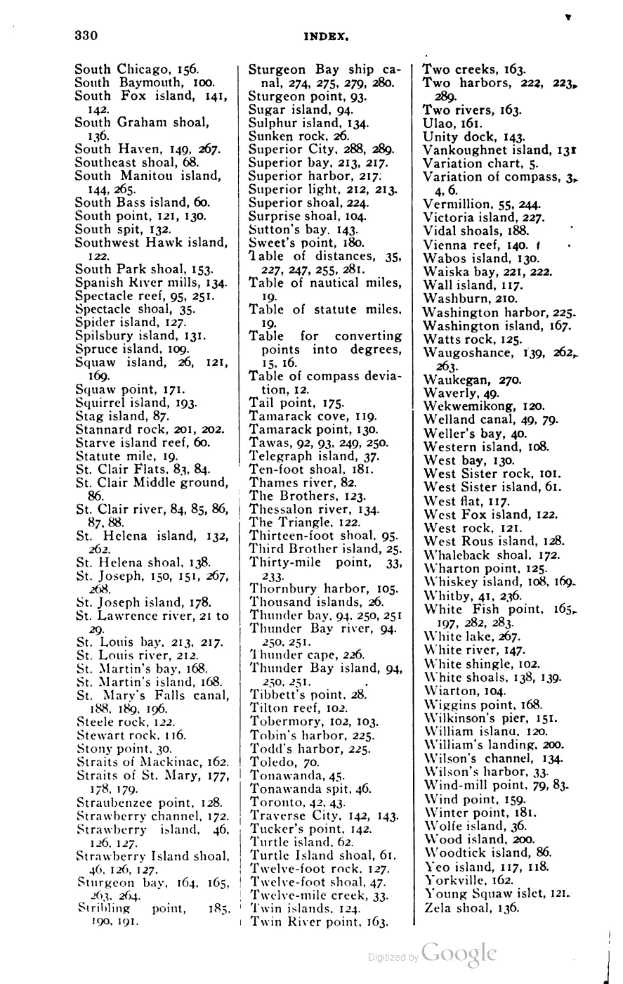




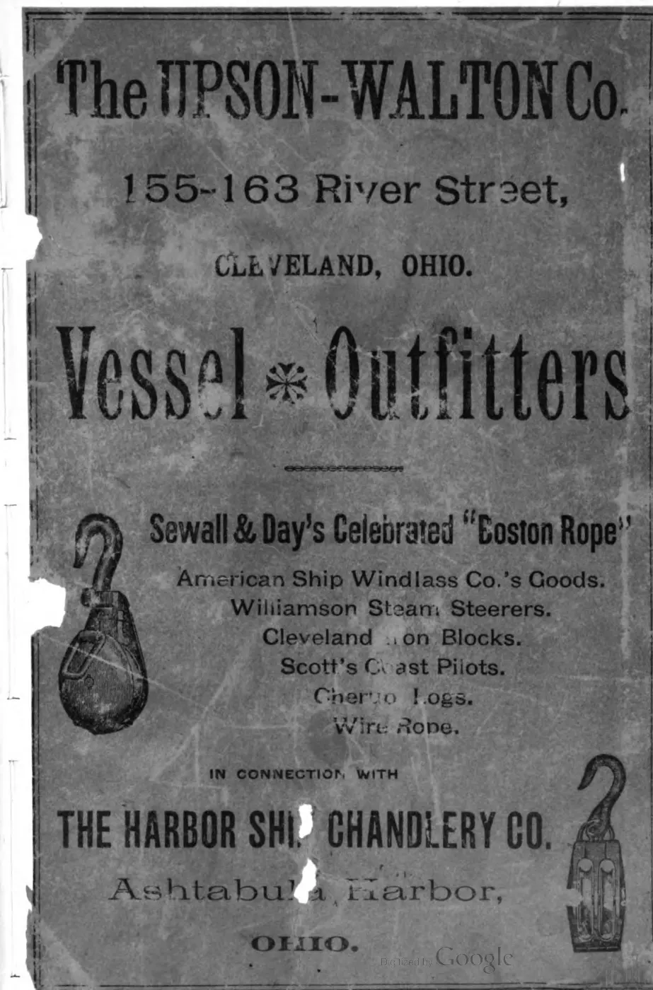


135 of 393 pages linked here — every page to 32, then every 4th, then the last 16. With JavaScript, every page.
Read the document
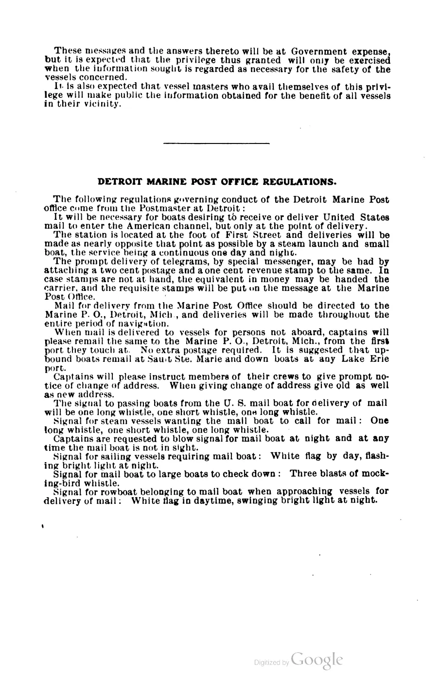
92 pages, rendered from the held scan.
Sources
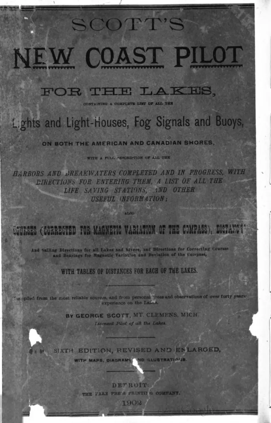
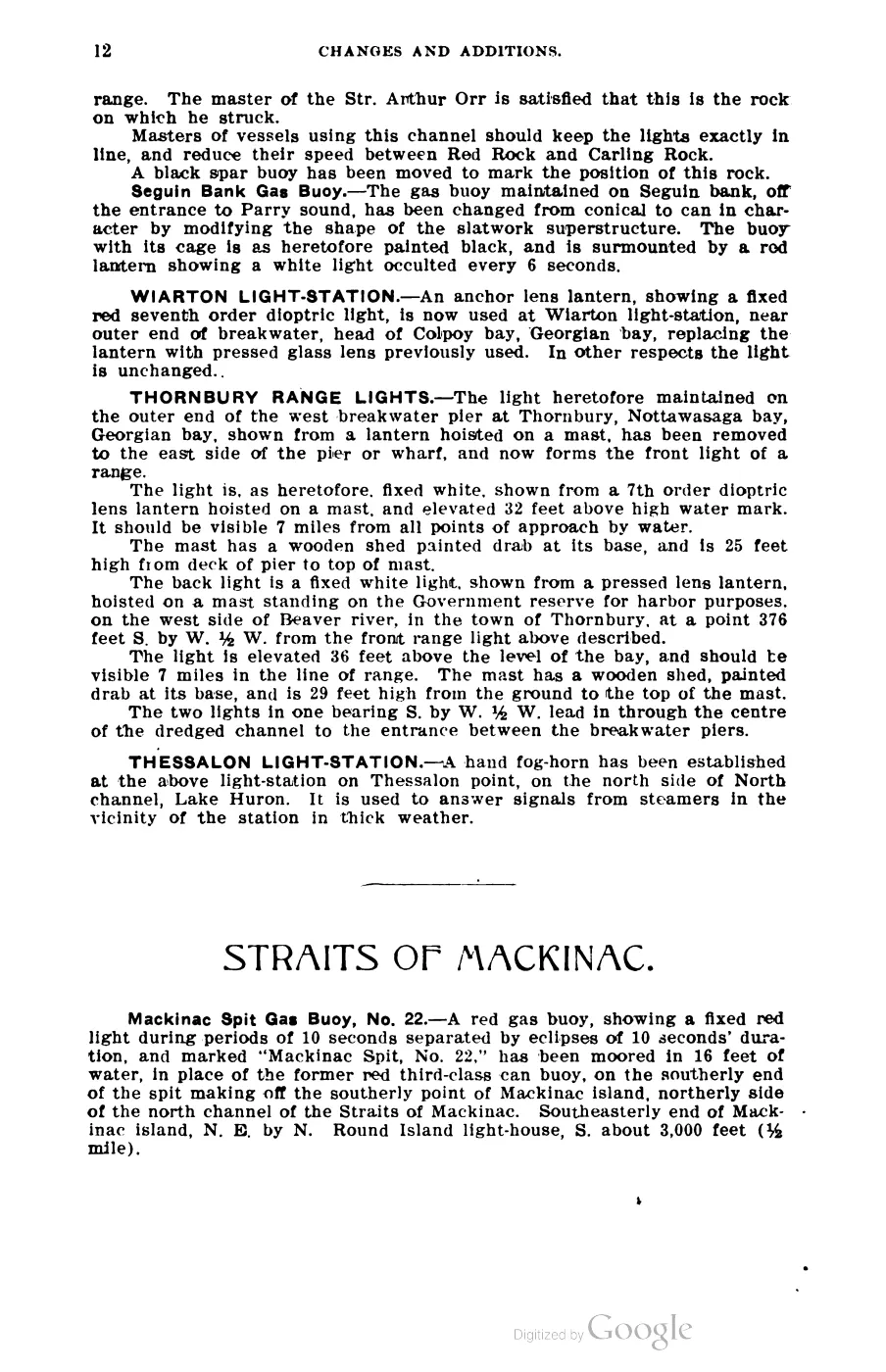
- George Scott, *Scott's New Coast Pilot for the Lakes*, 6th ed. (Detroit: Free Press Printing Company, 1902), p. 140.Described in this archive: Scott's New Coast Pilot for the Lakes.Scott describes the station in 1902 as a fixed-white, fourth-order light visible 15 miles, in a 52-foot white-brick tower connected to a white dwelling, on Skilligallee Rock (Isle aux Galets), between Beaver Island and the mainland. He calls it a guide to and from the Straits of Mackinac and reports a steam-whistle fog signal. This is a dated navigation description, not a current light list, construction record, coordinate, or complete keeper history. No public copy of this file is known; the archive holds one and can provide it on request.local_documents · 1902_scott-new-coast-pilot-for-the-lakes-6ed
- Described in this archive: NARA lighthouse-logbook inventory for South Fox Island, Iles Aux Galets, and Skilligallee.Collection-level inventory lists three Michigan logbook runs under “Iles Aux Galets,” August 1920–August 1929, September 1929–November 1939, and December 1939–July 1942. It does not reproduce the logbooks, identify their daily contents or keepers, establish uninterrupted operation, or provide current status.research · lighthouse_logbooks · sources · nara_lighthouse_logbooks
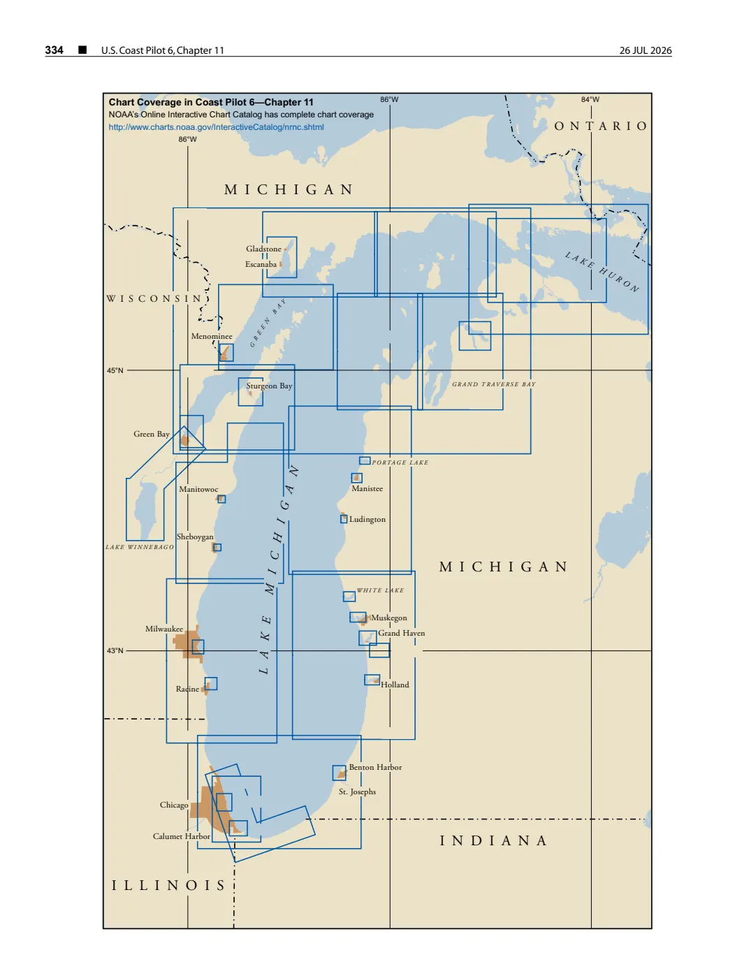
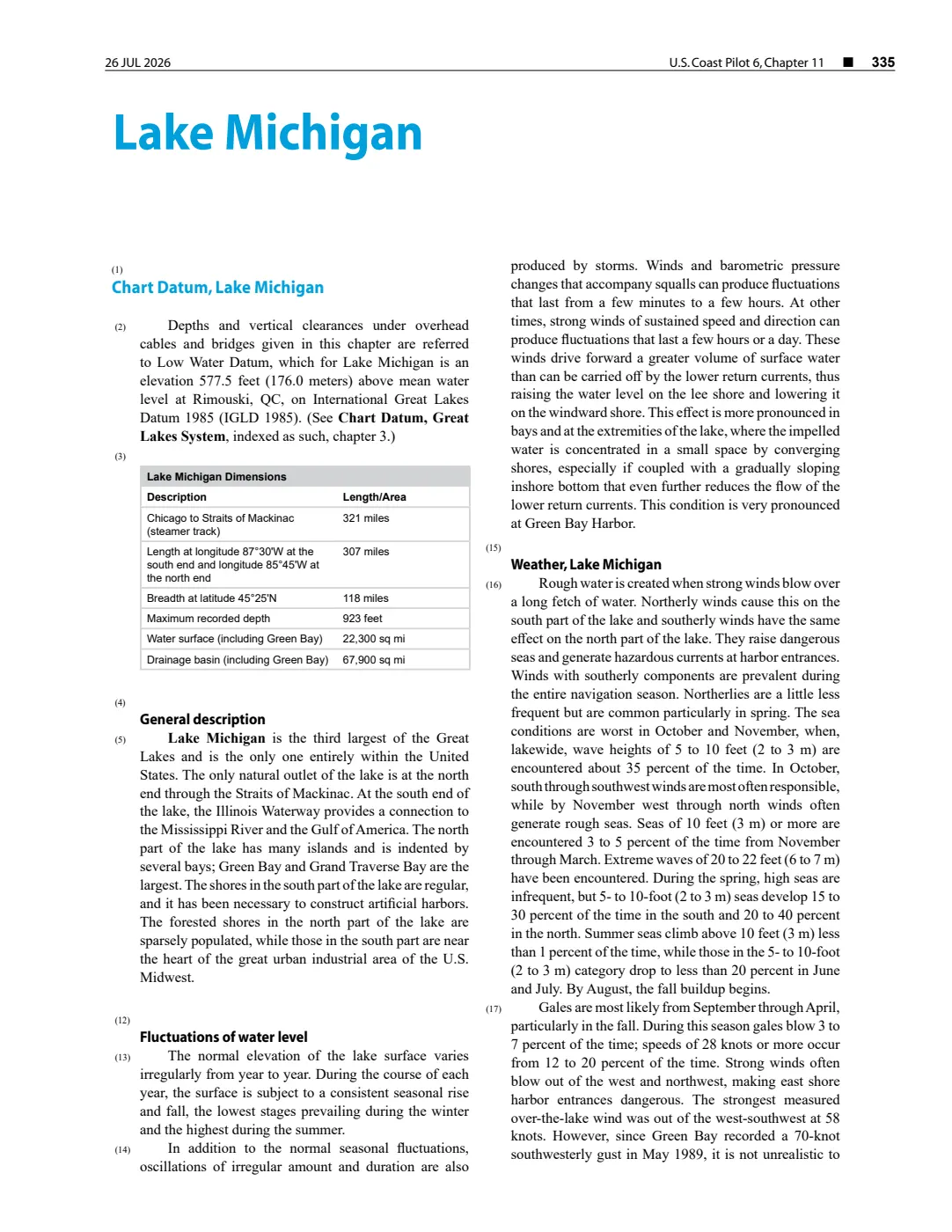
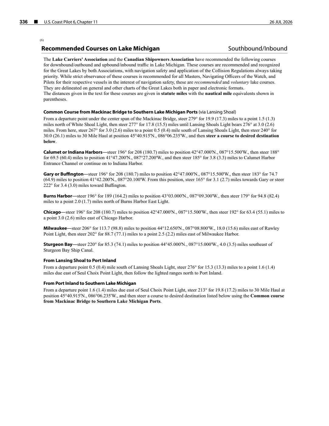
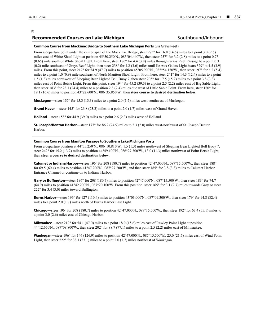
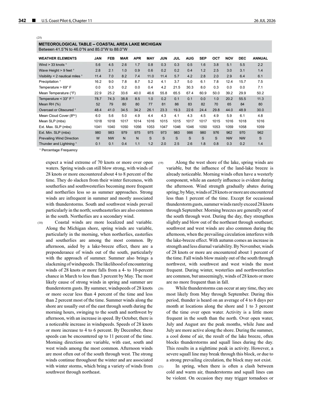
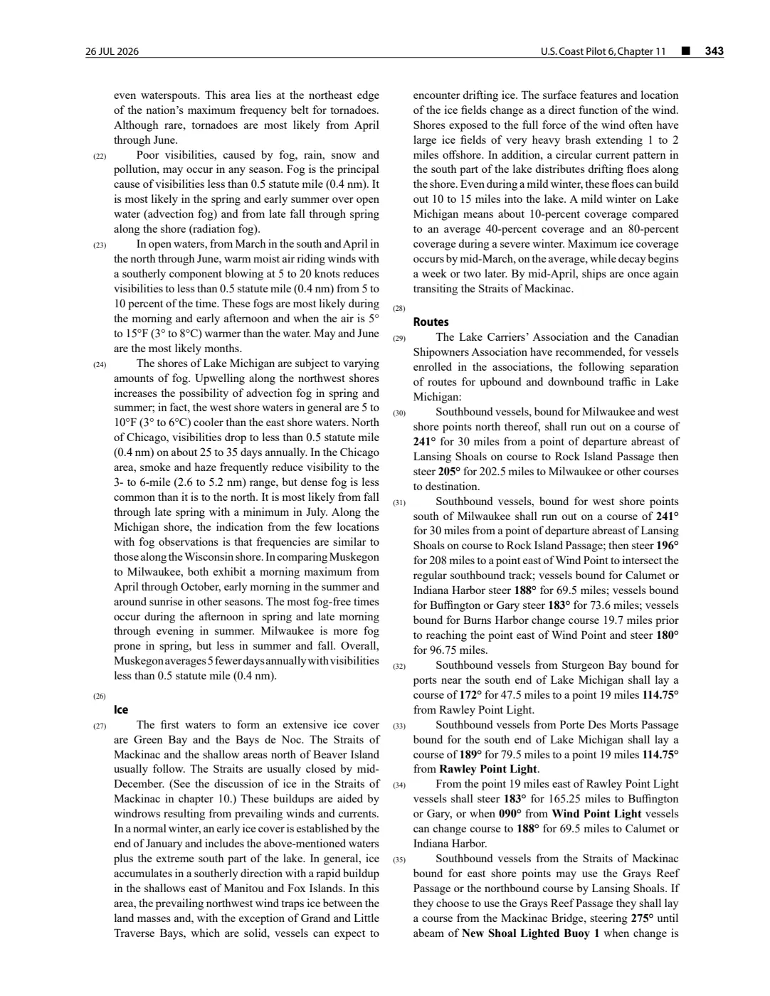
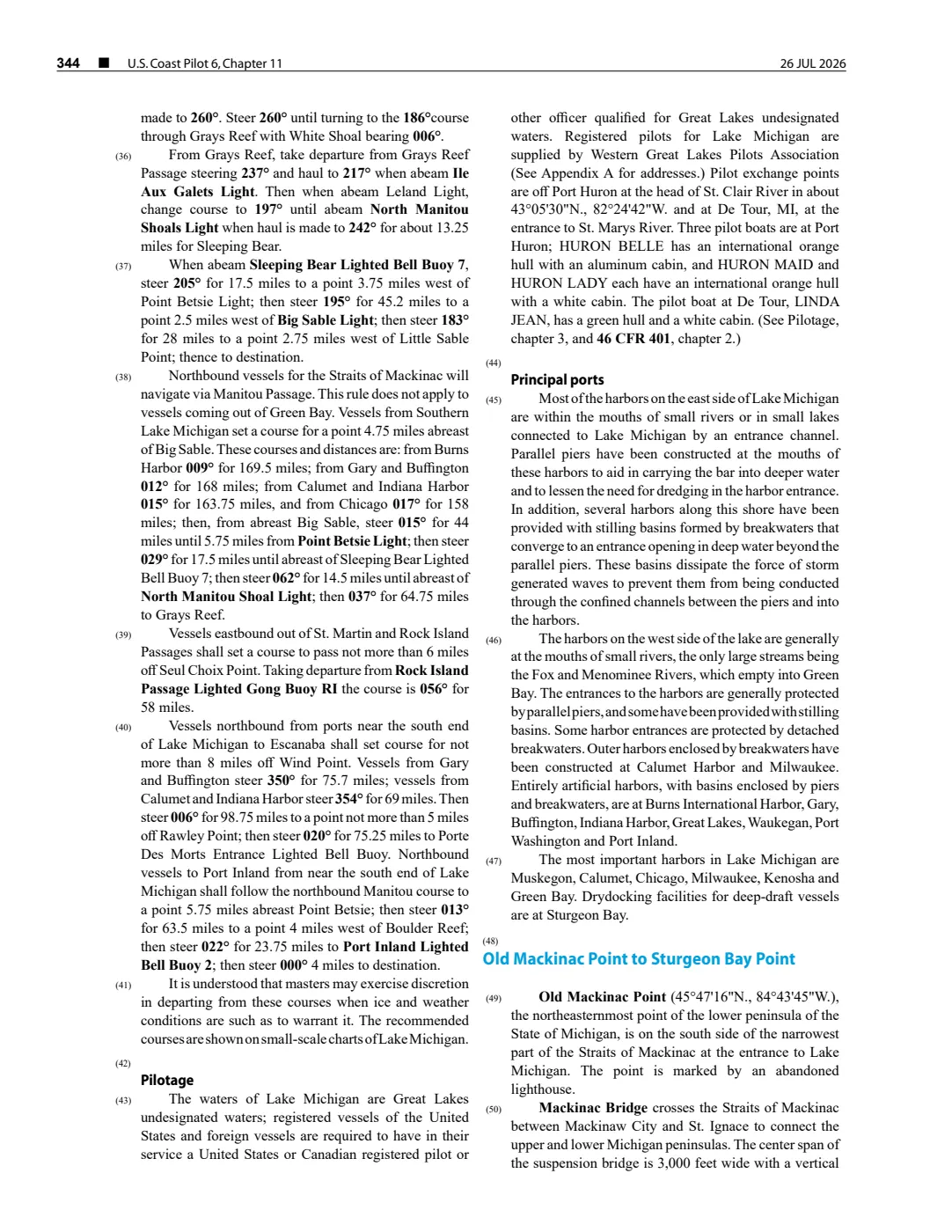
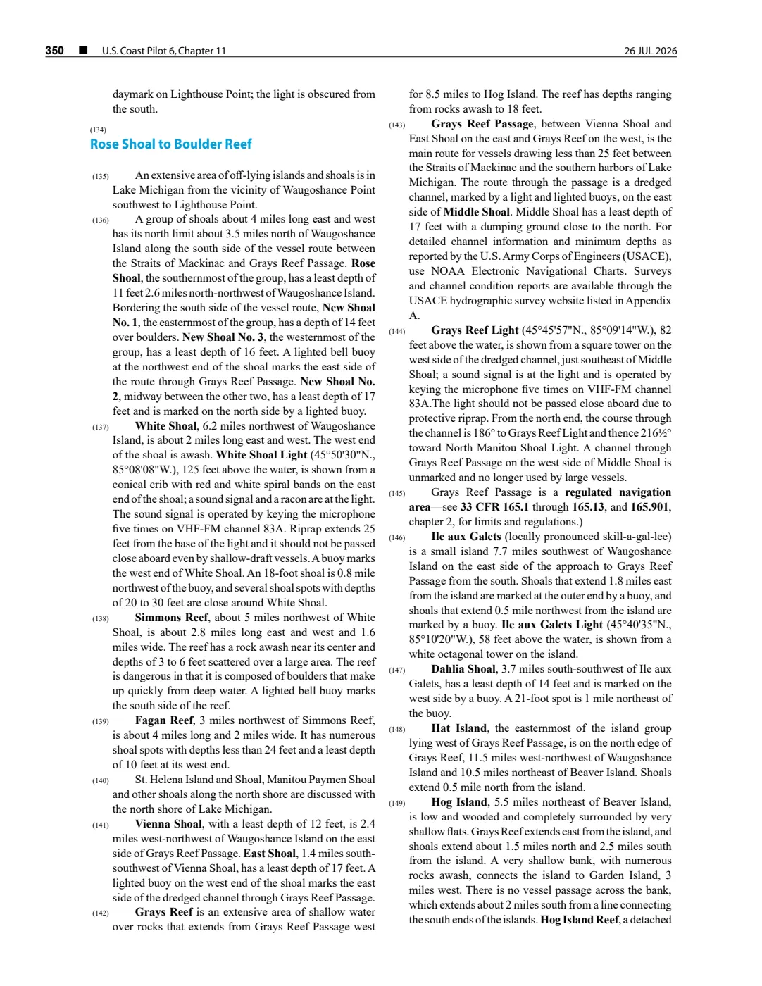
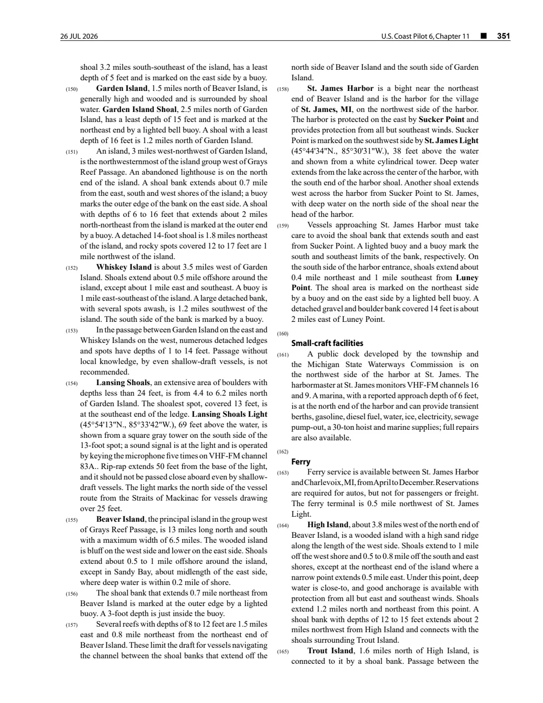
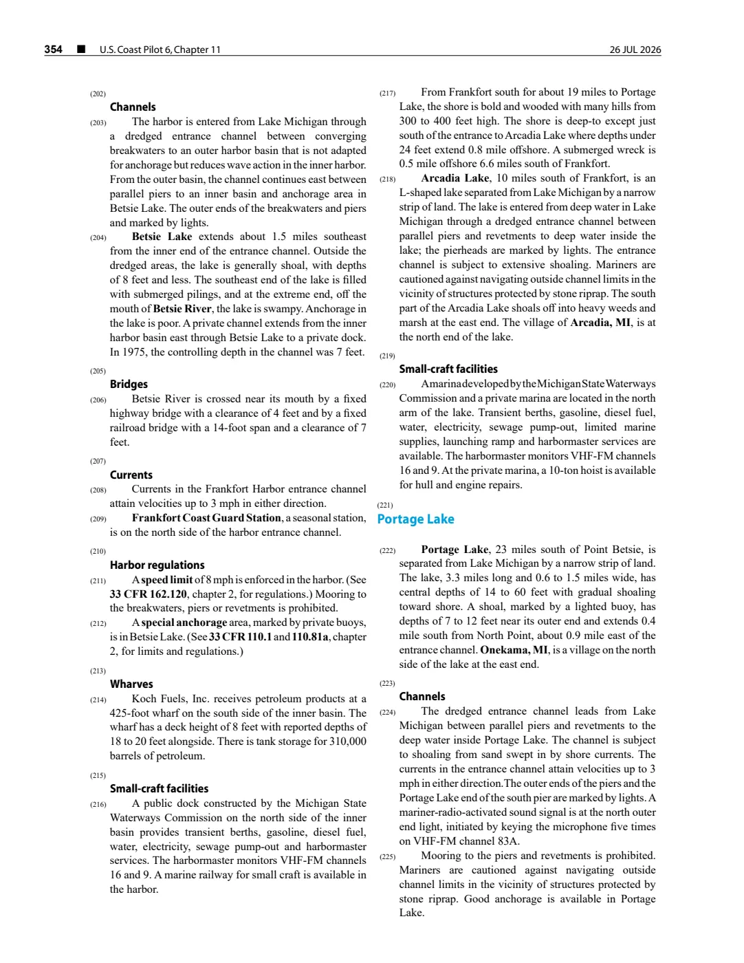
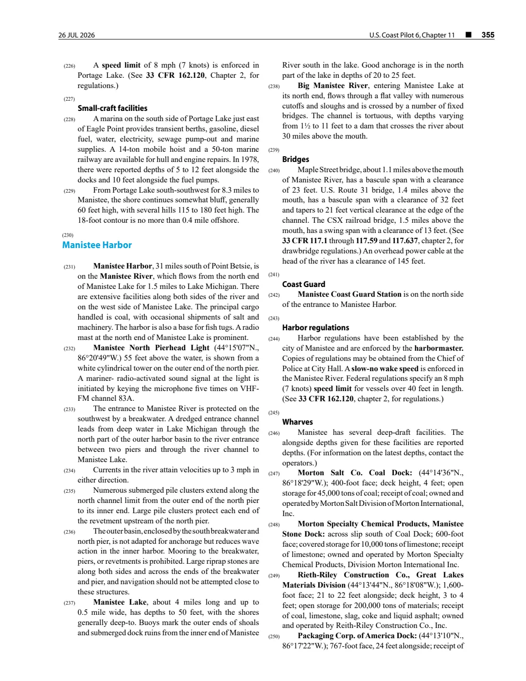
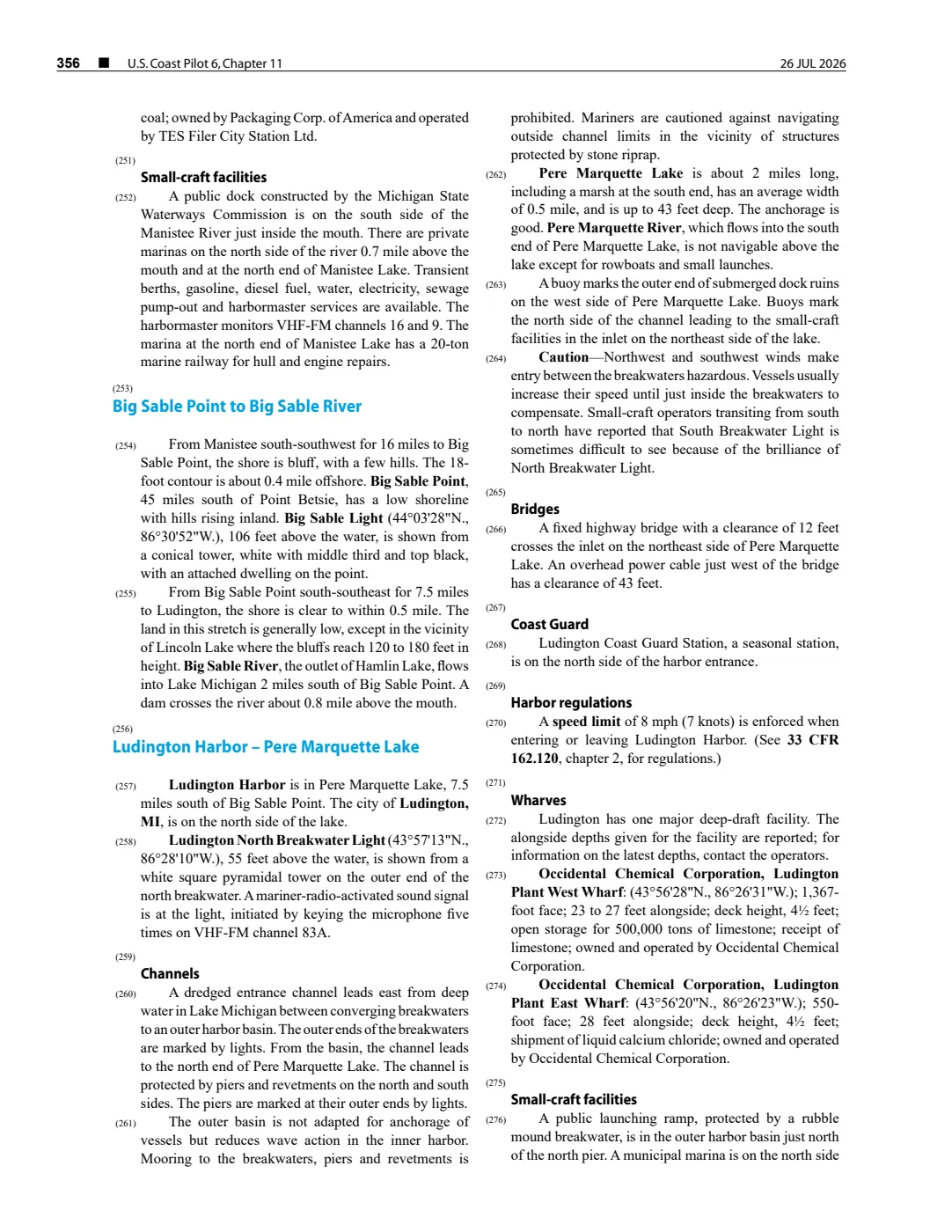
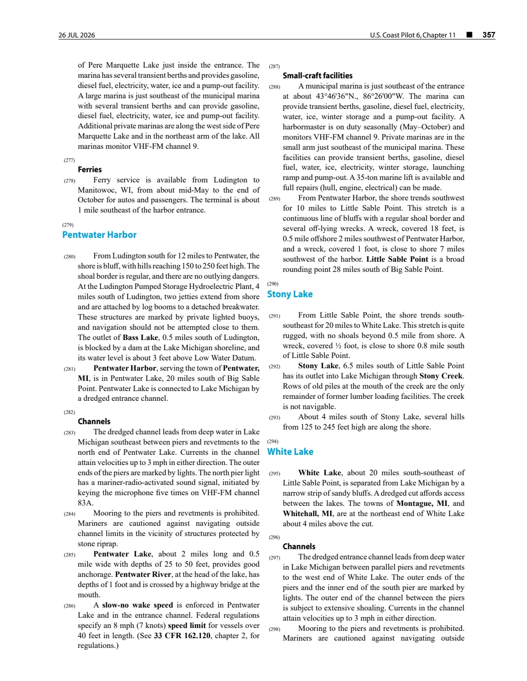
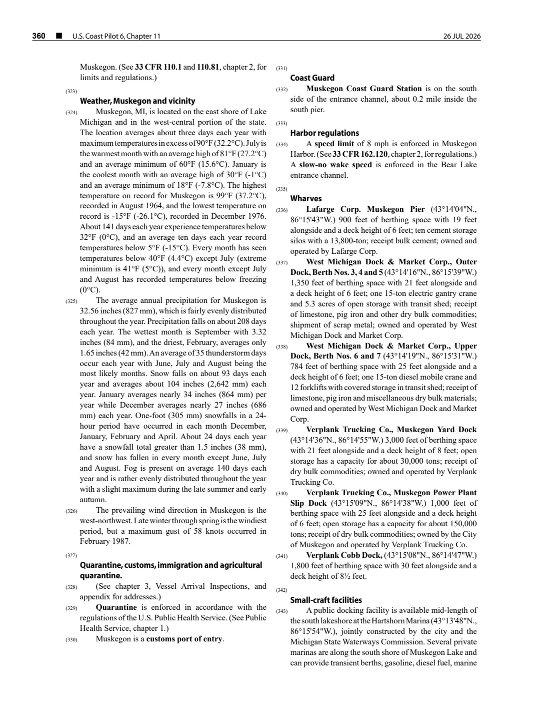
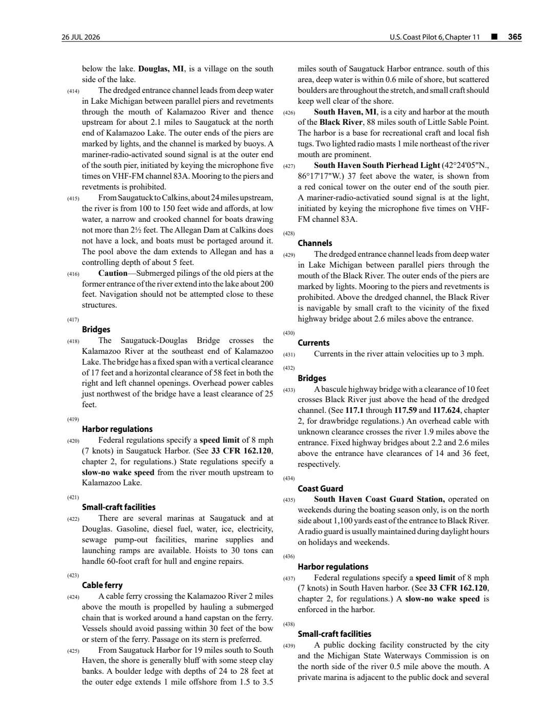
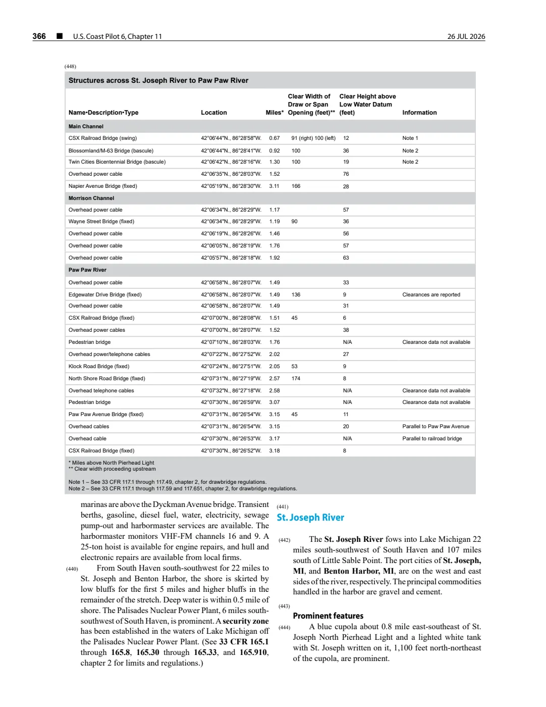
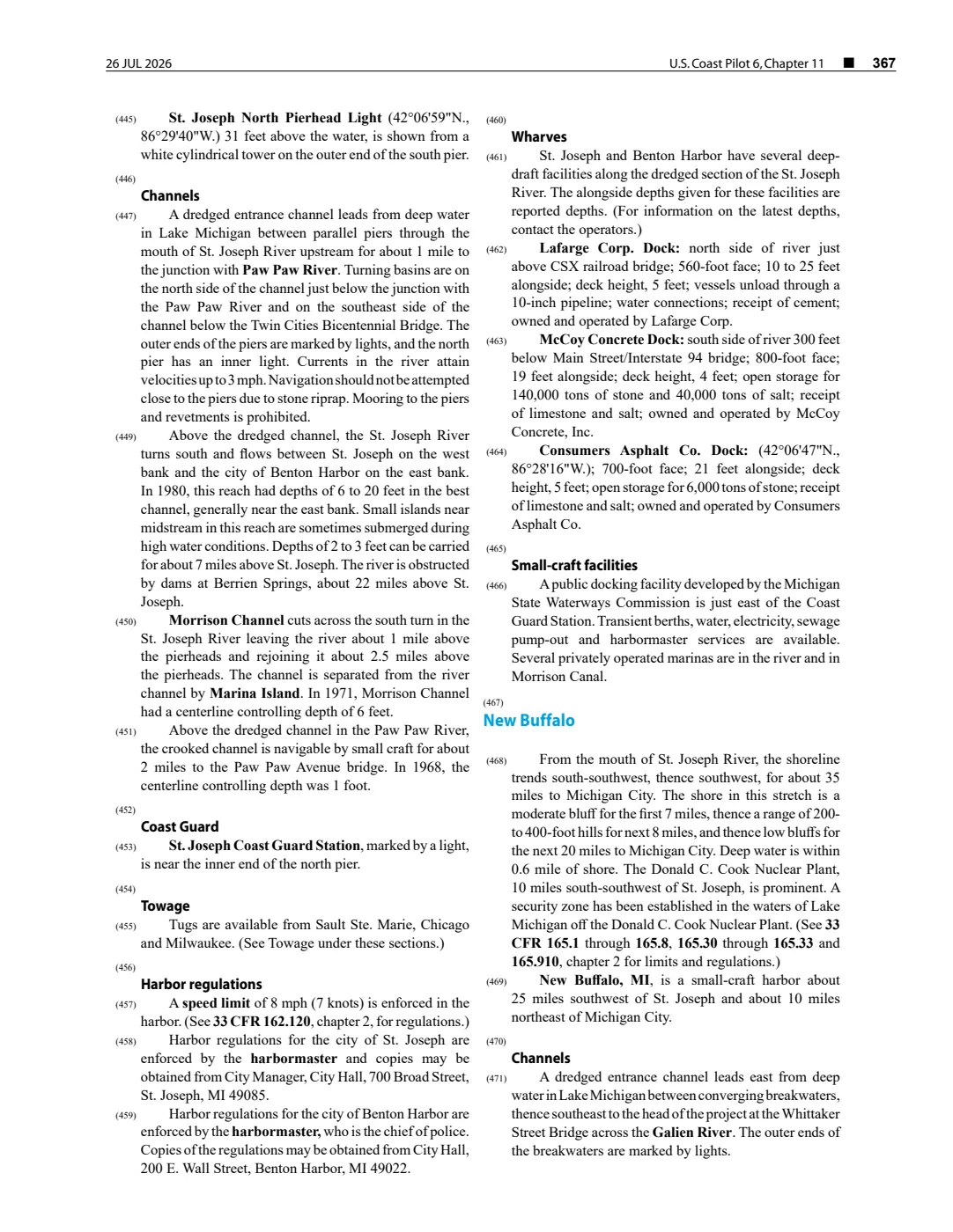
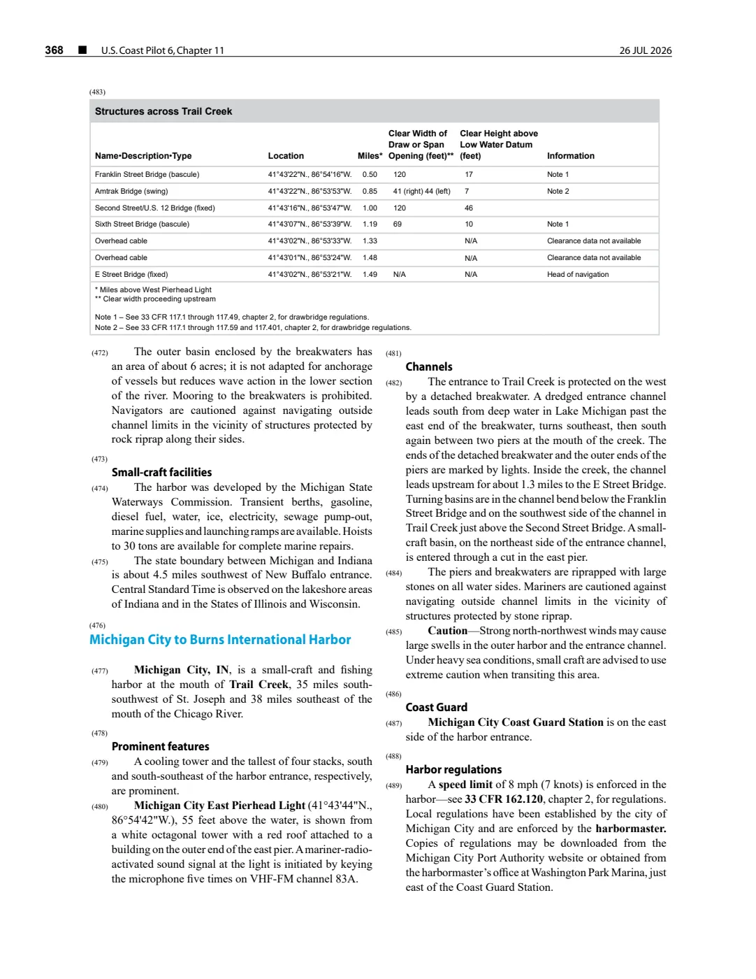
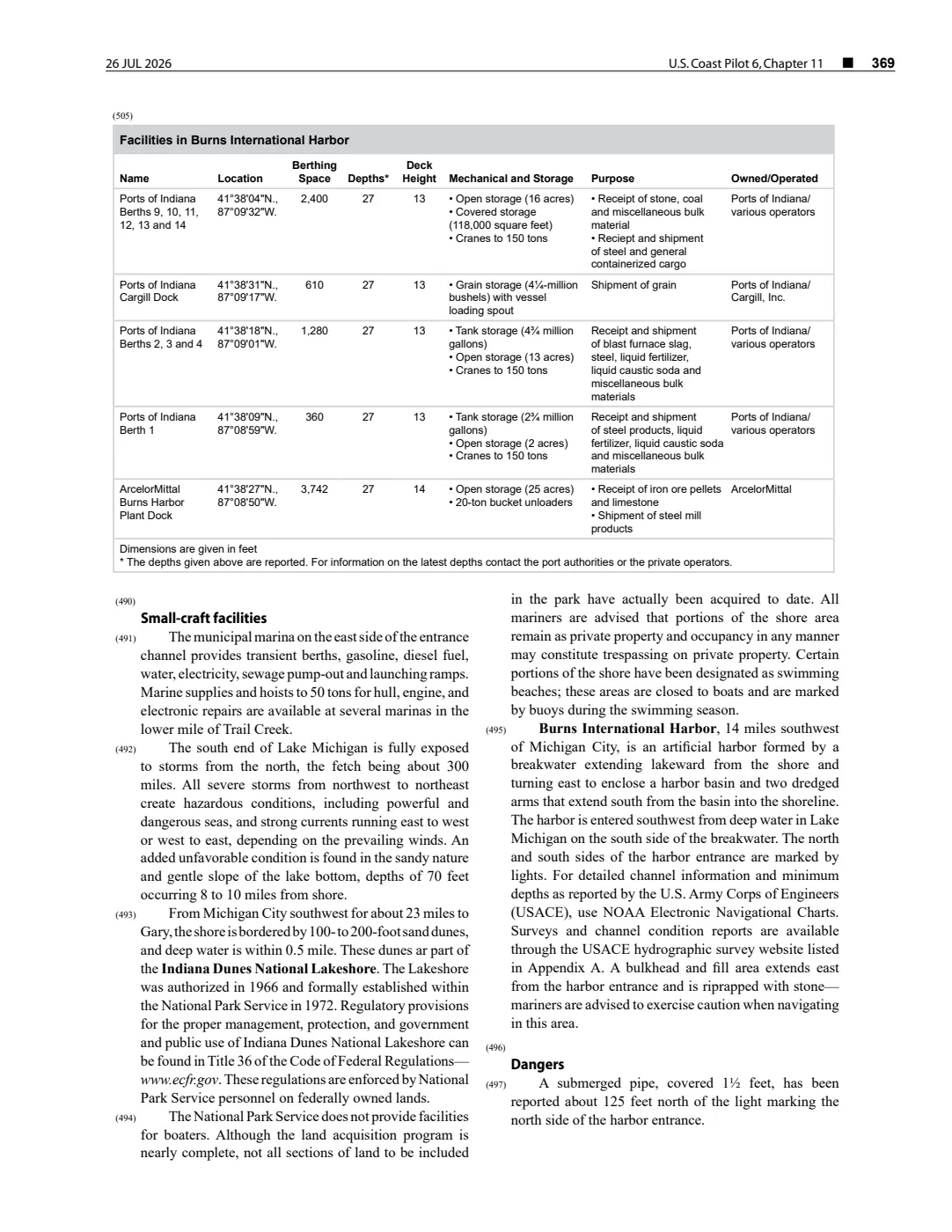
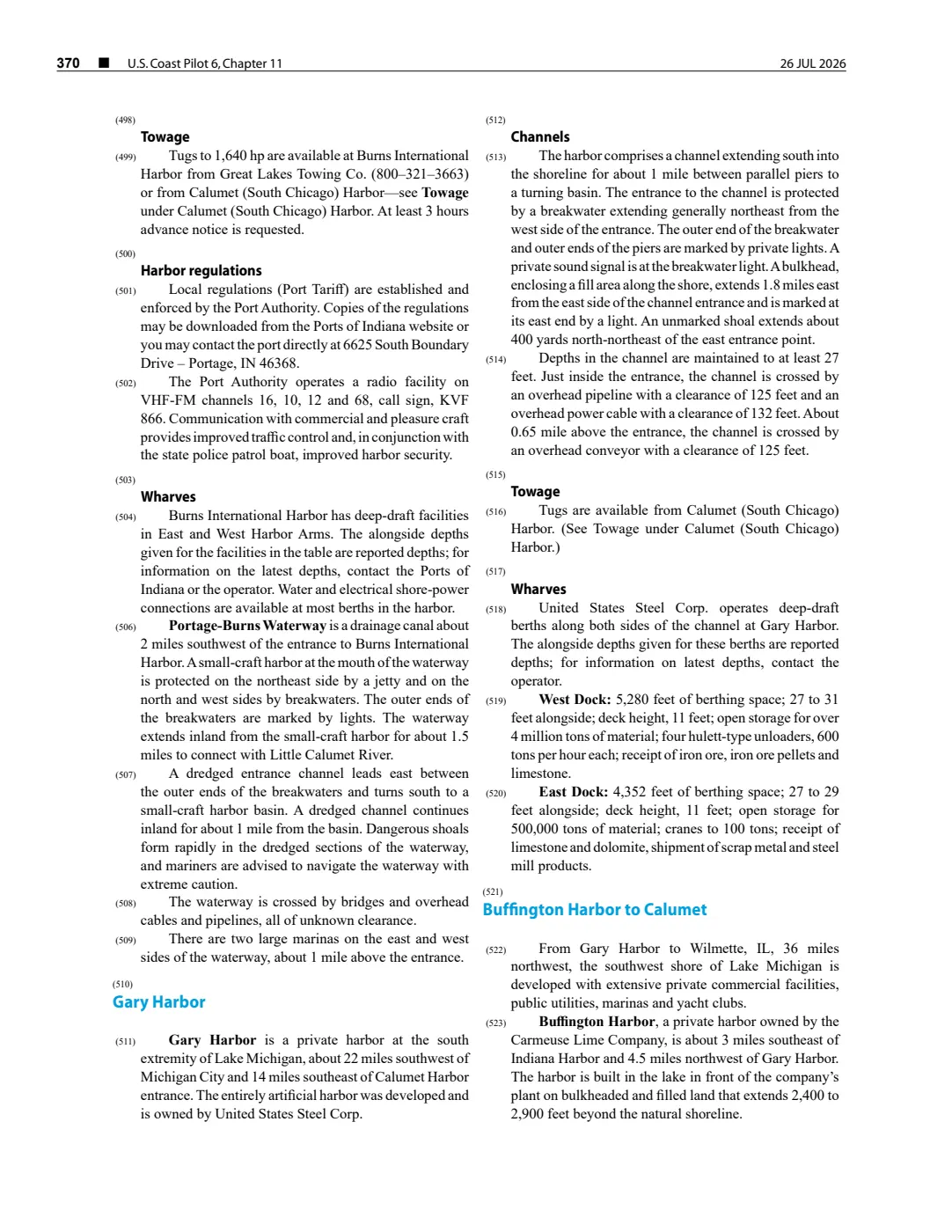
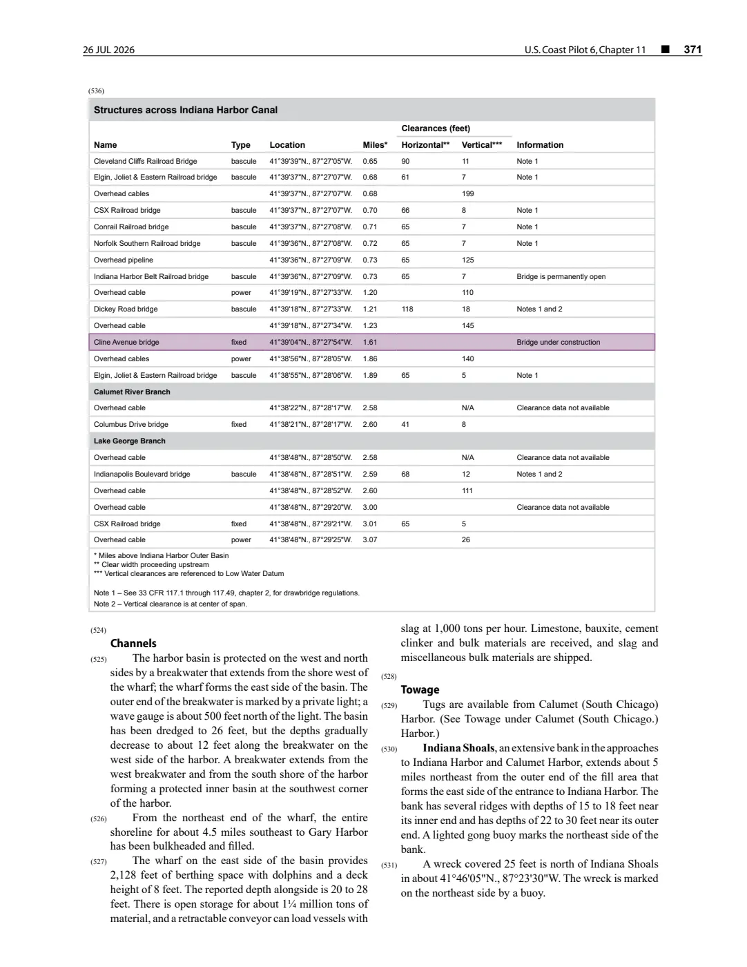
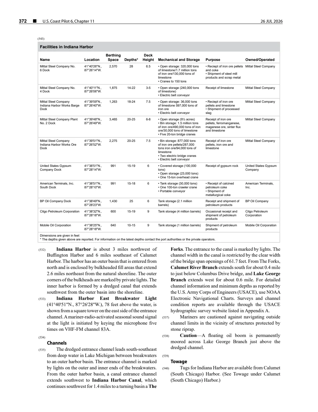
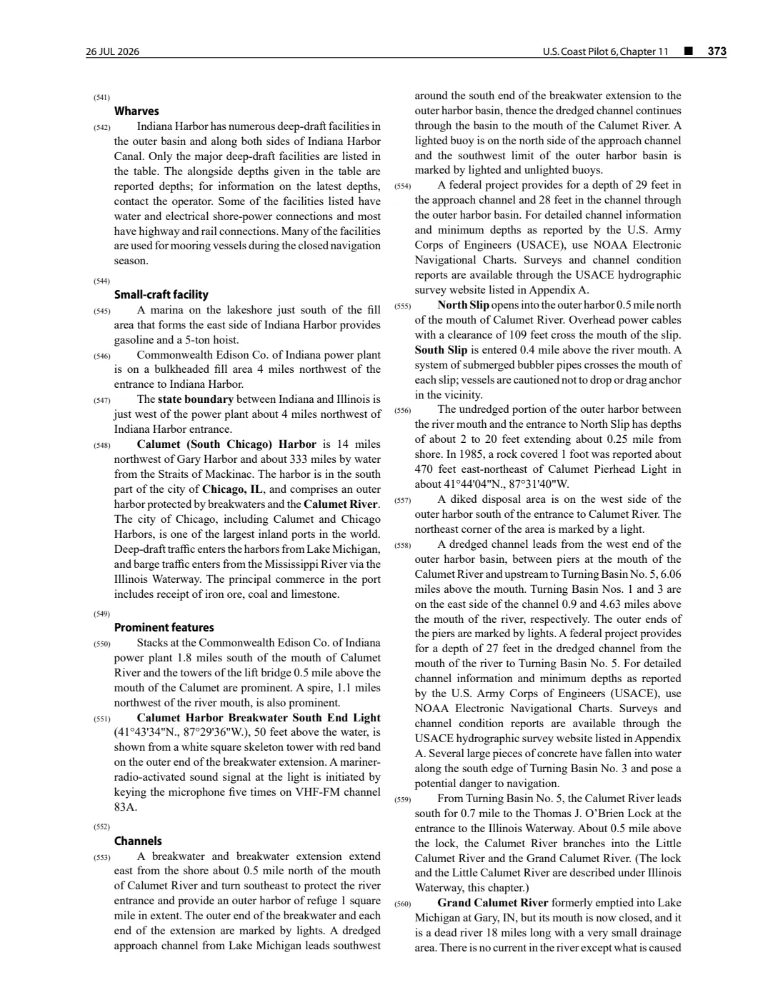
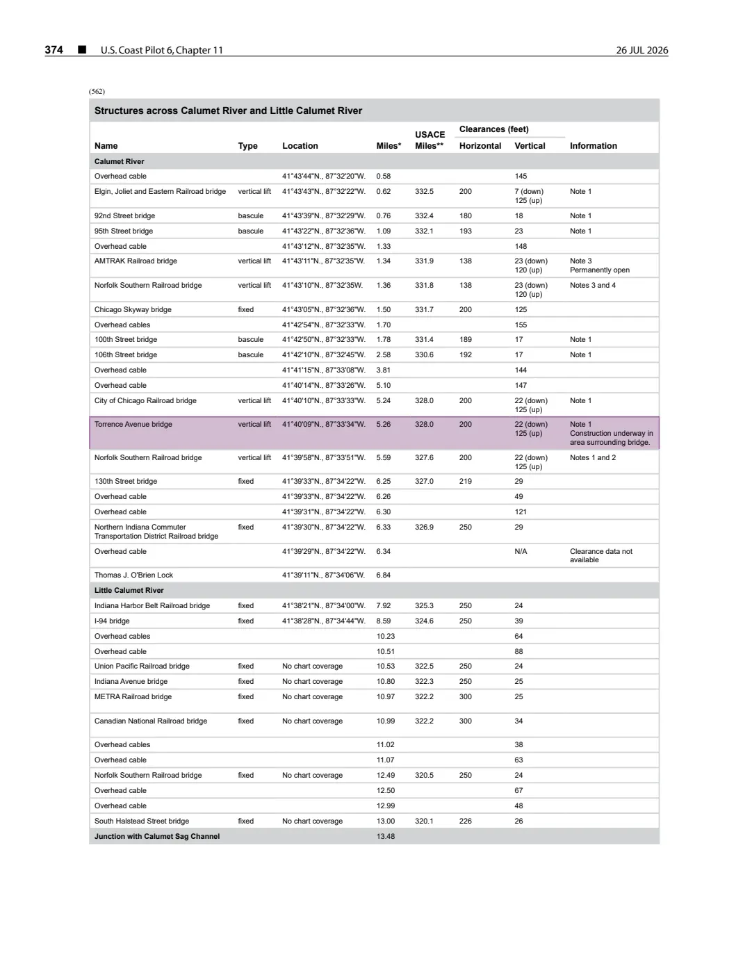
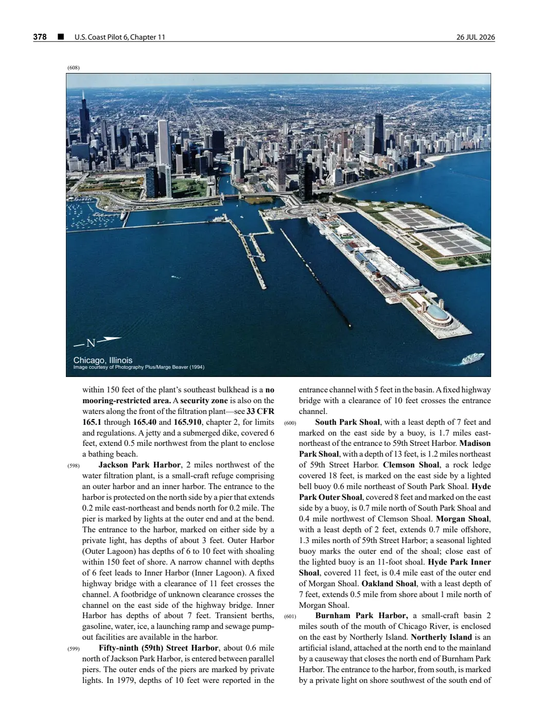
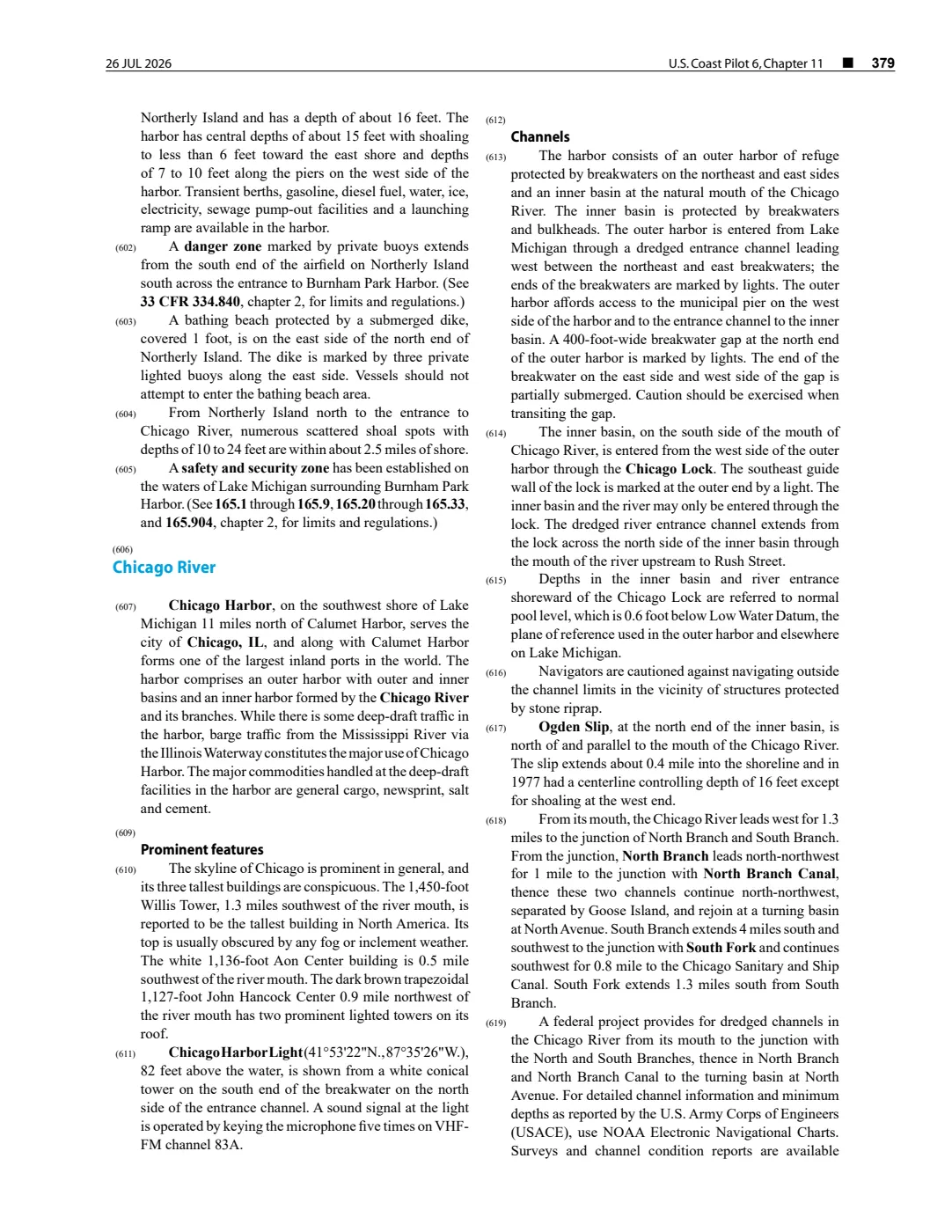
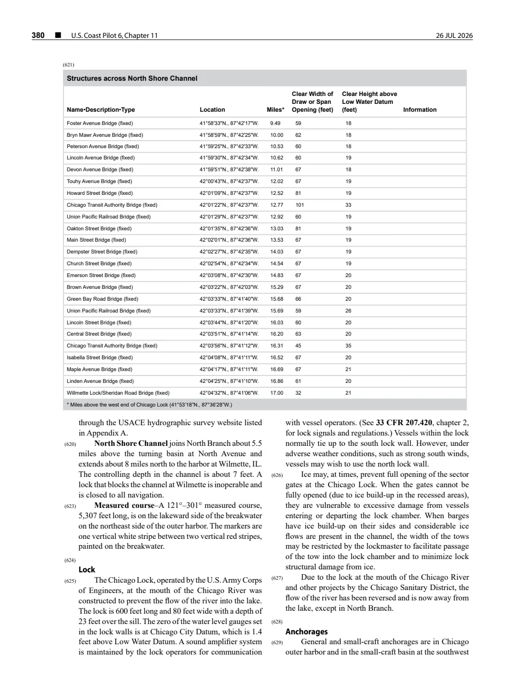
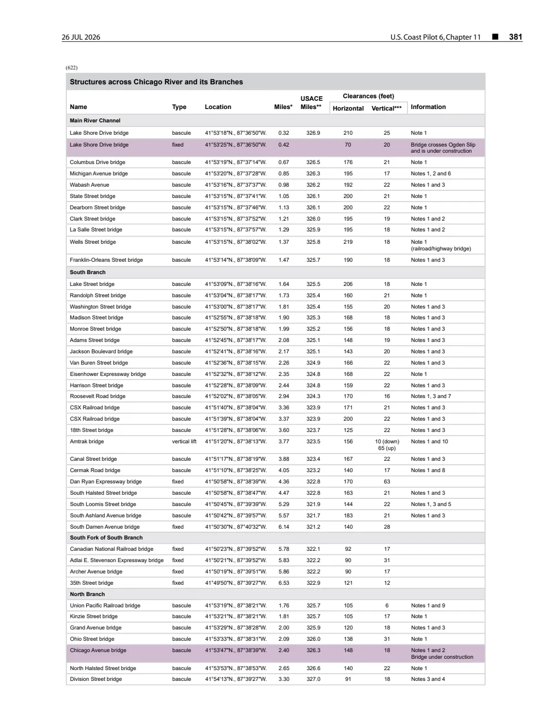
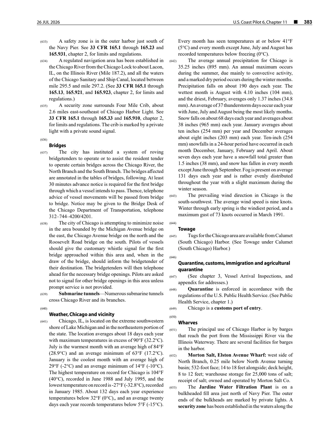
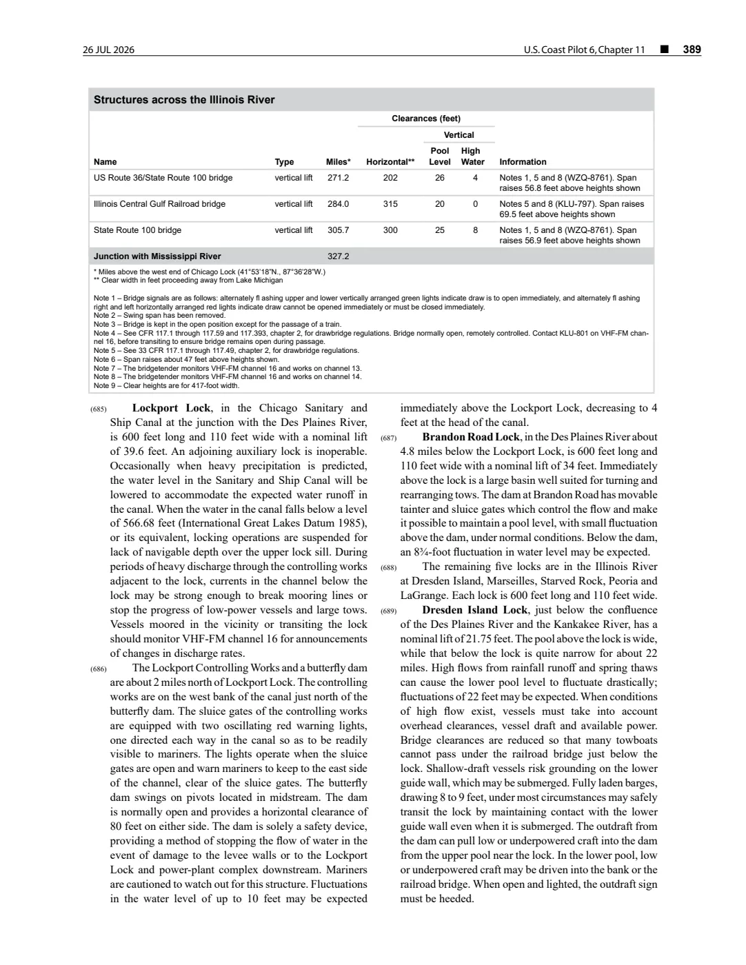
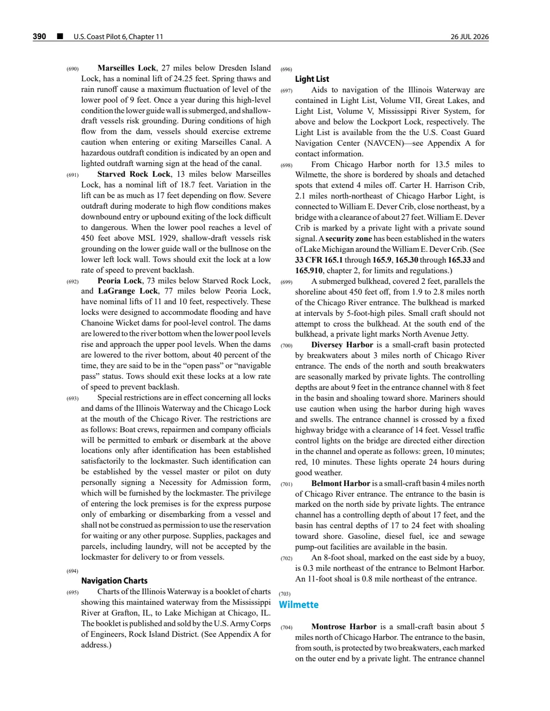
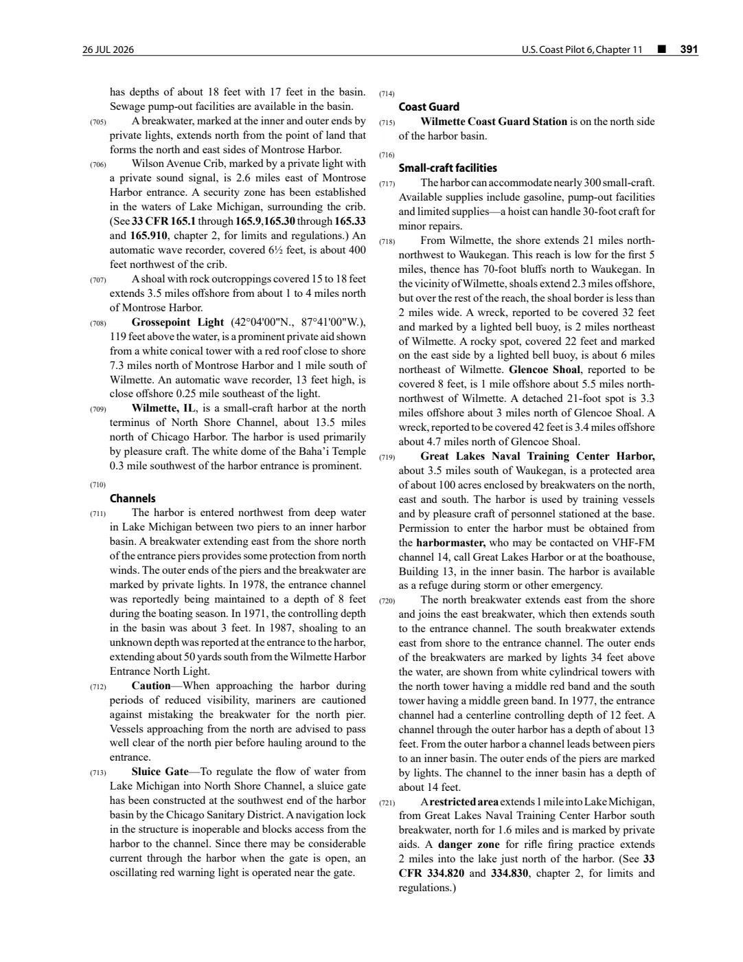
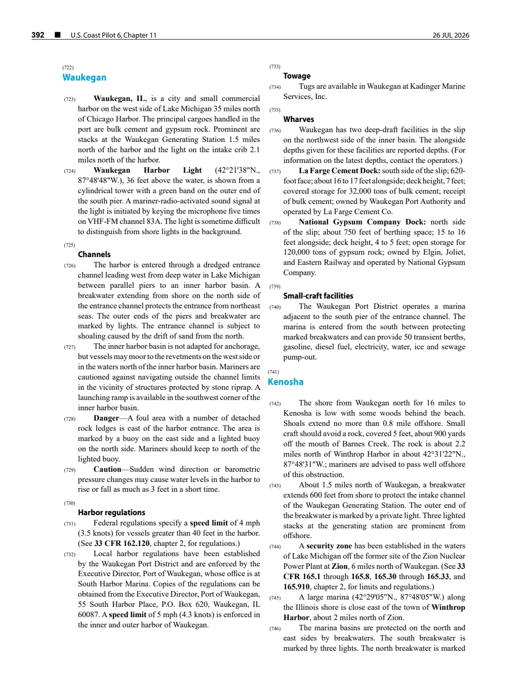
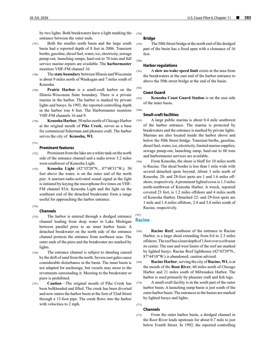
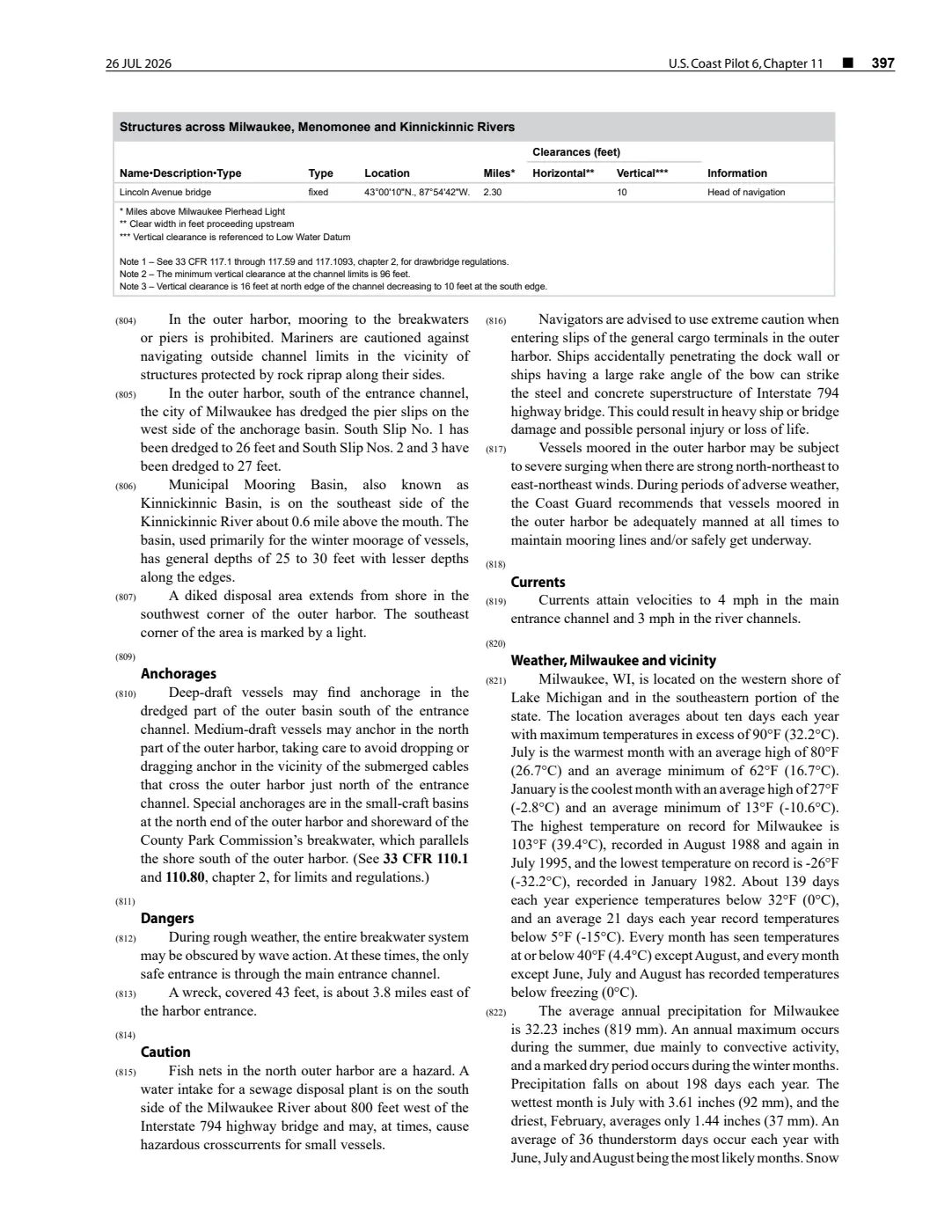
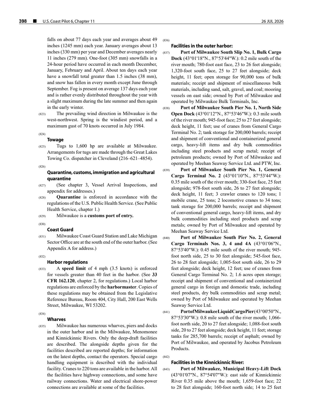
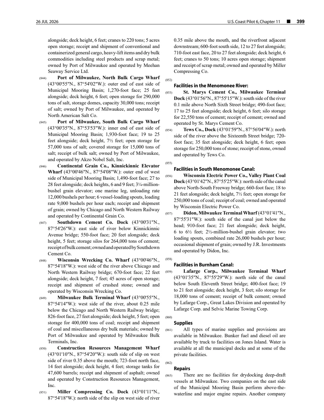
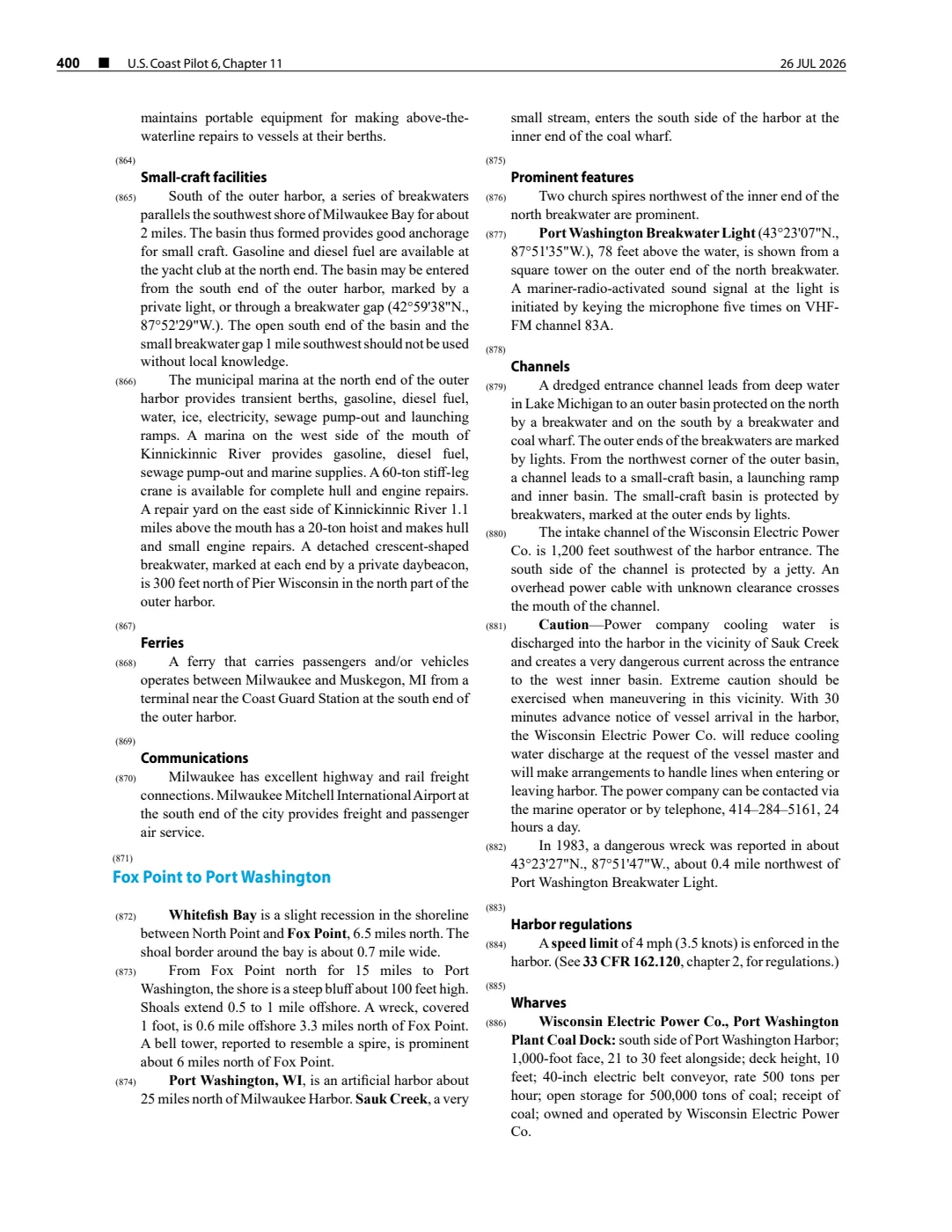
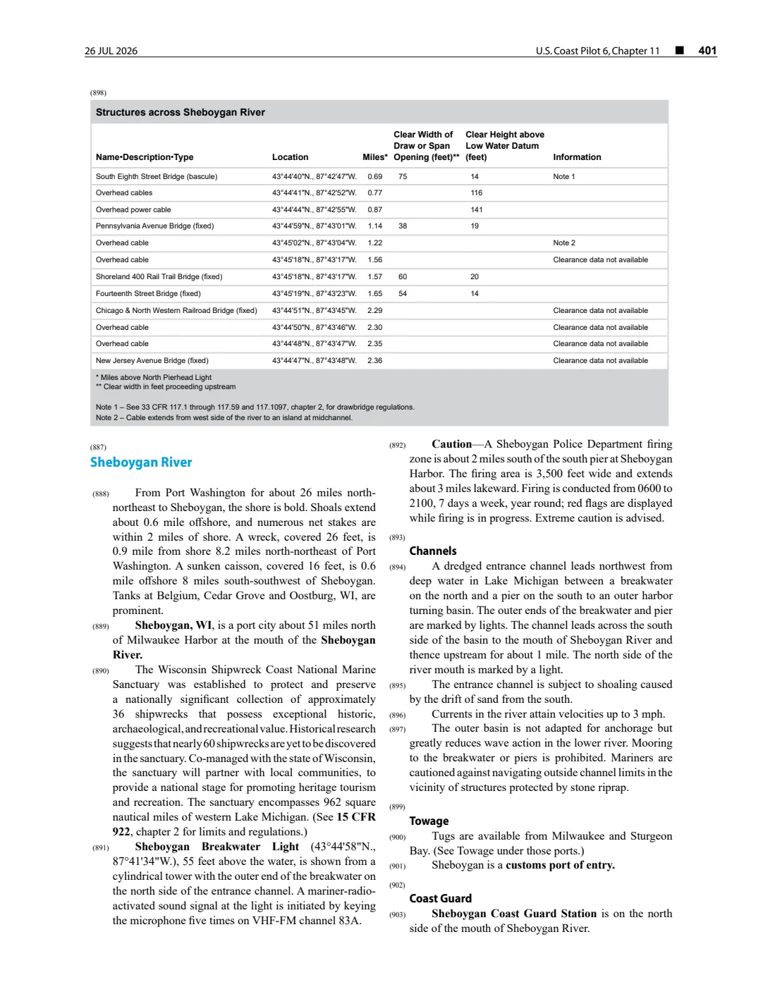
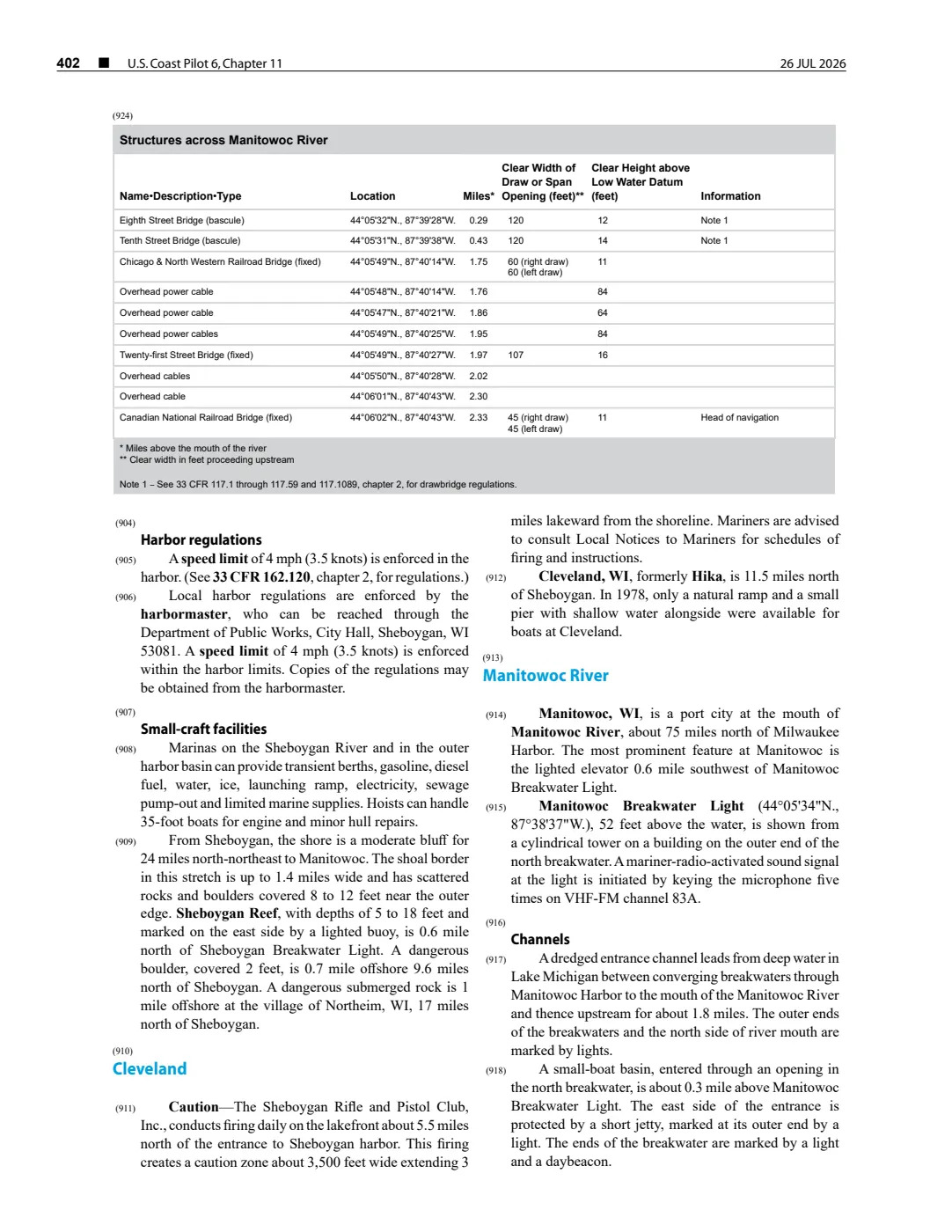
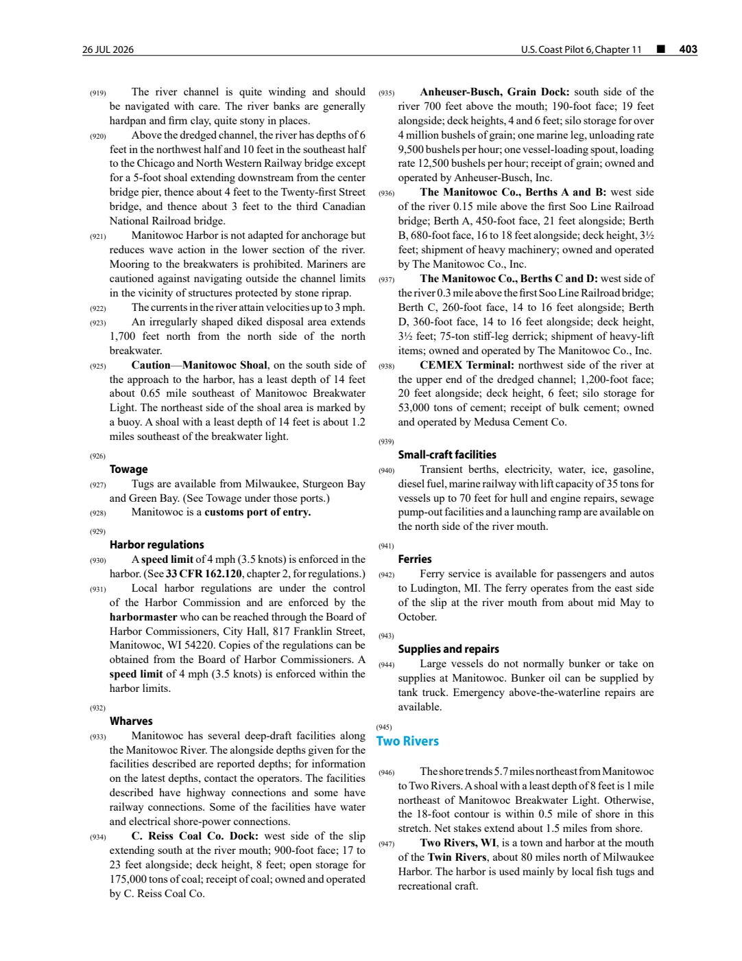
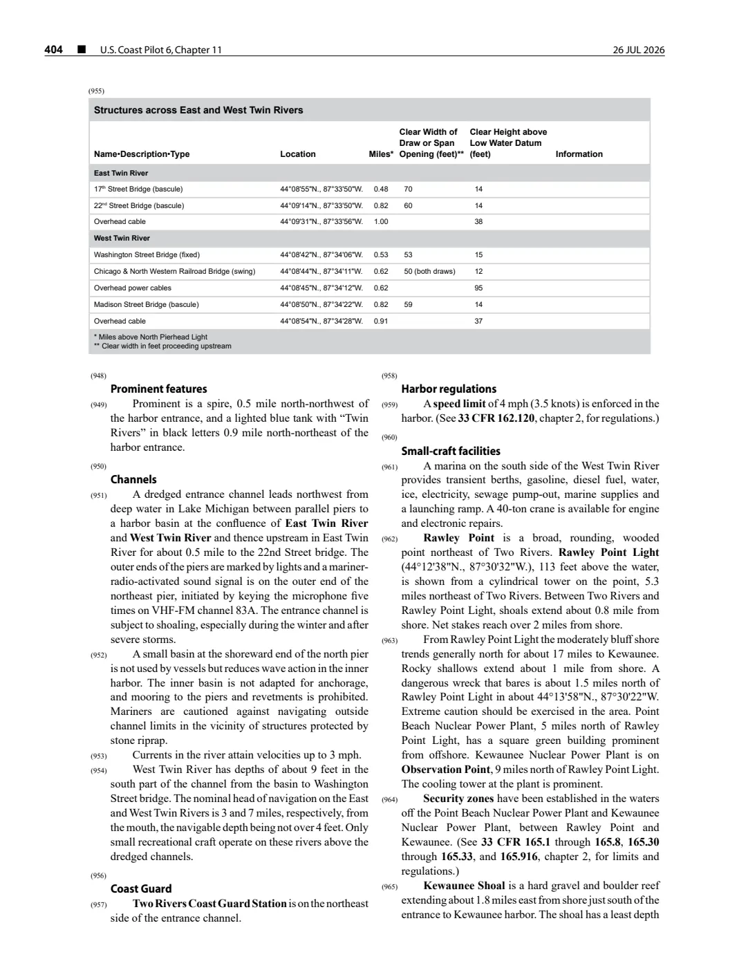
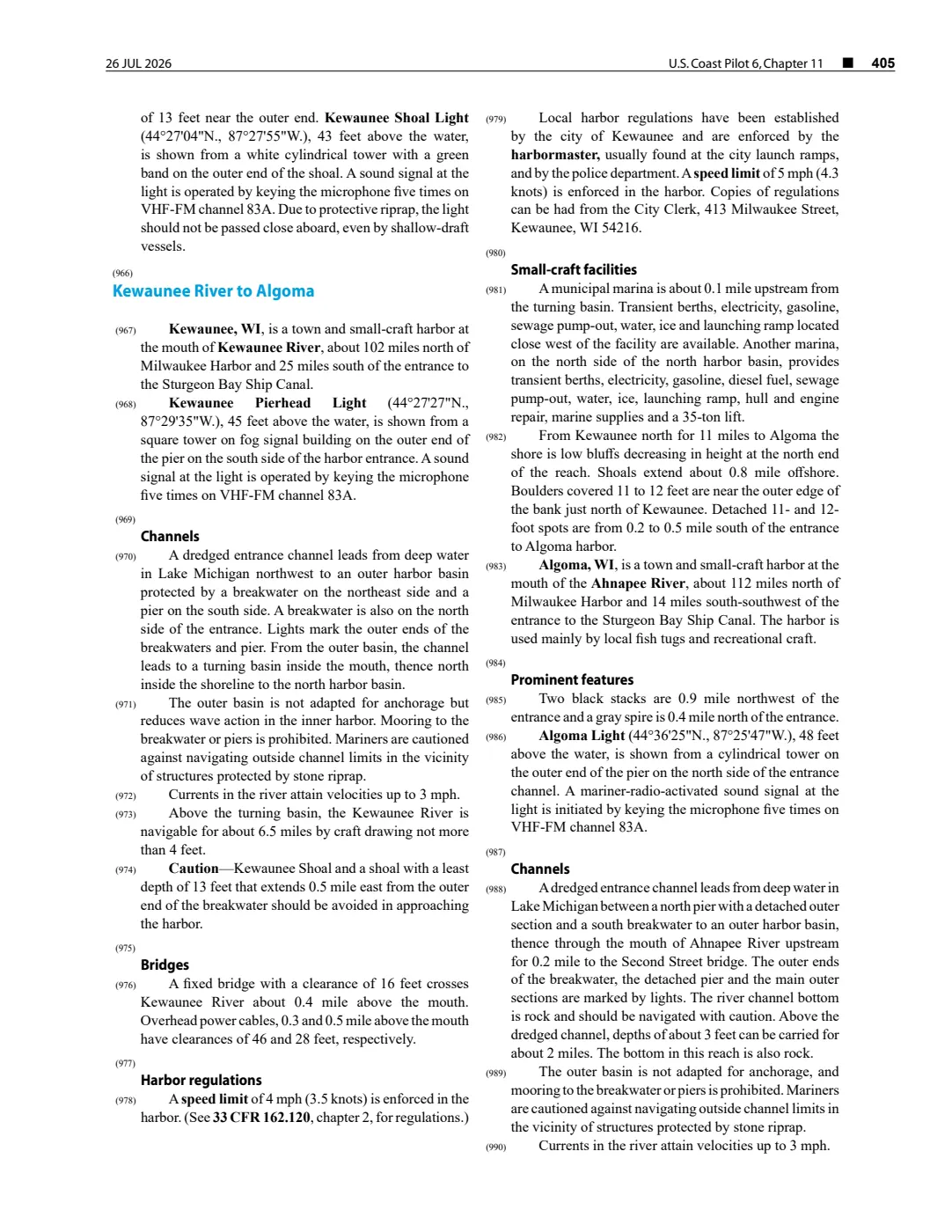
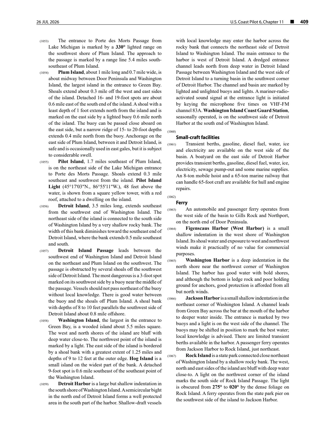
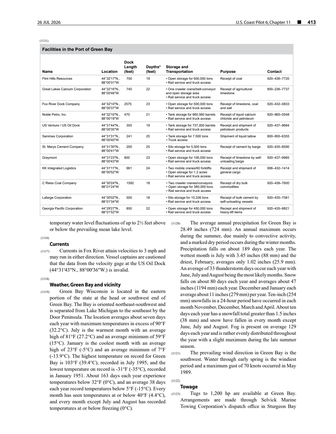
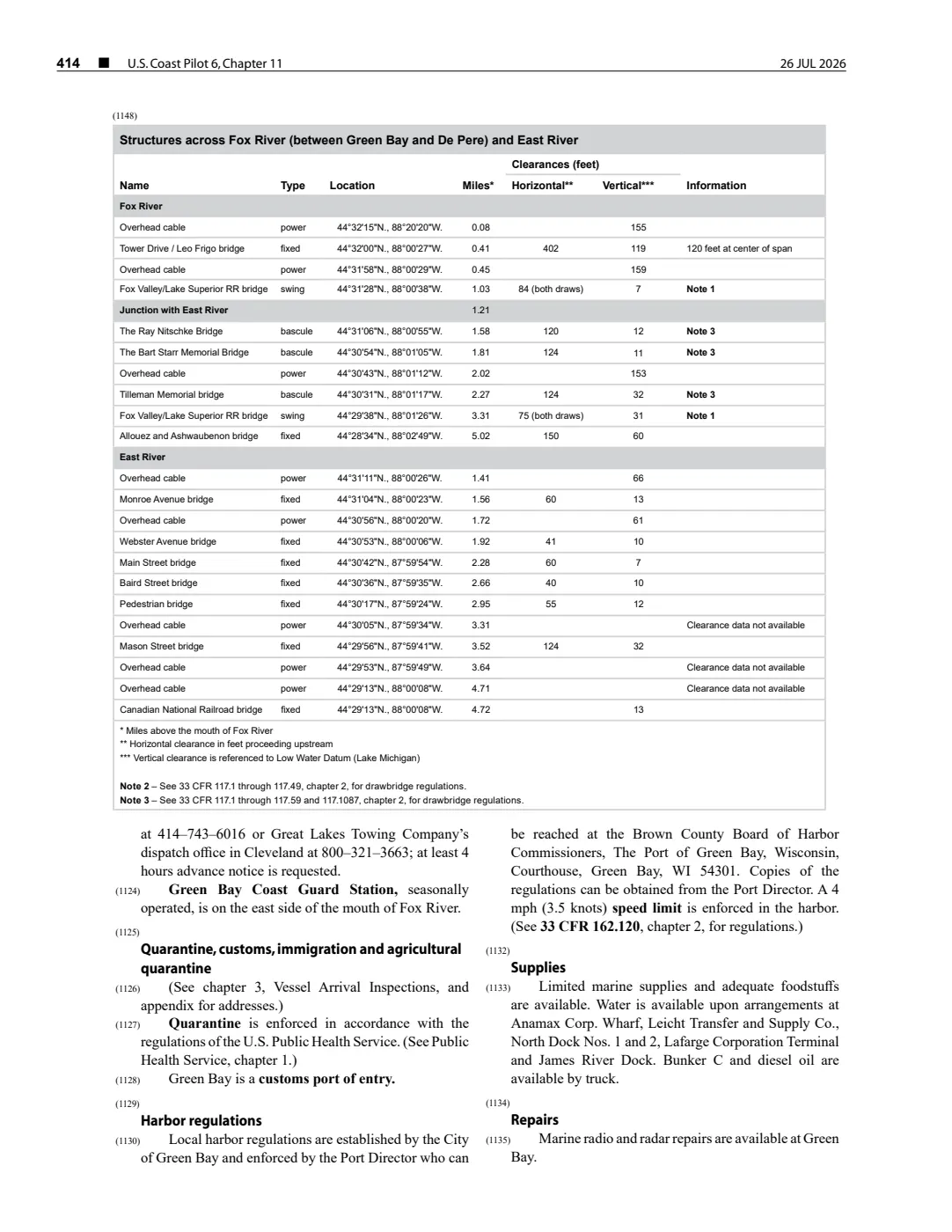
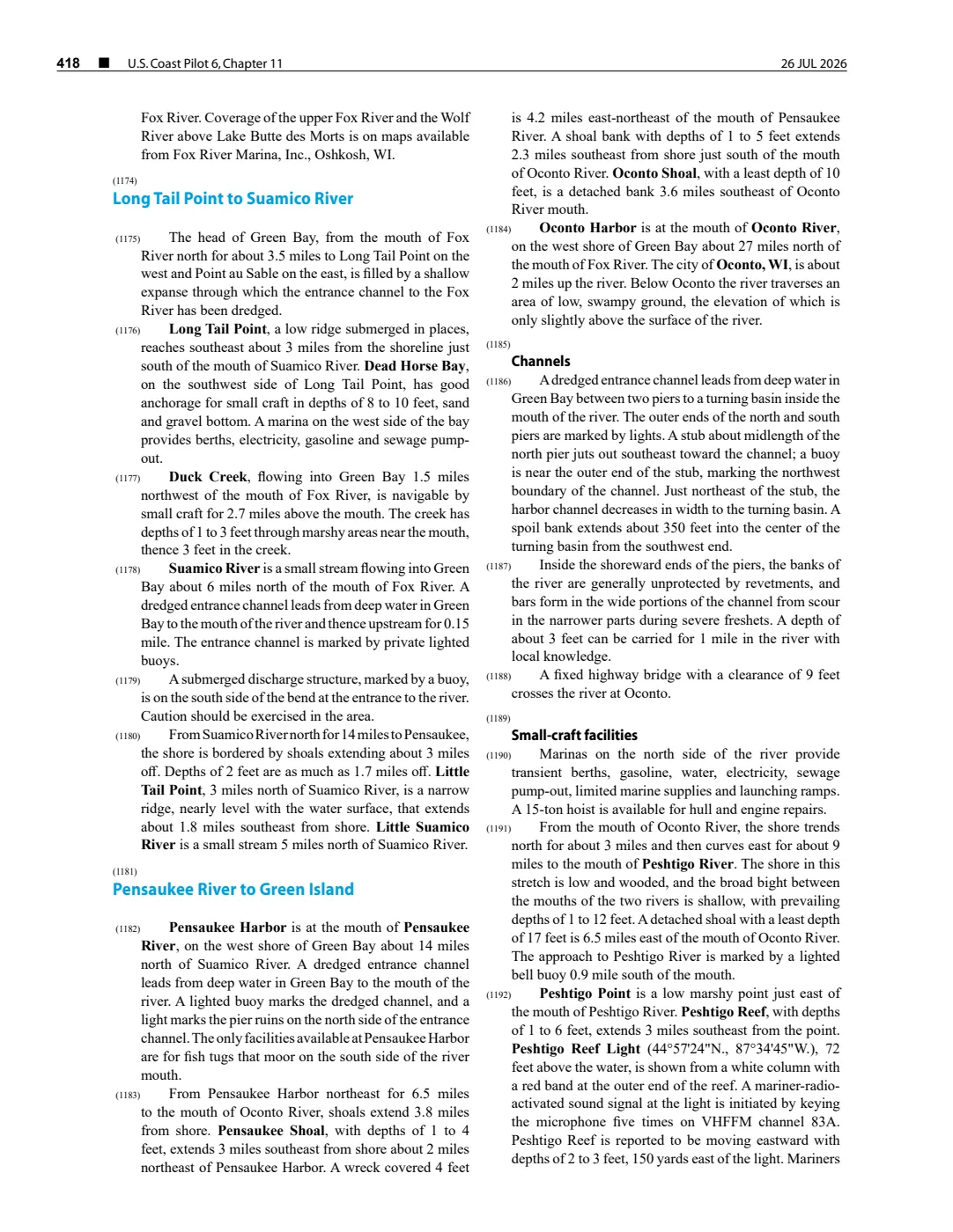
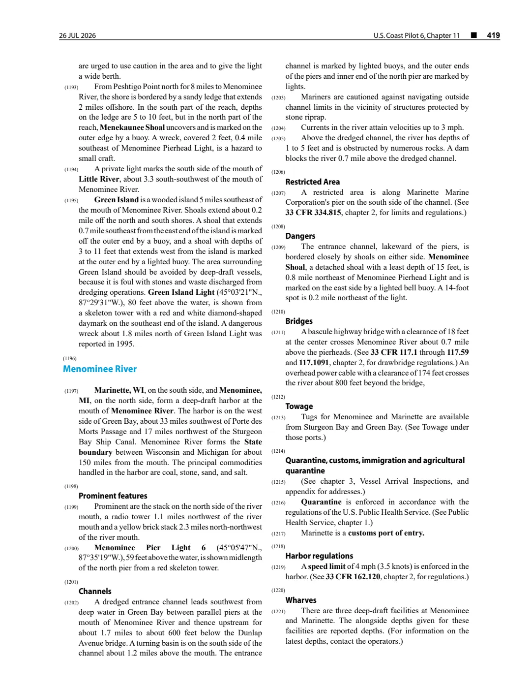
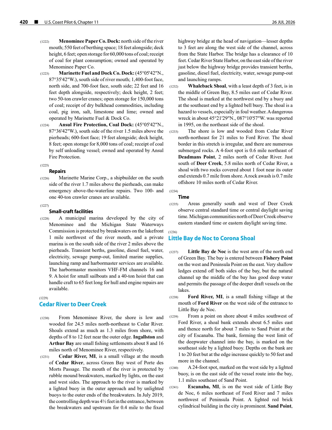
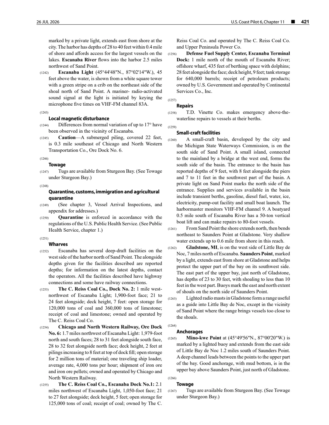
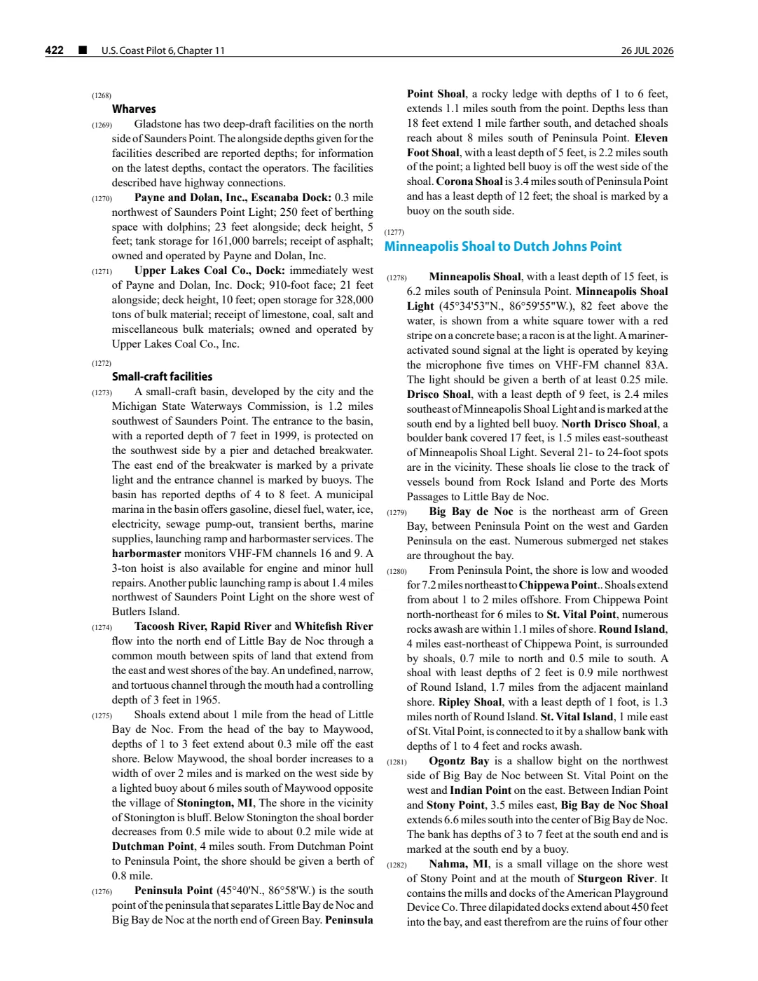
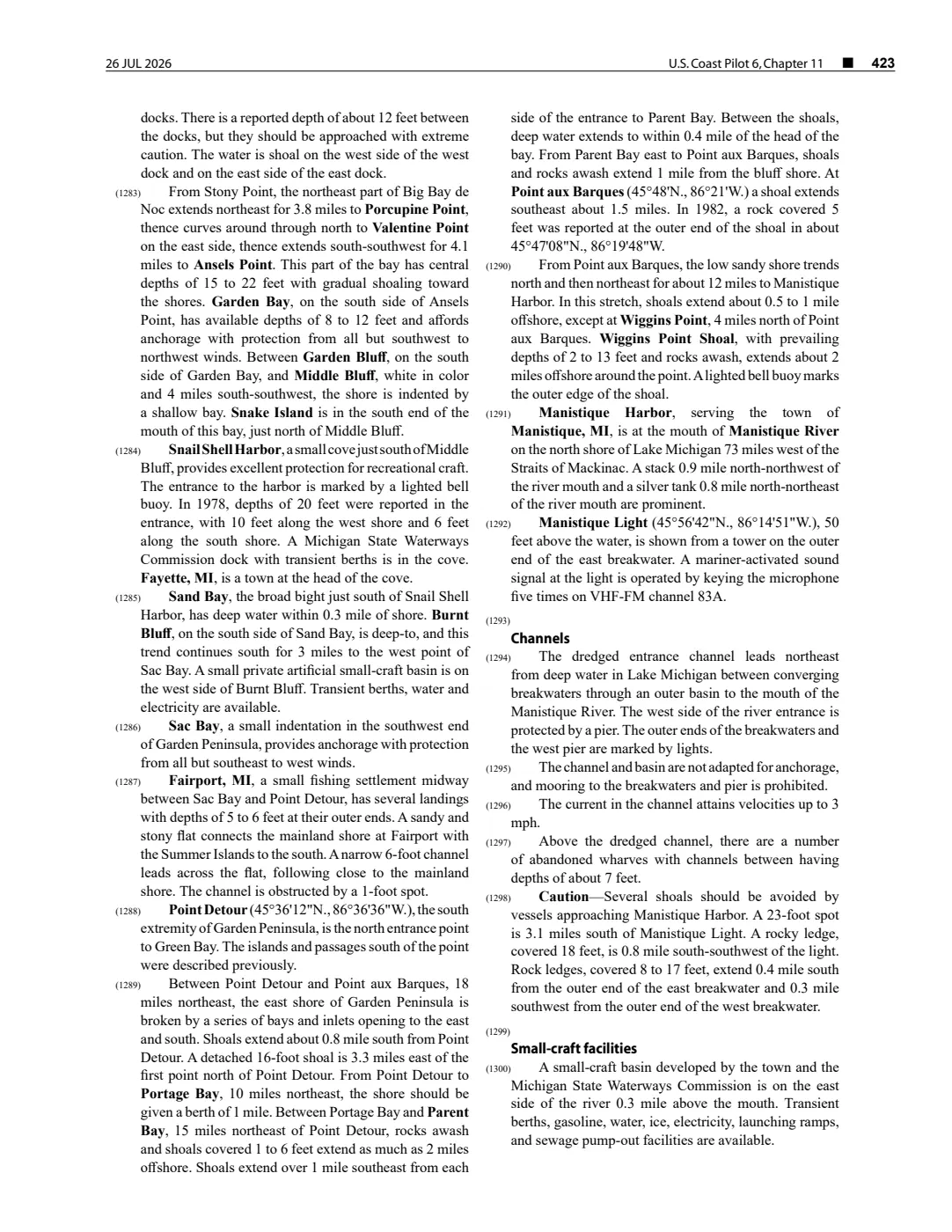
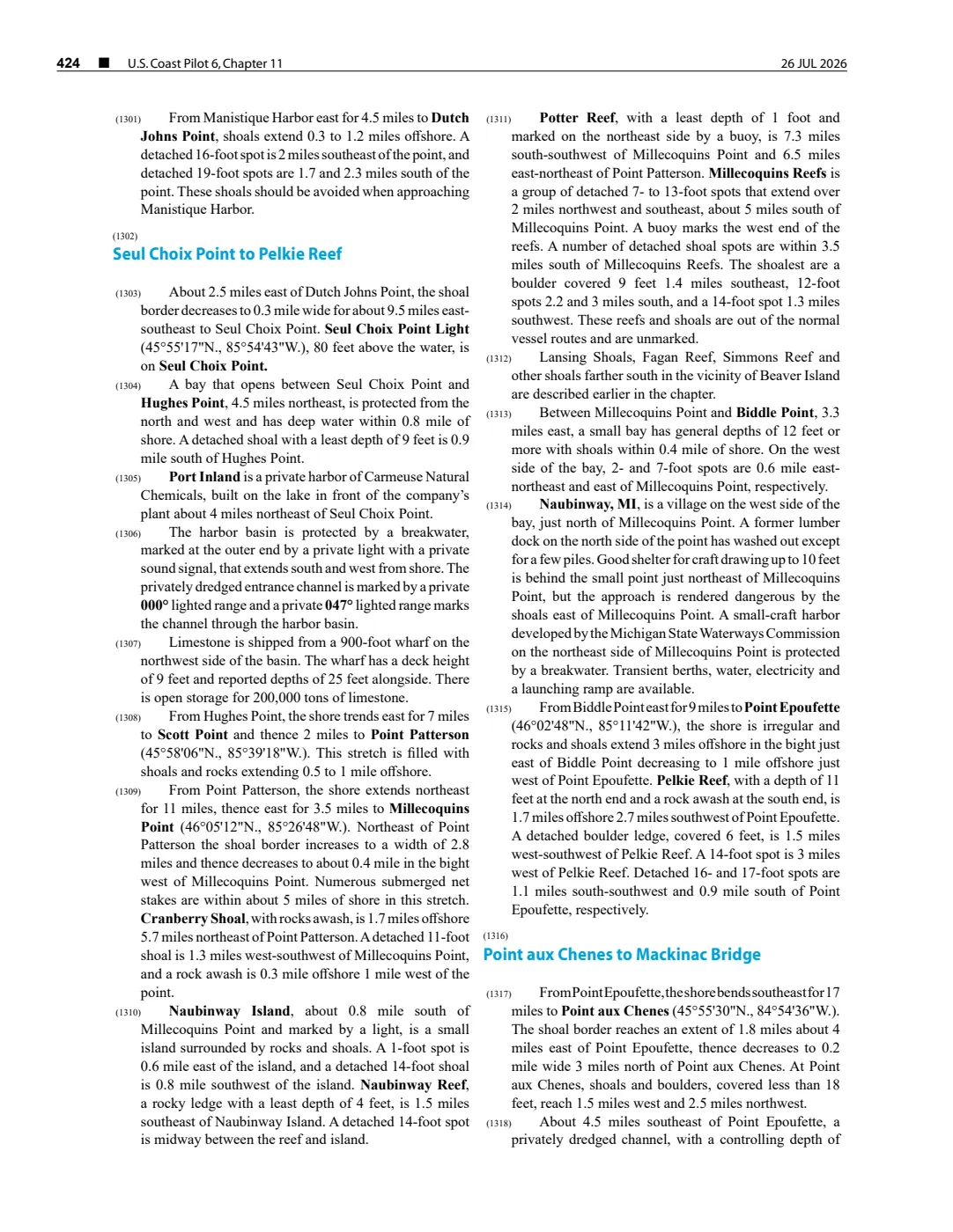
- The held 2 August 2026 capture identifies Ile aux Galets Light at 45°40′35″N, 85°10′20″W and describes the white octagonal tower on the island. It supplies an authoritative light-feature position, not proof of uninterrupted operation, building survival, ownership, or the boundary of the historic station property.federal · noaa_coast_pilot · noaa-coast-pilot-6-chapter-11-2026-08-02
- Lists Ile Aux Galets among lights scheduled to stop on December 5, 1932. This is a reported seasonal schedule, not a permanent closing, an outcome record, or a complete operational chronology.
Added 2 August 2026 · revised 6 August 2026. Recent changes
Cite this article
Beaver Island Archive, “Skilligallee Light Station”, https://beaverislandarchive.org/structures/iles-aux-galets-light-station/, accessed [date], citing George Scott, *Scott's New Coast Pilot for the Lakes*, 6th ed. (Detroit: Free Press Printing Company, 1902), p. 140. (and 3 further sources listed on the page).
Last revised 2026-08-06. Fill in [date] with the date you read it — this page is static and cannot know that.
BibTeX for “Skilligallee Light Station”RIS for “Skilligallee Light Station”