

- Date
- 1902
- Concepts
- maritimeshippinglighthouses
Summary
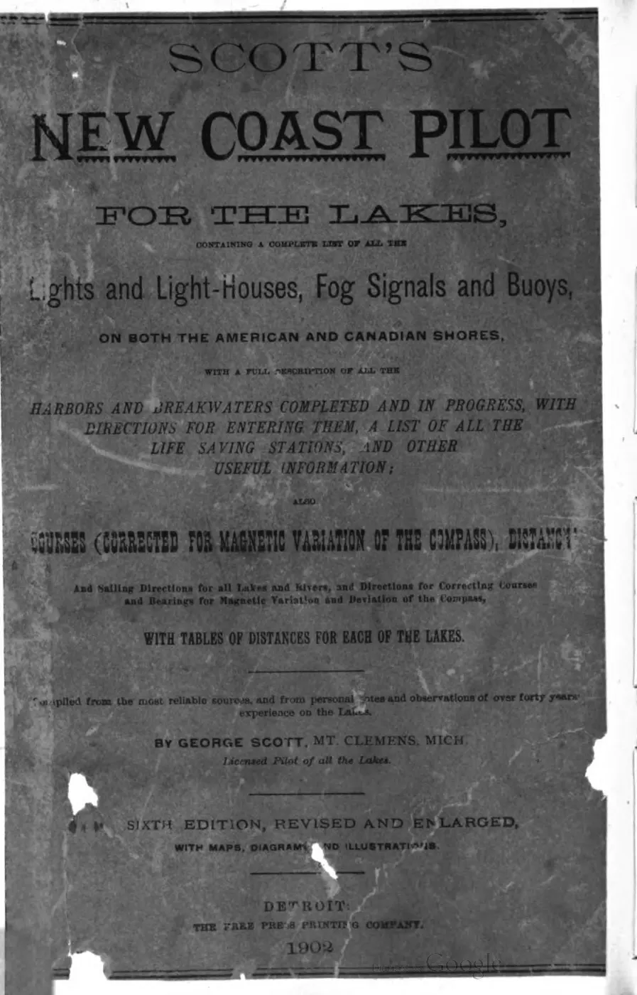
Scott’s New Coast Pilot for the Lakes is a mariner’s reference compiled by George Scott of Mt. Clemens, Michigan, “Licensed Pilot of all the Lakes,” covering every light, fog signal, buoy, harbor and life-saving station on both the American and Canadian shores of the Great Lakes, together with compass courses, distances and sailing directions “corrected for magnetic variation of the compass.”1 The copy held here is the sixth edition, “revised and enlarged, with maps, diagrams and illustrations,” printed in Detroit by the Free Press Printing Company in 1902, running to 393 pages. It is the primary documentary source held here for the exact light characteristics, fog signals and sailing directions around the Beaver Island group circa 1902. Page citations in this article are printed folios, read off the running headers; the scan carries 51 pages of front matter, so a printed folio is 51 less than the image index in the reader.
History
The title page states the work was “compiled from the most reliable sources, and from personal notes and observations of over forty years’ experience on the lakes” by George Scott.1 The digitized copy carries a Bentley Historical Library (University of Michigan) bookplate noting its conservation was funded in part by the Friends of the Michigan Historical Collections; it was digitized by Google as part of a library-preservation program.2
Contents relevant to Beaver Island
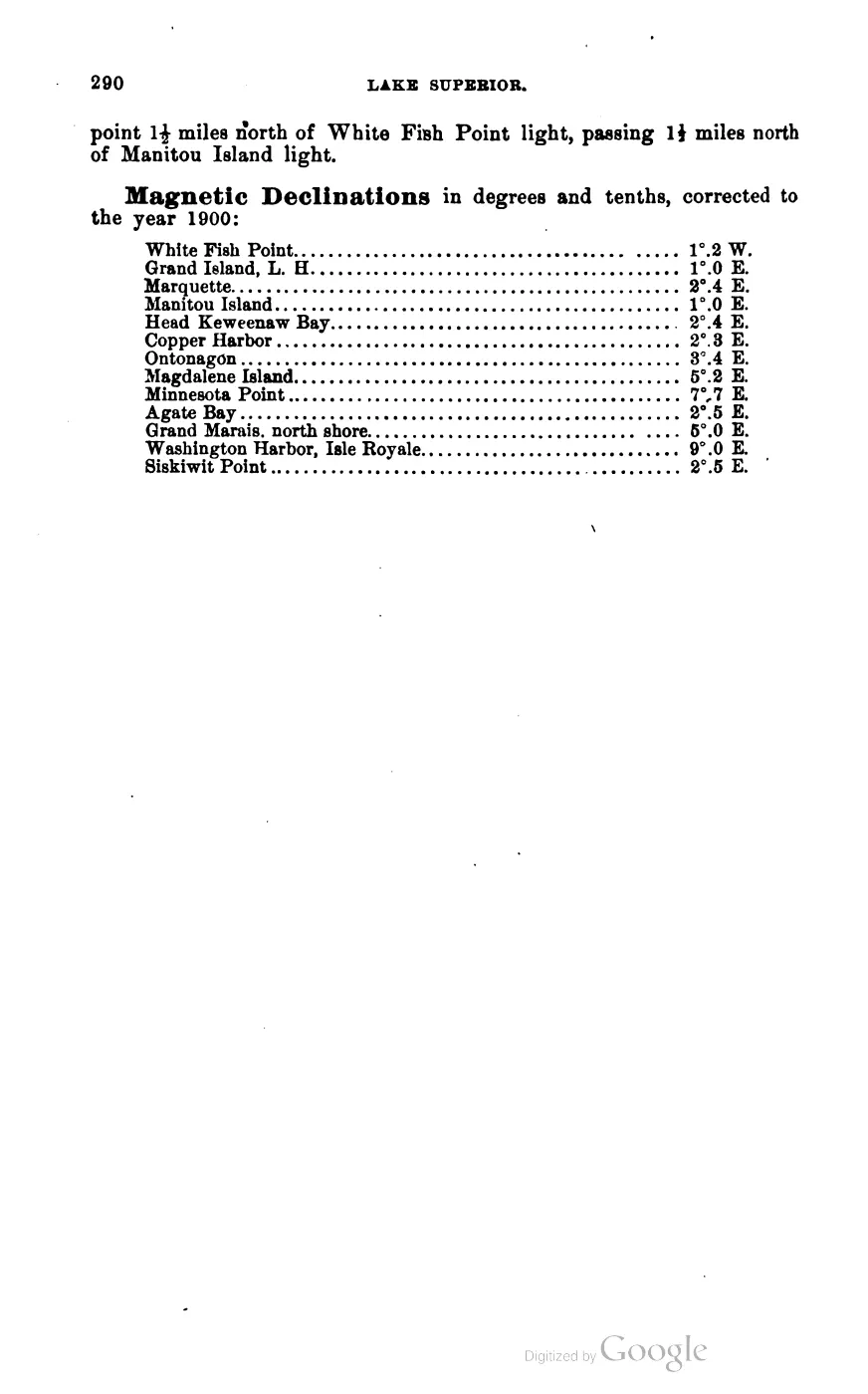
Within the volume, Beaver Island group content is concentrated on pp. 139-141 (Straits of Mackinac / Lake Michigan light-house listings, including Beaver Island Harbor Light and Beaver Island Light Station), p. 169 (Squaw Island Light Station), pp. 262-265 (compass sailing directions to and from Beaver Harbor, including the prose description of the anchorage in “the bight on the east side of the island” and the warning on Gull Island Reef: “This very dangerous shoal, with only 5 feet of water… bears S.S.E. ¾ E., 4 miles, from the south point of Gull island”), pp. 273-276 (further Lake Michigan compass courses referencing Beaver Island light as a bearing mark, and a table of magnetic declinations giving “Beaver Island Light 0°.2 E.” for 1900), and p. 310 (Appendix, the Life Saving Service district list naming Owen Gallagher as keeper of the Beaver Island station — see Beaver Island Life-Saving Station).3
Significance
This is the single richest primary source held for the mechanical detail of the three Beaver Island group light stations — exact tower heights, colors, light characteristics, fog-signal timing, and compass bearings between them — and for the composition of Great Lakes sailing routes threading the archipelago. Cross-referencing it against the independently-surveyed North End of Lake Michigan Including the Beaver Island Group, 1855 Lake Survey chart (47 years earlier) shows at least two lights (the Beaver Island Harbor Light and the Beaver Head Light) were re-equipped between the two dates, and that the Squaw Island light did not yet exist as of the earlier chart.
Open questions
- Digital OCR of this PDF is clean and machine-extractable (confirmed by spot-checking multiple pages against the source image conventions), unlike some other Great Lakes navigation texts held here, which suffer word-order scrambling; no such defect was found here.
- The volume’s earlier (1st-5th) editions are not held; changes in light characteristics between editions cannot be traced without them.
See also
Sources
Footnotes
-
Title page,
data/local_documents/1902_scott-new-coast-pilot-for-the-lakes-6ed.pdf, PDF p. 5 (extracted viapdftotext -layout). ↩ ↩2 -
Bentley Historical Library bookplate, same file, PDF p. 4. ↩
-
Page-by-page reading of the same file (PDF pp. 190-192, 220, 313-316, 324, 326-327, 361), cross-checked against the running page headers printed in the book itself (pp. 139-141, 169, 262-265, 273, 275-276, 310). ↩
Read the document
393 pages, rendered from the held scan. The printed folios run -50–342; the scan's own images run 1–393.

Jump to a page — 393 in all







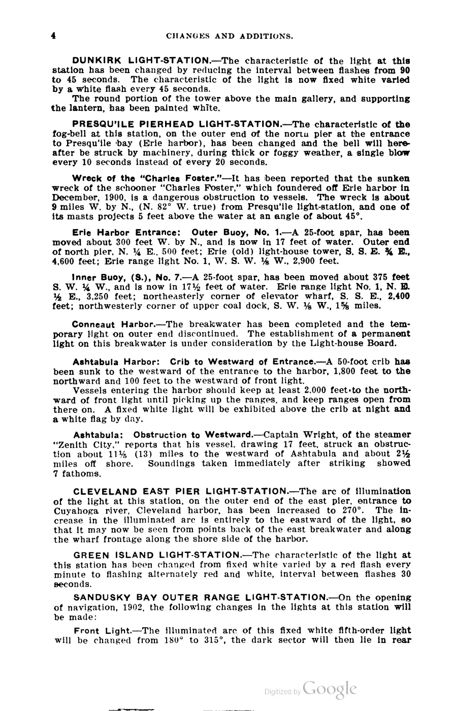
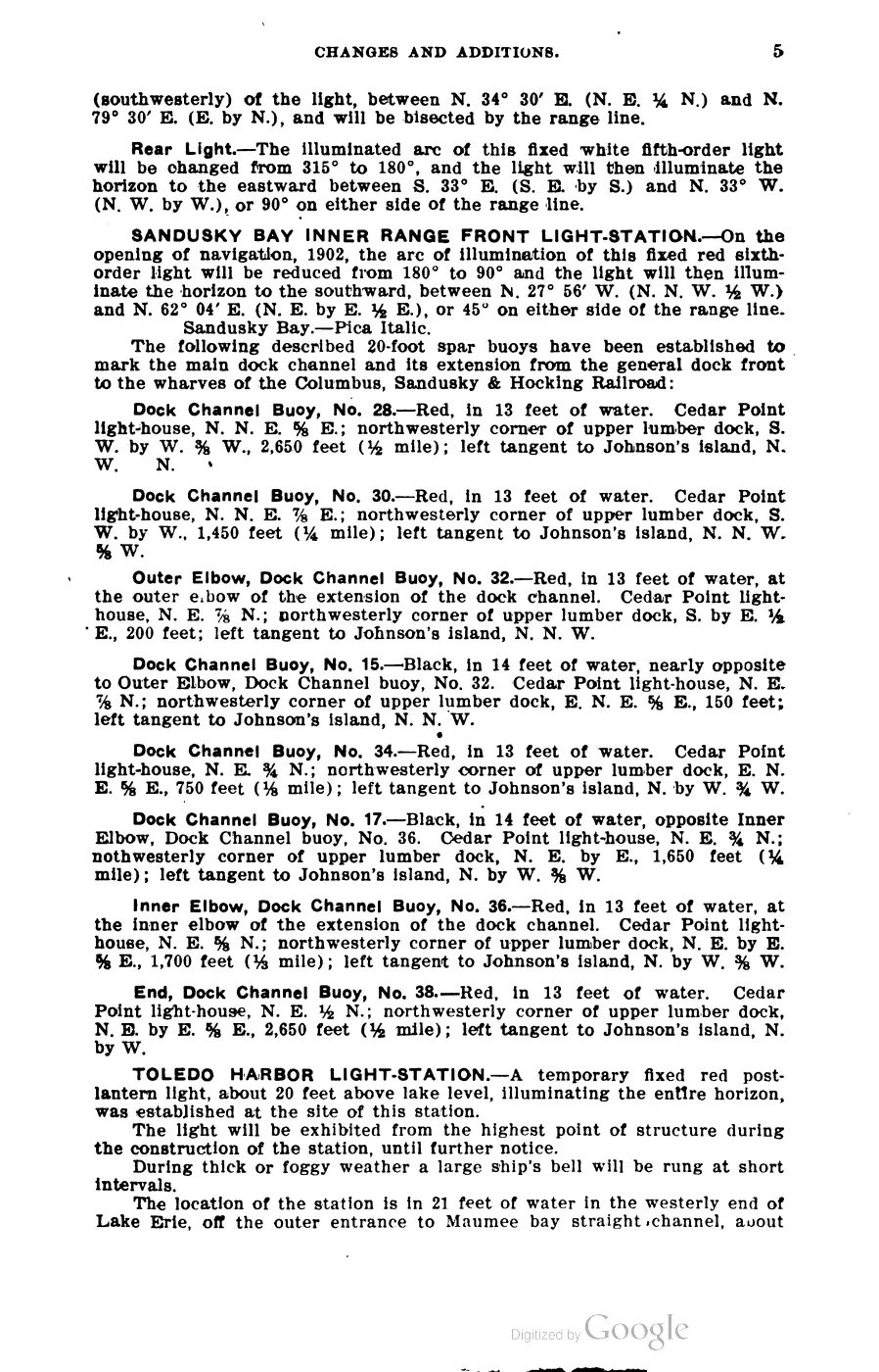
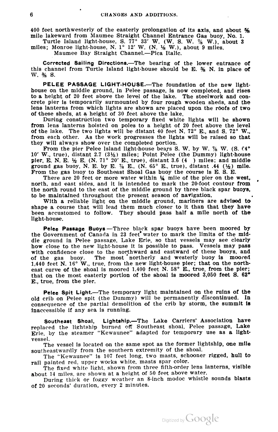
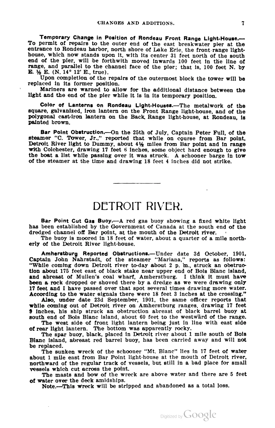
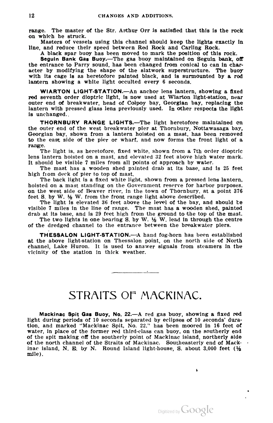
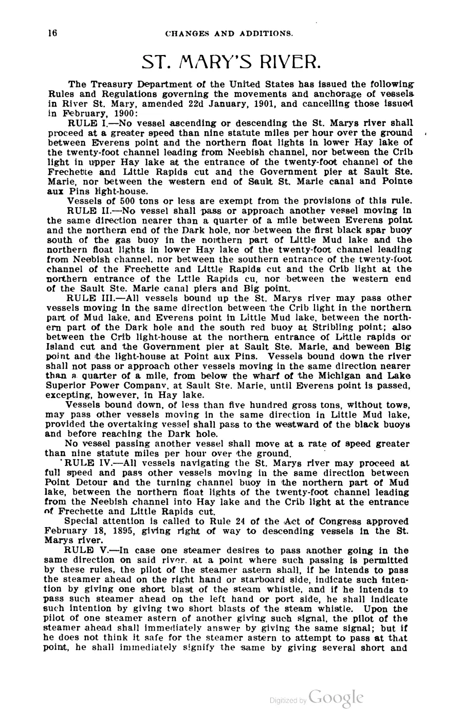
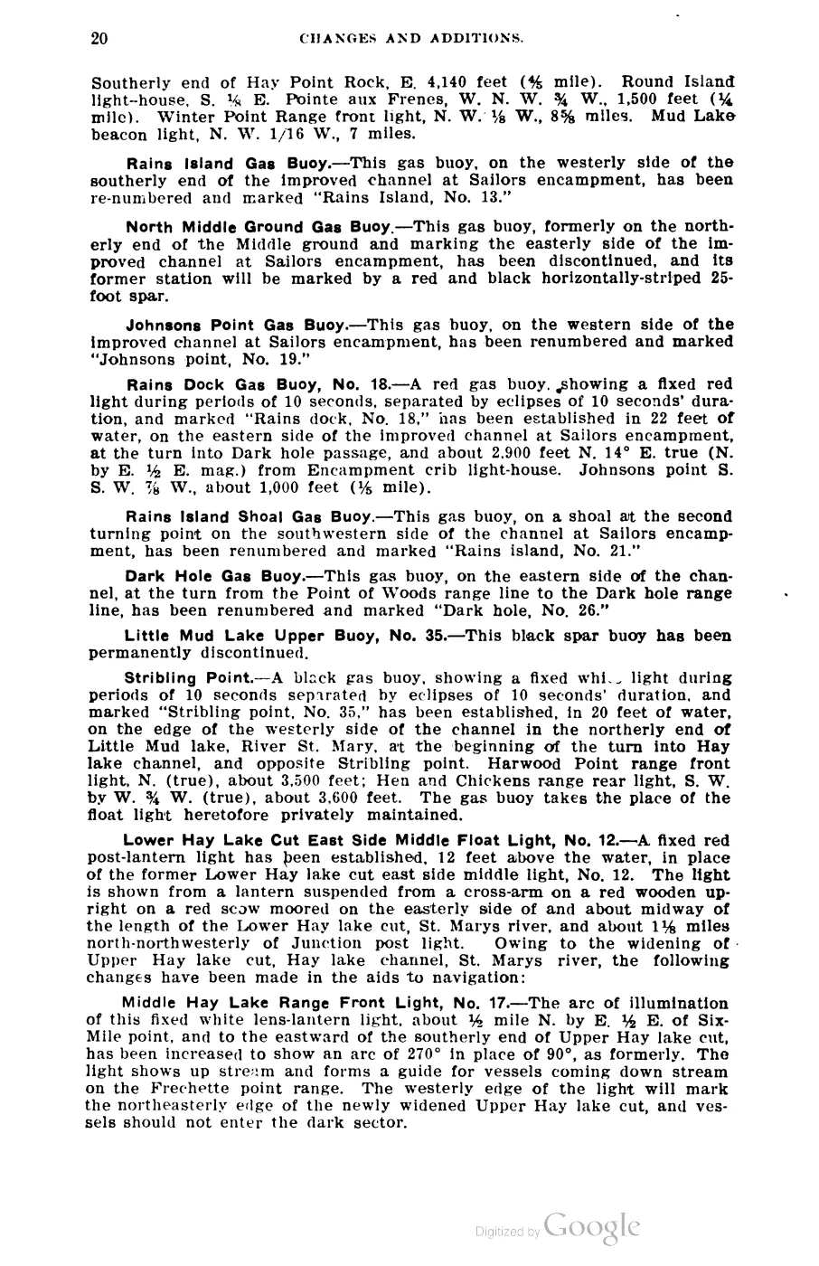
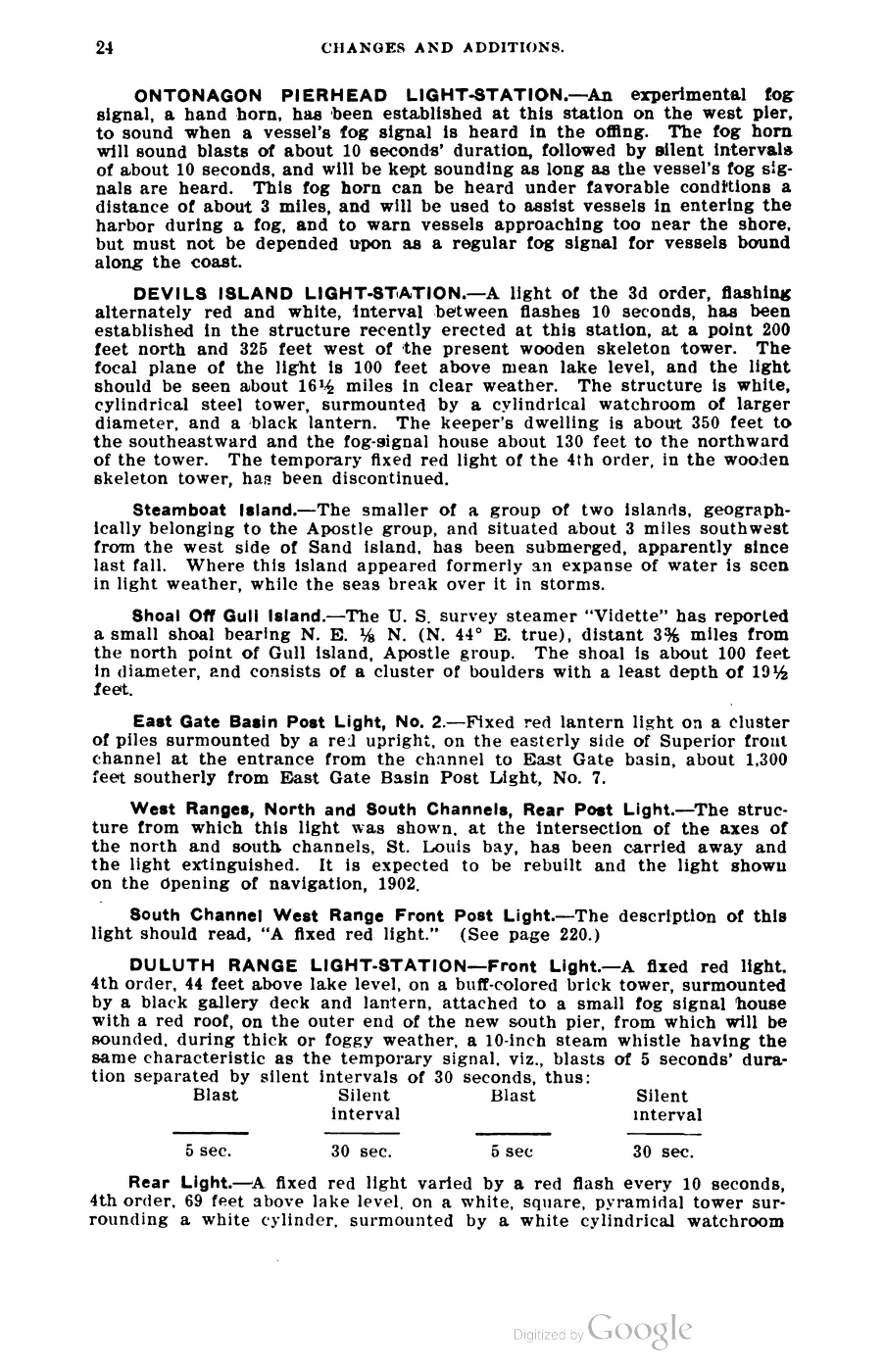

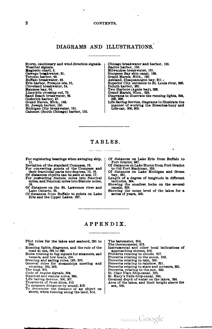
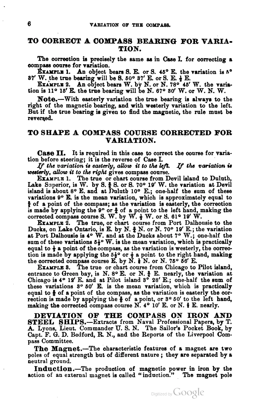
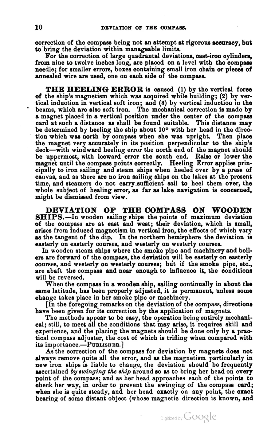
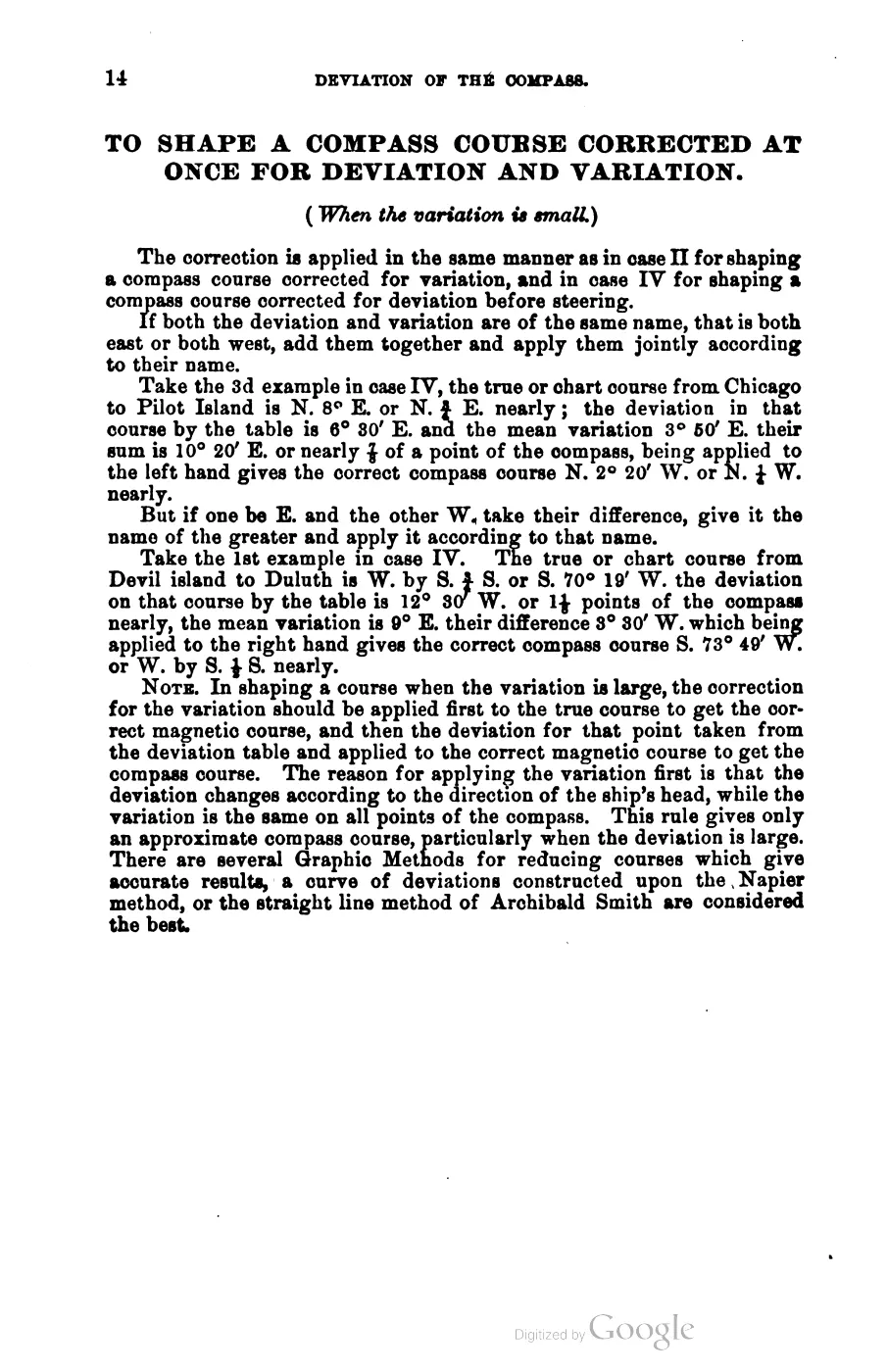
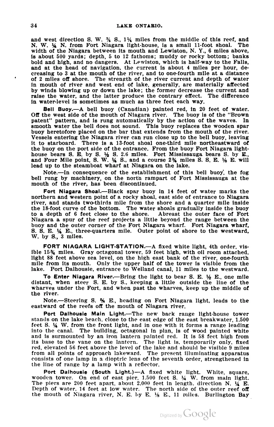
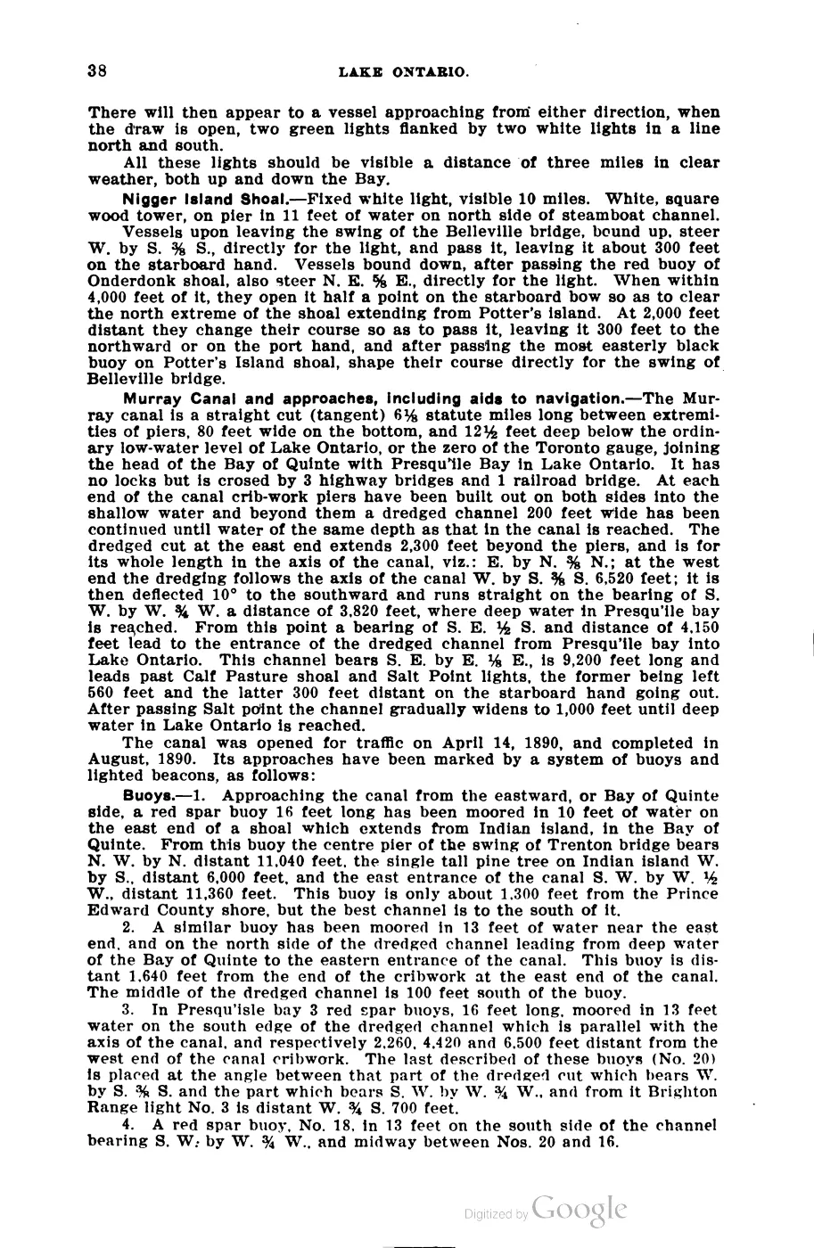
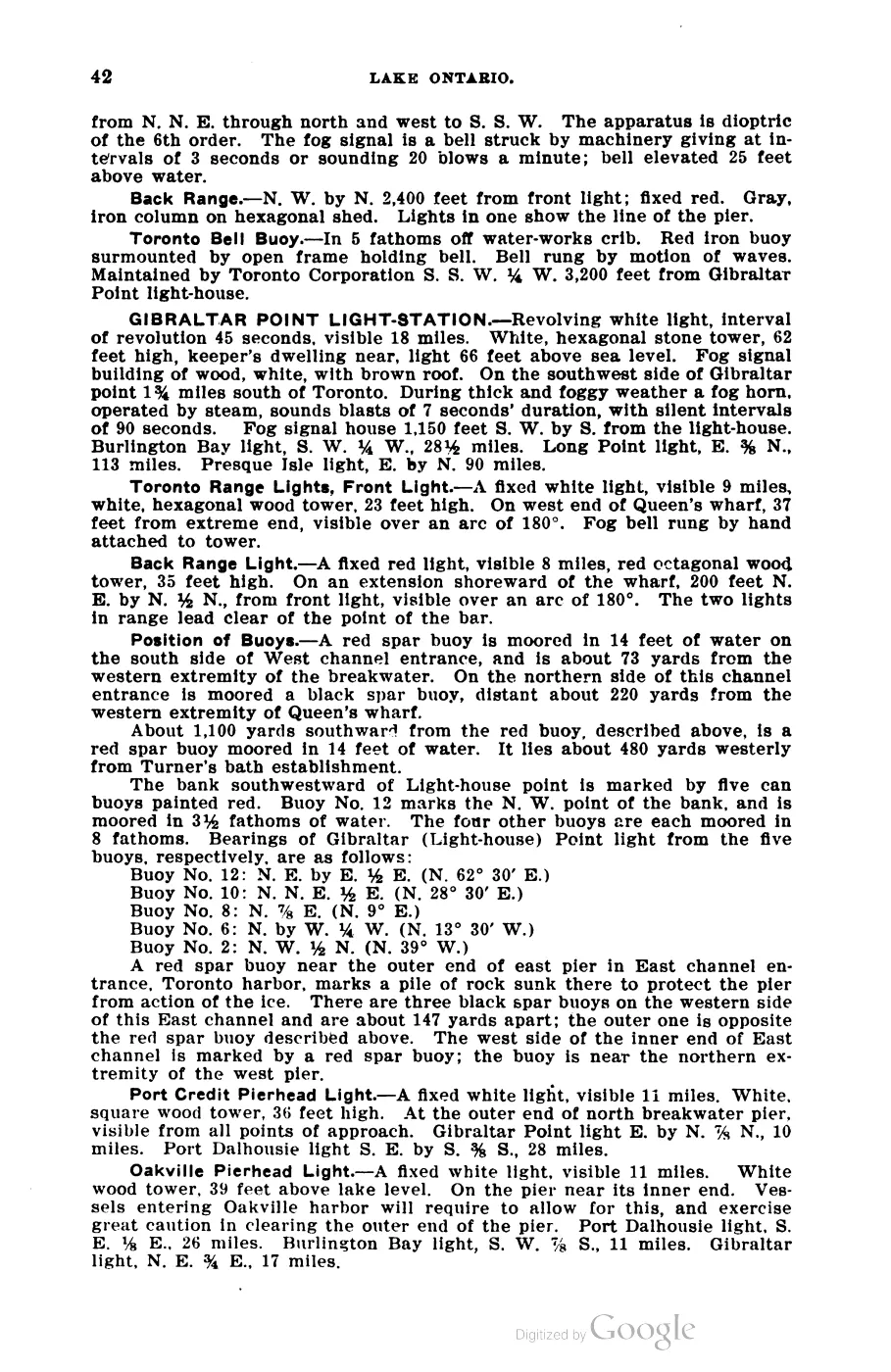
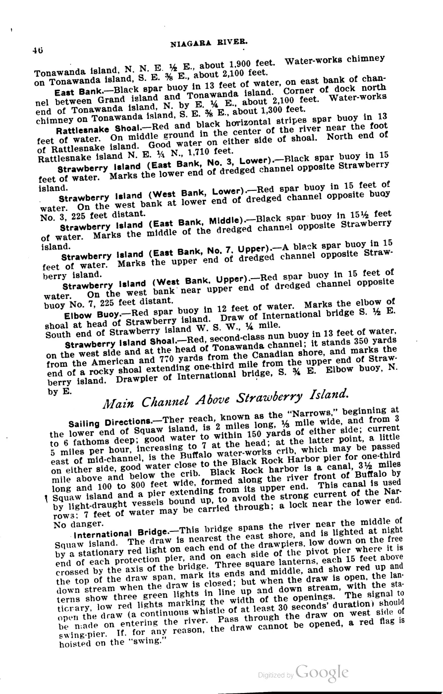
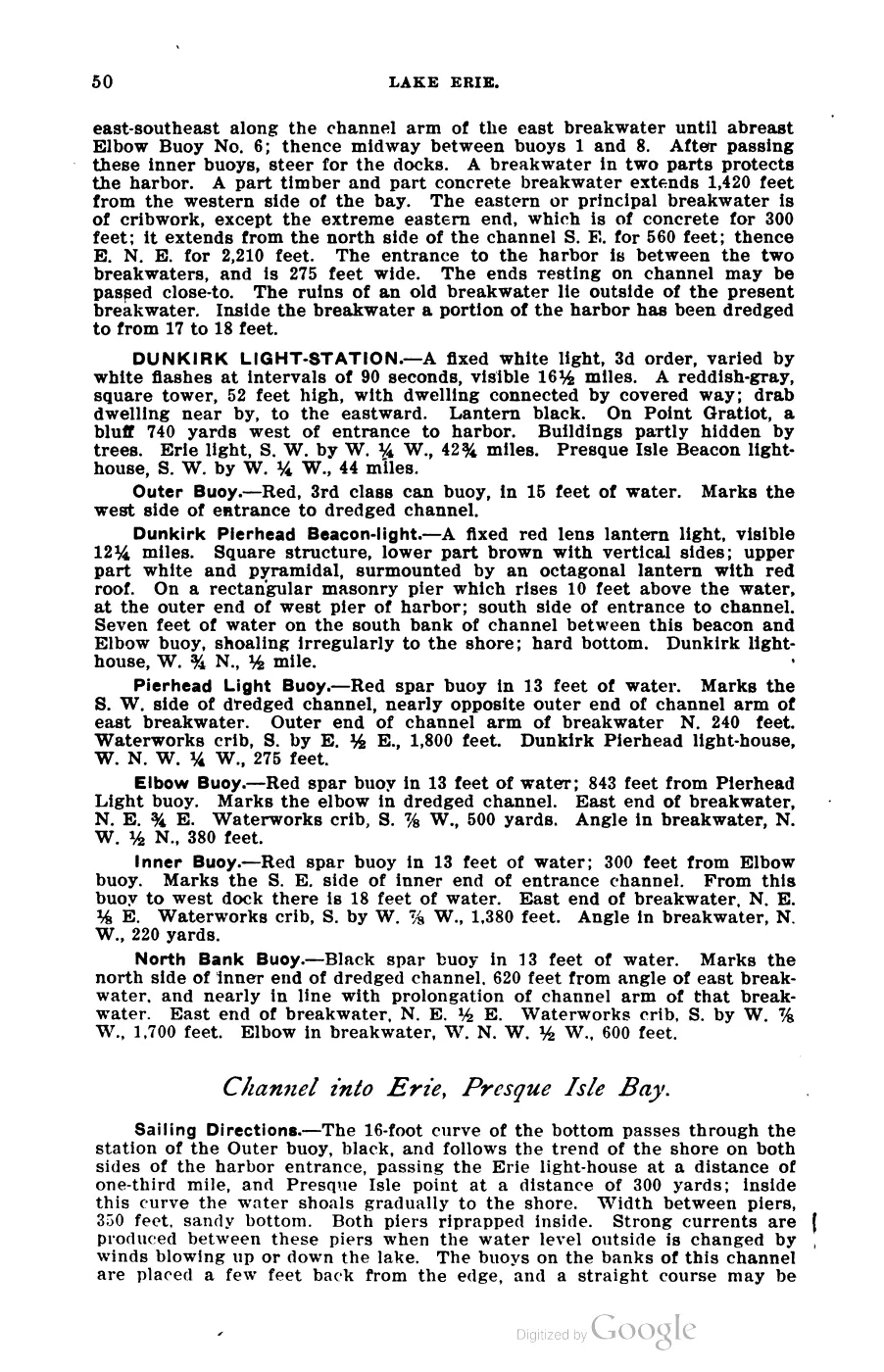
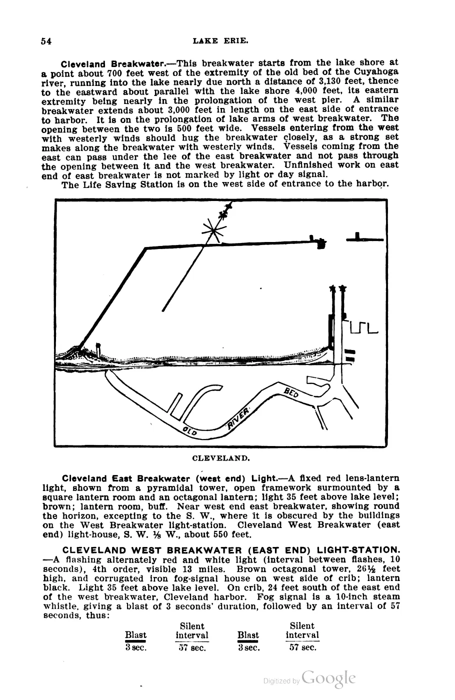
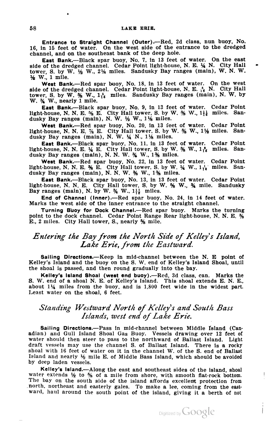
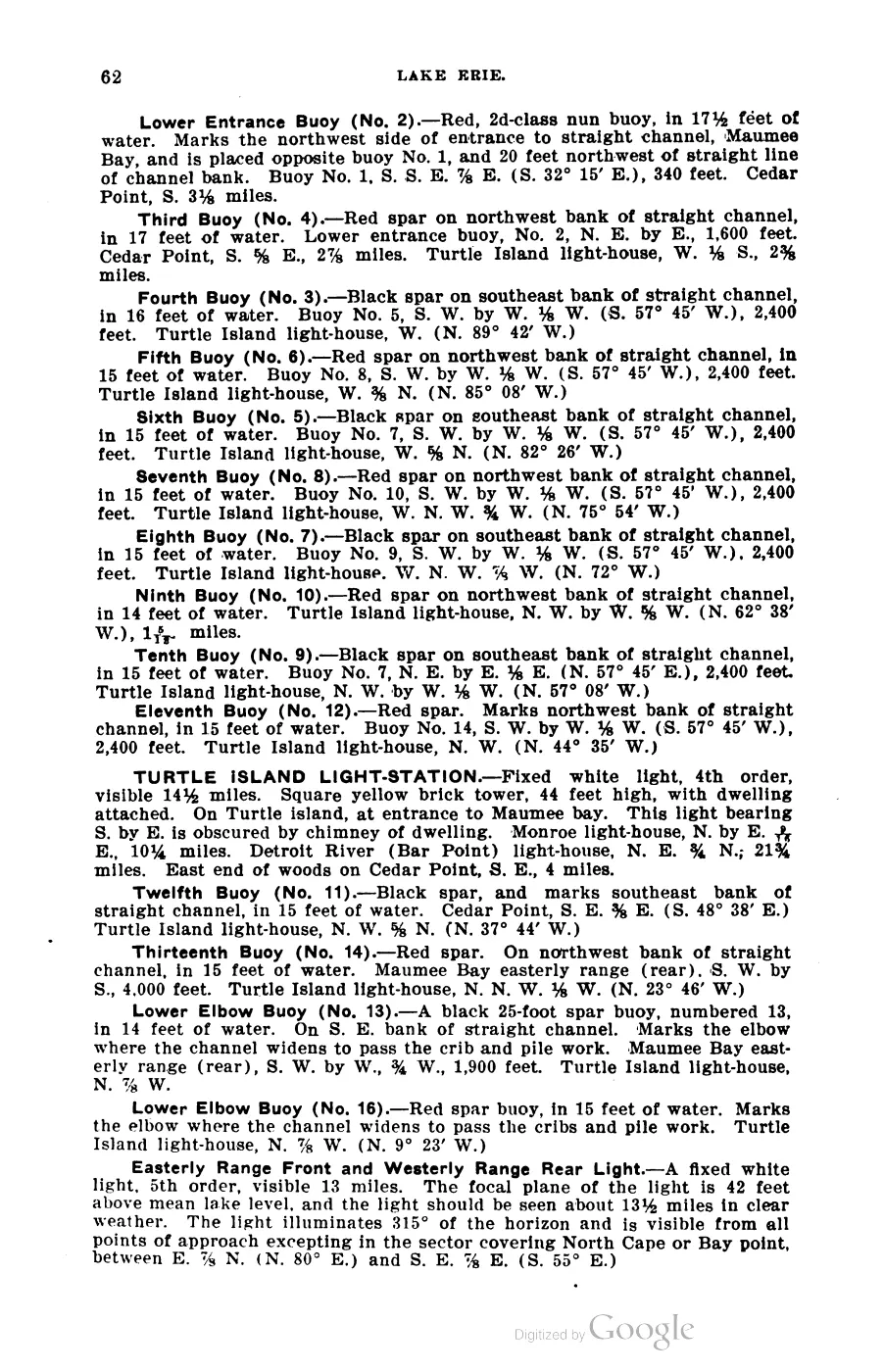
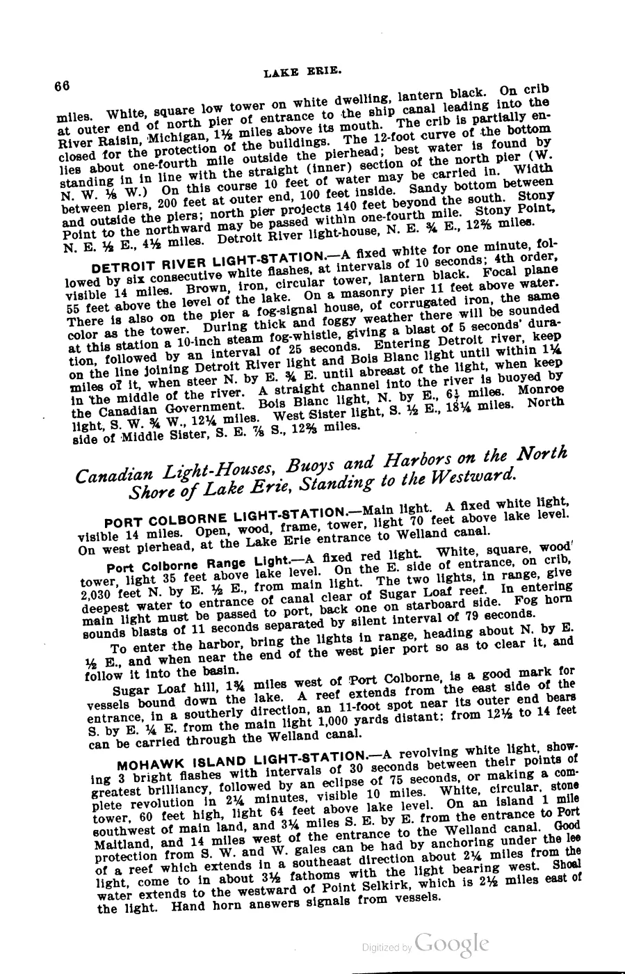
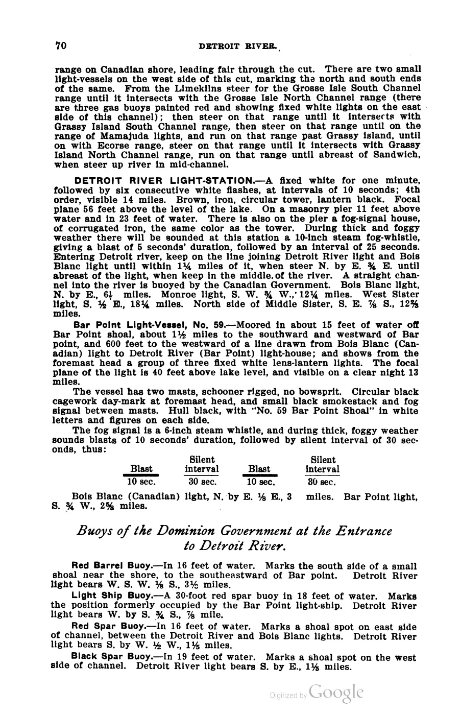
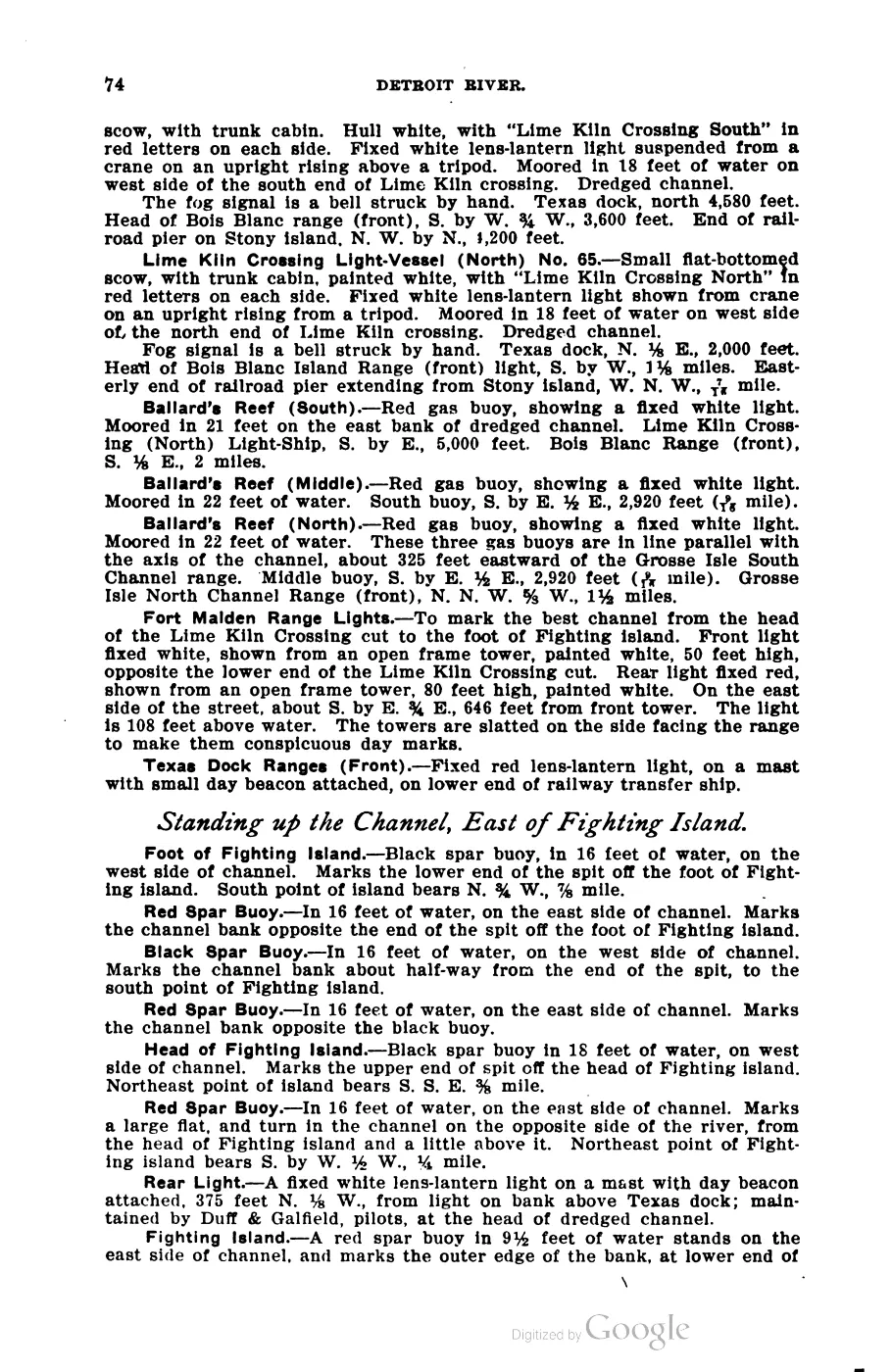
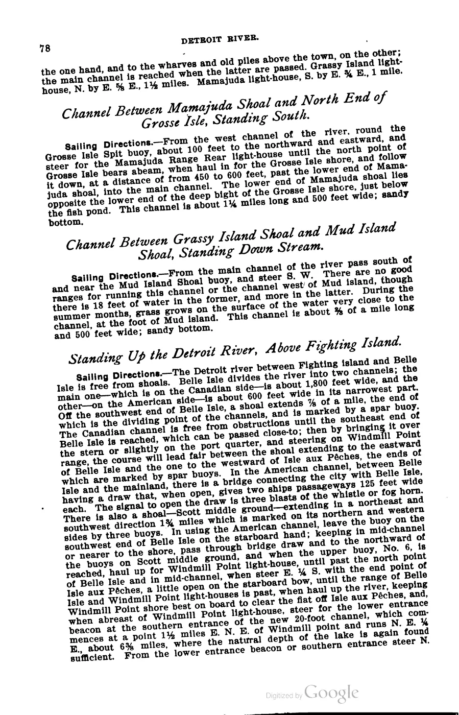
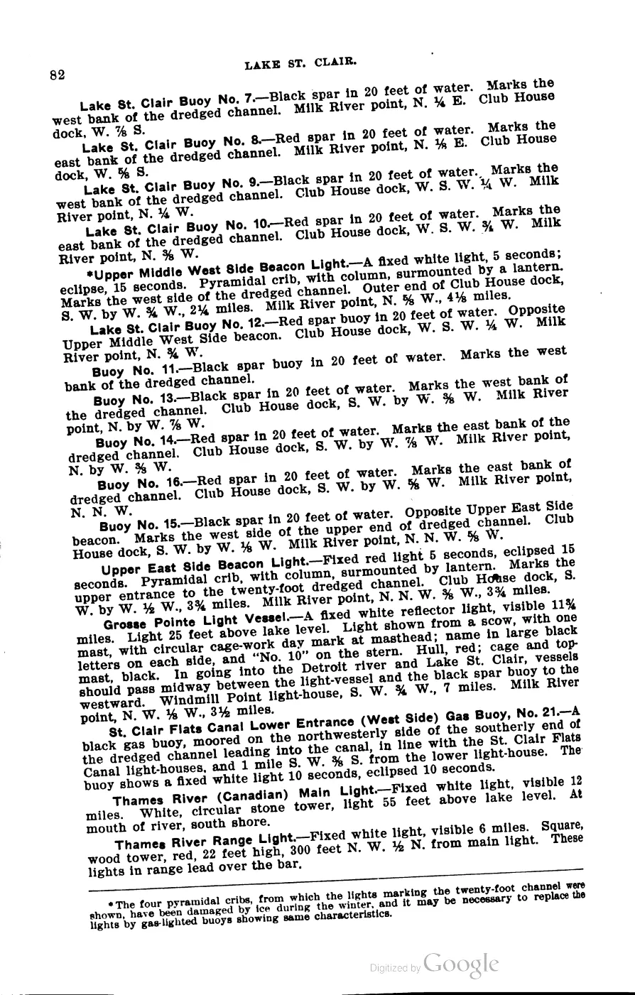
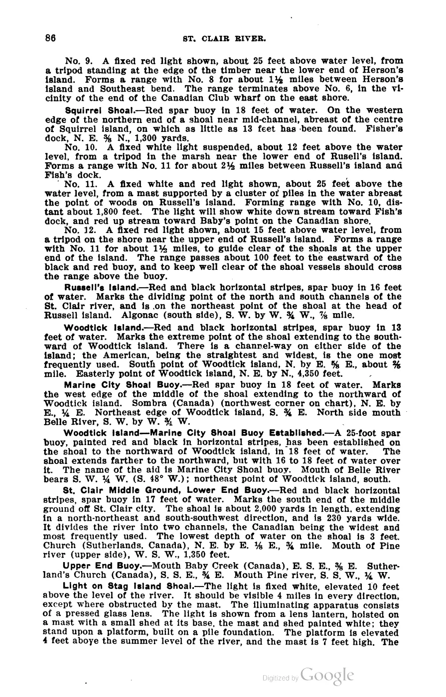
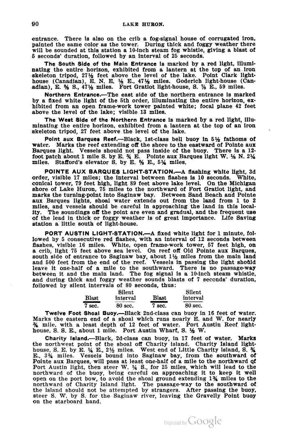
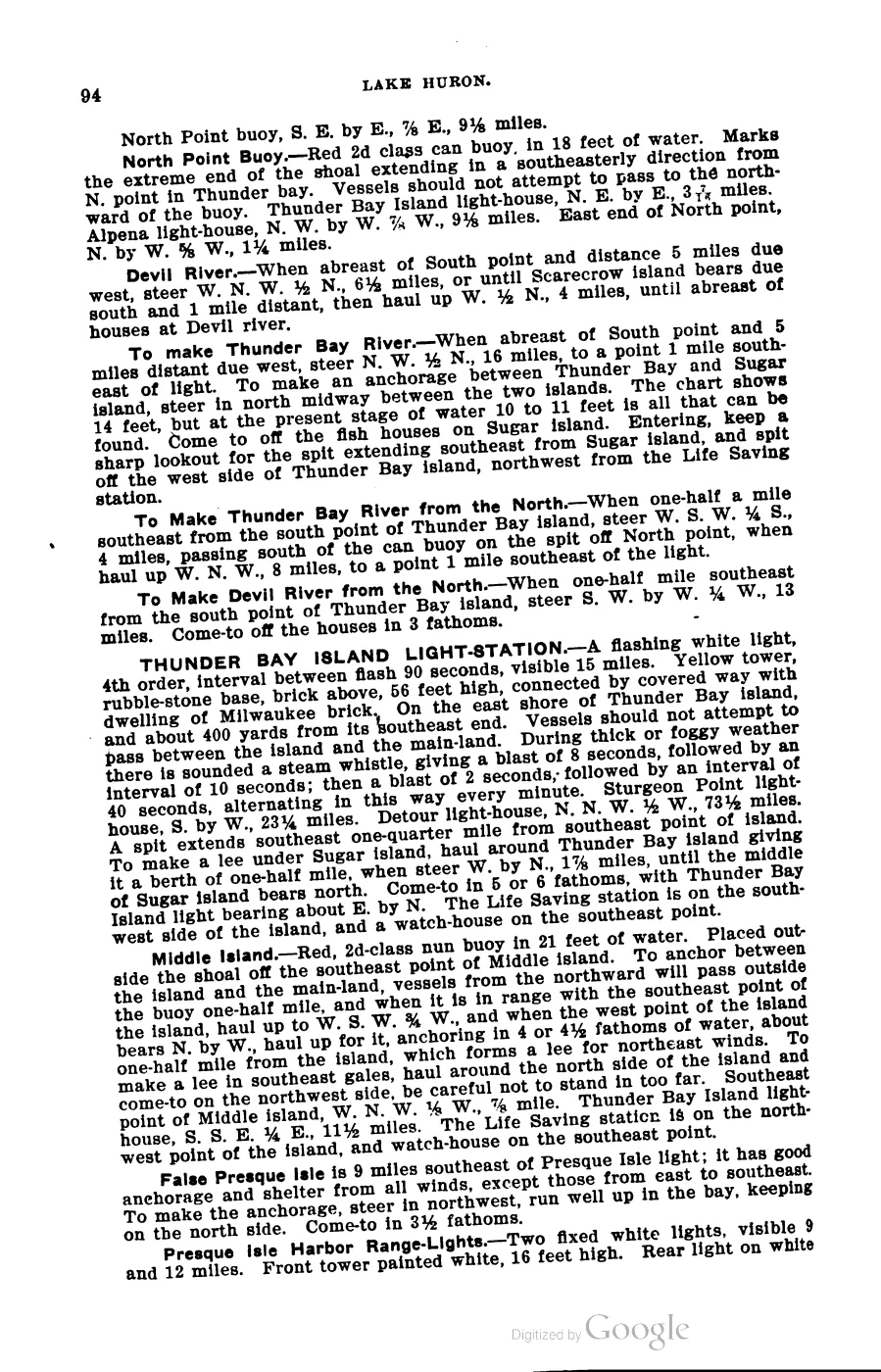
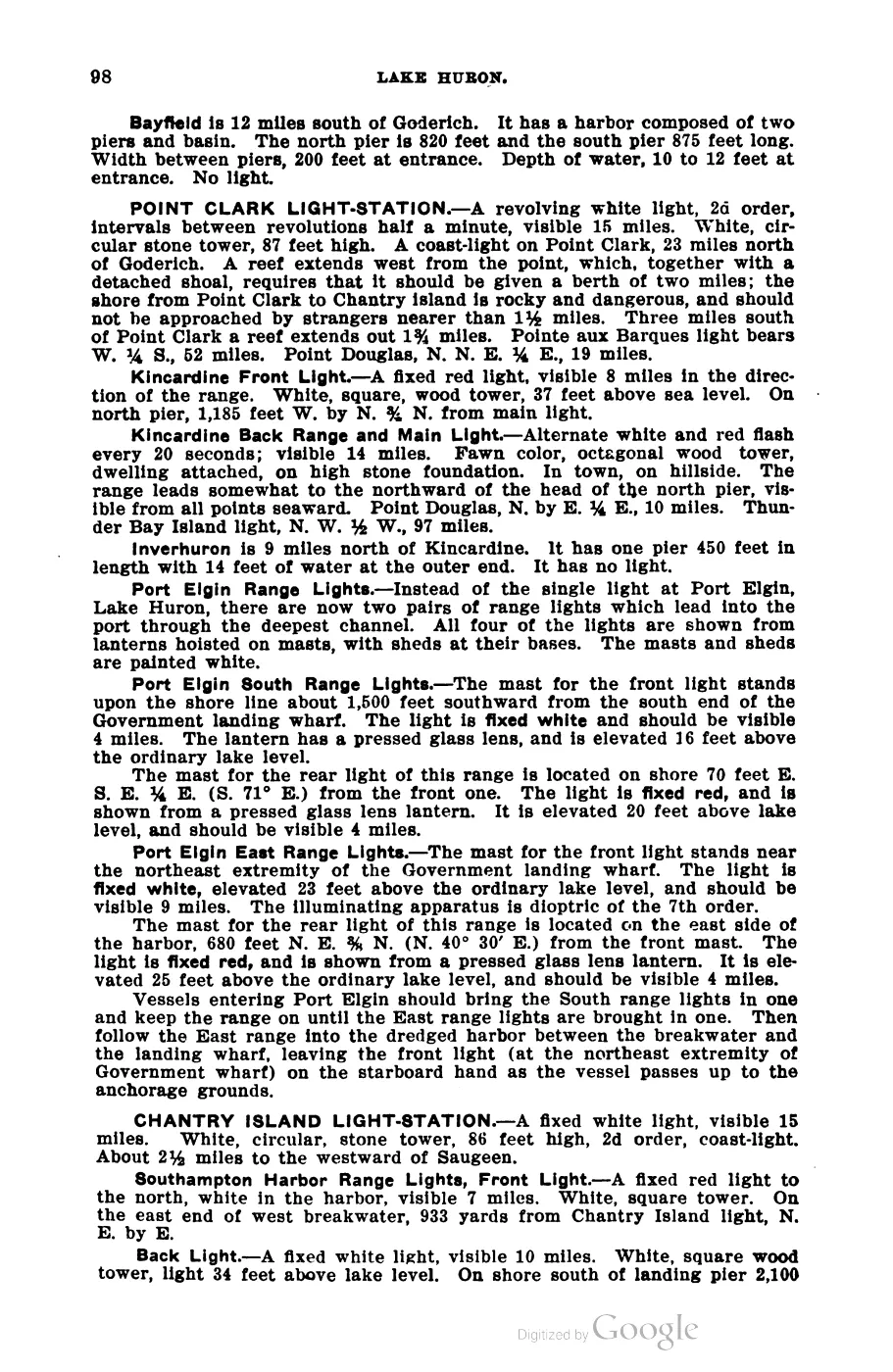
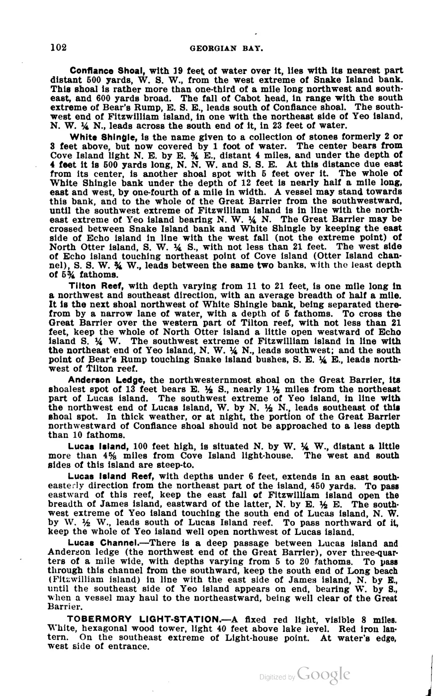
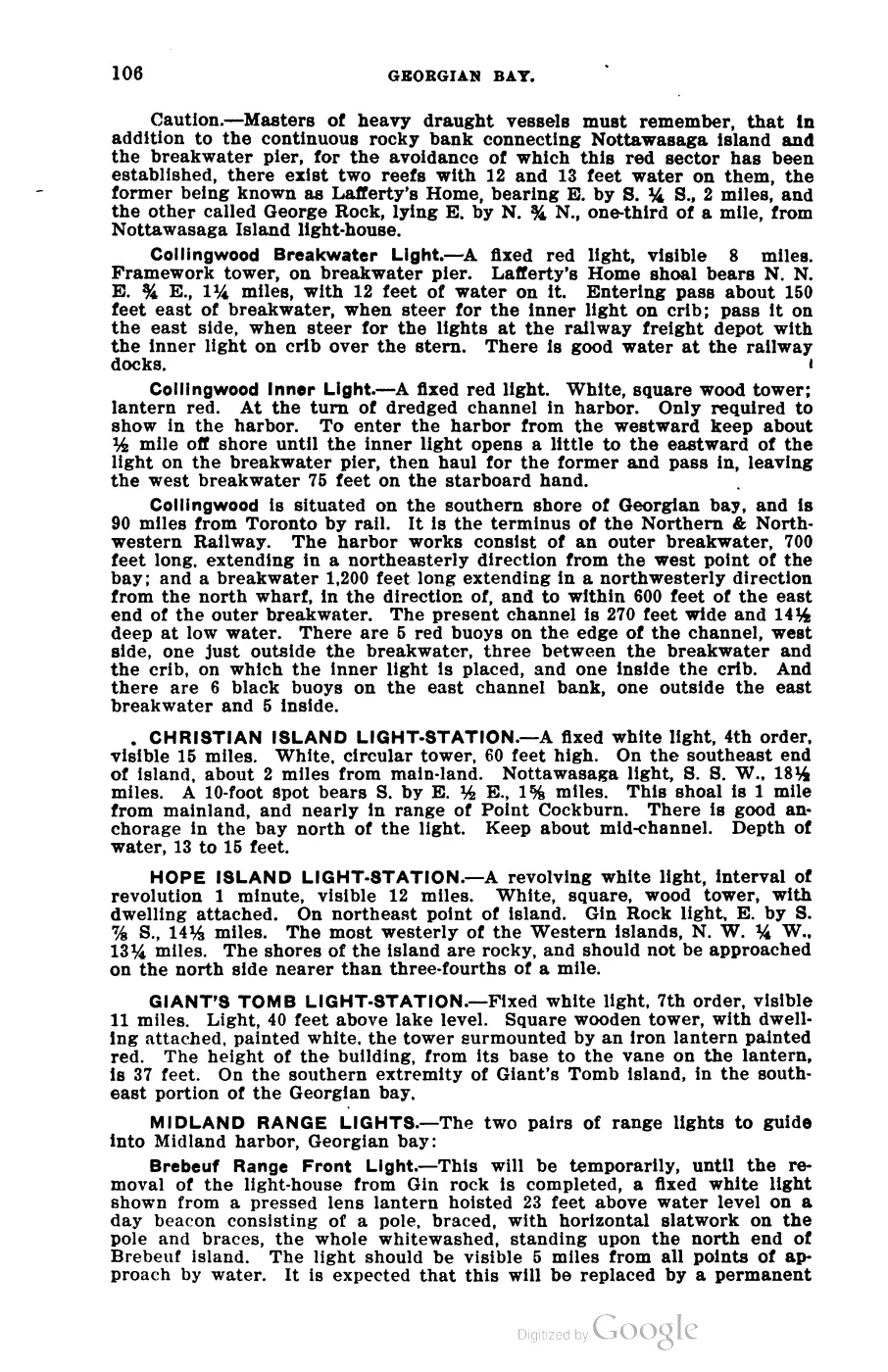
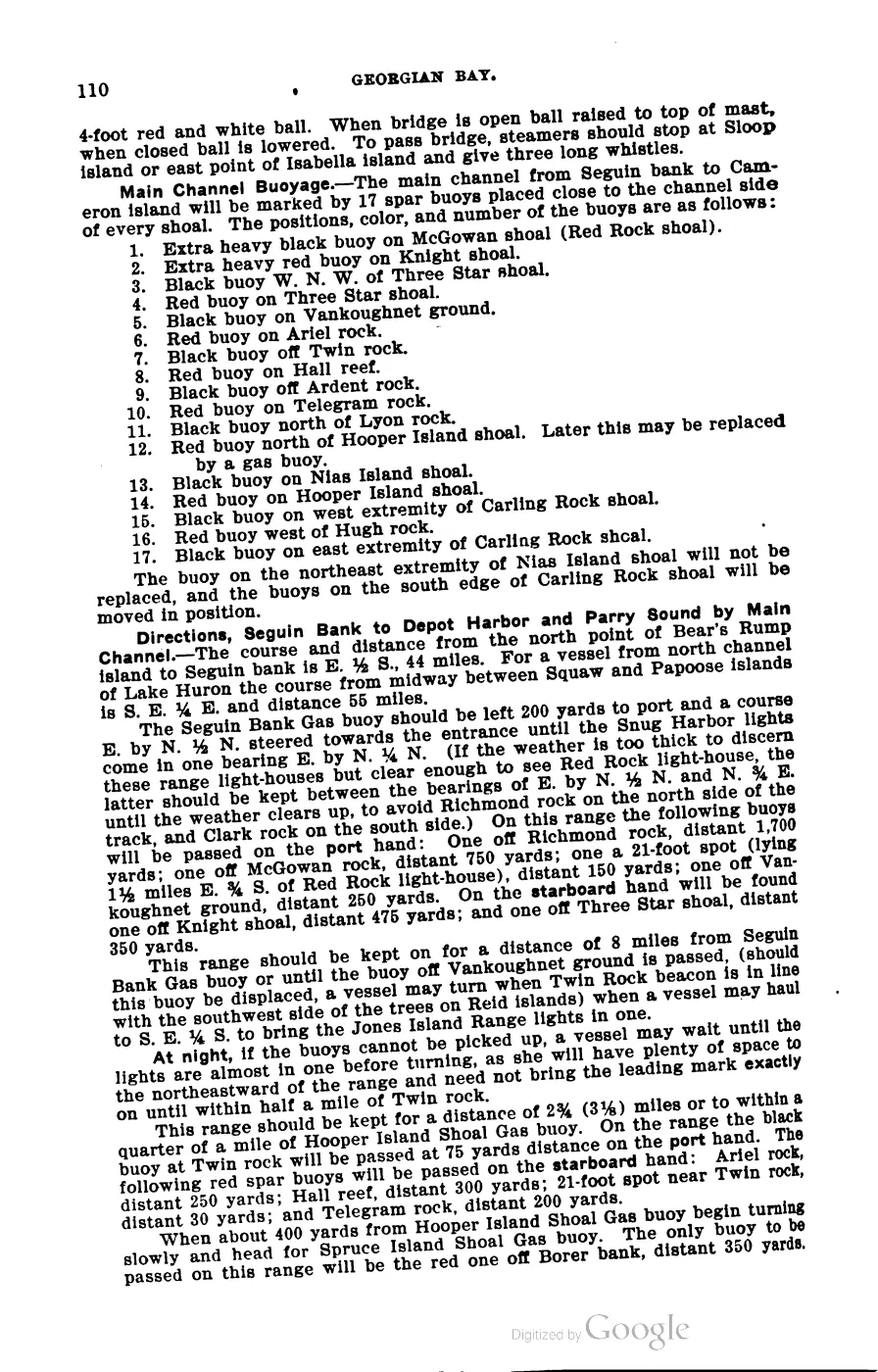
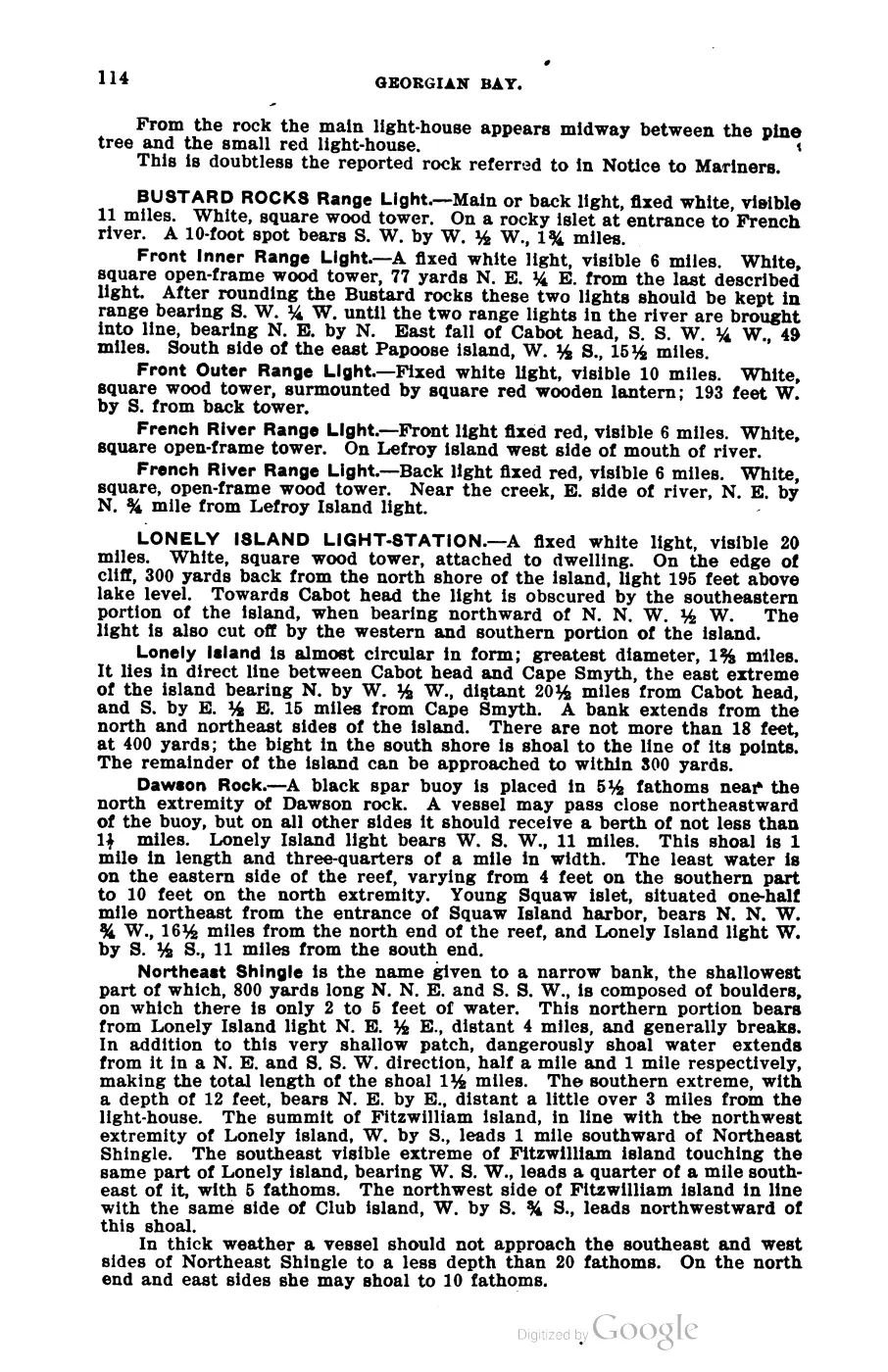
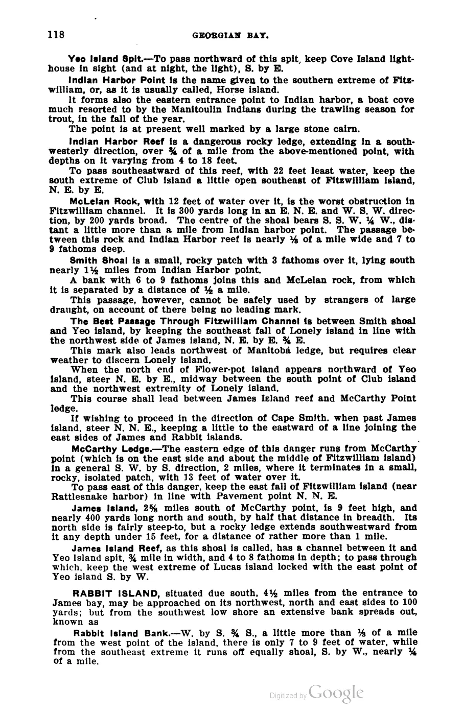
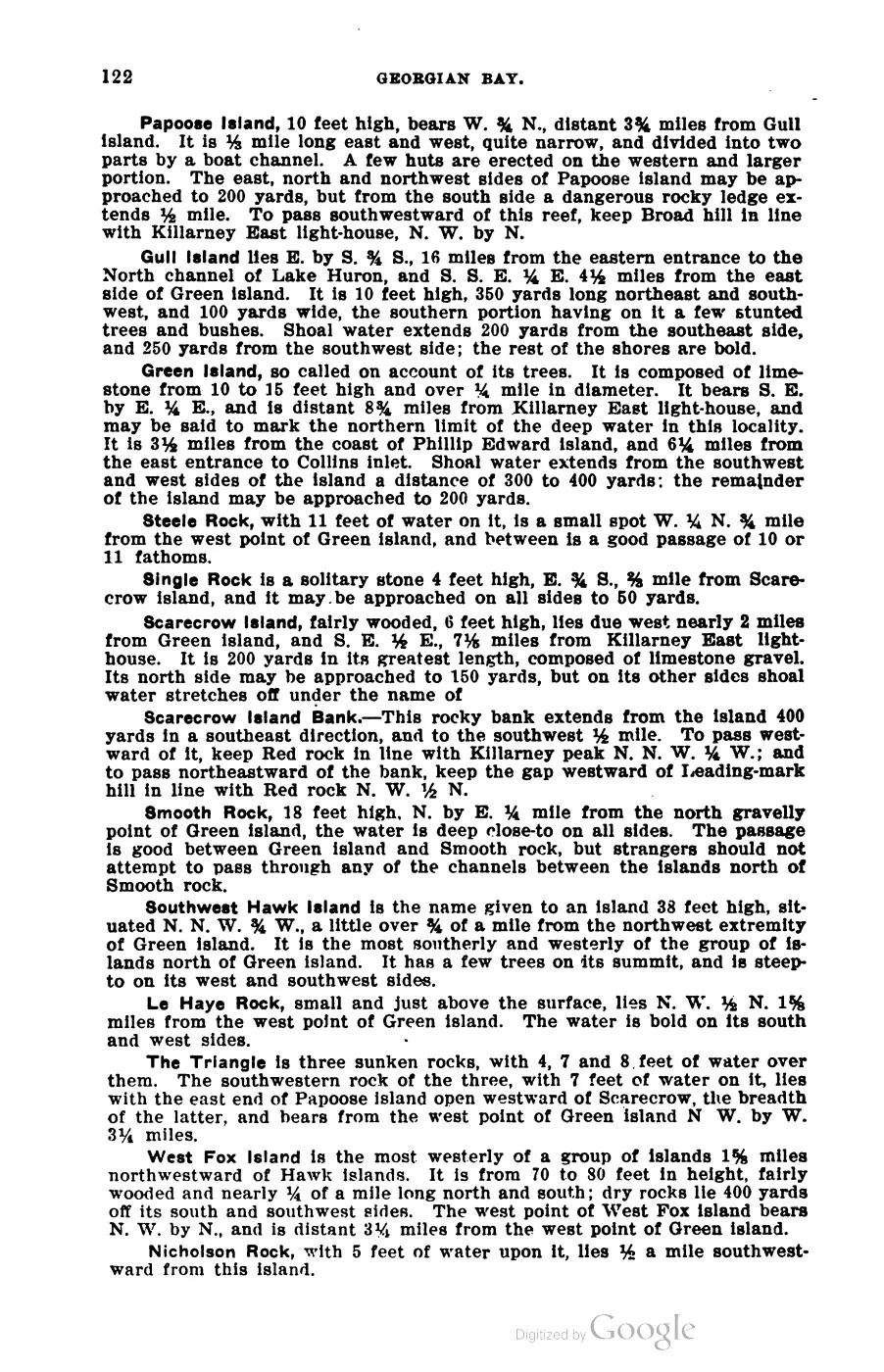
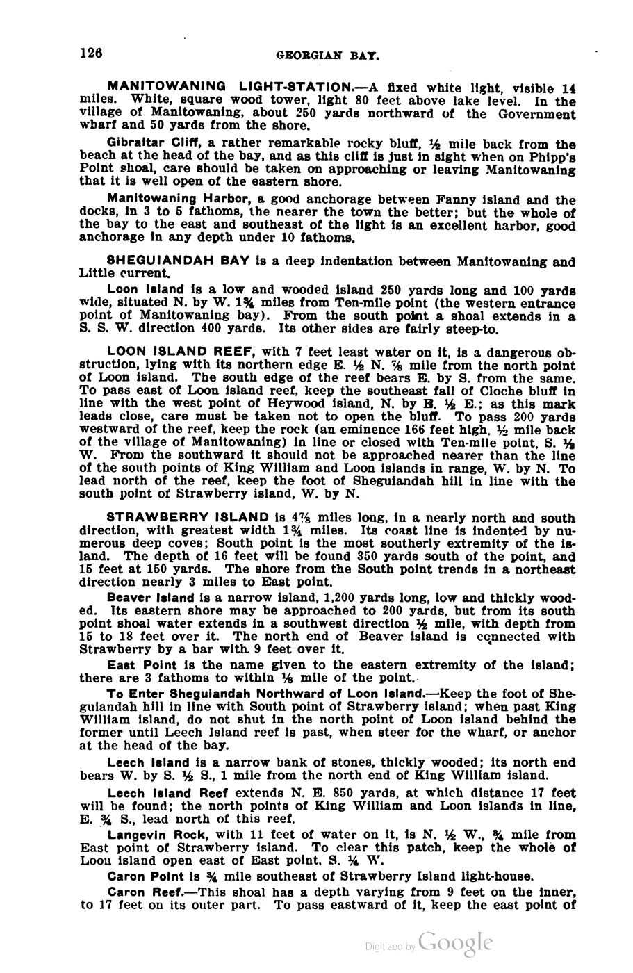
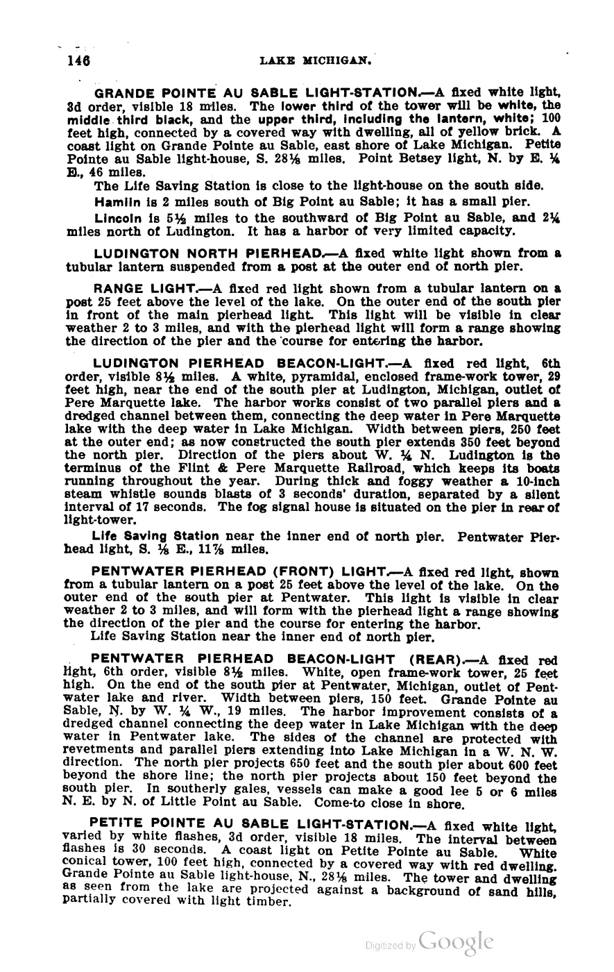
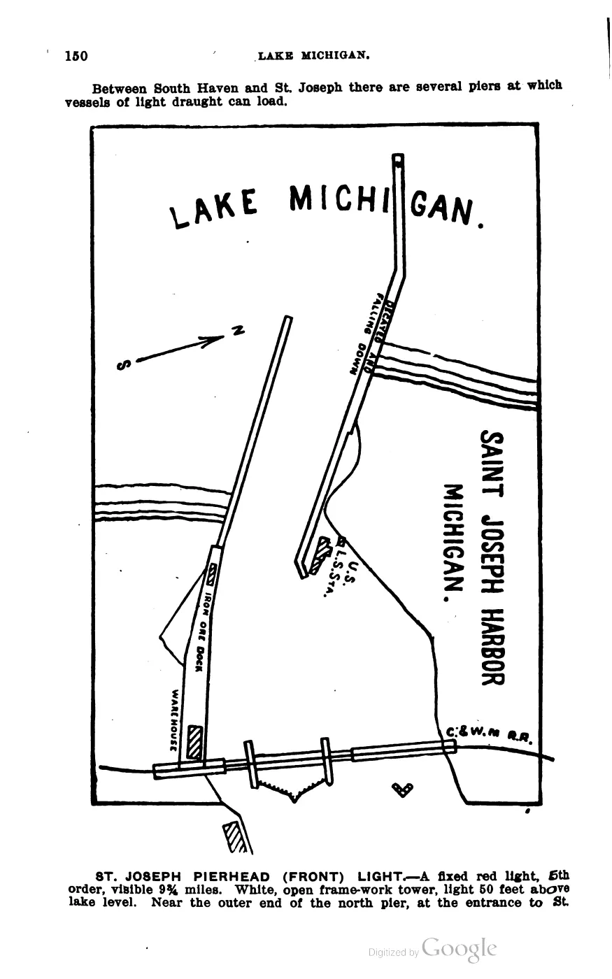
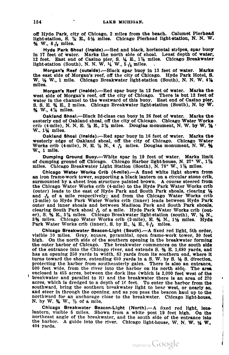
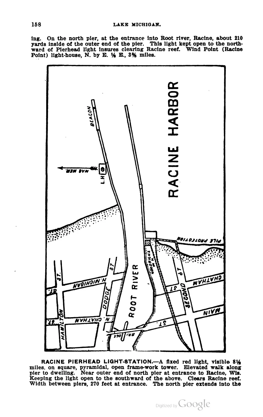
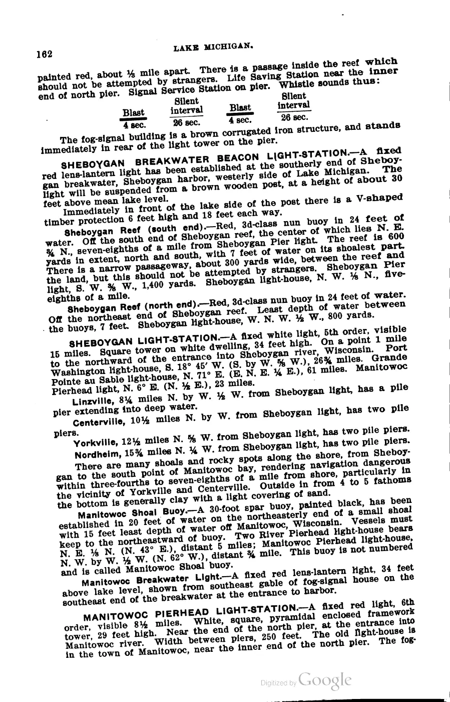
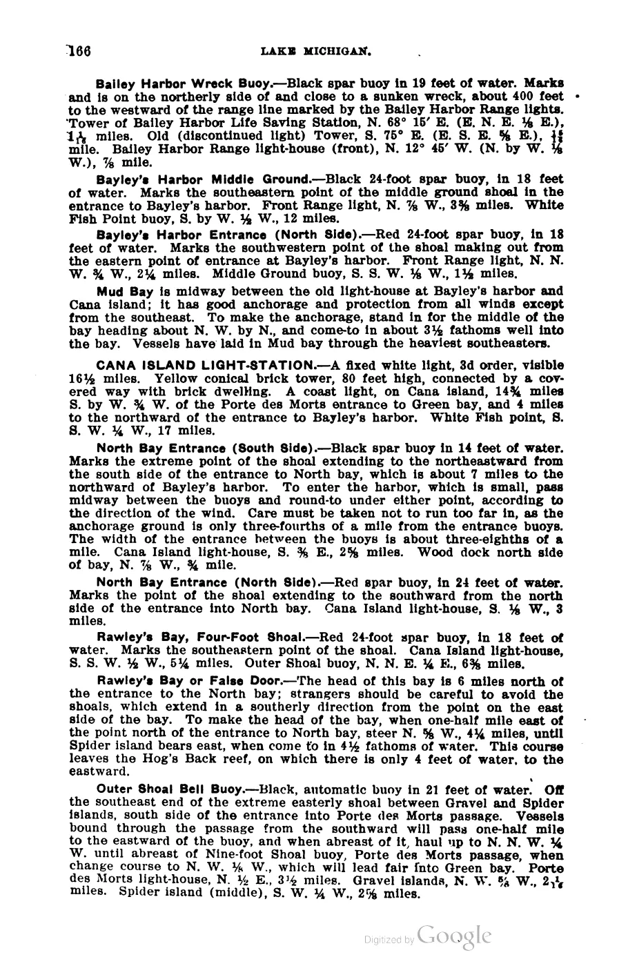
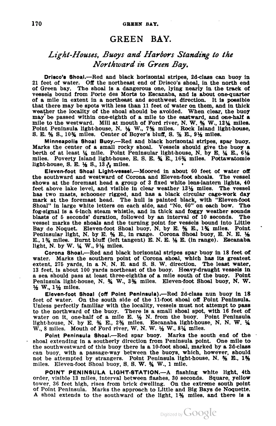
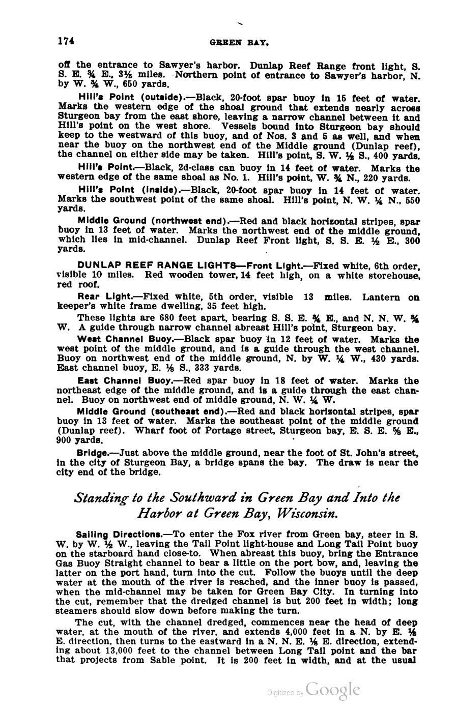
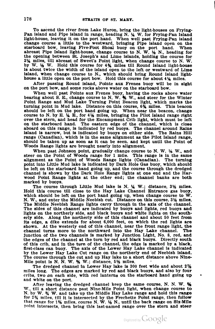
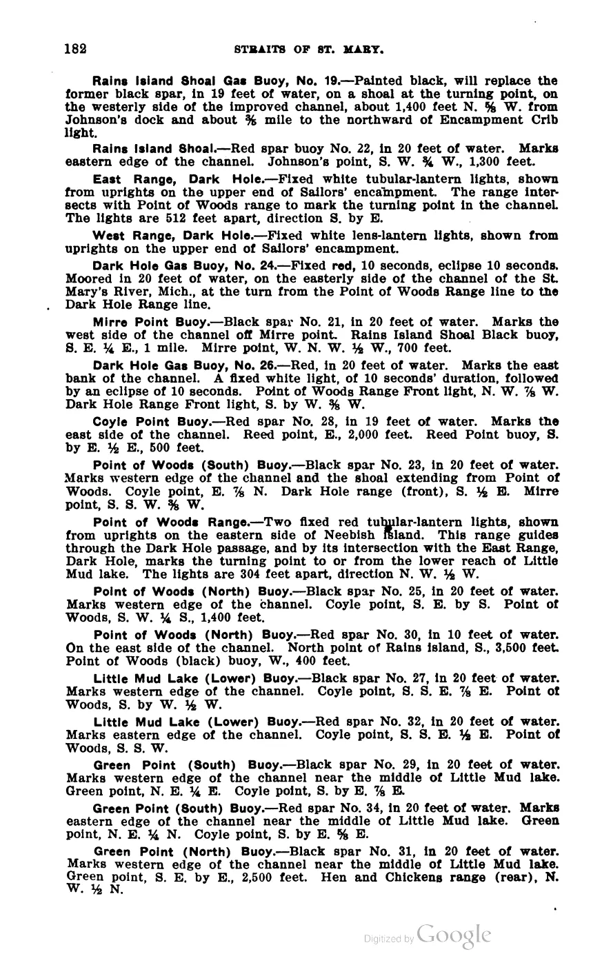
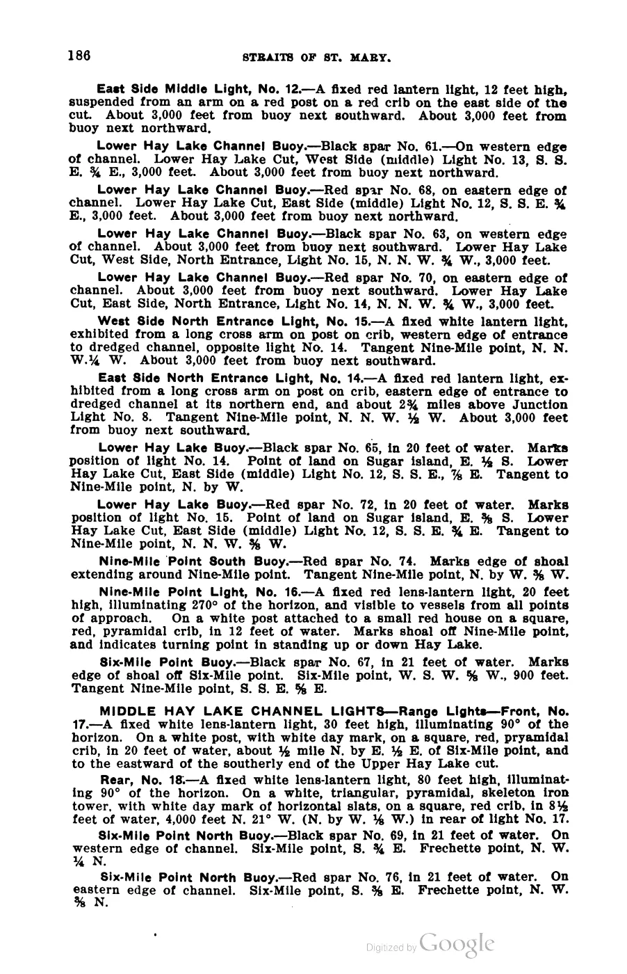
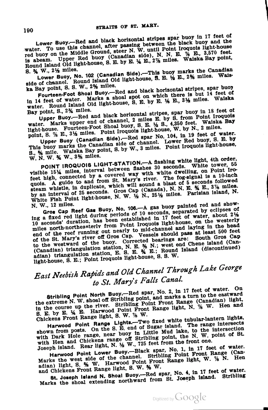
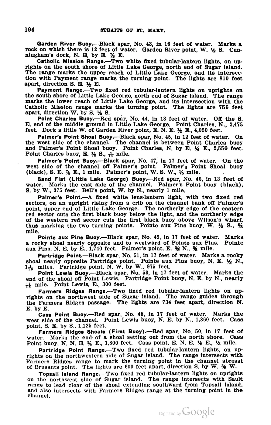
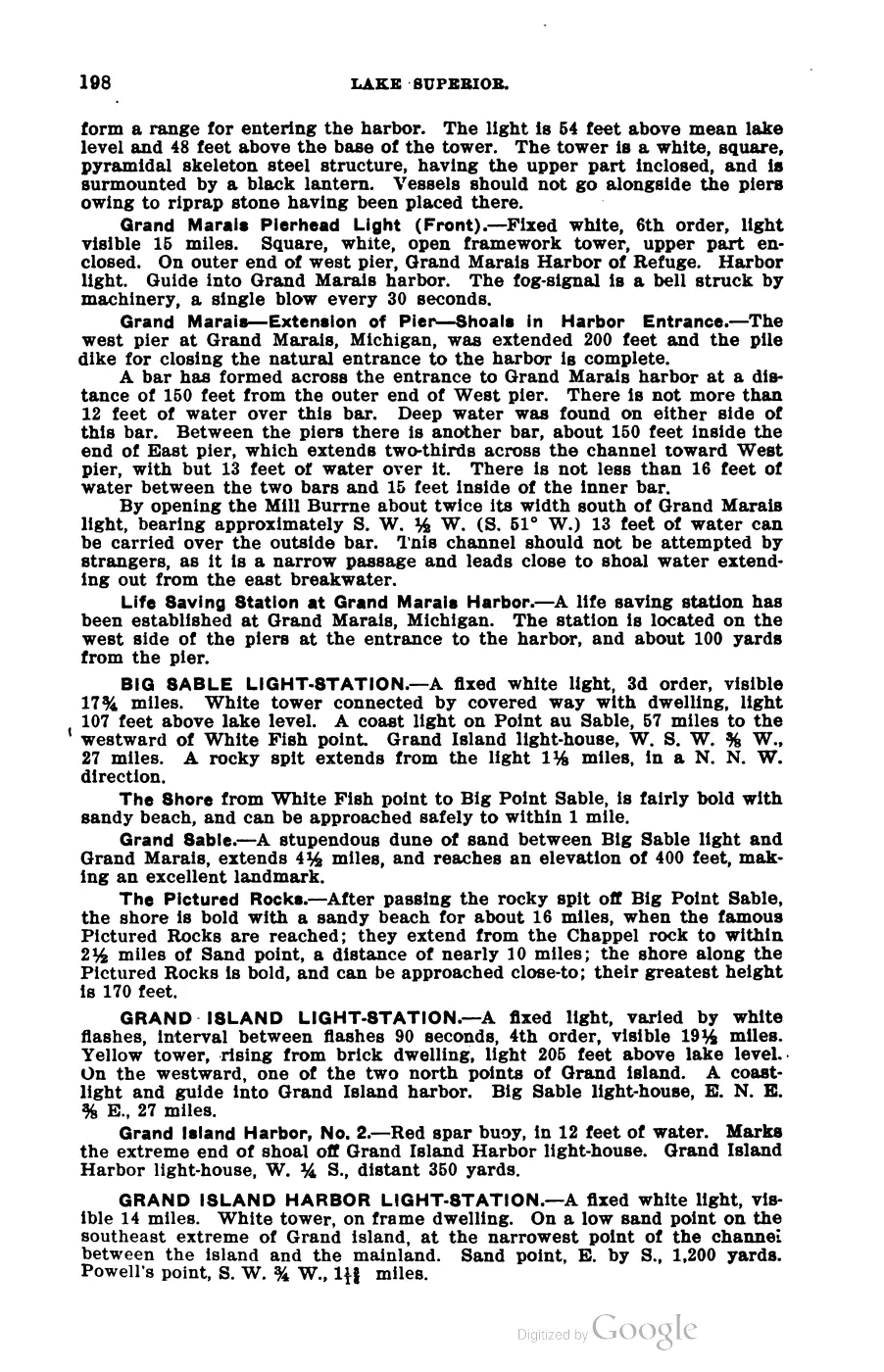
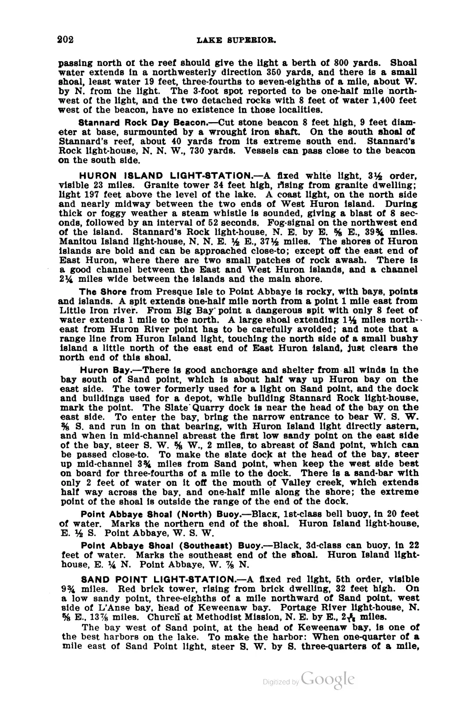
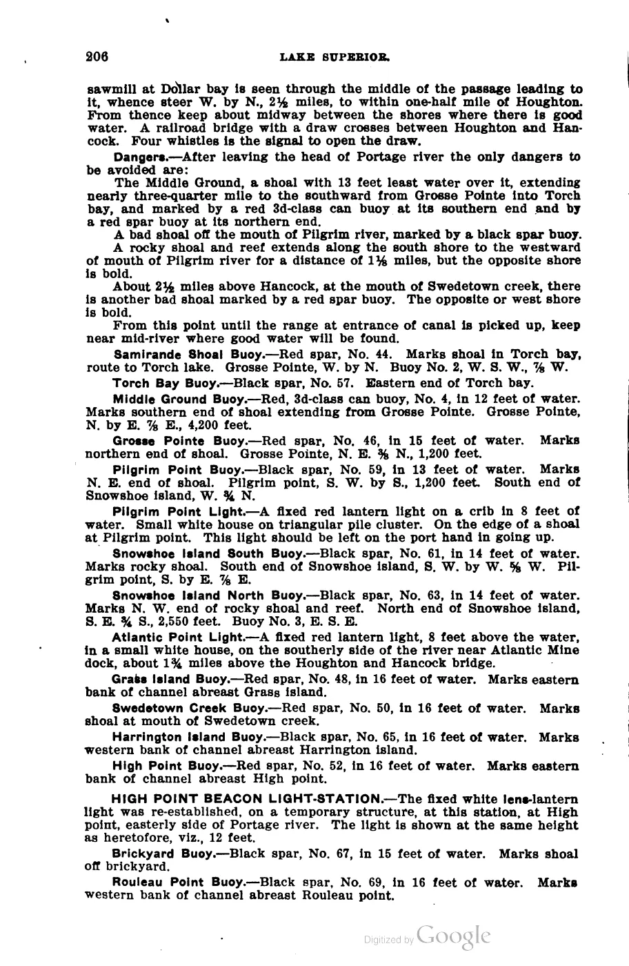
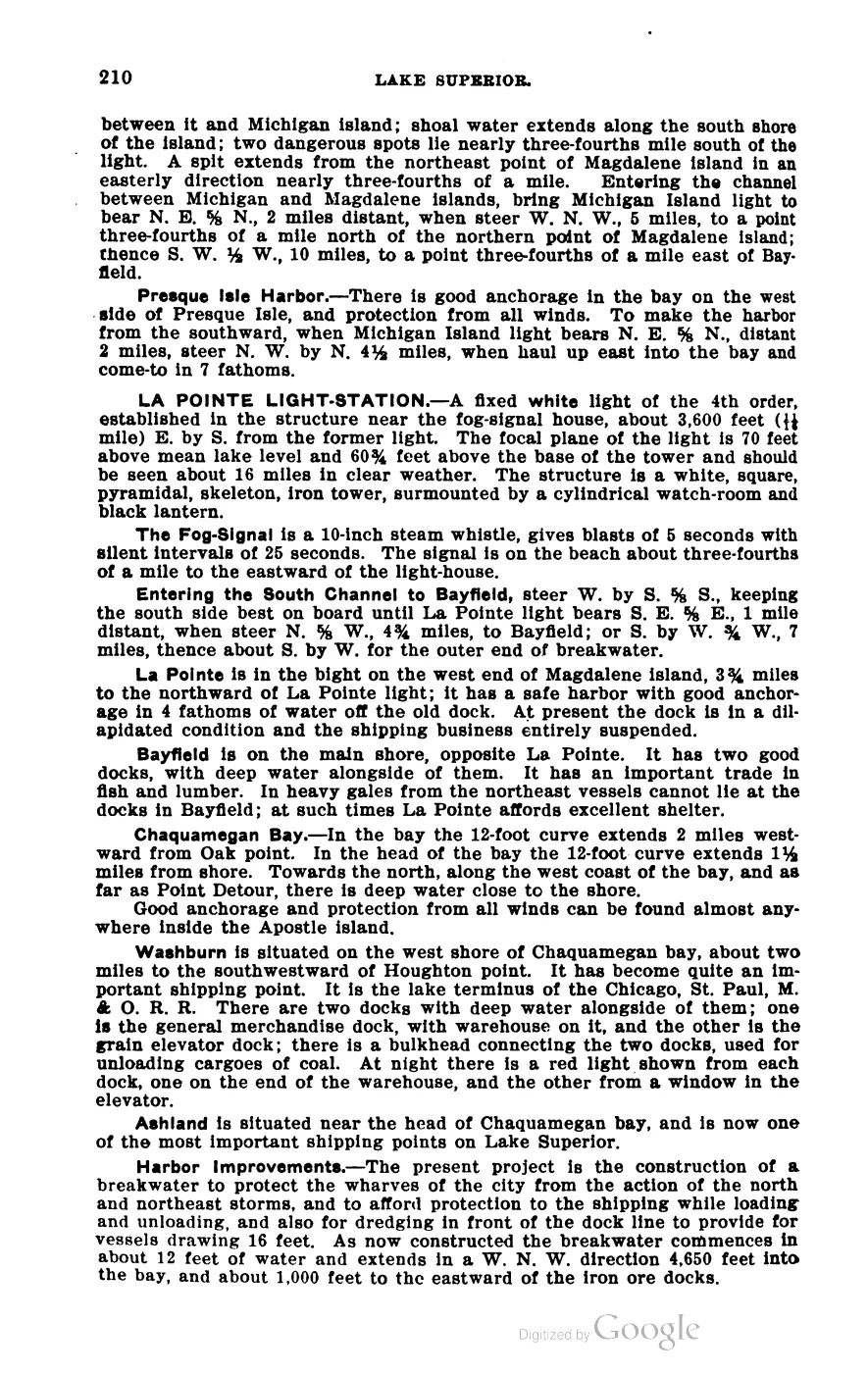
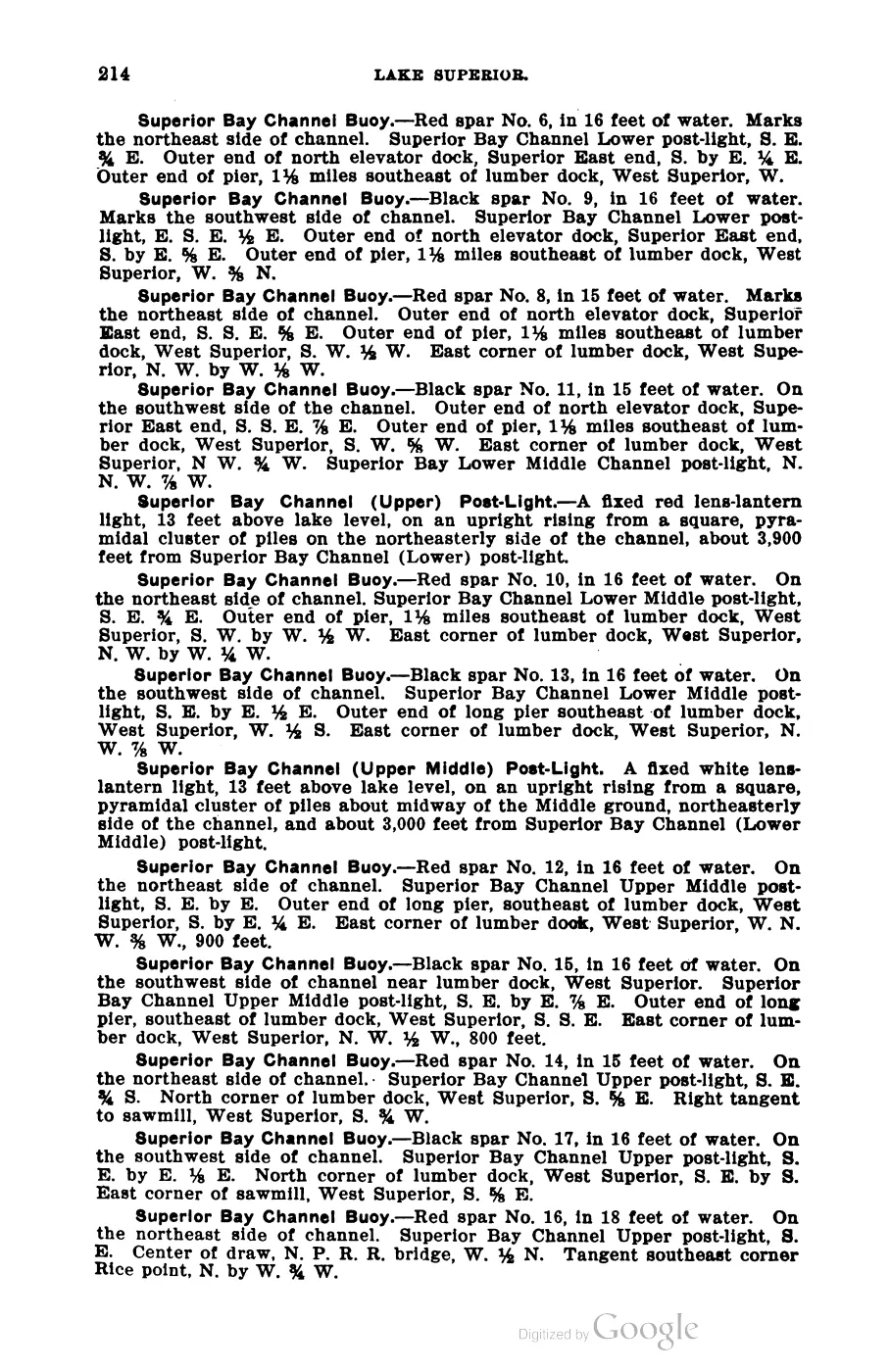
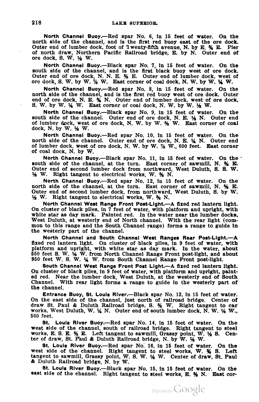
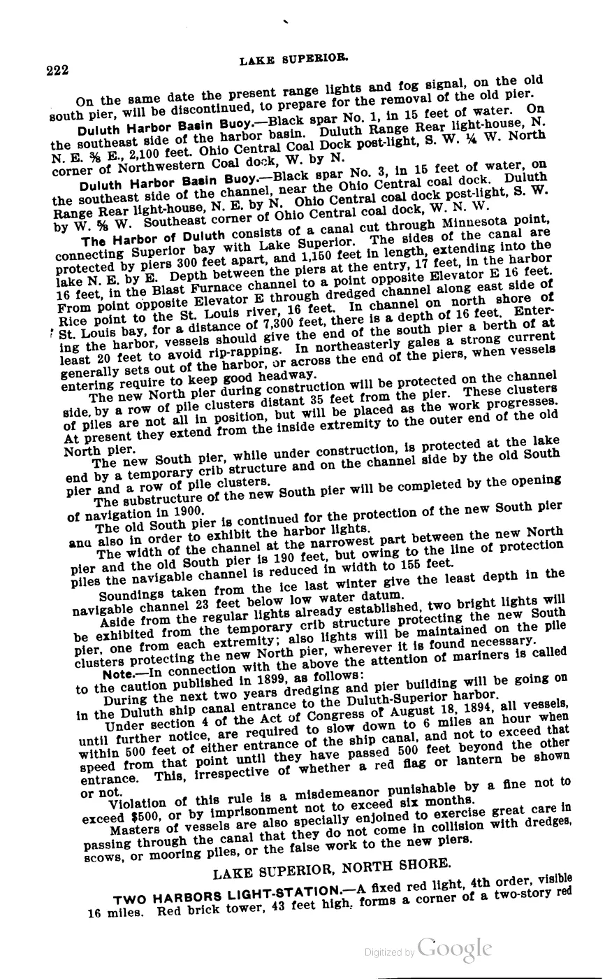
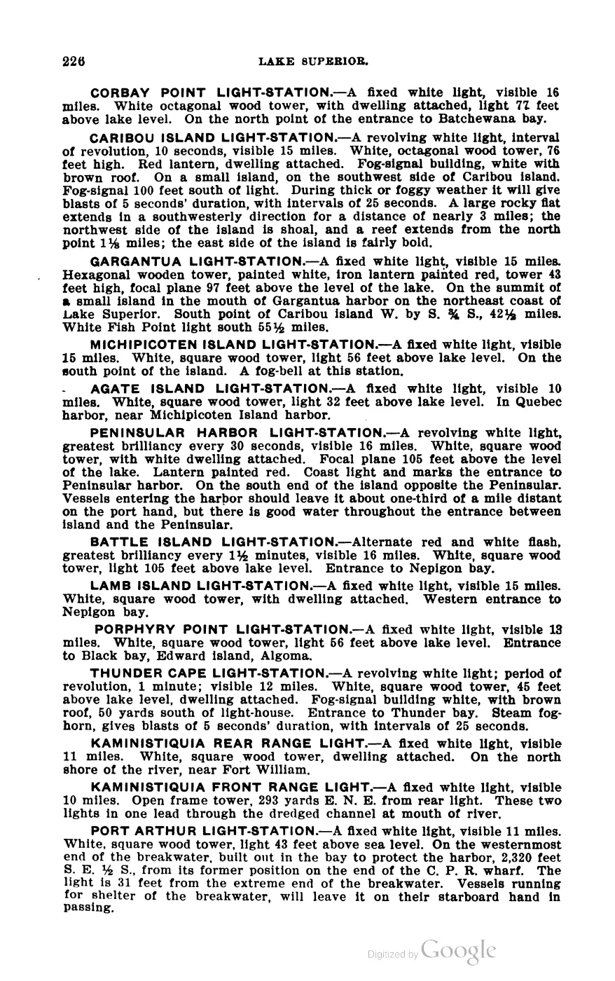
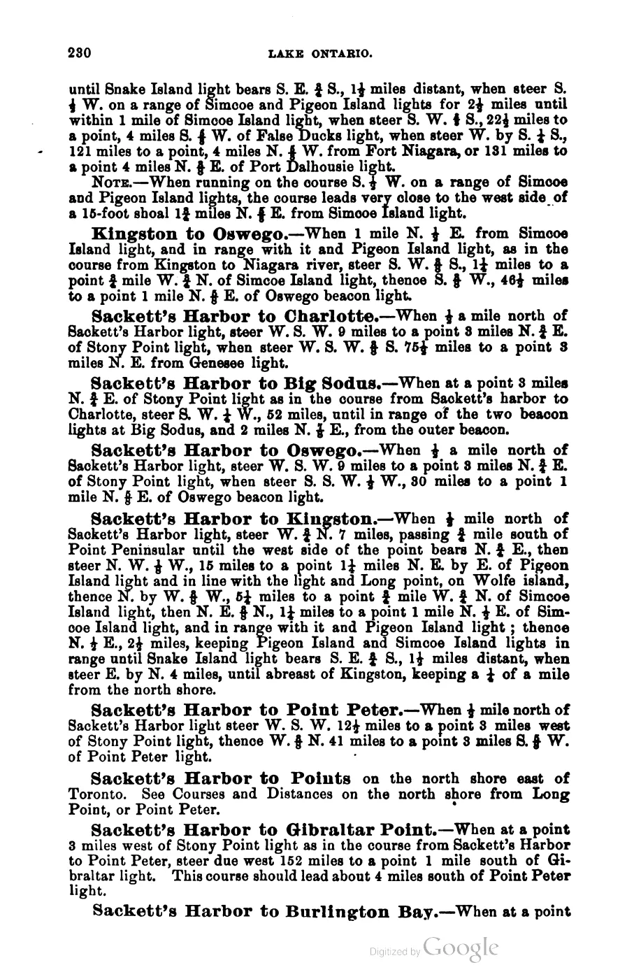
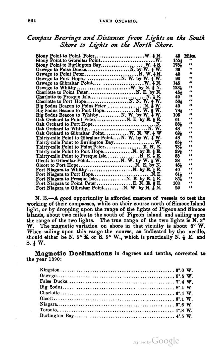
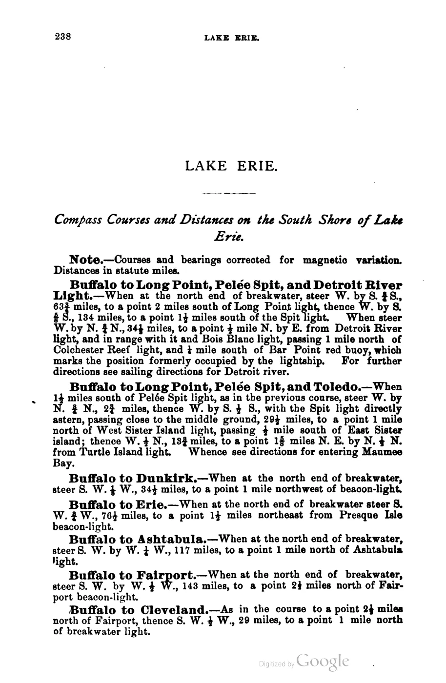
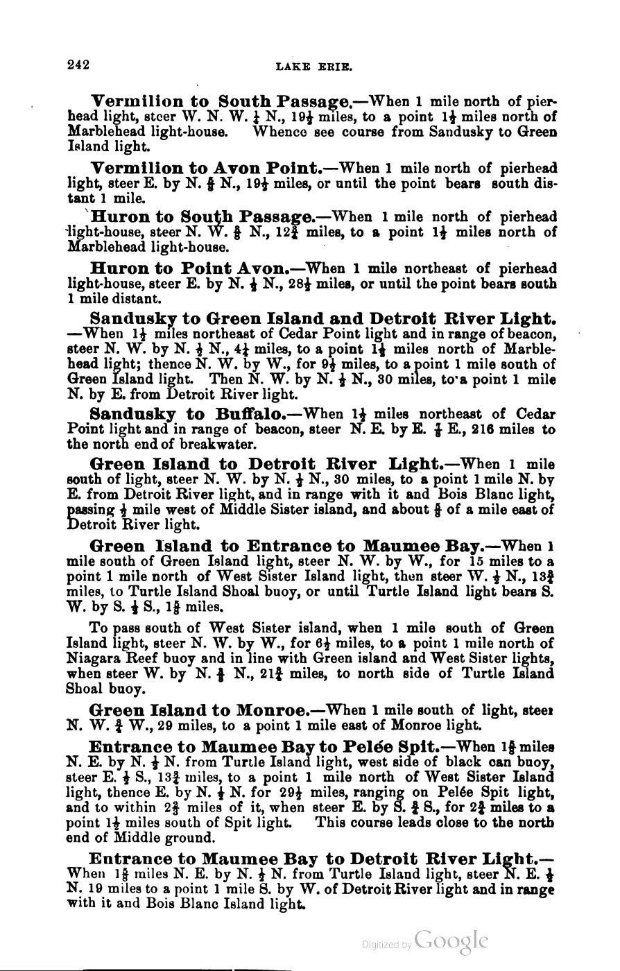
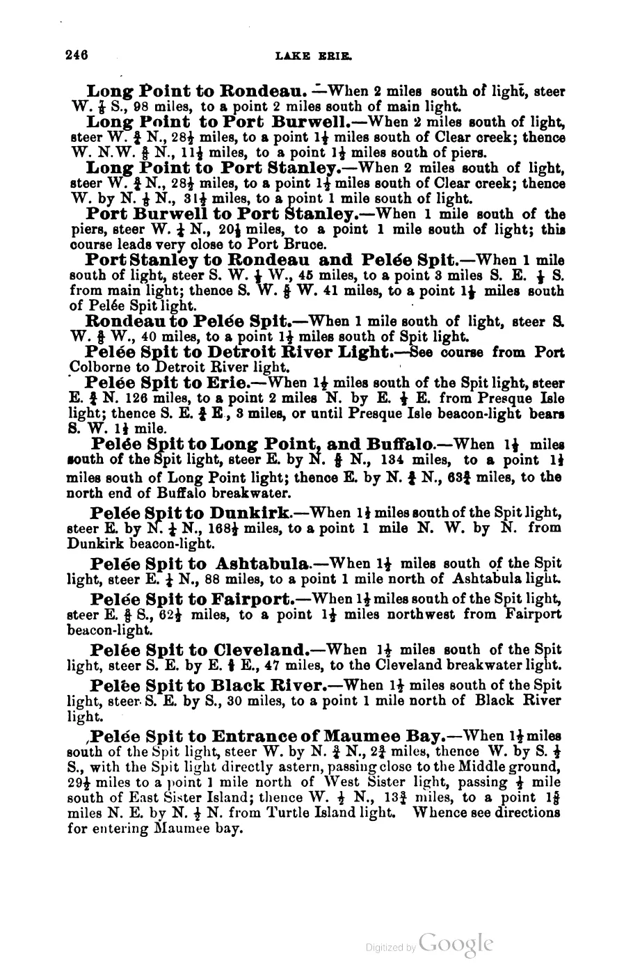
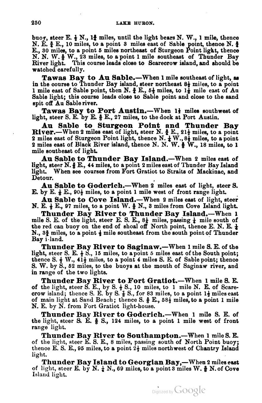
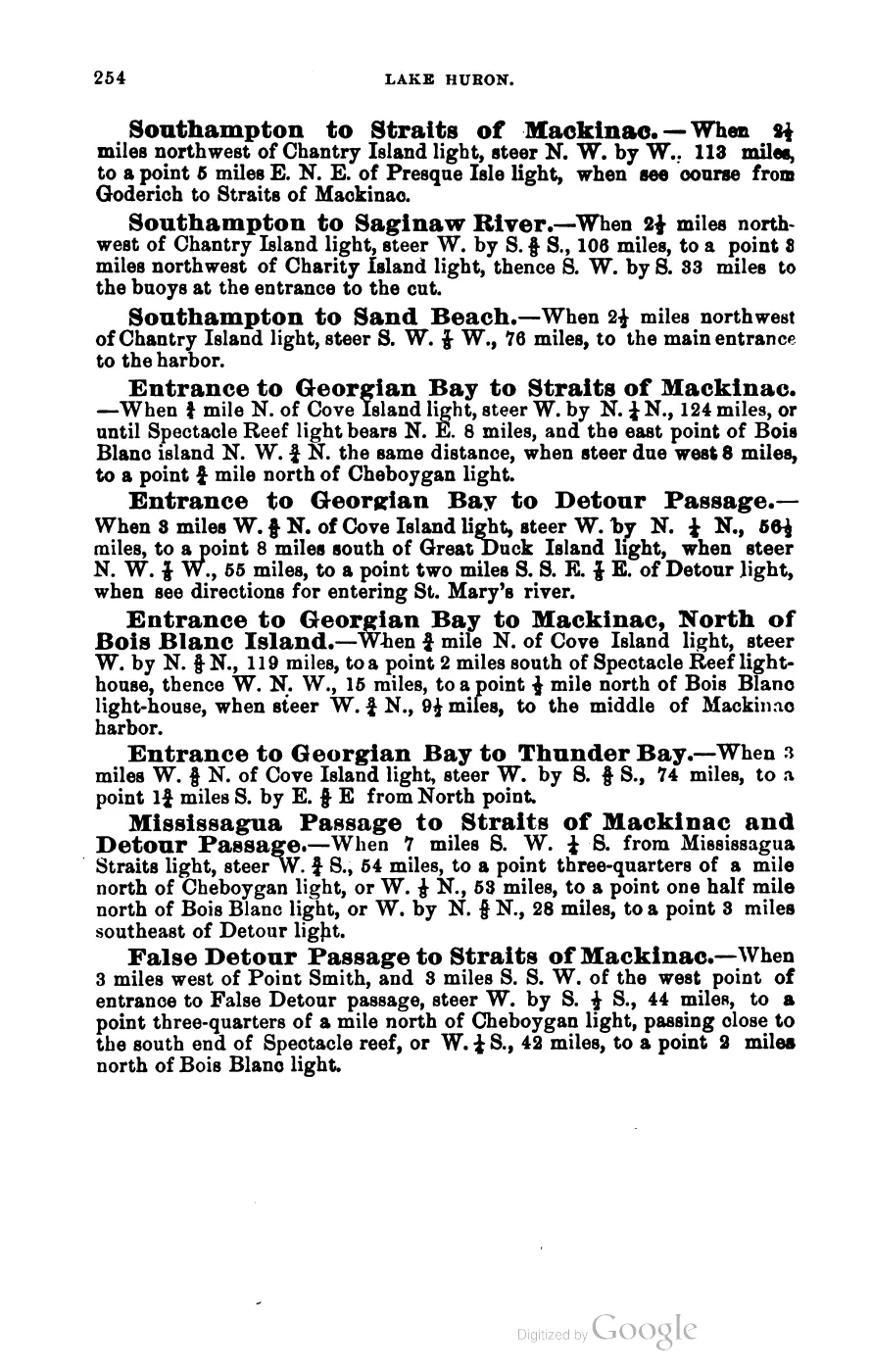
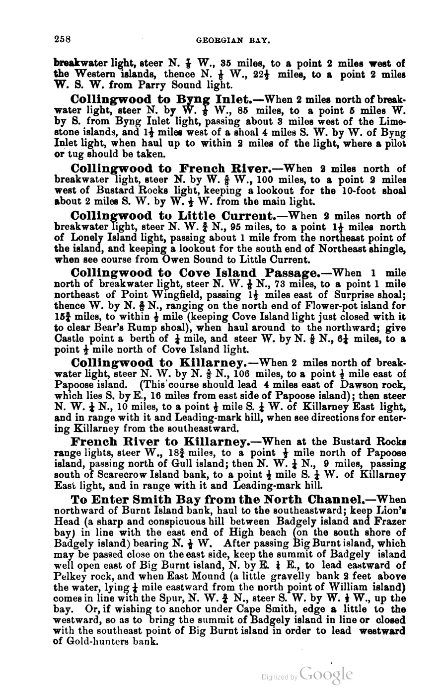
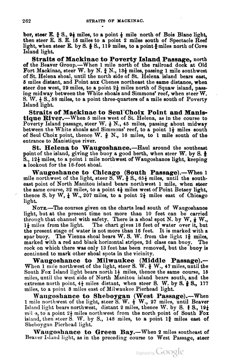
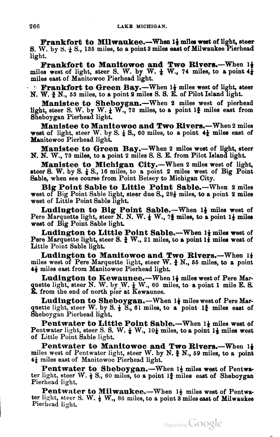
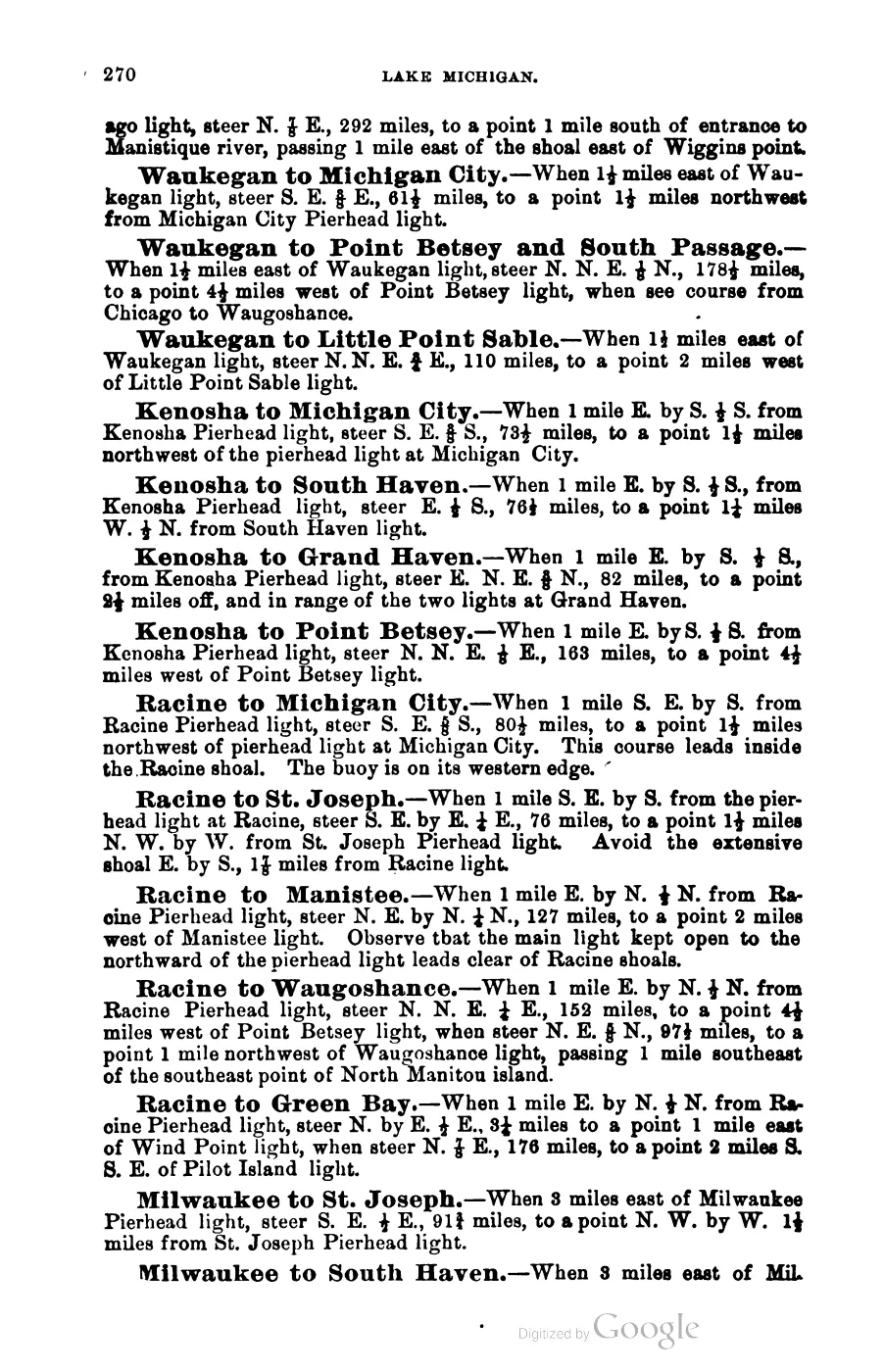
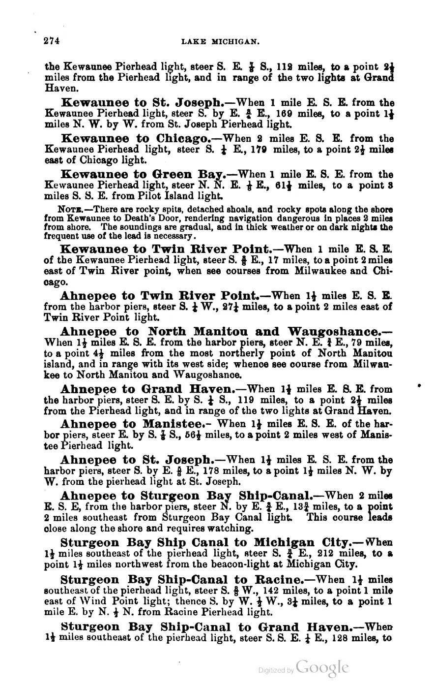
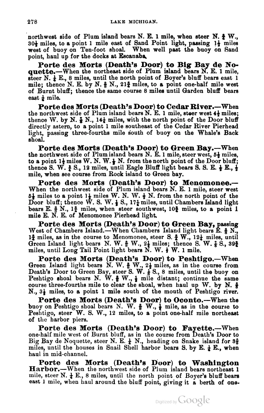
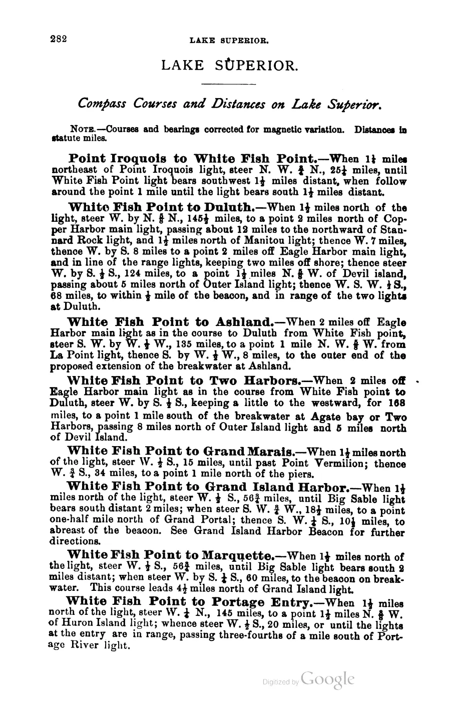
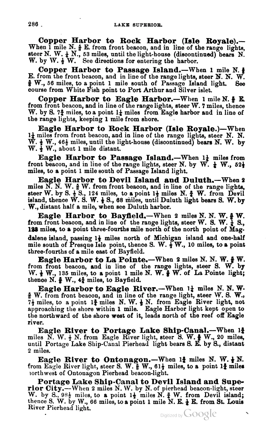
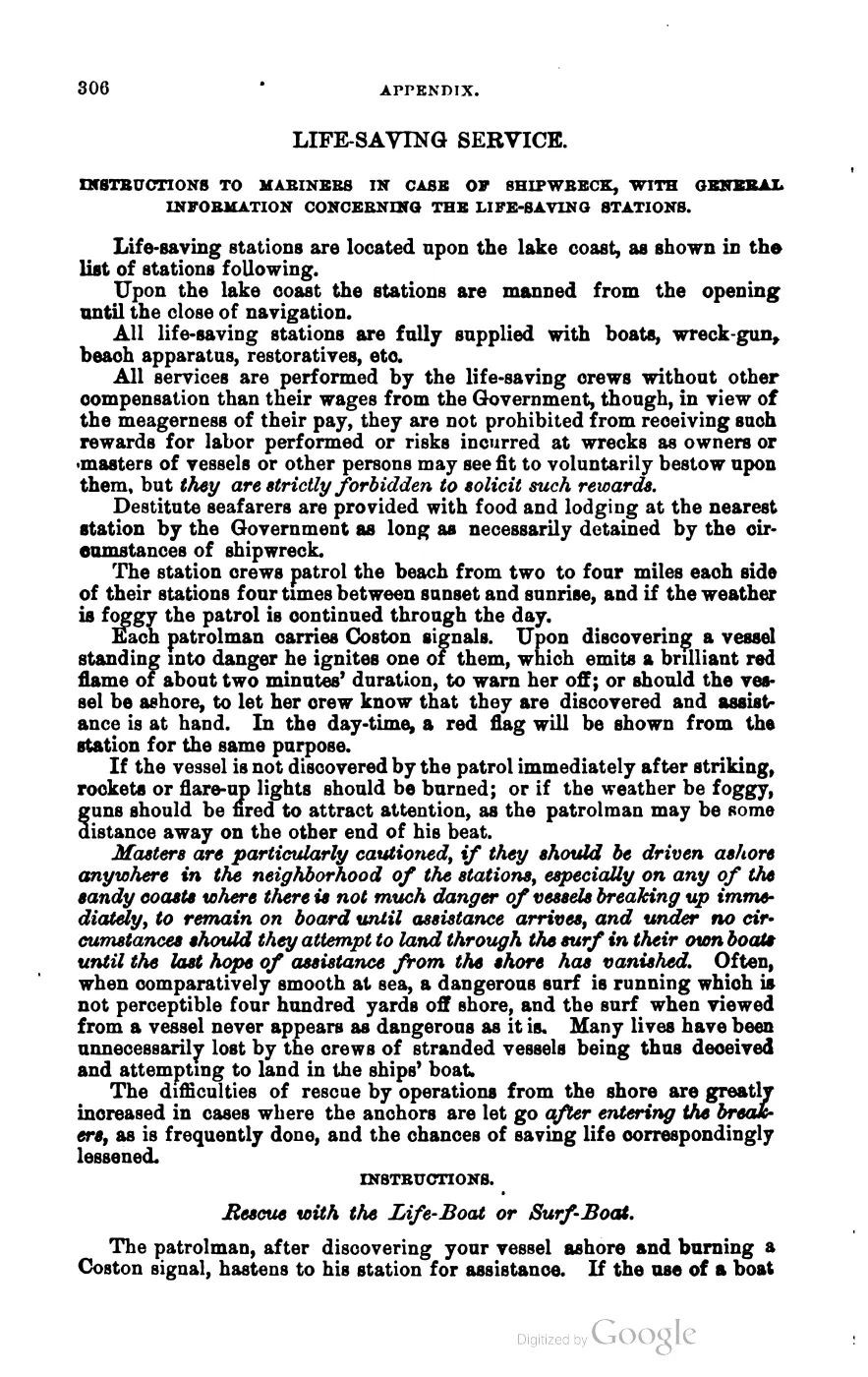
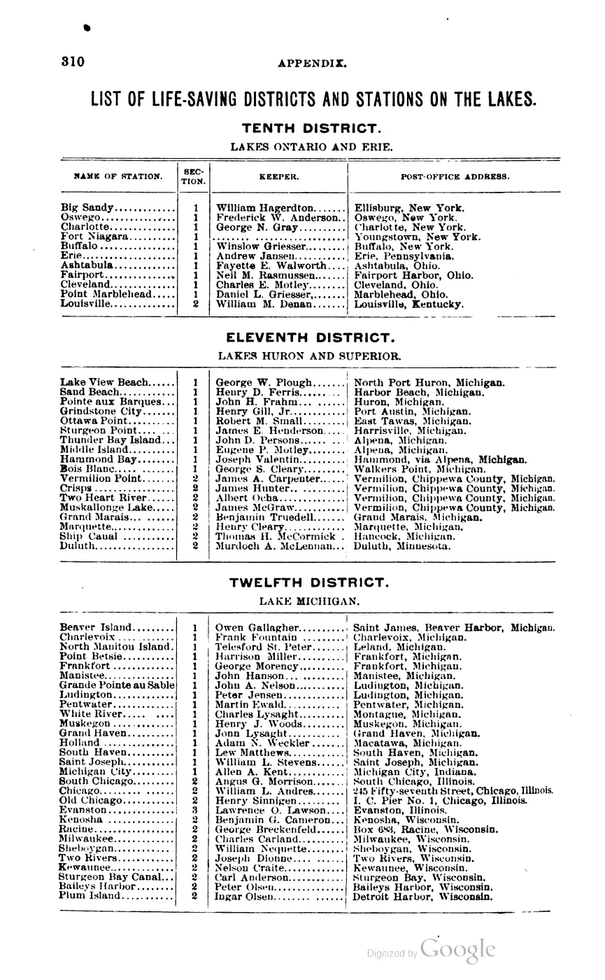
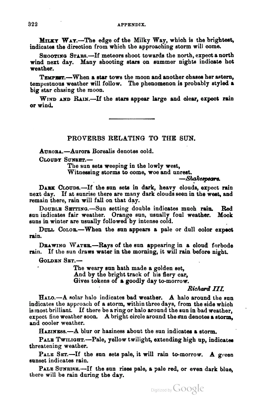
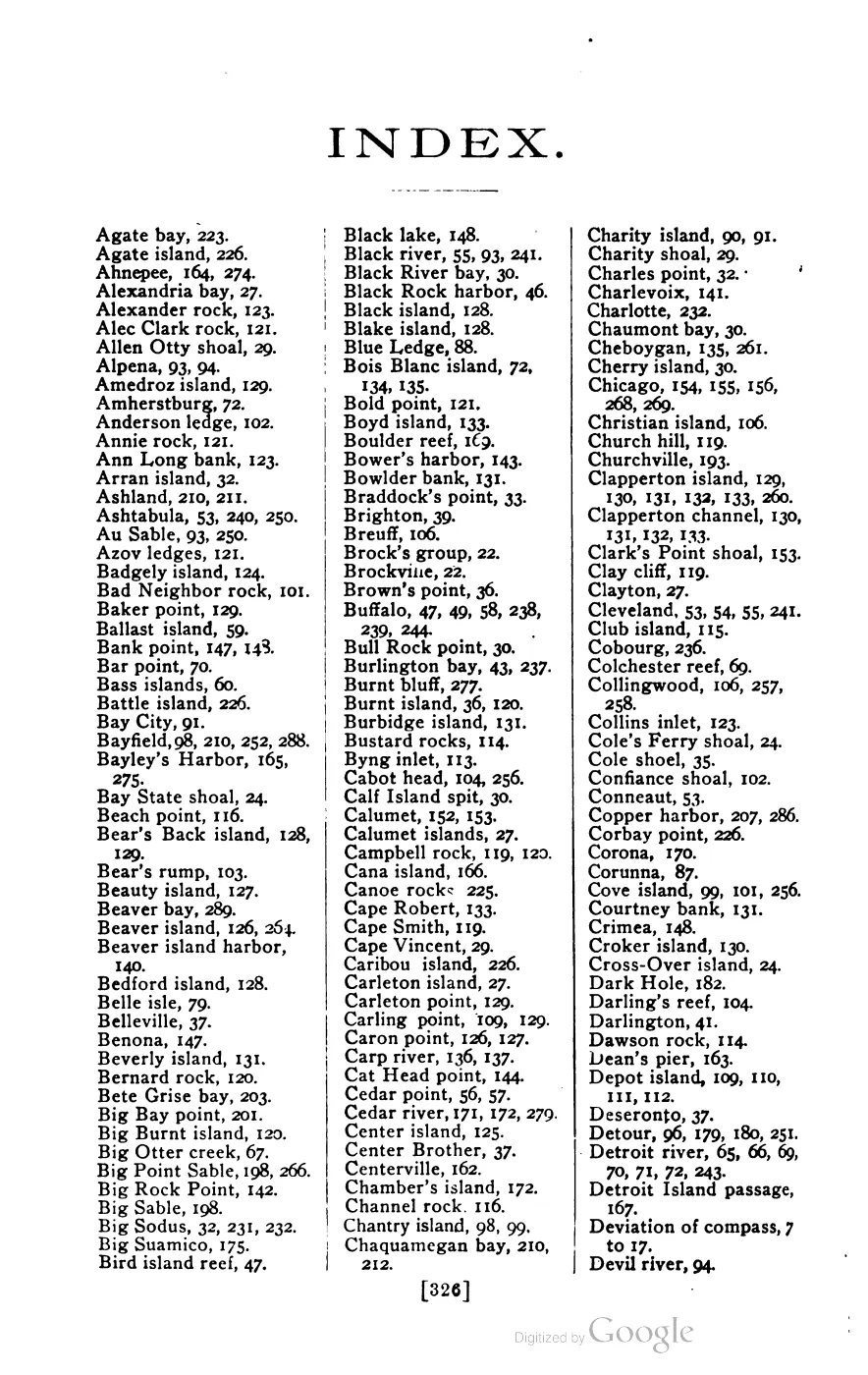
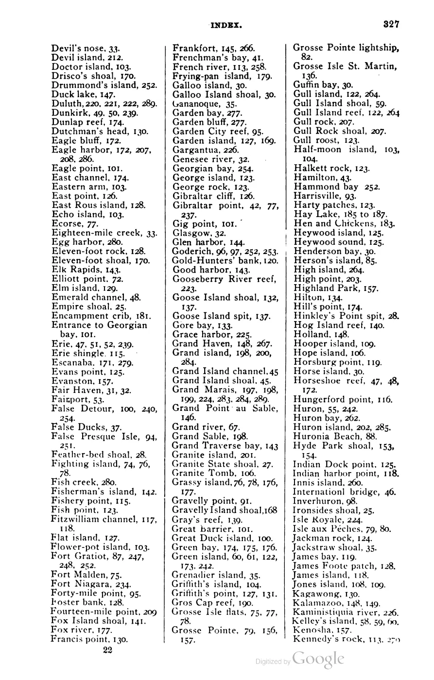
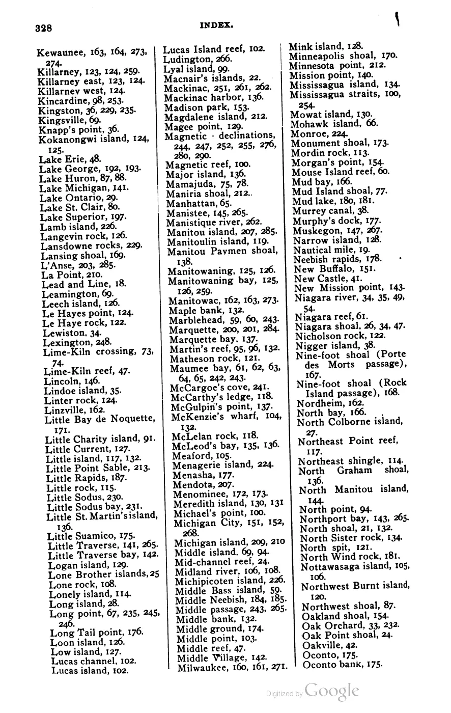
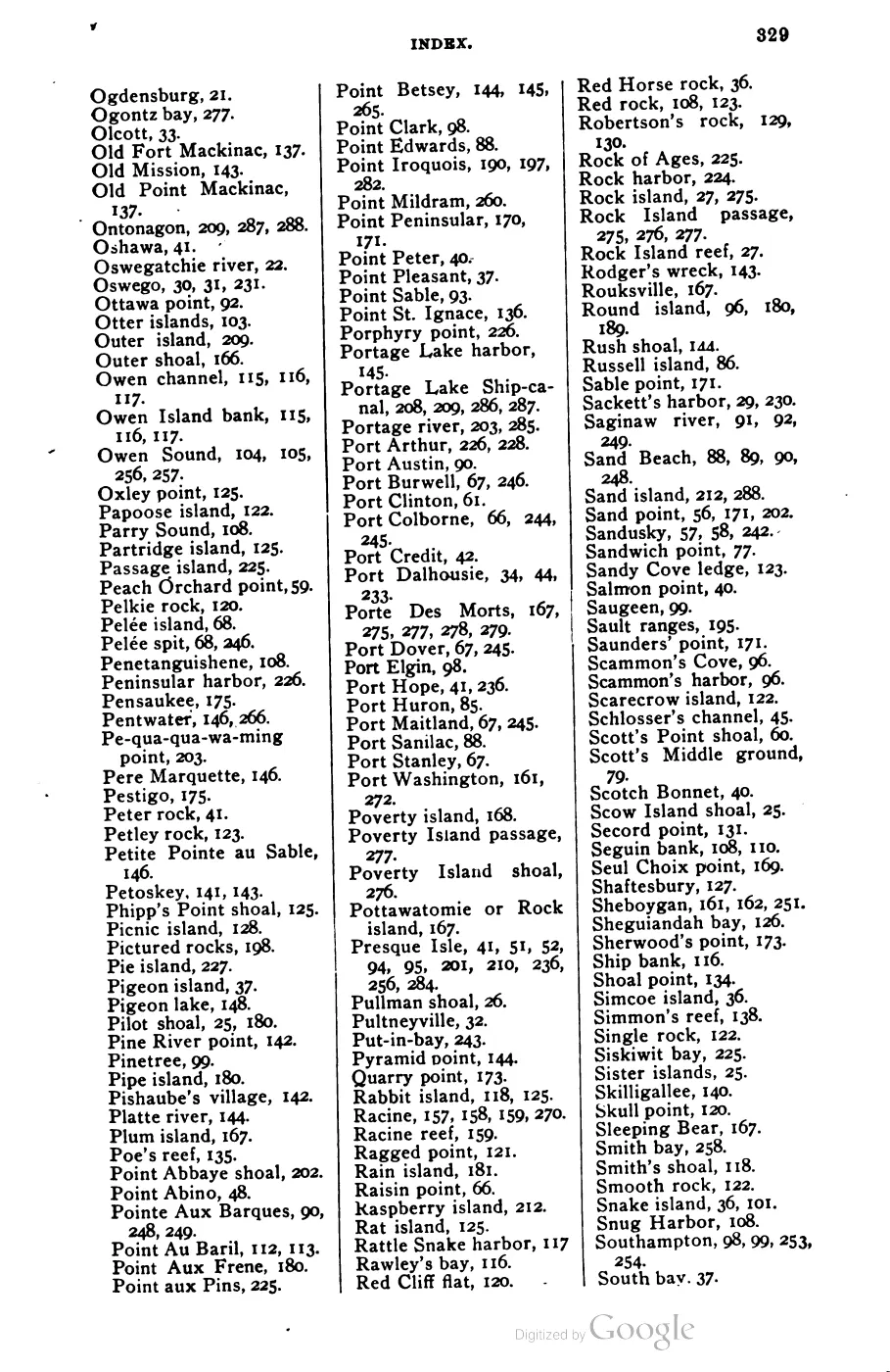
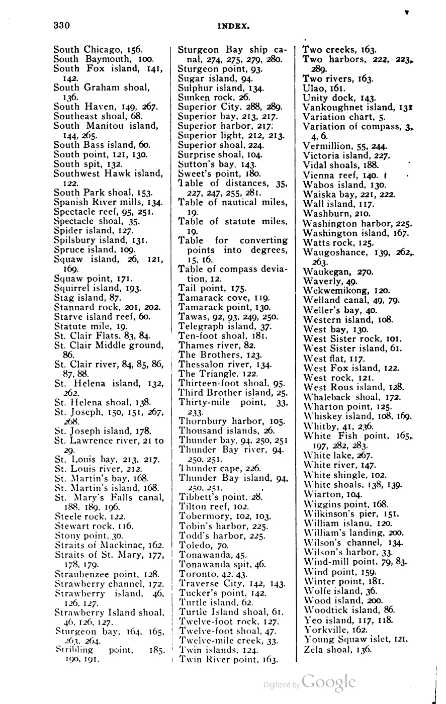





135 of 393 pages linked here — every page to 32, then every 4th, then the last 16. With JavaScript, every page.
Sources
- George Scott, Scott's New Coast Pilot for the Lakes, Containing a Complete List of All the Lights and Light-Houses, Fog Signals and Buoys, on Both the American and Canadian Shores... A List of All the Life Saving Stations... Courses... and Sailing Directions for All Lakes and Rivers, 6th ed., revised and enlarged (Detroit: The Free Press Printing Company, 1902), 393 pp.We hold the full digitized volume (title page transcribed directly, PDF pp. 1-393; verified page count via pdfinfo). No public copy of this file is known; the archive holds one and can provide it on request.local_documents · 1902_scott-new-coast-pilot-for-the-lakes-6ed
Added 28 July 2026 · revised 9 August 2026. Recent changes
Cite this article
Beaver Island Archive, “Scott's New Coast Pilot for the Lakes”, https://beaverislandarchive.org/documents/scotts-new-coast-pilot/, accessed [date], citing George Scott, Scott's New Coast Pilot for the Lakes, Containing a Complete List of All the Lights and Light-Houses, Fog Signals and Buoys, on Both the American and Canadian Shores... A List of All the Life Saving Stations... Courses... and Sailing Directions for All Lakes and Rivers, 6th ed., revised and enlarged (Detroit: The Free Press Printing Company, 1902), 393 pp..
Last revised 2026-08-09. Fill in [date] with the date you read it — this page is static and cannot know that.
BibTeX for “Scott's New Coast Pilot for the Lakes”RIS for “Scott's New Coast Pilot for the Lakes”