

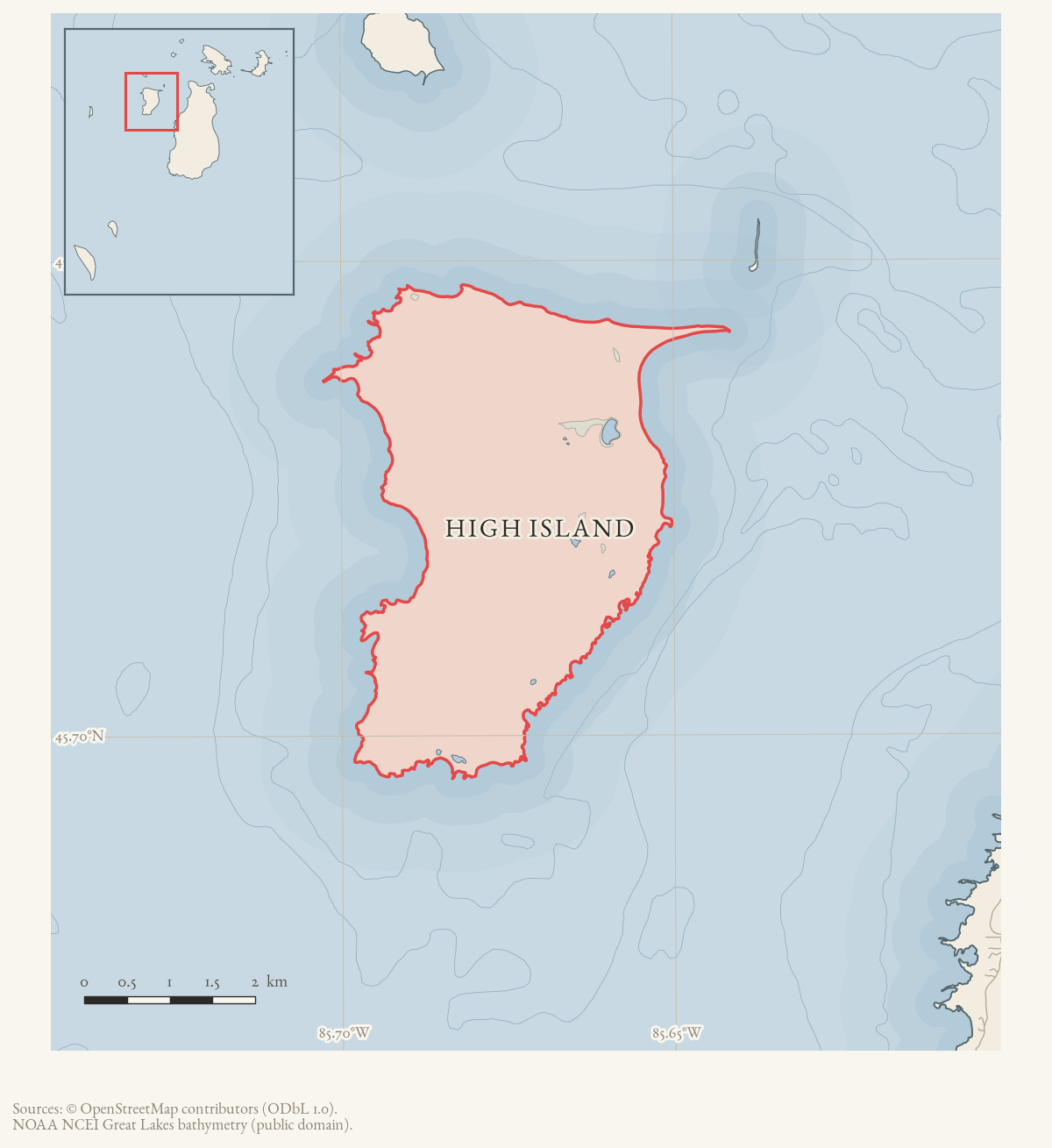
- Coordinates
- 45.7244° N, 85.6720° WGoogle Maps: High IslandDownload KML
- Eras
- Strang eraModern era
- Concepts
- environmentforestsvegetationtreeswildlifebirdssoilsgeologywetlandsconservationhydrologyplantsstewardshipinvasive-speciesmaritimeStrang eraModern erareligion
- Within
- Beaver Island archipelago
- Media
- Access and infrastructure of the Beaver Island archipelago · Coasts, harbors, and navigation context of the Beaver Island archipelago · General highway map of Charlevoix County, 1965 · Geology and landforms of the Beaver Island archipelago · High Island access and infrastructure · High Island coasts, harbors, and navigation context + 11 more
Summary
High Island is the third-largest member of the Beaver Island archipelago at 15.06 km², lying west of the northern end of Beaver Island. It carried a resident Native and settler population into the 20th century, including a Christian Israelite (“House of David”) colony. The operating span is disputed: a 2026 community-history source reports 1912-1932, while a 1967 local retrospective places the move around 1906-1910 and the end of the Israelite era after a 1930 court settlement. A 1963 report also places a House of David employee on High Island in 1936. The colony’s exact end date and the later abandonment narrative remain provisional rather than settled facts. The island is now entirely state-owned land managed by the Michigan DNR Wildlife Division.
History
Strang’s own newspaper described High Island in the late 1840s as an expansion target: “a little larger […], and four miles from Big Beaver […] That has no improvements, but its pineries are very valuable, and the soil is good. It has a beautiful little lake within it, and has a beautiful harbor.”1 Whether Strang’s followers ever settled the island in numbers comparable to Beaver Island itself is not established from sources held; the 1905 Williams memoir lists it only as one of the islands visible from the main island’s dune.2
By the early 20th century a Native village existed on the island, fishing being the
predominant occupation, alongside a logging operation that continued until 1908.
Welke’s 2026 secondary account dates the Christian Israelite sect known as the
House of David (based in Benton Harbor, Michigan) to an “Israelite Colony” on the
island between 1912 and 1932, running the existing sawmill until it burned and
selling farm produce at Saint James and by shipment to Benton Harbor. A major
storm in November 1940 destroyed the island’s fishing boats, and the settlement
was abandoned thereafter.3 Welke’s is not the only local account. A February
1967 retrospective says the Israelites began moving to High Island between 1906
and 1910, that a 1930 court settlement marked the end of their era, and that
Claude Swafford’s family remained to manage the potato farm.4 A March 1963
report identifies Swafford as a House of David employee on High Island in a 1936
murder hearing. That shows continued association with the community; it does not
resolve the institution’s status or its population.5 The exact operating
span remains contested pending a period newspaper, court file, or House of David
record, and the 1940 storm and abandonment account likewise remains dependent on
Welke’s secondary summary.
The June 1945 feature offers a contemporaneous but brief description of High Island as deserted, including the former seven-sided House of David dormitory.6 It supports the existence of visible abandonment by that date but does not resolve the conflicting institutional dates or document every resident and building on the island.
Treasure tradition
High Island is one of several competing locations in the later Strang treasure tradition. Later summaries cite Carl A. Norberg’s 1987 Inland Seas article for a royal treasury hidden thirty paces from a large tree overlooking the northeast harbor, with logging said to have removed the landmark. The held subject index confirms Norberg’s article and pages, but not that wording or its sources. The claim therefore remains unverified pending the article itself; it must not be treated as archaeological or financial evidence. See “Lost treasure of the Beaver Island Mormon Colony”, 1987 and Strang treasure traditions.
Geography
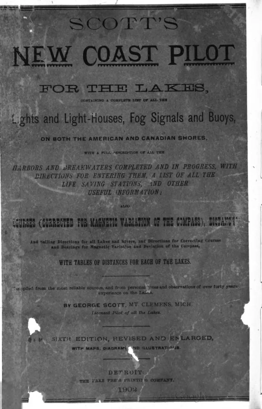
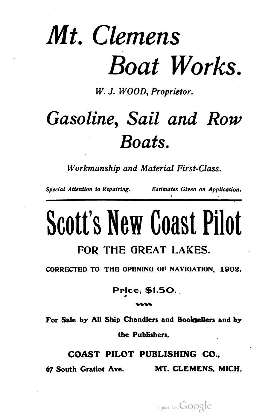
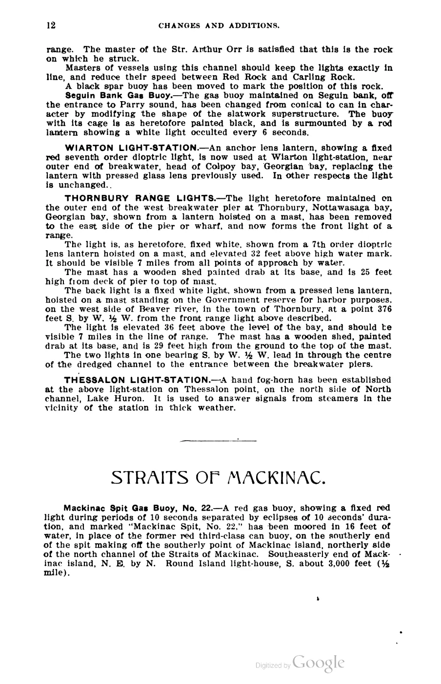
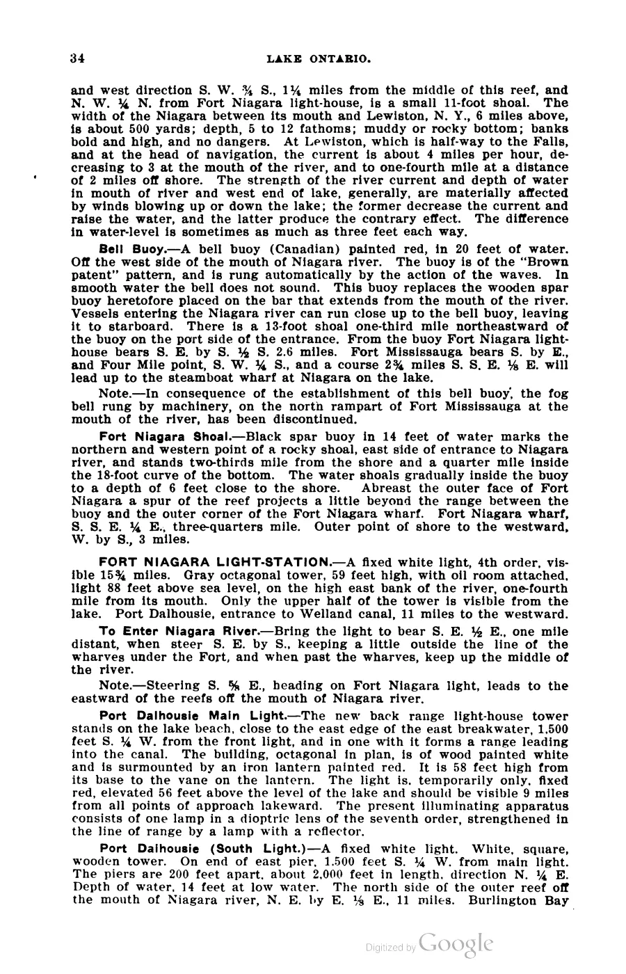
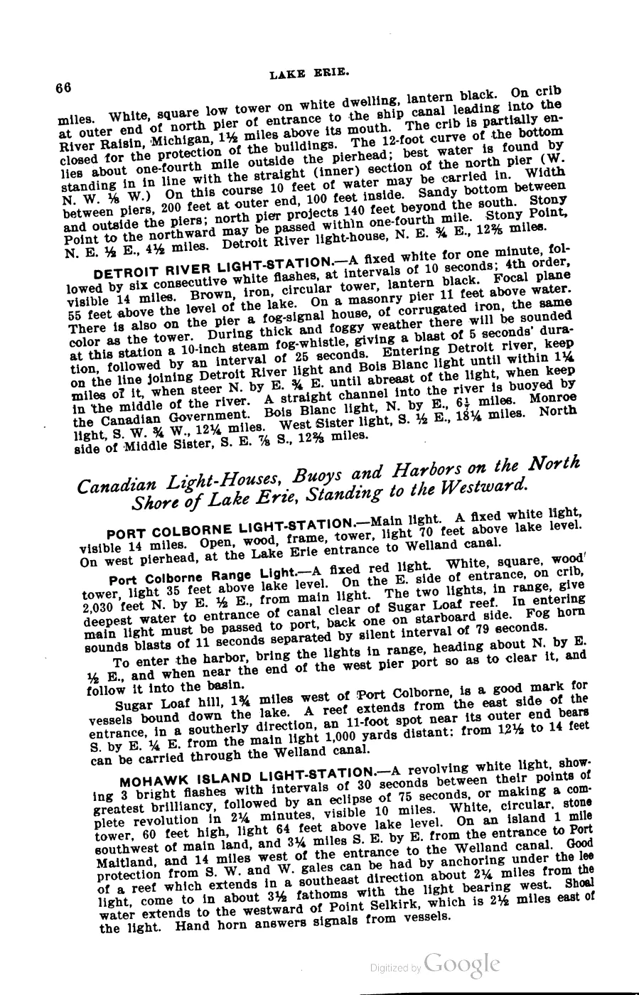
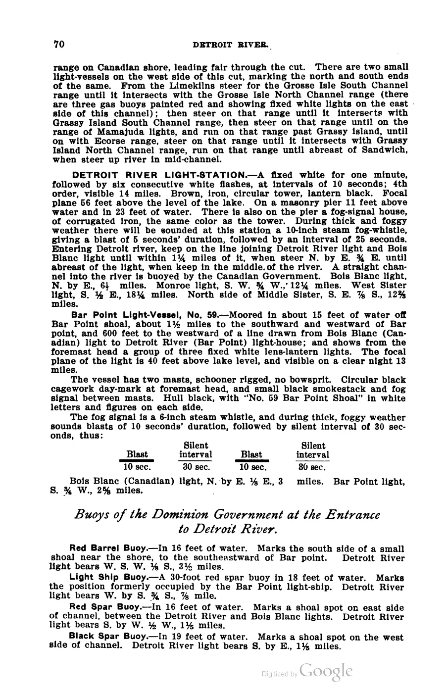
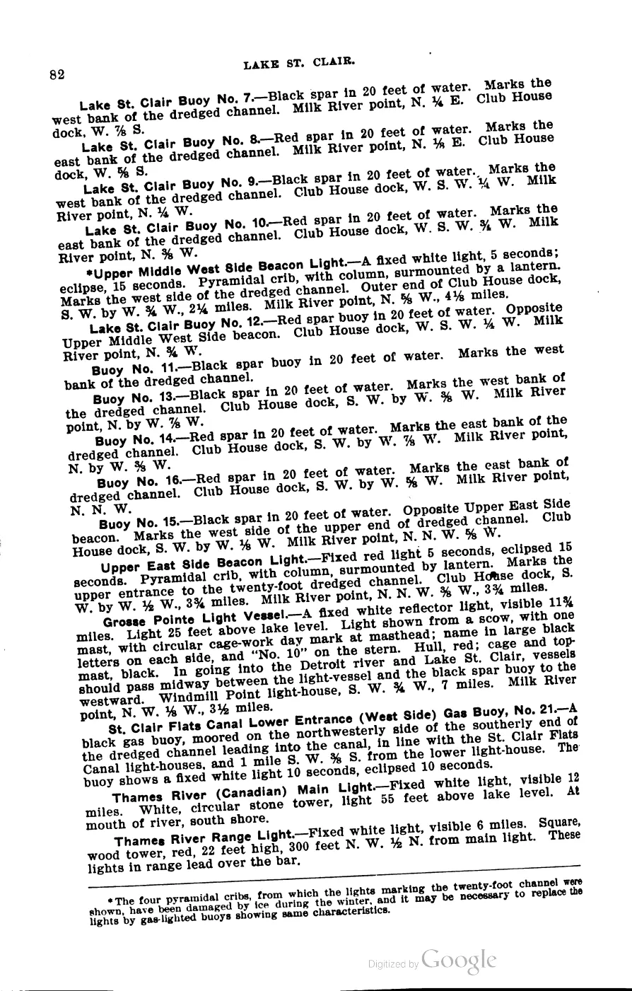
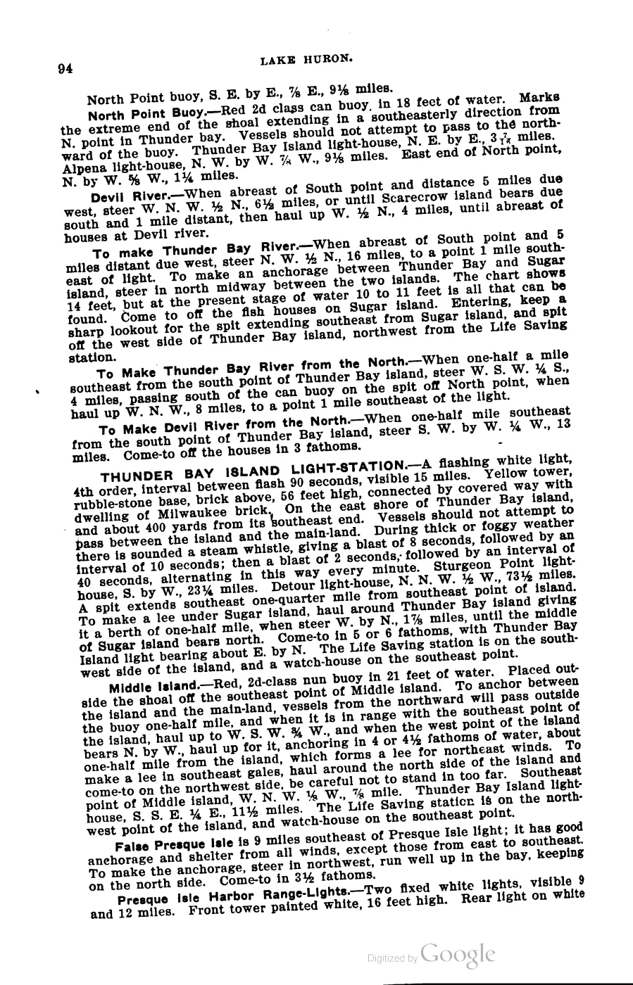
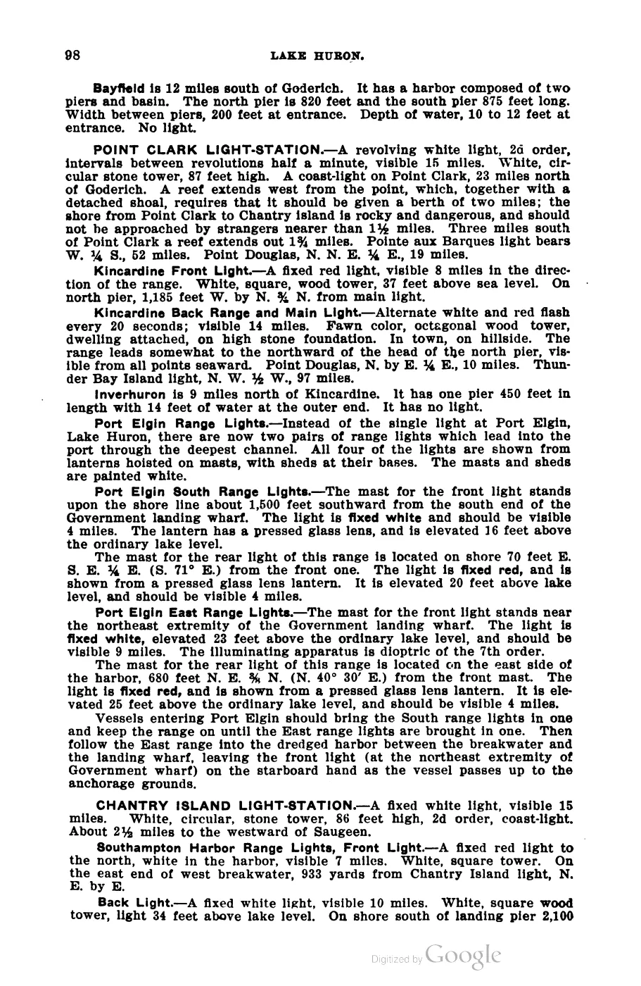
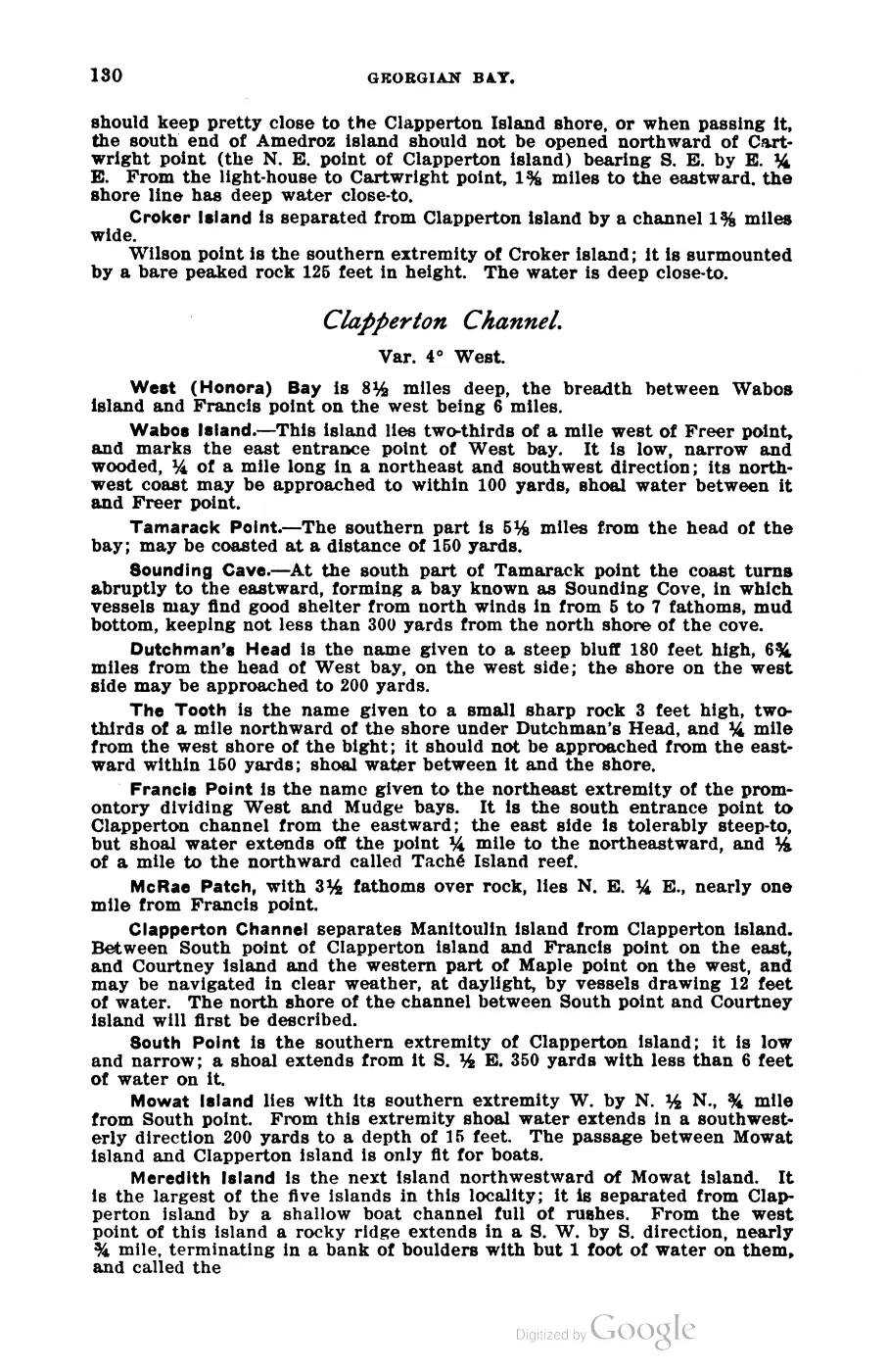
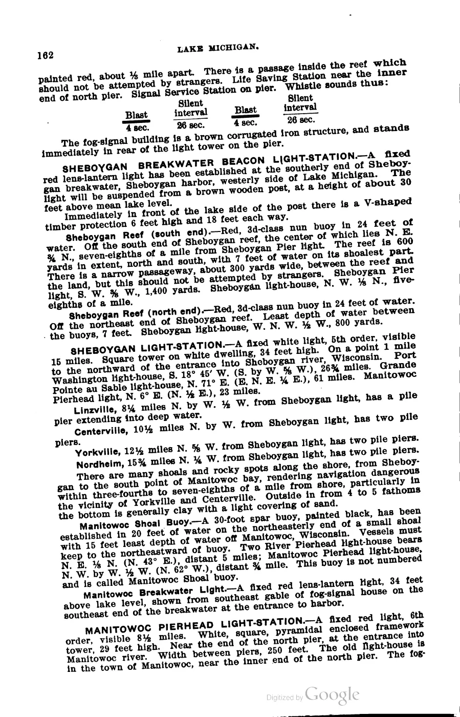
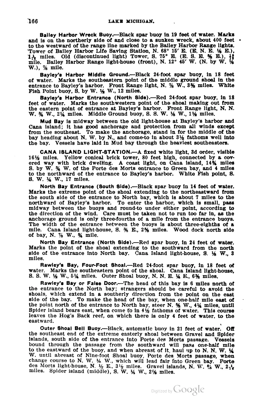
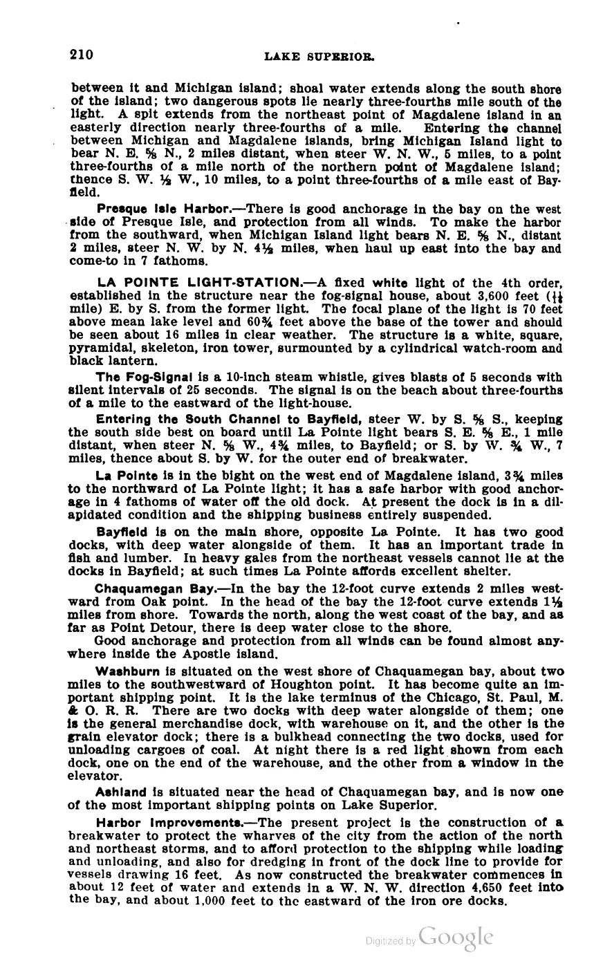
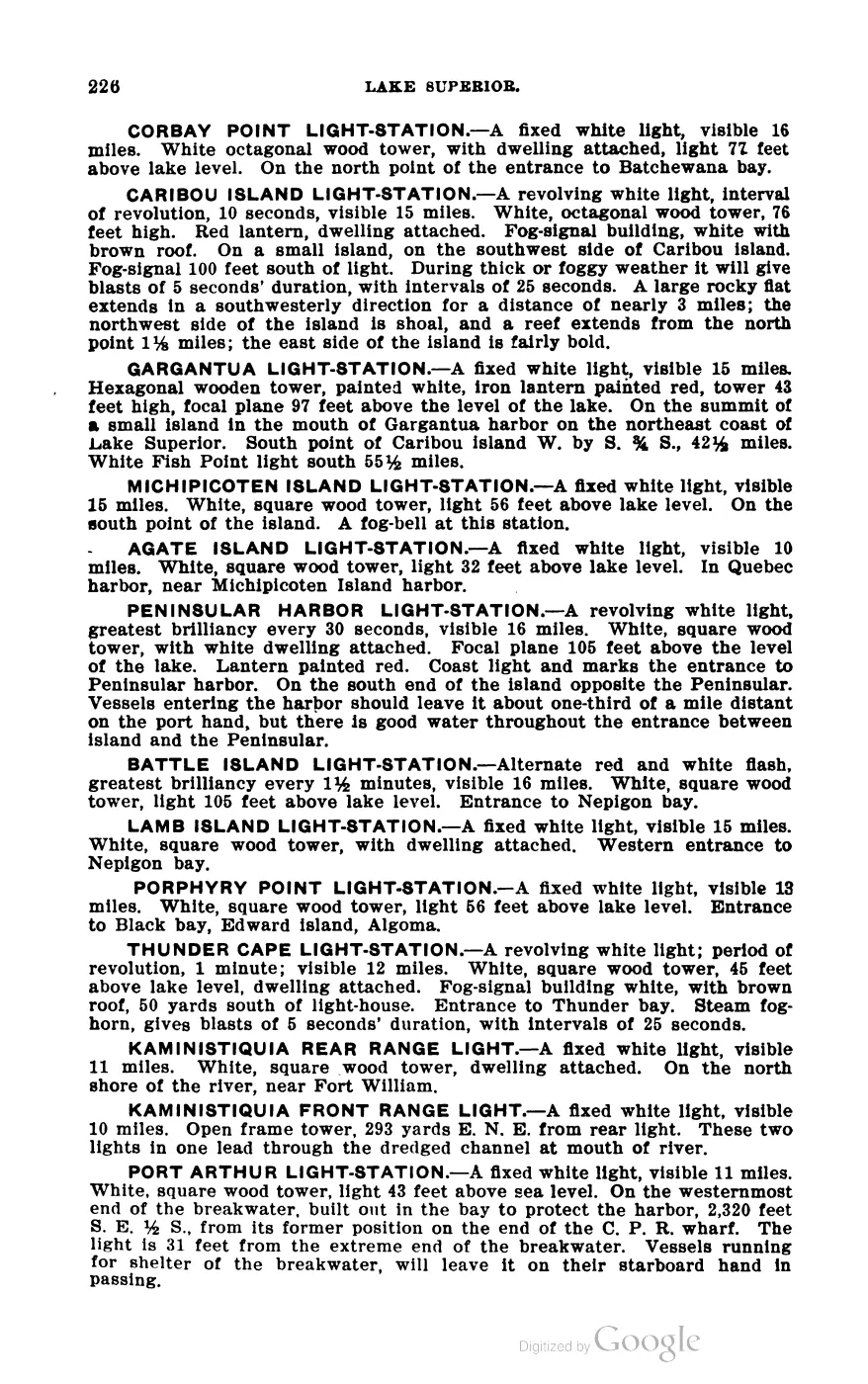
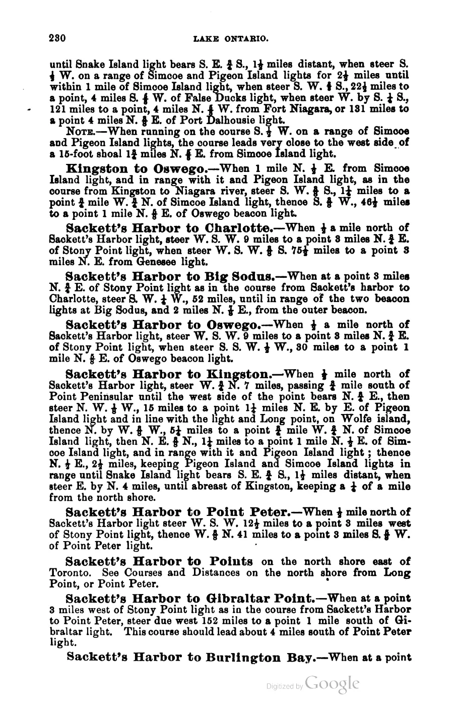
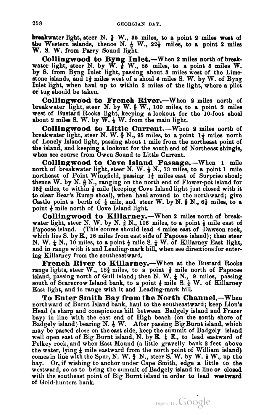
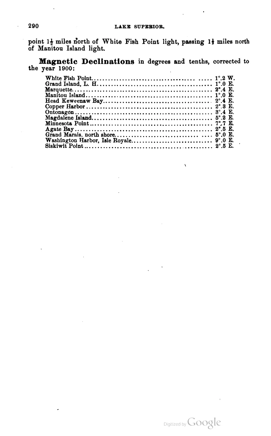
At 15.06 km², High Island sits between Beaver Island and Garden Island. Scott’s 1902 Coast Pilot describes a good, well-protected harbor on its northeast end, with holding ground and shelter from all winds except southerly ones, and a flat on the harbor’s south side; approach directions run north from a point midway between Beaver Island and the south end of High Island. Per the 2023 Beaver Island Master Plan, the island’s name derives from a “mountainous sand dune” on its western edge, and it is entirely state-owned land under the Michigan DNR Wildlife Division, which maintains several cabins, now in disrepair, used by researchers.
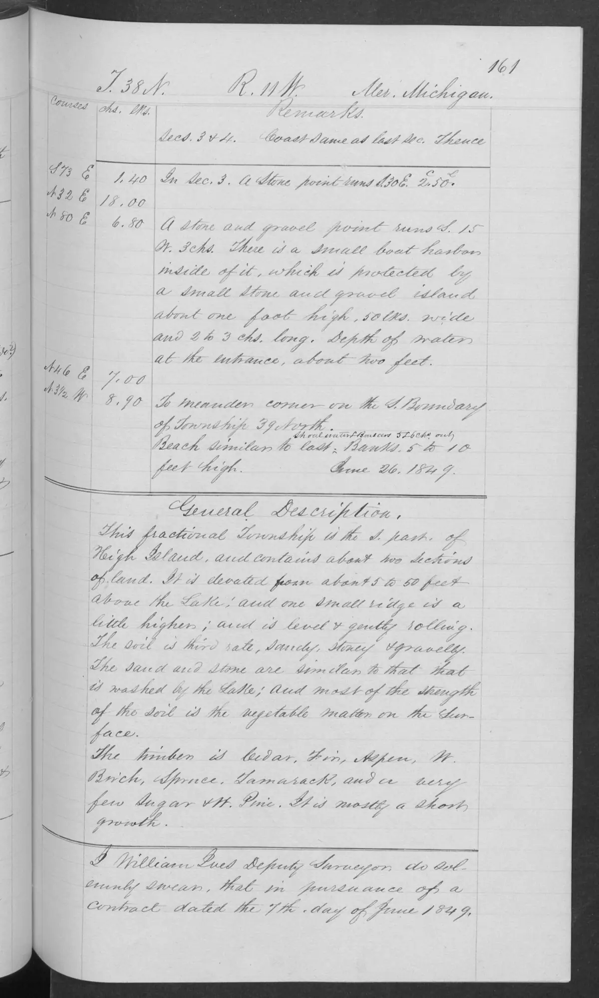
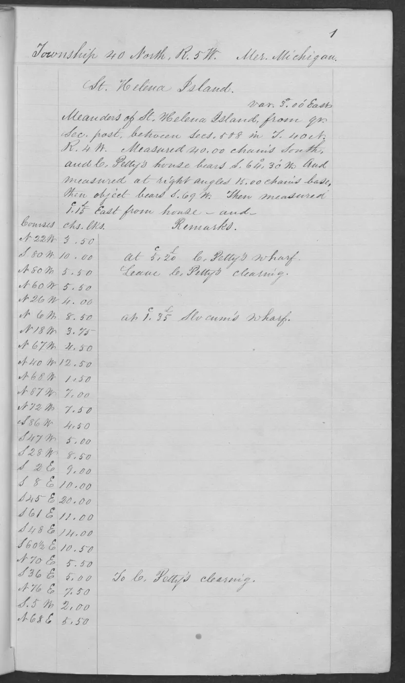
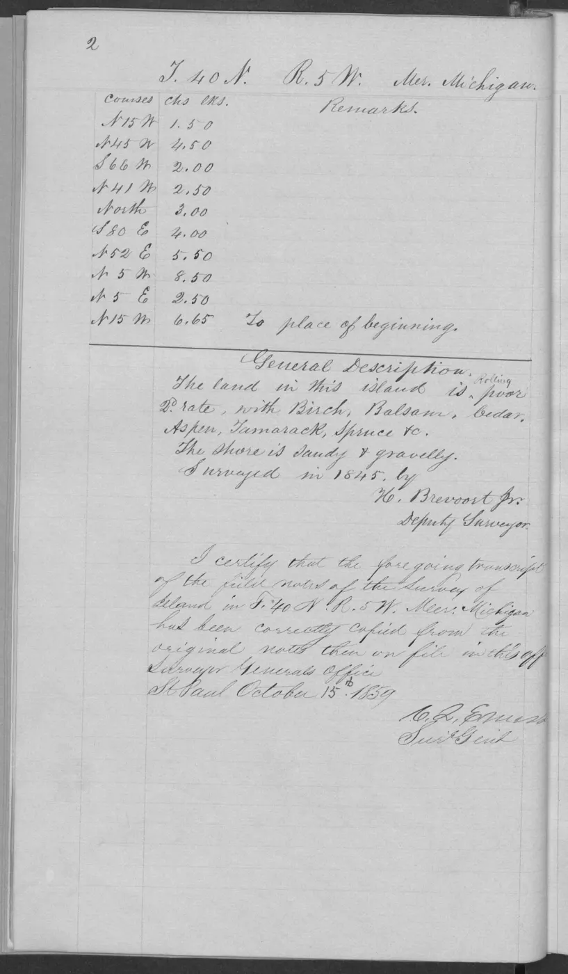
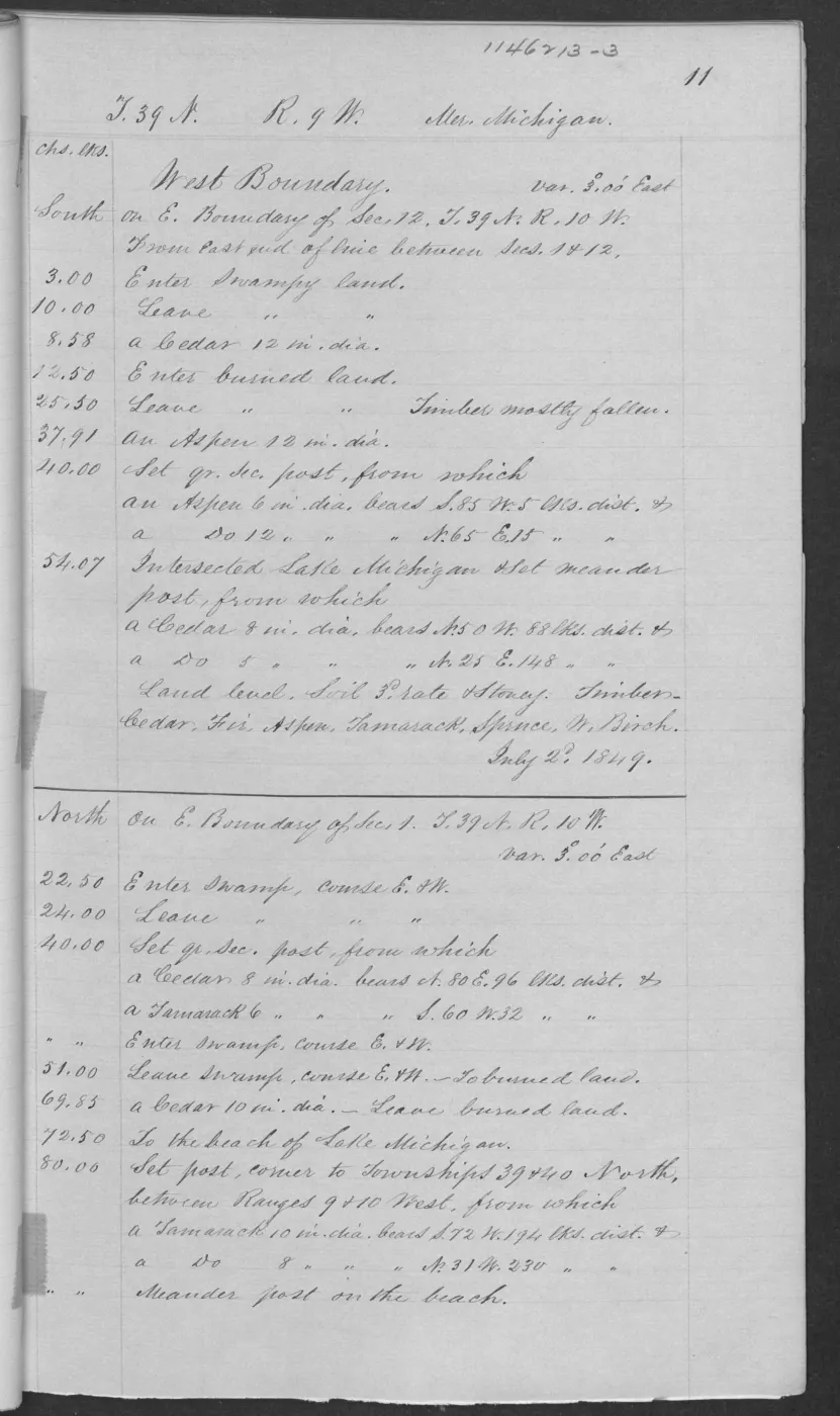
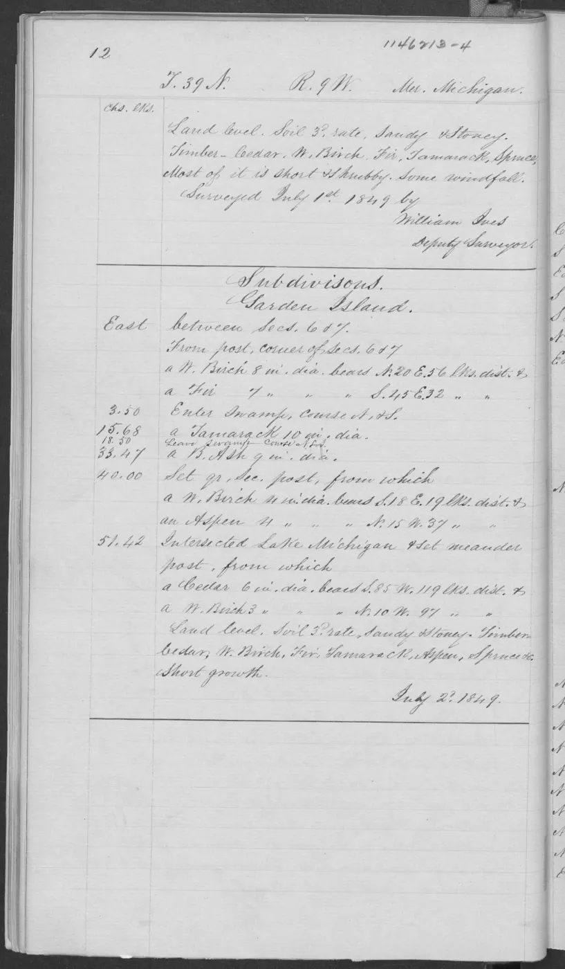
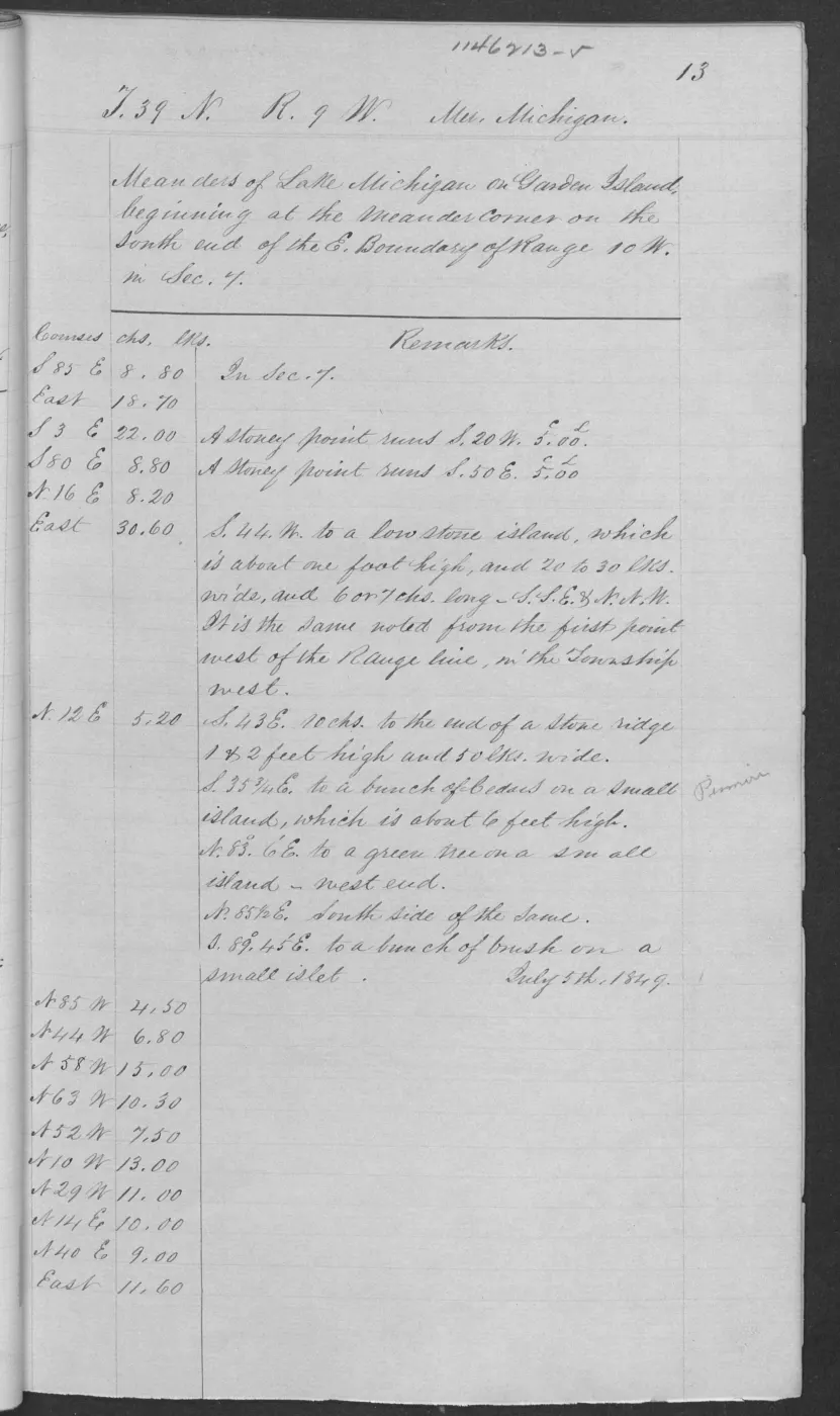
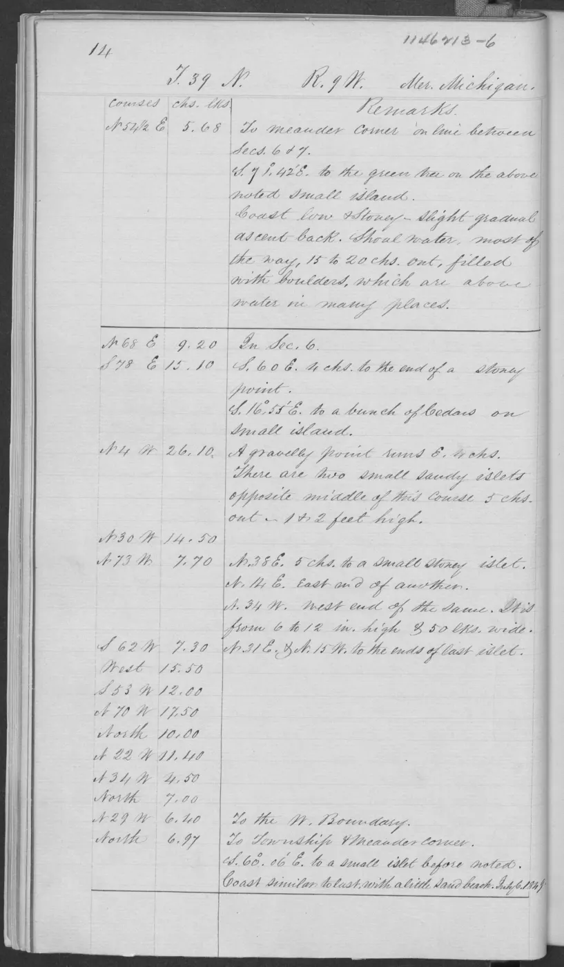
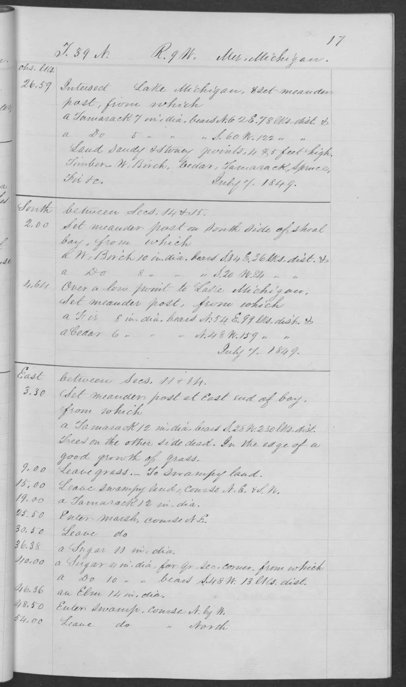
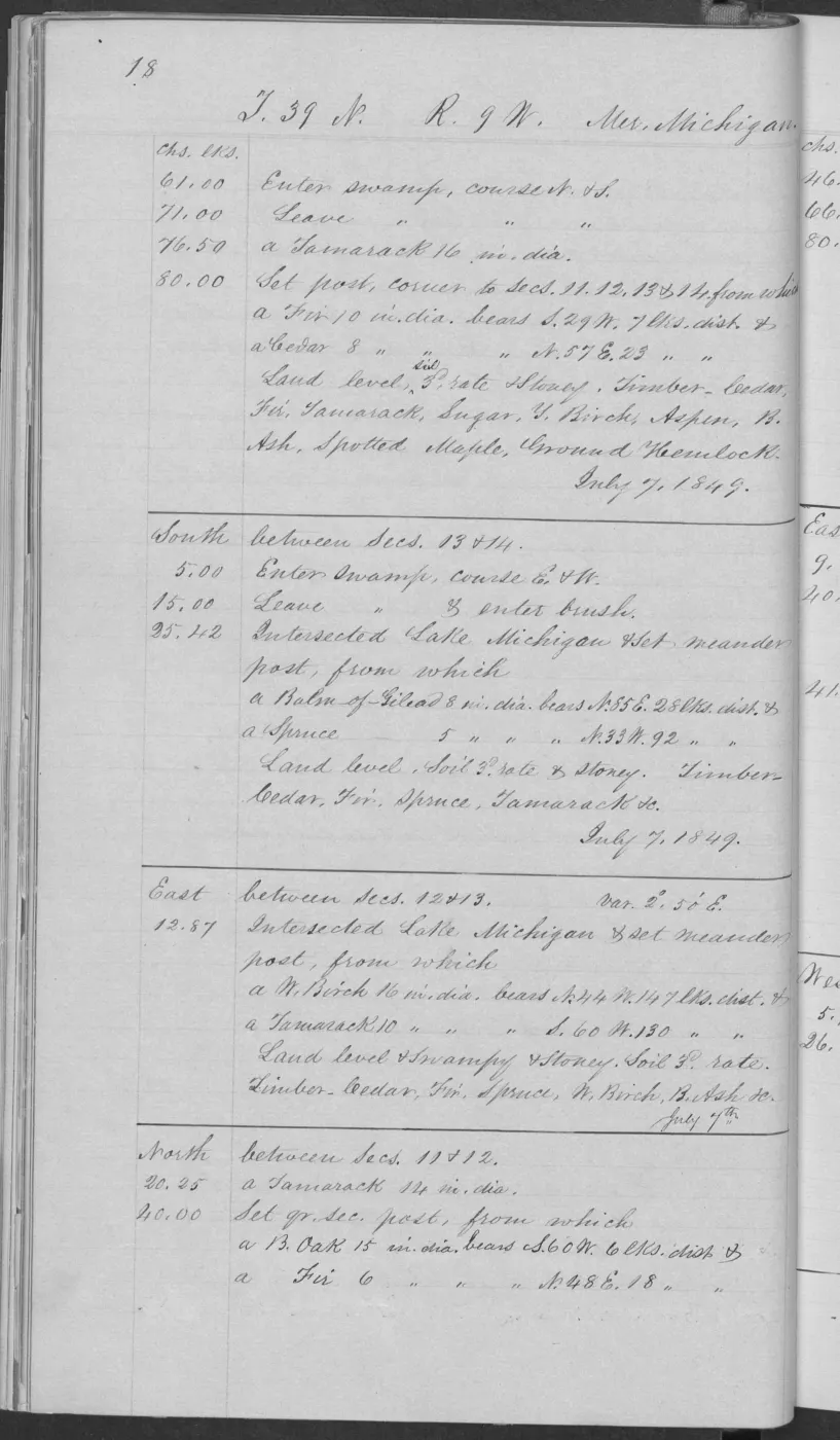
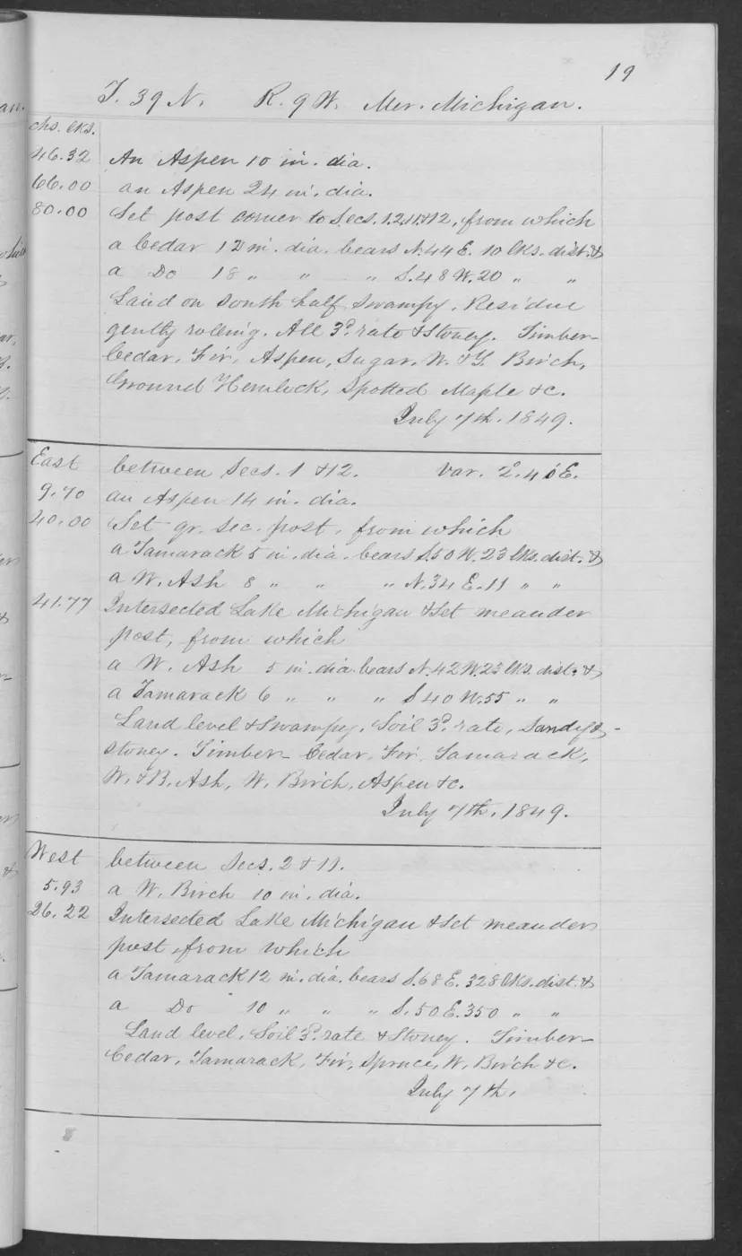
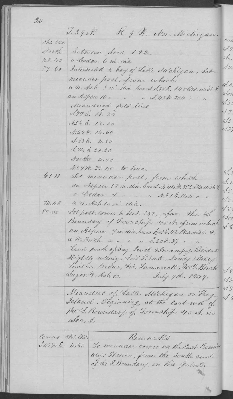
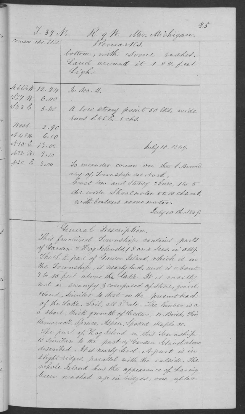
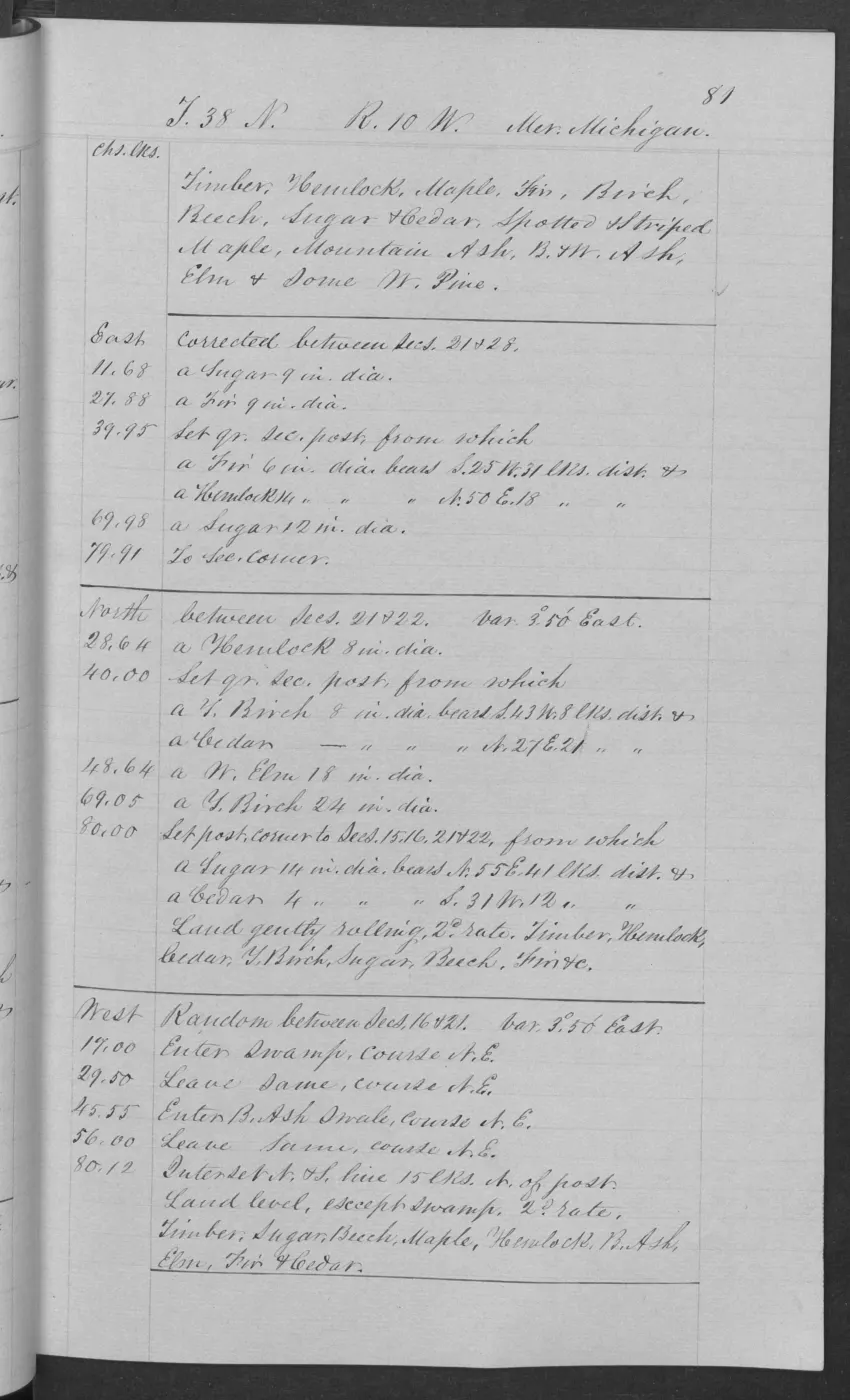
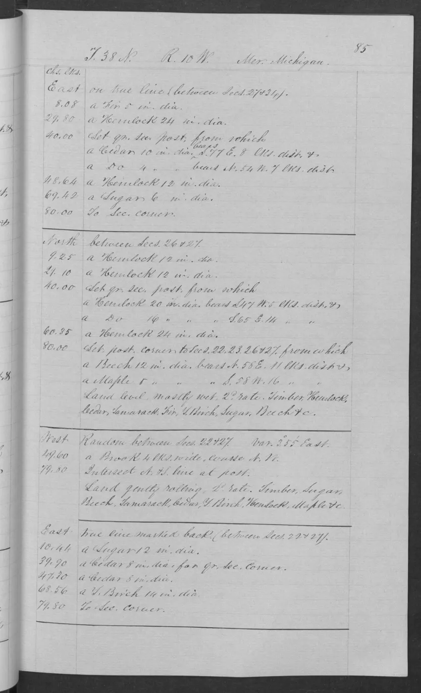
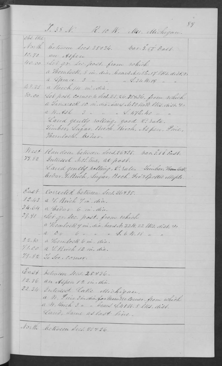
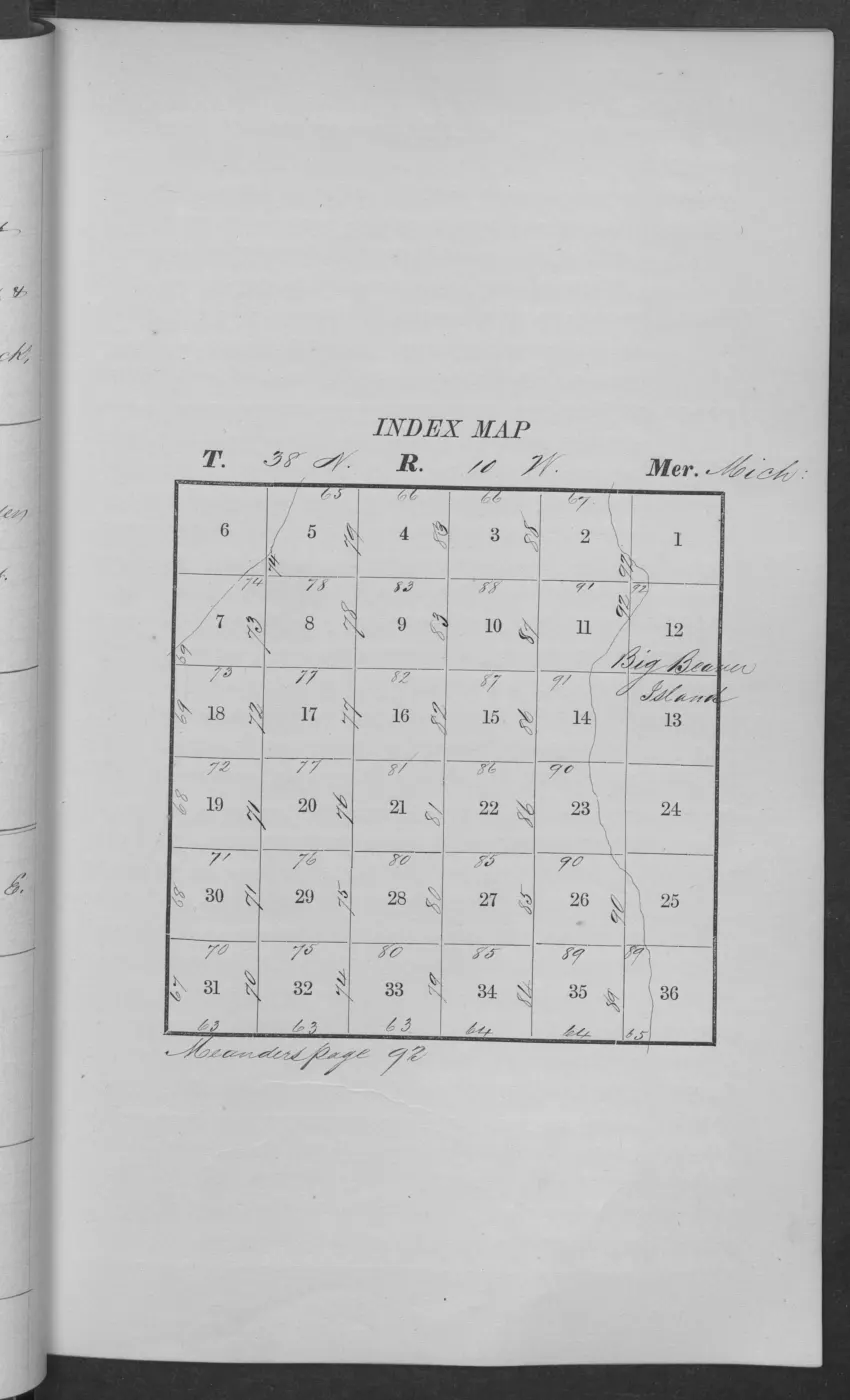
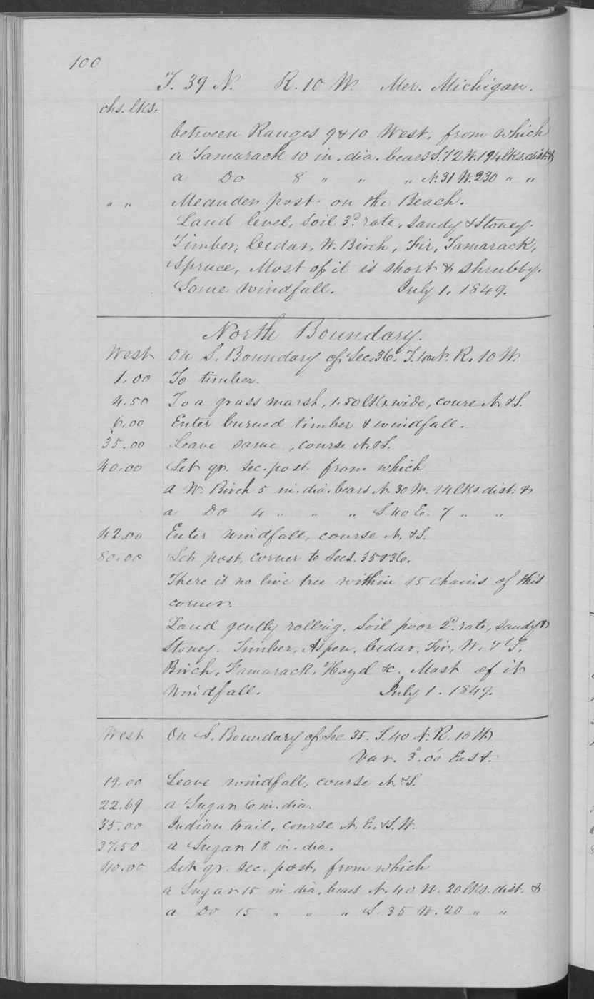
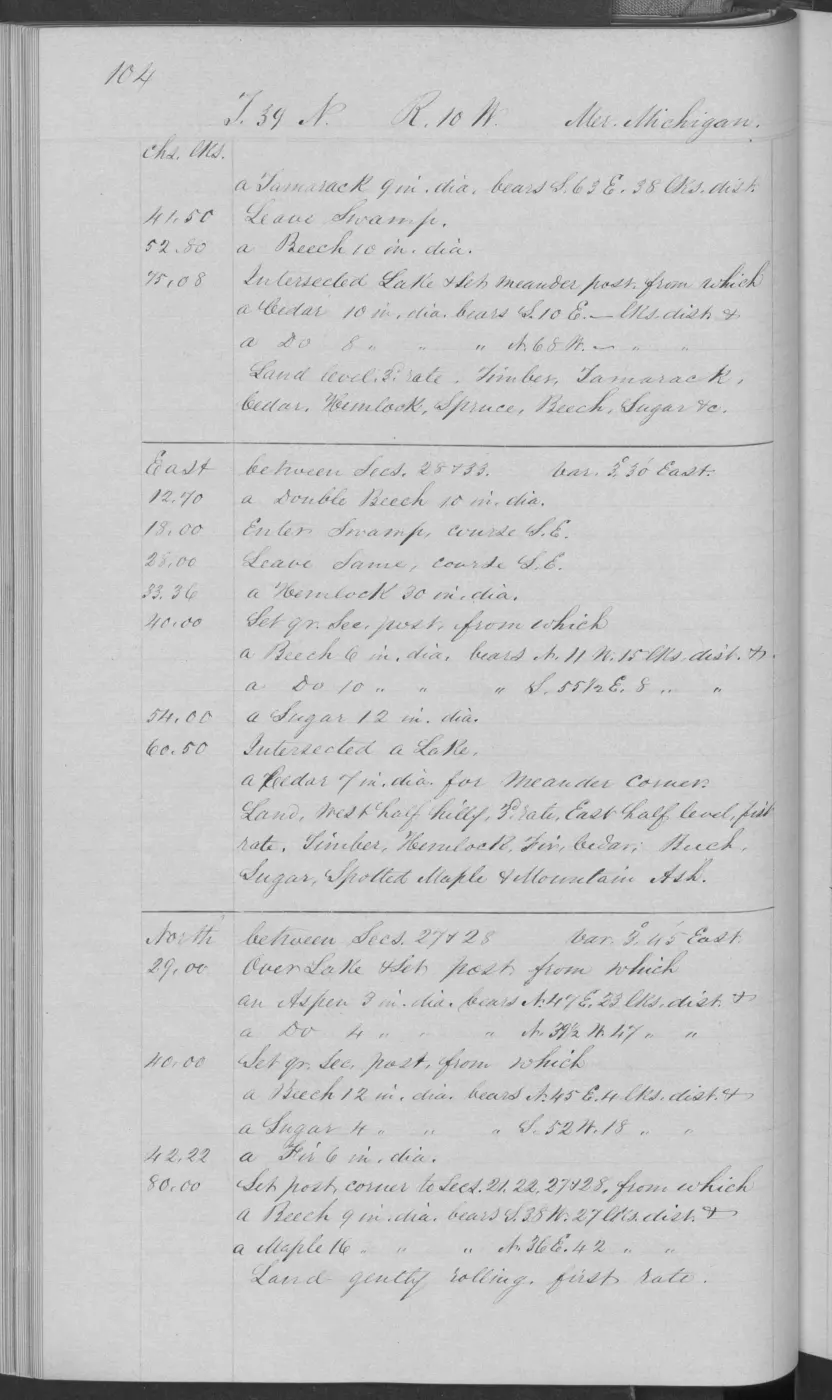
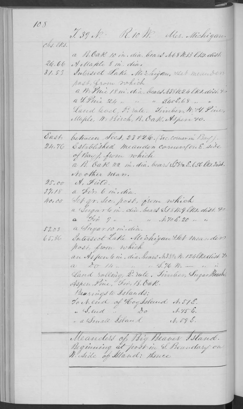
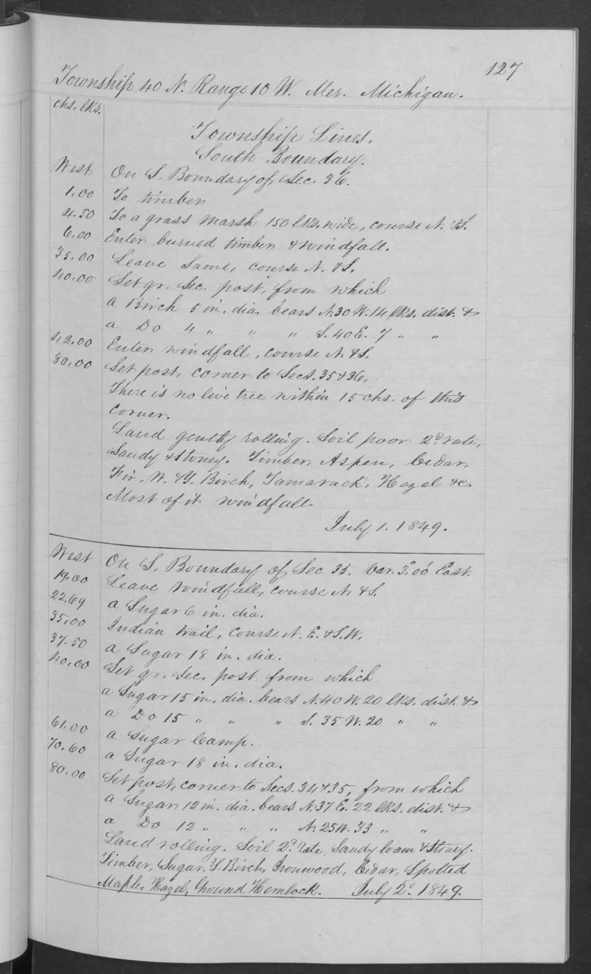
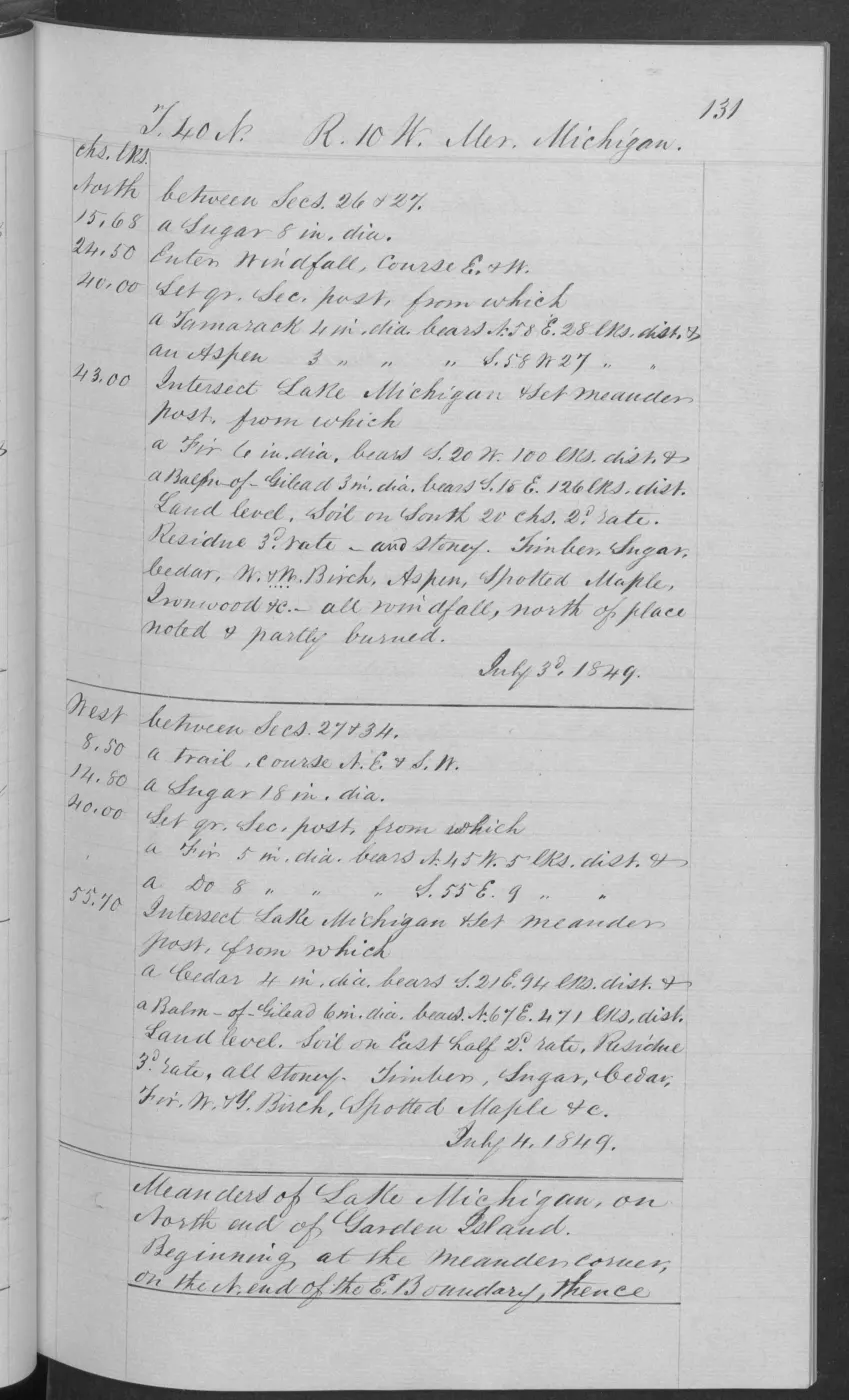
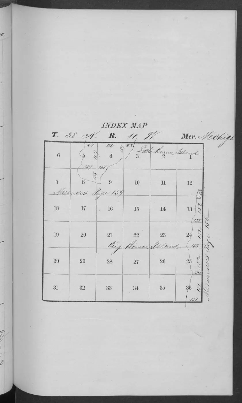
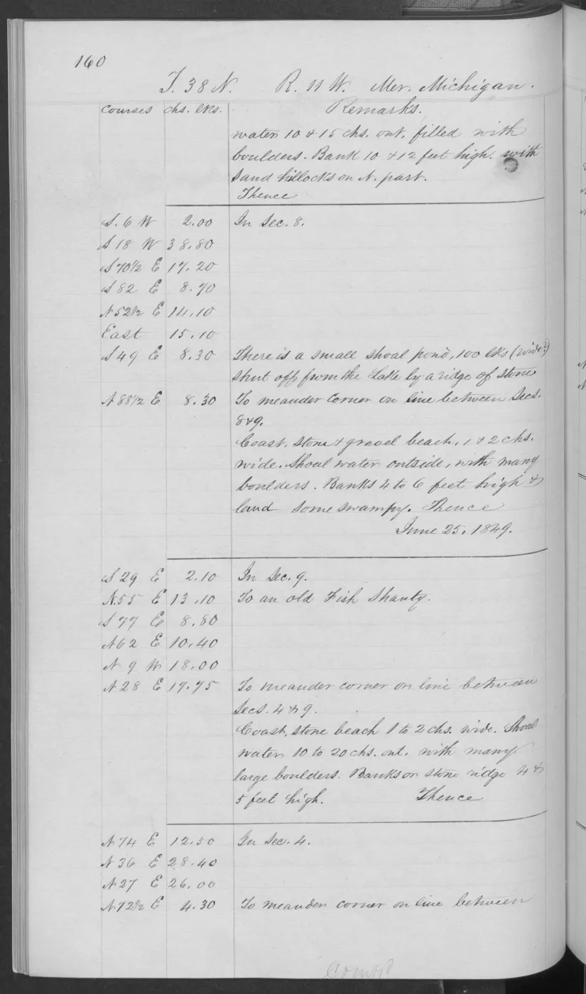
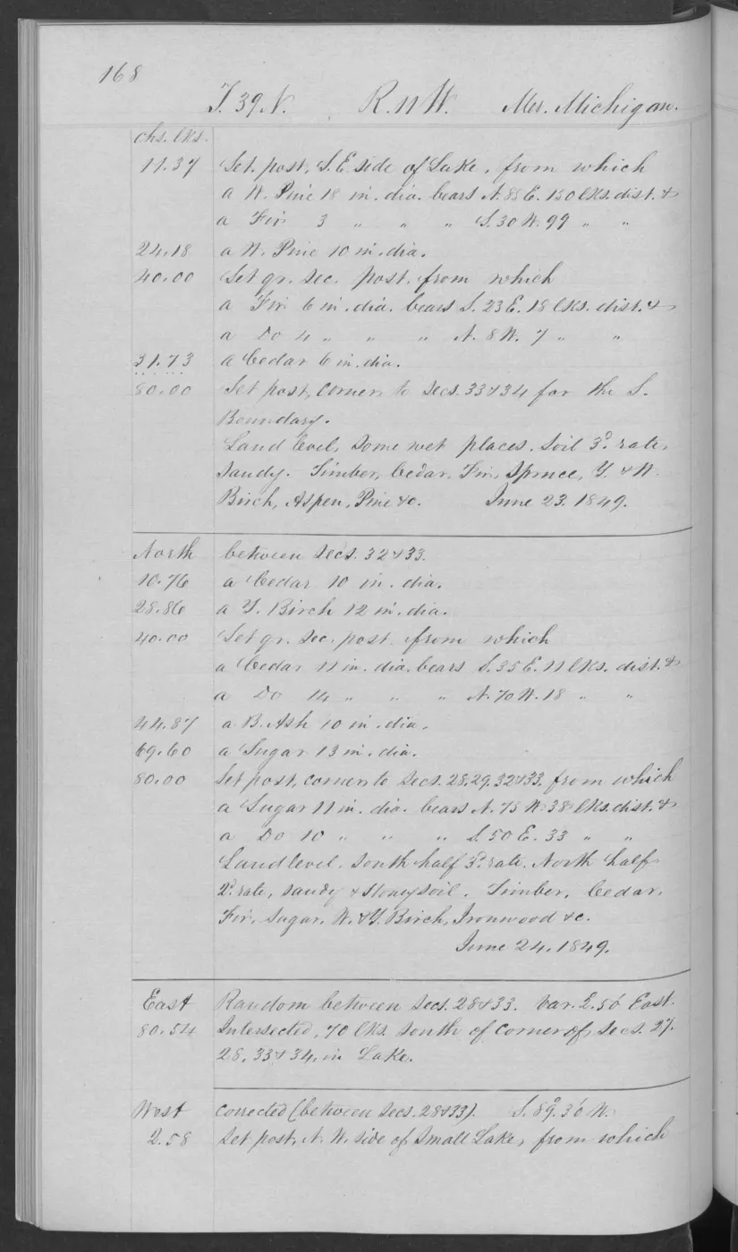
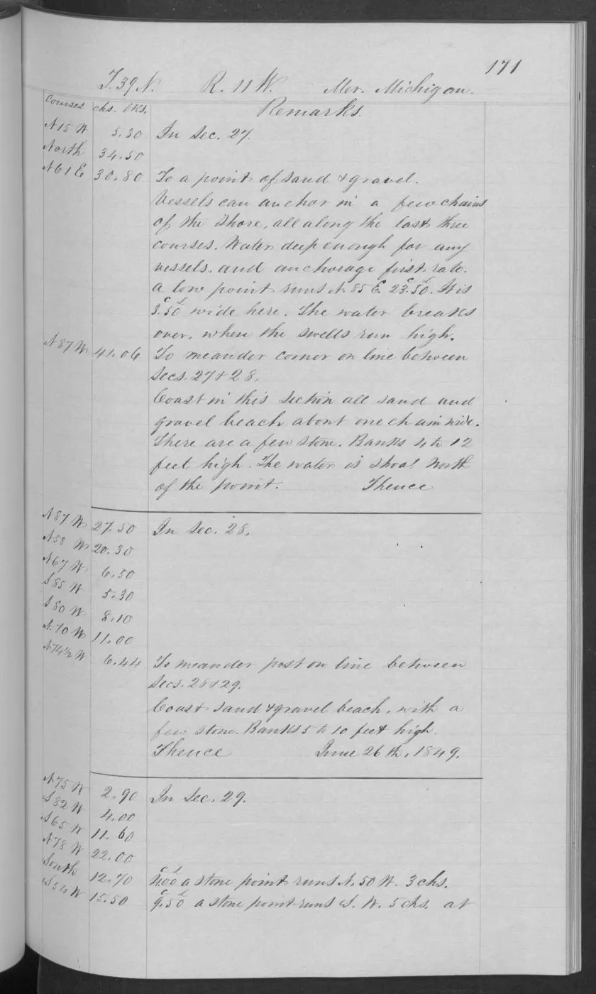
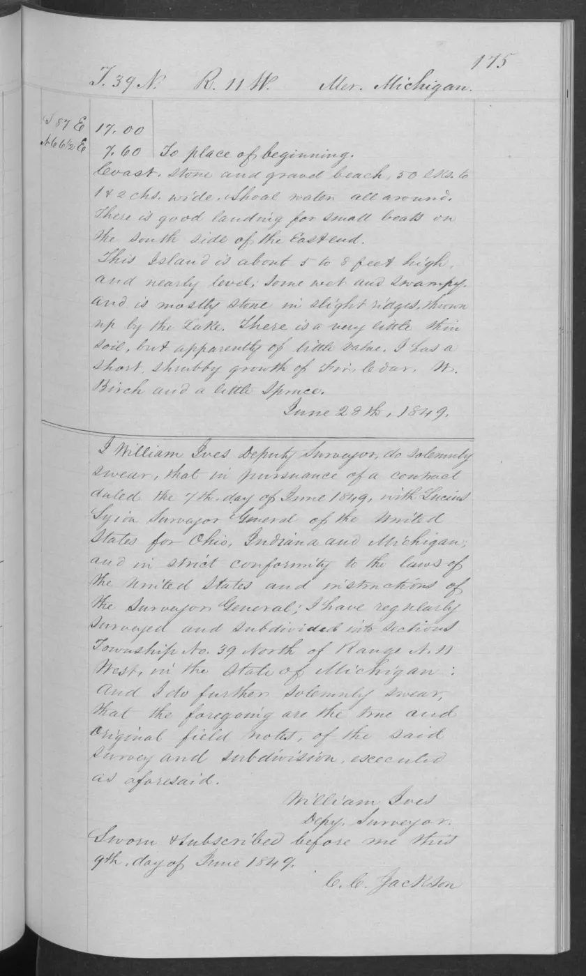
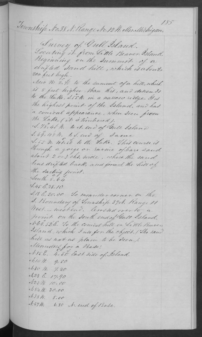
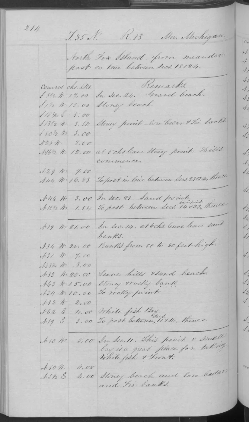
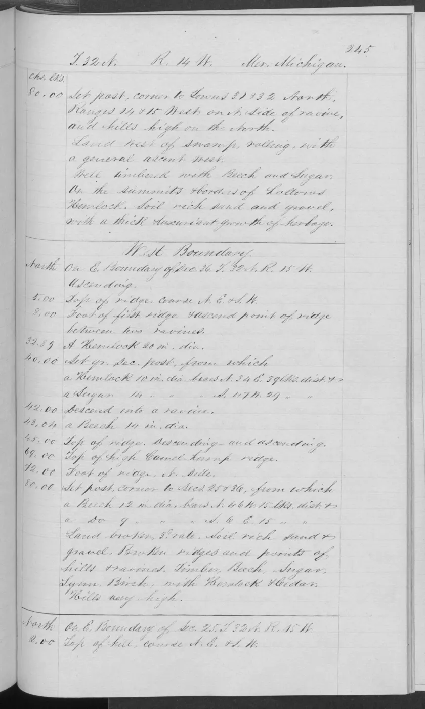
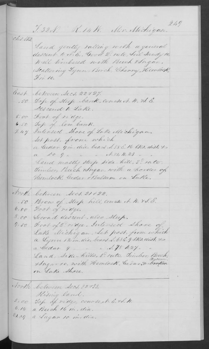
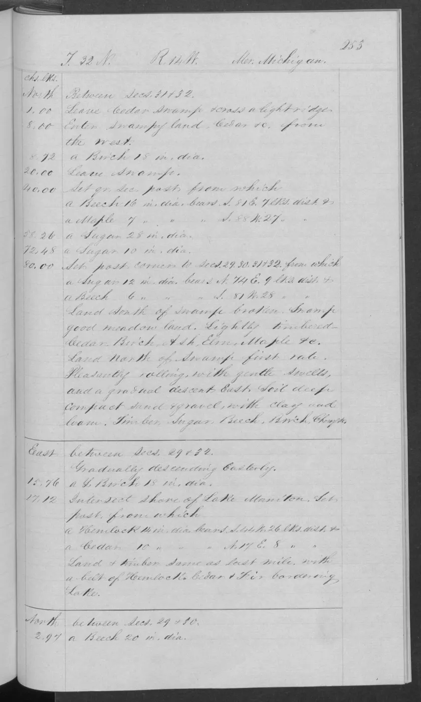
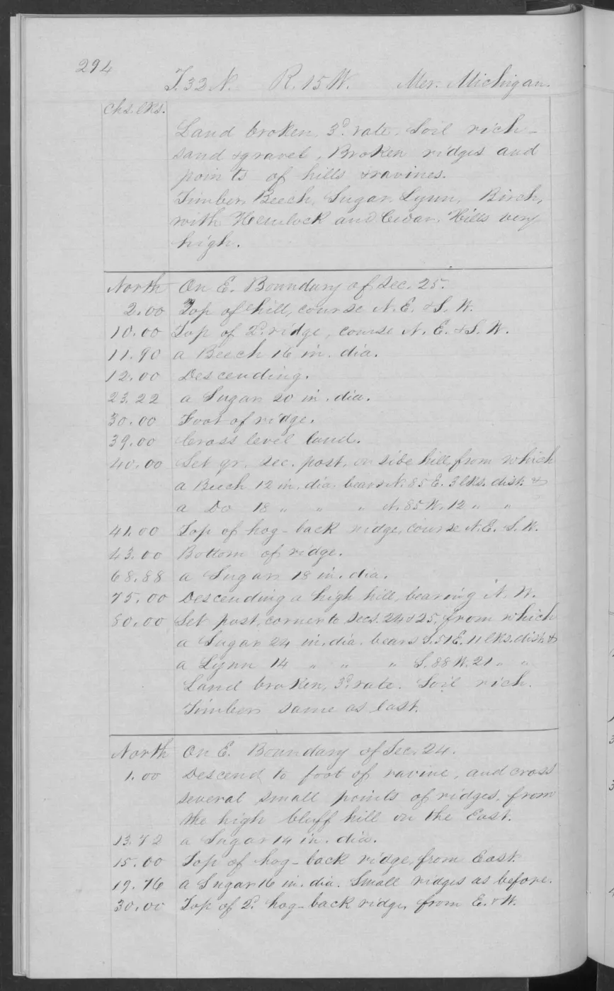
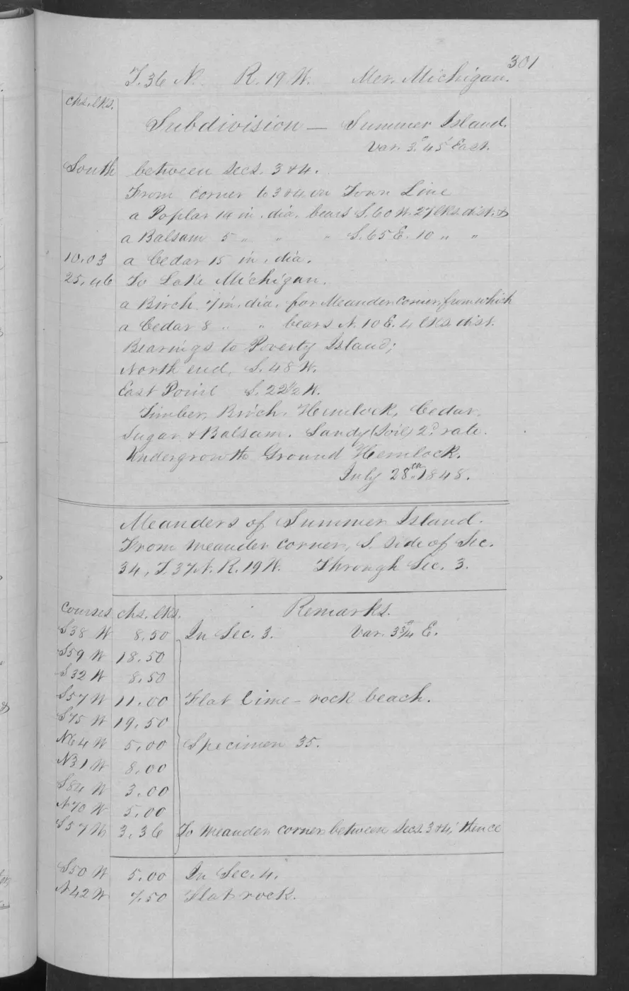
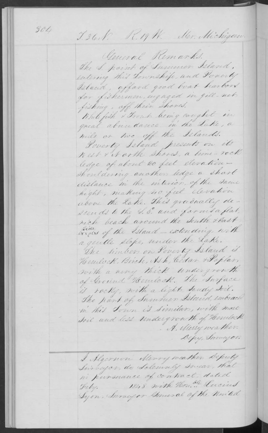
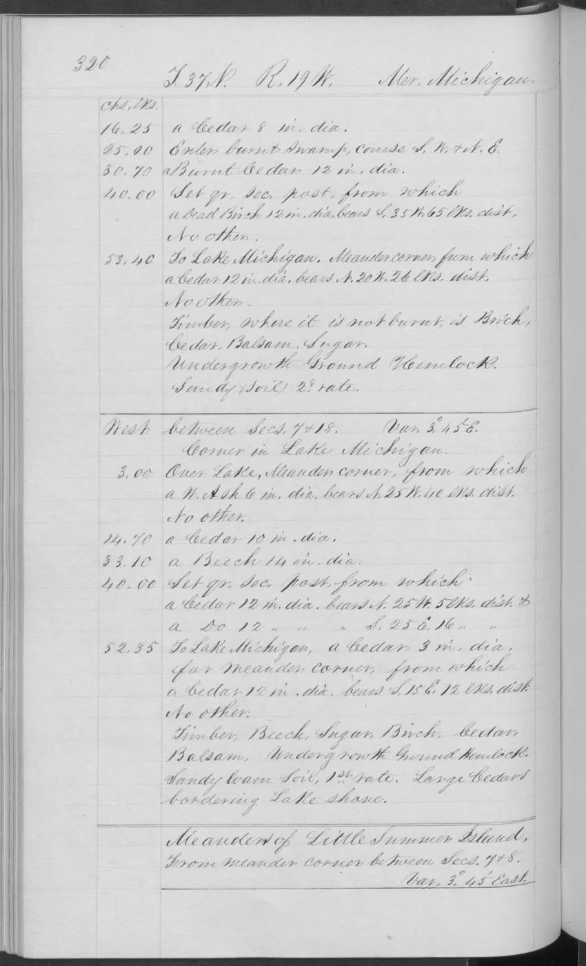
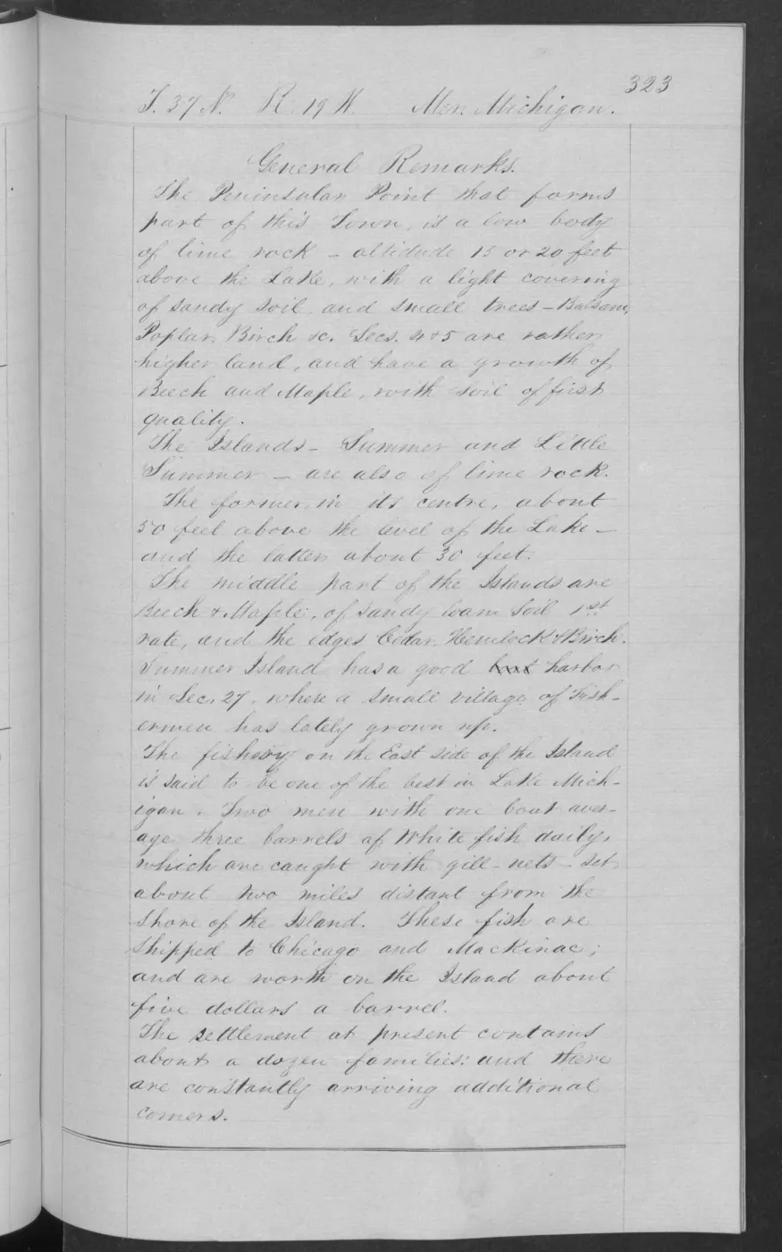
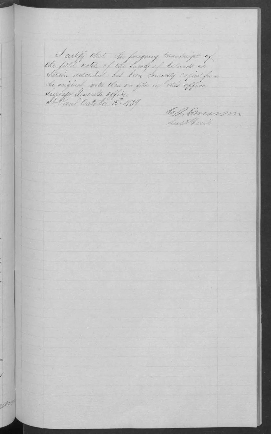
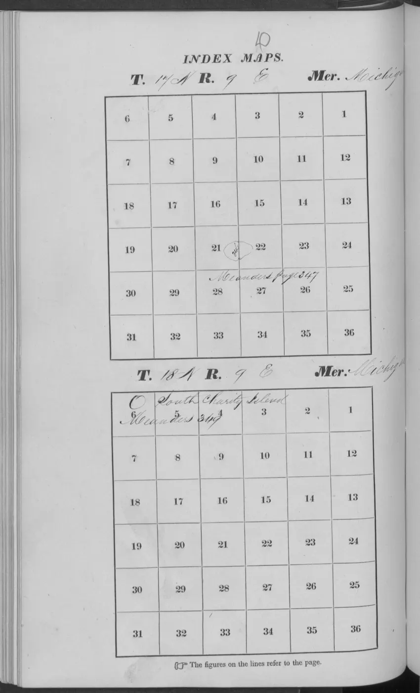
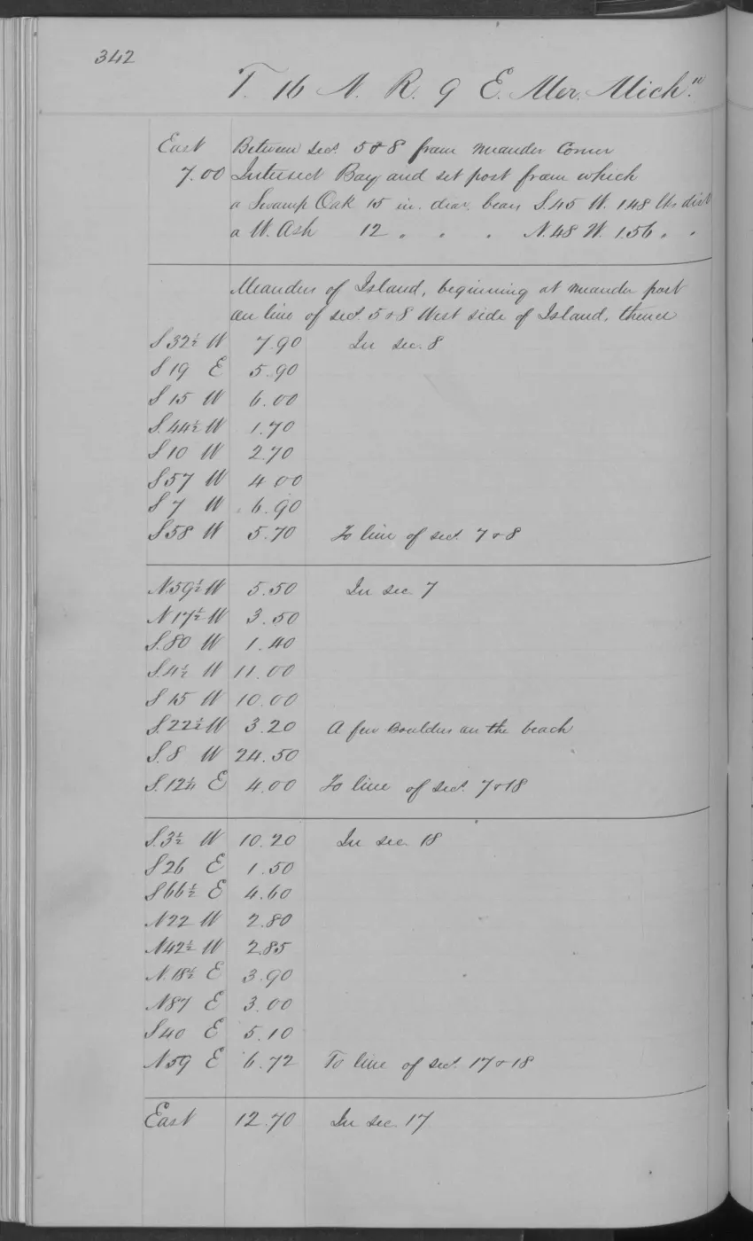
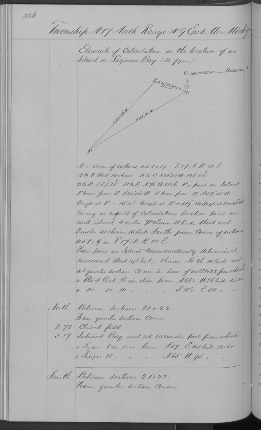
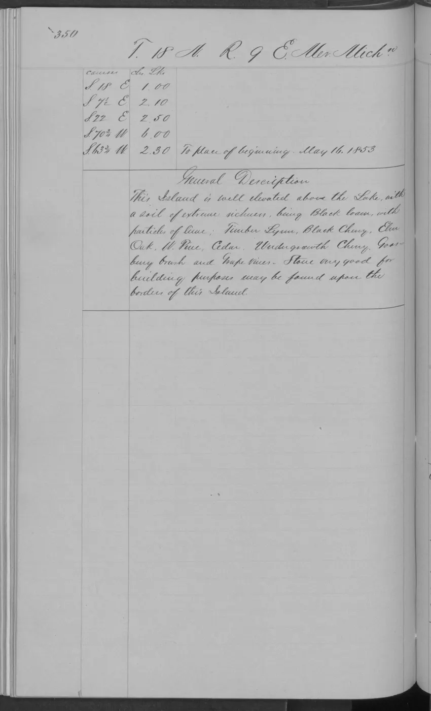
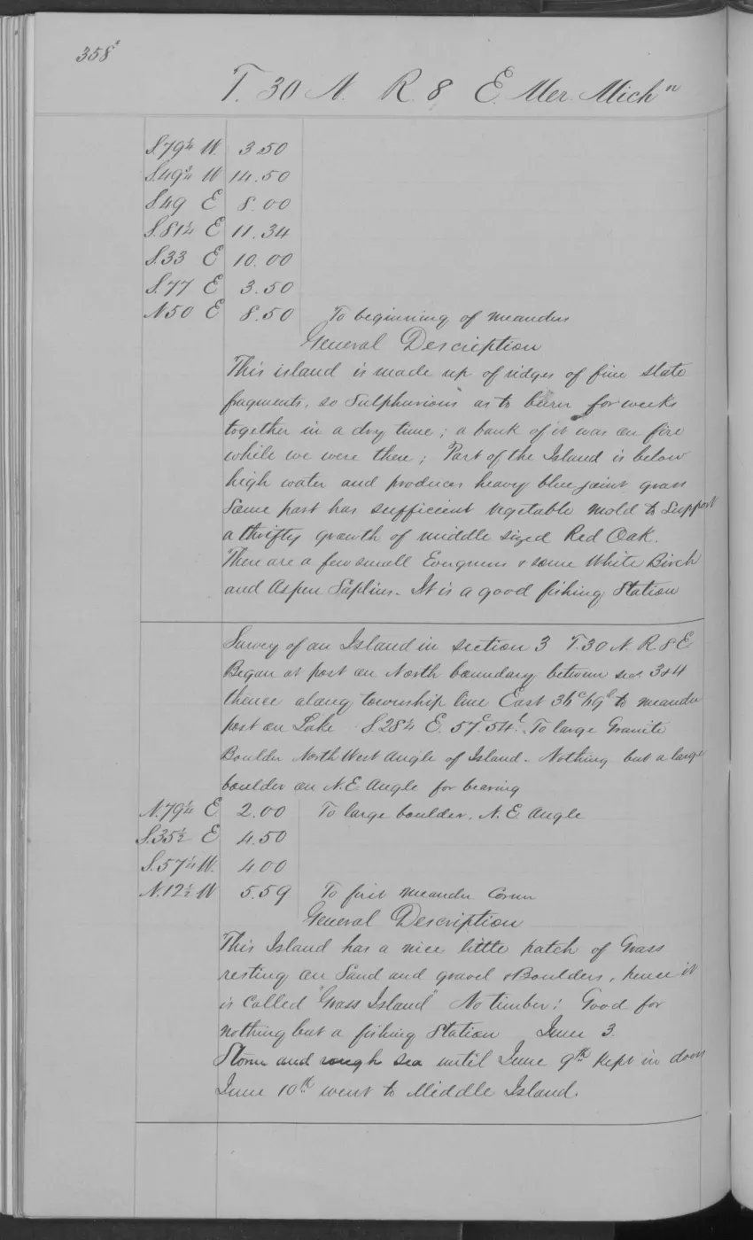
An original GLO field-note page for the southern High Island portion in fractional T38N R11W records about two sections of land, elevated roughly five to fifty feet above Lake Michigan and level to gently rolling. The surveyor characterized the soil as third-rate, sandy, stony, and gravelly, and recorded cedar, fir, aspen, white birch, spruce, tamarack, with a few sugar and white-pine trees in short growth. It is a bounded 1849 observation rather than a whole-island or current ecological account.7
Ecological profile
The MNFI Garden and High Island biodiversity, habitat, and acoustic surveys, 2015 supplies a much stronger modern soil-and-forest baseline than the 1849 general description. The High Island boreal forest is reported on alkaline sands, gravelly sands, and clayey sands at pH 7.5–7.8 over a shallow acidic organic layer. Its northern-white-cedar canopy includes white spruce, paper birch, red maple, red pine, red oak, and white pine, with dense yew affecting regeneration.
The dry-mesic northern forest has shallow acidic horizons over acidic sands at pH 4.5–5.0, with hemlock, white pine, and red oak; charcoal and cut stumps record fire and logging history. The Nezewabegon Forest occurrence adds acidic loamy sands at pH 5.0–5.5. The 456-acre Nezewabegon Forest mesic northern forest occurrence (EO 20452, rank AB, G4/S3; Report 2017-11, pp. 89–90) adds large sugar maple, yellow birch, hemlock, red oak, and cedar, and a partial red-oak core with 230 growth rings. Some trees were estimated at 250–300 years. The report’s note that deer were absent from the survey context is a site- and method-bounded observation, not a whole-island population claim.
The separate Nezewabegon Barrens occurrence connects that old-growth forest context to High Island’s open coastal systems. MNFI describes a 19-acre Great Lakes barrens on alkaline dune sands around pH 8.0, with shallow acidic organic layers, sparse red pine/white pine/cedar/spruce/birch/oak canopy, dense juniper and bearberry, and locally occurring state-threatened Pitcher’s thistle and Lake Huron tansy. Invasive plants along the adjacent shore are part of the management concern; this source-defined occurrence is not a current boundary or complete island survey.
The same 2015 survey recorded Lake Huron locust, more than 800 individuals across High Island beach, foredune, and barrens habitat, 15 snail species, incidental Merlin, Bald Eagle, reptiles, monarchs, dragonflies, and eight bat species at acoustic stations. The separate High Island American woodcock habitat crosswalk adds historic secondary evidence linking woodcock to old fields, shrub and young-tree cover, and second-growth forest; it is not current occupancy evidence.
Together these records connect High Island’s sandy and stony GLO setting to measured soils, tree ages, disturbance, insects, bats, birds, and forest structure. The survey remains targeted: its non-detections and occurrence points do not define the entire island or prove absence.
The companion Beaver Island Archipelago wildlife and bird species evidence index, 2017–2024 currently preserves 21 linked wildlife/bird evidence records spanning 23 taxa for High Island, including woodcock, Piping Plover, terns, raptors, bats, and other survey or management records. These are evidence records, not a complete fauna inventory or population count.
The MNFI Report 2017-11 also records six coastal and dune occurrences that extend this forest-centered profile across High Island’s shoreline. They show how former cobble shore, former dunes, active sand, windthrow, fire, waves, and ice connect the island’s forests to open habitat and rare plants.
Forest and cobble-shore transition
The 784-acre High Island boreal forest (EO 4856, rank AB, GU/S3; p. 25) occurs in two polygons along the southern and central-western island. The southern polygon is inland from limestone cobble shore on former cobble shore; the central-western polygon is inland from open dunes on former sand dunes. Its alkaline sands, gravelly sands, and clayey sands are around pH 7.5–7.8 over a 10–20-centimeter acidic organic layer around pH 4.5–4.8. Northern white-cedar dominates with white spruce, paper birch, red maple, red pine, red oak, American mountain-ash, and white pine. A 50.5-centimeter white spruce was estimated at more than 100 years old. Windthrow creates coarse woody debris; dense yew in the understory may affect regeneration and also complicates mapping because it resembles conifer-dominated forest.
The 115-acre dry-mesic northern forest (EO 20453, rank B, G4/S3; p. 47) occupies undulating former dune shoreline in northeastern High Island. A shallow 5–10 cm A horizon around pH 5.0 overlies fine- to medium-textured acidic sands around pH 4.5–5.0. White pine, hemlock, and red oak dominate, with red pine, paper birch, red maple, bigtooth aspen, and white spruce. Cored hemlock and red pine were estimated at more than 103, 115, and 120 years. Charcoal and cut stumps record a severe fire and later logging; MNFI recommends allowing natural fire, retaining buffers, and monitoring invasive species.
The 214-acre limestone cobble shore (EO 6527, rank AB, G2G3/S3; pp. 71–72) occupies two polygons on the southern and northwestern shoreline. Gravelly, alkaline sands around pH 8.0 mix with organics between and beneath cobbles and boulders. Seiches, storm surges, seasonal and multi-year lake cycles, and storm waves continually rework the substrate. During the two consecutive high-water years of the survey, vegetation and organic soils were reduced in exposed areas; the shore locally grades into sand/gravel beach, low foredune, Great Lakes marsh, and seepage-fed coastal fen. Driftwood supports insects and herptiles and plant debris contributes soil organic matter. Cedar, paper birch, aspen, spruce, tamarack, and balsam fir occur along the margins, with sparse rushes, sedges, silverweed, grass-of-Parnassus, bird’s-eye primrose, false asphodel, and other shore plants. Mossy stonecrop, Canada bluegrass, narrow-leaved cattail, invasive reed, and white sweet-clover require monitoring and control.
Dunes and beaches
The 142-acre open-dune occurrence (EO 10698, rank A, G3/S3; pp. 109–110) is formed from fine wind-blown and wave-worked alkaline dune sands around pH 8.0. Low foredune is dominated by marram grass, while broad and parabolic dunes support sand reed grass, little bluestem, white camas, wormwood, Gillman’s goldenrod, plains puccoon, starry false Solomon’s-seal, milkweed, harebell, and yarrow. Tens of thousands of state- and federally threatened Pitcher’s thistle were recorded, along with Lake Huron locust. Common juniper, creeping juniper, bearberry, and sand cherry form dense low shrub cover; scattered white pine, white spruce, balsam poplar, willow, paper birch, and cedar persist in more sheltered places. Old cedar snags along blowouts show that moving dunes have encroached on formerly forested dunes. Nearby mossy stonecrop, narrow-leaved cattail, invasive reed, spotted knapweed, and white sweet-clover are management concerns.
Two distinct sand-and-gravel beach occurrences document the unstable shoreline. The 15-acre High Island sand and gravel beach (EO 13026, rank A, G3?, S3; p. 144) follows about one mile of northwestern Lake Michigan shore. The 28-acre High Island Bay beach (EO 10977, rank A, G3?, S3; p. 147) follows about two miles on the northeastern shore. Both consist of shifting sand, gravel, and cobble exposed to wind, waves, and winter ice, with little persistent plant cover on the active beach. Low foredune and inland barrens, dry-mesic forest, and boreal forest provide the transition zone. Margin plants include marram grass, wheat grass, plains puccoon, wormwood, poison ivy, milkweed, red-osier dogwood, and state- and federally threatened Pitcher’s thistle. Mossy stonecrop, spotted knapweed, Canada bluegrass, narrow-leaved cattail, invasive reed, and white sweet-clover occur as non-native concerns in one or both beach settings. MNFI recommends allowing natural processes, removing invasive clusters, and monitoring the shoreline.
Together, these records describe a connected shoreline-to-interior system, not one uniform habitat polygon. The occurrence areas and survey observations are not current legal boundaries, parcel or ownership determinations, complete species inventories, or present-condition assessments for High Island.
Names
No former or GNIS variant name is recorded for High Island in sources held; its name is attributed to the prominent dune on its western side rather than to any person or event.
Significance
High Island’s documented history — Strang-era timber prospecting, a Native and mixed-settler fishing community, a Christian Israelite colonial venture, and abandonment after a single storm — makes it a compact case study in the archipelago’s pattern of settlement and depopulation on its smaller islands, distinct from the continuously inhabited main island.
Open questions
- Whether Strang’s followers established an actual settlement on High Island (as opposed to merely surveying it for timber, per the Gospel Herald passage) is not established from sources held.
- The House of David dates remain disputed between Welke’s 1912-1932 account and the 1967 local retrospective’s c.1906-1930 account; the 1936 employee report shows continued association but is not a population or institutional census. Period newspapers, court records and House of David institutional records are still needed, as is a contemporaneous account of the November 1940 storm.
- No population figures for High Island at any date have been located.
- Obtain Norberg’s 1987 article and identify the source of the High Island treasure clues.
See also
- Beaver Island archipelago
- Beaver Island
- Hog Island
- Nezewabegon Barrens
- MNFI Garden and High Island biodiversity, habitat, and acoustic surveys, 2015
- High Island American woodcock habitat crosswalk
- Forest types and tree history
- Wildlife and bird life
- “Lost treasure of the Beaver Island Mormon Colony”, 1987
- Strang treasure traditions
Footnotes
-
Gospel Herald, 1847-1850 (undated issue in the held run). ↩
-
Williams, A Child of the Sea (1905), p. 83. ↩
-
Welke, “A Short History of Settlements on the Beaver Island Archipelago,” Northern Islander (March 2026), p. 5. ↩
-
Beaver Beacon, February 1967, local-history correction in the held OCR. ↩
-
Beaver Beacon, March 1963, local-history report in the held OCR. ↩
-
Charlevoix County Herald, June 29, 1945, “BEAVER ISLAND — Islands have a way of doing things to people.” ↩
-
Bureau of Land Management, GLO Field Note Volume 168138, p. 0161, 1849, visual page-image verification. ↩
Maps for this place
These Atlas plates provide regional context. They do not establish a precise boundary, current ownership, access right, operating status, or field condition.
- EnvironmentSoils, wetlands, hydrography, and terrain
- GeologyGeneralized geology and landforms
- HydrologyMapped water and wetland context
- AccessMapped routes, facilities, and protected areas
The dated record
Read the document
406 pages, rendered from the held scan.
Jump to a page — 406 in all
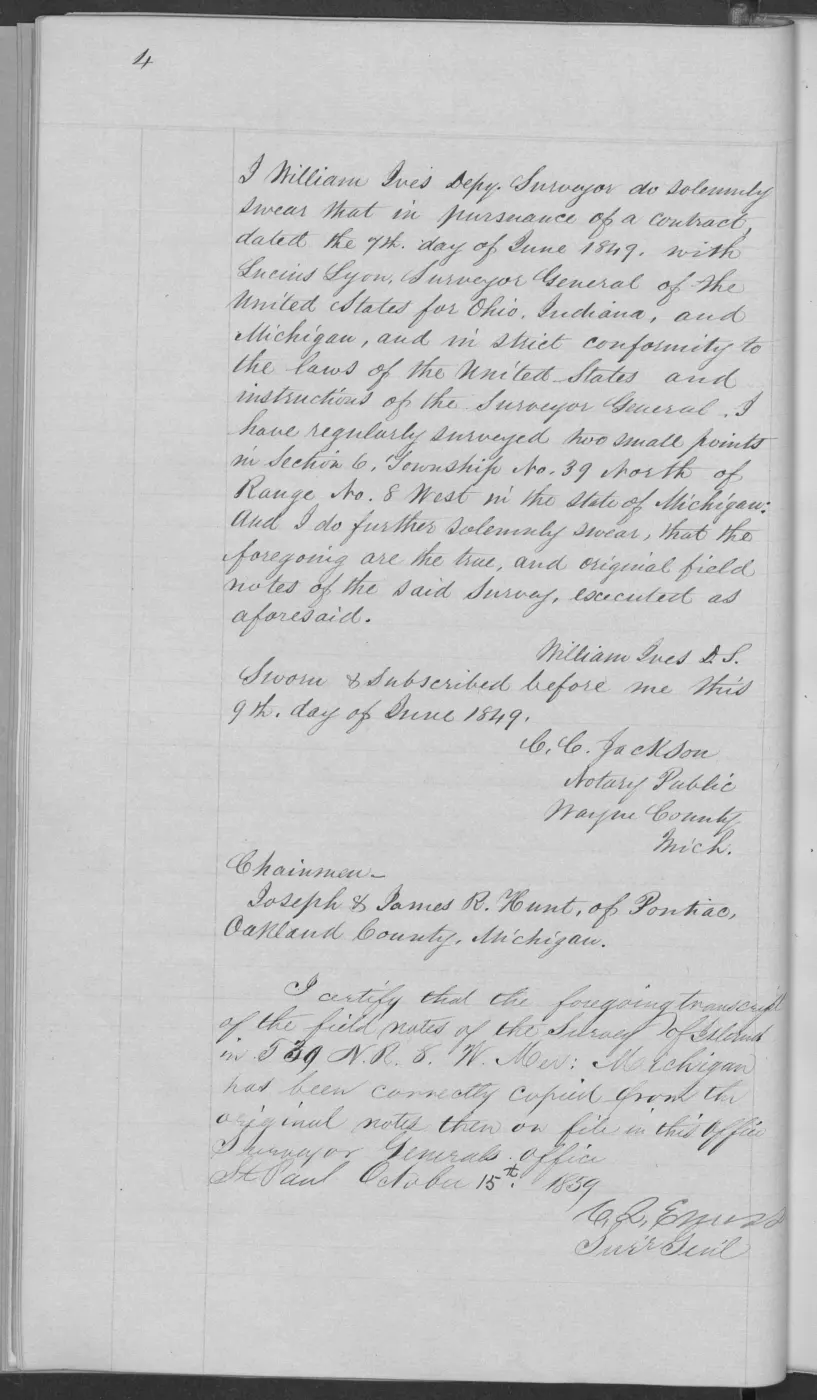
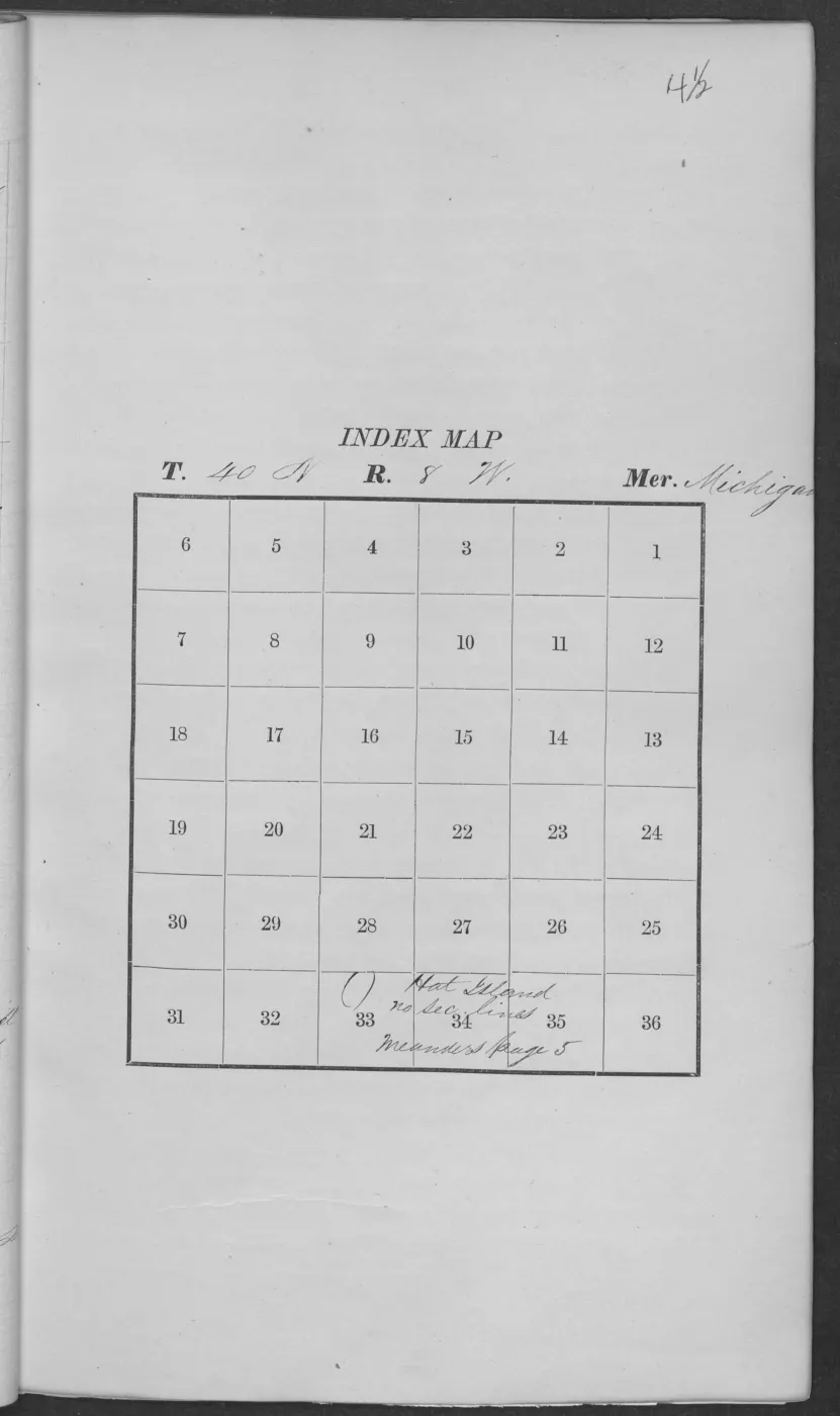
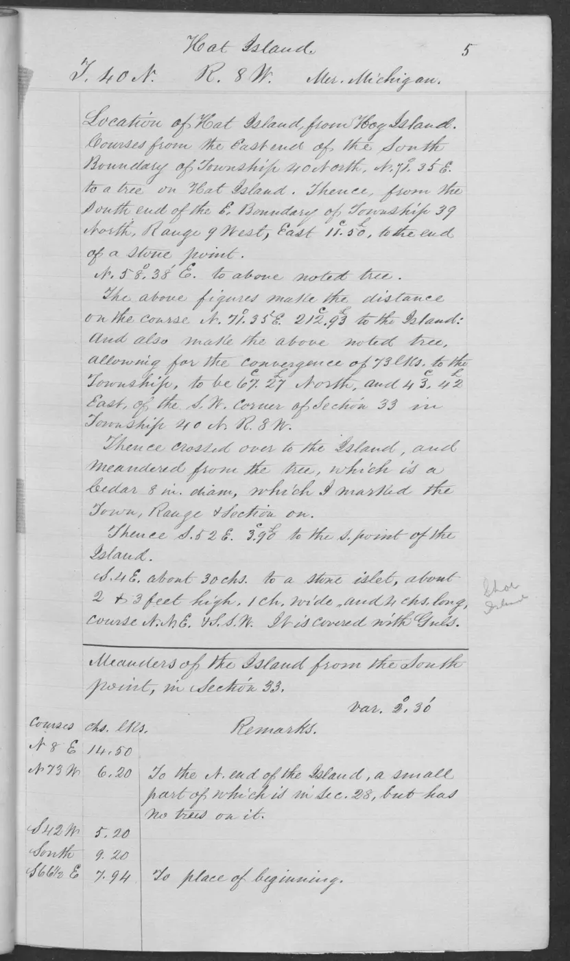
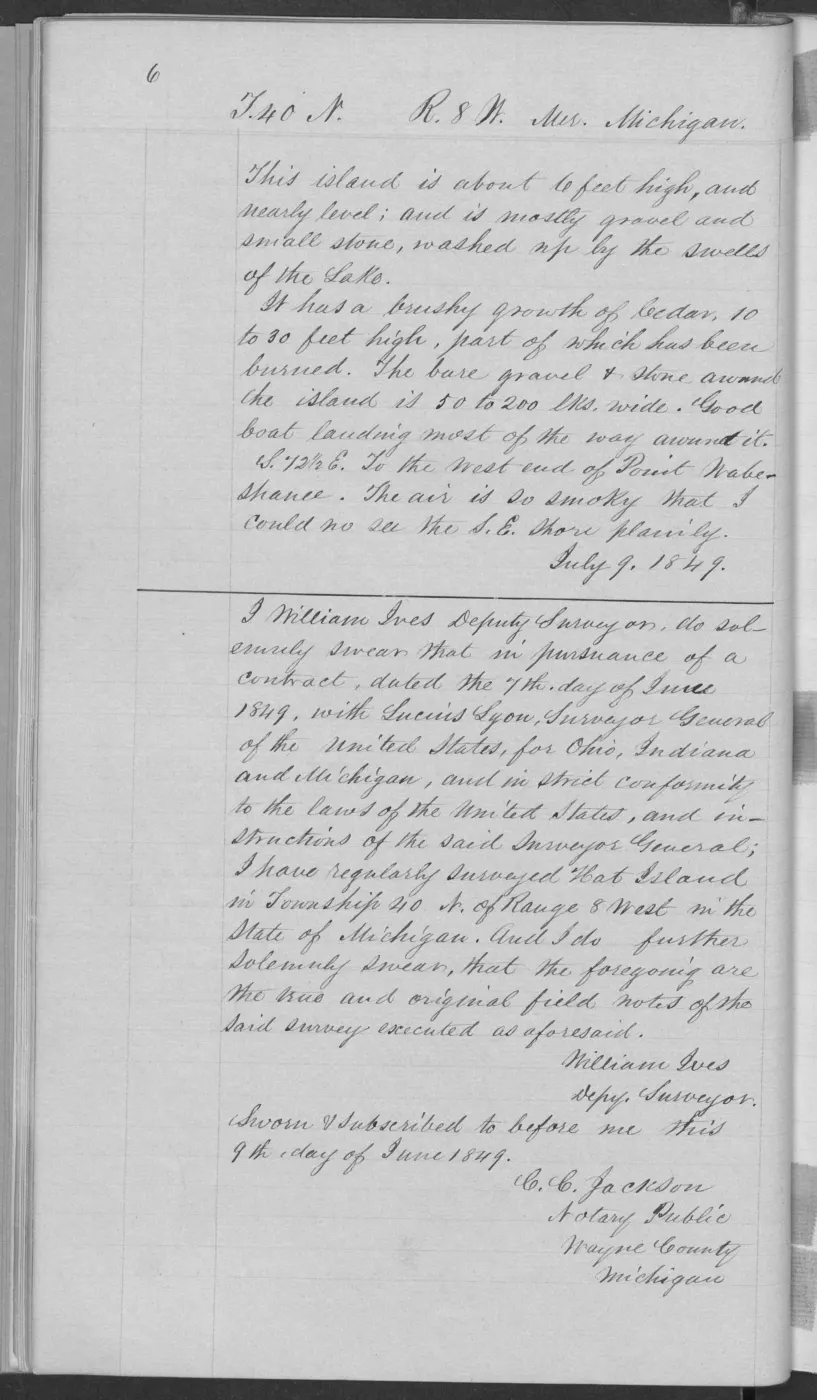
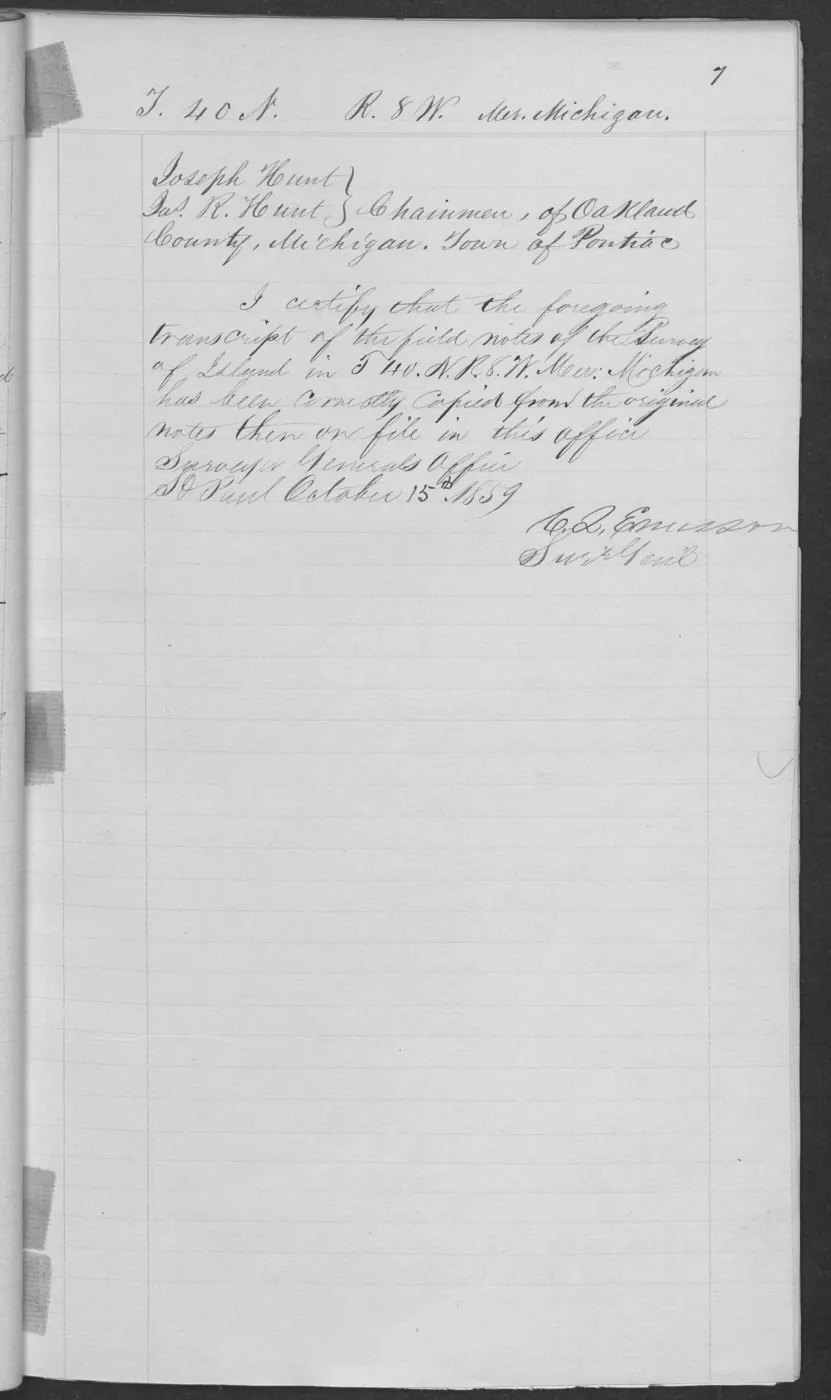
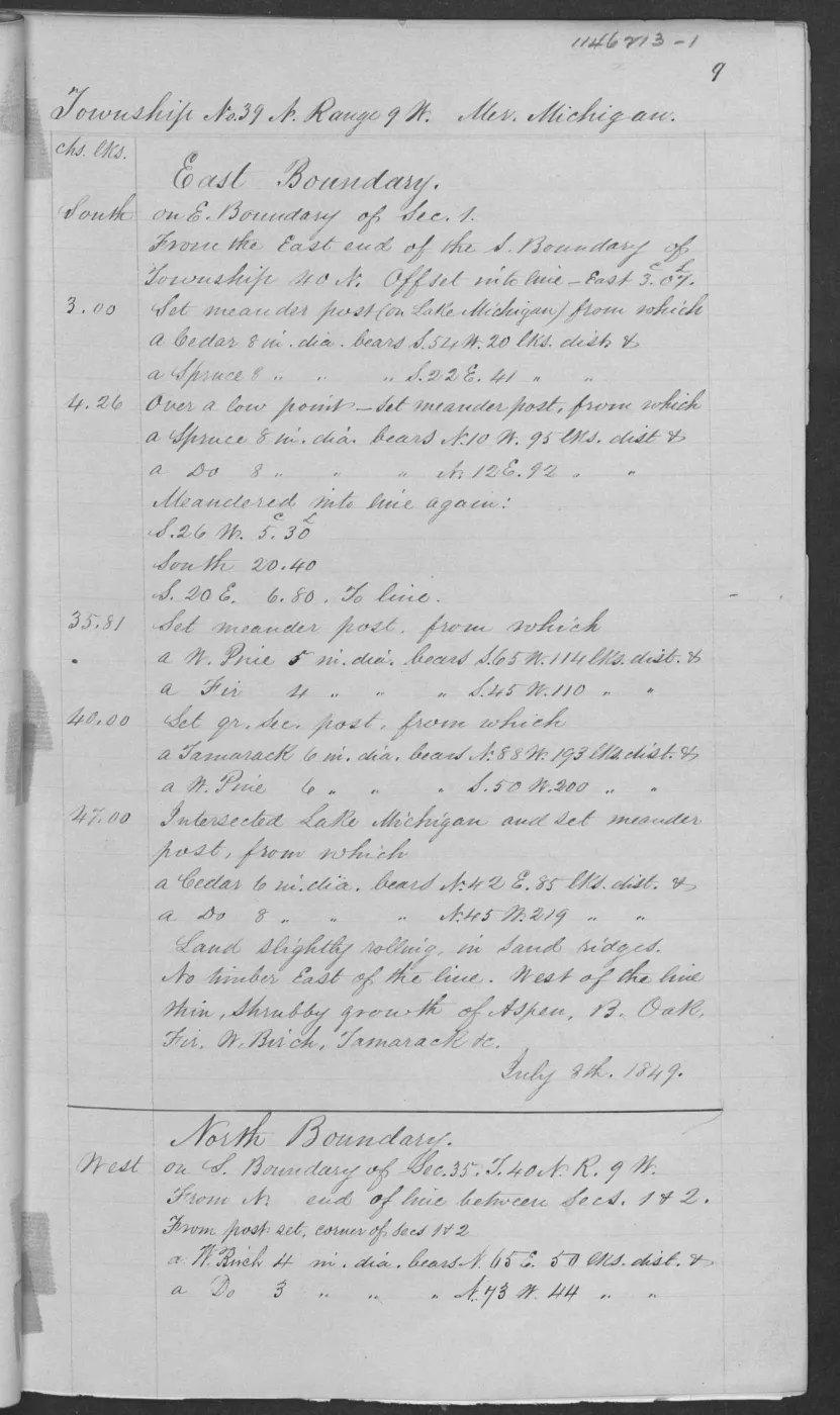
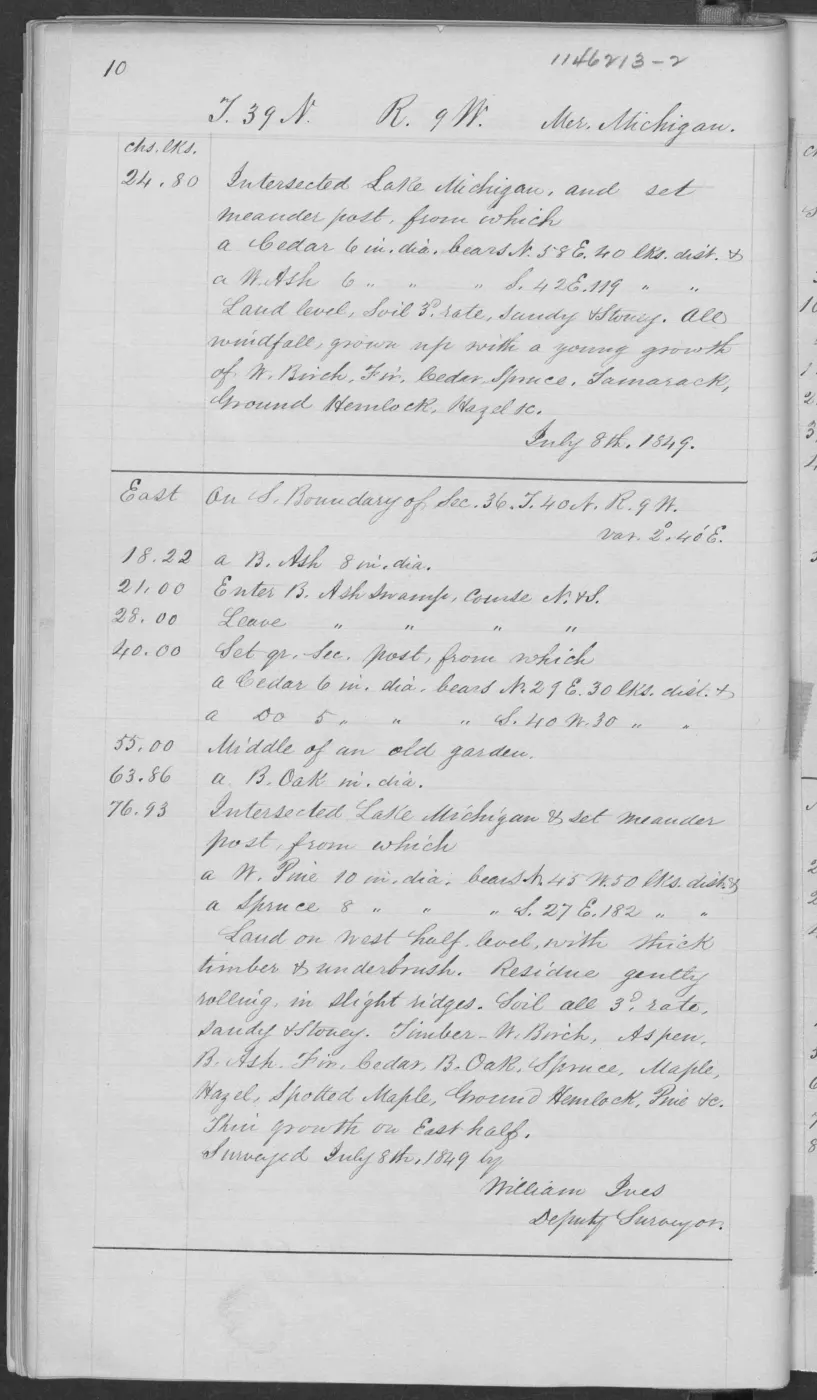
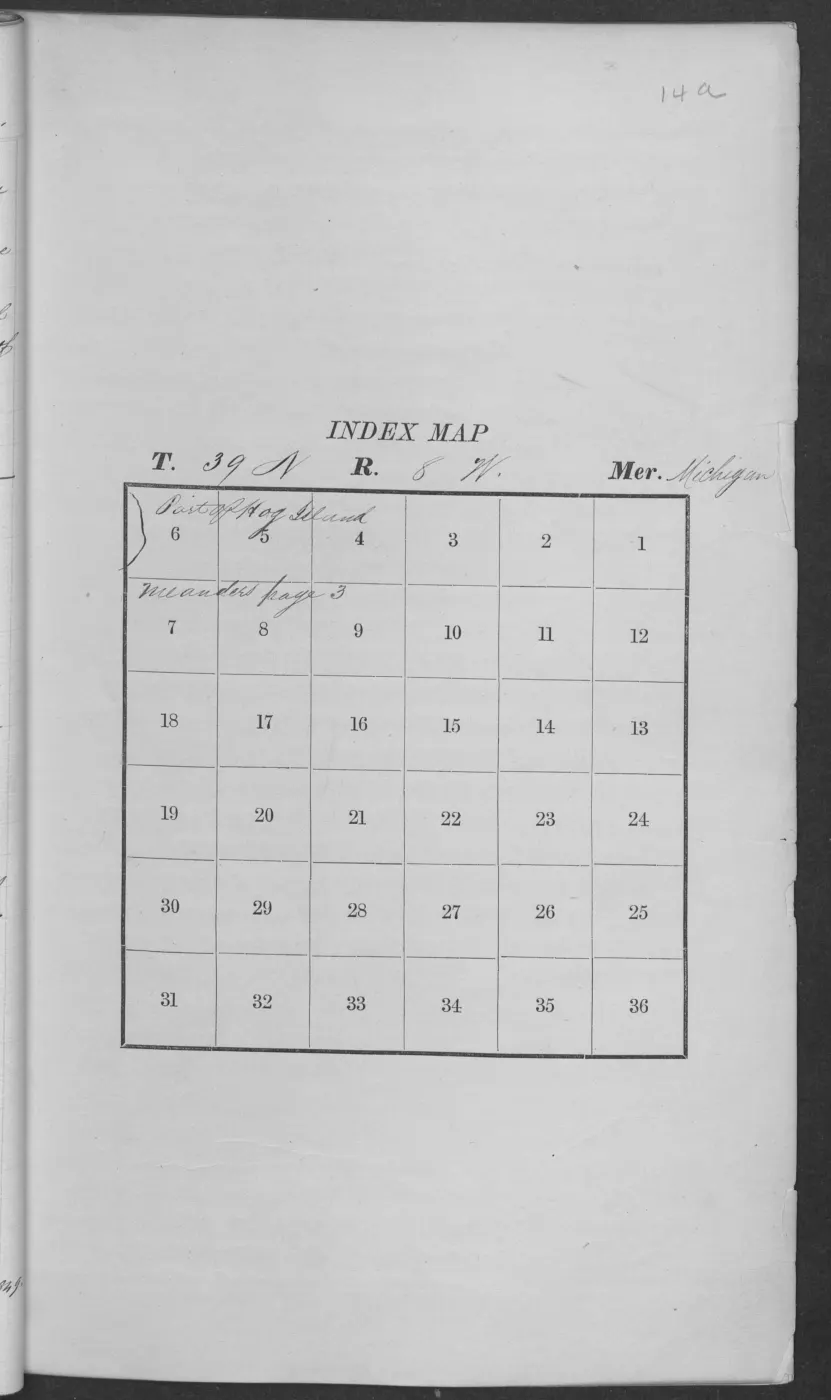
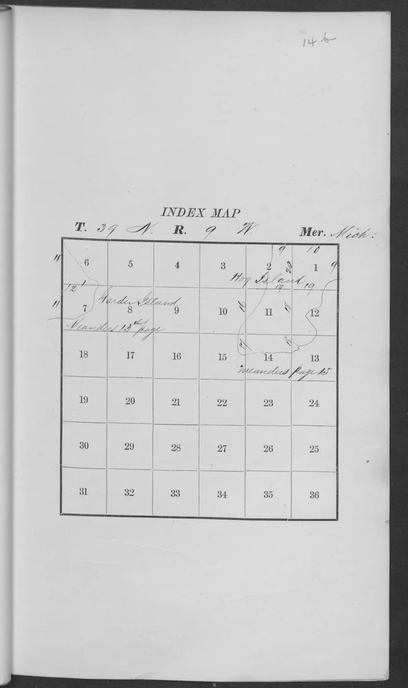
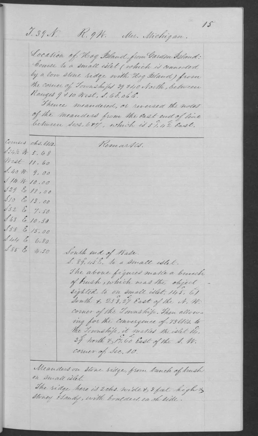
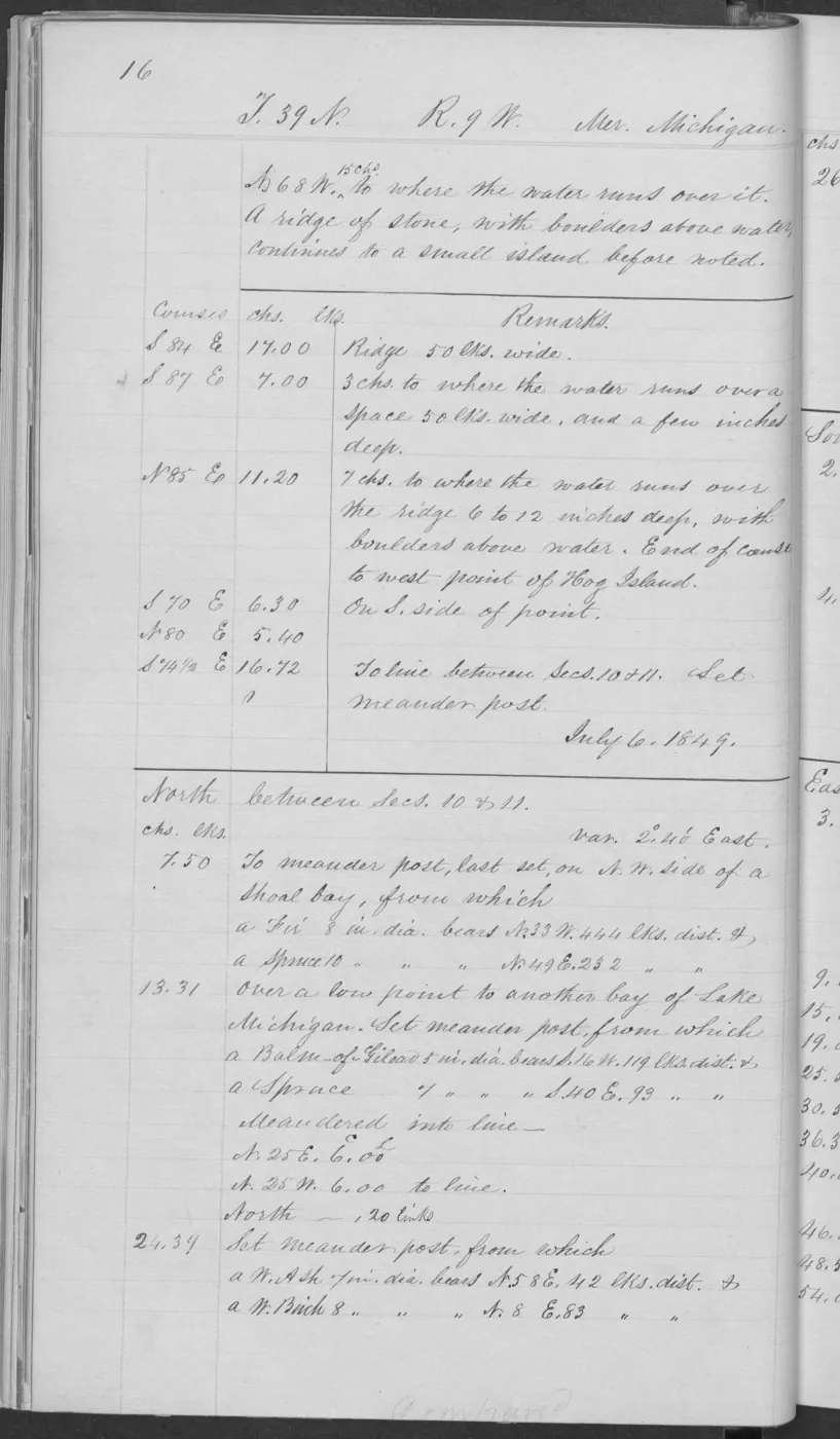
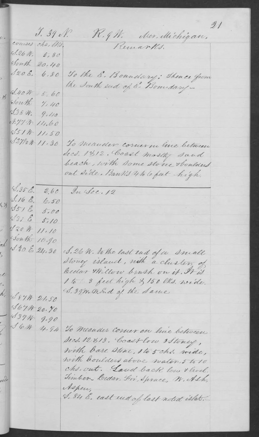
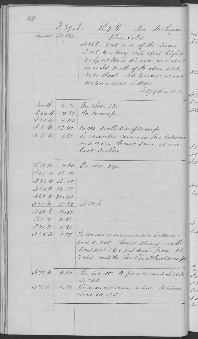
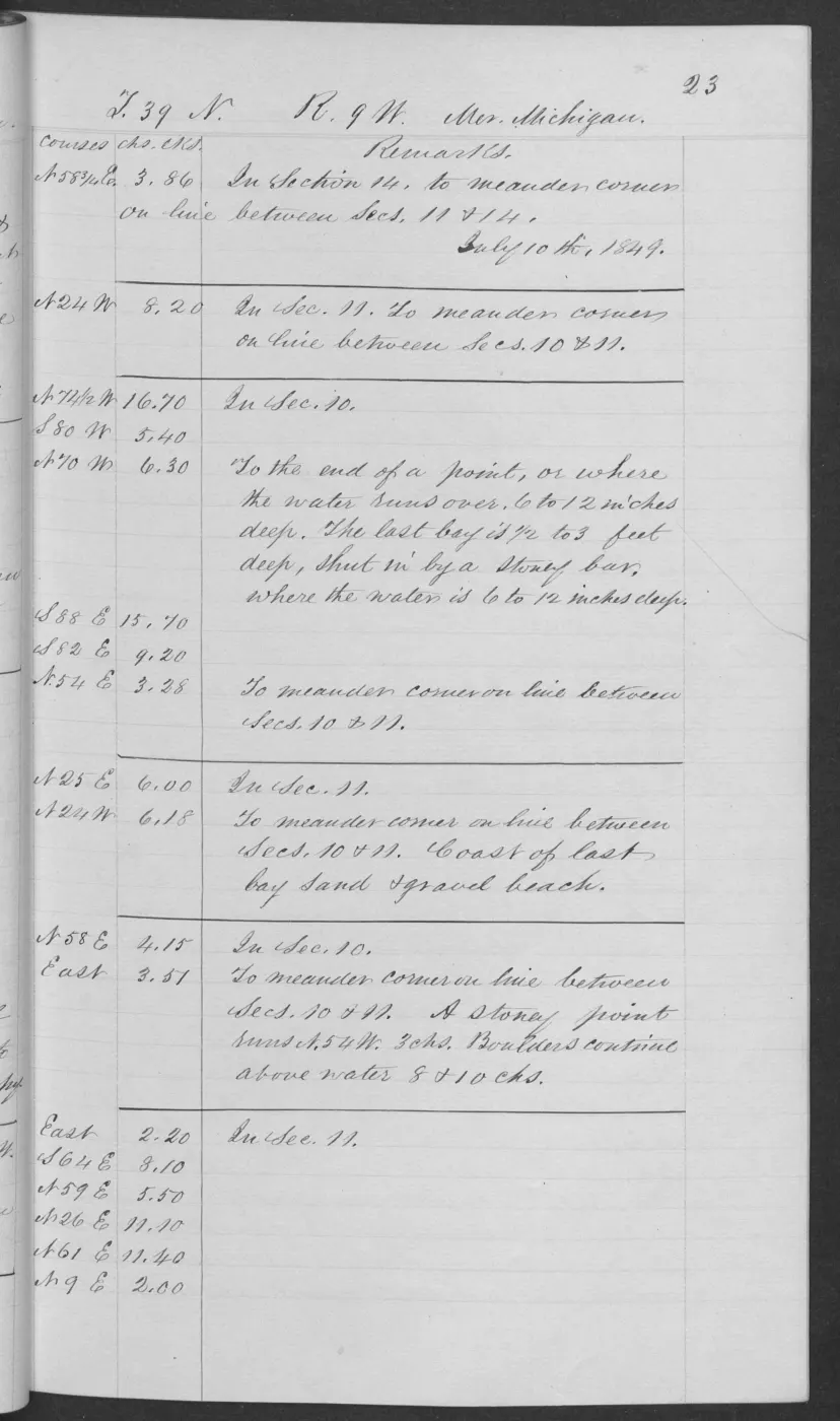
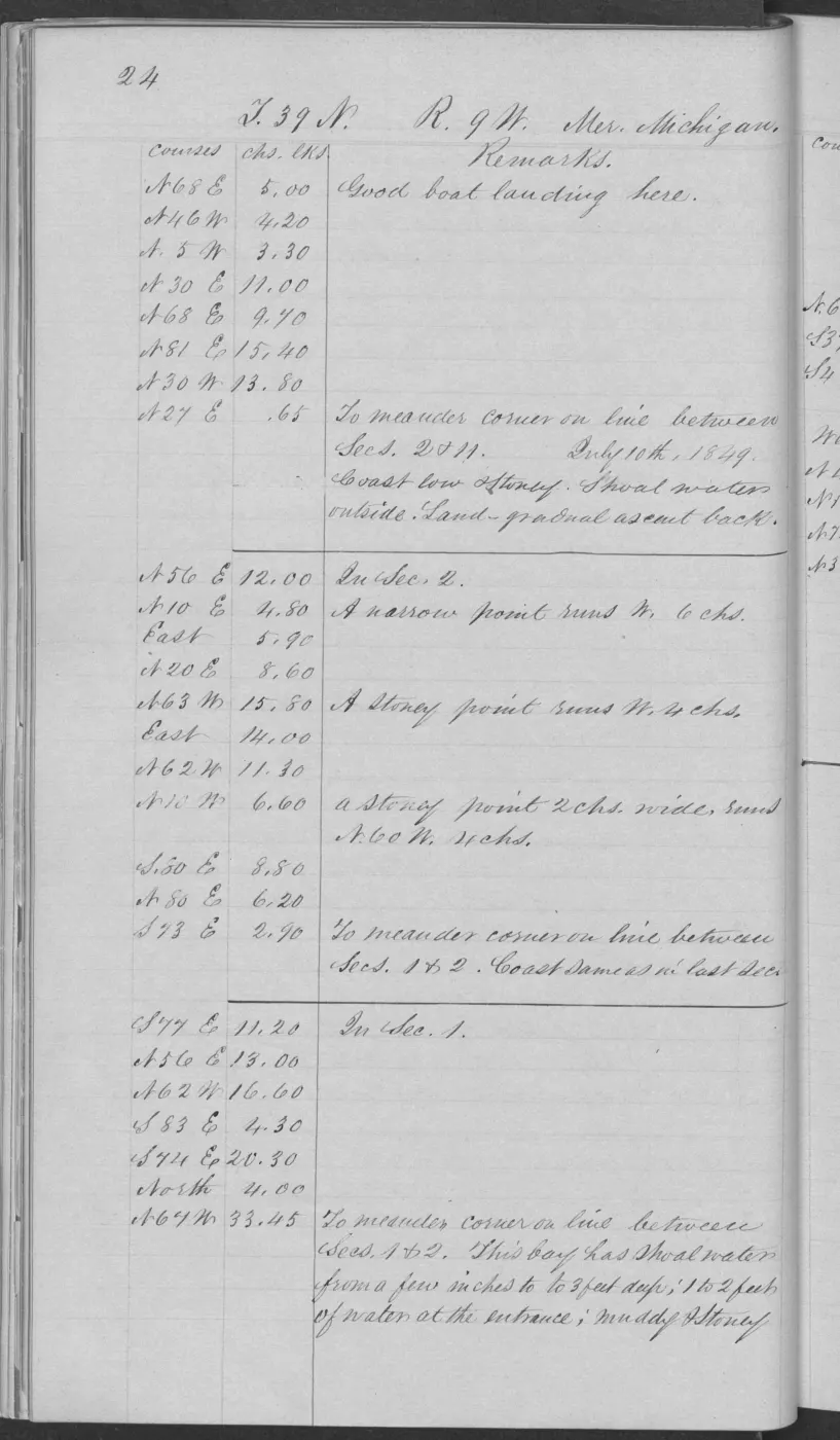
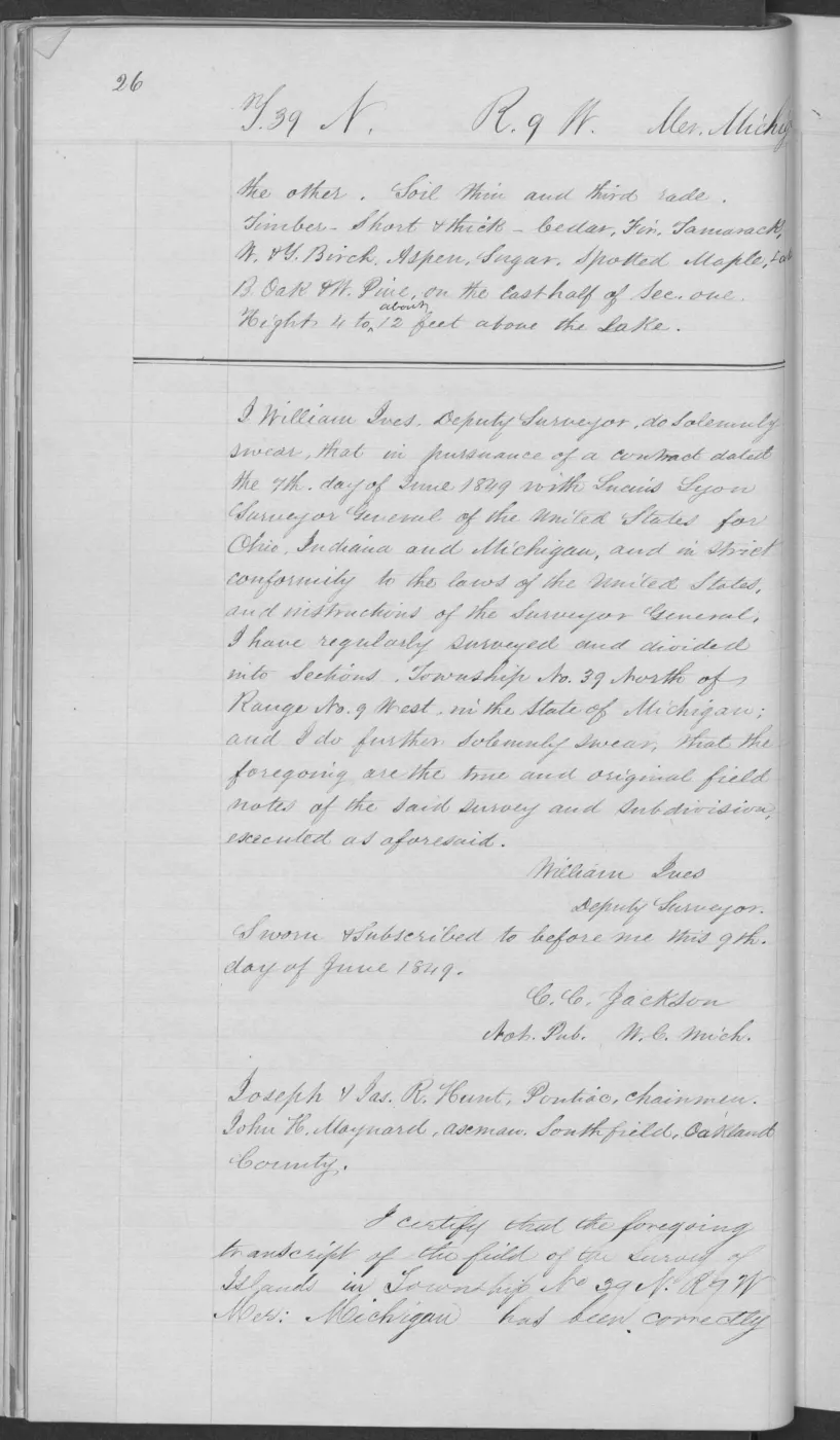
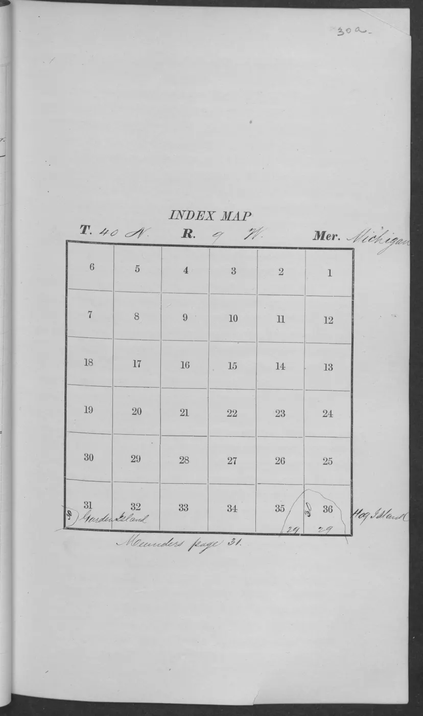
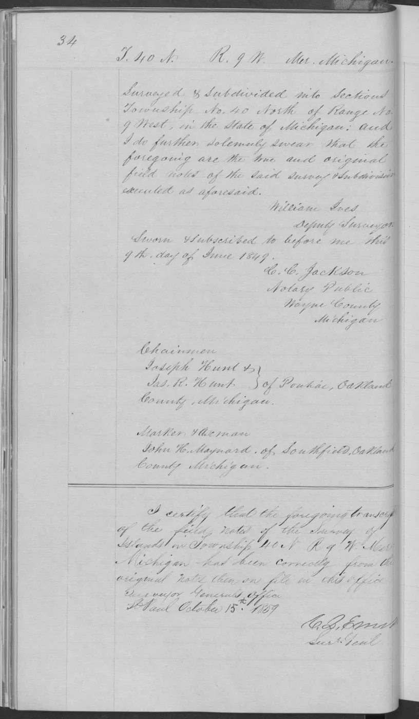
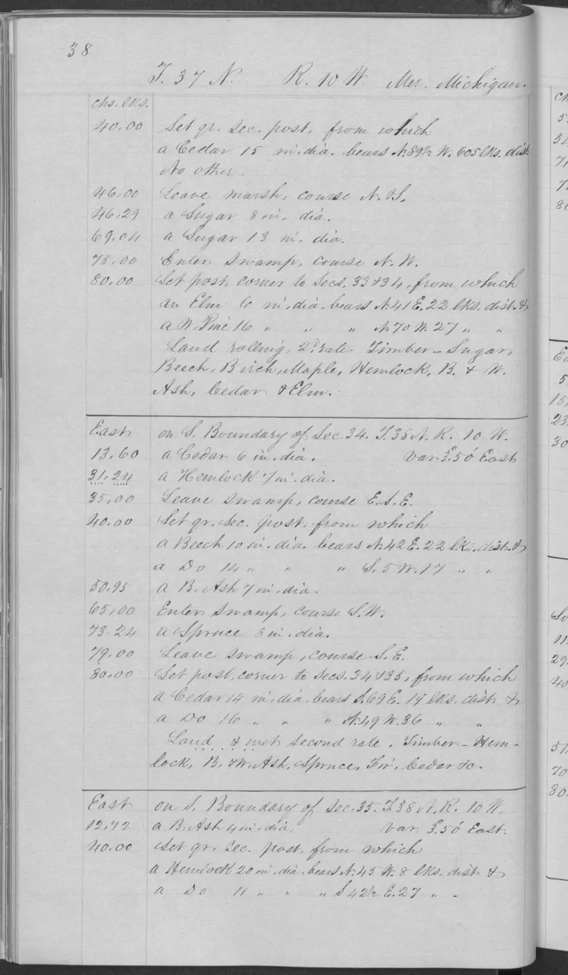
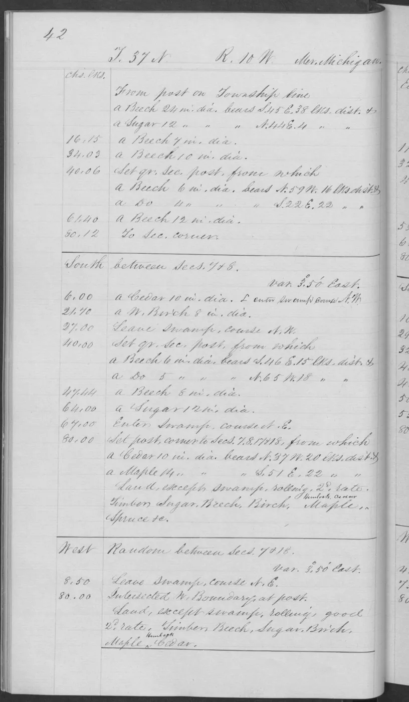
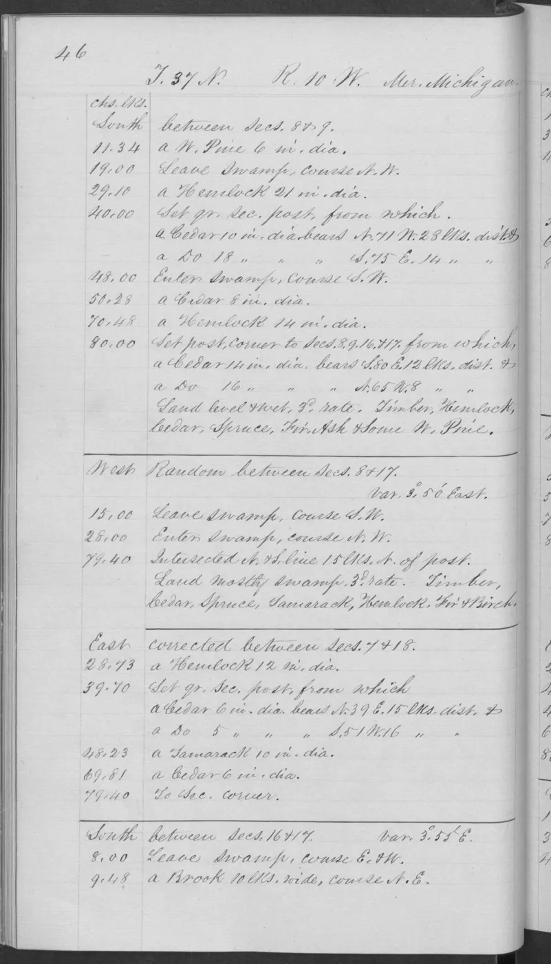
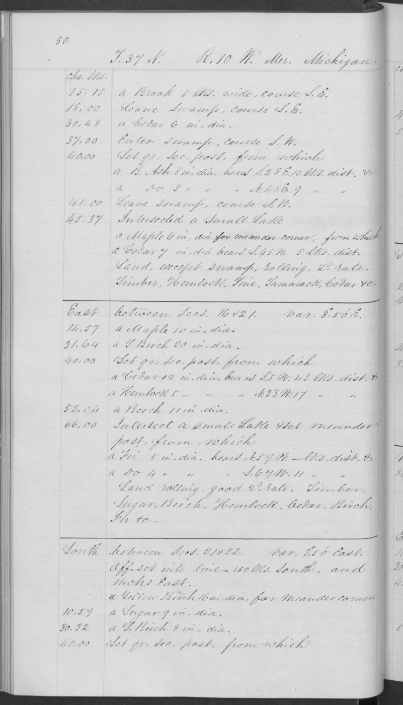
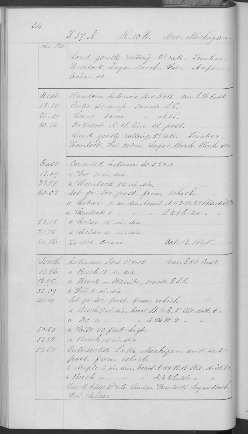
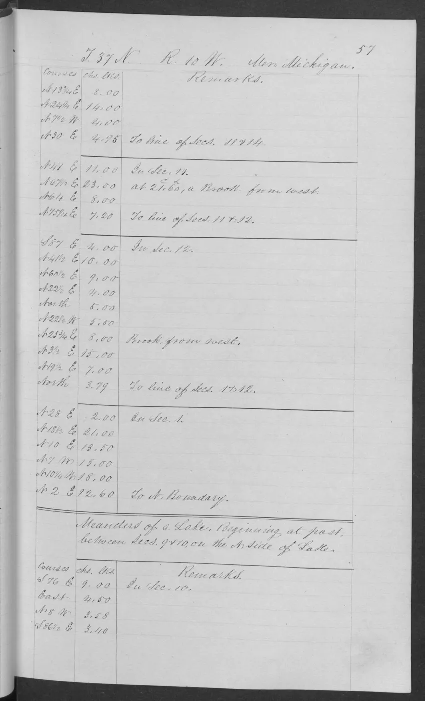
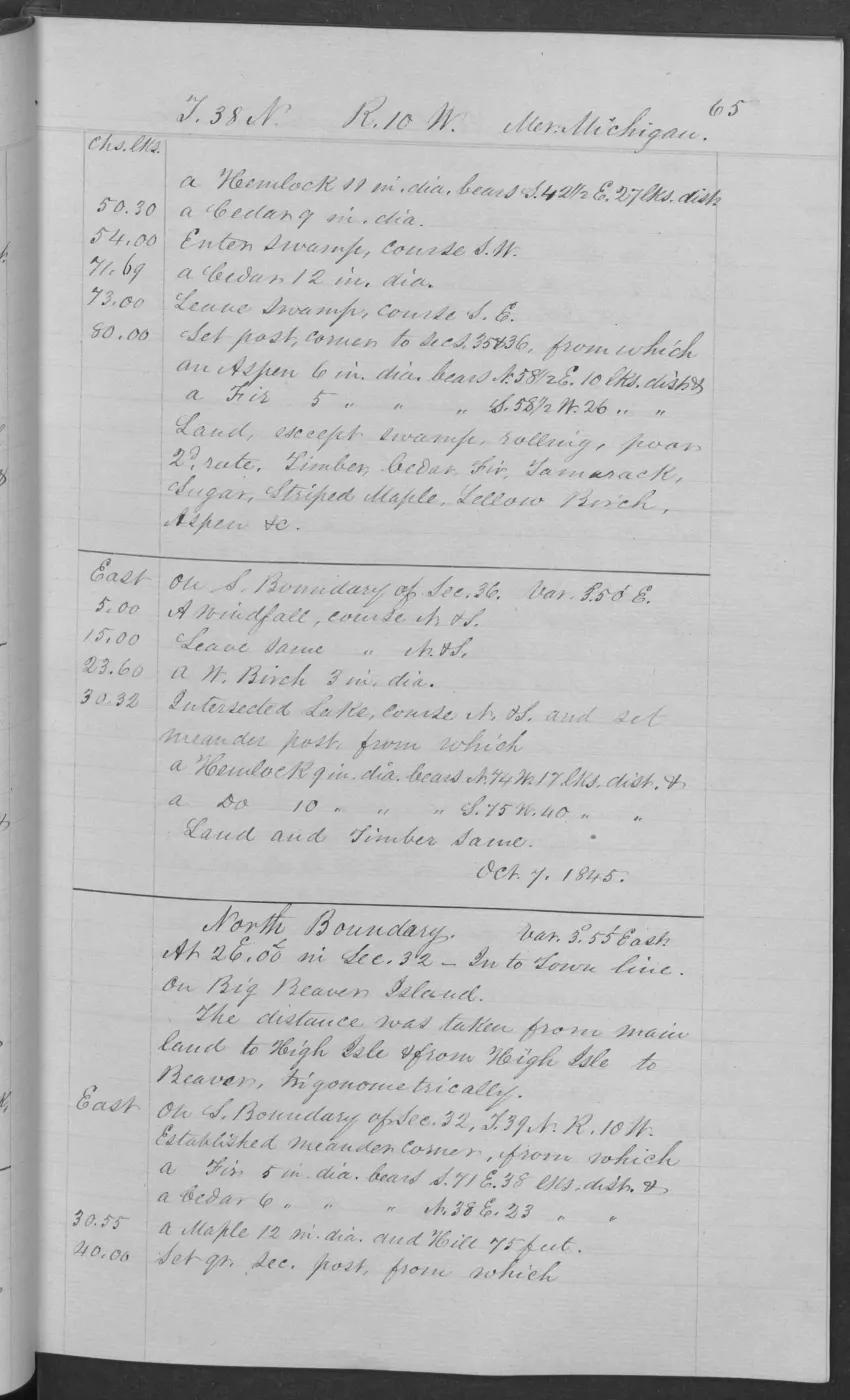
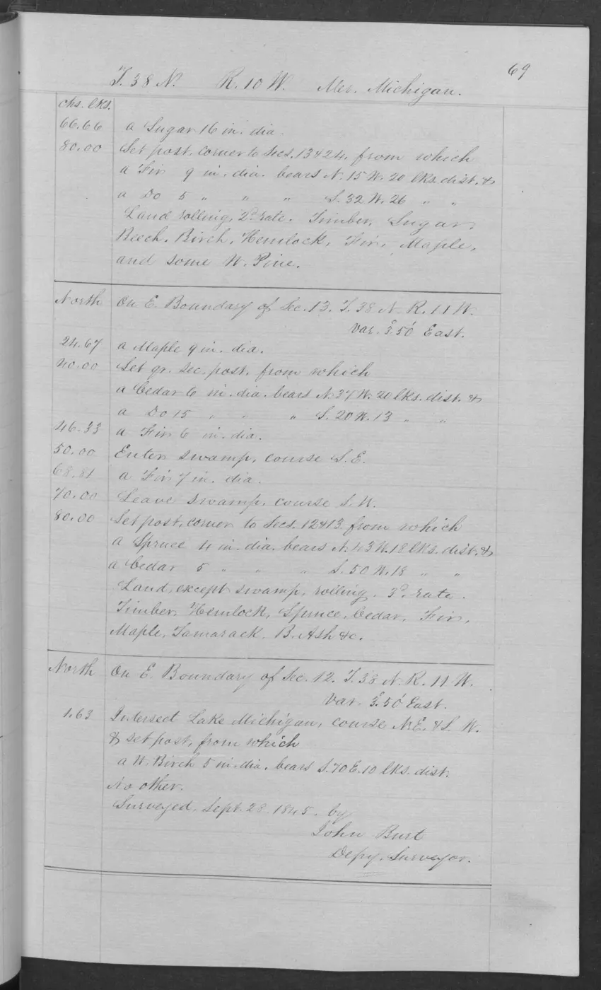
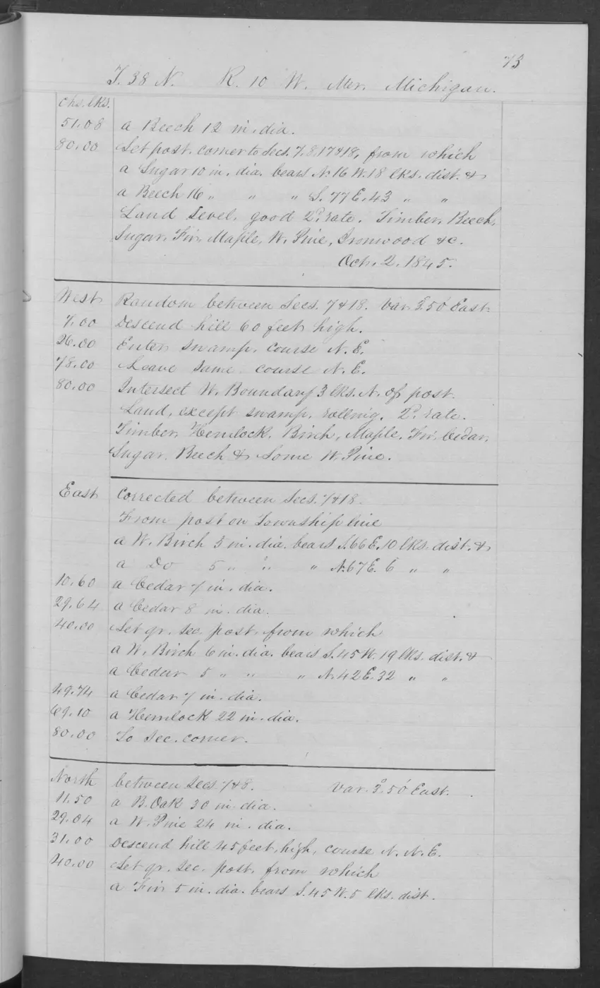
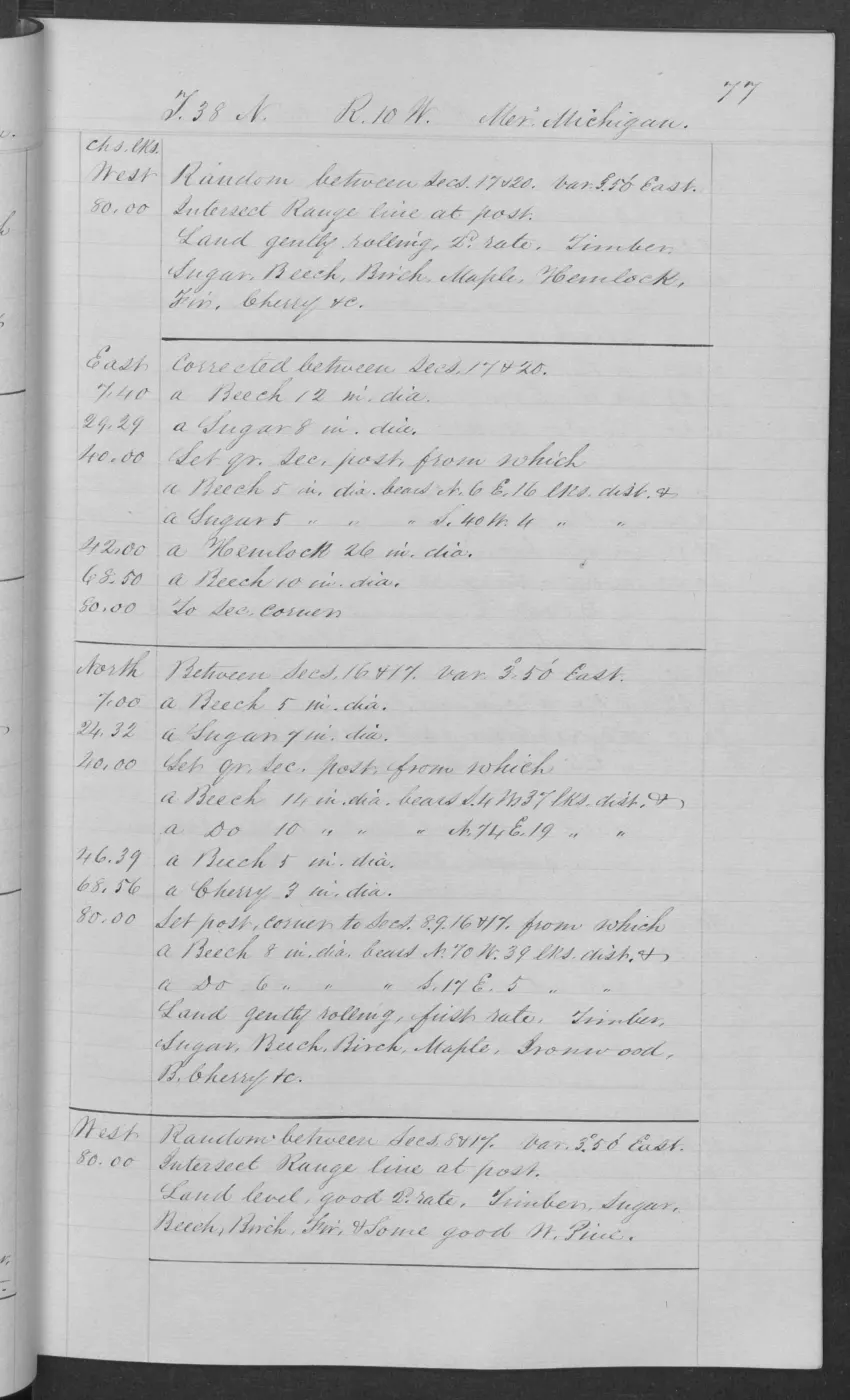
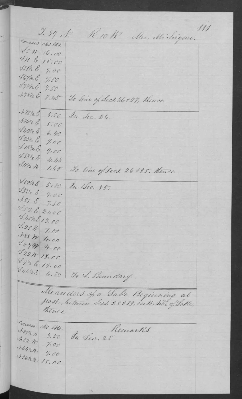
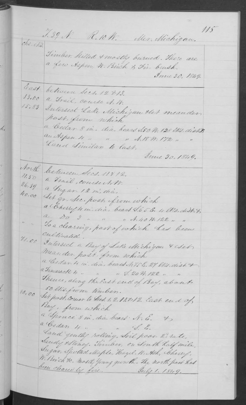
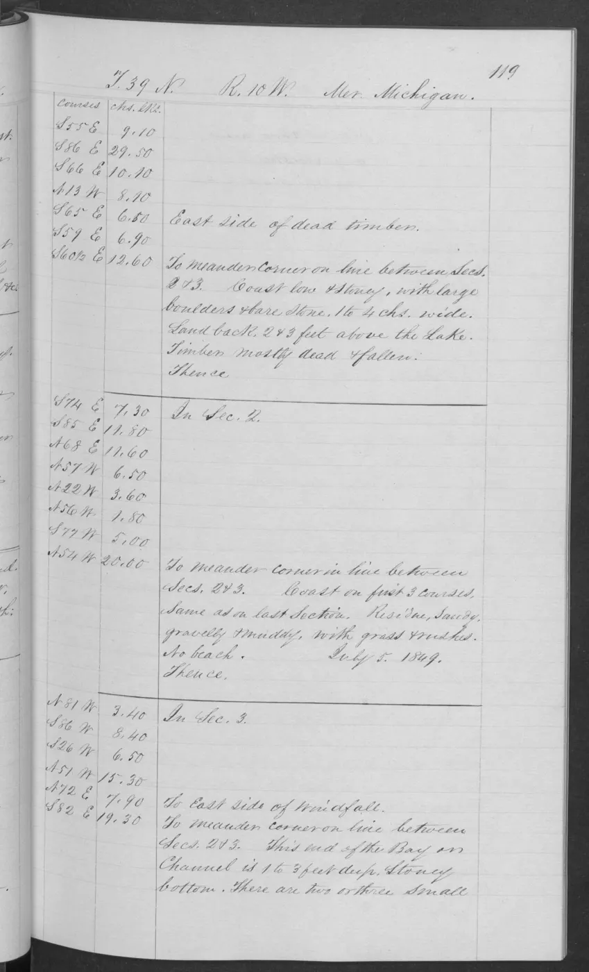
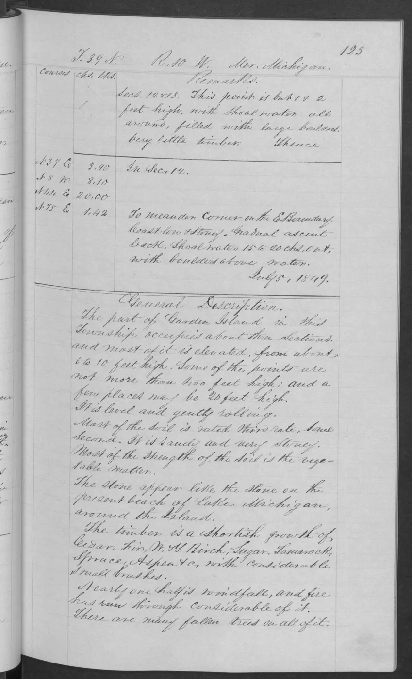
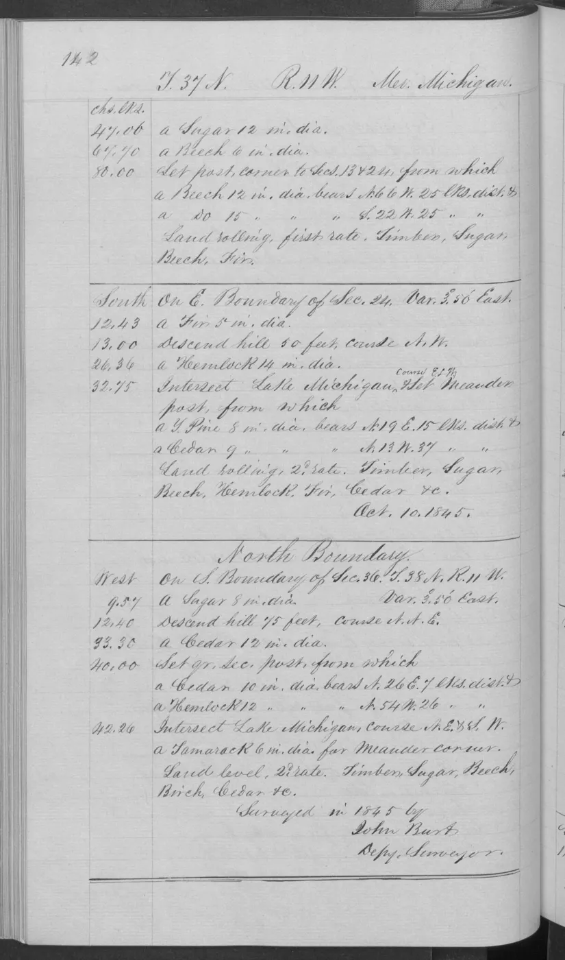
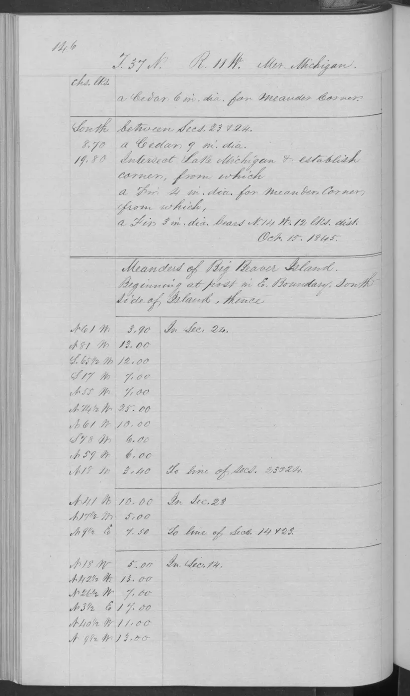
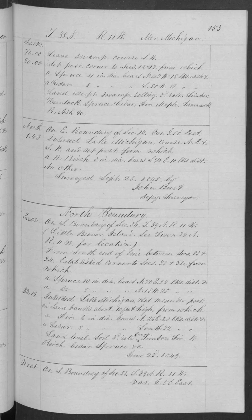
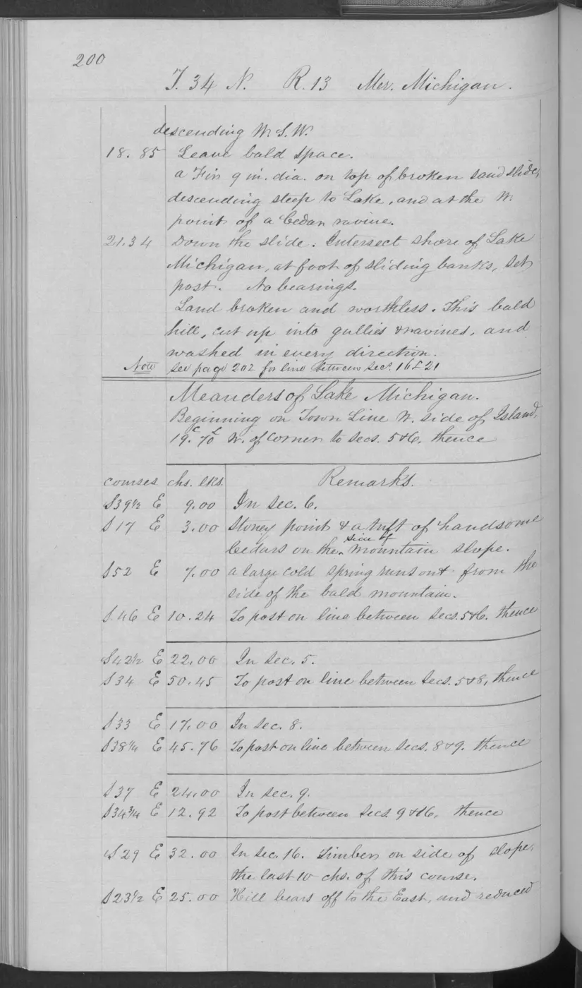
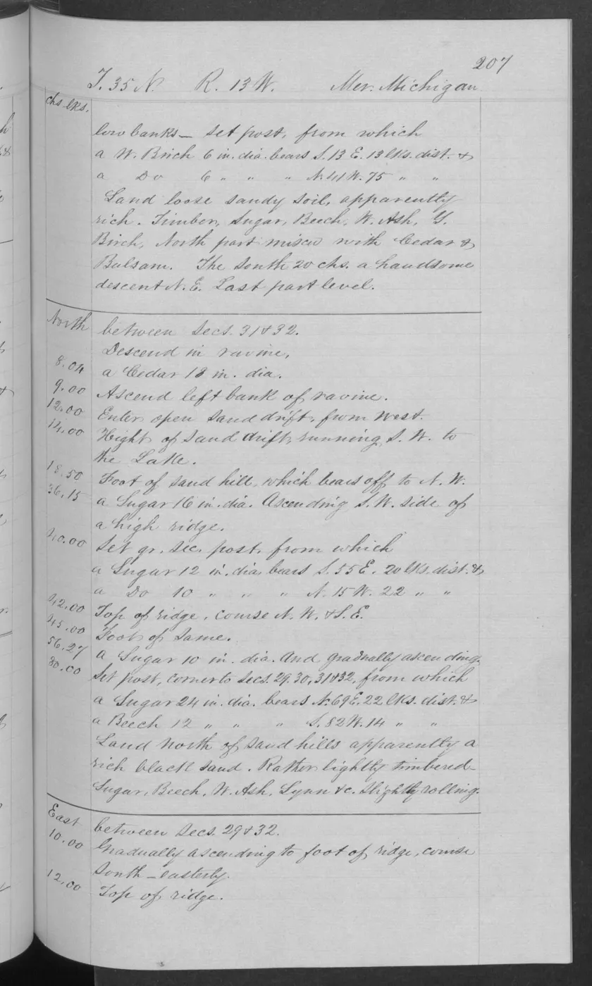
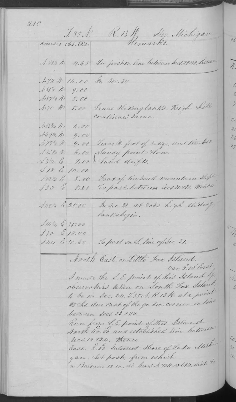
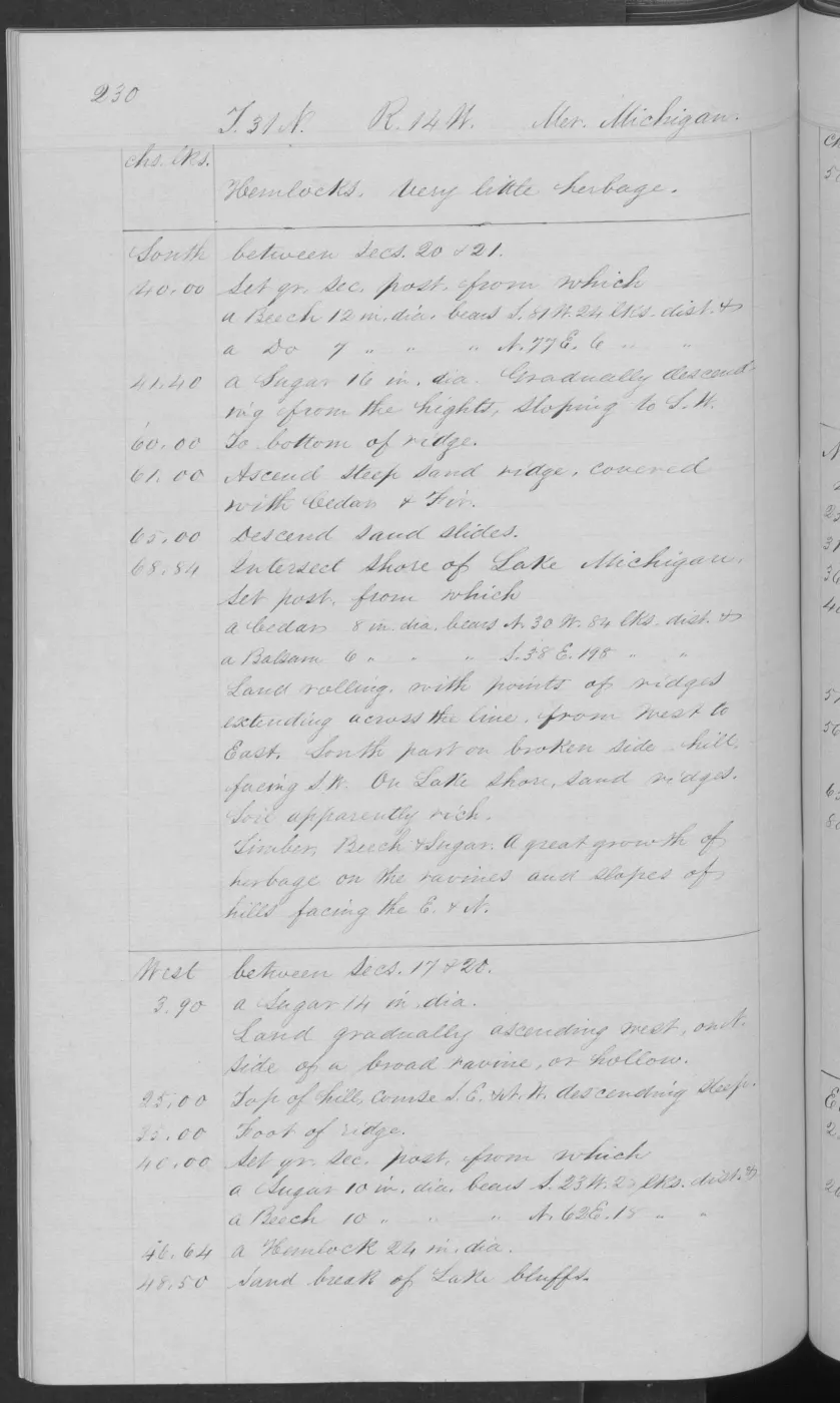
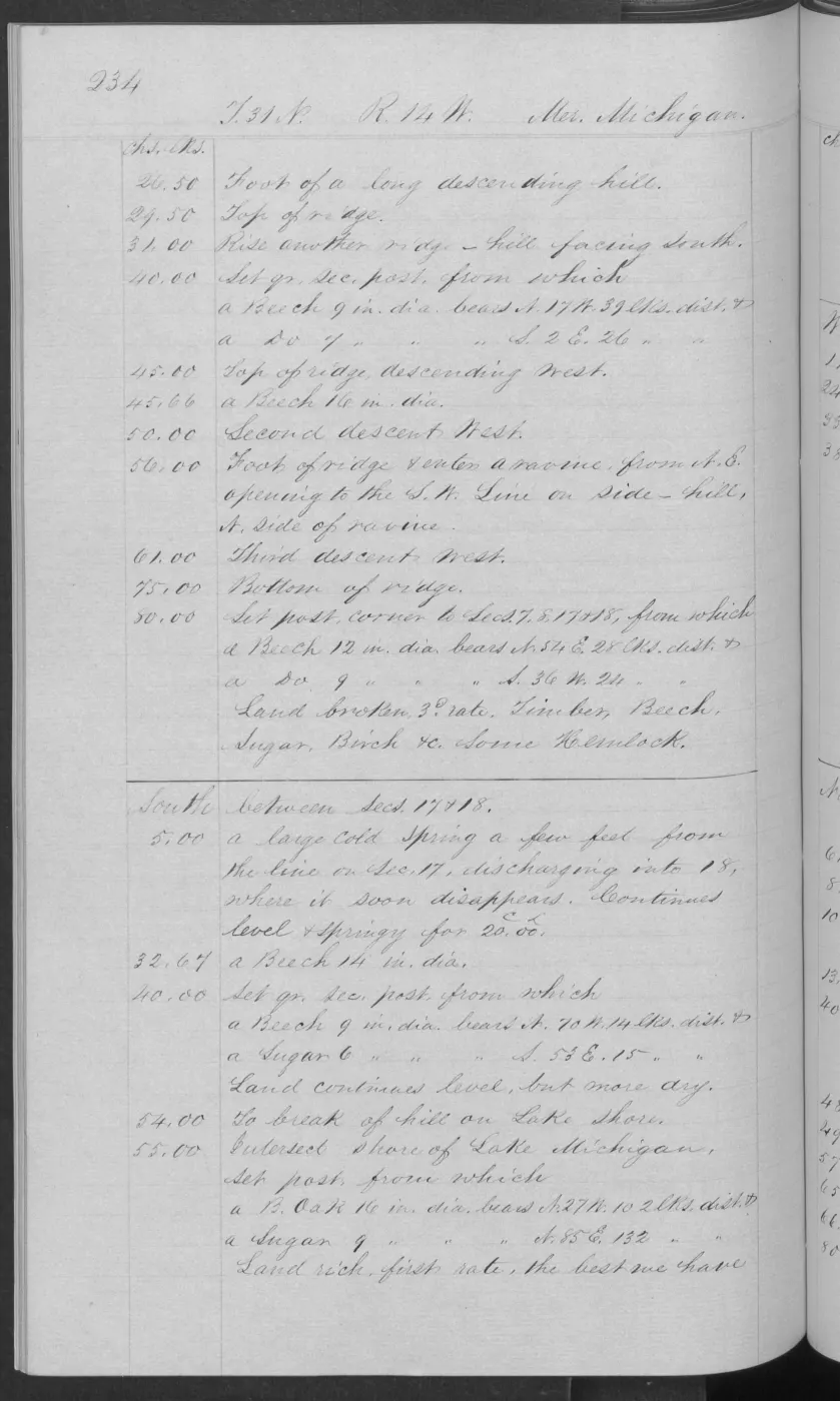
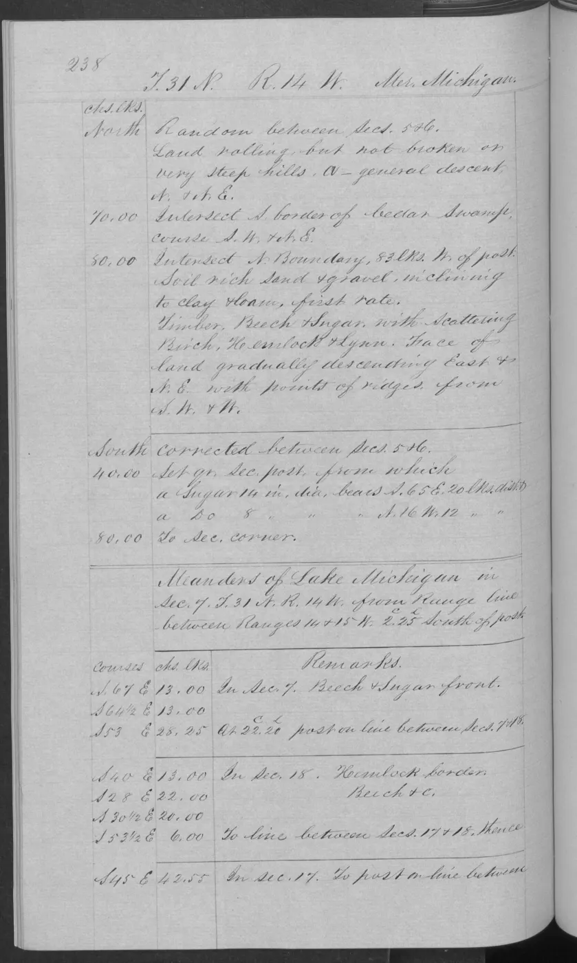
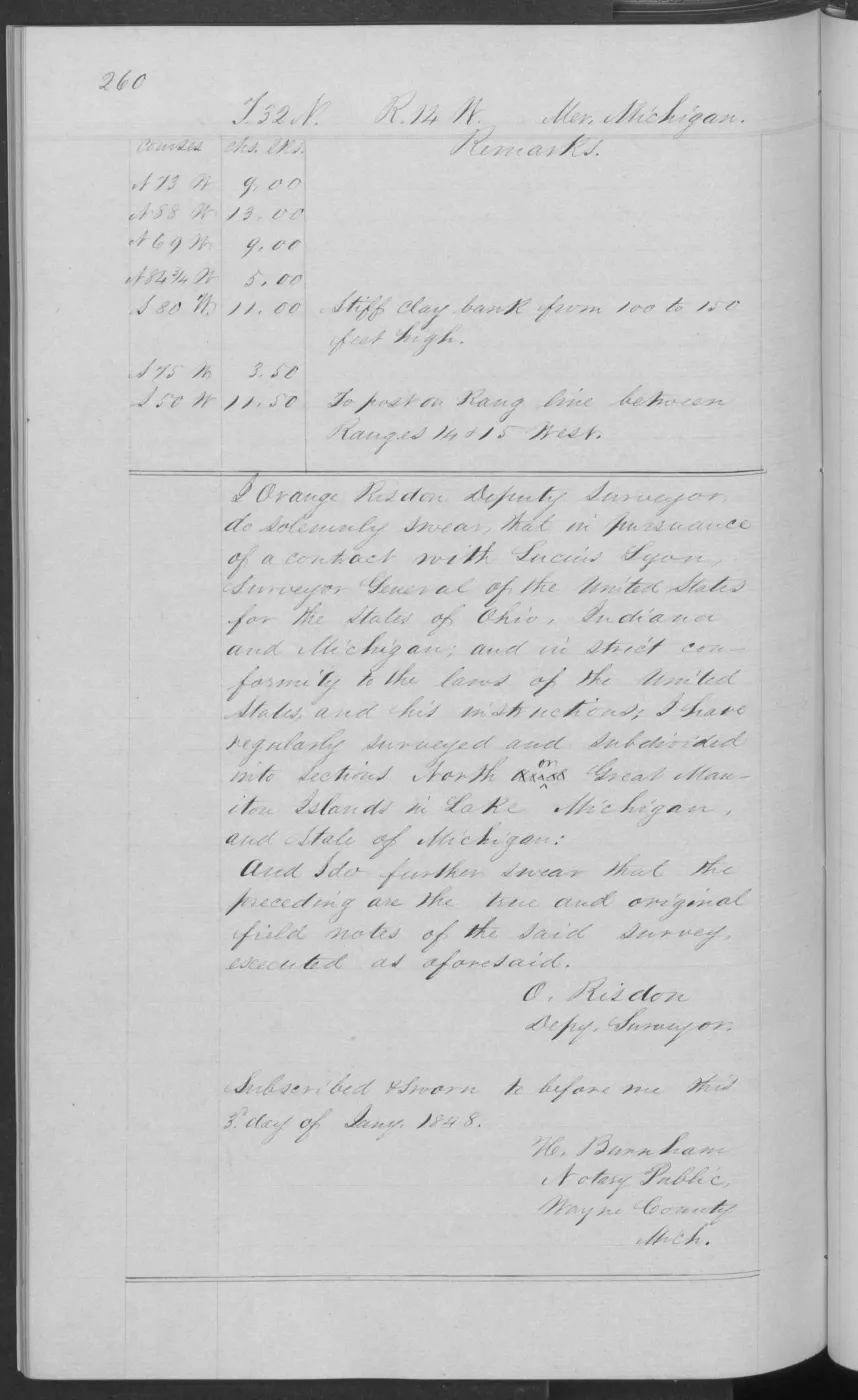
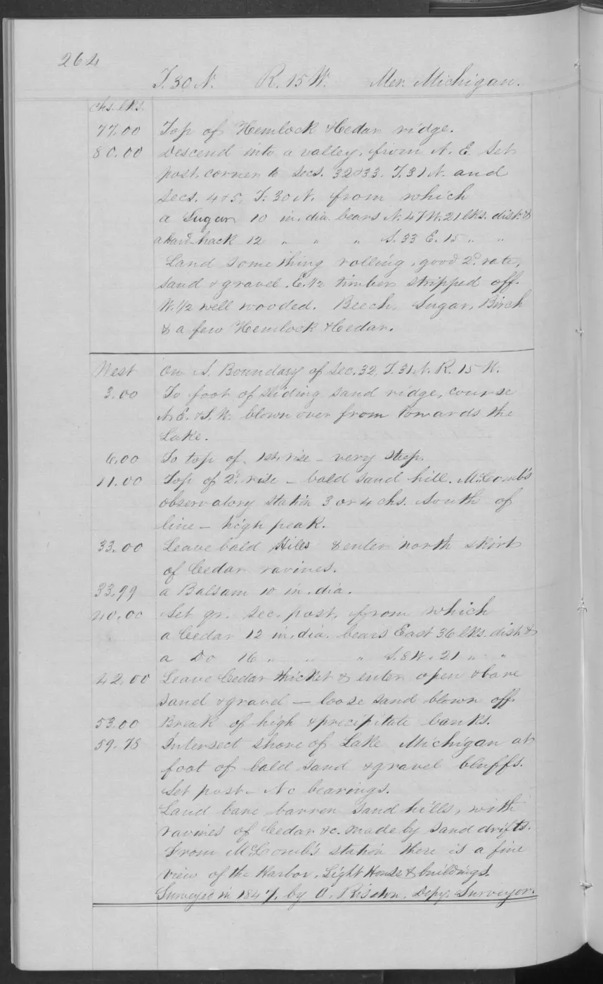
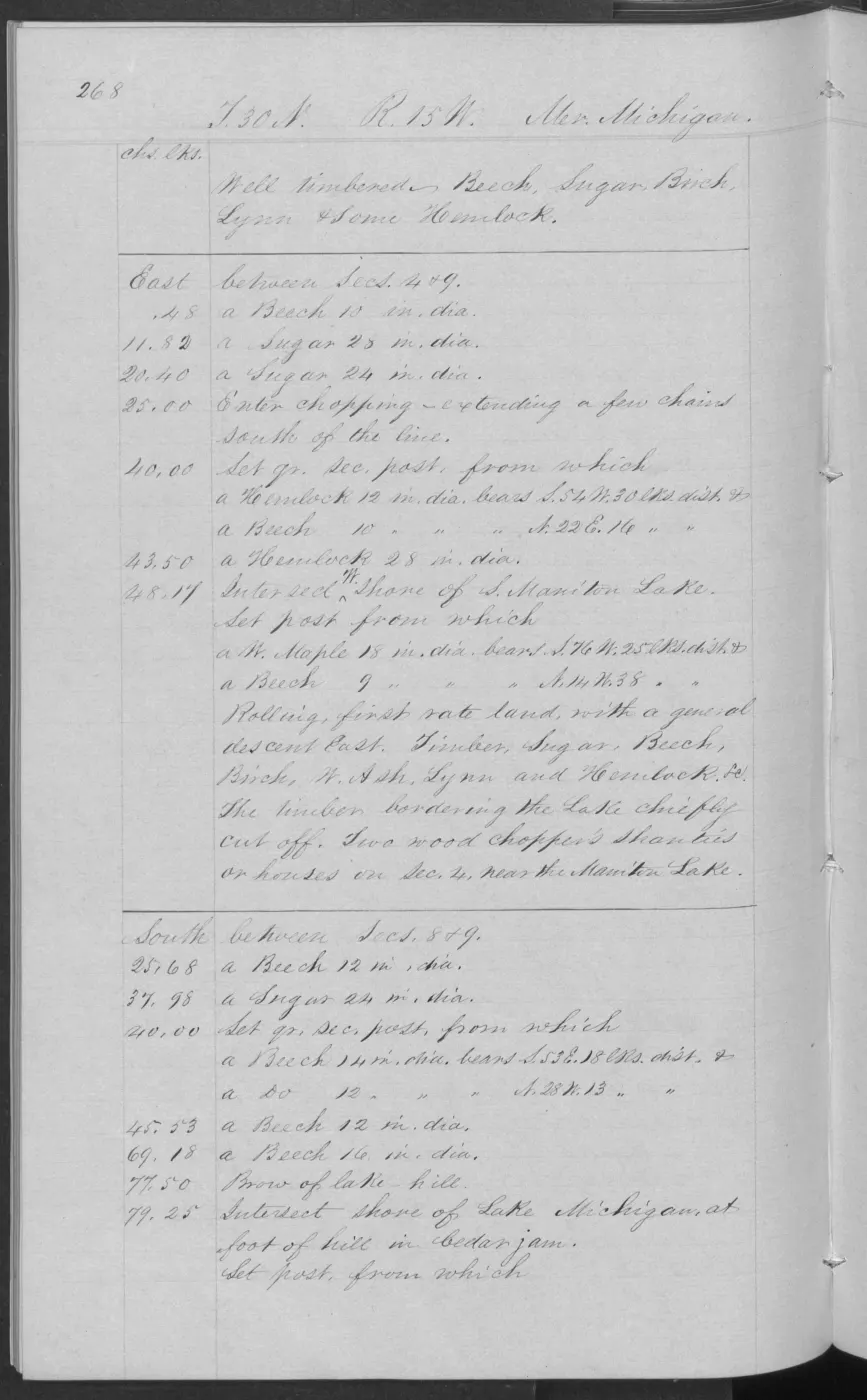
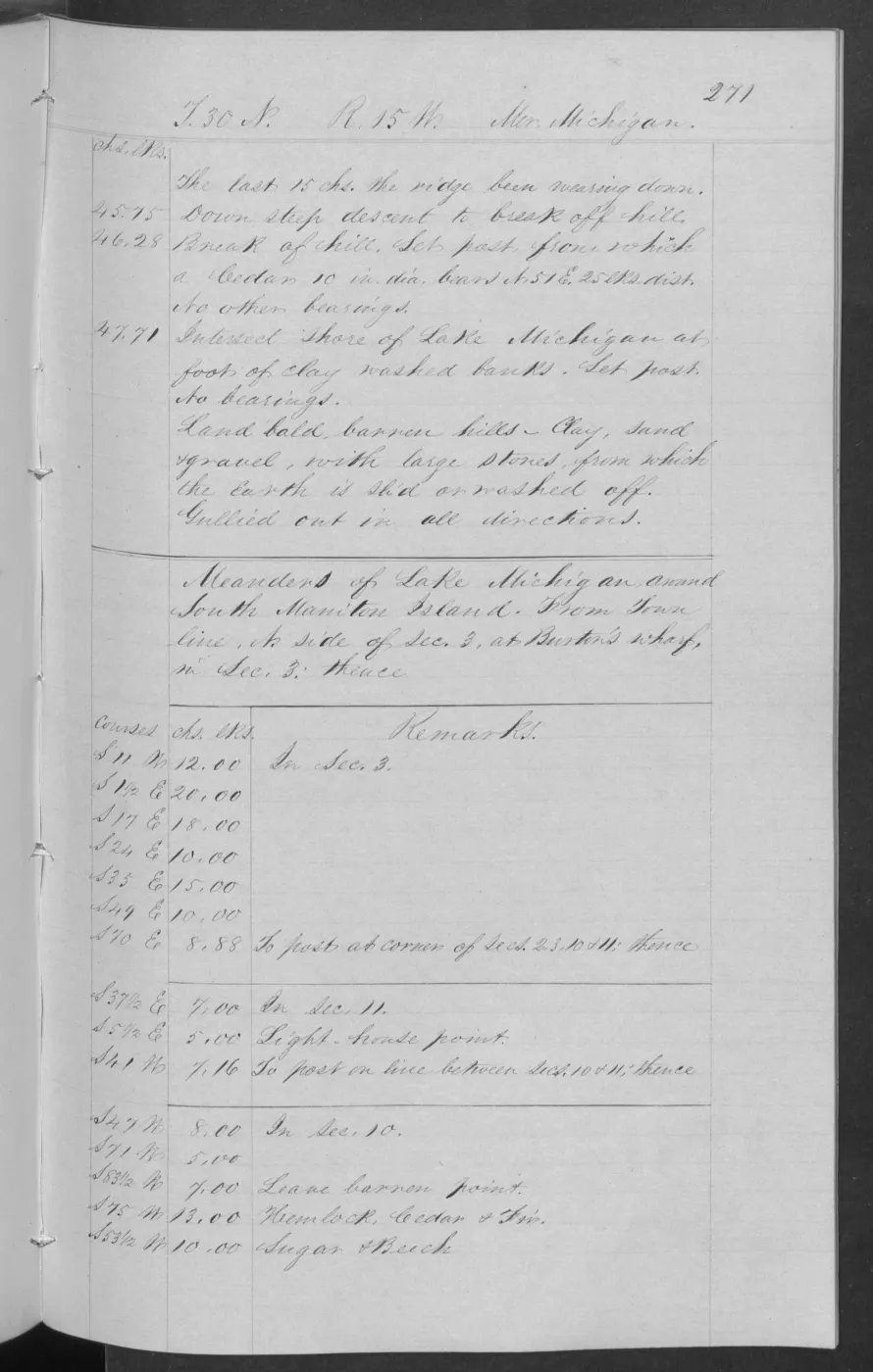

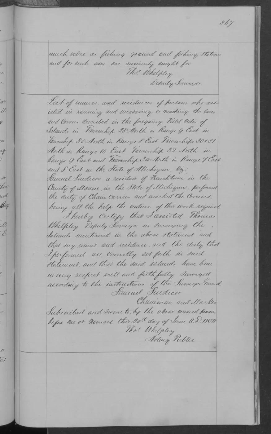
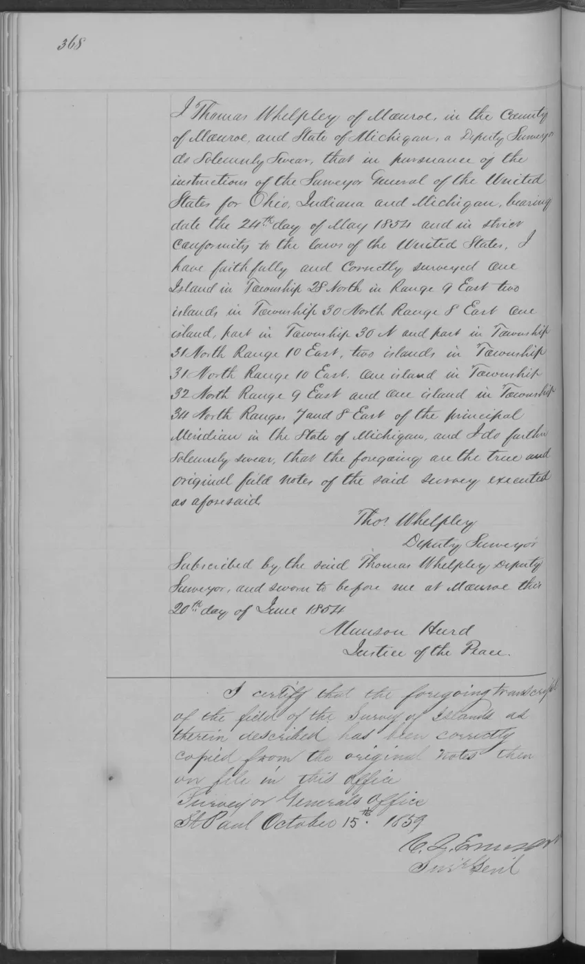
138 of 406 pages linked here — every page to 32, then every 4th, then the last 16. With JavaScript, every page.
Read the document
393 pages, rendered from the held scan.

Jump to a page — 393 in all






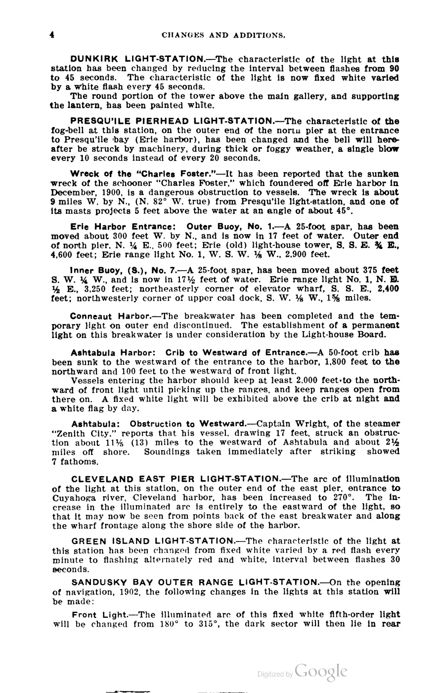
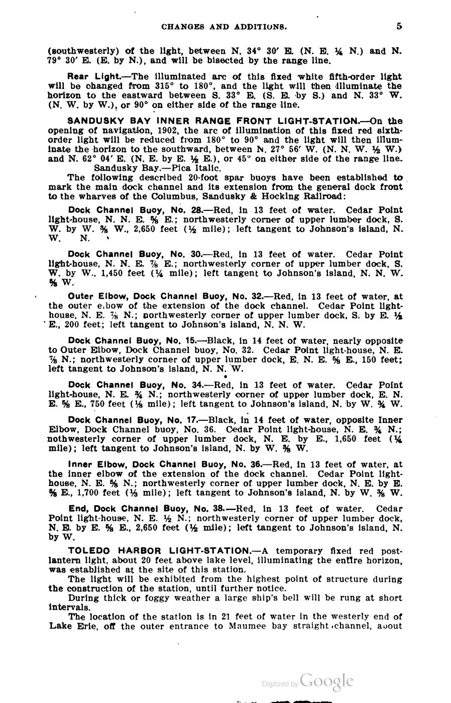
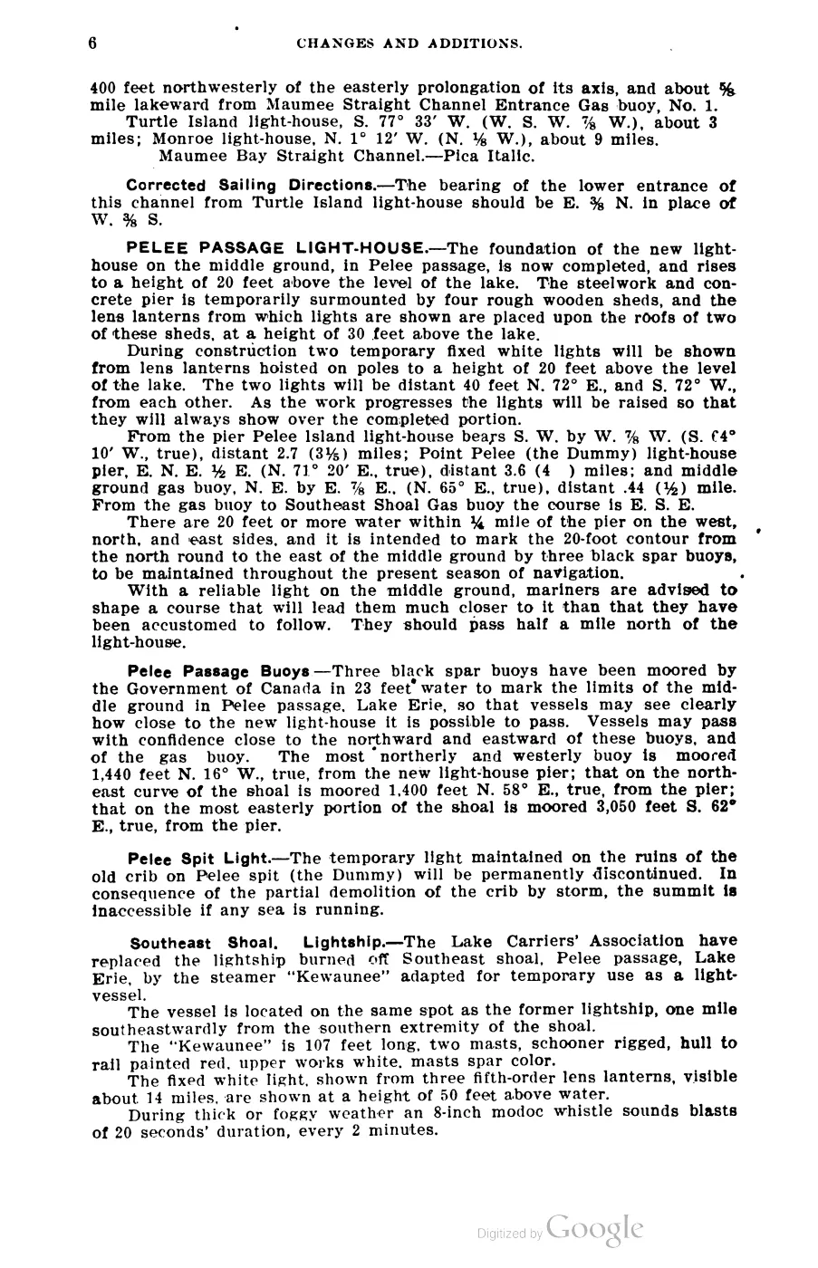
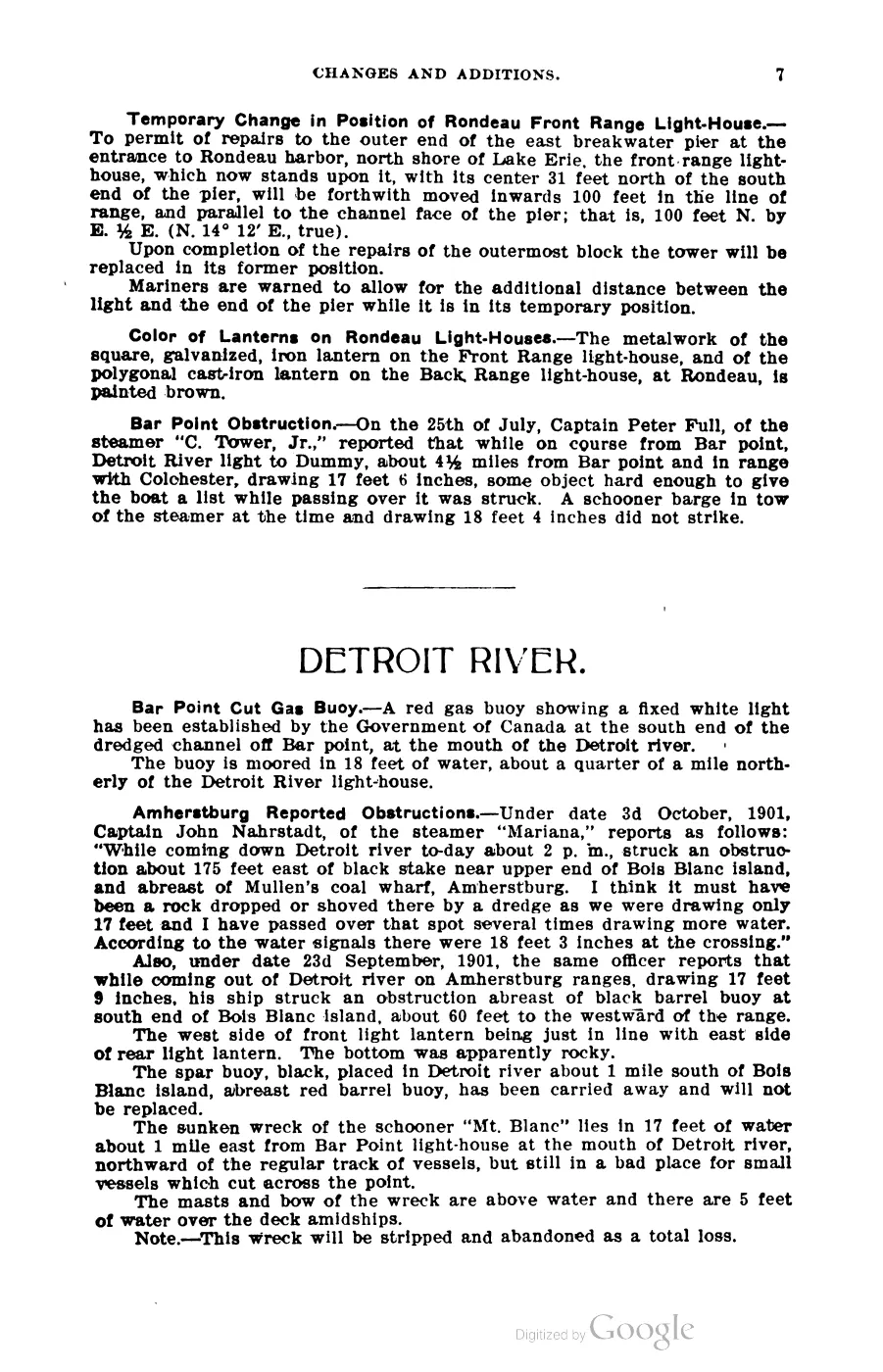

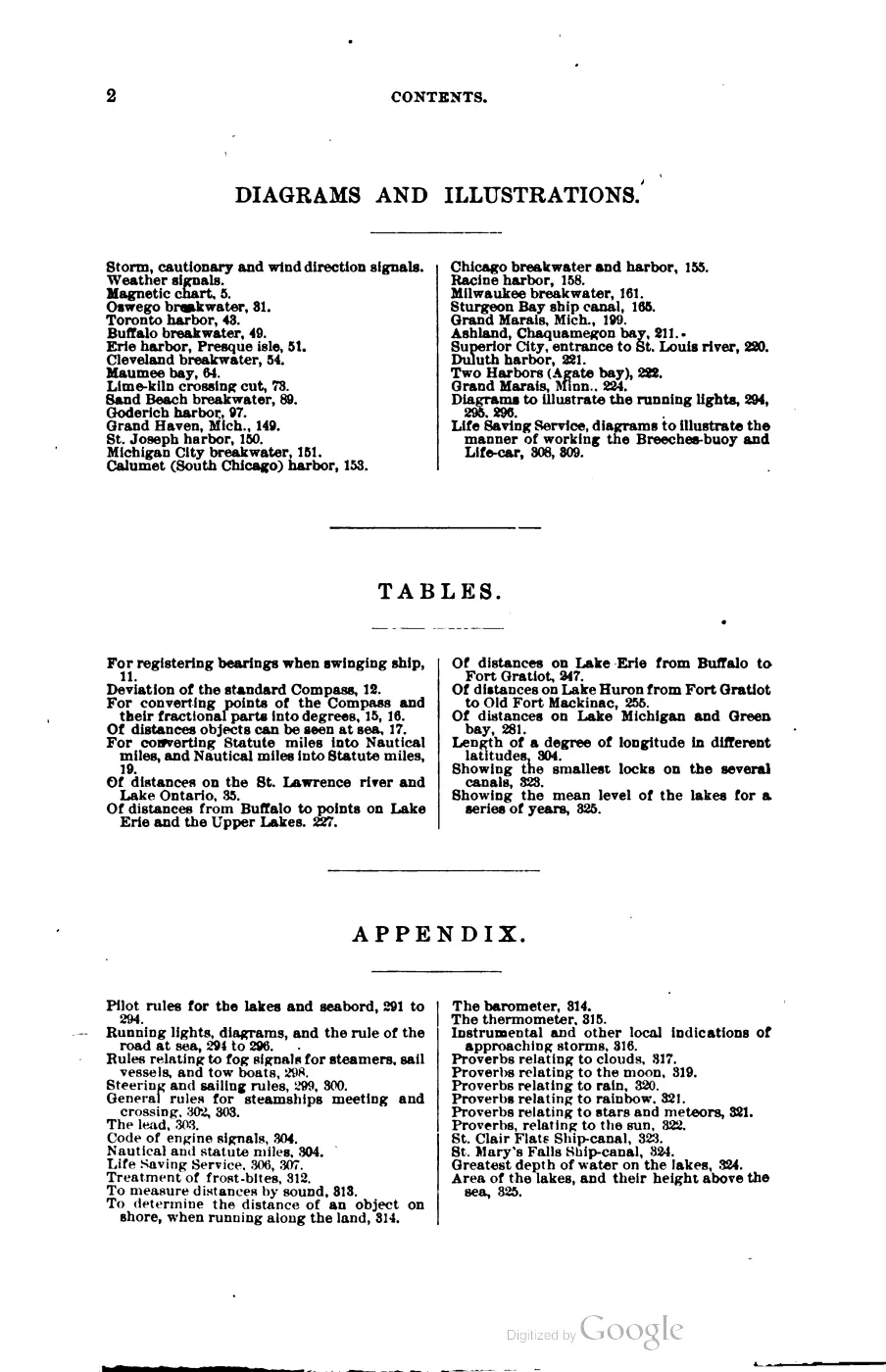
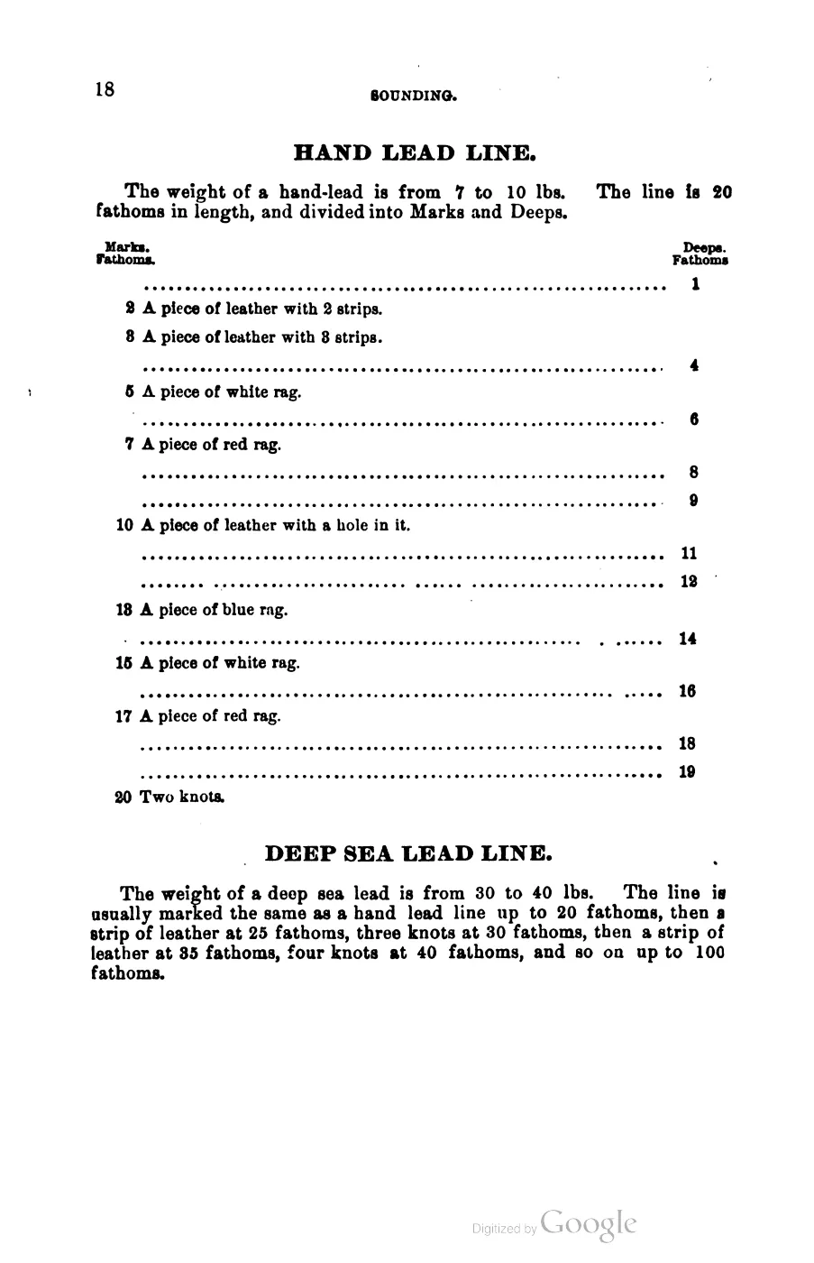
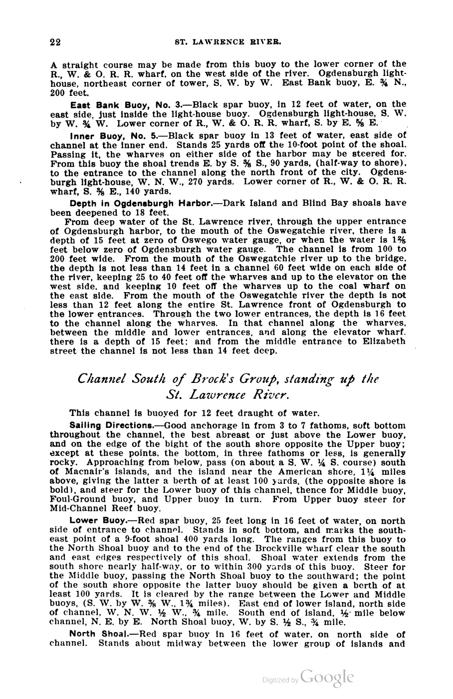
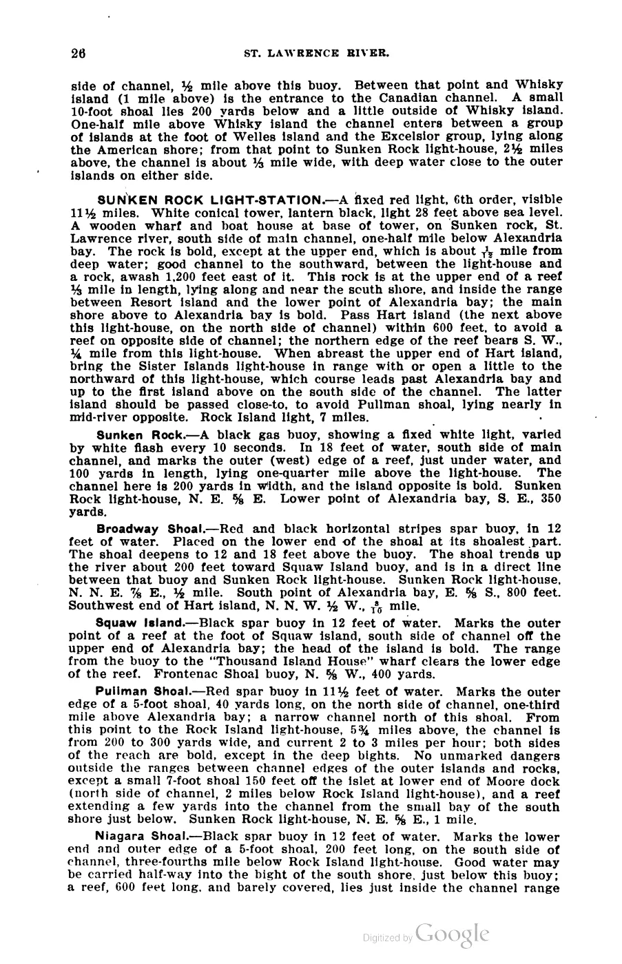
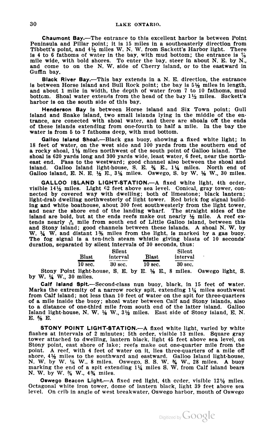
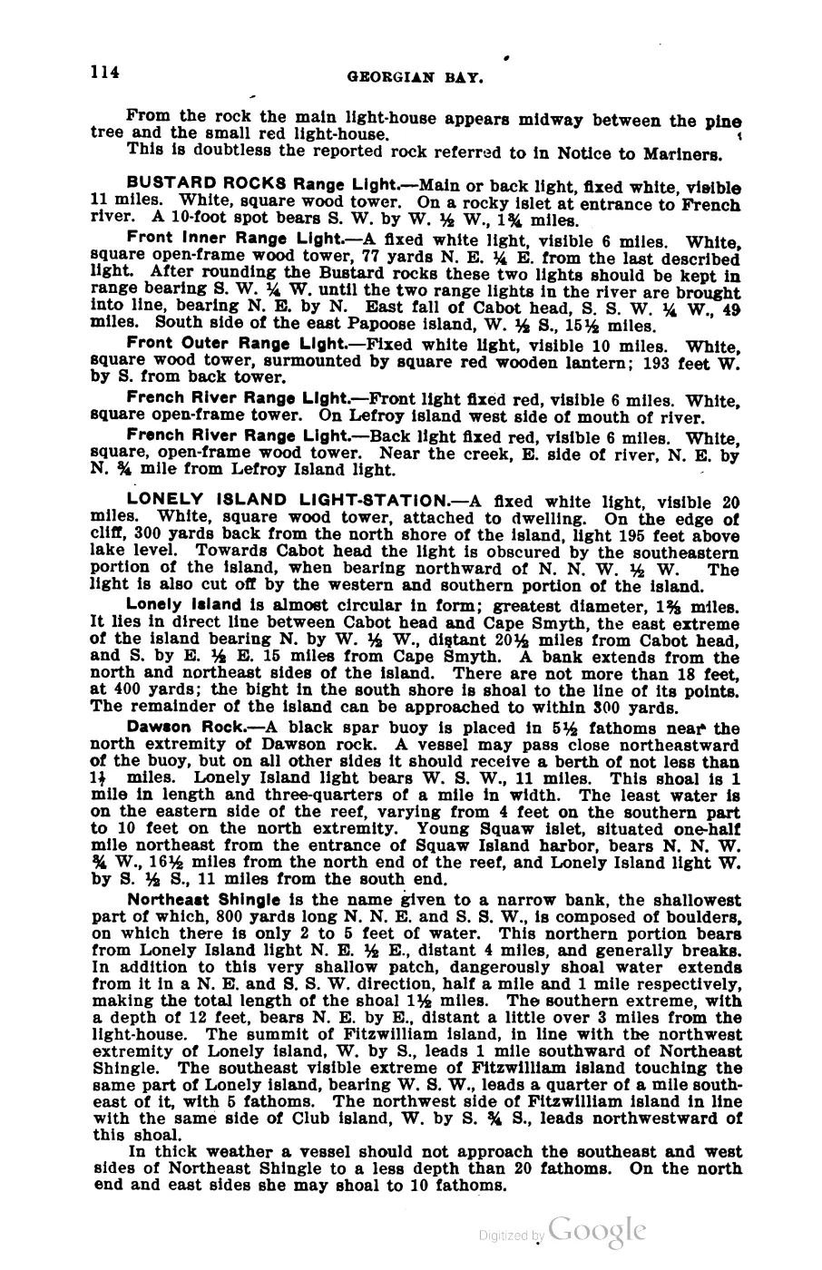
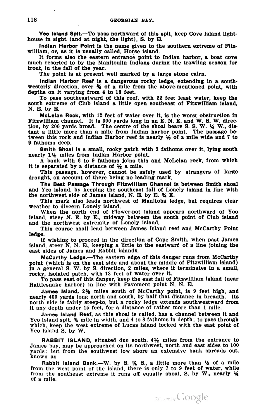
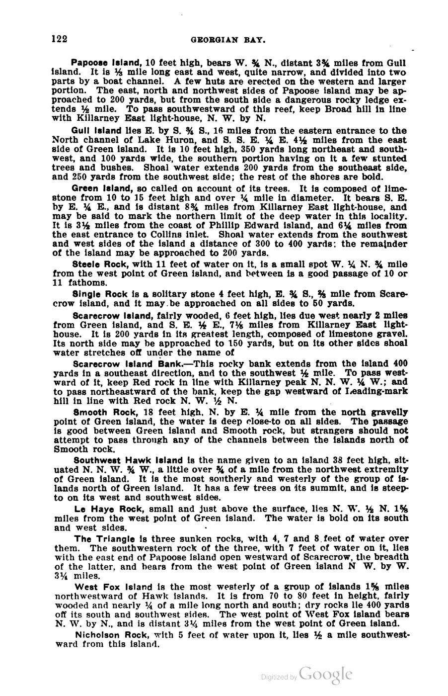
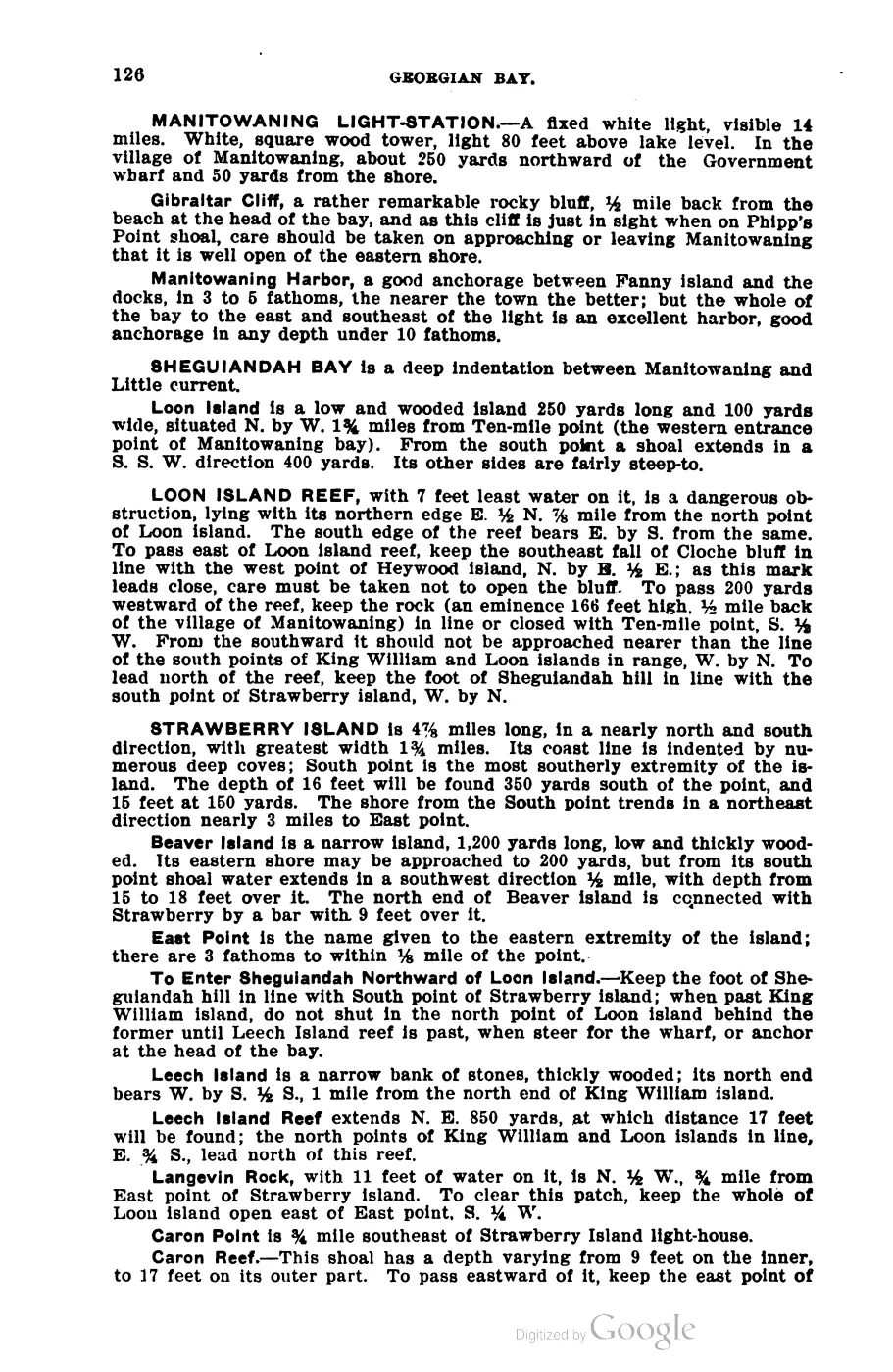
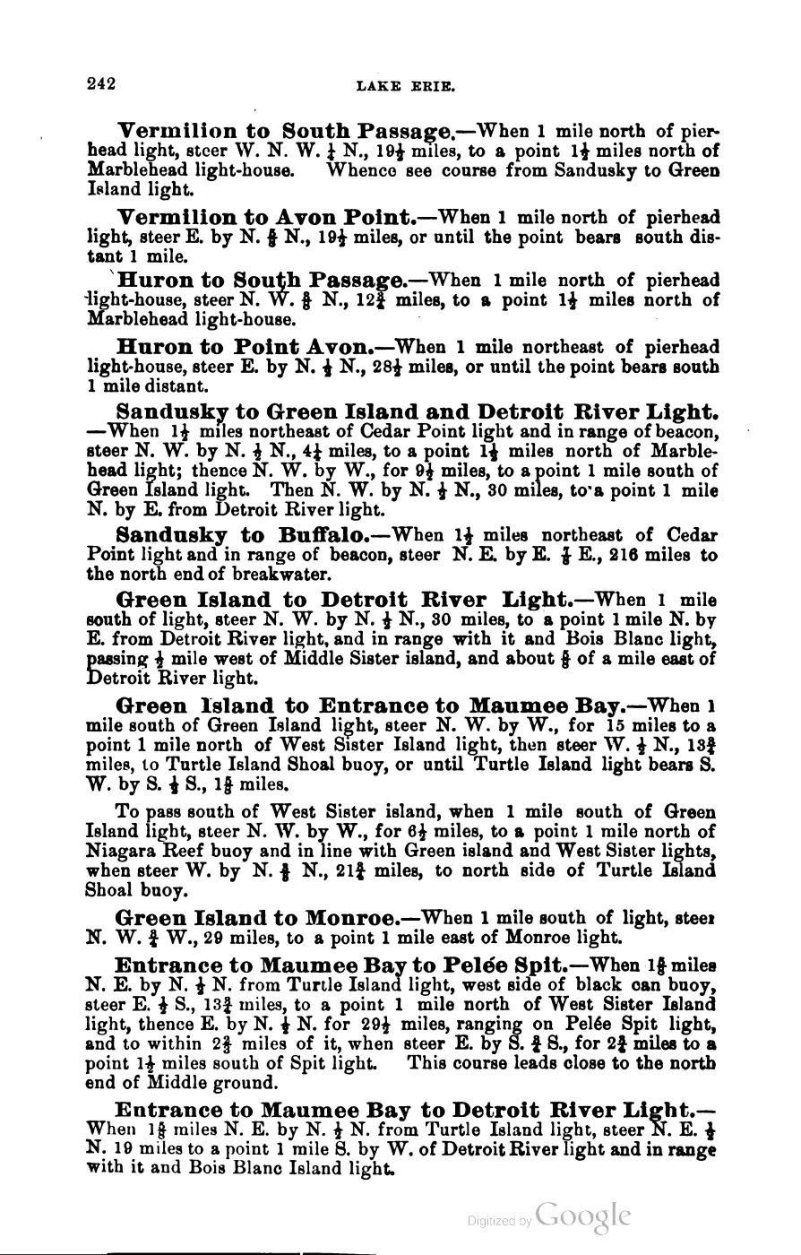
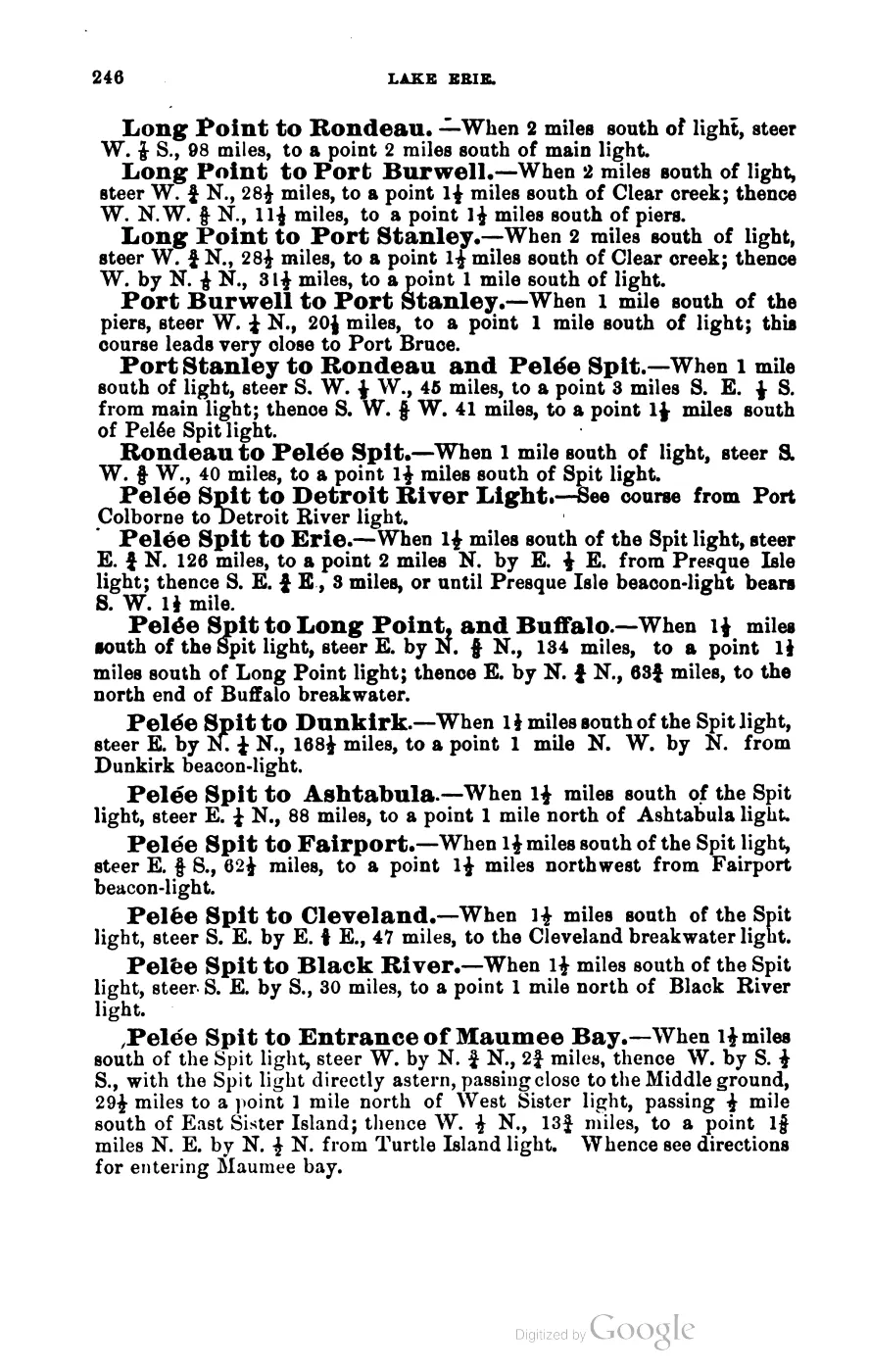
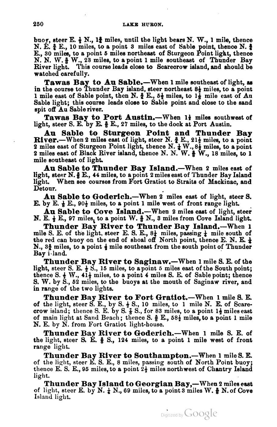
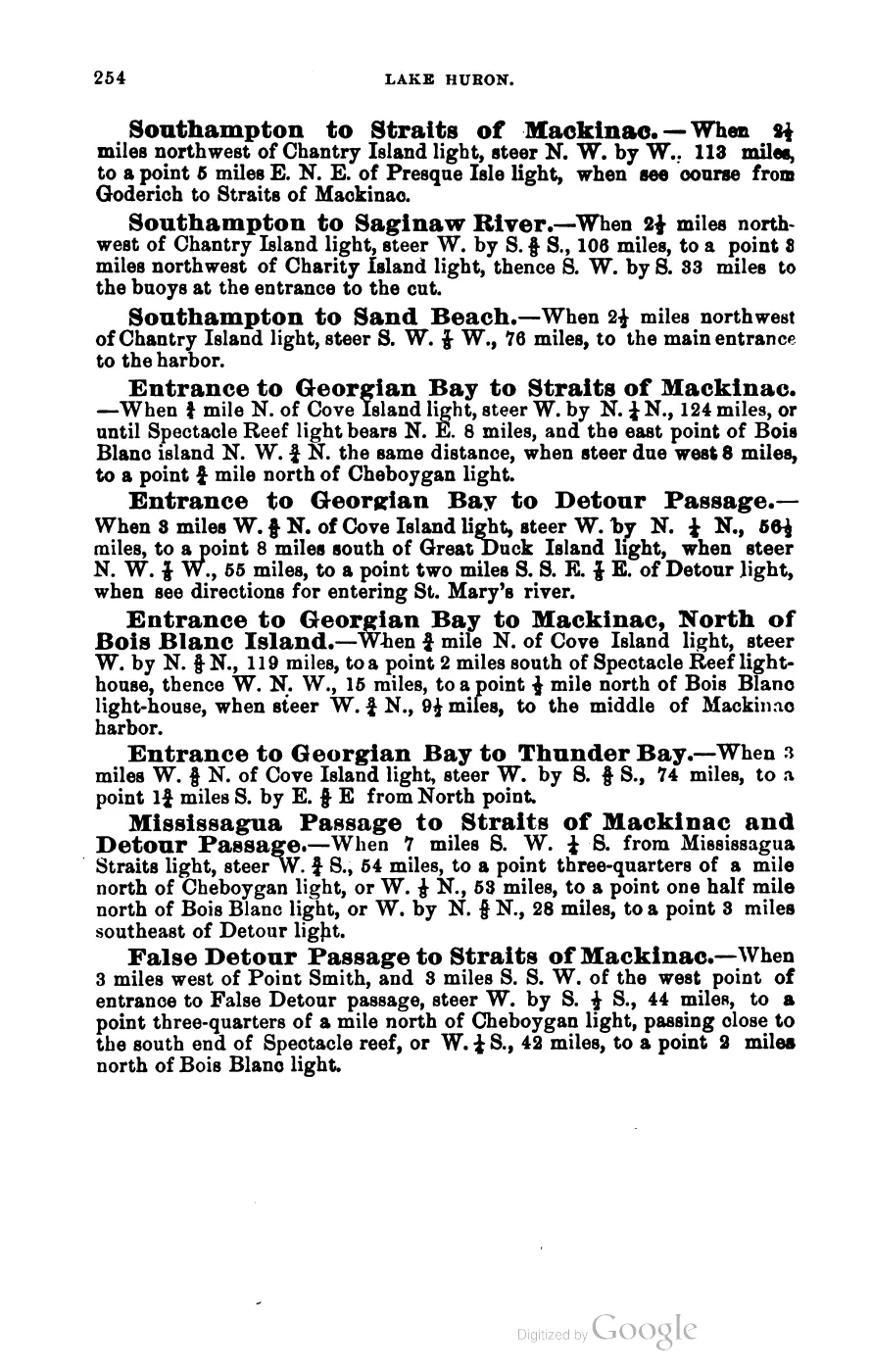
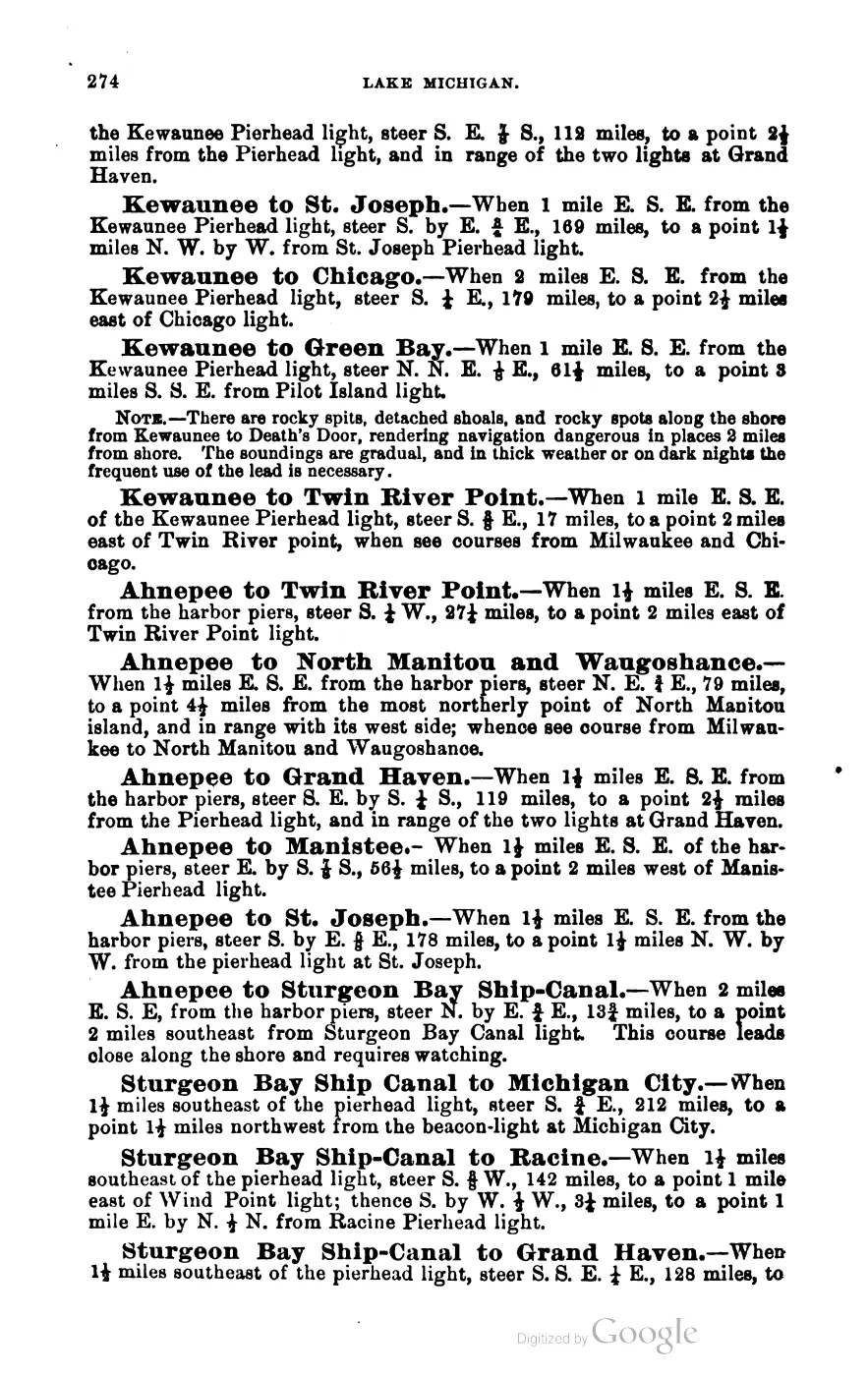
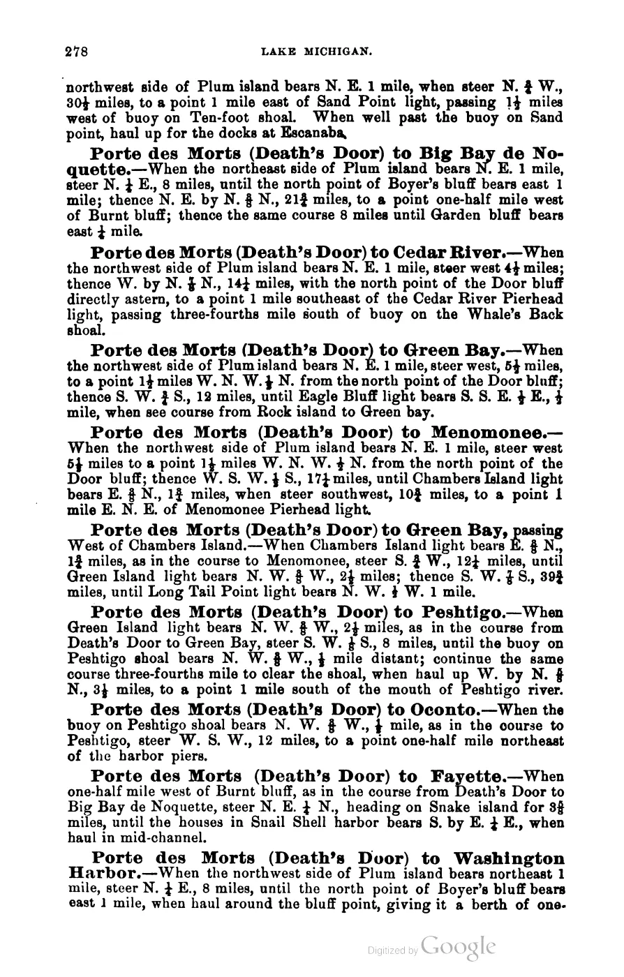
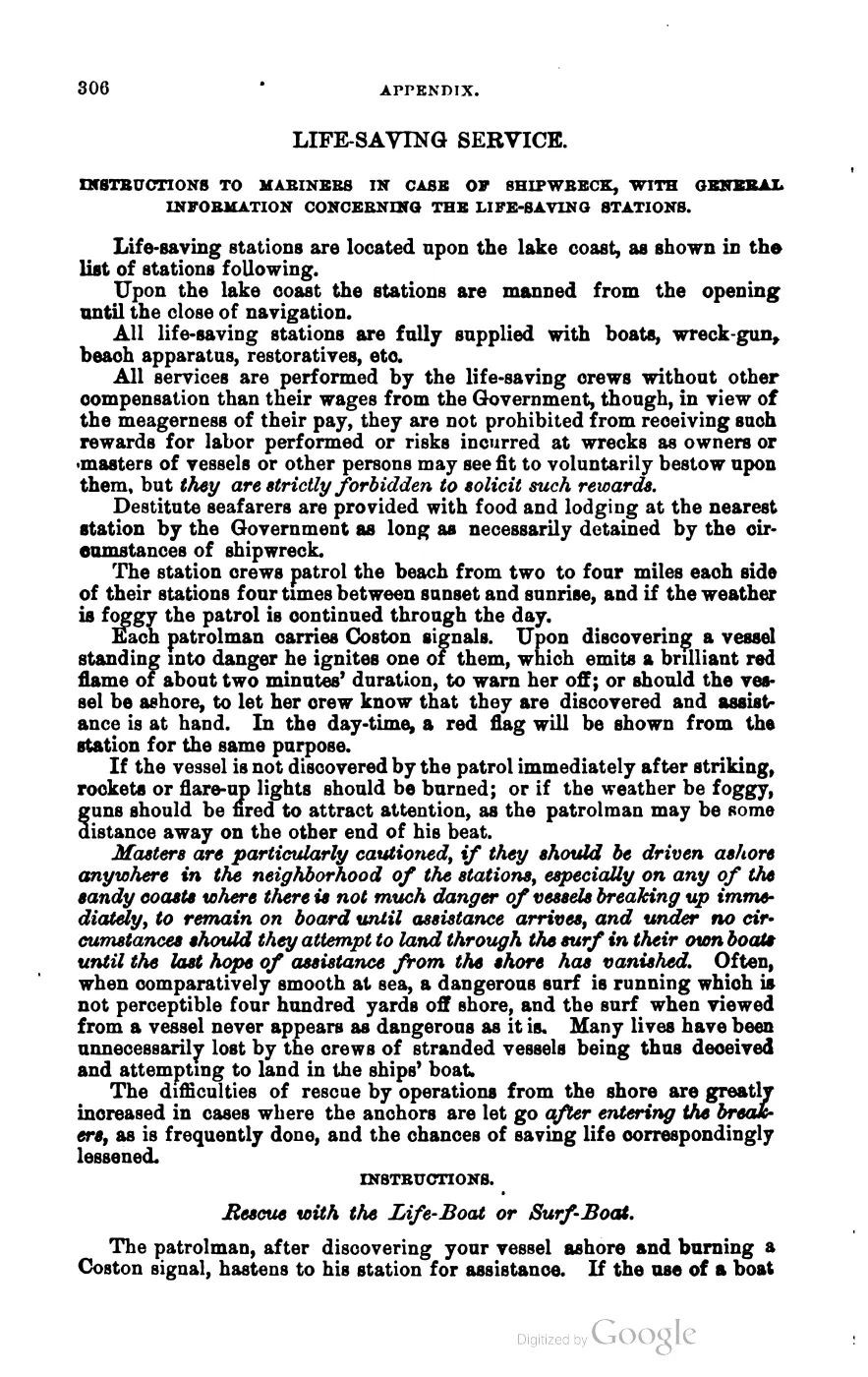
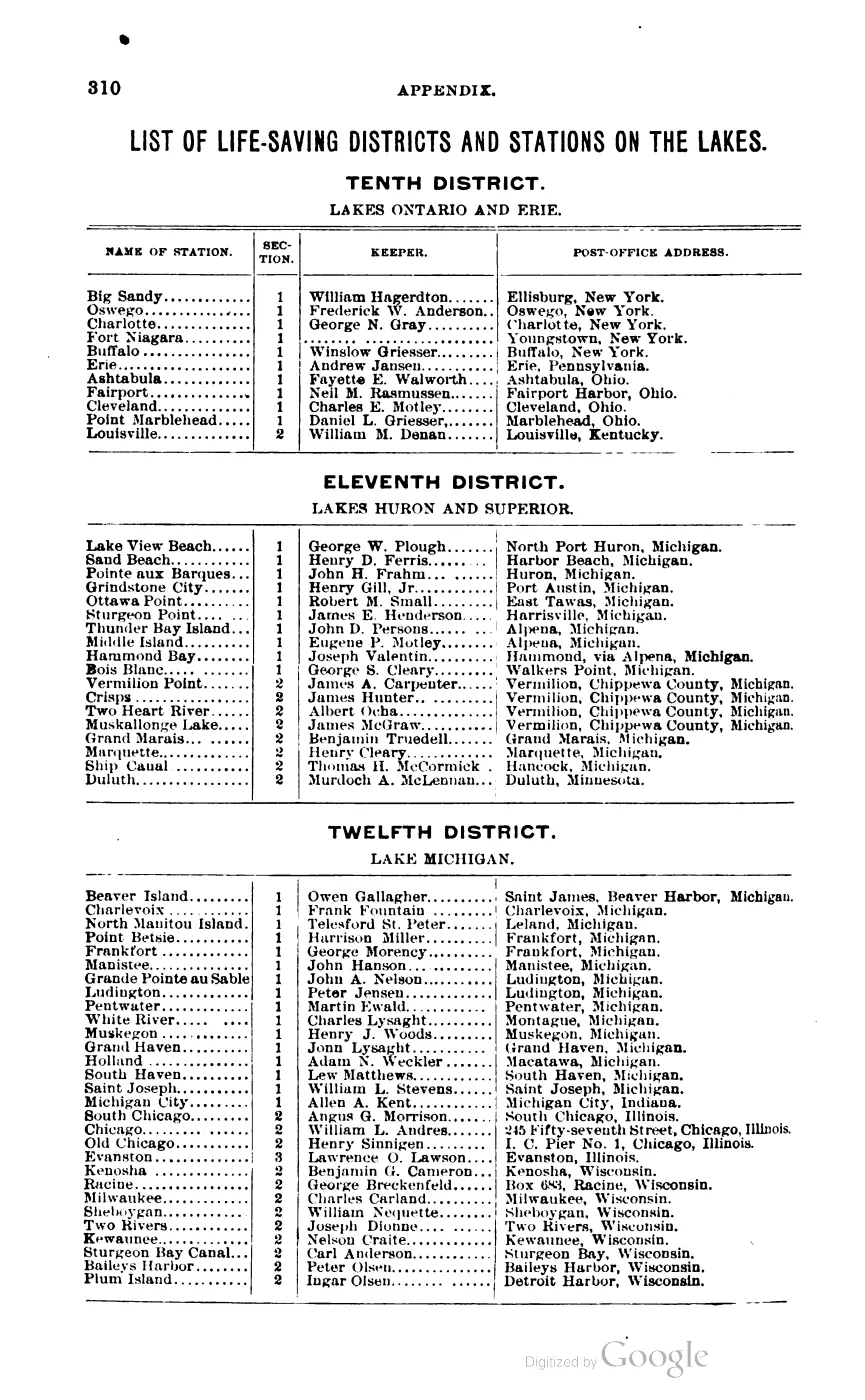
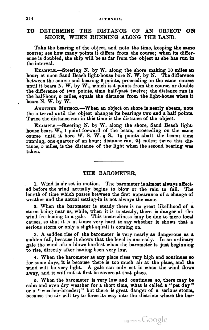
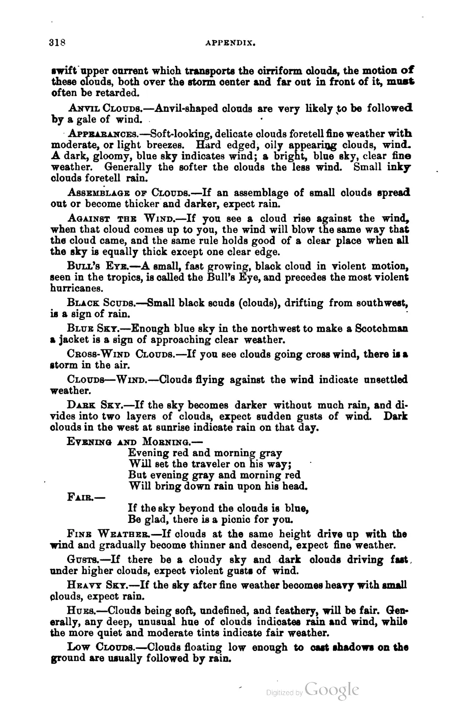
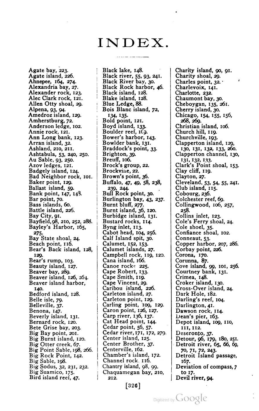
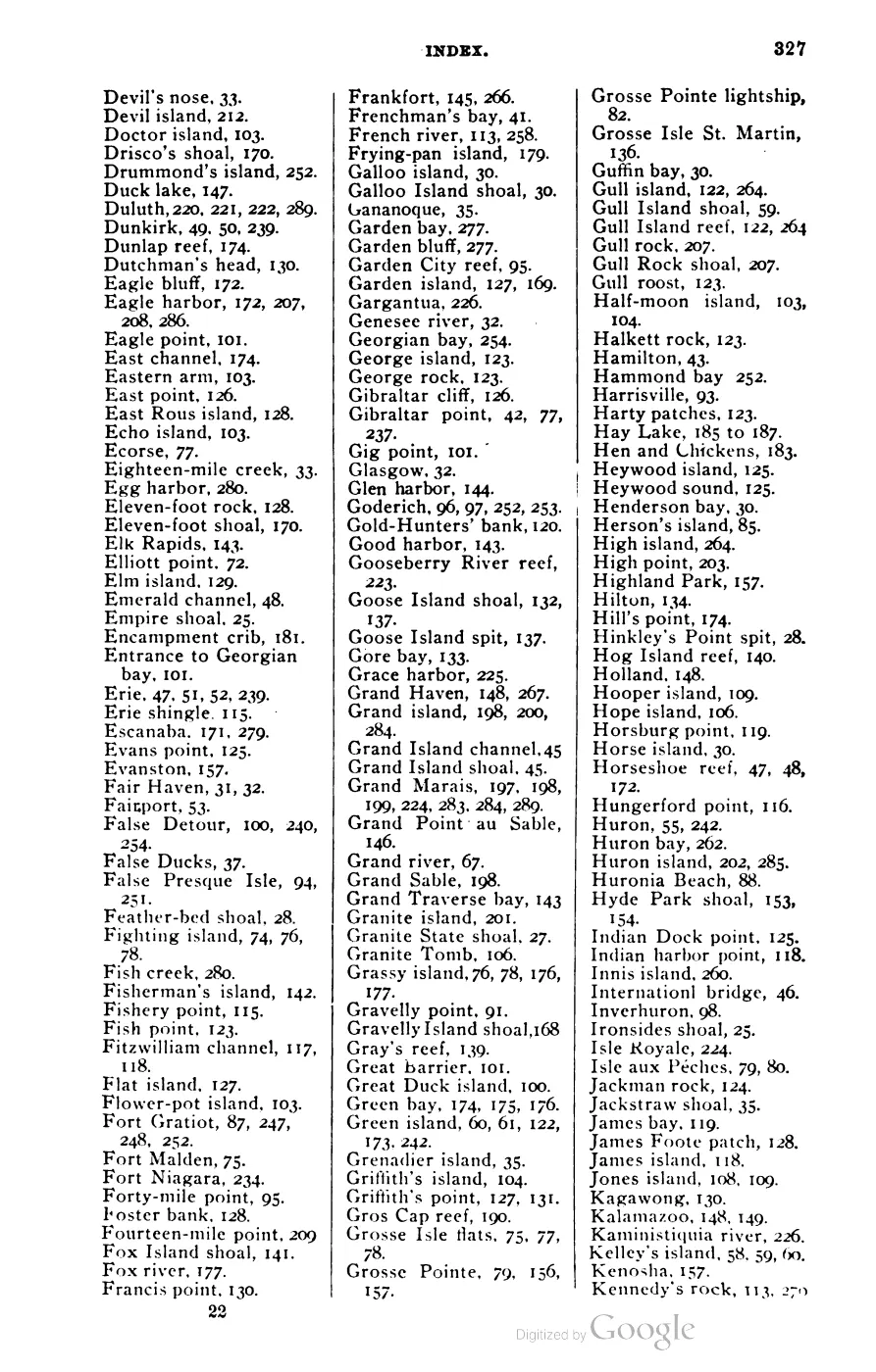
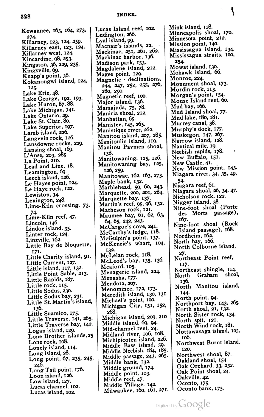
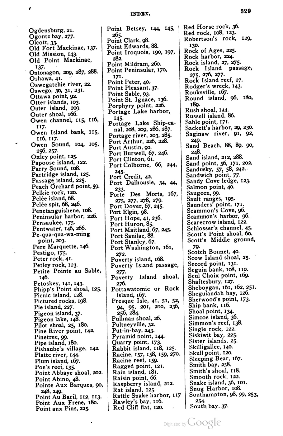
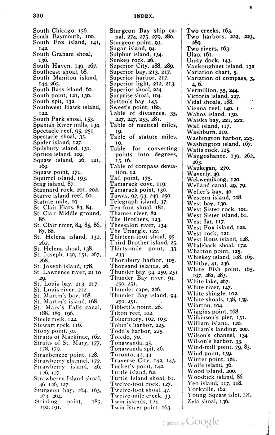





135 of 393 pages linked here — every page to 32, then every 4th, then the last 16. With JavaScript, every page.
Sources
- Area 15.06 km² computed in EPSG:3078.osm · islands
- Visually checked page heading directly attests the paired form “Little Beaver, or High Island” for the 1849 federal survey. It is a historical name attestation, not evidence of a legal renaming or of any occupation, ownership, or current boundary. The holder's public portal is searchable but does not link this record directly; the archive holds a copy of the file and can provide it on request.federal · glo_field_notes · pdfs · 3879958517549955184-field-note-volume-168138
- Bureau of Land Management, General Land Office Records, Field Note Volume 168138, p. 0161, T38N R11W, 1849.Described in this archive: BLM GLO field-note volumes linked to Beaver Island-area surveys.Visual page-image verification. The original general description says the southern part of High Island in the fractional township contained about two sections and was elevated about five to fifty feet above Lake Michigan; it records terrain, third-rate sandy/stony/gravelly soil, and observed tree cover. This describes one surveyed portion in 1849, not all of High Island, title, settlement, or current ecology. No public copy of this file is known; the archive holds one and can provide it on request.federal · glo_field_notes · page_evidence · field-note-volume-168138-page-0161-high-island-general-description
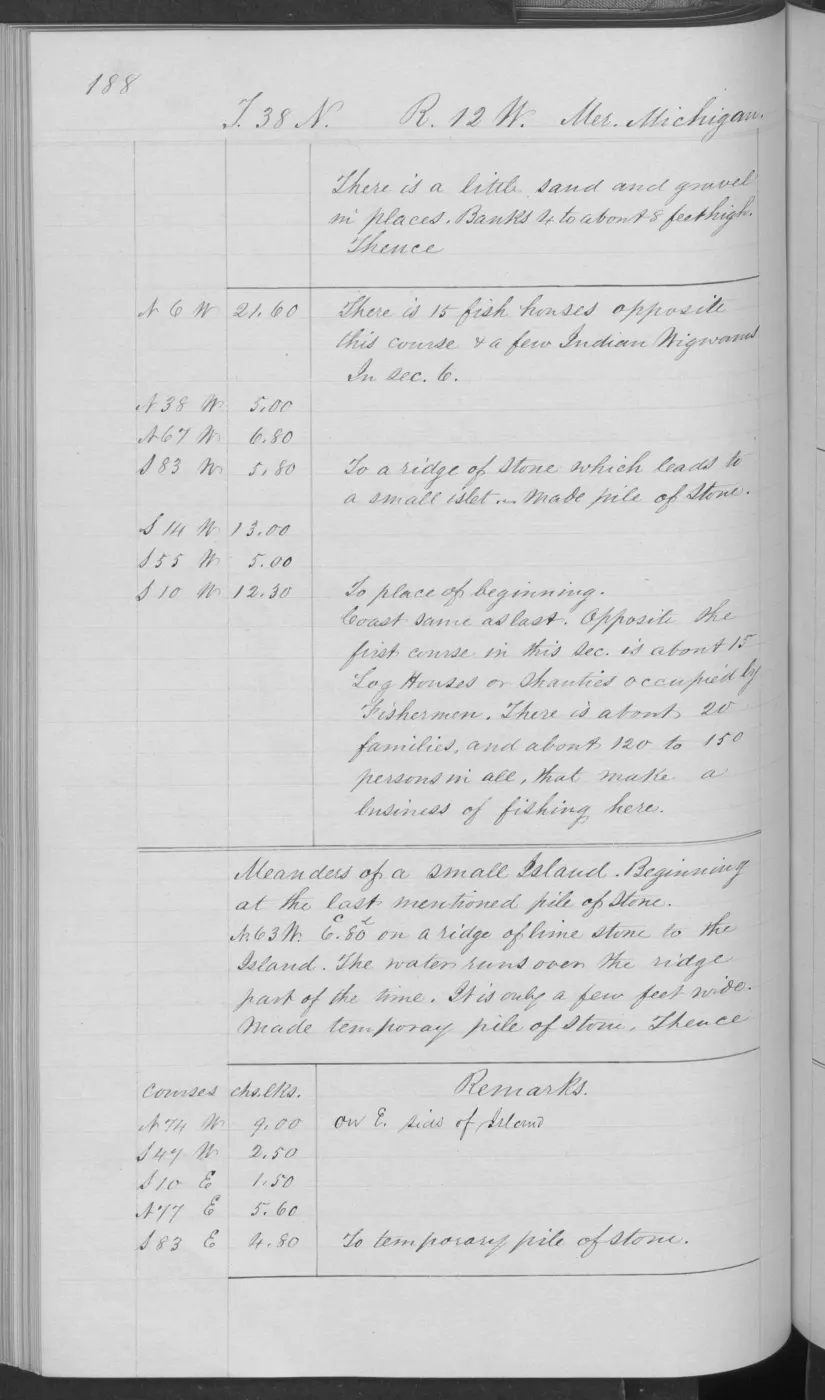
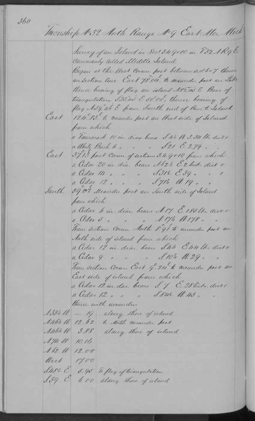
- Bureau of Land Management, General Land Office Records, Field Note Volume 168138, pp. 0160 and 0170, Little Beaver/High Island meander sequence, 1849.Described in this archive: BLM GLO field-note volumes linked to Beaver Island-area surveys.Visual page-image verification. Pages 0160 and 0170 record old fish shanties in sections 9 and 34, with page 0170 also describing sandy-loam and sand-ridge ground and sugar, cedar, fir, and white birch. These are bounded historical fishery-use and shoreline observations, not a complete settlement or occupation record. No public copy of this file is known; the archive holds one and can provide it on request.federal · glo_field_notes · page_evidence
- GNIS feature 628229; feature class 'Island'.federal · gnis · gnis_names
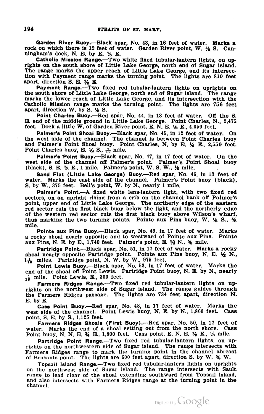
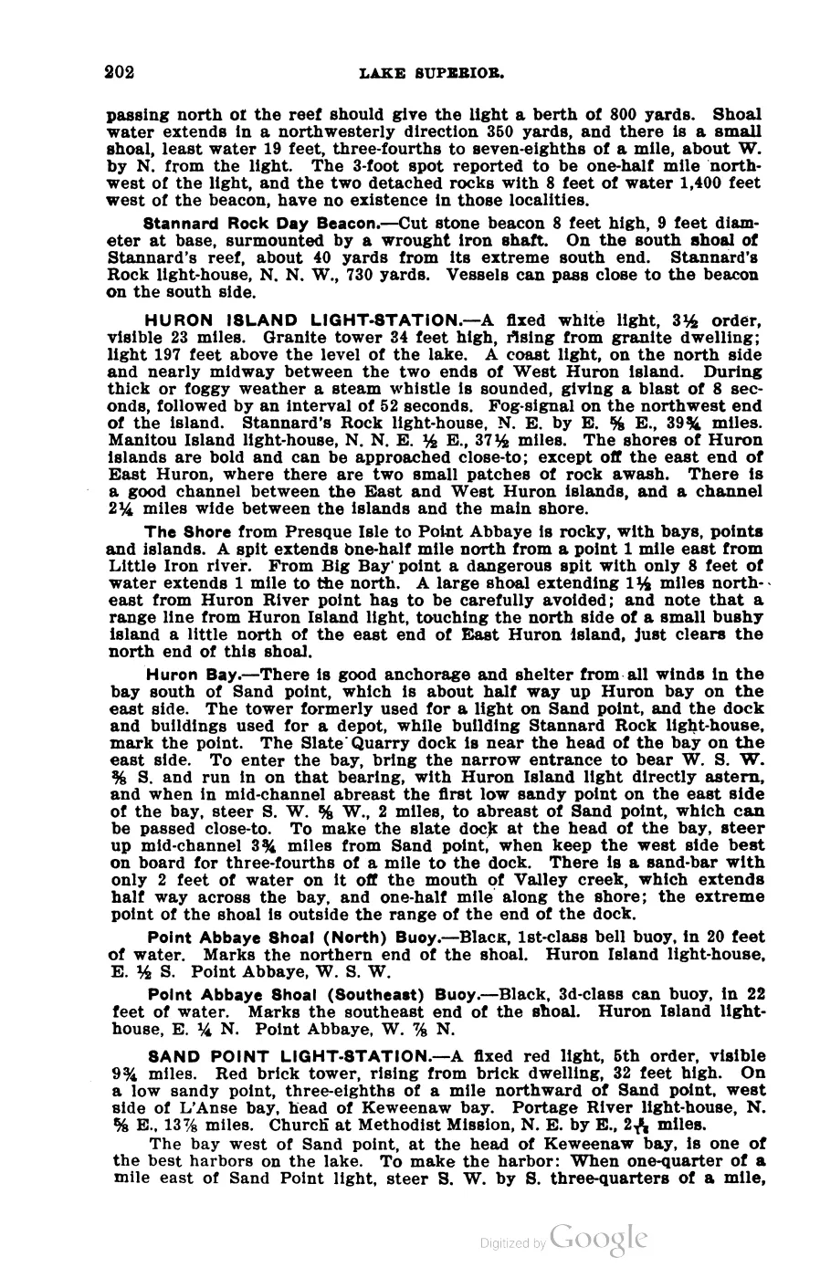
- George Scott, Scott's New Coast Pilot for the Lakes (6th ed., Detroit, 1902), p. 264.'High Island, lying west of the north end of Beaver island, has a good harbor on its northeast end, with good holding ground and protection from all winds, except from the south.' Gives approach directions and notes 'a flat on the south side of the bay.' No public copy of this file is known; the archive holds one and can provide it on request.local_documents · 1902_scott-new-coast-pilot-for-the-lakes-6ed
- Gospel Herald (Voree, Wisc./Beaver Island, James J. Strang's newspaper), 1847-1850 run, undated issue.Strang's own description of High Island as a target for settlement expansion: 'a little larger [than described nearby], and four miles from Big Beaver... That has no improvements, but its pineries are very valuable, and the soil is good. It has a beautiful little lake within it, and has a beautiful harbor.' No public copy of this file is known; the archive holds one and can provide it on request.
- Names High Island among the islands visible from "Mount Pisgah" above Beaver Island's harbor.
- 'A Native village existed on High Island, with fishing the predominant occupation until a major storm in November 1940 destroyed fishing boats causing abandonment of the island. A large logging operation existed on this island until 1908... Between 1912 and 1932, the House of David established an Israelite Colony here. They ran the existing sawmill until it burned down and sold farm products in St. James as well as shipping them to Benton Harbor.' Secondary source; confidence probable.
- Retrospective account dates the move to High Island to between 1906 and 1910, places the end of the Israelite era after a 1930 court settlement, and says Claude Swafford's family remained to manage the potato farm. Useful local corroboration, but not a contemporaneous institutional record.data1 · beaver-island-archive · beaver_beacon · 1967-02_Beaver-Beacon
- The held six-page issue scan is paired with the OCR source and confirms the published notice or report; it does not expand the source-specific identity, event, or outcome claims.data1 · beaver-island-archive · scans · beaver_beacon · issues · 1967-02_Beaver-Beacon
- Reports Claude Swafford was an employee of the House of David on High Island when tried for William Thomas's death; the jury returned self-defense. The report is retrospective and the court file is not held.data1 · beaver-island-archive · beaver_beacon · 1963-03_Beaver-Beacon
- The held six-page issue scan is paired with the OCR source and confirms the published notice or report; it does not expand the source-specific identity, event, or outcome claims.data1 · beaver-island-archive · scans · beaver_beacon · issues · 1963-03_Beaver-Beacon
- 'High Island is 100% state land managed by the MDNR Wildlife Division... In the past, Native Americans and settlers lived on the island in small numbers... the DNR owns several cabins currently in disrepair.'
- Charlevoix County Herald, June 29, 1945, “BEAVER ISLAND — Islands have a way of doing things to people.”A feature written during a Beaver Islands patrol says the former House of David colony on High Island was deserted, including its seven-sided dormitory; this is a contemporaneous descriptive observation, not a complete abandonment or property record. No public copy of this file is known; the archive holds one and can provide it on request.
- Described in this archive: GLFC guide for Lake Michigan lake-trout rehabilitation, 2008.Defines a modern West Beaver Group that includes High Island. This is a lake-trout rehabilitation grouping, not a boundary, ownership, or settlement claim.geology · publications · glfc_2008_lake_trout
- Described in this archive: Northern Lake Michigan reef and coastal bathymetry, USGS OFR 03-120.Held metadata records a completed August 2001 SHOALS airborne-lidar bathymetry and albedo survey for habitat-study use, with a survey bounding box and stated accuracy. The coverage box is not an island boundary, and the source does not establish present bathymetry, access, ownership, or navigational safety.federal · noaa_bathymetry · usgs_ofr_2003_120 · metadata · highmeta
- Described in this archive: “Lost treasure of the Beaver Island Mormon Colony”, 1987.Bibliographic evidence only. Later summaries attach a 30-paces-from-a-large-tree royal-treasury story to High Island, but Norberg’s article is not held and those details remain unverified against it.research · strang_treasure · sources · inland_seas_subject_index
- Project-generated MNFI Garden and High Island biodiversity, habitat, and acoustic survey evidence (2015 field season; report published 2016).Described in this archive: MNFI Garden and High Island biodiversity, habitat, and acoustic surveys, 2015.Preserves High Island field-measured forest soils, tree structure, natural-community occurrences, rare species, snails, bats, and invasive-plant survey evidence. It is a targeted survey, not a complete island inventory or current occupancy map. No public copy of this file is known; the archive holds one and can provide it on request.research · wildlife · indices · mnfi_garden_high_2015_biodiversity_index
- Project-generated MNFI 2017 soil, vegetation, and wildlife crosswalk, preserving MNFI Report 2017-11, six High Island coastal and dune occurrences, report pp. 25, 47, 71–72, 109–110, 144, and 147.Described in this archive: MNFI soil, vegetation, tree, and wildlife crosswalk, 2017.The crosswalk preserves six occurrence-level records across High Island; they are not a single island-wide habitat boundary, ownership determination, or complete survey. No public copy of this file is known; the archive holds one and can provide it on request.research · island_farming · crosswalks · mnfi_soil_vegetation_wildlife_crosswalk
- Visual page evidence held with provenance sidecar; the image anchors the 456-acre occurrence (EO 20452) and does not establish modern geometry or current condition.research · island_farming · evidence · mnfi-report-2017-11-page-0089-nezewabegon-forest
- Visual page evidence held with provenance sidecar; the image anchors the occurrence description and does not establish modern geometry or current condition.research · island_farming · evidence · mnfi-report-2017-11-page-0025-high-island-boreal-forest
- Visual page evidence held with provenance sidecar; the image anchors the occurrence description and does not establish modern geometry or current condition.research · island_farming · evidence · mnfi-report-2017-11-page-0047-high-island-dry-mesic-forest
- Visual page evidence held with provenance sidecar; the image anchors the occurrence description and does not establish modern geometry or current condition.research · island_farming · evidence · mnfi-report-2017-11-page-0071-high-island-limestone-cobble-shore
- Visual page evidence held with provenance sidecar; the image anchors the occurrence description and does not establish modern geometry or current condition.research · island_farming · evidence · mnfi-report-2017-11-page-0109-high-island-open-dunes
- Visual page evidence held with provenance sidecar; the image anchors the occurrence description and does not establish modern geometry or current condition.research · island_farming · evidence · mnfi-report-2017-11-page-0144-high-island-sand-gravel-beach
- Visual page evidence held with provenance sidecar; the image anchors the occurrence description and does not establish modern geometry or current condition.research · island_farming · evidence · mnfi-report-2017-11-page-0147-high-island-bay-sand-gravel-beach
Added 28 July 2026 · revised 4 August 2026. Recent changes
Cite this article
Beaver Island Archive, “High Island”, https://beaverislandarchive.org/places/high-island/, accessed [date], citing OpenStreetMap contributors, island polygons via Overpass API, retrieved 2026-07-28 (ODbL 1.0). (and 26 further sources listed on the page).
Last revised 2026-08-04. Fill in [date] with the date you read it — this page is static and cannot know that.