

- Concepts
- geologysoilsdunesshorelineshydrologycartographyenvironmentwetlandsconservationtourism
- Within
- Beaver Island archipelago
- Media
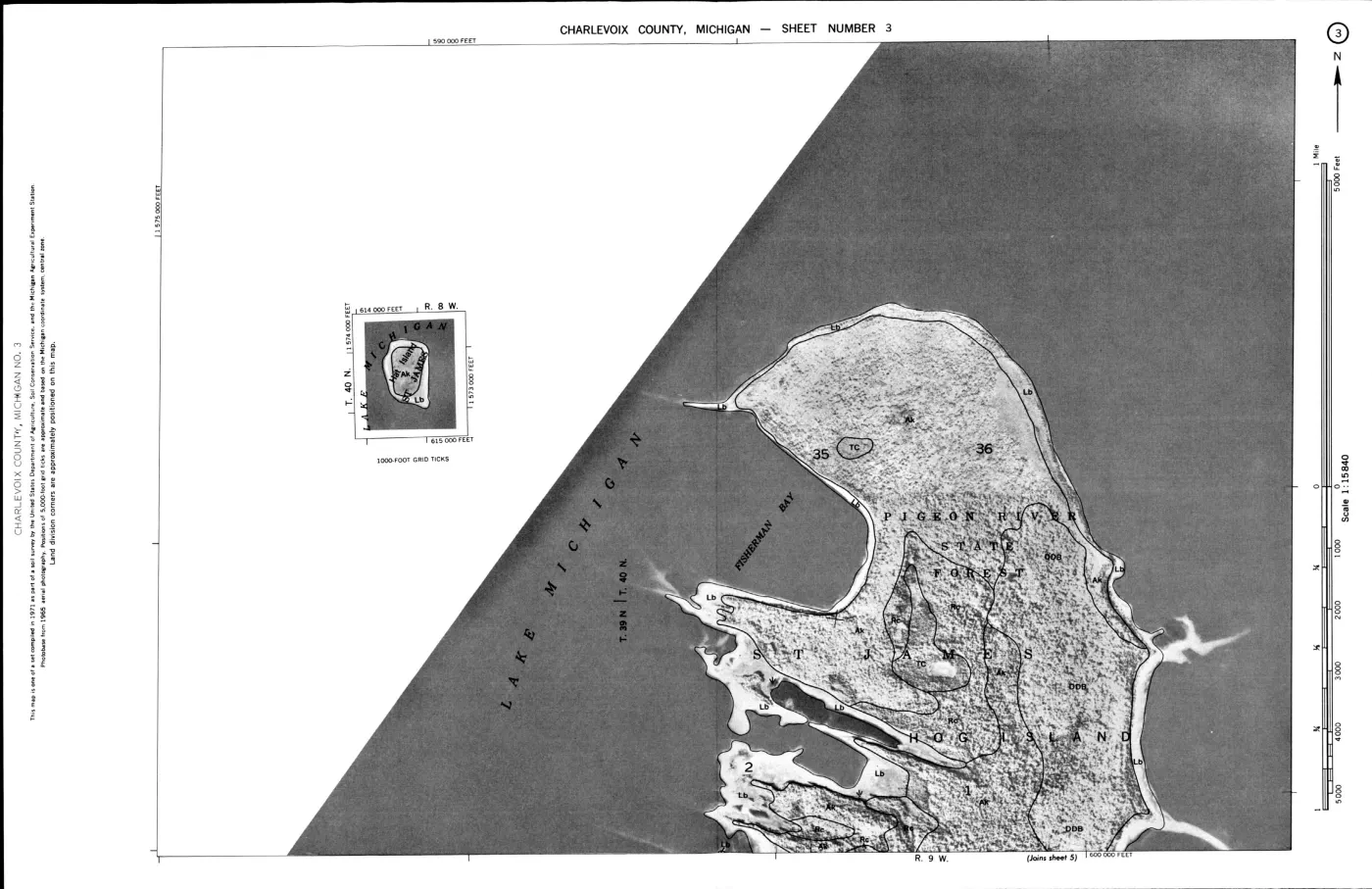
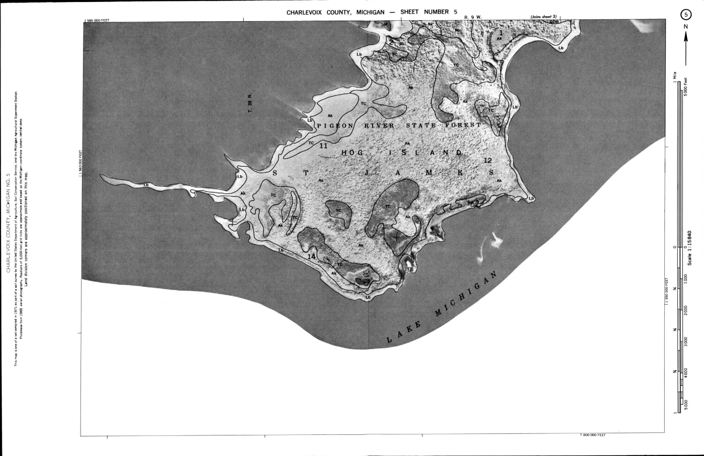
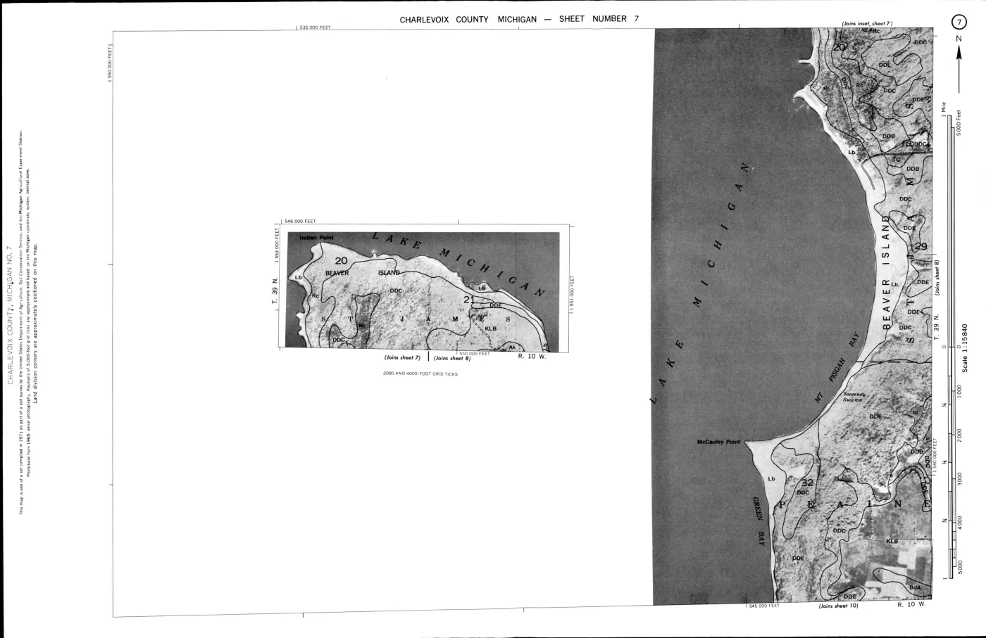
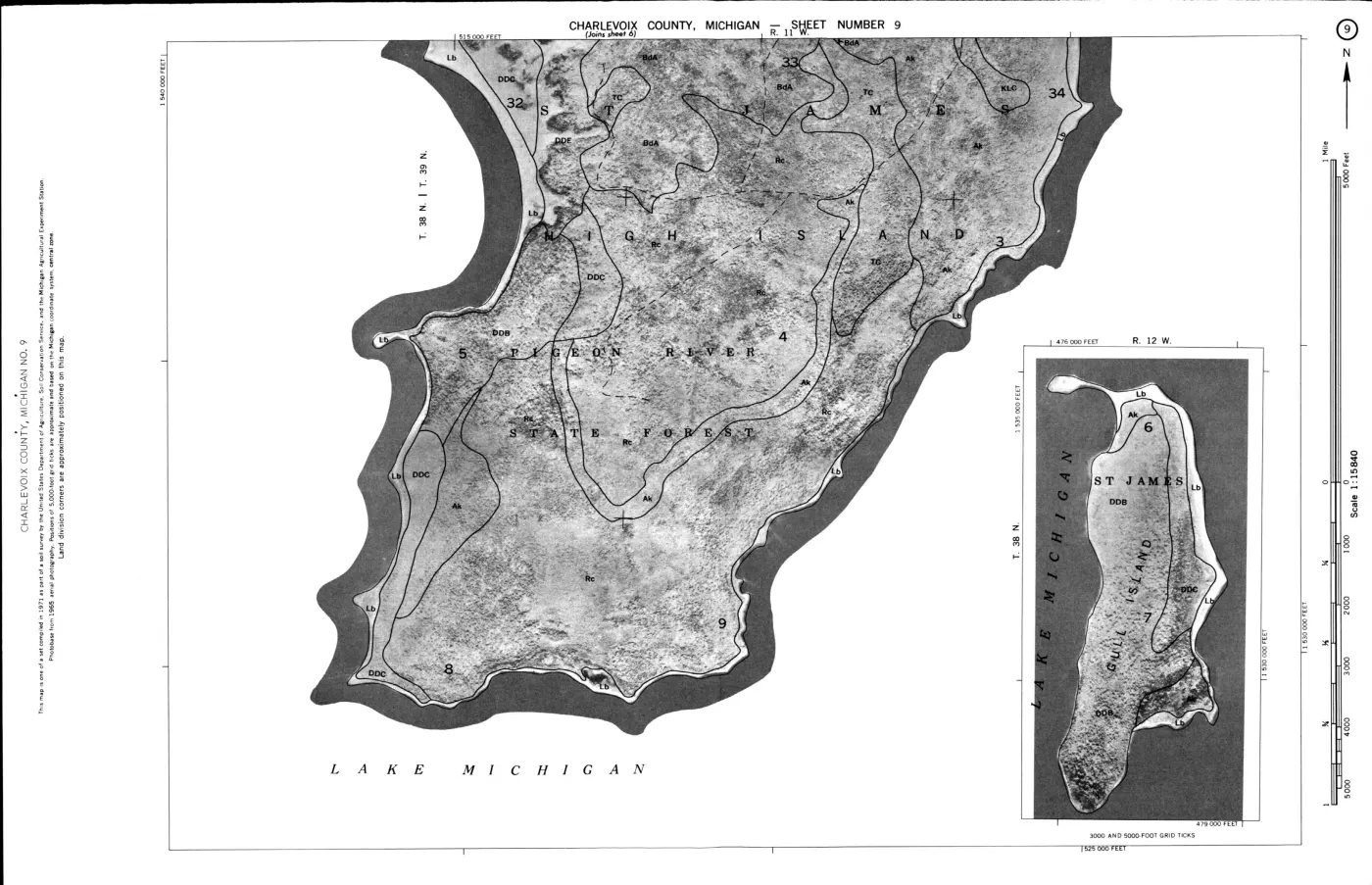
- Beaver Island environmental detail — Northeast · Beaver Island environmental detail — Northwest · Beaver Island environmental detail — Southeast · Beaver Island environmental detail — Southwest · Beaver Island soils, wetlands, and terrain · Garden Island soils, wetlands, and terrain + 6 more
Summary
The Soils, wetlands, and terrain of the Beaver Island archipelago and its local sheets make the held SSURGO, wetland, hydrography, and 3DEP relief layers inspectable together. The plates preserve their different source meanings: a soil map unit is not a landform boundary, and a hillshade is not a surveyed elevation or geology map.
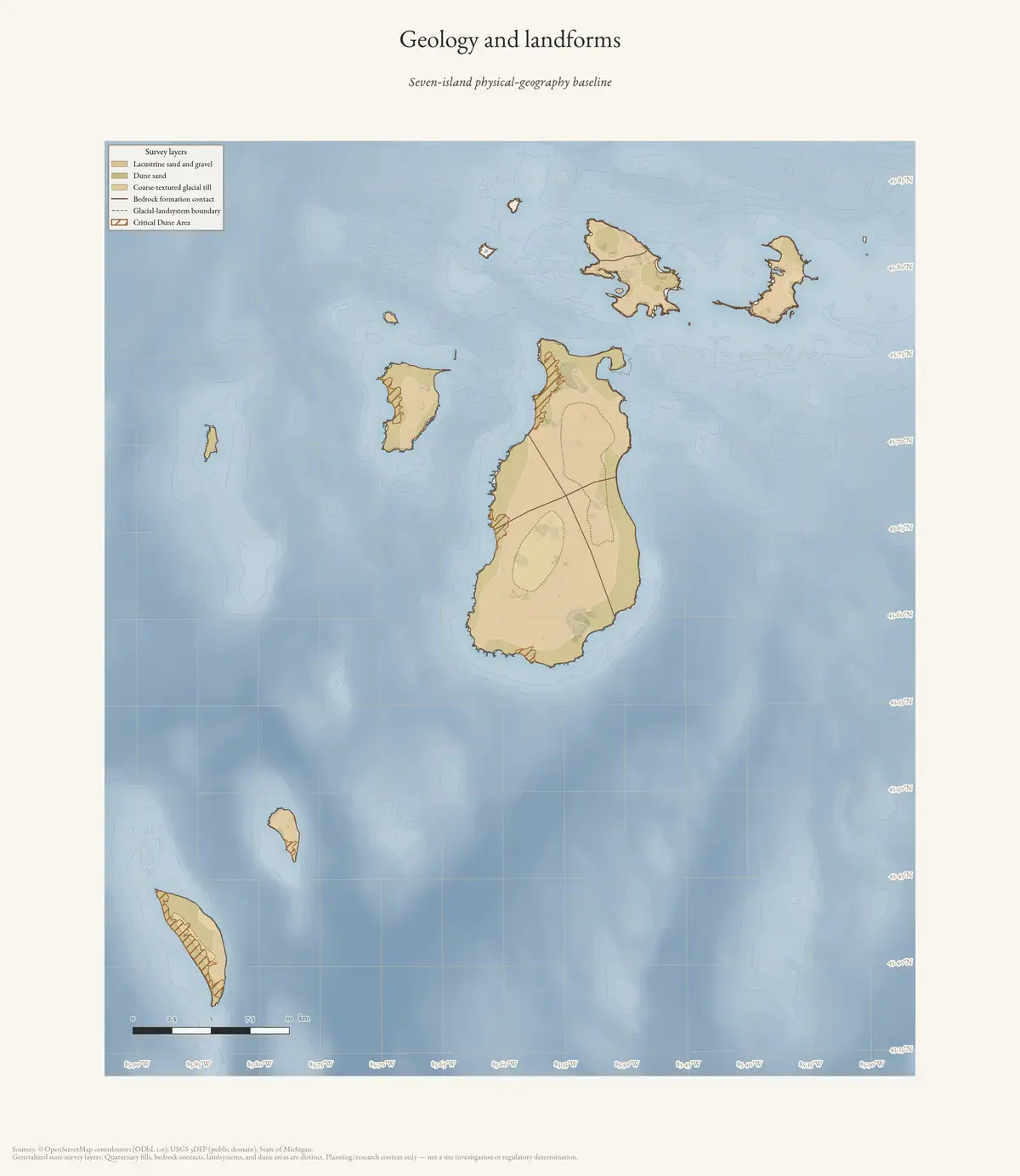
The archipelago’s landscape is a layered record of bedrock, glacial deposits, former lake levels, beach ridges, dunes, and wetlands. The Michigan state map layers held here give that record a reproducible baseline. They are regional polygons rather than field observations, and nothing below treats them otherwise.
Planning vocabulary, 2017–2024
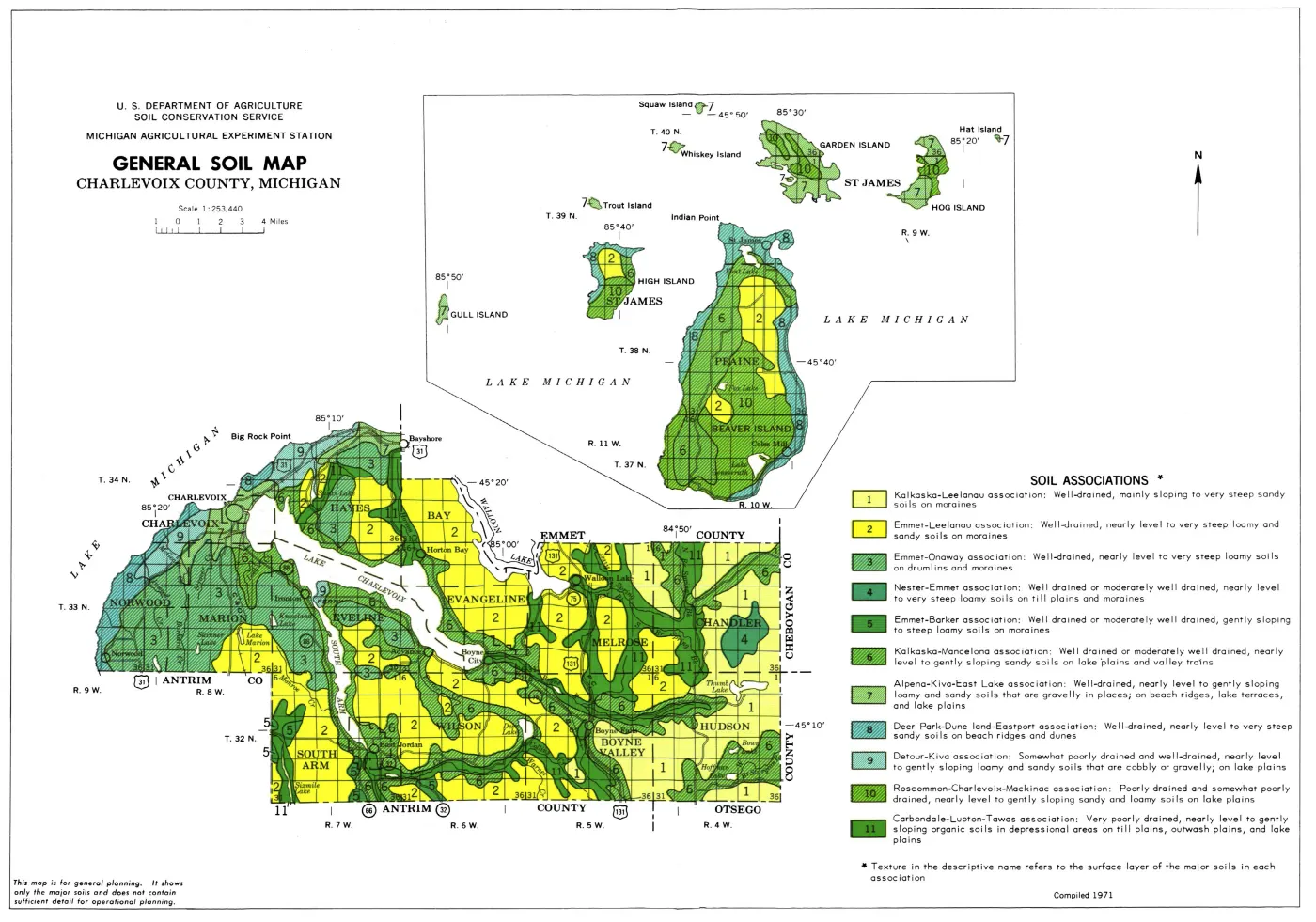
The Beaver Island planning natural-resource evidence crosswalk, 2017–2024 preserves the planning editions’ own physical-geography vocabulary. They name four generalized soil associations, connect dunes and beach ridges to slope and erosion, and treat hydric soils, wetlands, inland waters, and Critical Dune Areas as linked planning concerns. Their map sets include barrier dunes, coastal wetlands, soil associations, slope, elevation, and sensitive features.
The companion Beaver Island Master Plan ecology map-plate evidence, 2017–2024 preserves those plates as page-located visual evidence. The 2017 plates map Beaver Island alone; the 2023 edition adds selected-archipelago plates. Those selected plates label Garden, High, Hog, Gull, Hat, Shoe, Trout, Whiskey, and Ojibwa along with Beaver, but not North Fox or South Fox. The 2024 critical- dune, wetland, and soil plates also omit Fox labels. This documents the planning-map frame and its limits; it does not erase the Fox-specific geology and dune evidence held elsewhere in this archive.
The Seven-island ecology connectivity matrix, 2026 keeps that physical context connected across Beaver, Garden, High, Hog, Whiskey, North Fox, and South Fox. It is an island-level comparison layer: it does not convert geology or soil categories into tree, wetland, wildlife, or parcel determinations.
The Hall–Varlet Part 91 soil-erosion application for Donegal Bay Subdivision lot 30, S-1972, 2025 adds a different scale of evidence: a signed 2025 township application for a 0.1-acre septic-field project at Donegal Bay Subdivision lot 30. Its own fields identify a rolling Deer Park–Dune association, Lake beaches east of the house, a forested steep dune, and an open dune. This is a useful bridge from regional soil and dune mapping to a named land-use record, but it remains an application and planned erosion-control schedule rather than proof of construction, ownership, inspection, or current ecological condition.
This is valuable connective evidence between the plan record and the held EGLE, USDA, SSURGO, NWI, and MNFI layers. It remains a planning synthesis: the maps and descriptions do not determine a parcel’s soil suitability, a legal wetland boundary, or the exact extent of a natural landform.
What the collected maps show
The state geology layers were intersected here with the OpenStreetMap island polygons for the Beaver group — Beaver, Garden, High, Hog, Whiskey, Ojibwa and the smaller islets, but not North or South Fox — and areas taken in EPSG:3078. In the Quaternary layer, 116.789 km² falls in polygons labelled lacustrine sand and gravel, 63.912 km² dune sand, and 11.733 km² coarse-textured glacial till.1 These are map-class areas, not mutually exclusive claims about every parcel’s surface material.
The bedrock layer contains four labels within the same intersection: Garden Island Formation, Bois Blanc Formation, Detroit River Group, and Midcontinent Rift.2 The glacial-landsystems layer adds the broad classes lacustrine coarse, bedrock, lacustrine fine, and proglacial outwash.3 The state Critical Dune Areas layer contributes four barrier-dune polygons totalling approximately 1,642 acres; two further barrier-dune polygons in the same layer lie on North and South Fox, and are excluded from that figure by the same island subset.4 The layer exists for regulation, so it is not a complete inventory of every dune or beach ridge.
Physical geology and groundwater context
The new physical-geology crosswalk joins additional held layers to the same seven-island frame. The state glacial-drift aquifer layer places all seven named islands in class IV, described as drift that may be an unconfined aquifer to bedrock but not delineable from available data. That is a useful groundwater screening vocabulary, not evidence of well yield, water quality, recharge, or groundwater flow.
The USGS SGMC layer resolves the regional bedrock vocabulary as Detroit River Group and Bois Blanc Formation on Beaver, Bois Blanc and Point aux Chenes Shale on Garden, and Bois Blanc on High and Hog. In the held SGMC intersection, Whiskey, North Fox, and South Fox return only the layer’s open-water category; that is a generalized-layer coverage result, not evidence that those islands lack bedrock. The SGMC contact layer intersects six island frames, while the held EGLE fault and Michigan/Saginaw interlobate-boundary lines do not intersect the named-island geometries.
This is a better physical bridge to the soil and ecology layers than a single bedrock label. SSURGO map units describe surficial soil and drainage, NWI/EGLE describe mapped wetland and hydric-soil classes, circa-1800 cover describes a historical vegetation reconstruction, and MNFI/MiFI describe surveyed communities or current inventory stands. The layers can be compared spatially, but they are not interchangeable evidence of exposure, groundwater, habitat, or historical continuity.
Lake levels and shorelines
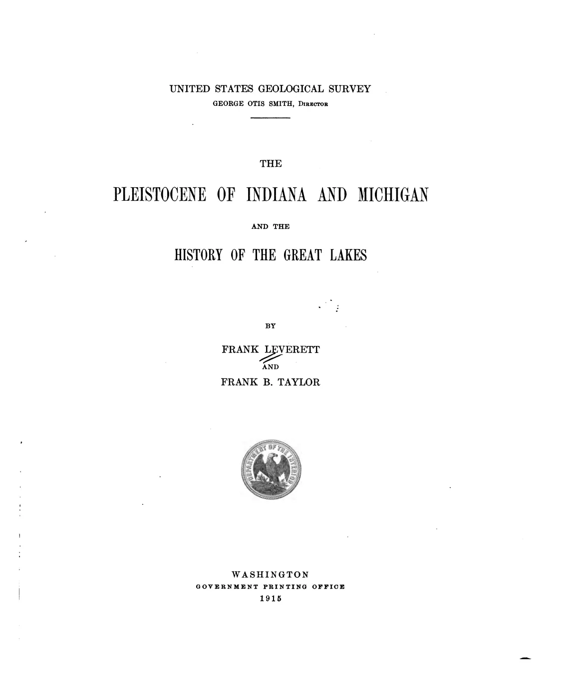
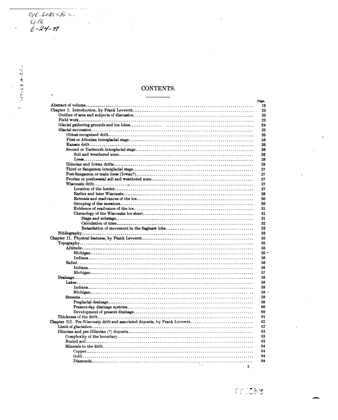
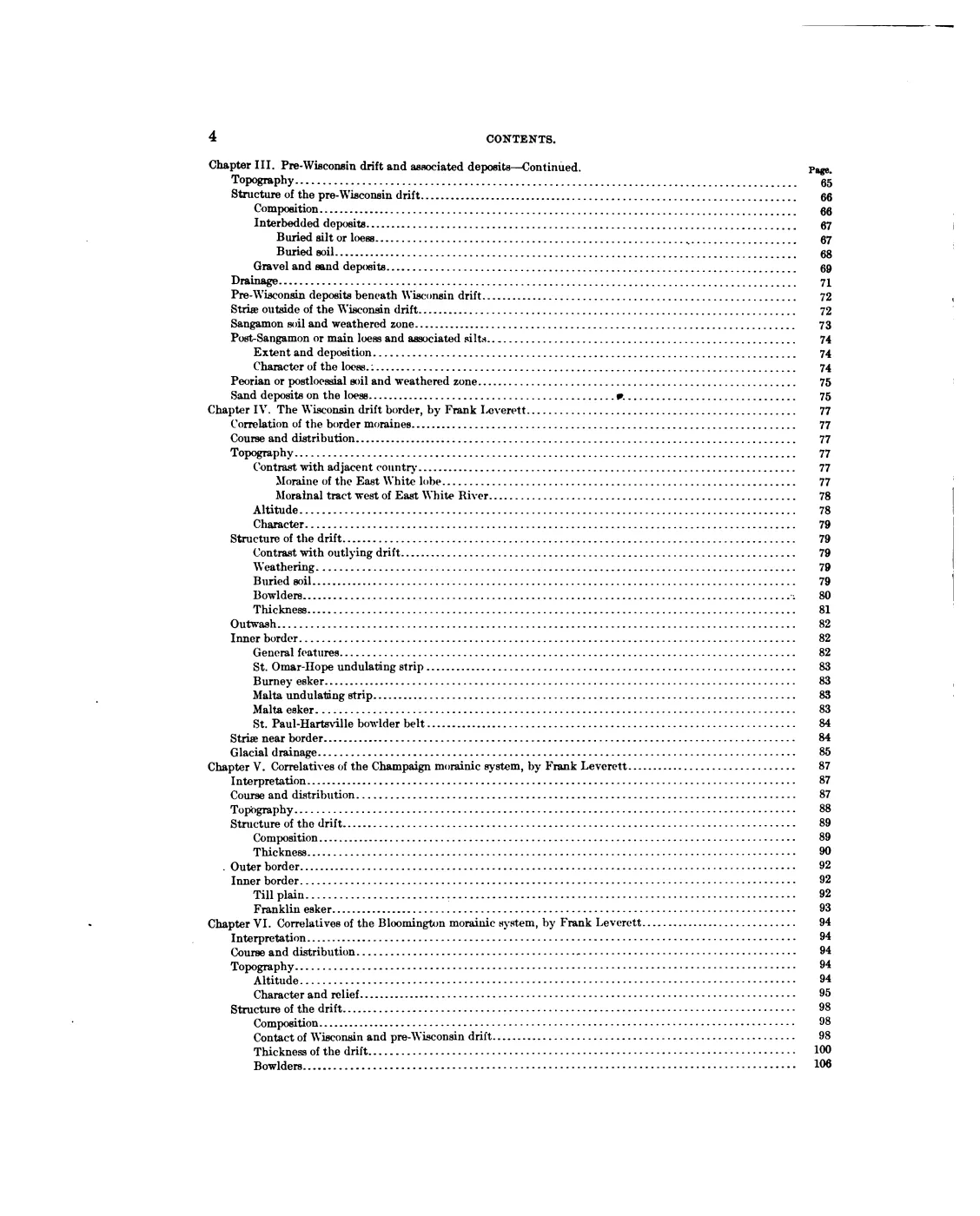
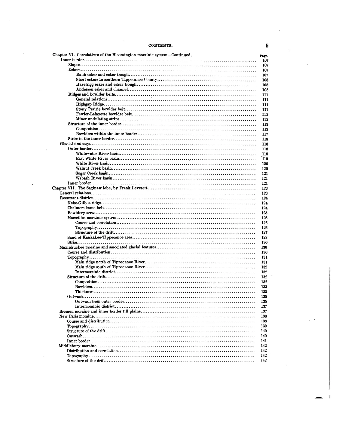
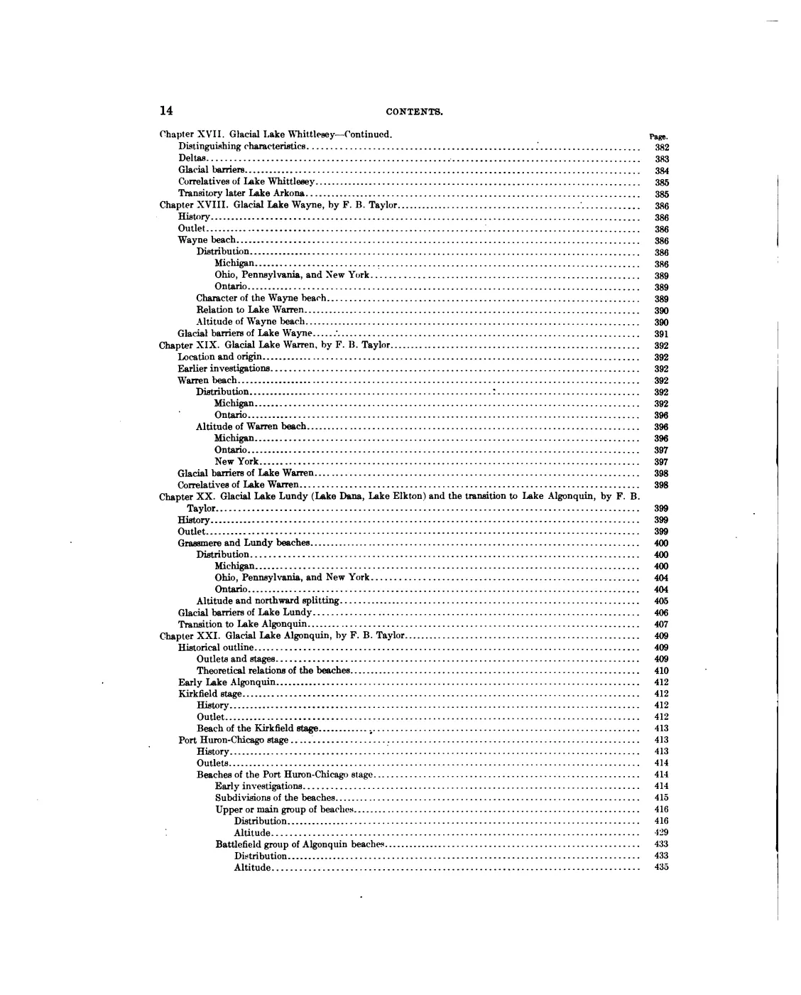
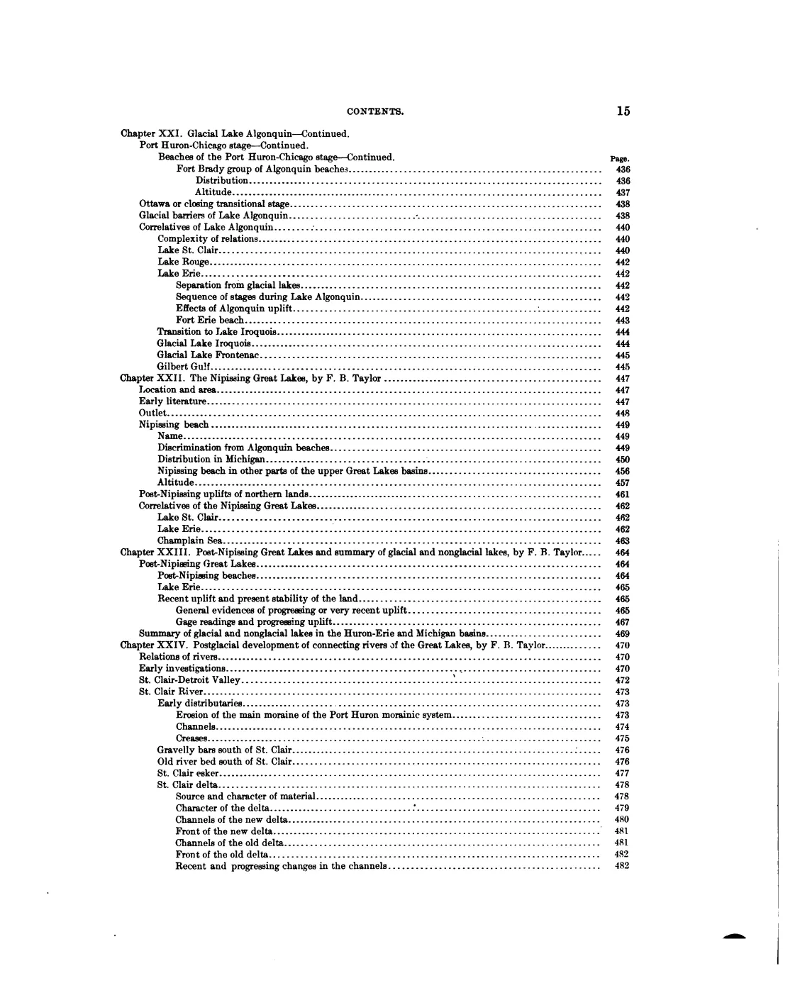
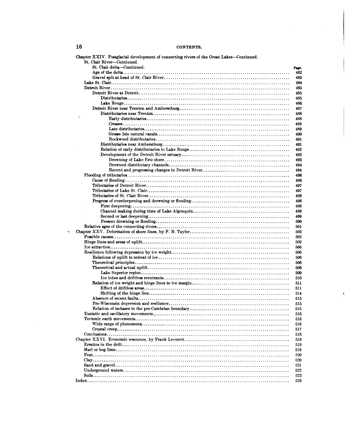
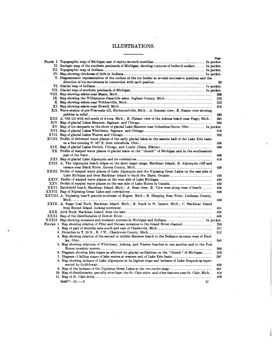
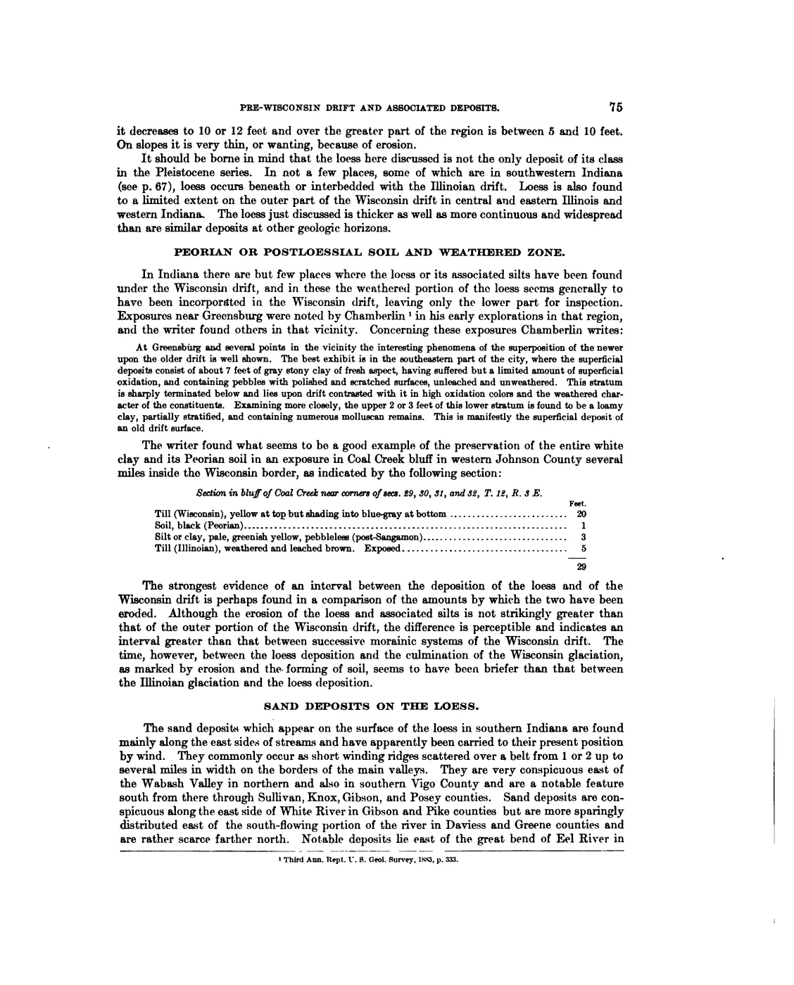
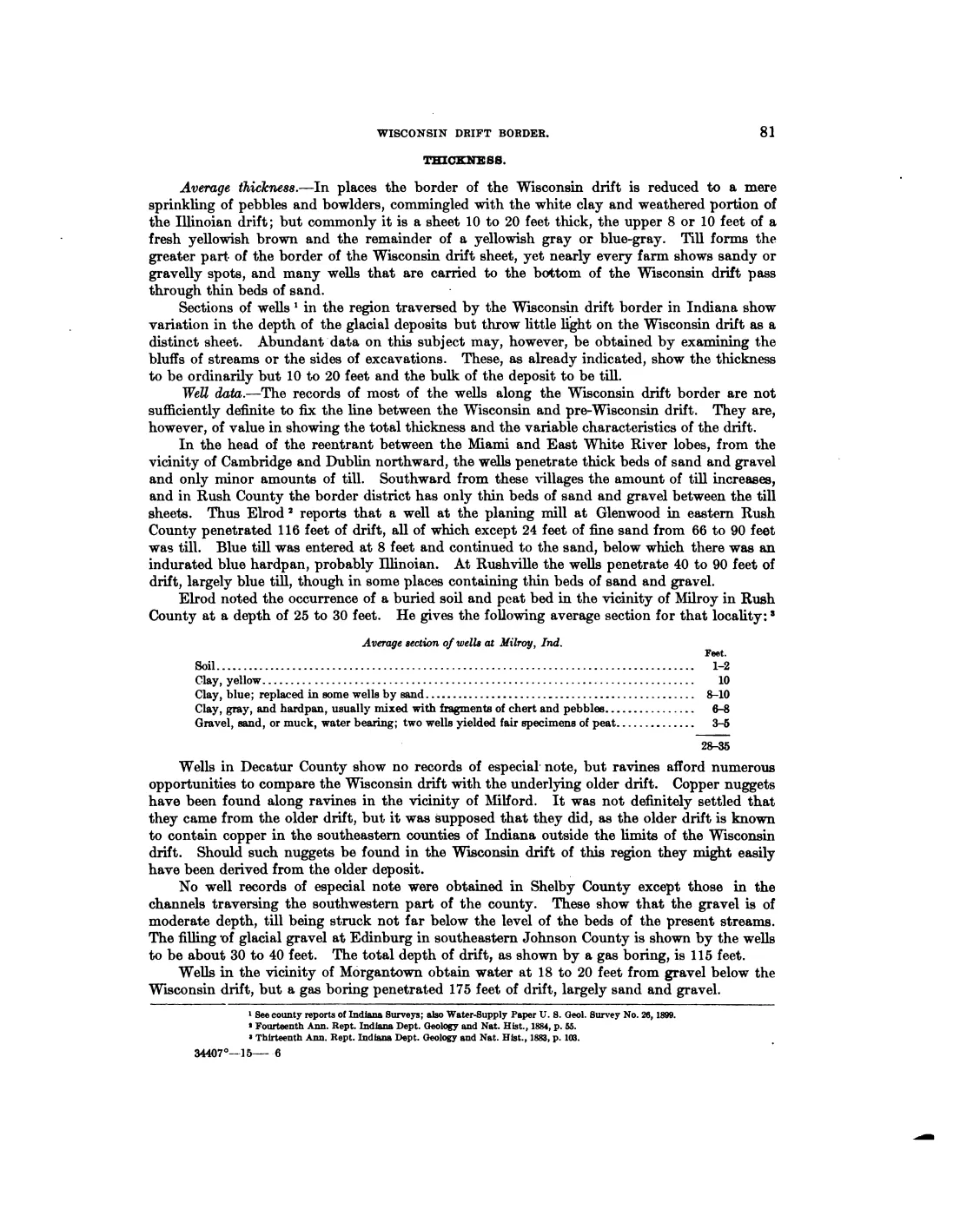
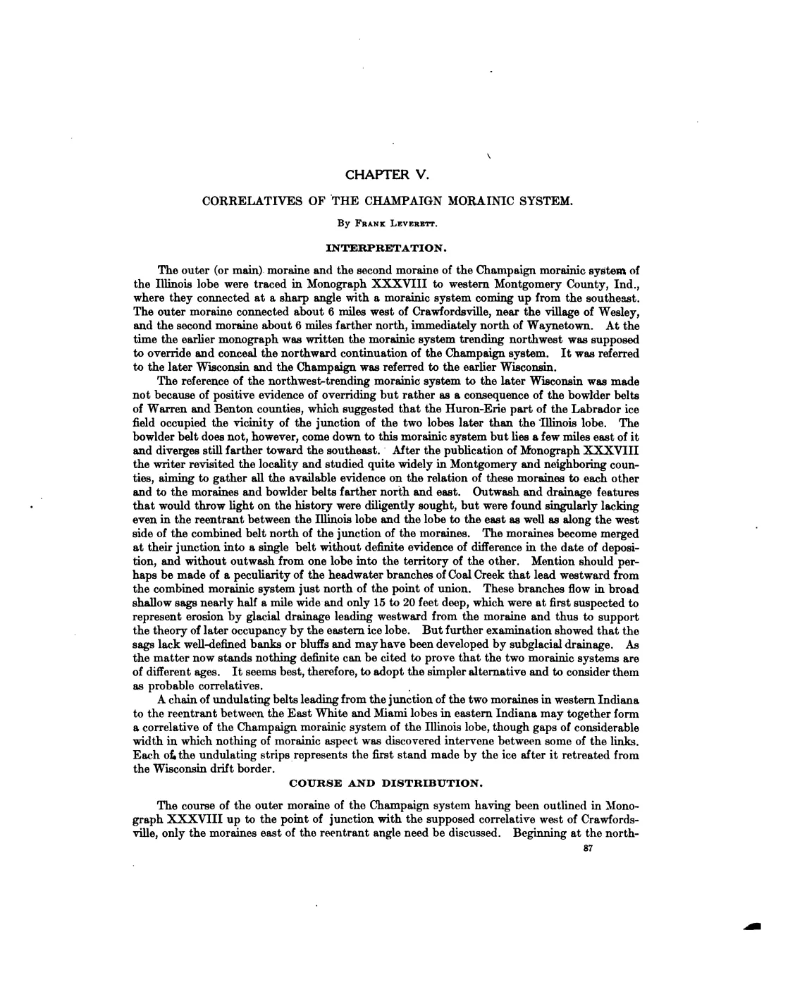
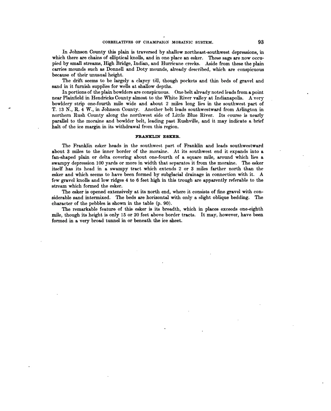
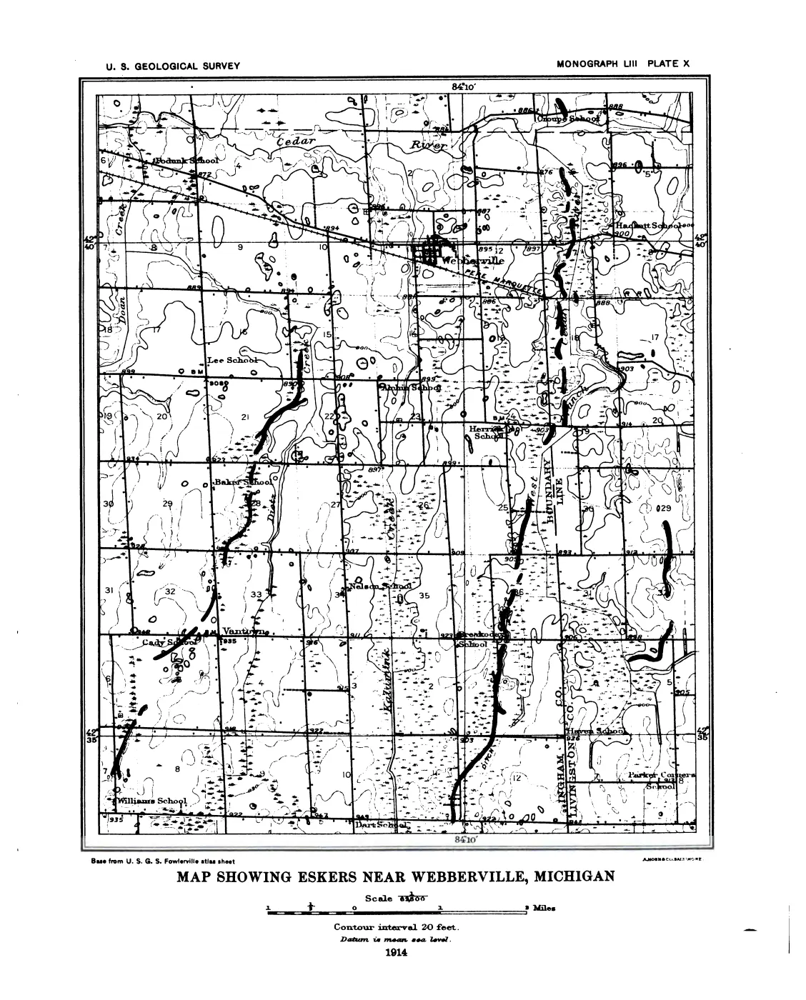
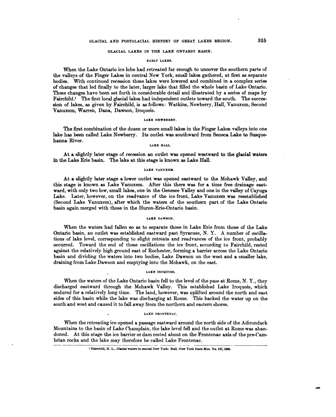
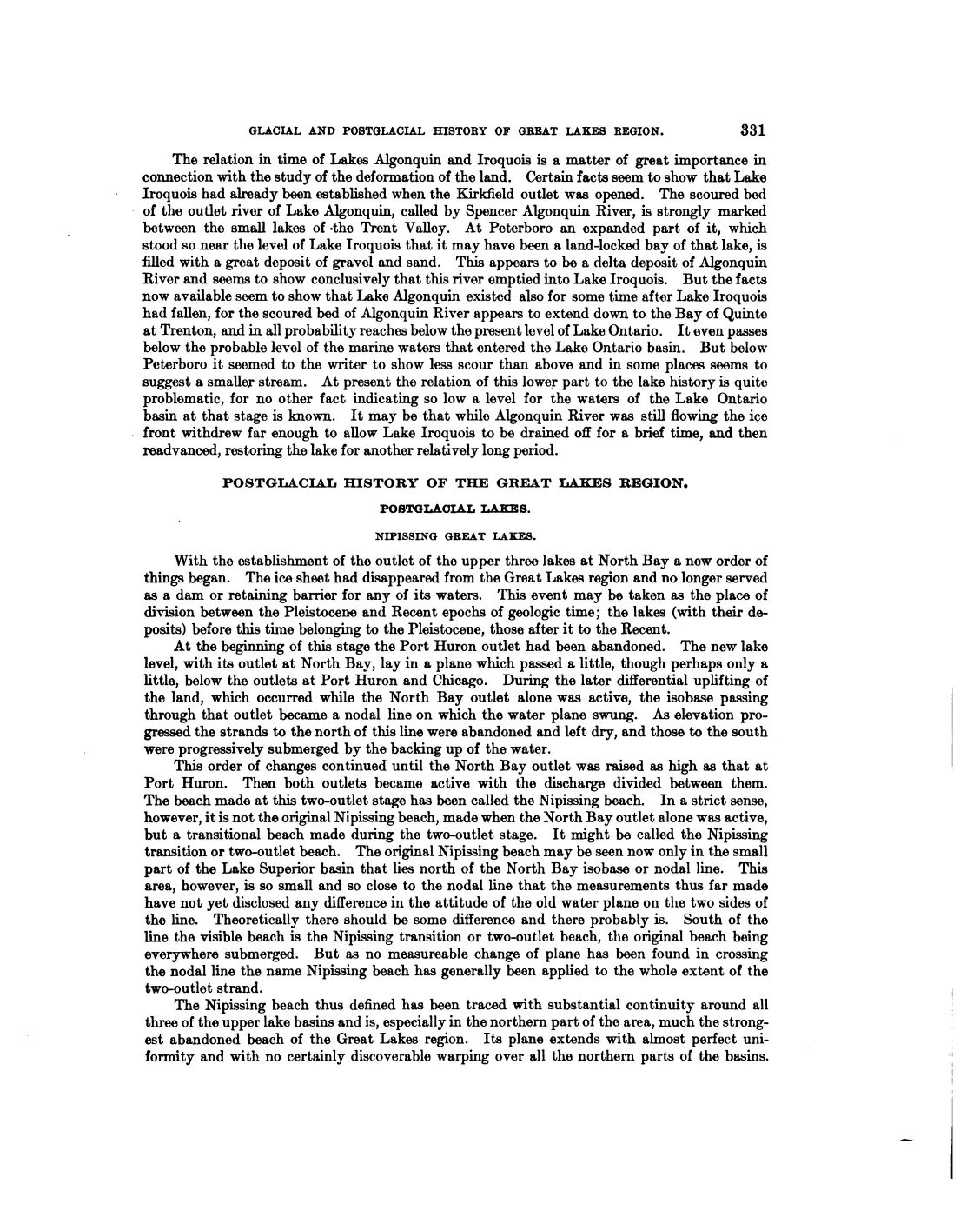
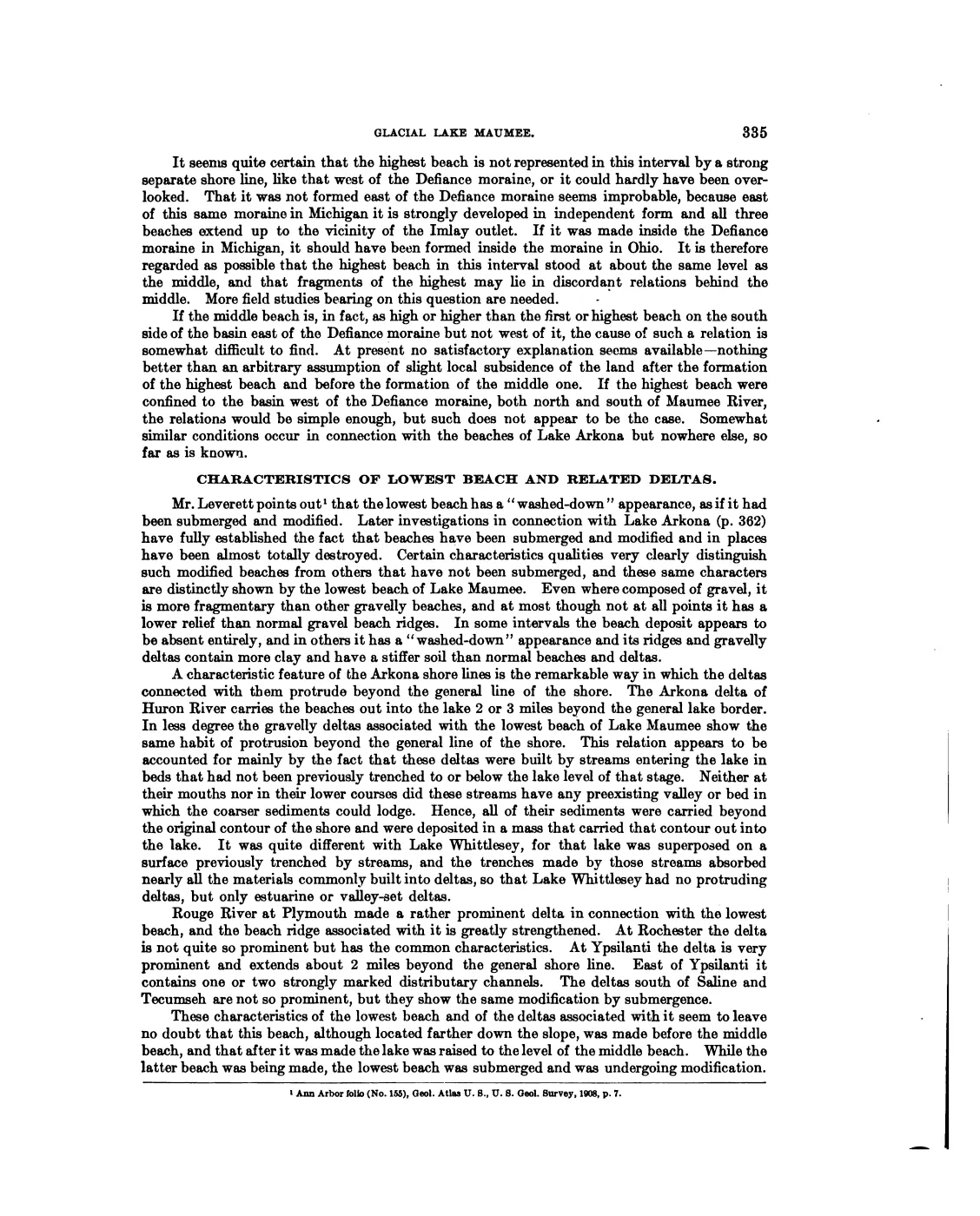
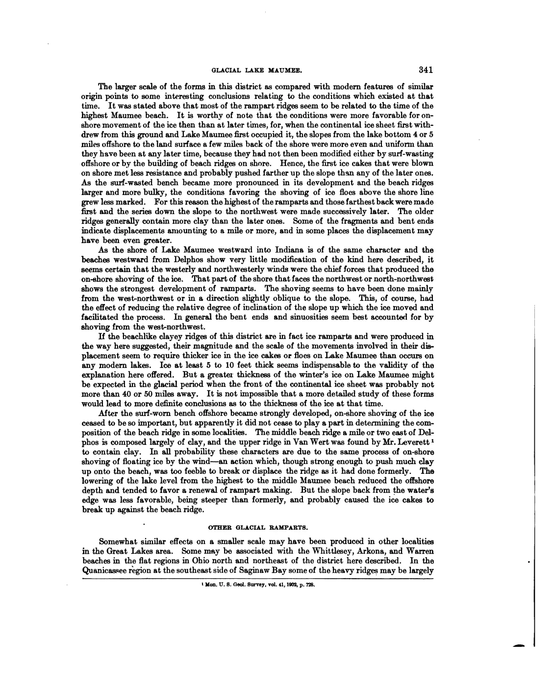
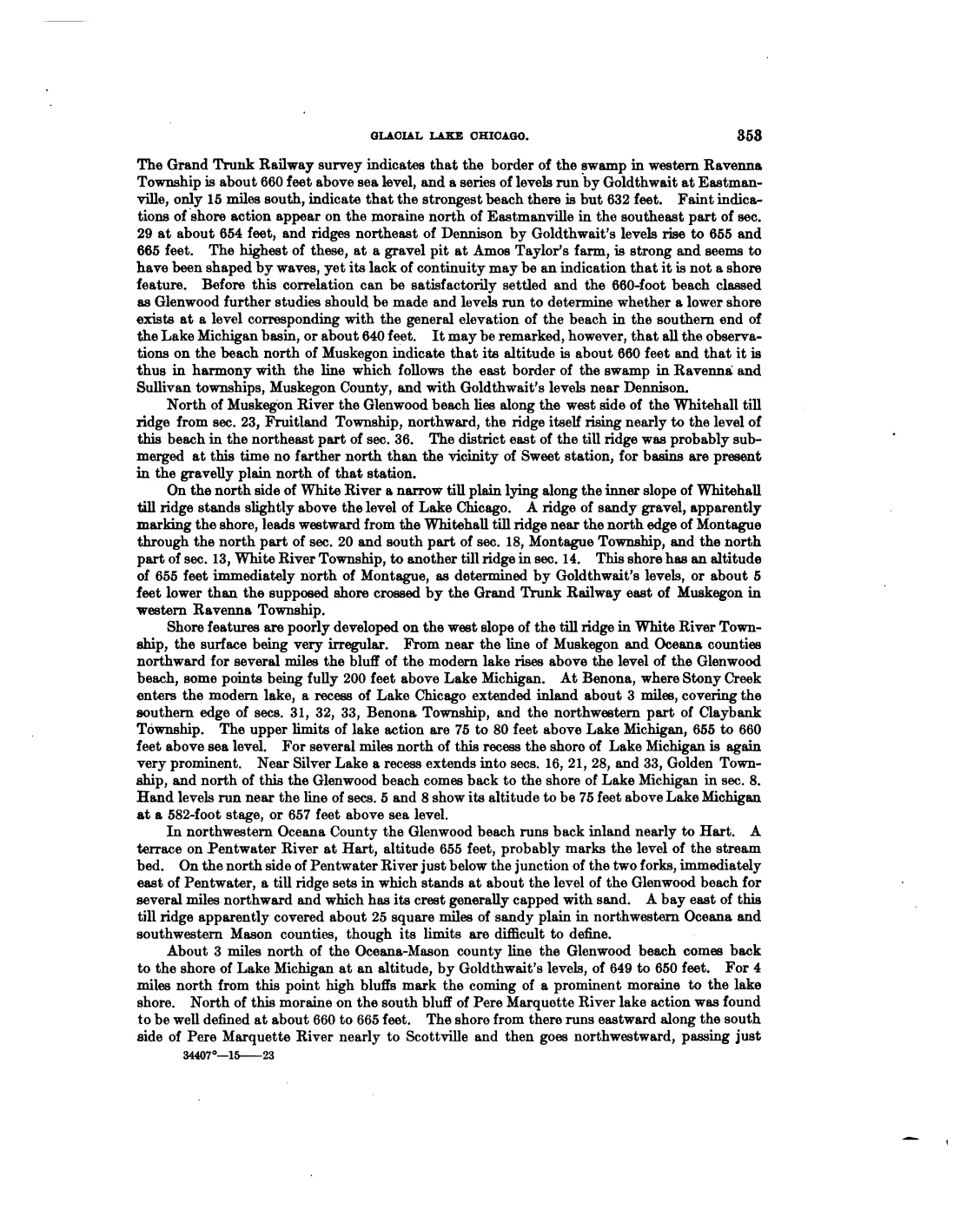
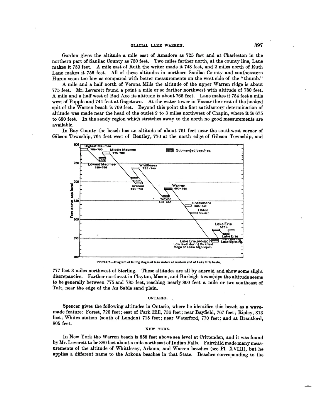
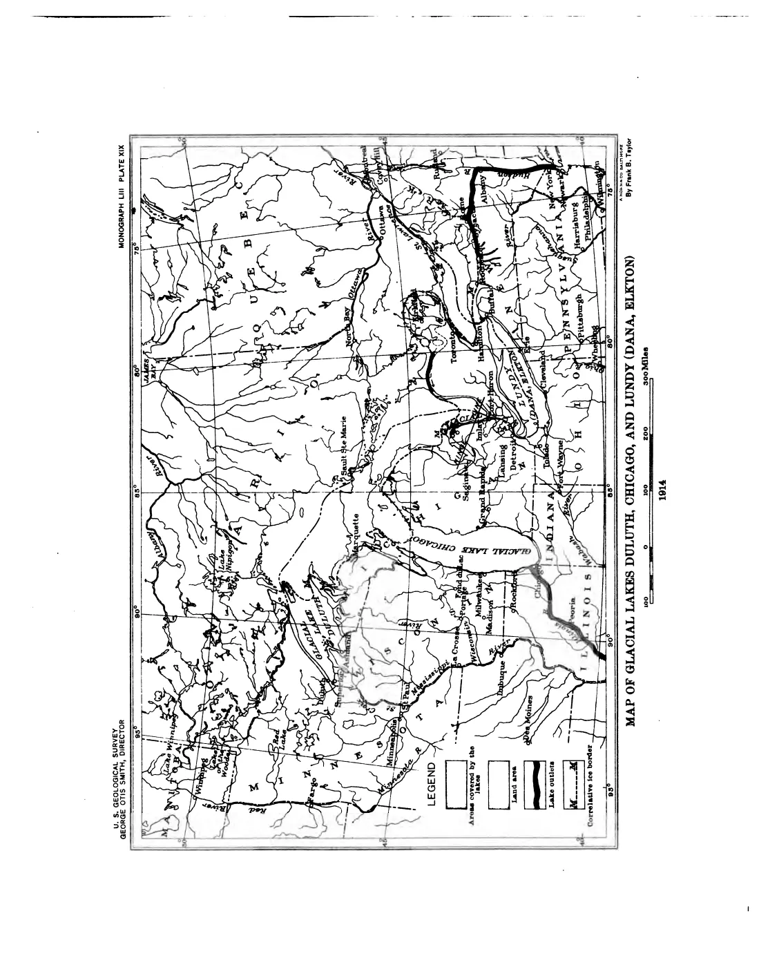
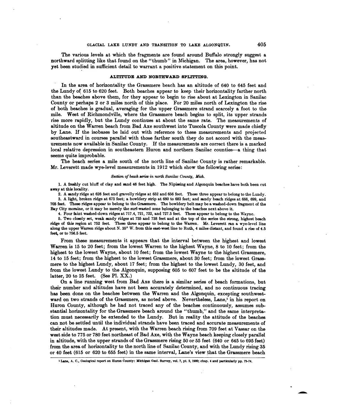
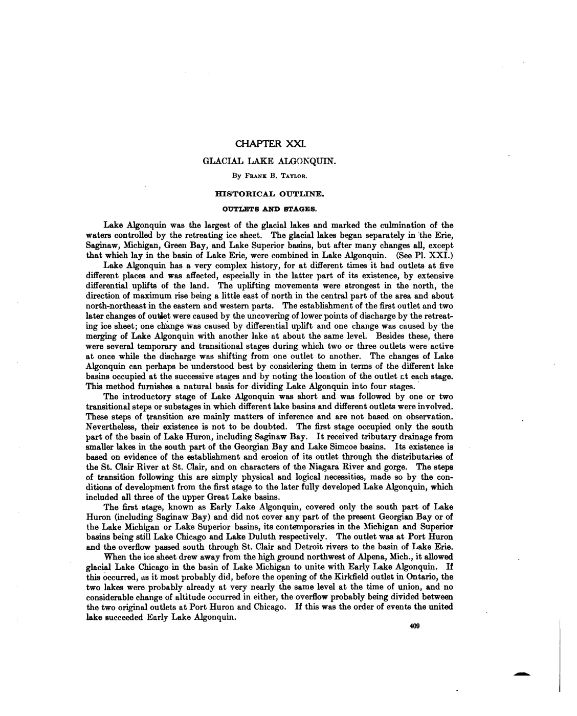
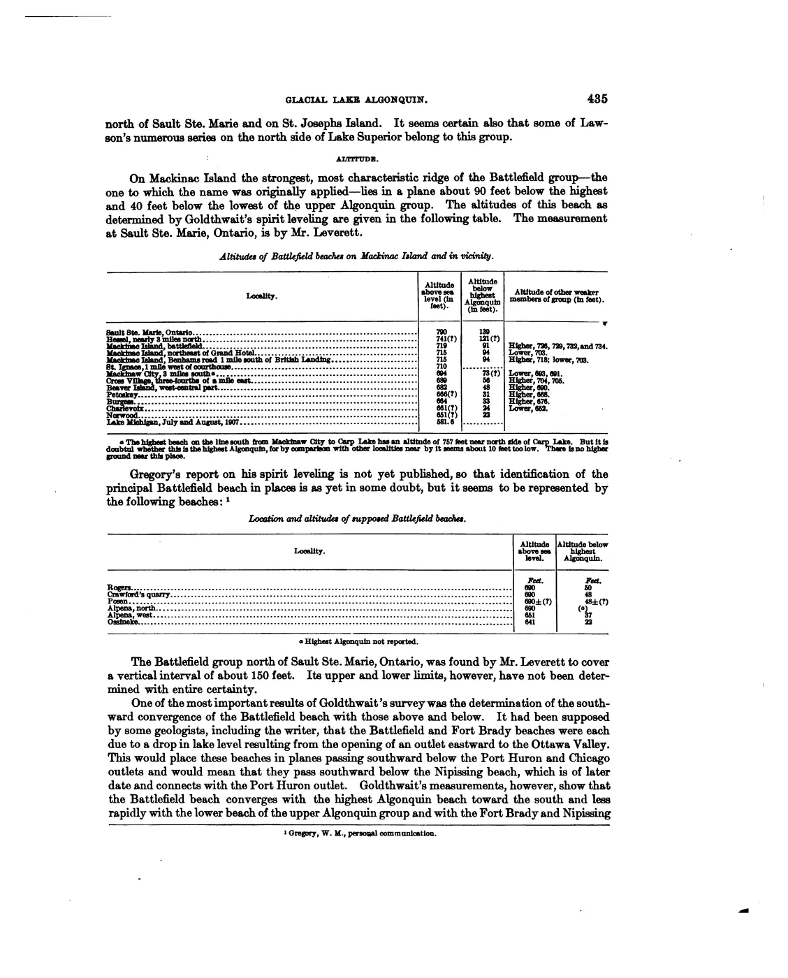
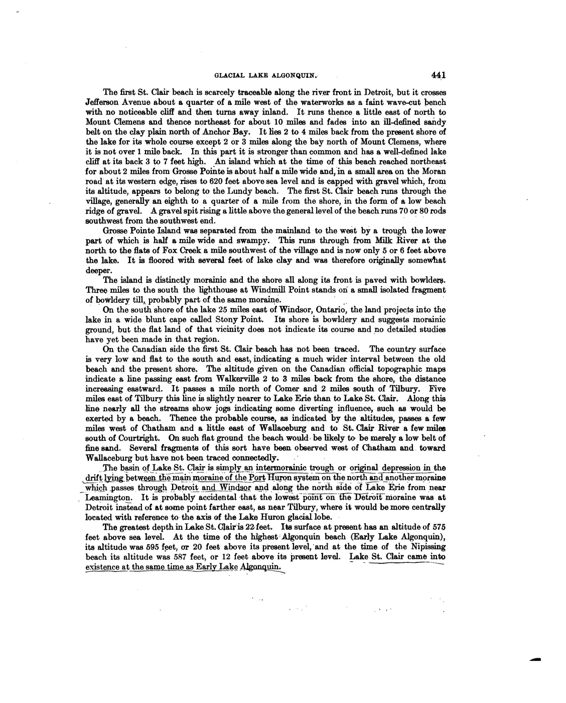
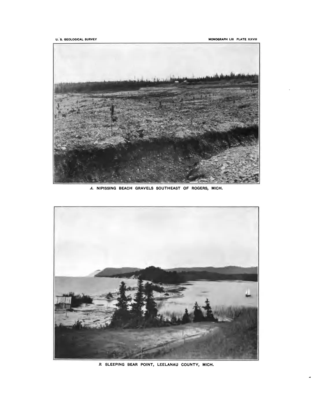
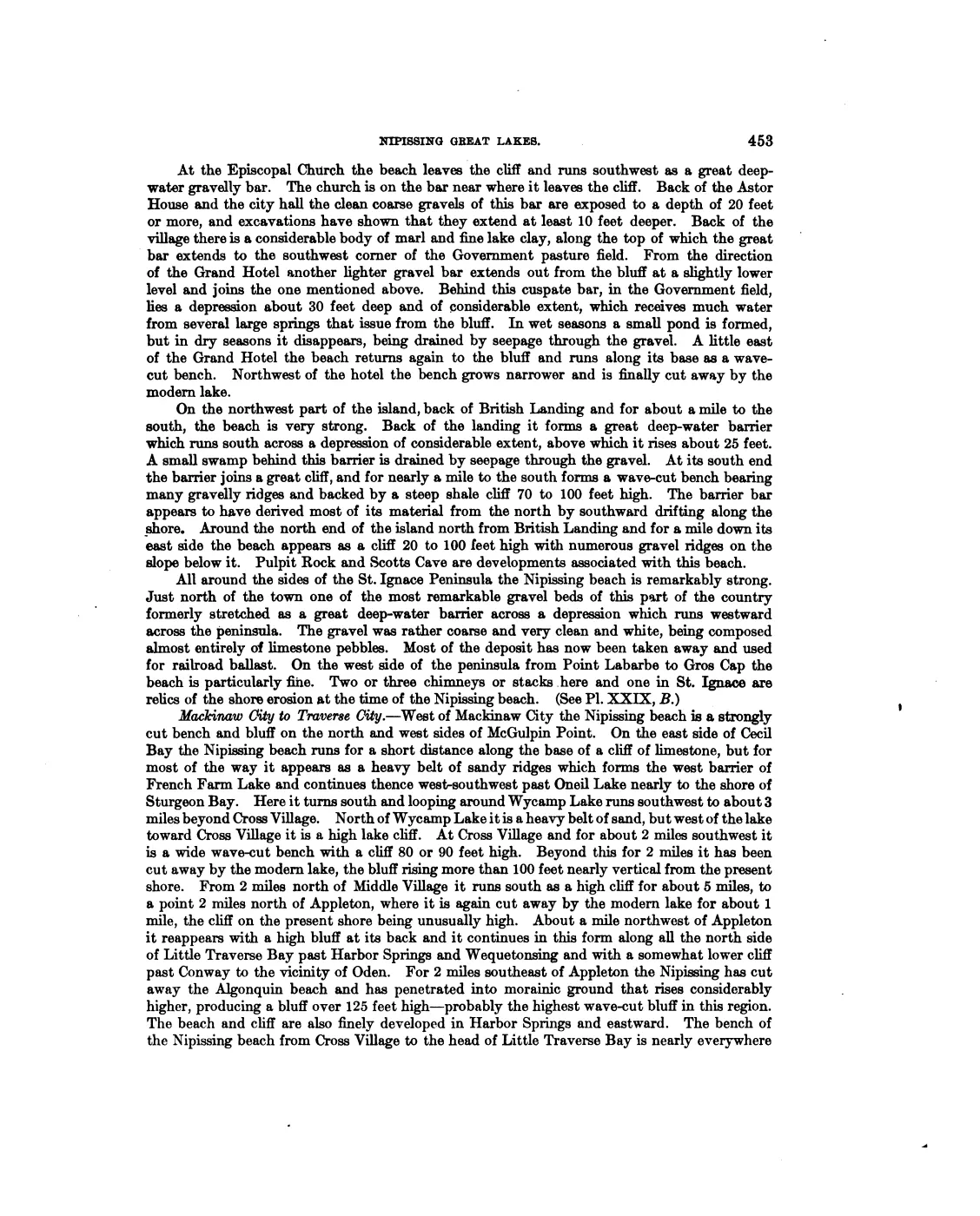
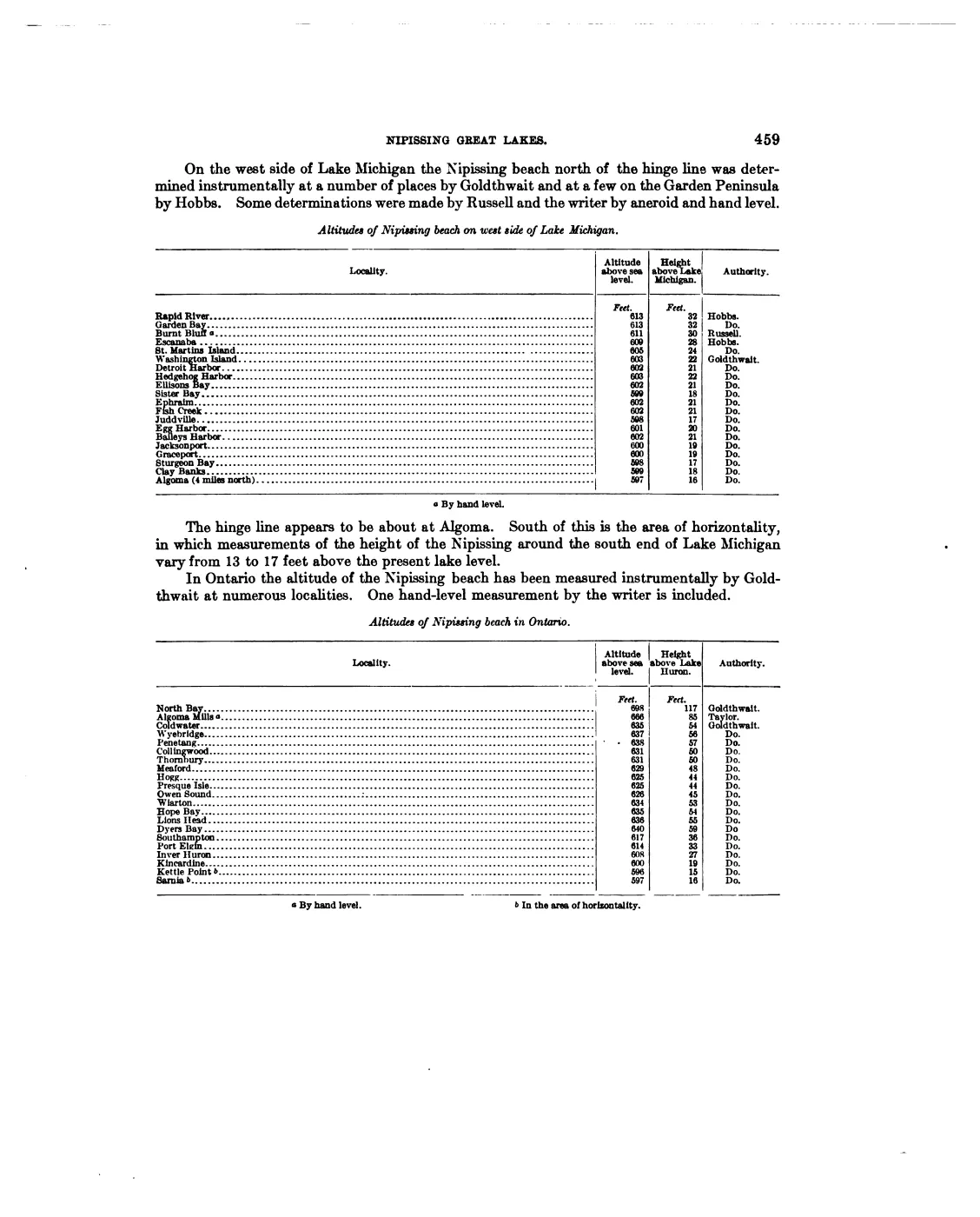
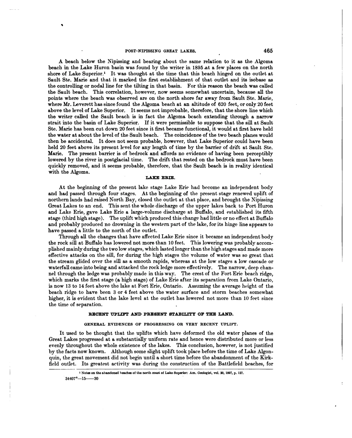
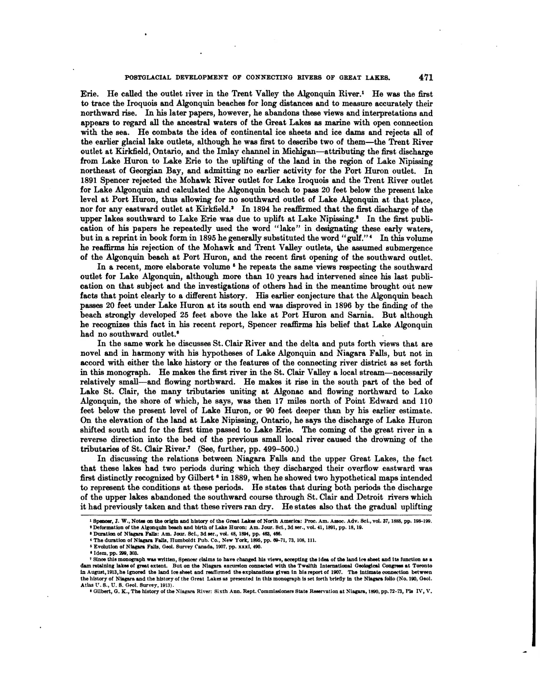
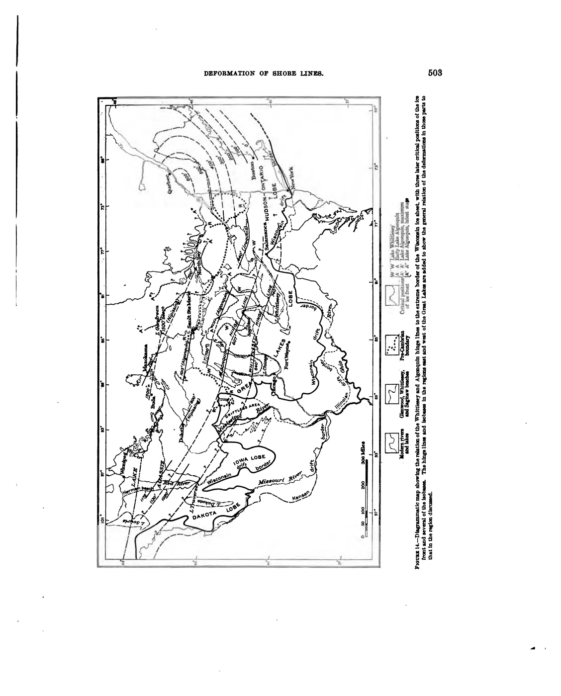
Regional Great Lakes geology provides the interpretive frame. Leverett and Taylor’s 1915 synthesis maps the major ancestral lake shorelines and
isostatic tilt of the basin. Baedke and Thompson’s 1993 northern-basin study shows why a beach-ridge curve must
be tested outside its own study area; Thompson and Argyilan’s 2020 synthesis
explains that beach ridges preserve the elevations of former highstands and
that lake levels fluctuate on both shorter and longer cycles. The collected
EGLE linear layer contains nine features labelled SHORELINE, but neither that
layer nor the regional publications supplies a dated, island-by-island
chronology.
That distinction matters for Beaver Island history. A beach ridge, dune, bluff, or soil series can be evidence of a physical setting; it cannot be assigned to the Nipissing, Algoma, or another lake stage merely because the regional stage exists. The specific ridge, its elevation, and its age still require field or published island evidence.
The visually verified GLO crosswalk adds an early field-observation layer to this physical baseline. It records different materials at survey-line scale: black sand and gravel near a Big Beaver marsh and small lake; the T37N Big Beaver sequence’s wet/third-rate and swamp-excepted ground, broad brooks, and Lake Michigan contacts; sandy/stony third-rate Garden and Hog ground, thin vegetable soils over compact beach-like stone, low parallel ridges, and windfall/fire-disturbed sections; fine sand with vegetable mould and sand drifts windfall/fire-disturbed sections; gravel-and-stone Hat, High, Ojibwa, Trout, Whiskey, and Gull settings with thin vegetable soils and lake-thrown ridges; fine sand with vegetable mould and sand drifts on South Fox; and hard-pan, coarse gravel/pebbles, rocky beach, clay banks, gravel beach, and nearly bare lime pebbles on North Fox. Those observations help explain the range of settings represented in later soil and geology maps, but they do not replace the modern map layers or establish deposit age.
Mapped dune comparison across the archipelago
The newer EGLE mapped-dune reports make the Fox Islands visible in the same landform conversation as the surveyed Beaver-group islands. They are not a single geomorphic class: each report describes a different combination of dune height, shoreline energy, forest stabilization, wetland depression, or bluff failure.
| Island and mapped complex | Source-bounded landform evidence |
|---|---|
| North Fox, MDC 76–77 | A 105.4-acre southwestern parabolic-dune system reaches 153.2 feet in maximum dune height; the smaller western offshoot is separated from MDC 76 by flat terrain. The report describes foredune, blowouts, moving sand, abrasion, and a 10–30-foot sand-and-gravel beach buffer. |
| South Fox, MDC 75 | The 3,430-acre complex encompasses the entire island and reaches 365.9 feet, with 11.6 miles of shore. It combines high west-facing perched and parabolic dunes, lower eastern dunes and beach ridges, perched dunes, clay bluffs, blowouts, ghost forests, seepage, landslides, and interdunal depressions. |
| Hog, MDC 101 | The 69.5-acre northwest complex is low relief, reaching 22.6 feet, and contains wooded dune-and-swale terrain, Great Lakes marsh, a low foredune, and limestone cobble shore. Water-level fluctuation, storm waves, and ice shear continually rework the shore. |
These reports add process descriptions rather than merely more polygons. North Fox and South Fox show how large dune systems can support old forest, open sand, beach, and wetland transitions; Hog shows a smaller, lower-relief system where calcareous cobble and mature coastal forest meet. The mapped-dune health scores and representative occurrence points are report products, not a complete archipelago dune inventory or a substitute for field geomorphology.
Connections to human history
The geology constrains the island’s documented history. Lacustrine and dune deposits help explain the island’s beaches, wetlands, and agricultural limits, and the forest and lumbering article depends on the reconstructed soils and land cover. Reefs, shoals, and shorelines shaped both fishing grounds and navigation. These are relationships of setting and constraint; the collected map layers alone do not explain settlement or economic change.
The Outer-island and legacy ecology evidence index gives the mapped landforms a corresponding ecological record: North Fox’s parabolic dunes and beach, South Fox’s perched dunes, bluffs, seepage, and interdunal depressions, and Hog’s low wooded dune/swale and limestone-cobble shore. It preserves these as source descriptions connected to geology, forests, wetlands, and wildlife, not as new geomorphic boundaries.
Open questions
- Which mapped beach ridges and dune complexes correspond to named places such as Donegal Bay, Martins Bluff, and Beaver Island Public Beach?
- Can elevations, cores, or published dates connect any Beaver Island ridge to a specific Lake Michigan highstand?
- Which bedrock units are exposed at the shore, and which are covered by Quaternary deposits?
- What island-specific field studies, soil profiles, or tribal and archaeological sources can be cited without disclosing protected cultural-site locations?
The outer-island ecology index is the current cross-source starting point for that work; its representative points and mapped-dune descriptions remain explicitly non-boundary evidence.
See also
- Beaver Island
- High Island
- North Fox Island
- South Fox Island
- Wetlands, inland waters, and hydrology
- Forest types and tree history
- Shipping and navigation
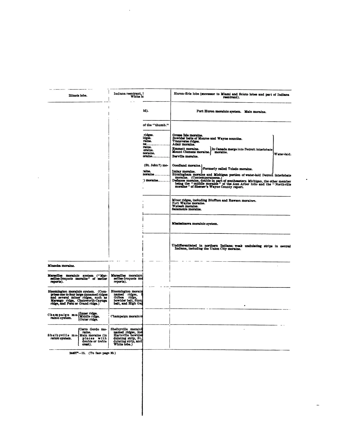
- The Pleistocene of Indiana and Michigan and the history of the Great Lakes, 1915
- Late Holocene lake-level variation in northern Lake Michigan, 1993
Footnotes
-
Michigan EGLE, Michigan Quaternary geology polygons (25 polygons in the retrieved extract, labelled Lacustrine sand and gravel, Dune sand and Coarse-textured glacial till), intersected with the OpenStreetMap island polygons of the Beaver group and measured in EPSG:3078. ↩
-
Michigan EGLE, Michigan bedrock geology polygons; the extract held here carries 13 polygons under four formation names. ↩
-
Michigan EGLE / Michigan Background Soil Survey, glacial landsystems; the extract held here carries one polygon for each of the four classes named. ↩
-
Michigan EGLE, Michigan Critical Dune Areas. All six polygons in the retrieved extract carry the dune type Barrier dunes; the four that intersect the Beaver-group islands measure 1,641.7 acres after clipping in EPSG:3078. ↩
Read the document
200 pages, rendered from the held scan.
Jump to a page — 200 in all

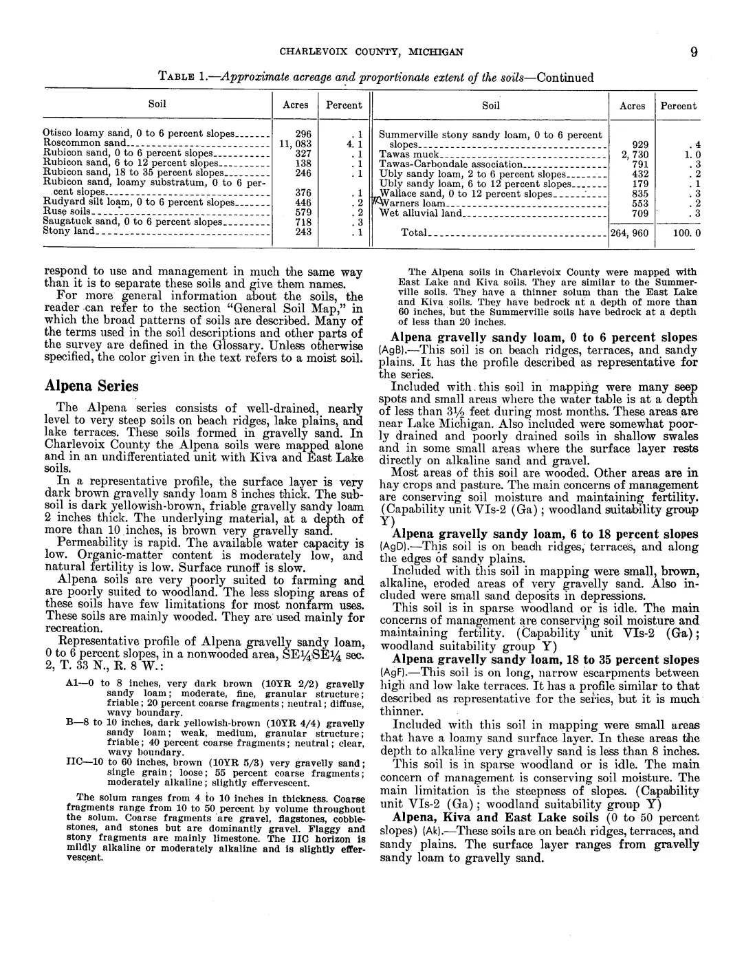
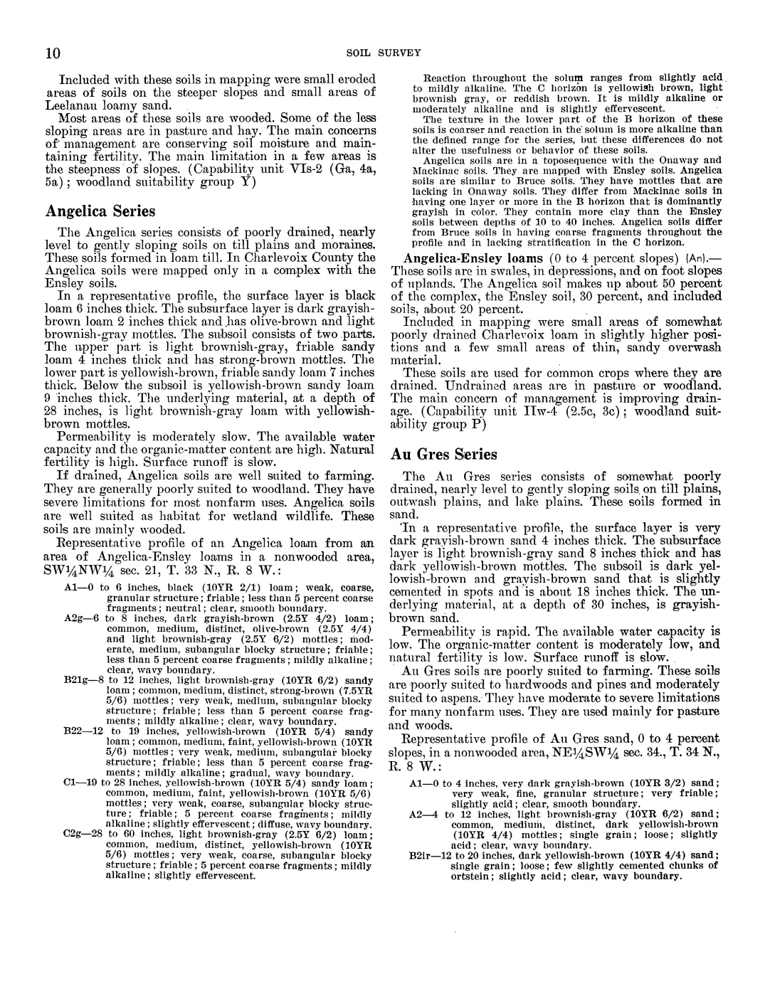
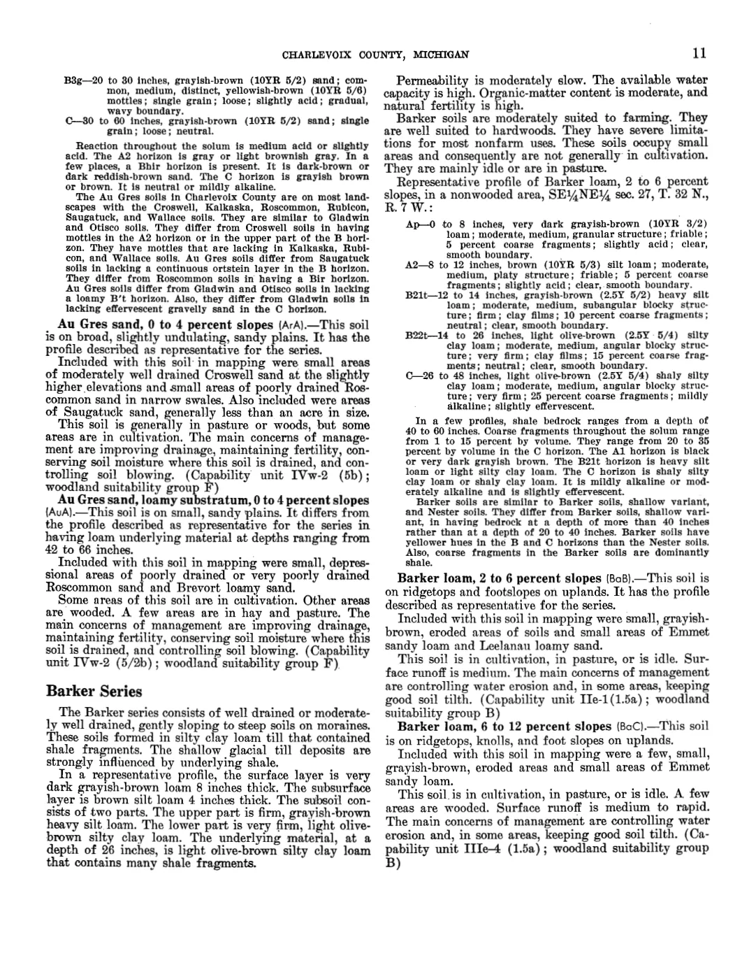
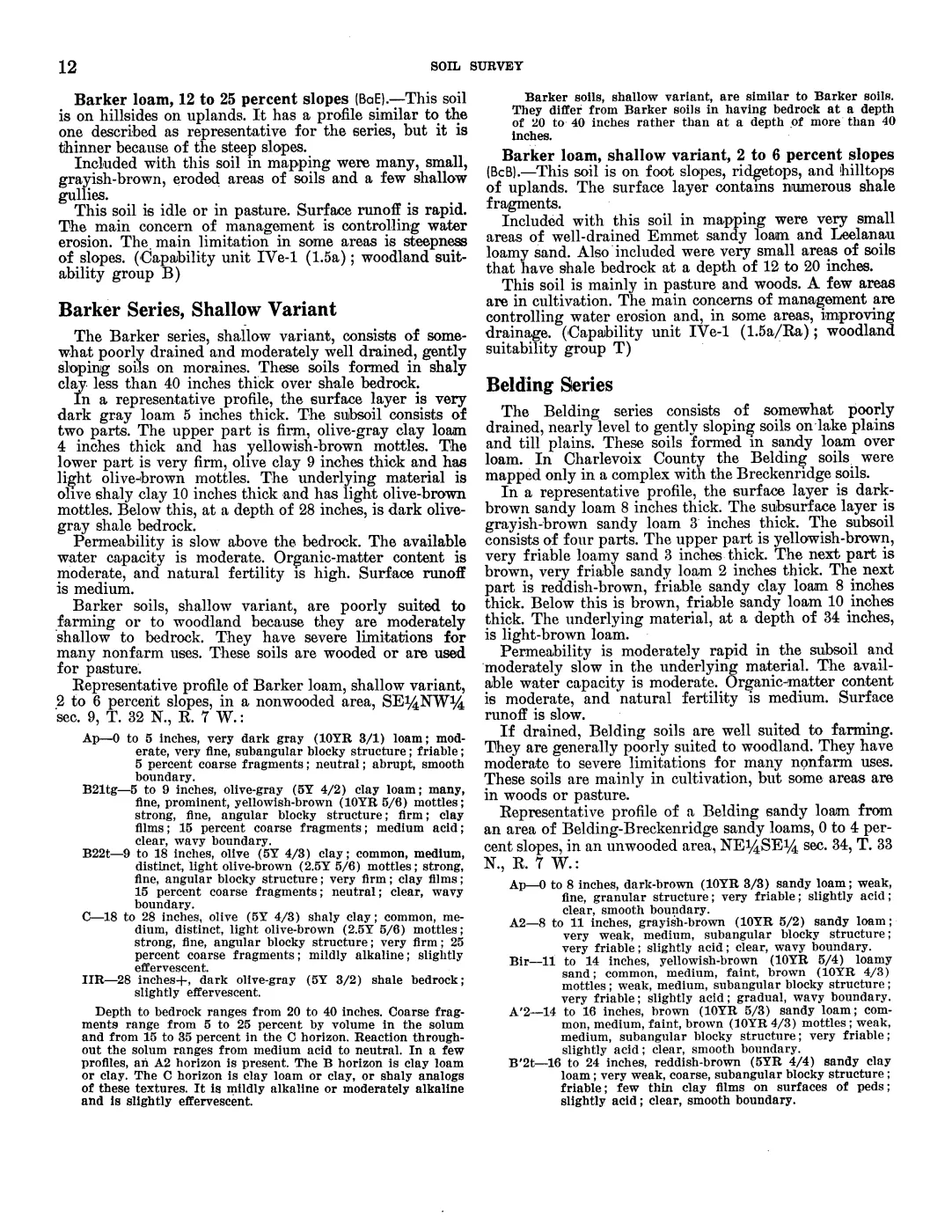
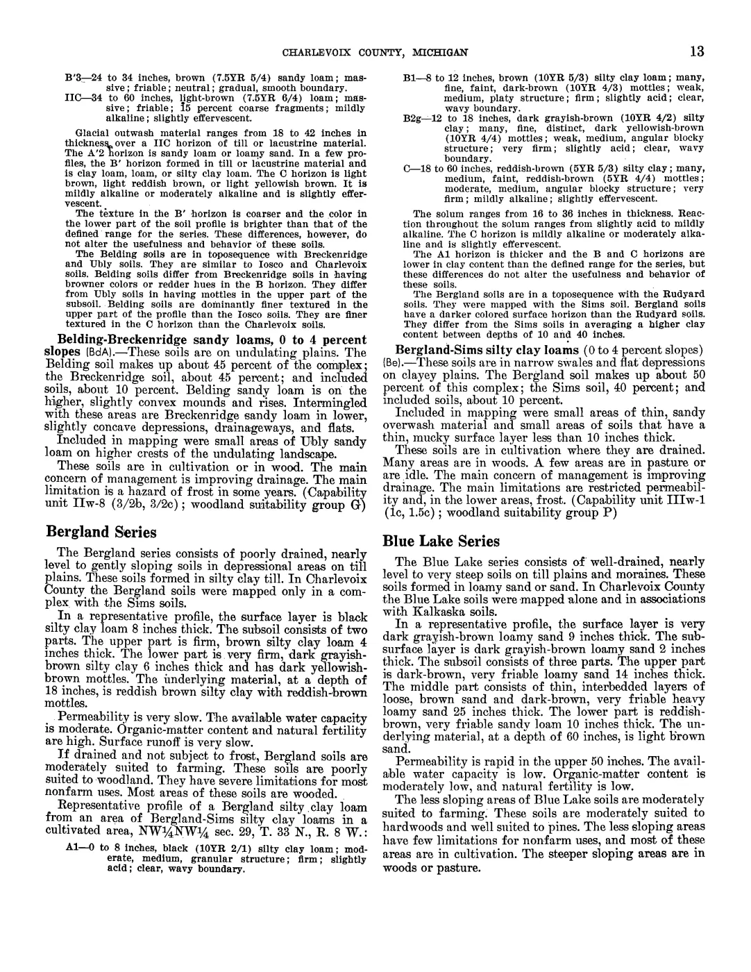
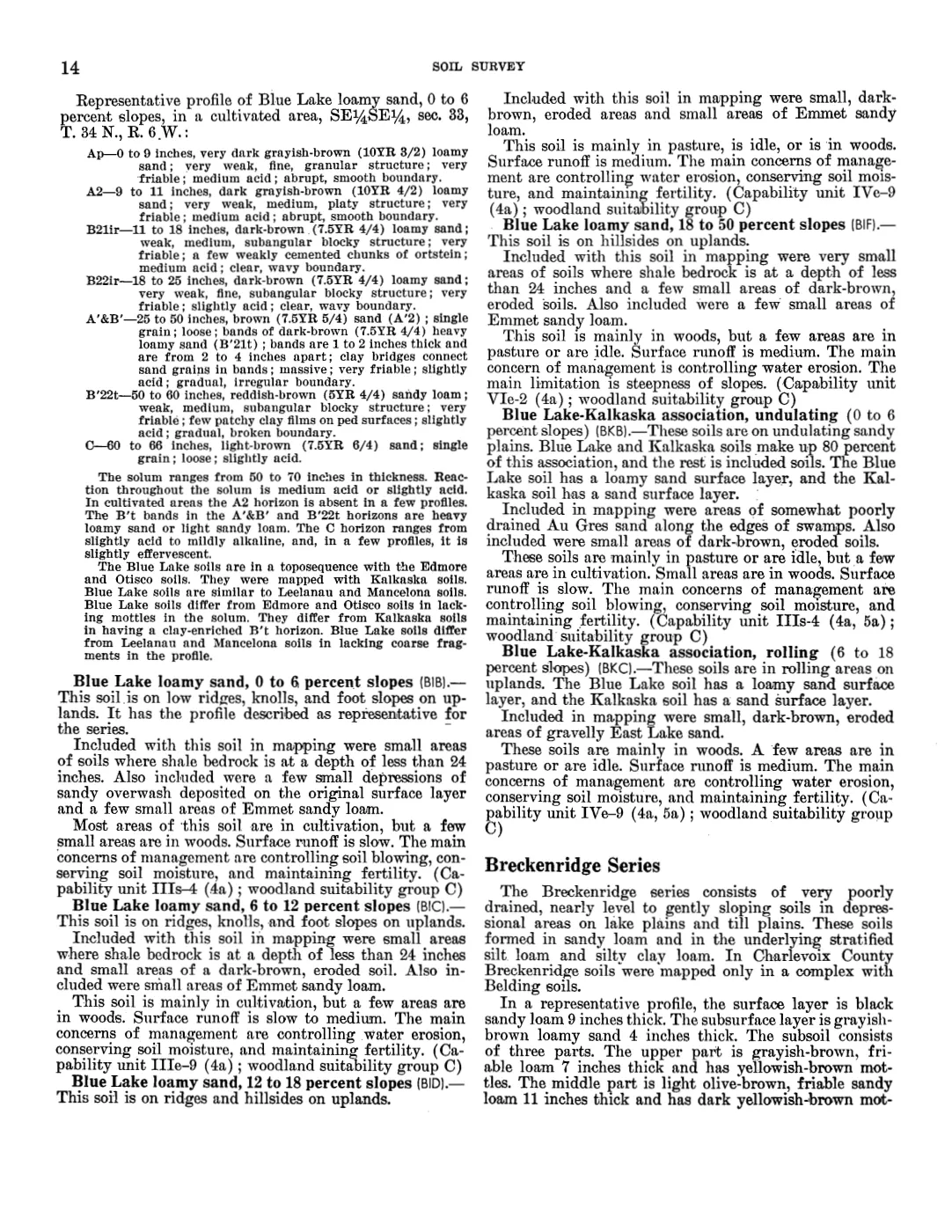
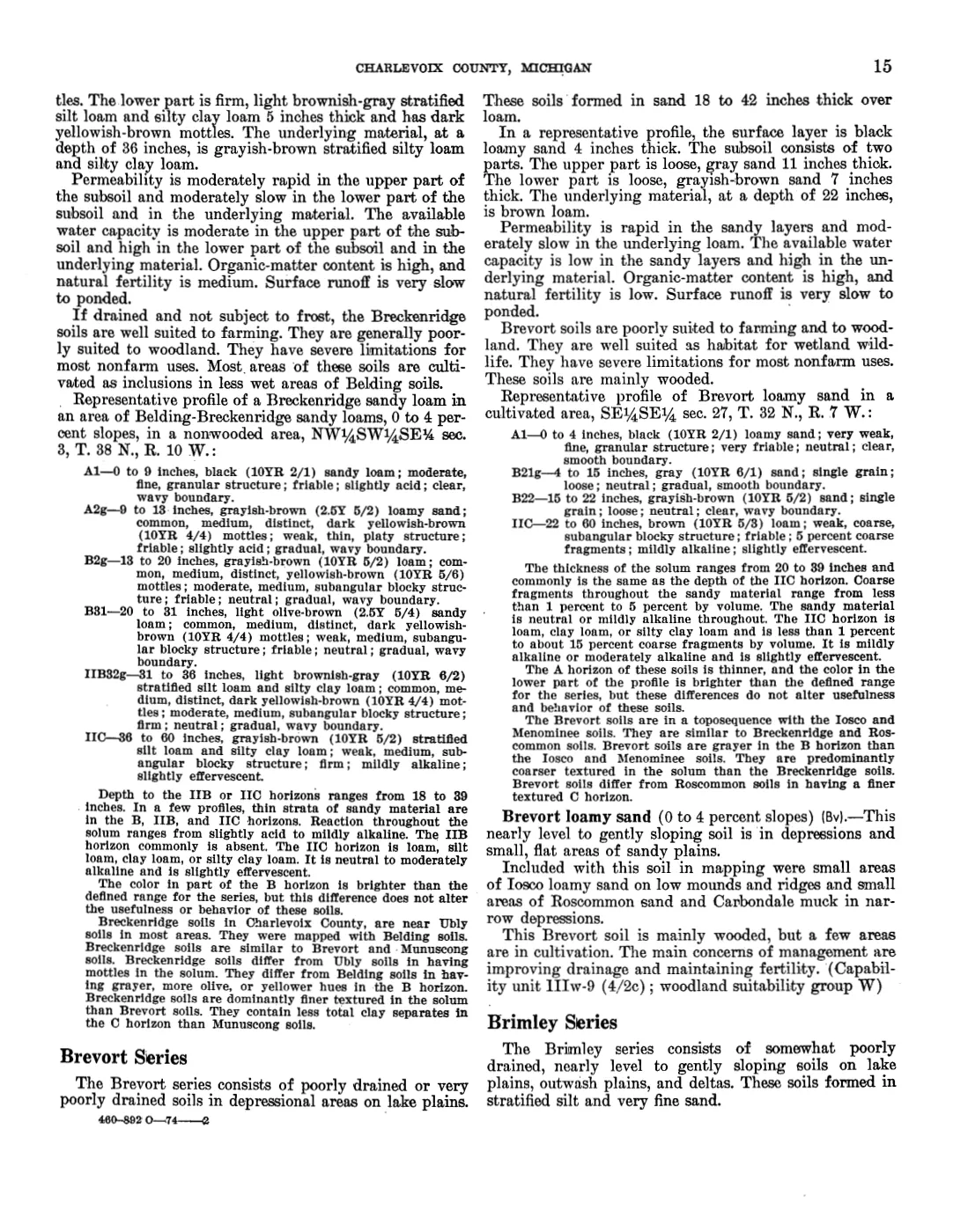
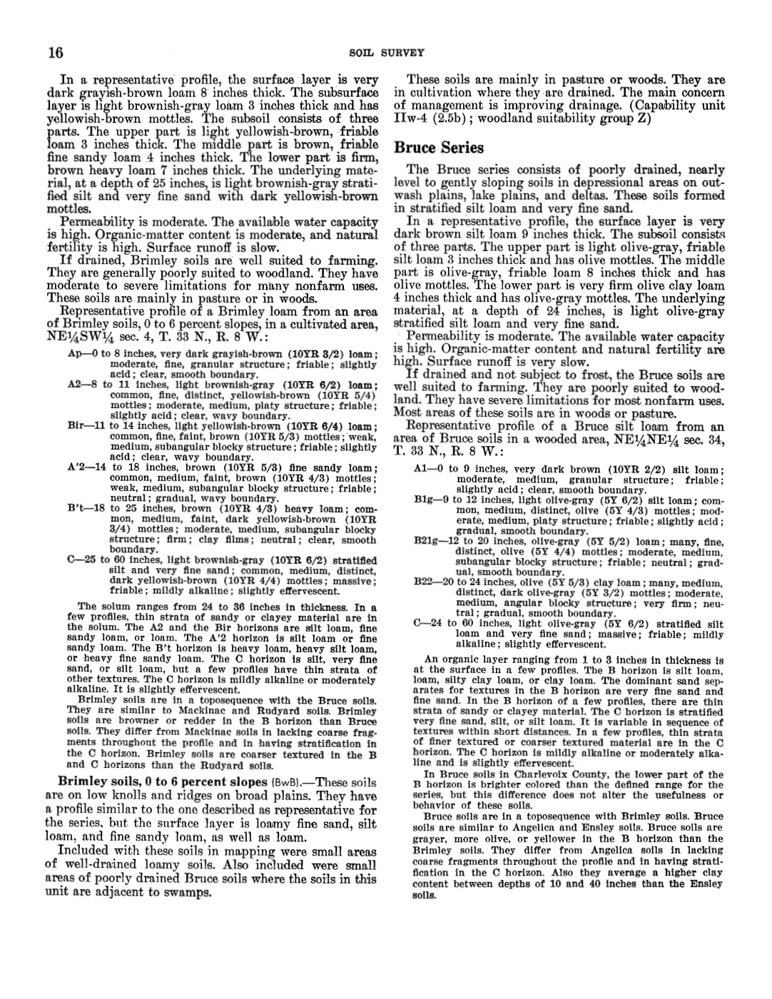
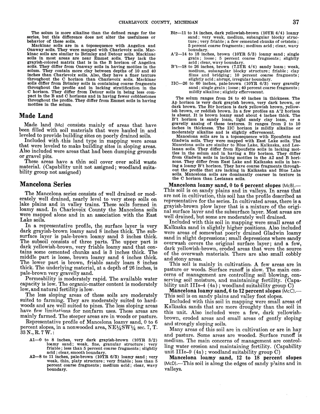
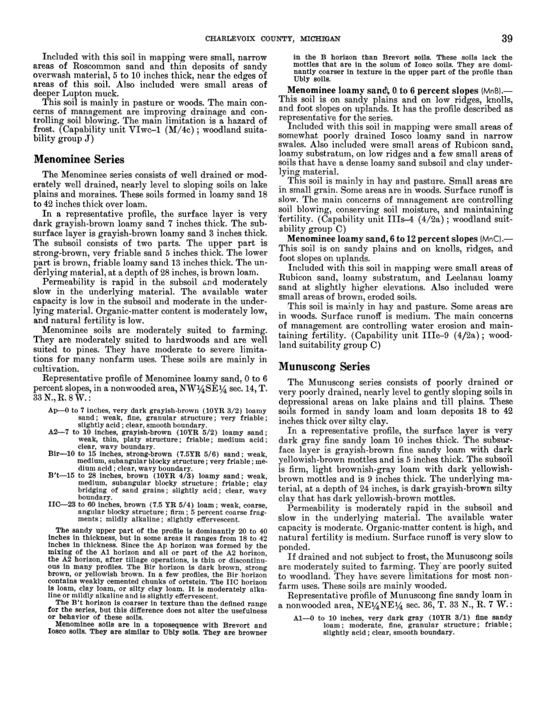
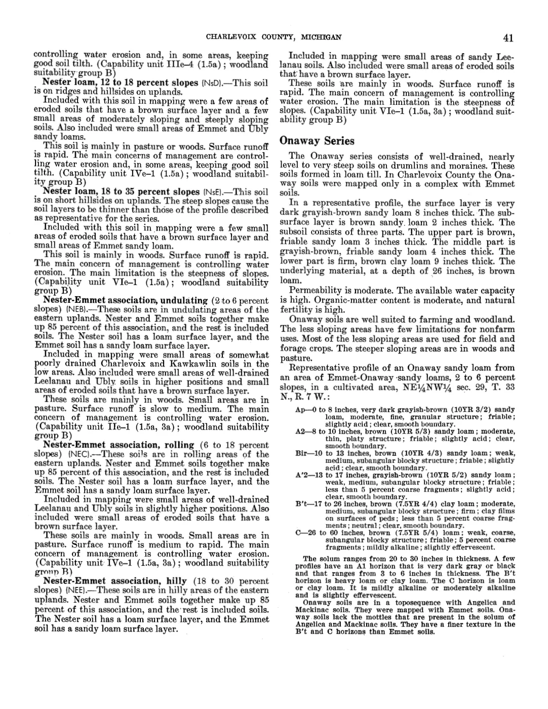
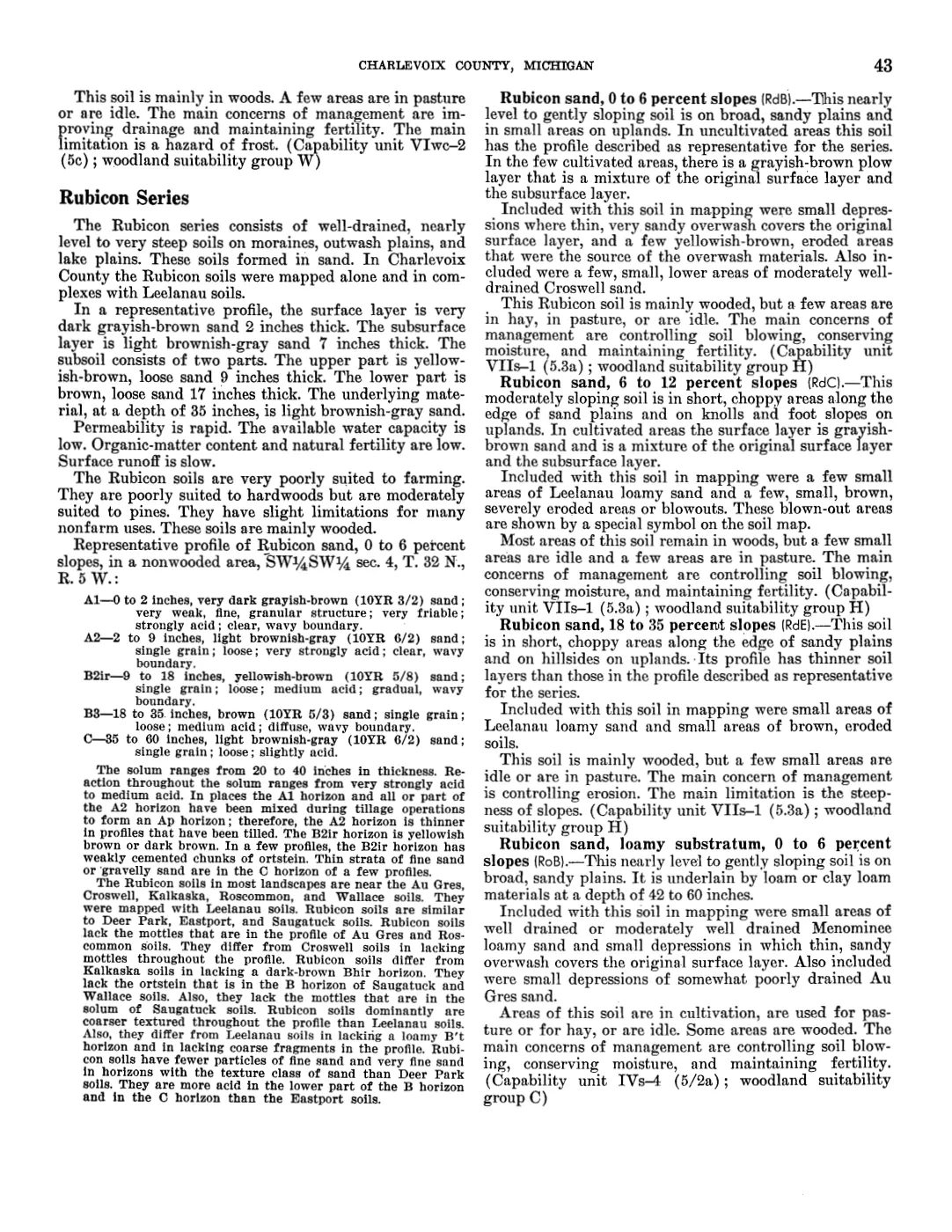
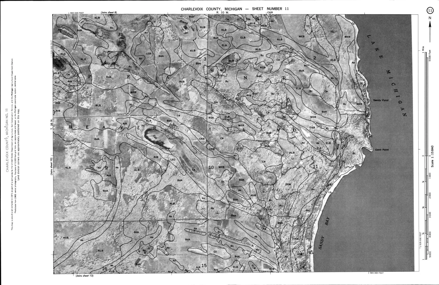
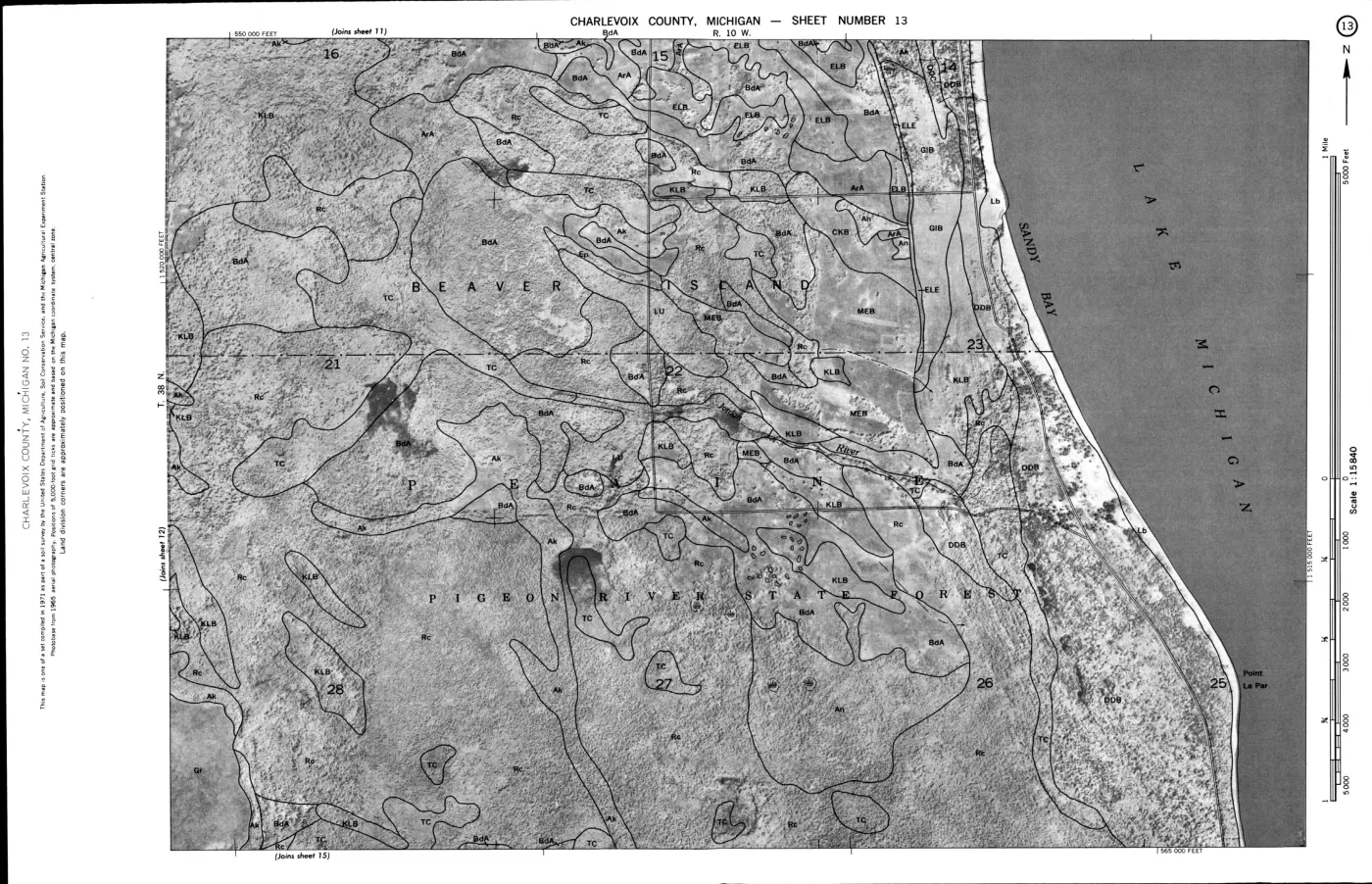
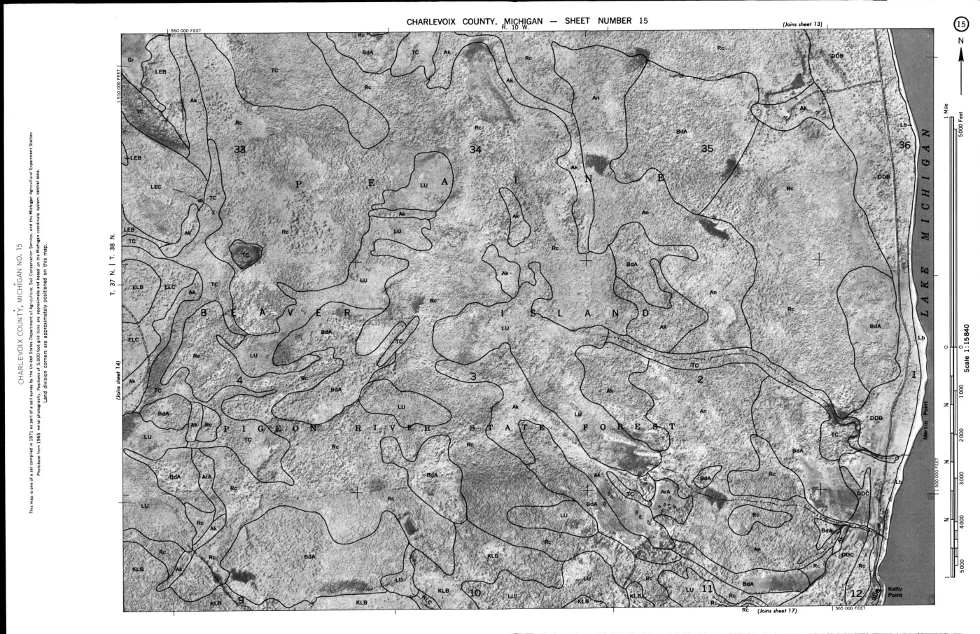
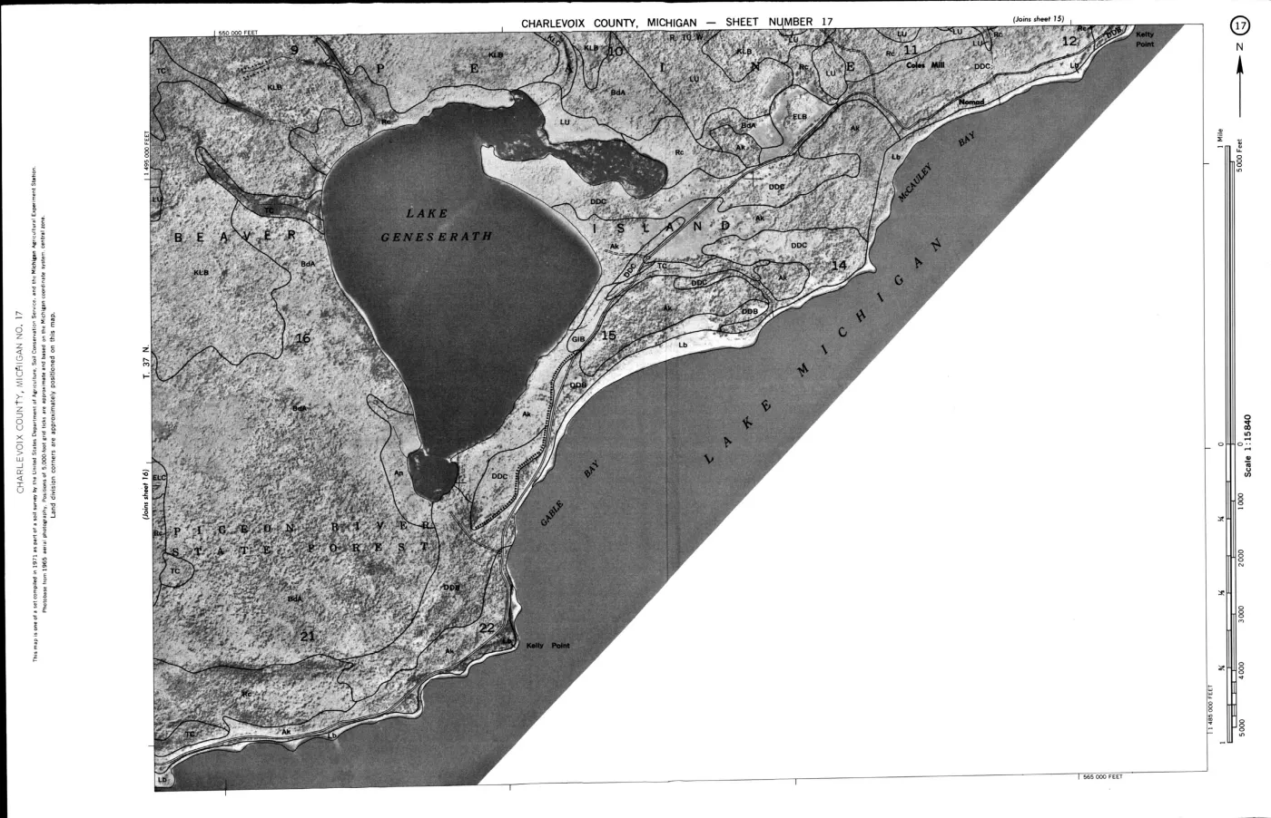
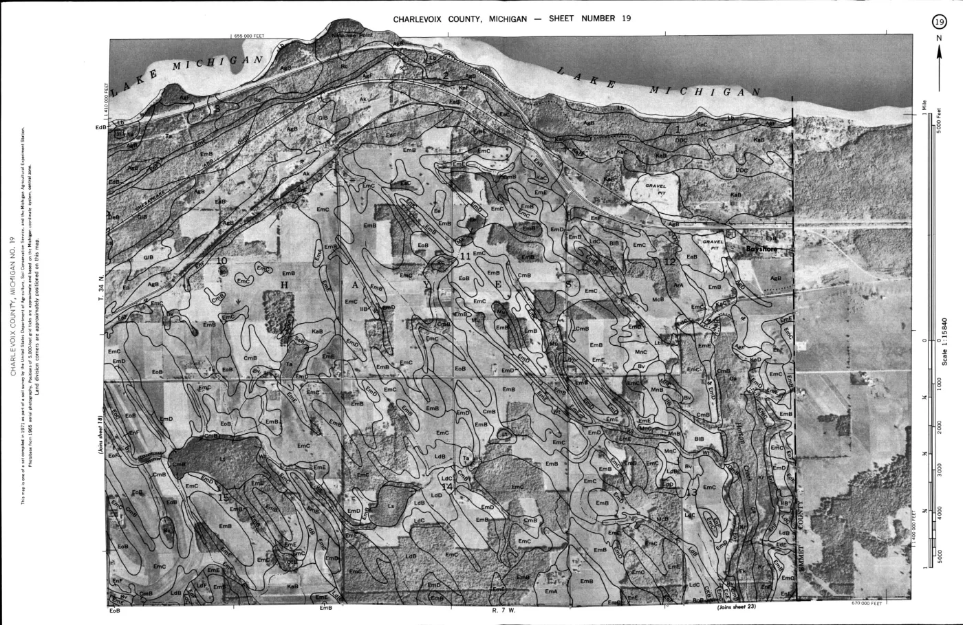
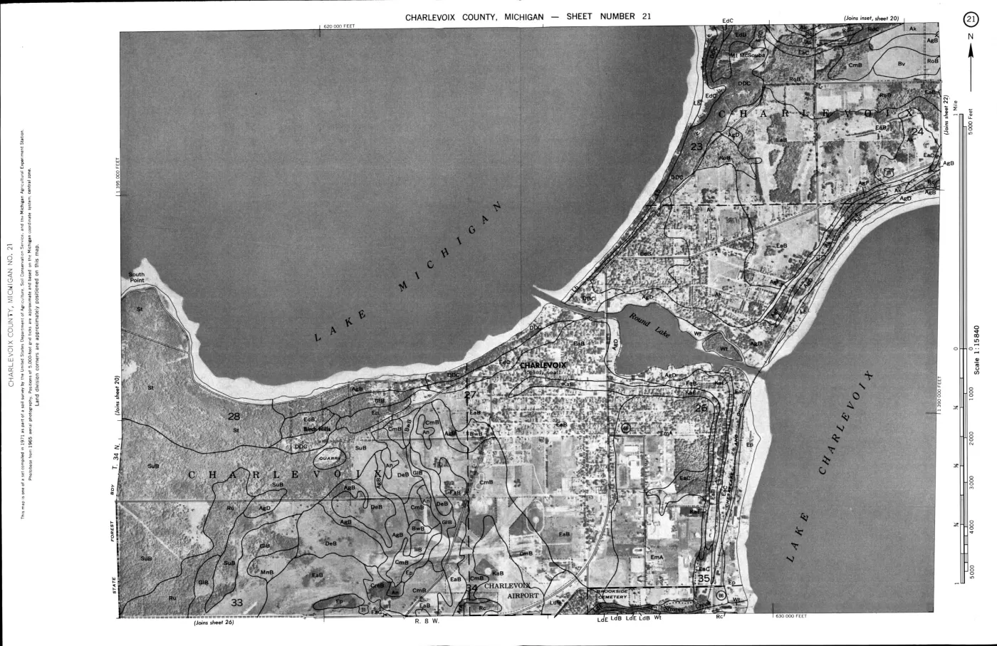
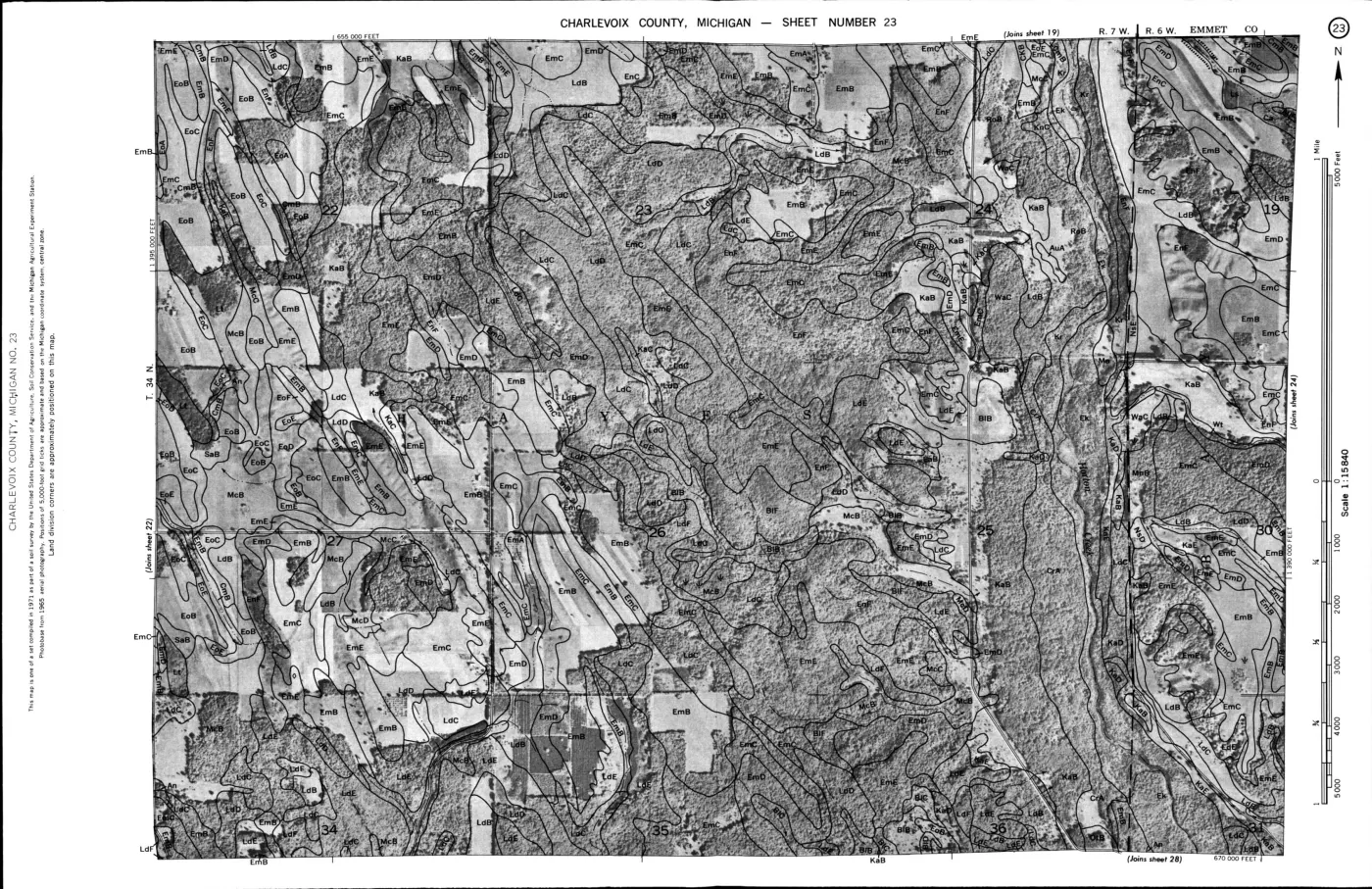
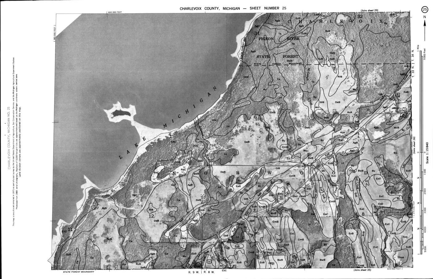
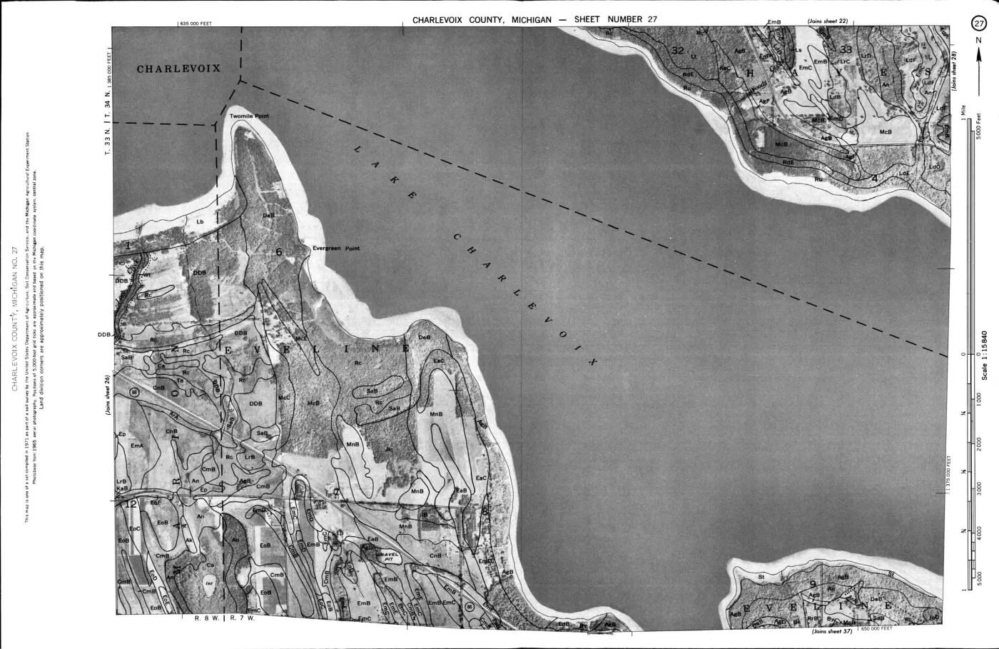
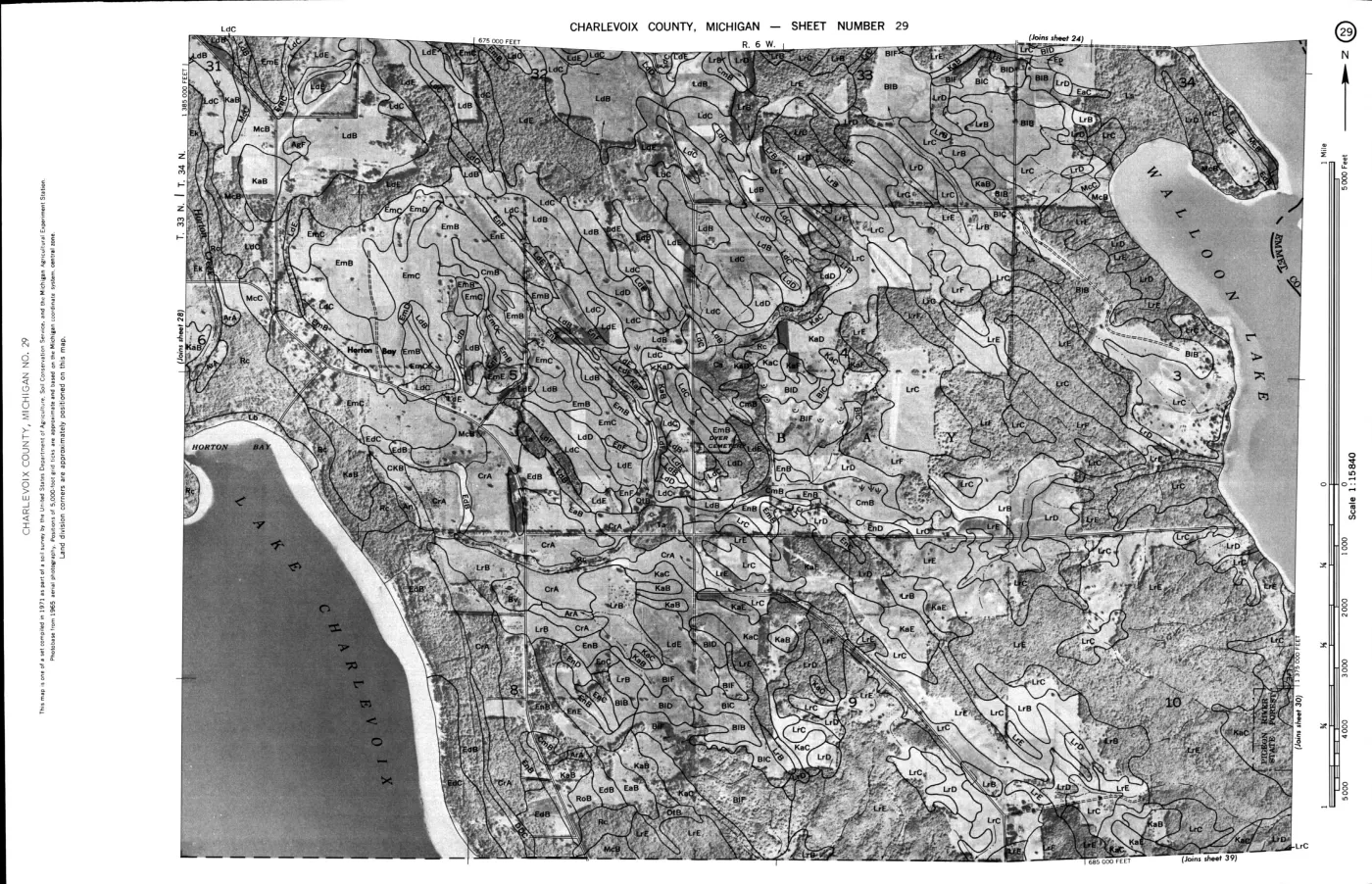
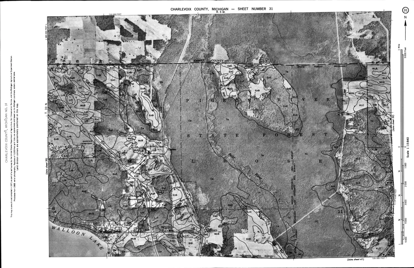
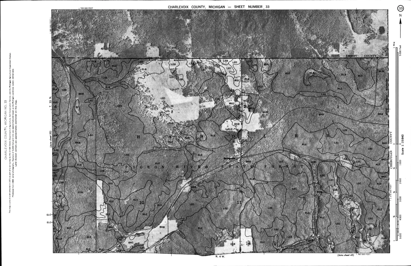
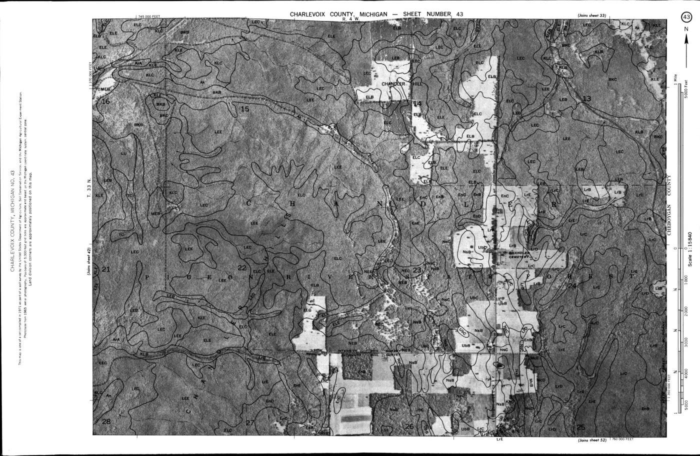
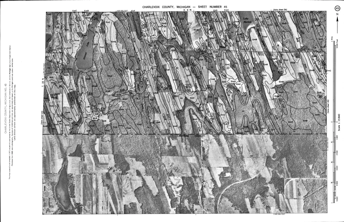
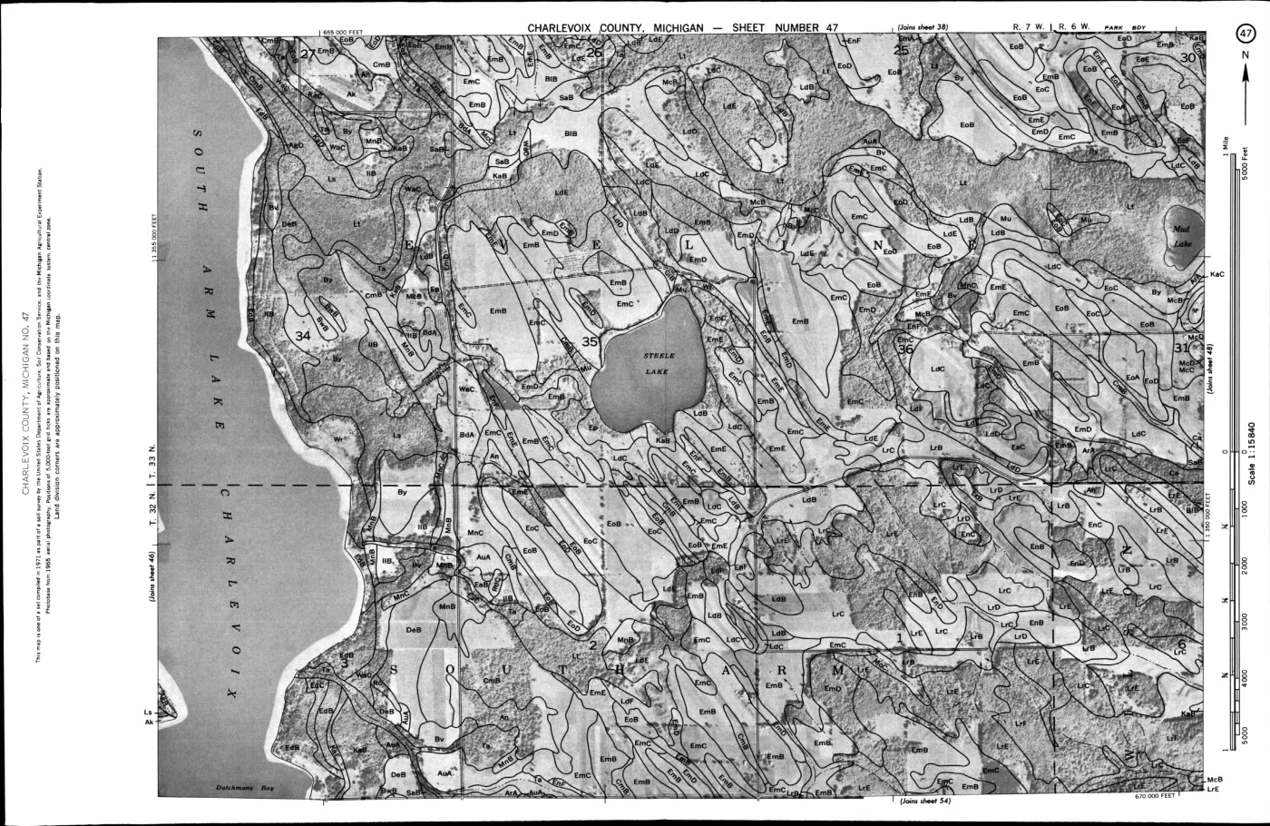
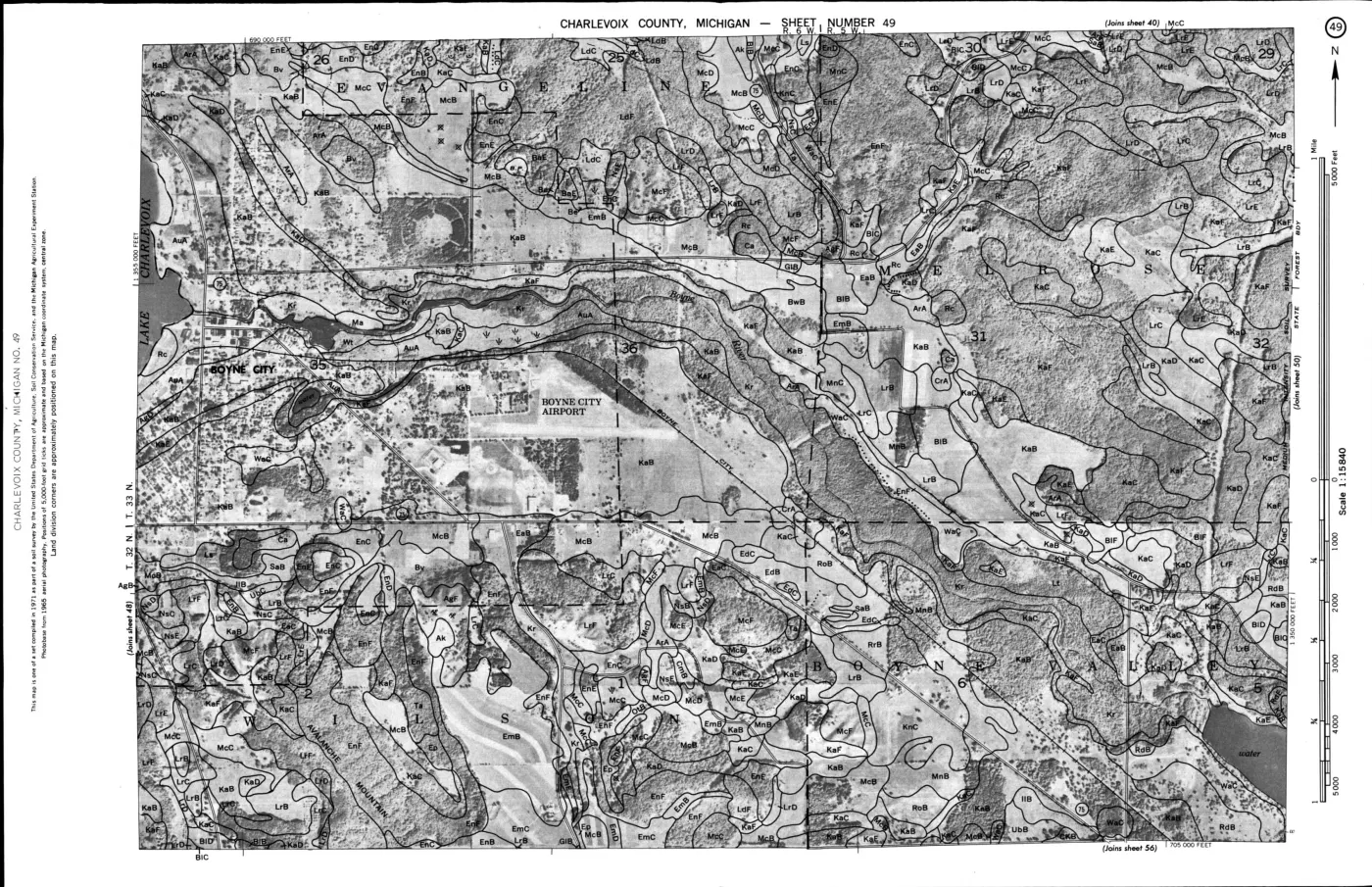
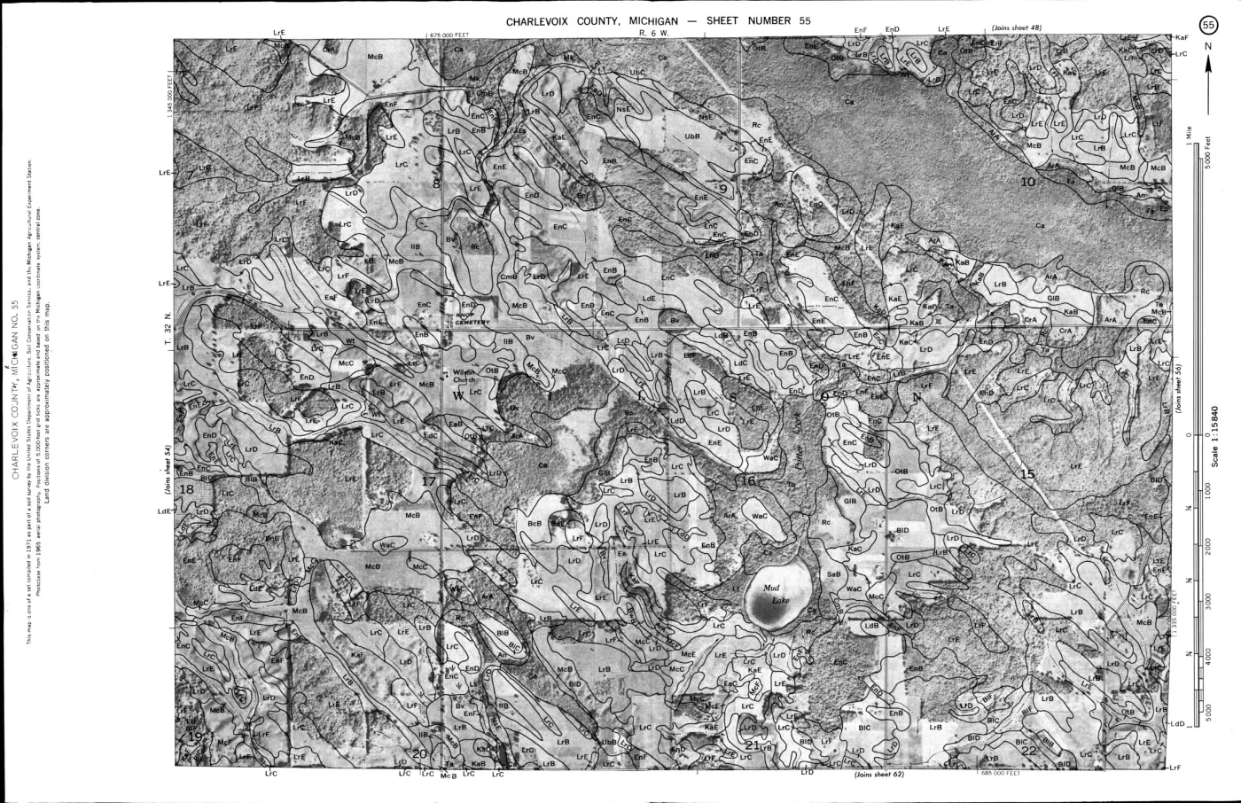
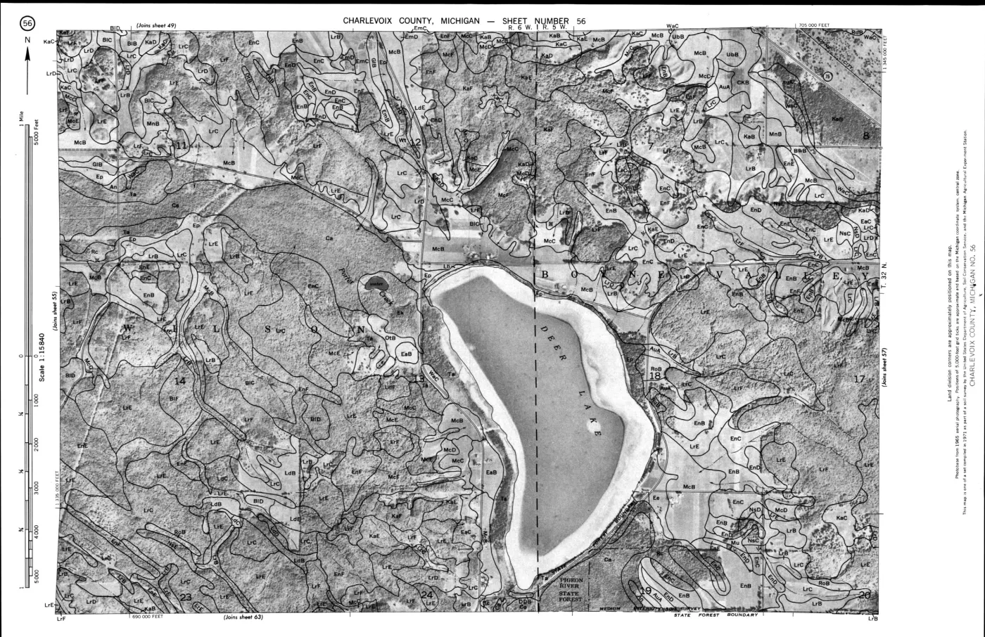
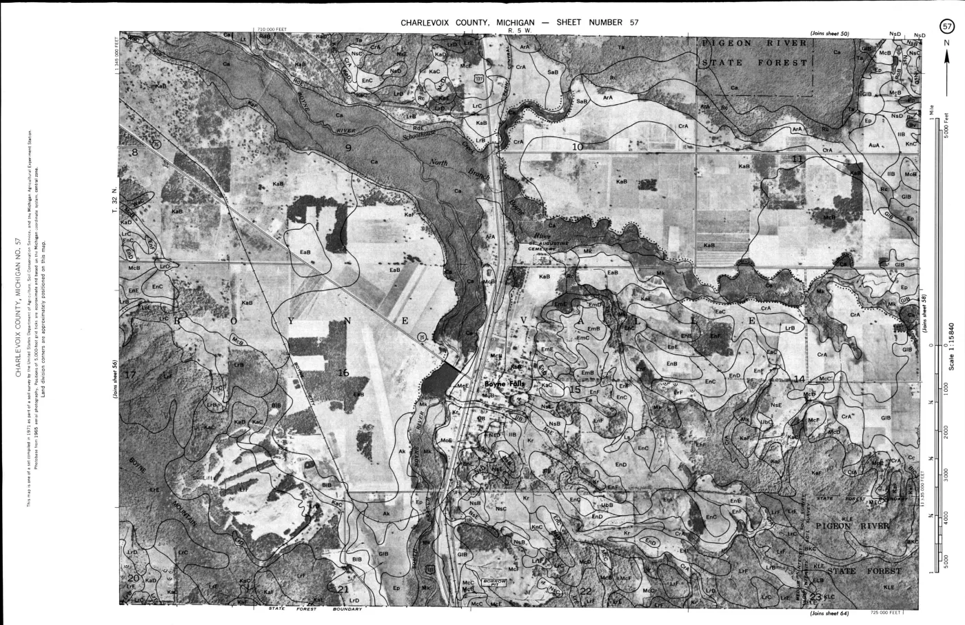
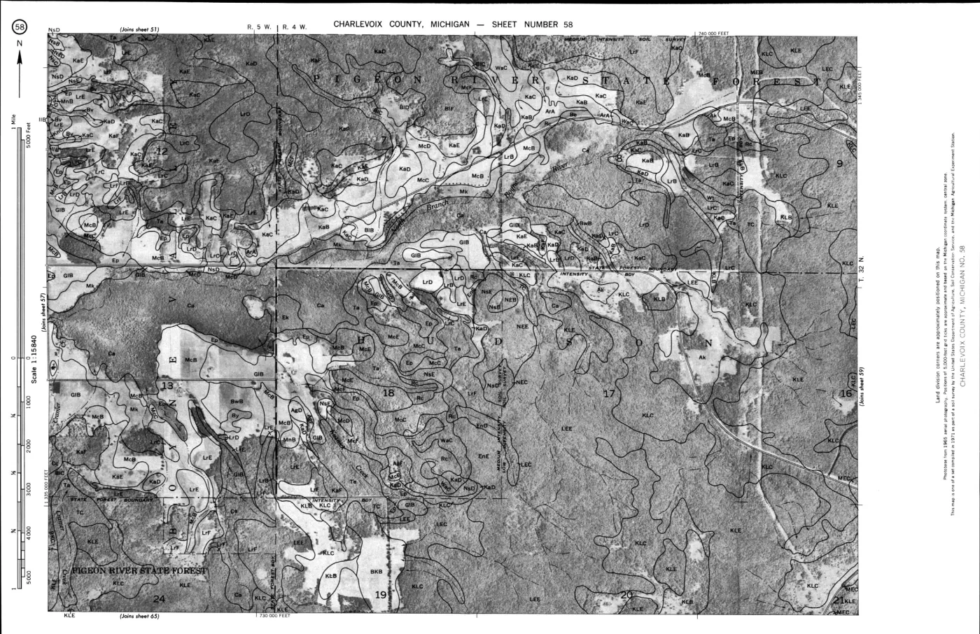
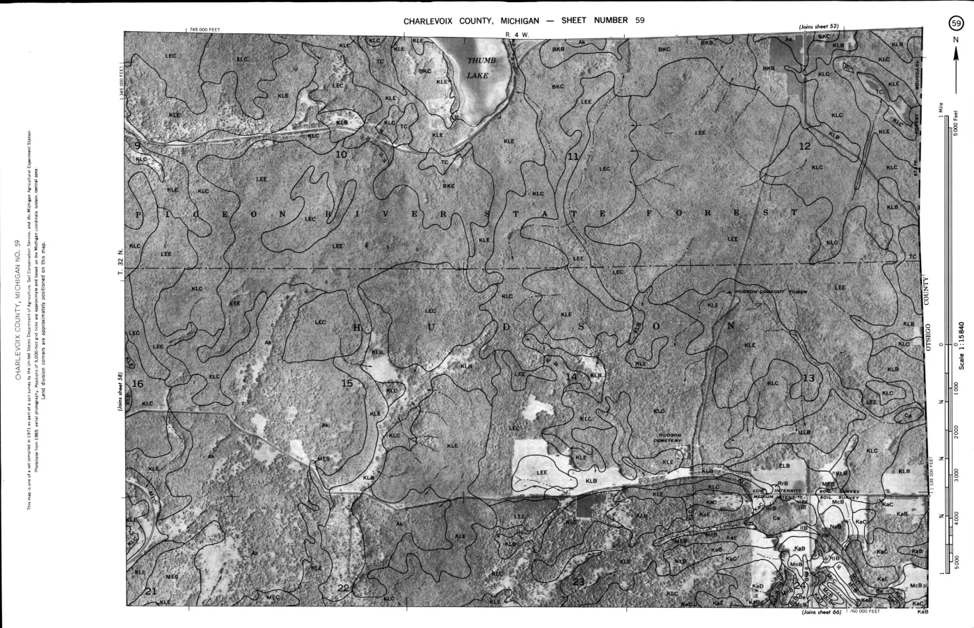
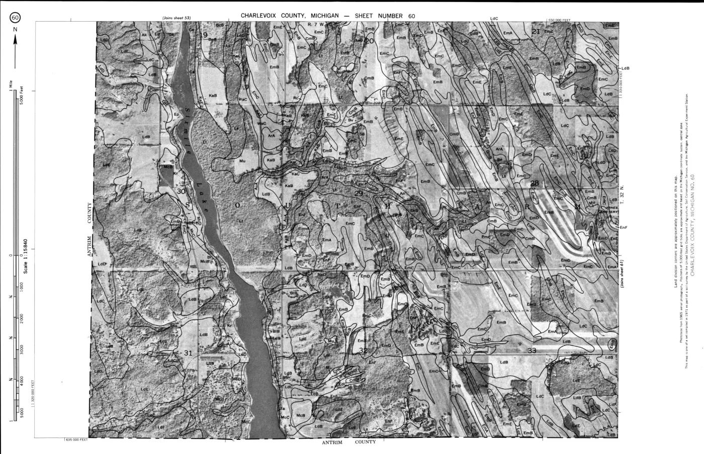
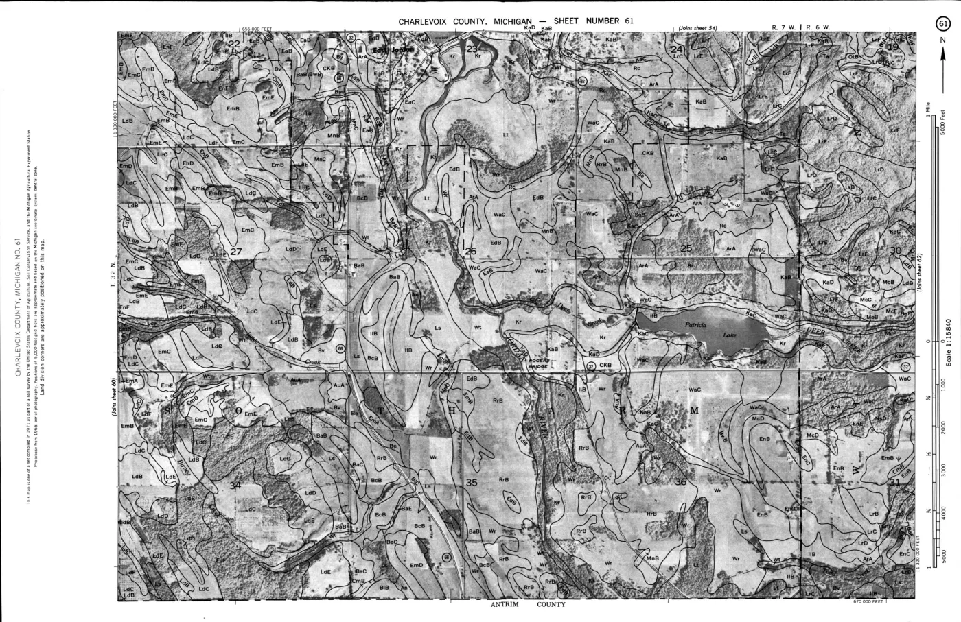
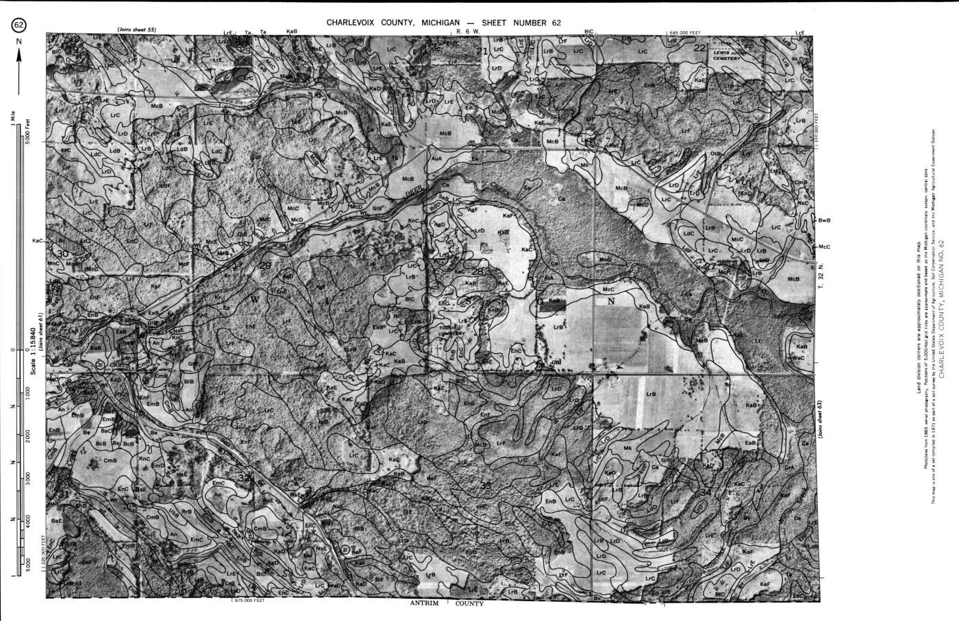
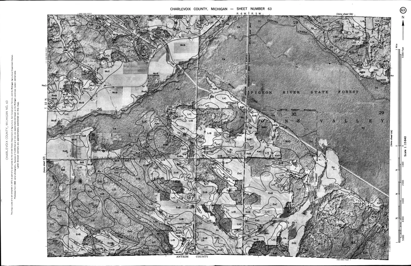
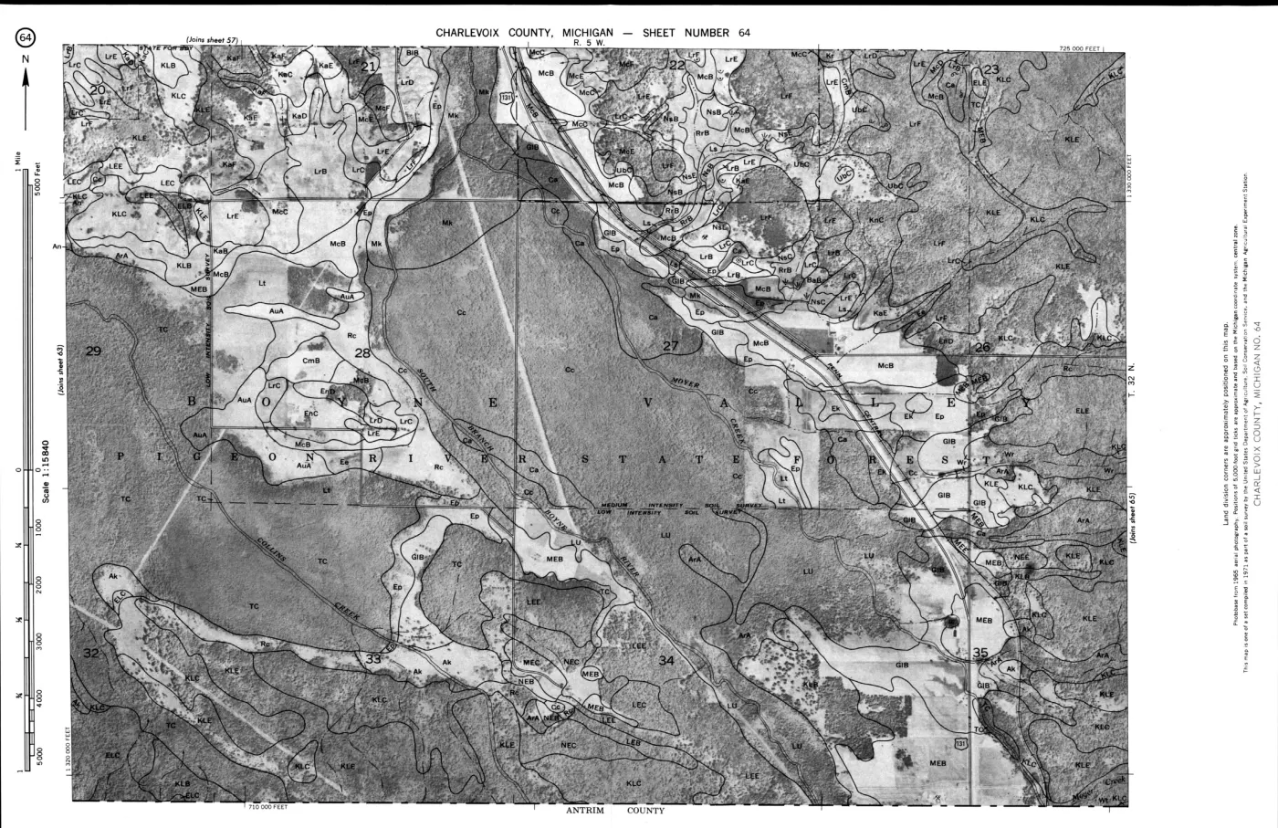
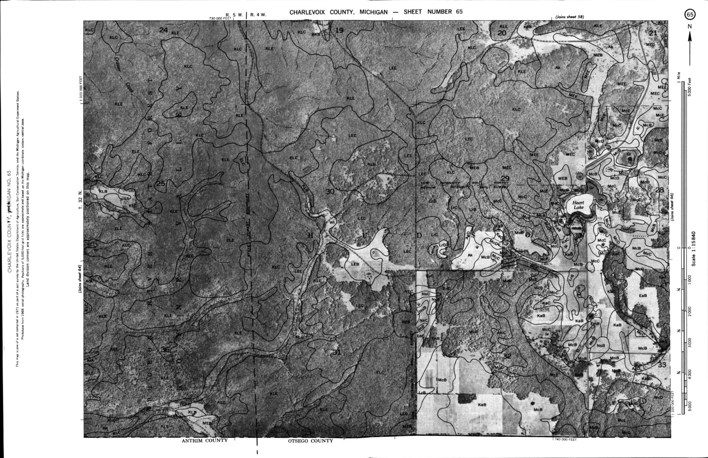
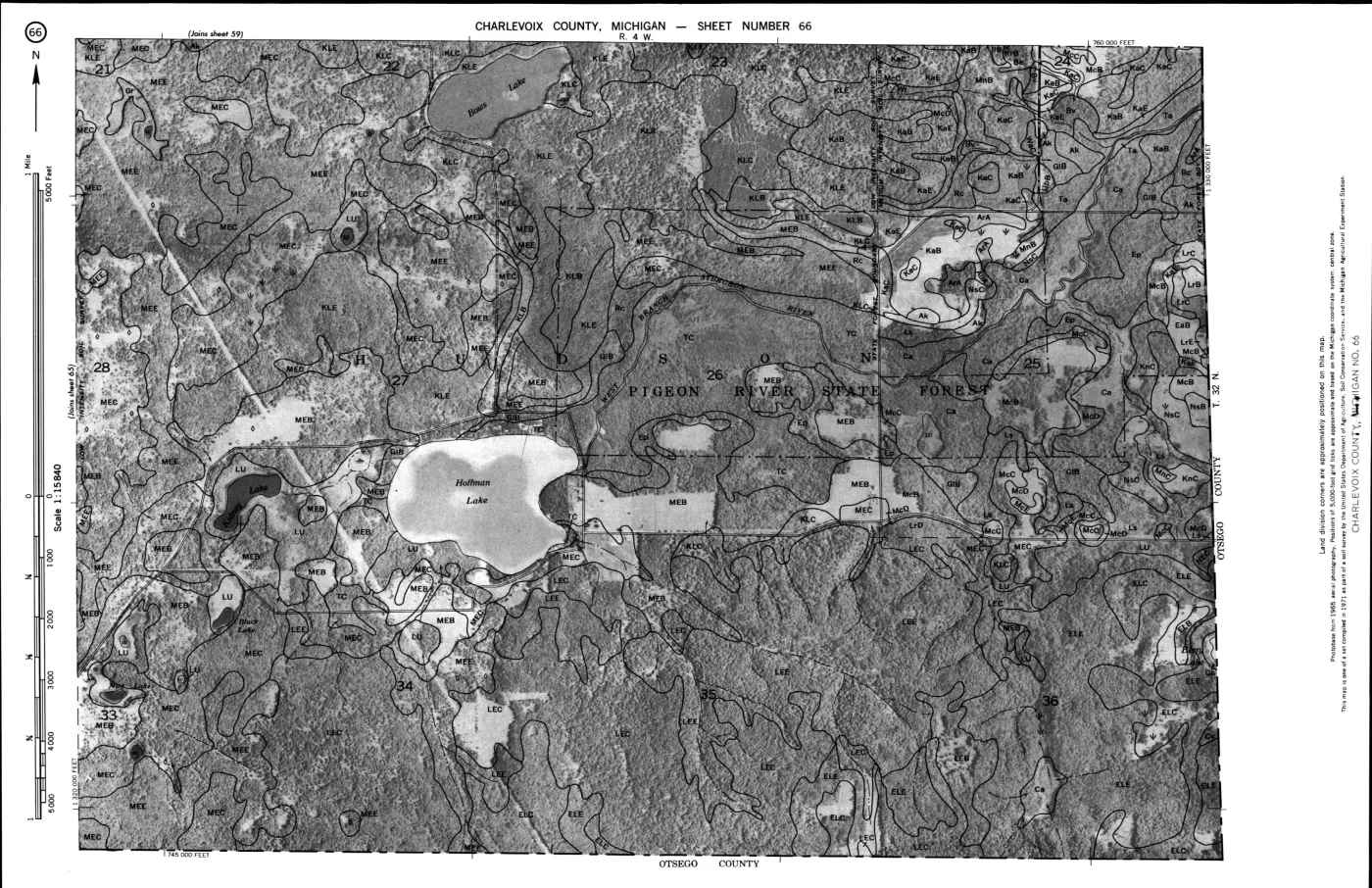
124 of 200 pages linked here — every page to 32, then every 2th, then the last 16. With JavaScript, every page.
Read the document
587 pages, rendered from the held scan.
Jump to a page — 587 in all





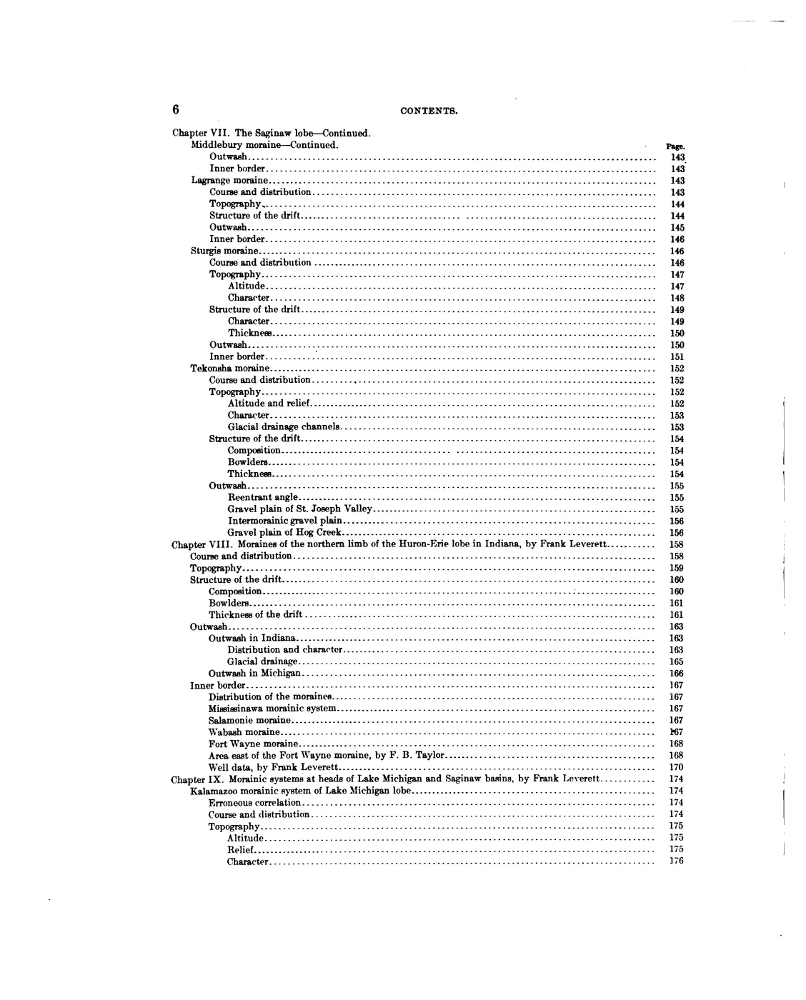
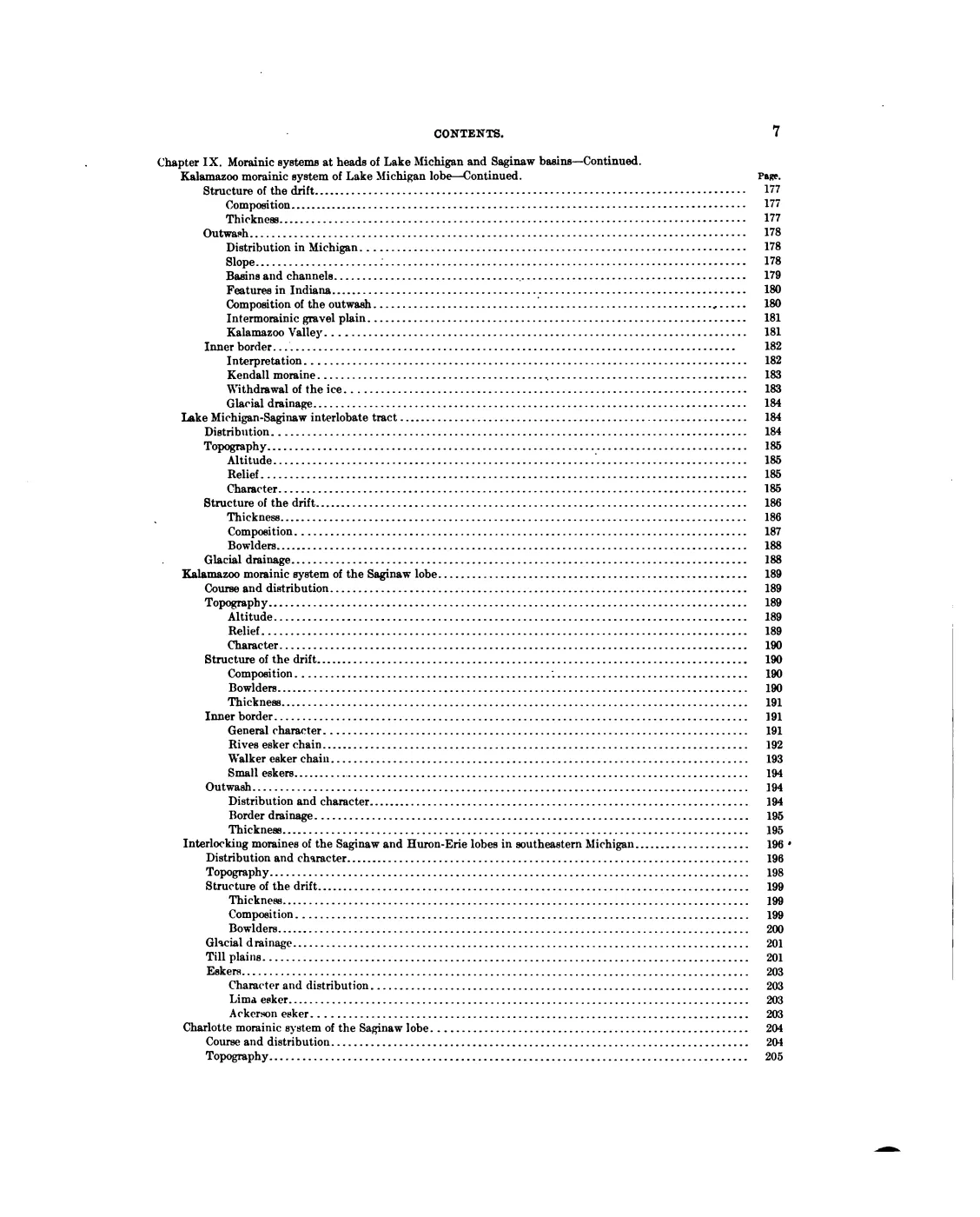
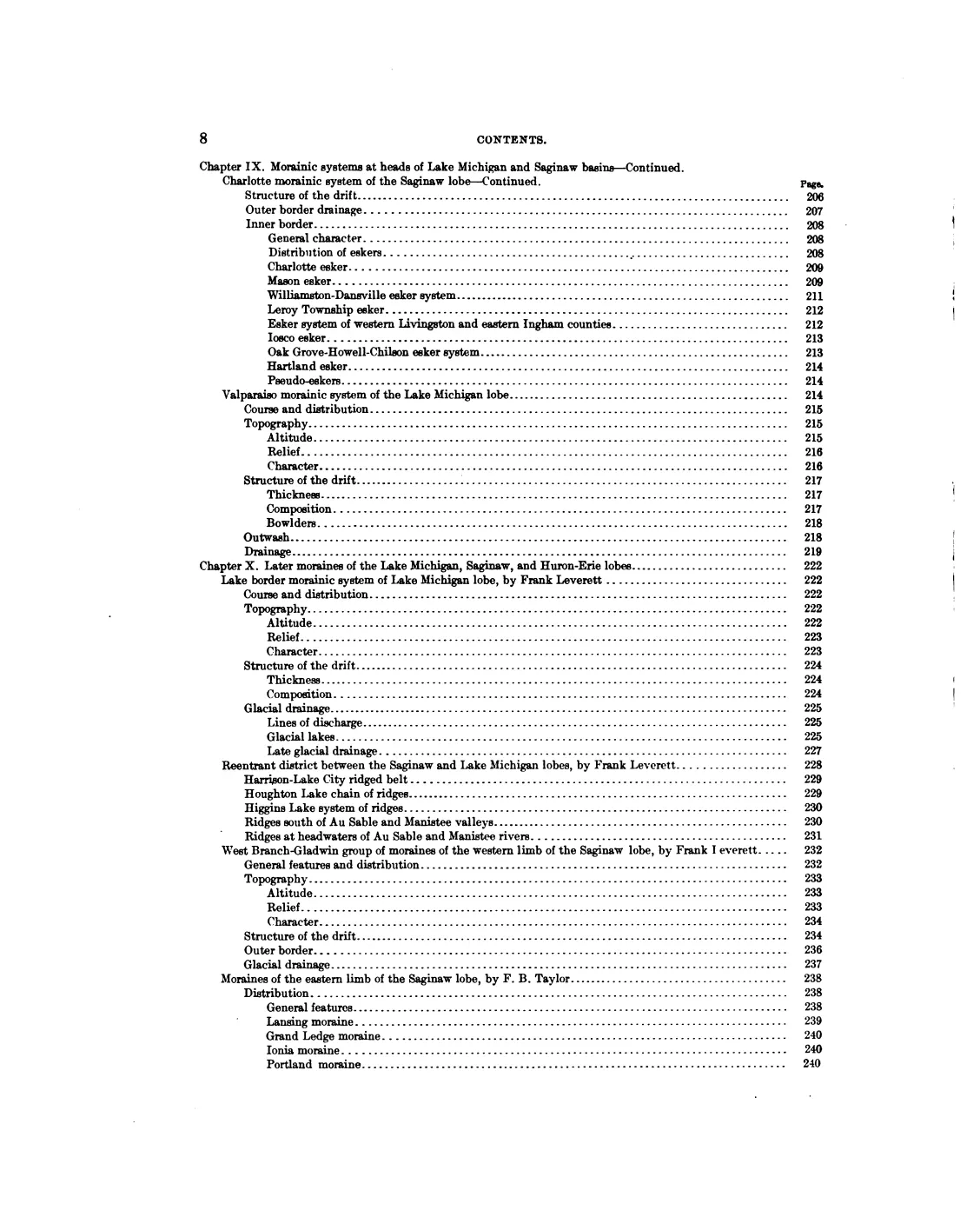
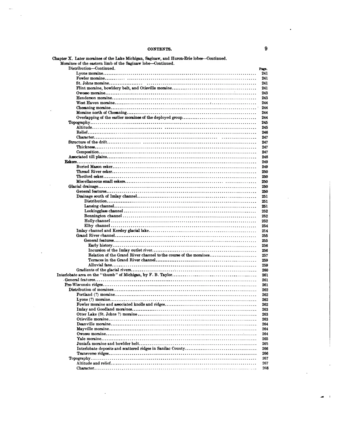
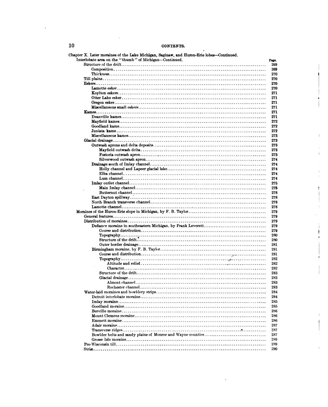
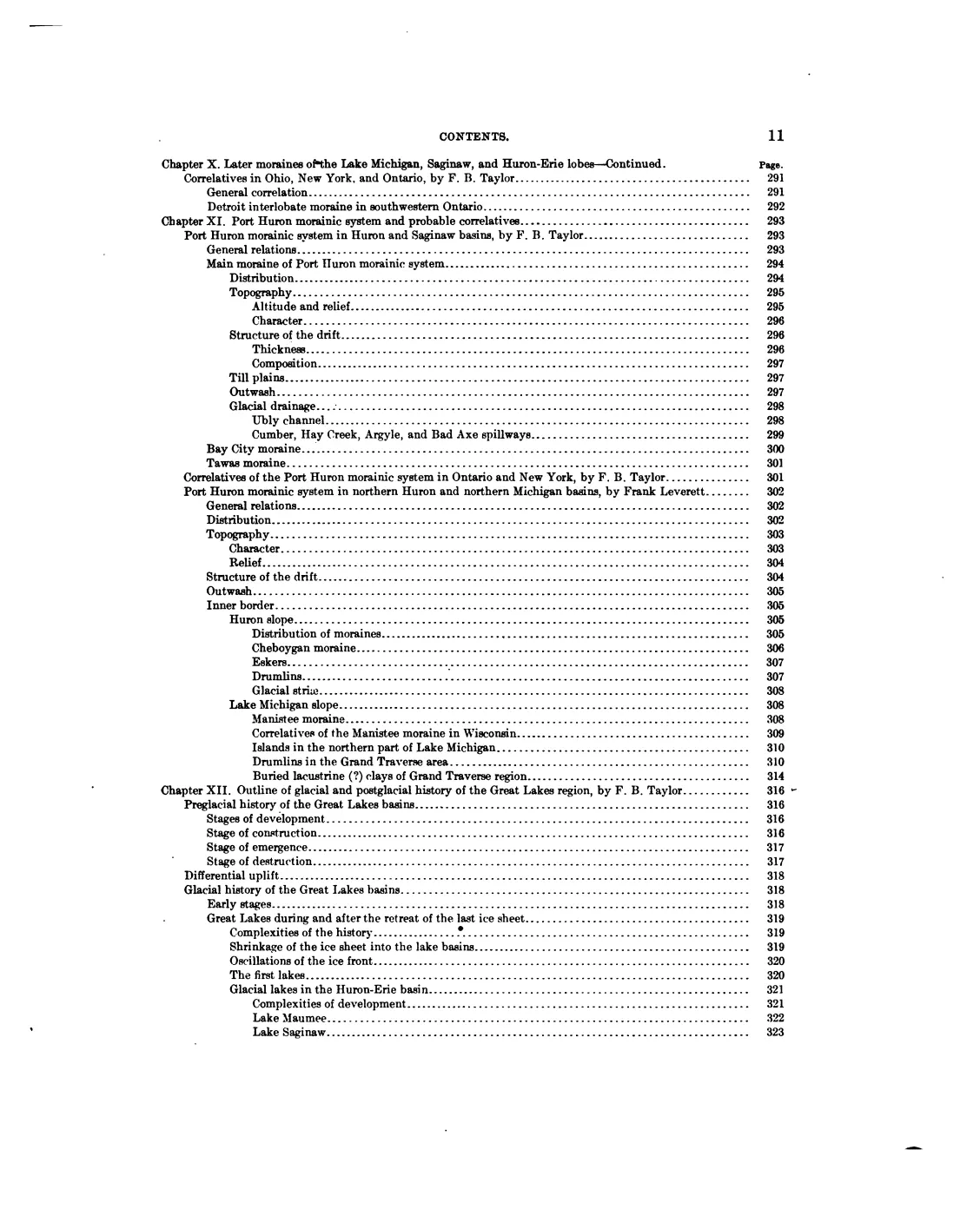
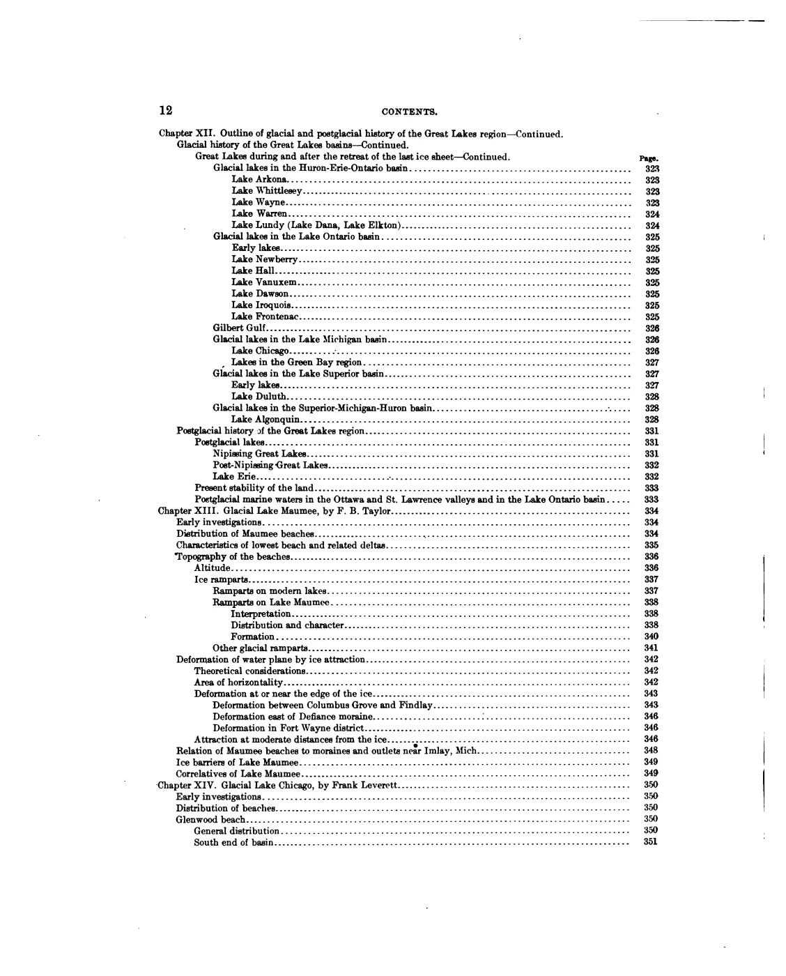
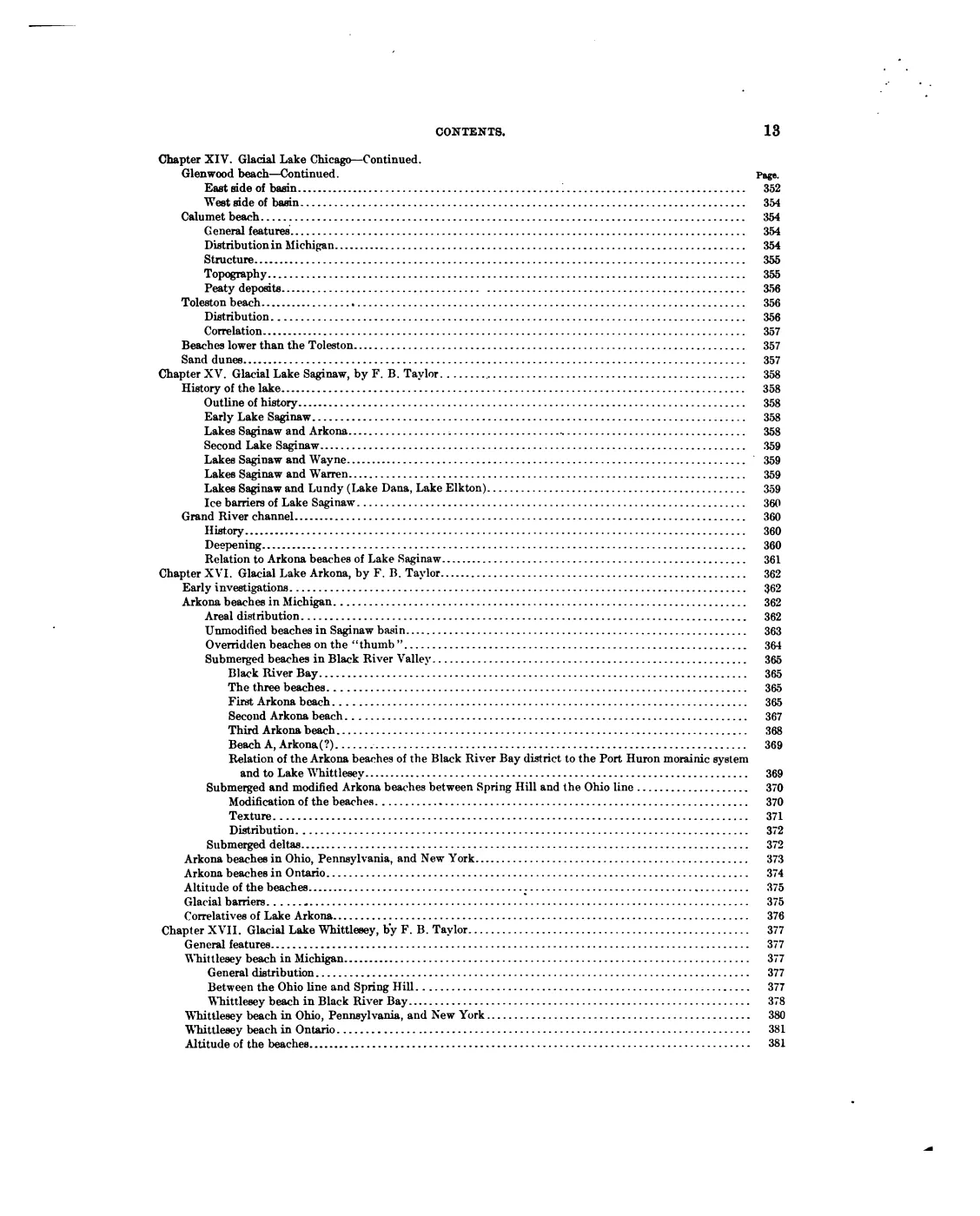
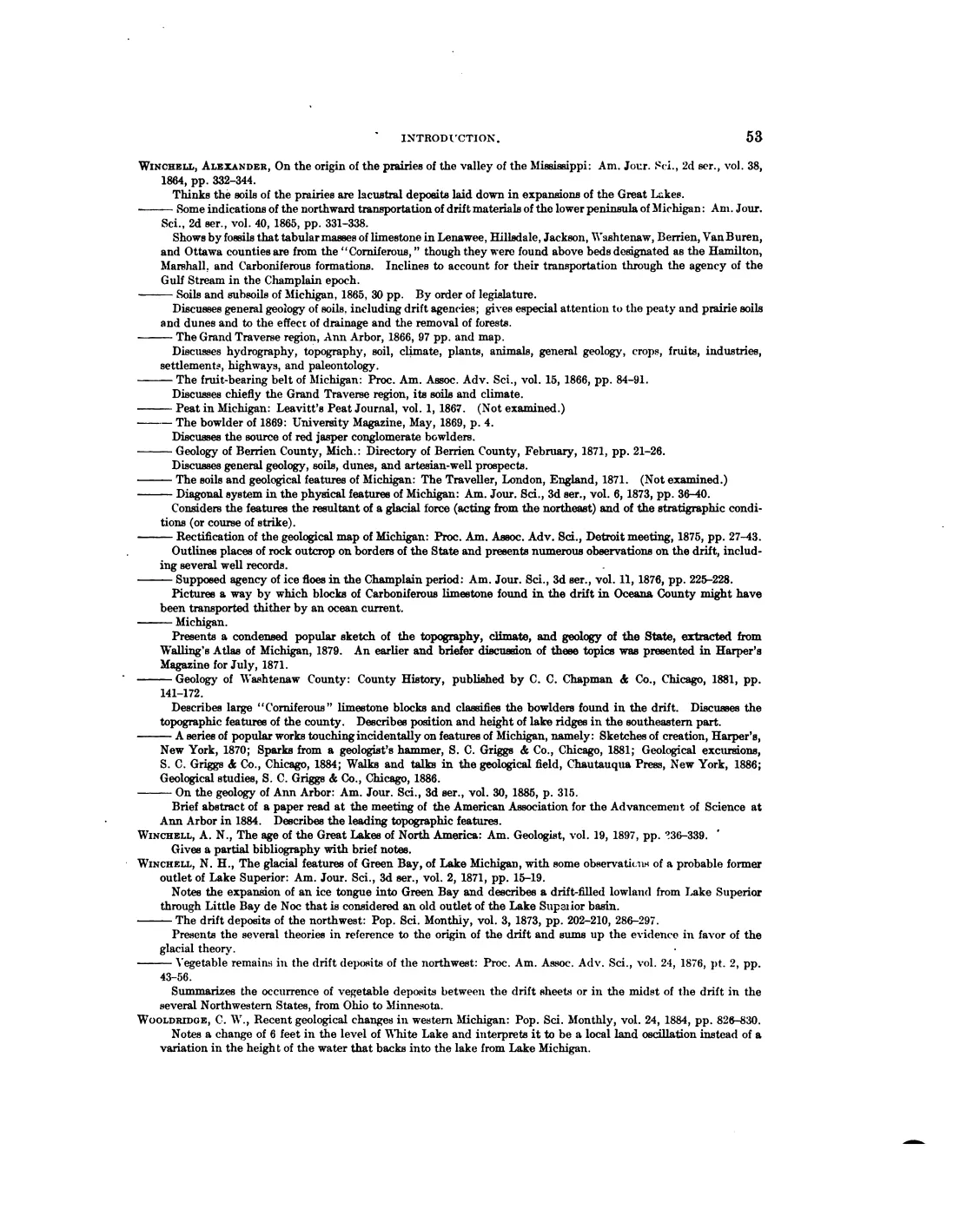
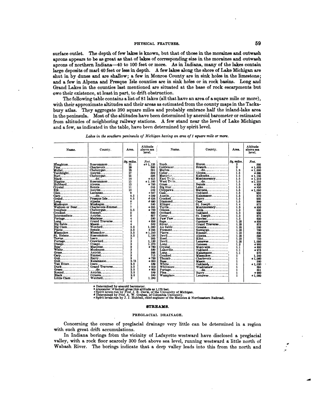
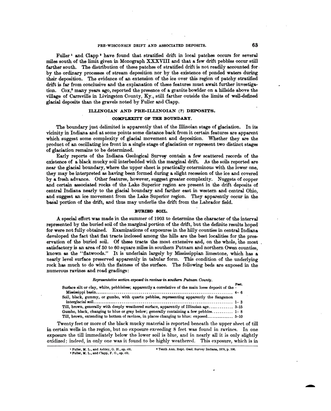
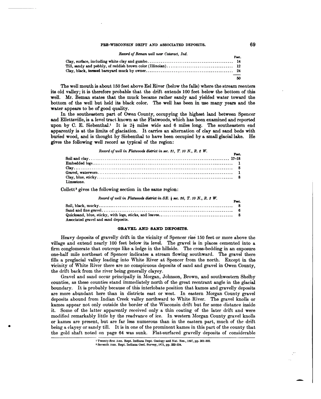
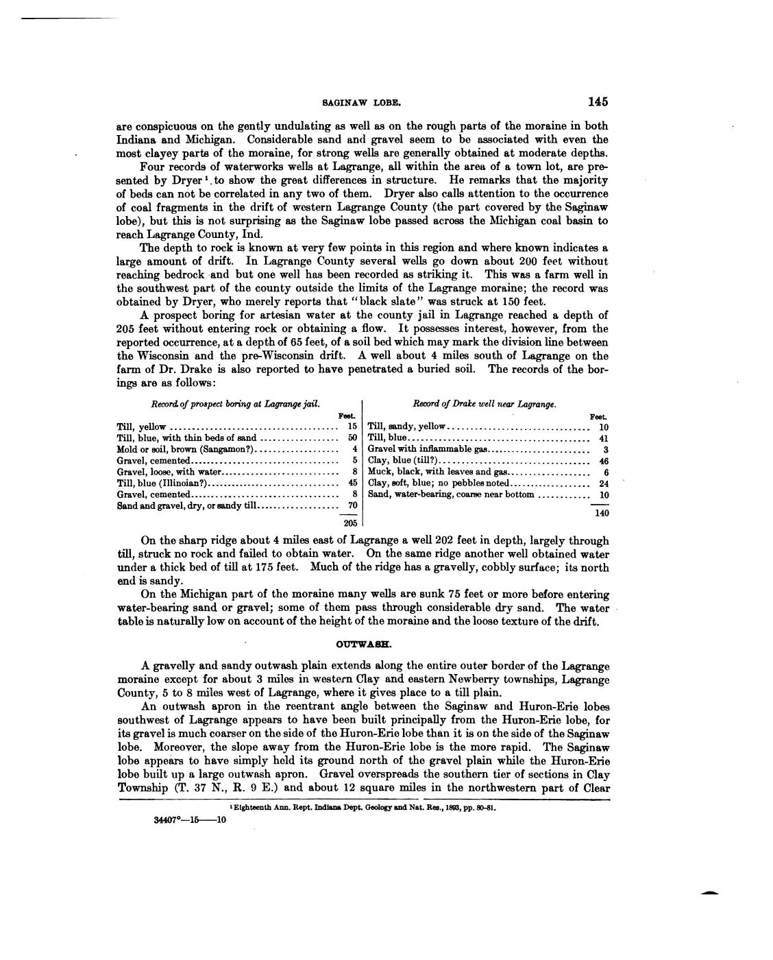
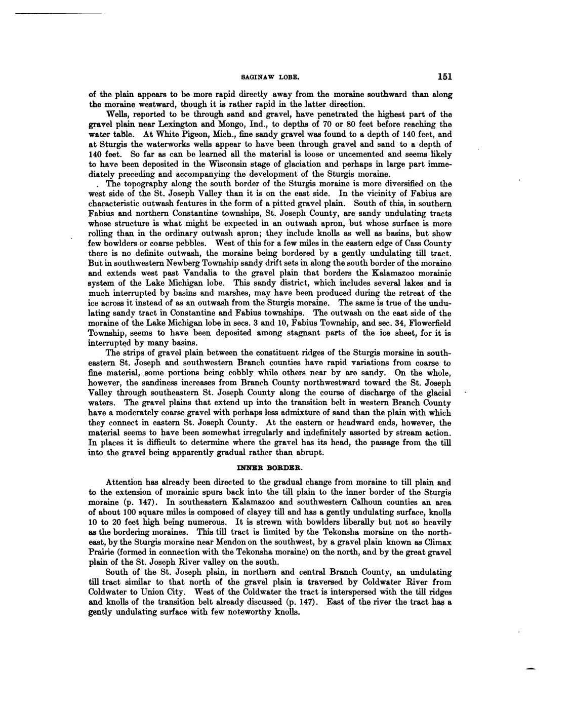
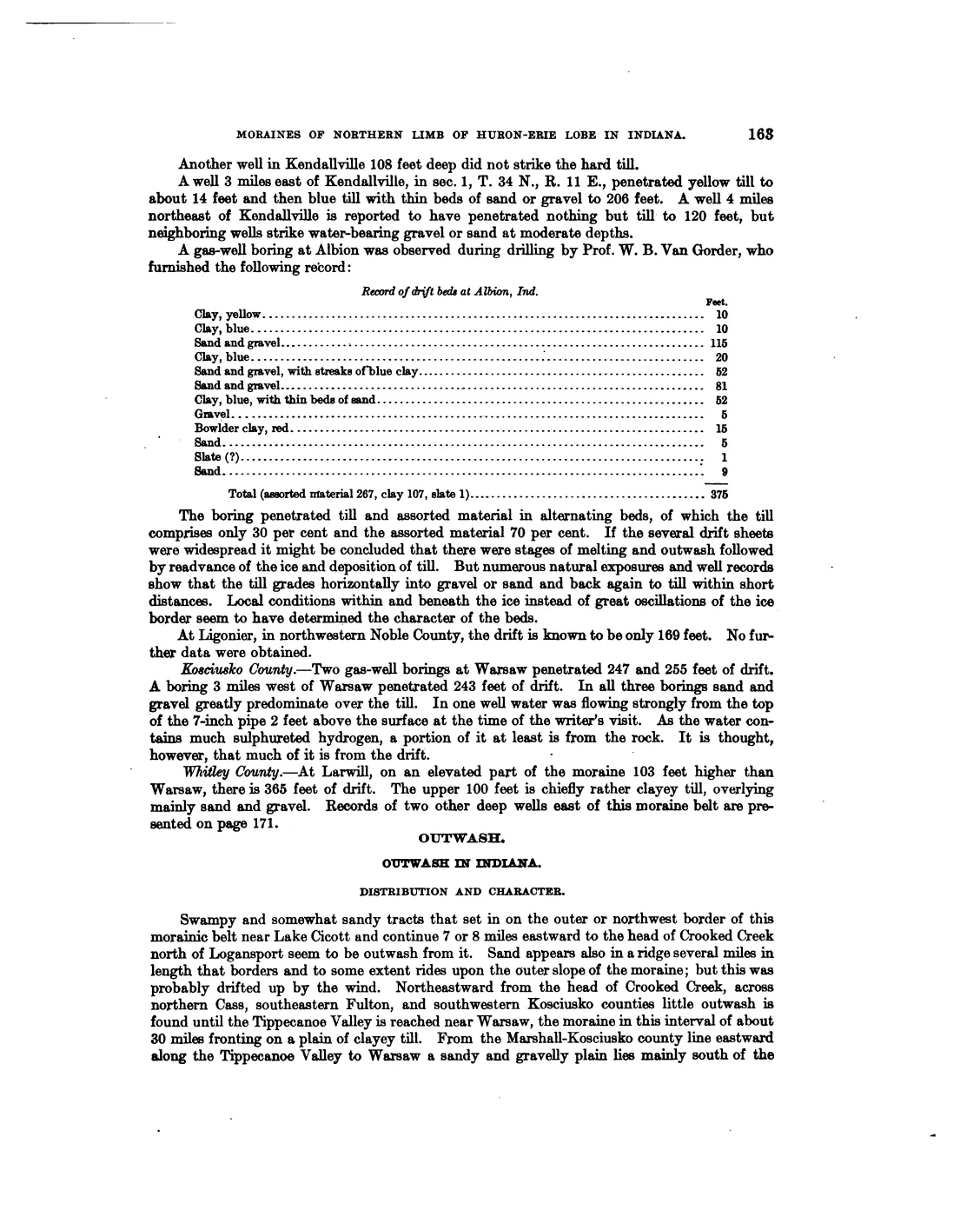

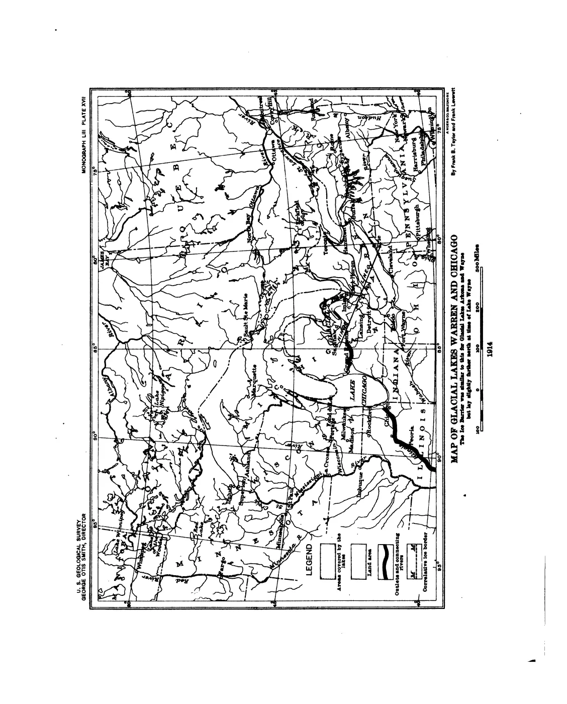

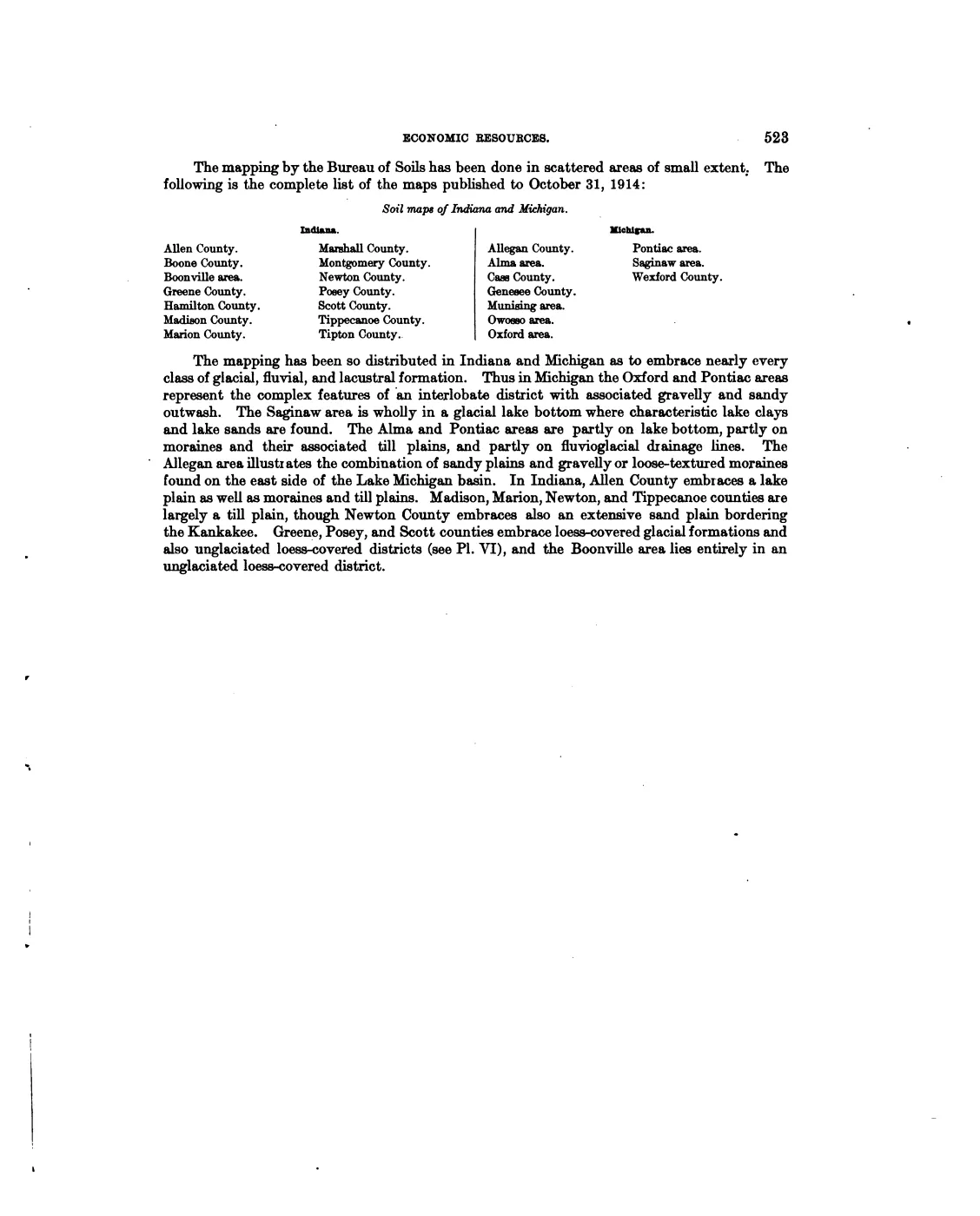

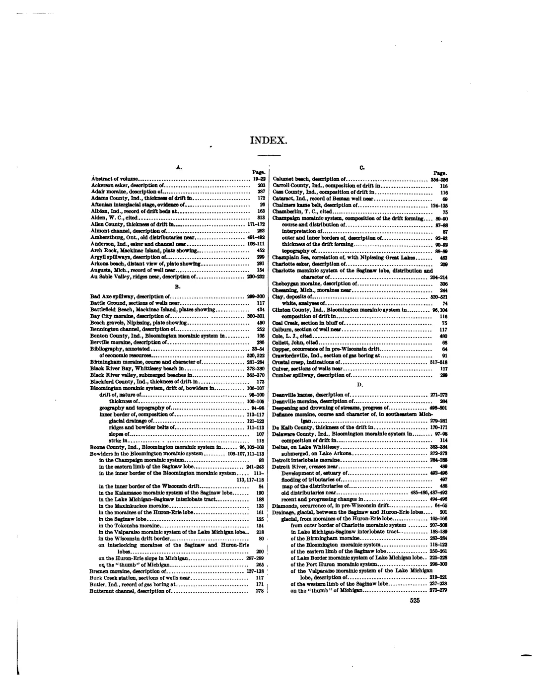
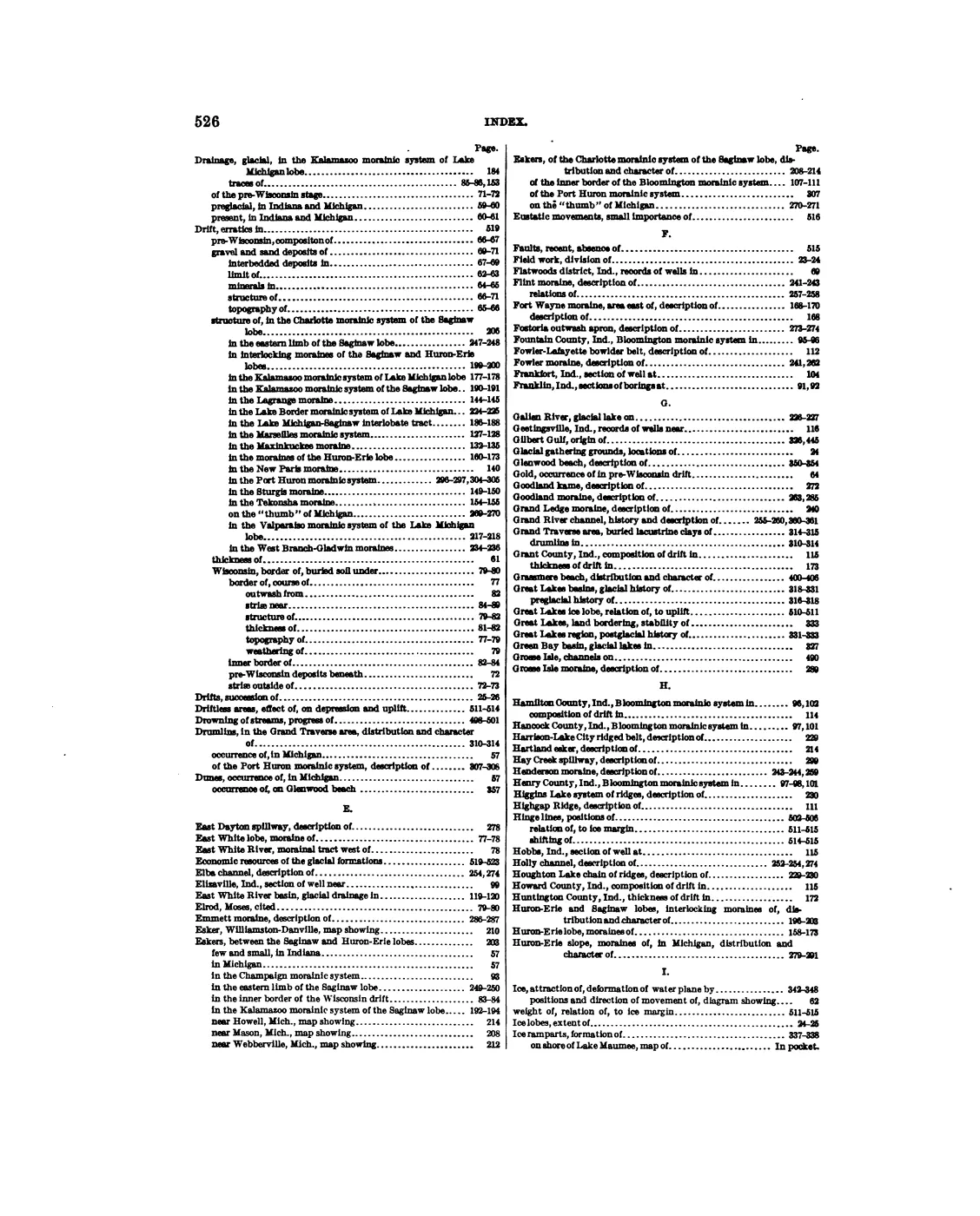
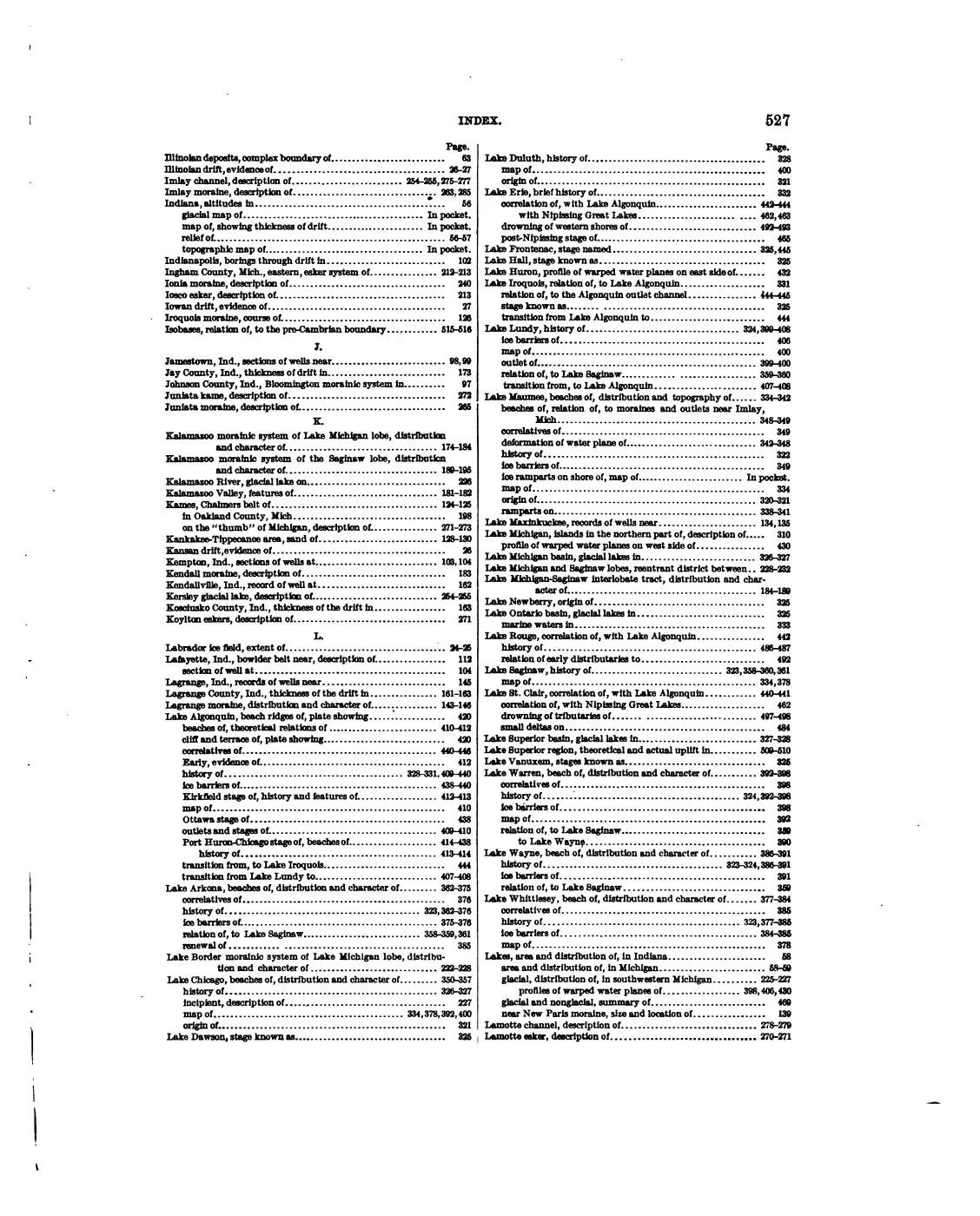
138 of 587 pages linked here — every page to 32, then every 6th, then the last 16. With JavaScript, every page.
Sources
- Project-generated Beaver Island Master Plan natural-resource evidence crosswalk, 2017–2024.Described in this archive: Beaver Island planning natural-resource evidence crosswalk, 2017–2024.Adds dated planning vocabulary for soil associations, dunes, slope, wetlands, water resources, sensitive-feature maps, and land-use limits while keeping planning descriptions separate from field or parcel determinations. No public copy of this file is known; the archive holds one and can provide it on request.research · island_governance · master_plan_natural_resource_evidence_2017_2024
- Project-generated Beaver Island Master Plan ecology map-plate evidence index, 2017–2024.Described in this archive: Beaver Island Master Plan ecology map-plate evidence, 2017–2024.Preserves 24 source-page map derivatives for dunes, wetlands, inland waters, soils, slope, elevation, and critical-dune planning. The selected-archipelago plates omit Fox Island labels; that is a declared coverage limit, not a feature-absence claim. No public copy of this file is known; the archive holds one and can provide it on request.research · island_governance · master_plan_map_plate_evidence_2017_2024
- Project-generated seven-island ecology connectivity matrix (2026).Described in this archive: Seven-island ecology connectivity matrix, 2026.Adds a seven-island comparison frame connecting mapped physical geology and soils to forest, vegetation, canopy, land-cover, and wildlife/bird evidence without treating regional polygons as site boundaries. No public copy of this file is known; the archive holds one and can provide it on request.research · island_farming · crosswalks · archipelago_ecology_connectivity_matrix_2026
- Project-generated MNFI natural-community ecological connectivity matrix (2026).Connects occurrence-level soil/hydrology, plant, tree, and wildlife evidence while keeping regional geology and island context at their stated scale. No public copy of this file is known; the archive holds one and can provide it on request.research · island_farming · crosswalks · mnfi_natural_community_connectivity_matrix
- Project-generated wildlife and habitat evidence index for the Beaver archipelago (2026).Adds habitat-linked animal and bird excerpts alongside island-scale soils, Quaternary geology, aquifer, SGMC, and land-cover context; joins remain by island name. No public copy of this file is known; the archive holds one and can provide it on request.research · wildlife · indices · wildlife_habitat_evidence_index
- Project-generated named stream crosswalk for the Beaver archipelago (2026).Described in this archive: Named stream crosswalk for the Beaver archipelago, 2026.Adds segment-level NHD stream geometries and 50 m soil, wetland, Quaternary, circa-1800 cover, and bedrock context for Iron Ore Creek and Jordan River without treating the corridor as a channel or bank boundary. No public copy of this file is known; the archive holds one and can provide it on request.research · places · archipelago_stream_crosswalk
- Project-generated GBIF wildlife observations and island ecology crosswalk (2026).Described in this archive: GBIF wildlife observations and island ecology crosswalk, 2026.Preserves island-level soil and Quaternary-geology context alongside aggregate wildlife observations; no point-level habitat or substrate inference is made. No public copy of this file is known; the archive holds one and can provide it on request.research · wildlife · indices · gbif_archipelago_ecology_crosswalk
- Project-generated outer-island and legacy ecology evidence index (2026).Described in this archive: Outer-island and legacy ecology evidence index.Connects Fox mapped-dune landforms, interdunal wetlands, clay bluffs, cobble shores, dune/forest transitions, and legacy island ecological observations without treating representative points or source descriptions as complete geomorphic boundaries. No public copy of this file is known; the archive holds one and can provide it on request.research · wildlife · indices · outer_island_ecology_evidence_index
- Project-generated soil, substrate, hydrology, and landform evidence crosswalk (2026).Described in this archive: Soil, substrate, hydrology, and landform evidence crosswalk.Connects 124 source-preserved MNFI, GLO, and EGLE soil/landform records to island-level SSURGO and physical-geology context while keeping regional polygons separate from occurrence boundaries. No public copy of this file is known; the archive holds one and can provide it on request.research · island_farming · indices · soil_landform_evidence_crosswalk
- Described in this archive: Hall–Varlet Part 91 soil-erosion application for Donegal Bay Subdivision lot 30, S-1972, 2025.Site-specific Donegal Bay lot 30 application identifying a 0.1-acre septic-field project, forested and open dune setting, approximately 400 feet to Lake Michigan, and DDC/LB soil fields. It is a proposed-control record, not a final inspection, parcel map, title record, or ecological survey.governance · township_meetings · documents · st-james-planning · s-1972-hall-varlet-number-2-soil-erosion-pdf-933b263de8
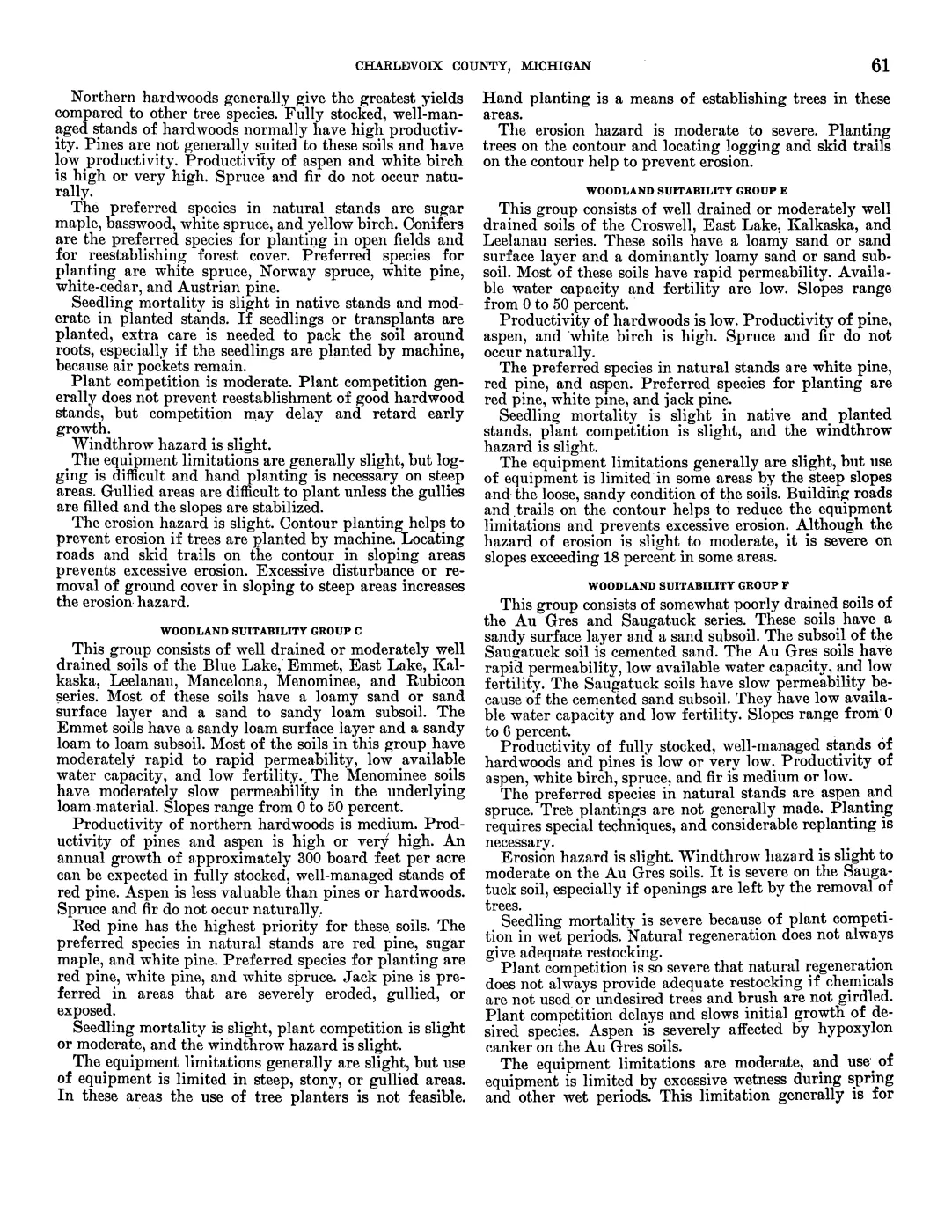
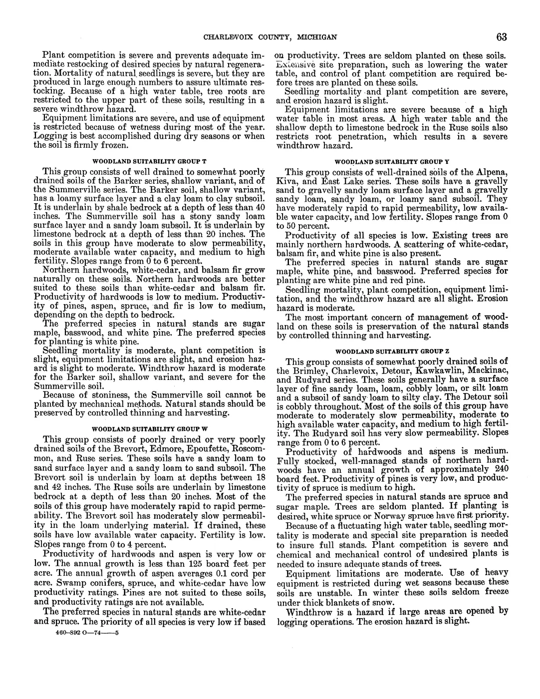
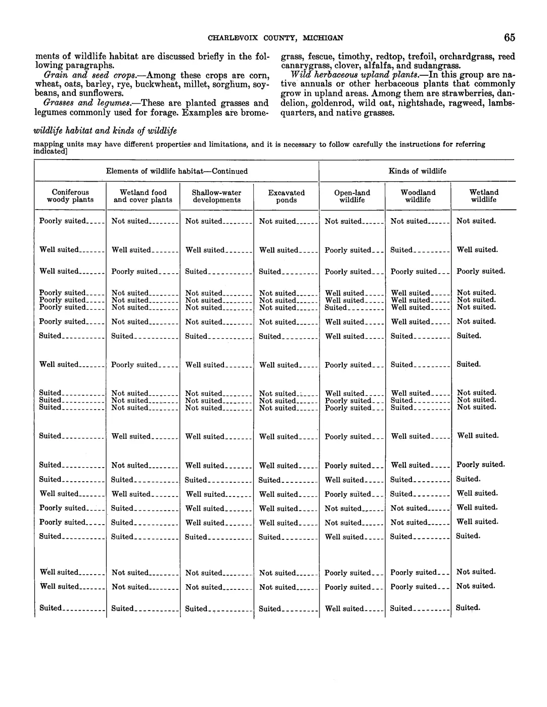
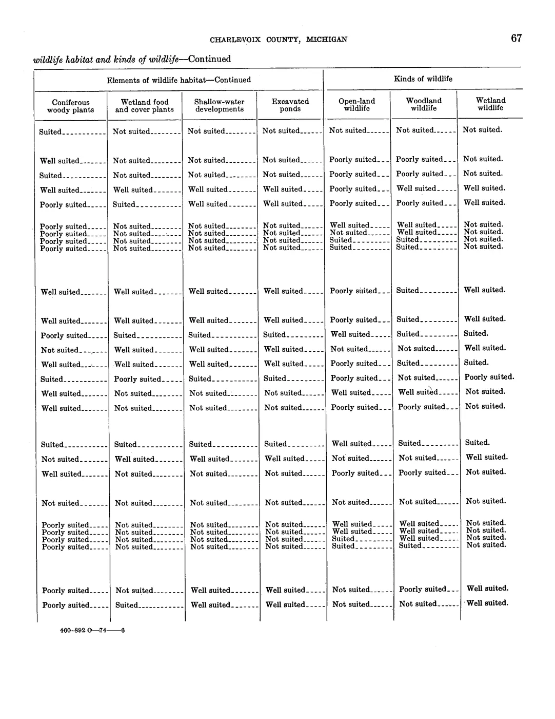
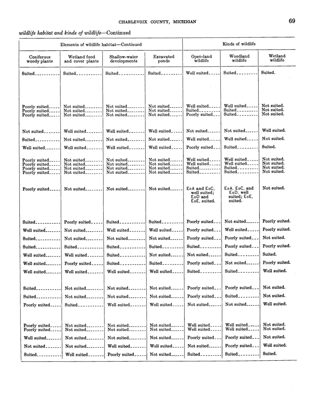
- Project-generated USDA 1974 soil, woodland, tree-type, and wildlife evidence index (2026).Described in this archive: USDA 1974 soil, woodland, tree-type, and wildlife evidence index.Preserves the survey’s soil-landform vocabulary—lake plains, dunes, beach ridges, organic depressions, cobbly soils, and shallow bedrock—alongside its woodland and habitat interpretations. No public copy of this file is known; the archive holds one and can provide it on request.soils · indices · usda_soil_woodland_wildlife_evidence_index
- Project-generated USDA wildlife-habitat to island-scale SSURGO crosswalk (2026).Described in this archive: USDA wildlife-habitat ratings connected to island-scale SSURGO map units.Adds a cautious island-scale connection between soil map-unit/component geography and historical habitat ratings, including resolved and candidate North and South Fox coverage. No public copy of this file is known; the archive holds one and can provide it on request.soils · indices · usda_ssurgo_wildlife_island_crosswalk
- The collected AOI layer contains mapped units labelled Garden Island Formation, Bois Blanc Formation, Detroit River Group, and Midcontinent Rift. The counts and unit labels in this article are a GIS intersection with the current OSM island polygons, not a claim that every mapped polygon is exposed at the surface.geology · vector · mi_bedrock_geology
- The island intersection contains polygons labelled lacustrine sand and gravel, dune sand, and coarse-textured glacial till. Project calculation: 116.789 km2 lacustrine sand and gravel, 63.912 km2 dune sand, and 11.733 km2 coarse-textured glacial till, areas taken in EPSG:3078 after intersection with the OpenStreetMap island polygons of the Beaver group (North and South Fox excluded).geology · vector · mi_quaternary_geology
- The collected linear layer contains nine features all labelled SHORELINE. It is a mapped feature layer, not a dated inventory of every former shoreline or beach ridge on the islands.geology · vector · mi_quaternary_geology_features
- Four collected polygons intersect the current OSM island polygons. Their mapped total is approximately 1,642 acres, all classified as barrier dunes; this is a regulatory layer, not a complete natural-dune inventory.geology · vector · mi_critical_dune_areas
- Project-generated island-level MNFI environmental crosswalk.Crosswalks the 43 MNFI natural-community records to island-level geology, soils, wetlands, circa-1800 vegetation, water, and land-status context; it does not assign a map polygon to an individual EO. No public copy of this file is known; the archive holds one and can provide it on request.research · island_farming · crosswalks · mnfi_occurrence_environmental_crosswalk
- The AOI layer identifies bedrock, lacustrine fine, lacustrine coarse, and proglacial outwash land-system classes. These broad regional classes should not be read as site-specific soil or land-use determinations.geology · vector · mi_glacial_landsystems
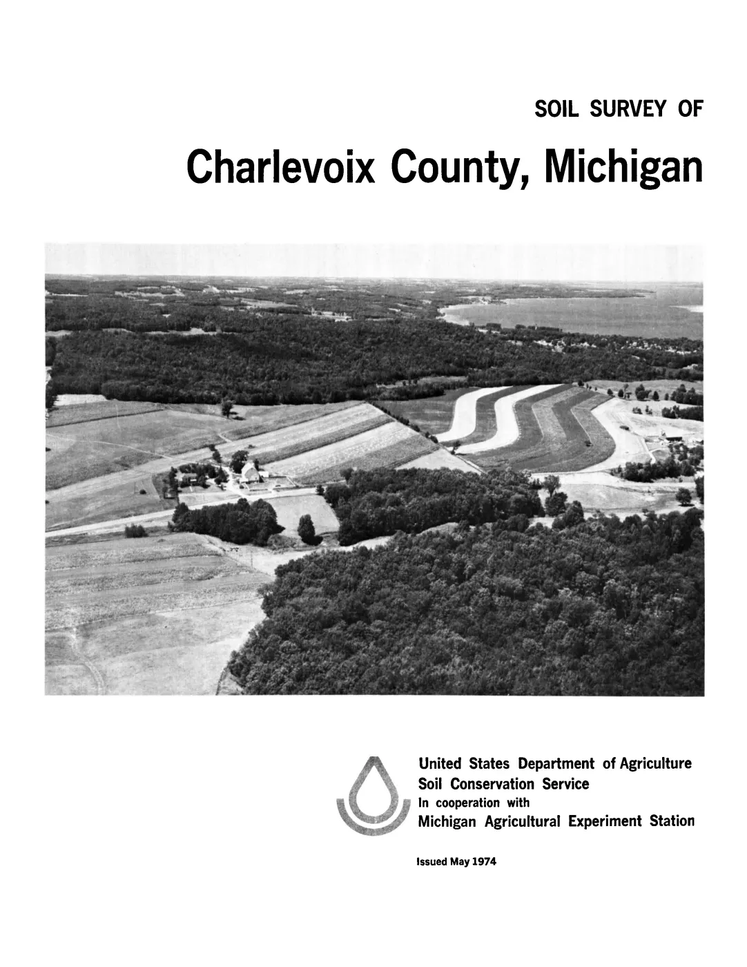
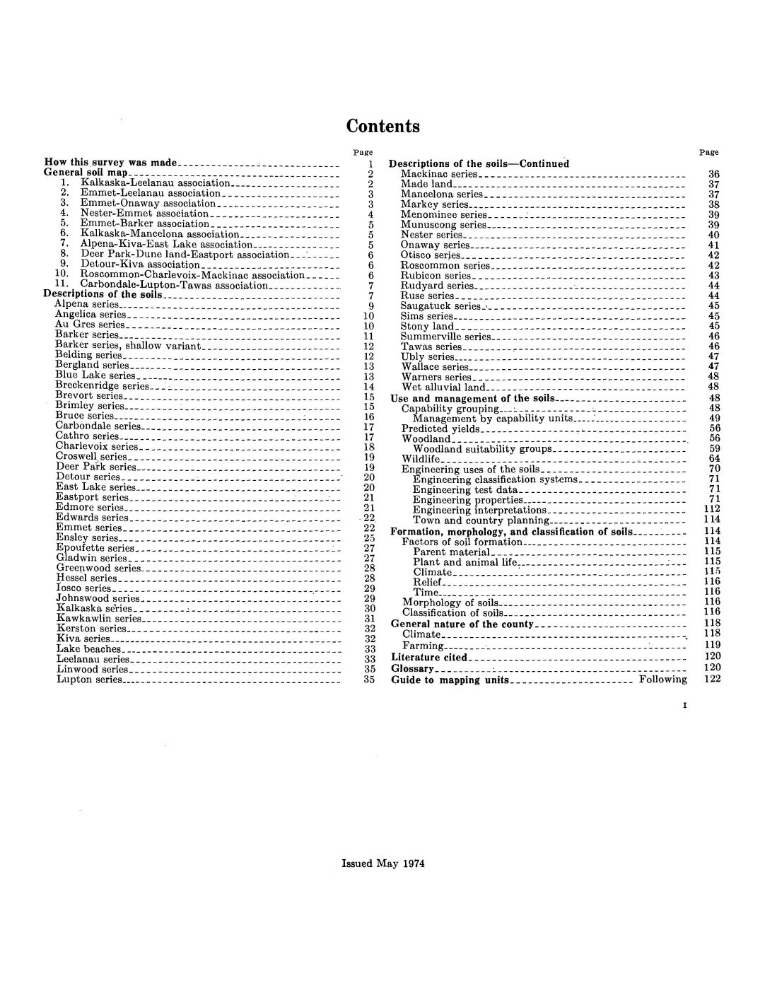
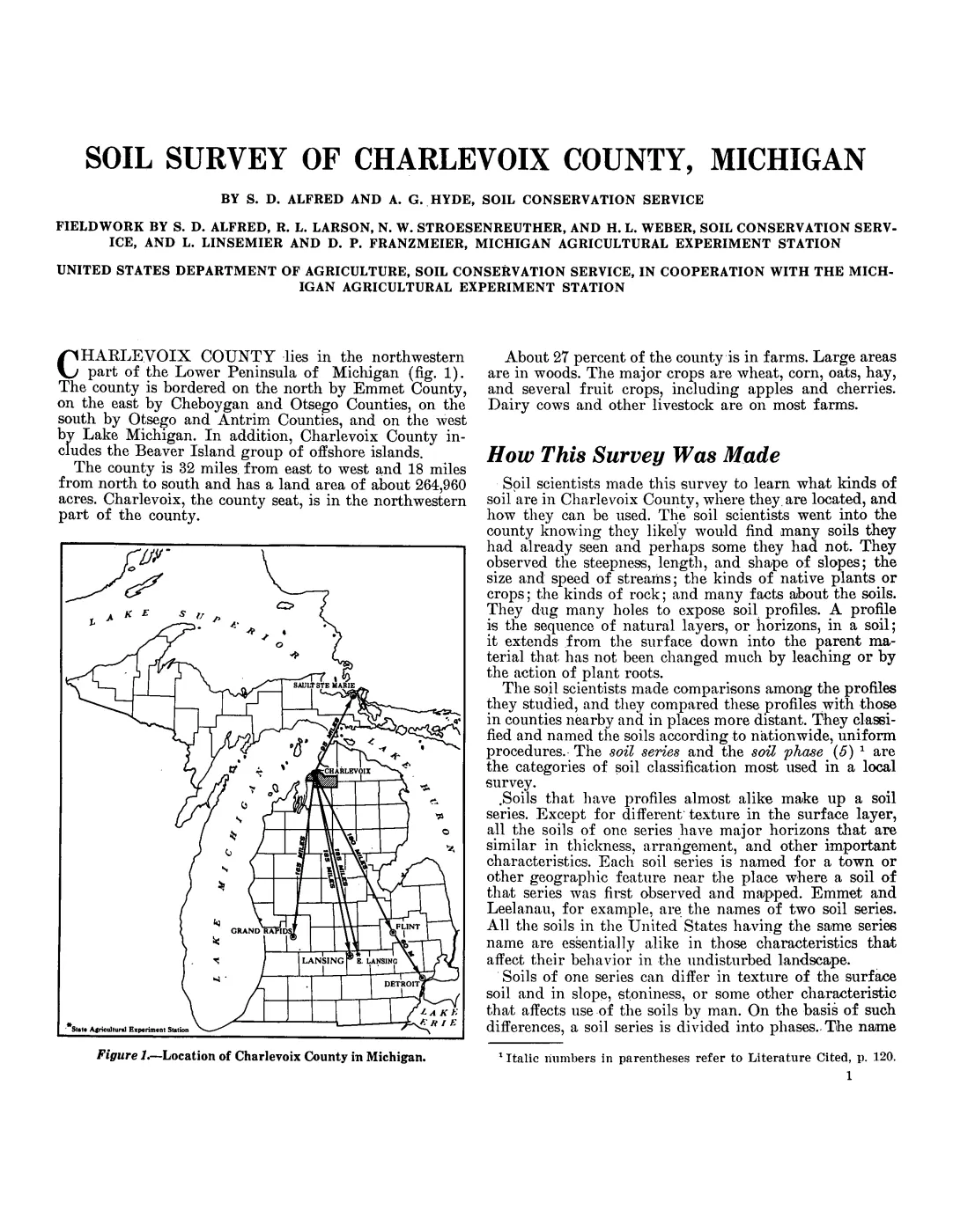
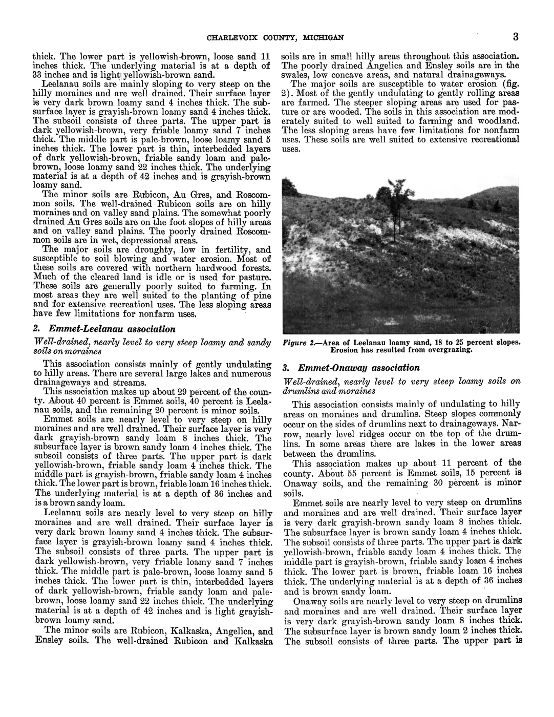
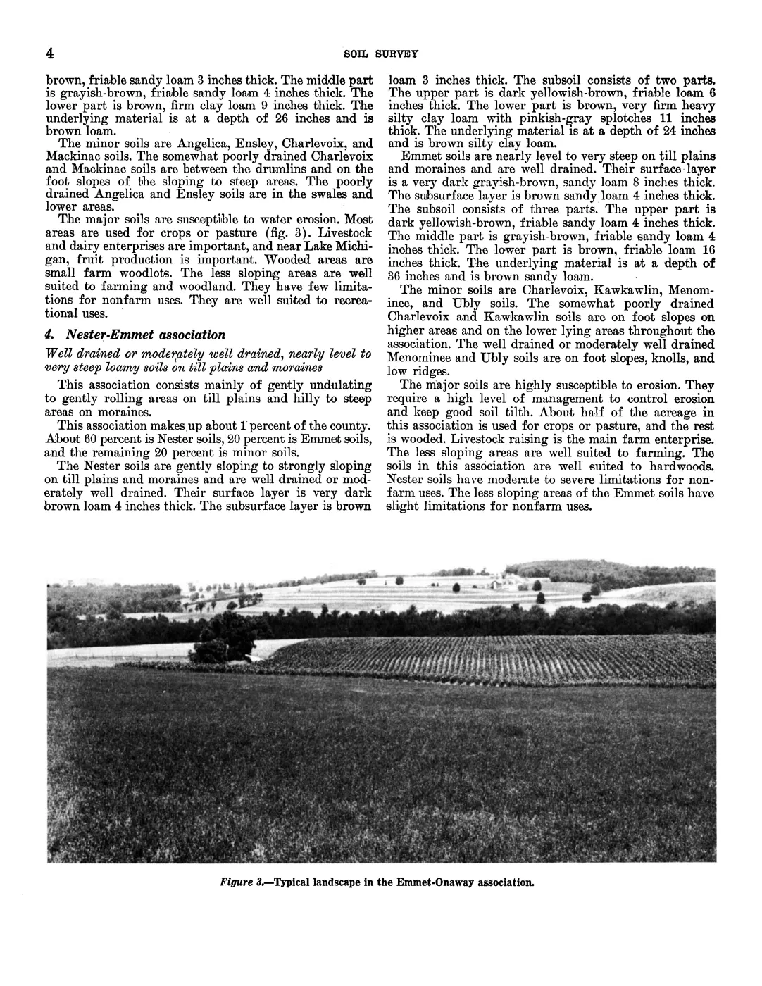
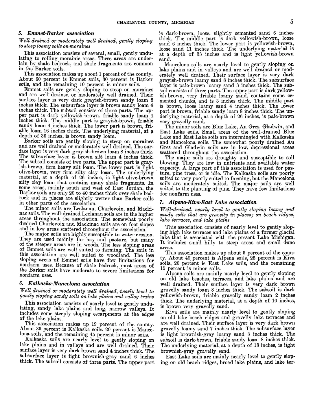
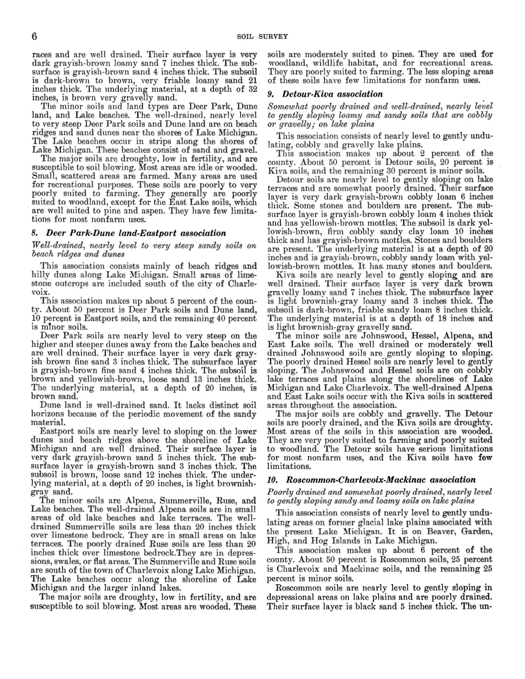
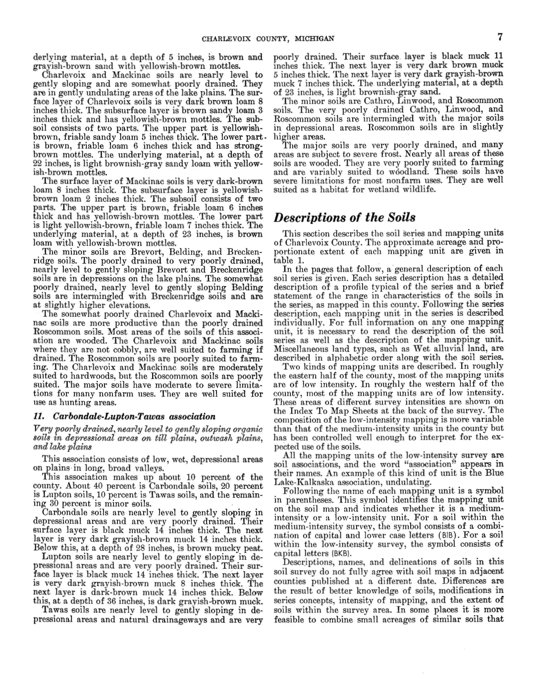
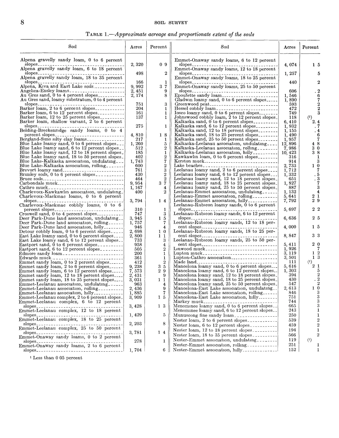
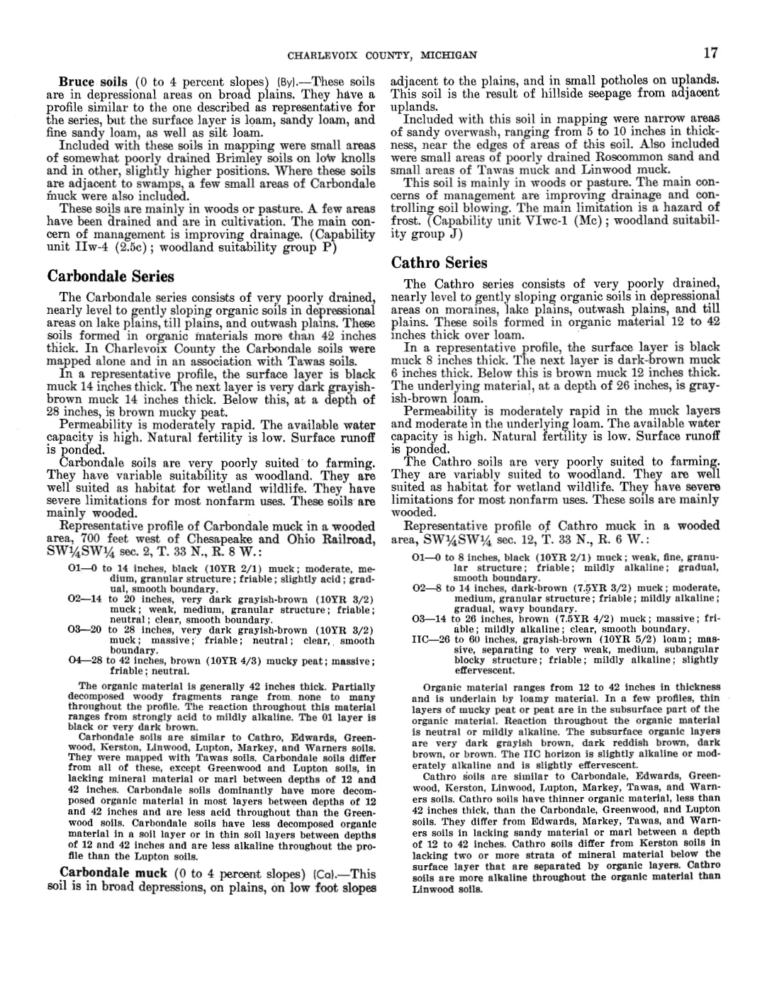
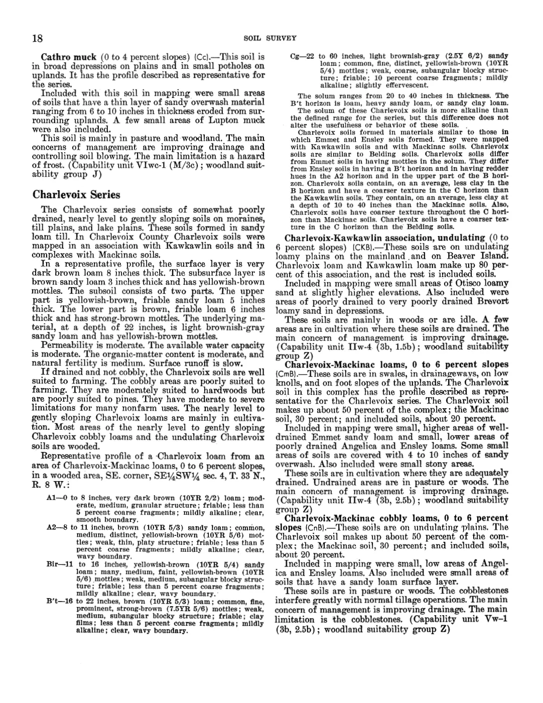
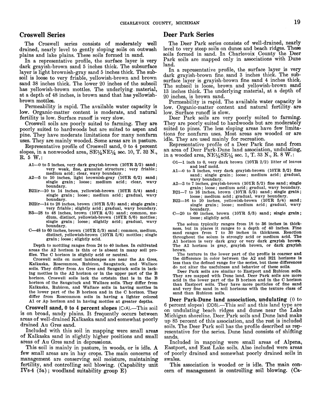
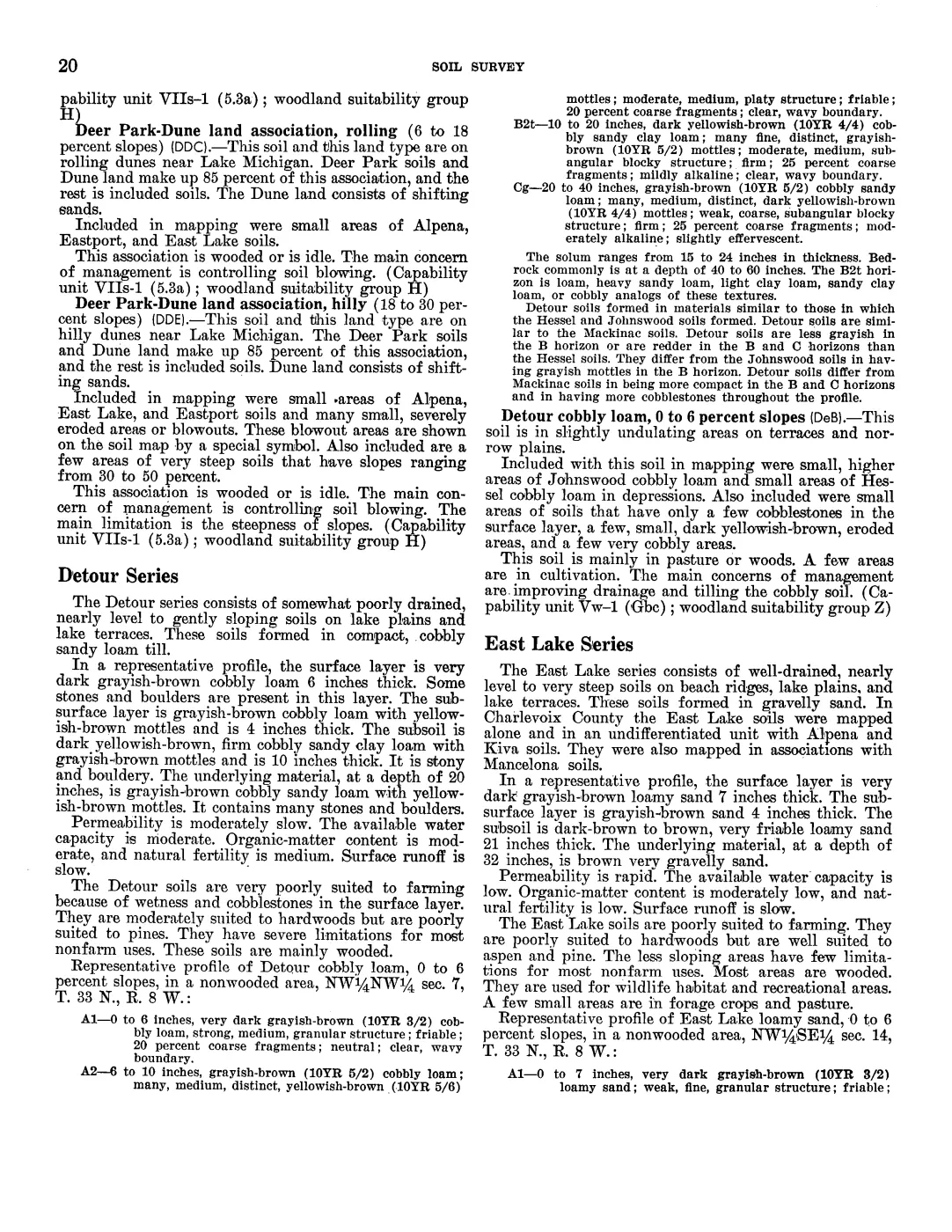
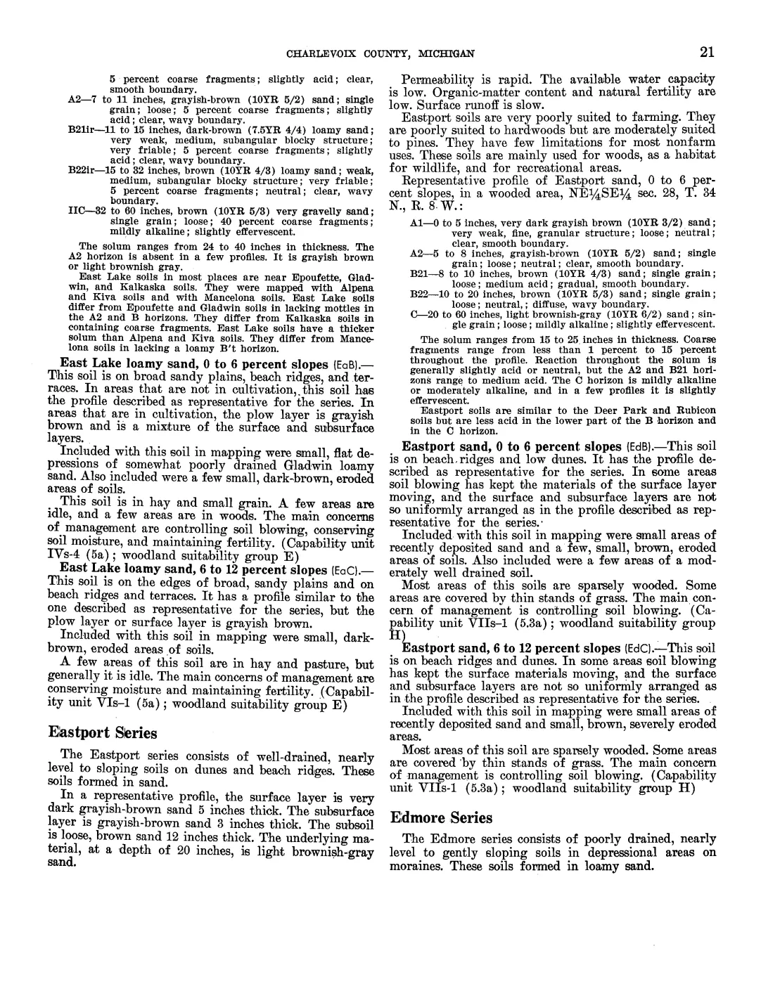
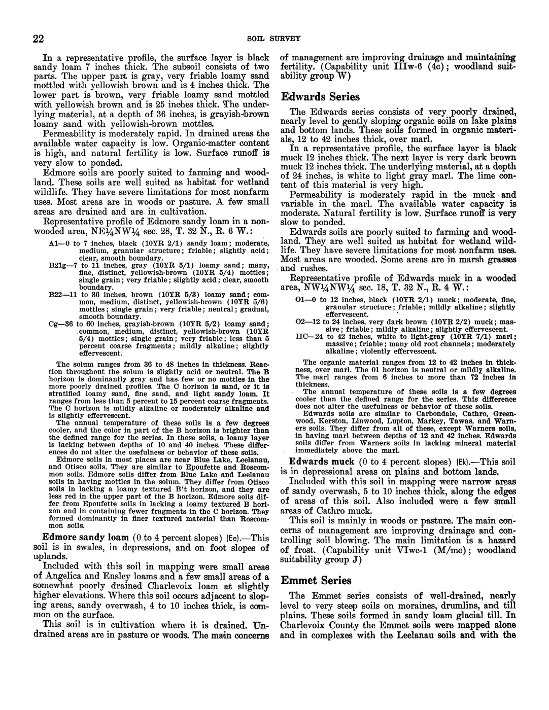
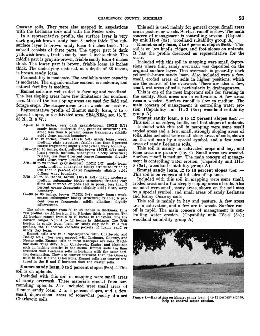
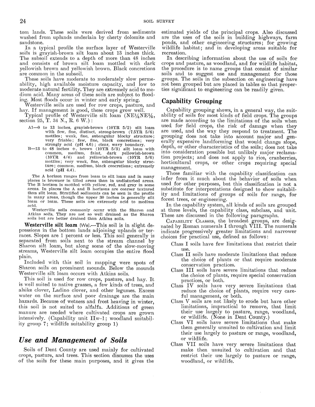
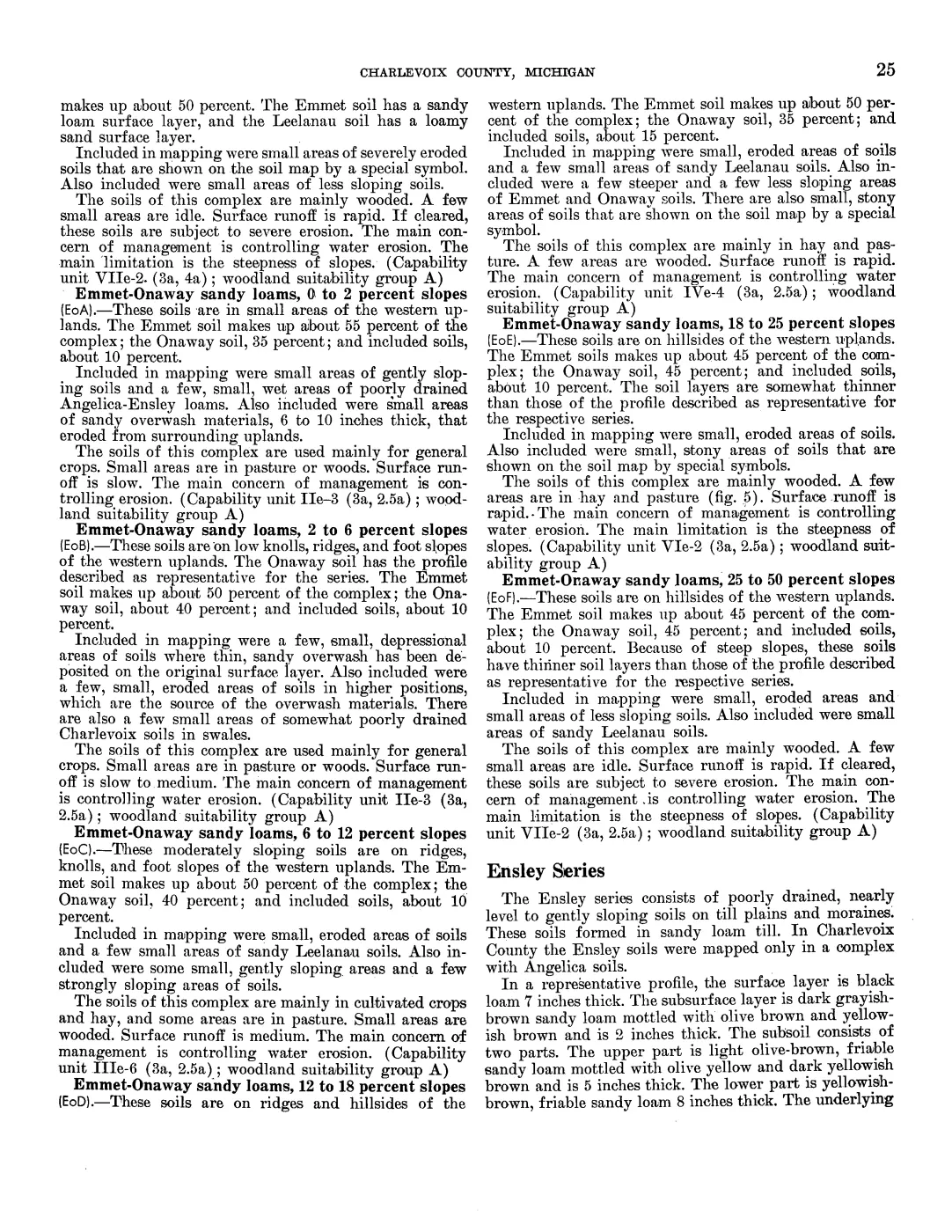
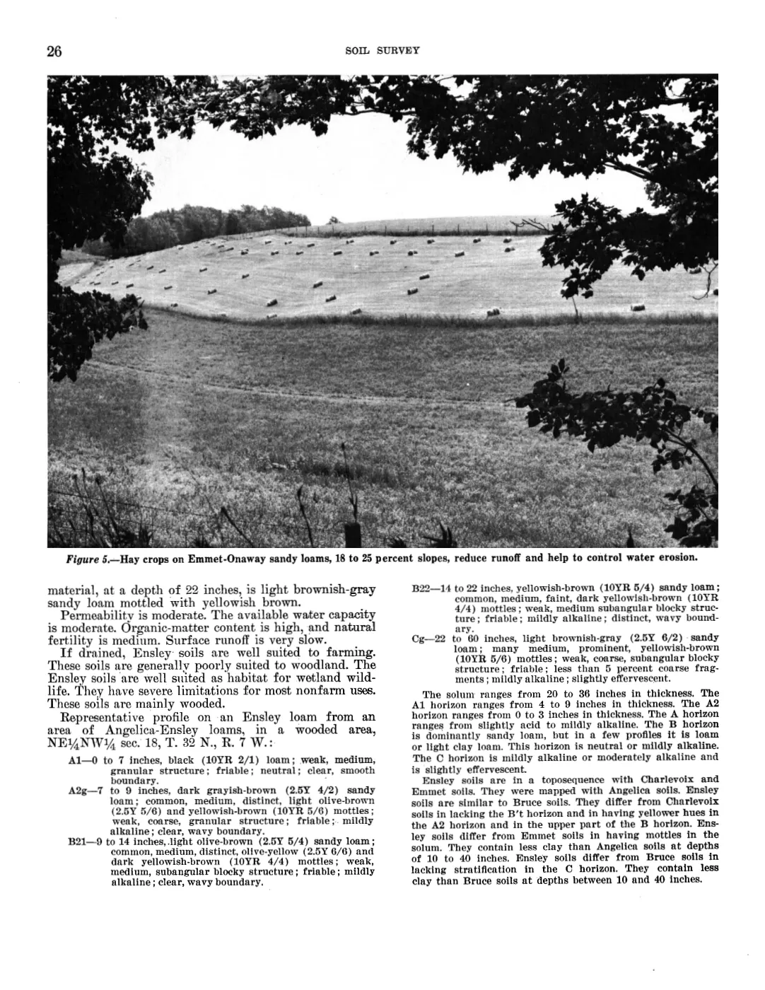
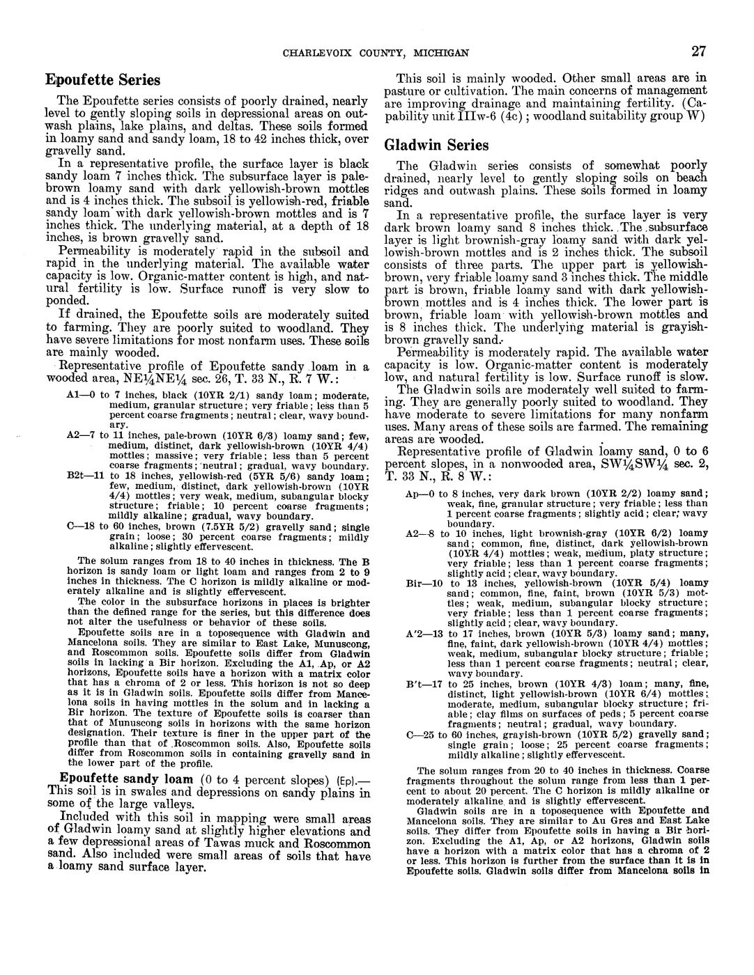
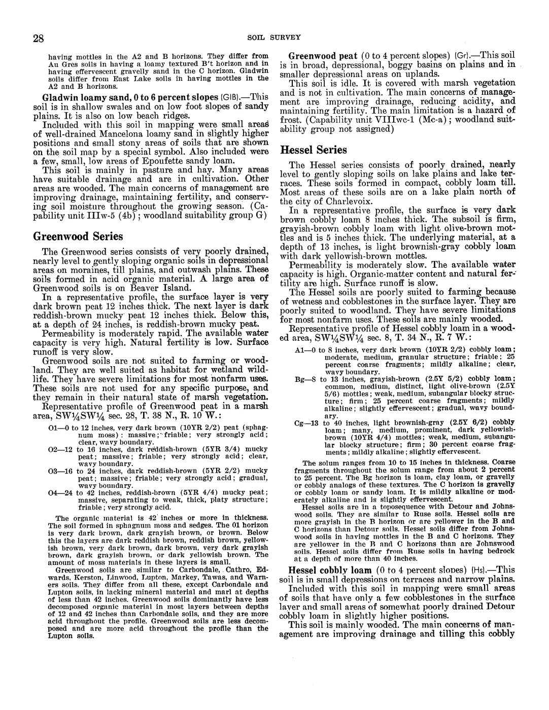
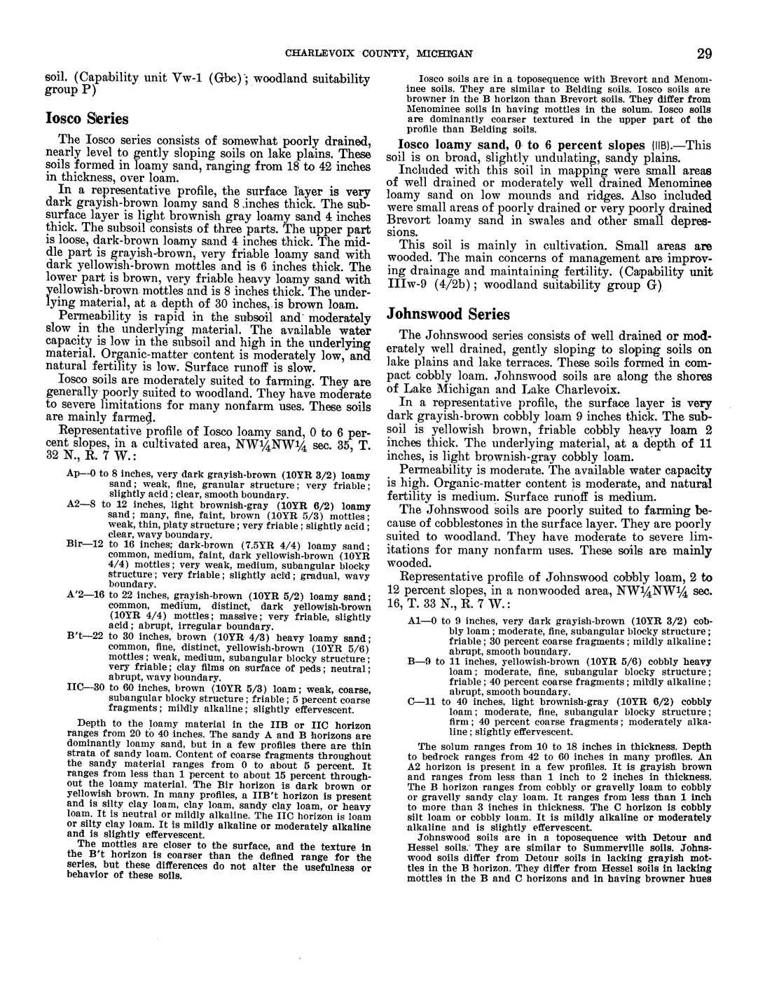
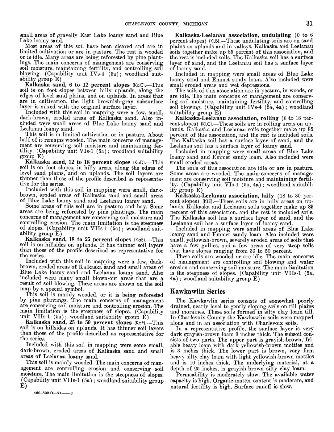
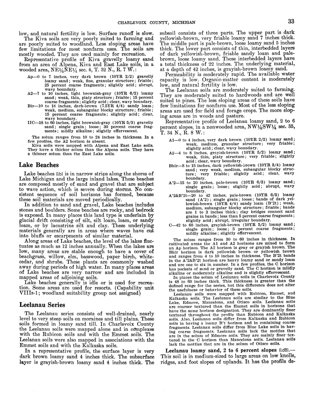
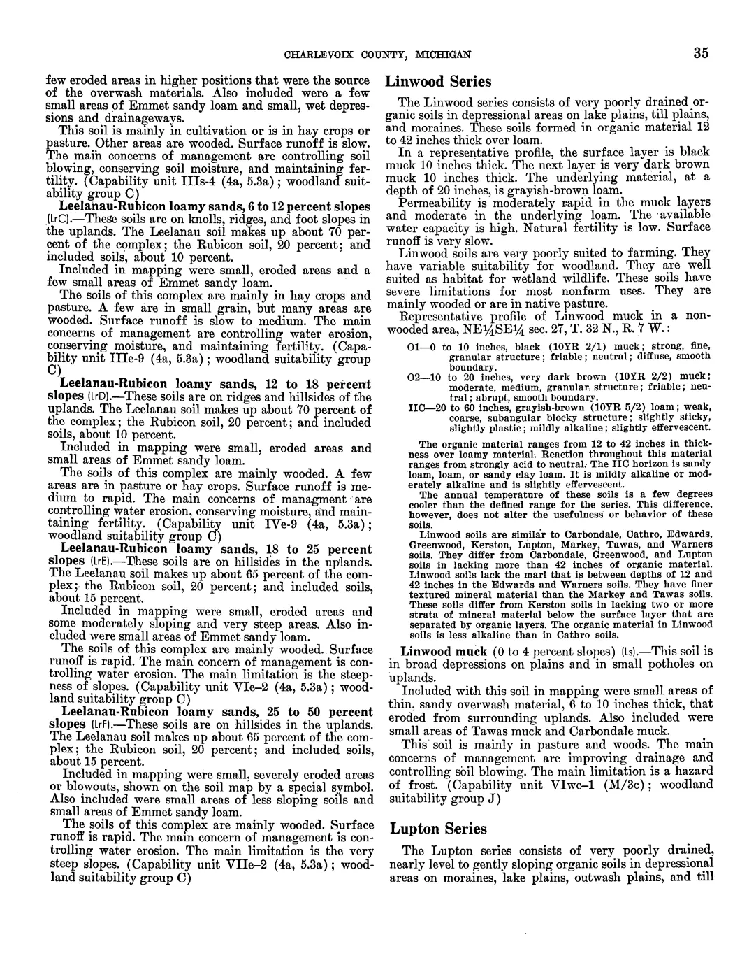
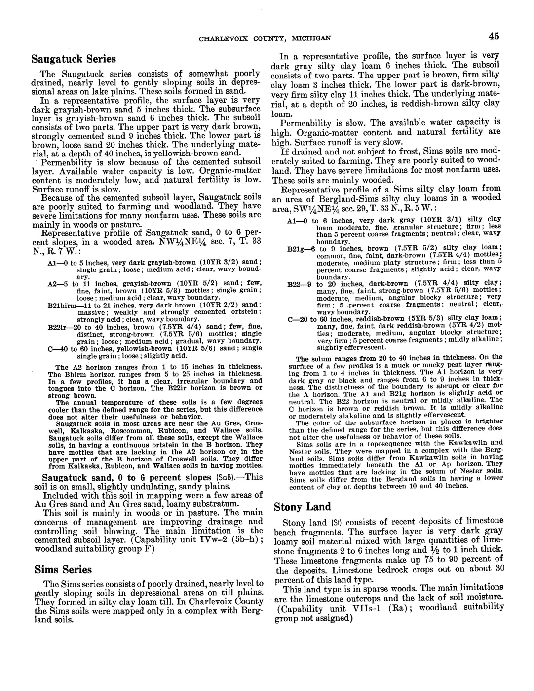
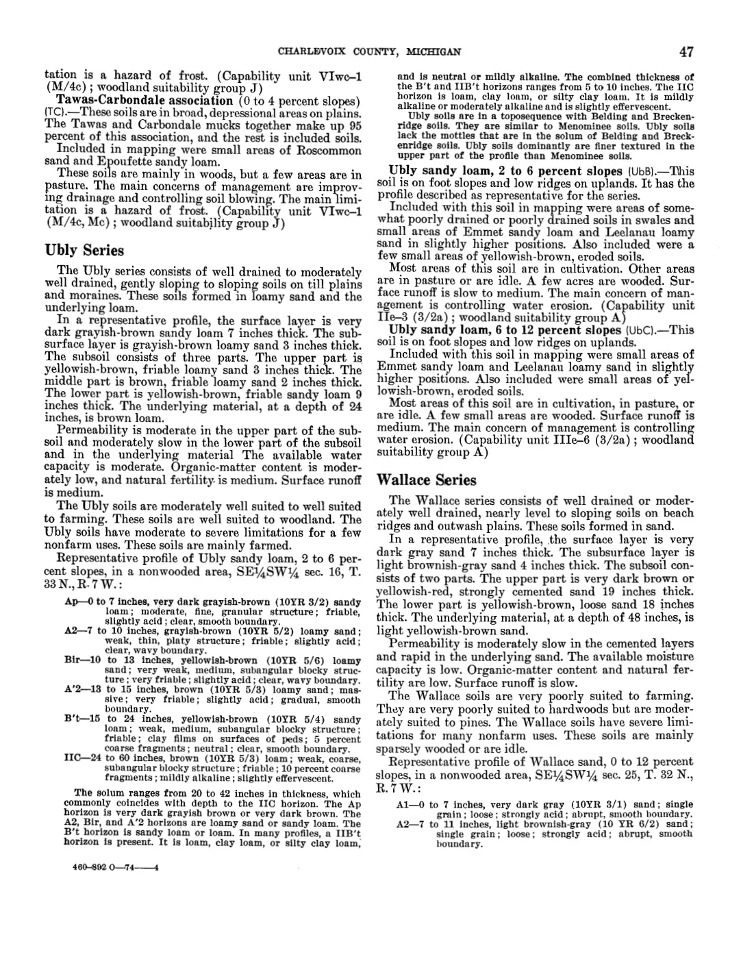
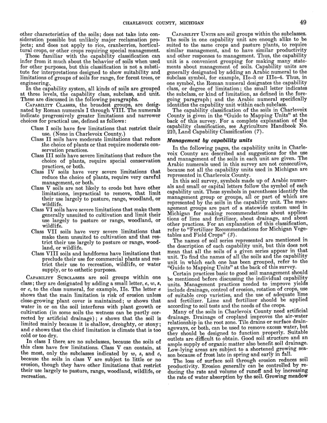
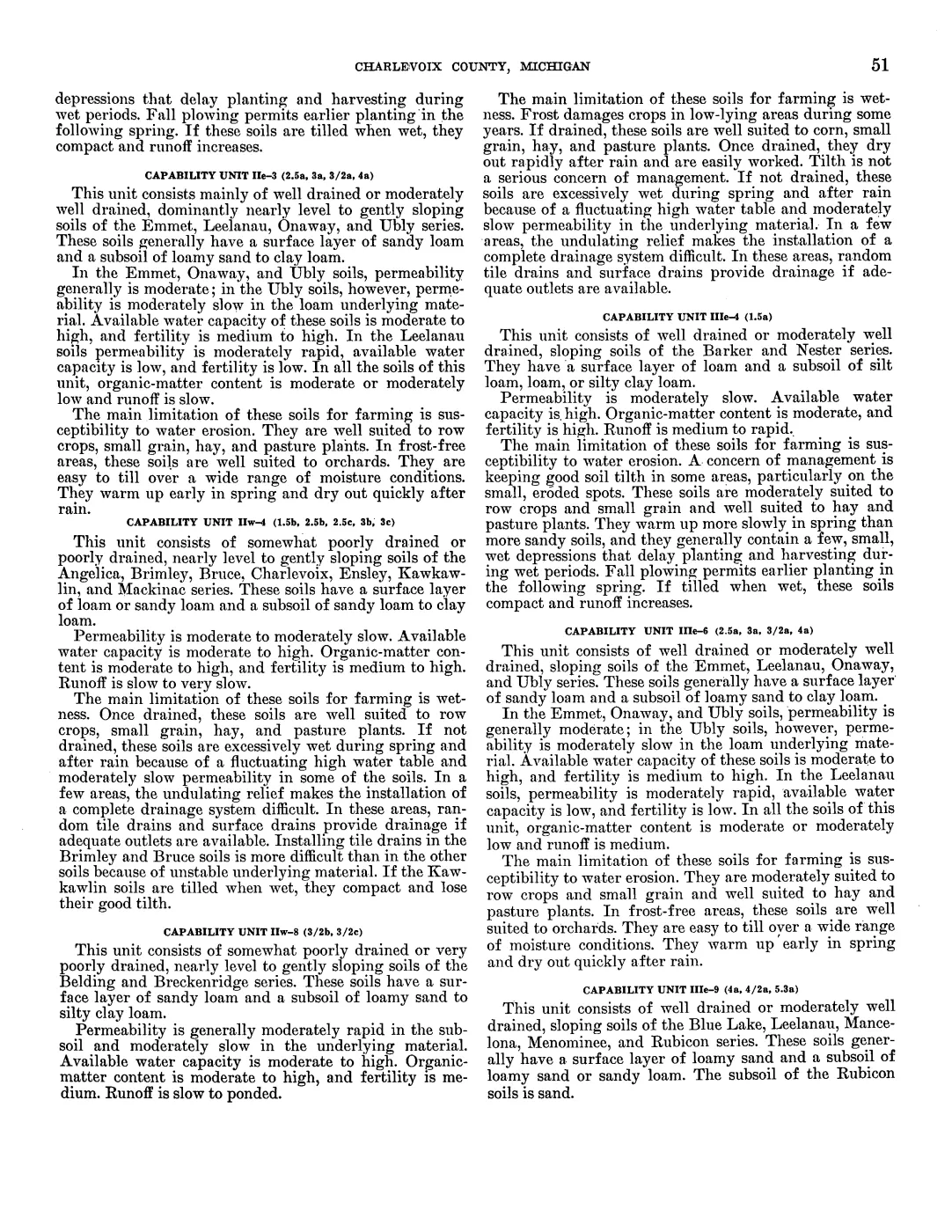
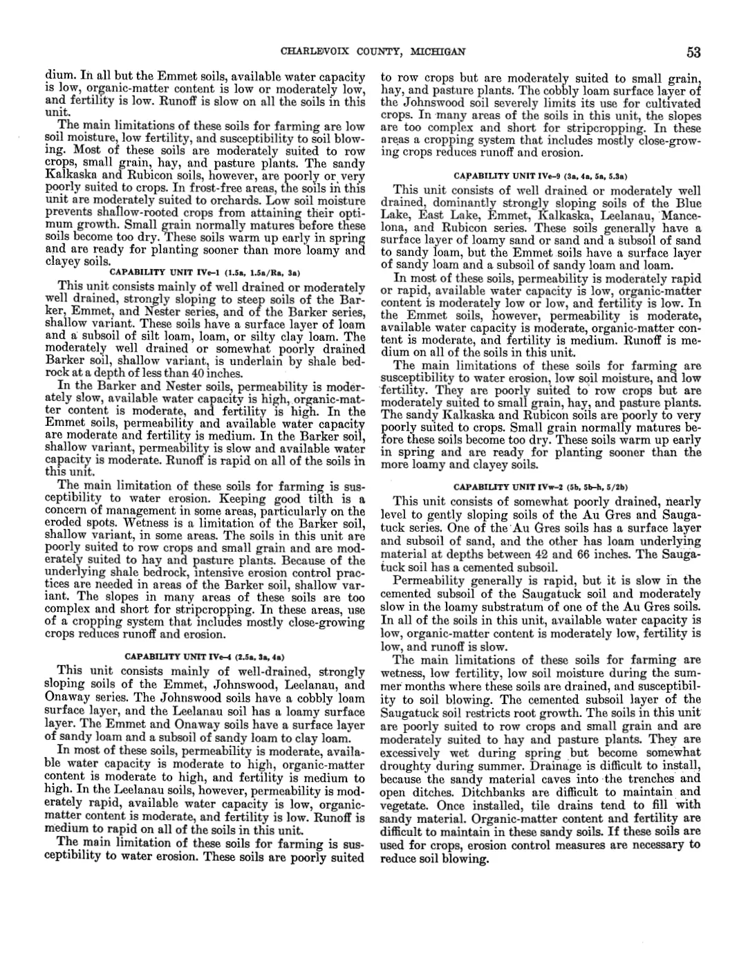
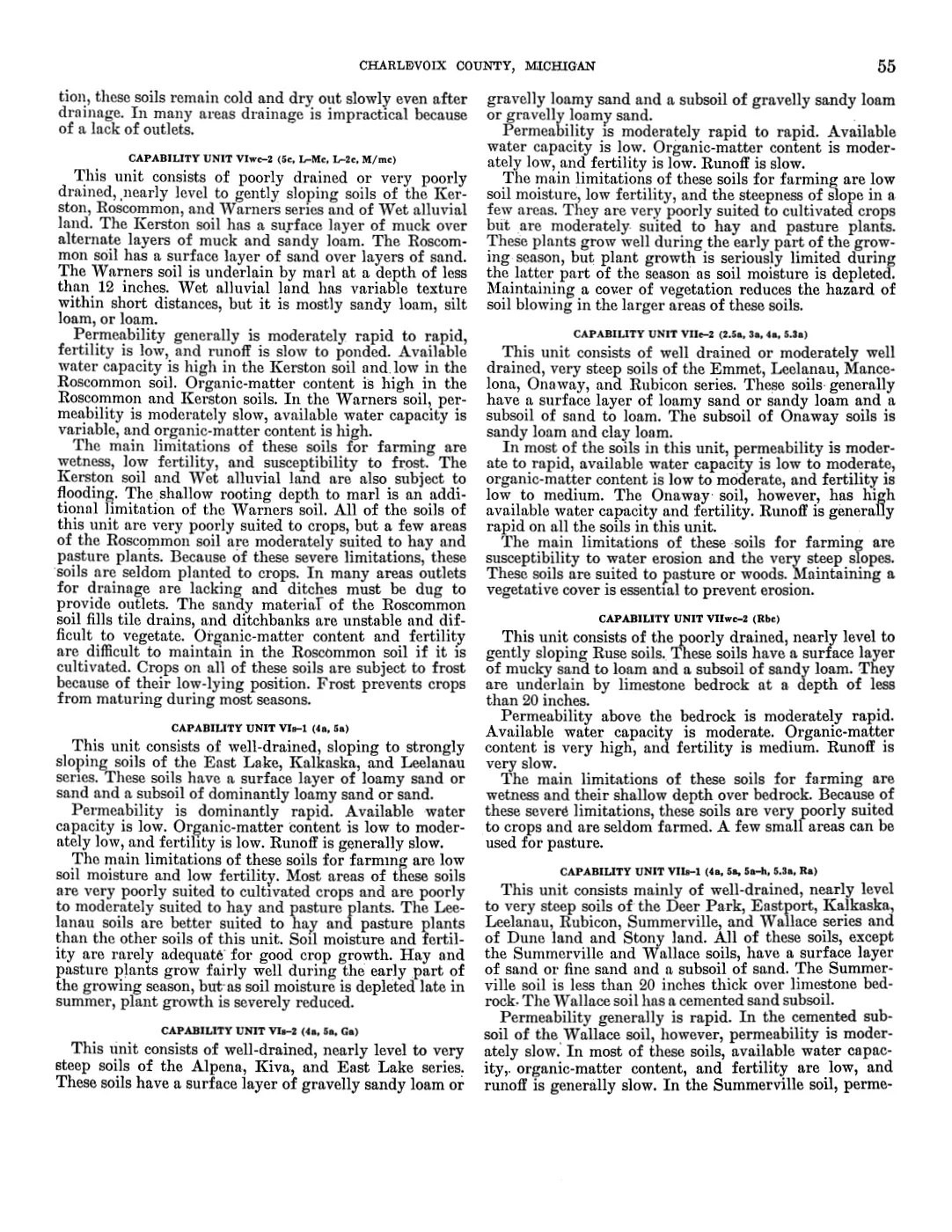
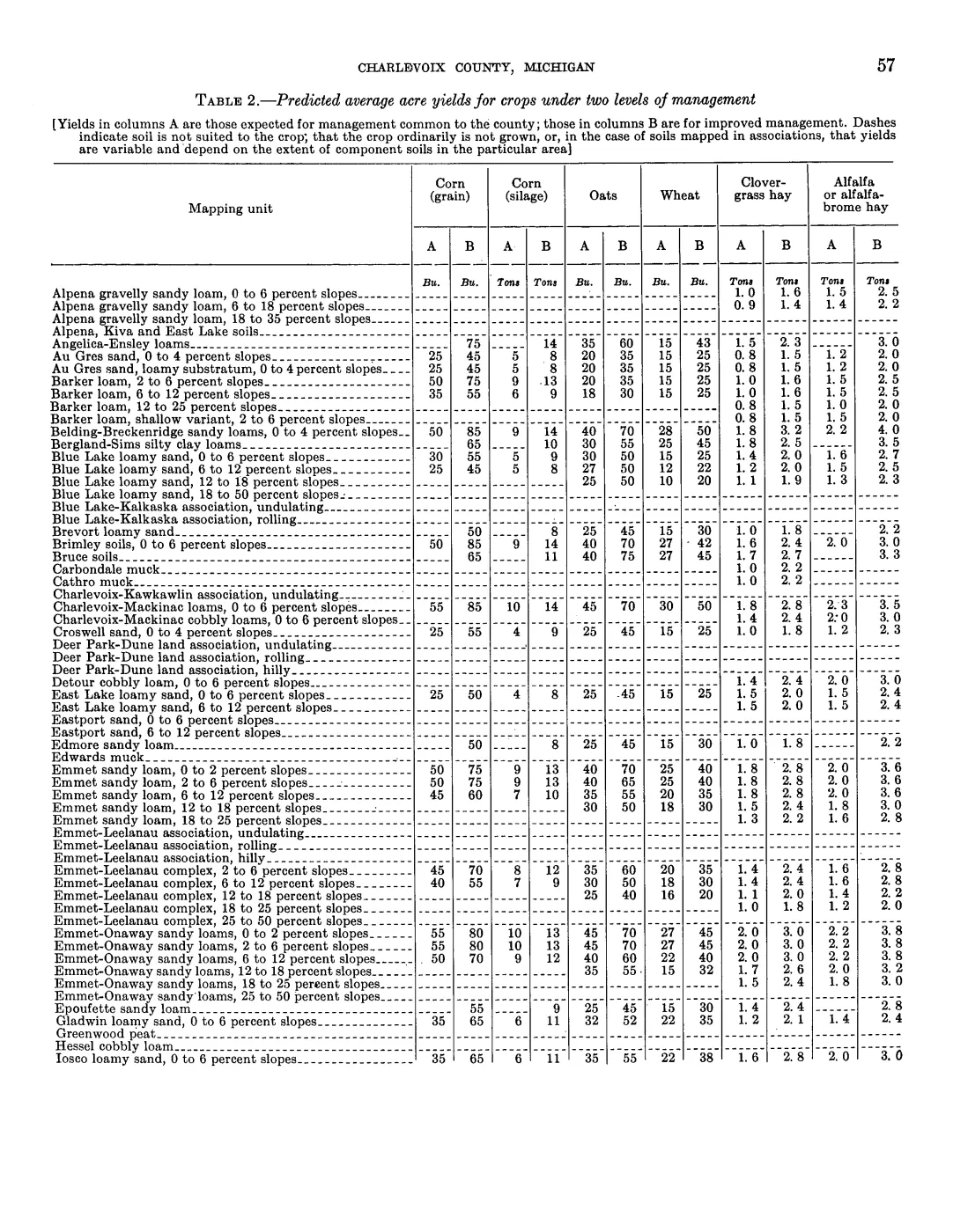
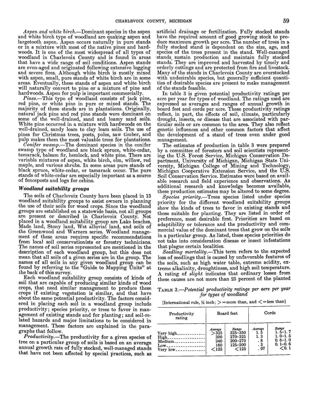
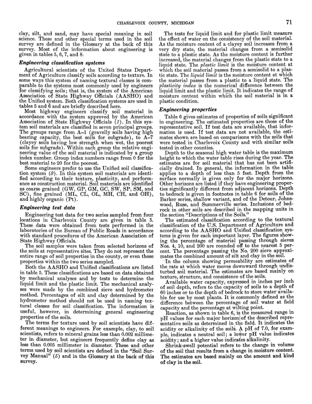
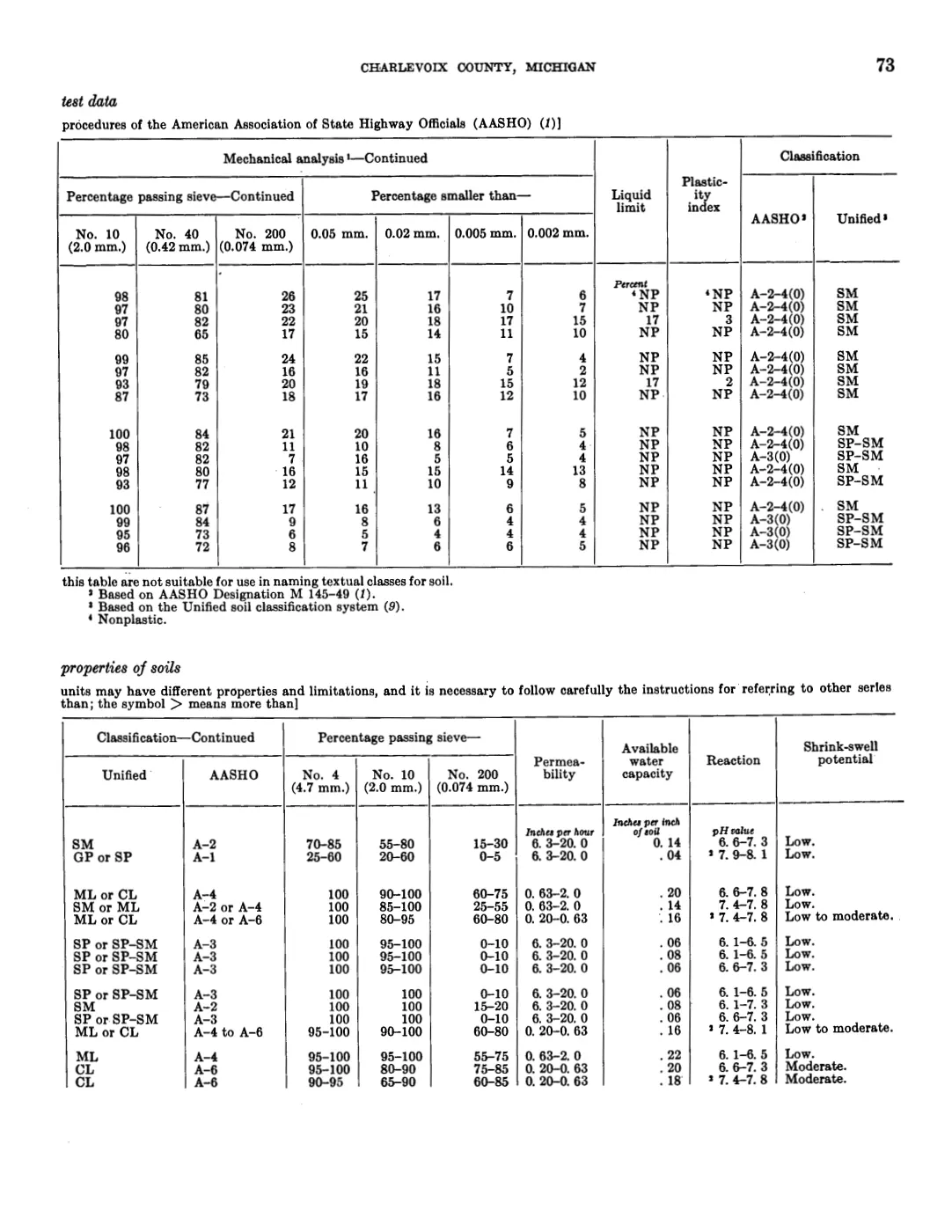
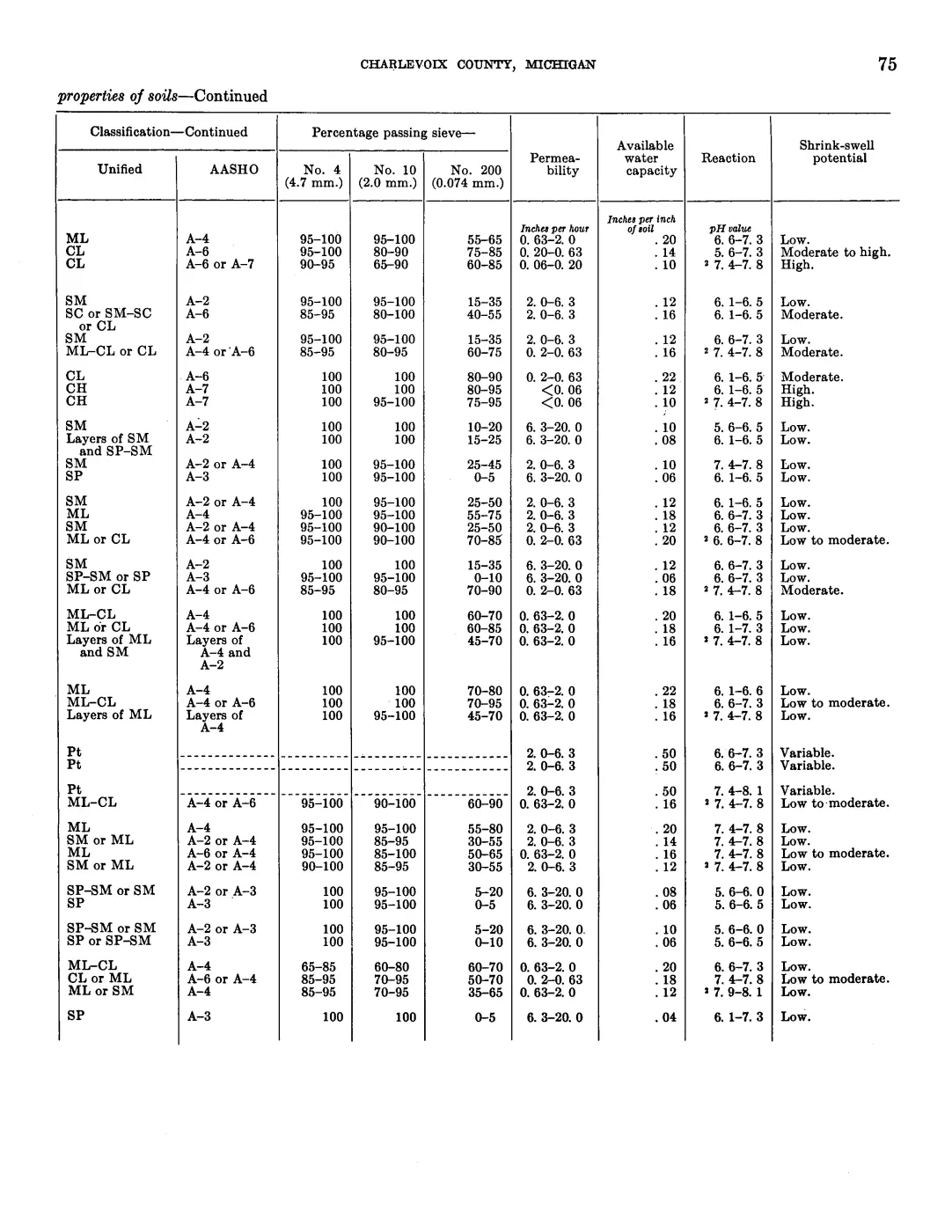
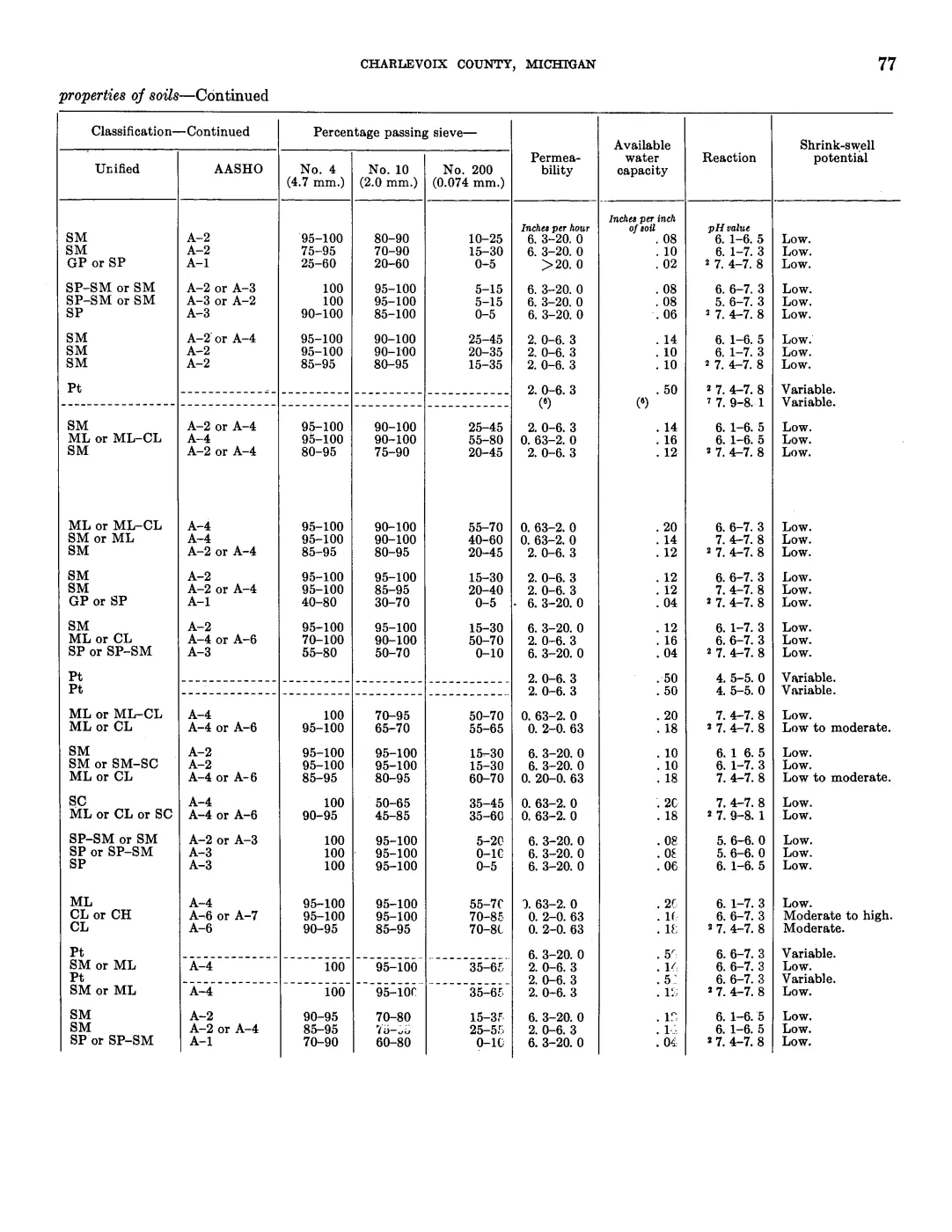
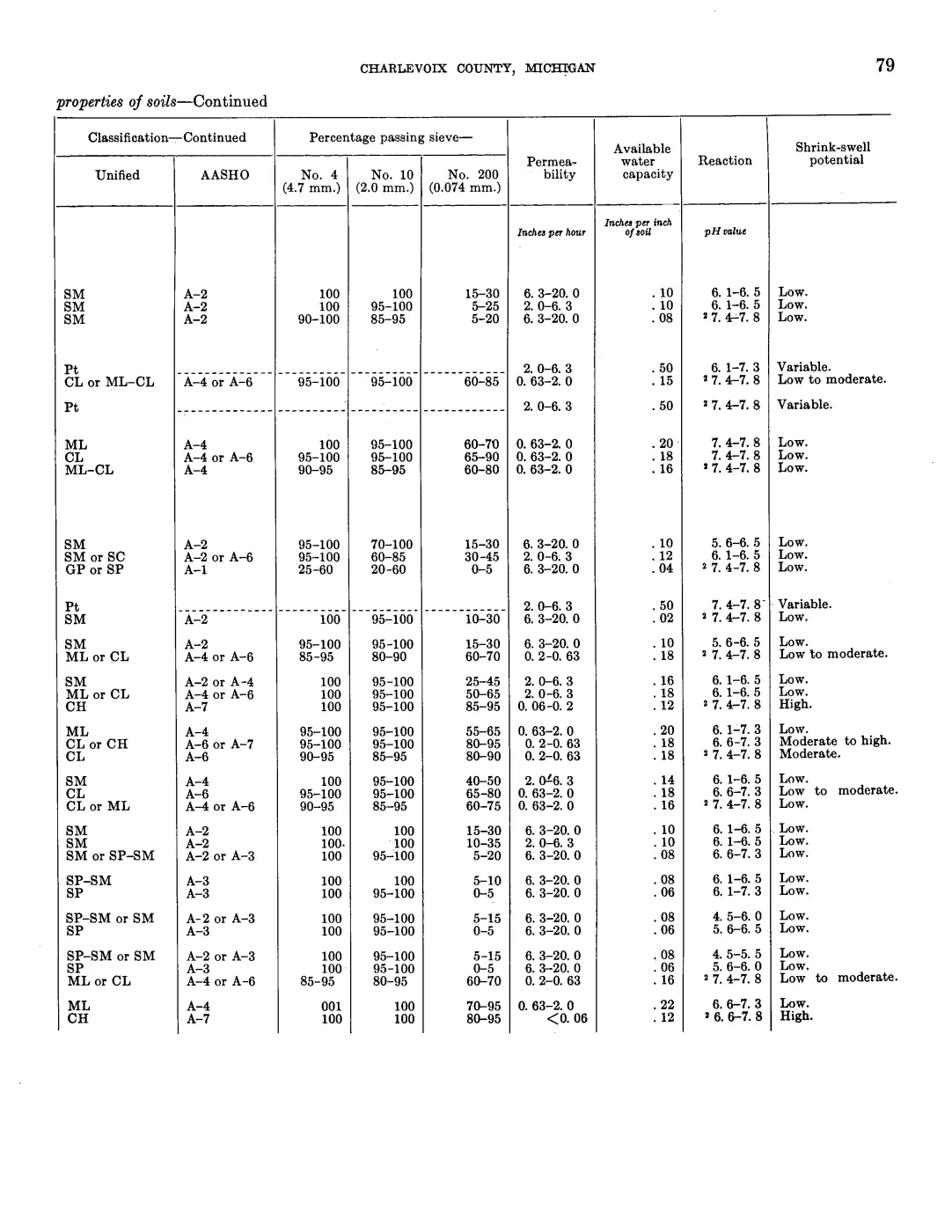
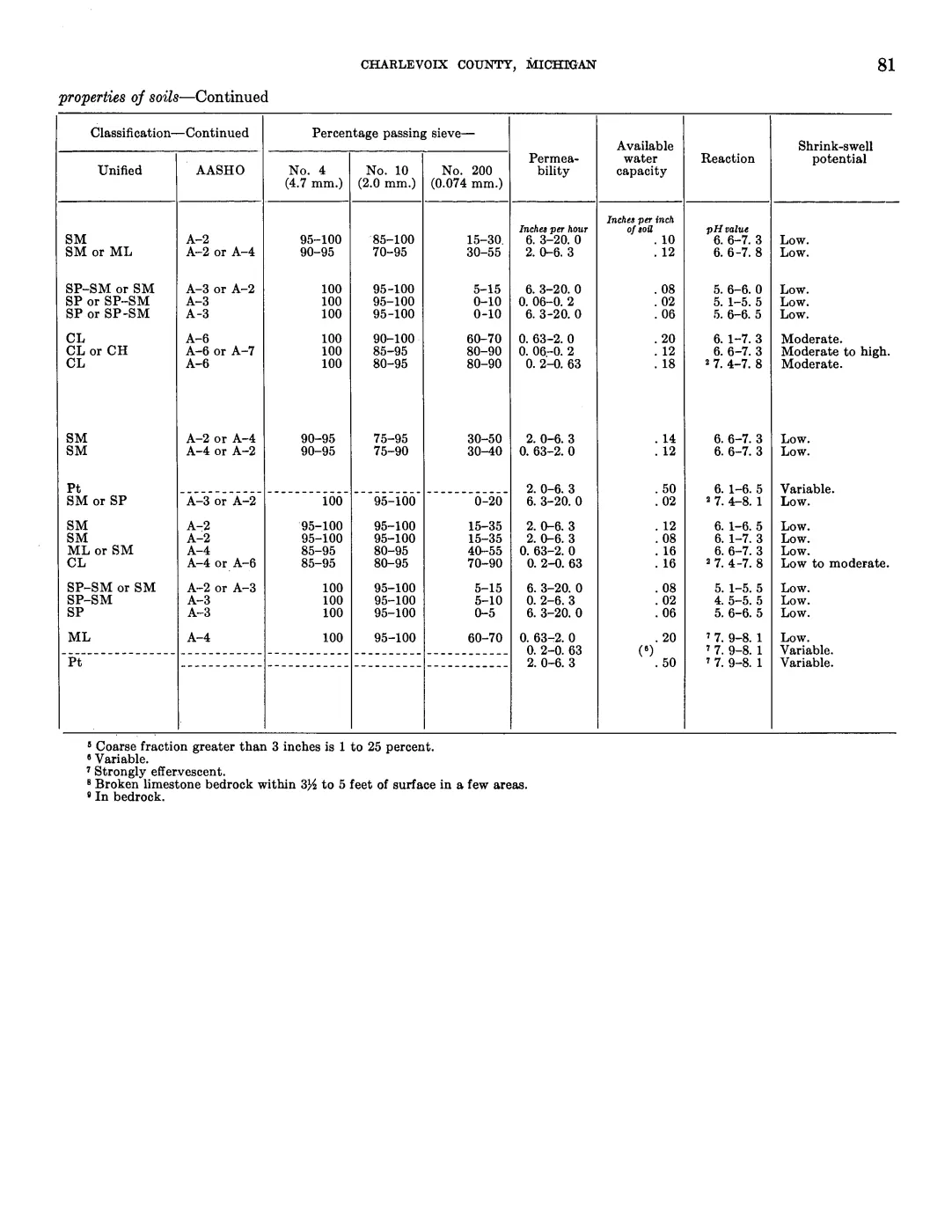
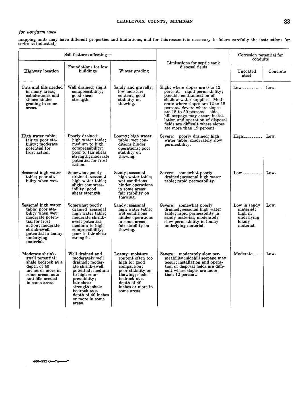
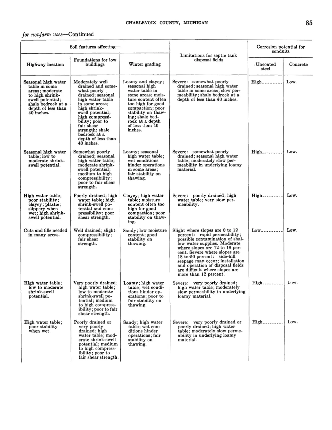
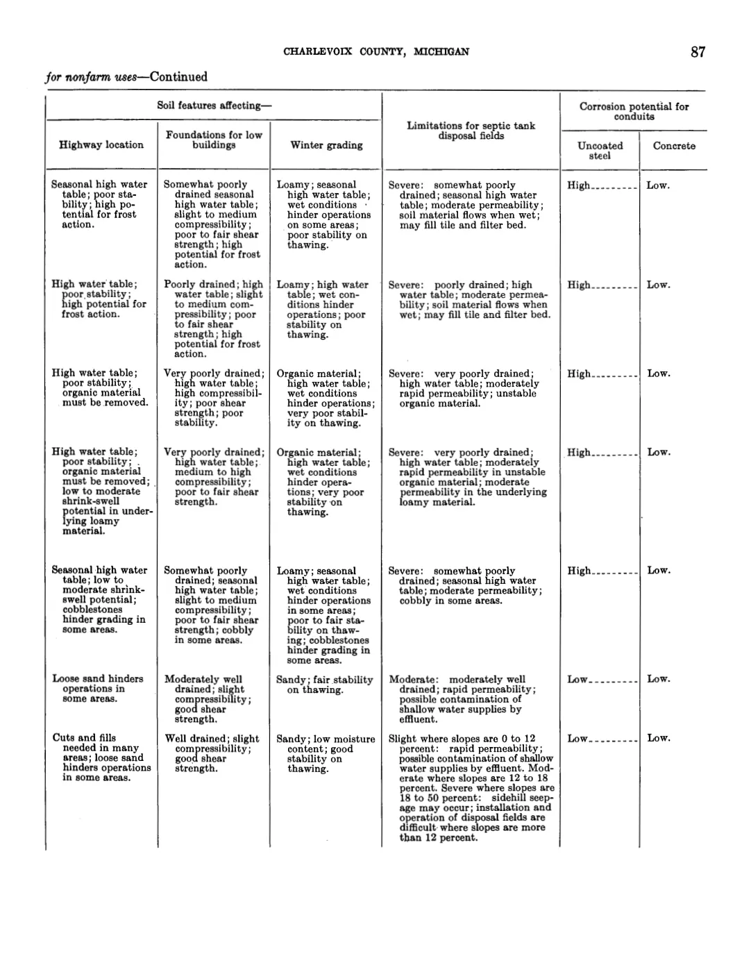
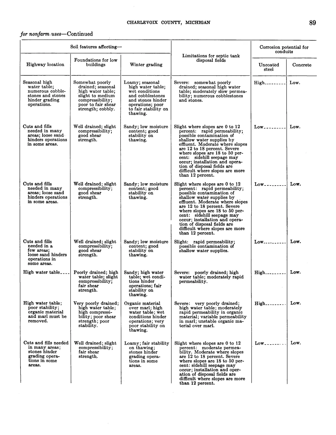
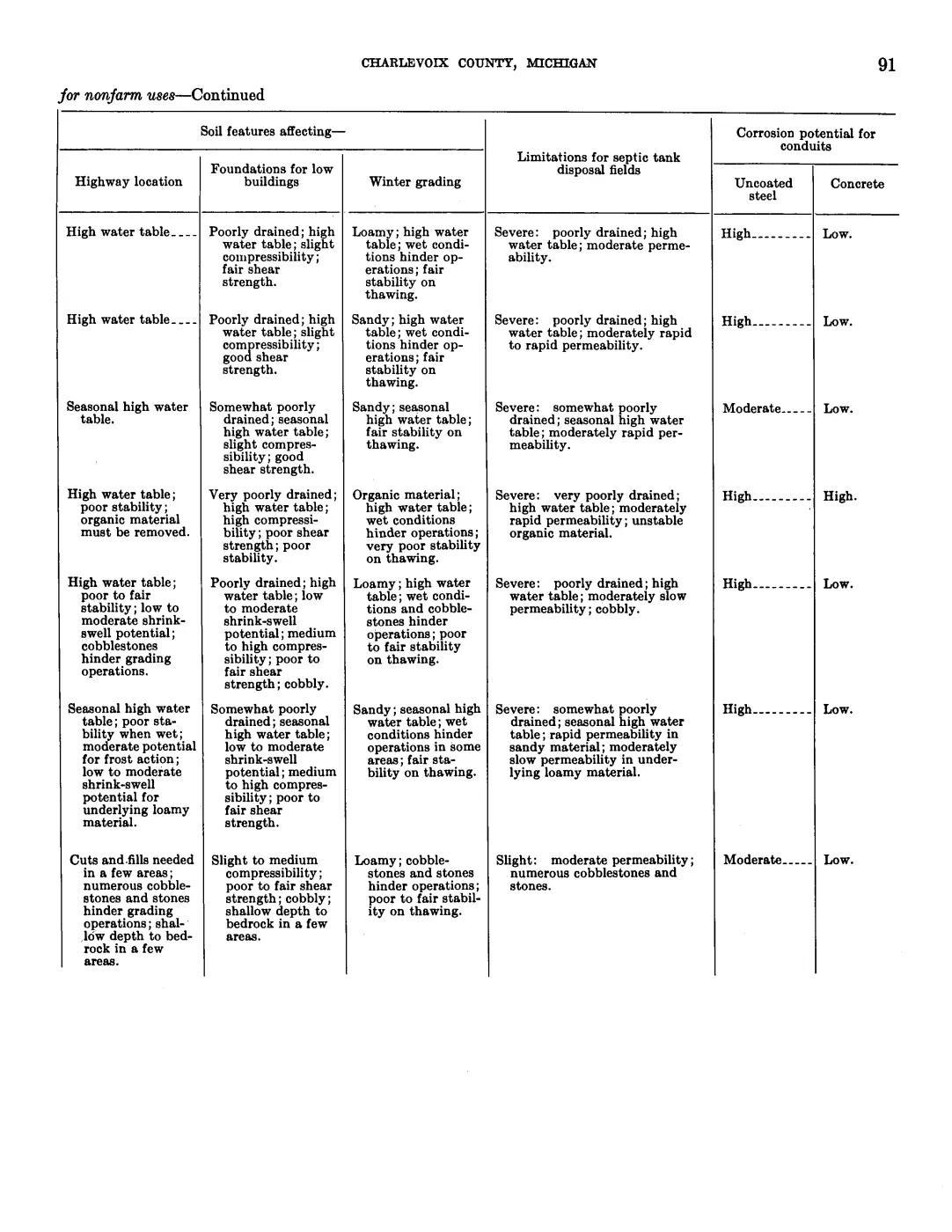
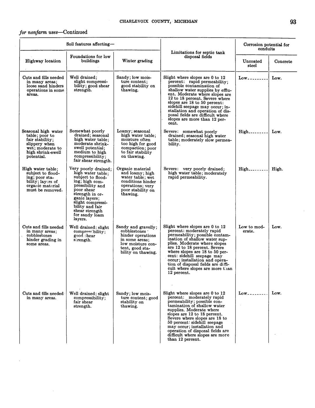
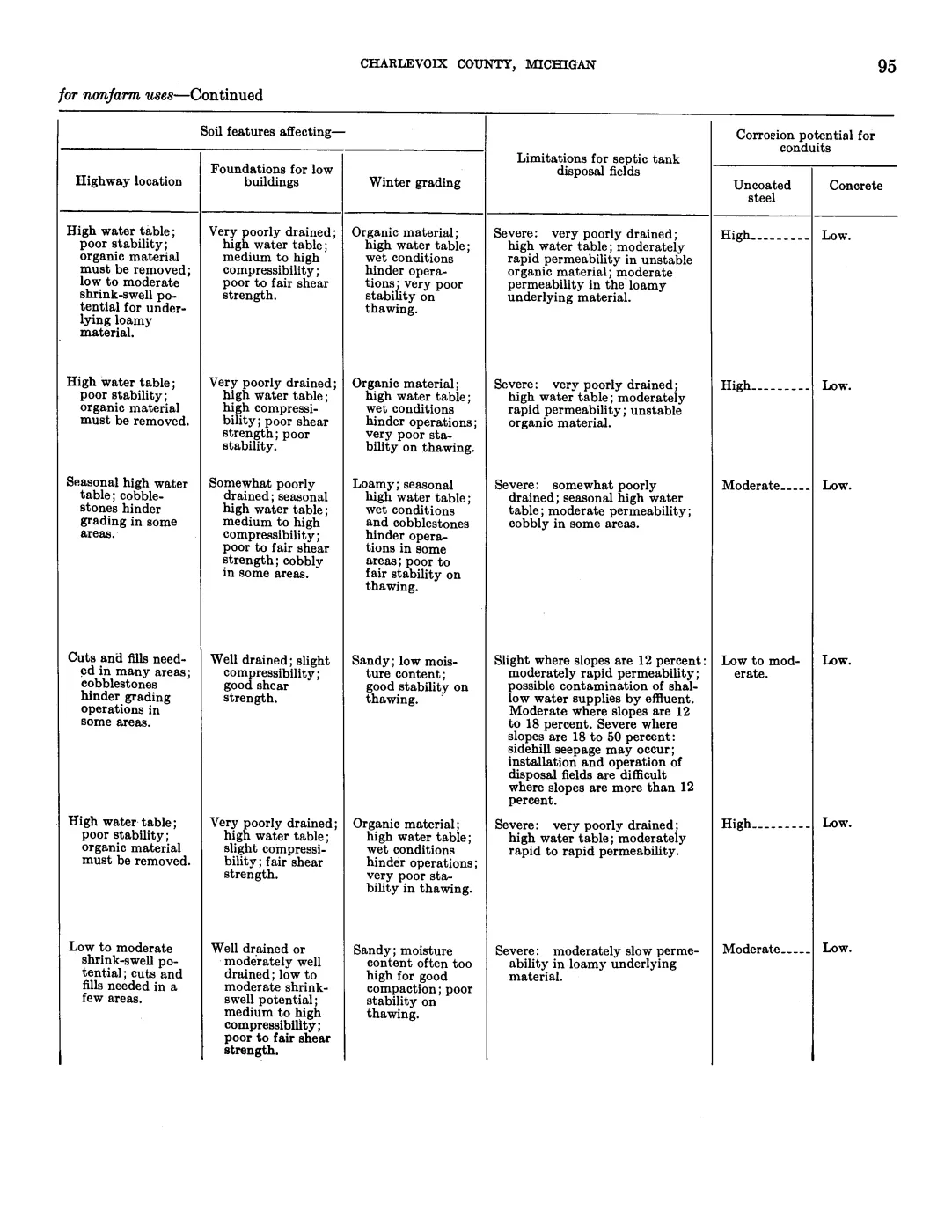
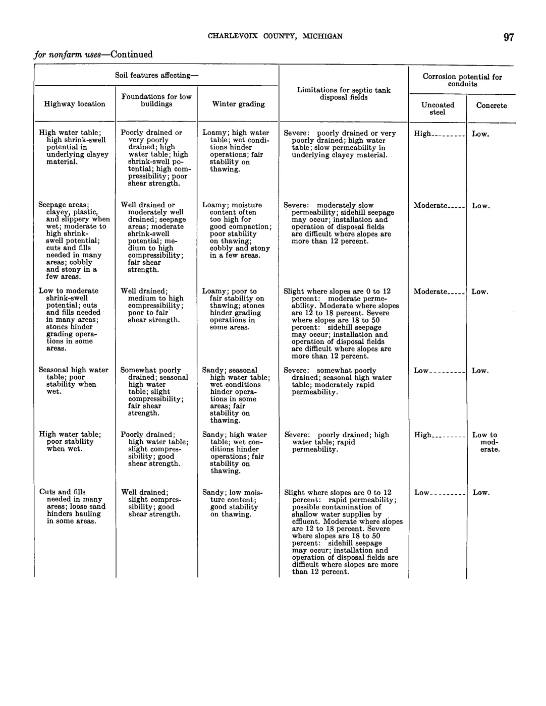
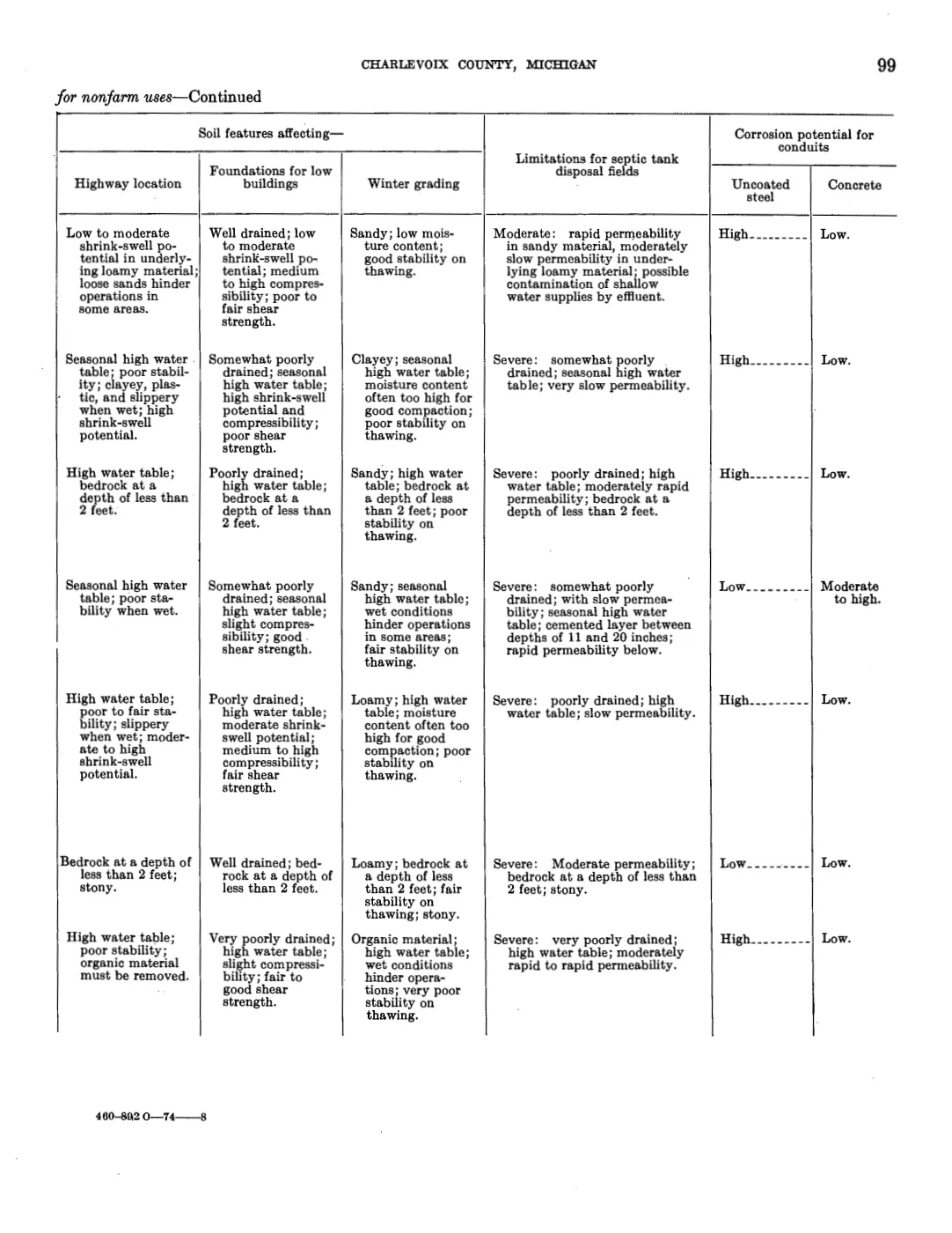
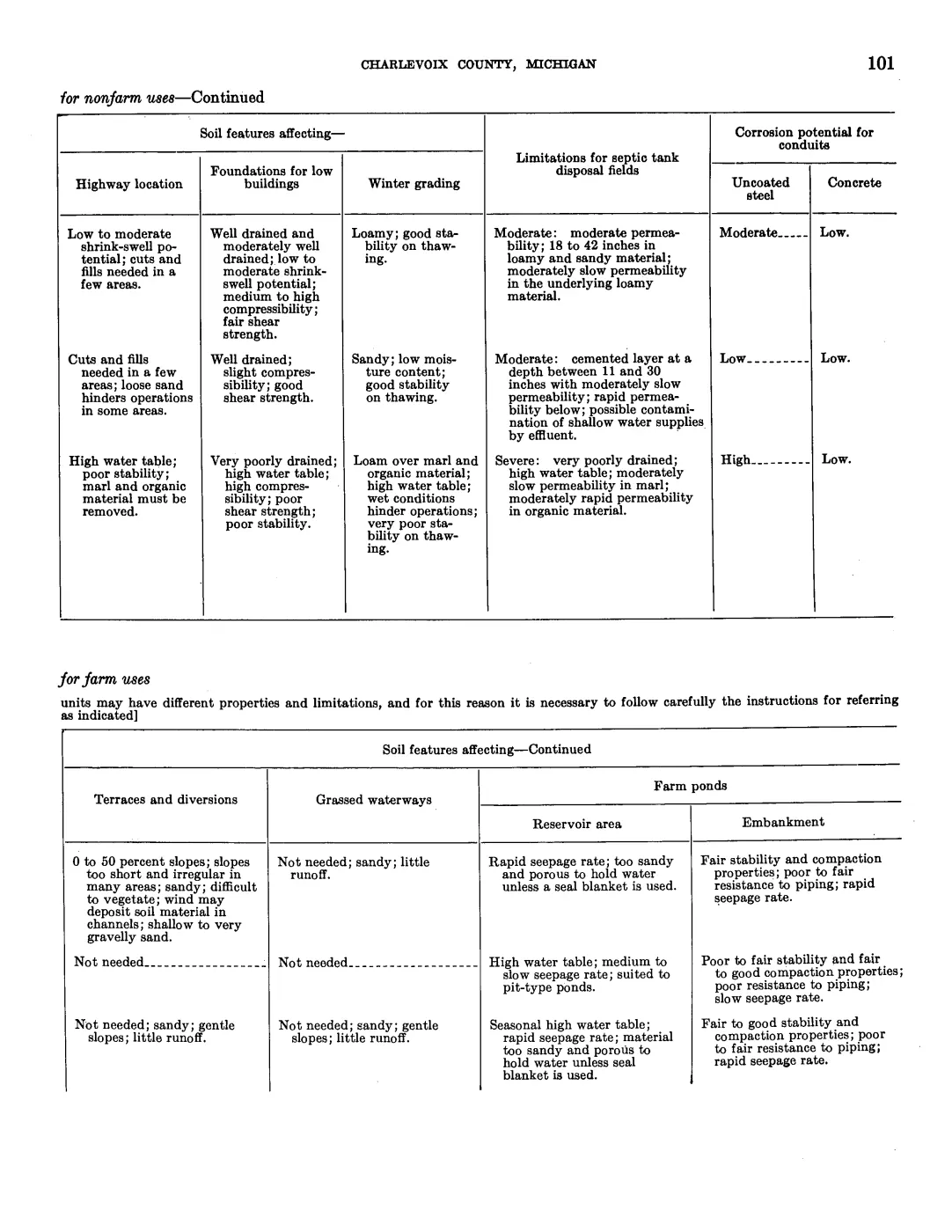
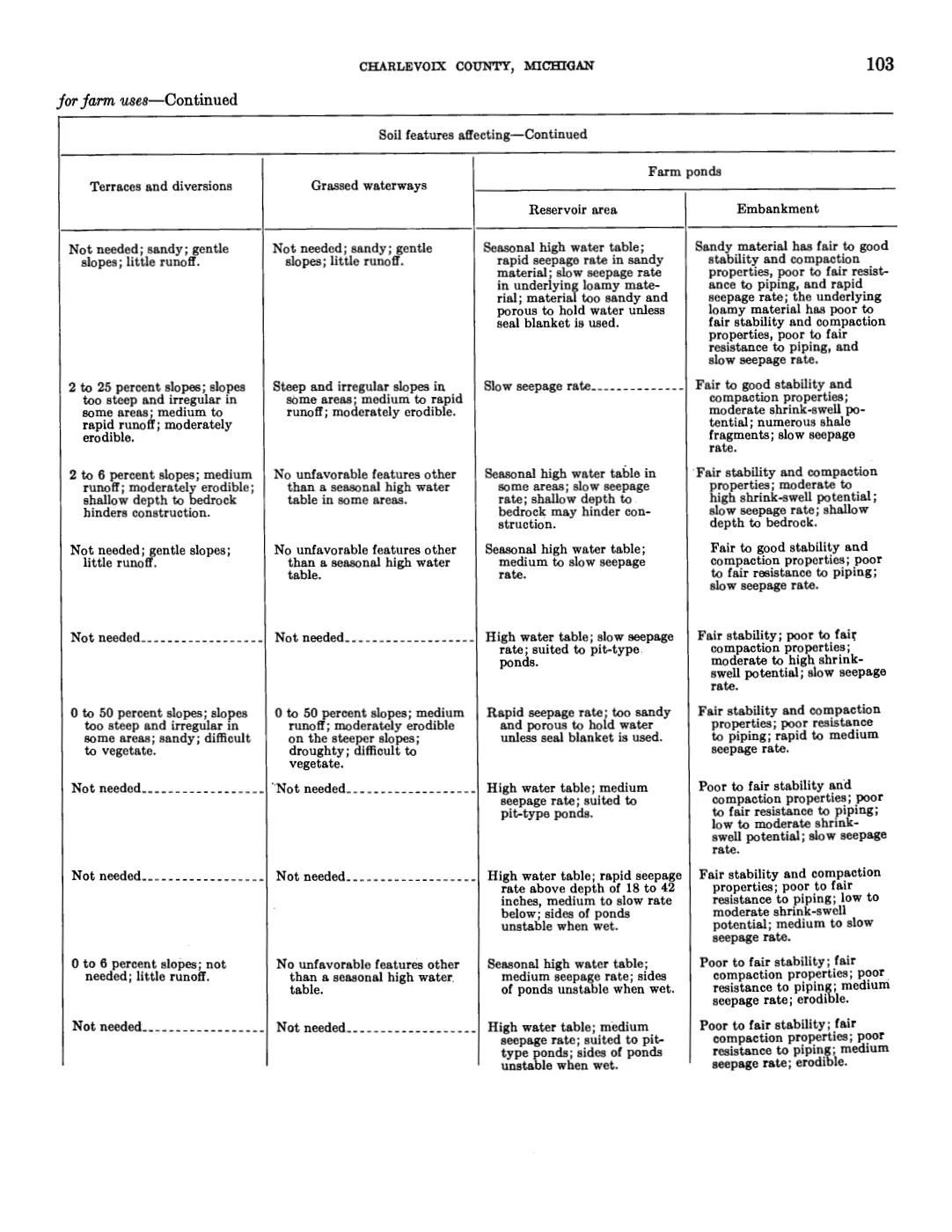
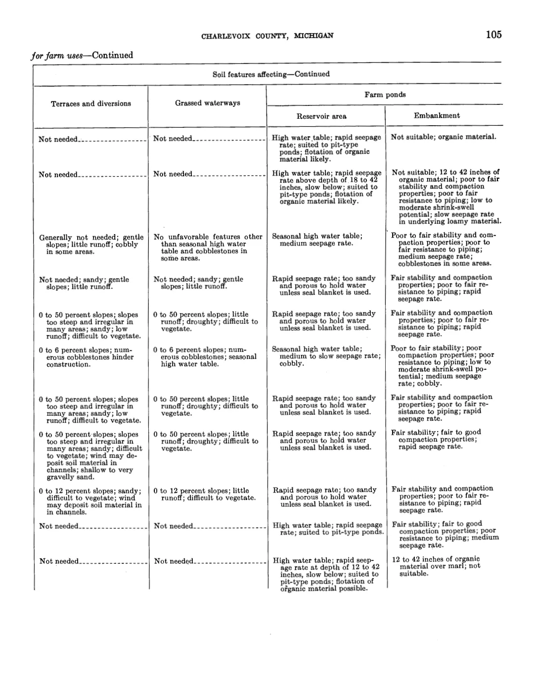
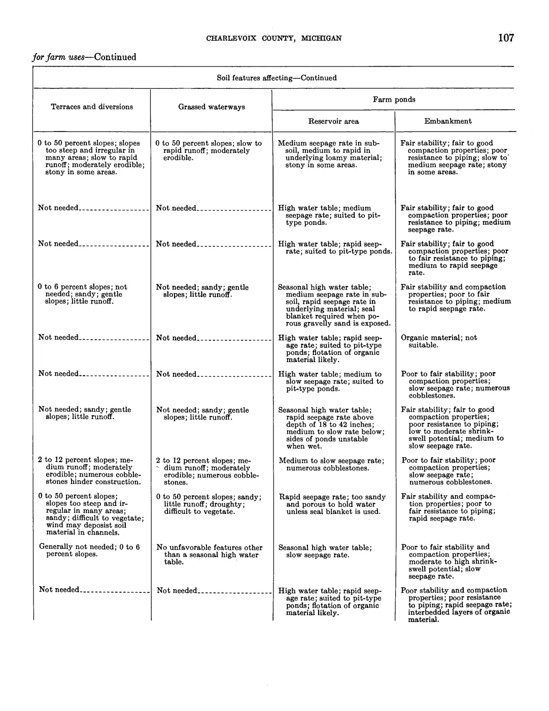
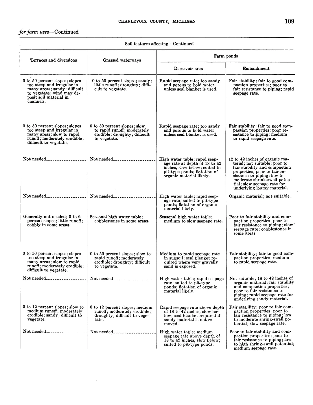
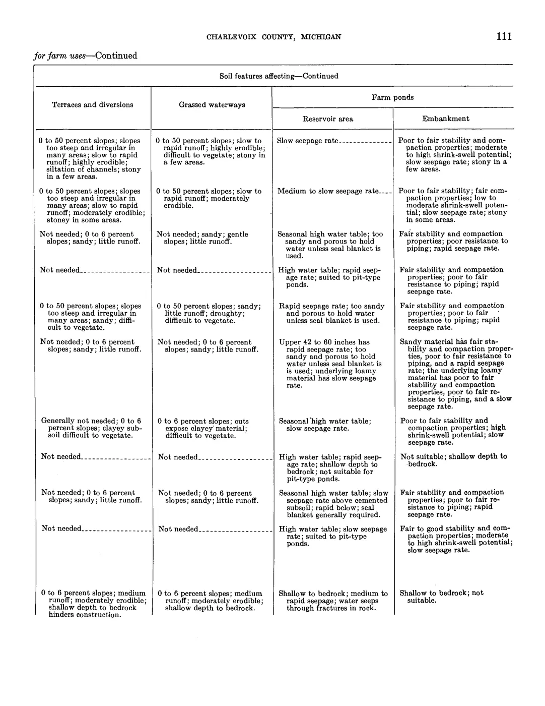
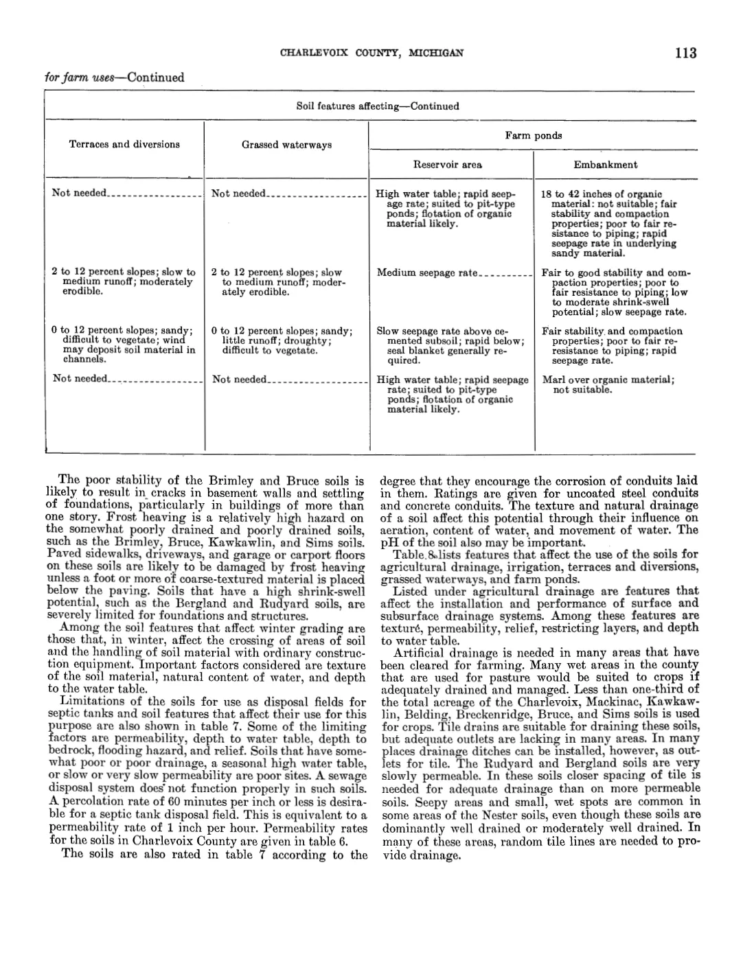
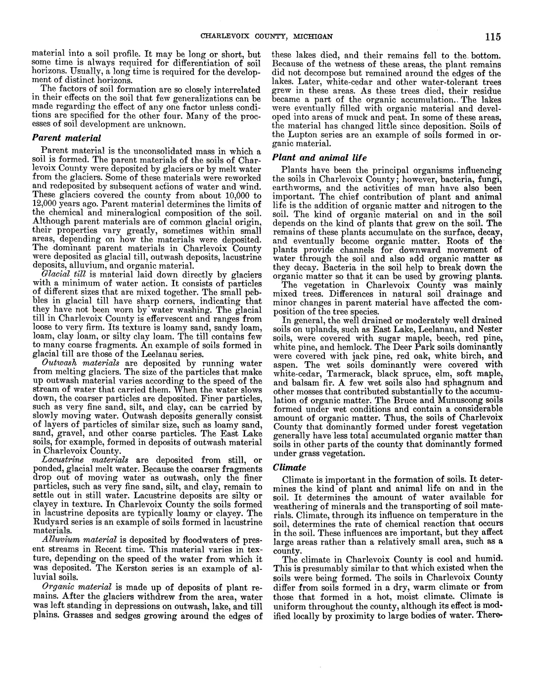
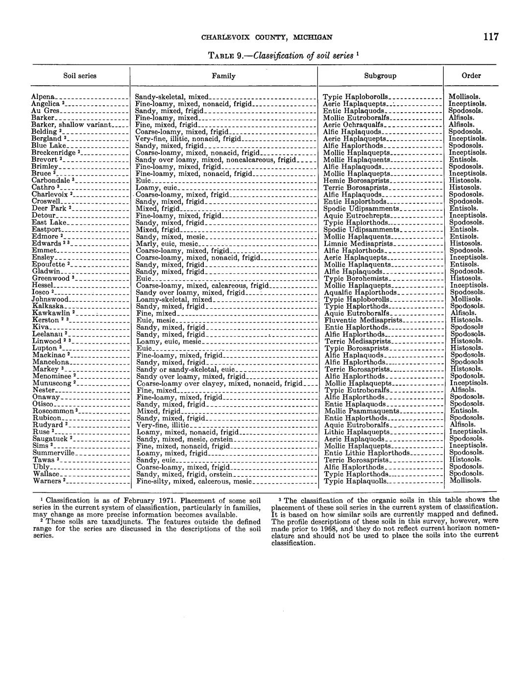
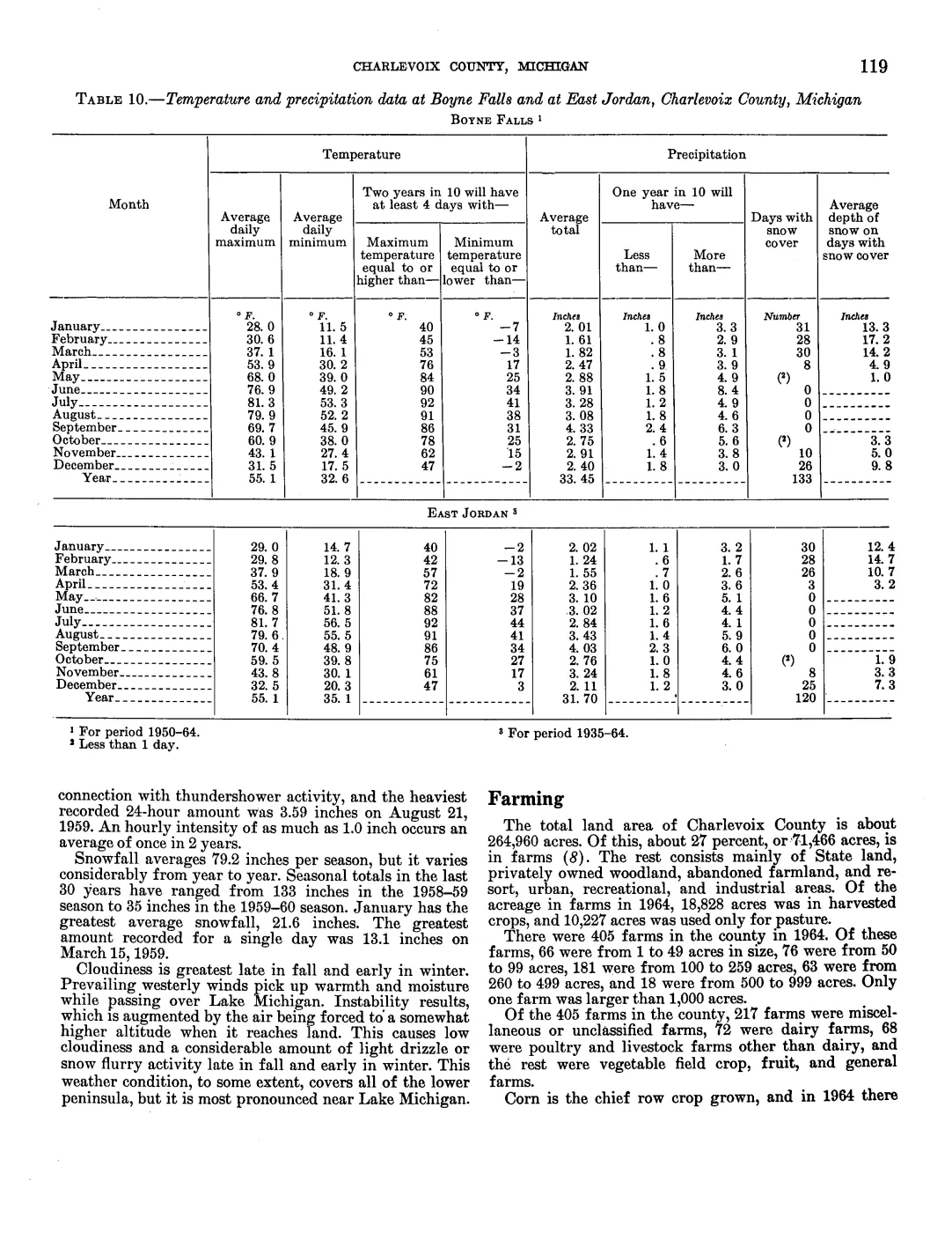
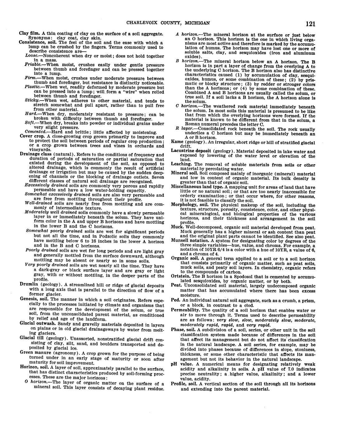
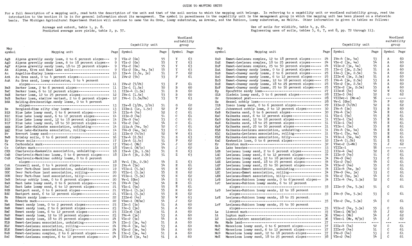
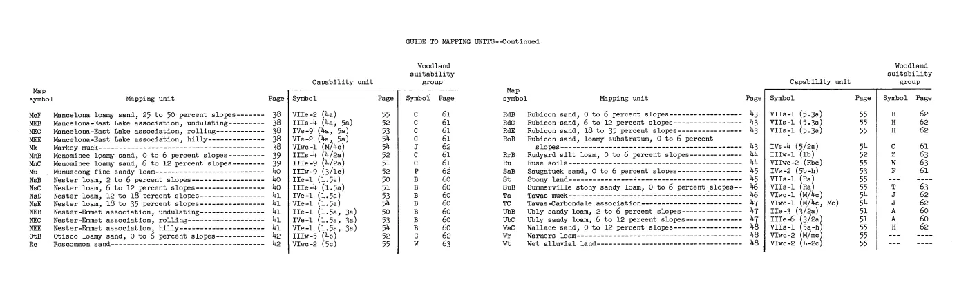
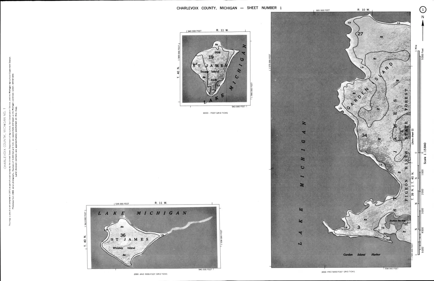
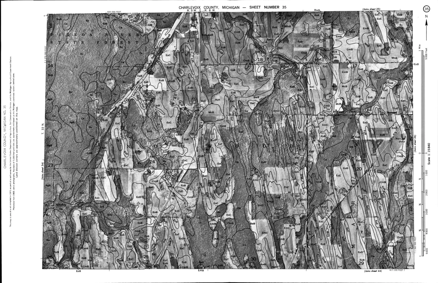
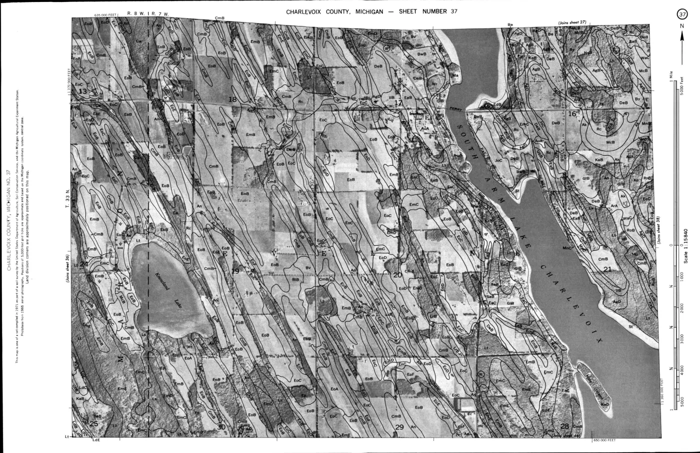
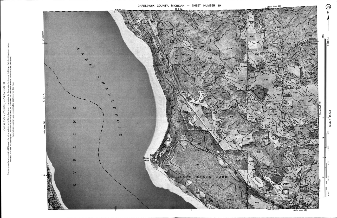
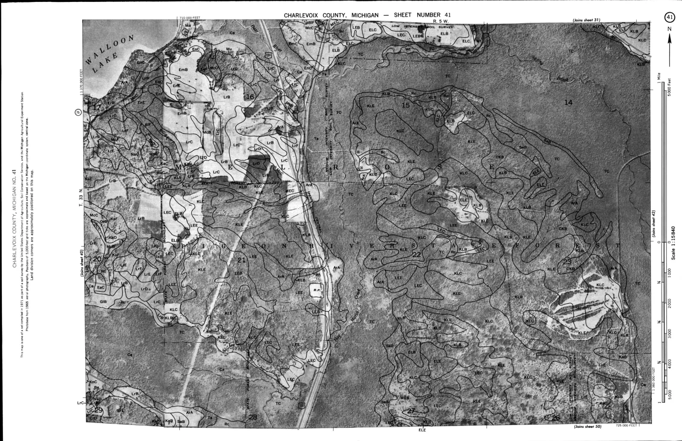
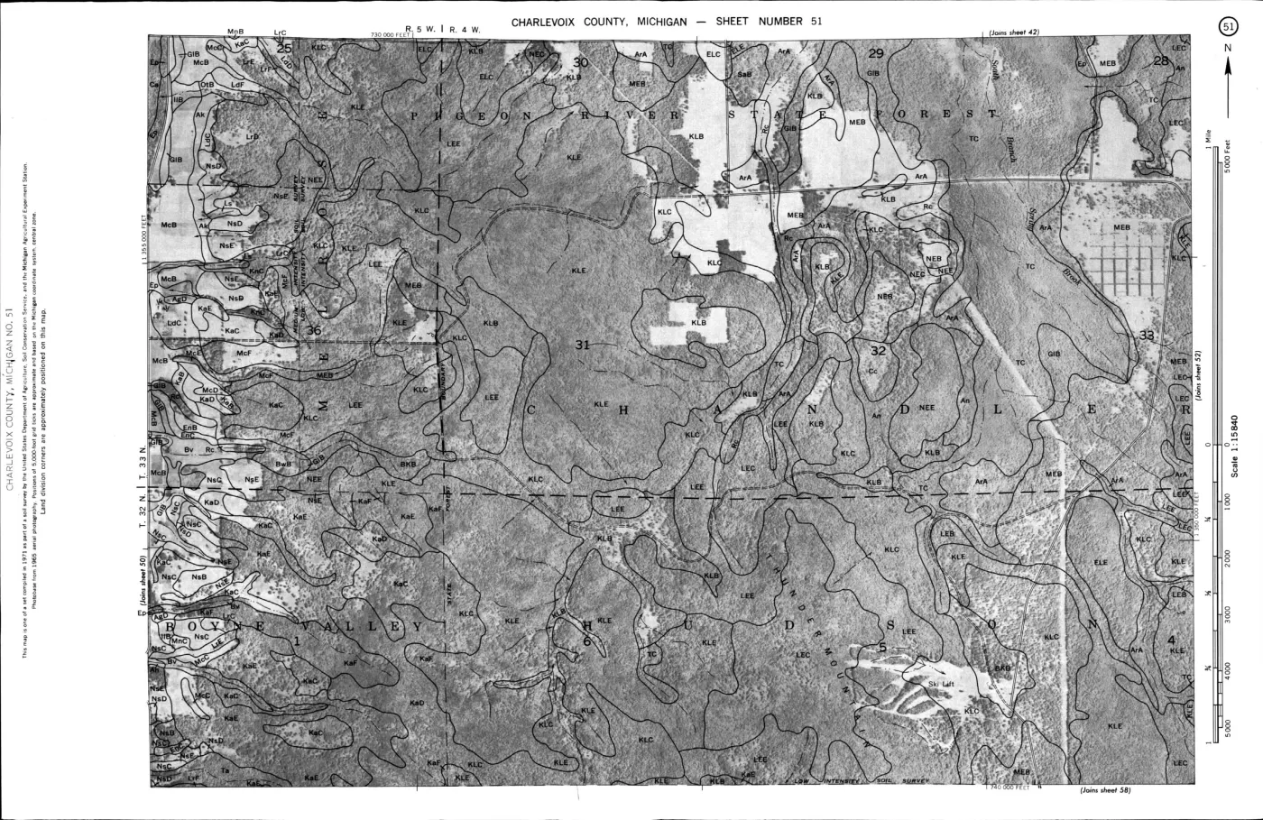
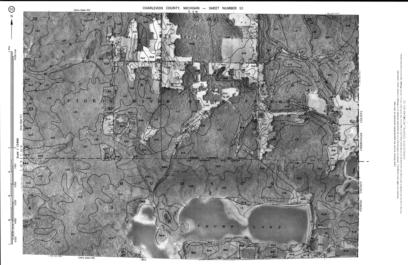
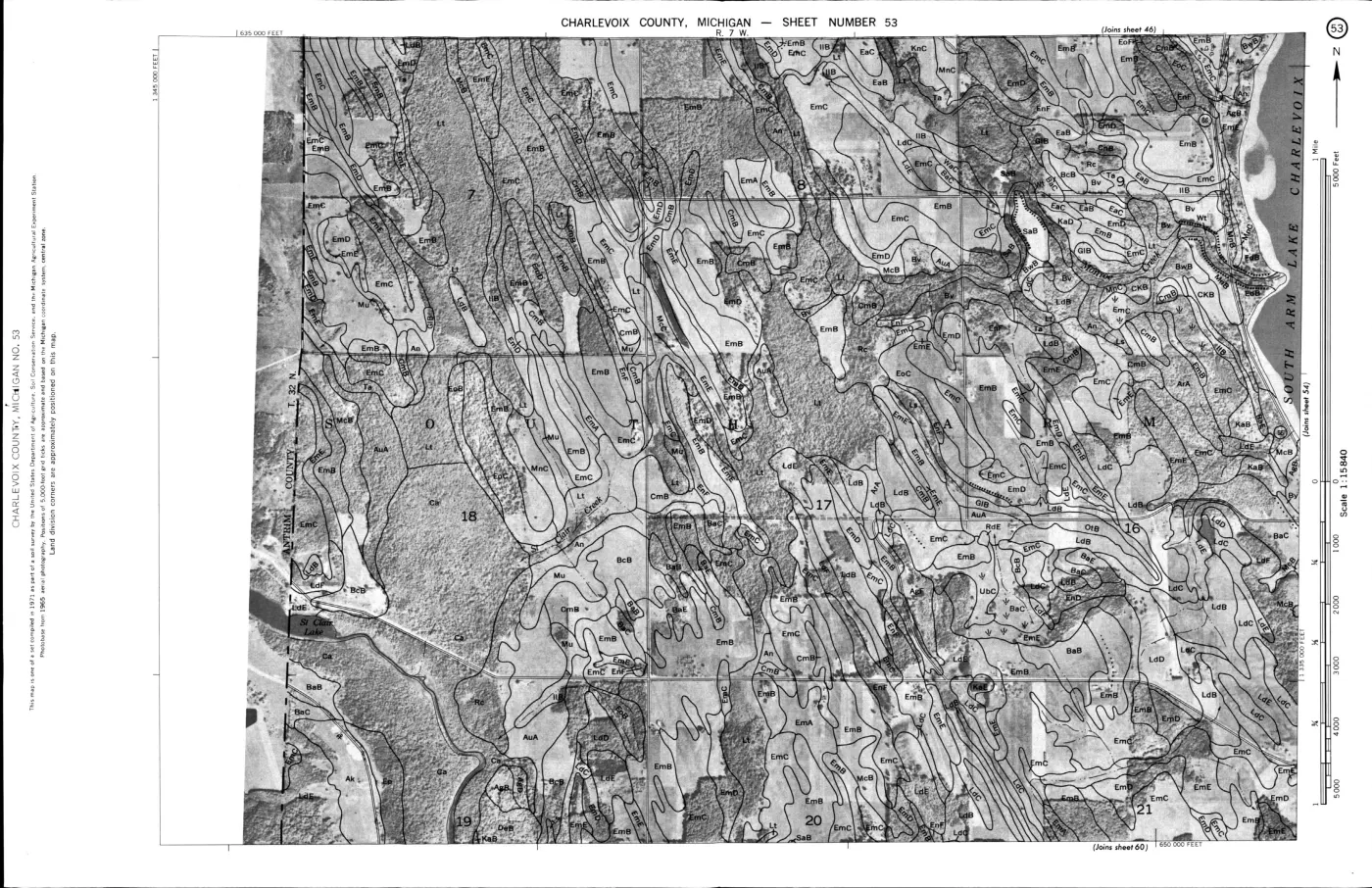
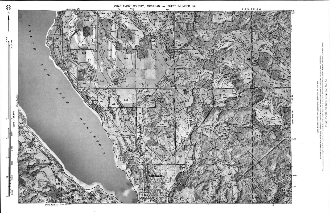
- County soil survey and map source for interpreting island soil series, parent materials, dunes, beach ridges, wetlands, and drainage. It is a regional survey and does not replace site investigation.geology · publications · usda_1974_charlevoix_soil_survey
- Project-generated archipelago physical geology and hydrogeologic context crosswalk (2026).Described in this archive: Archipelago physical geology and hydrogeologic context crosswalk, 2026.Adds island-level intersections for glacial-drift aquifer character, USGS SGMC lithology and contacts, the EGLE bedrock fault layer, and the glacial-lobe boundary. It preserves the regional-layer and OSM-boundary limitations. No public copy of this file is known; the archive holds one and can provide it on request.geology · crosswalks · archipelago_physical_geology_context
- Project-generated named aquatic and wetland place crosswalk (2026).Described in this archive: Named aquatic and wetland places crosswalk, 2026.Makes named lakes, marshes, swamps, bays, beaches, streams, and reefs searchable against regional soil, wetland, Quaternary, circa-1800, and bedrock overlays without treating names as legal boundaries. No public copy of this file is known; the archive holds one and can provide it on request.research · places · named_aquatic_wetland_place_crosswalk
- Described in this archive: MNFI Great Lakes Islands 1999 progress report crosswalk.Adds site-bounded evidence linking cobble beaches, open dunes, forest edges, inland lakes, marshes, fens, and aquatic substrates to wildlife observations. It is ecological context, not a new geomorphic map.research · wildlife · indices · mnfi_great_lakes_islands_1999_inventory_index
- Described in this archive: MNFI Great Lakes Islands 1998–2002 final inventory synthesis.Provides historical GIS/planning context for connecting geology, shoreline, wetland, forest, and species evidence; the project-wide synthesis does not establish island-specific landform chronology.research · wildlife · indices · mnfi_great_lakes_islands_2002_final_synthesis_index
- Described in this archive: Visually verified GLO survey observations of archipelago soils, terrain, and trees, 1845–1849.Preserves early page-bounded observations of black sand and gravel on Big Beaver; sandy/stony Garden and Hog ground over compact beach-like stone; low ridges, stone/sand beaches, thin vegetable soils, swamp, marsh, windfall, and fire; Hat, High, Ojibwa, Trout, Whiskey, and Gull lake-built stone, gravel, sand, and thin-soil settings; South Fox fine sand with vegetable mould and sand drifts; and North Fox hard-pan, coarse gravel/pebbles, rocky/pebbly shore, clay banks, gravel beach, and lime pebbles. These are historical line observations, not modern soil polygons or a dated lake-level chronology. The holder's public portal is searchable but does not link this record directly; the archive holds a copy of the file and can provide it on request.research · land_cover · crosswalks · glo_ecology_crosswalk_1845_1849
- Described in this archive: Visually verified GLO modern island ecology observations, 1942.Adds a separate dated description of gravel/boulder and gravel/humus formations, low relief, sparse vegetation, and non-overflow/upland observations. It does not establish deposit age or current geomorphology. The holder's public portal is searchable but does not link this record directly; the archive holds a copy of the file and can provide it on request.research · land_cover · crosswalks · glo_modern_ecology_1942
- Project-generated North Fox Island mapped-dune, forest, vegetation, and wildlife evidence.Described in this archive: North Fox Island mapped-dune, forest, vegetation, and wildlife evidence.Preserves EGLE mapped-dune descriptions of parabolic dunes, dune height, beach function, sand movement, blowouts, and hydrologic connectivity for MDC 76 and 77. Representative points are not natural-community boundaries. No public copy of this file is known; the archive holds one and can provide it on request.research · wildlife · indices · north_fox_mapped_dune_ecology_2026
- Project-generated South Fox Island mapped-dune, forest, vegetation, wetland, and wildlife evidence.Described in this archive: South Fox Island mapped-dune, forest, vegetation, wetland, and wildlife evidence.Preserves EGLE mapped-dune descriptions of perched and parabolic dunes, beach ridges, clay bluffs, landslides, seepage, blowouts, and interdunal wetlands for MDC 75, which encompasses South Fox Island. No public copy of this file is known; the archive holds one and can provide it on request.research · wildlife · indices · south_fox_mapped_dune_ecology_2026
- Project-generated Hog Island mapped-dune, forest, shoreline, vegetation, and wildlife evidence.Described in this archive: Hog Island mapped-dune, forest, shoreline, vegetation, and wildlife evidence.Preserves EGLE mapped-dune descriptions of low-relief wooded dune-and-swale terrain, Great Lakes marsh, foredune, limestone cobble shore, and water-level and storm reworking for MDC 101. No public copy of this file is known; the archive holds one and can provide it on request.research · wildlife · indices · hog_island_mapped_dune_ecology_2026
- Described in this archive: The Pleistocene of Indiana and Michigan and the history of the Great Lakes, 1915.Foundational regional treatment of Great Lakes strandlines, lake stages, and isostatic tilt. The book supplies the historical framework; it does not by itself date a specific Beaver Island ridge.geology · publications · leverett_taylor_1915_mono53
- Described in this archive: Late Holocene lake-level variation in northern Lake Michigan, 1993.Northern Lake Michigan beach-ridge, core, and dune study that makes the methodological limit explicit: a local lake-level curve must be tested beyond its study area. It is not a Beaver Island ridge chronology.geology · publications · baedke_thompson_1993_ofs93_04
- Open regional synthesis explaining that beach ridges preserve lake-level highstands and that Lake Michigan levels vary on short and long cycles. It is methodological context for the archipelago, not a Beaver-Island-specific chronology.geology · publications · thompson_argyilan_2020_ijes
Added 31 July 2026 · revised 3 August 2026. Recent changes
Cite this article
Beaver Island Archive, “Geology and landforms”, https://beaverislandarchive.org/themes/geology-and-landforms/, accessed [date], citing Project-generated Beaver Island Master Plan natural-resource evidence crosswalk, 2017–2024. (and 30 further sources listed on the page).
Last revised 2026-08-03. Fill in [date] with the date you read it — this page is static and cannot know that.
BibTeX for “Geology and landforms”RIS for “Geology and landforms”