

- Coordinates
- 45.5928° N, 85.5228° WGoogle Maps: Beaver Island Public BeachDownload KML
- Eras
- Modern era
- Concepts
- environmenttourism
- Within
- Beaver Island
Summary
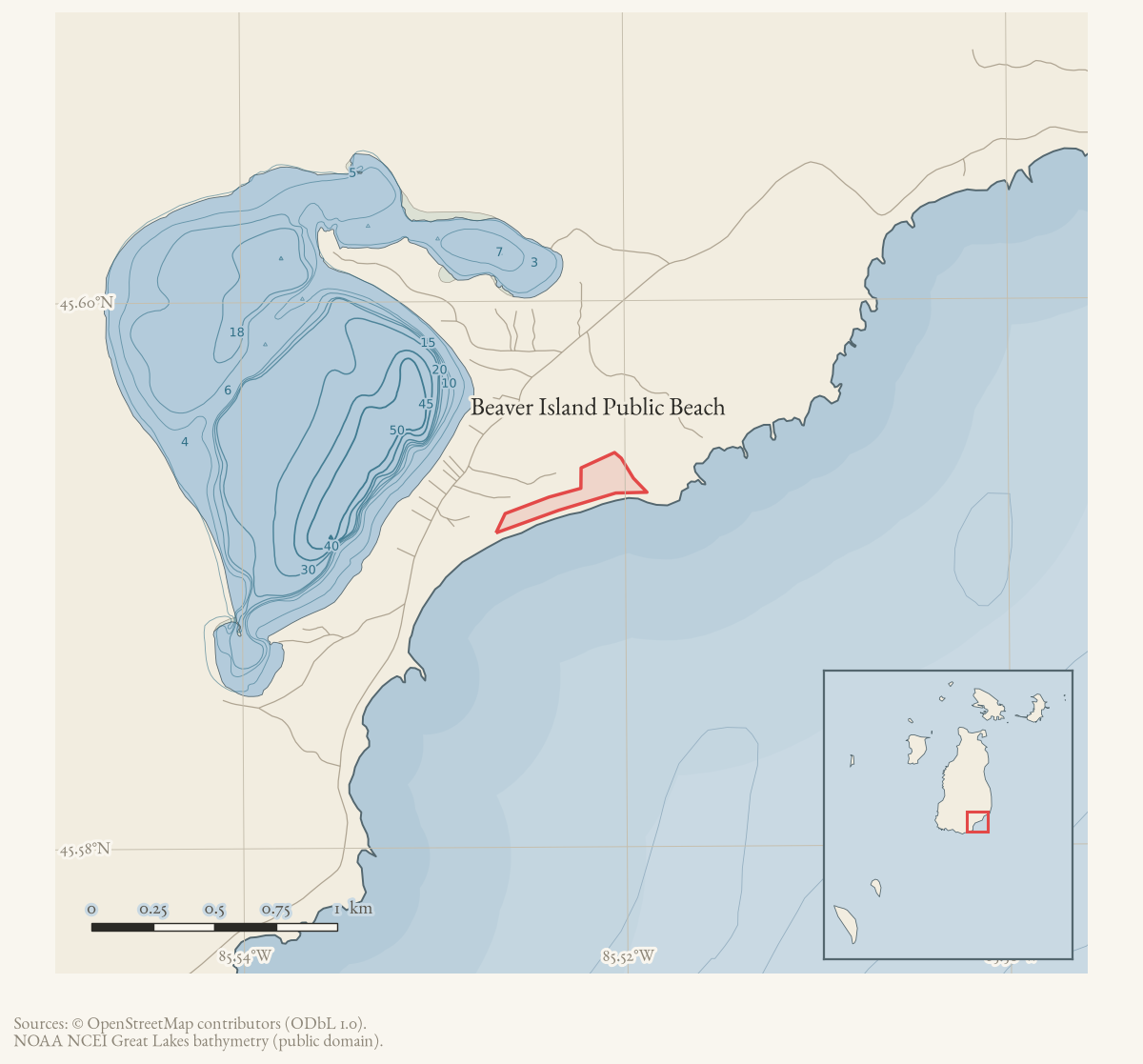
Beaver Island Public Beach is a GNIS-named beach on Beaver Island near Saint James. The GNIS record classifies it as a Beach and attributes the official name to Walter Romig’s Michigan Place Names (1986). A current OpenStreetMap snapshot contains a named natural-beach polygon whose GNIS feature identifier matches 2364654, providing a direct geometry for the feature. The held sources do not yet establish when public access began or whether the name refers to a single continuous frontage across changing park boundaries.
Open questions
- Which township or park records establish the beach’s public-access history?
- Can contemporary reporting distinguish this GNIS feature from other public beaches and beach expansions on Beaver Island?
Maps for this place
These Atlas plates provide regional context. They do not establish a precise boundary, current ownership, access right, operating status, or field condition.
- EnvironmentSoils, wetlands, hydrography, and terrain
- GeologyGeneralized geology and landforms
- HydrologyMapped water and wetland context
- AccessMapped routes, facilities, and protected areas
- Land surveyPLSS geometry and historic GLO patent-location context
The dated record
Sources
- GNIS feature 2364654; feature class 'Beach'.federal · gnis · gnis_names
- Way 1136857348 matches GNIS feature 2364654 and names the mapped natural=beach polygon at the GNIS point.osm · natural
- GNIS records Walter Romig's *Michigan Place Names* (1986) as the source for the official name.federal · gnis · gnis_variant_names
Added 28 July 2026 · revised 1 August 2026. Recent changes
Cite this article
Beaver Island Archive, “Beaver Island Public Beach”, https://beaverislandarchive.org/places/beaver-island-public-beach/, accessed [date], citing U.S. Geological Survey, Geographic Names Information System, Domestic Names (Michigan), retrieved 2026-07-28. (and 2 further sources listed on the page).
Last revised 2026-08-01. Fill in [date] with the date you read it — this page is static and cannot know that.
BibTeX for “Beaver Island Public Beach”RIS for “Beaver Island Public Beach”