

- Coordinates
- 45.7511° N, 85.5156° WGoogle Maps: Saint JamesDownload KML
- Eras
- Strang eraIrish era
- Concepts
- toponymyStrang eraIrish eramaritimemonarchy
- Within
- Beaver Island
- Media
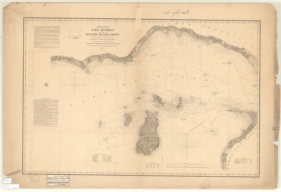
- General highway map of Charlevoix County, 1965 · North End of Lake Michigan Including the Beaver Island Group, 1855 Lake Survey chart · Plat of Big Beaver Island, 1901 · Plat of the north end of Beaver Island, 1930s
Summary
Saint James is the harbor village on the northwest side of Beaver Island, the principal settlement of the archipelago and the seat of both civil townships that cover it. Founded as a trading harbor and renamed under James Jesse Strang’s Latter Day Saint settlement (1847–1856; kingdom from 1850), it served as Strang’s county seat and the publishing home of his newspapers before becoming, after 1856, the commercial and civic center of the island’s subsequent Irish Catholic fishing community.
History
Before Strang’s arrival the harbor was known by names recorded in GNIS as variants of the harbor feature itself — Beaver Harbor and Beaver Island Harbor. Under Strang’s administration the settlement was renamed Saint James; a settler’s-daughter memoir records that “the county seat and post office was at the harbor, named in honor of the King ‘Saint James,’” and that the island was further divided into districts called Gallilee (head of the island), Troy (center) and Enoch (lower).1 Strang proclaimed himself king on 8 July 1850, according to a modern local-history summary, which marks the shift from a Latter Day Saint settlement toward a personal monarchy. The same source dates the end of the settlement to Strang’s assassination and the subsequent expulsion of his followers.2 Strang’s own daily newspaper, published at Saint James in the spring of 1856, shows an active commercial harbor in its final months: steamer advertisements for the Michigan and the Lady of the Lake calling at “Saint James and Galilee,” alongside merchant notices for dry goods, cooperage, and the wood and fish trade.3
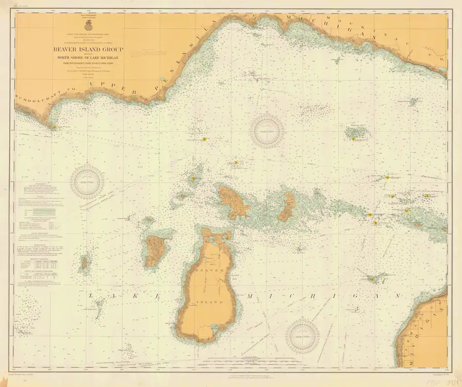
Saint James was also the northern anchor of the island’s principal interior road. Strang wrote in 1854 that one road ran from Saint James “due South to Galilee,” while the 1854-55 Lake Survey chart depicts an unlabeled corridor and farm clearings running inland from the settlement.4 A 1903 retrospective is the earliest explicit source so far located that calls a road in this landscape the “King’s Highway” and attributes it to Strang.5 The 1907 chart redraws the common north-south axis more clearly, and the larger-scale 1911 chart explicitly labels the northern road “Kings Highway.” The 1911 road ends in the interior before a separate segment north of Lake Geneserath, so it identifies Saint James’s road without showing a continuous highway to the lake.6 This source chain supports King's Highway as a surviving northern part or corridor of the Strang-era route. It does not establish that the name was used during Strang’s lifetime or that the modern alignment is identical throughout to the road that reached Galilee.
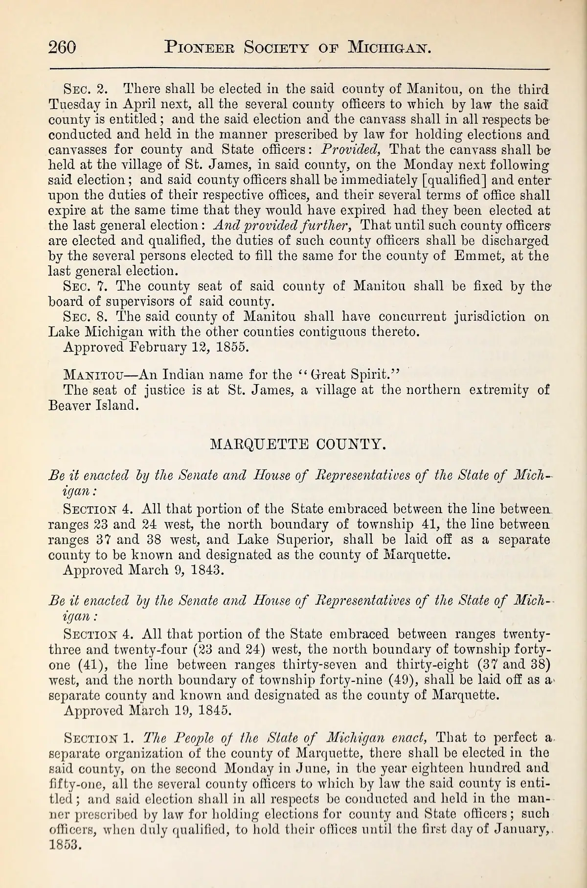
An 1874 compilation draws a statutory distinction. Its reprint of the 1855 Manitou County act directs the first county-election canvass to be held at Saint James, but says the county seat would be fixed by the board of supervisors. The compiler then separately reports that the seat of justice was at Saint James. Together these statements support Saint James’s civic role while leaving the unheld board action and the wider county-government chronology open. Michigan Historical Collections, volume 1, 1874
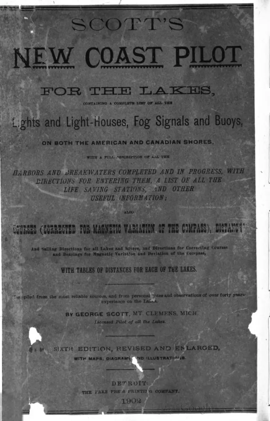
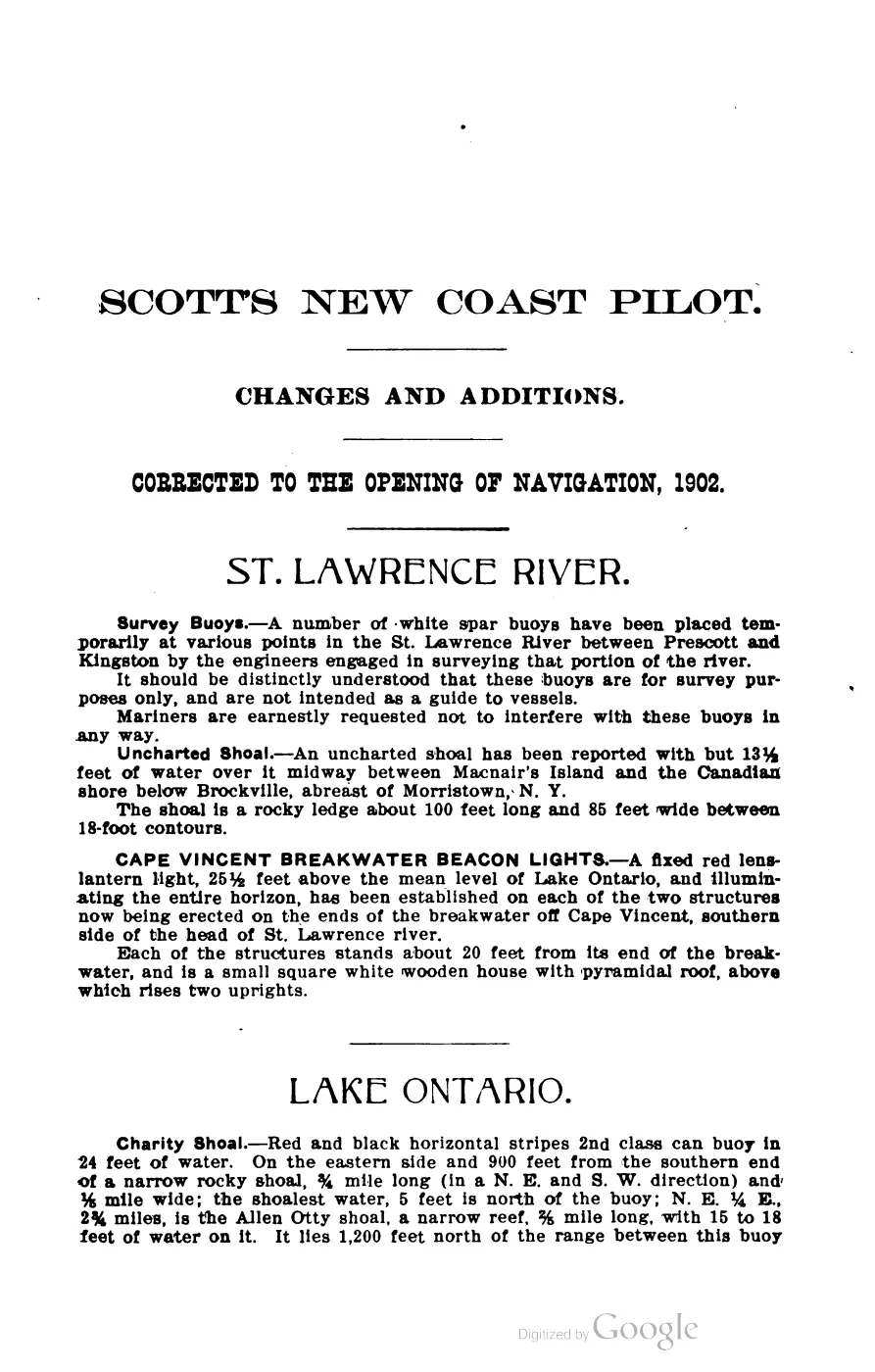
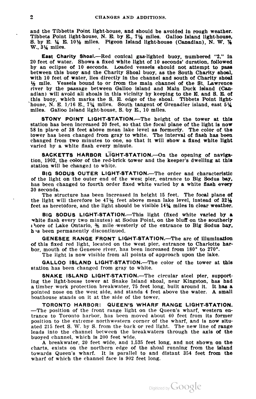
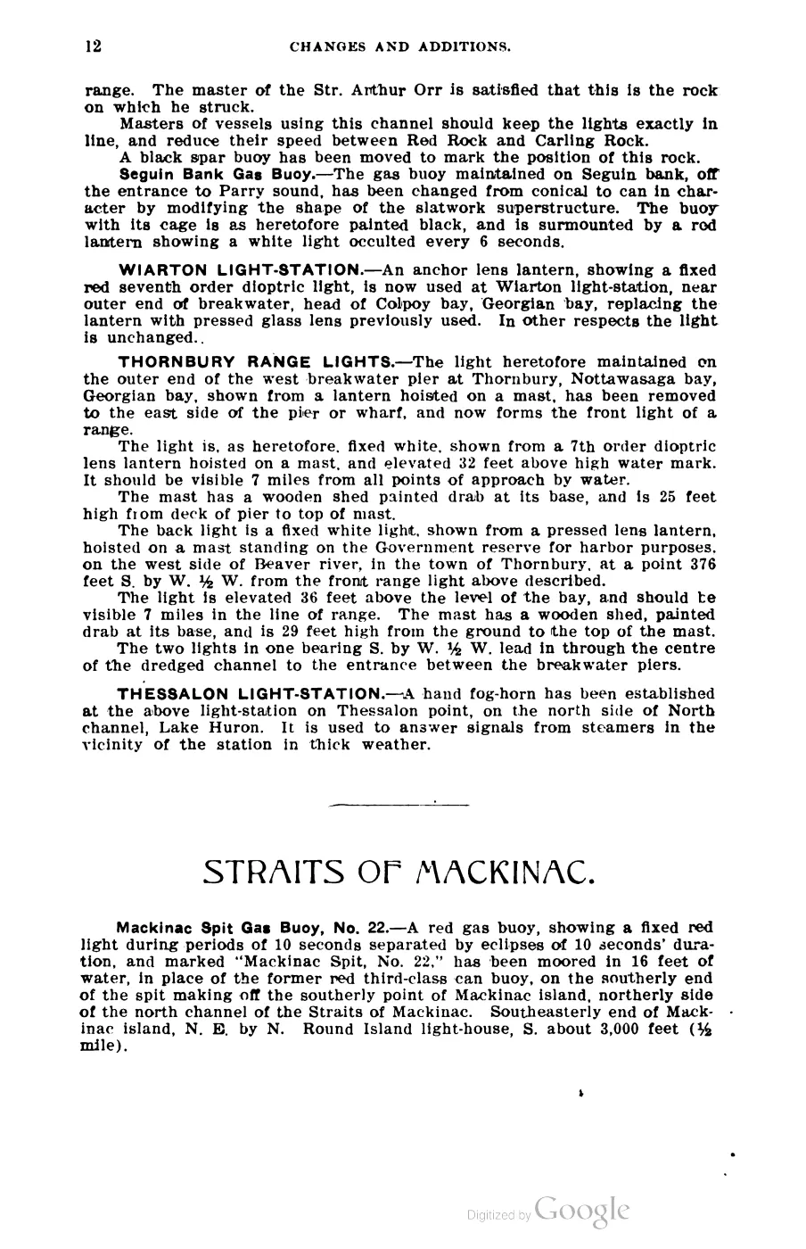
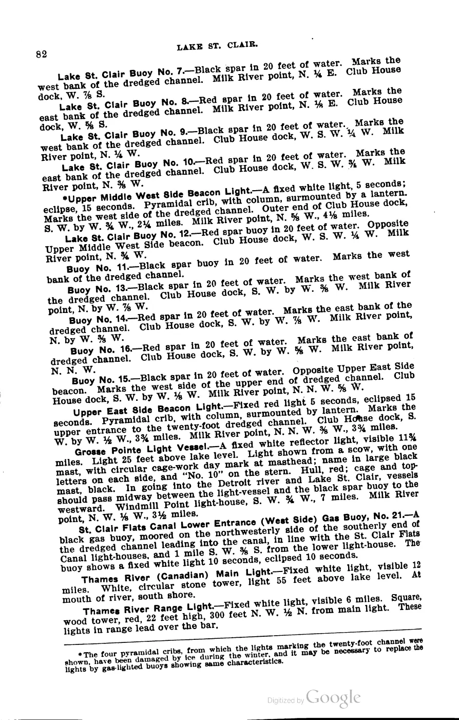
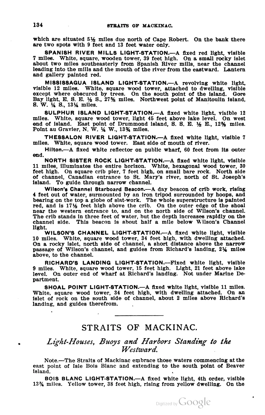
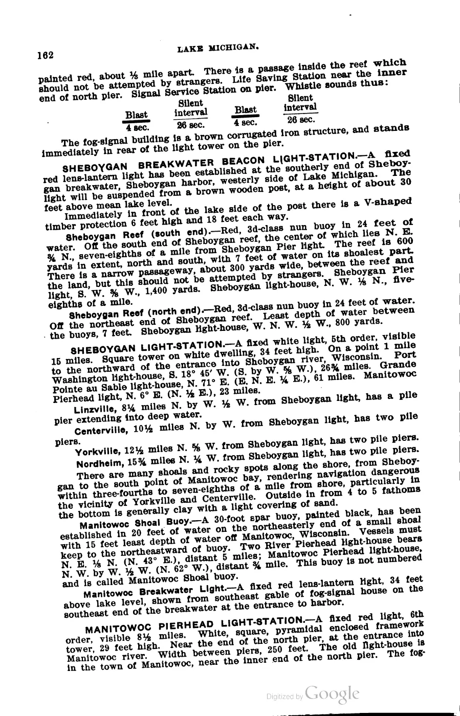
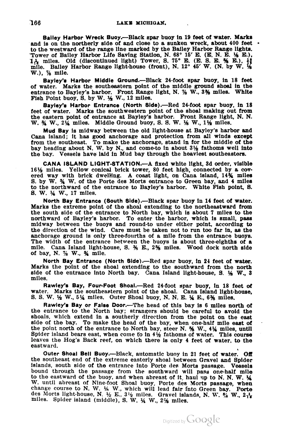
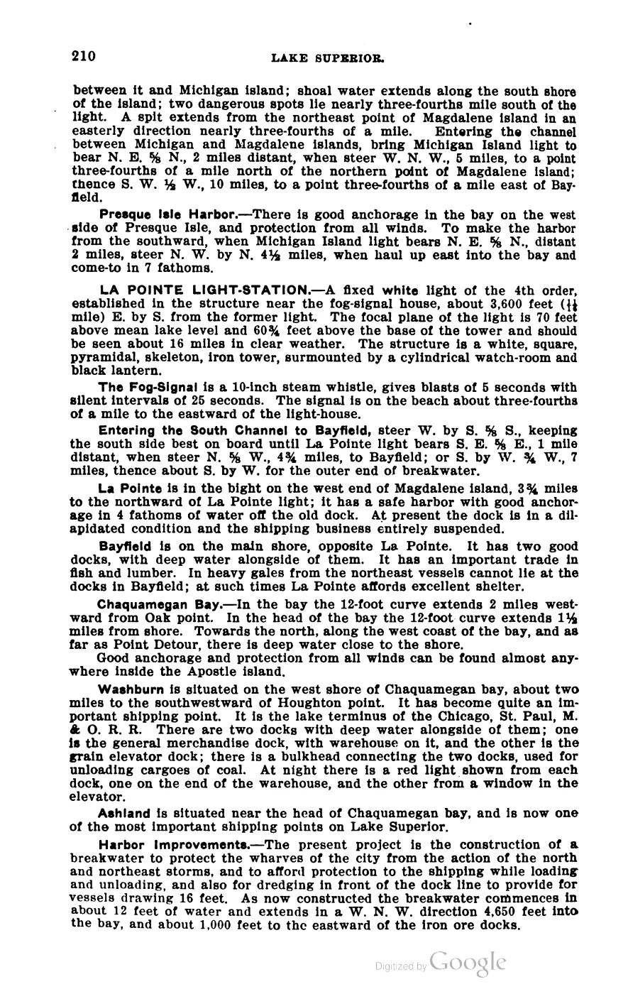
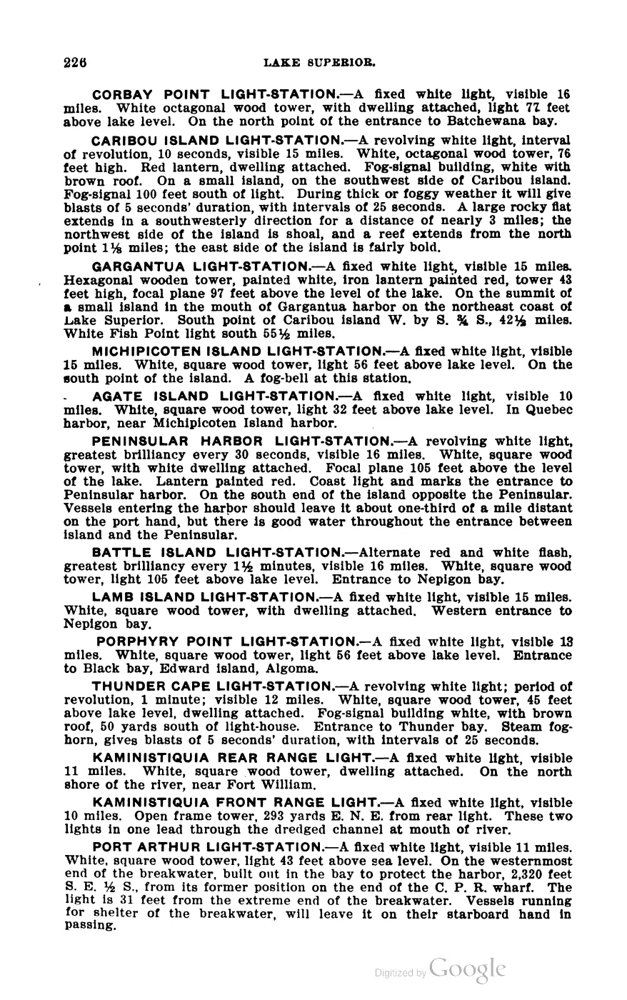
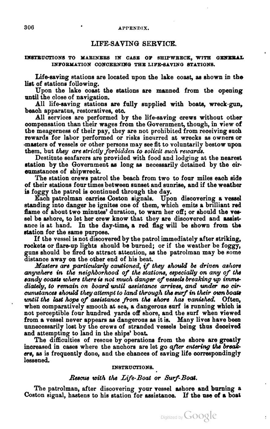
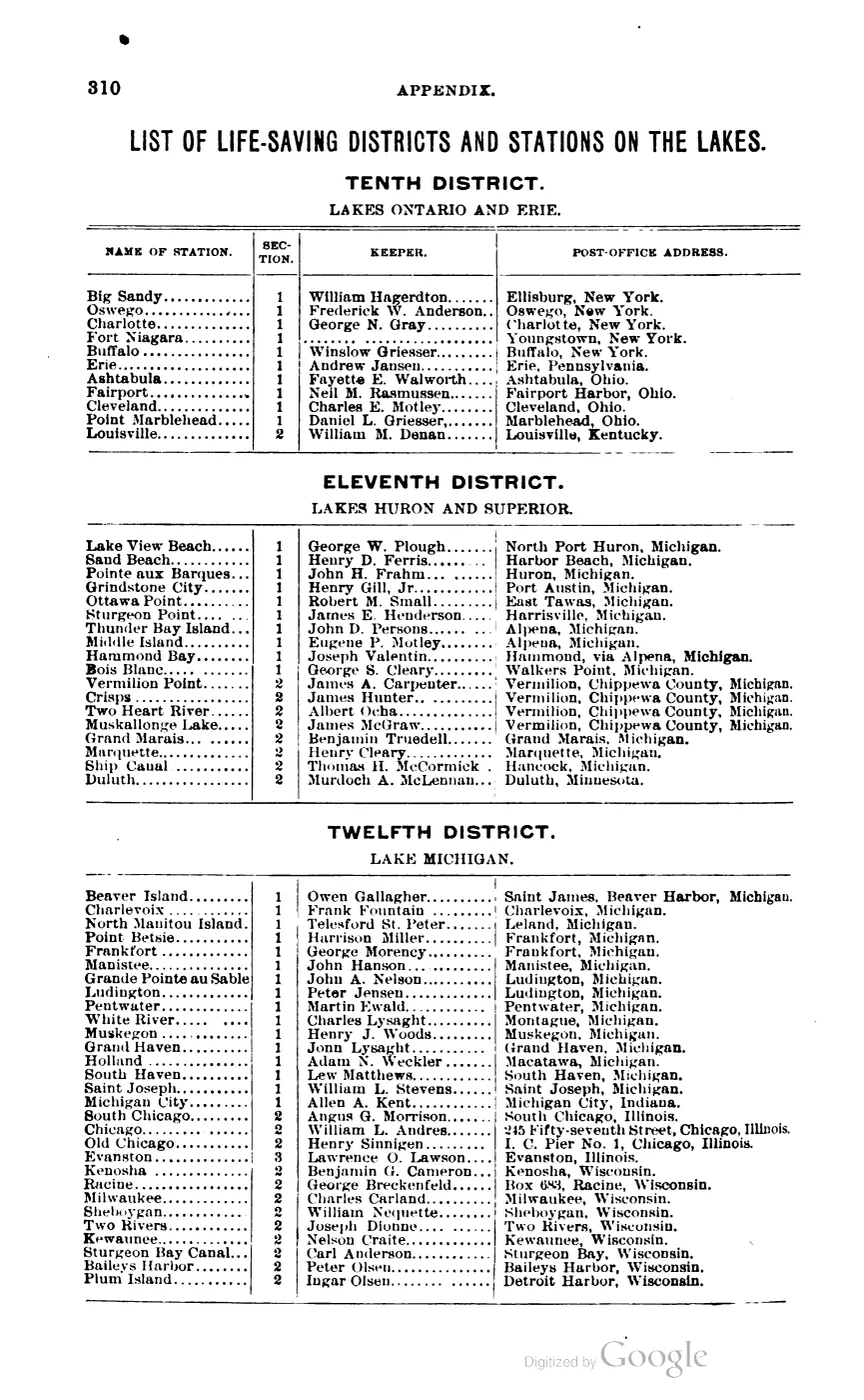
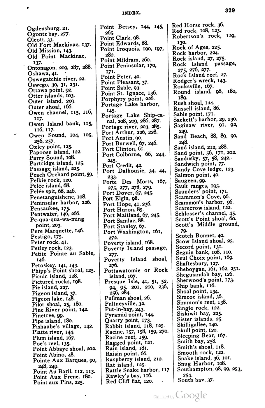
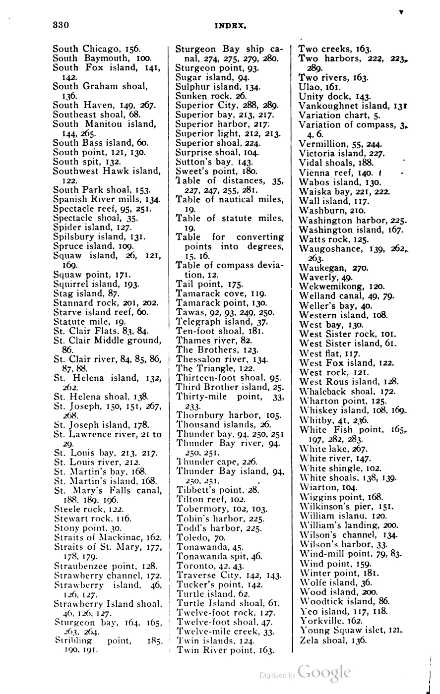
After 1856, former residents and returning Irish families — many originally from Arranmore, County Donegal — resettled the harbor and its fishing grounds. Scott’s 1902 Coast Pilot records a U.S. Life-Saving Service station at “Saint James, Beaver Harbor, Michigan,” alongside the Beaver Island Harbor light-station guiding vessels into the anchorage, evidence of the harbor’s continued role as the island’s principal port fifty years after Strang.
A June 1945 feature describes Saint James as an easy-going fishing village and records the dock, the Shamrock Inn, and the conservation patrol’s connection to the island’s fish-net work.7 Its observations are preserved as a period human-interest account rather than a complete inventory of businesses or residents.
A September 1964 reminiscence of Saint James in 1915 says people still talked about a $20 gold piece reportedly found a few years earlier among the log foundations of Strang’s palace. The account does not name the finder or document the coin. Even if accurate, one coin at a formerly occupied structure is not evidence of a royal treasury; it appears in Strang treasure traditions only as a neighboring comparison.
The July 1927 county newspaper announced a free Christmas seal chest clinic at Saint James, to be conducted by the Michigan Tuberculosis Association with Dr. J. W. Toan as staff examiner. The article says the clinic venue within Saint James would be announced after local arrangements were completed, so the announcement does not identify a medical building or confirm attendance.8
The June 1941 county newspaper announced the second County Agents Summer Conference at Saint James for June 23–24, with an island tour and a St. James Town Hall party planned for the extension workers and their wives. It named the King Strang Hotel as conference headquarters, but does not establish the hotel’s address or construction date.9
Geography
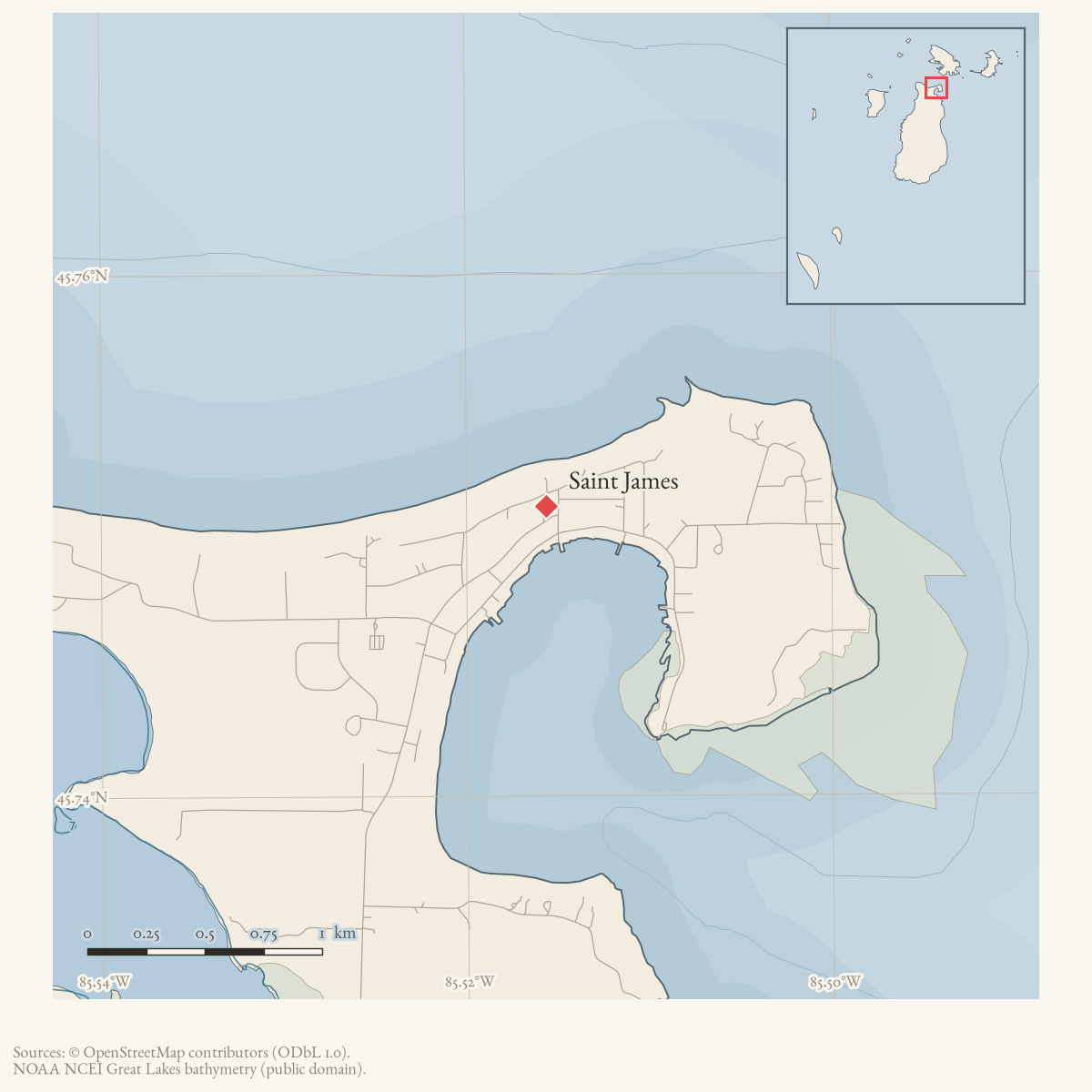
Saint James sits on the harbor at approximately 45.751°N, 85.516°W, on the northwest side of Beaver Island, within Charlevoix County. The associated harbor feature (GNIS 620929) is a distinct, separately named entity — see Saint James Harbor — as is the modern U.S. Census Bureau-recognized Census Designated Place, Saint James Census Designated Place (GNIS 2583764), which is the current statistical-area successor to the historical village.
Names
The pre-Strang harbor is recorded under variant names “Beaver Harbor” and “Beaver Island Harbor.” Strang’s renaming to “Saint James” carries a double resonance: the biblical apostle, consistent with his programme of biblical toponyms elsewhere on the island (see Lake Geneserath), and his own assumed title of King James following the 1850 coronation. The name has not changed since and is stable through GNIS, the 1902 Coast Pilot, and the modern Census Designated Place.
Significance
Saint James is the connective node for the island’s civil, religious and commercial history: Strang’s kingdom was administered from here, his newspapers were printed here, the post-1856 Irish community rebuilt its economy around this harbor, and both modern townships take their governmental seat from it.
Open questions
- The precise founding date of the harbor settlement prior to Strang’s 1848 arrival (i.e. as “Beaver Harbor”) has not been traced in sources held.
- Whether Strang’s “district” names (Gallilee, Troy, Enoch) had any formal legal standing, or were informal usage recorded only in a later memoir, is unresolved.
- The exact departure point and centerline of the 1854 road from Saint James to Galilee have not been established from a surveyed road record. The Lake Survey chart’s unlabeled corridor should not be treated as a modern parcel-level map.
- The Life-Saving Station keeper’s name at Saint James (Scott, 1902, Appendix) could not be reliably read from the OCR of that table’s two-column layout and is deliberately not asserted here.
See also
- Beaver Island
- Saint James Harbor
- Saint James Census Designated Place
- Township of Saint James
- Lake Geneserath
- King's Highway
- Galilee
- North End of Lake Michigan Including the Beaver Island Group, 1855 Lake Survey chart
- Beaver Island Group nautical chart, 1907
- Beaver Island Group nautical chart, 1911
- Donegal Bay
- Announced Beaver Island Chest Clinic in 1927
- County Agents Summer Conference at Beaver Island in 1941
- King Strang Hotel
Footnotes
-
Williams, A Child of the Sea (1905), p. 82. ↩
-
Welke, “A Short History of Settlements on the Beaver Island Archipelago,” Northern Islander (March 2026), p. 5. ↩
-
Daily Northern Islander, Saint James, 1856 issues. ↩
-
Strang, Ancient and Modern Michilimackinac (1854), pp. 44-45; U.S. Lake Survey chart LS10, surveys of 1854-55. ↩
-
“An Island Outing,” Charlevoix Sentinel, 21 October 1903, reprinted in Beaver Beacon, October 2003. ↩
-
NOAA Office of Coast Survey, charts LSMa (1907) and LS72 (1911), held full-resolution images. ↩
-
Charlevoix County Herald, June 29, 1945, “BEAVER ISLAND — Islands have a way of doing things to people.” ↩
-
Charlevoix County Herald, July 22, 1927, “Chest Clinic for Charlevoix Co.” ↩
-
Charlevoix County Herald, June 20, 1941, “County Agents Summer Conference At St. James, Beaver Island.” ↩
Maps for this place
These Atlas plates provide regional context. They do not establish a precise boundary, current ownership, access right, operating status, or field condition.
- EnvironmentSoils, wetlands, hydrography, and terrain
- GeologyGeneralized geology and landforms
- HydrologyMapped water and wetland context
- AccessMapped routes, facilities, and protected areas
- Land surveyPLSS geometry and historic GLO patent-location context
The dated record
Read the document
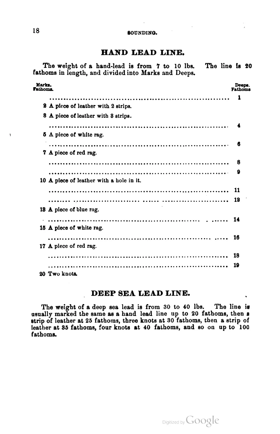
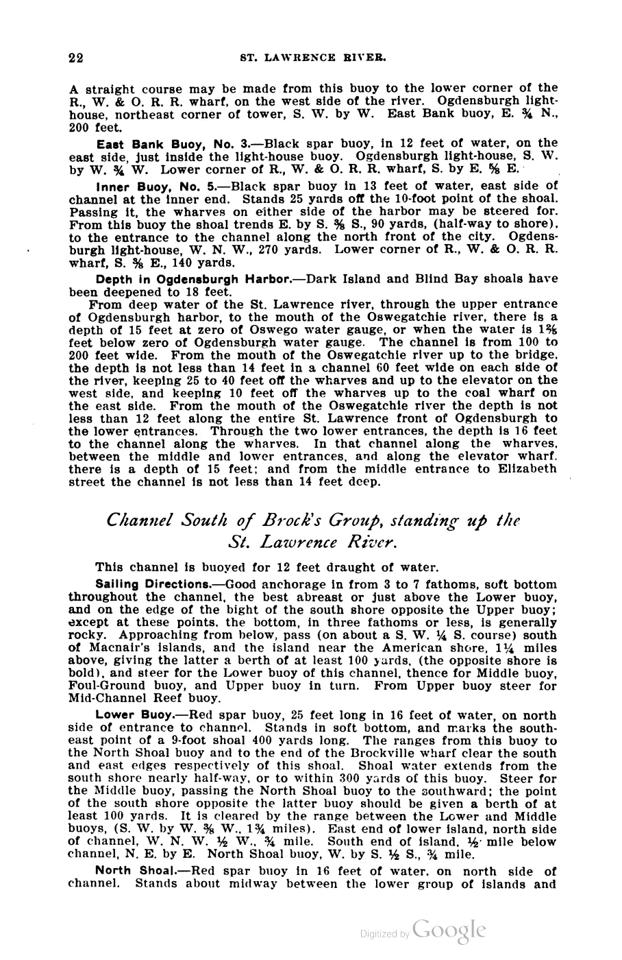
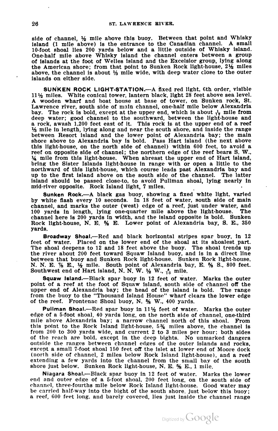
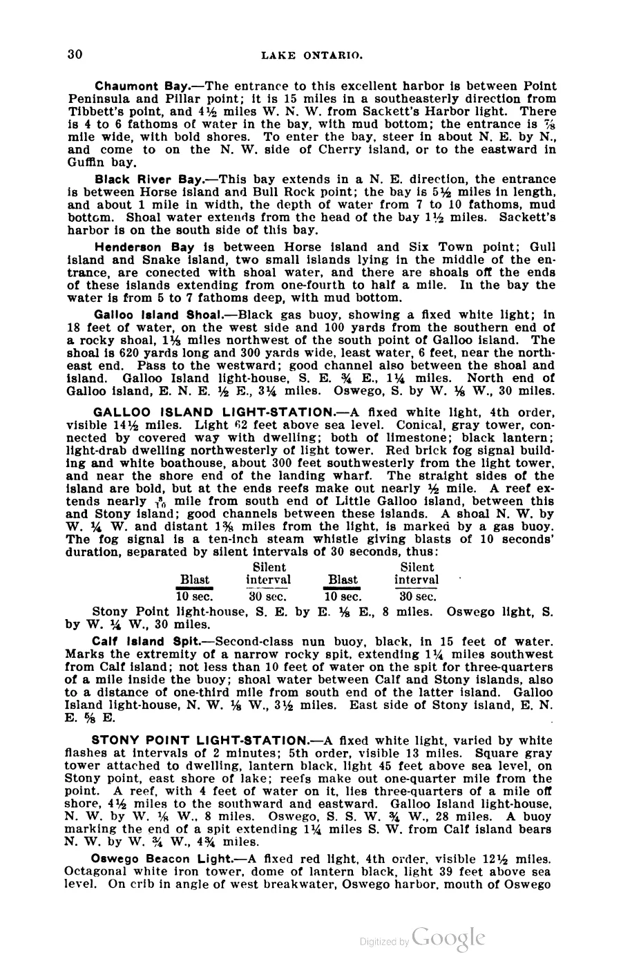
393 pages, rendered from the held scan.

Jump to a page — 393 in all






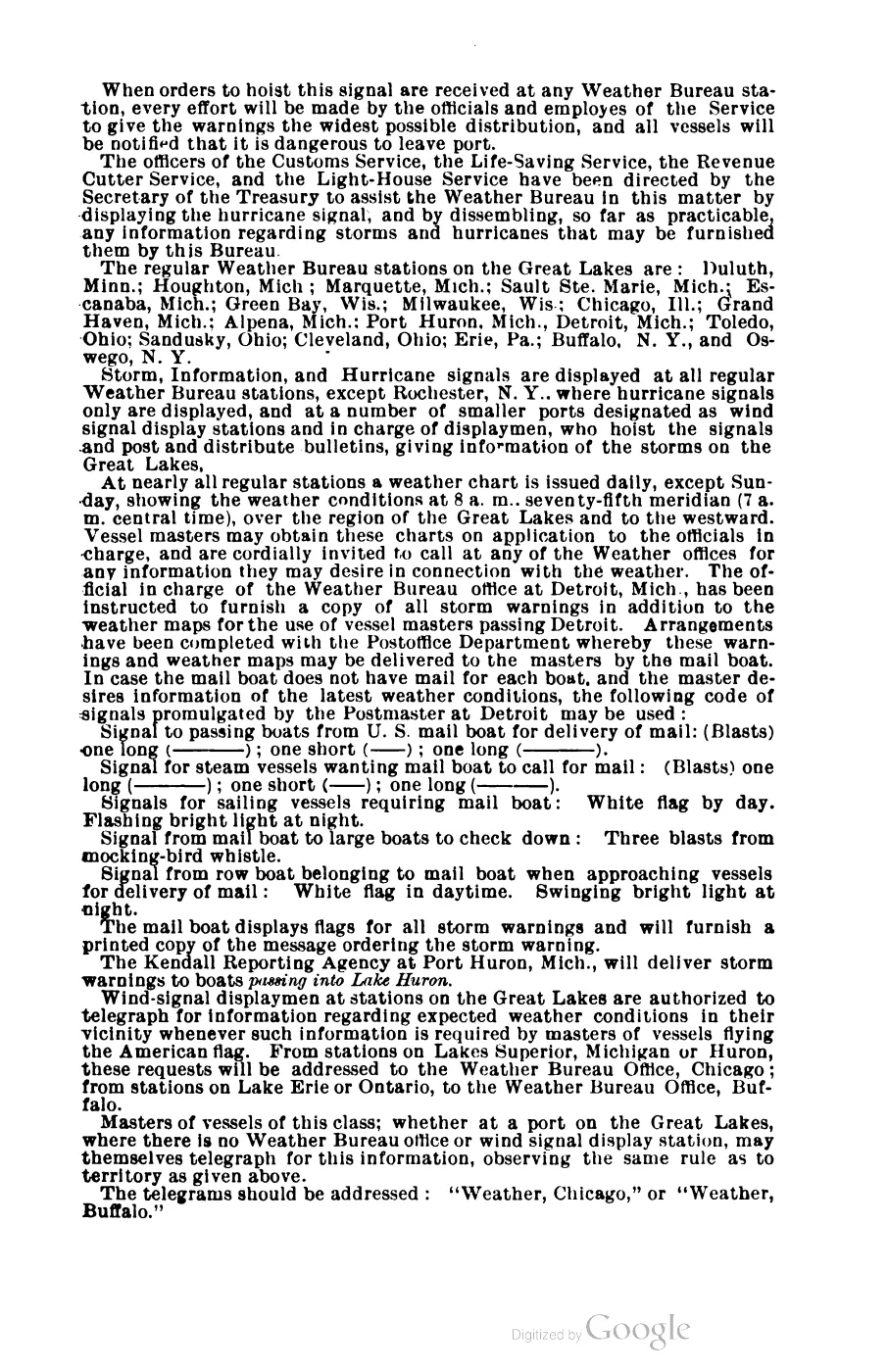
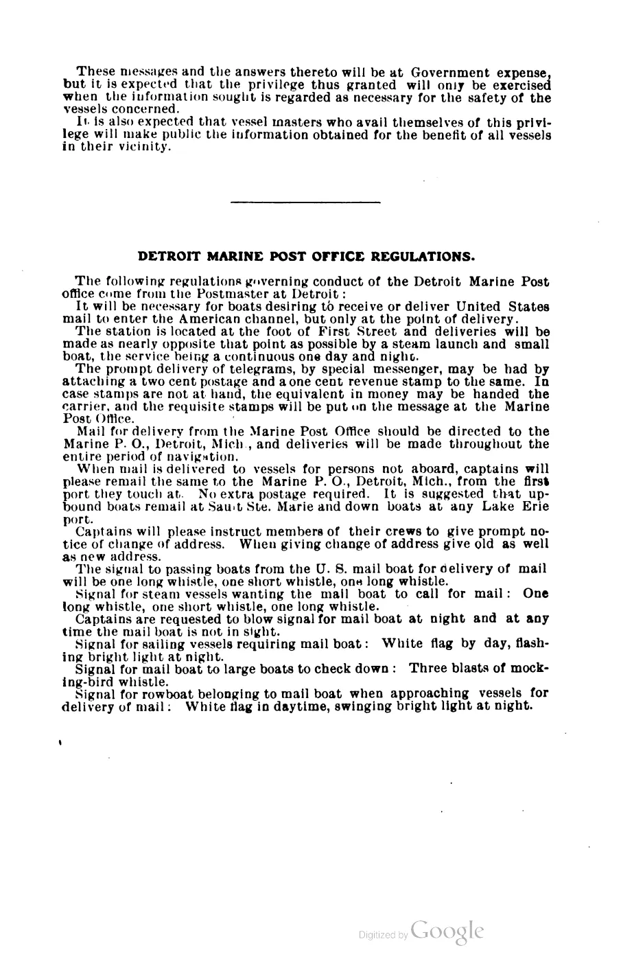
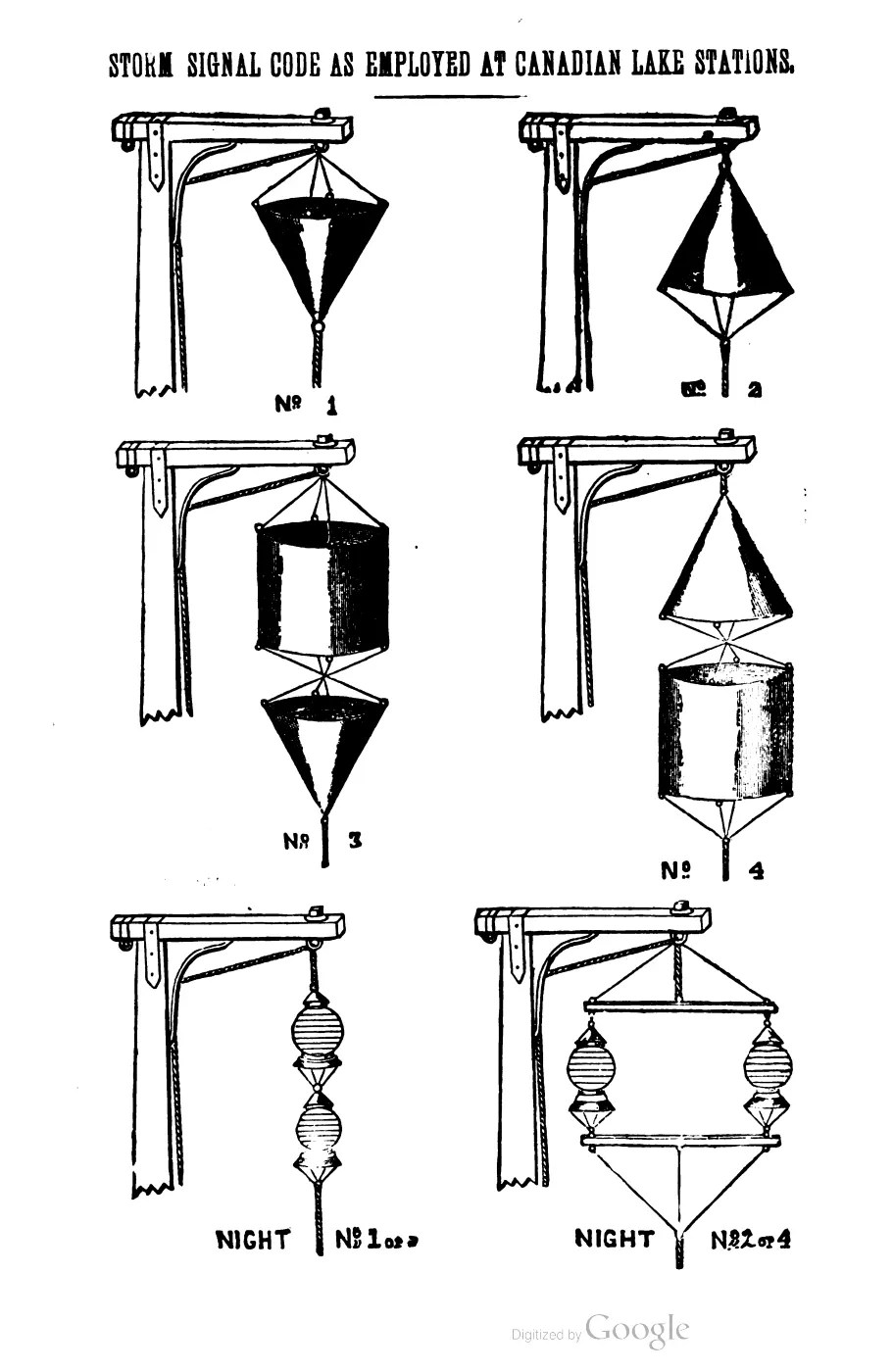
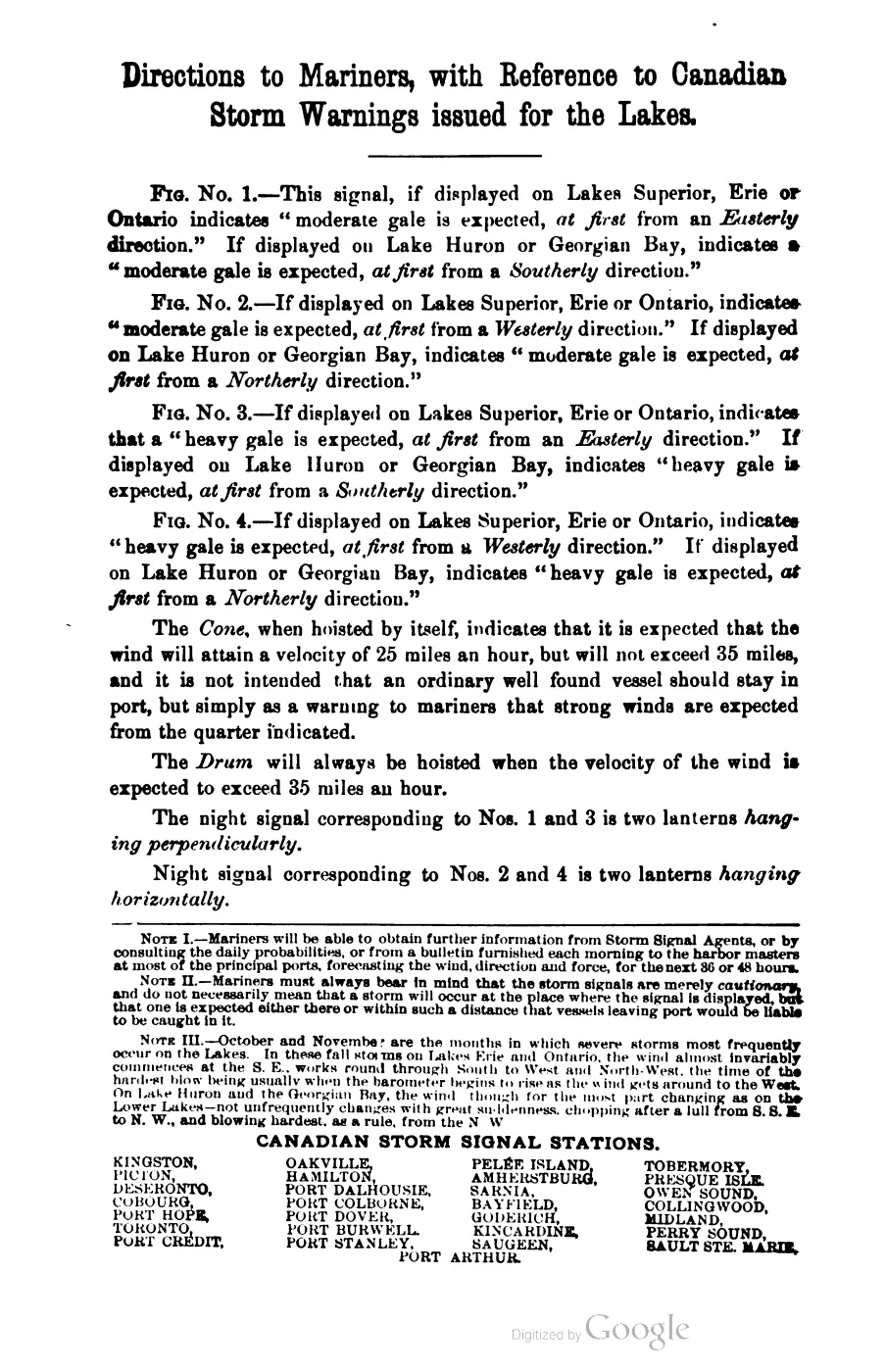

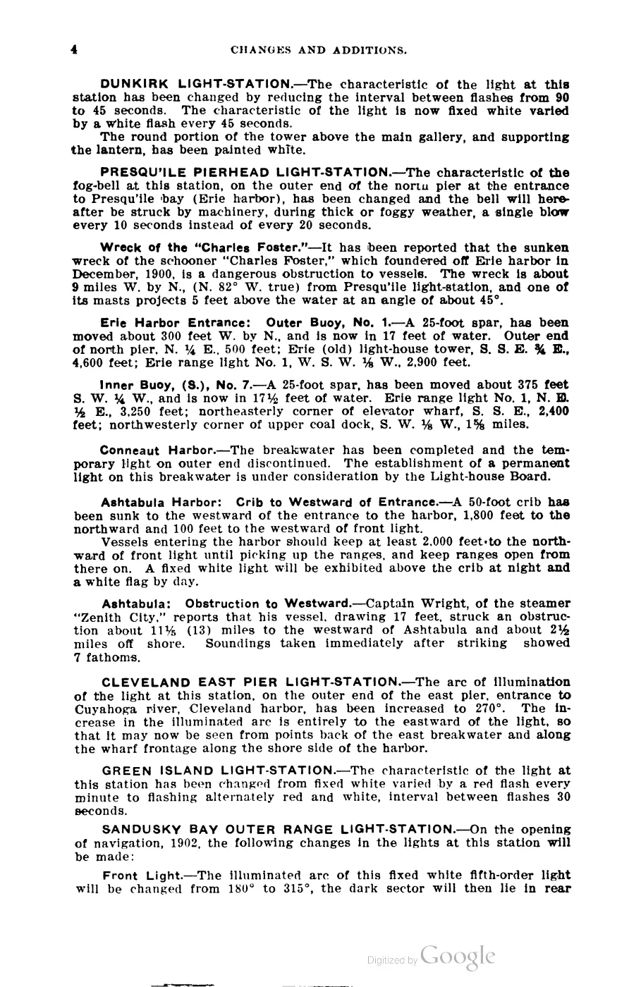
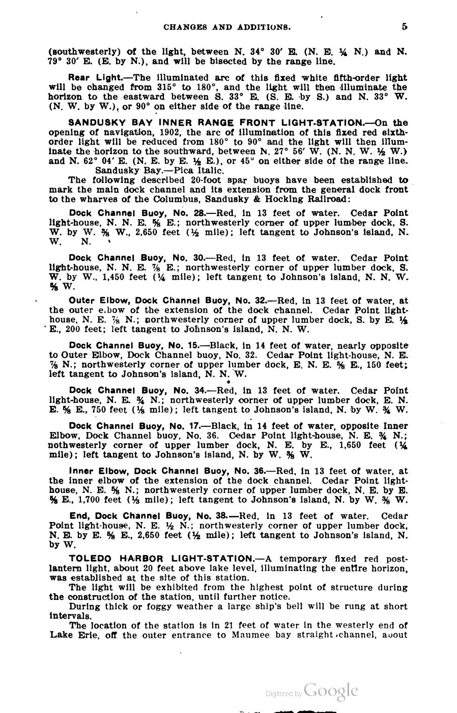
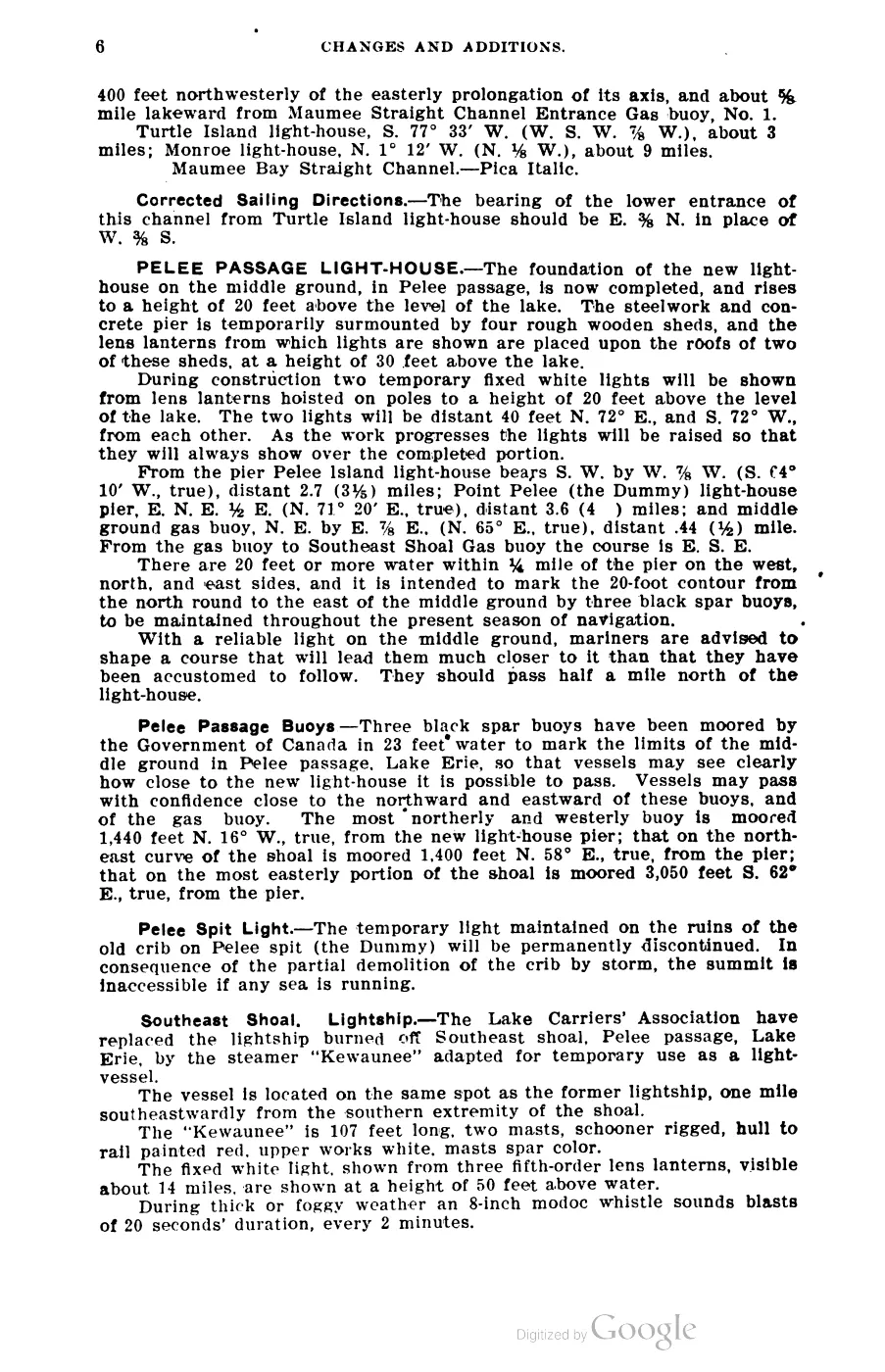
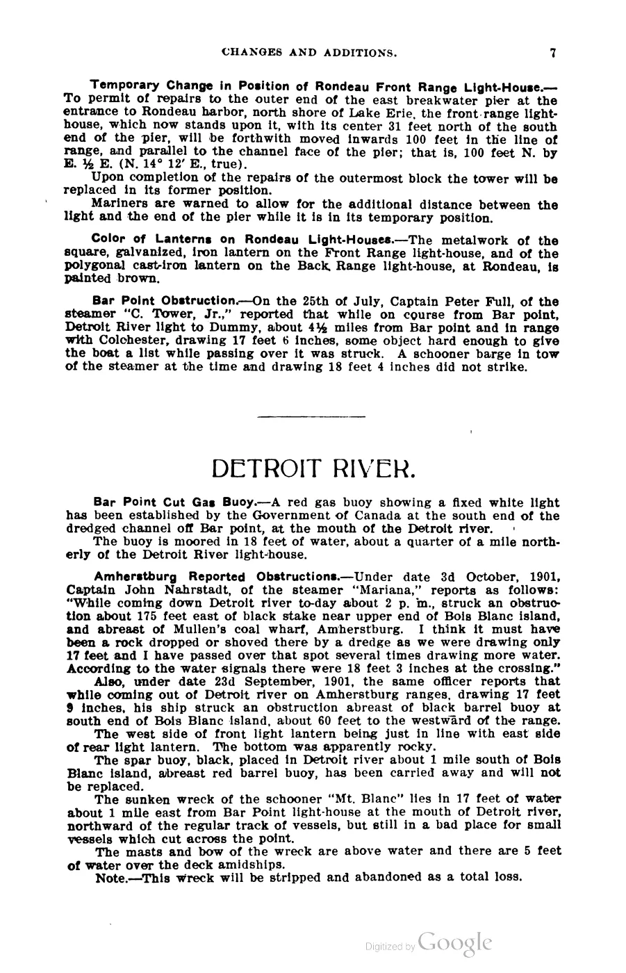







135 of 393 pages linked here — every page to 32, then every 4th, then the last 16. With JavaScript, every page.
Sources
- Visitors reported three compass-rose markers cemented into Saint James sidewalks near the ferry fence, Powers’ Ace Hardware, and Beaver Island Realty; a participant said they were donated and placed at random locations. This is a streetscape observation and attributed local explanation, not a donor record, installation date, or surveyed inventory.forum · www.beaverislandforum.com · 00 · t000464
- Described in this archive: Ancient and Modern Michilimackinac, 1854.Strang says one of Beaver Island's two principal roads extended from Saint James due south to Galilee and that long farm lots abutted the roads. This is the contemporary textual anchor for Saint James as the northern endpoint of the road axis.
- Described in this archive: North End of Lake Michigan Including the Beaver Island Group, 1855 Lake Survey chart.The full-resolution chart depicts dense settlement clearings at Beaver Harbor/Saint James and an unlabeled inland corridor extending south. It is compatible with Strang's road description but is neither a street plan nor an explicit King's Highway label.federal · noaa_charts · images · 1855_NORTH-END-OF-LAKE-MICHIGAN-INCLUDING-THE-BEAVER-ISLAND-GROUP-NORTH-END_LC00010-00-1855WWL
- Described in this archive: Beaver Island Group nautical chart, 1911.The 1907 sheet clearly redraws the north-south axis from Saint James; the larger-scale 1911 sheet explicitly labels the northern road "Kings Highway" but leaves it disconnected from a separate segment north of Lake Geneserath. The later issue dates do not prove that every inland feature was newly surveyed then.federal · noaa_charts · images · 1911_BEAVER-ISLAND-GROUP-INCLUDING-NORTH-SHORE-OF-LAKE-MICHIGAN-FROM-WAUGOS_72-9-1911
- Describes travel out of St. James through former Mormon clearings toward the "King's Highway," which the article attributes to Strang. It is the earliest explicit named attribution located in the held corpus, but a retrospective report rather than a Strang-era use of the name.data1 · beaver-island-archive · beaver_beacon · 2003-10_Beaver-Beacon
- The held thirty-six-page issue scan is paired with the OCR source and confirms the published notice or report; it does not expand the source-specific identity, event, or outcome claims.data1 · beaver-island-archive · scans · beaver_beacon · issues · 2003-10_Beaver-Beacon
- Calls King's Highway the main thoroughfare from St. James and groups it with Lake Galilee and the River Jordan as Mormon-era reminders; useful later local interpretation, not contemporary route evidence.
- GNIS feature 636683; feature class 'Populated Place'.federal · gnis · gnis_names
- Related harbor feature 620929 (Saint James Harbor) carries variant names 'Beaver Harbor' and 'Beaver Island Harbor' and the official/variant pair 'Harbor of Saint James' / 'Saint James Harbor.'federal · gnis · gnis_variant_names
- 'Strang had now got the county organized... The county seat and post office was at the harbor, named in honor of the King "Saint James."' Also describes the island as divided into districts named Gallilee, Troy and Enoch under Strang's administration.
- Described in this archive: Michigan Historical Collections, volume 1, 1874.Page images checked. The reprinted statute orders the first Manitou County canvass at St. James but says the county seat would be fixed by the board of supervisors; the 1874 compiler separately reports the seat of justice at St. James. This does not substitute the compilation for the board action or establish the full county-government chronology.
- George Scott, Scott's New Coast Pilot for the Lakes (6th ed., Detroit, 1902), pp. 140, 310.Describes BEAVER ISLAND HARBOR LIGHT-STATION guiding vessels into the harbor, and the Appendix's List of Life-Saving Districts and Stations records a station at 'Saint James, Beaver Harbor, Michigan.' (The appendix table's two-column OCR is unreliable for associating individual keeper names with stations; none is asserted here.) No public copy of this file is known; the archive holds one and can provide it on request.local_documents · 1902_scott-new-coast-pilot-for-the-lakes-6ed
- Daily Northern Islander (James J. Strang's daily newspaper), Saint James, Beaver Island, issues of 1856.Masthead datelined 'saint James, lake Michigan'; contains shipping advertisements for steamers Michigan and Lady of the Lake calling at 'Saint James and Galilee, on Beaver island' and merchant notices (dry goods, cooperage, wood and fish trade) addressed from Saint James, spring 1856, shortly before Strang's assassination. No public copy of this file is known; the archive holds one and can provide it on request.
- States Strang 'declared himself king' on 8 July 1850 and dates the Mormon settlement's end to Strang's assassination (16 June 1856, per this source) and the expulsion of remaining followers by former residents. Secondary source; confidence probable for the specific dates.
- Population figures held are for St. James Township as a whole (307 in 2000, 365 in 2010, 259 in 2020), not the village/CDP of Saint James alone; see place/township-of-saint-james and place/saint-james-census-designated-place.demographics · township_population_series
- Charlevoix County Herald, June 29, 1945, “BEAVER ISLAND — Islands have a way of doing things to people.”Describes the Saint James dock, the settlement as a fishing village, and the Shamrock Inn as a tavern and social center; it is a feature account, not a complete settlement survey. No public copy of this file is known; the archive holds one and can provide it on request.
- A resident remembering her first 1915 season says people still discussed a $20 gold piece reportedly found a few years earlier while someone poked among the log foundations of Strang’s palace. A single reported coin is kept separate from cache stories.data1 · beaver-island-archive · beaver_beacon · 1964-09_Beaver-Beacon
- The held eight-page issue scan is paired with the OCR source and confirms the published notice or report; it does not expand the source-specific identity, event, or outcome claims.data1 · beaver-island-archive · scans · beaver_beacon · issues · 1964-09_Beaver-Beacon


Added 28 July 2026 · revised 4 August 2026. Recent changes
Cite this article
Beaver Island Archive, “Saint James”, https://beaverislandarchive.org/places/saint-james/, accessed [date], citing Dan and Kandee Tinkel, Rich Gillespie, and participants, “Sidewalk markers?,” Beaver Island Forum, October 7–8, 2005, topic 464. (and 17 further sources listed on the page).
Last revised 2026-08-04. Fill in [date] with the date you read it — this page is static and cannot know that.