

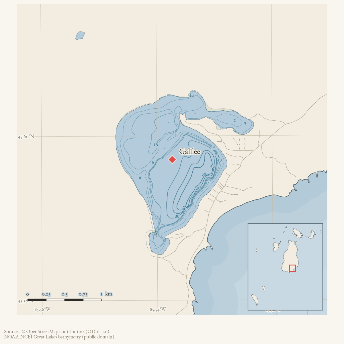
- Coordinates
- 45.5971° N, 85.5374° WGoogle Maps: GalileeDownload KML
- Eras
- Strang era
- Concepts
- toponymyStrang eragovernancewooding
- Within
- Beaver Island
- Media
- Beaver Island History Map, 1978 revision
Summary
Galilee was a Strang-era settlement at the outlet of the lake now called Lake Geneserath, on the southern/eastern part of Beaver Island. James J. Strang’s 1854 gazetteer calls it a “new village” whose principal business was cutting wood for steamboats. The Daily Northern Islander still treated Galilee as a working wooding port in 1856. A 1912 travel account says the settlement and the biblical names of the lake and outlet had disappeared from ordinary use.
History
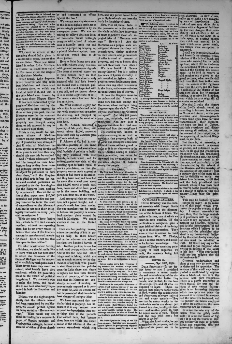
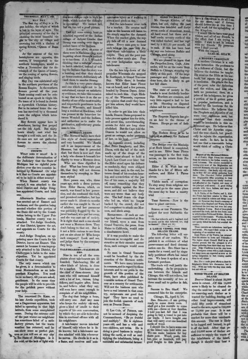
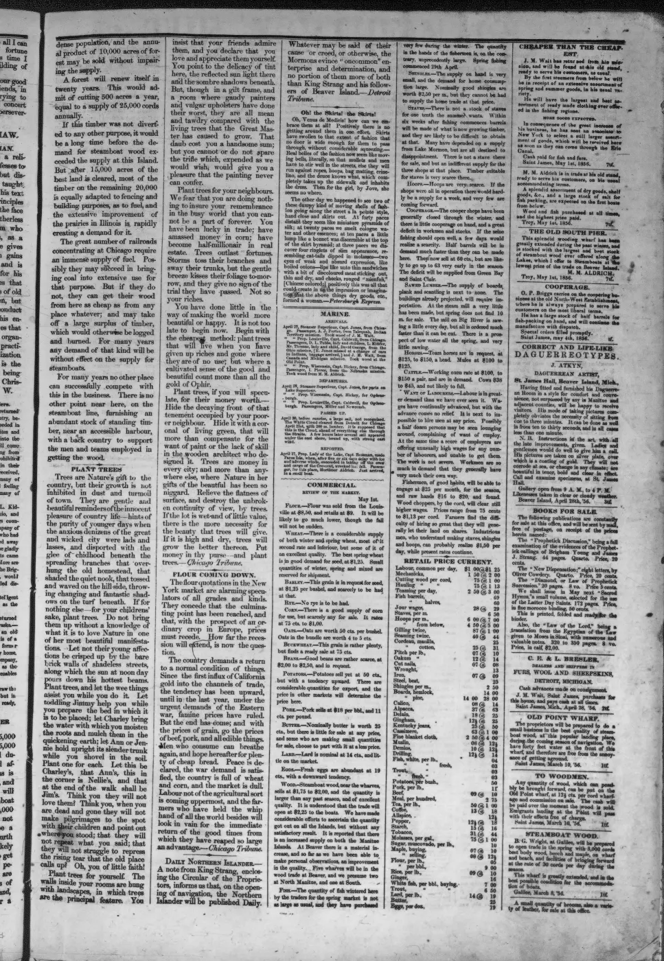
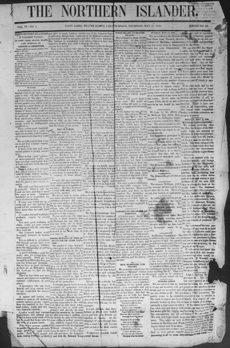
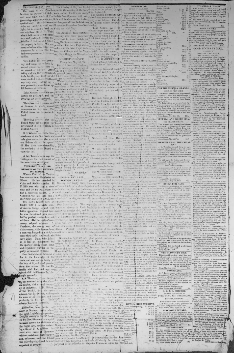
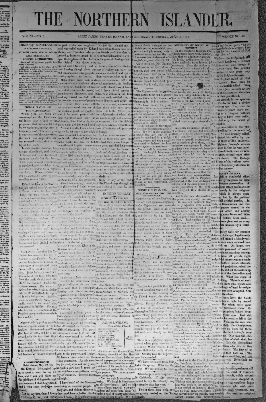
Strang’s 1854 description places Galilee at the island’s southeastern extremity and connects it to Saint James by one of the island’s principal roads. More specifically, he says that road extended from Saint James “due South to Galilee,” and that the island’s long farm lots abutted its principal roads.1 The description is practical rather than ceremonial: Galilee is a place where wood is being cut for steamboats. The 1856 daily paper’s report of more than 50 cords of wood sold per day reinforces that working identity.2
Millrace project
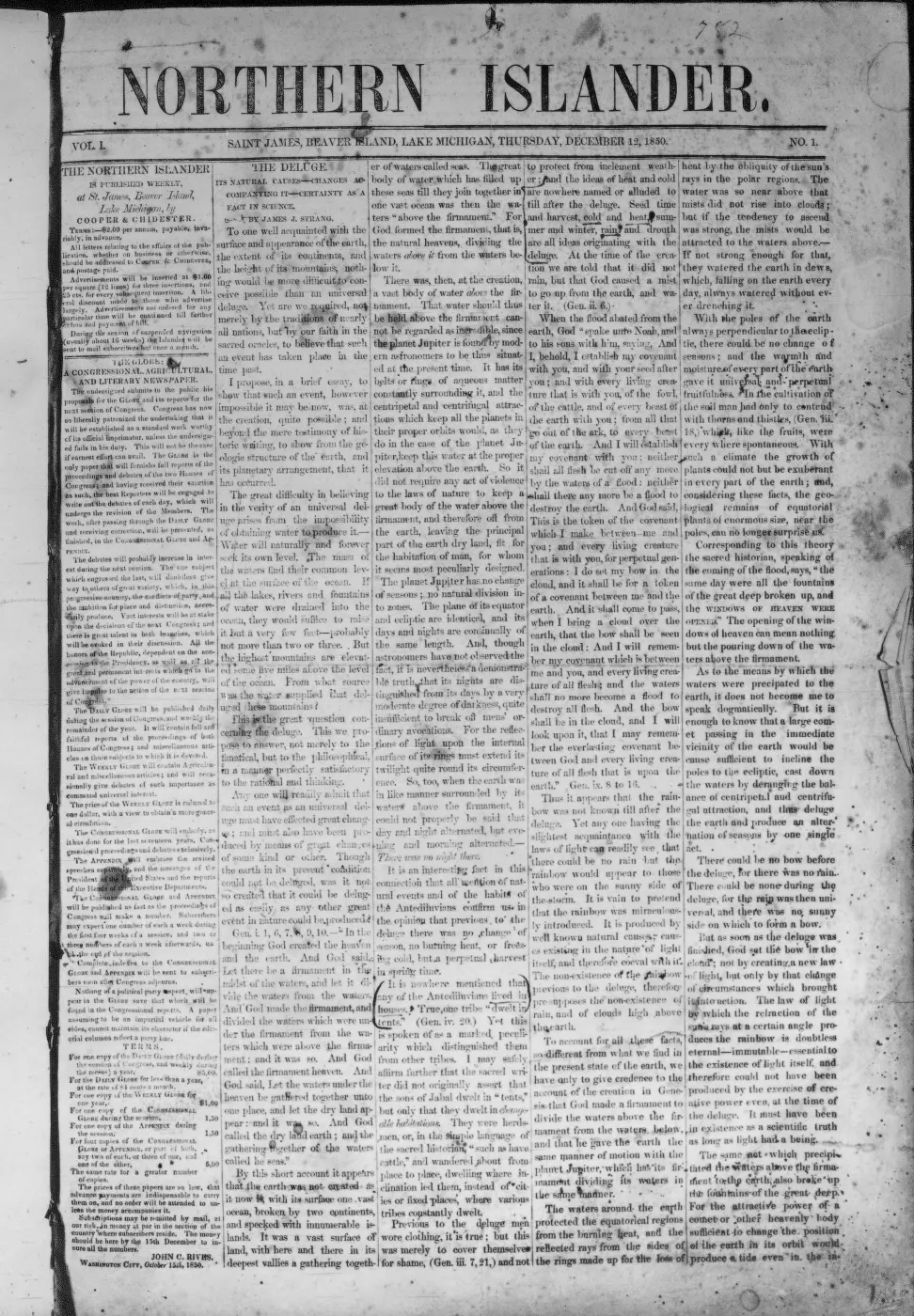
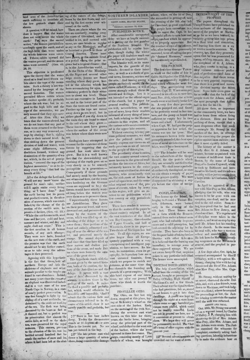
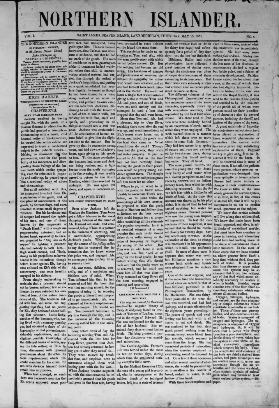
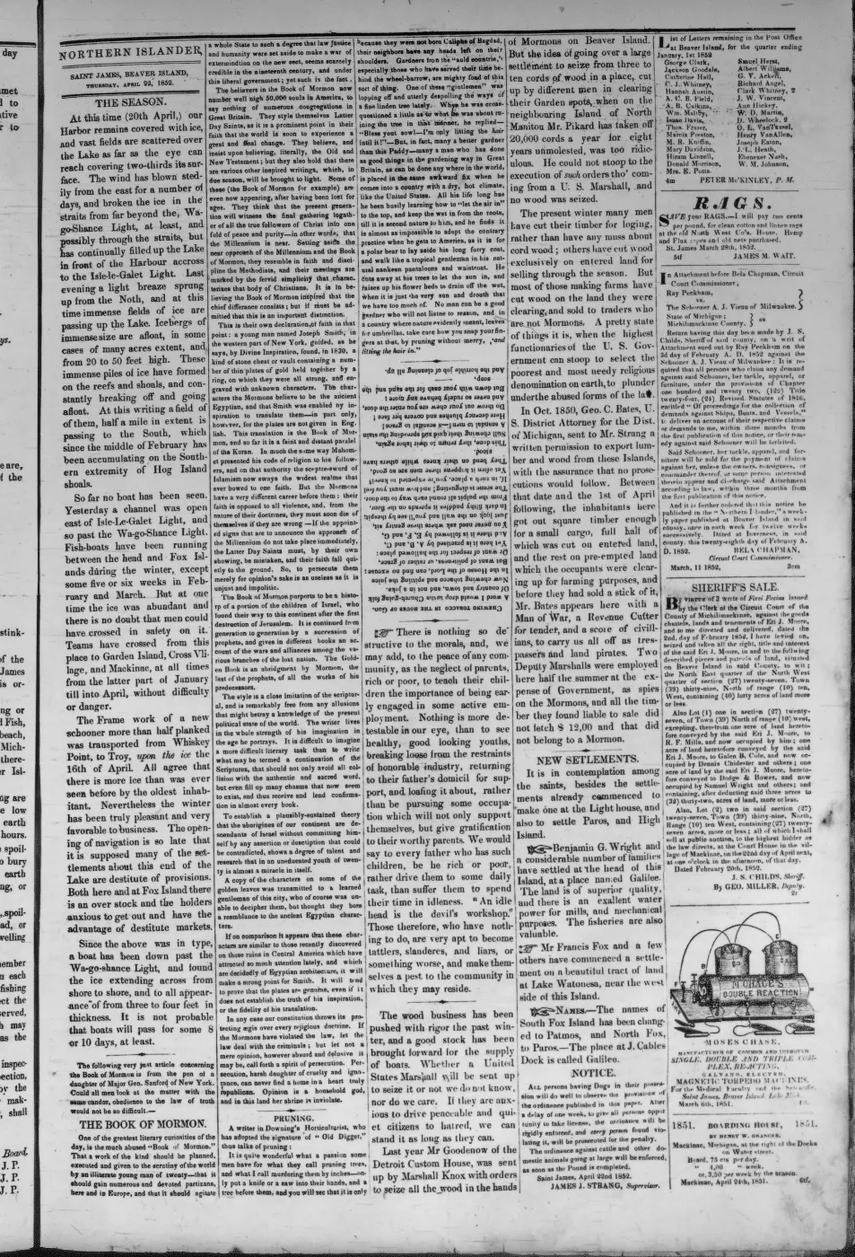
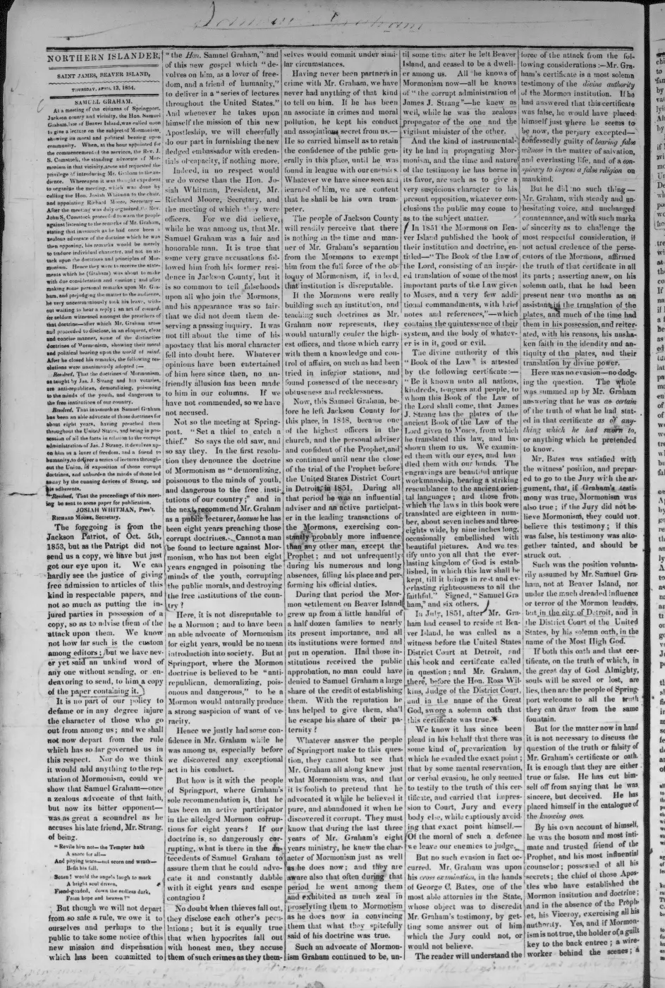
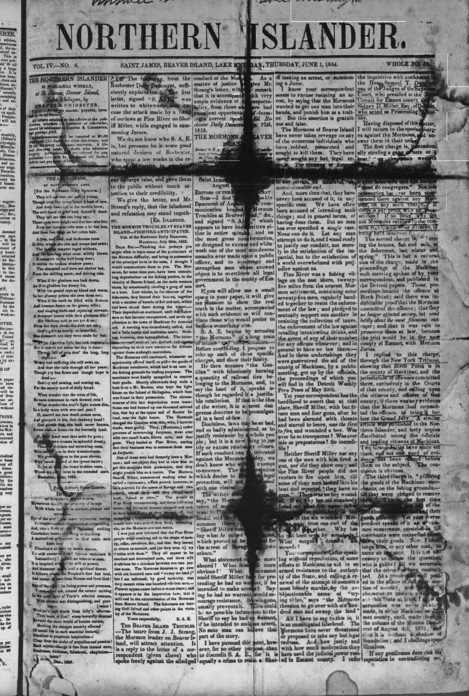
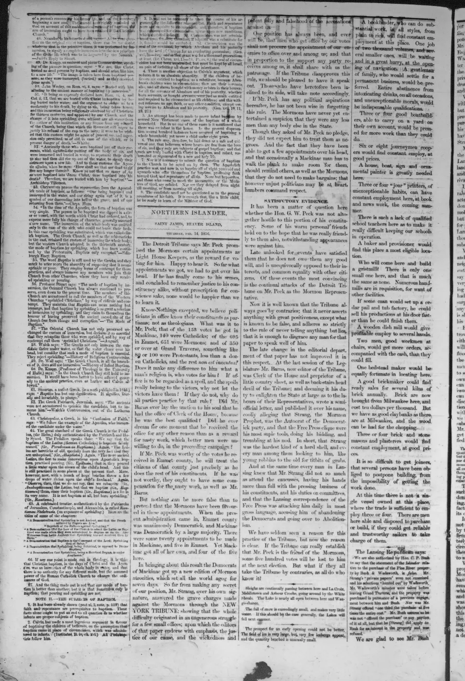
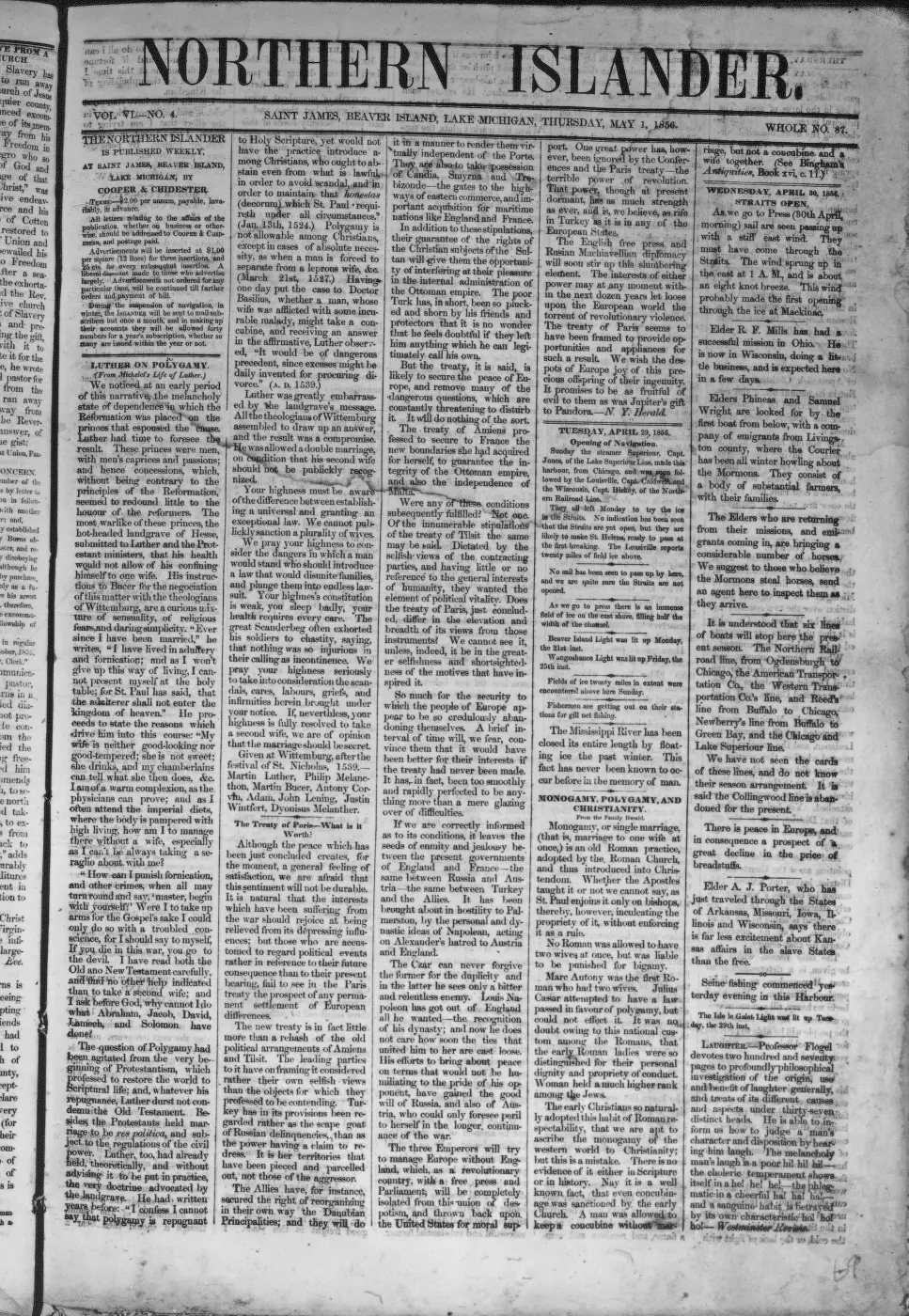
Galilee was also the intended site of water-powered industry. Strang wrote in 1854 that the Jordan, the outlet of Lake Galilee (now Lake Geneserath), fell twenty-six feet in one mile. He proposed diverting it into a new channel to concentrate the fall and provide water power in the village.3 On 18 October 1855 the Northern Islander reported that Samuel Wright’s third mill at Galilee was already under construction, but that unexpected difficulty “excavating the race” would delay its operation until late the next summer.4 The report discusses two other sawmills immediately before Wright’s project and announces a portable gristmill separately immediately afterward, so the “third mill” is best read as a sawmill.
The 1978 Historical Society map later named a nearby excavation the “Mormon Canal (partially completed).”5 The dedicated Mormon Canal article preserves that familiar name while separating the documented millrace from a later tradition that it was intended to connect Lake Geneserath to Lake Michigan as a sheltered harbor. No contemporary source held documents a navigable canal, locks, or inland winter harbor. The 1856 Daily Northern Islander instead describes Galilee’s Lake Michigan wharf as greatly extended and equipped to accommodate boats.2
The surviving name is also tied to the water system. The 1912 Rock Island Argus describes the Mormons as calling the lake Gennesaret, its outlet the Jordan, and a settlement at the outlet Galilee; it says all three names had already become relics retained mainly on old maps.6 The source does not identify surviving structures or provide a modern archaeological location, so this article represents the documented historical settlement name and function, not a claim that a present-day village site has been located.
The name in later use
Two later newspaper accounts show the biblical name outlasting the working wooding port Strang described. A Petoskey Record correspondent who visited the island in September 1879 reported it as “15 miles long by 6 wide,” with “3 organized townships: Chandler, Peaine, and Galilee” – confirming that Galilee had become an organized civil township, not just a place name, by that date.7 A Charlevoix Sentinel local-news item from July 1906, later reprinted in the Beacon‘s “One Hundred Years Ago” column, reported anglers’ catches “from Lake Galilee at the head of the Island” and called the area “an ideal camping ground” for summer visitors.8 Both accounts are about the lake and township names rather than the village itself, but they show ordinary local use of “Galilee” continuing well past the 1856 wooding-port attestation – in some tension with the 1912 Rock Island Argus travel account’s claim, cited above, that the Mormon-era names had already become relics kept alive mainly on old maps.6 The 1912 piece is itself a secondhand travel narrative rather than a resident’s account, and this article does not attempt to resolve the disagreement.
Road and chart evidence
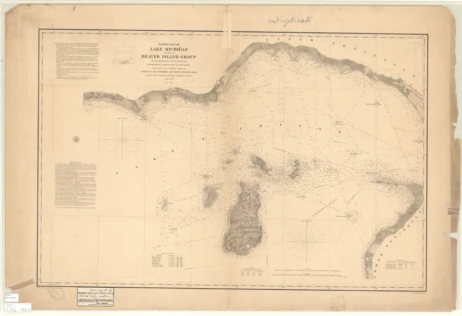
The 1854-55 Lake Survey chart depicts a nearly north-south interior corridor with rectangular clearings and a linear trace north of the lake’s northeastern vicinity.9 This is consistent with Strang’s description of a road and adjoining farms, and the broad axis aligns with today’s King’s Highway north of Hannigan Road. The chart does not label either the road or Galilee, however, and the current named road ends well north of the lake. The evidence therefore supports a historical Saint James-Galilee corridor and probable survival of its northern portion; it does not establish the exact Galilee endpoint or a continuous modern highway to the village site.
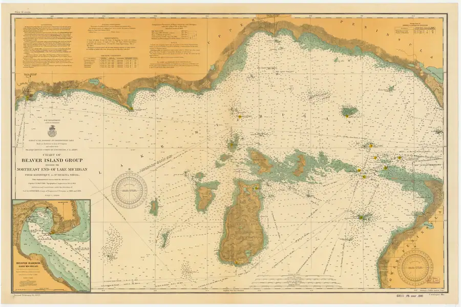
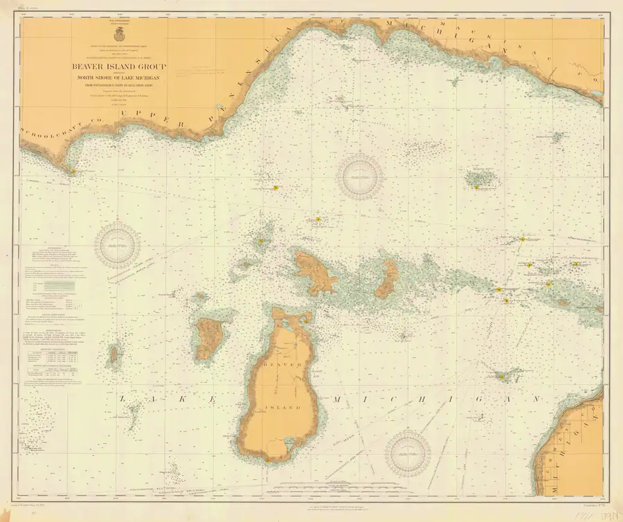
The 1907 chart makes the two-part alignment easier to see, while the 1911 chart explicitly labels the northern road “Kings Highway.” Both retain a substantial blank before the separate segment north of Lake Geneserath.10 This strengthens the identification of the Saint James road but not the placement of Galilee: neither sheet labels the village or explains whether the gap reflects swamp, incomplete construction, abandonment, an unmapped trail, or cartographic omission.
Relationship to Galilee Township
Galilee should not be conflated with Township of Galilee. The village was the named locality where the township’s first meeting was to be held; the township was the wider civil unit created in 1855 and vacated in 1897 by one modern secondary account. Both belong to the Strang-era administrative record, but they are different place entities.
A separate contemporary account complicates the tidy 1897 date. A February 1962 Beacon reprint of a Detroit Free Press clipping, said to date from about 1896 and preserved in Capt. Charles C. Allers’s scrapbook, describes the state legislature combining Galilee, Chandler, and Peaine townships into a single Peaine township – and islanders responding by ignoring the law: each of the three old townships held its own April election and installed its own supervisor, clerk, and treasurer, so that “three sets of officials exist today” while county officials waited for someone to actually assess taxes.11 The clipping is openly hostile in tone toward the islanders and its own dateline is not held here, so this article treats it as a contested account of process rather than a settled date – but it corroborates, independently of the Northern Islander’s 1897 figure, that Galilee’s absorption into Peaine was disputed rather than a clean administrative transfer. See A 1962 clipping recounts a contested 1896 township dispute for the full episode and its source-critical limits.
Significance
Galilee is the southern half of the Strang-era settlement pattern, and the half that did not survive. Where Saint James kept its harbour, its press and its name, Galilee existed for the wood trade — a village whose “only business,” in Strang’s own description, was getting out cordwood for the steamers, with a wharf on Lake Michigan and an intended millrace whose completion is nowhere recorded. Nothing of it is located on the ground today. What outlasted the village was its name, which passed to the lake, to the outlet stream, and to a civil township that islanders were still defending against consolidation forty years later.
Open questions
- The exact coordinates and archaeological fate of the settlement are not established from sources held.
- The date of its founding, its population, and the extent of its wooding port are not established beyond the 1854 and 1856 attestations.
- Whether any later local name or structure preserves the site is unknown.
- Whether the later-mapped Mormon Canal is the same excavation as Samuel Wright’s 1855 race, and whether any mill machinery was ever operated there, remain unverified.
- A control-point georeference of the Lake Survey chart, followed by comparison with nineteenth-century plats and county road records, is still needed before the charted corridor can be assigned an exact modern centerline.
- Whether “Lake Galilee” and “Galilee” as a locality name remained in continuous ordinary use between 1906 and 1912, or fell out of use abruptly, is not established – the two accounts are eighteen years apart and neither describes the intervening period.
- The exact date and legal mechanism of Galilee Township’s dissolution – 1896 per the Detroit Free Press clipping’s own “last winter,” or 1897 per the Northern Islander’s modern secondary account – is not resolved from the sources held here.
See also
- Lake Geneserath
- Jordan River
- Township of Galilee
- Mormon Canal
- Kingdom of Saint James
- Saint James
- King's Highway
- North End of Lake Michigan Including the Beaver Island Group, 1855 Lake Survey chart
- Beaver Island History Map, 1978 revision
- Beaver Island Group nautical chart, 1907
- Beaver Island Group nautical chart, 1911
- A 1962 clipping recounts a contested 1896 township dispute
Footnotes
-
Strang, Ancient and Modern Michilimackinac (1854), pp. 44-45. ↩
-
Daily Northern Islander, 1856, market review and advertisements. ↩ ↩2
-
Strang, Ancient and Modern Michilimackinac (1854), p. 44. ↩
-
Northern Islander, 18 October 1855, local mill report. ↩
-
Beaver Island Historical Society, Beaver Island History Map (1978). ↩
-
“A Visit to the Beaver Islands – September 19, 1879,” Petoskey Record, reprinted in Beaver Beacon, September 2002. ↩
-
Charlevoix Sentinel, 12 July 1906, reprinted in Beaver Beacon, July 2006, “One Hundred Years Ago.” ↩
-
U.S. Lake Survey, chart LS10, surveys of 1854-55, full-resolution NOAA scan. ↩
-
NOAA Office of Coast Survey, charts LSMa (1907) and LS72 (1911), held full-resolution images. ↩
-
“A Peculiar Community,” Detroit Free Press clipping said to date from about 1896, reprinted in Beaver Beacon, February 1962. ↩
Maps for this place
These Atlas plates provide regional context. They do not establish a precise boundary, current ownership, access right, operating status, or field condition.
- EnvironmentSoils, wetlands, hydrography, and terrain
- GeologyGeneralized geology and landforms
- HydrologyMapped water and wetland context
- AccessMapped routes, facilities, and protected areas
- Land surveyPLSS geometry and historic GLO patent-location context
Read the document
290 pages, rendered from the held scan.
Jump to a page — 290 in all

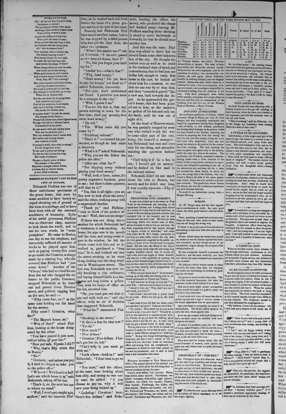
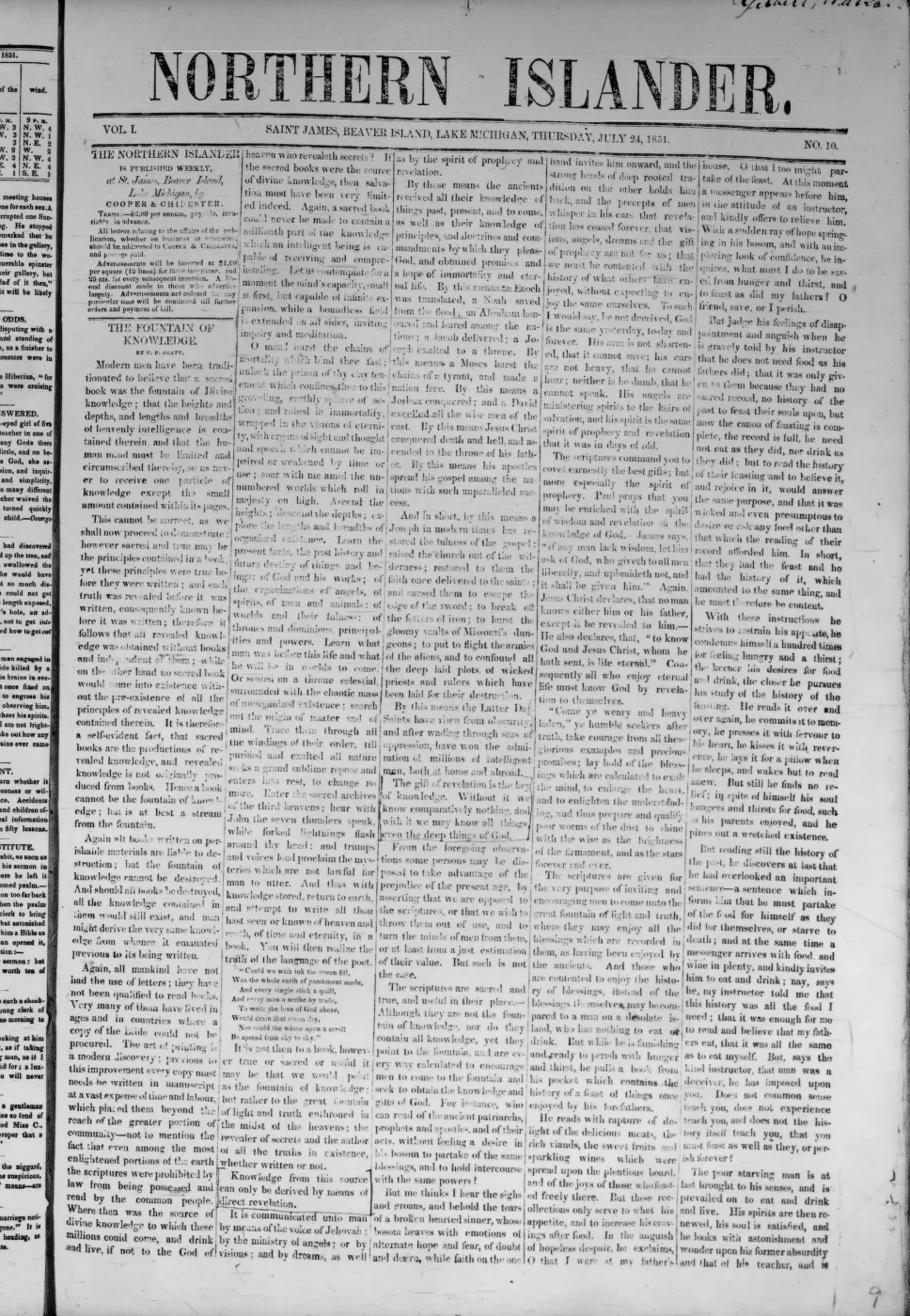
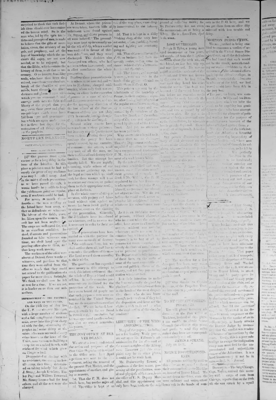
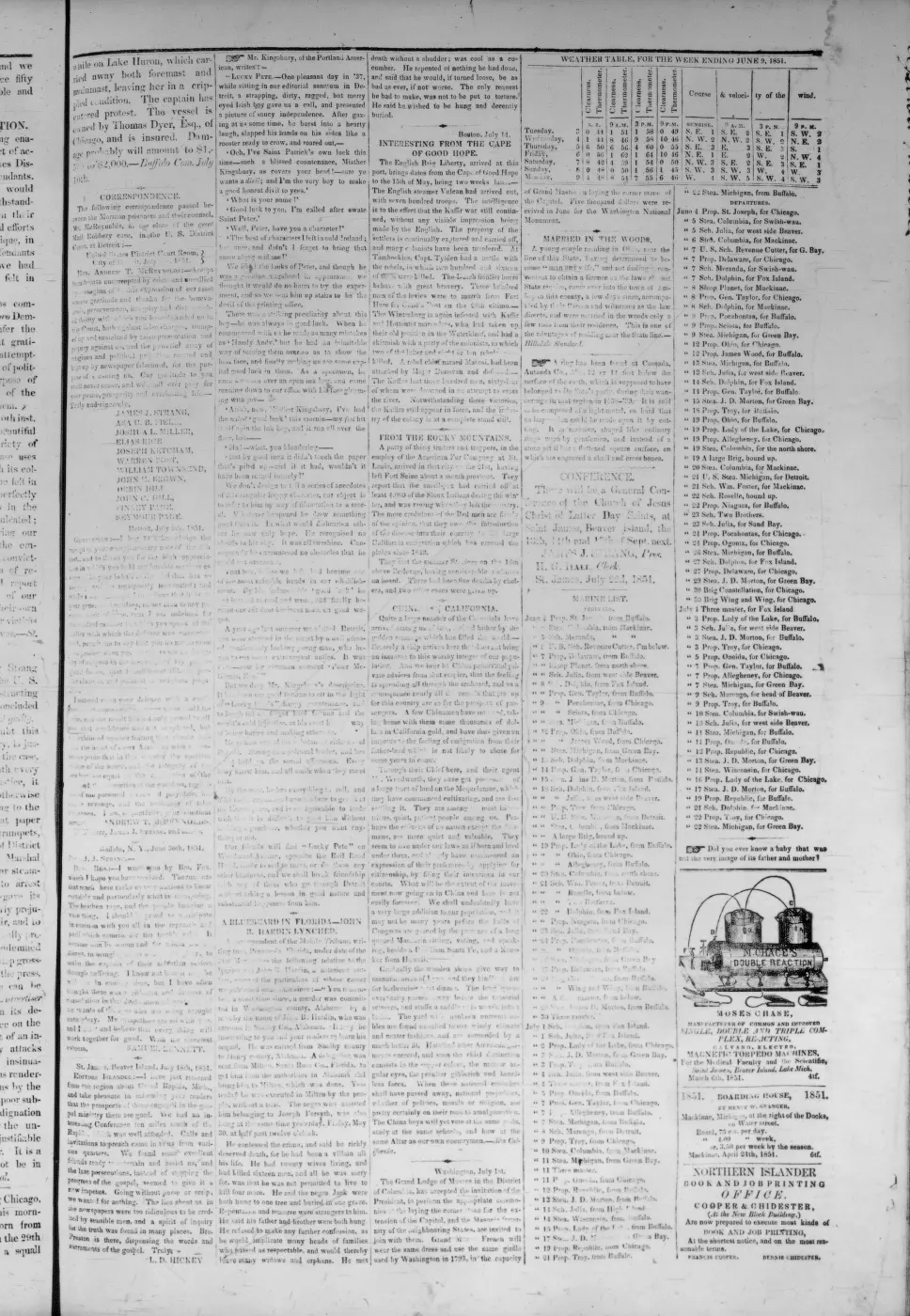
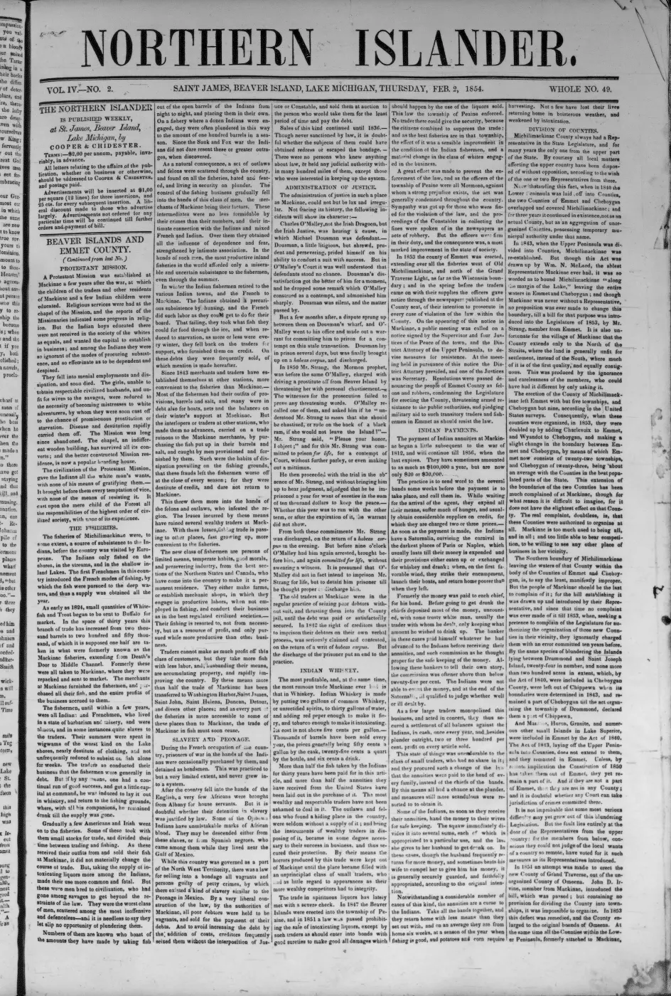
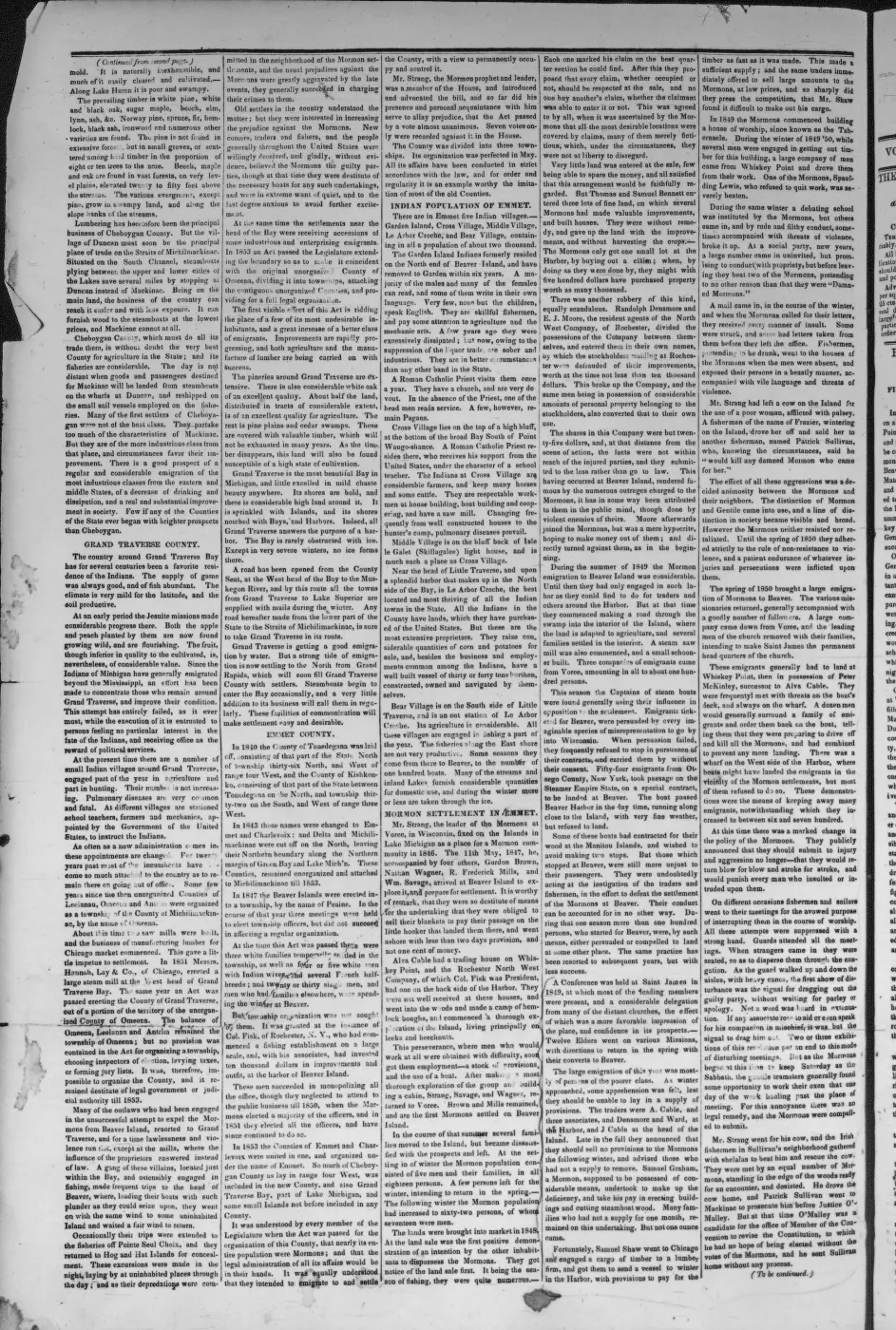
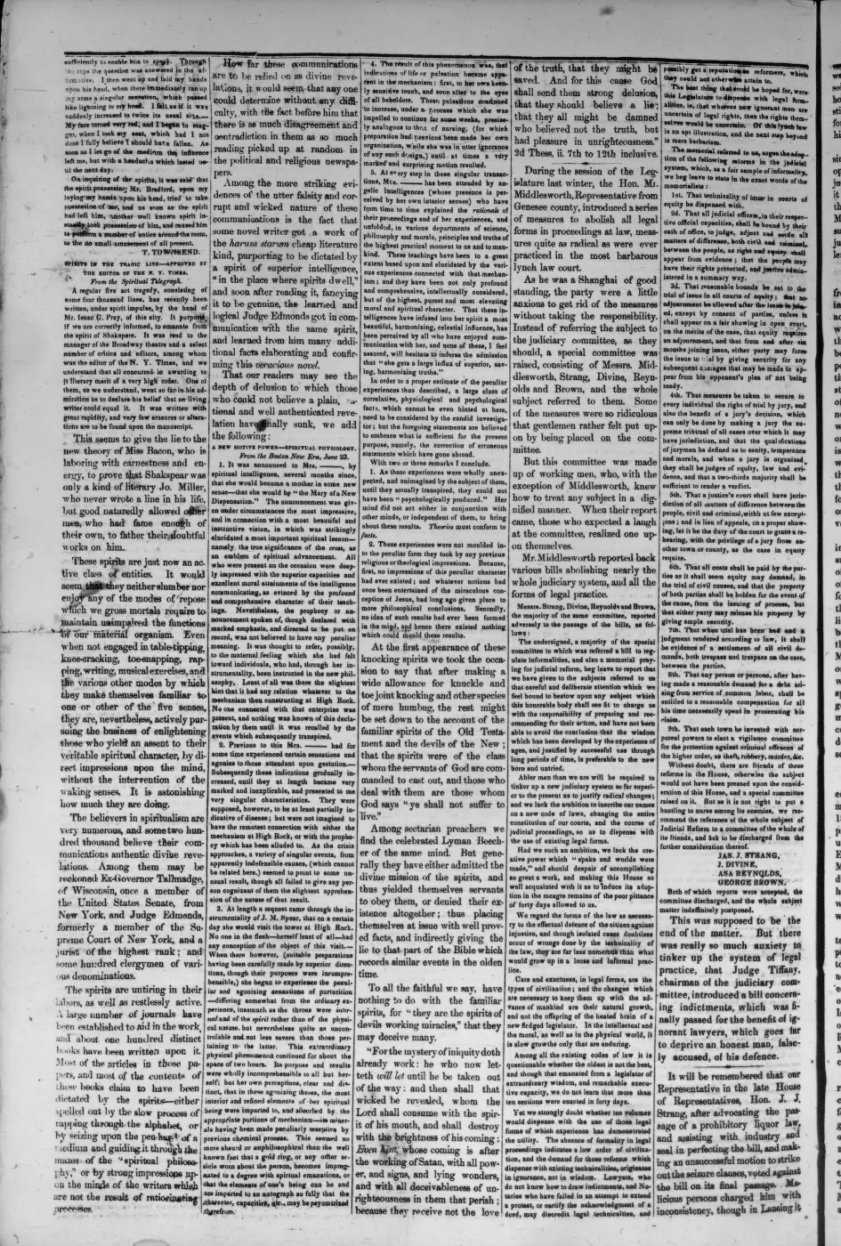
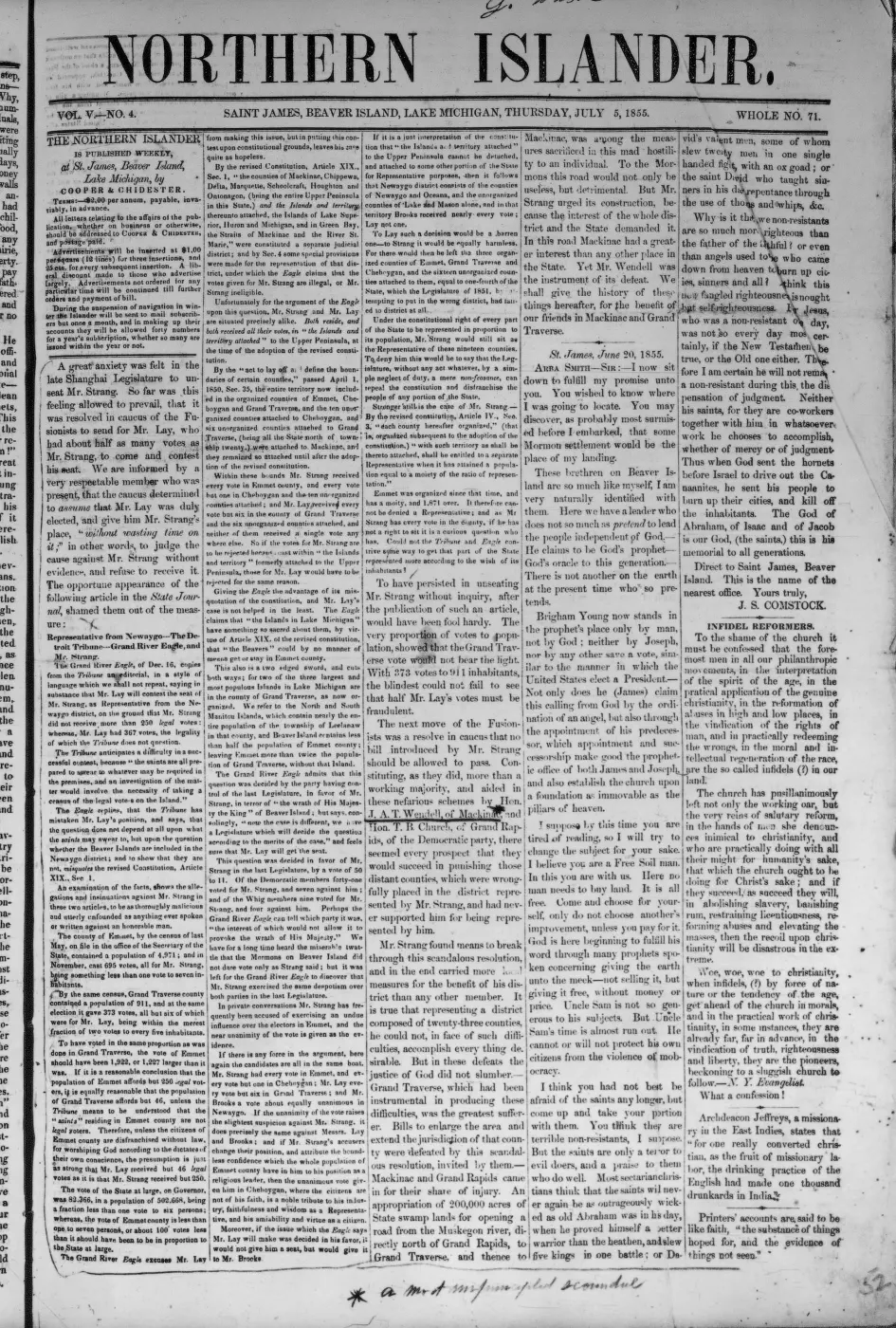
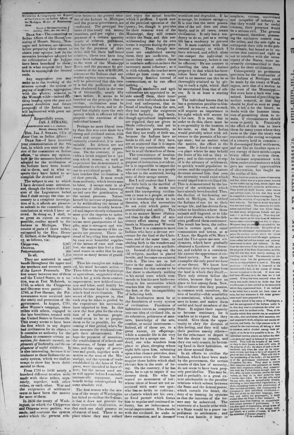
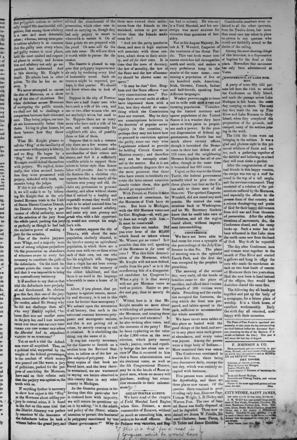
129 of 290 pages linked here — every page to 32, then every 3th, then the last 16. With JavaScript, every page.
Sources
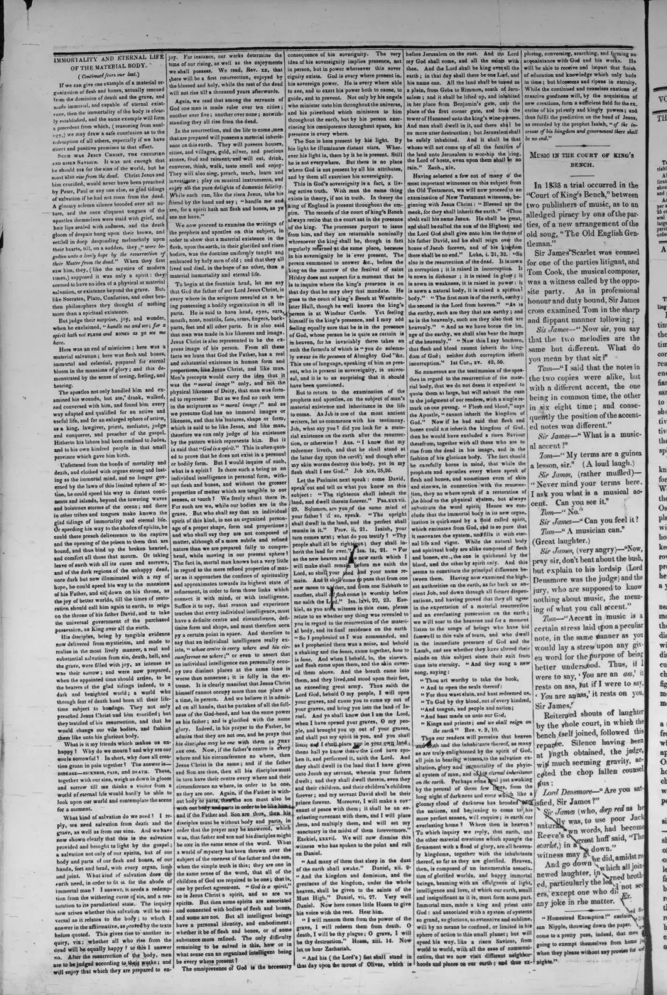
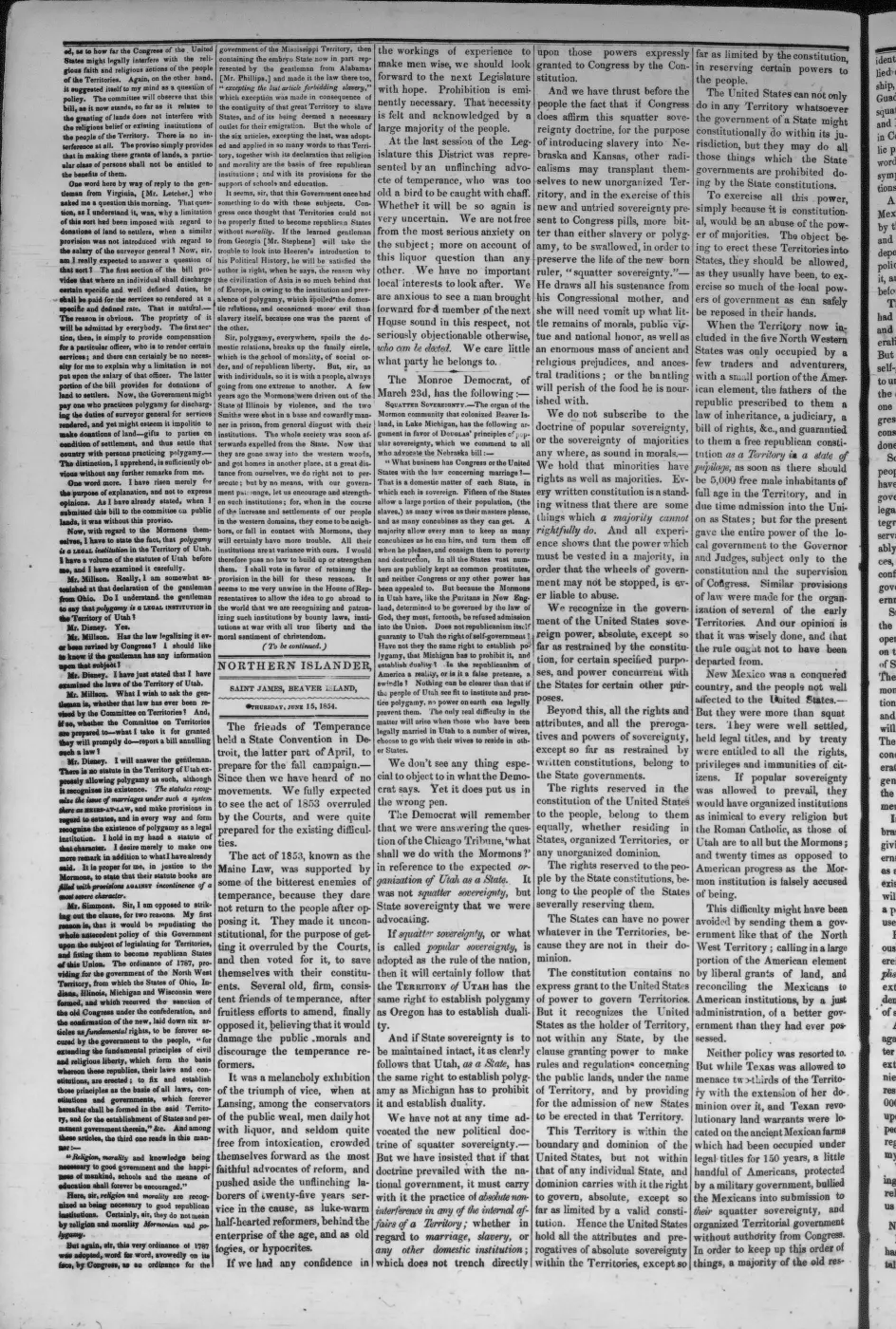
- Described in this archive: Ancient and Modern Michilimackinac, 1854.Strang describes “at the South-East extremity of the Island” the “new village of Galilee,” whose only business was getting out wood for steamboats. He also says the Jordan, outlet of Lake Galilee, could be turned into a new channel to concentrate its twenty-six-foot fall and furnish water power in the village.
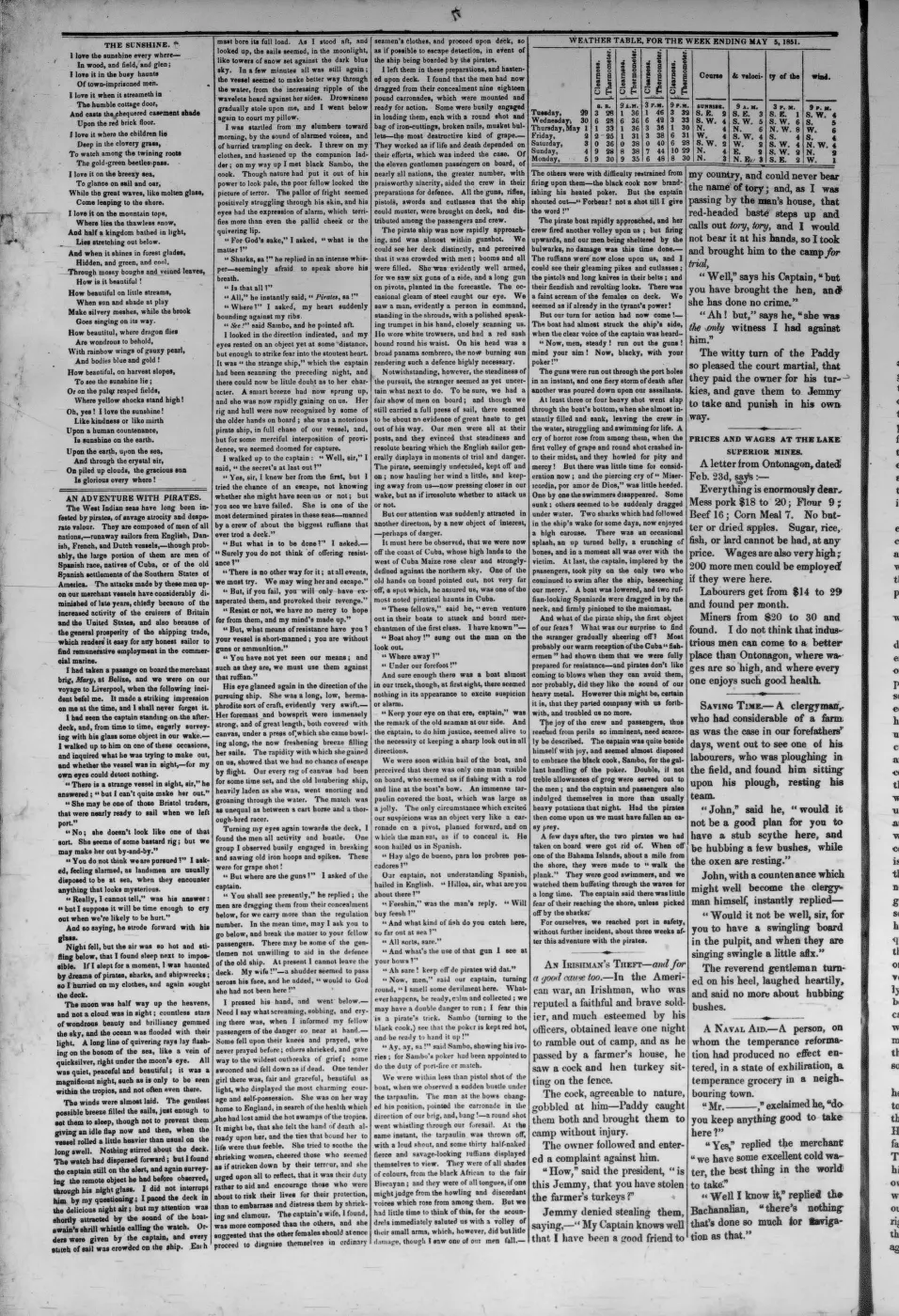
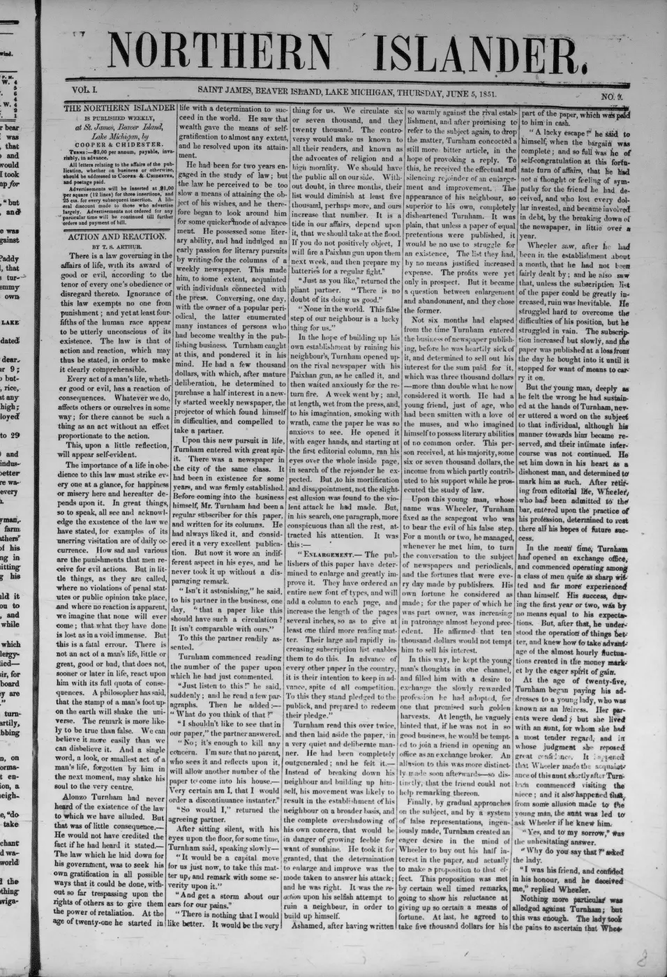
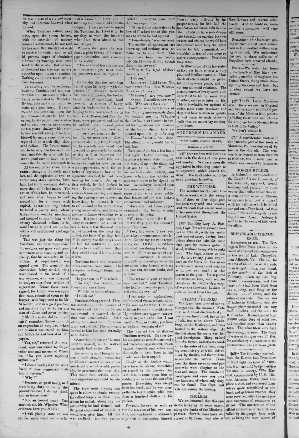
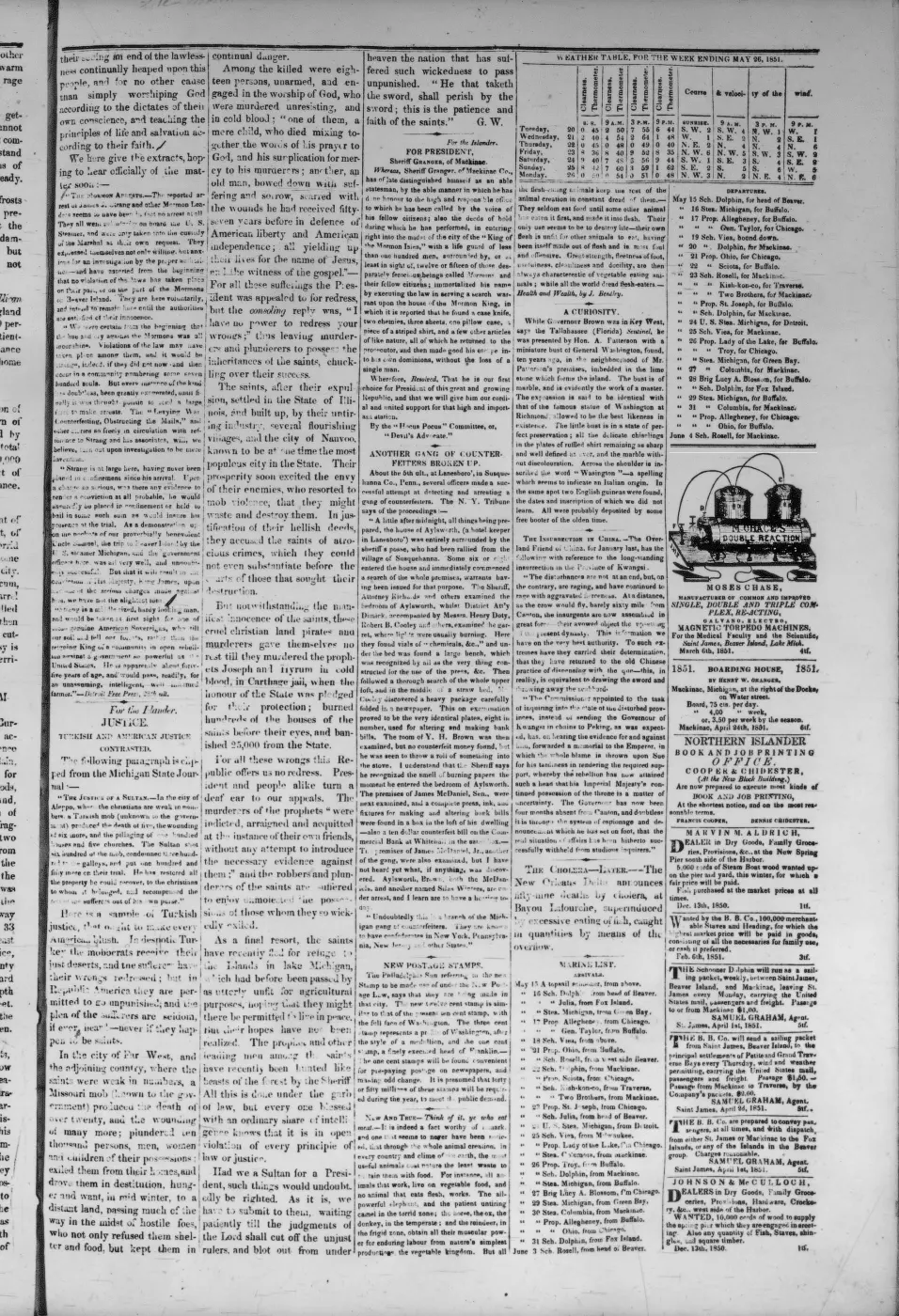
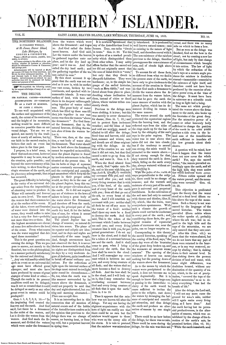
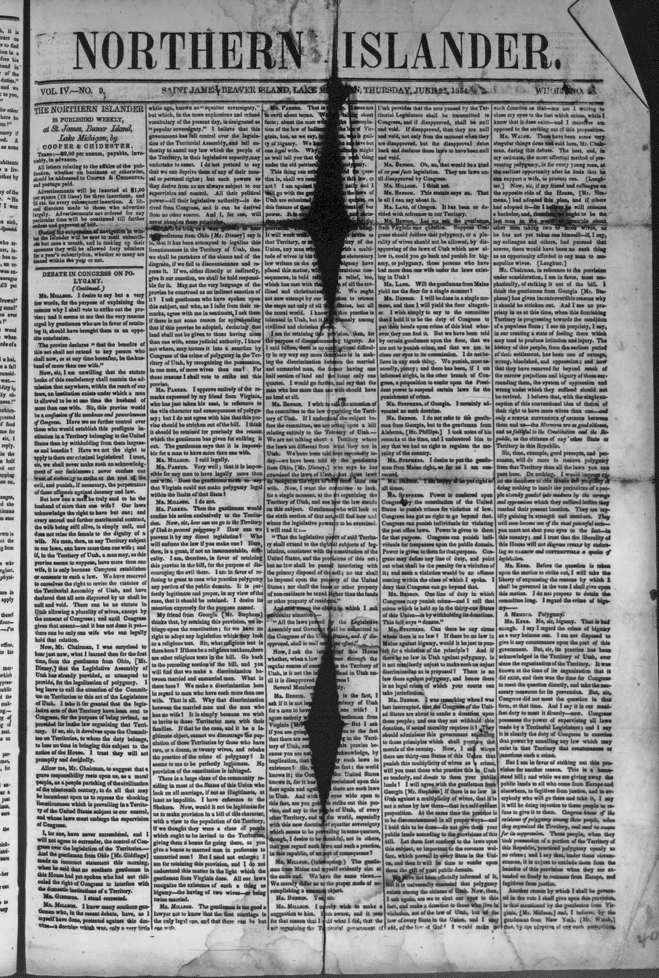
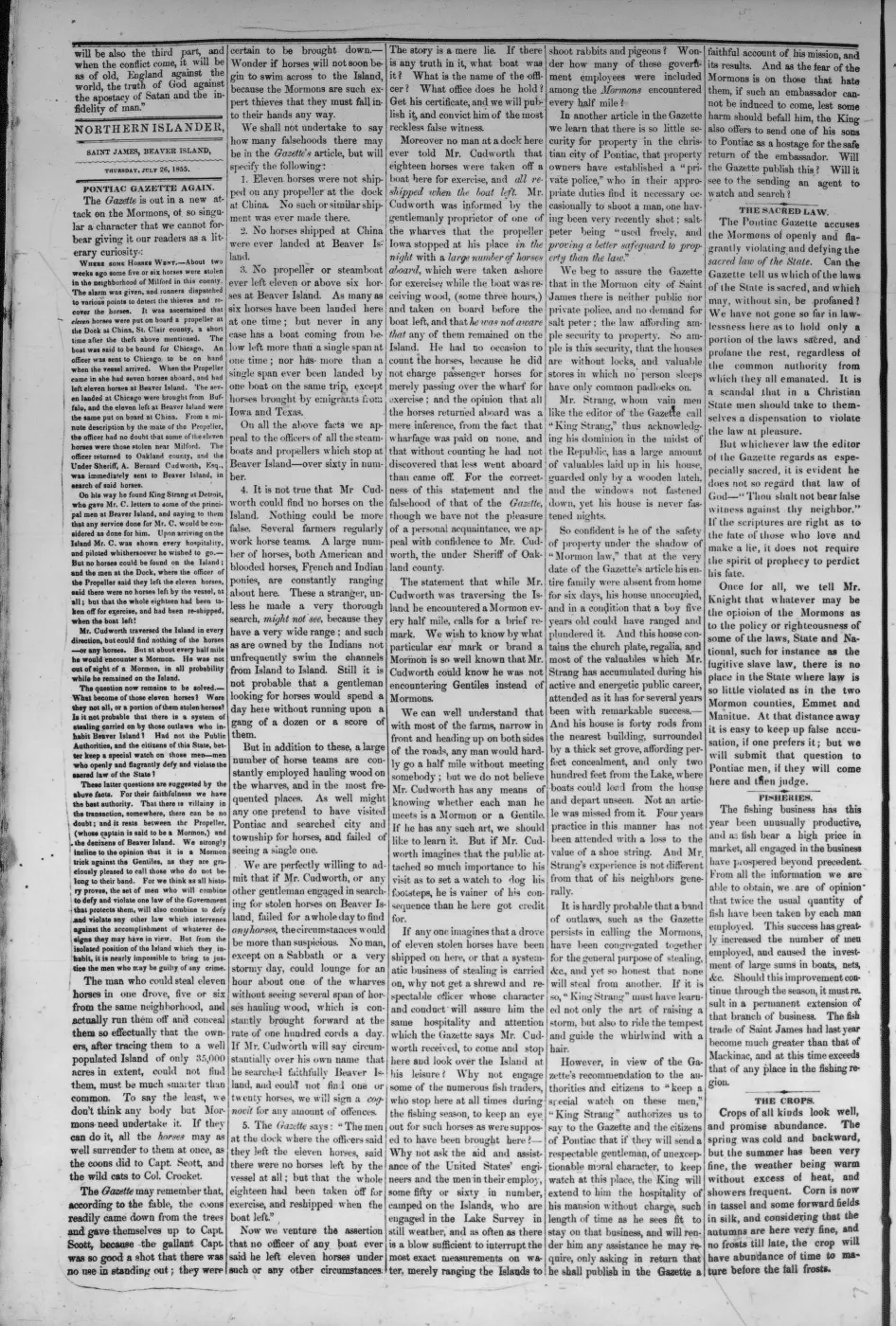
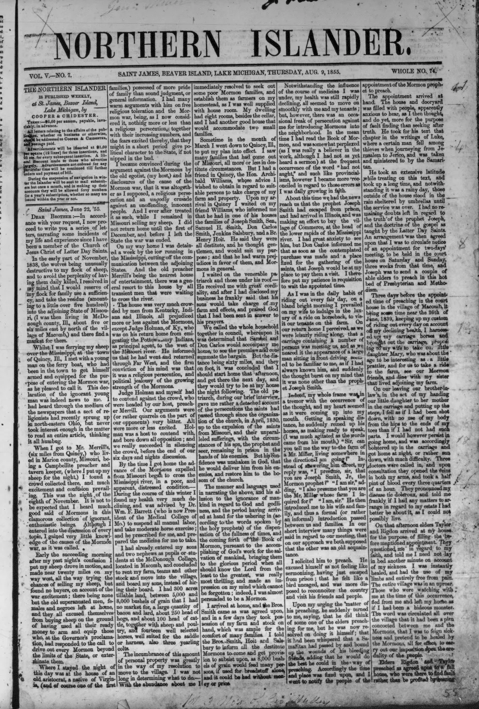
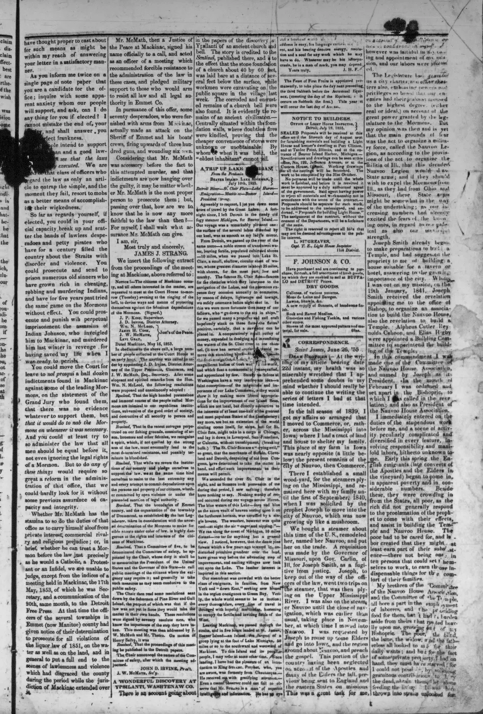
- Described in this archive: Northern Islander, 1850–1856.Reports Samuel Wright's third mill in process of construction at Galilee, with its irons received, but says unexpected difficulty excavating “the race” would delay operation until late the next summer. The report's context identifies this as a sawmill project and announces a portable gristmill separately.
- Described in this archive: Beaver Island History Map, 1978 revision.Labels “Galilee 1852–64,” the nearby dock/wooding-port setting, and a “Mormon Canal (partially completed)” near Lake Geneserath. This later local-history compilation is not a contemporary engineering plan or parcel-scale survey; its 1864 end date is not independently adopted here.
- Preserves conflicting later explanations of the excavation as a sheltered-harbor canal or mill-power ditch. The thread is community recollection and interpretation, not contemporary documentation.forum · www.beaverislandforum.com · 11 · t011472
- Described in this archive: North End of Lake Michigan Including the Beaver Island Group, 1855 Lake Survey chart.The chart depicts the southeastern lake, nearby coastal clearings, and an unlabeled north-south linear trace from the lake's northeastern vicinity. It supplies contemporary landscape evidence but does not label Galilee or King's Highway and cannot by itself locate the village at parcel scale.federal · noaa_charts · images · 1855_NORTH-END-OF-LAKE-MICHIGAN-INCLUDING-THE-BEAVER-ISLAND-GROUP-NORTH-END_LC00010-00-1855WWL
- Described in this archive: Beaver Island Group nautical chart, 1911.The 1907 chart clearly depicts a separate segment north of Lake Geneserath on the same broad axis as the northern road. The 1911 sheet explicitly labels the northern road "Kings Highway" but retains a substantial blank before the lake-side segment. Neither chart locates Galilee itself at parcel scale or states why the road is interrupted.federal · noaa_charts · images · 1911_BEAVER-ISLAND-GROUP-INCLUDING-NORTH-SHORE-OF-LAKE-MICHIGAN-FROM-WAUGOS_72-9-1911
- Connects the later lumber railroad with the King's Highway and the shores of "Lake Genessaret." It supports survival of the road/lake names in the 1903 landscape but does not identify the vanished village site.data1 · beaver-island-archive · beaver_beacon · 2003-10_Beaver-Beacon
- The held thirty-six-page issue scan is paired with the OCR source and confirms the published notice or report; it does not expand the source-specific identity, event, or outcome claims.data1 · beaver-island-archive · scans · beaver_beacon · issues · 2003-10_Beaver-Beacon
- Groups King's Highway, Lake Galilee, and the River Jordan as reminders of the Mormon era. This is a later local-history attestation of the place-name complex, not evidence that Galilee still existed in 1945.
- *Daily Northern Islander* (Saint James, Beaver Island), 1856, market review and advertisements.A contemporary newspaper reference says sales at Galilee exceeded 50 cords of wood per day, documenting the settlement as a working wooding port rather than only a biblical label. No public copy of this file is known; the archive holds one and can provide it on request.
- "Blessed Beaver Island," *Rock Island Argus* (Rock Island, Ill.), 12 April 1912, p. 11.A later travel account says the Mormons called the lake Gennesaret, its outlet the Jordan, and a little settlement at its mouth Galilee, while reporting that the names had disappeared from everyday use and survived only on old maps. No public copy of this file is known; the archive holds one and can provide it on request.federal · chronicling_america · sn92053934_1912-04-12_ed1_p12
- The GNIS lake label point is used only as an approximate anchor for Galilee because the sources place the village at the lake outlet; it is not evidence for the settlement's exact location or extent.federal · gnis · gnis_names
- "A Visit to the Beaver Islands -- September 19, 1879," from the Petoskey Record, reprinted in Beaver Beacon, September 2002, "The Way it Was."Describes the island in 1879 as "15 miles long by 6 wide," with "3 organized townships: Chandler, Peaine, and Galilee" -- evidence that Galilee Township was an organized civil unit by that date, twenty-four years after its 1855 creation. No public copy of this file is known; the archive holds one and can provide it on request.data1 · beaver-island-archive · beaver_beacon · 2002-09_Beaver-Beacon
- Charlevoix Sentinel, Thursday, 12 July 1906, reprinted by Joyce Bartels, "One Hundred Years Ago," Beaver Beacon, July 2006.Reports fishing catches "from Lake Galilee at the head of the Island," describing it as "an ideal camping ground" for resorters -- evidence the biblical lake name was still in ordinary local use in 1906, in tension with the 1912 Rock Island Argus account (above) that the Mormon-era names had already become relics retained mainly on old maps. No public copy of this file is known; the archive holds one and can provide it on request.data1 · beaver-island-archive · beaver_beacon · 2006-07_Beaver-Beacon
- Describes the legislature combining Galilee, Chandler, and Peaine townships into a single Peaine township, and islanders responding by electing three separate sets of township officers rather than accepting consolidation. Corroborates that Galilee persisted as a contested administrative unit, not only a place name, into the mid-1890s; see [[event/beaver-island-township-consolidation-retrospective-1896]] for the full episode and its source-critical limits.data1 · beaver-island-archive · beaver_beacon · 1962-02_Beaver-Beacon


Added 31 July 2026 · revised 7 August 2026. Recent changes
Cite this article
Beaver Island Archive, “Galilee”, https://beaverislandarchive.org/places/galilee/, accessed [date], citing James J. Strang, *Ancient and Modern Michilimackinac, Including an Account of the Controversy between Mackinac and the Mormons* (1854), section "Big Beaver", pp. 44-45. (and 14 further sources listed on the page).
Last revised 2026-08-07. Fill in [date] with the date you read it — this page is static and cannot know that.