

- Coordinates
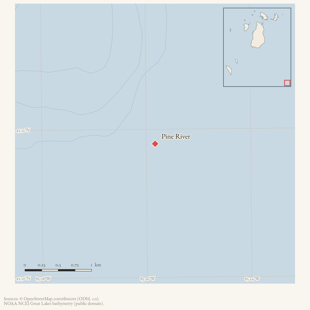
- 45.3181° N, 85.2583° WGoogle Maps: Pine RiverDownload KML
- Eras
- Strang eraEarly American era
- Concepts
- governancesocietytoponymy
Summary
Pine River was a mainland settlement on the eastern shore of Lake Michigan, at the mouth of the river of the same name, opposite the Beaver Island archipelago. It occupied the site of the present city of Charlevoix, Michigan.1
It matters to this knowledge base as the non-Mormon — “Gentile” — settlement nearest the archipelago during the Strang period, and as the site of the July 1853 clash between a sheriff’s party from Beaver Island and the Pine River population. See Battle of Pine River.
Relationship to Charlevoix
Quaife, writing in 1930, identifies Pine River directly as “the site of the modern resort city of Charlevoix.”1 The name of the settlement therefore passed out of use as the city’s name came into use.
What is not established here: the date of the change, the authority that made it, and whether “Pine River” was ever the settlement’s formal name as opposed to a descriptive usage. Quaife’s phrasing identifies a site, not a renaming event. That question is open — see Open questions below. The river itself retains the name.
County attribution
During the Strang period the township containing Pine River settlement lay in Emmet County, not in the Charlevoix County of today. Quaife records that Strang attempted to have that township set off from Emmet and added to Grand Traverse County, and, failing that, stood for county office himself.2 The modern county boundaries postdate the events described in the related articles, and a search of nineteenth-century material for this place should not assume the present arrangement.
Open questions
- The date Pine River ceased to be the settlement’s name and Charlevoix began. No source read gives it. A county history or the Michigan legislature’s incorporation record would settle it.
- Whether “Pine River” named a platted settlement, a post office, a township, or merely the locality at the river mouth. The sources here use it loosely.
- Coordinates and a GNIS feature id. The held gazetteer covers the archipelago only, so no mainland feature is available; this article carries neither, correctly reflecting that gap.
- The Strangite name Galilee, which appears in the Northern Islander account as the place the sheriff’s party departed from, now has a separate historical settlement article at Galilee. Its exact coordinates and surviving archaeological footprint remain unestablished.
Footnotes
Maps for this place
These Atlas plates provide regional context. They do not establish a precise boundary, current ownership, access right, operating status, or field condition.
- EnvironmentSoils, wetlands, hydrography, and terrain
- GeologyGeneralized geology and landforms
- HydrologyMapped water and wetland context
- AccessMapped routes, facilities, and protected areas
- Land surveyPLSS geometry and historic GLO patent-location context
Sources
- Described in this archive: The Kingdom of Saint James, Quaife, 1930.Page 147, verbatim: the settlement stood "at the mouth of Pine River, the site of the modern resort city of Charlevoix." Page 149 records that the township containing Pine River settlement lay in Emmet County, and that Strang worked to have it set off from Emmet and added to Grand Traverse County — evidence for the county attribution below, and for the political motive behind it.
- The contemporary Mormon account of the 1853 clash, and the source of the "Pine River people" phrasing. Explicitly partisan — written the day after the event by the Mormon side, for the Mormon paper — and used here only for the settlement's existence, situation and relations, not for the disputed narrative of the fight itself. See event/battle-of-pine-river.
- Reports the Charlevoix city label point at 45°19′05″N, 85°15′30″W. Quaife identifies Pine River as the site of modern Charlevoix; this is therefore an approximate map anchor, not a surveyed boundary or a claim about the river mouth.
Added 31 July 2026 · revised 1 August 2026. Recent changes
Cite this article
Beaver Island Archive, “Pine River”, https://beaverislandarchive.org/places/pine-river/, accessed [date], citing Milo M. Quaife, *The Kingdom of Saint James, A Narrative of the Mormons* (New Haven, Yale University Press, 1930), pp. 147, 149. (and 2 further sources listed on the page).
Last revised 2026-08-01. Fill in [date] with the date you read it — this page is static and cannot know that.