

- Coordinates
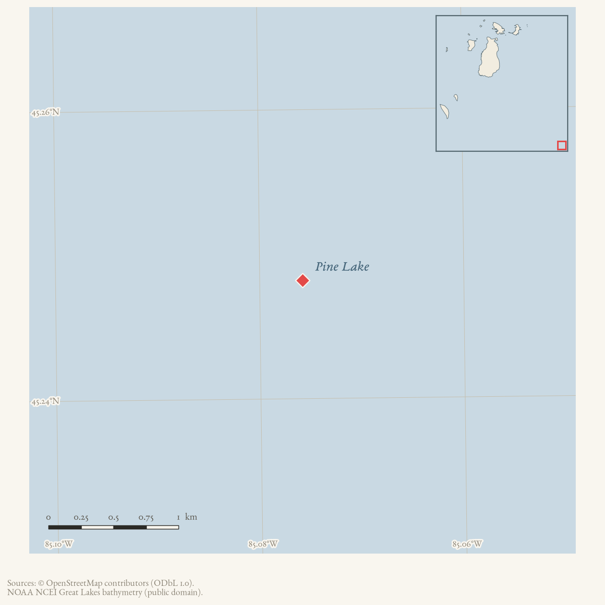
- 45.2482° N, 85.0758° WGoogle Maps: Pine LakeDownload KML
- Eras
- Strang eraEarly American era
- Concepts
- toponymyStrang eraenvironmentgovernance
- Within
- Charlevoix
- Media
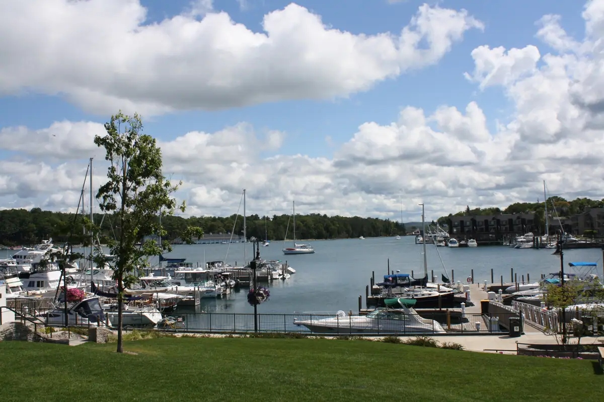
- The harbor on Lake Charlevoix (Pine Lake), downtown Charlevoix
Summary
Pine Lake is the historical name for the large inland lake at the Charlevoix end of the Pine River system, now generally known as Lake Charlevoix. During the Strang period, Latter Day Saint settlers and their newspapers called it Lake Mormon. The lake and its surrounding mainland were part of the Kingdom of Saint James’s expansion beyond the Beaver Island archipelago, and the nearby Pine River settlement was the site of the 1853 conflict with Gentile fishermen.
Geography and name continuity
Quaife describes Pine Lake as a large inland lake whose waters reached Lake Michigan through Round Lake and Pine River; he distinguishes that historical arrangement from the later dredging that made Charlevoix harbor accessible to larger steamers.1 That connects the lake to the modern Charlevoix water system; the historical channels and the modern harbor are not the same thing.
The name Lake Mormon appears in Quaife’s account of the Saints’ mainland settlement: the surrounding country was developed for farms in 1854-1855, and a conference was held on Holy Island in the lake on 15 July 1855, drawing more than fifty people who crossed from the Beavers by fishing boat.2 The underlying newspaper references are identified by Quaife but are not all held as separate issue images here.
The older name continued beyond the kingdom. NOAA’s historical chart catalog uses “Pine Lake Including Charlevoix Harbor” for 1908 and 1915 charts, and a 1923 local newspaper reports the lake’s freezing date as an ordinary community fact.34 The exact legal or customary transition from Pine Lake to Lake Charlevoix is not established in the held sources.
Settlement and mainland politics, 1853-1855
Quaife, writing in 1930, describes Pine Lake as “a beautiful sheet of water, running many miles inland,” with shores by then “dotted with summer cottages” and fed by “some of the most noted trout streams of northern Michigan” — a description of the lake as it stood at the time he wrote, not in Strang’s day.1 Strang had marked out the Pine Lake country for Mormon settlement after obtaining a land-office plat during his first term in the Michigan legislature, but speculators removed the plat from his papers, pre-empted the tracts he had marked, and then offered to resell a third of the land to him at five times its cost; Strang refused, and John S. Dixon, who bought from the speculators instead, settled at the mouth of Pine River.5 A small group of Mormons settled nearby, and tension with Dixon and other gentile settlers developed on a smaller scale than, but similar to, the conflict between the Islanders and Mackinac.5
Settlement plans were largely suspended through the 1853 hostilities with gentile fishermen at Pine River — the episode covered separately at Battle of Pine River — but resumed in spring 1854, when Strang urged his followers toward agricultural self-sufficiency and described the Pine River country as the best farming land in that part of the state.6 A census of Emmet County near the close of 1854 counted 1,706 settlers in Charlevoix Township, the county’s mainland portion; most were Native American, but among the white population the Mormons were reportedly the majority.6 That November, the Northern Islander opposed a proposal to divide the mainland portion of Emmet County between Cheboygan and Grand Traverse counties, predicting that Mormon settlement on the “east shore” would soon be large enough to control the politics of both.7
In spring 1855 Strang personally explored what the Saints by then called the Lake Mormon country and judged it “one of the finest for agricultural purposes” he had seen.7 That July, following the Church’s annual general conference at Saint James, a further conference was held on Holy Island in the lake on July 15, giving thanks for “averting the calamities of civil war” after a mainland newspaper had called for action against the settlement; more than fifty people crossed from the Beaver Islands by fishing boat to attend, and those present built a block house, described as a “synagogue,” on Holy Island before the gathering dispersed.7
Relationship to Beaver Island history
Pine Lake was not part of the Beaver Island archipelago, but its mainland settlement, transport route, and political relationship to Emmet County made it a working extension of Strangite history. The lake is therefore represented as a related mainland place, near the modern town of Charlevoix, and not as a subdivision of Beaver Island.
Open questions
- The exact date and authority of the transition from Pine Lake to Lake Charlevoix remain unknown.
- The historical boundary of the Lake Mormon settlement and the identity of Holy Island in the lake have not been mapped from a source held here.
- No mainland GNIS join or historical chart scan for this place has been found, so the article intentionally carries no coordinate or feature identifier.
See also
Footnotes
-
Quaife, The Kingdom of Saint James (1930), pp. 153-154. ↩ ↩2
-
Ibid., pp. 157-161. ↩
-
NOAA Historical Chart Catalog, 1908 and 1915 Pine Lake chart records,
data/federal/noaa_charts/noaa_chart_catalog.json. ↩ -
Charlevoix County Herald, 4 May 1923,
data/newspapers/charlevoix/ocr/markdown/Charlevoix_County_Herald_1923-05-04.md. ↩
Sources
- Described in this archive: The Kingdom of Saint James, Quaife, 1930.Describes the Charlevoix resort region as centered on Pine Lake, which drained through Round Lake and Pine River into Lake Michigan; records the Saints' 1853-1855 mainland settlement and the name Lake Mormon, including a 1855 conference on Holy Island.
- The held secondary text identifies the newspaper dates behind the Lake Mormon account: December 1850, April 1854, June-July 1855, and December 1855. This article does not treat those references as a direct newspaper transcription.
- Official chart-catalog records show Pine Lake remained a chart title in 1908 and 1915; the catalog entries include the historical chart filenames and bounding boxes.federal · noaa_charts · noaa_chart_catalog
- *Charlevoix County Herald*, 4 May 1923, local report on ice conditions.Local newspaper says Pine Lake froze over on 29 December 1922, documenting continued local use of the name after the Strang period. No public copy of this file is known; the archive holds one and can provide it on request.
- Records a GNIS-backed Lake Charlevoix label point at 45°14′53.462″N, 85°04′32.905″W. The point is used for the historical Pine Lake/Lake Mormon water body, not for the unlocated Holy Island or settlement boundary.
Added 31 July 2026 · revised 2 August 2026. Recent changes
Cite this article
Beaver Island Archive, “Pine Lake”, https://beaverislandarchive.org/places/pine-lake/, accessed [date], citing Milo M. Quaife, *The Kingdom of Saint James: A Narrative of the Mormons* (New Haven: Yale University Press, 1930), pp. 153-154, 157-161. (and 4 further sources listed on the page).
Last revised 2026-08-02. Fill in [date] with the date you read it — this page is static and cannot know that.