

- Intersects
- Back Highway · Barneys Lake Road North · Bonner Street · Brother's Road · Carlisle Road · Donegal Bay Road · Dump Road · East Side Drive · Enoch Hill Road · Forest Avenue · Hangar Road · Hannigan's Road + 9 more
- Coordinates
- 45.7031° N, 85.5267° WGoogle Maps: King's HighwayDownload KML
- Eras
- Strang eraModern era
- Concepts
- transportationtoponymyStrang eramormonismland-survey
- Within
- Beaver Island archipelago
- Media
- Beaver Island History Map, 1978 revision · General highway map of Charlevoix County, 1965 · Plat of Big Beaver Island, 1901
Summary
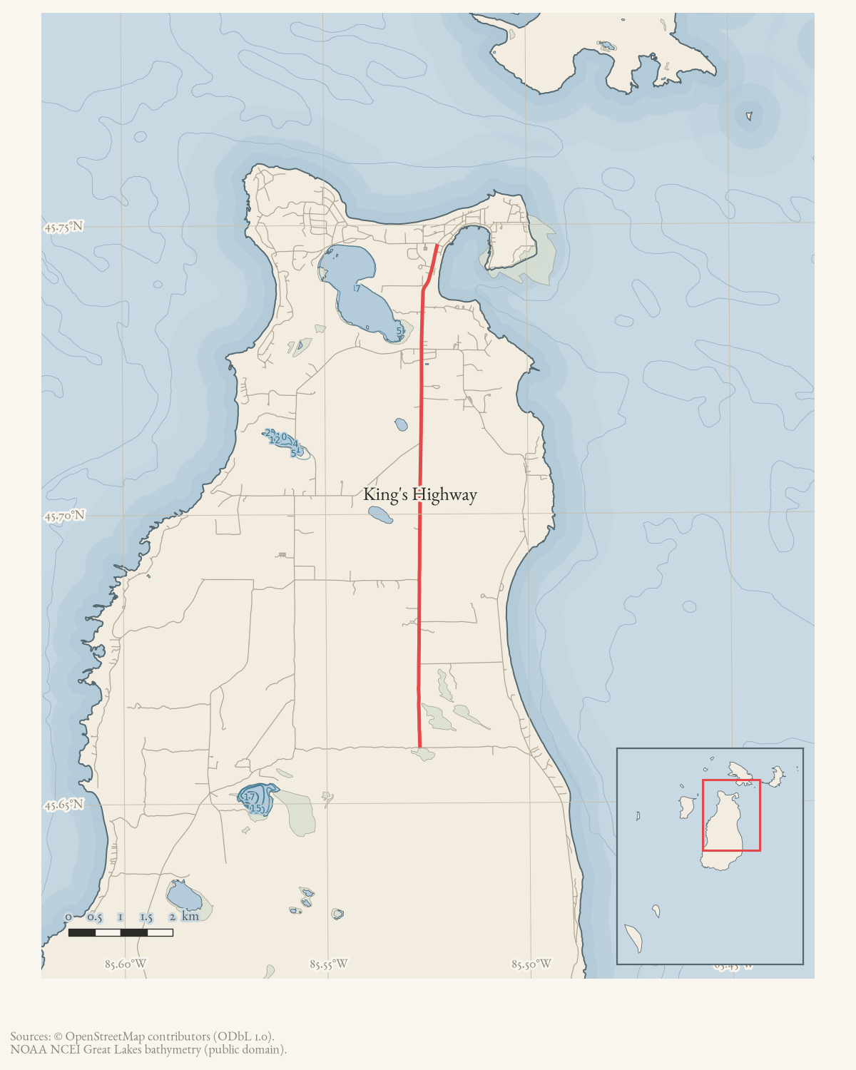
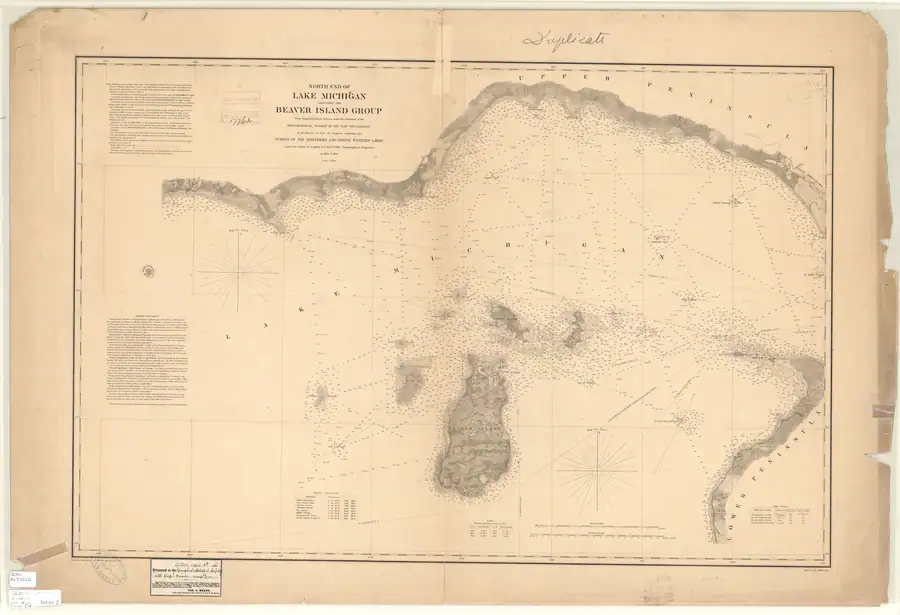
King’s Highway is the modern name of the nearly north-south road running inland from Saint James on Beaver Island. The strongest reading of the sources is that it preserves the northern part or corridor of a Strang-era road axis, but not necessarily every segment of its 1850s alignment. James J. Strang wrote in 1854 that one of the island’s two principal roads ran from Saint James “due South to Galilee” and that long farm lots abutted the roads.1 The 1854-55 Lake Survey chart independently depicts an unlabeled inland corridor and rectangular clearings compatible with that description.2
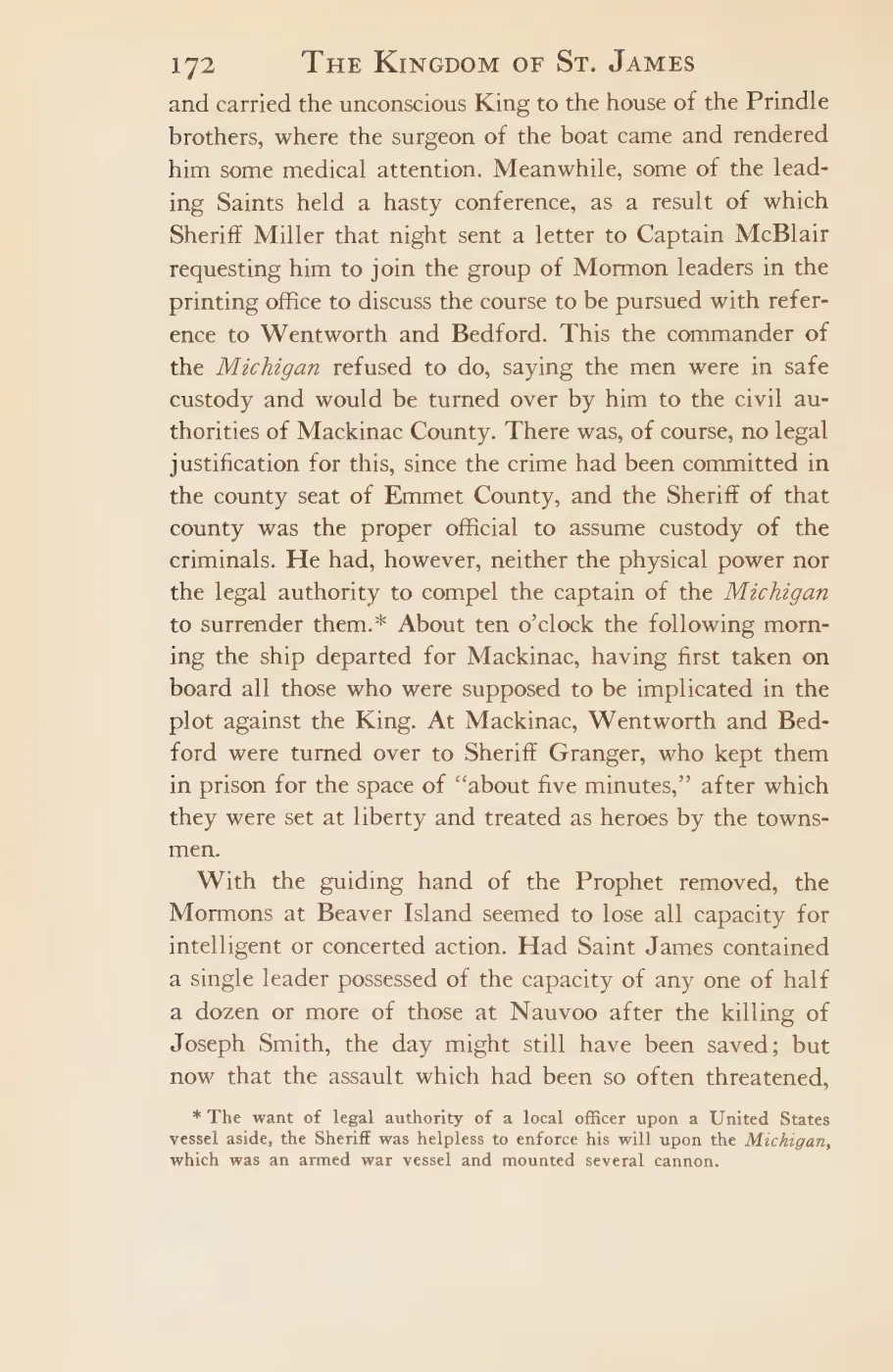
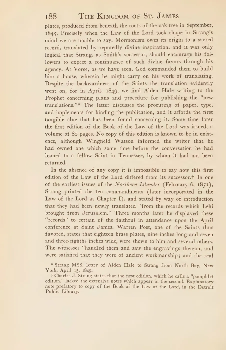
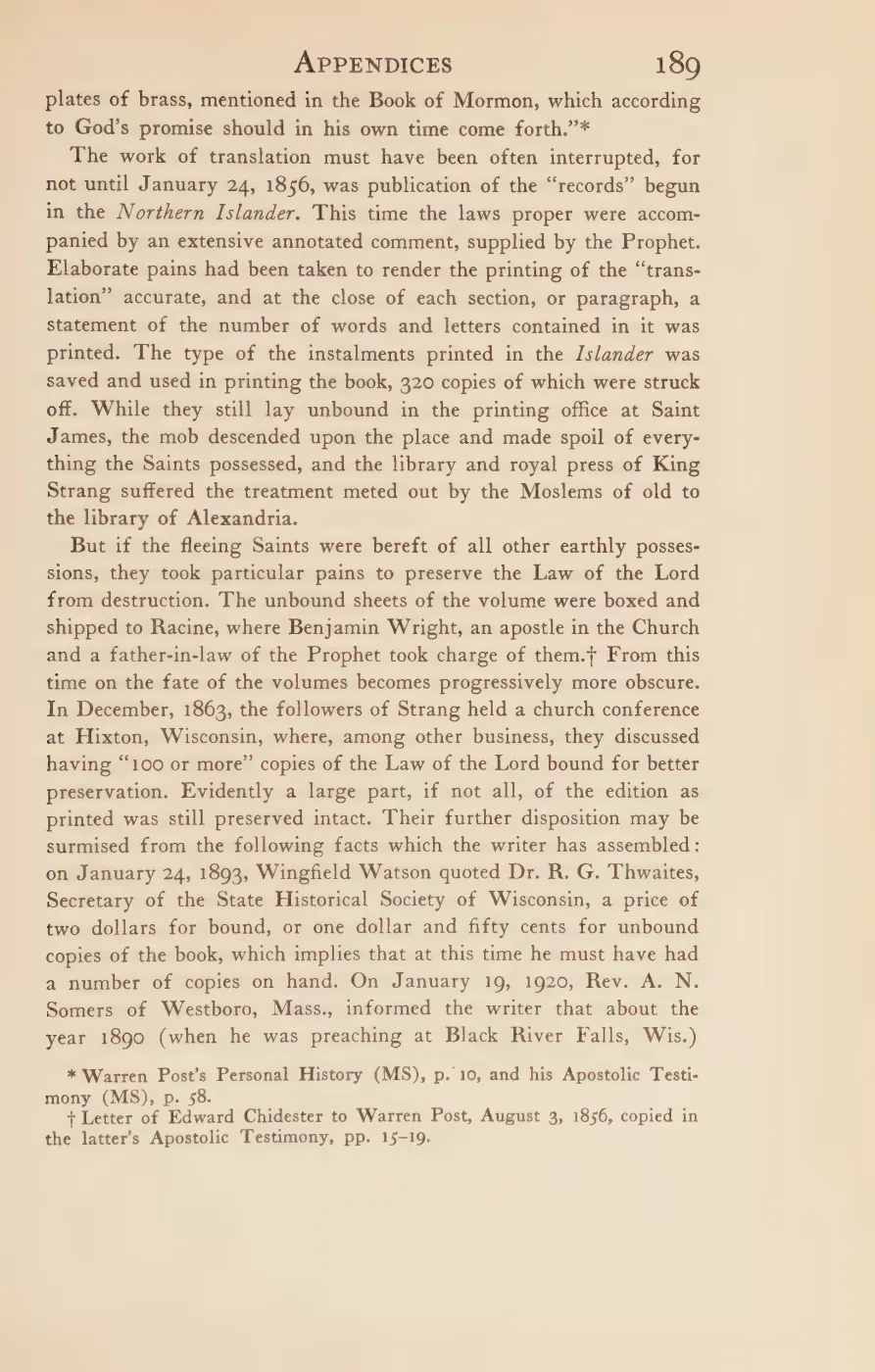
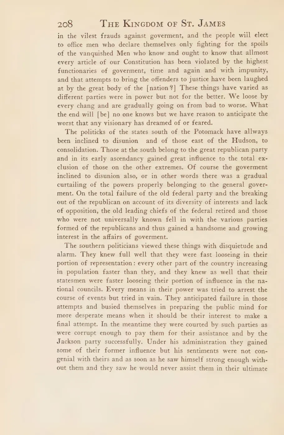
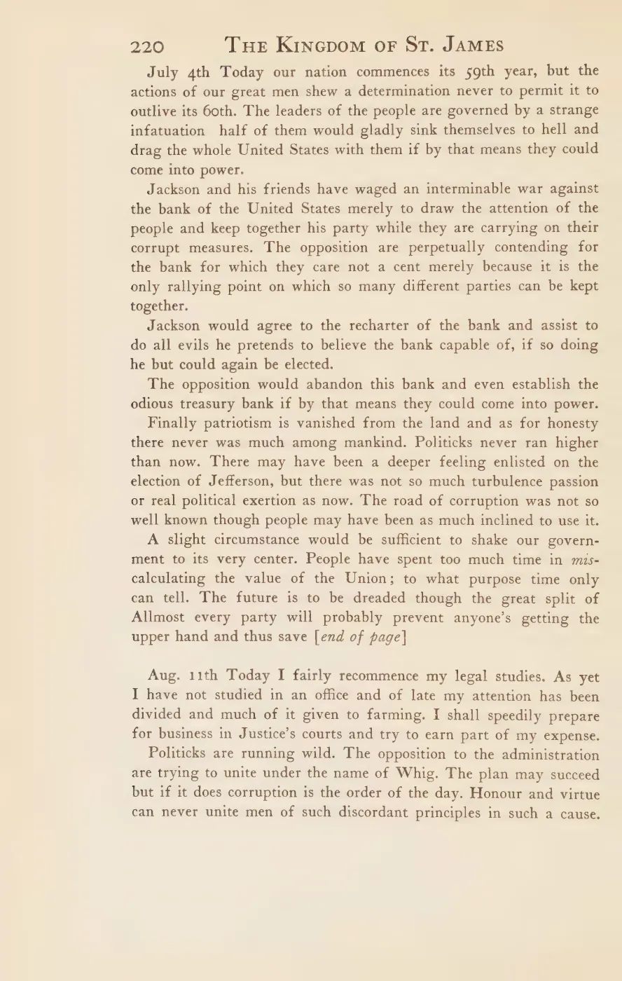
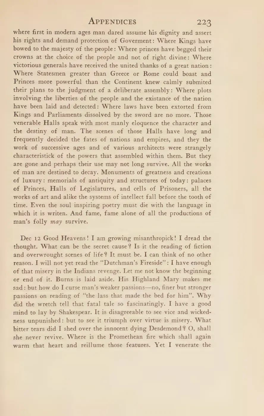
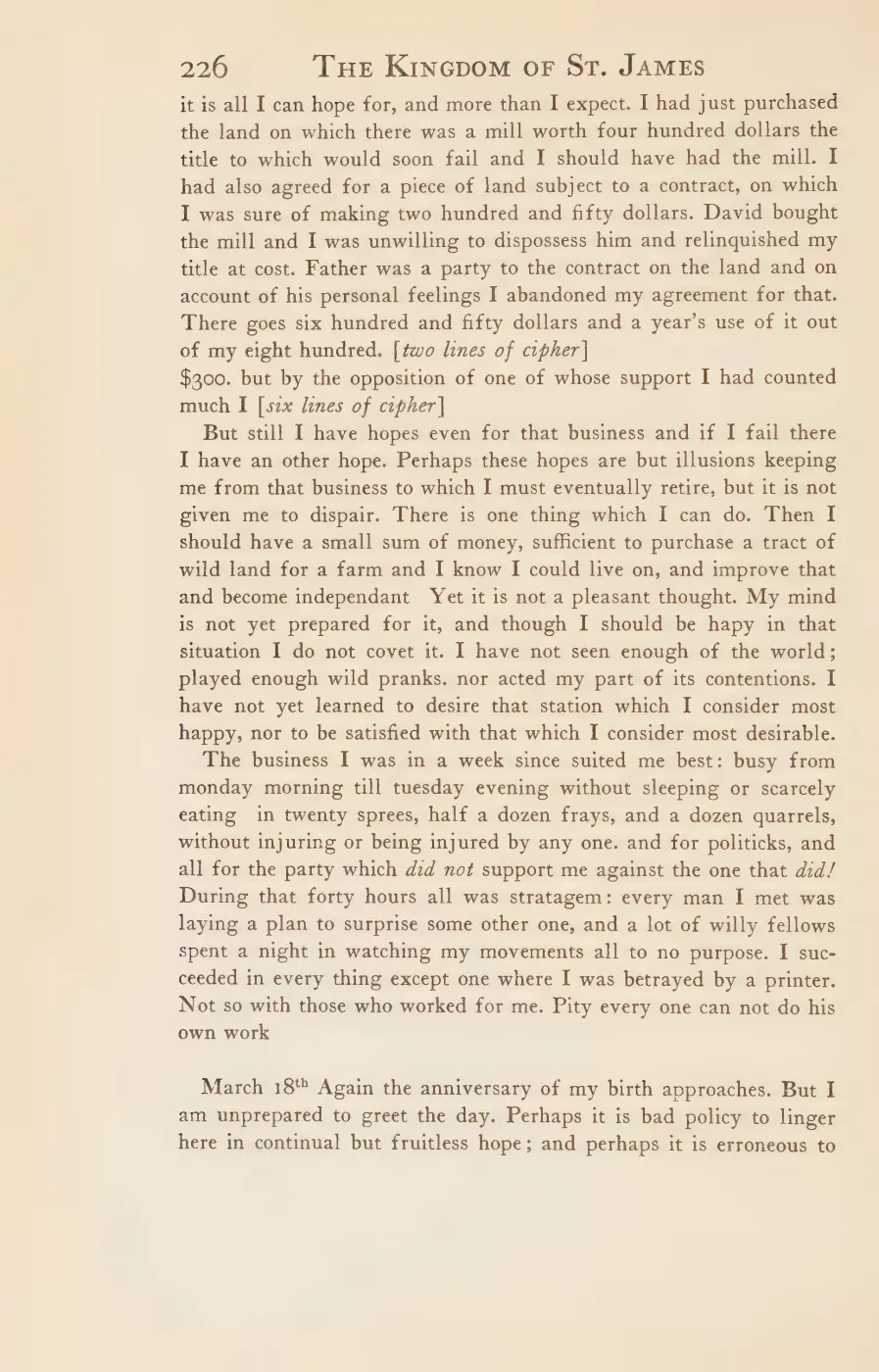
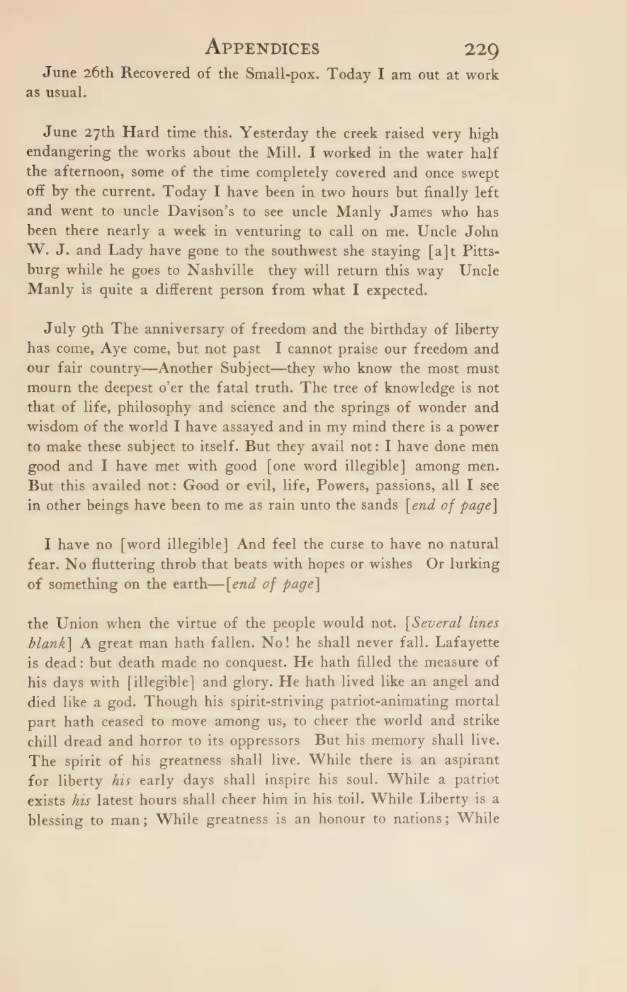
The name is less securely contemporary than the route. Strang did not call the road King’s Highway in the passage just cited. The earliest explicit named attribution located in the held corpus is a 1903 retrospective saying that Strang built the road more than fifty years earlier.3 Quaife’s 1930 account also uses the name in reconstructing Wingfield Watson’s 1856 expulsion journey, based on Watson’s later testimony.4 Thus the road’s Strang-era origin is well supported, while use of the name during Strang’s lifetime remains unproved.
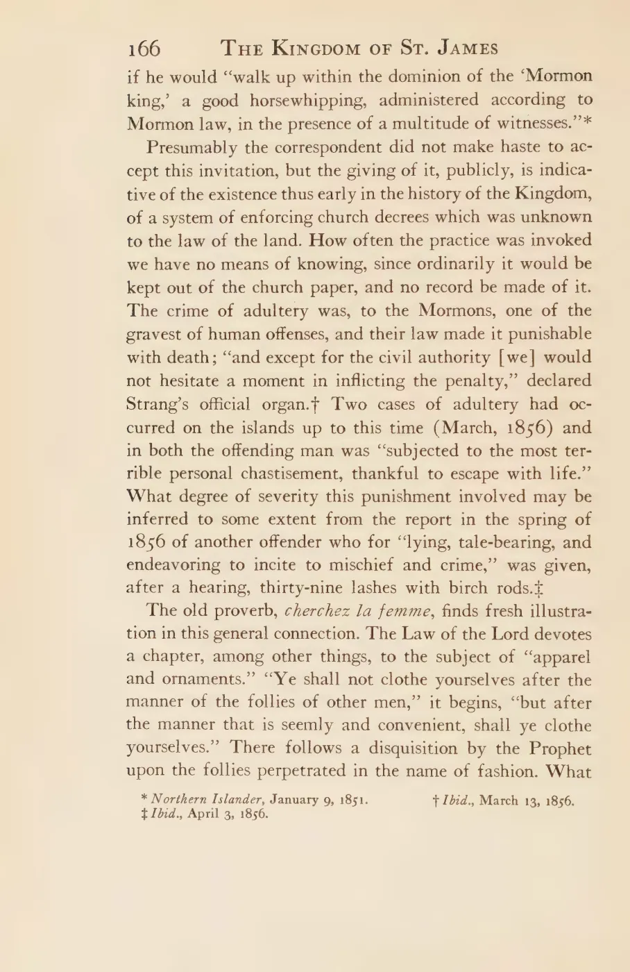
Another primary road report is relevant but does not safely solve the naming question. On January 9, 1851, the Northern Islander said a surveyor and twelve men were opening a road the whole length of the island, through Enoch and Silo to Cable’s landing, while a second crew bridged the swamps.5 That is direct evidence for an Enoch-to-Cable road project one year earlier than the Historical Map’s uncited “Enoch Road on 1852 map.” It is not proof that the entire route was called Enoch Road, or that it was identical to the Saint James–Galilee axis Strang described in 1854. Both road descriptions must remain distinct until a period map or surveyed alignment connects them.
The three current OpenStreetMap ways carrying the name are merged here into one
route geometry of about 9.7 km. They meet 21 other named roads, listed under
intersects_road.
Historical route and modern alignment
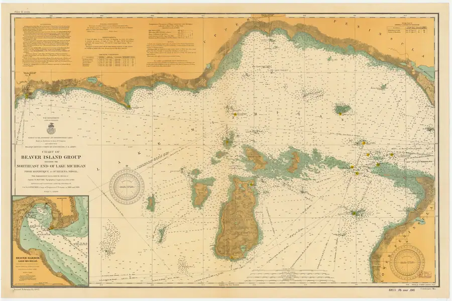
The 1855 and 1907 chart features running north from the vicinity of Lake Geneserath lie on the same broad north-south axis as the present King’s Highway. The 1907 rendering is especially clear, but its printed authorities show that Beaver Island’s inland topography principally derives from the 1854-55 Lake Survey rather than an independent 1907 road survey.6 Neither sheet draws an unbroken road to the lake.
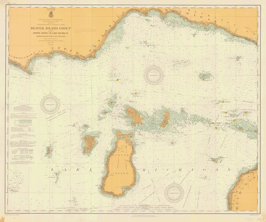
The larger-scale 1911 sheet removes the main identification ambiguity: it prints “Kings Highway” beside the northern road. It also clearly shows that road ending, a blank interval of approximately 1.9 miles (3.1 km) by a working measurement from the printed latitude graticule, and then a separate short road segment extending north from Lake Geneserath.7 The distance is an image-derived estimate rather than a formal georeference or survey, but the break itself is plainly intentional cartography.
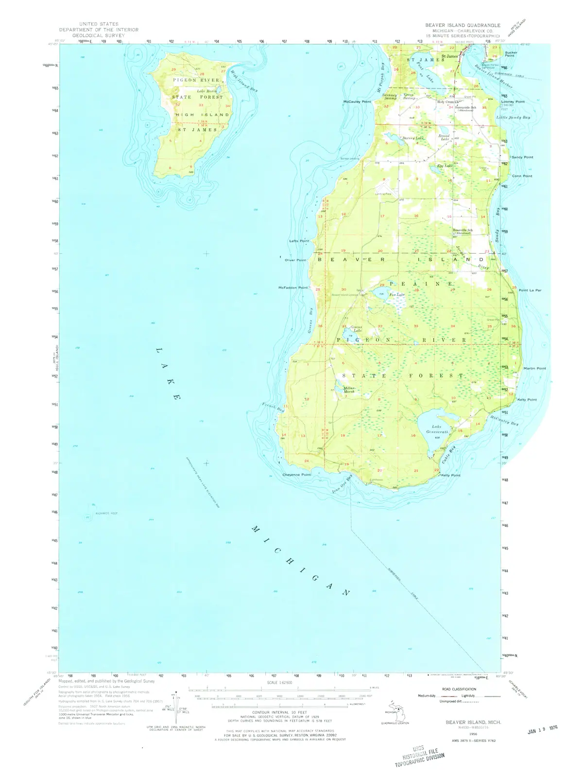
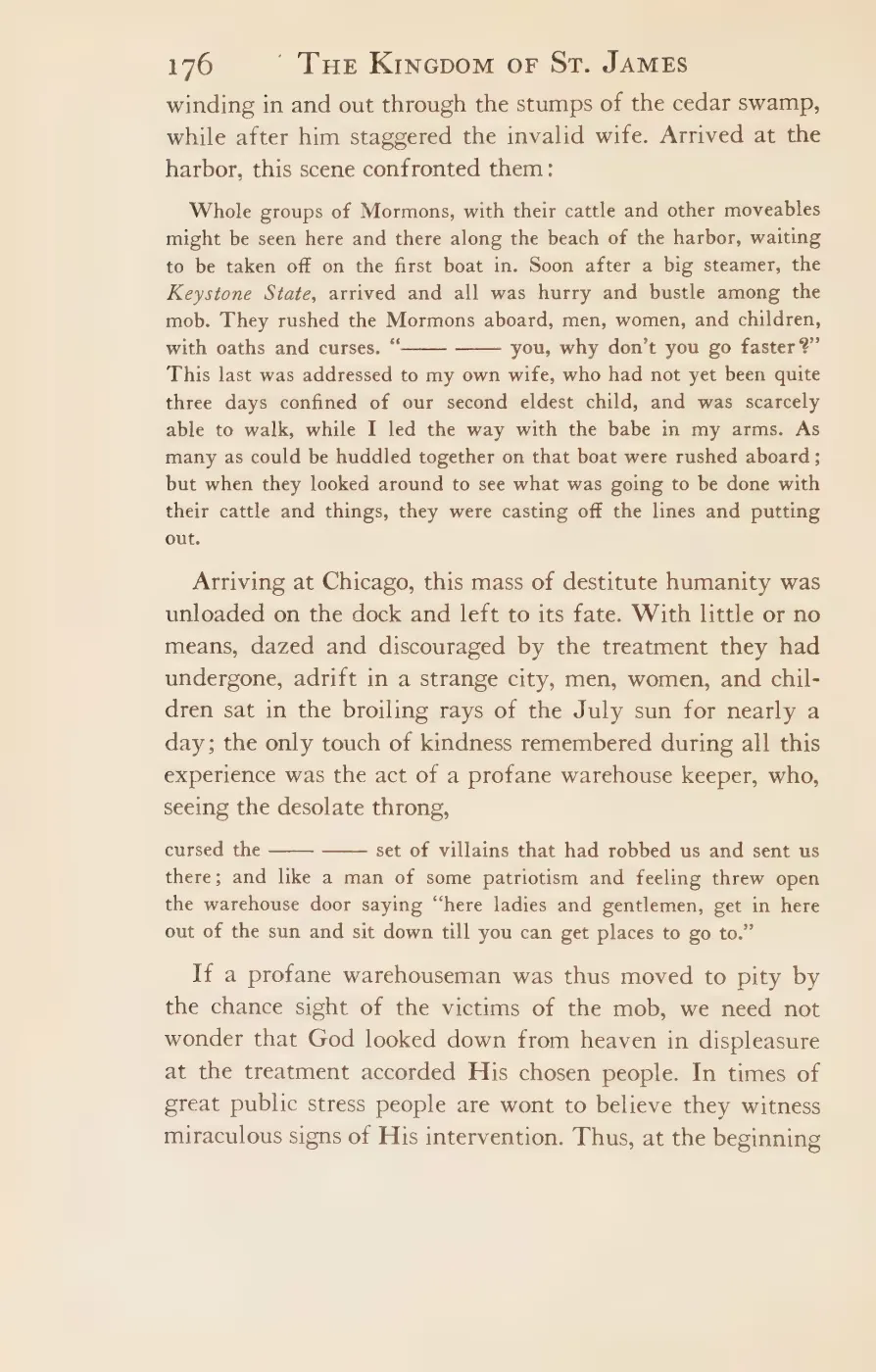
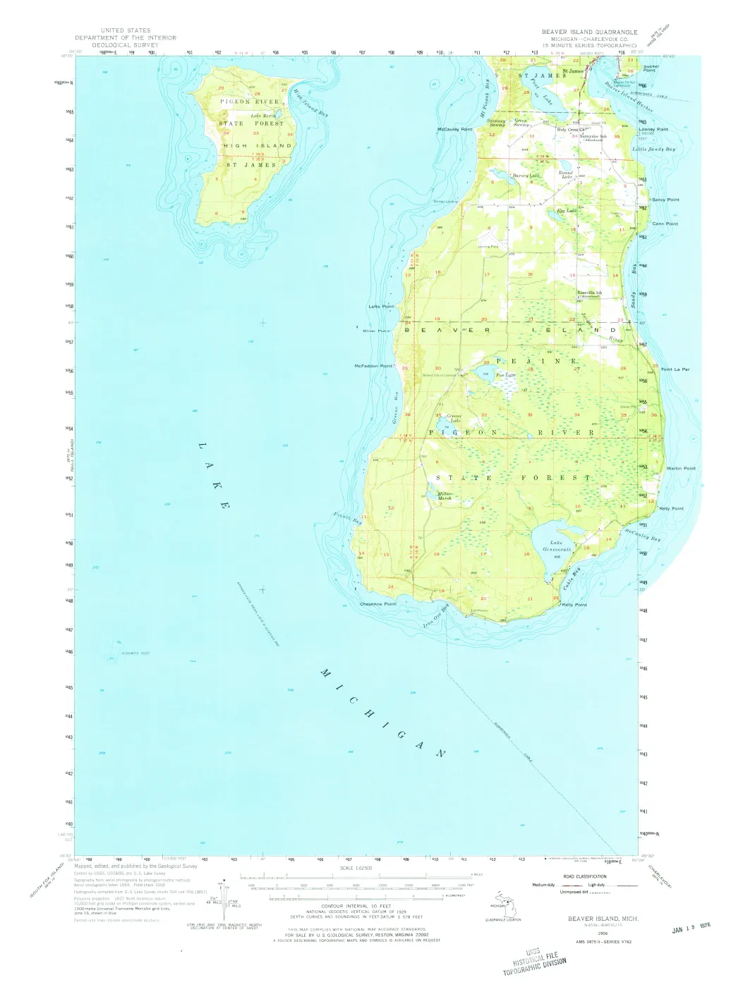
Swamp is a credible explanation, but not yet a documented cause. Quaife’s 1930 reconstruction describes Watson’s 1856 route as a semblance of road among cedar-swamp stumps; the 1956 USGS map shows extensive wet ground and discontinuous routes in the central-southern interior; and modern National Wetlands Inventory data map forested and shrub wetlands across much of the general gap corridor.489 None of those sources says that the particular charted break was caused by swamp. An unfinished road, a seasonal or abandoned section, an unmapped trail, or cartographic omission remain possible.
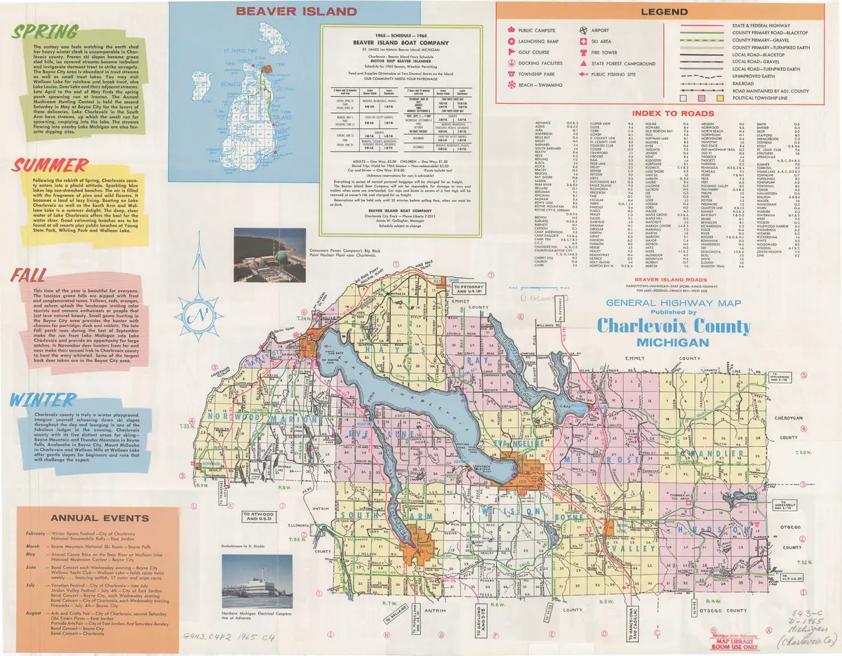
Later evidence shows how the corridor changed. In 1959 the Beaver Beacon called for clearing an “old road” south of Fox Lake Corners to the north end of Lake Geneserath; in 1960 it described the resulting central route as a marked trail.10 A 1965 county highway-map inset labels King’s Highway only from Saint James south to Hannigan Road.11 The modern OSM name likewise stops there, about 6.0 km in a straight line north of the lake polygon. The surviving northern highway, a later central trail, and the charted 1850s corridor therefore form a plausible route-history sequence, but the sources do not justify treating the whole sequence as one continuously maintained road.
Evidence and limits
The current name and alignment come from OpenStreetMap, which is volunteered work rather than a survey, deed, or county-road inventory. No source inspected establishes the original construction date, a legal right-of-way, or an exact continuous centerline from Saint James to Galilee. “King’s Highway” should therefore not be extended south on the modern map merely from the chart comparison, and the unlabeled chart feature should not be presented as if the Lake Survey named it.
Open questions
- Was the name “King’s Highway” used during Strang’s own lifetime (1847–1856), or is it entirely a retrospective label first attested in 1903, decades after his death?
- Is the January 1851 Enoch-to-Cable’s-landing road project the same route as the Saint James–Galilee road Strang described in 1854, or a separate project the 1978 Historical Map’s uncited “Enoch Road on an 1852 map” claim actually refers to?
- What caused the roughly 1.9-mile gap the 1911 chart shows between the charted northern road and the segment north of Lake Geneserath? Swamp is a plausible explanation given the modern wetland mapping, but no source documents it as the cause.
- Can an original construction date, a legal right-of-way, or a continuous surveyed centerline from Saint James to Galilee be recovered from a county road record or deed?
If you can answer any of these, or correct anything above, the archive wants to hear it — see Corrections.
See also
- Saint James
- Galilee
- Lake Geneserath
- Donegal Bay
- Michigan Historical Marker: Holy Cross Catholic Church, L2251
- St. James Township Trail Master Plan map, 2002
- King’s Highway paving reaches McCauley Road, 1972
- King’s Highway road-construction project, 1970
- Expulsion of the Strangites
- Beaver Island Community School
- Holy Cross Catholic Church
- Holy Cross Catholic Church building
- McCaully Farm
- McCourts Cabin
Documented associations
These source-backed records provide context for the mapped route:
- Michigan Historical Marker: Holy Cross Catholic Church, L2251 — Michigan Historical Marker L2251, erected in 2014 at Holy Cross Catholic Church in St. James, is an official state-held interpretive source connecting the church building, the Irish Catholic parish, and island schooling. Its front text says the church was built in 1860, was consecrated by Frederic Baraga, and was cut in half, moved, and reassembled at its…
- St. James Township Trail Master Plan map, 2002 — This retained St. James Township schematic map labels a Trail Master Plan for Beaver Island. Its legend distinguishes several depicted trail categories from a red “Proposed Donegal Bay Trail Proposed 2002” alignment. The map therefore records a planning proposal and a contemporary way of representing the local trail network; it does not prove a…
- Beaver Island real-estate classified notices, 1964 — August through October 1964 classified advertisements offered several Beaver Island properties: a six-room, partly furnished home overlooking St. James Harbor through Mrs. Sybil Larsen; a six-room house east of the new Episcopal Chapel through Norbert M. Gallagher; a partly furnished one-room log cabin called McCourts Cabin on Kings Highway for $2,500…
- January 1962 snow and drifting isolate parts of Beaver Island — The February 1962 Beaver Beacon describes January as a month of severe snow and drifting. It reports a January high of 36°F, a low of 0°F, 18 days with snow, an eight-inch snowfall on January 7, and 22.8 inches of ground accumulation. Drifts blocked the road to Willie Schmidt’s farm, crews worked on the airport road day and night, and access near the…
- King’s Highway paving reaches McCauley Road, 1972 — The September 1972 Beaver Beacon reported that the King’s Highway had been paved as far as McCauley Road. It attributed the work to Midwest Asphalt and Paving Company and described in-place stabilization followed by two asphalt and chipped-limestone layers on that route, many town back roads, and the Beaver Islander dock.
- Perry Crawford farm barn burns near Kings Highway, 1964 — The barn on Perry Crawford’s farm burned to the ground on August 22, 1964, according to the September Beaver Beacon. The notice identifies the property as the old McCaully Farm at Kings Highway and Airport Road, reports no injuries, and says no other building burned.
- Beaver Island Rural Health Center grand opening, 2004 — The Beaver Island Rural Health Center held a public grand opening on June 25, 2004, for its new facility. A July Beaver Beacon report describes facility tours, a telemedicine demonstration, and public acknowledgements of the land, construction, equipment, grant, and fundraising support behind the project.
- Father Edward Donahoe makes maple syrup on Beaver Island, 1970 — In early spring 1970, Father Edward Donahoe collected and boiled maple sap from about two dozen trees near Beaver Island’s King’s Highway. The Beacon reported approximately 25 gallons of sap per day yielding about one-half gallon of syrup.
- Expulsion of the Strangites — Within three weeks of the shooting of James Jesse Strang on 16 June 1856, the entire Mormon population of Beaver Island was removed from it. The departures began voluntarily: Strang himself left on the propeller Louisville on 28 June, and families followed on the Iowa two days later. They ended in early July with an…
- King’s Highway road-construction project, 1970 — On August 24, 1970, a county-board announcement described a $94,466 federal-aid secondary road project on Beaver Island. The work covered 4.36 miles of King’s Highway, beginning 0.75 miles south of Saint James, and included grading, drainage structures, and a pit-run stabilizing course. A preconstruction meeting was scheduled for August 26.
- McClure Oil Company locates well No. 1 near Hannegans Corner, 1960 — McClure Oil Company was working on well No. 1 near Hannegans Corner in August 1960, approximately 150 yards southwest of the end of King’s Highway.
- Beaver Island road-maintenance letter responds to graffiti near McCafferty’s Lane, 2000 — A September 2000 Beaver Beacon letter responded to “FIX THE ROADS” graffiti on King’s Highway near McCafferty’s Lane. Sheri Timsak described her husband, Joe Timsak, as the Charlevoix County Road Commission’s lead road-maintenance man on Beaver Island and described his checking, grading, and plowing work. The letter is community commentary, not an incident…
- Rose Connaghan opens a country store, 1964 — Rose Connaghan opened a Country Store at the Connaghan home on Beaver Island in 1964, the July Beaver Beacon reported. The notice describes it as a small country retail business selling provisions and other goods.
- Beaver Island Rural Health Center acquires the King’s Highway–Carlisle Road site, 2002 — At its May 21, 2002 meeting, the Beaver Island Rural Health Center Board reported completion of negotiations for 5.371 acres at the King’s Highway–Carlisle Road corner as the proposed new medical-facility site. The Board approved Hobbs-Black Associates of Ann Arbor for design and engineering, and the report says the deeds were filed with the Charlevoix…
- Beaver Island Community School — Beaver Island Community School is the public school on Beaver Island, Michigan, offering Pre-Kindergarten through 12th grade at 37895 Kings Highway. Held Beaver Beacon coverage traces a public island school back through an October 1955 consolidation of the Peaine and St. James township school districts and a Catholic teaching order…
- Beaver Island Rural Health Center — The Beaver Island Rural Health Center is the direct legal continuation of the Beaver Island Medical Center, reorganized as a free-standing nonprofit corporation in 1996 under its present name. The Center had pursued a federal “rural health center” designation — qualifying it as a medically underserved area…
- Holy Cross Catholic Church — Holy Cross Catholic Church is the Roman Catholic parish serving Beaver Island’s Irish-descended community, and the principal institutional monument of the island’s post-1856 Irish settlement. Its present physical church building is documented separately at Holy Cross Catholic Church building: the marker dates that building to…
- Stoney Acre Grill and Donegal Danny’s Pub — Stoney Acre Grill, later listed as Stoney Acre Grill & Donegal Danny’s Pub, was a Beaver Island restaurant and pub. The Beaver Beacon directory places it one mile south of the boat dock off King’s Highway and lists food, pub service, wireless internet, rides, and live music. A June 2004 feature identifies Marilyn and Liam Racine as proprietors and says two…
- Stoney Acres Garden and Gifts — Stoney Acres Garden and Gifts was a seasonal garden-and-craft business described by the Beaver Beacon in June 2004 as operating behind Stoney Acres Grill. The article says Cheryl Podgorski ran the shop, which sold plants, garden pieces, jewelry, clothing, and other handmade work, and added space for Dan Gentle’s cedar furniture. The road relation uses…
- Henrietta Crawford — Henrietta Crawford was credited with spotting one of the coyotes during the Beaver Island hunt reported in January 1962 and alerting the hunters through Frances LaFreniere.
- Donegal Bay — Donegal Bay is a bay on Beaver Island, near Saint James harbor. GNIS records its former name as Mount Pisgah Bay, after the sand dune (“Mount Pisgah”) above the harbor — itself a biblical toponym from James Jesse Strang’s Latter Day Saint settlement (1847–1856). The bay’s current name coincides with County Donegal, Ireland, homeland of the…
- Holy Cross Catholic Church building — The Holy Cross Catholic Church building is the present church of Holy Cross parish, on Donegal Bay Road (37860 Kings Highway) in St. James, Beaver Island. It was built in 1860 and consecrated by Frederic Baraga, then bishop of the Diocese of Sault Ste. Marie. It first stood inland beside the parish cemetery, about a mile south of…
- McCaully Farm — McCaully Farm, described in 1964 as the old McCaully Farm, was the property identified with Perry Crawford’s farm at the junction of Kings Highway and Airport Road. A September 1964 Beaver Beacon report says its barn burned to the ground on August 22, while no other building burned. The name and approximate junction are preserved from the newspaper. This…
- McCourts Cabin — McCourts Cabin is a one-room log cabin identified in an August 1964 Beaver Beacon classified advertisement as being on Kings Highway. The listing says the cabin was partially furnished, had an inside toilet, and was offered for $2,500 through Mrs. Chester Chmura. This is a source-qualified structure record for the advertised property. The notice does not…
- Sunnyside School — Sunnyside School was a rural Beaver Island schoolhouse on the King’s Highway and also served as a Peaine Township meeting and election place. A later first-person account remembers eight grades taught in one room while the second room hosted quilting bees and elections. The 1978 History Map dates the school…
Research status
The local newspaper and website corpus contains exact-name mentions in 475 file(s). Those files are research leads; the relation layer is added only when the surrounding source text establishes that the record involves this road.
Footnotes
-
Strang, Ancient and Modern Michilimackinac (1854), pp. 44-45. ↩
-
U.S. Lake Survey, chart LS10, surveys of 1854-55, full-resolution NOAA scan. ↩
-
“An Island Outing,” Charlevoix Sentinel, 21 October 1903, reprinted in Beaver Beacon, October 2003. ↩
-
Quaife, The Kingdom of Saint James (1930), pp. 175-176. ↩ ↩2
-
Northern Islander, January 9, 1851, “Local Improvements,”
data/newspapers/charlevoix/ocr/markdown/NorthernIslander18501856.md. ↩ -
NOAA Office of Coast Survey, chart LSMa (1907), held full-resolution image and authorities panel. ↩
-
NOAA Office of Coast Survey, chart LS72 (1911), held full-resolution image and printed latitude graticule. ↩
-
U.S. Geological Survey, Beaver Island 15-minute quadrangle (1956), held PDF. ↩
-
U.S. Fish and Wildlife Service, National Wetlands Inventory, held Beaver Island-region extract retrieved 2026-07-29. ↩
-
Beaver Beacon, December 1959 and December 1960. ↩
-
Charlevoix County general highway map, 1965, Beaver Island inset. ↩
Maps for this place
These Atlas plates provide regional context. They do not establish a precise boundary, current ownership, access right, operating status, or field condition.
- EnvironmentSoils, wetlands, hydrography, and terrain
- GeologyGeneralized geology and landforms
- HydrologyMapped water and wetland context
- AccessMapped routes, facilities, and protected areas
- Land surveyPLSS geometry and historic GLO patent-location context
The dated record
Read the document
328 pages, rendered from the held scan.

Jump to a page — 328 in all









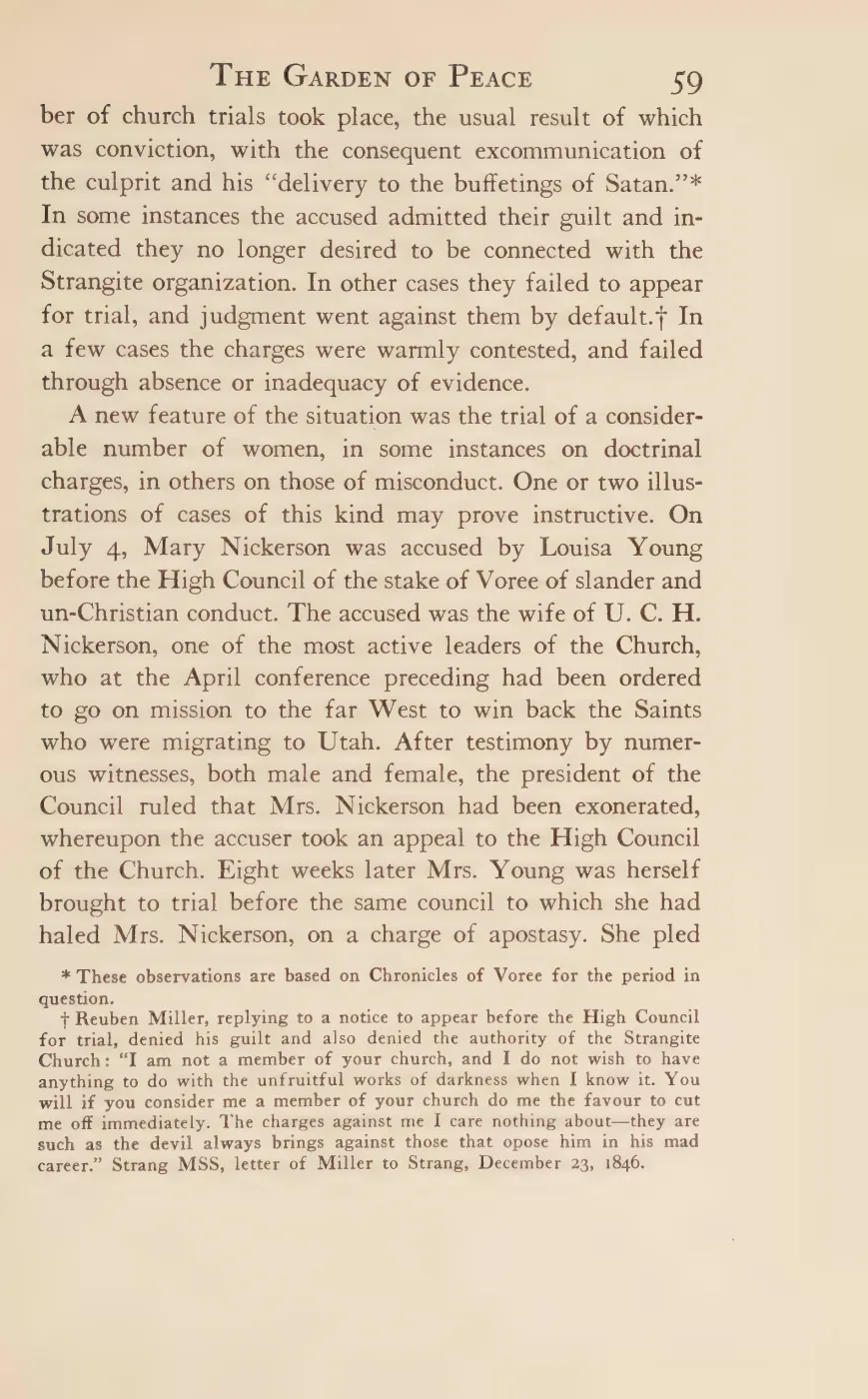
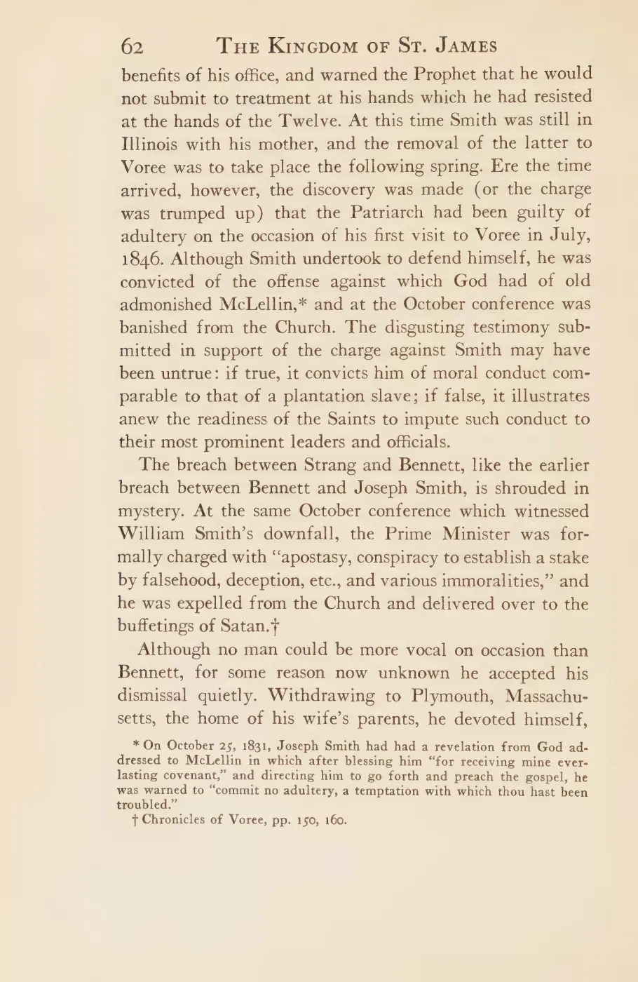
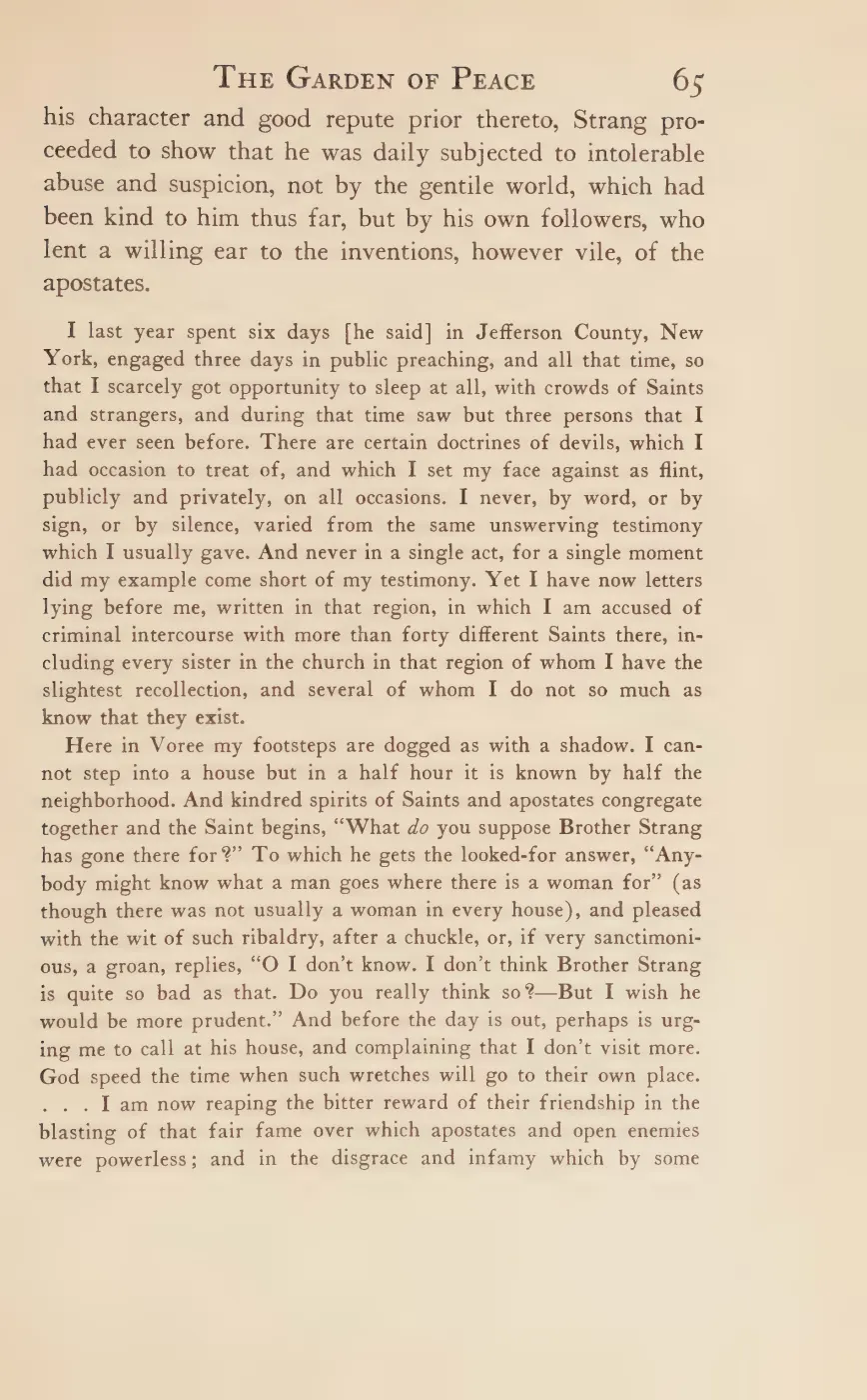



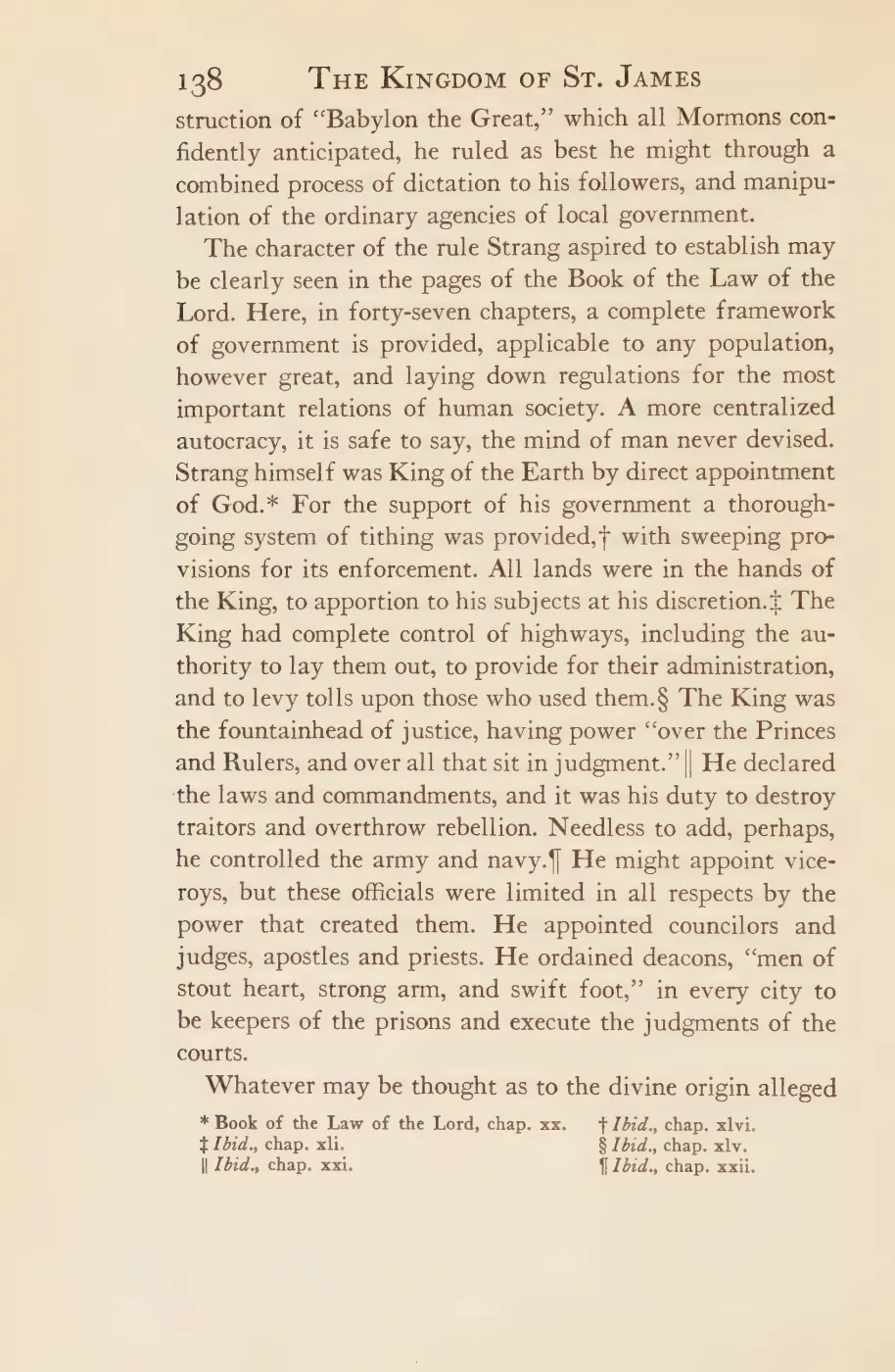
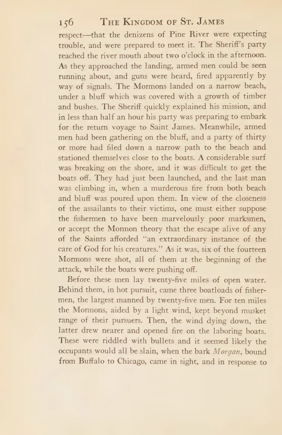

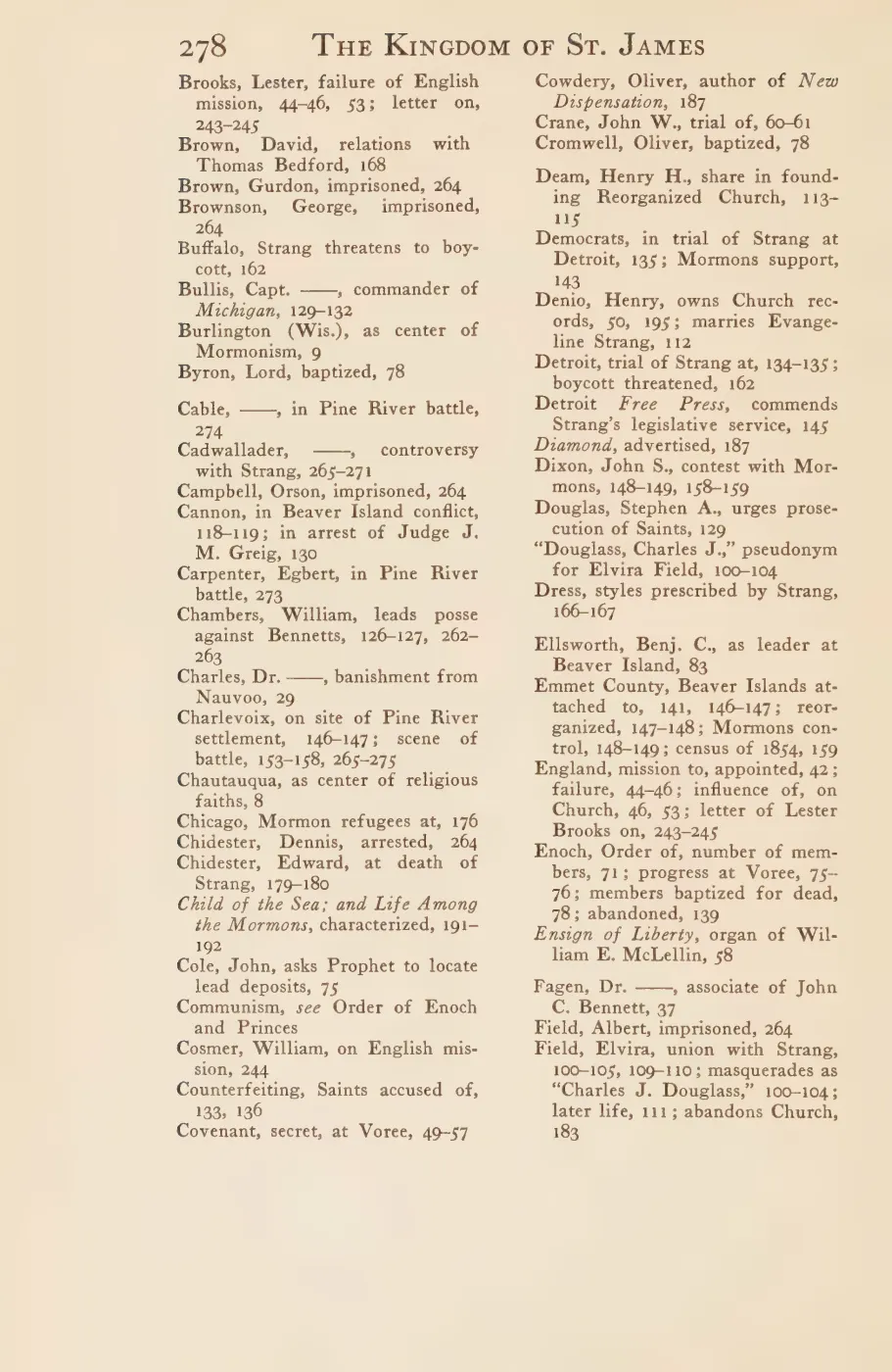
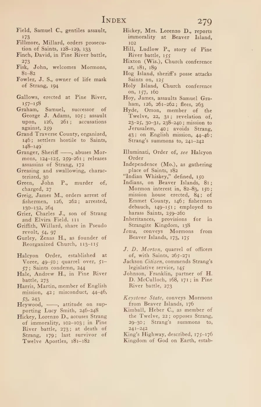
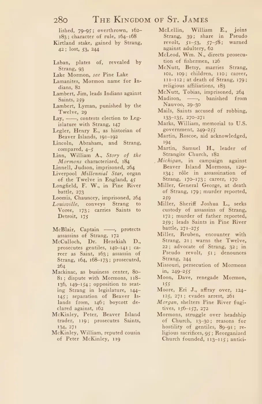






142 of 328 pages linked here — every page to 32, then every 3th, then the last 16. With JavaScript, every page.
The page
Rendered from the held scan.
Sources
- A participant joked about the number of people driving north toward town on Independence Day and waving along the road. This is informal holiday traffic context, not a traffic count, route survey, or road-condition report.forum · www.beaverislandforum.com · 17 · t017255
- Northern Islander, January 9, 1851, “Local Improvements.”A contemporary report says a surveyor and twelve men were opening a road the length of the island through Enoch and Silo to Cable's landing, while another crew bridged swamps. It does not call the route King's Highway or prove identity with Strang's separately described Saint James–Galilee road. No public copy of this file is known; the archive holds one and can provide it on request.
- Described in this archive: Ancient and Modern Michilimackinac, 1854.Primary description: "Two principal roads have been opened through the Island, one extending from Saint James due South to Galilee"; nearly the whole island was laid out in long farms abutting the two roads. Strang does not use the name King's Highway in this passage.
- Described in this archive: North End of Lake Michigan Including the Beaver Island Group, 1855 Lake Survey chart.The full-resolution chart depicts an unlabeled, nearly north-south inland corridor with adjoining rectangular clearings between the Saint James district and the interior, plus linear traces north of Lake Geneserath. This is cartographic evidence consistent with Strang's road-and-farm description, not an explicit road label or a georeferenced proof that every segment follows the modern route.federal · noaa_charts · images · 1855_NORTH-END-OF-LAKE-MICHIGAN-INCLUDING-THE-BEAVER-ISLAND-GROUP-NORTH-END_LC00010-00-1855WWL
- Described in this archive: Beaver Island Group nautical chart, 1907.The full-resolution sheet clearly renders the common north-south axis but also leaves a blank interval between the northern road and the separate segment north of Lake Geneserath. Its authorities panel attributes Beaver Island topography principally to 1854-55 work, so the 1907 date is not proof of an independently resurveyed or continuously passable road.federal · noaa_charts · images · 1907_CHART-OF-BEAVER-ISLAND-GROUP-INCLUDING-THE-NORTHEAST-END-OF-LAKE-MICHI_LC0000Ma_02_1907_LS
- Described in this archive: Beaver Island Group nautical chart, 1911.The larger-scale chart explicitly labels the northern road "Kings Highway," shows it ending in the interior, and depicts a separate road segment north of Lake Geneserath. A working measurement from its latitude graticule puts the blank interval at about 1.9 miles (3.1 km); this is image-derived, not a surveyed or georeferenced route distance.federal · noaa_charts · images · 1911_BEAVER-ISLAND-GROUP-INCLUDING-NORTH-SHORE-OF-LAKE-MICHIGAN-FROM-WAUGOS_72-9-1911
- The readable reprint says the Beaver Island Lumber Company railroad headed toward the "King's Highway" which "King Strang built more than fifty years ago." This is the earliest explicit name-and-builder attribution located in the held corpus. It is a 1903 retrospective reprinted in 2003; the original 1903 page image has not been independently checked here.data1 · beaver-island-archive · beaver_beacon · 2003-10_Beaver-Beacon
- The held thirty-six-page issue scan is paired with the OCR source and confirms the published notice or report; it does not expand the source-specific identity, event, or outcome claims.data1 · beaver-island-archive · scans · beaver_beacon · issues · 2003-10_Beaver-Beacon
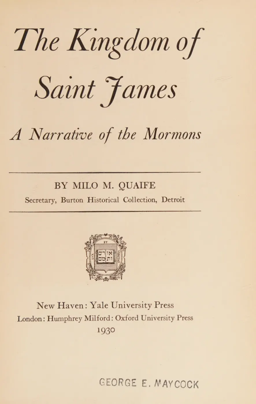
- Described in this archive: The Kingdom of Saint James, Quaife, 1930.Quaife recounts Wingfield Watson's 1856 expulsion journey "along the King's Highway," then only a semblance of a road winding among cedar-swamp stumps. The passage is a 1930 reconstruction; its nearby note cites Quaife's 1919 interview with Watson and Watson's 1877 letter, not a contemporaneous 1856 written use of the road name.
- Calls King's Highway the main thoroughfare from St. James and identifies it, Lake Galilee, and the River Jordan as reminders of the Mormon era. This is later local historical interpretation, not proof of the 1850s alignment.
- The 1959 issue calls for clearing an "old road" south of Fox Lake Corners to the north end of Lake Geneserath; the 1960 issue reports the central trail from below Camp 3/east of Miller's Marsh to the lake heavily used and color-marked. Neither report names this continuation King's Highway, so it is evidence of a surviving route or trail, not proof of identity with the 1854 road. The holding institution's portal restricts automated access; the archive holds a copy of this issue and can provide it on request.data1 · beaver-island-archive · beaver_beacon · 1959-12_Beaver-Beacon
- The held five-page issue scan is paired with the OCR source and confirms the published notice or report; it does not expand the source-specific identity, event, or outcome claims.data1 · beaver-island-archive · scans · beaver_beacon · issues · 1959-12_Beaver-Beacon
- Described in this archive: USGS Beaver Island topographic map, 1956.Mid-century comparison showing extensive marsh or swamp symbols and discontinuous routes in the island interior. It does not explain the break on the earlier charts or establish that every depicted trail followed the Strang-era road.federal · usgs_topo · historical · Beaver-Island_1956_62500_277992
- Described in this archive: Wetland inventory ArcGIS layers for the Beaver Island archipelago.Modern comparison maps forested and shrub wetland over much of the general gap corridor. It is not a historical field survey, a legal wetland determination, or proof that swamp caused the charted interruption.federal · layers · nwi_wetlands
- The Beaver Island inset labels the northern segment "KINGS HI" (the map's abbreviation for King's Highway) south from Saint James to Hannigan Road and depicts other routes farther south without extending that label to Lake Geneserath. It is useful for the named road's mid-century extent, not a legal right-of-way record.historical_maps · msu_charlevoix_plats · charlevoix-county-highway-map-1965-recto
- Current mapped name and geometry. The three grouped ways end at Hannigan Road; the minimum straight-line distance from that endpoint to the held Lake Geneserath OSM polygon is about 6.0 km. The comparison is descriptive, not a travel distance, survey, legal record, or proof of historical continuity.osm · roads
- Current mapped road name "King's Highway"; grouped OSM way ids: 17761650, 265415902, 265415906. This is a volunteered map record, not a surveyed right-of-way or proof of historical naming.osm · roads
- Described in this archive: Beaver Island History Map, 1978 revision.Says the road was named for King James and was “Enoch Road” on an 1852 map. The contemporary evidence found here instead documents a road through Enoch in January 1851; no 1852 map carrying that road name has been located.


Added 2 August 2026 · revised 4 August 2026. Recent changes
Cite this article
Beaver Island Archive, “King's Highway”, https://beaverislandarchive.org/places/king-s-highway/, accessed [date], citing hermit, "Kings Highway," Beaver Island Forum, July 4, 2022, topic 17255. (and 17 further sources listed on the page).
Last revised 2026-08-04. Fill in [date] with the date you read it — this page is static and cannot know that.