

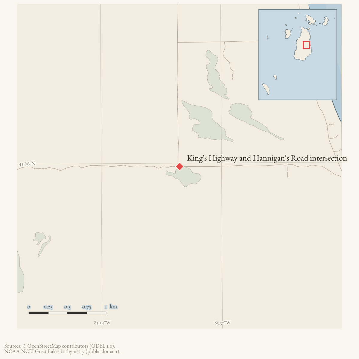
- Intersection of
- King's Highway · Hannigan's Road
- Coordinates
- 45.6596° N, 85.5270° WGoogle Maps: King's Highway and Hannigan's Road intersectionDownload KML
- Eras
- Modern era
- Concepts
- transportationgeography
- Within
- Beaver Island archipelago
Summary
This is the current mapped junction of King’s Highway and Hannigan’s Road. Its point geometry is calculated from the two held route geometries so that a map can highlight the junction, while each road page retains its stroked route map.
Evidence and limits
The junction is a present-day OpenStreetMap topology result. It does not by itself establish a historical name for the corner, an address, or a surveyed right-of-way.
Maps for this place
These Atlas plates provide regional context. They do not establish a precise boundary, current ownership, access right, operating status, or field condition.
- EnvironmentSoils, wetlands, hydrography, and terrain
- GeologyGeneralized geology and landforms
- HydrologyMapped water and wetland context
- AccessMapped routes, facilities, and protected areas
- Land surveyPLSS geometry and historic GLO patent-location context
Sources
- The point is the exact intersection of the held current route geometries for King's Highway and Hannigan's Road. It is map-derived current topology, not evidence of a historical junction name or legal right-of-way.osm · roads
Added 2 August 2026. Recent changes
Cite this article
Beaver Island Archive, “King's Highway and Hannigan's Road intersection”, https://beaverislandarchive.org/places/kings-highway-and-hannigans-road-intersection/, accessed [date], citing OpenStreetMap contributors, roads via Overpass API, retrieved 2026-08-01 (ODbL 1.0)..
Last revised 2026-08-02. Fill in [date] with the date you read it — this page is static and cannot know that.
BibTeX for “King's Highway and Hannigan's Road intersection”RIS for “King's Highway and Hannigan's Road intersection”