

- Along road
- King's Highway
- Coordinates
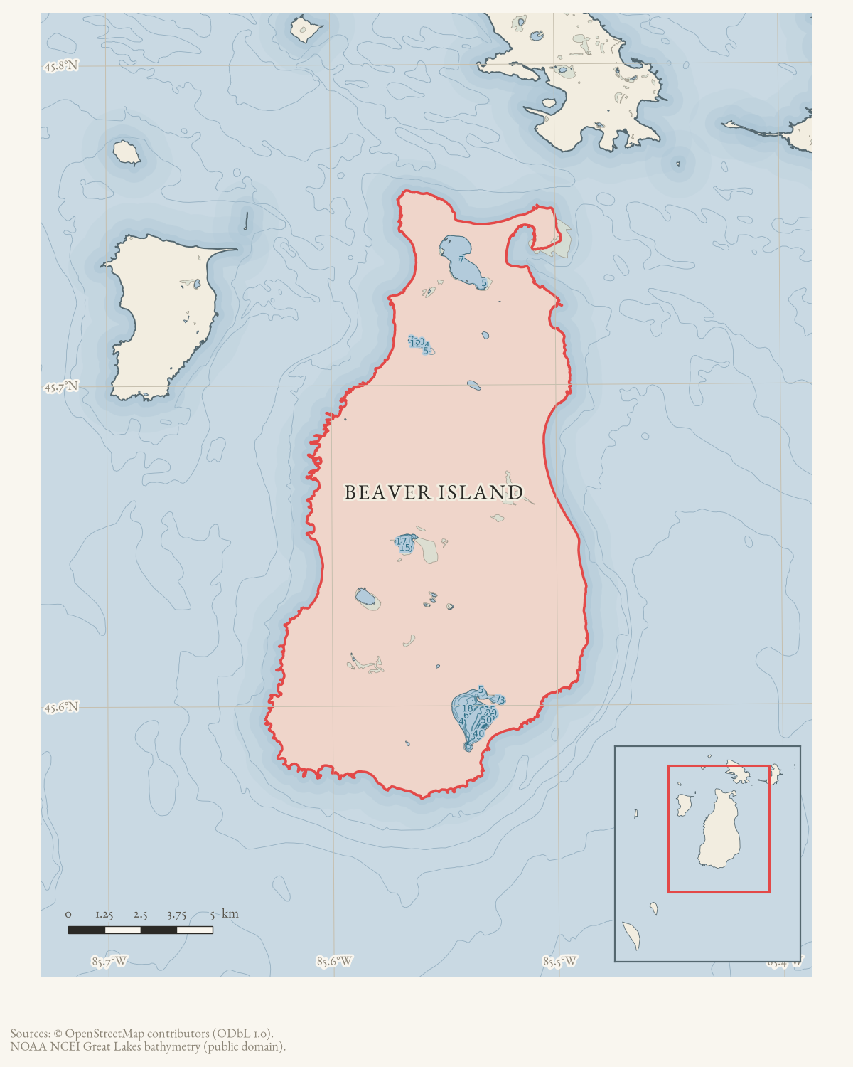
- 45.7031° N, 85.5267° WGoogle Maps: McCourts CabinDownload KML
- Eras
- Modern era
- Concepts
- heritagetoponymy
- Within
- Beaver Island
Summary
McCourts Cabin is a one-room log cabin identified in an August 1964 Beaver Beacon classified advertisement as being on Kings Highway. The listing says the cabin was partially furnished, had an inside toilet, and was offered for $2,500 through Mrs. Chester Chmura.
This is a source-qualified structure record for the advertised property. The notice does not establish that a sale occurred, who owned the cabin, its exact parcel or address, whether the building survived, or whether a present-day structure can be identified from the road name alone. The displayed point is an approximate King’s Highway route locator, not the cabin site.
Open questions
- Can a deed, parcel map, tax record, or later newspaper identify the cabin’s exact location along Kings Highway?
- Was the advertised property sold, renamed, demolished, or moved after 1964?
- Do photographs, oral histories, or an architectural survey document the cabin or explain the name “McCourts”?
Sources
- The classified offers a one-room log cabin on Kings Highway, known as McCourts Cabin, partially furnished with an inside toilet, for $2,500 through Mrs. Chester Chmura. It establishes the advertised name and approximate road association, but not a sale, ownership, parcel, exact address, surviving structure, or current location.data1 · beaver-island-archive · beaver_beacon · 1964-08_Beaver-Beacon
- The held six-page issue scan is paired with the OCR source and confirms the published notice or report; it does not expand the source-specific identity, event, or outcome claims.data1 · beaver-island-archive · scans · beaver_beacon · issues · 1964-08_Beaver-Beacon
- The coordinate is the current King’s Highway route point, used as a road-level locator because the classified advertisement identifies the cabin only by that road; it is not the cabin’s parcel or building location.osm · roads
Added 2 August 2026 · revised 3 August 2026. Recent changes
Cite this article
Beaver Island Archive, “McCourts Cabin”, https://beaverislandarchive.org/structures/mccourts-cabin/, accessed [date], citing Beaver Beacon, August 1964, “Classified Advertising.” (and 2 further sources listed on the page).
Last revised 2026-08-03. Fill in [date] with the date you read it — this page is static and cannot know that.