

- Built
- 1855
- Eras
- Strang era
- Concepts
- Strang erahydrologylumberingmaritimeheritage
- Within
- Beaver Island
- Media
- Beaver Island History Map, 1978 revision
Summary
The Mormon Canal is the name a 1978 Beaver Island Historical Society map gives to a “partially completed” excavation at the south end of Lake Geneserath — roughly 1.5 km across the lake from its outlet, which is where the documented 1855 work was. The strongest contemporary evidence describes a millrace, not a navigation canal: in 1854 James J. Strang proposed turning the lake’s outlet into a new channel so that its twenty-six-foot fall could be concentrated as water power at Galilee, and in October 1855 the Northern Islander reported that Samuel Wright’s third mill there had been delayed by unexpected difficulty “excavating the race.”12
No source held establishes that the race was finished, operated a mill, carried boats, or was designed as a winter harbor. “Mormon Canal” is therefore retained as the recognized later local name, while the article distinguishes the documented water-power project from later harbor traditions.
The 1854 proposal and 1855 excavation
Strang’s 1854 description calls Lake Geneserath Lake Galilee and its outlet the Jordan. He says the outlet fell twenty-six feet in one mile and could be “turned into a new channel” at slight expense, bringing the fall to one point and furnishing valuable water power in the new village of Galilee.1 The passage shows that Strang already understood the elevation difference. It does not say work had begun, give a route, name a builder, mention locks, or propose navigation.
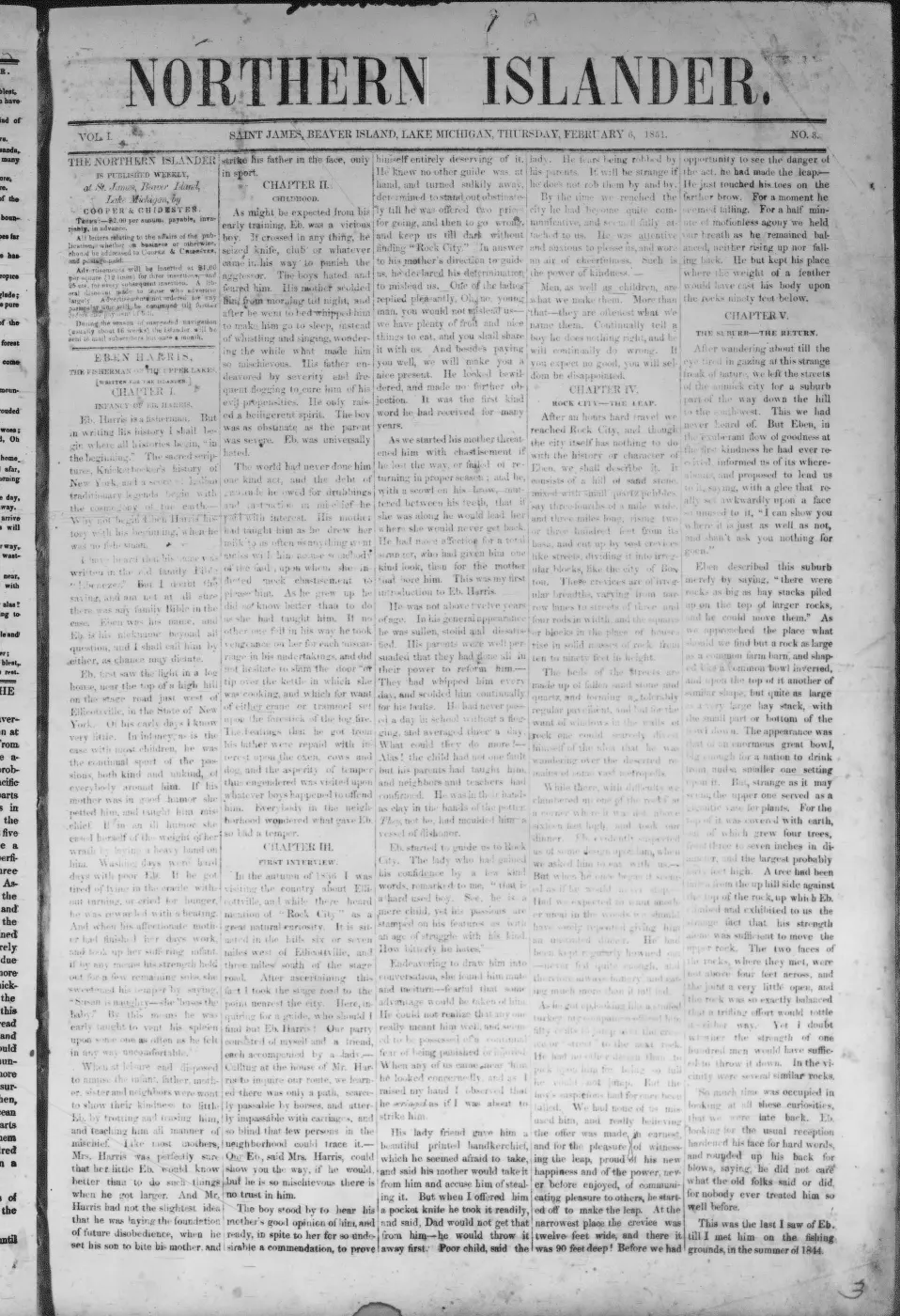
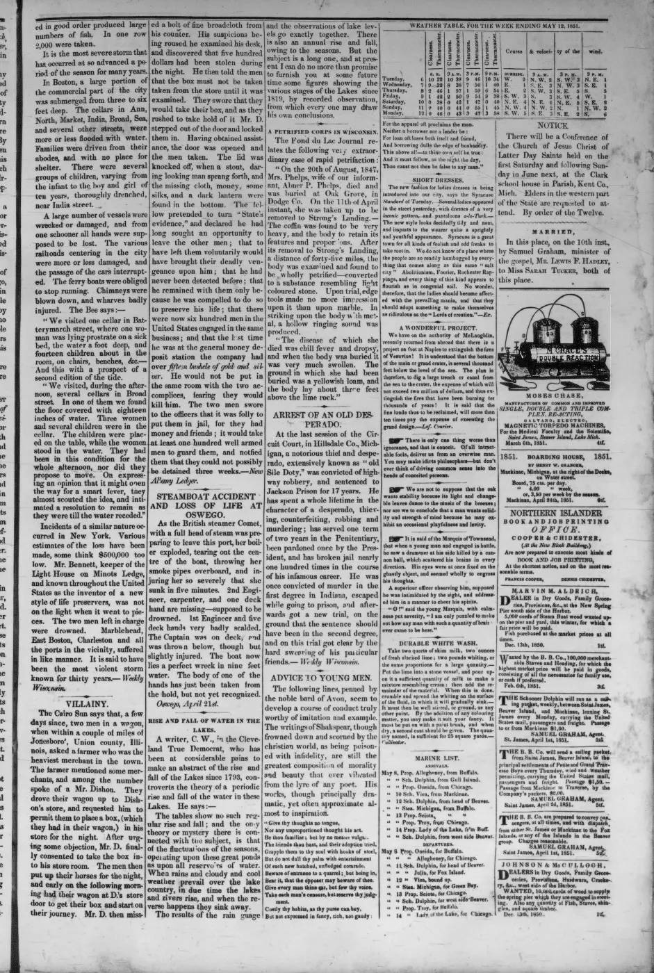
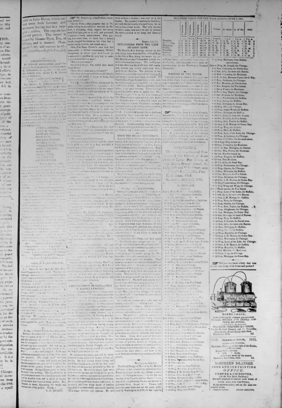
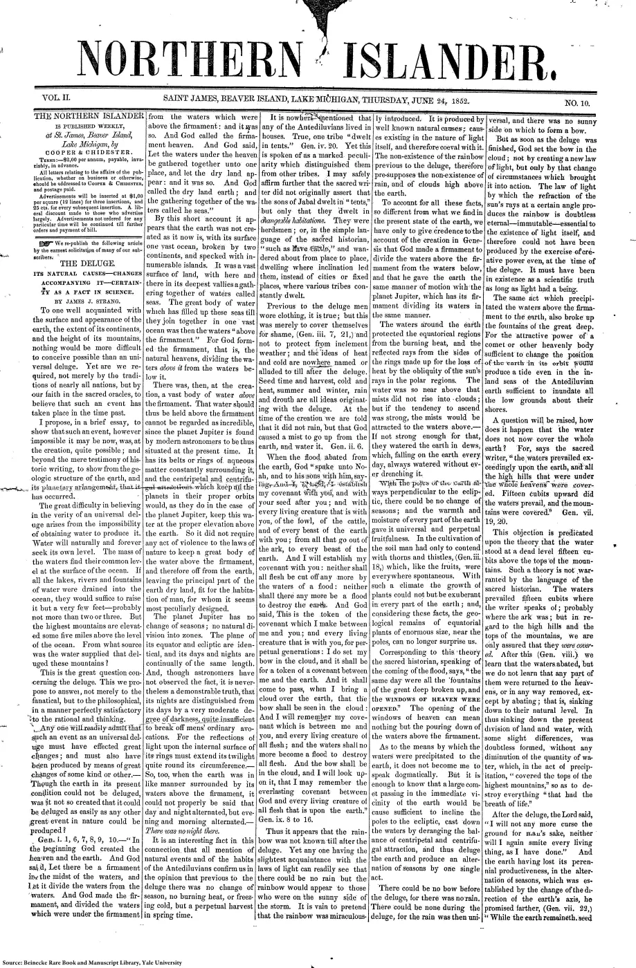
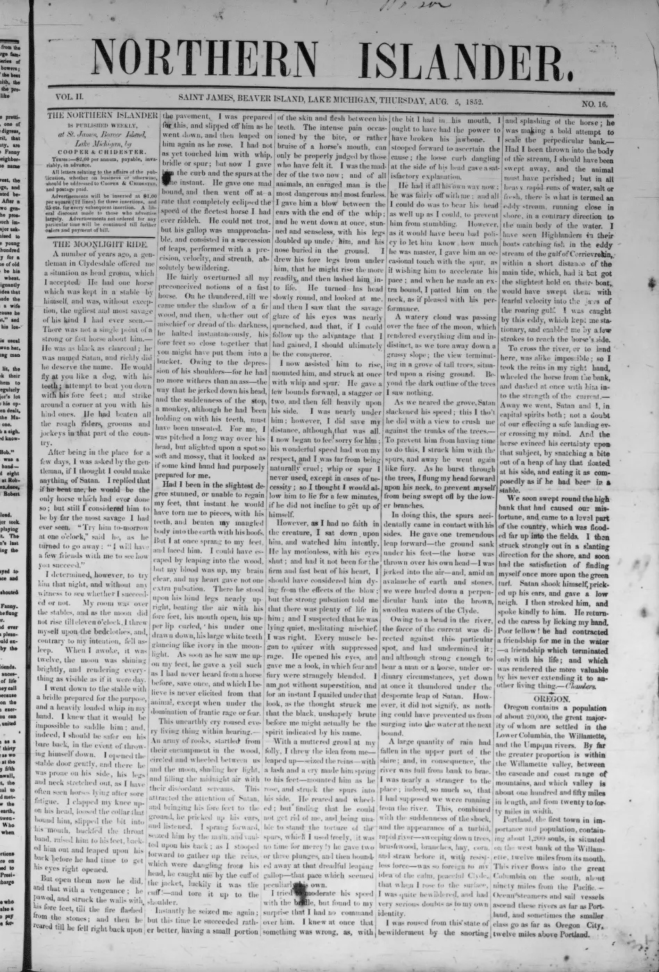
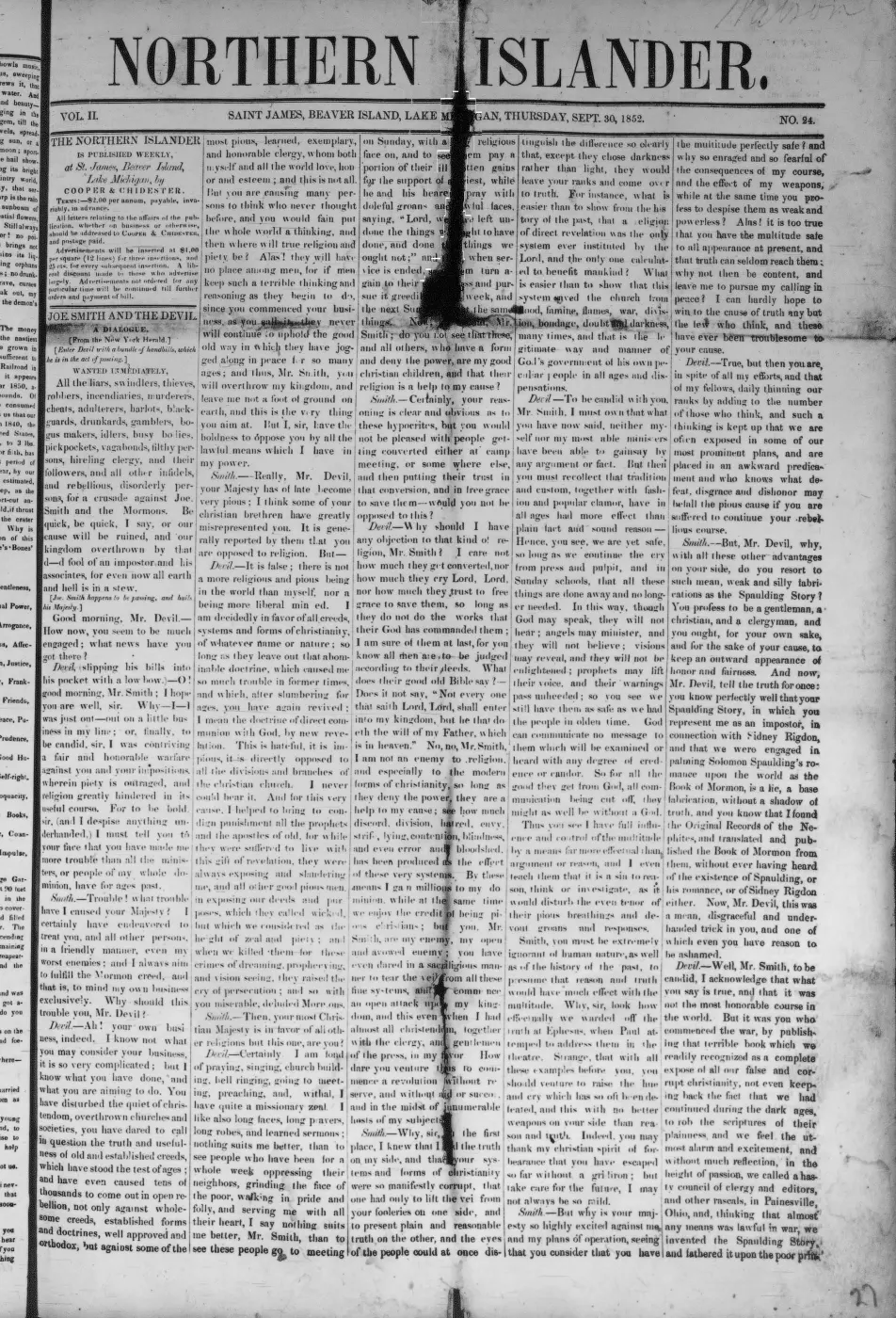
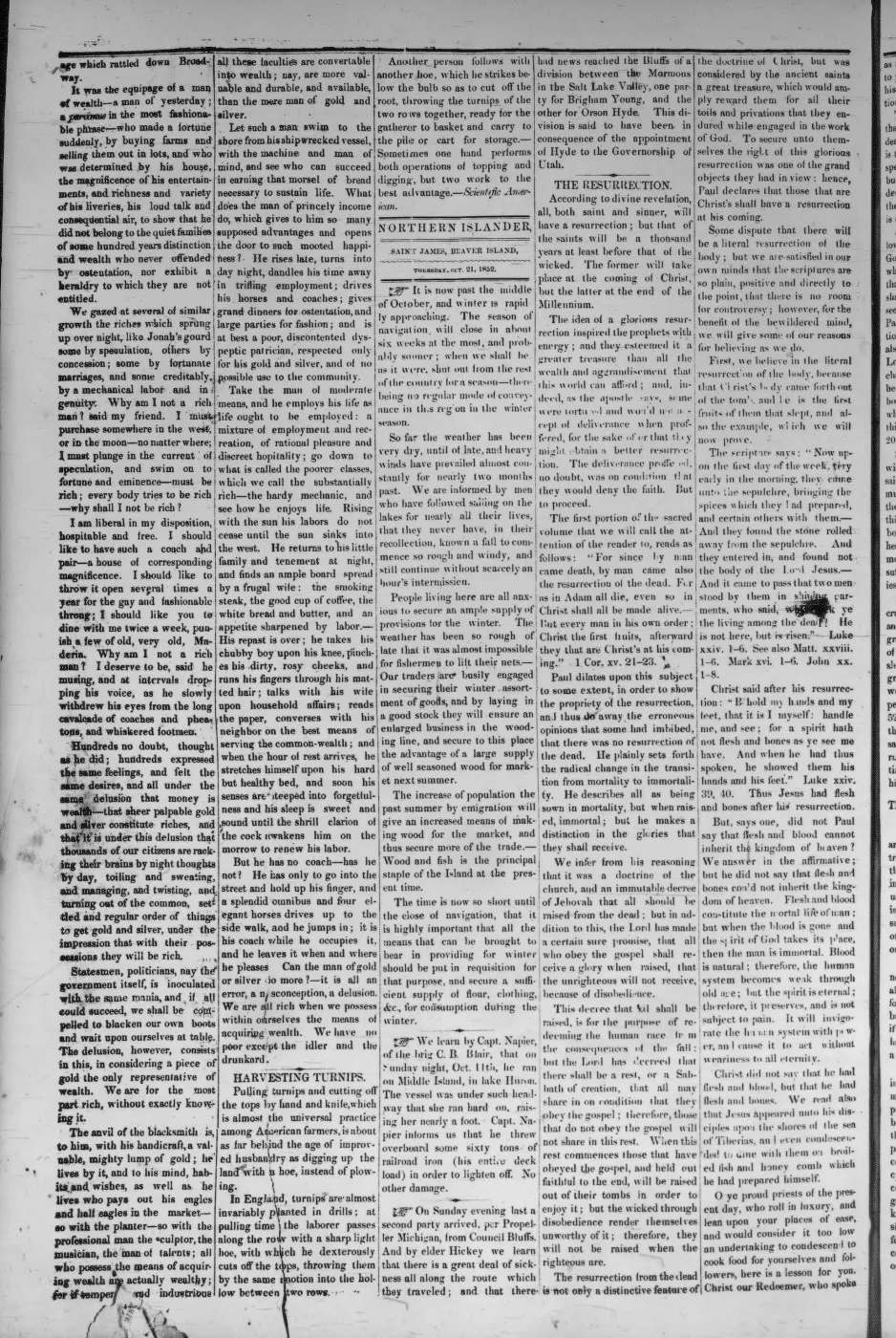
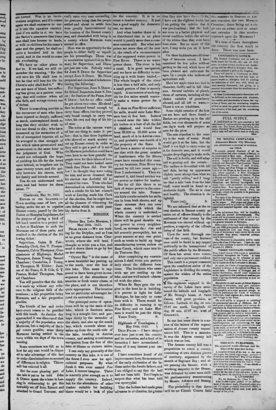
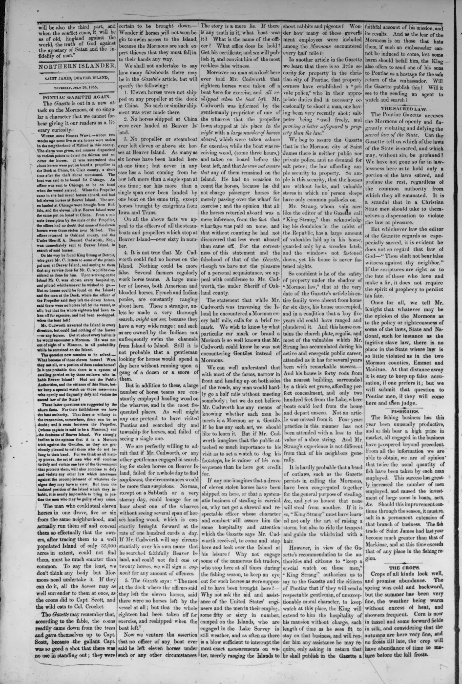
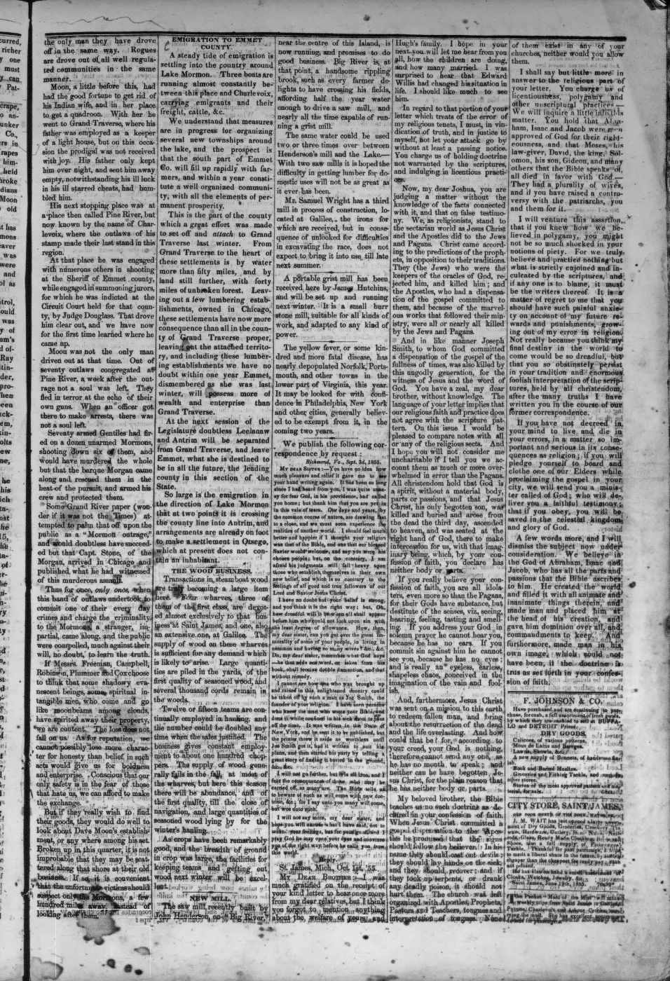
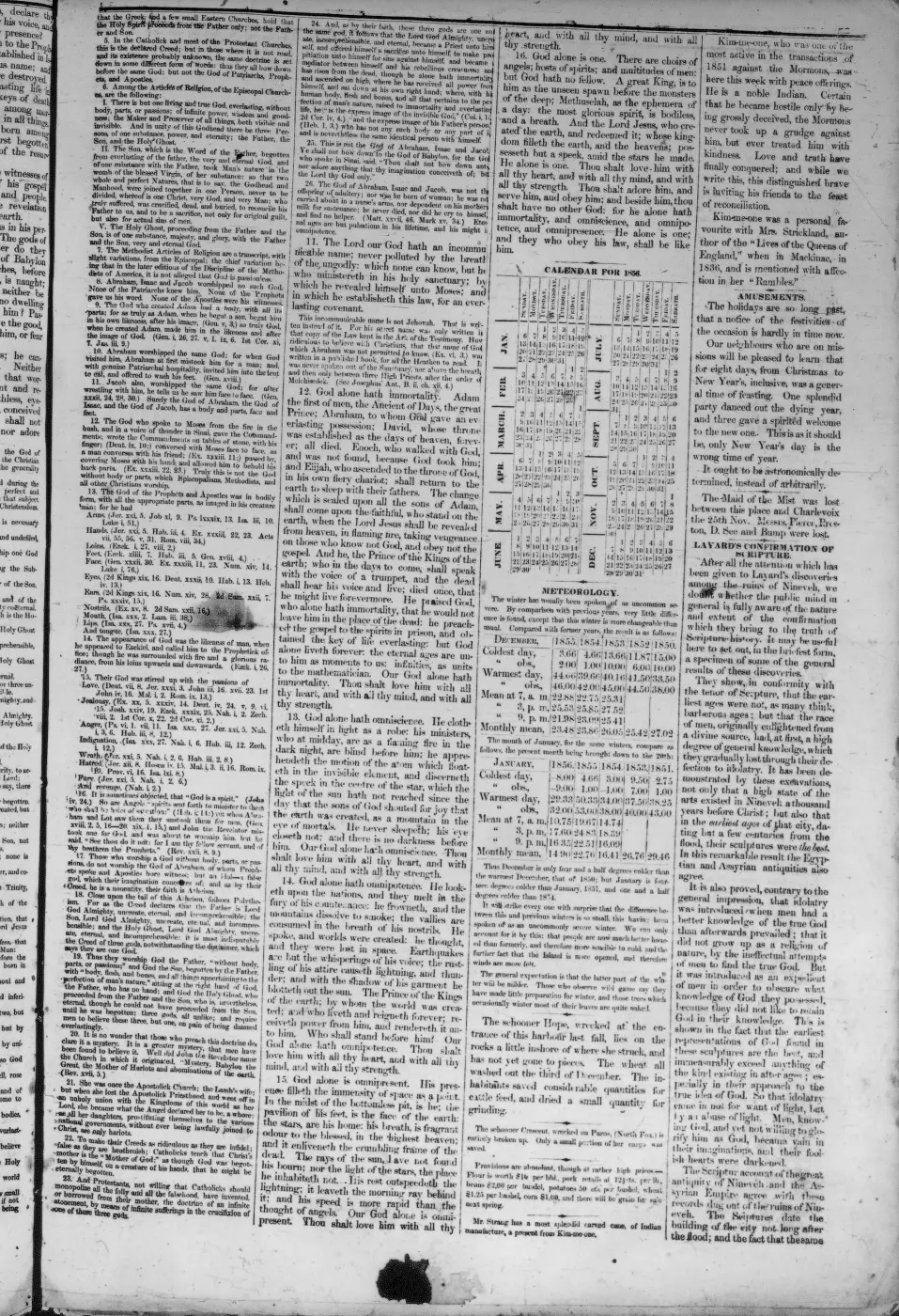
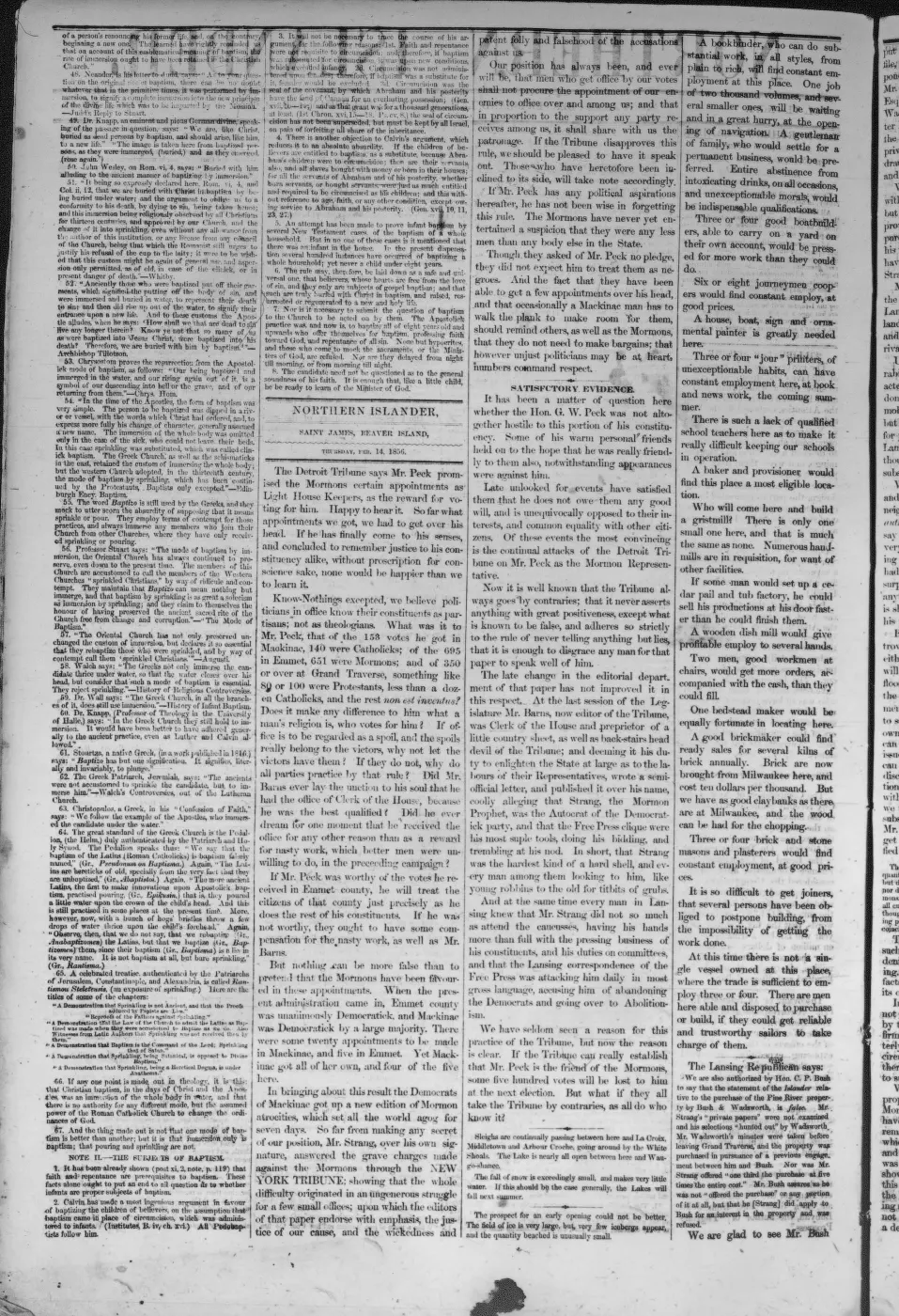
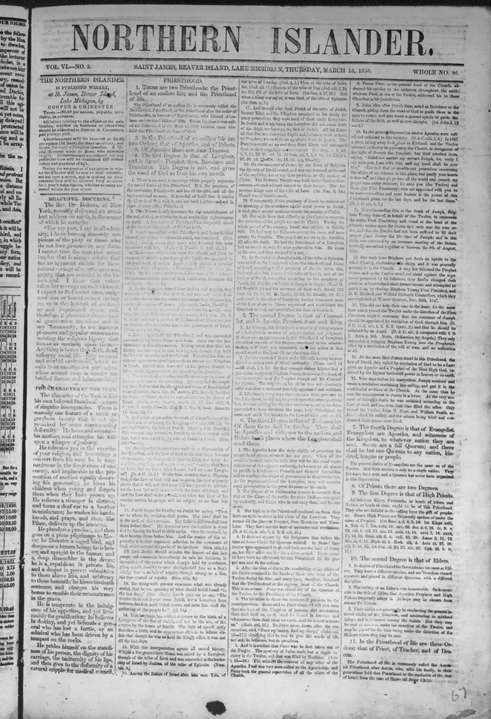
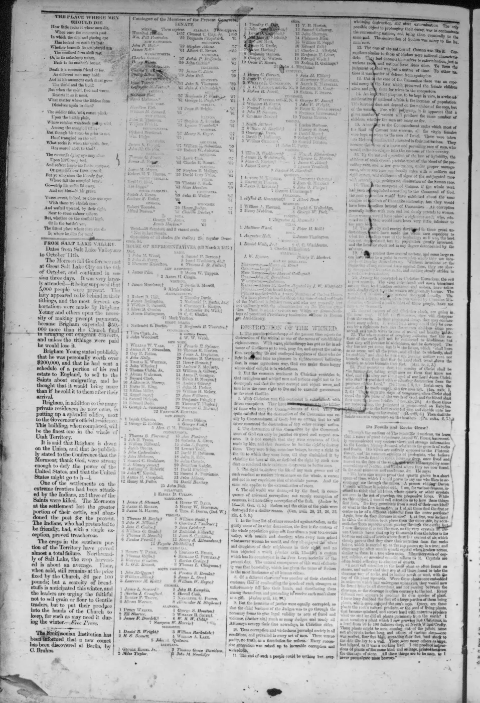
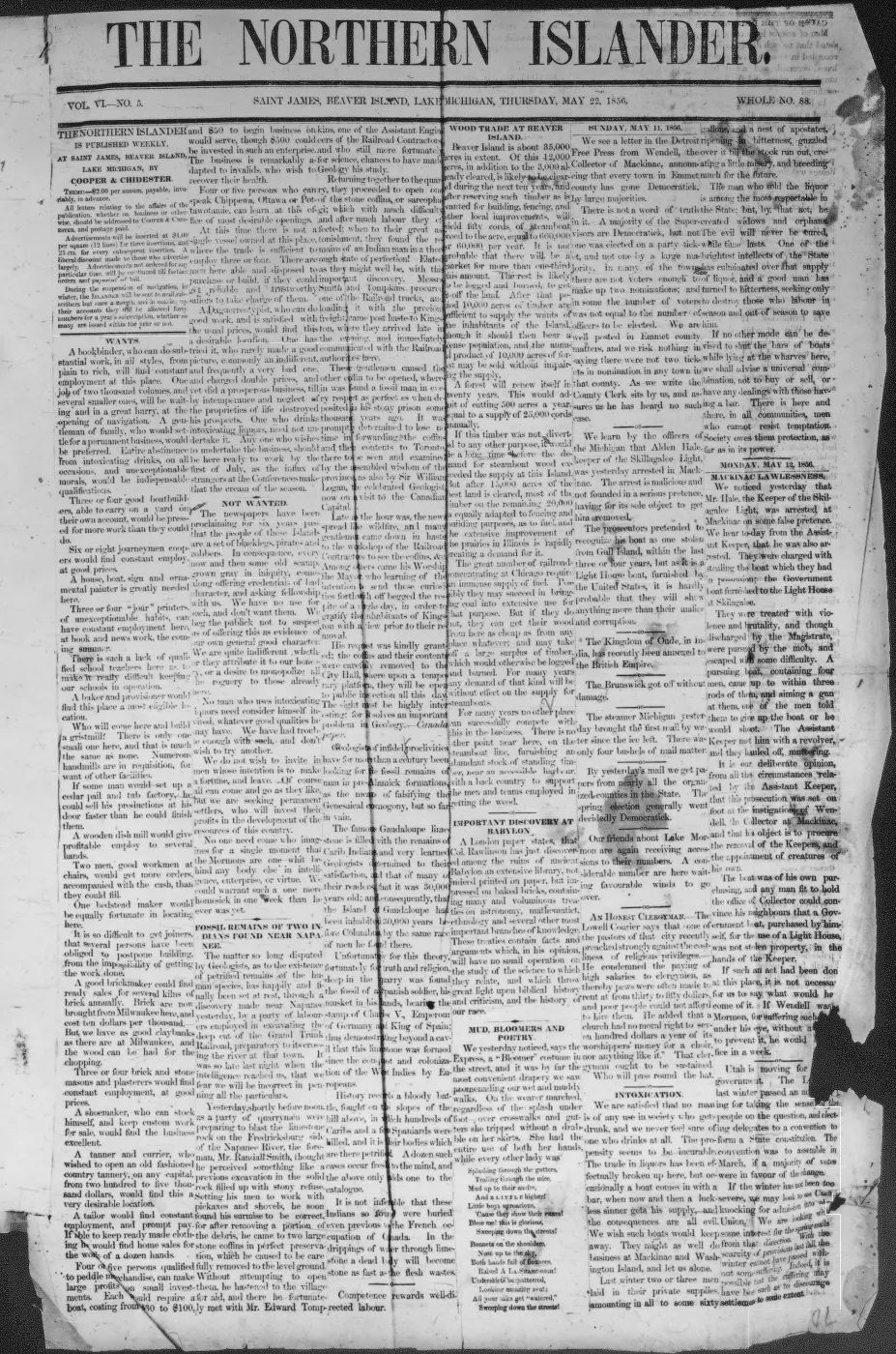
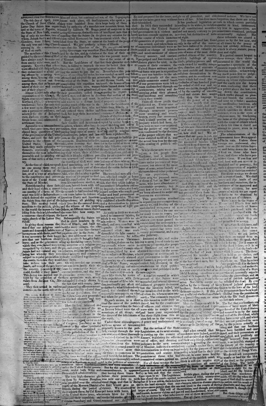
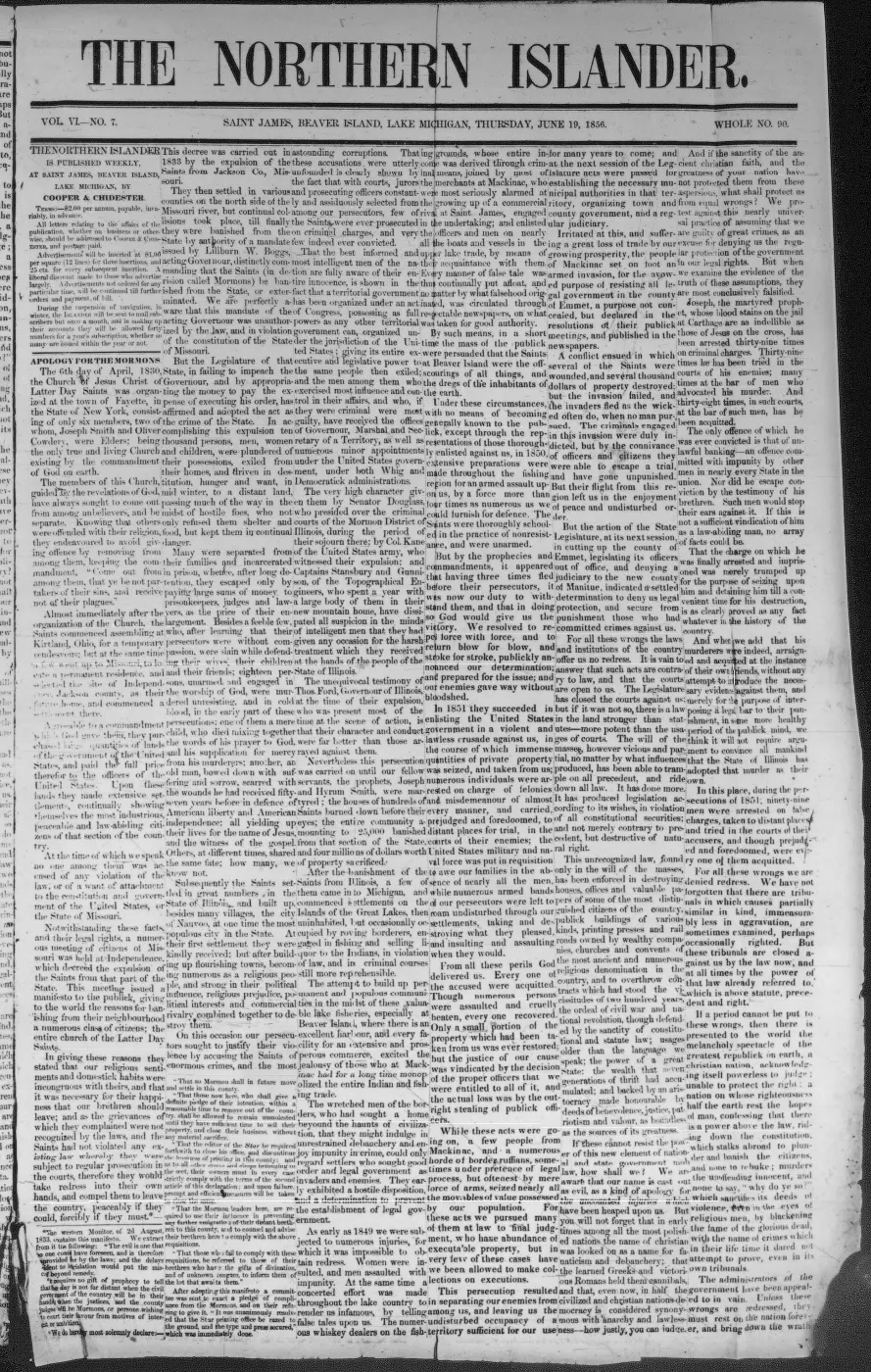
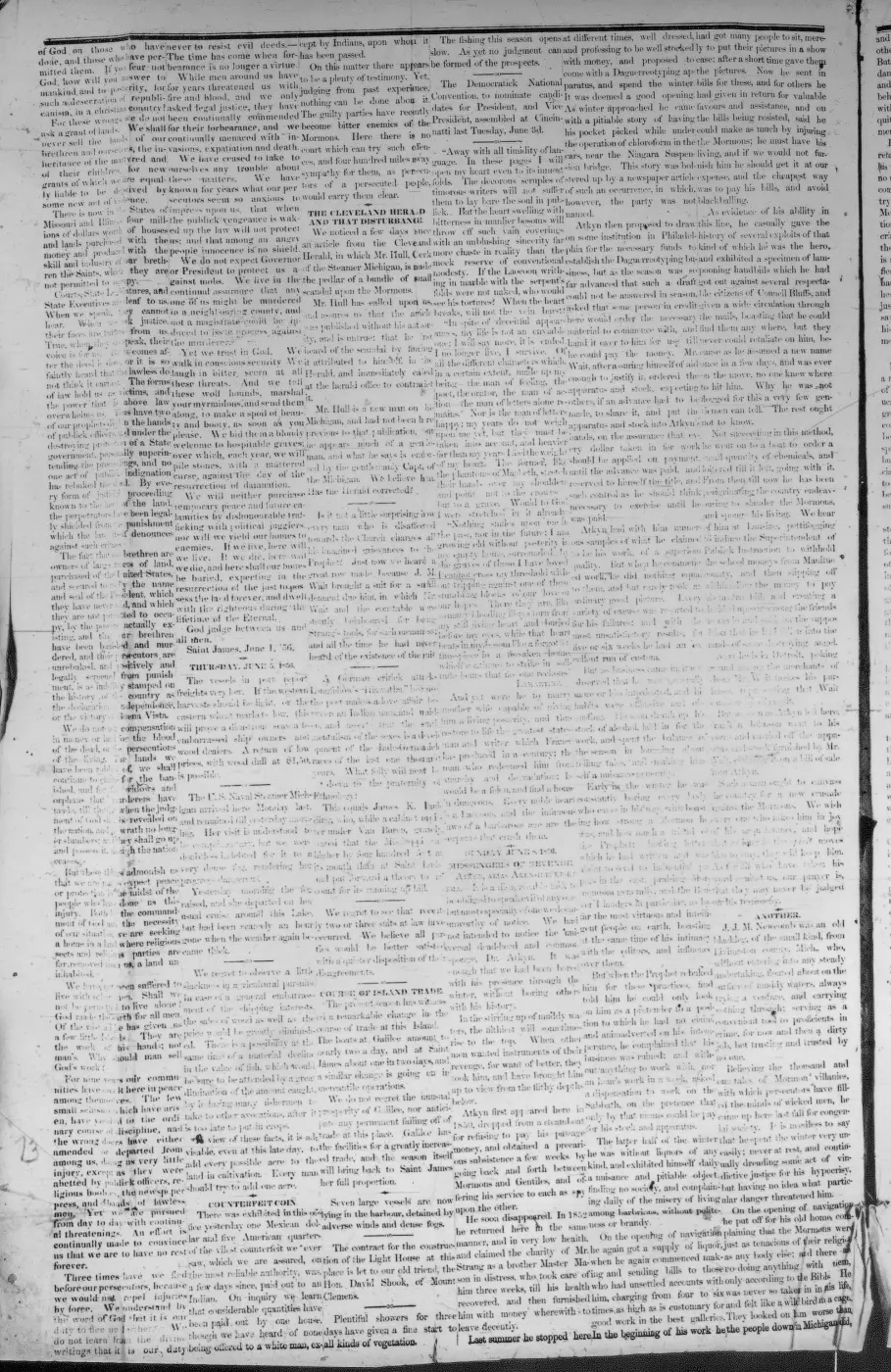
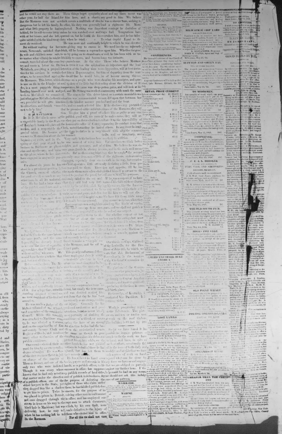
The October 1855 Northern Islander supplies the construction link. In a report about sawmill capacity, it says Samuel Wright had a third mill in process of construction at Galilee. Its ironwork had arrived, but “unlooked for difficulties in excavating the race” meant Wright did not expect to bring it into use until late the following summer.2 The newspaper then reports a portable gristmill as a separate project. Taken together, the contemporary sources make a sawmill race the best-supported identification, although neither source explicitly equates the excavated race with every trench later labelled the Mormon Canal.
Canal, millrace, or sheltered harbor?
The sheltered-harbor explanation survives in a 2017 Beaver Island Forum discussion. One post says the Mormons intended to shorten the trip to Charlevoix and make Lake Geneserath a safe harbor but stopped when they discovered Lake Michigan was roughly thirty feet lower. Another post remembers the visible ditch as a mill-power project and separately recalls an intention to improve the Cable’s Creek outlet so boats could enter it.3
The first version conflicts with Strang’s 1854 statement in one respect only, and it is worth separating the two halves. Its number is right: the LiDAR puts the lake 30.8 ft above Lake Michigan, so the obstacle the tradition remembers exists and is the size it says. What conflicts is the surprise — Strang had already given the fall as twenty-six feet and presented it as the project’s advantage, so nobody in his circle can have discovered it late. The contemporary Galilee paper also called the work a “race.” The later harbor tradition may preserve another proposal, may conflate the millrace with work at Cable’s Creek, or may be a later explanation of the surviving excavation. No held contemporary source documents a navigable connection, locks, a boat channel, or an inland winter harbor. The 1856 paper instead advertises a greatly extended wharf at Galilee for the accommodation of boats on the Lake Michigan shore.4
The mapped canal is not where the documented race was
This is the article’s sharpest problem, and it is geometric rather than textual.
The 1978 map’s leader arrow points to a short hooked stub at the south end of Lake Geneserath’s western lobe, projecting toward the shore. Strang places Galilee “at the South-East extremity of the Island,” a village at the outlet of the lake, and it is there that he proposes concentrating the fall for water power.1 The 1855 race was dug for Samuel Wright’s third mill at Galilee.2
Those are different ends of the same lake. On the modern geometry, the lake’s south end lies about 1.5 km from the outlet — measured across the lake from its southern shore to the point where the outlet stream leaves it. A race serving a mill at the outlet village is unlikely to have been dug a kilometre and a half away across the water. That is a judgement about plausibility, not a measurement of the excavation: the distance is between two points on the lake, because the 1978 map cannot be registered closely enough to measure from the stub itself (see the correction note below).
Two measurements bear on why the label sits where it does:
- The lake’s closest approach to Lake Michigan is 293 m, on its southern shore; the south-west arm — where the map’s leader arrow points — is about 475 m from the shore, and the east end is 977 m. The southern shore is therefore the shortest cut to Lake Michigan by a wide margin, which is what someone digging to reach the lake would choose and not what someone powering a mill at the outlet would choose. Note that the 293 m minimum is about 700 m east of the stub the map marks, so the map does not sit on the shortest line; it sits on the same shore as it.
- The lake surface stands 9.4 m (30.8 ft) above the Lake Michigan datum, from the 1 m LiDAR. That is close to Strang’s twenty-six feet and almost exactly the “roughly thirty feet lower” of the 2017 forum recollection, which is the strongest corroboration the harbour tradition has: the obstacle it remembers is real and is the right size.
So the mapped canal and the 1855 millrace are better treated as two candidate features than as one. The identification in the sources above is retained, but it is an identification the geometry does not support, and nothing held equates them.
Location and surviving traces
Forum contributors in 2017 described trenches near the east bank of that arm, near Hemlock Point and an East Side Drive address, and repeatedly said the site was on private property.3 Those descriptions are useful leads, not a surveyed alignment or verified archaeological identification. This record therefore carries no point or line geometry, and it makes no statement about public access.
The watercourse names also require caution. Strang called the outlet of Lake Galilee the Jordan. The 1978 map applies the note “called the River Jordan during Mormon rule” to Cable’s Creek. Modern environmental sources and the present KB retain separate Jordan River and Cable’s Creek records. Until a historical channel reconstruction or field survey resolves that difference, the canal should not be assigned automatically to either modern stream geometry.
Was James Cable involved?
No held source names James Cable as builder of the 1855 race. Elizabeth Whitney Williams says Cable left the island in 1852 and returned only after Strang’s death in 1856, making his direct management of an October 1855 project unlikely.5 A 1963 Beaver Beacon note does say that James F. Cable once operated a sawmill on Cable Bay, but supplies no date and does not connect it to Samuel Wright’s Galilee mill.6 The nearby names, docks, mills, and later stories should not be merged without a source that actually makes the link.
Open questions
- Do a survey, LiDAR analysis, archaeological report, deed, or field notes record the surviving trench’s course and dimensions?
- Does any later 1856 issue report whether Samuel Wright’s mill or race entered service before the Strangite community’s expulsion?
- What evidence did the Historical Society use for the 1978 “Mormon Canal” label and its placement?
- Are the millrace, the mapped canal, and the recalled Cable’s Creek boat-entry proposal one project, adjacent projects, or later-conflated traditions? The 1.5 km between the lake’s south end and its outlet makes “one project” the weakest of the three readings, though less decisively than this article once claimed.
- Does a trench survive on the southern shore, either on the 293 m minimum line or on the ~475 m line from the south-west arm the map marks? Those are the two alignments worth testing, and the LiDAR could test them — with the caveat that the same LiDAR method, measured against walked GPS tracks elsewhere on the island, detects only about 42% of trails known to exist, so a null result here would be weak evidence.
Correction, 8 August 2026
Two measurements published in this article were wrong. Both were mine, both are corrected above, and the originals are recorded here because a reader who saw the earlier version should be able to tell what changed.
“About 2.1 km from the lake’s outlet.” This was derived by registering the 1978 Historical Society map against modern geometry and measuring from the stub its leader arrow points to. The 1978 sheet is a pictorial map; it does not carry control points and cannot be registered to anything like the precision that measurement implied. The distance now given, about 1.5 km, is measured between two points on the lake — its southern shore and the point where the outlet stream leaves it — and does not depend on the map at all. The argument built on the larger figure (“would not be dug two kilometres away”) is retained in weaker form, and is now labelled as a judgement about plausibility rather than presented as a measurement.
“The lake’s south end is 635 m from Lake Michigan.” This came from sampling arbitrary vertices rather than computing the minimum distance between the lake polygon and the coastline. The lake’s closest approach to Lake Michigan is 293 m, and the south-west arm the map marks is about 475 m from the shore. The corrected figures make the “shortest cut” observation stronger, not weaker — but they also show the true minimum lies about 700 m east of the marked stub, which the earlier text obscured by attaching a single distance to “the south end.”
Neither correction changes the article’s conclusion that the mapped canal and the 1855 millrace are better treated as two candidate features than as one. It does change how much weight that conclusion can carry.
See also
Footnotes
-
Strang, Ancient and Modern Michilimackinac (1854), p. 44. ↩ ↩2 ↩3
-
Northern Islander, 18 October 1855, local mill report. ↩ ↩2 ↩3
-
“Mormon Canal,” Beaver Island Forum, 24 April–12 May 2017. ↩ ↩2
-
Daily Northern Islander, 1856, B. G. Wright advertisement at Galilee. ↩
-
Williams, A Child of the Sea (1905), pp. 73–74, 183–84. ↩
-
Beaver Beacon, July 1963, Beaver Island Historical Society notes. ↩
Read the document
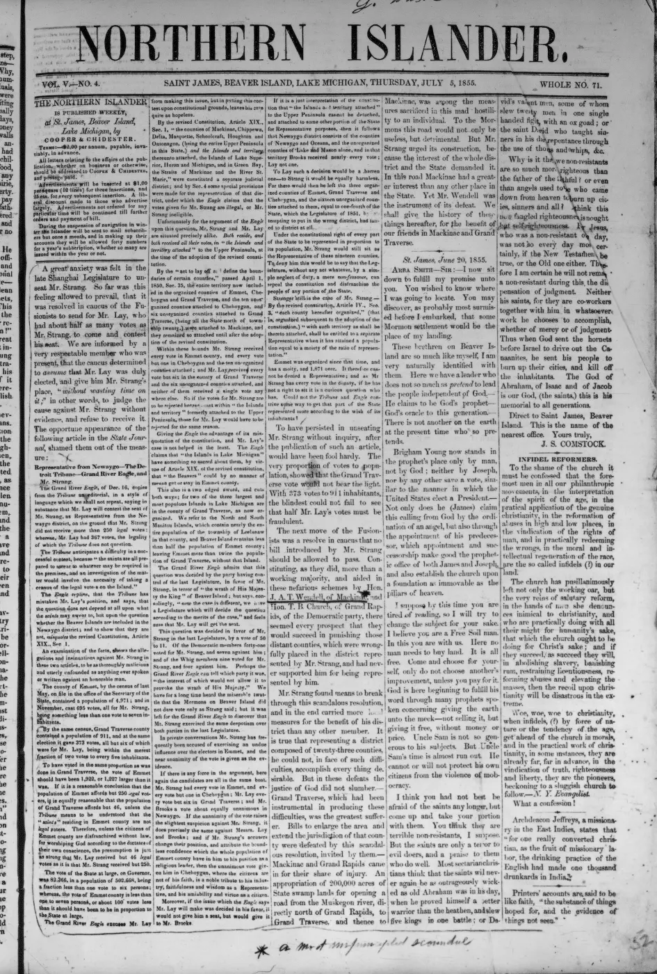
290 pages, rendered from the held scan.
Jump to a page — 290 in all
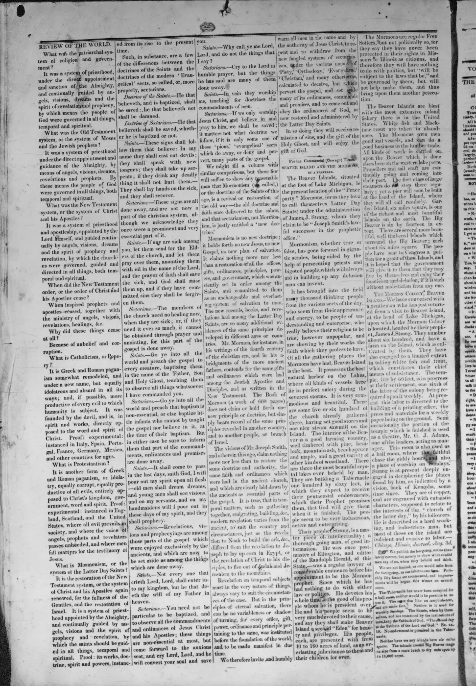
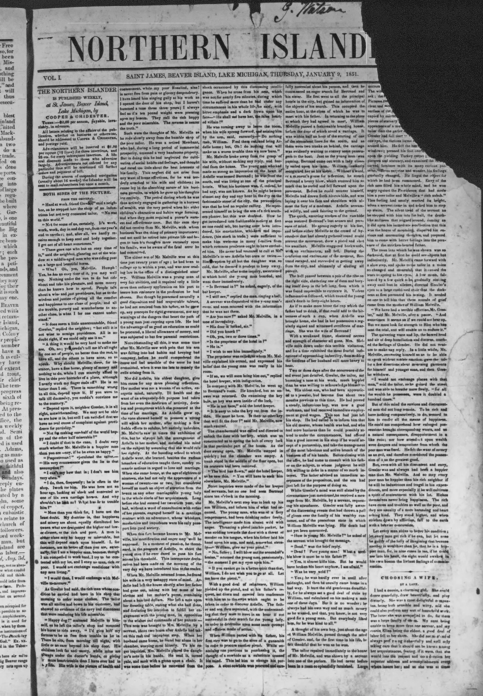
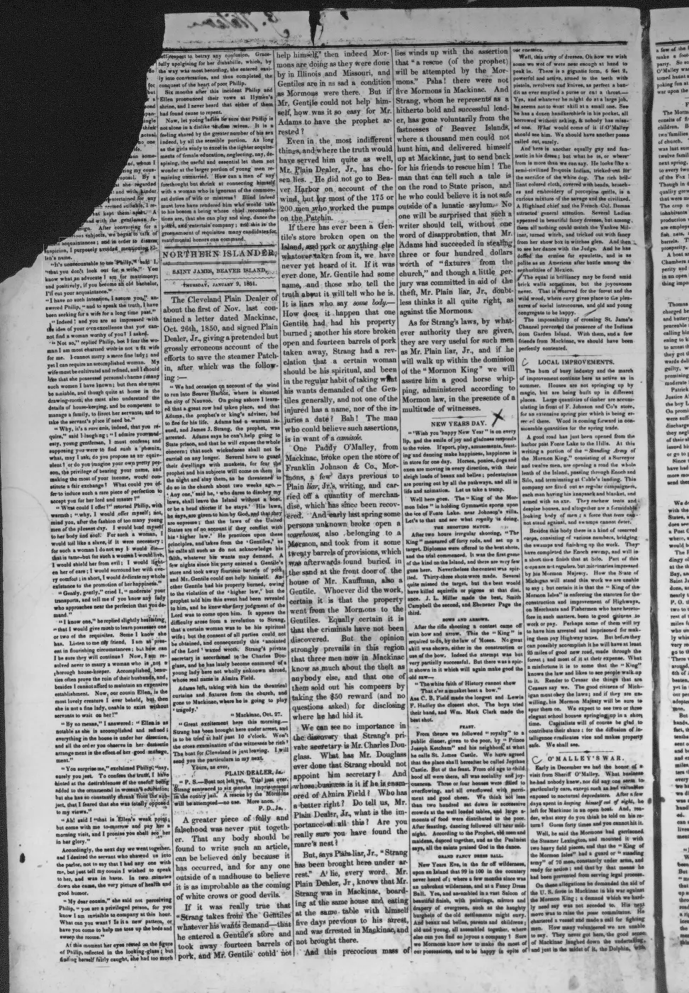
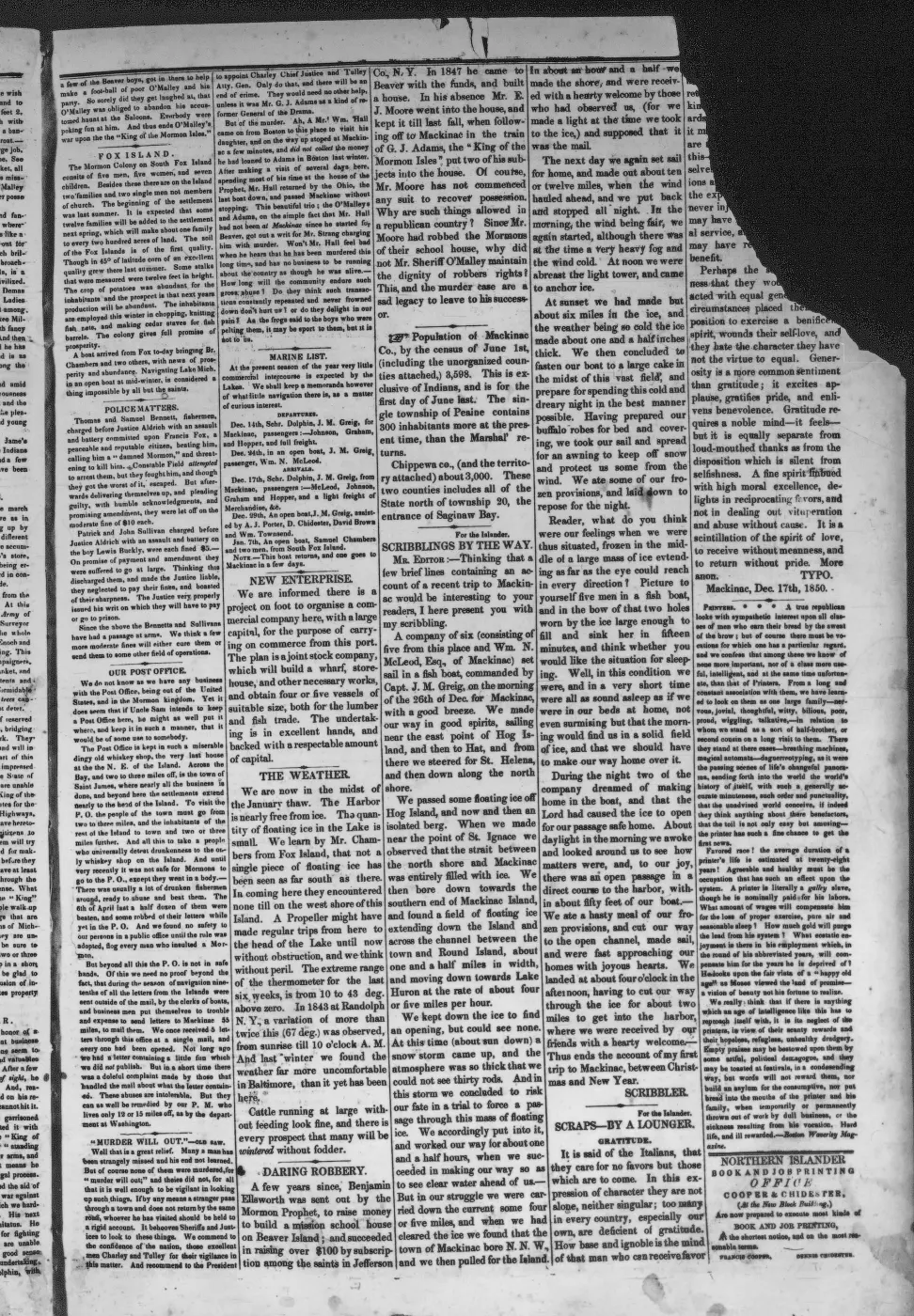

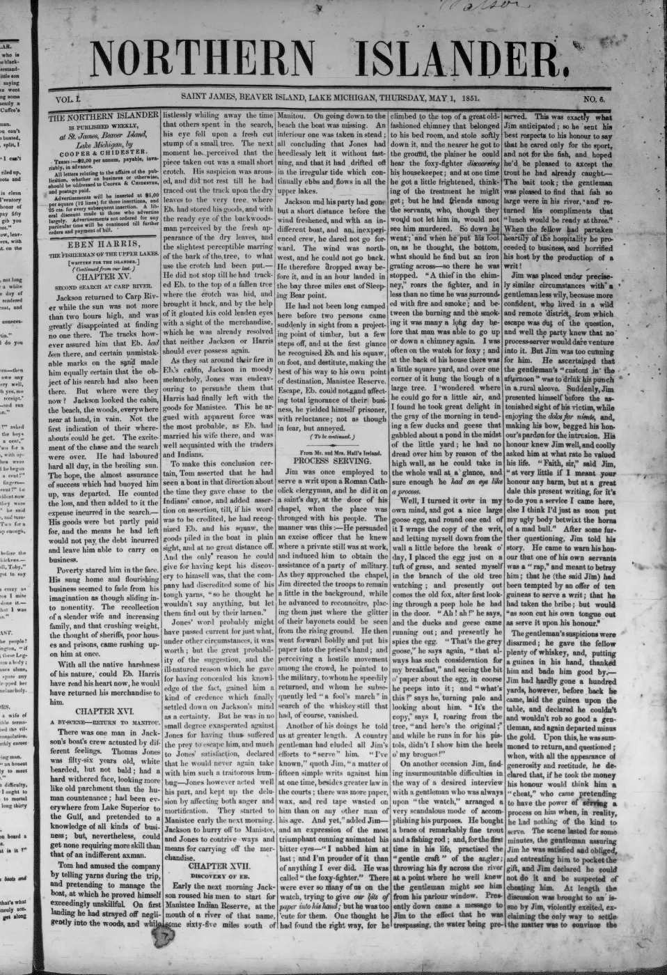
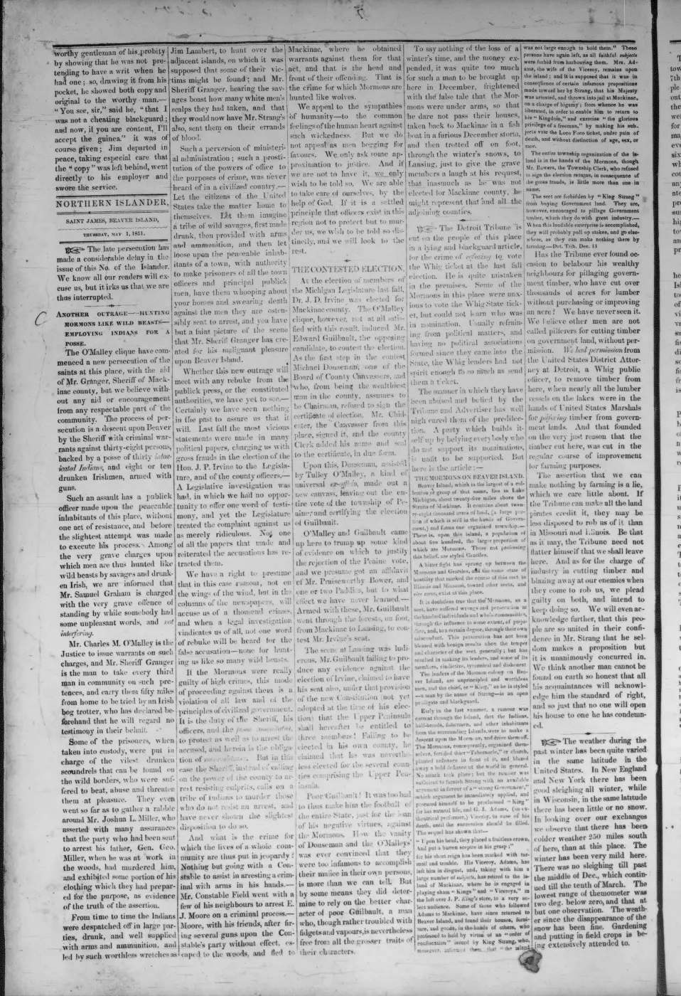
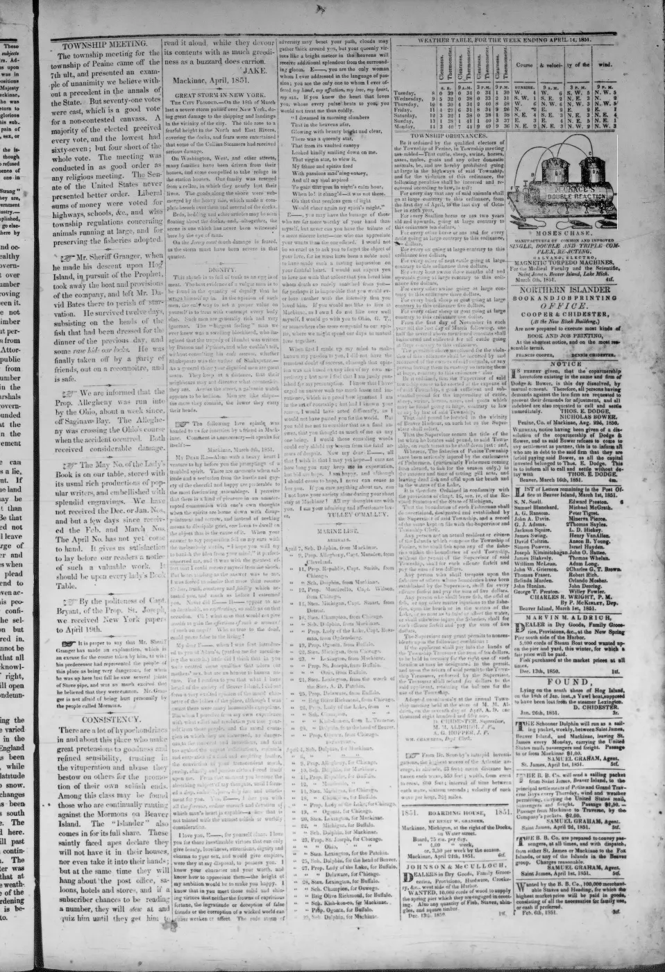
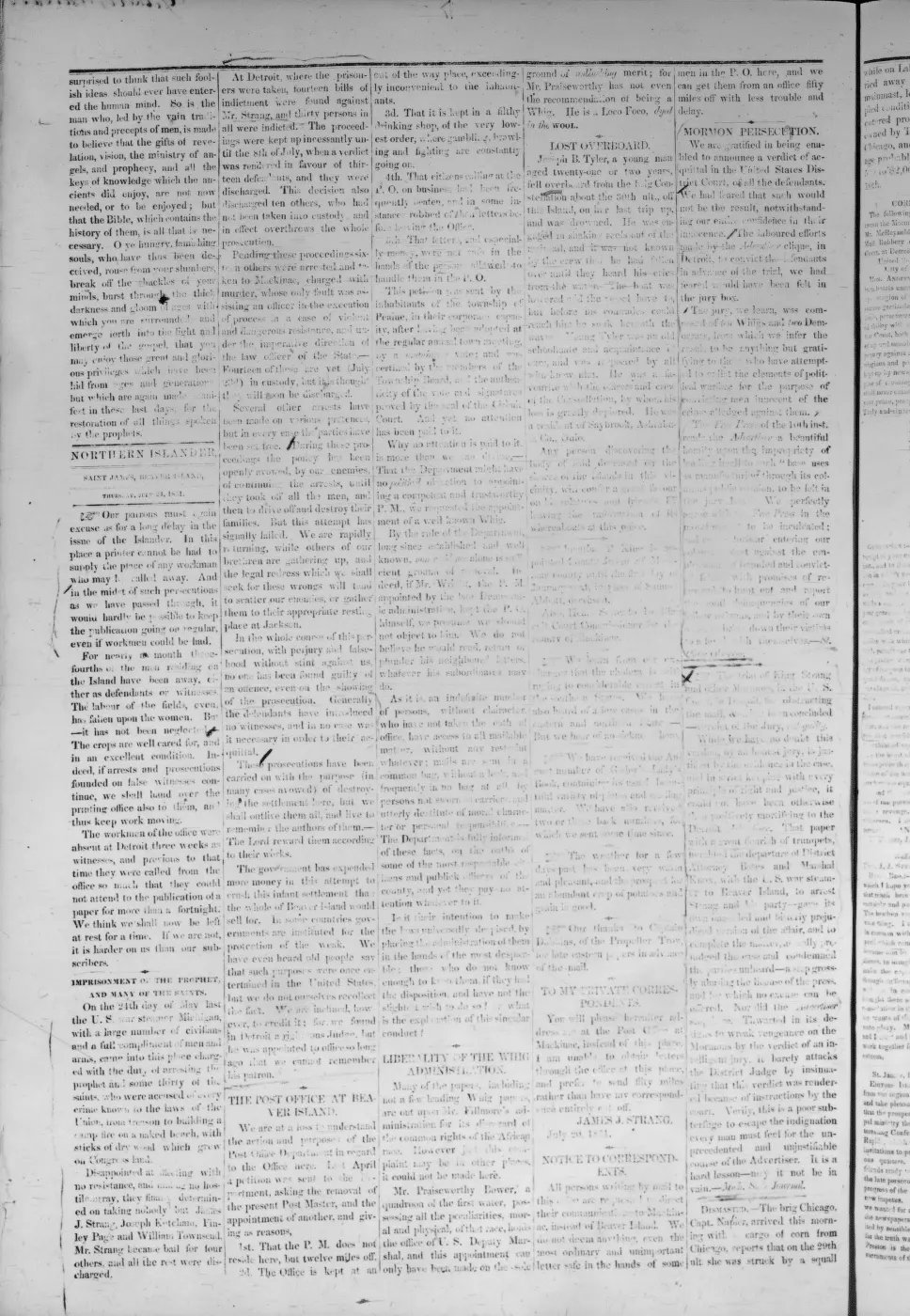
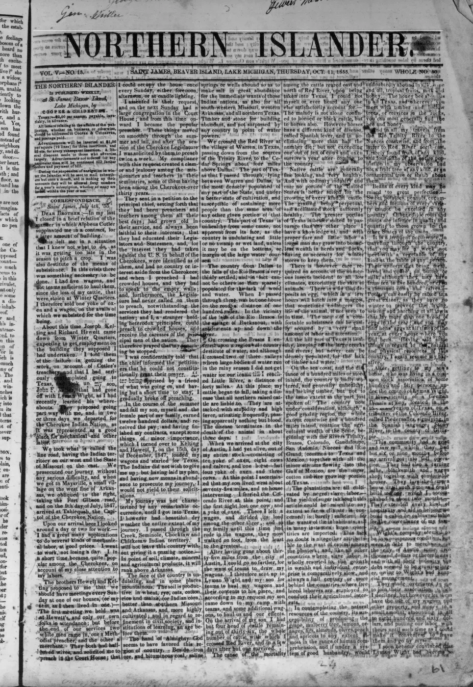
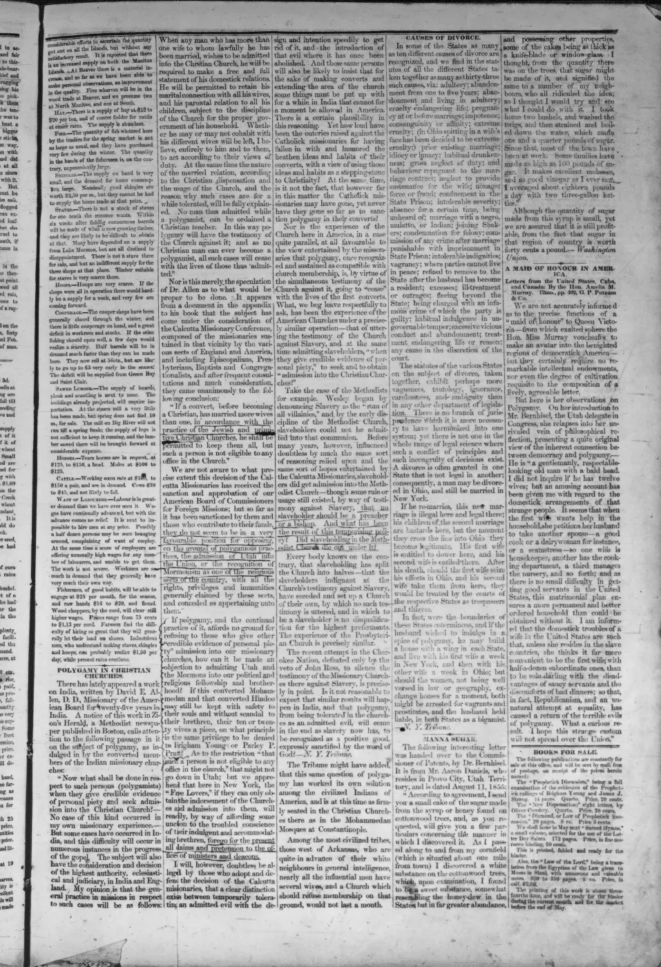
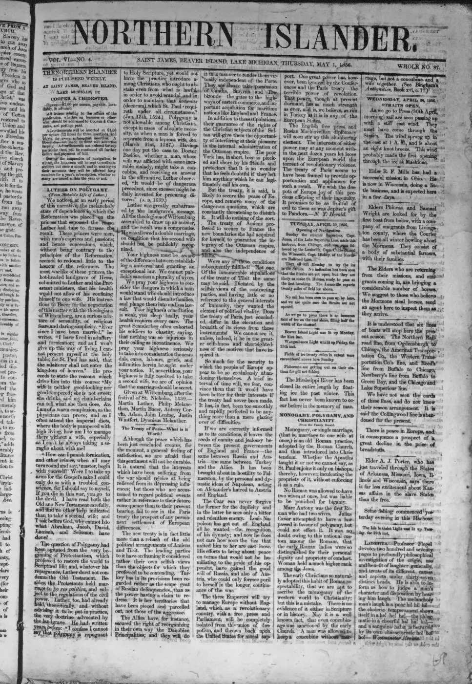
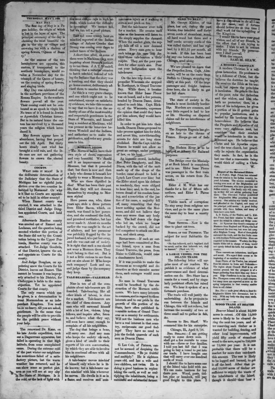
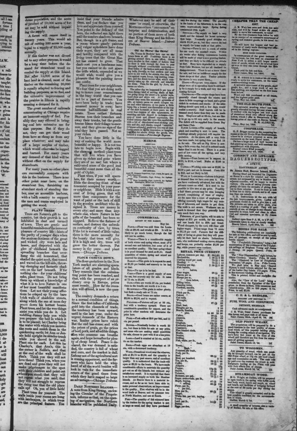
129 of 290 pages linked here — every page to 32, then every 3th, then the last 16. With JavaScript, every page.
Sources
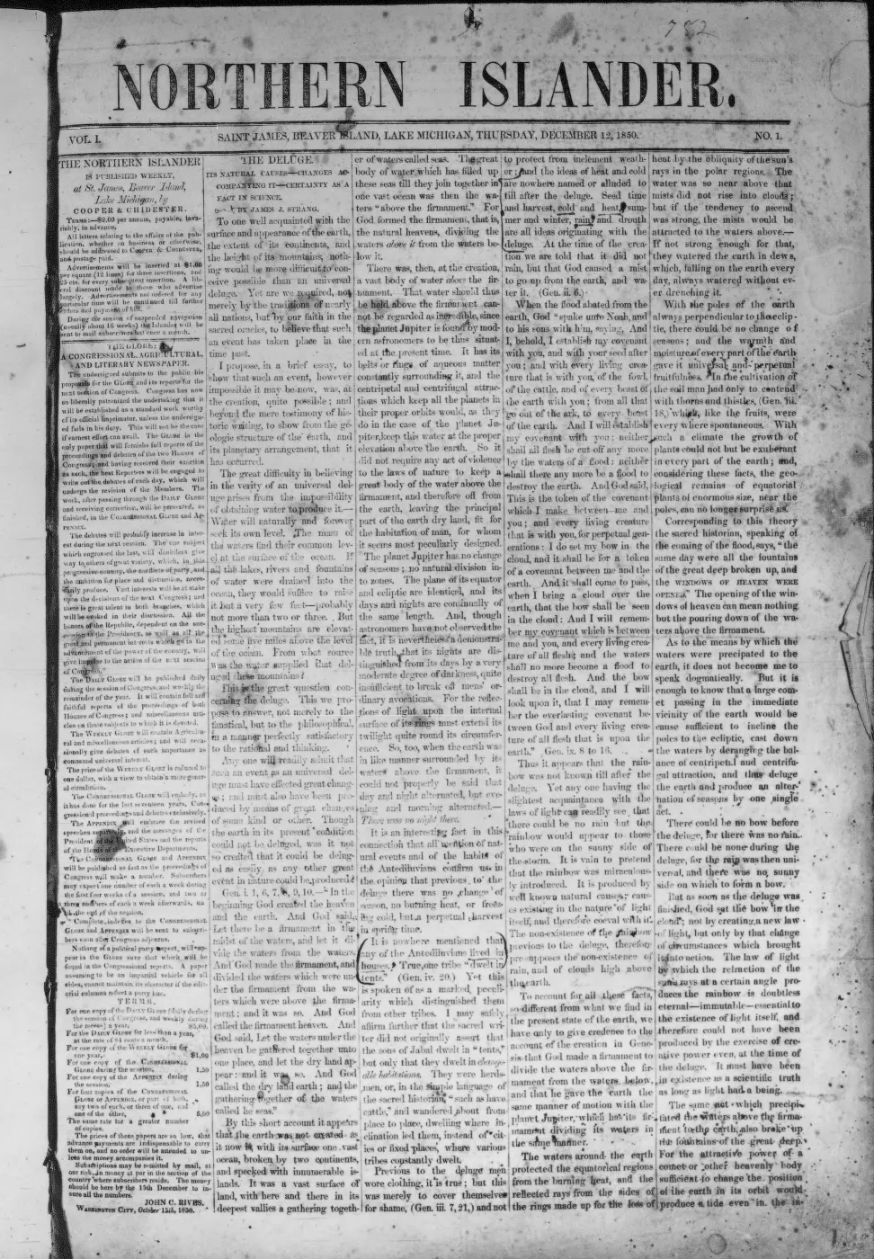
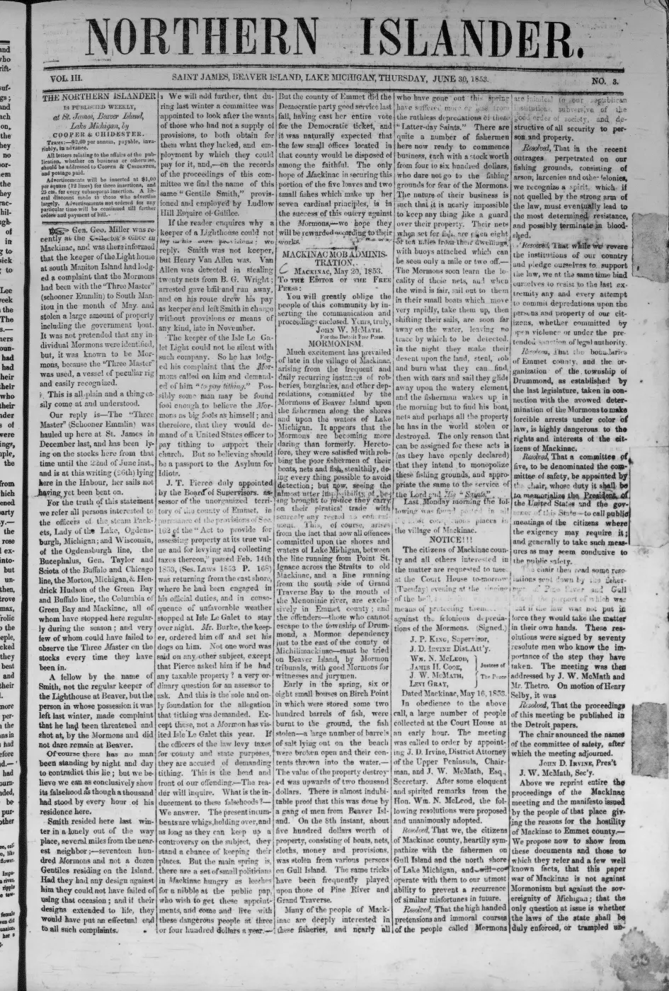
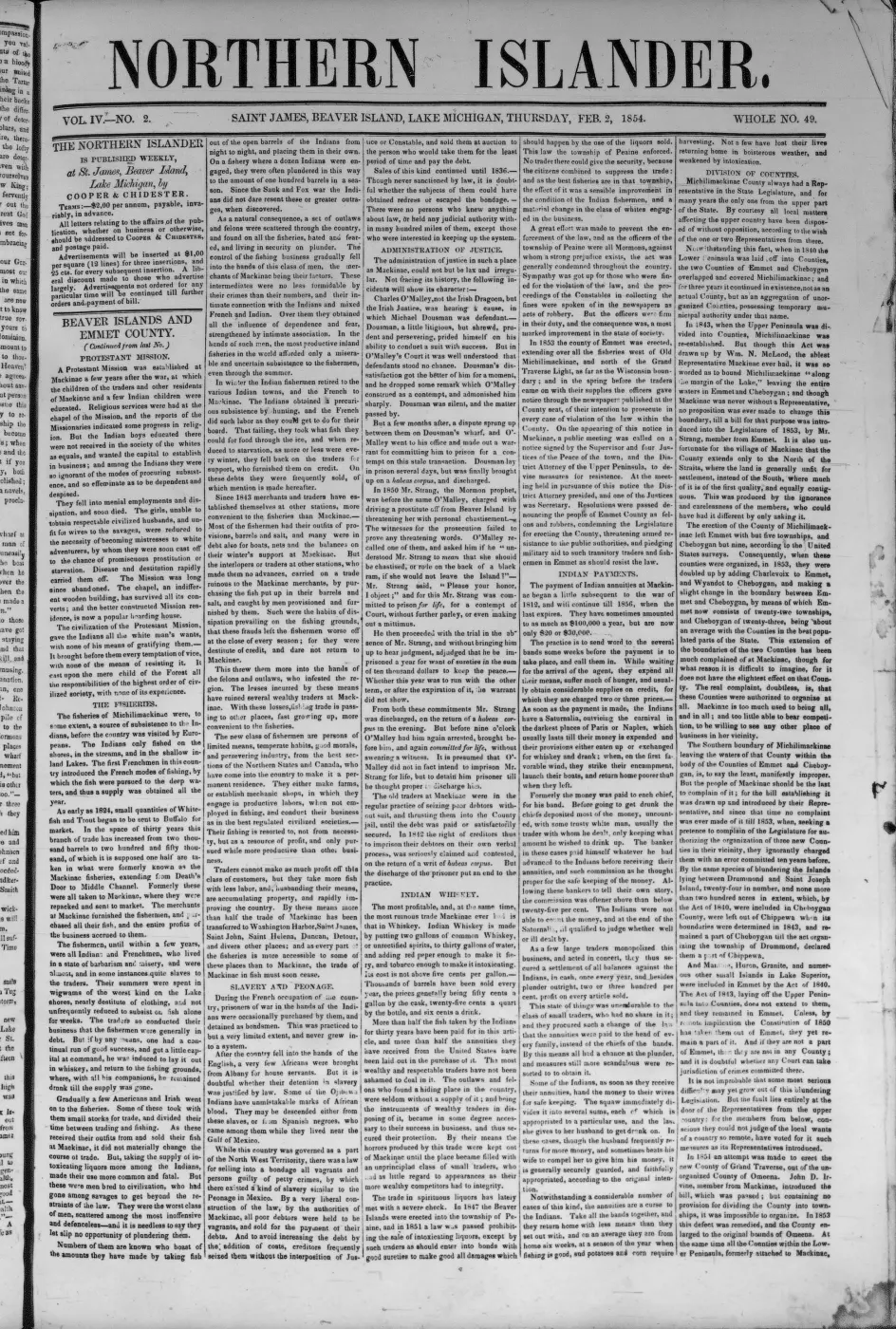
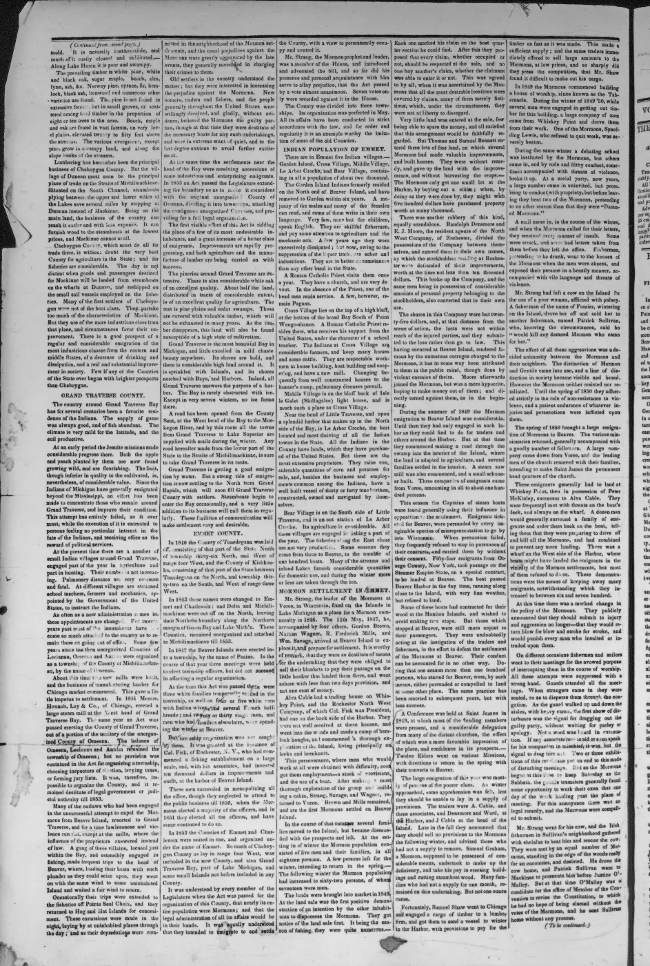
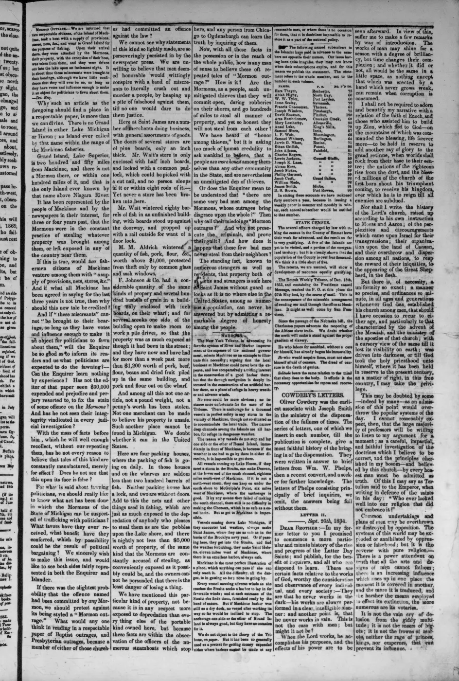
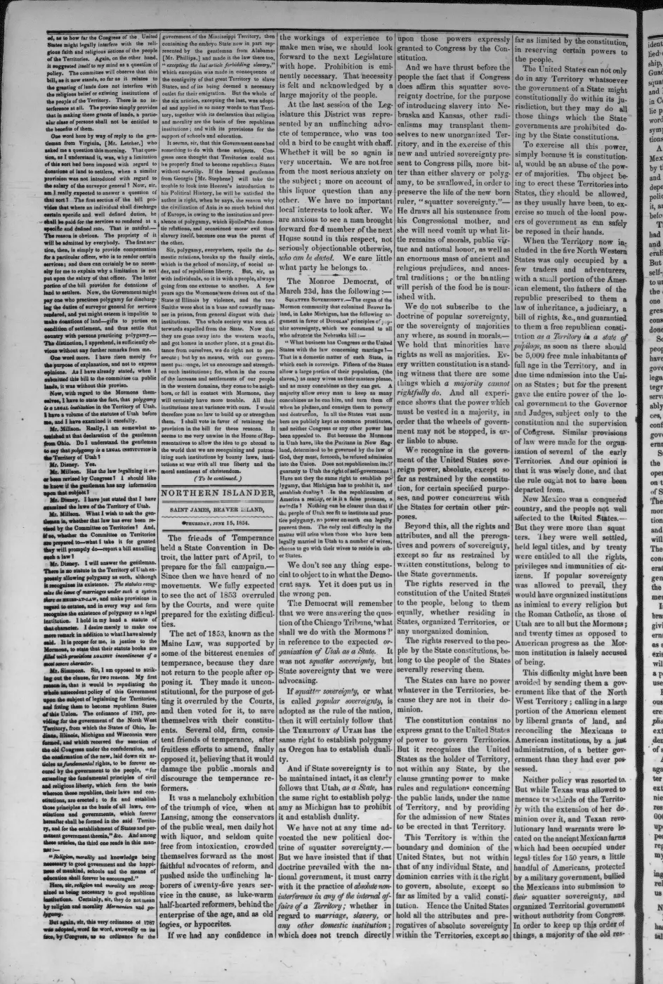
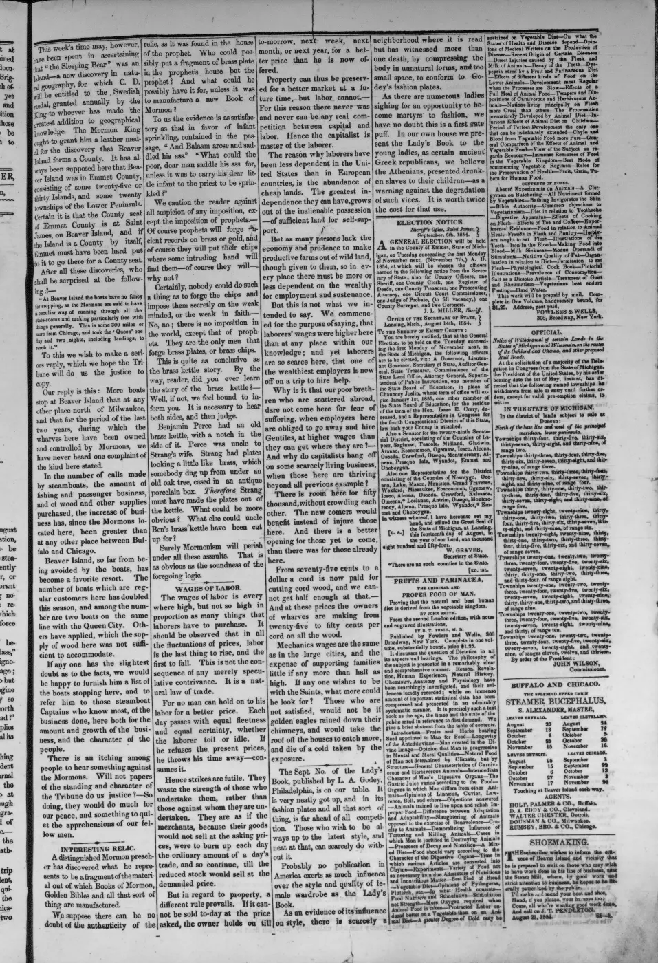
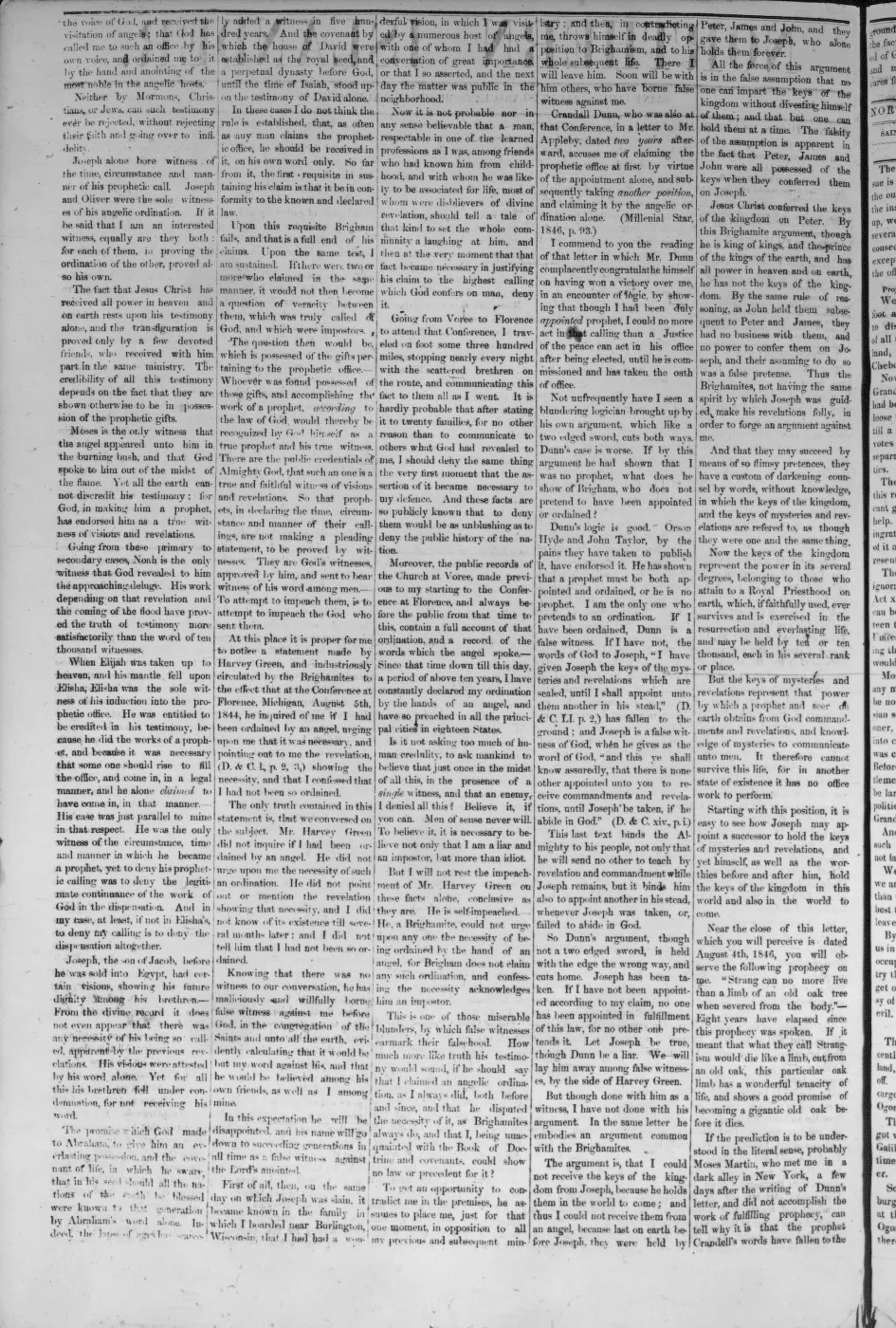
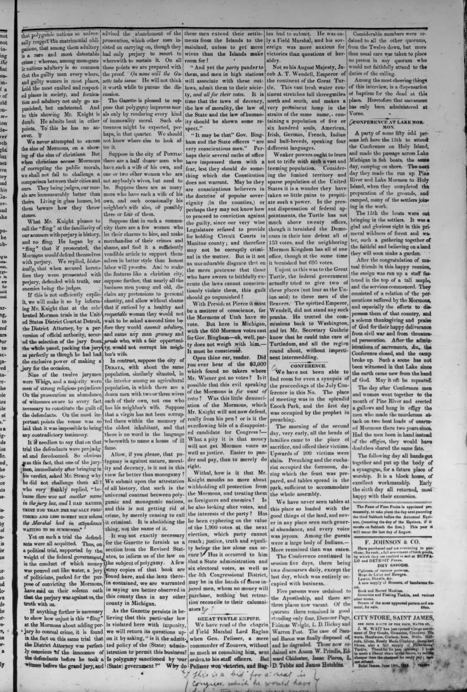
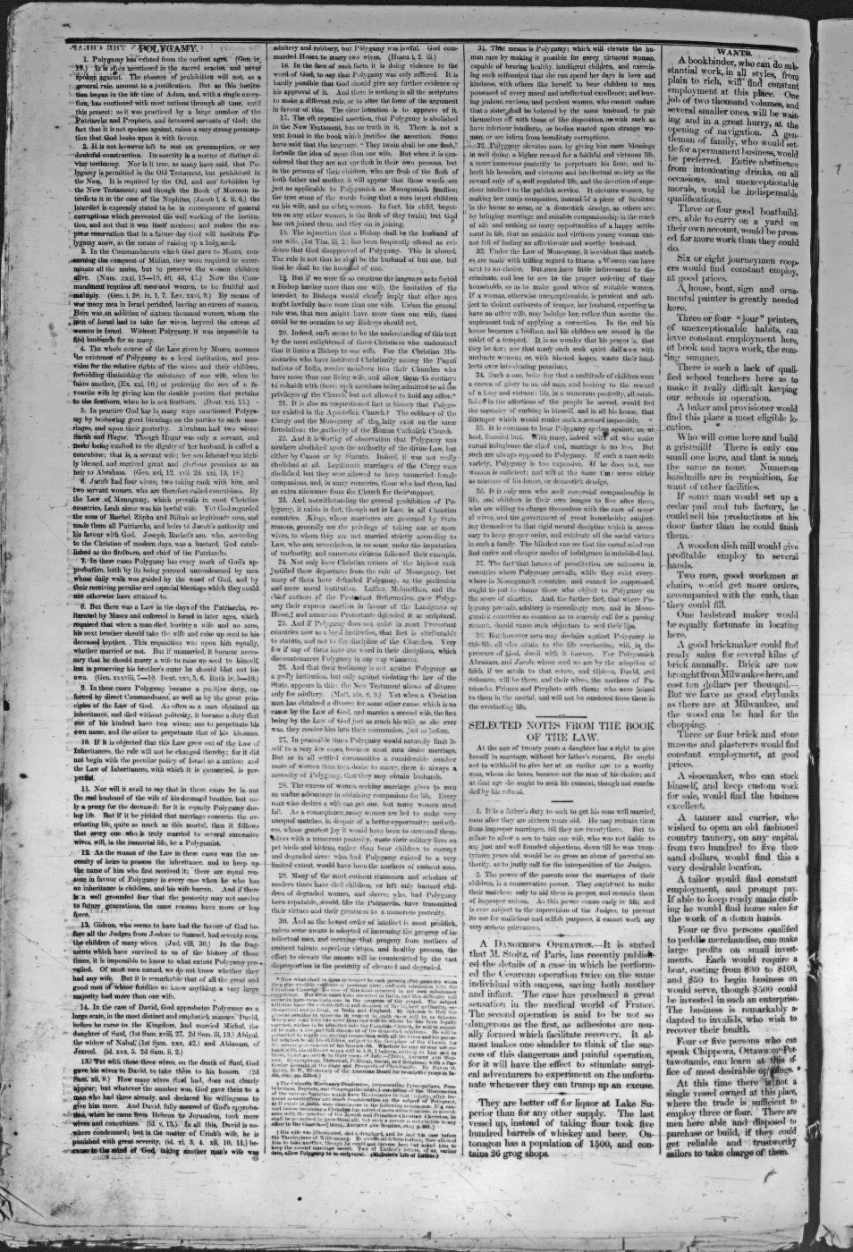
- Described in this archive: Ancient and Modern Michilimackinac, 1854.Strang says the Jordan discharged Lake Galilee into Lake Michigan, fell twenty-six feet in one mile, and could at slight expense be turned into a new channel to concentrate the fall and furnish water power at Galilee. This is contemporary evidence of the proposed purpose and Strang's prior knowledge of the elevation difference, but not proof that the work was completed or that the later mapped ditch is the same project.
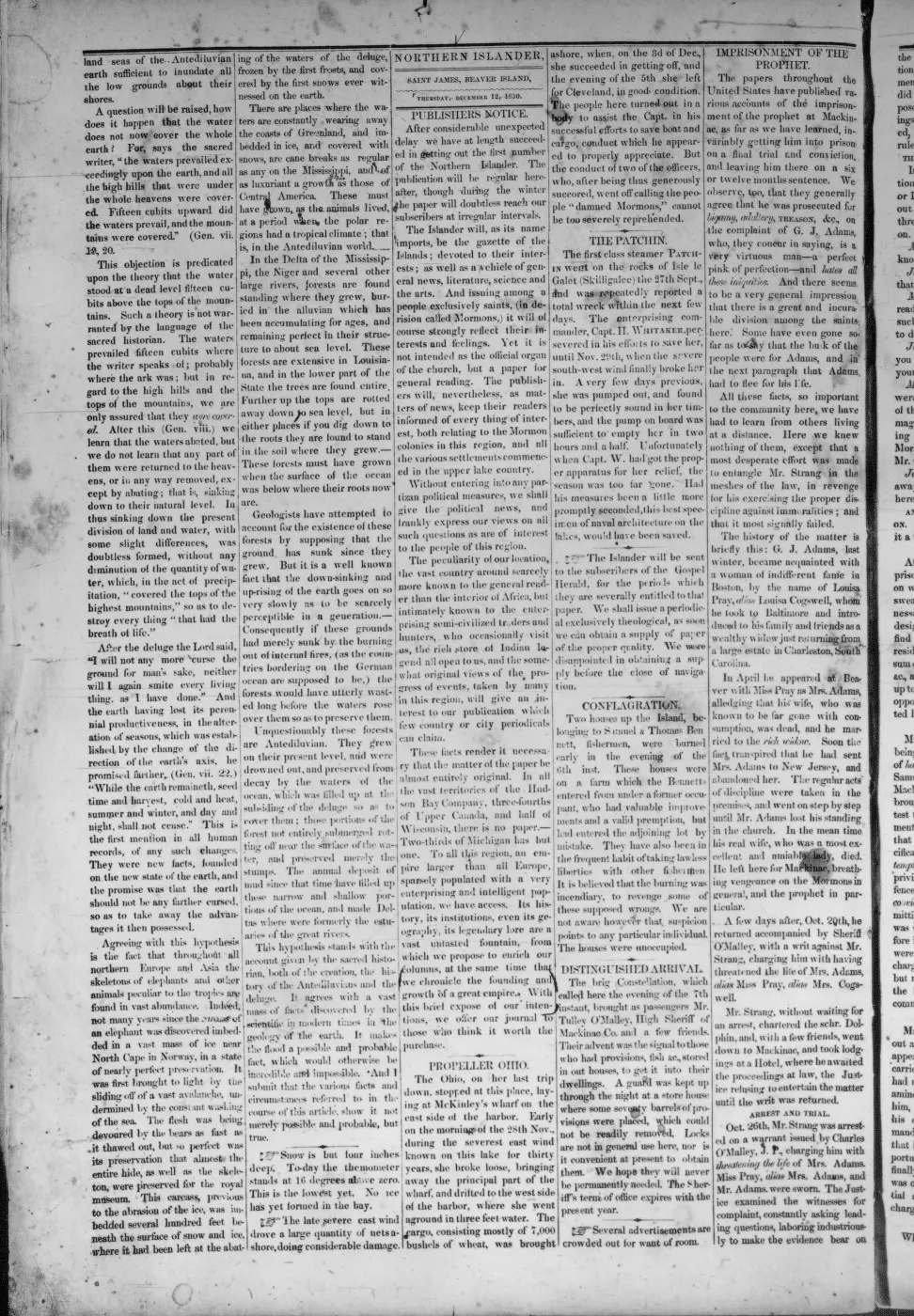
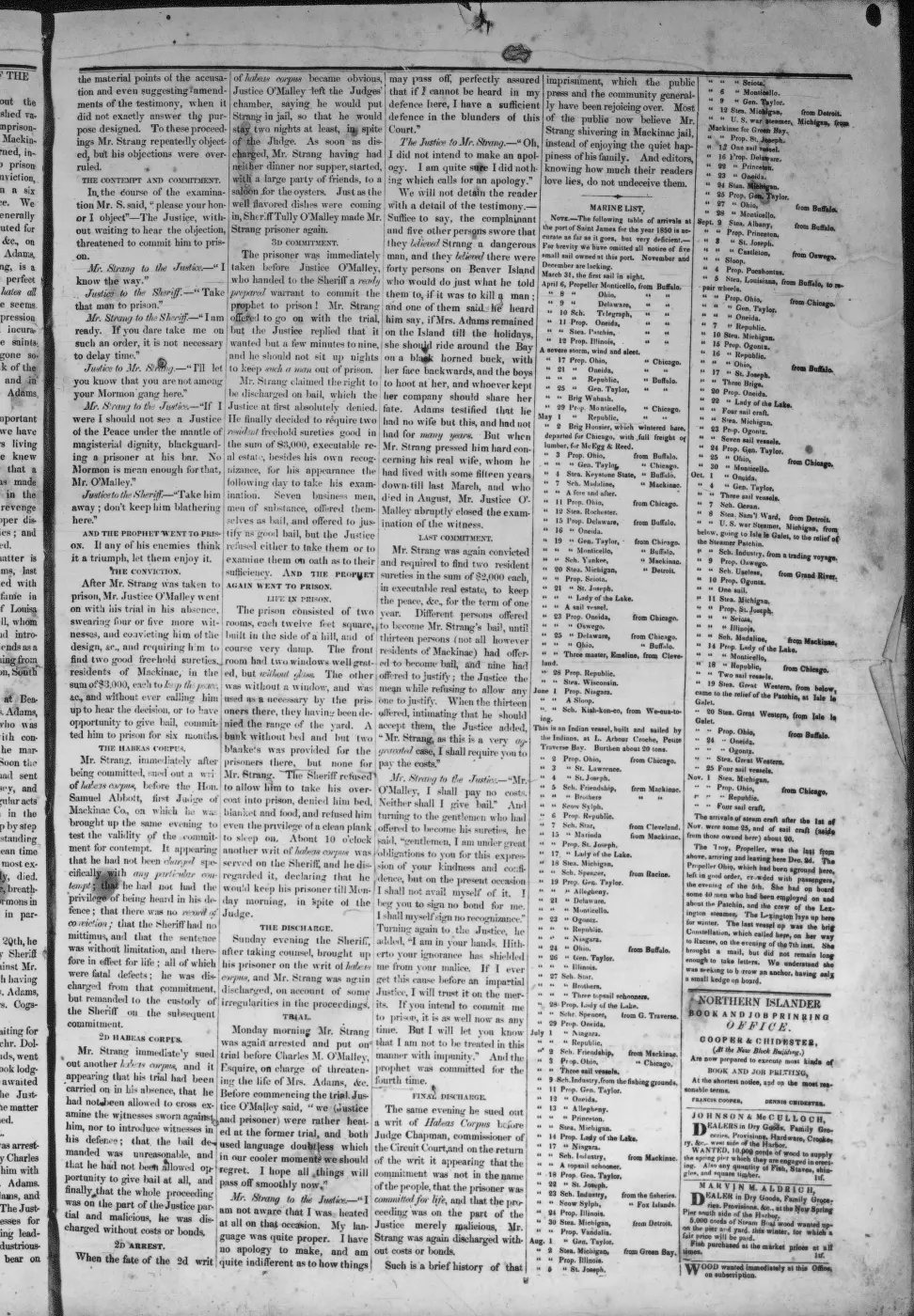
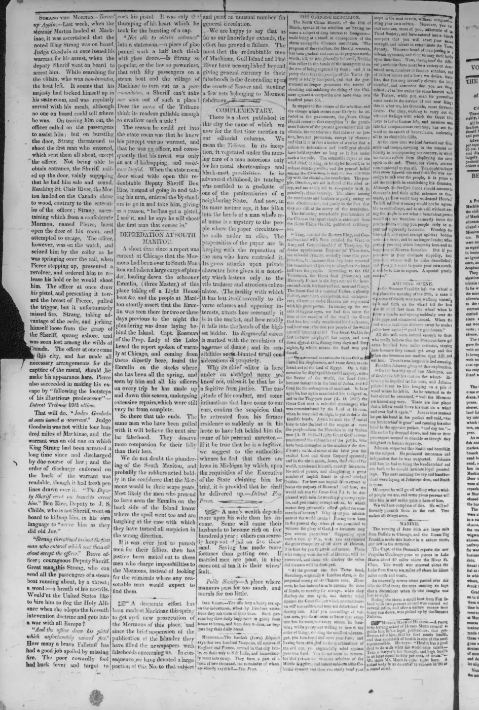
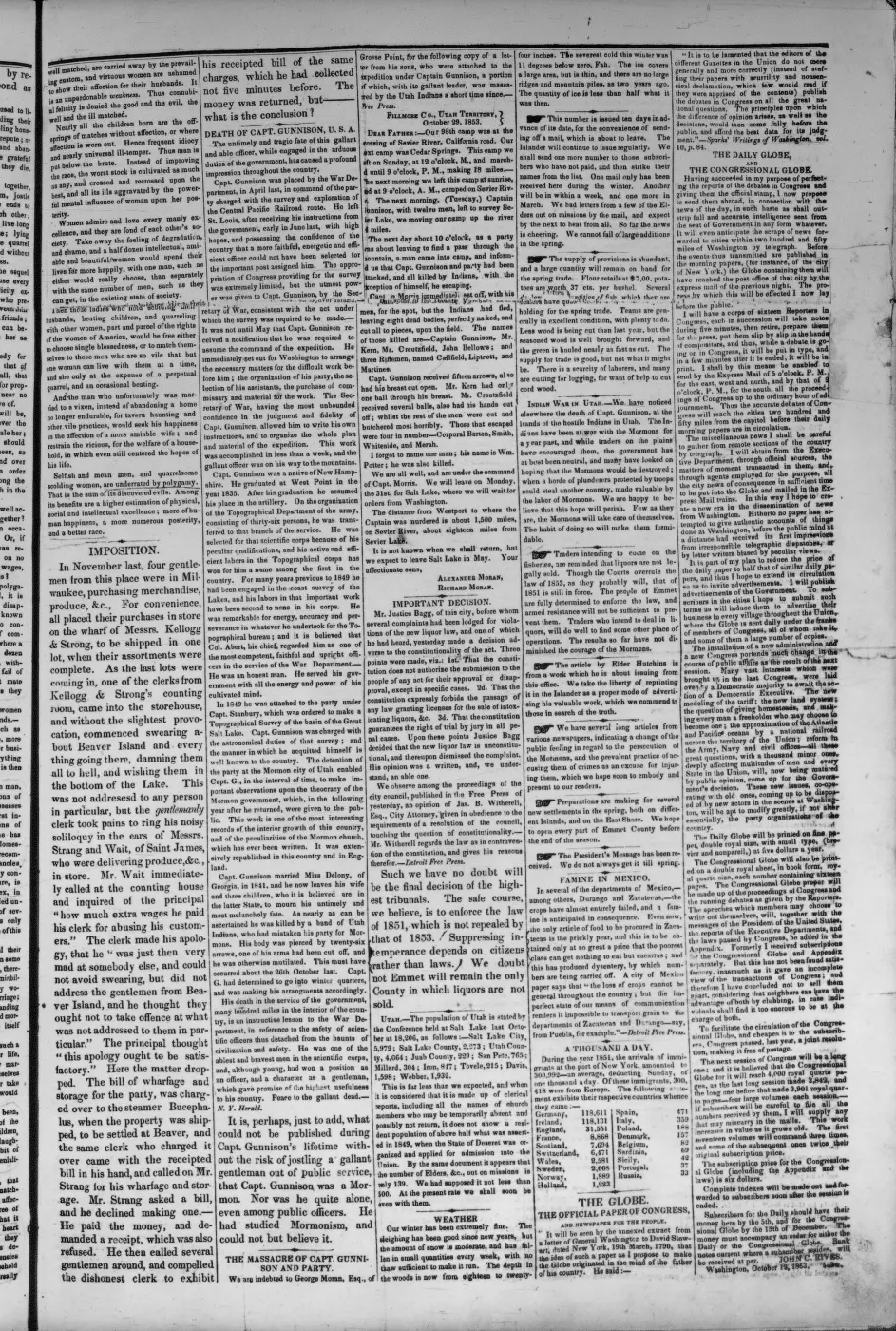
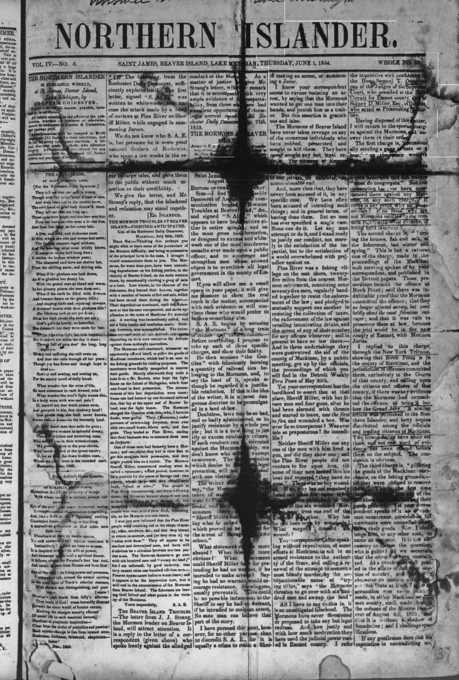
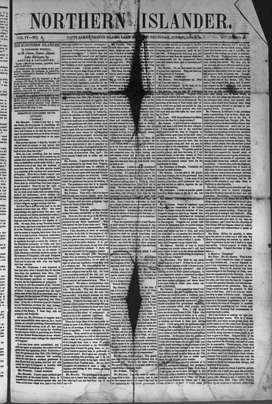
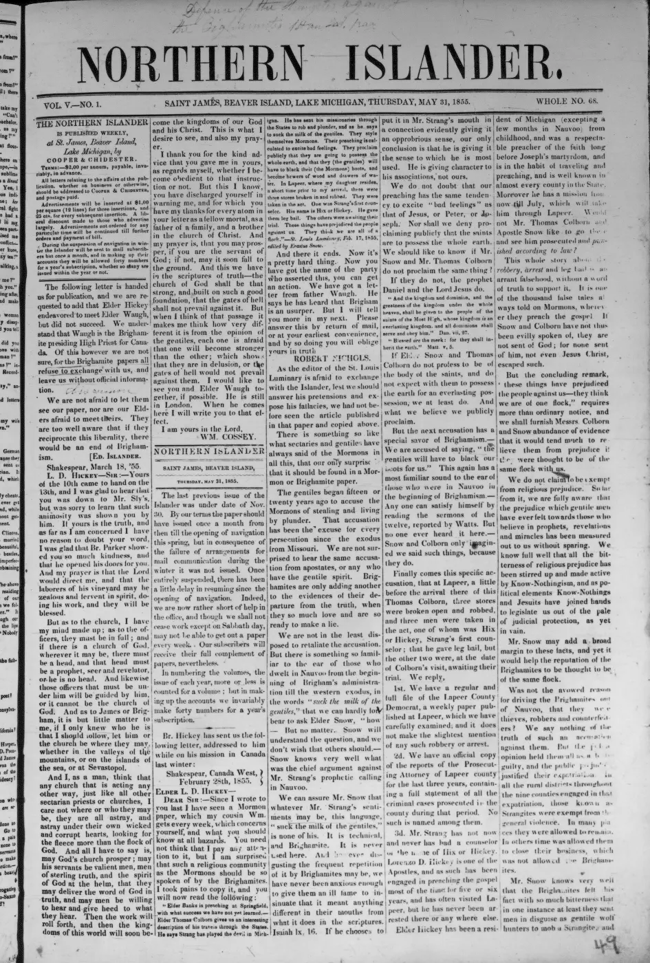
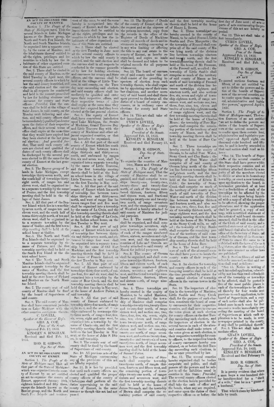
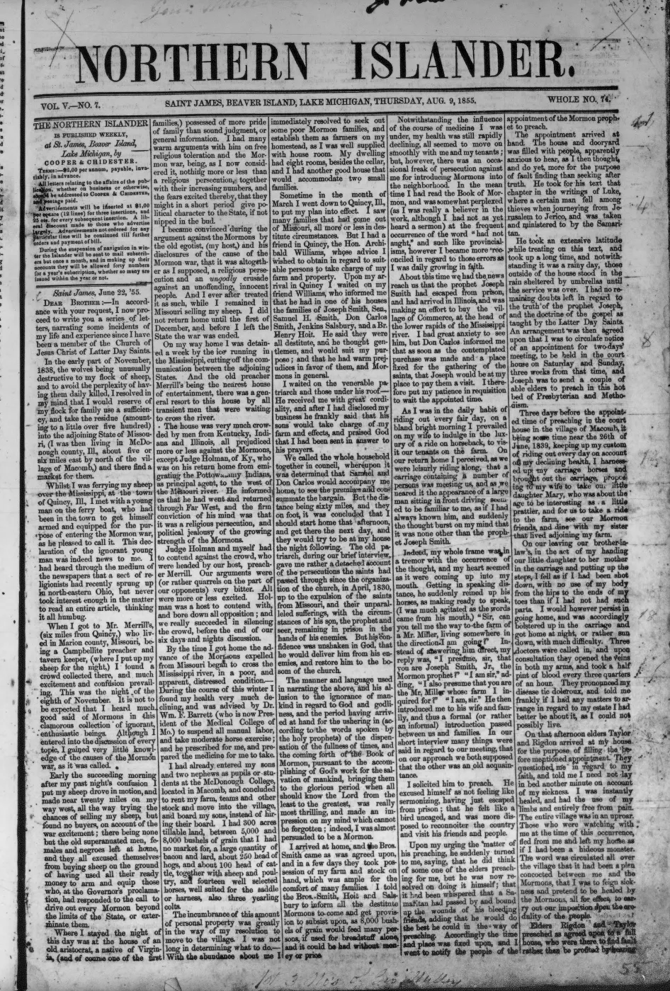
- Described in this archive: Northern Islander, 1850–1856.Reports that Samuel Wright had a “third mill” under construction at Galilee, that its irons had arrived, and that unexpected difficulties excavating “the race” would delay operation until late the following summer. The preceding discussion identifies the other mills as sawmills; the next paragraph separately announces a portable gristmill. This is the strongest direct construction evidence held.
- Described in this archive: Beaver Island History Map, 1978 revision.Labels a “Mormon Canal (partially completed)” beside the southern/eastern arm of Lake Geneserath and also labels Cable's Creek as “called the River Jordan during Mormon rule.” This is a later local-history compilation and approximate pictorial map, not a contemporary engineering plan, survey, or independent proof of the label.
- Preserves several later community traditions: one describes a proposed safe harbor and shortcut; another says the visible ditch was intended to power a mill and separately recalls a plan to improve Cable Creek for concealed boat entry; two posts place trenches on private property near the east bank of the lake's south arm and East Side Drive. These are recollections and personal interpretations, not contemporary documentation or a public-access invitation.forum · www.beaverislandforum.com · 11 · t011472
- Described in this archive: A Child of the Sea; and Life among the Mormons, 1905.Williams says James Cable left Beaver Island in 1852 and returned after Strang's death in 1856. Her retrospective chronology makes Cable an unlikely builder of the race reported under construction in October 1855, although it does not settle who worked on the excavation.
- Advertises 3,000 cords of wood at Galilee, says its wharf had been greatly extended, and describes accommodation for boats. It documents an operating Lake Michigan wharf at Galilee, but says nothing about an inland-lake harbor or navigable canal.
- The Historical Society says James F. Cable “used to operate a saw mill on Cable Bay.” It supplies no date and does not identify that sawmill with the 1855 Galilee race; it is retained to prevent an unsupported merger of two nearby mill traditions.
Added 7 August 2026. Recent changes
Cite this article
Beaver Island Archive, “Mormon Canal”, https://beaverislandarchive.org/structures/mormon-canal/, accessed [date], citing James J. Strang, *Ancient and Modern Michilimackinac, Including an Account of the Controversy between Mackinac and the Mormons* (1854), “Big Beaver,” p. 44. (and 6 further sources listed on the page).
Last revised 2026-08-07. Fill in [date] with the date you read it — this page is static and cannot know that.