

- Coordinates
- 45.8369° N, 85.5868° WGoogle Maps: Ojibwa IslandDownload KML
- Eras
- Modern era
- Concepts
- environmentgeologysoilsforestsvegetationtreestoponymymaritimelighthousesModern era
- Within
- Beaver Island archipelago
- Media
- Plats of the outer Beaver Islands, 1930s
Summary
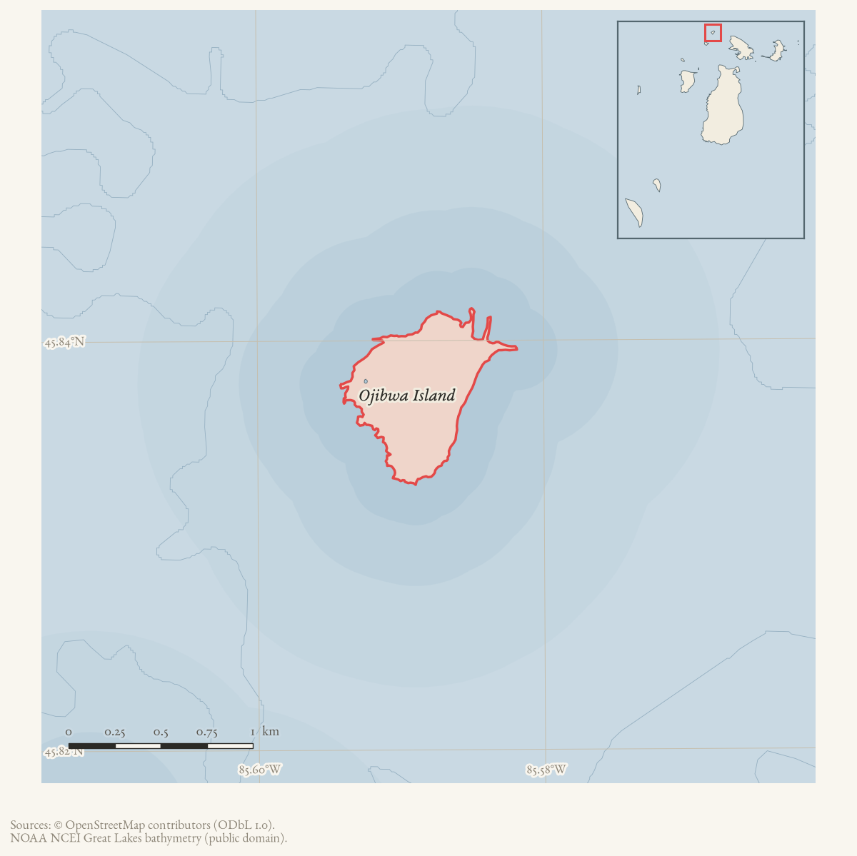
Ojibwa Island is a small (0.44 km²) island at the northern end of the Beaver Island archipelago, the most northerly member of the group. Known as Squaw Island on every historical chart, in the U.S. Light List, and throughout 19th- and 20th-century literature, it was administratively renamed in 2022 under a 2021 federal order targeting place names containing the word “Squaw.” The island is privately owned and carries a lighthouse built in 1892; its current private owner disputes the applicability of the rename to his property.
History
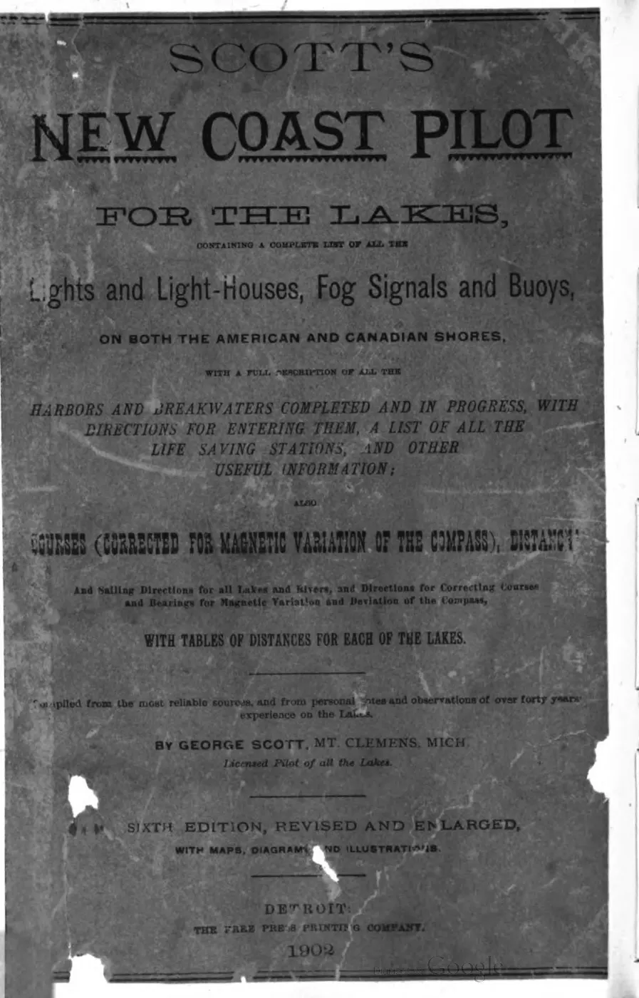
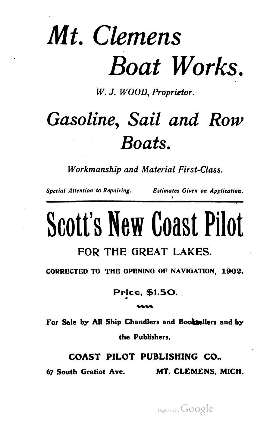
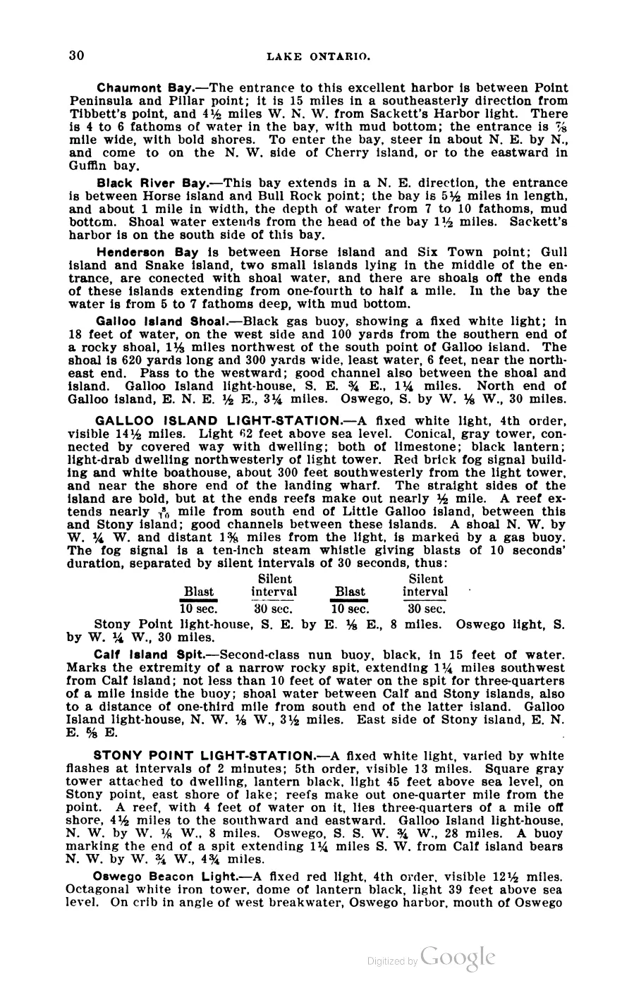
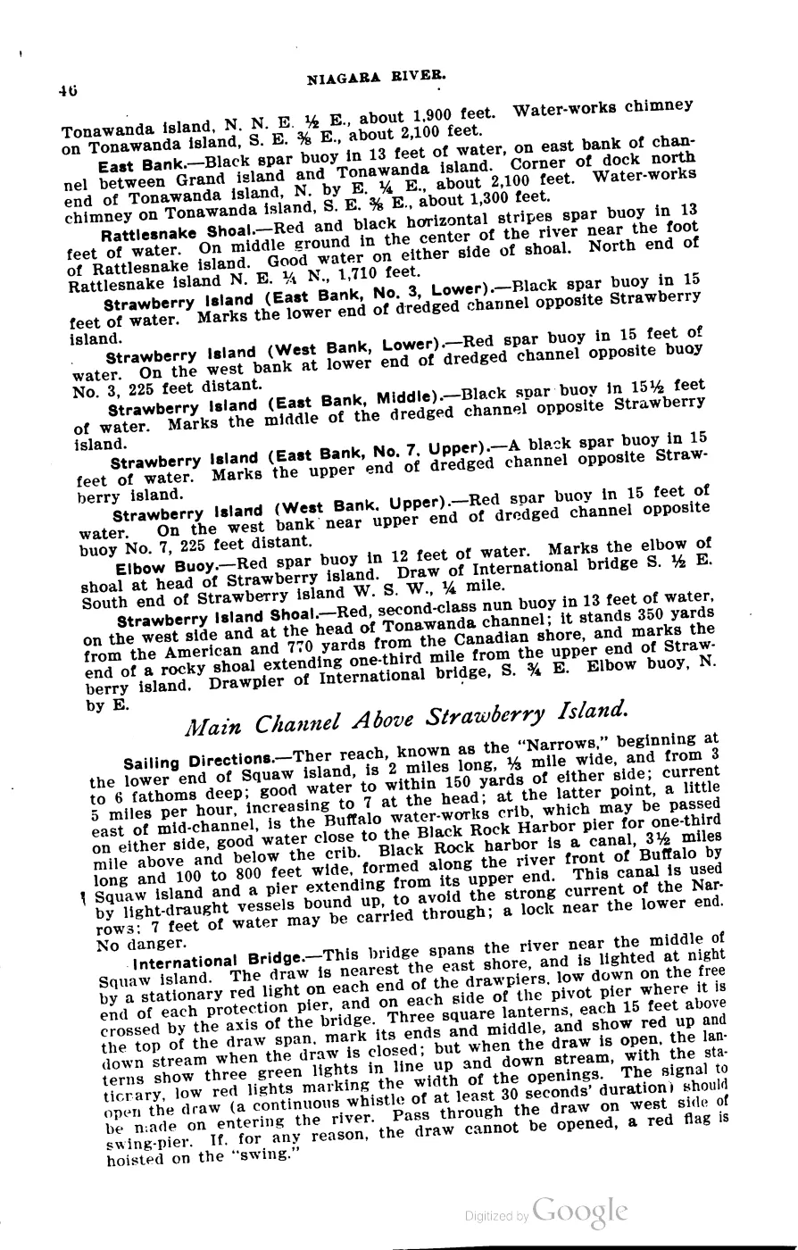
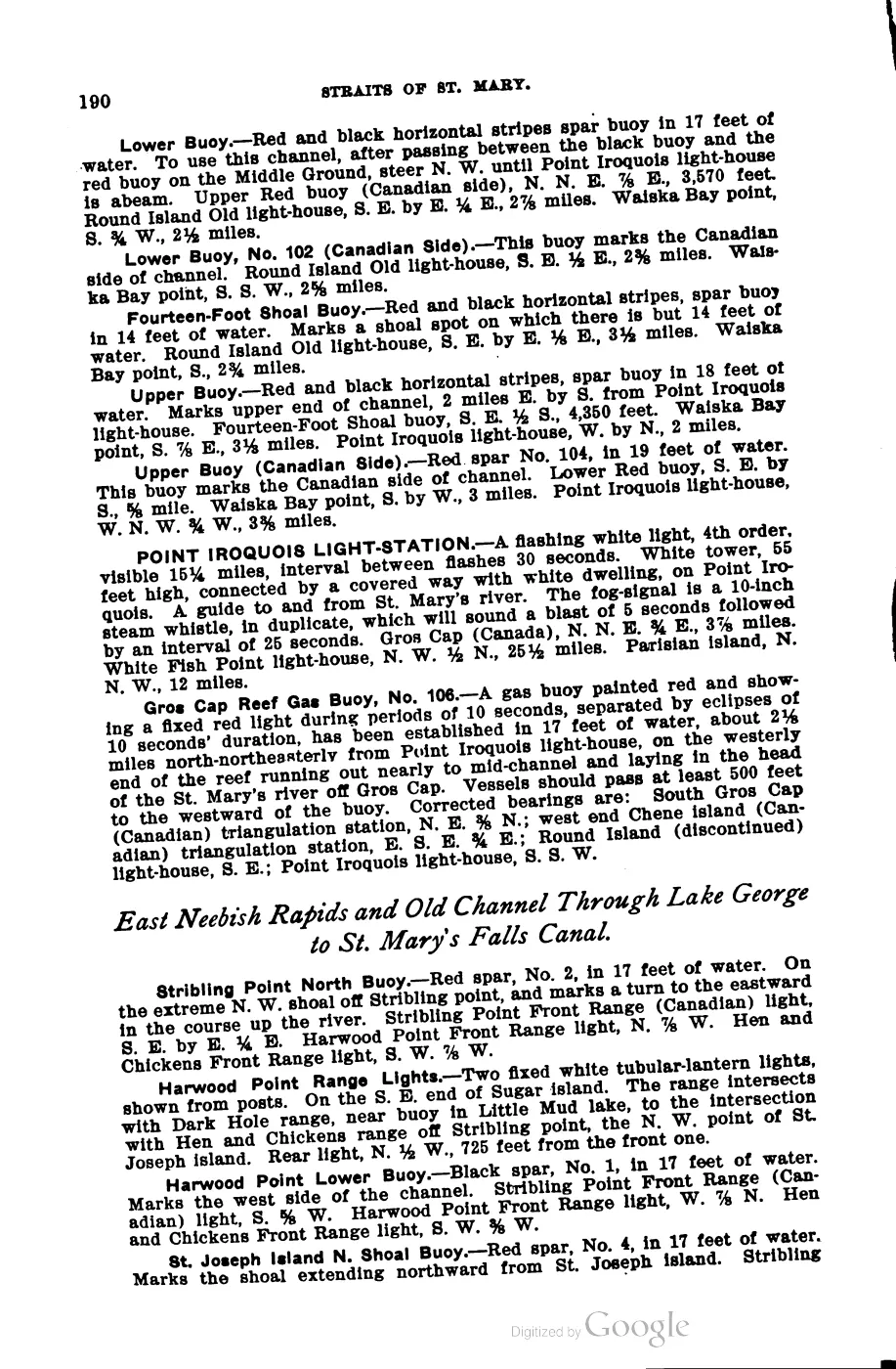
The island’s lighthouse, described in Scott’s 1902 Coast Pilot as a 48-foot red brick tower with a fixed red light varied by a red flash every 15 seconds, marked “the most northerly [point] of the Beaver Island group” and functioned as “a coast-light” for vessels turning into Lake Michigan.1 Elizabeth Whitney Williams’ 1905 memoir likewise records “Squaw Island, which now has a fine light-house erected upon it,” among the islands visible from the dune above Beaver Island’s harbor.2 The 2023 Beaver Island Master Plan dates the lighthouse to 1892 and identifies the island as privately owned, one of only two privately owned islands in the archipelago (with Trout Island).3
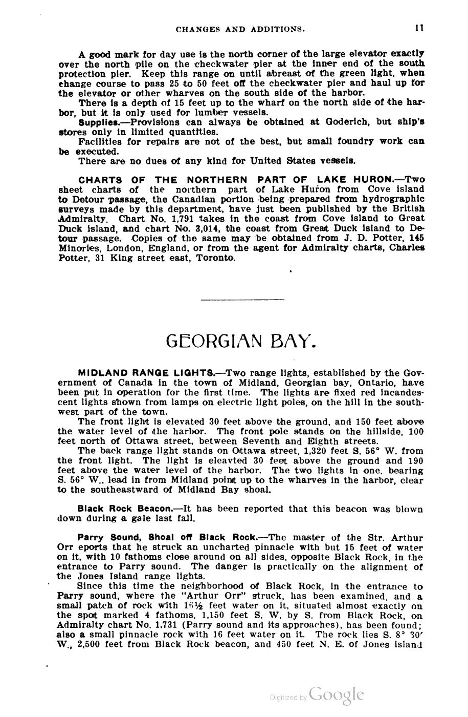
The December 1900 Squaw Island light-crew tragedy is a source-bounded episode in the island’s maritime history. The crew launched from the light after its seasonal closing; a squall capsized the unnamed sailboat, and three people died before the Manhattan rescued the two survivors.4
In November 2021, U.S. Department of the Interior Secretarial Order 3404 directed
the replacement of the word “Squaw” across federal place names; per the OSM record
for this feature, Ojibwa was “the predominant new name with most of these places”
nationally, and the U.S. Board on Geographic Names’ replacement took effect in
2022. In April 2025, the island’s private owner, Joe Callian, was reported asking
the Interior Department to correct what he called “a significant public
misunderstanding”: that the federal renaming process, intended for federal land
units, had been applied to his private property without notice to, or regard for,
its ownership status, and that agencies including GNIS, the Coast Guard and the
Army Corps of Engineers should be alerted to the error.5 This dispute over
private-property status is reported from a single contemporary newspaper account
and is held at probable confidence; it does not affect the well-established fact
that “Ojibwa Island” is now the official GNIS/BGN name.
Geography
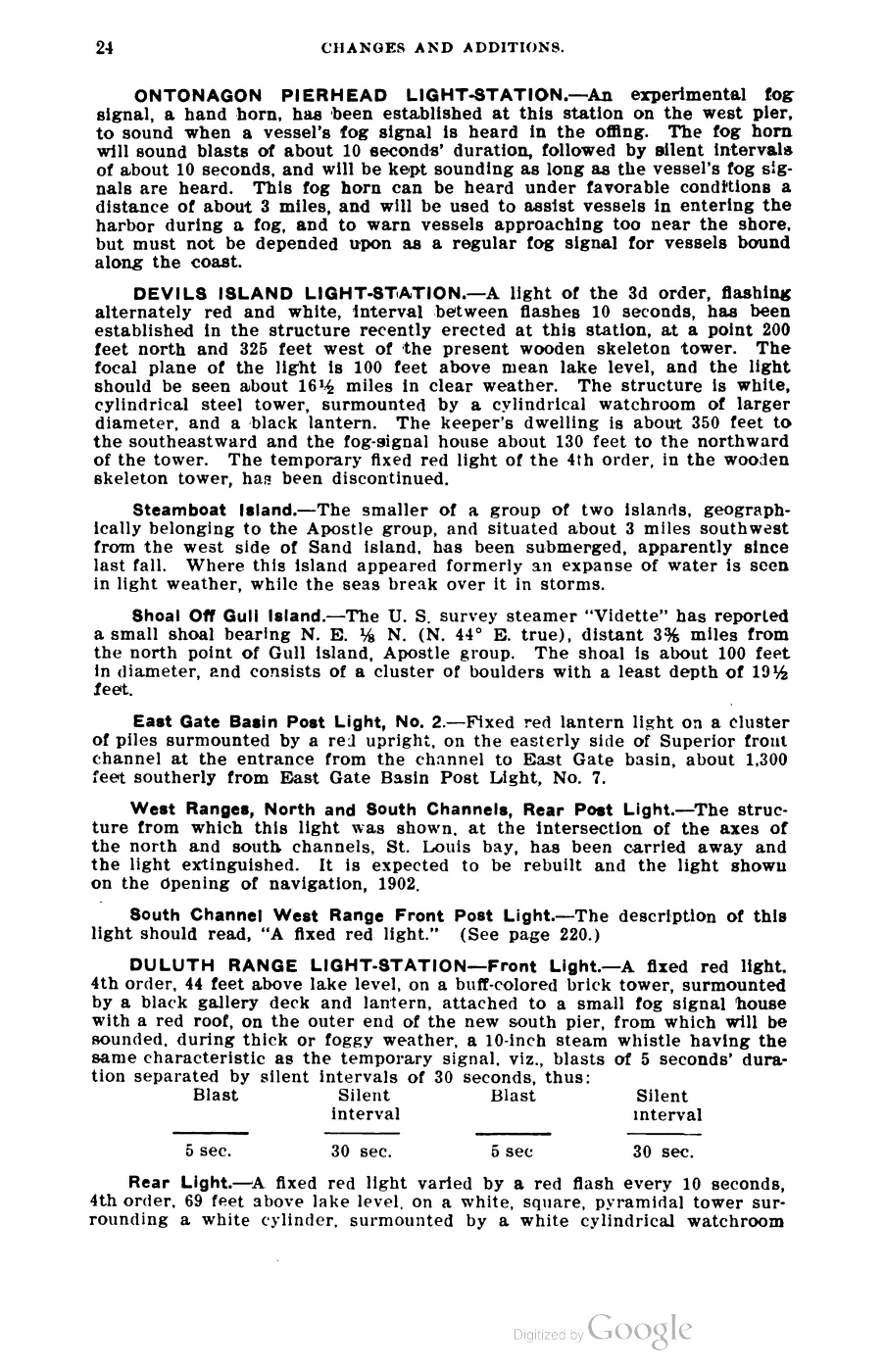
At 0.44 km², Ojibwa Island is one of the smaller named islands in the group, positioned at its northern edge. Its light-station, per Scott’s 1902 description, illuminated the entire horizon from a focal plane 57 feet above lake level, with a fog signal sounding 5-second blasts separated by alternating 20- and 40-second silent intervals — reflecting the island’s role marking the turning point between the Straits of Mackinac approach and the open water of Lake Michigan proper.
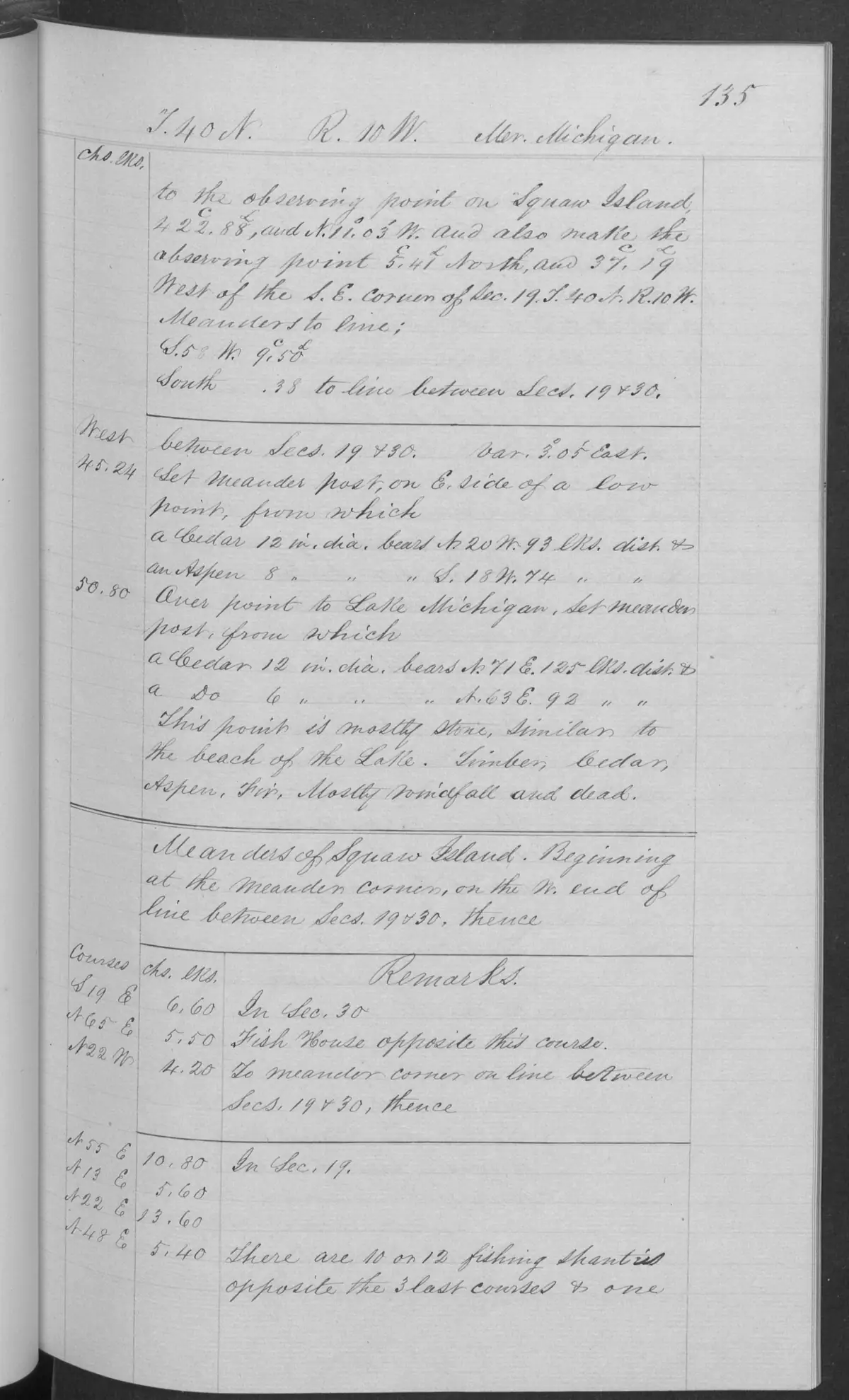
An 1849 GLO survey, using the historical source name recorded in this article’s name history, described the island as five to ten-and-a-half feet high, with its highest ground near the middle and slight lake-formed ridges. It recorded a stony, gravelly, and sandy shore; shoal water around the island, with a small-boat landing on the east side; and shallow sandy/stony soil with vegetable matter. The same field notes mention fishing shanties and report that the island had been burned over, leaving most timber dead and fallen, with aspen, fir, cedar, and white birch among the principal trees. These are 1849 observations, not a description of current conditions.6
Ecological profile
The 1849 GLO sequence gives Ojibwa Island a compact historical soil–shore–forest profile. The surveyor described shallow sandy and stony soil mixed with vegetable matter, broad gravelly and sandy beaches, lake-formed ridges, and limestone-like beach stone. A severe burn had killed and mostly felled the timber; the principal trees named in the post-burn description were aspen, fir, cedar, and white birch. Fishing shanties connect this environmental description to a dated fishery landscape, but the pages do not identify a current habitat, regeneration trajectory, species inventory, or present use. The crosswalk keeps the historical source name only for page provenance and does not infer an ecological polygon.6
Names
Ojibwa Island is the clearest case of superseded naming in the archipelago. Squaw Island was the name on every historical chart, in the U.S. Light List, and throughout 19th- and 20th-century literature and cartography; it is preserved in GNIS as an official/variant pair with feature 638673. In November 2021, Secretarial Order 3404 directed removal of the word “Squaw” from federal place names nationwide, and the U.S. Board on Geographic Names adopted “Ojibwa Island” (referencing the Ojibwe people) as the replacement, effective 2022. Any keyword search of historical sources, older charts, or the Light List for this feature must use the old name; searching modern sources for “Squaw Island” and historical ones for “Ojibwa Island” will each turn up nothing and look like an honest absence. The island’s private owner has publicly stated the renaming should not have applied to privately held land.
Significance
Ojibwa/Squaw Island is a working navigational landmark — its lighthouse dates to 1892 and it is the northernmost point of the archipelago — and a live case in the federal renaming of place names, with a documented private-property dispute attached.
Open questions
- The precise 2022 effective date of the official BGN name change (as opposed to the November 2021 order date) has not been independently confirmed beyond the OSM tag description.
- Whether the Callian family’s private ownership predates or postdates the lighthouse’s 1892 construction, and how the light-station itself (federal property on private land) was originally acquired or leased, is not established from sources held. No dedicated article for the light station itself yet exists, but one would be a natural addition.
- No resolution to Callian’s request to Interior Secretary Burgum has been reported in sources read as of the April 2025 issue.
See also
Footnotes
-
Scott’s New Coast Pilot for the Lakes (1902), p. 169. ↩
-
Williams, A Child of the Sea (1905), p. 83. ↩
-
Beaver Island Master Plan (2023), p. 9. ↩
-
Held Courier and Beaver Beacon accounts of the December 14–15, 1900 Squaw Island light-crew tragedy. ↩
-
Broder, “‘It’s Not Ojibwa Island’,” Northern Islander (April 2025), p. 4. ↩
-
BLM GLO, Field Note Volume 168138, pp. 0135–0137, T40N R10W (1849), visually verified page images held in the project corpus. ↩ ↩2
Maps for this place
These Atlas plates provide regional context. They do not establish a precise boundary, current ownership, access right, operating status, or field condition.
- EnvironmentSoils, wetlands, hydrography, and terrain
- GeologyGeneralized geology and landforms
- HydrologyMapped water and wetland context
- AccessMapped routes, facilities, and protected areas
- Land surveyPLSS geometry and historic GLO patent-location context
The name, as attested
- Squaw Islandattested 1857
- Ojibwa Islandattested 2022 · current
- 1857
Squaw Islandsuperseded
Earliest chart attestation found: U.S. Lake Survey, North End of Lake Michigan including the Beaver Island Group (surveys 1854-55), "SQUAW ISLAND". The name persisted on federal charts and in all island sources through the 20th century — historical-corpus searches MUST use this form (see docs/data-quality.md); it also remains in local vernacular use.
- 2022
Ojibwa Islandcurrent
Renamed by the U.S. Board on Geographic Names pursuant to Interior Secretarial Order 3404 (Nov 2021; BGN replacement action 2022); current GNIS official name.
Read the document
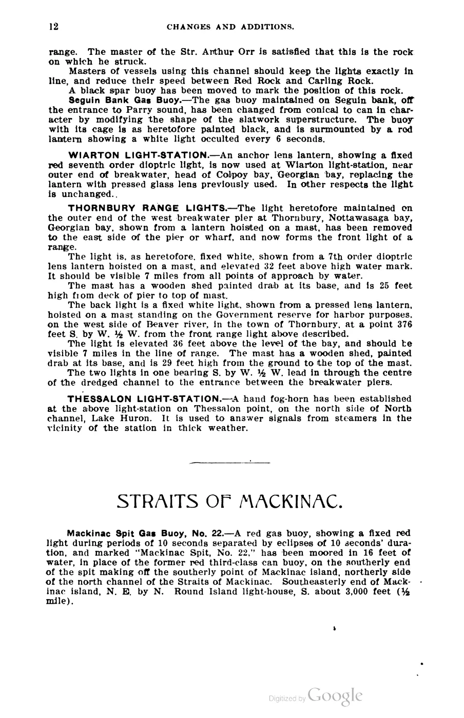
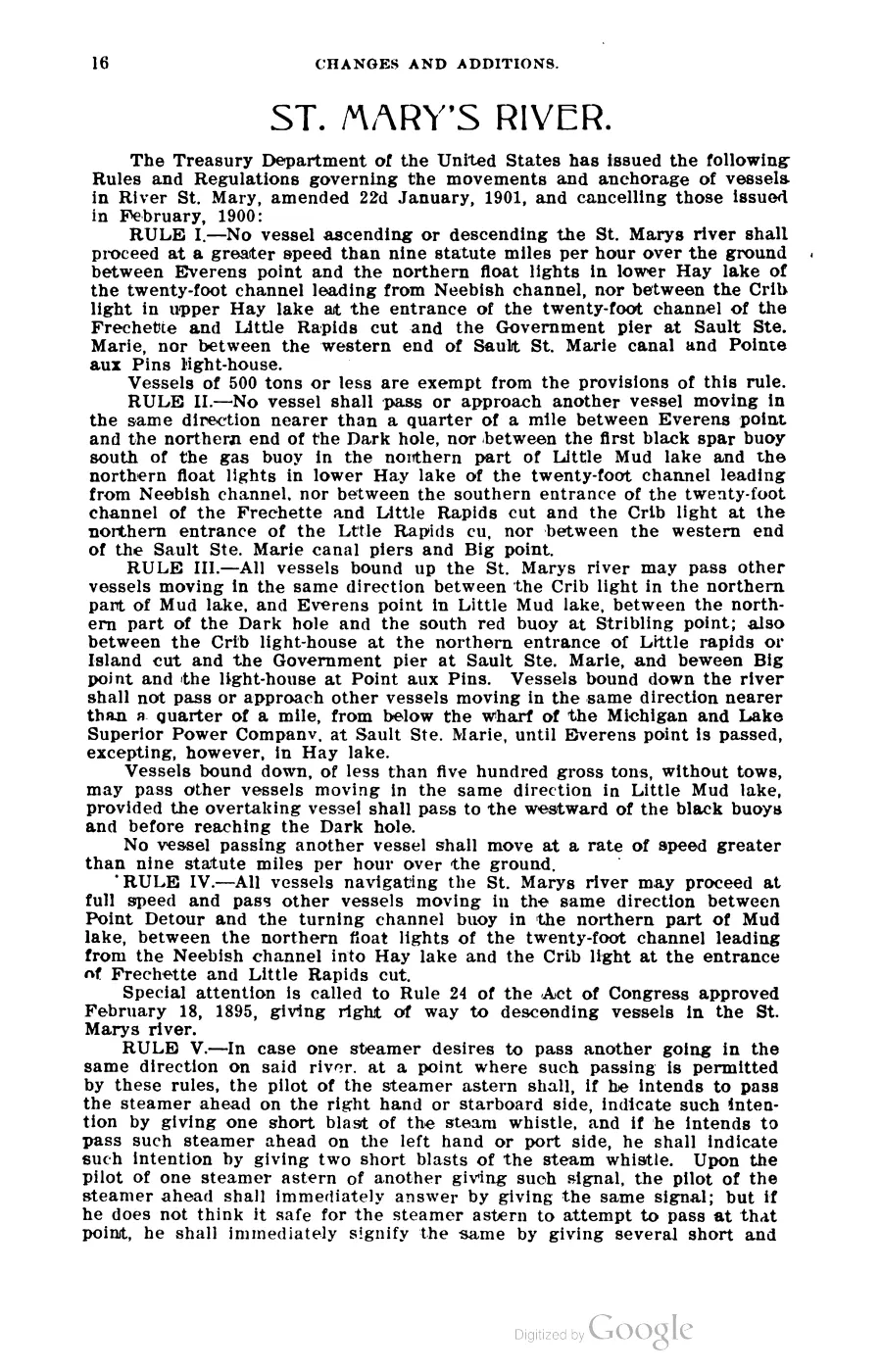
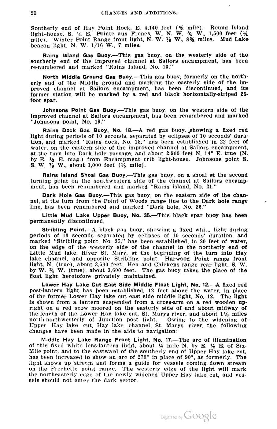
393 pages, rendered from the held scan.

Jump to a page — 393 in all







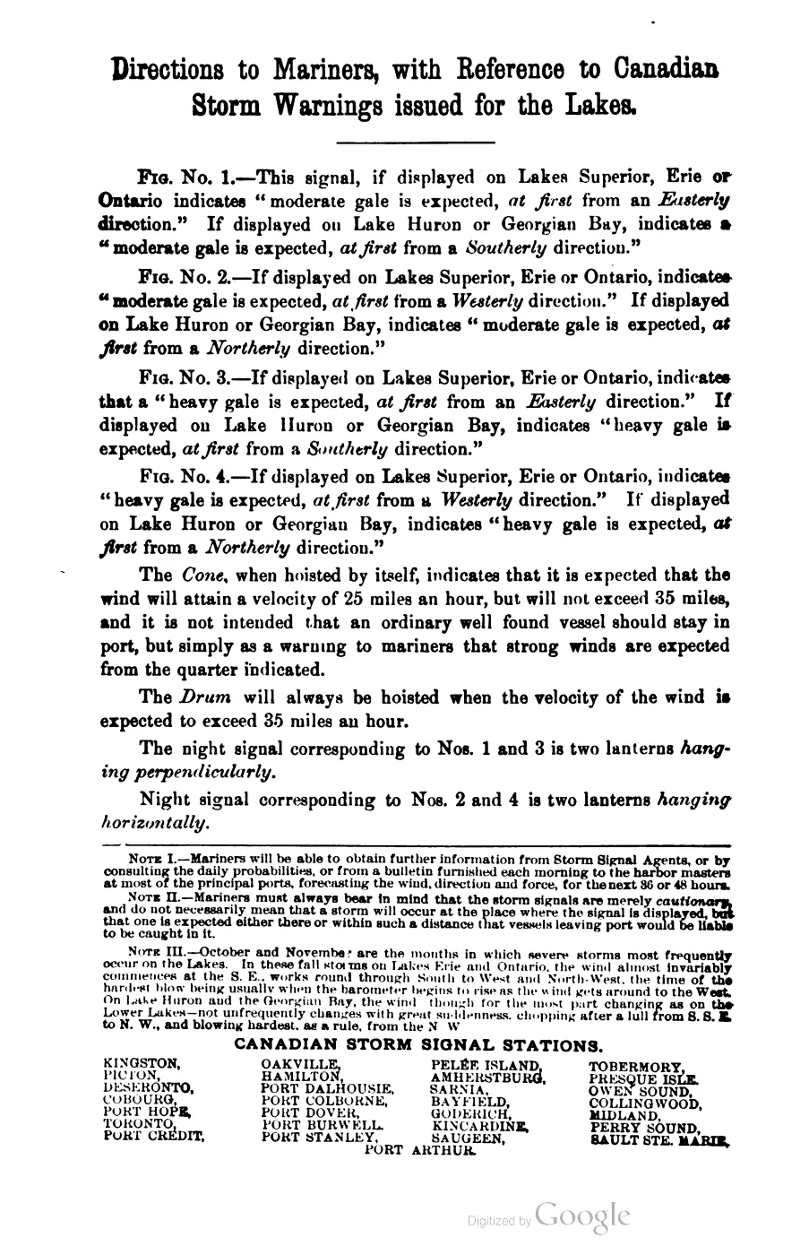

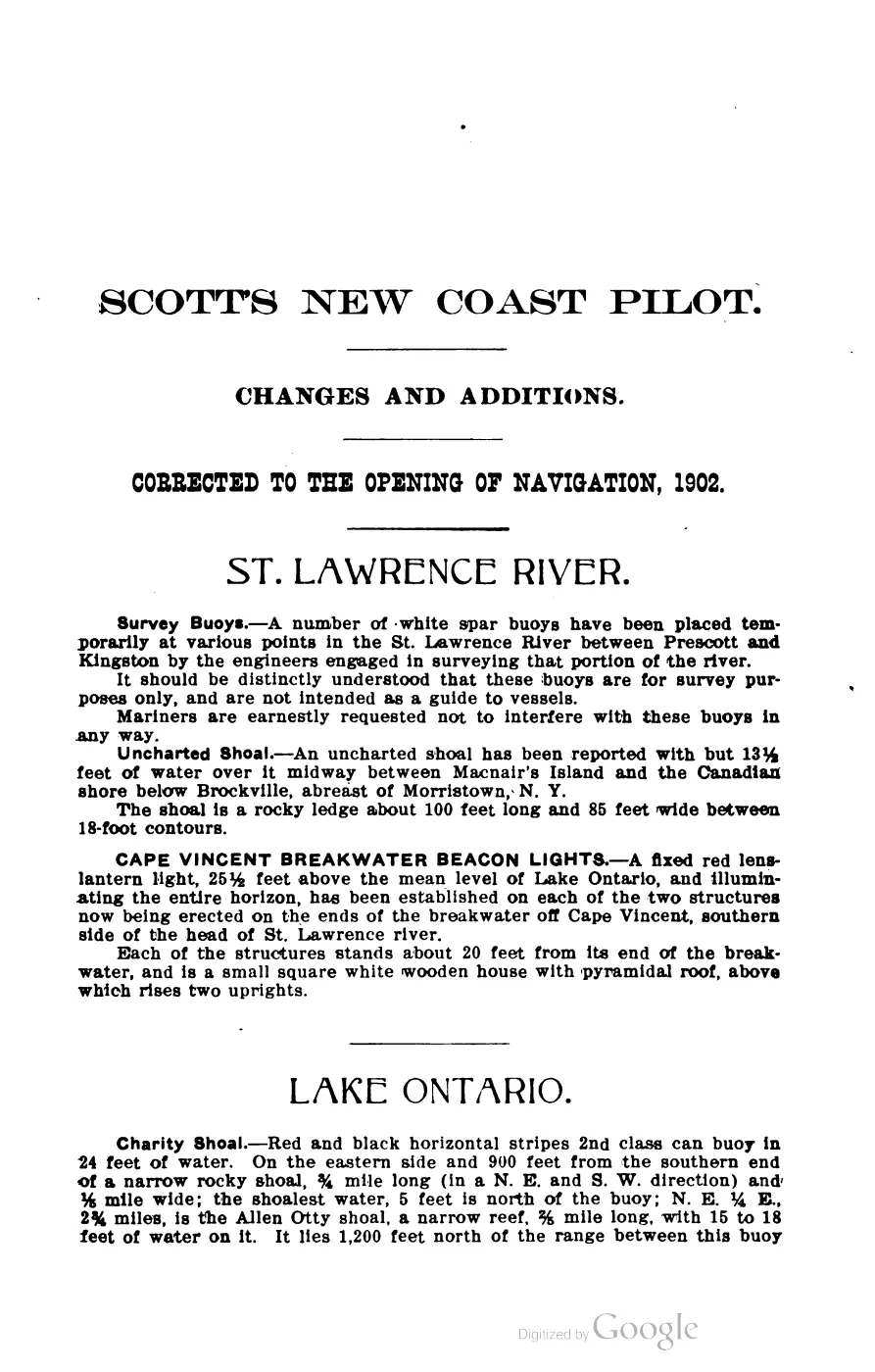
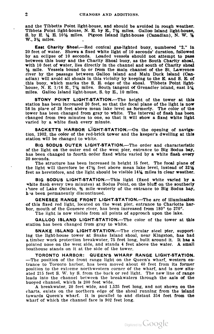
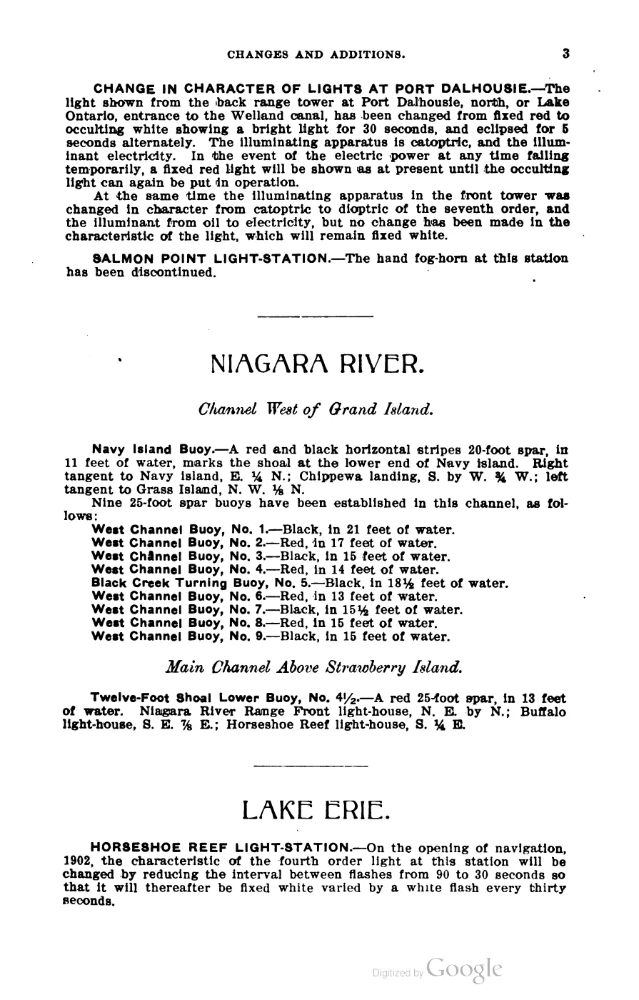
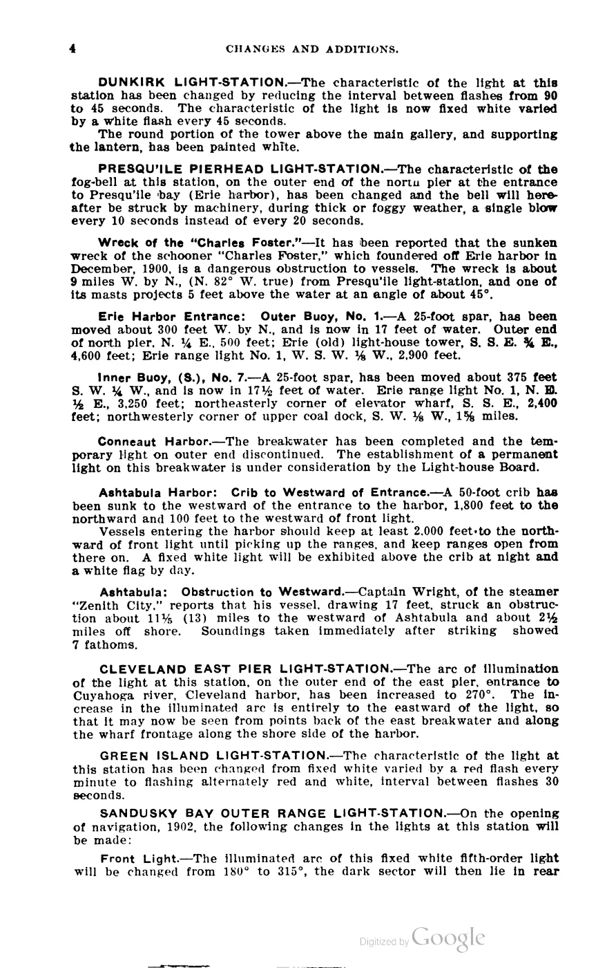
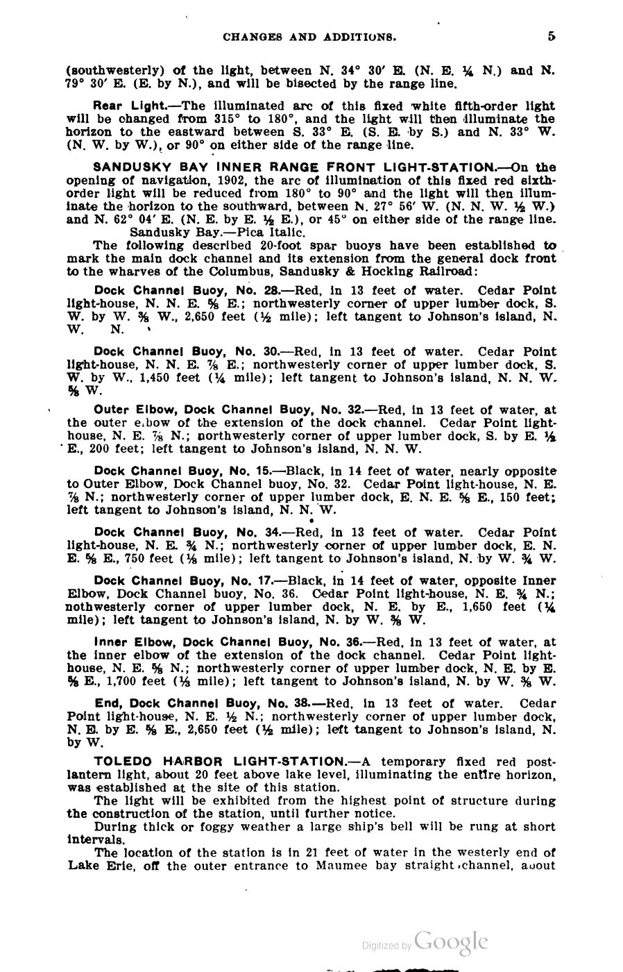
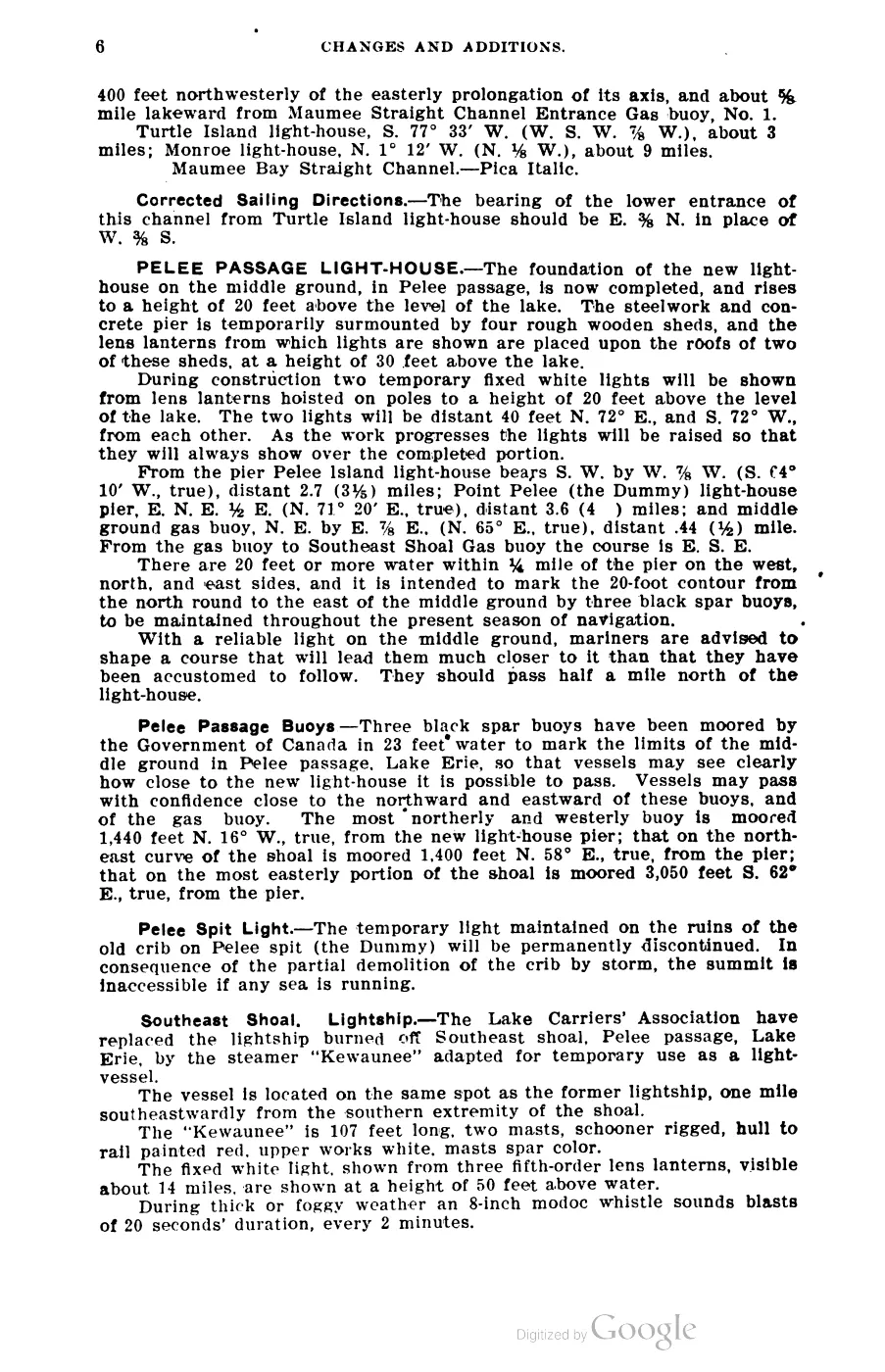
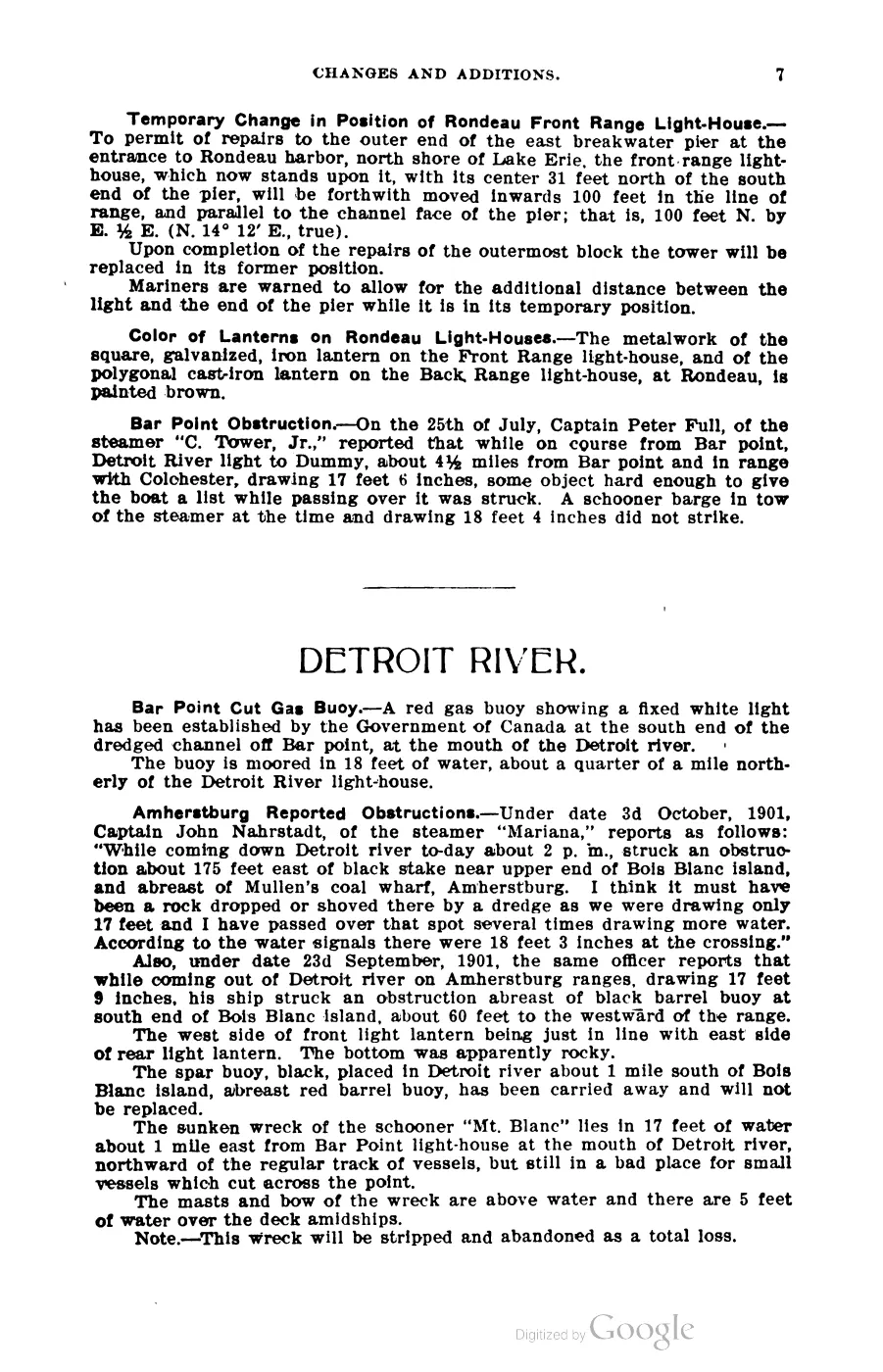
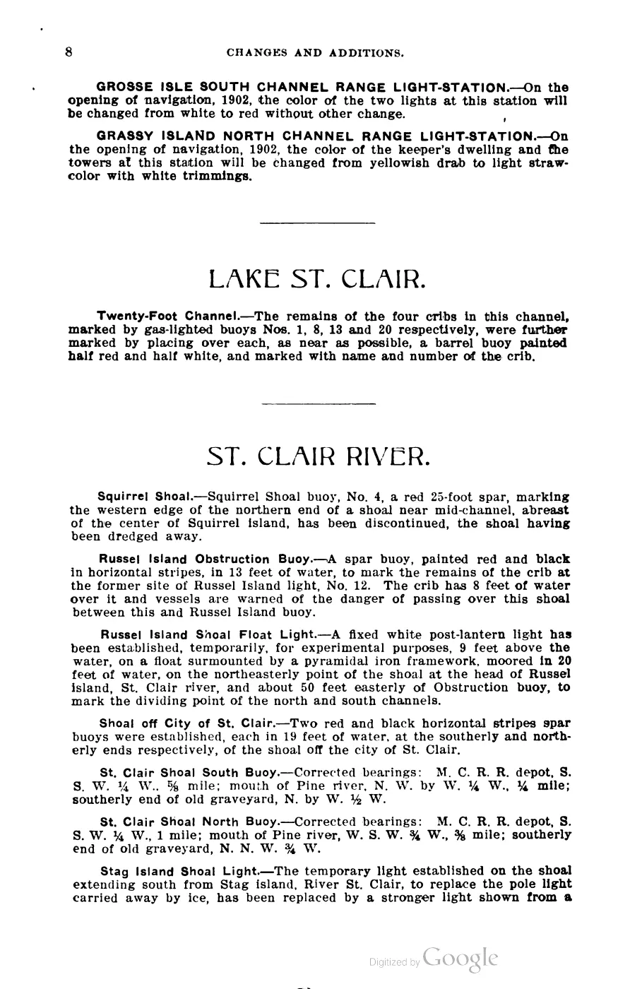
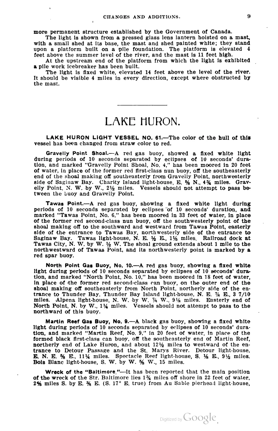
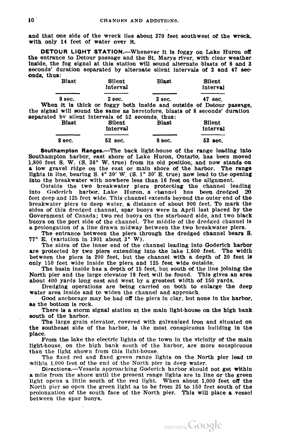

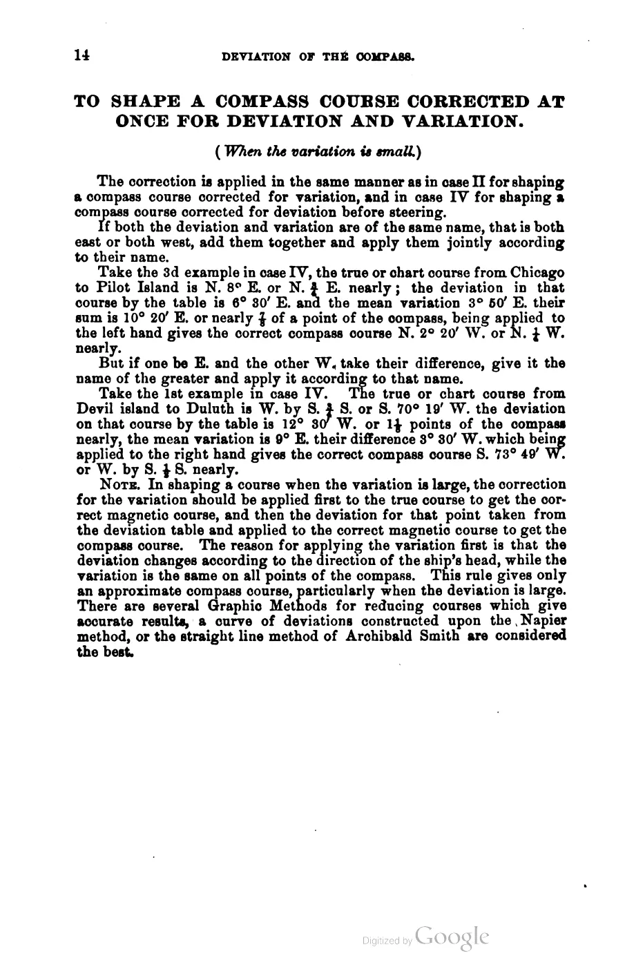
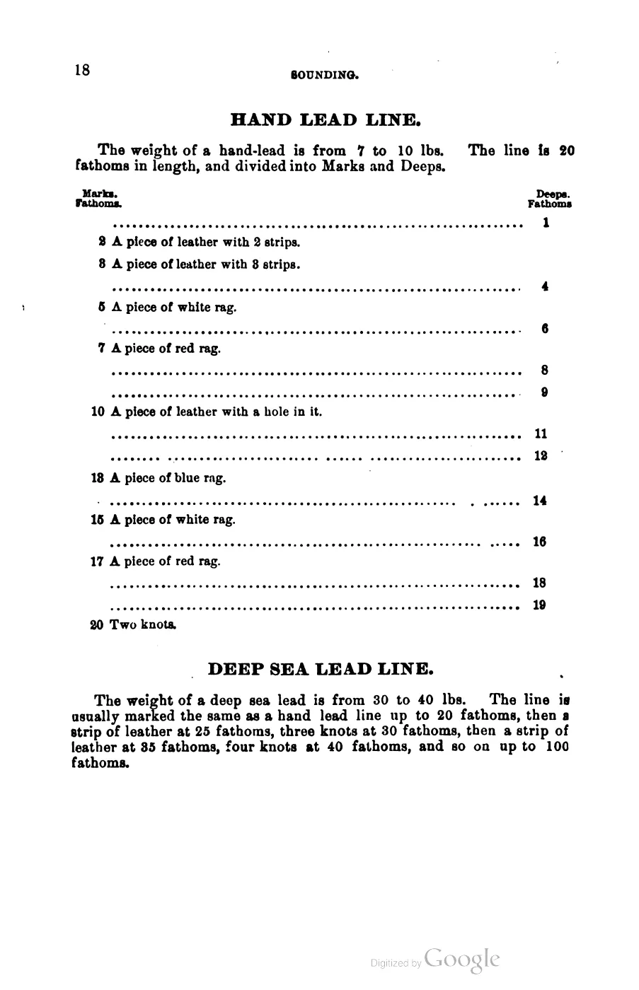
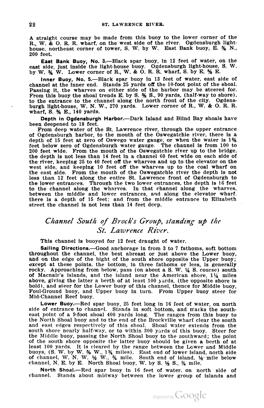
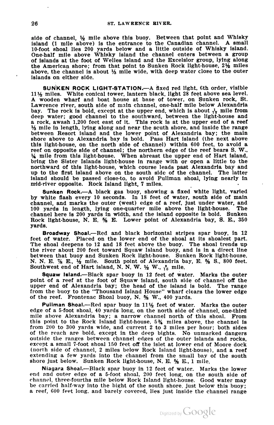
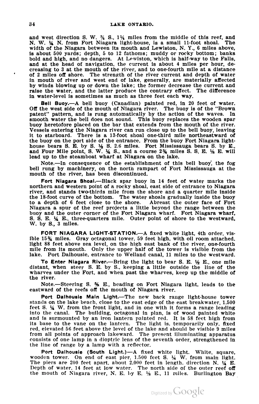
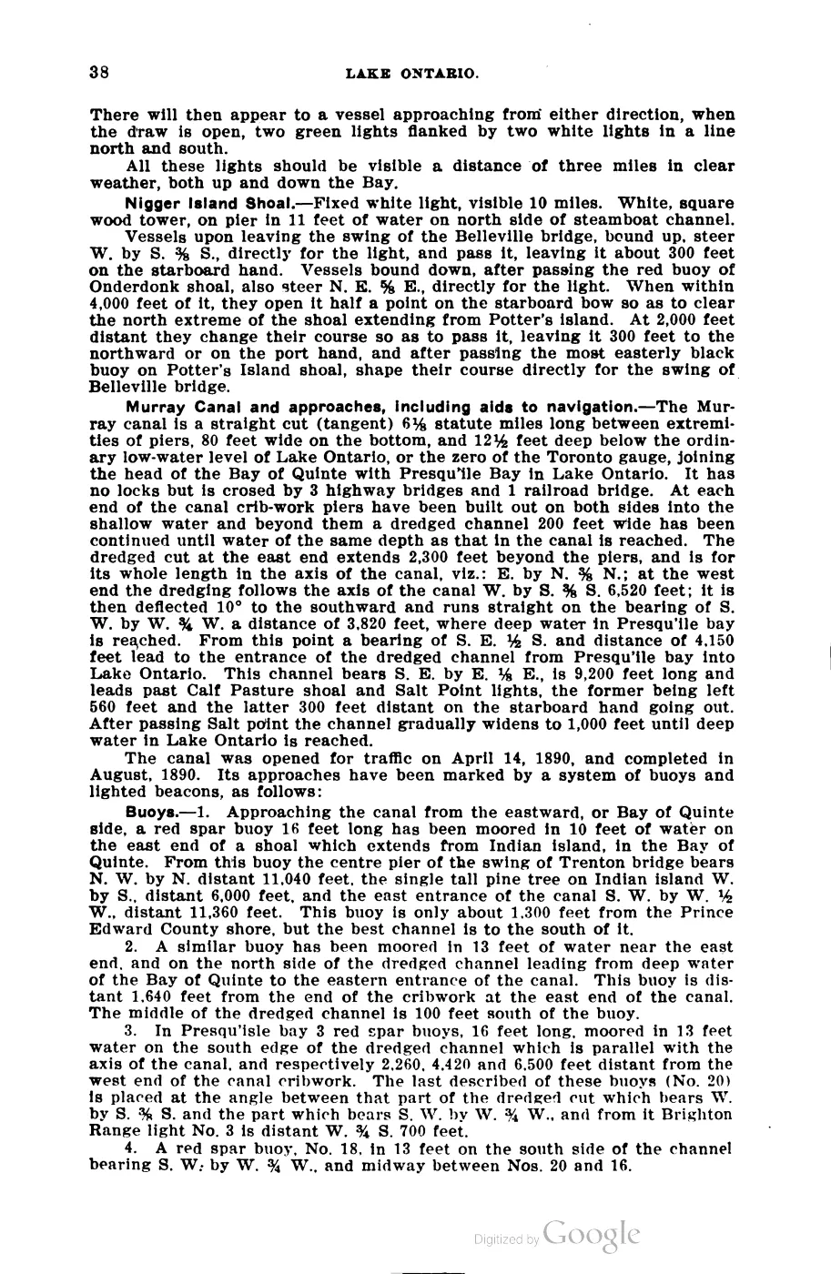
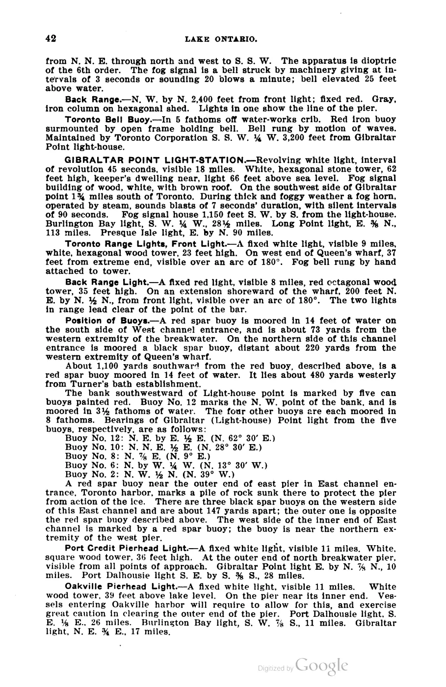
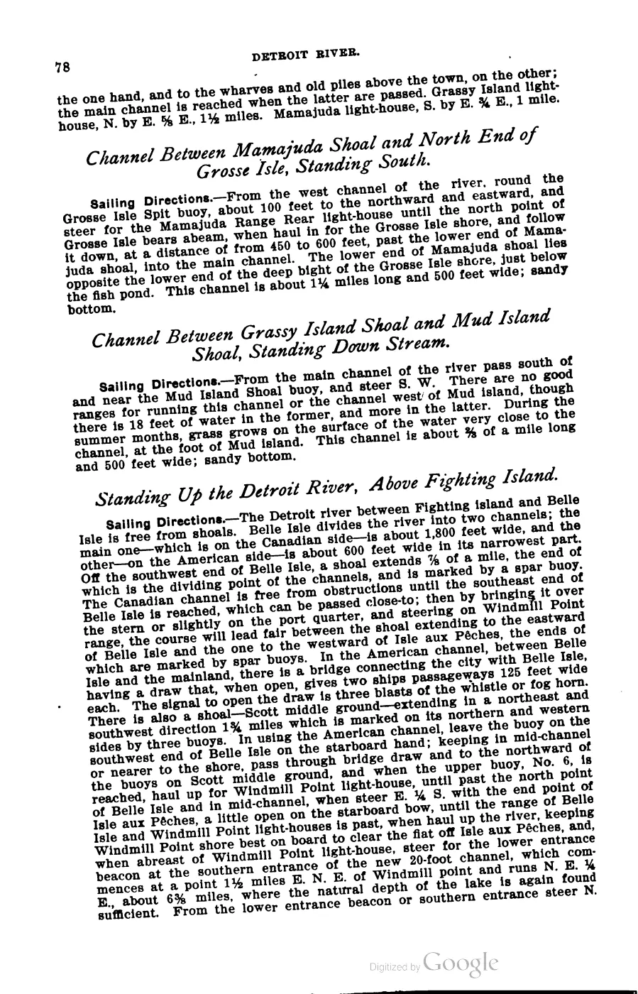
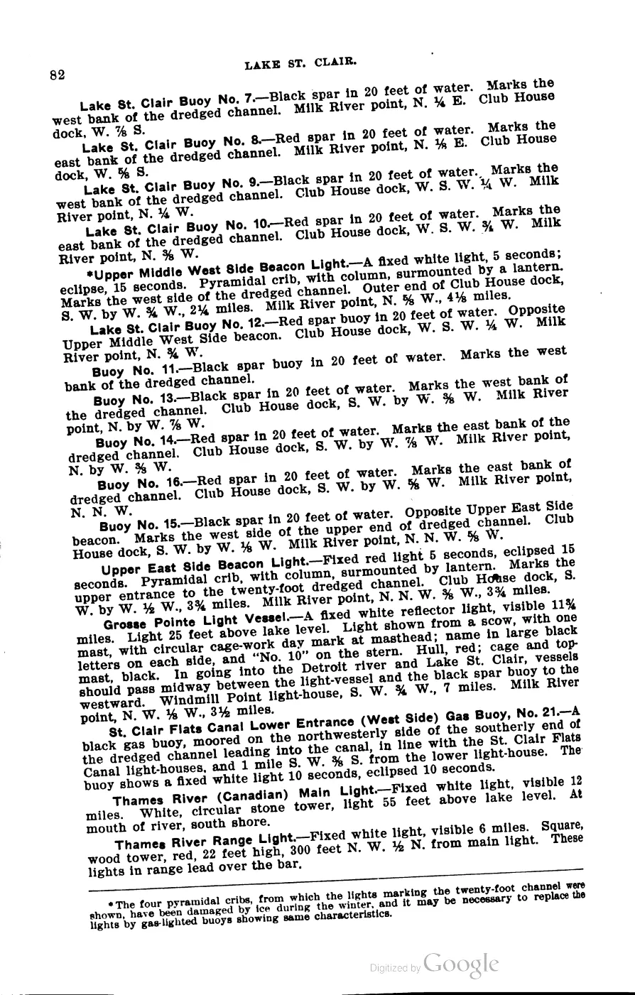
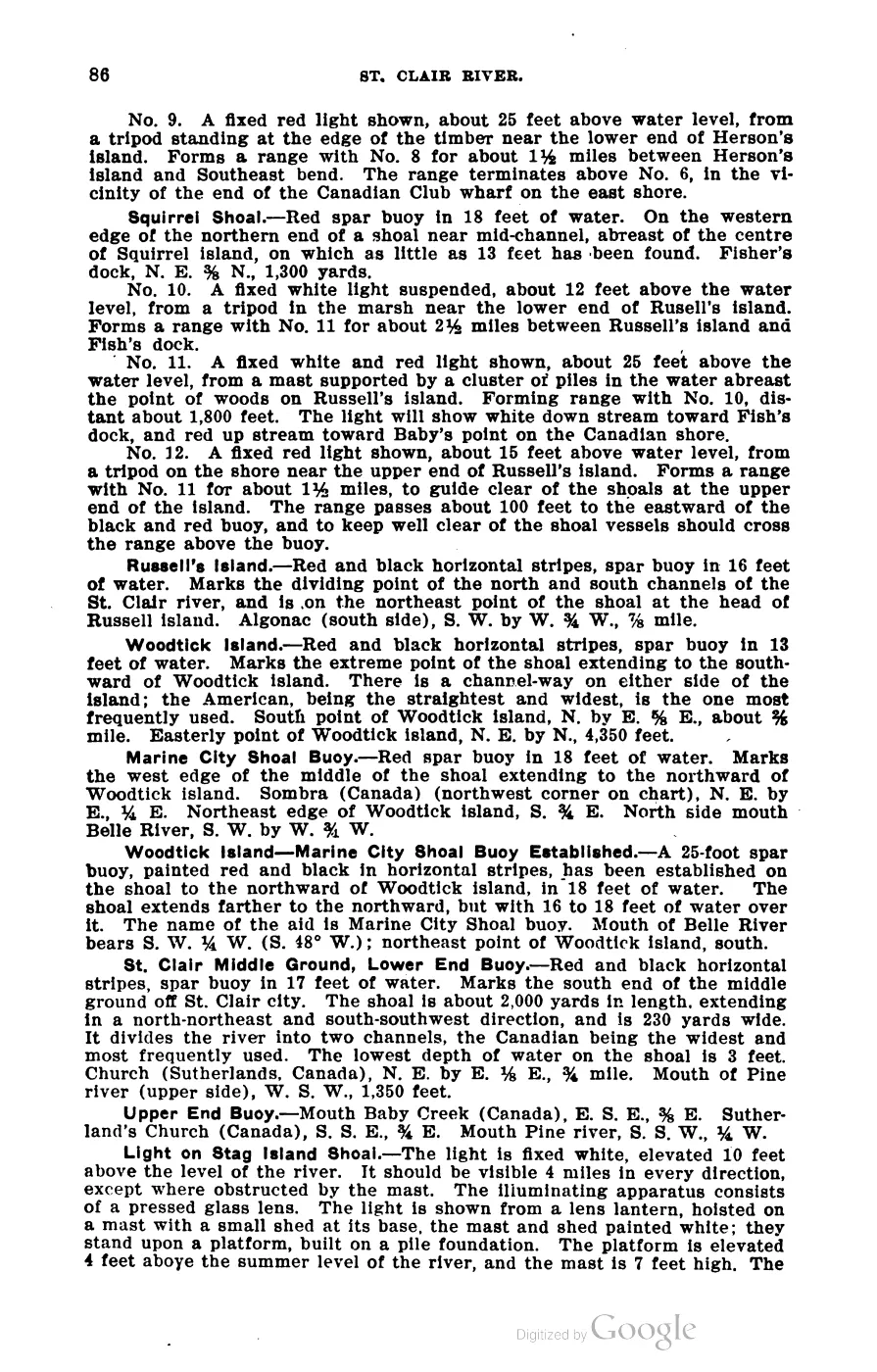
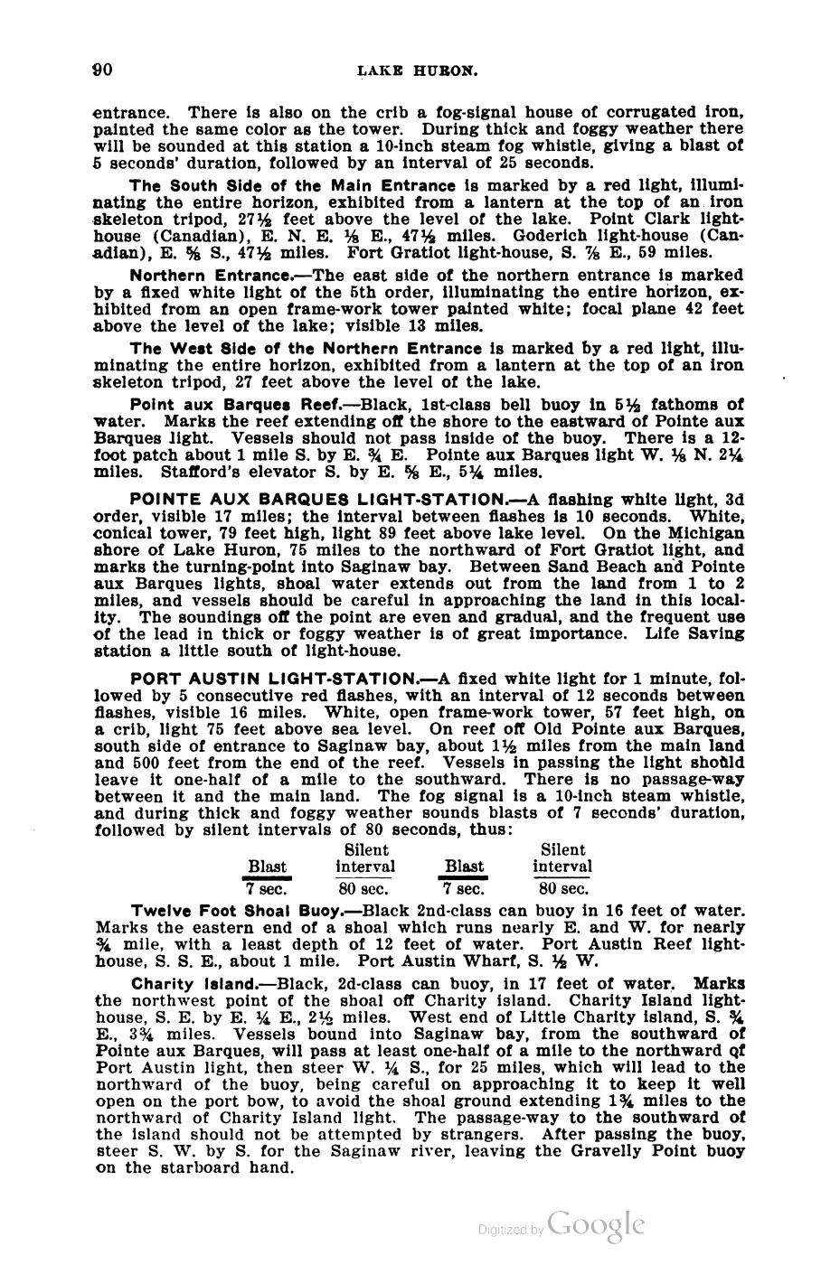
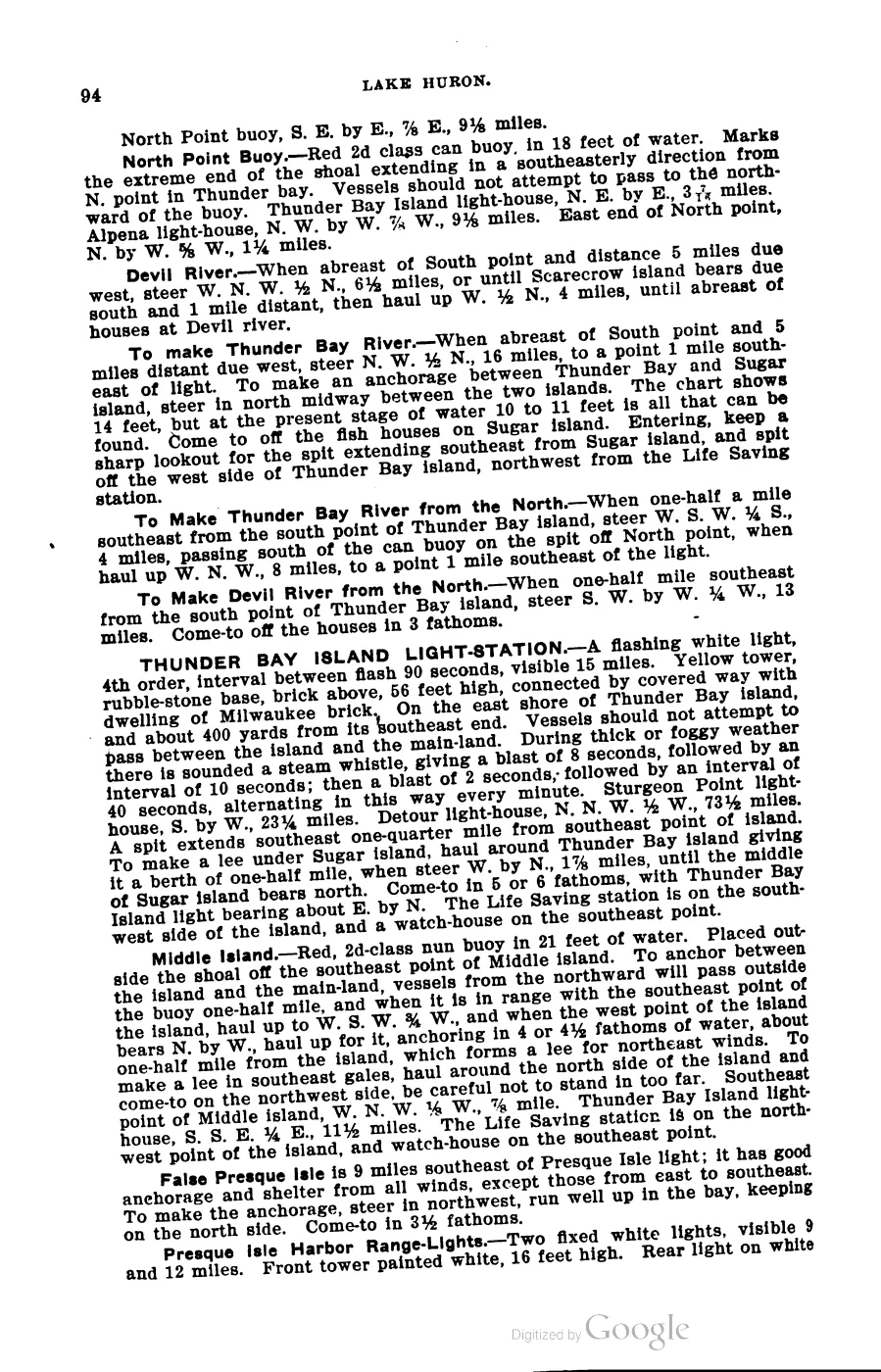
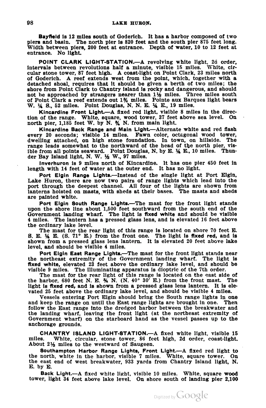
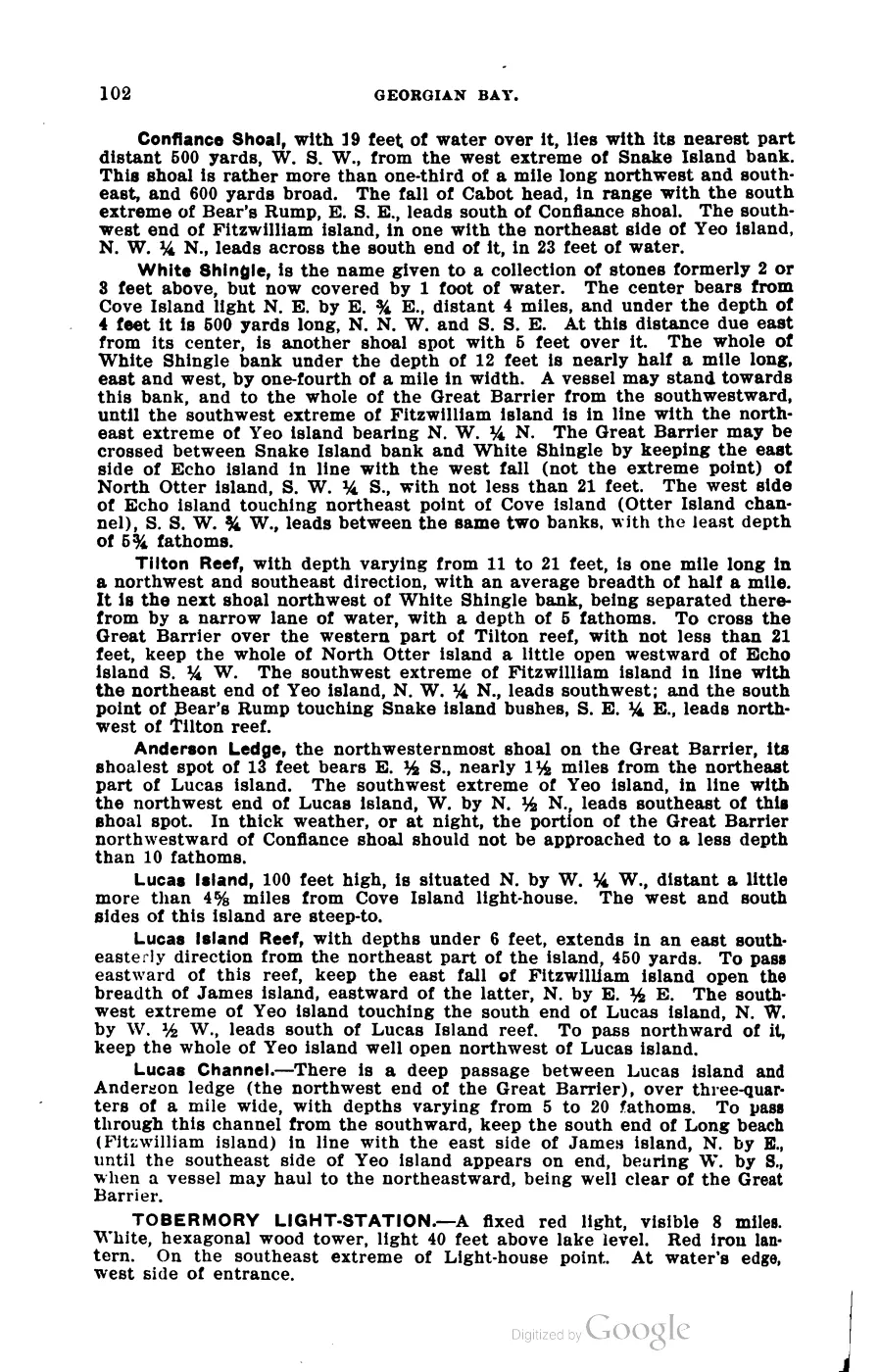
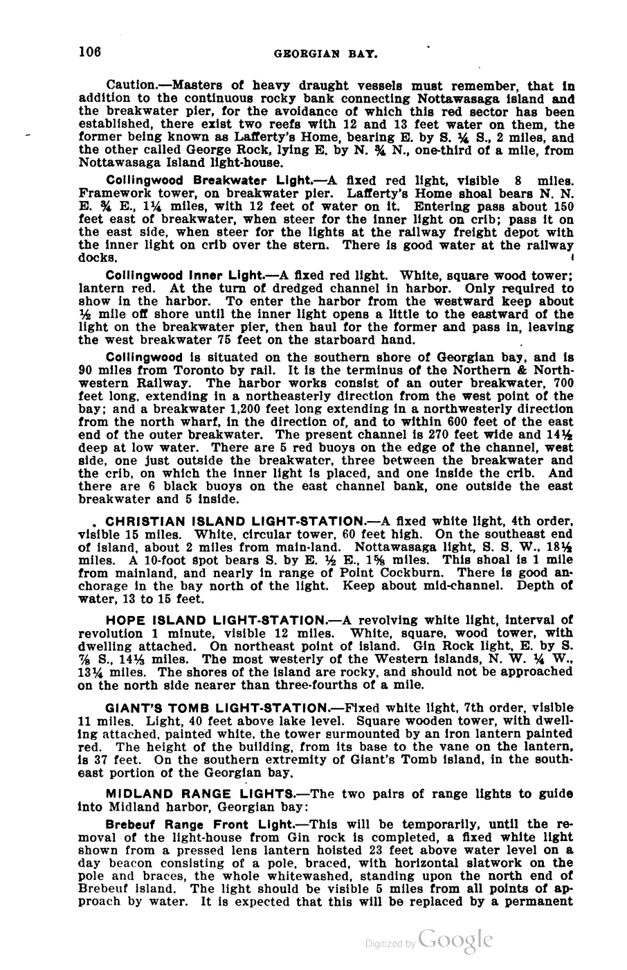
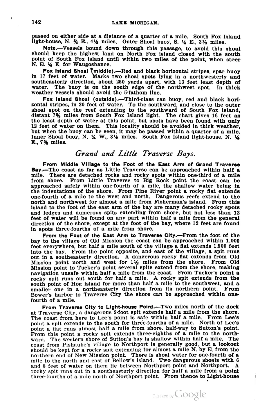
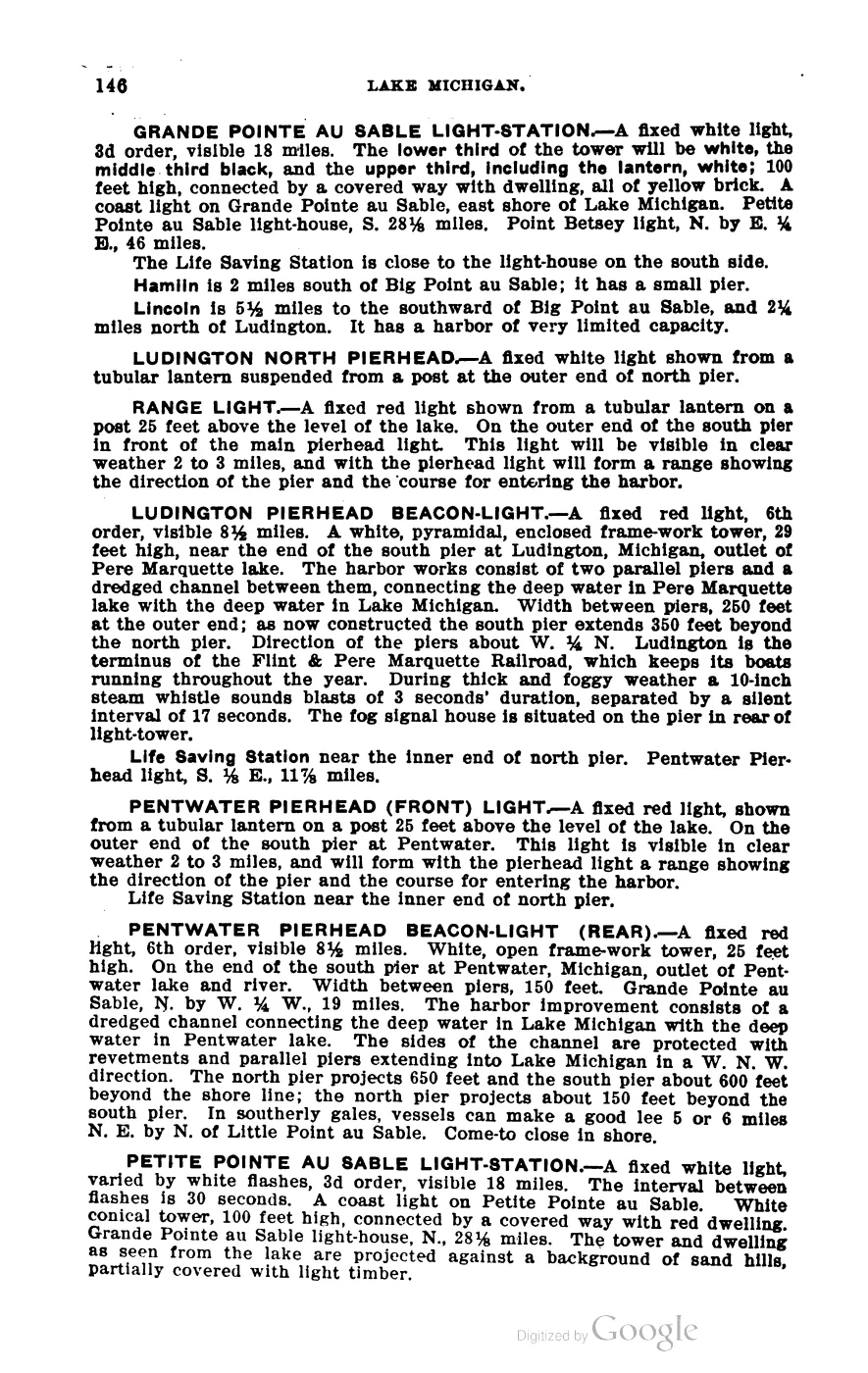
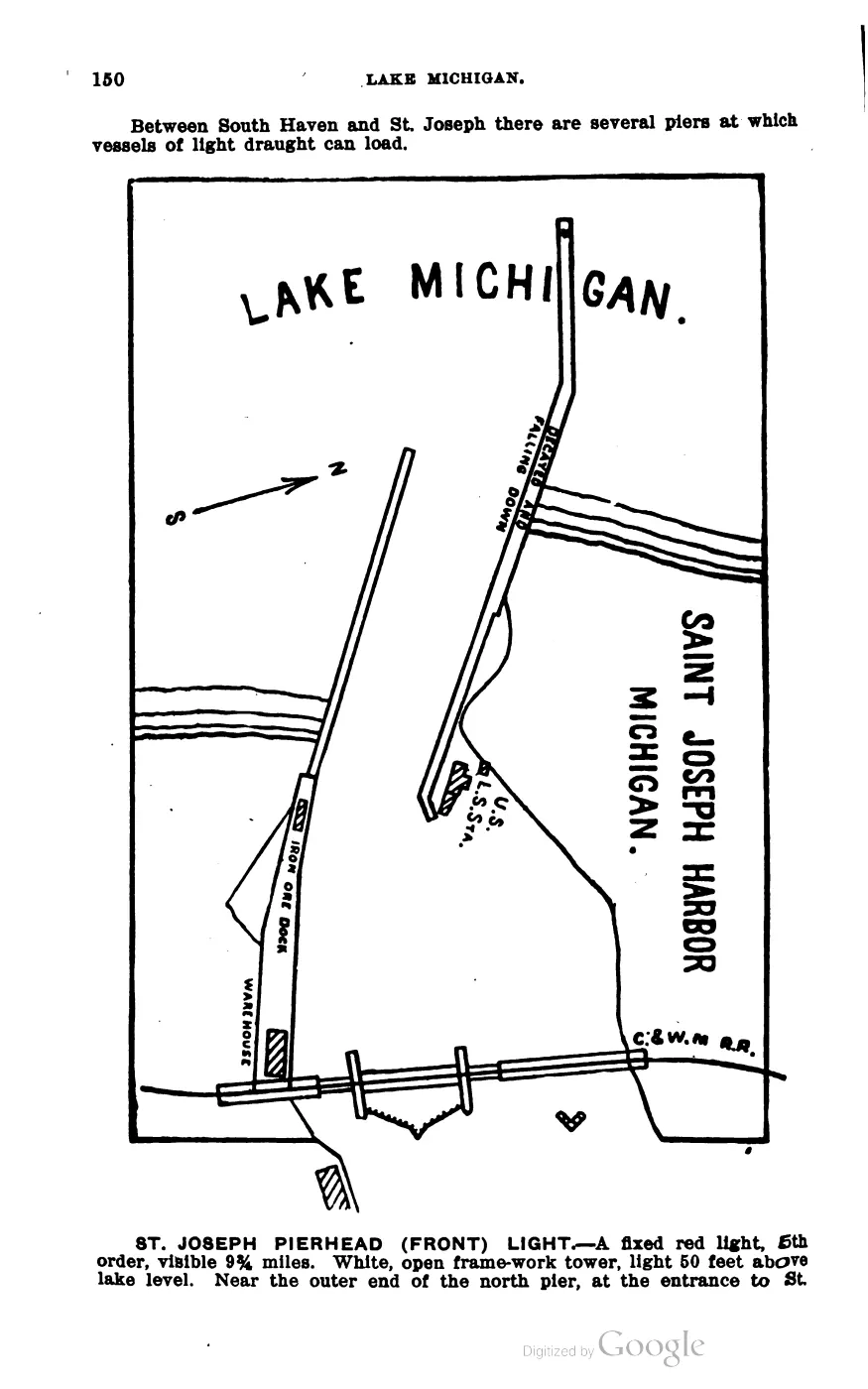
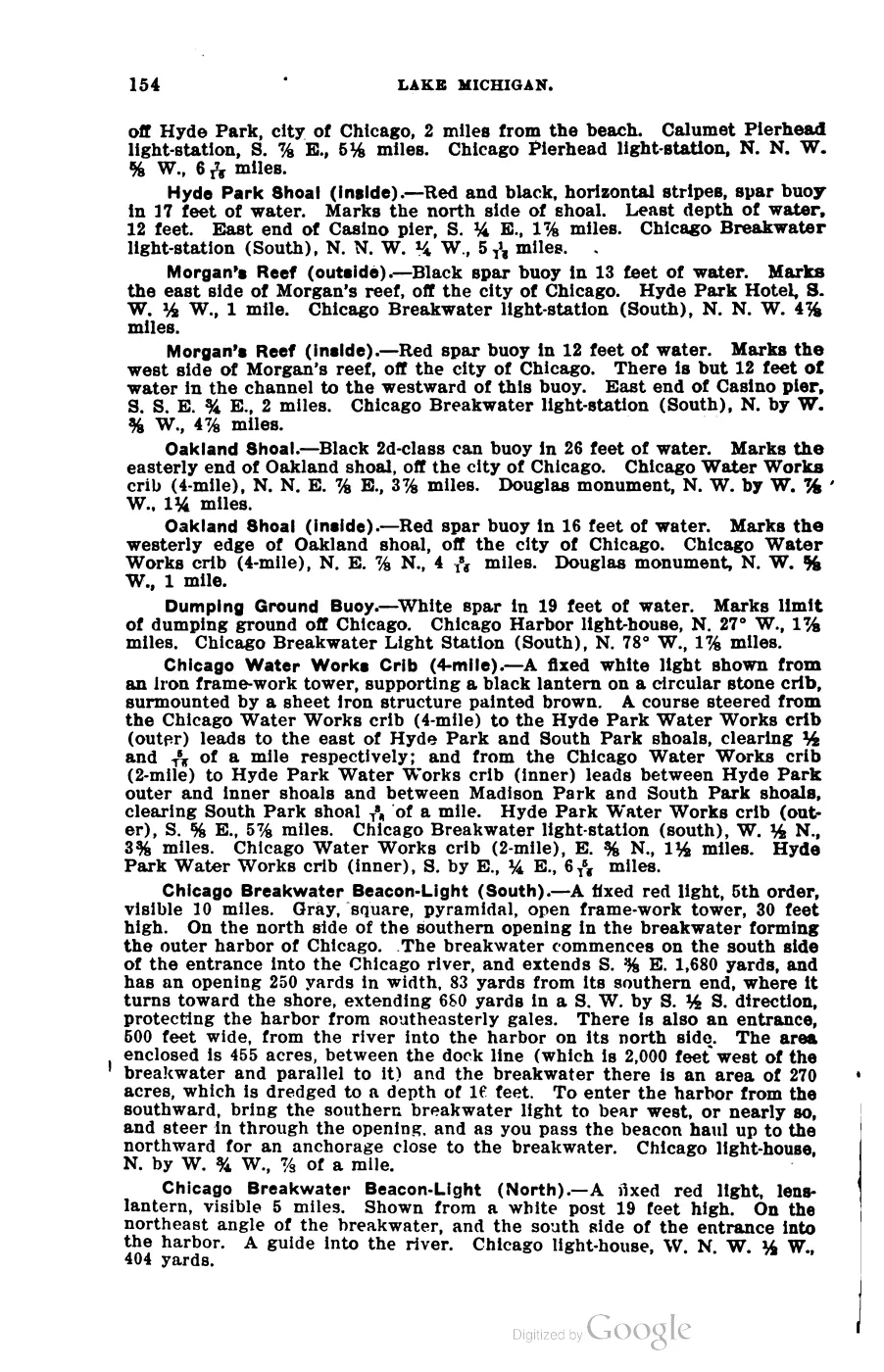
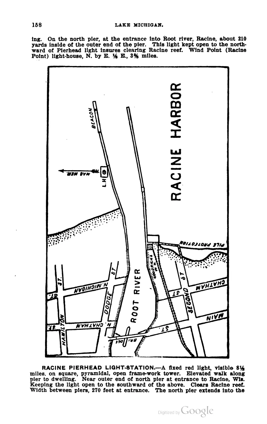
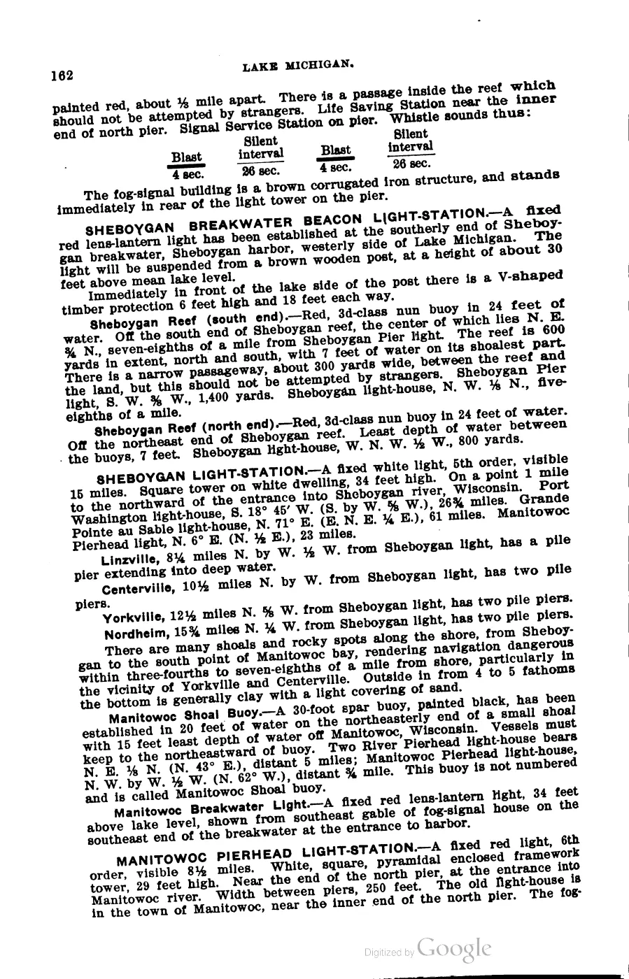
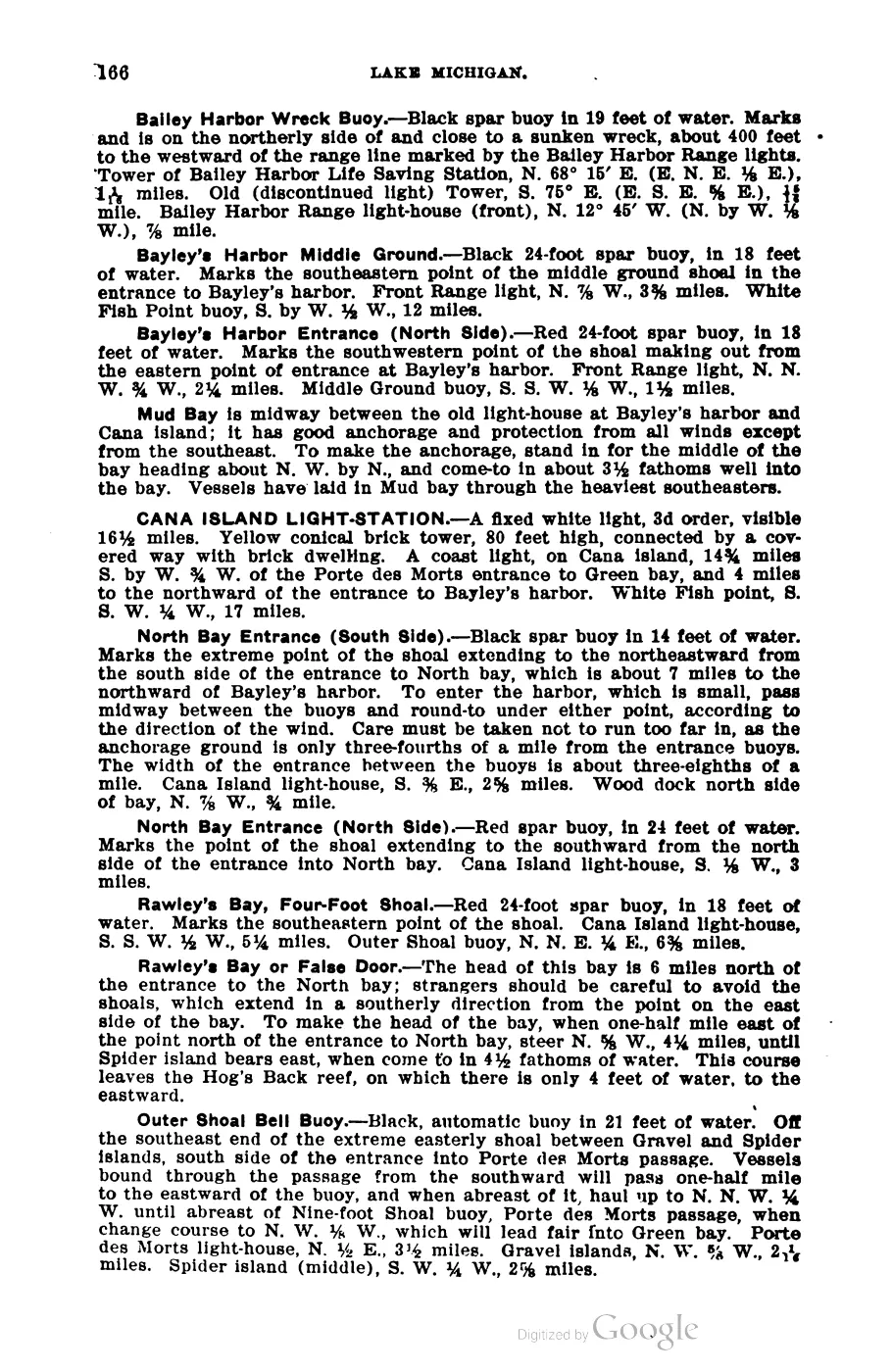
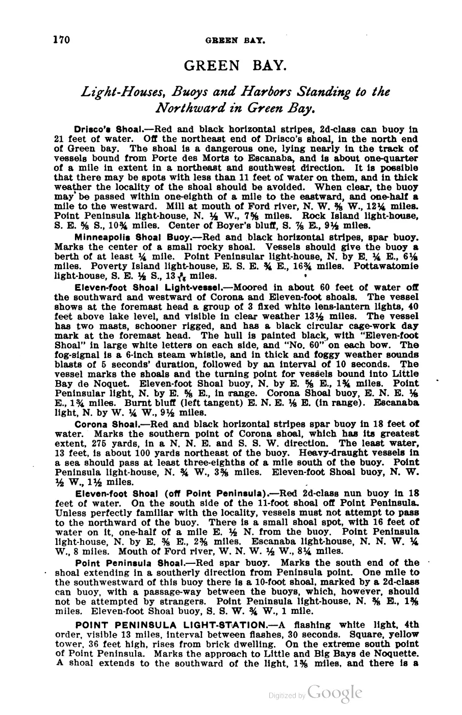
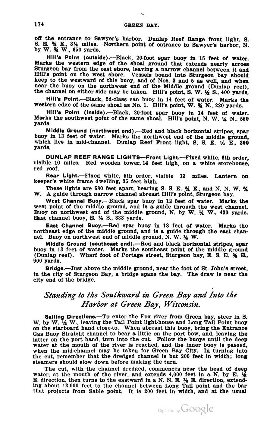
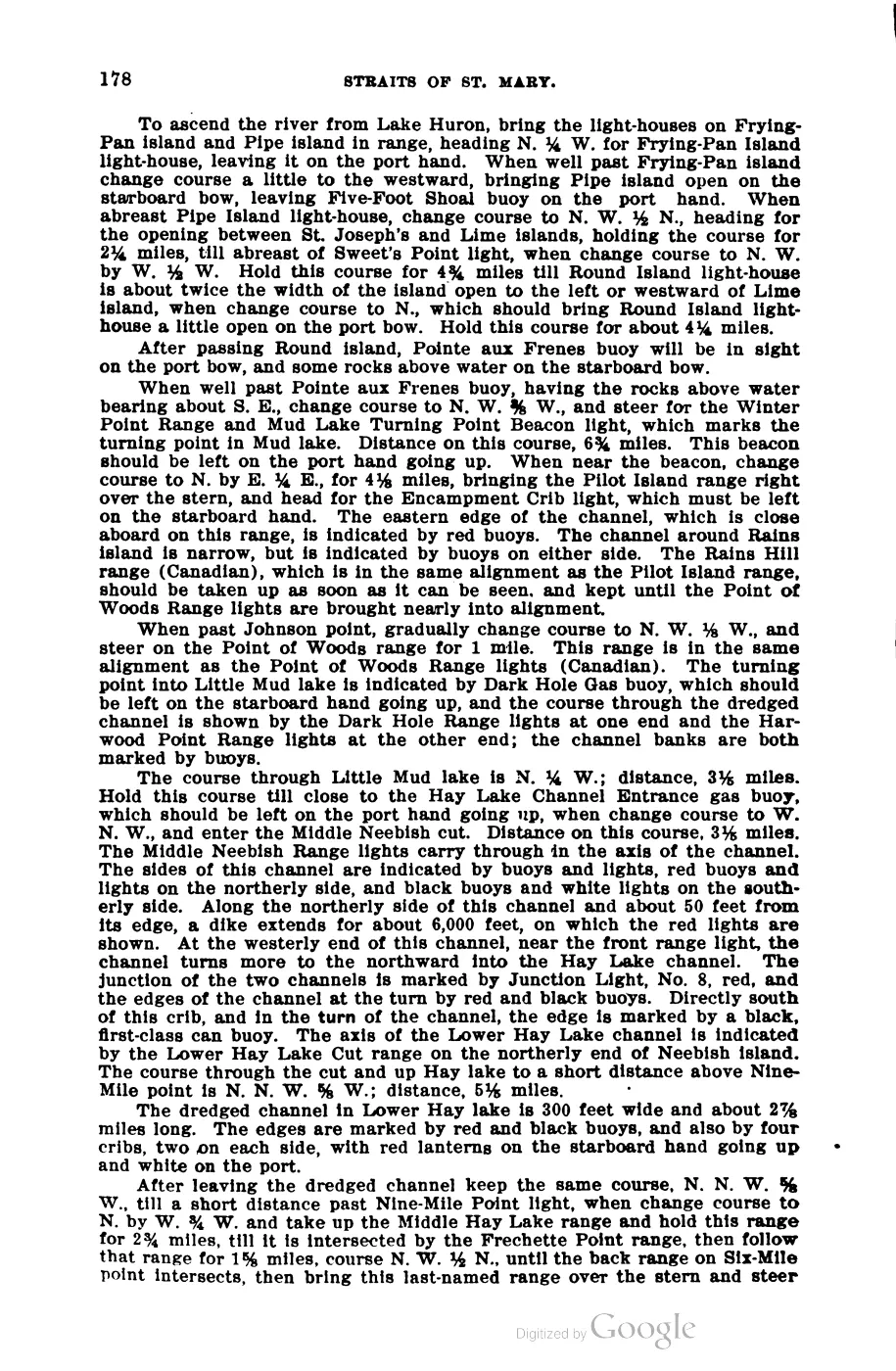
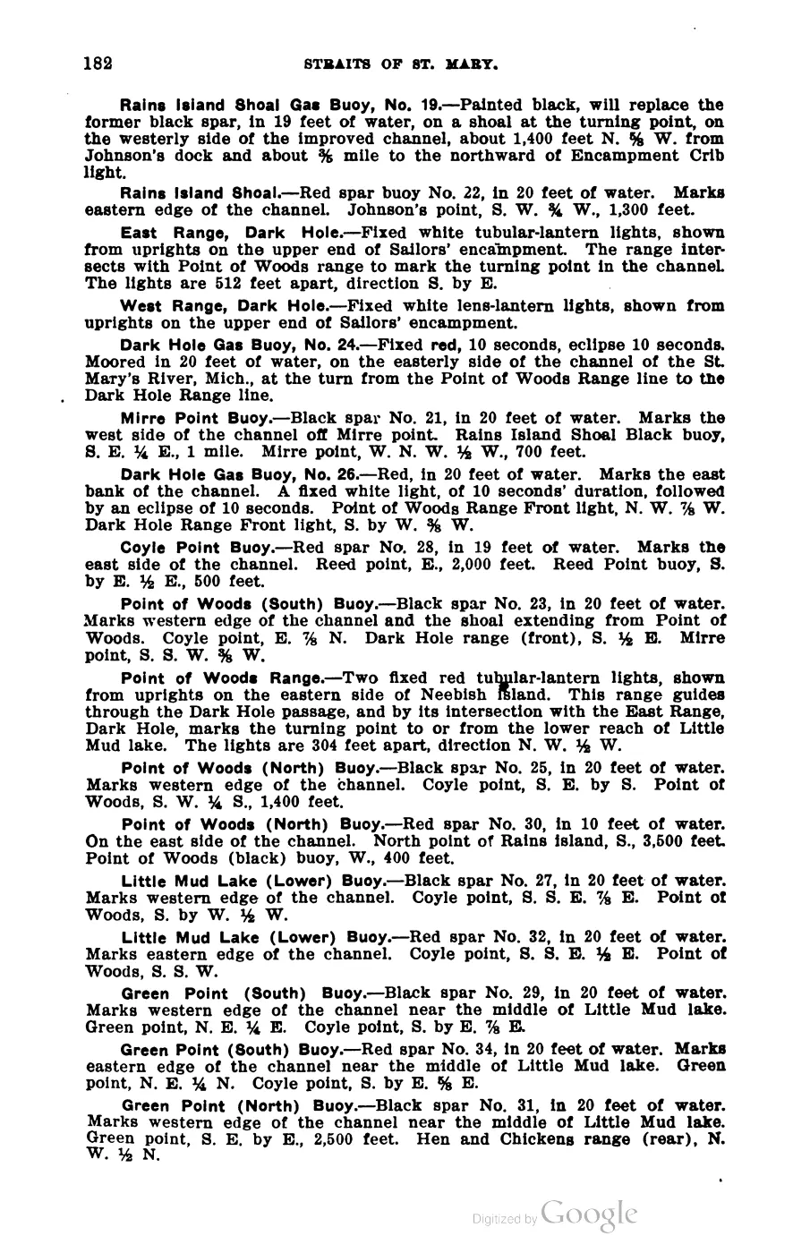
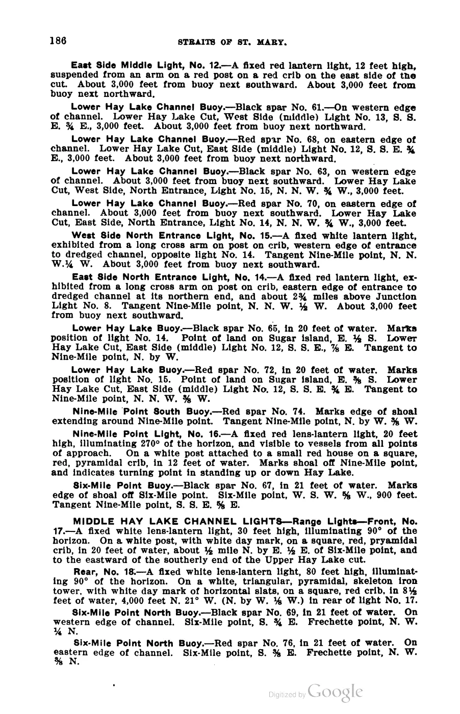
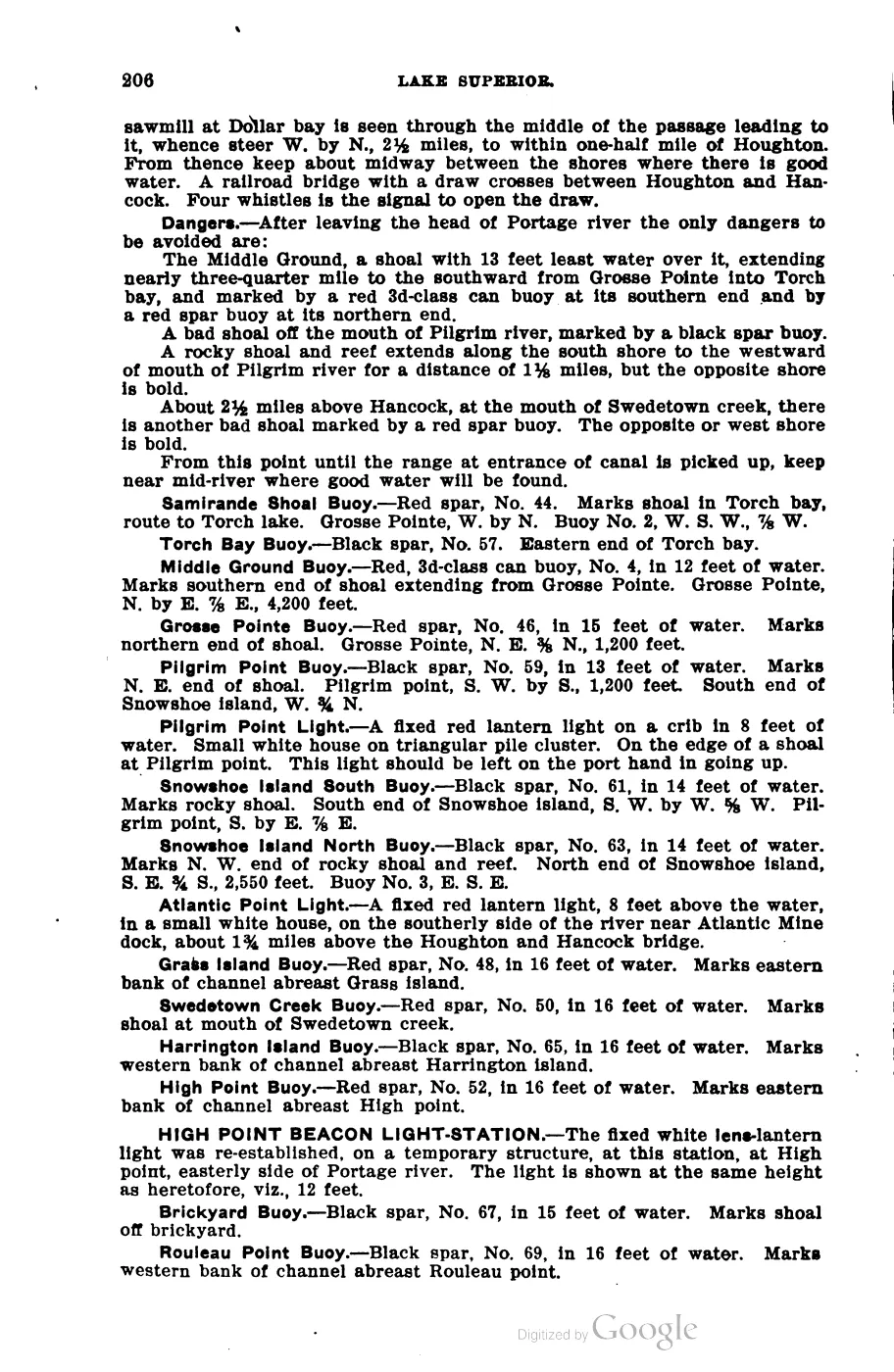
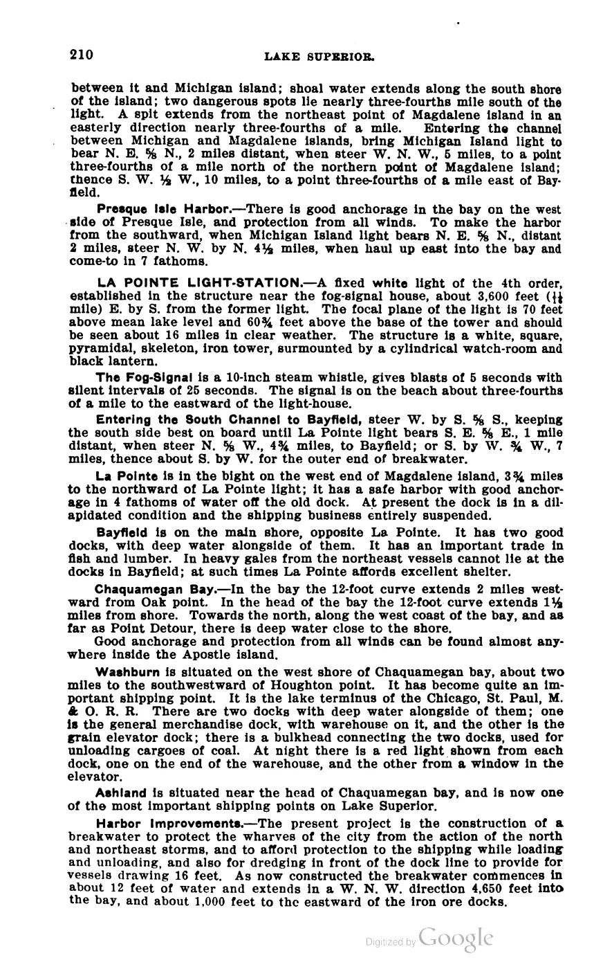
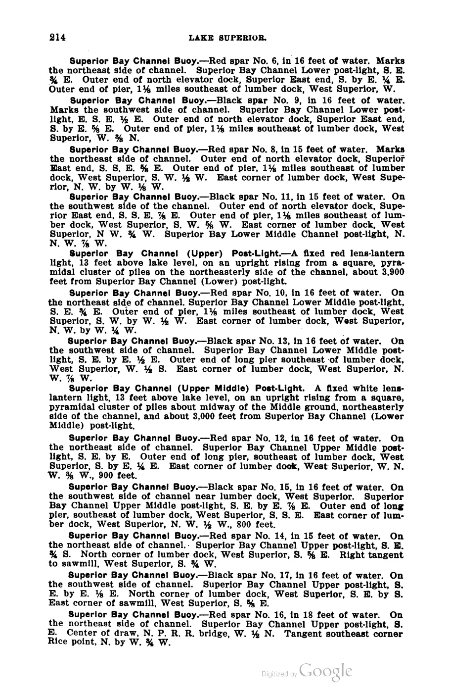
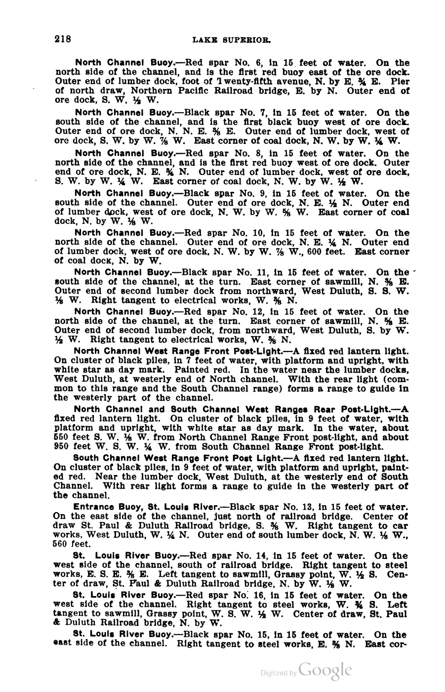
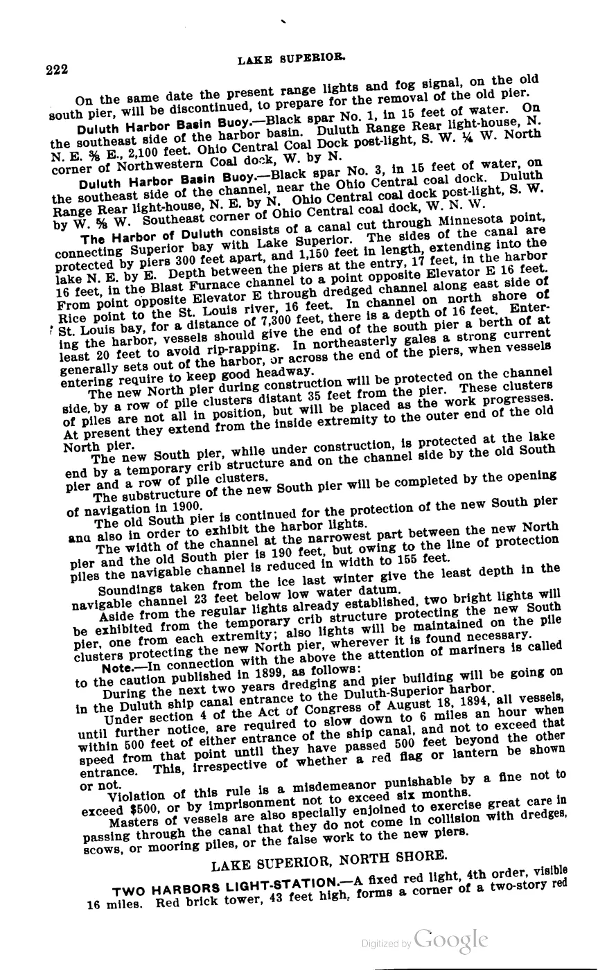
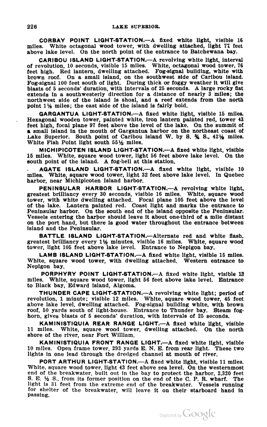
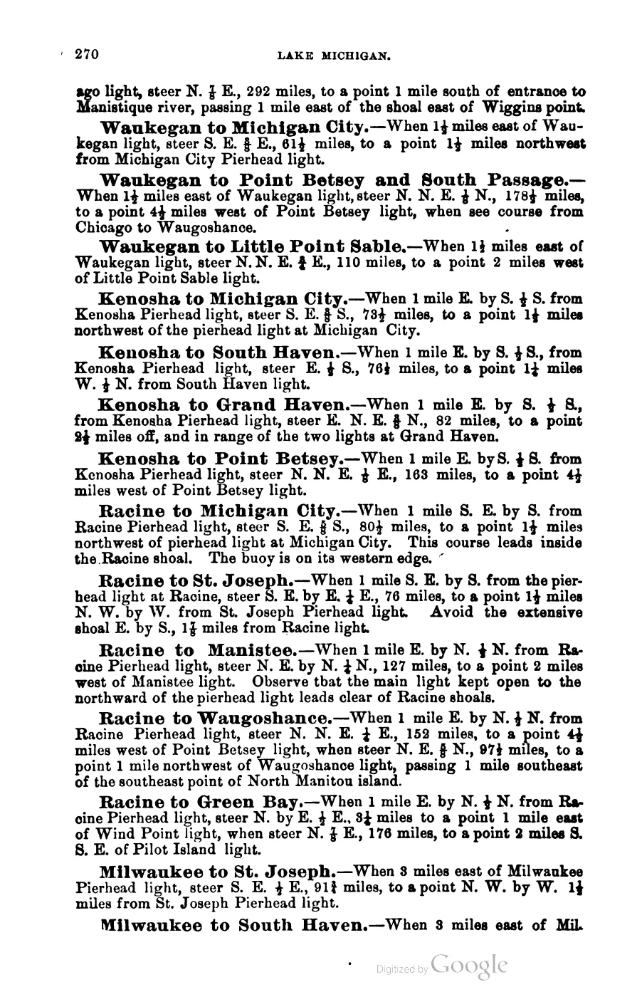
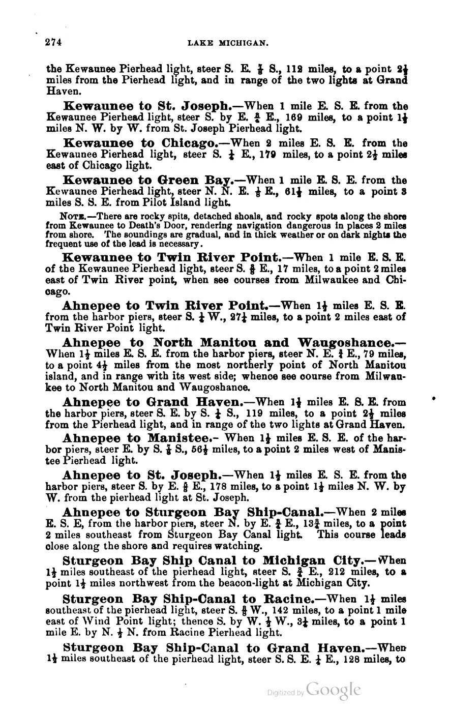
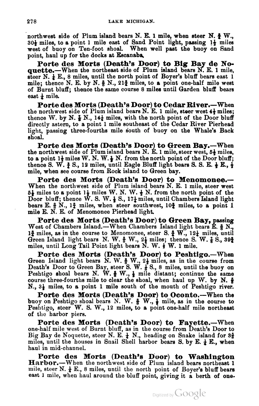
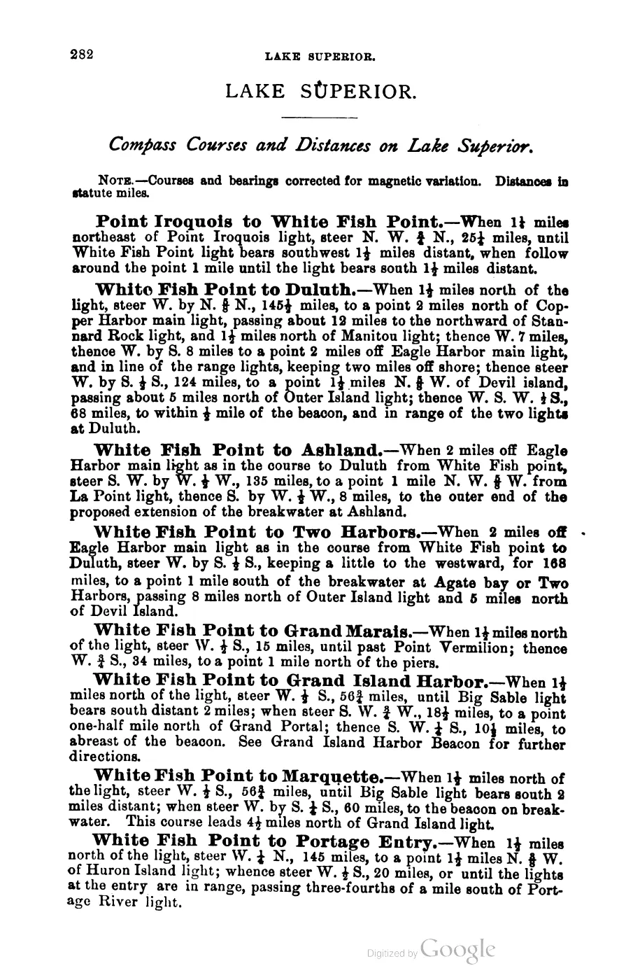
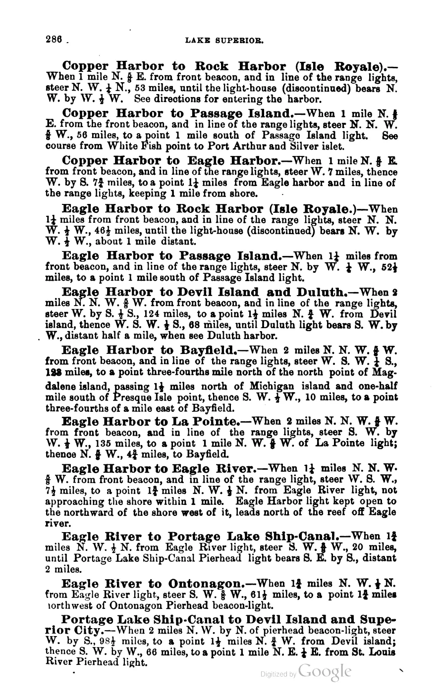
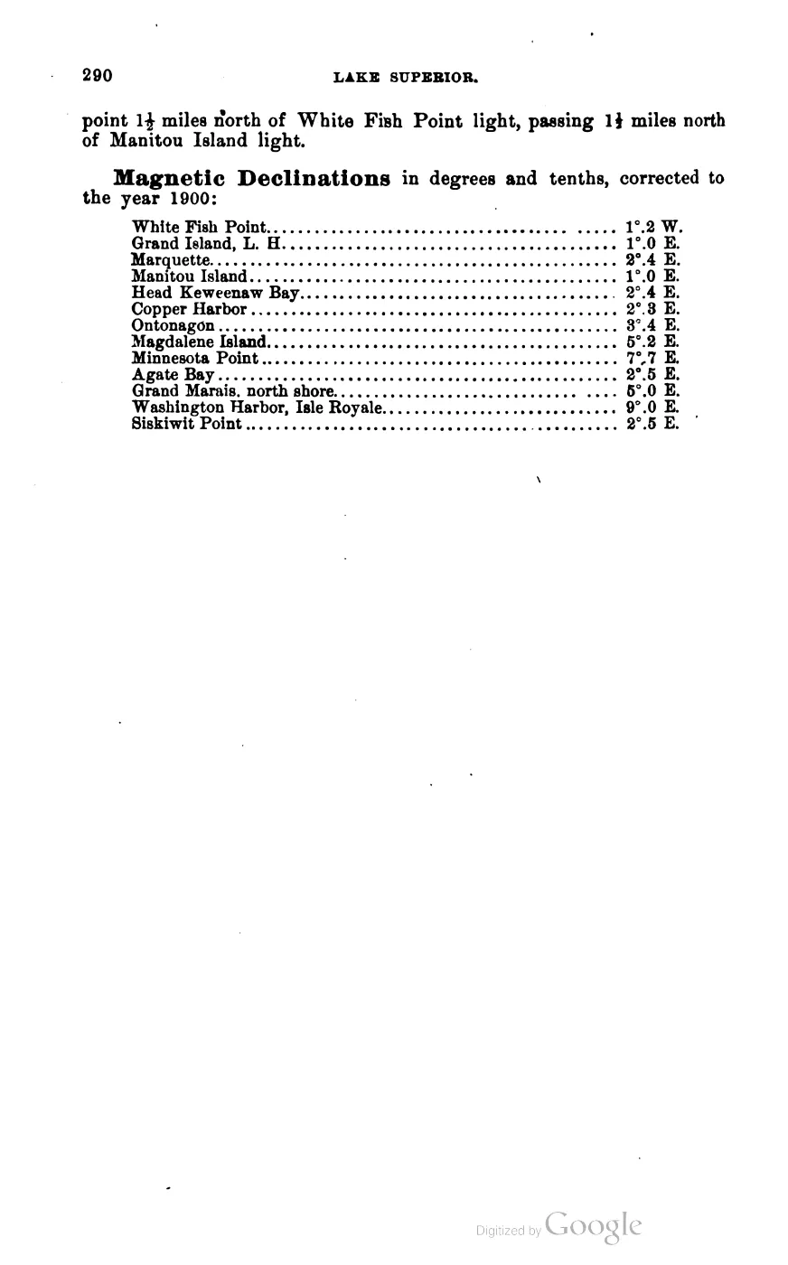
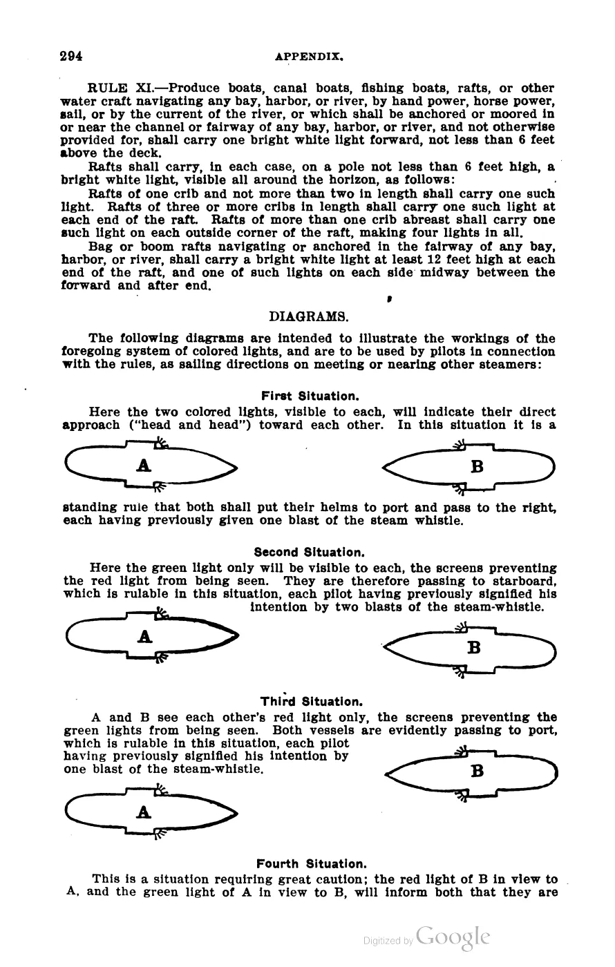
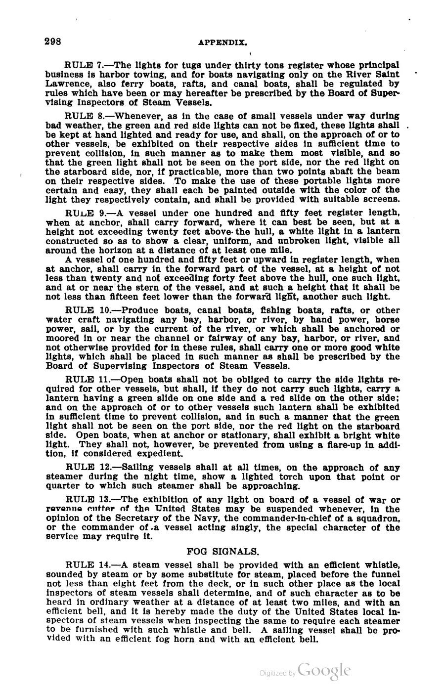
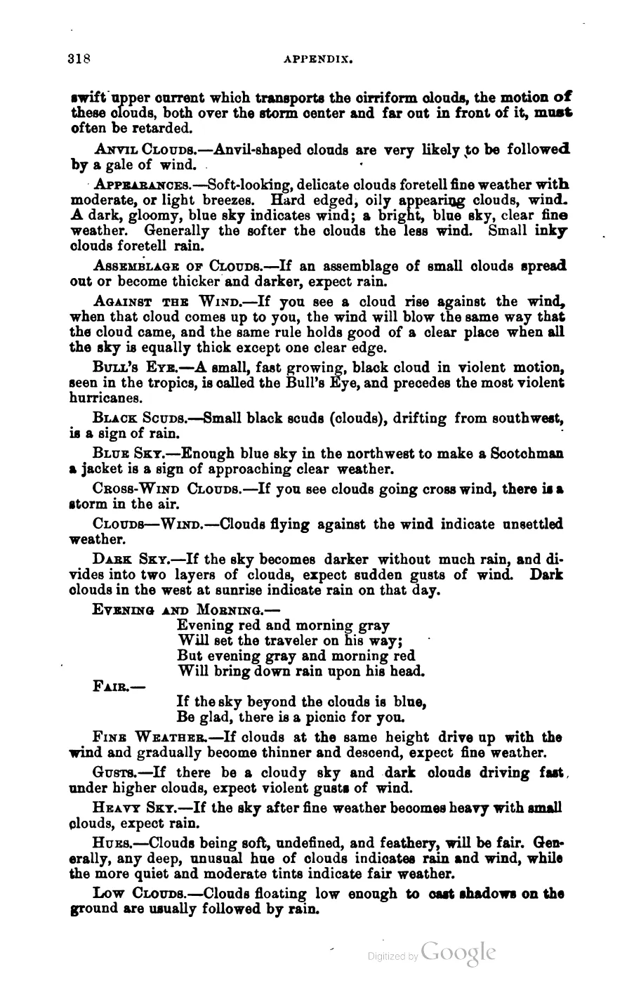
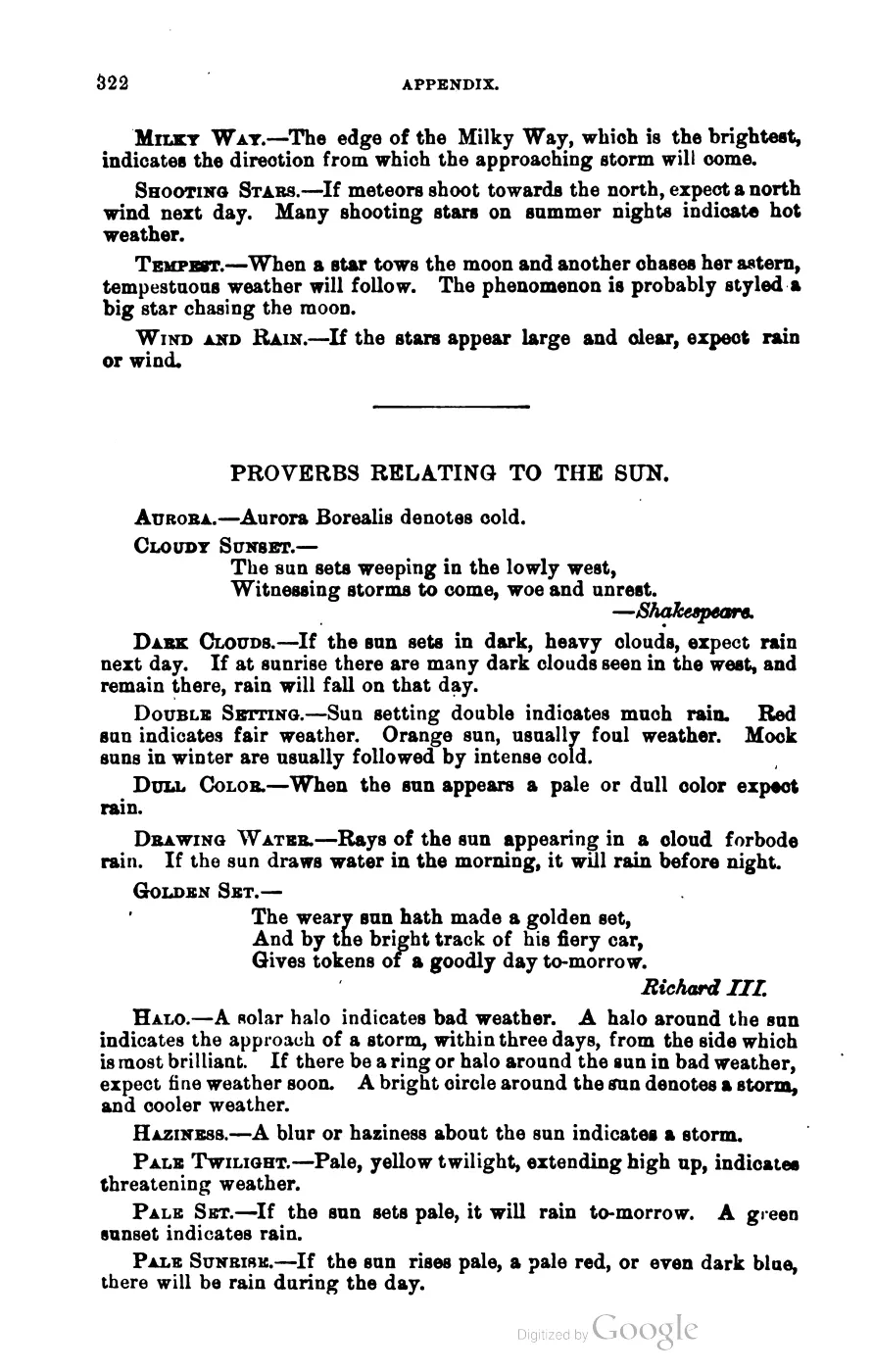
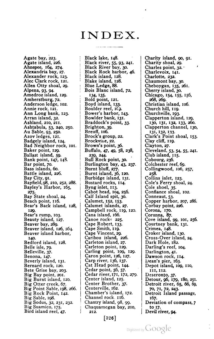
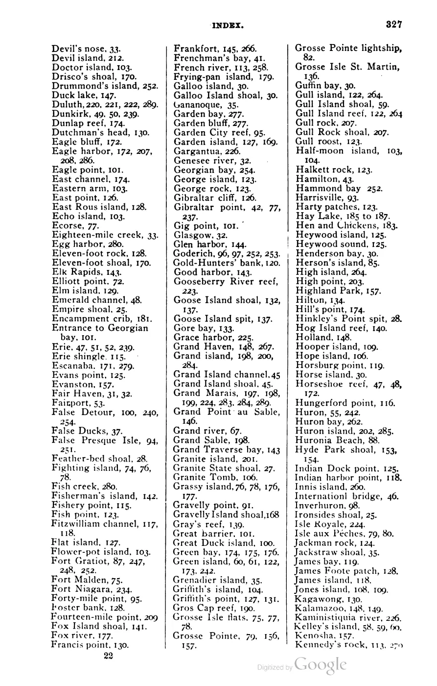





135 of 393 pages linked here — every page to 32, then every 4th, then the last 16. With JavaScript, every page.
Sources
- Area 0.44 km² computed in EPSG:3078. OSM tags record old_name=Squaw Island, wikidata=Q42534252, and a description quoting Secretarial Order 3404: 'In response to the Department of the Interior Secretarial Order 3404 this is the list of U.S. Board on Geographic Names approved official Sq_ replacement names.'osm · islands
- GNIS feature 638673; feature class 'Island'; official name Ojibwa Island.federal · gnis · gnis_names
- Records "Squaw Island" as the prior name for feature 638673, linked as official/variant.federal · gnis · gnis_variant_names
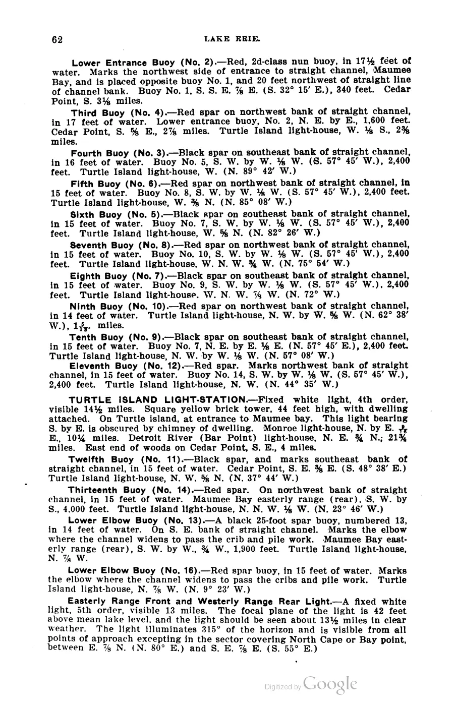
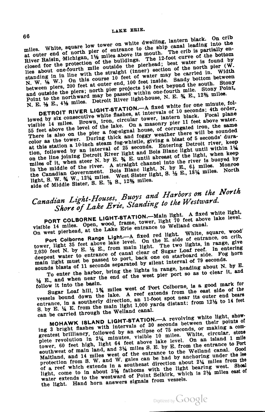
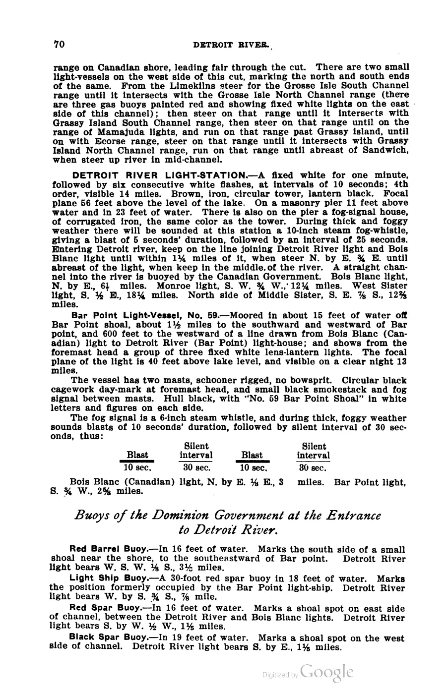
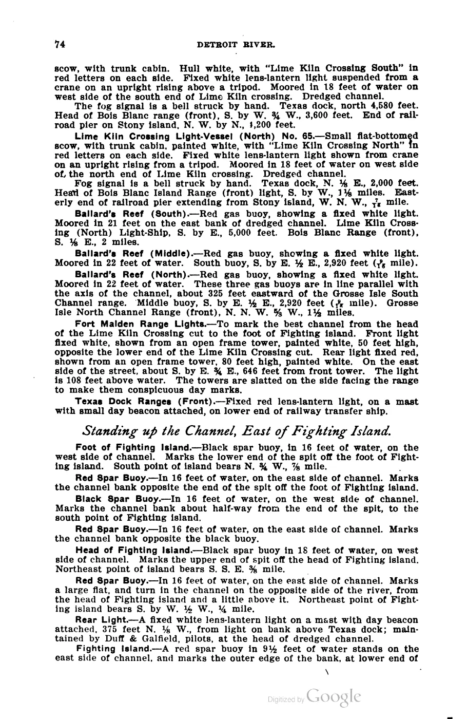
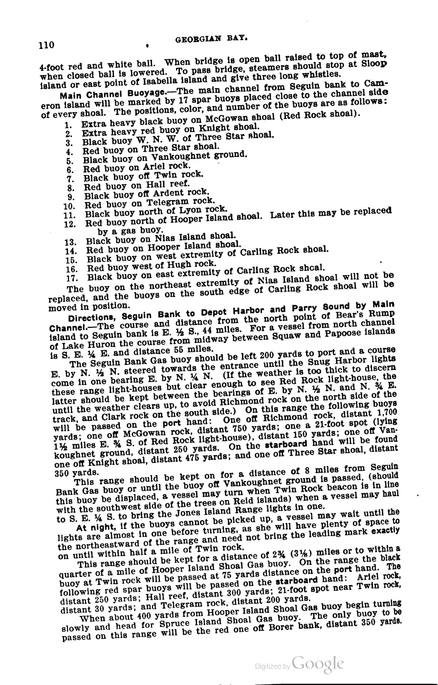
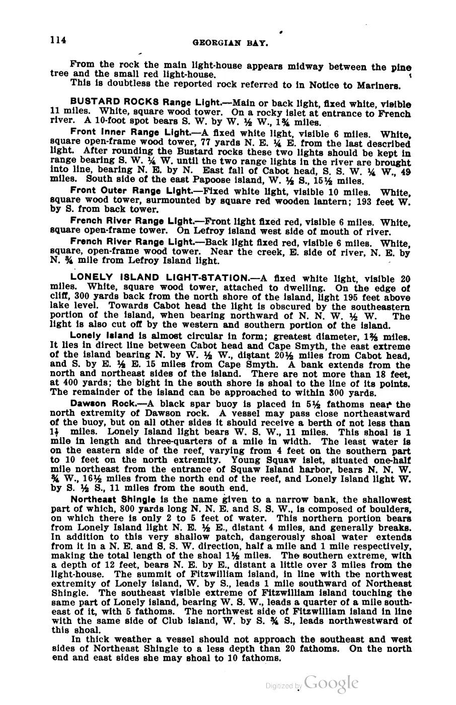
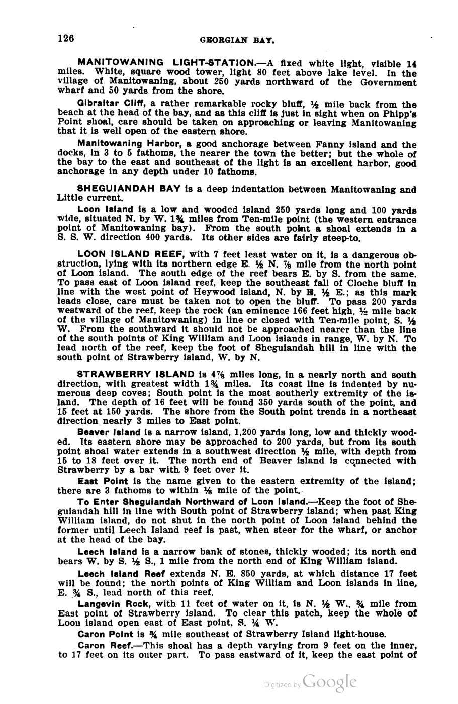
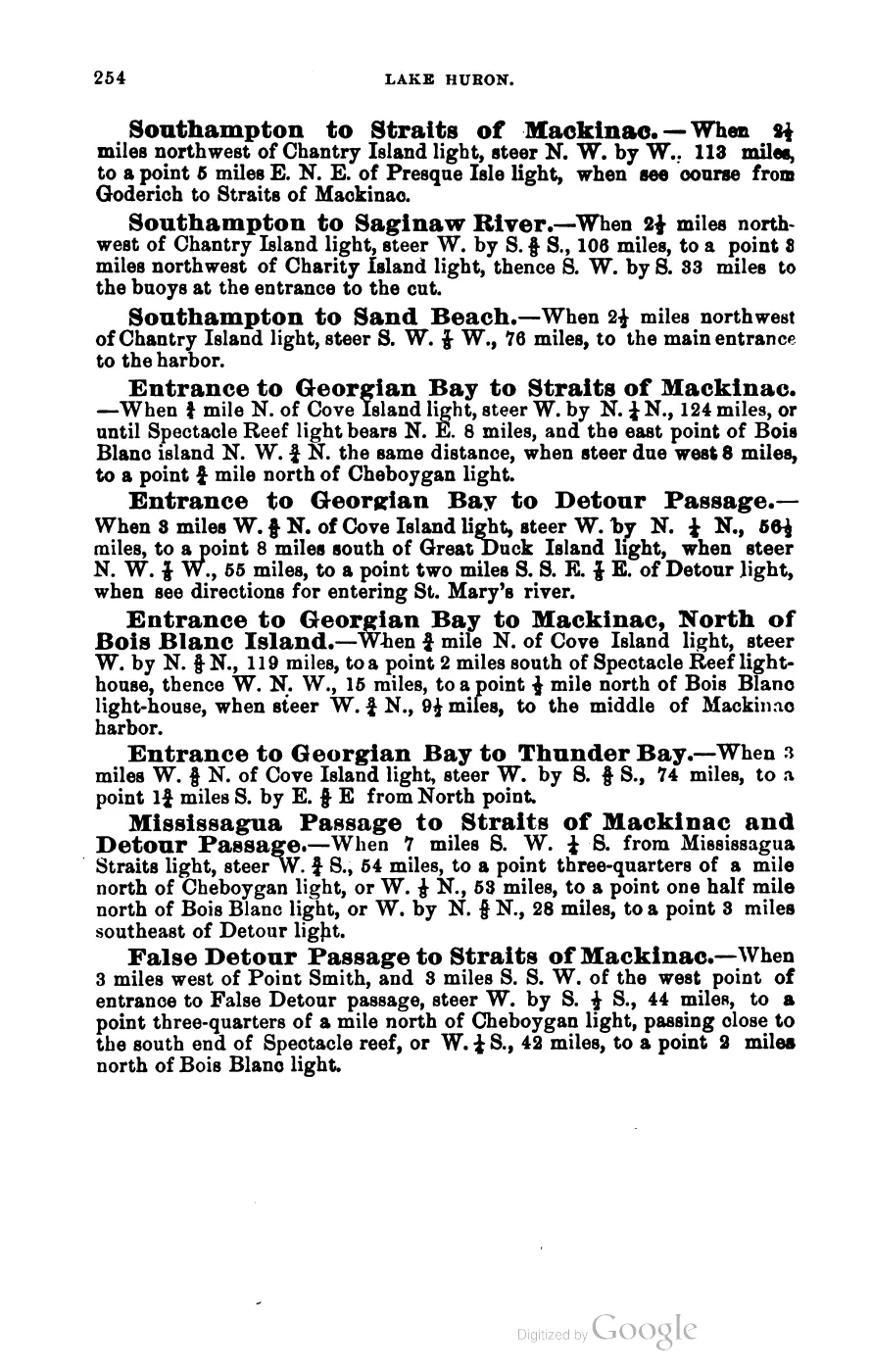
- George Scott, Scott's New Coast Pilot for the Lakes (6th ed., Detroit, 1902), p. 169.'SQUAW ISLAND LIGHT-STATION.-A fixed red light varied by a red flash every 15 seconds, 4th order, visible 15 miles. Red brick tower 48 feet high, square at base and octagonal above... On the northerly end of Squaw island, the most northerly of the Beaver Island group... A coast-light marks the turning point into Lake Michigan.' No public copy of this file is known; the archive holds one and can provide it on request.local_documents · 1902_scott-new-coast-pilot-for-the-lakes-6ed
- Names 'Squaw Island, which now has a fine light-house erected upon it' among the islands visible from 'Mount Pisgah' above Beaver Island's harbor.
- 'One of the privately-owned islands in the Archipelago, Ojibwa Island is renowned for its historic lighthouse built in 1892.' Also: 'Trout and Ojibwa islands are privately owned.'
- Reports that Beaver Island resident Joe Callian, the private owner, wrote to Interior Secretaries Haaland and then Burgum asking that federal agencies (BGN, GNIS, Coast Guard, Army Corps of Engineers) recognize his private property is not covered by Secretarial Order 3404, which he says was applied to it without regard to its private ownership.
- The historical Squaw Island light account places the 1900 departure from the island and the crew’s later drift south toward Beaver Island; the modern article preserves the old name as the source form.data1 · beaver-island-archive · beaver_beacon · 1965-01_Beaver-Beacon
- The held six-page issue scan is paired with the OCR source and confirms the published notice or report; it does not expand the source-specific identity, event, or outcome claims.data1 · beaver-island-archive · scans · beaver_beacon · issues · 1965-01_Beaver-Beacon
- Bureau of Land Management, General Land Office Records, Field Note Volume 168138, pp. 0135–0137, T40N R10W, 1849 survey using the historical source name “Squaw Island.”Described in this archive: BLM GLO field-note volumes linked to Beaver Island-area surveys.Visual page-image verification. The survey’s historical name is retained solely to identify the source; this entry uses the current name Ojibwa Island. The 1849 pages record fishing shanties, stony/gravelly/sandy shore, low ridges, shallow sandy/stony soil with vegetable matter, and a burn that had killed most timber. They are time-bounded observations, not claims about present ecology, ownership, title, access, or the lighthouse. No public copy of this file is known; the archive holds one and can provide it on request.federal · glo_field_notes · page_evidence · field-note-volume-168138-page-0135-squaw-island-survey
- Described in this archive: Visually verified GLO survey observations of archipelago soils, terrain, and trees, 1845–1849.Preserves the page-bounded soil, shore, fire, and tree observations without converting them into a current habitat inventory or inferred geometry. The holder's public portal is searchable but does not link this record directly; the archive holds a copy of the file and can provide it on request.research · land_cover · crosswalks · glo_ecology_crosswalk_1845_1849
Added 28 July 2026 · revised 3 August 2026. Recent changes
Cite this article
Beaver Island Archive, “Ojibwa Island”, https://beaverislandarchive.org/places/ojibwa-island/, accessed [date], citing OpenStreetMap contributors, island polygons via Overpass API, retrieved 2026-07-28 (ODbL 1.0). (and 10 further sources listed on the page).
Last revised 2026-08-03. Fill in [date] with the date you read it — this page is static and cannot know that.