

- Date
- 1849-06-30
- Eras
- Early American era
- Concepts
- land-surveyheritageenvironmentfishingtoponymy
- Within
- Ojibwa Island
Summary
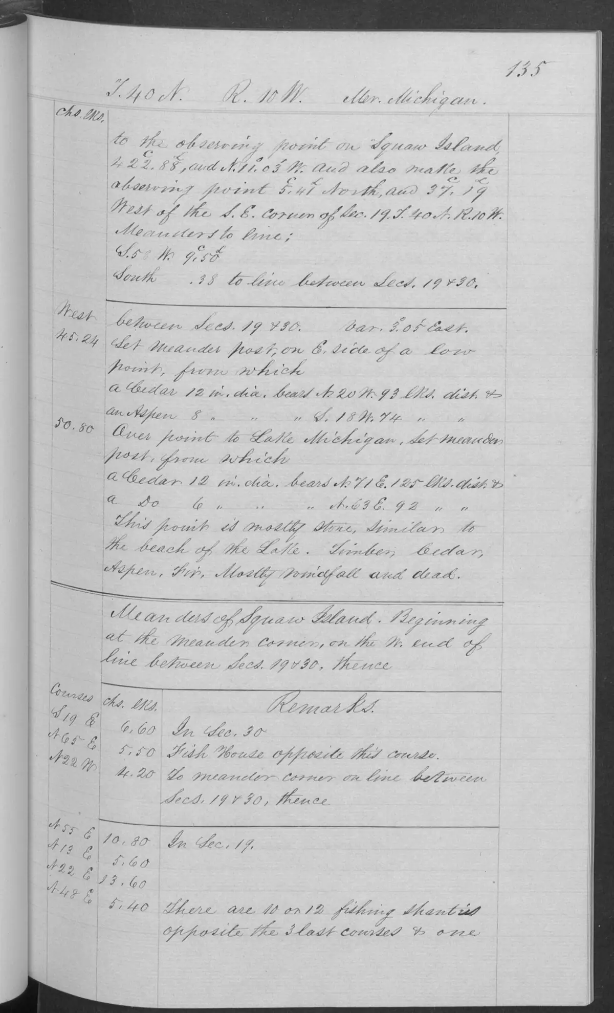
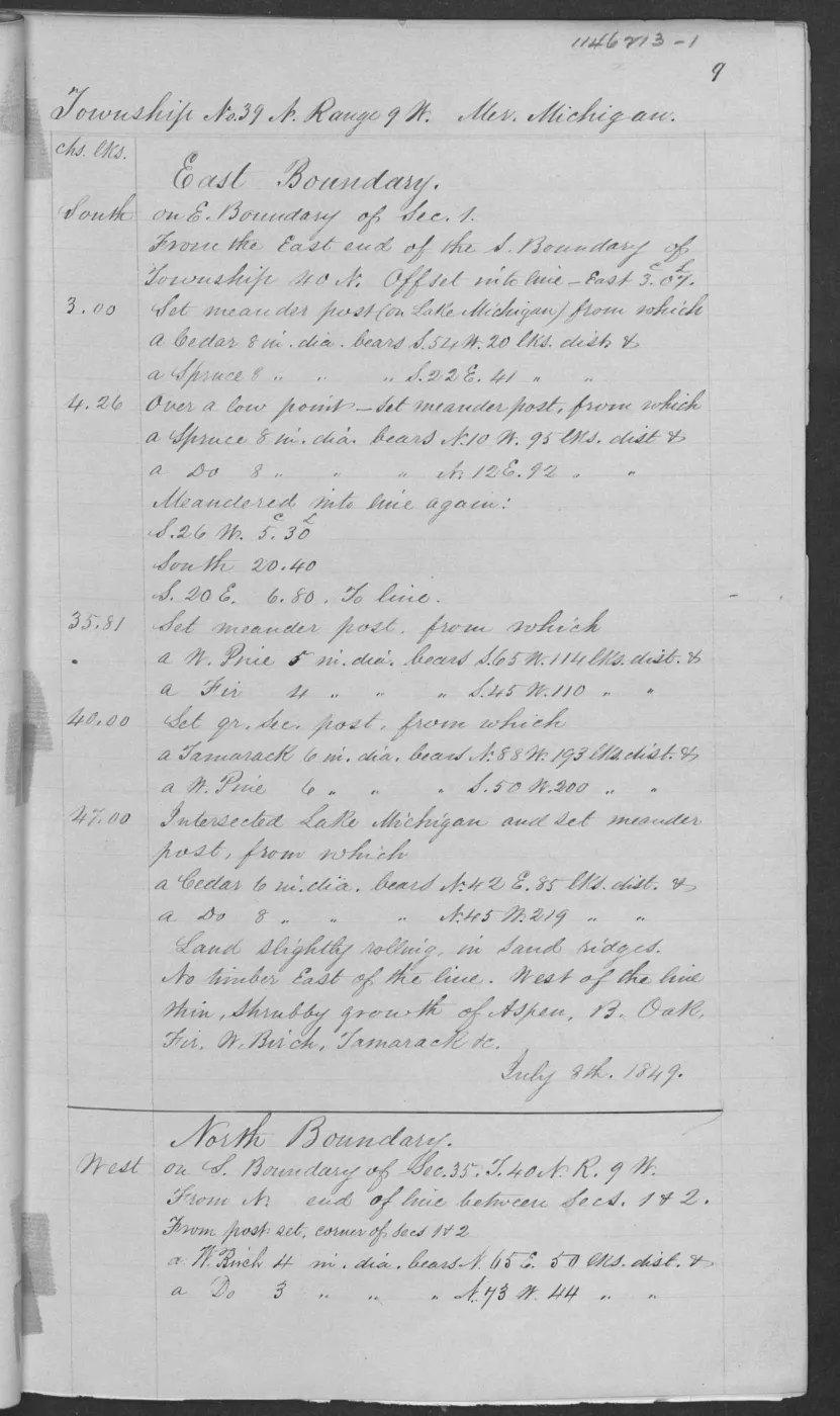
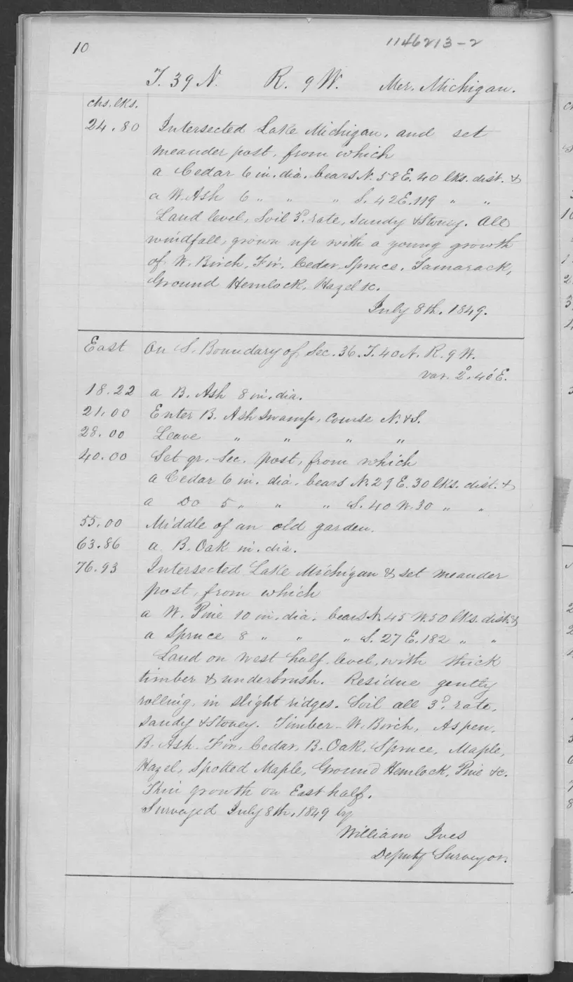
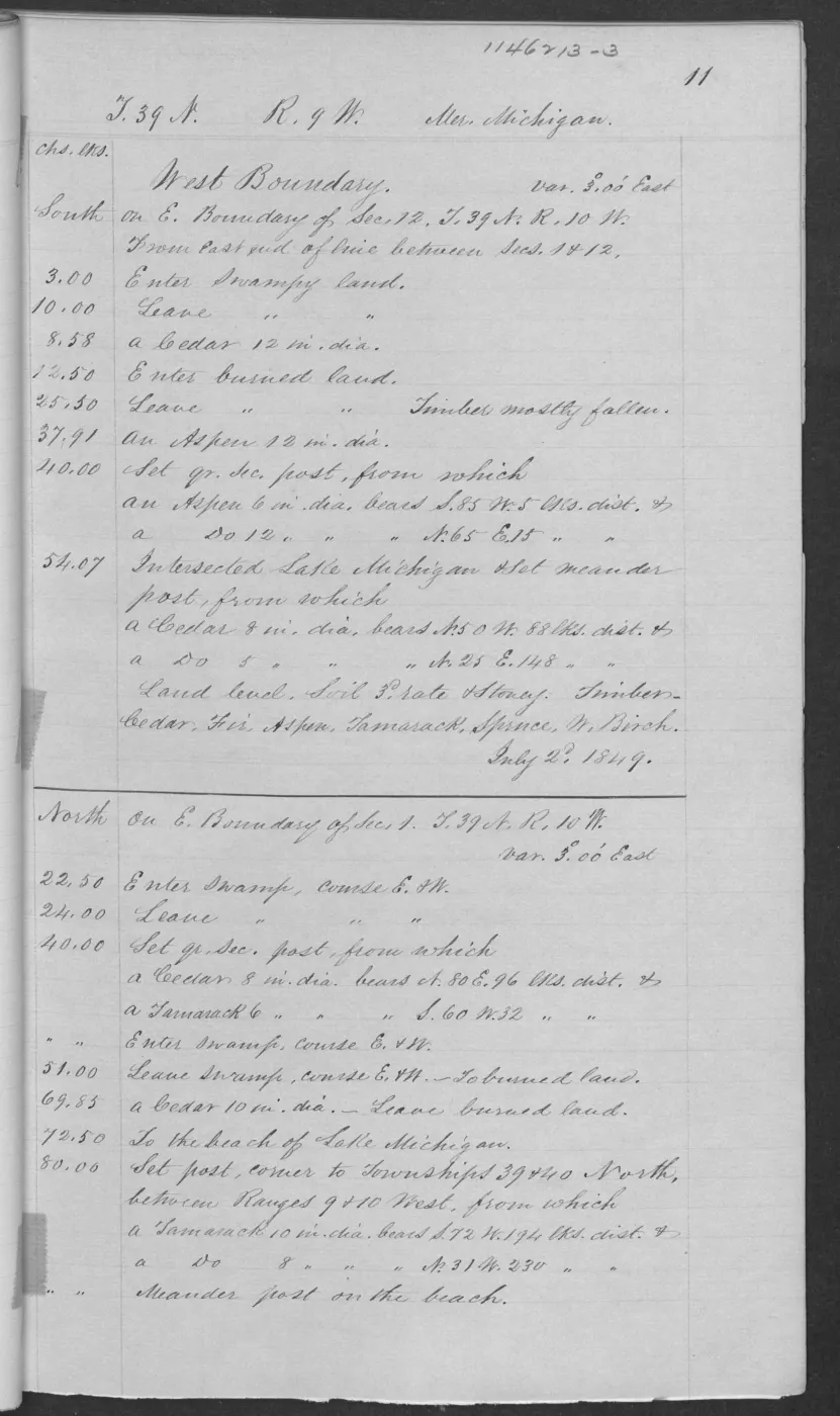
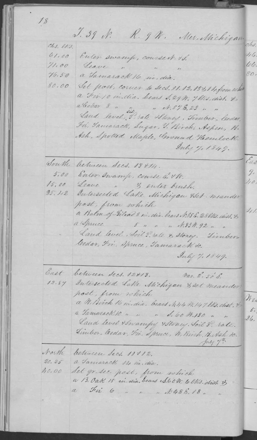
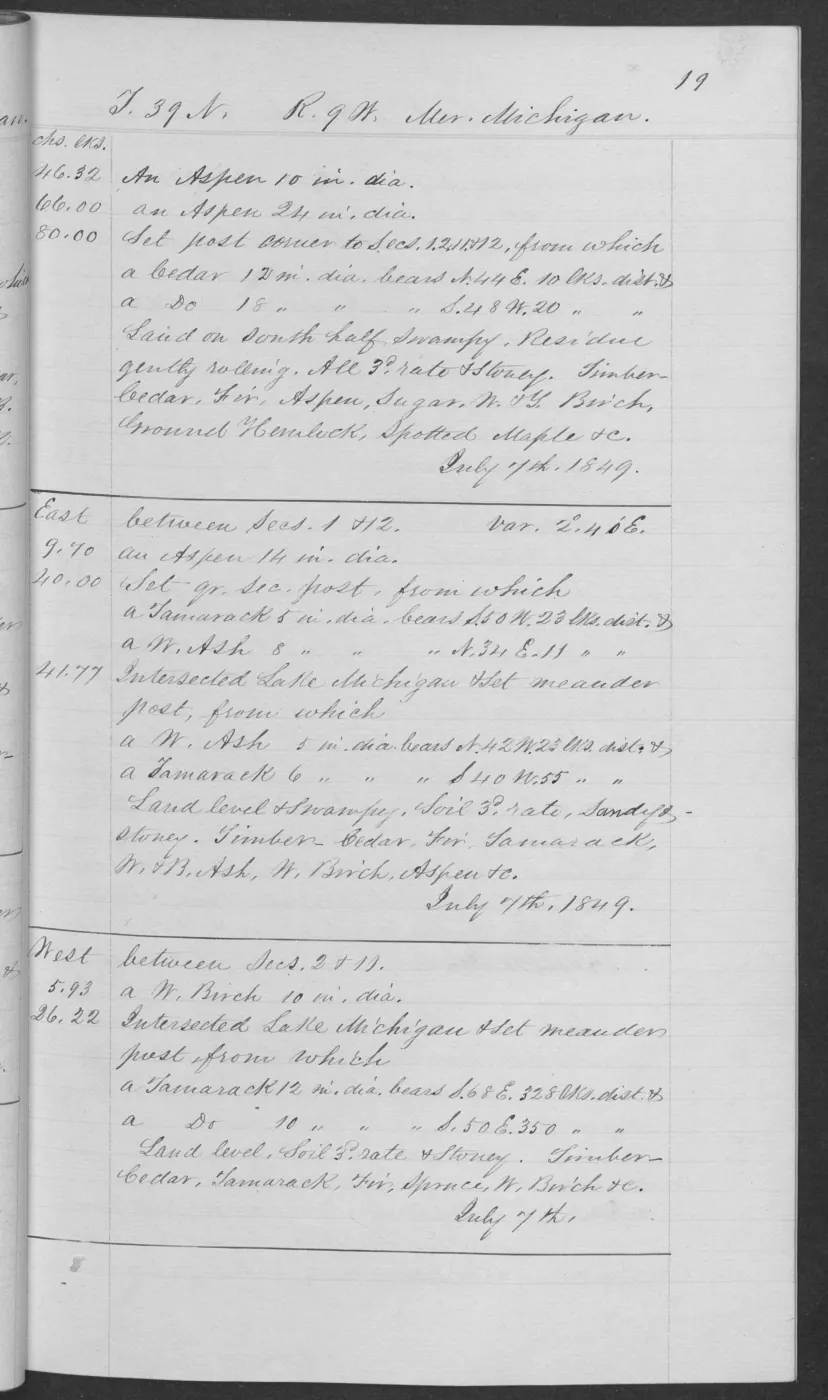
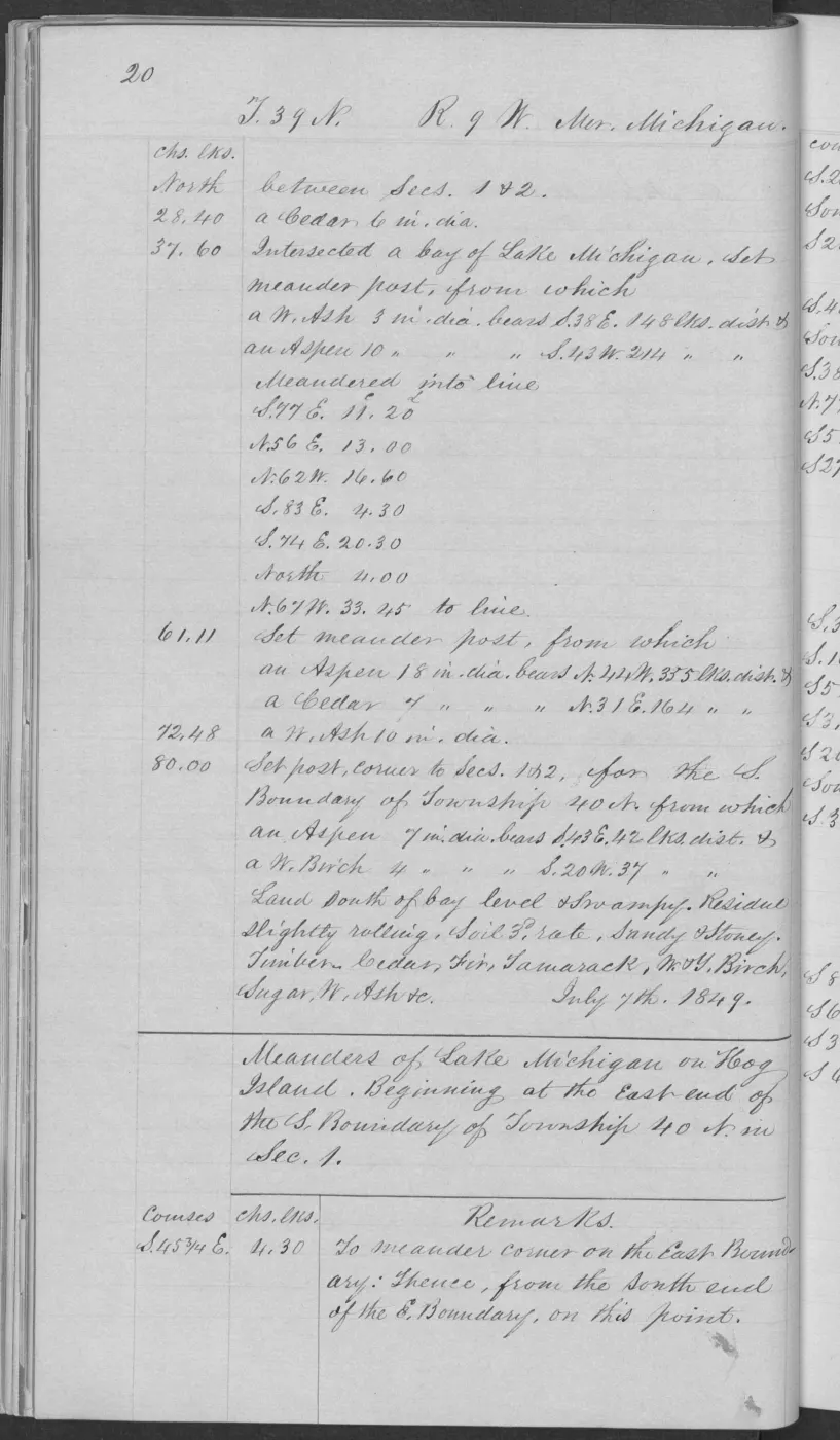
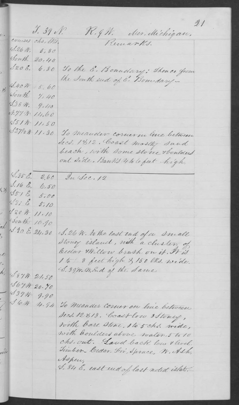
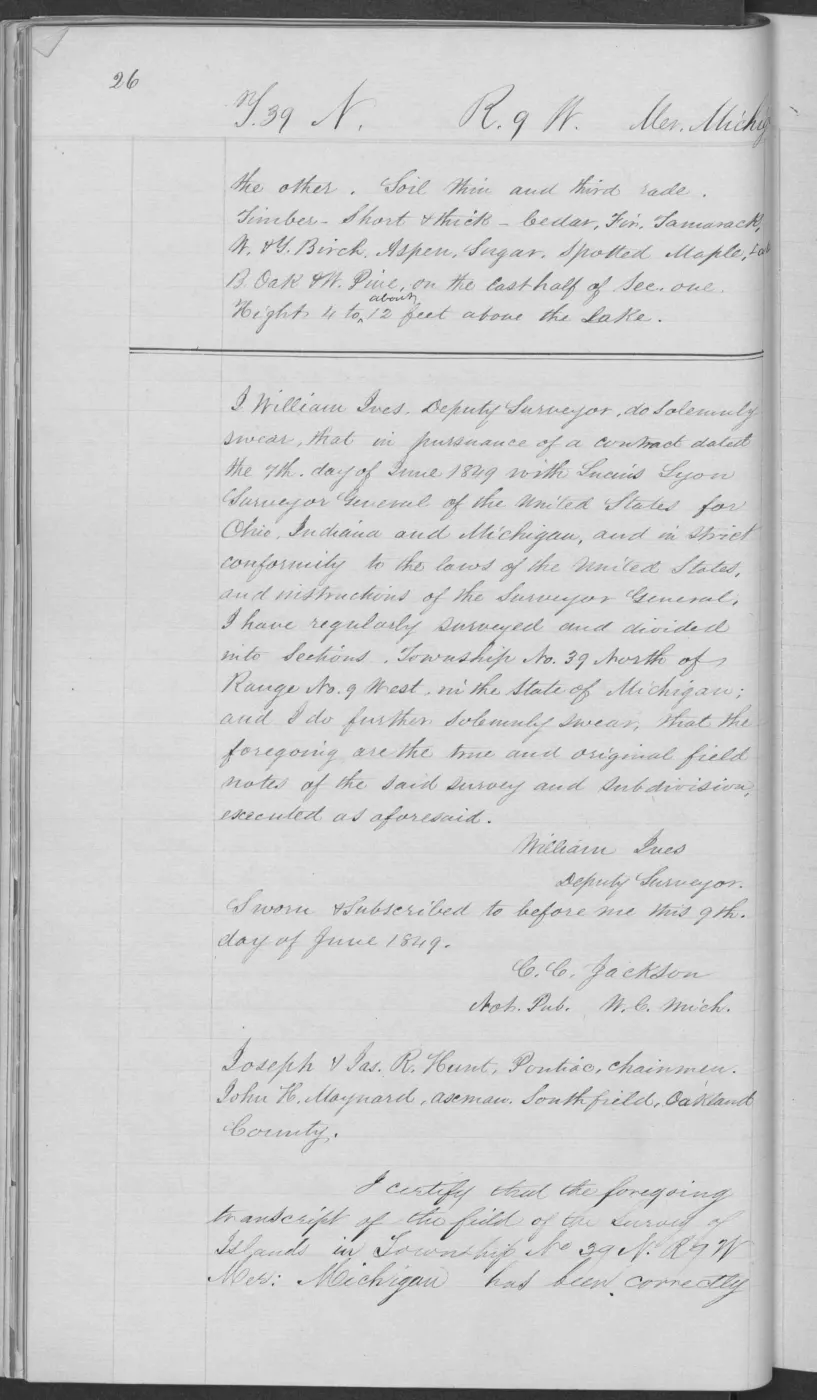
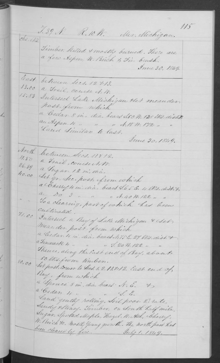
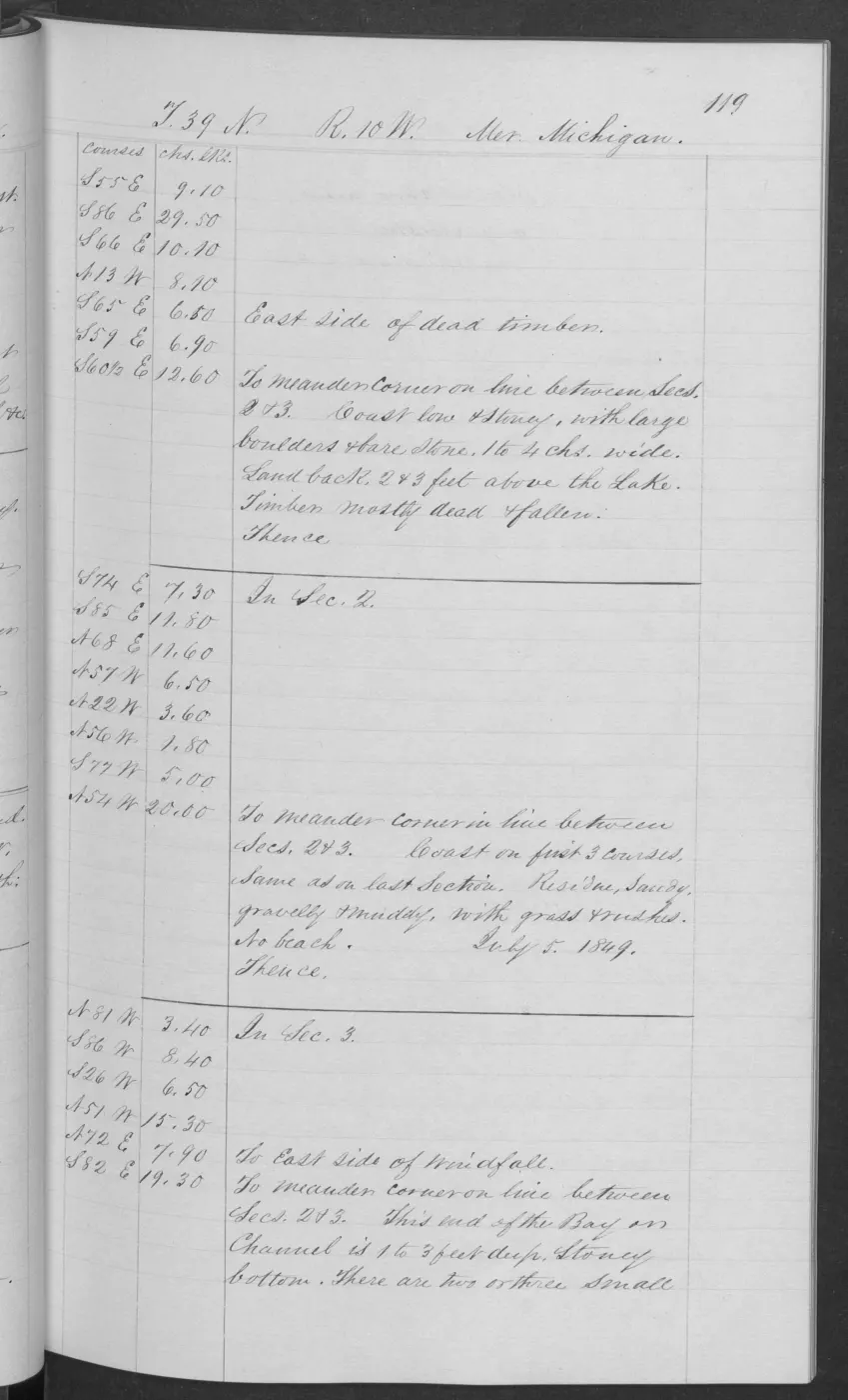
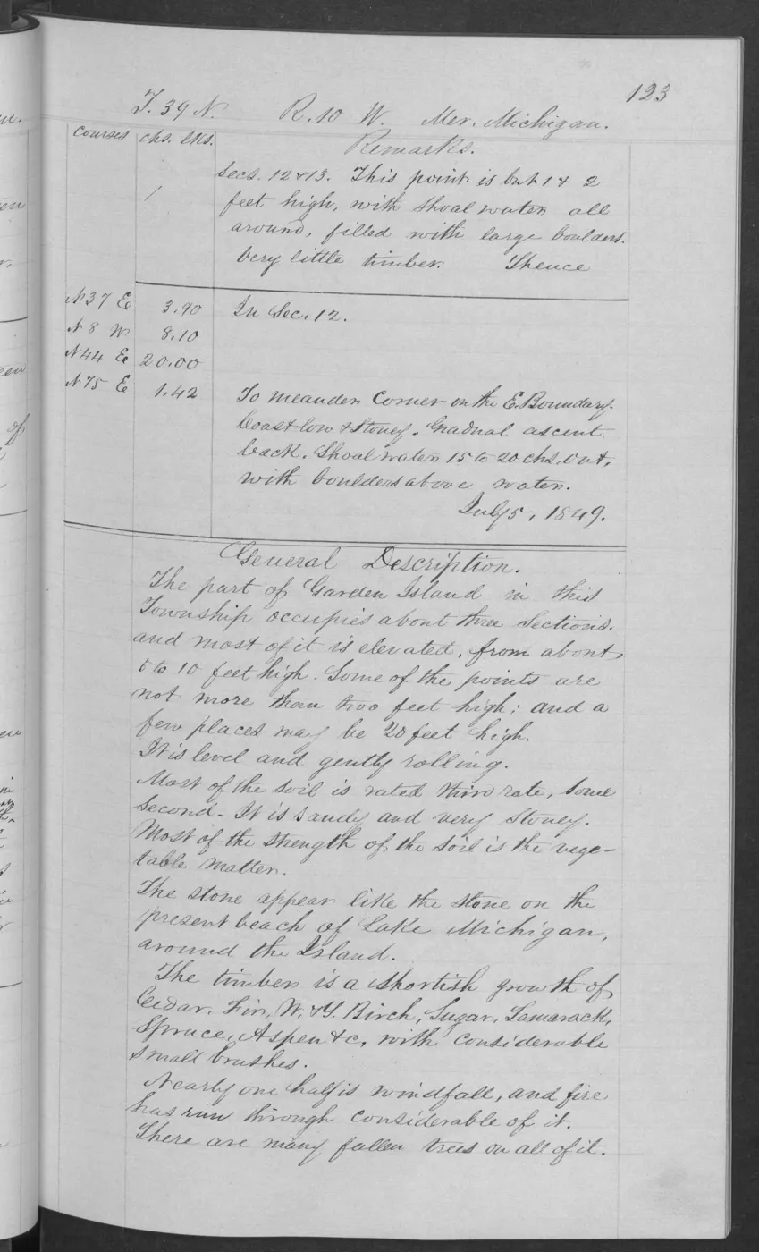
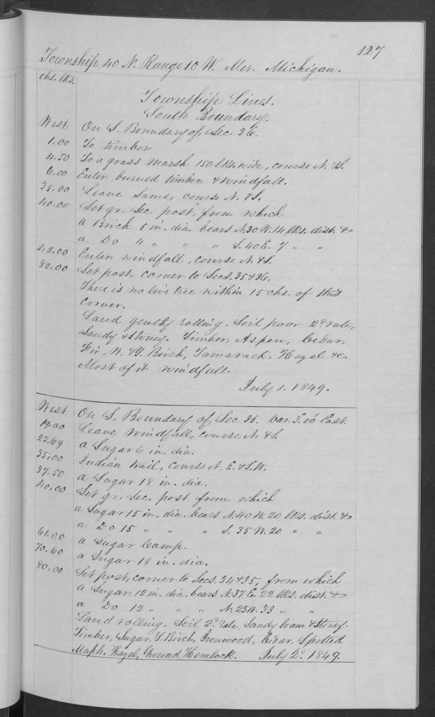
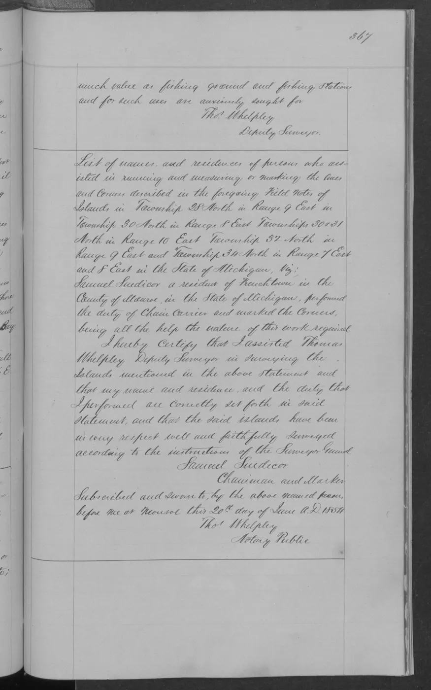
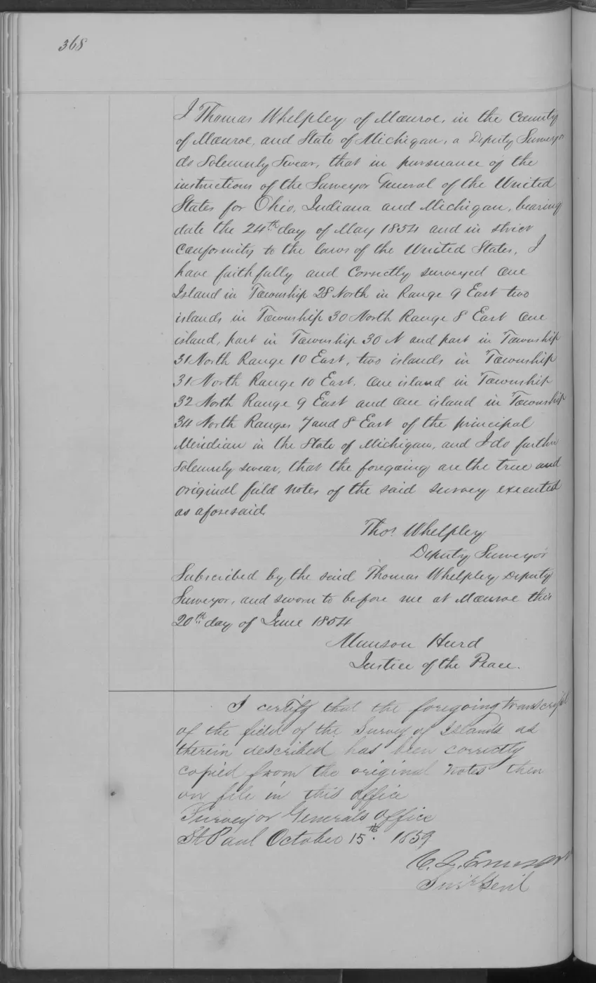
These checked pages from BLM Field Note Volume 168138 record the 1849 federal survey and general description of Ojibwa Island in T40N R10W. The handwritten source uses a superseded name; it is retained in the source citation and archival file names, while this record uses the current GNIS name.
Dated observations
The survey page records a fish house, ten or twelve fishing shanties at one point, a cooper’s shop, and two additional fishing shanties elsewhere along the meander. The description records a stony, gravelly, and sandy shore, low ridges, shoal water, and a small-boat landing on the east side. It characterizes the island as about five to ten and a half feet high, with shallow sandy/stony soil and vegetable matter. The final page says the island had been burned over and, apart from a few shrubby trees, most timber was killed and fallen; it lists aspen, fir, cedar, and white birch as principal trees.
Evidence and limits
The pages preserve a surveyor’s time-bounded observations and period terminology. They do not identify the people associated with the structures, establish Anishinaabe or other community affiliation, residence duration, land rights, ownership, title, access, continuous fishing activity, or present ecological conditions. The historical source name is not reproduced as the current place label.
See also
Read the document
406 pages, rendered from the held scan.
Jump to a page — 406 in all
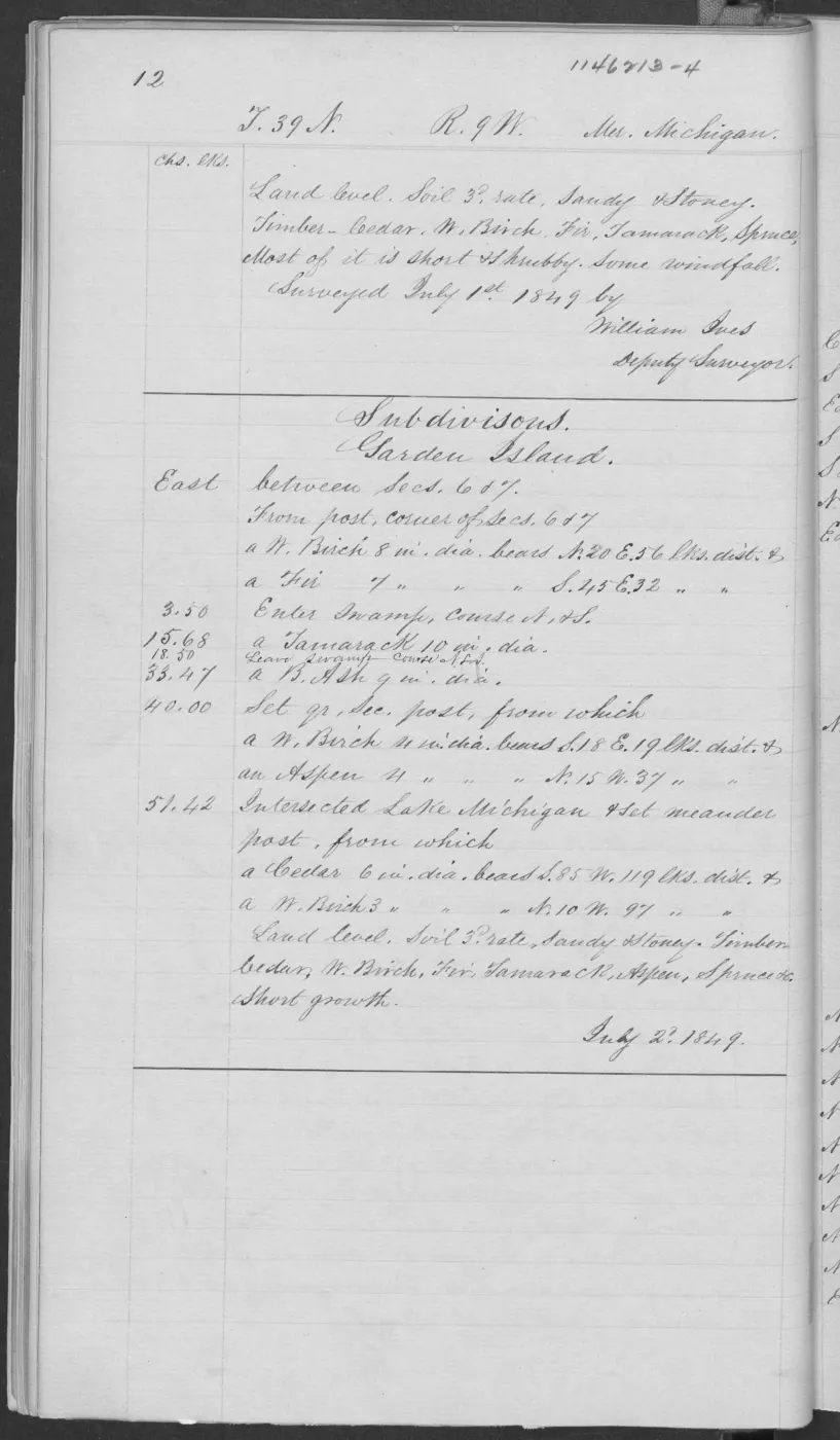
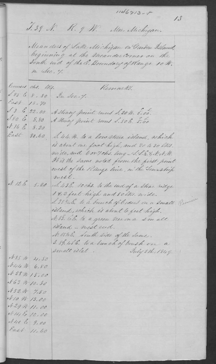
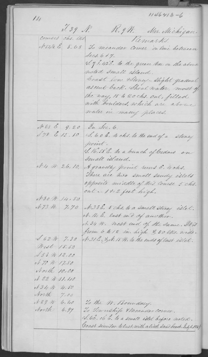
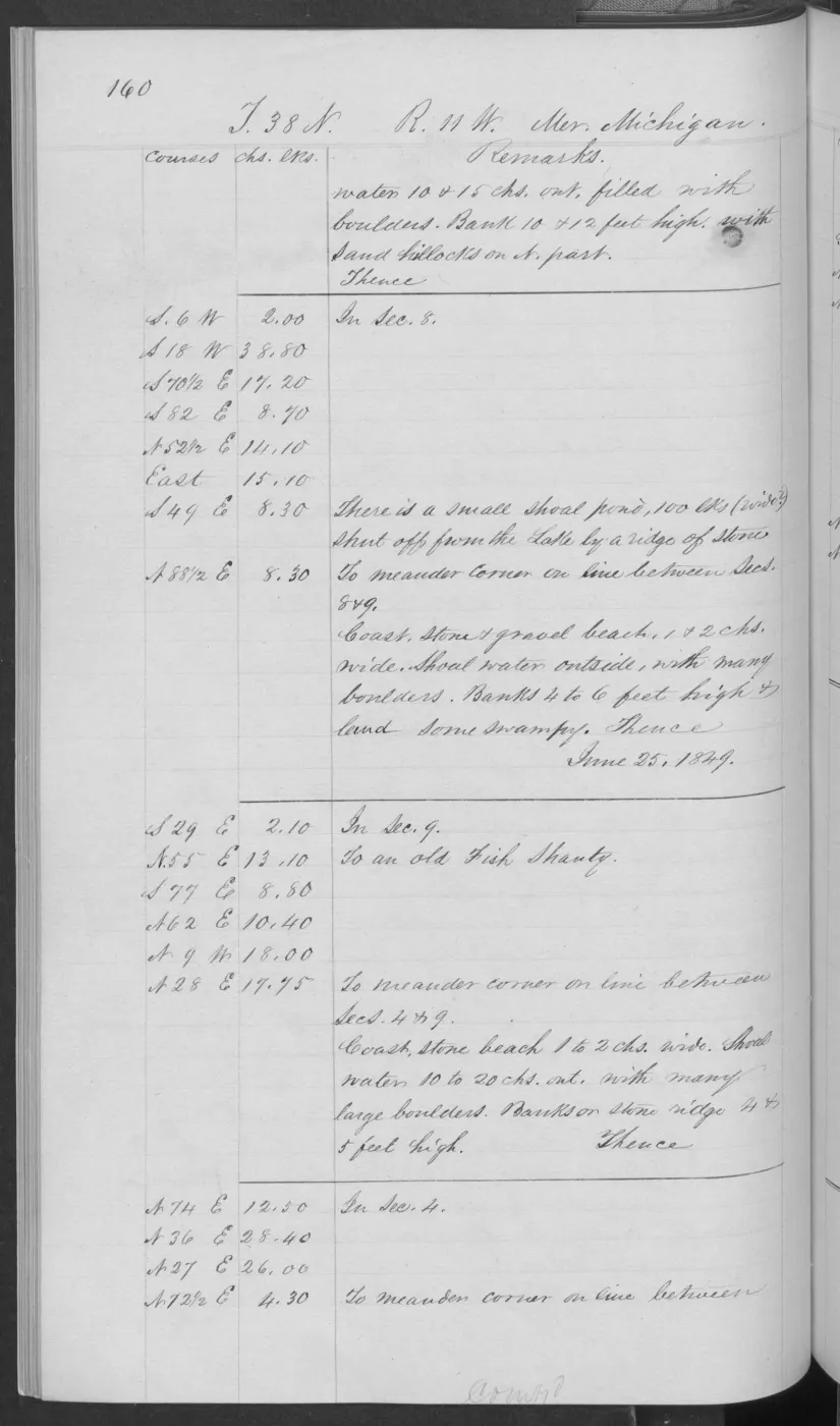
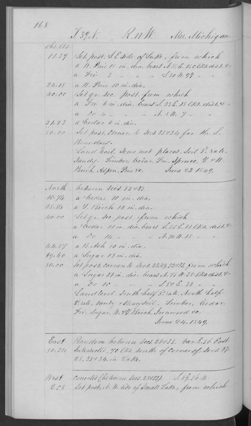
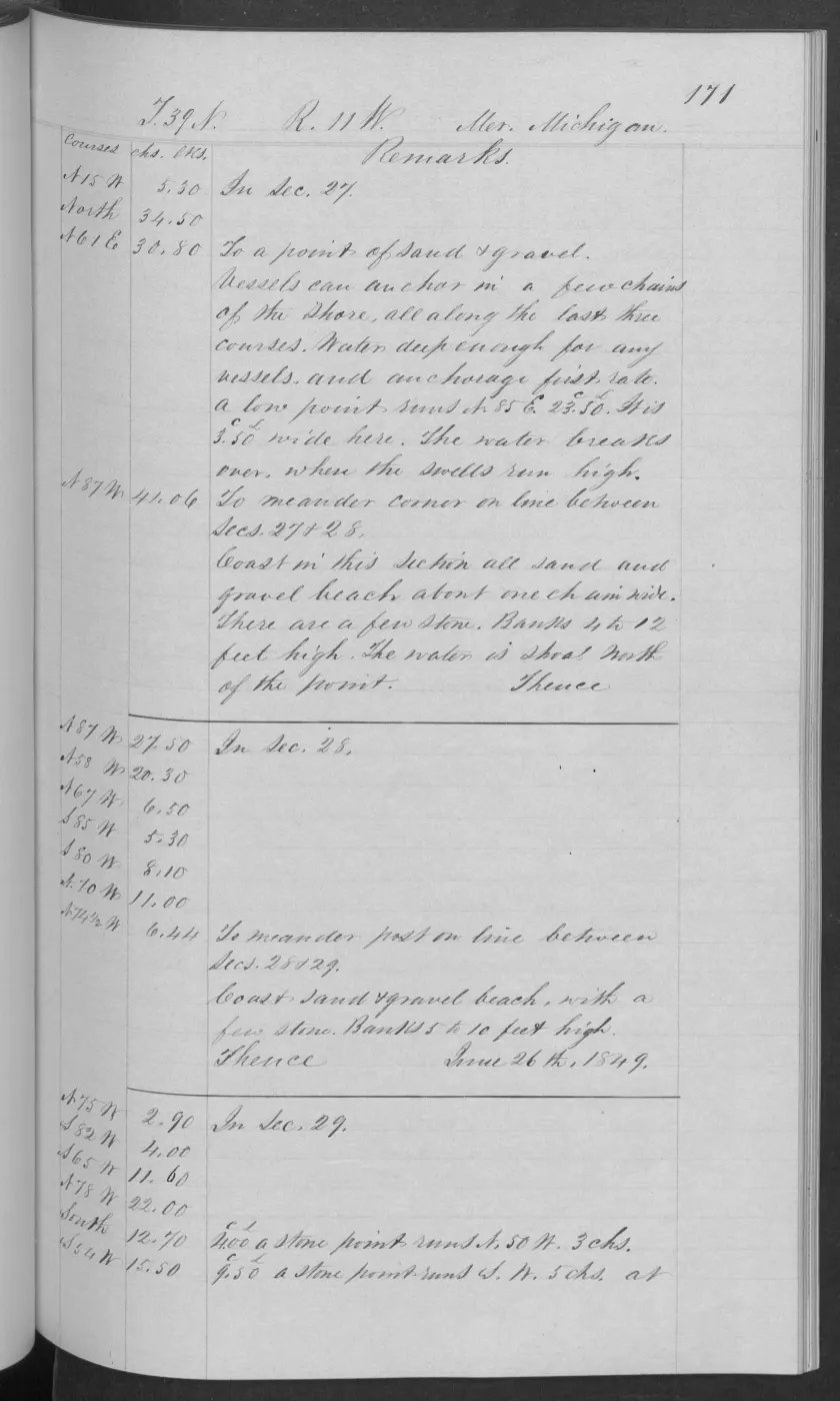
138 of 406 pages linked here — every page to 32, then every 4th, then the last 16. With JavaScript, every page.
Sources
- Described in this archive: BLM GLO field-note volumes linked to Beaver Island-area surveys.Visual page-image verification of all three pages. The source form is retained solely to identify the original record; the linked place record uses current GNIS name Ojibwa Island. The notes record fishing shanties, a cooper's shop, shore/landing observations, low ridges, soil, and a burn that had killed most timber. They do not identify shanty occupants, tribal affiliation, residency duration, land rights, title, ownership, access, current habitat, or continuous community history.federal · glo_field_notes · page_evidence · field-note-volume-168138-page-0135-squaw-island-survey
- The held 406-page public-domain volume supplies the source-page context. This article treats only pages 0135-0137 as checked evidence. The holder's public portal is searchable but does not link this record directly; the archive holds a copy of the file and can provide it on request.federal · glo_field_notes · pdfs · 3879958517549955184-field-note-volume-168138
- Project provenance for visually checked Field Note Volume 168138, pages 0135-0137.Records page-image derivation and checksum for the survey page; companion provenance files preserve the two description pages. No public copy of this file is known; the archive holds one and can provide it on request.federal · glo_field_notes · page_evidence · field-note-volume-168138-page-0135-squaw-island-survey.provenance
Added 2 August 2026. Recent changes
Cite this article
Beaver Island Archive, “GLO field-note pages: Ojibwa Island survey, 1849”, https://beaverislandarchive.org/documents/glo-field-note-ojibwa-island-survey-1849/, accessed [date], citing Bureau of Land Management, General Land Office Records, Field Note Volume 168138, pp. 0135-0137, T40N R10W, survey and general description of the island named “Squaw Island” in the original source, 30 June 1849. (and 2 further sources listed on the page).
Last revised 2026-08-02. Fill in [date] with the date you read it — this page is static and cannot know that.
BibTeX for “GLO field-note pages: Ojibwa Island survey, 1849”RIS for “GLO field-note pages: Ojibwa Island survey, 1849”