

- Dates
- 1846-02-26 – 1943-12-07
- Eras
- Early American eraStrang eraModern era
- Concepts
- land-surveyhistoriographytoponymyenvironment
- Within
- Beaver Island archipelago
Summary
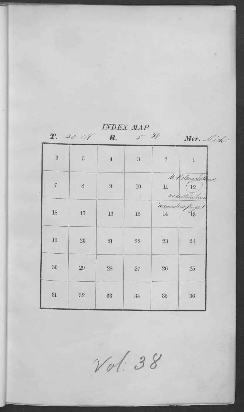
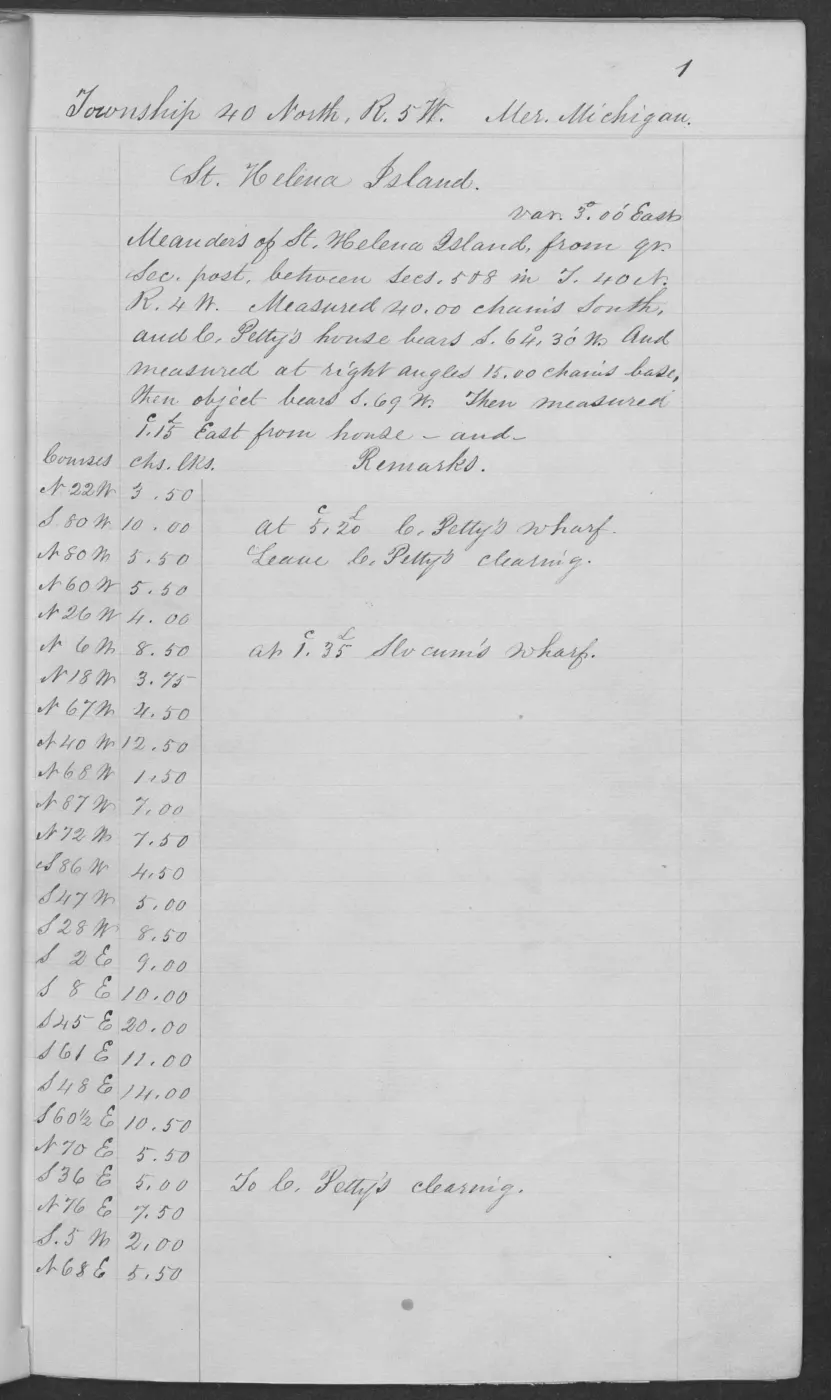
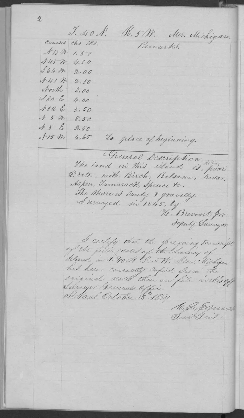
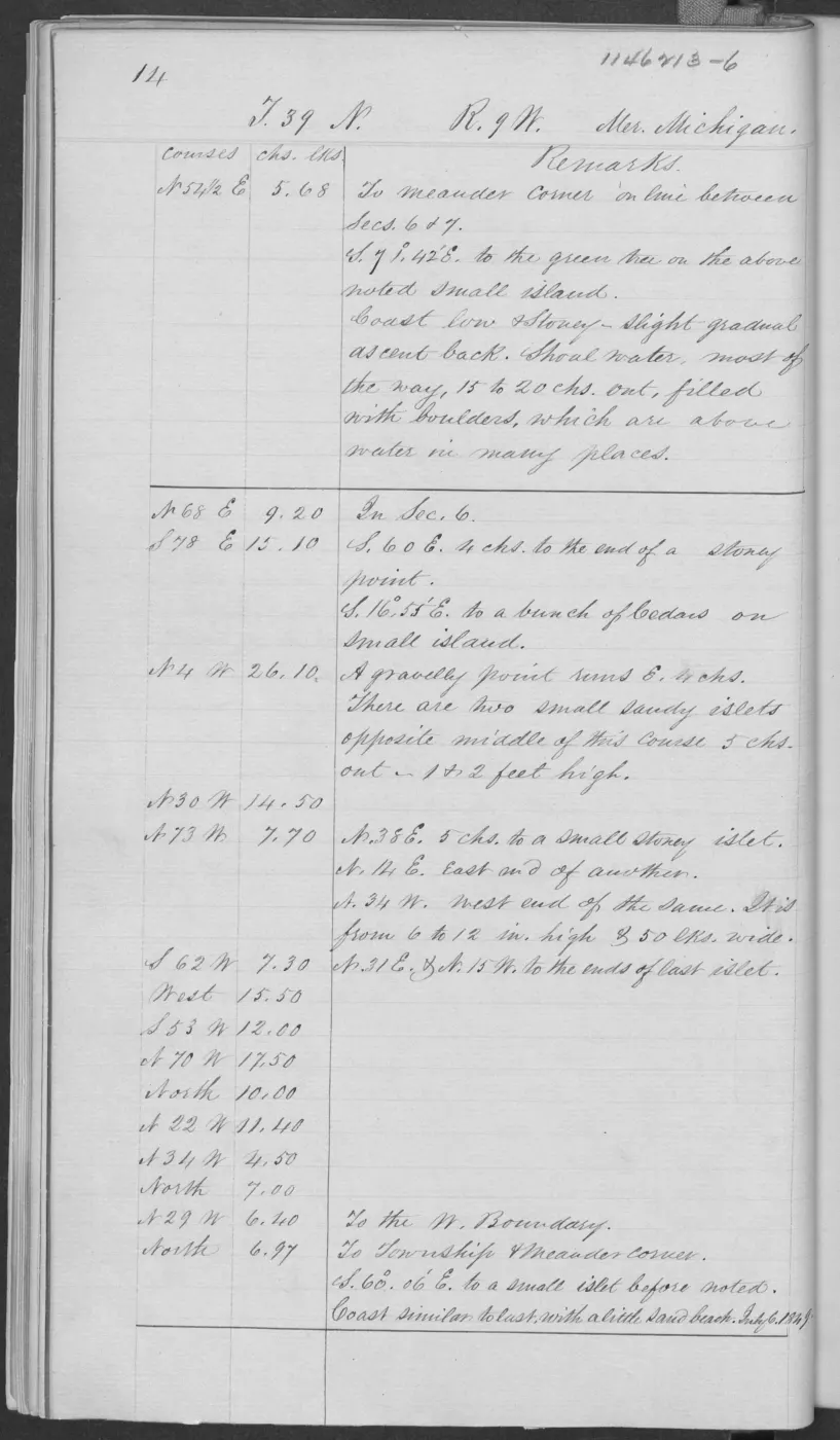
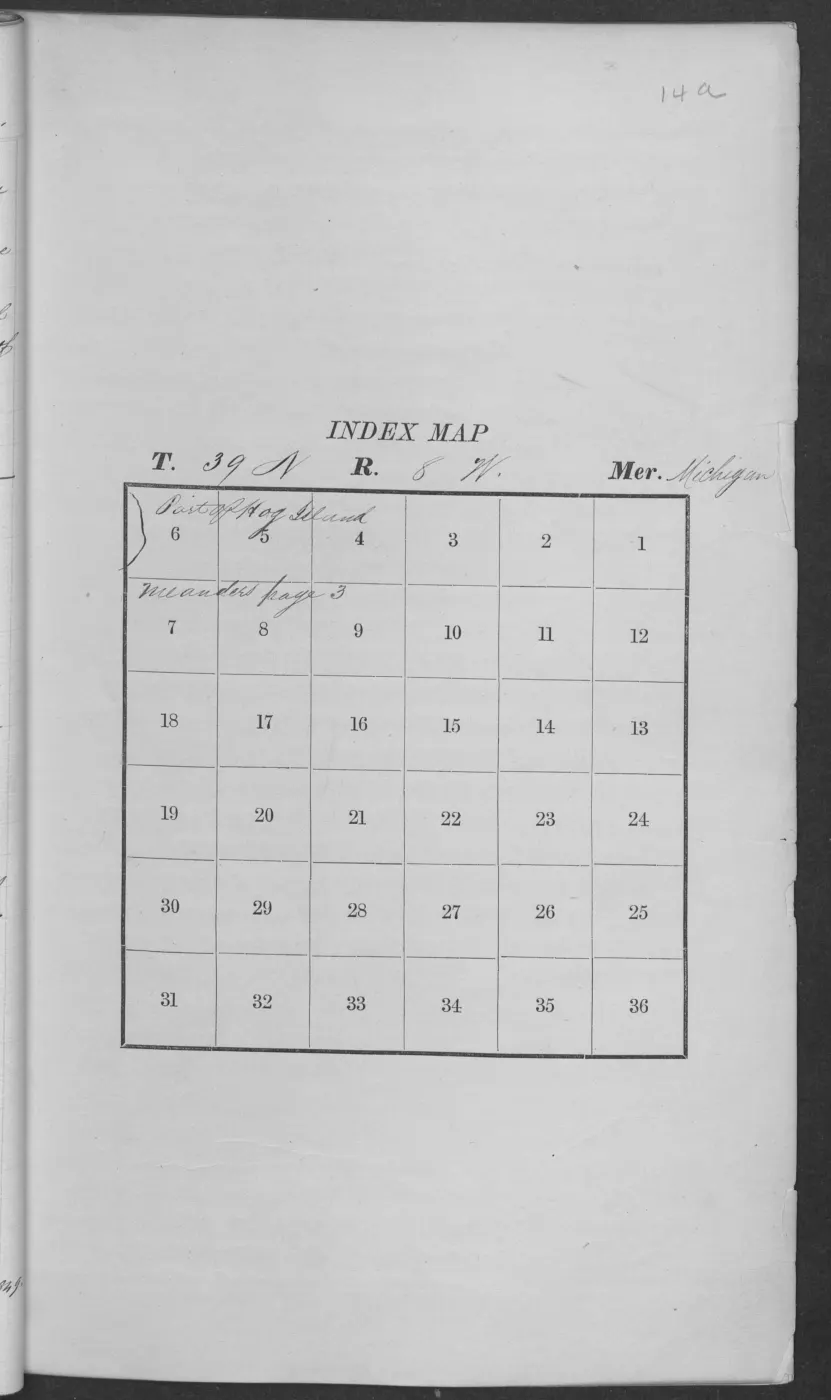
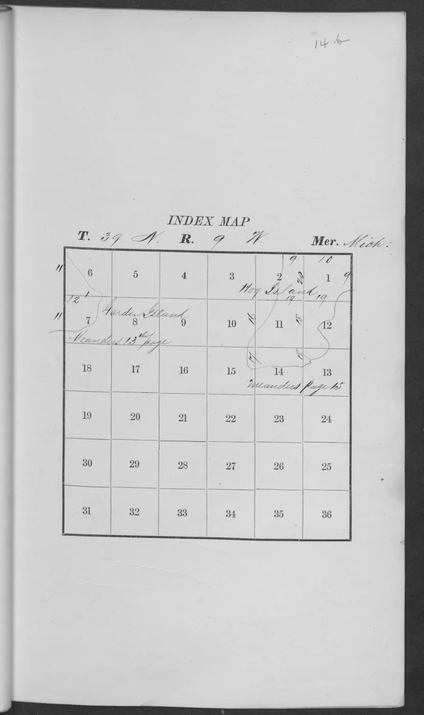
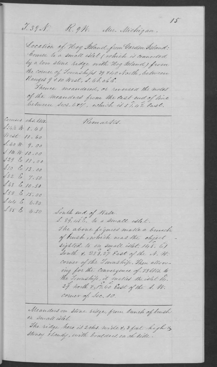
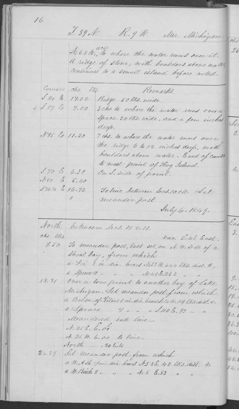
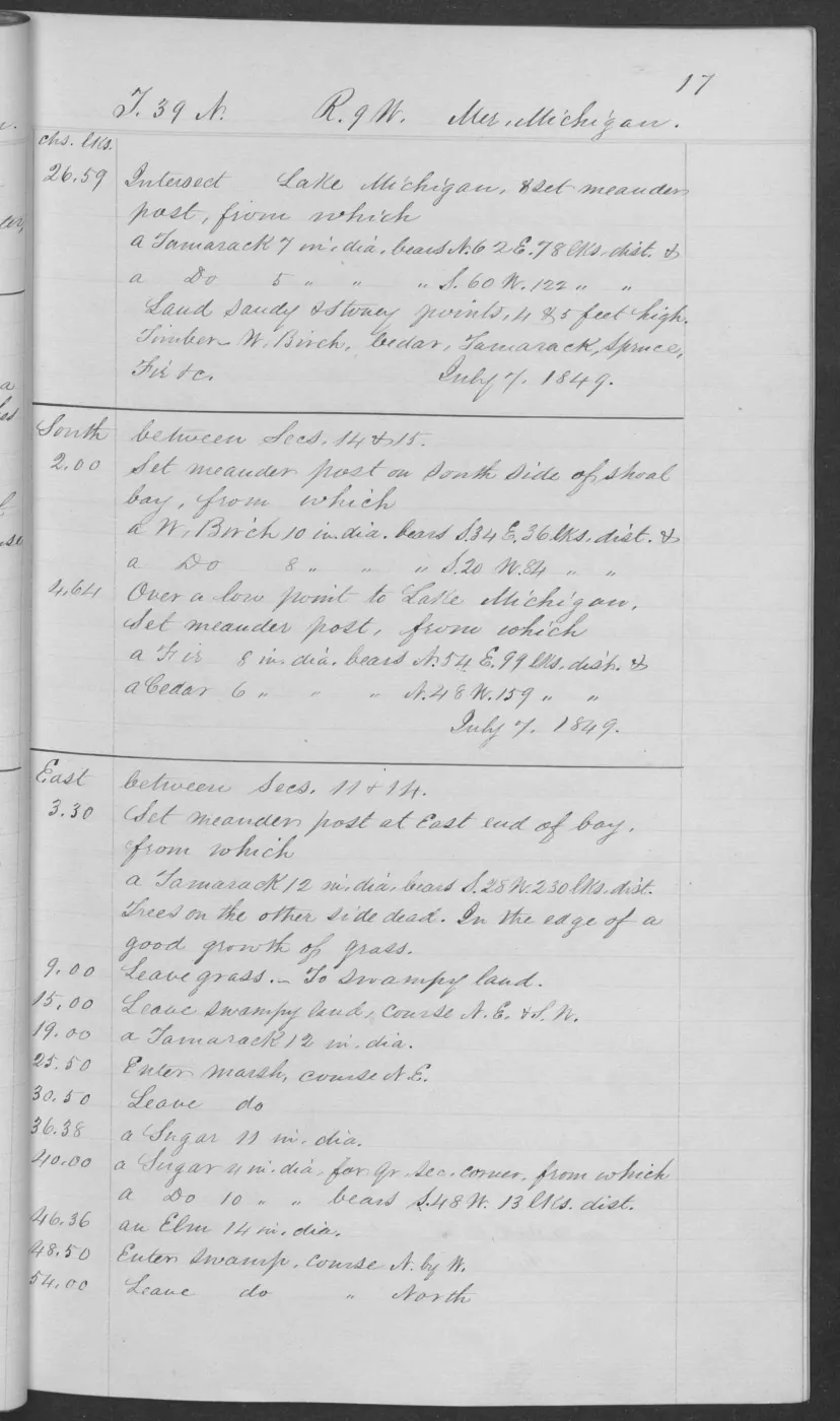
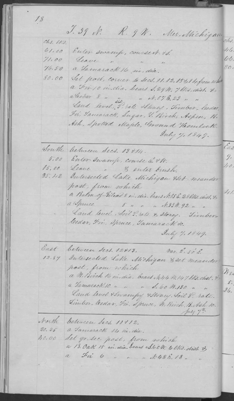
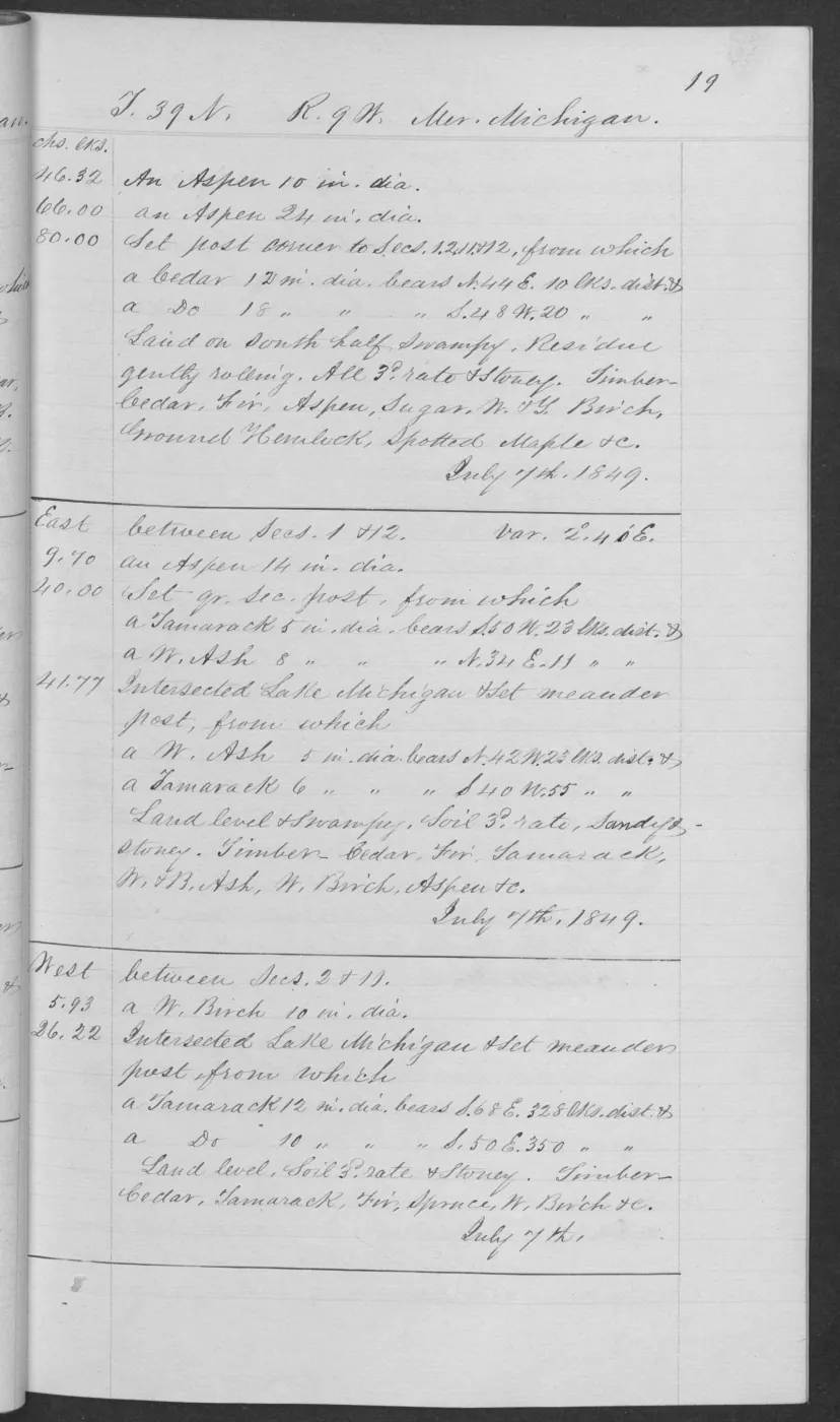
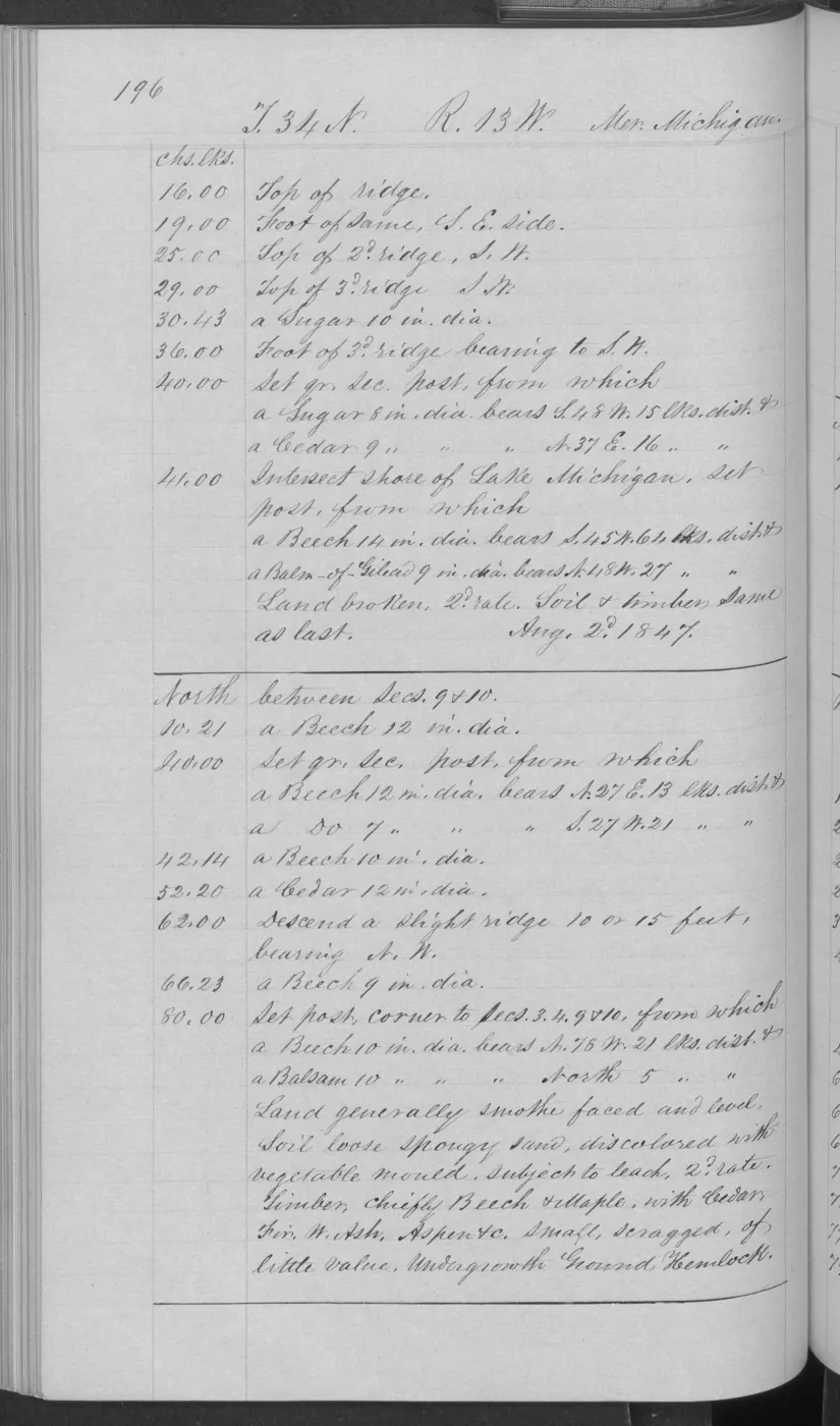
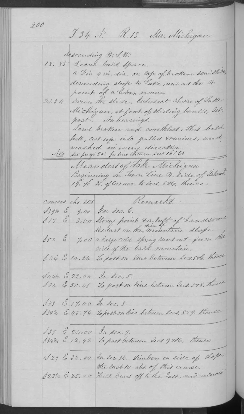
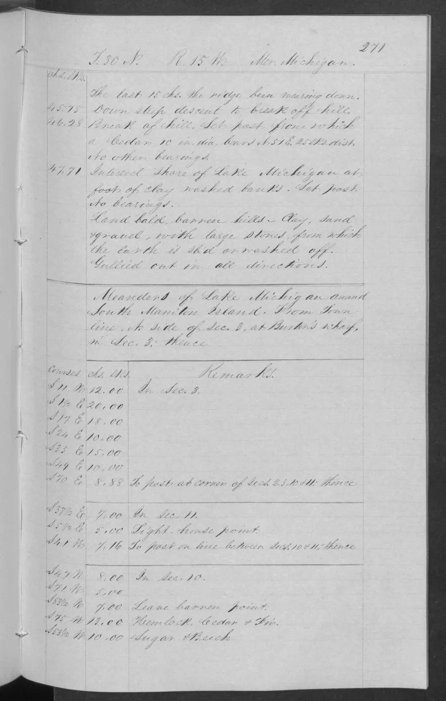
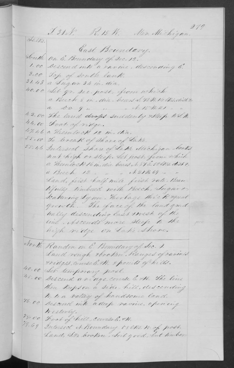
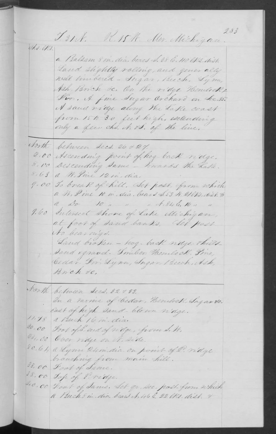
The project holds two BLM GLO Field Note Volumes, totaling 1,432 page images, explicitly linked by the public GLO application to retained Beaver Island-area Survey records.
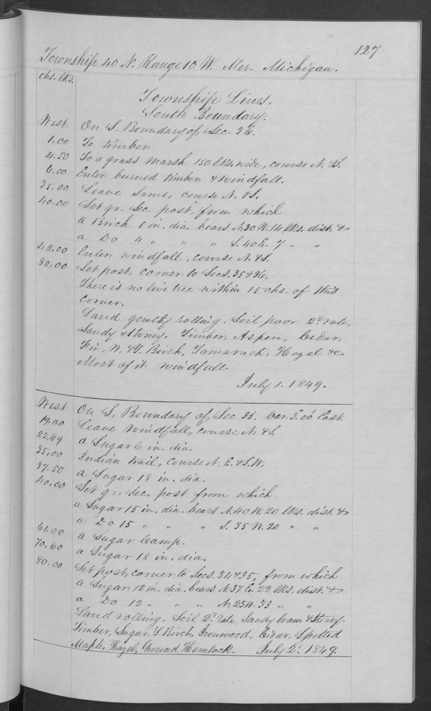
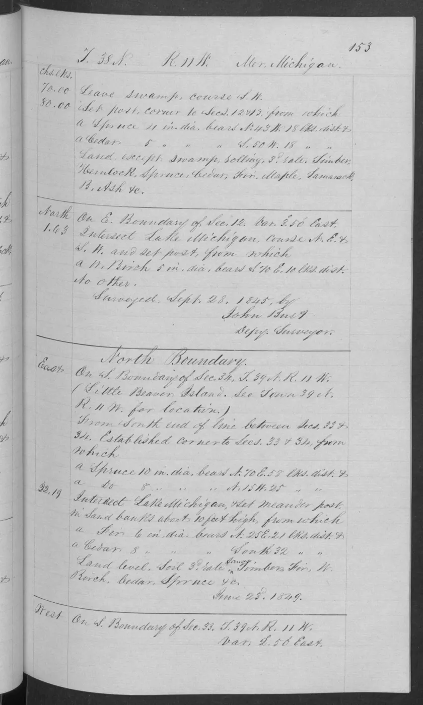
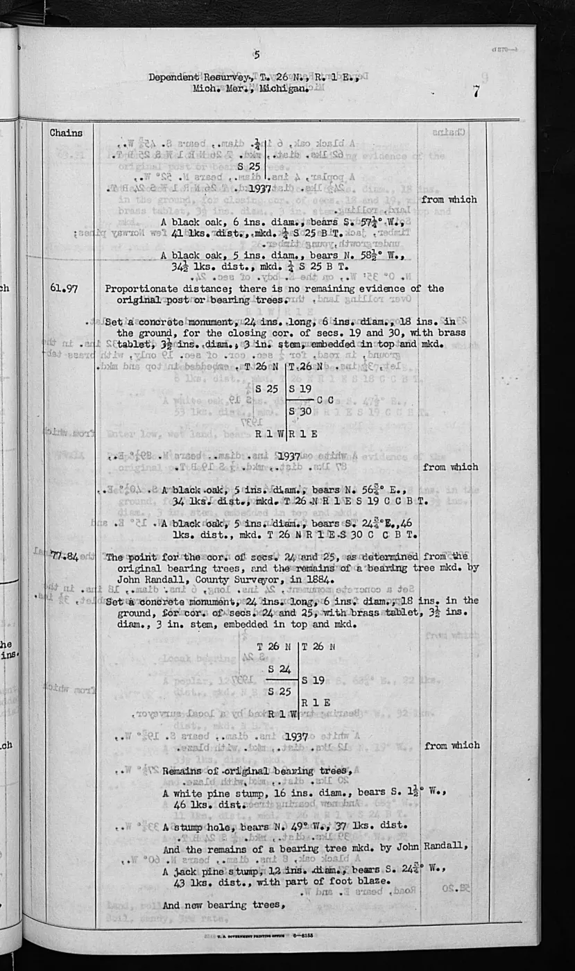
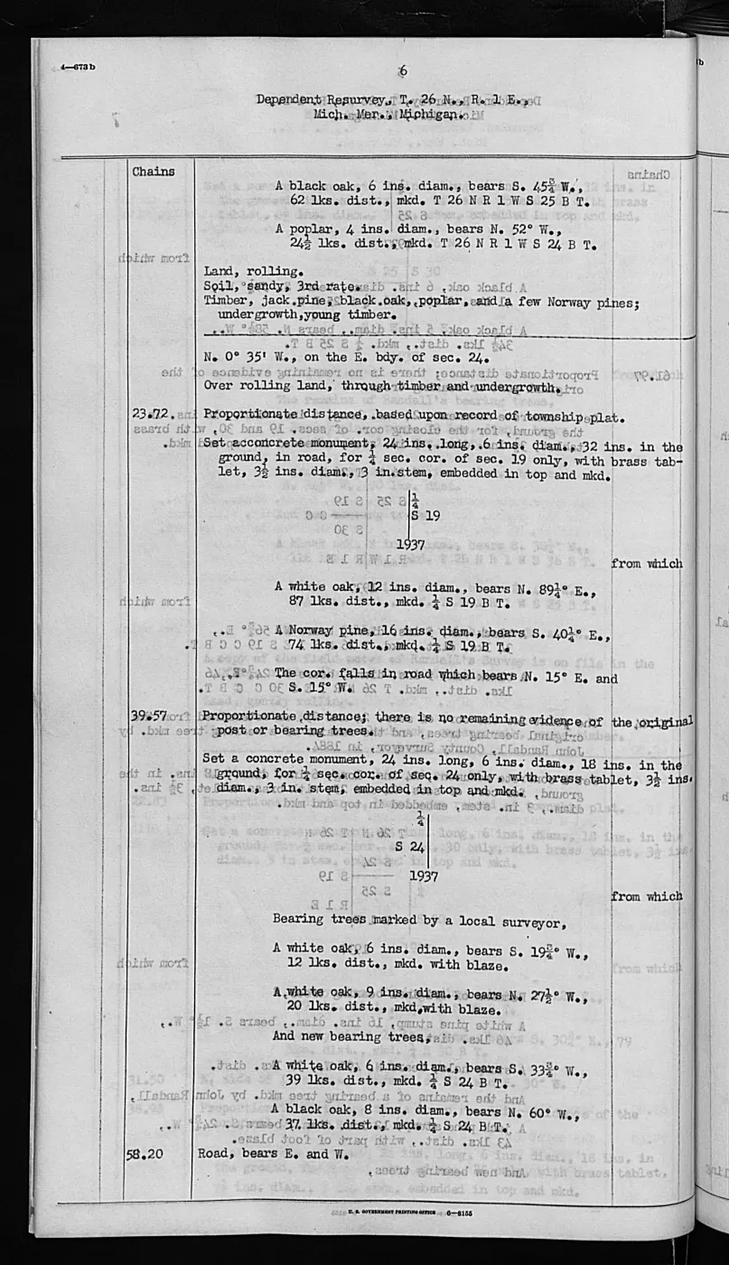
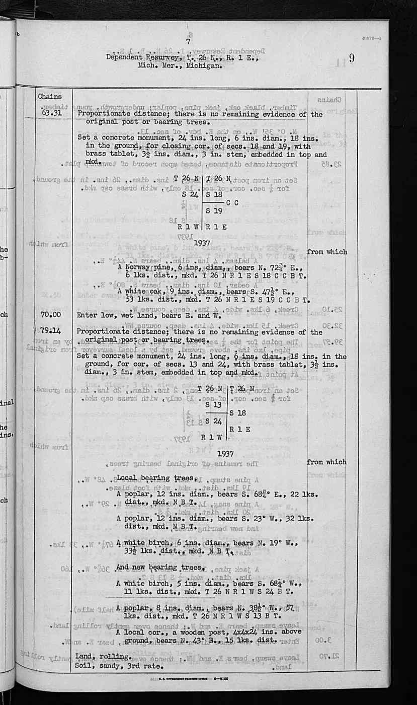
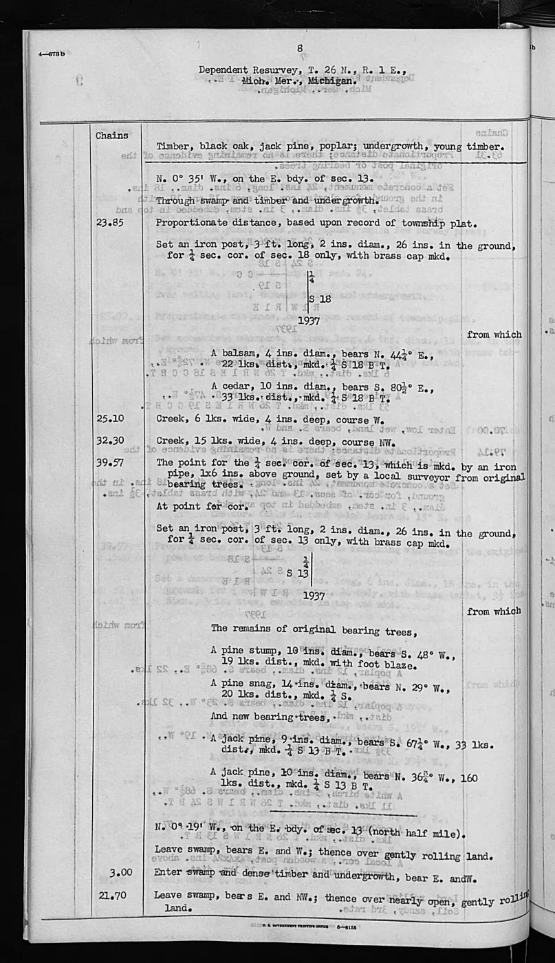
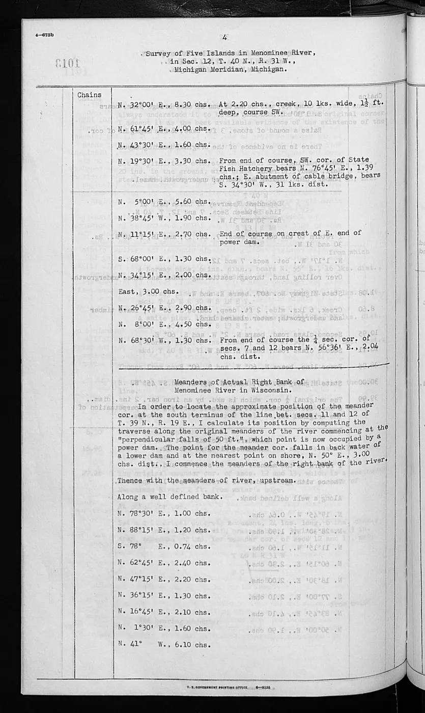
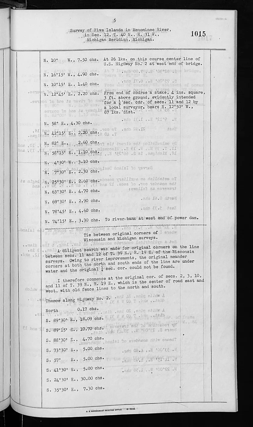
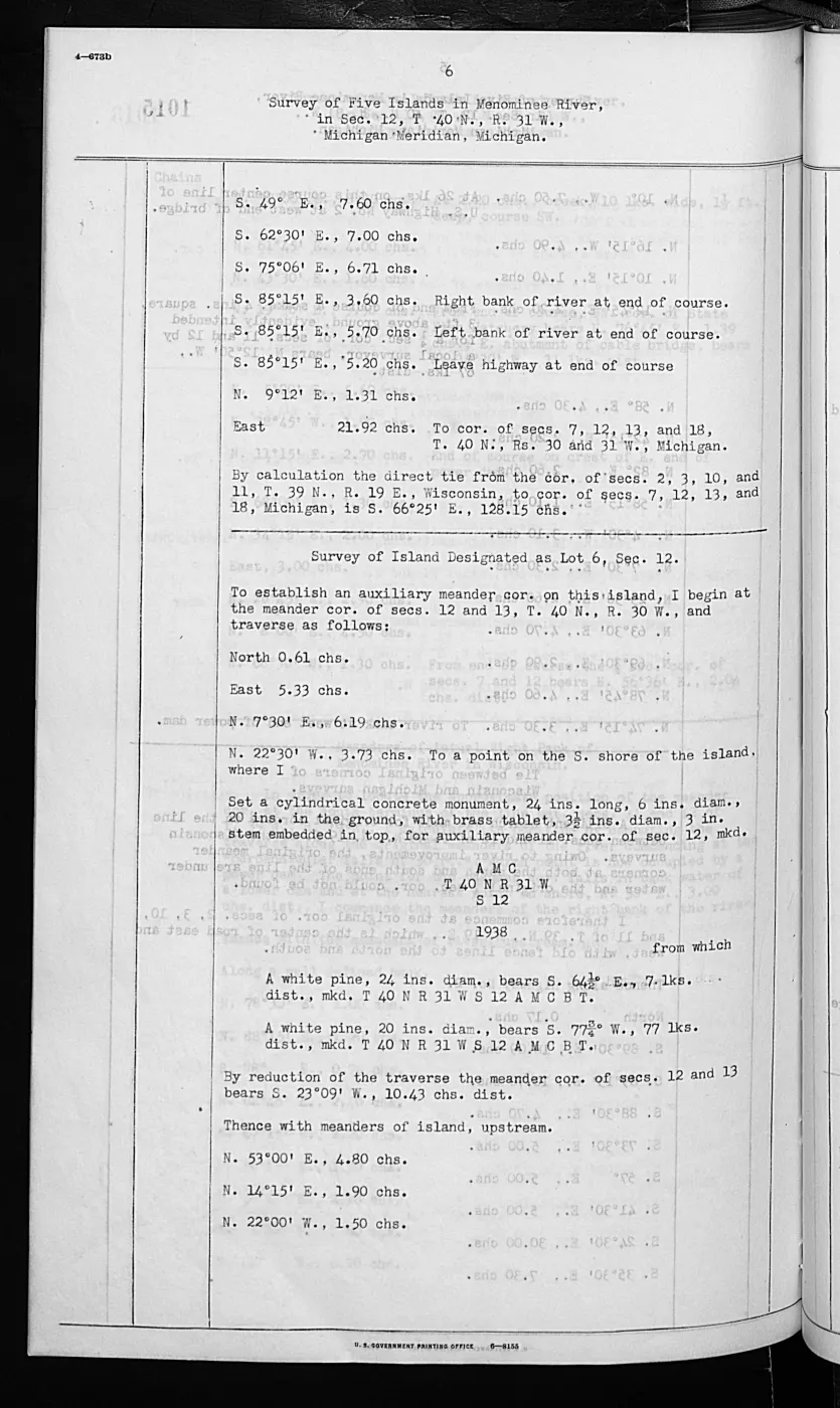
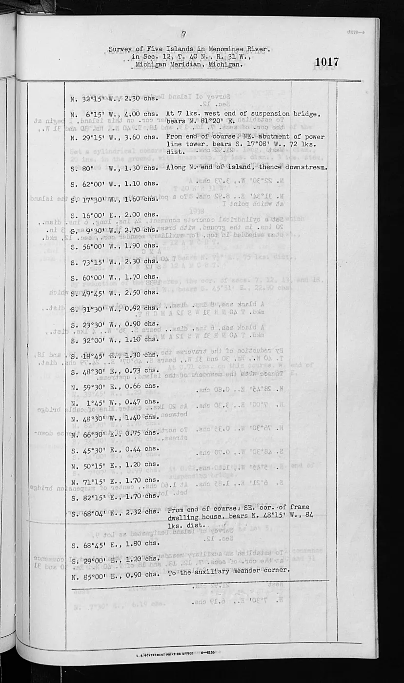
Volume 168138 (406 pages) links to seventeen retained island surveys dated 1846 or 1849, including records titled BIG BEAVER ISLAND, LITTLE BEAVER AND TROUT ISLANDS, WHISKEY ISLAND, and N AND S FOX ISLANDS. Volume 276017 (1,026 pages) links to the retained 1943 Pismire Island and Shoe Island survey records.
The complete 1,026-page Volume 276017 PDF is retained in the canonical /data1
archive copy but is not tracked here because GitHub’s Git LFS per-object limit
is 2 GiB; its held metadata, provenance, page index, and retrieval path remain
committed.
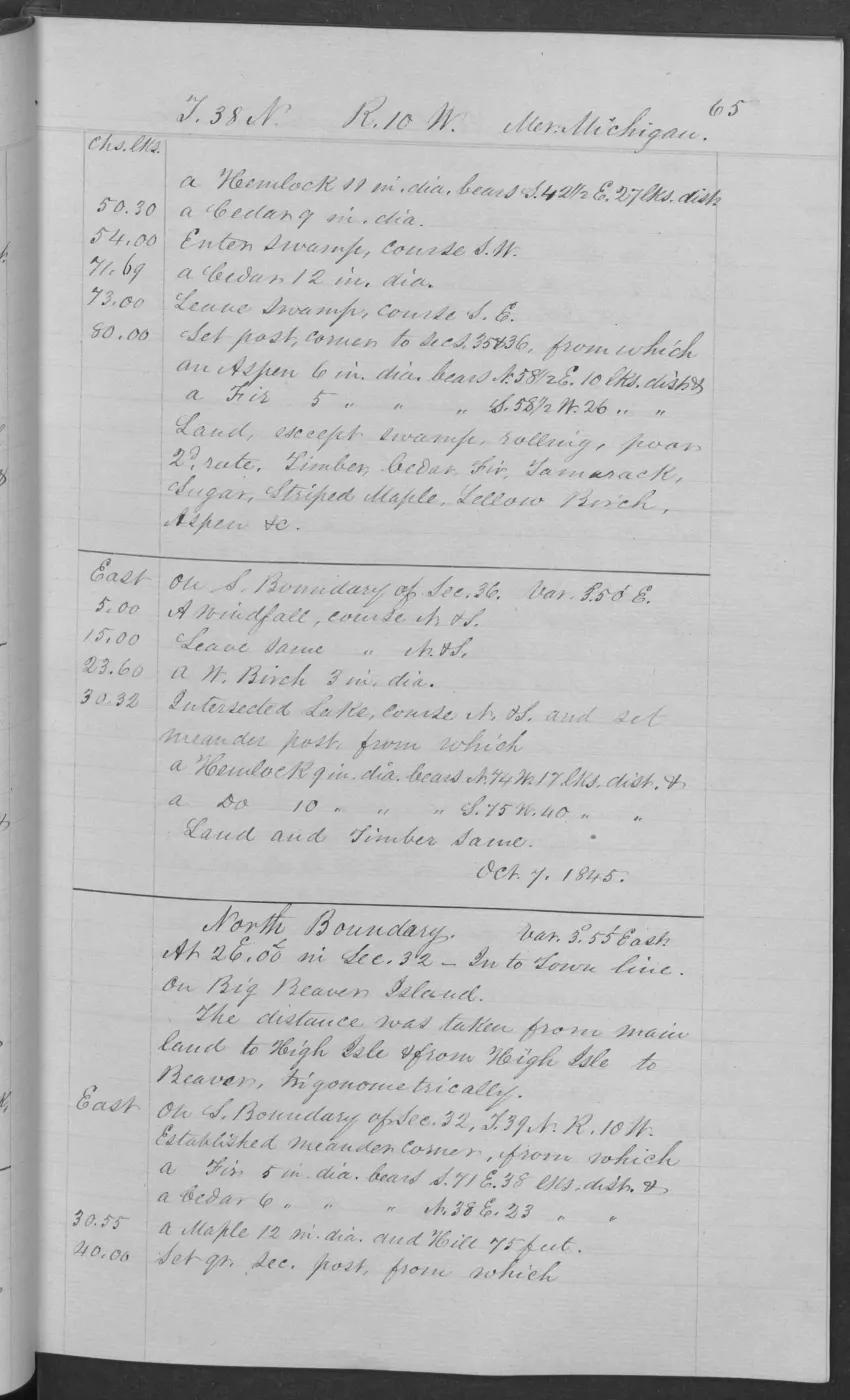
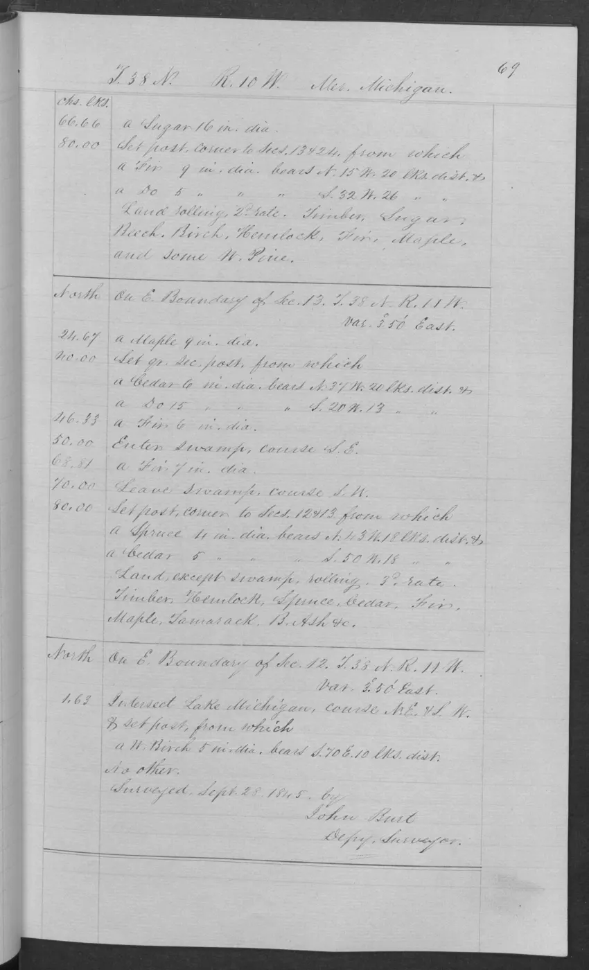
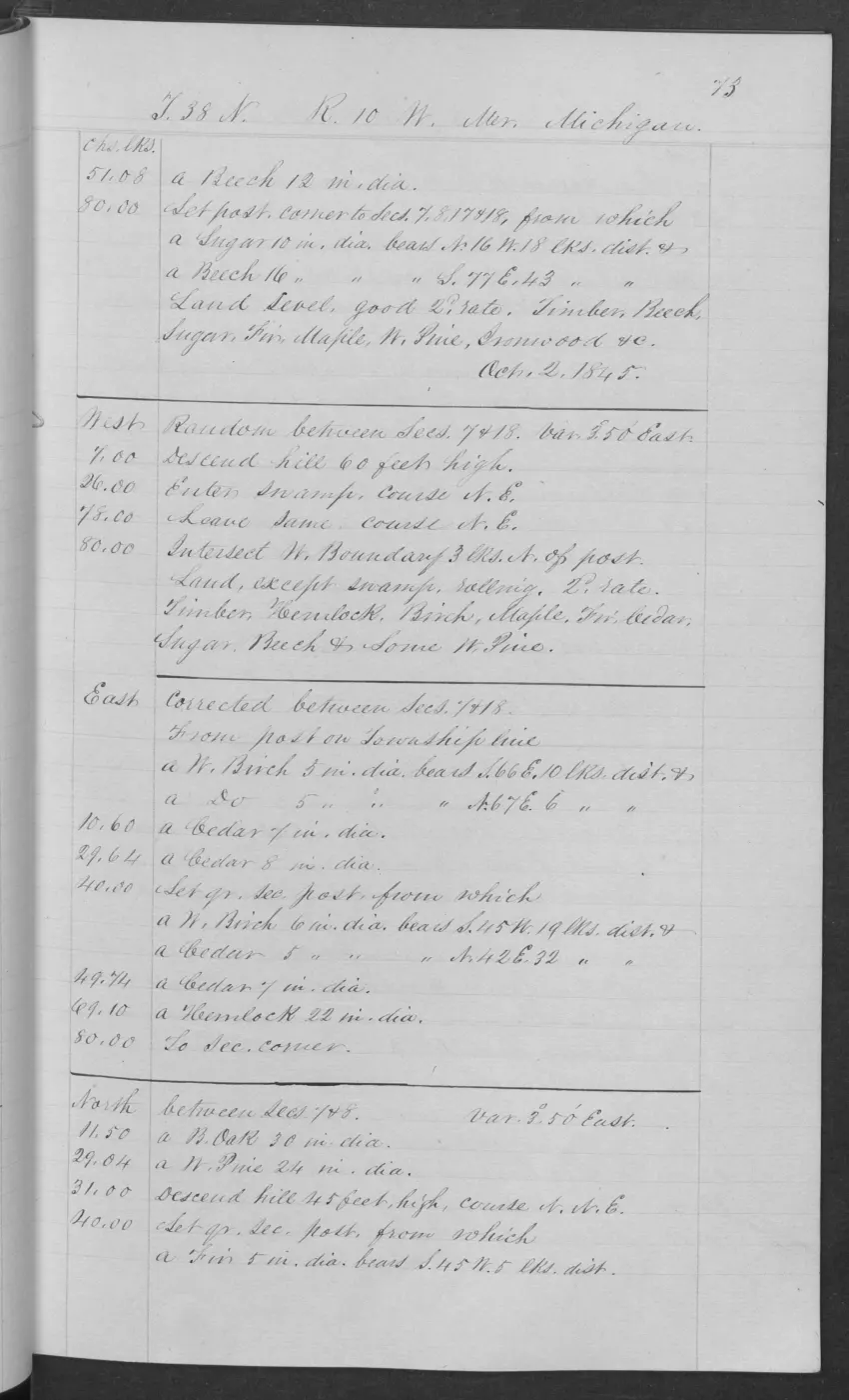
The derived discovery index narrows the two volumes to 218 island-linked pages by explicit page location or Survey-record link. It is a review queue: its BLM OCR is retained for search and triage, but remains unverified.
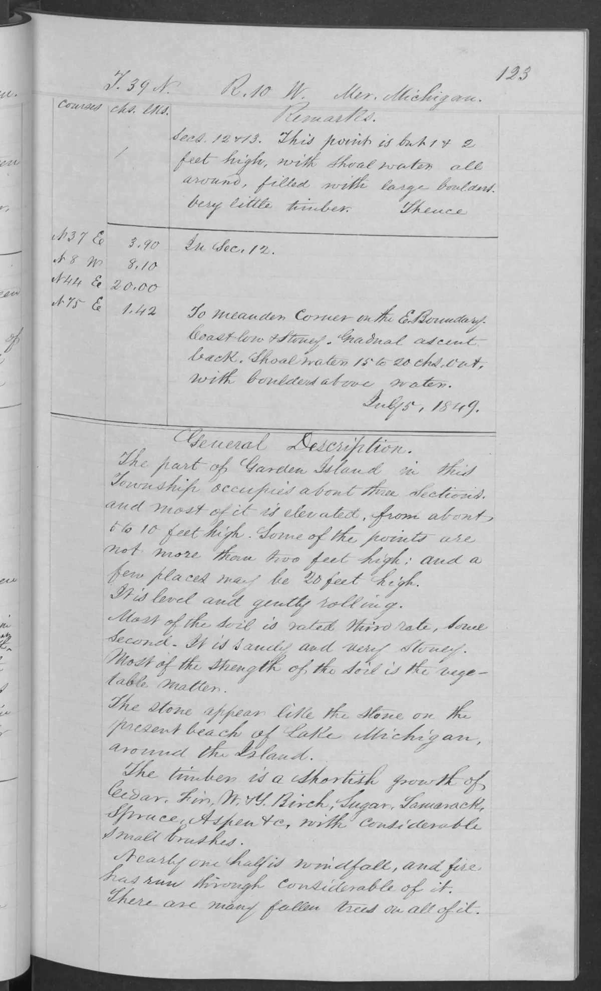
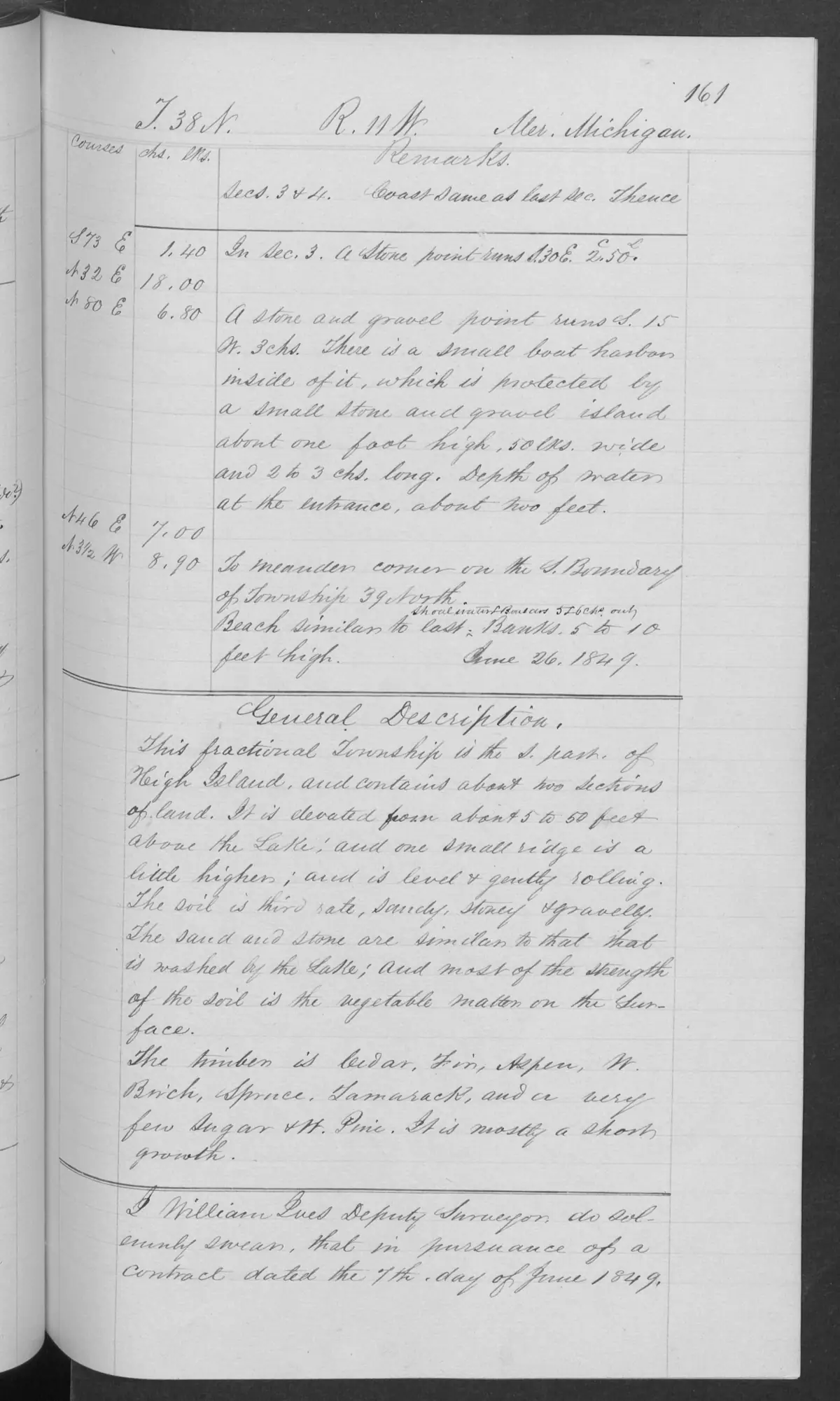
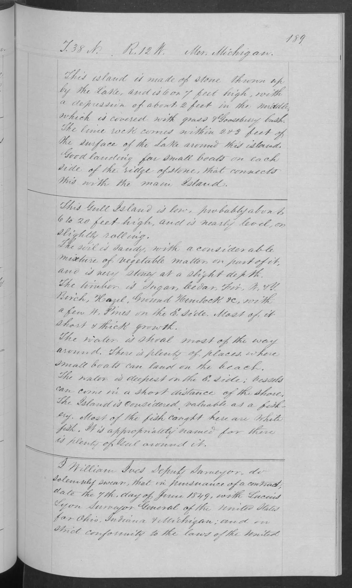
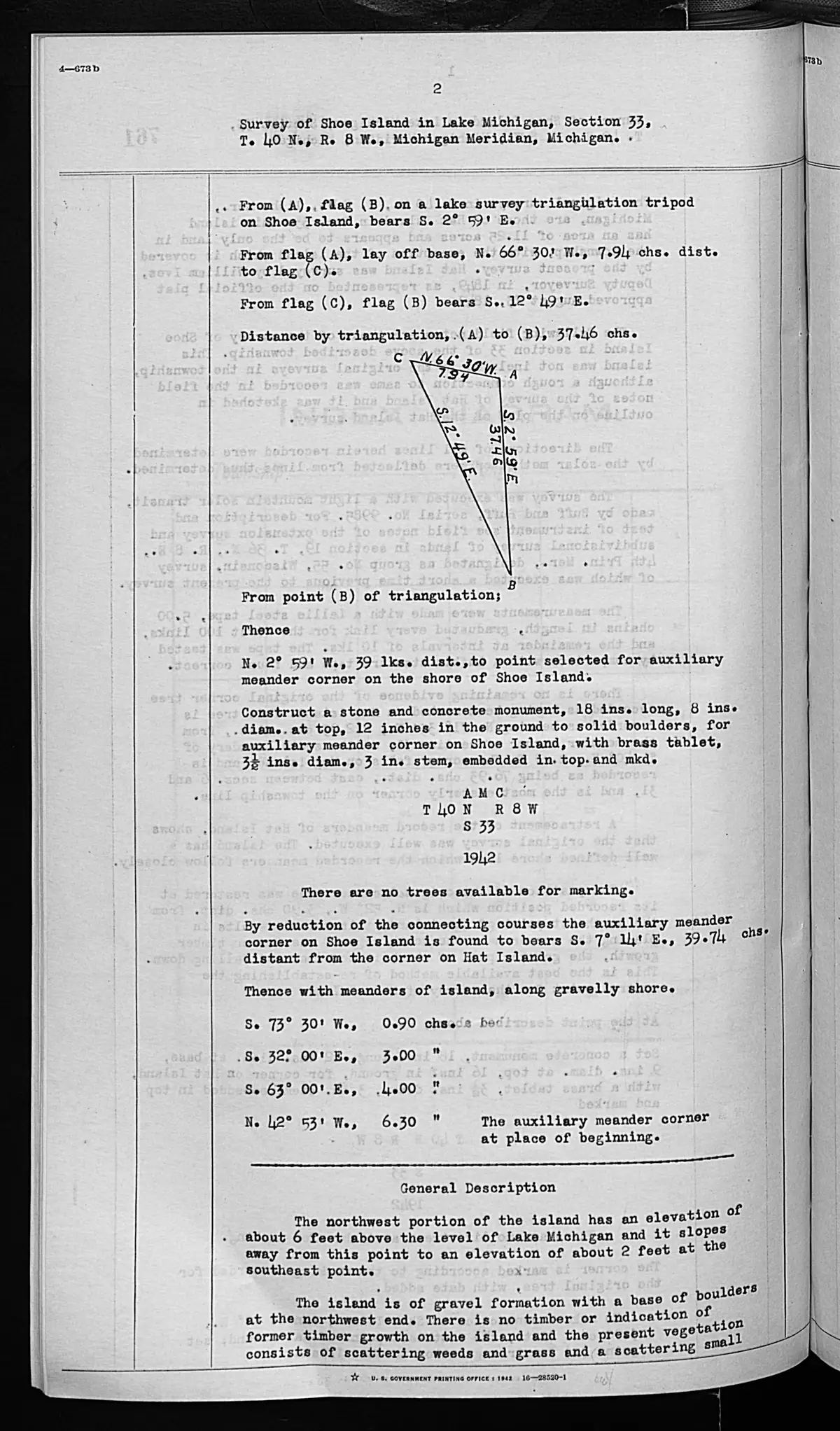
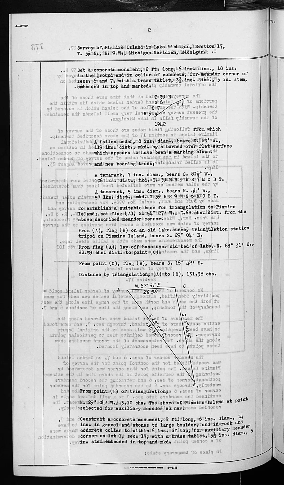
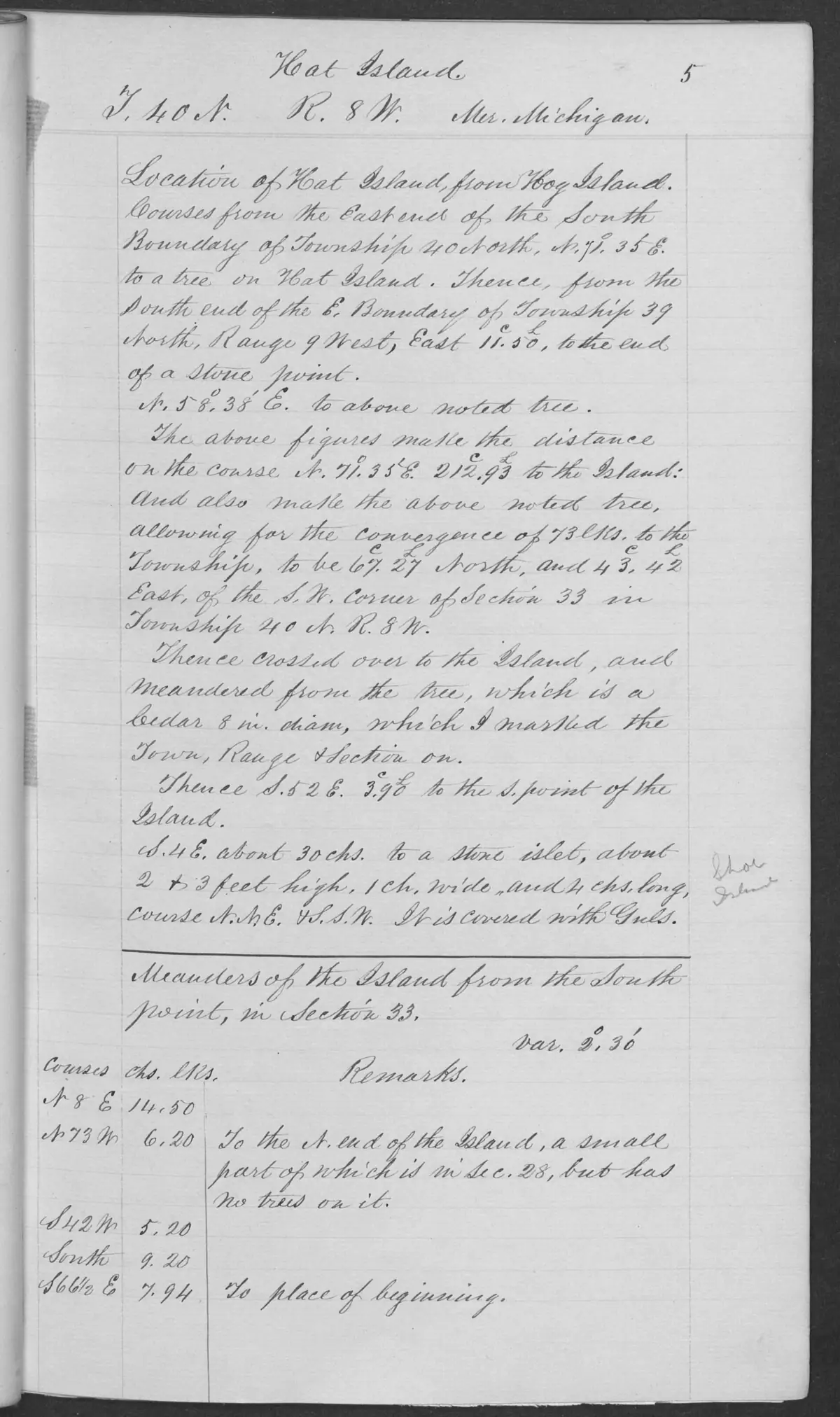
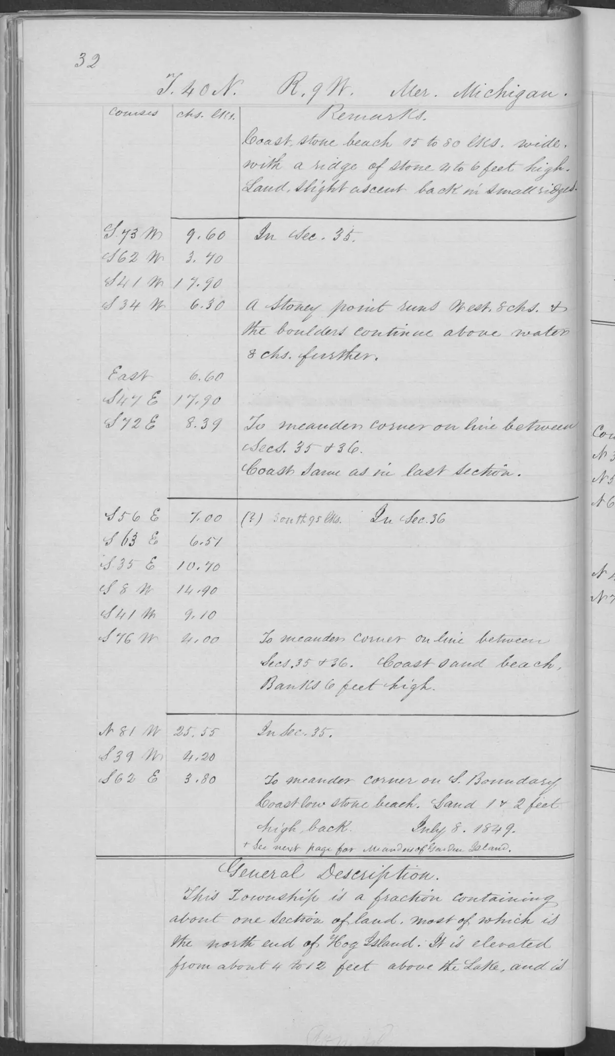
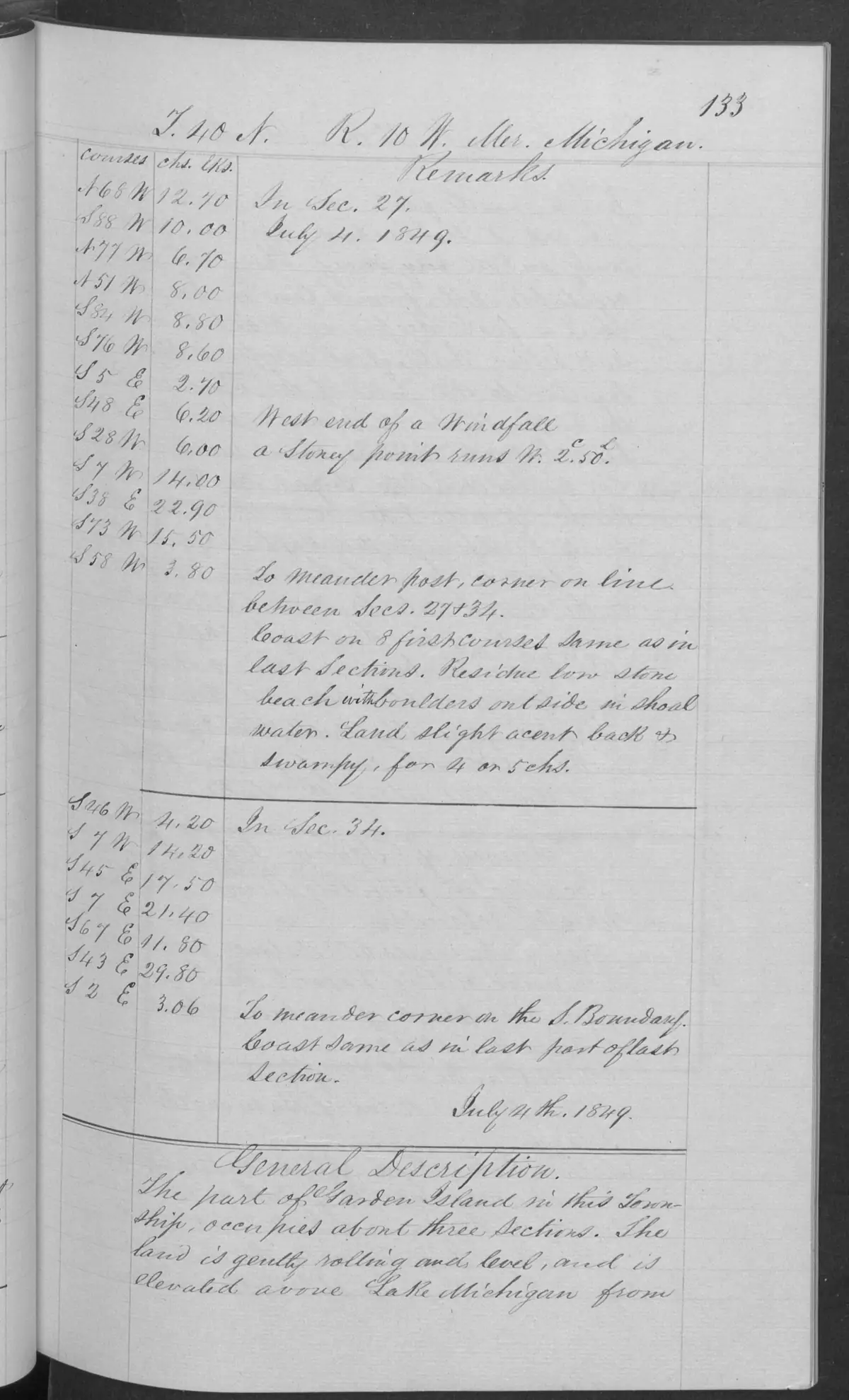
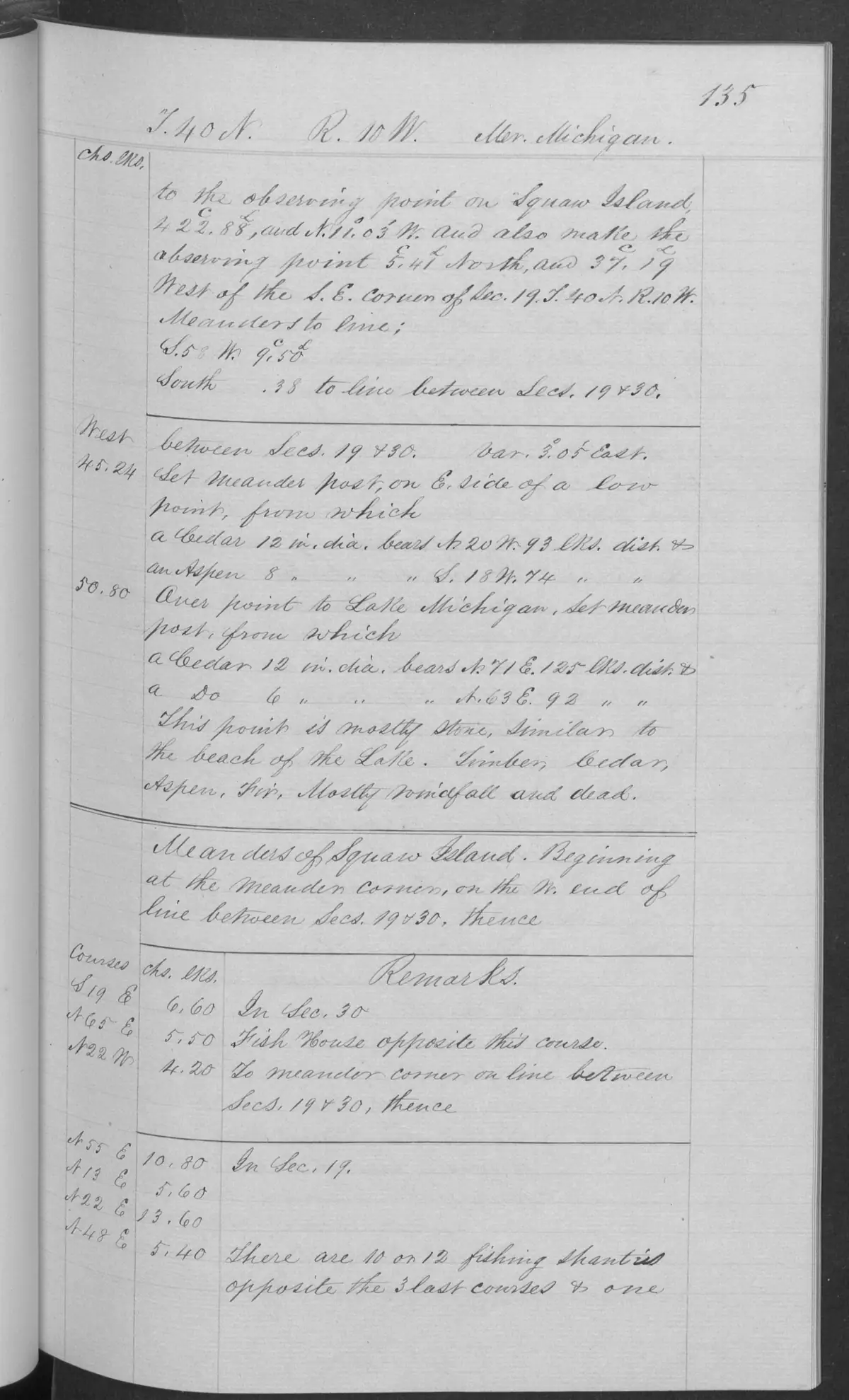
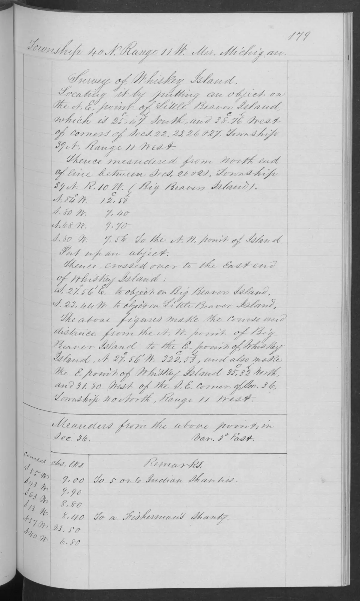
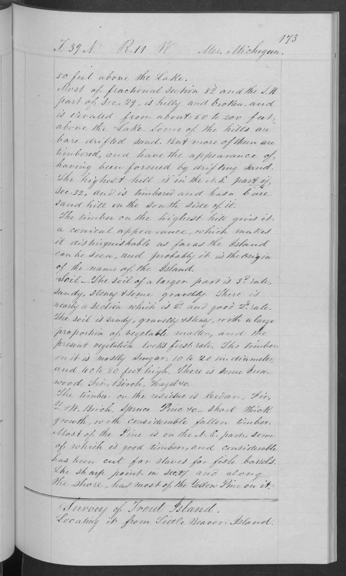
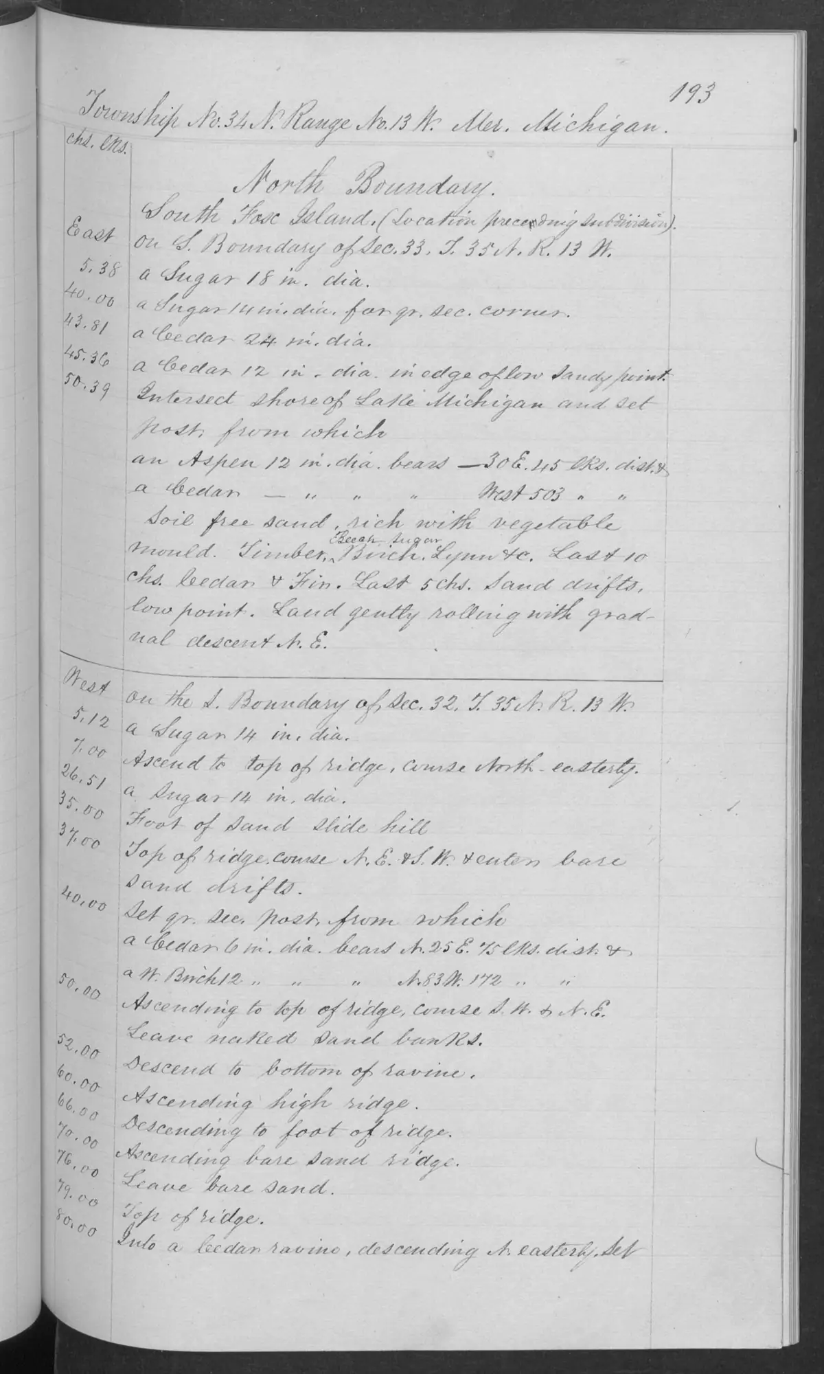
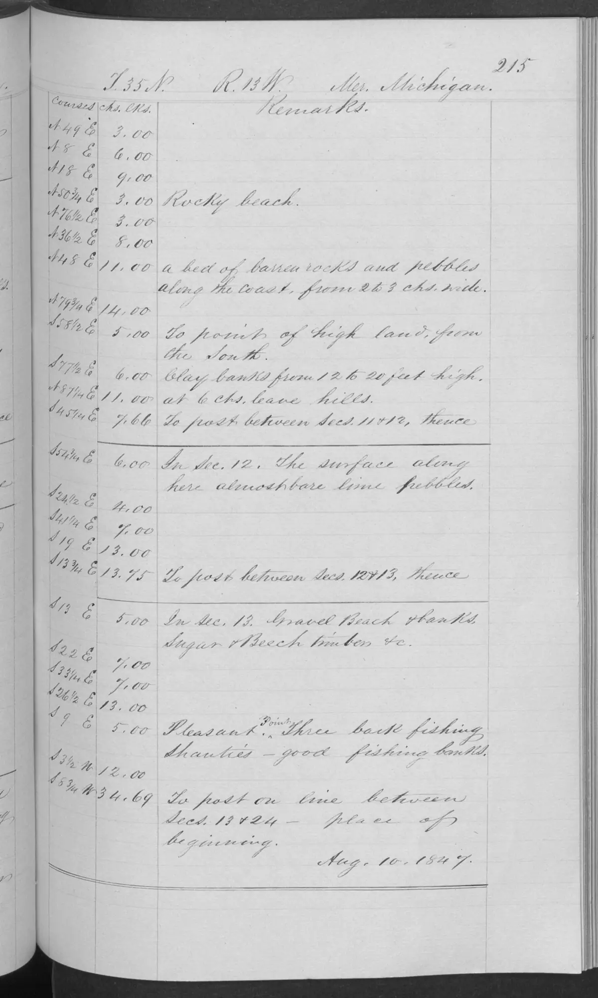
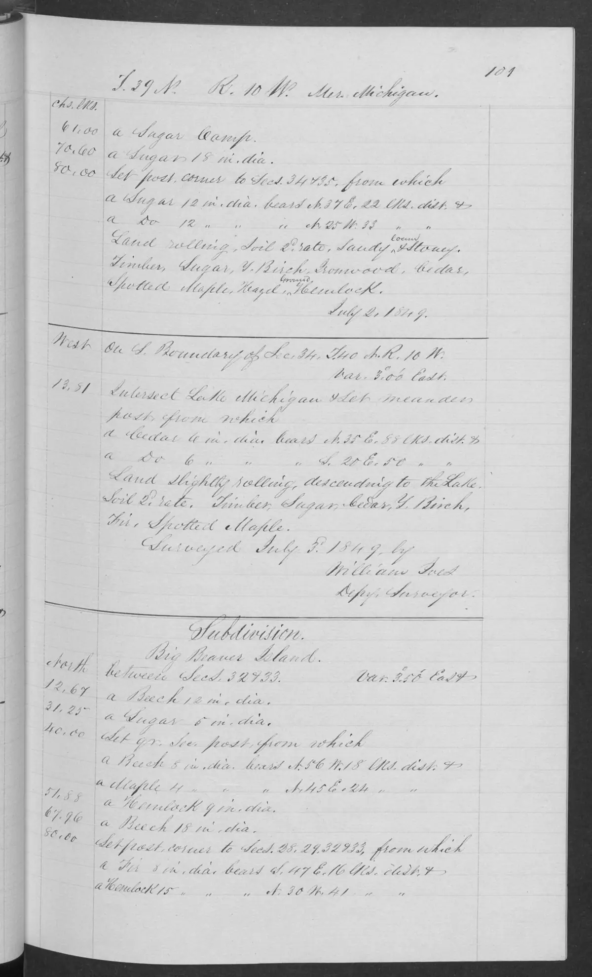
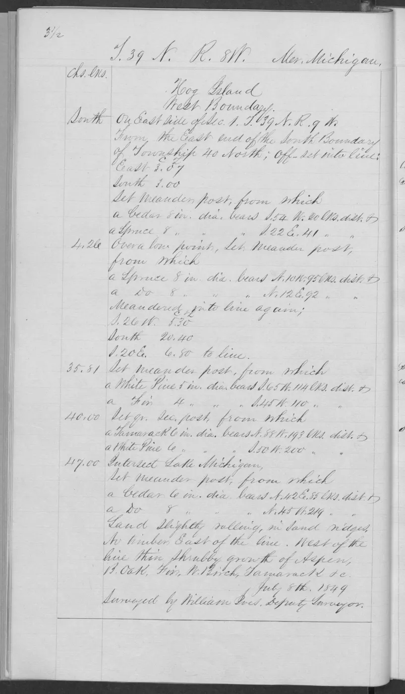
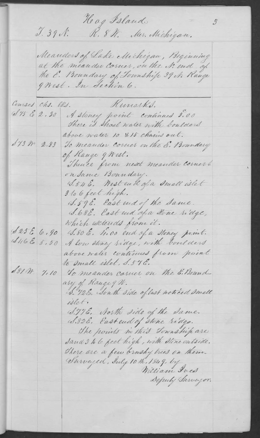
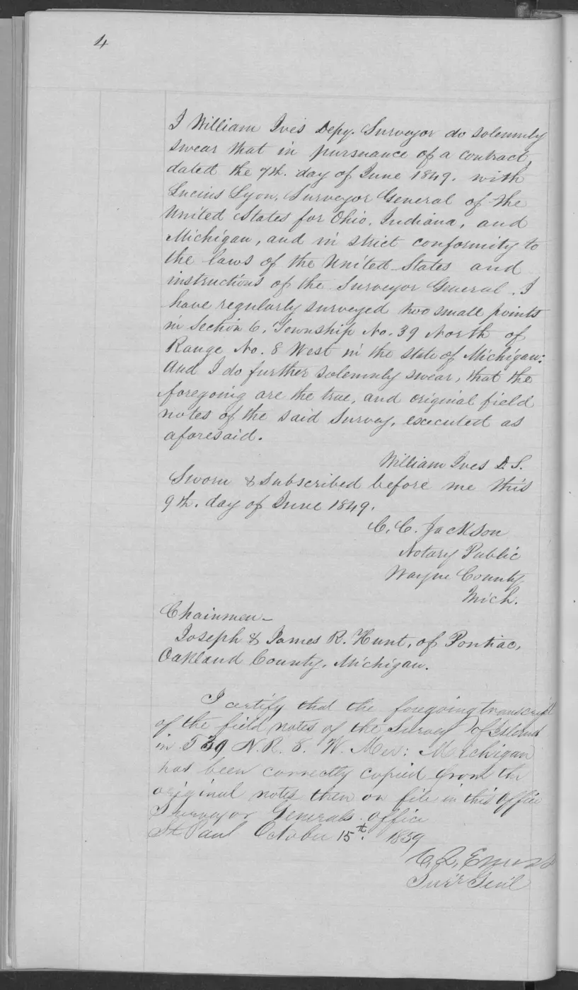
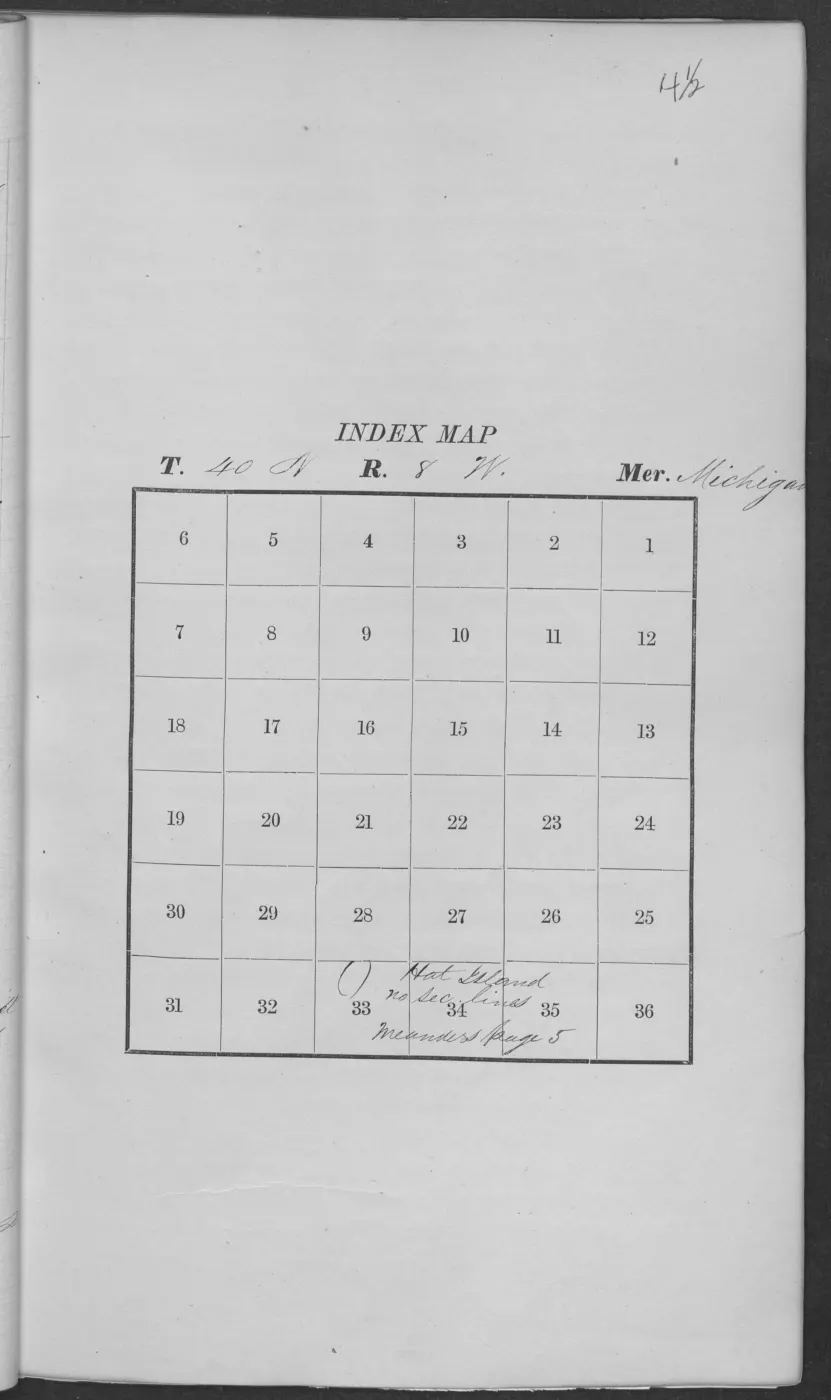
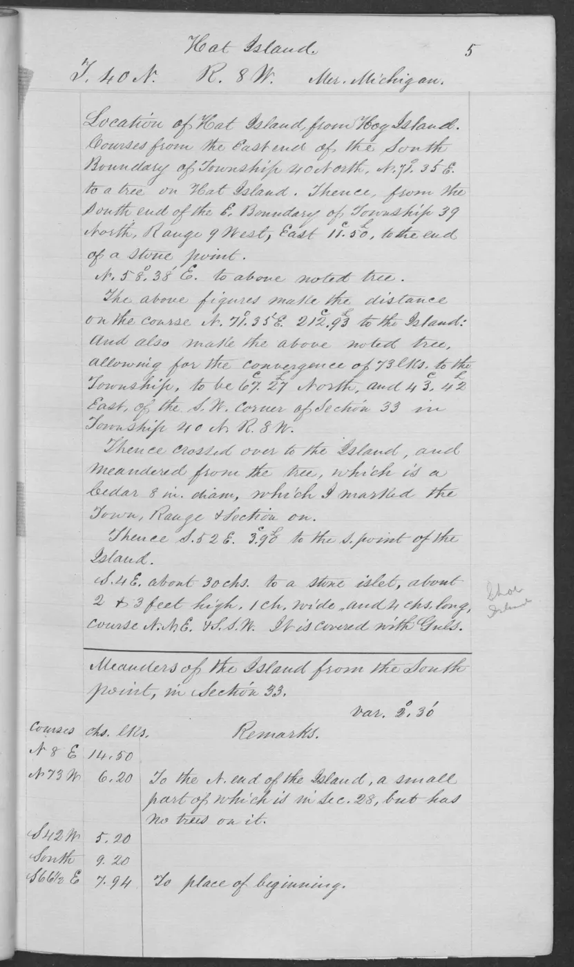
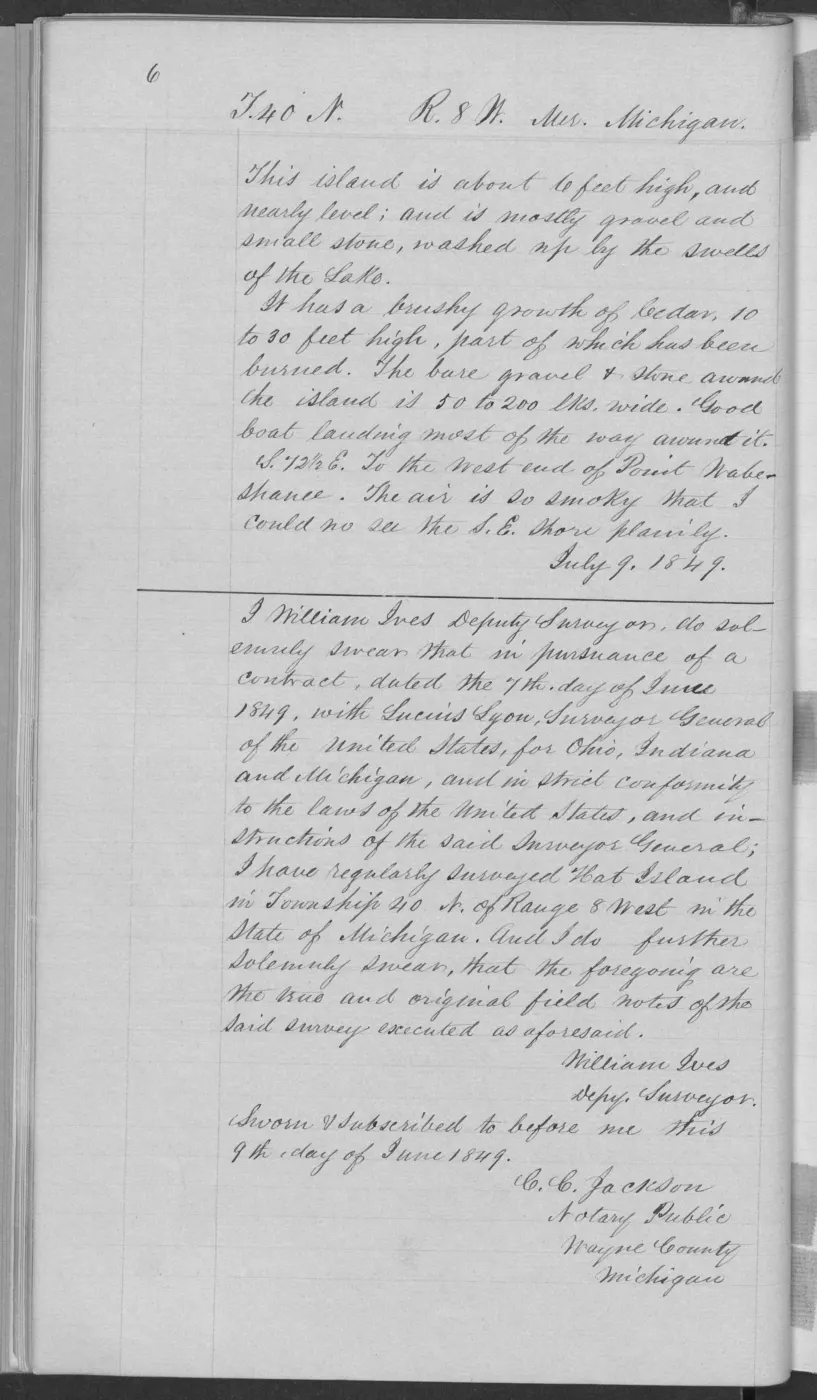
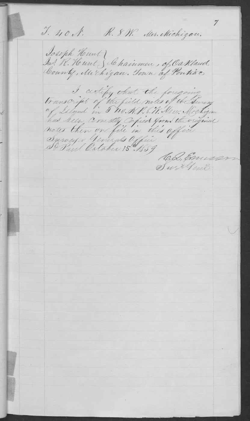
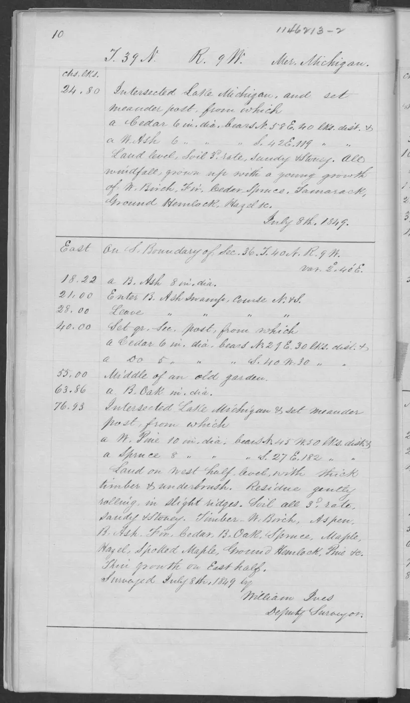
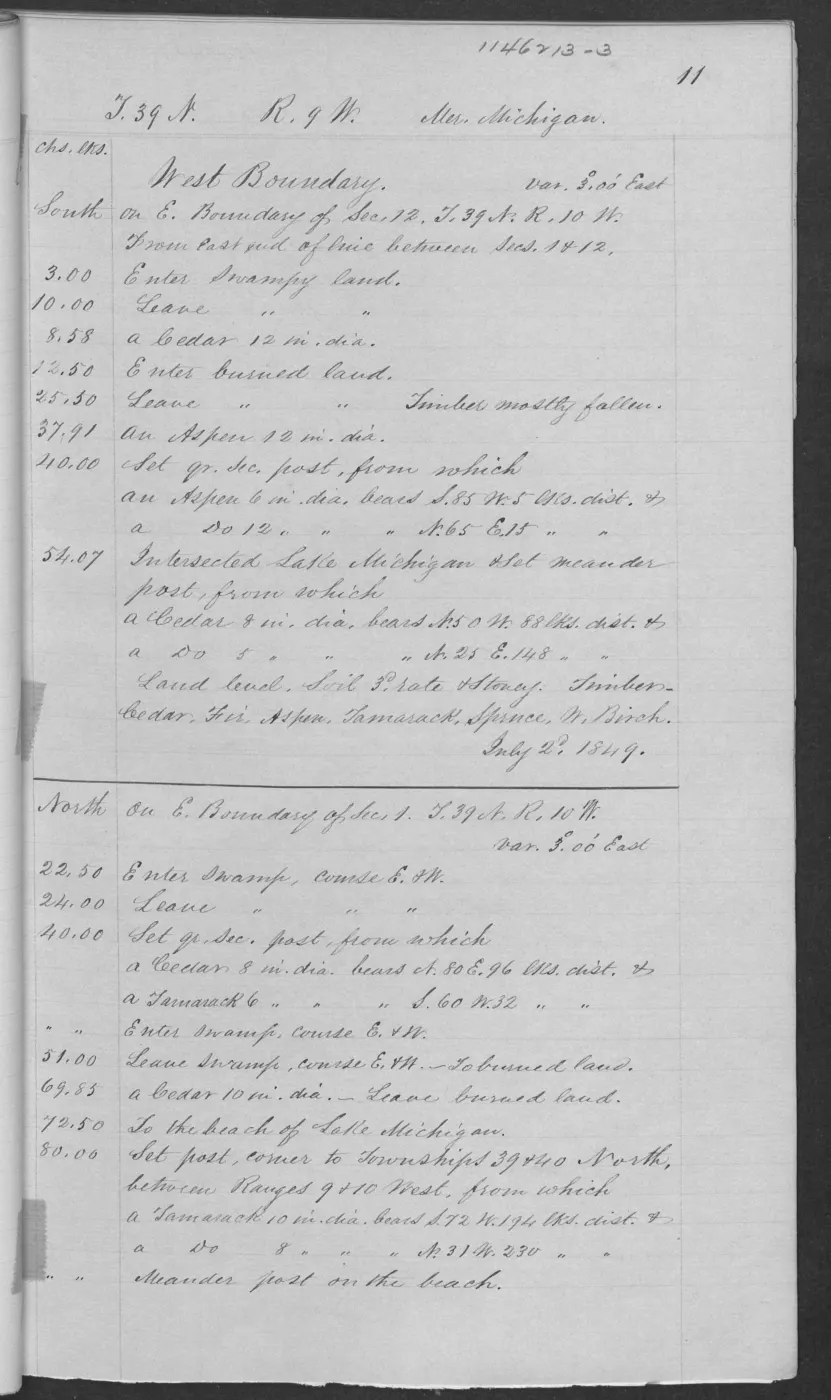
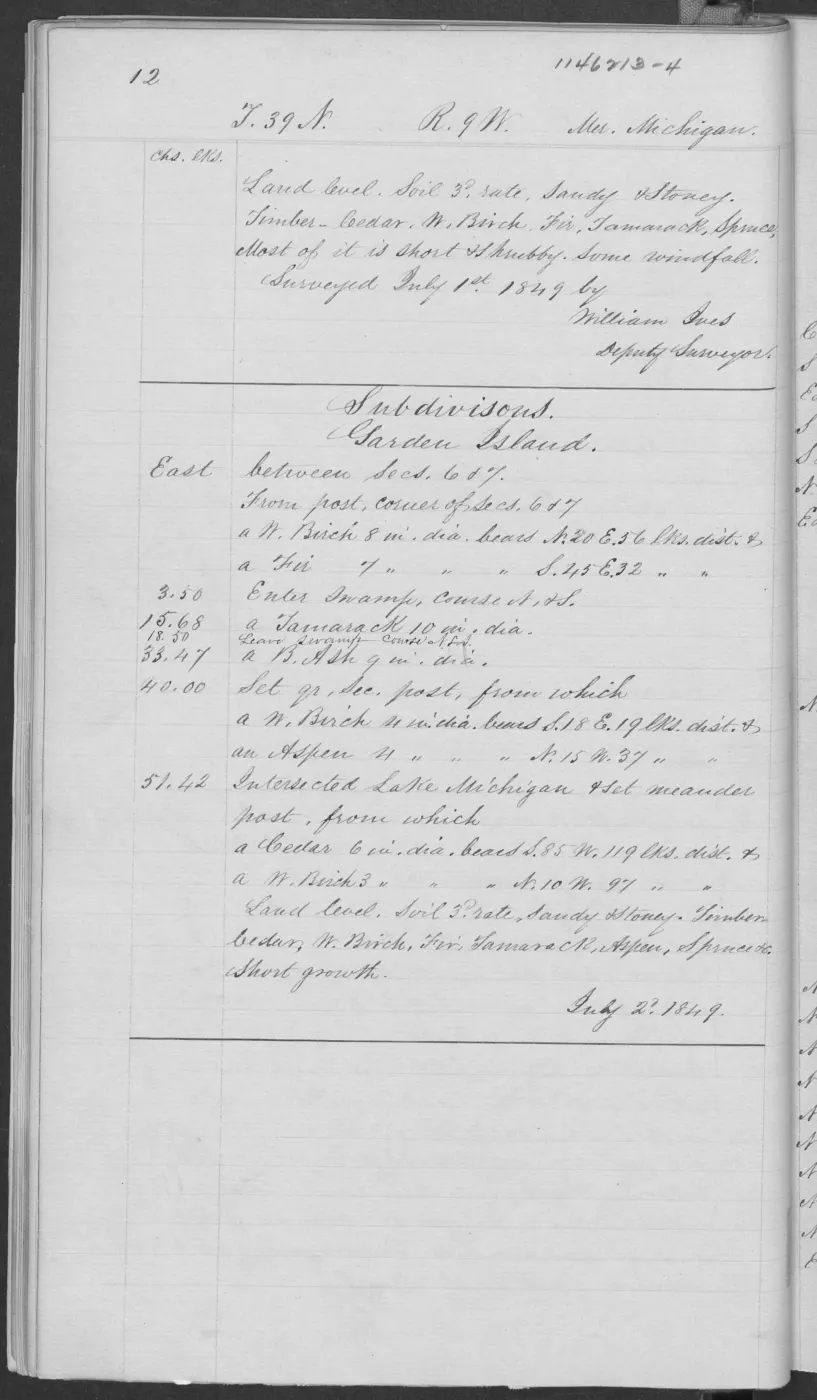
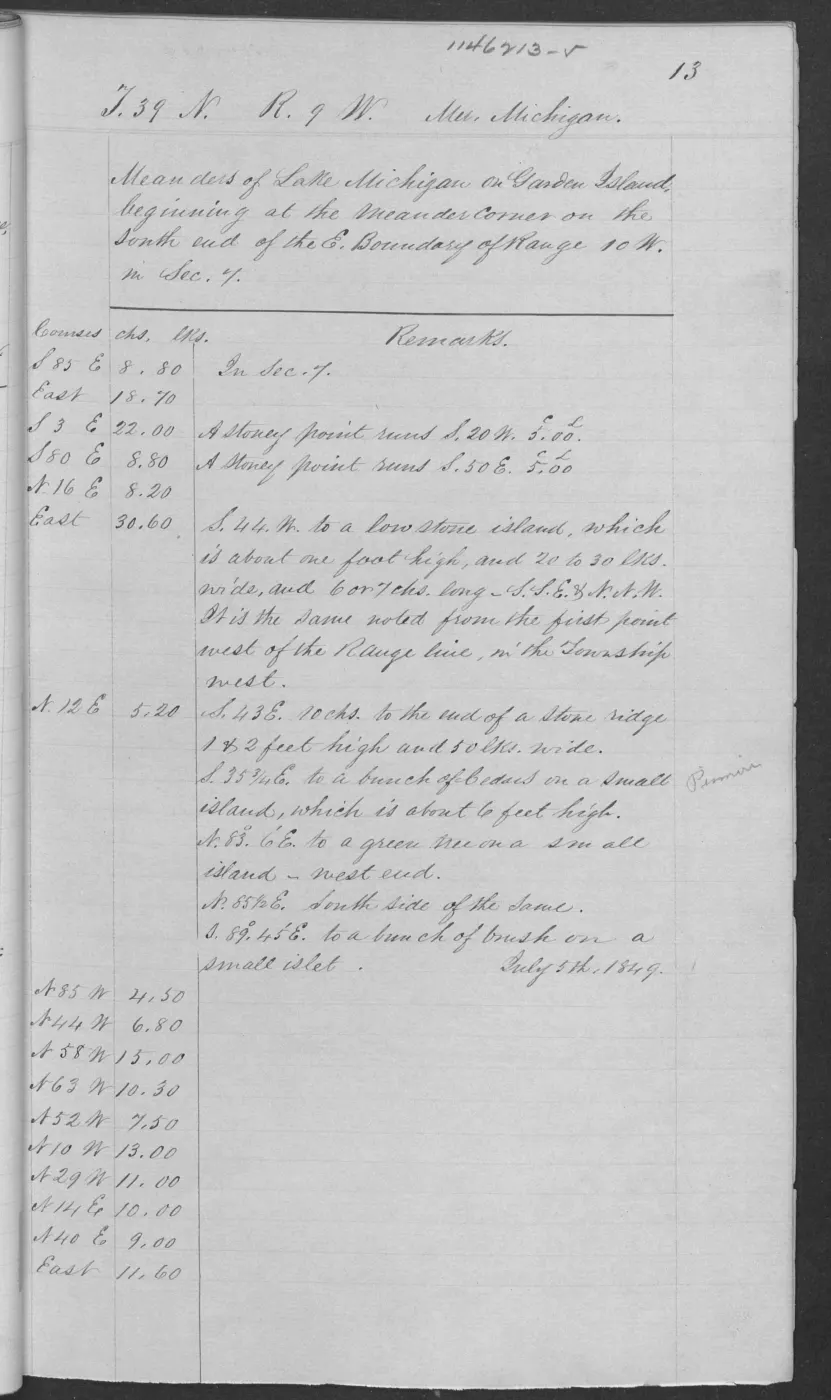
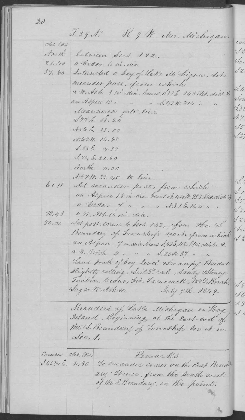
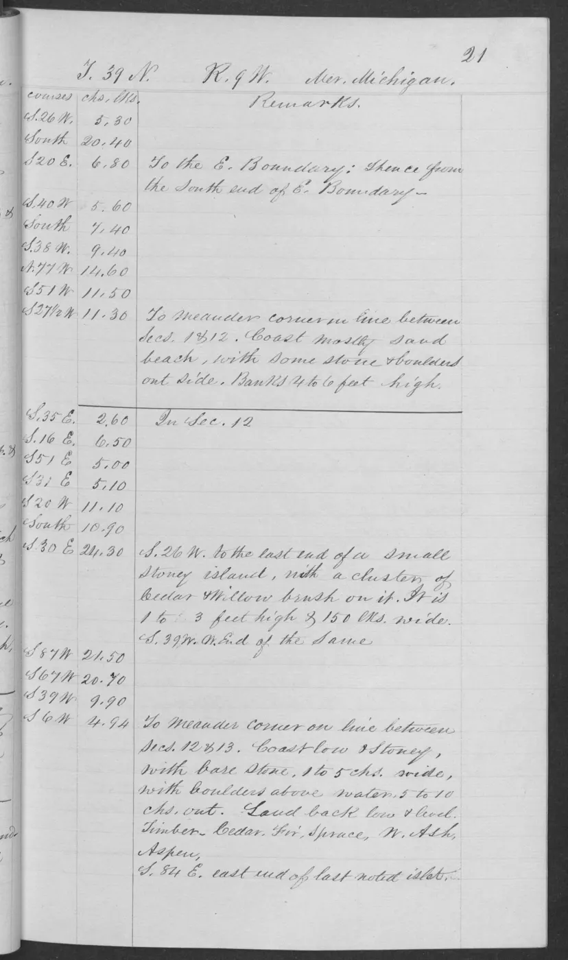
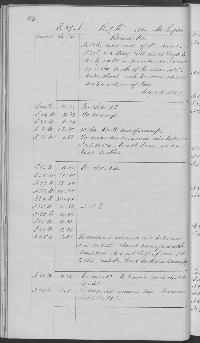
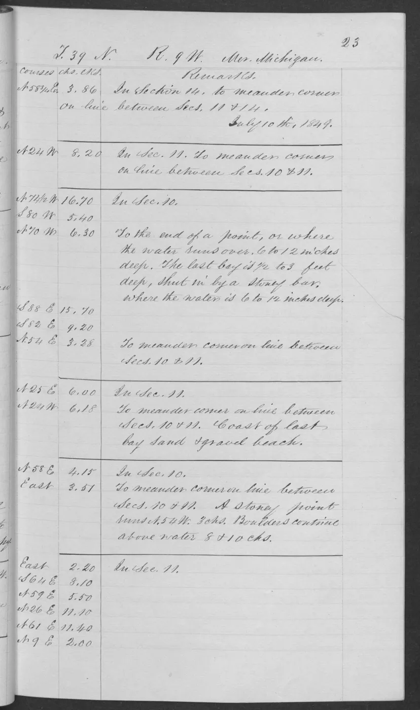
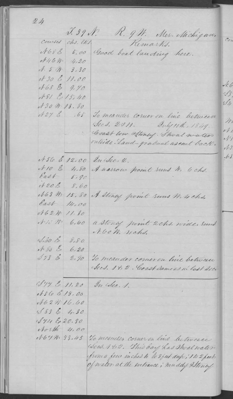
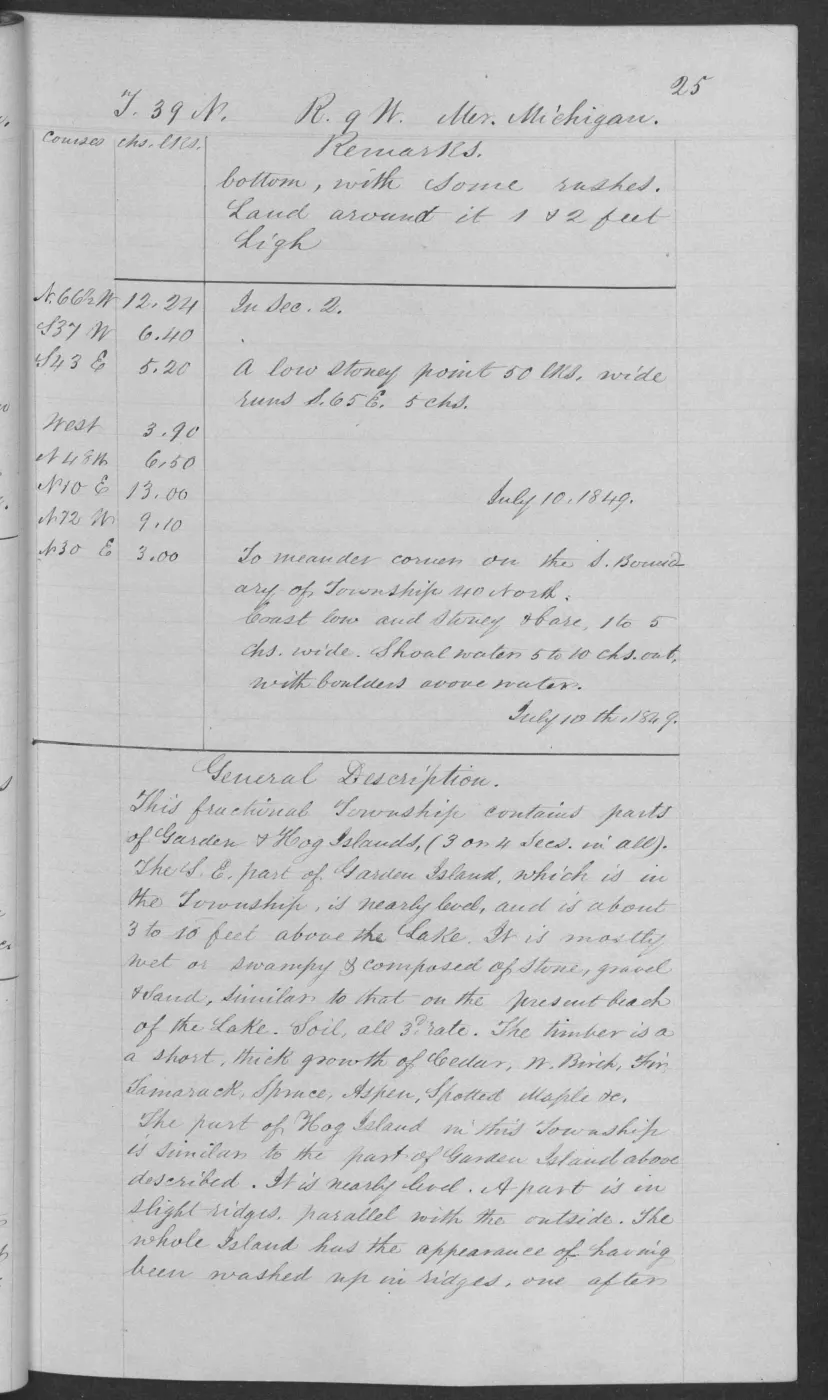
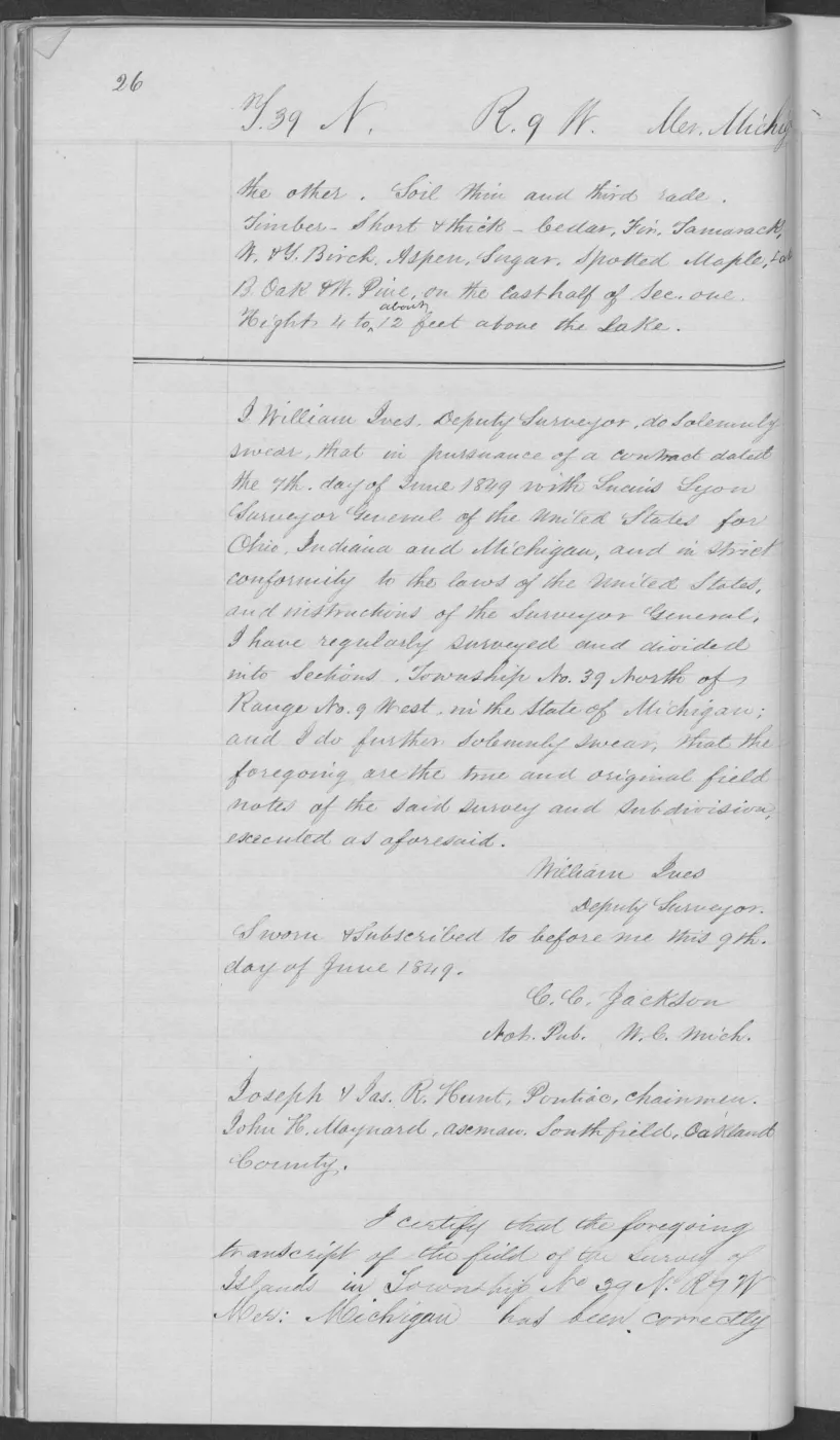
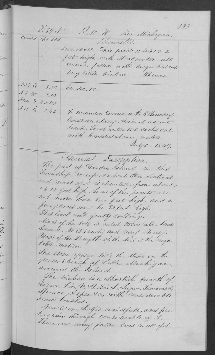
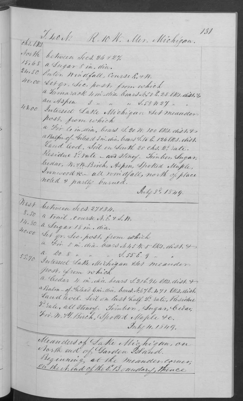
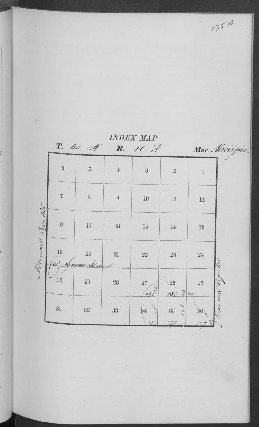
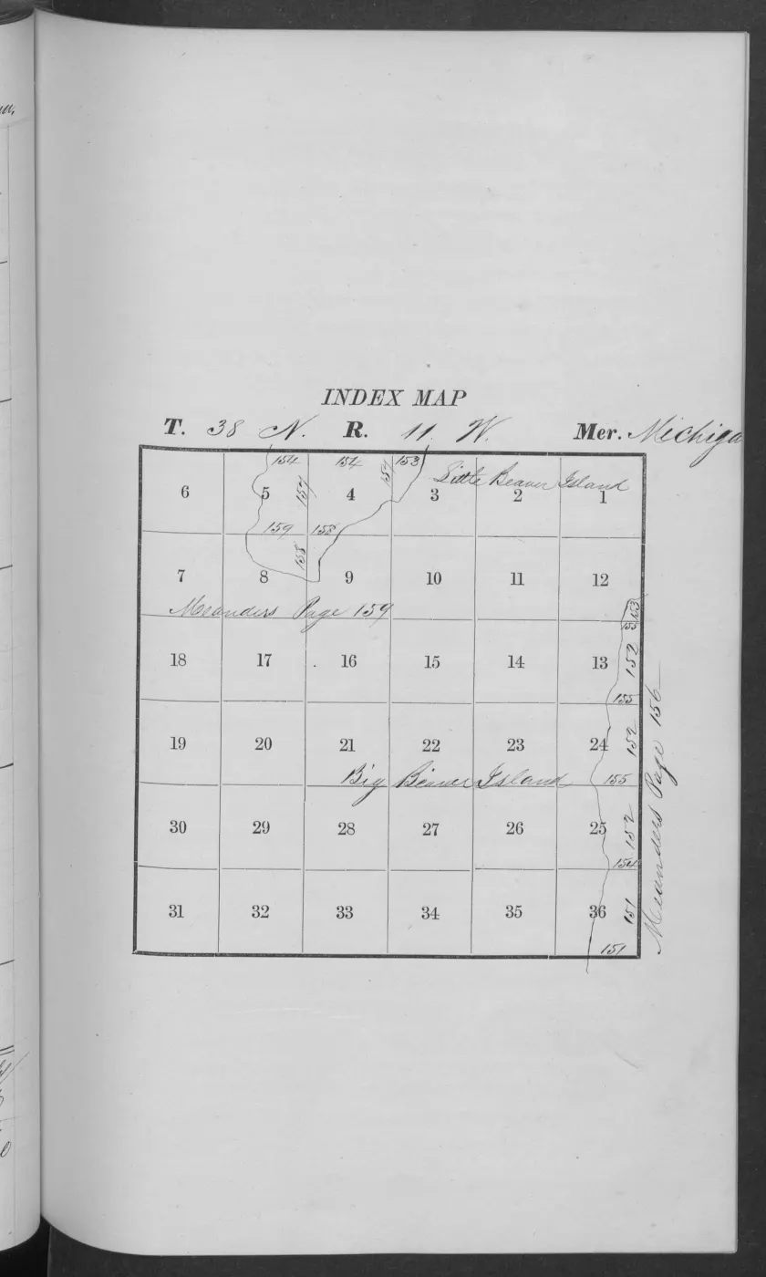
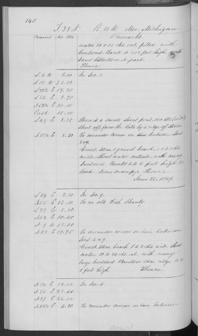
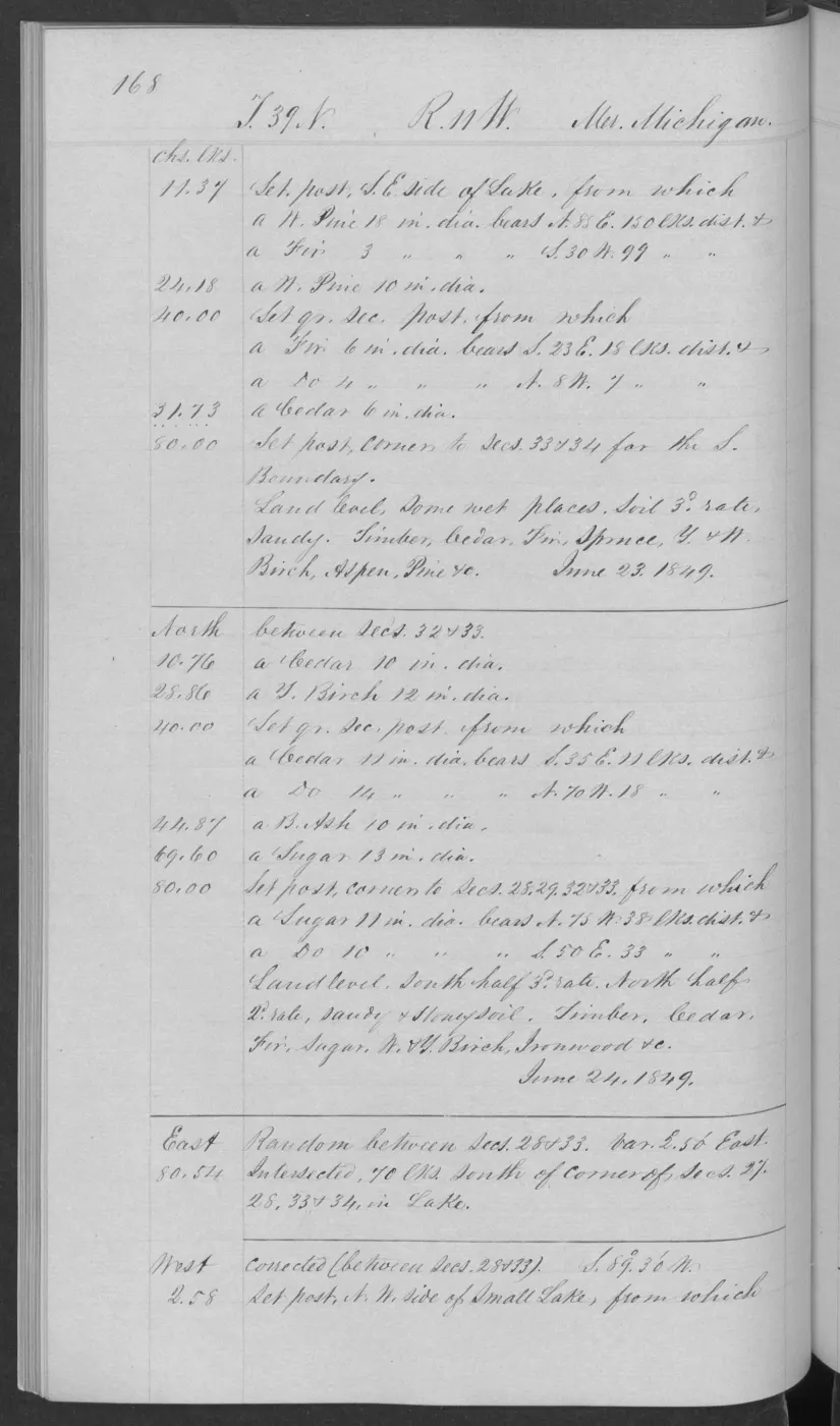
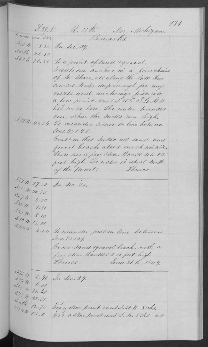
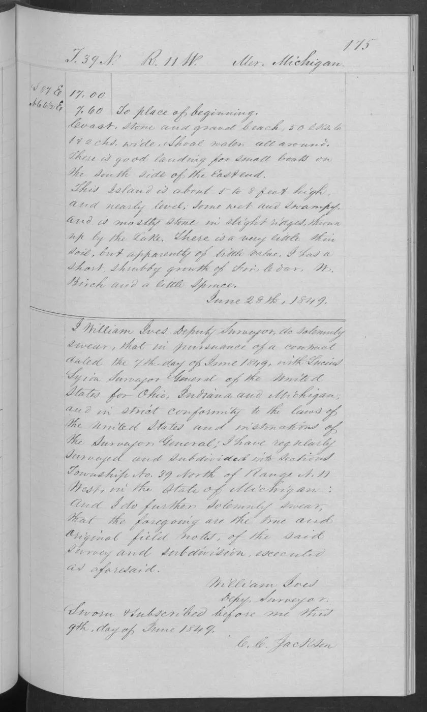
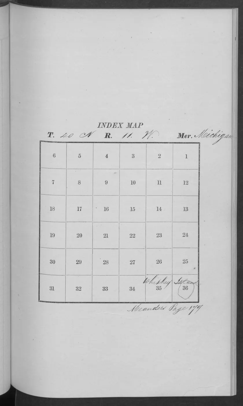
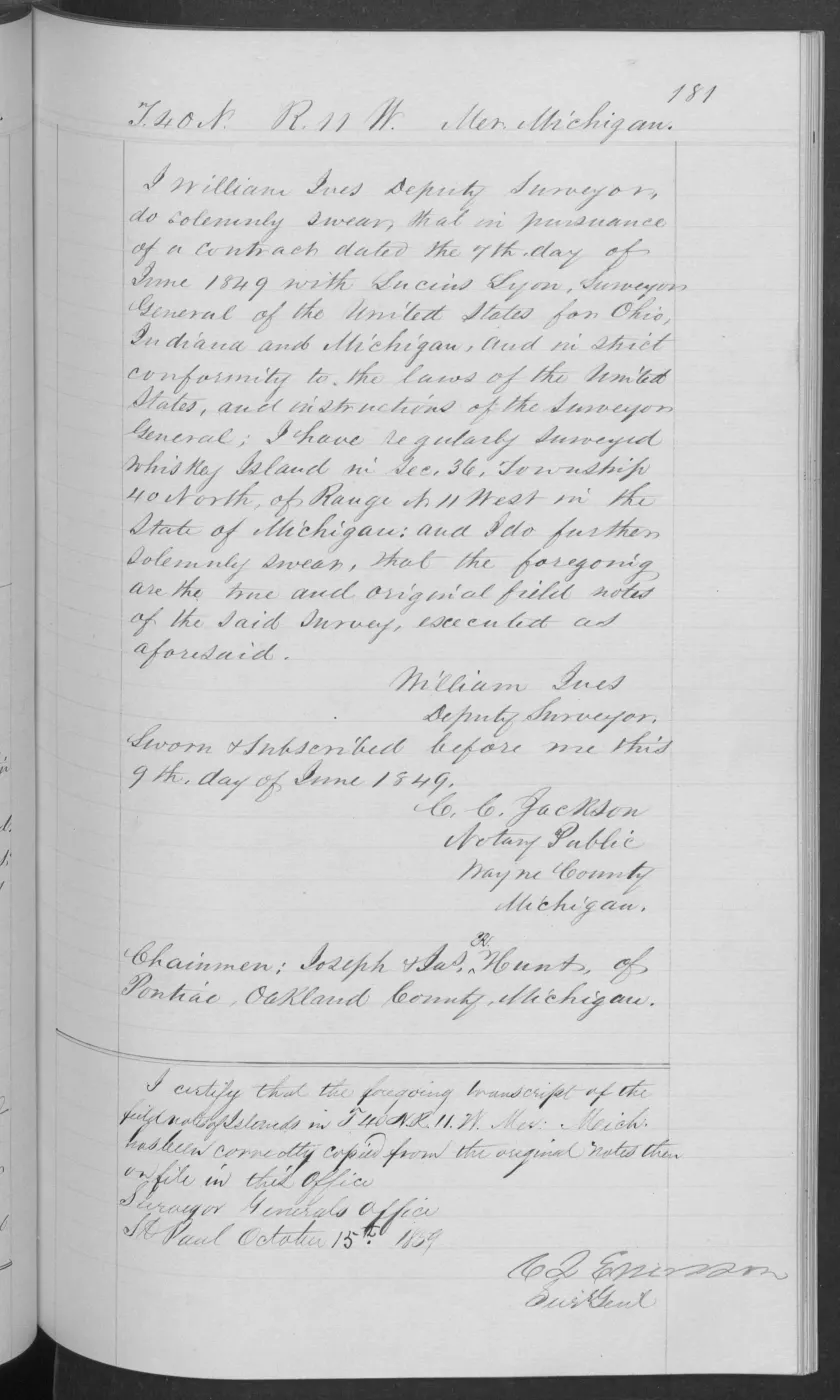
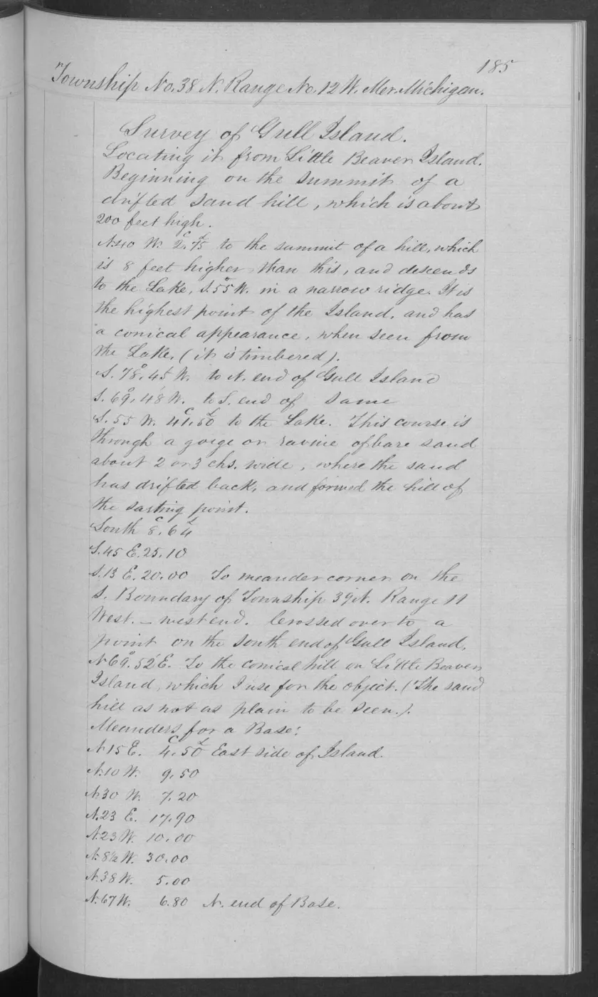
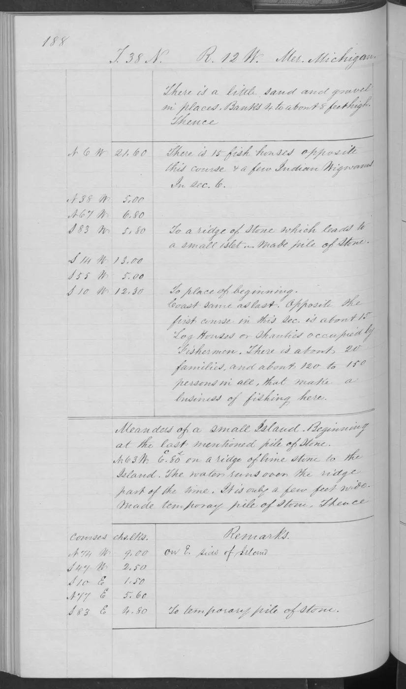
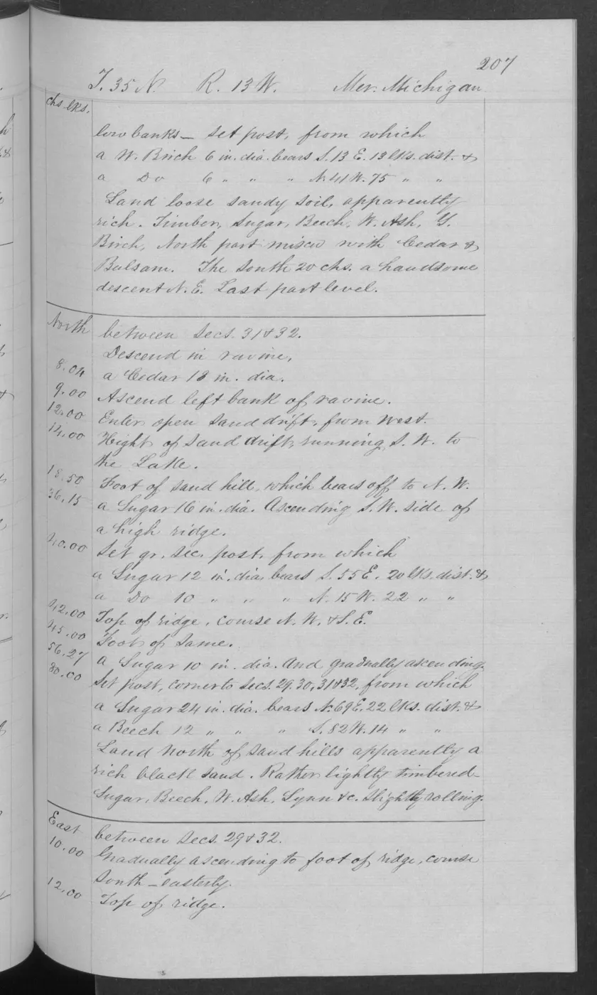
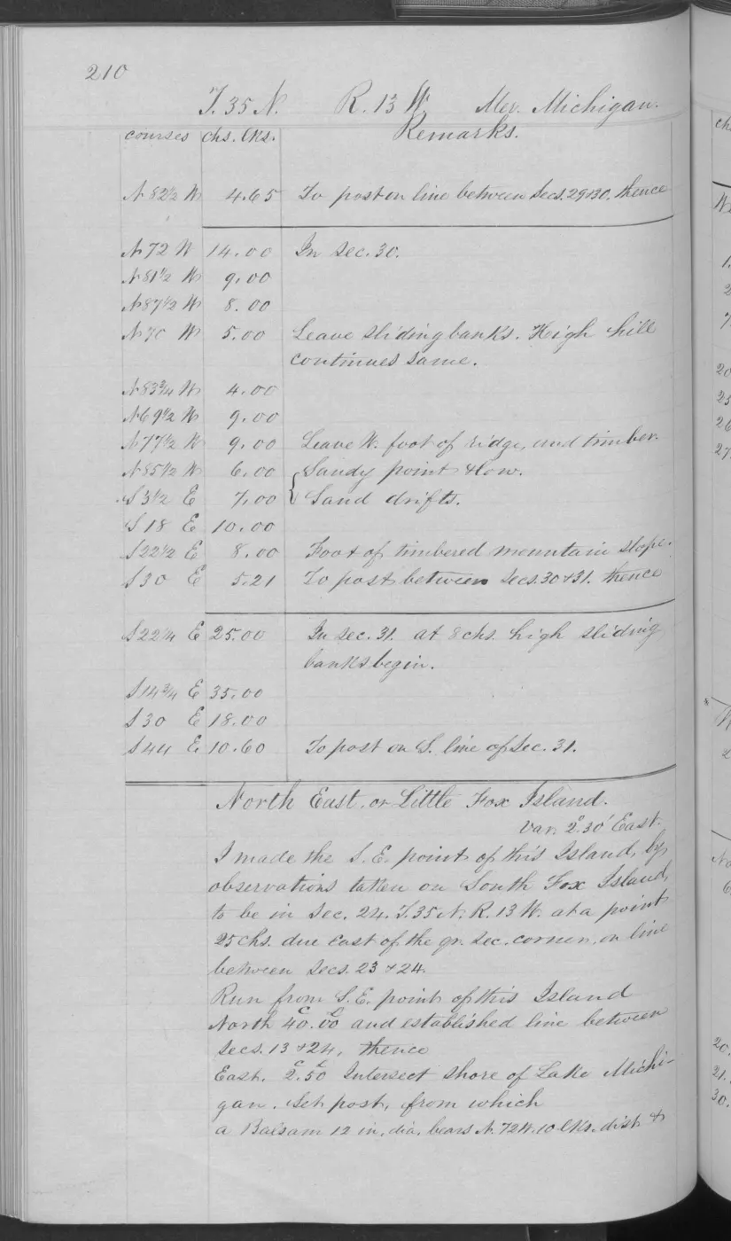
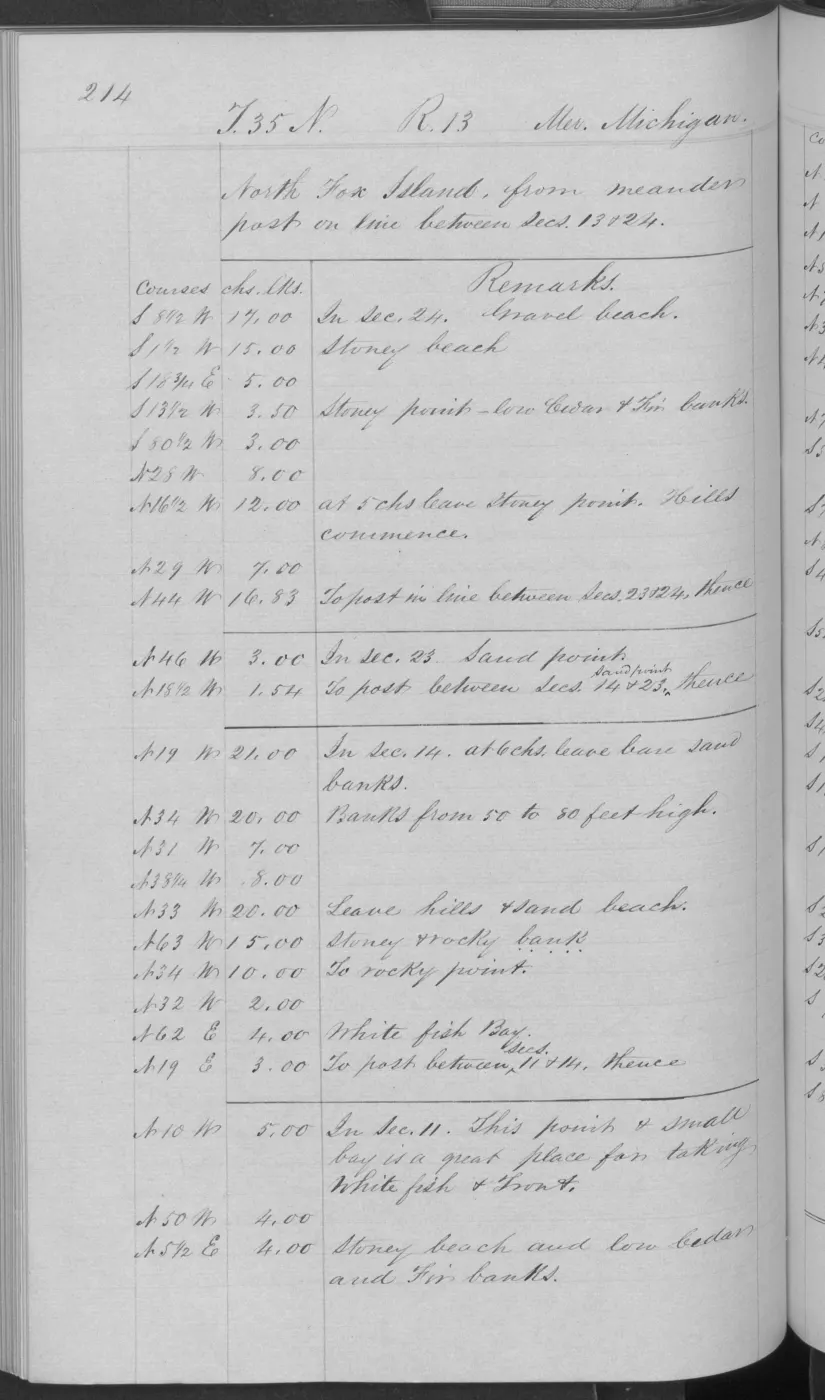
The retained evidence set now includes the 57 visually verified ecology records. Pages 0005–0006 of Volume 168138 preserve an 1849 Hat Island survey and description. Page 0025 of Volume 168138, dated 10 July 1849, gives the general description for the portions of Garden and Hog Islands in T39N R9W. Pages 0123–0124 preserve a distinct 1849 general description for Garden Island in T39N R10W, and pages 0160–0161 and 0170 add Little Beaver/High Island meander and fish-shanty observations around the southern High Island portion in T38N R11W. Pages 0186–0189 preserve a Gull Island location/meander sequence and named Gull Island description in T38N R12W. Pages 0762–0763 of Volume 276017 preserve a 1942 Shoe Island description, while pages 0774–0775 preserve a 1942 Pismire Island survey and description. Pages 0032–0033 provide a distinct 1849 description of Hog Island’s north end, and pages 0133–0134 a distinct 1849 description of Garden Island’s T40N R10W portion. Pages 0135–0137 preserve a 1849 survey and description for Ojibwa Island; the original uses its historical source name, which the linked place record retains only as a former name. Their bounded observations are linked to the island records; pages 0179–0180 preserve a distinct 1849 Whiskey Island survey and description, including fishing-shanty and fishing-community observations. Pages 0173–0175 preserve a distinct 1849 Trout Island survey and description, including old fish shanties, vacant wigwam frames, and timber use. They do not turn the remaining discovery index into a transcription. Pages 0193 and 0214 respectively preserve explicitly named 1847 South Fox and North Fox survey pages; the latter records page-bounded shoreline and timber observations. Page 0101 begins a dated 1849 subdivision of Big Beaver Island between sections 32 and 33.
Evidence and limits
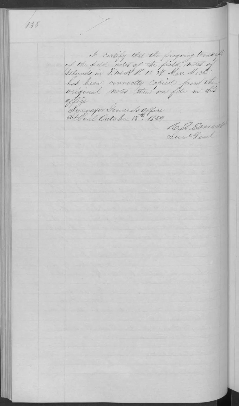
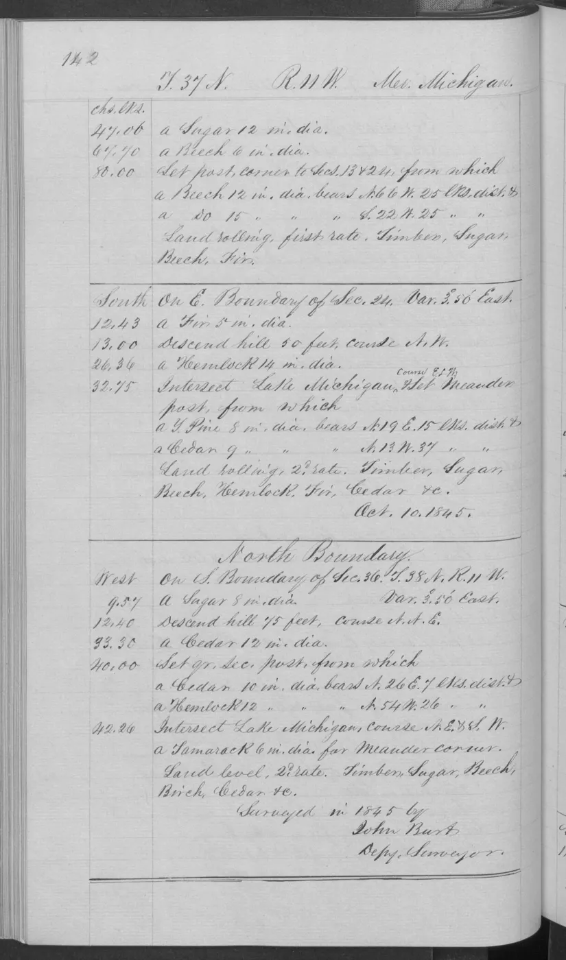
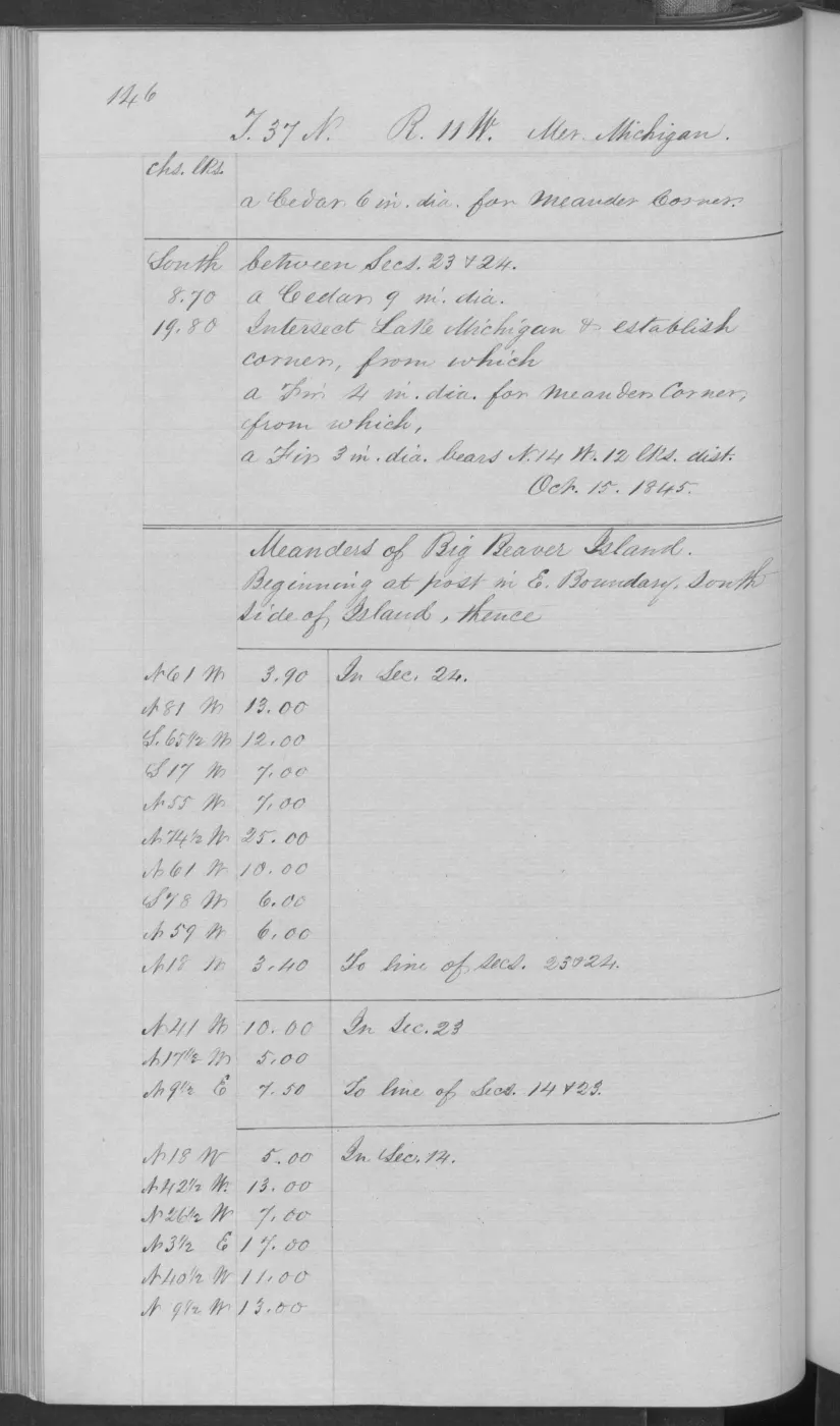
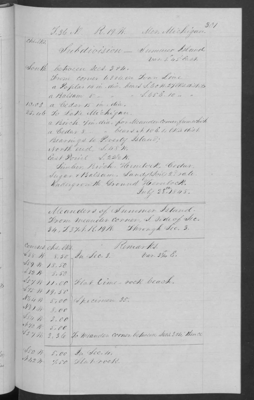
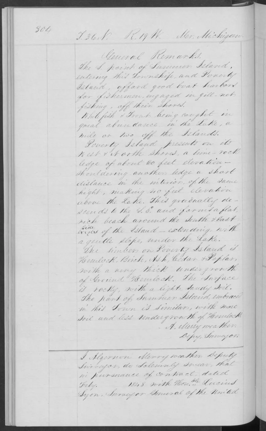
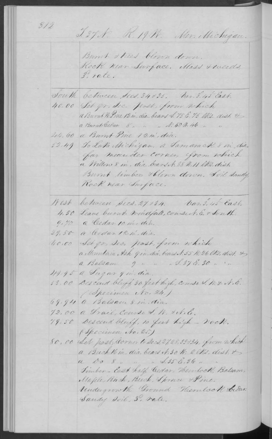
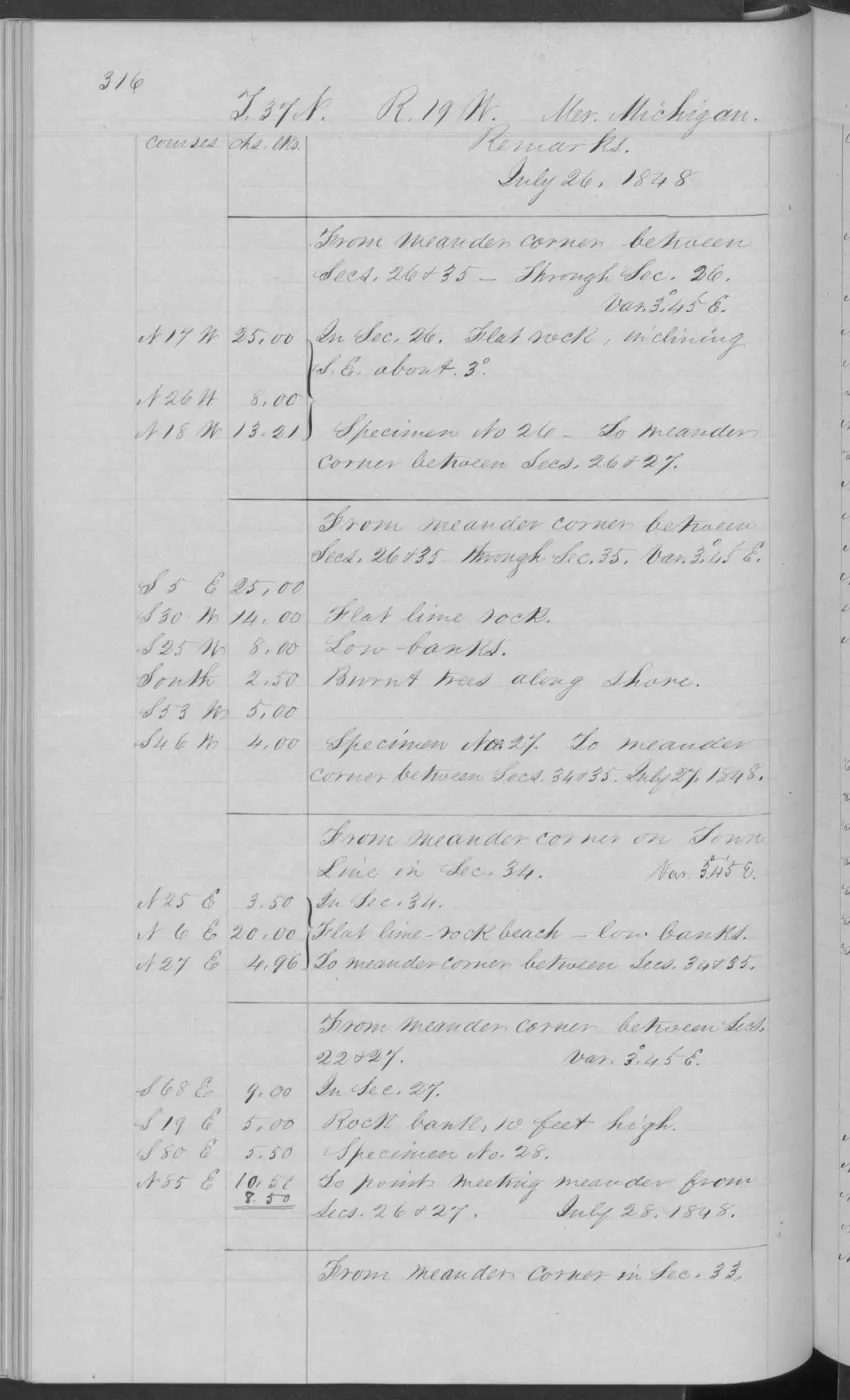
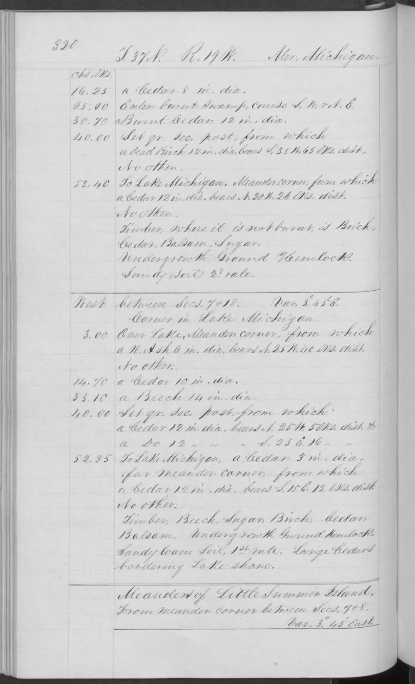
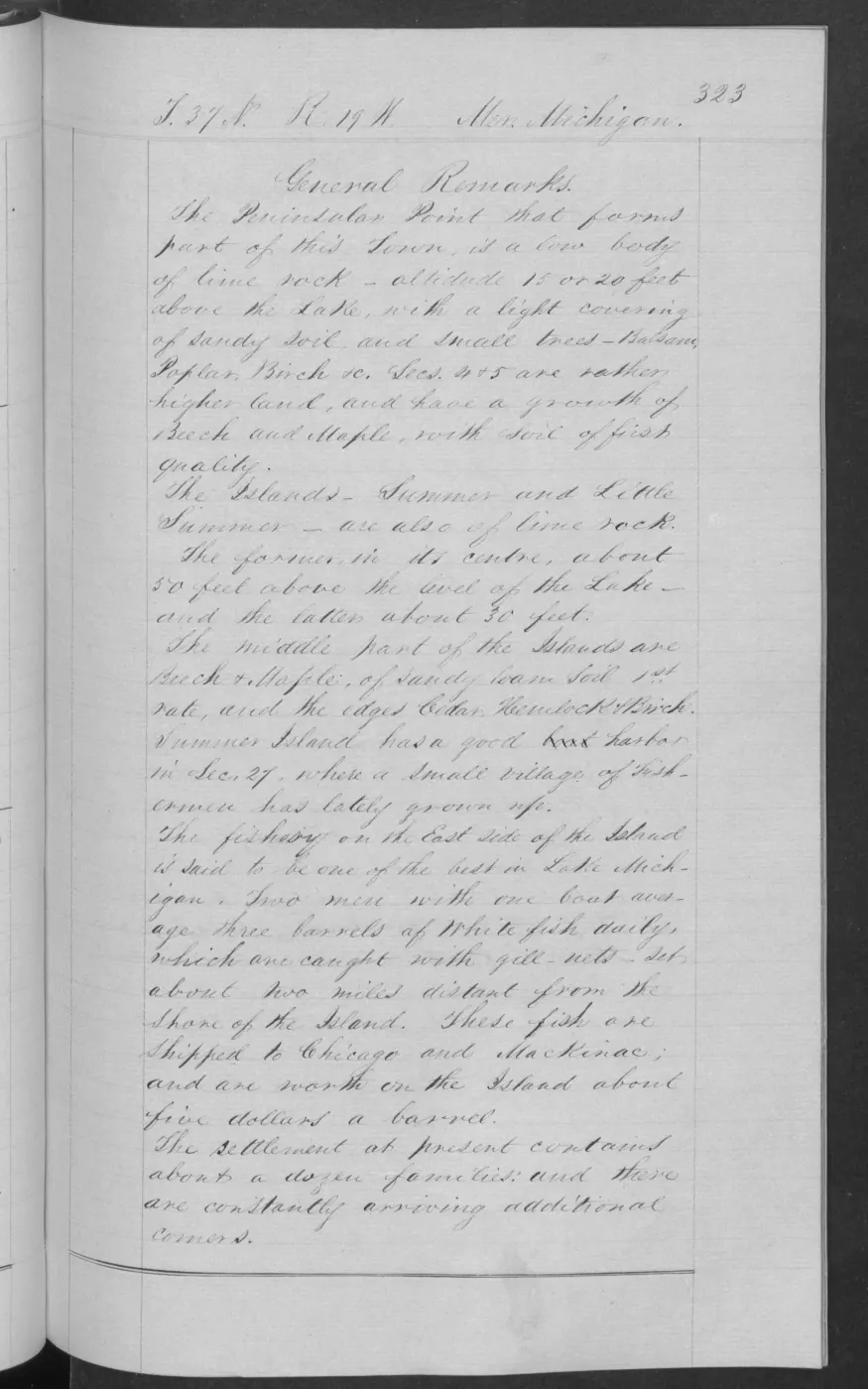
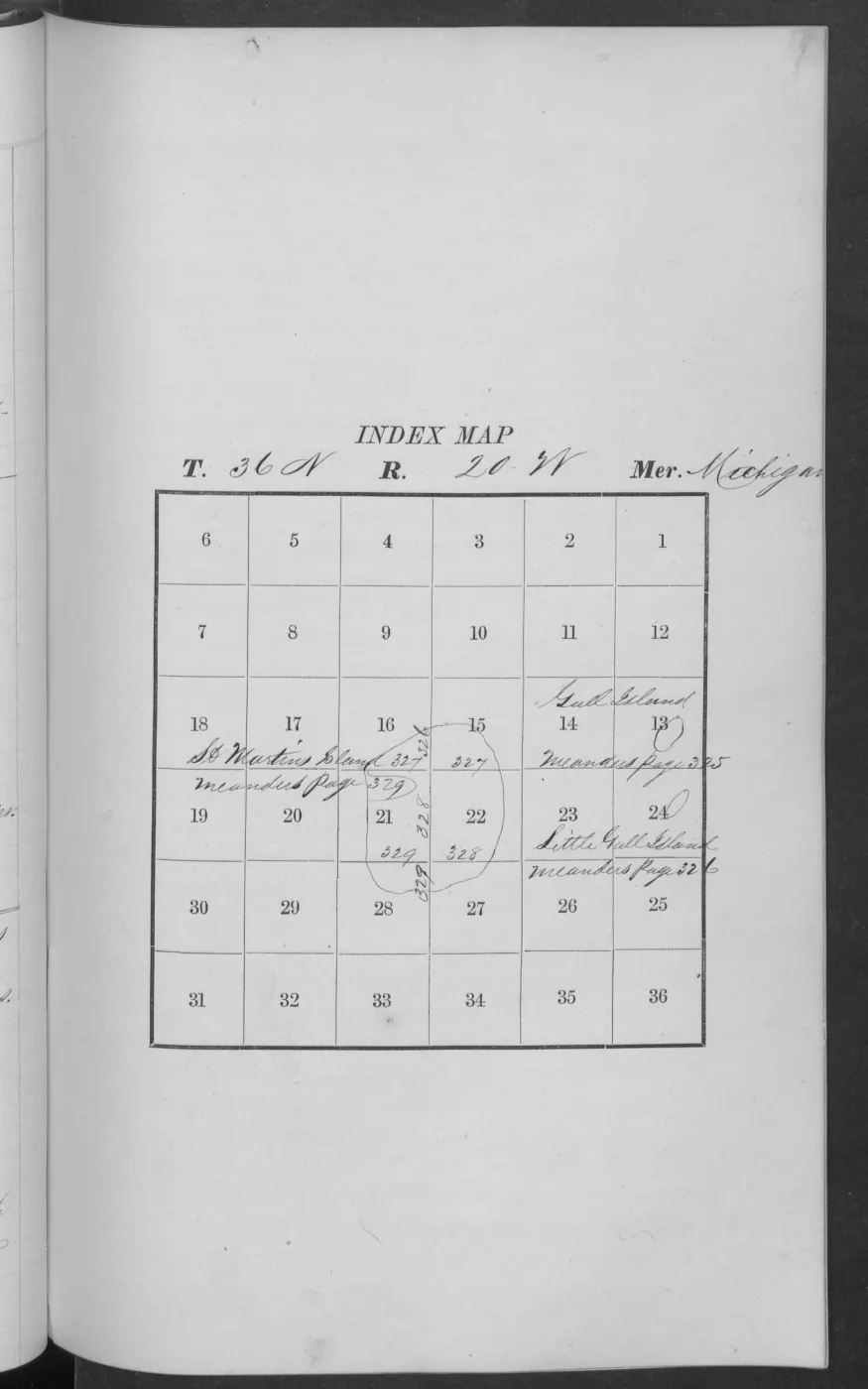
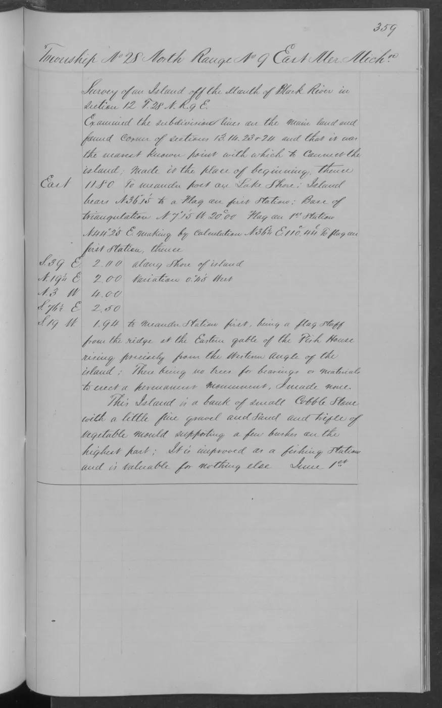
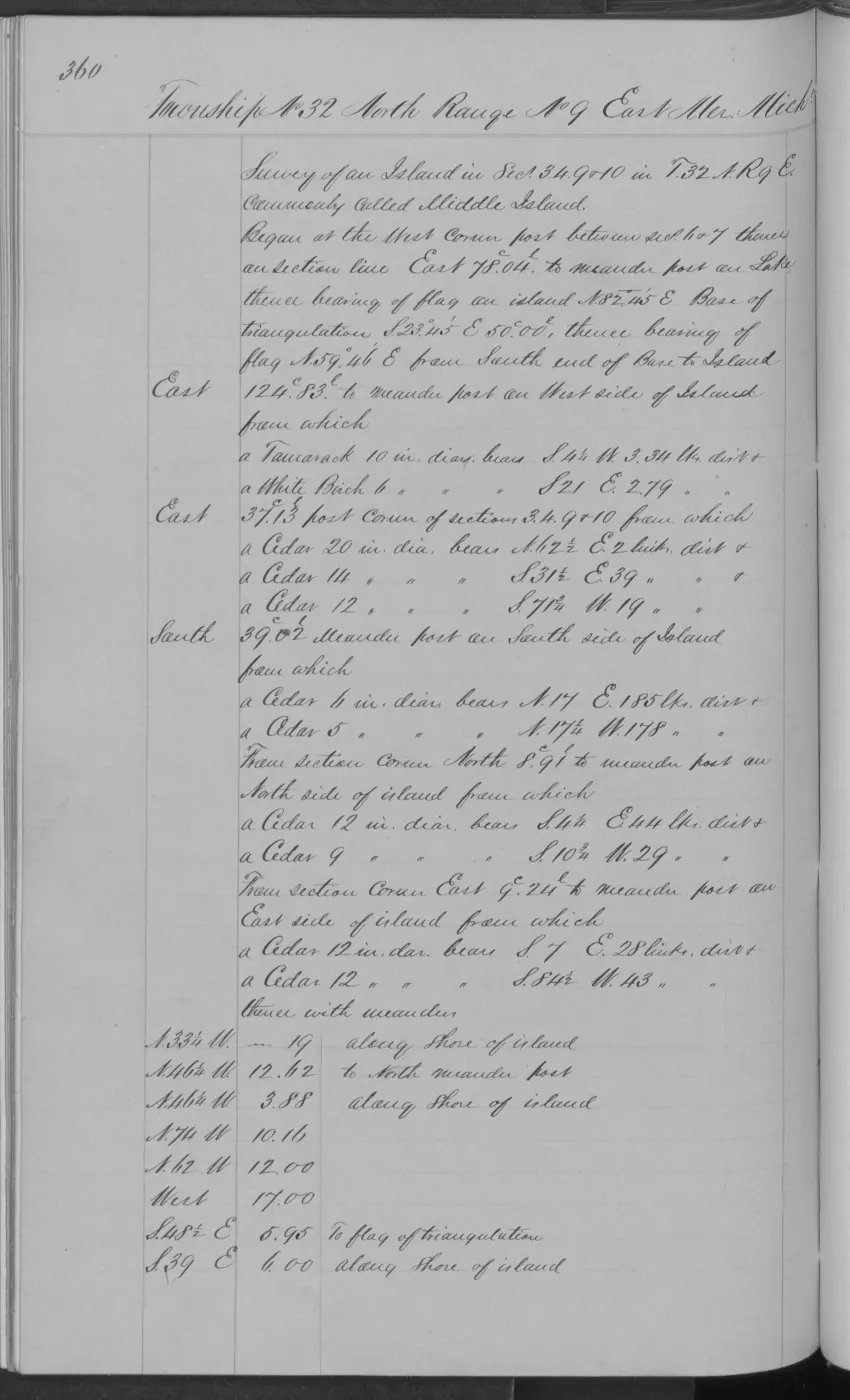
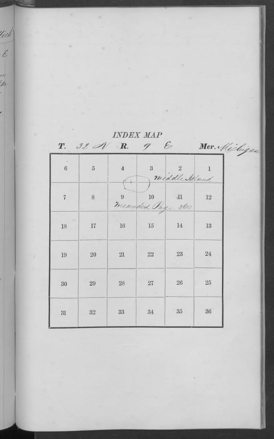
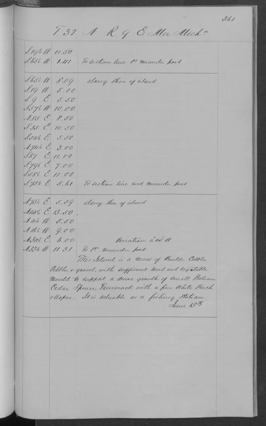
These PDFs are source volumes, not finished transcriptions. Their BLM links establish document-to-survey relationships and listed Survey metadata; they do not establish that every page concerns the archipelago, identify every place-name occurrence, or support a reconstructed survey route.
Apart from the separately cited verified Garden/Hog page, two-page Garden description, three-page Little Beaver/High Island sequence, Gull Island location/meander and description sequence, two-page Shoe Island description, two-page Pismire Island survey and description, two-page Hat Island survey and description, two-page northern Hog Island description, and three-page Ojibwa Island survey and description, and two-page Whiskey Island survey and description, and three-page Trout Island survey and description, and the one-page South Fox and North Fox survey records, and the one-page Big Beaver subdivision record, the project has not yet extracted or independently checked other page-level text from either volume. A quotation, feature-name claim, ecological observation, or land-status assertion must cite a verified page image or a separately preserved and quality-checked transcription. Field notes also do not establish a later chain of title, occupation, or current ownership.
Open questions
- Which pages in Volume 168138 correspond to each linked 1846–49 island survey?
- What names, vegetation, trails, camps, or shoreline details are legible after page-level verification?
- Do the 1943 Pismire and Shoe Island notes clarify the associated plat chronology?
See also
Read the document
406 pages, rendered from the held scan.
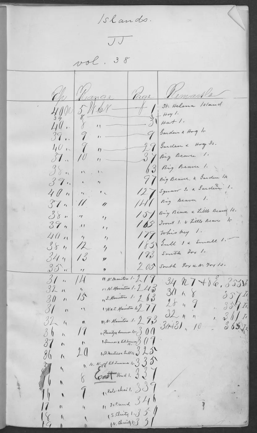
Jump to a page — 406 in all
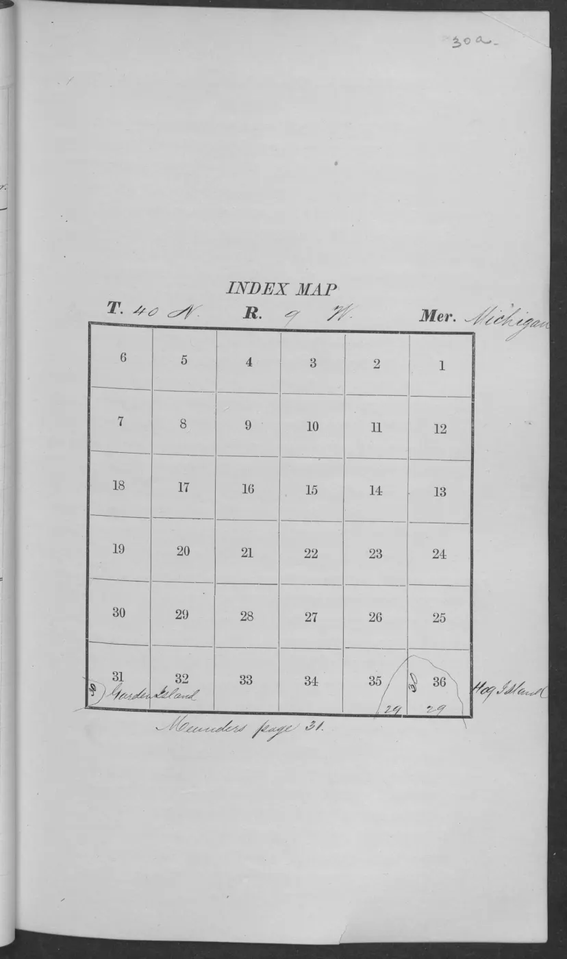
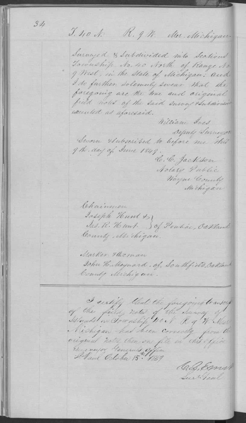
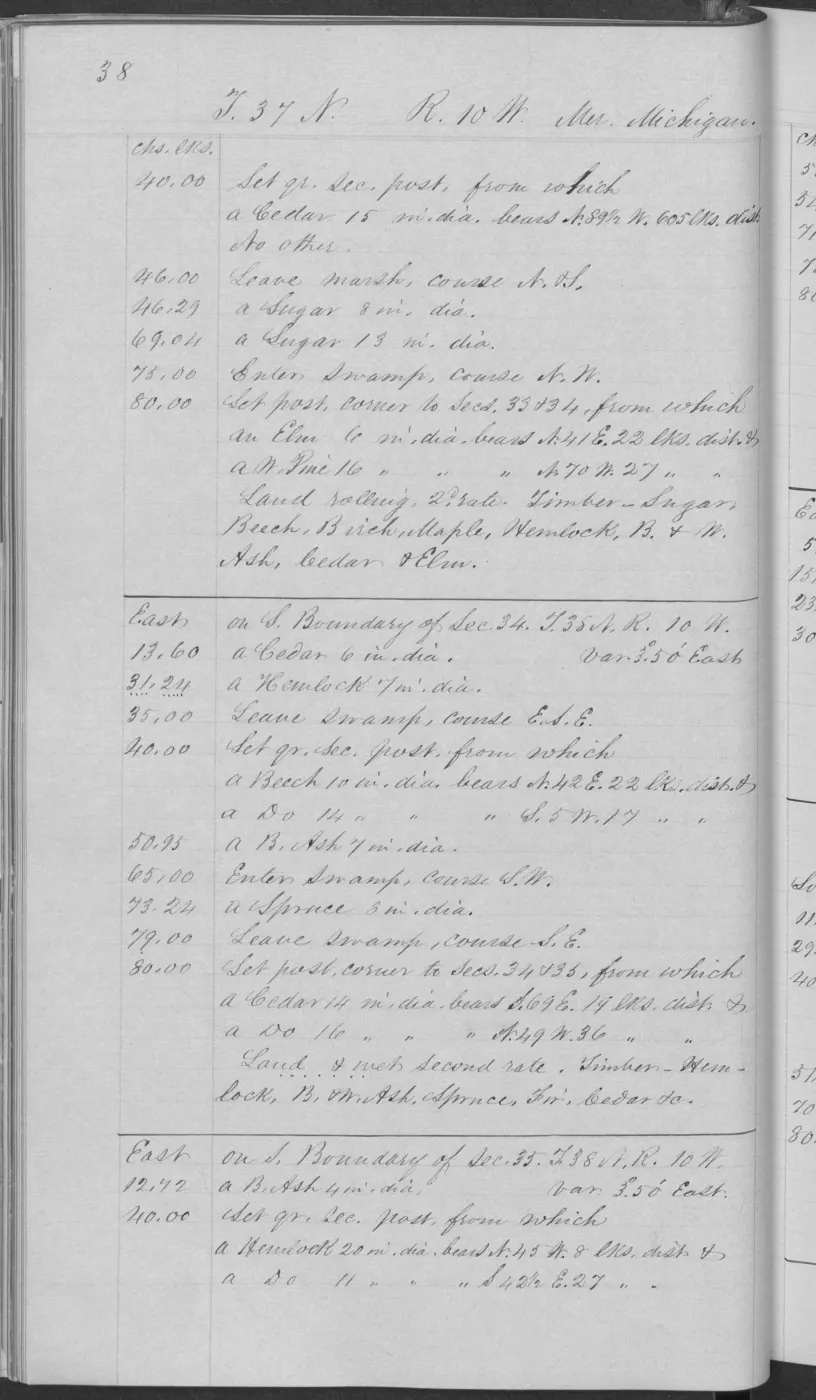
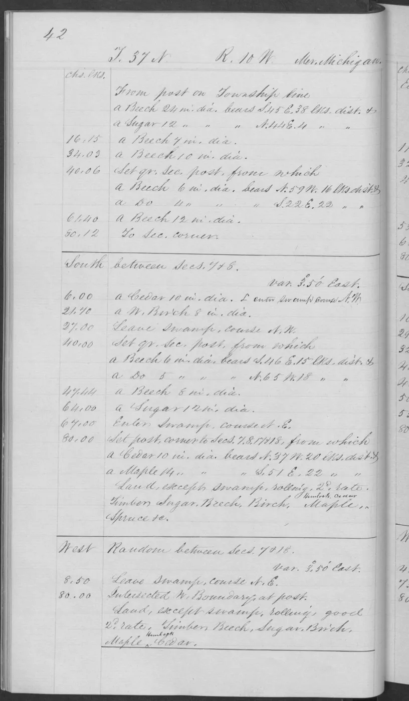
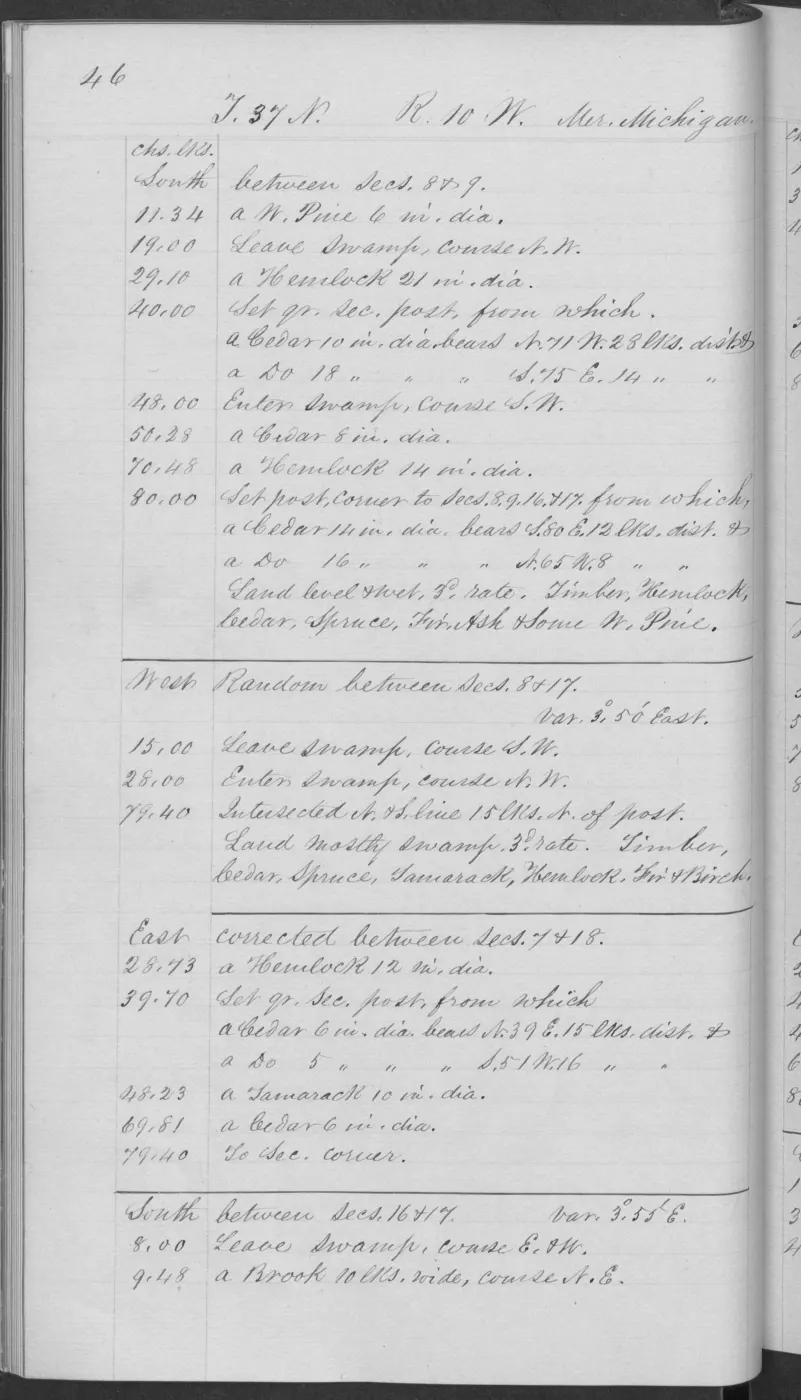
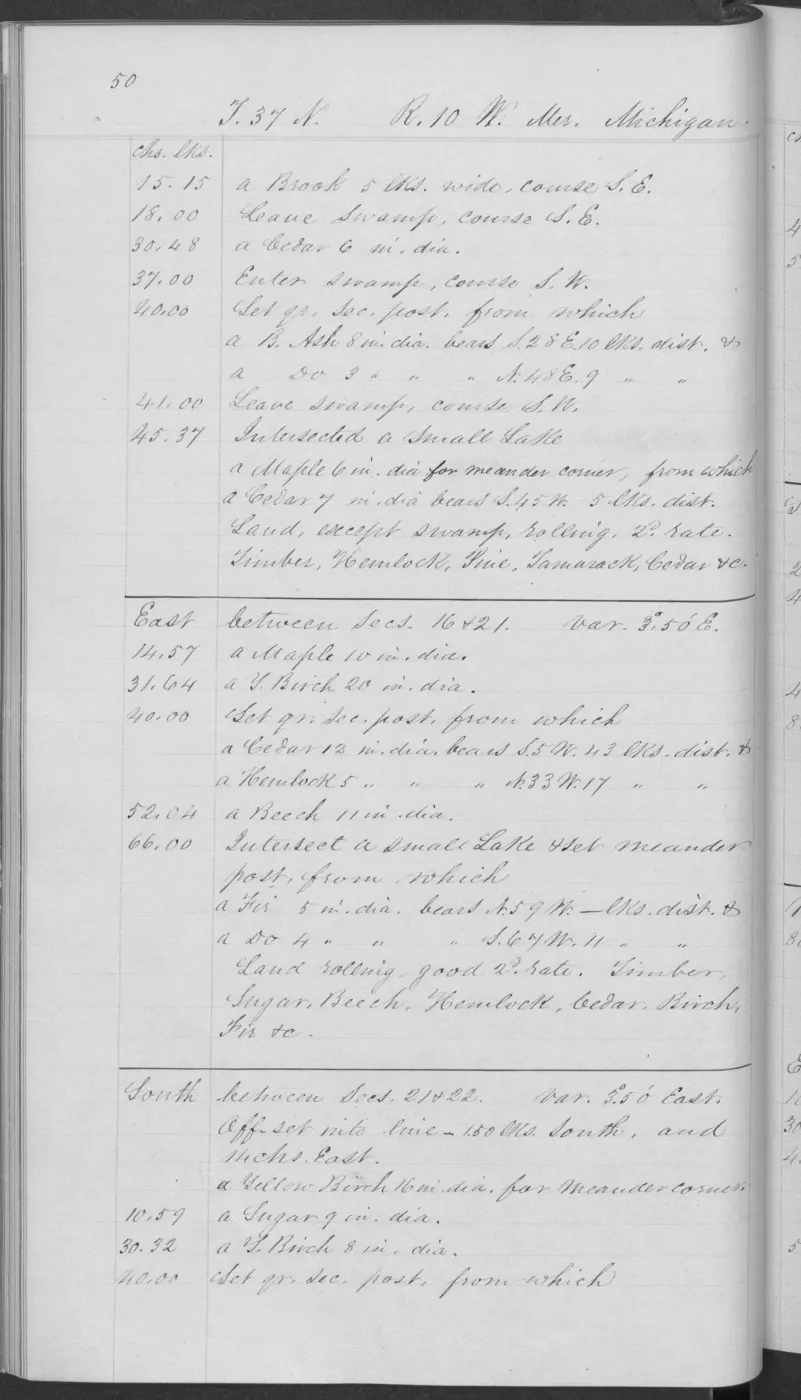
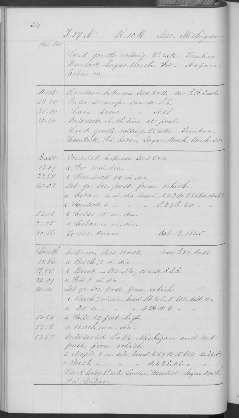
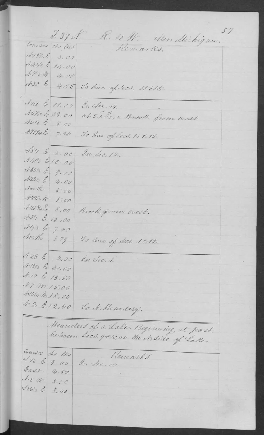
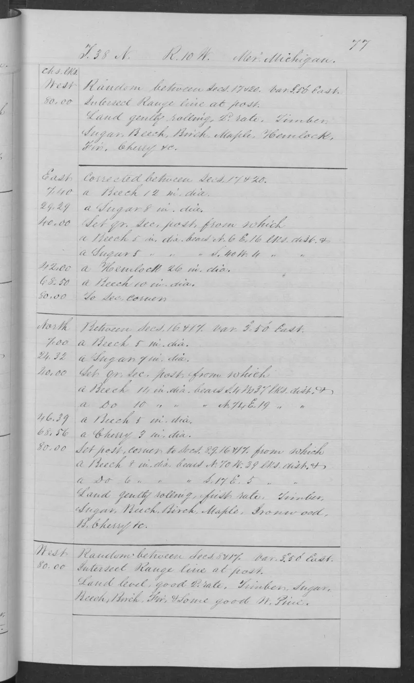
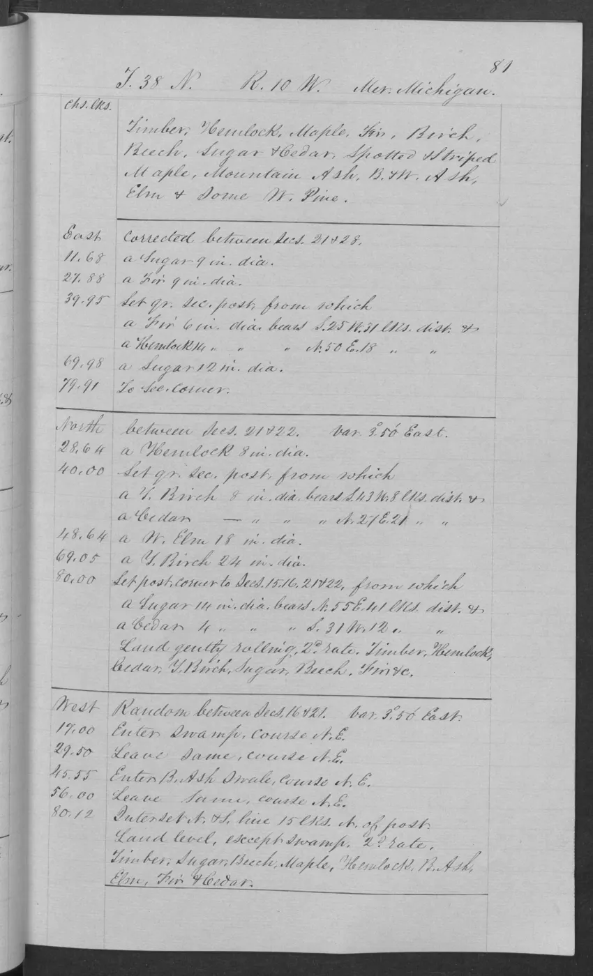
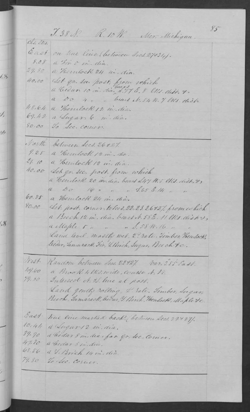
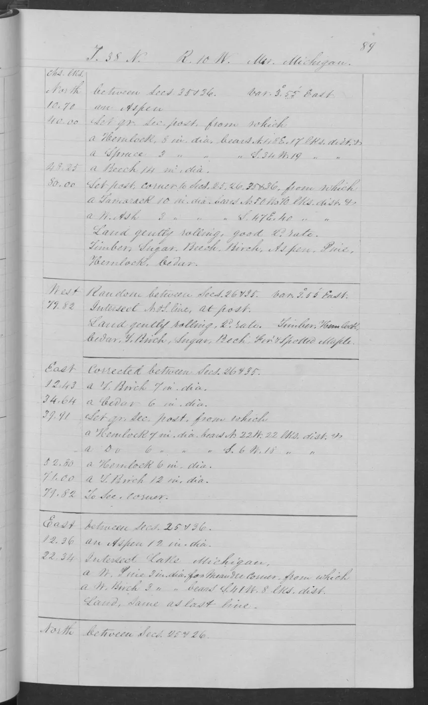
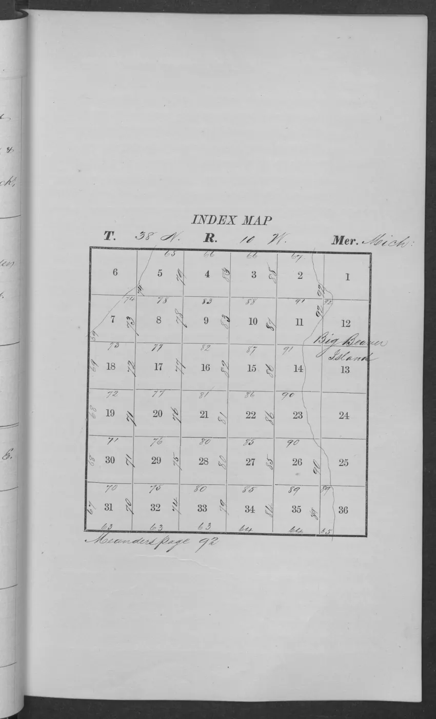
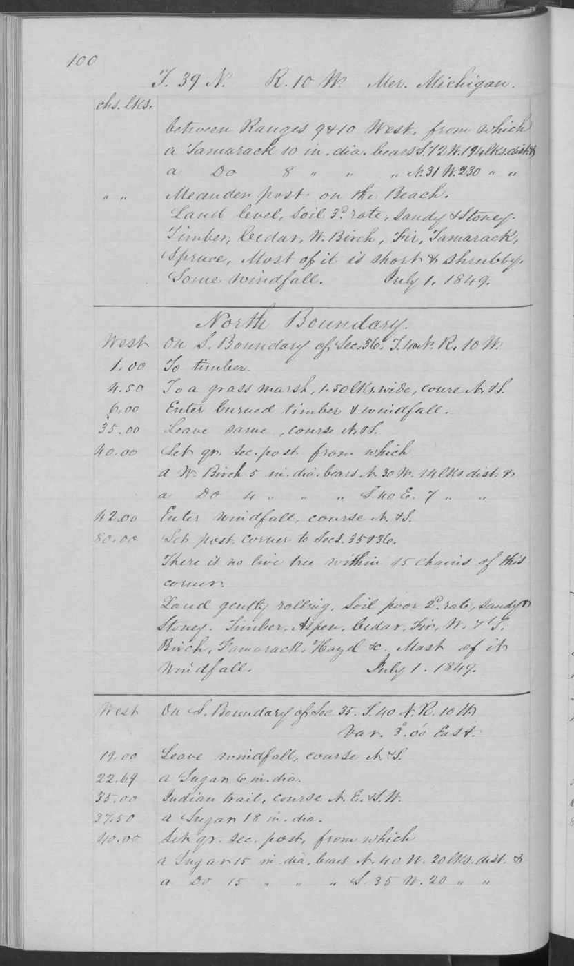
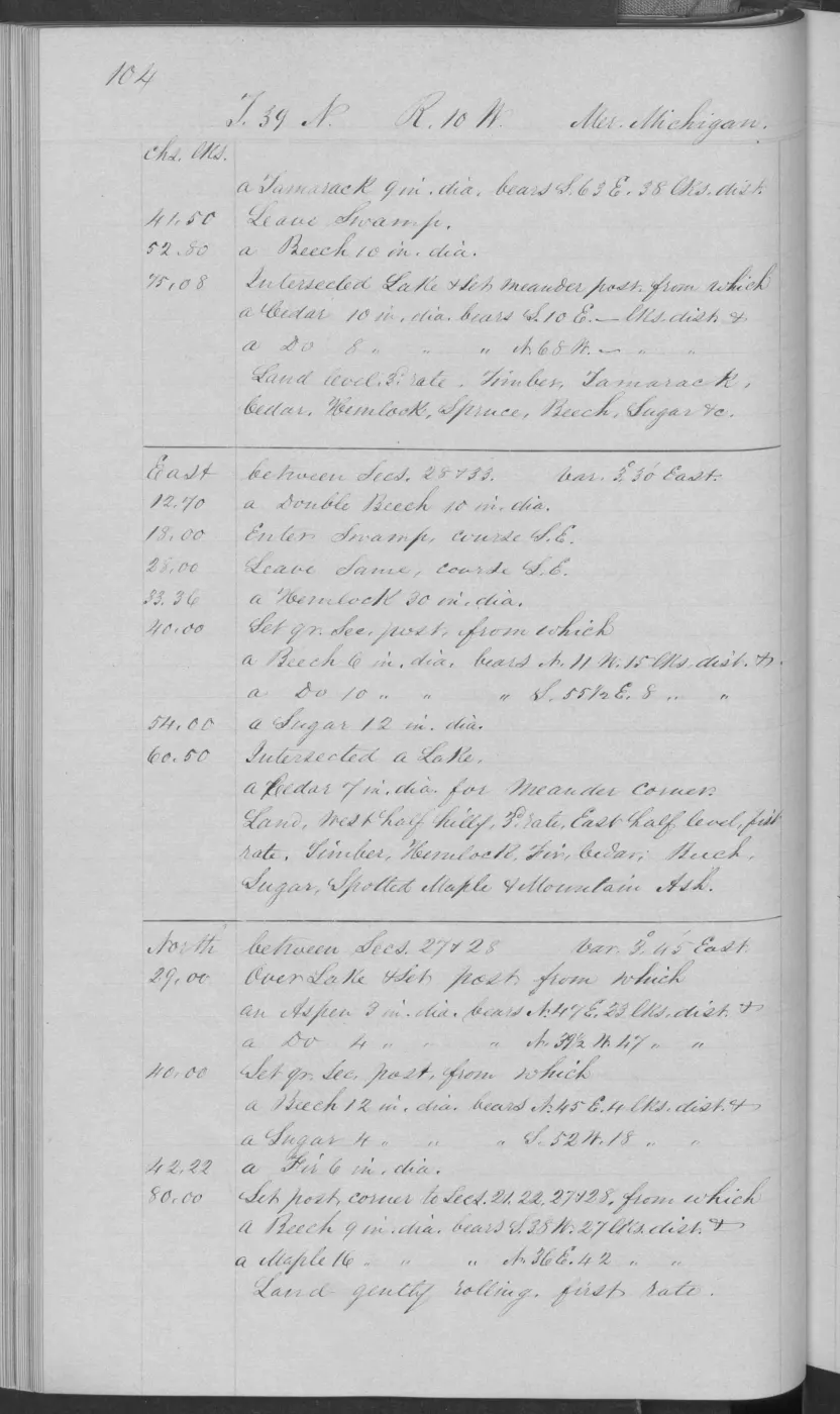
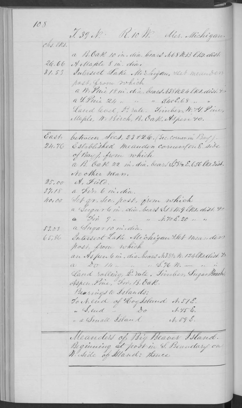
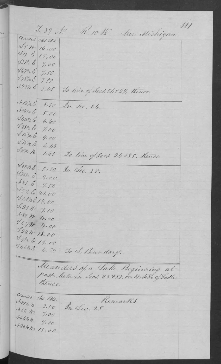
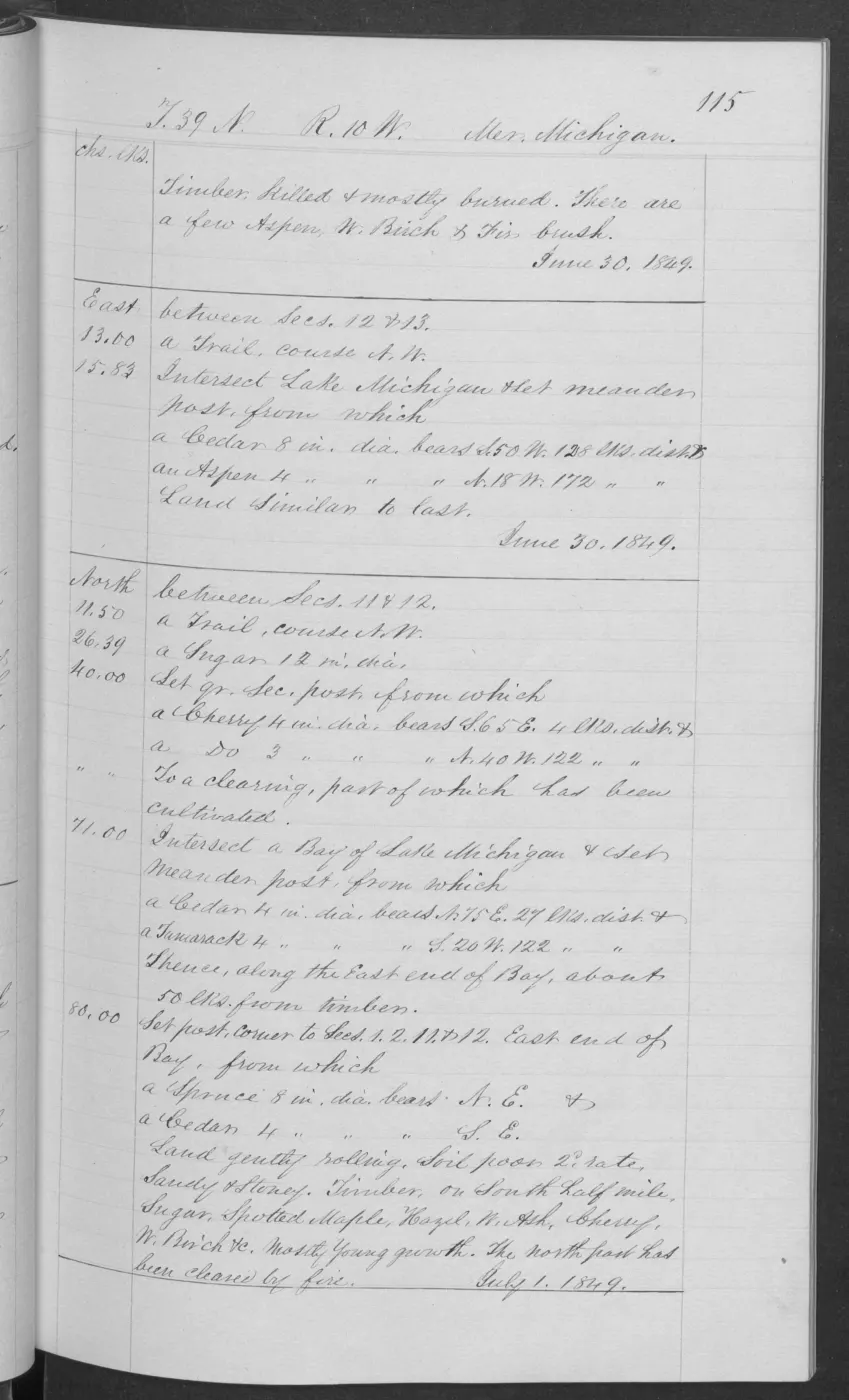
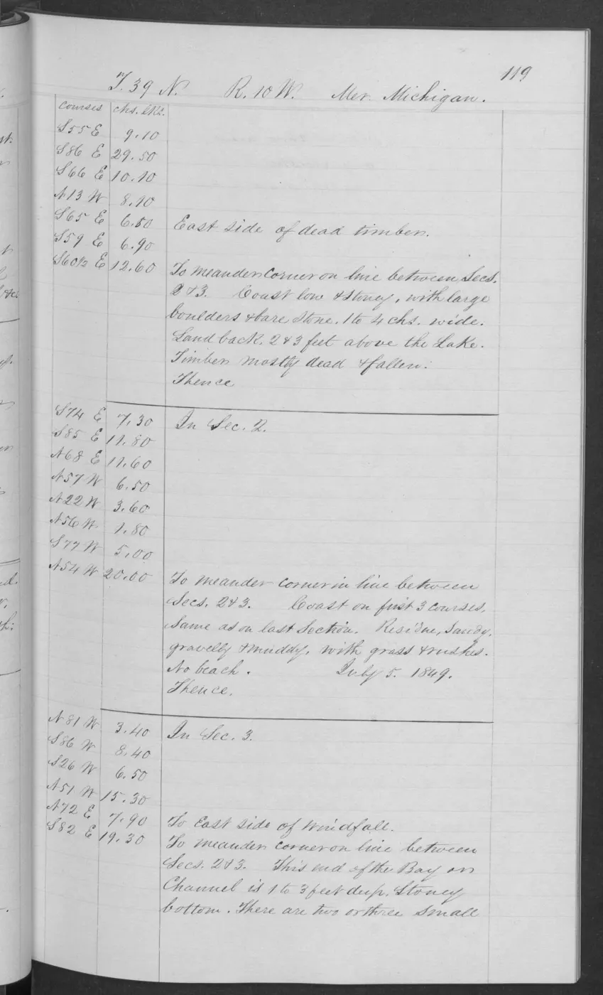
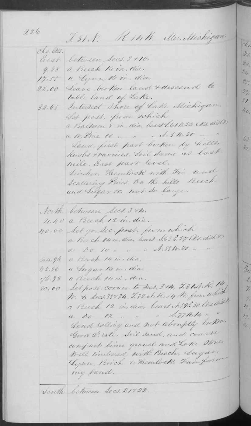
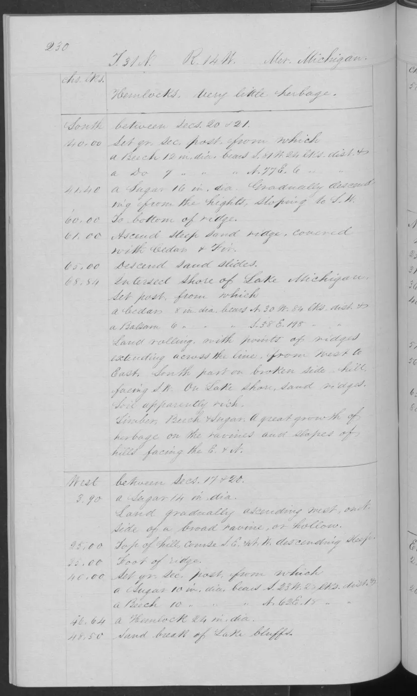
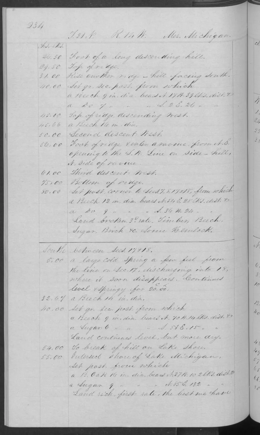
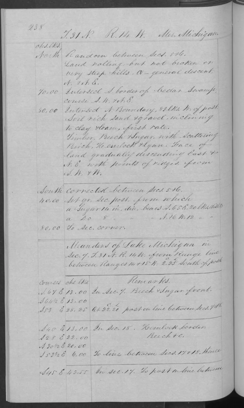
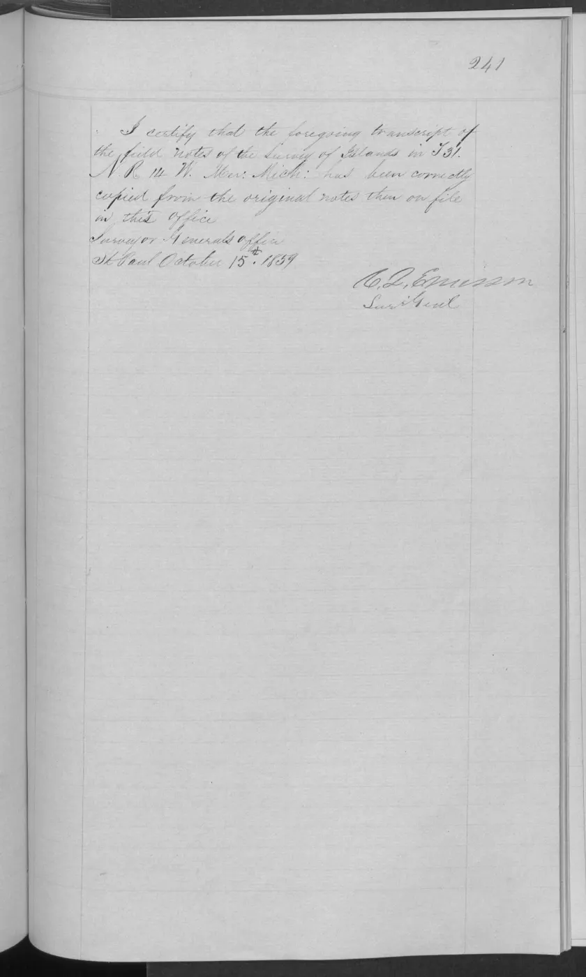
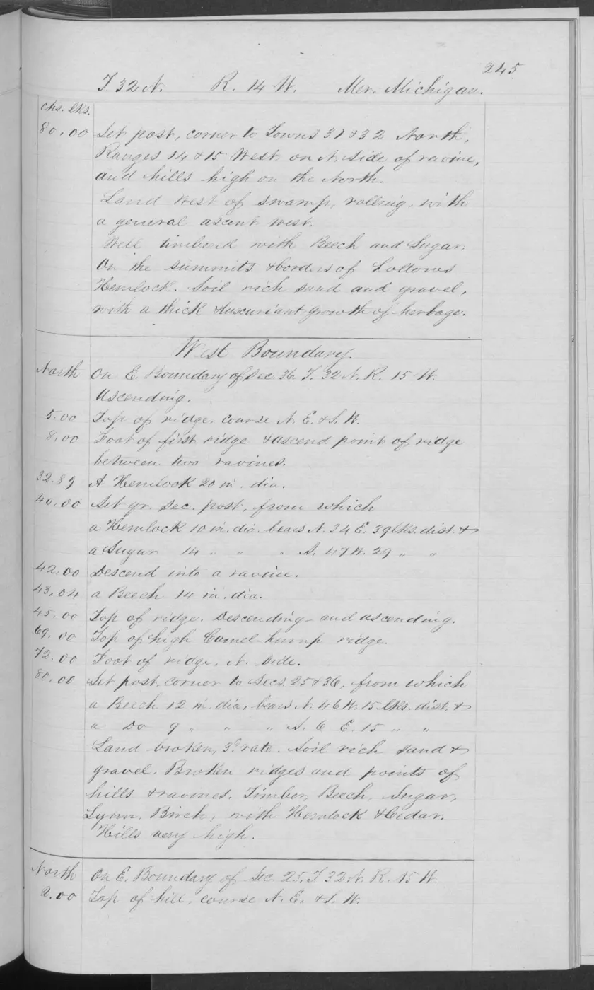
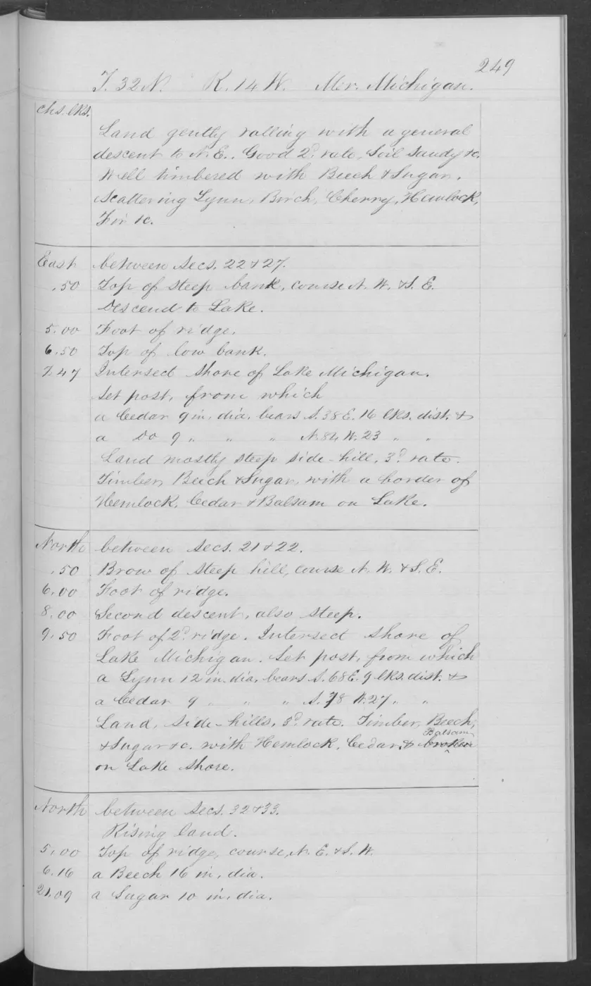
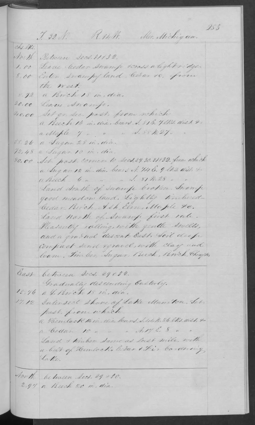
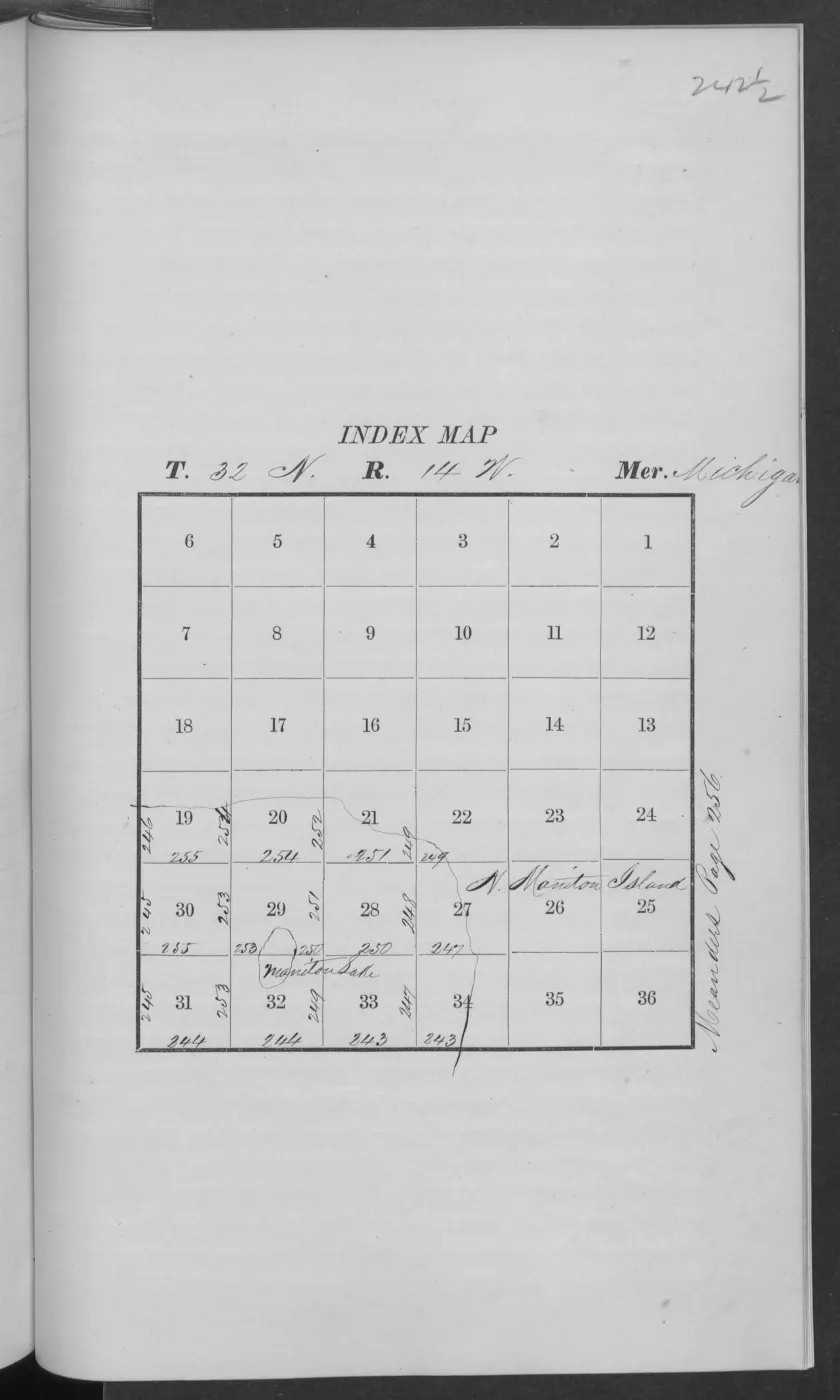
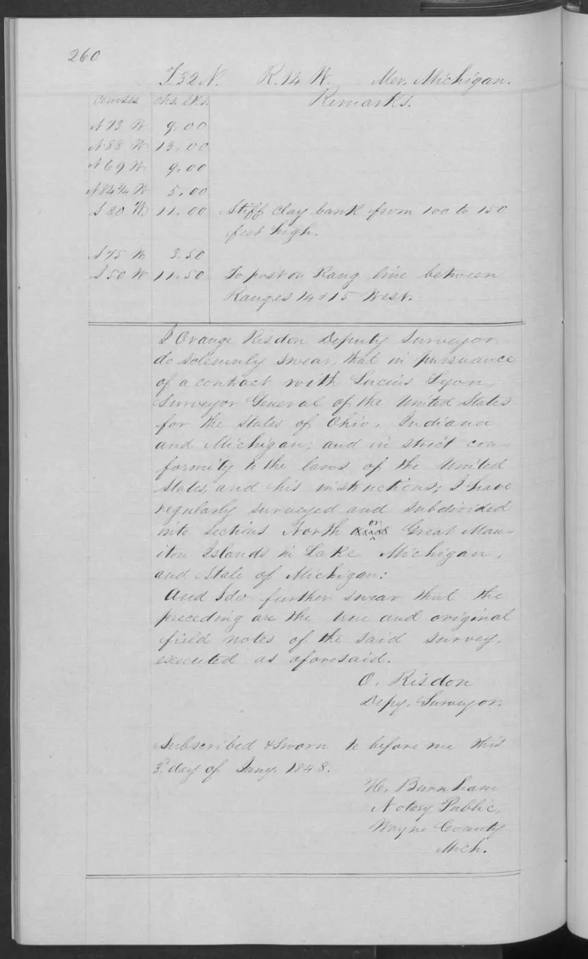
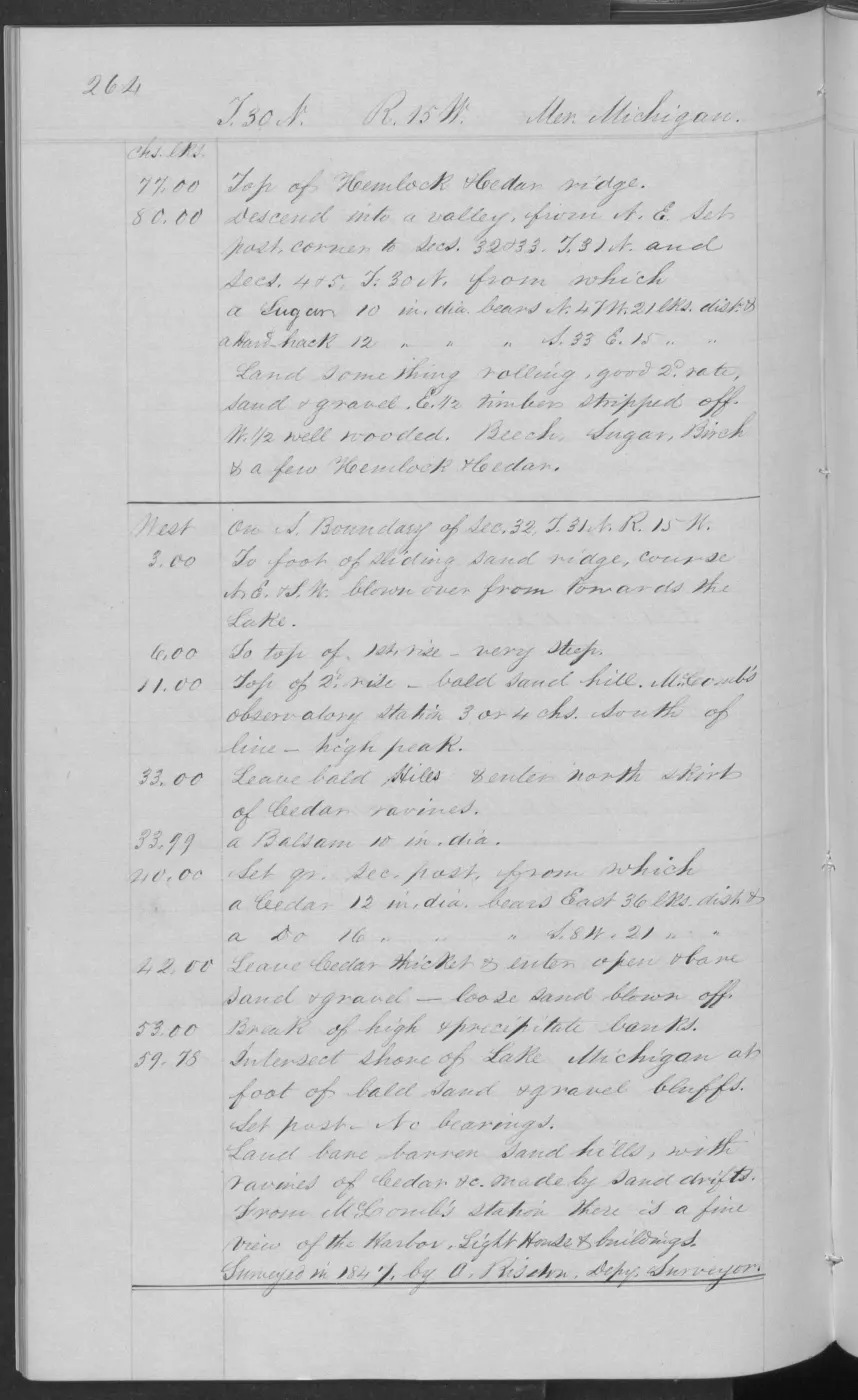
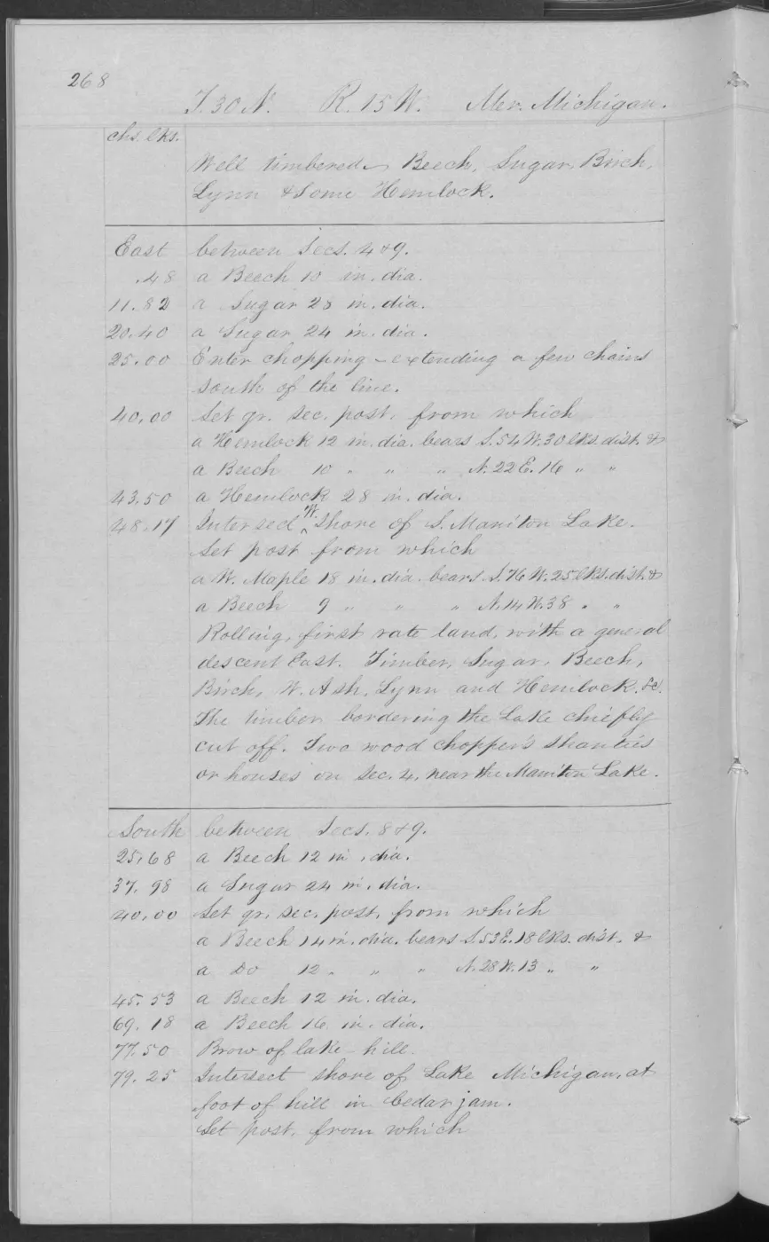
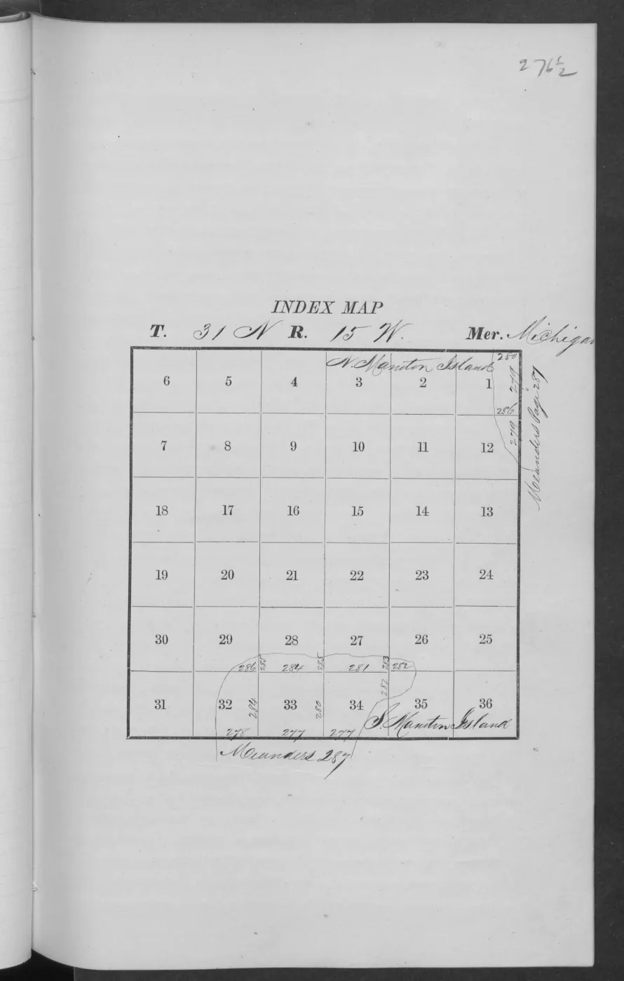
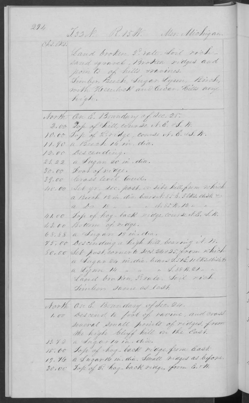
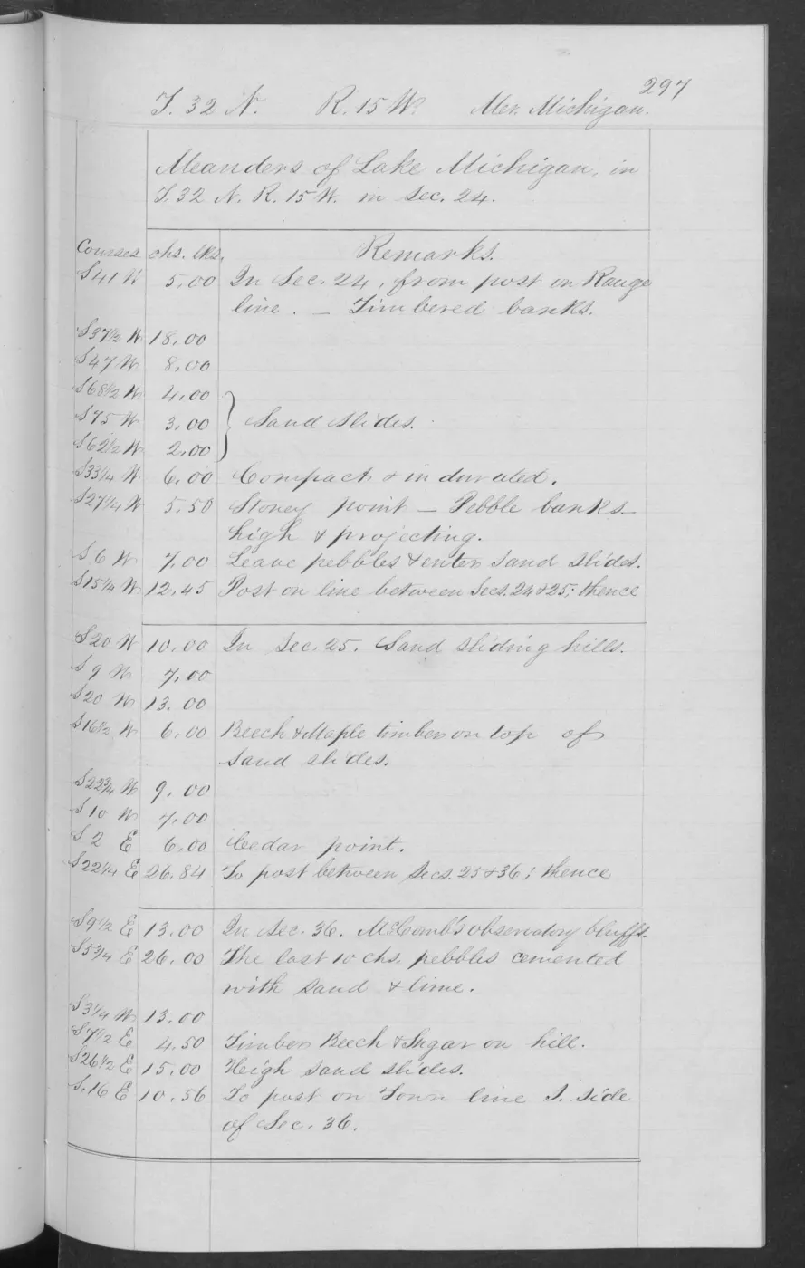
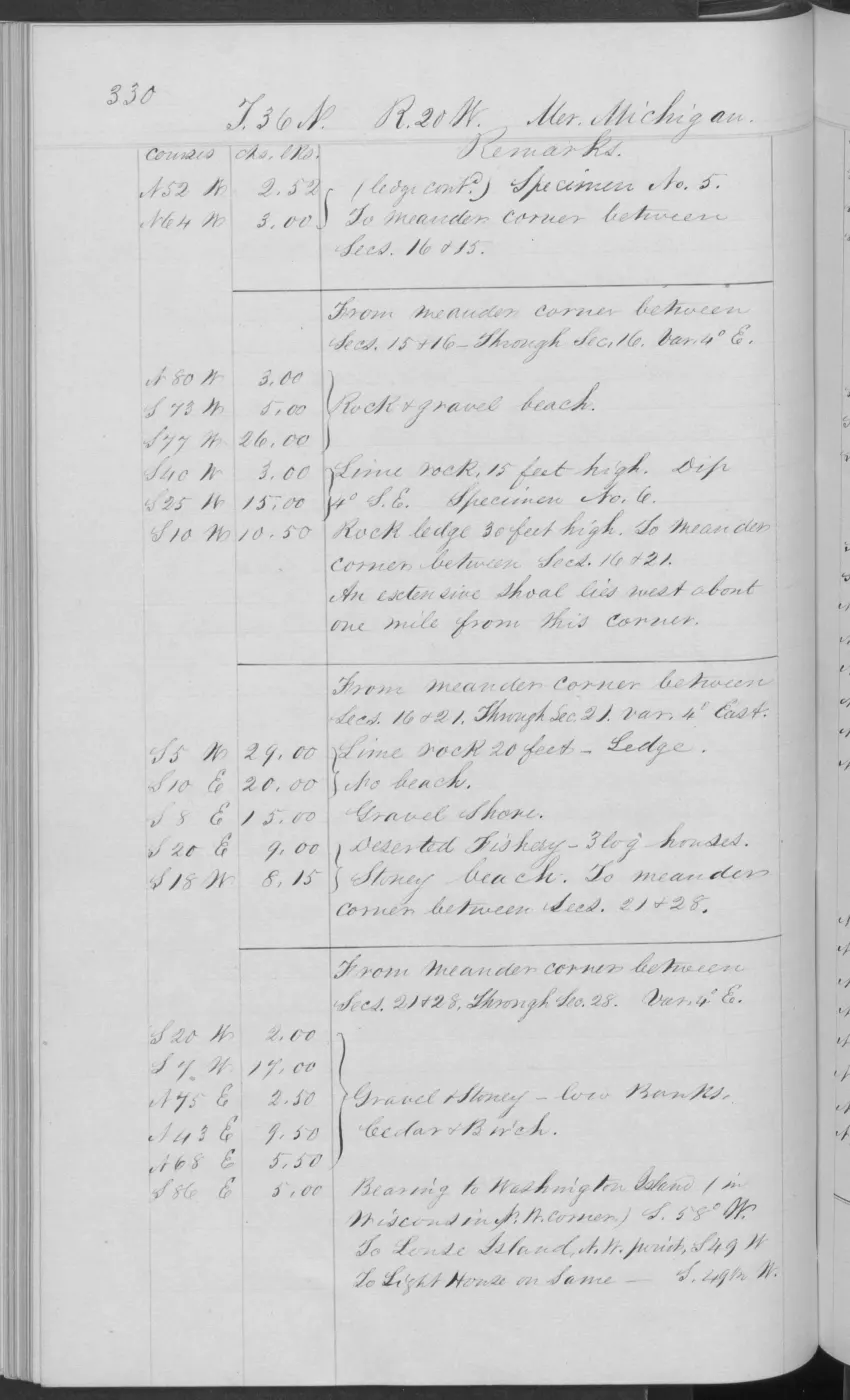
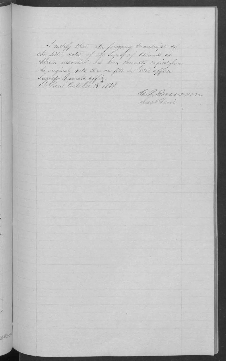
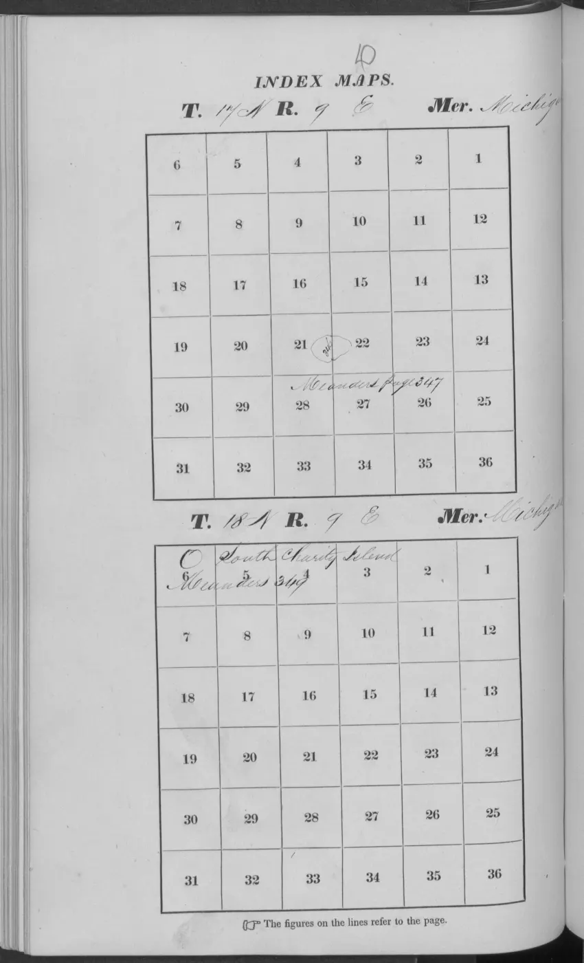
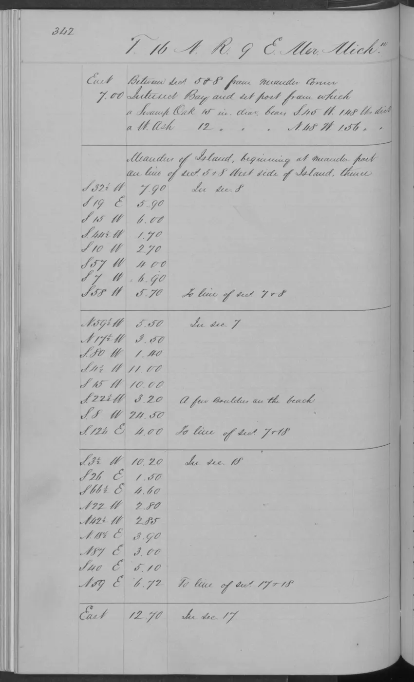
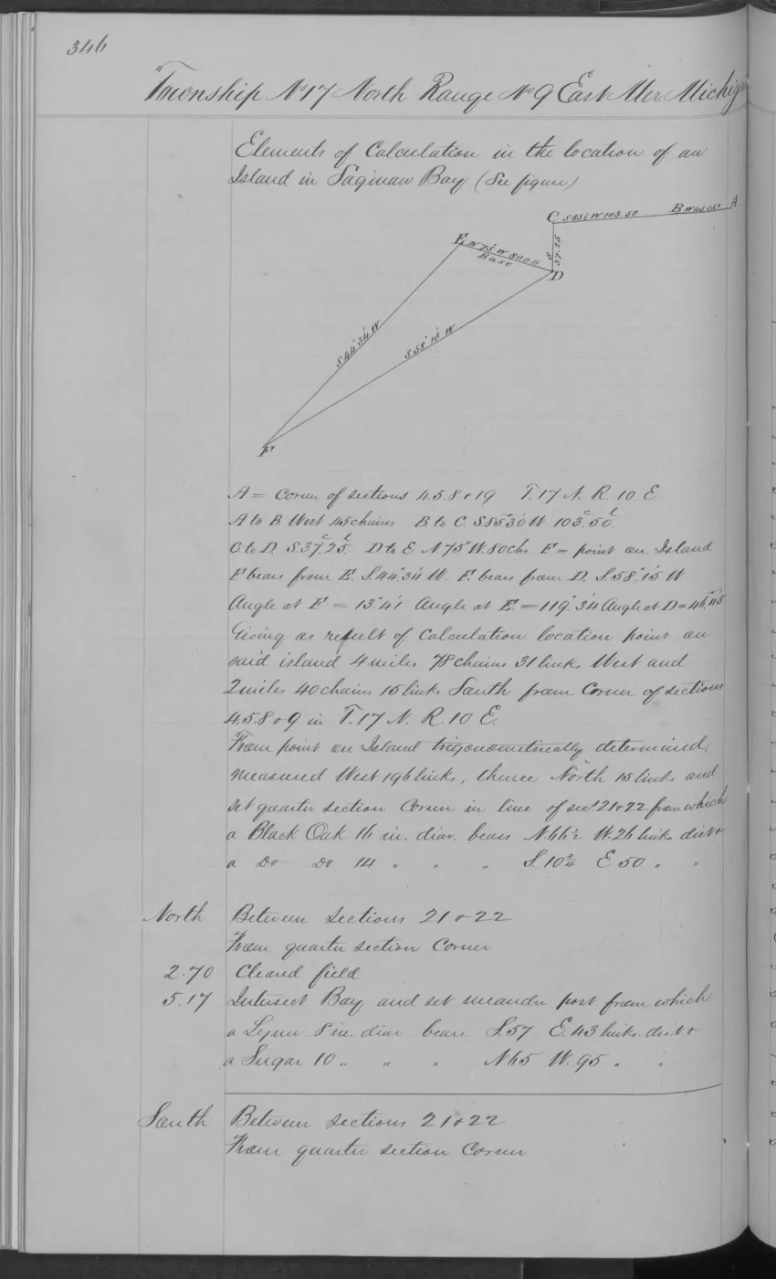
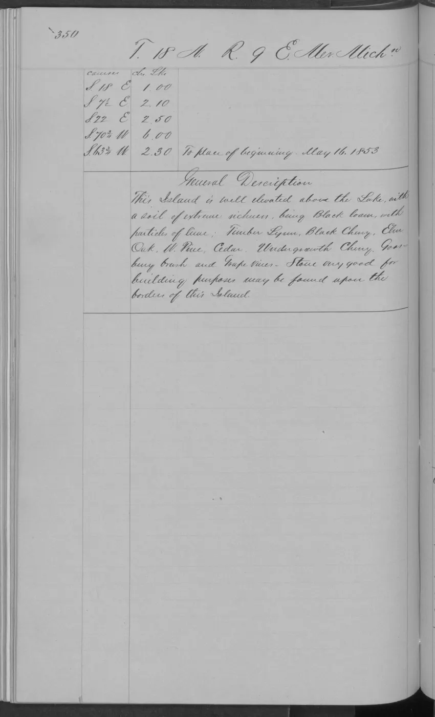
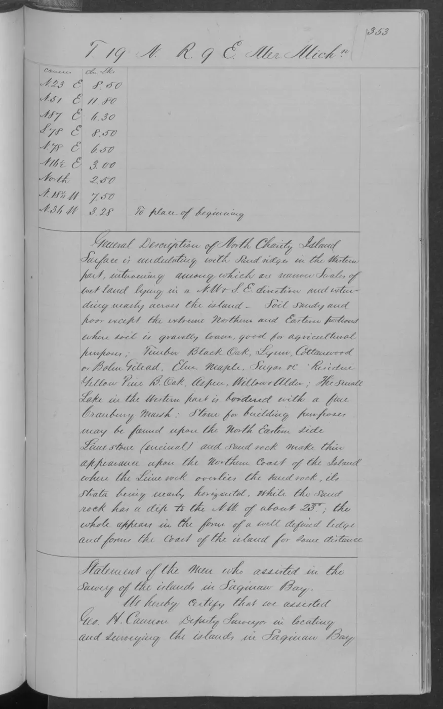
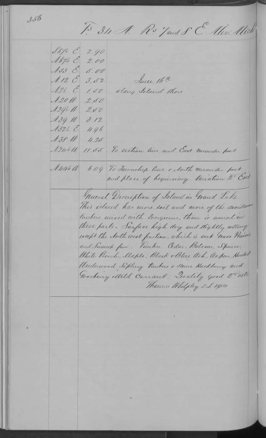
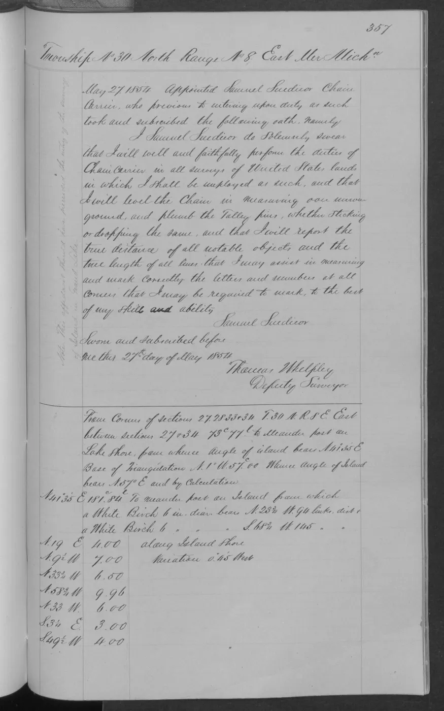
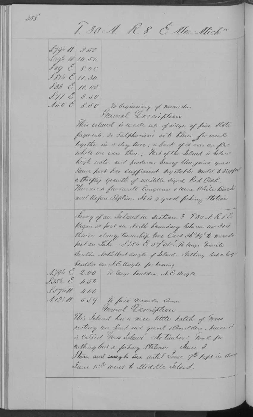
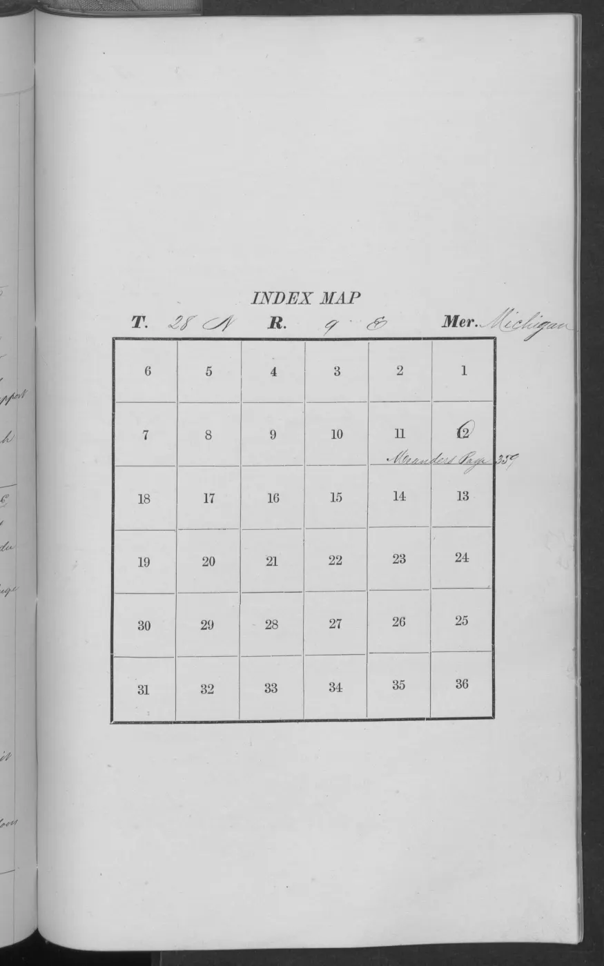
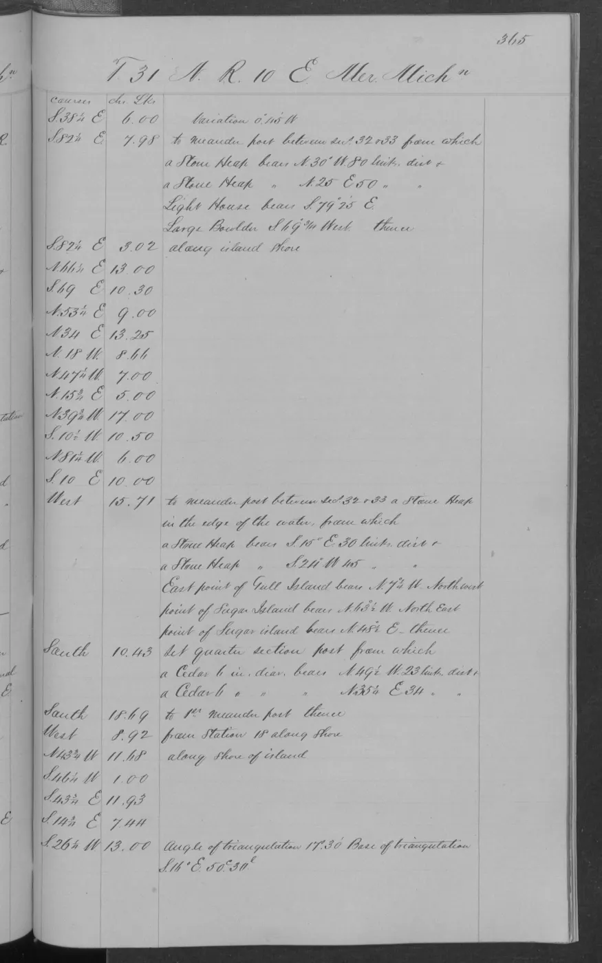
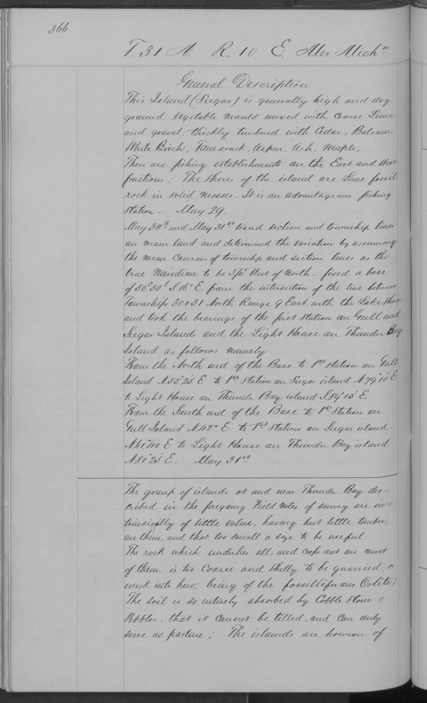
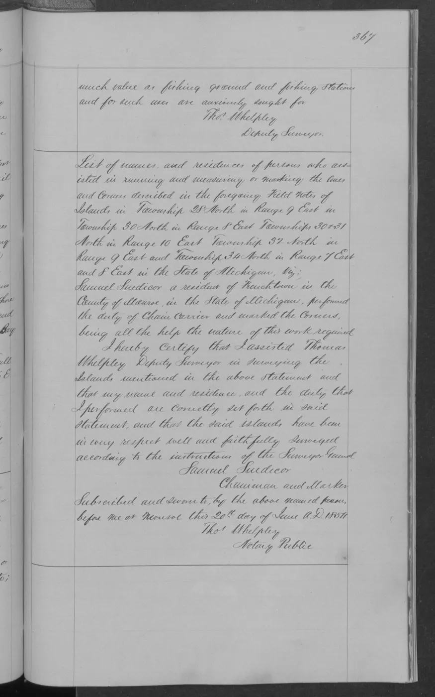
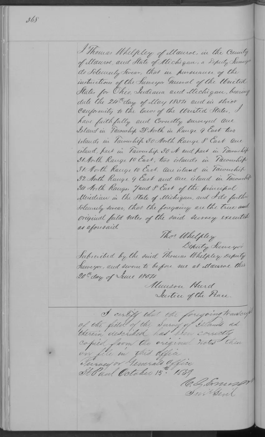
138 of 406 pages linked here — every page to 32, then every 4th, then the last 16. With JavaScript, every page.
Read the document
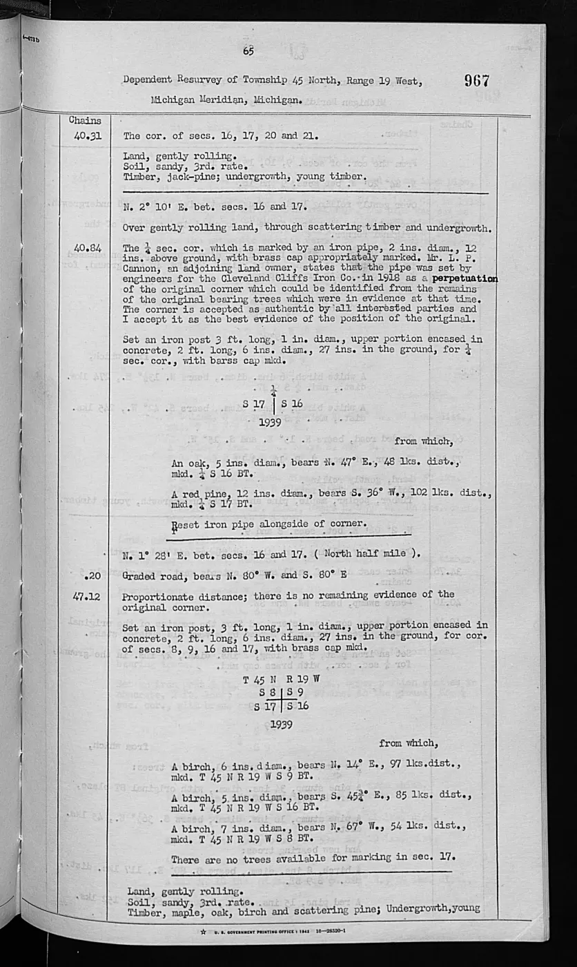
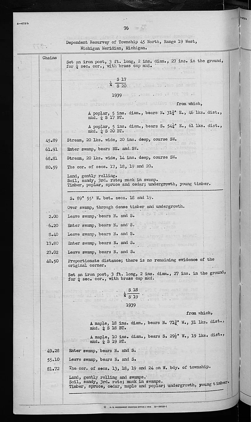
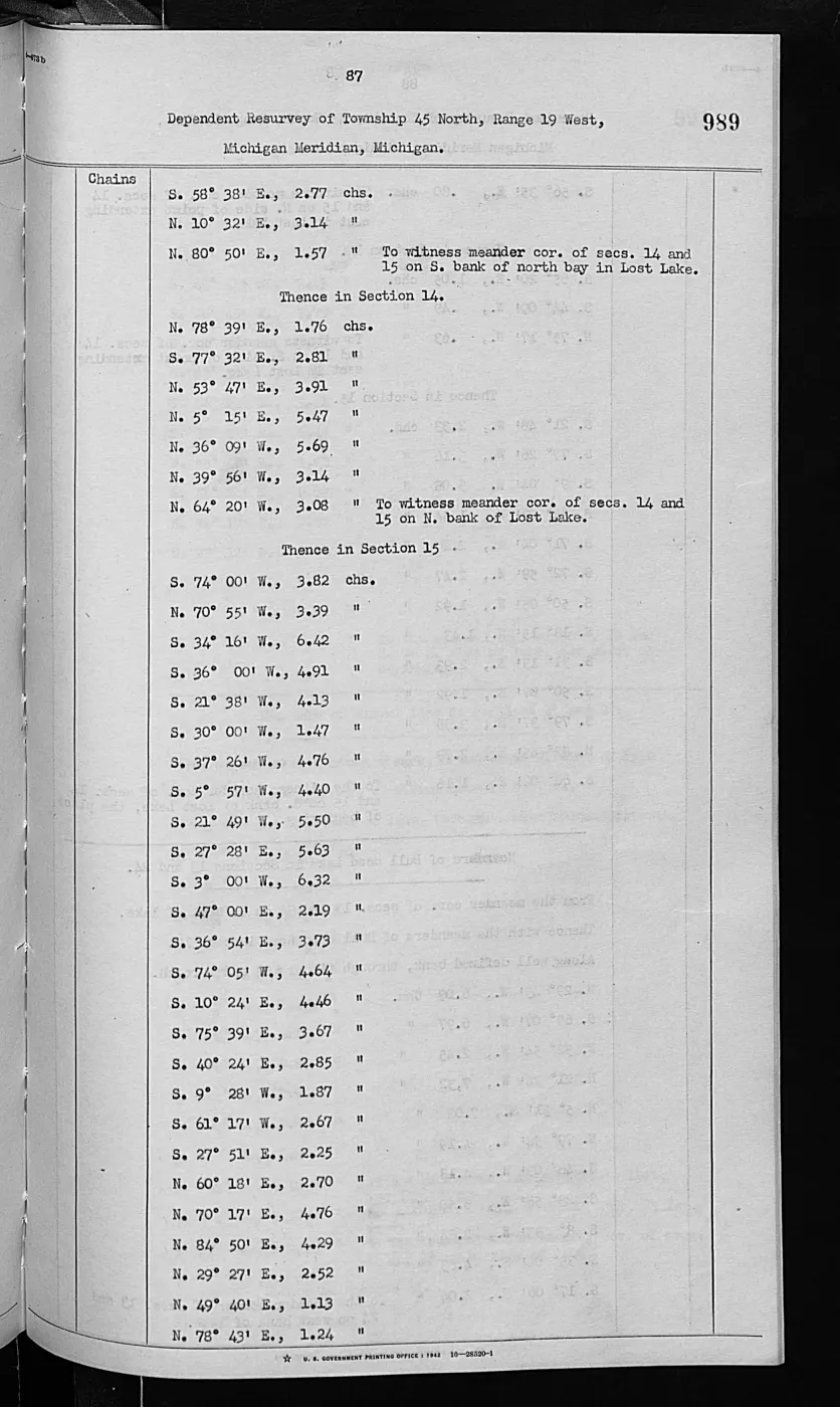
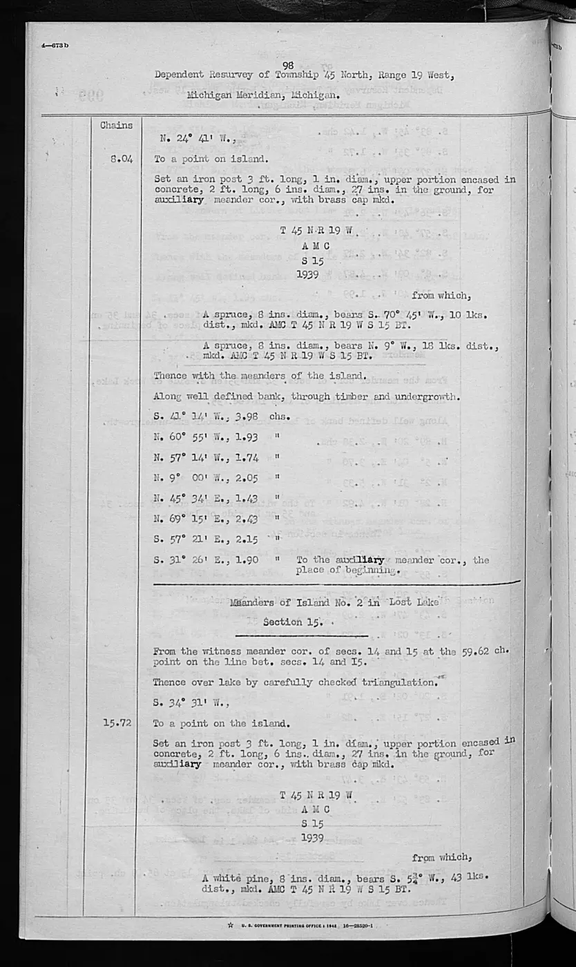
1,026 pages, rendered from the held scan.
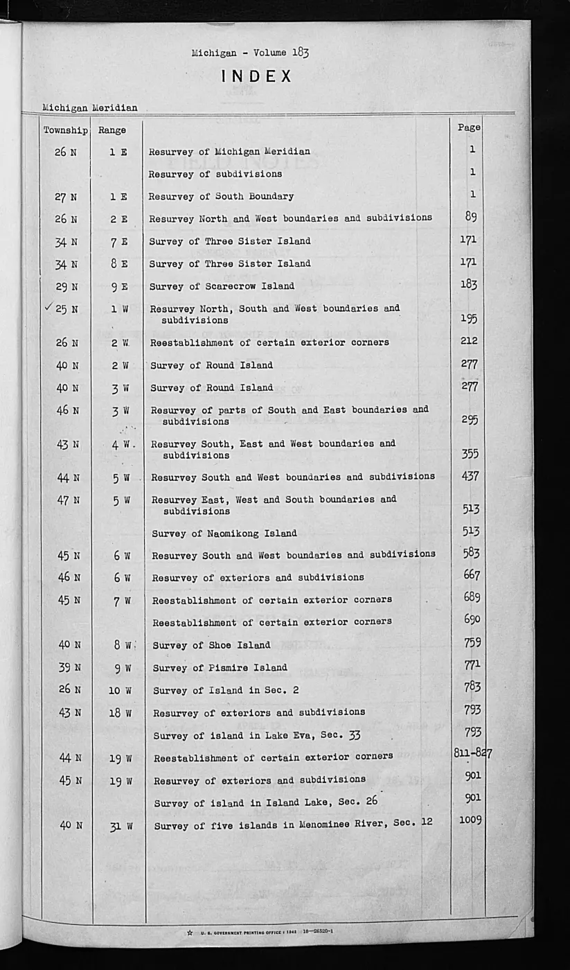
Jump to a page — 1,026 in all
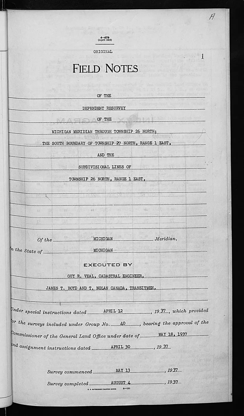
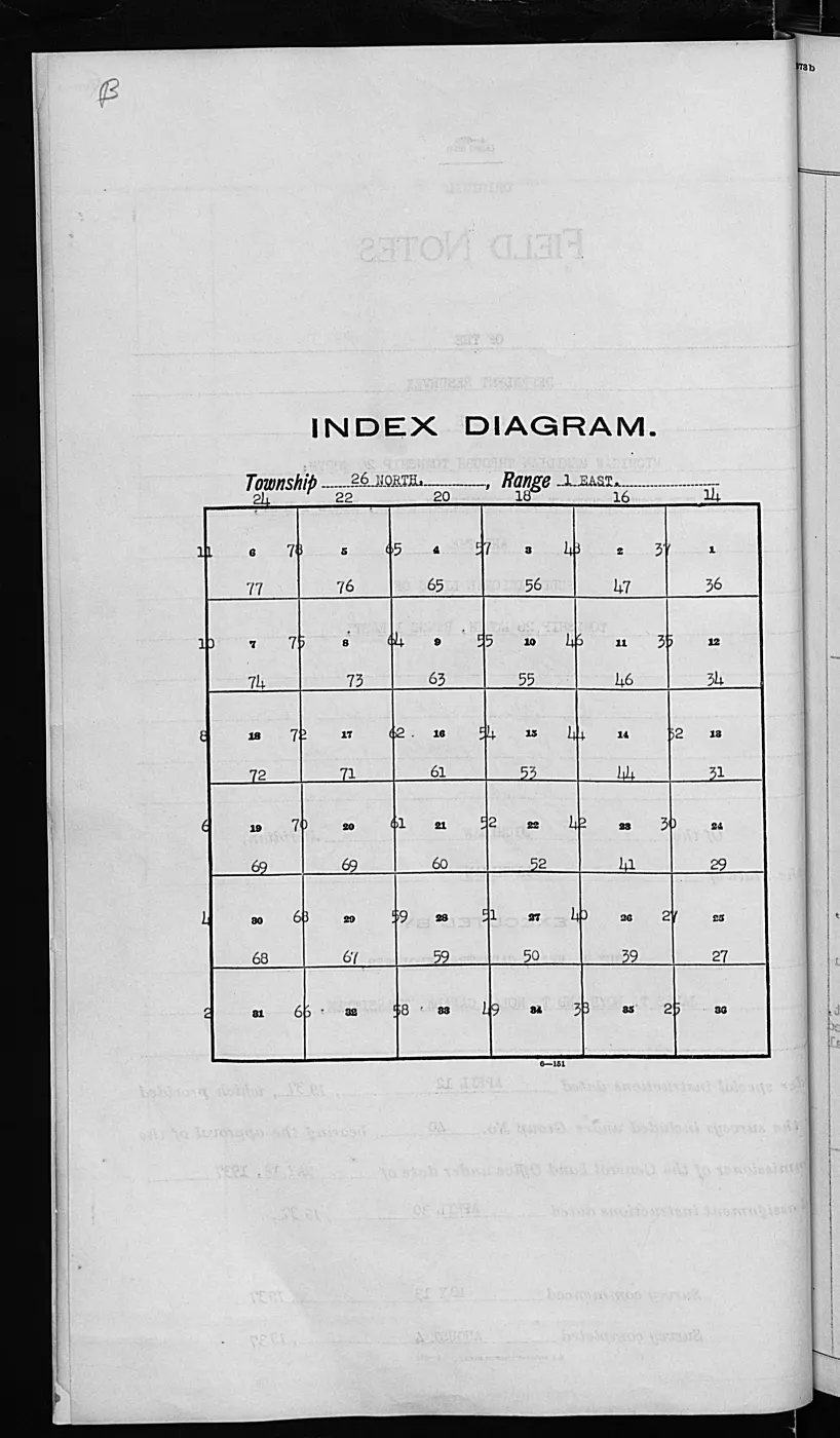
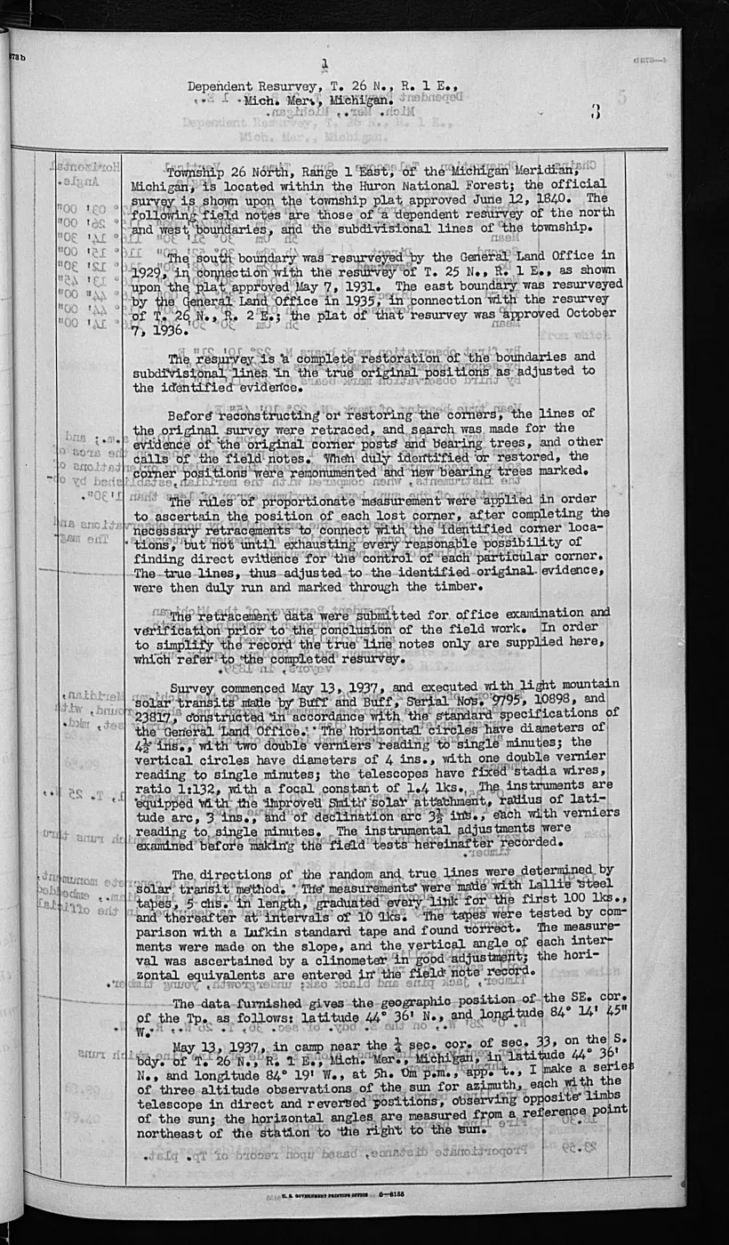
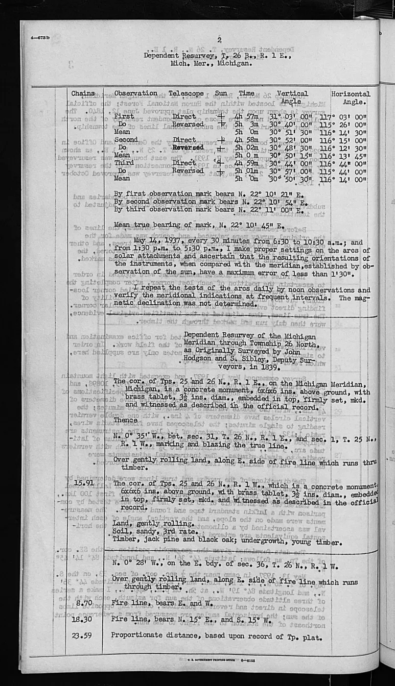
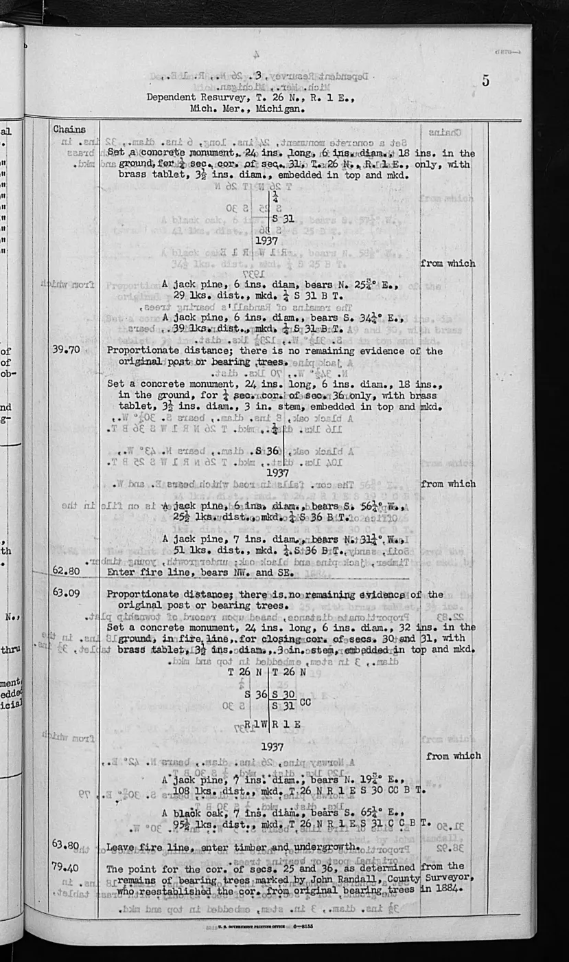
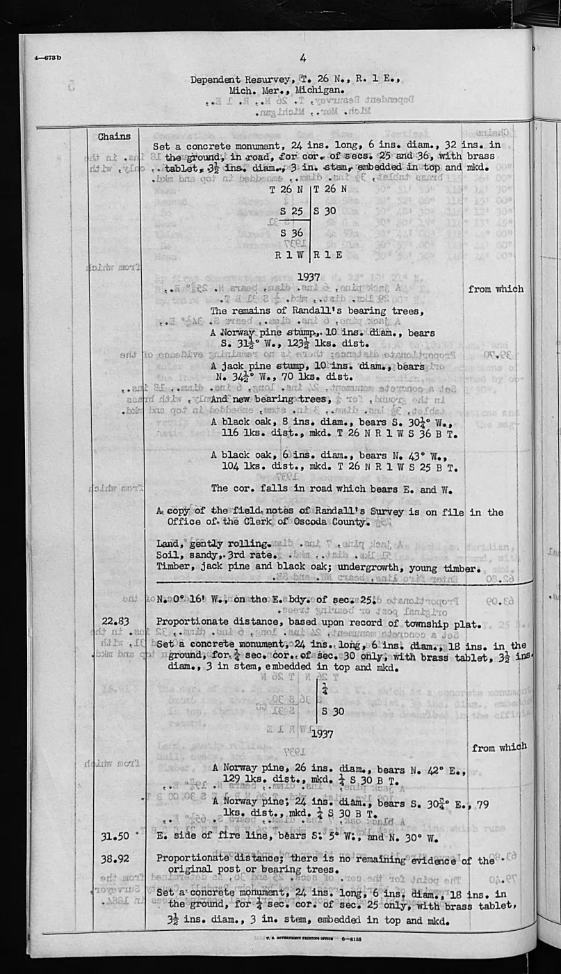
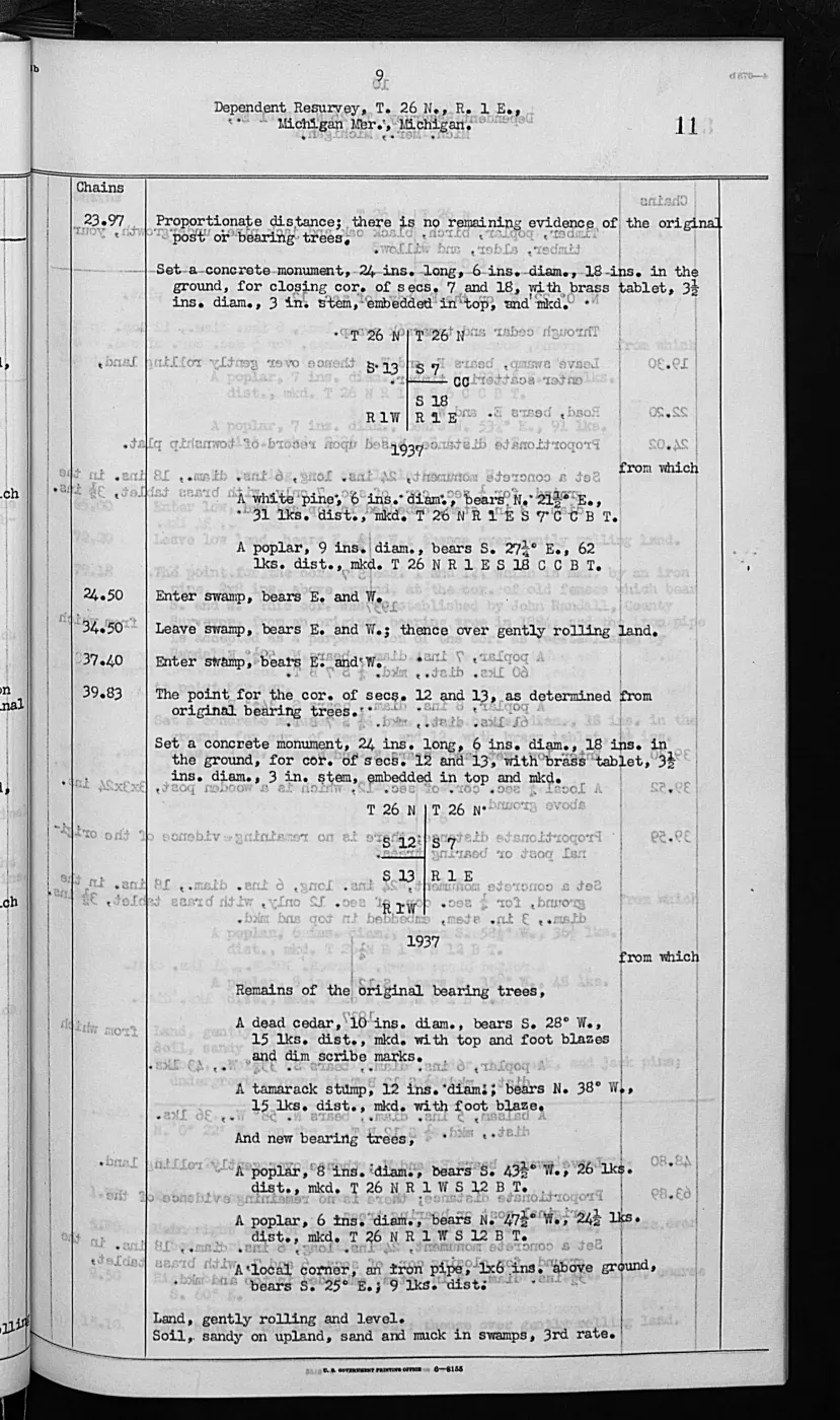
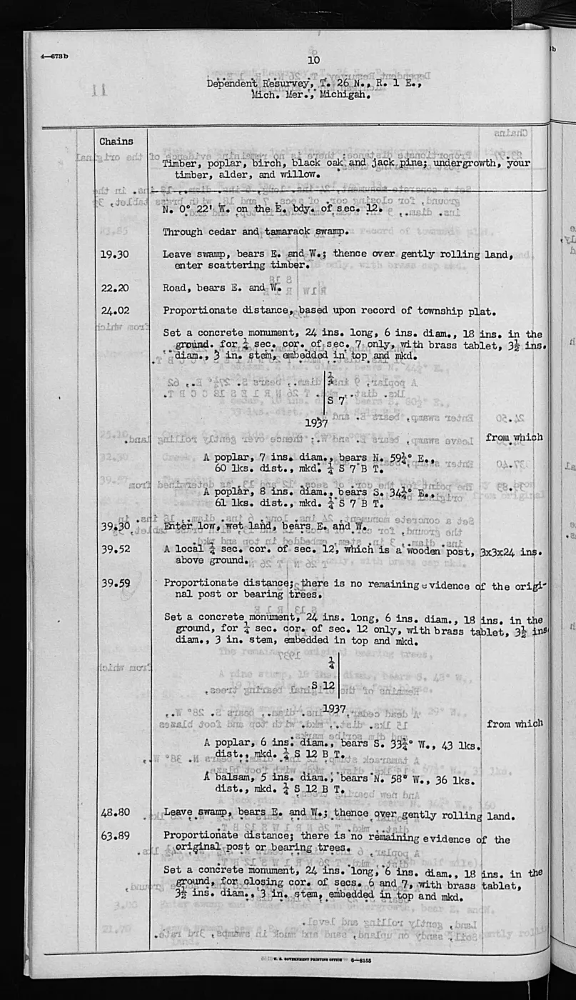
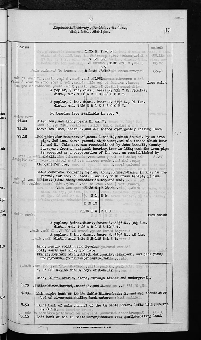
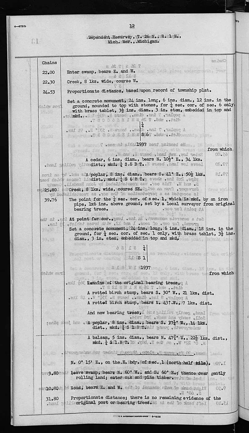
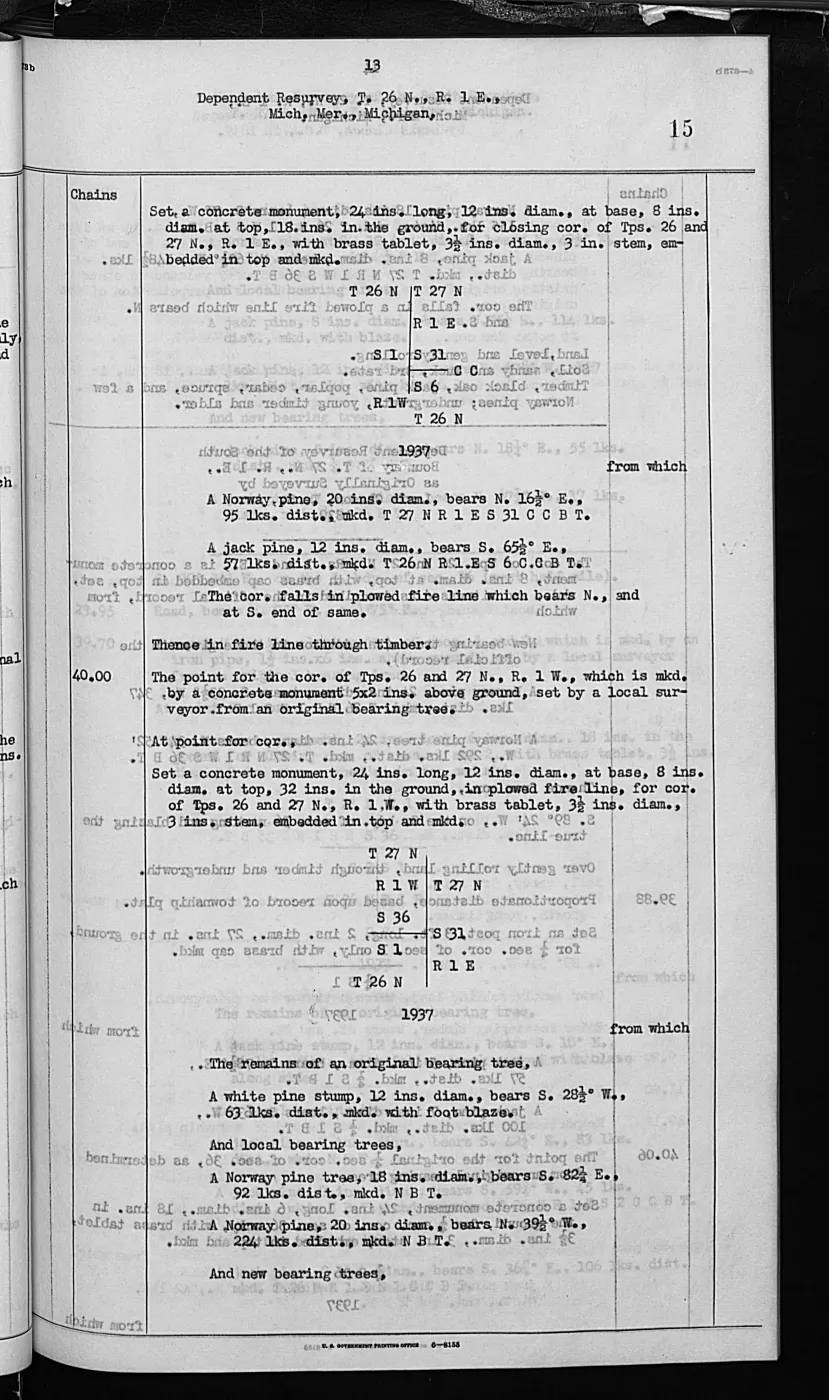
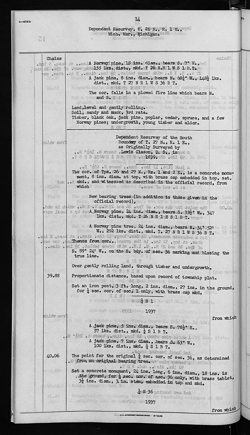
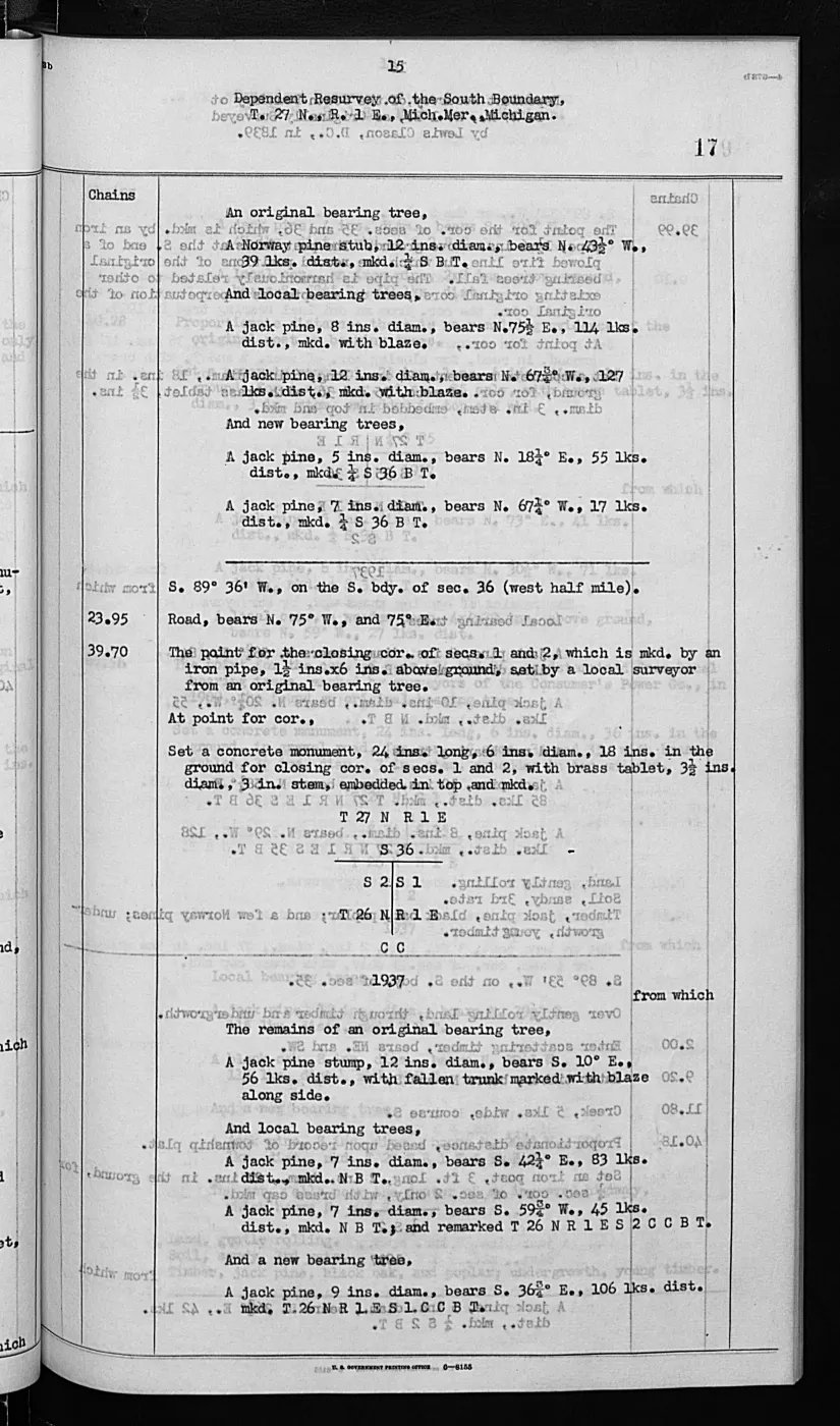
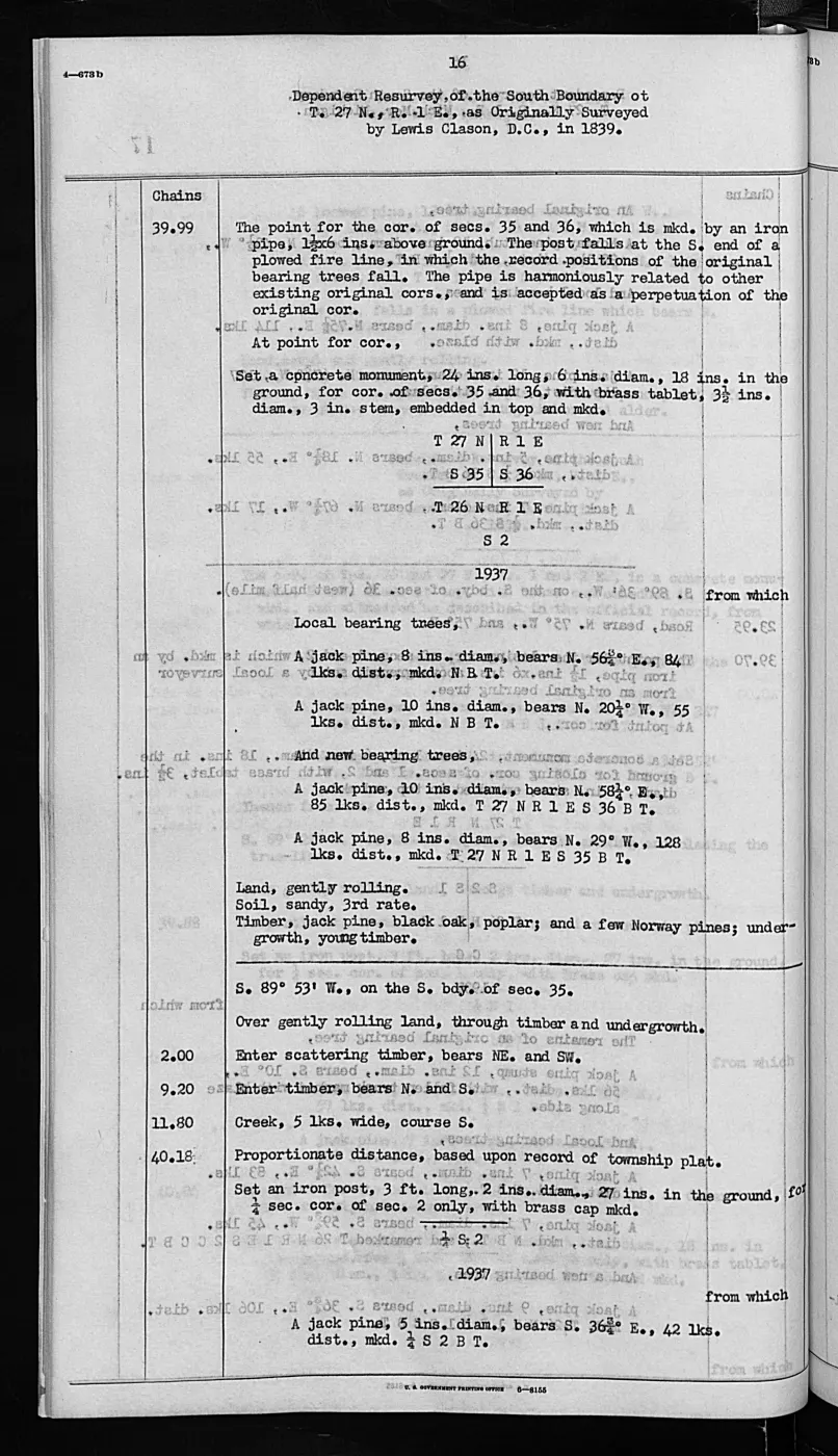
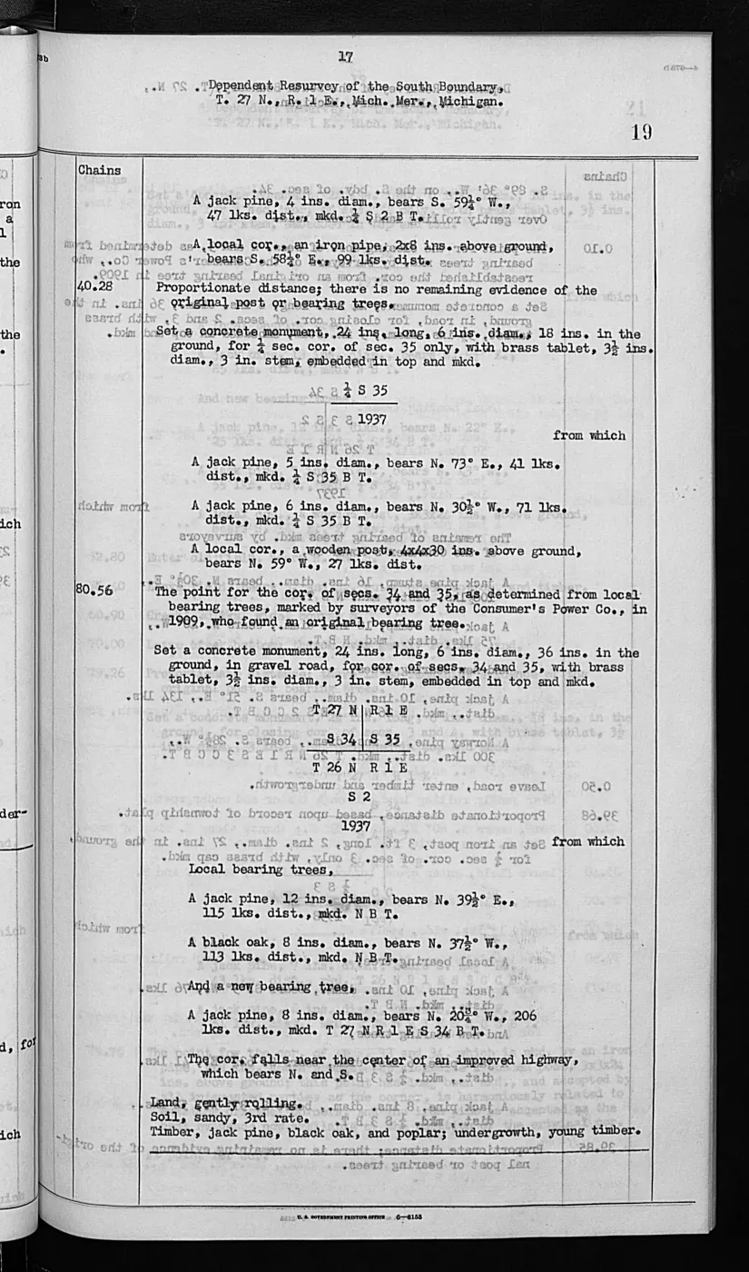
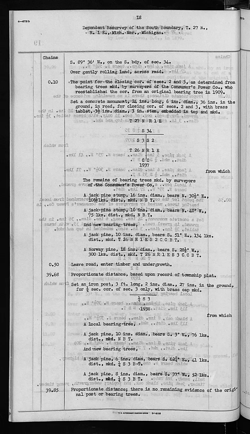
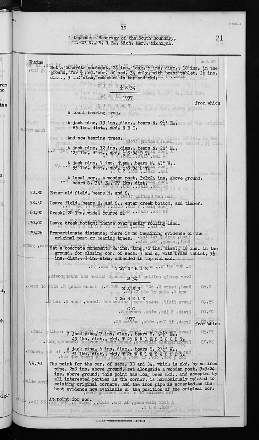
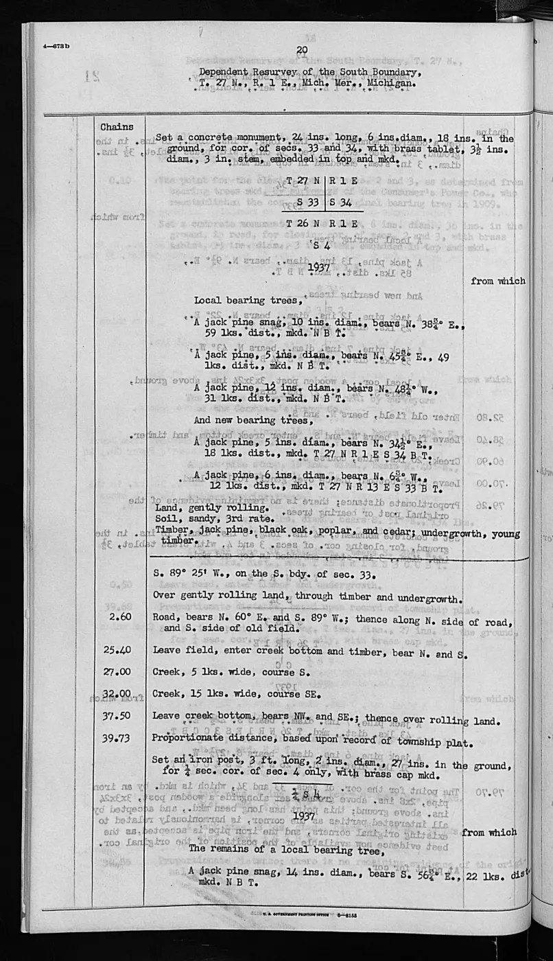
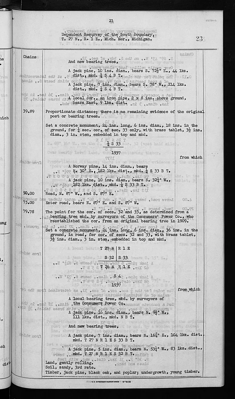
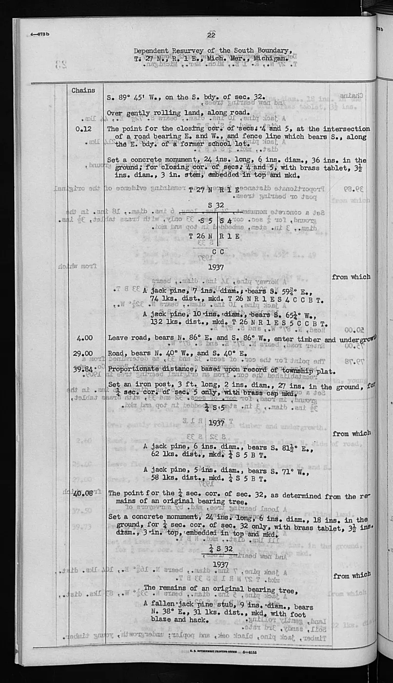
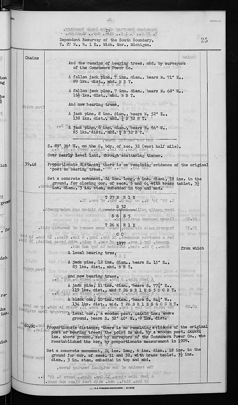
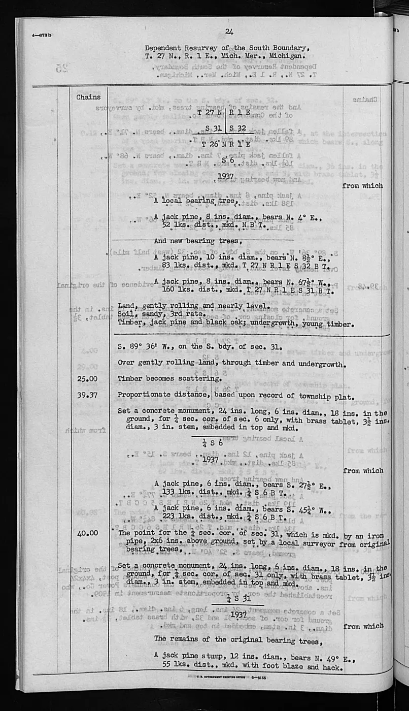
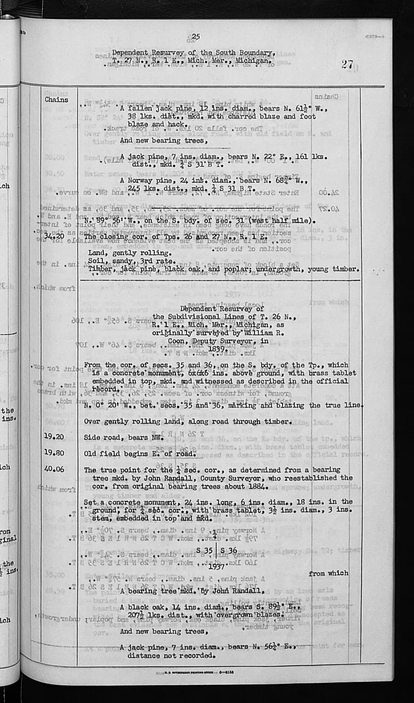
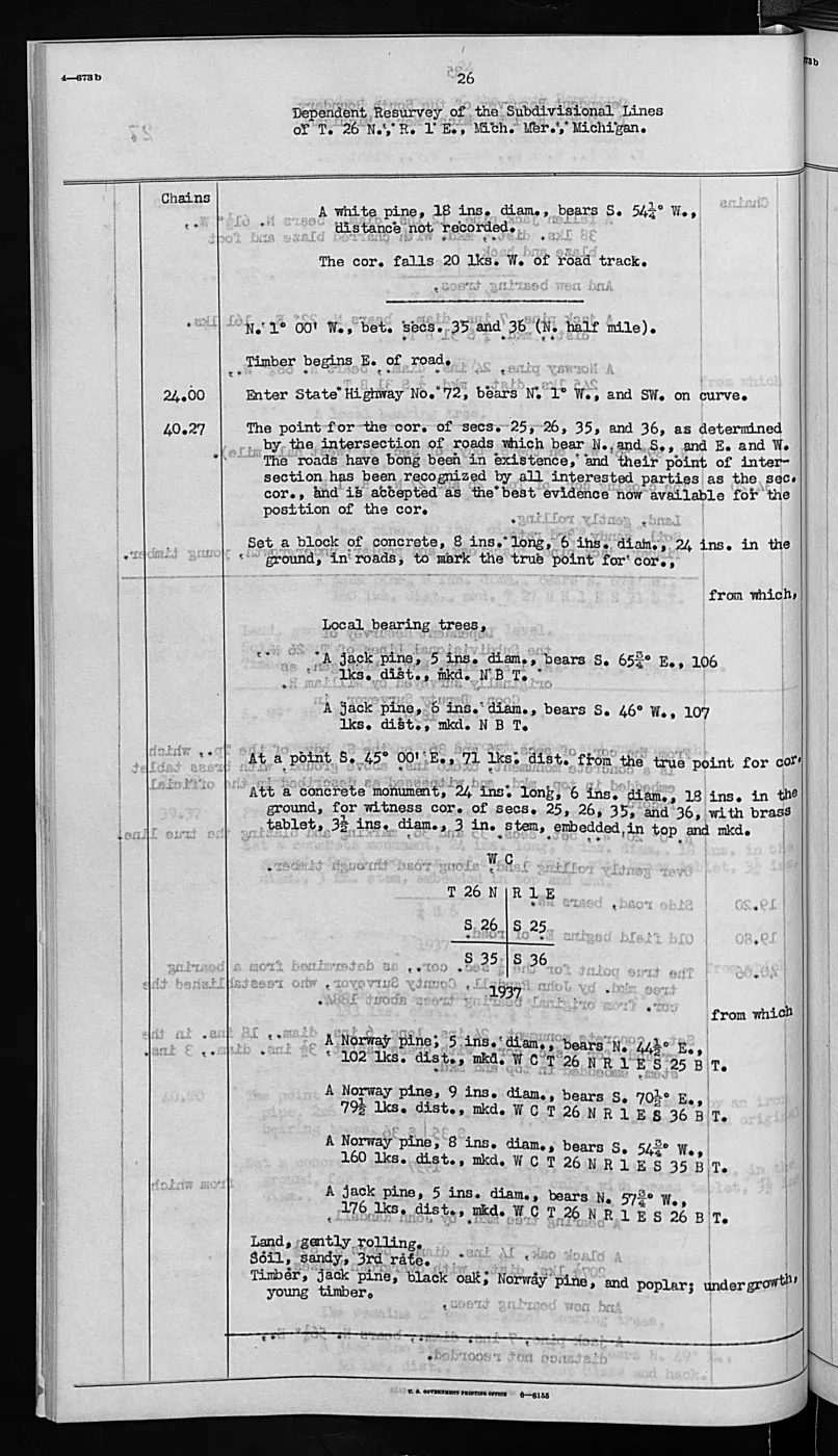
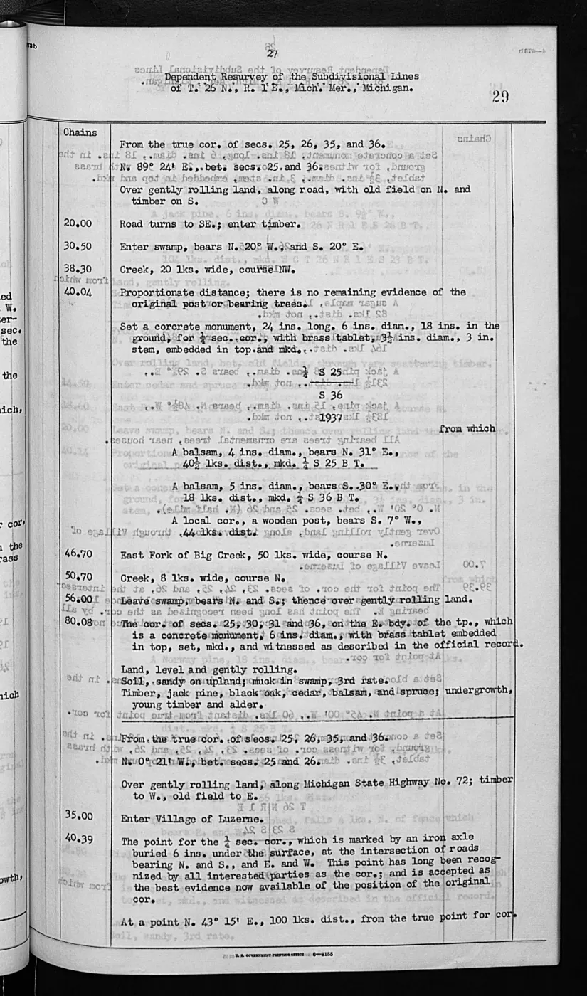
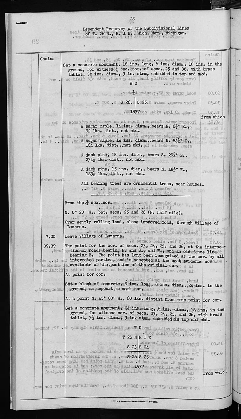
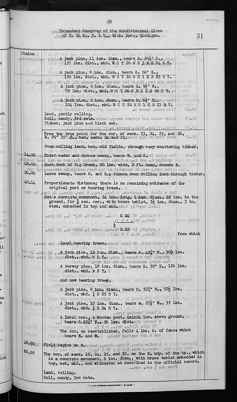
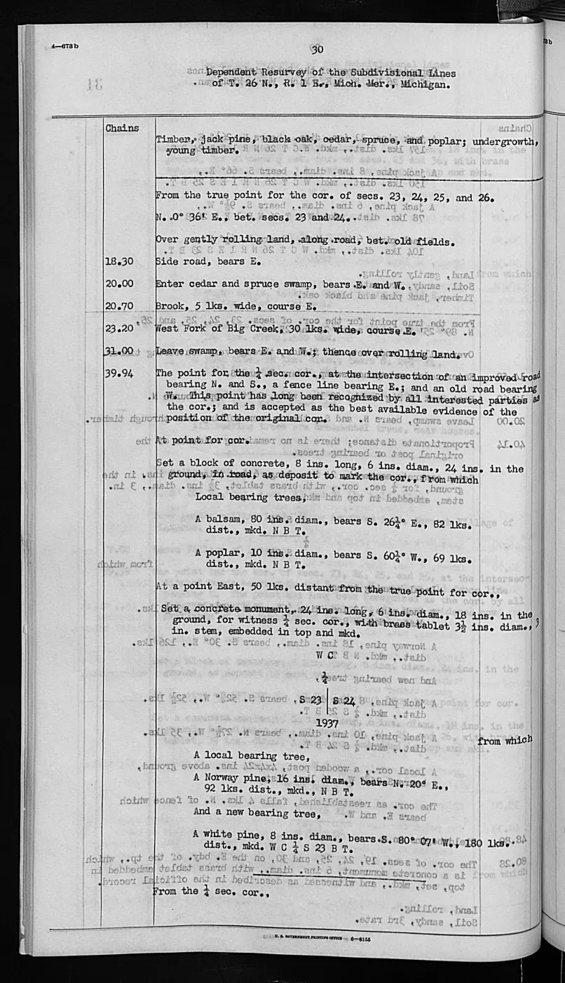
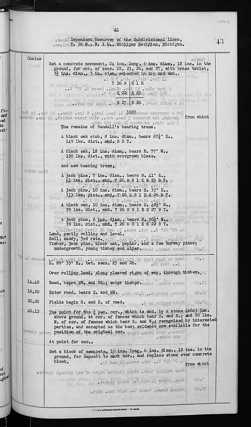
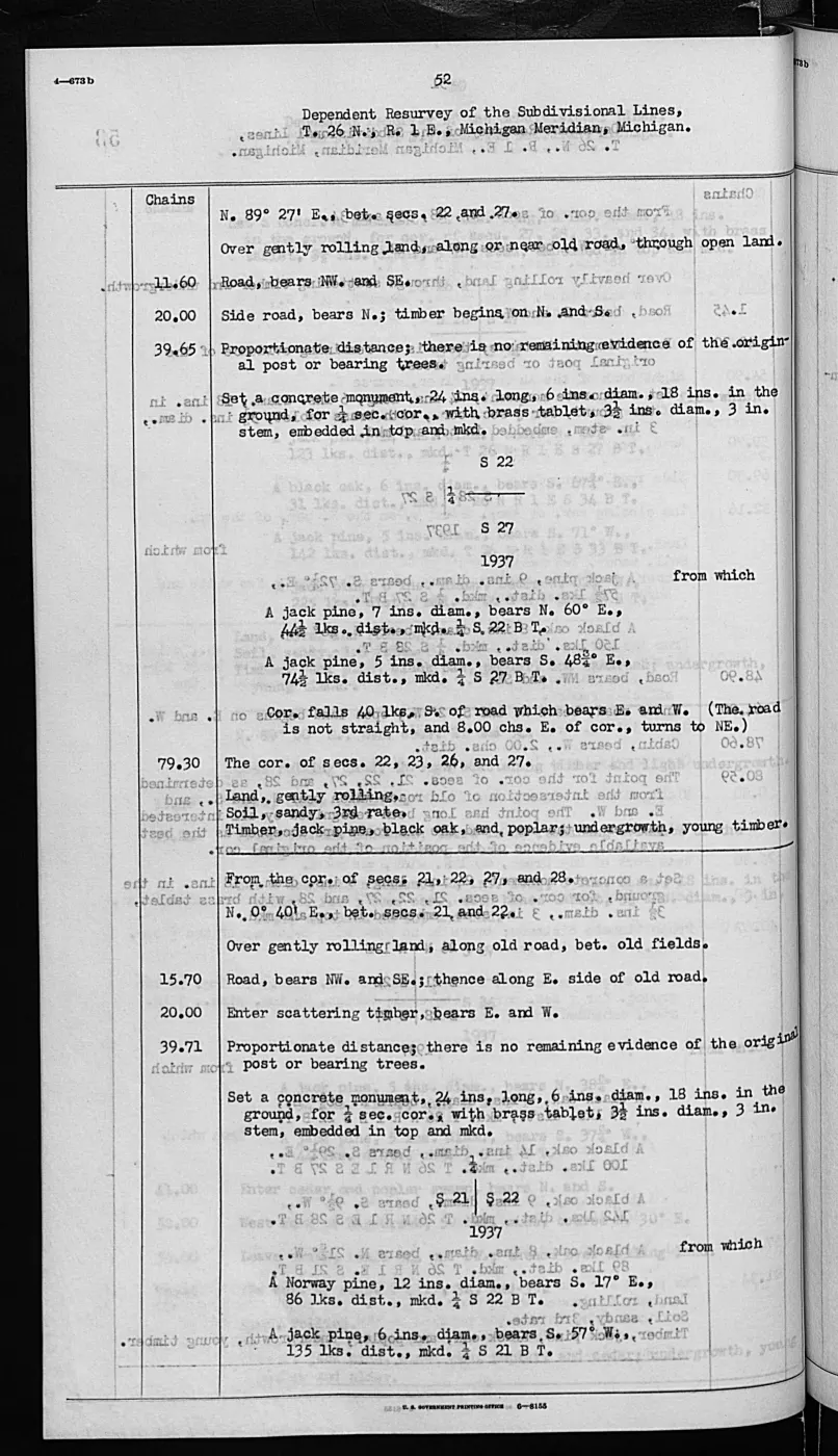
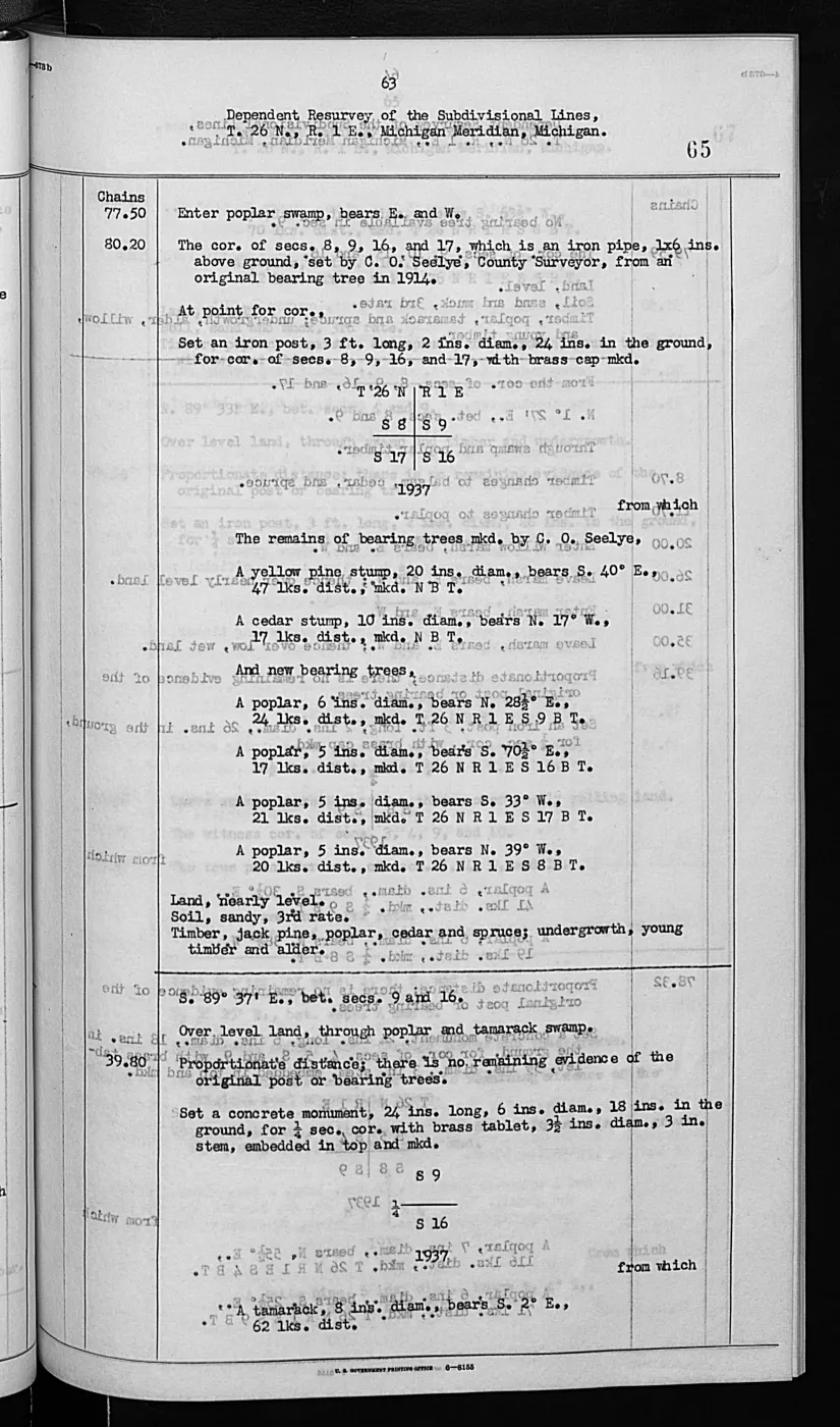
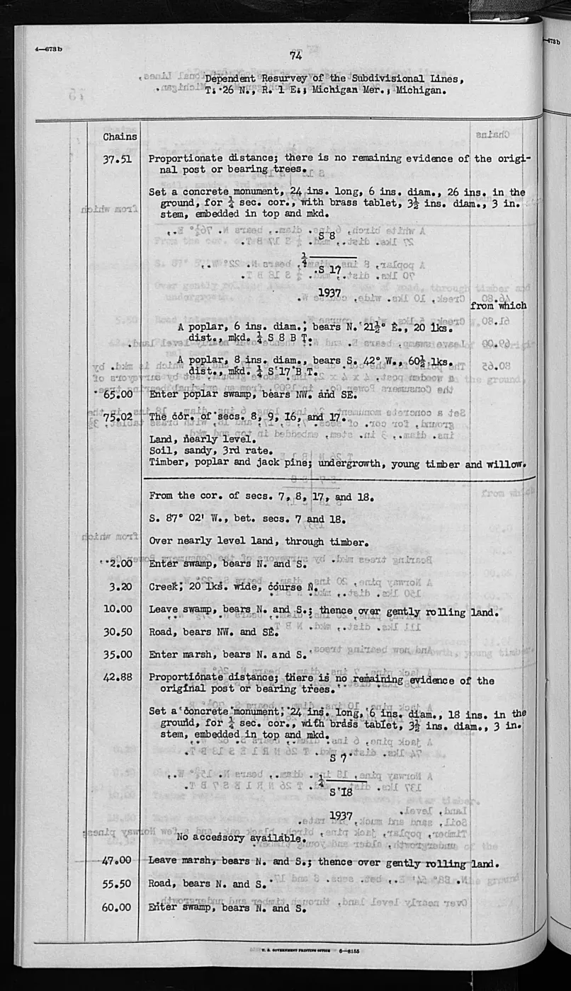
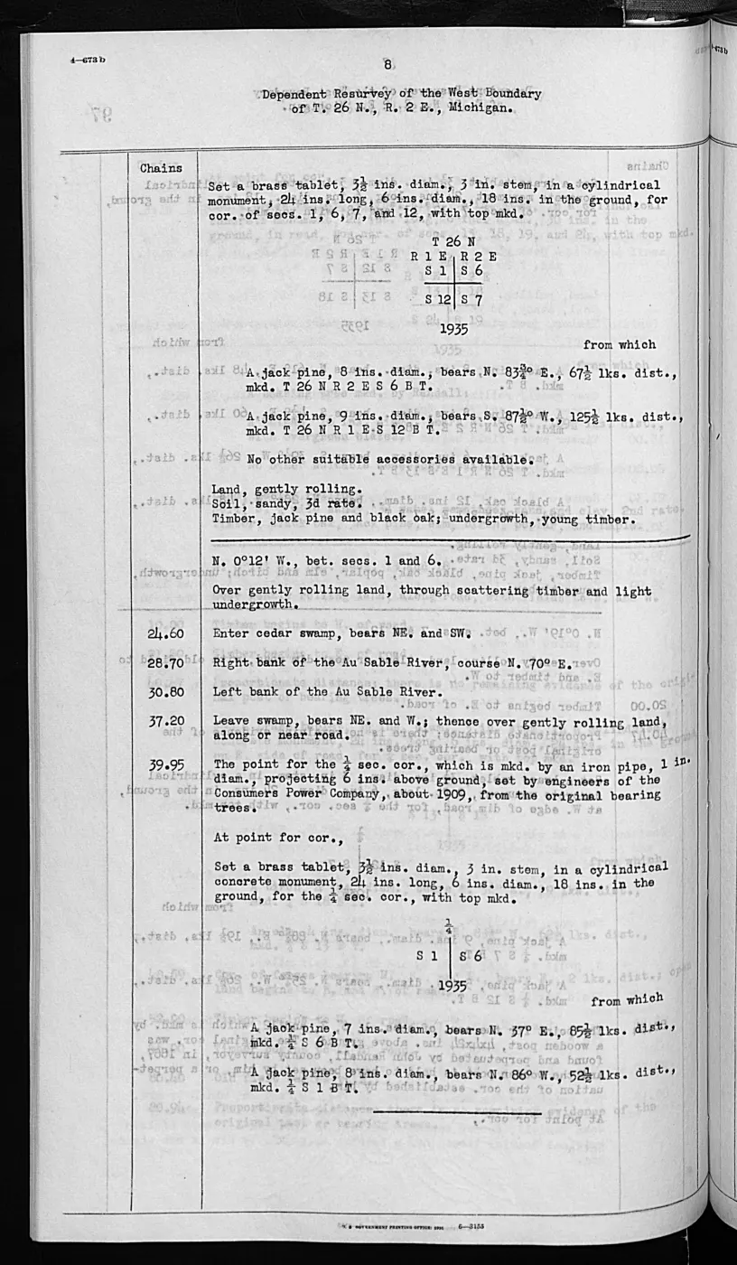
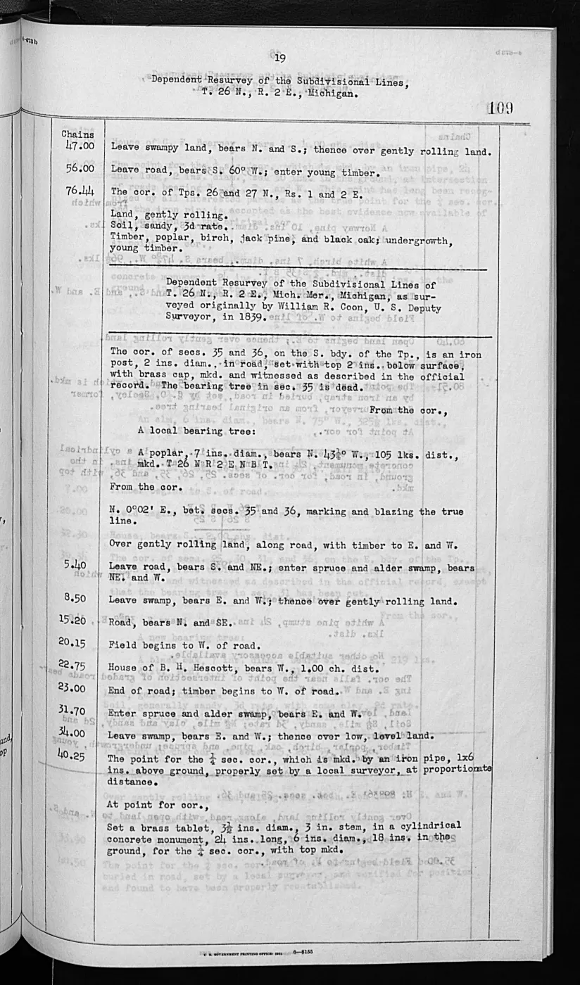
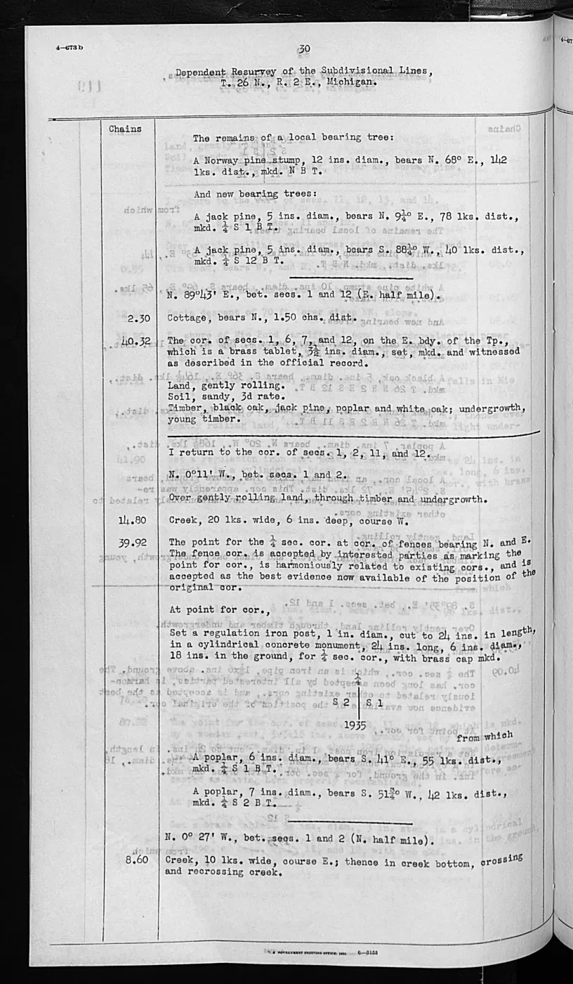
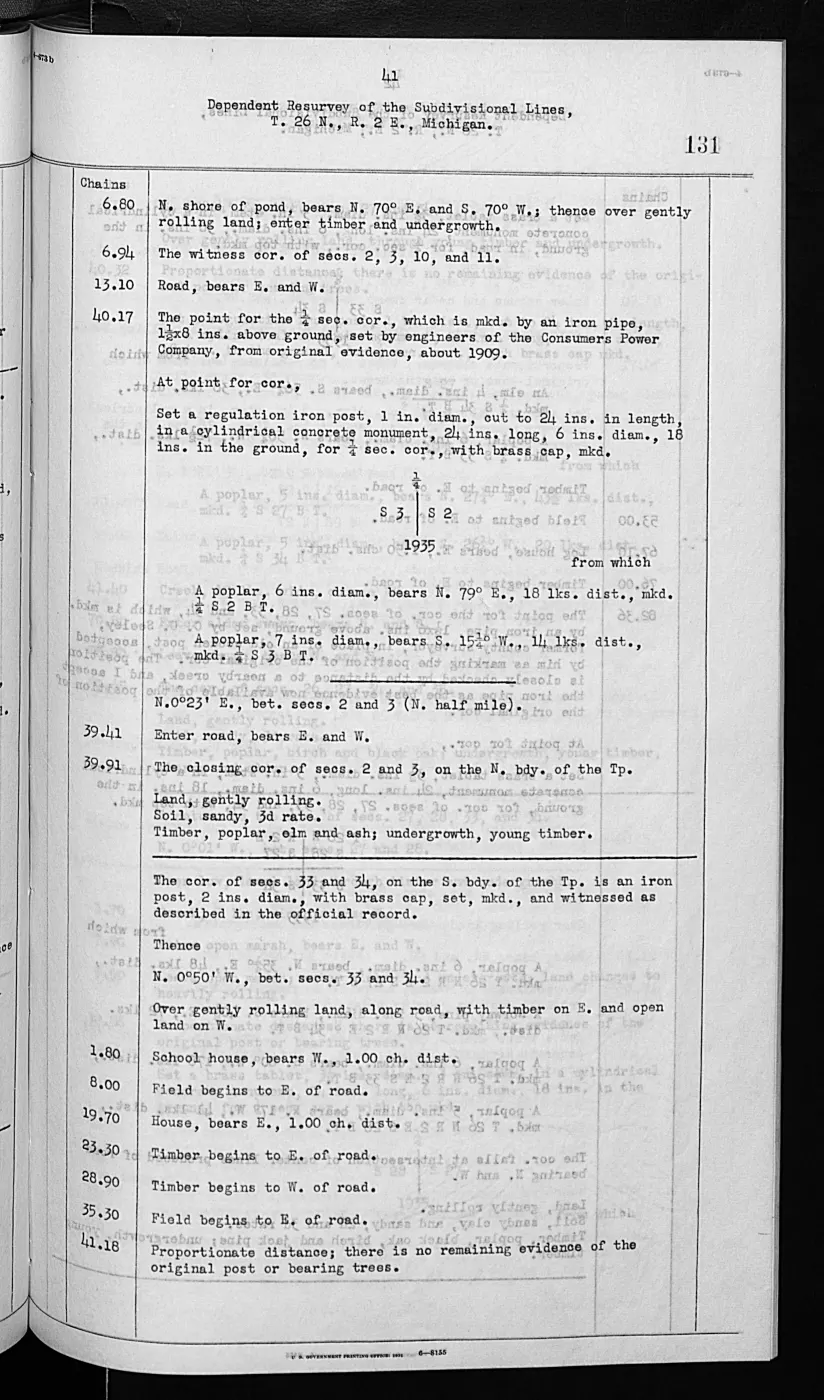
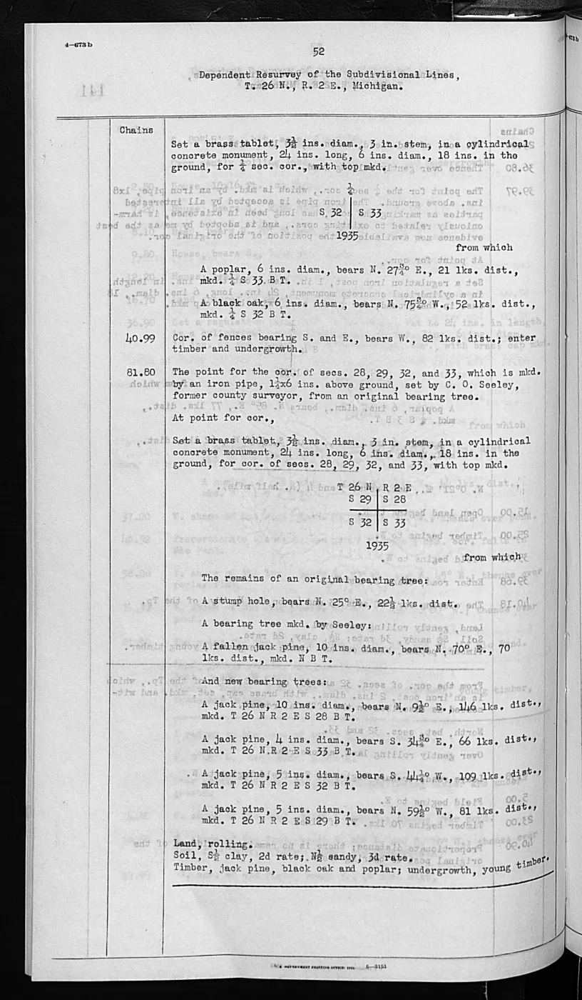
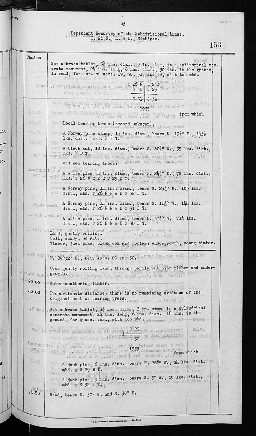
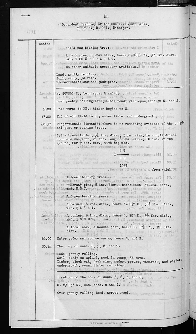
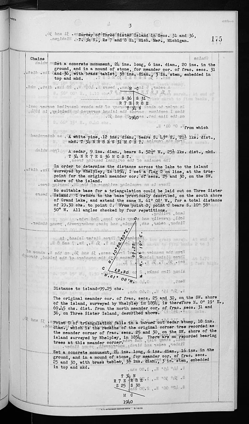
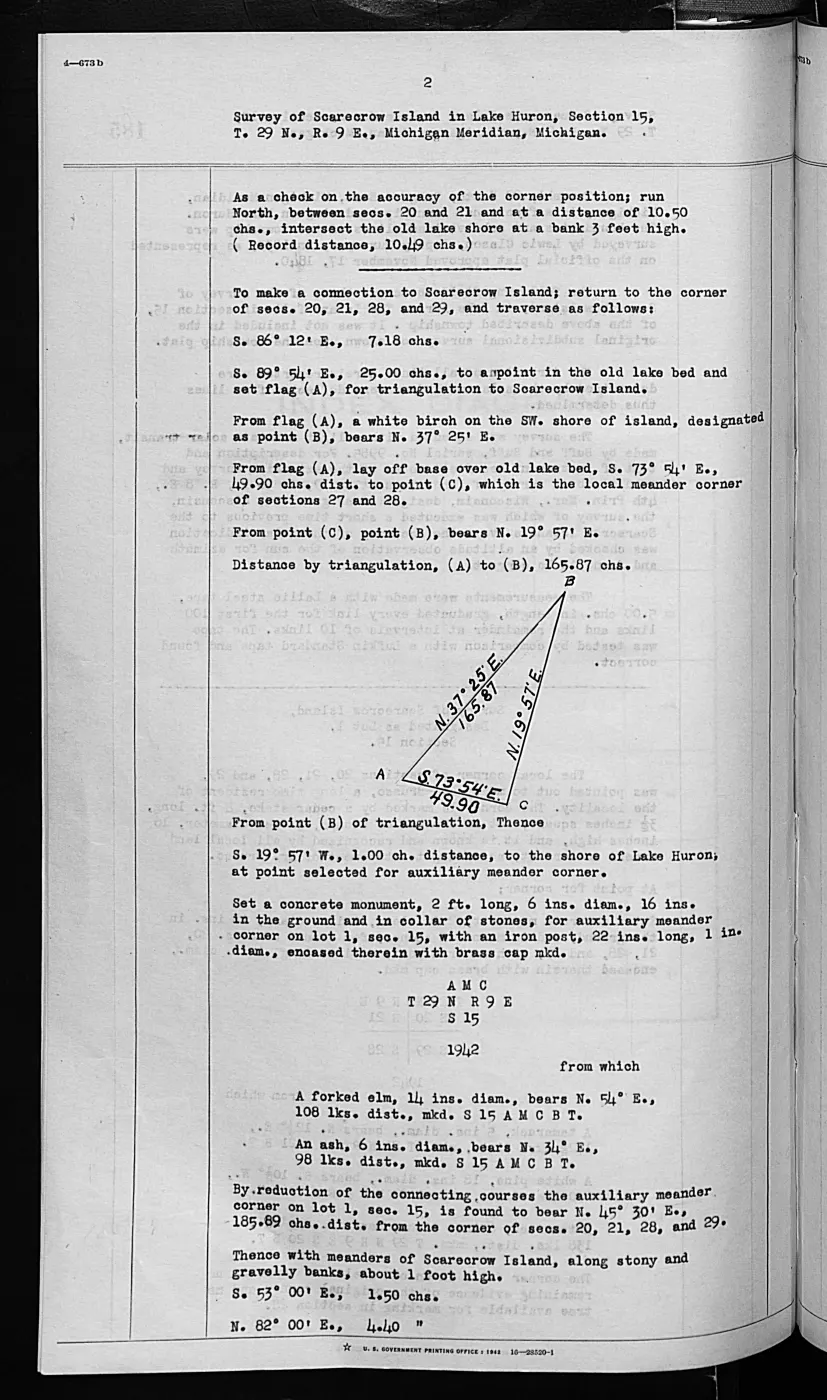
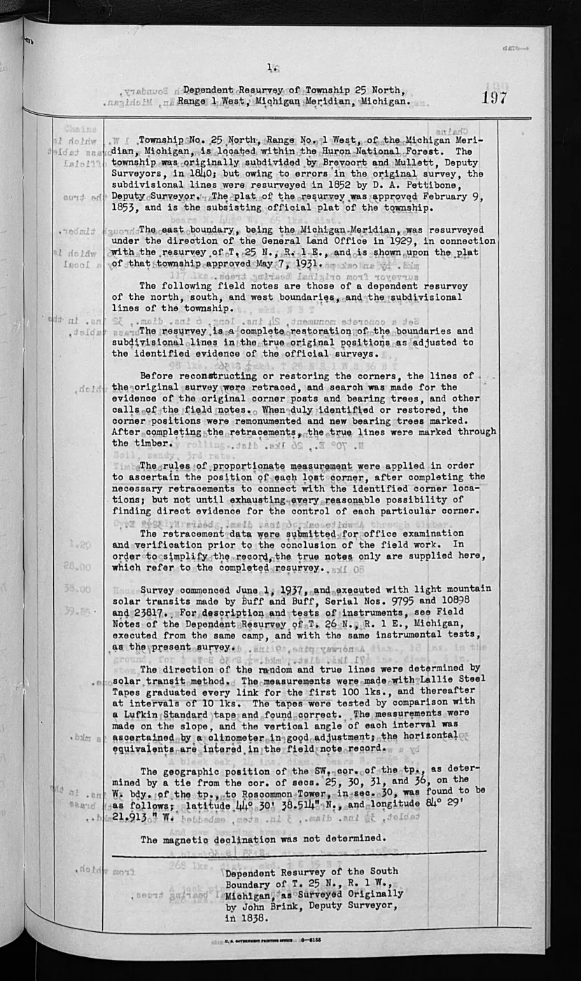
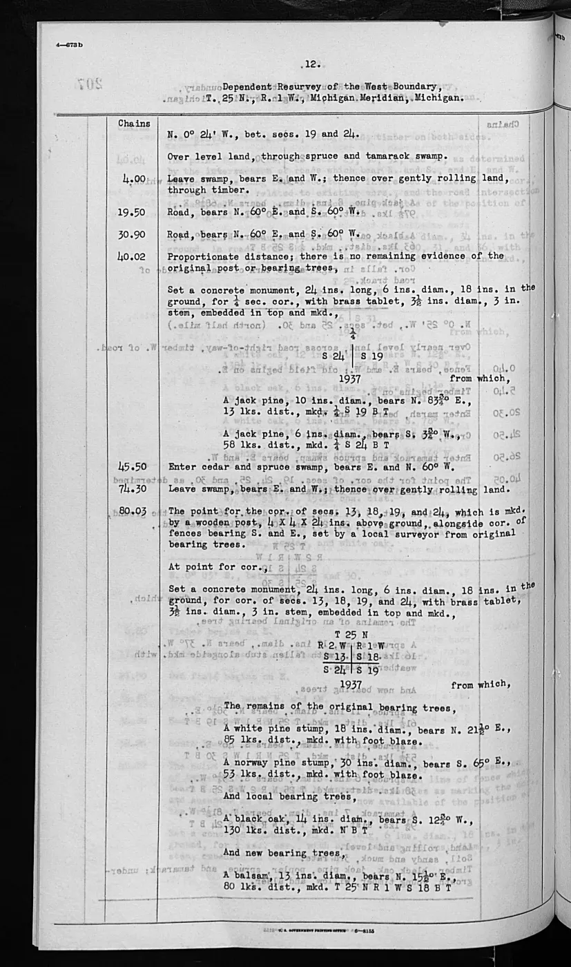
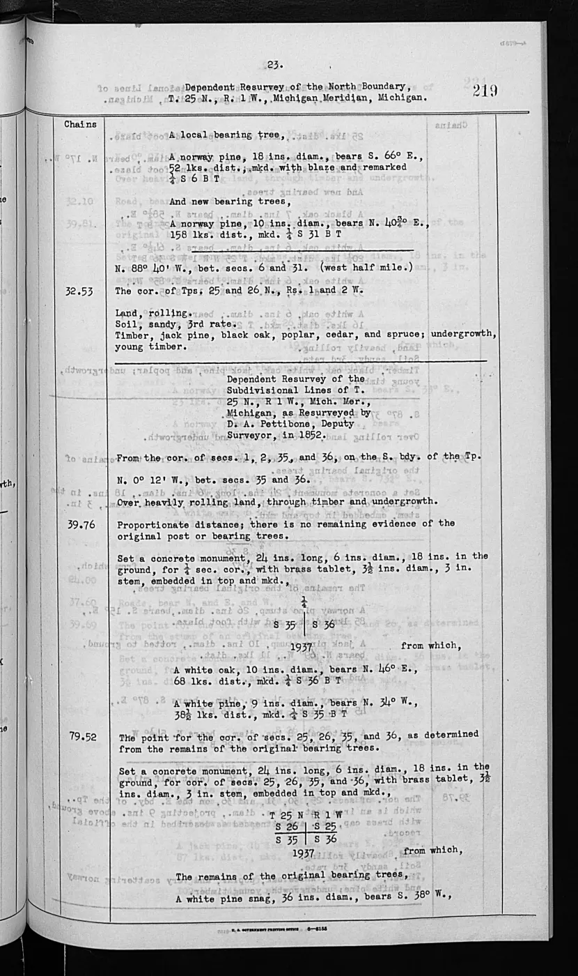
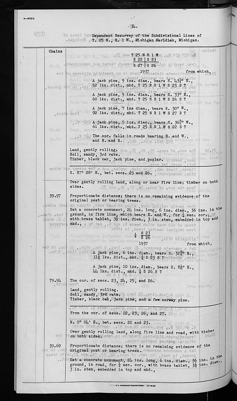
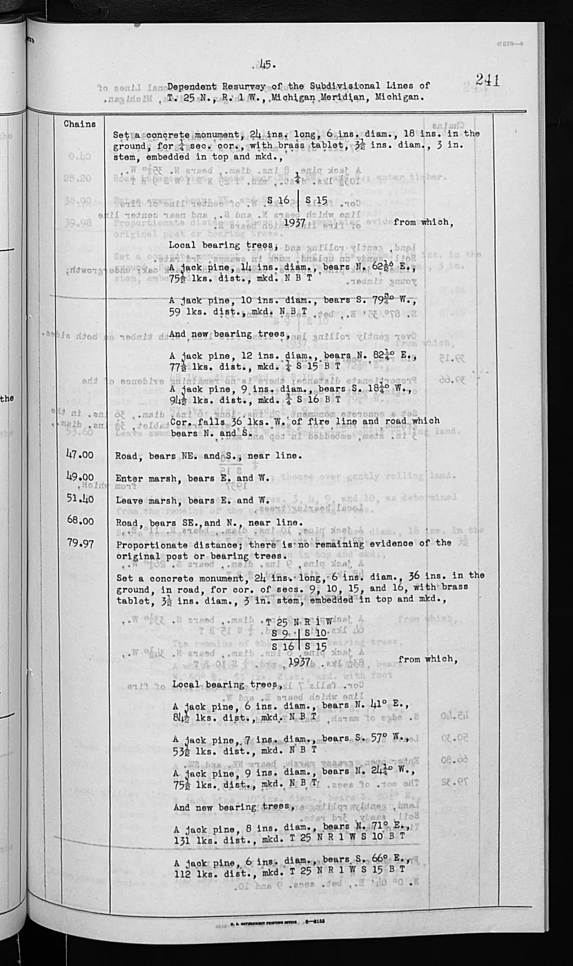
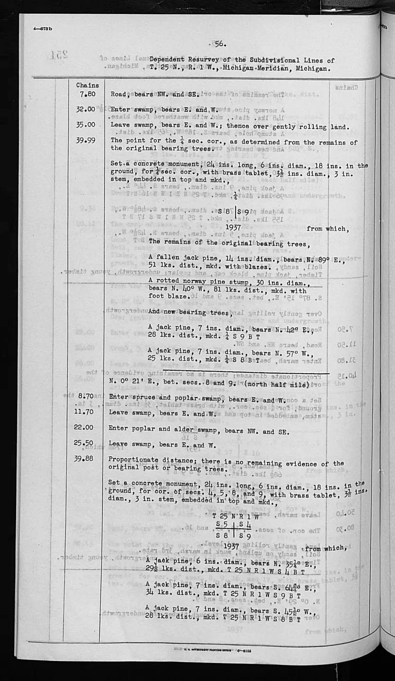
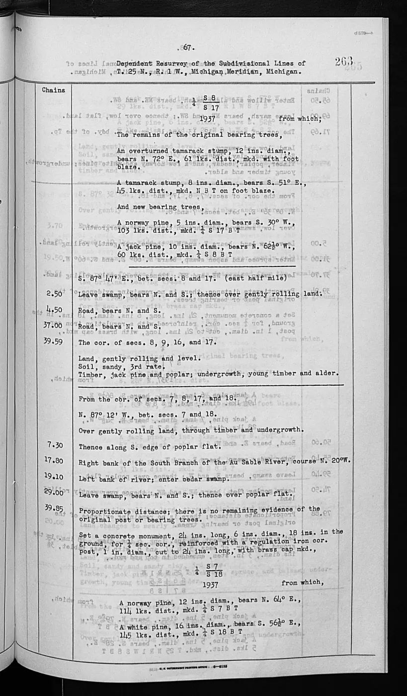

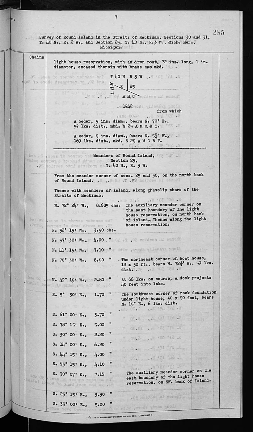
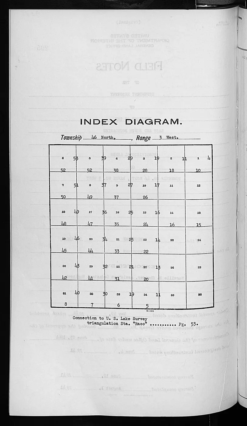
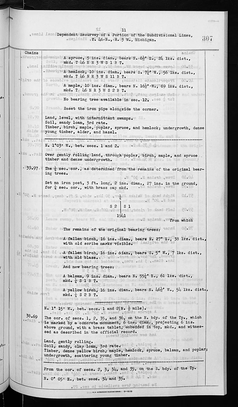
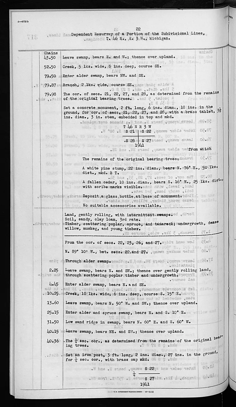
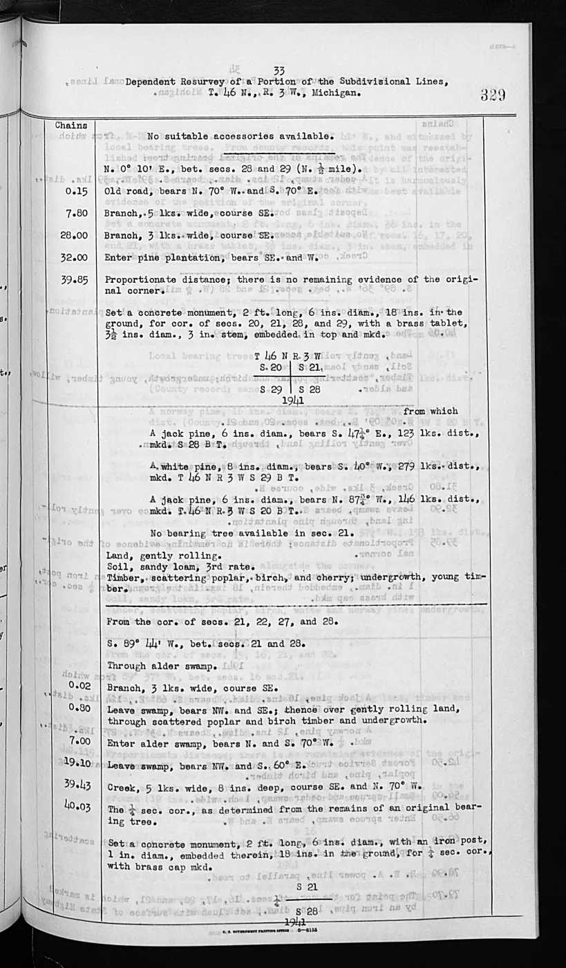
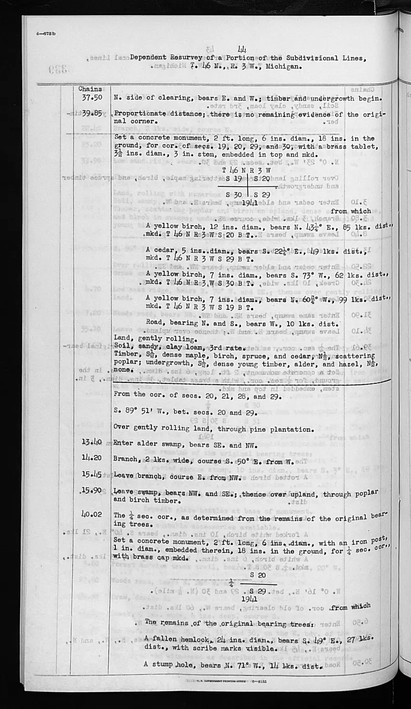
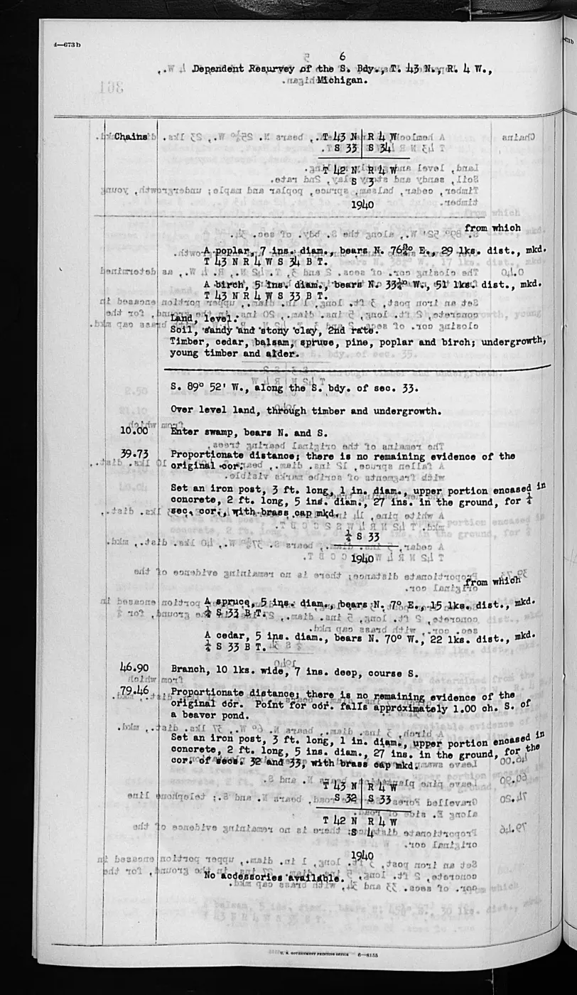
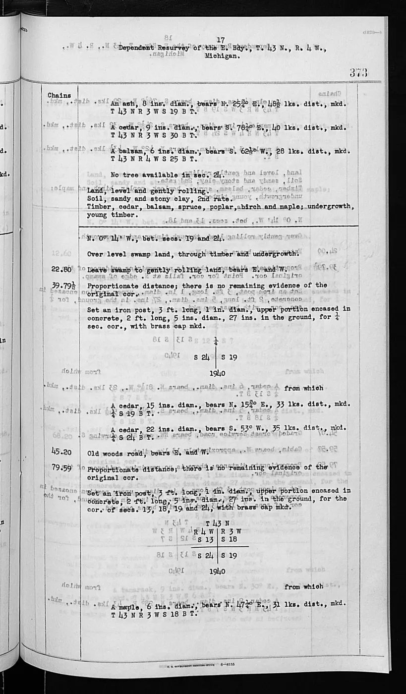
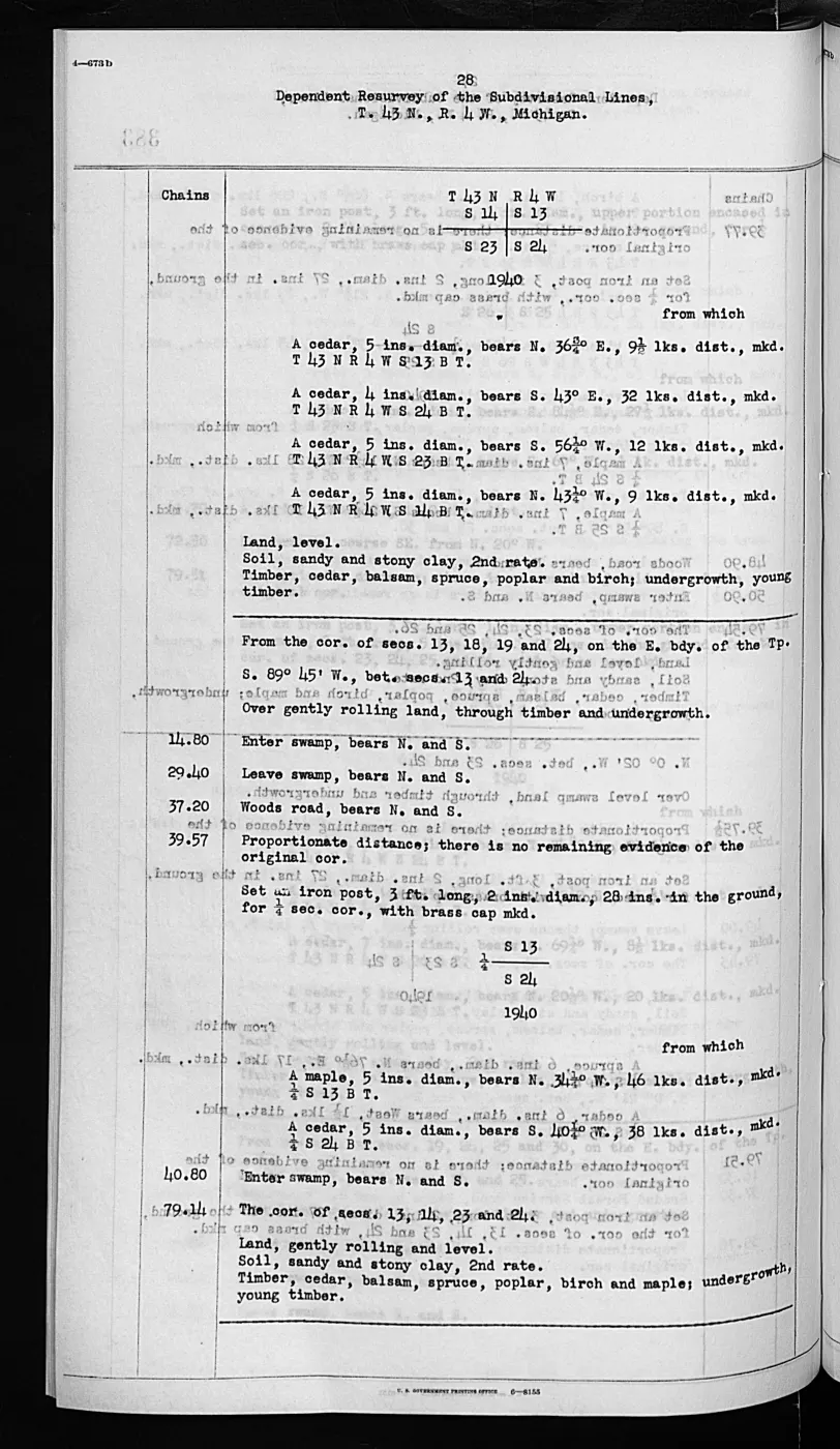
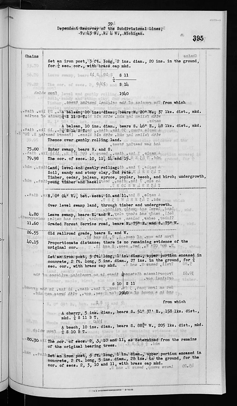
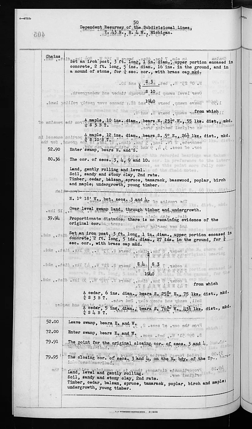
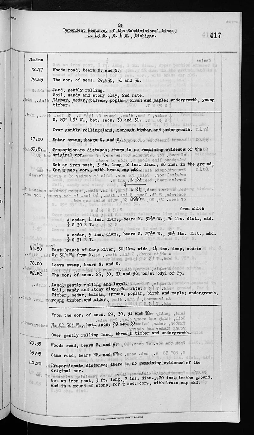
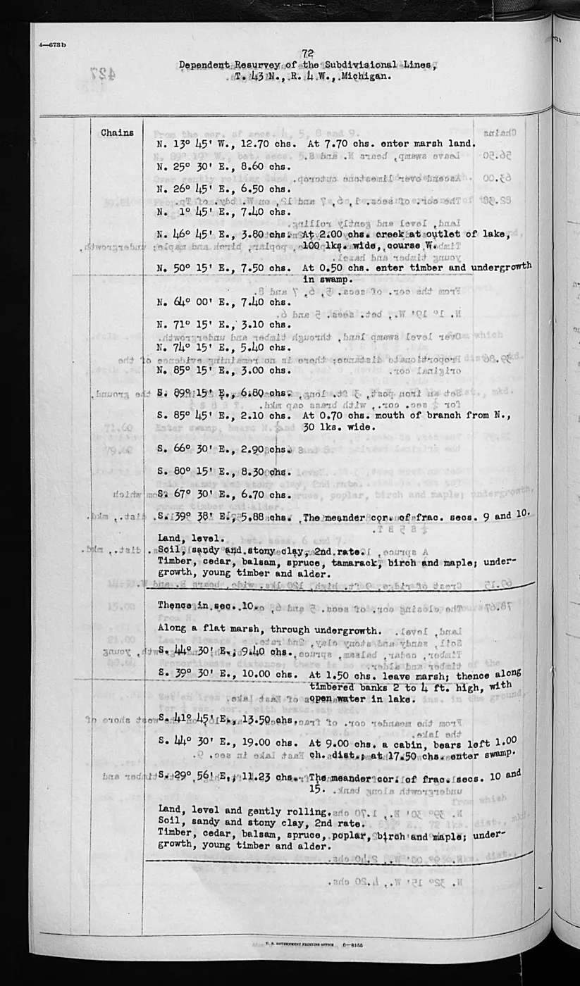
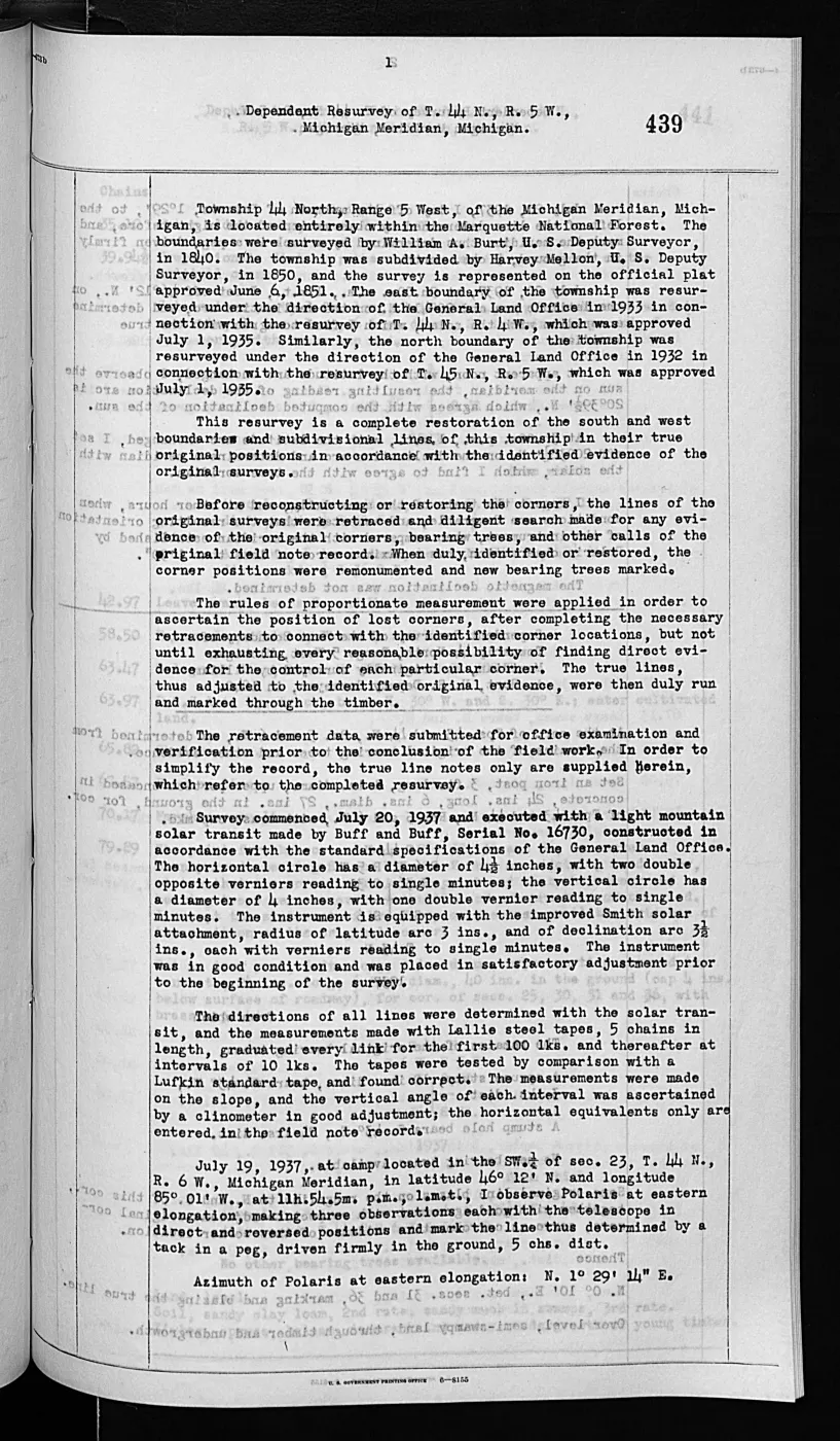
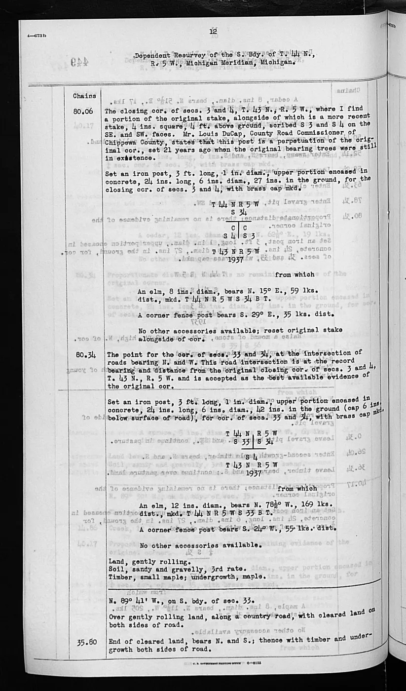
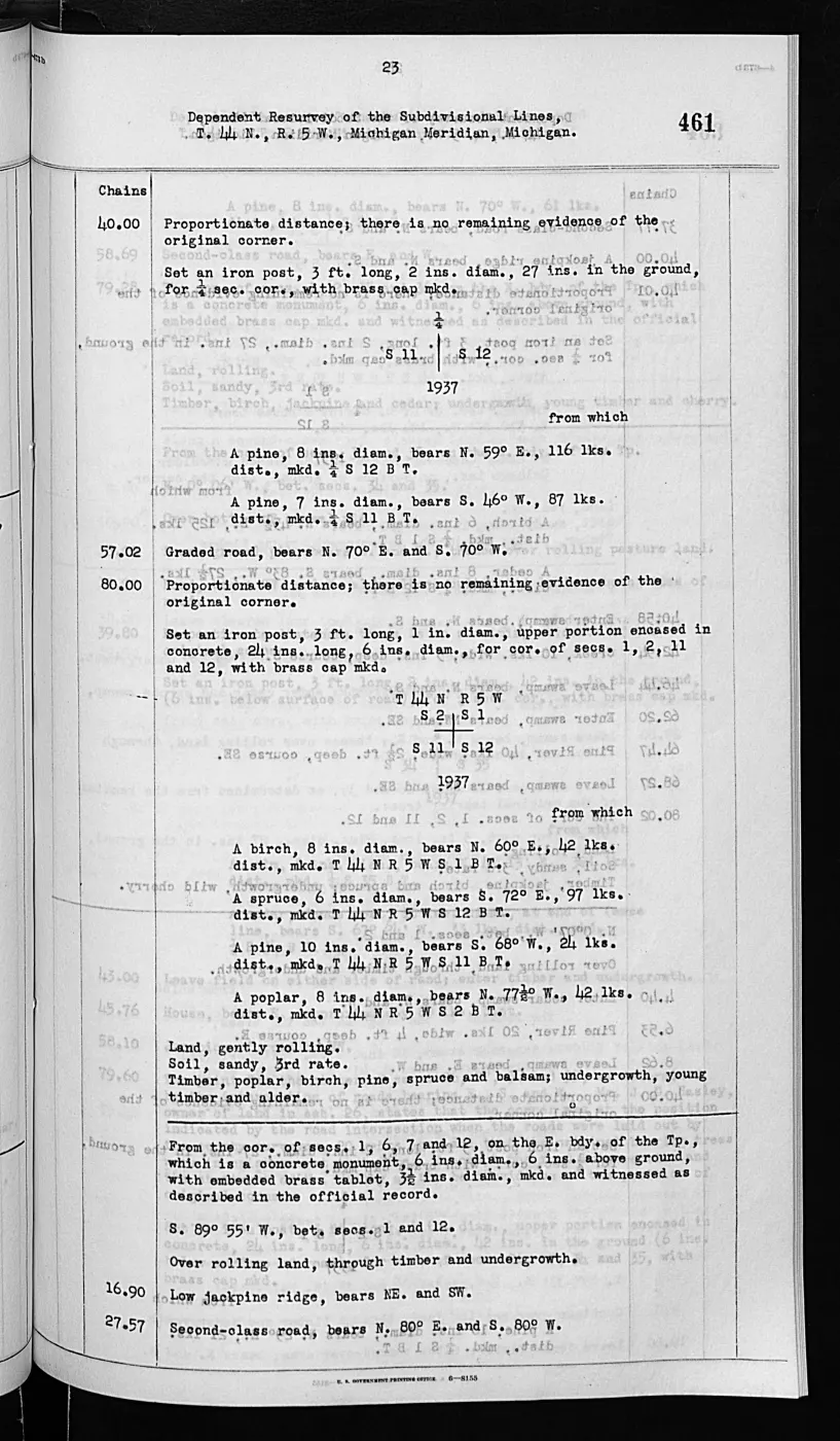
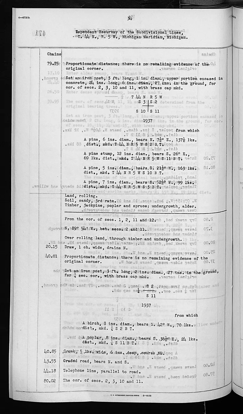
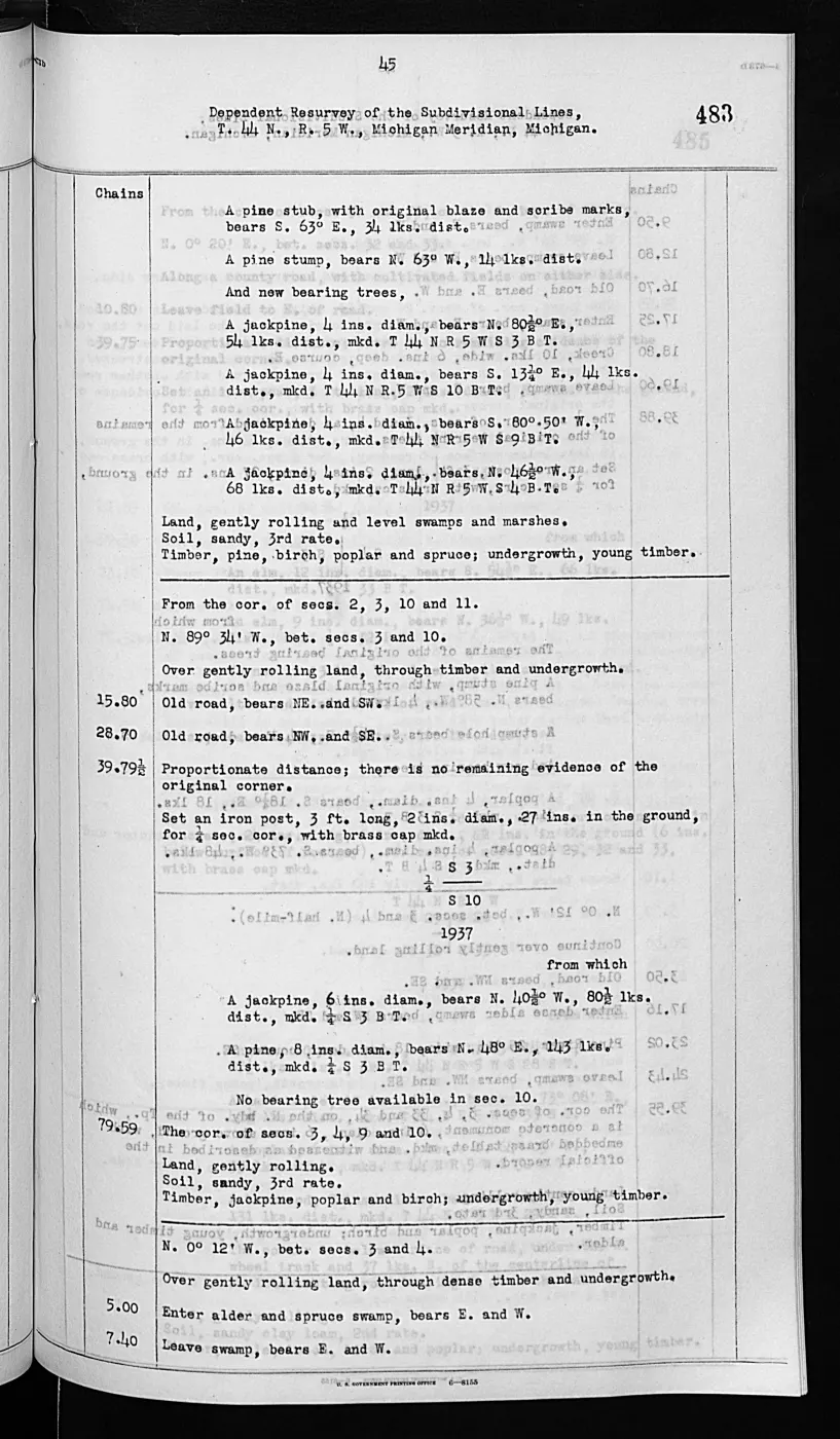
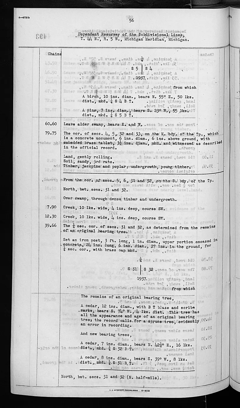
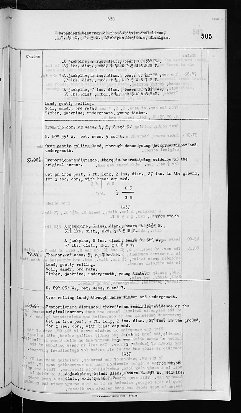
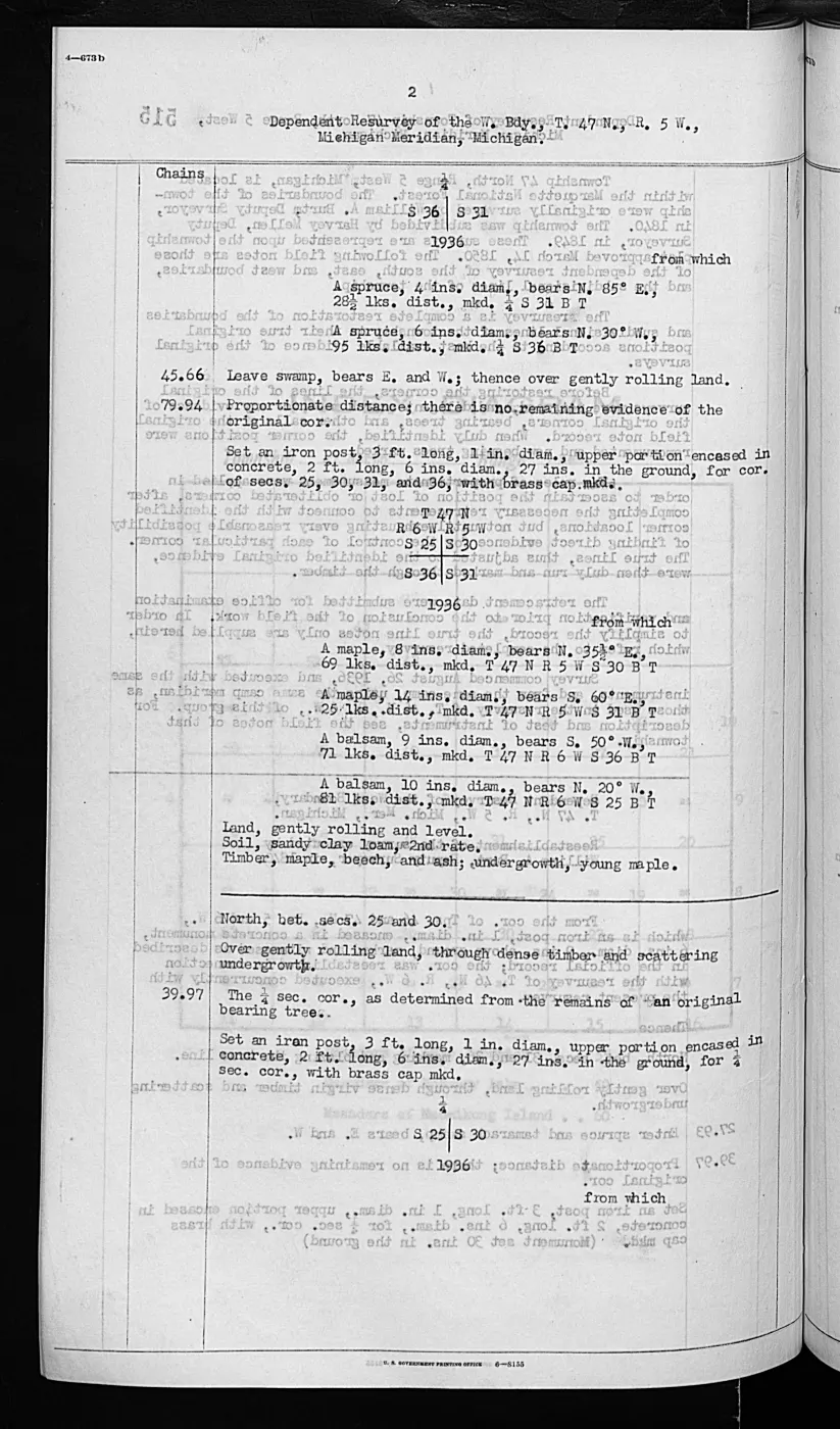
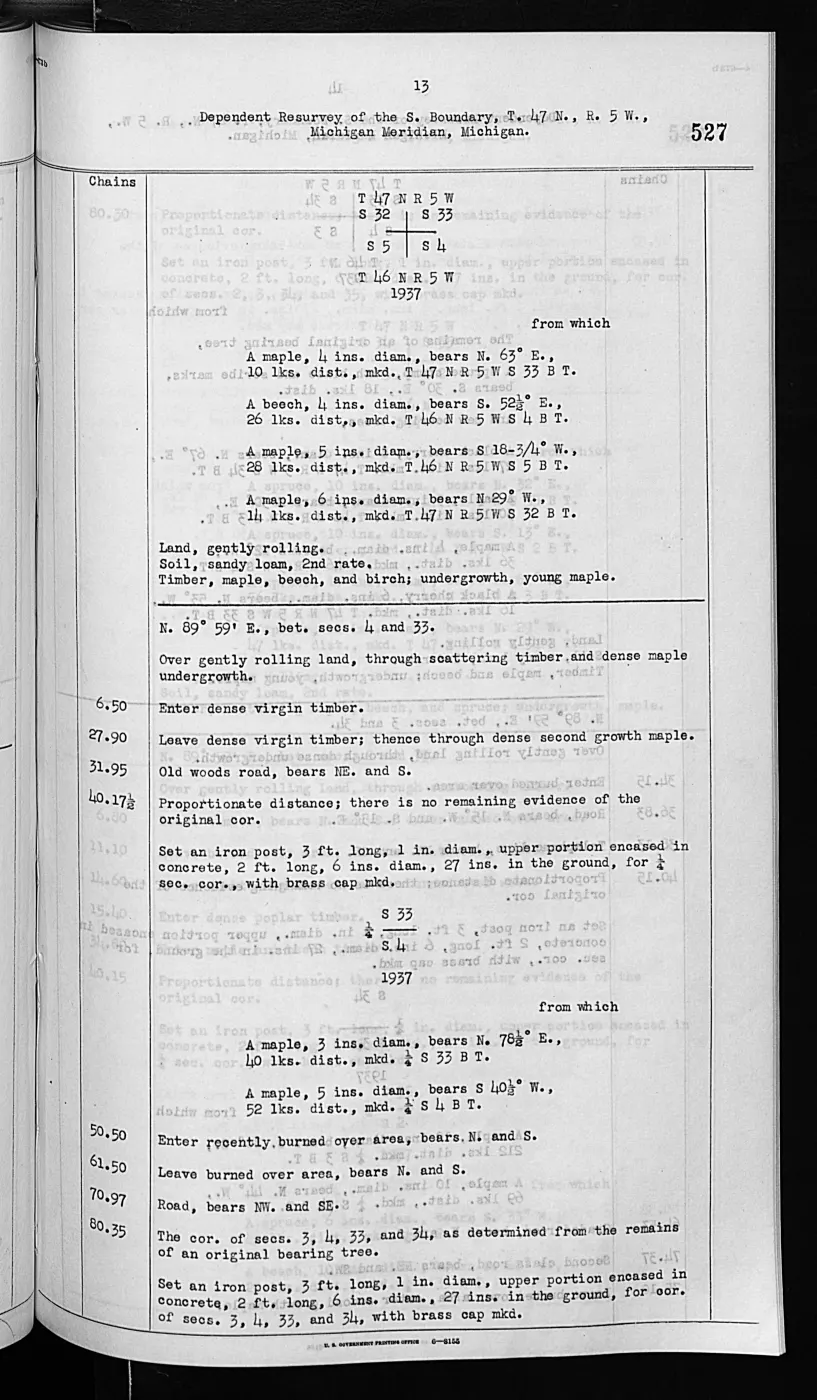
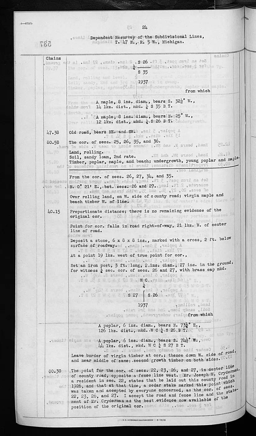
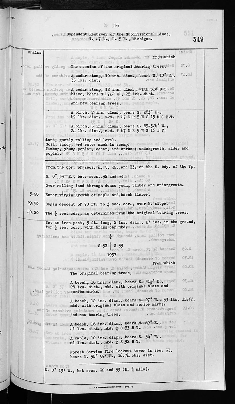
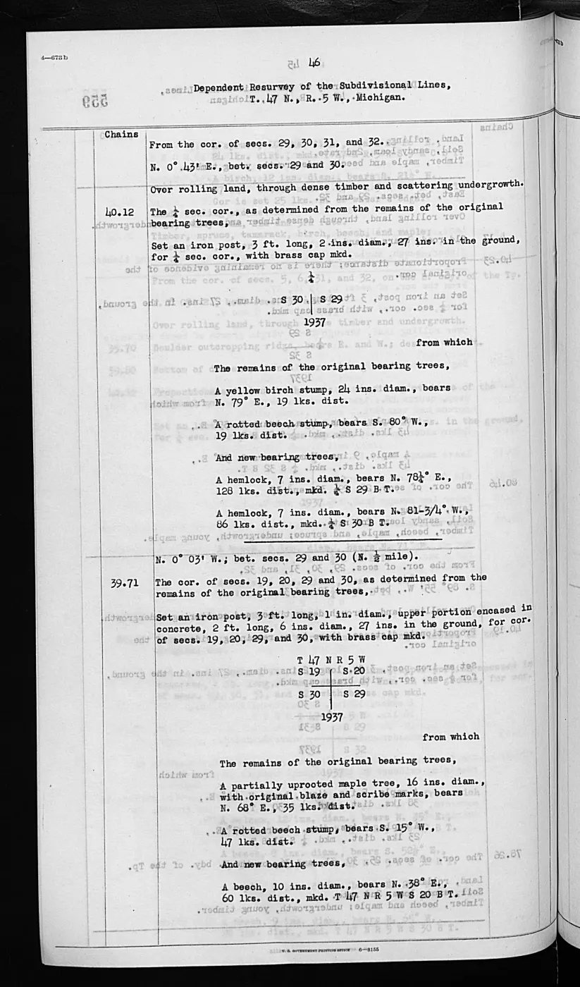
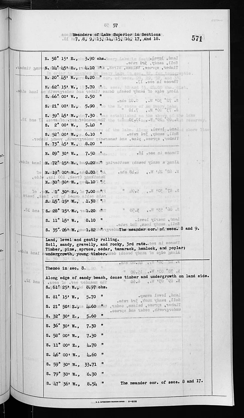
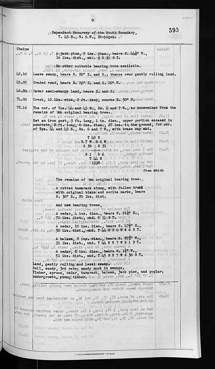
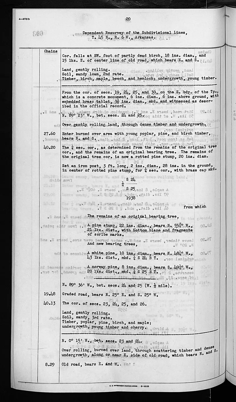
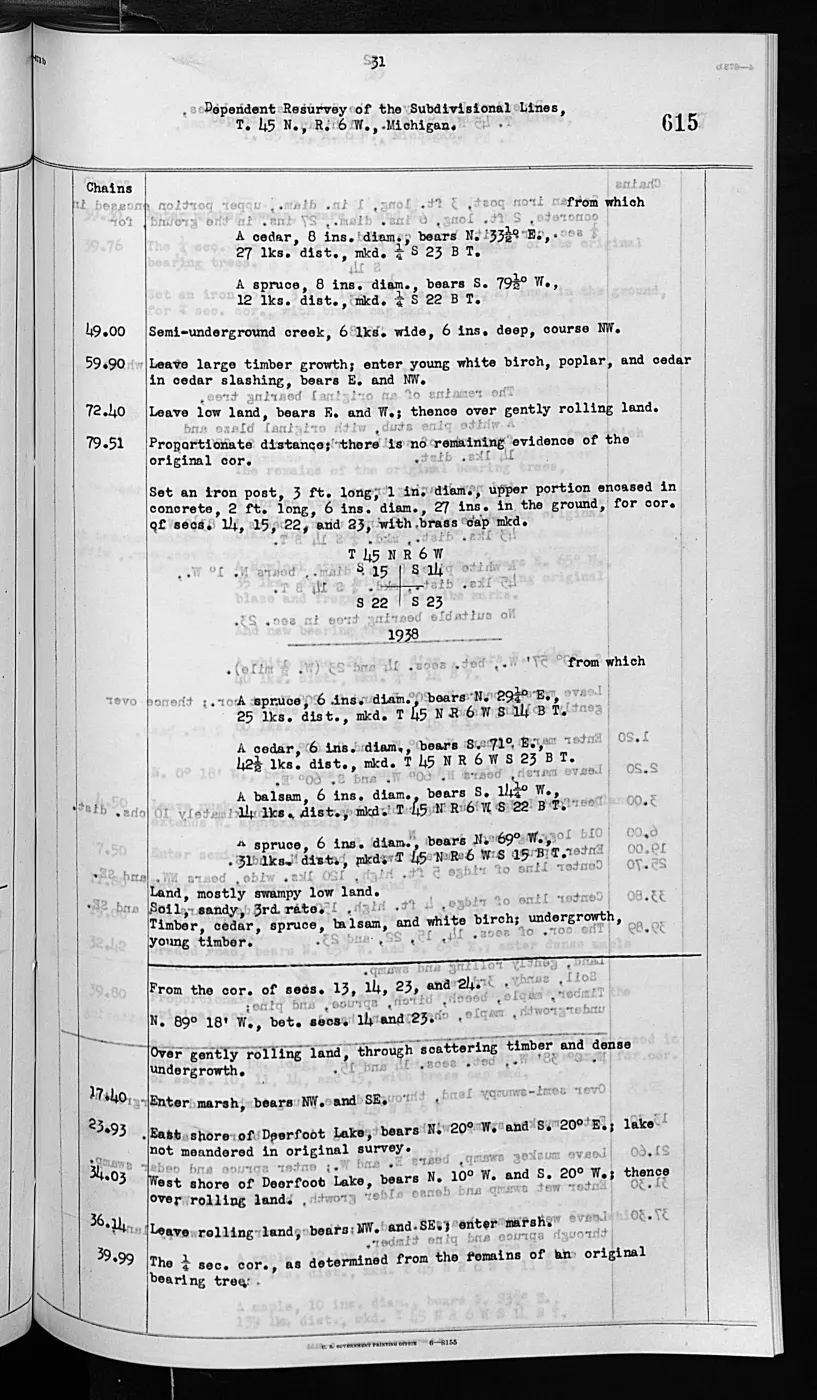
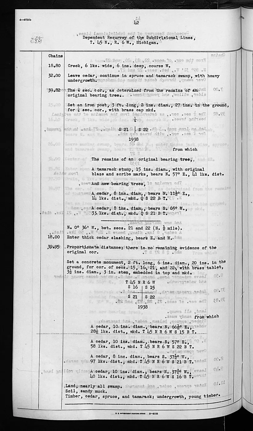
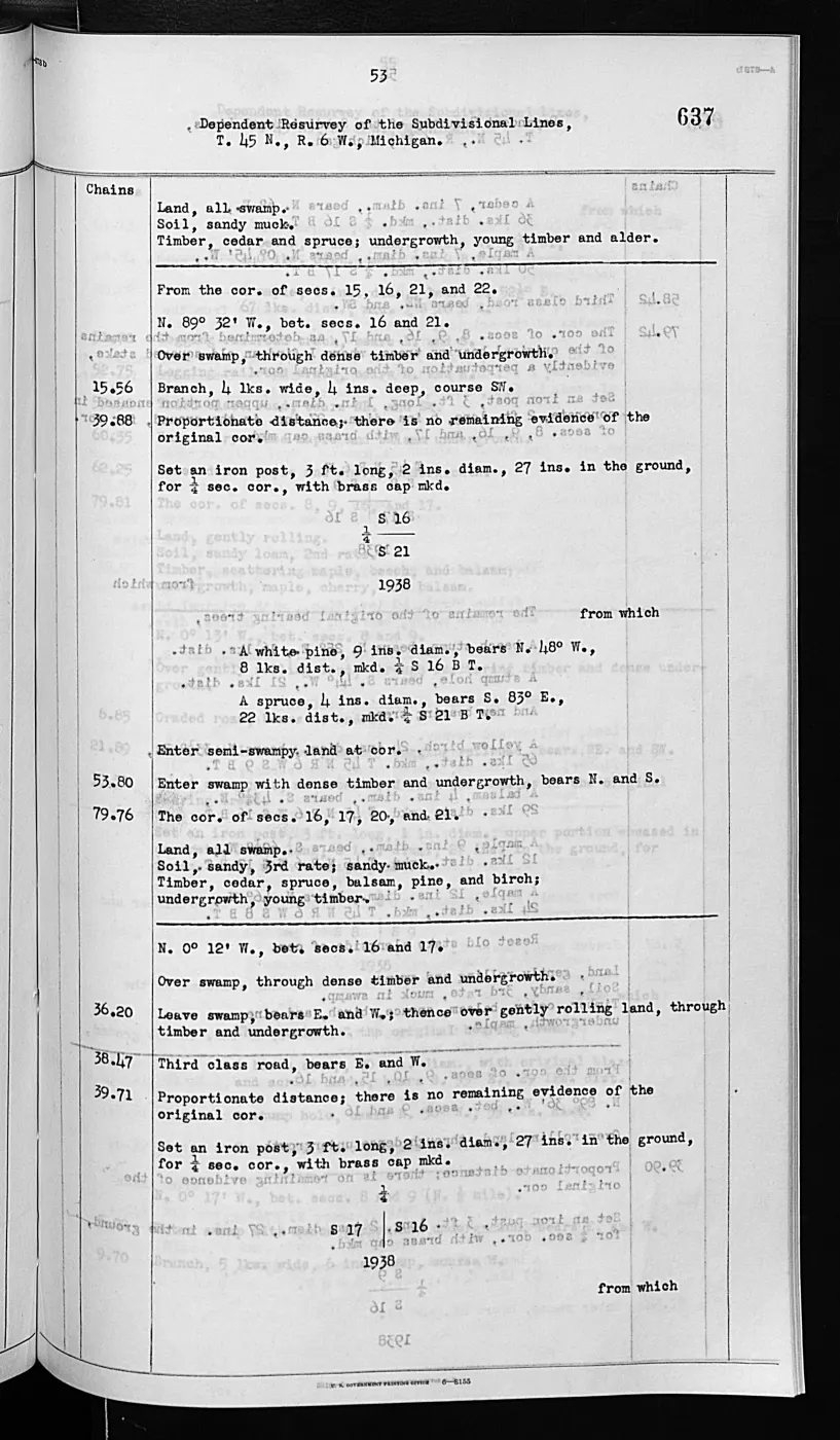
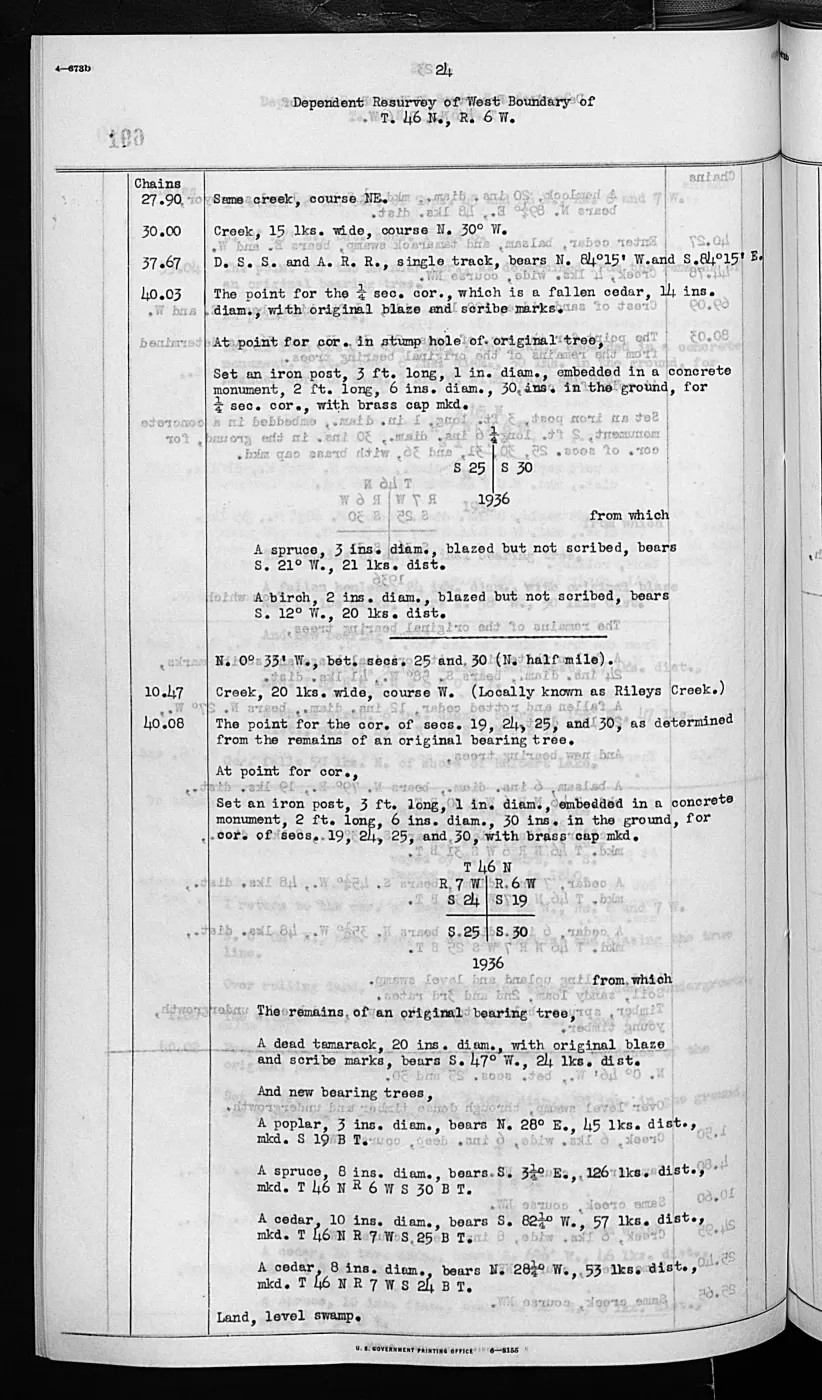
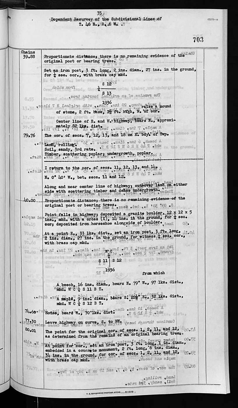
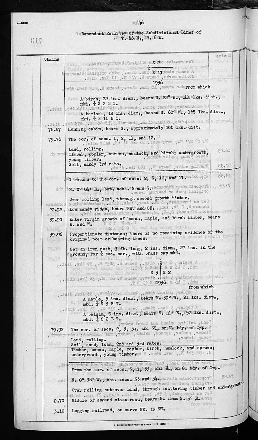
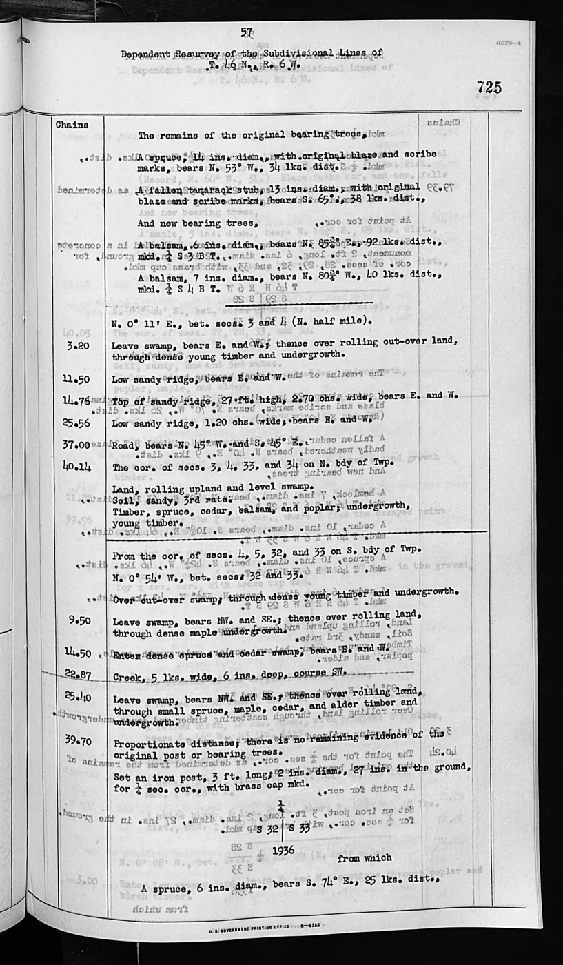
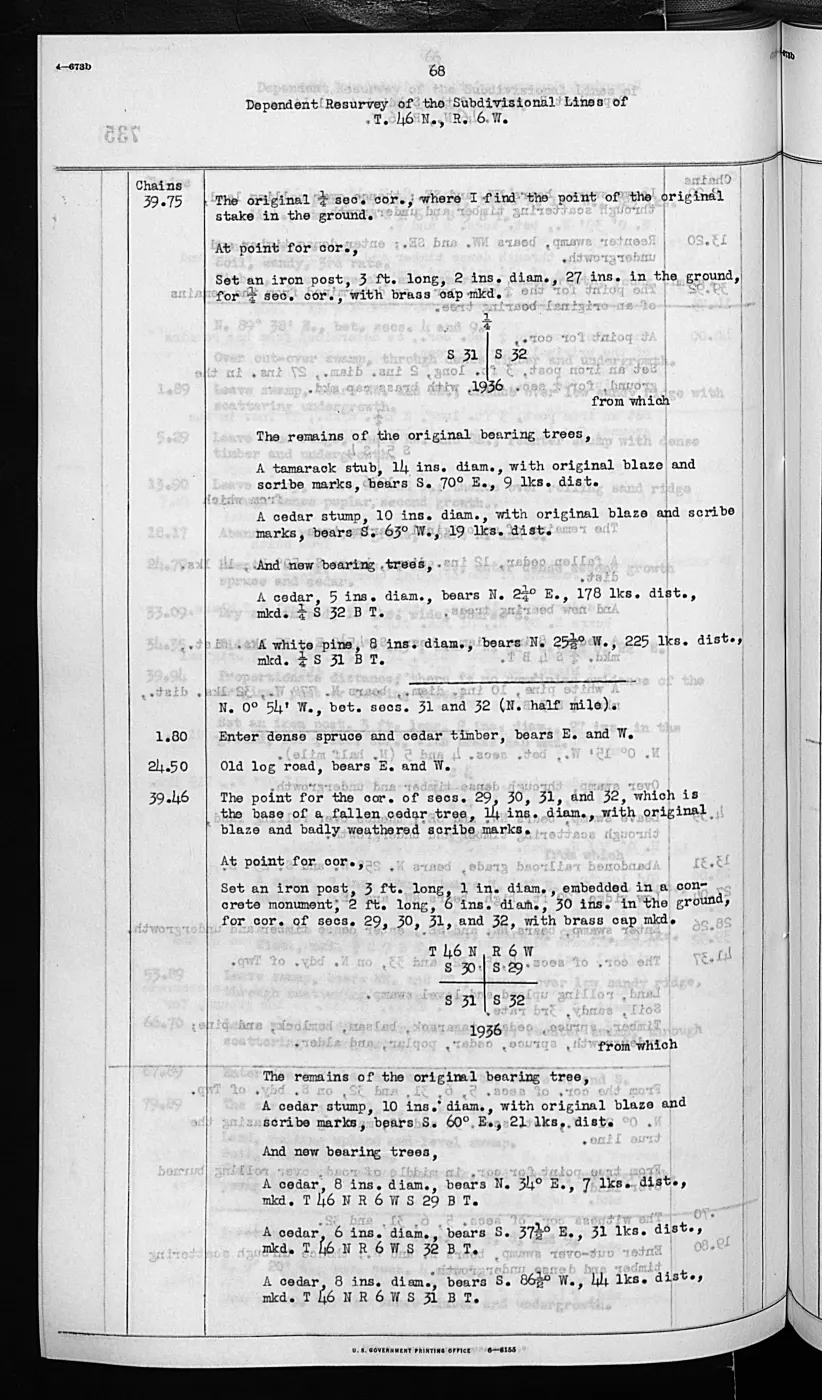

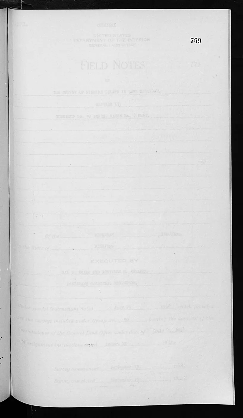
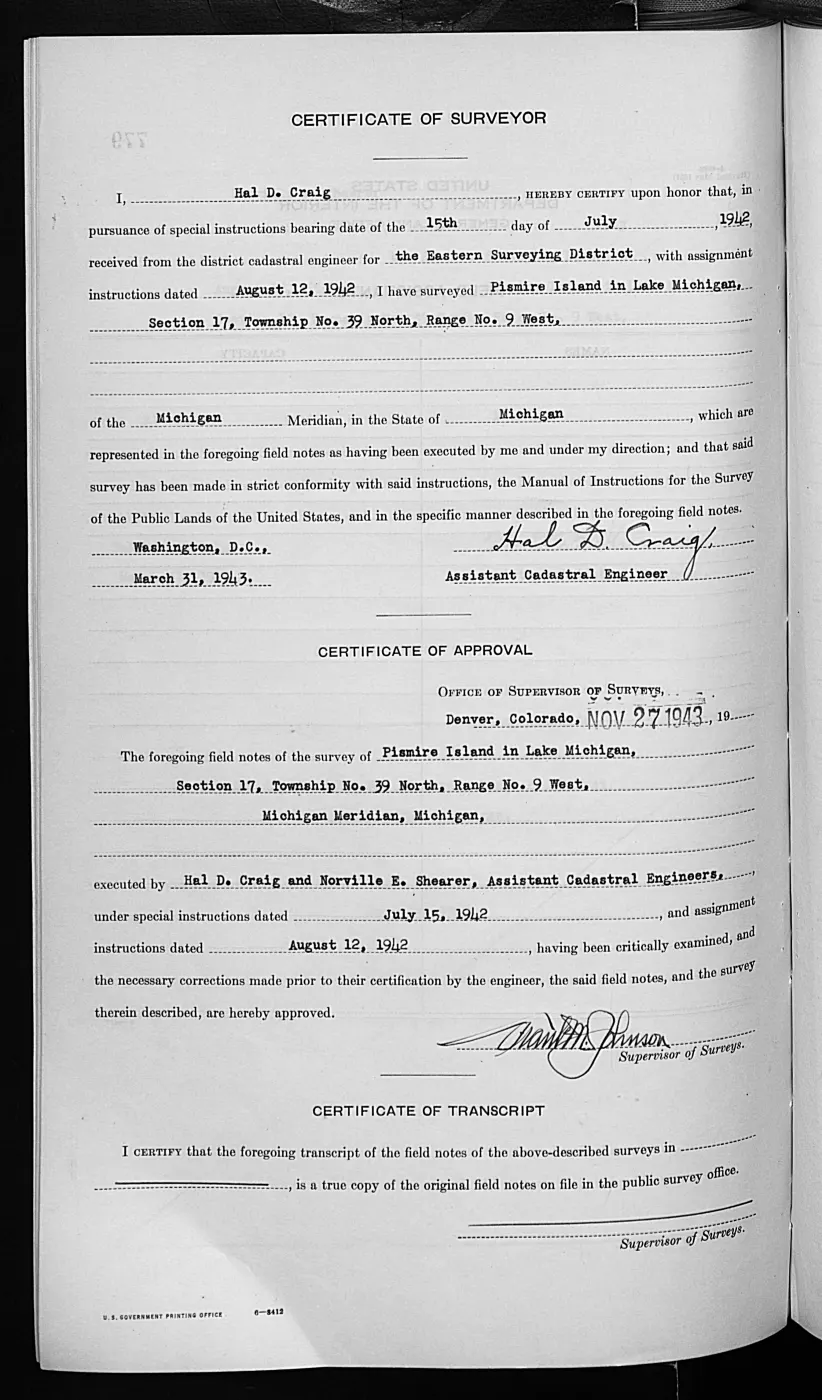
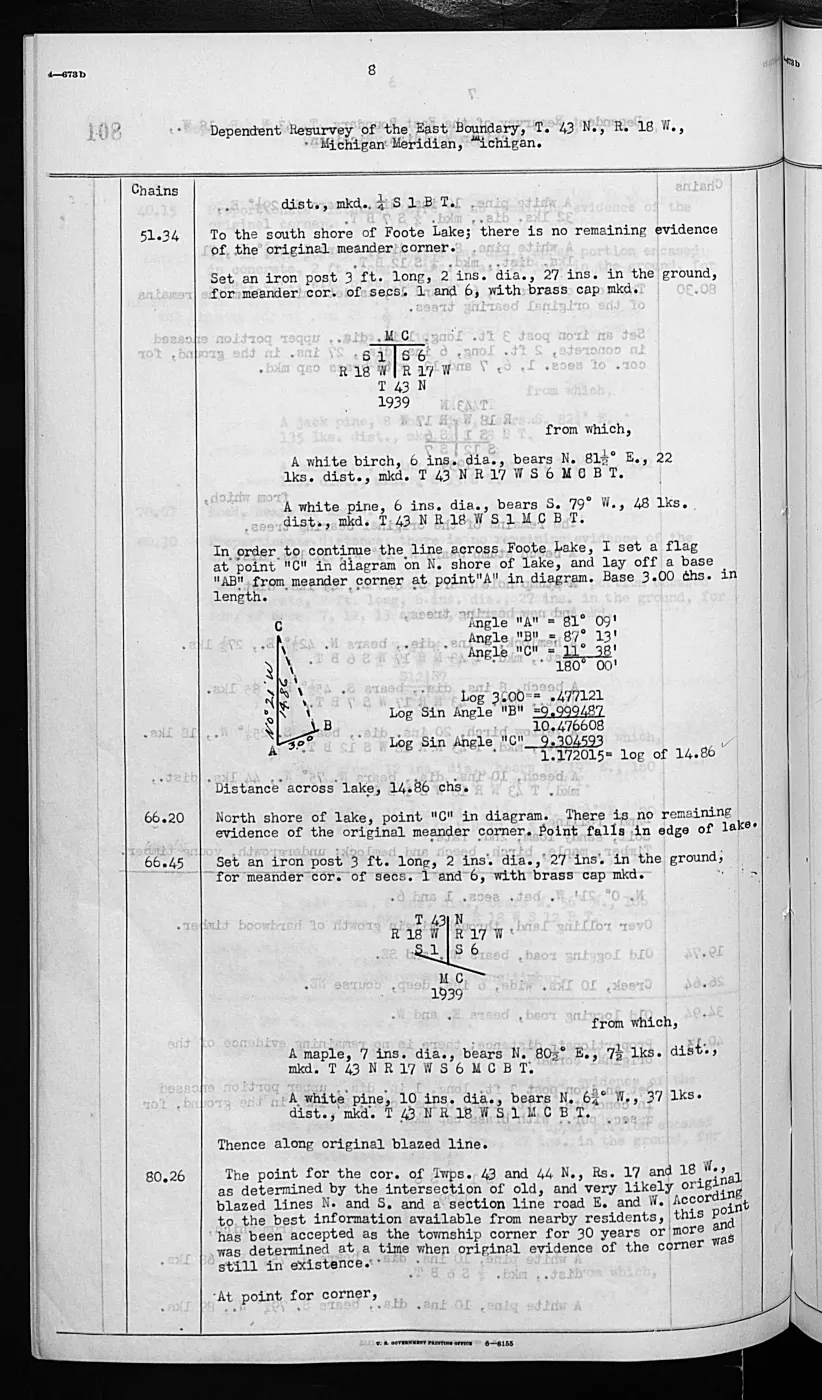
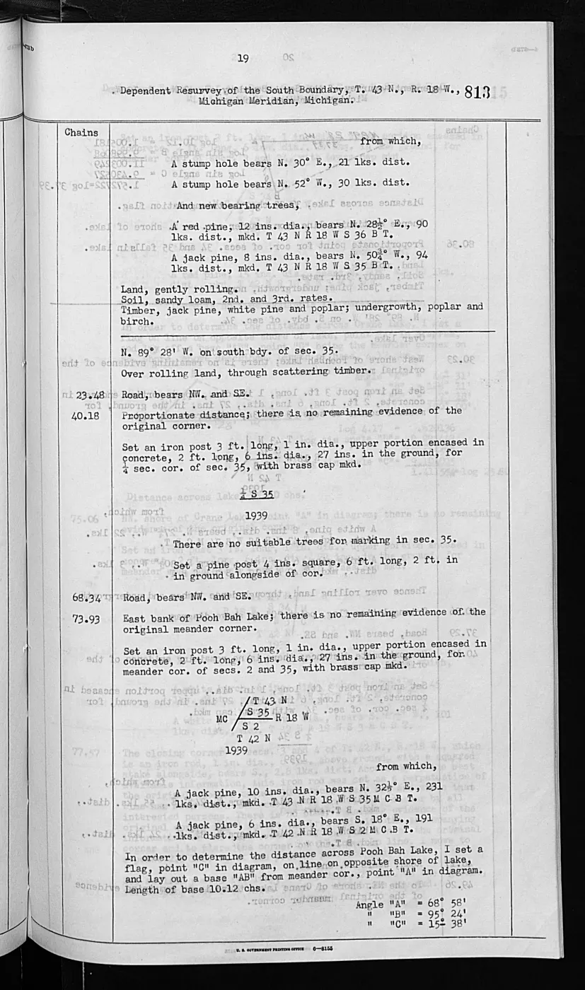
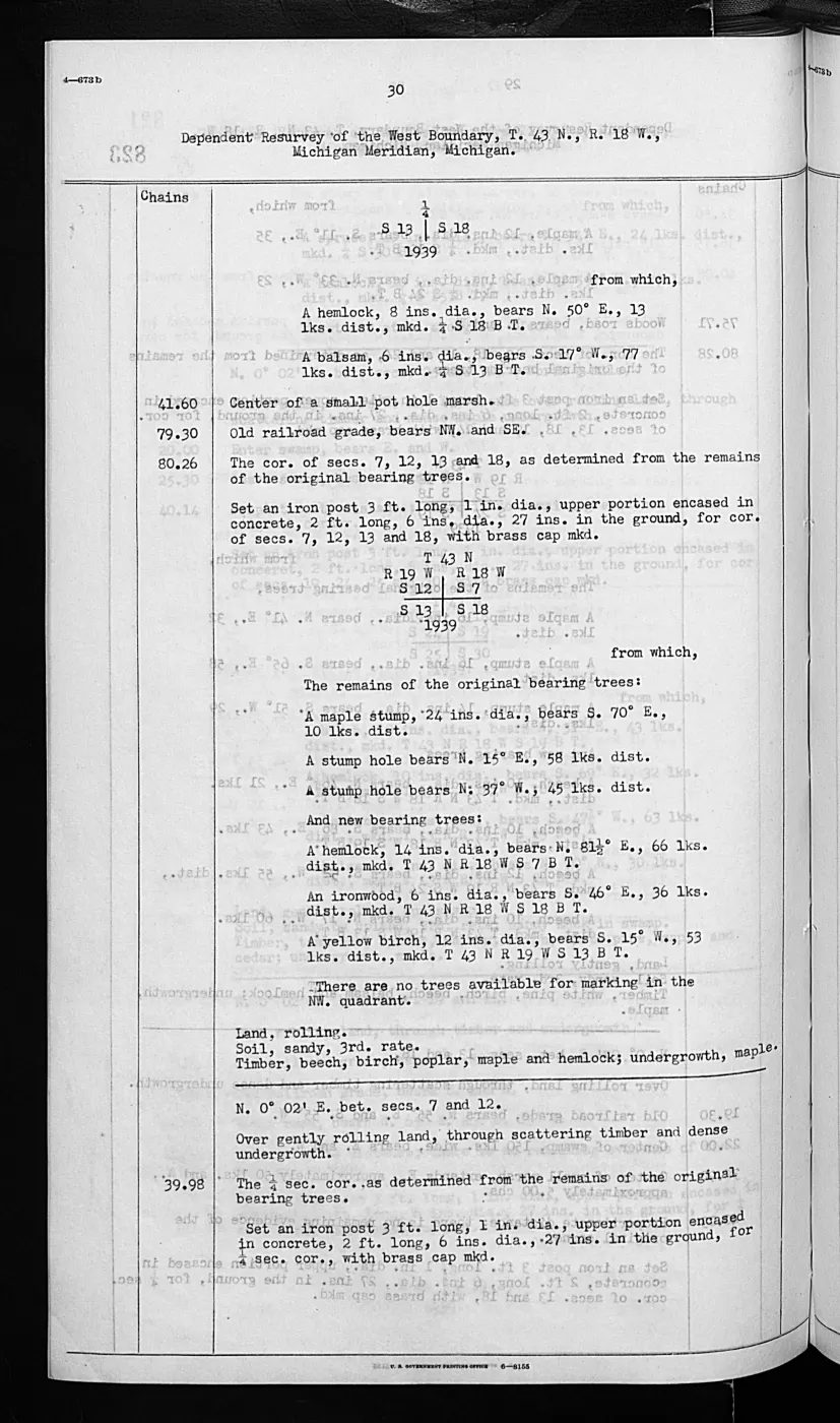
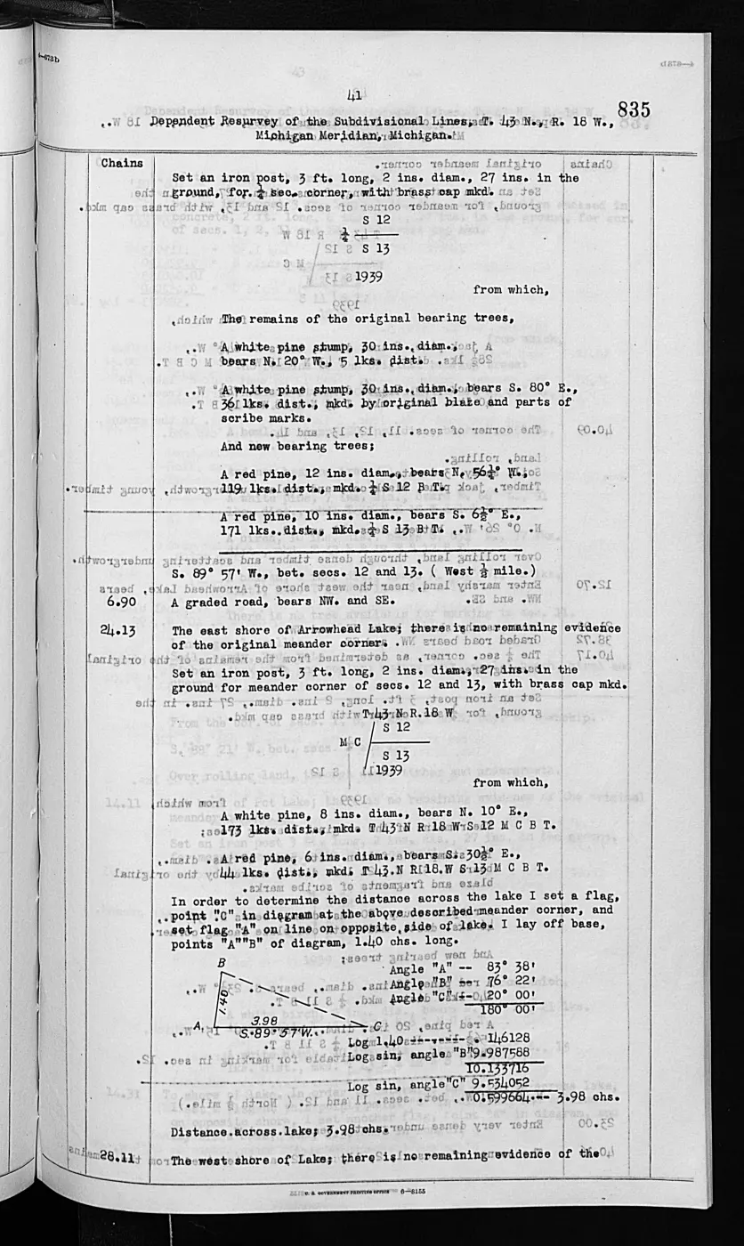
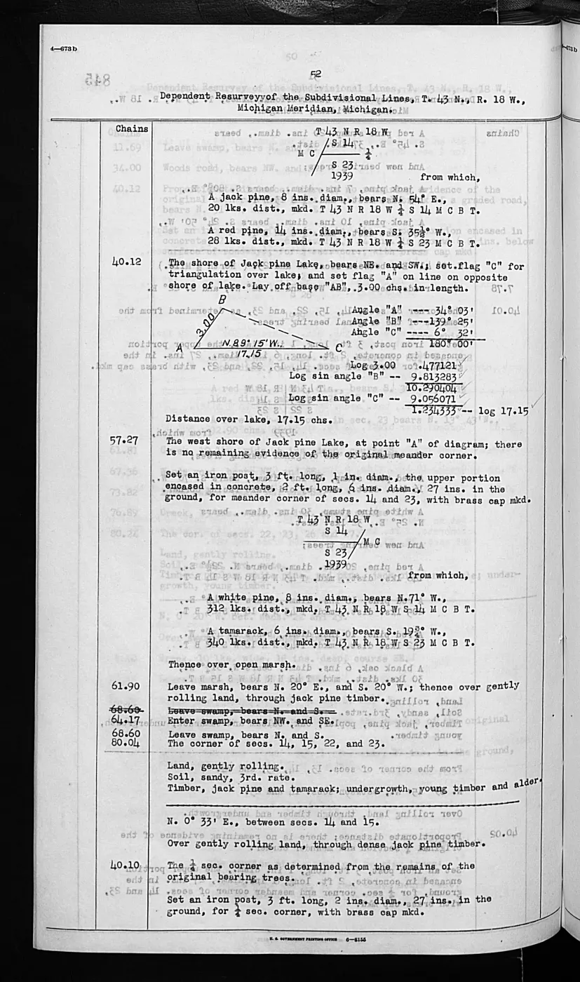
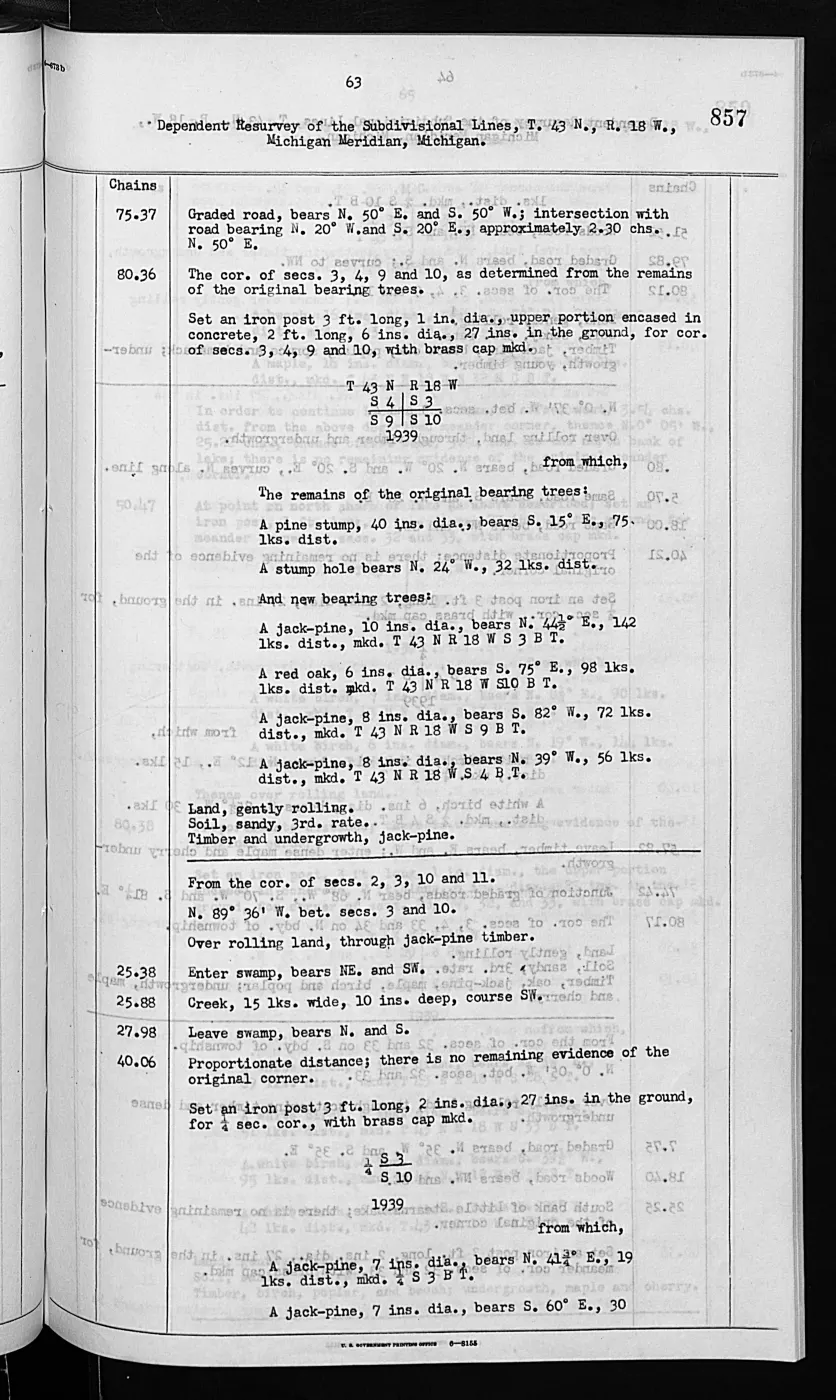
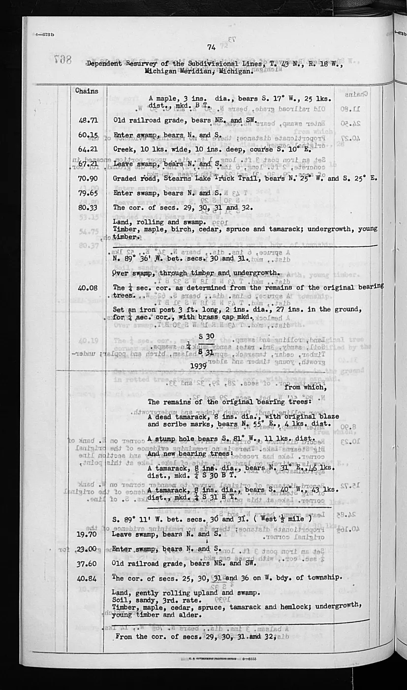
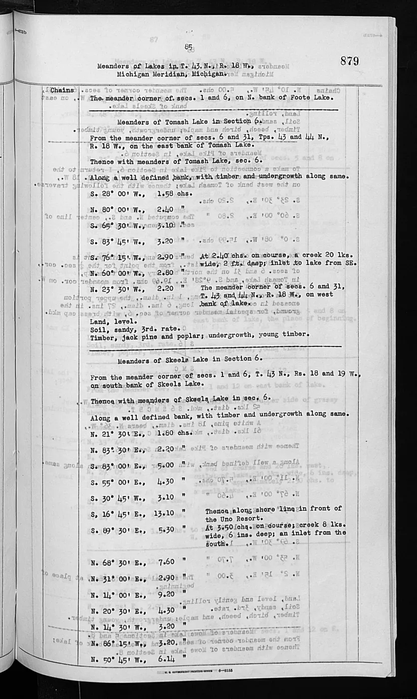
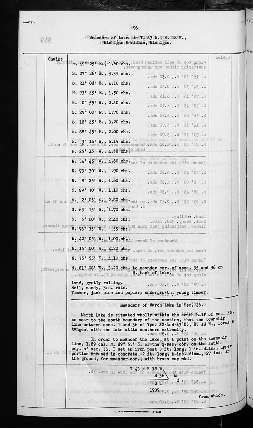
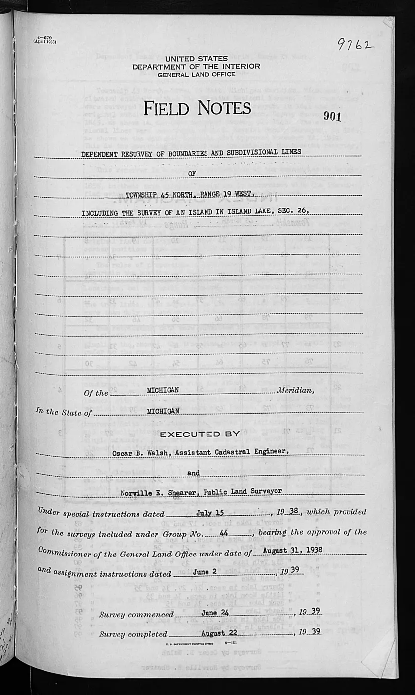
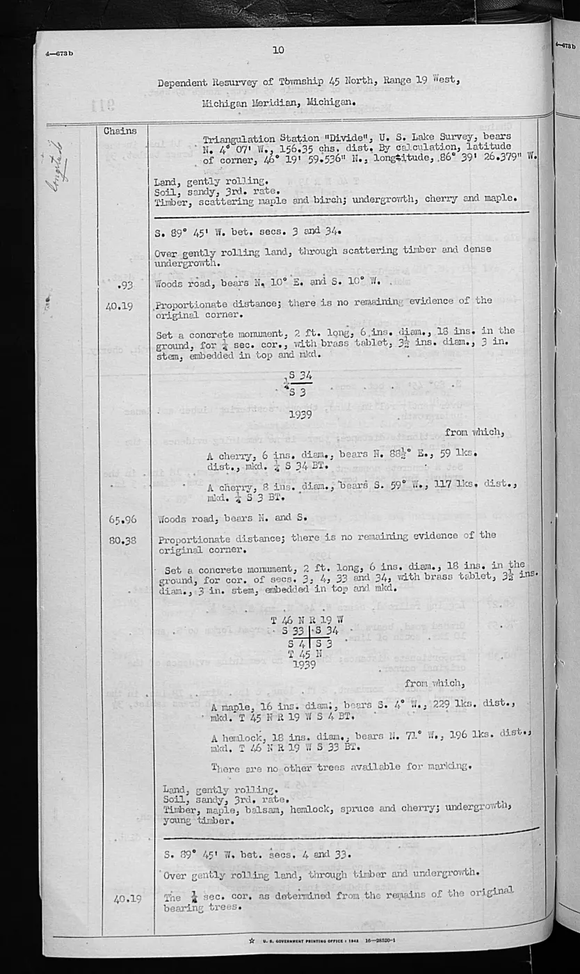
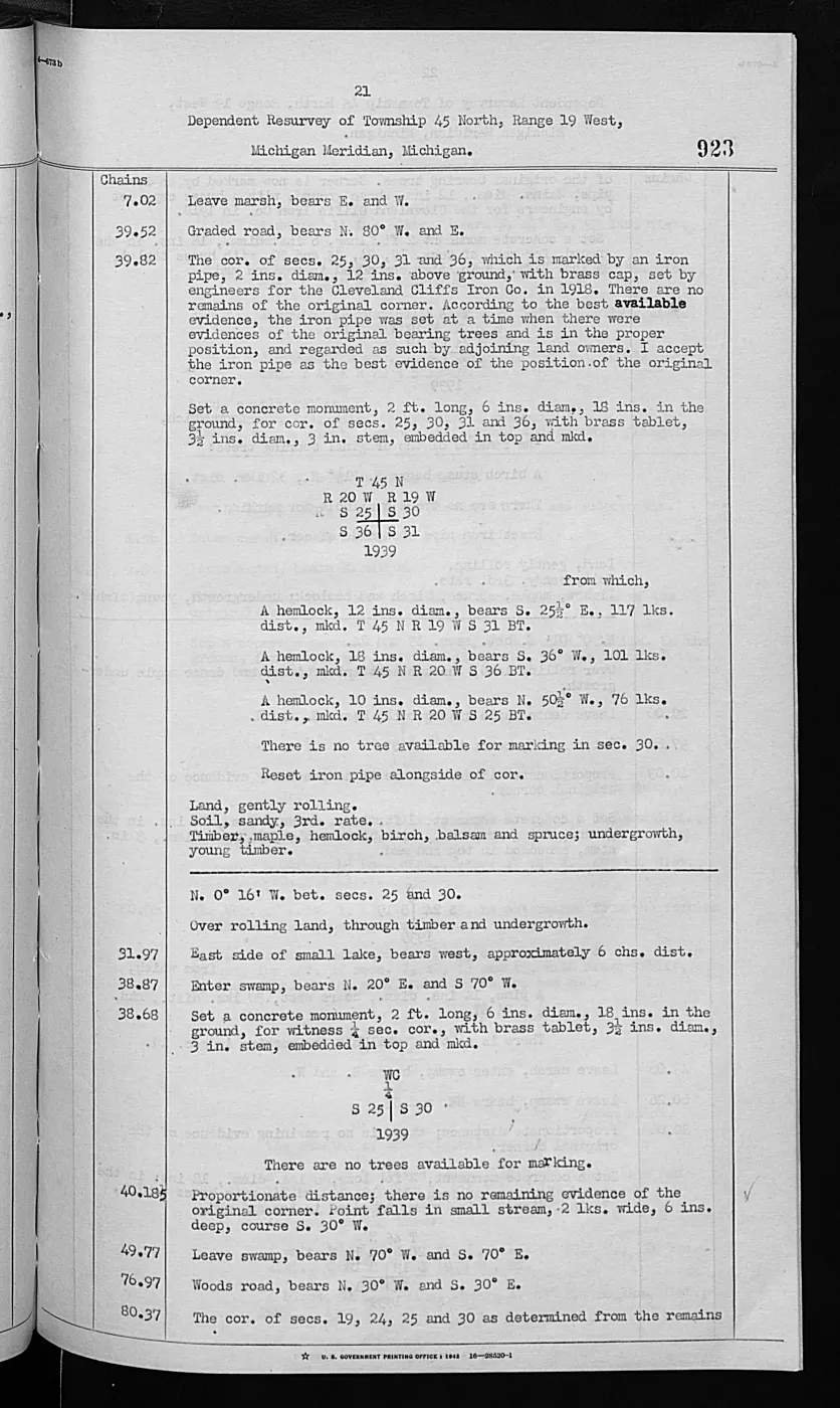
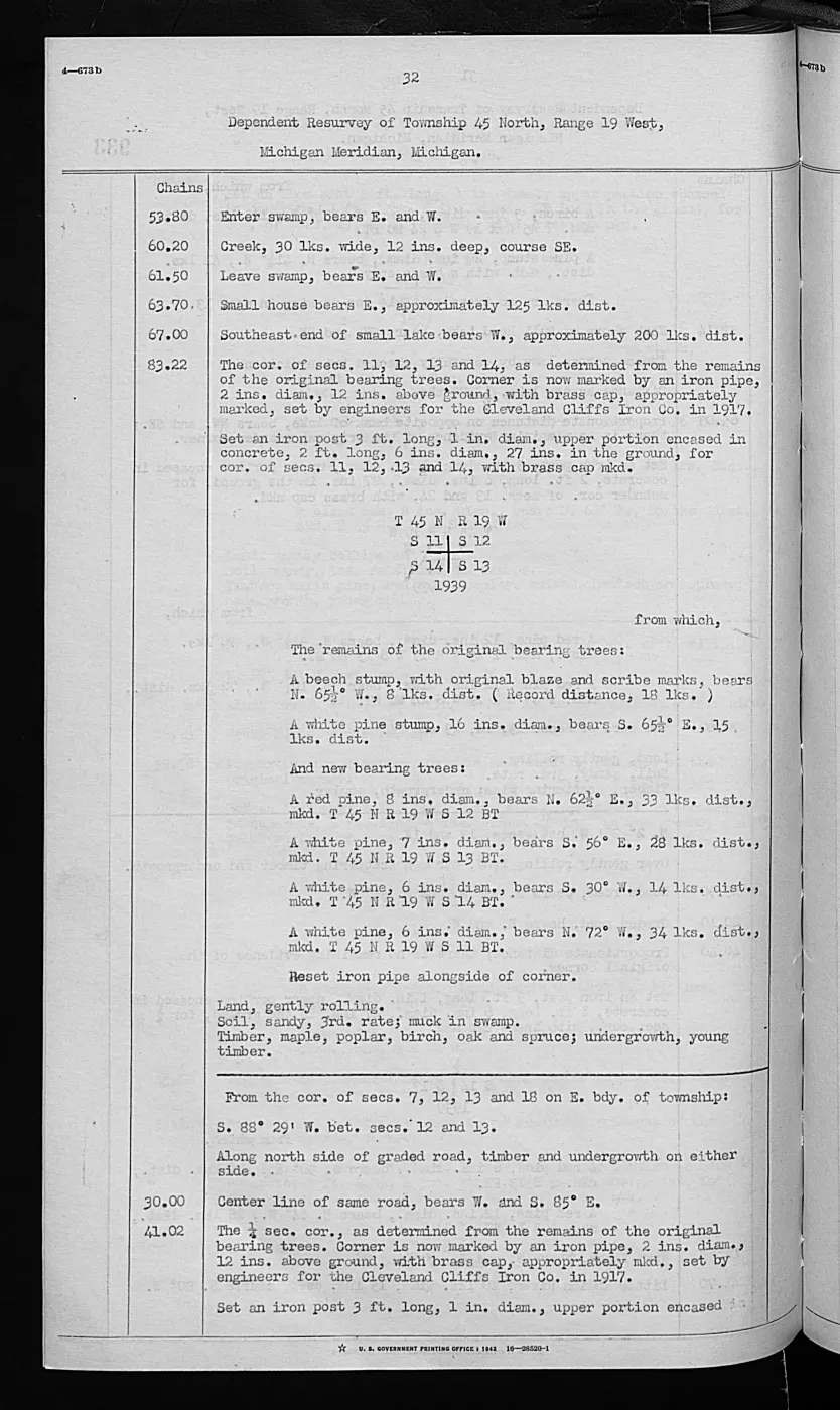
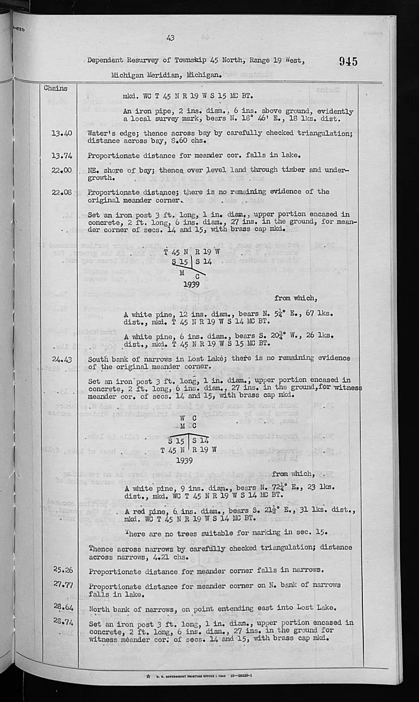
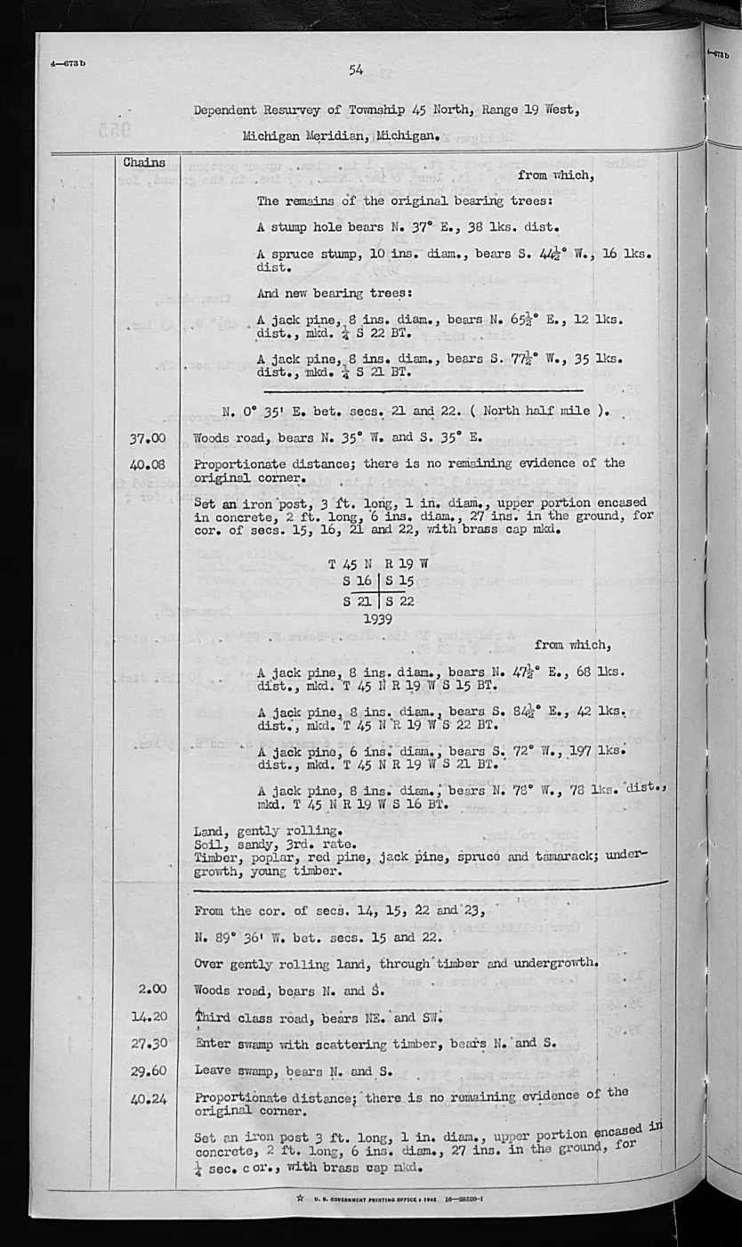
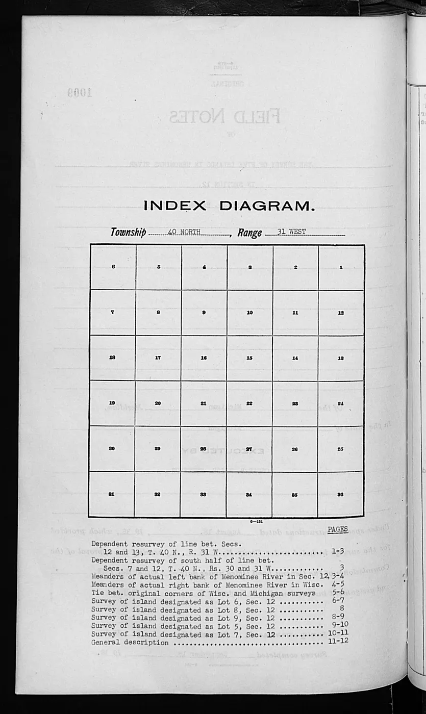
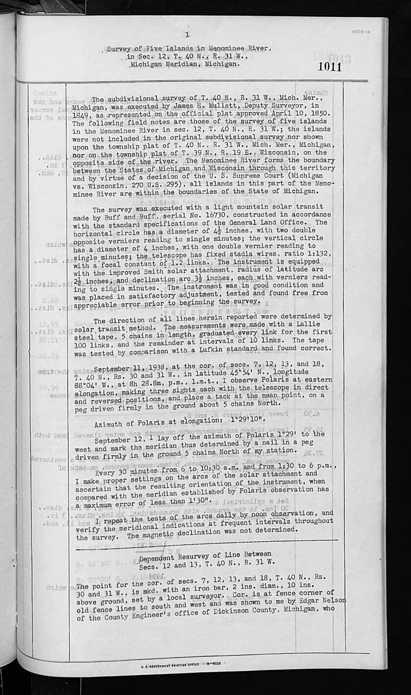
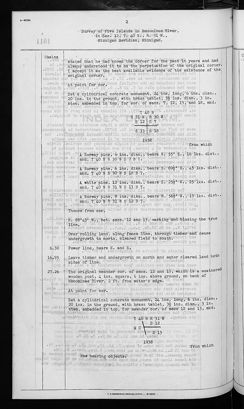
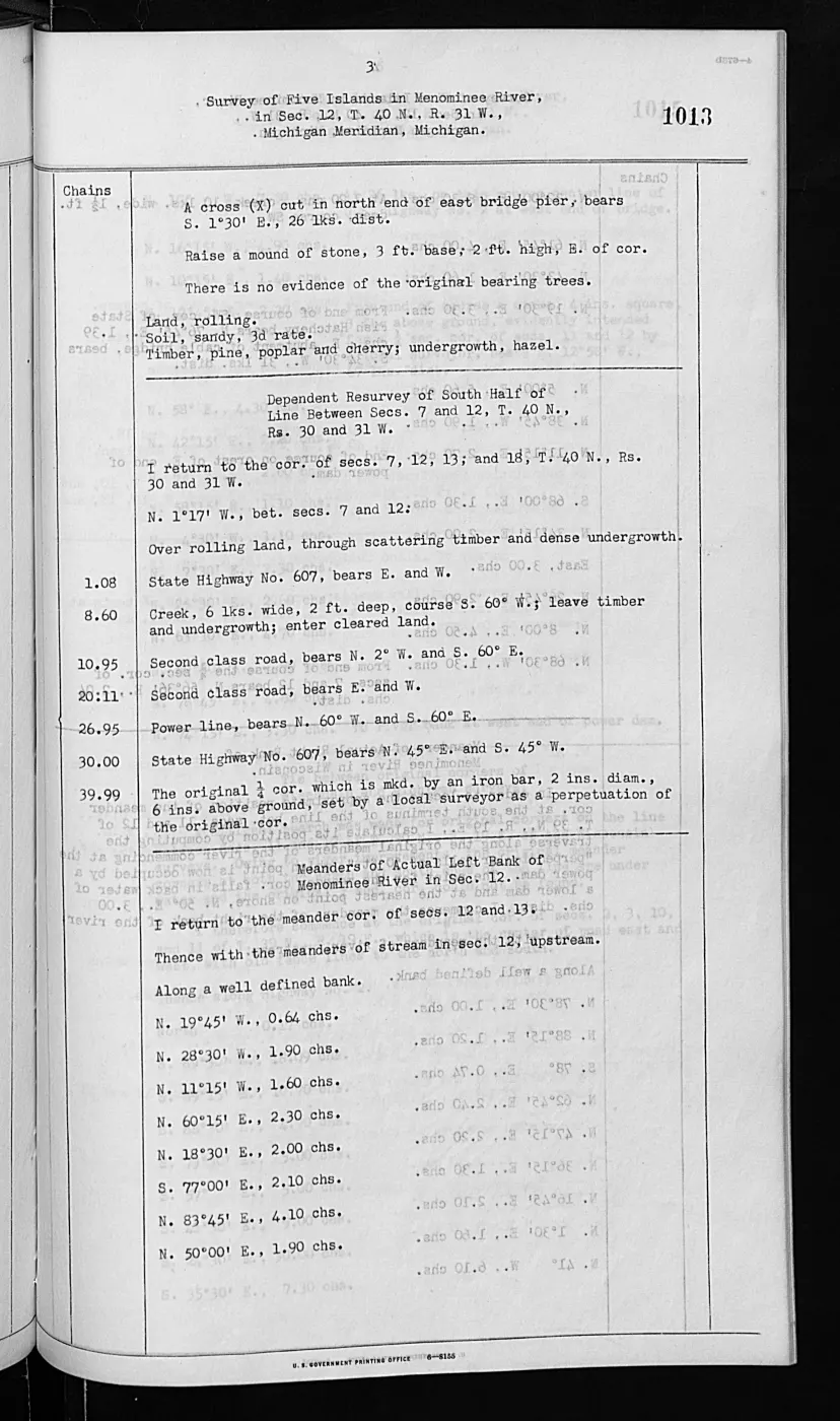
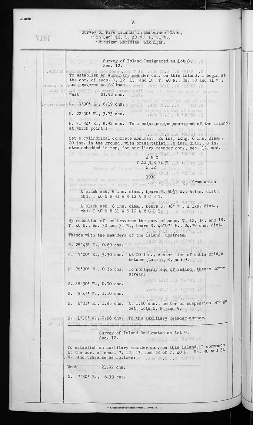
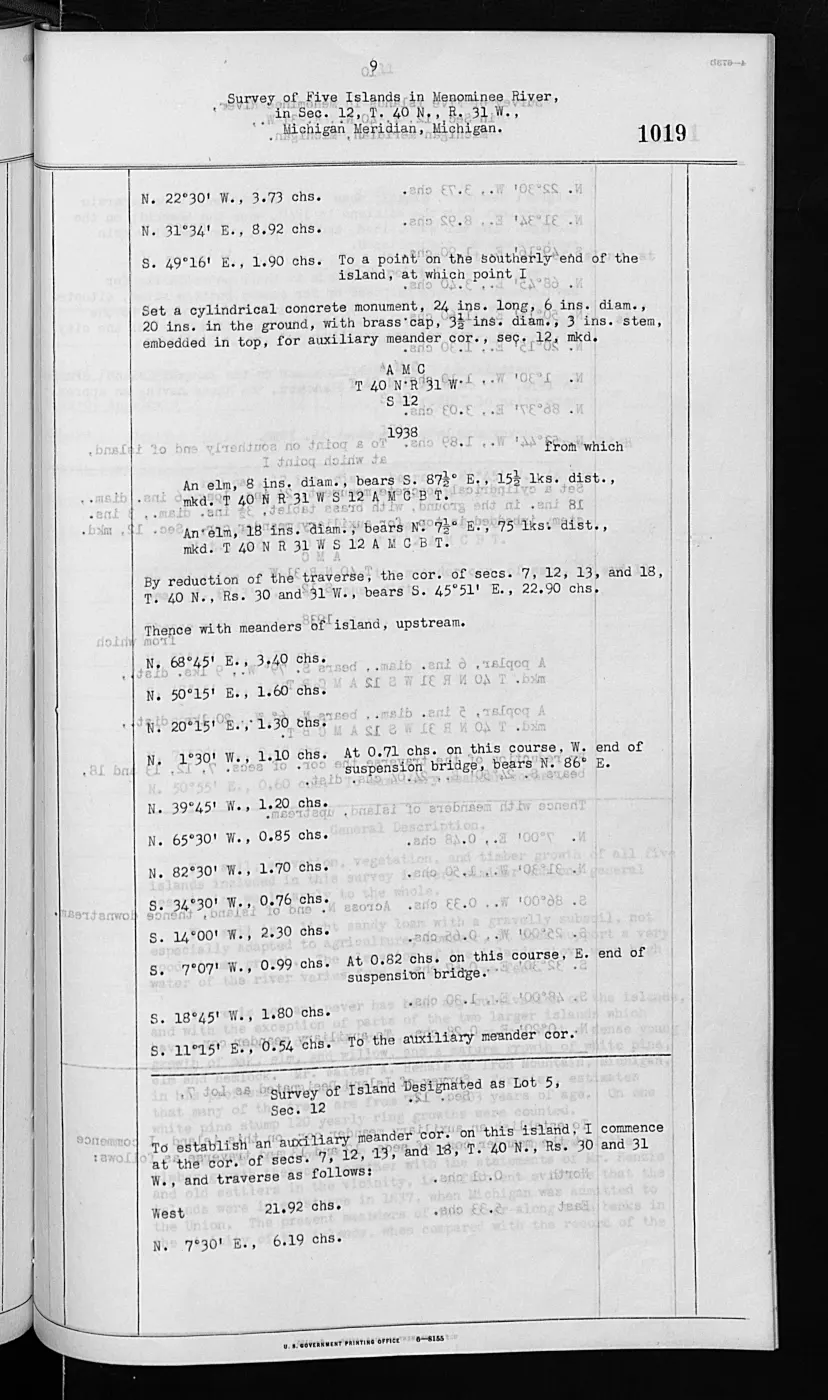
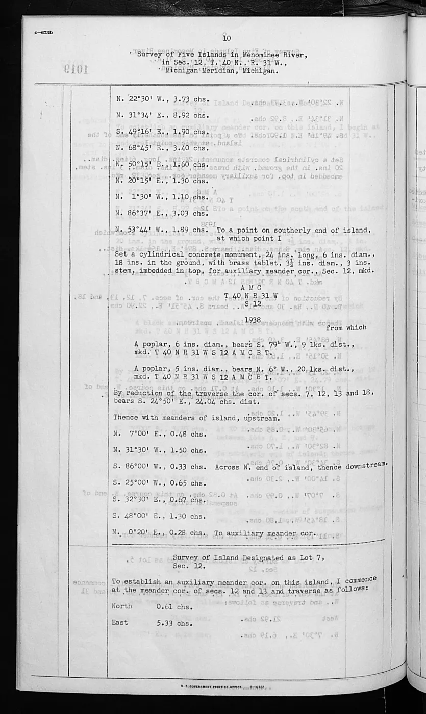
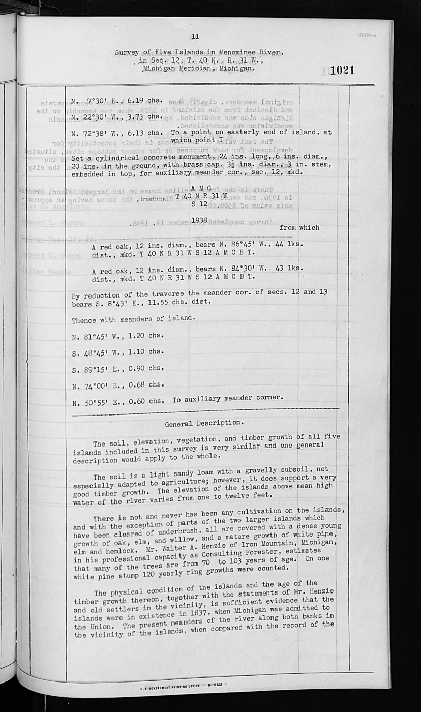
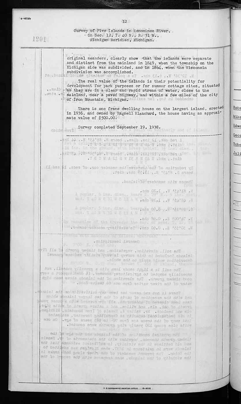
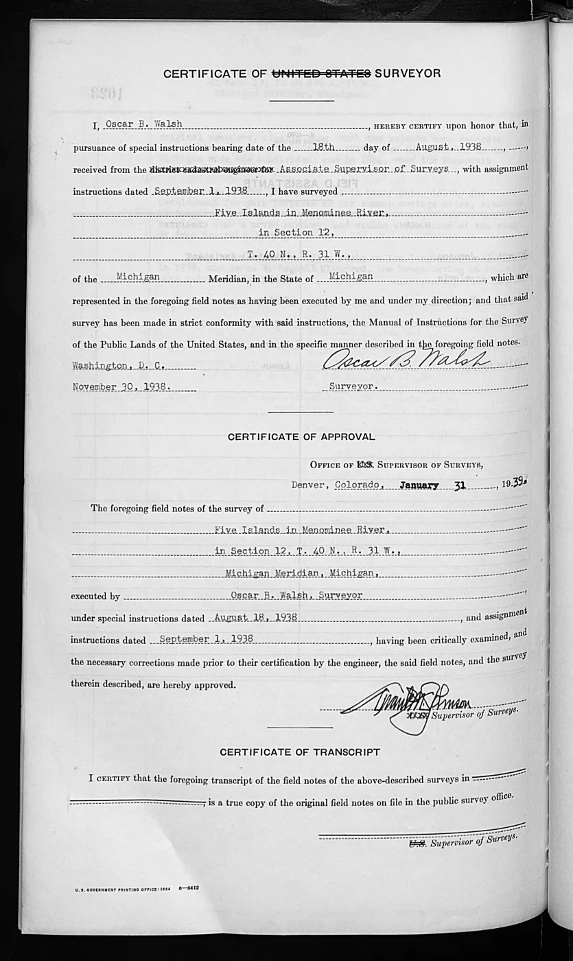
137 of 1,026 pages linked here — every page to 32, then every 11th, then the last 16. With JavaScript, every page.
Sources
- Held sanitized BLM detail metadata records two public Field Note Volumes. Volume 168138 has 406 pages and is linked to 17 retained island Survey records dated 1846-02-26 and 1849-08-23; Volume 276017 has 1,026 pages and is linked to retained 1943 Pismire Island and Shoe Island Survey records. Discovery is through RelatedFieldNoteVolume metadata on the held island Survey set, not a broad name search. The holder's public portal is searchable but does not link this record directly; the archive holds a copy of the file and can provide it on request.federal · glo_field_notes · beaver_island_field_note_volumes
- Held 406-page public-domain page-image PDF. It is not yet transcribed; page-specific readings require visual verification or a separately documented OCR pass. The holder's public portal is searchable but does not link this record directly; the archive holds a copy of the file and can provide it on request.federal · glo_field_notes · pdfs · 3879958517549955184-field-note-volume-168138
- Held 1,026-page public-domain page-image PDF. It is not yet transcribed; its Pismire and Shoe connections come from the BLM Survey metadata, not inferred page contents. The holder's public portal is searchable but does not link this record directly; the archive holds a copy of the file and can provide it on request.federal · glo_field_notes · pdfs · 12095286418587320209-field-note-volume-276017
- Project page-level discovery index for the held GLO field-note volumes.The reproducible index selects 218 pages with an explicit island township/range location or a link to a retained island Survey record: 206 in Volume 168138 and 12 in Volume 276017. It preserves BLM provider OCR as unverified discovery text, not a transcription or claim source. No public copy of this file is known; the archive holds one and can provide it on request.federal · glo_field_notes · island_page_index
- Described in this archive: Visually verified GLO survey observations of archipelago soils, terrain, and trees, 1845–1849.The structured extraction from the held field notes currently covers 57 page-bounded records across Big Beaver, Garden, Hog, Hat, High, Ojibwa, Trout, Whiskey, Gull, North Fox, and South Fox, including two combined Garden/Hog records, a structured 1849 gull observation on Hat Island, old fish shanties on the Little Beaver/High Island sequence, and expanded Gull fishery-cultural observations. It complements, but does not replace, the broader discovery index or a future full transcription. The holder's public portal is searchable but does not link this record directly; the archive holds a copy of the file and can provide it on request.research · land_cover · crosswalks · glo_ecology_crosswalk_1845_1849
- Described in this archive: Visually verified GLO modern island ecology observations, 1942.The structured extraction covers four page-bounded Shoe and Pismire records, including explicit gull nesting/resting use and duck nesting/resting use. It is kept separate from the 1845–1849 handwritten ecology crosswalk. The holder's public portal is searchable but does not link this record directly; the archive holds a copy of the file and can provide it on request.research · land_cover · crosswalks · glo_modern_ecology_1942
- Project-generated GLO ecology observations joined to BLM PLSS context, 1845–1942.Described in this archive: GLO ecology observations joined to PLSS context, 1845–1942.Joins all 61 verified ecology records to exact township/range geometry and reports candidate island-intersected PLSS sections without assigning an unreported section. No public copy of this file is known; the archive holds one and can provide it on request.research · land_cover · crosswalks · glo_ecology_plss_context_1845_1942
- Bureau of Land Management, General Land Office Records, Field Note Volume 168138, p. 0025, T39N R9W, general description of Garden and Hog Islands, dated 10 July 1849.Visual page-image verification. The original handwritten page describes only the portions of Garden and Hog Islands within the fractional township. It records low, wet or swampy, stony/gravelly/sandy ground; observed vegetation; and the surveyor’s description of Hog Island’s low parallel ridges. It is not an ownership, settlement, archaeological, or present-condition record. No public copy of this file is known; the archive holds one and can provide it on request.federal · glo_field_notes · page_evidence · field-note-volume-168138-page-0025-garden-hog
- Bureau of Land Management, General Land Office Records, Field Note Volume 168138, pp. 0123–0124, T39N R10W, Garden Island general description and certification, 1849.Visual page-image verification of both retained pages. The general description records only the Garden Island portion in the fractional township: relief, soil, shore stone, tree cover, windfall, and fire effects. It does not establish present ecology, ownership, settlement, archaeology, or a complete island inventory. No public copy of this file is known; the archive holds one and can provide it on request.federal · glo_field_notes · page_evidence · field-note-volume-168138-page-0123-garden-general-description
- Bureau of Land Management, General Land Office Records, Field Note Volume 168138, p. 0161, T38N R11W, southern High Island general description, 1849.Visual page-image verification. The original handwritten page describes only the southern High Island portion in the fractional township: relief, soil, observed tree cover, and a nearby small protected harbor. It is not an ownership, settlement, archaeological, or present-condition record. No public copy of this file is known; the archive holds one and can provide it on request.federal · glo_field_notes · page_evidence · field-note-volume-168138-page-0161-high-island-general-description
- Bureau of Land Management, General Land Office Records, Field Note Volume 168138, p. 0189, T38N R12W, Gull Island general description, 1849.Visual page-image verification. The original handwritten page identifies Gull Island and records 1849 observations of relief, soil, tree cover, shoal water, small-boat landings, and whitefish fishery value. It is not a modern navigational assessment, ownership, or complete ecological inventory. No public copy of this file is known; the archive holds one and can provide it on request.federal · glo_field_notes · page_evidence · field-note-volume-168138-page-0189-gull-island-general-description
- Bureau of Land Management, General Land Office Records, Field Note Volume 168138, pp. 0186–0188, T38N R12W, Gull Island location and meanders, 1849.Visual page-image verification. Pages 0186–0188 preserve a fisherman's village in the associated location sequence, a fishermen's log shanty, 15 fish houses, a few wigwams, and an estimated 20 families and 120–150 people engaged in fishing. The village page is retained as Gull Island-area context because it does not independently identify the village as on Gull Island. No public copy of this file is known; the archive holds one and can provide it on request.federal · glo_field_notes · page_evidence
- Bureau of Land Management, General Land Office Records, Field Note Volume 276017, pp. 0762–0763, T40N R8W, Shoe Island general description; survey completed 11 September 1942.Visual page-image verification of both retained pages. The typed original records Shoe Island’s 1942 elevation, gravel/boulder formation, lack of timber, scattered vegetation, prior-record connection to Hat Island, upland/no-overflow assessment, no improvements, and gull nesting/resting use. It does not establish current habitat, title, ownership, access, or a complete ecological history. No public copy of this file is known; the archive holds one and can provide it on request.federal · glo_field_notes · page_evidence · field-note-volume-276017-page-0762-shoe-island-general-description
- Bureau of Land Management, General Land Office Records, Field Note Volume 276017, pp. 0774–0775, T39N R9W, Pismire Island survey and general description; survey completed 15 September 1942.Visual page-image verification of both retained pages. The typed original records Pismire’s 1942 shore, relief, vegetation, material, improvements, and duck/gull nesting observations. Its internal title-analysis conclusion is not treated as a title determination, and the page does not establish current habitat, ownership, access, or a complete ecological history. No public copy of this file is known; the archive holds one and can provide it on request.federal · glo_field_notes · page_evidence · field-note-volume-276017-page-0774-pismire-island-survey
- Bureau of Land Management, General Land Office Records, Field Note Volume 168138, pp. 0005–0006, T40N R8W, Hat Island survey and general description, 9 July 1849.Visual page-image verification of both retained pages. The handwritten original identifies Hat Island and records its 1849 height, shore material, cedar growth and burning, gravel-and-stone base, and boat-landing observation. It does not establish current habitat, ownership, title, access, or a complete ecological history. No public copy of this file is known; the archive holds one and can provide it on request.federal · glo_field_notes · page_evidence · field-note-volume-168138-page-0005-hat-island-survey
- Bureau of Land Management, General Land Office Records, Field Note Volume 168138, pp. 0032–0033, T40N R9W, northern Hog Island general description, 1849.Visual page-image verification of both retained pages. The handwritten original describes only the north end of Hog Island in the fractional township: elevation, low ridges, stone/gravel/sand, soil, and observed vegetation. It is not an ownership, settlement, archaeological, or present-condition record. No public copy of this file is known; the archive holds one and can provide it on request.federal · glo_field_notes · page_evidence · field-note-volume-168138-page-0032-hog-island-general-description
- Bureau of Land Management, General Land Office Records, Field Note Volume 168138, pp. 0133–0134, T40N R10W, Garden Island survey and general description, 11 July 1849.Visual page-image verification of both retained pages. The handwritten original describes only the Garden Island portion in the fractional township: its stated area, rolling/level relief, elevation, soil, burned areas, and observed timber. It is not an ownership, settlement, archaeological, or present-condition record. No public copy of this file is known; the archive holds one and can provide it on request.federal · glo_field_notes · page_evidence · field-note-volume-168138-page-0133-garden-island-survey
- Bureau of Land Management, General Land Office Records, Field Note Volume 168138, pp. 0135–0137, T40N R10W, 1849 Ojibwa Island survey and general description; the original pages use the historical source name “Squaw Island.”Visual page-image verification of all three retained pages. The original handwritten survey records its historical source name, fishing shanties, shore, relief, shallow soil, and post-burn timber observations. The source name is preserved only for provenance; the linked place record uses current GNIS name Ojibwa Island. The pages do not establish current habitat, ownership, title, access, lighthouse history, or a complete ecological history. No public copy of this file is known; the archive holds one and can provide it on request.federal · glo_field_notes · page_evidence · field-note-volume-168138-page-0135-squaw-island-survey
- Bureau of Land Management, General Land Office Records, Field Note Volume 168138, pp. 0179–0180, T40N R11W, Whiskey Island survey and general description, 1849.Visual page-image verification of both retained pages. The original handwritten survey identifies Whiskey Island and records 1849 fishing shanties, a surveyor-described Indigenous/French fishing community, shore/landing observations, relief, soil, vegetation, and burn/cutting evidence. It does not establish modern community membership, tribal affiliation, ownership, title, access, current habitat, or a complete ecological history. No public copy of this file is known; the archive holds one and can provide it on request.federal · glo_field_notes · page_evidence · field-note-volume-168138-page-0179-whiskey-island-survey
- Bureau of Land Management, General Land Office Records, Field Note Volume 168138, pp. 0173–0175, T39N R11W, Trout Island survey and general description, 1849.Visual page-image verification of all three retained pages. The original handwritten survey identifies Trout Island and records old fish shanties, vacant wigwam frames, shore/landing observations, relief, soil, vegetation, and timber cut for fish boats. It does not establish modern community membership, tribal affiliation, ownership, title, access, current habitat, or a complete ecological history. No public copy of this file is known; the archive holds one and can provide it on request.federal · glo_field_notes · page_evidence · field-note-volume-168138-page-0173-trout-island-survey
- Bureau of Land Management, General Land Office Records, Field Note Volume 168138, p. 0193, T34N R13W, South Fox Island survey, 1847.Visual page-image verification. The original heading explicitly names South Fox Island and preserves a checked 1847 survey context. It does not establish ownership, settlement, title, access, present conditions, or a complete ecological history. No public copy of this file is known; the archive holds one and can provide it on request.federal · glo_field_notes · page_evidence · field-note-volume-168138-page-0193-south-fox-island-survey
- Bureau of Land Management, General Land Office Records, Field Note Volume 168138, p. 0214, T35N R13W, North Fox Island survey, 1847.Visual page-image verification. The original page begins the North Fox Island survey and records page-bounded shore and timber observations. It does not establish ownership, settlement, title, access, present conditions, or a complete ecological history. No public copy of this file is known; the archive holds one and can provide it on request.federal · glo_field_notes · page_evidence · field-note-volume-168138-page-0214-north-fox-island-survey
- Bureau of Land Management, General Land Office Records, Field Note Volume 168138, p. 0101, T39N R10W, Big Beaver Island subdivision, 3 July 1849.Visual page-image verification. The handwritten page is headed T39N R10W, dated 3 July 1849, and begins a subdivision of Big Beaver Island between sections 32 and 33. It is a bounded survey operation and historical name-form record, not a present parcel, title, ownership, access, or complete environmental record. No public copy of this file is known; the archive holds one and can provide it on request.federal · glo_field_notes · page_evidence · field-note-volume-168138-page-0101-big-beaver-subdivision
Added 2 August 2026 · revised 3 August 2026. Recent changes
Cite this article
Beaver Island Archive, “BLM GLO field-note volumes linked to Beaver Island-area surveys”, https://beaverislandarchive.org/documents/glo-field-note-volumes/, accessed [date], citing Bureau of Land Management, General Land Office Records, field-note volumes linked by retained Beaver Island-area Survey records; retrieved 2026-08-02. (and 22 further sources listed on the page).
Last revised 2026-08-03. Fill in [date] with the date you read it — this page is static and cannot know that.
BibTeX for “BLM GLO field-note volumes linked to Beaver Island-area surveys”RIS for “BLM GLO field-note volumes linked to Beaver Island-area surveys”