

- Date
- 1942-09-11
- Kind
- Observation
- Where
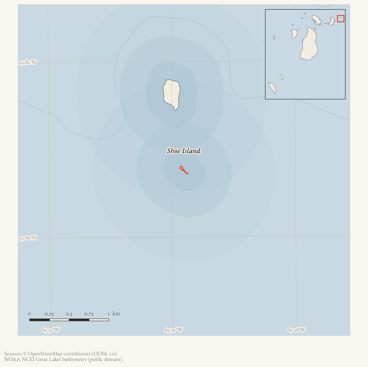
- Shoe Island
- Eras
- Modern era
- Concepts
- land-surveyheritagemaritime
- Within
- Beaver Island archipelago
Summary
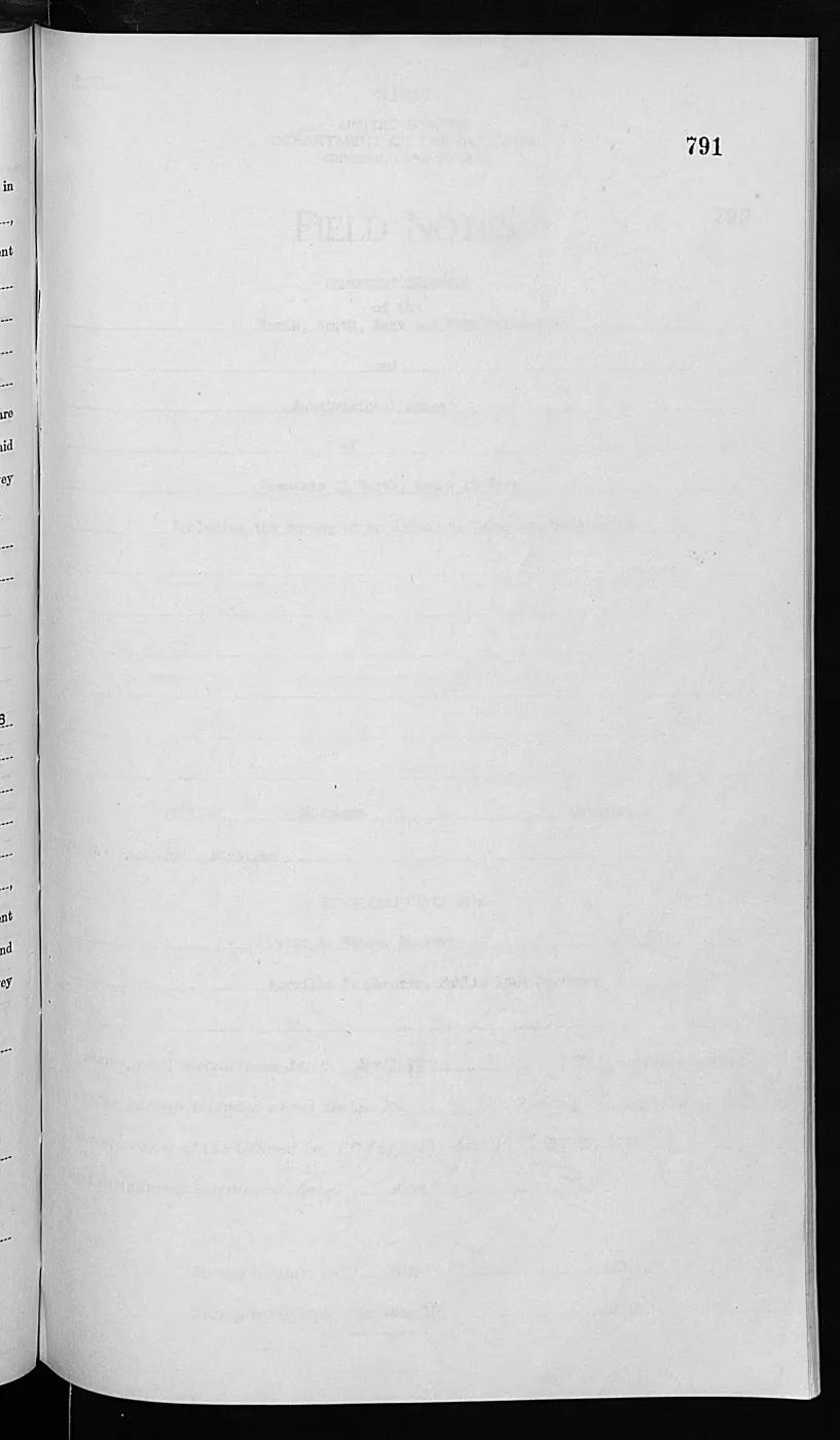
The General Land Office field-notes cover sheet records a federal survey of Shoe Island in Lake Michigan, Section 33, T40N R8W, Michigan Meridian. It began and ended on 11 September 1942.
The sheet names Hal D. Craig and Norville E. Shearer as assistant cadastral engineers. It records the governing special instructions and assignment dates, but does not by itself establish why the survey was ordered, later approval, or the legal effect of its lines.
Evidence and limits
This event is based on a visually checked page image, rather than on the BLM provider OCR in the project discovery index. The source identifies a survey operation and its PLSS setting. It does not establish a chain of title, residency, Indigenous land history, later refuge acquisition, or current ownership.
Open questions
- What do the remaining Shoe Island field-note pages say about the connection to the earlier Hat Island survey and the island’s physical description?
- Is there a held or obtainable approved plat for T40N R8W that can be linked to the field notes?
See also
Read the document
1,026 pages, rendered from the held scan.
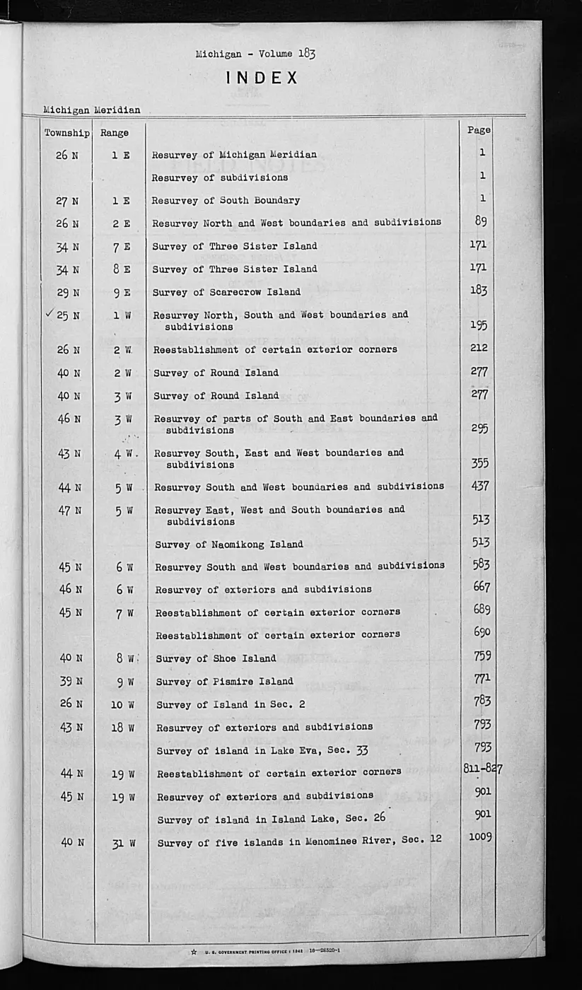
Jump to a page — 1,026 in all
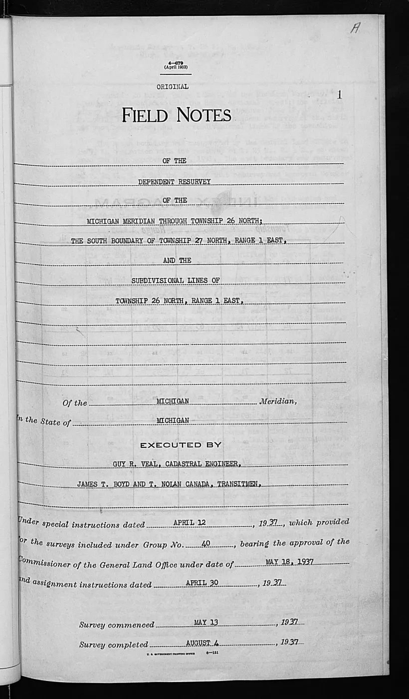
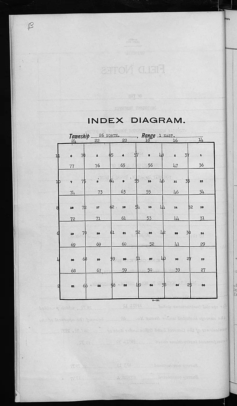
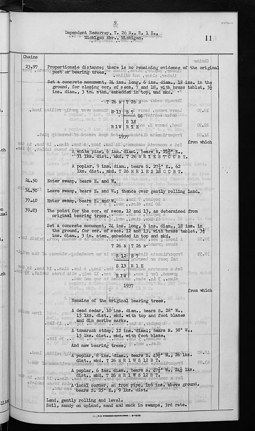
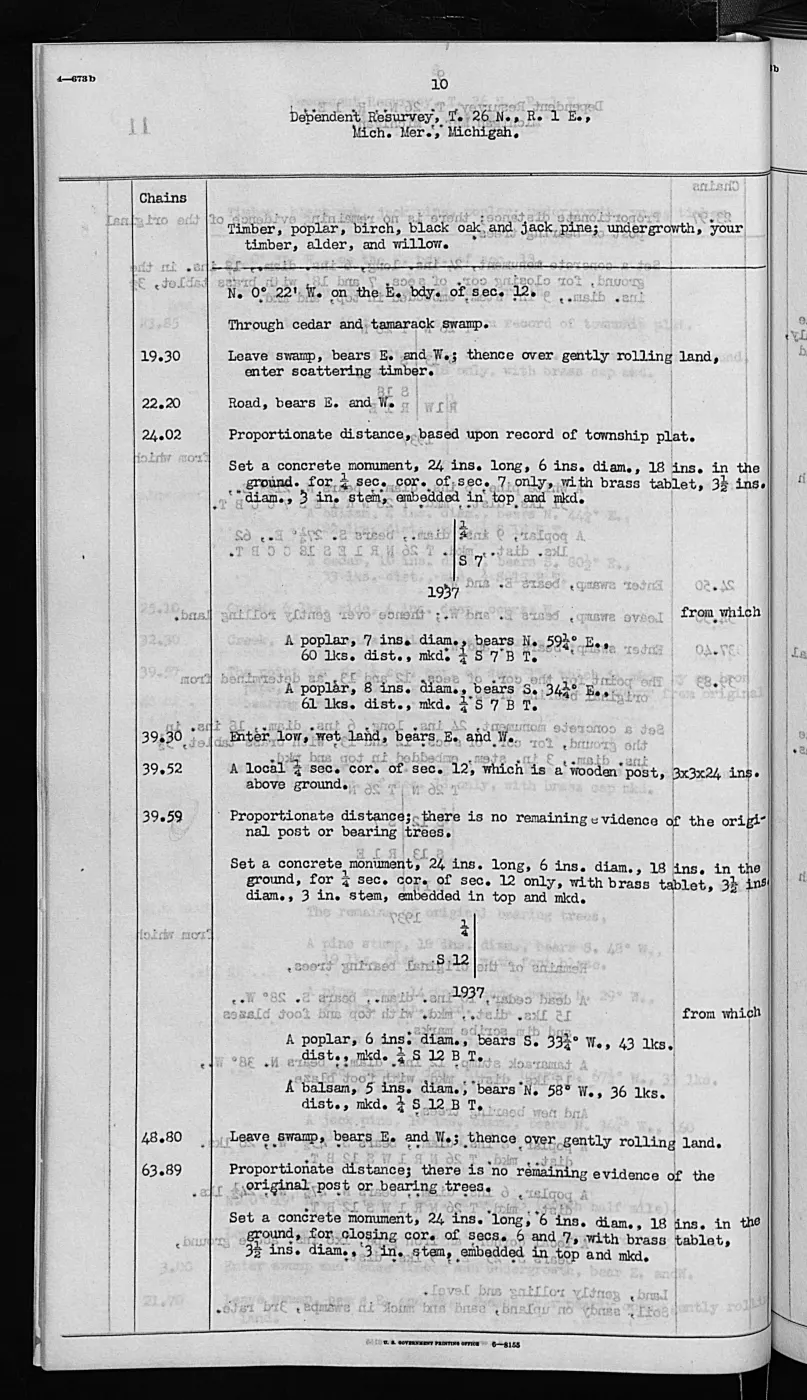
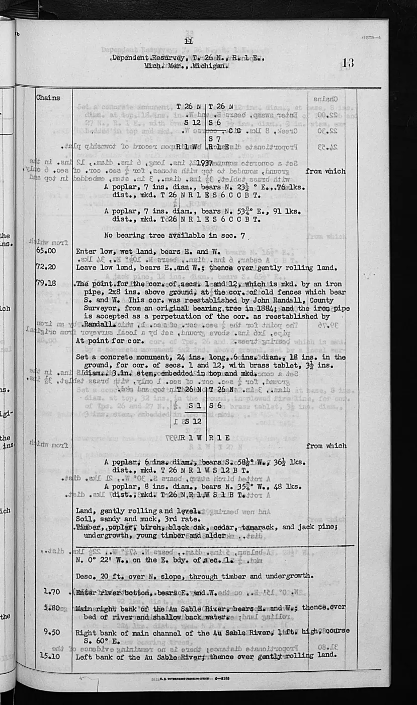
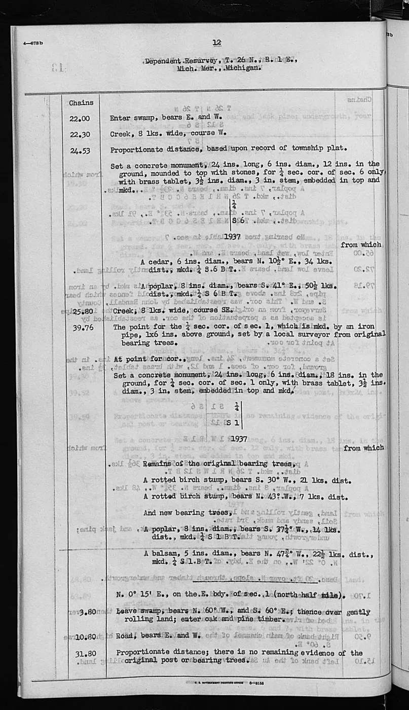
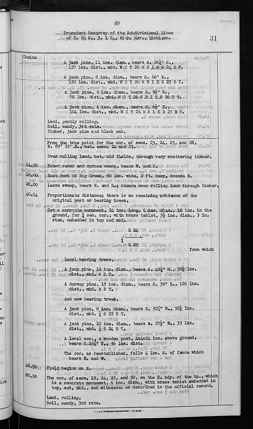
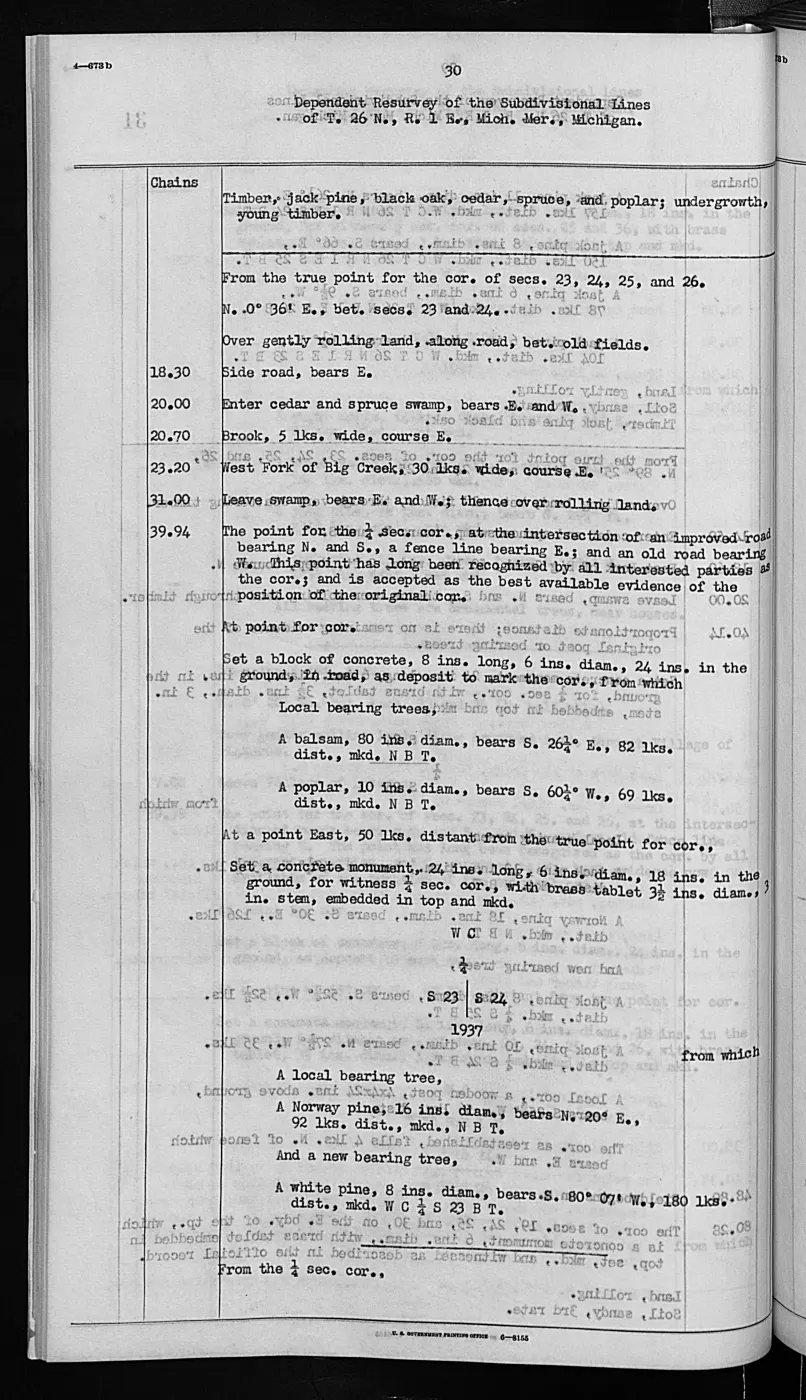
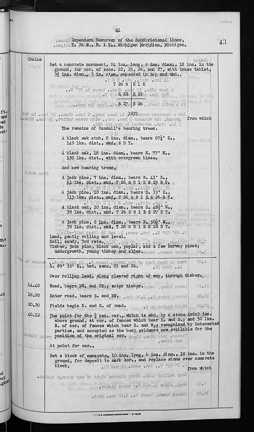
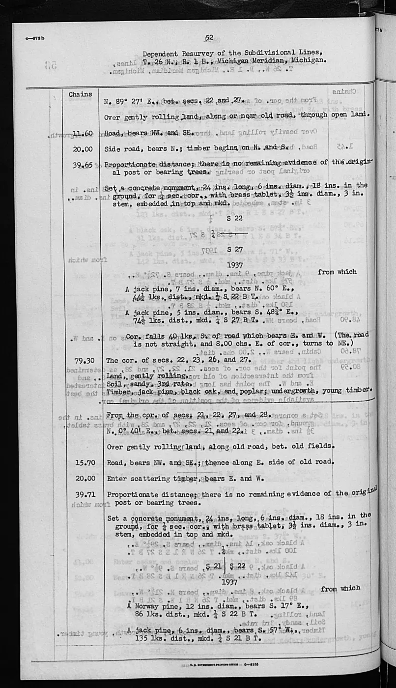
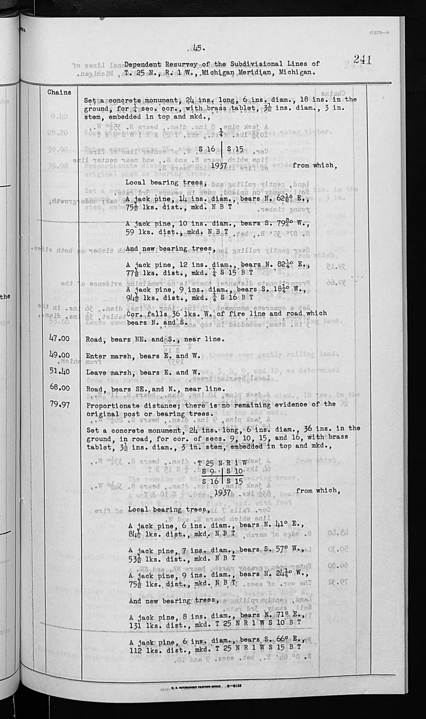
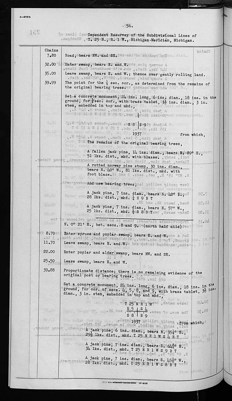
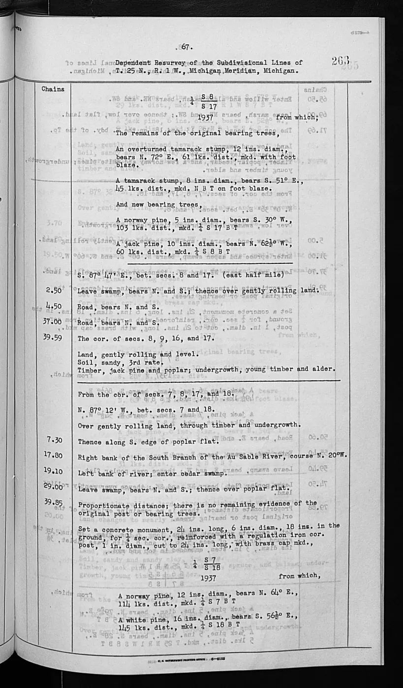

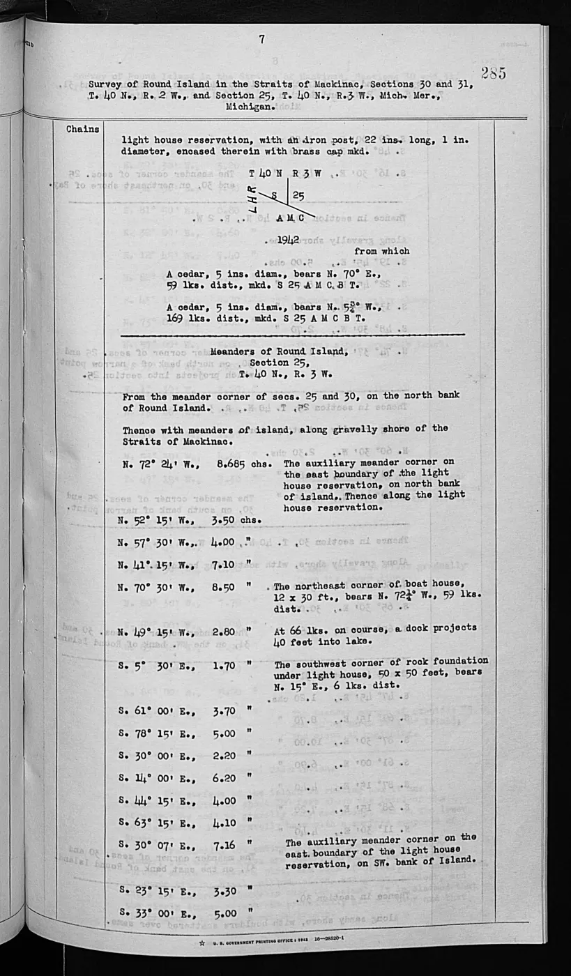
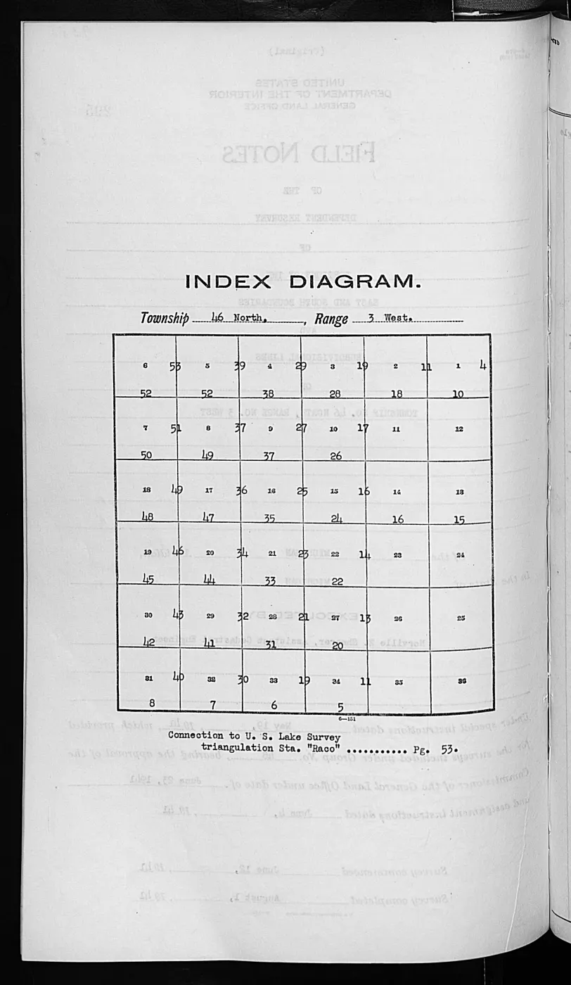
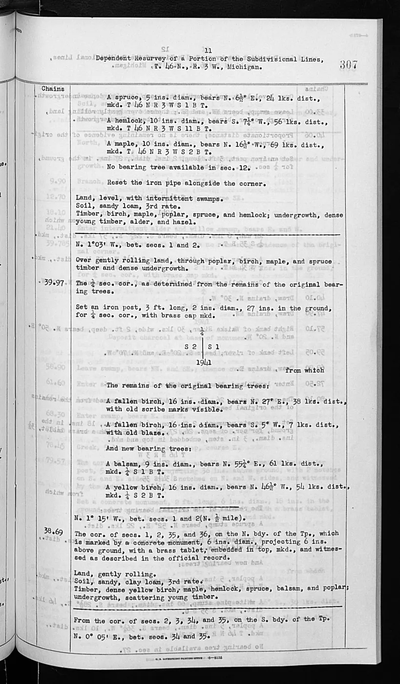
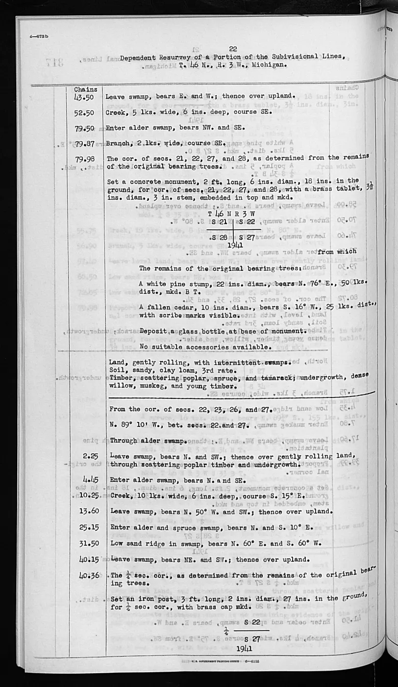
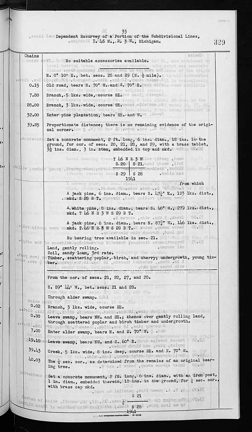
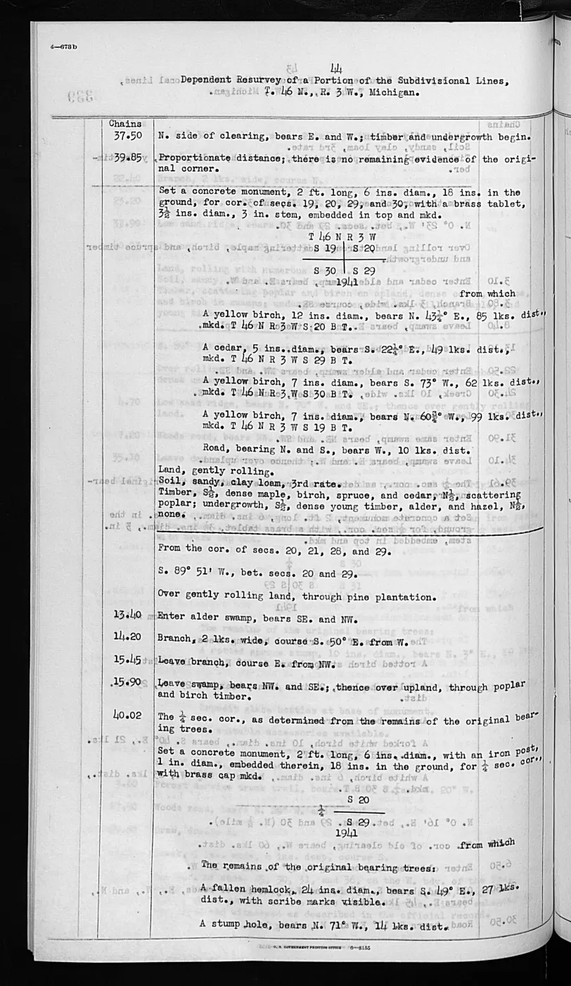
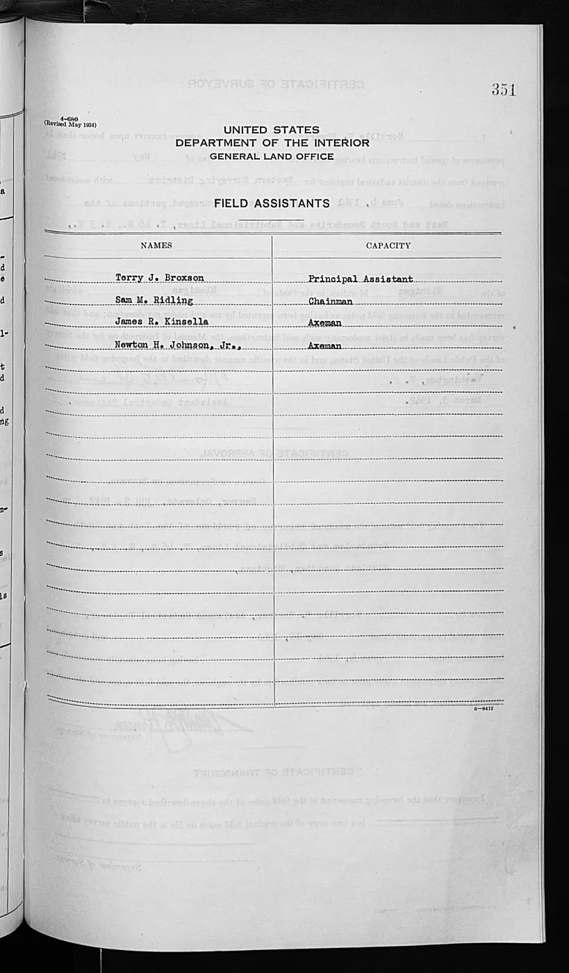
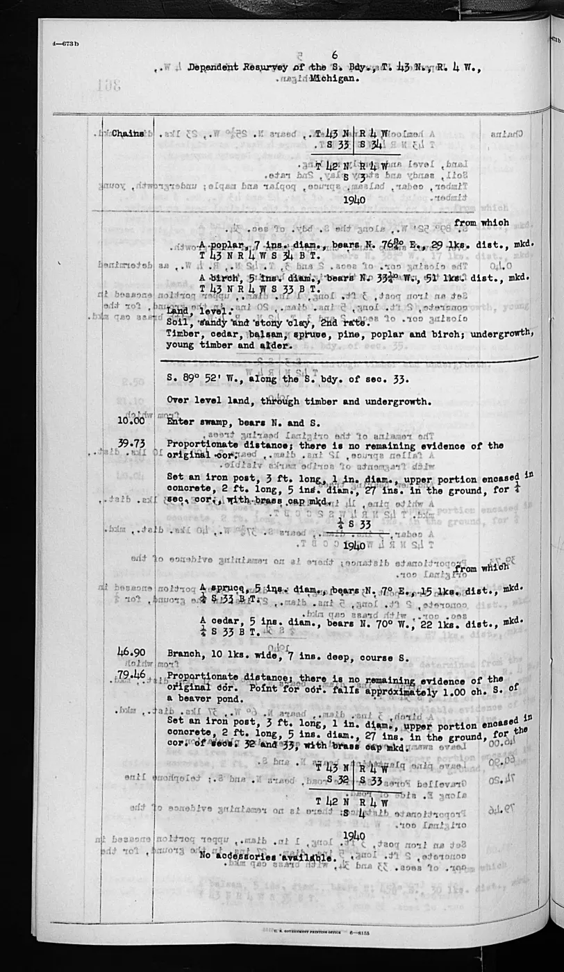
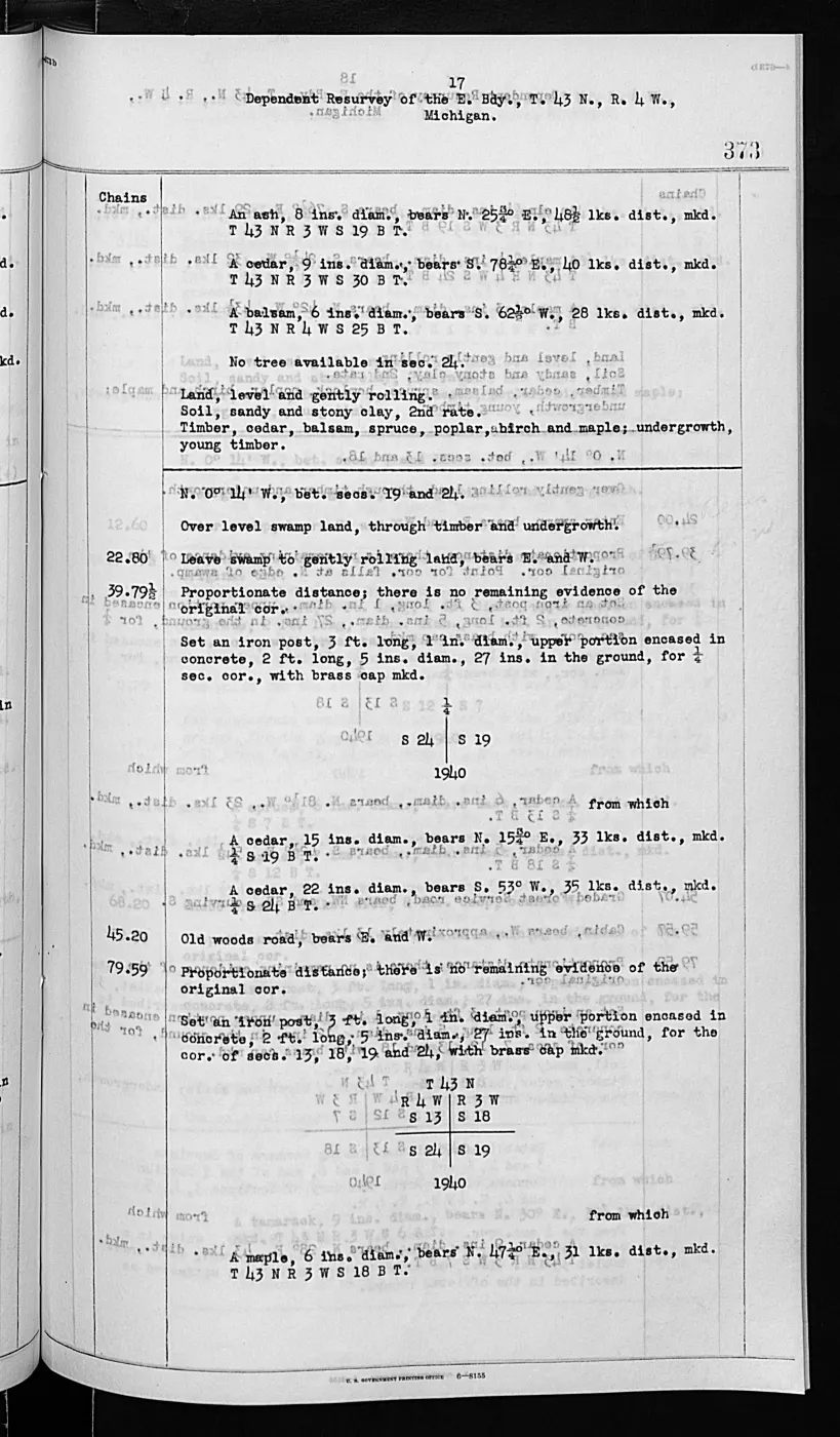
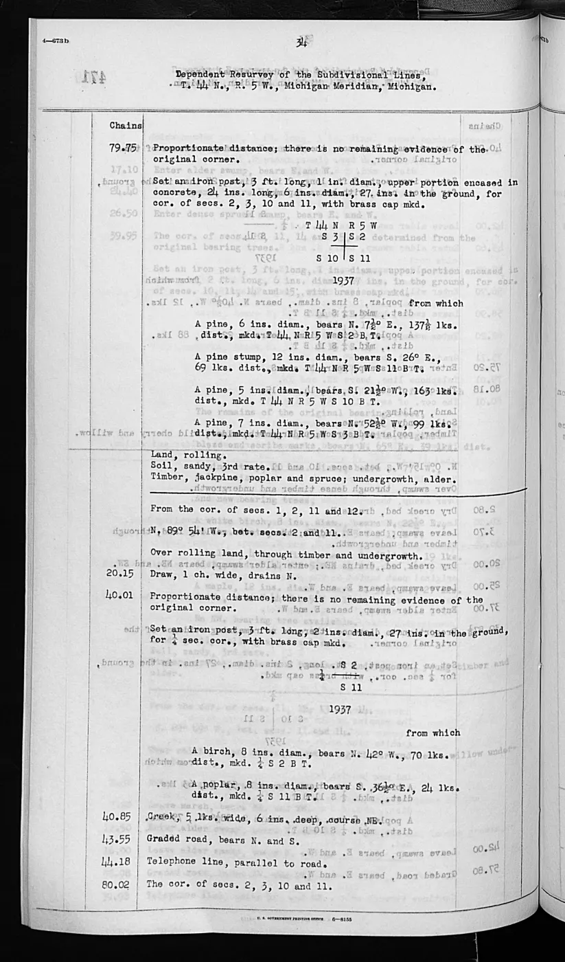
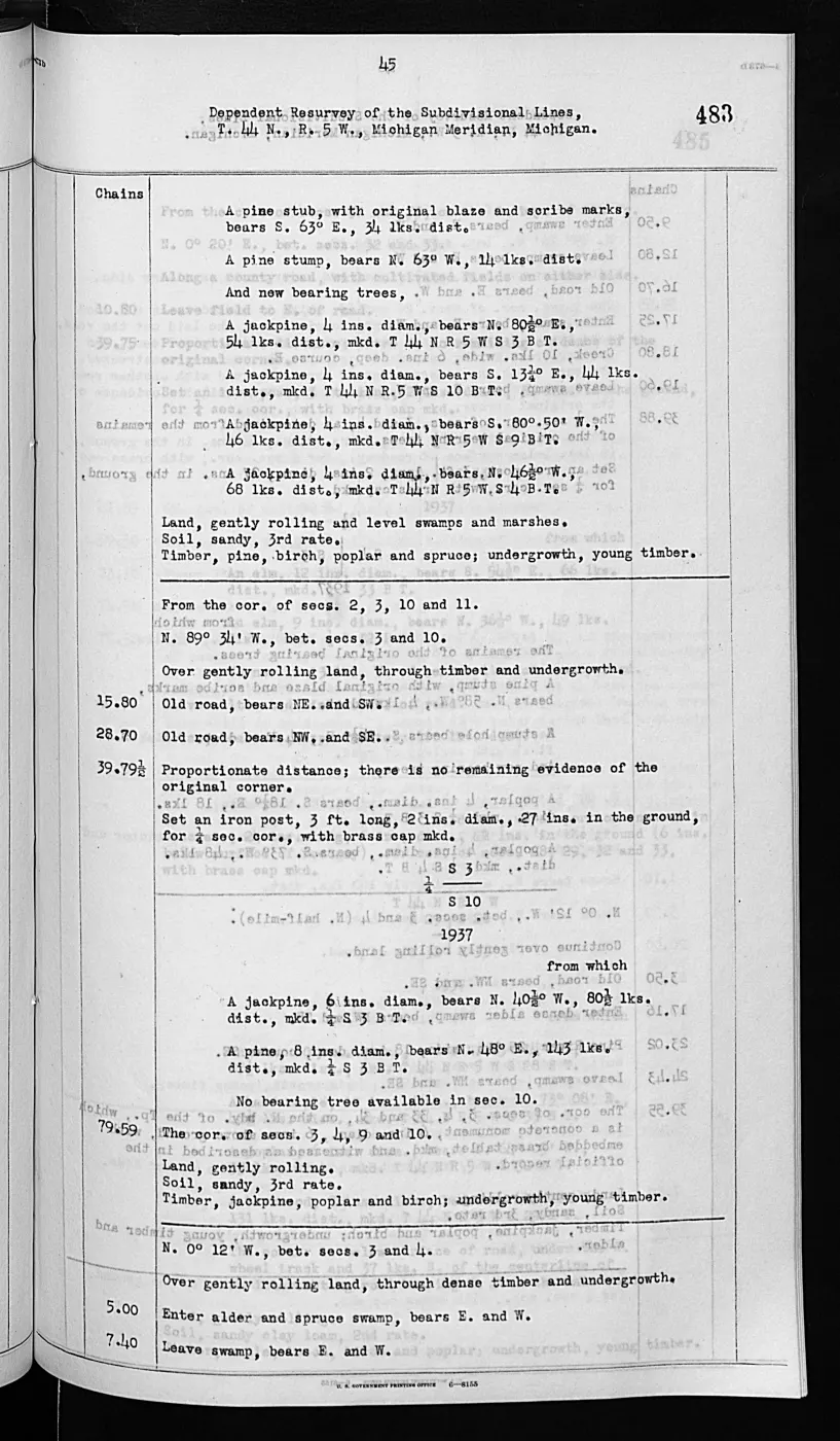
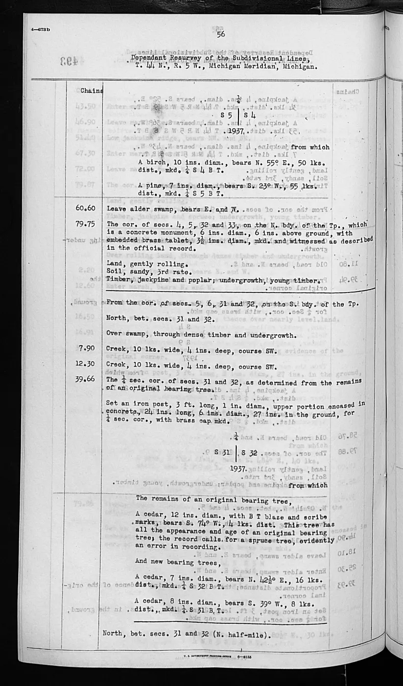
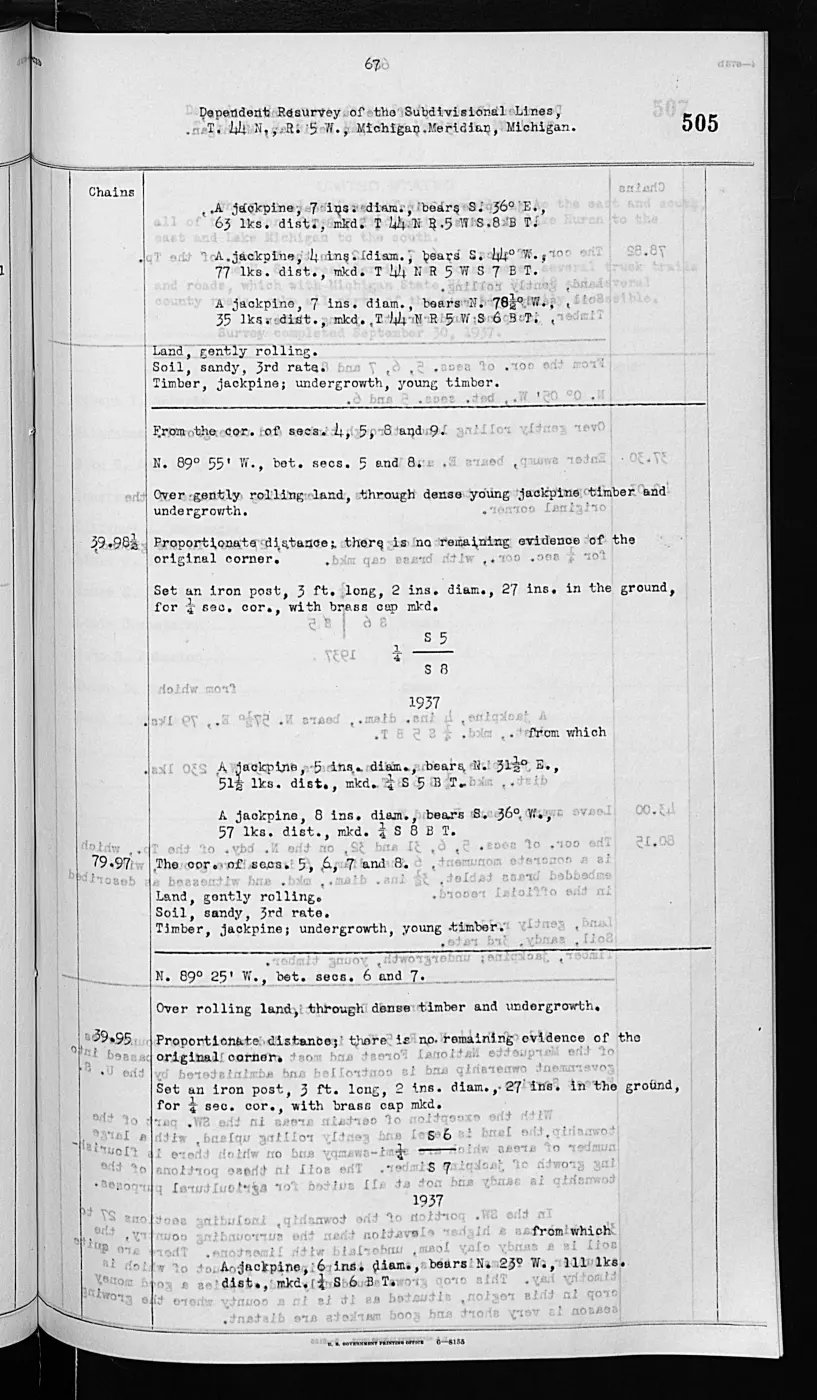
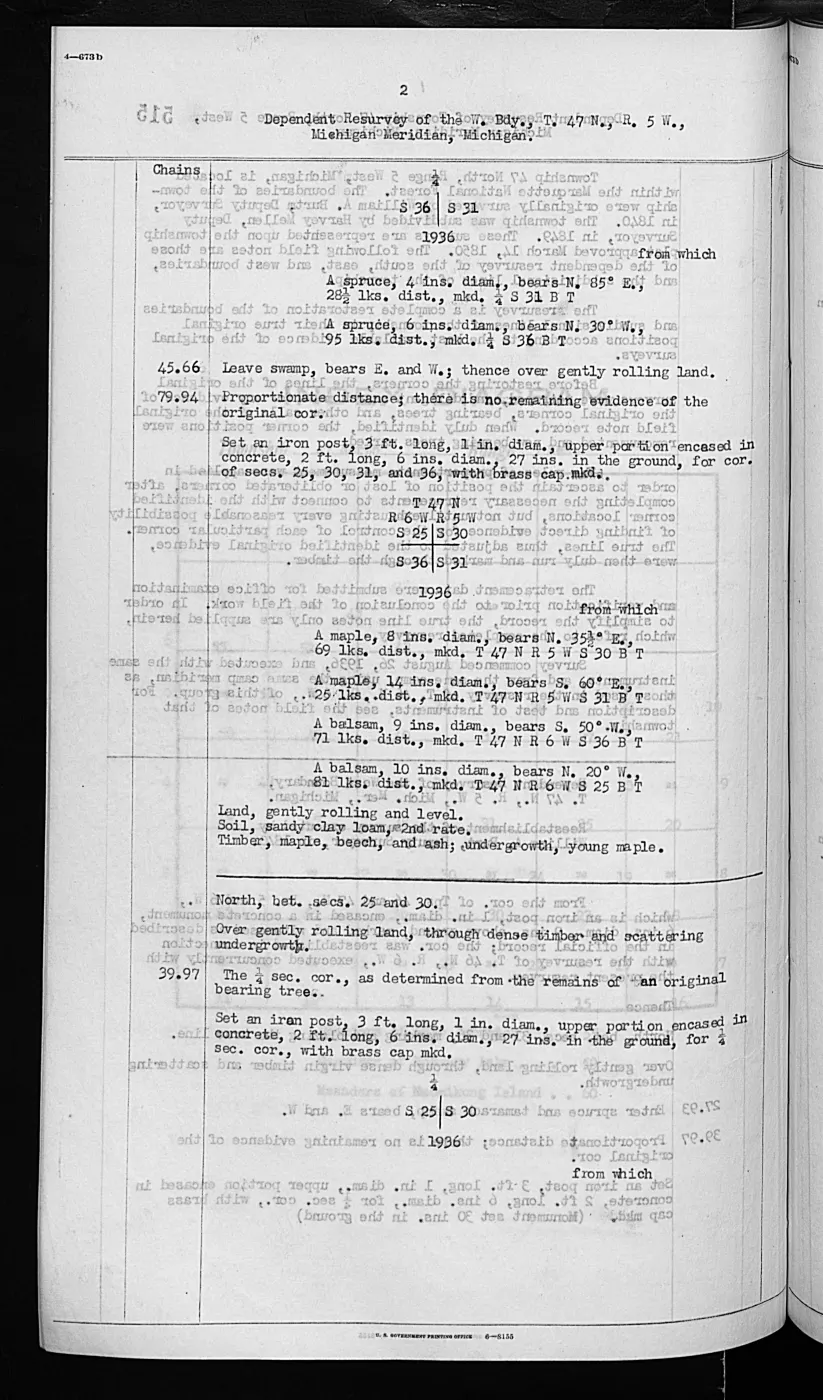
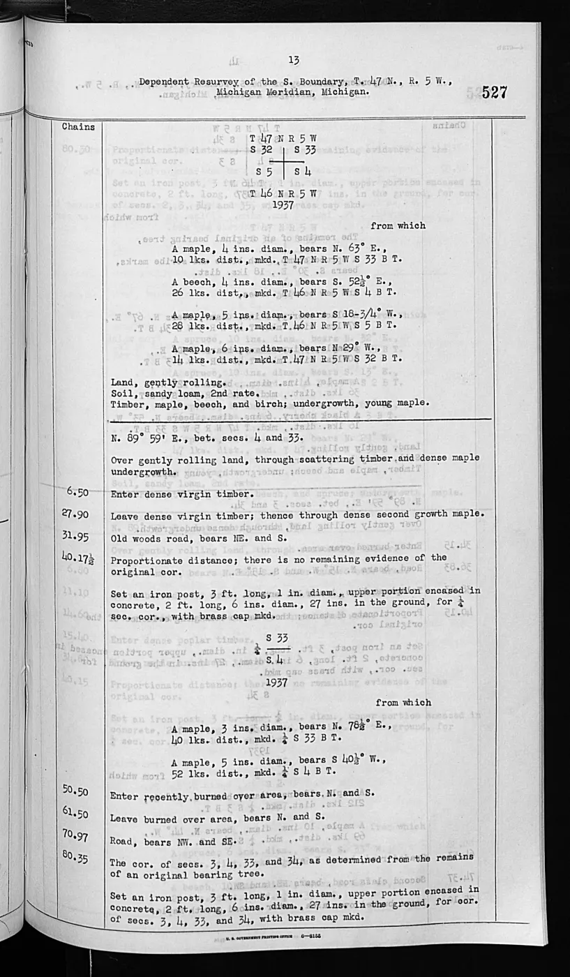
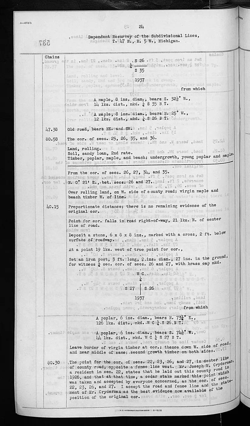
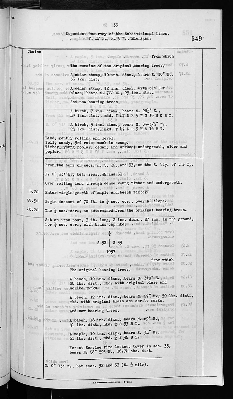
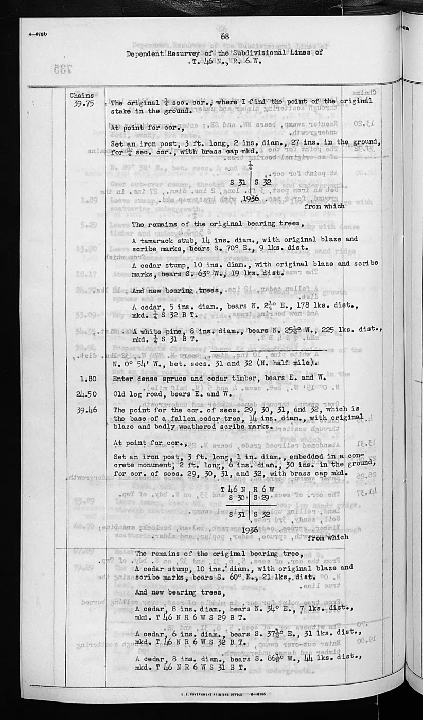

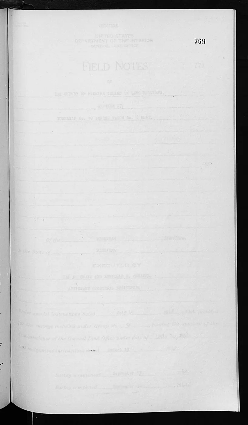
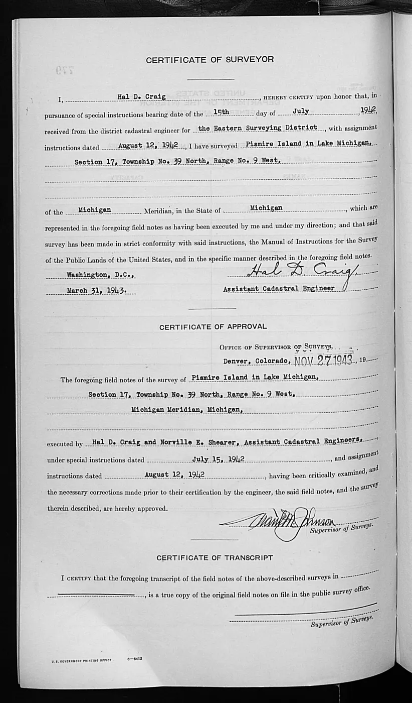
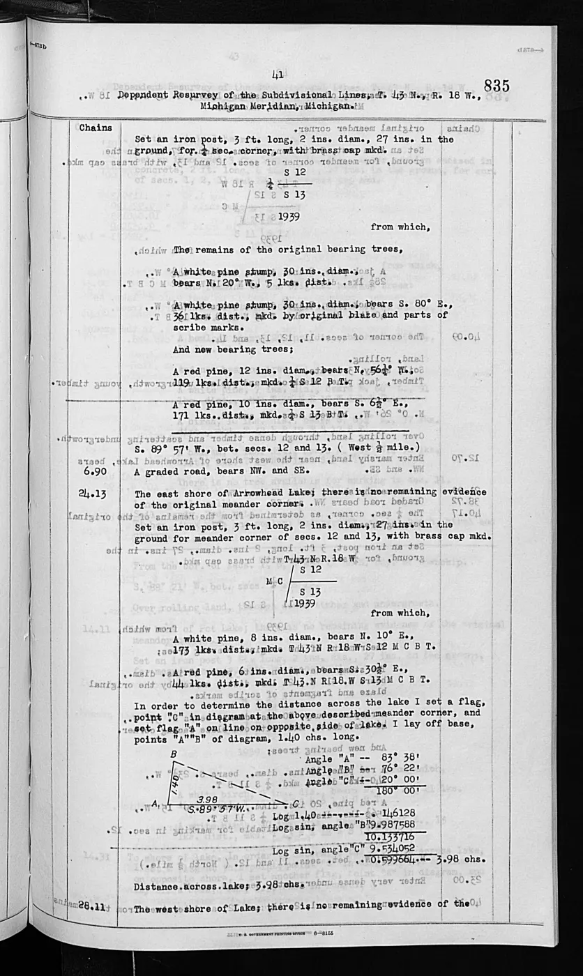
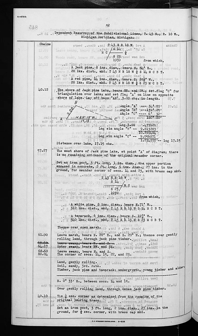
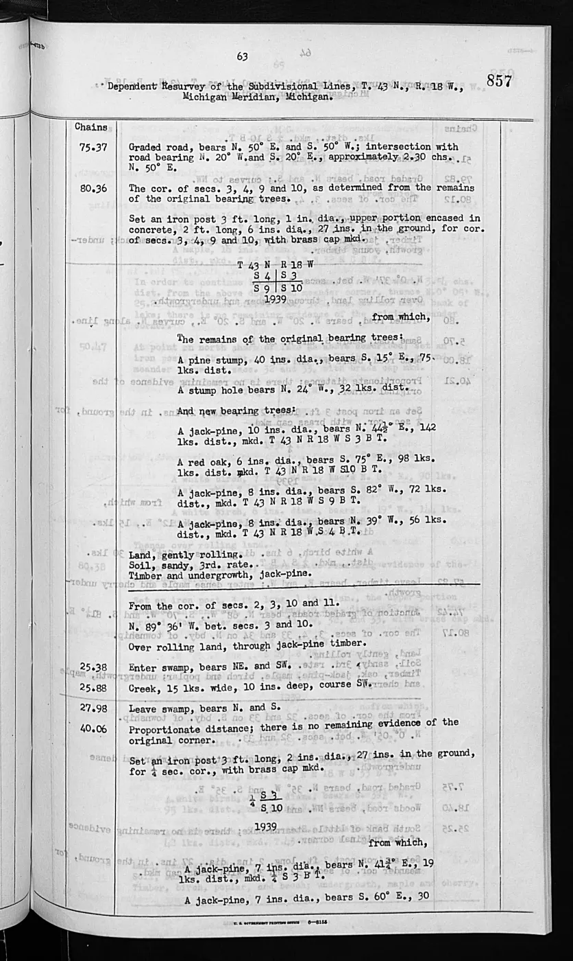
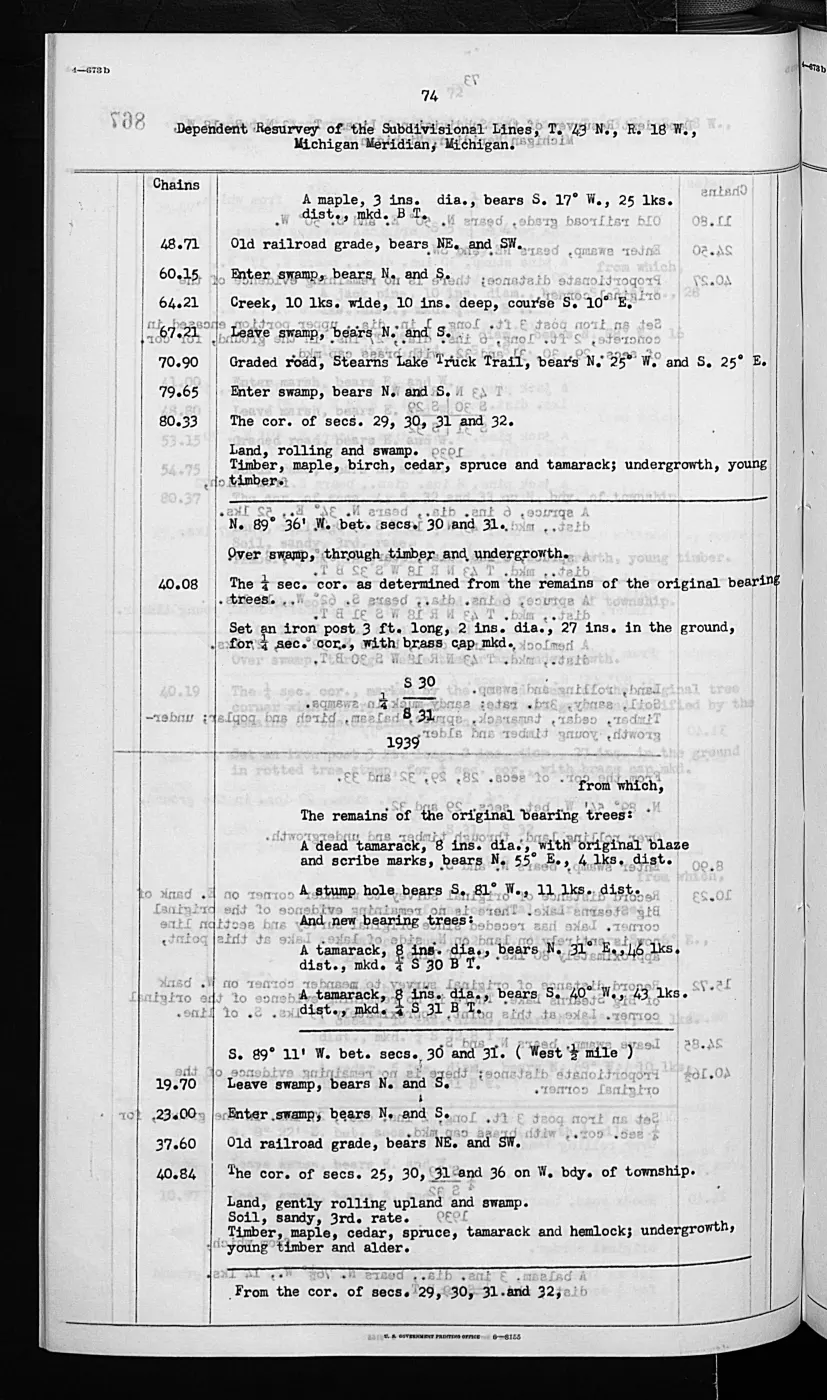
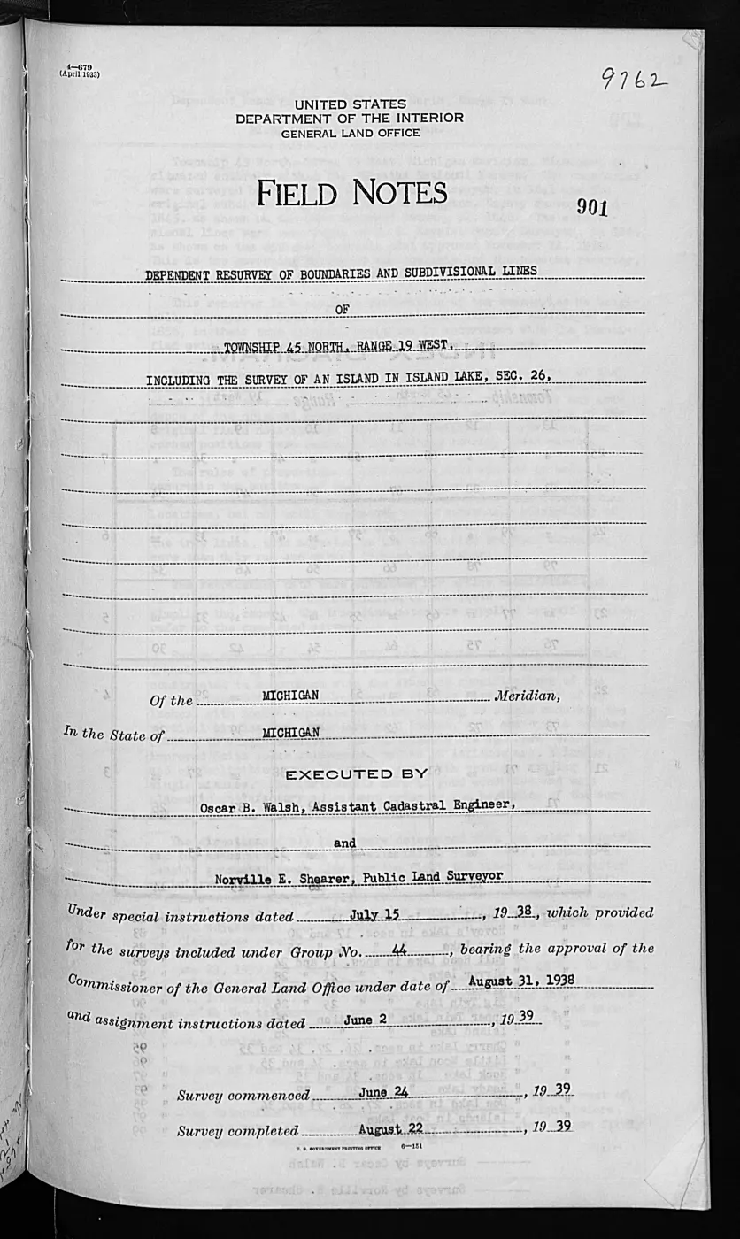
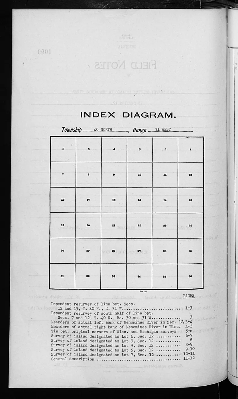
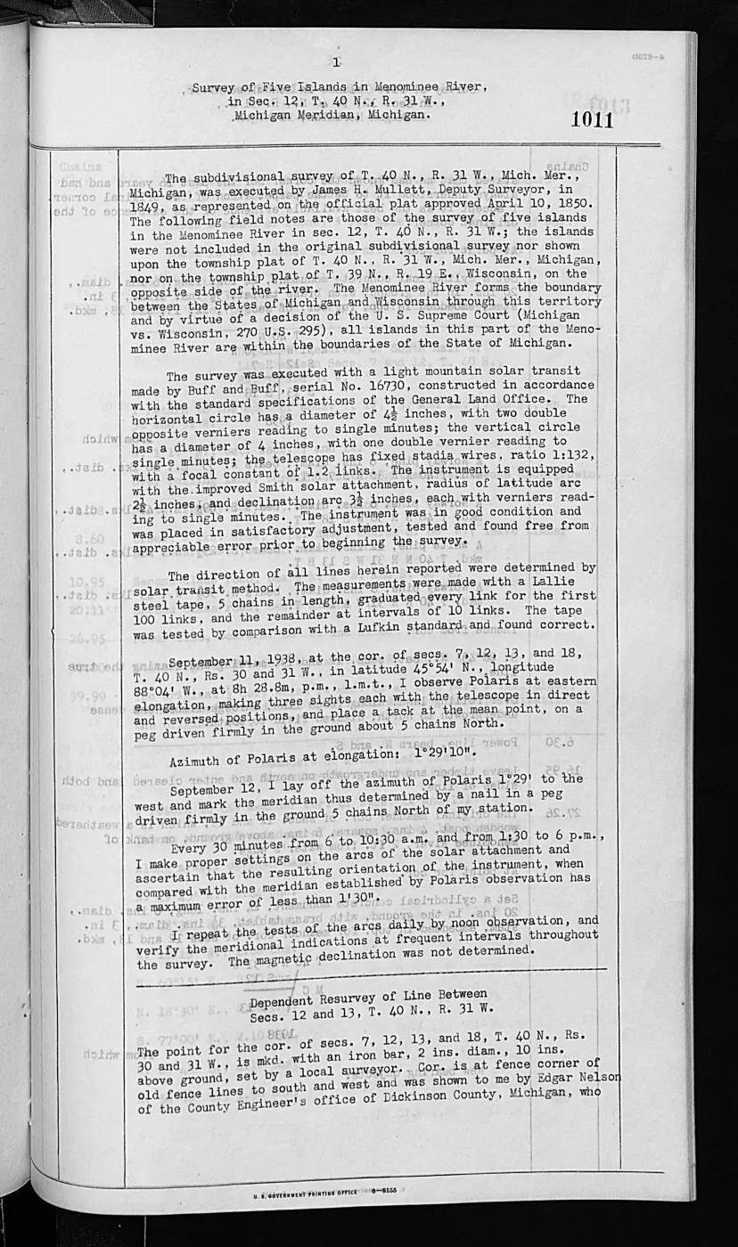
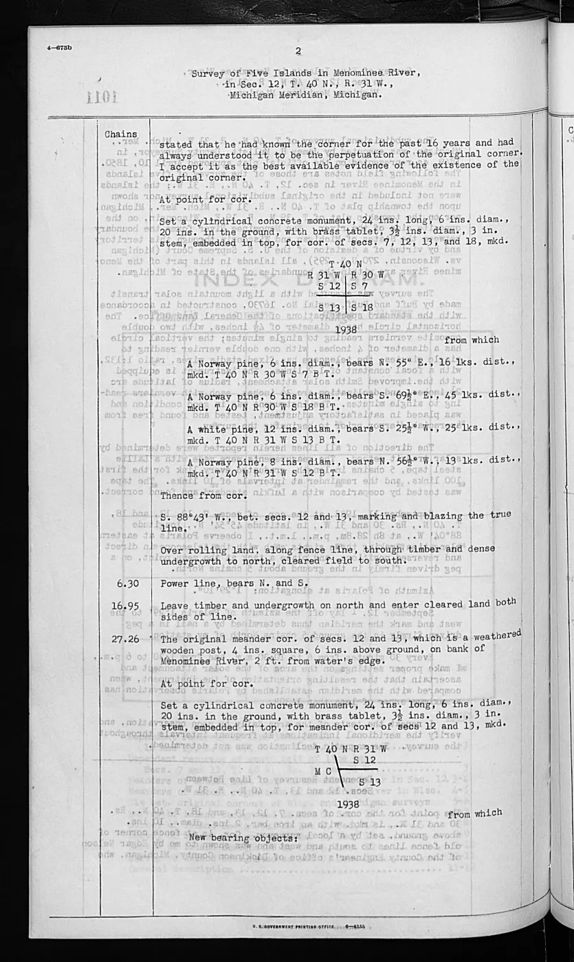
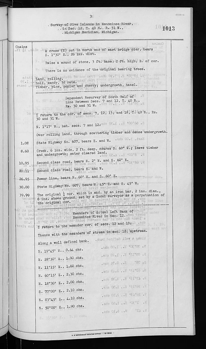
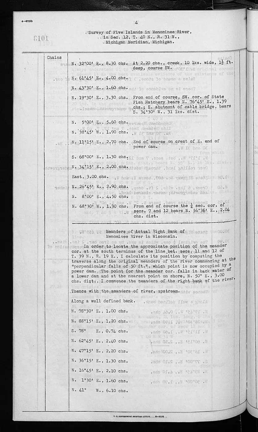
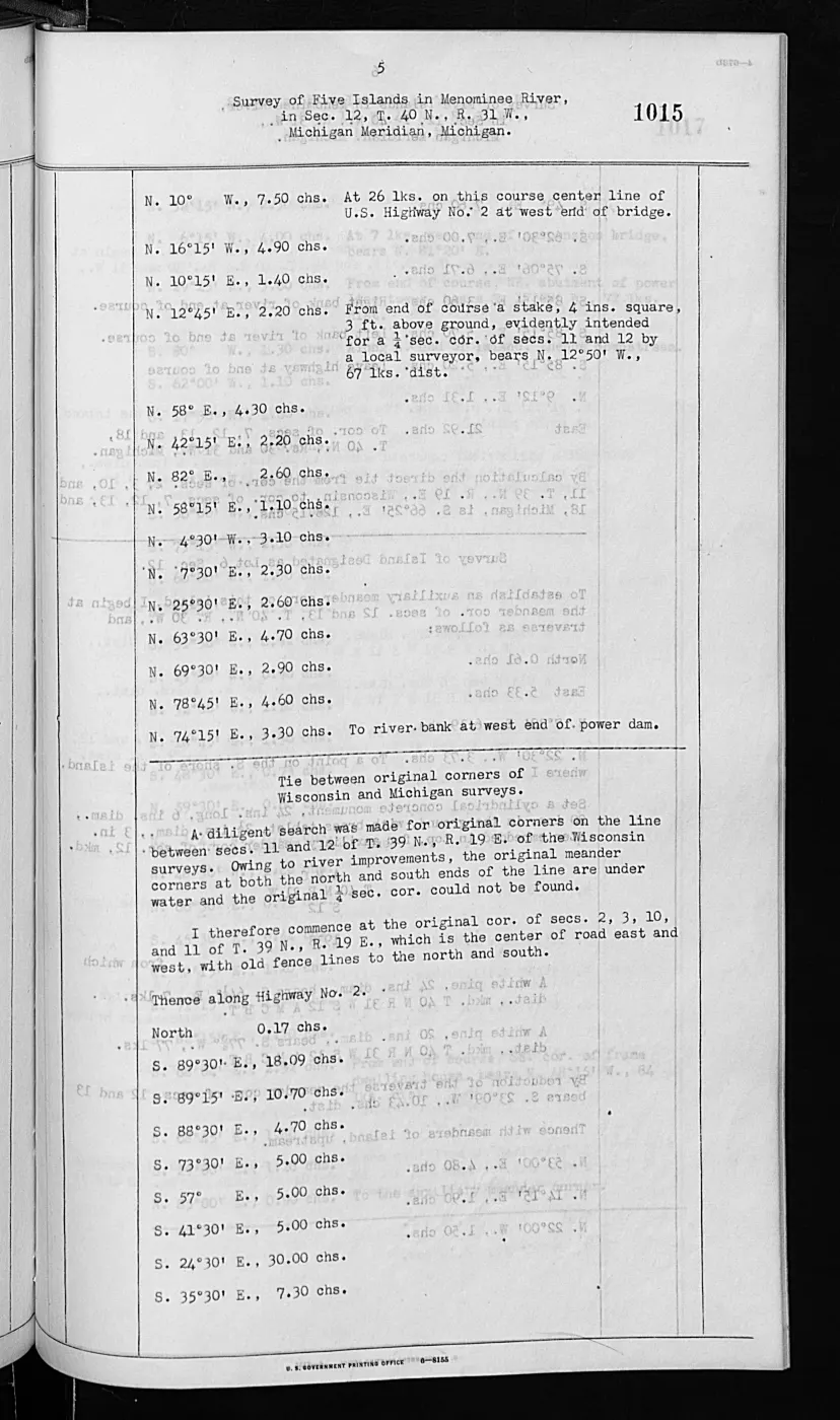
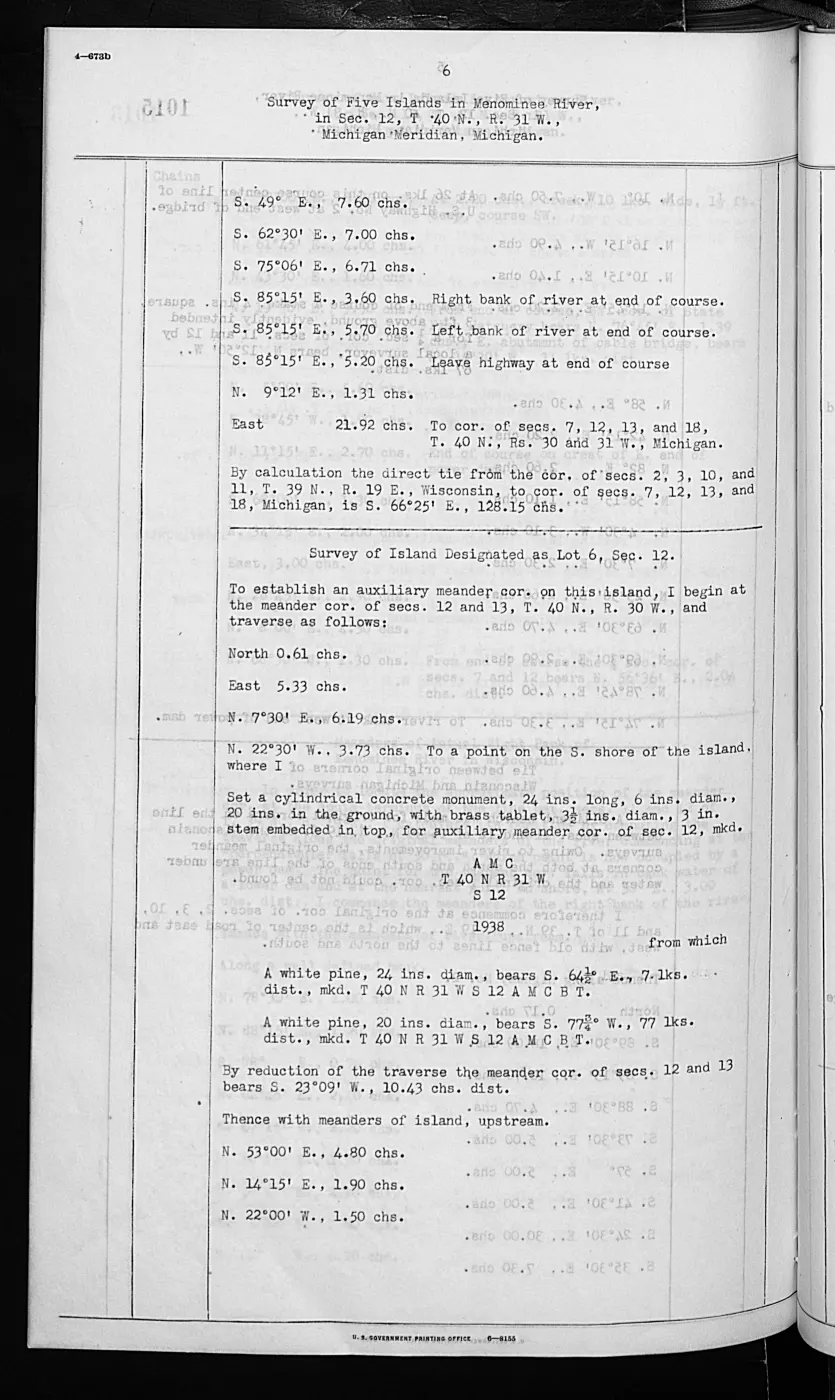
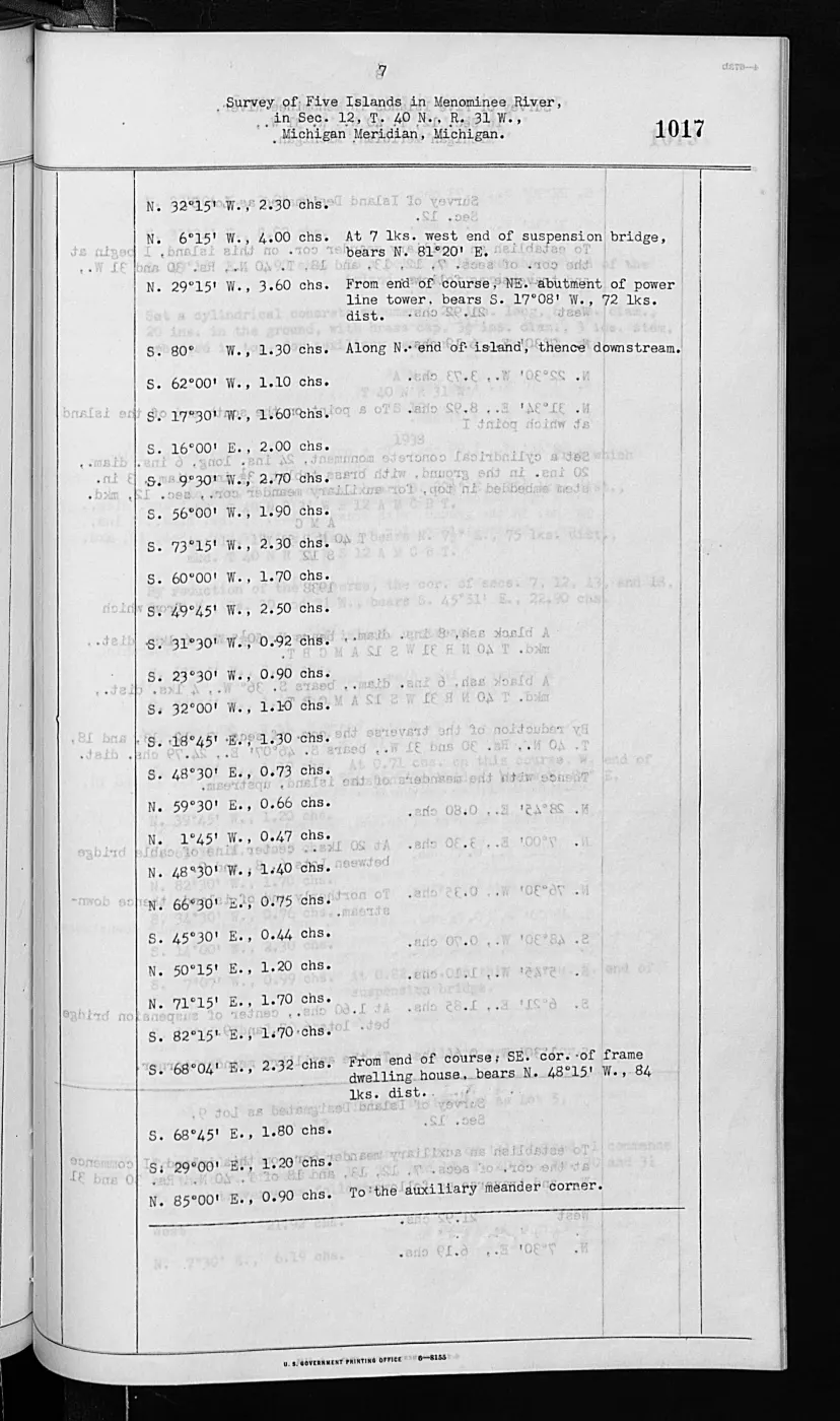
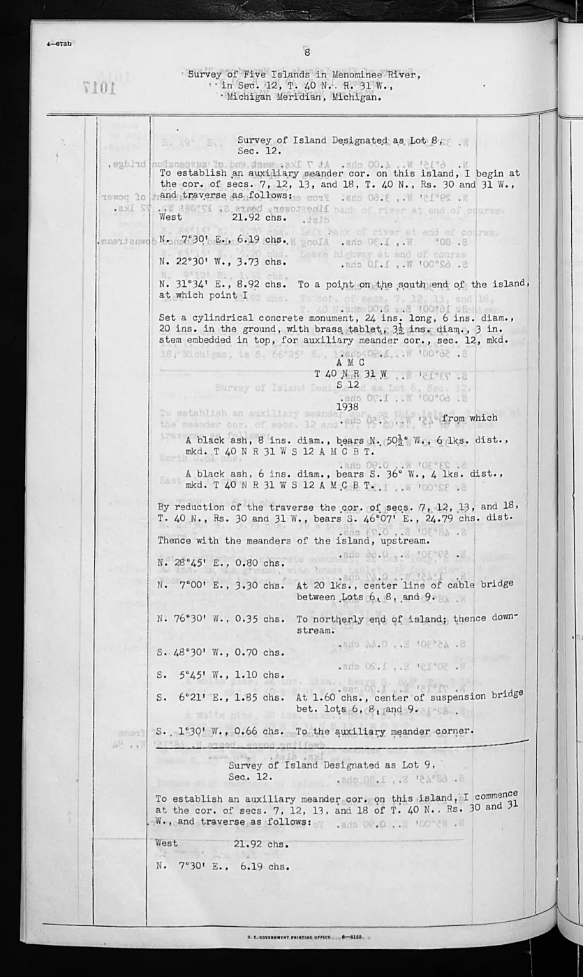
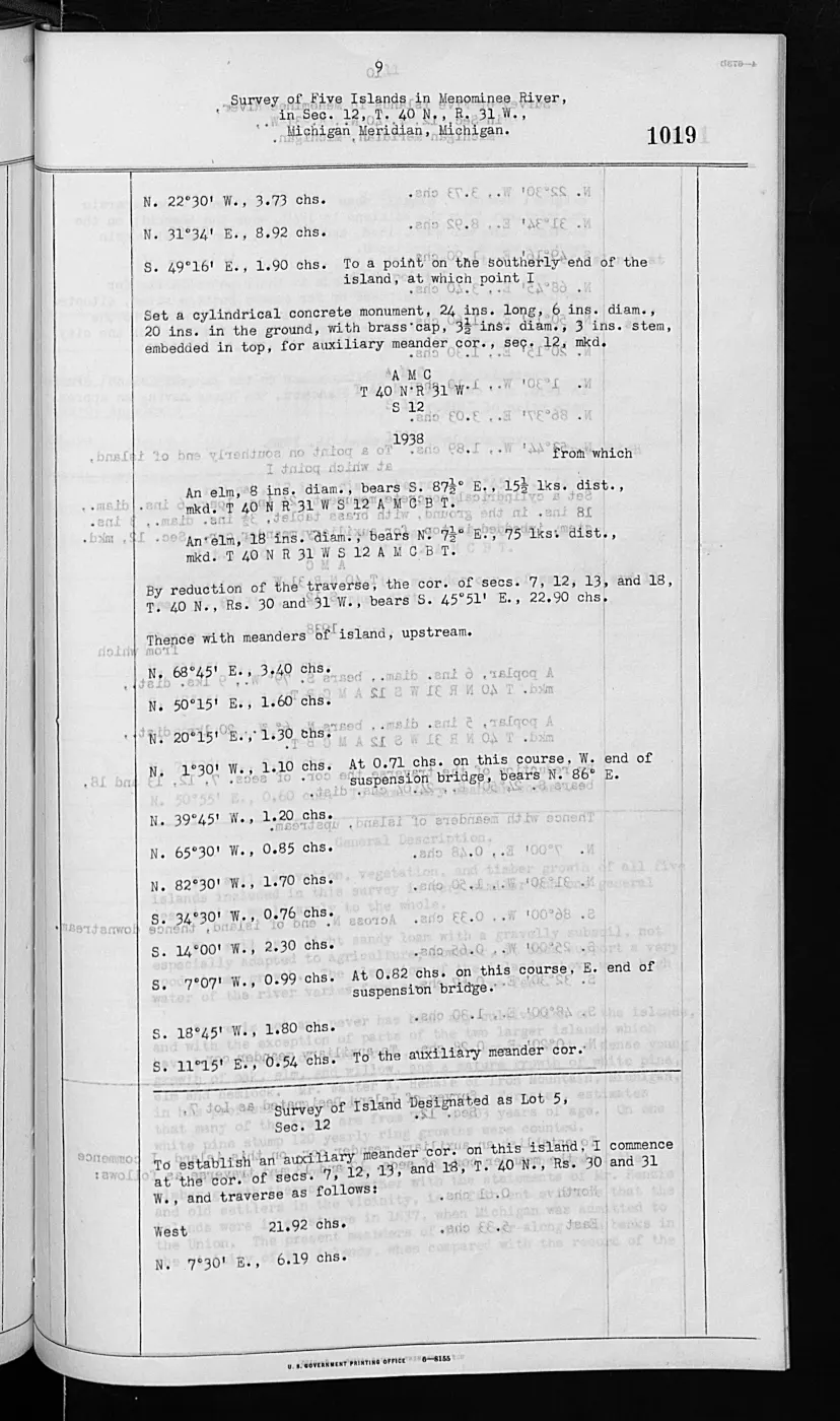
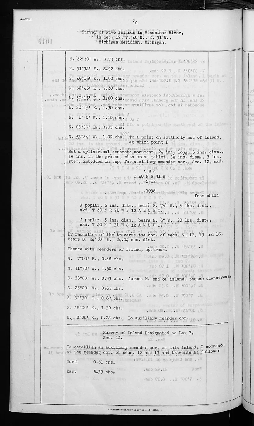
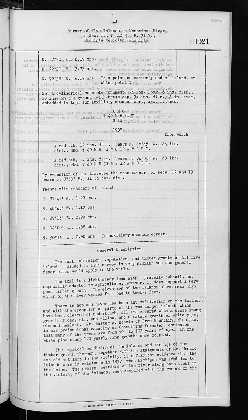
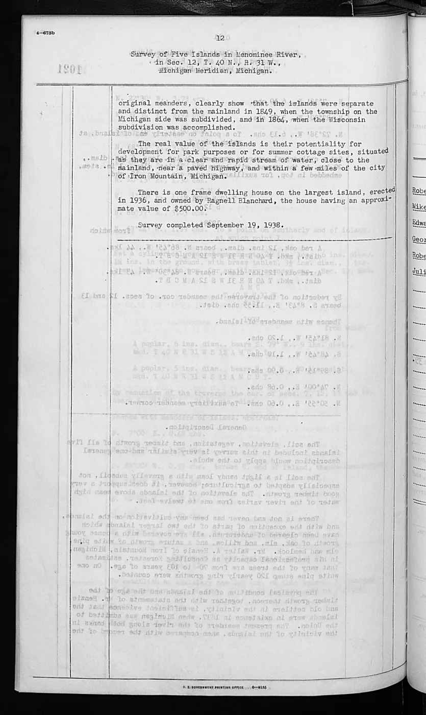
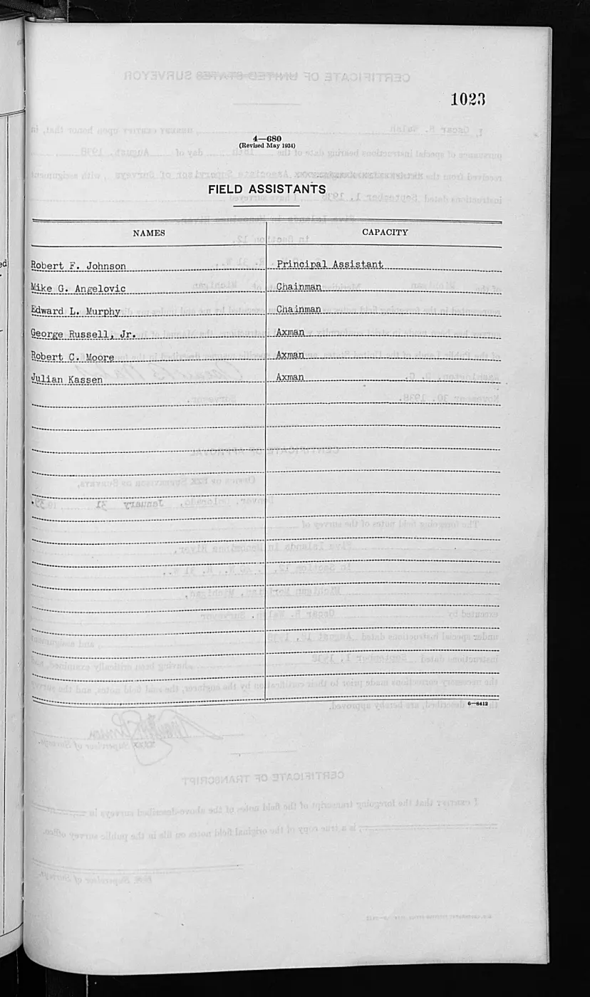
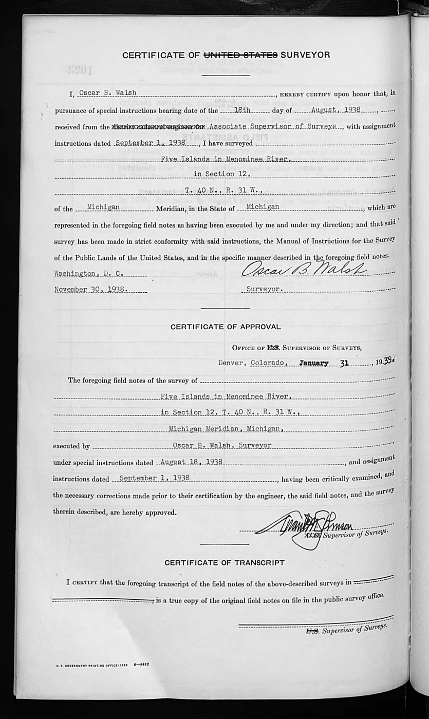
137 of 1,026 pages linked here — every page to 32, then every 11th, then the last 16. With JavaScript, every page.
Sources
- Visually verified cover sheet. It identifies Shoe Island as Section 33, T40N R8W, Michigan Meridian; names Assistant Cadastral Engineers Hal D. Craig and Norville E. Shearer; gives special instructions of 15 July 1942 and assignment instructions of 12 August 1942; and records both commencement and completion on 11 September 1942. The entry records this survey operation, not a boundary determination, title, occupation, or present ownership. The holder's public portal is searchable but does not link this record directly; the archive holds a copy of the file and can provide it on request.federal · glo_field_notes · pdfs · 12095286418587320209-field-note-volume-276017
- The held BLM detail metadata links Volume 276017 to retained Survey record 8173708007643269358 for Shoe Island. The link identifies the source relationship; page-specific facts above were checked against the page image. The holder's public portal is searchable but does not link this record directly; the archive holds a copy of the file and can provide it on request.federal · glo_field_notes · beaver_island_field_note_volumes
Added 2 August 2026. Recent changes
Cite this article
Beaver Island Archive, “Federal survey of Shoe Island, 1942”, https://beaverislandarchive.org/events/federal-survey-of-shoe-island-1942/, accessed [date], citing Bureau of Land Management, General Land Office Records, Field Note Volume 276017, p. 759, “Survey of Shoe Island in Lake Michigan.” (and 1 further source listed on the page).
Last revised 2026-08-02. Fill in [date] with the date you read it — this page is static and cannot know that.
BibTeX for “Federal survey of Shoe Island, 1942”RIS for “Federal survey of Shoe Island, 1942”