

- Dates
- 1845-10-10 – 1845-10-15
- Kind
- Observation
- Where
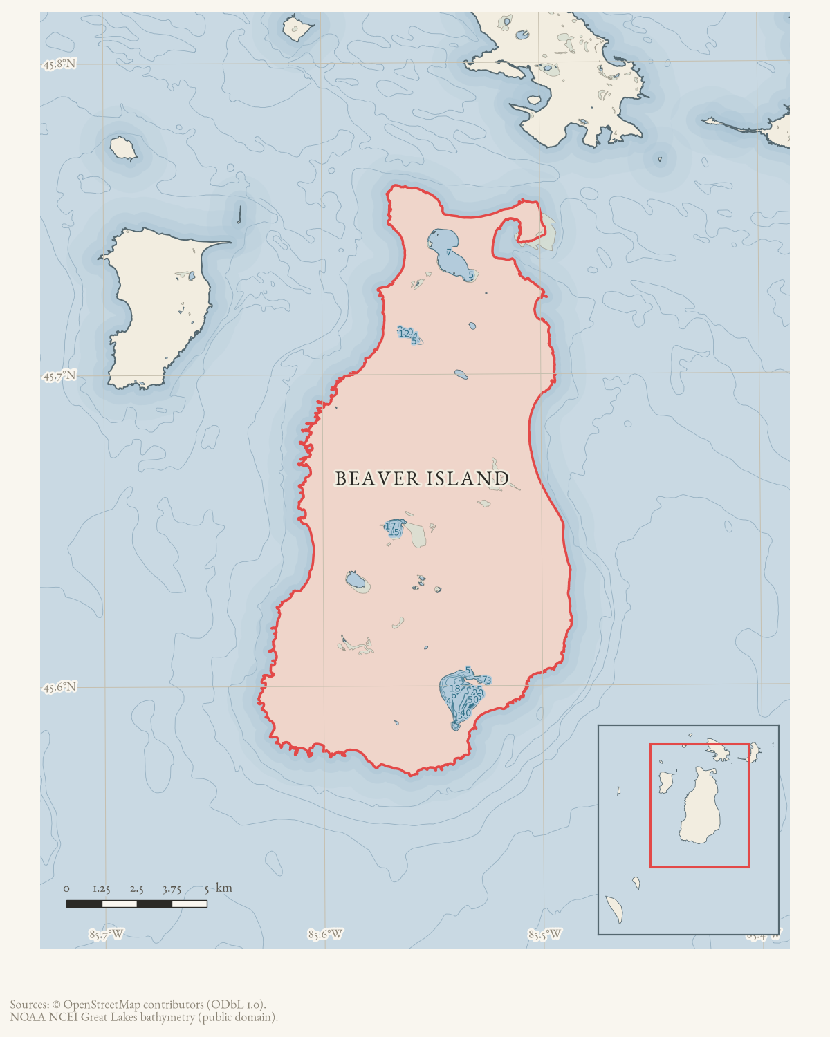
- Beaver Island
- Eras
- Early American era
- Concepts
- land-surveyheritagemaritimetoponymy
- Within
- Beaver Island
Summary
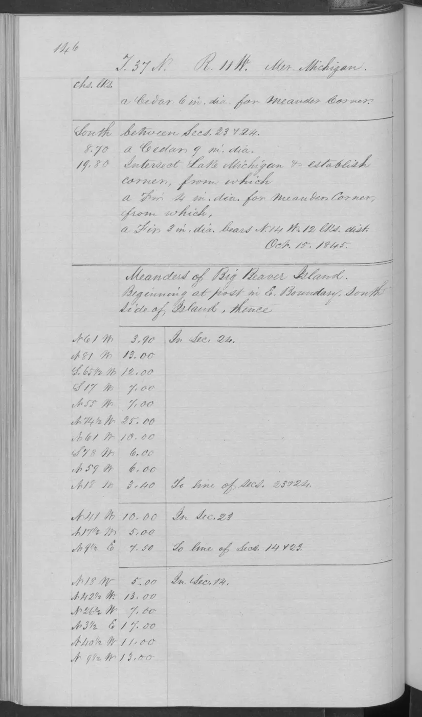
The BLM Survey record dates federal fieldwork on fractional T37N R11W of Big Beaver Island from 10 through 15 October 1845. The associated field-note certification identifies John Burt as Deputy Surveyor and says that the township was surveyed and subdivided into sections.
This is one bounded component of the early federal survey of the principal island, not a claim that all of Beaver Island was surveyed on these dates.
Evidence and limits
The date interval comes from the retained BLM Survey detail record; the source page image verifies the fractional-township scope, Big Beaver name, surveyor, and later oath. It does not establish a later plat-approval date, title, residency, occupation, or modern parcel boundary.
Open questions
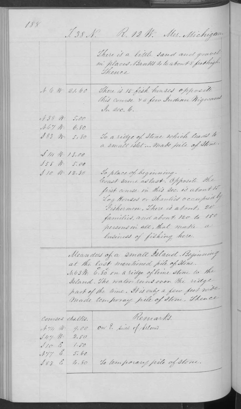
- Which field-note pages identify shoreline features, trails, camps, or other landscape observations within this fractional township?
- How does this 1845 fieldwork relate to the dates and labels on the held T37N R11W plat scan?
See also
Read the document
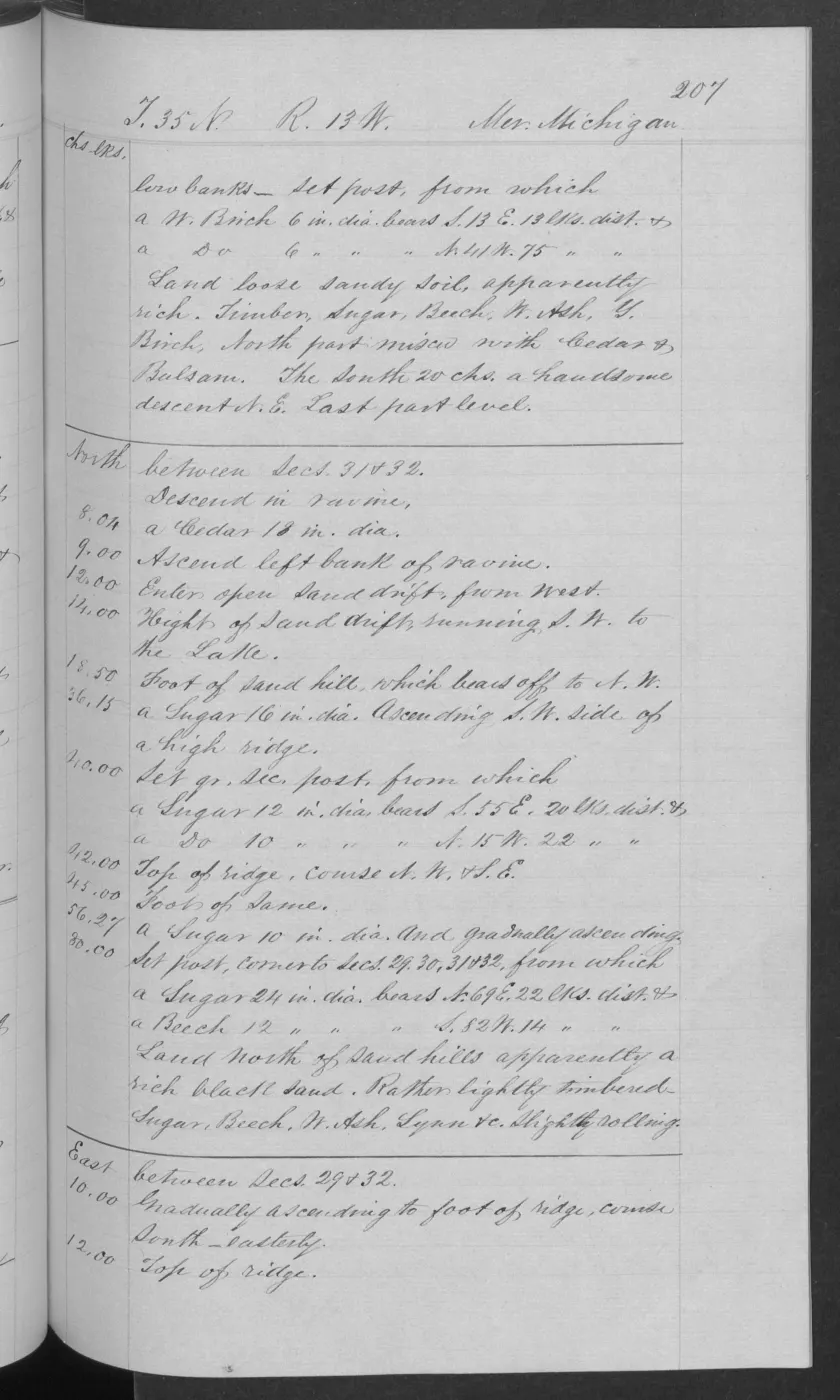
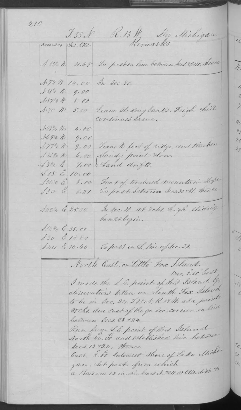
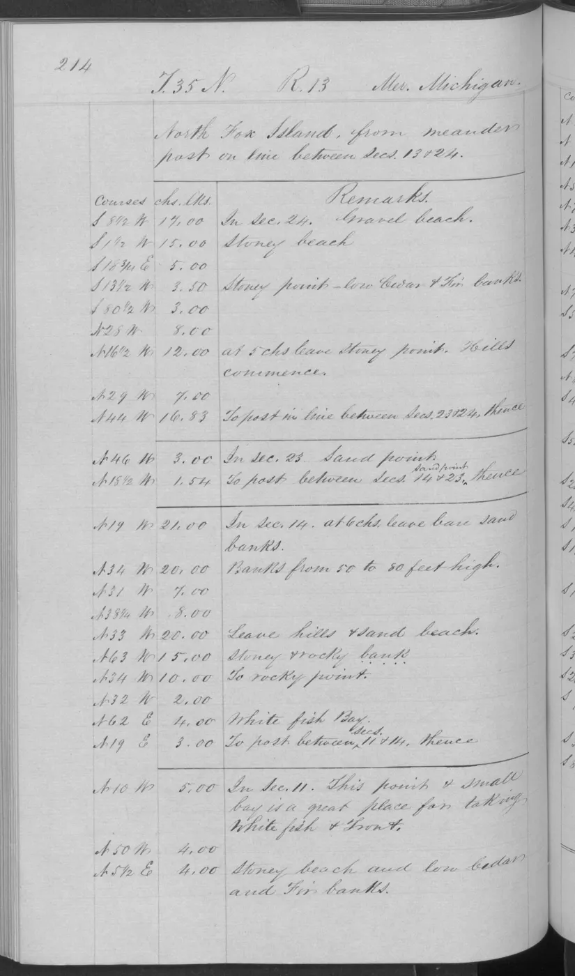
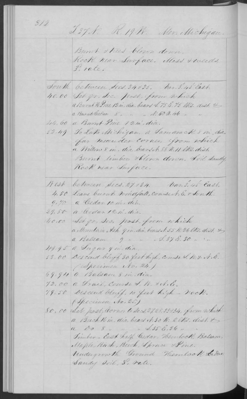
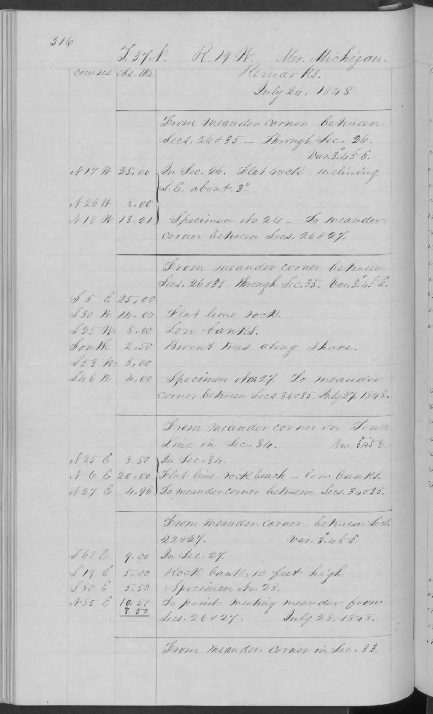
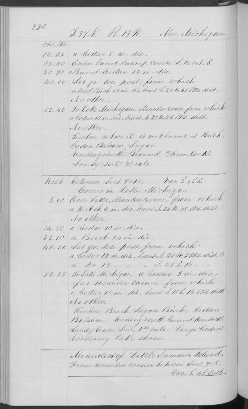
406 pages, rendered from the held scan.
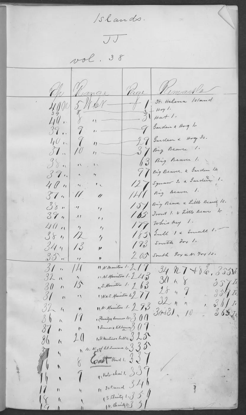
Jump to a page — 406 in all
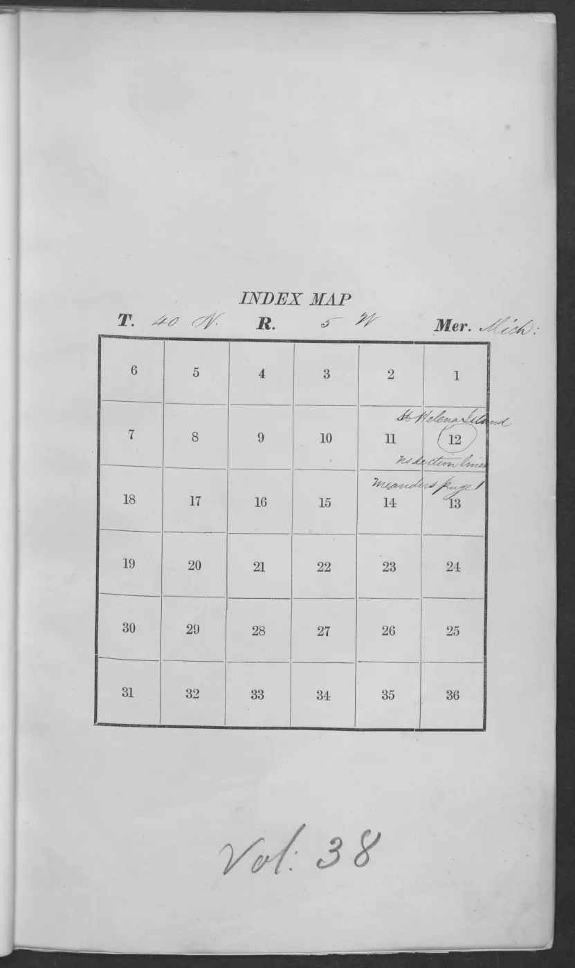
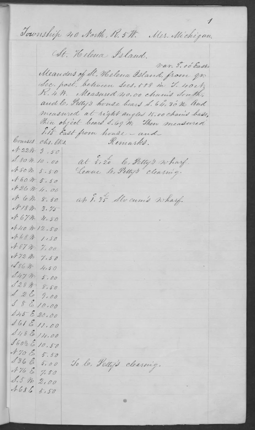
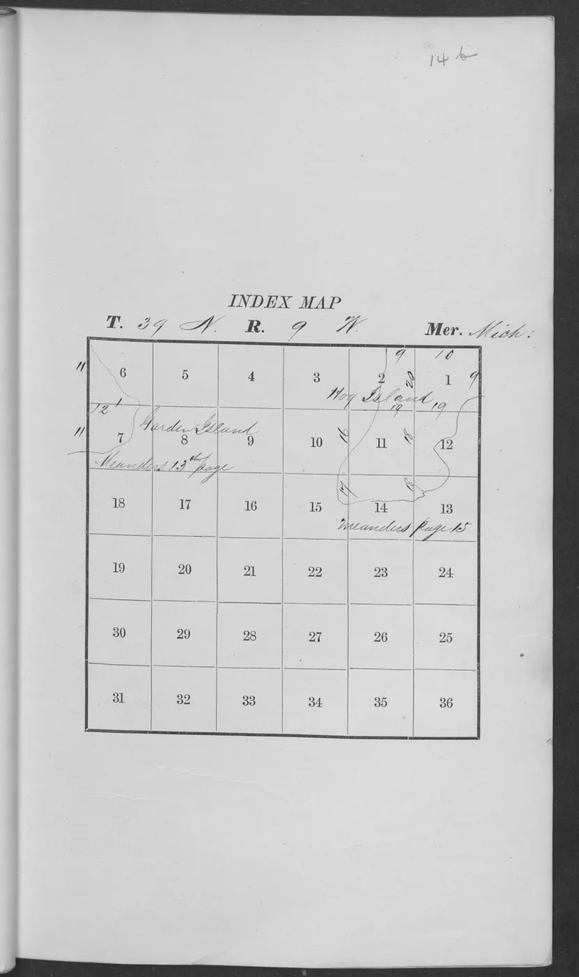
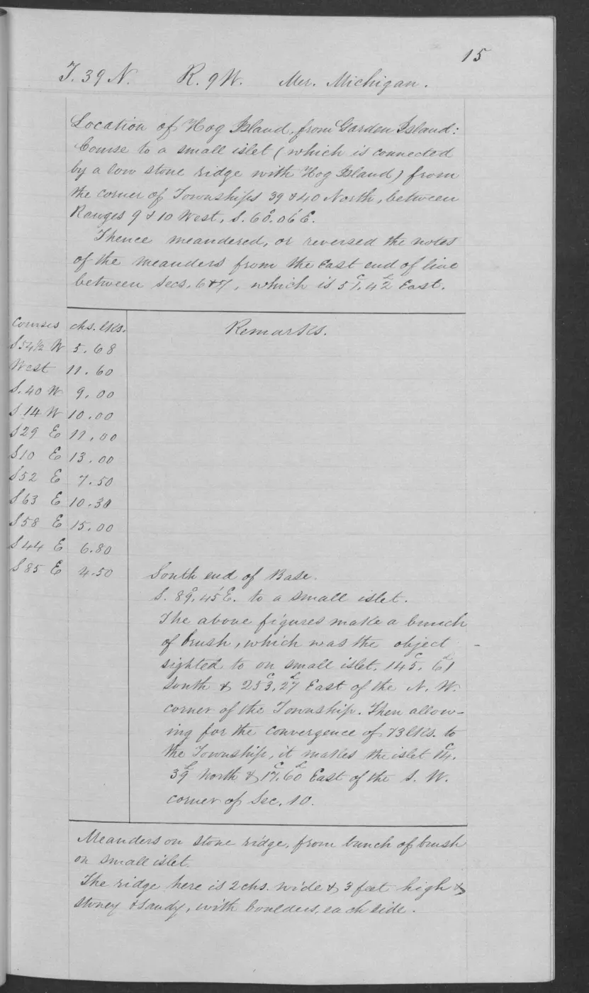
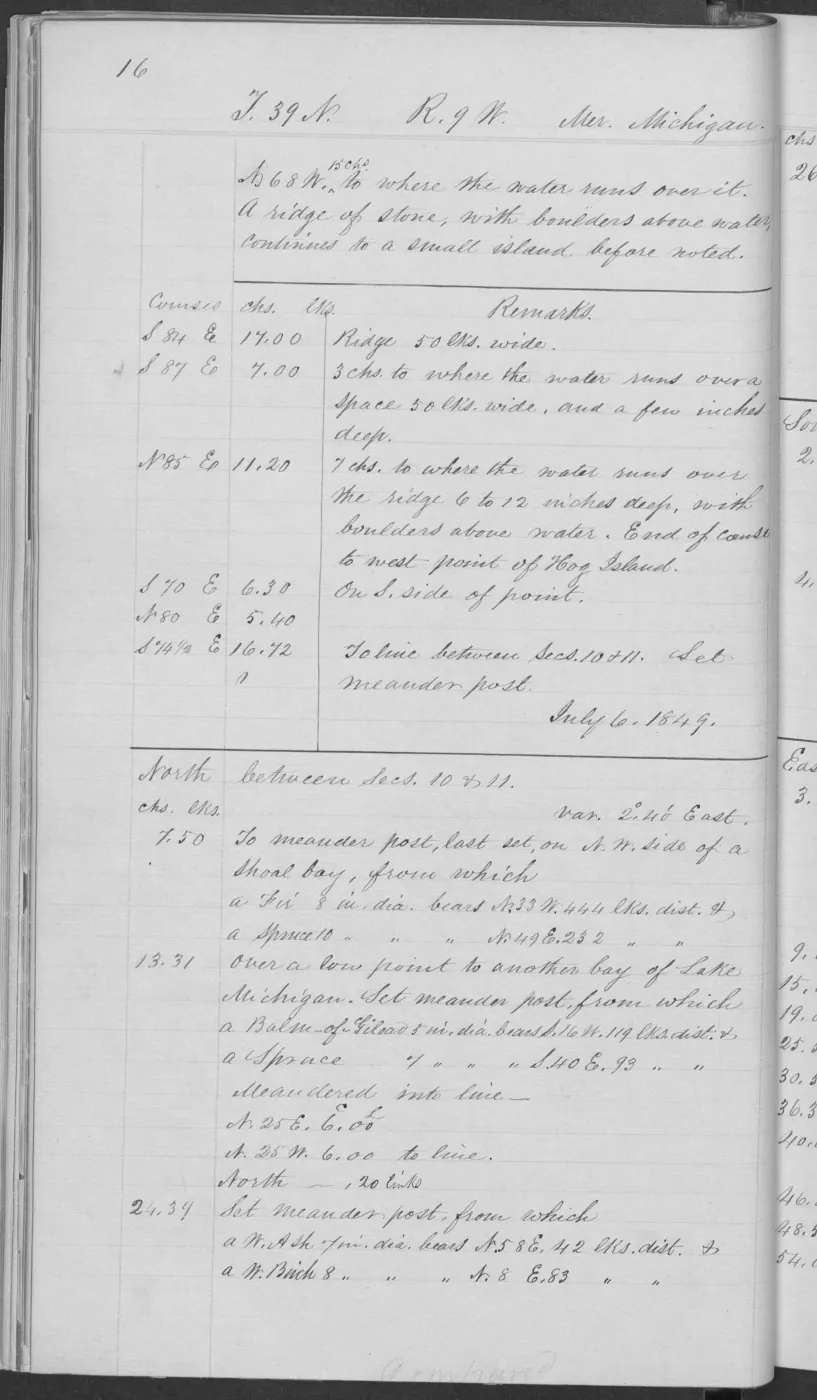
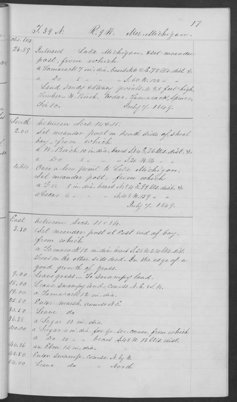
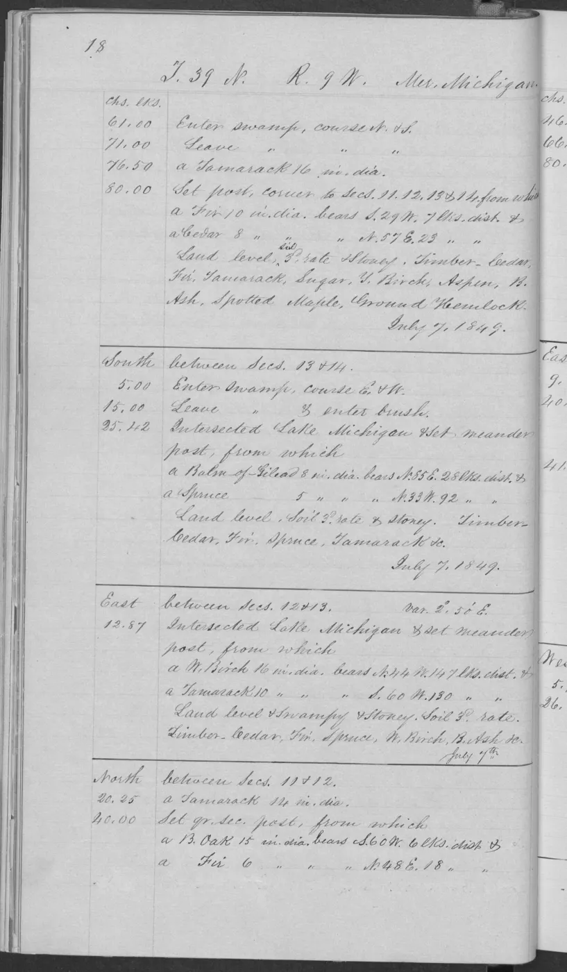
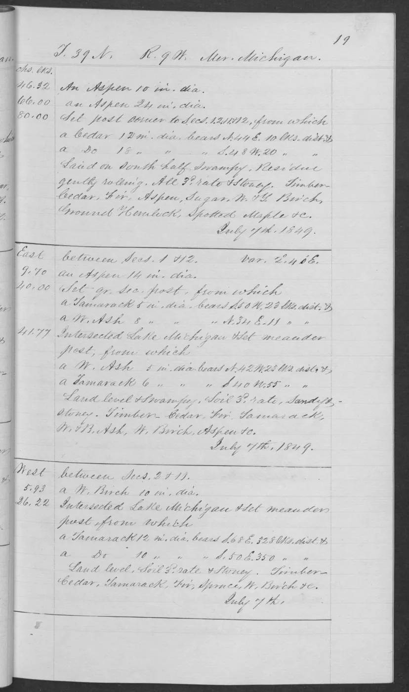
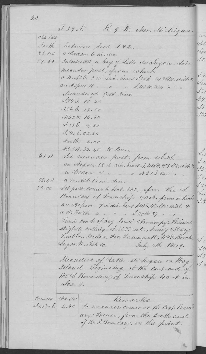
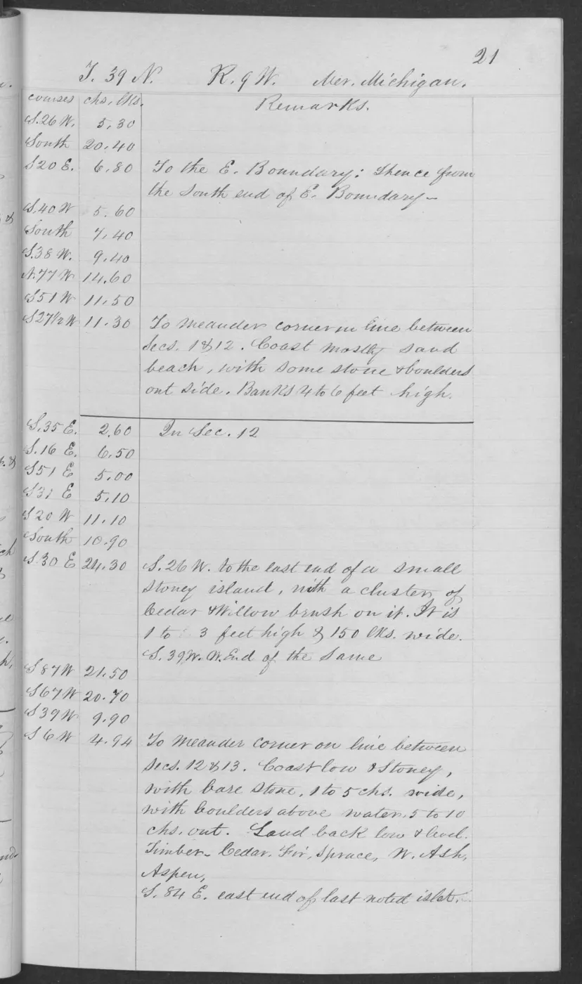
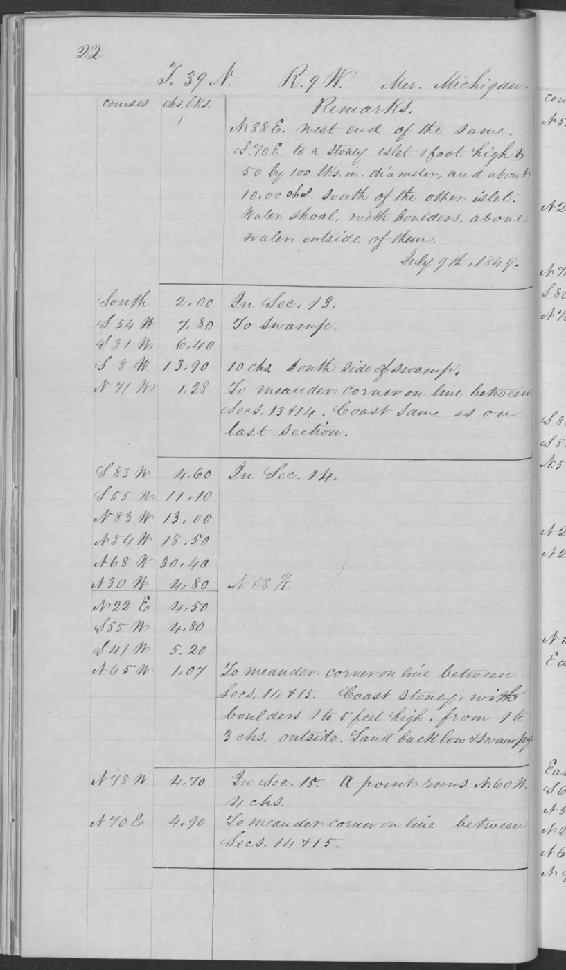
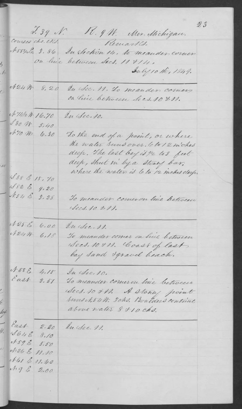
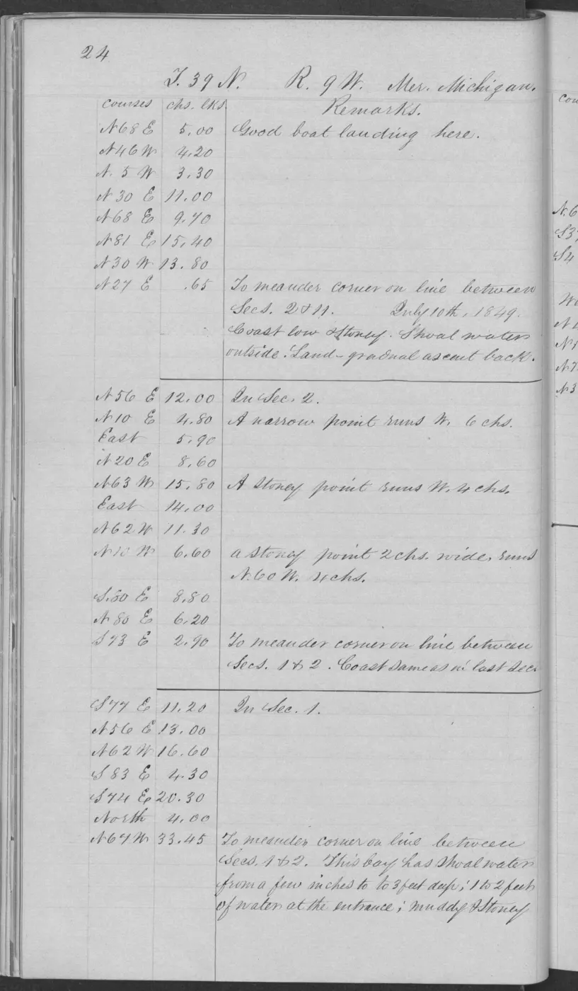
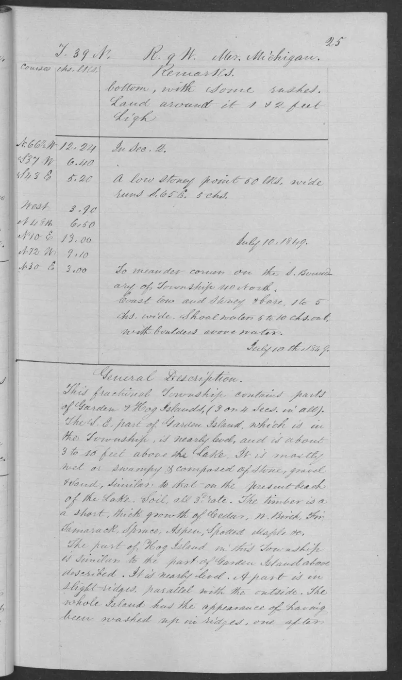
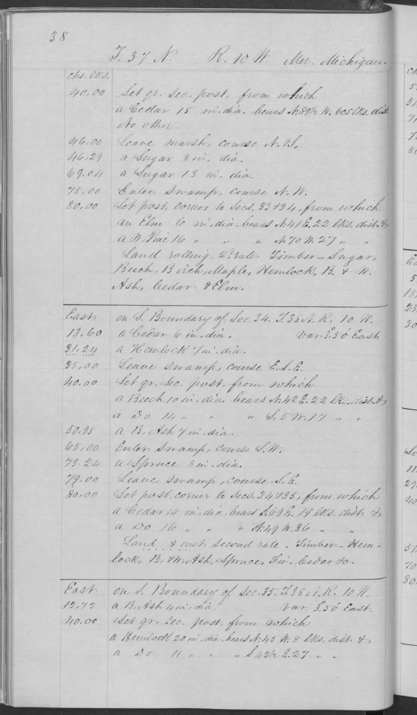
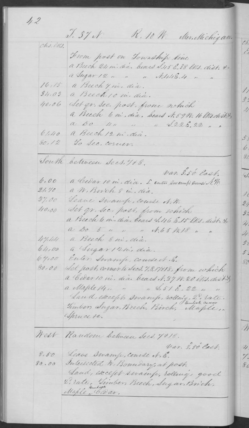
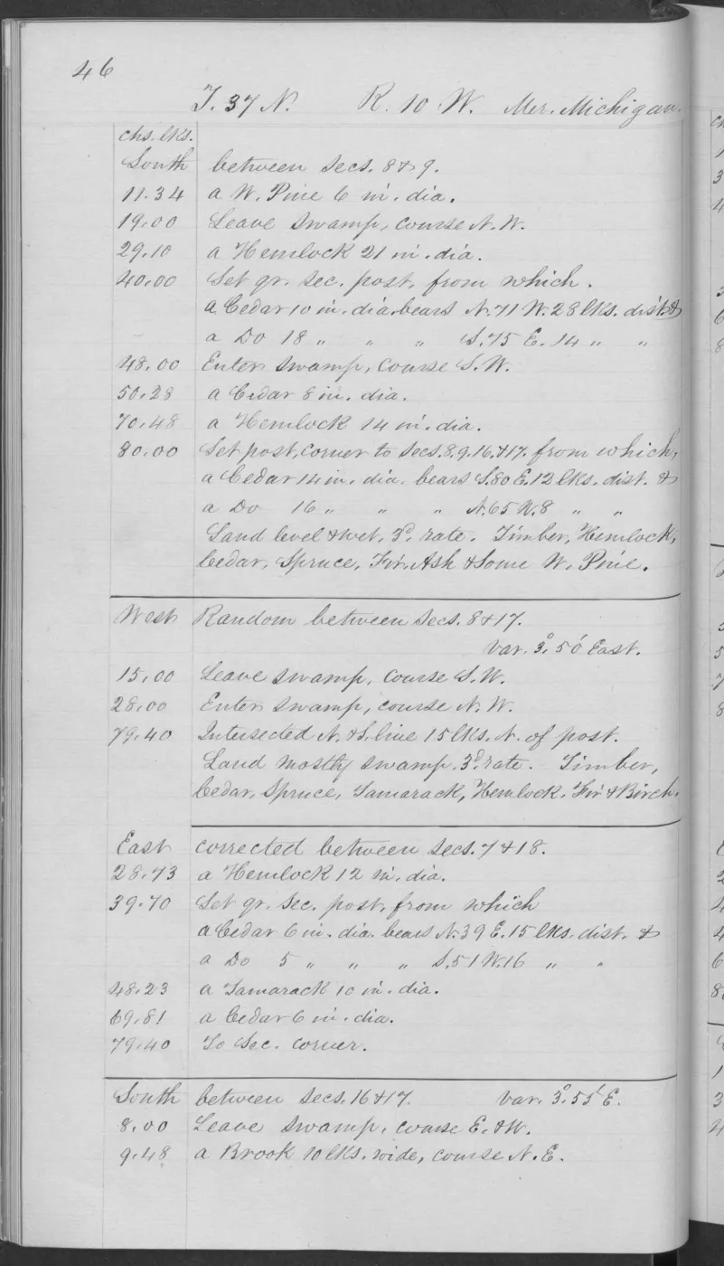
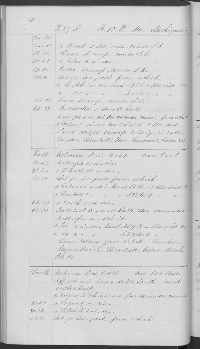
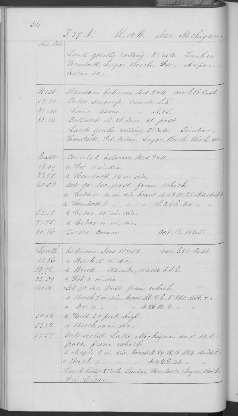
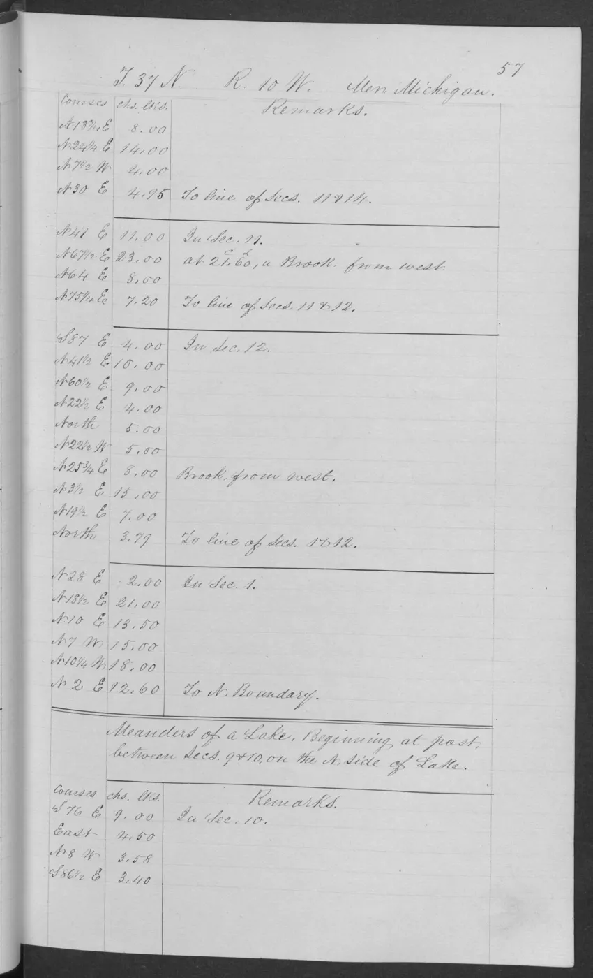
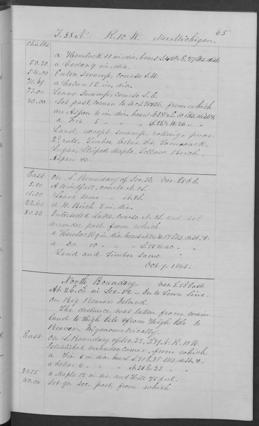
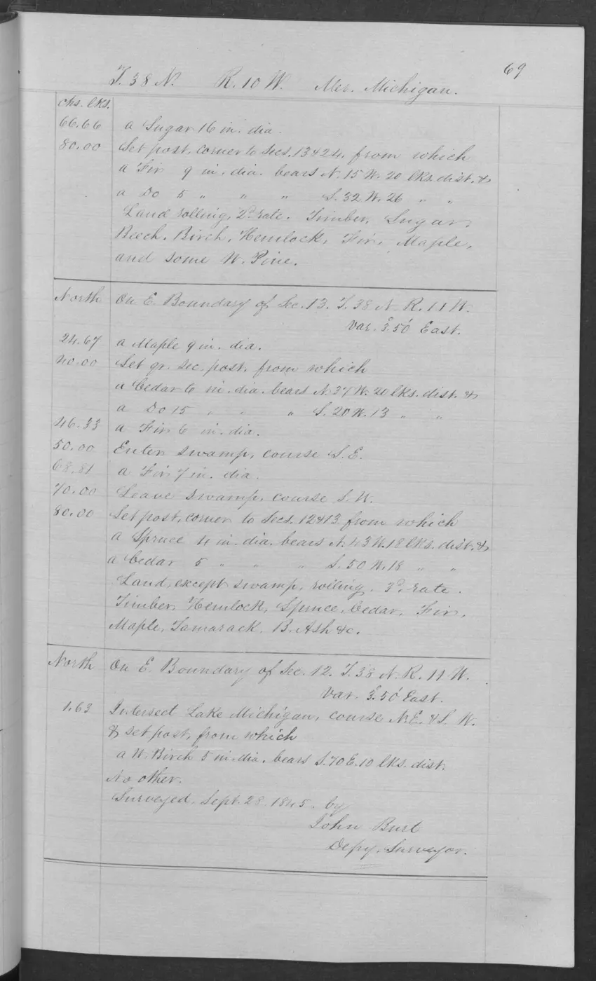
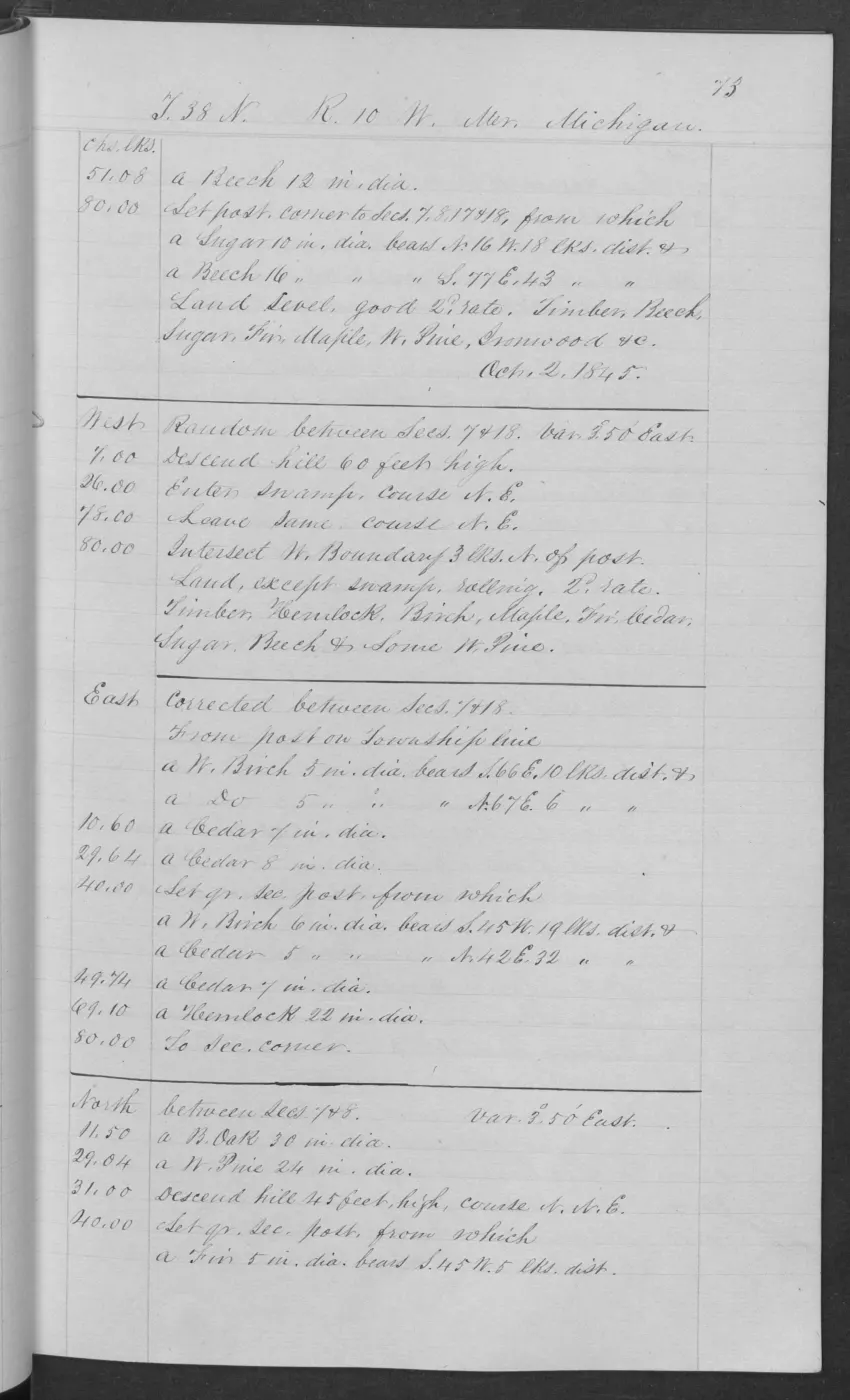
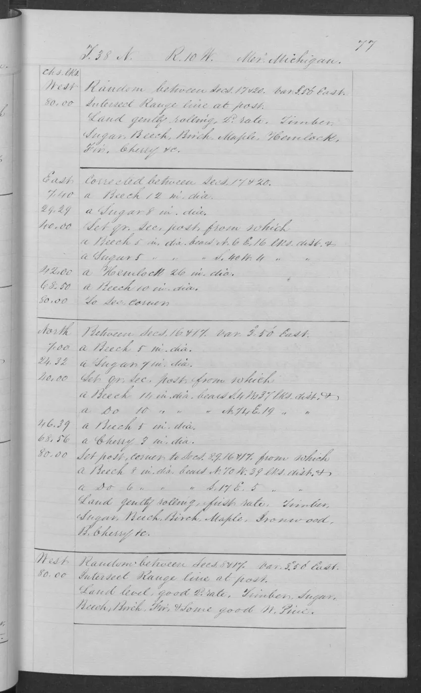
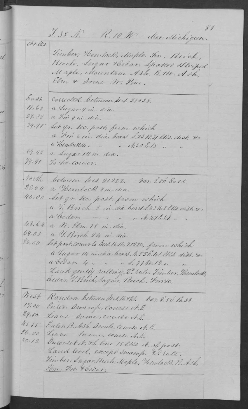
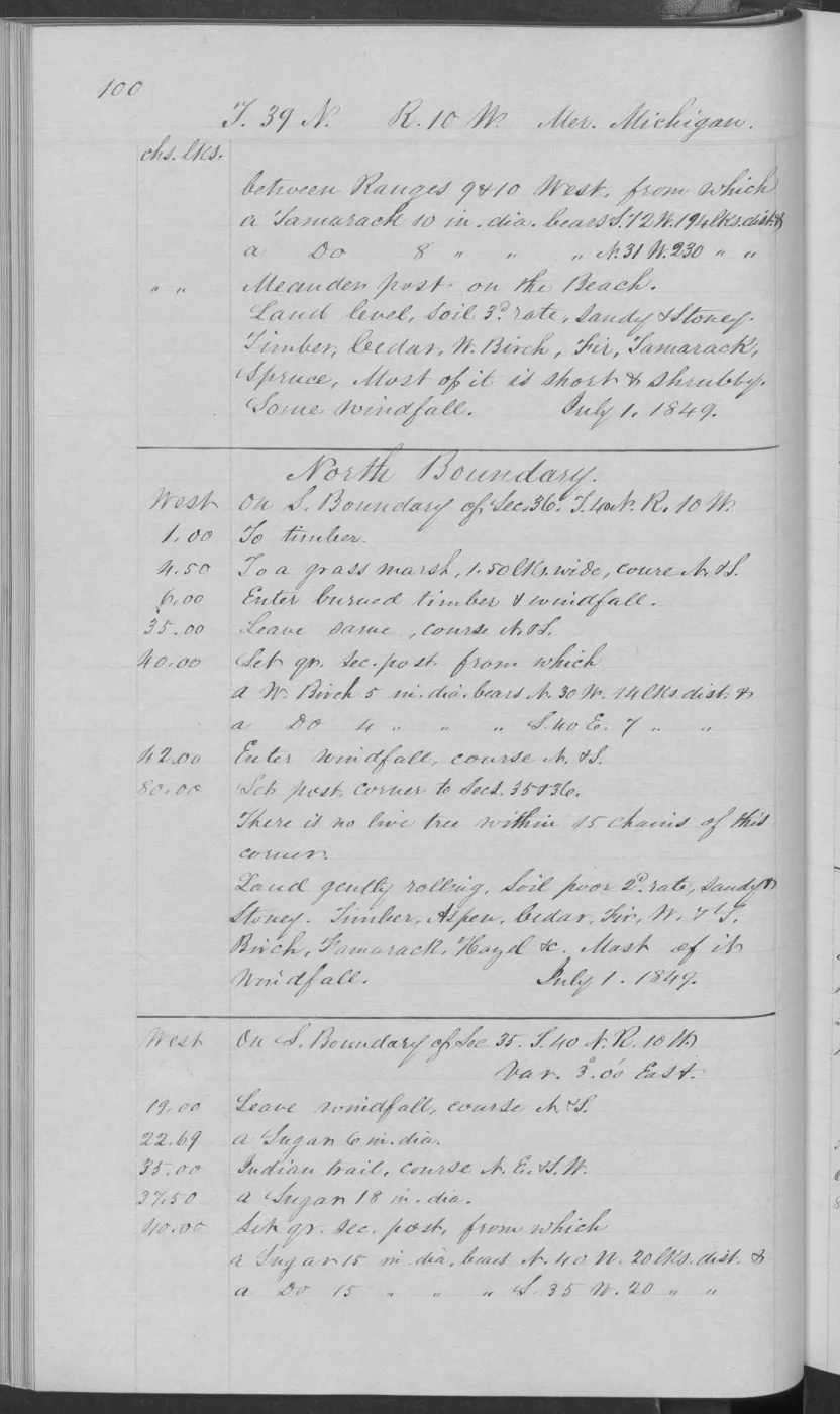
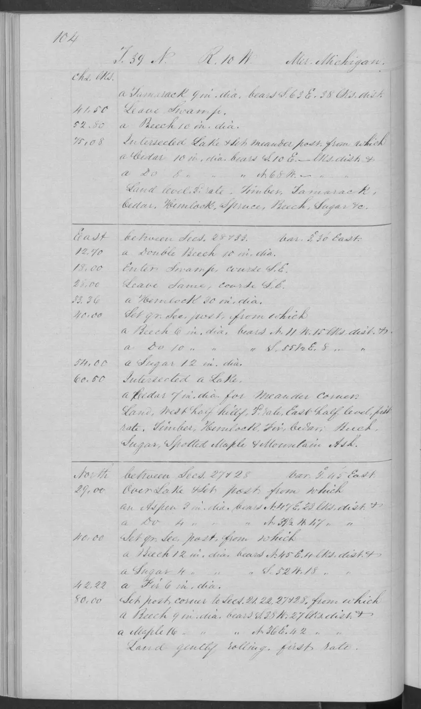
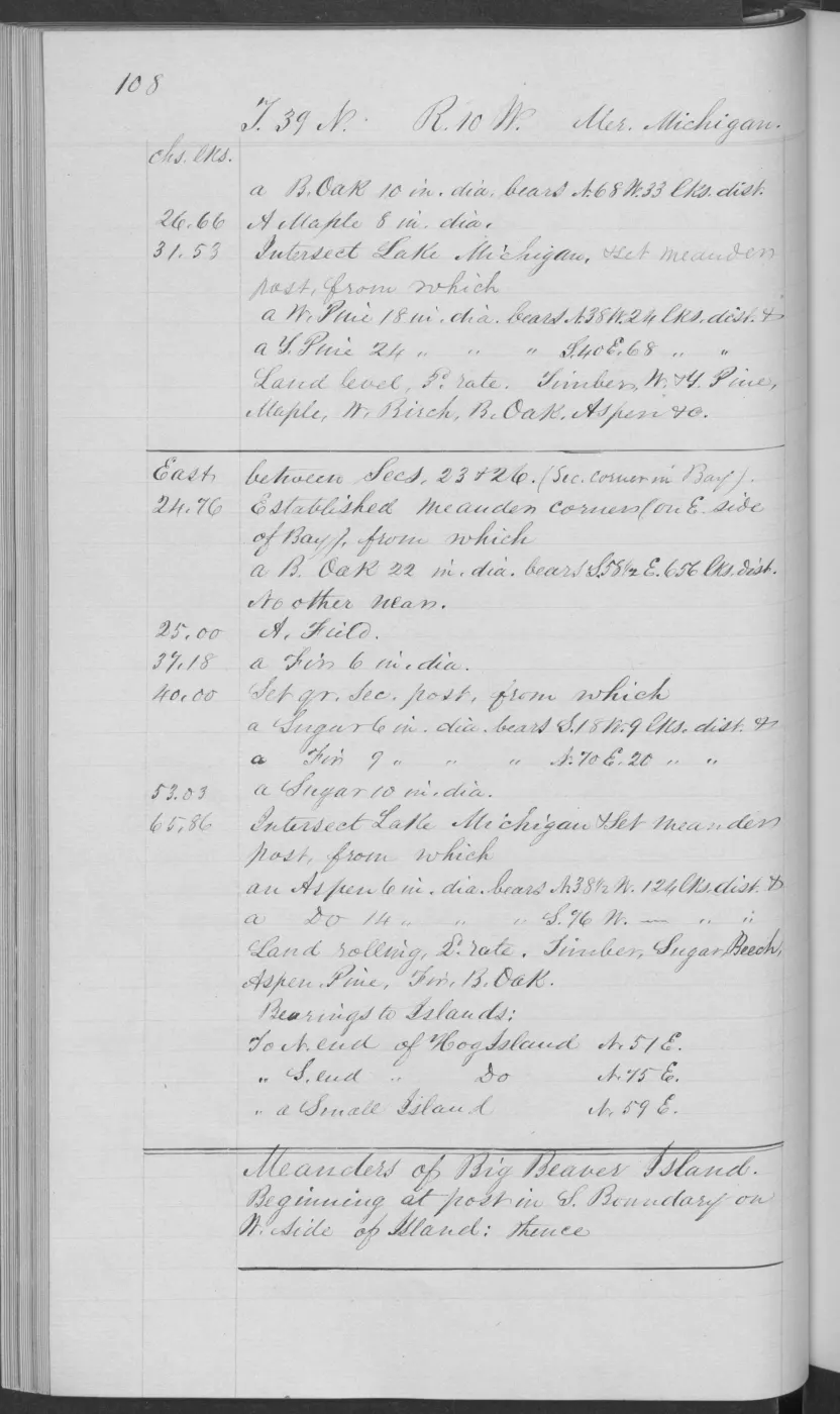
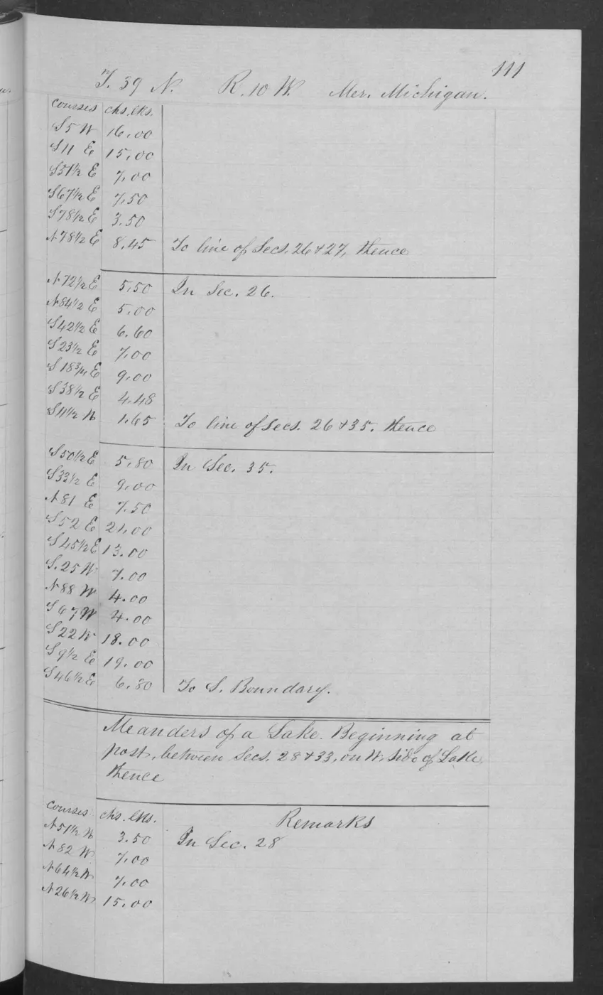
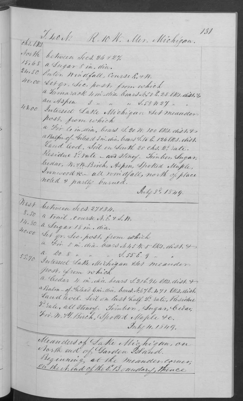
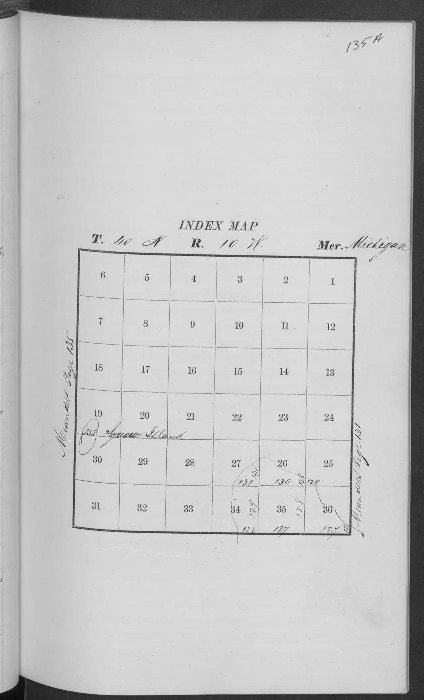
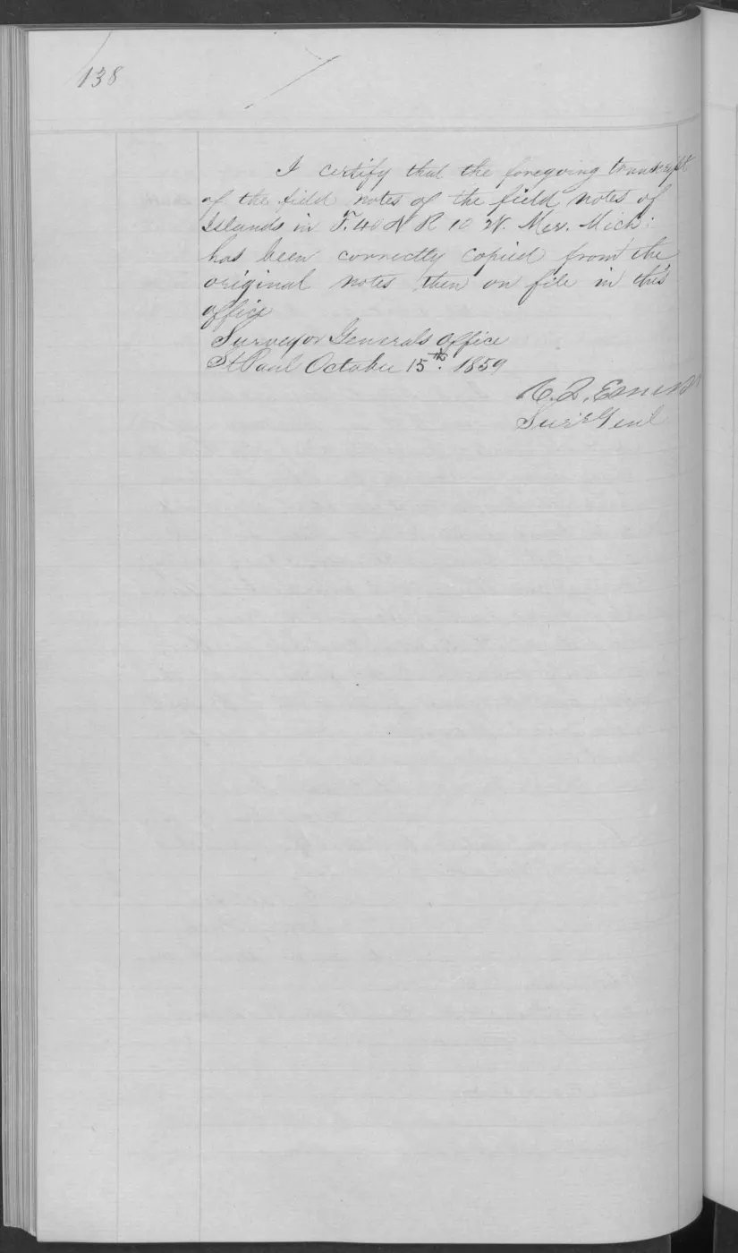
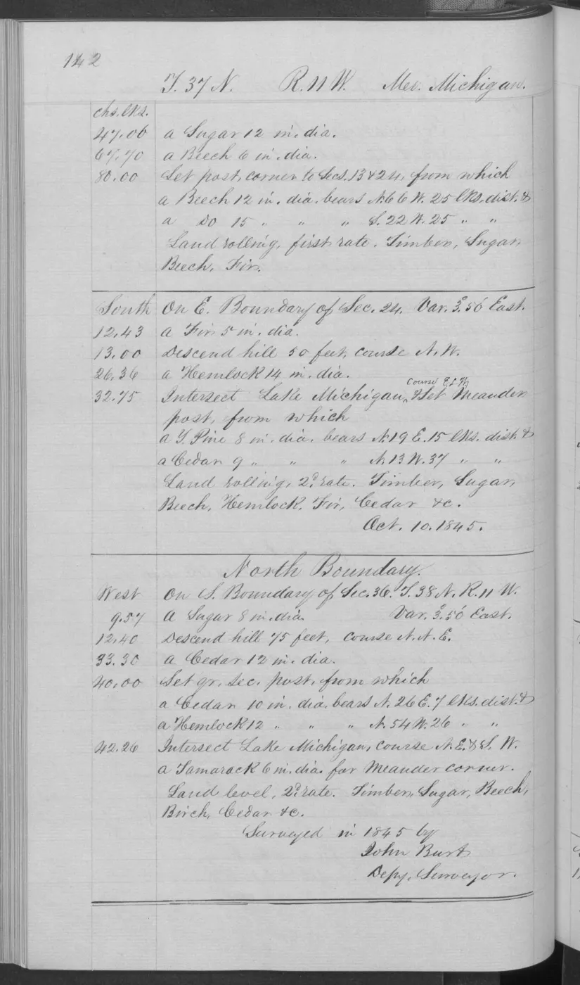
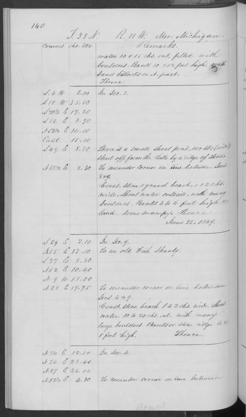
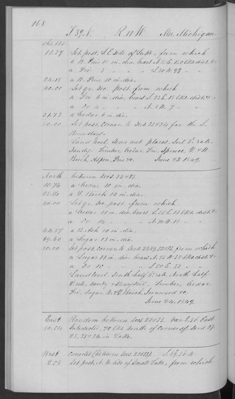
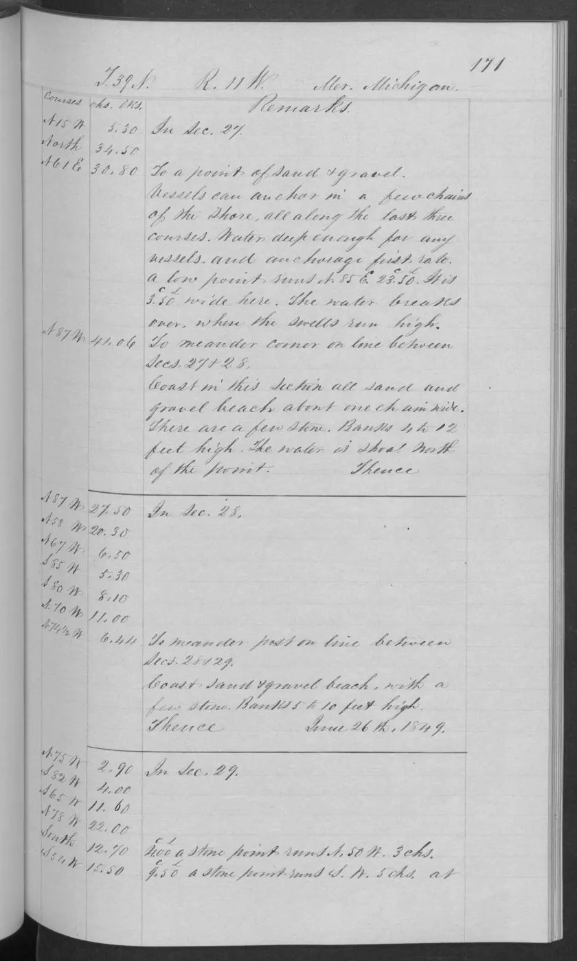
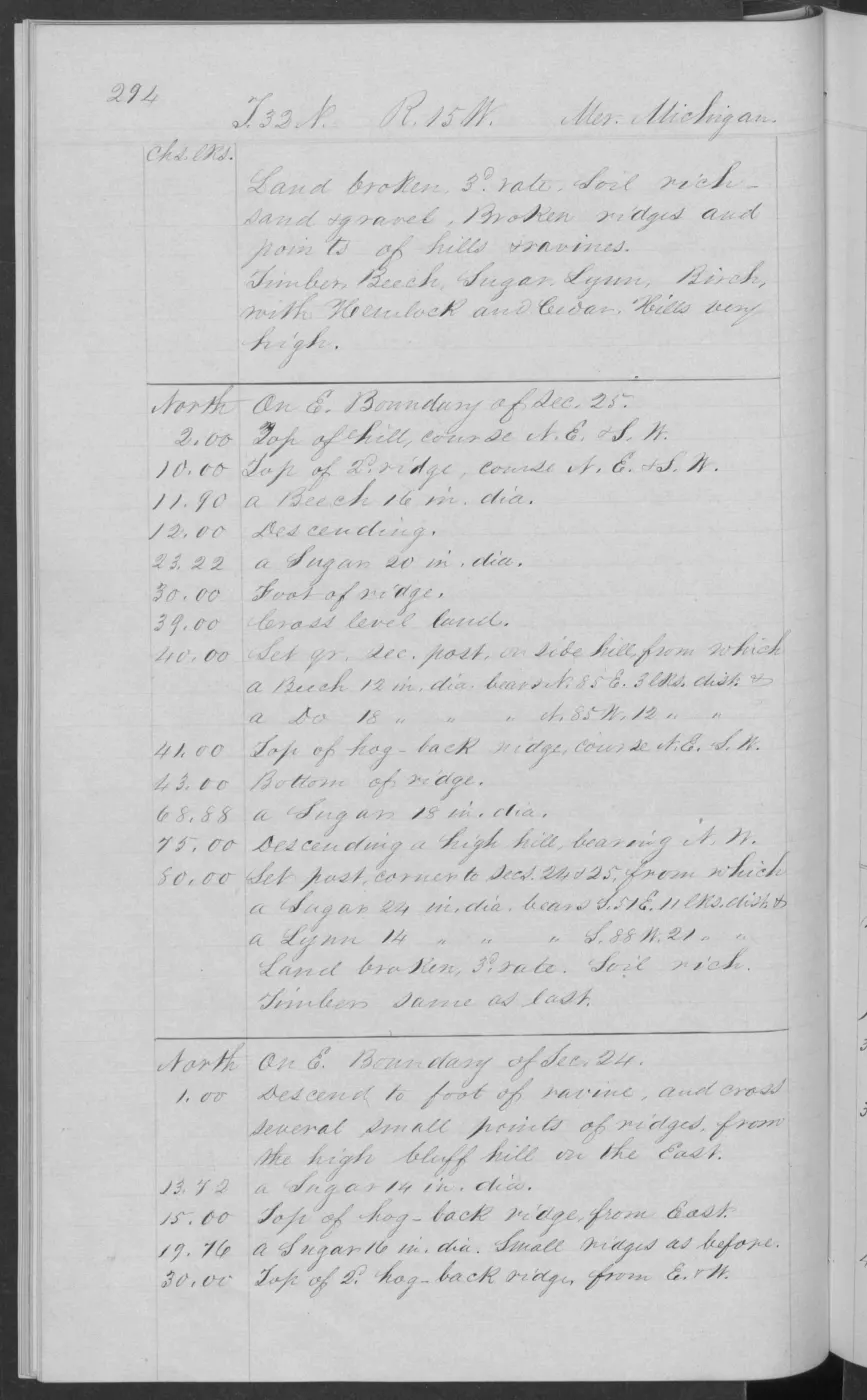
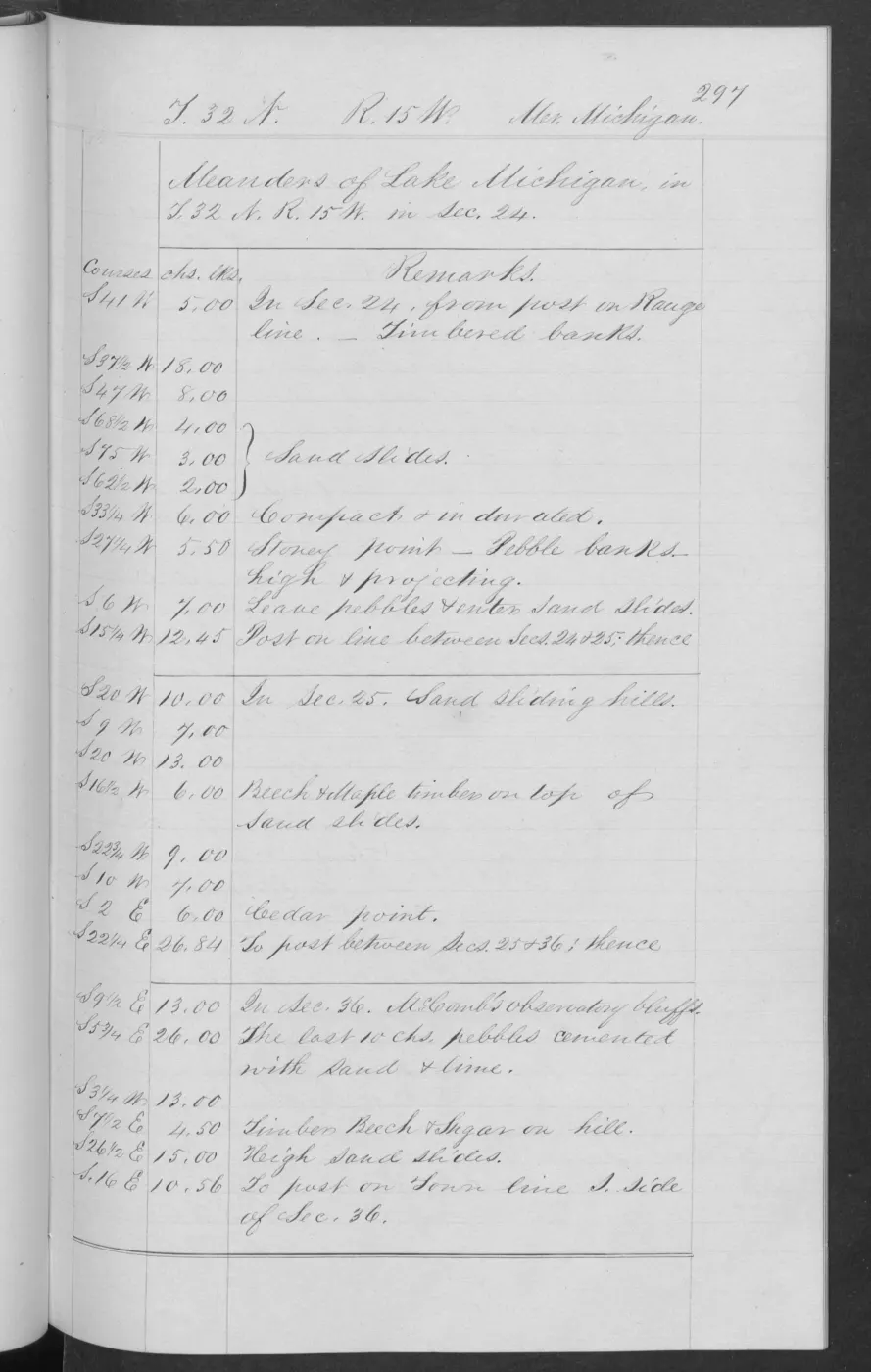
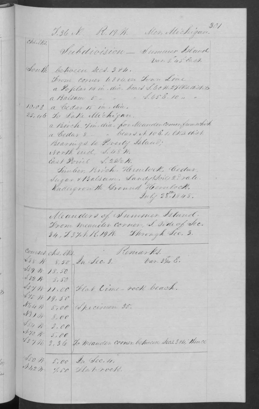
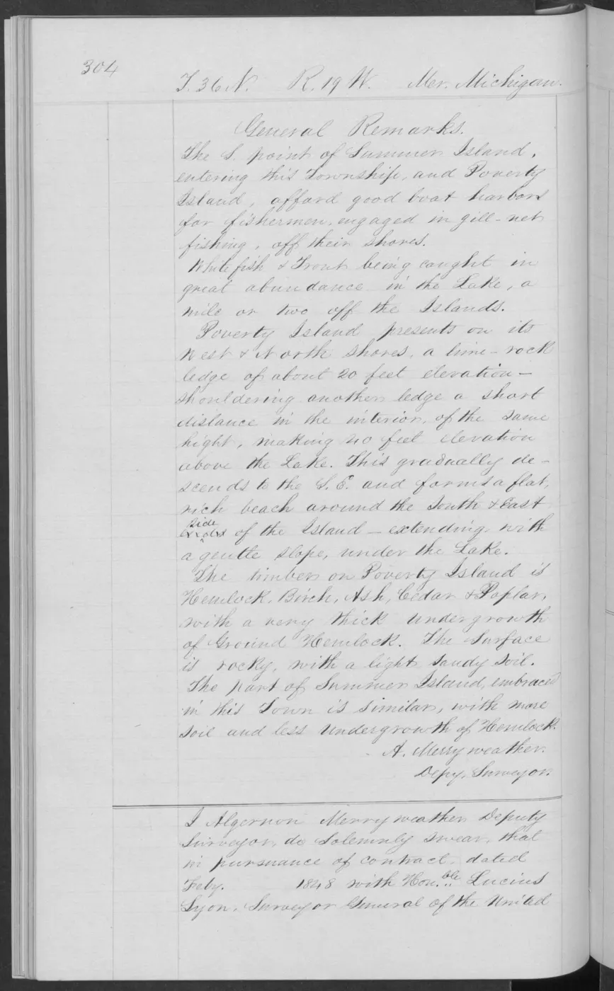
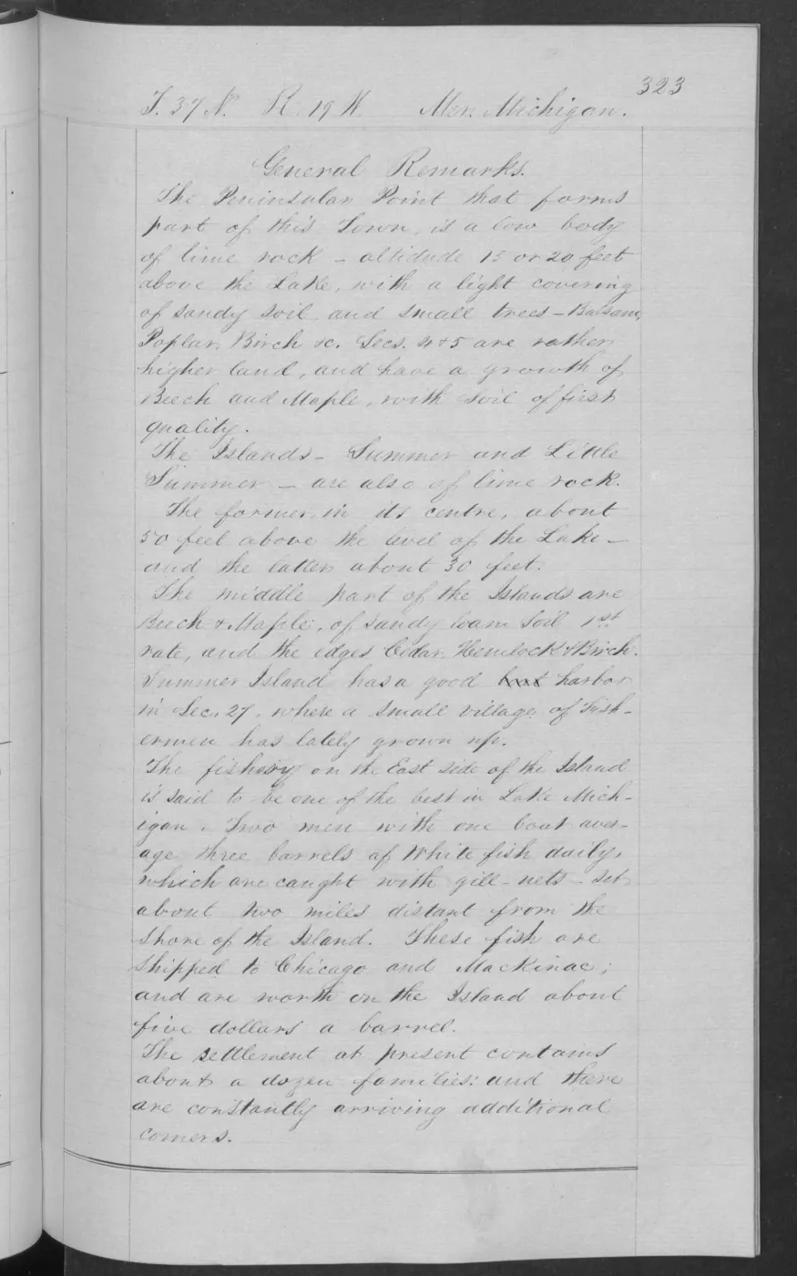
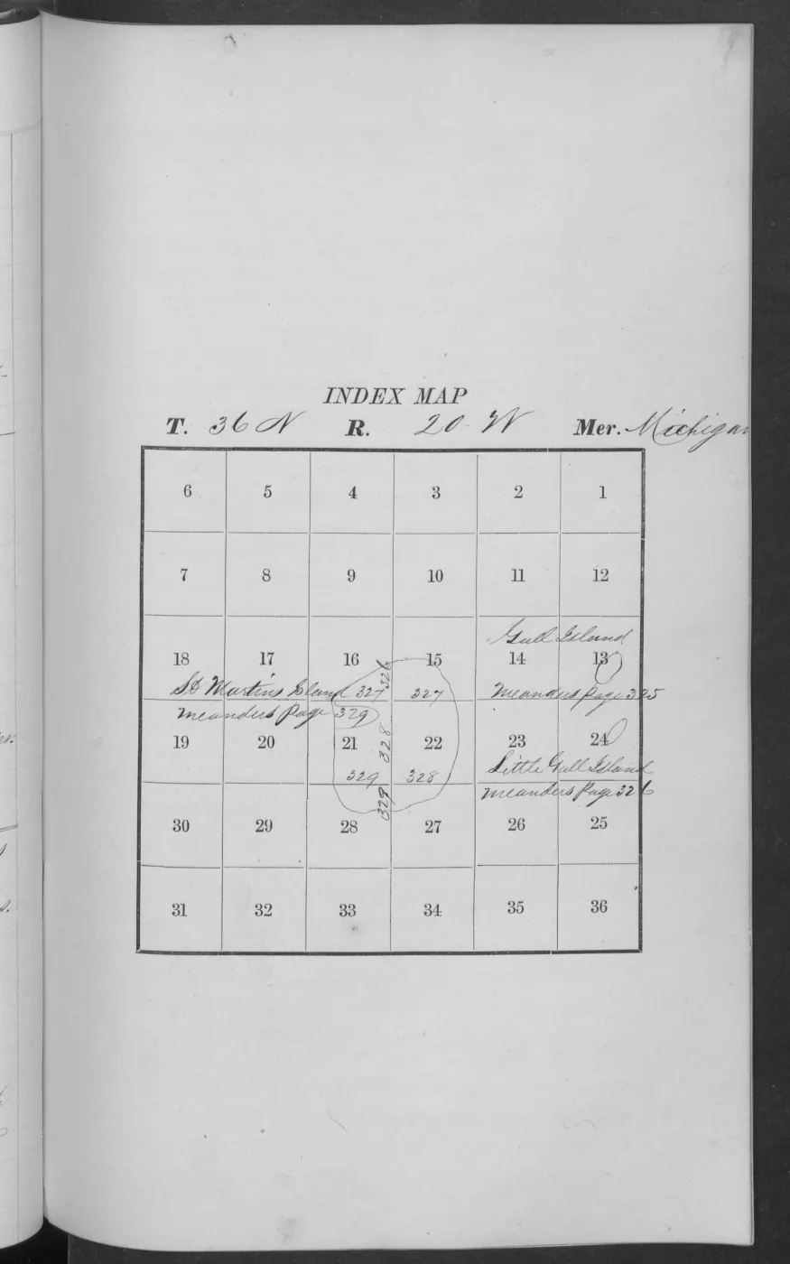
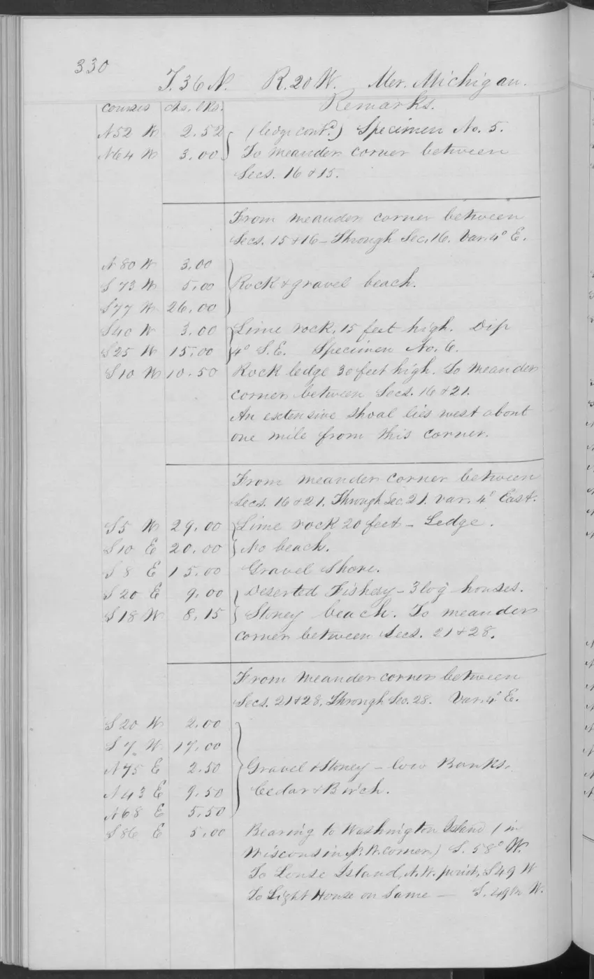
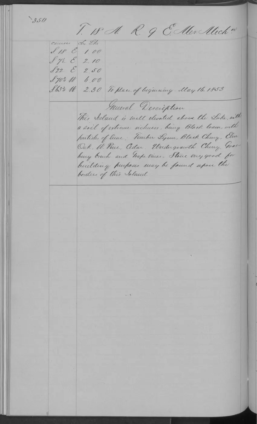
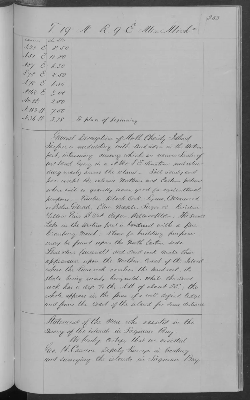
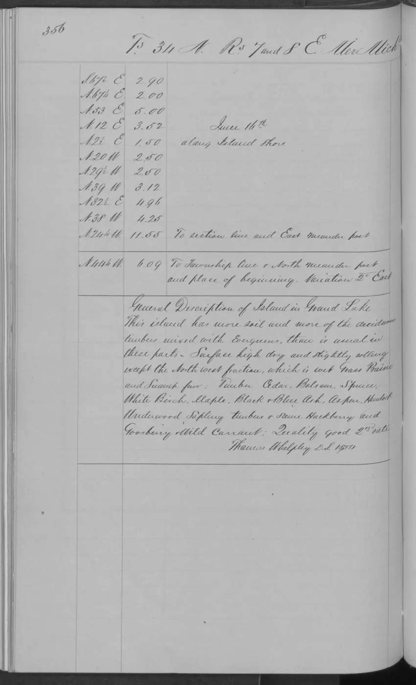
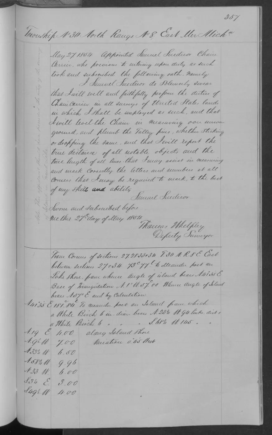
138 of 406 pages linked here — every page to 32, then every 4th, then the last 16. With JavaScript, every page.
Sources
- Held sanitized BLM detail metadata gives Survey Commenced 1845-10-10 and Survey Completed 1845-10-15, with John Burt identified as Deputy Surveyor; it links the record to Field Note Volume 168138. The metadata also records contract instructions dated 1845-02-26 and a search date of 1846-02-26, neither of which is substituted for the fieldwork dates. The holder's public portal is searchable but does not link this record directly; the archive holds a copy of the file and can provide it on request.federal · glo_surveys · beaver_island_surveys
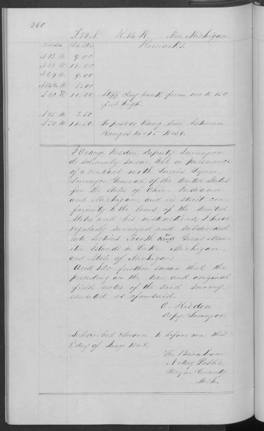
- Visually verified certification page. John Burt, Deputy Surveyor, swore that he had subdivided and surveyed fractional Township 37 North, Range 11 West on Big Beaver Island and that the prior pages were the true original field notes; the oath is dated 4 February 1846. The page verifies scope and authorship, while the BLM Survey metadata supplies the exact 1845 work dates. The holder's public portal is searchable but does not link this record directly; the archive holds a copy of the file and can provide it on request.federal · glo_field_notes · pdfs · 3879958517549955184-field-note-volume-168138
Added 2 August 2026. Recent changes
Cite this article
Beaver Island Archive, “Federal survey of Big Beaver Island, T37N R11W, 1845”, https://beaverislandarchive.org/events/federal-survey-of-big-beaver-t37n-r11w-1845/, accessed [date], citing Bureau of Land Management, General Land Office Records, Survey-31518, Survey of Islands. (and 1 further source listed on the page).
Last revised 2026-08-02. Fill in [date] with the date you read it — this page is static and cannot know that.
BibTeX for “Federal survey of Big Beaver Island, T37N R11W, 1845”RIS for “Federal survey of Big Beaver Island, T37N R11W, 1845”