

- Date
- 1901
- Eras
- Modern era
- Concepts
- cartographyland-surveypropertyland-usesettlementpublication
- Within
- Beaver Island
- Media
- Plat of Big Beaver Island, 1901
Summary
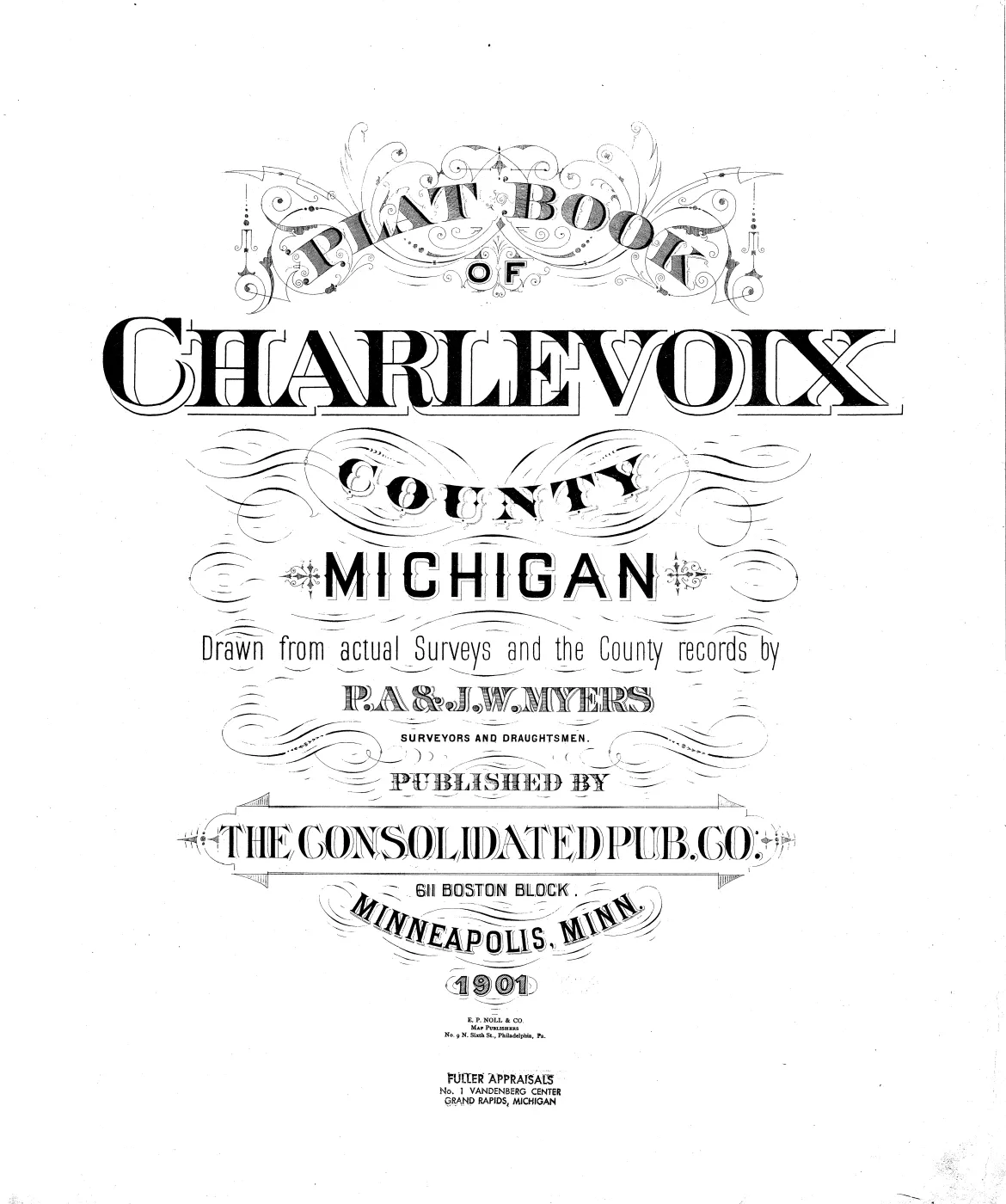
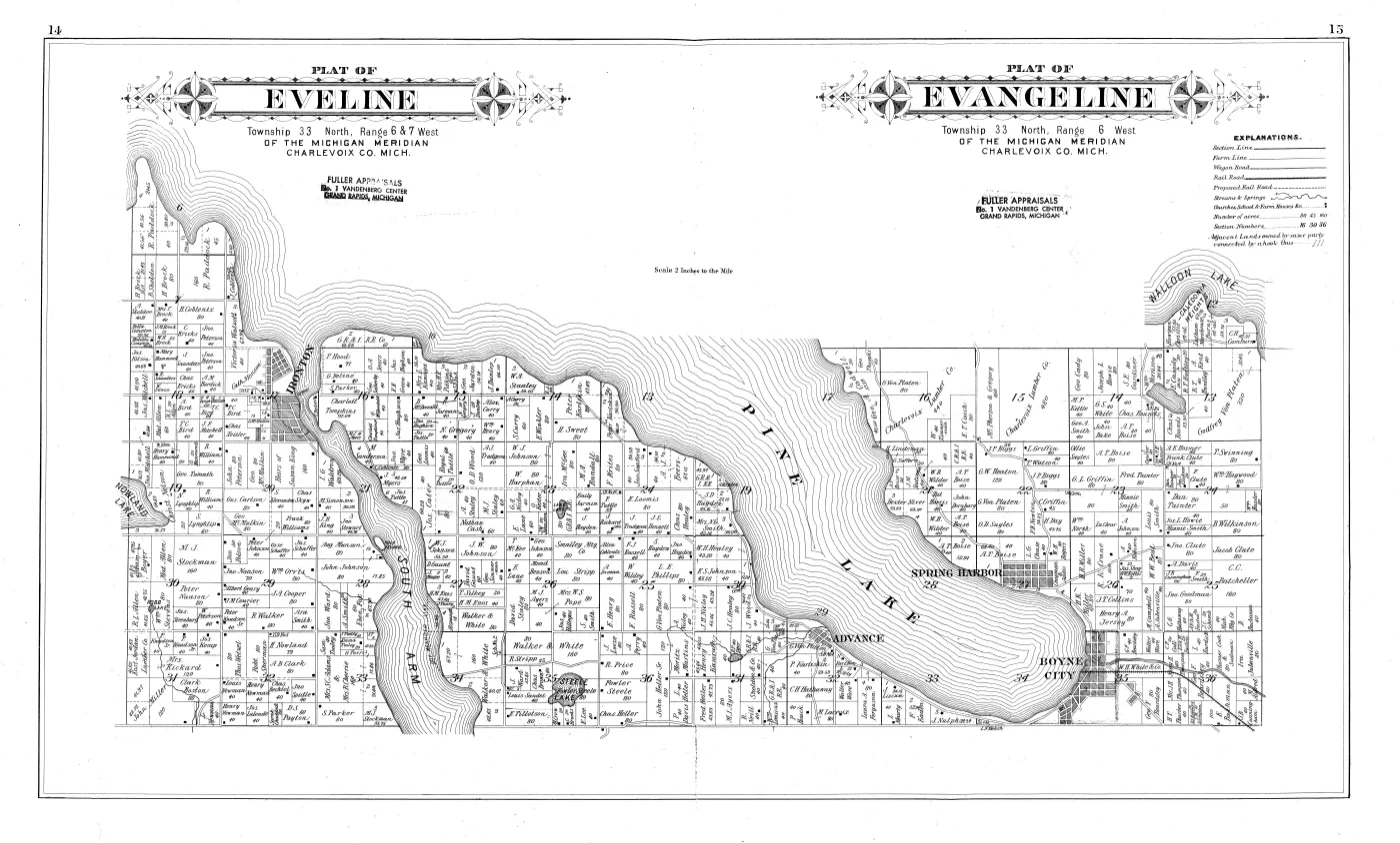
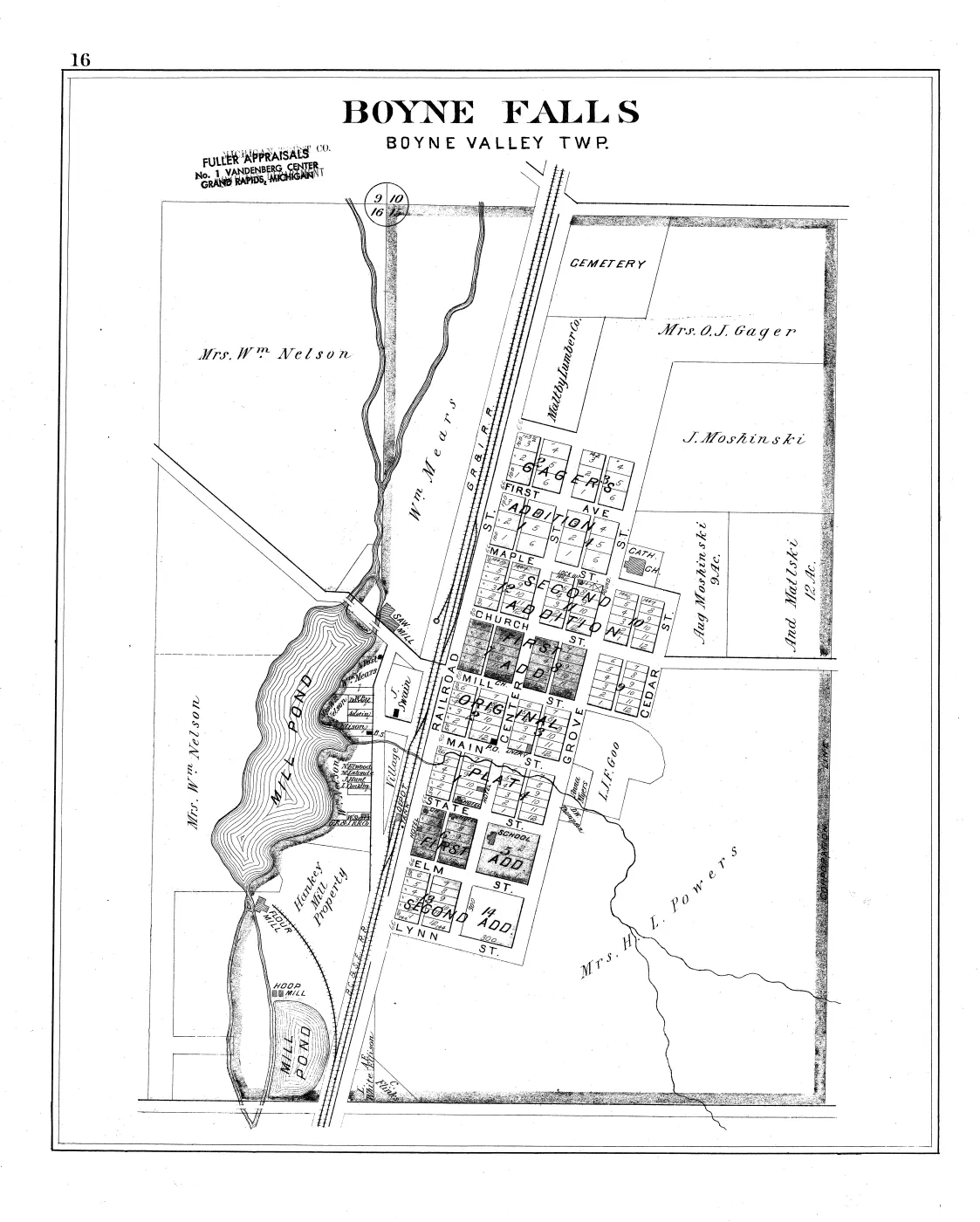
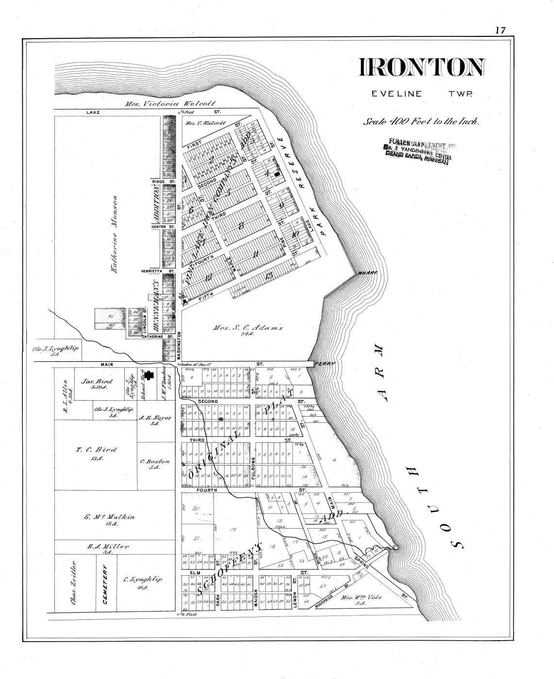
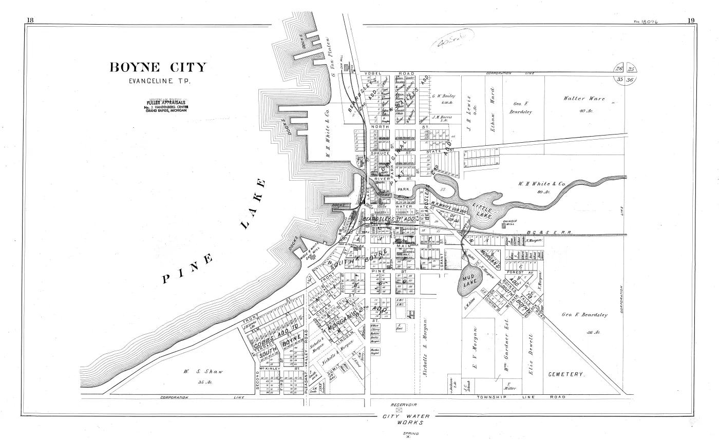
A commercial county atlas: forty-two printed pages of cadastral plats covering every township, village and island in Charlevoix County, drawn at two inches to the mile and naming the owner of every parcel with its acreage. It was drawn from actual Surveys and the County records by P. A. & J. W. Myers, Surveyors and Draughtsmen, published by The Consolidated Pub. Co., 611 Boston Block, Minneapolis, in 1901, with map engraving by E. P. Noll & Co. of Philadelphia.
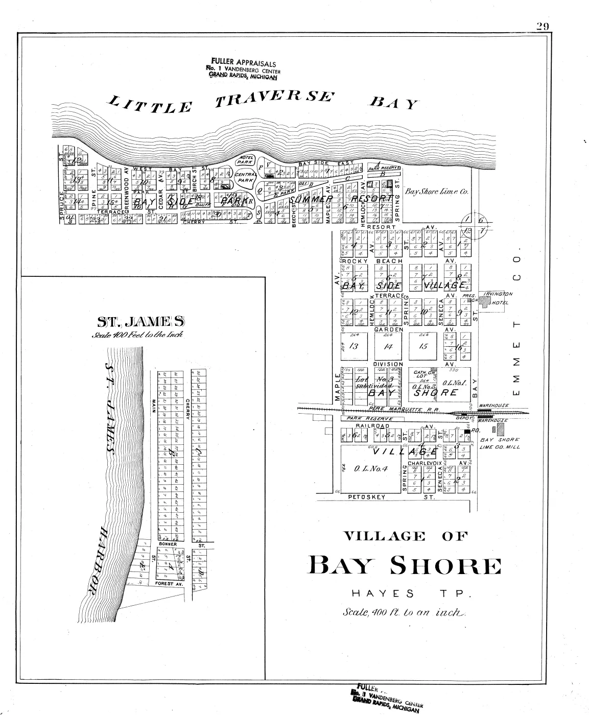
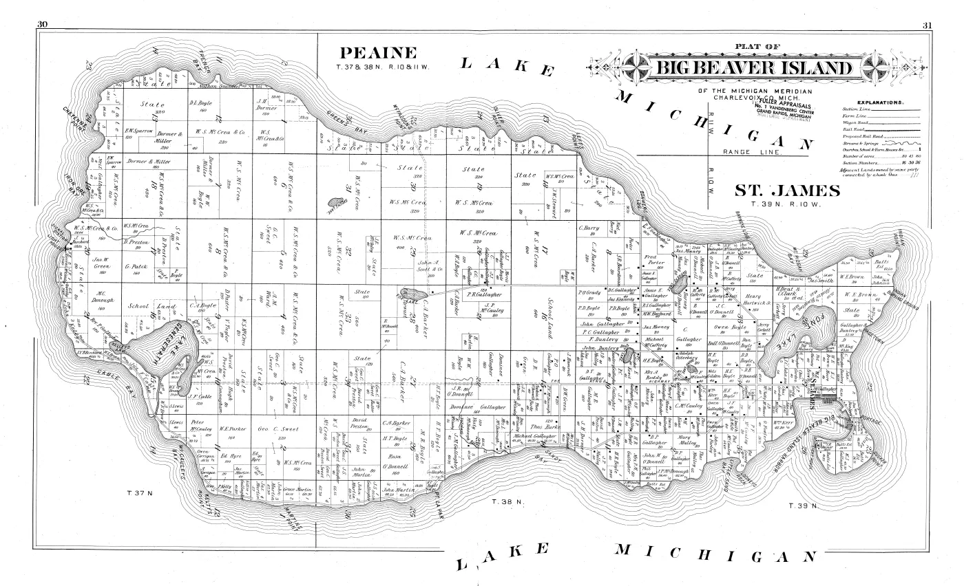
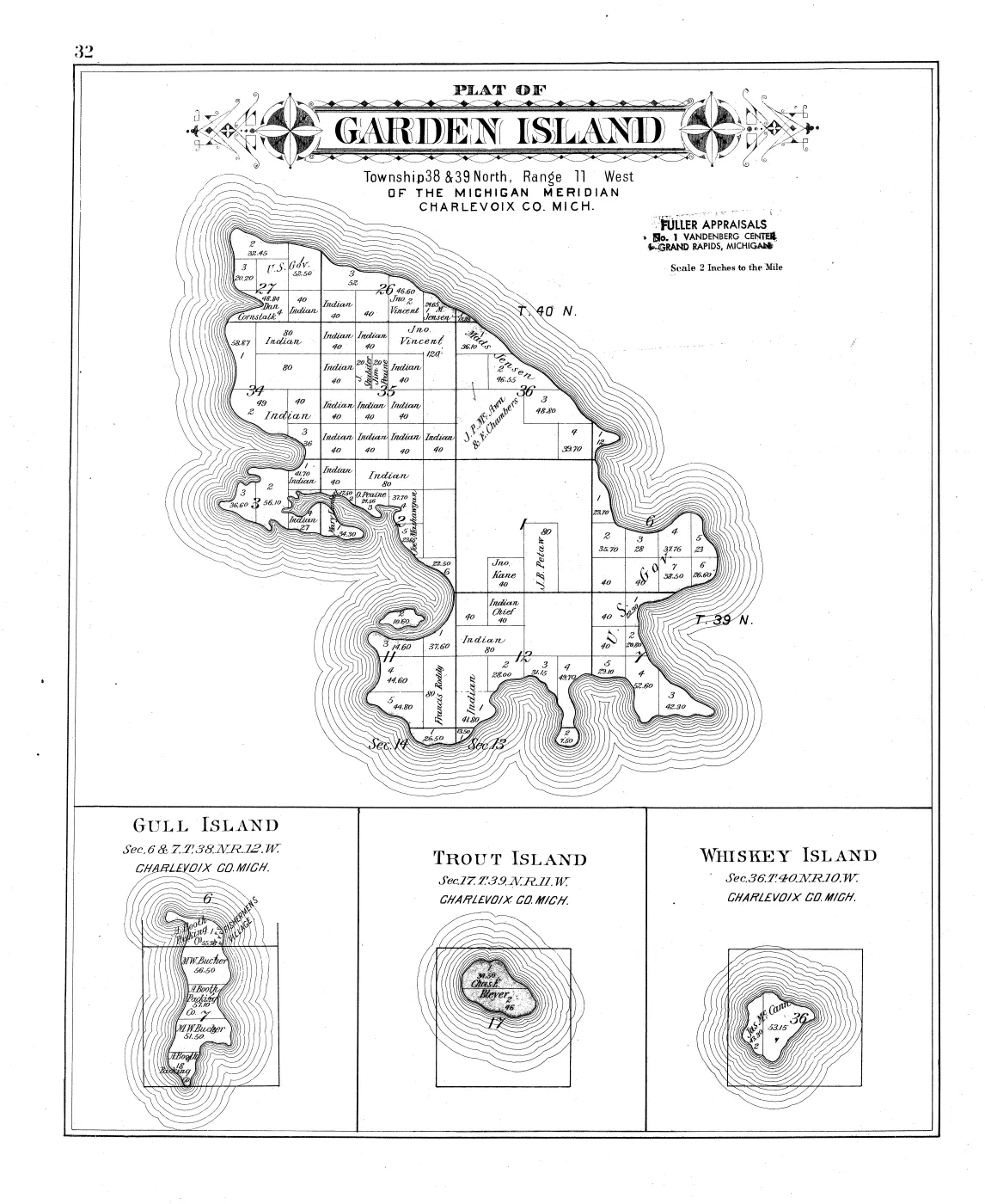
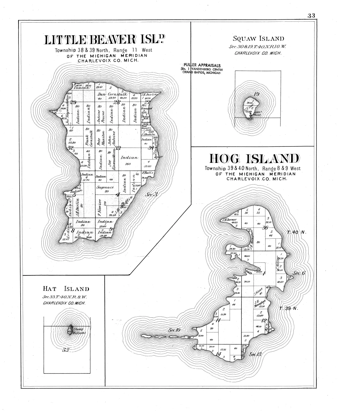
Four of its plates map this archipelago, and together they are the closest thing the archive holds to a snapshot of who held which piece of ground on Beaver Island and its neighbours at the turn of the twentieth century — the moment between the lumbering era and the modern one, and half a century after the GLO survey. Printed pages 30 and 31 are a single double-page spread, Plat of Big Beaver Island; page 32 is Garden Island with Gull, Trout and Whiskey; page 33 is Little Beaver (High), Squaw, Hog and Hat; and page 29 carries the village lot plat of St. James.
What the book is, and what it is not
A plat book of this kind is a published compilation, not a legal record. Its title page states its two sources — the surveyors’ own work and the county records — and neither is reproduced here: what the reader sees is Myers’s drawing of them. So the sheet is strong evidence that a name was associated with a parcel in the county records as the compilers read them in 1900–01, and it is not evidence of title, of occupancy, or of residence. A deed, a tax roll or a GLO patent answers those questions; this answers “what did the county’s own record look like, drawn to scale, in 1901”.
Two further limits belong on the record rather than in a footnote.
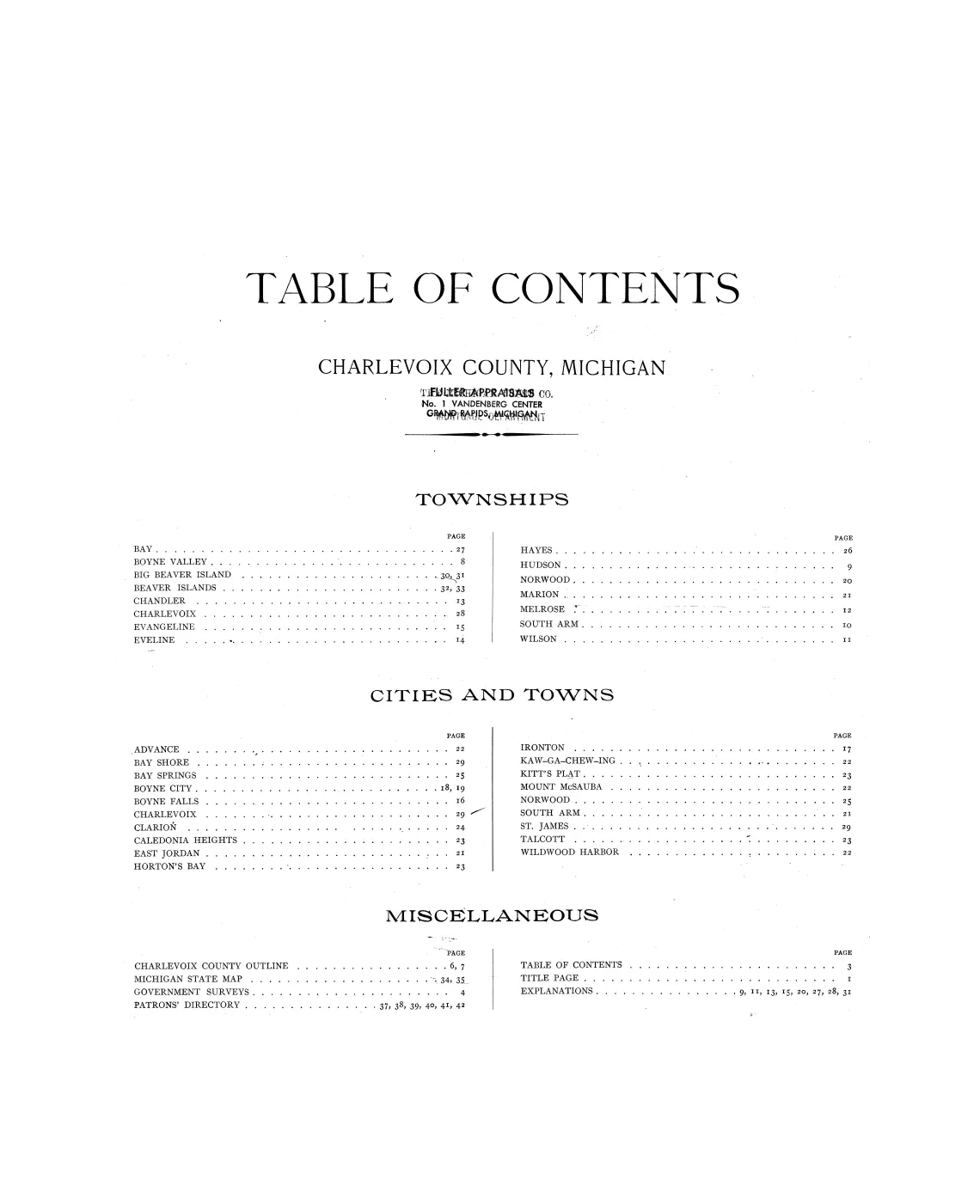
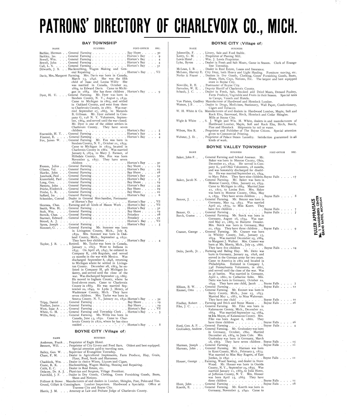
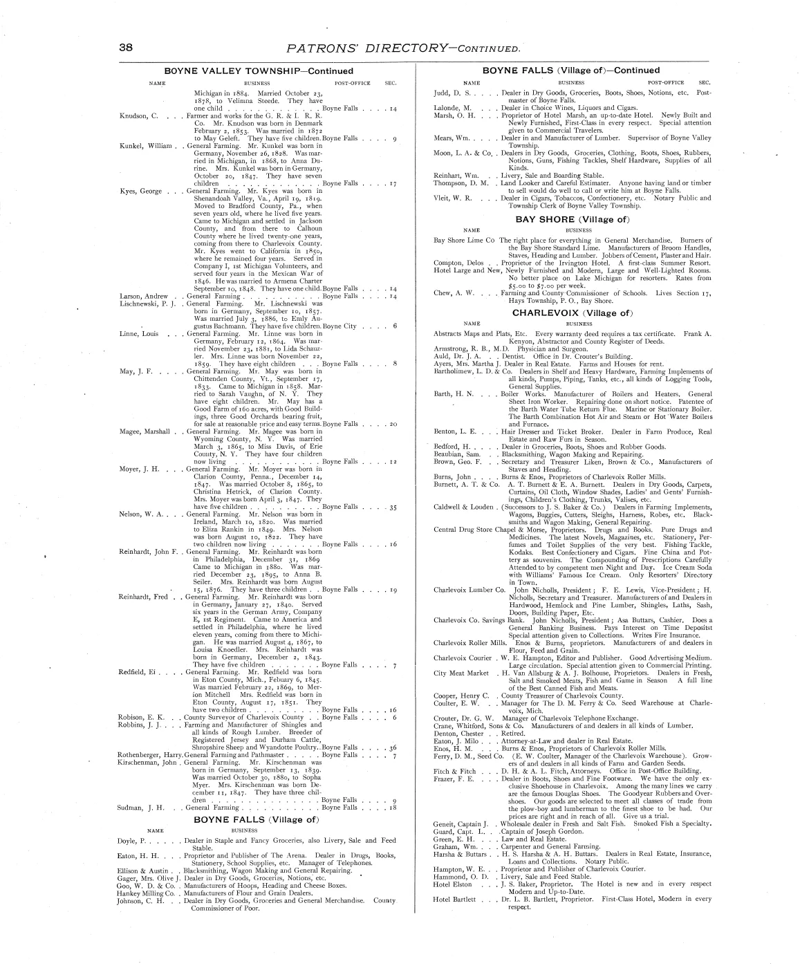
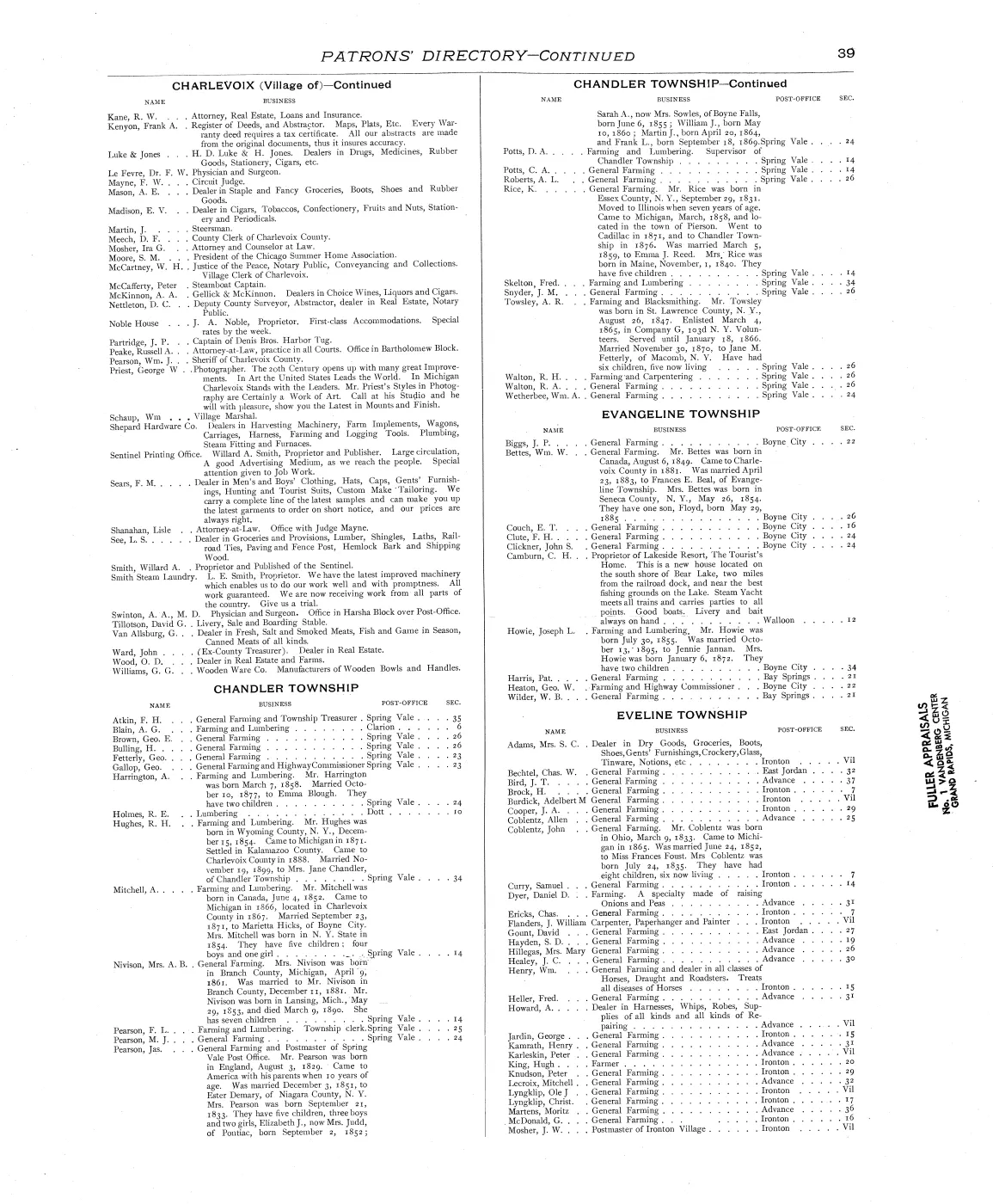
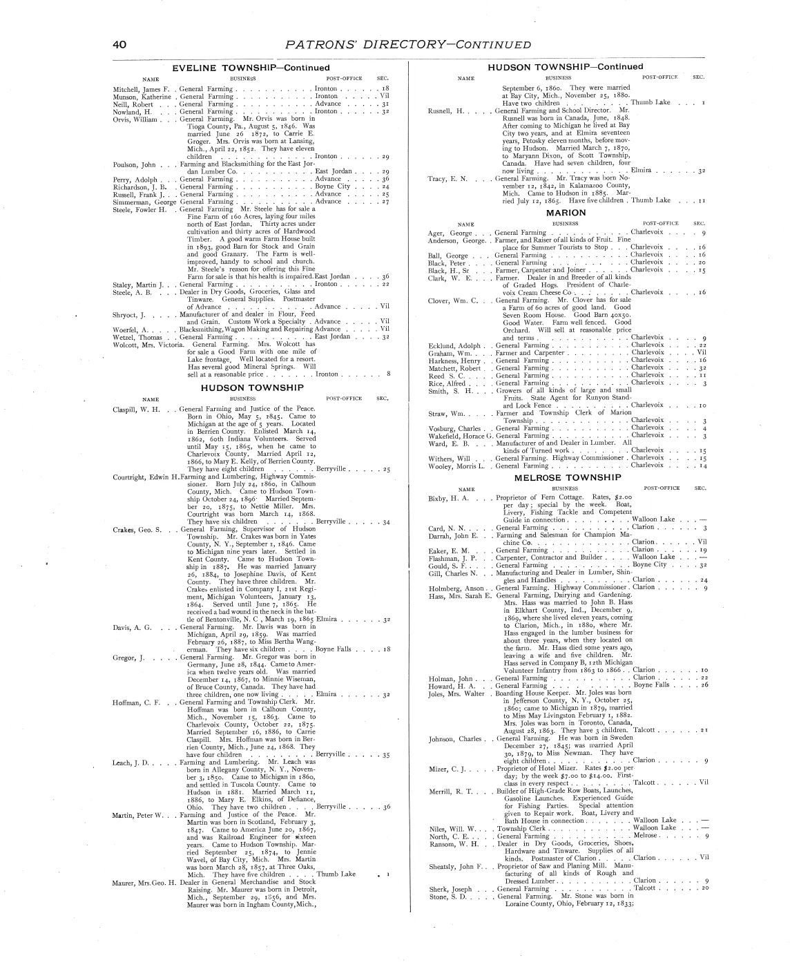
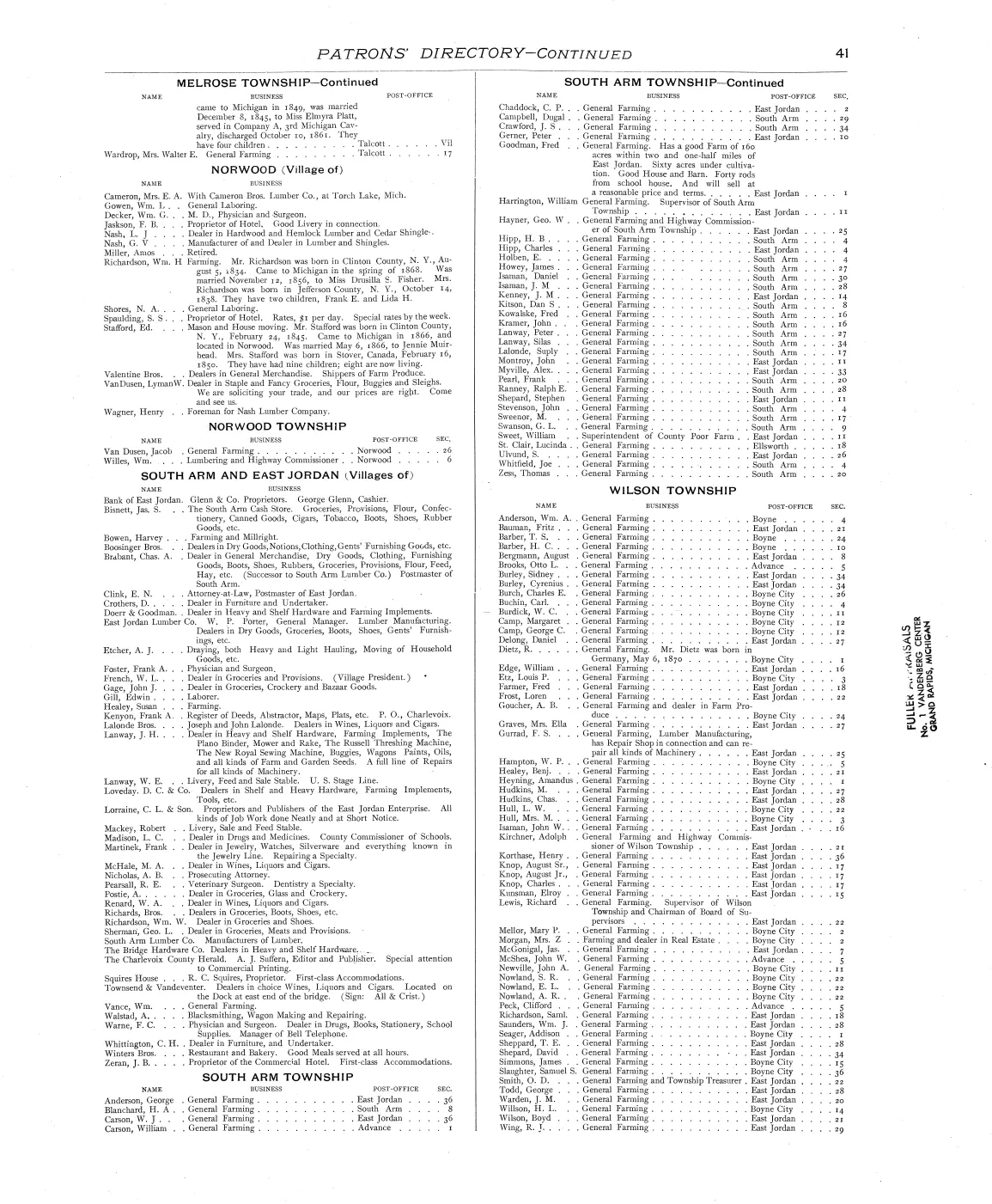
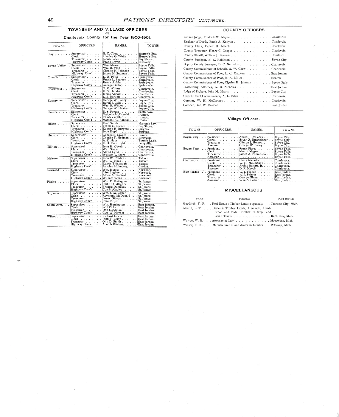
The directory is of patrons. The University of Michigan’s catalogue record notes that the volume “[i]ncludes directory and biographies of patrons”, and the table of contents gives the Patrons’ Directory six pages (printed 37–42). Inclusion in that directory therefore reflects subscription to the book, and a name’s presence or absence there says nothing about the person’s standing on the island. The plats are a different matter: they name owners whether or not those owners bought a copy.
“Indian” is the compilers’ label, not a name. On the Garden Island and Little Beaver plates a large number of parcels are marked simply “Indian”, while others carry the names of individual Anishinaabe owners. Both are the compilers’ rendering. The unnamed parcels are a defect in this source, not an absence of people, and the archive’s other holdings for those islands should be read alongside it rather than against it.
The archipelago plates
The table below gives both numbers, because for this book they are not the same thing.
| Image index | Printed folio(s) | Plate |
|---|---|---|
| 29 | 29 | St. James village lot plat (with the Village of Bay Shore, Hayes Township, on the same page) |
| 30 | 30–31 | Plat of Big Beaver Island — Peaine T.37 & 38 N., R.10 & 11 W. and St. James T.39 N., R.10 W. |
| 31 | 32 | Garden Island, with insets of Gull, Trout and Whiskey islands |
| 32 | 33 | Little Beaver (High) Island, with Squaw, Hog and Hat islands |
Big Beaver Island is the only plate in the group printed across two pages; at 17,561 × 10,676 pixels in the 600 ppi scan it is also the largest single image the archive holds from this volume. It has its own article: Plat of Big Beaver Island, 1901.
The page numbering diverges, and no single offset fixes it
This book cannot carry a page_offset. The relation between the image index in
the scan and the folio printed on the paper is not a constant: three plates
are double-page spreads, and each absorbs one folio without adding an image.
From the scanning record, image 4 carries printed p. 1 (an offset of three),
image 18 carries printed p. 16 (two), image 24 carries printed p. 24 (zero), and
from image 31 onwards the images run behind the folios again.
The practical consequence for anyone citing this volume:
- Cite printed folios. “Printed p. 30” is what a reader with any copy can find; “image 30” is a fact about this particular scan.
- For the four archipelago plates the two numbers coincide only at images 29 and
30. Image 31 is printed p. 32 and image 32 is printed p. 33 — a citation that
conflates them lands a reader one plate away from the evidence, which is the
silent failure
docs/document-viewing.md§3 exists to prevent. - The reader on this page is therefore labelled by image index, and every citation in the knowledge base states which numbering it is using.
The scan, and which rendition to read
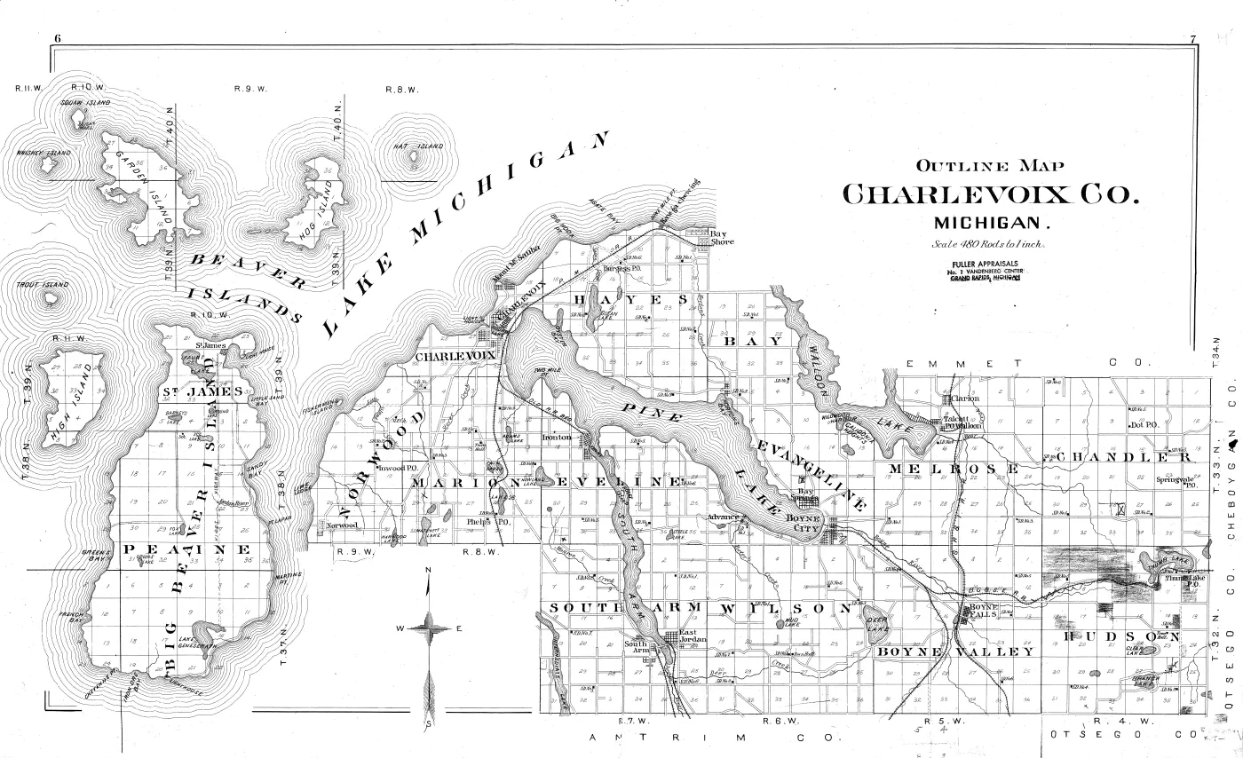
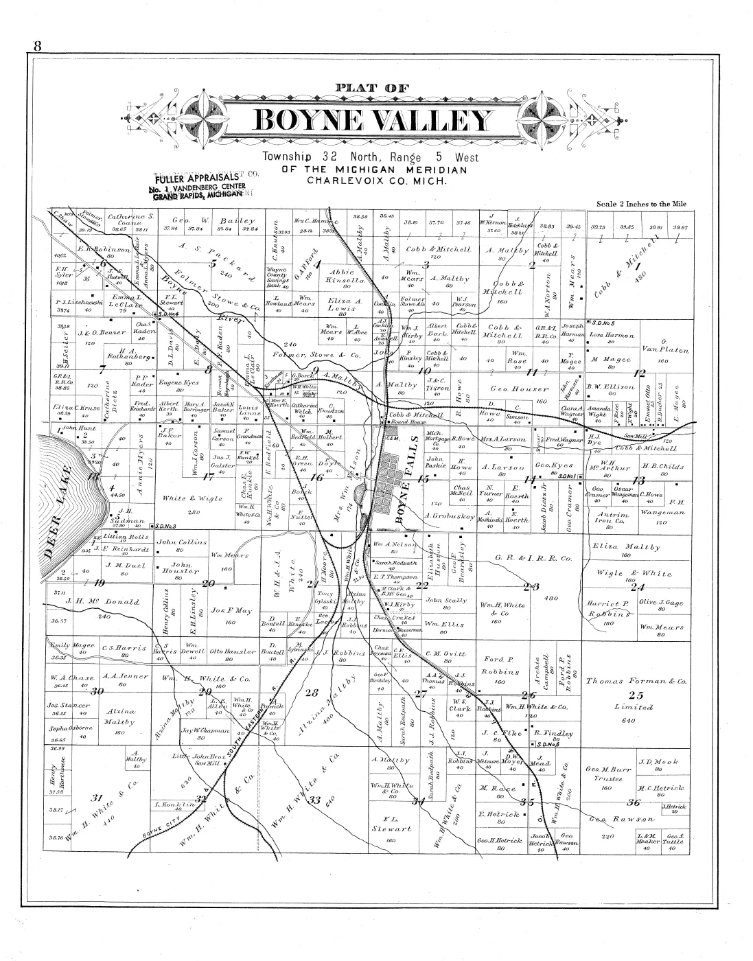
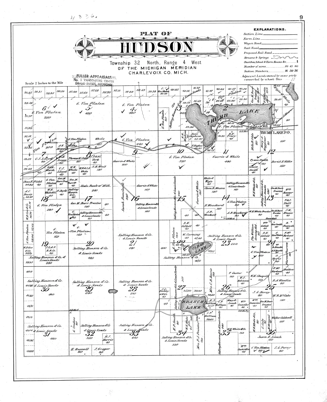
The archive holds the Internet Archive’s own derivatives of the University of Michigan copy: the 46-page Text PDF, the 600 ppi bitonal page TIFFs, and the University of Michigan’s own scanning package, which additionally contains continuous-tone colour JP2 scans of the plate pages.
That difference is not cosmetic. The catalogue record describes 40 hand coloured maps, and the colour scan bears it out — on the Garden Island plate the island is washed in orange and the three inset islands in pink, so land is distinguished from water by colour as well as by line. The bitonal TIFF discards all of it. The bitonal image is nonetheless the sharper reading copy, at roughly 2.25 times the linear resolution of the colour scan, and it is what the deep-zoom pyramids are built from; the colour scan travels with each plate as a second rendition so that the object as printed is not lost.
The volume also carries a later owner’s mark: an ink stamp reading “FULLER APPRAISALS / No. 1 VANDENBERG CENTER / GRAND RAPIDS, MICHIGAN”, struck on the title page and on individual plates, in one place over an earlier stamp. It is a stamp, not part of the printing, and it is visible on the colour scans where the bitonal renders it as flat black.
These are the best renditions the digitising institution has. The University of Michigan’s own interface for this volume is behind a bot challenge and cannot be queried from this archive’s machines; the holding was therefore checked by hand, on 2026-08-06, by the archive’s owner, who reports that the University holds nothing beyond what the Internet Archive already carries for this item. The bitonal page TIFFs and the colour JP2s held here are consequently the maximum quality available from the scanning institution, not a convenience copy standing in for a better master. There is no better master to go back for.
The Internet Archive’s OCR text (_djvu.txt) is held with the item. It is
third-party transcription of a page of engraved map lettering and is poor;
it is useful for finding a name and must never be quoted as this project’s
transcription. See docs/archive-layout.md on the ocr/ versus source-ocr/
distinction.
Significance
The archive’s land record for Beaver Island is otherwise bimodal: the GLO surveys and patents at one end, from the 1840s and 1850s, and modern parcel data at the other. This volume sits in the gap. It gives, on one date, a complete mapped ownership picture of an island that had by then been through the Strang settlement, the Irish fishing community’s establishment, and a lumbering boom — and it does so at a scale that shows individual forty-acre holdings.
Its legend is also a small transport document in its own right, distinguishing section line, farm line, wagon road, rail road and proposed rail road; the Beaver Island sheet is where those categories can be read against the ground.
Open questions
- Whether the Charlevoix Public Library, the Beaver Island Historical Society or another local holder has a copy with different hand colouring or manuscript annotation. A second impression would be worth comparing.
- Who Fuller Appraisals were, when the firm stamped this copy, and what the partly obscured earlier stamp beneath theirs reads.
Whether an earlier or later Charlevoix County plat book exists covering the archipelago— answered. A W. W. Hixson & Company edition published between 1930 and 1939 covers the whole archipelago on five sheets, and is held: Plat book of Charlevoix County, Michigan, 1930s. The comparison of the two editions is set out there. The Beaver, Garden and Hog Island sheets held from Michigan State University Libraries and formerly dated 1900 here turned out to be leaves of a second copy of that same Hixson atlas — Plat book of Charlevoix County, Michigan, second Hixson copy — not a separate edition and not 1900.- What lies earlier. An 1873 “Map of Charlevoix and Antrim counties” by H. F. Walling, plate 57 of the first Michigan state atlas, is publicly digitised by the David Rumsey Map Collection and would push the series back twenty-eight years, though it is a county sheet at about 1:190,080 and names no parcel owners.
See also
Sources
- P. A. & J. W. Myers, Plat Book of Charlevoix County, Michigan (Minneapolis,
Minn.: The Consolidated Pub. Co., 1901); E. P. Noll & Co., map publishers.
Internet Archive item
2911302.0001.001.umich.edu, University of Michigan copy, 46 images. - University of Michigan MARC record for the same volume (held as
..._marc.xml): extent, scale, and the hand-colouring note. - Internet Archive scanning record (
..._scandata.xml): the leaf-to-printed-page table quoted above. - The volume’s own table of contents, printed p. 3.
Read the document
46 pages, rendered from the held scan.




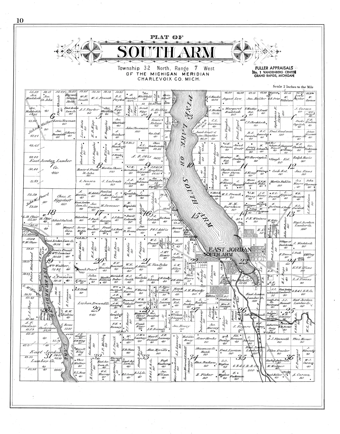
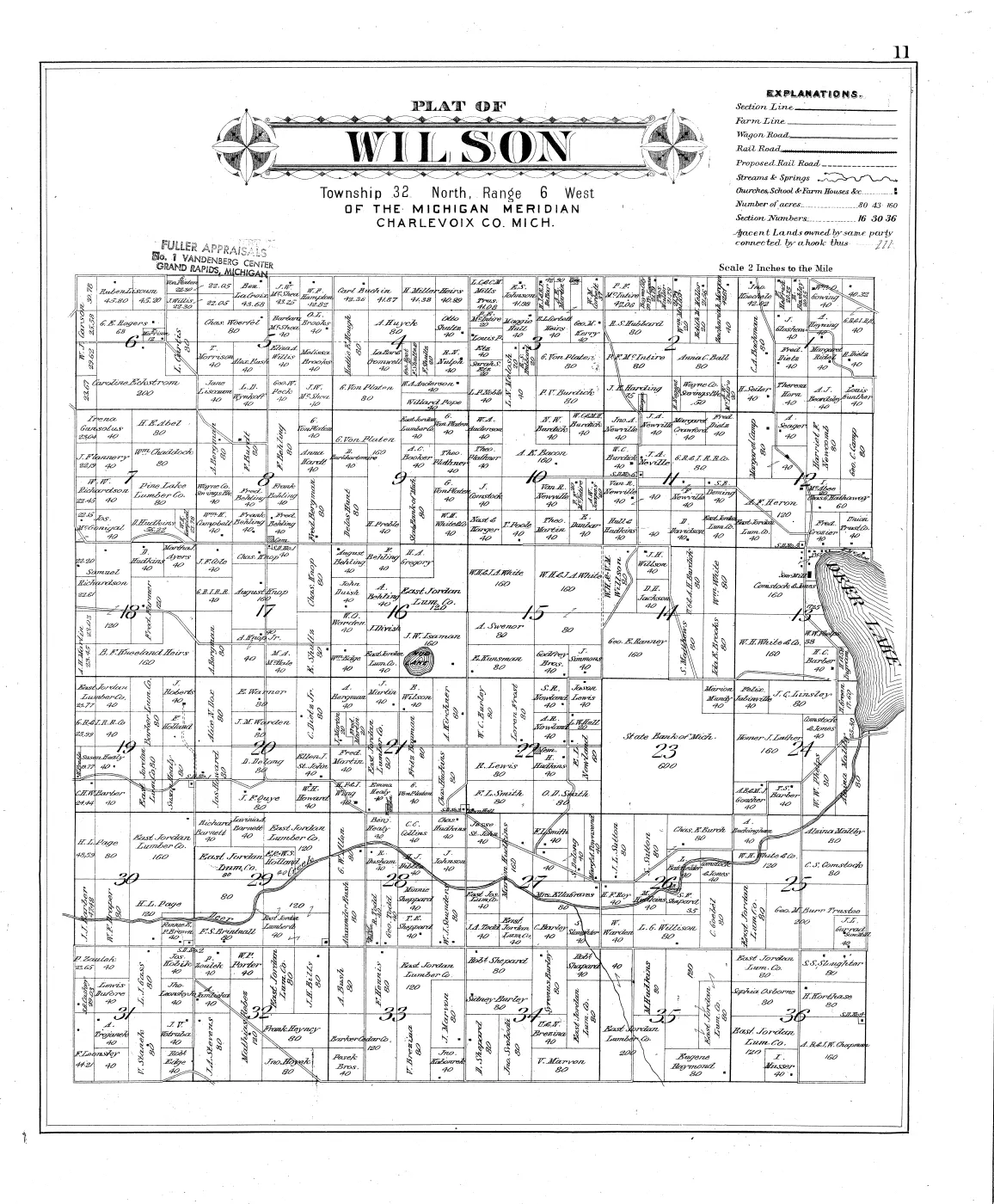
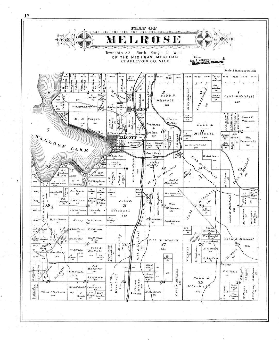
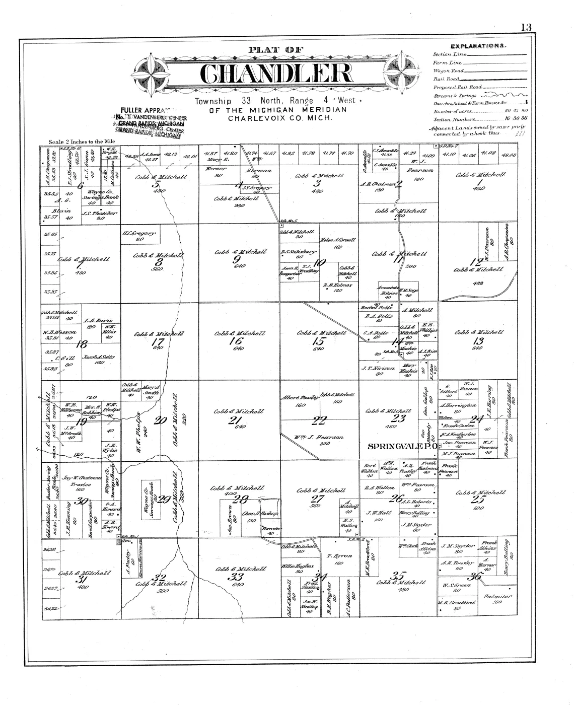
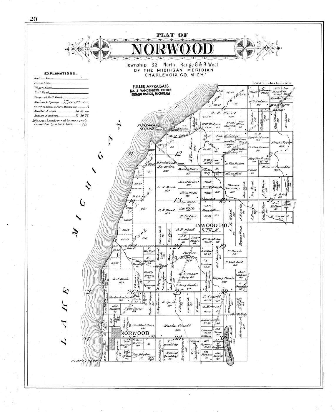
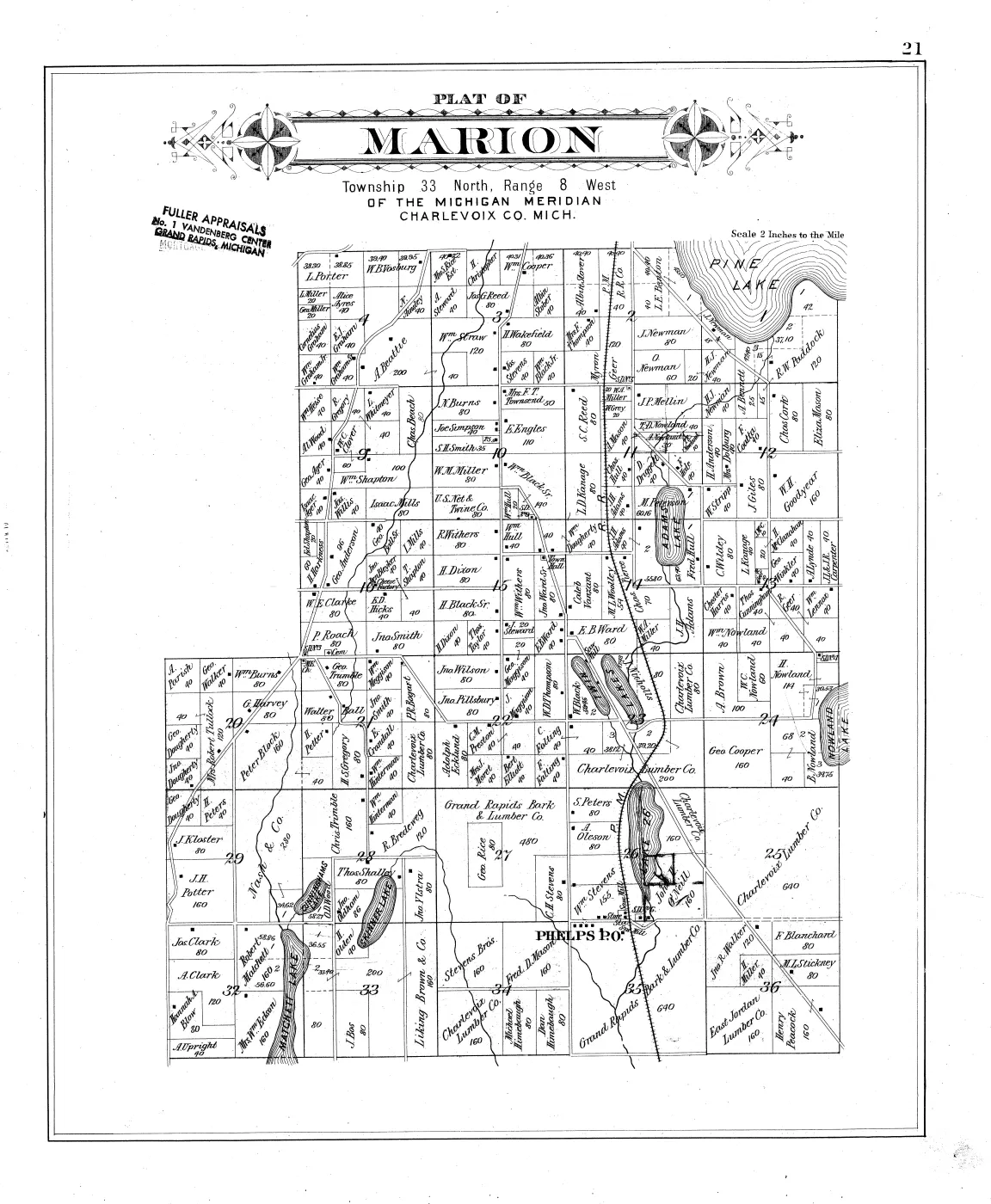
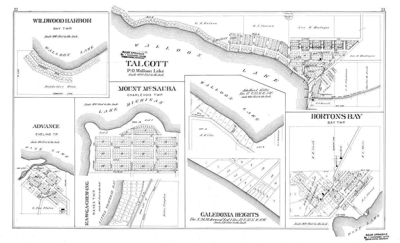
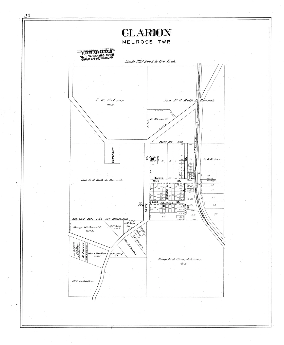





Sources
- The Internet Archive's 46-image Text PDF of the University of Michigan copy, from the Michigan County Histories and Atlases digitisation. This is the paged reading copy the archive publishes; page images 1-46 are image indices, not printed folios.
- The cataloguing record, retrieved with the item. Source of the scale statement, the extent, and the hand-colouring note.
- The evidence for the image-index / printed-folio divergence described below. Leaf 4 carries printed p. 1; leaf 30 carries printed pp. 30-31.
- Source for which plates carry the archipelago. Read from the structured contents file retrieved with the item and confirmed against the page images.
Cite this article
Beaver Island Archive, “Plat book of Charlevoix County, Michigan, 1901”, https://beaverislandarchive.org/documents/charlevoix-county-plat-book-1901/, accessed [date], citing P. A. & J. W. Myers, *Plat Book of Charlevoix County, Michigan*, "drawn from actual Surveys and the County records" (Minneapolis, Minn.: The Consolidated Pub. Co., 611 Boston Block, 1901); E. P. Noll & Co., map publishers, No. 9 N. Sixth St., Philadelphia, Pa. Title page read directly from the scan (image 5). (and 3 further sources listed on the page).
BibTeX for “Plat book of Charlevoix County, Michigan, 1901”RIS for “Plat book of Charlevoix County, Michigan, 1901”