

- Date
- 1974
- Eras
- Modern era
- Concepts
- agriculturegeologyenvironmentland-survey
- Within
- Beaver Island
Summary
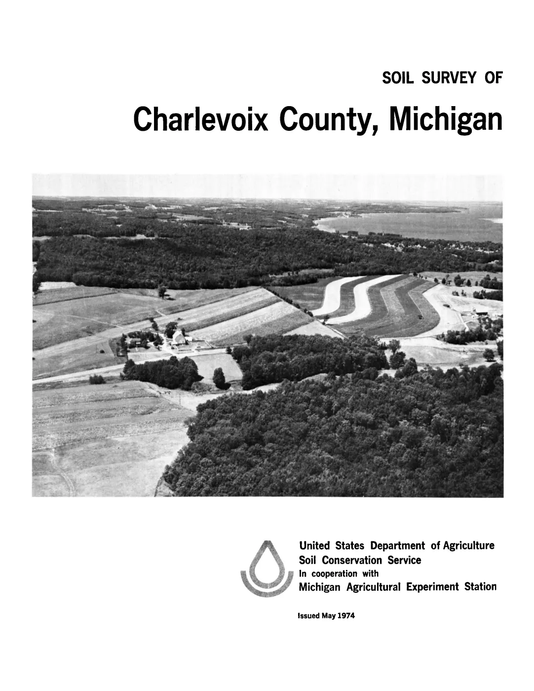
The 1974 USDA Soil Survey of Charlevoix County, Michigan is the held county soil-survey source covering Beaver Island. It provides a survey-scale context for soil series, parent materials, dunes, beach ridges, wetlands, drainage, and agricultural capability. The project also holds its machine-readable successor layer: current SSURGO map-unit polygons and tabular exports retrieved from the USDA Soil Data Access (SDA) service for both the Charlevoix survey area (MI029) and the Leelanau survey area (MI089), which covers the Fox Islands.
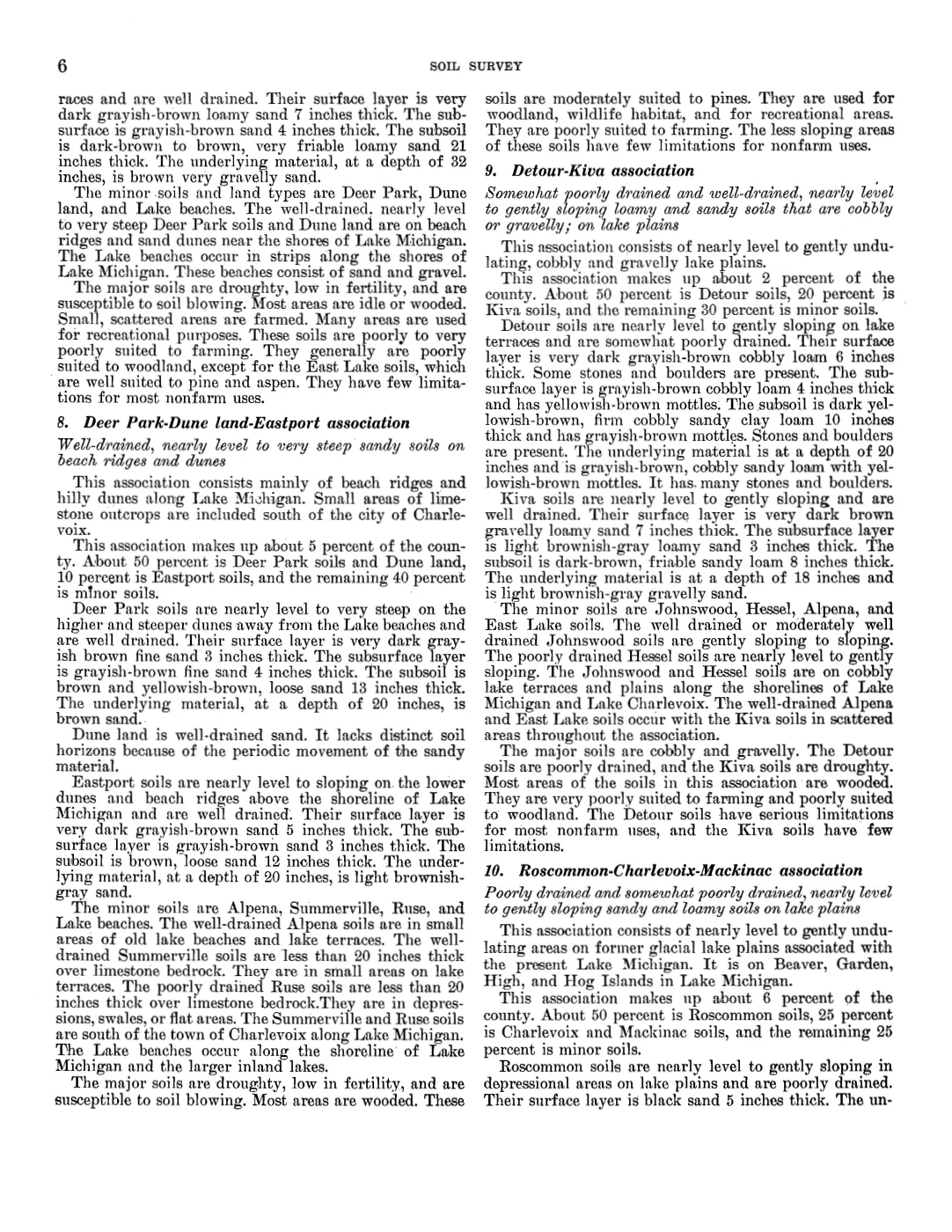
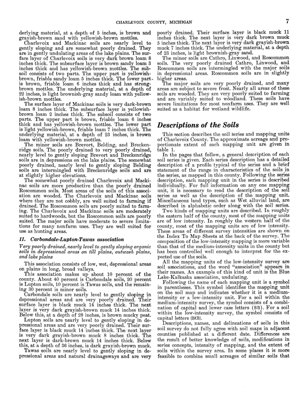
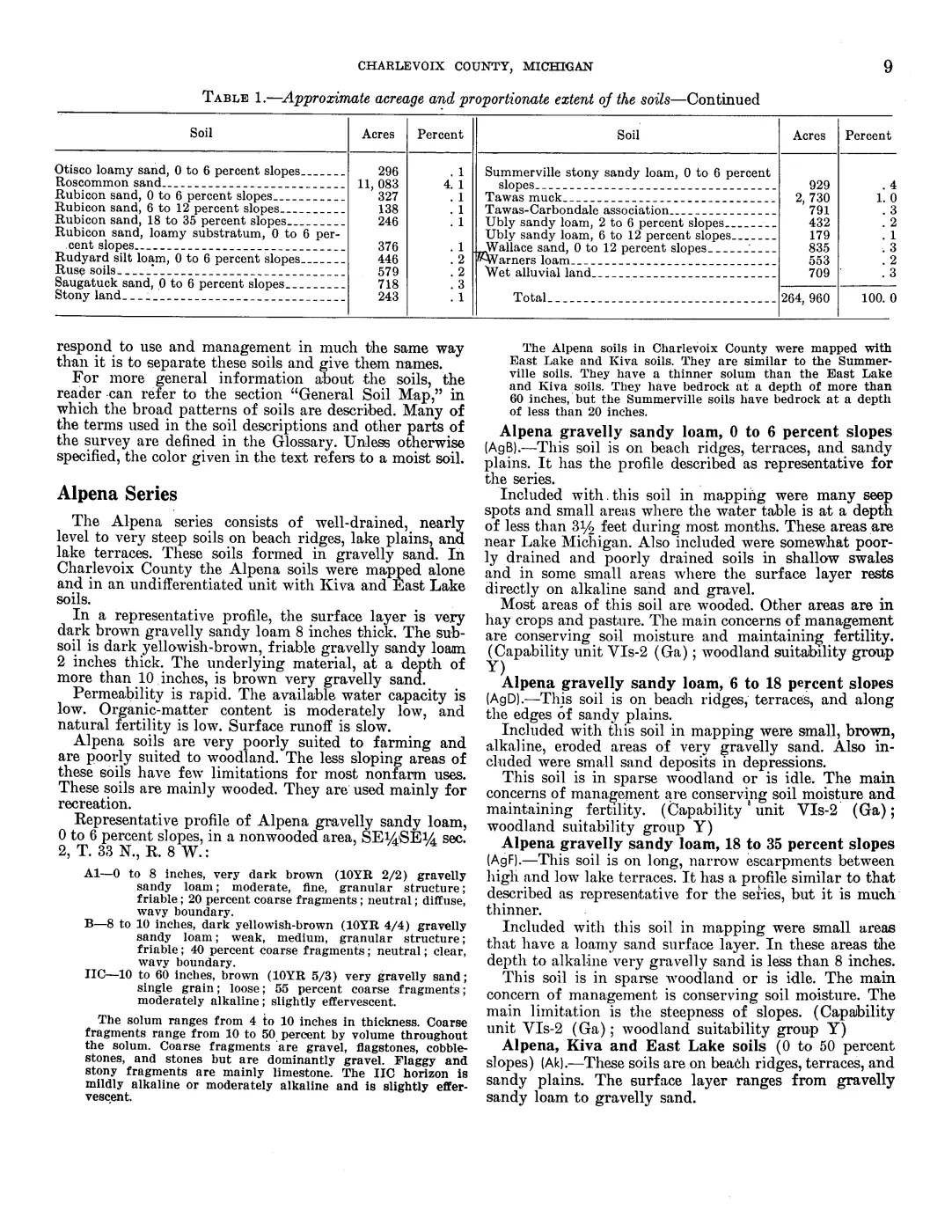
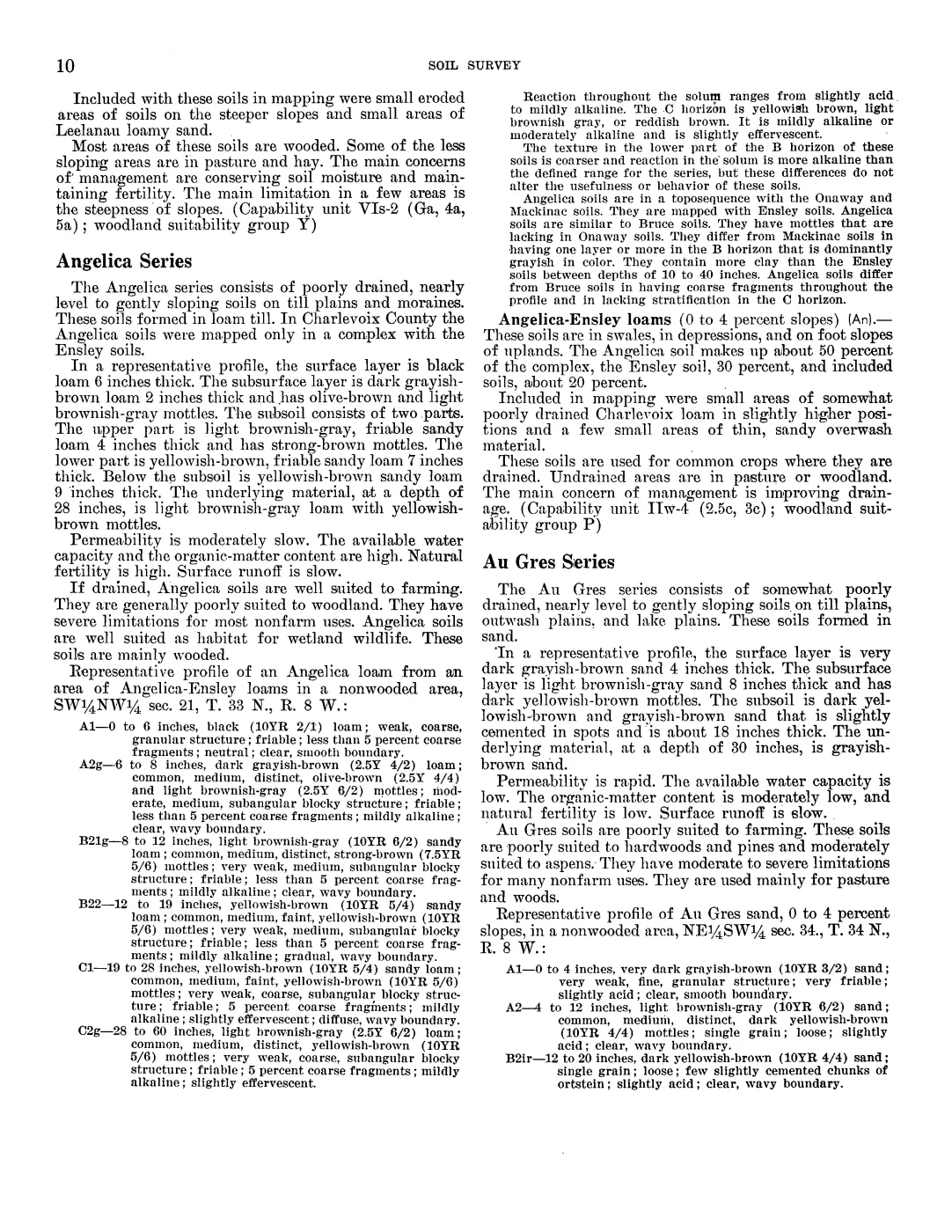
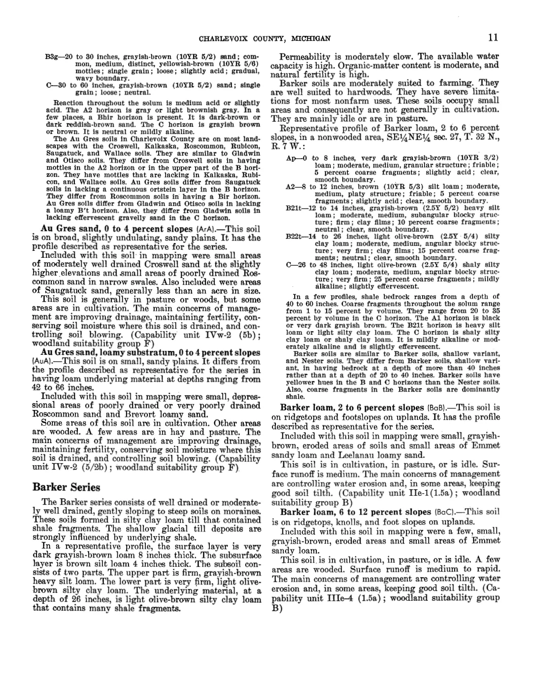
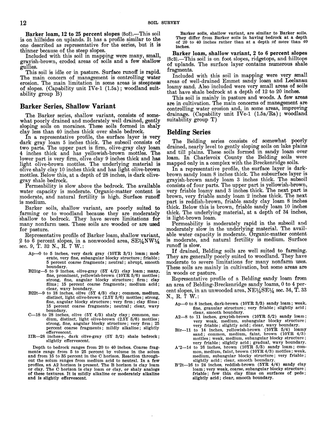
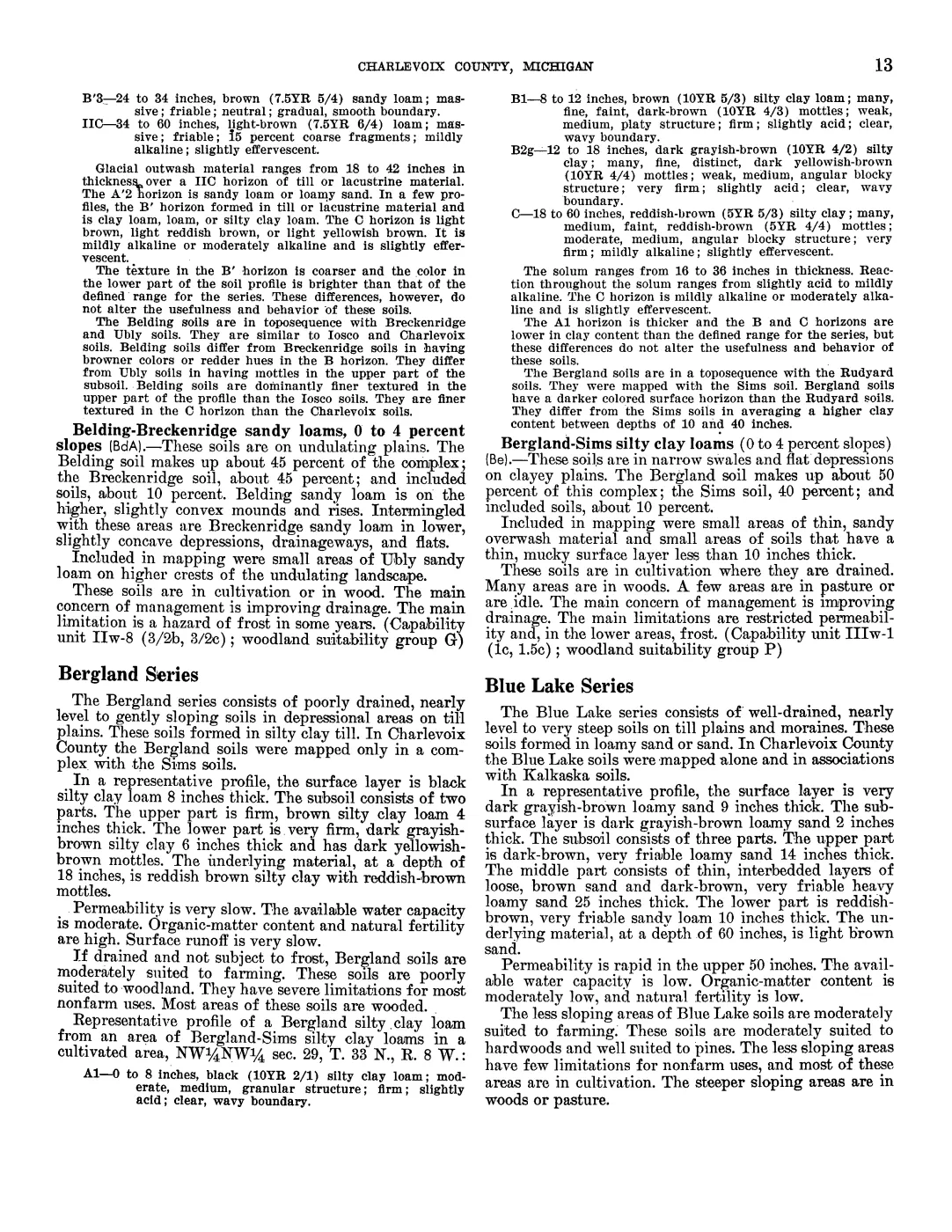
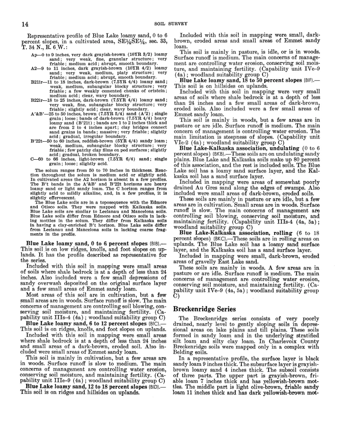
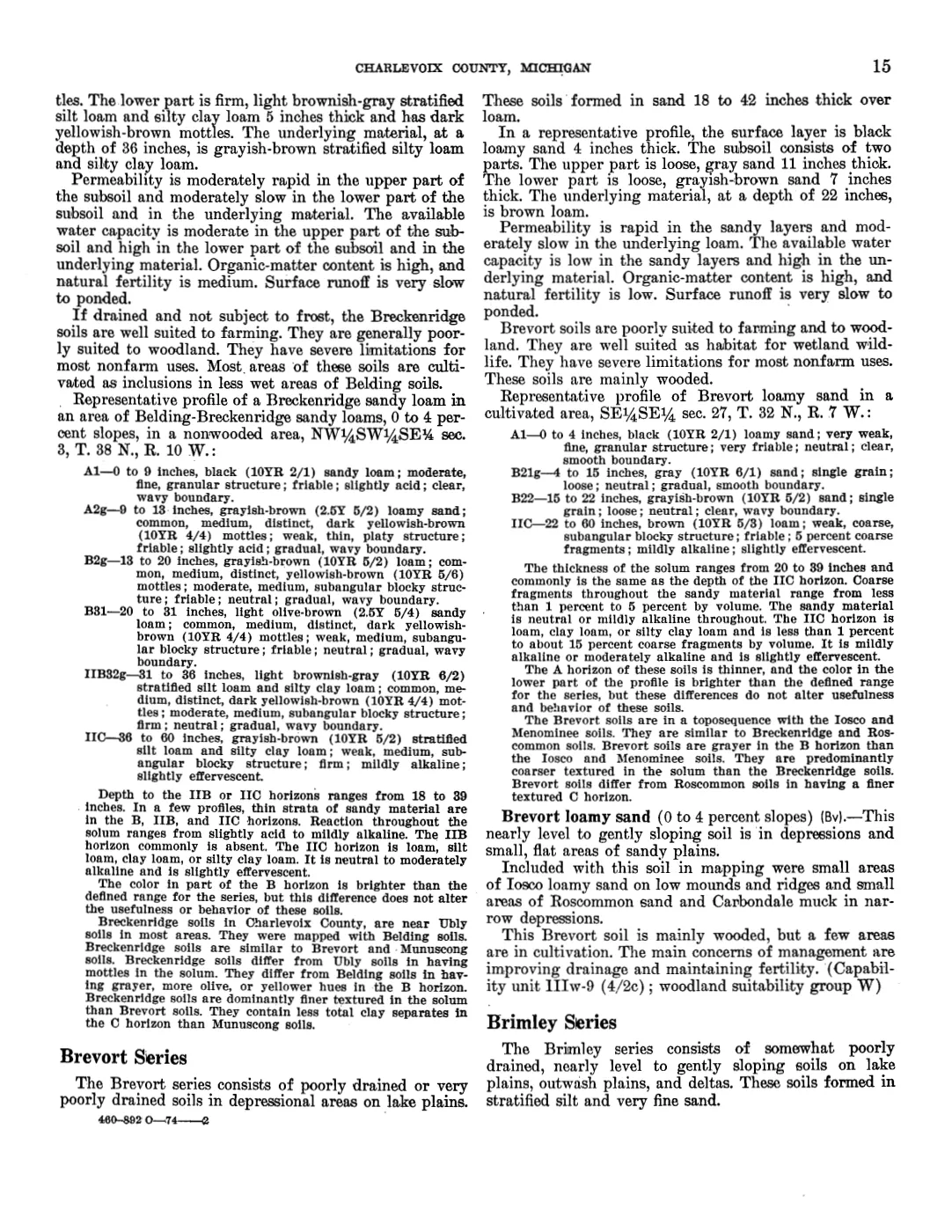
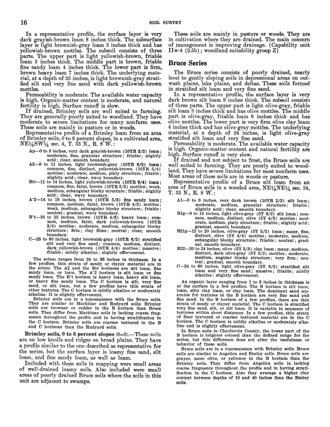
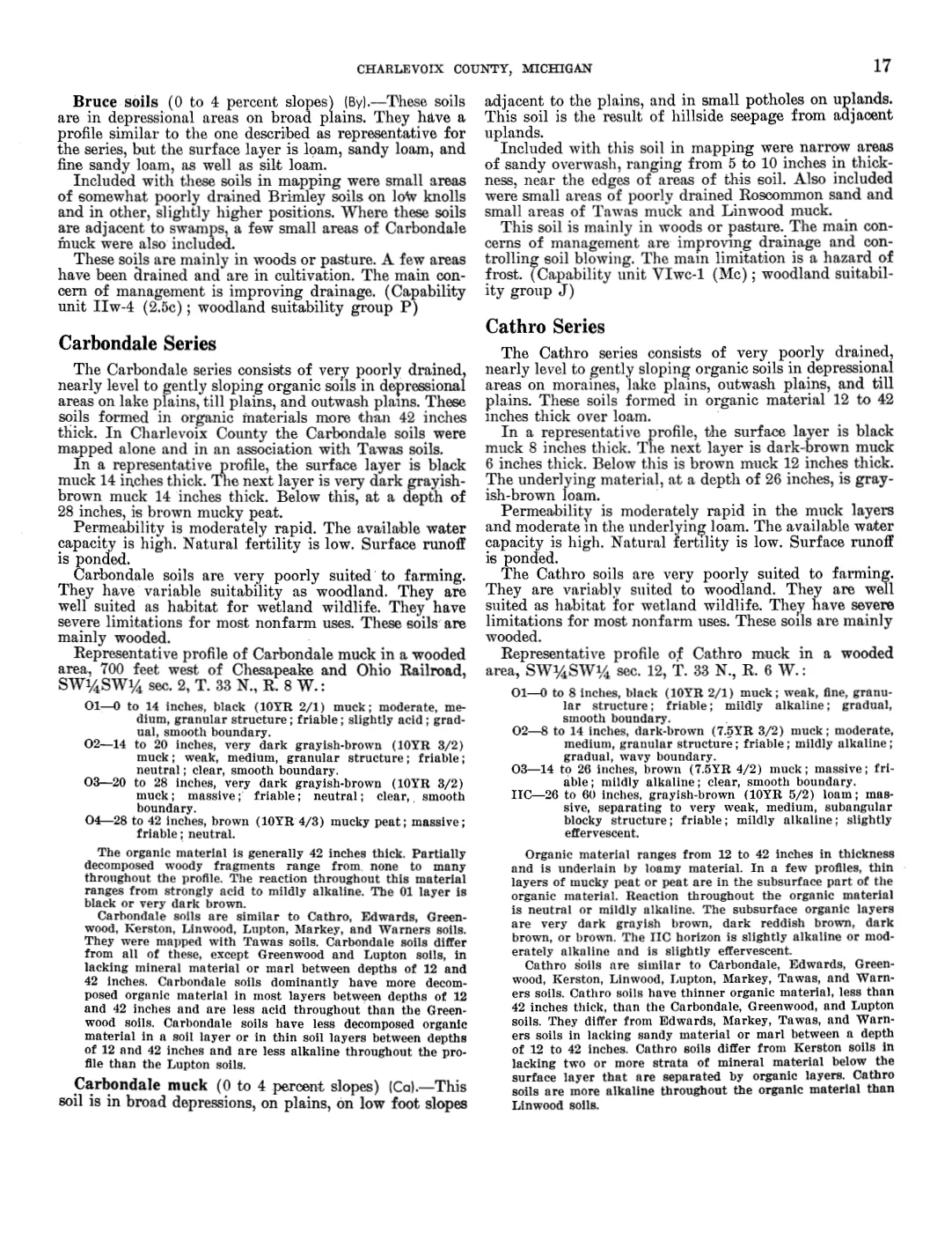
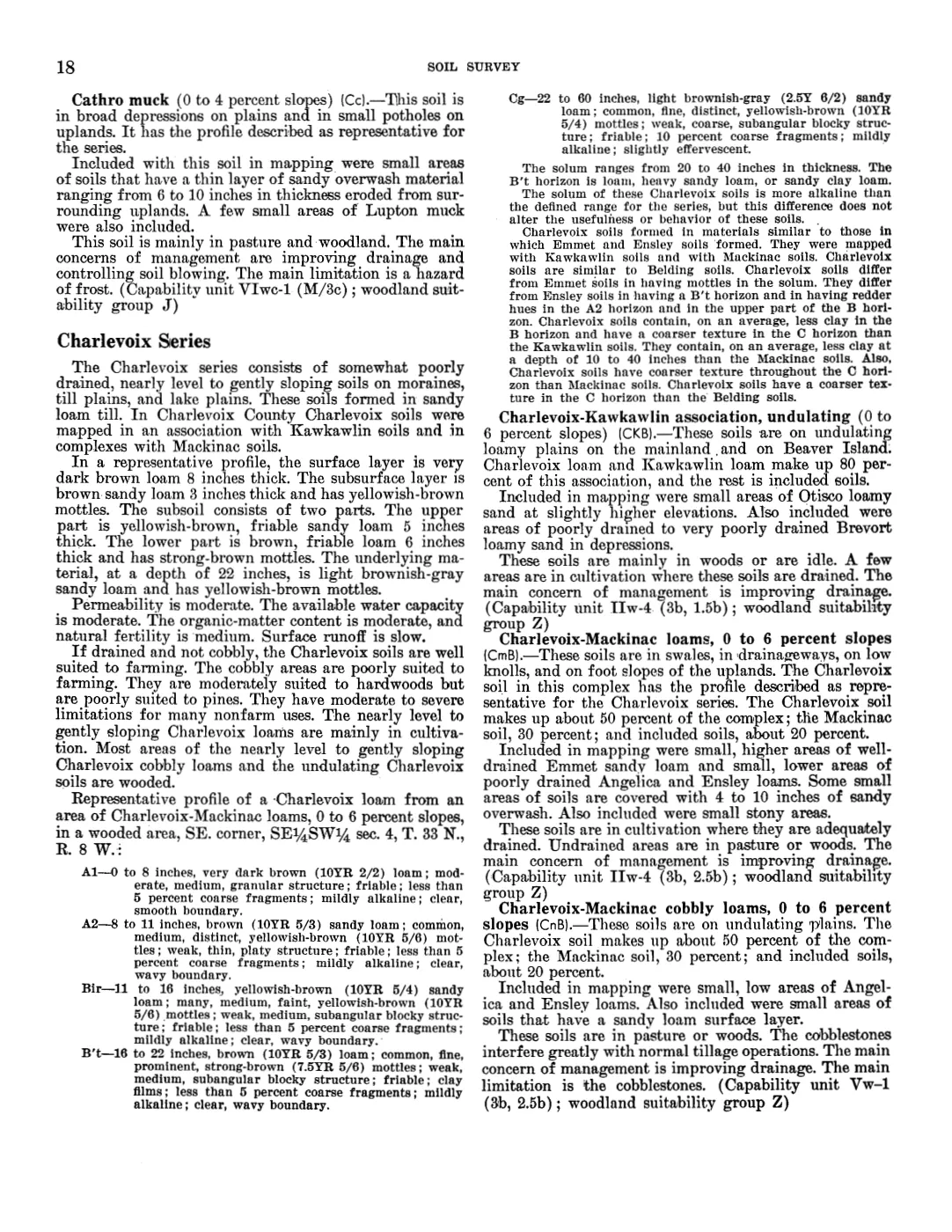
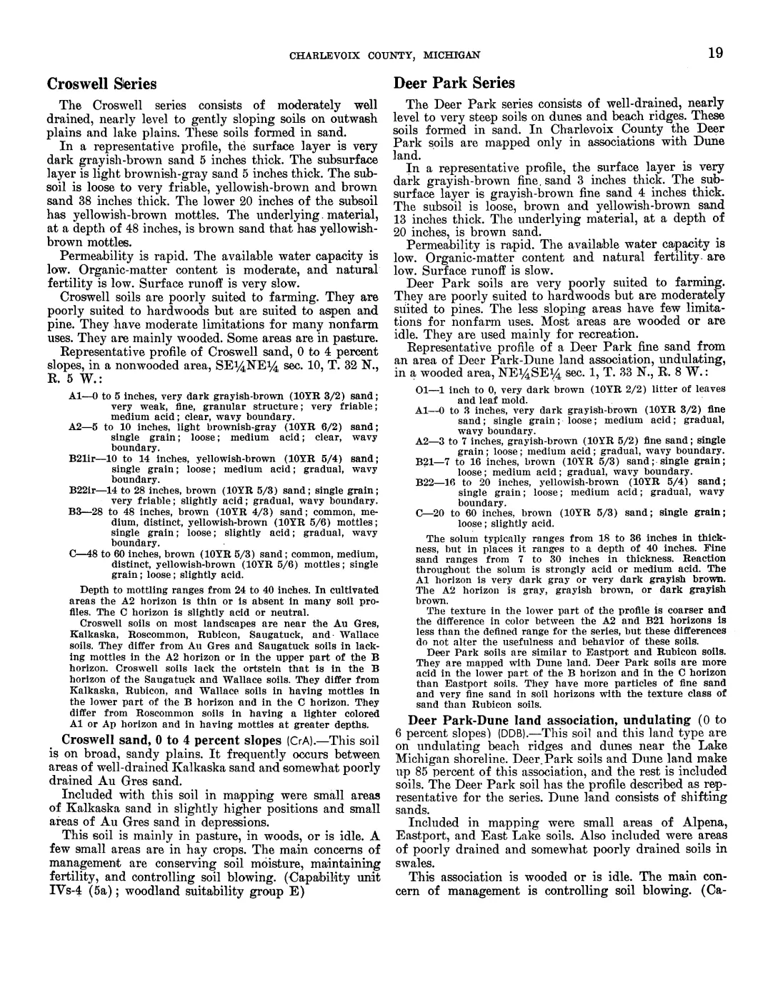
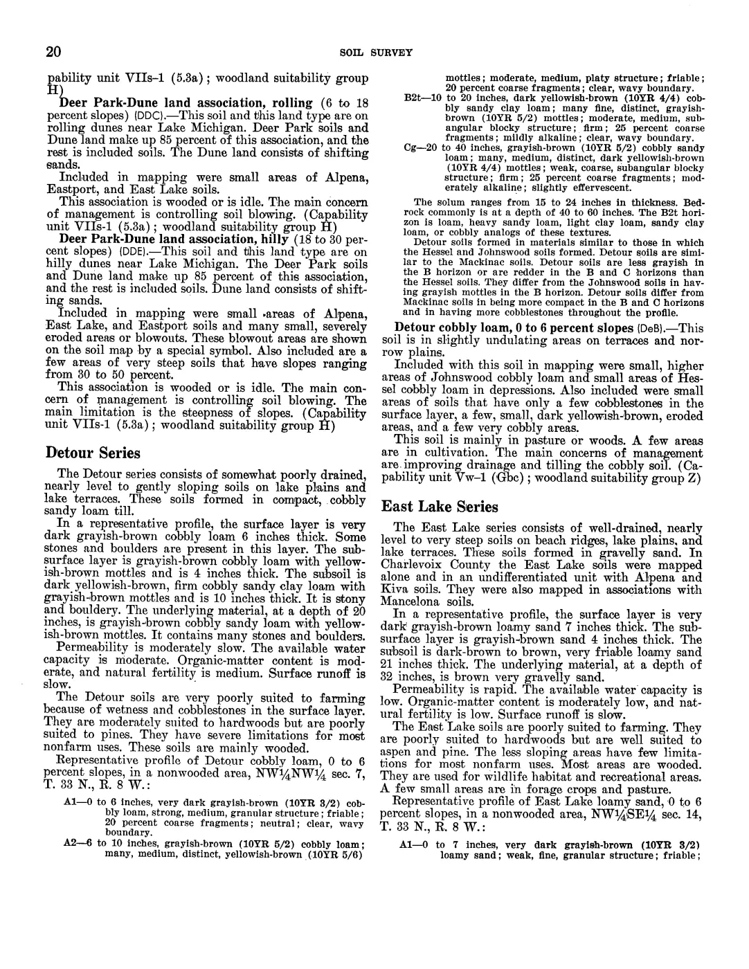
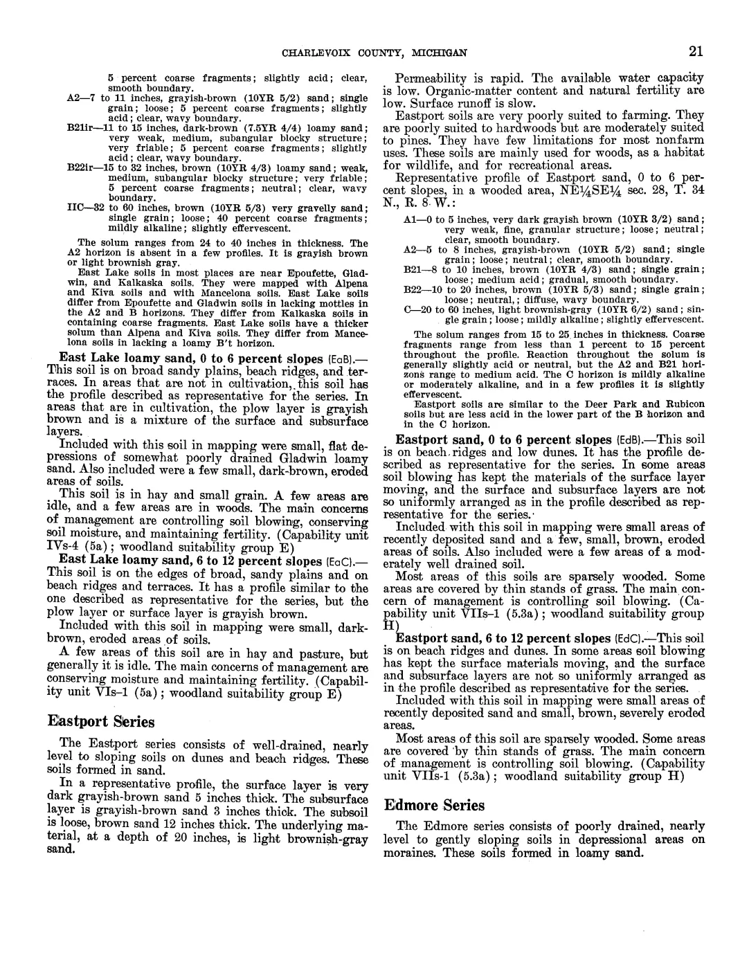
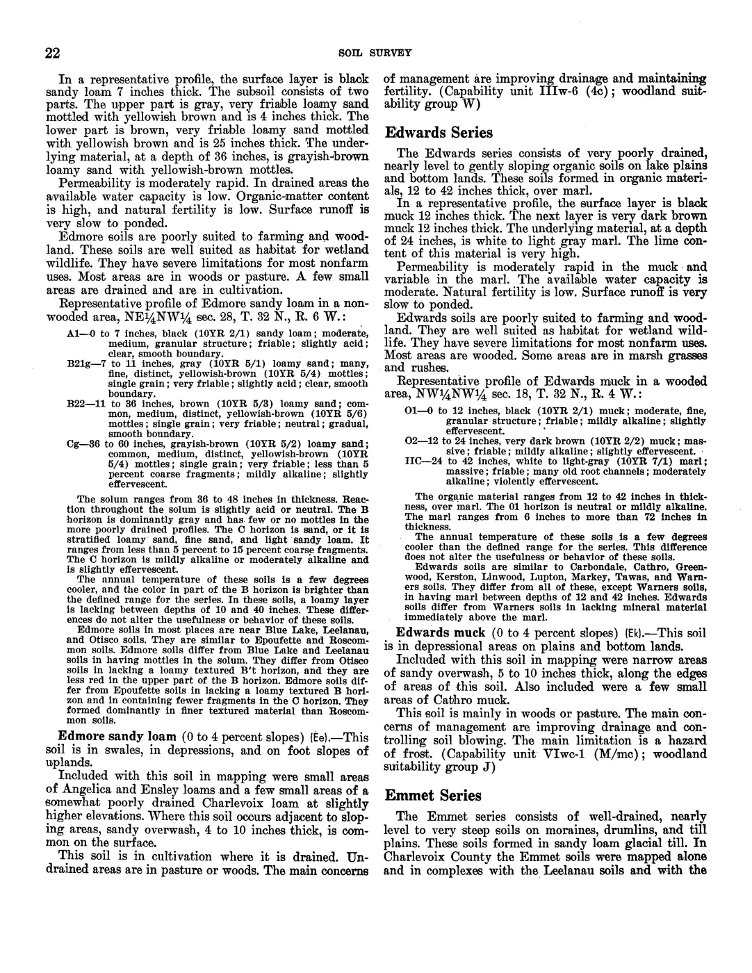
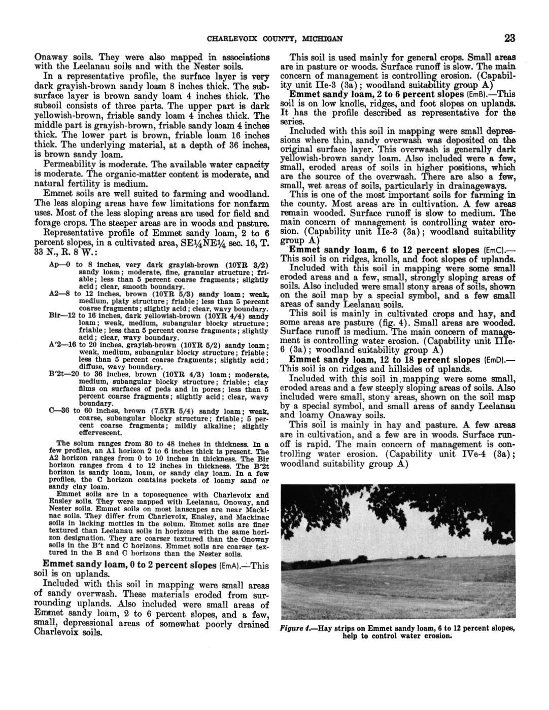
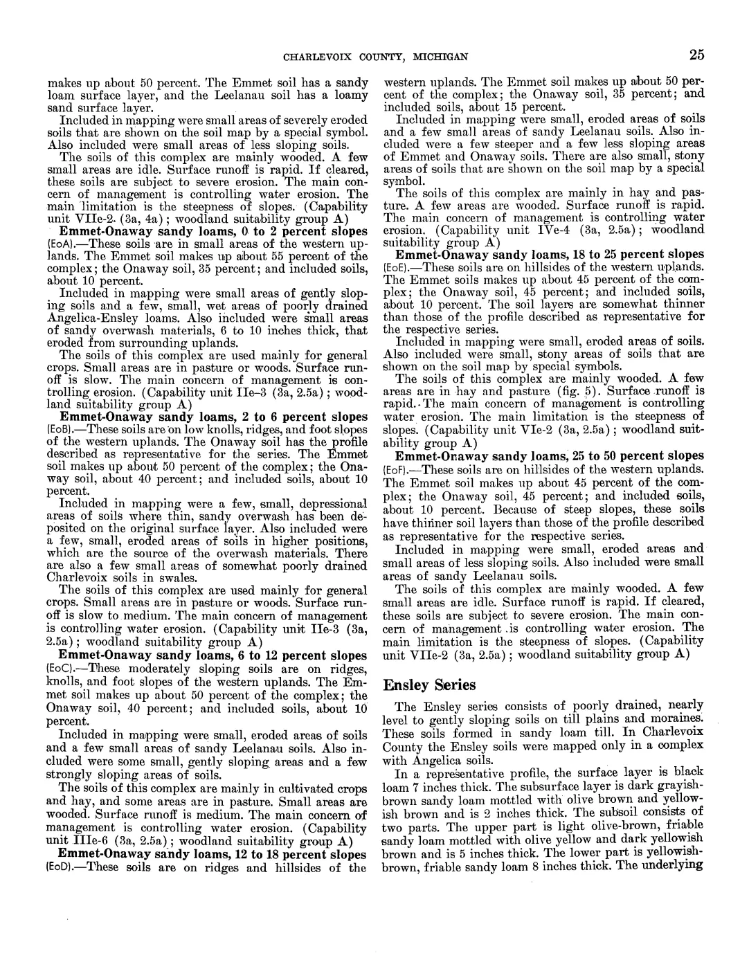
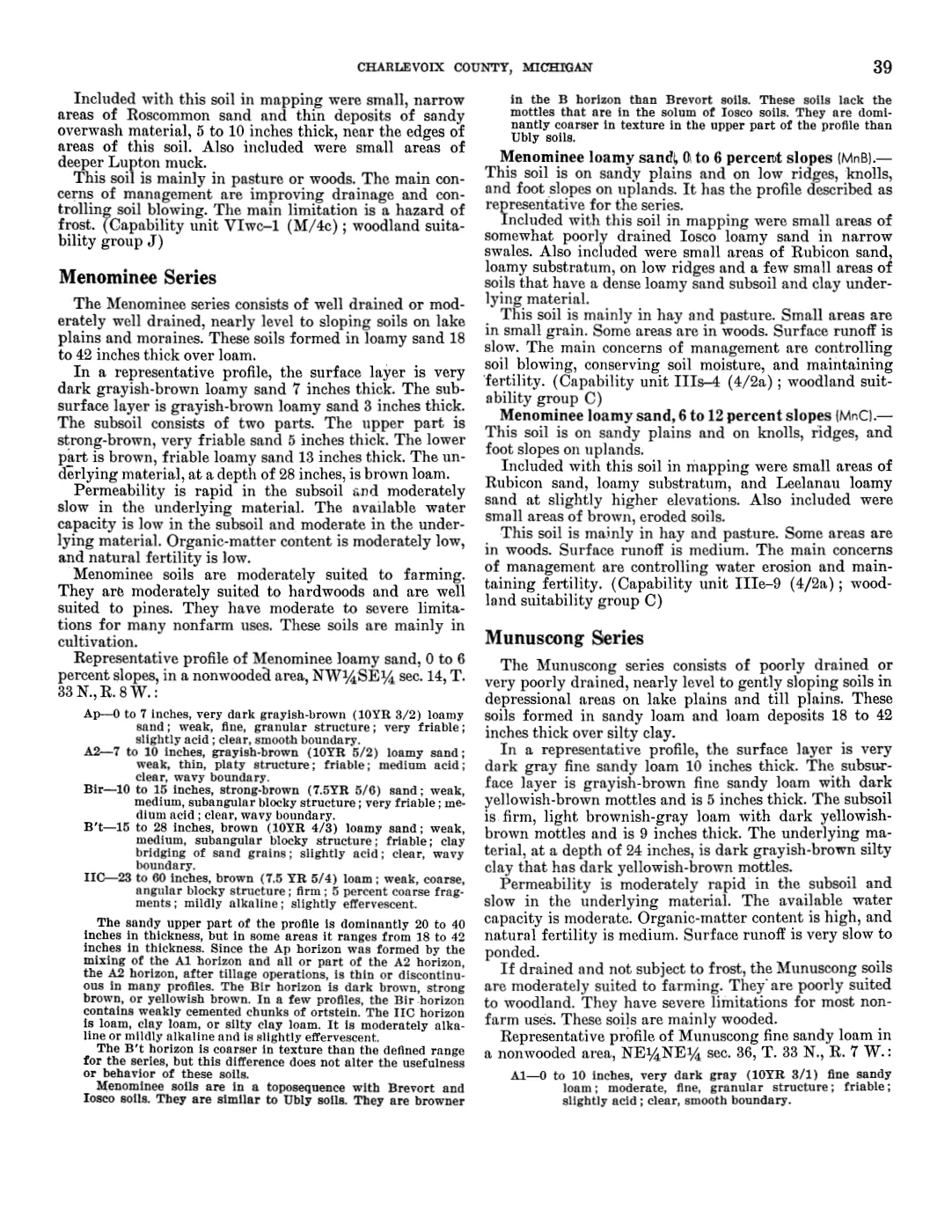
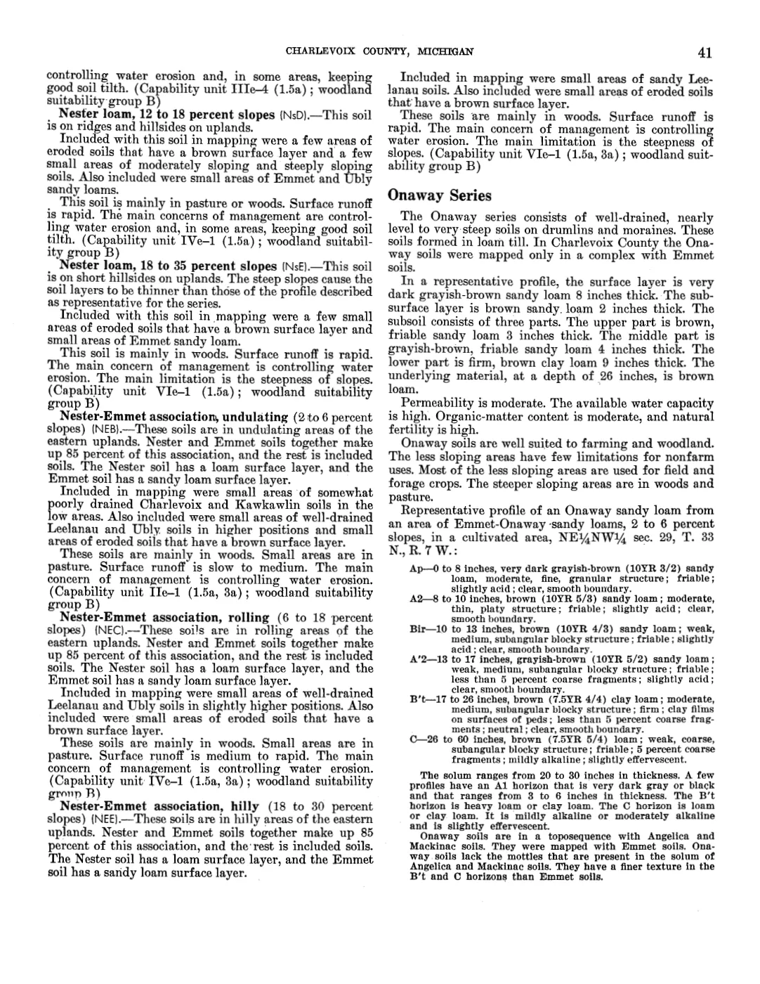
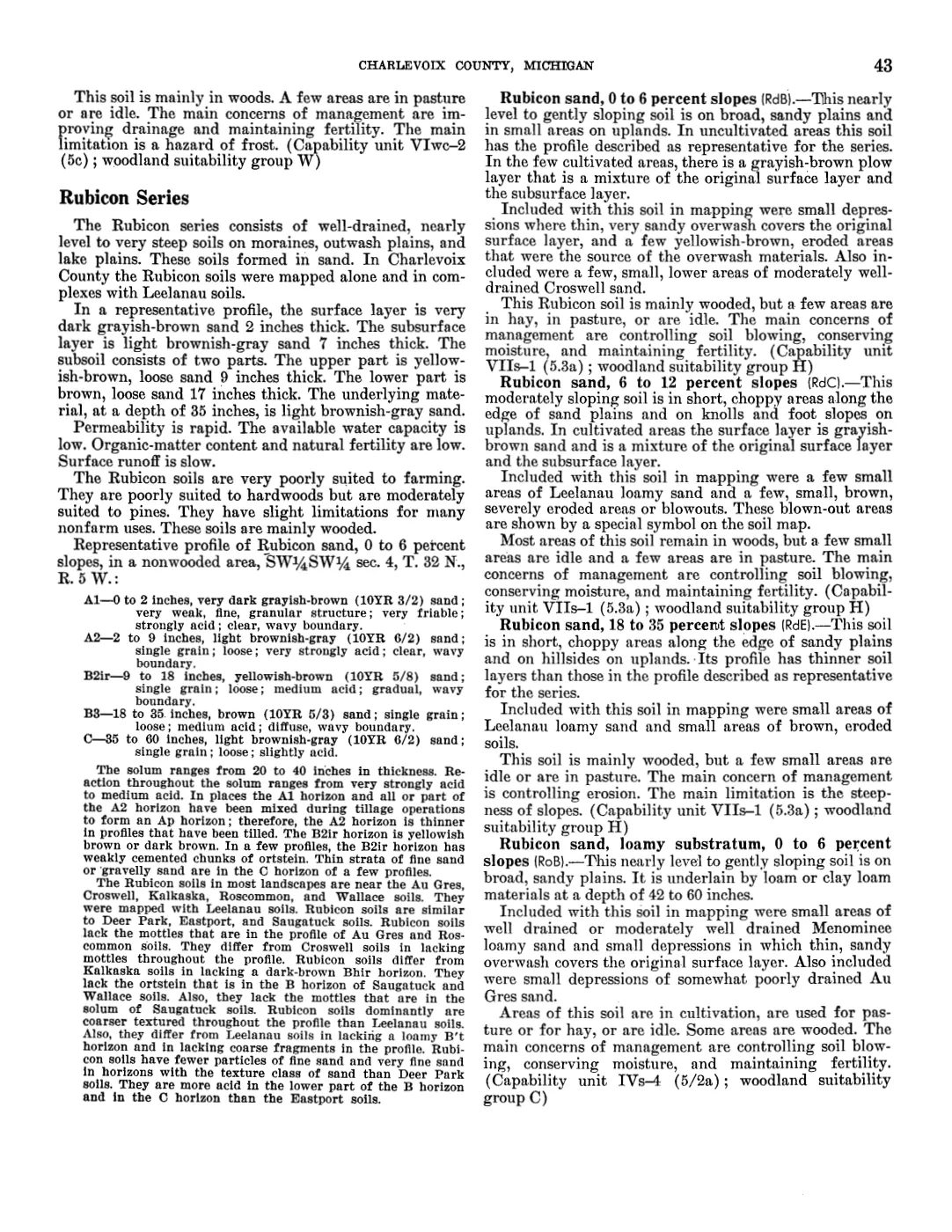
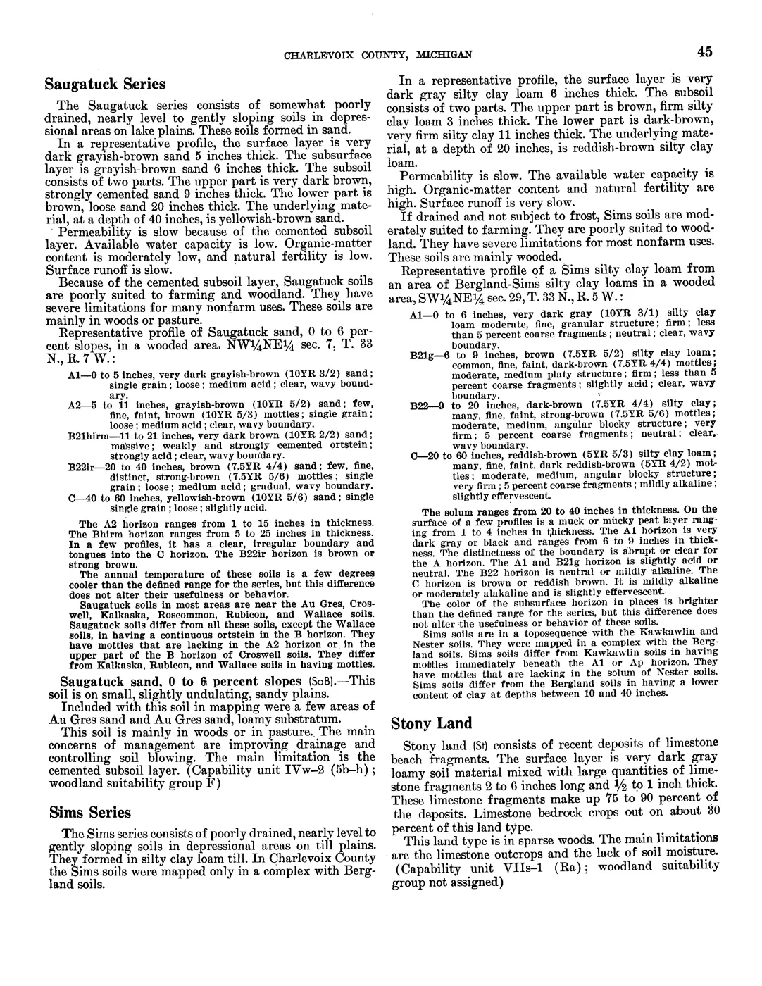
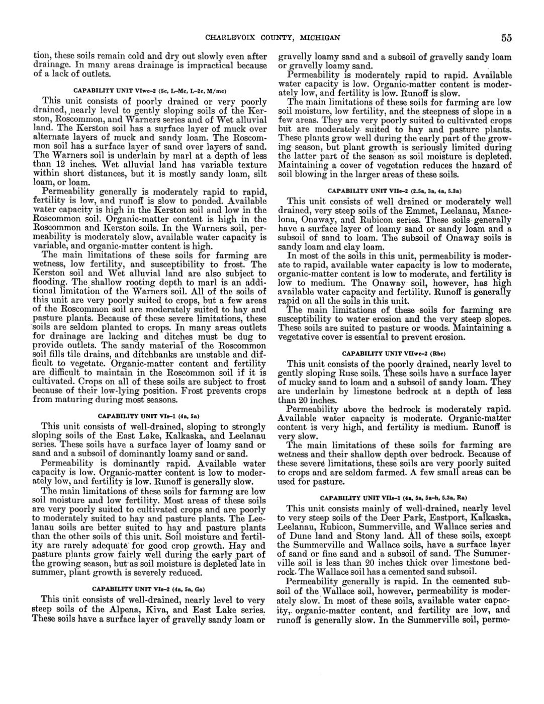
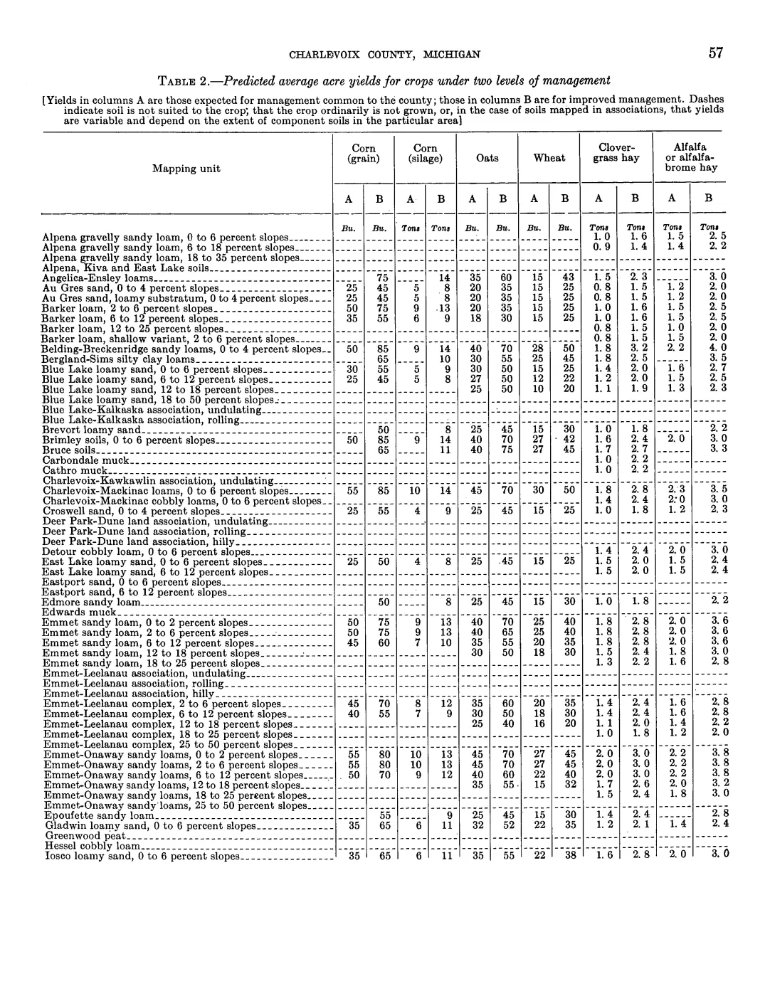
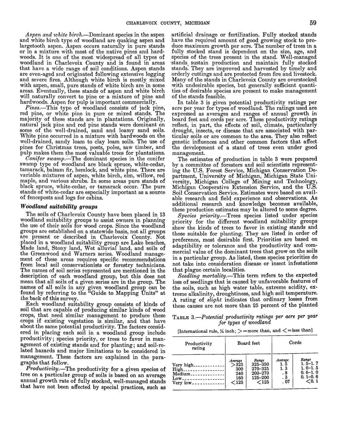
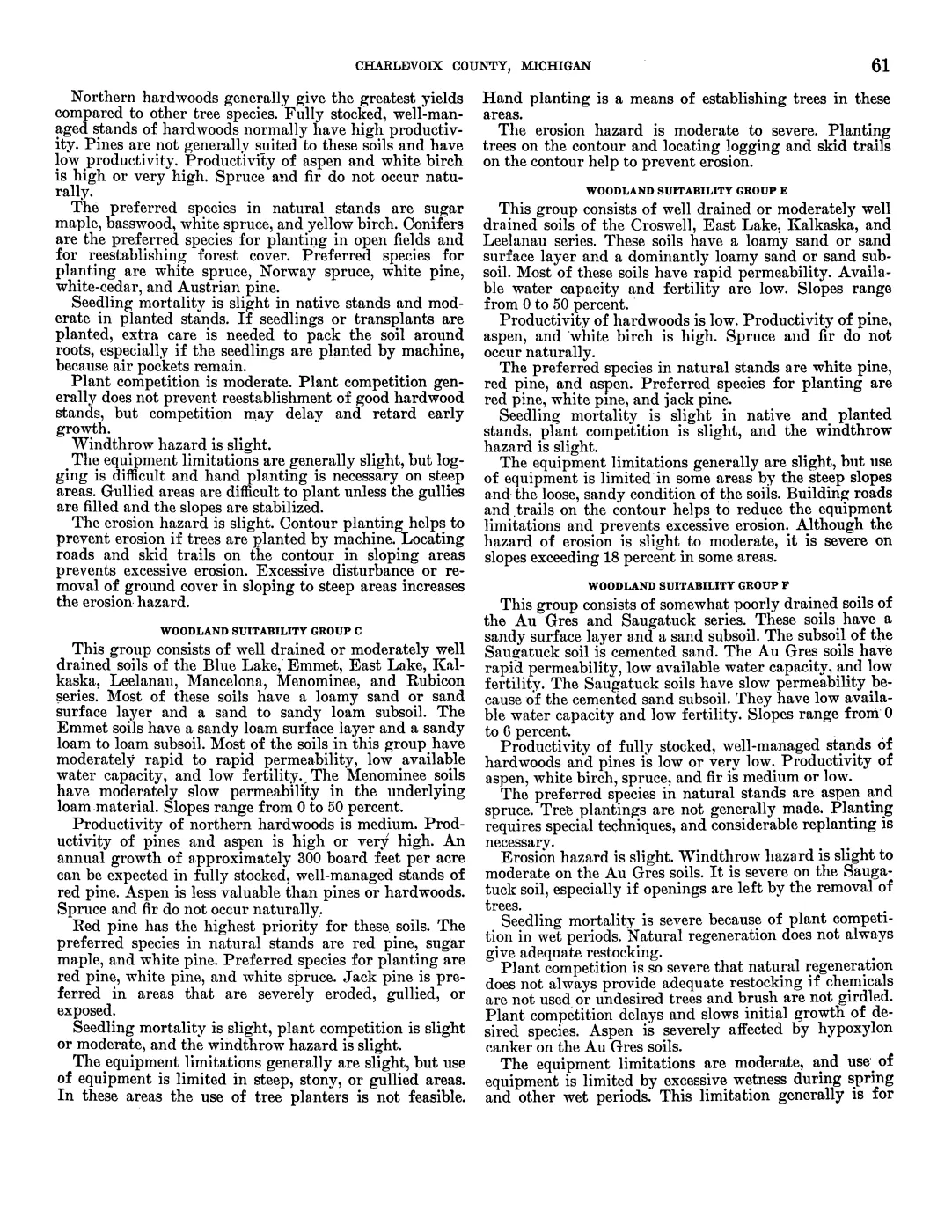
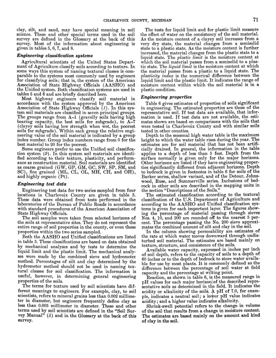
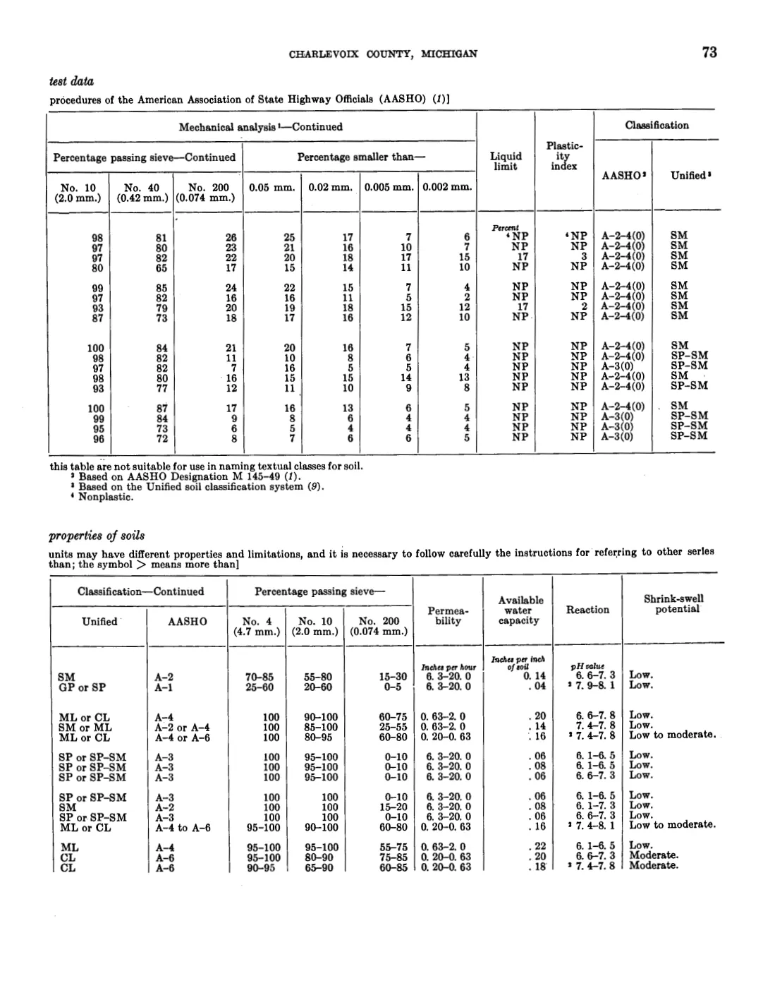
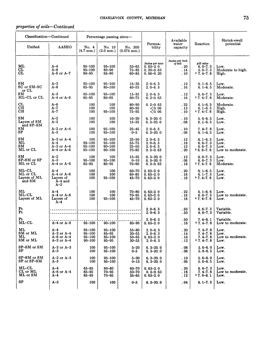
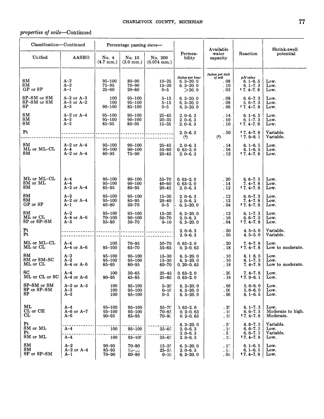
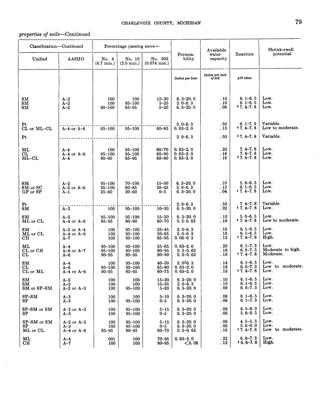
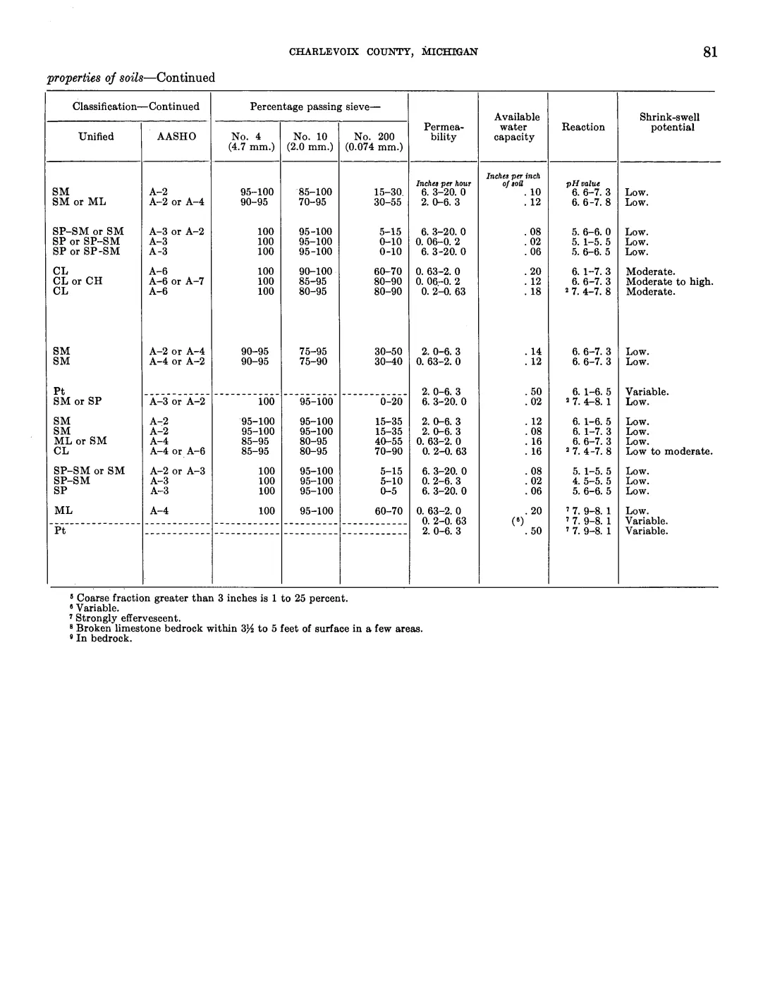
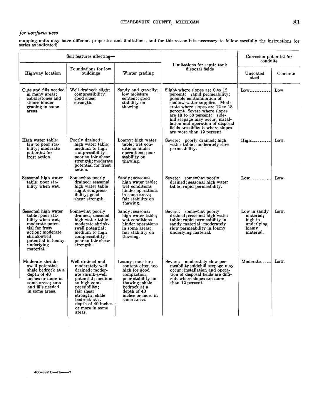
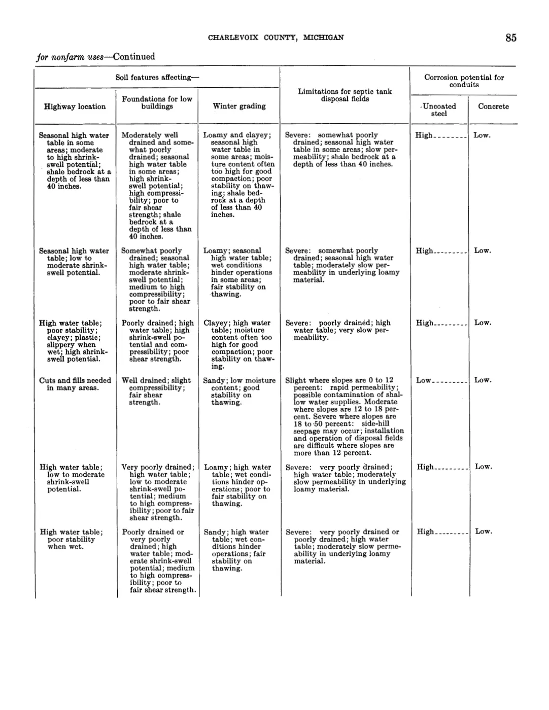
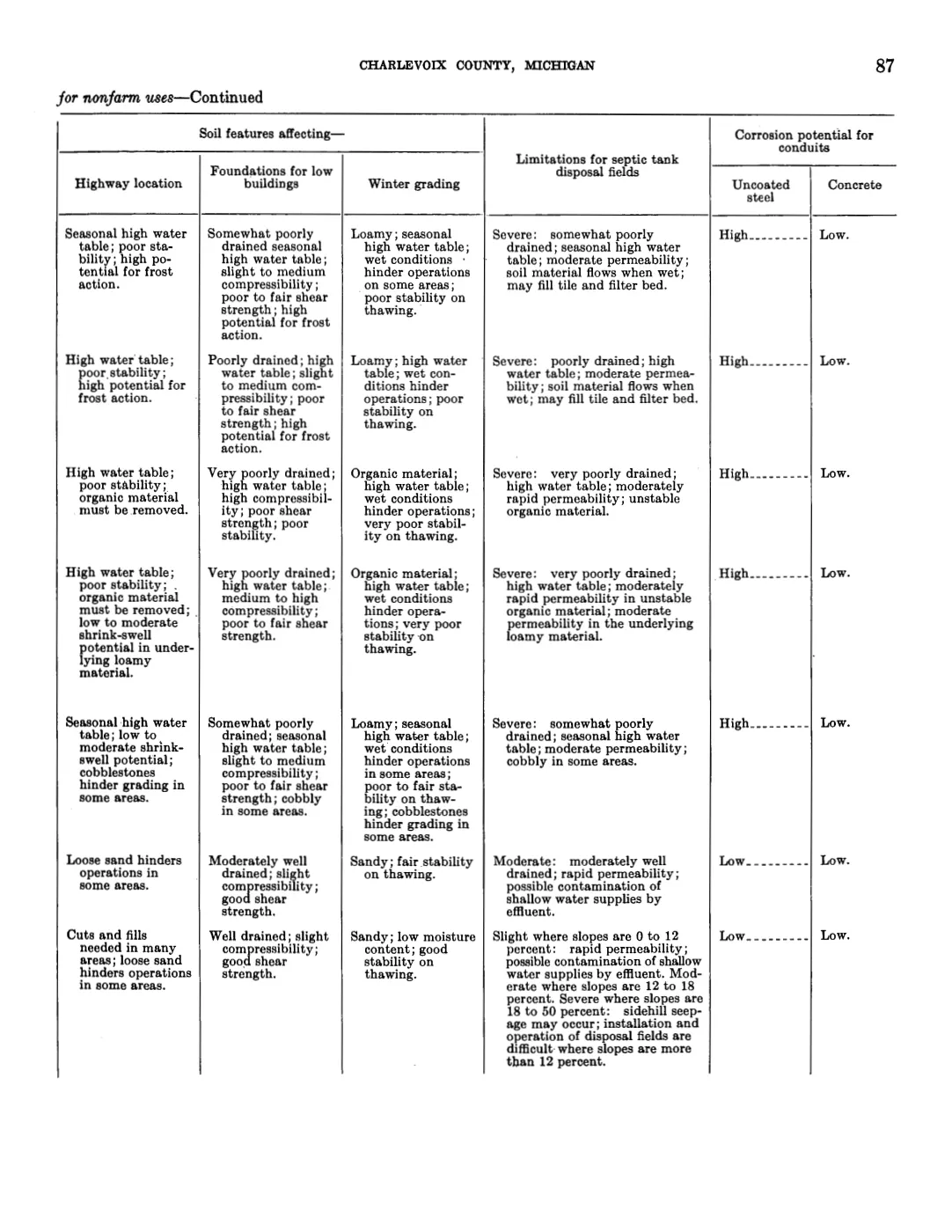
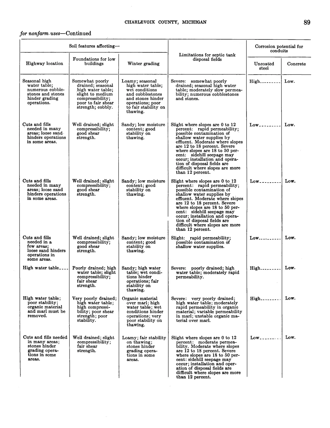
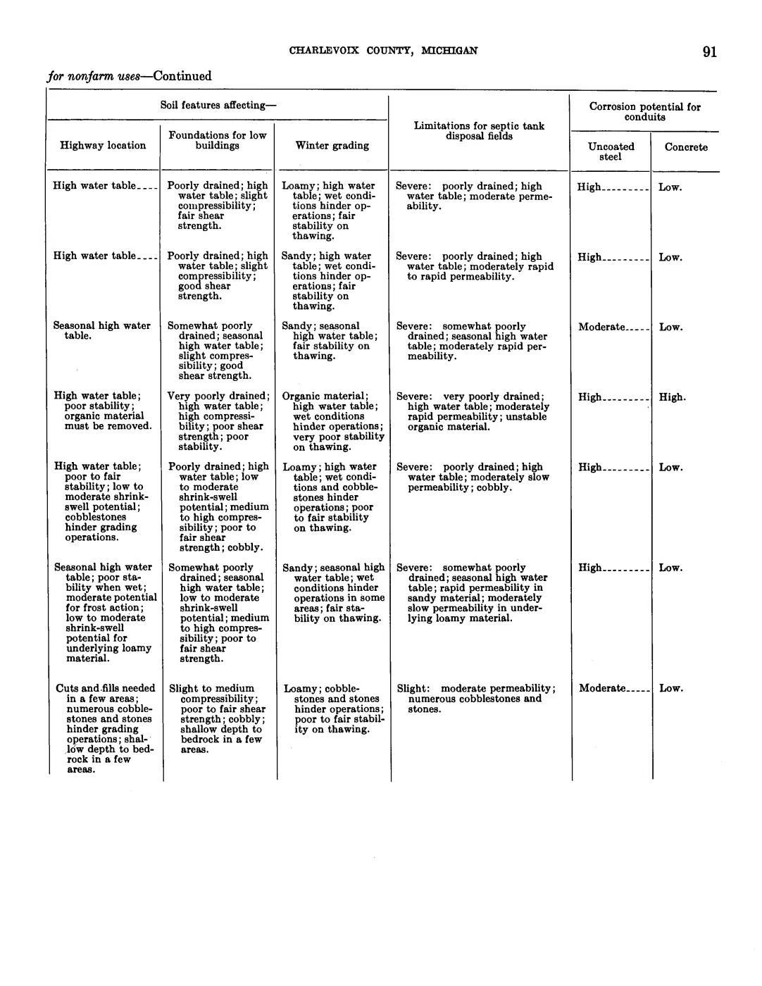
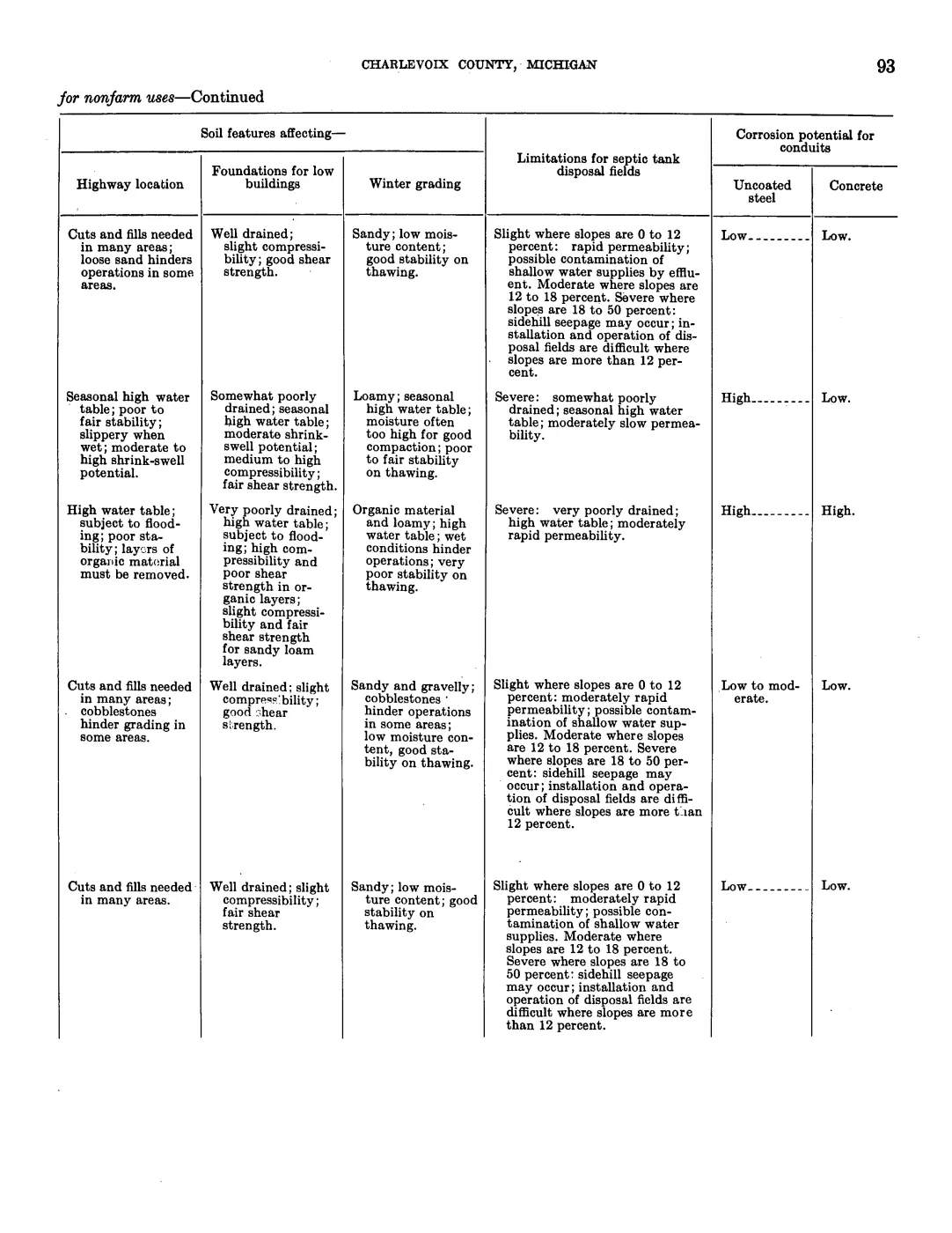
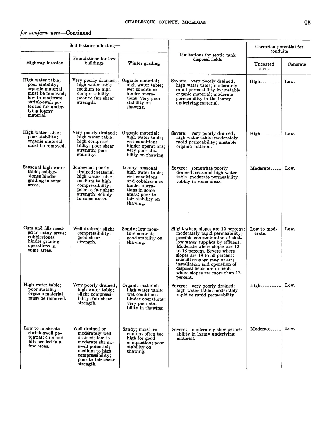
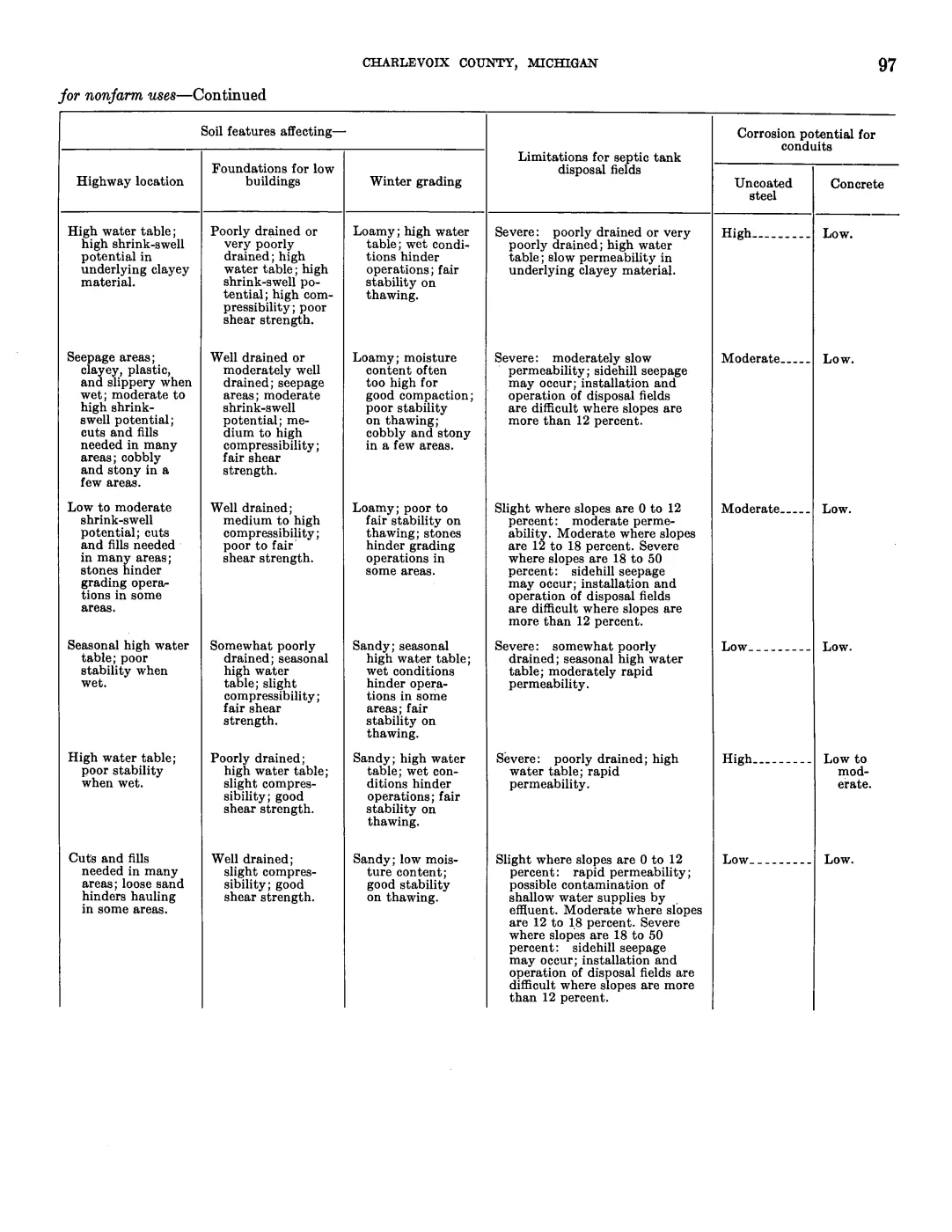
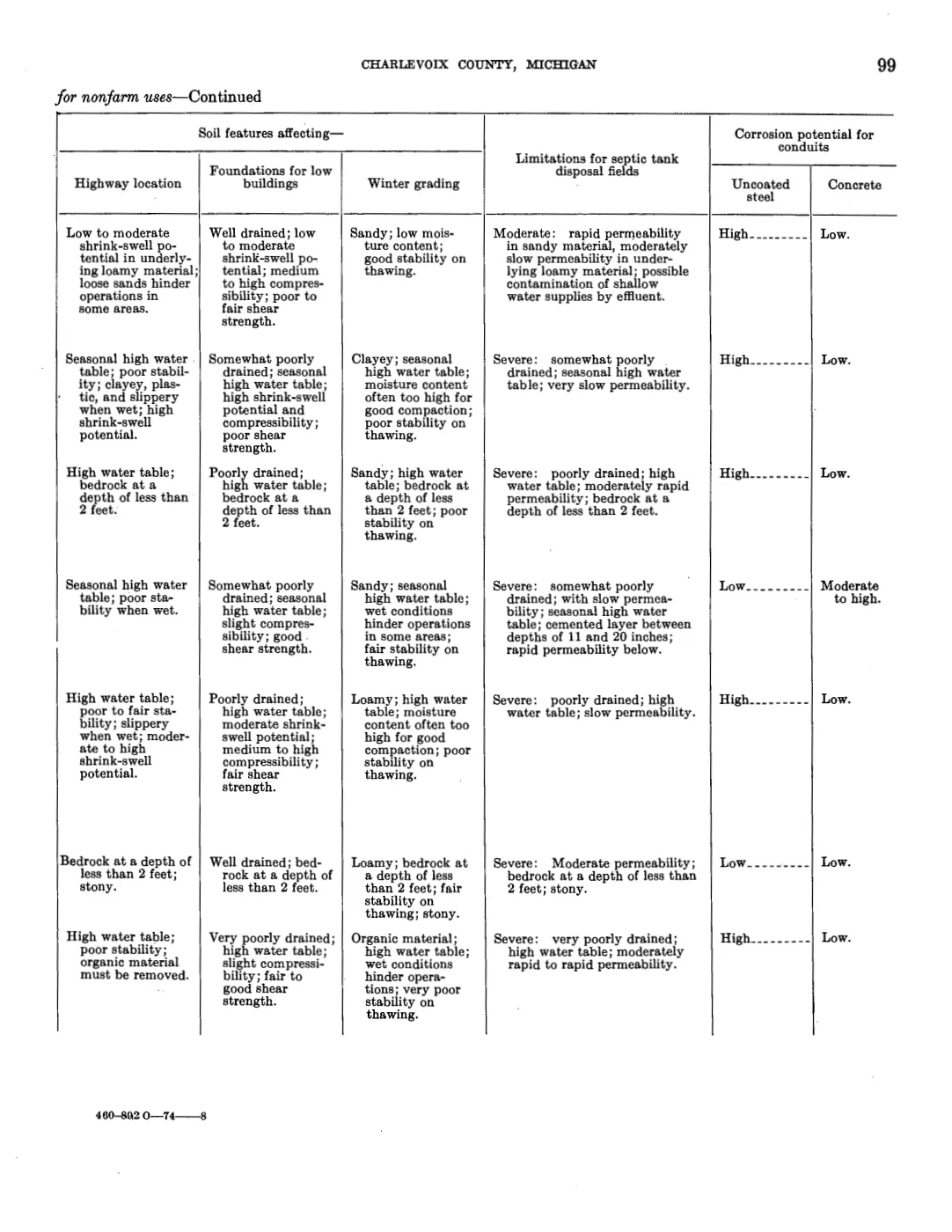
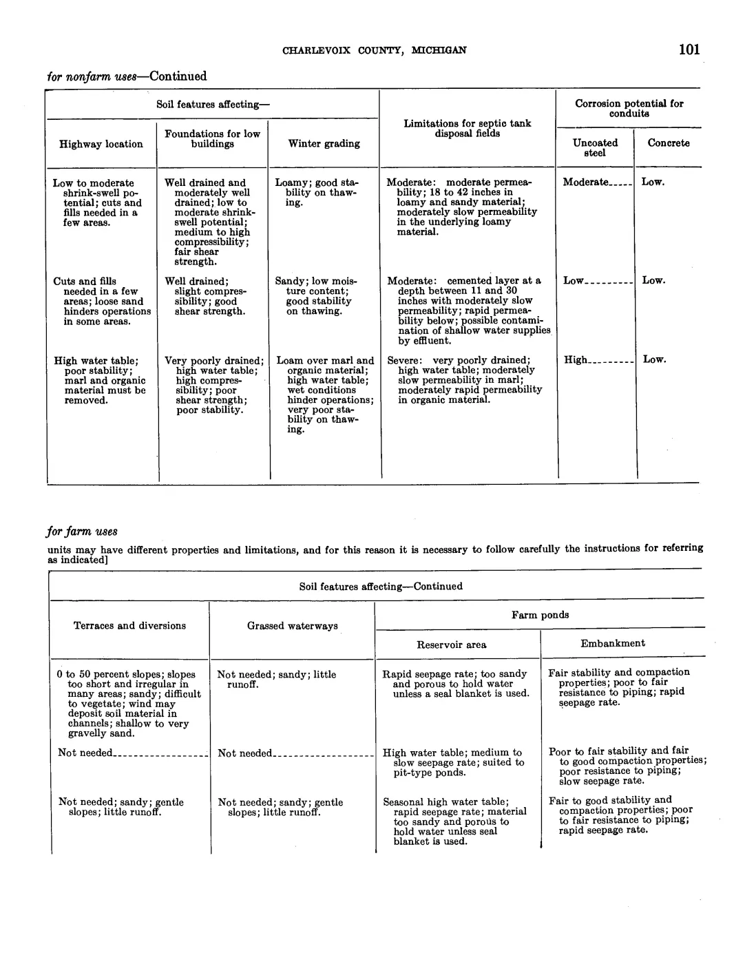
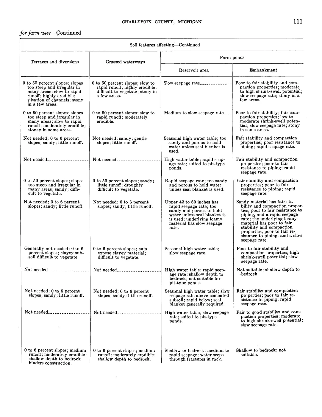
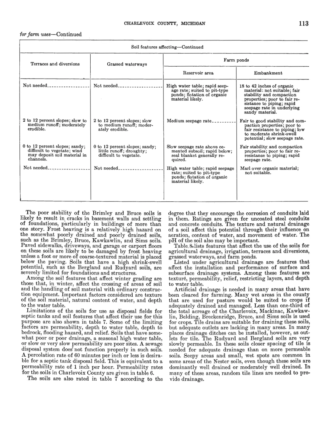
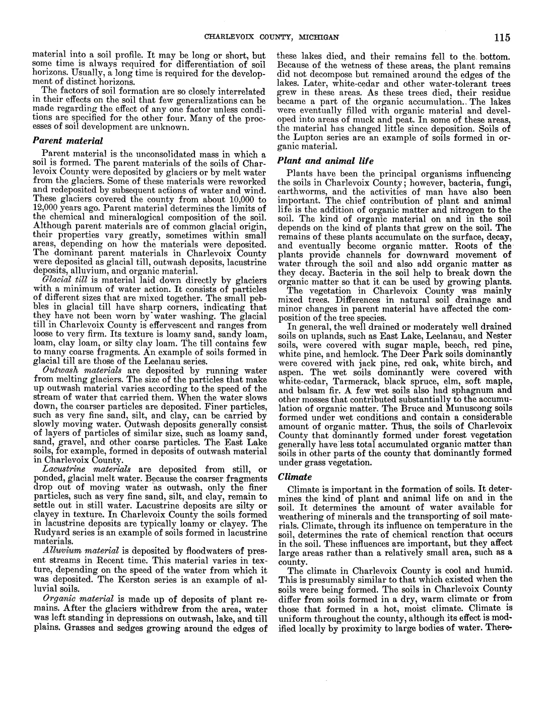
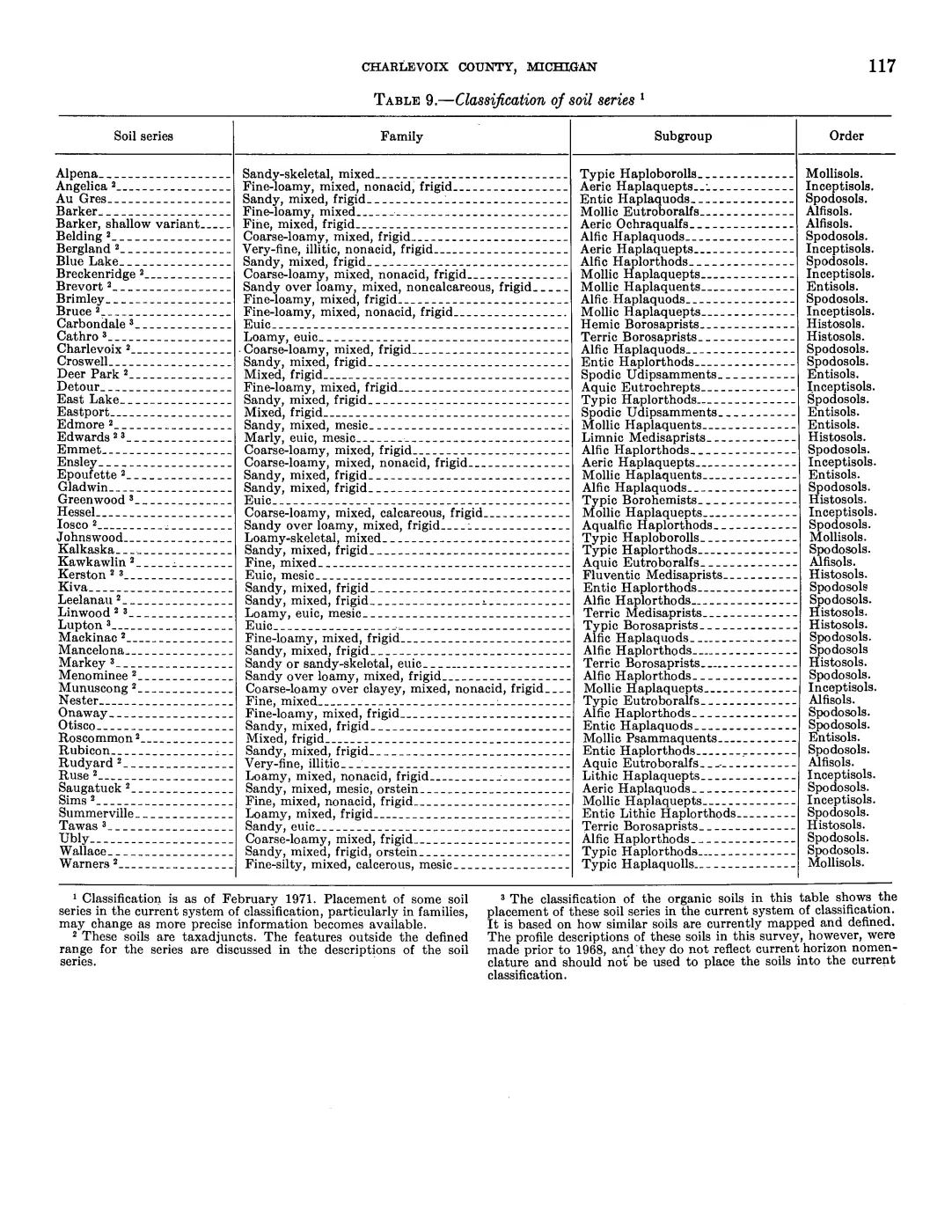
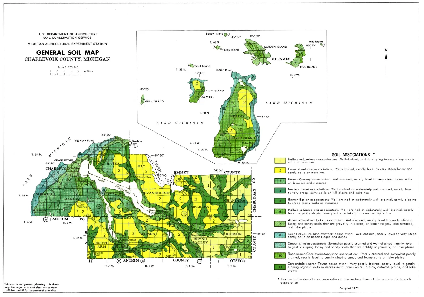
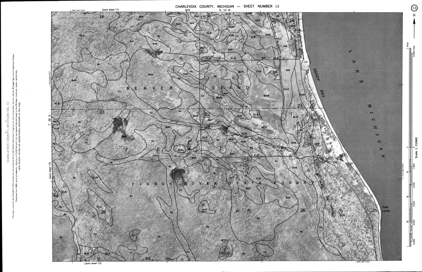
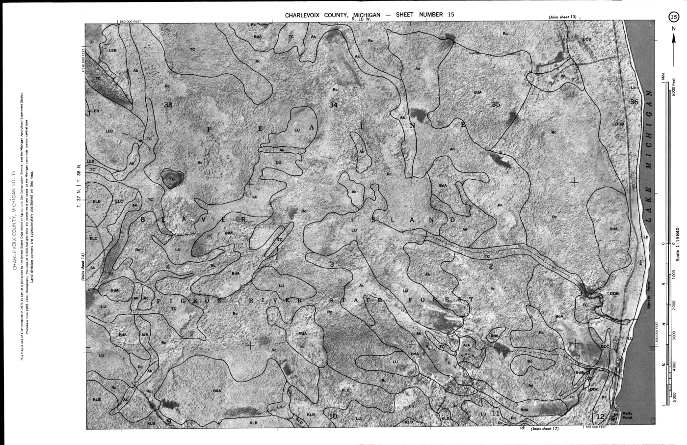
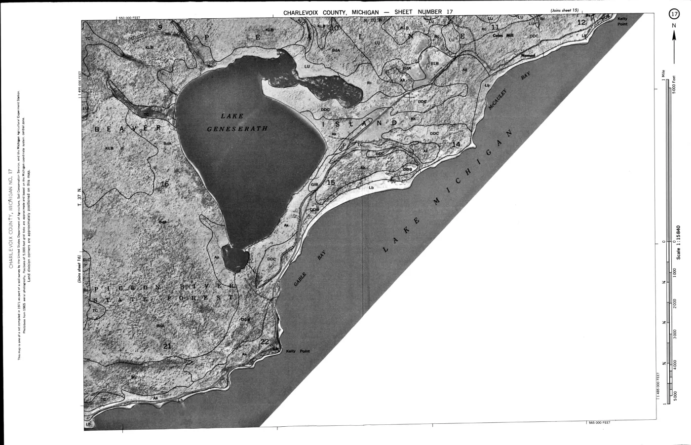
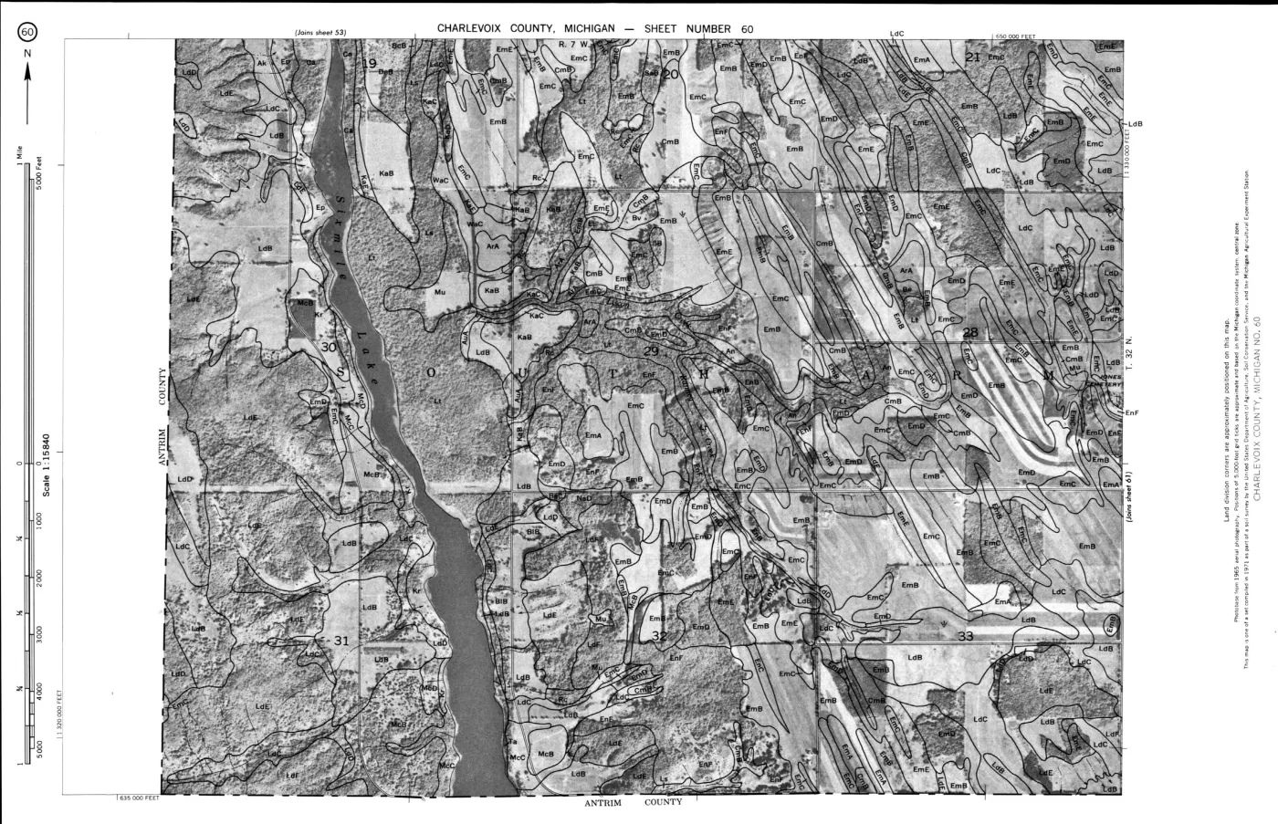
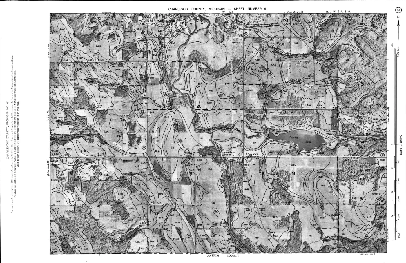
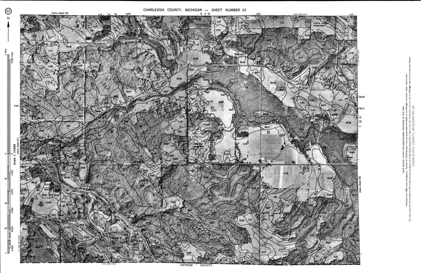
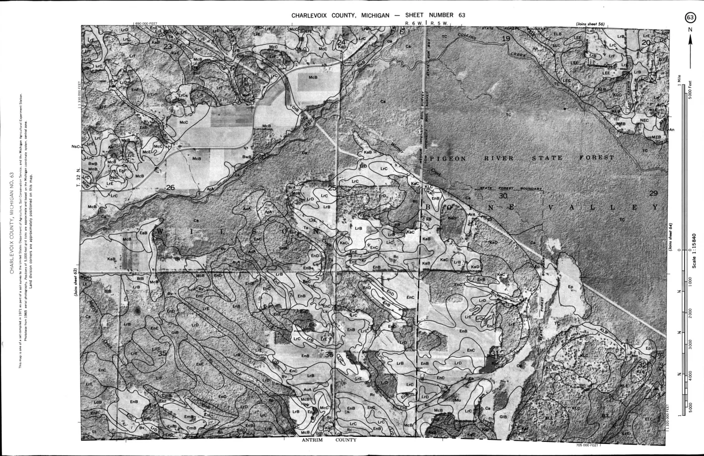
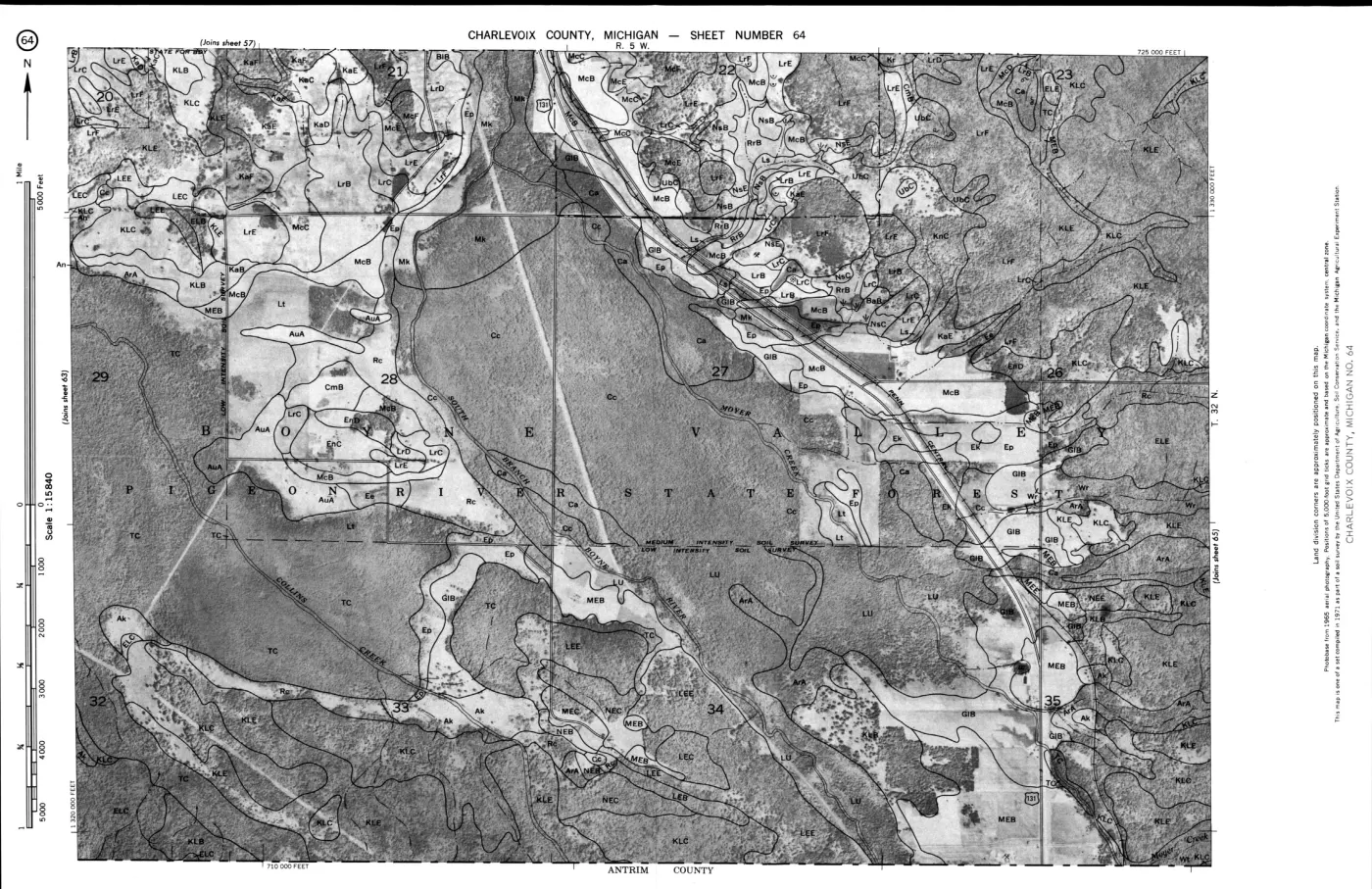
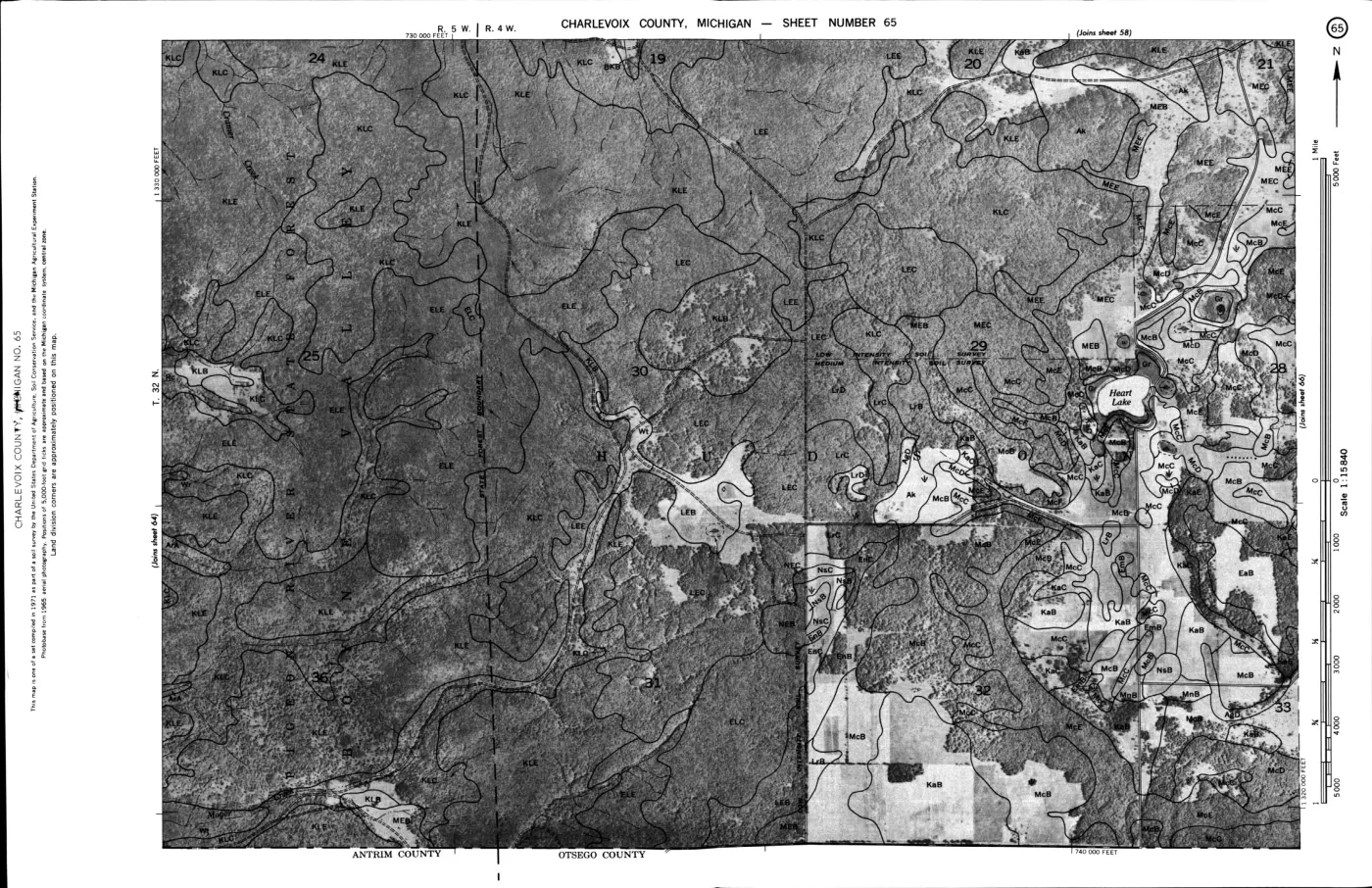
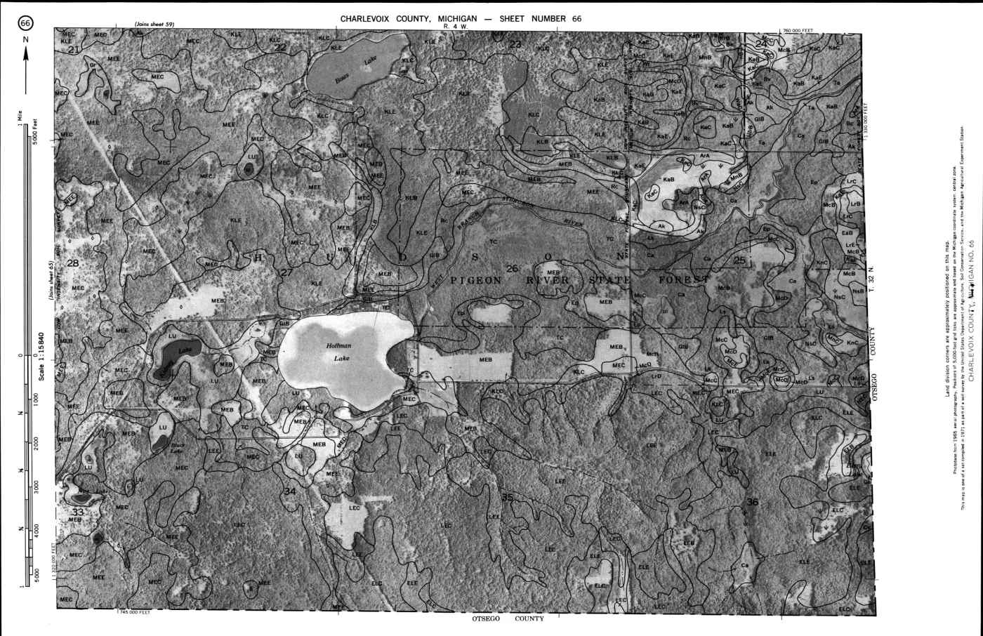
The printed survey is an image-only scan in the held PDF. A locally generated Tesseract derivative makes its narrative searchable while retaining PDF-page markers and source line references. The strongest direct island statements are that Charlevoix County includes the Beaver Island group; the Charlevoix-Kawkawlin association occurs on Beaver Island; the Roscommon-Charlevoix-Mackinac association occurs on Beaver, Garden, High, and Hog islands; and a large area of Greenwood soils is on Beaver Island.
Evidence and limits
The survey is useful for interpreting the island’s physical setting and historic agricultural constraints. The SSURGO layer is a spatial and tabular planning dataset, not a parcel determination or a substitute for reading the original survey narrative. Neither source is evidence for a particular parcel’s current condition or boundaries, water quality, present agricultural use, a cultural site, or any individual ownership claim. Site-specific conclusions require separate, appropriately scoped evidence; the Fox-Island polygons must not be silently merged with the Charlevoix survey area.
Machine-readable soil holdings
The retrieval code uses the USDA NRCS Soil Data Access REST endpoint,
https://sdmdataaccess.sc.egov.usda.gov/Tabular/post.rest, for survey-area,
map-unit, and polygon queries. It uses the Web Soil Survey cache for the
complete spatial-plus-tabular packages. The held polygon extracts contain 553
Charlevoix-frame features and 56 Fox-frame features in EPSG:4326; the adjacent
JSON tables preserve the survey-area map-unit catalogues. The package dates are
the SSURGO cache save dates recorded in the source provenance, not the date of
the 1974 printed survey.
Map-unit patterns in the held extracts
The held polygon extracts preserve map-unit names and polygon occurrence counts. These counts are not acres, soil-profile counts, or a ranking of ecological importance; one map unit can occur in multiple polygons, and the collection frames include the stated AOI rather than a single island boundary.
| Survey frame | Most frequent held map-unit labels | Polygon occurrences |
|---|---|---|
| Charlevoix MI029 | Tawas–Carbondale association | 71 |
| Charlevoix MI029 | Alpena, Kiva, and East Lake soils | 70 |
| Charlevoix MI029 | Roscommon sand | 54 |
| Charlevoix MI029 | Belding–Breckenridge sandy loams | 49 |
| Charlevoix MI029 | Kalkaska–Leelanau association | 45 |
| Charlevoix MI029 | Deer Park–Dune land associations, combined slope classes | 67 |
| Charlevoix MI029 | Lake beaches | 20 |
| Leelanau MI089 | Dune land | 17 |
| Leelanau MI089 | Lake beaches | 10 |
| Leelanau MI089 | Lake bluffs | 4 |
The names themselves preserve useful landscape vocabulary: dunes, beaches, bluffs, sandy soils, muck, lowland associations, and slope classes. They are best read with the 1974 narrative and the Quaternary geology layers. A map-unit name can suggest a landform relationship or management question; it does not by itself establish a tree community, drainage condition, farm use, or parcel boundary.
Island-specific narrative evidence
The survey’s narrative supplies the historical and ecological interpretation that the current polygons cannot provide by themselves. Page numbers below are PDF page numbers; the OCR derivative records the corresponding searchable line ranges.
| Survey statement | Island relevance | Source location |
|---|---|---|
| The Roscommon-Charlevoix-Mackinac association is poorly drained and somewhat poorly drained sandy and loamy soil on former glacial lake plains. | The survey explicitly places this association on Beaver, Garden, High, and Hog islands. | PDF pp. 10-11; OCR lines 1011-1127 |
| Charlevoix-Kawkawlin association occurs on undulating loamy plains on the mainland and on Beaver Island. | The source describes woods or idle land, some cultivation where drained, and drainage as the main management concern. | PDF p. 22; OCR lines 2841-2854 |
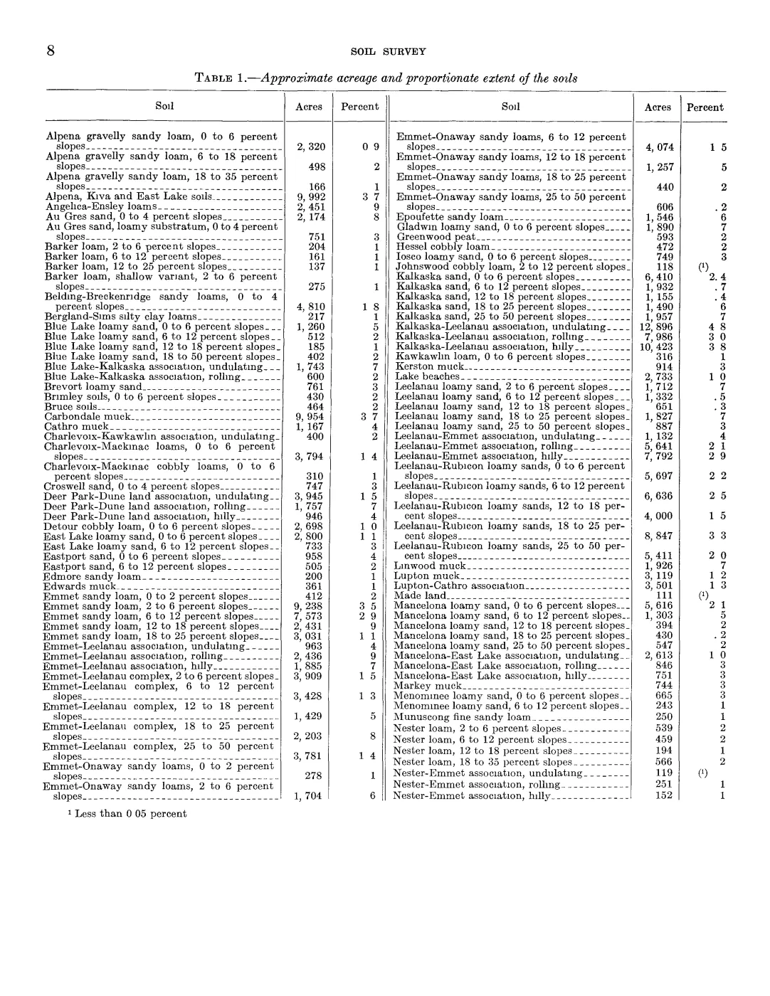
| Greenwood is a very poorly drained organic soil in depressional areas, and a large area occurs on Beaver Island. | This links Beaver’s lowland wetland settings to organic soils rather than treating wetlands as undifferentiated “woods.” | PDF p. 32; OCR lines 4302-4308 |
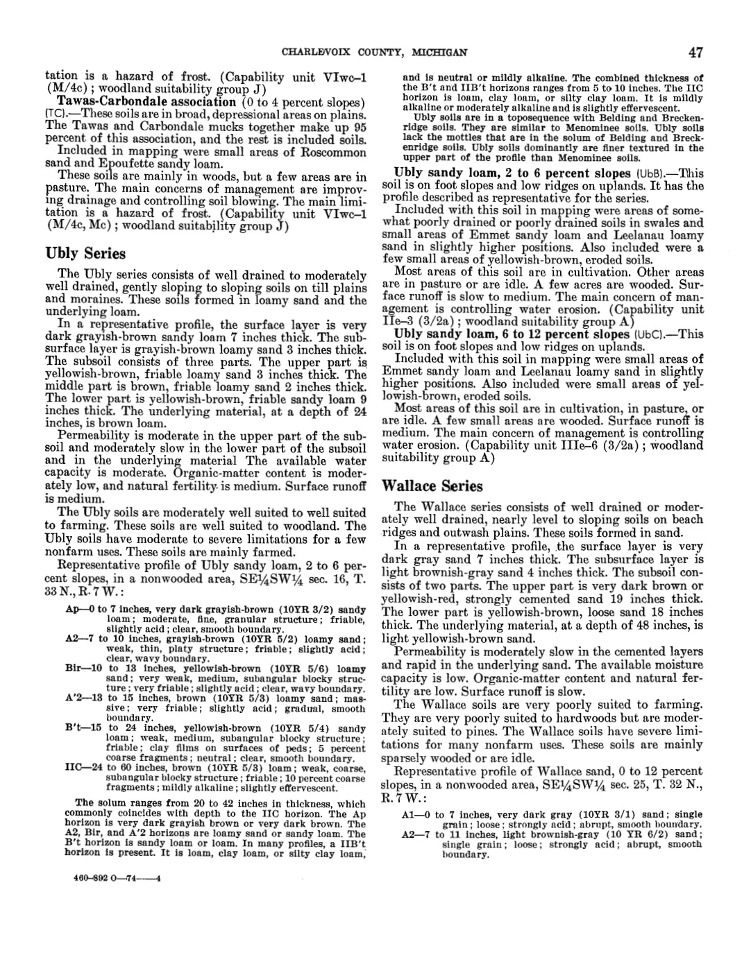
| Greenwood peat occurs in broad depressional boggy basins and smaller upland depressions. | The map-unit description says these areas carry marsh vegetation and are not in cultivation; drainage, acidity, fertility, and frost are management limits. | PDF p. 47; OCR lines 4363-4370 |
| Charlevoix soils are somewhat poorly drained soils on moraines, till plains, and lake plains. | In the survey’s general woodland interpretation, drained and non-cobbly soils are well suited to farming, moderately suited to hardwoods, and poorly suited to pines. | PDF p. 21; OCR lines 2753-2784 |
| Roscommon is poorly drained sand on lake plains and glacial drainageways. | The source describes it as very poorly suited to farming and woodland but well suited to wetland wildlife habitat. | PDF p. 47; OCR lines 6644-6710 |
These are survey-level statements. The series descriptions should be used to interpret the later SSURGO labels, not as evidence that a current polygon has the same boundary, condition, vegetation, or land use as the 1974 description.
Island-scale SSURGO intersections
The island-scale crosswalk intersects the held MI029 and MI089 SSURGO polygons with named island geometries drawn from OpenStreetMap. Areas are calculated after transforming the intersection to equal-area EPSG:6933. The result is a repeatable island-scale summary of the held layers, not official soil-survey acreage, a parcel determination, or a legal boundary.
| Island | SSURGO survey area | OSM area (km²) | Intersected SSURGO area (km²) | Map units | Intersecting polygons |
|---|---|---|---|---|---|
| Beaver Island | MI029 | 151.076 | 149.738 | 33 | 456 |
| Garden Island | MI029 | 19.979 | 19.979 | 7 | 32 |
| High Island | MI029 | 14.899 | 14.899 | 13 | 26 |
| Hog Island | MI029 | 10.217 | 10.217 | 6 | 21 |
| Whiskey Island | MI029 | 0.485 | 0.485 | 2 | 2 |
| North Fox Island | MI089 | 3.414 | 3.414 | 12 | 13 |
| South Fox Island | MI089 | 13.964 | 13.964 | 13 | 43 |
The largest intersected map-unit areas in each island frame are:
| Island | Leading SSURGO labels by intersected area (km²) |
|---|---|
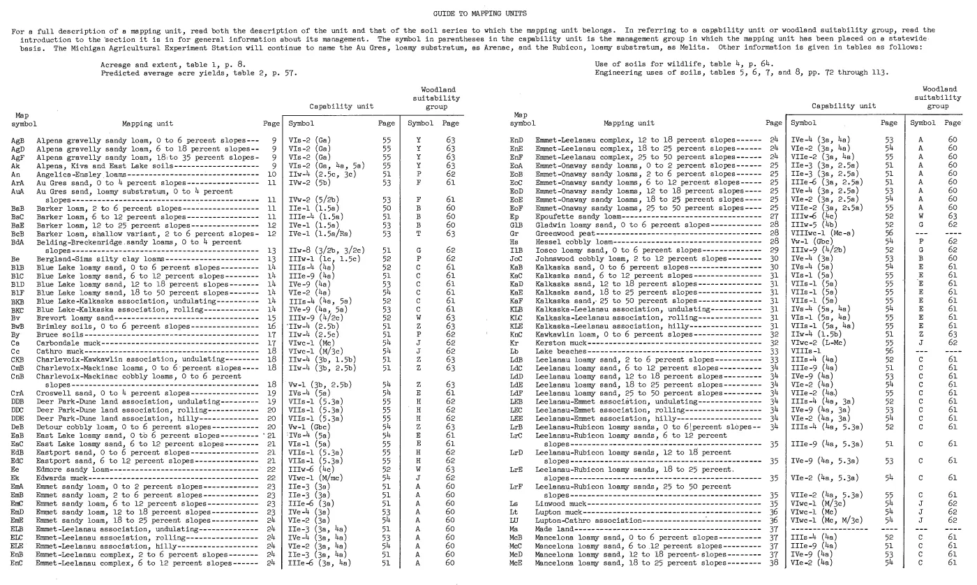
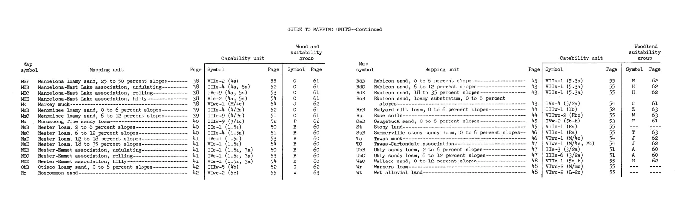
| Beaver Island | KLB Kalkaska-Leelanau association, undulating (37.494); Rc Roscommon sand (25.036); BdA Belding-Breckenridge sandy loams (15.992); Ak Alpena, Kiva, and East Lake soils (10.898); DDB Deer Park-Dune land association, undulating (10.393) |
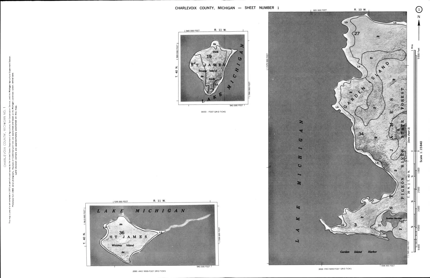
| Garden Island | Ak Alpena, Kiva, and East Lake soils (13.219); Lb Lake beaches (2.606); TC Tawas-Carbondale association (2.089) |
| High Island | Rc Roscommon sand (3.912); Ak Alpena, Kiva, and East Lake soils (2.730); BdA Belding-Breckenridge sandy loams (2.109) |
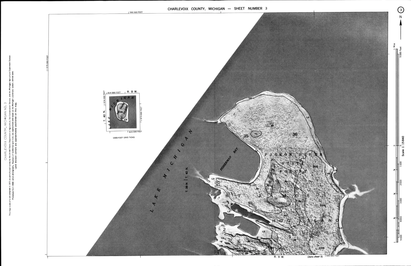
| Hog Island | Ak Alpena, Kiva, and East Lake soils (5.615); Lb Lake beaches (1.909); TC Tawas-Carbondale association (1.125) |
| Whiskey Island | Ak Alpena, Kiva, and East Lake soils (0.348); Lb Lake beaches (0.137) |
| North Fox Island | DtB Detour sandy loam (1.538); AsC Alpena gravelly sandy loam (0.542); DkF Deer Park sand (0.436) |
| South Fox Island | DkF Deer Park sand (7.922); EdB Eastport sand (1.493); Du Dune land (1.137); Lk Lake bluffs (0.782) |
North and South Fox are deliberately reported from MI089 rather than folded into the Charlevoix MI029 results. That separation preserves the county survey boundary and makes the Fox Islands visible in the same archipelago-level research frame without implying that the 1974 Charlevoix survey covered them.
See also
Read the document
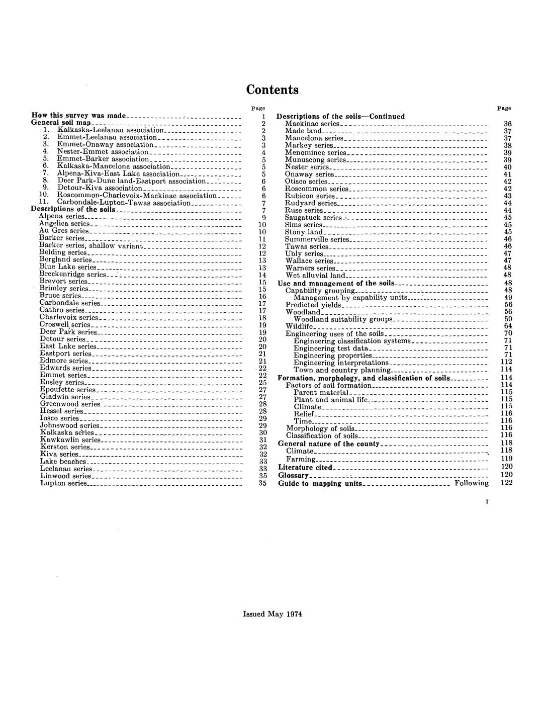
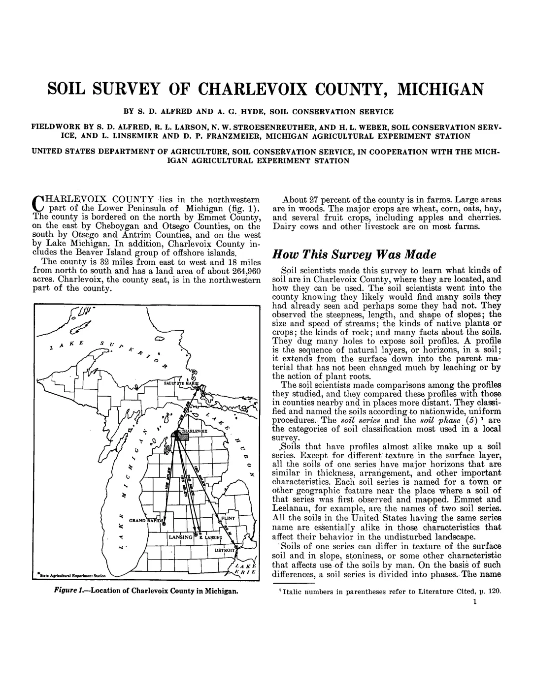
200 pages, rendered from the held scan.
Jump to a page — 200 in all

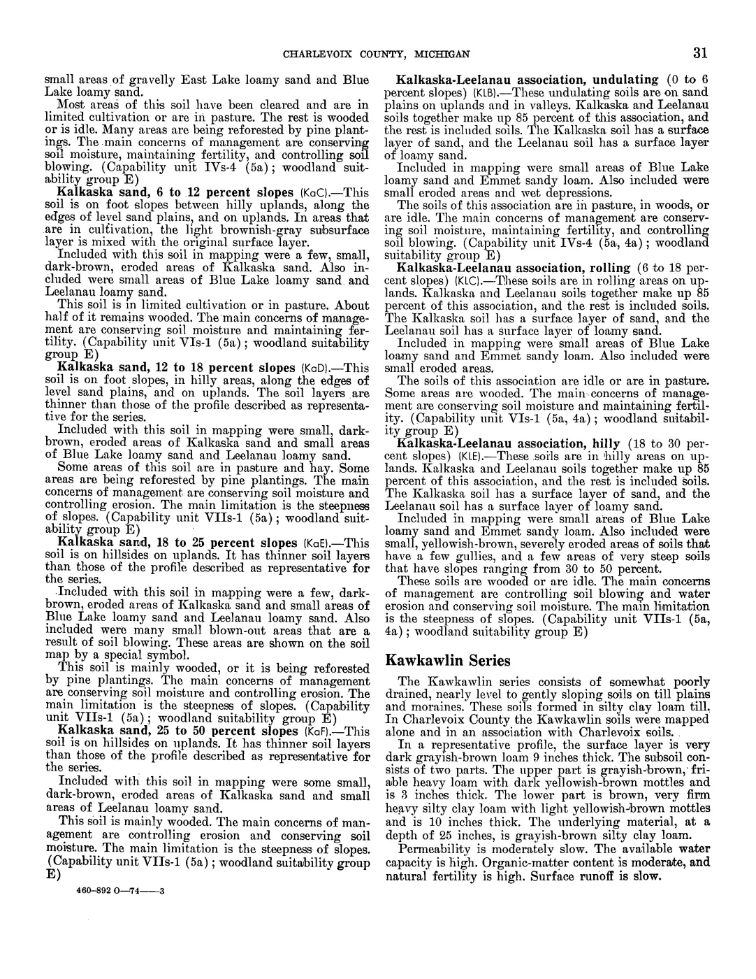
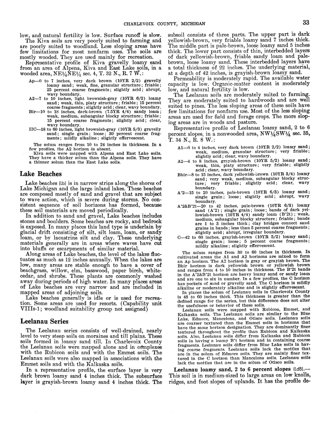
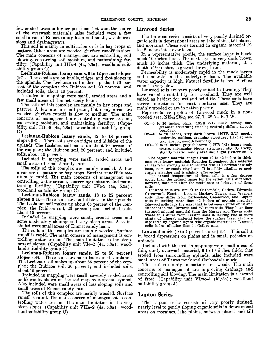
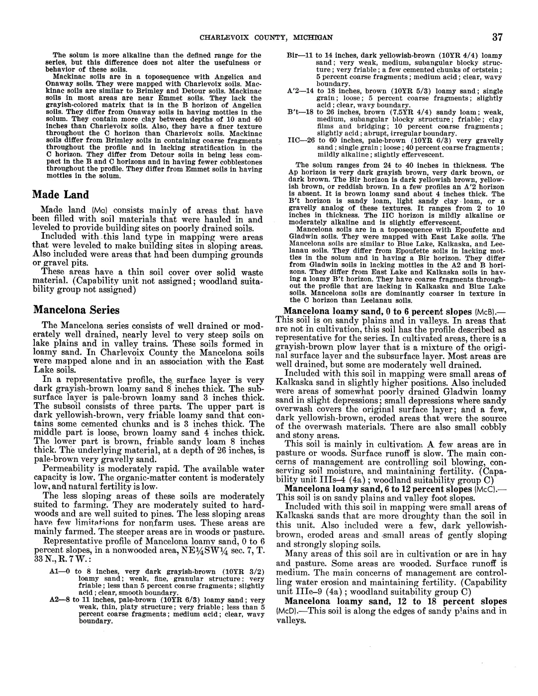
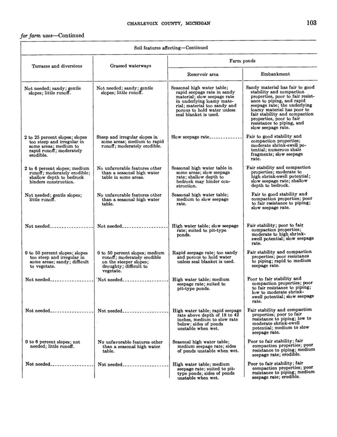
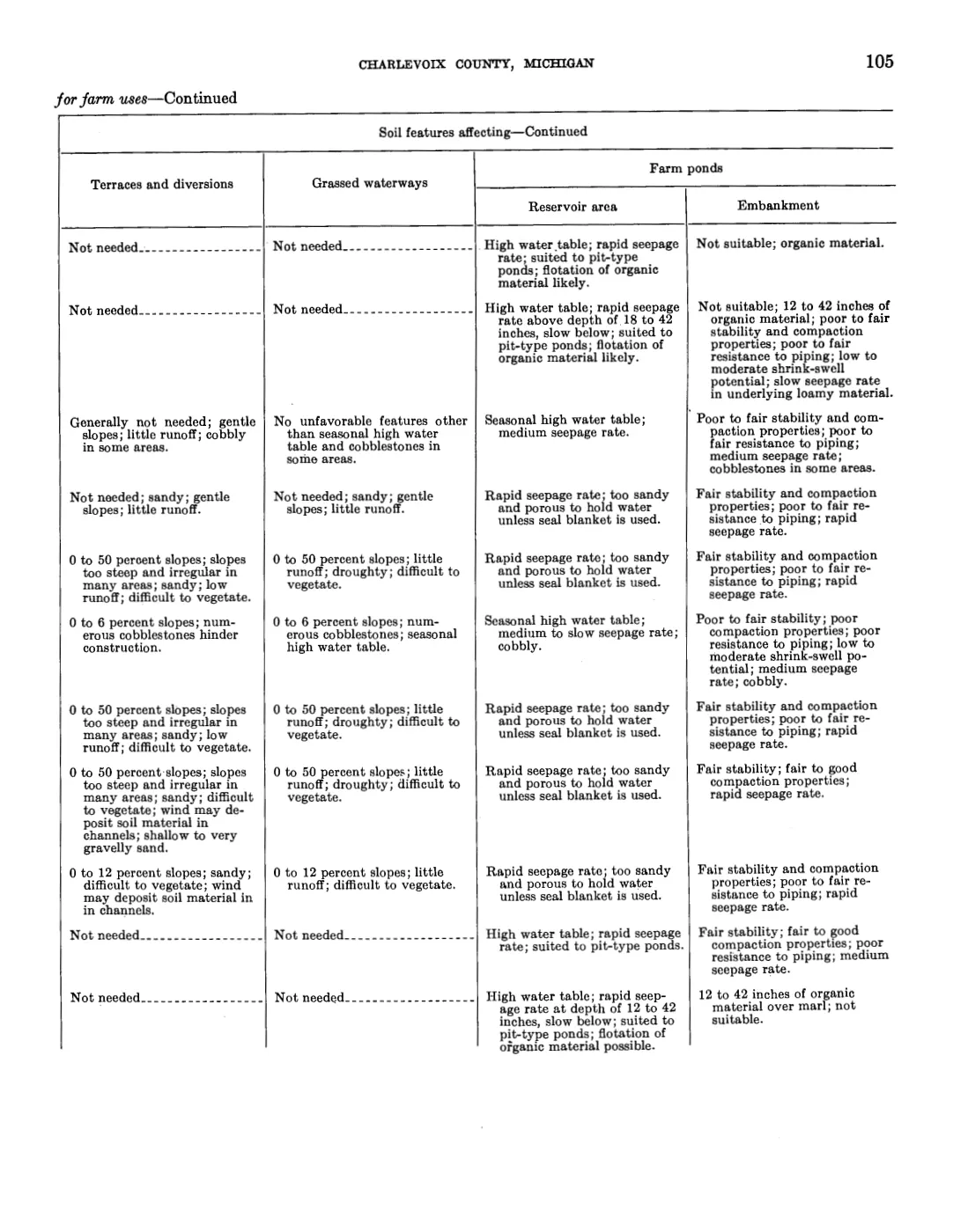
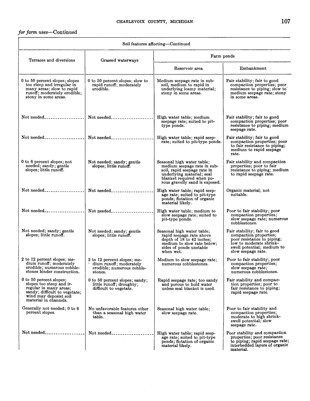
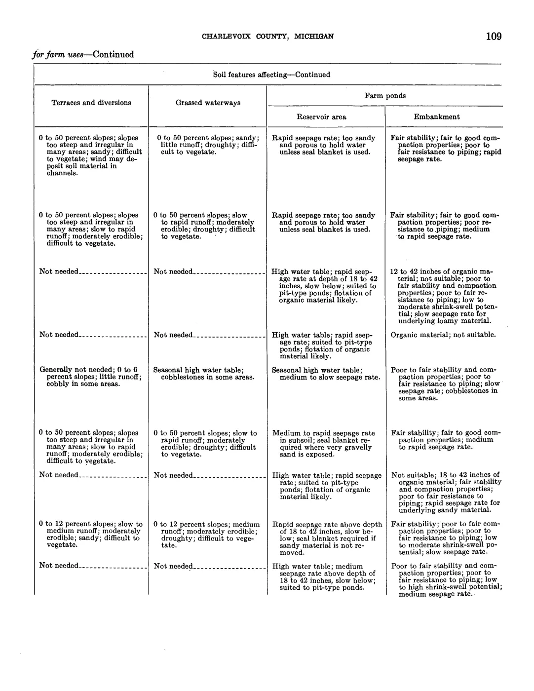
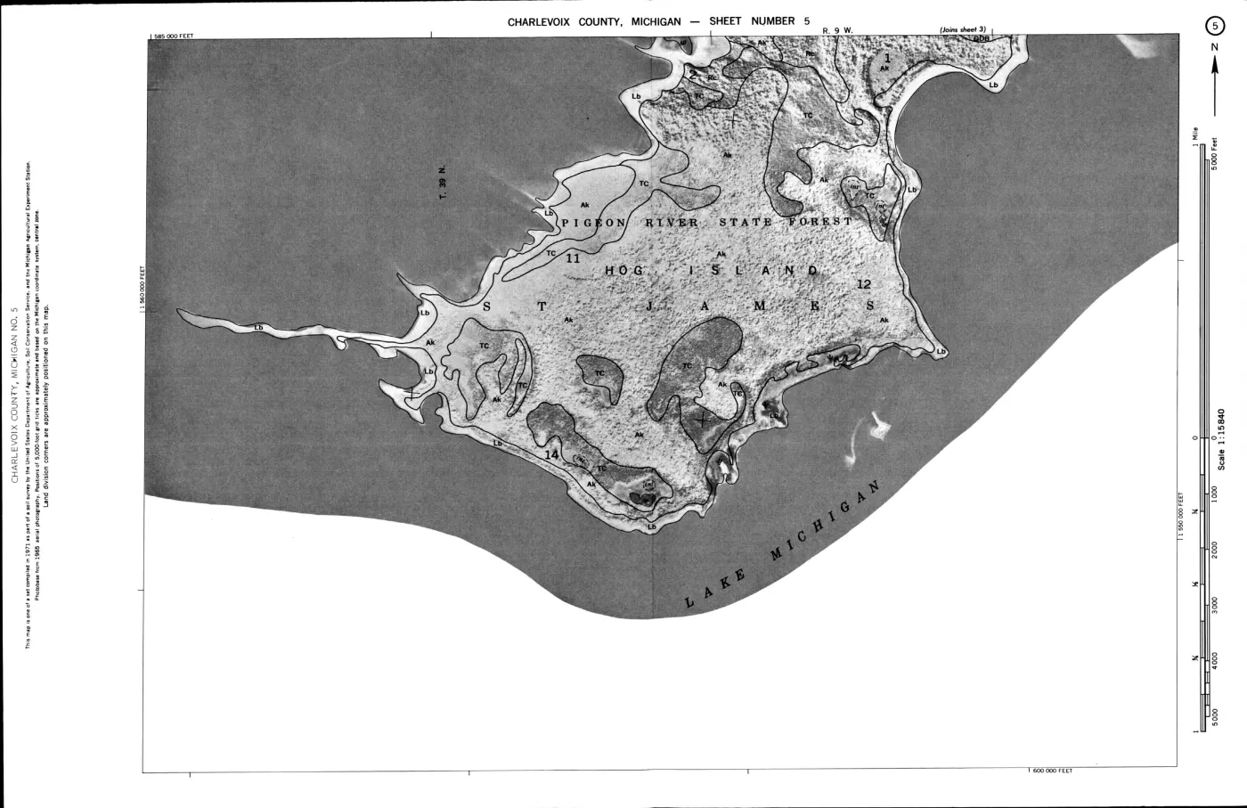
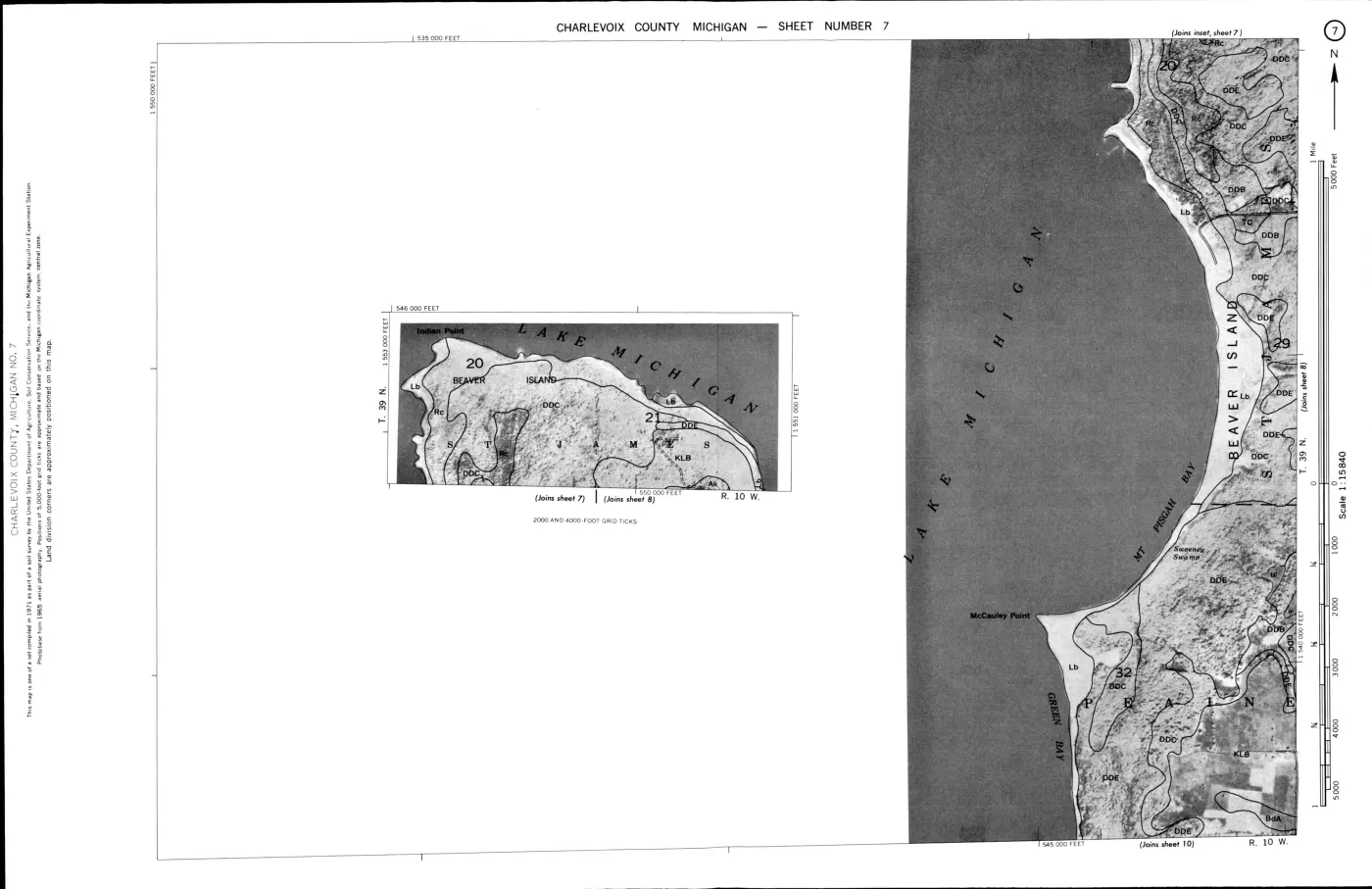
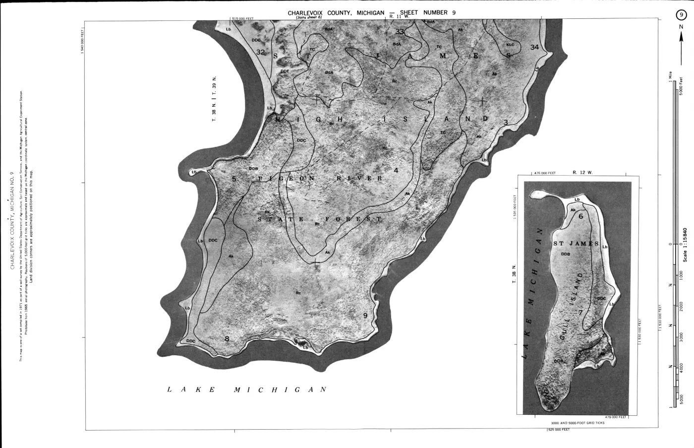
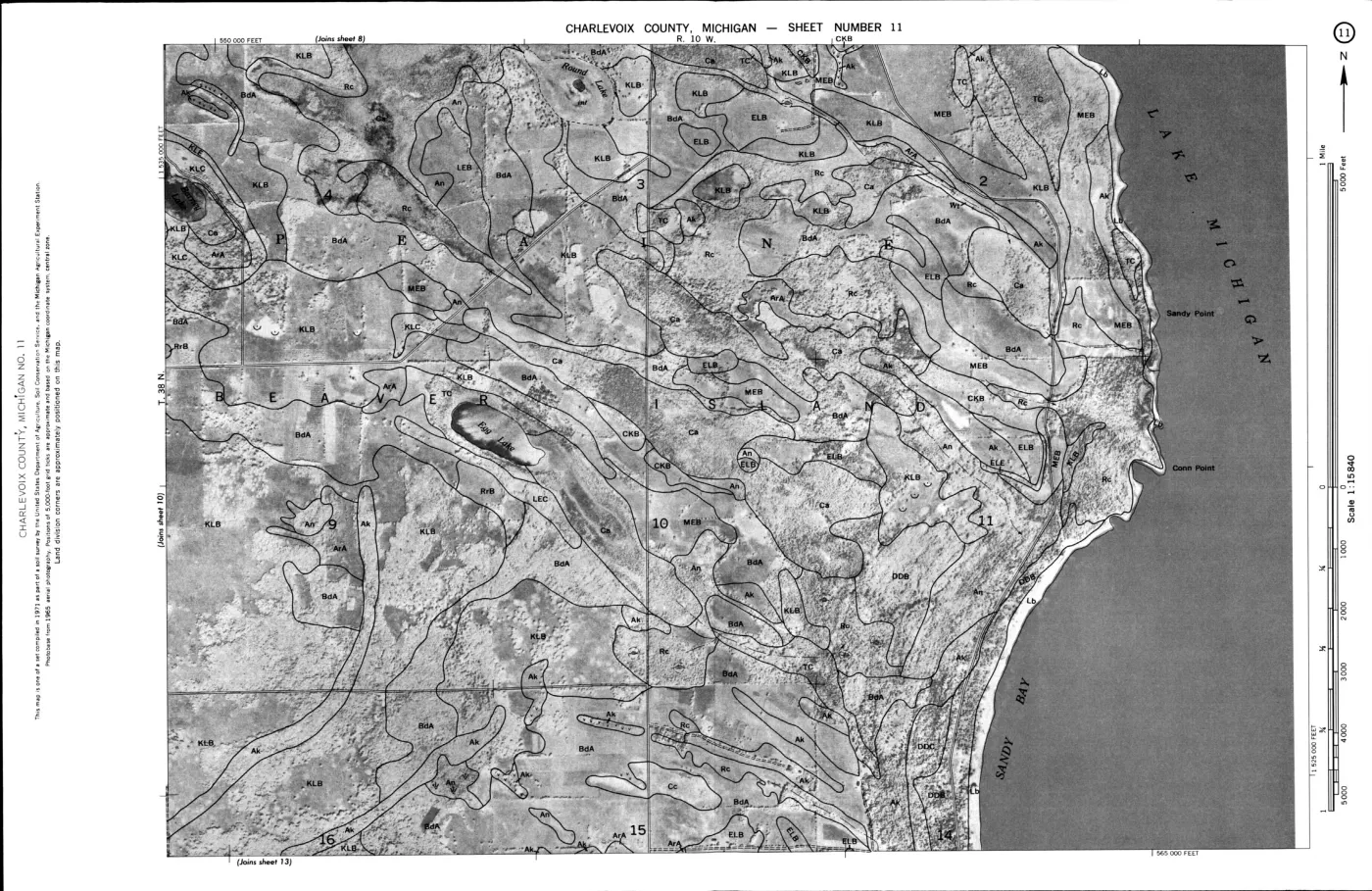
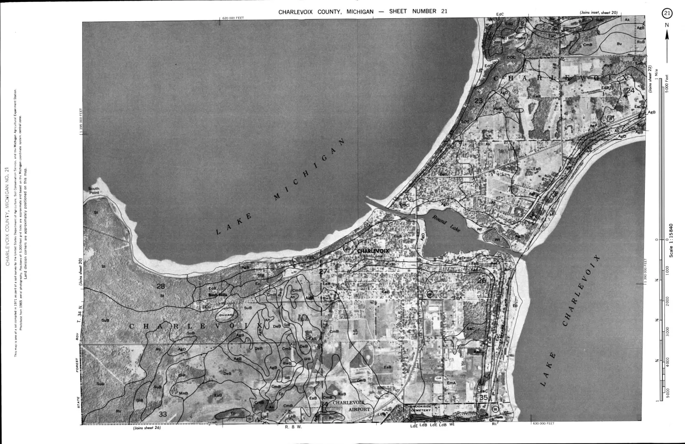
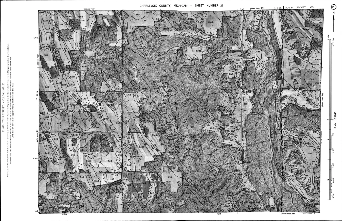
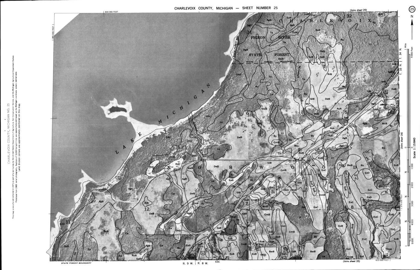
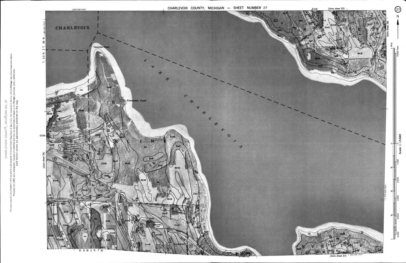
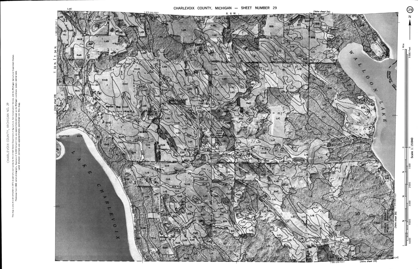
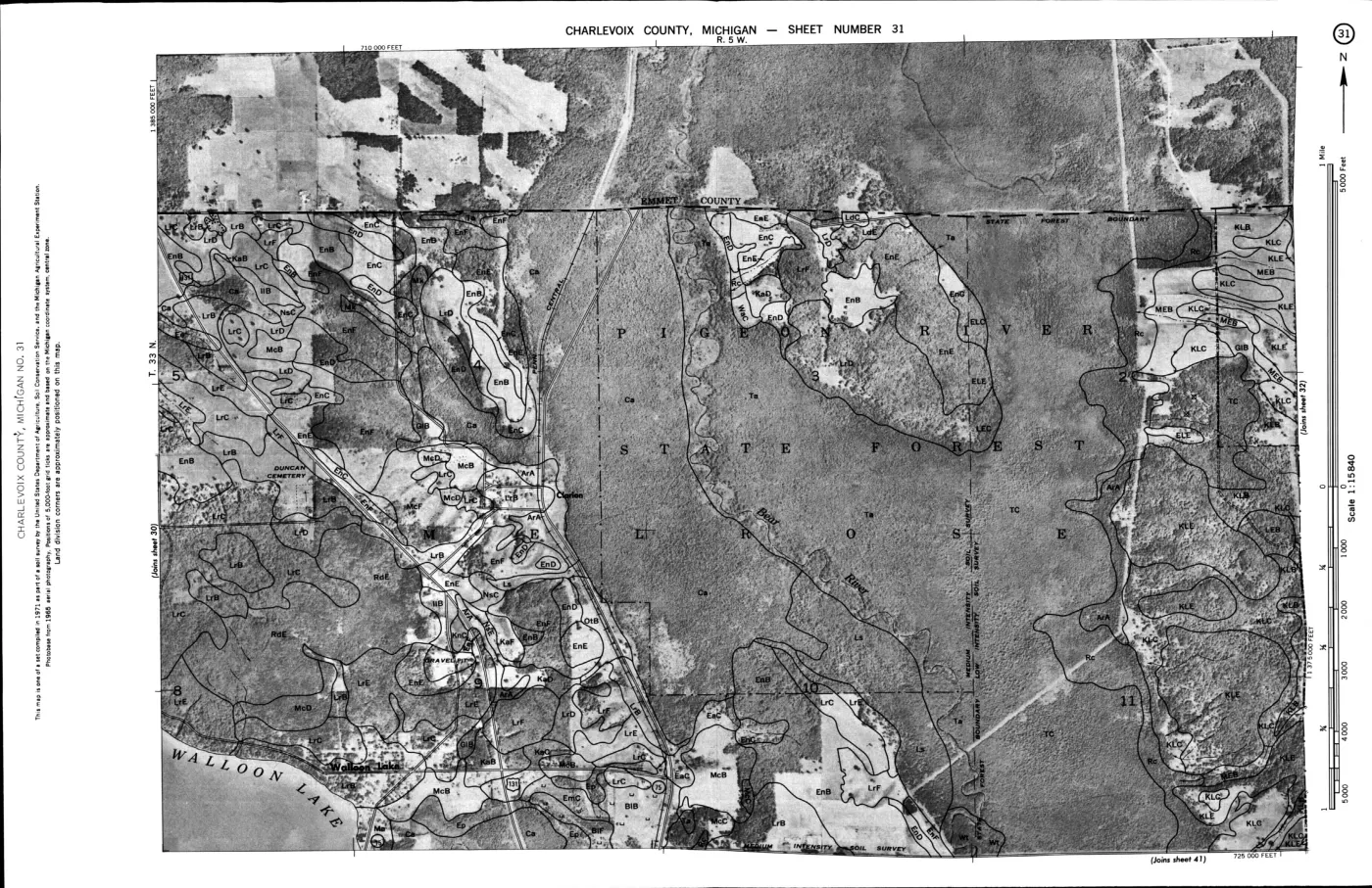
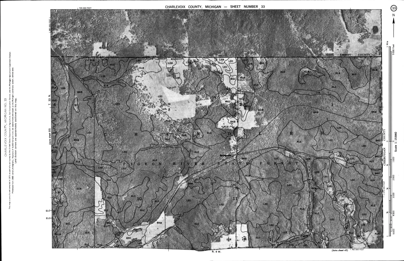
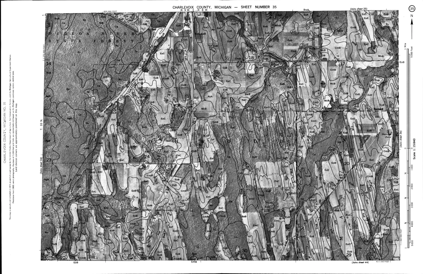
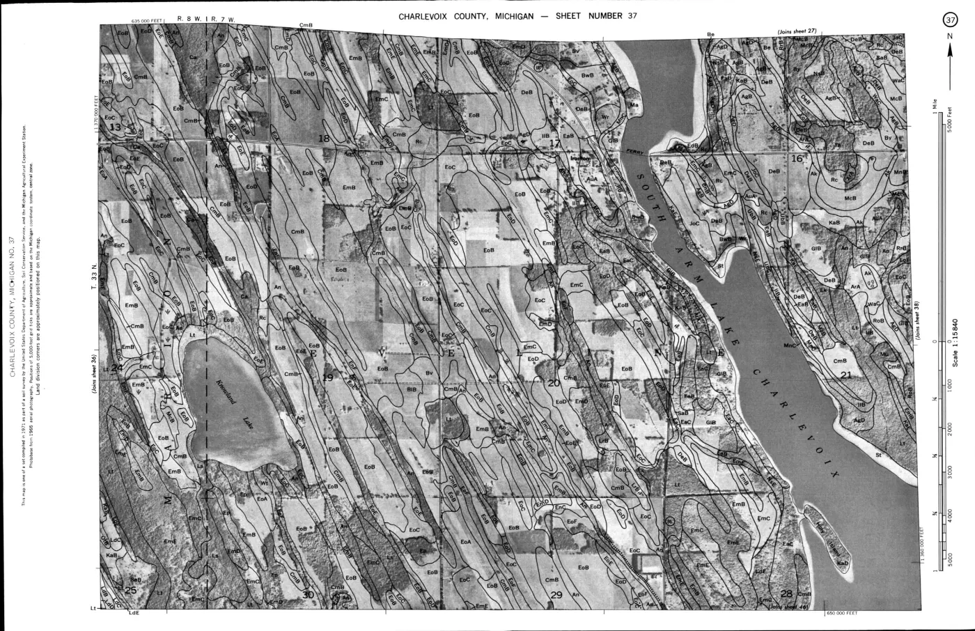
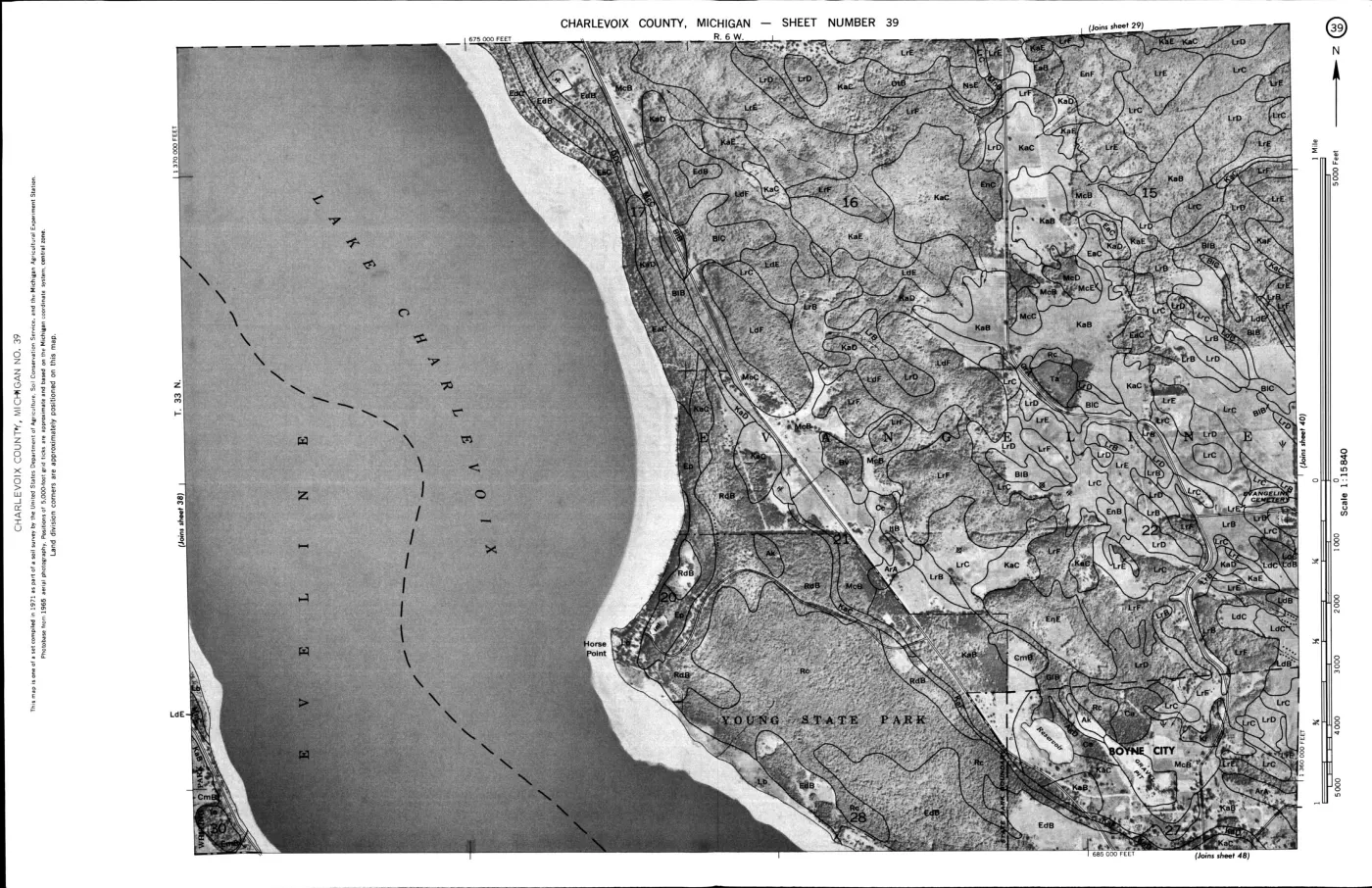
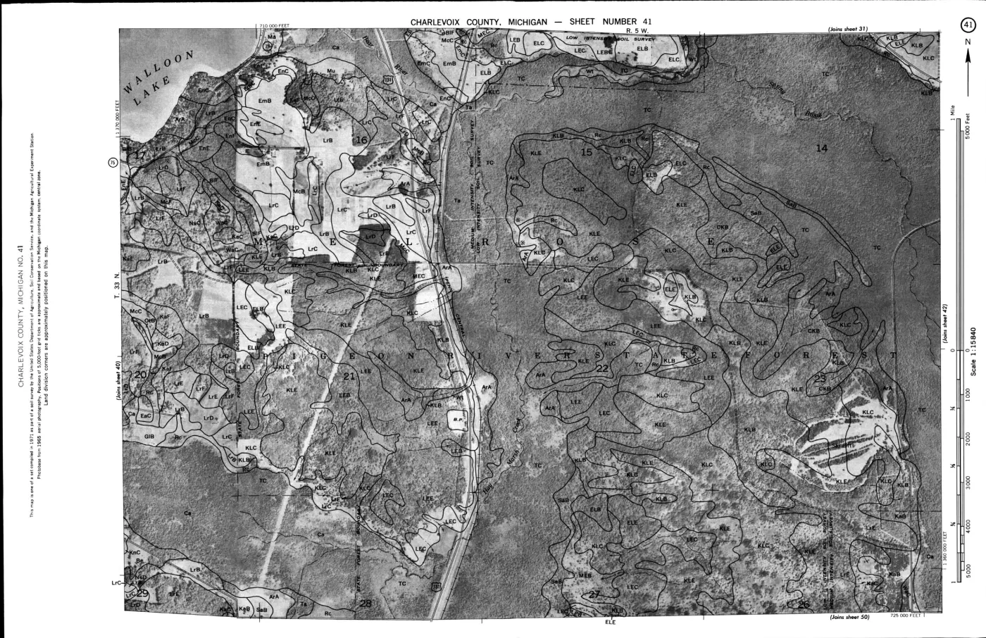
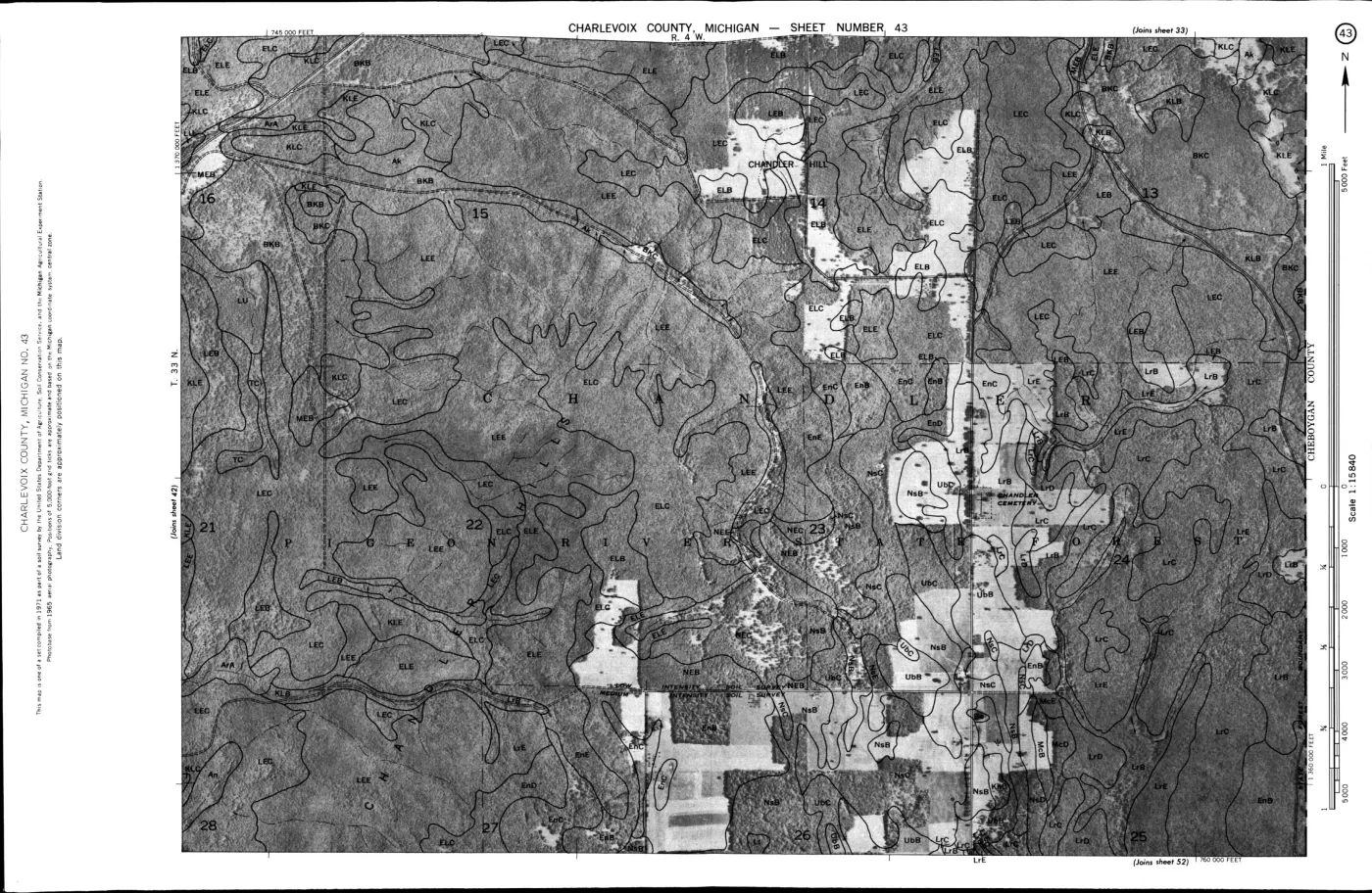
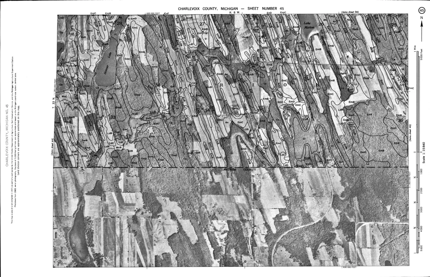
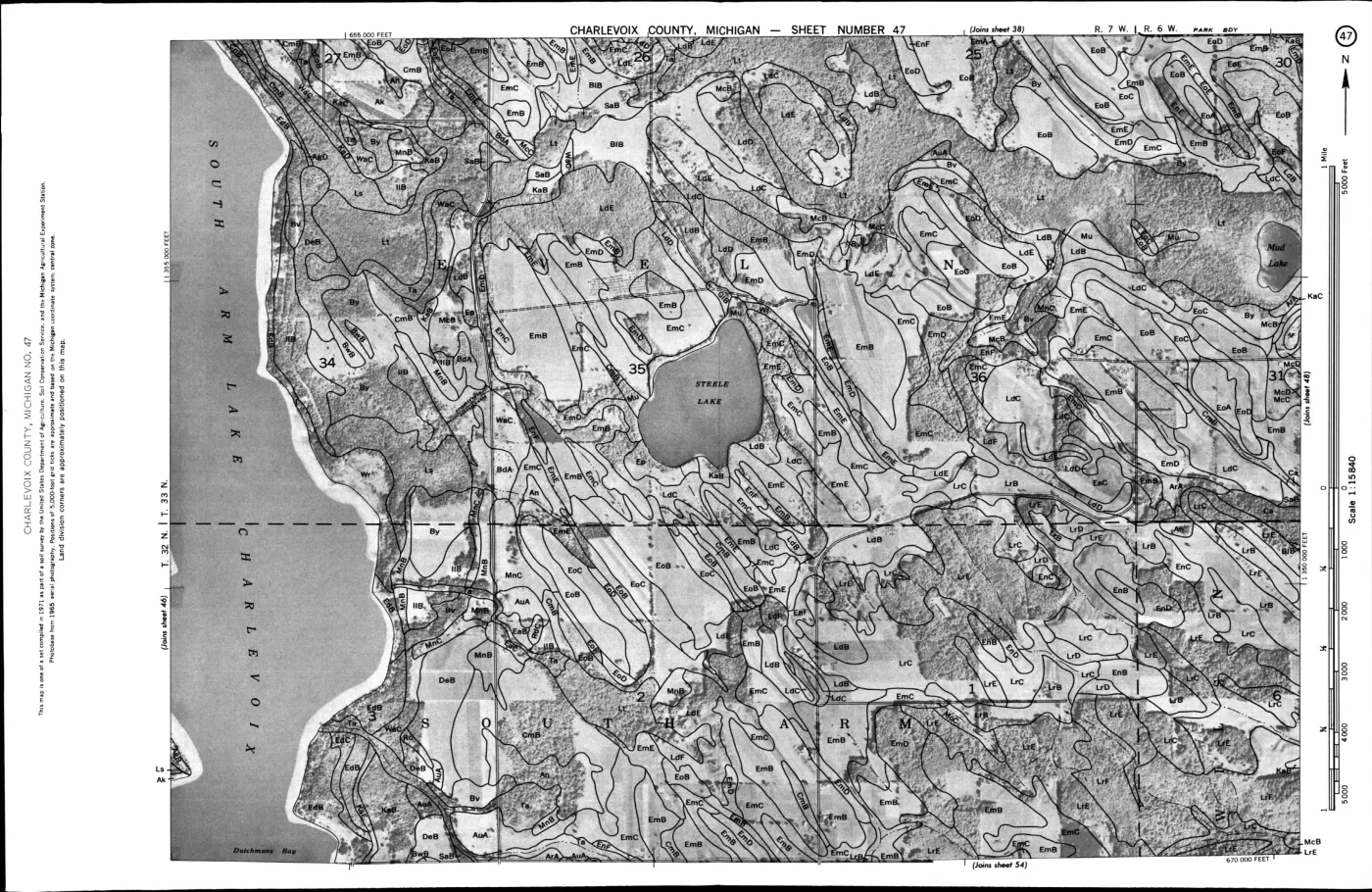
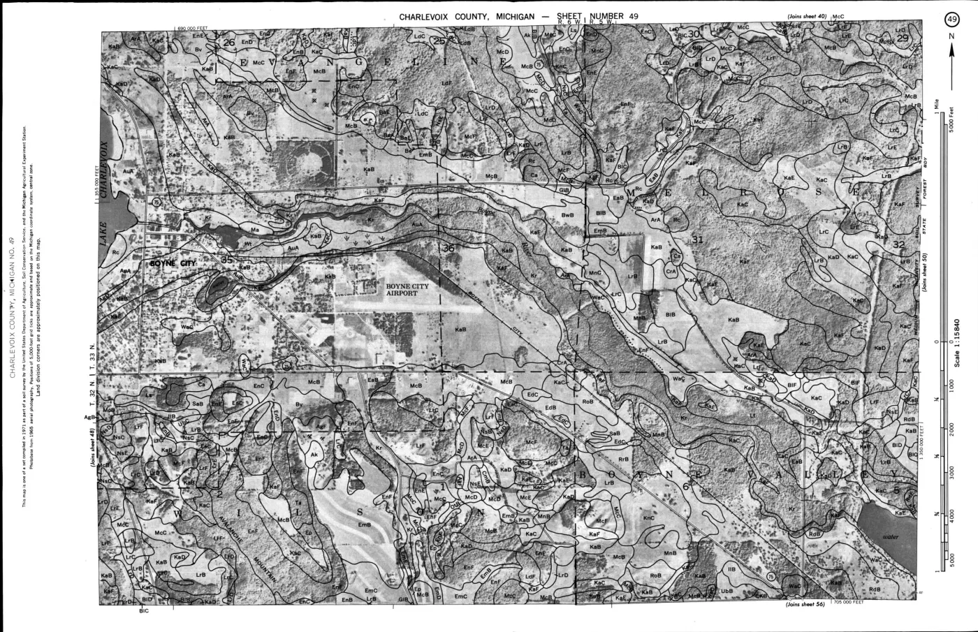
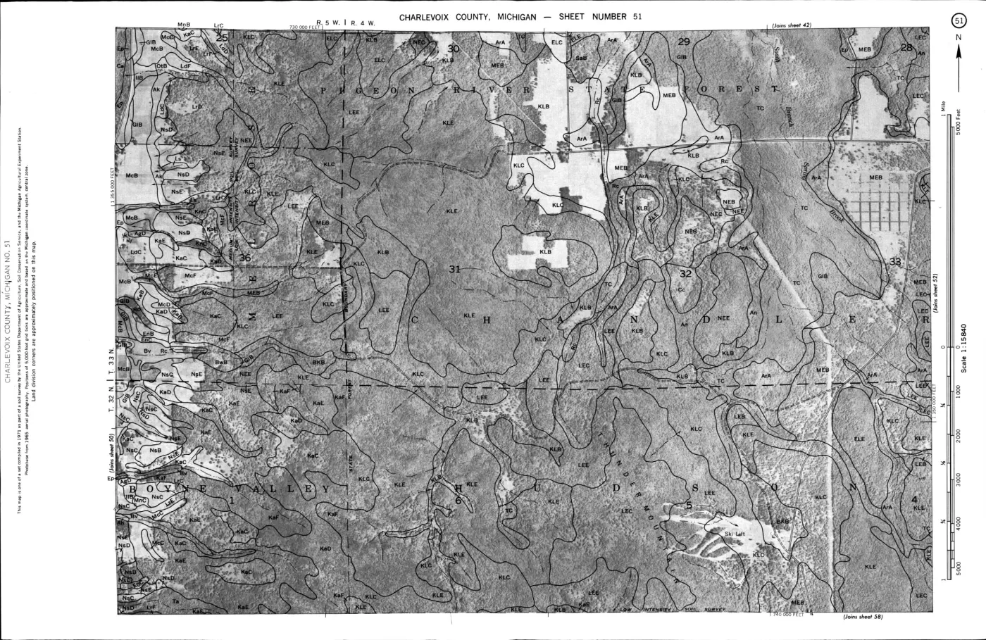
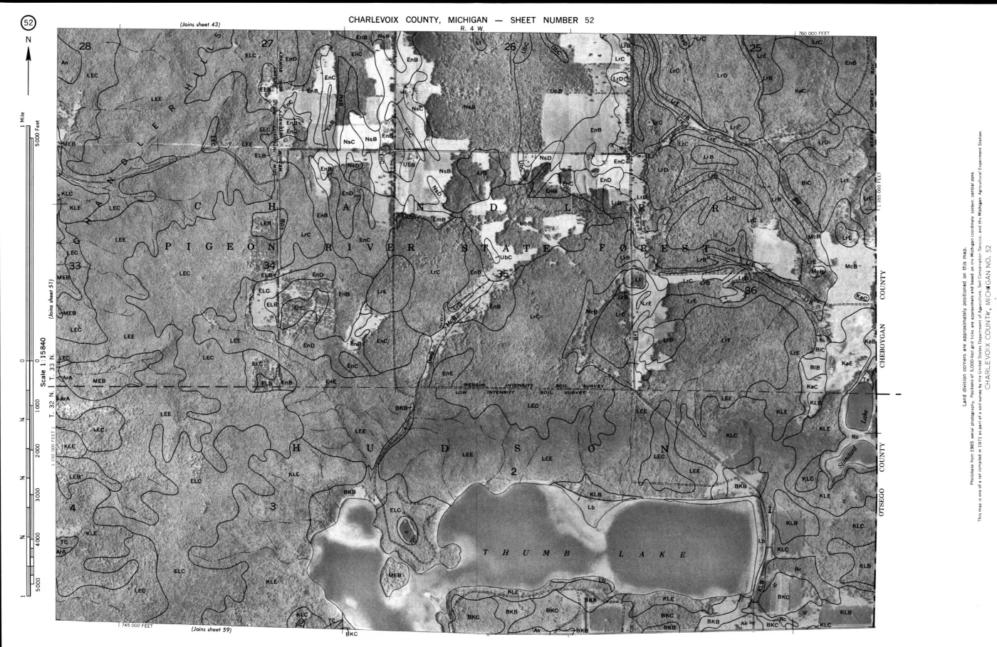
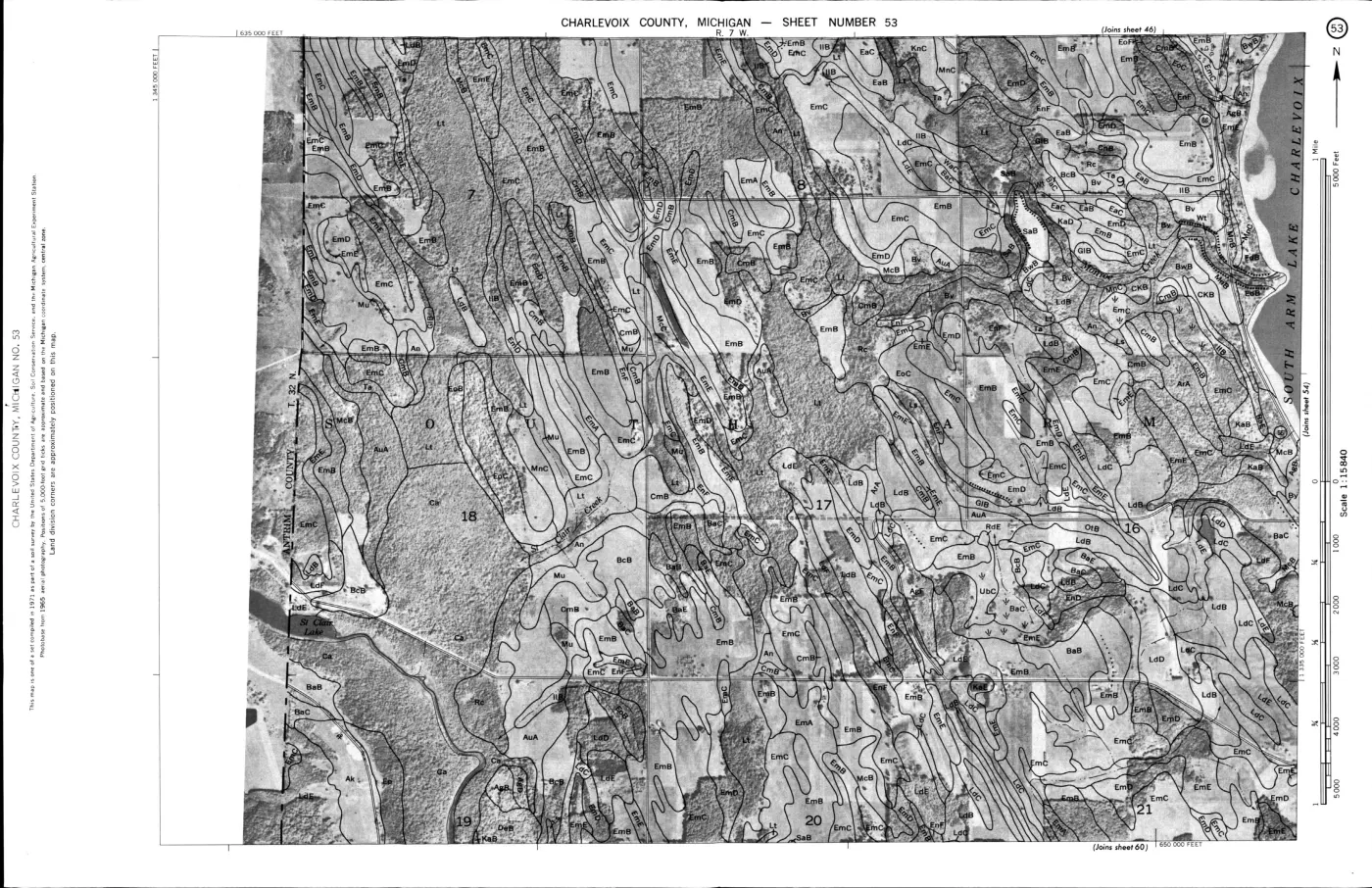
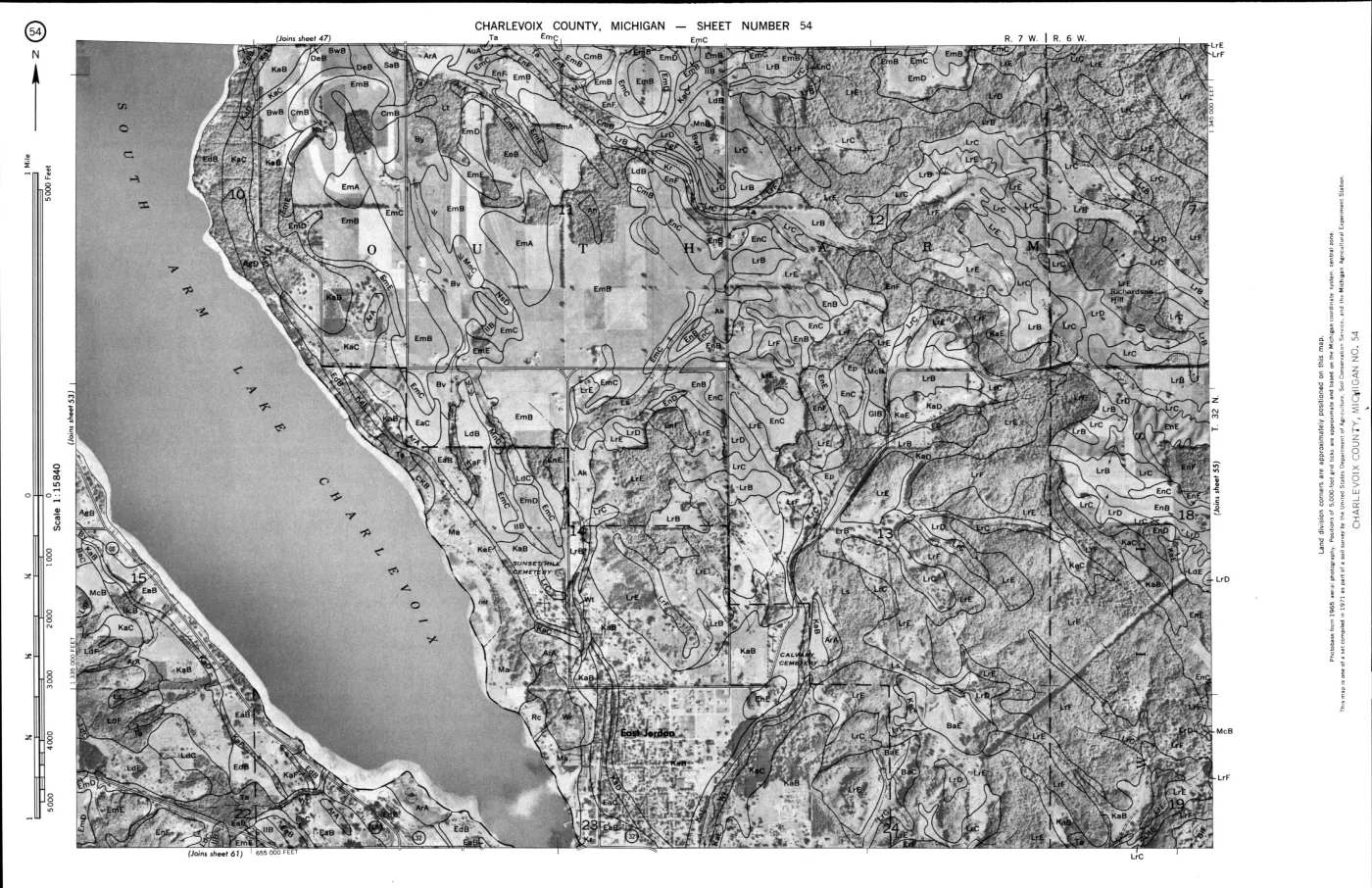
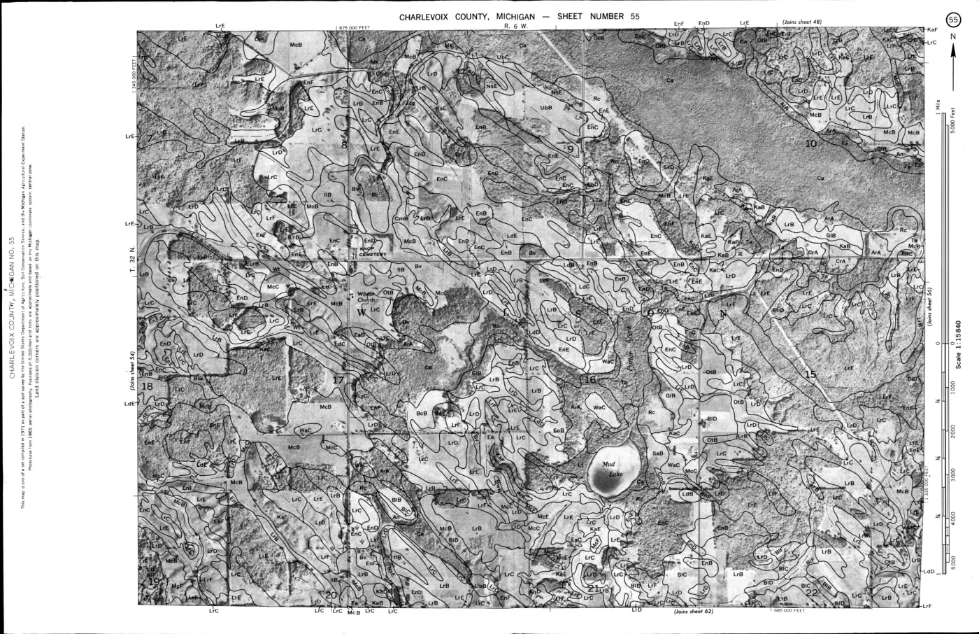
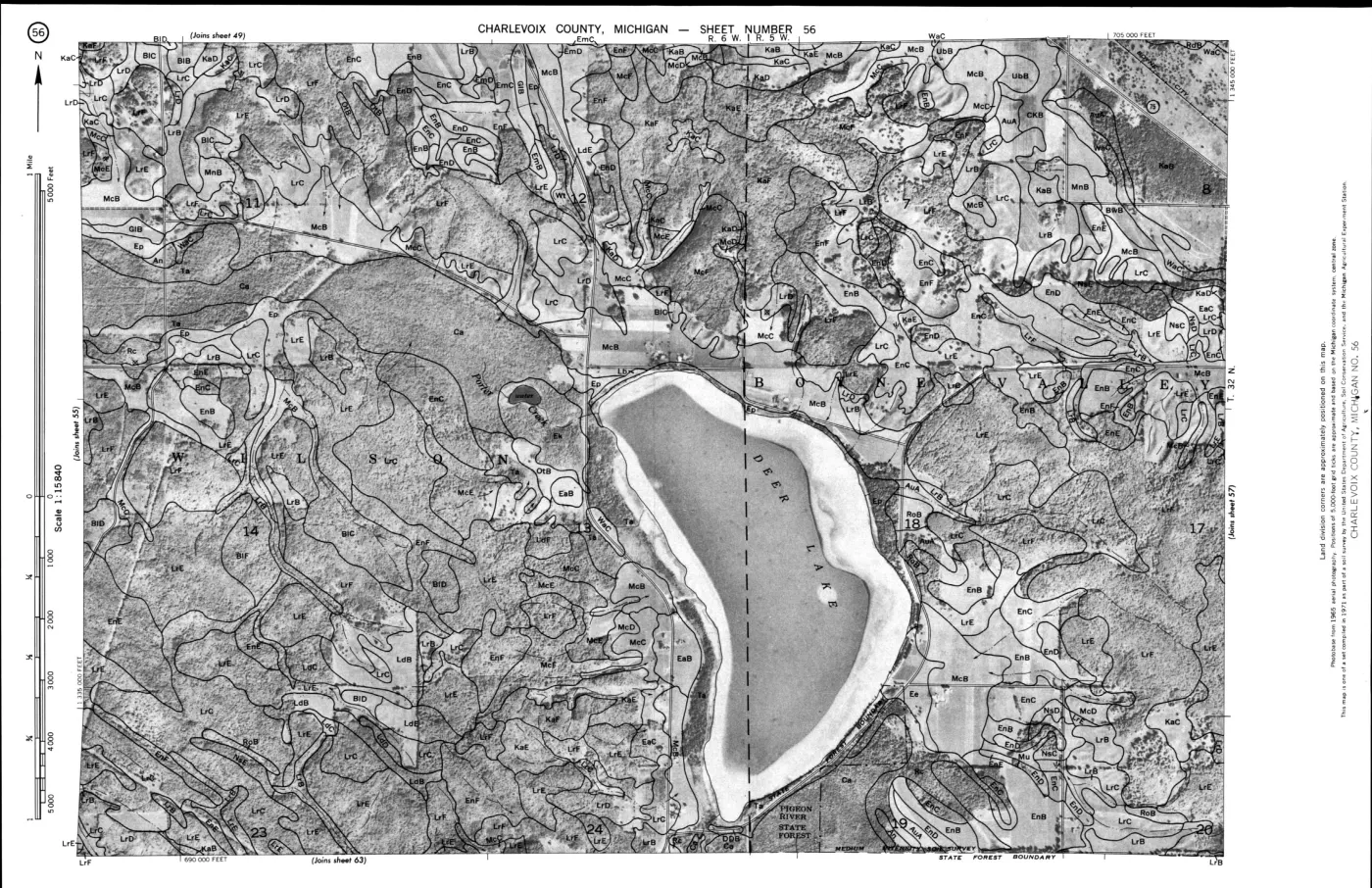
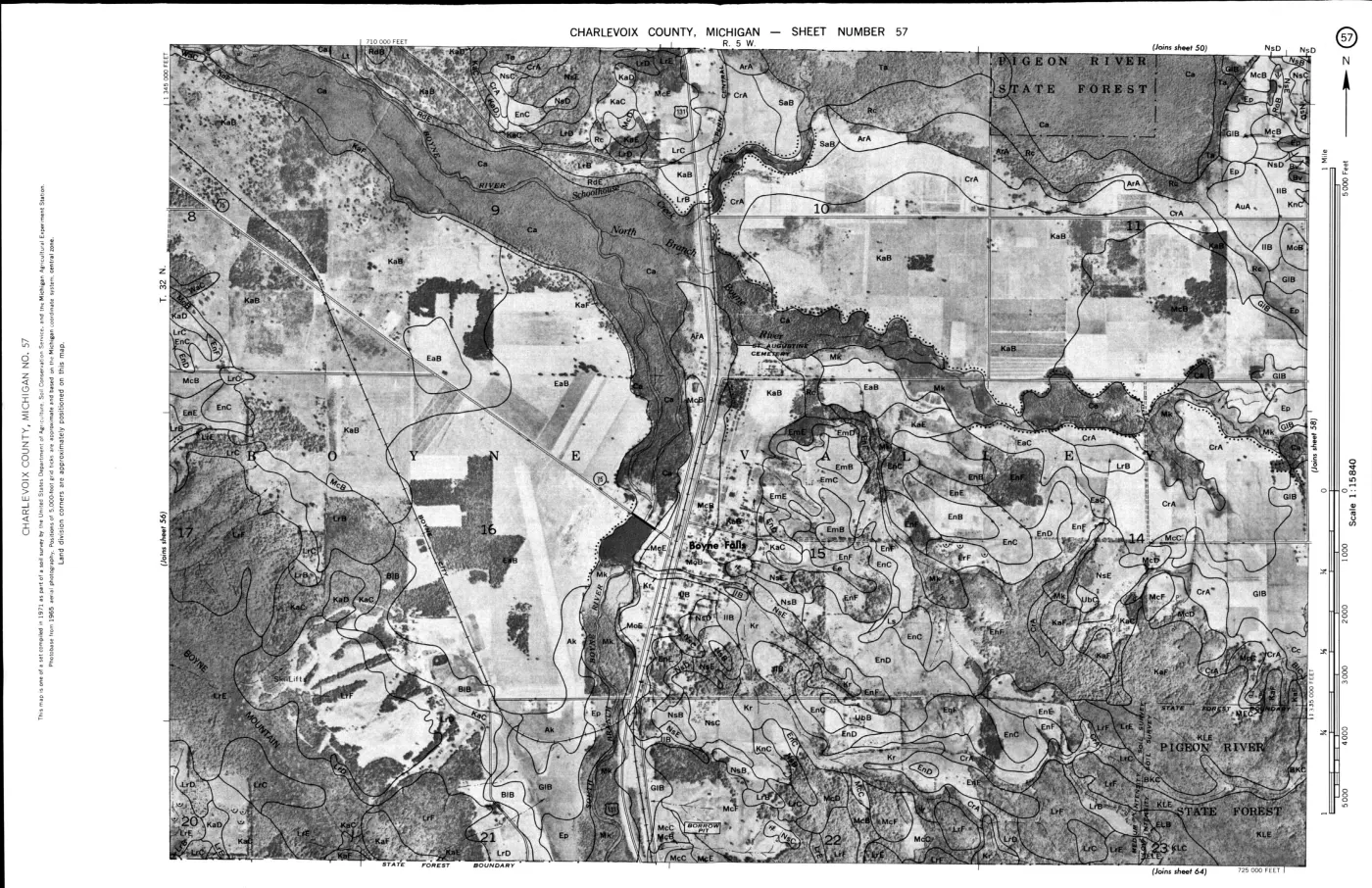
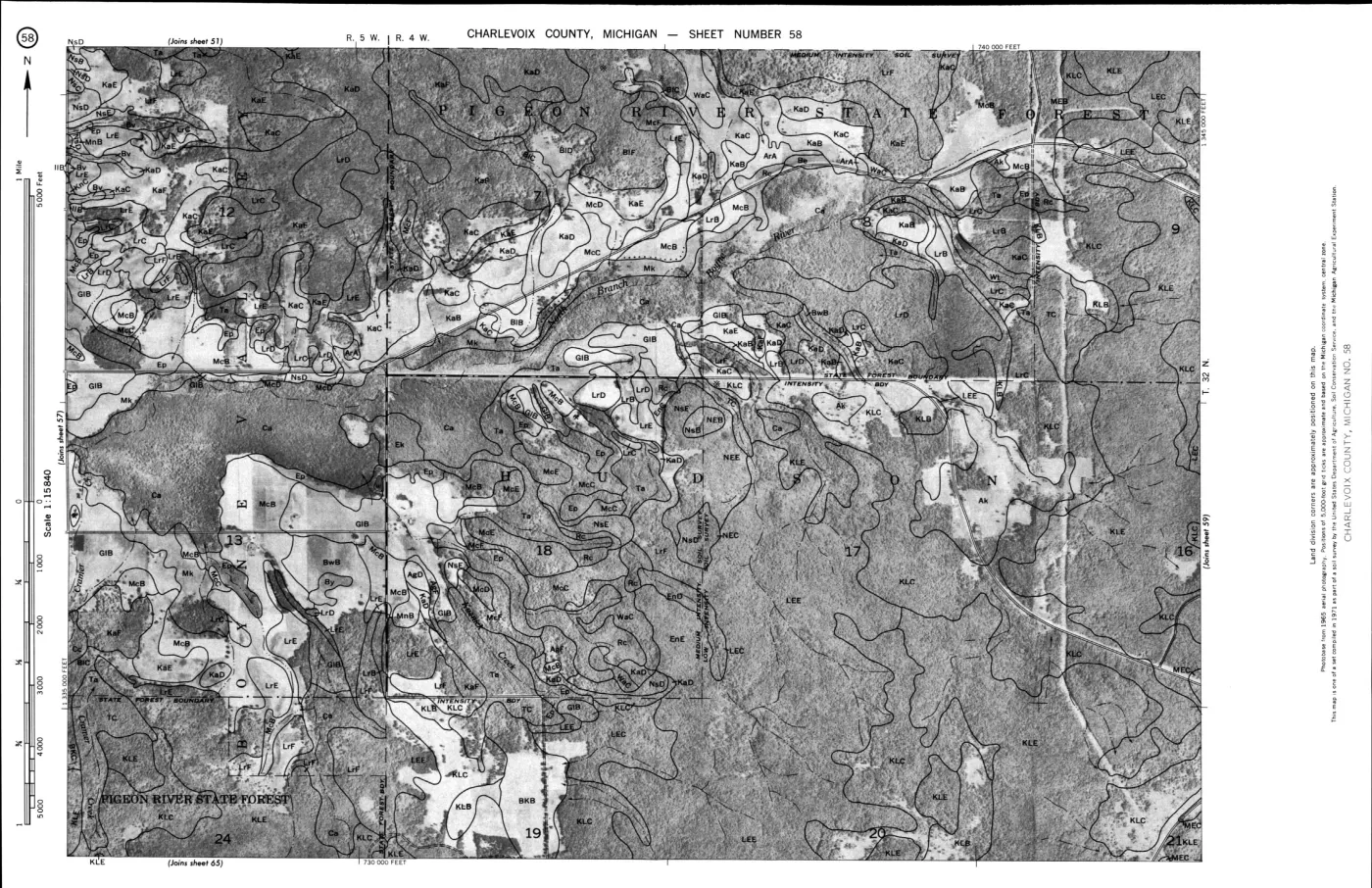
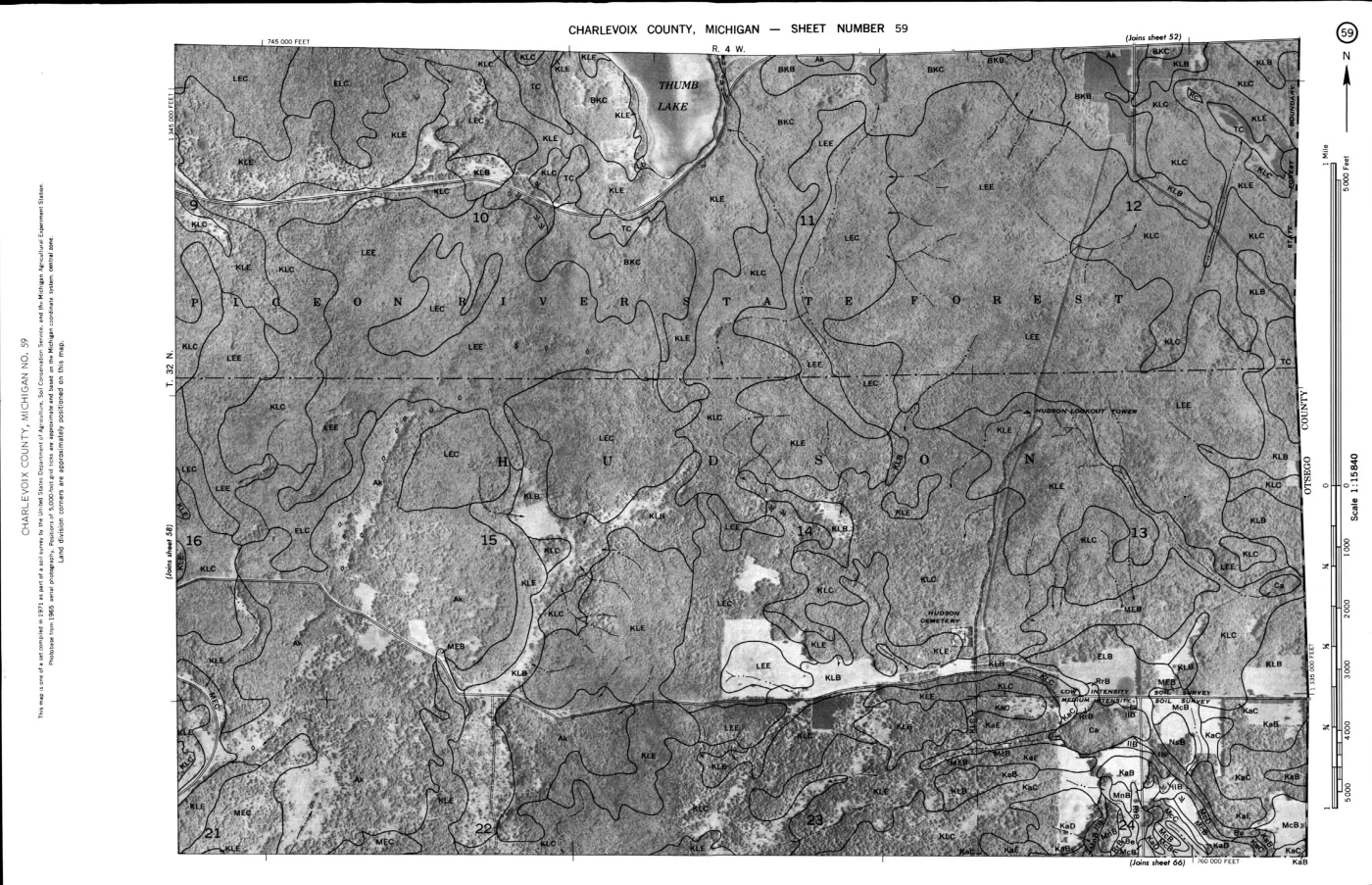
124 of 200 pages linked here — every page to 32, then every 2th, then the last 16. With JavaScript, every page.
Sources
- Held county survey covers Beaver Island and maps soil series in relation to parent materials including dune sand, beach-ridge and lacustrine deposits. It is a county-scale soil and land-use-planning source, not a parcel determination, field investigation, current soil condition, groundwater test, archaeological survey, or title record.geology · publications · usda_1974_charlevoix_soil_survey
- Project provenance sidecar for the 1974 USDA Charlevoix County soil survey.Records the Internet Archive source URL, retrieval timestamp, checksum, file size, and public-domain status for the held PDF. No public copy of this file is known; the archive holds one and can provide it on request.geology · publications · usda_1974_charlevoix_soil_survey.provenance
- Held EPSG:4326 polygon extract contains 553 features intersecting the Beaver Island group collection frame; provenance preserves the SDA query bbox, retrieval timestamp, checksum, and public-domain status.soils · ssurgo_mapunit_polygons
- Held EPSG:4326 polygon extract contains 56 features intersecting the Fox-Island collection frame; provenance preserves the SDA query bbox, retrieval timestamp, checksum, and public-domain status.soils · ssurgo_mapunit_polygons_mi089
- Held package contains the spatial and full tabular SSURGO export; its provenance preserves the cache save date, retrieval timestamp, checksum, and public-domain status.soils · wss_SSA_MI029_soildb_MI_2003_[2025-09-03]
- Held package contains the spatial and full tabular SSURGO export for the Fox-Island survey area; its provenance preserves the cache save date, retrieval timestamp, checksum, and public-domain status.soils · wss_SSA_MI089_soildb_MI_2003_[2025-09-04]
- OCR derivative of the image-only narrative pages in the held 1974 USDA Charlevoix County soil survey.Generated locally from PDF pages 1-124 with pdftoppm and Tesseract; page markers and line numbers preserve a reproducible route back to the scanned source. OCR is a discovery and indexing aid, not a replacement for checking the page image. No public copy of this file is known; the archive holds one and can provide it on request.geology · publications · usda_1974_charlevoix_soil_survey_ocr
- Provenance sidecar for the 1974 USDA soil-survey OCR derivative.Records the OCR command, source PDF checksum, rendered page range, Tesseract version, output checksum, and generation timestamp. No public copy of this file is known; the archive holds one and can provide it on request.geology · publications · usda_1974_charlevoix_soil_survey_ocr.txt.provenance
- Island-scale SSURGO soil ecology crosswalk generated from the held polygon extracts and named island geometries.Machine-readable EPSG:6933 intersections for Beaver, Garden, High, Hog, Whiskey, North Fox, and South Fox islands, retaining map-unit labels, catalogue keys, polygon counts, and calculated intersected areas. It is a research crosswalk, not a legal or parcel soil delineation. No public copy of this file is known; the archive holds one and can provide it on request.soils · ssurgo_island_soil_ecology_crosswalk
- Provenance sidecar for the island-scale SSURGO soil ecology crosswalk.Records the generator, method, source checksums, area CRS, and island-level summary counts. No public copy of this file is known; the archive holds one and can provide it on request.soils · ssurgo_island_soil_ecology_crosswalk.provenance
- Held geometry is used only for reproducible research-area intersection; it is not a survey, cadastral, or legal boundary source.osm · islands
Added 2 August 2026 · revised 3 August 2026. Recent changes
Cite this article
Beaver Island Archive, “Soil survey of Charlevoix County, Michigan, 1974”, https://beaverislandarchive.org/documents/usda-charlevoix-county-soil-survey-1974/, accessed [date], citing U.S. Department of Agriculture, Soil Conservation Service, *Soil Survey of Charlevoix County, Michigan* (Washington, D.C.: U.S. Government Printing Office, 1974). (and 10 further sources listed on the page).
Last revised 2026-08-03. Fill in [date] with the date you read it — this page is static and cannot know that.
BibTeX for “Soil survey of Charlevoix County, Michigan, 1974”RIS for “Soil survey of Charlevoix County, Michigan, 1974”