

- Eras
- Indigenous eraEarly American eraLumbering era
- Concepts
- forestsgeologywetlandsenvironmentconservationland-surveyIndigenous eraEarly American eraLumbering era
- Within
- Beaver Island archipelago
Summary
The archipelago’s environmental history starts from a physical baseline. The held circa-1800 reconstruction maps a landscape dominated by beech–sugar maple–hemlock forest, with swamps, dunes, water, and only a very small mapped pine component. Geological layers add the carbonate bedrock and glacial or postglacial deposits beneath that vegetation; soil, dune, shoreline, and bathymetric records show how land and lake continued to shape human use.
Later planning descriptions are a comparison layer
The Beaver Island planning natural-resource evidence crosswalk, 2017–2024 adds a dated modern planning layer without pretending to reconstruct the past. The plans describe boreal, northern-hardwood, lowland-deciduous, and lowland-coniferous forests; named trees including sugar maple, cedar, spruce, fir, pine, and hemlock; and the relation of dunes, wetlands, soils, and old fields to land use. Those descriptions can be compared with the circa-1800 reconstruction and historical GLO observations, but they should not be treated as evidence that a current stand or habitat existed unchanged in 1800.
The page-level map index Beaver Island Master Plan ecology map-plate evidence, 2017–2024 keeps that comparison honest. Its 2017–2024 plates show how later planners represented landforms and water features, while the selected-archipelago map coverage omits Fox Island labels. That omission belongs to the modern map frame, not to the historical baseline.
The Seven-island ecology connectivity matrix, 2026 provides a modern seven-island comparison layer for that purpose. Its canopy, land-cover, soil, geology, tree, vegetation, and wildlife summaries can be read against the GLO and circa-1800 evidence, but they do not project modern conditions backward or establish historical continuity.
The circa-1800 baseline
Within the archipelago bounding box, the held land-cover reconstruction maps 189.2 km². Its largest class is beech–sugar maple–hemlock forest at 140.69 km². Mixed conifer swamp covers 19.36 km², spruce–fir–cedar forest 10.81 km², cedar swamp 4.96 km², and water 4.92 km². White pine–red pine forest is only 0.68 km² in the reconstruction.
That last number is historically consequential but bounded. It supports the conclusion that Beaver Island did not possess the extensive white-pine resource associated with Michigan’s classic pine boom. It does not prove that no pine was ever cut, nor does it measure later regrowth. The reconstruction is derived from surveyors’ notes and its mapped extent covers the archipelago bounding box, rather than providing a parcel-by-parcel ecological census.
Soils and named associations
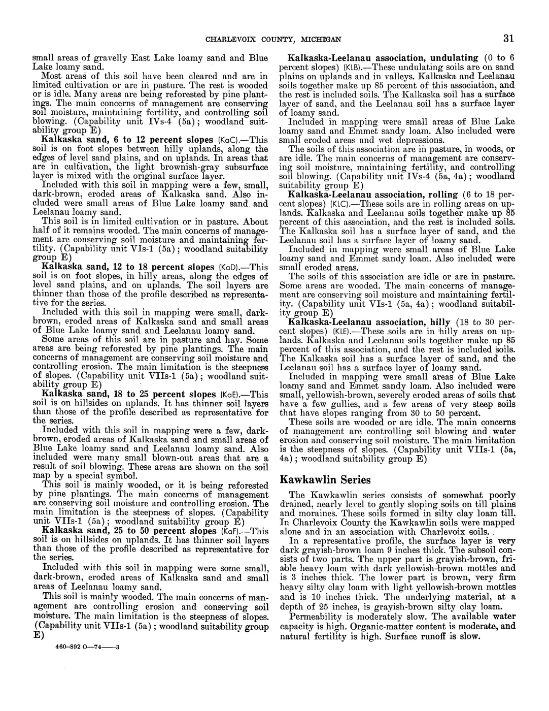
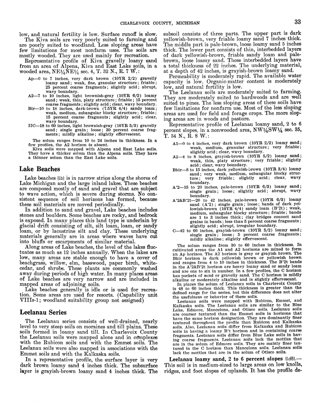
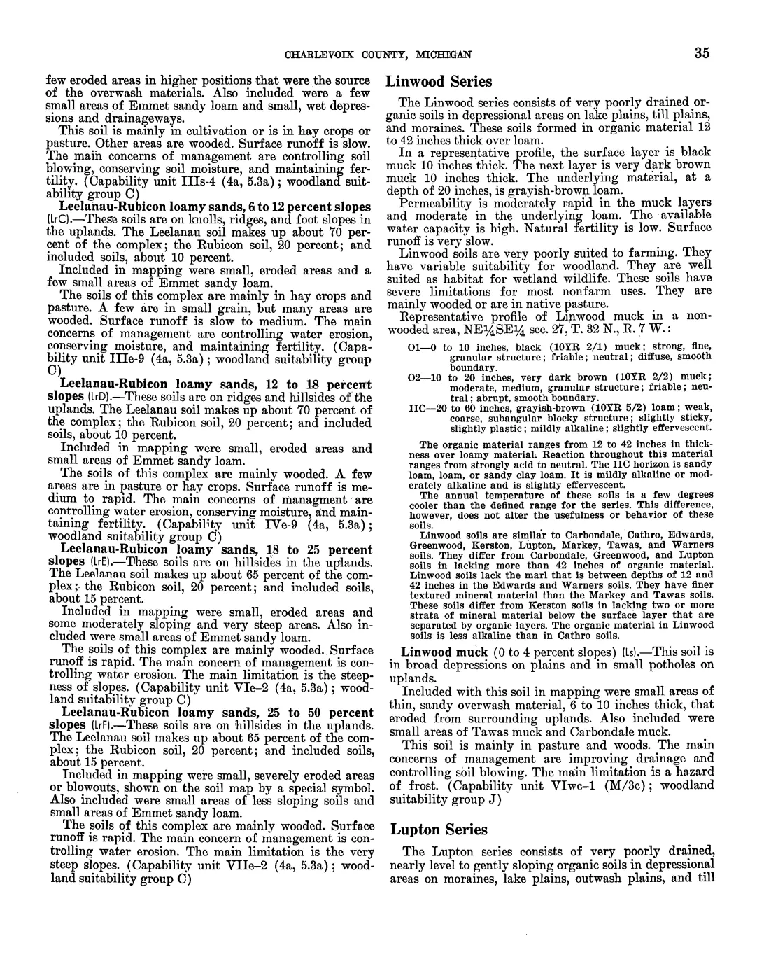
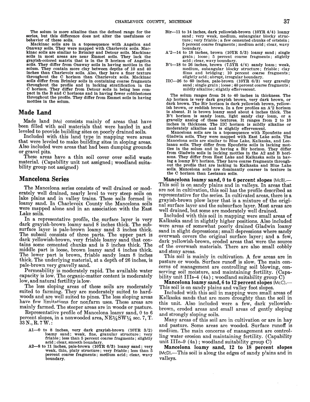
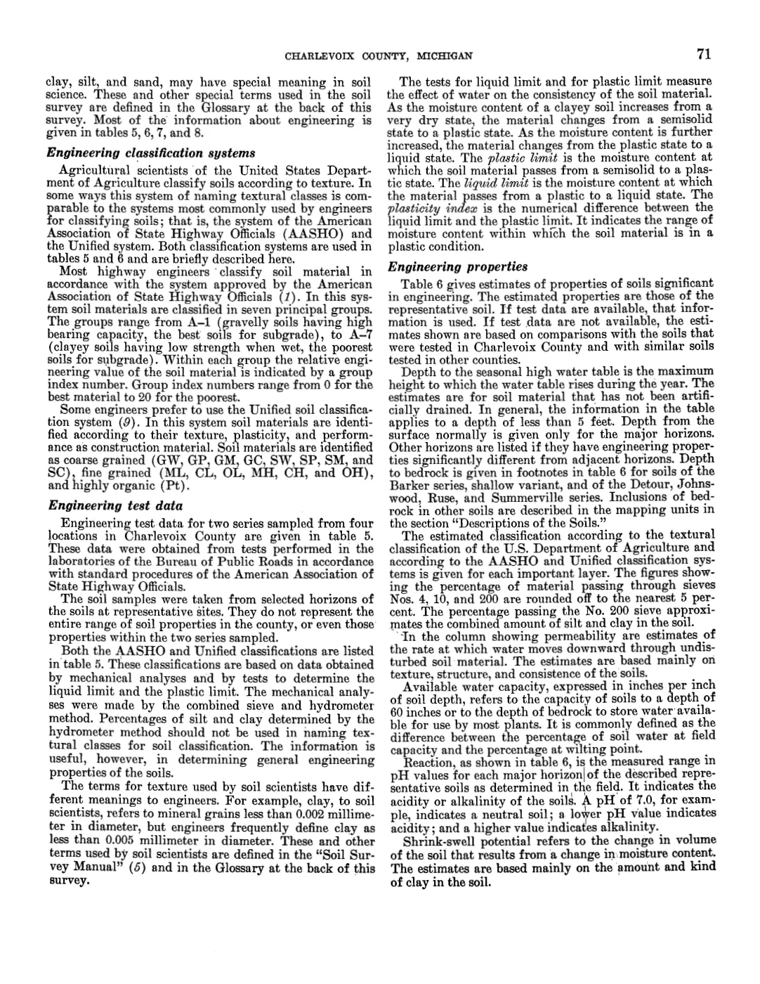
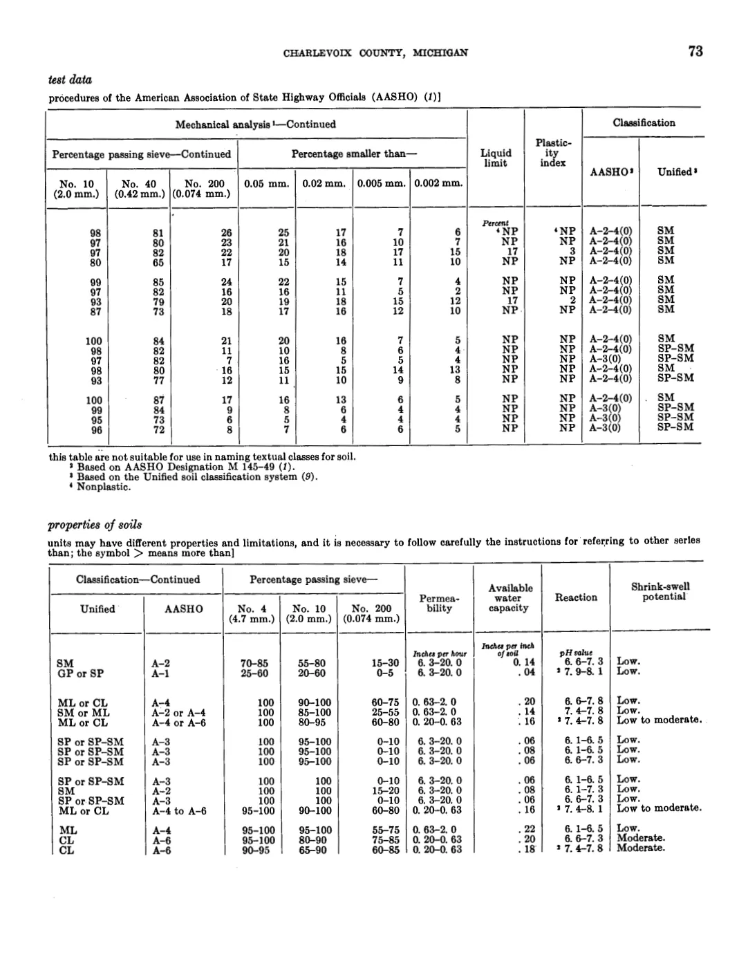
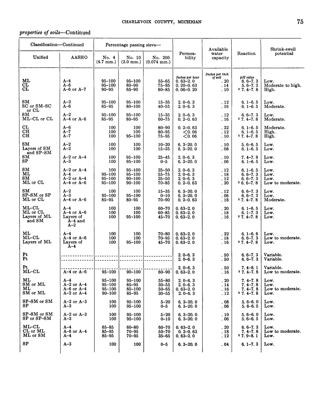
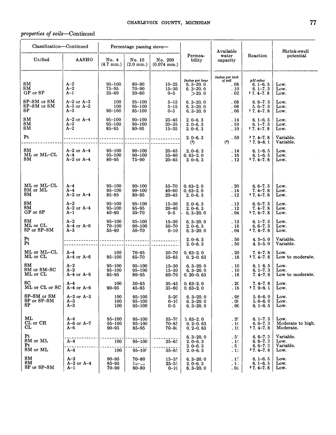
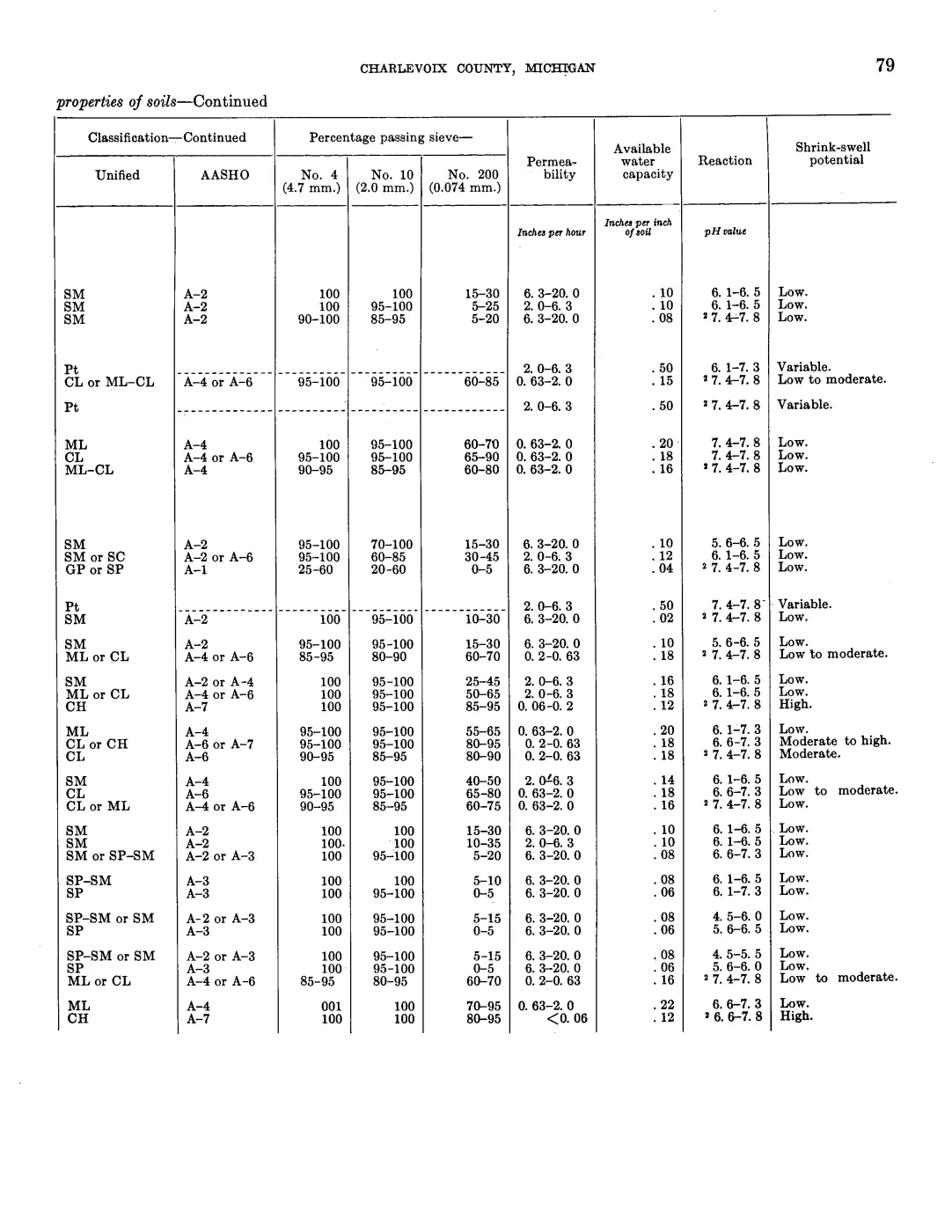
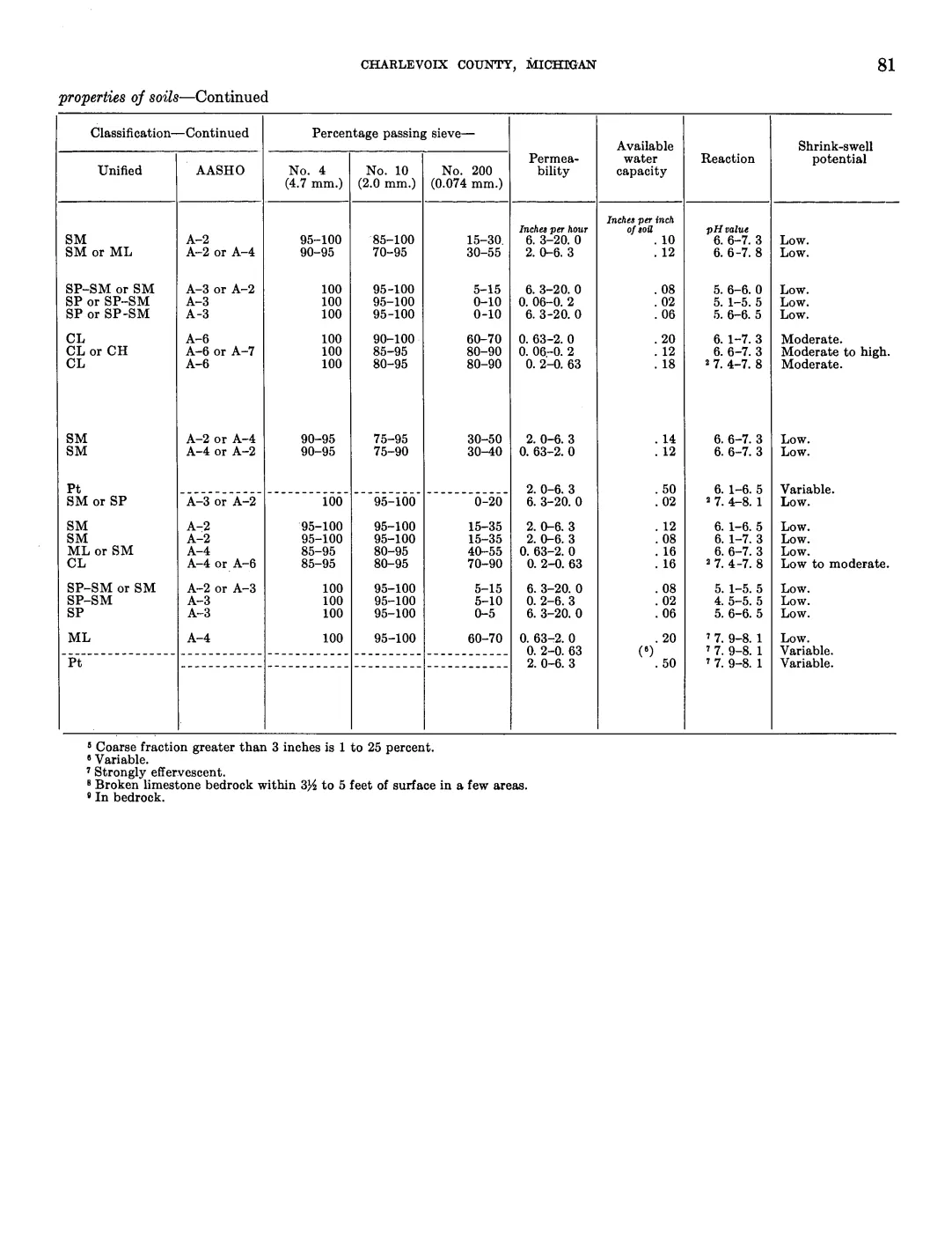
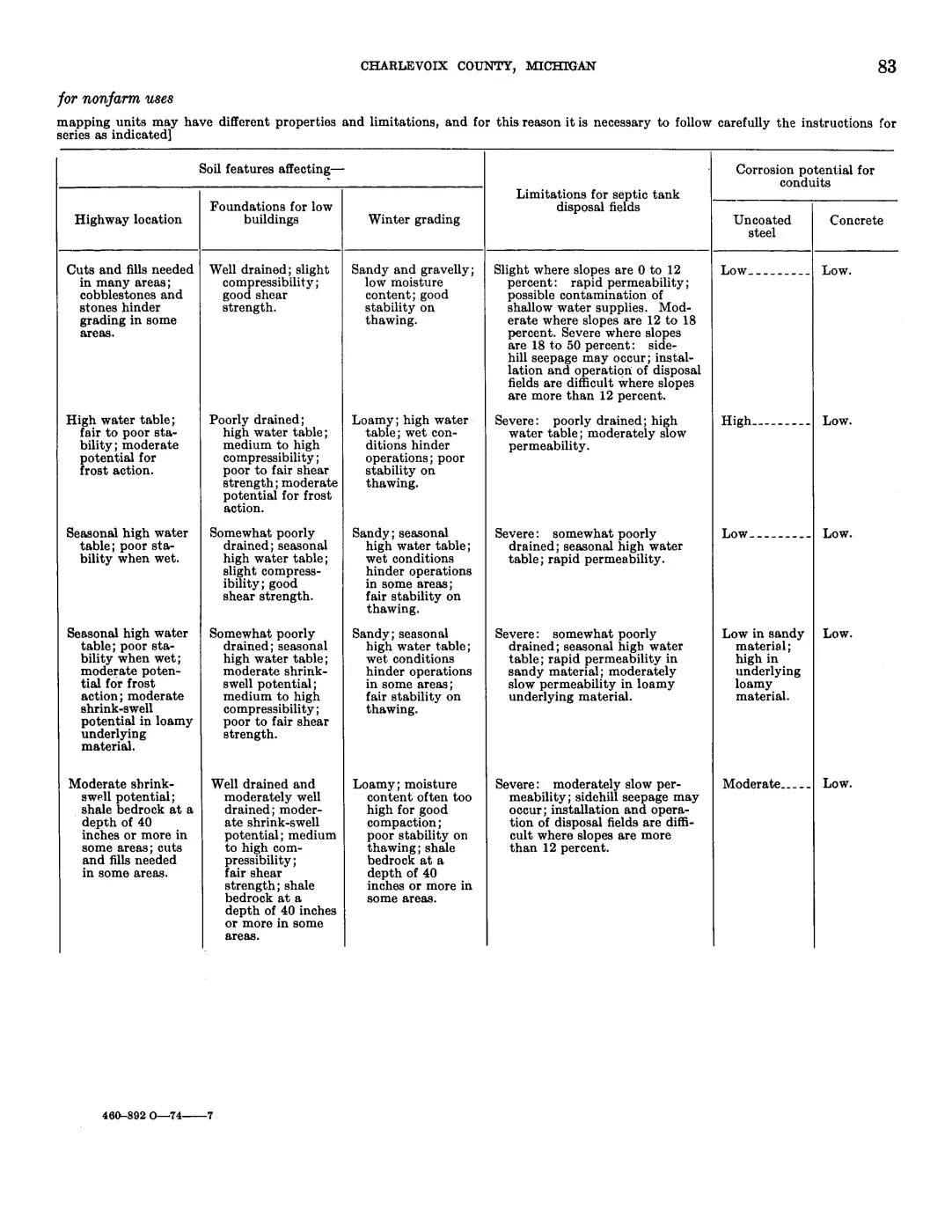
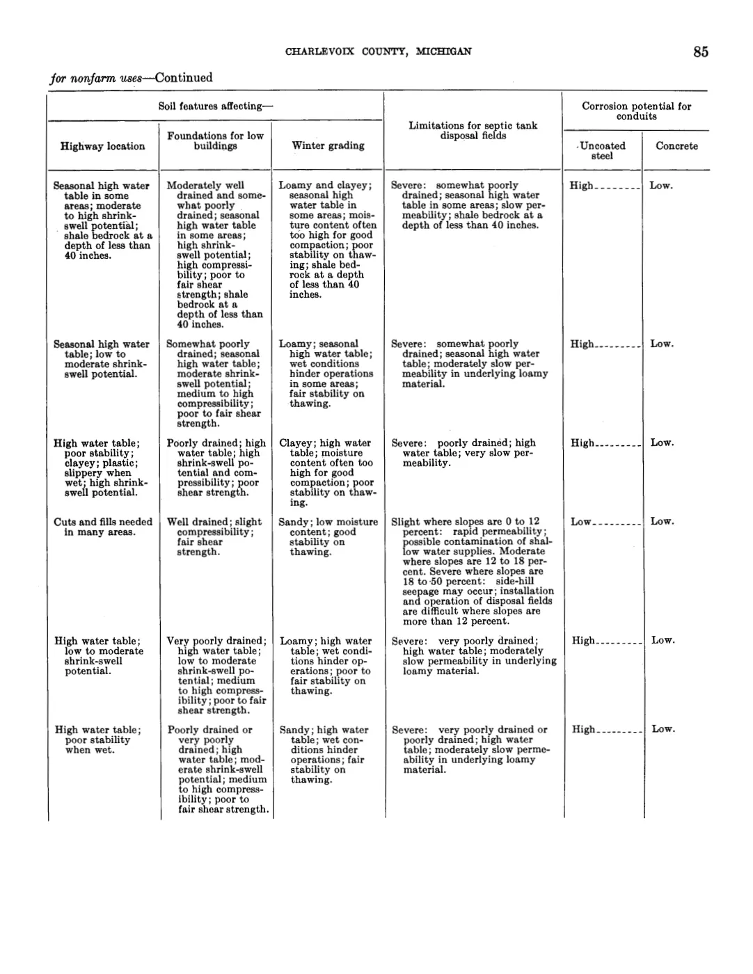
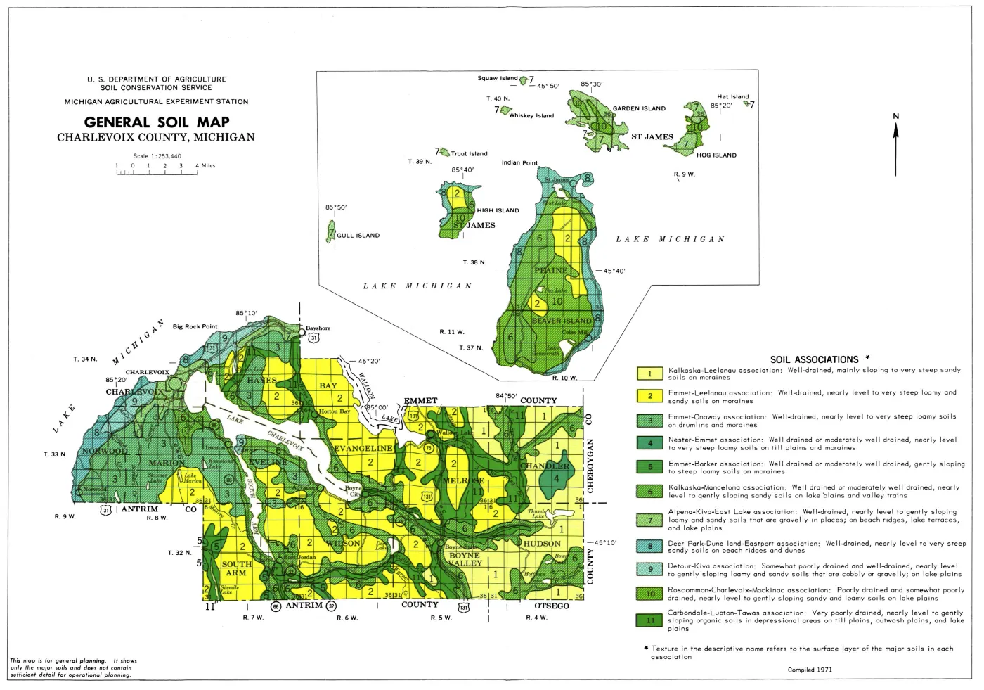
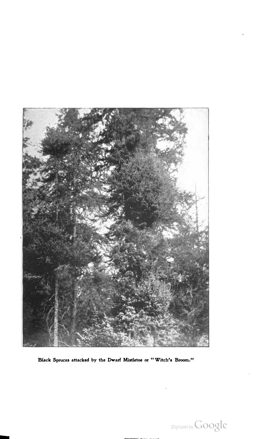
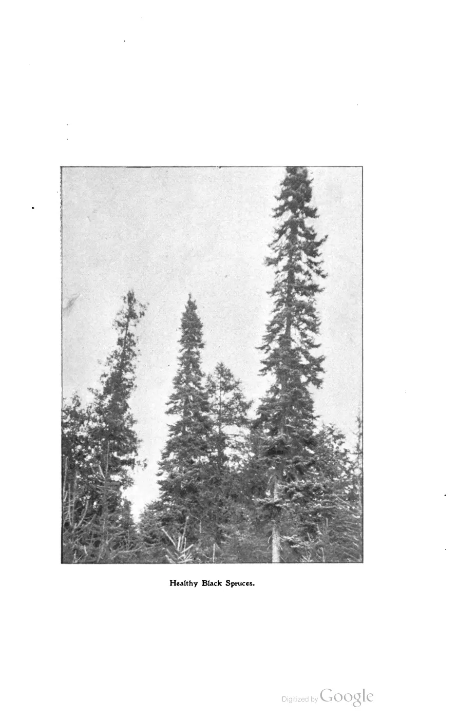
The 2017 Master Plan’s soils section, drawn from the county soil survey, distinguishes four named soil associations on the island: Deer Park–Dune Land–Eastport, Kalkaska–Mancelona, Roscommon–Charlevoix–Mackinac, and Emmet–Leelanau. It relates these to drainage, beach ridges, dunes, lake plains, valley trains, and moraines, and connects them to where forest cover, farming, and development have historically concentrated. In the same planning narrative, the forested-areas section names sugar maple, tamarack, black spruce, white cedar, red and white pine, balsam fir, and eastern hemlock as tree assemblages tied to particular inland lakes, fens, and bogs. Both are dated planning descriptions, not a soil survey or forest inventory; they are read here as a comparison layer against the circa-1800 reconstruction, consistent with the caution above.
A separately built crosswalk over the whole archipelago — the Seven-island ecology connectivity matrix, 2026 — pools 1,634 tree- and woody-vegetation evidence rows for Beaver Island alone, drawn from three distinct source classes: 167 rows are Government Land Office surveyors’ field notes from 1845 and 1849, 1,369 are Michigan DNR forest- inventory stand comments (modern), and 98 are 2017 Michigan Natural Features Inventory community-survey records. Its own method notes warn that these are evidence-row counts, not stem counts or abundance measures, and that combining source classes must not be read as a weighted inventory. Because the modern DNR rows outnumber the 1845–49 GLO rows more than eight to one, the crosswalk’s aggregate “most-recorded” species list — led by American beech, hemlock, cedar, aspen, and ash — describes the modern-heavy pool, not the pre-settlement landscape by itself. What the crosswalk does support is qualitative: beech, hemlock, cedar, and sugar maple recur across all three source classes, GLO witness trees included, which is independent corroboration, by name-frequency rather than by mapped area, of the same species the circa-1800 polygon reconstruction above maps as dominant.
Rock, sediment, and water
The state bedrock layer places four mapped unit labels in the island intersection, including the Garden Island Formation, Bois Blanc Formation, and Detroit River Group. The Quaternary layer is dominated across the island by lacustrine sand and gravel and dune sand, with a smaller coarse-textured till component. Glacial-landsystem classes add lacustrine fine and coarse, bedrock, and proglacial outwash.
These classes explain why beaches, wetlands, agricultural limits, forest soils, and named bluffs belong in the same environmental history. They do not, by themselves, date a particular ridge or prove that a named bluff exposes a particular bedrock unit.
Dunes, wetlands, and the lake floor
The Critical Dune Areas layer identifies approximately 1,642 acres of regulated barrier dunes across four polygons. That layer exists for regulation: it records which dunes the state recognizes, not every natural dune.
The USGS OFR 03-120 bathymetry collection extends the physical record offshore. Its 2001 SHOALS lidar metadata covers Boulder, Gull, High, Hog, and Trout areas within or adjacent to the archipelago, as well as Dahlia Shoal. Those datasets are habitat and geomorphology records, not navigational charts; their metadata warns against using them for safety-critical navigation.
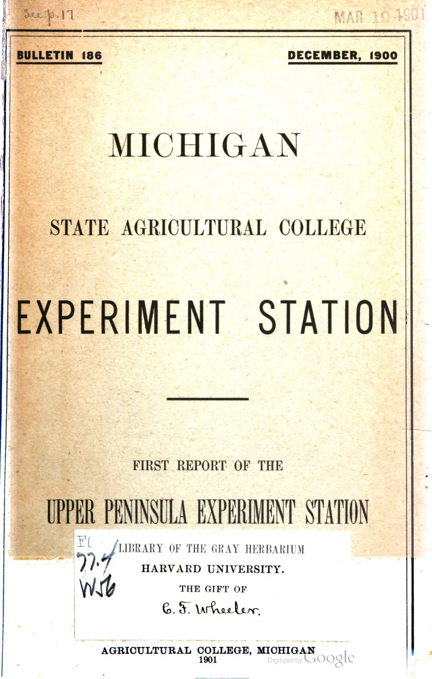
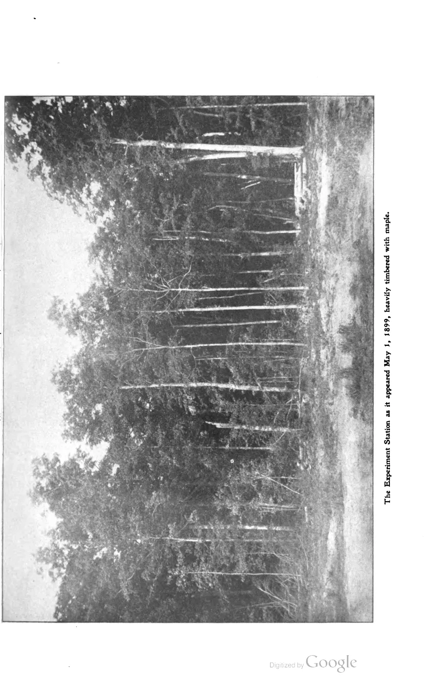
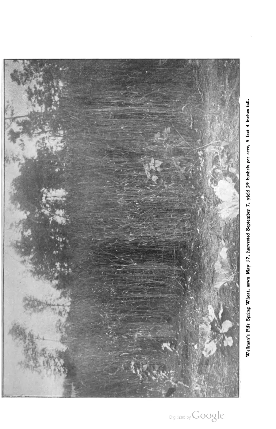
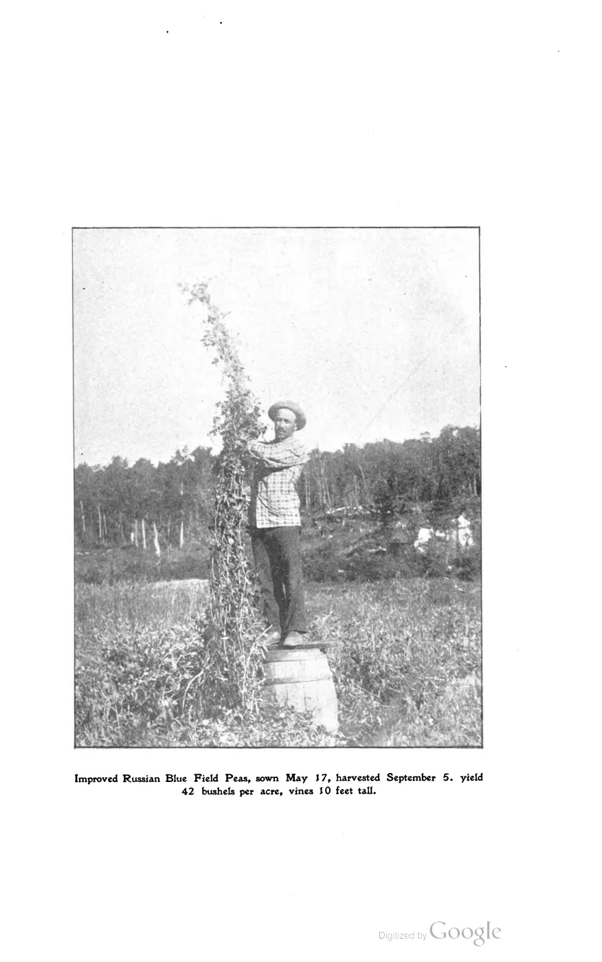
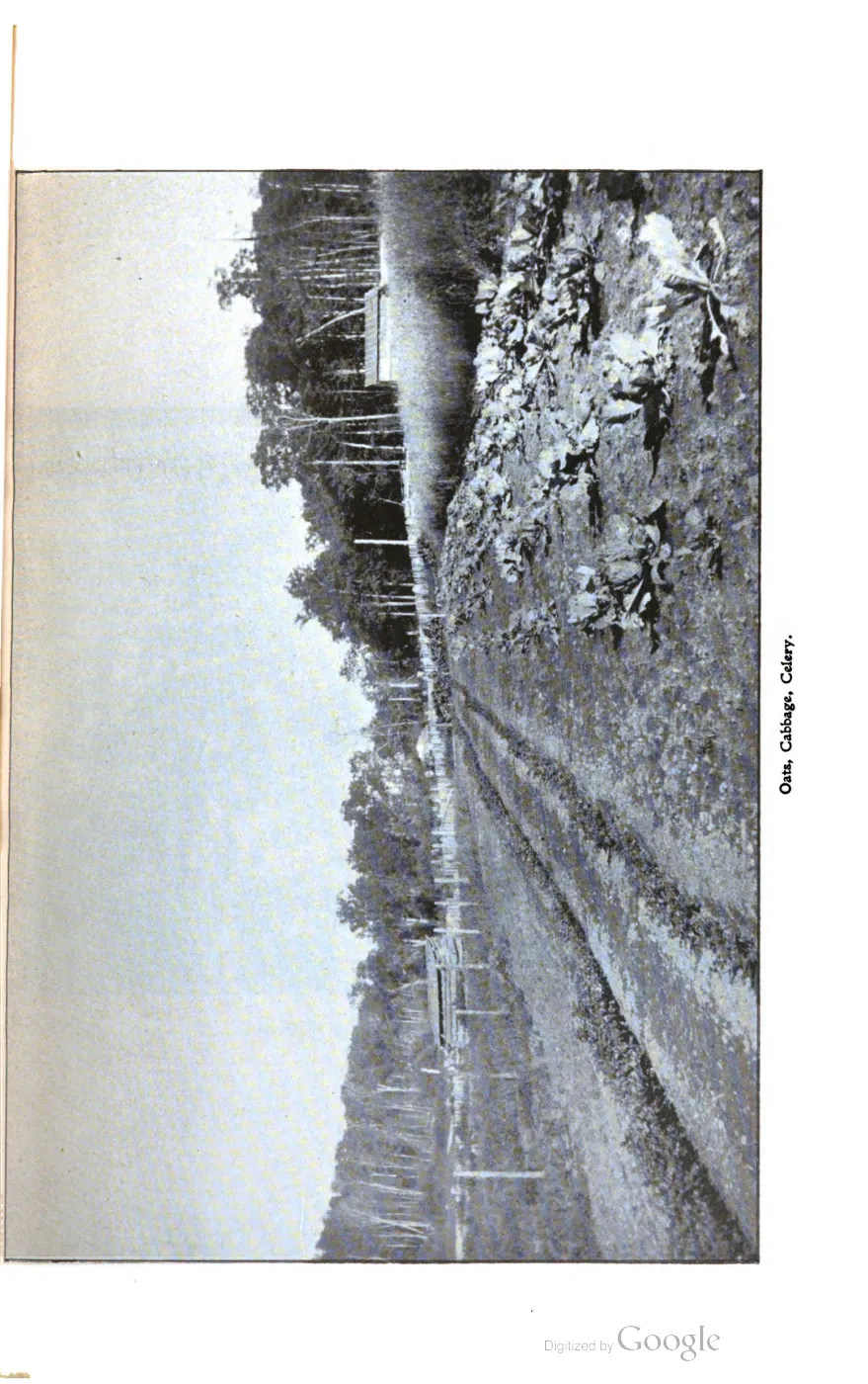
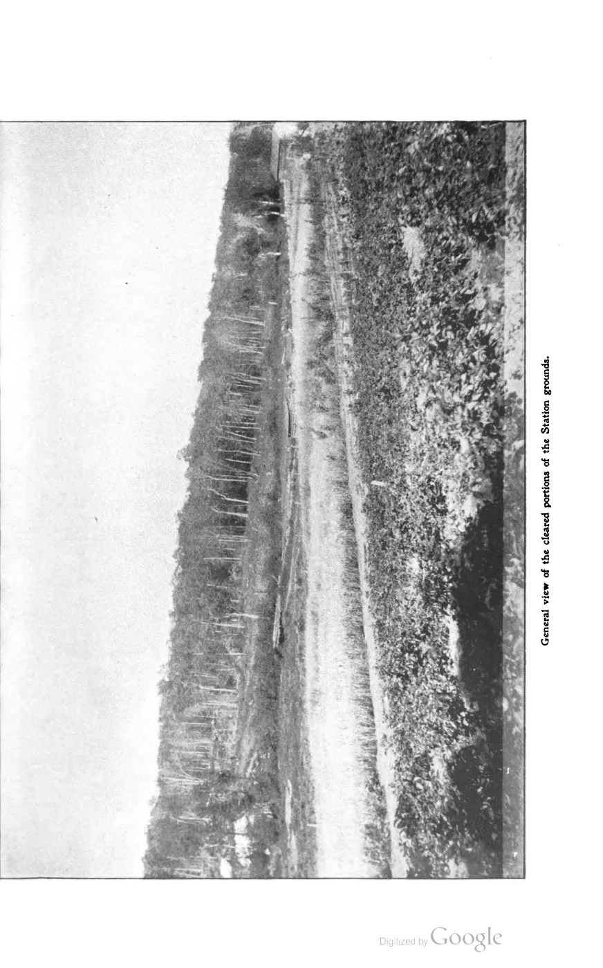
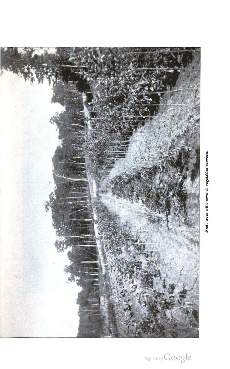
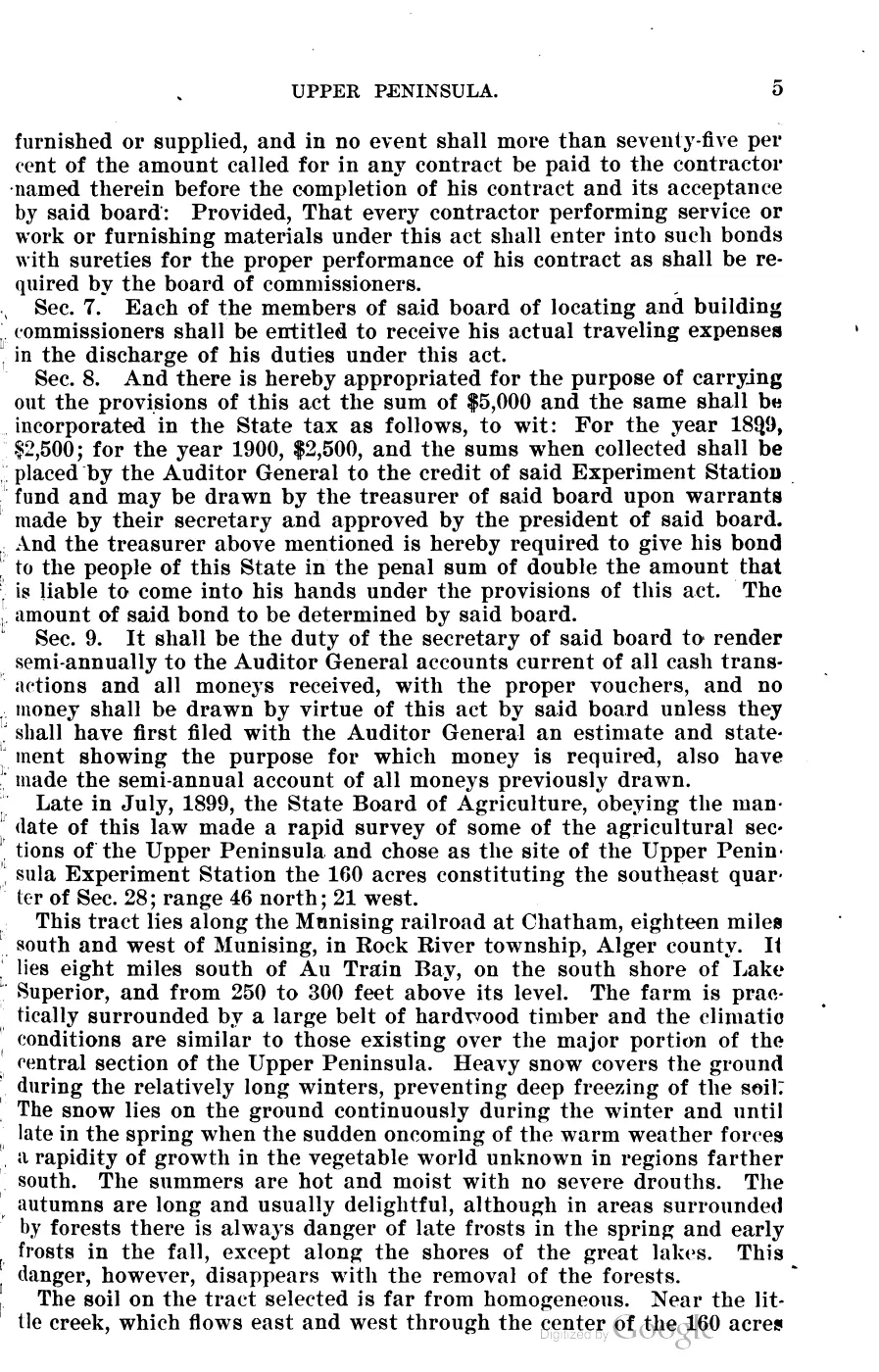
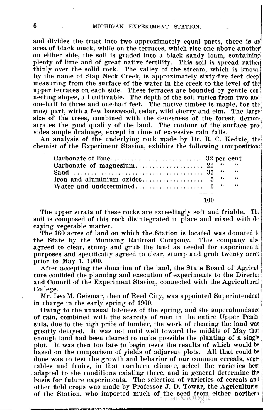
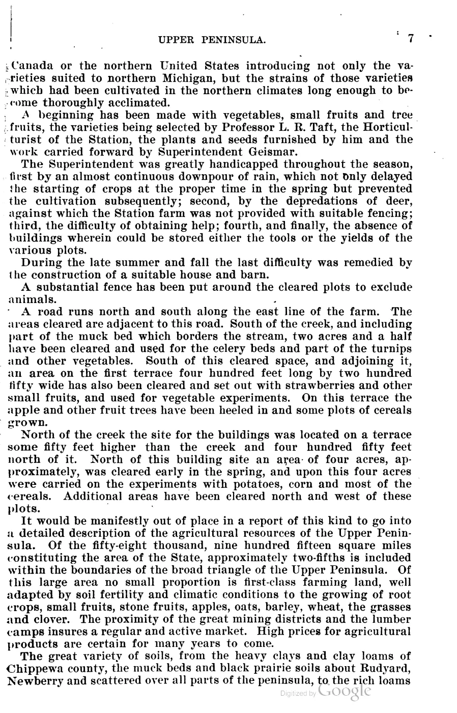
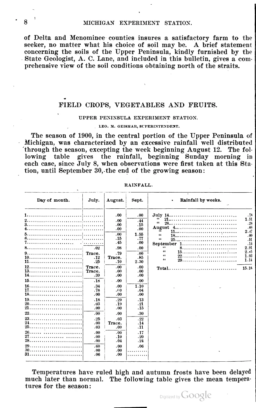
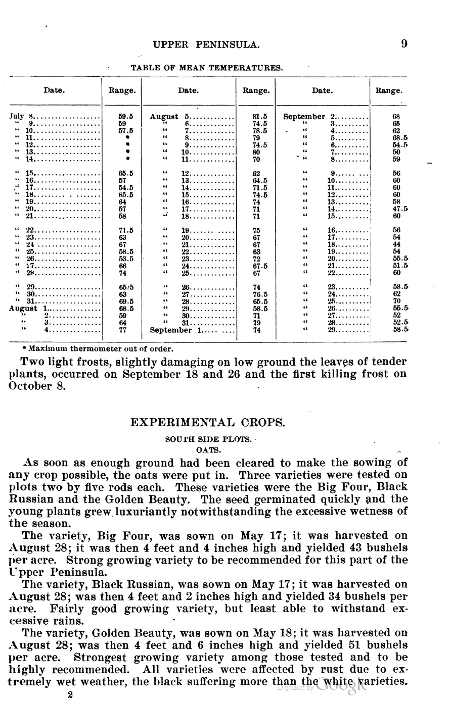
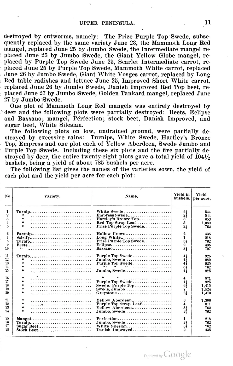
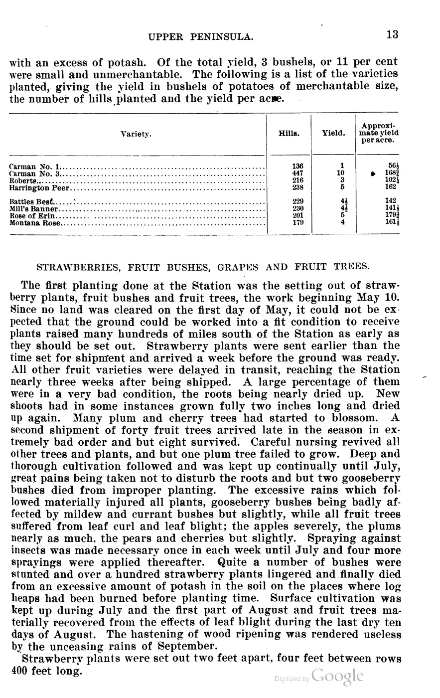
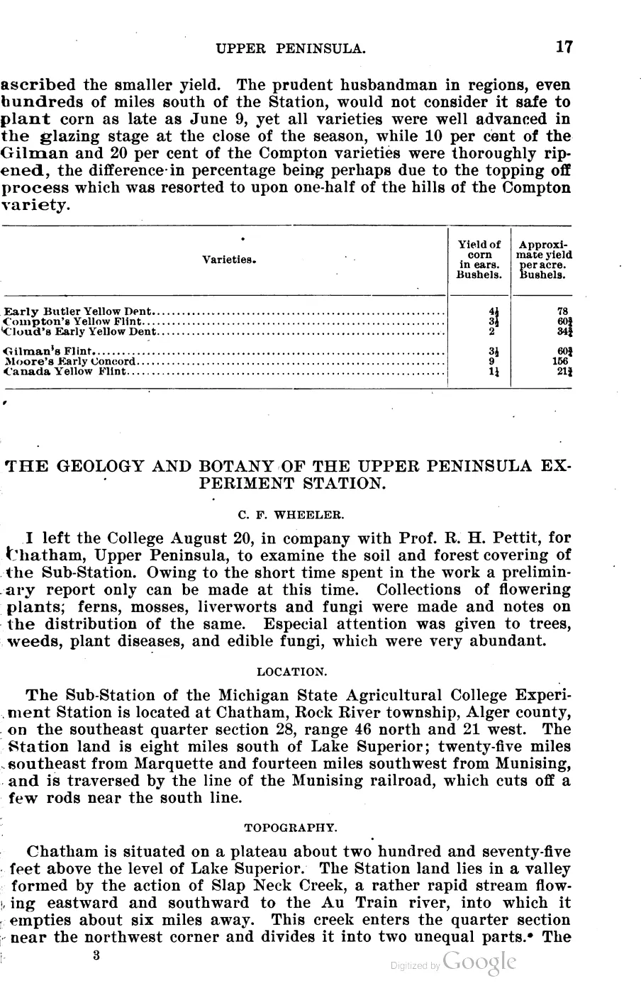
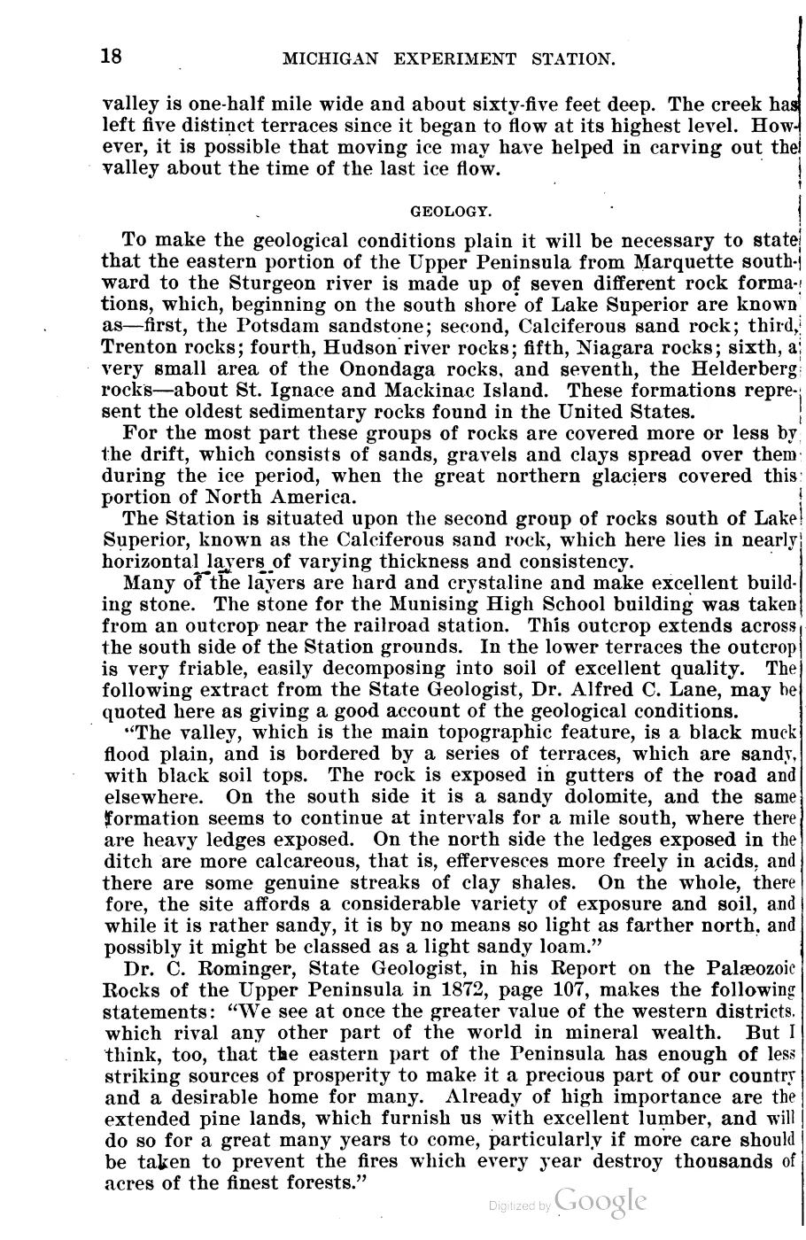
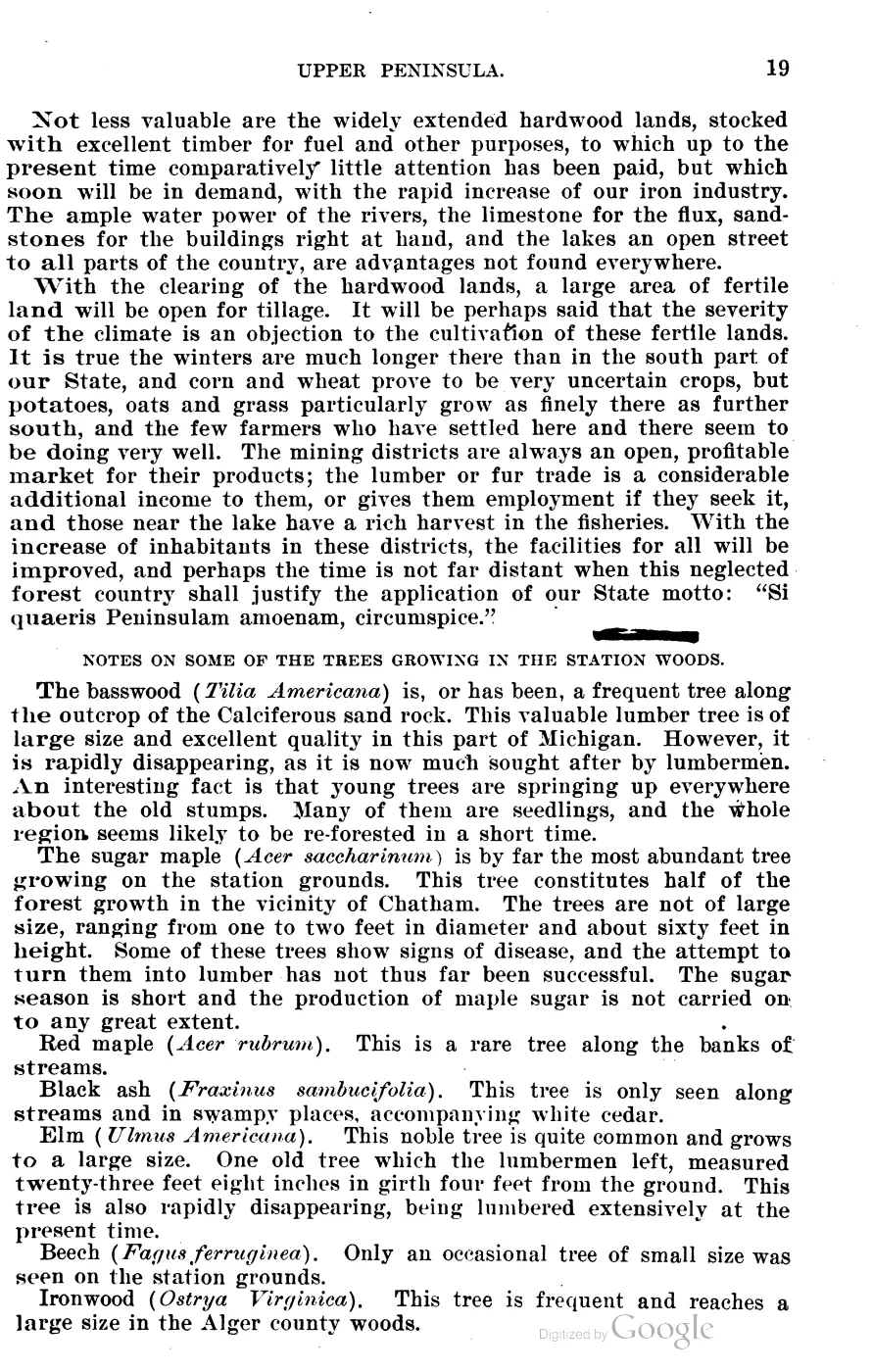
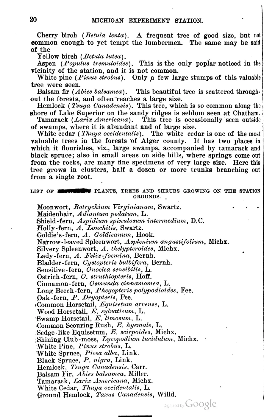
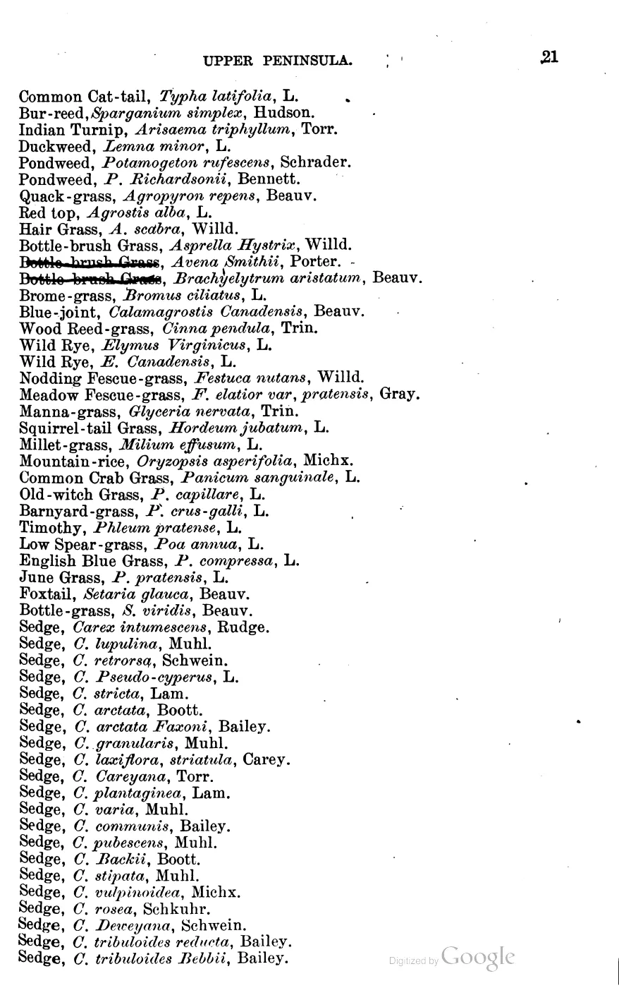
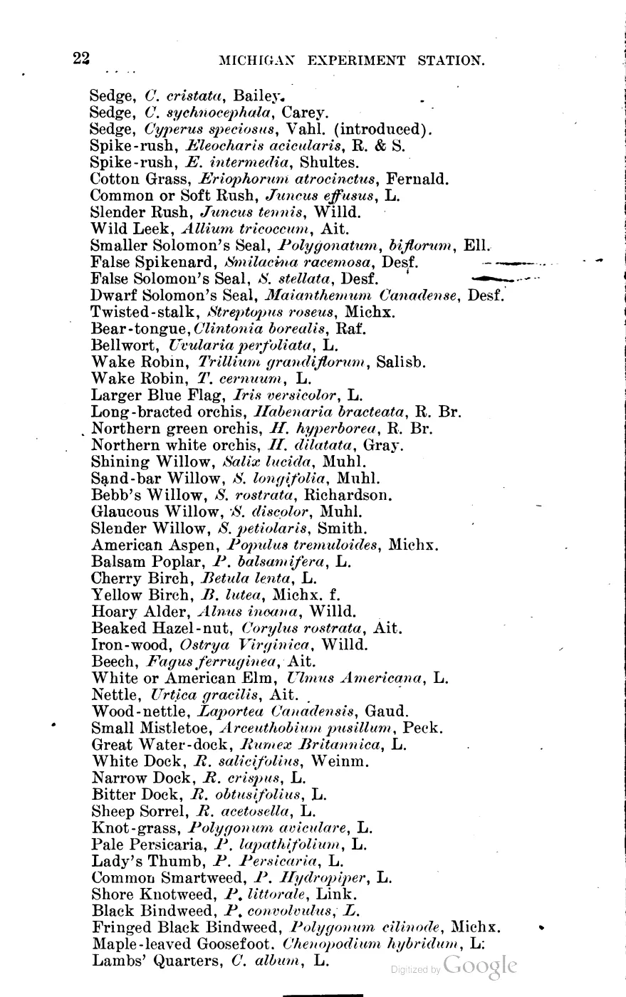
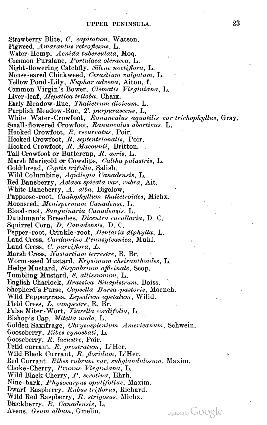
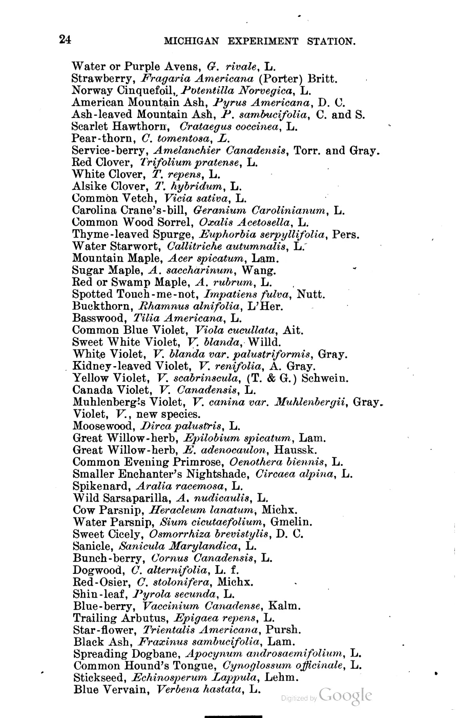
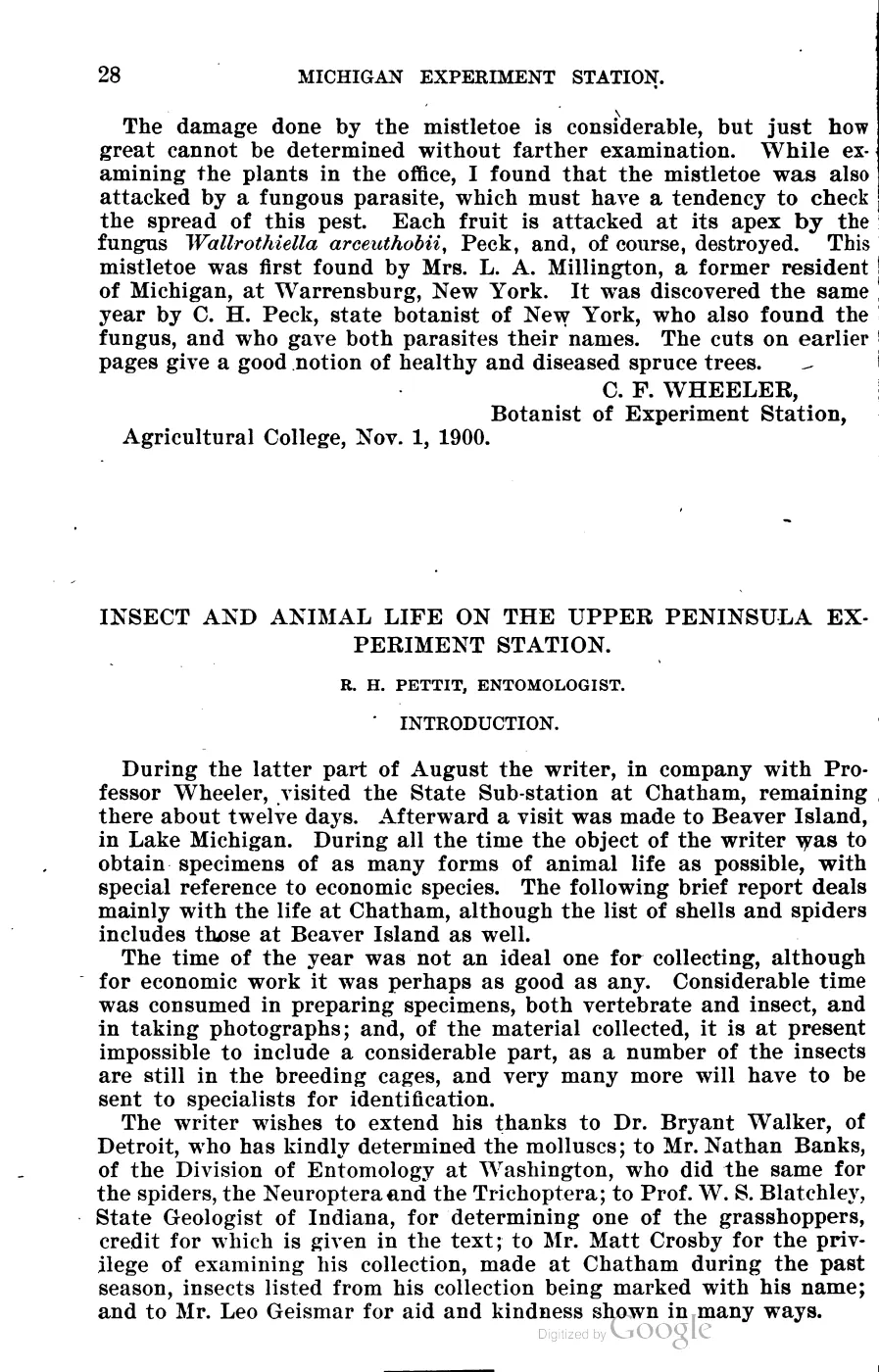
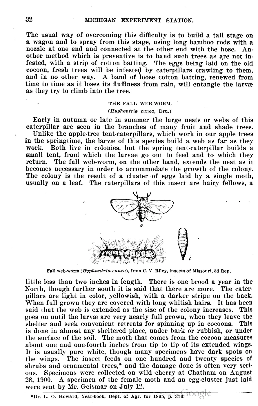
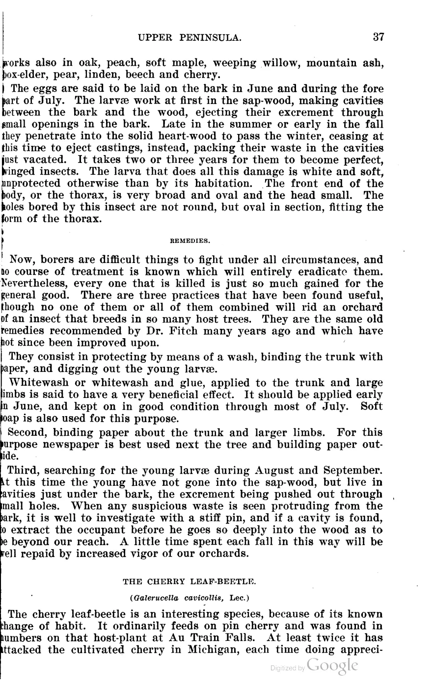
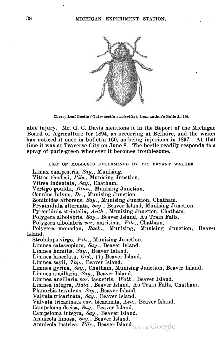
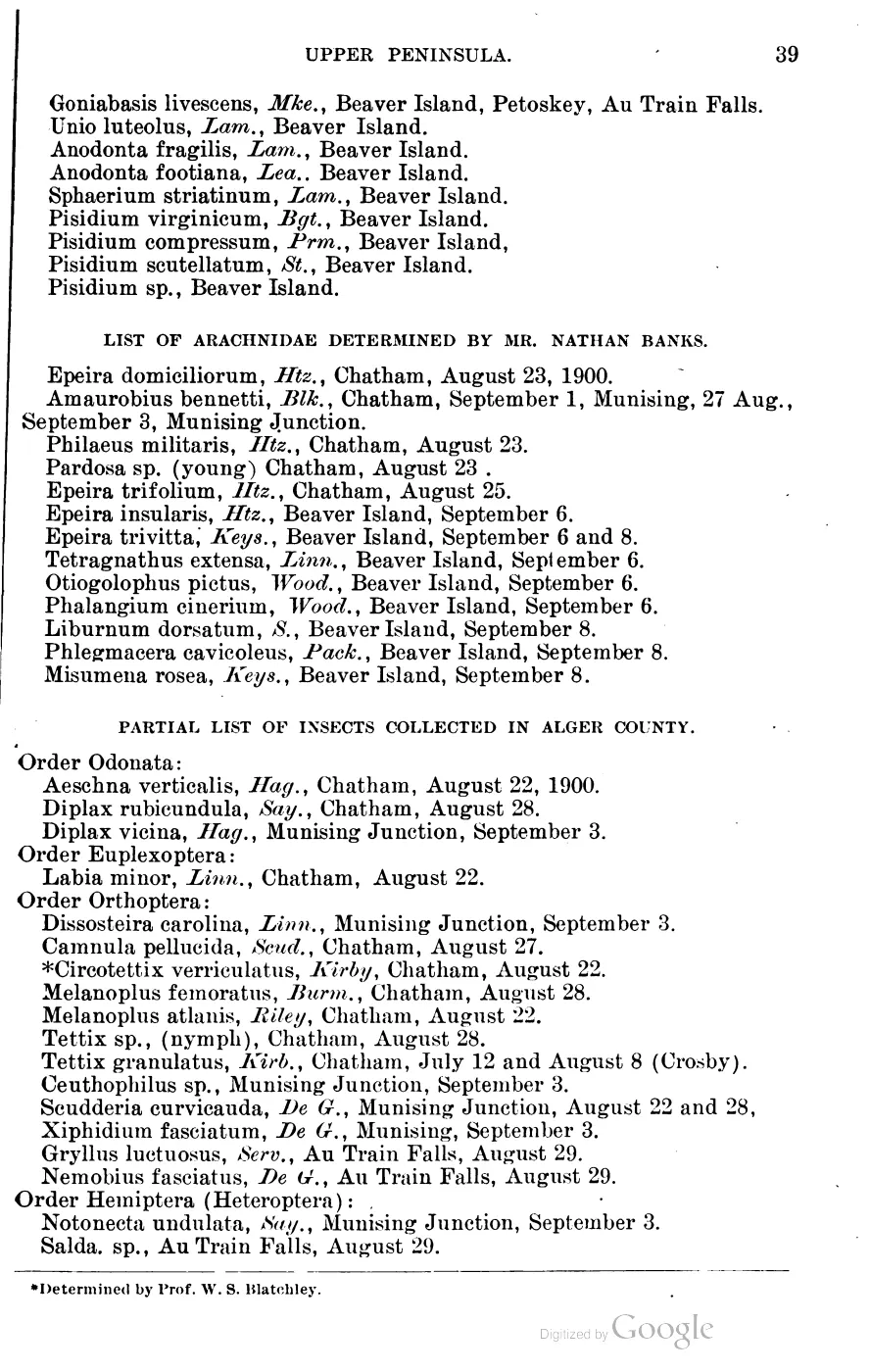
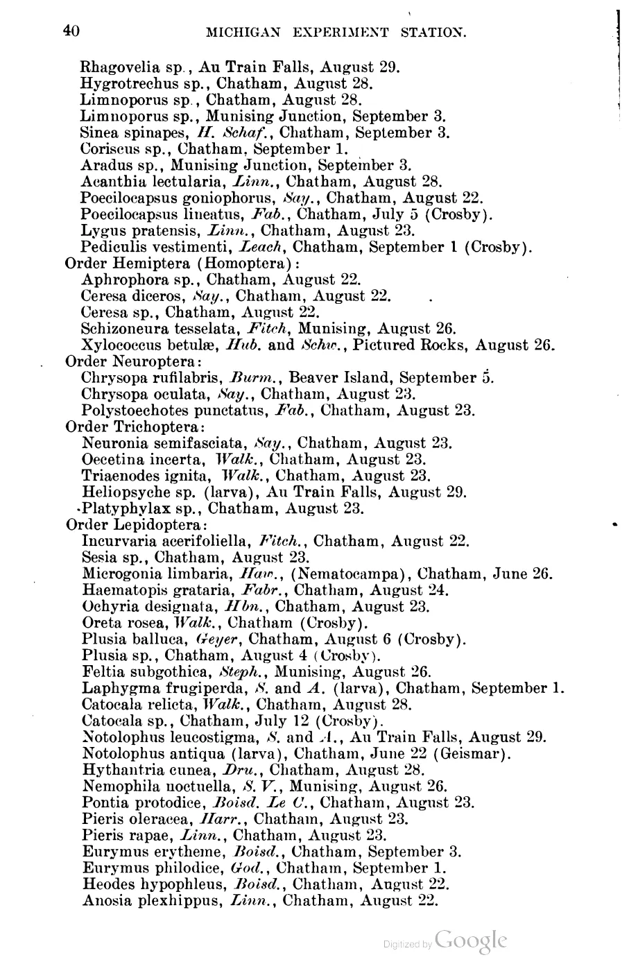
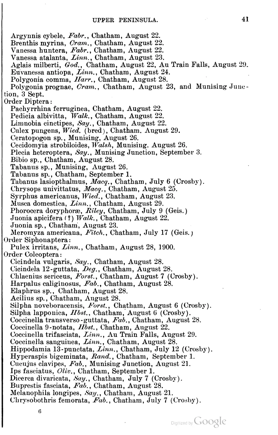
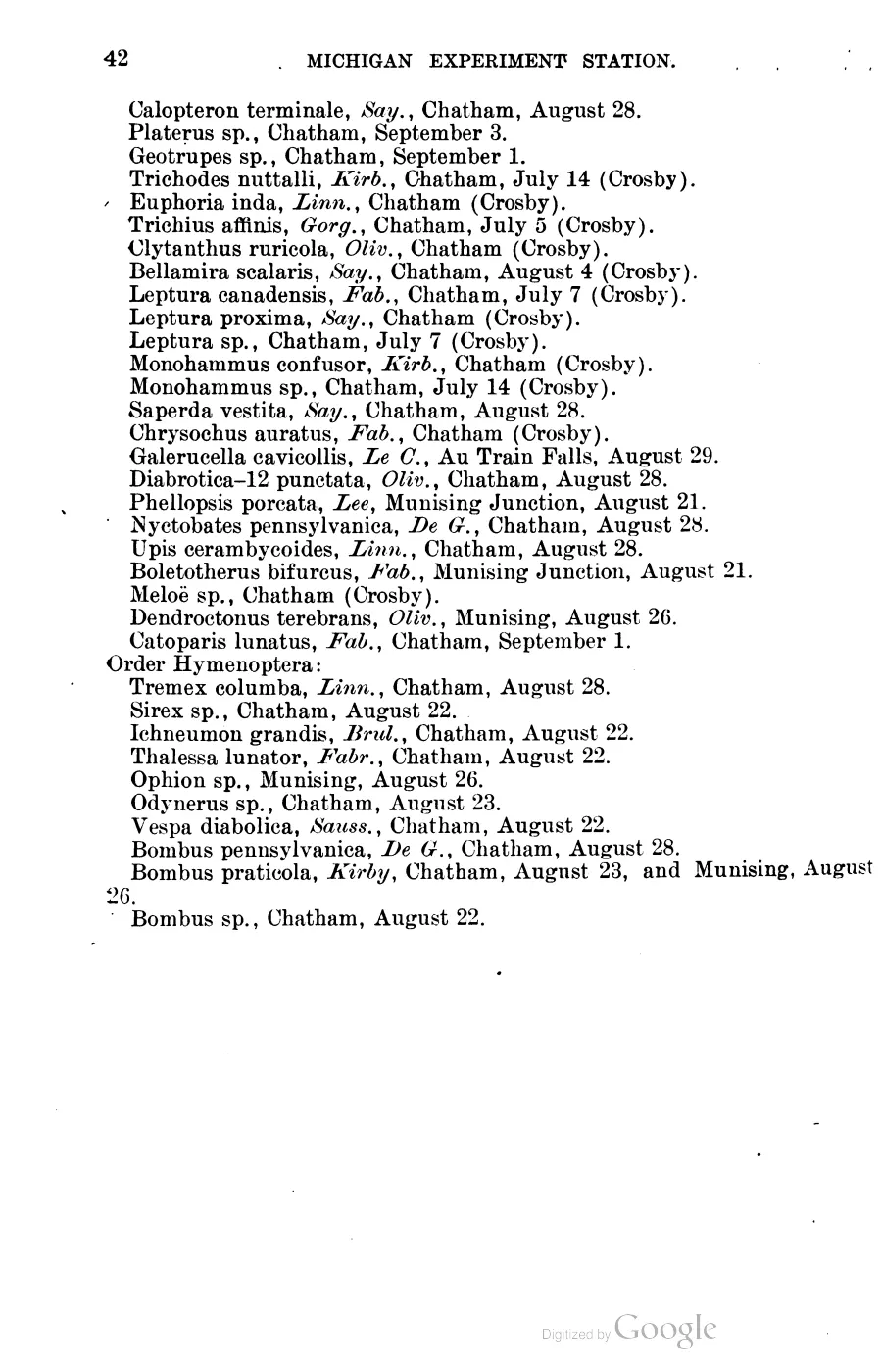
The 1900 Michigan Agricultural College bulletin contributes a much narrower biological snapshot: a collecting visit whose mollusc and spider lists include Beaver Island, with several arachnid records dated in early September. It fixes what was observed and when. It is no substitute for the circa-1800 vegetation reconstruction, an island-wide fauna survey, or current occurrence data. See First report of the Upper Peninsula Experiment Station, 1900.
Structured land-cover fan-out
The knowledge base now has 144 source-record articles, one for each held polygon in the Michigan Land Cover Circa 1800 layer. Each record preserves the source OBJECTID, cover-type label, computed EPSG:3078 area, and representative point. These are data records. They open the reconstruction to section-level and place-level research; a generalized polygon is neither an exact stand boundary nor a complete ecological observation.
Human history and limits
The baseline helps explain why the island’s historical timber economy centered on cordwood, hemlock tanbark, and later hardwood rather than a large pine export industry. That interpretation belongs with Lumbering, while the survey-origin of the vegetation reconstruction belongs with Land survey and settlement geography. The environmental layers do not by themselves establish Indigenous land use, agricultural practice, or the meaning of a named wetland; those claims require cultural and historical sources.
Open questions
- Which mapped beach ridges and dunes correspond to named places such as Donegal Bay and Martins Bluff?
- Can elevations, cores, or published dates connect an island ridge to a specific Lake Michigan highstand?
- Which bedrock units are exposed at the shore rather than covered by Quaternary deposits?
- How did the circa-1800 forest reconstruction change after cordwood, tanbark, and industrial logging?
- Which island-specific ecological, archaeological, and Indigenous-led studies can be added without exposing protected cultural-site locations?
- Can the 167 GLO 1845–1849 witness-tree rows in the ecology connectivity matrix be isolated and mapped on their own, independent of the modern DNR and MNFI rows, to give a section-level check on the circa-1800 polygon reconstruction?
- Do the four named soil associations (Deer Park–Dune Land–Eastport, Kalkaska–Mancelona, Roscommon–Charlevoix–Mackinac, Emmet–Leelanau) align with boundaries in the circa-1800 vegetation classes, or were they mapped independently at a different scale?
See also
Read the document
200 pages, rendered from the held scan.
Jump to a page — 200 in all

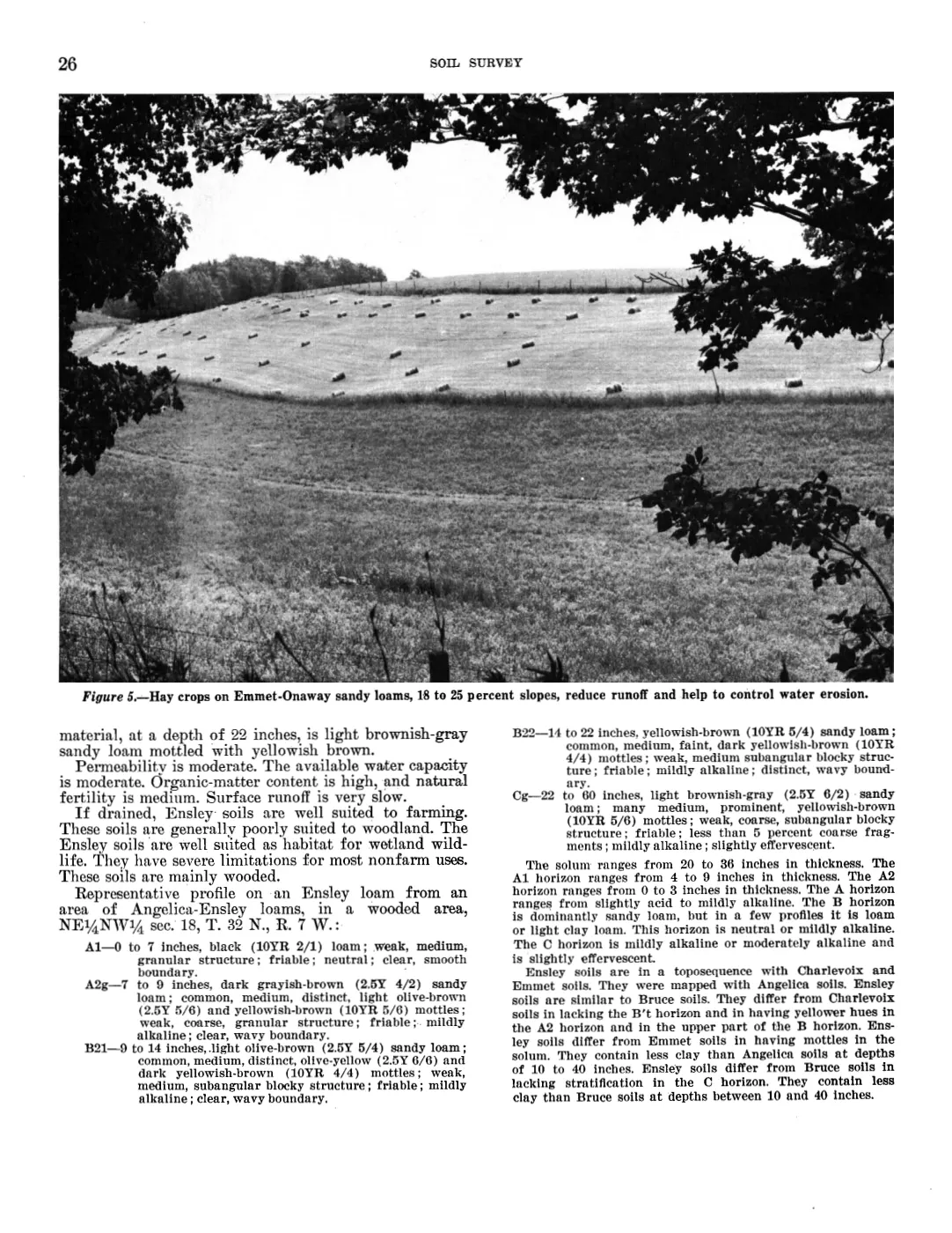
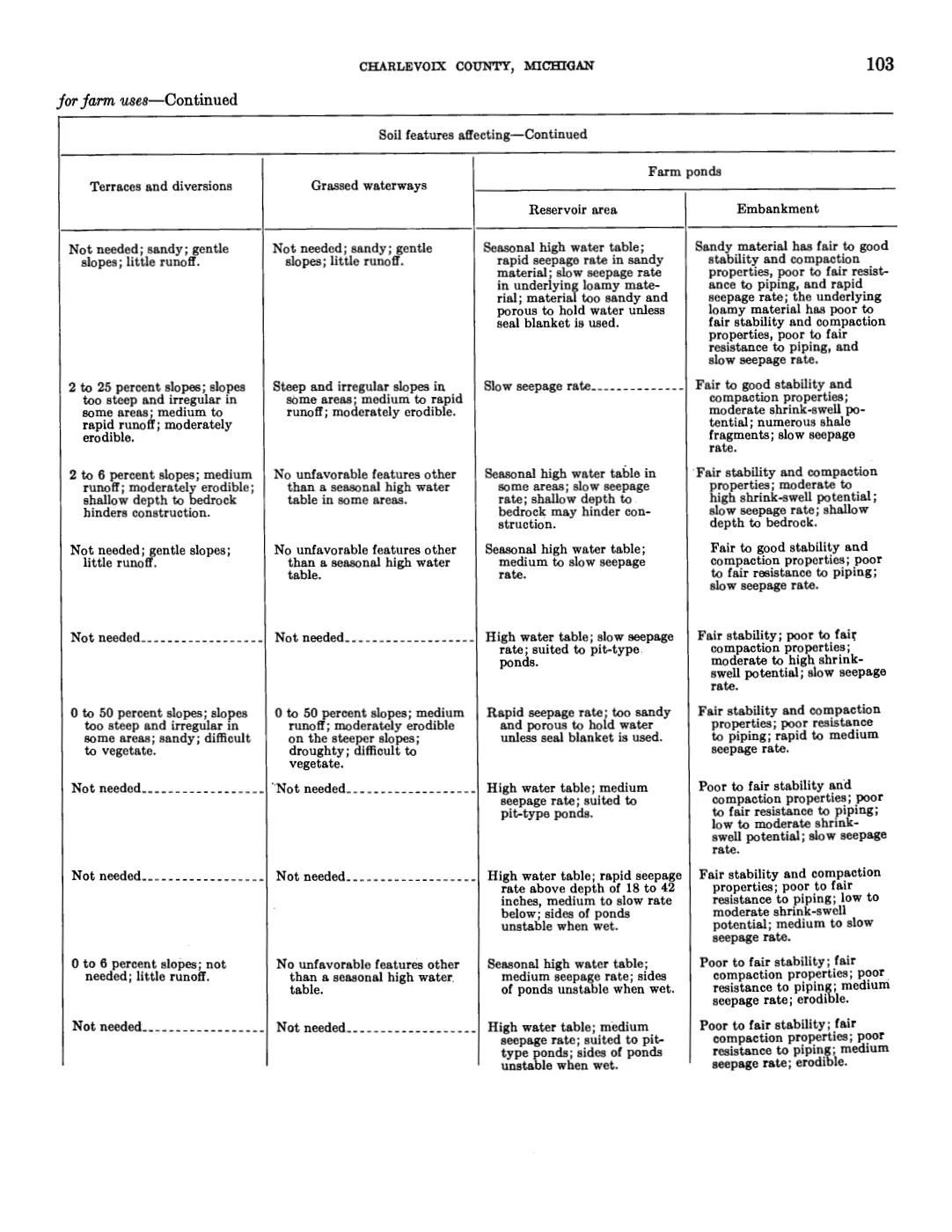
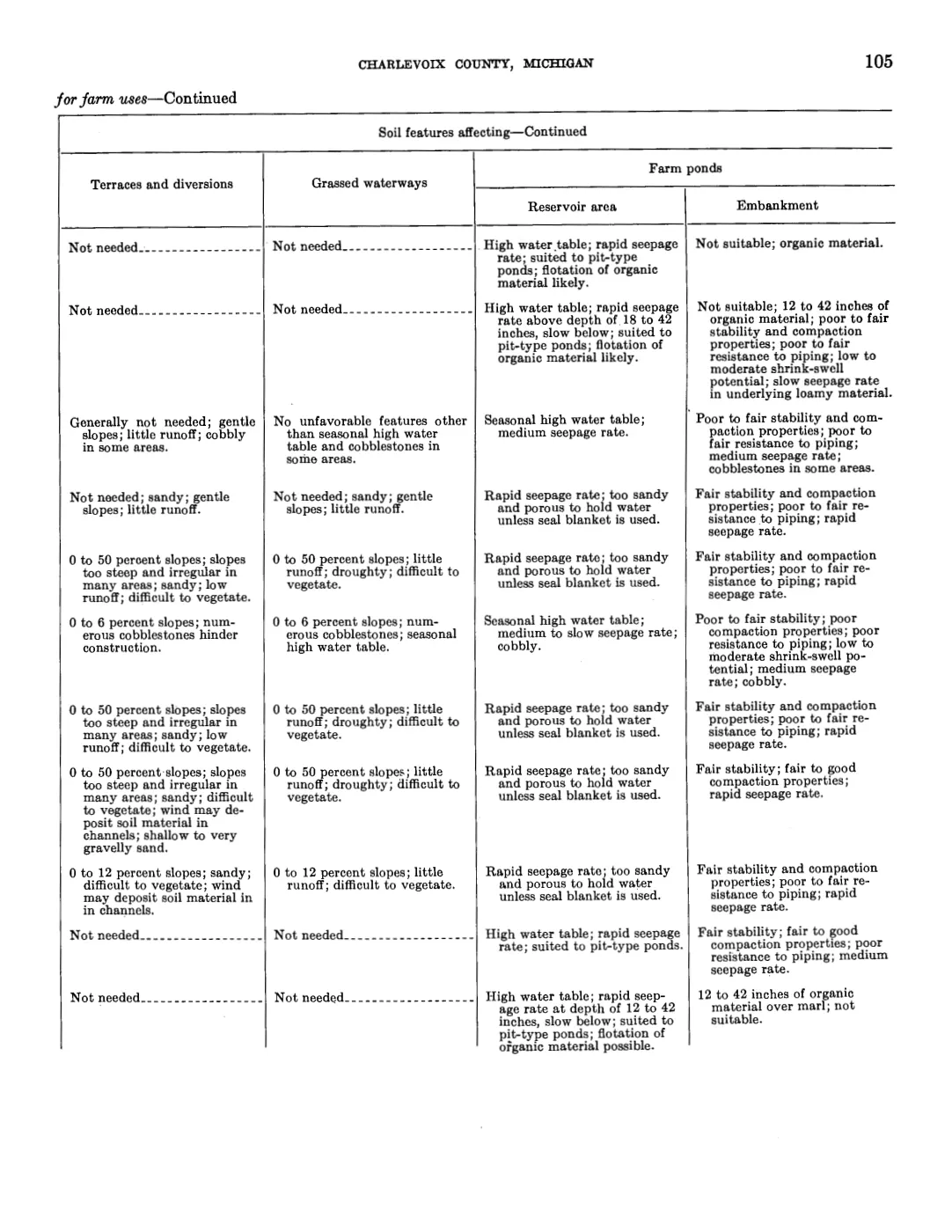
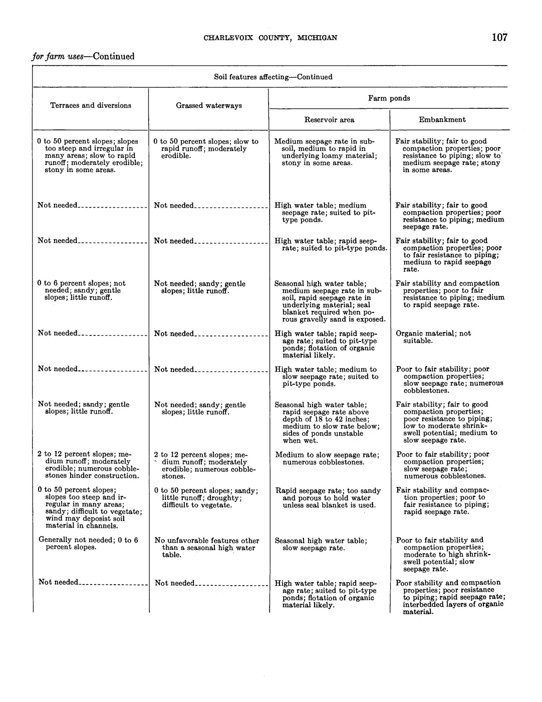
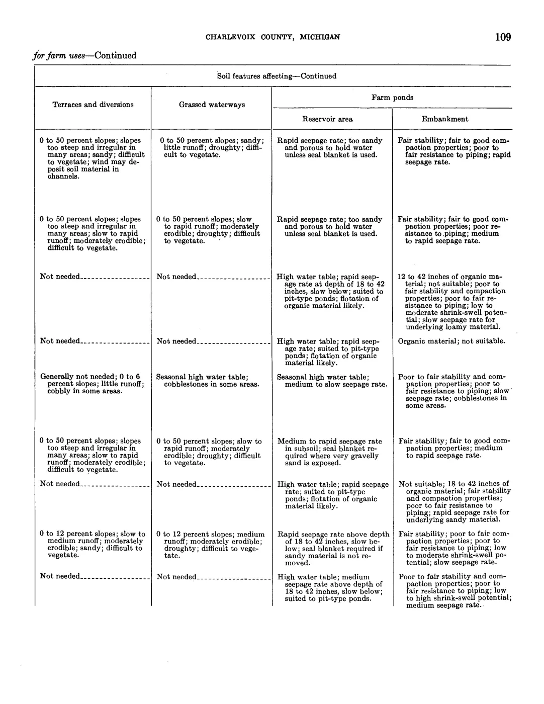
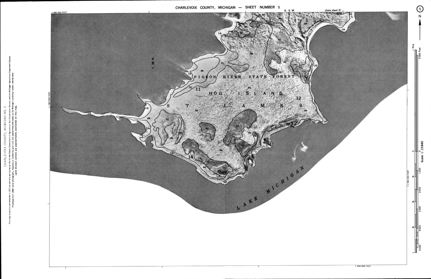
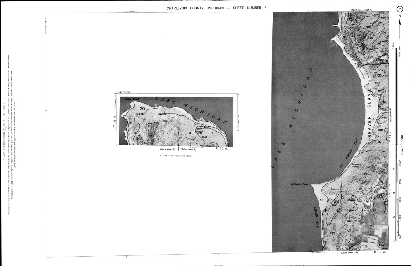
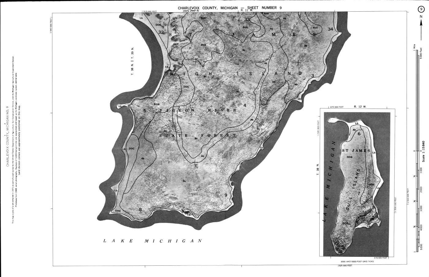
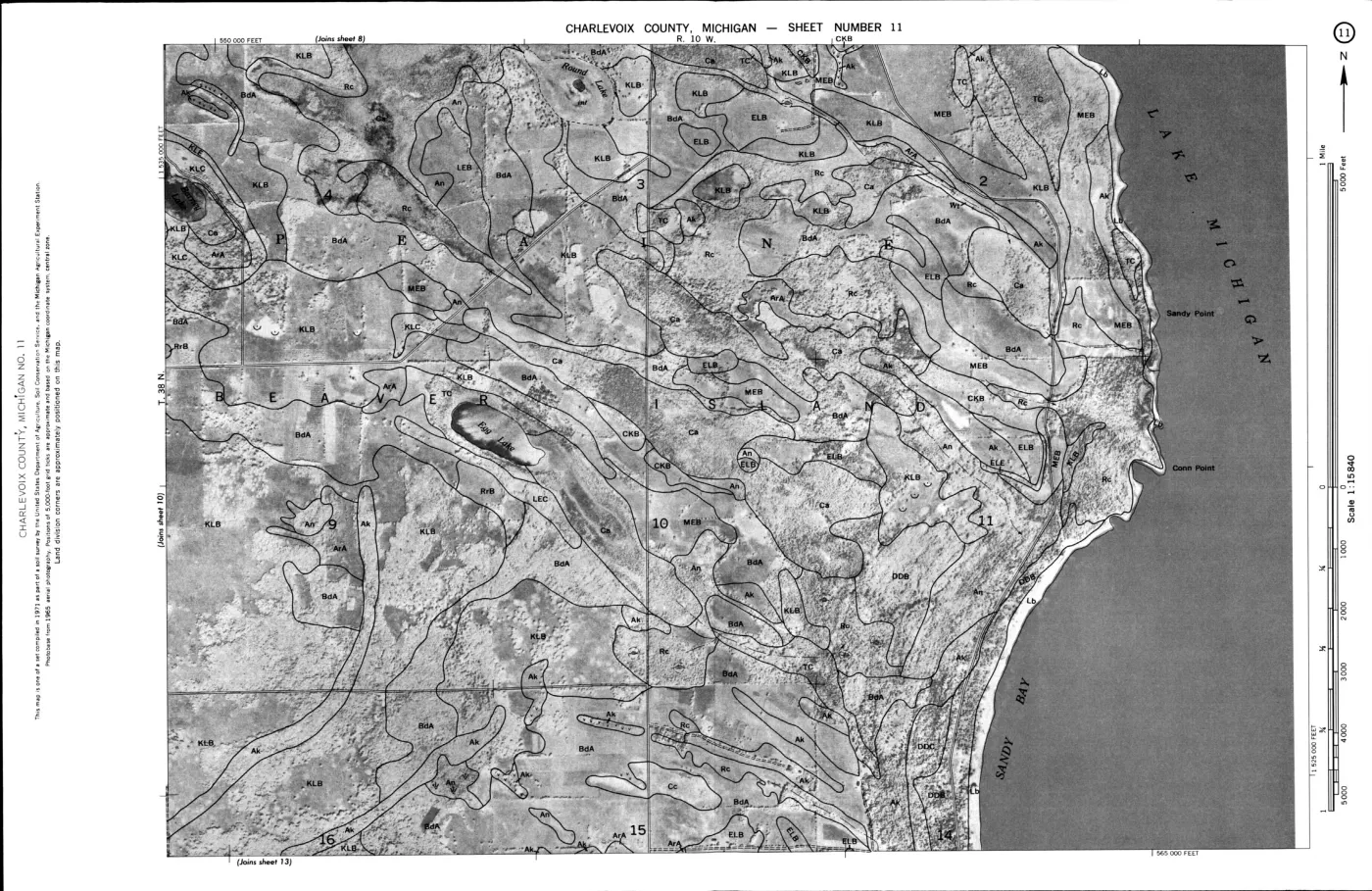
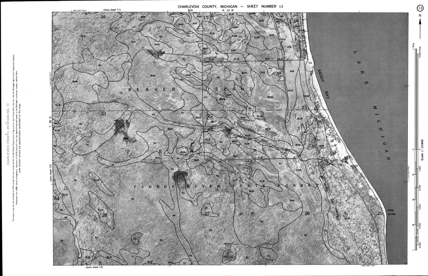
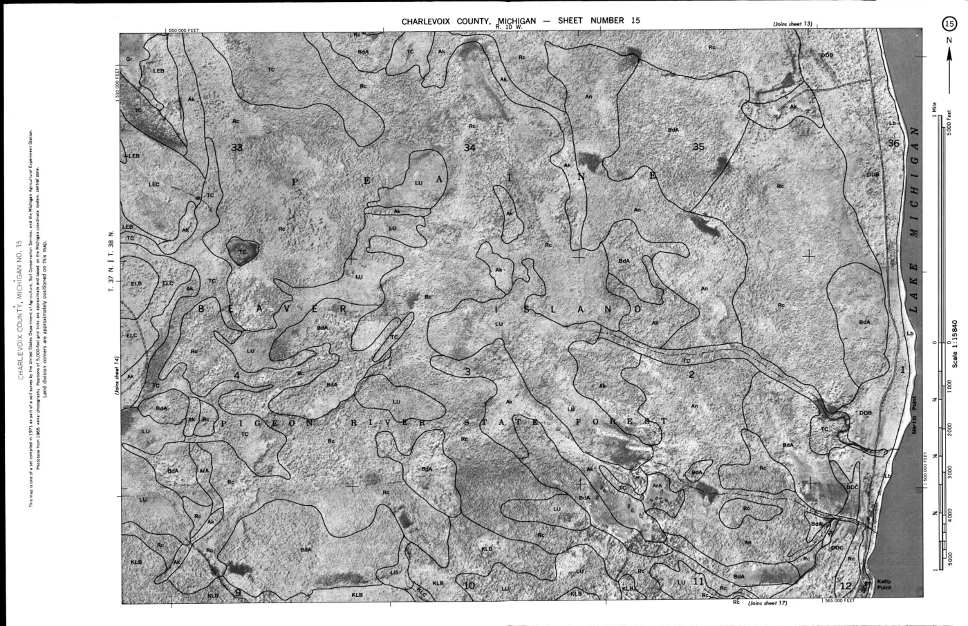
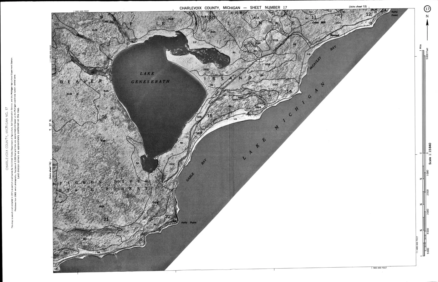
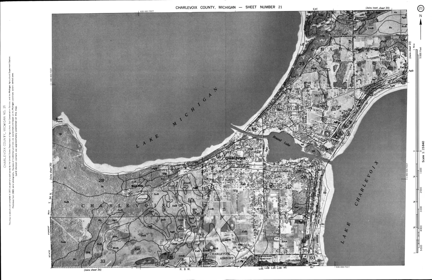
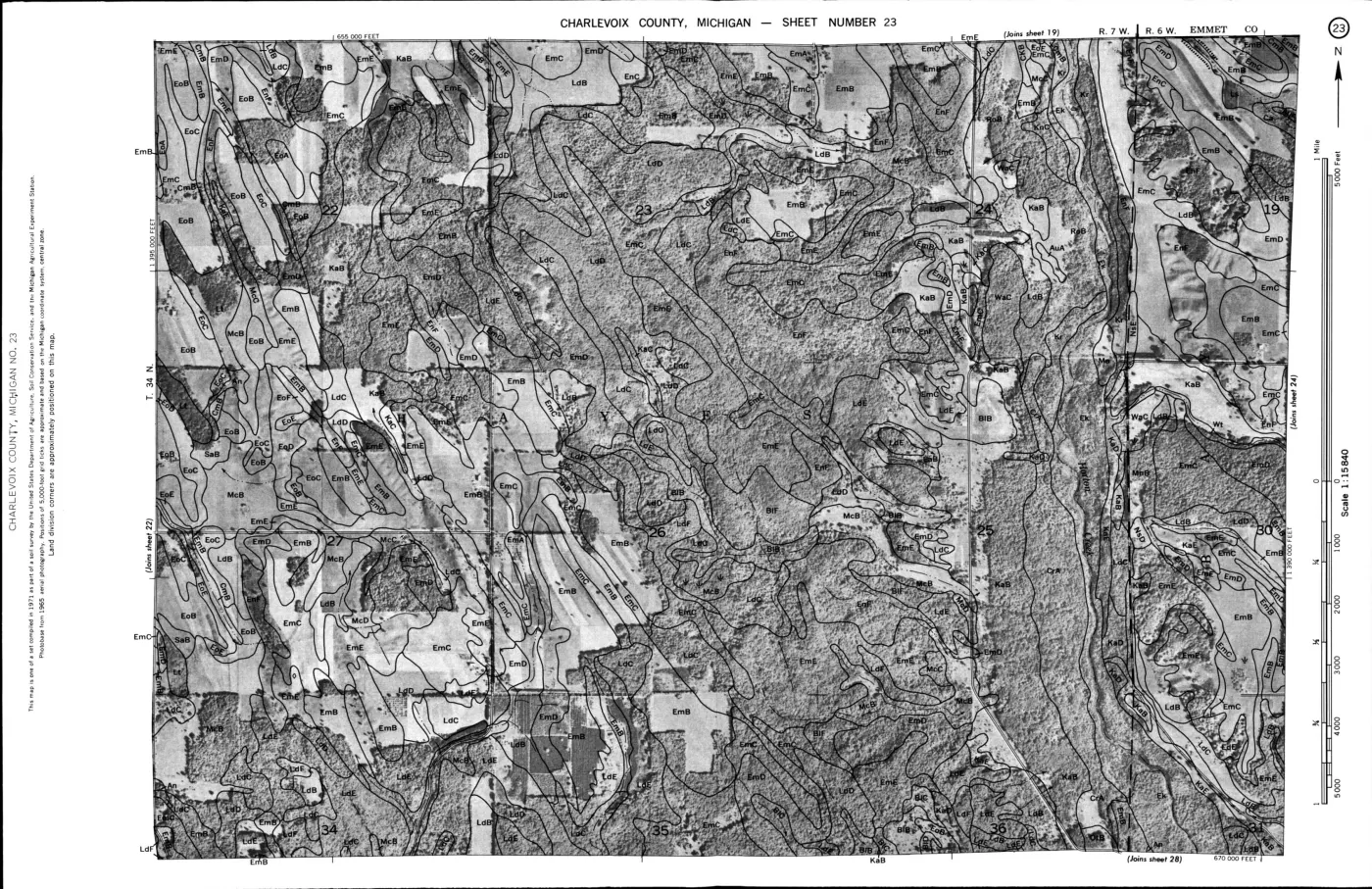
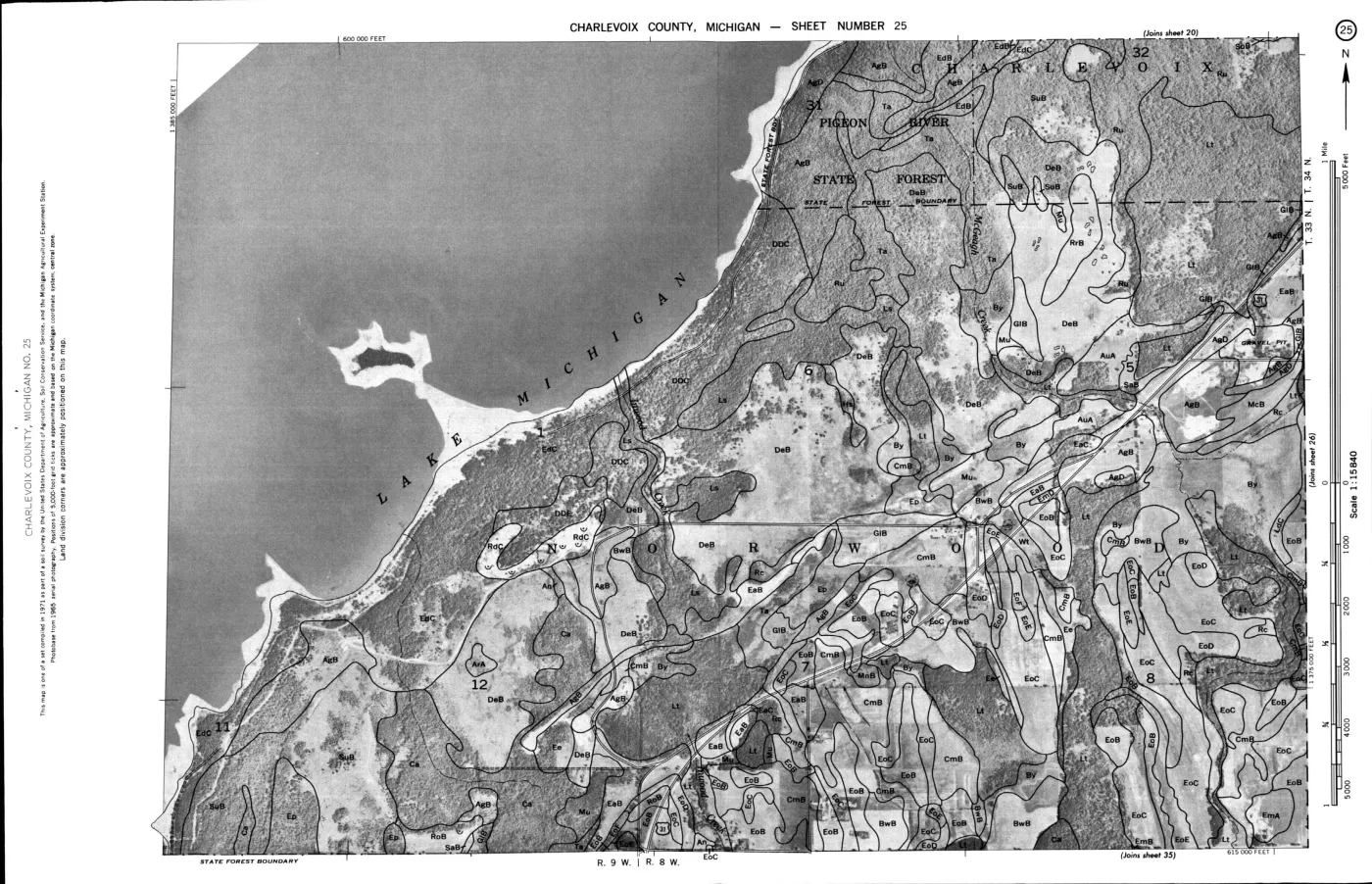
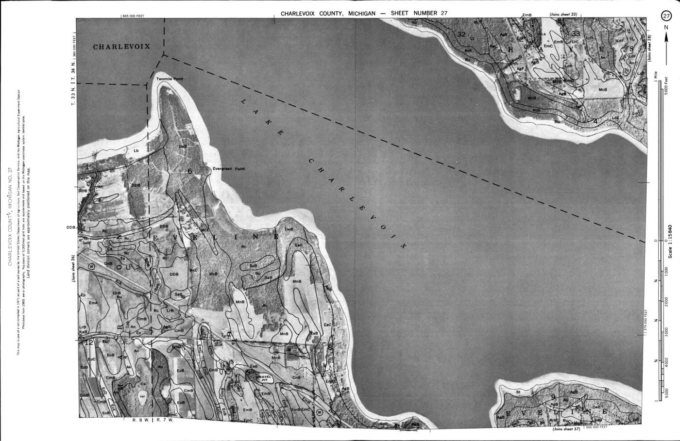
124 of 200 pages linked here — every page to 32, then every 2th, then the last 16. With JavaScript, every page.
Read the document
89 pages, rendered from the held scan.



























Sources
- Project-generated Beaver Island Master Plan natural-resource evidence crosswalk, 2017–2024.Described in this archive: Beaver Island planning natural-resource evidence crosswalk, 2017–2024.Adds dated planning descriptions of forest types, tree assemblages, soils, dunes, wetlands, and the map-based relationship between natural features and land use; it is not a pre-settlement reconstruction. No public copy of this file is known; the archive holds one and can provide it on request.research · island_governance · master_plan_natural_resource_evidence_2017_2024
- Project-generated Beaver Island Master Plan ecology map-plate evidence index, 2017–2024.Described in this archive: Beaver Island Master Plan ecology map-plate evidence, 2017–2024.Provides a dated modern planning-map comparison layer for dunes, wetlands, inland waters, soils, slope, and elevation; it is not a reconstruction of circa-1800 conditions. No public copy of this file is known; the archive holds one and can provide it on request.research · island_governance · master_plan_map_plate_evidence_2017_2024
- Project-generated seven-island ecology connectivity matrix (2026).Described in this archive: Seven-island ecology connectivity matrix, 2026.Provides a seven-island modern comparison frame for connecting historical tree and vegetation evidence to current canopy, land-cover, soil, geology, and wildlife context without projecting modern conditions backward. No public copy of this file is known; the archive holds one and can provide it on request.research · island_farming · crosswalks · archipelago_ecology_connectivity_matrix_2026
- The 144-polygon reconstruction is based on original GLO surveyors' section-line notes. Project areas are computed from the held polygons in EPSG:3078 and cover the archipelago bounding box.state · michigan · land_cover_circa_1800
- The held AOI intersection contains mapped labels including Garden Island Formation, Bois Blanc Formation, Detroit River Group, and Midcontinent Rift. The layer is regional mapping, not an exposure inventory.geology · vector · mi_bedrock_geology
- The held layers classify lacustrine sand and gravel, dune sand, coarse-textured glacial till, lacustrine fine, lacustrine coarse, bedrock, and proglacial outwash.geology · vector · mi_quaternary_geology
- Described in this archive: Quaternary geology of Michigan, 1982.Statewide map supplies the regional source vocabulary for mapped dune, lacustrine, till, and outwash classes; it is not a site-specific determination.geology · publications · farrand_bell_1982_qg01
- Described in this archive: Bedrock geology of Michigan, 1987.Statewide map supplies regional context for the bedrock-unit names in the collected GIS layers; it does not prove a particular exposure.geology · publications · milstein_1987_bg01
- Four held polygons intersect the current island polygons and total approximately 1,642 acres of regulated barrier-dune area. This is a regulatory layer, not a complete dune inventory.geology · vector · mi_critical_dune_areas
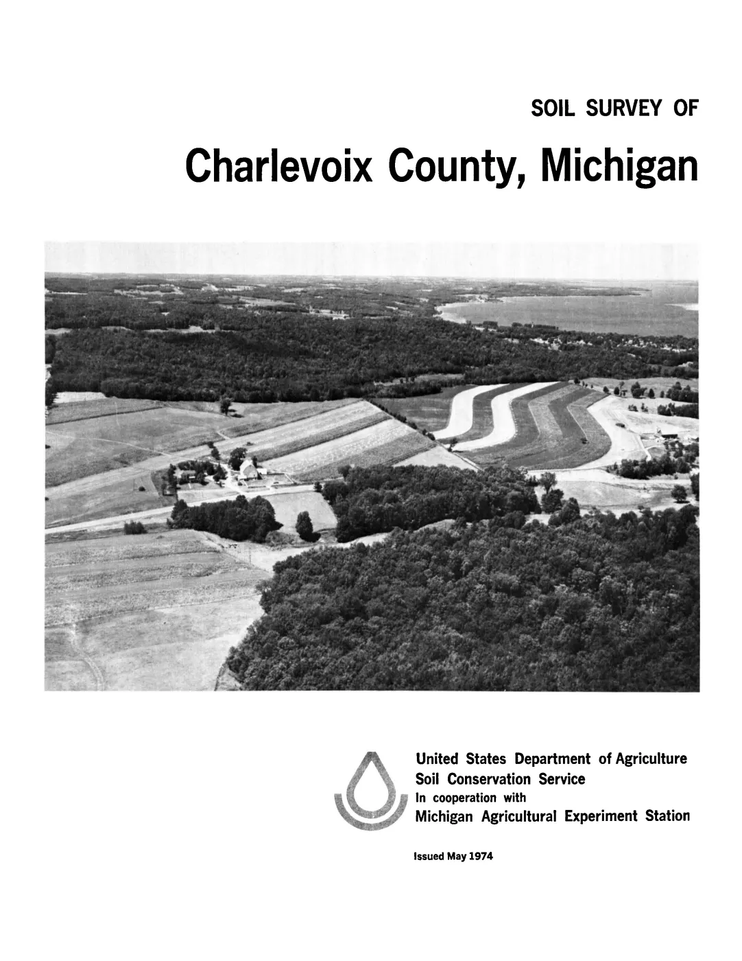
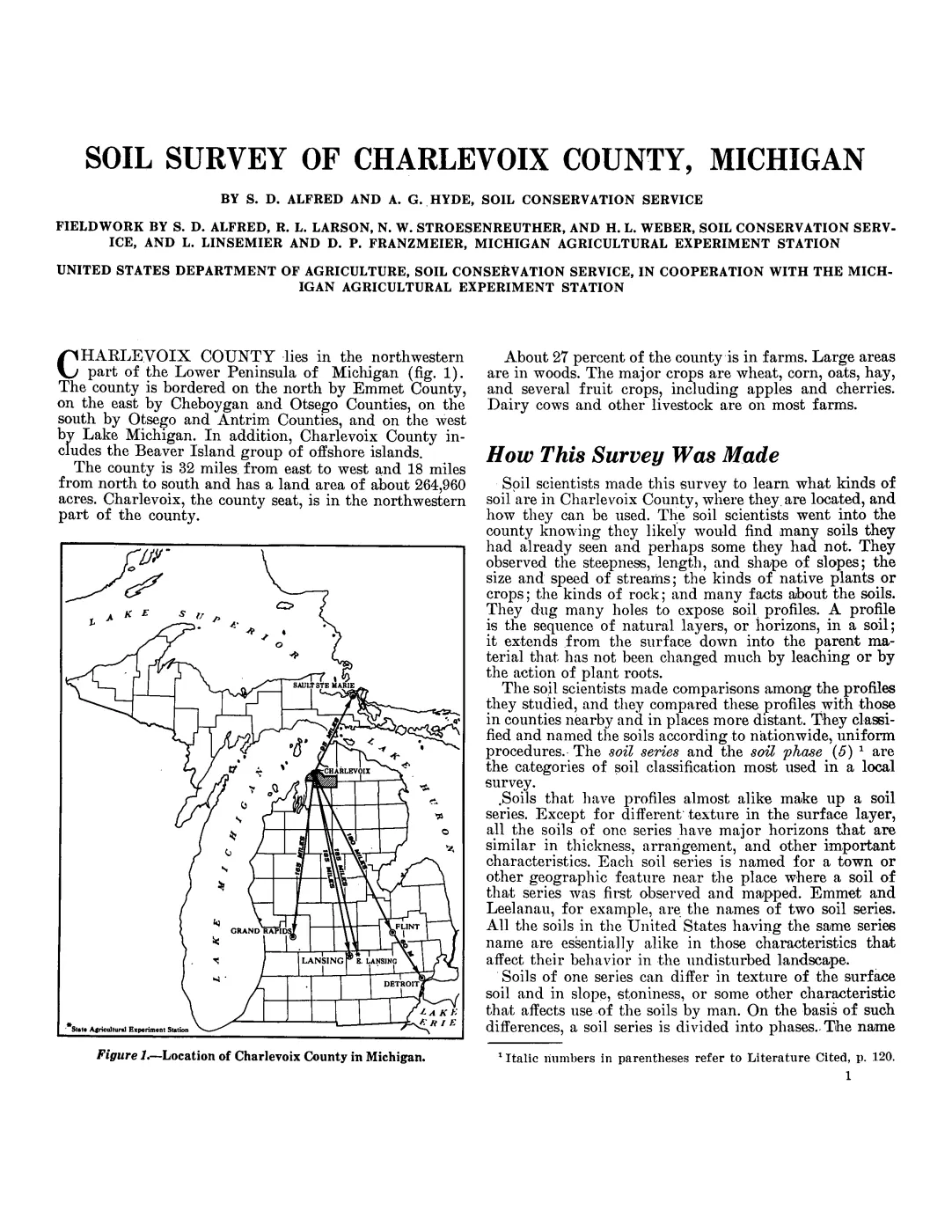
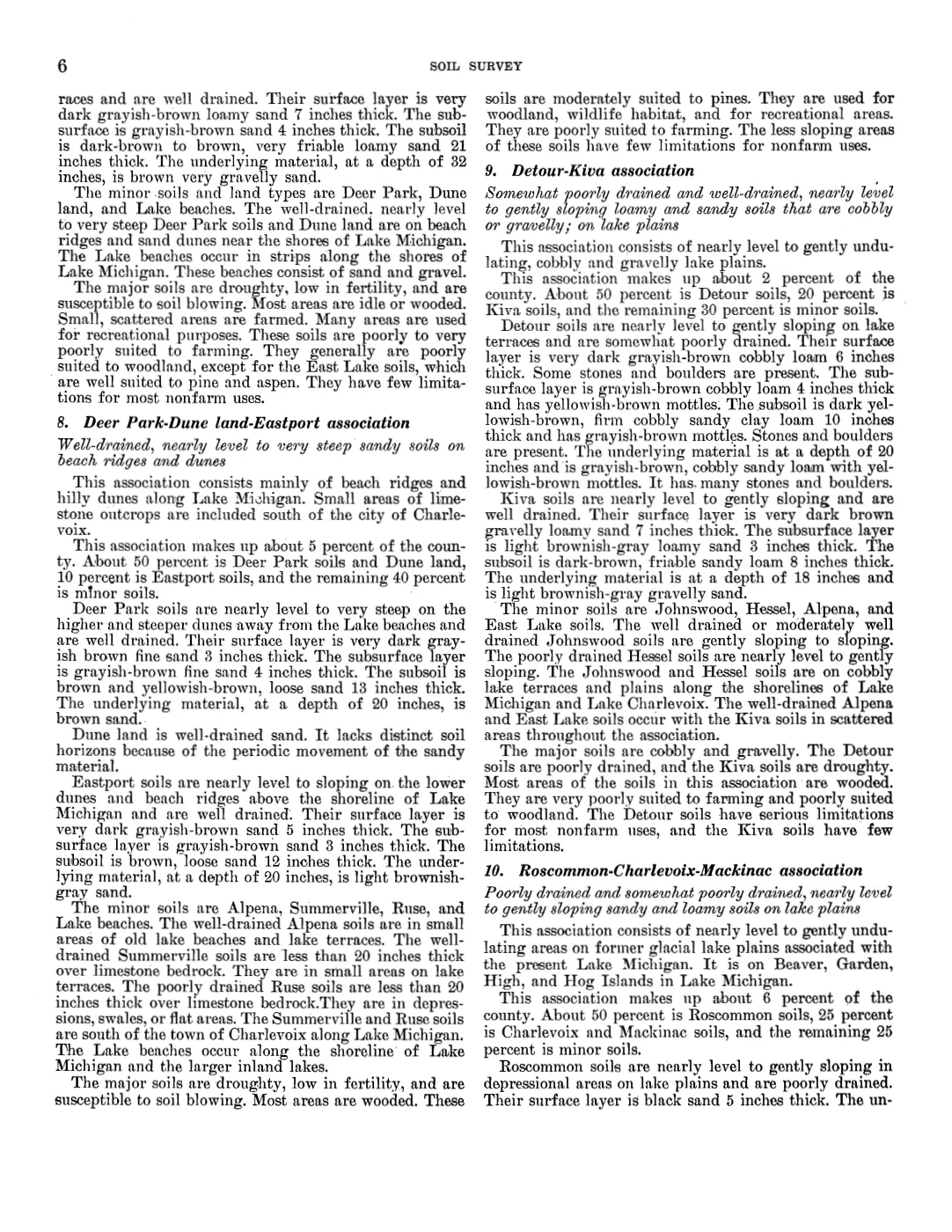
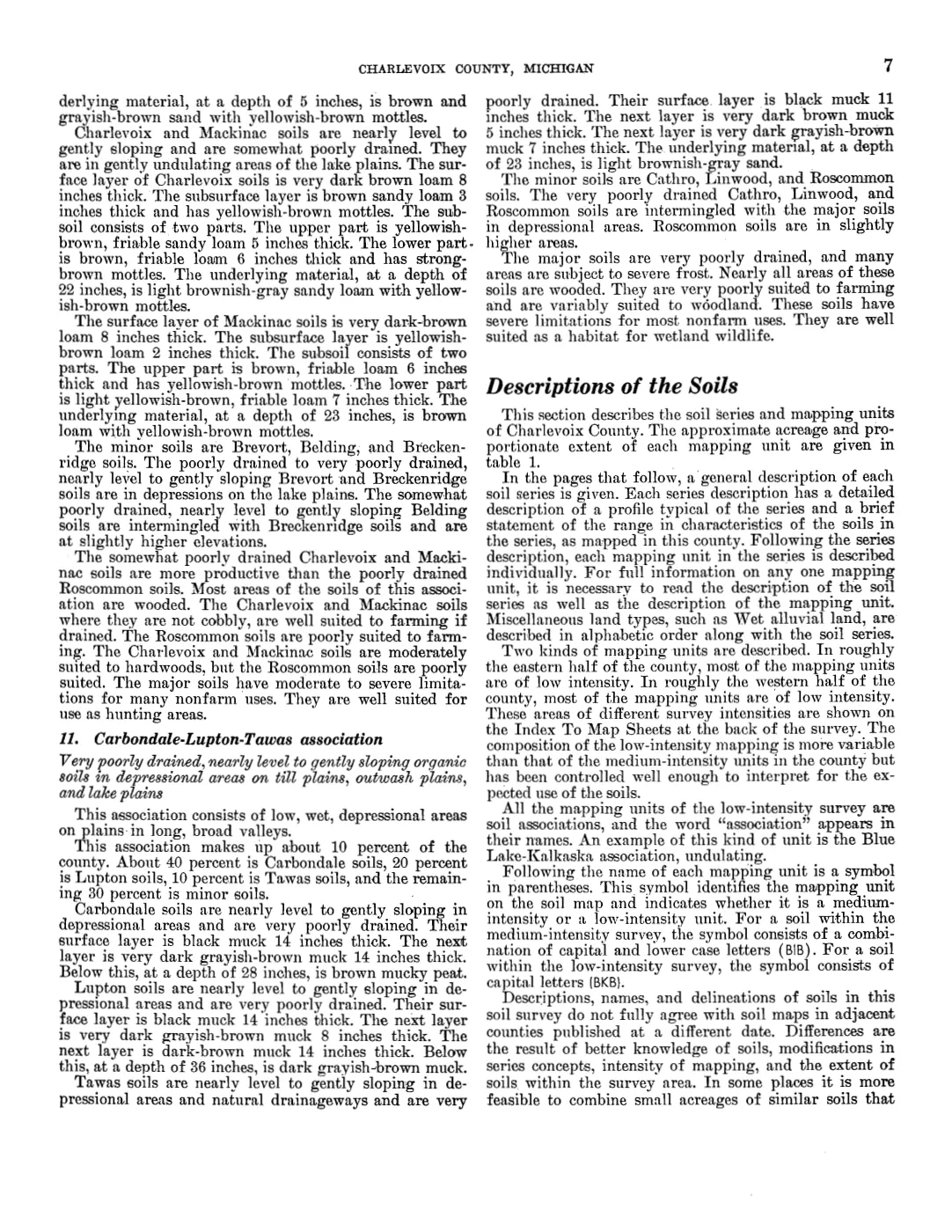
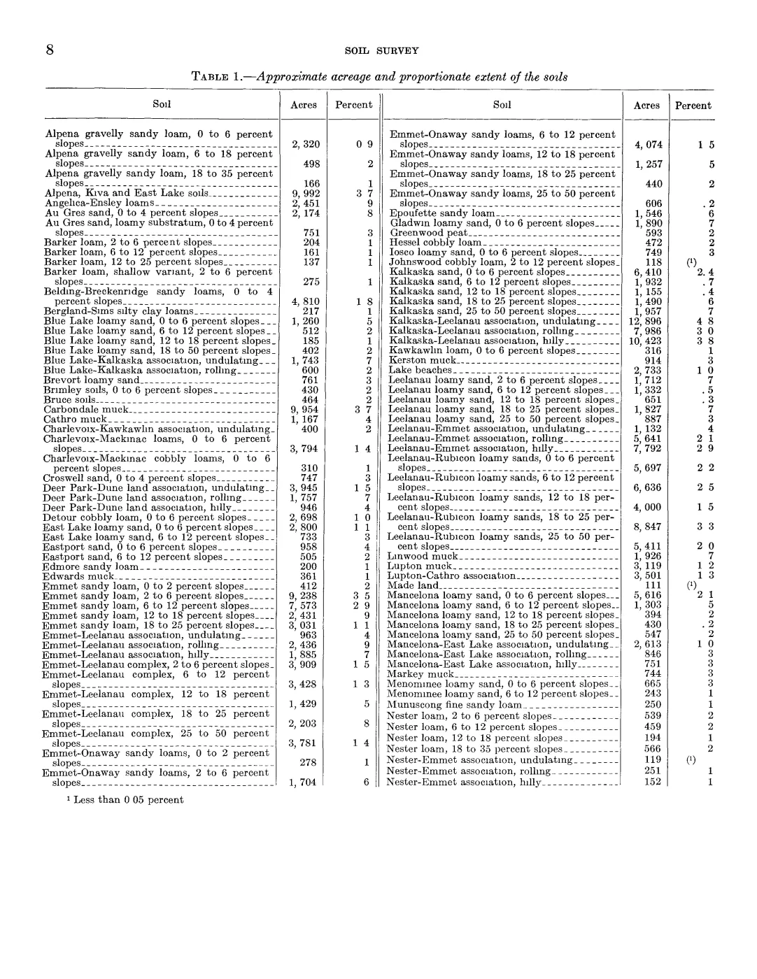
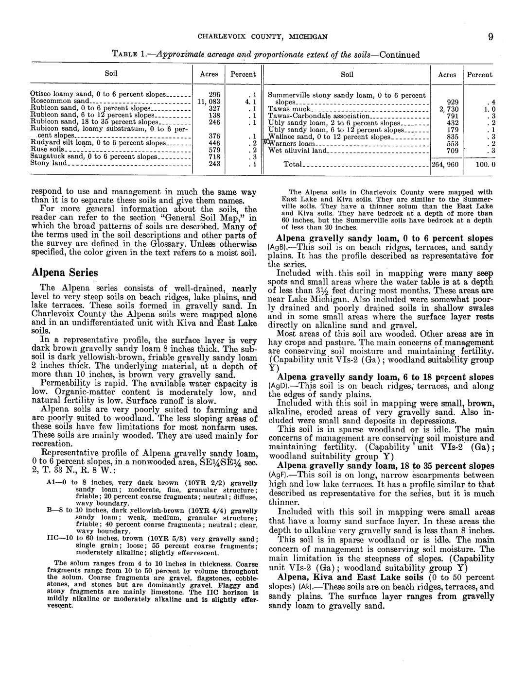
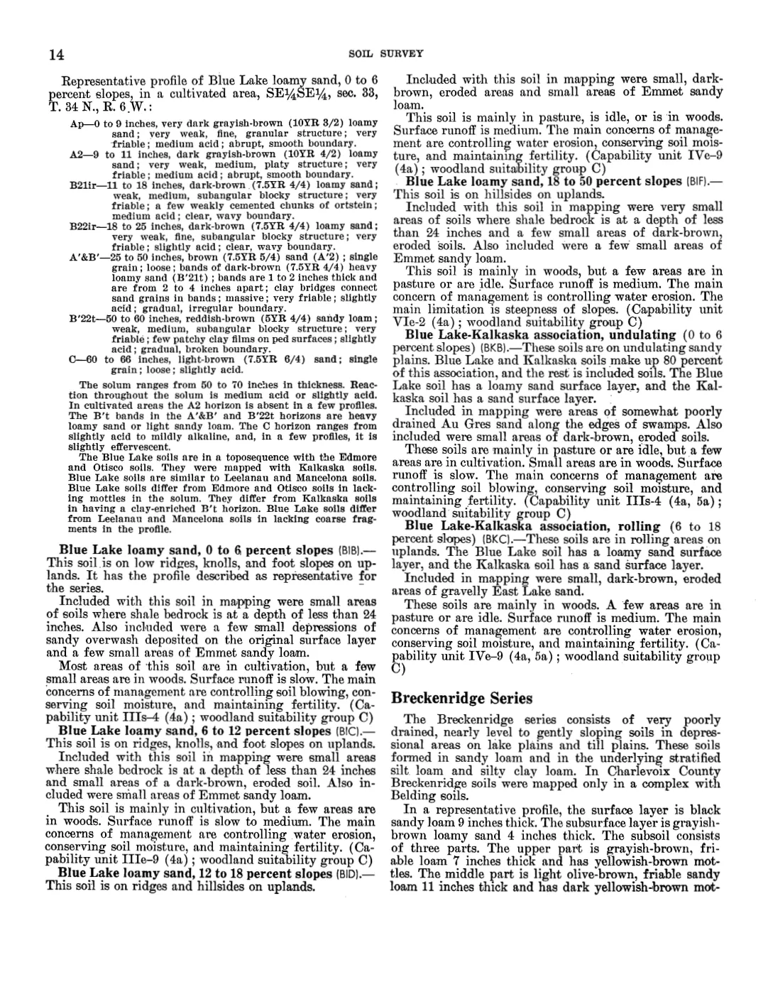
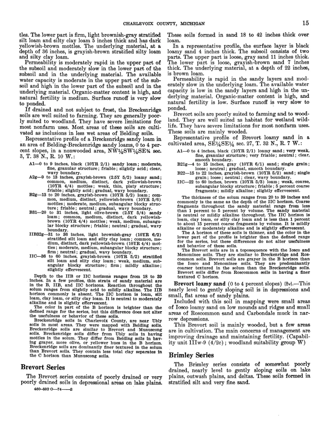
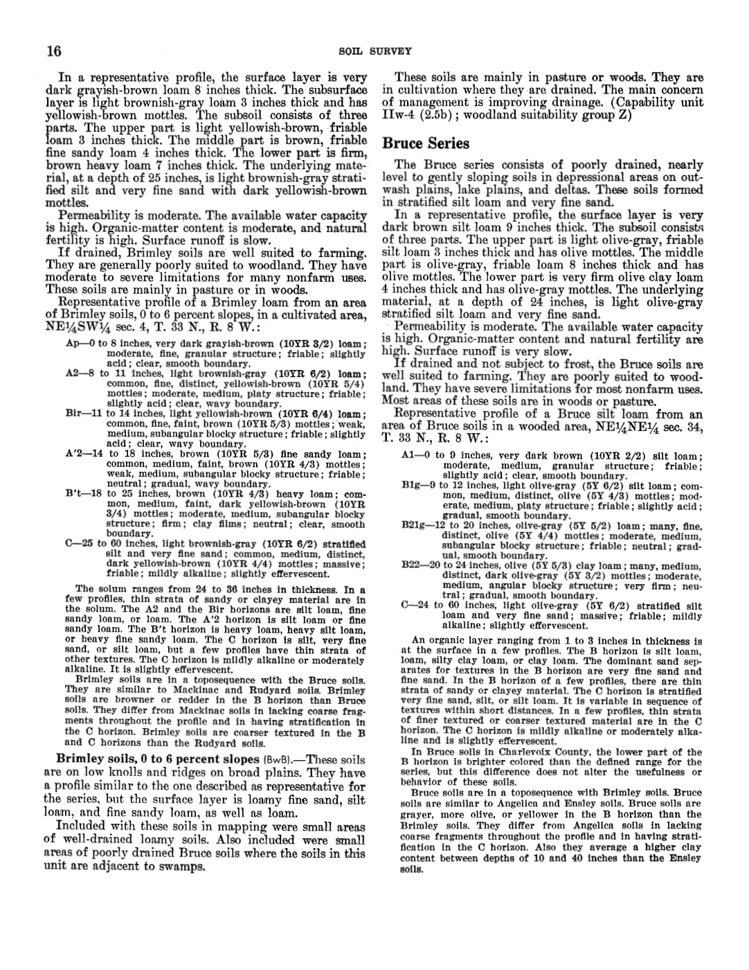
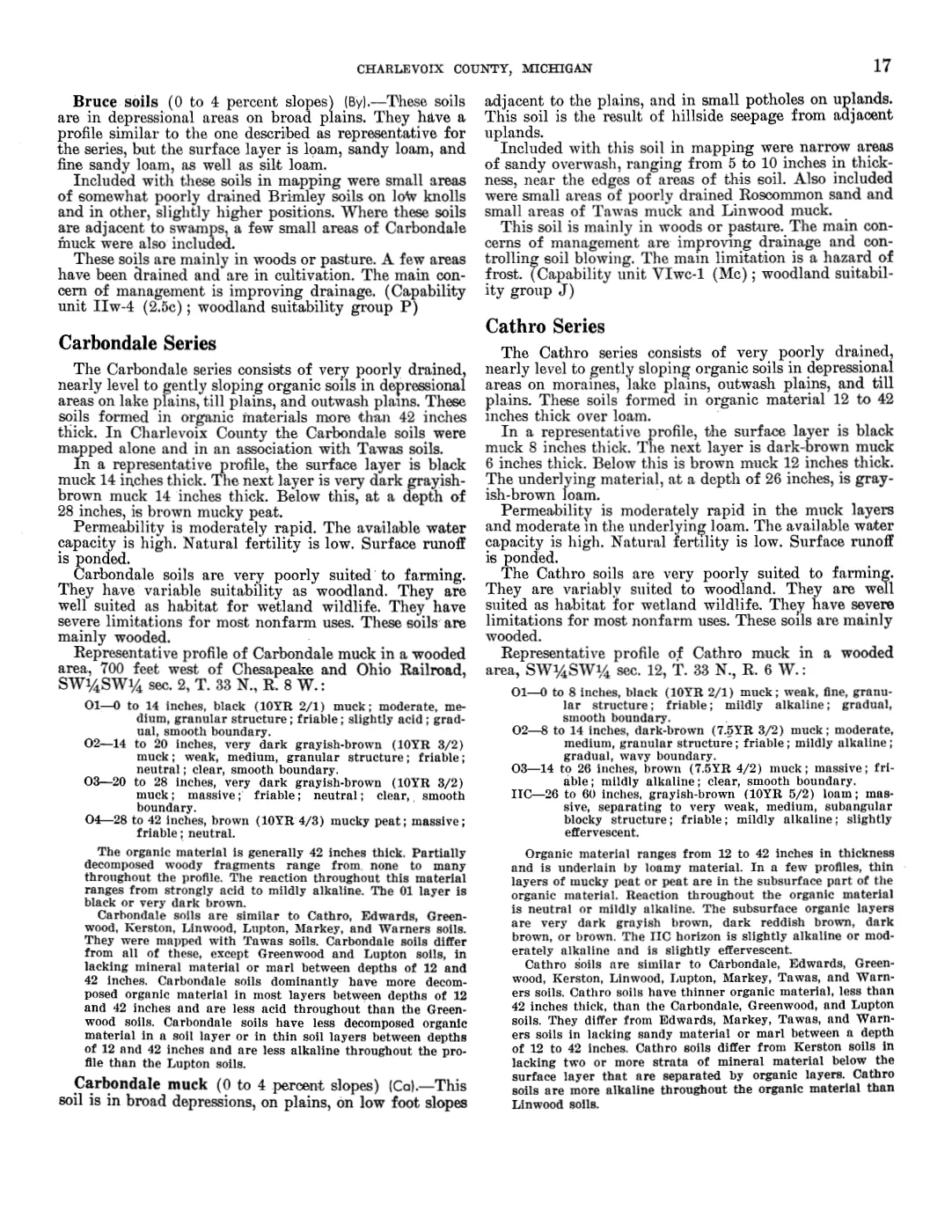
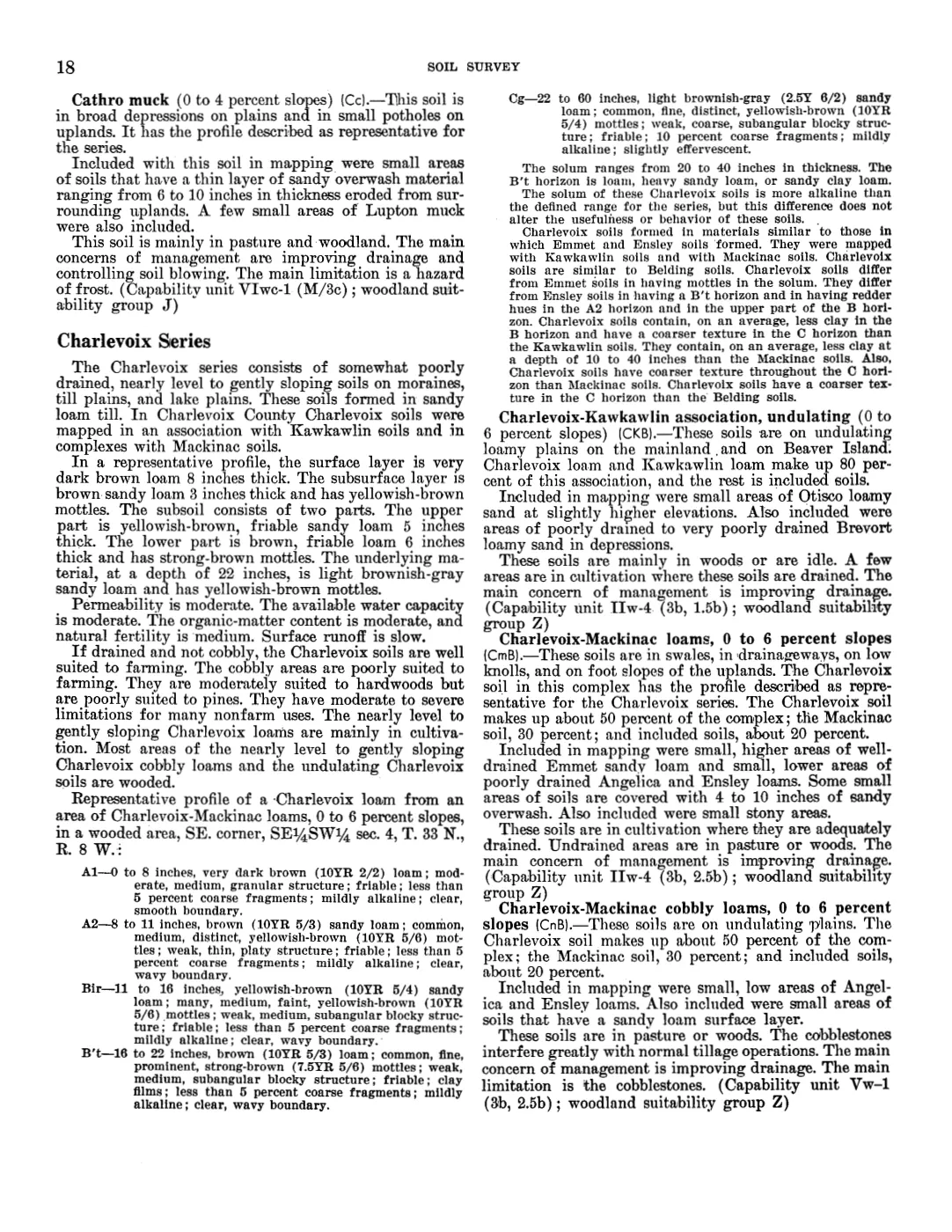
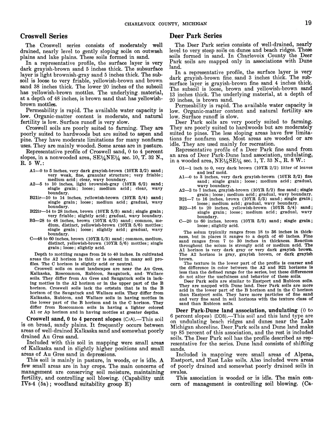
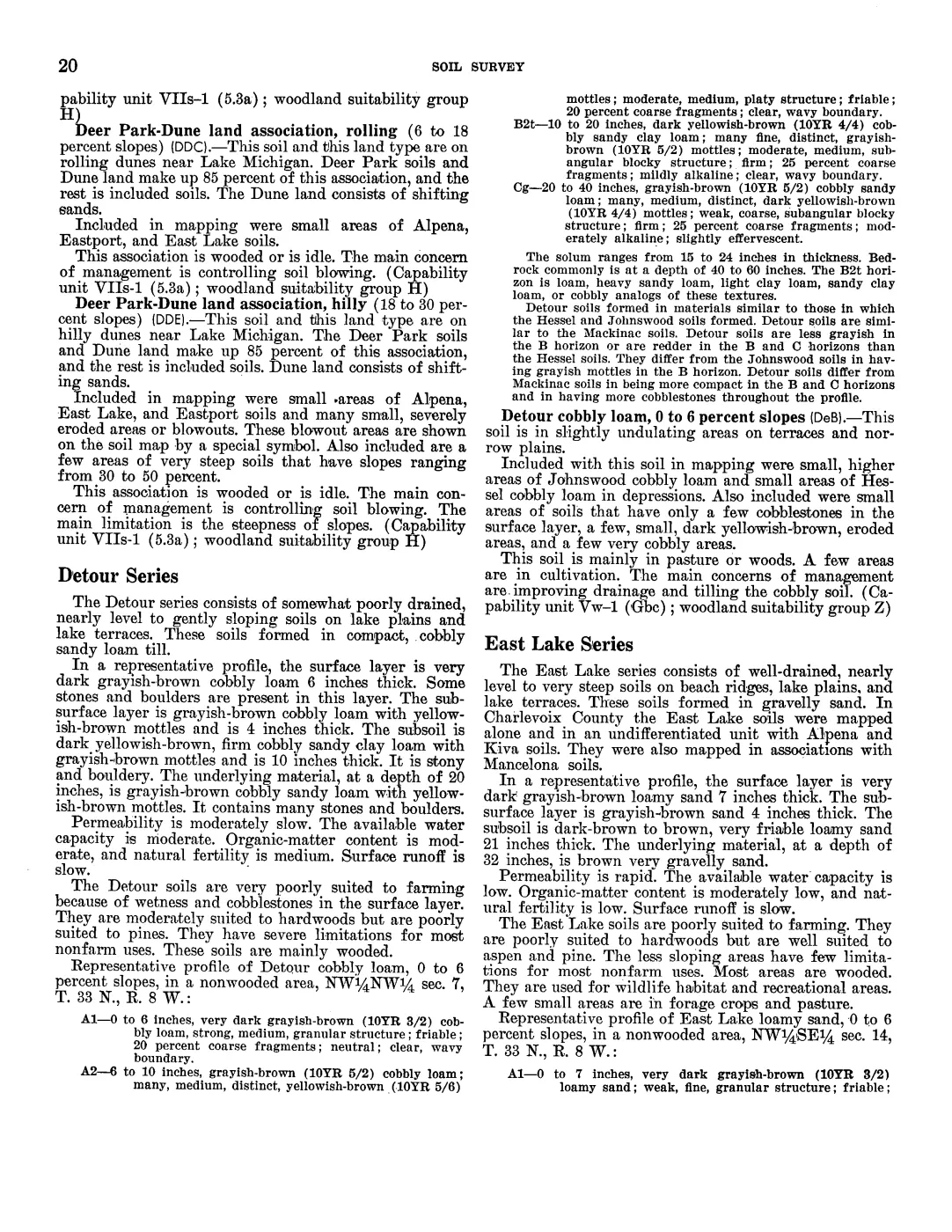
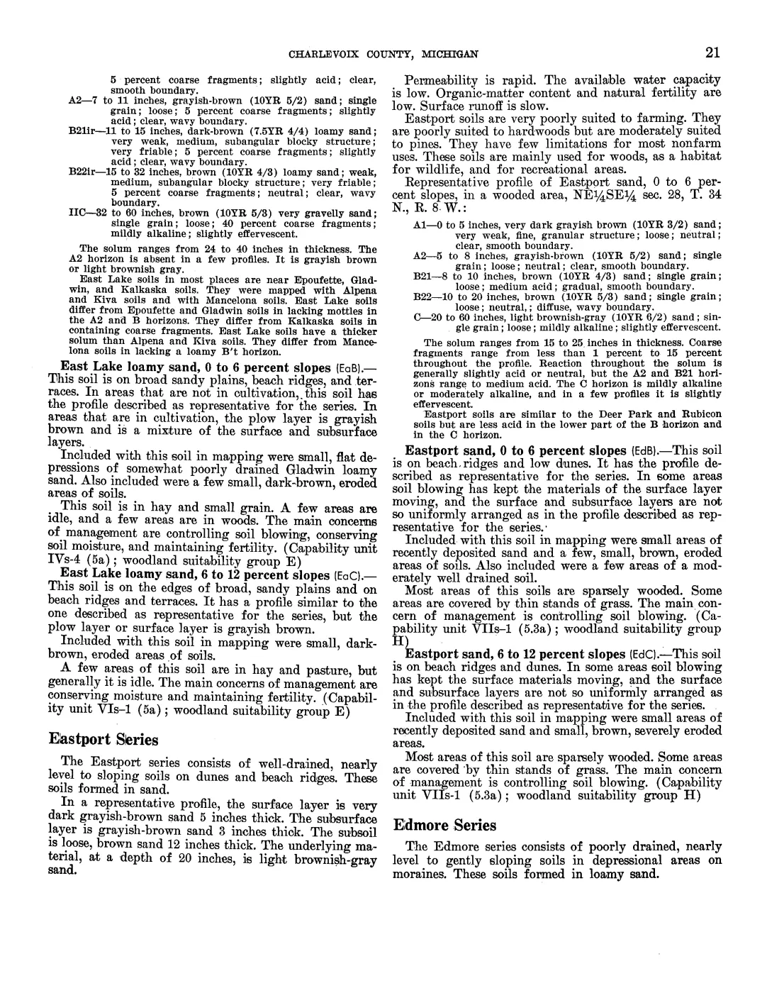
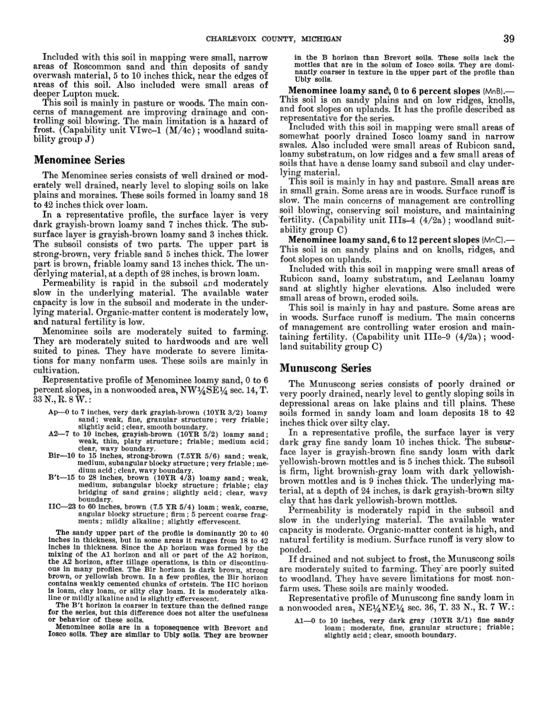
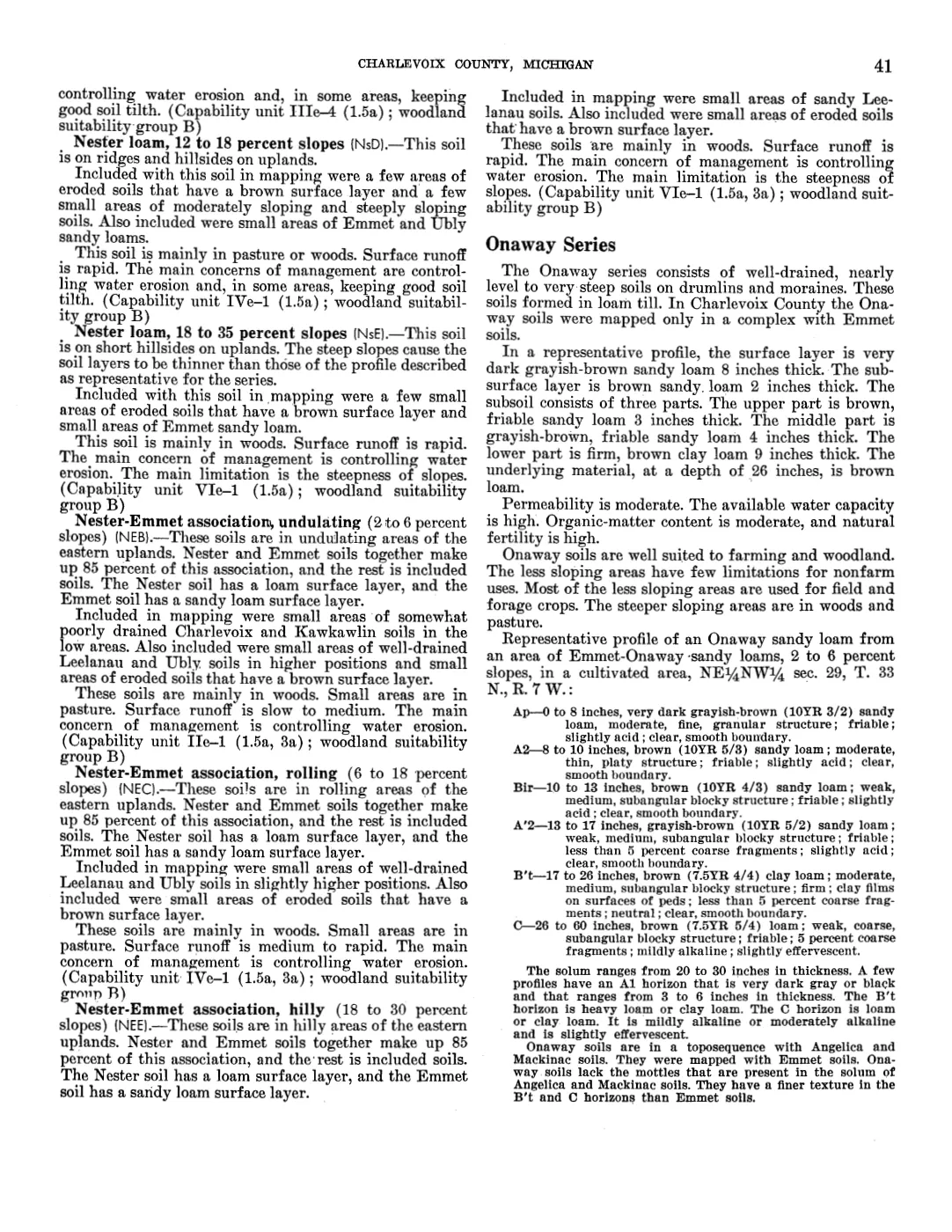
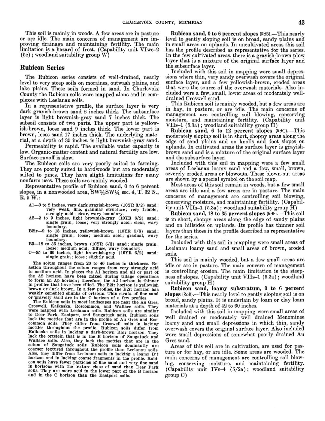
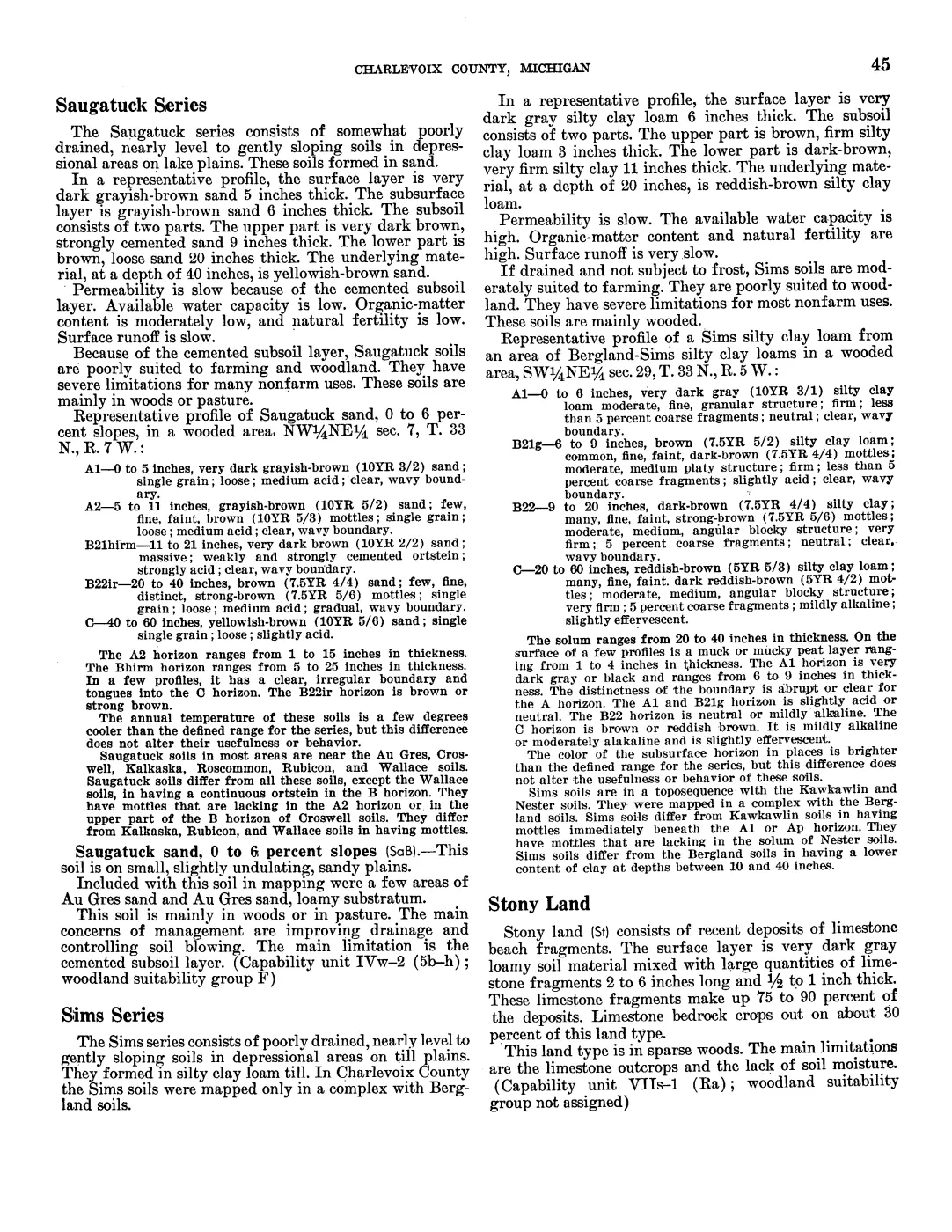
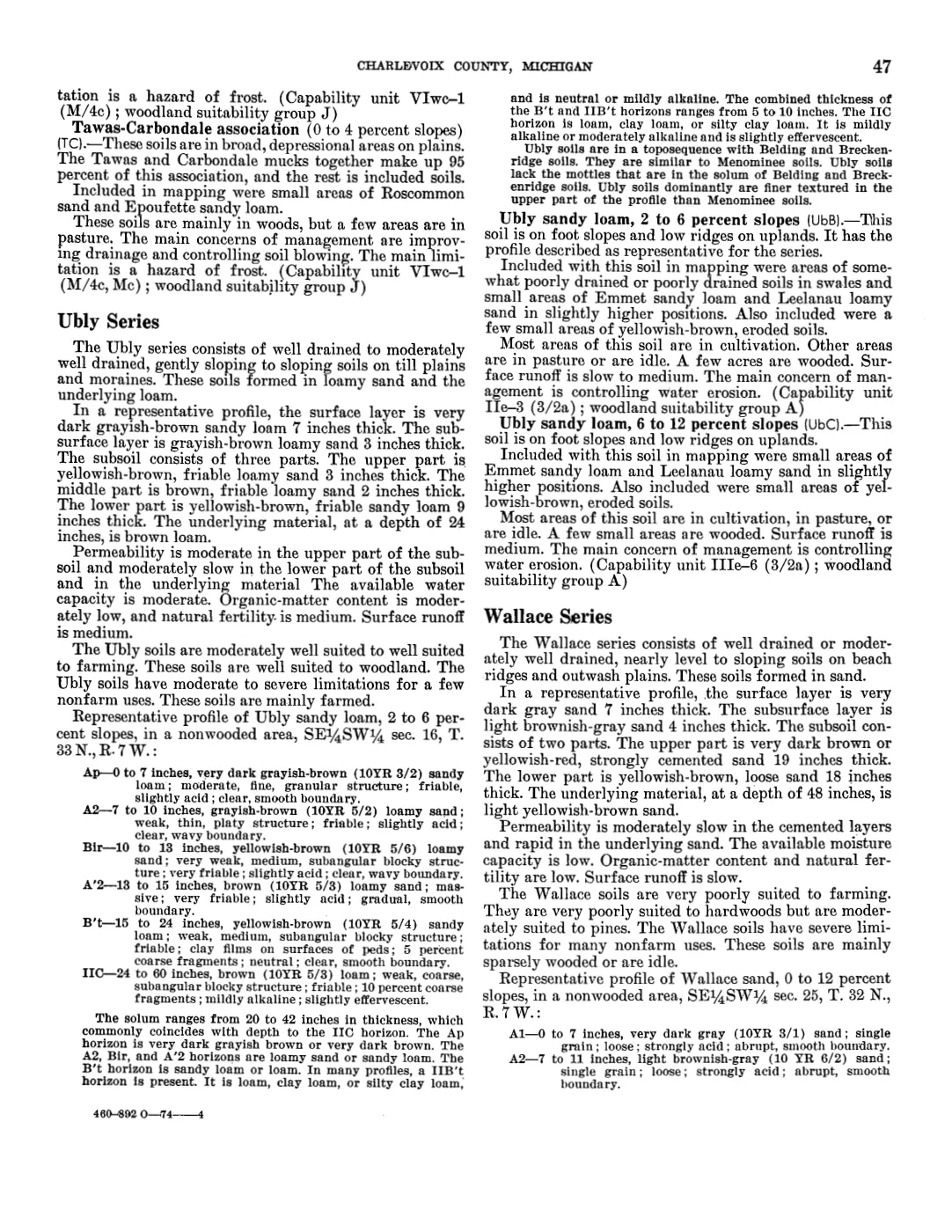
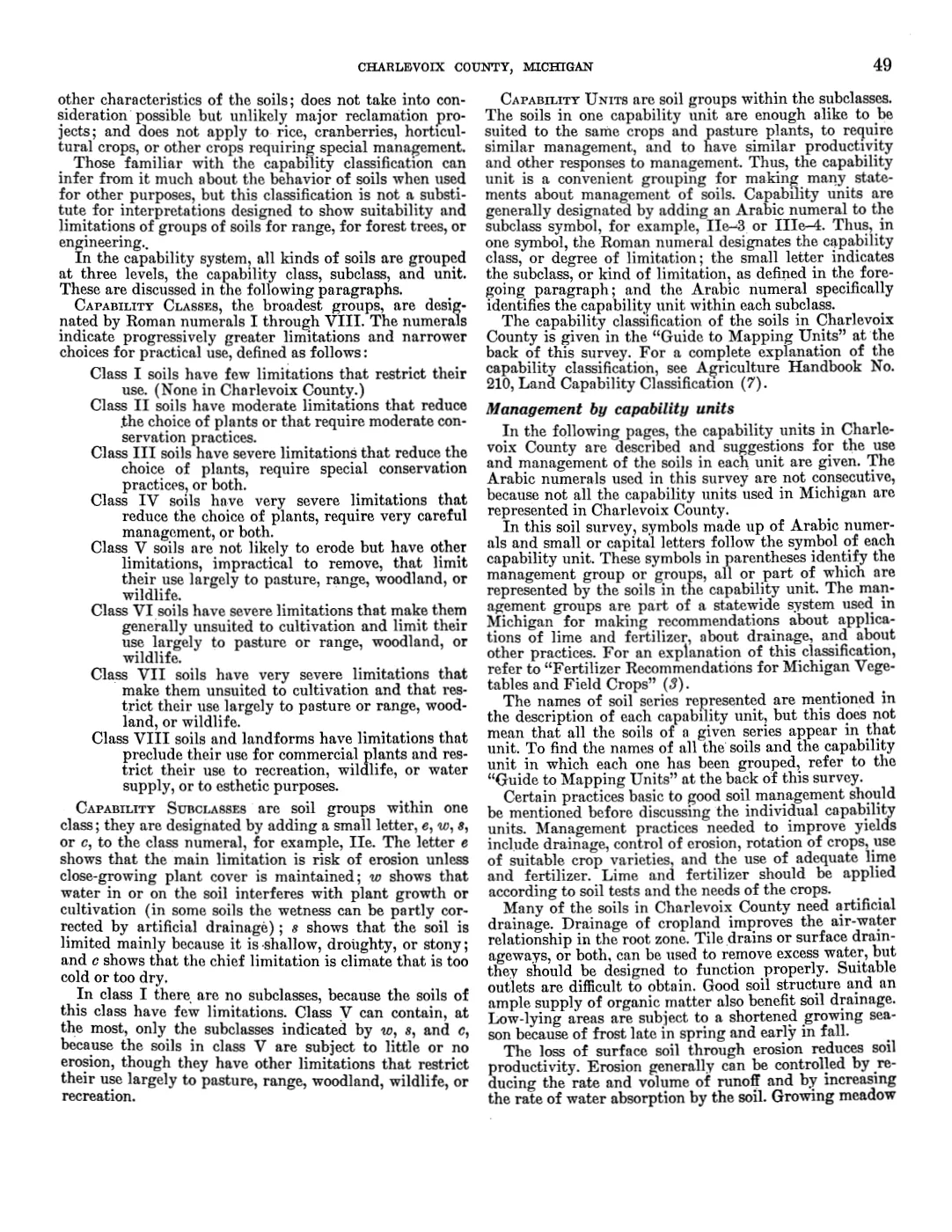
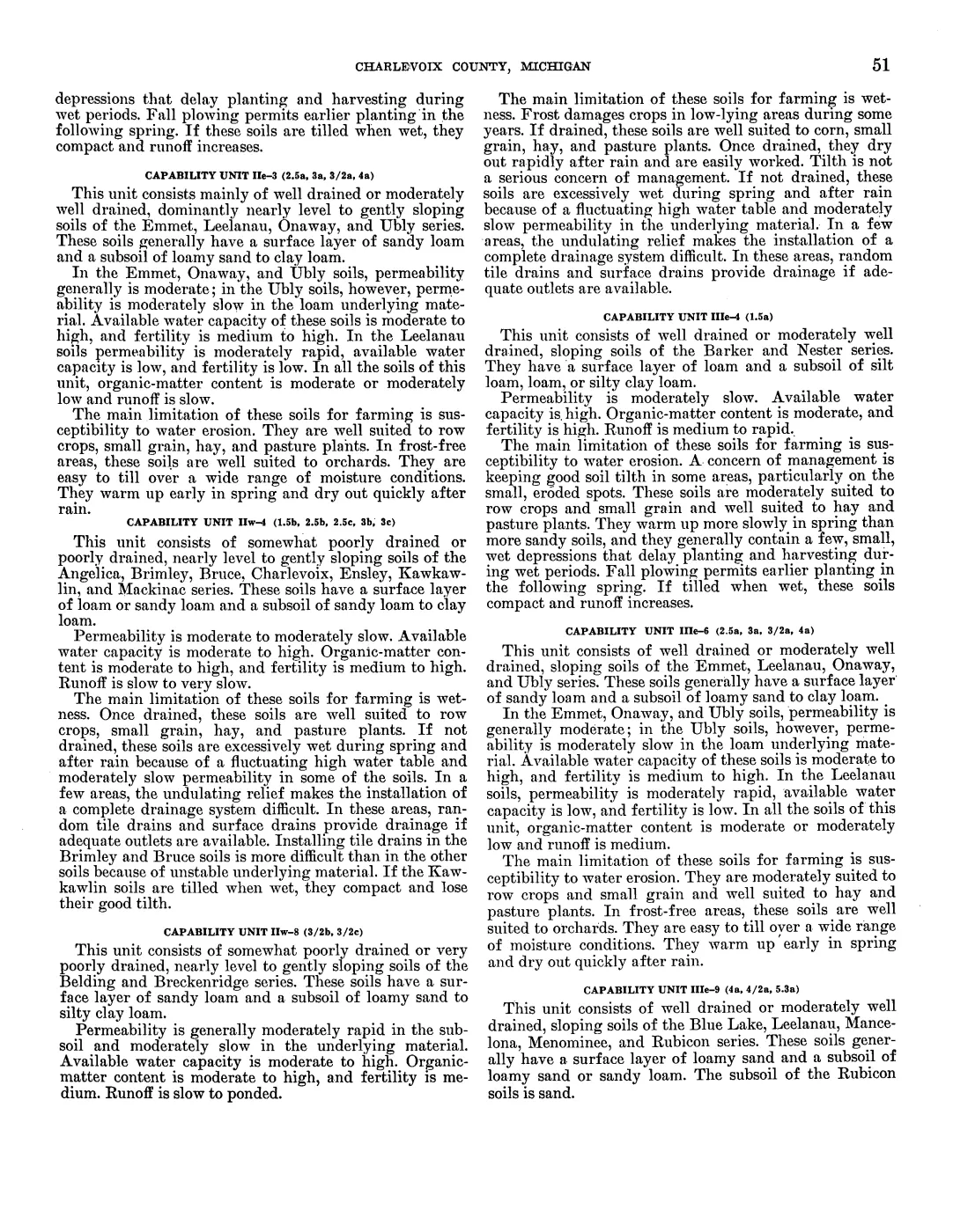
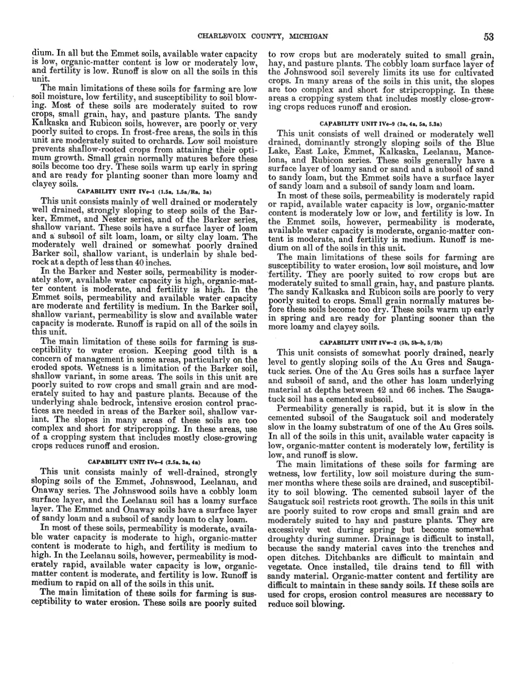
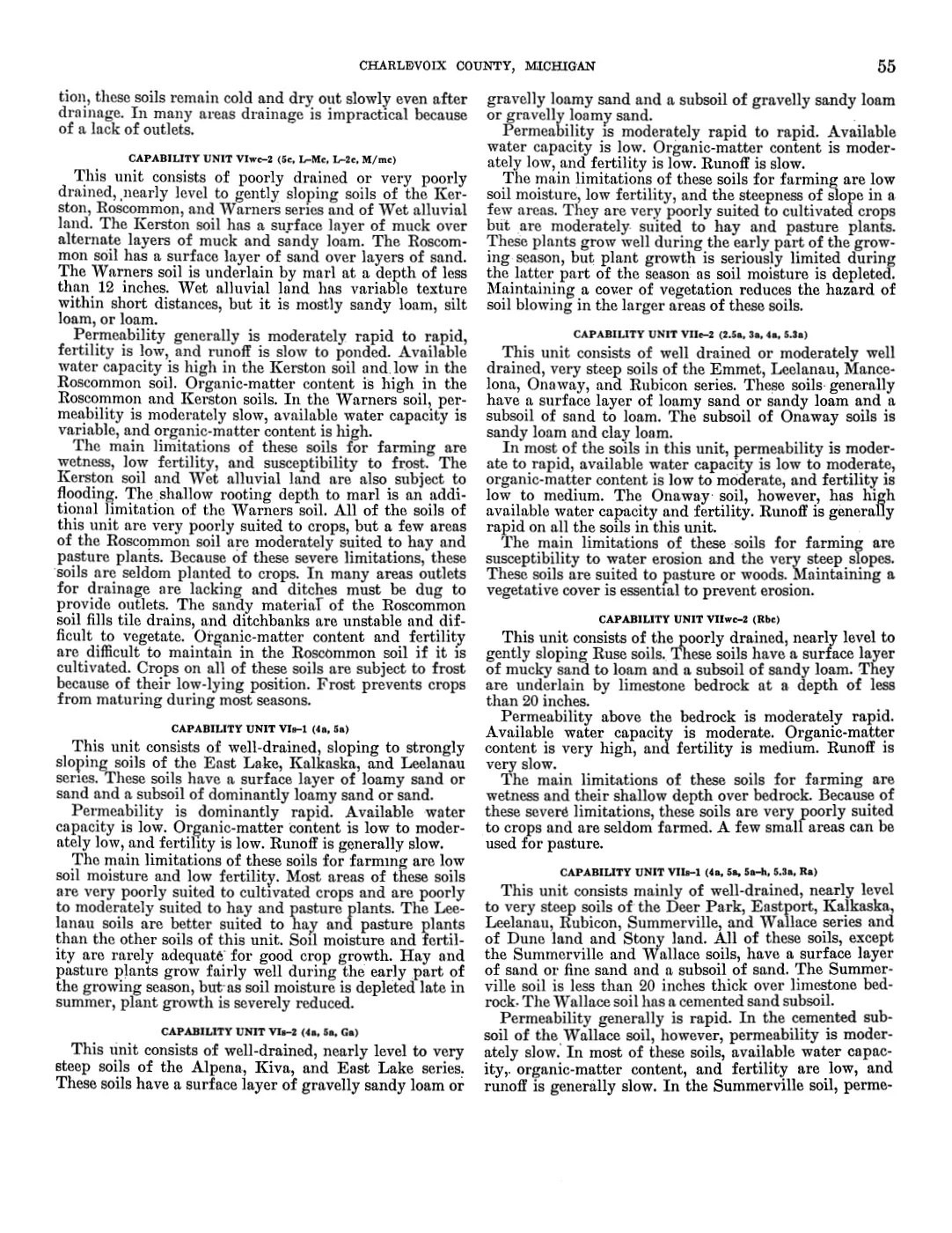
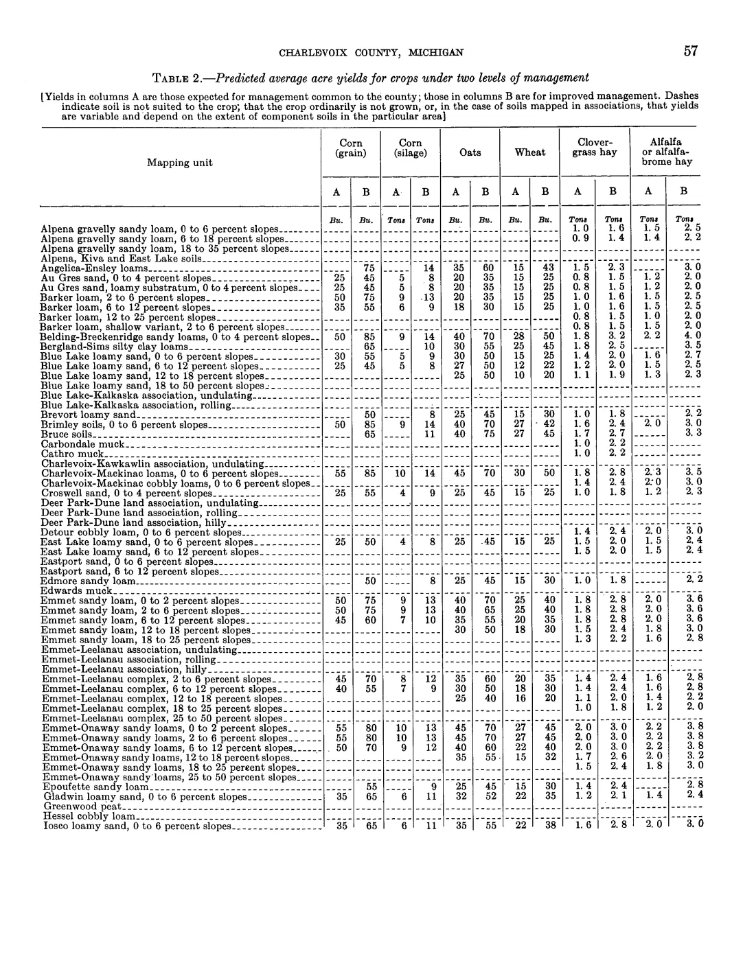
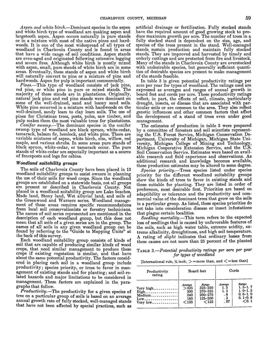
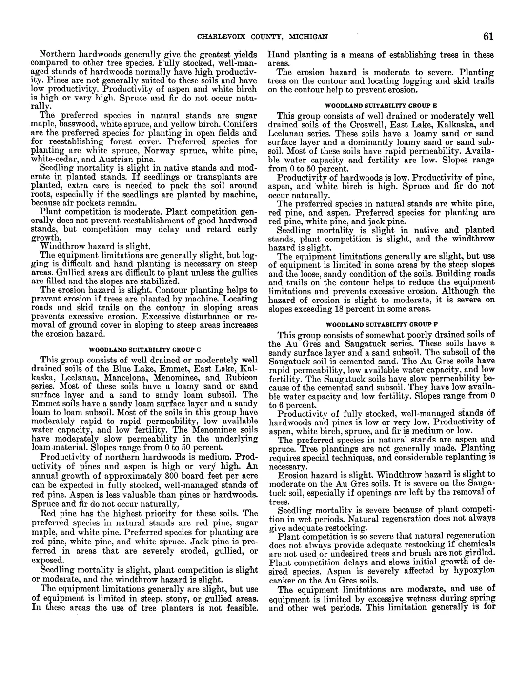
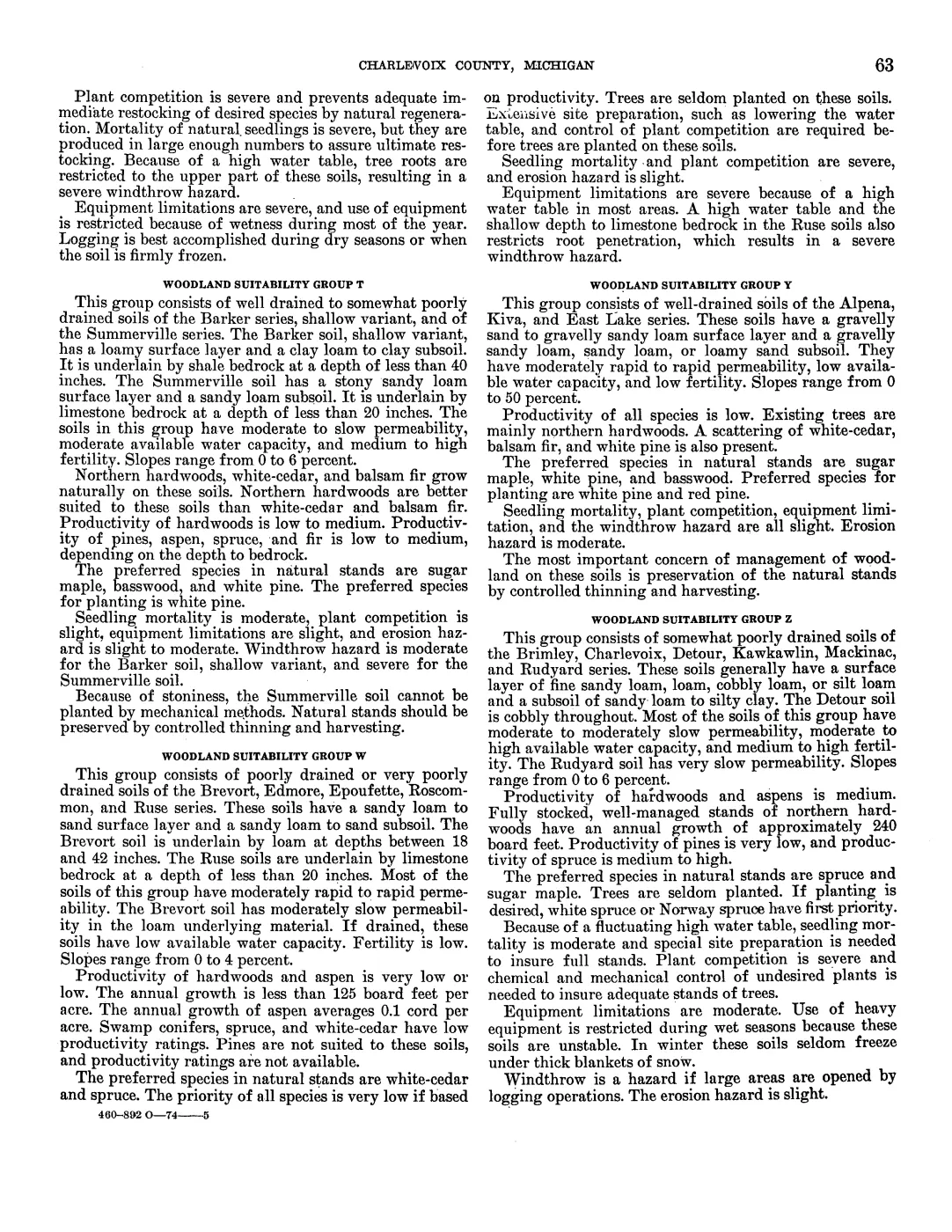
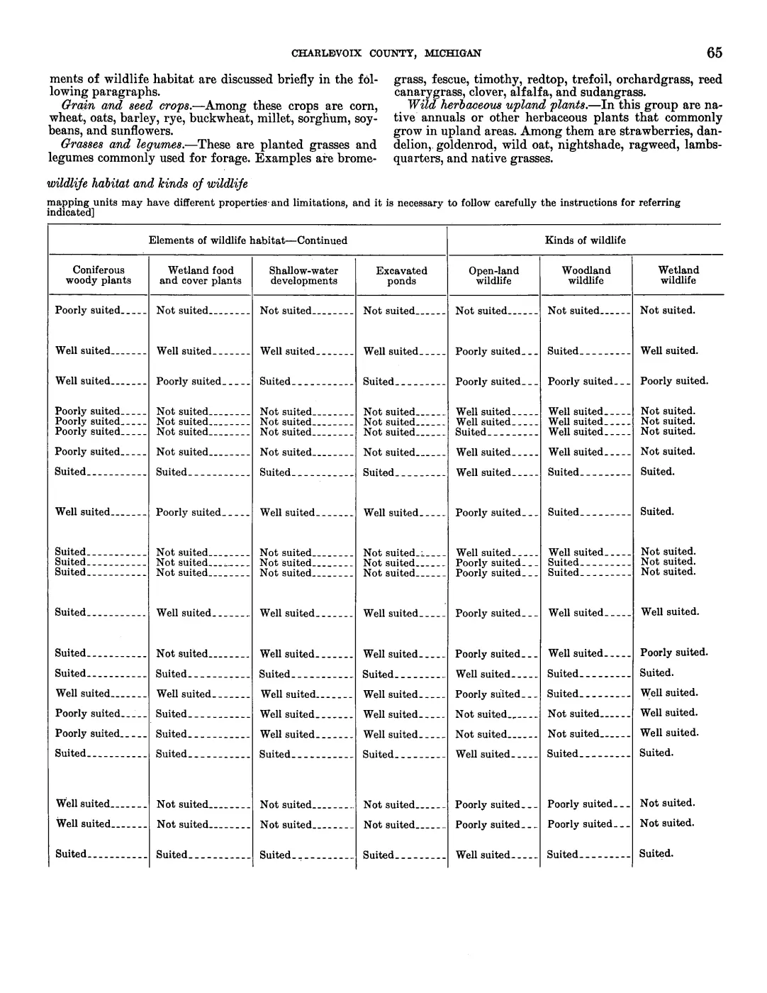
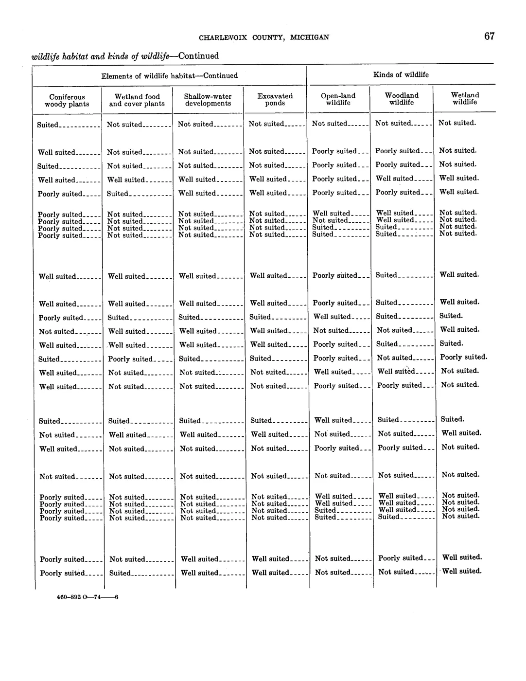
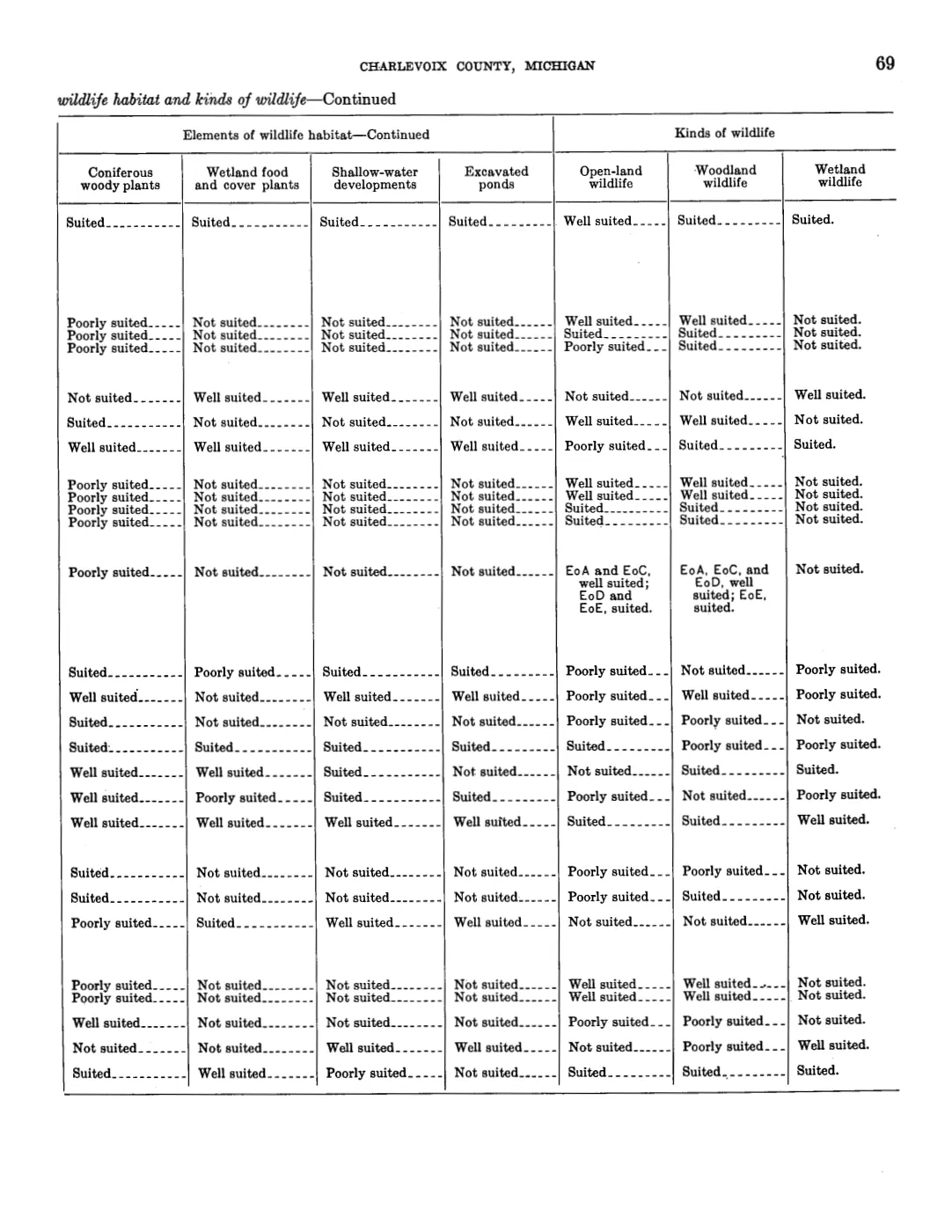
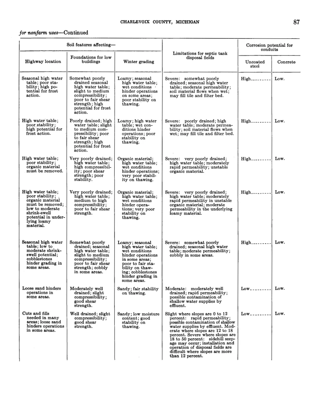
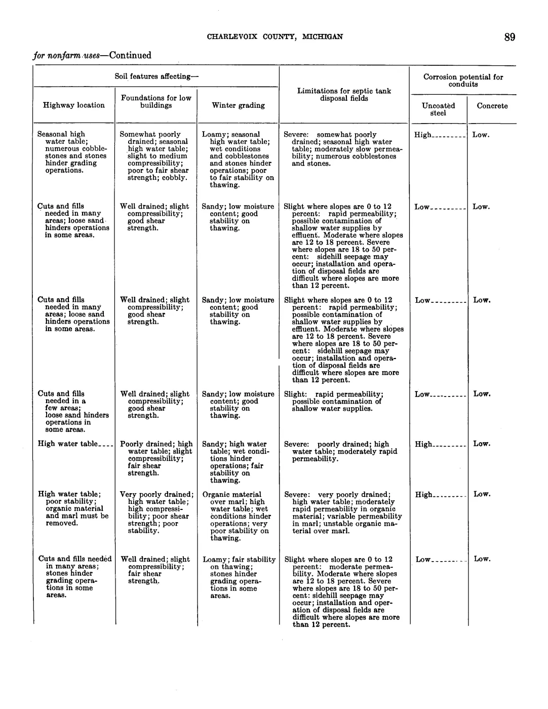
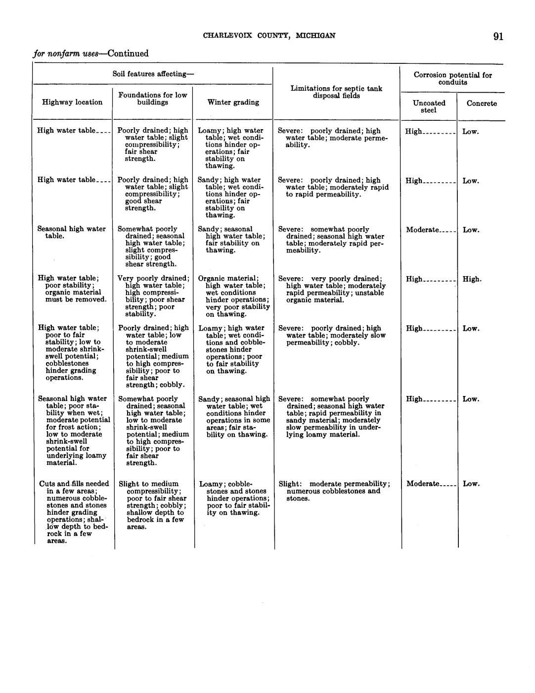
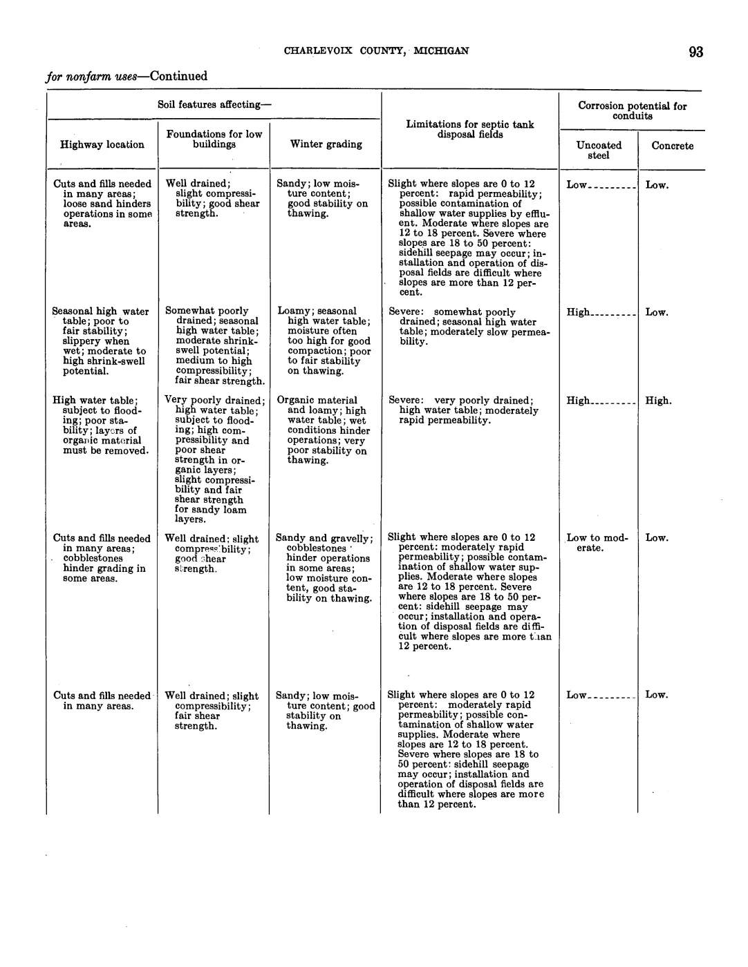
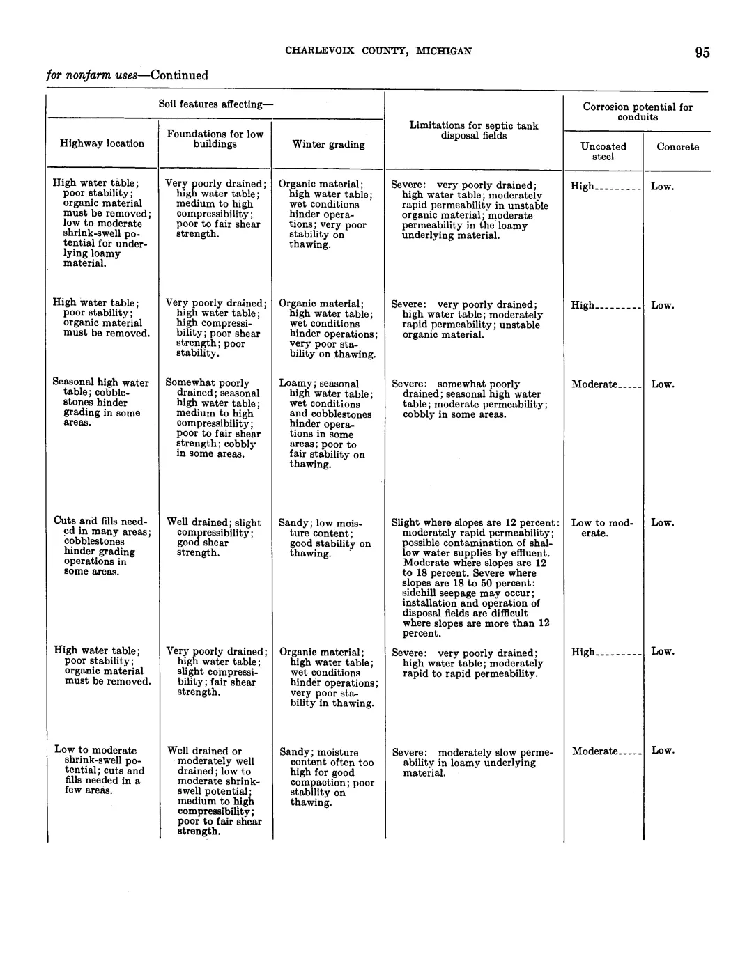
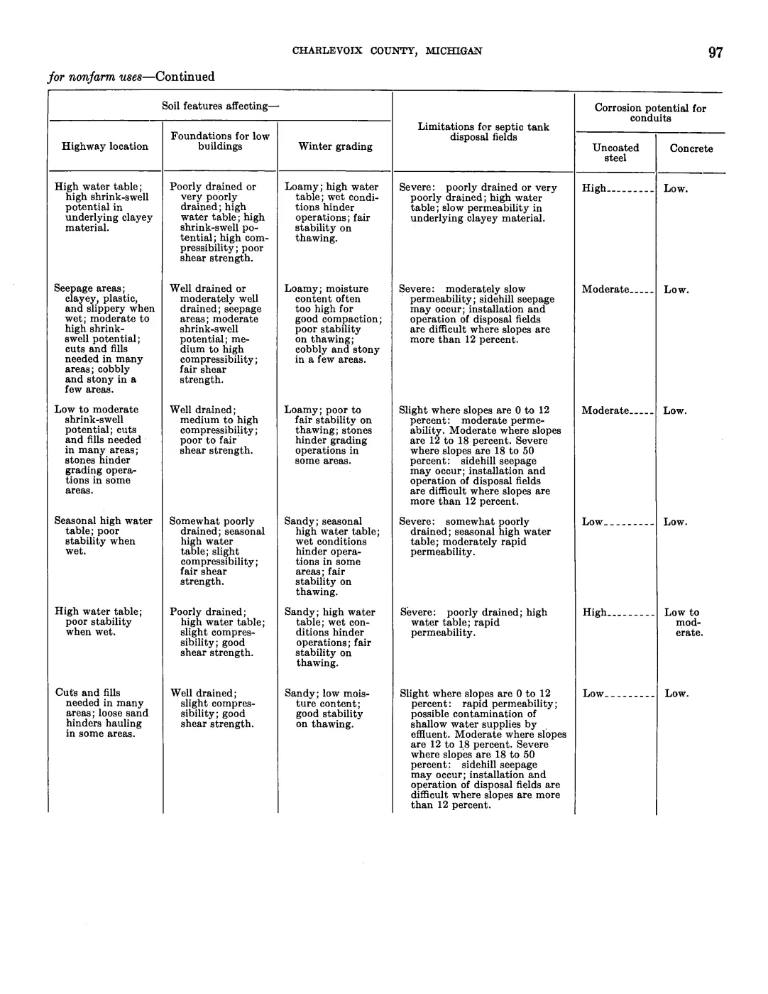
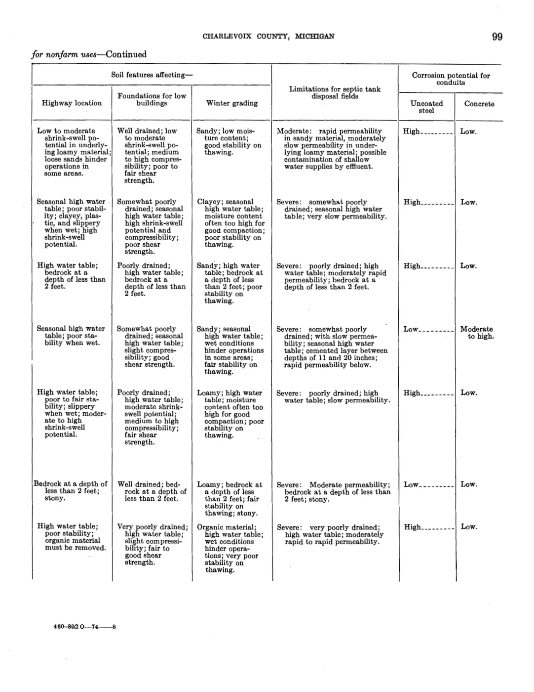
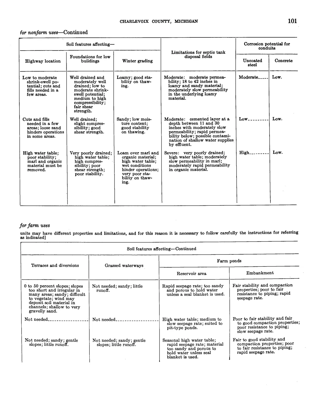
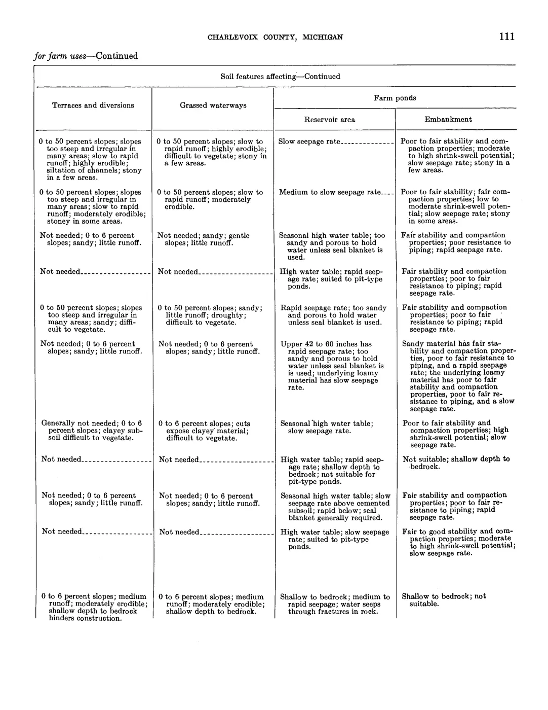
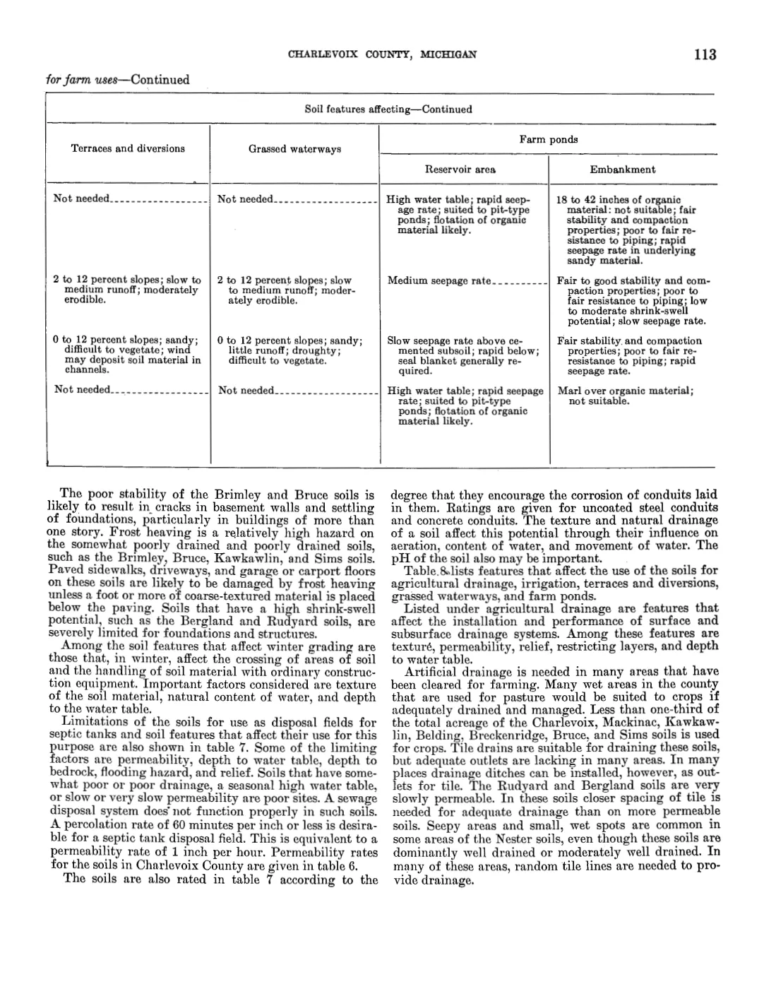
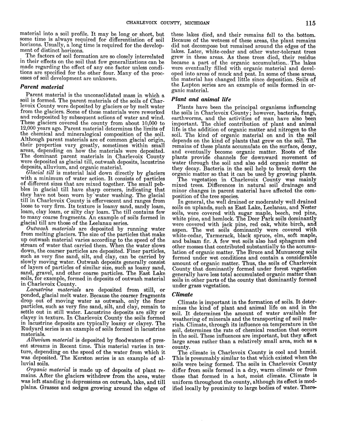
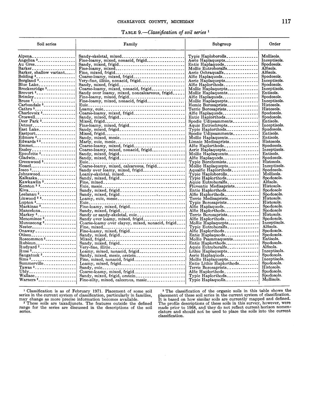
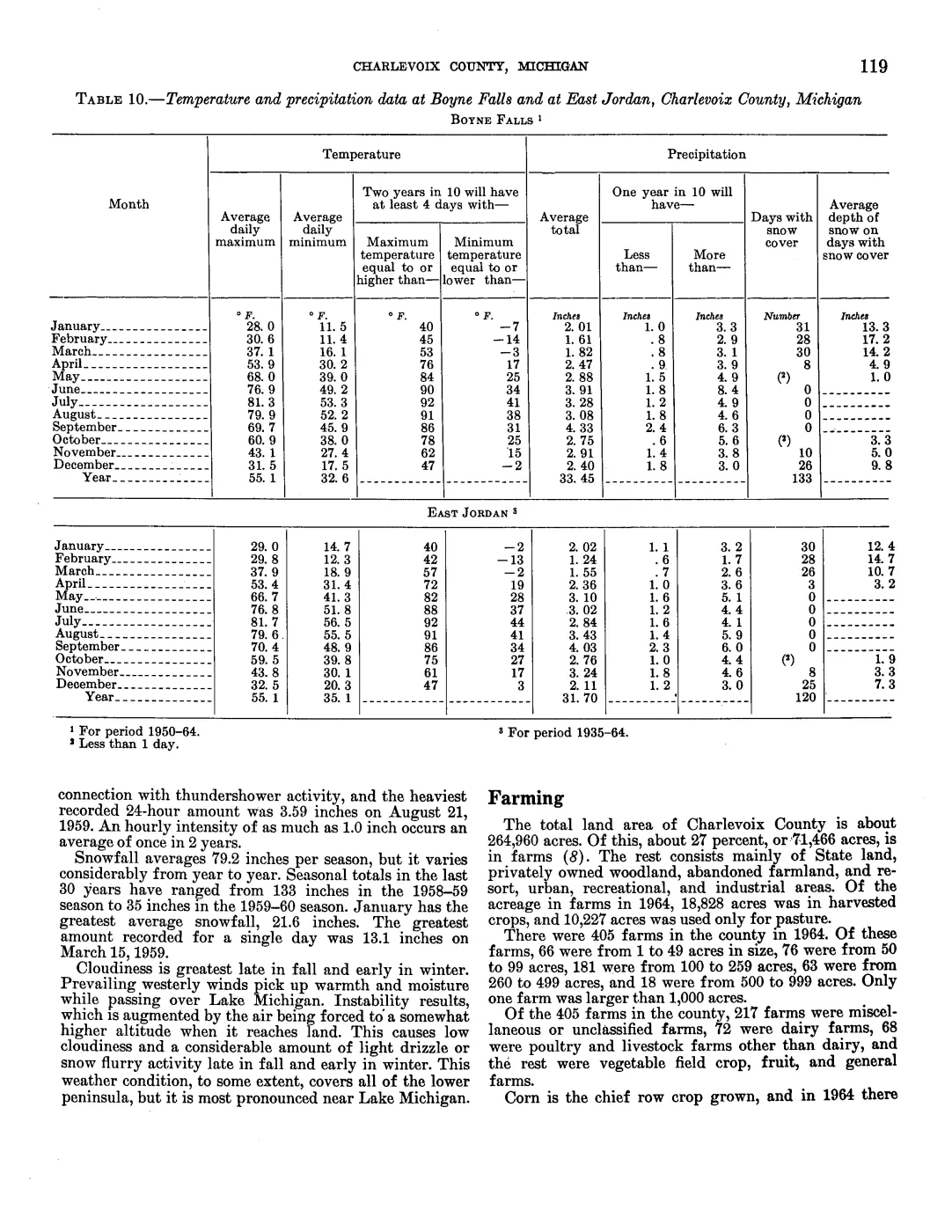
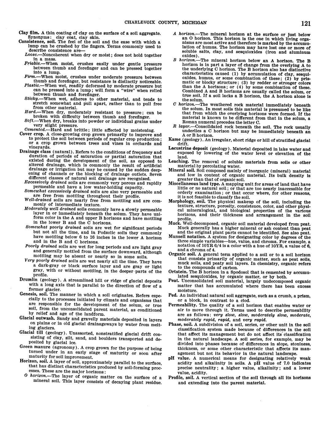
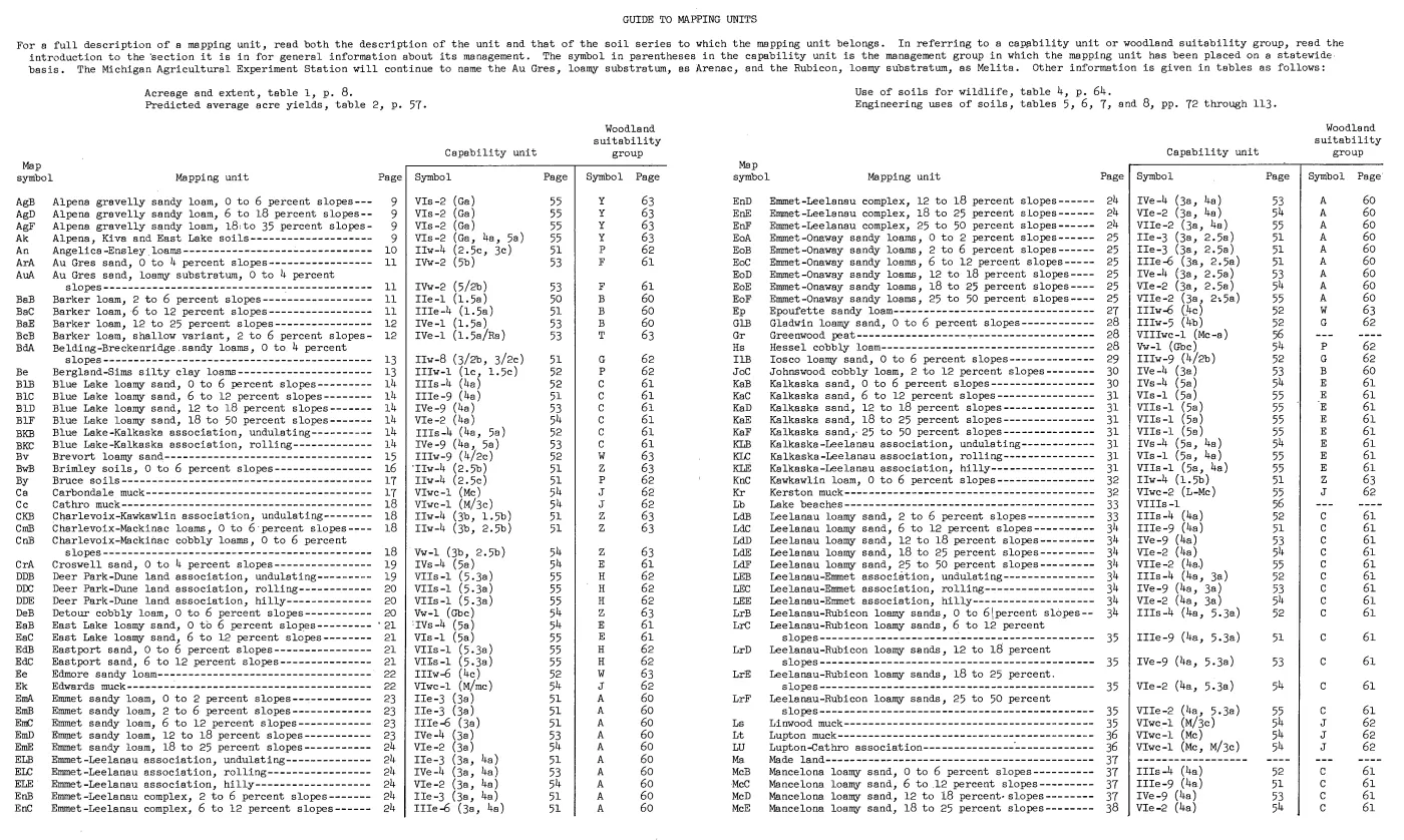
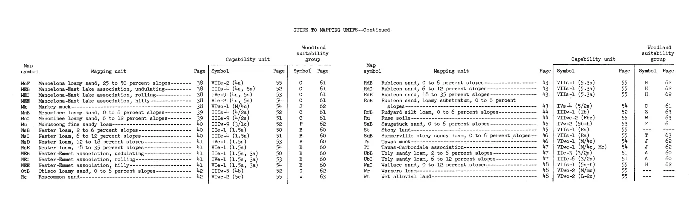
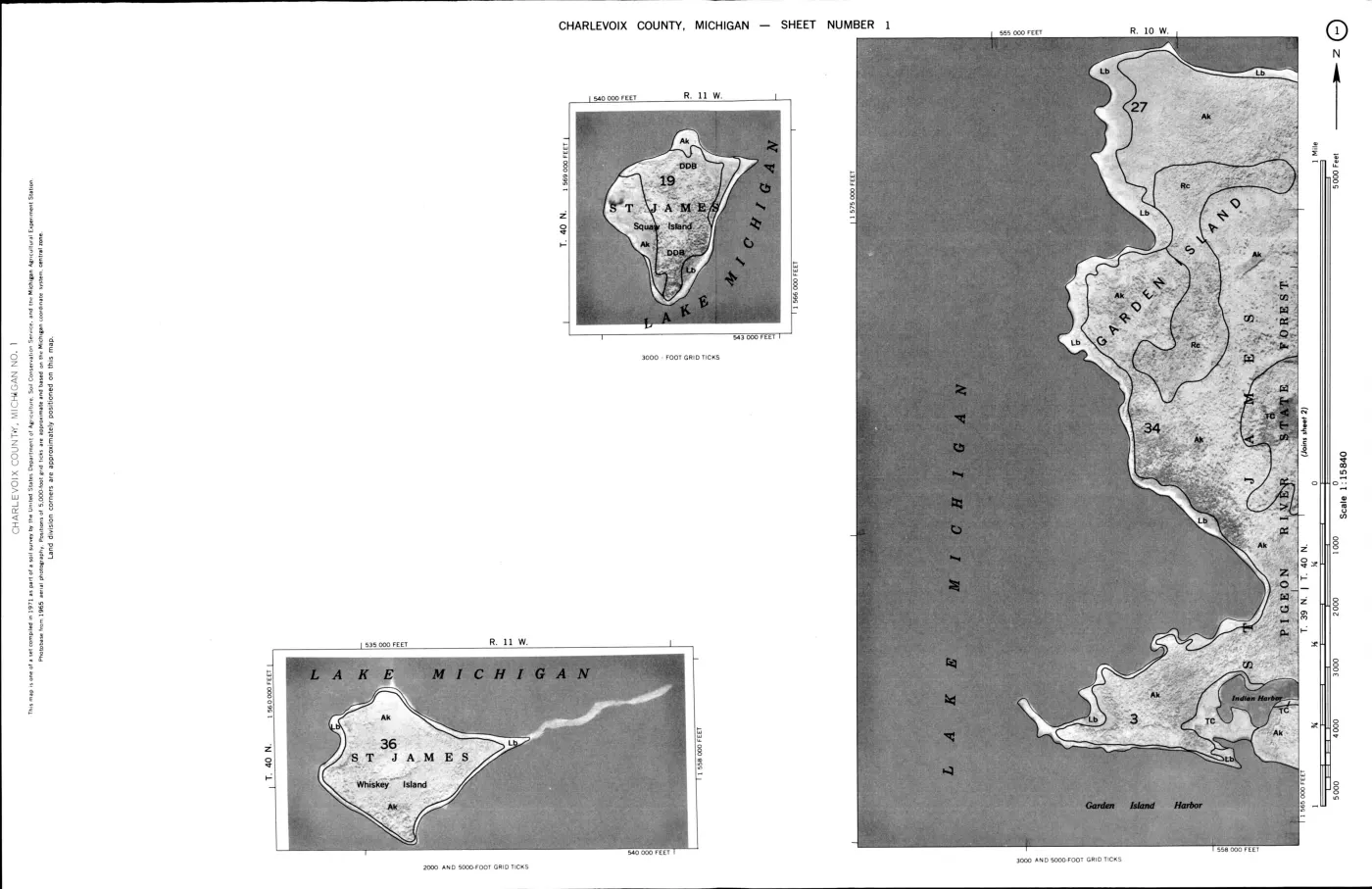
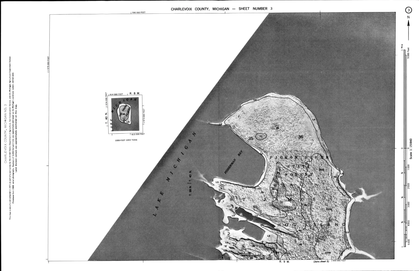
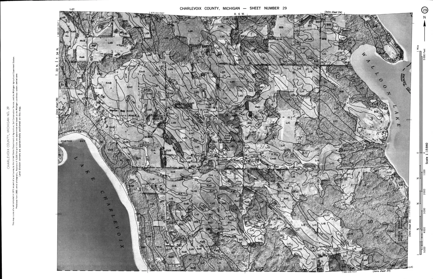
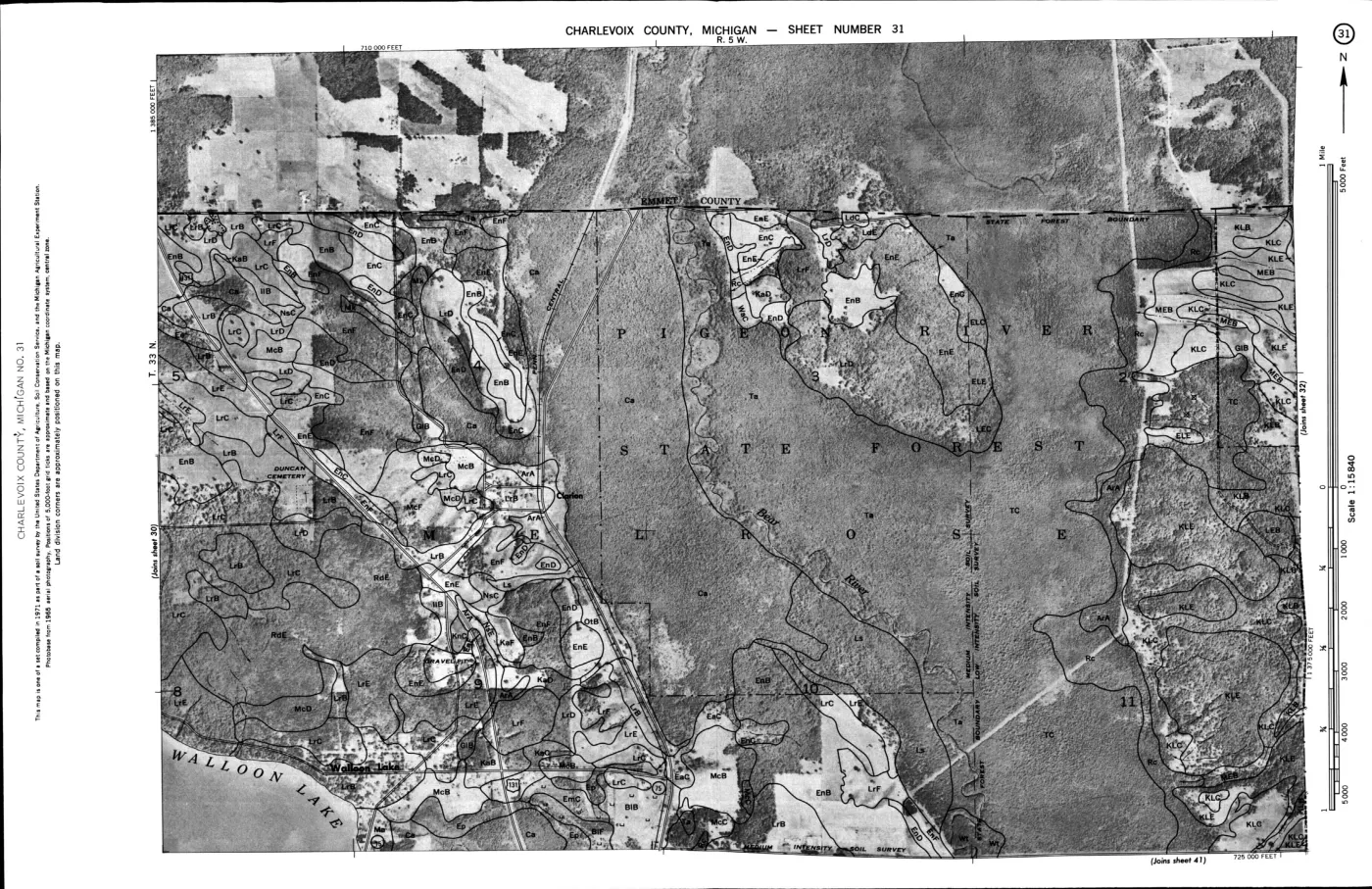
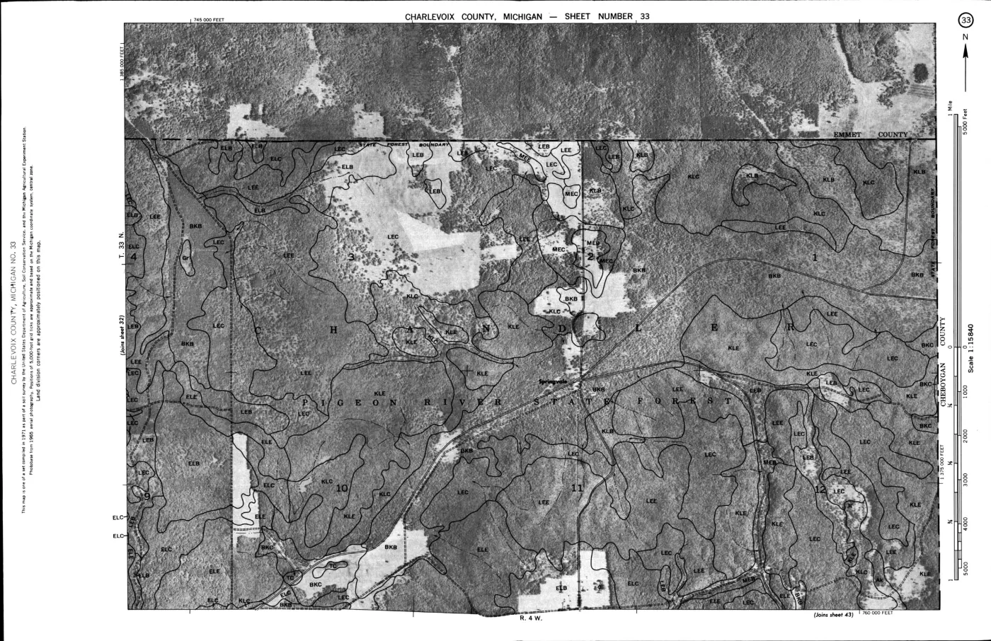
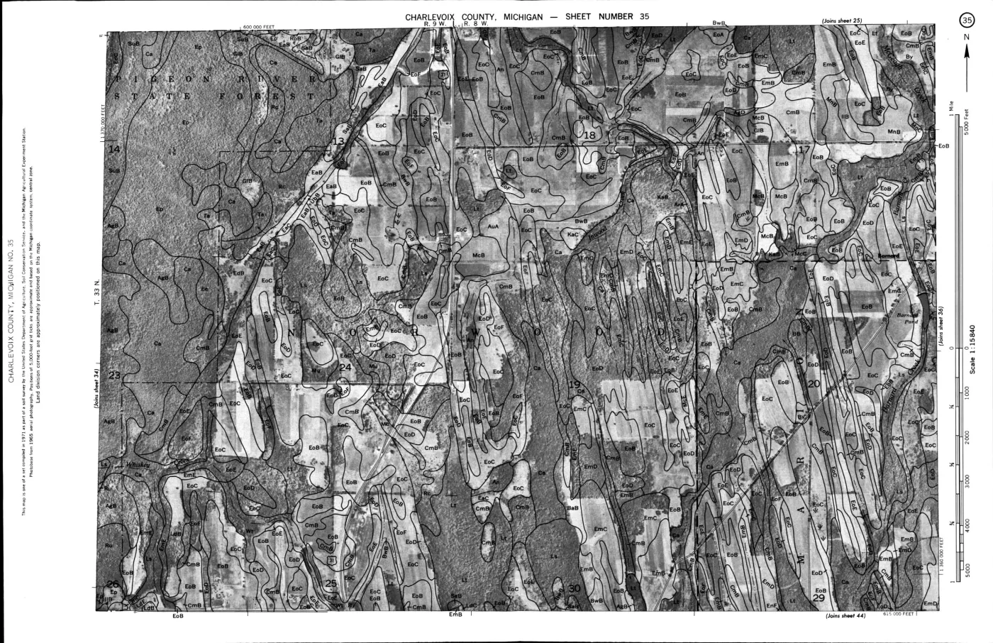
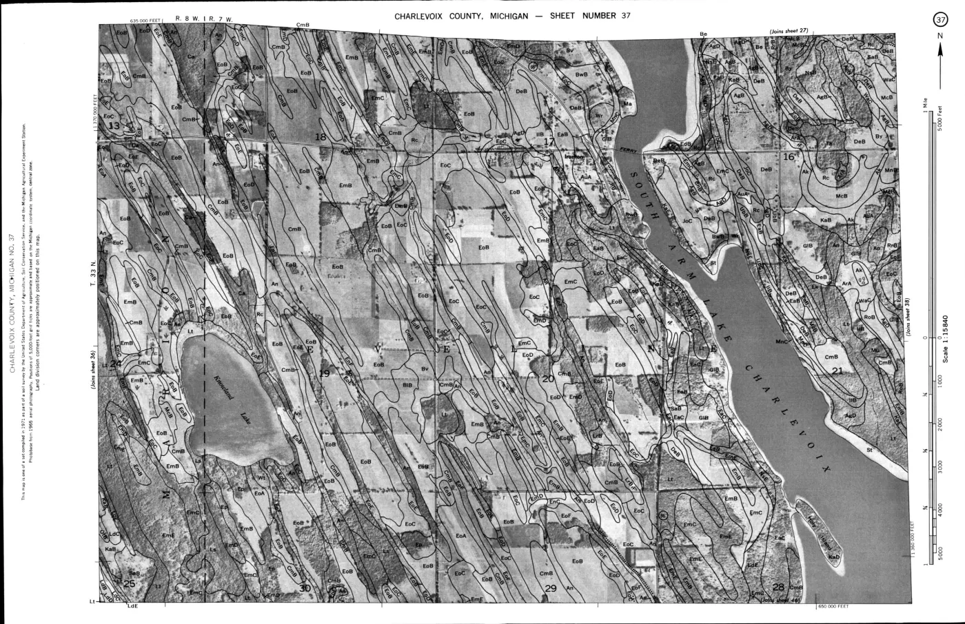
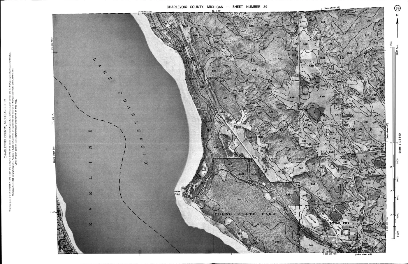
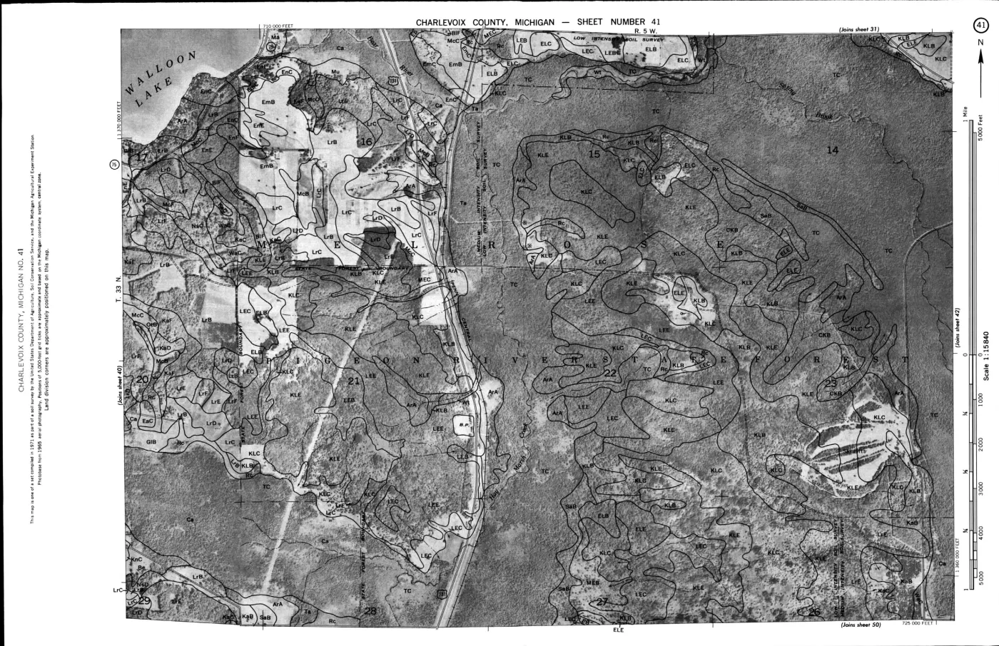
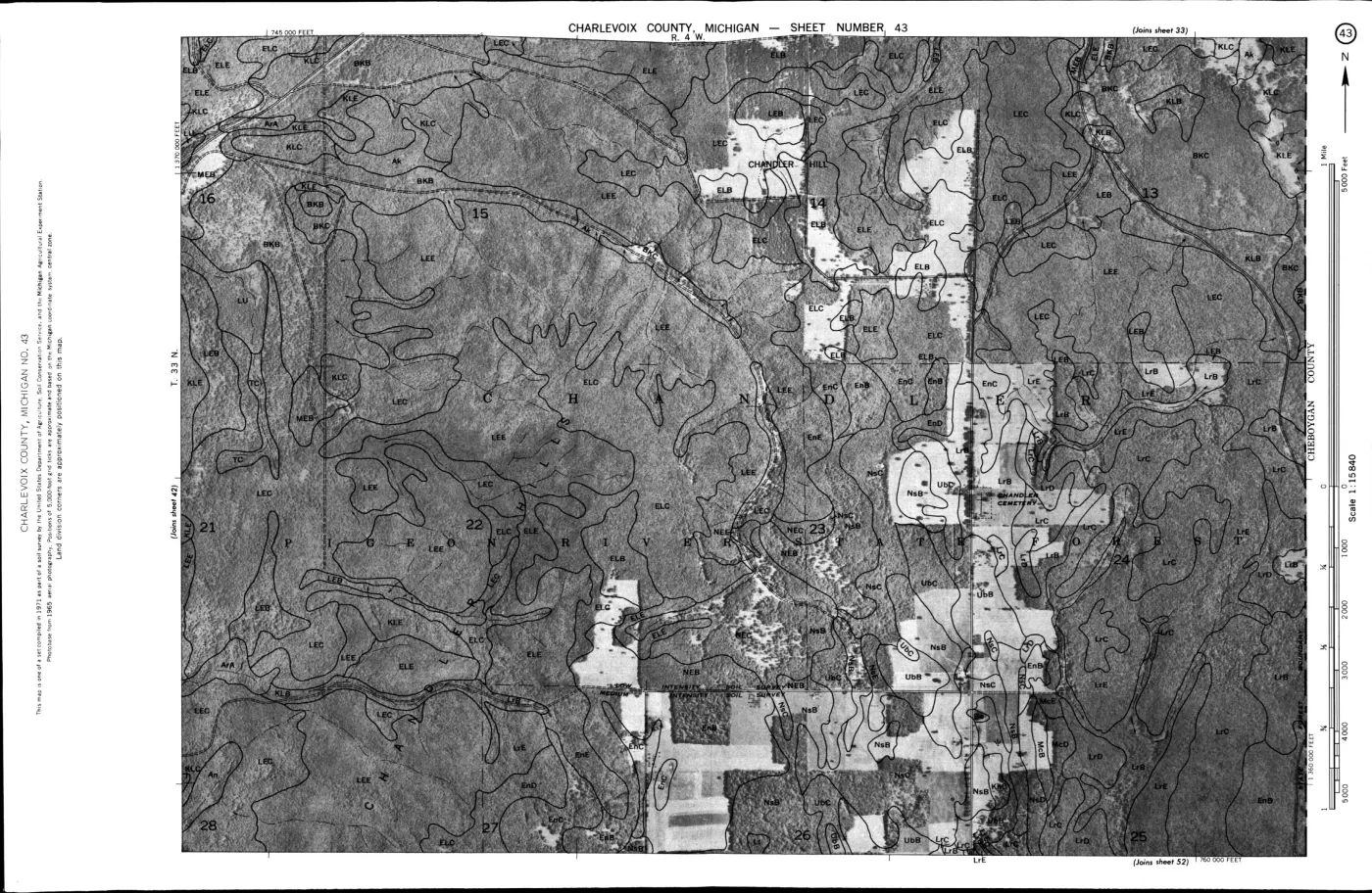
- Regional soil-survey context for parent materials, dunes, beach ridges, wetlands, and drainage; it does not replace island-specific field investigation.geology · publications · usda_1974_charlevoix_soil_survey
- Described in this archive: Northern Lake Michigan reef and coastal bathymetry, USGS OFR 03-120.Held metadata covers Boulder, Dahlia, Gull, High, Hog, and Trout areas, including five sites in or immediately around the Beaver Island archipelago. The data are technical bathymetry and are explicitly not intended for navigation.federal · noaa_bathymetry · usgs_ofr_2003_120
- Michigan Agricultural College Experiment Station, *First Report of the Upper Peninsula Experiment Station*, Bulletin No. 186 (1900), “Insect and Animal Life on the Upper Peninsula Experiment Station,” R. H. Pettit.Described in this archive: First report of the Upper Peninsula Experiment Station, 1900.A small contemporaneous natural-history baseline: the held report says its mollusc and spider lists include Beaver Island and dates several arachnid records to September 1900. It is not a complete fauna or current ecological survey. No public copy of this file is known; the archive holds one and can provide it on request.local_documents · 1900_msac-bulletin-186-upper-peninsula-experiment-station
- Described in this archive: MDNR management plan for state-owned Northern Lake Michigan islands, 2017.A dated state-land management plan that identifies old fields, orchards, homesteads, and cultural-resource management concerns across parts of the archipelago. It is not a pre-settlement reconstruction, title record, archaeological inventory, or current-condition survey.research · island_farming · sources · mdnr_northern_lake_michigan_islands_plan_2017
- Described in this archive: MNFI Natural Features of Beaver Island landowner’s guide, 2024.Modern natural-community and stewardship guide. It distinguishes natural communities from human-created uplands and provides a 2024 ecological context; it is not a circa-1800 reconstruction or an individual-site survey.research · island_farming · sources · mnfi_landowners_guide_2024
Added 1 August 2026 · revised 3 August 2026. Recent changes
Cite this article
Beaver Island Archive, “Pre-settlement landscape and environmental history”, https://beaverislandarchive.org/themes/pre-settlement-landscape/, accessed [date], citing Project-generated Beaver Island Master Plan natural-resource evidence crosswalk, 2017–2024. (and 13 further sources listed on the page).
Last revised 2026-08-03. Fill in [date] with the date you read it — this page is static and cannot know that.
BibTeX for “Pre-settlement landscape and environmental history”RIS for “Pre-settlement landscape and environmental history”