

- Coordinates
- 45.7758° N, 85.7368° WGoogle Maps: Trout Island ShoalDownload KML
- Eras
- Modern era
- Concepts
- maritimeenvironment
- Within
- Beaver Island archipelago
Summary
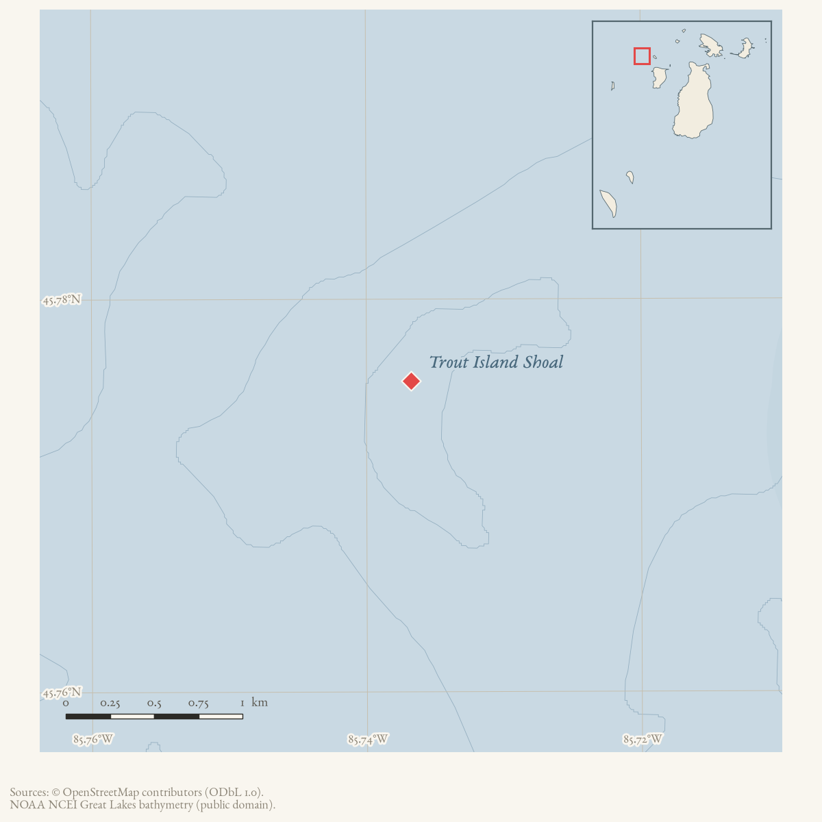
Trout Island Shoal is an offshore feature near Trout Island in the
Beaver Island archipelago. GNIS classifies feature 1625107 as a “Bar,” while its
official name uses “Shoal”; the knowledge base retains the seeded Reef type as
the closest existing navigation-hazard class and records the classification
difference. A 2001 SHOALS airborne-lidar survey, published through USGS Open-
File Report 03-120, provides a dedicated bathymetric dataset for Trout Island
and Shoal and describes its use in habitat studies. It is a technical survey,
not a historical account of the name or a substitute for a nautical chart.
Open questions
- What depths and contours in the archived raster define the shoal’s navigational significance?
- Why does GNIS use the feature class “Bar” while the official name uses “Shoal”?
- Are there historical wreck, fishing, or Coast Guard records tied specifically to this feature?
Sources
- GNIS feature 1625107; feature class 'Bar'.federal · gnis · gnis_names
- Described in this archive: Northern Lake Michigan reef and coastal bathymetry, USGS OFR 03-120.Metadata describes completed SHOALS airborne lidar bathymetry for Trout Island and Shoal, with a 2001 ground-condition date, approximately ±3 m horizontal and ±15 cm vertical accuracy, and a survey area spanning 45.750–45.790 N and 85.757–85.667 W.federal · noaa_bathymetry · usgs_ofr_2003_120 · metadata · troutgrd
Added 28 July 2026 · revised 2 August 2026. Recent changes
Cite this article
Beaver Island Archive, “Trout Island Shoal”, https://beaverislandarchive.org/places/trout-island-shoal/, accessed [date], citing U.S. Geological Survey, Geographic Names Information System, Domestic Names (Michigan), retrieved 2026-07-28. (and 1 further source listed on the page).
Last revised 2026-08-02. Fill in [date] with the date you read it — this page is static and cannot know that.