

- Coordinates
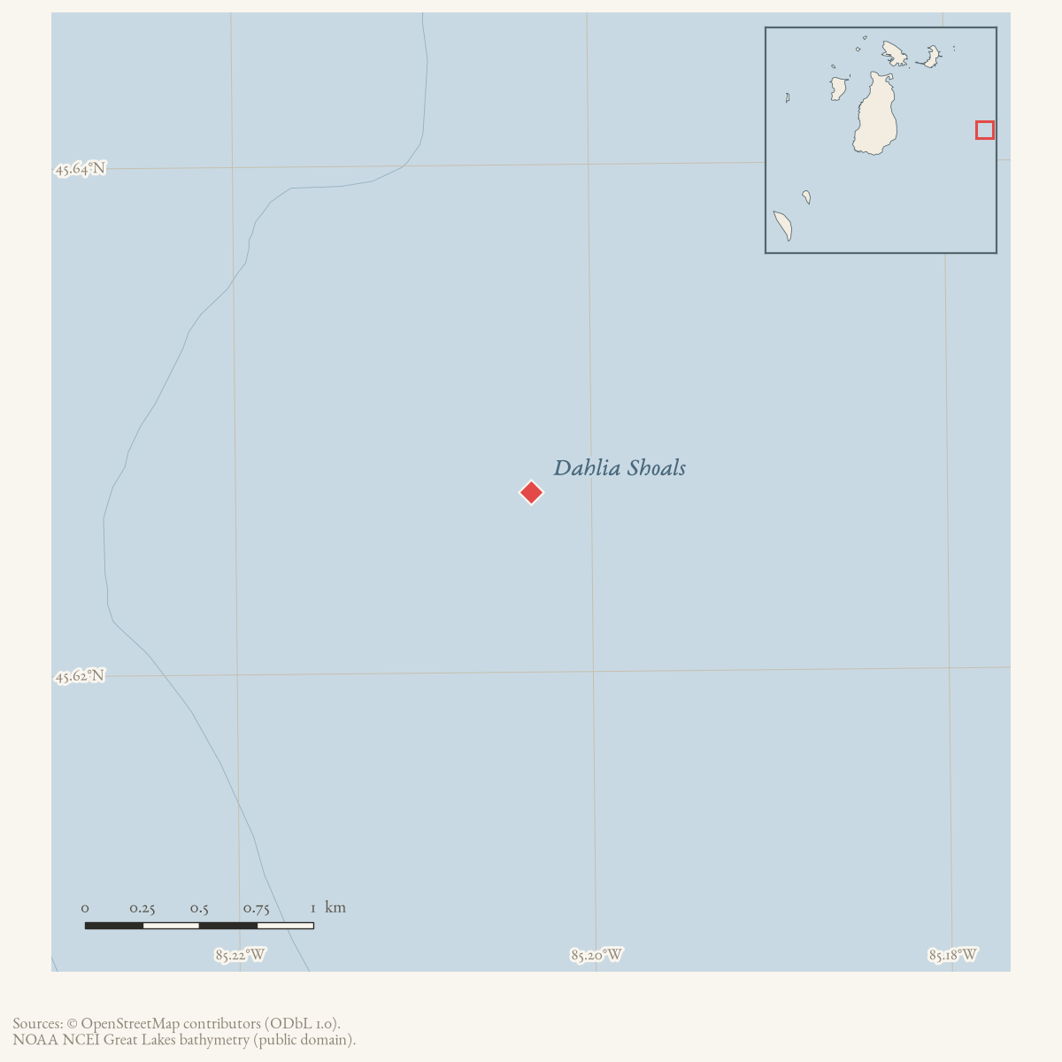
- 45.6271° N, 85.2034° WGoogle Maps: Dahlia ShoalsDownload KML
- Eras
- Modern era
- Concepts
- maritimeshippingenvironmentfishingconservation
- Within
- Beaver Island archipelago
Summary
Dahlia Shoals are an offshore Lake Michigan reef or shoal area represented in the project’s northern-Lake-Michigan bathymetry holdings and in the Great Lakes Fishery Commission’s East Beaver Group management vocabulary.
Evidence and limits
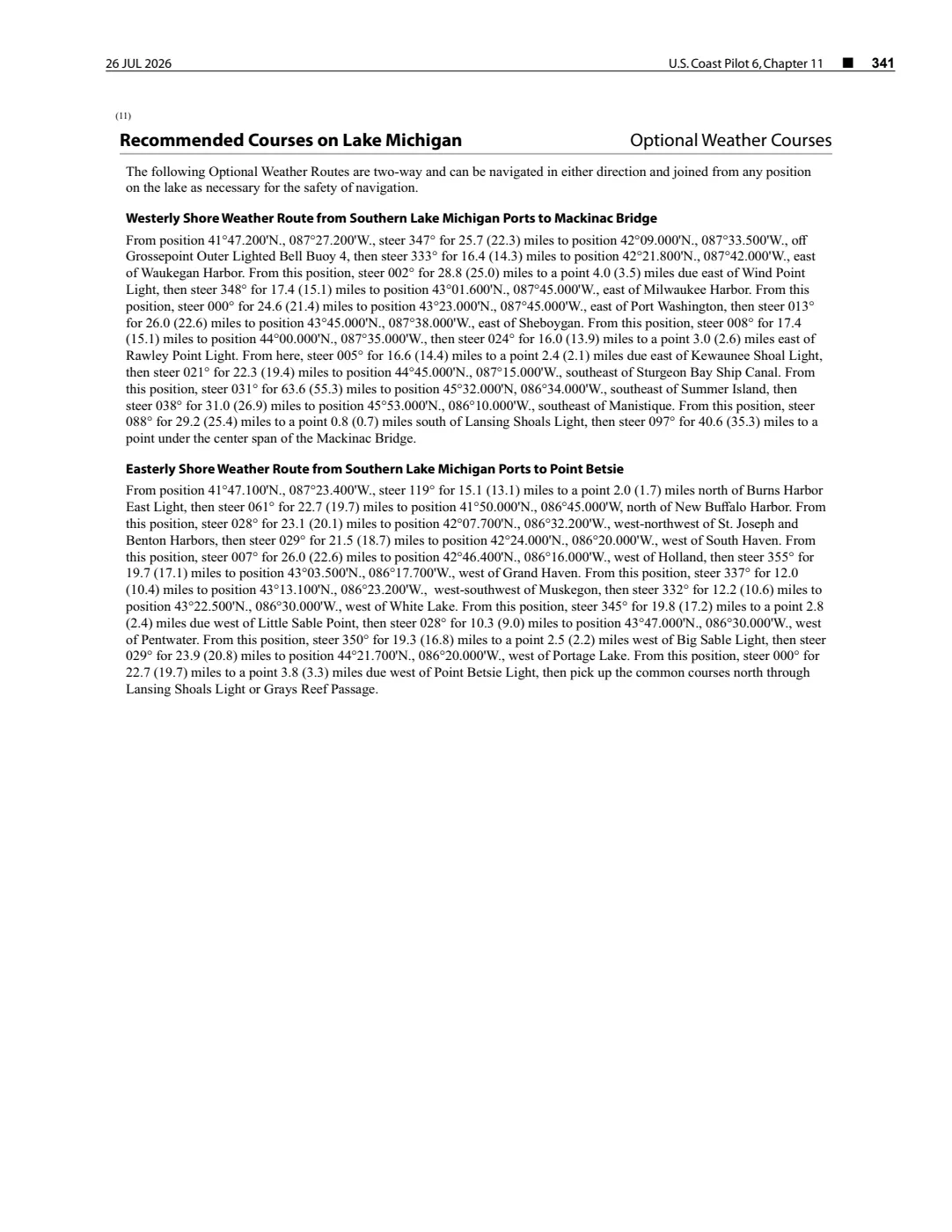
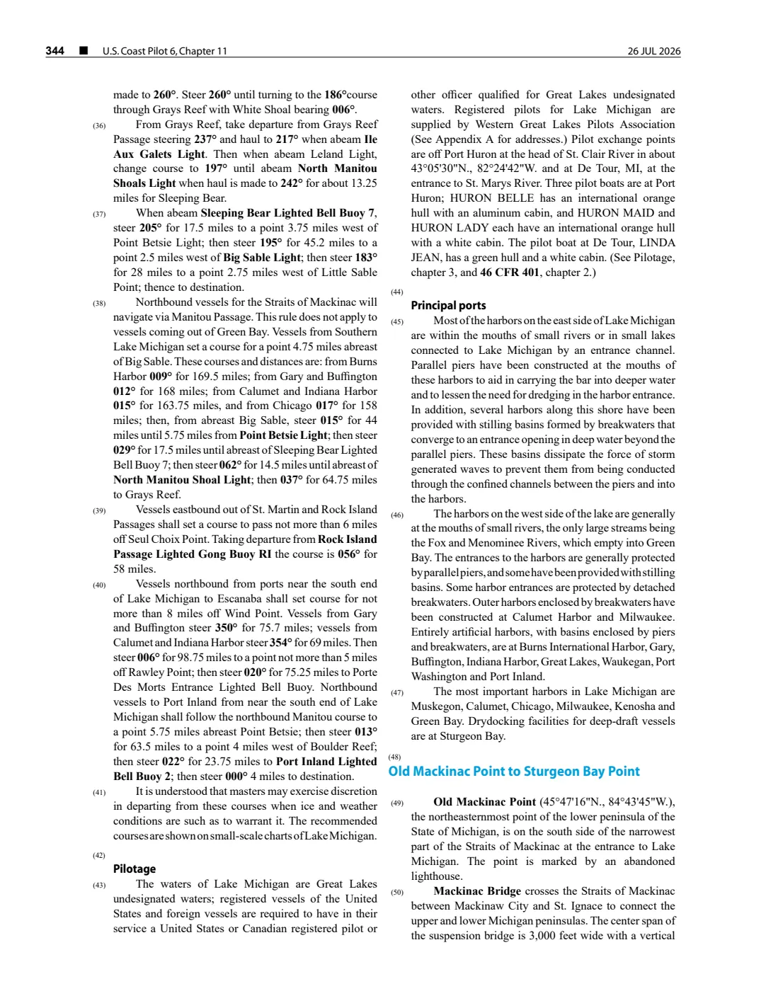
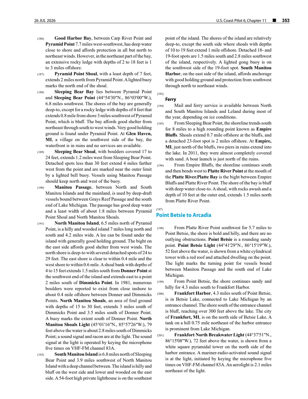
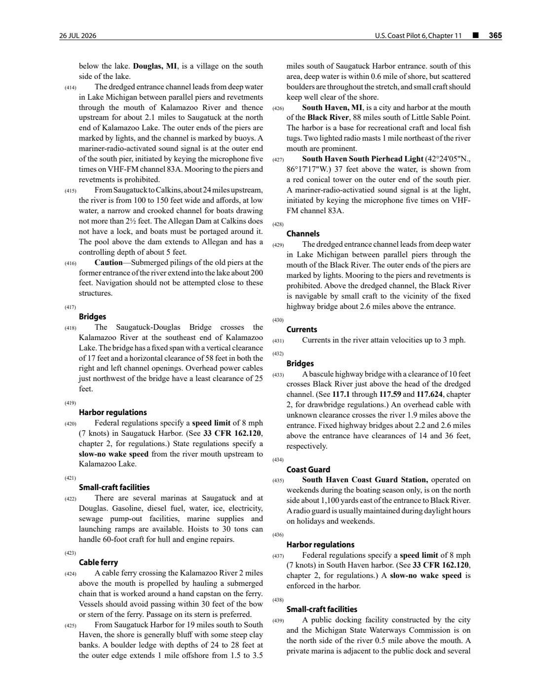
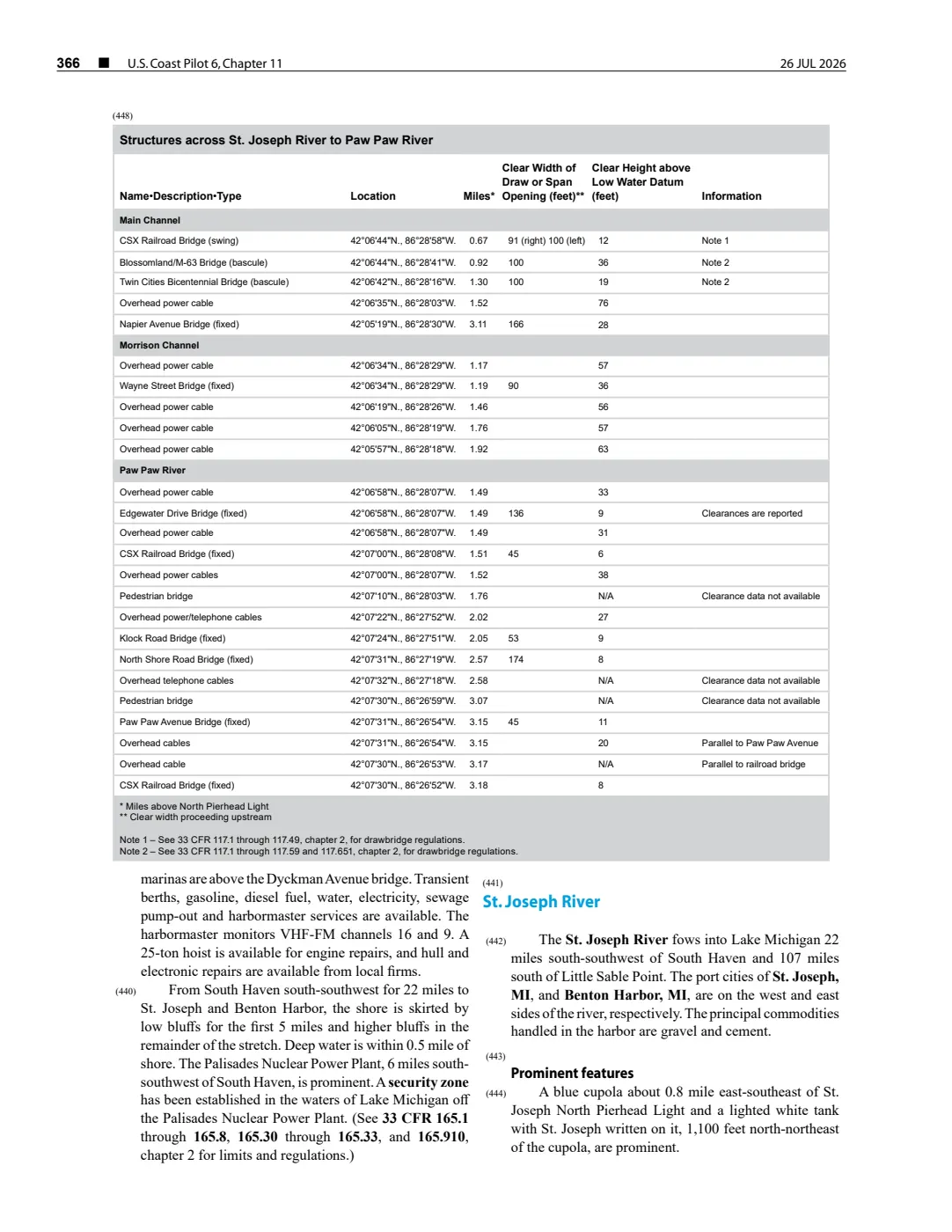
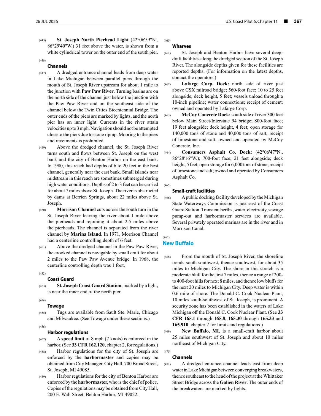
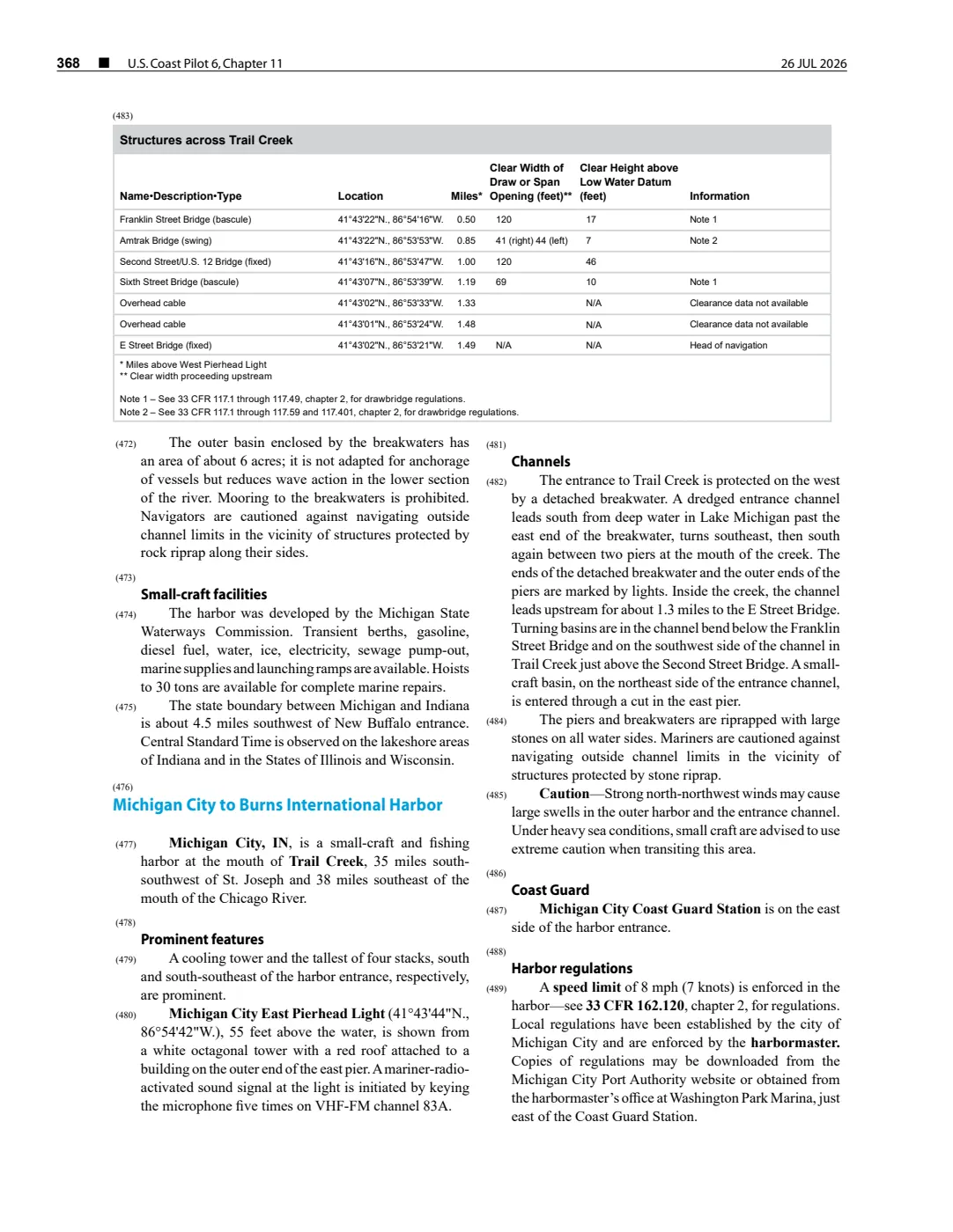
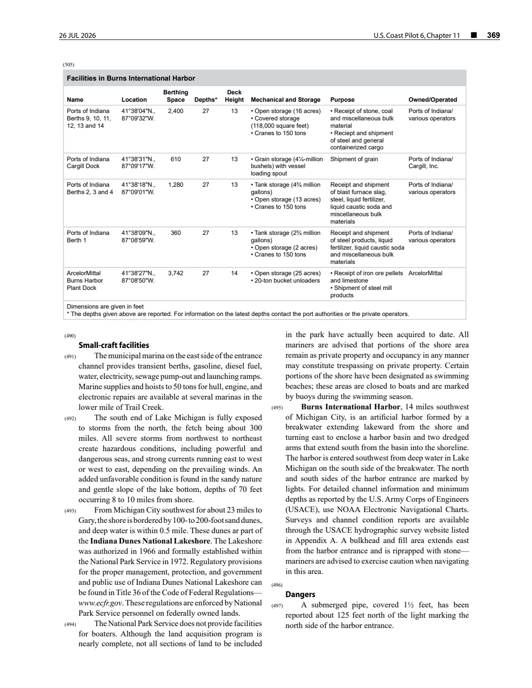
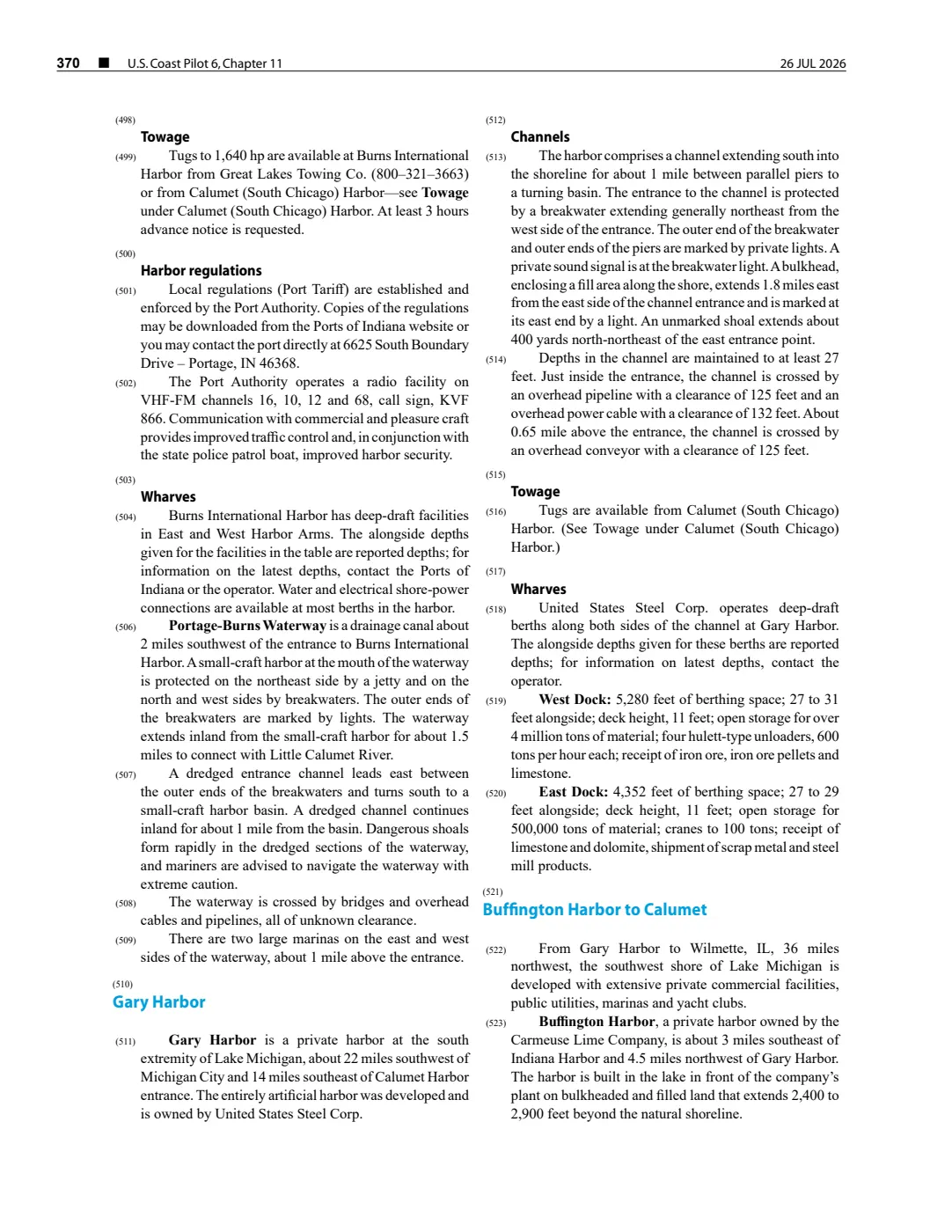
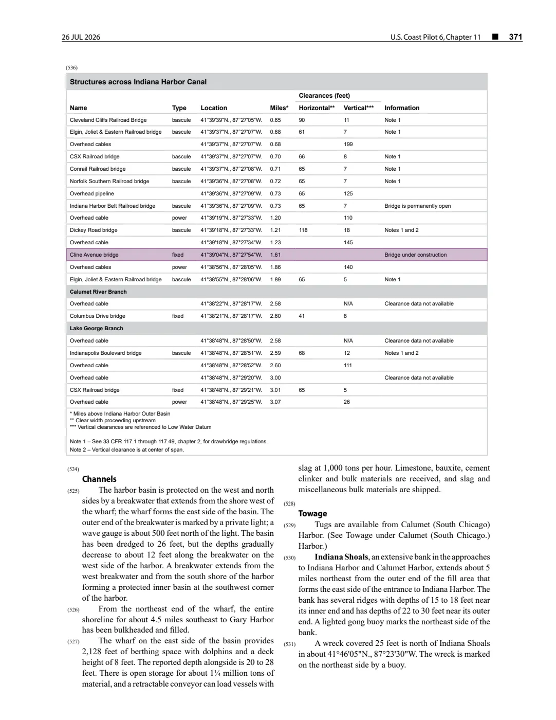
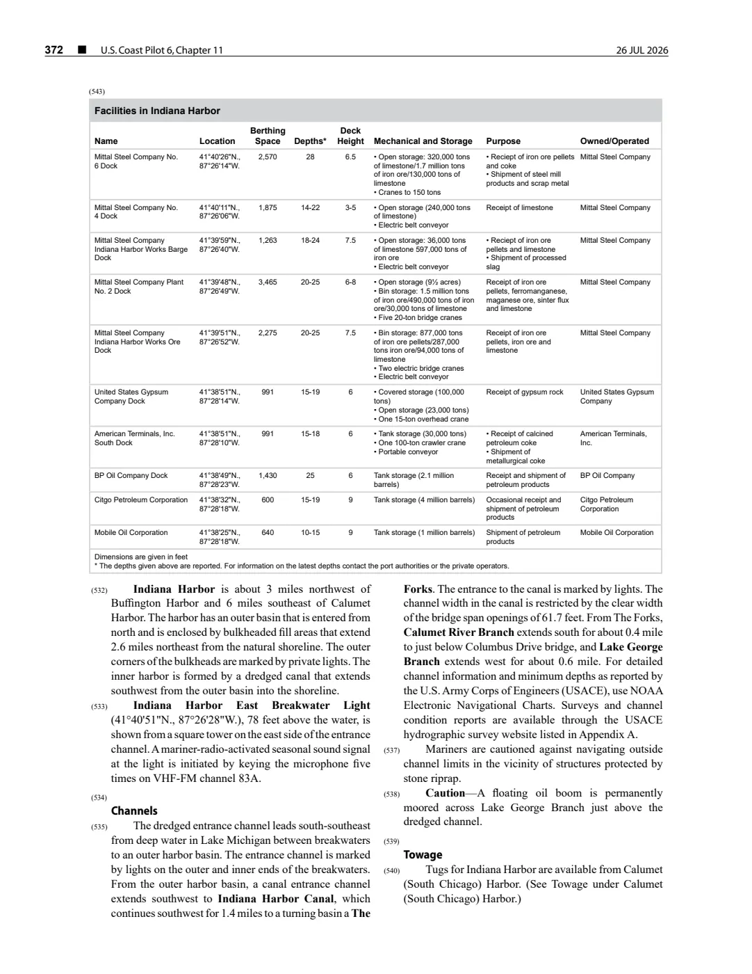
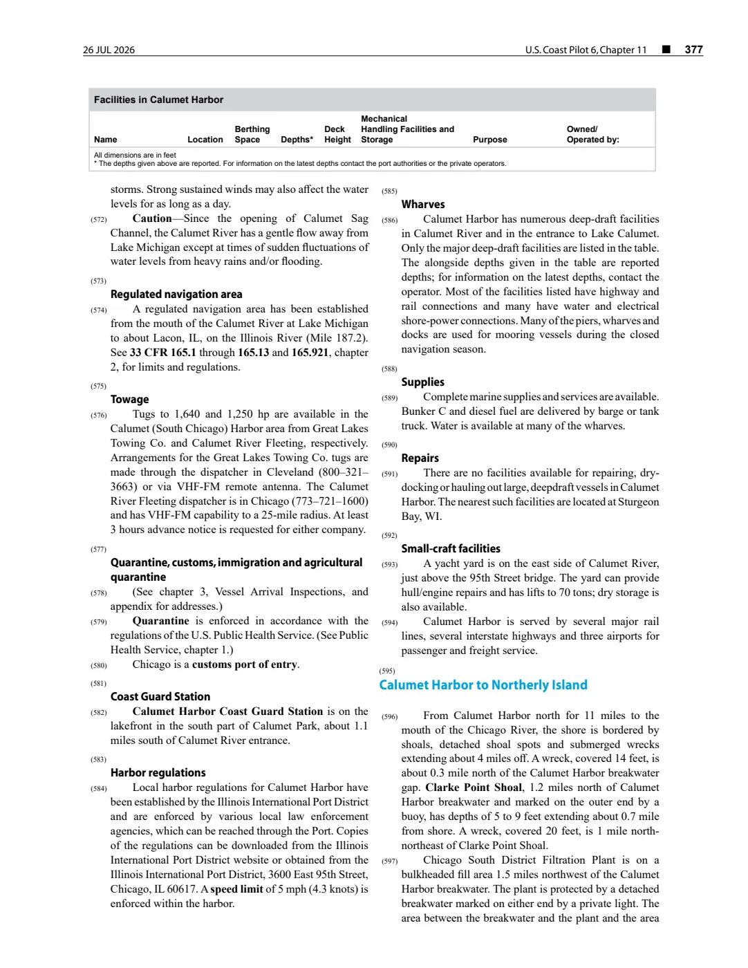
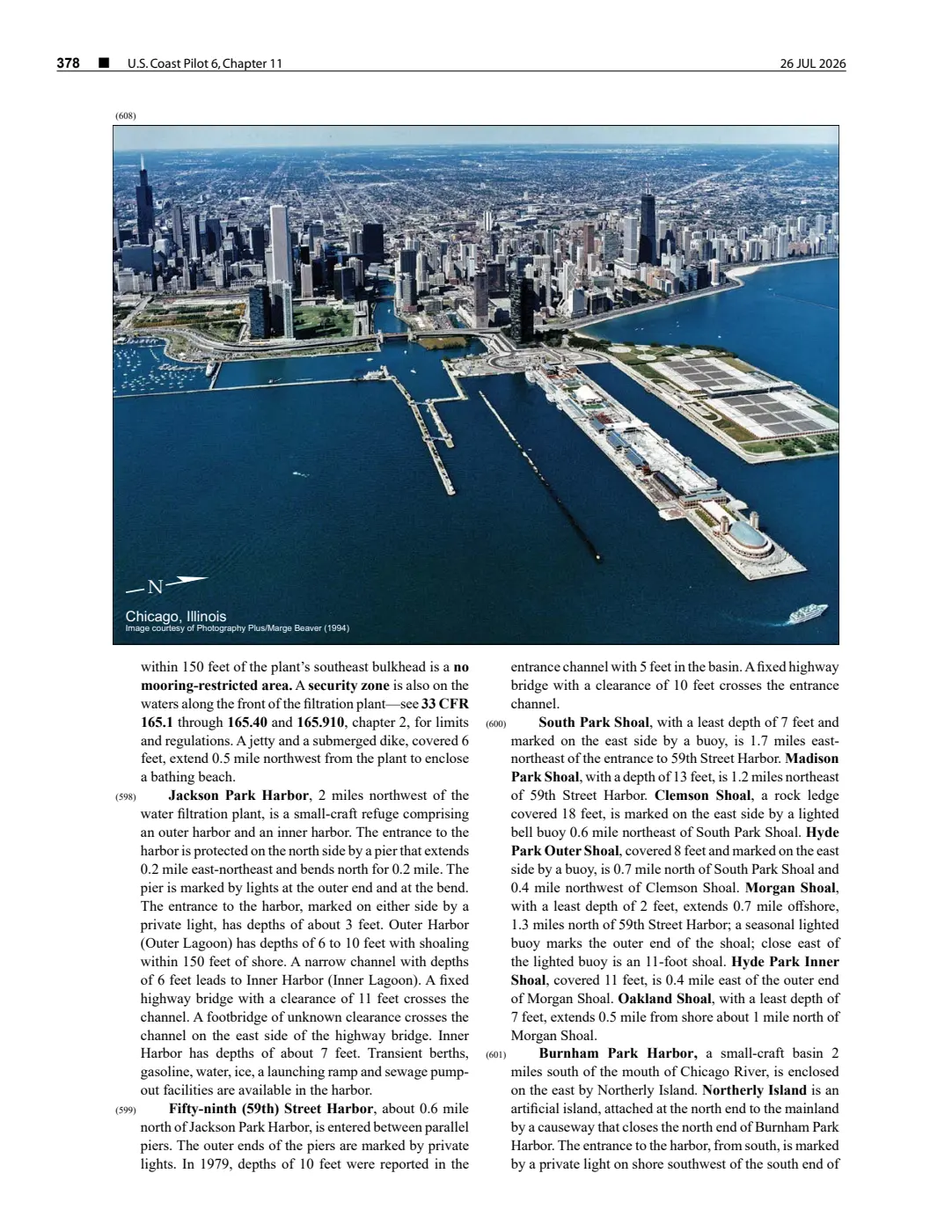
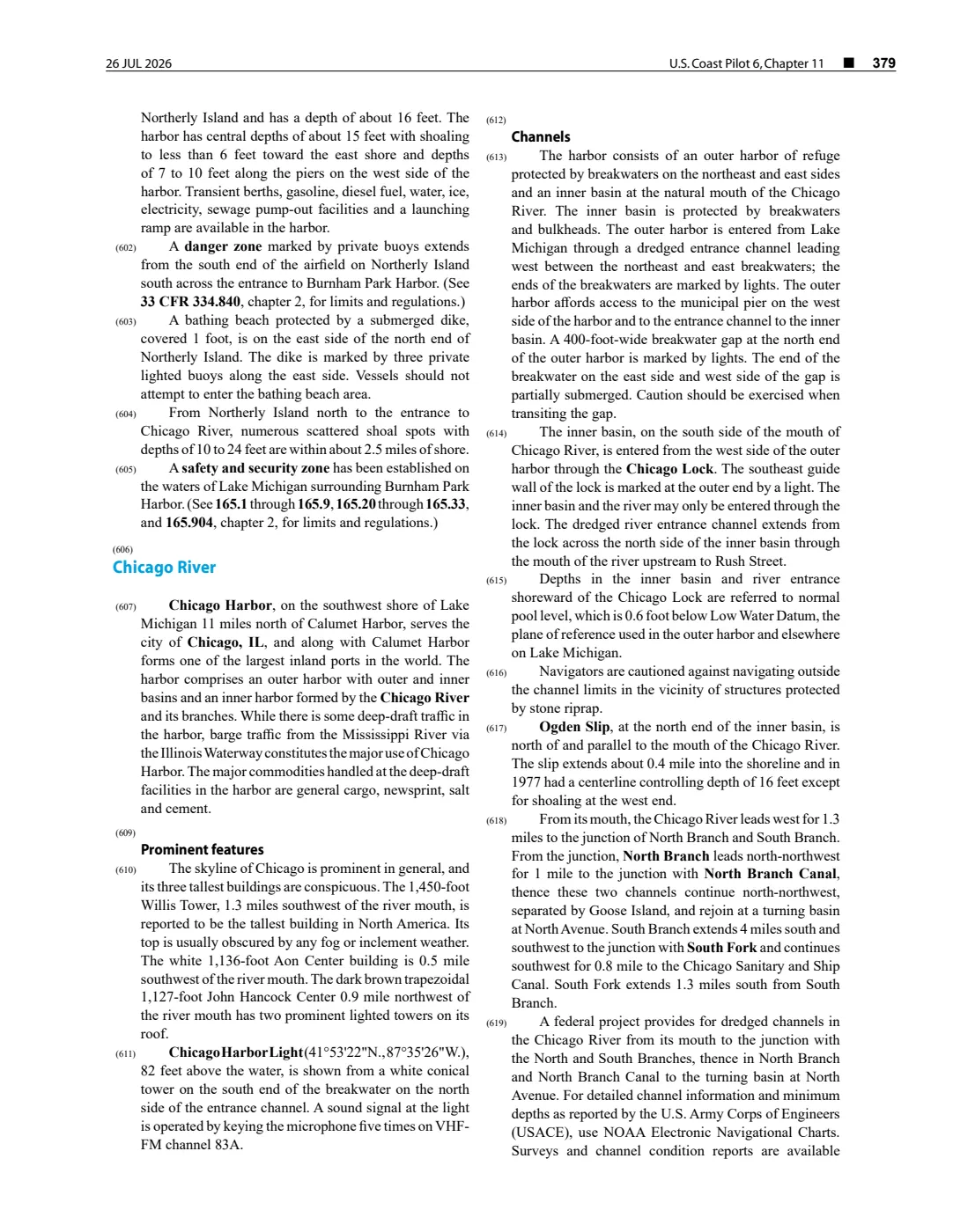
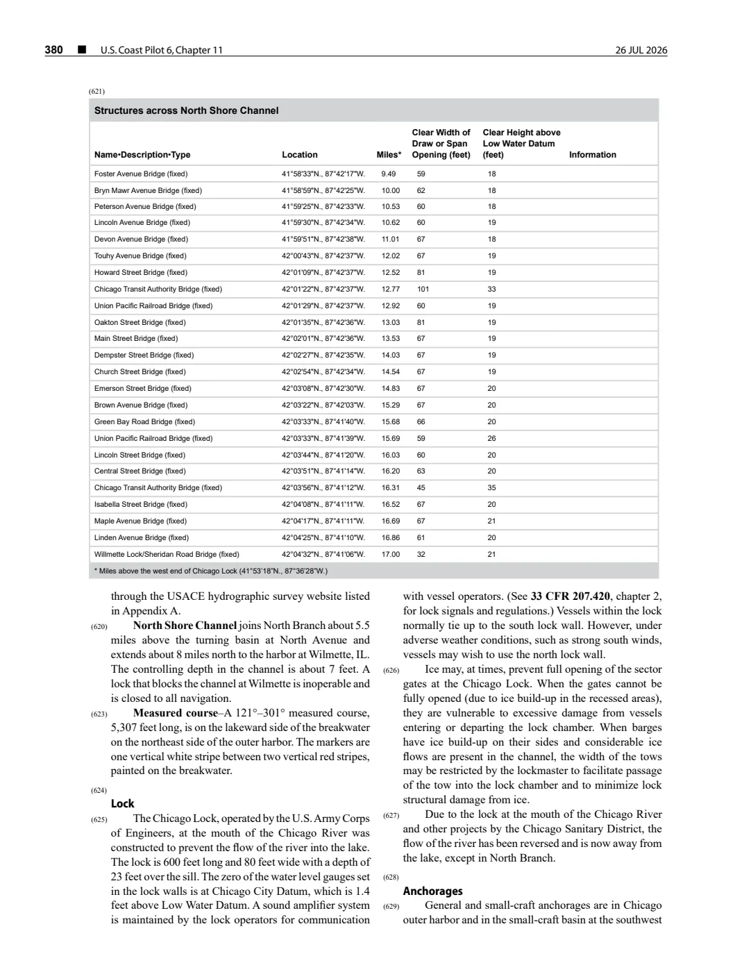
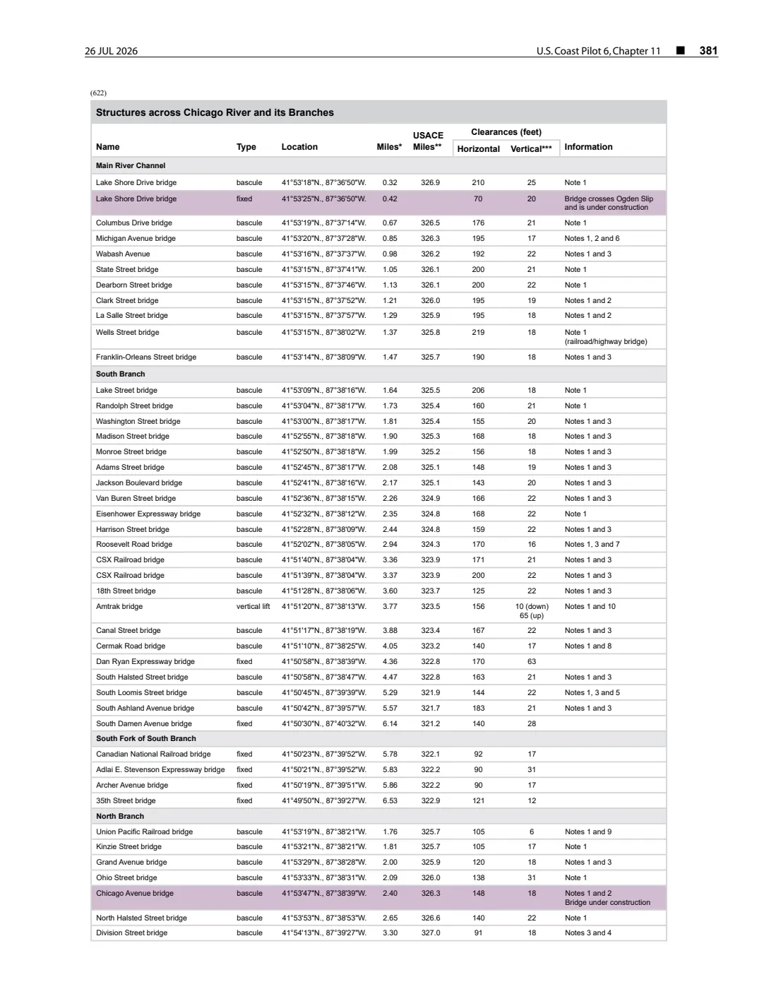
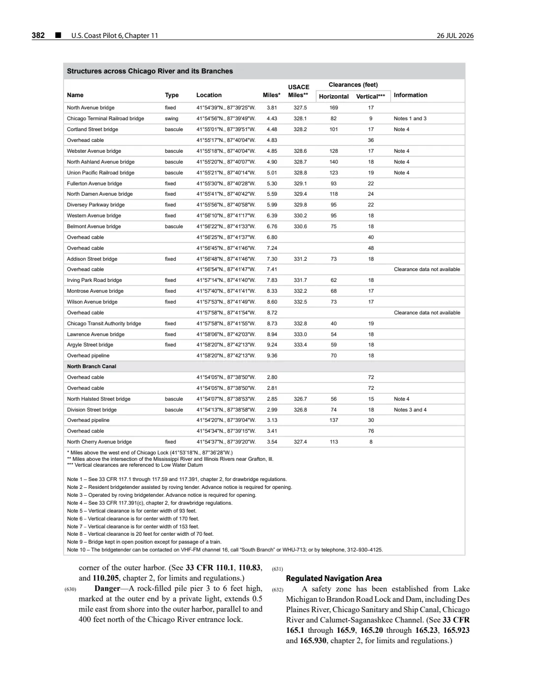
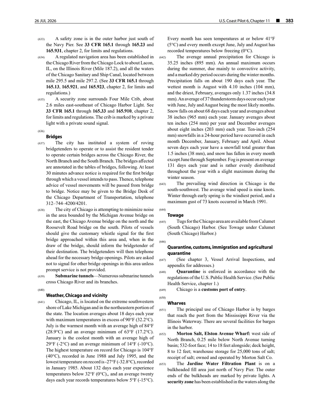
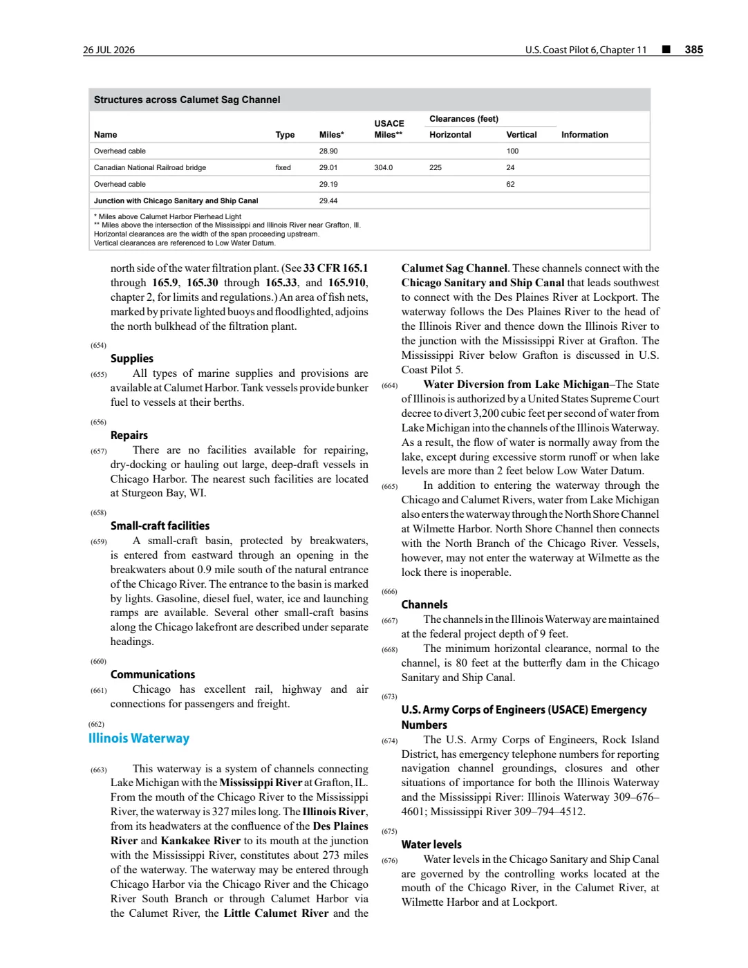
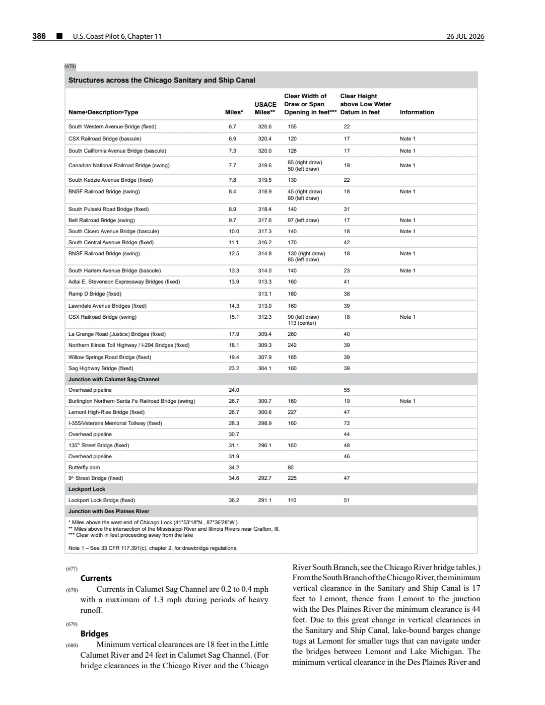
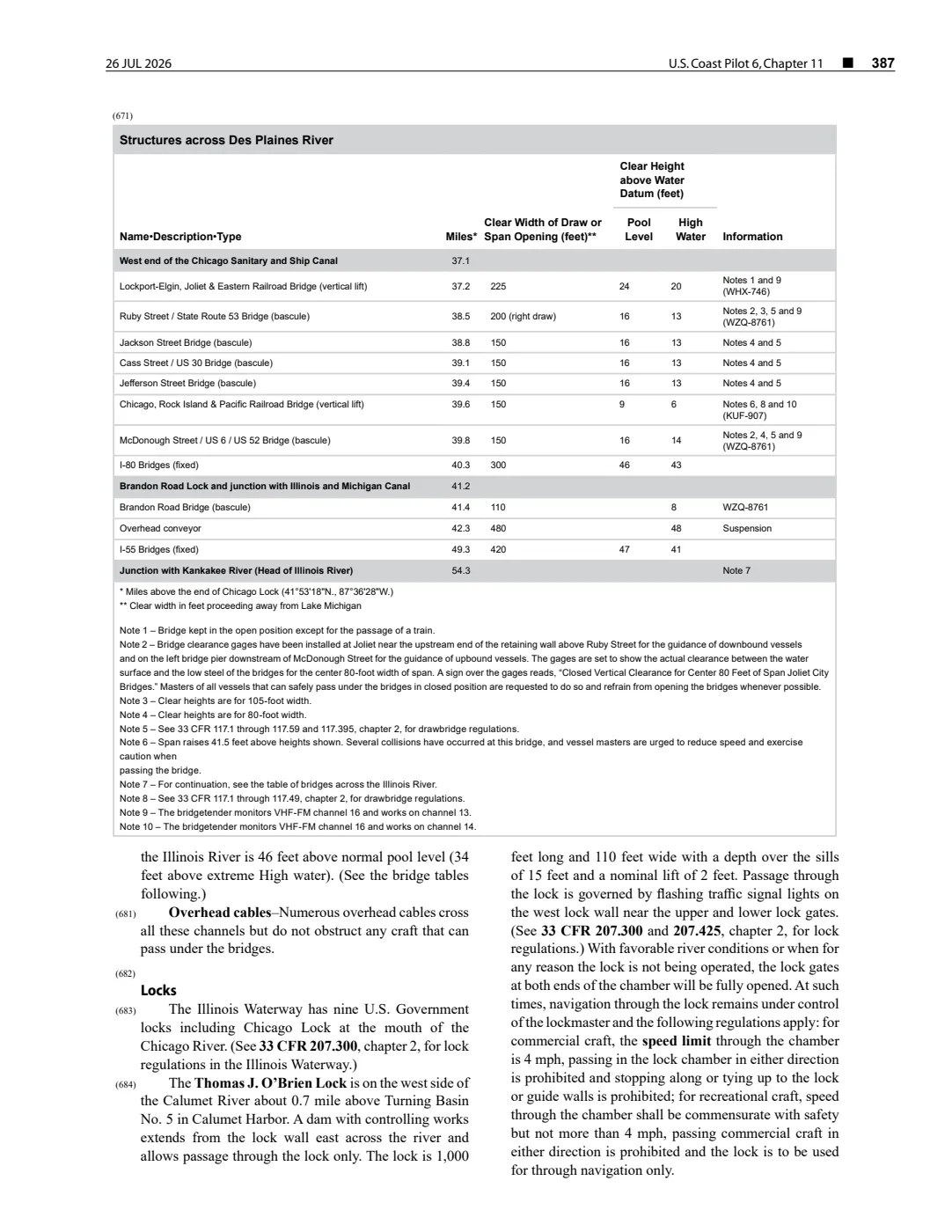
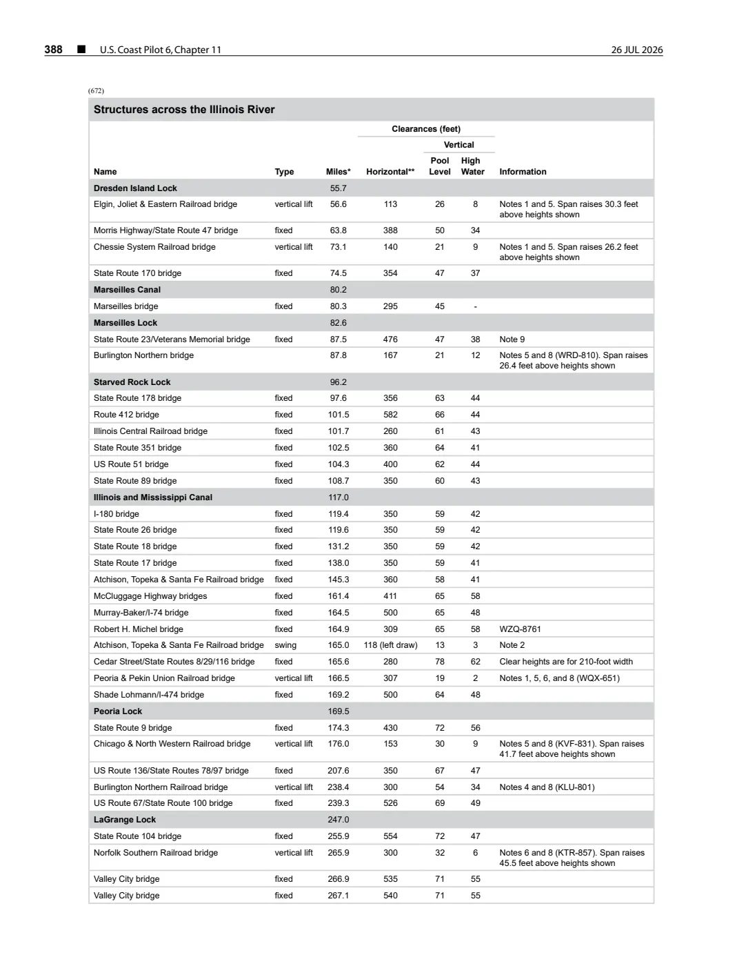
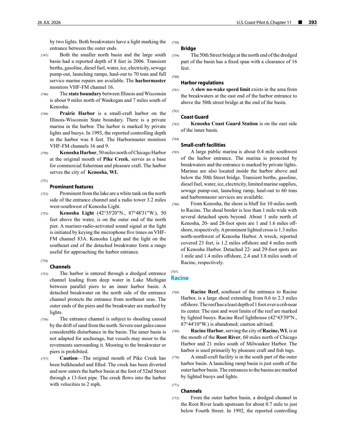
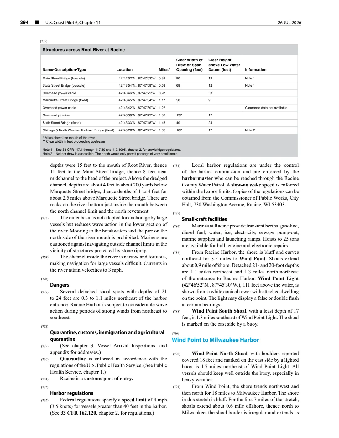
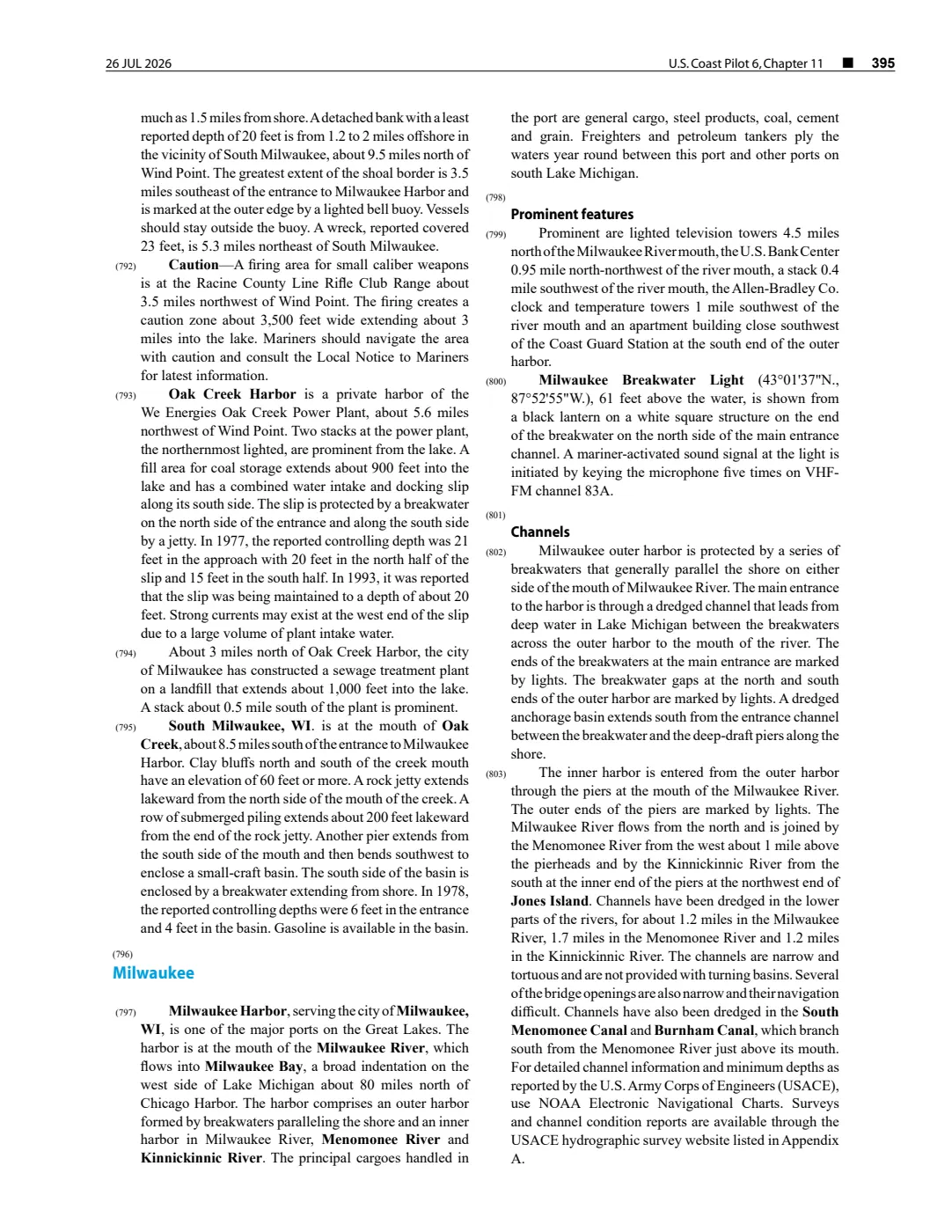
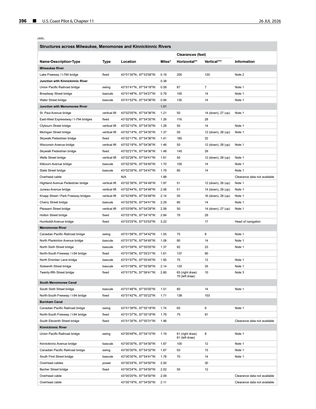
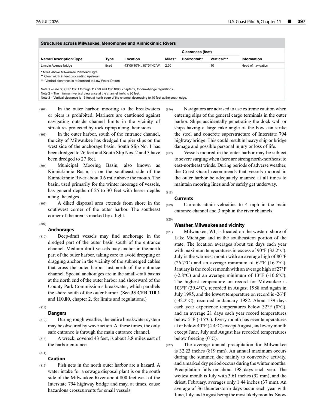
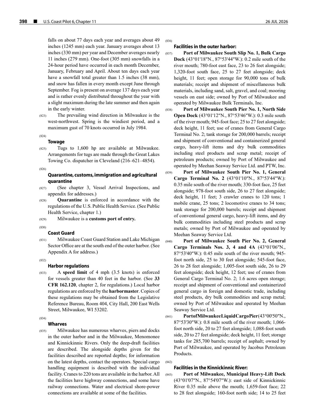
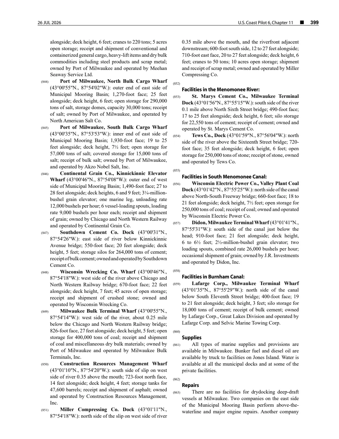
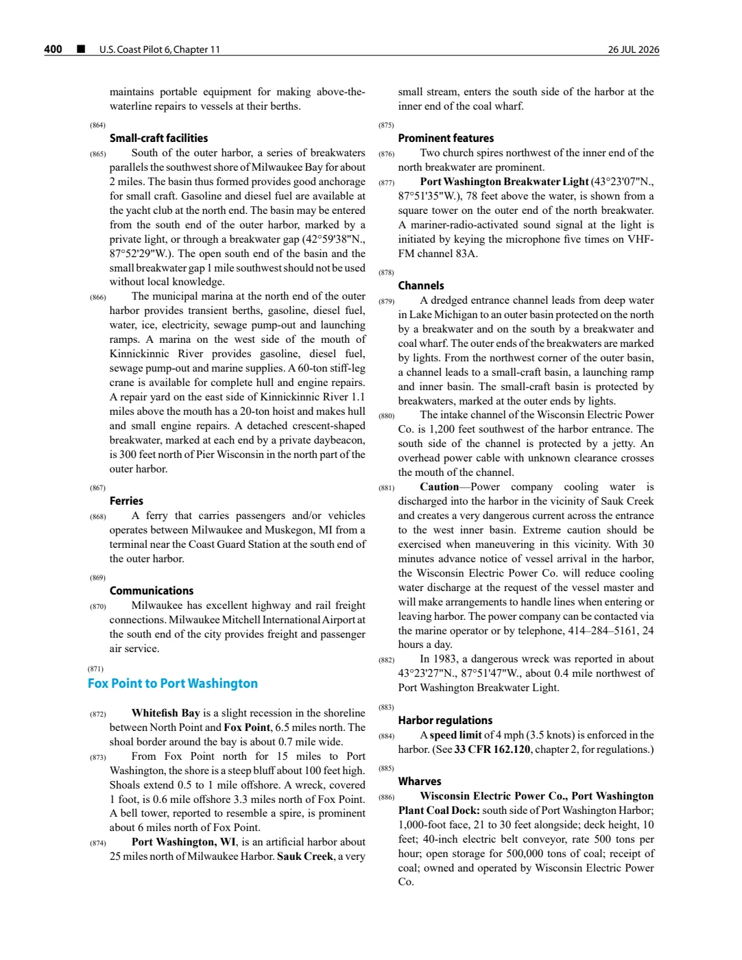
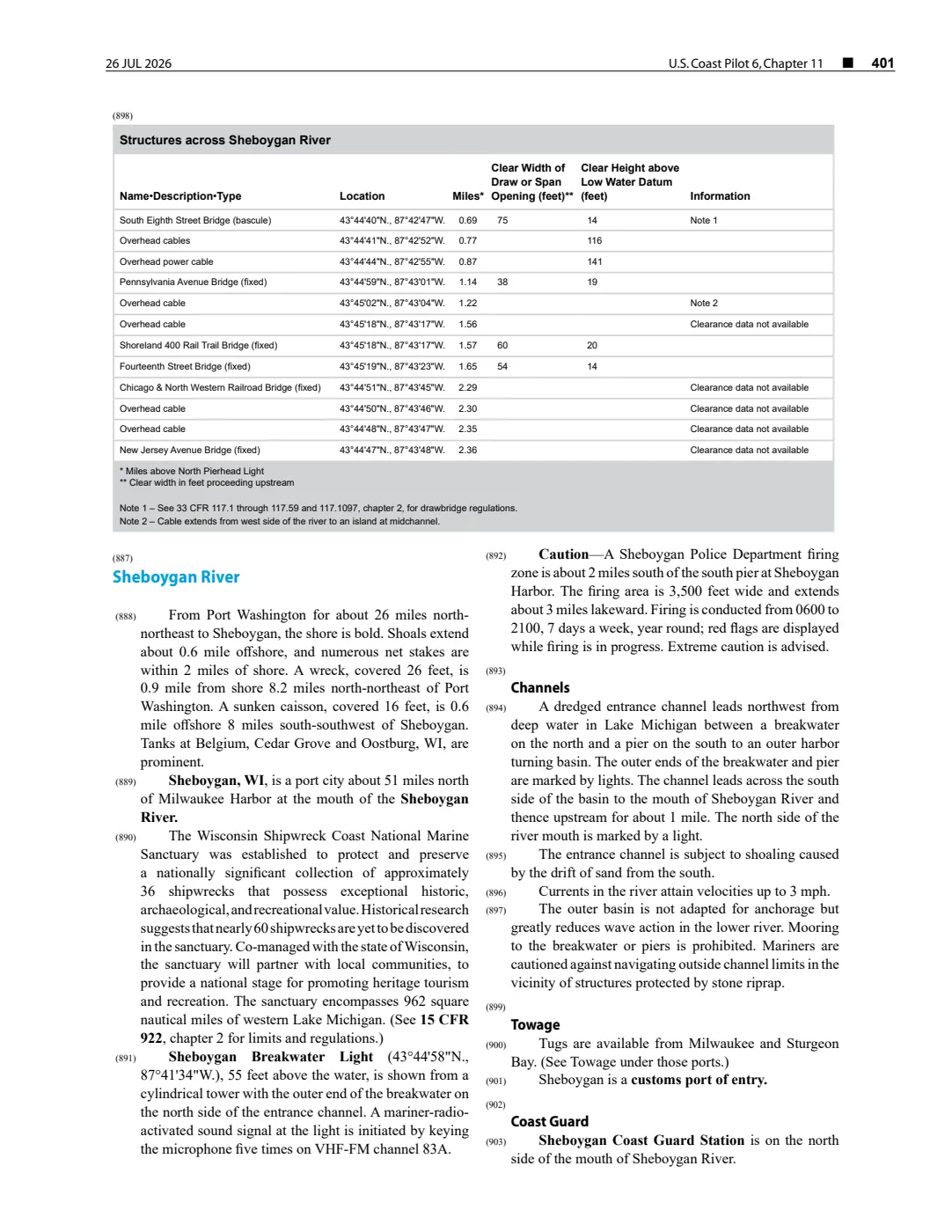
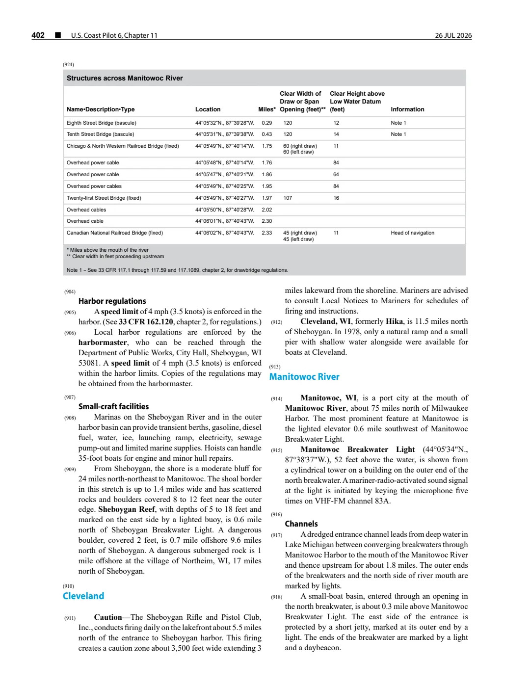
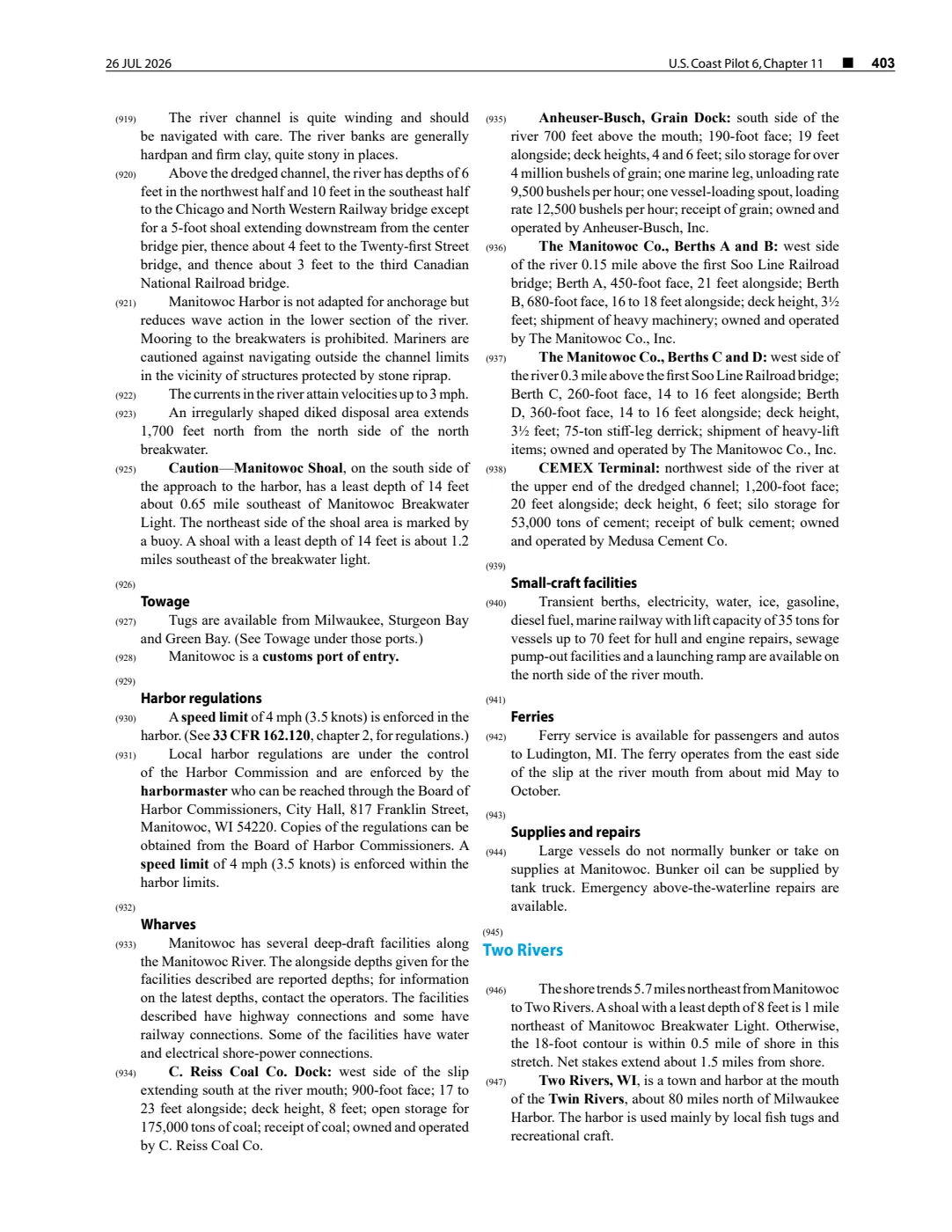
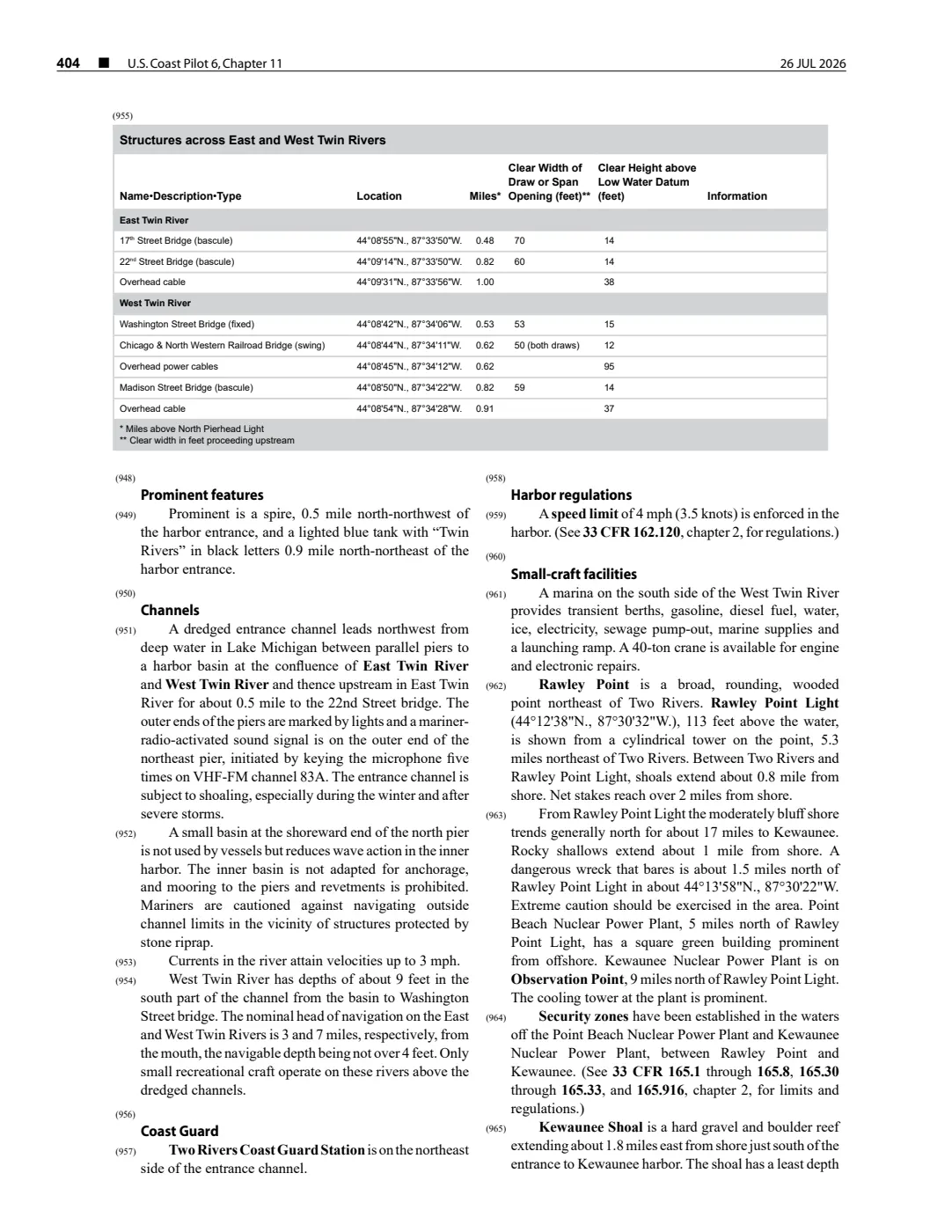
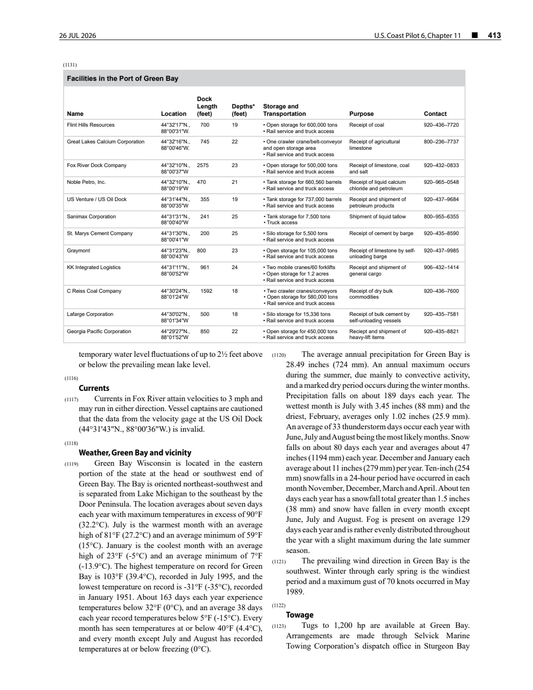
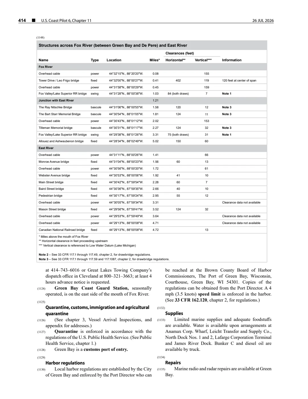
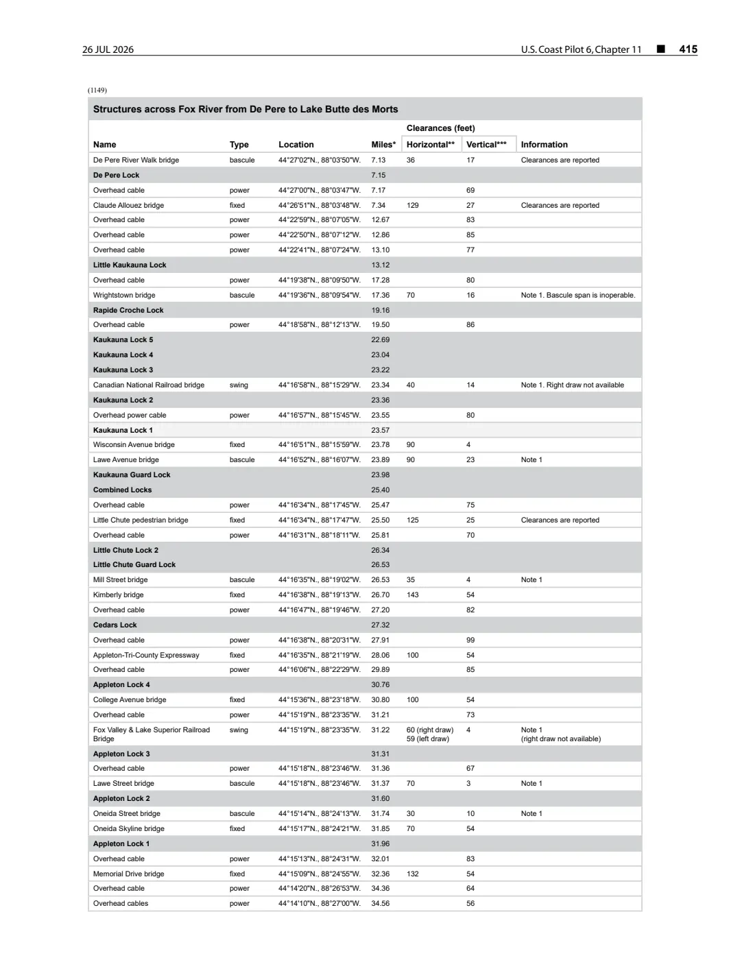
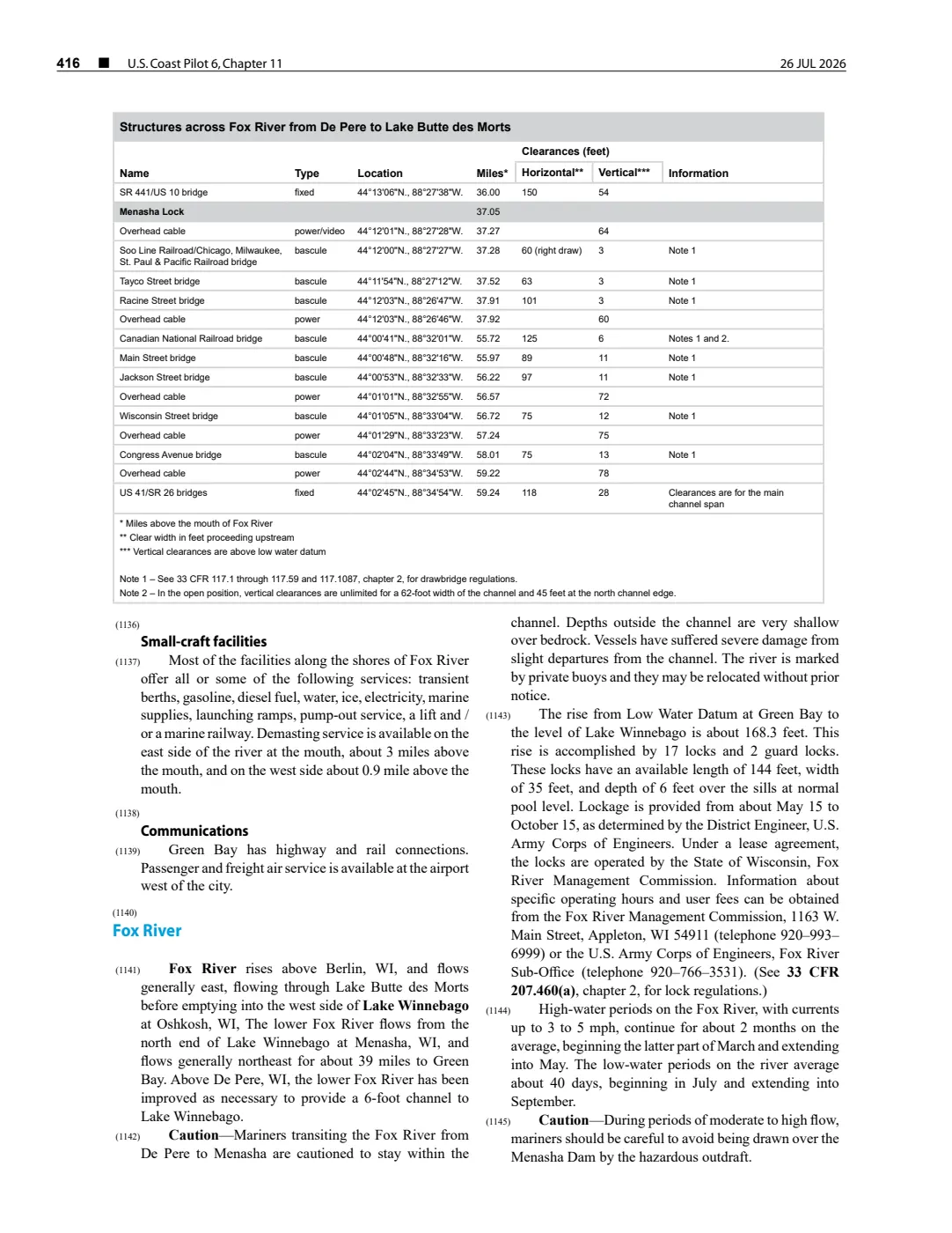
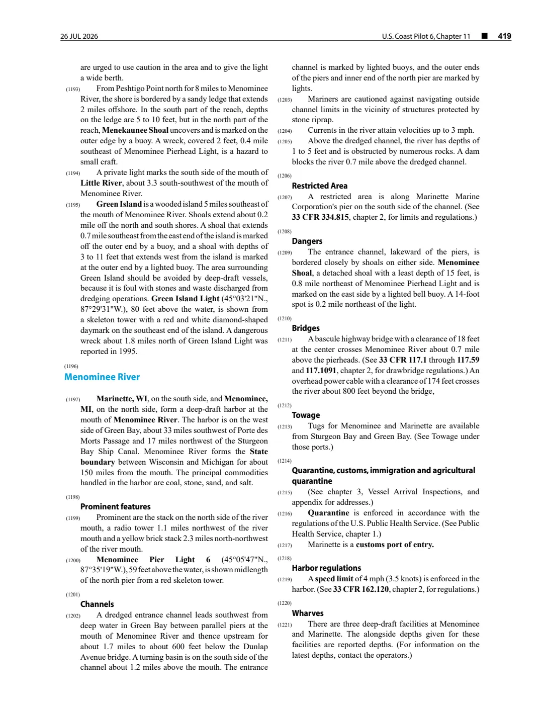
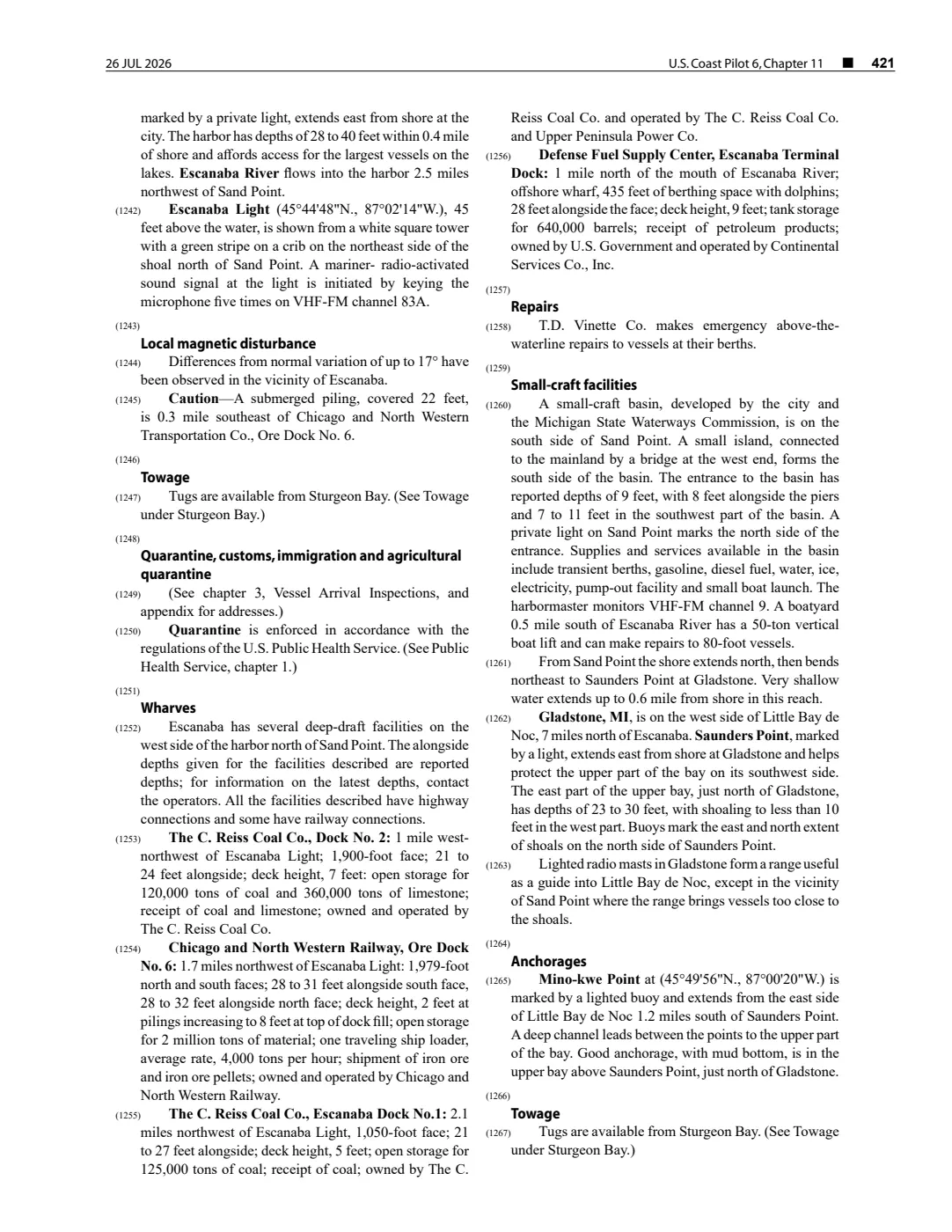
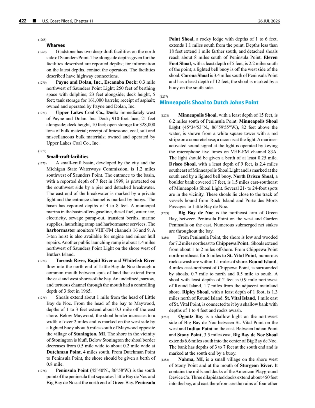
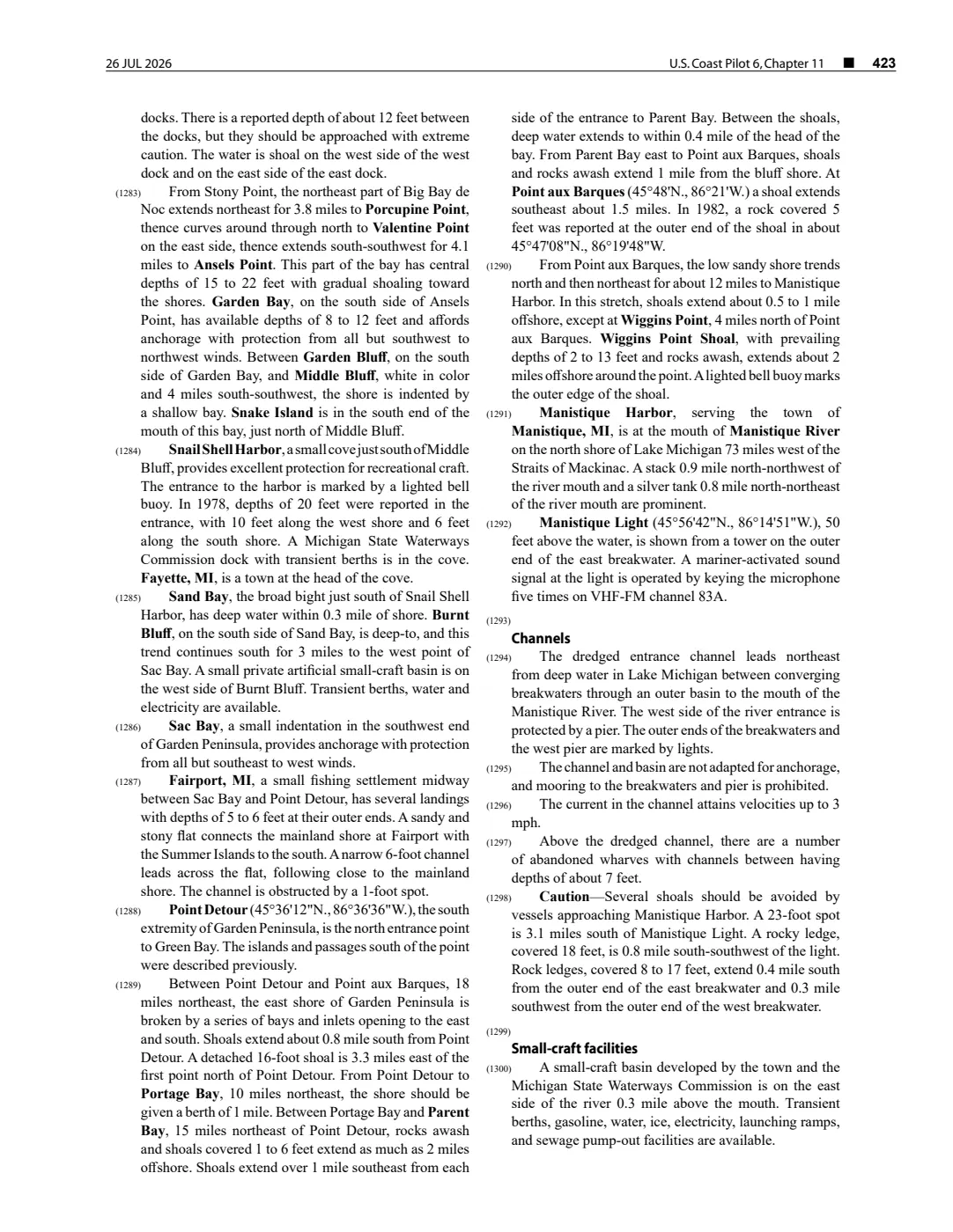
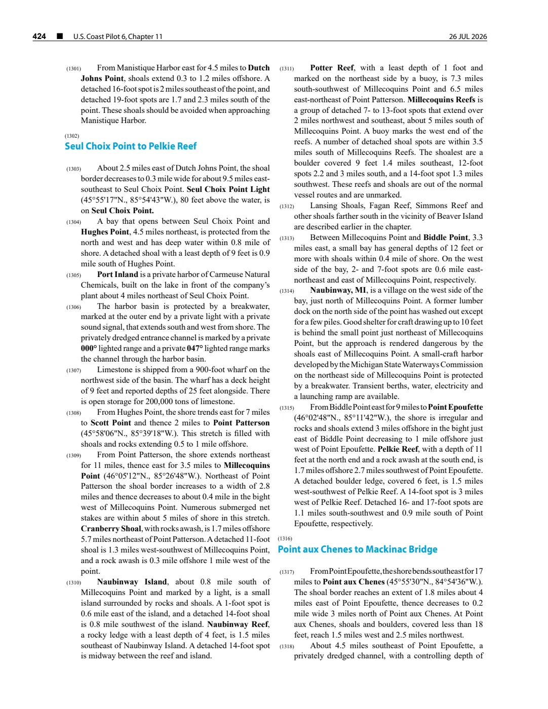
The held USGS metadata records a 2001 lidar survey titled Dahlia Shoals; the GLFC guide separately names Dahlia Shoal in a 2008 lake-trout rehabilitation grouping. These sources establish the source-specific name and survey/management contexts. A held 26 July 2026 NOAA Coast Pilot revision also describes a 14-foot least depth and a buoy relative to nearby Iles aux Galets. It does not establish a present reef boundary, a coordinate, ownership, Indigenous name, historical fishery record, or an equivalence with Iles aux Galets.
See also
Read the document
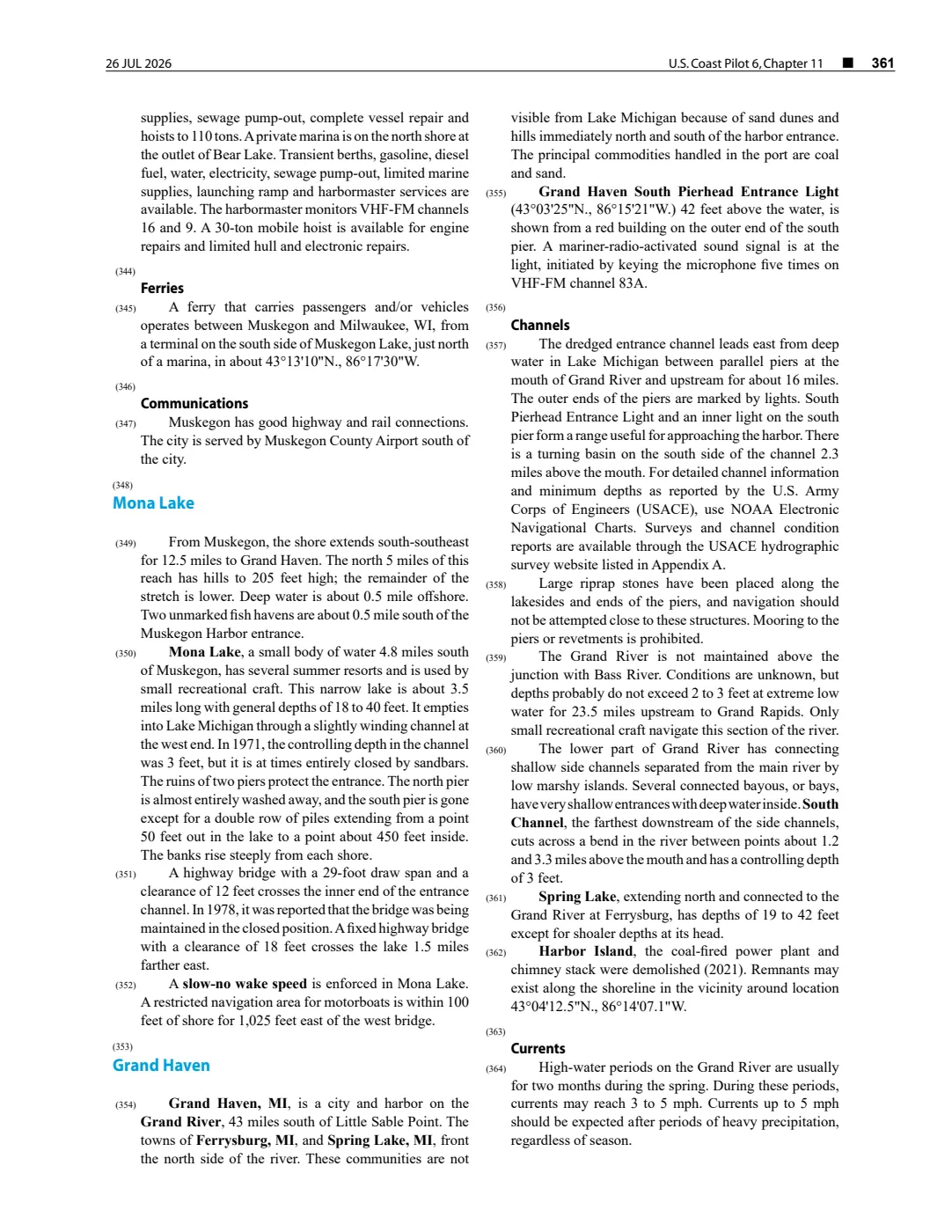
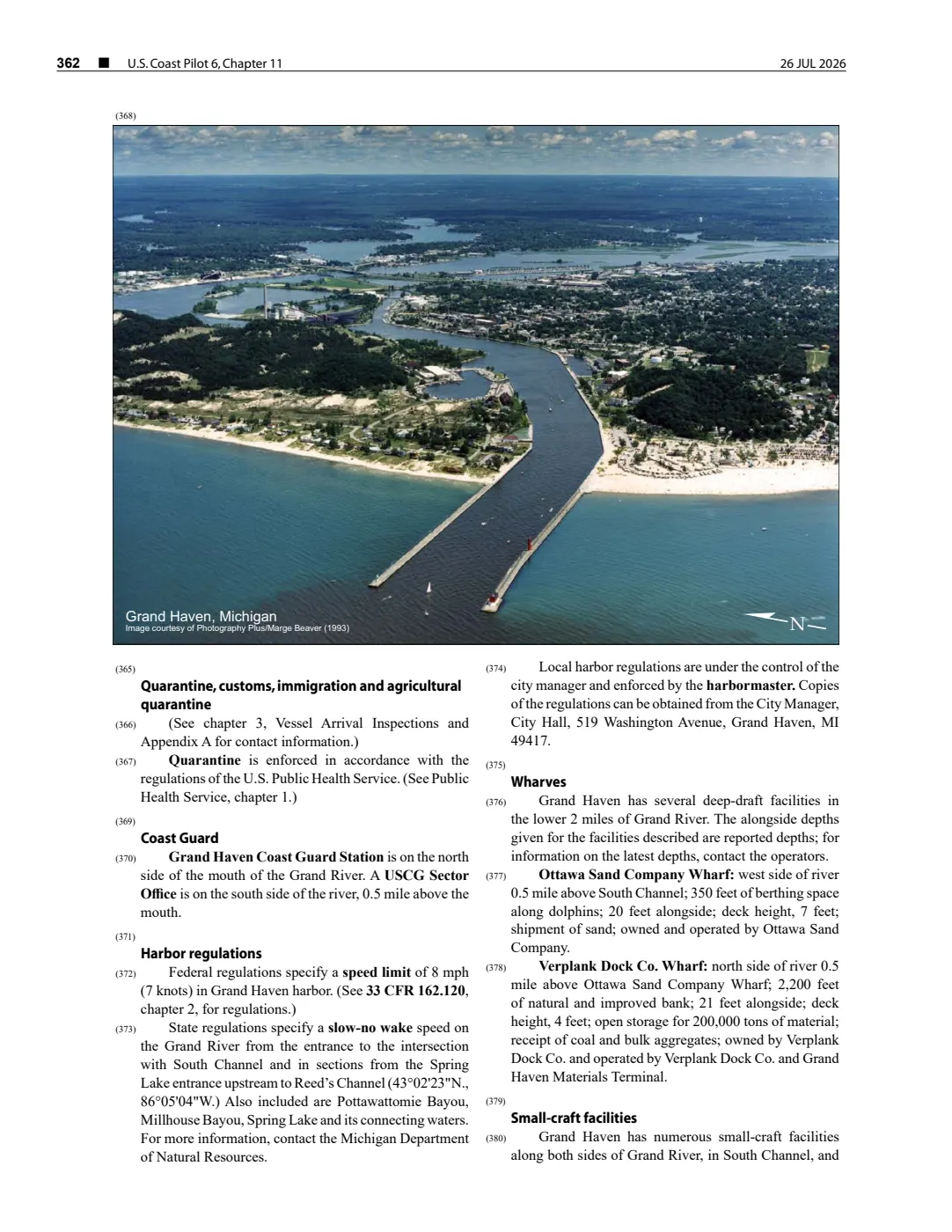
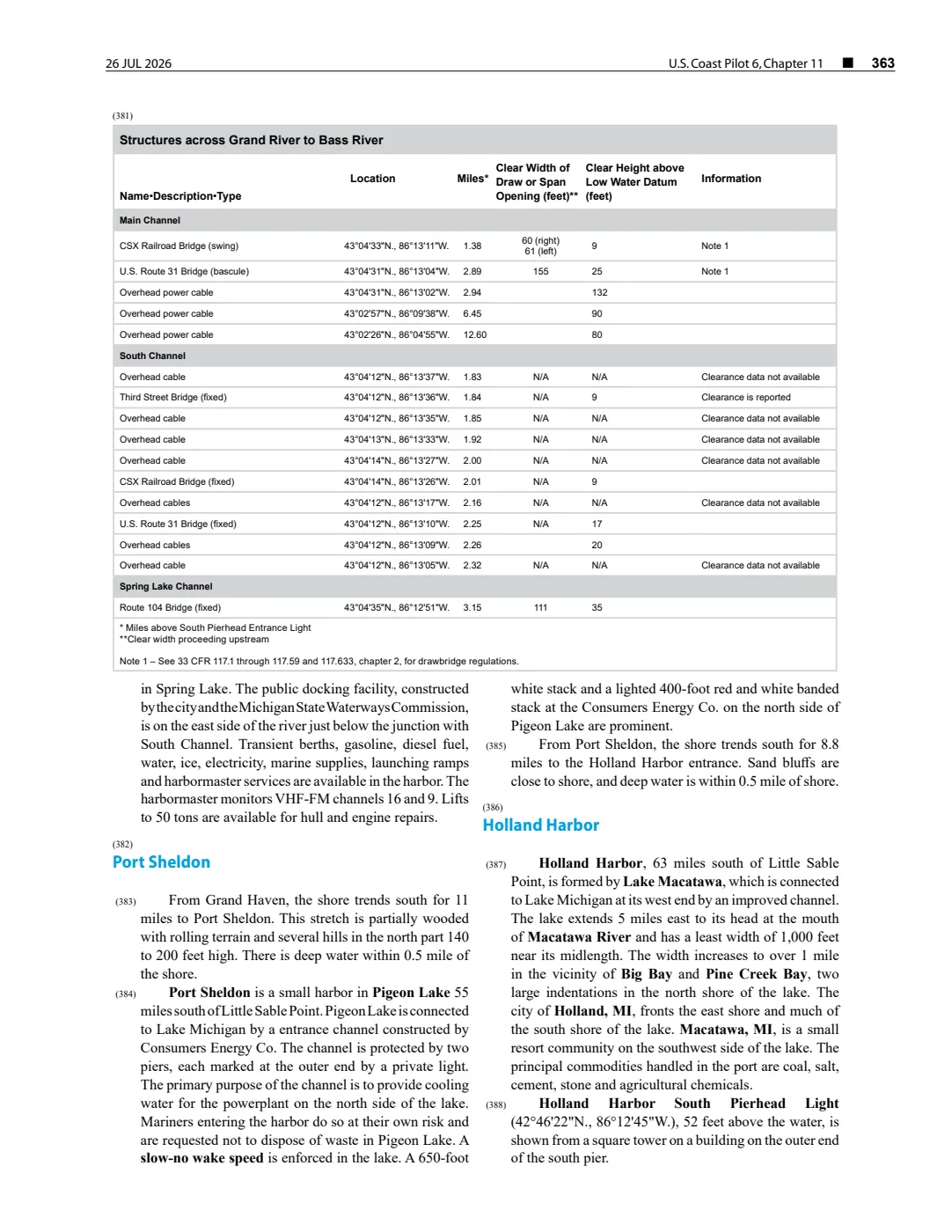
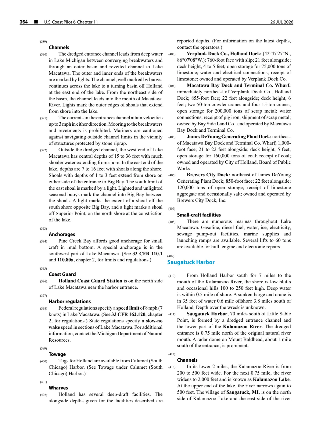
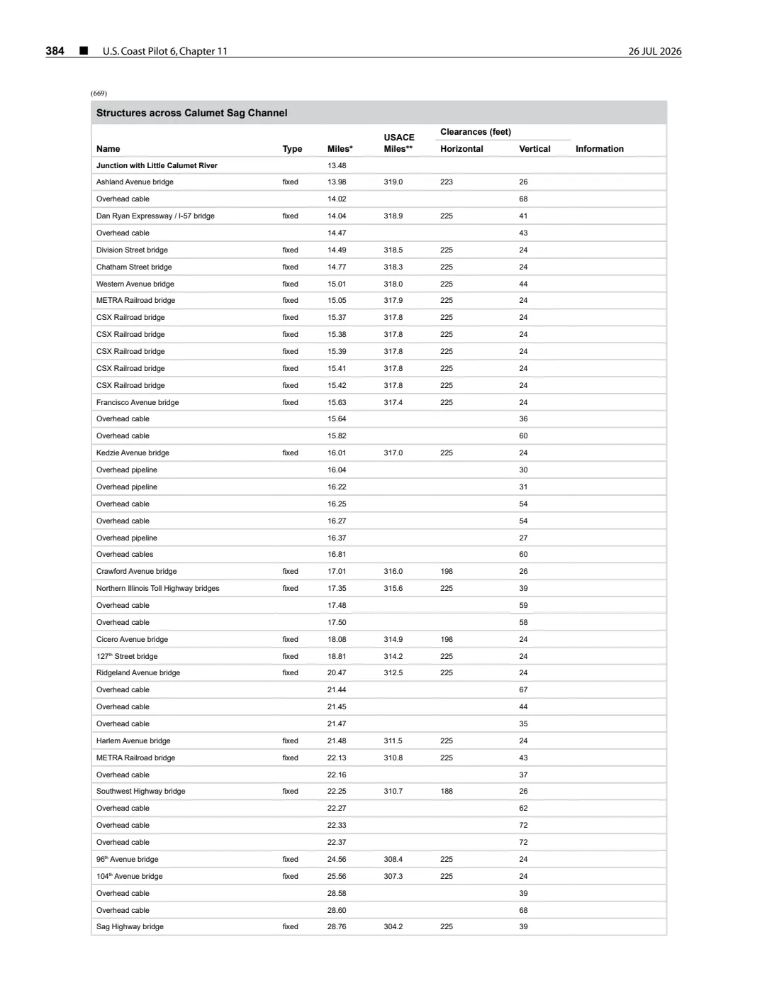
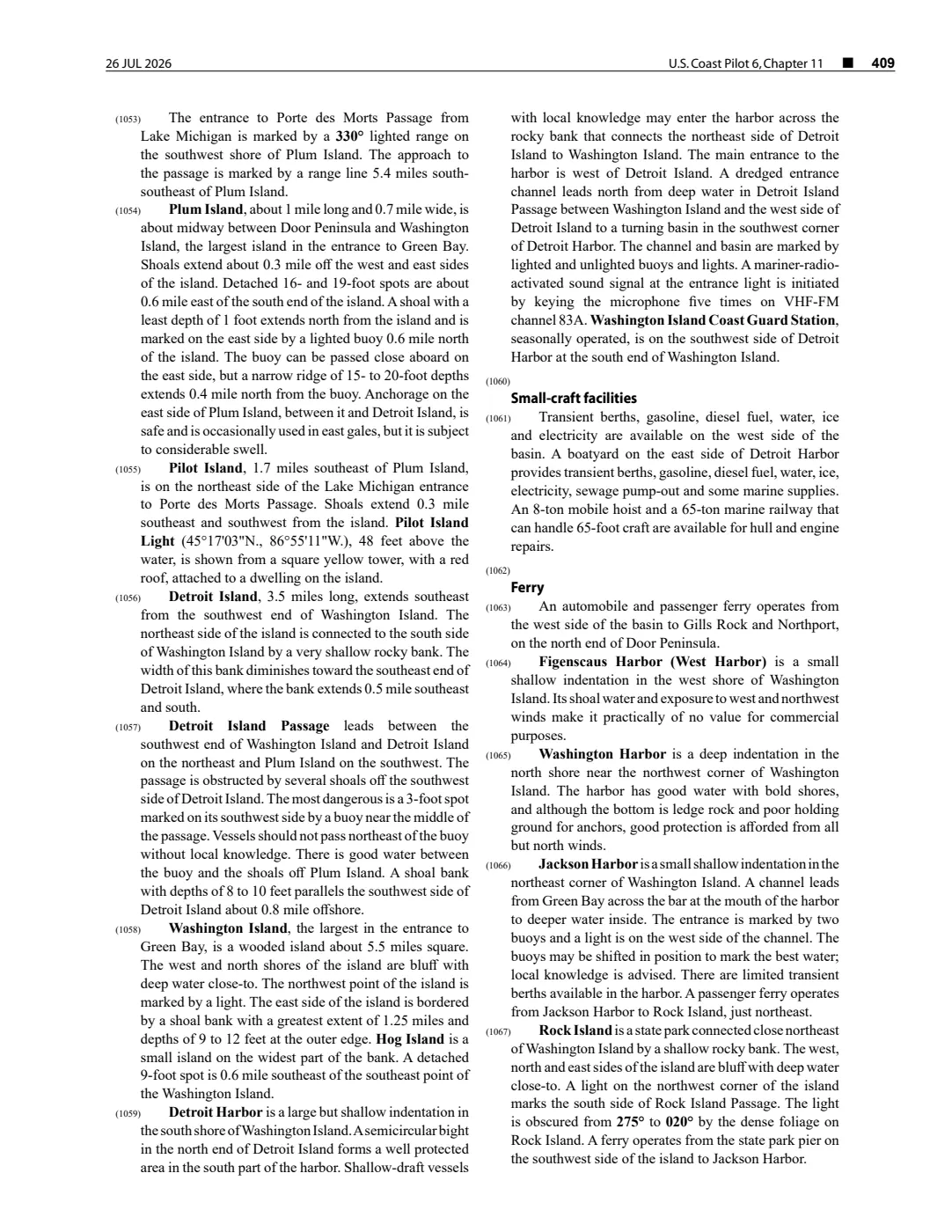
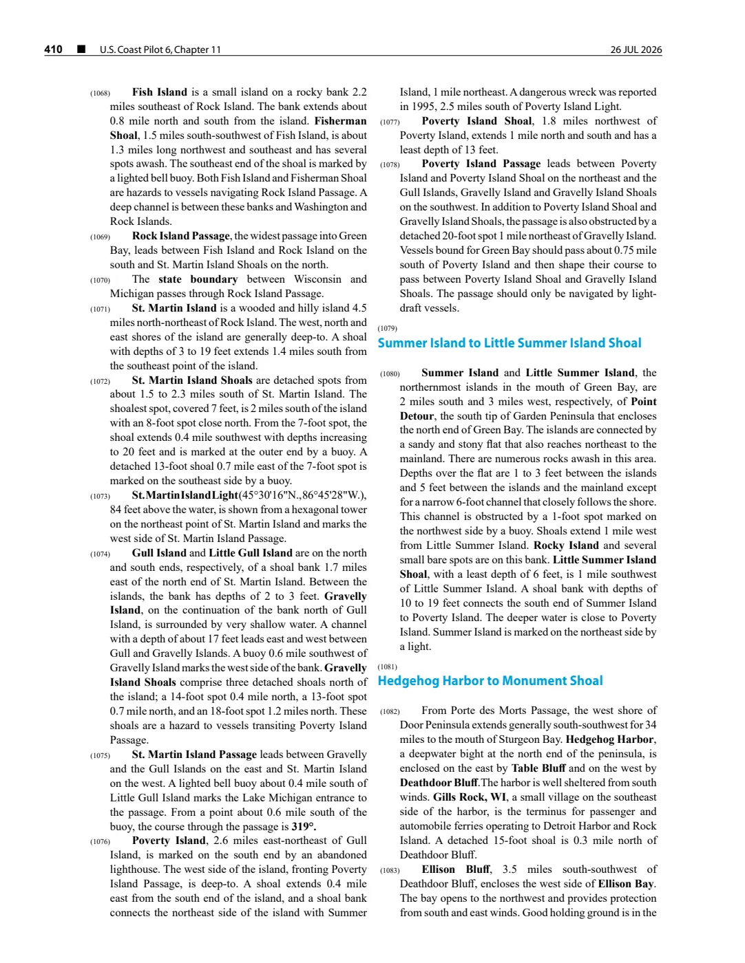
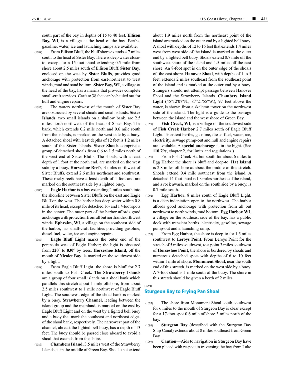
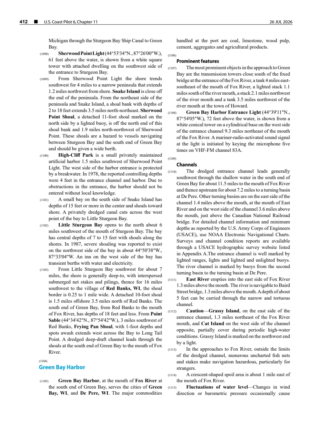
92 pages, rendered from the held scan.
Sources
- Described in this archive: Northern Lake Michigan reef and coastal bathymetry, USGS OFR 03-120.Held FGDC metadata identifies an August 2001 SHOALS lidar bathymetry survey of Dahlia Shoals for bathymetry and albedo habitat studies. Its coverage and sounding data are not a reef boundary, a current navigation chart, ownership evidence, or a present habitat assessment.federal · noaa_bathymetry · usgs_ofr_2003_120 · metadata · dahliameta
- Described in this archive: GLFC guide for Lake Michigan lake-trout rehabilitation, 2008.Names Dahlia Shoal in the East Beaver Group for lake-trout rehabilitation. The guide distinguishes its Dahlia Shoal wording from Iles aux Galets; this article does not merge them as aliases or assert a group boundary.geology · publications · glfc_2008_lake_trout
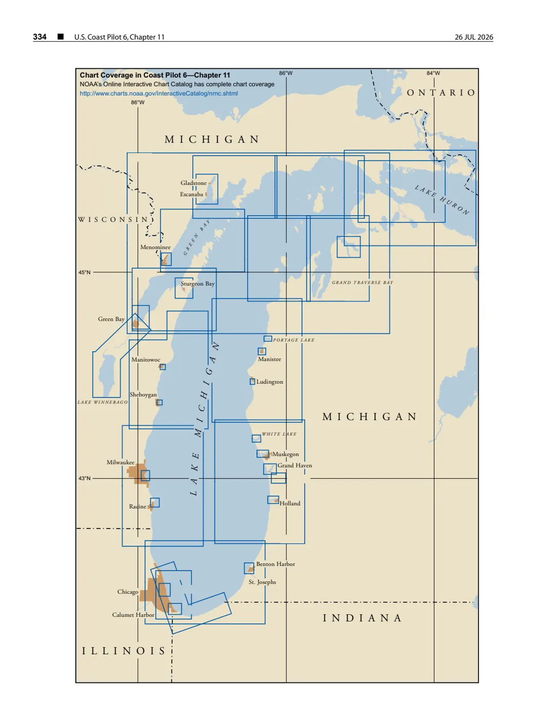
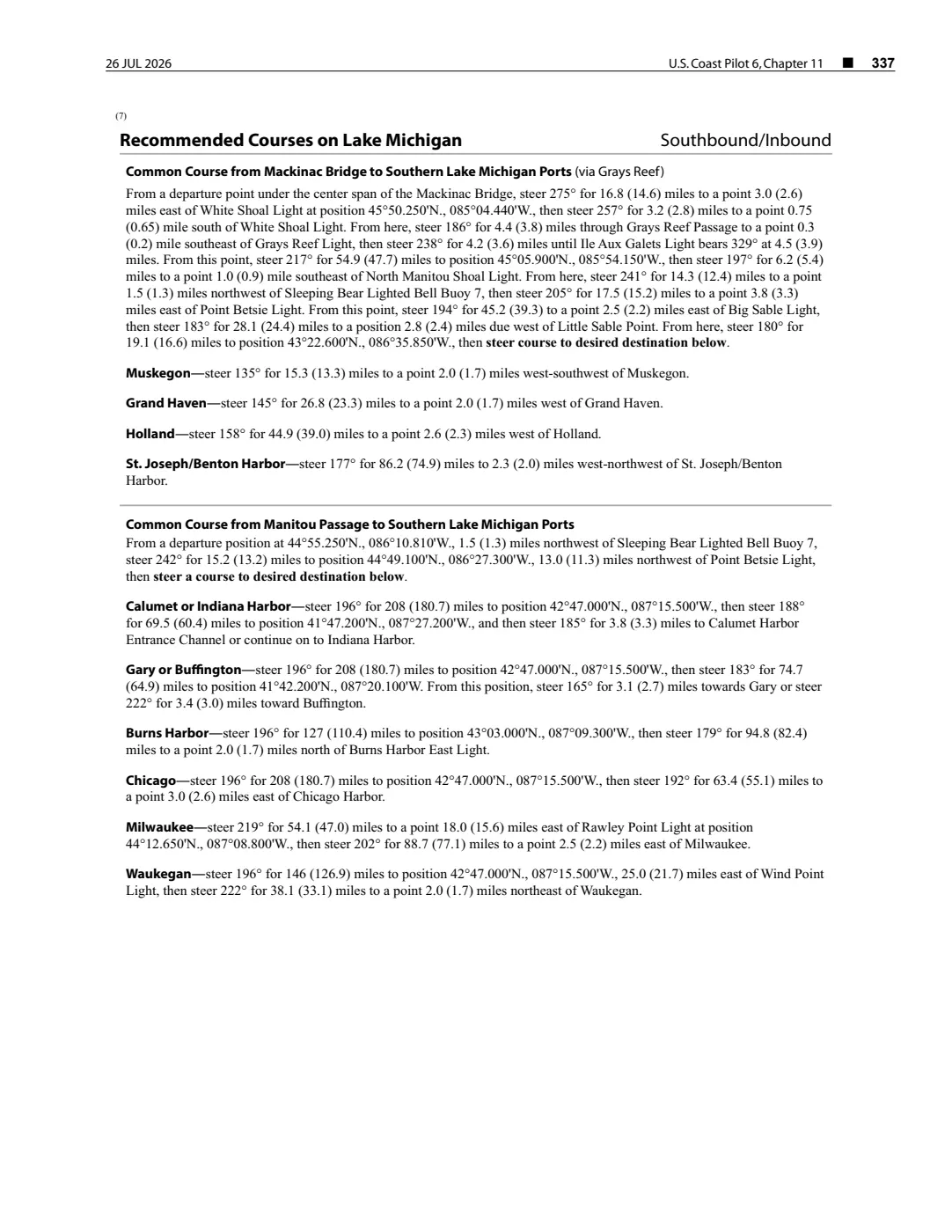
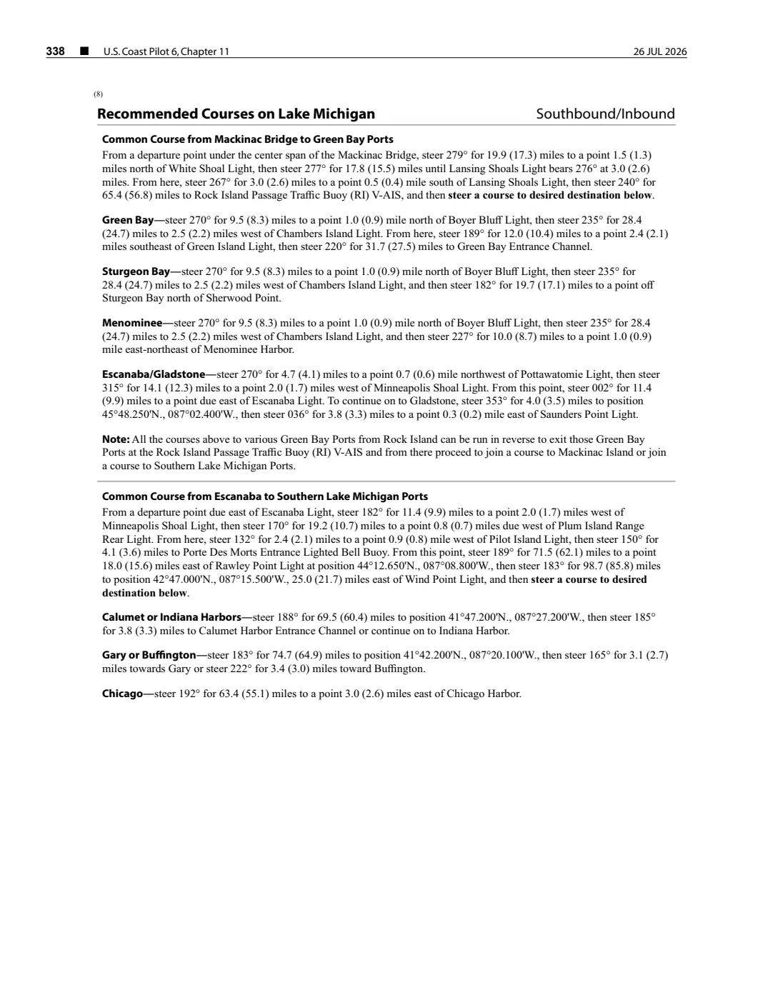
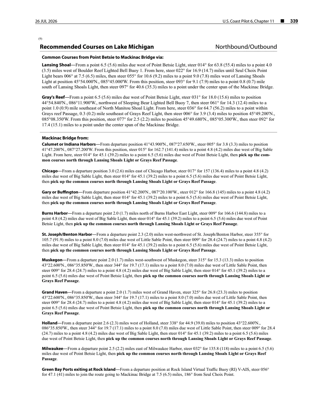
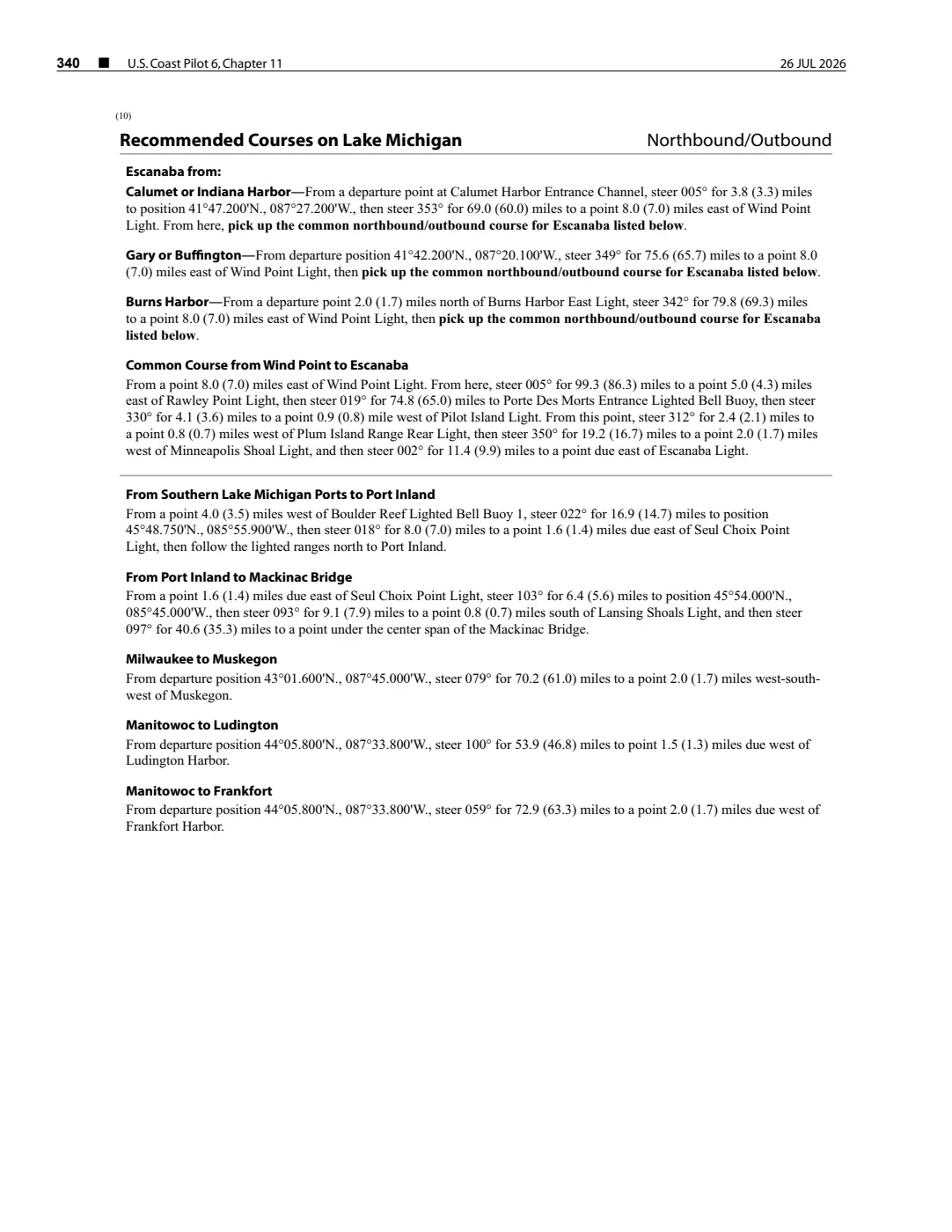
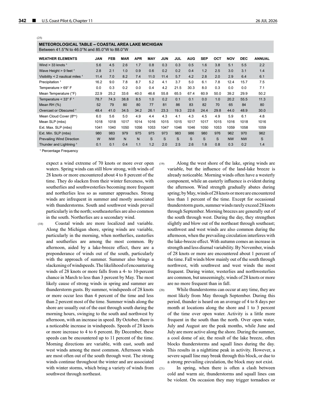
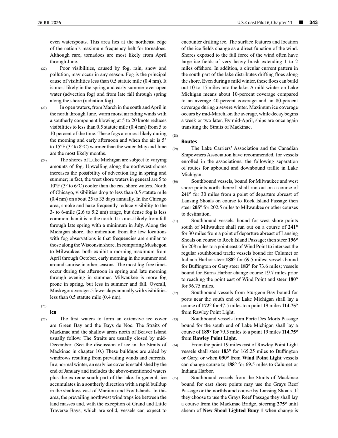
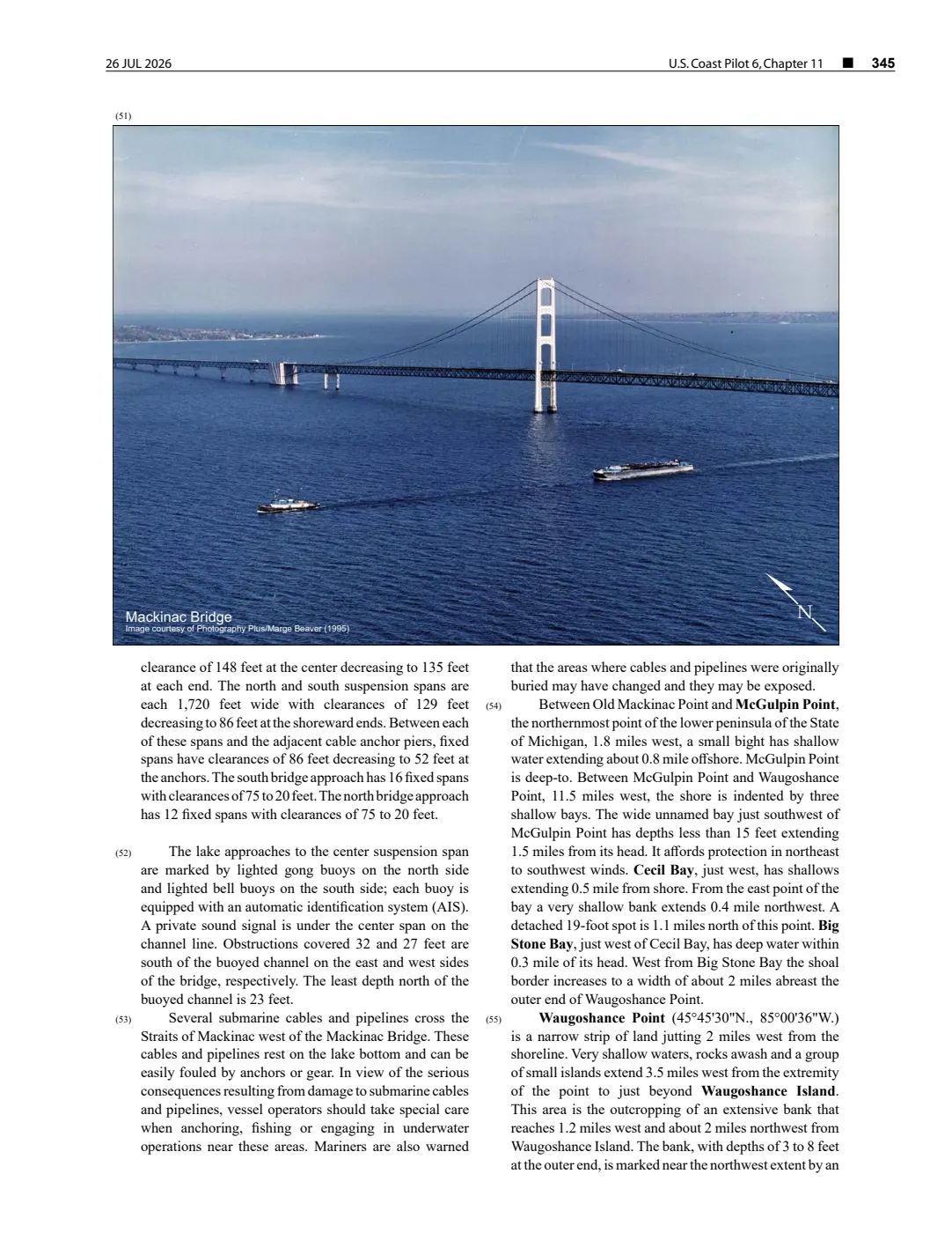
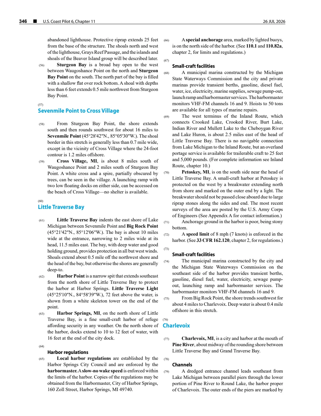
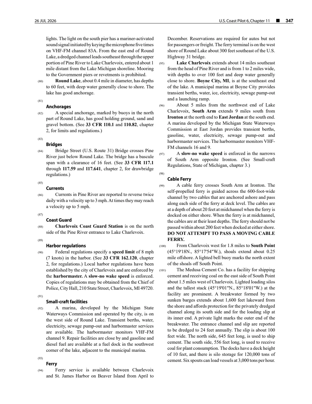
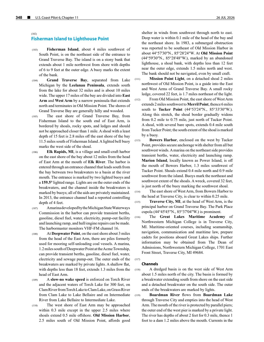
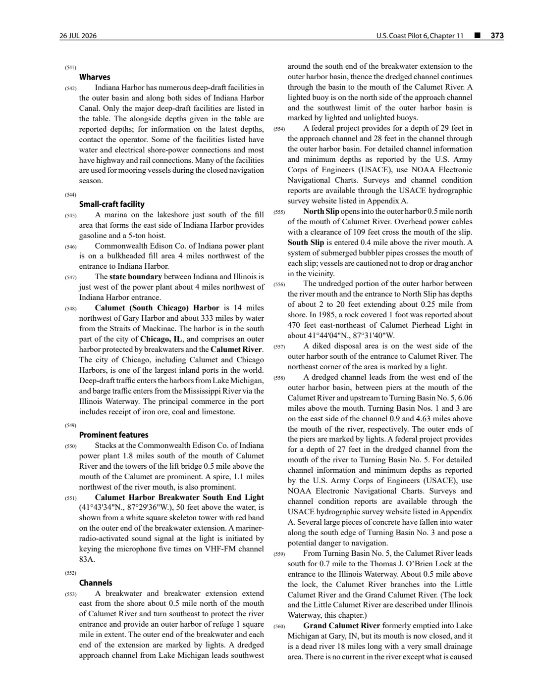
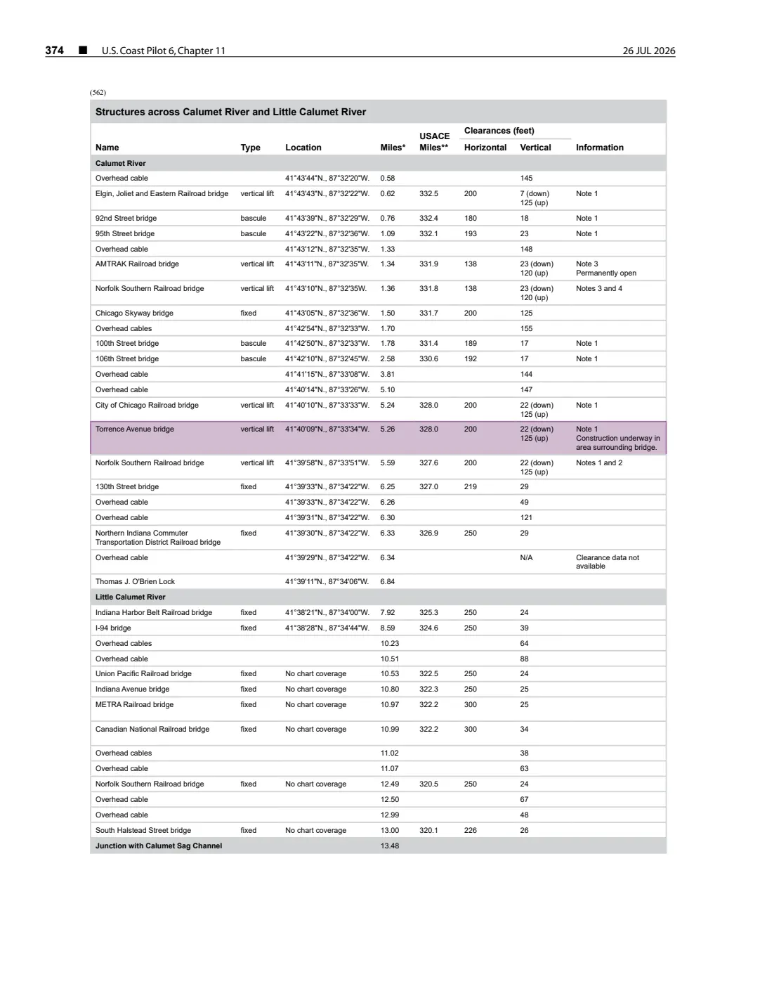
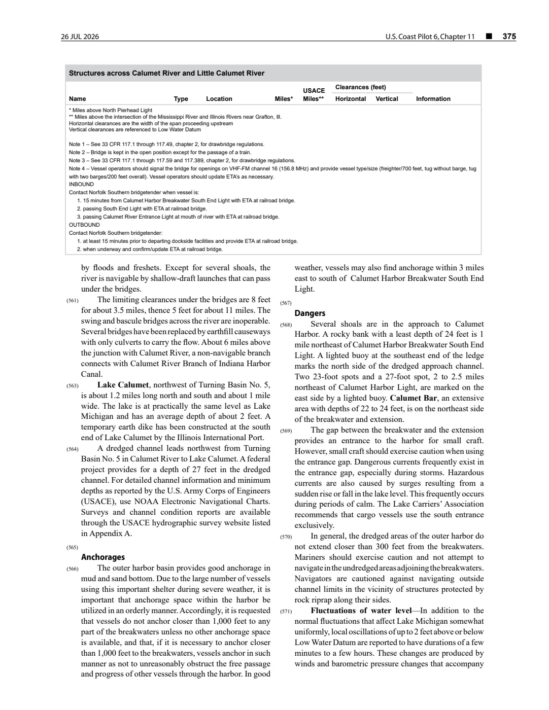
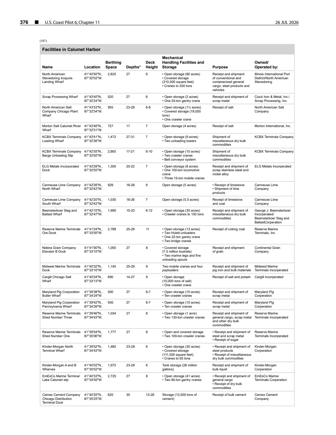
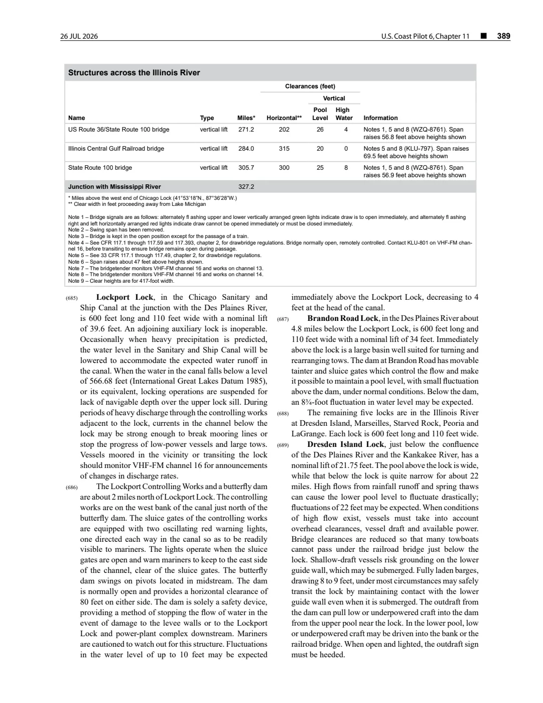
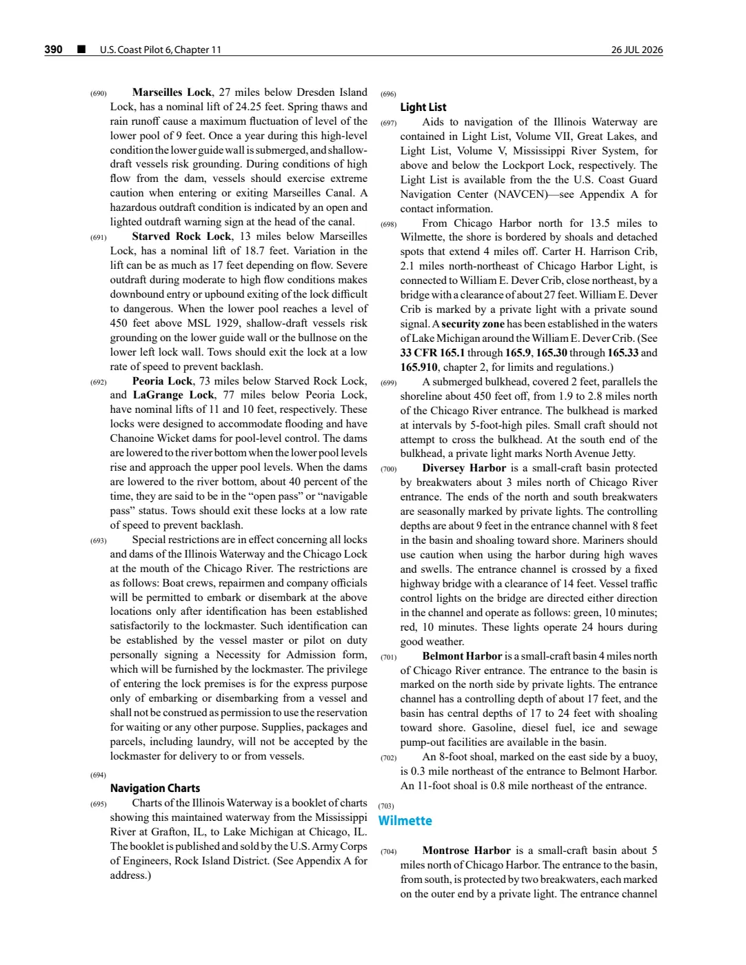
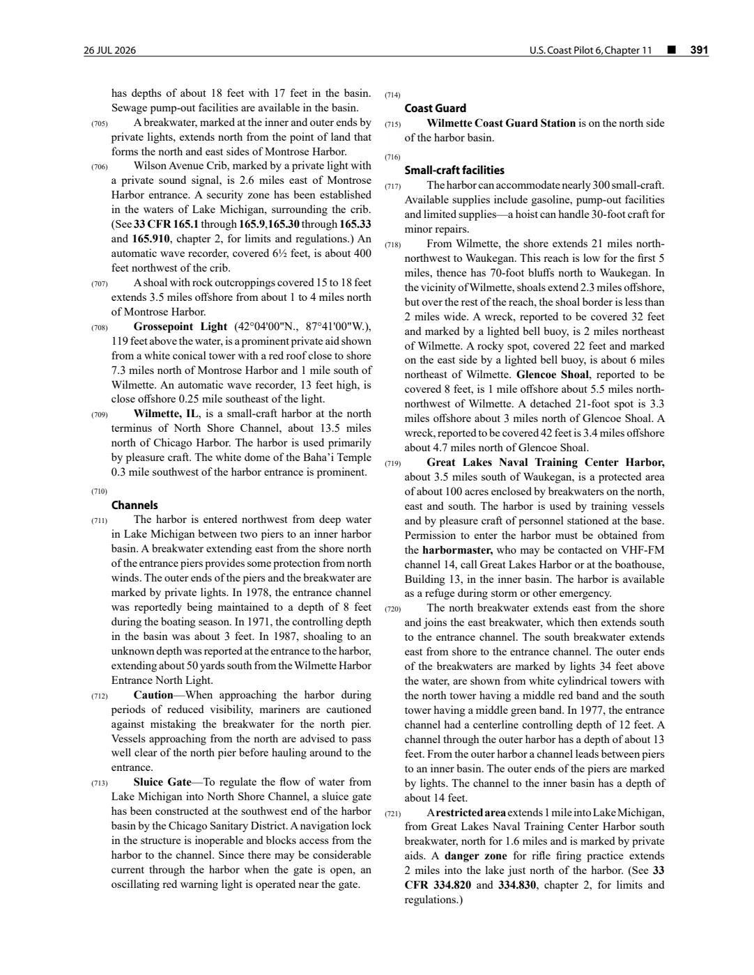
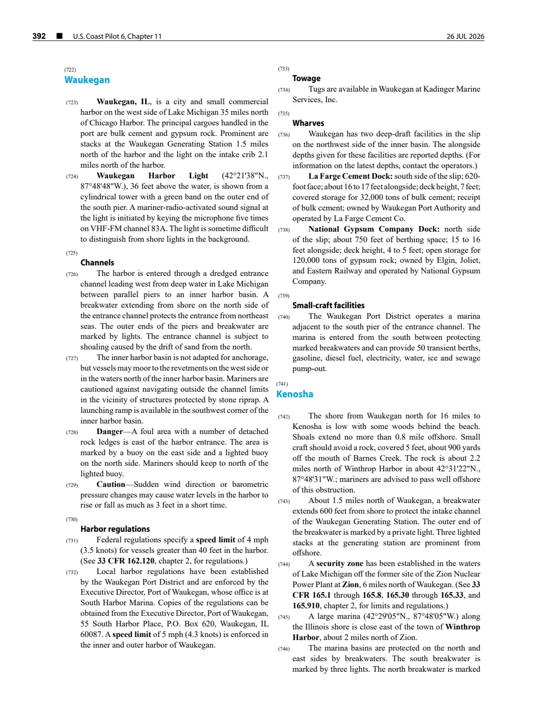
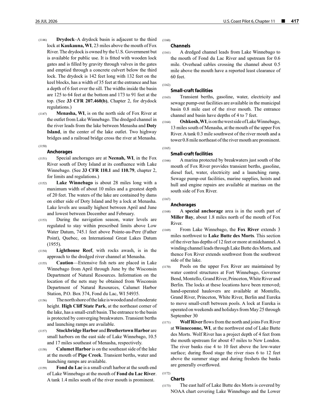
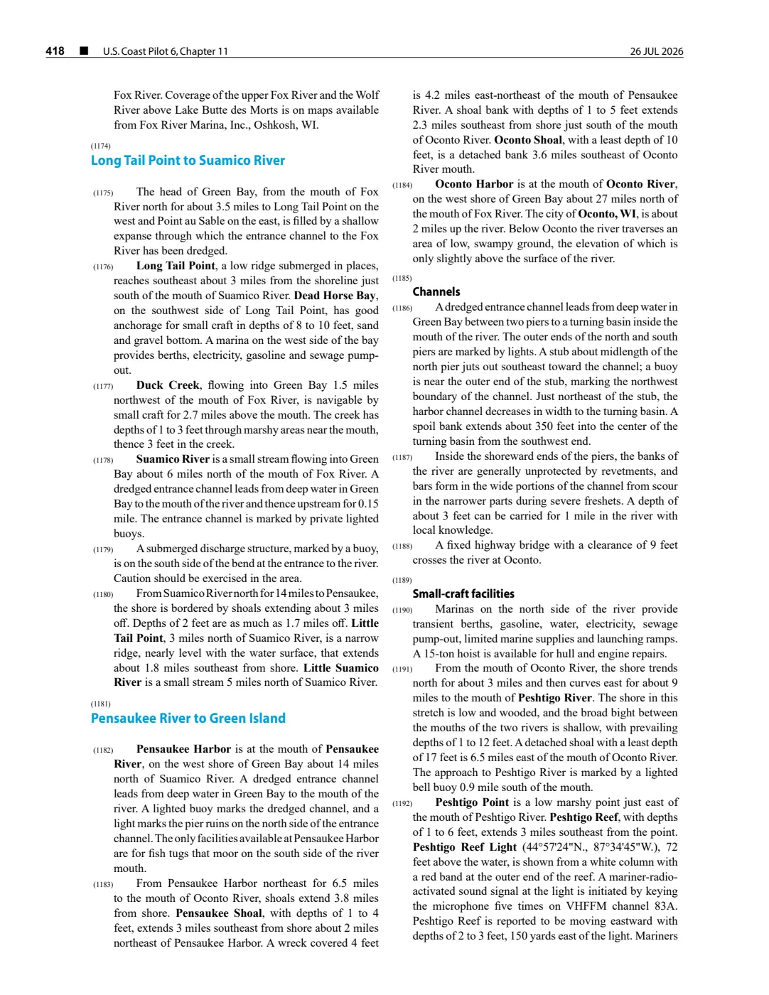
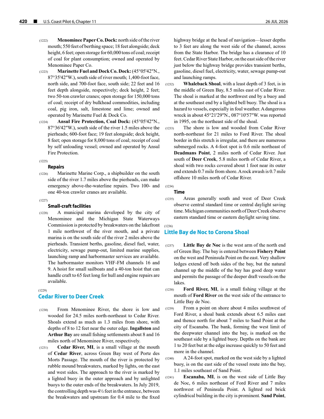
- Described in this archive: NOAA Coast Pilot 6, chapter 11, 26 July 2026 capture.The held 2 August 2026 capture describes Dahlia Shoal relative to Ile aux Galets, reports a 14-foot least depth, and notes a buoy. This dated, revisable navigational description is not converted into a coordinate, boundary, current condition, or safe-navigation advice.federal · noaa_coast_pilot · noaa-coast-pilot-6-chapter-11-2026-08-02
- Representative point follows the Google Maps Dahlia Shoal label; two nearby map results differ slightly, so this is not treated as the shoal’s boundary, least-depth position, or a navigation point.
Added 2 August 2026. Recent changes
Cite this article
Beaver Island Archive, “Dahlia Shoals”, https://beaverislandarchive.org/places/dahlia-shoals/, accessed [date], citing U.S. Army Engineer Joint Airborne Lidar Bathymetry Technical Center of Expertise, “Dahlia Shoals, Lake Michigan, Michigan,” edition 1.1 (2001), published in USGS Open-File Report 03-120 (2003). (and 3 further sources listed on the page).
Last revised 2026-08-02. Fill in [date] with the date you read it — this page is static and cannot know that.