

- Date
- 2026-07-26
- Eras
- Modern era
- Concepts
- maritimeshipping
- Within
- Beaver Island archipelago
Summary
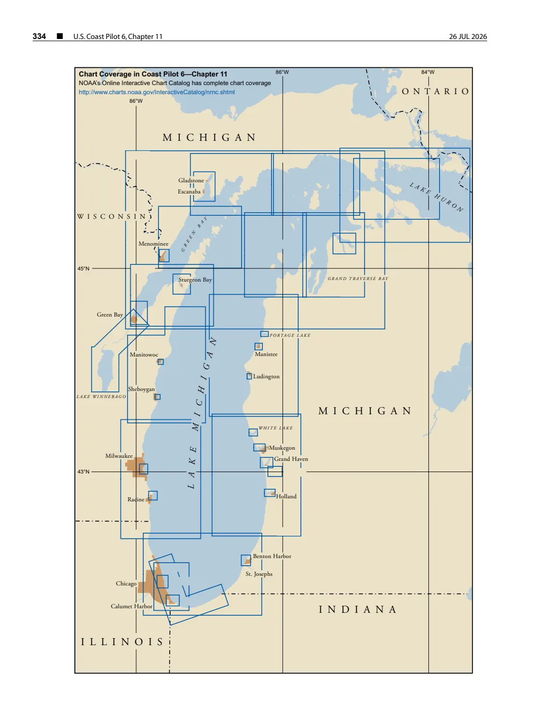
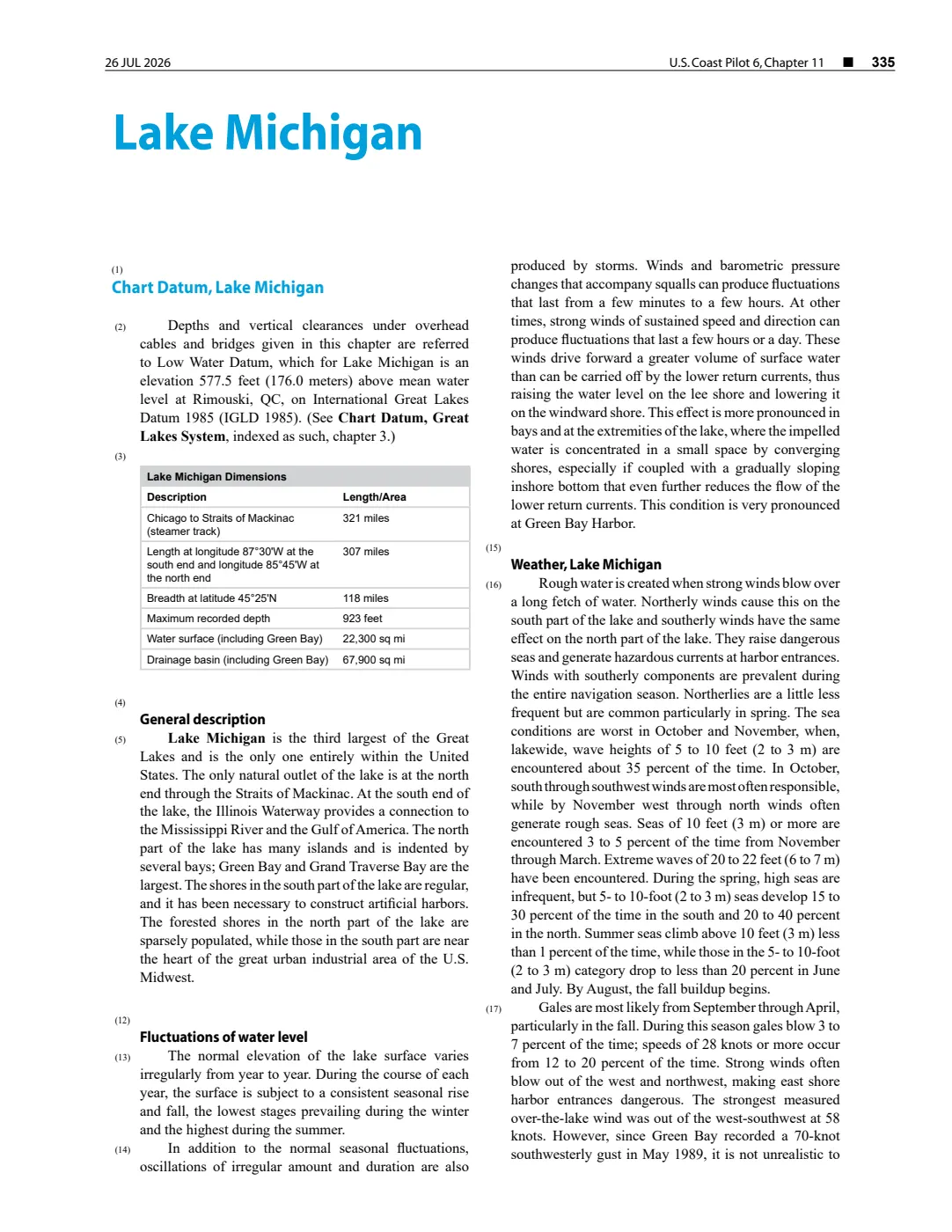
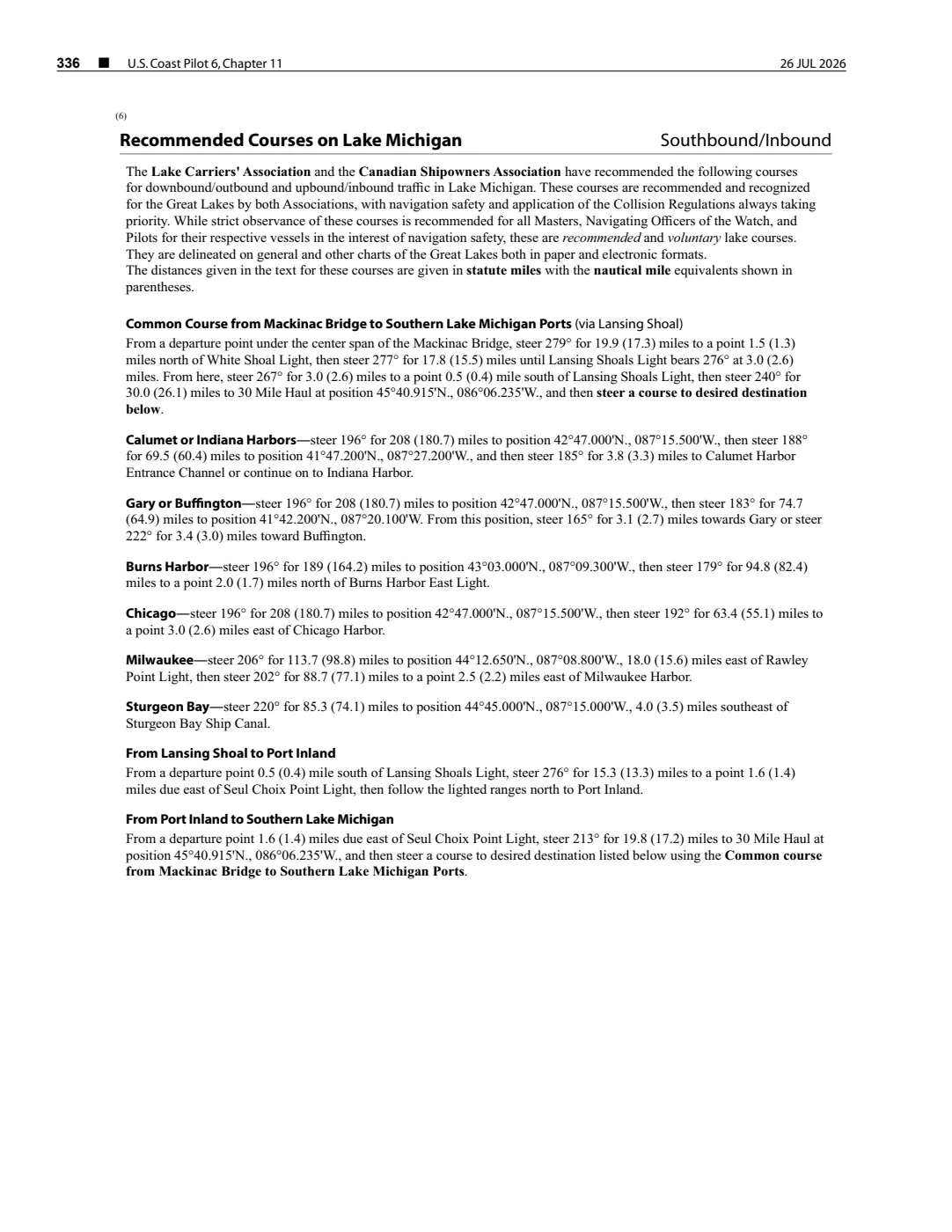
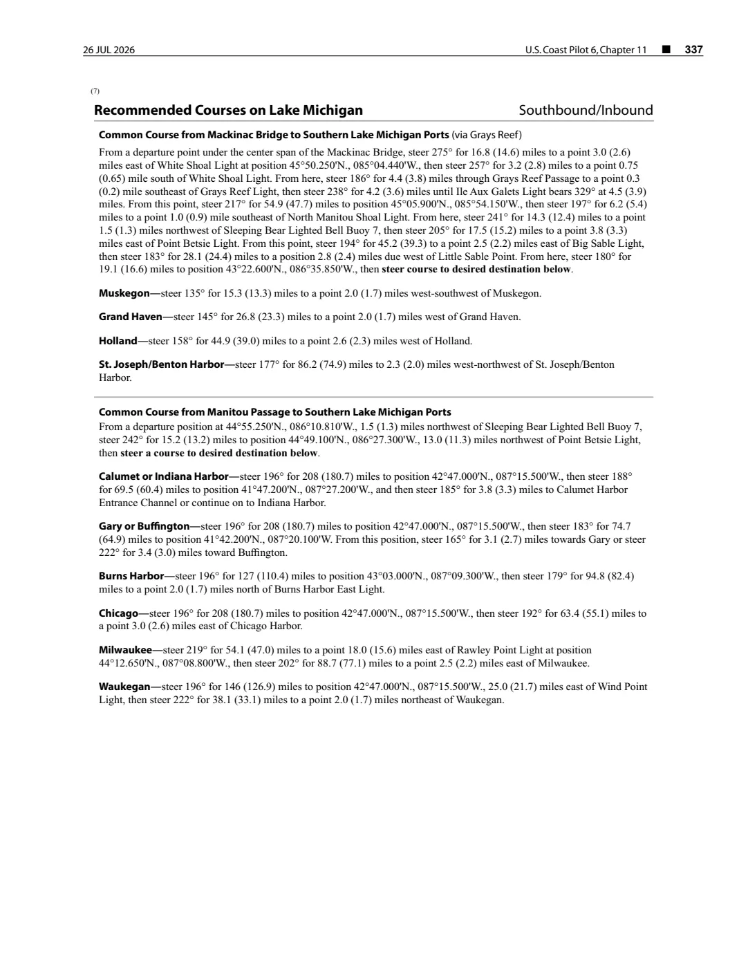
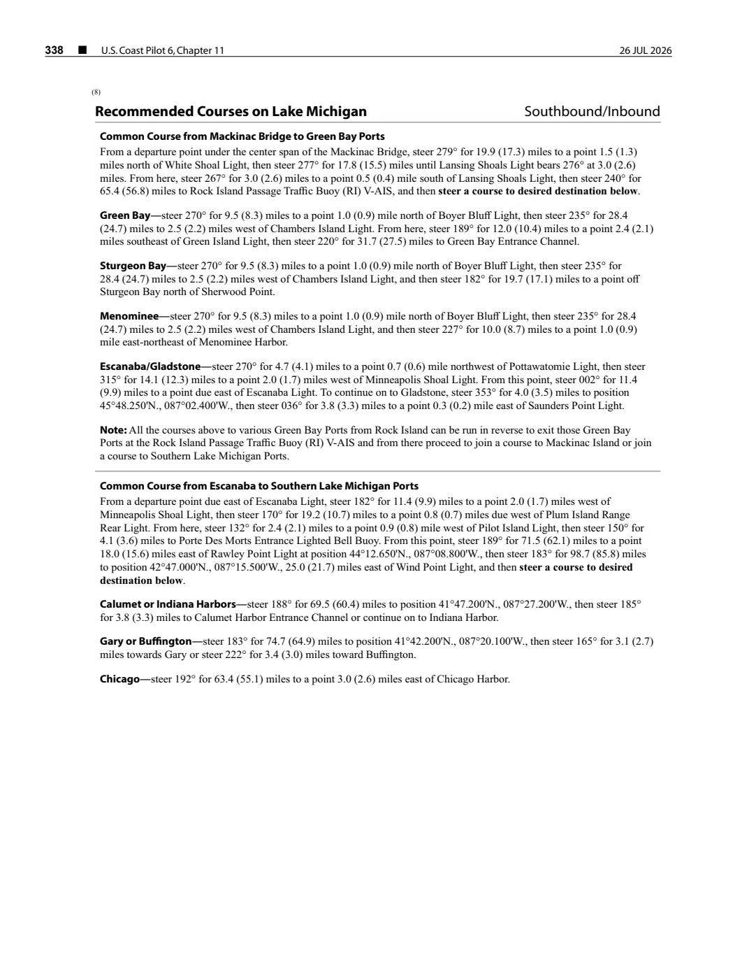
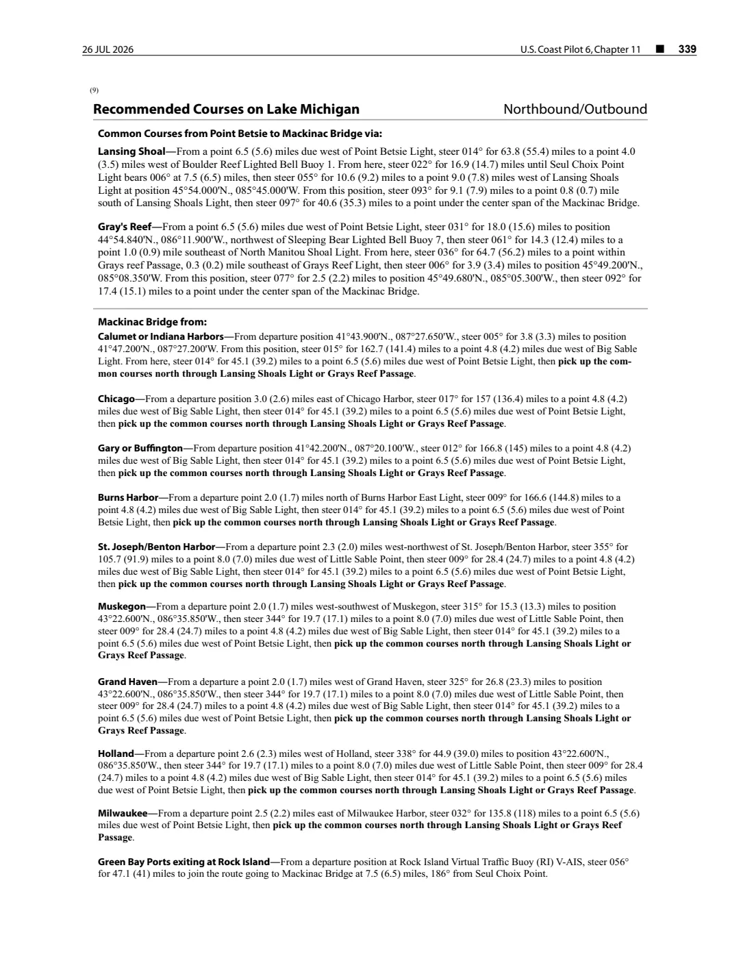
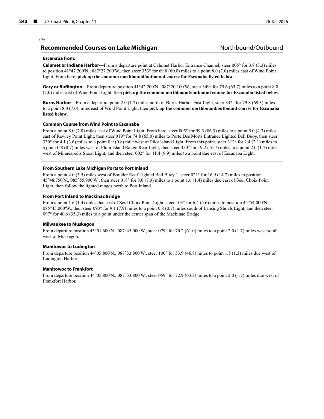
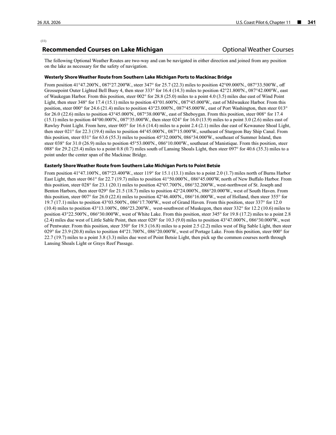
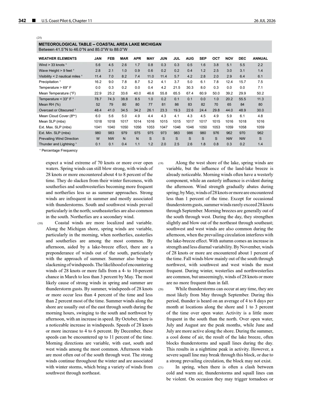
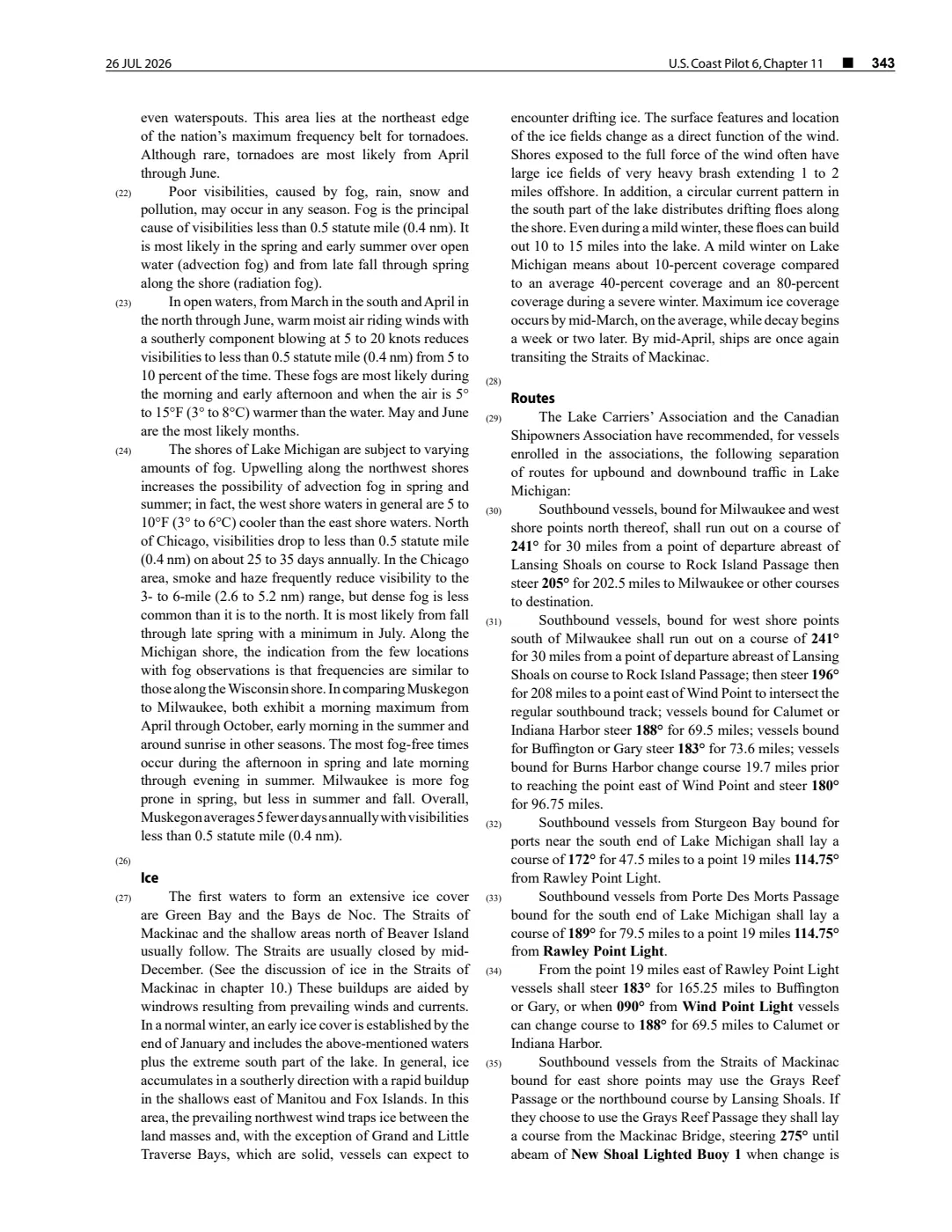
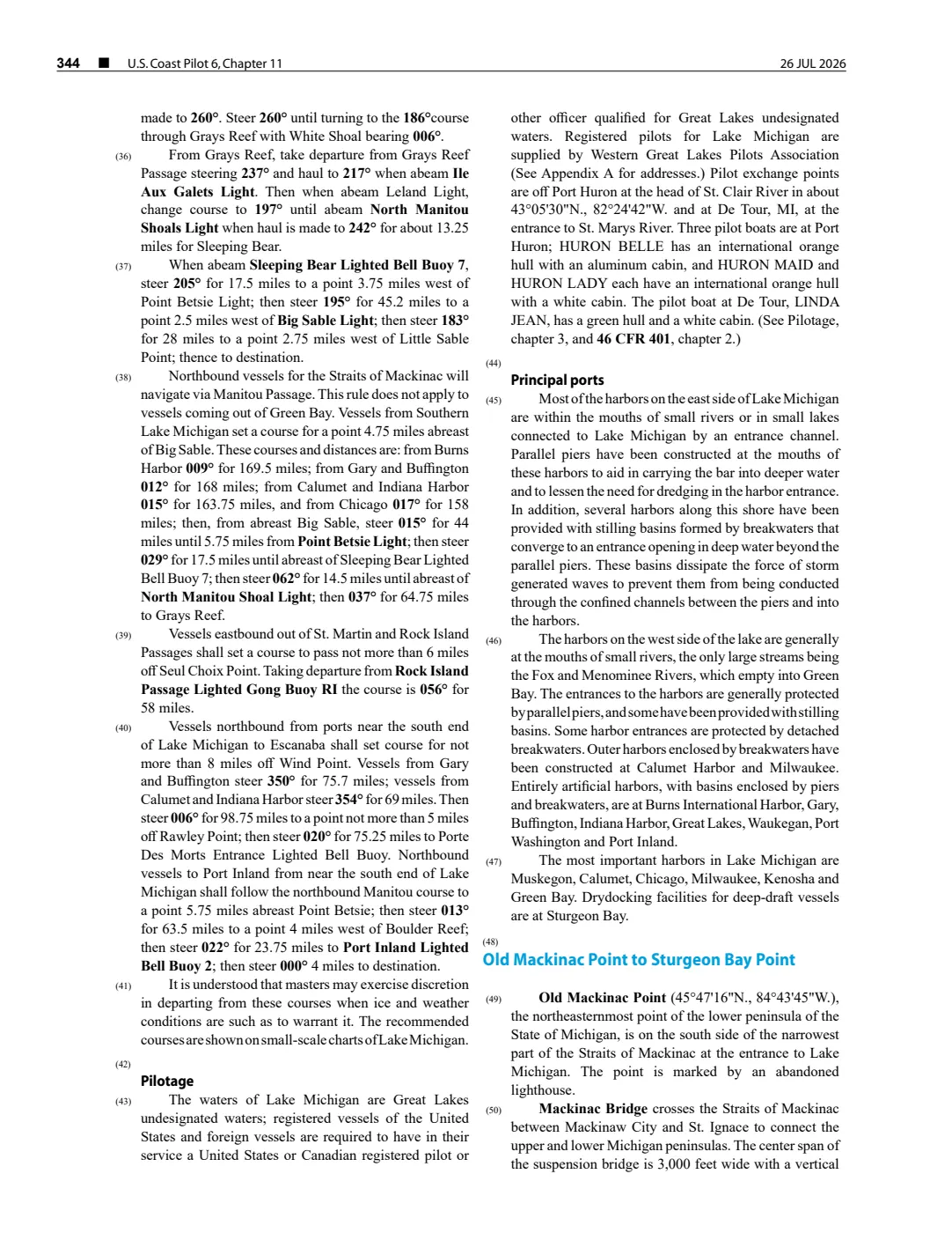
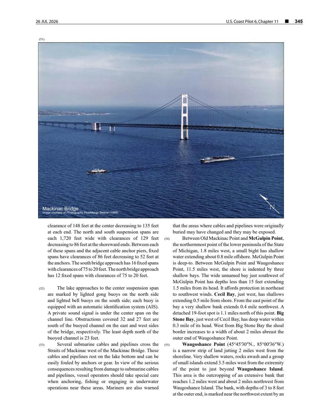
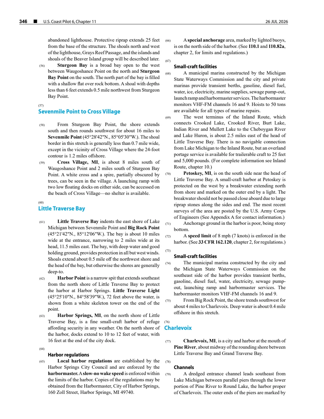
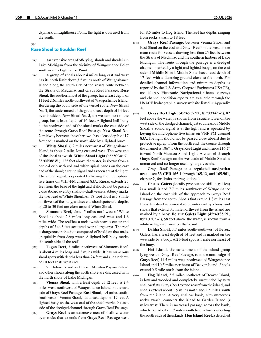
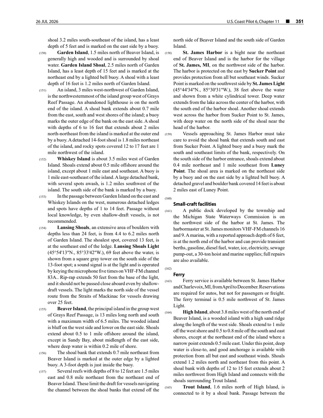
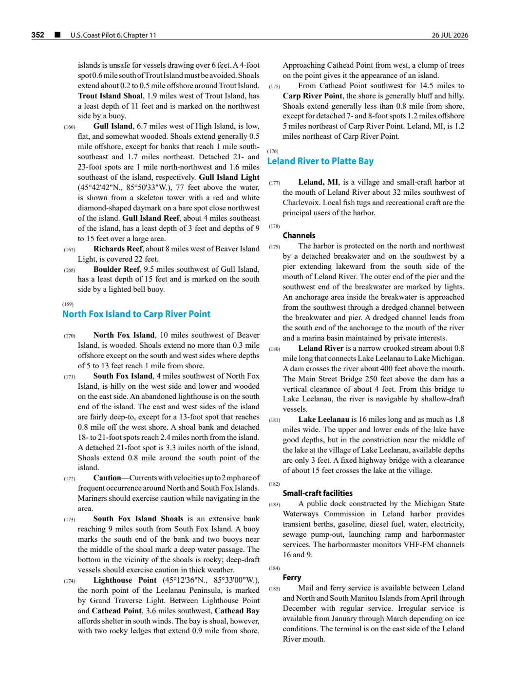
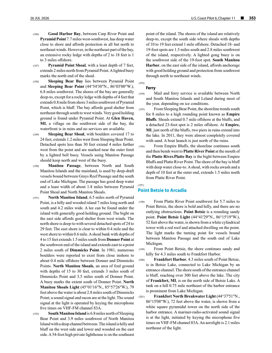
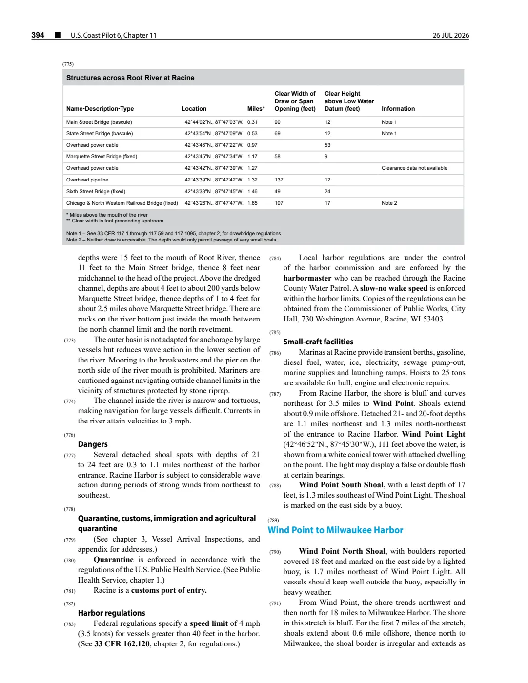
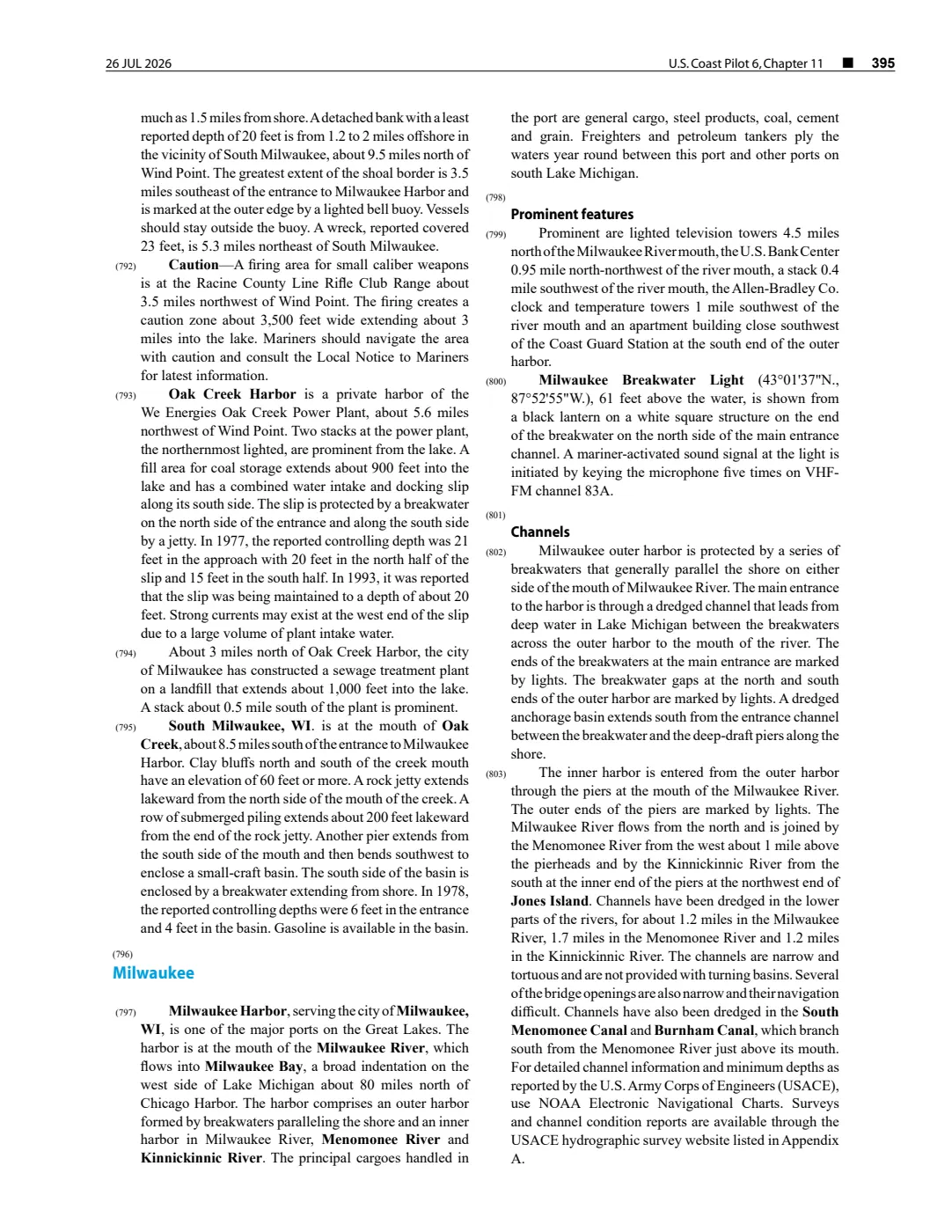
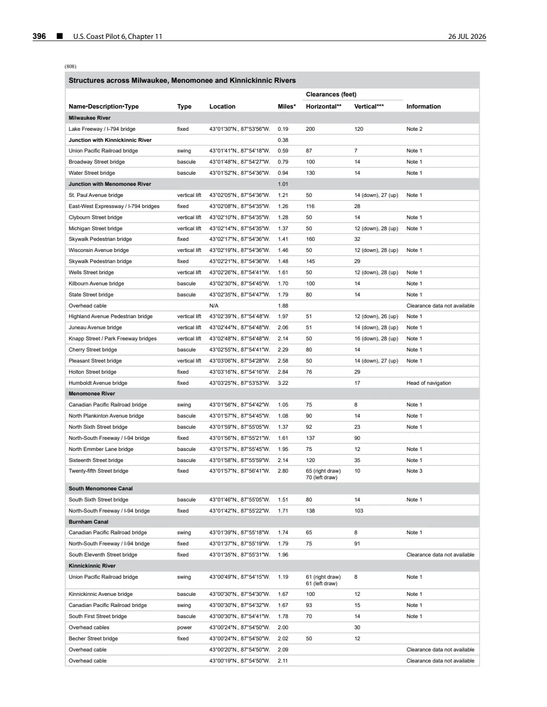
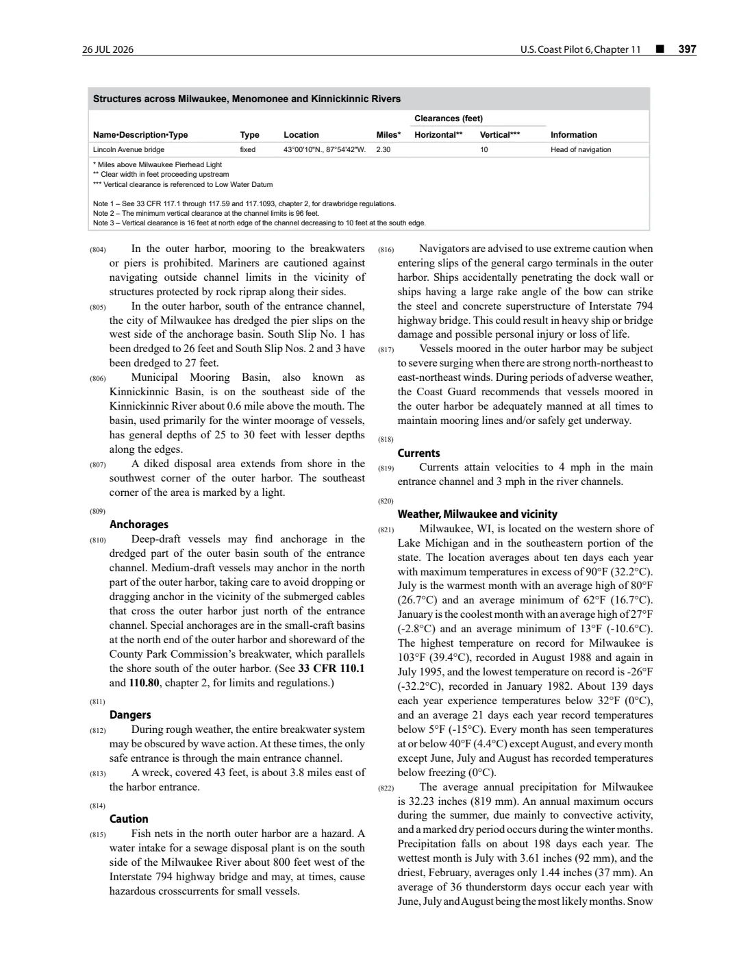
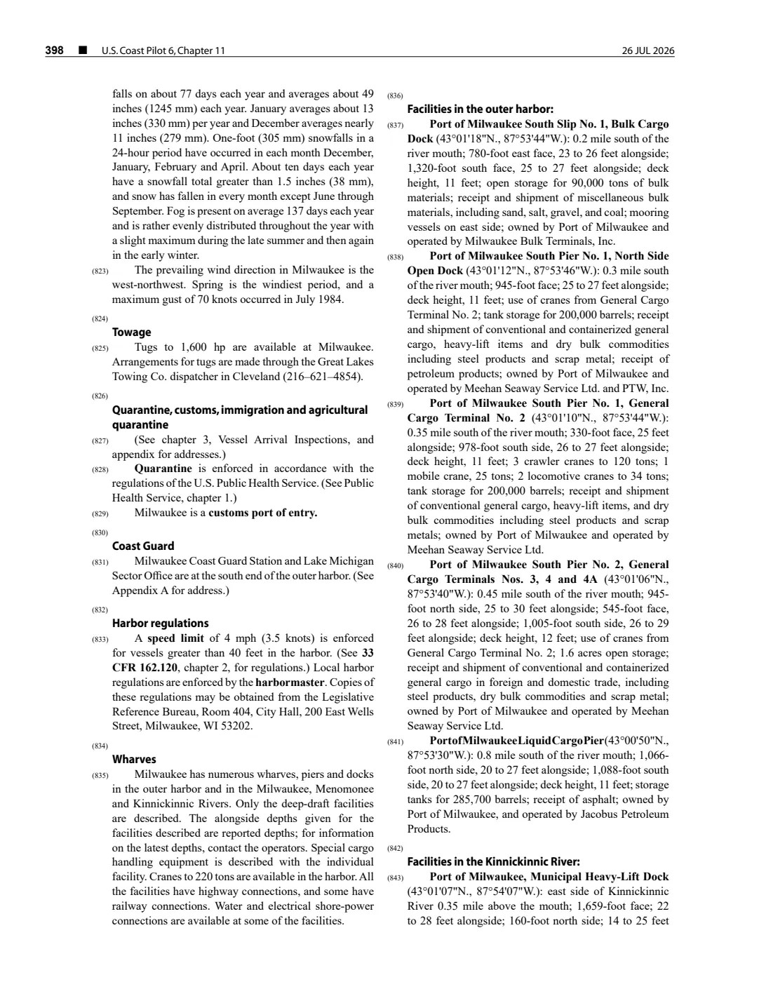
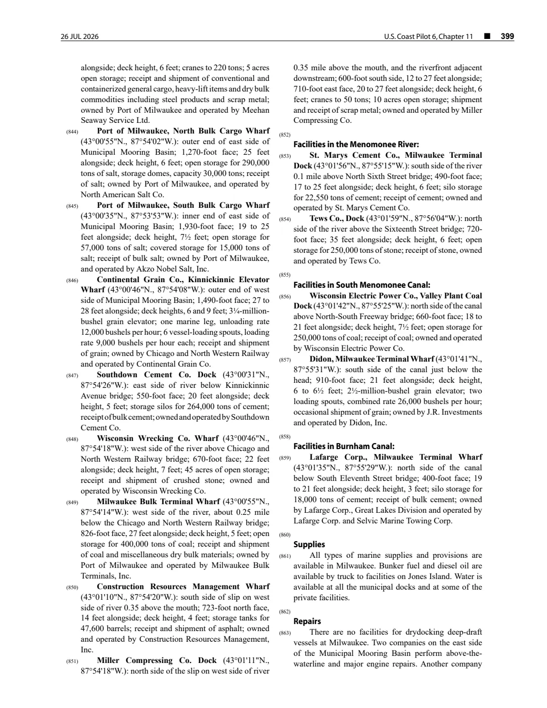
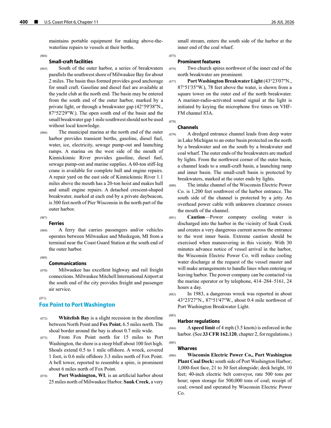
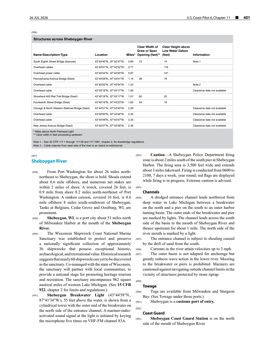
This held capture preserves the 26 July 2026 revision of chapter 11 of NOAA’s U.S. Coast Pilot 6. It is a current-era navigational reference for the Lake Michigan section that includes Iles aux Galets, Dahlia Shoal, and Hog Island Reef. It prints the Ile aux Galets Light position as 45°40’35“N., 85°10’20”W.
Source-bounded coverage
The captured revision describes Dahlia Shoal as 3.7 miles south-southwest of Ile aux Galets, reports a least depth of 14 feet, and notes a buoy on its west side. It describes Hog Island Reef as a detached shoal 3.2 miles south-southeast of Hog Island, reporting a least depth of 5 feet and a buoy on its east side. These are statements in this dated navigational publication.
The source does not provide a surveyed polygon for either feature in the held capture. Its bearing-and-distance descriptions are not converted here into derived coordinates or boundaries. The printed light coordinate is used only as a point anchor for the light station, not for Ile aux Galets or Dahlia Shoals. Because the Coast Pilot is revised, its hydrographic and aid-to-navigation descriptions must not be treated as a timeless condition, a title or access record, or a substitute for current official navigation products.
See also
Read the document
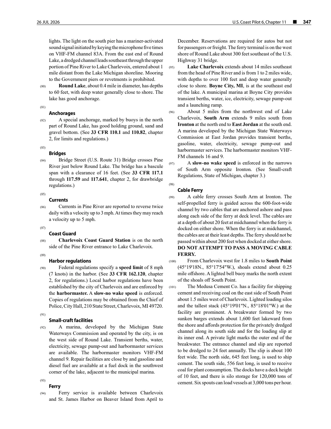
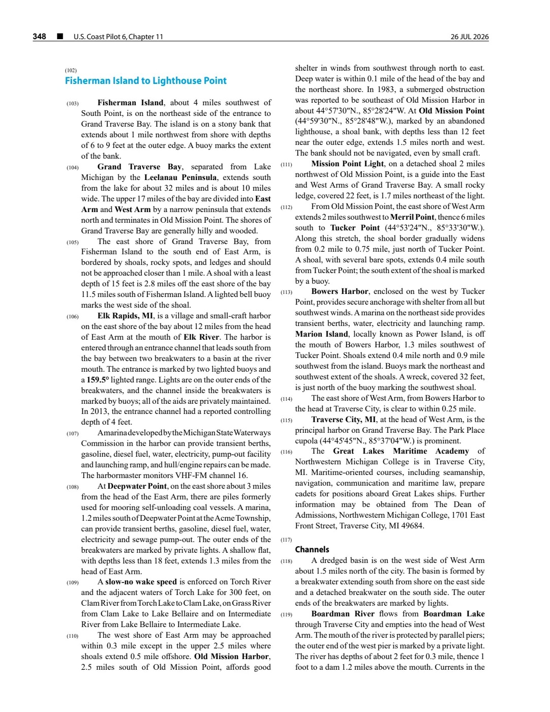
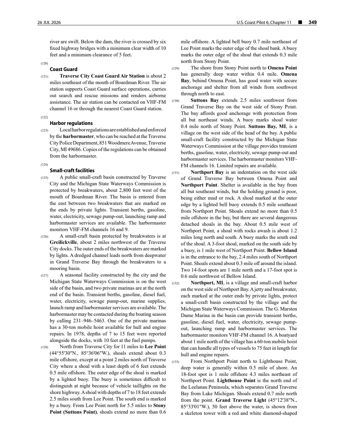
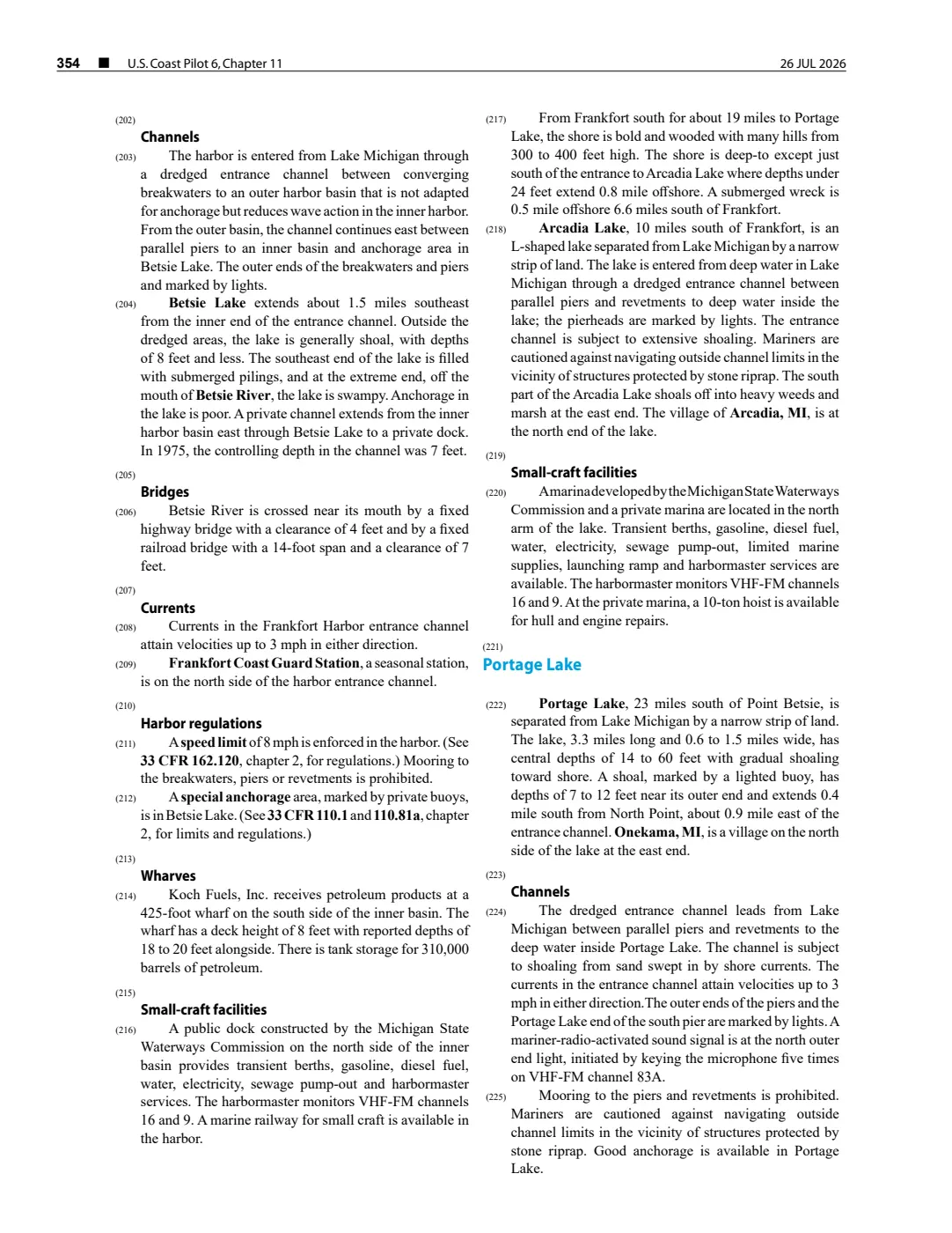
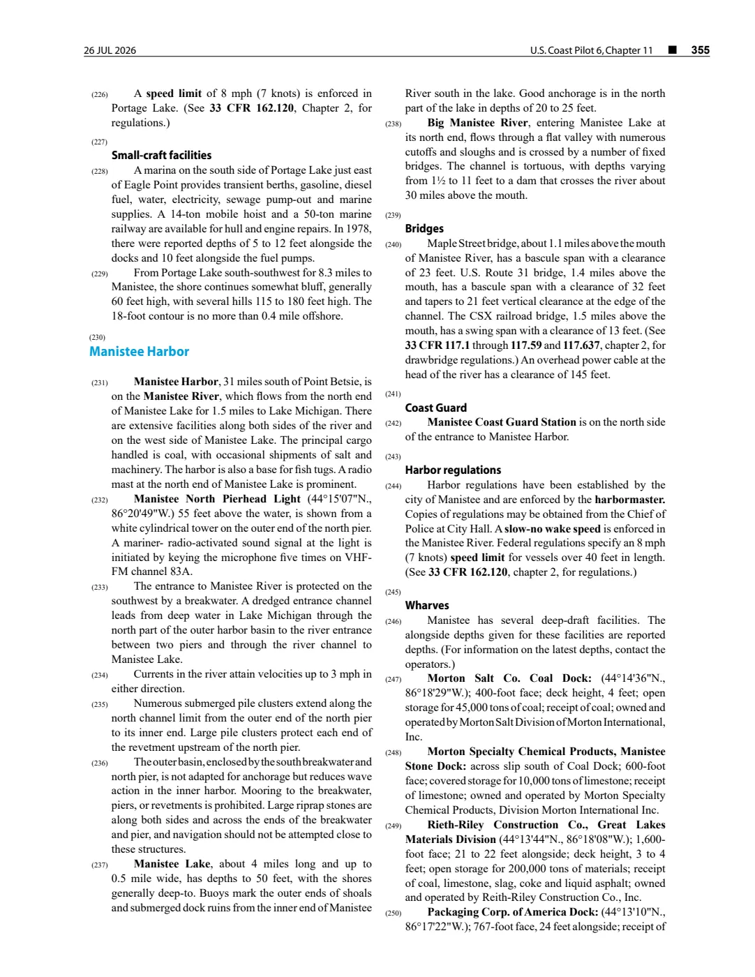
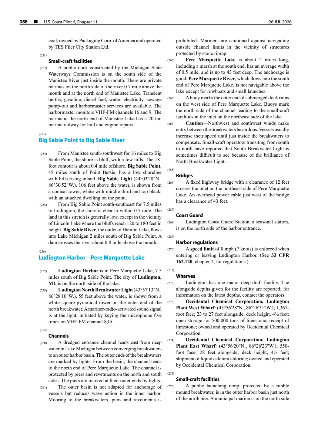
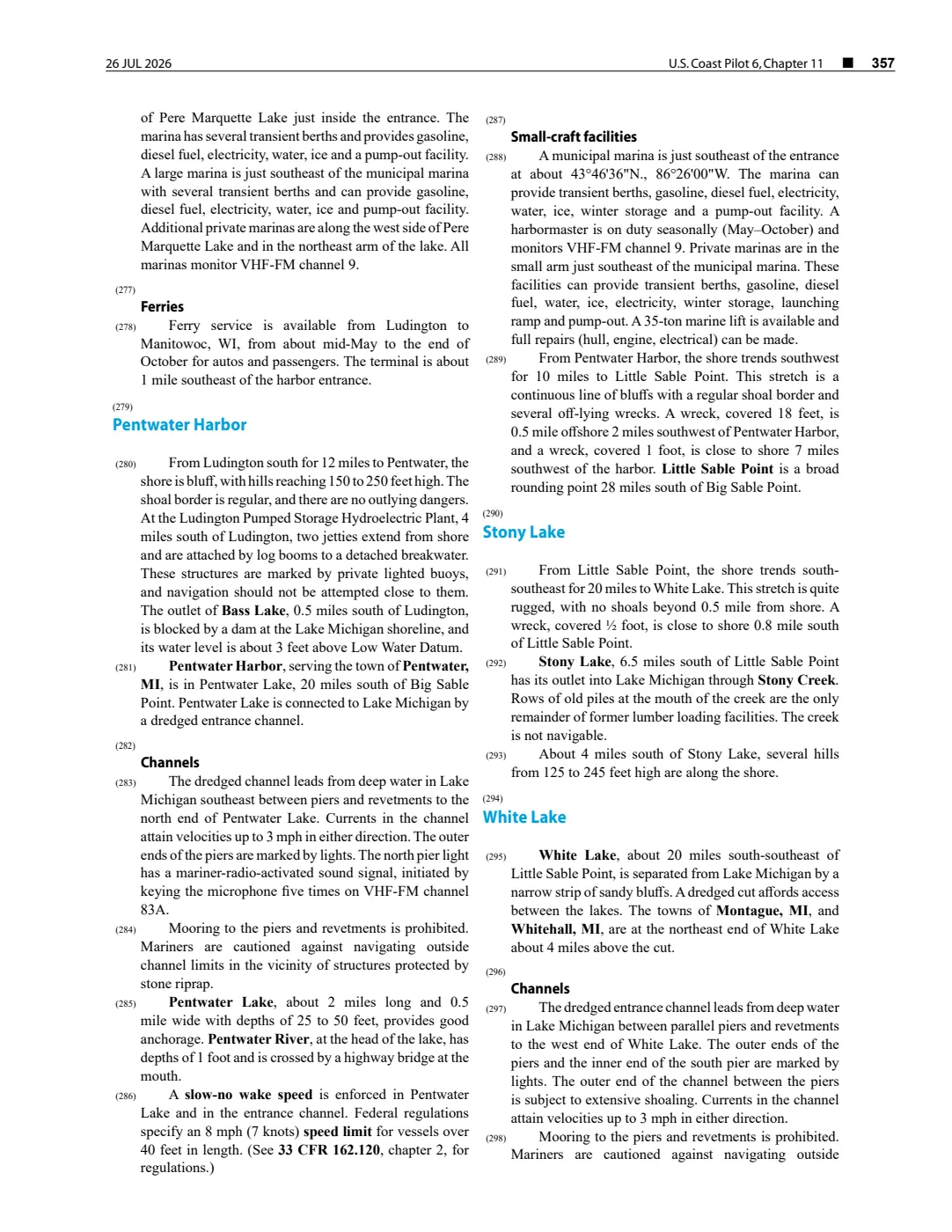
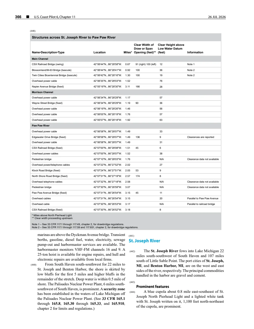
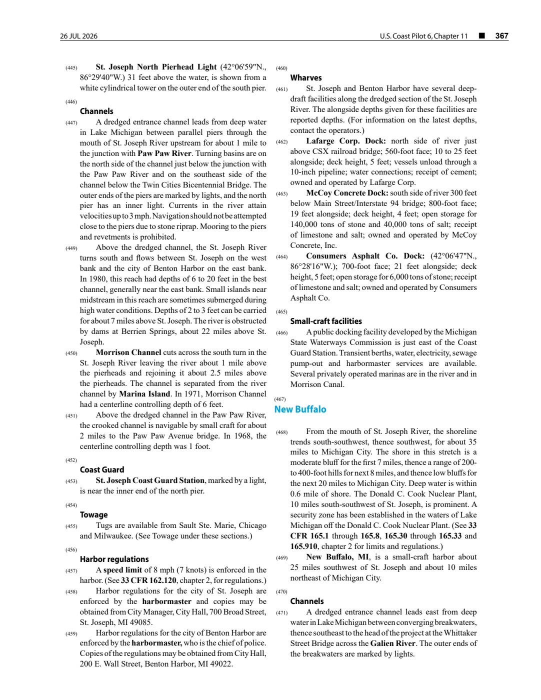
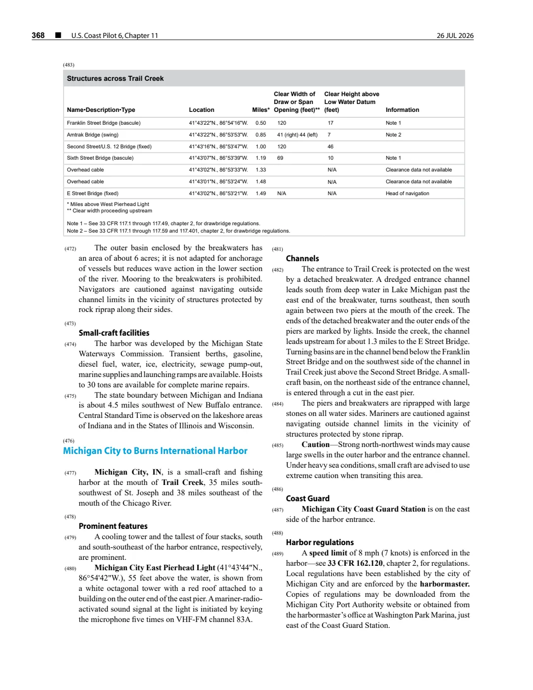
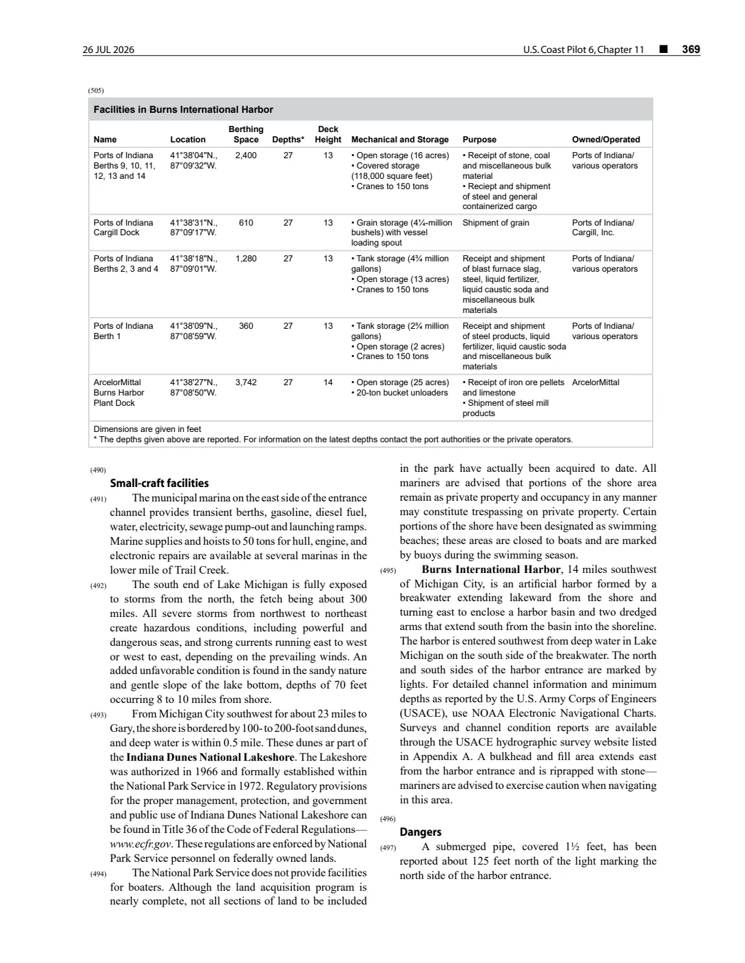
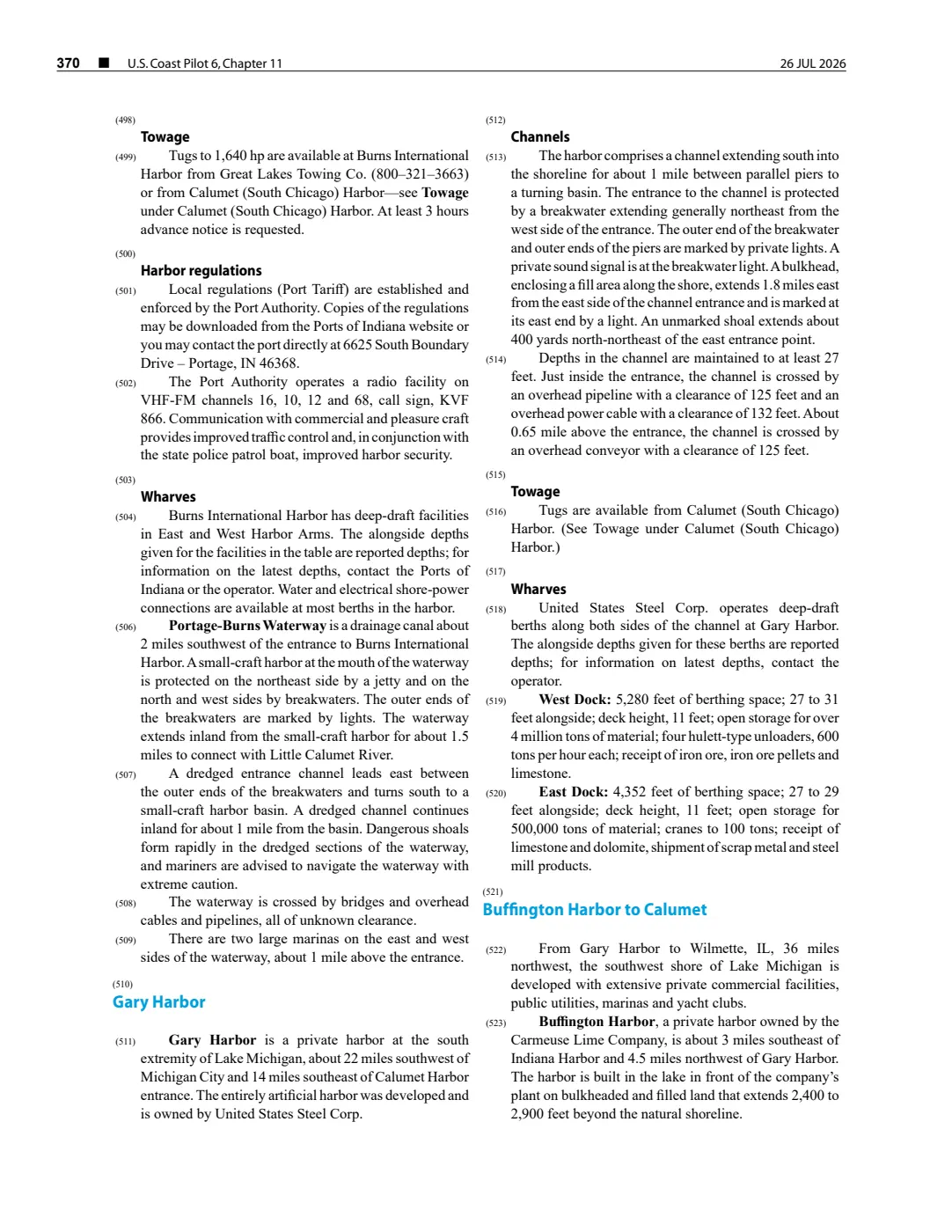
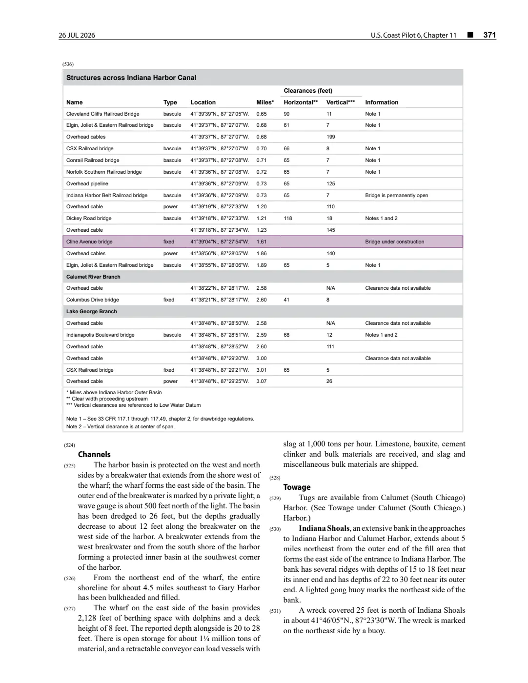
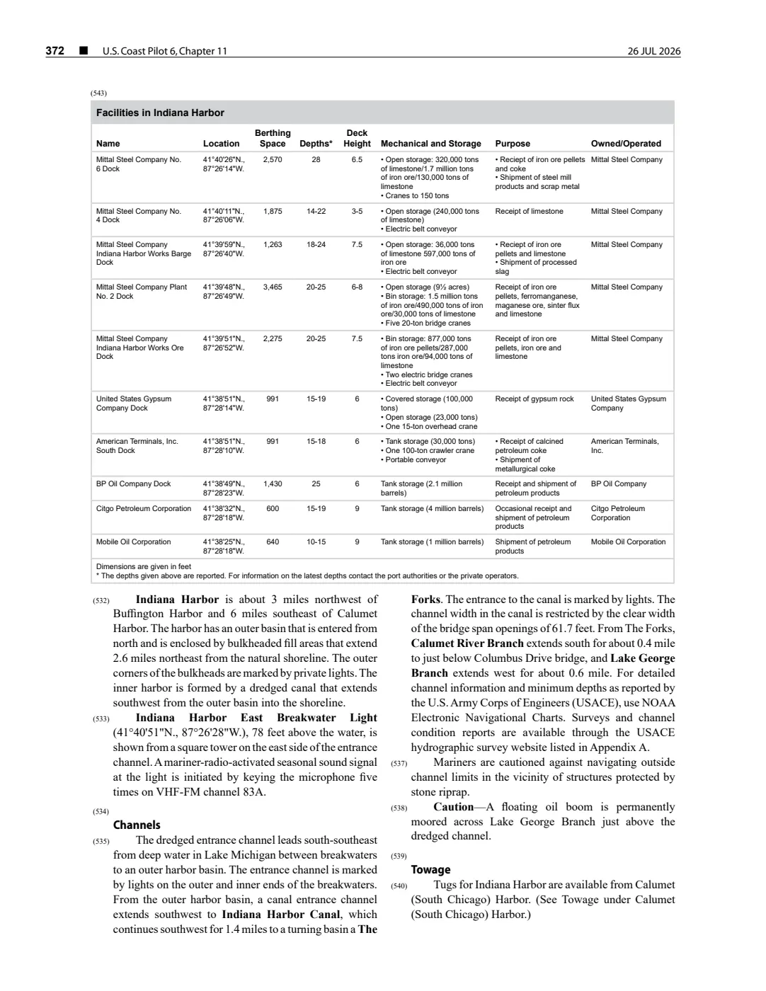
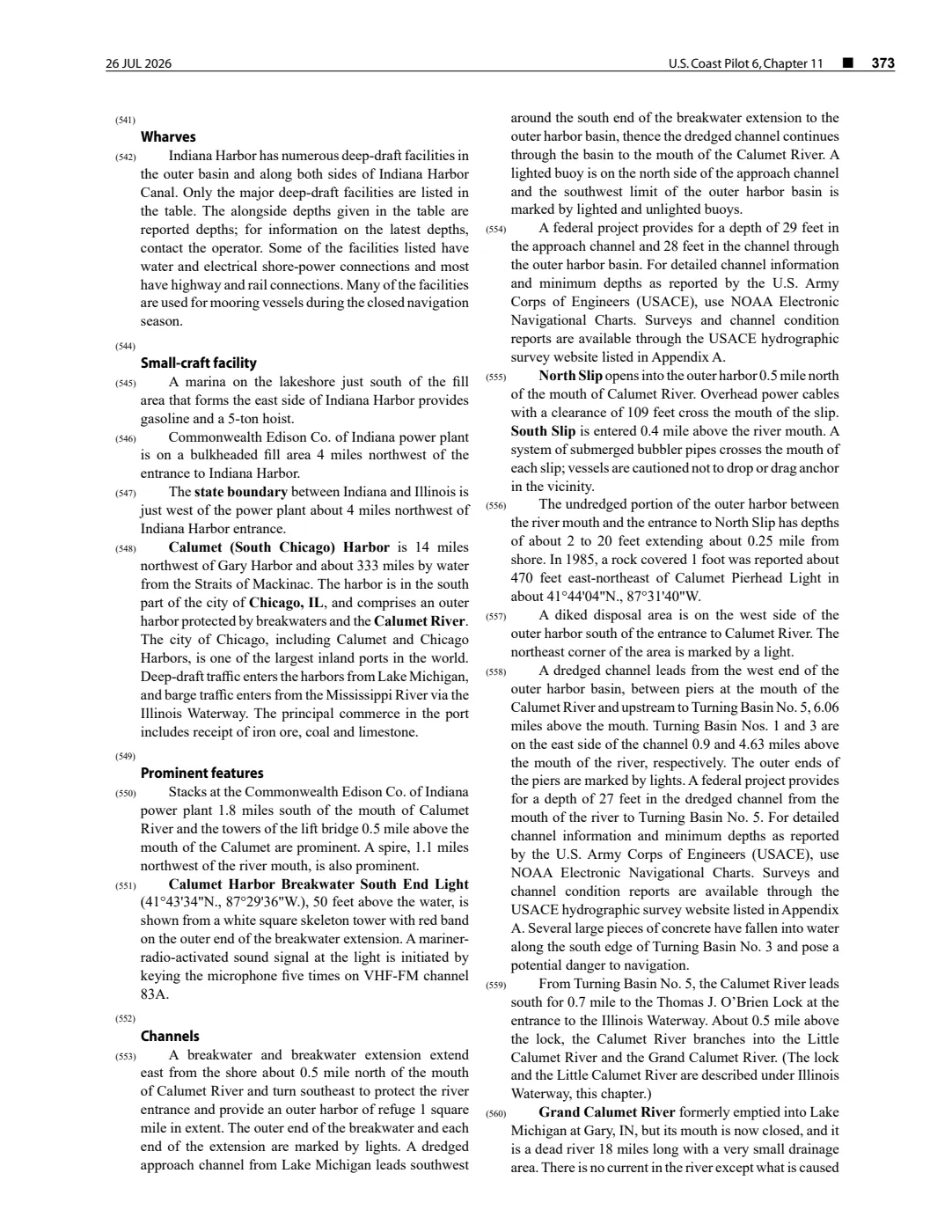
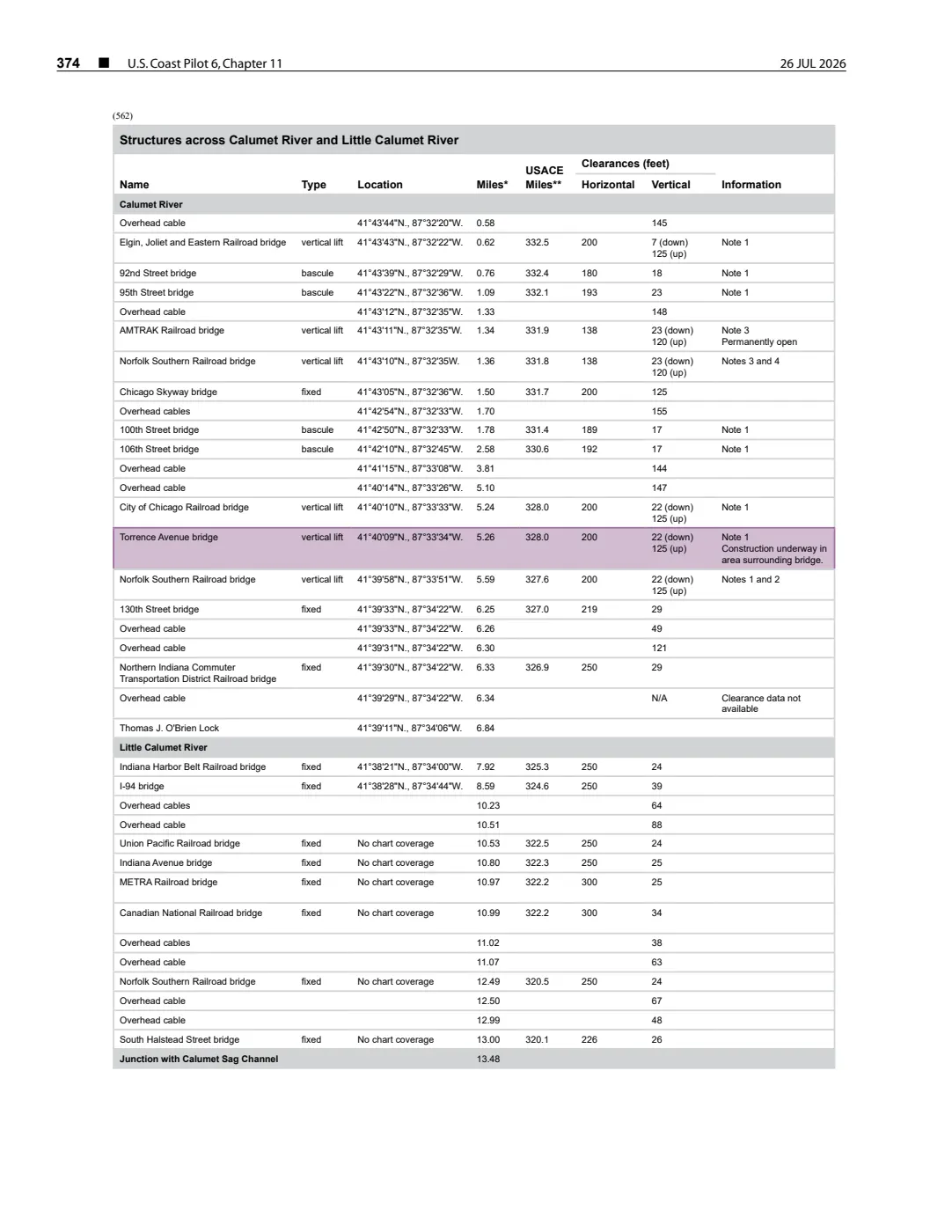
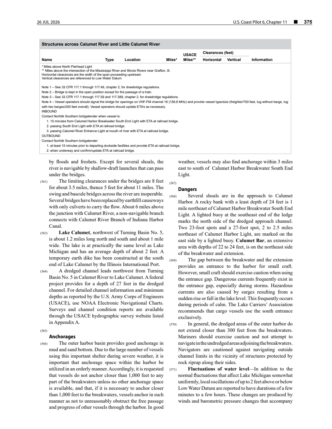
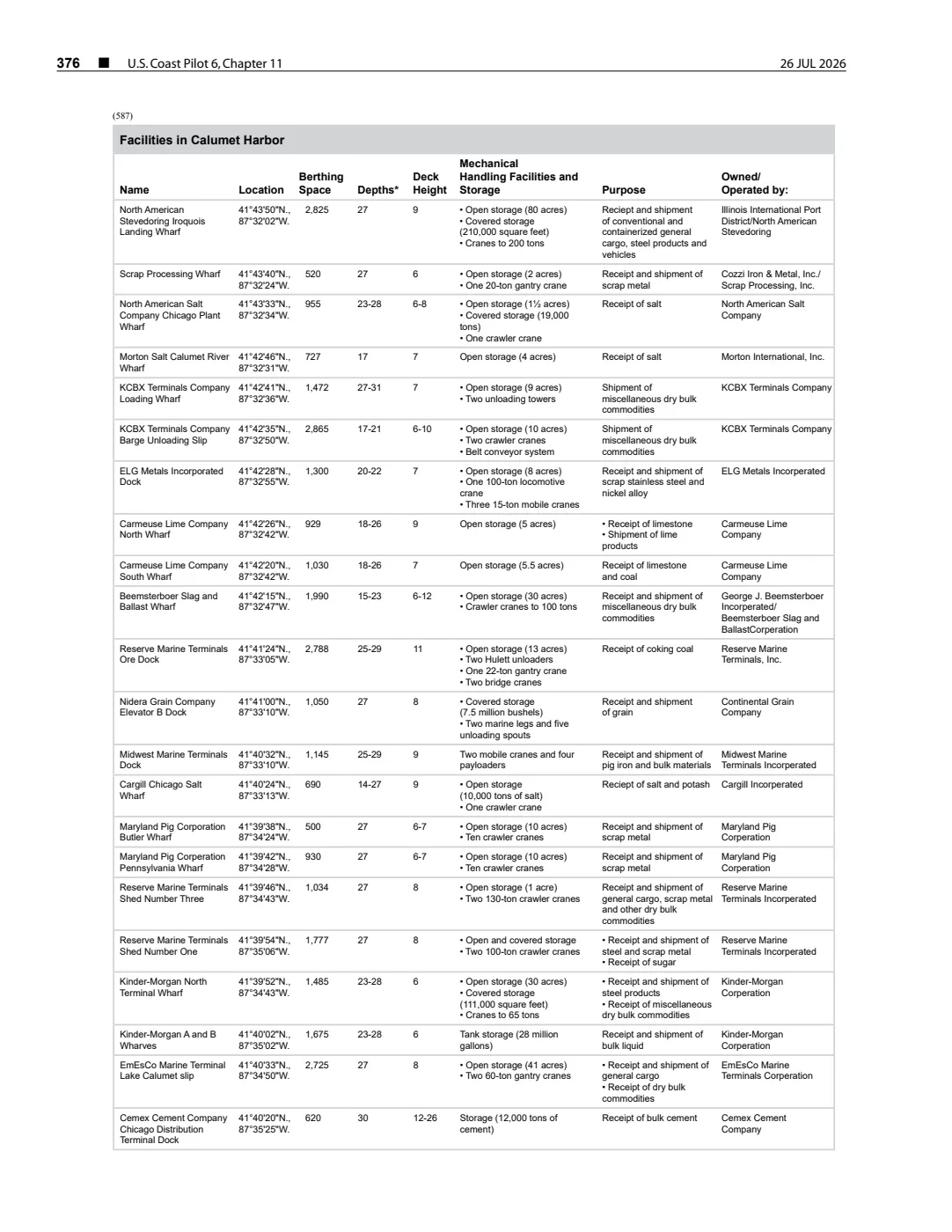
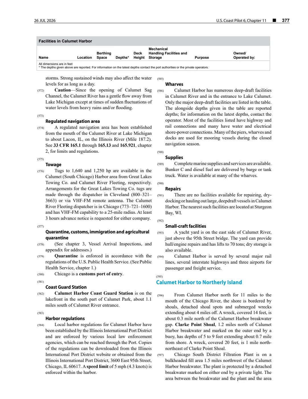
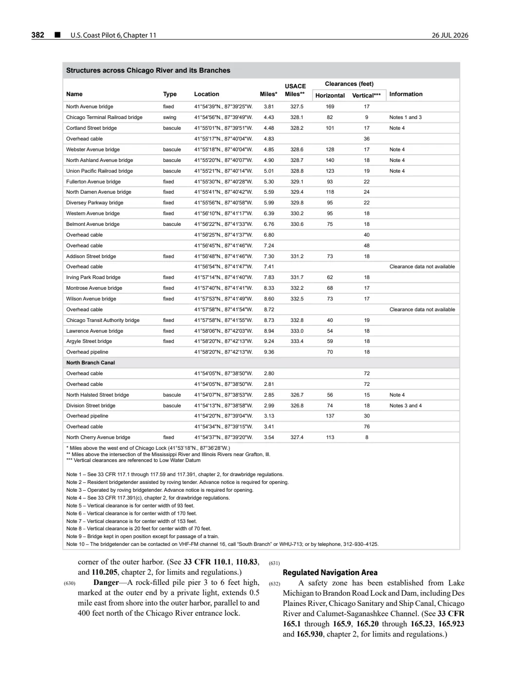
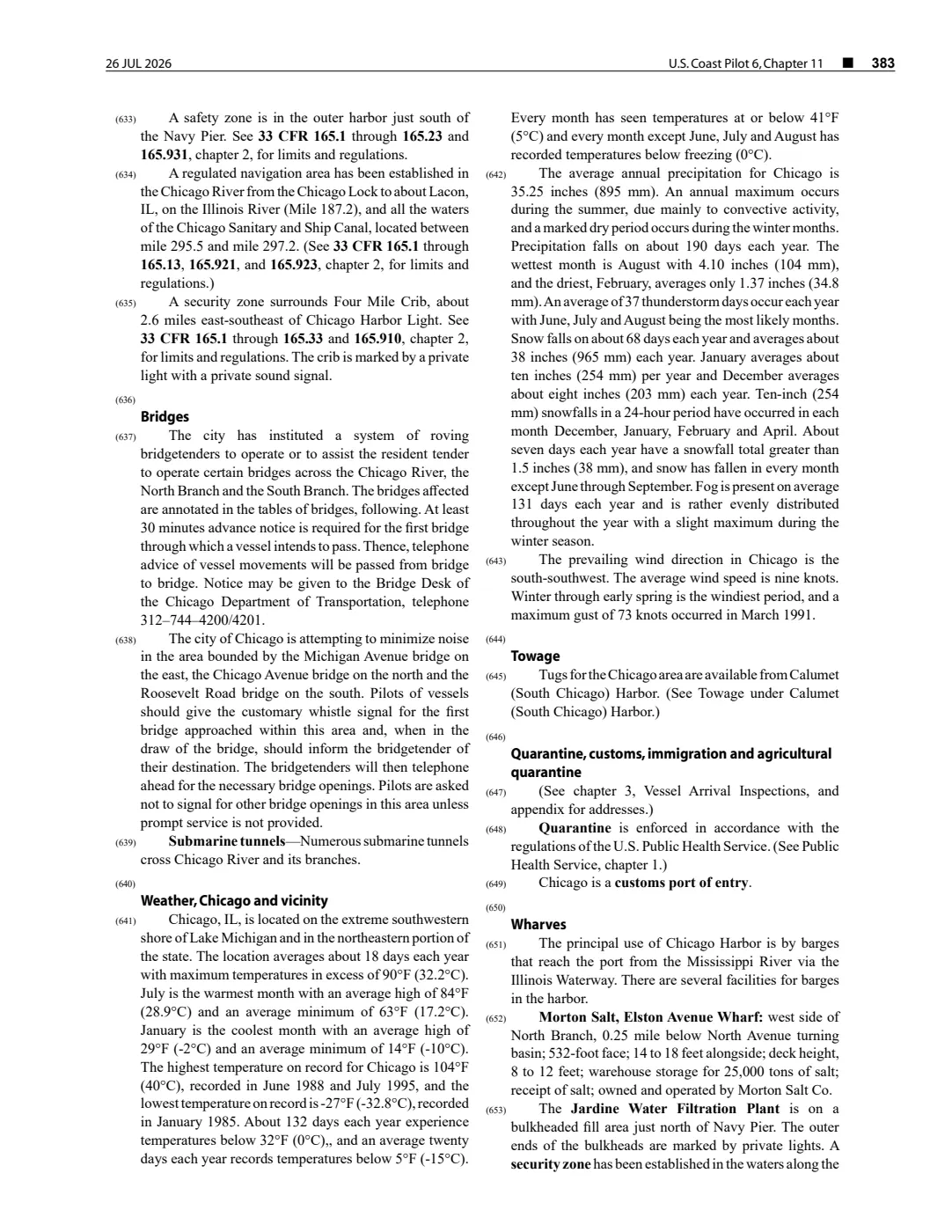
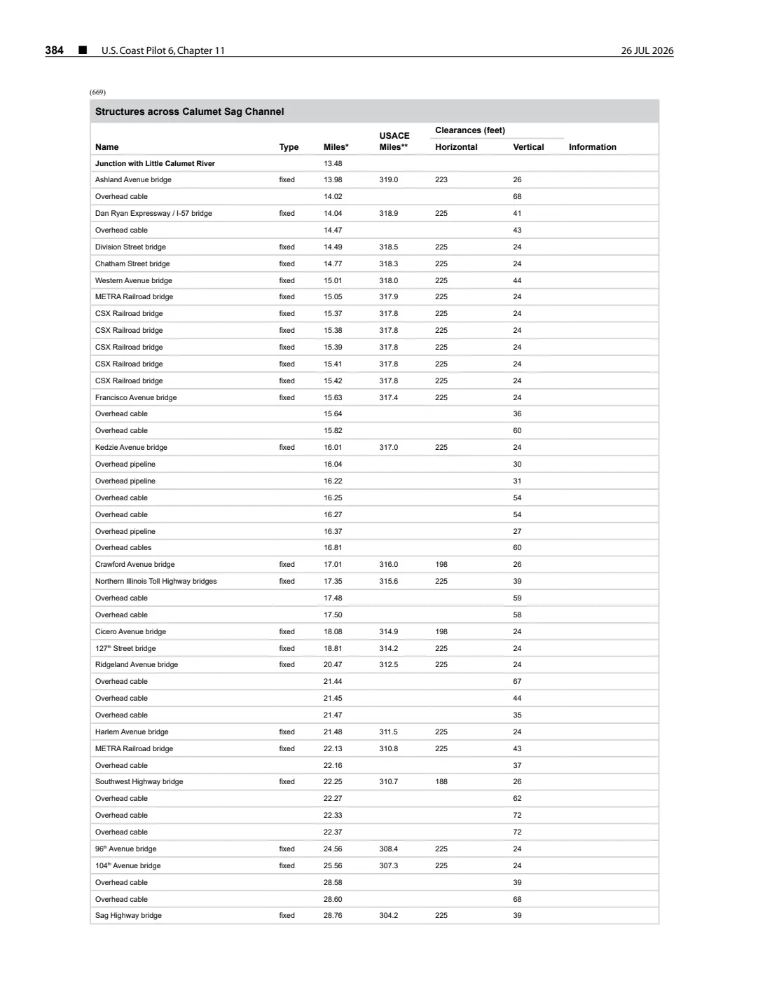
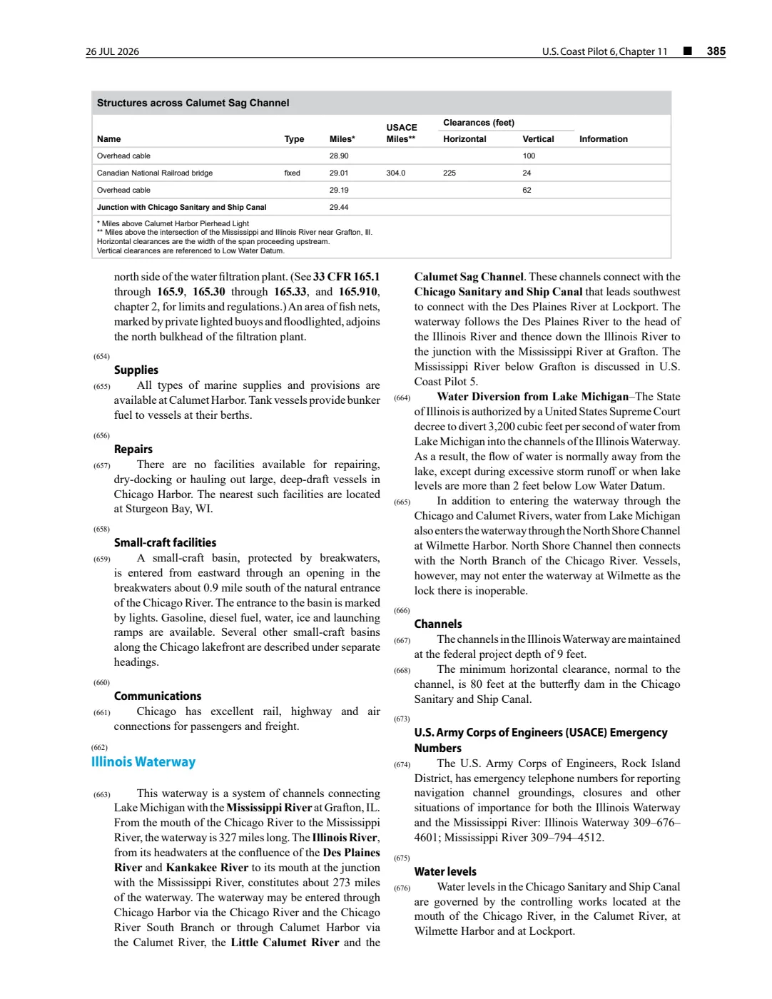
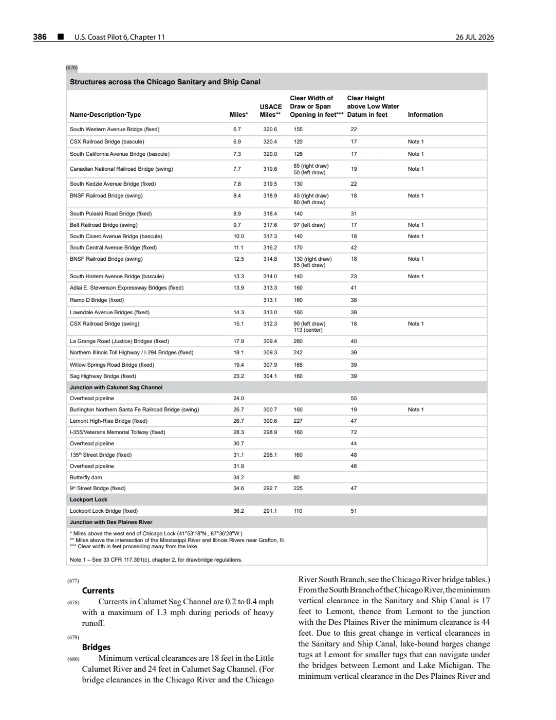
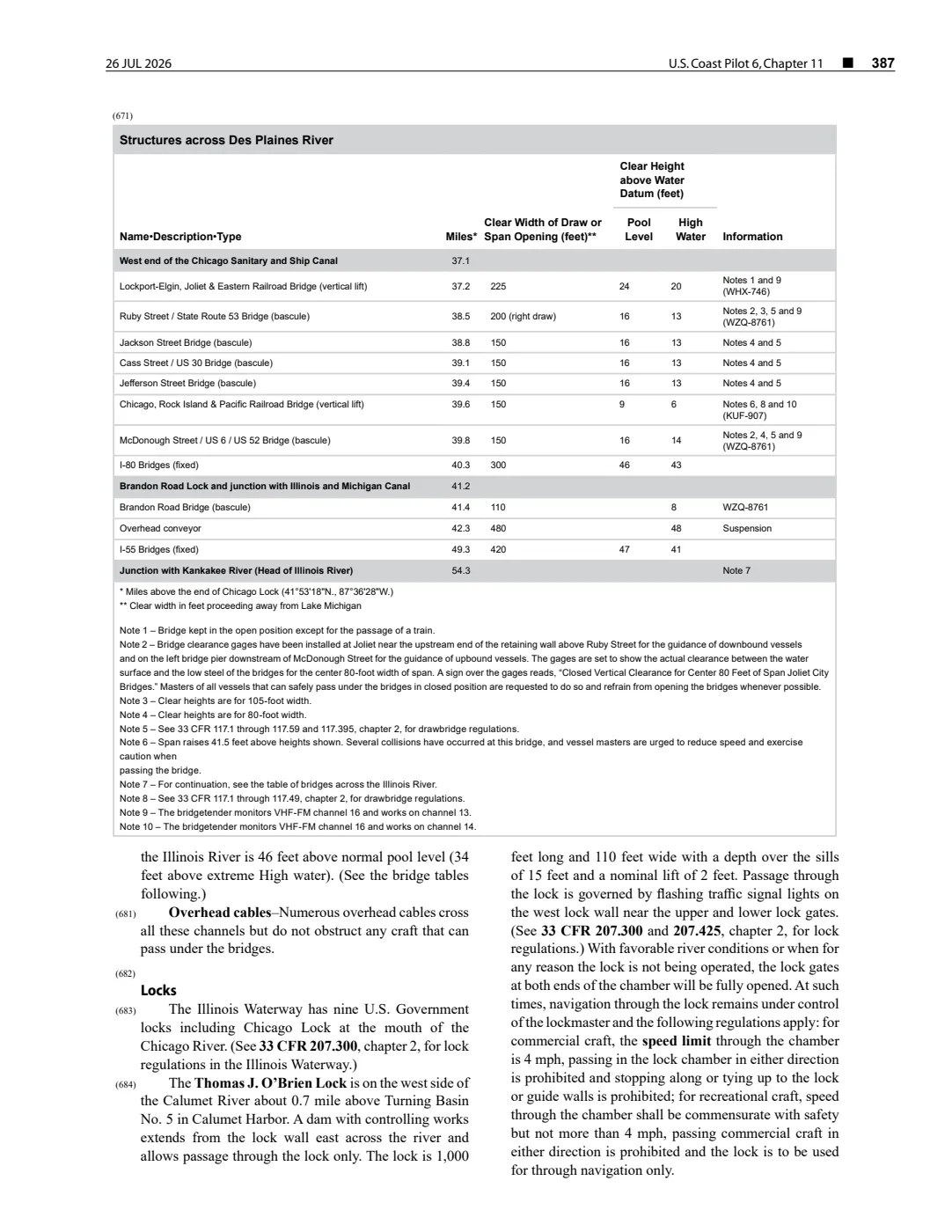
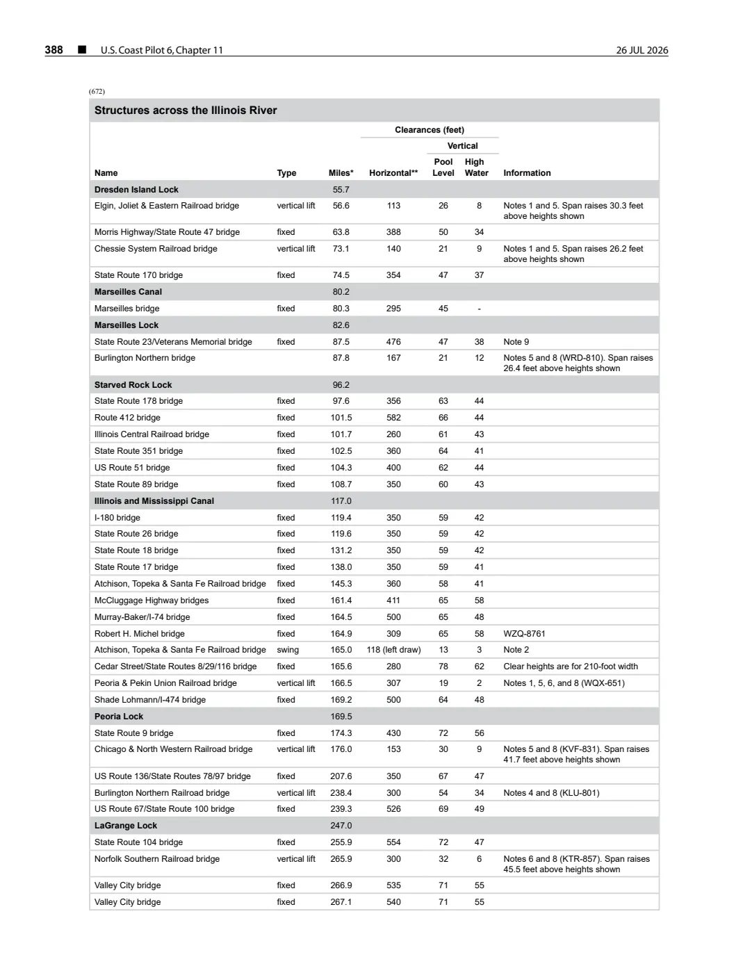
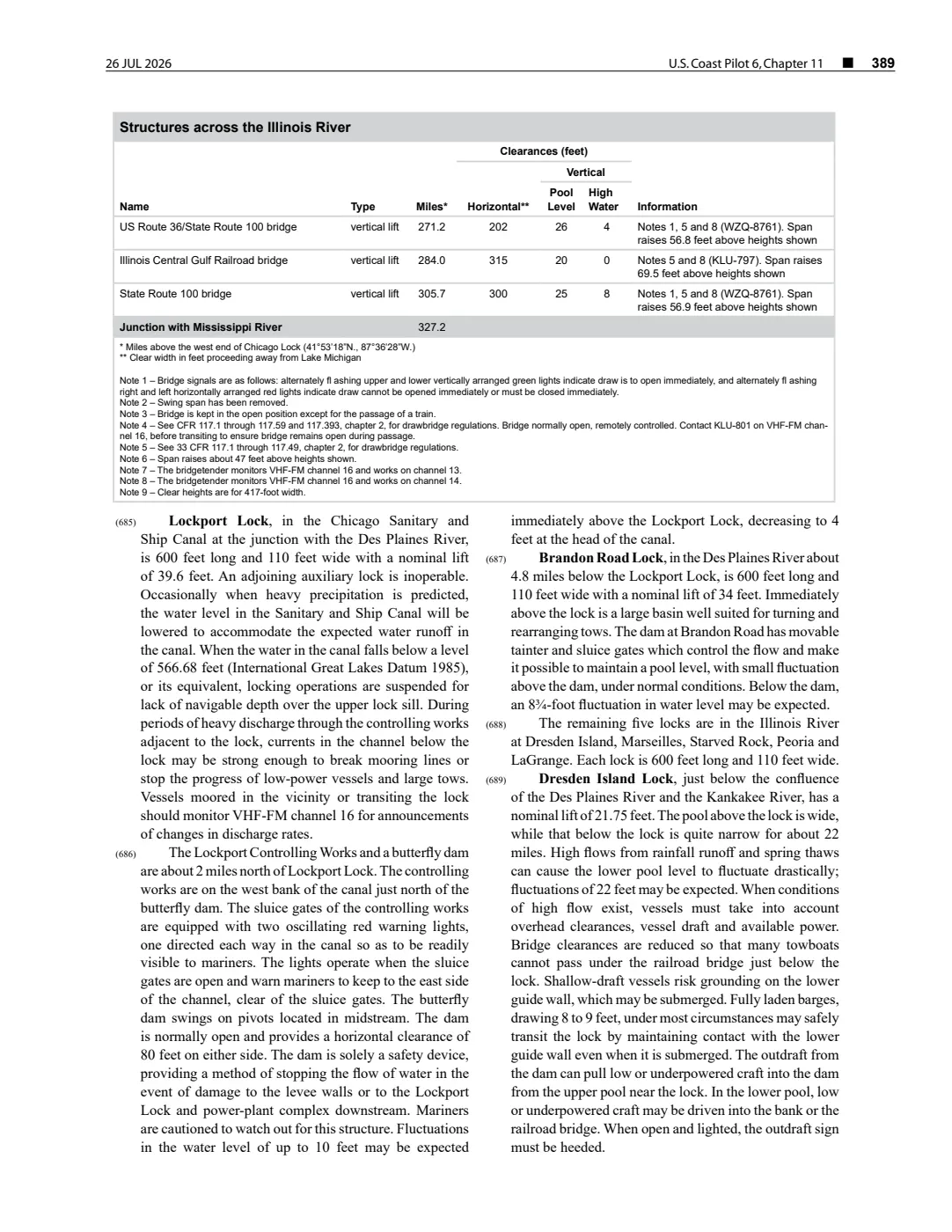
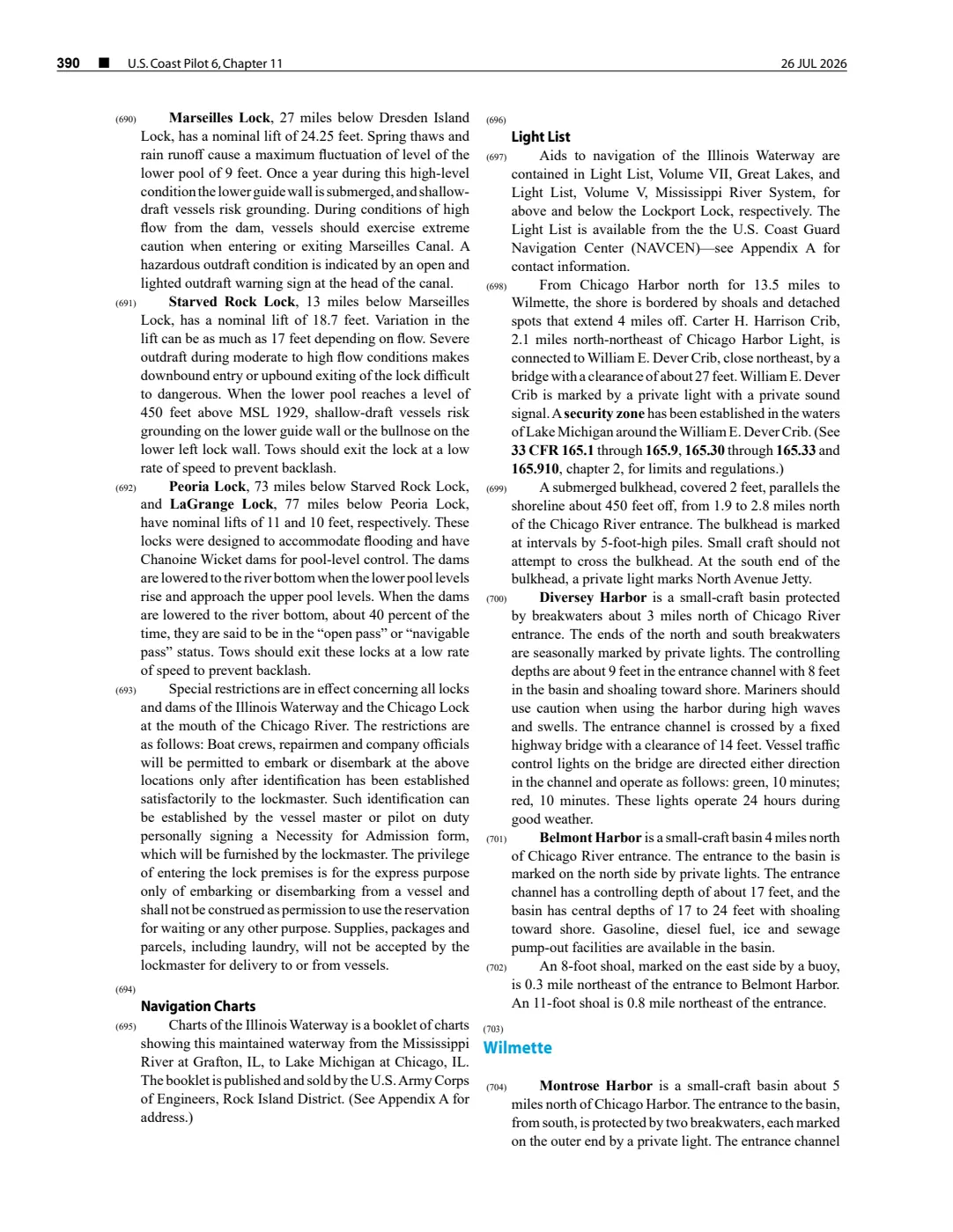
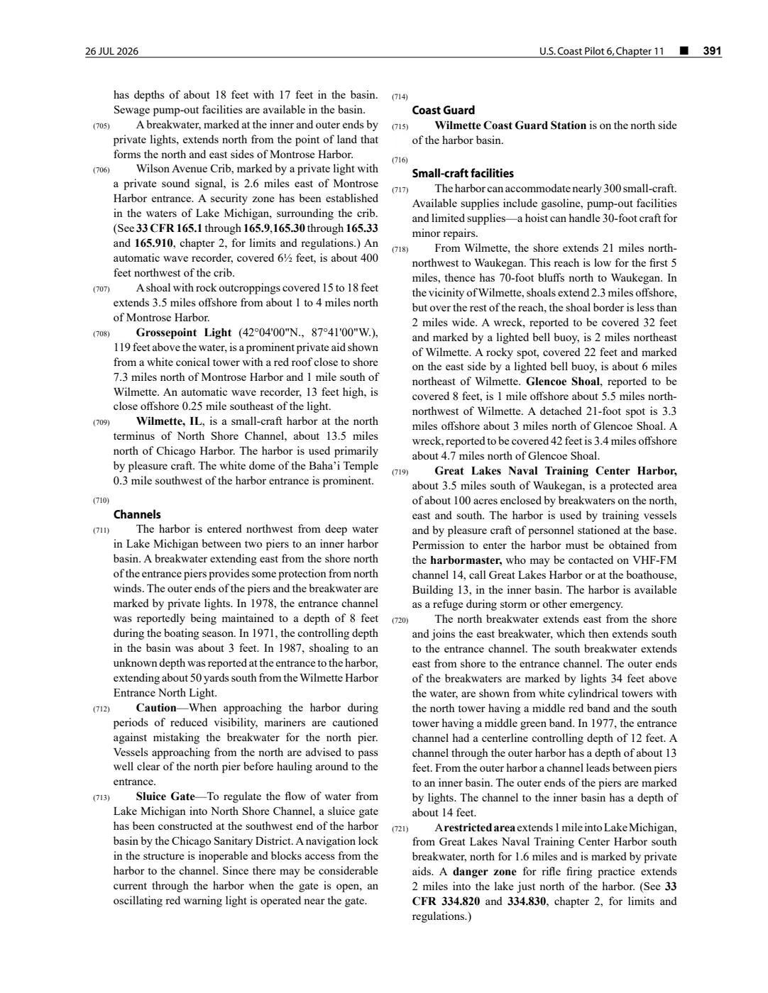
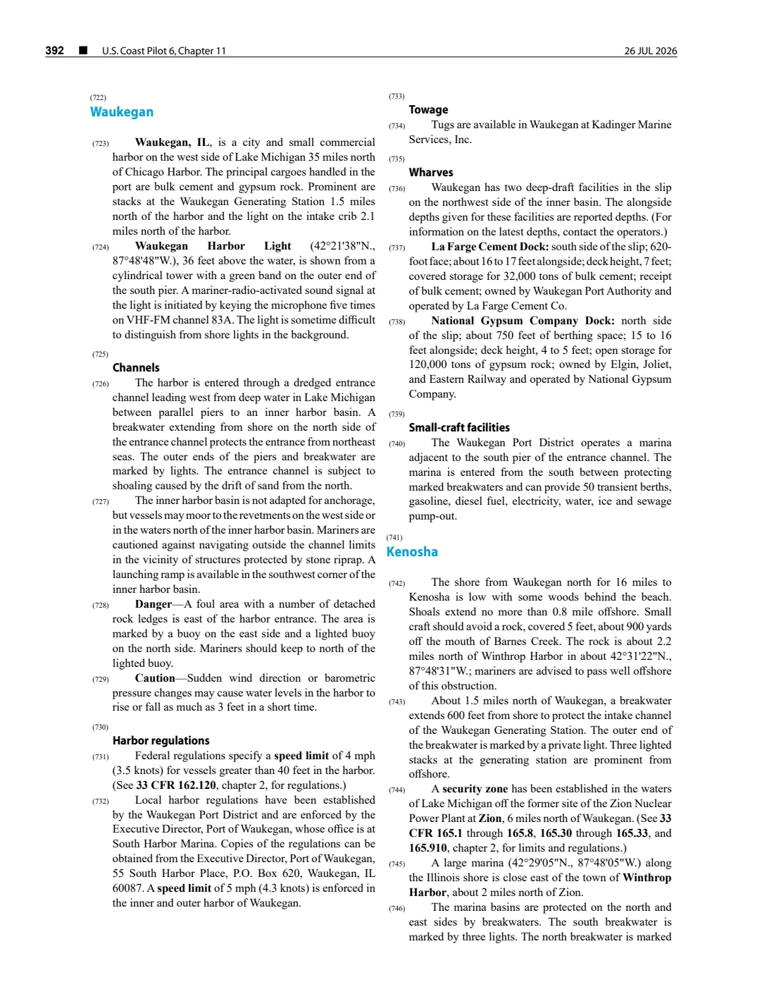
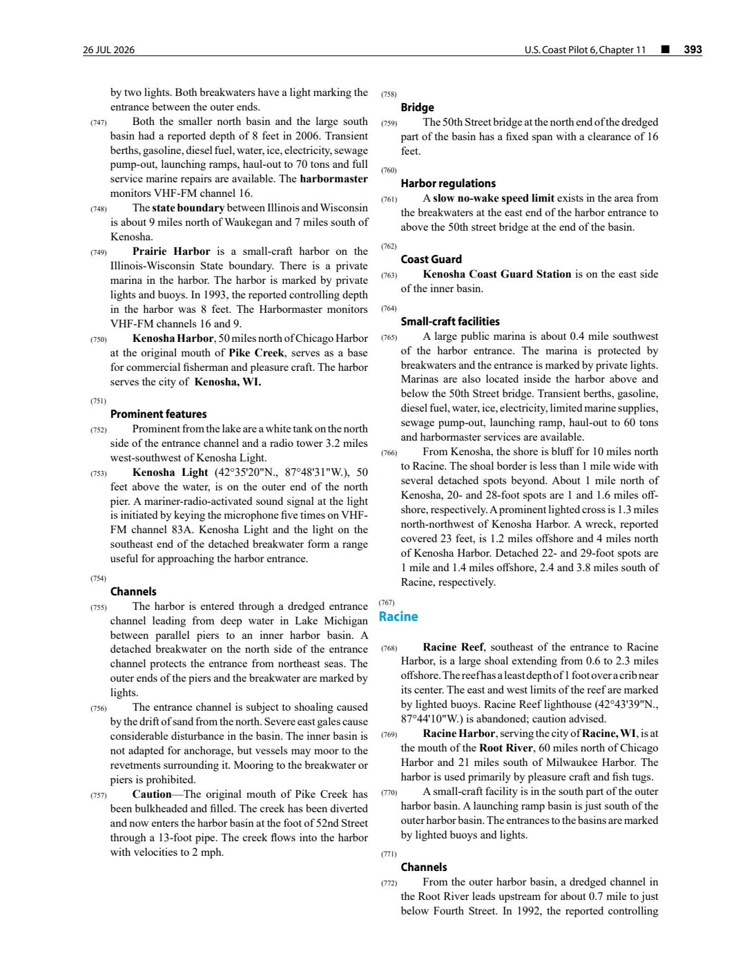
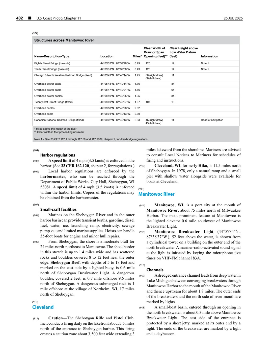
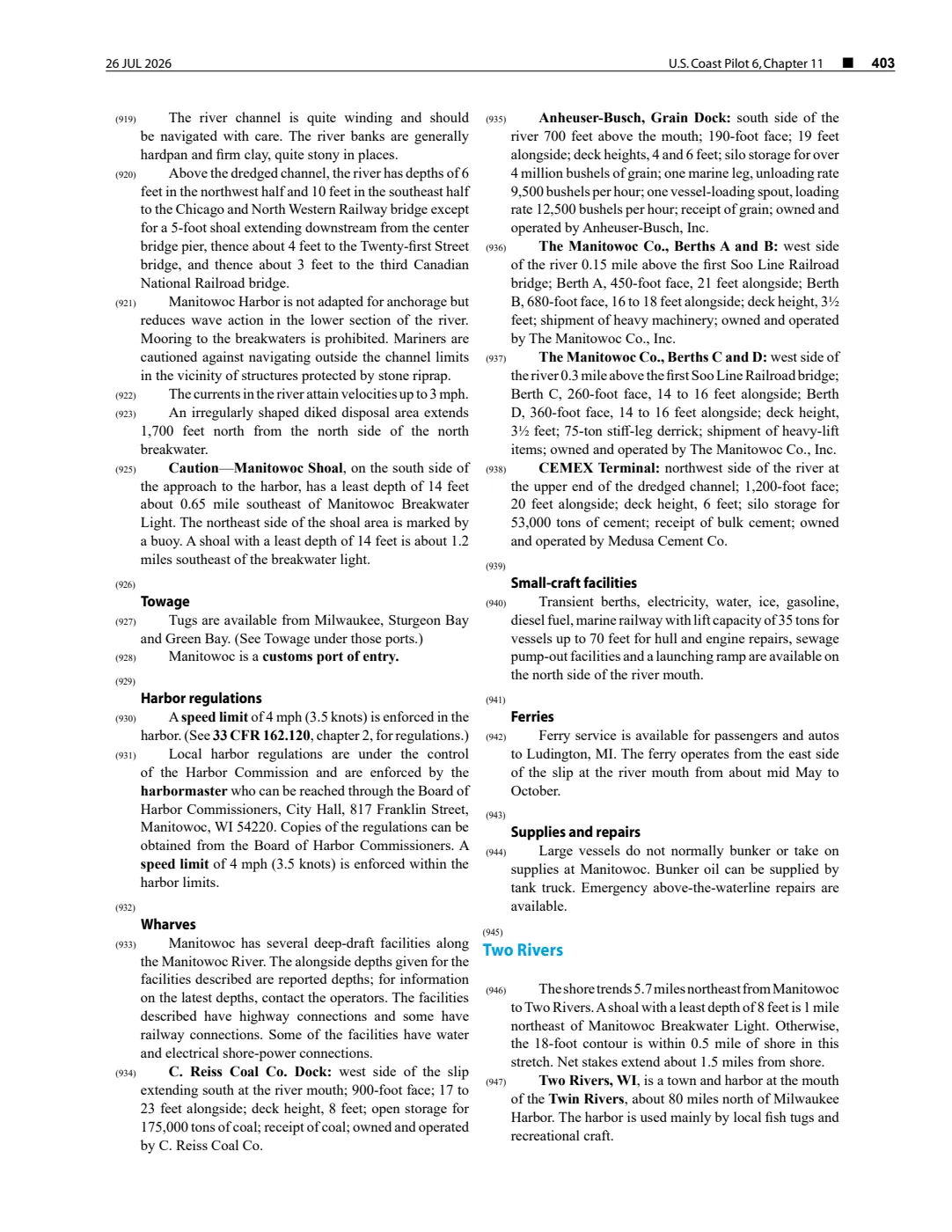
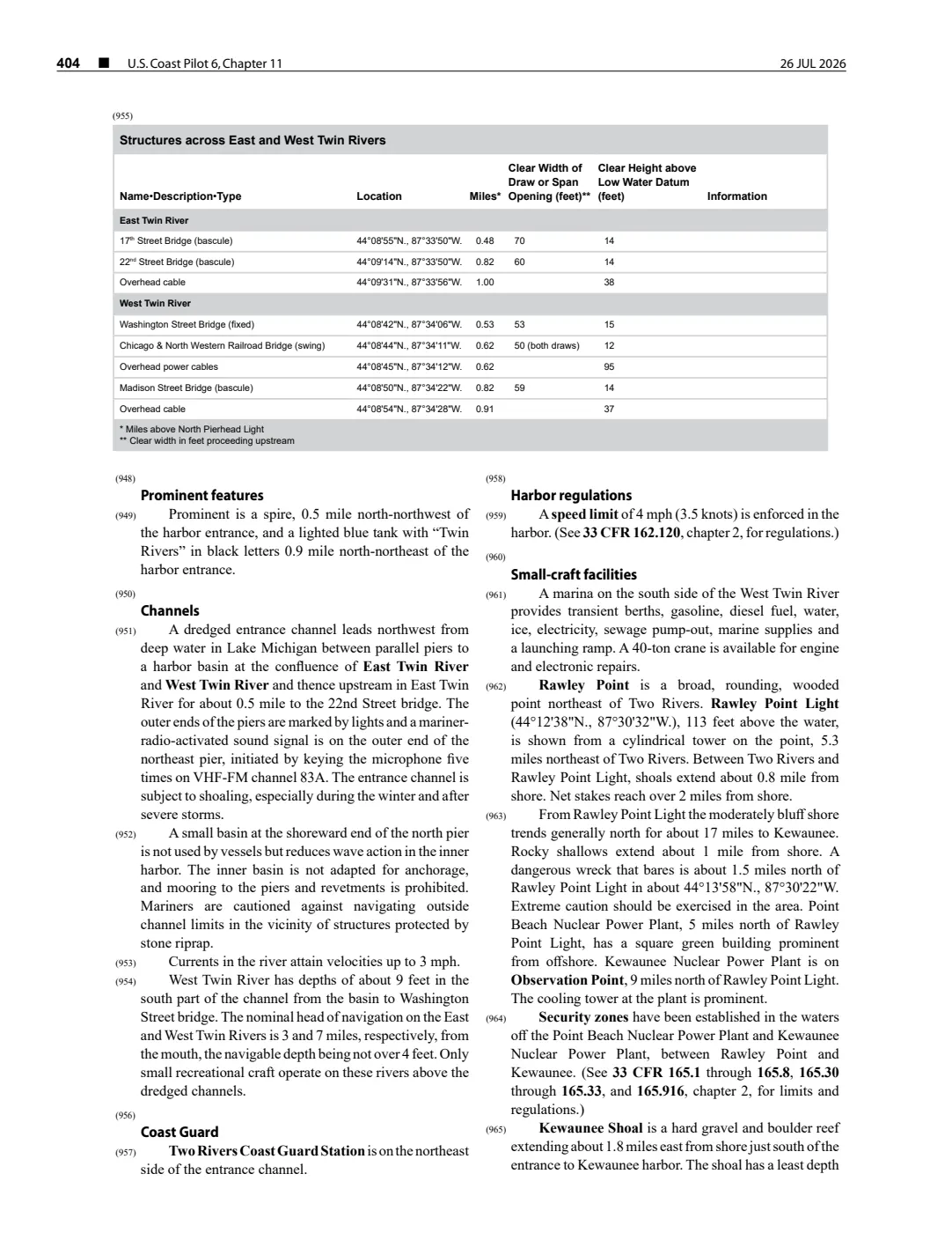
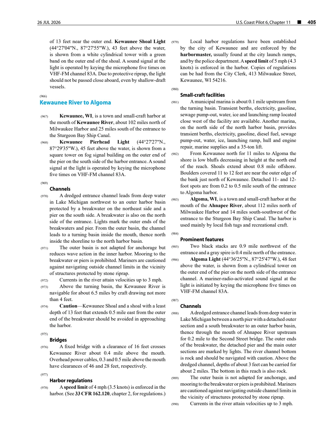
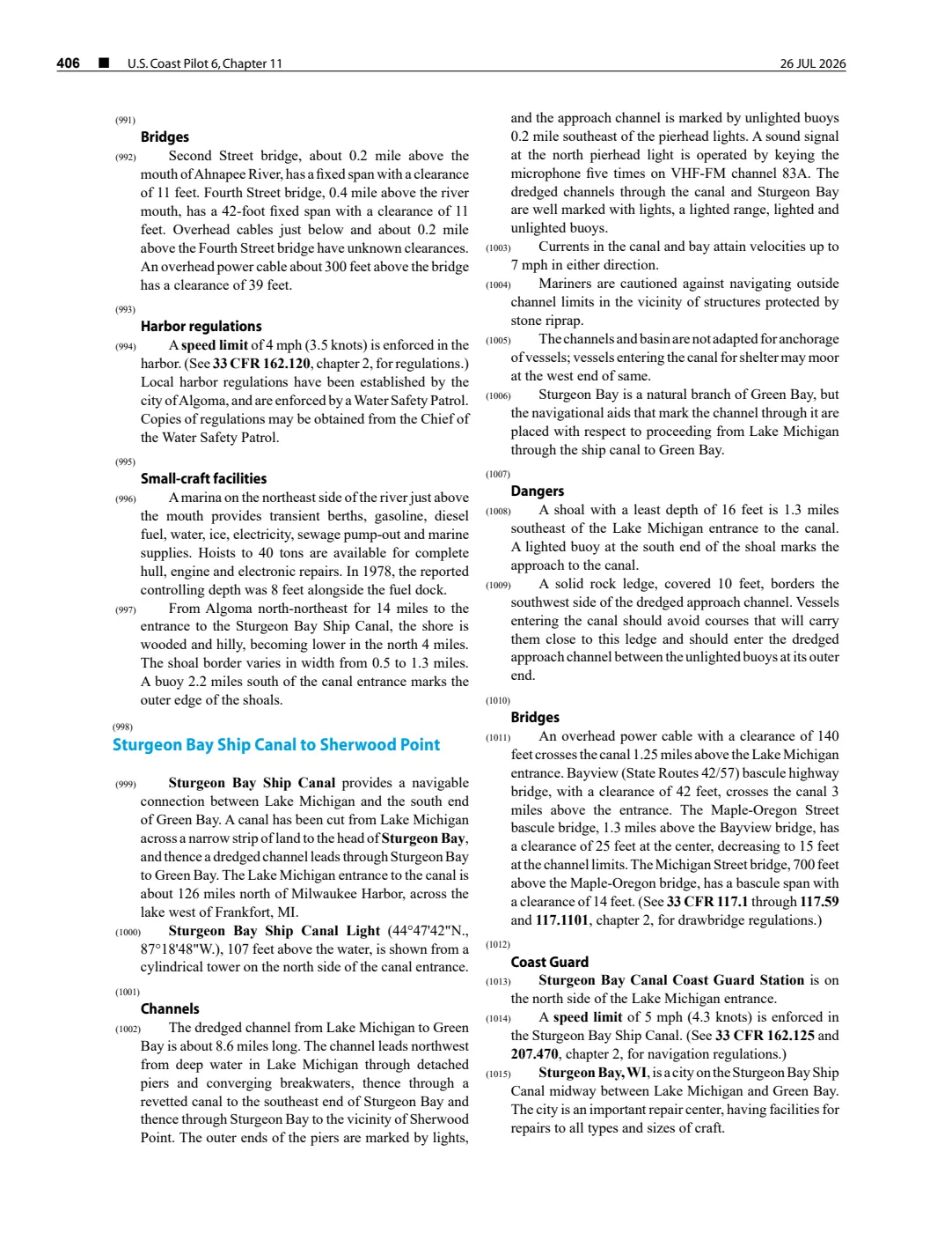
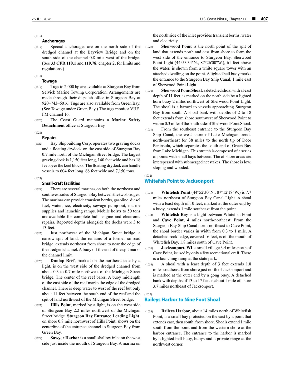
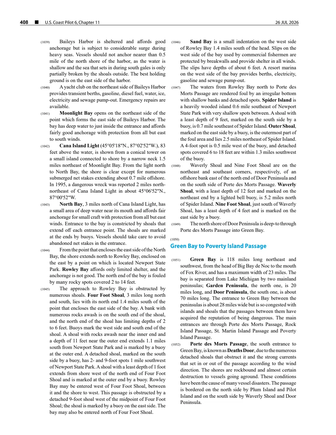
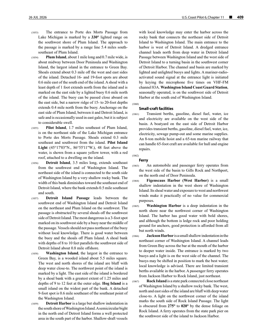
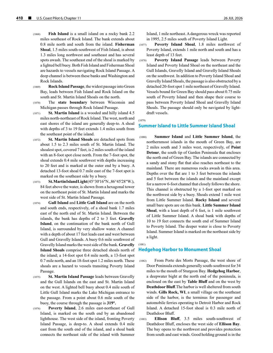
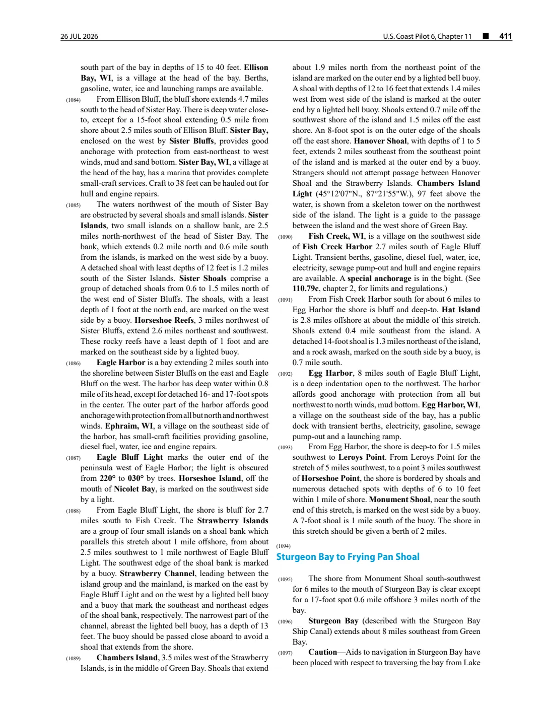
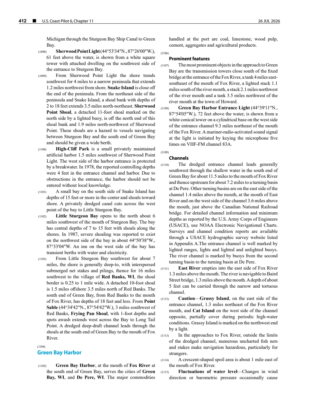
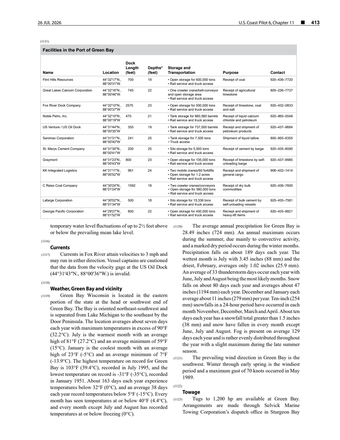
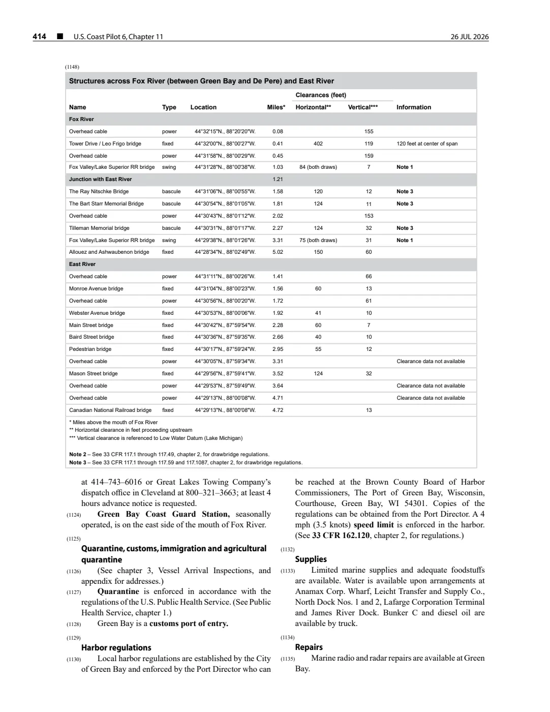
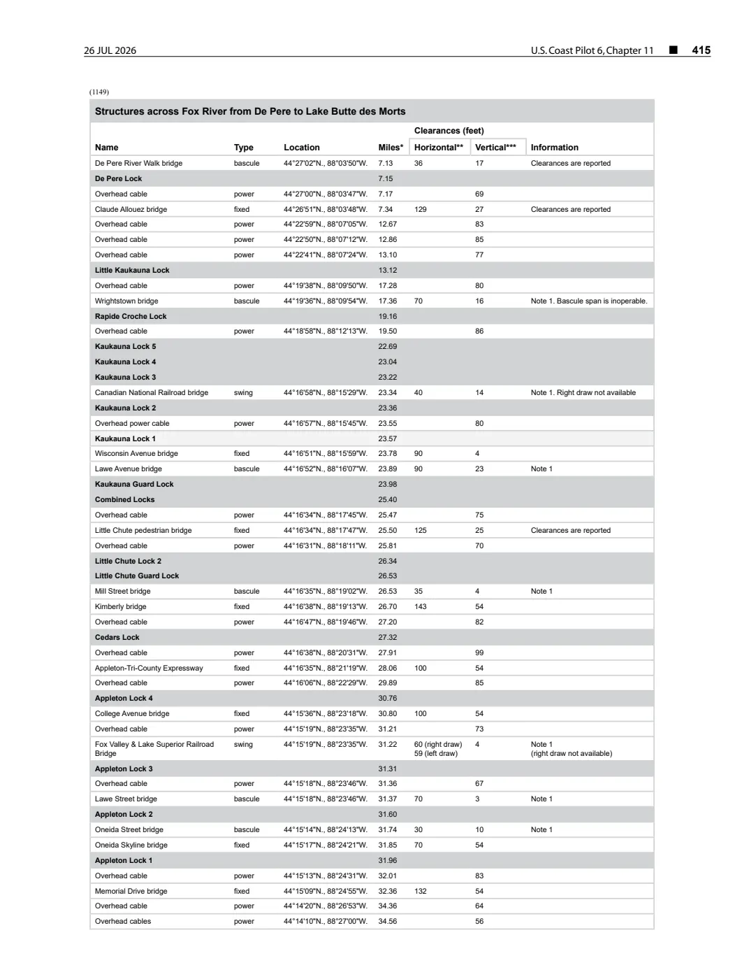
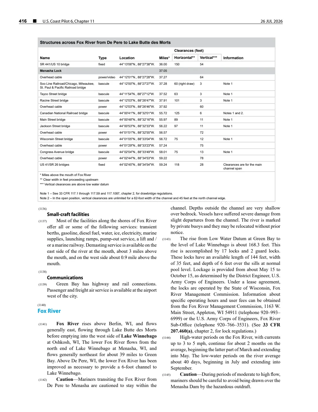
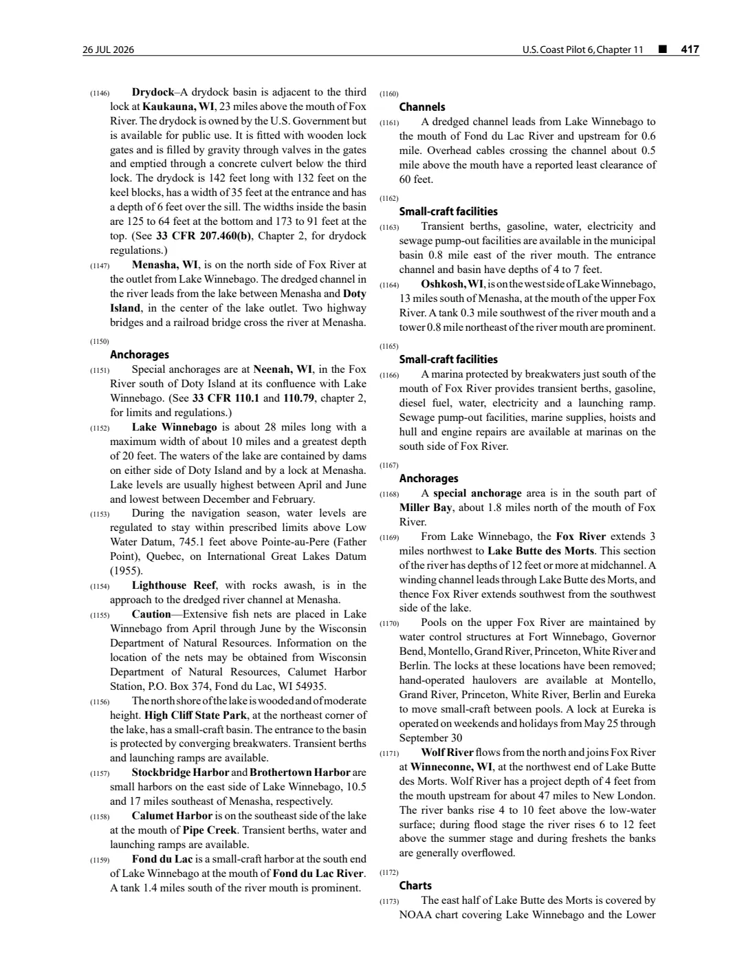
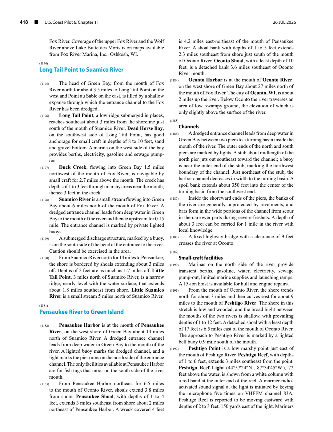
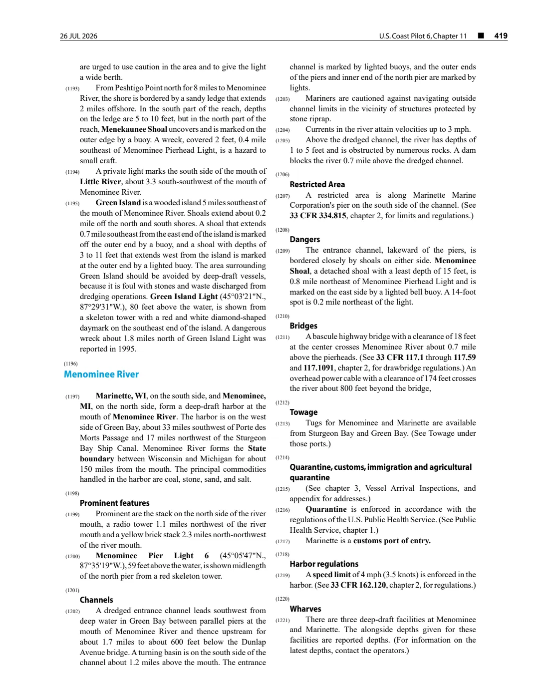
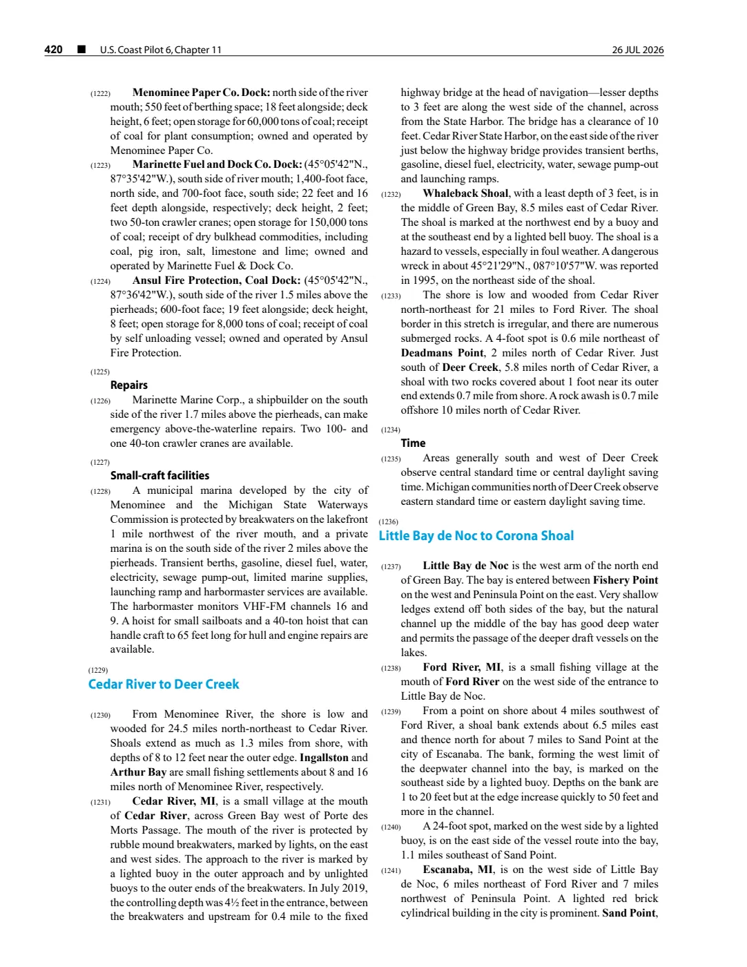
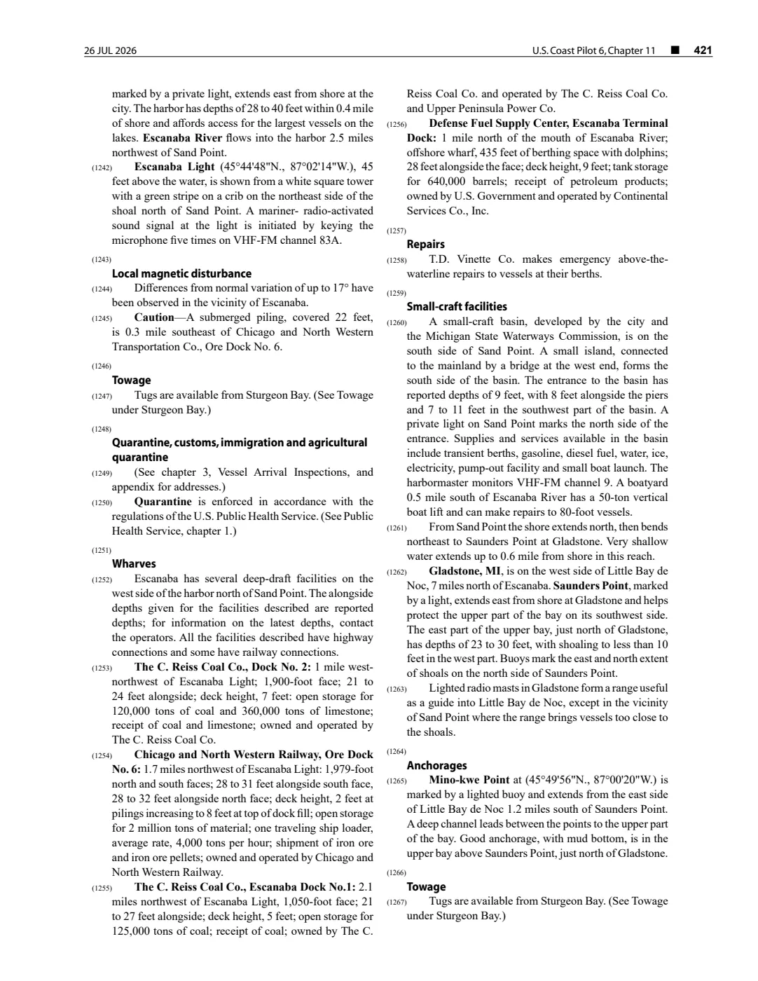
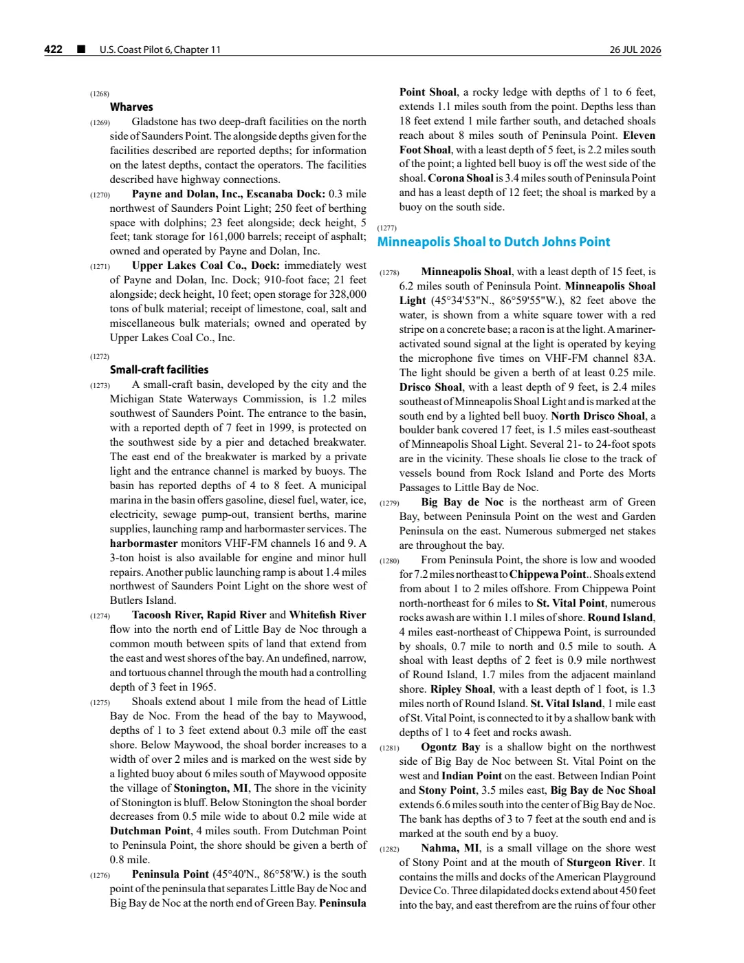
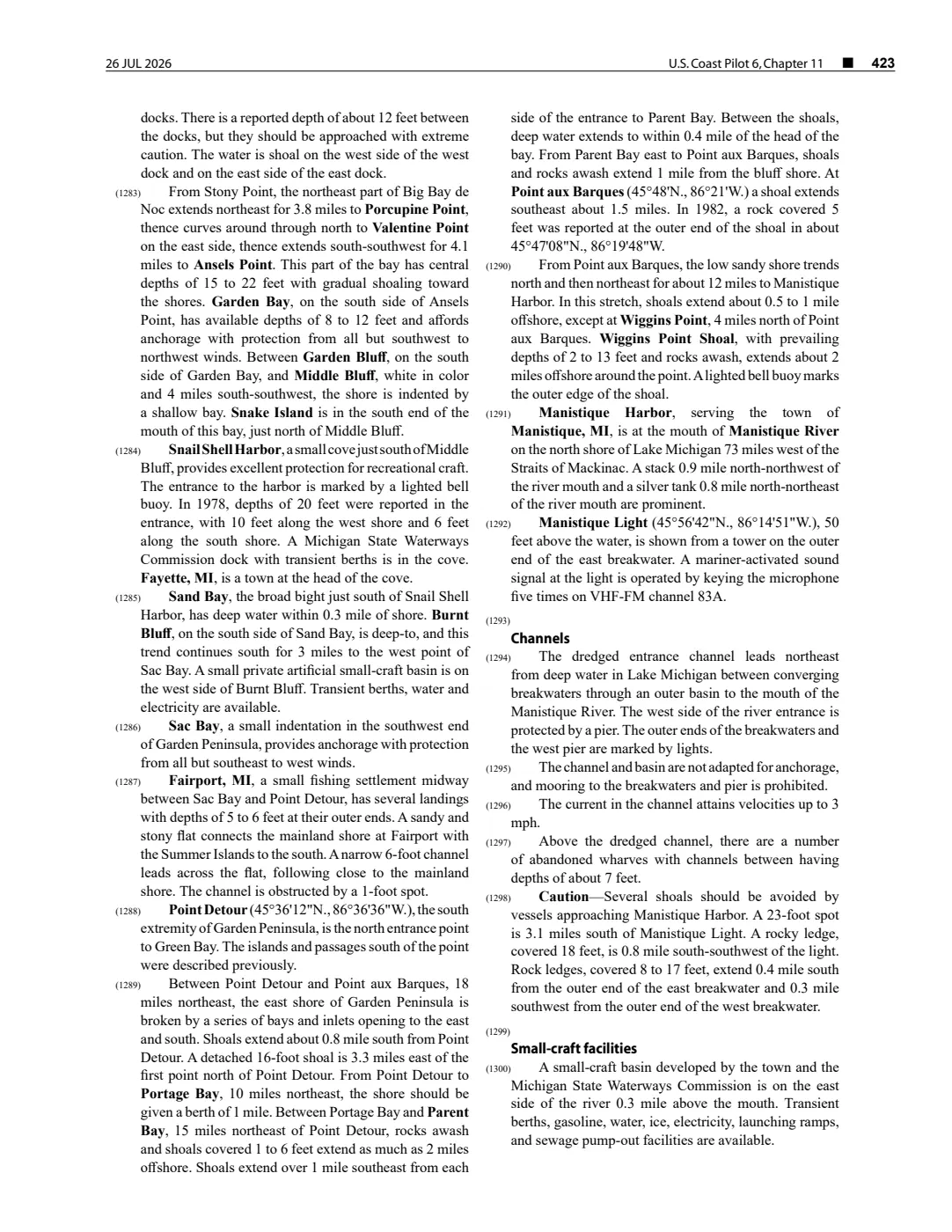
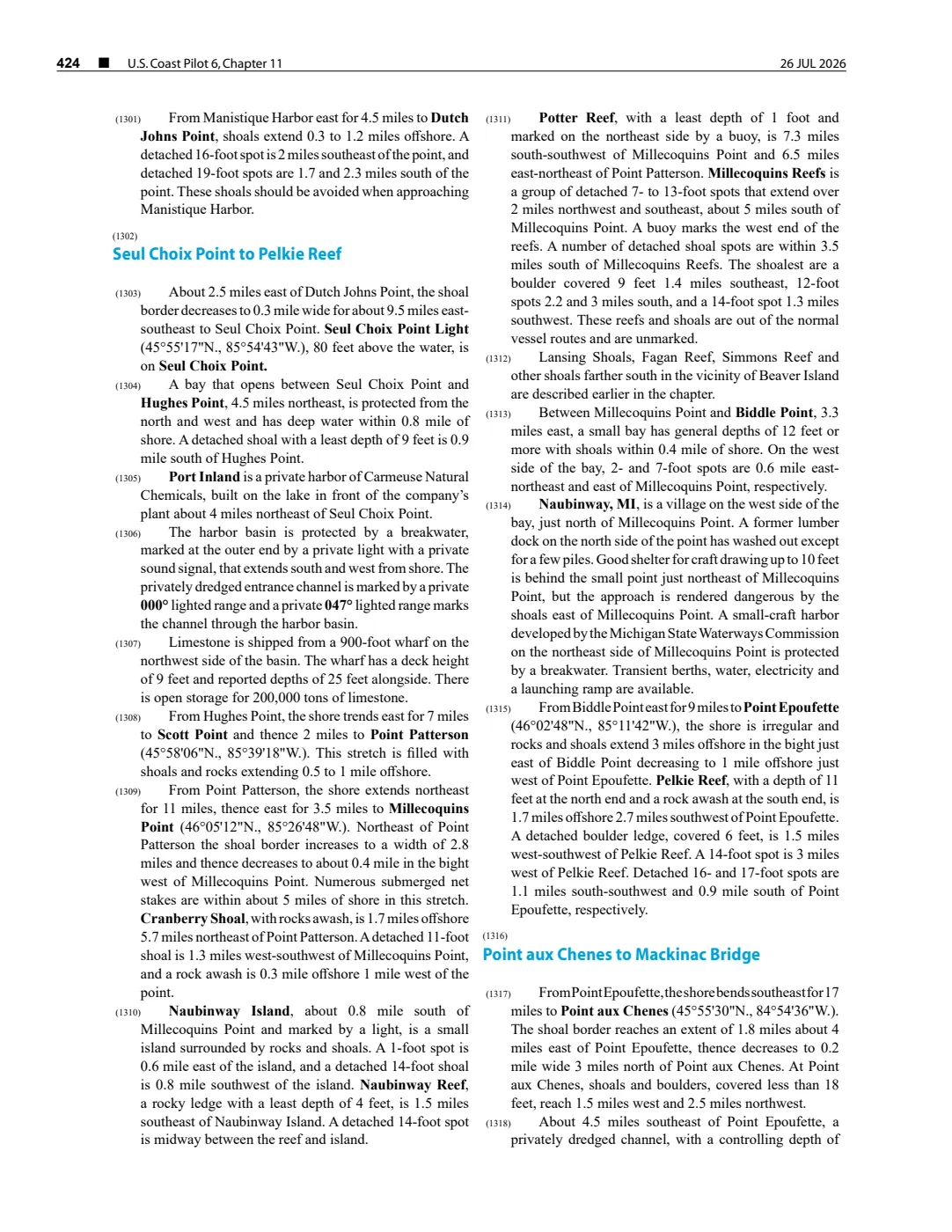
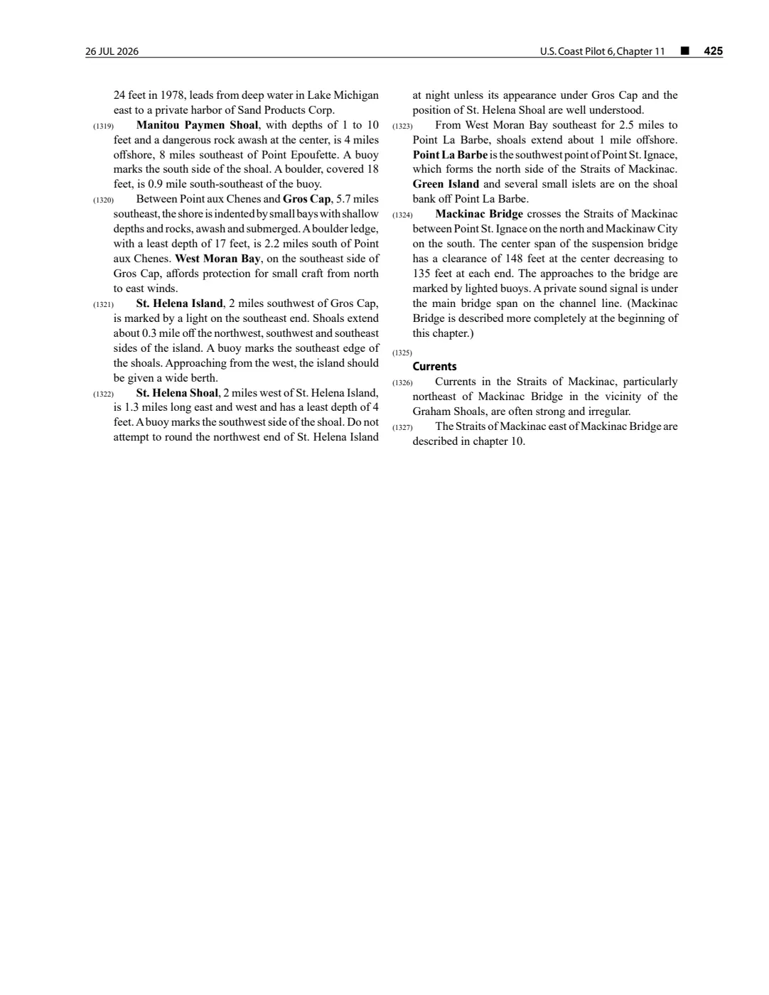
92 pages, rendered from the held scan.
Sources
- Held public-domain PDF retrieved 2 August 2026 with a provenance sidecar. The PDF header prints 26 July 2026. NOAA revises this web publication, so this record describes the captured revision rather than an undated or current condition; it is not a substitute for current official chart products or safe-navigation practice.federal · noaa_coast_pilot · noaa-coast-pilot-6-chapter-11-2026-08-02
Added 2 August 2026. Recent changes
Cite this article
Beaver Island Archive, “NOAA Coast Pilot 6, chapter 11, 26 July 2026 capture”, https://beaverislandarchive.org/documents/noaa-coast-pilot-6-chapter-11-2026-07-26/, accessed [date], citing National Oceanic and Atmospheric Administration, U.S. Coast Pilot 6: Great Lakes: Lakes Ontario, Erie, Huron, Michigan and Superior and St. Lawrence River, chapter 11, revision dated 26 July 2026..
Last revised 2026-08-02. Fill in [date] with the date you read it — this page is static and cannot know that.
BibTeX for “NOAA Coast Pilot 6, chapter 11, 26 July 2026 capture”RIS for “NOAA Coast Pilot 6, chapter 11, 26 July 2026 capture”