

- Coordinates
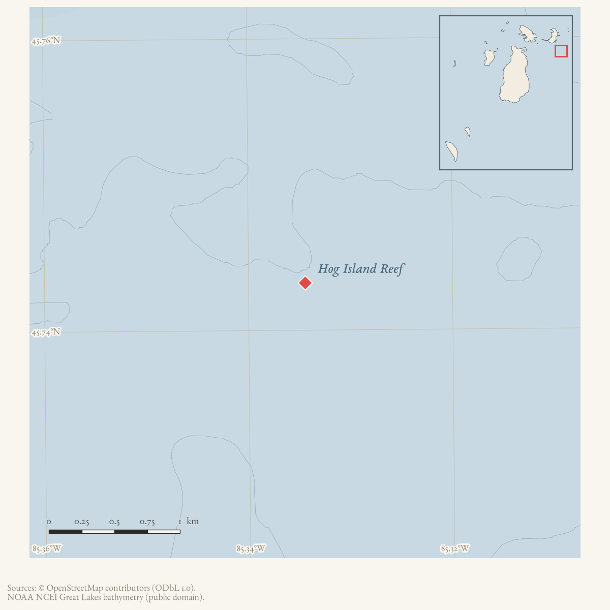
- 45.7433° N, 85.3345° WGoogle Maps: Hog Island ReefDownload KML
- Eras
- Irish era
- Concepts
- maritimeshippingenvironment
- Within
- Beaver Island archipelago
- Media
- Beaver Island History Map, 1978 revision
Summary
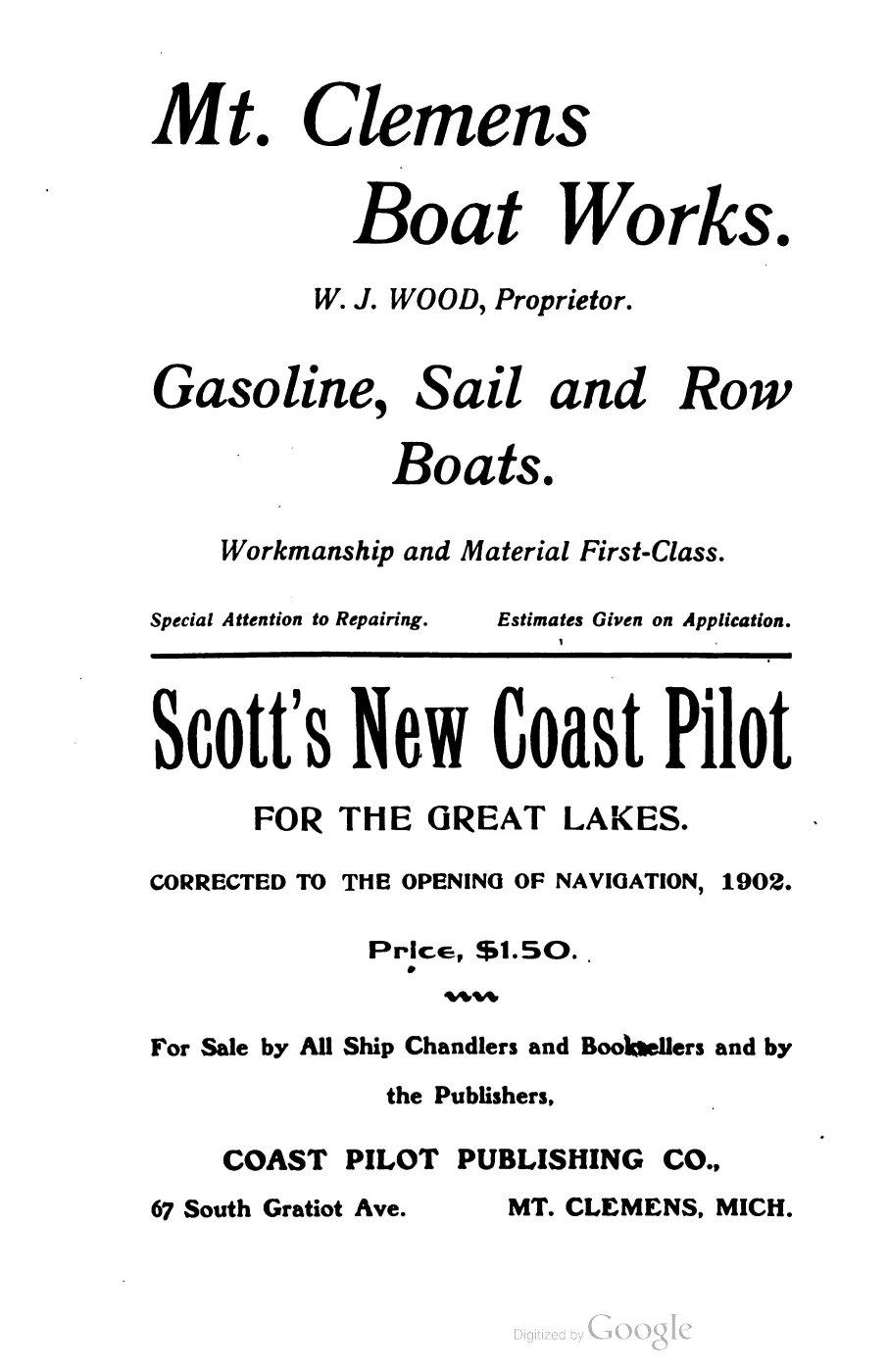
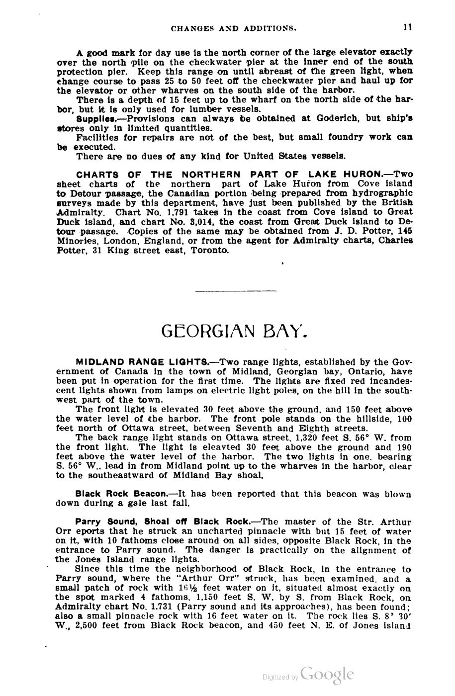
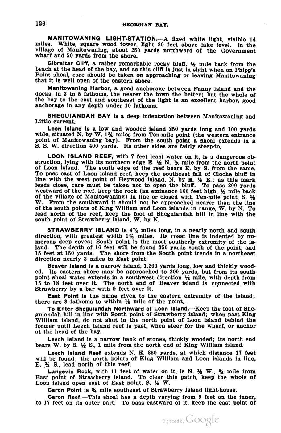
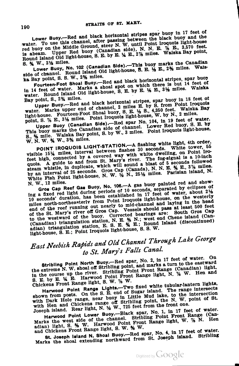
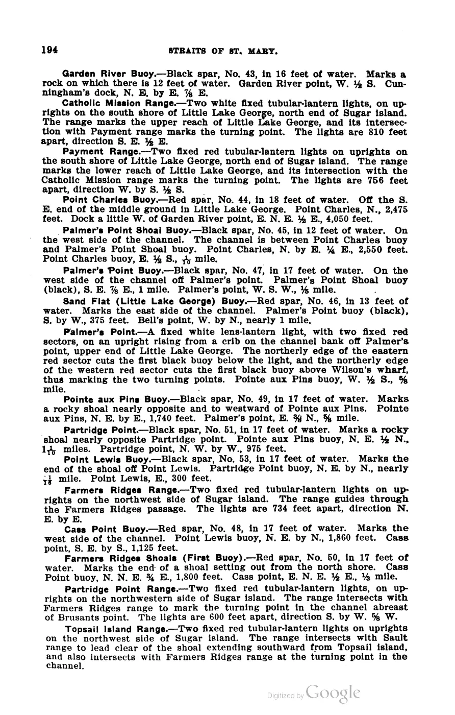
Hog Island Reef is the charted hazard off the southeast end of Hog Island, in the approach to Beaver Island Harbor. Scott’s 1902 Coast Pilot describes a buoy at the reef and gives its greatest extent as roughly three-eighths of a mile east-west by 220 yards north-south.1
Names
No GNIS feature is recorded for “Hog Island Reef” specifically, and GNIS
carries no variant names at all — official or otherwise — for the neighboring
Hog Island itself (feature 628388). The reef’s name here derives
from Scott’s 1902 Coast Pilot and modern NOAA usage rather than from a GNIS
toponym; there is accordingly no alt_names/former_names decision to make
from the GNIS variant table, since the table holds no entry to classify.
Maritime history
The December 1961 Beaver Beacon retrospective, part of a longer account of the Beaver Island Life Saving Station (see Lighthouses and the life-saving service for the station’s broader history), identifies the reef as the place where the three-masted schooner J. I. Case, carrying a load of corn from Chicago to Buffalo, became stranded in 1883 and was saved by the station.2 A separate 1908 newspaper reprint independently fixes the date as 23 November 1883 and names Capt. Harrison Miller, the station’s keeper at the time, as responding to the casualty; see Stranding of the J. I. Case, 1883 for the full source-qualified account. Neither source gives the master, crew, or a contemporary rescue report, and the 1908 account does not itself state the stranding’s location. That 1961 account is held local evidence for the incident, not a contemporary casualty report or a hydrographic survey of the reef.
The 1978 Historical Map adds a dagger-marked group reading “J. L. Case, Lafinire, Princess Palms” at Hog Island Reef, eight miles due east. Its compact label should not be read as three equally proven reef wrecks. Independent evidence corrects the first vessel to J. I. Case and records it as saved; contemporary reporting places Lafrinier on Hog Island but not specifically on the reef; and “Princess Palms” is an erroneous form of Francis Palms, whose compiled 1889 casualty position is near Gray’s Reef. The map’s grouping and distance are therefore historiographic evidence, not a wreck-site cluster or reef locator.
The held USGS metadata describes a 2001 lidar bathymetry survey named for the reef. Reading the held XYZ extract shows that its shallowest reported sounding is at the coordinate recorded above. That makes a useful survey-derived map anchor, but it does not establish the reef’s boundary, buoy position, present least depth, or navigational status.
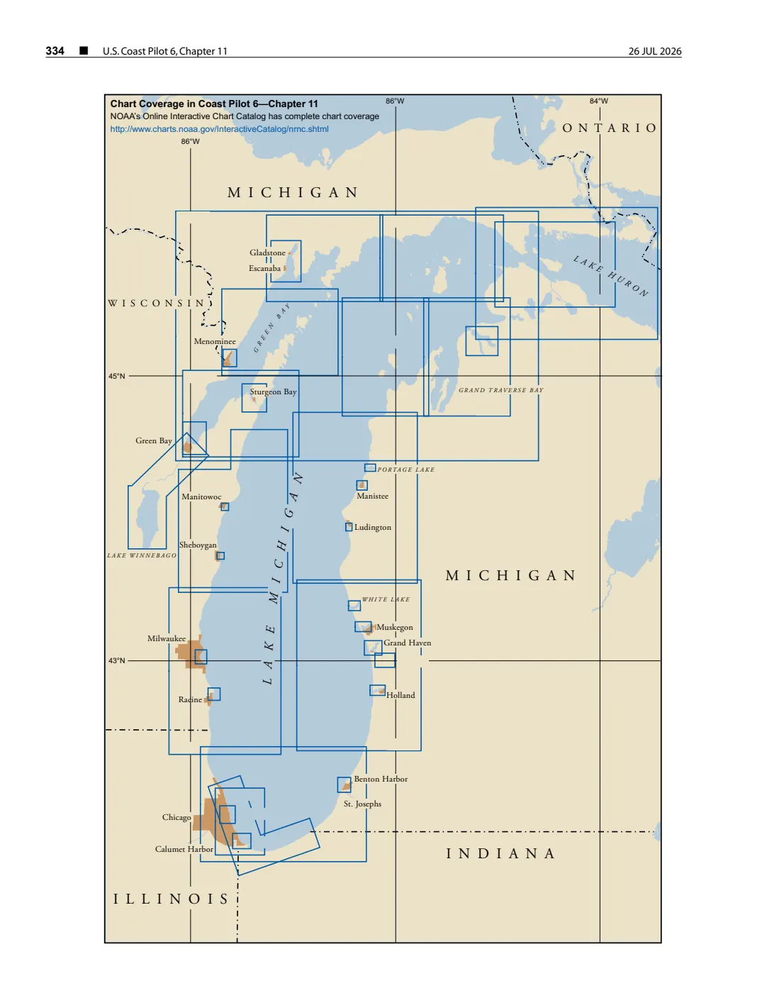
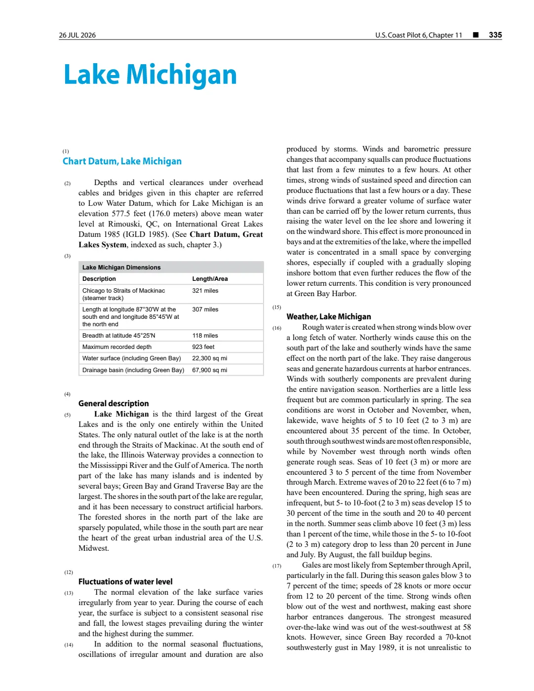
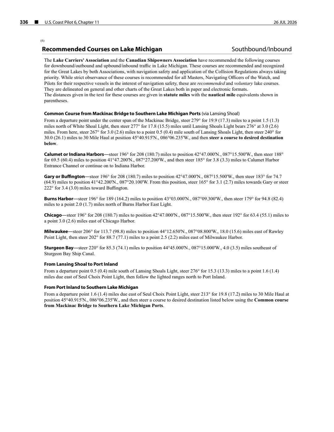
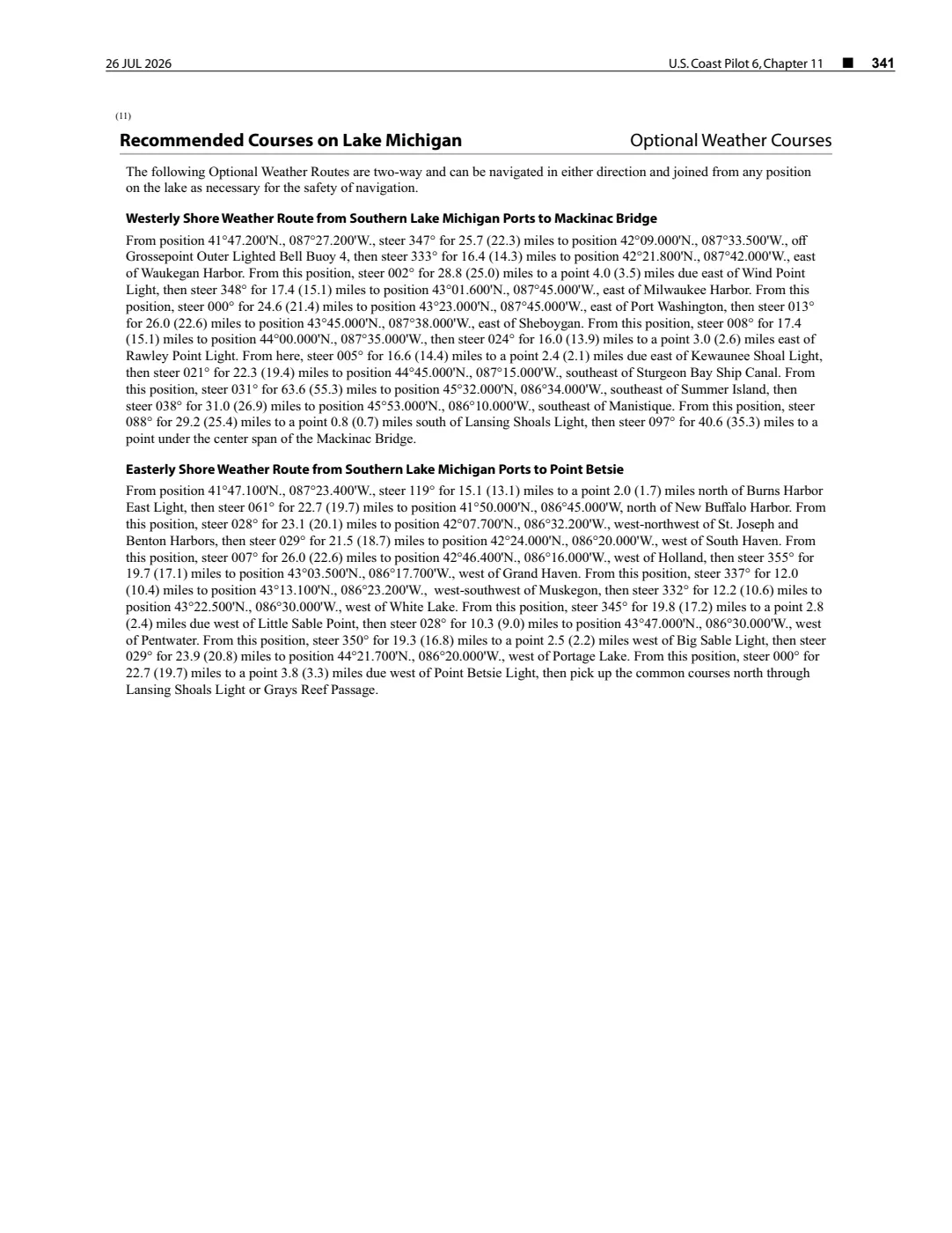
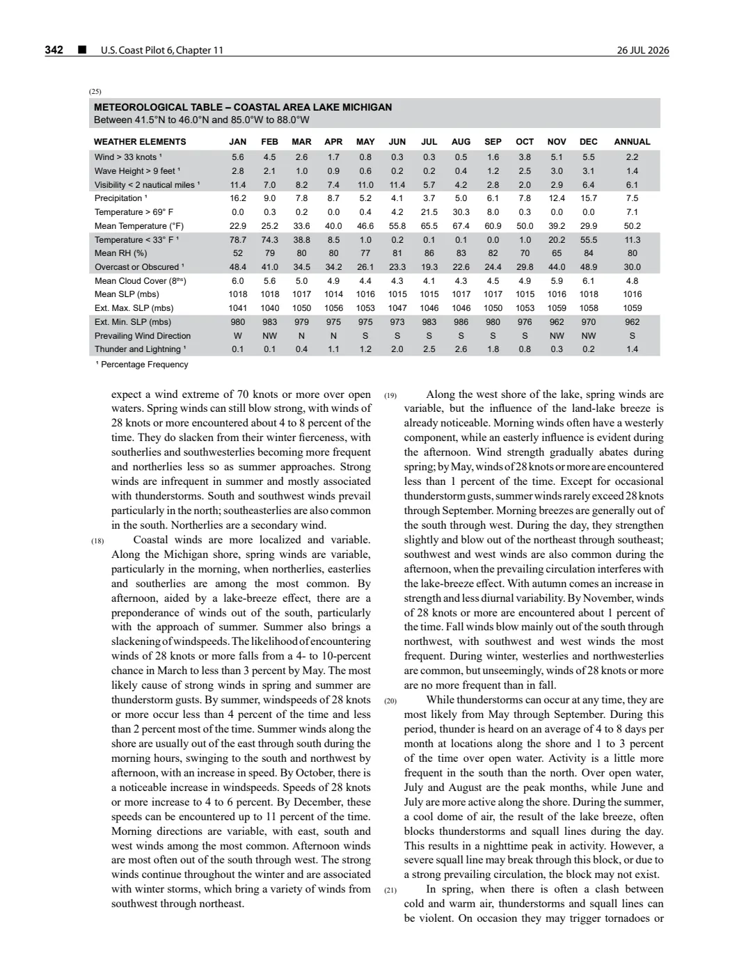
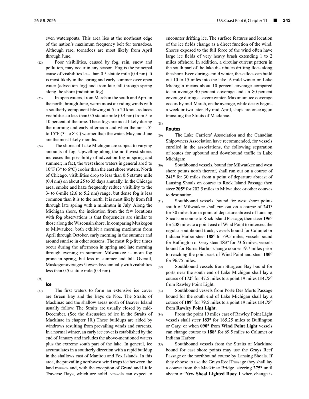
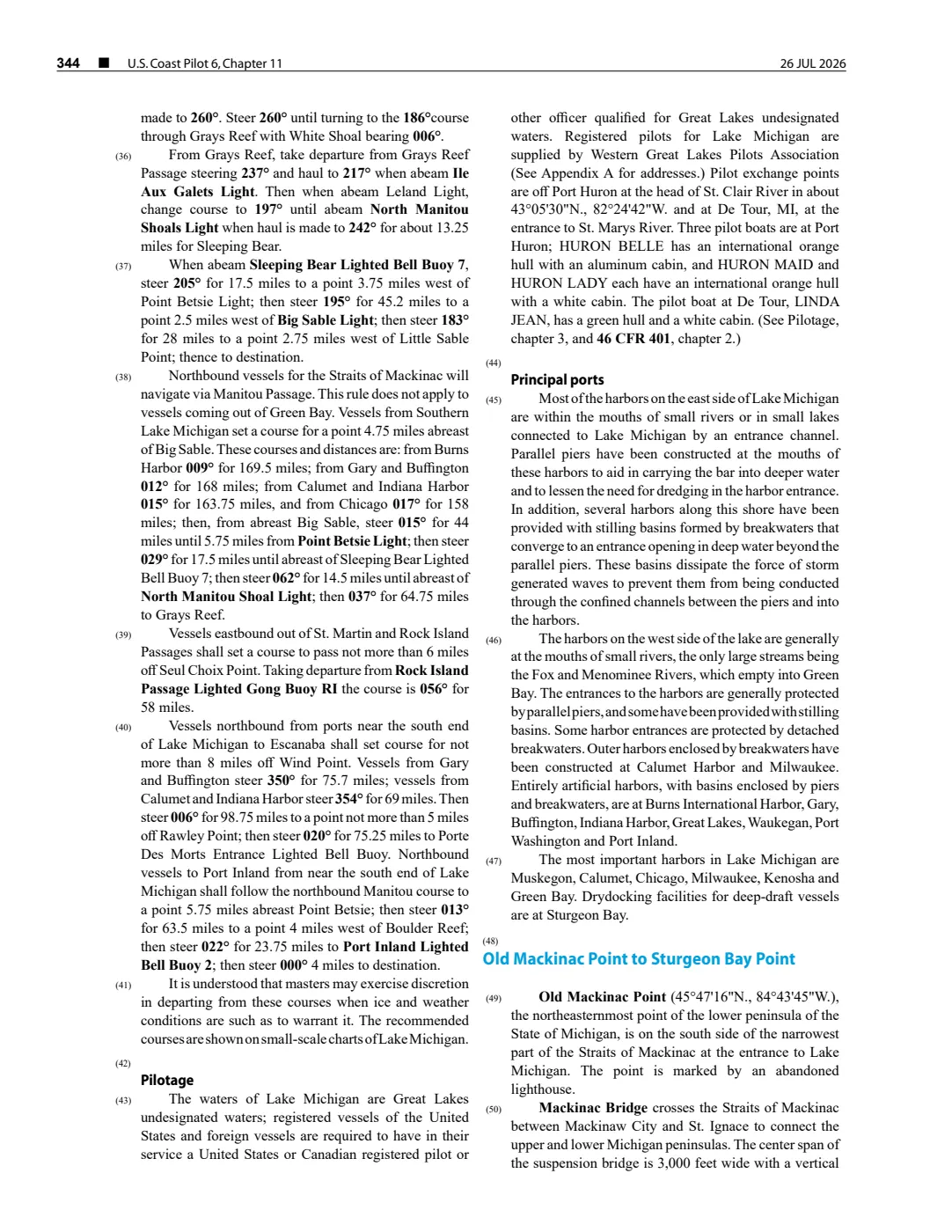
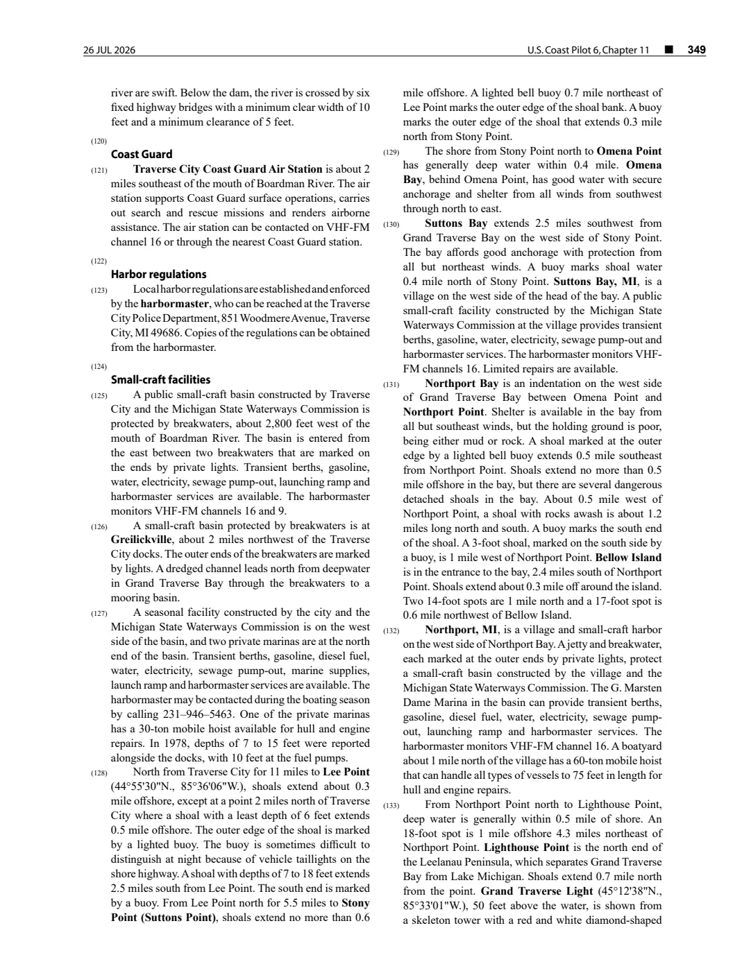
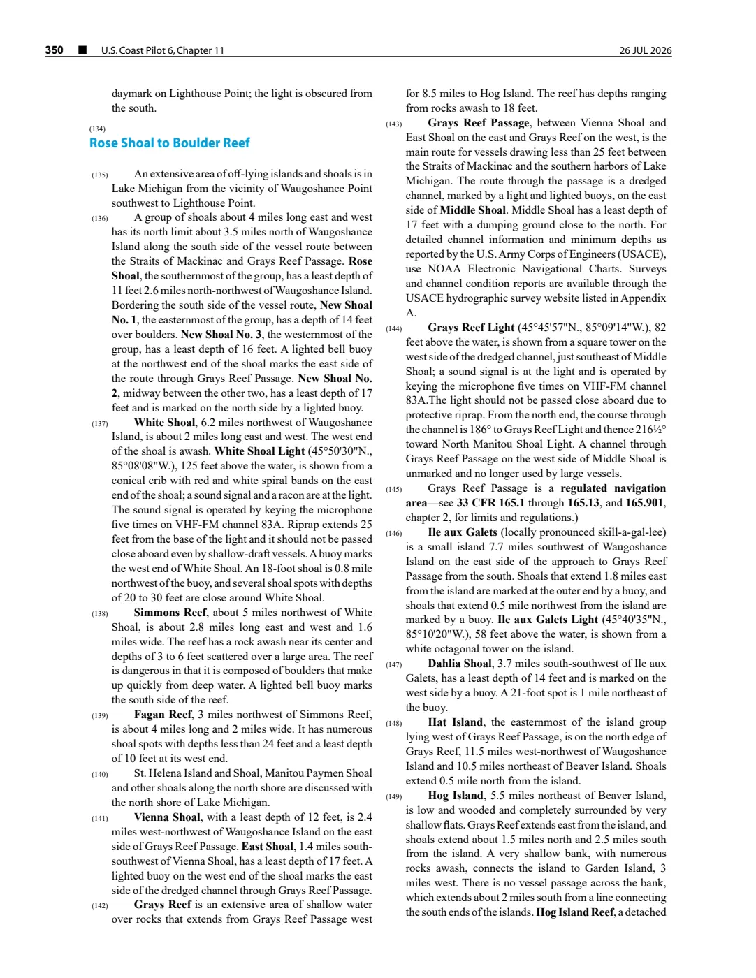
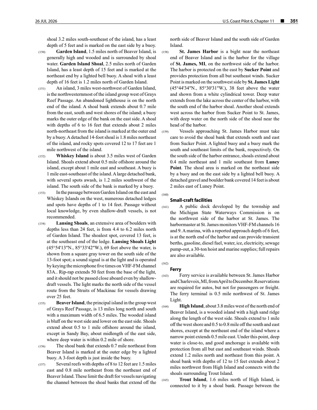
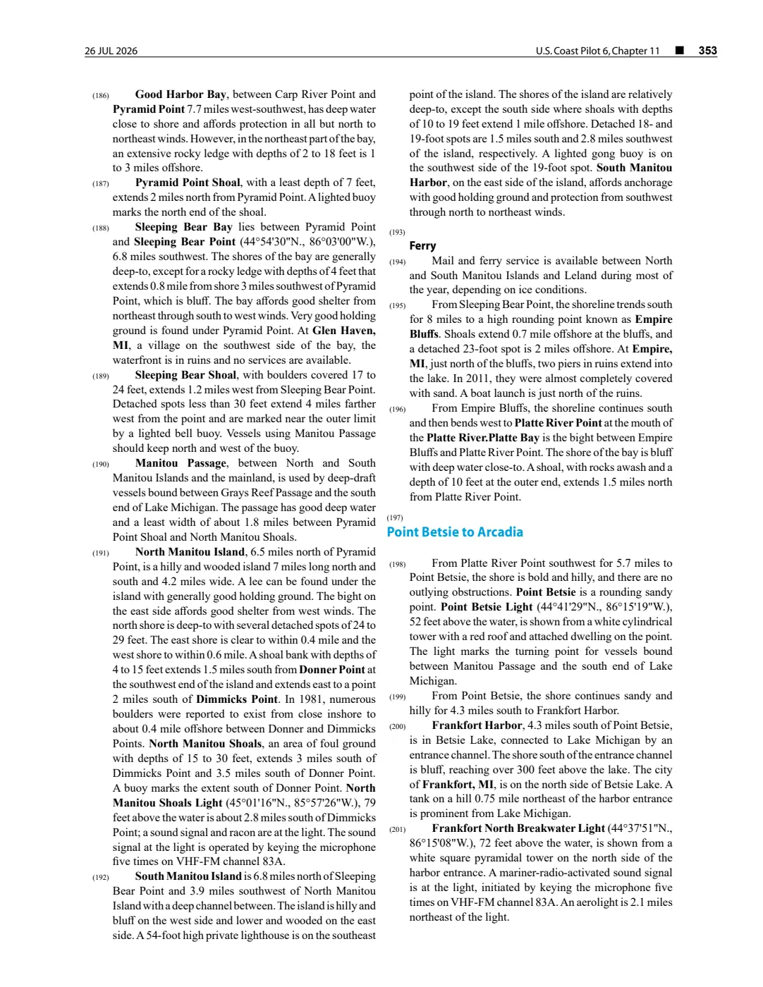
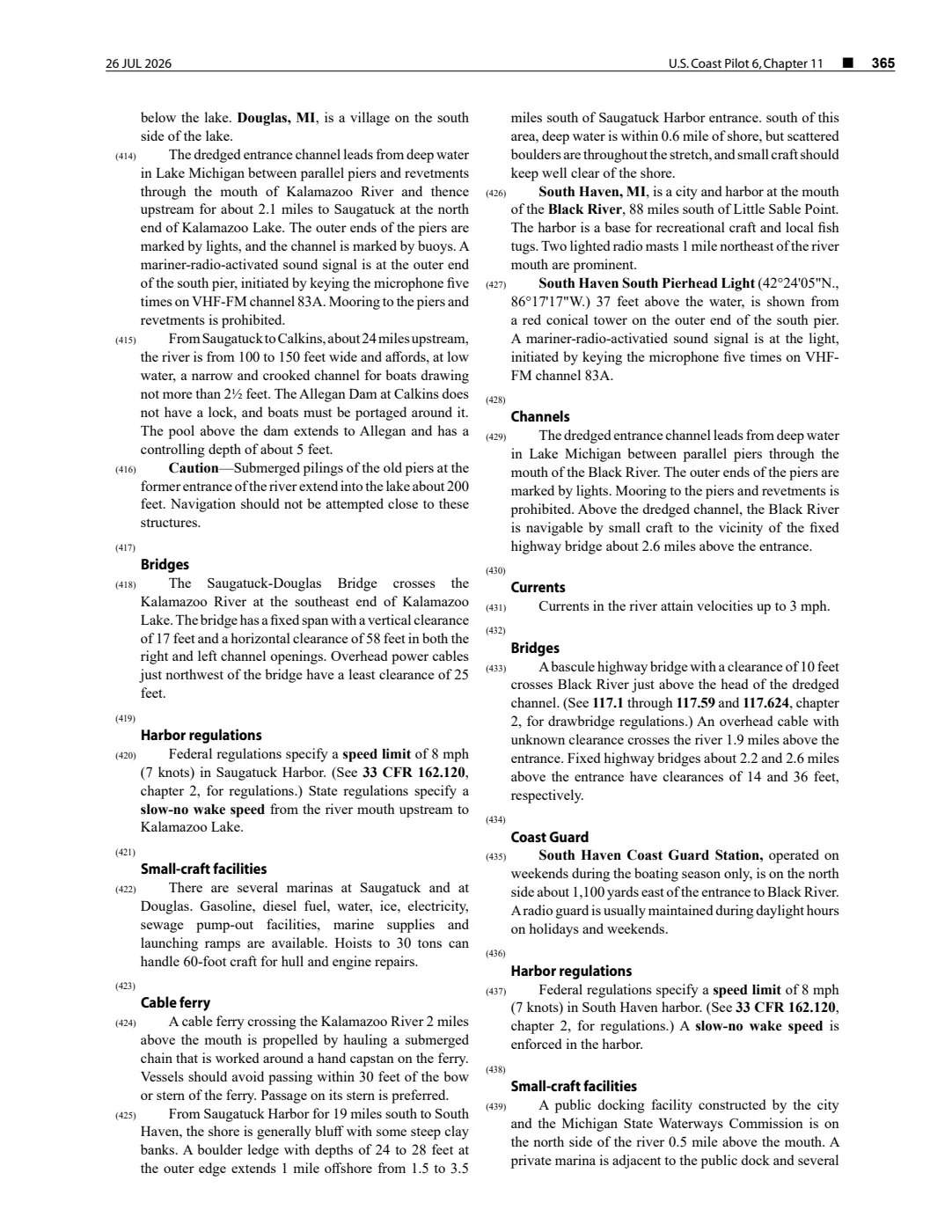
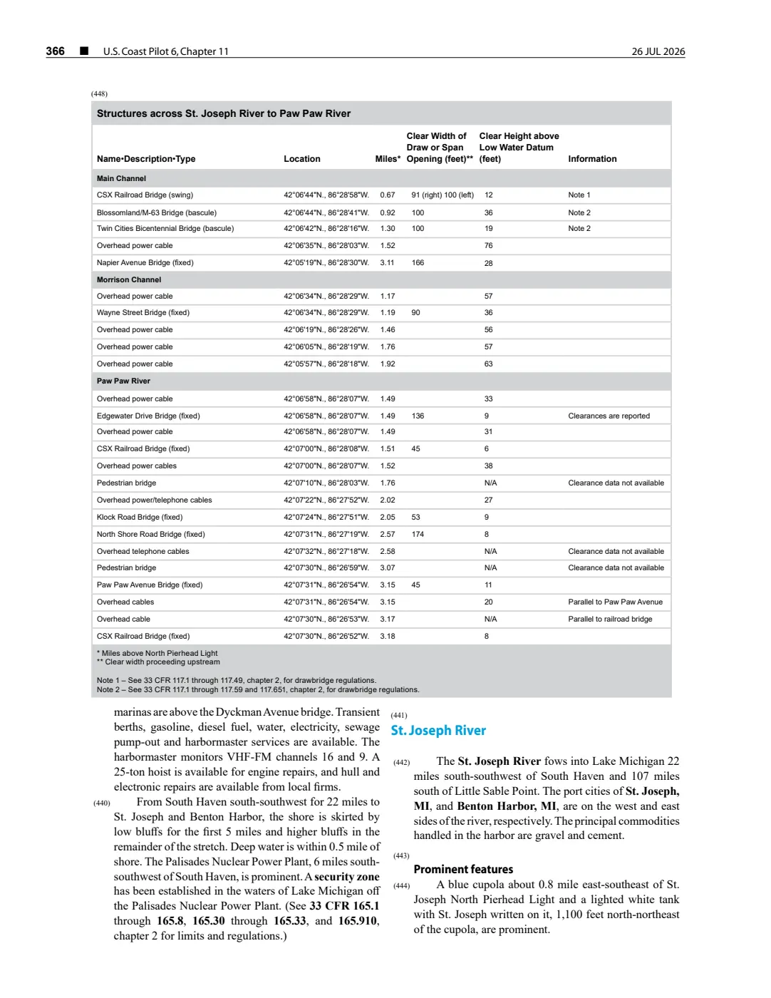
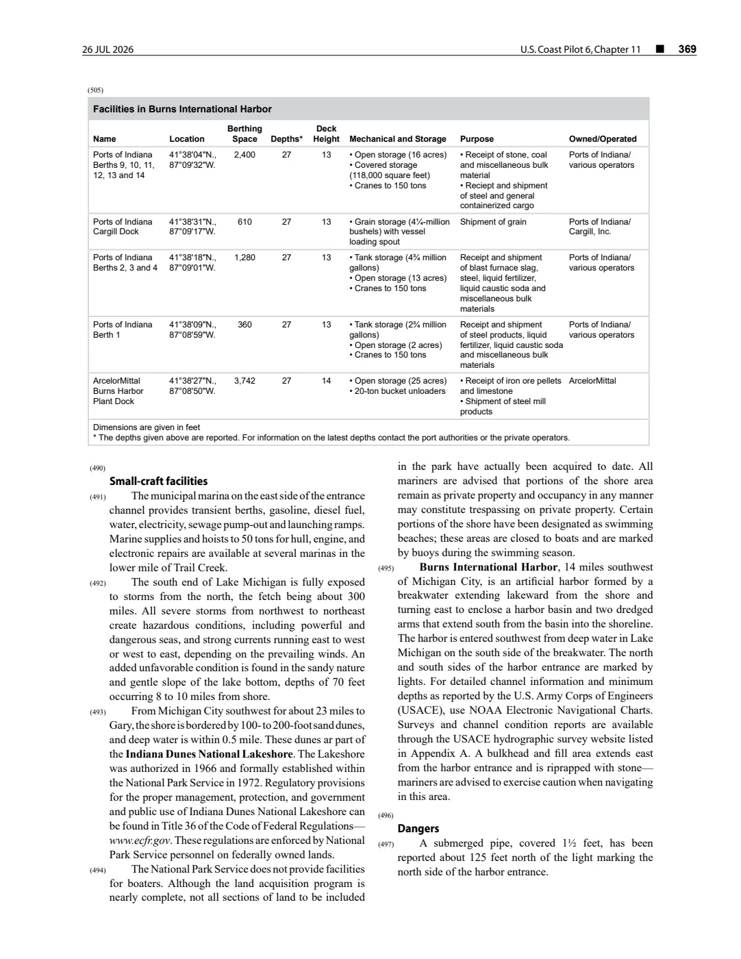
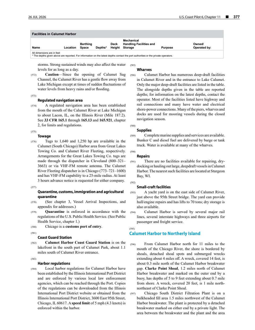
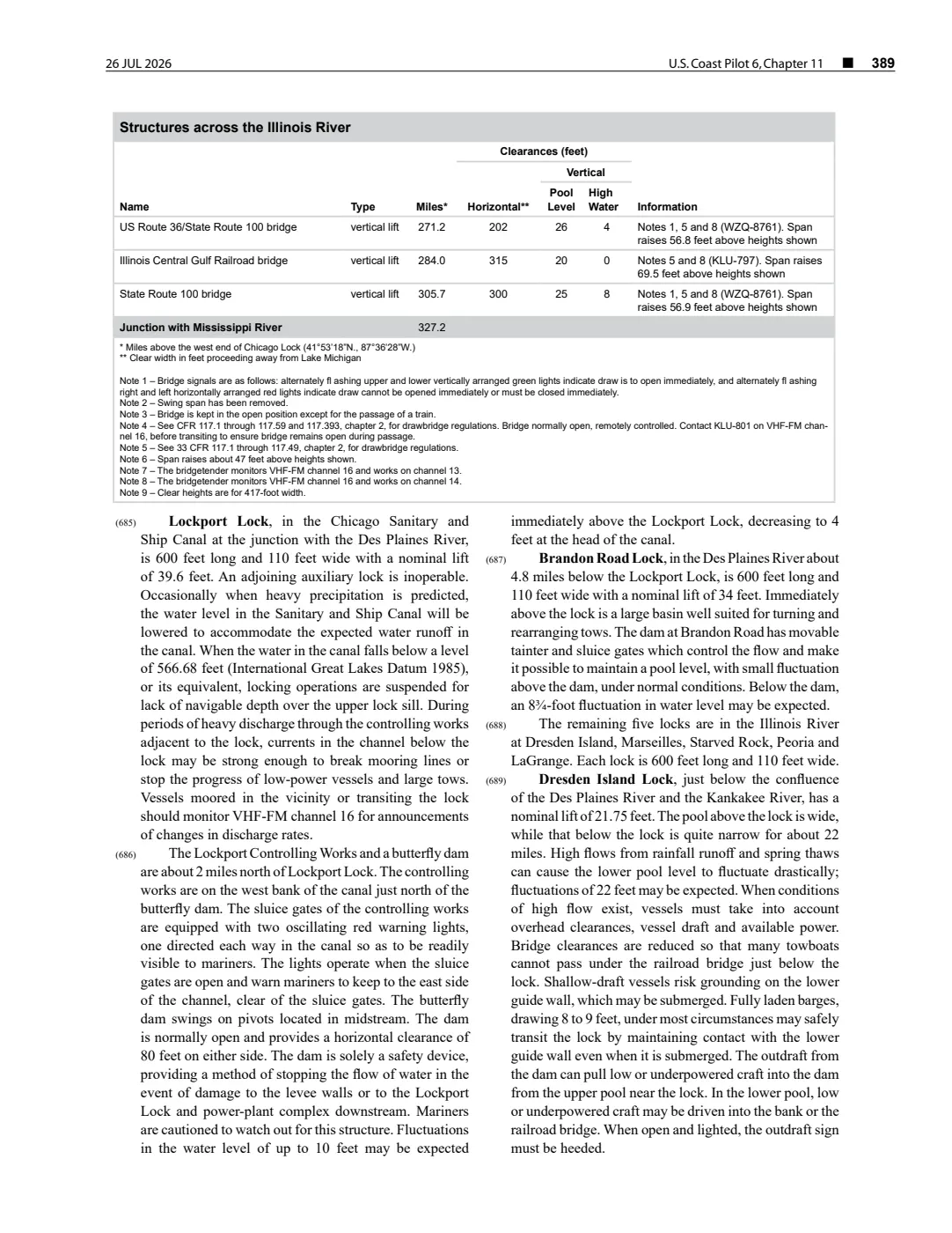
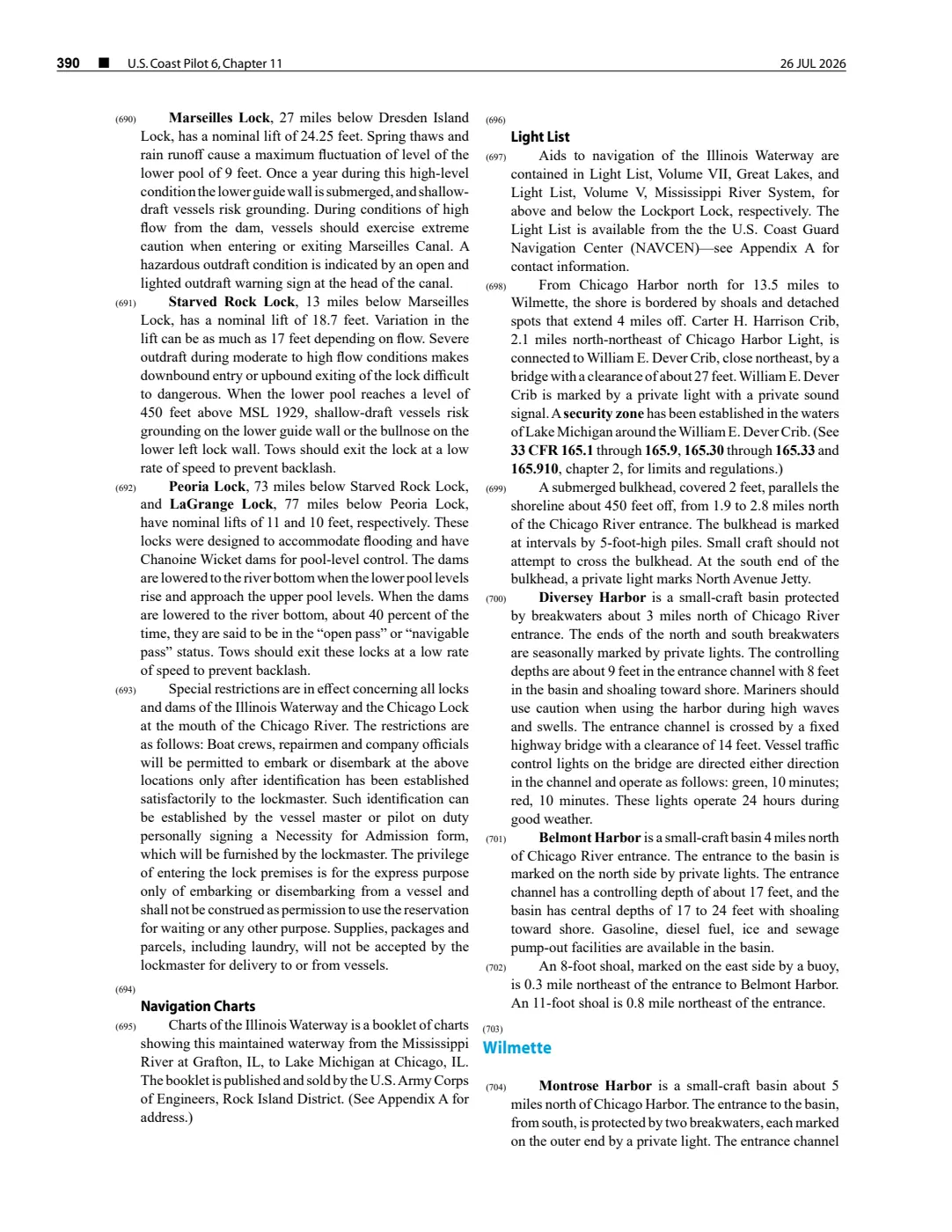
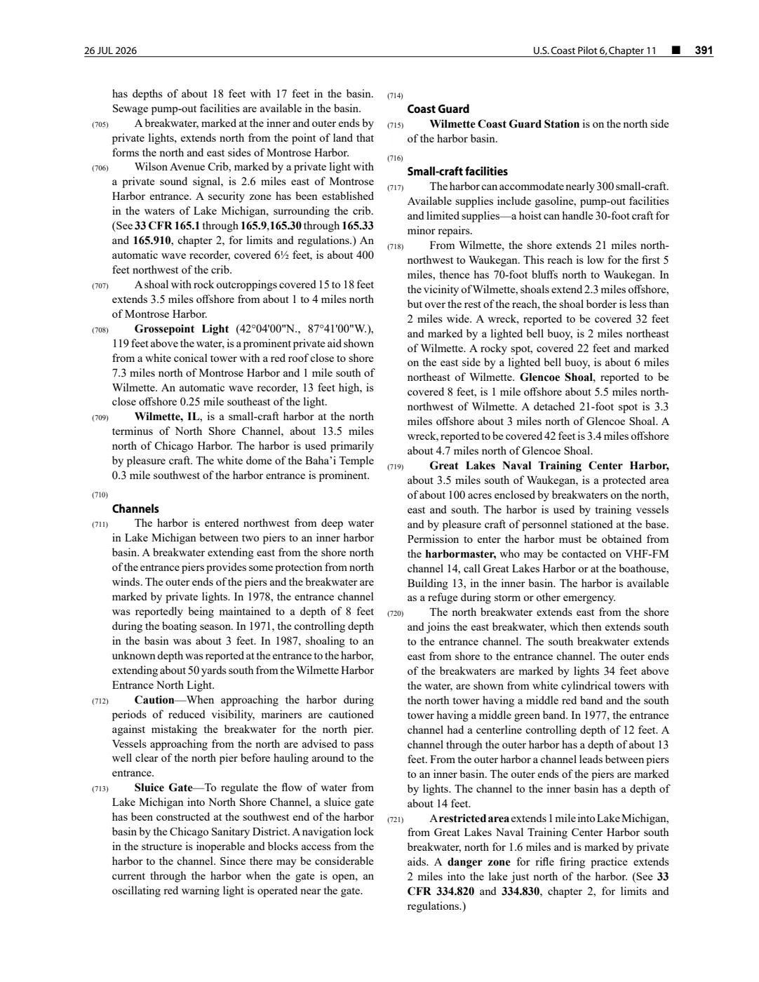
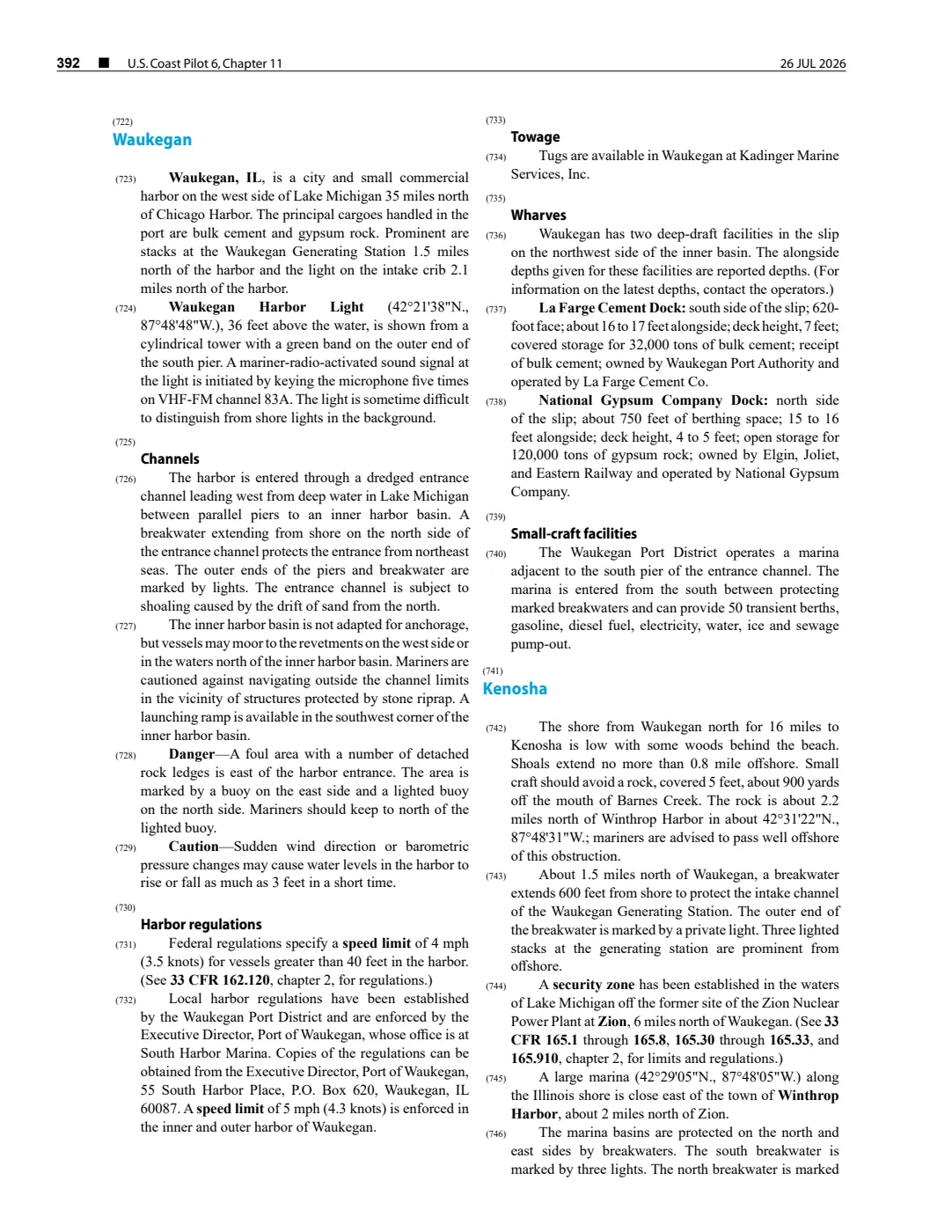
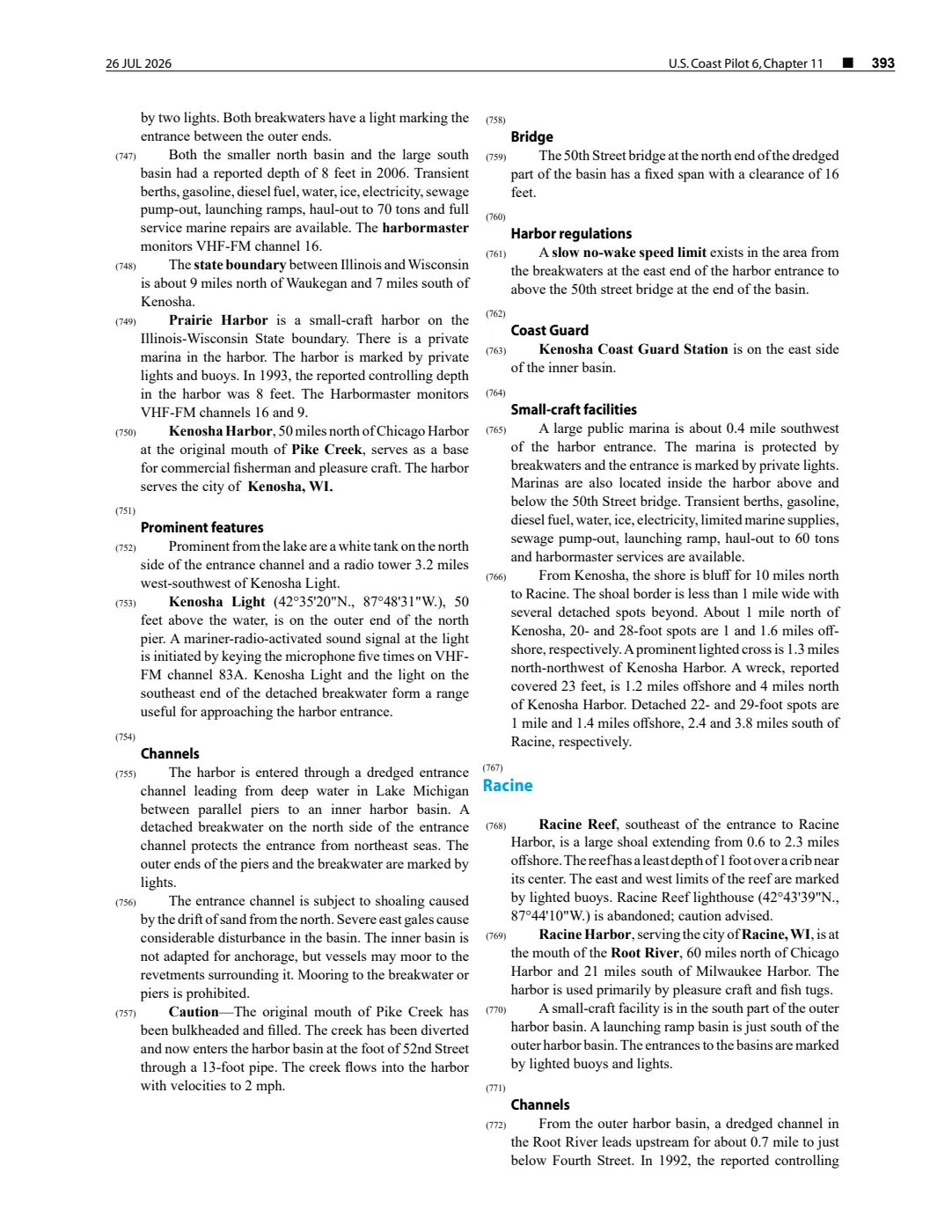
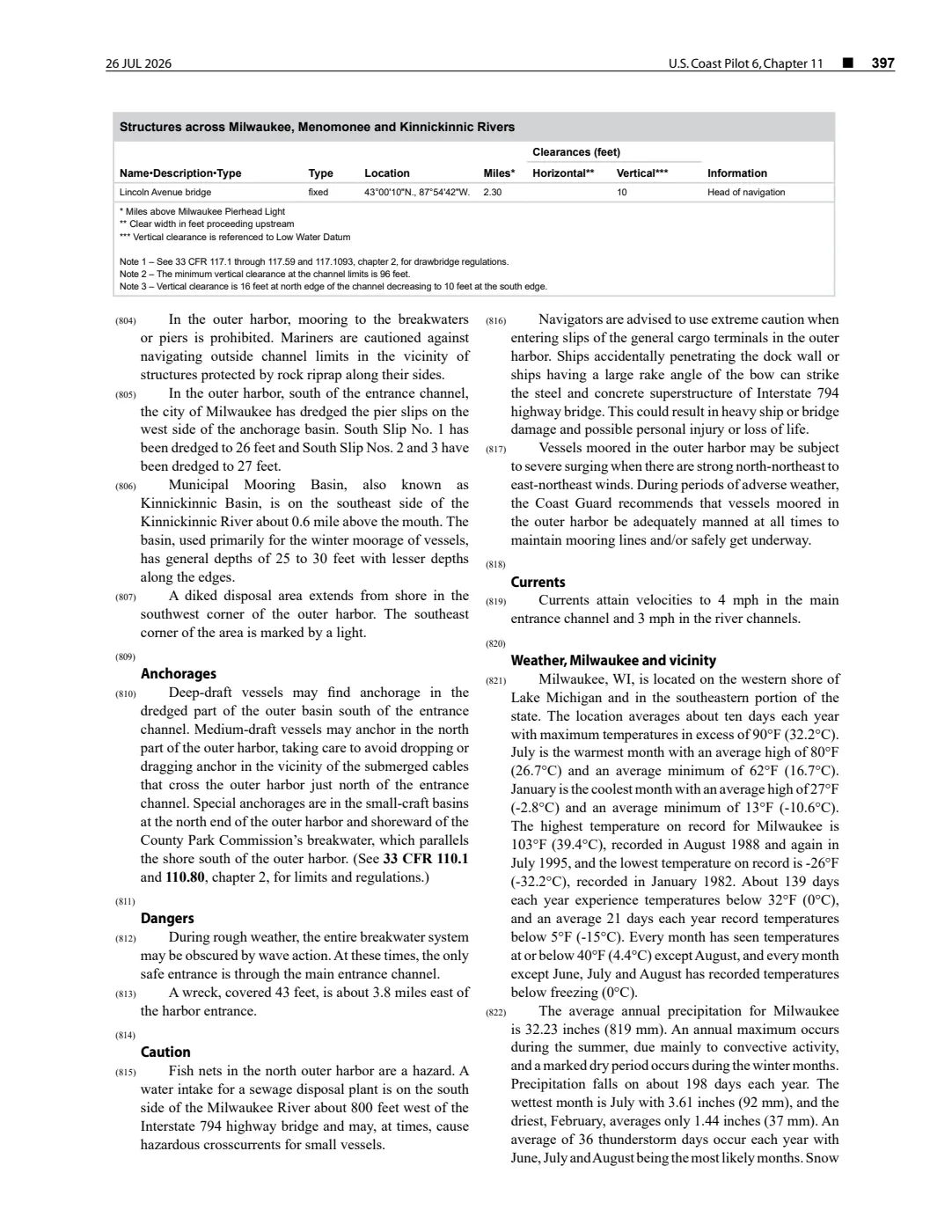
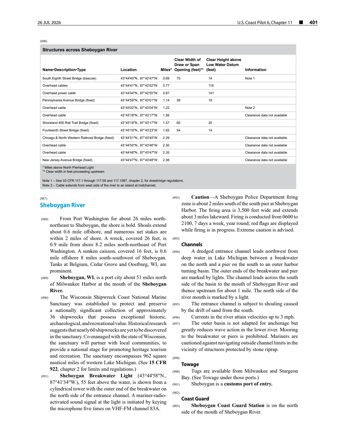
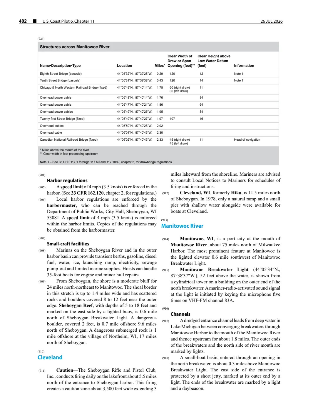
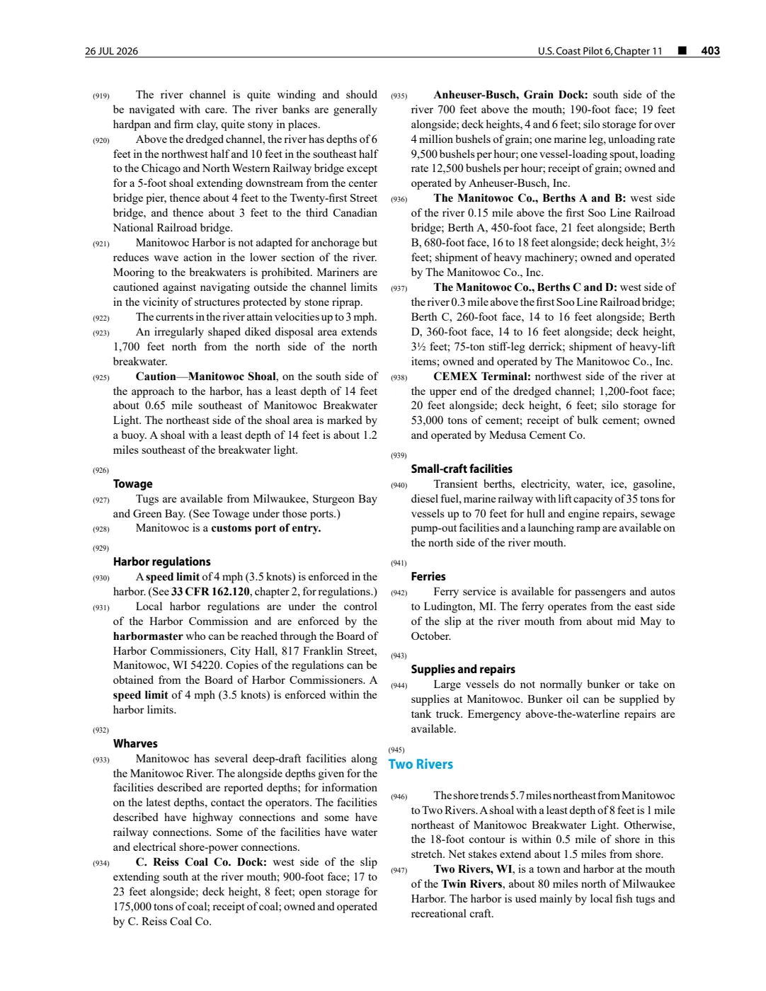
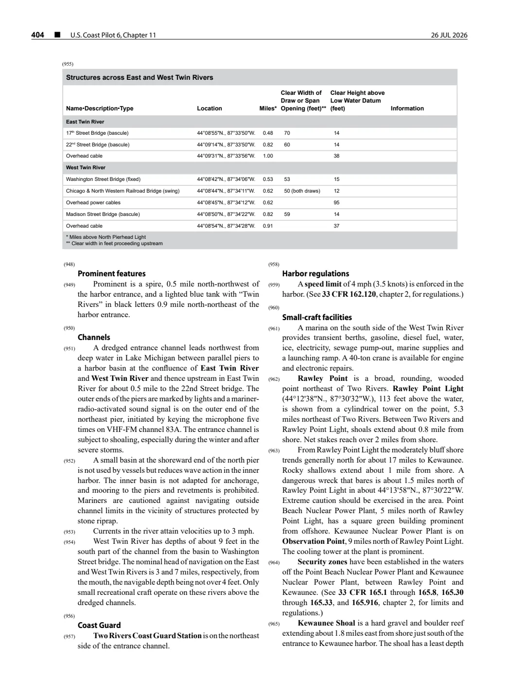
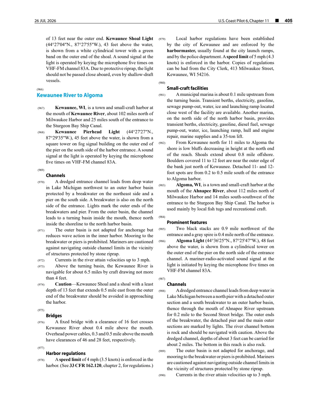
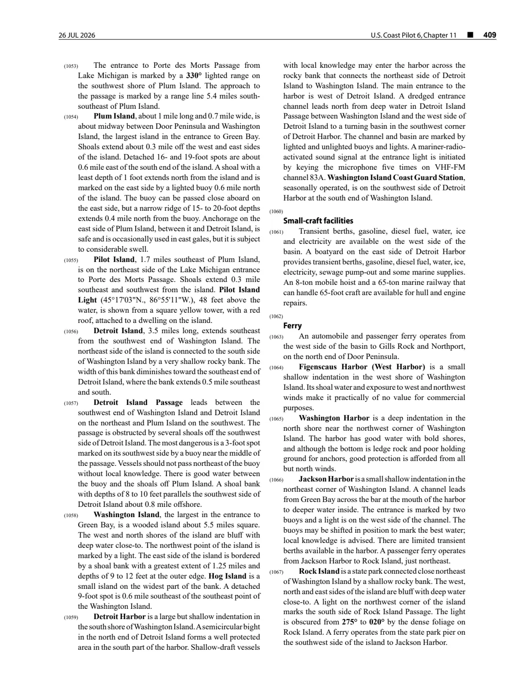
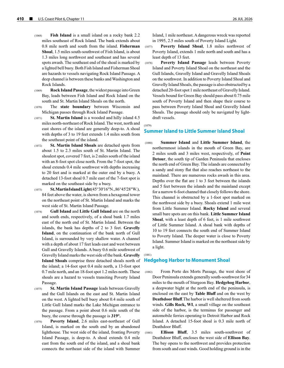
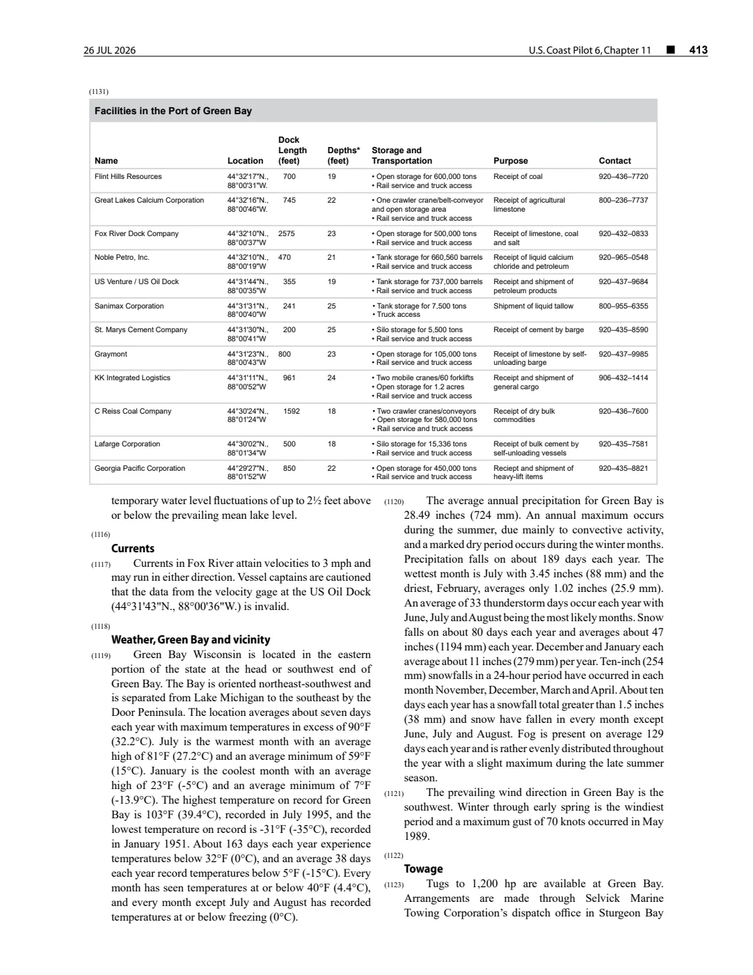
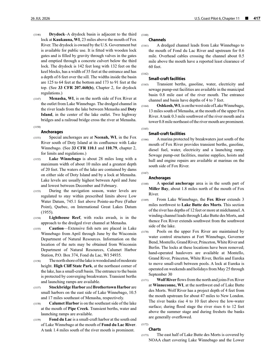
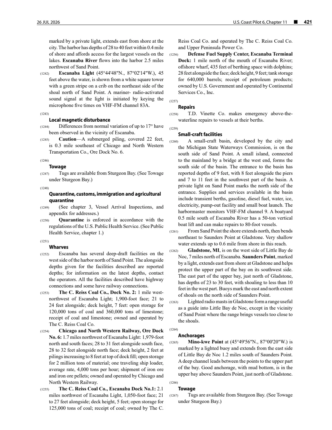
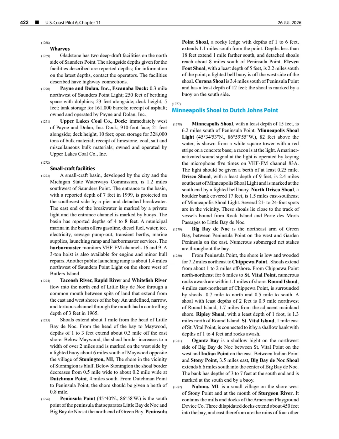
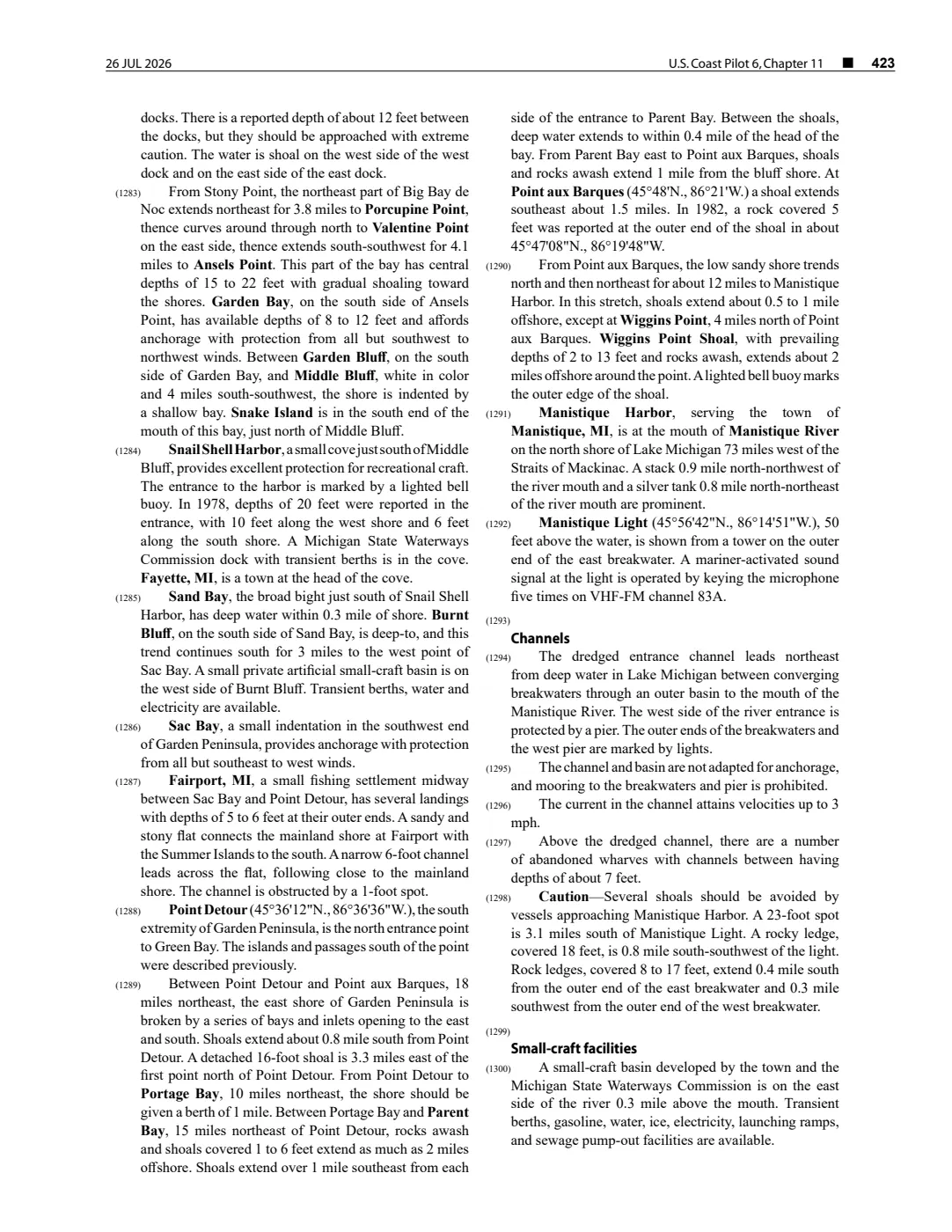
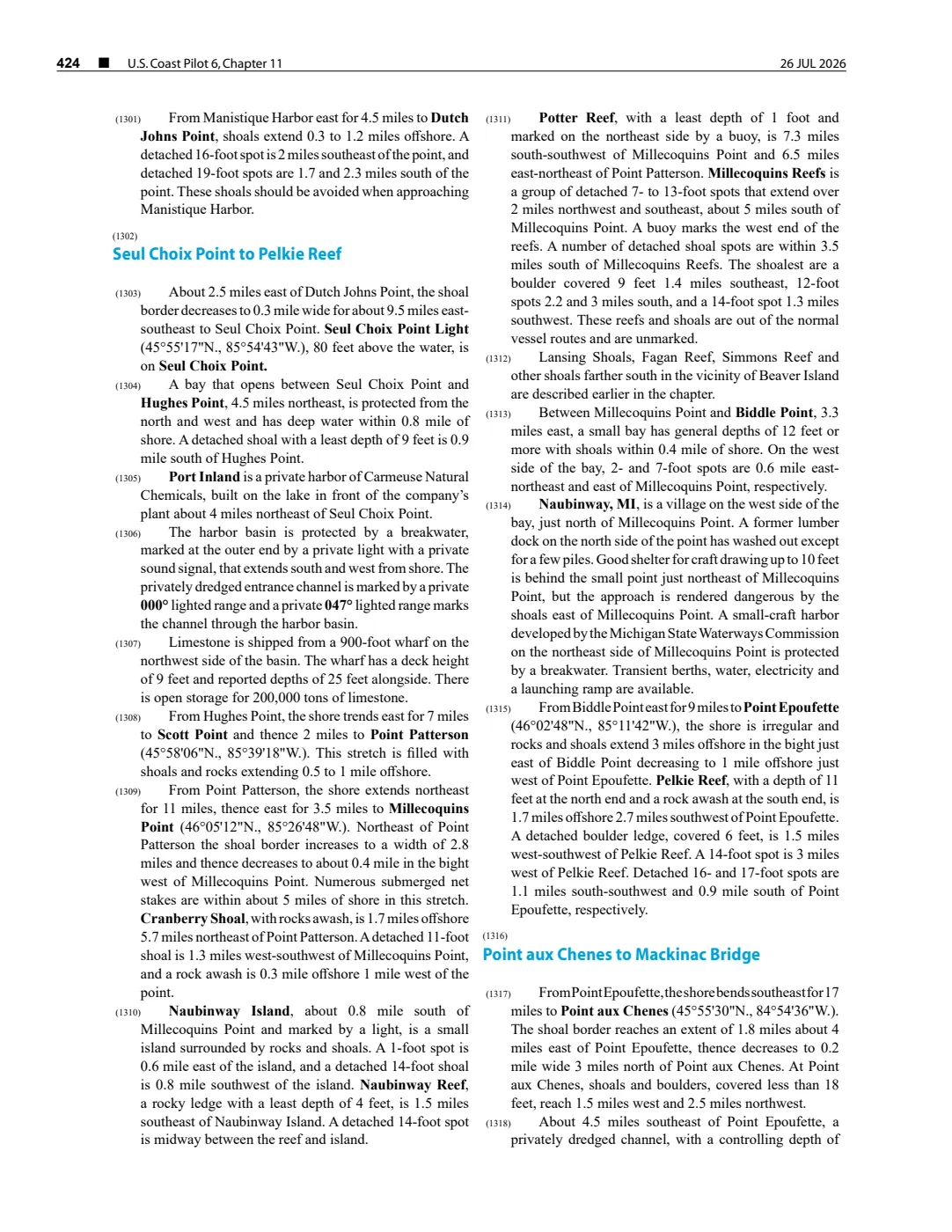
A held NOAA Coast Pilot revision dated 26 July 2026 describes the reef as a detached shoal 3.2 nautical miles south-southeast of Hog Island, with a reported 5-foot least depth and a buoy. The coordinate is a reproducible anchor derived from that relationship and the held Hog Island point; it is not a mapped boundary or replacement for current official navigation products.
Open questions
- Can a contemporary chart or hydrographic survey establish the reef’s exact coordinates, shoalest depth, and buoy history?
- Can a contemporary report document the J. I. Case rescue and identify the station keeper and volunteer crew?
See also
Sources
Footnotes
Read the document
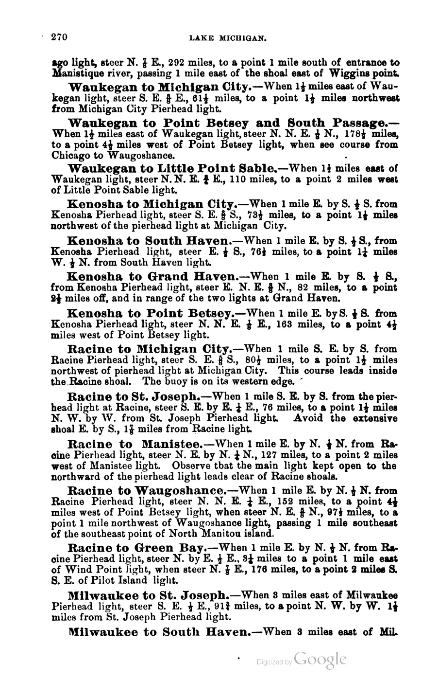
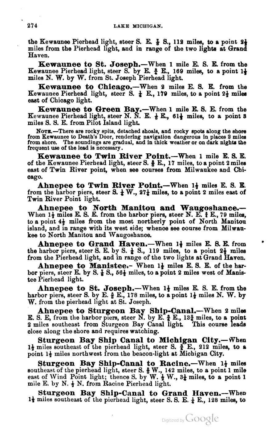
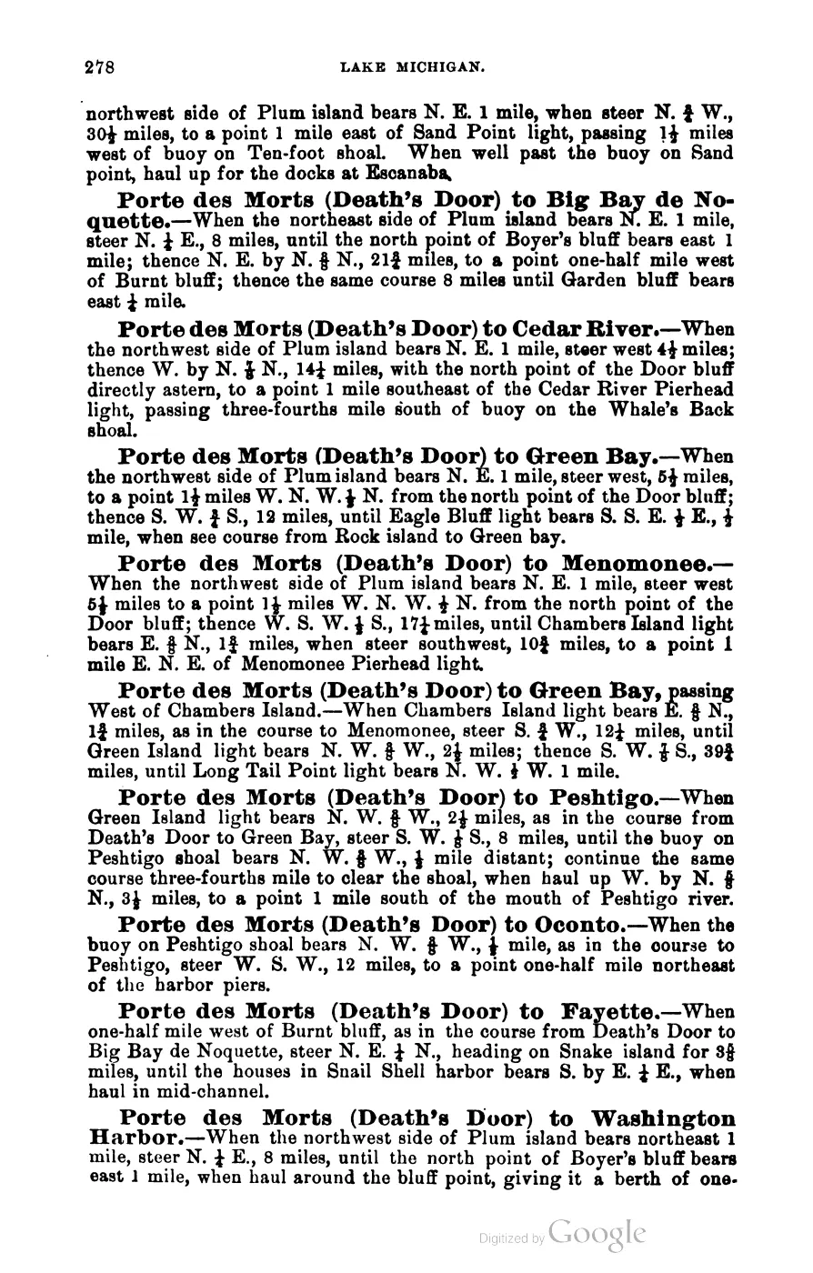
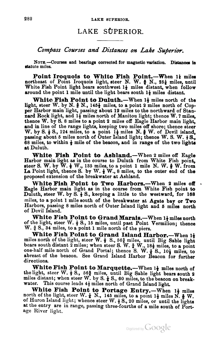
393 pages, rendered from the held scan.

Jump to a page — 393 in all






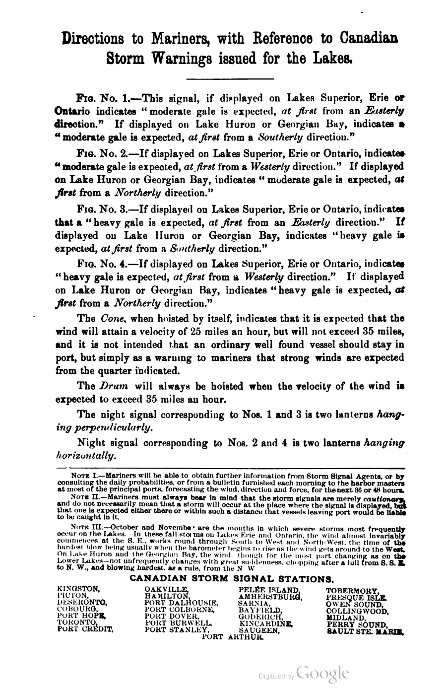

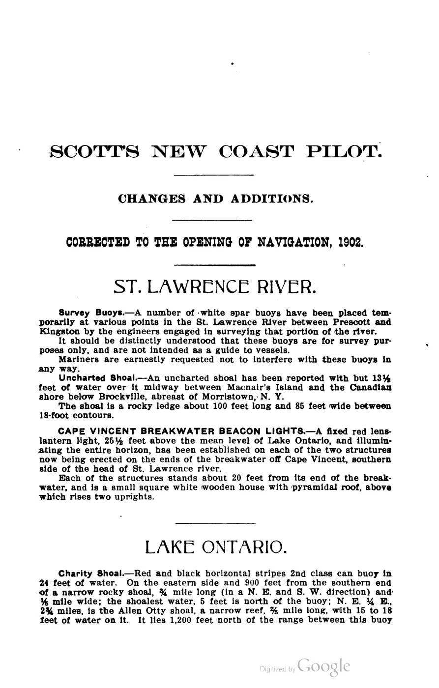
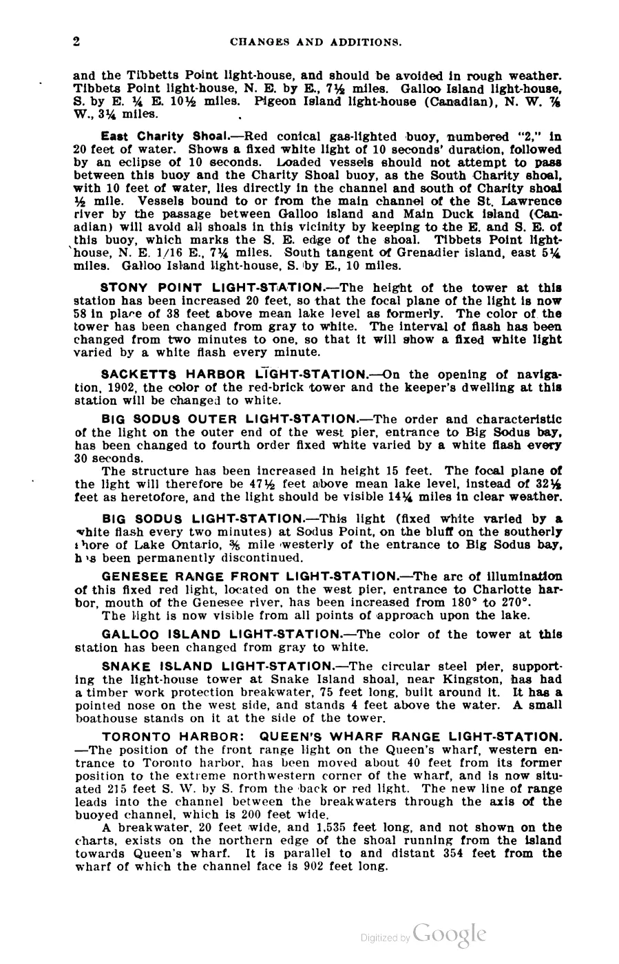
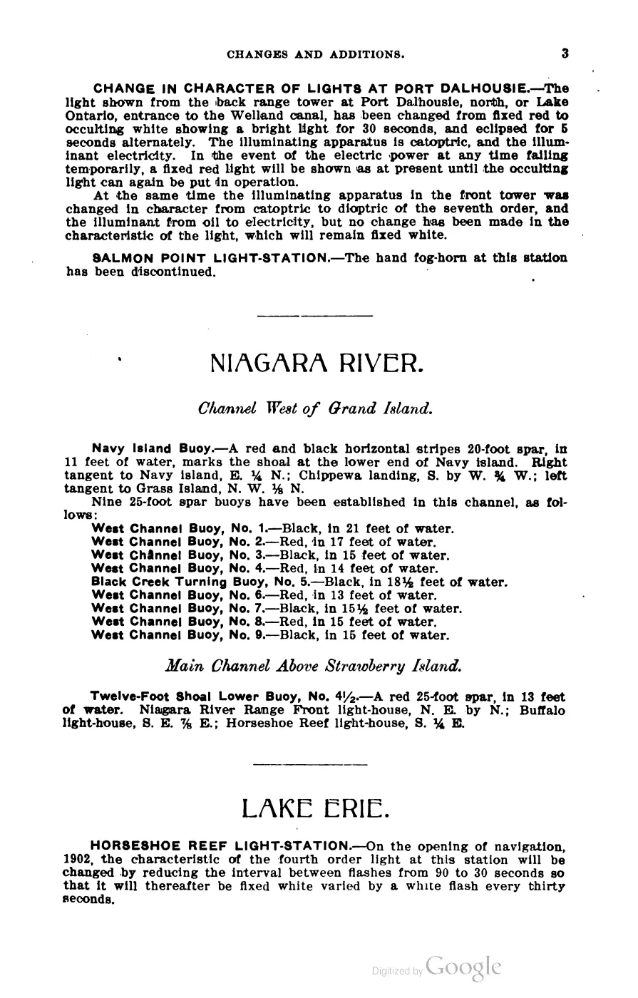
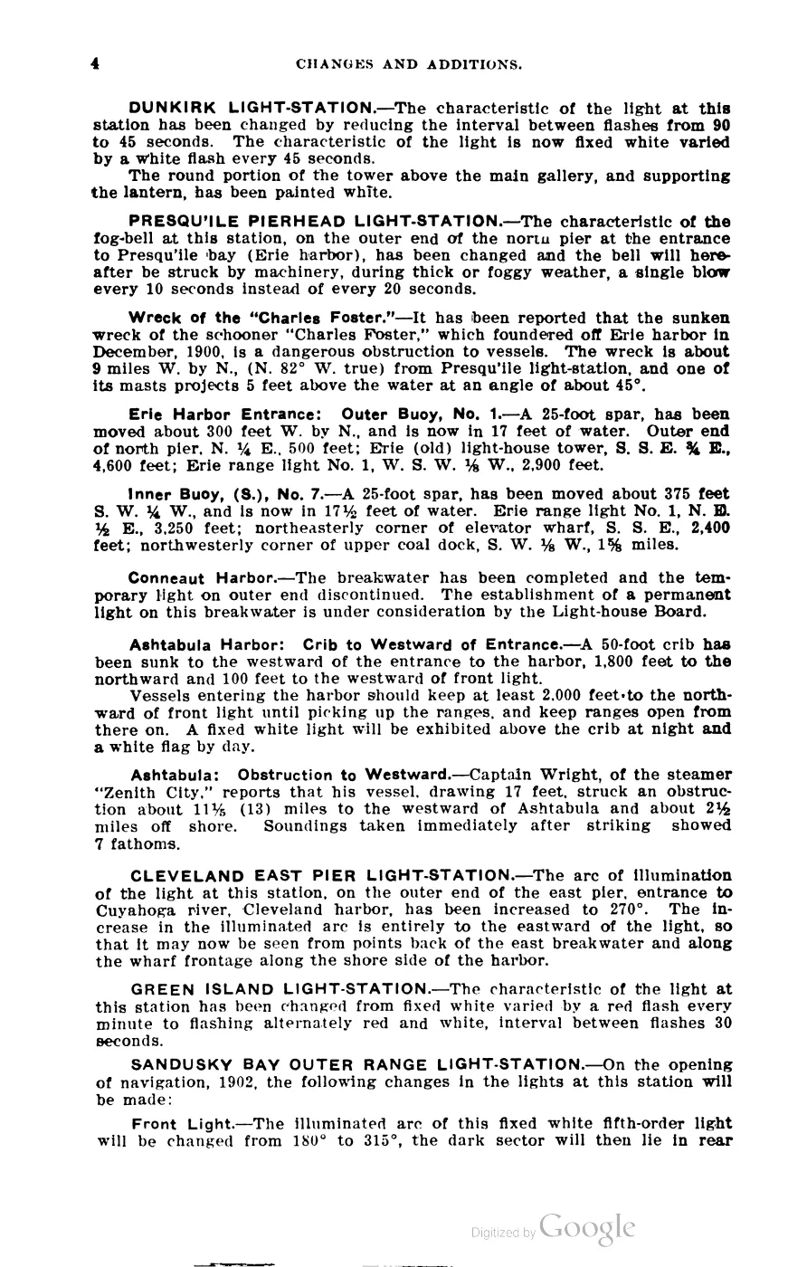
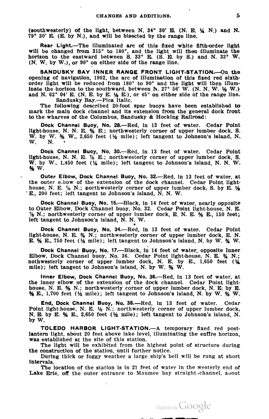
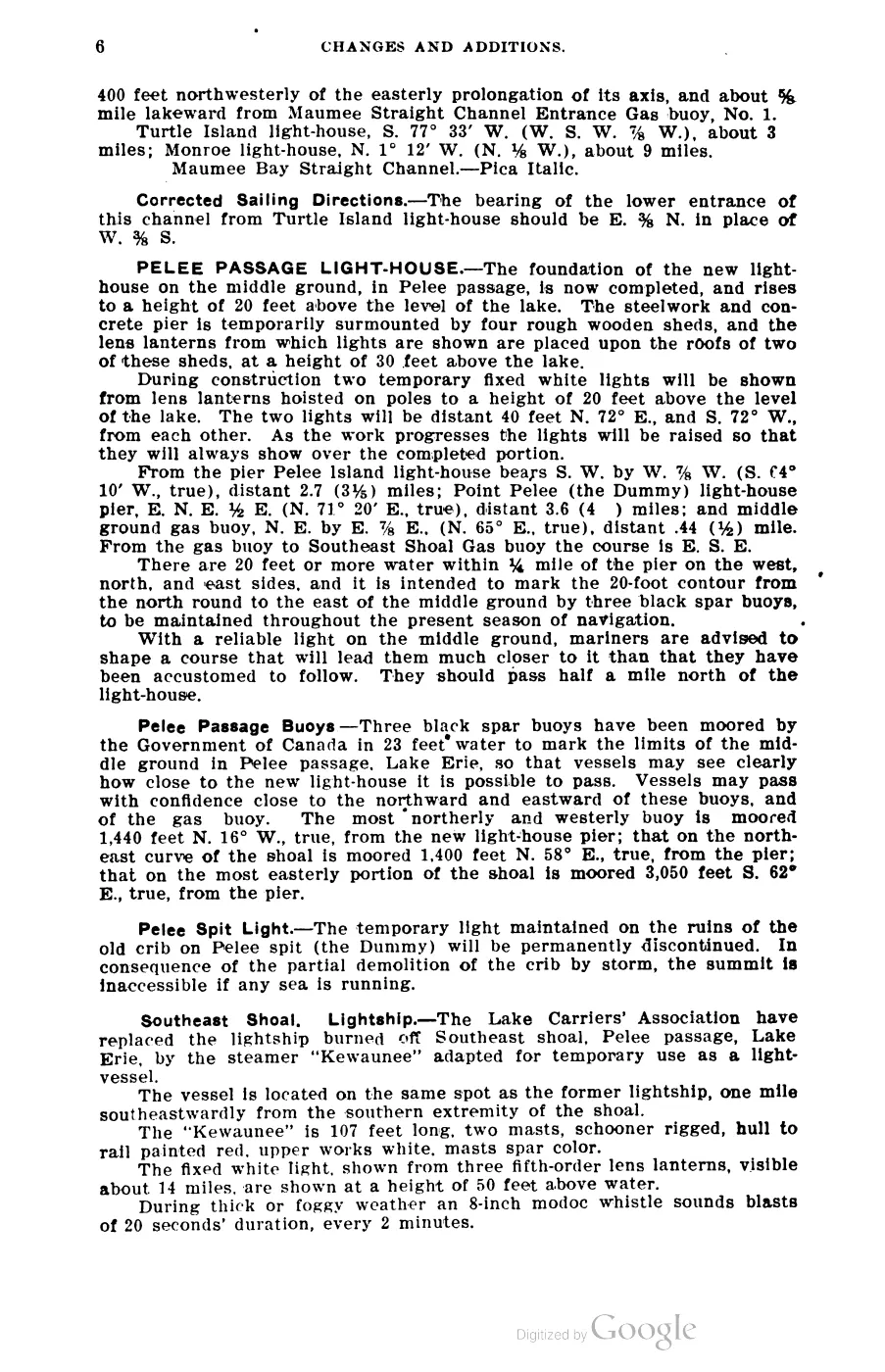
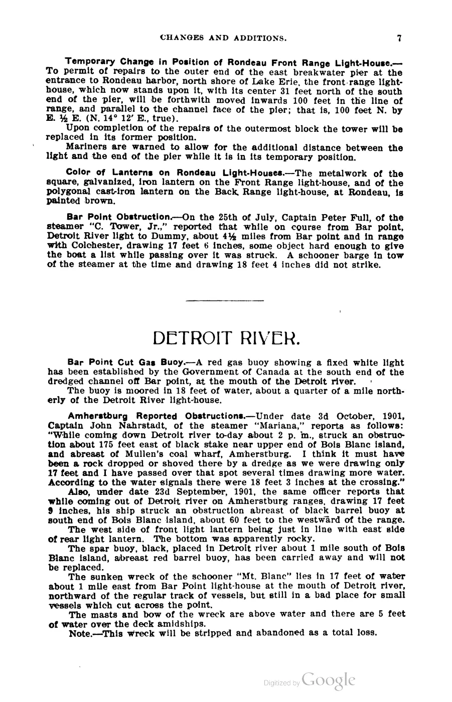
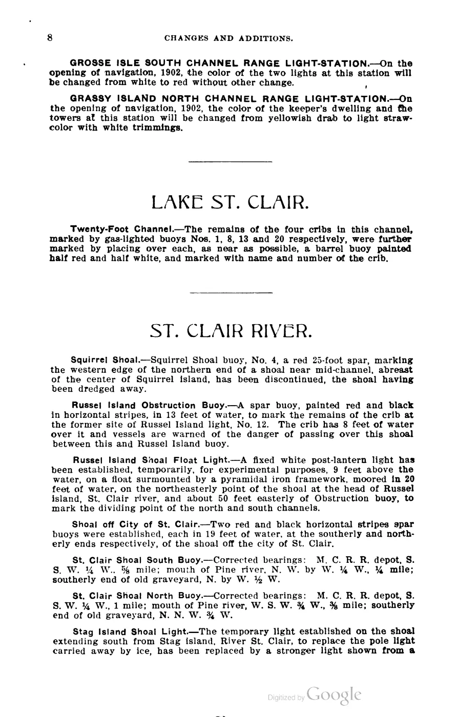
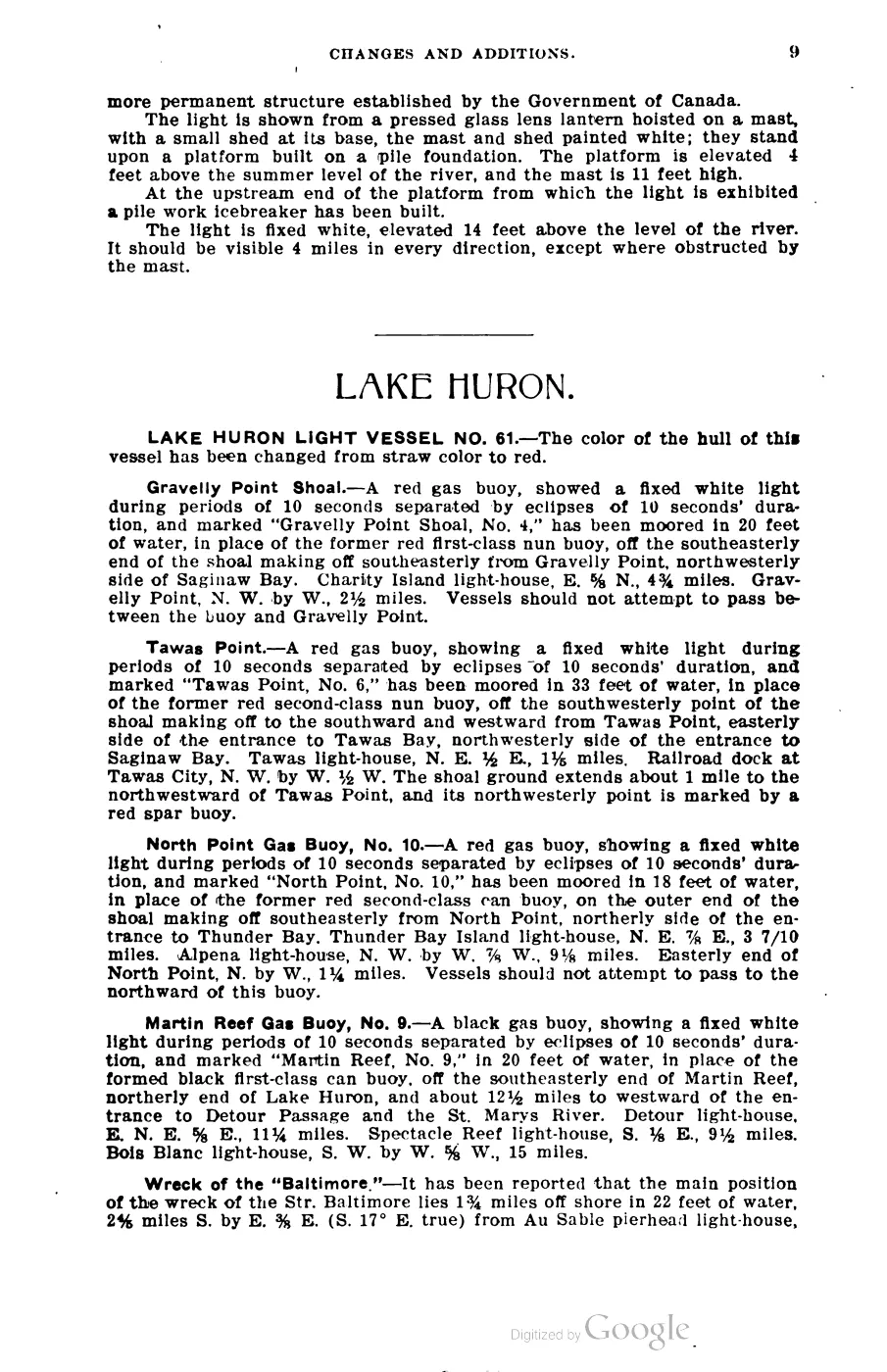
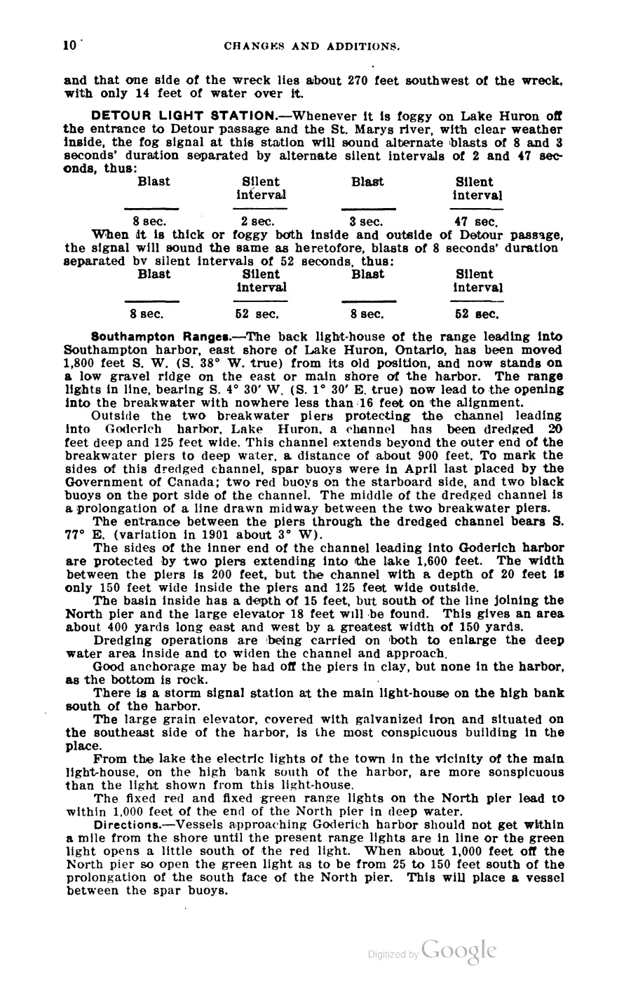

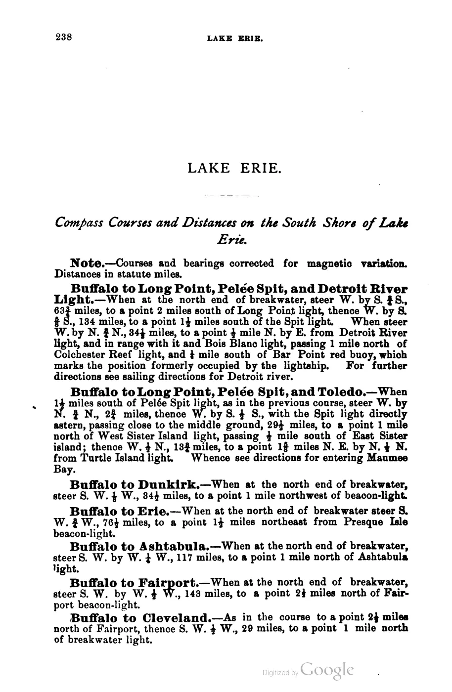
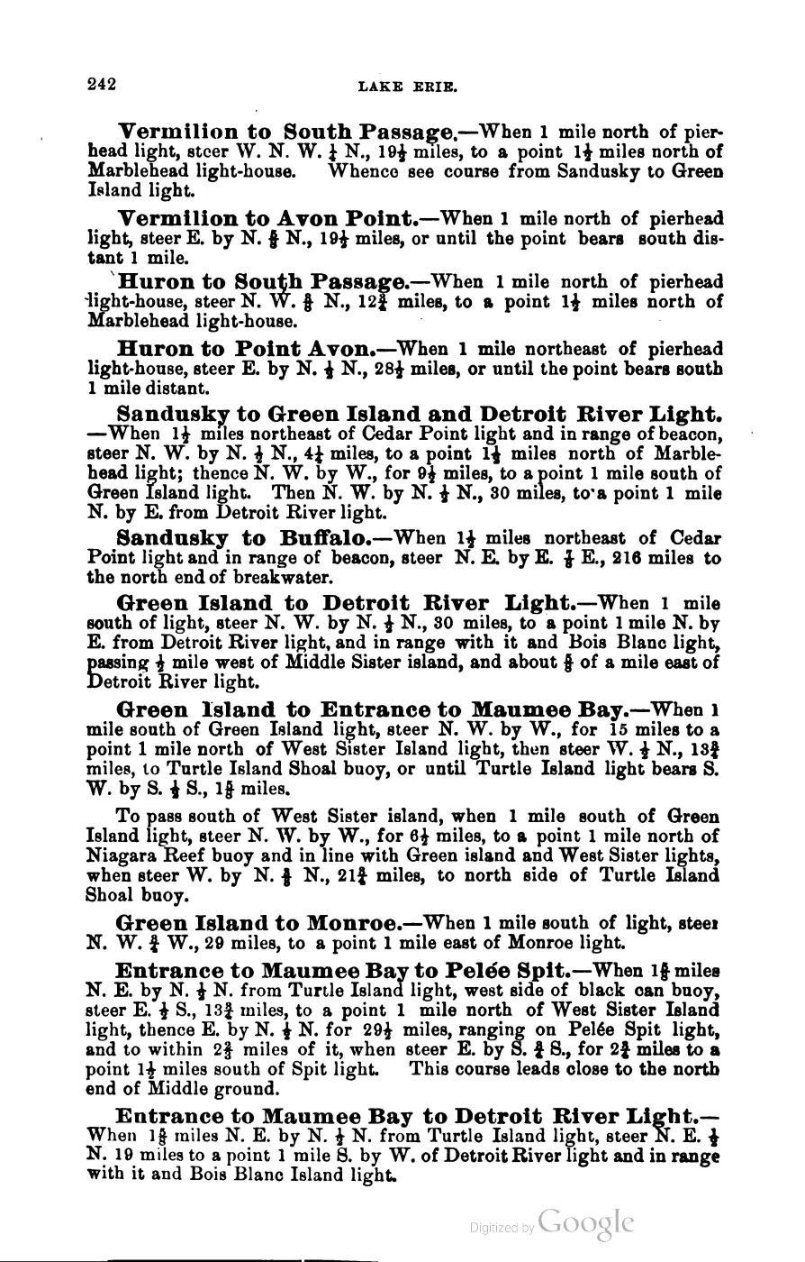
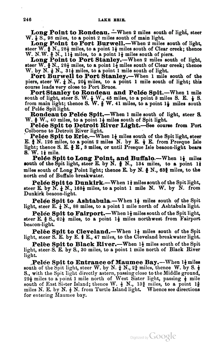
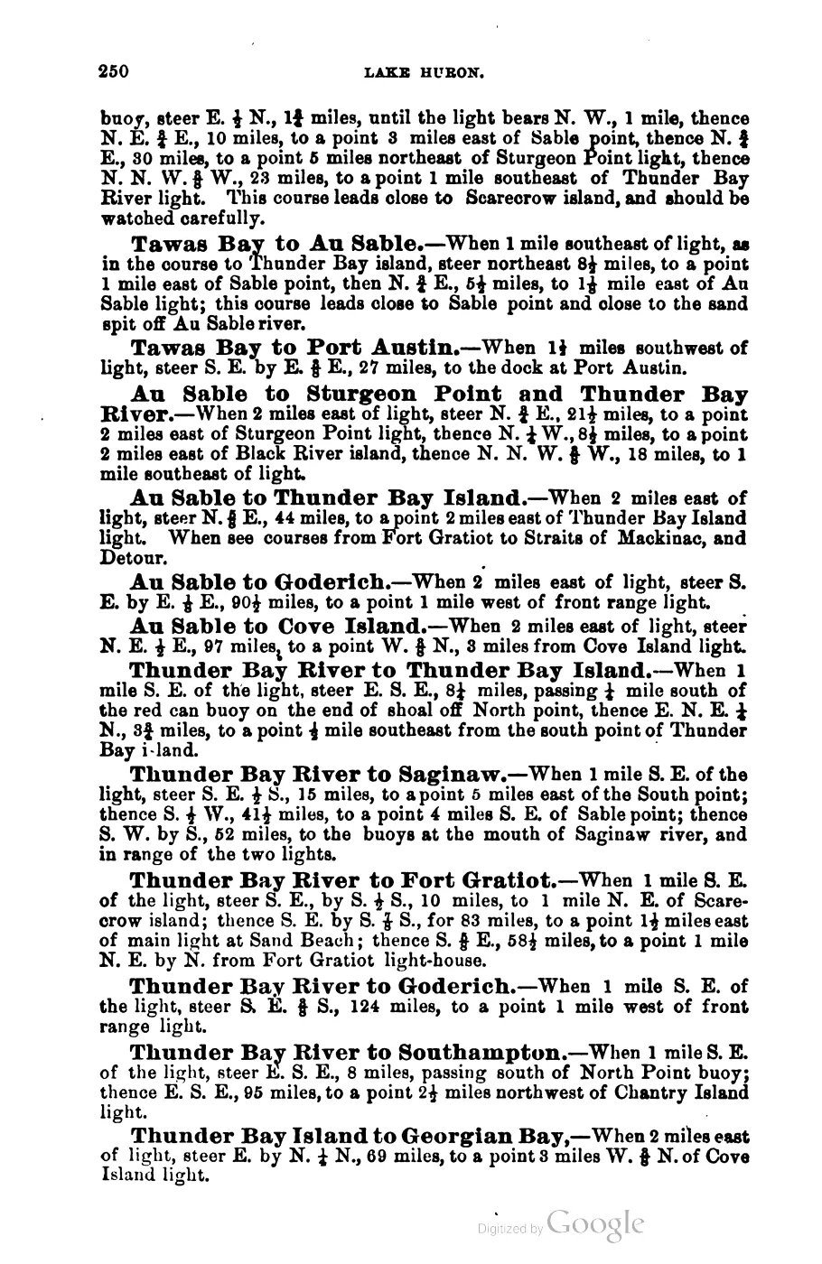
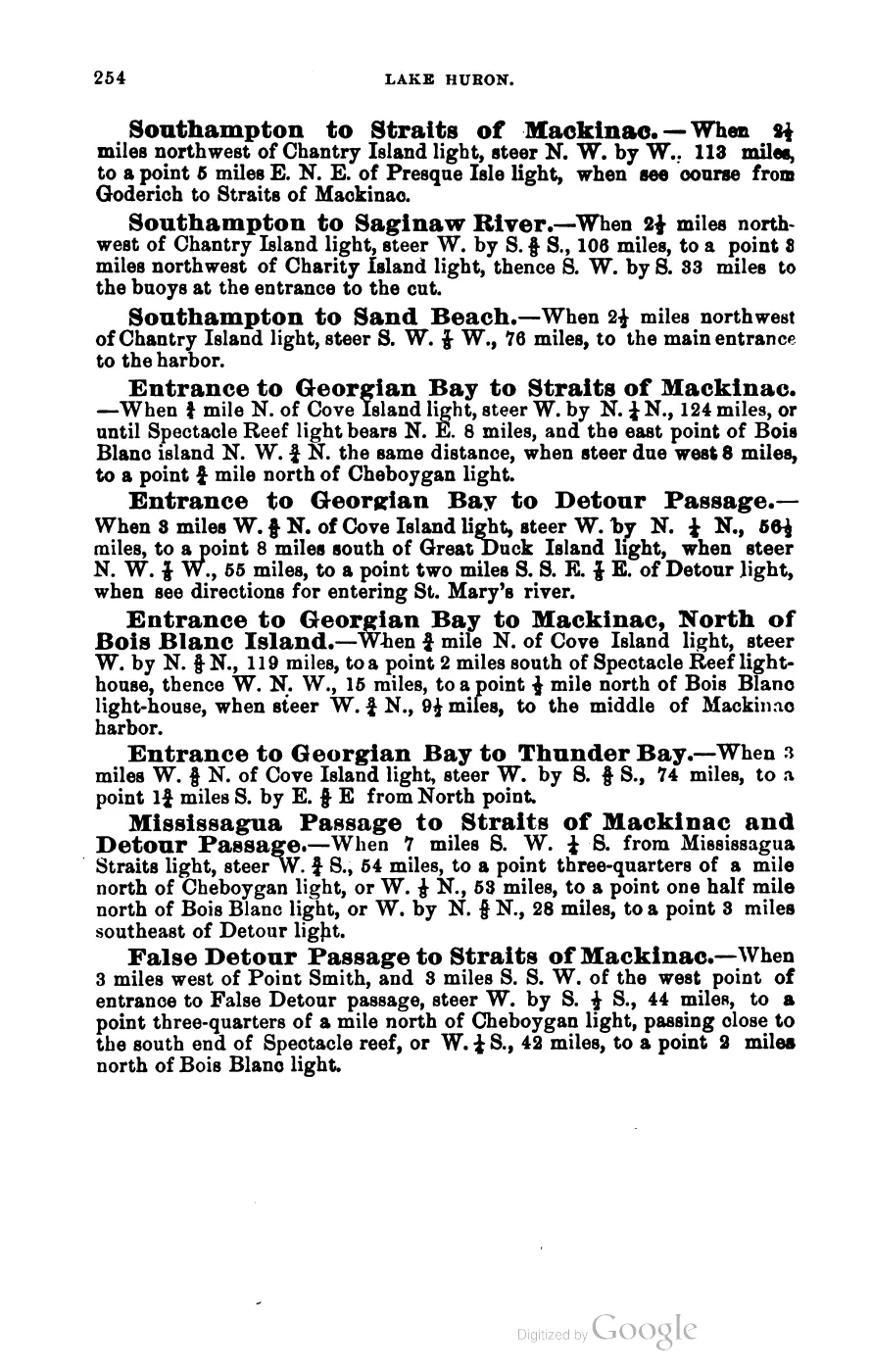
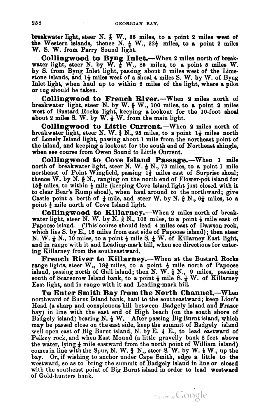
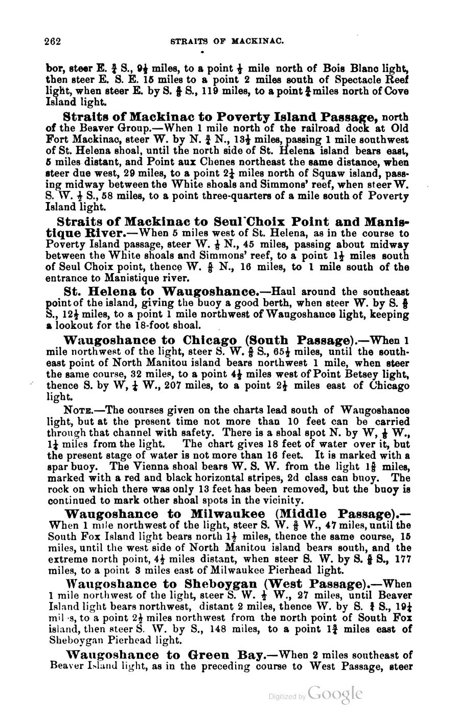
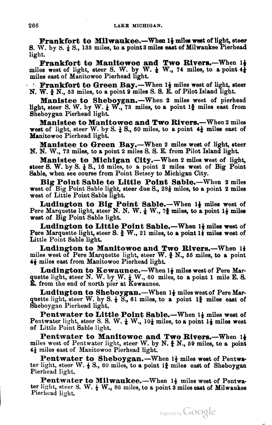
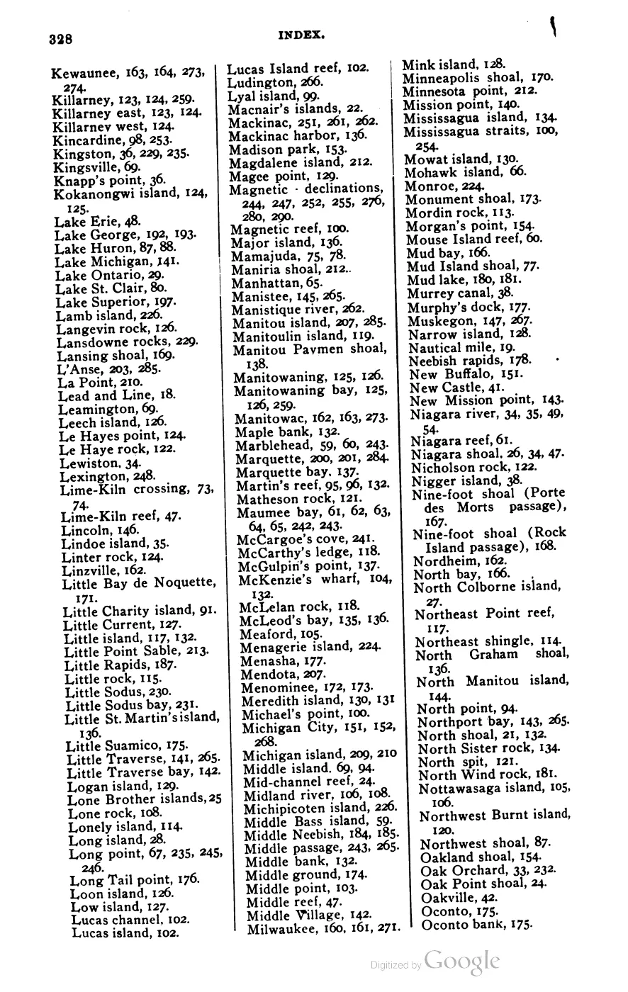
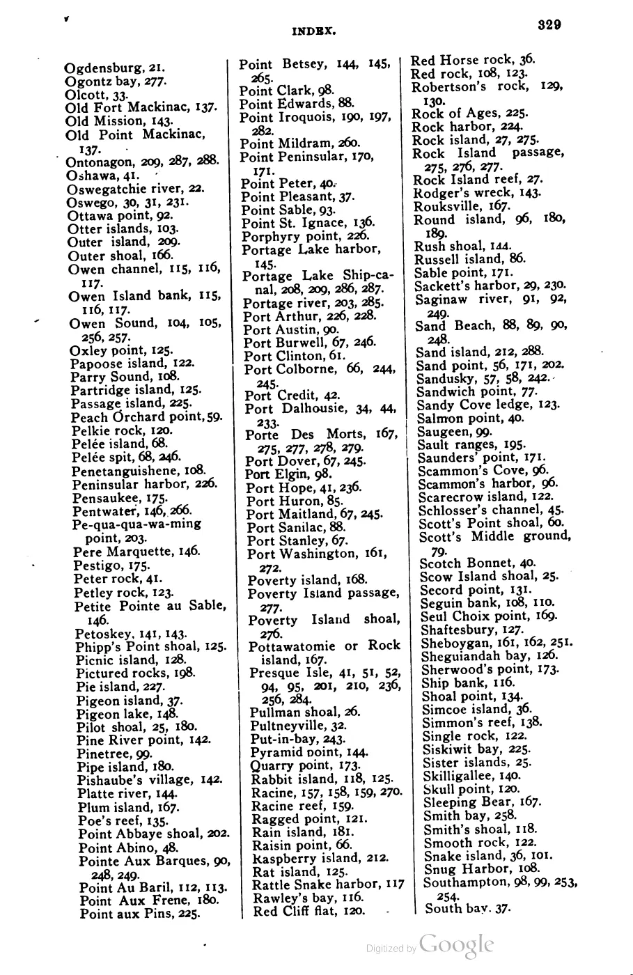
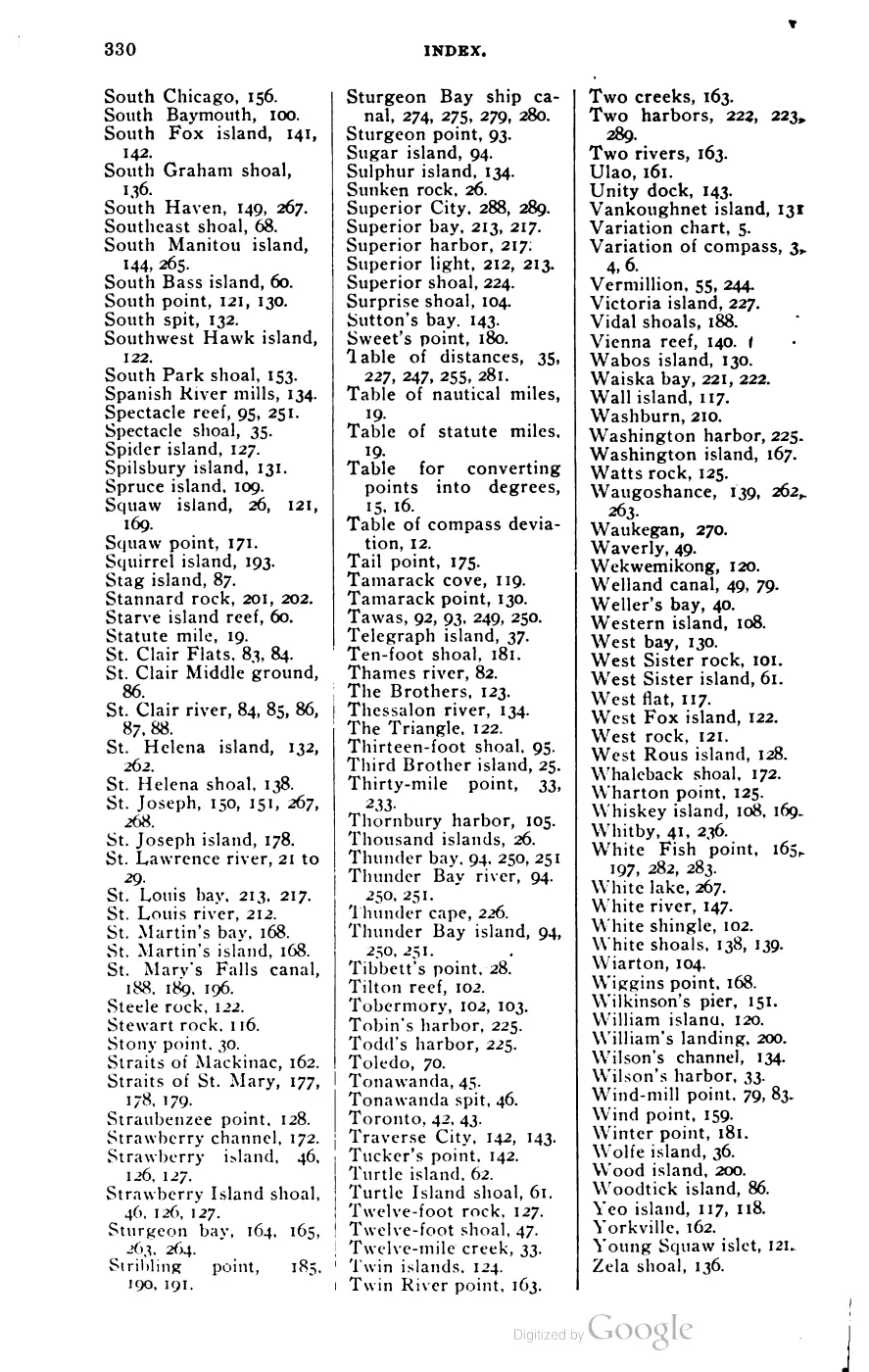


135 of 393 pages linked here — every page to 32, then every 4th, then the last 16. With JavaScript, every page.
Read the document
92 pages, rendered from the held scan.
Sources
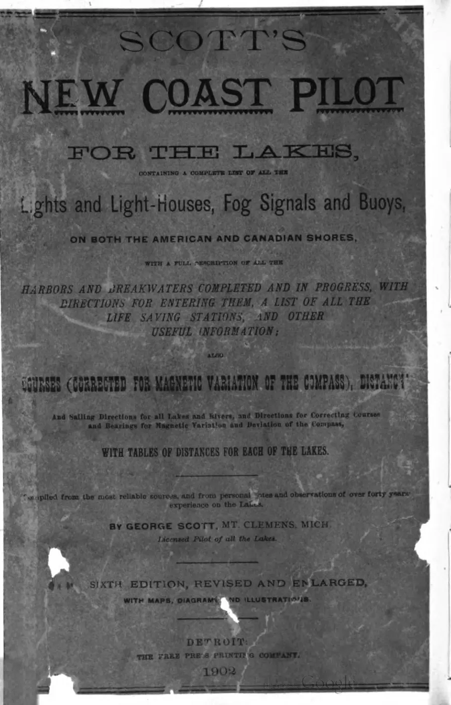
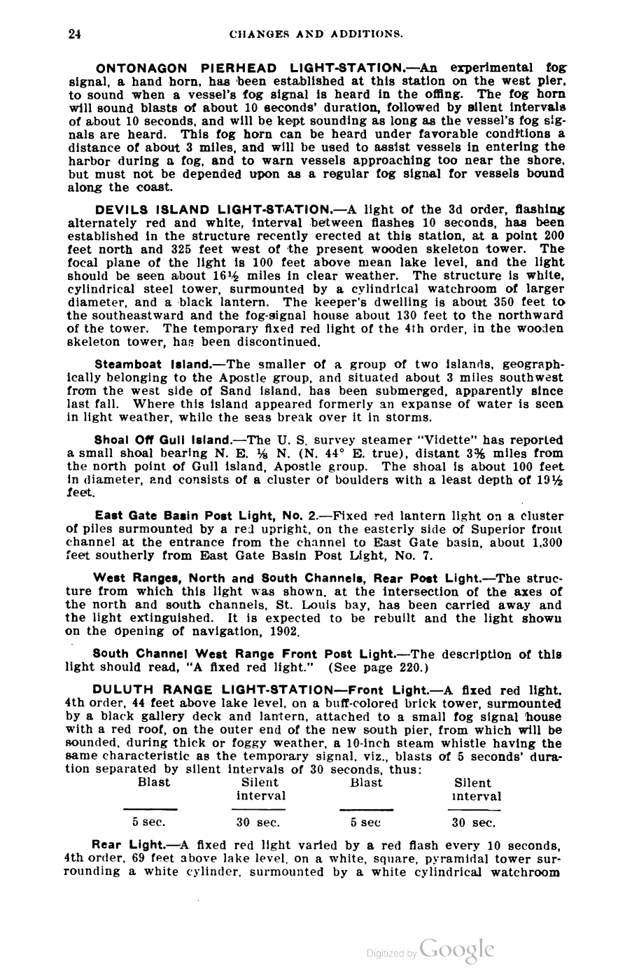
- George Scott, Scott's New Coast Pilot for the Lakes (6th ed., Detroit, 1902), p. 140.Describes Hog Island Reef off the southeast end of Hog Island, with a red-and-black horizontal-stripe second-class can buoy; gives the reef's greatest extent as three-eighths of a mile east-west and 220 yards north-south. No public copy of this file is known; the archive holds one and can provide it on request.local_documents · 1902_scott-new-coast-pilot-for-the-lakes-6ed
- Retrospective identifies Hog Island Reef as the location where the three-masted schooner J. I. Case became stranded in 1883; it is not contemporary hydrographic evidence.data1 · beaver-island-archive · beaver_beacon · 1961-12_Beaver-Beacon
- Described in this archive: Beaver Island History Map, 1978 revision.Groups “J. L. Case, Lafinire, Princess Palms” at Hog Island Reef eight miles due east. Independent evidence corrects J. L. to J. I., treats J. I. Case as a saved stranding, leaves Lafrinier/LaFinire only on or off Hog Island, and identifies Princess Palms as an erroneous form of Francis Palms whose compiled loss position is near Gray’s Reef. The group location and distance are not adopted as reef geometry.
- The held six-page issue scan is paired with the OCR source and confirms the published notice or report; it does not expand the source-specific identity, event, or outcome claims.data1 · beaver-island-archive · scans · beaver_beacon · issues · 1961-12_Beaver-Beacon
- Charlevoix Sentinel, July 30, 1908, "Brave Old Capt. 'Tip' Miller," reprinting the Frankfort Express.The reprint lists "schr. J. I. Case on Nov. 23, 1883" among wrecks attended by Capt. Harrison Miller, who it says was keeper of the Beaver Island Life-Saving Station from 1876 until his March 14, 1887 transfer. It does not state the casualty's location, cargo, master, crew, or outcome. No public copy of this file is known; the archive holds one and can provide it on request.
- USGS metadata identifies a 2001 lidar bathymetry survey of Hog Island Reef and defines each sounding as longitude, latitude, and depth in meters on WGS84.federal · noaa_bathymetry · usgs_ofr_2003_120 · metadata · hogmeta
- The held extract is retained as hydrographic survey context for the named reef; its metadata and data do not define a current reef boundary or buoy position, so the article does not promote an arbitrary sounding to an exact reef coordinate.federal · noaa_bathymetry · usgs_ofr_2003_120 · hog
- Project-generated representative reef anchor, retrieved 2026-08-06.The point is derived from the Coast Pilot description of the reef as 3.2 nautical miles south-southeast of Hog Island, using the held representative Hog Island coordinate. It is a reproducible approximate map anchor, not a charted exact position, buoy position, boundary, current least depth, or navigation advice. No public copy of this file is known; the archive holds one and can provide it on request.kb · articles · places · hog-island-reef
- Described in this archive: GLFC guide for Lake Michigan lake-trout rehabilitation, 2008.Defines a modern East Beaver Group that includes Hog Island Reef. This is a lake-trout rehabilitation grouping, not a hydrographic boundary or proof of historical use.geology · publications · glfc_2008_lake_trout
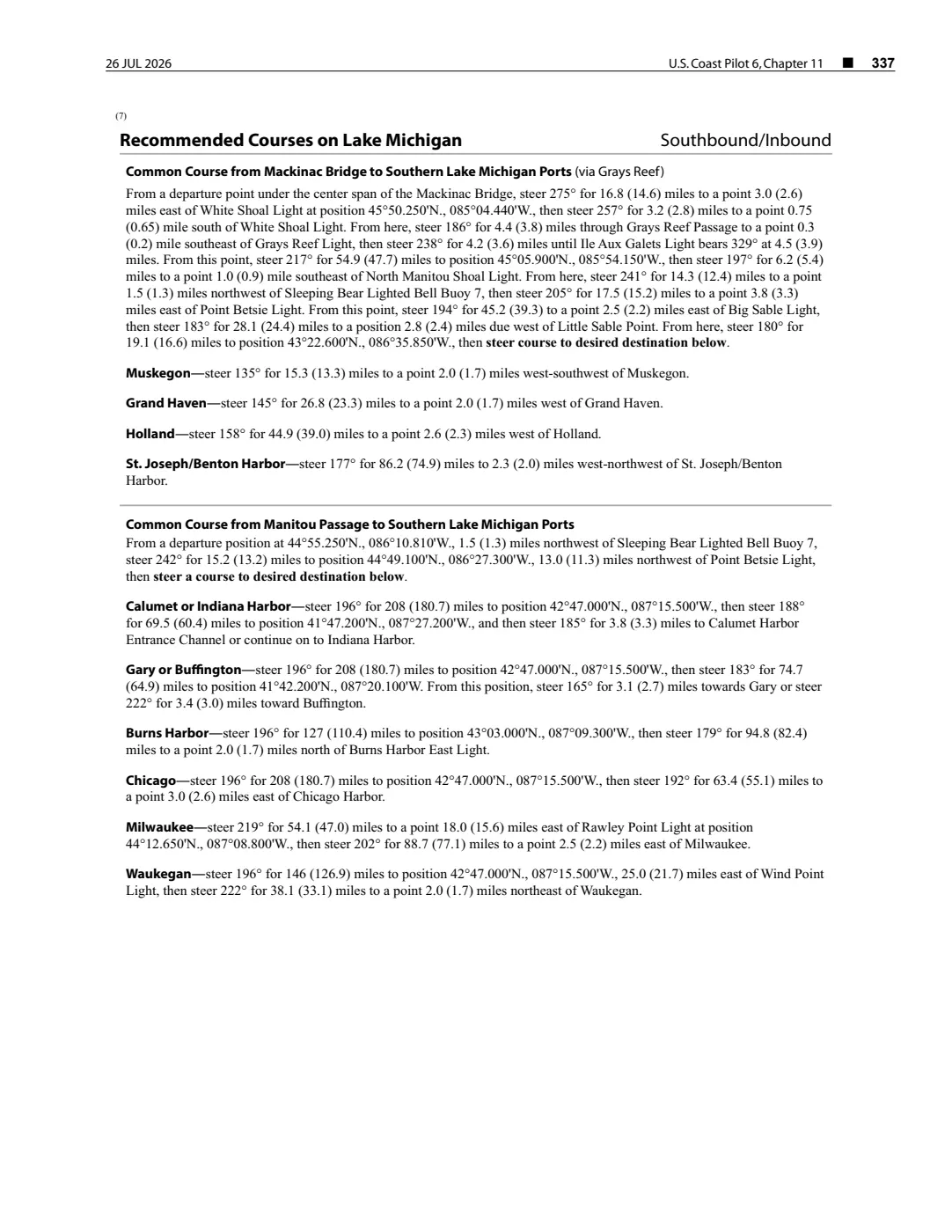
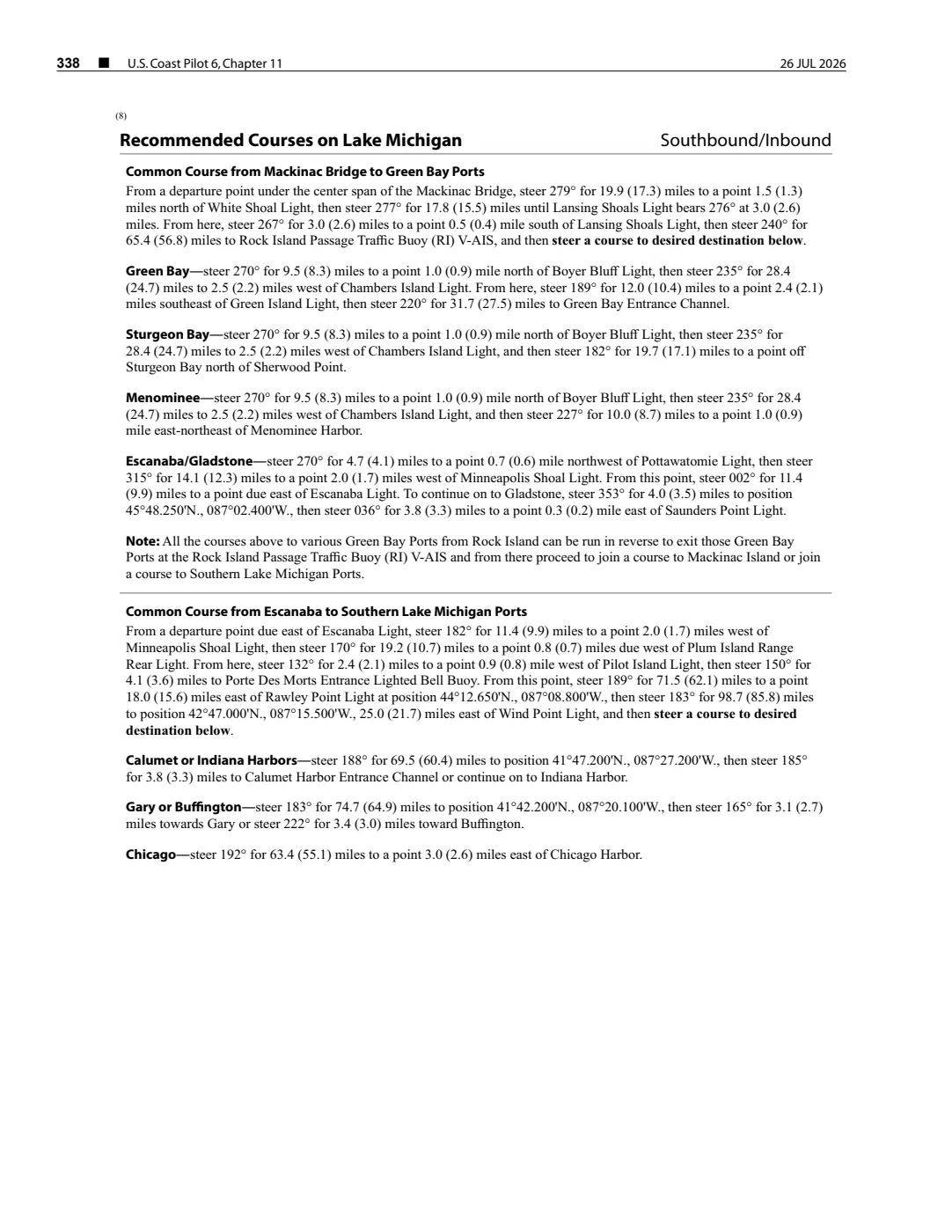
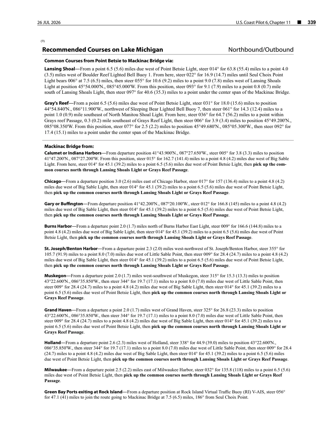
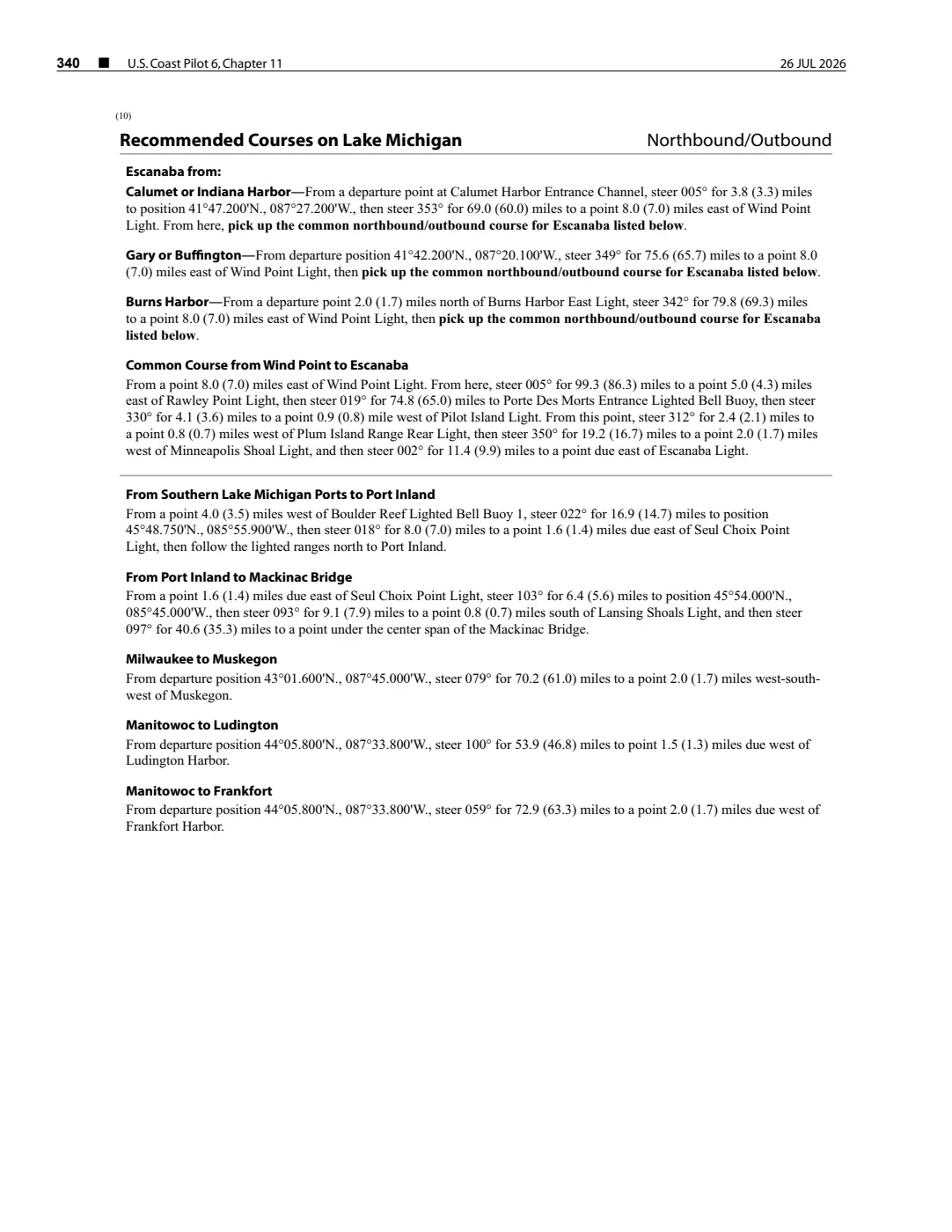
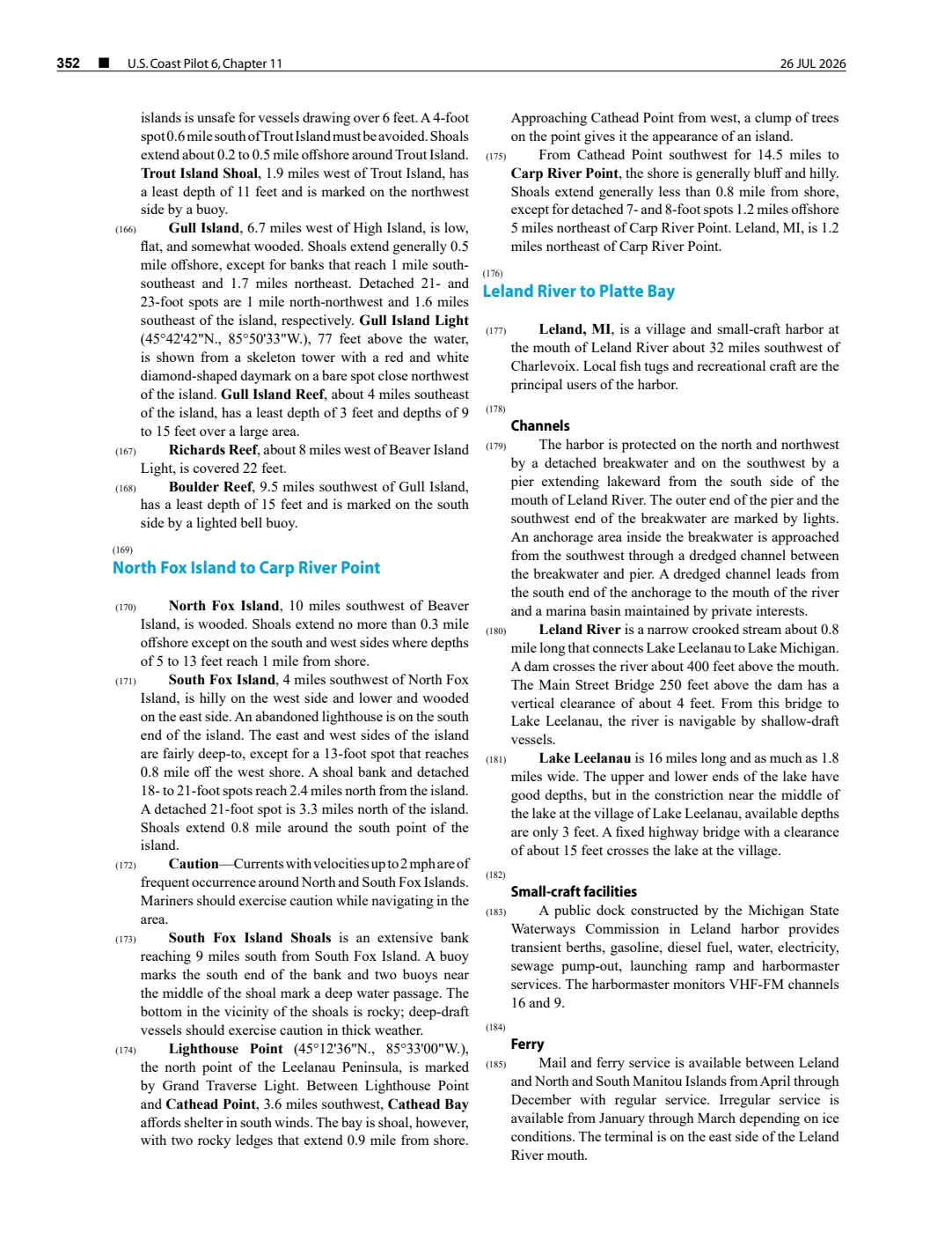
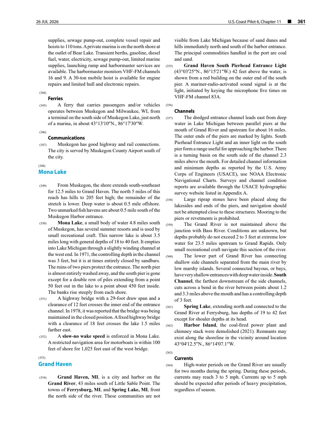
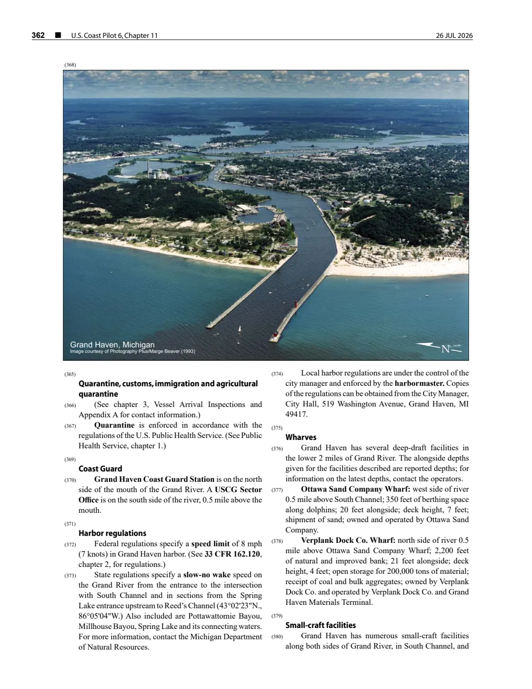
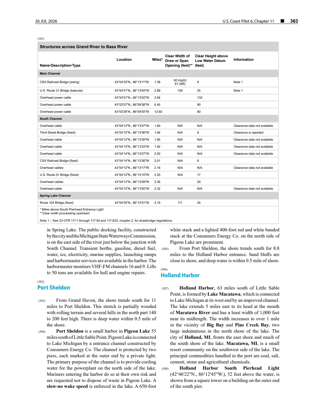
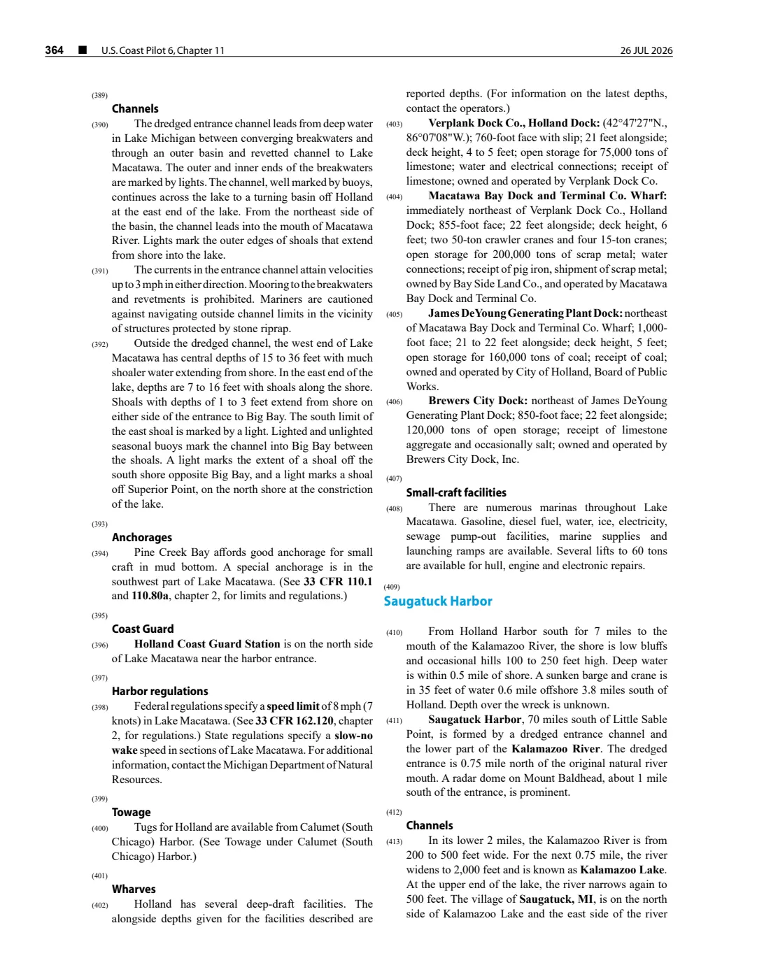
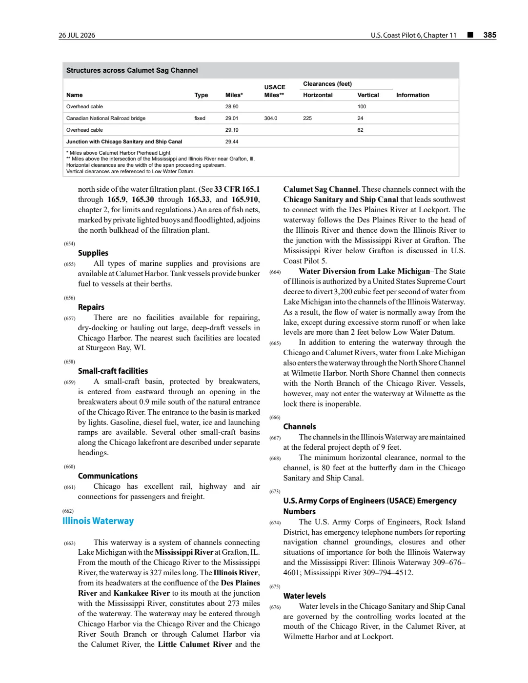
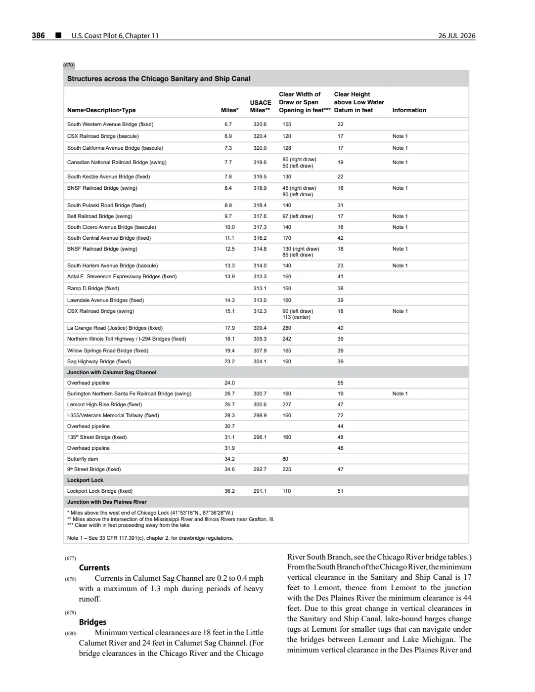
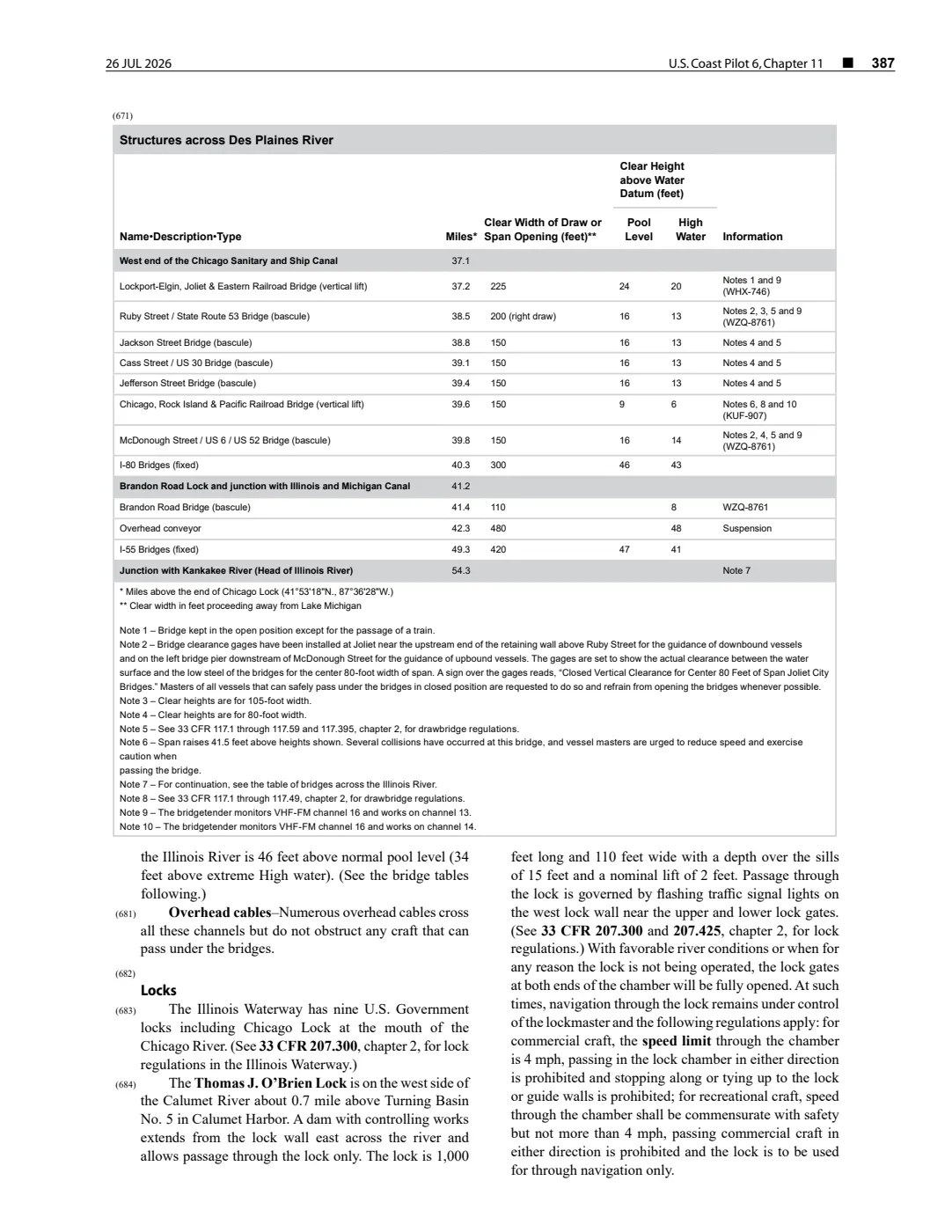
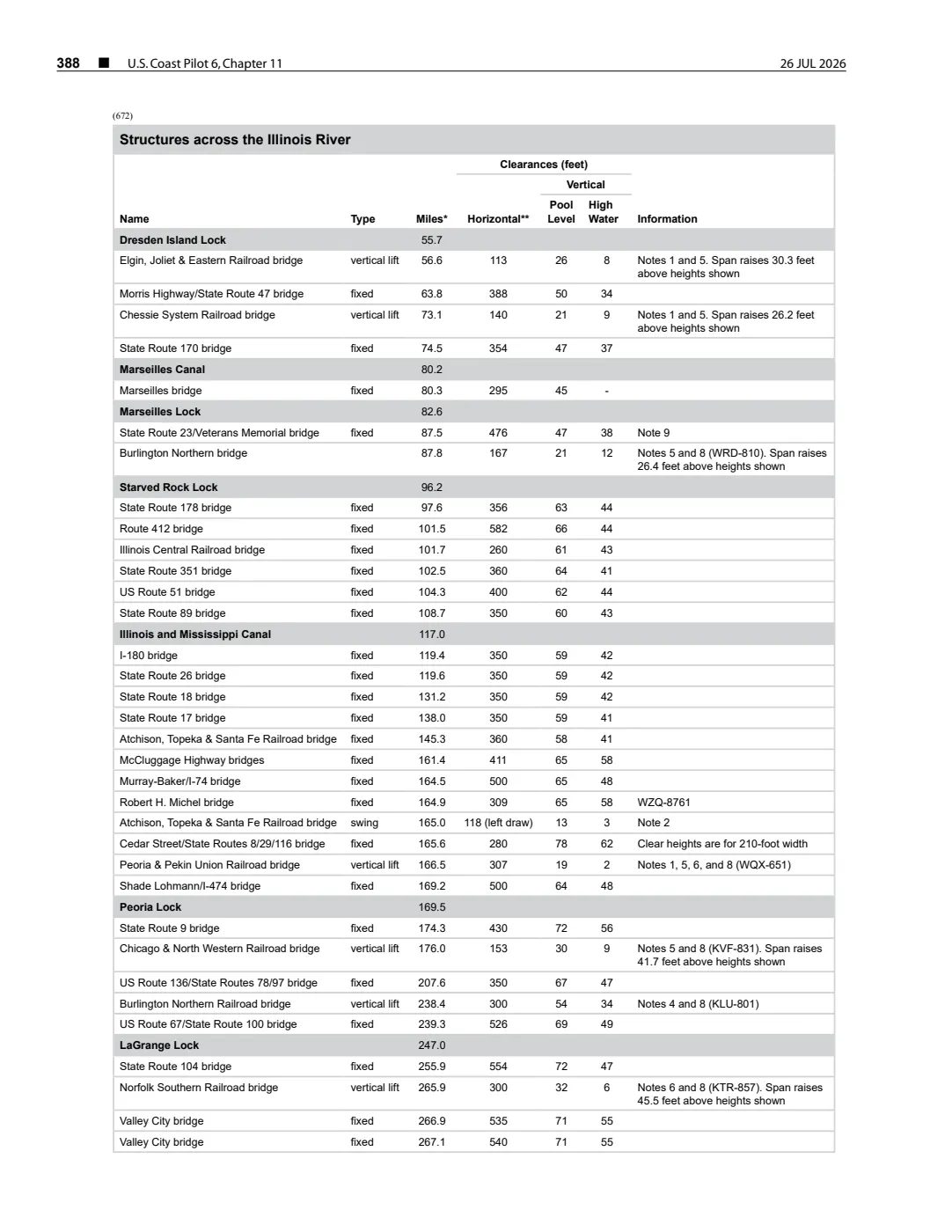
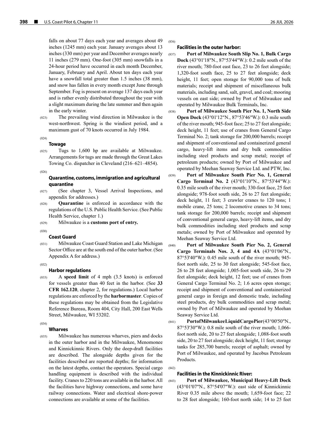
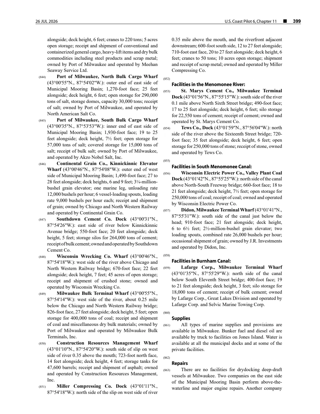
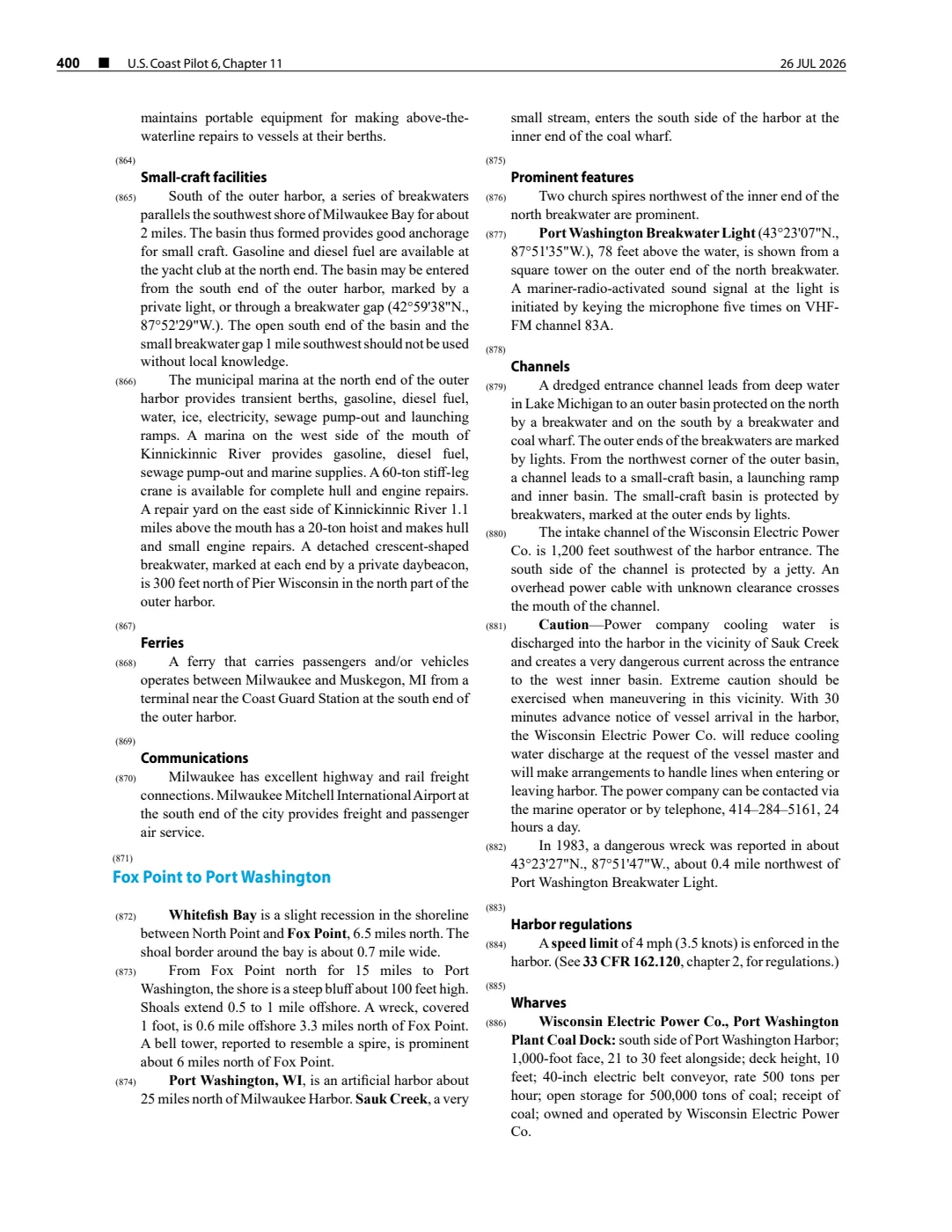
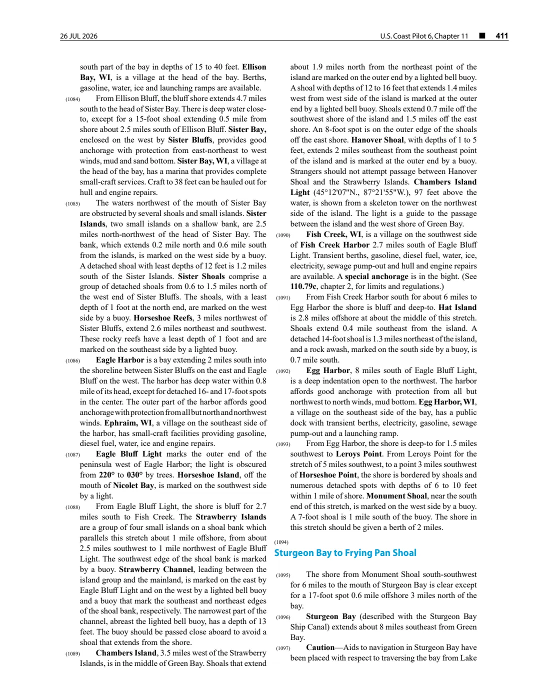
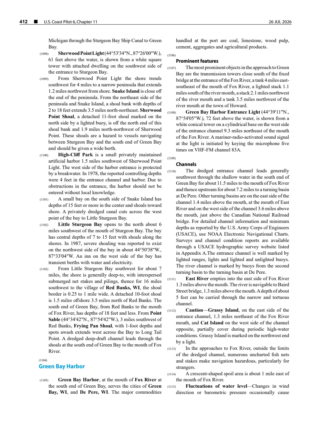
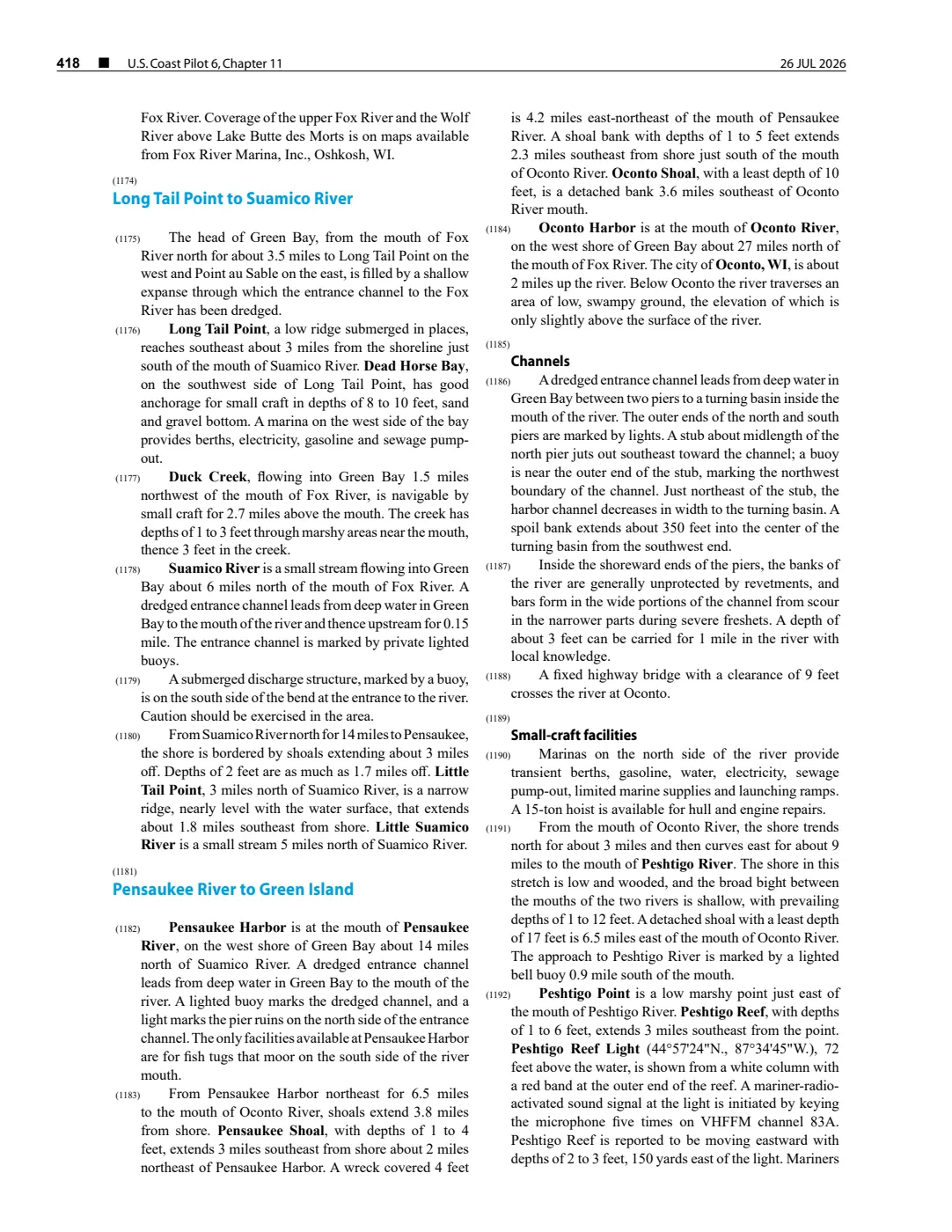
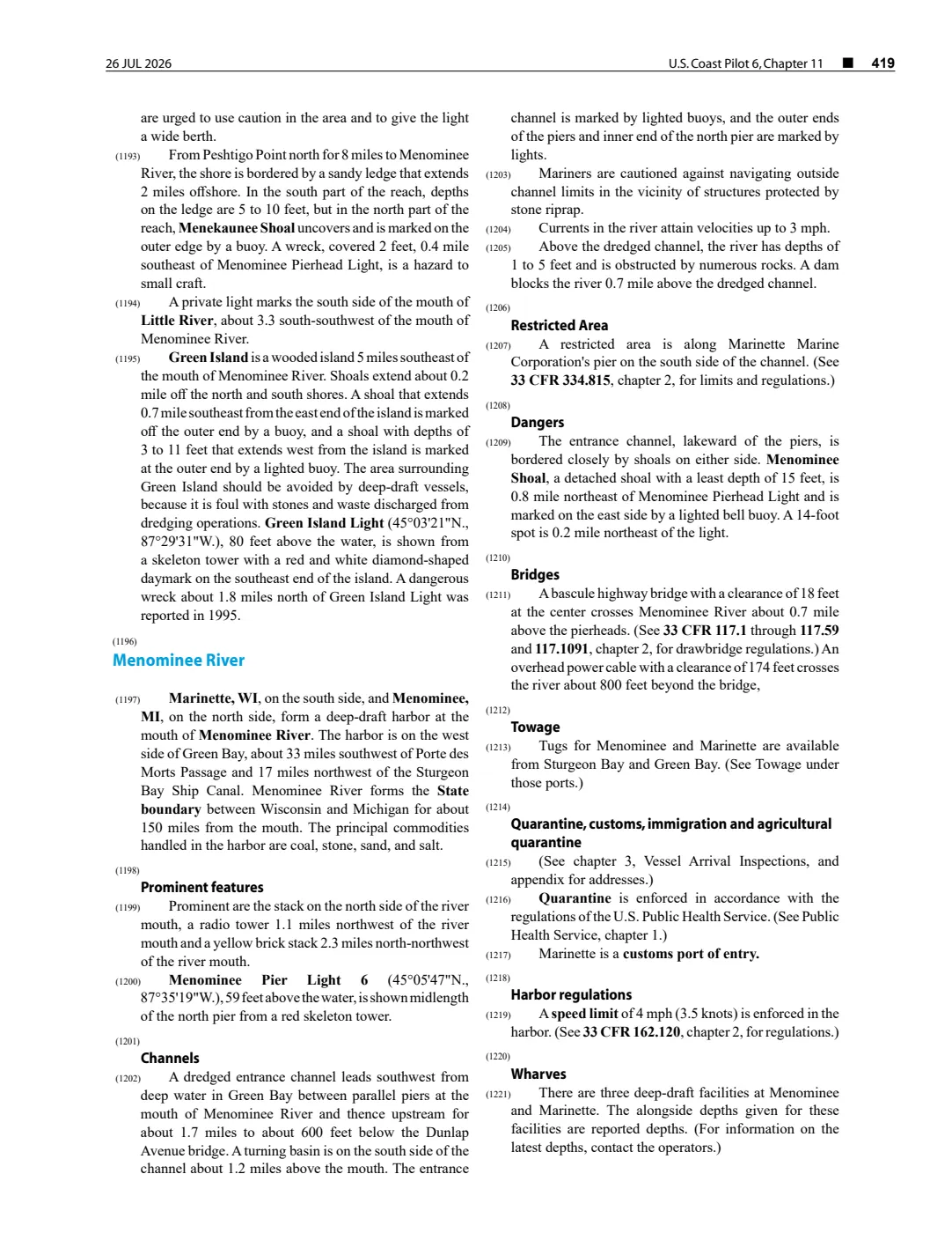
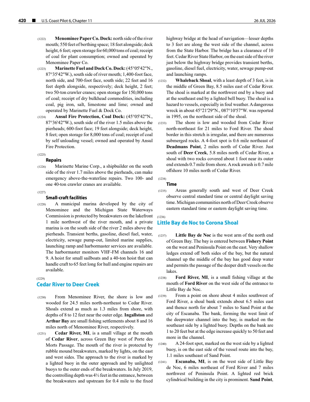
- Described in this archive: NOAA Coast Pilot 6, chapter 11, 26 July 2026 capture.The held 2 August 2026 capture describes Hog Island Reef as a detached shoal relative to Hog Island, reports a 5-foot least depth, and notes a buoy. This dated, revisable navigational description is not converted into a coordinate, boundary, current condition, or safe-navigation advice.federal · noaa_coast_pilot · noaa-coast-pilot-6-chapter-11-2026-08-02
Added 1 August 2026 · revised 6 August 2026. Recent changes
Cite this article
Beaver Island Archive, “Hog Island Reef”, https://beaverislandarchive.org/places/hog-island-reef/, accessed [date], citing George Scott, Scott's New Coast Pilot for the Lakes (6th ed., Detroit, 1902), p. 140. (and 9 further sources listed on the page).
Last revised 2026-08-06. Fill in [date] with the date you read it — this page is static and cannot know that.