

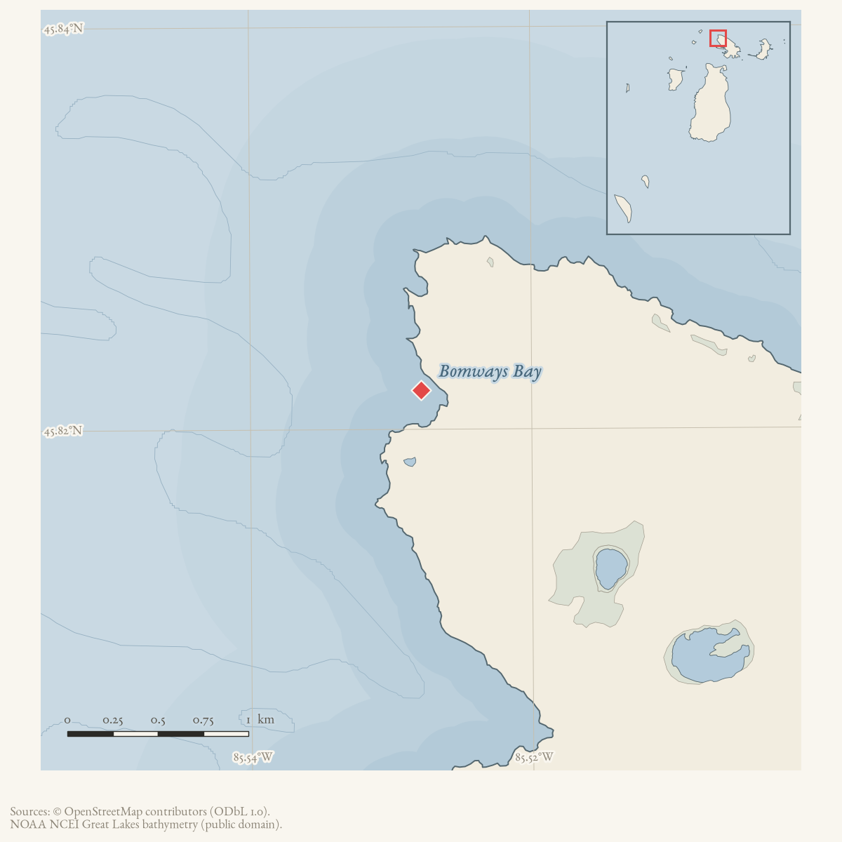
- Coordinates
- 45.8219° N, 85.5279° WGoogle Maps: Bomways BayDownload KML
- Concepts
- toponymymaritime
- Within
- Beaver Island archipelago
Summary
Bomways Bay is a GNIS-named bay in the Beaver Island archipelago. The current
OpenStreetMap snapshot contains a matching named natural=bay node carrying
GNIS feature 1618650. The name’s spelling and geographic identity are documented
here, while the namesake and any historical use remain unresolved.
Open questions
- Who or what does “Bomways” refer to, and why does the name use its plural form?
- Can Garden Island charts, local maps, or family records document the bay’s history?
Maps for this place
These Atlas plates provide regional context. They do not establish a precise boundary, current ownership, access right, operating status, or field condition.
- EnvironmentSoils, wetlands, hydrography, and terrain
- GeologyGeneralized geology and landforms
- HydrologyMapped water and wetland context
- AccessMapped routes, facilities, and protected areas
- Land surveyPLSS geometry and historic GLO patent-location context
Sources
- GNIS feature 1618650; feature class 'Bay'.federal · gnis · gnis_names
- Node 369021457 is named Bomways Bay, tagged natural=bay, and carries GNIS feature 1618650.osm · water
Added 28 July 2026 · revised 1 August 2026. Recent changes
Cite this article
Beaver Island Archive, “Bomways Bay”, https://beaverislandarchive.org/places/bomways-bay/, accessed [date], citing U.S. Geological Survey, Geographic Names Information System, Domestic Names (Michigan), retrieved 2026-07-28. (and 1 further source listed on the page).
Last revised 2026-08-01. Fill in [date] with the date you read it — this page is static and cannot know that.