

- Coordinates
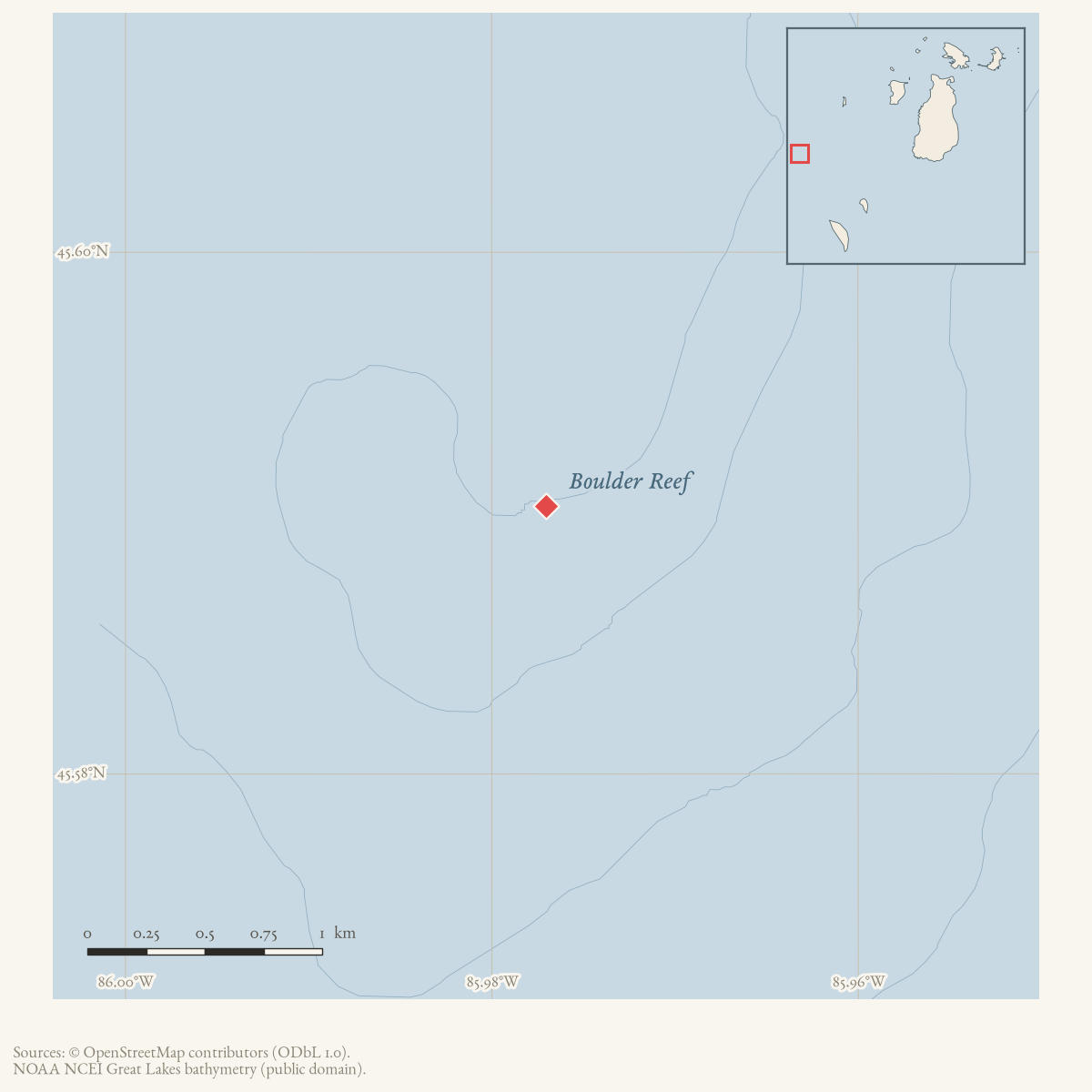
- 45.5903° N, 85.9770° WGoogle Maps: Boulder ReefDownload KML
- Eras
- Modern era
- Concepts
- maritimeshippingshipwrecksenvironment
- Within
- Beaver Island archipelago
Summary
Boulder Reef is the offshore hazard identified in the held 1942 reports of the Eugene J. Buffington grounding west of Beaver Island.
Evidence and limits
The Courier report places the reef approximately 18 miles west of Beaver Island and the July Herald places the casualty on a reef off Beaver Island. GNIS now supplies a modern feature point, but the held reports do not supply a chart number, depth, or exact extent; the point is not treated as a surveyed boundary or a casualty coordinate.
Open questions
- Which historical or current nautical chart identifies Boulder Reef?
- Can a chart or Coast Guard record establish its coordinates and relation to the Beaver Island archipelago?
See also
Sources
- Charlevoix Courier, 1942, “Ore Carrier Run on Boulder Reef.”The report places Boulder Reef 18 miles west of Beaver Island and describes the Eugene J. Buffington grounding there; the held aggregate issue does not provide a chart identifier or coordinates. No public copy of this file is known; the archive holds one and can provide it on request.
- Charlevoix County Herald, July 24, 1942, “Ship Salvaged Another Junked.”The later report says the Buffington ran onto a reef off Beaver Island about three weeks earlier and was brought to Harbor Springs for repairs. No public copy of this file is known; the archive holds one and can provide it on request.
- GNIS identifies Boulder Reef as a bar in Charlevoix County and supplies the 45.5902666°N, 85.9770394°W feature point. It is a map anchor, not a surveyed reef boundary or the Buffington casualty coordinate.
- Described in this archive: GLFC guide for Lake Michigan lake-trout rehabilitation, 2008.Defines a modern West Beaver Group that includes Boulder Reef. This is a lake-trout rehabilitation grouping, not a hydrographic boundary or an additional casualty location.geology · publications · glfc_2008_lake_trout
Added 1 August 2026 · revised 2 August 2026. Recent changes
Cite this article
Beaver Island Archive, “Boulder Reef”, https://beaverislandarchive.org/places/boulder-reef/, accessed [date], citing Charlevoix Courier, 1942, “Ore Carrier Run on Boulder Reef.” (and 3 further sources listed on the page).
Last revised 2026-08-02. Fill in [date] with the date you read it — this page is static and cannot know that.