

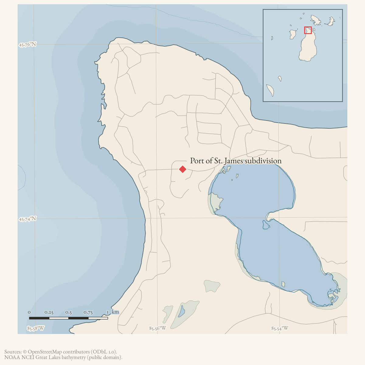
- Coordinates
- 45.7460° N, 85.5569° WGoogle Maps: Port of St. James AssociationDownload KML
- Eras
- Modern era
- Concepts
- communityhousingtourismgovernance
- Within
- Port of St. James subdivision
Summary
The Port of St. James Association (PSJA) is the community association described on the subdivision’s official website. The site says the Association began in the late 1960s, serves a summer-residential subdivision of slightly more than 1,000 properties, and maintains or administers common beaches, a pavilion, a campground, trails, and protective covenants.
This is an organization record based on the Association’s own public description; it does not infer legal status, complete membership, property title, or current facility conditions.
The dated record
Sources
- The official site describes the Association’s late-1960s origin, summer-residential membership, shared beaches/pavilion/campground/trails, and protective covenants. It does not provide bylaws, a complete membership list, a legal boundary, or a complete governance history.
- The current listing returns Port St James Associates at 28005 Donegal Bay Road with GPS coordinates 45.7459558, -85.5569431. This is a current listing/address locator for the Association, not proof of its legal office, subdivision boundary, common-property extent, or historical location.
- In response to a question about renting the Donegal Bay Park pavilion, a community participant stated that the park was an asset of the Port St. James Association and directed the requester to the Association’s board contacts. This is useful local-use evidence linking the park and pavilion to the Association, but it is not a deed, legal boundary record, or current facility-management agreement.forum · www.beaverislandforum.com · 13 · t013057
Added 2 August 2026 · revised 10 August 2026. Recent changes
Cite this article
Beaver Island Archive, “Port of St. James Association”, https://beaverislandarchive.org/organizations/port-of-st-james-association/, accessed [date], citing Port of St. James Association, “Home,” retrieved 2026-08-02. (and 2 further sources listed on the page).
Last revised 2026-08-10. Fill in [date] with the date you read it — this page is static and cannot know that.
BibTeX for “Port of St. James Association”RIS for “Port of St. James Association”