

- Dates
- 1980 – 1986
- Eras
- Modern era
- Concepts
- toponymyland-surveyenvironmentheritage
- Within
- Beaver Island archipelago
Summary
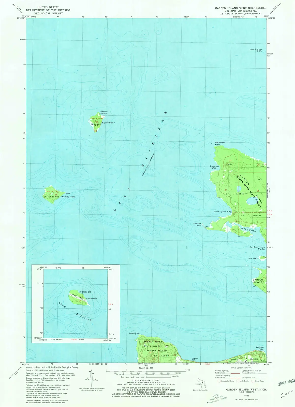
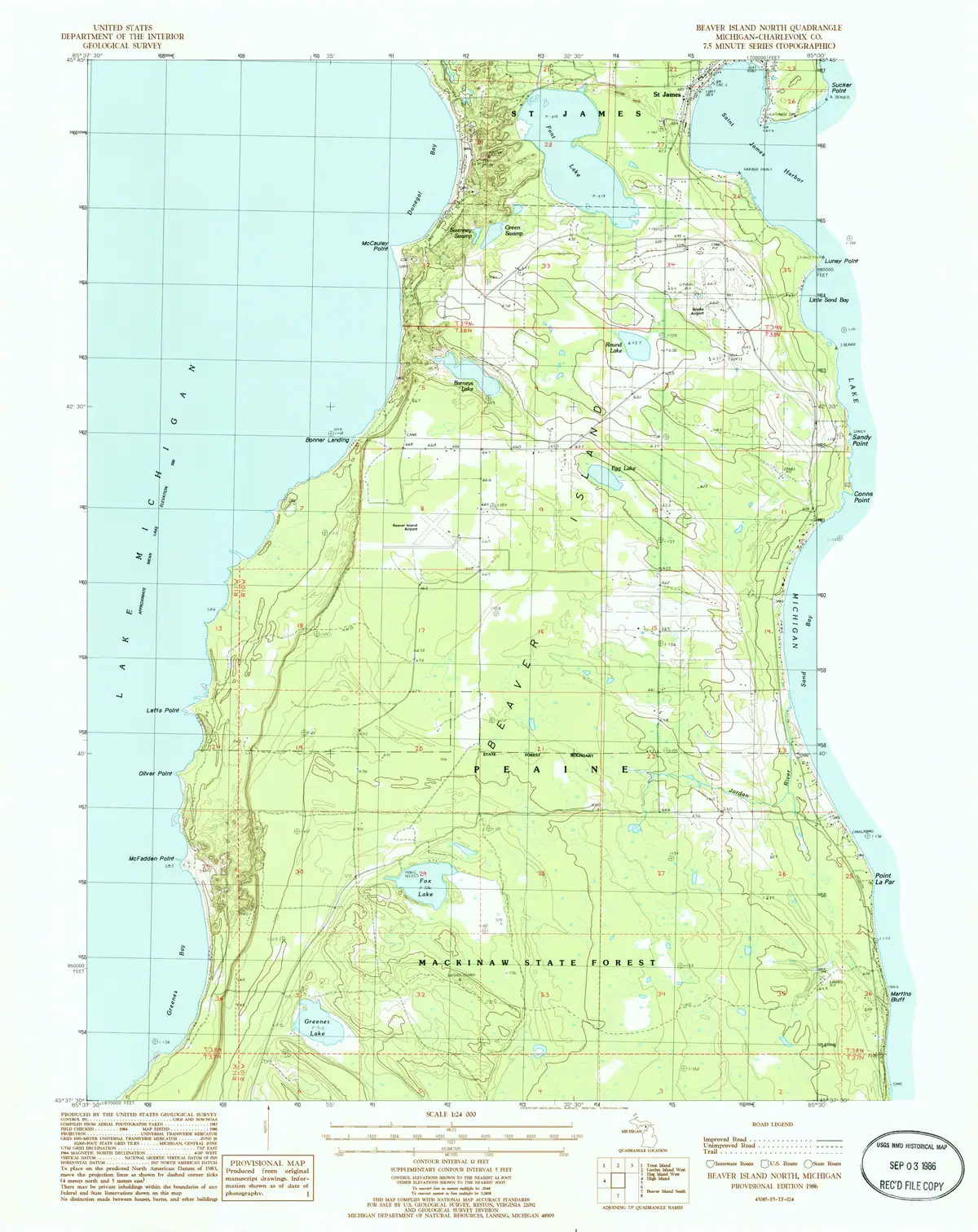
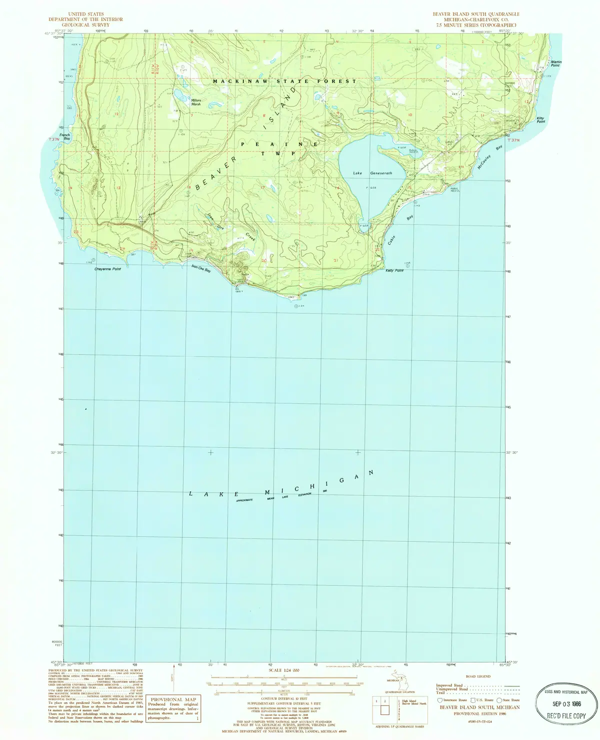
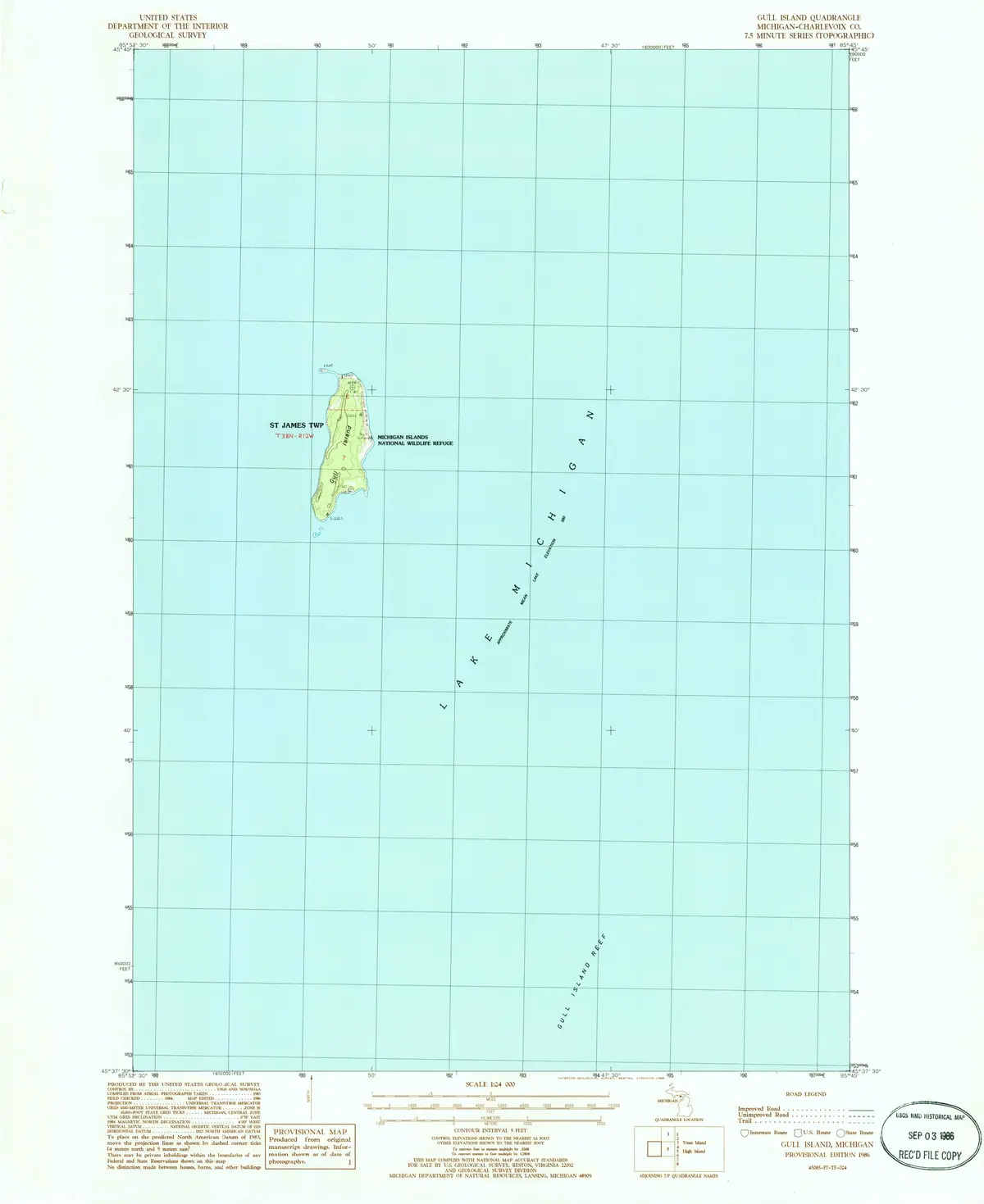
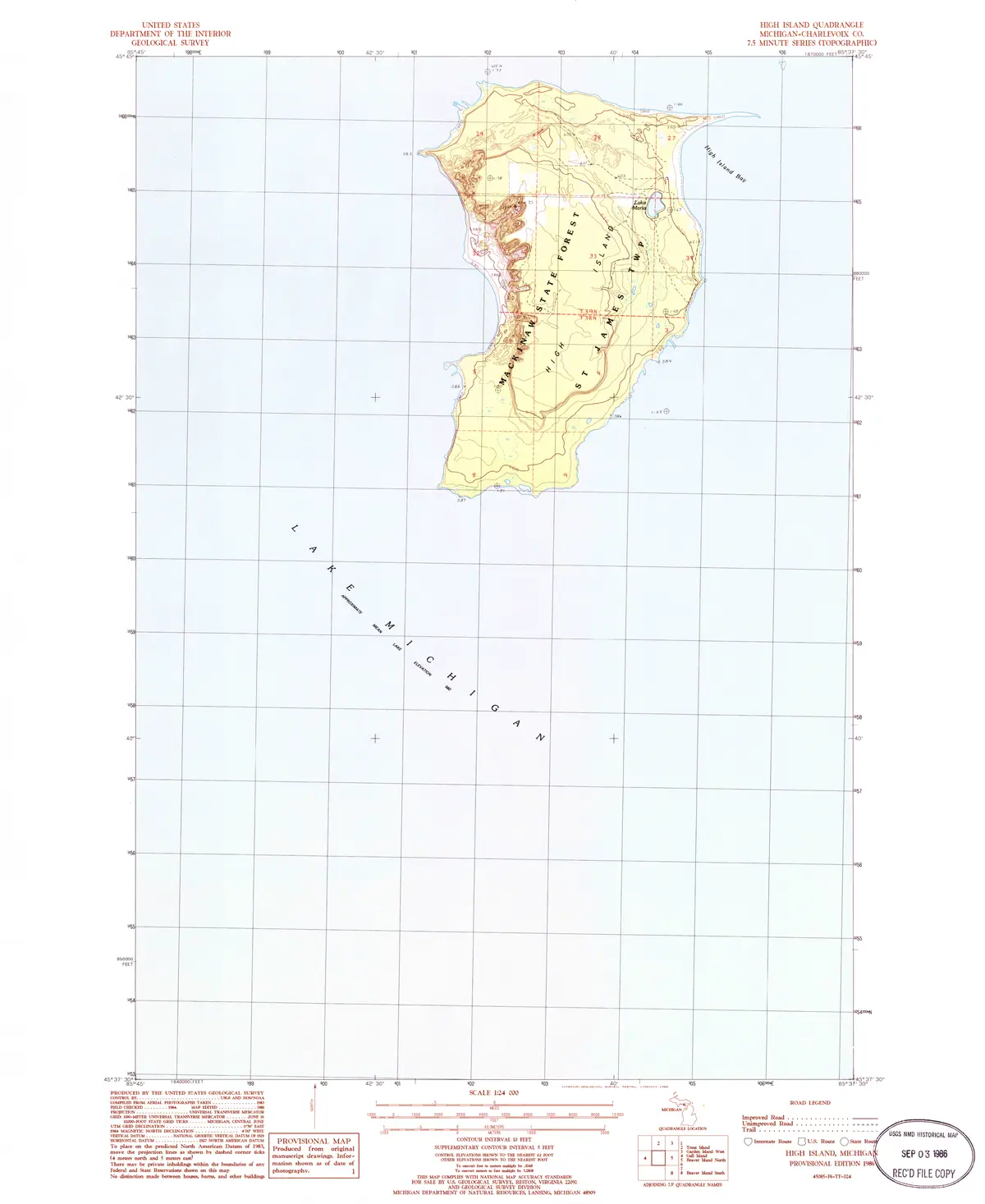
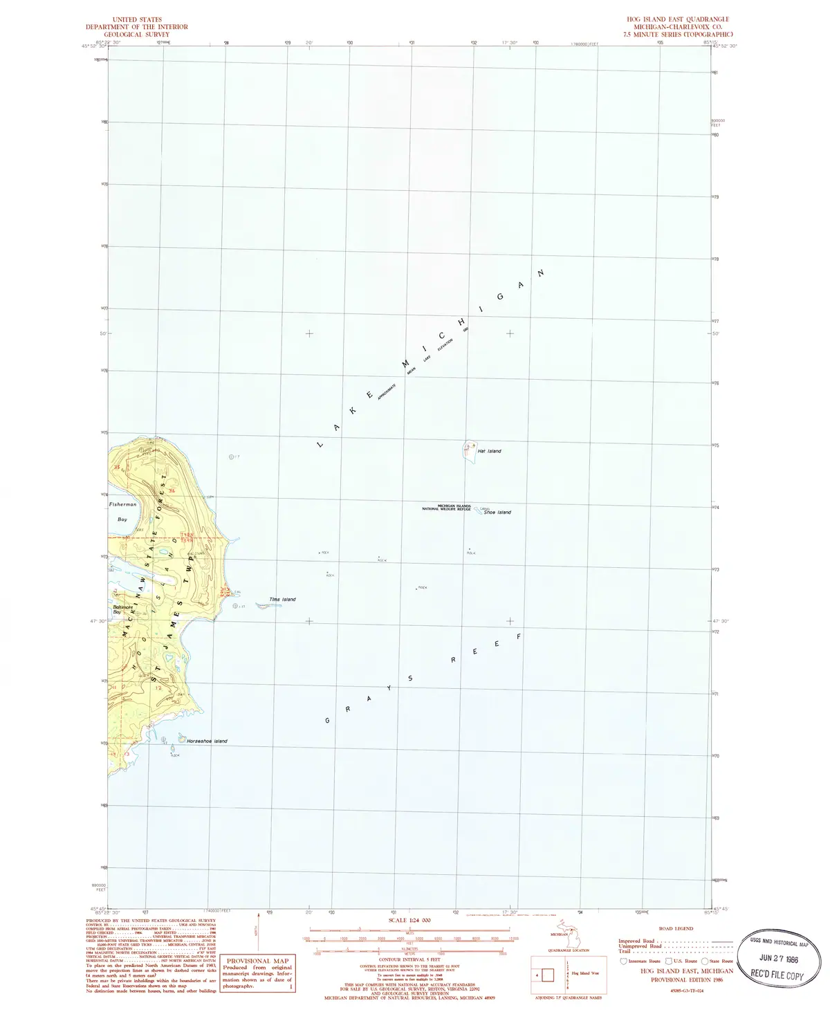
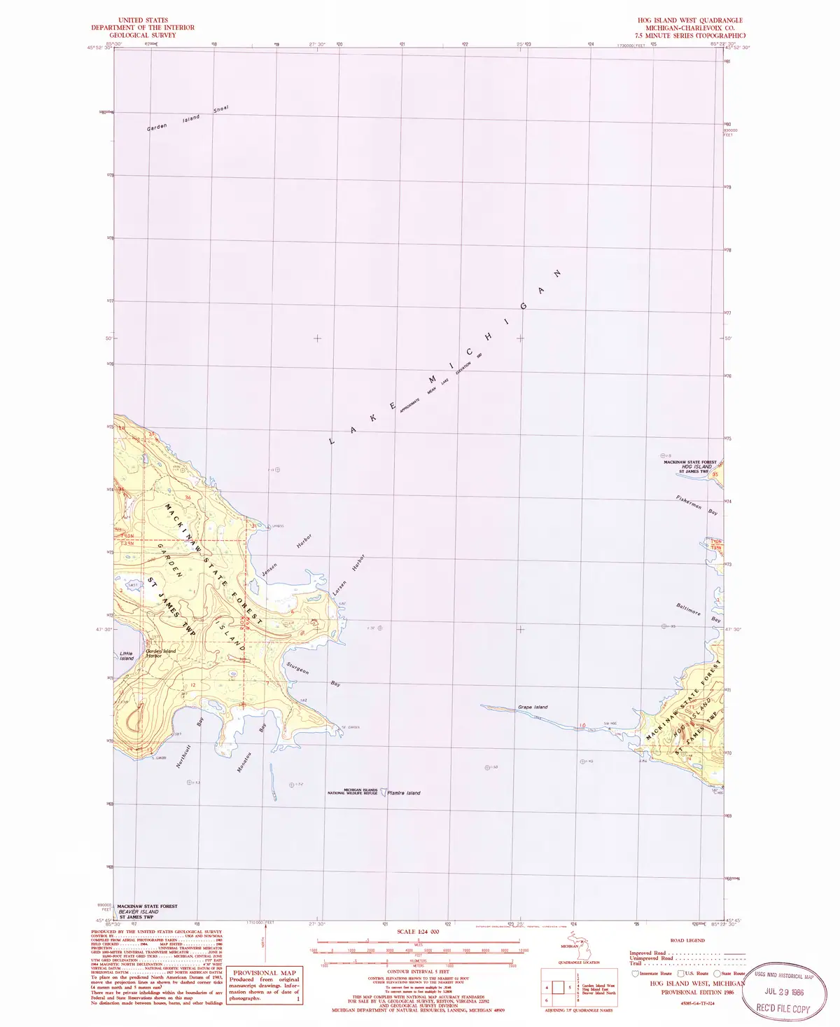
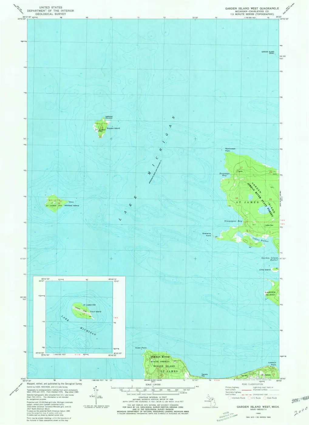
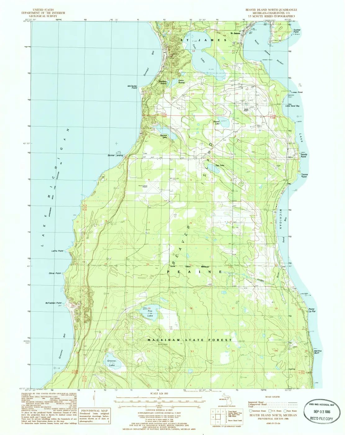
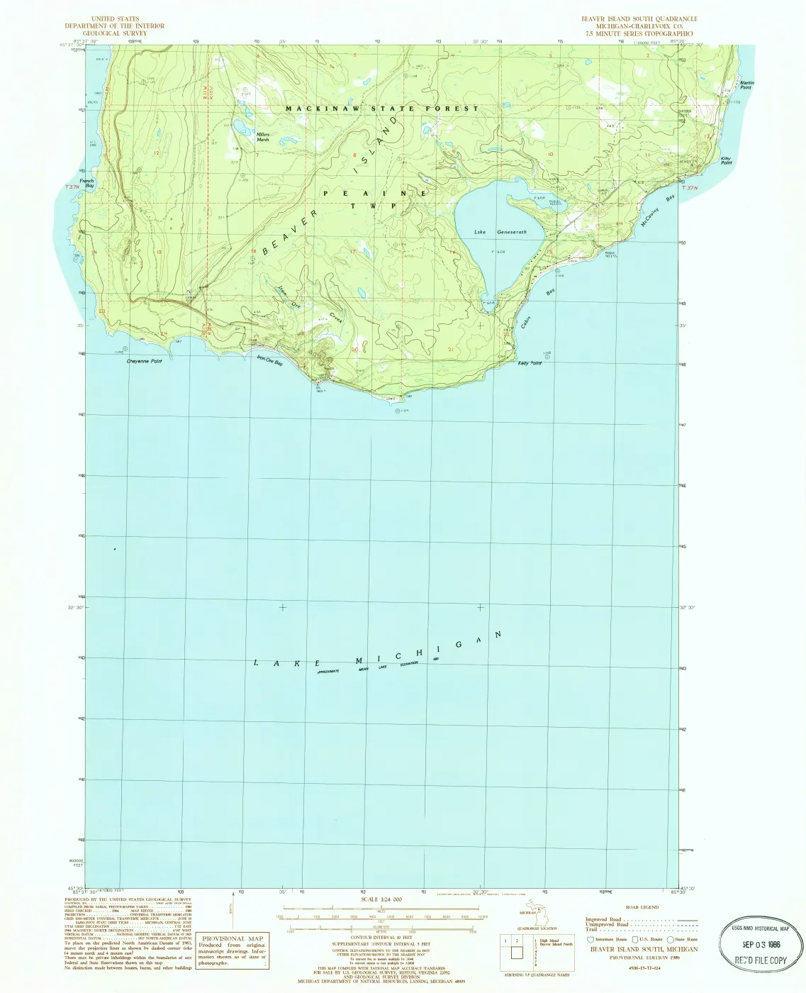
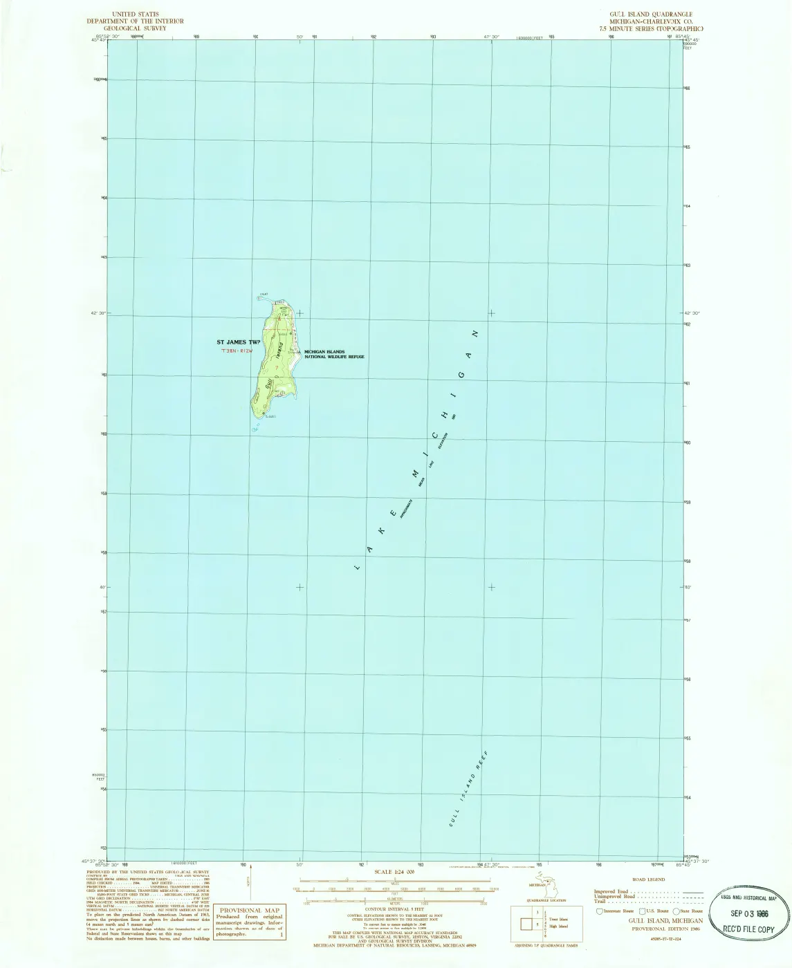
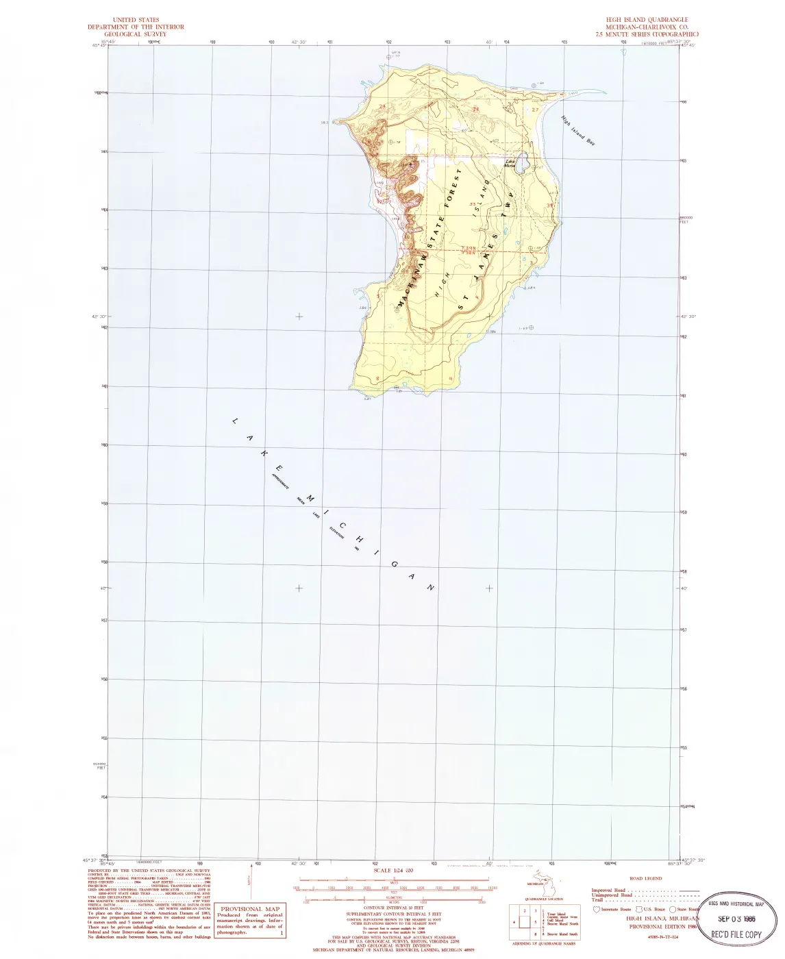
This source-set record groups seven held USGS historical 1:24,000 quadrangles: Garden Island West (1980), plus Beaver Island North, Beaver Island South, Gull Island, High Island, Hog Island East, and Hog Island West (1986). Together they provide a late-twentieth-century cartographic comparison layer across much of the Beaver archipelago.
The set makes map coverage and provenance explicit, not uniform. The 1980 Garden Island sheet and six 1986 sheets have distinct dates and individual metadata. They should not be read as a single simultaneous observation, a complete archipelago atlas, or a replacement for surveys, deeds, charts, or site-specific records.
Evidence and limits
The archive holds the GeoPDF products and their sidecars, not a verified vector extraction or a feature-by-feature transcription. A USGS printed label or symbol establishes what that edition depicts; it does not establish legal ownership, public access, a road’s maintenance or condition, a structure’s construction or use, a shoreline-change date, or a current condition.
See also
The page
Rendered from the held scan.
The page
Rendered from the held scan.
The page
Rendered from the held scan.
The page
Rendered from the held scan.
The page
Rendered from the held scan.
The page
Rendered from the held scan.
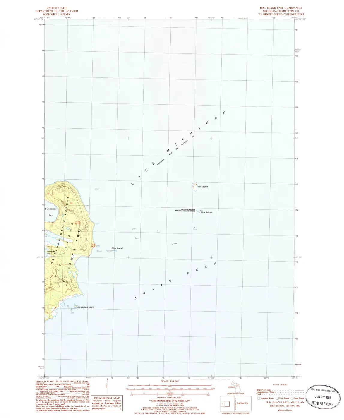
The page
Rendered from the held scan.
Sources
- Held public-domain historical GeoPDF. It preserves the 1980 sheet identity and scale; detailed labels, shorelines, structures, or access require sheet-level visual review and independent evidence.federal · usgs_topo · historical · Garden-Island-West_1980_24000_276156
- Held public-domain historical GeoPDF. It is a dated cartographic representation, not a complete archive of the island or a legal record.federal · usgs_topo · historical · Beaver-Island-North_1986_24000_275633
- Held public-domain historical GeoPDF. Its publication date and map frame do not establish the date or condition of every depicted feature.federal · usgs_topo · historical · Beaver-Island-South_1986_24000_275634
- Held public-domain historical GeoPDF. It supports the existence and coverage of this dated USGS product, not assertions about every feature depicted.federal · usgs_topo · historical · Gull-Island_1986_24000_276262
- Held public-domain historical GeoPDF. Its labels and symbols require separate review before supporting a feature-specific claim.federal · usgs_topo · historical · High-Island_1986_24000_276320
- U.S. Geological Survey, Hog Island East, Michigan, historical 7.5-minute quadrangle, 1:24,000, 1986.Held public-domain historical GeoPDF. The eastern sheet name identifies a map frame; it is not a boundary determination.federal · usgs_topo · historical · Hog-Island-East_1986_24000_276338
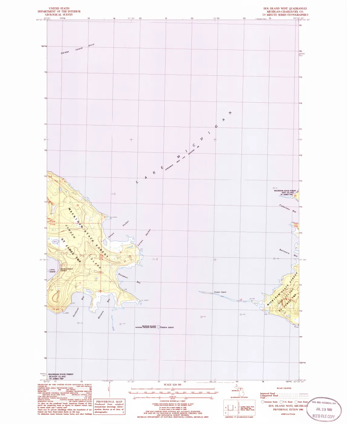
- U.S. Geological Survey, Hog Island West, Michigan, historical 7.5-minute quadrangle, 1:24,000, 1986.Held public-domain historical GeoPDF. The western sheet name identifies a map frame; it is not a boundary determination.federal · usgs_topo · historical · Hog-Island-West_1986_24000_276340
- Project provenance sidecar for the Garden Island West 1980 historical quadrangle.Records the USGS Historical Topographic Maps source URL, retrieval metadata, checksum, catalog item, scale, and public-domain status. No public copy of this file is known; the archive holds one and can provide it on request.federal · usgs_topo · historical · Garden-Island-West_1980_24000_276156.provenance
- Project provenance sidecar for the Beaver Island North 1986 historical quadrangle.Records the USGS/ScienceBase source URL, retrieval metadata, checksum, catalog item, scale, and public-domain status. No public copy of this file is known; the archive holds one and can provide it on request.federal · usgs_topo · historical · Beaver-Island-North_1986_24000_275633.provenance
- Project provenance sidecar for the Beaver Island South 1986 historical quadrangle.Records the USGS/ScienceBase source URL, retrieval metadata, checksum, catalog item, scale, and public-domain status. No public copy of this file is known; the archive holds one and can provide it on request.federal · usgs_topo · historical · Beaver-Island-South_1986_24000_275634.provenance
- Project provenance sidecar for the Gull Island 1986 historical quadrangle.Records the USGS/ScienceBase source URL, retrieval metadata, checksum, catalog item, scale, and public-domain status. No public copy of this file is known; the archive holds one and can provide it on request.federal · usgs_topo · historical · Gull-Island_1986_24000_276262.provenance
- Project provenance sidecar for the High Island 1986 historical quadrangle.Records the USGS/ScienceBase source URL, retrieval metadata, checksum, catalog item, scale, and public-domain status. No public copy of this file is known; the archive holds one and can provide it on request.federal · usgs_topo · historical · High-Island_1986_24000_276320.provenance
- Project provenance sidecar for the Hog Island East 1986 historical quadrangle.Records the USGS/ScienceBase source URL, retrieval metadata, checksum, catalog item, scale, and public-domain status. No public copy of this file is known; the archive holds one and can provide it on request.federal · usgs_topo · historical · Hog-Island-East_1986_24000_276338.provenance
- Project provenance sidecar for the Hog Island West 1986 historical quadrangle.Records the USGS/ScienceBase source URL, retrieval metadata, checksum, catalog item, scale, and public-domain status. No public copy of this file is known; the archive holds one and can provide it on request.federal · usgs_topo · historical · Hog-Island-West_1986_24000_276340.provenance
- The index and individual sidecars record National Map or ScienceBase metadata, download URLs, retrieval timestamps, checksums, scale, sheet titles, and public-domain status. The held set contains one 1980 sheet and six 1986 sheets; it is not a seamless single-date atlas of the entire archipelago.federal · usgs_topo · _index_historical_topographic_maps
Added 2 August 2026. Recent changes
Cite this article
Beaver Island Archive, “USGS archipelago topographic quadrangles source set”, https://beaverislandarchive.org/documents/usgs-archipelago-topographic-quadrangles-1980-1986/, accessed [date], citing U.S. Geological Survey, Garden Island West, Michigan, historical 7.5-minute quadrangle, 1:24,000, 1980. (and 14 further sources listed on the page).
Last revised 2026-08-02. Fill in [date] with the date you read it — this page is static and cannot know that.
BibTeX for “USGS archipelago topographic quadrangles source set”RIS for “USGS archipelago topographic quadrangles source set”