

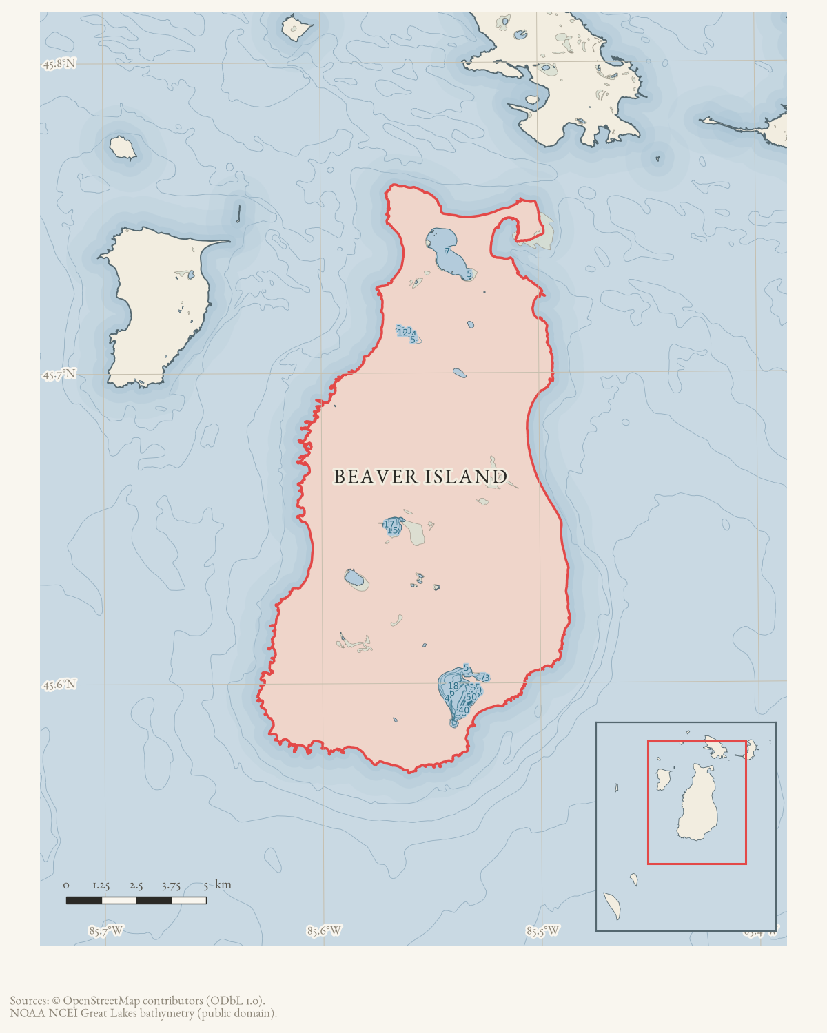
- Built
- before 1970
- Coordinates
- 45.7036° N, 85.5638° WGoogle Maps: Bonner farmDownload KML
- Eras
- Modern era
- Concepts
- heritagecommunityhistoriography
- Within
- Beaver Island
- Media
- Beaver Island History Map, 1978 revision
Summary
The June–July 1970 Beaver Beacon identifies an older Bonner farm across the road from Dr. Protar’s home as a Beaver Island historic site under consideration for preservation. A current Historical Society parcel on Sloptown Road provides a stronger property anchor, while the map point remains approximate because the held sources do not identify the farmstead footprint.
Evidence and limits
This is a source-qualified structure record. The issue does not identify which Bonner family member owned or built the farm, distinguish a house from its full farmstead, supply a parcel survey, or prove that preservation occurred. The current parcel owner and address support the site association but do not establish a surveyed farm or building location.
Open questions
- Which Bonner farm and buildings did the 1970 article mean?
- Are title, survey, National Register, or restoration records available?
See also
Sources
- Names an older Bonner farm across the road from Dr. Protar’s home as one of two sites targeted for preservation; it supplies no formal farm name, owner, coordinates, boundaries, or independent designation.data1 · beaver-island-archive · beaver_beacon · 1970-06_Beaver-Beacon
- The held ten-page issue scan is paired with the OCR source and confirms the published notice or report; it does not expand the source-specific identity, event, or outcome claims.data1 · beaver-island-archive · scans · beaver_beacon · issues · 1970-06_Beaver-Beacon
- The point is placed on the opposite side of the current mapped Sloptown Road segment from the NRHP Protar Cabin point, following the 1970 newspaper’s “across the road” description. It is an approximate paired-site locator, not a parcel, surveyed building point, or historic boundary.osm · roads
- PIN 012-105-006-10 is a 1.9-acre exempt parcel owned by BEAVER ISLAND HISTORICAL SOC INC, with current situs 28315 Sloptown Rd and a representative point used as the property anchor. Its location supports the preservation-site association, but no held source proves that this entire parcel is the 1970 Bonner farm or identifies a surviving building footprint.county · charlevoix · parcels_arcgis · 2026-08-01 · island_parcel_attributes
Added 1 August 2026 · revised 6 August 2026. Recent changes
Cite this article
Beaver Island Archive, “Bonner farm”, https://beaverislandarchive.org/structures/bonner-farm-1970-preservation/, accessed [date], citing Beaver Beacon, June–July 1970, “Historical Preservation on Beaver Island.” (and 3 further sources listed on the page).
Last revised 2026-08-06. Fill in [date] with the date you read it — this page is static and cannot know that.