

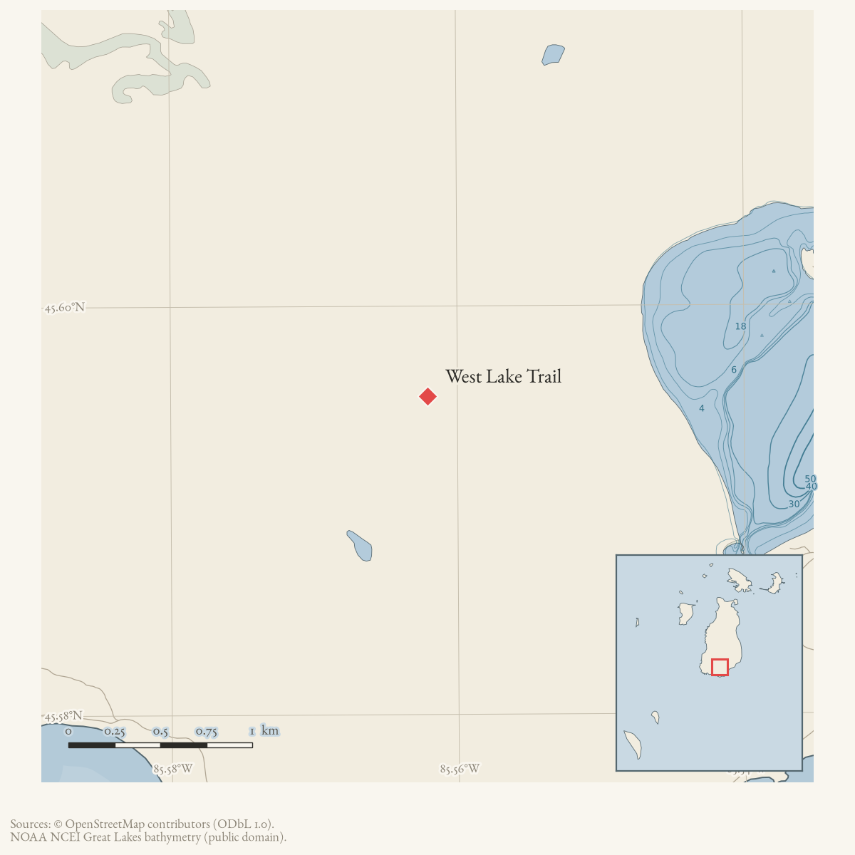
- Coordinates
- 45.5956° N, 85.5621° WGoogle Maps: West Lake TrailDownload KML
- Eras
- Modern era
- Concepts
- trailstransportationrecreationModern eratoponymy
- Within
- Beaver Island
- Media
- A blue diamond blaze, 2026 · The MASH sign, 2026
Summary
West Lake Trail and Blue Trail are two names for one route. The Beaver Island Trail Association’s own sheet of July 2019 opens: “The Blue Trail, also called the West Lake Trail starts at the intersection of South End Road and Leatherhead’s Road just east of the Beaverhead lighthouse.” The 2015 trail map had already grouped them, printing “West Lake Trail / Blue Trail” as a single legend entry with a single symbol, and Peaine Township’s 2021 narrative uses West Lake Trail as a live name for the same line running north-west from the MASH sign — a junction which now has its own record, The MASH sign, photographed in August 2026 with four of its five arms legible.
This record is therefore kept as the alternate name, and the route, waypoints and evidence live at Blue Trail.
What the name refers to
The route runs from South End Road near the Beaver Head Light north up the west side of Lake Geneserath to the MASH sign, following the lettered waypoints X → U → R → O, with a V → W spur east toward Cable’s Bay. A complete loop using the Blue Trail, Buffalo’s Camp Trail and East Side Drive/South End Road is 7.5 miles.
Neither name appears in OpenStreetMap. Checked against the 32 named trails OSM carries for the island on 2026-08-08: there is no geometry for “Blue Trail” or “West Lake Trail” at all, though the township and the trail association both publish sheets for it.
A trail that is easy to wander onto
South of the MASH sign the 1986 USGS quadrangle draws a dashed trail running south for about a mile, and it is still walkable. It is on no current sheet, carries no name in any source held here, and is described at The unnamed trail west of Lake Geneserath.
The hazard is that nothing marks where the maintained network stops. A walked track of 16 August 2026 followed that old line for nine-tenths of a mile at a median 8 m from the mapped symbol, at ordinary walking pace, without recording a junction — and then lost the tread entirely, spending eighteen and a half minutes on 0.23 mile of cover-pushing on dry ground.
If you are heading south from the sign and expecting a maintained trail, this is the thing to know about.
Access and ownership
West Lake Trail and the Blue Trail are one route, so the fuller access and ownership record — the June 1991 township contribution toward trail work “on state land,” the DNR lease behind the Bill Wagner Memorial Campground trailhead, and the Beaver Island Trail Association’s currency disclaimer — is kept at Blue Trail rather than duplicated here. The one detail specific to this name: Peaine Township’s 2021 narrative guide uses “West Lake Trail” for the segment north of the MASH sign running toward Miller’s Marsh, describing it as continuing on the same logging-road-width track that Buffalo’s Camp Trail’s own sheet also treats as part of the connected network.
Evidence and limits
The naming identity itself rests on published evidence — the trail association’s July 2019 sheet states it in one sentence, and the 2015 printed map groups both names under a single legend symbol. Neither name has geometry in OpenStreetMap, and no GPS track held here is tagged “West Lake Trail” as distinct from “Blue Trail”; the walked evidence for the route is recorded under Blue Trail, not duplicated here.
Open questions
- Do island residents use “West Lake Trail” and “Blue Trail” interchangeably for the whole route, or is “West Lake Trail” understood locally as only the segment north of the MASH sign, as the 2021 township narrative’s usage implies?
- Since neither name appears in OpenStreetMap, would a GPS track submitted under one name or the other settle which the walking public actually uses for which part of the route?
If you can answer any of these, or correct anything above, the archive wants to hear it — see Corrections.
Correction, 8 August 2026
This article previously carried a point geometry at 45°39’34.8“N, 85°31’37.8”W — the 2015 trail map’s control point C — described as an approximate northern anchor shared with the Blue Trail record. That is the same error corrected on Blue Trail the same day: read at full resolution, C sits on the green hatched line the legend calls Hannigan’s Shortcut, 6.2 km from the solid-blue route the sheet draws. The anchor had been inferred from a nearby road’s name rather than the trail’s own symbol.
The article also asked to “obtain the BIATA map or a current GPS track and decide whether West Lake Trail should be merged with, or remain a component of, Blue Trail.” Both now exist in the archive and both answer it the same way: one trail, two names.
Documented associations
No source-confirmed non-road entity is linked yet. Exact-name research leads remain in scripts/audit_road_links.py; a name collision is not treated as a road association.
Research status
The local newspaper and website corpus contains exact-name mentions in 0 file(s). Those files are research leads; the relation layer is added only when the surrounding source text establishes that the record involves this road.
Maps for this place
These Atlas plates provide regional context. They do not establish a precise boundary, current ownership, access right, operating status, or field condition.
- EnvironmentSoils, wetlands, hydrography, and terrain
- GeologyGeneralized geology and landforms
- HydrologyMapped water and wetland context
- AccessMapped routes, facilities, and protected areas
- Land surveyPLSS geometry and historic GLO patent-location context
Sources
- The legend prints West Lake Trail and Blue Trail as separate entries.
- Indexed source identifies Blue Trail as West Lake Trail and shows a spur toward Buffalo’s Camp; route identity needs a current copy/field check.
- The point is the map's GPS control point C (45°39'34.8"N, 85°31'37.8"W), used as an approximate northern/start anchor near King's Highway and Hannigan's Road. It does not establish the full West Lake Trail line or prove that every Blue Trail segment has the same name.
- Opens: “The Blue Trail, also called the West Lake Trail starts at the intersection of South End Road and Leatherhead's Road just east of the Beaverhead lighthouse.” This is the sentence that settles the naming question. Held locally 2026-08-08; the cms5.revize.com address cited elsewhere in this knowledge base now 404s.governance · peaine · trails · bita-blue-trail-2019-07
- Uses West Lake Trail as a live route name throughout, reached from the MASH sign and running north-west toward Miller's Marsh — consistent with the Blue Trail's mapped line rather than describing a separate trail.governance · peaine · trails · all-trail-descriptions
Added 2 August 2026 · revised 21 August 2026. Recent changes
Cite this article
Beaver Island Archive, “West Lake Trail”, https://beaverislandarchive.org/places/west-lake-trail/, accessed [date], citing Beaver Island trails map, revised October 2015. (and 4 further sources listed on the page).
Last revised 2026-08-21. Fill in [date] with the date you read it — this page is static and cannot know that.