

- Along road
- Mrs Redding Trail
- Coordinates
- 45.6642° N, 85.6093° WGoogle Maps: Oliver PointDownload KML
- Eras
- Modern era
- Concepts
- toponymyenvironmentconservation
- Within
- Beaver Island
- Media
- Beaver Island History Map, 1978 revision · Plat of Big Beaver Island, 1901 · Plat of the north end of Beaver Island, 1930s
Summary
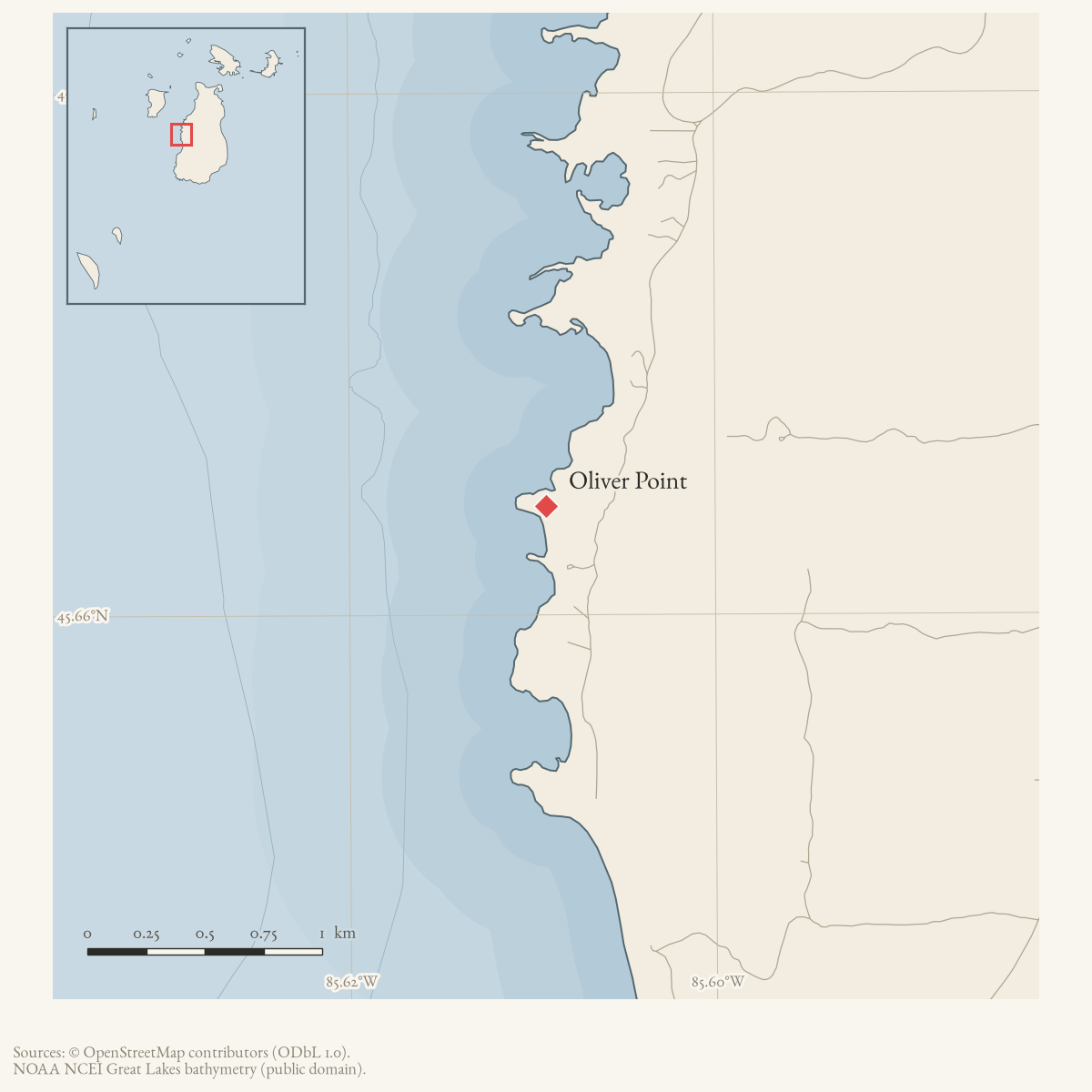
Oliver Point is a GNIS-named cape on Beaver Island. The September 1967 Beaver Beacon reports severe insect defoliation in a hardwood stand inland from Oliver’s Point and quotes state forester Jack Lockwood’s conclusion that buds and beechnuts were developing normally despite the leaf loss. The 2023 Beaver Island Master Plan also labels “Oliver’s Point” on its map. Together the sources document the point as a contemporary geographic and forest-management reference. Helen Collar’s research and the 1978 Historical Map associate the name with John Joseph Oliver, although Collar describes that name origin as “supposed” rather than certain.
The map says J. J. Oliver moved from High Island. Collar’s 1880 census transcription places John, Marian, and their children on Hog Isle, followed by St. James Township in 1900. Unless a separate High Island residence is documented, the map wording is likely an island-name error. Collar’s 1975 interview with Oliver’s grandson also corrects a different conflation: Oliver’s wife was Marian/Chawon Chanoodin, not Angeline Wab-nin-kee.
Open questions
- What early deed, map, or newspaper first associates the point with John Joseph Oliver?
- Can forestry records identify the affected stand and document later recovery?
Sources
- GNIS feature 634036; feature class 'Cape'.federal · gnis · gnis_names
- Reports 50–80 percent leaf loss in a 1,400-acre hardwood stand inland from Oliver's Point and records state forester Jack Lockwood's assessment of the insect damage.data1 · beaver-island-archive · beaver_beacon · 1967-09_Beaver-Beacon
- The held nine-page issue scan is paired with the OCR source and confirms the published notice or report; it does not expand the source-specific identity, event, or outcome claims.data1 · beaver-island-archive · scans · beaver_beacon · issues · 1967-09_Beaver-Beacon
- Map label “Oliver's Point.”
- The inventory lists Oliver’s Point as off of Mrs. Redding’s Trail with public access over DNR land. It does not establish a surveyed trail easement, point boundary, or current access condition.planning · beaver_island_master_plan · 2017-beaver-island-resilient-master-plan-8cbeebcd
- Places John Oliver’s household on Hog Isle in 1880 and in St. James Township in 1900. Hog Isle contradicts the Historical Map’s statement that he moved from High Island.web · collar_census_o_p2
- A 1975 grandson interview identifies John Joseph Oliver and wife Marian/Chawon Chanoodin, rejects the earlier Angeline identification, and says the point was “supposed” to be named for Oliver.web · collar_biographical_biographical-papers-n-s
- Described in this archive: Beaver Island History Map, 1978 revision.Names J. J. Oliver and says he moved from High Island. The held census transcription instead says Hog Isle.
Added 28 July 2026 · revised 3 August 2026. Recent changes
Cite this article
Beaver Island Archive, “Oliver Point”, https://beaverislandarchive.org/places/oliver-point/, accessed [date], citing U.S. Geological Survey, Geographic Names Information System, Domestic Names (Michigan), retrieved 2026-07-28. (and 7 further sources listed on the page).
Last revised 2026-08-03. Fill in [date] with the date you read it — this page is static and cannot know that.