

- Coordinates
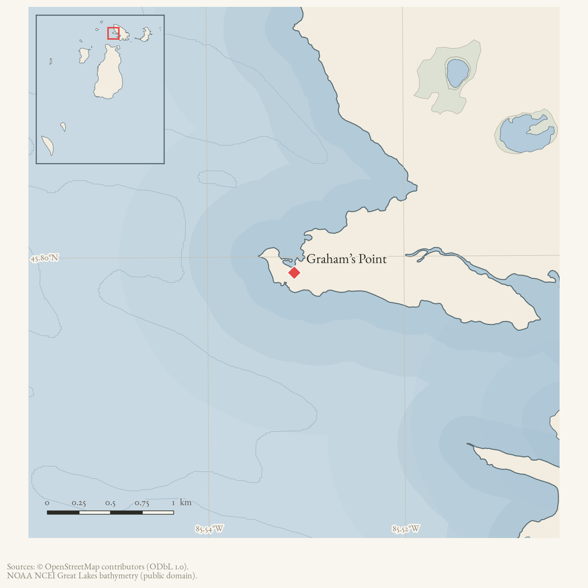
- 45.7989° N, 85.5312° WGoogle Maps: Graham’s PointDownload KML
- Eras
- Modern era
- Concepts
- toponymymaritimeshipping
- Within
- Garden Island
Summary
Grahams Point is a GNIS-named cape at the north end of Garden Island. A December 1963 Beaver Beacon article reprints a February 1925 log of the first automobile trip from Beaver Island to Cross Village; the travelers report being “off Graham’s Point” before changing course for Hat Island. The account provides an early twentieth-century navigation and winter-ice context for the point, but does not describe a permanent landing or structure there.
Open questions
- Can earlier charts or Garden Island records explain the name Graham/Grahams?
- Where did the winter route cross relative to the point and Hat Island?
Sources
- GNIS feature 1618188; feature class 'Cape'.federal · gnis · gnis_names
- A reprinted 1925 travel log places the party off Graham's Point at the north end of Garden Island while driving across the winter ice toward Hat Island and Cross Village.data1 · beaver-island-archive · beaver_beacon · 1963-12_Beaver-Beacon
- The held nine-page issue scan is paired with the OCR source and confirms the published notice or report; it does not expand the source-specific identity, event, or outcome claims.data1 · beaver-island-archive · scans · beaver_beacon · issues · 1963-12_Beaver-Beacon
Added 28 July 2026 · revised 3 August 2026. Recent changes
Cite this article
Beaver Island Archive, “Graham’s Point”, https://beaverislandarchive.org/places/grahams-point/, accessed [date], citing U.S. Geological Survey, Geographic Names Information System, Domestic Names (Michigan), retrieved 2026-07-28. (and 2 further sources listed on the page).
Last revised 2026-08-03. Fill in [date] with the date you read it — this page is static and cannot know that.