

- Date
- 2006-10
- Kind
- Conservation
- Where
- Beaver Island
- Eras
- Modern era
- Concepts
- conservationenvironmentwetlandscommunitygovernancetourism
- Within
- Beaver Island
Summary
The July and October 2006 Beaver Beacon reports document a rapidly expanding coordination problem around invasive Phragmites on Beaver Island. The July issue provided identification, spread, and short- and long-term response guidance; the October issue reported that the Beaver Island Property Owners Association (BIPOA) had sent a warning letter, cosigned by township supervisors and realtors, to more than 200 shoreline property owners while the Michigan Department of Natural Resources pursued funding for identification and spraying on eleven state shoreline tracts.
Places and scale described
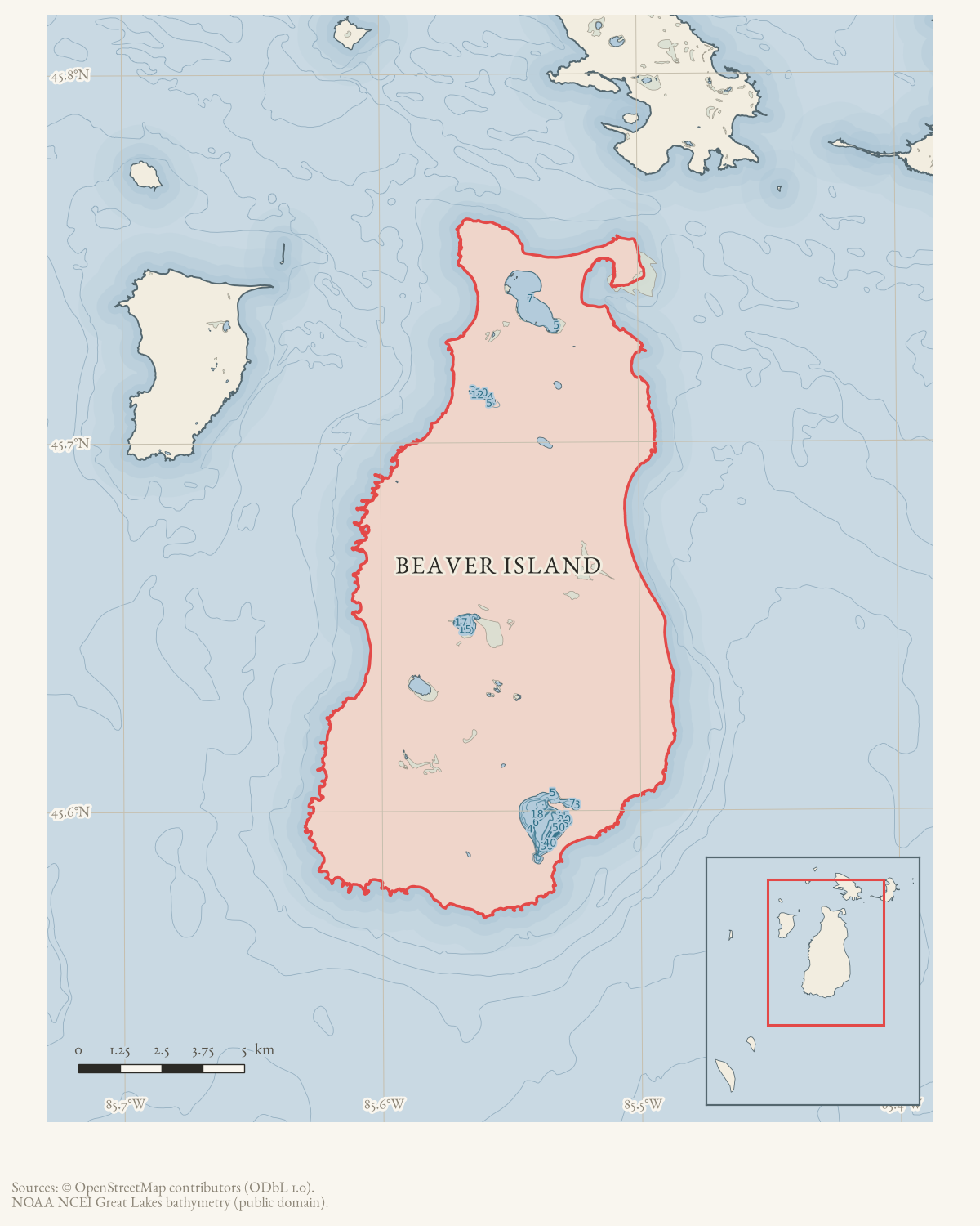
The report located small patches in the harbor, along the east side from Sand Bay south, and from Greene’s Bay up the west side to Donegal Bay. It described the major growth at Cable Bay as extending along about one-third of the shoreline, with plants over ten feet high, and noted additional patches at Lake Geneserath. The article warned that Cable Bay demonstrated how the plant could take over an entire shoreline area.
These are contemporaneous reported observations, not a GIS polygon or a complete island-wide acreage estimate. They are valuable because they connect the invasive plant to named bays, an inland lake, public/state tracts, and a large number of private shoreline owners.
Response constraints
The report says fall 2006 action was impossible because authorization was not available until after October 1 and the permitting deadline had passed. Some owners manually pulled small patches, removed runners and seed plumes, or cut plants; the article also warns that chemical use near wetlands or water was subject to federal and state restrictions and licensed-application requirements.
It describes a major state-land infestation north of Western Shores, the need for precise site identification and mapping across roughly 45 miles of shoreline, eleven public tracts, and more than 200 private owners, and uncertainty about a regulatory process designed for smaller inland lakes. Proposed responses included coordinated DNR/private-owner contracting, a township special assessment district, and continued BIPOA outreach.
The report does not establish that any proposed spraying, assessment district, or coordinated treatment occurred. It is a baseline for the later treatment chronology, not proof of eradication or even a complete inventory.
Historical significance
This report predates the later 2007–2009 shoreline treatment records and the 2012–2017 island-wide survey/control sequence. Read alongside those sources, it shows why Phragmites management became a community, wetland, property-owner, permit, and township-governance issue rather than a narrow plant-identification question.
See also
Sources
- Held Beaver Beacon web-edition PDF. The article attributes the report to the Beaver Island Property Owners Association and describes conditions, owners, state tracts, permits, and proposed responses; it is a contemporaneous community report, not a formal abundance survey or treatment-completion record.
- Searchable project extraction used to locate and transcribe the Phragmites report; the held PDF remains the authoritative rendering.
- Beaver Beacon, July 2006, "Phragmites: the Common Reed engulfing the Island."Reports shoreline patches from Sand Bay to Little Iron Ore Bay and from Donegal Bay through Greenes Bay, mature stands at Cable Bay and Little Iron Ore, identification and spread guidance, and a planned DNR/private-owner spraying discussion at the July 24 BIPOA meeting. No public copy of this file is known; the archive holds one and can provide it on request.data1 · beaver-island-archive · beaver_beacon · 2006-07_Beaver-Beacon
- The held issue scan confirms the Phragmites article and shoreline photographs.data1 · beaver-island-archive · scans · beaver_beacon · issues · 2006-07_Beaver-Beacon
Added 2 August 2026. Recent changes
Cite this article
Beaver Island Archive, “Beaver Island Phragmites coordination report, 2006”, https://beaverislandarchive.org/events/beaver-island-phragmites-coordination-report-2006/, accessed [date], citing *Beaver Beacon*, October 2006, “Report on Beaver Island Phragmites Program,” pp. 14–15. (and 3 further sources listed on the page).
Last revised 2026-08-02. Fill in [date] with the date you read it — this page is static and cannot know that.
BibTeX for “Beaver Island Phragmites coordination report, 2006”RIS for “Beaver Island Phragmites coordination report, 2006”