

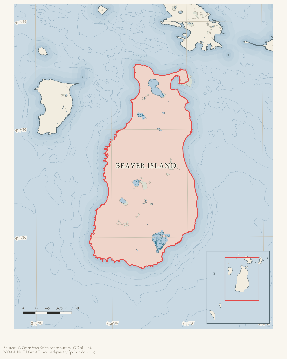
- Built
- before 1912-04-12
- Eras
- Lumbering eraModern era
- Concepts
- transportationlumberingrailinfrastructureeconomy
- Within
- Beaver Island
- Media
- Beaver Island History Map, 1978 revision
Summary
An operating narrow-gauge logging railroad linked Beaver Island’s interior and west-side timber camps with the north-end mill system by 1912. A contemporary Rock Island Argus description says timber cut at the island’s head traveled to the mill by a narrow-gauge railway extending along the west side to the camps.1 The following year, the Charlevoix Courier reported that a YMCA boys’ camp rode a special car to the head of Beaver Island on the narrow-gauge logging road.2
These two contemporary reports corroborate the principal feature shown on the 1978 Historical Map. William Belfy’s later firsthand account adds the dock connection: he remembered rail trips feeding the mill while he piled lumber on the dock and loaded vessels. That supports an integrated rail–mill–dock system, but it does not prove a rail track ran onto the dock itself.
Chronology and operation
A 1932 column reprinting a report from thirty years earlier says the newly incorporated Beaver Island Lumber Company planned a six-mile railroad in 1902. Because the report describes a plan, this record uses the first unequivocal operating evidence—April 1912—as its outer start-date bound. The line was still carrying an excursion party in July 1913.
The 1912 account describes the system from mill to camps; the 1913 trip reaches “the head of Beaver Island.” Neither names every camp, gives the track gauge, or identifies locomotives and rolling stock. Belfy’s 1964 recollection says the train made two to four daily trips between the head and mill, while tugged log booms also supplied the mill.
Map and geometry limits
The 1978 map draws a route and summarizes it as connecting camps and dock. No company engineering map, legal right-of-way, archaeological survey, or complete track inventory has been found. The KB therefore does not digitize the map’s line as historical geometry. Surviving grades and the relation to Kuebler Trail require their own evidence review.
Open questions
- What was the gauge, mileage, rolling stock, and precise operating period?
- Which camps had direct spurs, sidings, or loading points?
- Did track reach or cross the dock, or did it terminate at the mill/yard?
- Which portions of the grade survive, and have they been surveyed?
- Do company papers or Sanborn, railroad, insurance, or timber maps survive?
See also
Footnotes
Sources
- Contemporary description says timber was cut at the head of the island and brought to the mill by a narrow-gauge railway extending from the mill along the west side to the camps. It does not print the lumber company name, gauge, mileage, equipment, or route survey.federal · chronicling_america · sn92053934_1912-04-12_ed1_p12
- “Camp Fires Were Attractive,” Charlevoix Courier, July 30, 1913.Contemporary report says John Stevens made it possible for a county YMCA boys’ camp to take a trip to the head of Beaver Island on the narrow-gauge logging road, with a special car provided. It establishes an operating line capable of carrying the party but does not identify the locomotive, gauge, route, ownership, or safety arrangements. No public copy of this file is known; the archive holds one and can provide it on request.
- “Thirty Years Ago,” Charlevoix Sentinel, December 29, 1932.Retrospective reprint of a 1902 report says the newly incorporated Beaver Island Lumber Company planned a six-mile railroad. It proves a reported plan, not that the completed line had exactly that mileage or alignment. No public copy of this file is known; the archive holds one and can provide it on request.
- William Belfy’s later first-person account recalls two to four rail trips per day from the island’s head to the mill, while he piled lumber on the dock and loaded vessels. It supports an integrated rail–mill–dock system but is not a contemporary timetable, engineering map, or audited production record.data1 · beaver-island-archive · beaver_beacon · 1964-10_Beaver-Beacon
- Described in this archive: Beaver Island History Map, 1978 revision.Draws a Narrow Gauge Railroad and says it connected camps and dock. The drawn line is an uncited retrospective representation and is not adopted as survey geometry.
- Calls the route through Paradise Valley an old railroad right-of-way and says Karl Kuebler brushed it out in fall 1970, after which island snowmobilers called it Kuebler Trail. It documents reuse of a grade but not its surveyed correspondence to the company railroad.data1 · beaver-island-archive · beaver_beacon · 1971-01_Beaver-Beacon
Added 7 August 2026. Recent changes
Cite this article
Beaver Island Archive, “Beaver Island Lumber Company narrow-gauge railroad”, https://beaverislandarchive.org/structures/beaver-island-lumber-company-railroad/, accessed [date], citing “Beaver Island,” Rock Island Argus, April 12, 1912, p. 12. (and 5 further sources listed on the page).
Last revised 2026-08-07. Fill in [date] with the date you read it — this page is static and cannot know that.
BibTeX for “Beaver Island Lumber Company narrow-gauge railroad”RIS for “Beaver Island Lumber Company narrow-gauge railroad”