

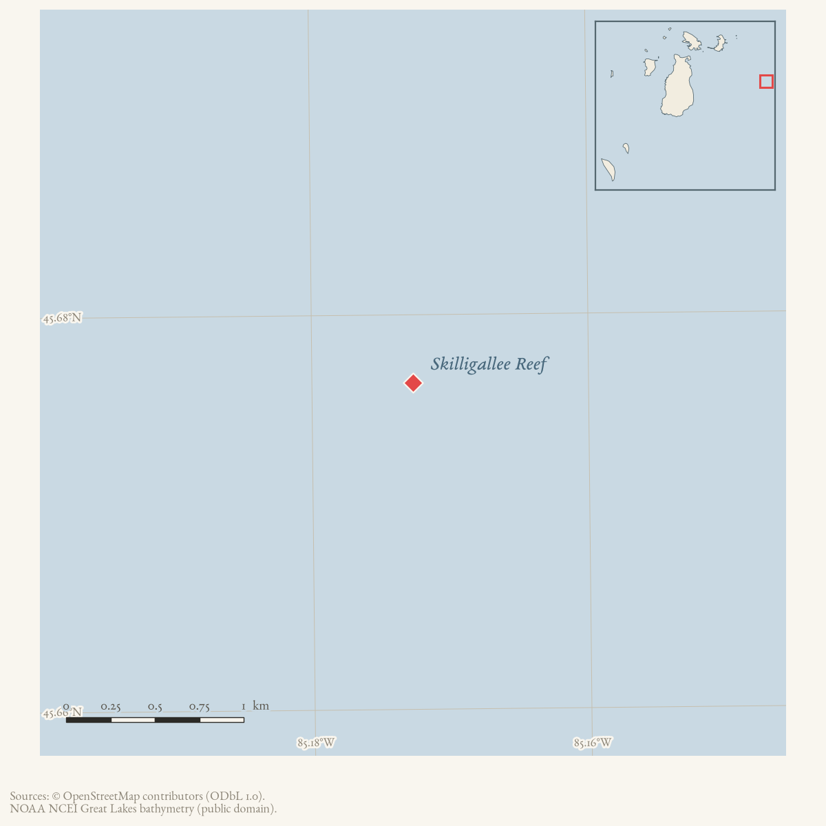
- Coordinates
- 45.6765° N, 85.1727° WGoogle Maps: Skilligallee ReefDownload KML
- Eras
- Early American eraModern era
- Concepts
- maritimeshippingshipwrecksenvironment
- Within
- Beaver Island archipelago
Summary
Skilligallee Reef is the reef near Ile aux Galets identified by a 2023 Wisconsin Historical Society report as the site of the A.D. Patchin wreck on 17 September 1850. The record retains the reef as a separate feature from the island and its light station.
Evidence and limits
The source establishes a reef name in a dated wreck account and says it was near Beaver Island. The map point is the nearby Ile aux Galets representative point, not a surveyed reef coordinate, boundary, depth, legal name, hydrographic survey, present navigational condition, or claim that the reef is exactly coterminous with Ile aux Galets.
See also
Read the document
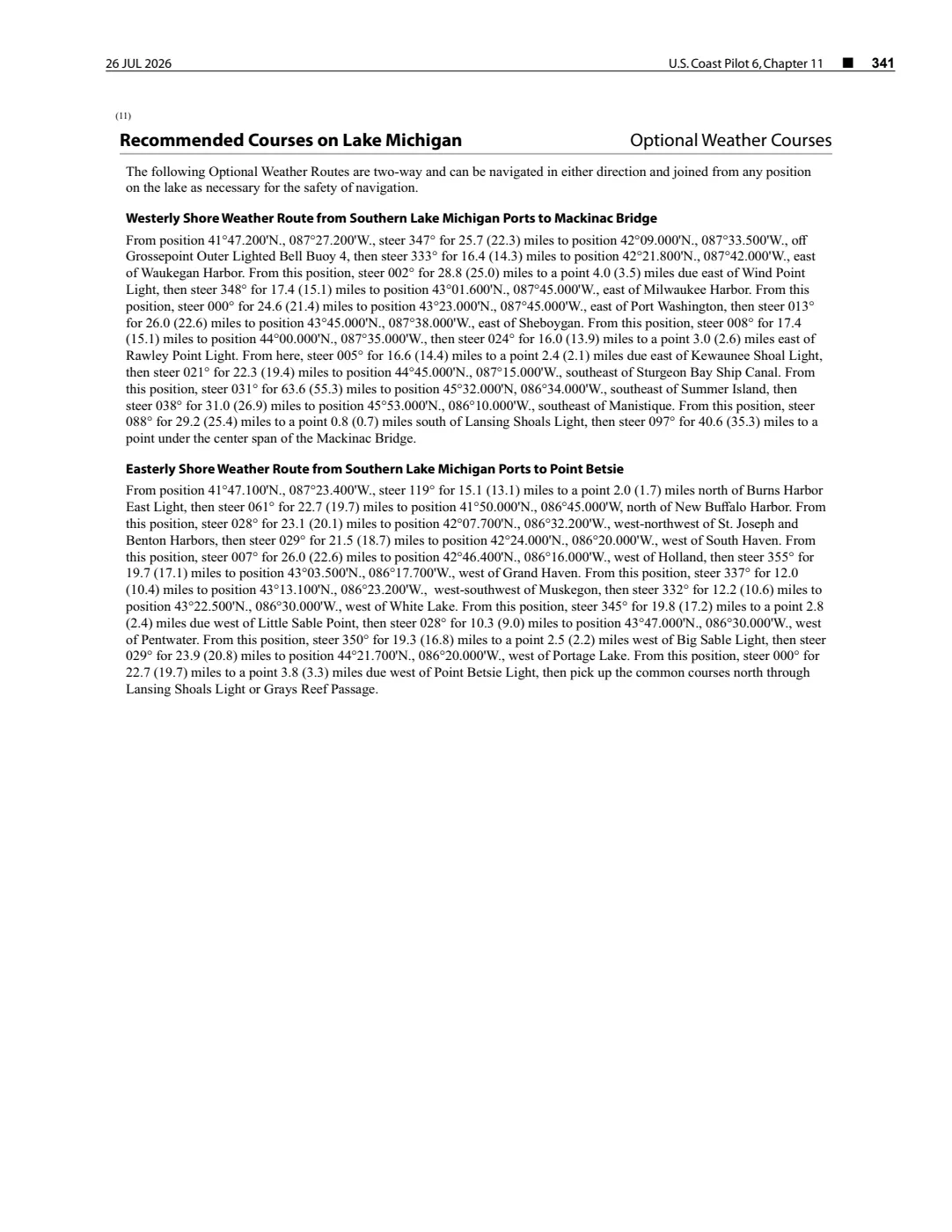
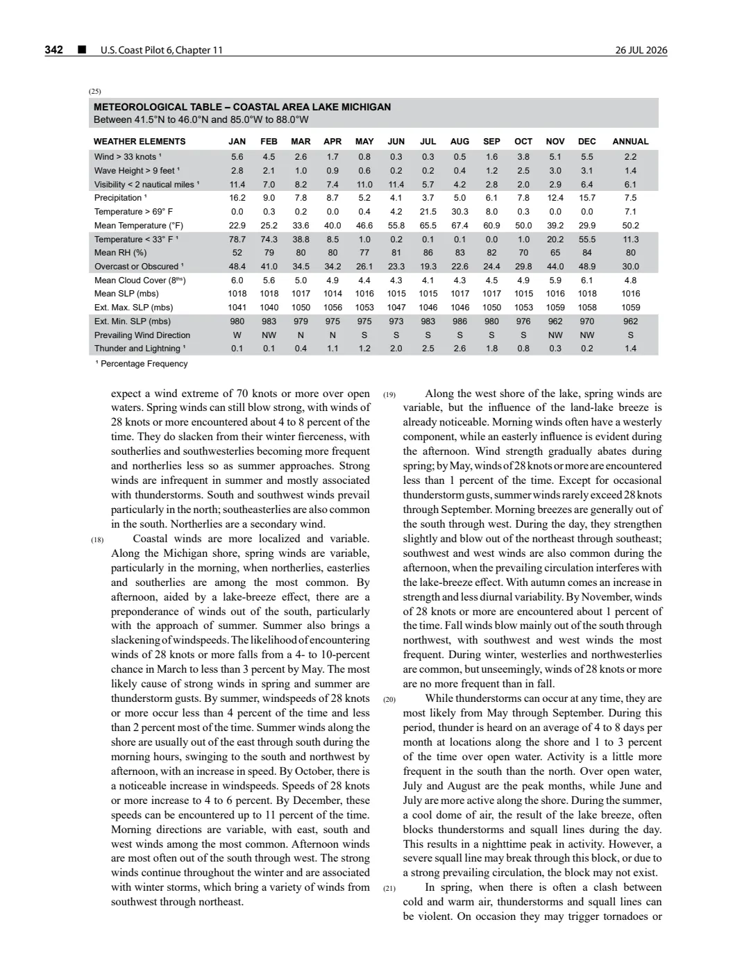
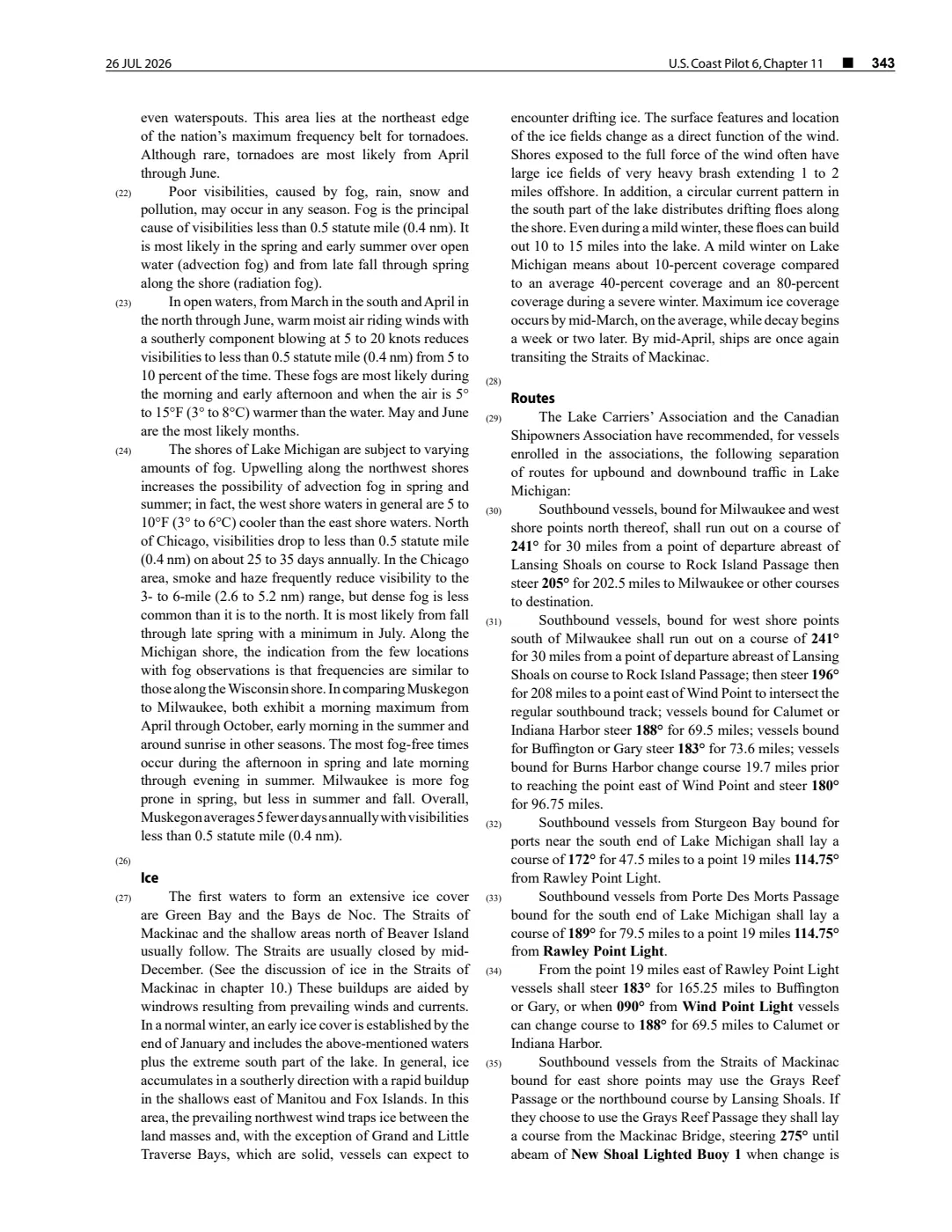
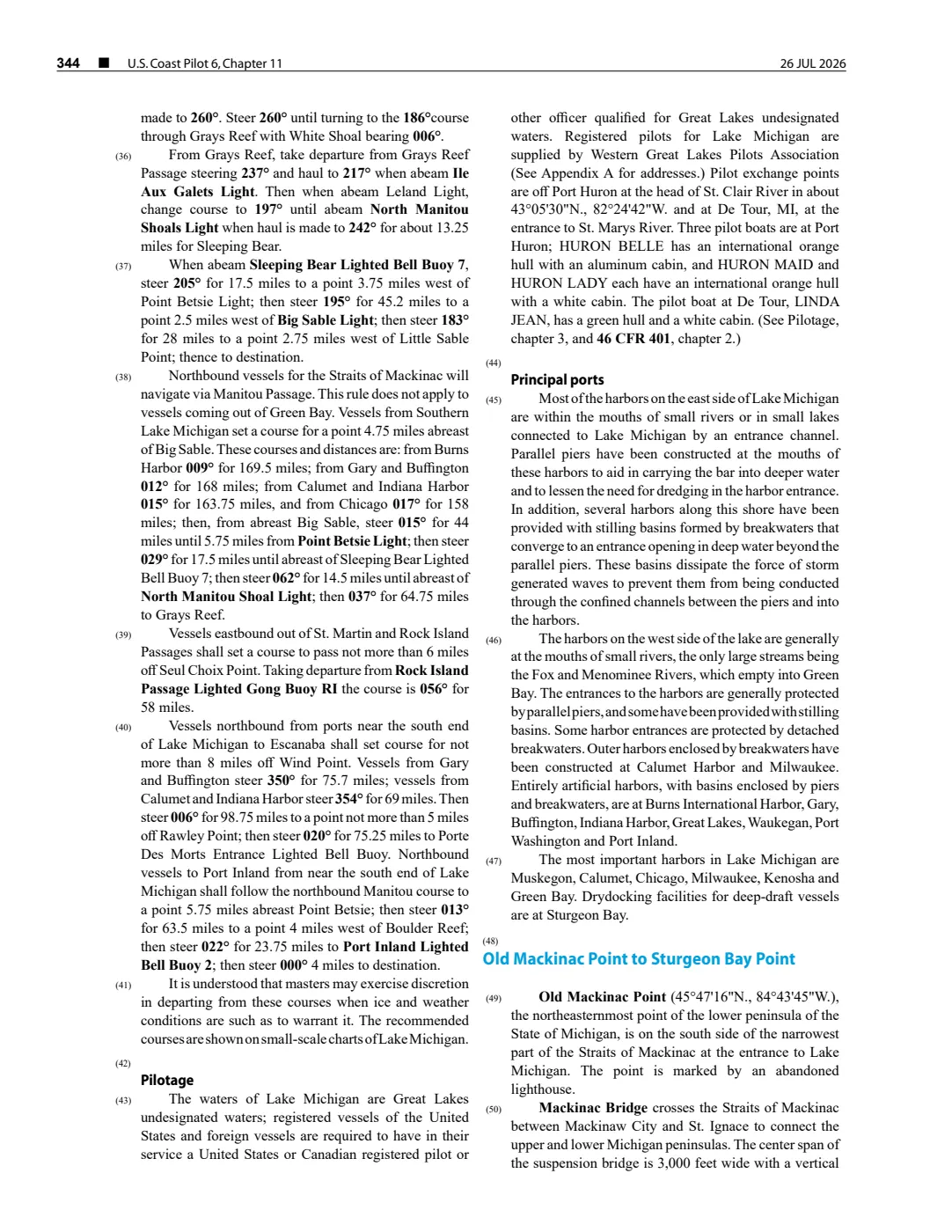
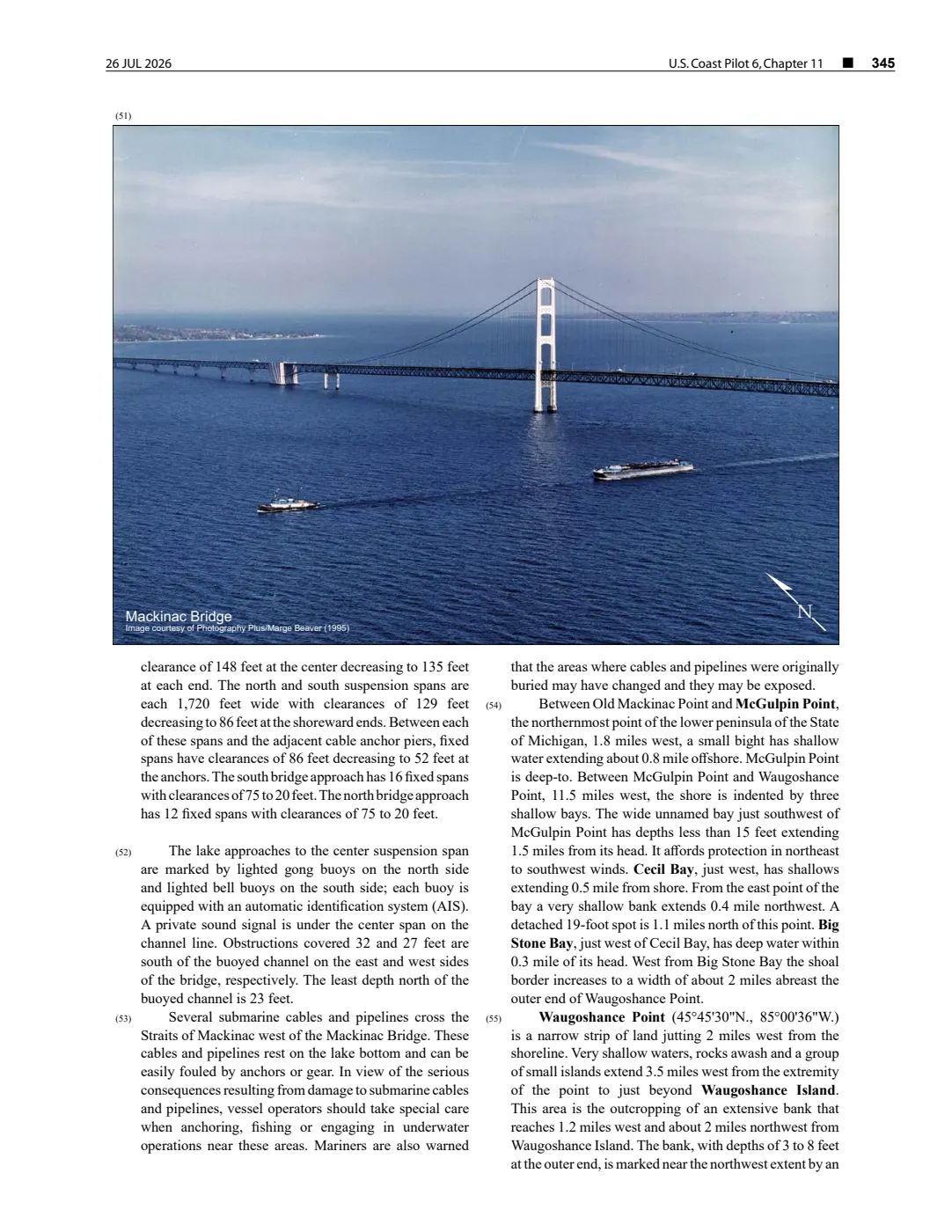
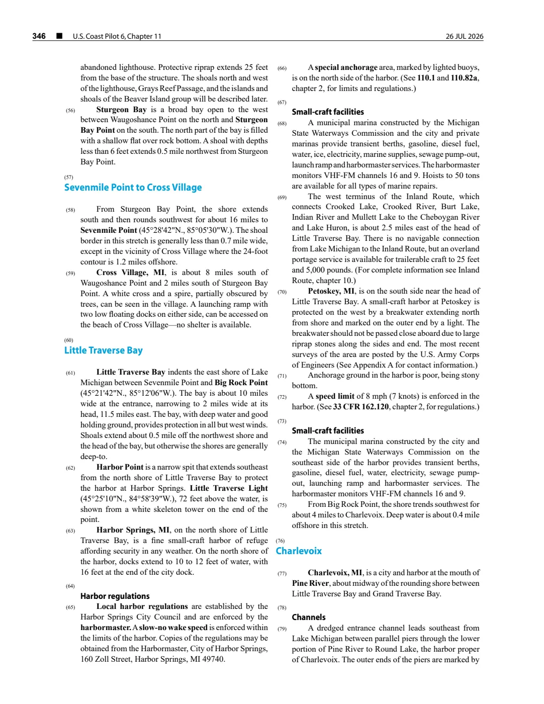
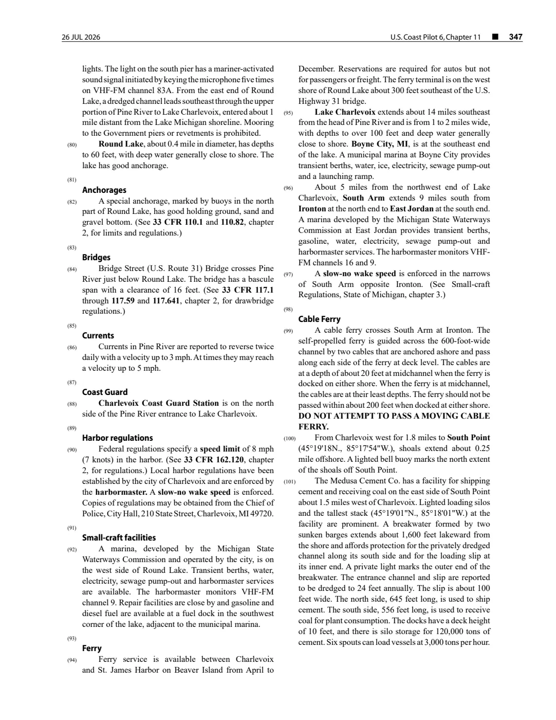
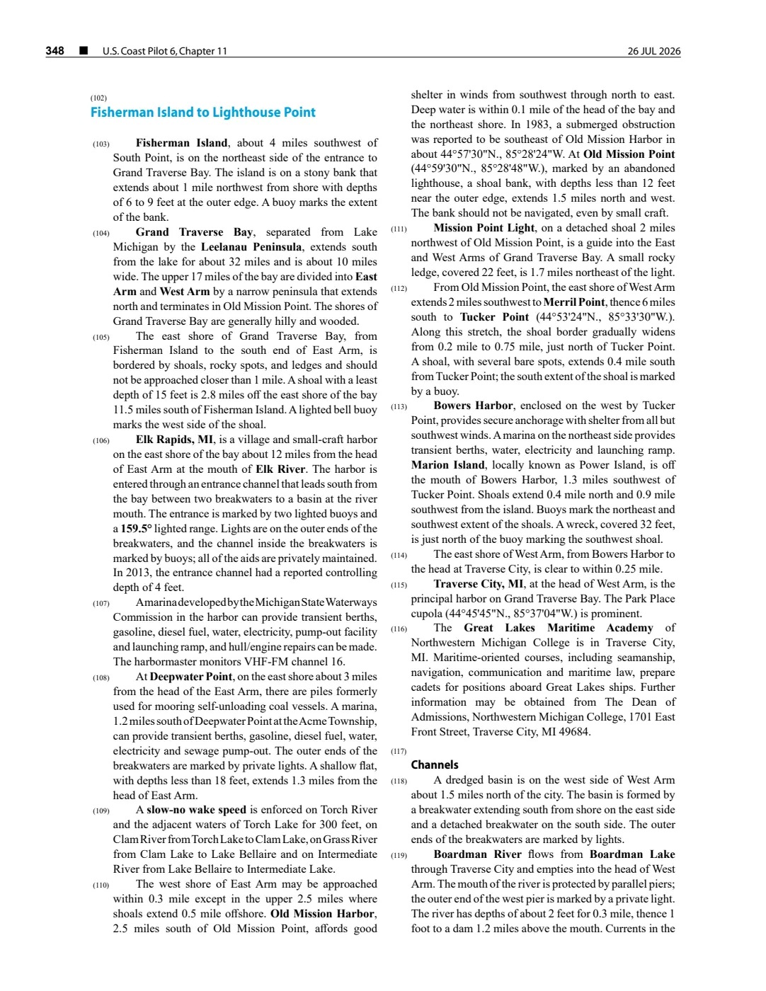
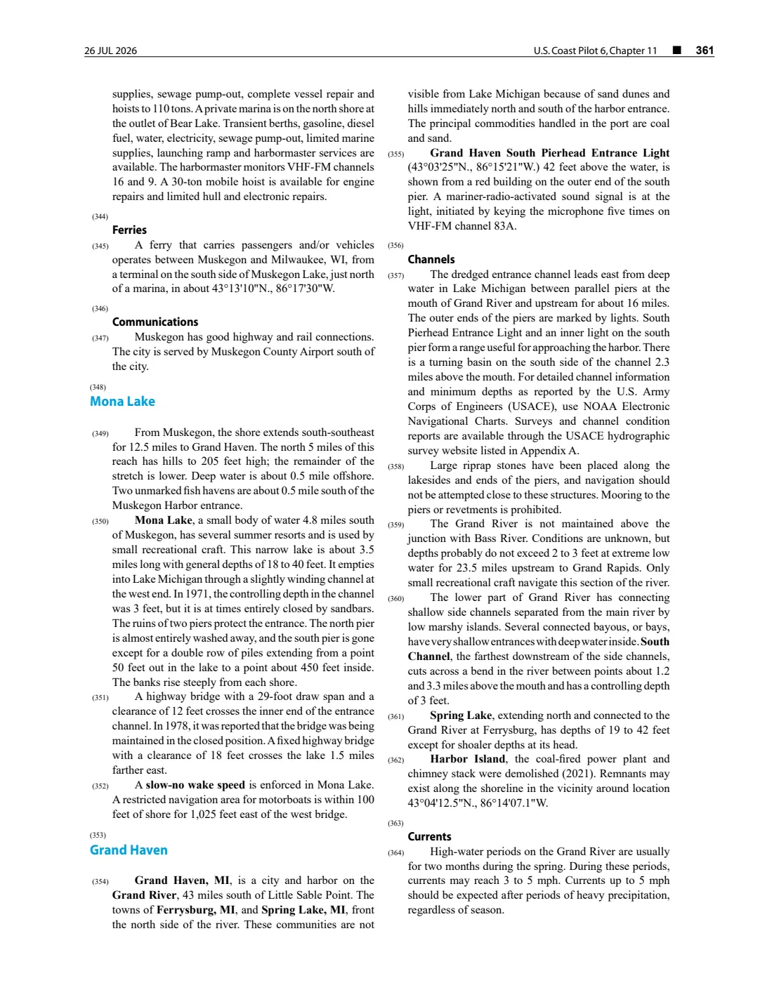
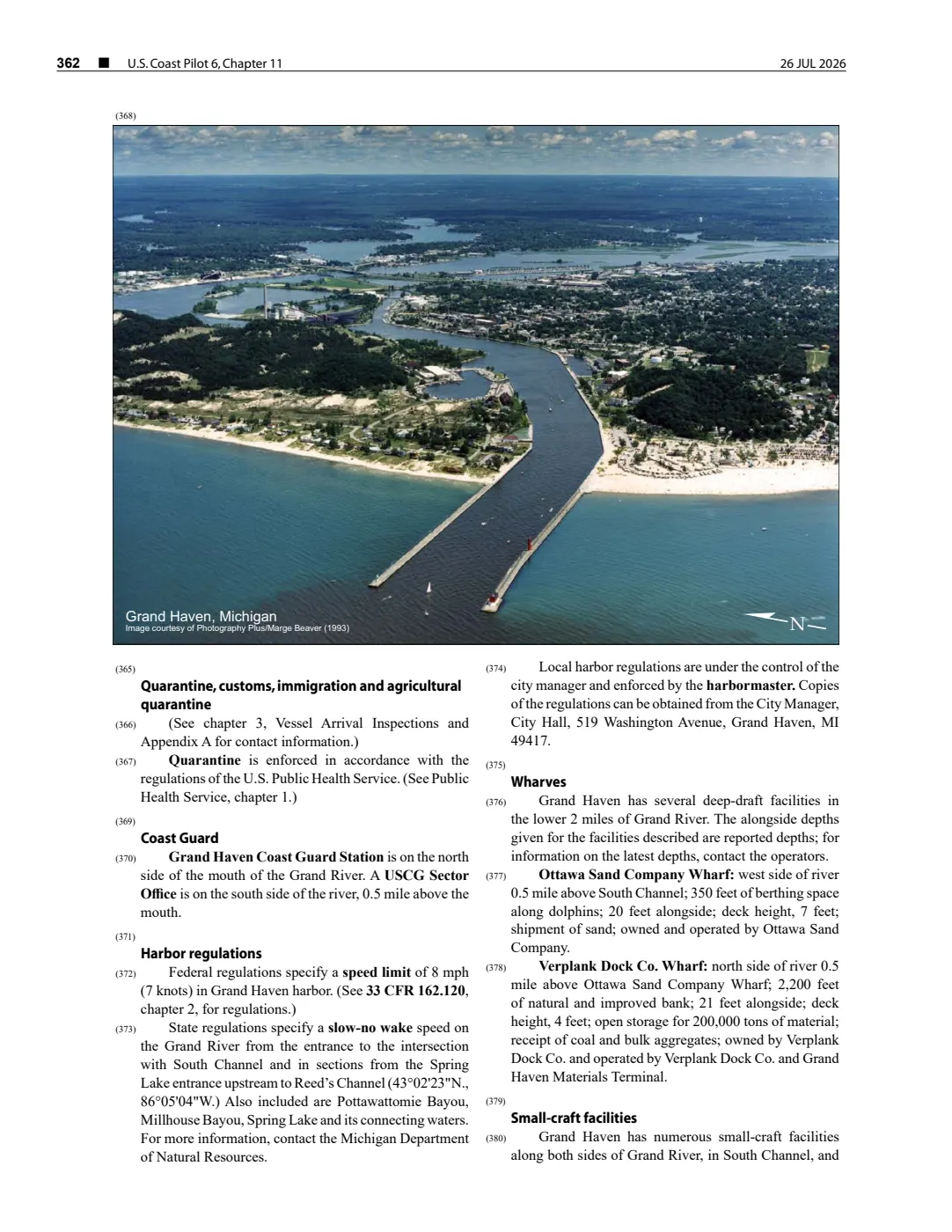
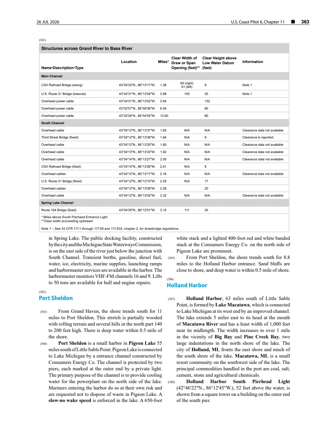
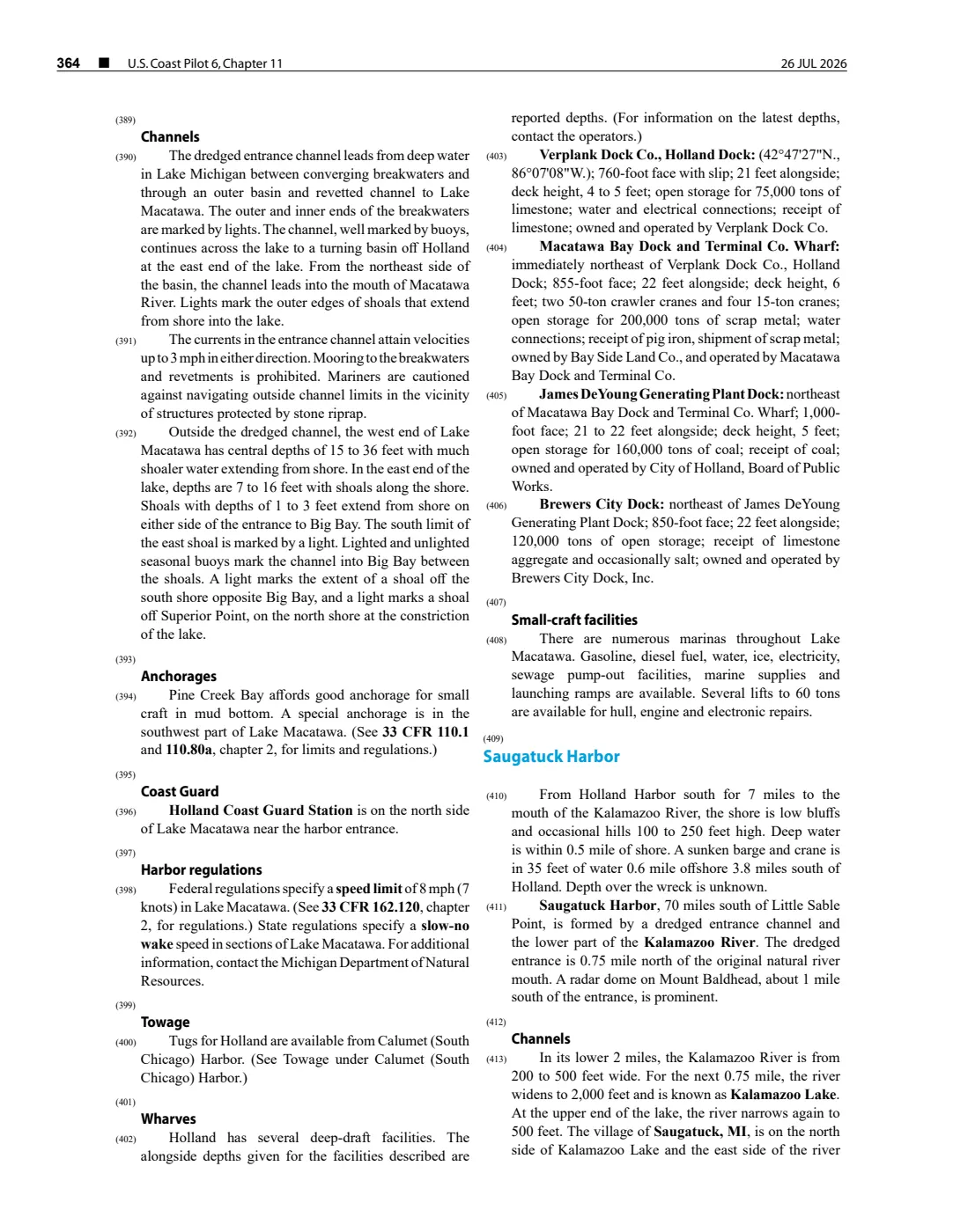
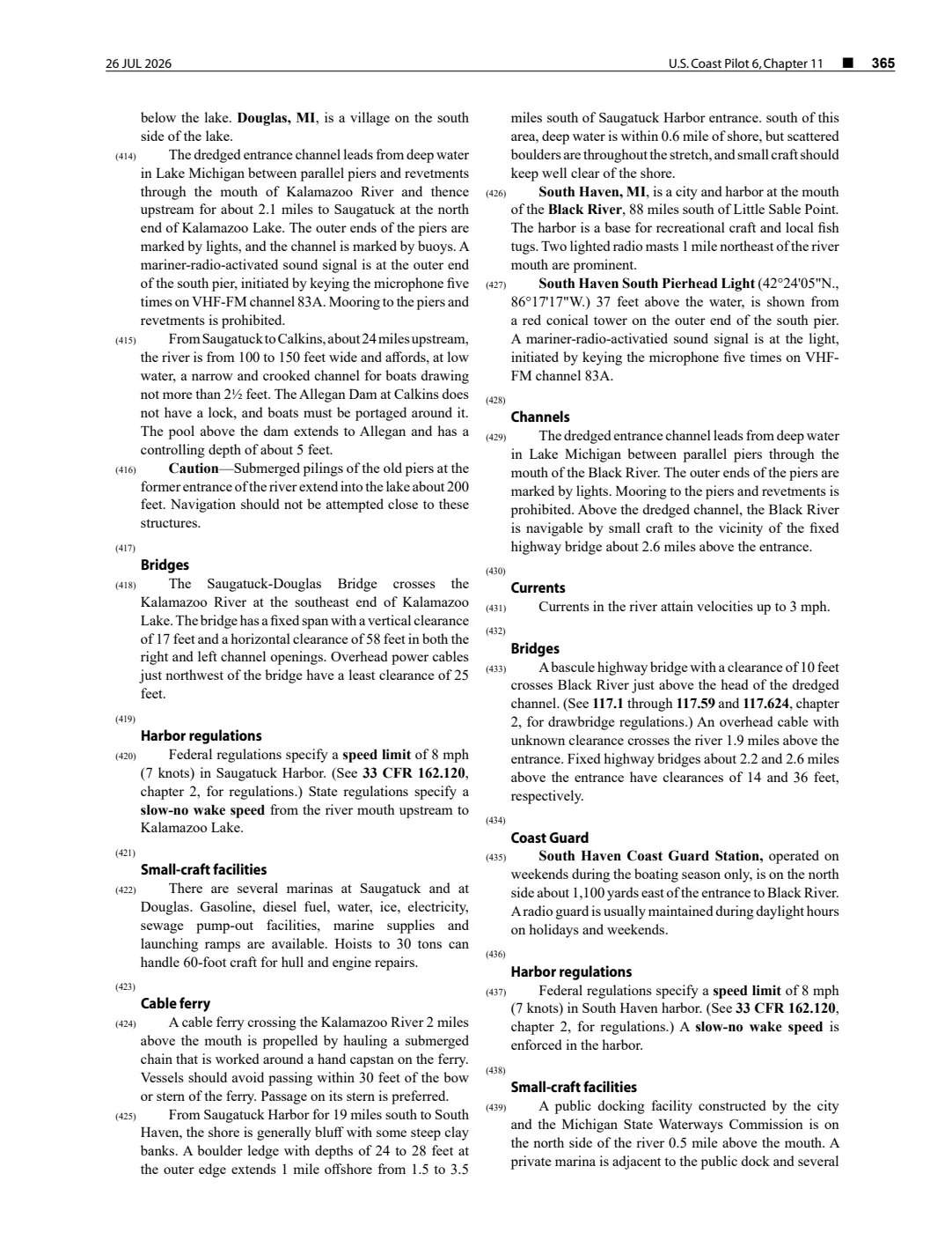
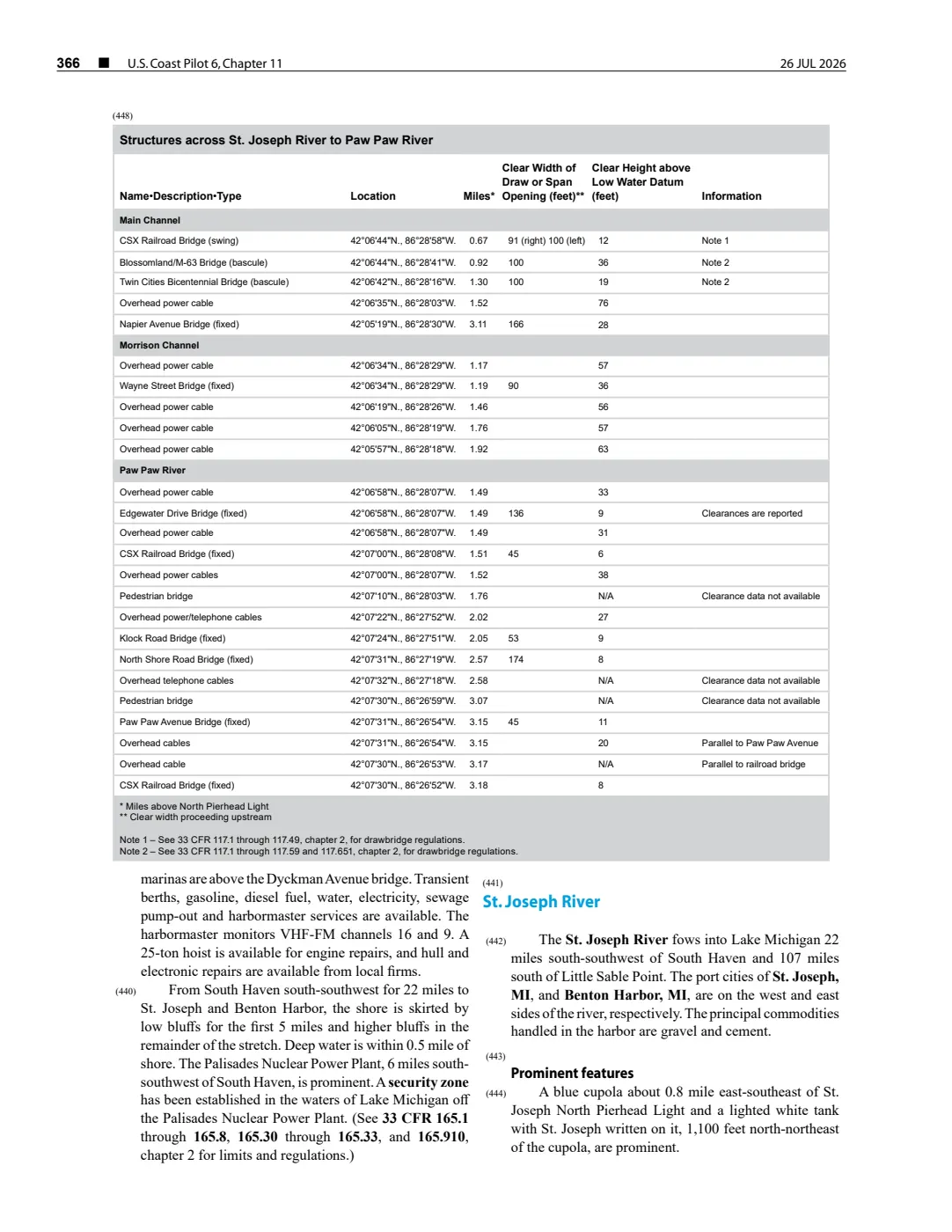
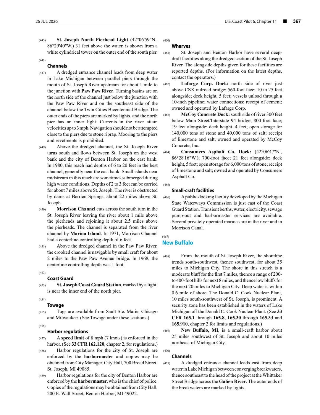
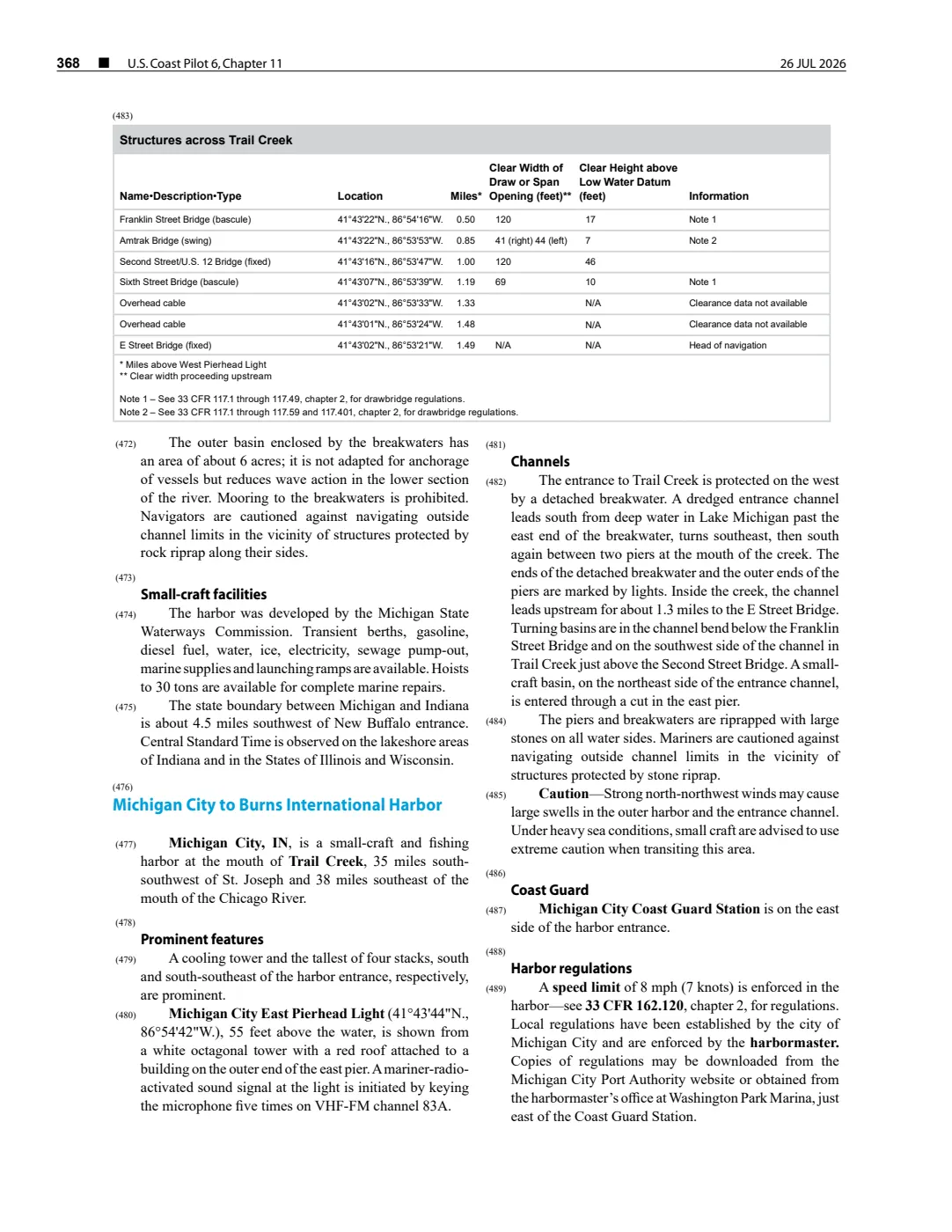
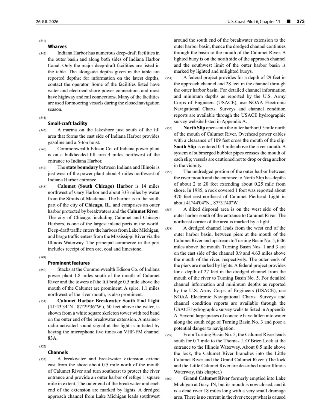
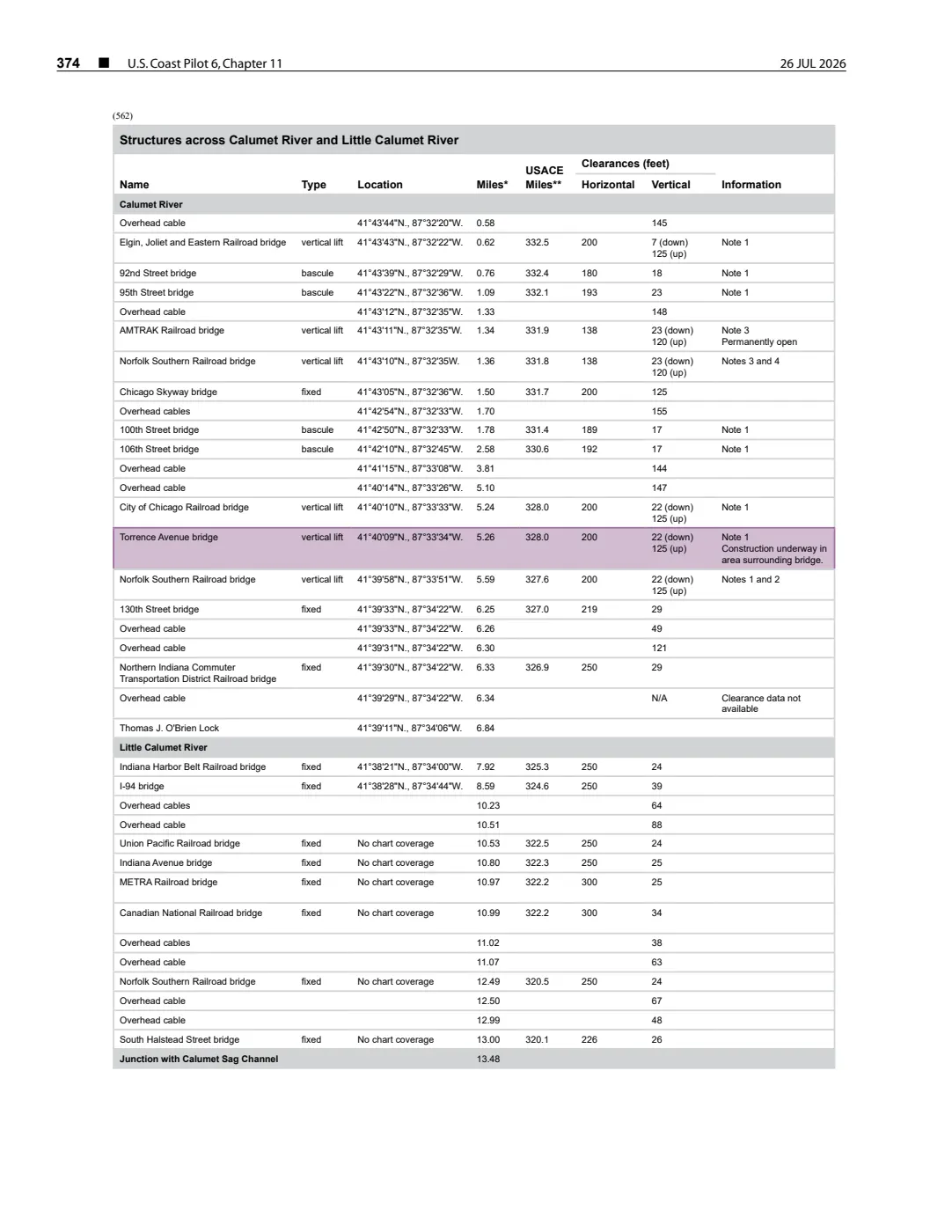
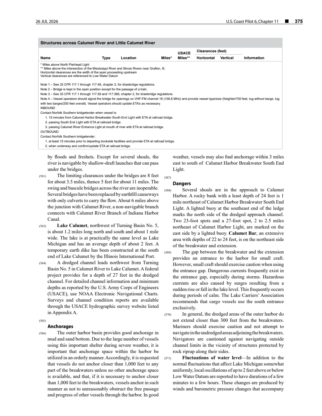
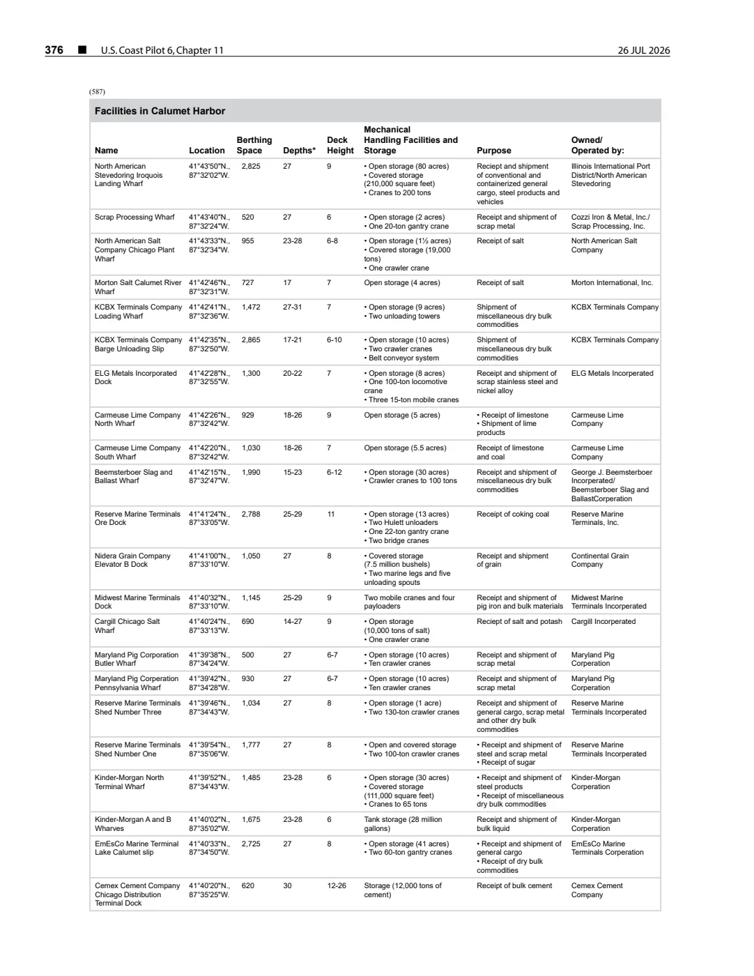
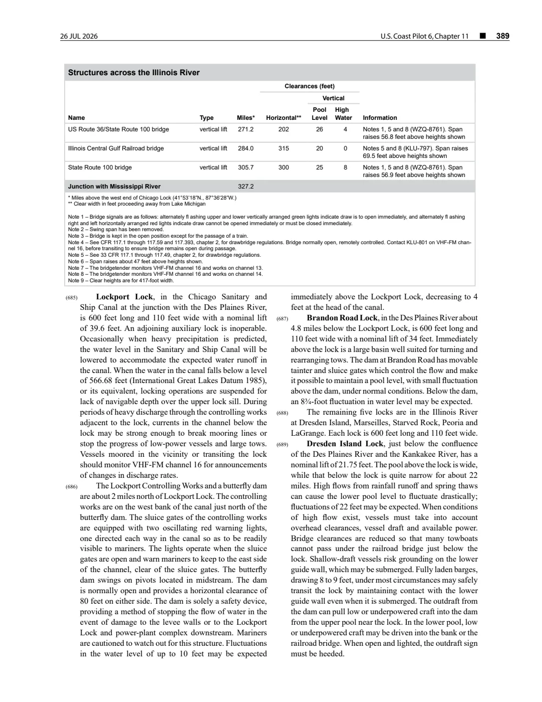
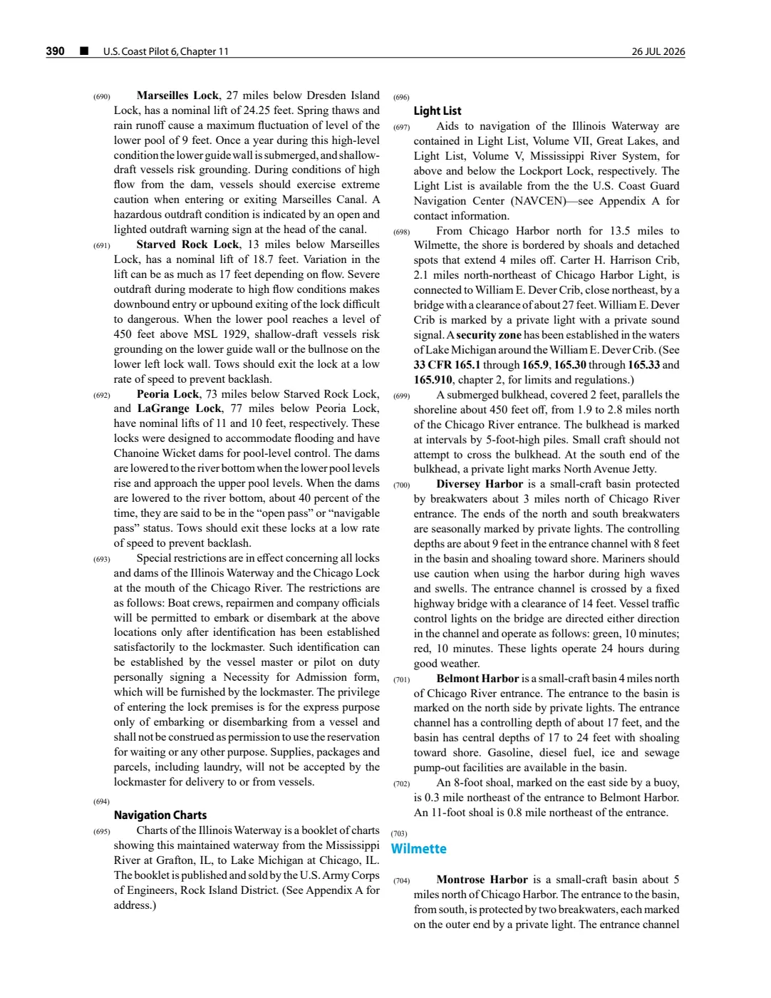
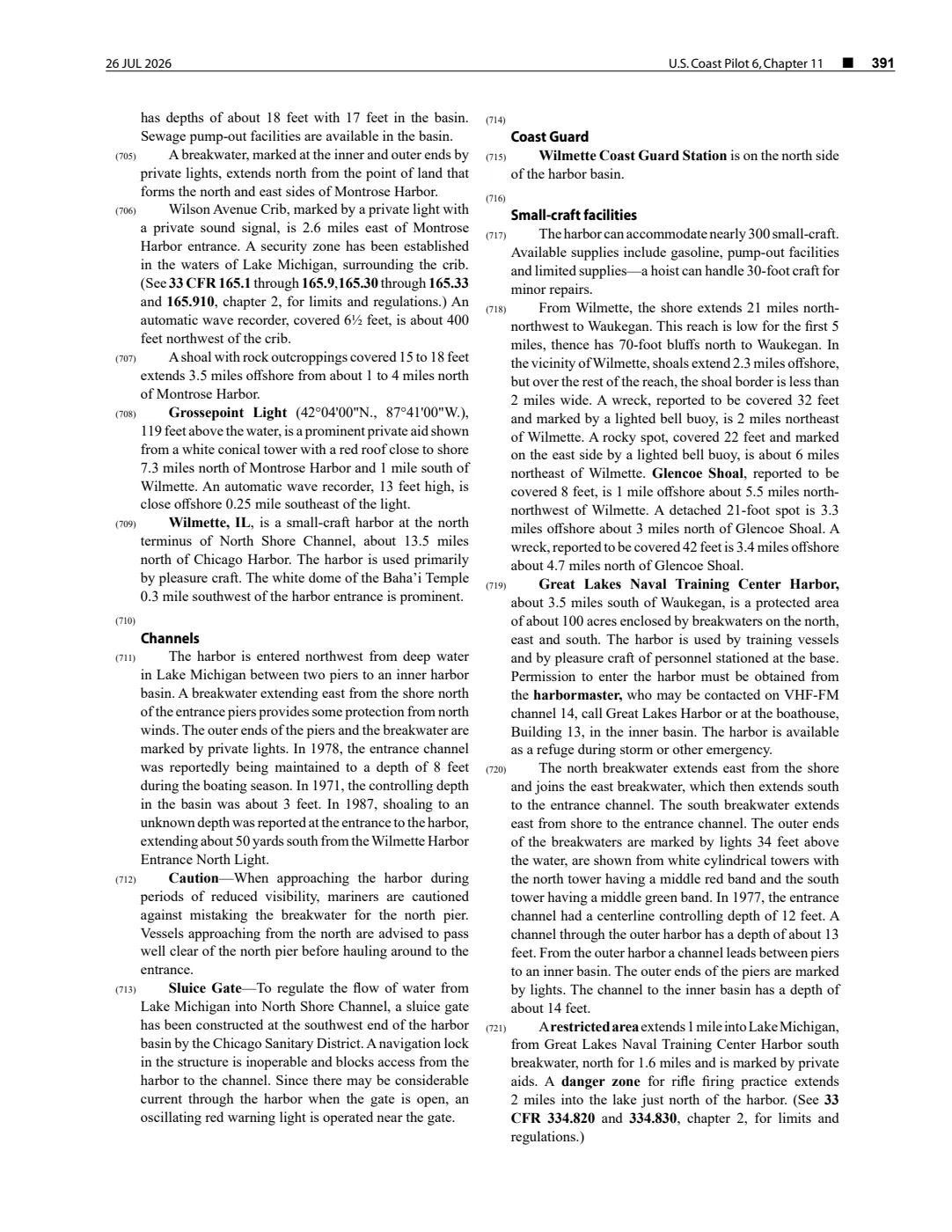
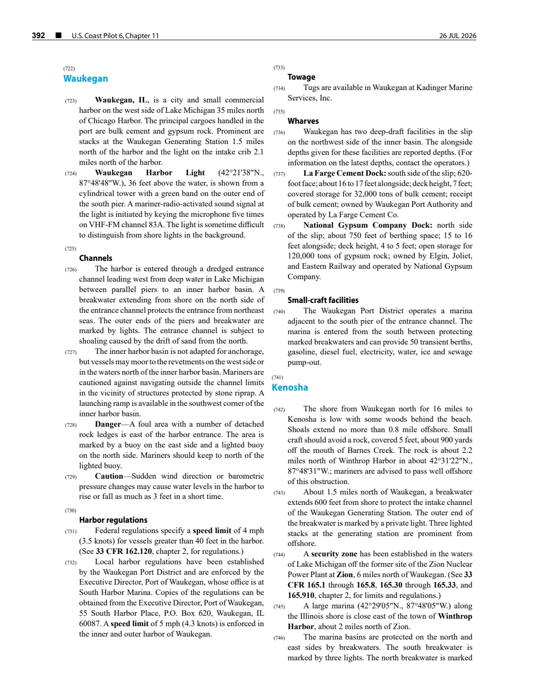
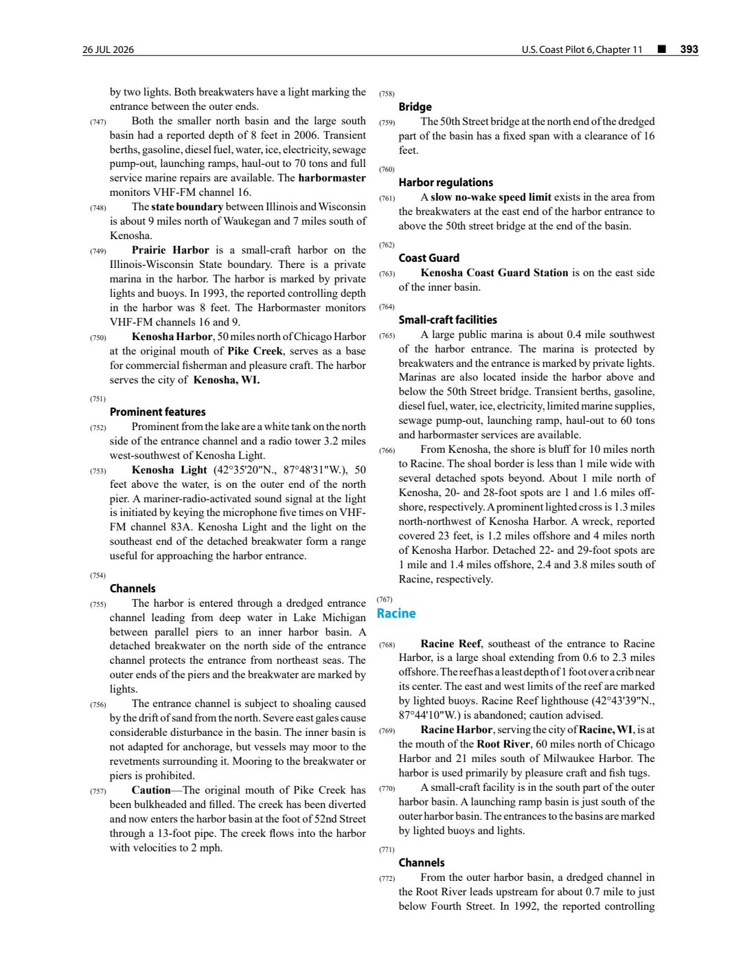
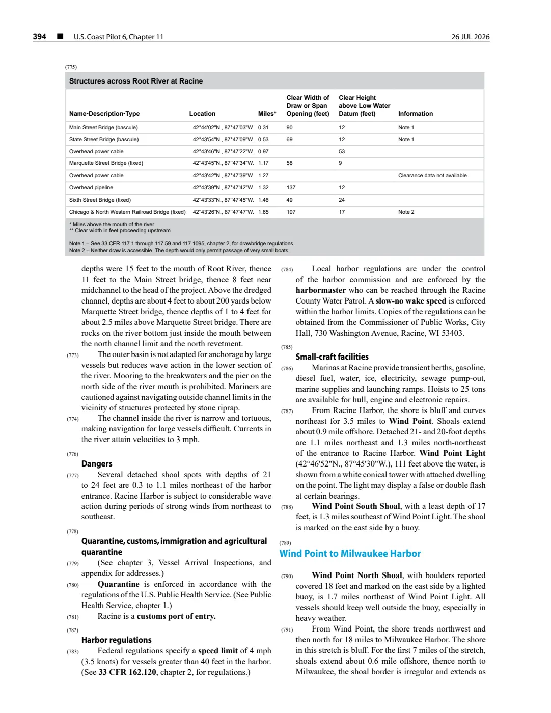
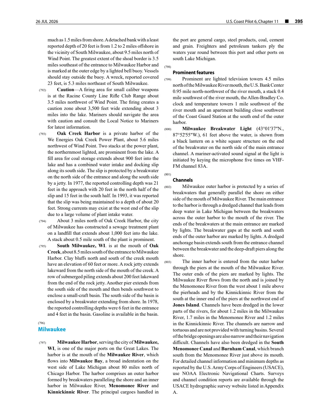
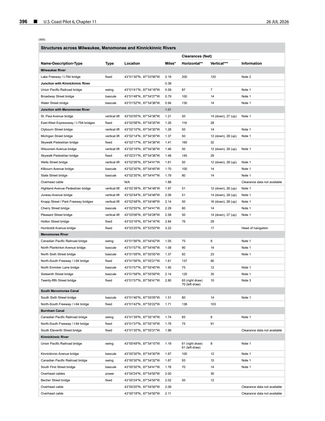
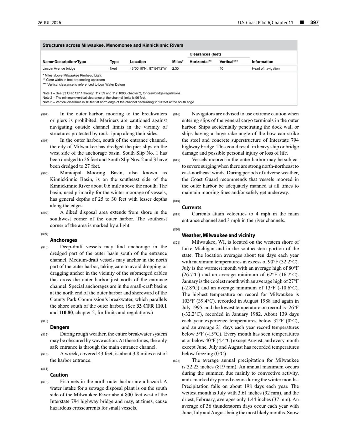
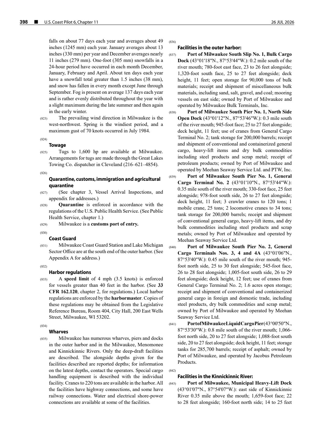
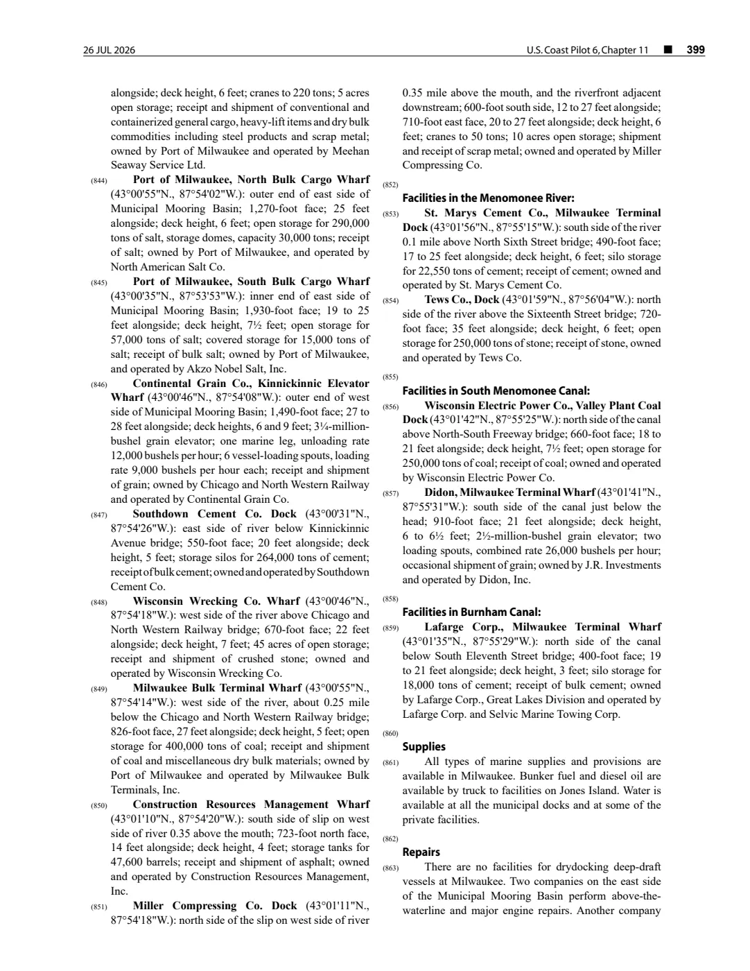
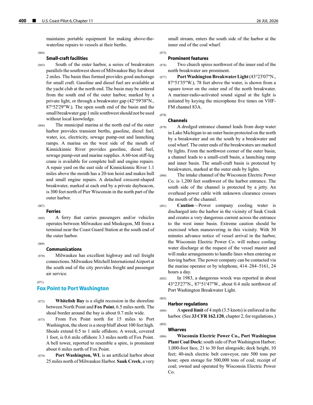
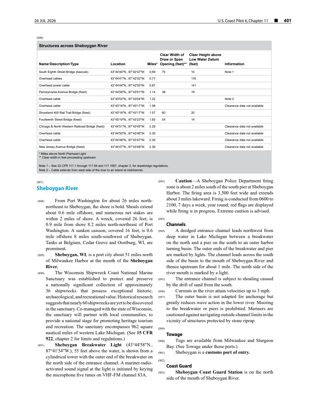
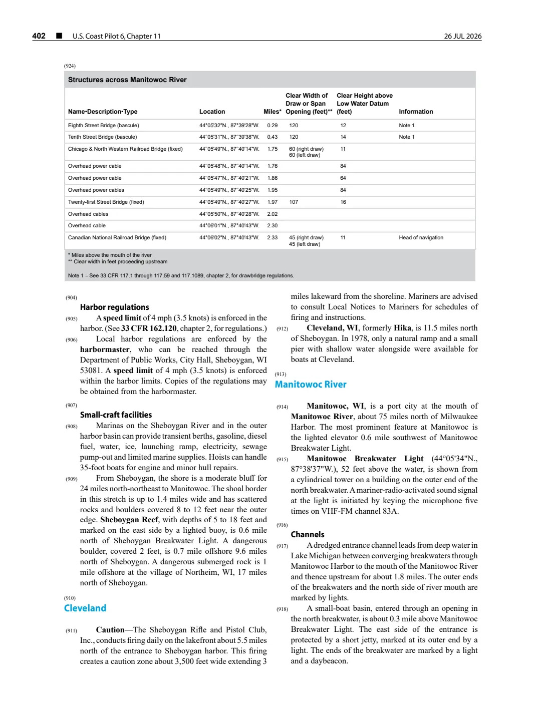
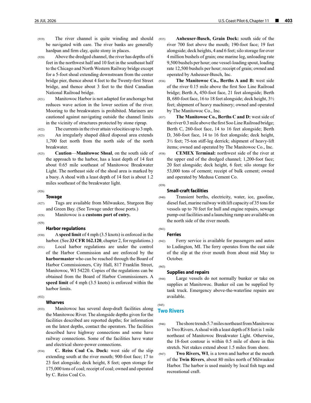
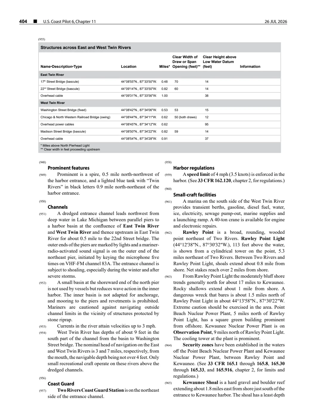
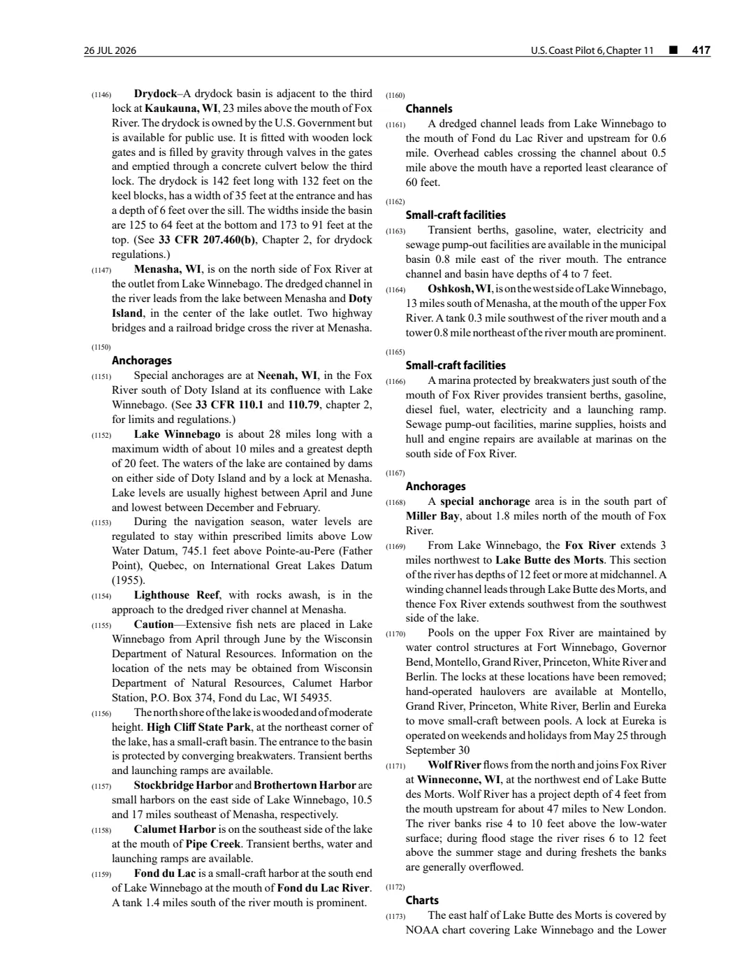
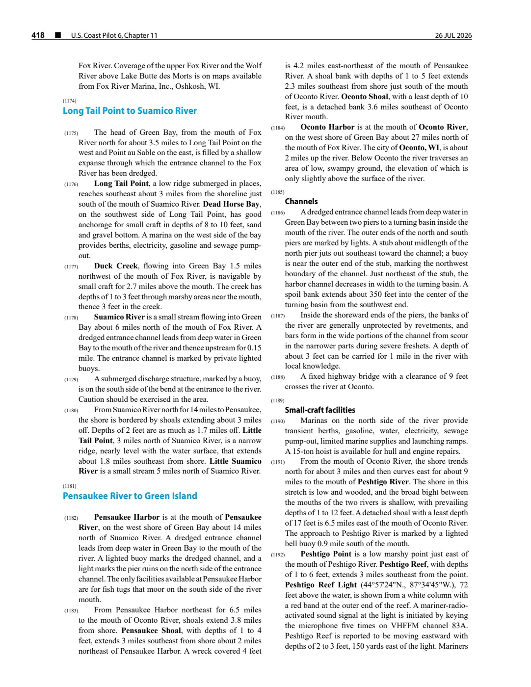
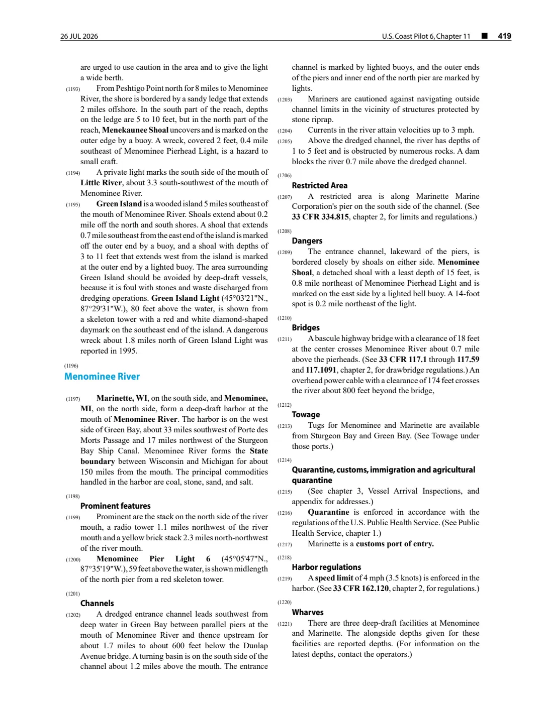
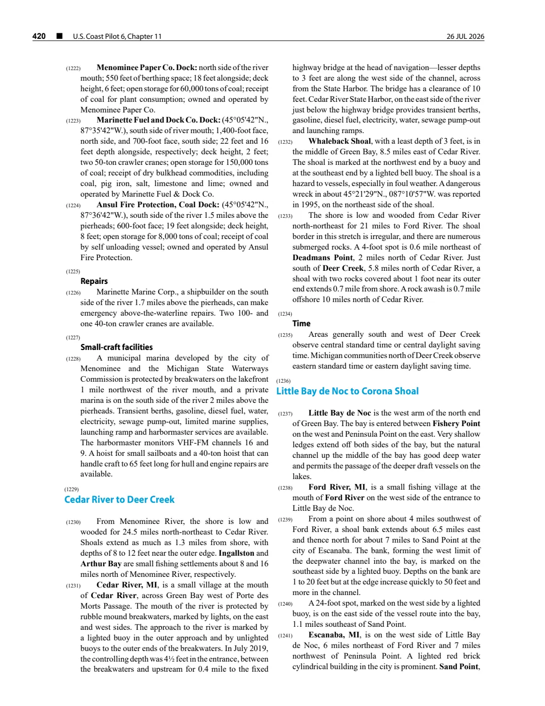
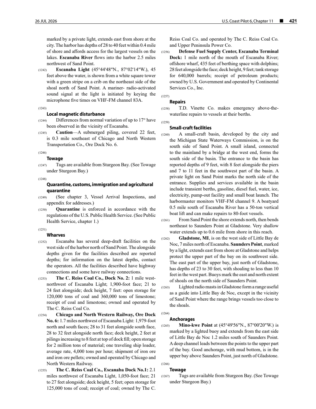
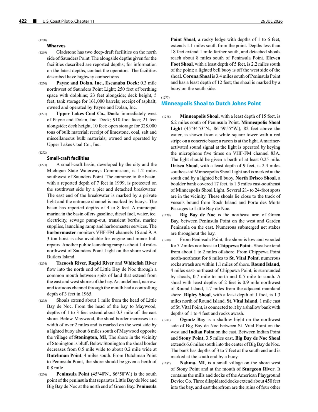
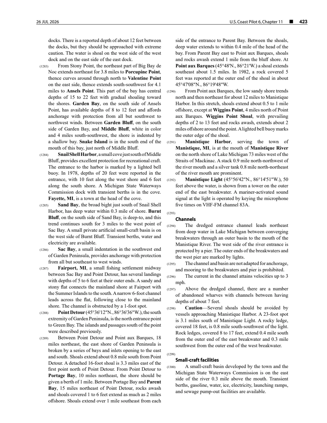
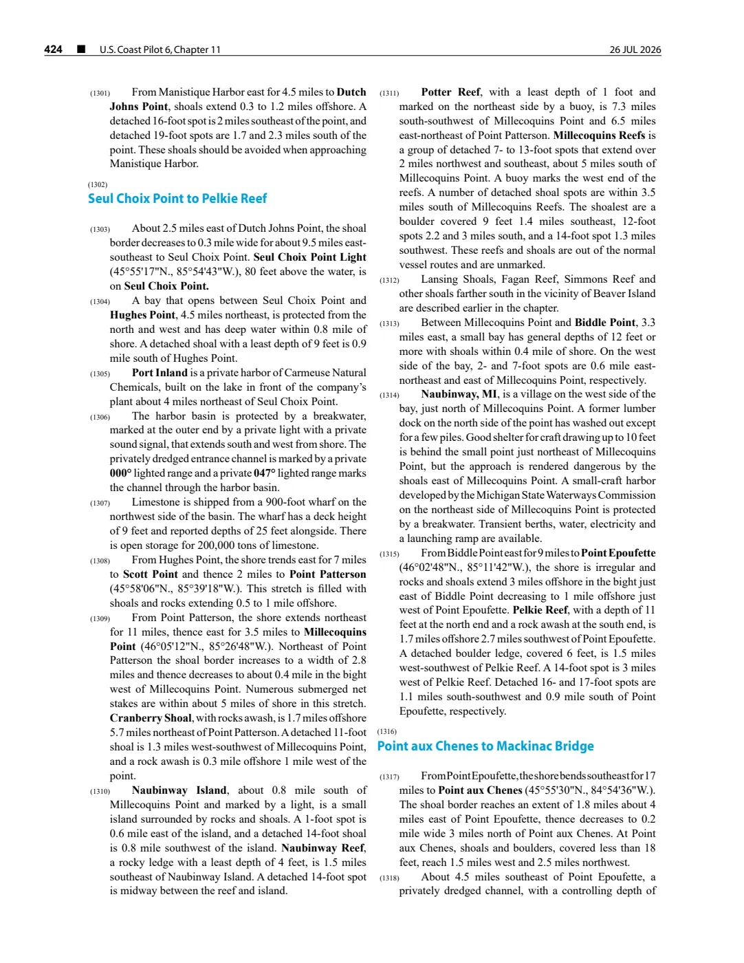
92 pages, rendered from the held scan.
Sources
- Described in this archive: From Behind Masks: underwater archaeological investigations, 2020–2022.Names Skillagallee Reef as the place where A.D. Patchin wrecked on 17 September 1850, near Beaver Island in Lake Michigan. This is a source-specific geographic anchor, not an authoritative reef boundary, coordinate, depth, navigation condition, or present hazard description.maritime · wisconsin_shipwrecks · from-behind-masks-2020-2022-field-report
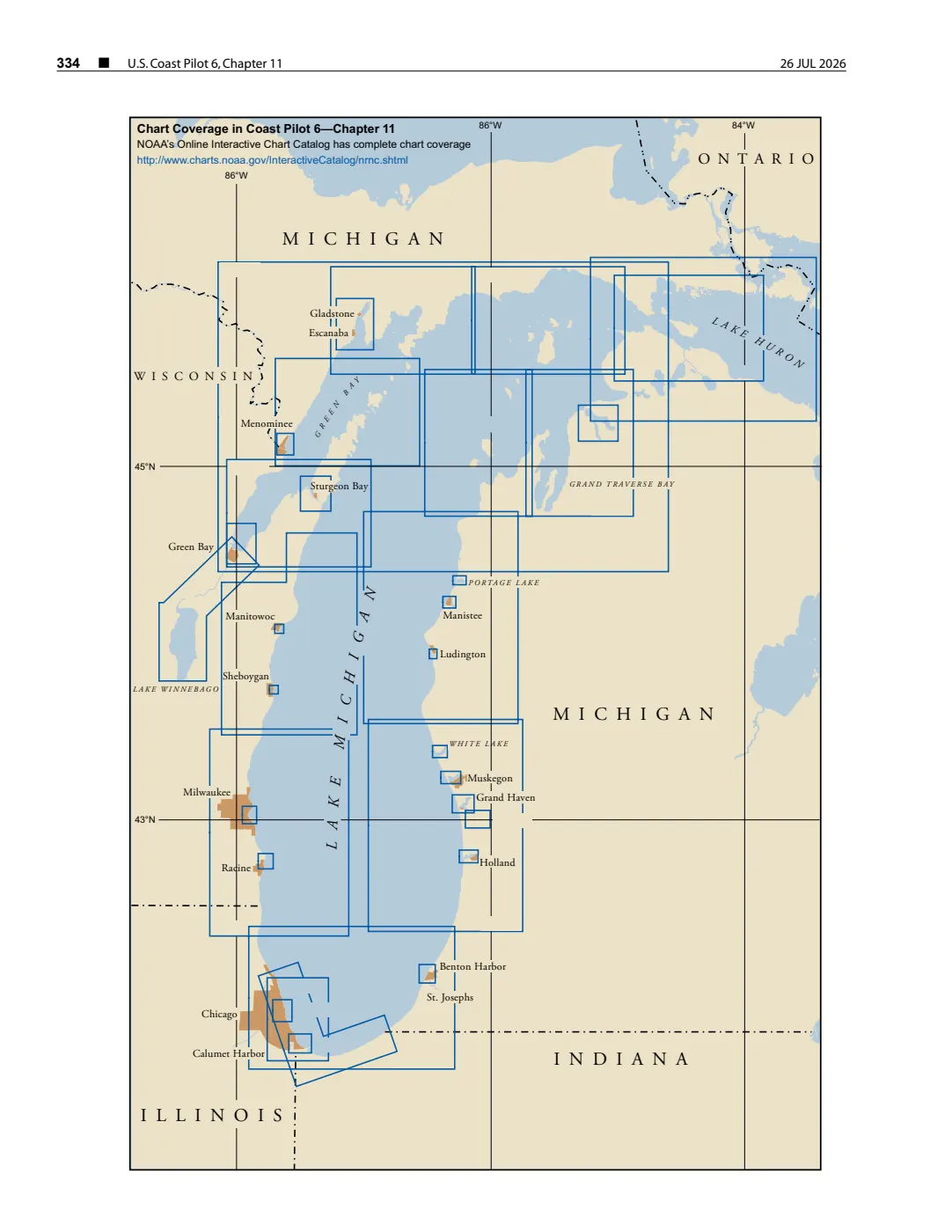
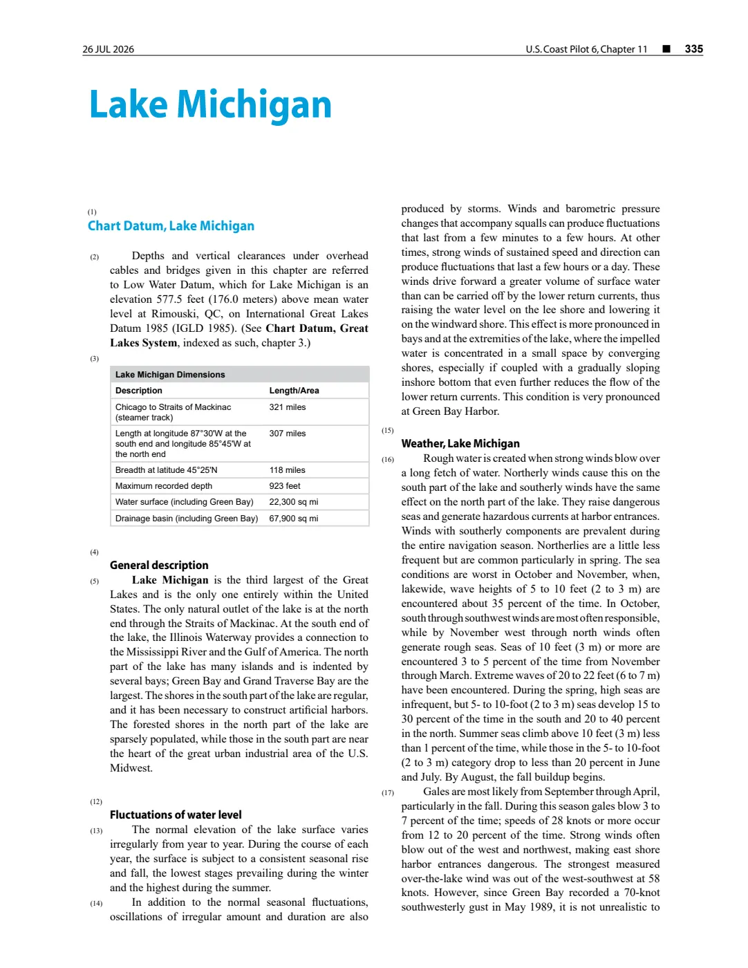
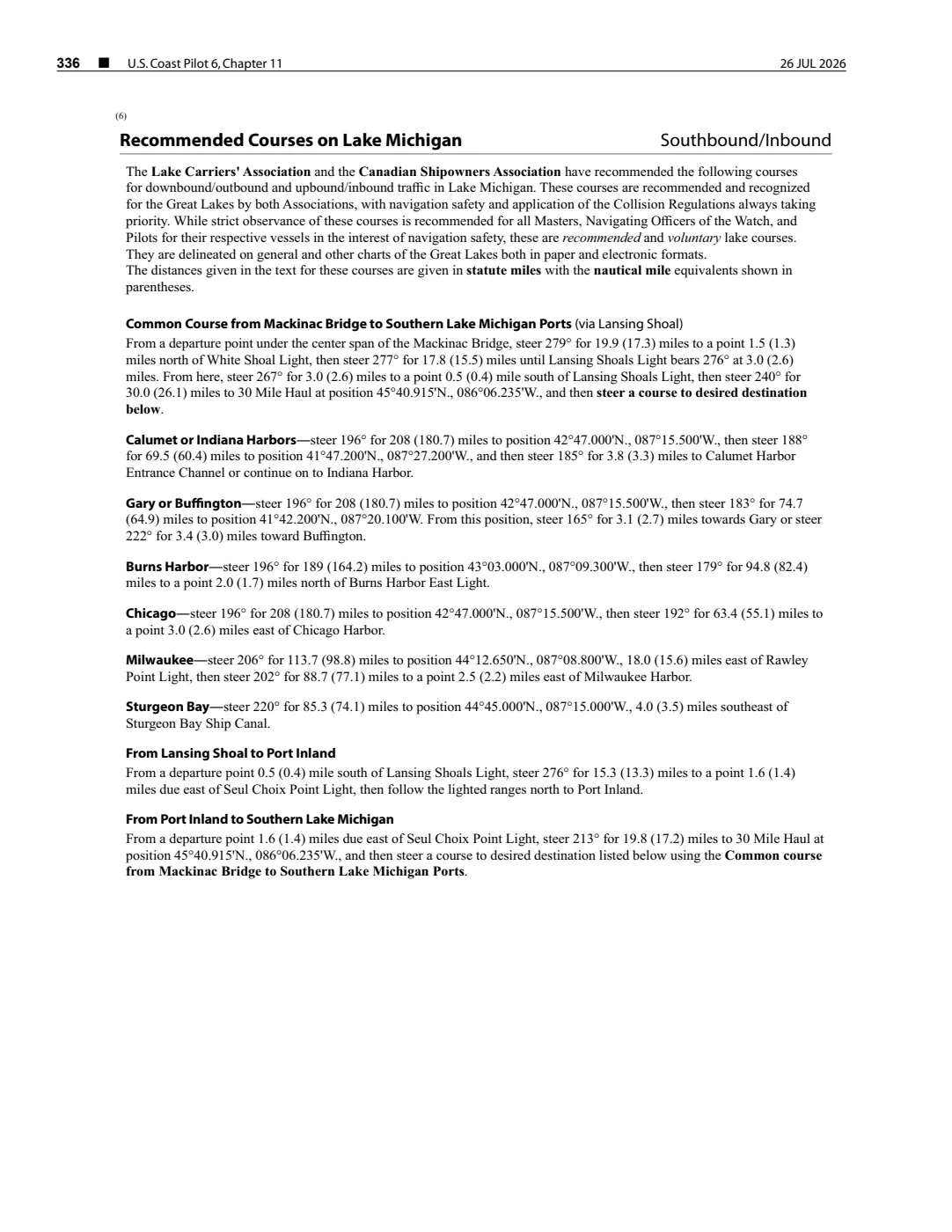
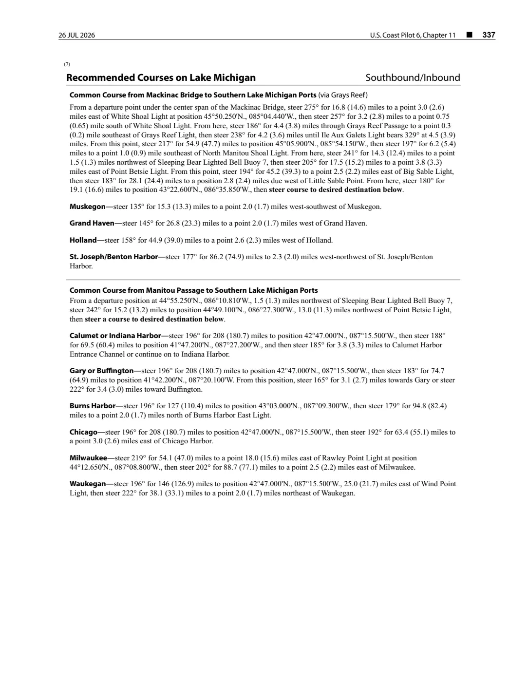
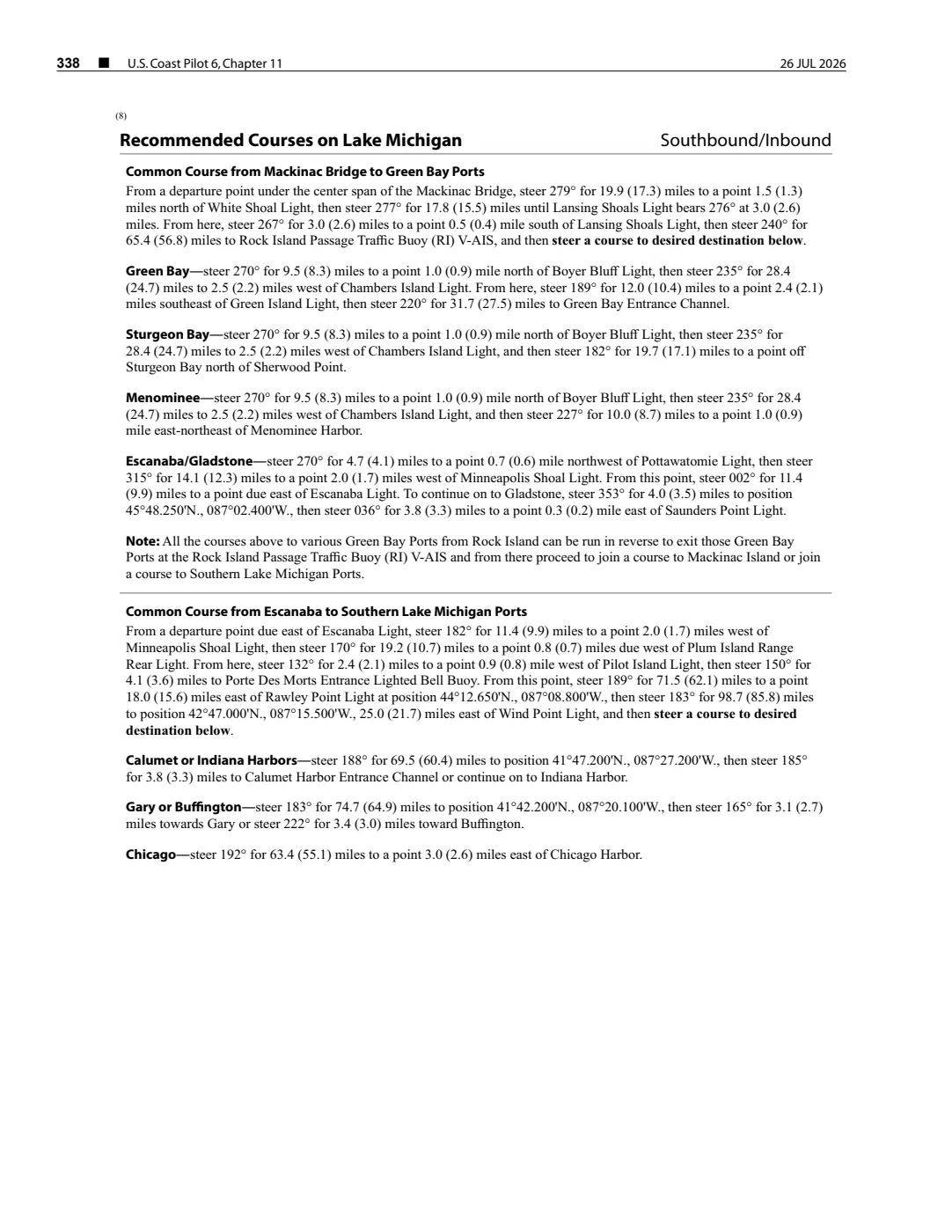
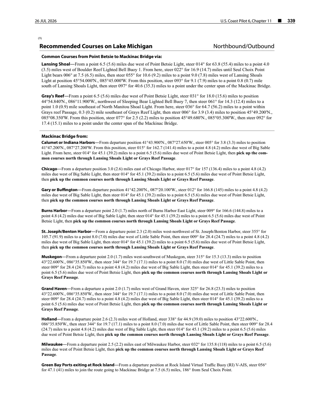
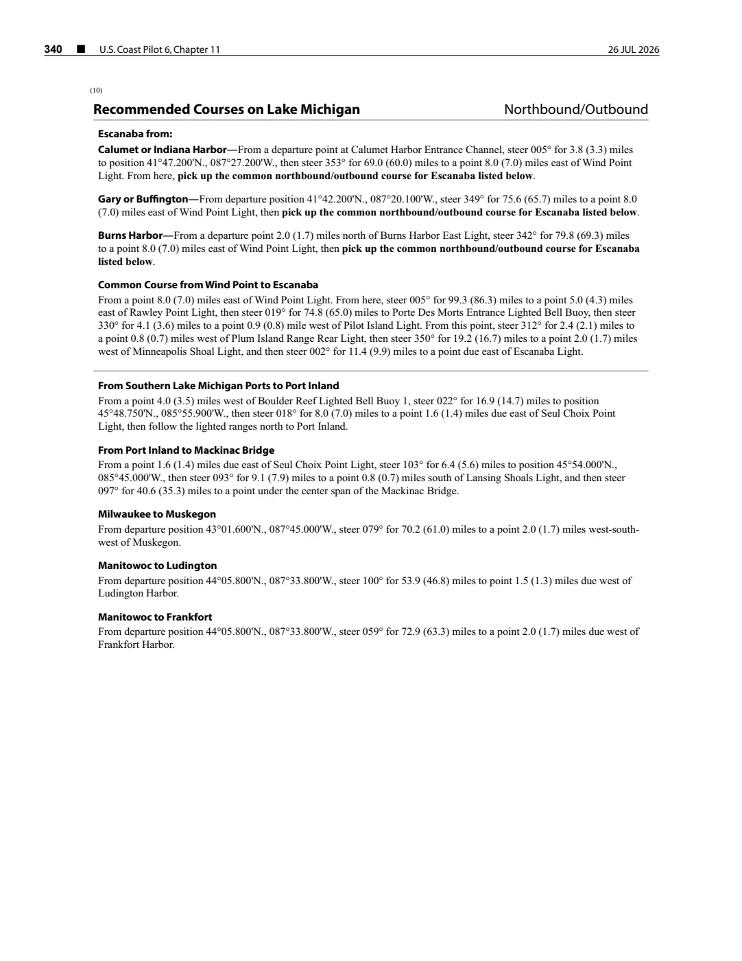
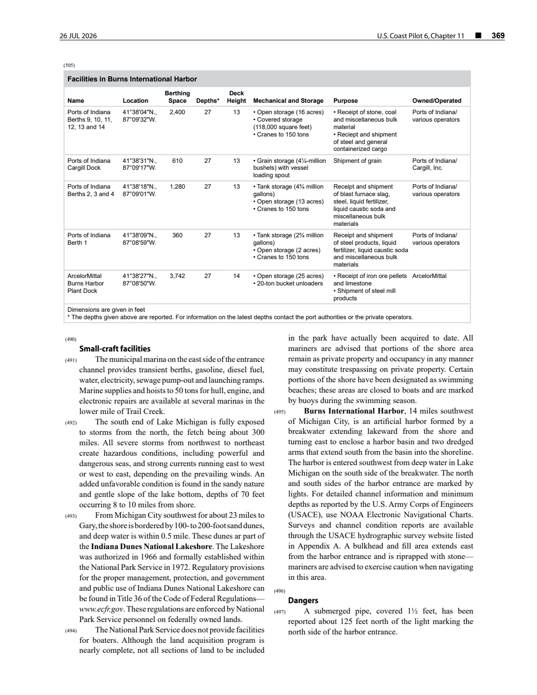
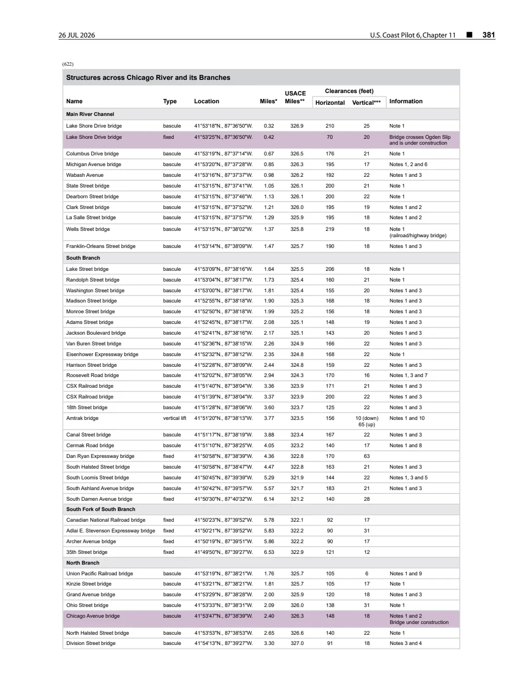
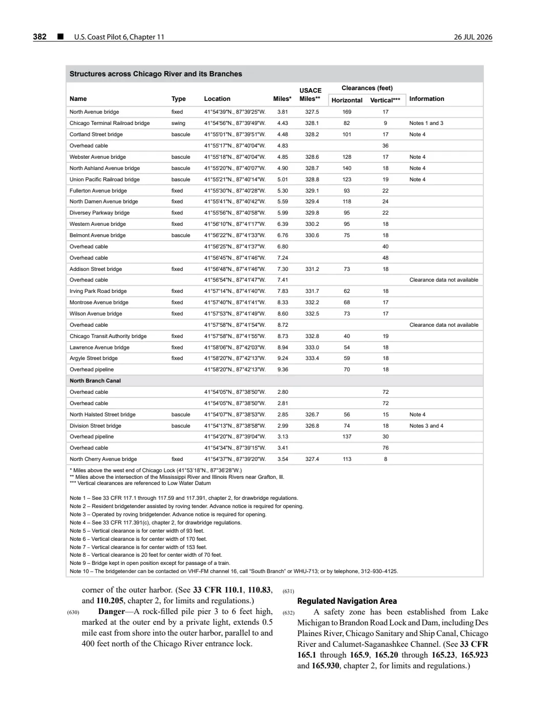
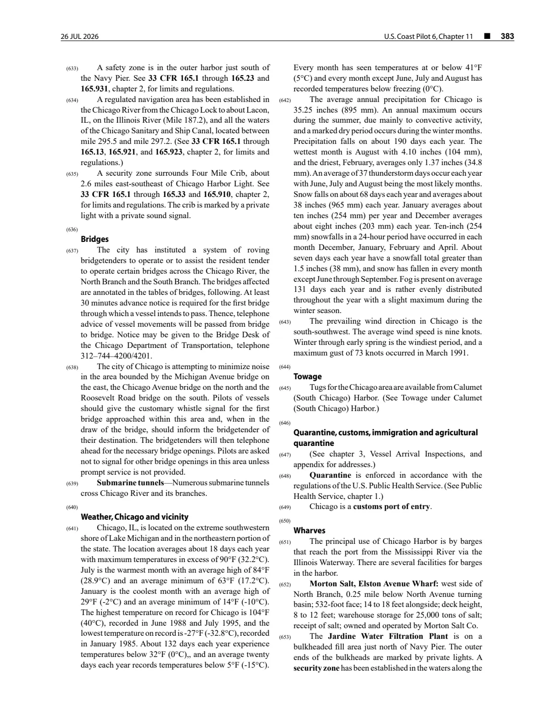
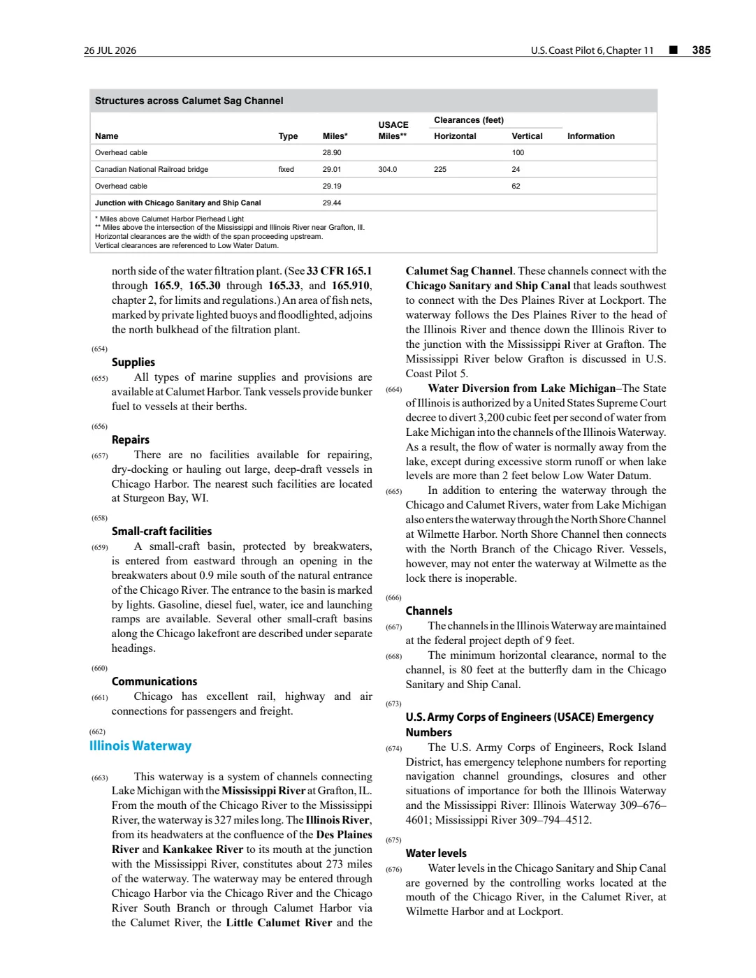
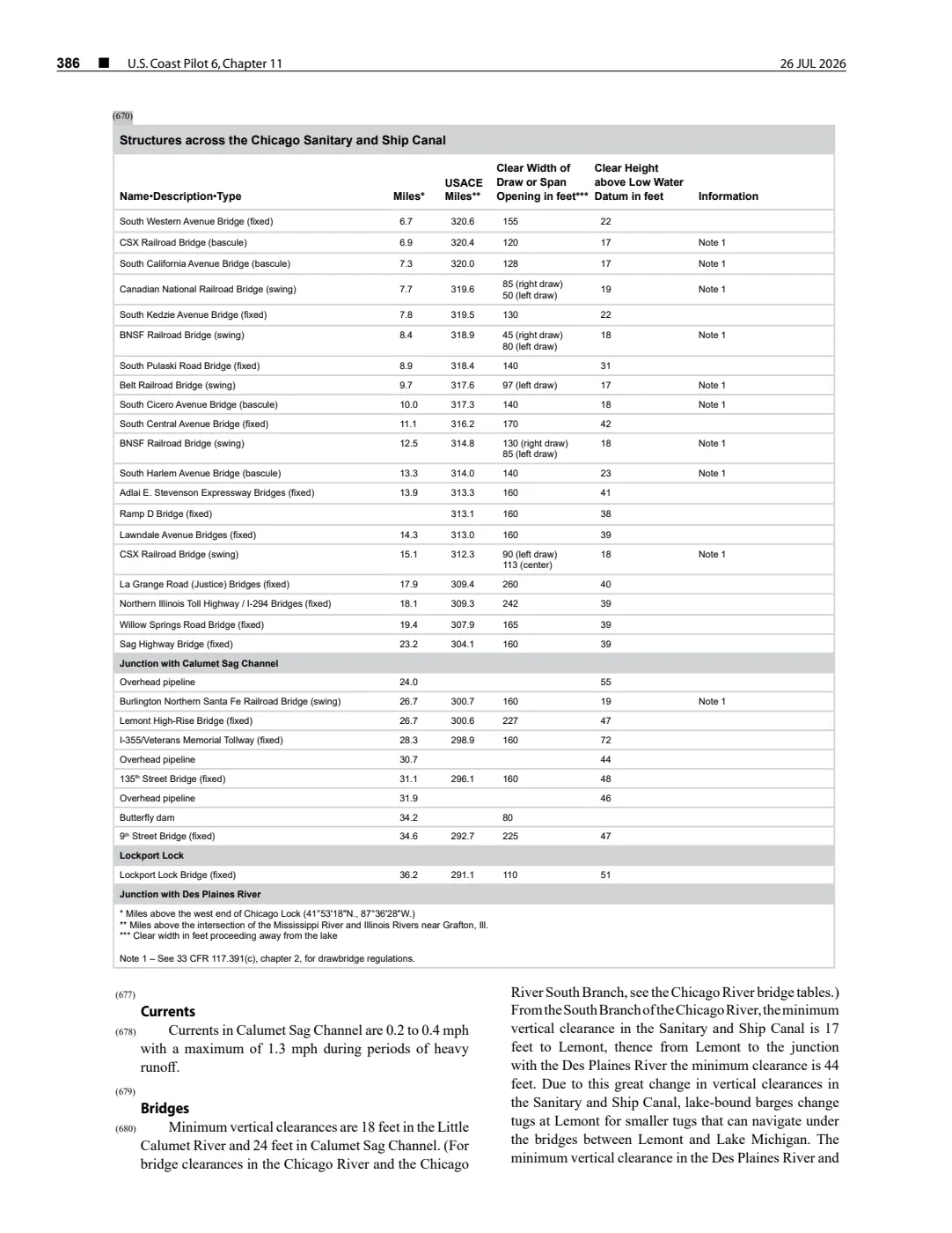
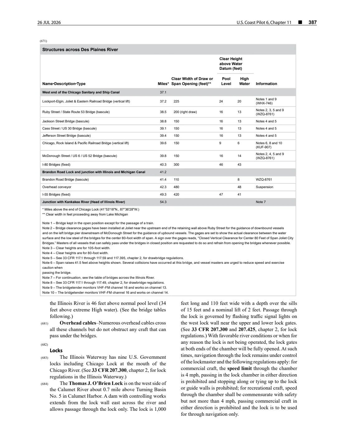
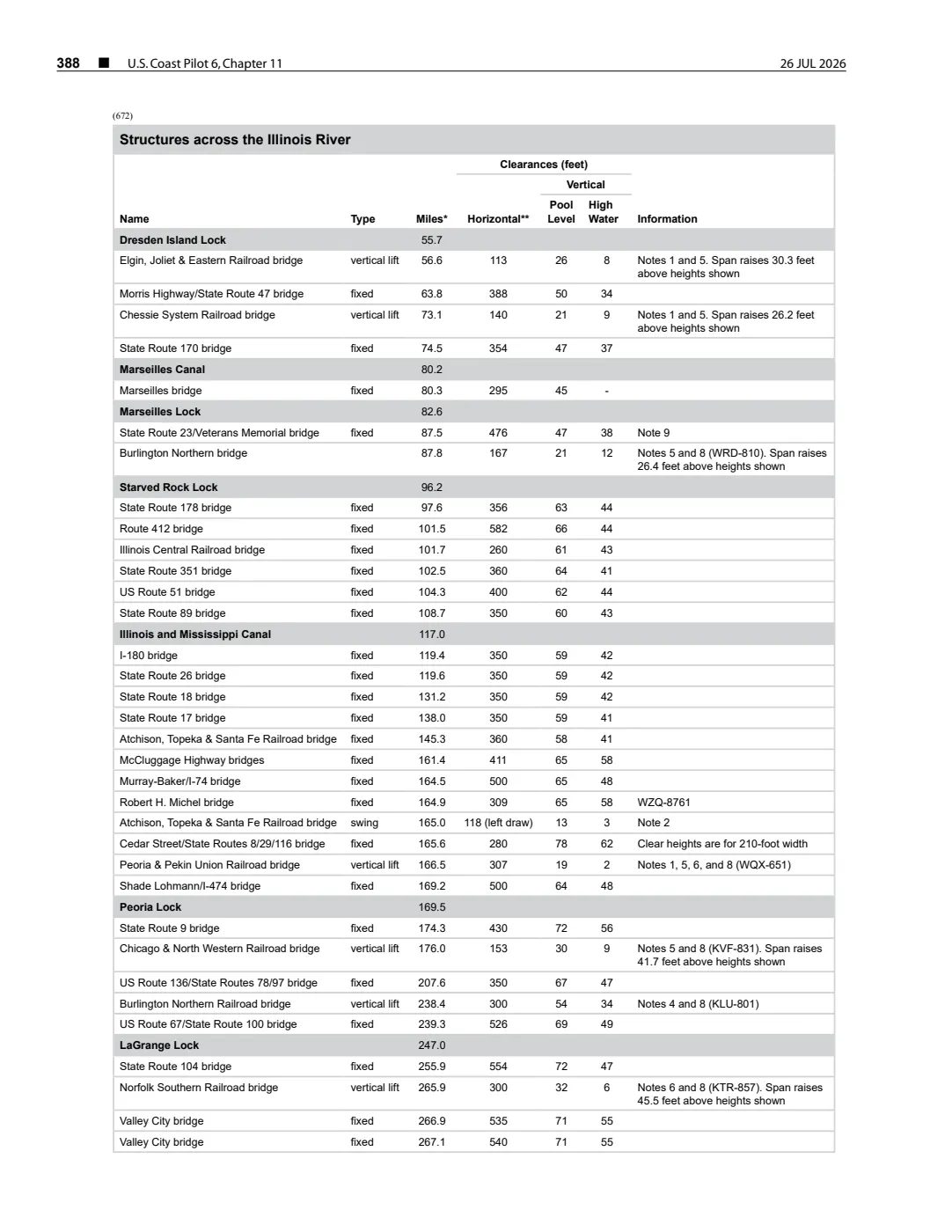
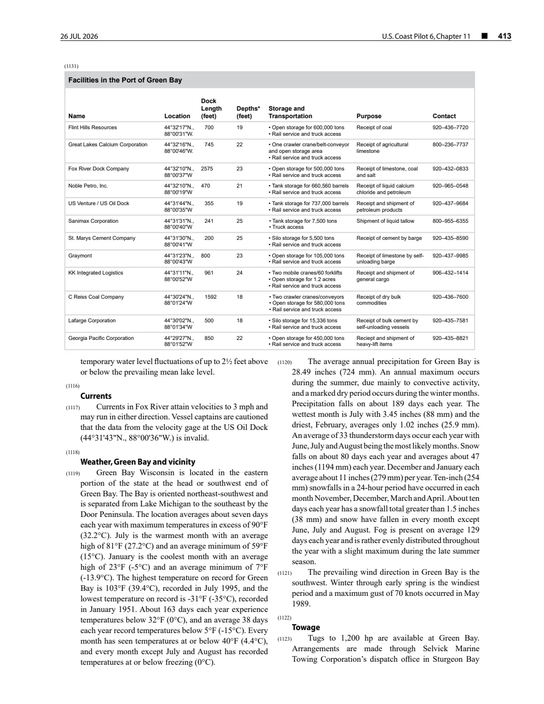
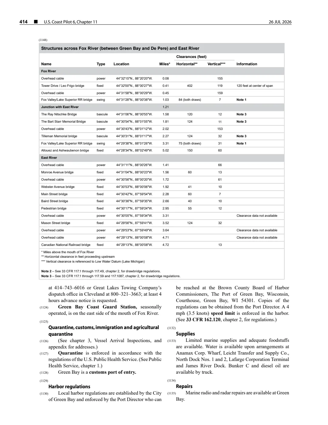
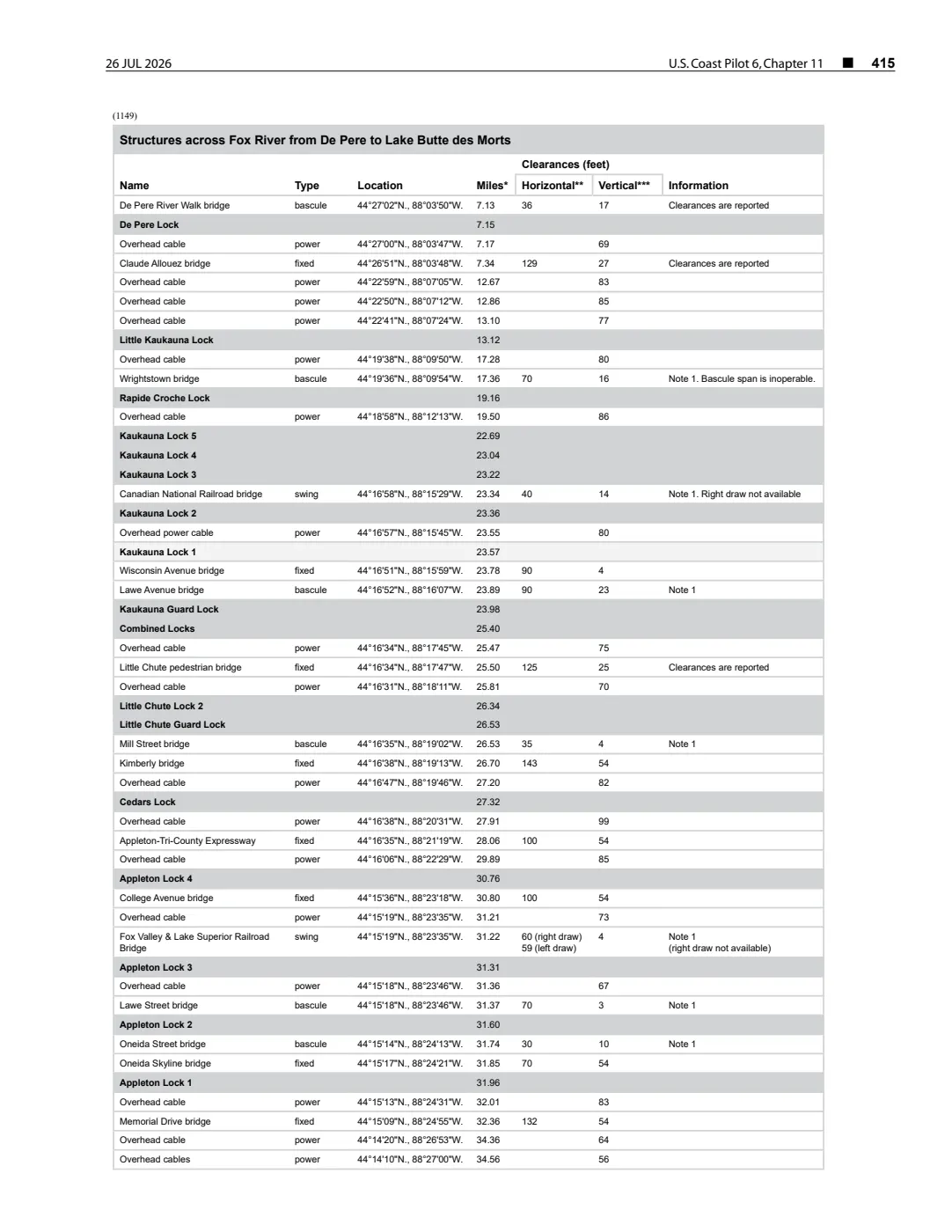
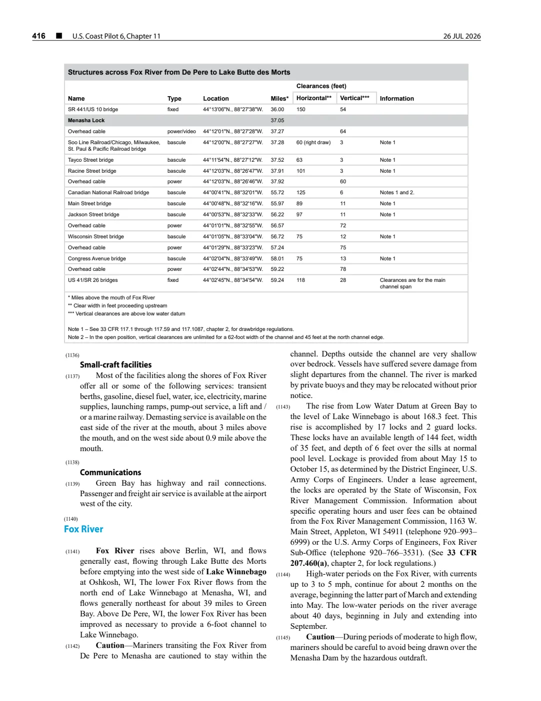
- Identifies Ile aux Galets as the nearby small island in the Grays Reef Passage approach; its representative point is used only as an area locator for the reef record, not as a reef coordinate or boundary.federal · noaa_coast_pilot · noaa-coast-pilot-6-chapter-11-2026-08-02
- Provides the existing representative map point for the nearby island; the result does not establish the reef’s exact position or navigational extent.
Added 2 August 2026. Recent changes
Cite this article
Beaver Island Archive, “Skilligallee Reef”, https://beaverislandarchive.org/places/skilligallee-reef/, accessed [date], citing Tamara L. Thomsen and Caitlin N. Zant, *From Behind Masks: Underwater Archaeological Investigations from the 2020–2022 Field Seasons*, Wisconsin Historical Society Technical Report Series 23-001 (2023), p. 11. (and 2 further sources listed on the page).
Last revised 2026-08-02. Fill in [date] with the date you read it — this page is static and cannot know that.