

- Coordinates
- 45.7156° N, 85.5312° WGoogle Maps: Round LakeDownload KML
- Eras
- Modern era
- Concepts
- environmentwetlandsconservation
- Within
- Beaver Island
- Media
- Plat of Big Beaver Island, 1901 · Plat of the north end of Beaver Island, 1930s
Summary
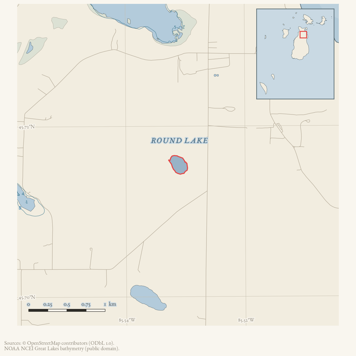
Round Lake is a small inland lake in Beaver Island’s northern interior. GNIS classifies it as a lake, and the 2023 Beaver Island Master Plan describes it as approximately 24 acres and privately owned, with public access allowed by Central Michigan University.
The Master Plan gives Round Lake an unusually specific ecological profile: it holds water only seasonally, does not support fish populations, connects to a wetland complex called “Cornelius’ Swamp,” and serves as a spring stopover for ducks, sandhill cranes, and geese. A December 1961 Beaver Beacon report independently places local goose hunting at the northeast end of Round Lake and names the nearby Welke farm. The sources support the lake’s hydrological and wildlife significance, but do not establish the origin of the Cornelius’ Swamp name or the terms of the current public-access arrangement.
Open questions
- Can the Master Plan’s “Cornelius’ Swamp” be matched to a mapped wetland or a separate historical place record?
- When did Central Michigan University acquire or begin allowing access to Round Lake, and what restrictions apply?
- Can historical surveys establish the lake’s seasonal water regime and any earlier use beyond the 1961 hunting report?
Maps for this place
These Atlas plates provide regional context. They do not establish a precise boundary, current ownership, access right, operating status, or field condition.
- EnvironmentSoils, wetlands, hydrography, and terrain
- GeologyGeneralized geology and landforms
- HydrologyMapped water and wetland context
- AccessMapped routes, facilities, and protected areas
- Land surveyPLSS geometry and historic GLO patent-location context
The dated record
Sources
- GNIS feature 636313; feature class 'Lake'.federal · gnis · gnis_names
- Describes Round Lake as a roughly 24-acre private seasonal lake in the northern interior, connected to Cornelius’ Swamp, used as a spring stopping point by ducks, sandhill cranes, and geese; the plan also notes public access through CMU.
- Reports Rogers Carlisle hunting blue geese at the northeast end of Round Lake and identifies the surrounding Welke farm context on Beaver Island.data1 · beaver-island-archive · beaver_beacon · 1961-12_Beaver-Beacon
- The held six-page issue scan is paired with the OCR source and confirms the published notice or report; it does not expand the source-specific identity, event, or outcome claims.data1 · beaver-island-archive · scans · beaver_beacon · issues · 1961-12_Beaver-Beacon
Added 28 July 2026 · revised 3 August 2026. Recent changes
Cite this article
Beaver Island Archive, “Round Lake”, https://beaverislandarchive.org/places/round-lake/, accessed [date], citing U.S. Geological Survey, Geographic Names Information System, Domestic Names (Michigan), retrieved 2026-07-28. (and 3 further sources listed on the page).
Last revised 2026-08-03. Fill in [date] with the date you read it — this page is static and cannot know that.