

- Along road
- Little Iron Orebay Road
- Coordinates
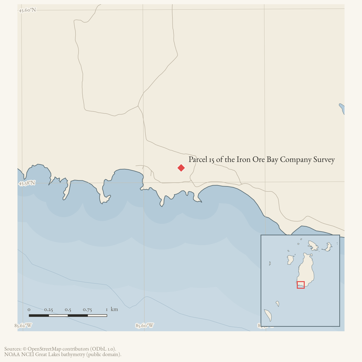
- 45.5817° N, 85.5938° WGoogle Maps: Parcel 15 of the Iron Ore Bay Company SurveyDownload KML
- Eras
- Modern era
- Concepts
- land-surveypropertytransportation
- Within
- Beaver Island
Summary
Parcel 15 of the Iron Ore Bay Company Survey is a source-qualified land tract associated with Little Iron Orebay Road on Beaver Island. A property profile describes a roughly 465,656-square-foot tract facing south toward Lake Michigan and says access to a building site would be from Little Iron Orebay Road, with a possible alternative driveway from West Side Road.
The listing establishes a road-to-parcel research lead, not title, a surveyed boundary, a recorded access right, construction, or current availability. The coordinate is an approximate candidate anchor for the current 10.7-acre Little Iron Ore Bay Road parcel whose area most closely matches the listing’s 465,656-square-foot description. It is not a confirmed historic Parcel 15 boundary, deed, access easement, or ownership continuity record.
Maps for this place
These Atlas plates provide regional context. They do not establish a precise boundary, current ownership, access right, operating status, or field condition.
- EnvironmentSoils, wetlands, hydrography, and terrain
- GeologyGeneralized geology and landforms
- HydrologyMapped water and wetland context
- AccessMapped routes, facilities, and protected areas
- Land surveyPLSS geometry and historic GLO patent-location context
Sources
- The profile identifies the tract as Parcel 15 of the Iron Ore Bay Company Survey and says access to the building site would be off Little Iron Ore Bay Road or potentially West Side Road. It is a listing/profile, not a deed, recorded survey, access easement, or current availability record.
- The snapshot contains a current 10.7-acre parcel on Little Iron Ore Bay Road (PIN 012-019-006-40), approximately matching the listing’s 465,656-square-foot description. Its centroid-like published point is used as an approximate candidate anchor only; the snapshot does not prove that this current parcel is historic Parcel 15, has the same boundaries, or retains the advertised access.county · charlevoix · parcels_arcgis · 2026-08-01 · island_parcels
Added 2 August 2026 · revised 6 August 2026. Recent changes
Cite this article
Beaver Island Archive, “Parcel 15 of the Iron Ore Bay Company Survey”, https://beaverislandarchive.org/places/iron-ore-bay-company-parcel-15/, accessed [date], citing RateMyAgent, “Little Iron Orebay Road, Charlevoix County, MI 49782 — Property Profile,” retrieved 2026-08-02. (and 1 further source listed on the page).
Last revised 2026-08-06. Fill in [date] with the date you read it — this page is static and cannot know that.
BibTeX for “Parcel 15 of the Iron Ore Bay Company Survey”RIS for “Parcel 15 of the Iron Ore Bay Company Survey”