

- Coordinates
- 45.6559° N, 85.4953° WGoogle Maps: Hannigan’s to Wagner CampgroundDownload KML
- Eras
- Modern era
- Concepts
- transportationrecreationModern era
- Within
- Beaver Island
Summary
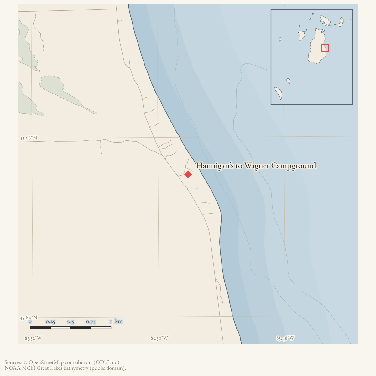
Hannigan’s to Wagner Campground is a composite route named in the 2015 map and described in Peaine’s 2021 trail packet. It links the Hannigan’s Road area with Bill Wagner Campground but is not yet represented by a confirmed line.
Map status
The full line remains unresolved. The coordinate is only an approximate campground endpoint anchor. Pending update: digitize the route from an official map or current GPS track and document whether it follows an existing road or footpath for its full length.
Maps for this place
These Atlas plates provide regional context. They do not establish a precise boundary, current ownership, access right, operating status, or field condition.
- EnvironmentSoils, wetlands, hydrography, and terrain
- GeologyGeneralized geology and landforms
- HydrologyMapped water and wetland context
- AccessMapped routes, facilities, and protected areas
- Land surveyPLSS geometry and historic GLO patent-location context
Sources
- A resident asked where to view the July 2020 comet and a participant suggested the east side near Wagner Campground, while pointing to Beaver Island Dark Skies. This is a contemporaneous recreational suggestion, not a designated astronomical site, darkness measurement, or access statement.forum · www.beaverislandforum.com · 15 · t015423
- The legend prints “Hannigan’s to Wagner Campground” as a composite route.
- Describes the Bill Wagner Campground–Hannigan’s Road connection; the held PDF is not a GIS source.governance · peaine · trails · all-trail-descriptions
- The named campground point is used as an approximate endpoint anchor for the composite Hannigan's-to-Wagner route, not as its full route geometry.
Added 2 August 2026. Recent changes
Cite this article
Beaver Island Archive, “Hannigan’s to Wagner Campground”, https://beaverislandarchive.org/places/hannigans-to-wagner-campground/, accessed [date], citing Myles & Sally and BradG, "Comet," Beaver Island Forum, July 13, 2020, topic 15423. (and 3 further sources listed on the page).
Last revised 2026-08-02. Fill in [date] with the date you read it — this page is static and cannot know that.
BibTeX for “Hannigan’s to Wagner Campground”RIS for “Hannigan’s to Wagner Campground”