

- Intersects
- Allen's Lakeview Road · Lake Shore Road
- Coordinates
- 45.7350° N, 85.5589° WGoogle Maps: Driftwood CourtDownload KML
- Eras
- Modern era
- Concepts
- transportationtoponymy
- Within
- Beaver Island archipelago
Summary
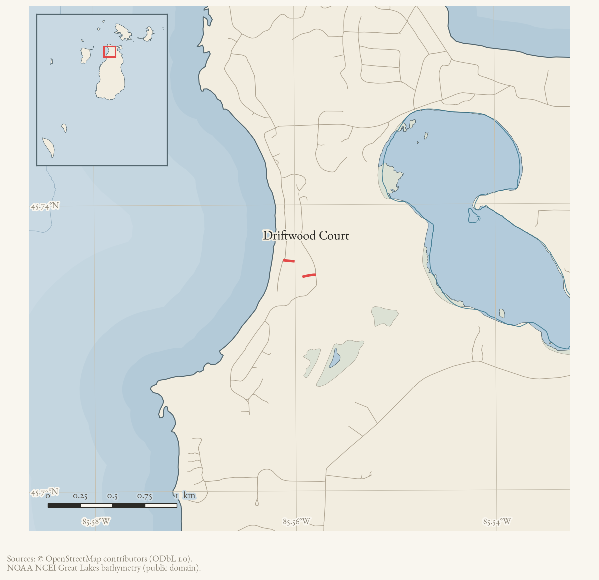
Driftwood Court is a named road on Beaver Island’s current OpenStreetMap map.
The two held ways carrying that name are merged here into one route geometry
of about 193 m. It meets two other named roads, listed under
intersects_road.
Evidence and limits
The name and the alignment are what mappers last entered, and OpenStreetMap is
volunteered work rather than a survey: it settles neither the right-of-way nor
who maintains the road. Where the name came from is a separate question. Plats,
road-commission minutes, and island memory answer that one. Put an older
spelling from any of them into alt_names or former_names, with the source
that attests it.
Documented associations
These source-backed records provide context for the mapped route:
- Hidden Valley trail nears completion near Lakeview Road and Driftwood Court, 1981 — In June 1981, the Beaver Beacon reported that a trail to Hidden Valley was near completion. It directed hikers to an entrance on Lakeview Road near Driftwood Court. The report establishes a contemporary trail entrance and approximate road setting, but not the builders, exact route, formal project name, or a later completion record.
Research status
The local newspaper and website corpus contains exact-name mentions in 2 file(s). Those files are research leads; the relation layer is added only when the surrounding source text establishes that the record involves this road.
Maps for this place
These Atlas plates provide regional context. They do not establish a precise boundary, current ownership, access right, operating status, or field condition.
- EnvironmentSoils, wetlands, hydrography, and terrain
- GeologyGeneralized geology and landforms
- HydrologyMapped water and wetland context
- AccessMapped routes, facilities, and protected areas
- Land surveyPLSS geometry and historic GLO patent-location context
Sources
- Current mapped road name 'Driftwood Court'; grouped OSM way ids: 17751383, 17751385. This is a volunteered map record, not a surveyed right-of-way or proof of historical naming.osm · roads
Added 2 August 2026. Recent changes
Cite this article
Beaver Island Archive, “Driftwood Court”, https://beaverislandarchive.org/places/driftwood-court/, accessed [date], citing OpenStreetMap contributors, roads via Overpass API, retrieved 2026-08-01 (ODbL 1.0)..
Last revised 2026-08-02. Fill in [date] with the date you read it — this page is static and cannot know that.