

- Coordinates
- 45.7099° N, 85.5585° WGoogle Maps: Barneys Lake FenDownload KML
- Eras
- Modern era
- Concepts
- environmentwetlandshydrologyplantsconservationrecreation
- Within
- Beaver Island · Barney’s Lake
Summary
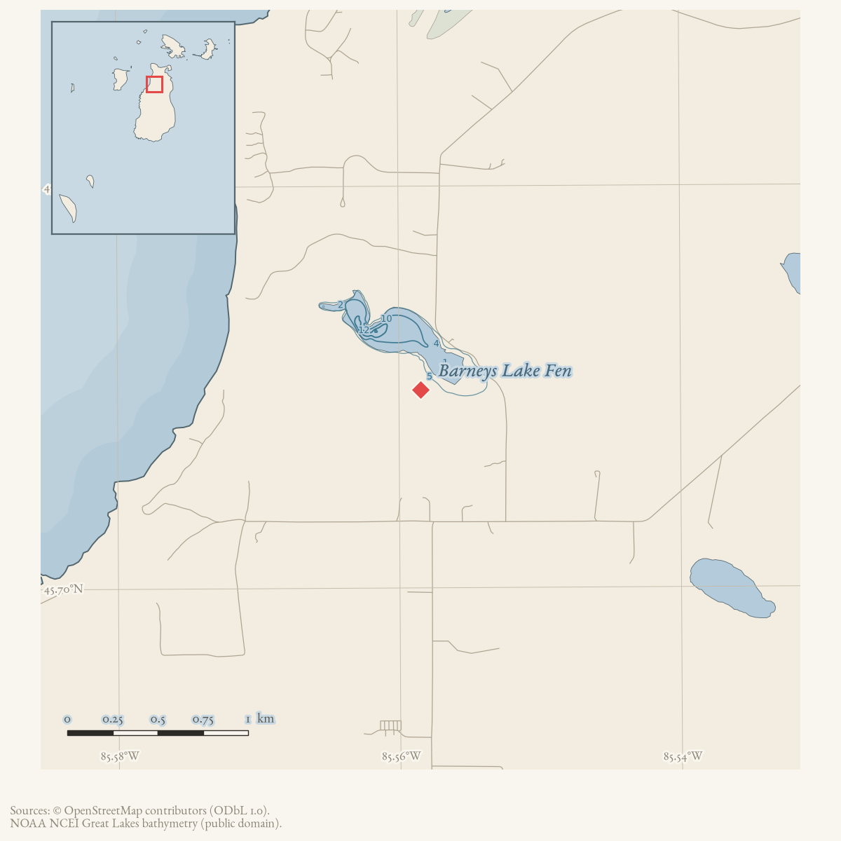
Barneys Lake Fen lies at the southeast end of Barneys Lake, southeast of the public boat launch. The 2006 study describes it as Beaver Island’s only fen, reachable by walking and dominated by sedges and rushes, with sundews along the edge and cedar and tamarack behind it.
Evidence limits
The coordinates are the study’s approximate endpoints reduced to an approximate center; they are not a surveyed wetland boundary.
Sources
See the sources block above.
Sources
- Beth E. Leuck and Edwin E. Leuck, "Barney's Lake Fen," Beaver Beacon, August 2006.Identifies the site as Beaver Island's only fen, gives approximate east and west coordinates, describes walking access from the public boat launch, and records sedges, rushes, sundews, white cedar, and tamarack. No public copy of this file is known; the archive holds one and can provide it on request.data1 · beaver-island-archive · beaver_beacon · 2006-08_Beaver-Beacon
- The held issue scan confirms the wetland description and photographs.data1 · beaver-island-archive · scans · beaver_beacon · issues · 2006-08_Beaver-Beacon
Added 5 August 2026. Recent changes
Cite this article
Beaver Island Archive, “Barneys Lake Fen”, https://beaverislandarchive.org/places/barneys-lake-fen/, accessed [date], citing Beth E. Leuck and Edwin E. Leuck, "Barney's Lake Fen," Beaver Beacon, August 2006. (and 1 further source listed on the page).
Last revised 2026-08-05. Fill in [date] with the date you read it — this page is static and cannot know that.