

- Date
- 2023-06-21
- Eras
- Modern era
- Concepts
- toponymyland-surveyenvironmentheritage
- Within
- Beaver Island
Summary
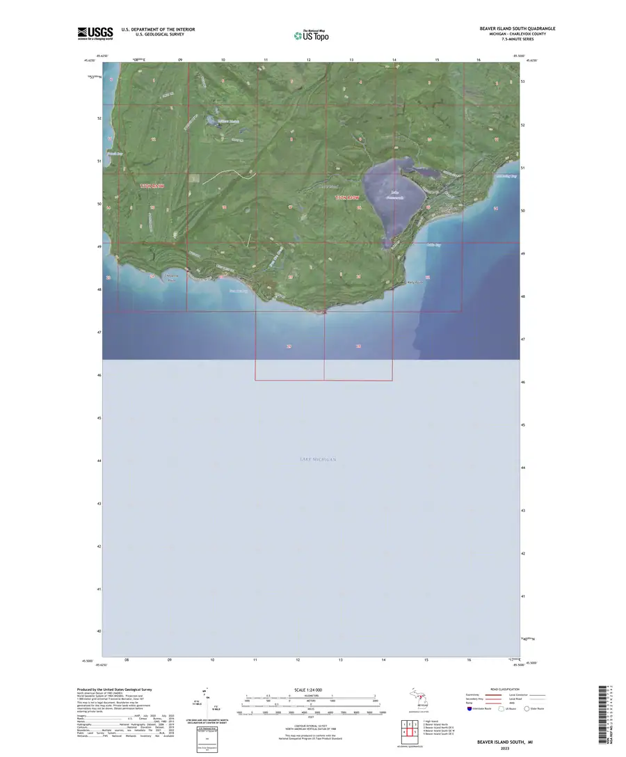
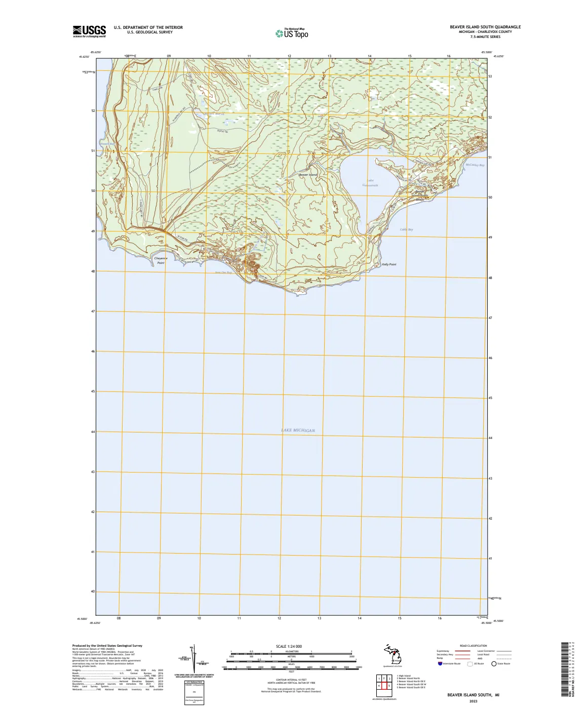
The held Beaver Island South US Topo quadrangle is a one-page, layered 1:24,000 map product published by the U.S. Geological Survey on June 21, 2023. Its visible map frame covers the south core of Beaver Island and includes the selected names, contours, hydrography, roads, imagery, and other layers shown by this edition.
Evidence and limits
This GeoPDF is GIS-derived US Topo packaging, not a new field survey. Its printed features do not establish legal title, parcel or township boundaries, public access, maintenance responsibility, construction dates, or a single observation date for every layer. It is one member of the held 2023 core-pair source set; it does not by itself cover North Beaver Island or the wider archipelago.
See also
The page
Rendered from the held scan.
Sources
- Held one-page layered GeoPDF. The sheet is a 2023 map product, not a complete field survey, legal record, parcel map, or uniformly dated observation layer.federal · usgs_topo · current · Beaver-Island-South_2023_24000
- The index identifies ScienceBase sourceId 649513b1d34ef77fcb01a1d1, publicationDate 2023-06-21, and the South download metadata; the sidecar retains retrieval and checksum provenance.federal · usgs_topo · _index_us_topo_current
Added 2 August 2026 · revised 4 August 2026. Recent changes
Cite this article
Beaver Island Archive, “USGS Beaver Island South US Topo quadrangle, 2023”, https://beaverislandarchive.org/documents/usgs-beaver-island-south-us-topo-2023/, accessed [date], citing U.S. Geological Survey, *Beaver Island South, Michigan*, US Topo 7.5-minute quadrangle, 1:24,000, June 21, 2023. (and 1 further source listed on the page).
Last revised 2026-08-04. Fill in [date] with the date you read it — this page is static and cannot know that.
BibTeX for “USGS Beaver Island South US Topo quadrangle, 2023”RIS for “USGS Beaver Island South US Topo quadrangle, 2023”