

- Built
- before 1874
- Coordinates
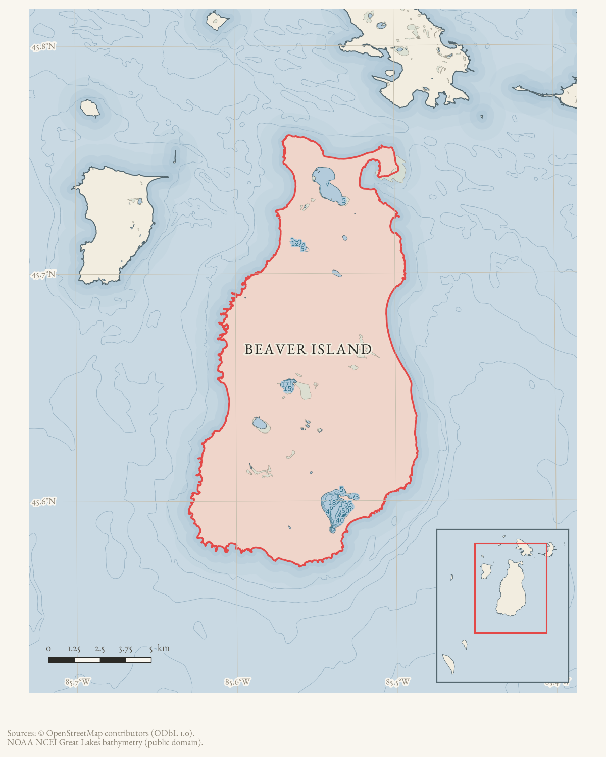
- 45.6850° N, 85.5141° WGoogle Maps: Don Burke FarmDownload KML
- Eras
- Modern era
- Concepts
- agricultureheritagecommunity
- Within
- Beaver Island
Summary
The Don Burke Farm was a 120-acre farm in Section 14 of Peaine Township named in a September 1970 Beaver Beacon report. The property included buildings and an original barn. The article says the first recorded real estate transaction was in 1874 and that the actual beginnings might be earlier.
A 2005 classified listing identifies an “old Burke Farm” parcel as the west half of the northwest quarter of Section 14, Township 38 North, Range 10 West, west of the CMU campground. The current county parcel with that matching legal description is used as an approximate map anchor. Its 81.5-acre assessment does not resolve whether the historic farm extended beyond that parcel or whether the 2005 farmhouse/barn description is identical to the 1970 property.
Evidence and limits
This is a source-qualified structure record. The later listing and matching parcel description improve the location to an approximate parcel anchor, but do not establish the farm’s complete historic boundary, original owner, barn construction date, or the report’s suggestion of possible Strangite use in the early 1850s. They also do not prove that the preservation plan was completed.
Open questions
- Which land records identify the Don Burke Farm and its buildings?
- Does the original barn survive, and was it maintained as described?
- Can independent evidence date or connect the farm to Strangite activity?
See also
Sources
- Describes a 120-acre farm in Section 14 of Peaine Township, buildings including an original barn, a first recorded real estate transaction in 1874, and a belief that its beginnings were earlier; it supplies no formal farm name beyond Don Burke Farm, coordinates, boundaries, or construction date.data1 · beaver-island-archive · beaver_beacon · 1970-09_Beaver-Beacon
- The held seven-page issue scan is paired with the OCR source and confirms the published notice or report; it does not expand the source-specific identity, event, or outcome claims.data1 · beaver-island-archive · scans · beaver_beacon · issues · 1970-09_Beaver-Beacon
- Beaver Beacon, March 2005, classified advertising, “80 acres of old farmland.”The later listing calls the property the old Burke Farm and identifies it as the west half of the northwest quarter of Section 14, Township 38 North, Range 10 West, west of the CMU campground and east of Nig’s Farm. It describes an old farmhouse and fallen-in barn, but does not prove that the advertised 80-acre parcel is the entire 120-acre farm described in 1970. No public copy of this file is known; the archive holds one and can provide it on request.
- Current PIN 012-114-001-00 carries the matching legal description “W 1/2 OF NW 1/4 SEC 14 T38N R10W,” is assessed at 81.5 acres, and has the published point used here as an approximate parcel anchor. The current assessment record does not prove historic title continuity, the full 1970 120-acre extent, or that every historic building remains within this parcel.county · charlevoix · parcels_arcgis · 2026-08-01 · island_parcels
Added 1 August 2026 · revised 6 August 2026. Recent changes
Cite this article
Beaver Island Archive, “Don Burke Farm”, https://beaverislandarchive.org/structures/don-burke-farm-1970/, accessed [date], citing Beaver Beacon, September 1970, “Newsy-Notes.” (and 3 further sources listed on the page).
Last revised 2026-08-06. Fill in [date] with the date you read it — this page is static and cannot know that.