

- Coordinates
- 45.7500° N, 85.5141° WGoogle Maps: Beaver Island power plantDownload KML
- Eras
- Modern era
- Concepts
- communityeconomyheritage
- Within
- Beaver Island
Summary
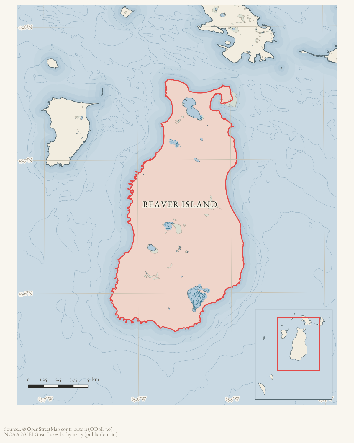
A Beaver Island power plant with at least one generator was operating by the March 1971 Beaver Beacon report. The Coast Guard cutter Sundew delivered a new radiator for one generator along with gasoline, fuel oil, and bottle gas. The June issue describes the existing plant as a diesel generator plant that would soon serve as an emergency unit after a submarine power cable was laid to the island. A 2007 township report connects the old power plant to a Wolverine conservation-easement property on the harbor; the current locator is therefore an approximate harbor-parcel anchor, not a surveyed historical footprint.
Evidence and limits
This is a source-qualified infrastructure record. The source does not provide a formal plant name, exact location, operator, construction date, number of generators, completion of the cable installation, or a complete power-generation history. The current harbor parcel and 2007 easement improve the locator to an approximate property anchor, but the held sources do not establish the exact 1971 plant footprint, operator continuity, or relationship to present-day electrical infrastructure.
Open questions
- Where was the plant, and which public or private body operated it?
- What generator received the radiator, and what fuel system did the plant use?
- Did the cable installation reach service, and when did the diesel plant become emergency-only in practice?
- Are township, utility, or Coast Guard records available?
See also
Sources
- Reports that Sundew delivered fuel and a new radiator for one of the generators at the island power plant; it supplies no formal facility name, location, operator, construction date, or generator specifications.data1 · beaver-island-archive · beaver_beacon · 1971-03_Beaver-Beacon
- The held six-page issue scan is paired with the OCR source and confirms the published notice or report; it does not expand the source-specific identity, event, or outcome claims.data1 · beaver-island-archive · scans · beaver_beacon · issues · 1971-03_Beaver-Beacon
- Describes the submarine cable route ending at the island generator plant and says the existing diesel generator plant would soon be used only as an emergency unit; it does not provide a formal facility name, exact location, operator, or completion record.data1 · beaver-island-archive · beaver_beacon · 1971-06_Beaver-Beacon
- The held nine-page issue scan is paired with the OCR source and confirms the published notice or report; it does not expand the source-specific identity, event, or outcome claims.data1 · beaver-island-archive · scans · beaver_beacon · issues · 1971-06_Beaver-Beacon
- Beaver Beacon, December 2007, St. James Township report.Says the Wolverine Power Conservation Easement covered the old power plant/future-park property on the harbor, where Arranmore Park was planned. This ties the historical plant site to a harbor property but does not provide a survey or prove the entire 1971 facility lay within the current parcel. No public copy of this file is known; the archive holds one and can provide it on request.
- PIN 013-750-001-00 is owned by WOLVERINE POWER SUPPLY COOP, carries current situs 25980 Main St, and has the listed representative point used as an approximate parcel anchor. This is current property evidence, not a surveyed 1971 plant footprint or proof of uninterrupted facility continuity.county · charlevoix · parcels_arcgis · 2026-08-01 · island_parcel_attributes
Added 1 August 2026 · revised 6 August 2026. Recent changes
Cite this article
Beaver Island Archive, “Beaver Island power plant”, https://beaverislandarchive.org/structures/beaver-island-power-plant-1971/, accessed [date], citing Beaver Beacon, March 1971, “Sundew Visits.” (and 5 further sources listed on the page).
Last revised 2026-08-06. Fill in [date] with the date you read it — this page is static and cannot know that.
BibTeX for “Beaver Island power plant”RIS for “Beaver Island power plant”