

- Coordinates
- 45.7939° N, 85.3440° WGoogle Maps: Tims IslandDownload KML
- Eras
- Modern era
- Concepts
- maritimetoponymy
- Within
- Beaver Island archipelago
Summary
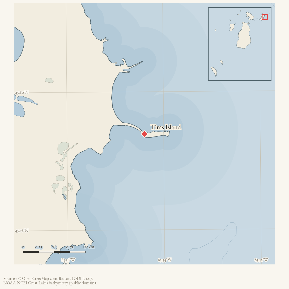
Tims Island is the official GNIS name for feature 1614873, which GNIS classifies as a cape in the Beaver Island archipelago. The mismatch between the name and the GNIS feature class is retained rather than silently resolved: the held record establishes the official record and coordinate, but does not yet establish whether local usage treats the feature as an island, cape, or a coastal point, nor does it explain the name.
Open questions
- Which charts and local sources define the feature represented by “Tims Island”?
- What is the name’s origin, and why does the GNIS feature class say “Cape”?
Sources
- GNIS feature 1614873; feature class 'Cape'.federal · gnis · gnis_names
Added 28 July 2026 · revised 1 August 2026. Recent changes
Cite this article
Beaver Island Archive, “Tims Island”, https://beaverislandarchive.org/places/tims-island/, accessed [date], citing U.S. Geological Survey, Geographic Names Information System, Domestic Names (Michigan), retrieved 2026-07-28..
Last revised 2026-08-01. Fill in [date] with the date you read it — this page is static and cannot know that.