

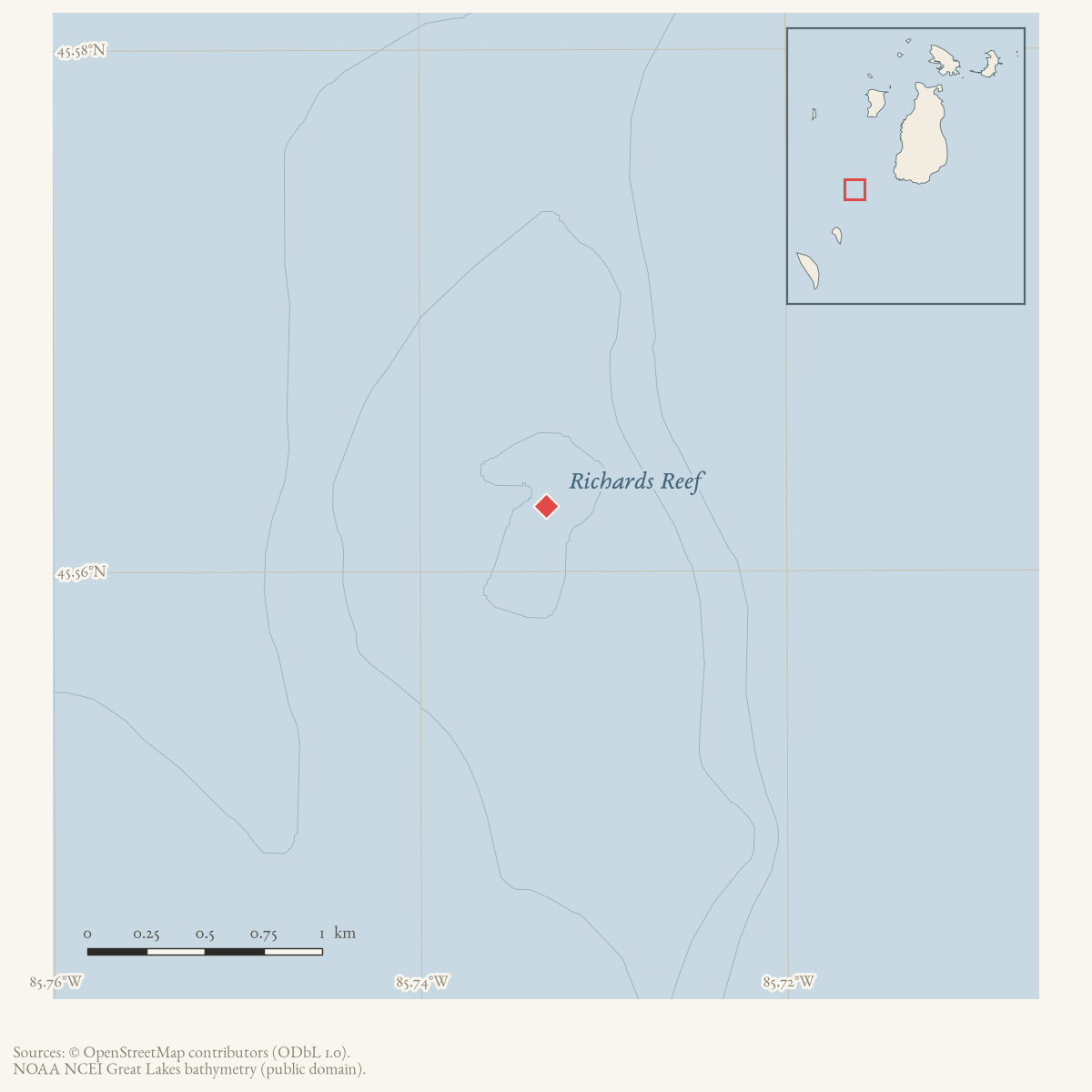
ReefGNIS 635865
- Coordinates
- 45.5625° N, 85.7331° WGoogle Maps: Richards ReefDownload KML
- Eras
- Modern era
- Concepts
- maritimetoponymy
- Within
- Beaver Island archipelago
Summary
Richards Reef is a GNIS-named submerged feature in the Beaver Island archipelago. GNIS classifies feature 635865 as a “Bar,” while the official name is Richards Reef. The held record establishes the present official name and geographic classification but does not yet explain the name, define the reef’s navigational limits, or document its history.
Open questions
- What charts and hydrographic surveys define Richards Reef’s extent and hazards?
- Who or what gave the reef its name?
Sources
- GNIS feature 635865; feature class 'Bar'.federal · gnis · gnis_names
Added 28 July 2026 · revised 1 August 2026. Recent changes
Cite this article
Beaver Island Archive, “Richards Reef”, https://beaverislandarchive.org/places/richards-reef/, accessed [date], citing U.S. Geological Survey, Geographic Names Information System, Domestic Names (Michigan), retrieved 2026-07-28..
Last revised 2026-08-01. Fill in [date] with the date you read it — this page is static and cannot know that.