

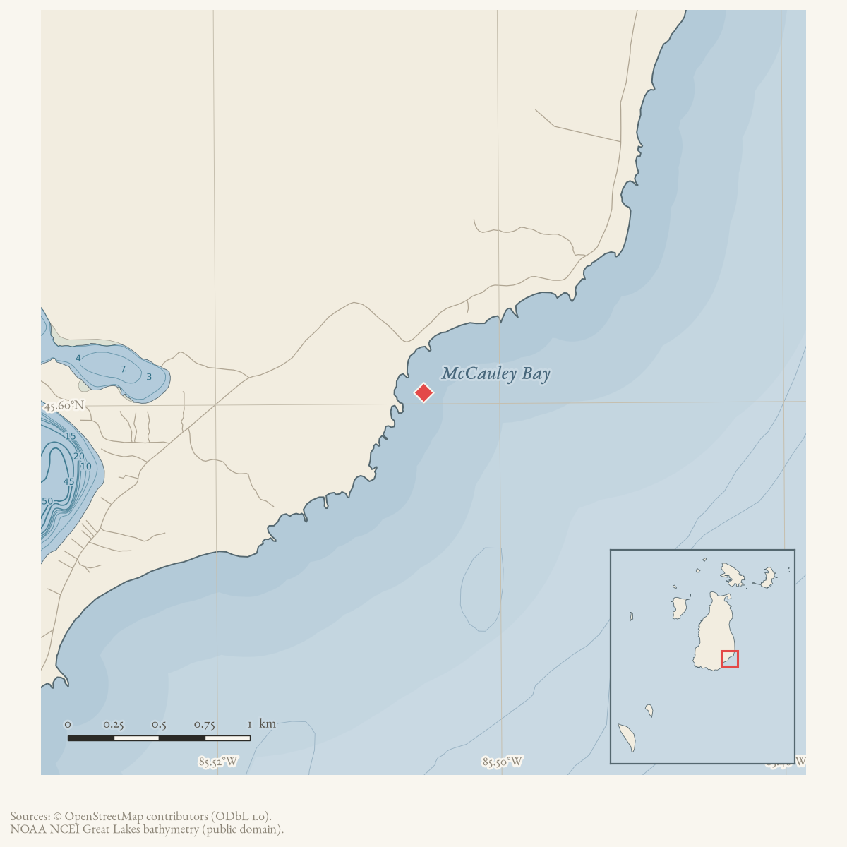
- Coordinates
- 45.6006° N, 85.5054° WGoogle Maps: McCauley BayDownload KML
- Eras
- Modern era
- Concepts
- toponymy
- Within
- Beaver Island
- Media
- Beaver Island History Map, 1978 revision · Plat of Big Beaver Island, 1901 · Plat of the south end of Beaver Island, 1930s
Summary
USGS GNIS identifies McCauley Bay as a bay. The 2023 Beaver Island Master Plan also labels “McCauley’s Bay” on its map of island places. A later transcription of historical island news says prospects were good for a shingle mill at “Pete McCauley’s bay,” independently connecting the bay with a Pete McCauley. The 1978 Historical Map calls the namesake “Black Pete” McCauley, and a later forum family-history thread supplies a detailed but unresolved genealogy lead. No independent source read here documents the formal naming event or confirms every genealogical claim.
Open questions
- Who was Pete McCauley, and does any civil or family record document the nickname “Black Pete”?
- Do dated maps, newspapers, or property records document a landing, harbor, or other use?
Maps for this place
These Atlas plates provide regional context. They do not establish a precise boundary, current ownership, access right, operating status, or field condition.
- EnvironmentSoils, wetlands, hydrography, and terrain
- GeologyGeneralized geology and landforms
- HydrologyMapped water and wetland context
- AccessMapped routes, facilities, and protected areas
- Land surveyPLSS geometry and historic GLO patent-location context
Sources
- GNIS feature 631823; feature class 'Bay'.federal · gnis · gnis_names
- Map label “McCauley's Bay.”
- Beaver Beacon, July 2008, historical-newspaper transcription.Reprints an older notice saying prospects were good for a shingle mill at “Pete McCauley’s bay.” It independently associates the bay with Pete McCauley but does not give the original issue date in the excerpt, the nickname “Black Pete,” or a formal naming account. No public copy of this file is known; the archive holds one and can provide it on request.data1 · beaver-island-archive · beaver_beacon · 2008-07_Beaver-Beacon
- Described in this archive: Beaver Island History Map, 1978 revision.Labels the bay as named for “Black Pete” McCauley. No independent source located in this audit supplies the nickname.
- Jeff McCauley Norton, Colin Nackerman, and Bob Sramek, “Black Peter McCauley,” Beaver Island Forum, January 27, 2014–August 4, 2022.The thread began with a descendant seeking information and later included a Nackerman family response identifying Peter Edward “Black Pete” McCauley, an Arranmore origin, Beaver Island residence, a large family, and a claimed connection to the bay. The later post is a valuable family-history lead but contains unresolved date and relationship variants and should not replace civil, cemetery, land, or contemporary newspaper evidence.forum · www.beaverislandforum.com · 07 · t007169
Added 28 July 2026 · revised 10 August 2026. Recent changes
Cite this article
Beaver Island Archive, “McCauley Bay”, https://beaverislandarchive.org/places/mccauley-bay/, accessed [date], citing U.S. Geological Survey, Geographic Names Information System, Domestic Names (Michigan), retrieved 2026-07-28. (and 4 further sources listed on the page).
Last revised 2026-08-10. Fill in [date] with the date you read it — this page is static and cannot know that.