

- Coordinates
- 45.8333° N, 85.4668° WGoogle Maps: Mackinac ChannelDownload KML
- Eras
- Modern era
- Concepts
- maritimetoponymy
- Within
- Beaver Island archipelago
Summary
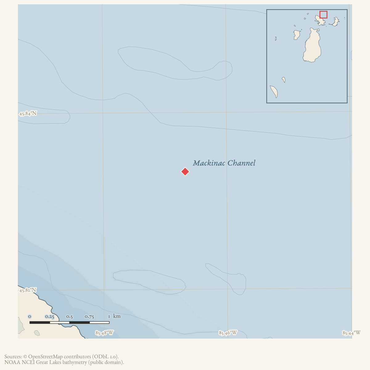
Mackinac Channel is a GNIS-named channel in the Beaver Island archipelago. The GNIS record identifies the feature class as “Channel” and records the name as referring to its proximity to the Straits of Mackinac. This establishes the official geographic identity and a source-attributed naming explanation; the held sources do not yet define the channel’s full charted extent or document its historical navigation.
Open questions
- Which nautical charts define Mackinac Channel’s boundaries and navigational role?
- When and by whom was the name applied in charts or Board on Geographic Names records?
Sources
- GNIS feature 1777333; feature class 'Channel'.federal · gnis · gnis_names
Added 28 July 2026 · revised 1 August 2026. Recent changes
Cite this article
Beaver Island Archive, “Mackinac Channel”, https://beaverislandarchive.org/places/mackinac-channel/, accessed [date], citing U.S. Geological Survey, Geographic Names Information System, Domestic Names (Michigan), retrieved 2026-07-28..
Last revised 2026-08-01. Fill in [date] with the date you read it — this page is static and cannot know that.