

- Dates
- 1958-10 – 1959
- Kind
- Announcement
- Where
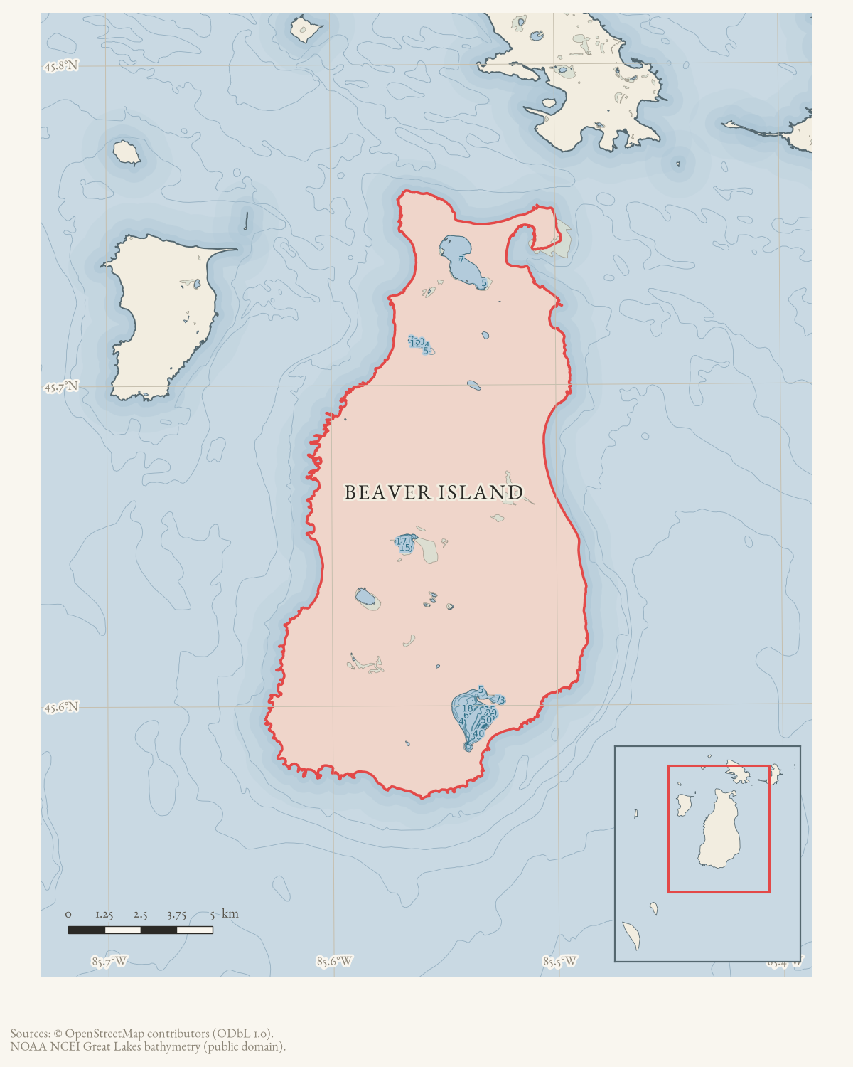
- Beaver Island
- Carried out by
- Beaver Island Civic Association
- Eras
- Modern era
- Concepts
- heritagetransportationrecreationtourismcommunity
- Within
- Beaver Island
Summary
The Beaver Island Civic Association planned to mark old railroad trails and historic and natural sites for visitor hikes in the 1959 summer season. The October 1958 notice lists sites including Indian Point, Mt. Pisgah, Eagles Nest, Dr. Protar’s Spring, and the old hotel site south of Cables Bay.
Evidence limits
This is a plan and volunteer appeal. It does not provide a sign inventory, map, budget, or completion evidence.
Open questions
- Was the 1959 signage plan carried out, and how many of the listed sites (Indian Point, Mt. Pisgah, Eagles Nest, Dr. Protar’s Spring, the old hotel site) were actually marked?
- Do any of the planned trail signs or markers survive, or were they documented in a later Beacon issue?
If you can answer any of these, or correct anything above, the archive wants to hear it — see Corrections.
Sources
- Reports a BICA plan to mark old railroad trails and other sites with signs for recreational jaunts and hikes, naming Indian Point, Mt. Pisgah, Eagles Nest, Dr. Protar’s Spring, Angeline’s Bluff, Reddings Cabin Trail, Greens Bay, French Bay, the old hotel site south of Cables Bay, and Beaver Dams. It asks interested helpers to write the BICA secretary for a project intended for the next summer season. It does not provide a sign inventory, map, budget, or completion evidence. The holding institution's portal restricts automated access; the archive holds a copy of this issue and can provide it on request.data1 · beaver-island-archive · beaver_beacon · 1958-10_Beaver-Beacon
- The held five-page issue scan is paired with the canonical OCR source and confirms the planned trail-sign project; it does not expand the heritage, access, or recreation record.data1 · beaver-island-archive · scans · beaver_beacon · issues · 1958-10_Beaver-Beacon
Added 3 August 2026. Recent changes
Cite this article
Beaver Island Archive, “BICA plans signs for Beaver Island historic trails and recreation sites, 1958”, https://beaverislandarchive.org/events/beaver-island-railroad-trail-signage-plan-1958/, accessed [date], citing Beaver Beacon, October 1958, “MEET THE NEW ISLAND LAND OWNERS.” (and 1 further source listed on the page).
Last revised 2026-08-03. Fill in [date] with the date you read it — this page is static and cannot know that.
BibTeX for “BICA plans signs for Beaver Island historic trails and recreation sites, 1958”RIS for “BICA plans signs for Beaver Island historic trails and recreation sites, 1958”